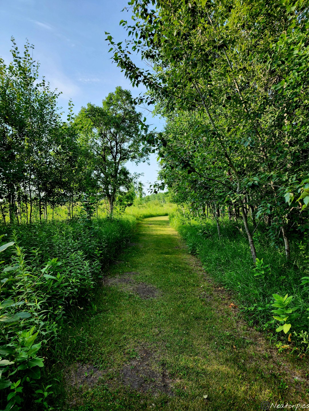
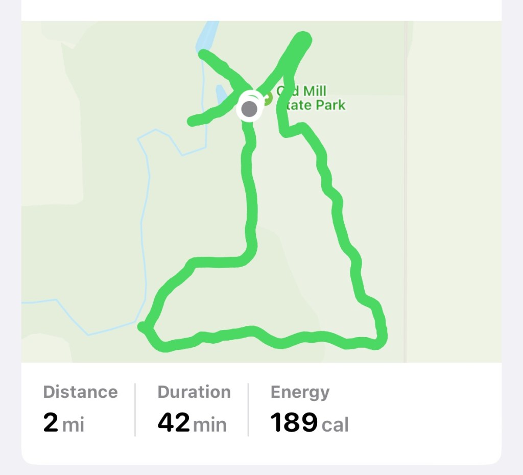
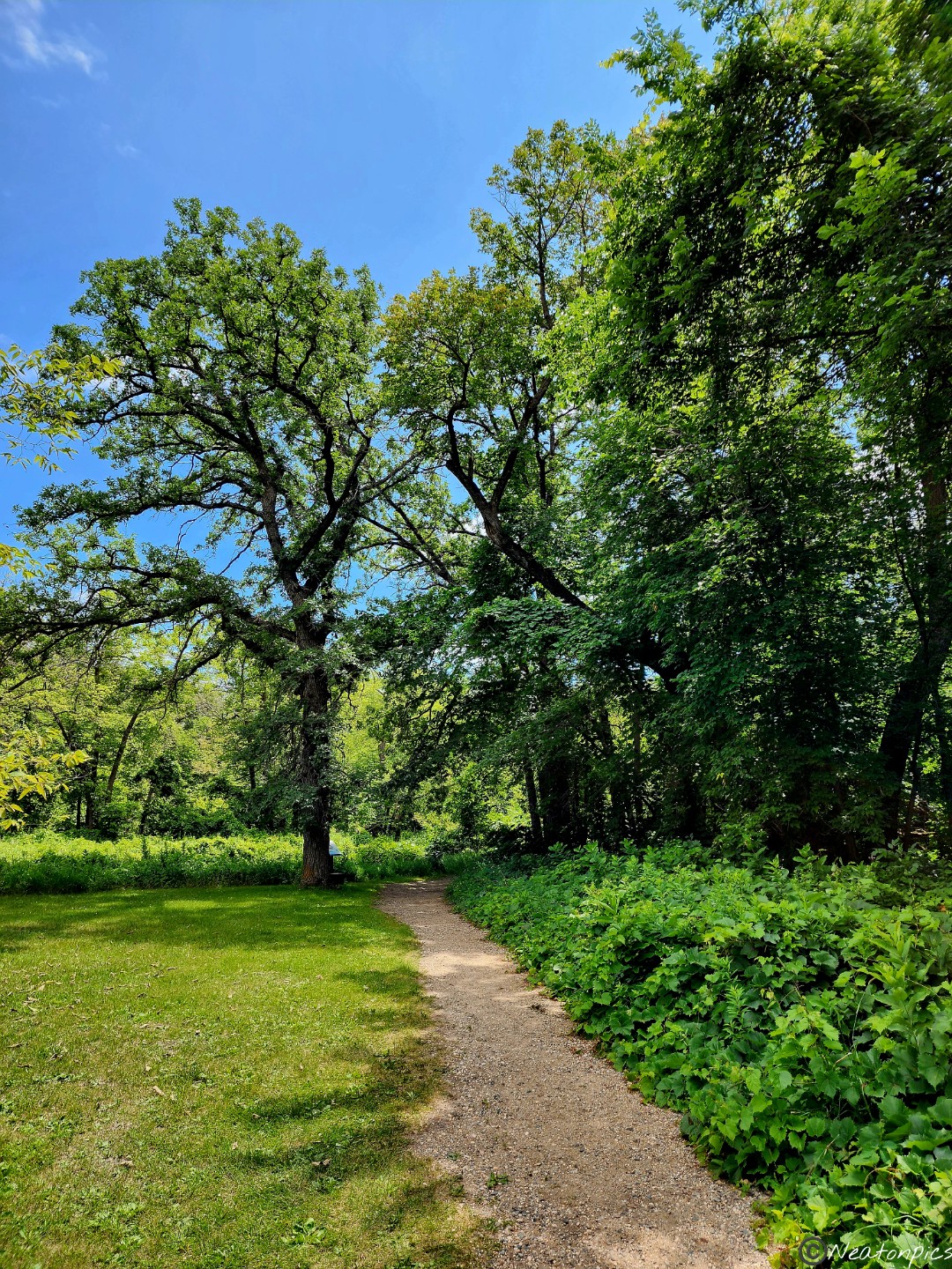
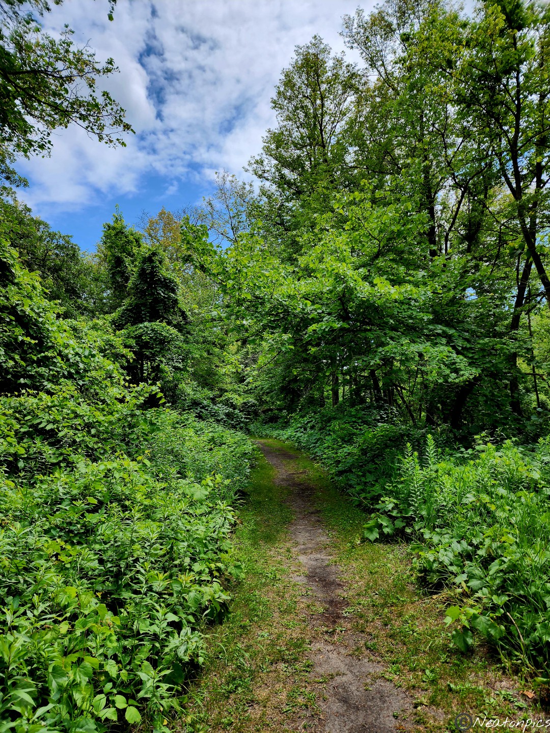
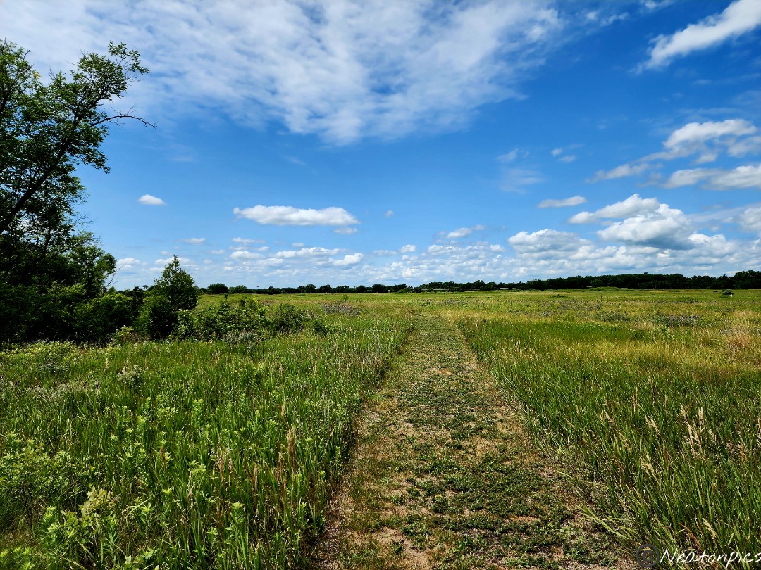
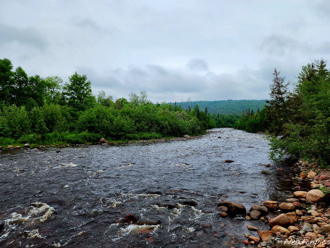
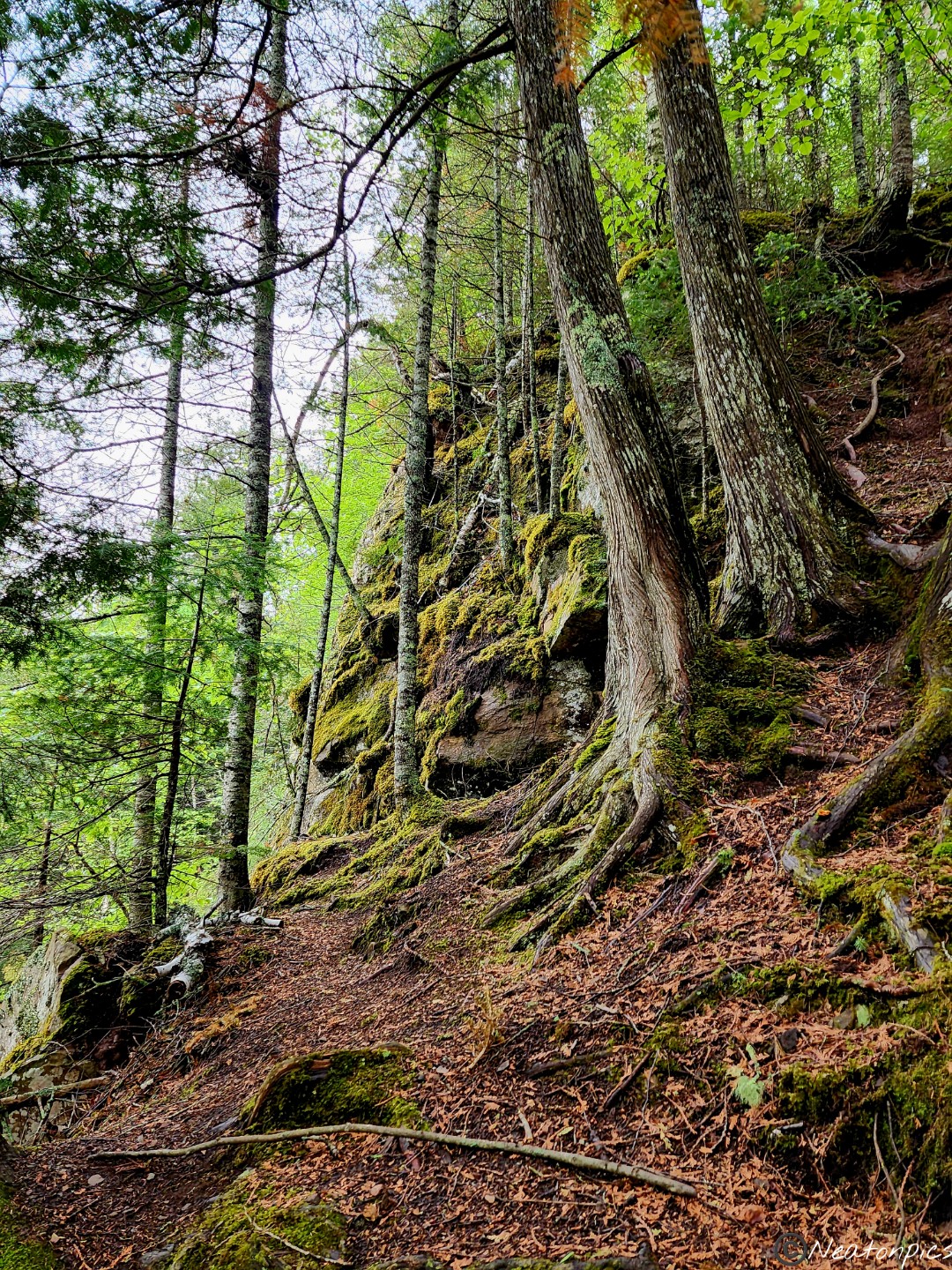
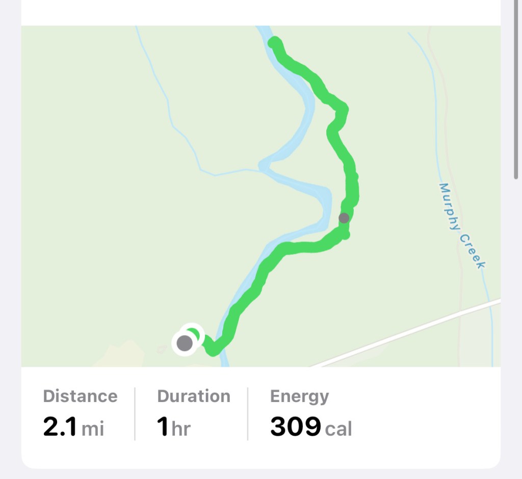
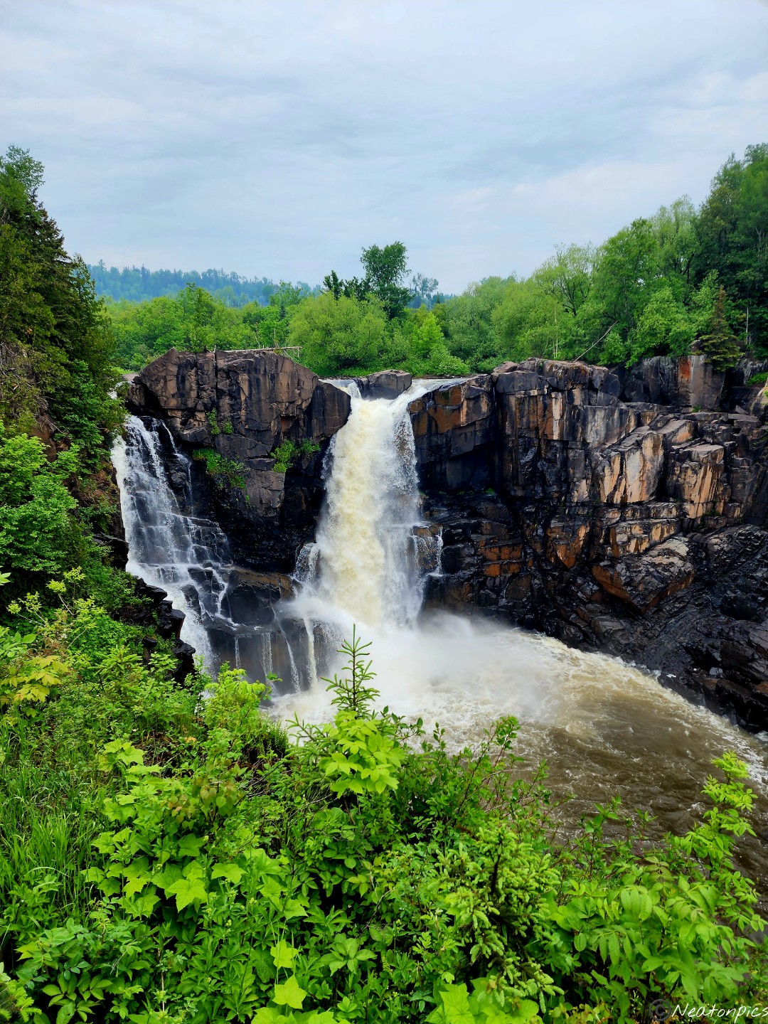
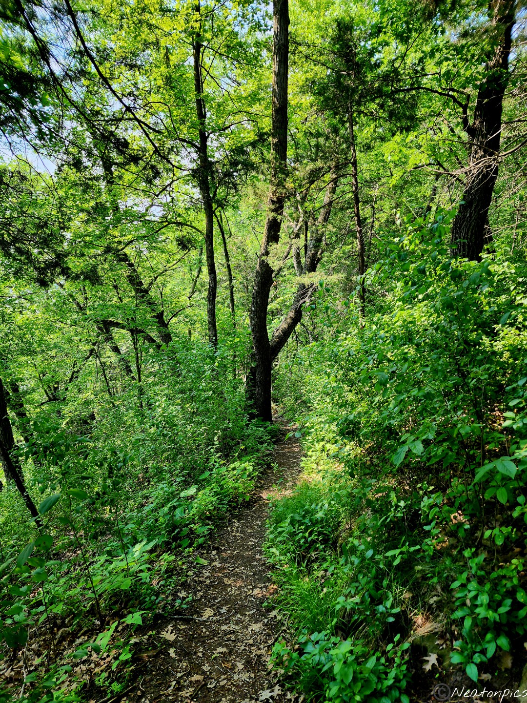
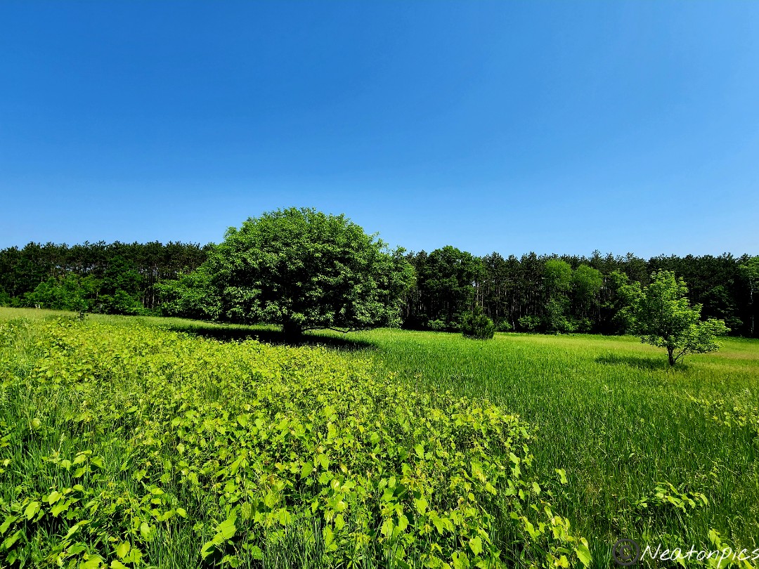
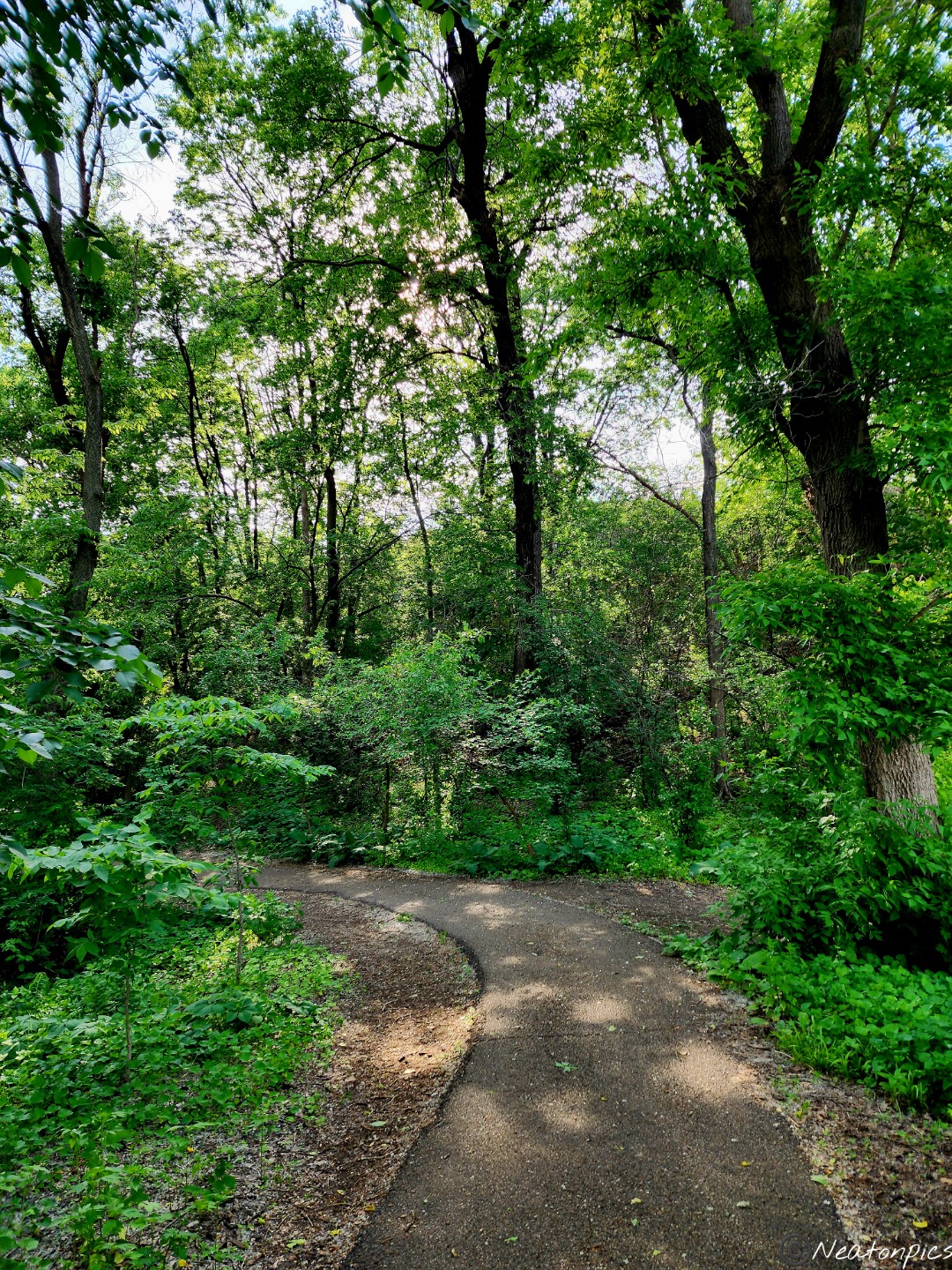
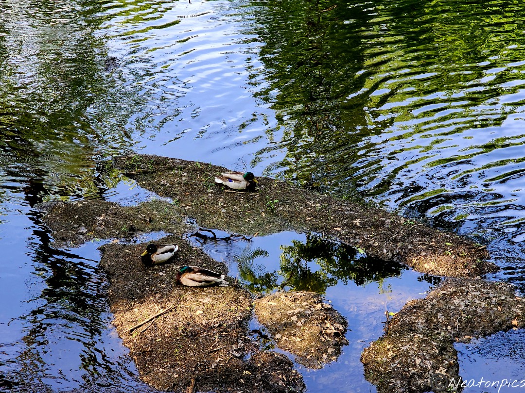
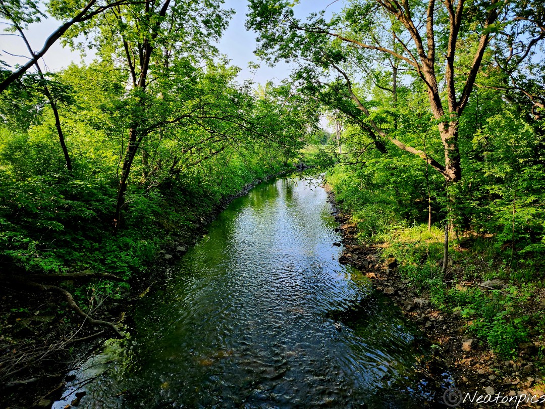
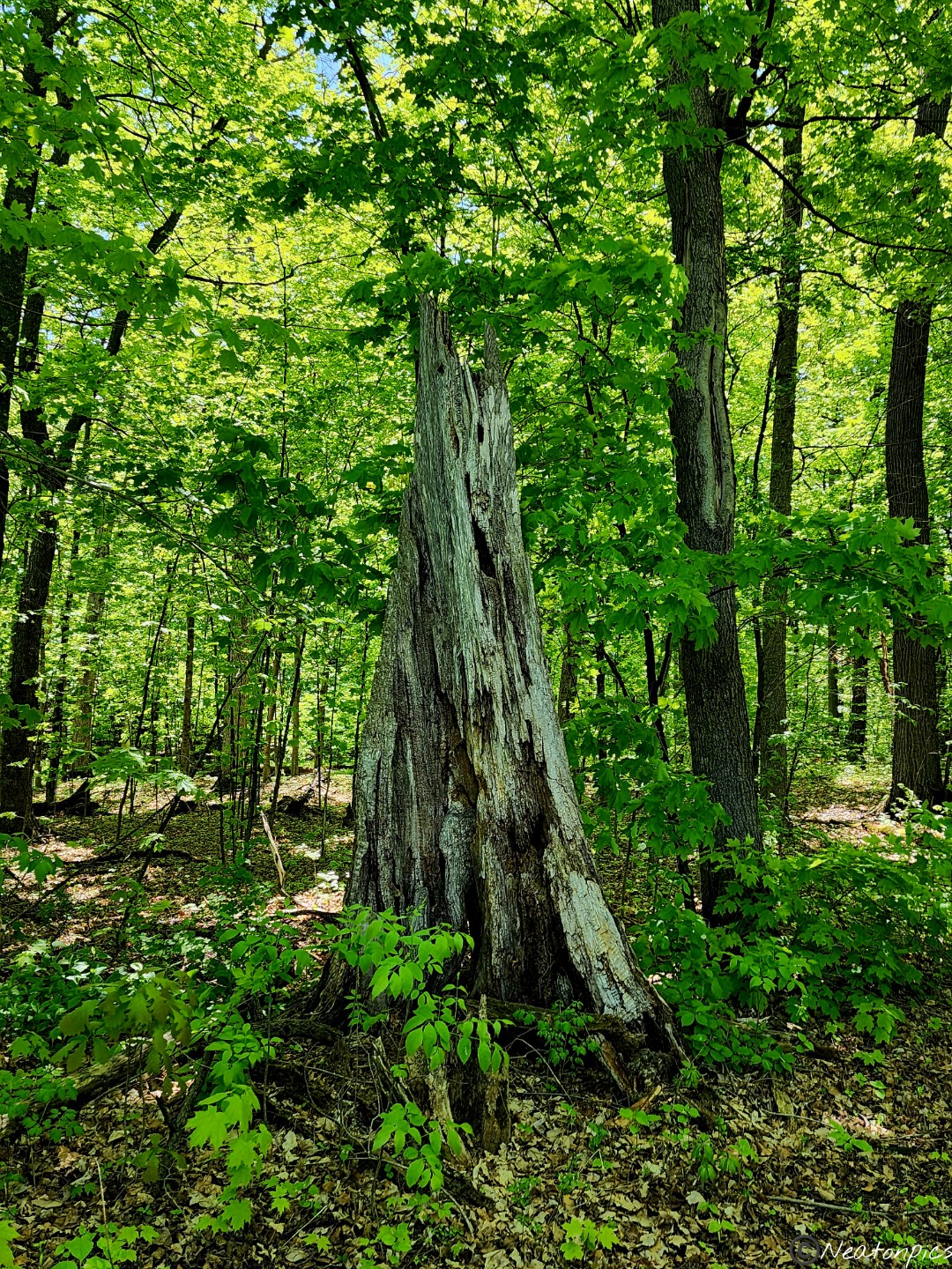
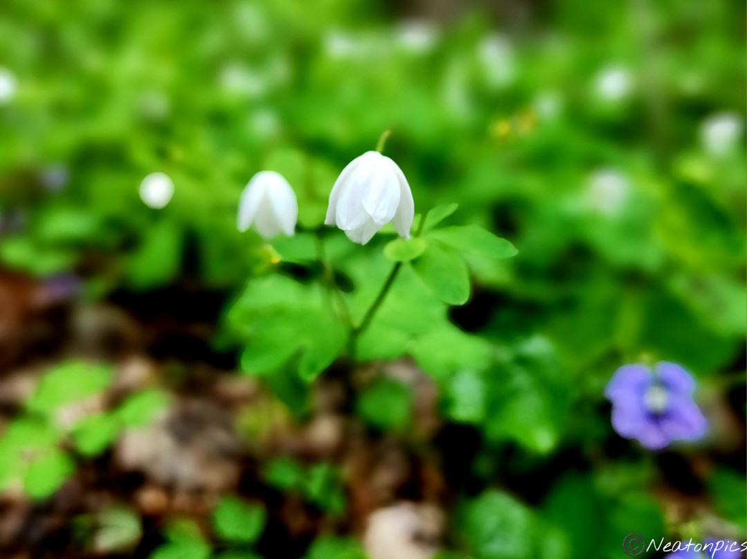
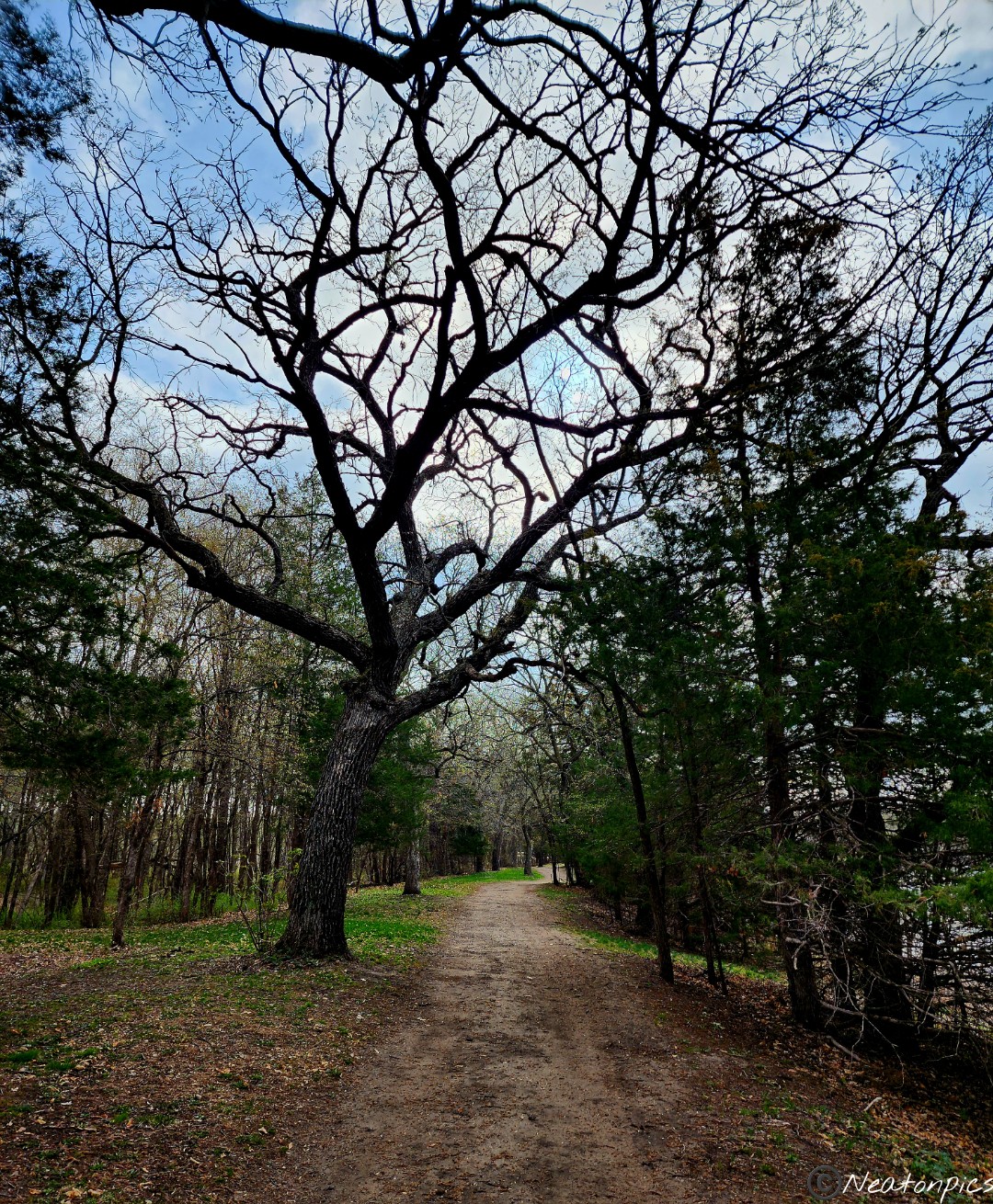
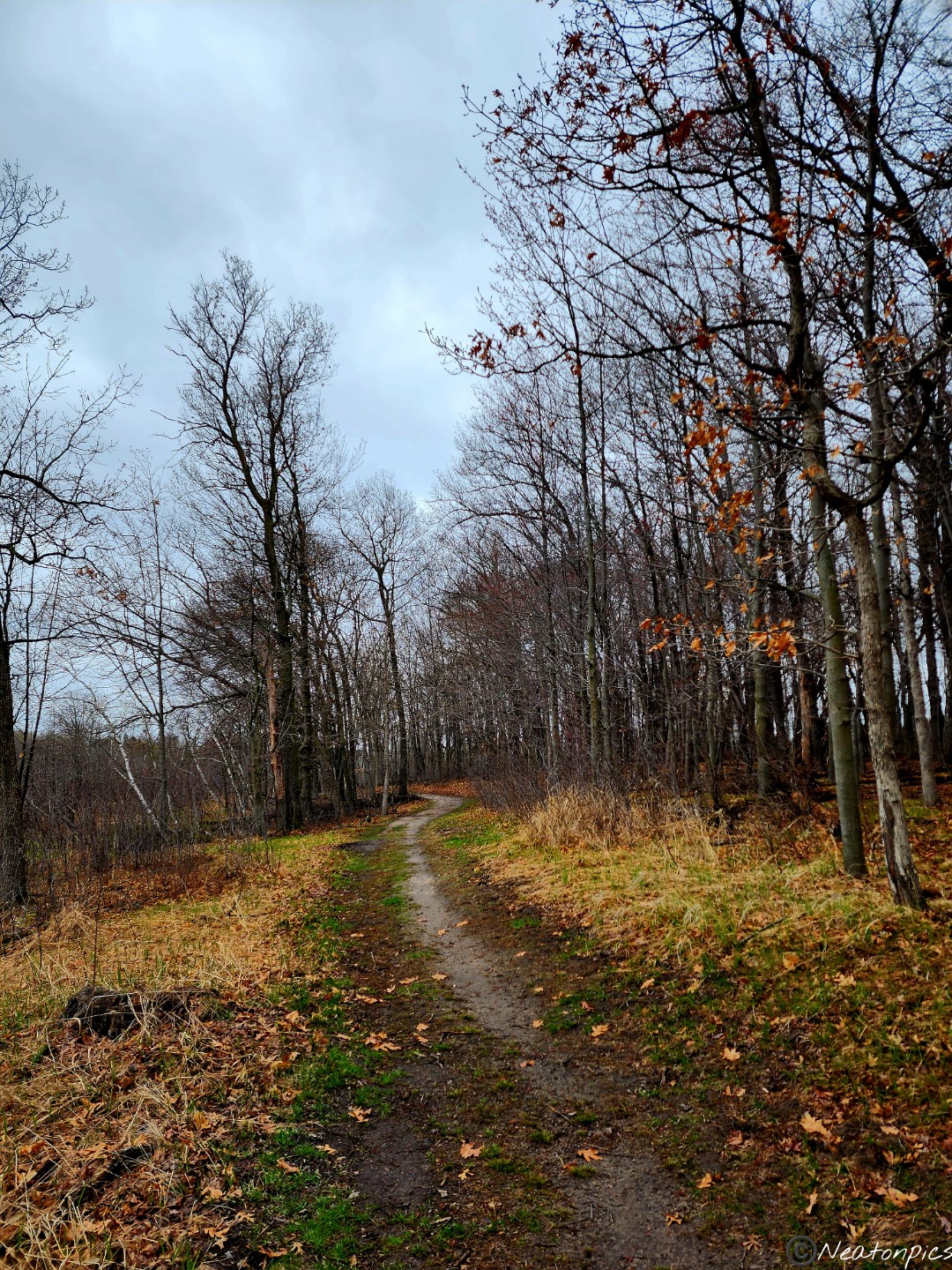
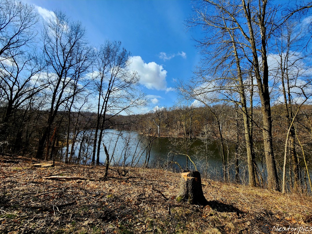
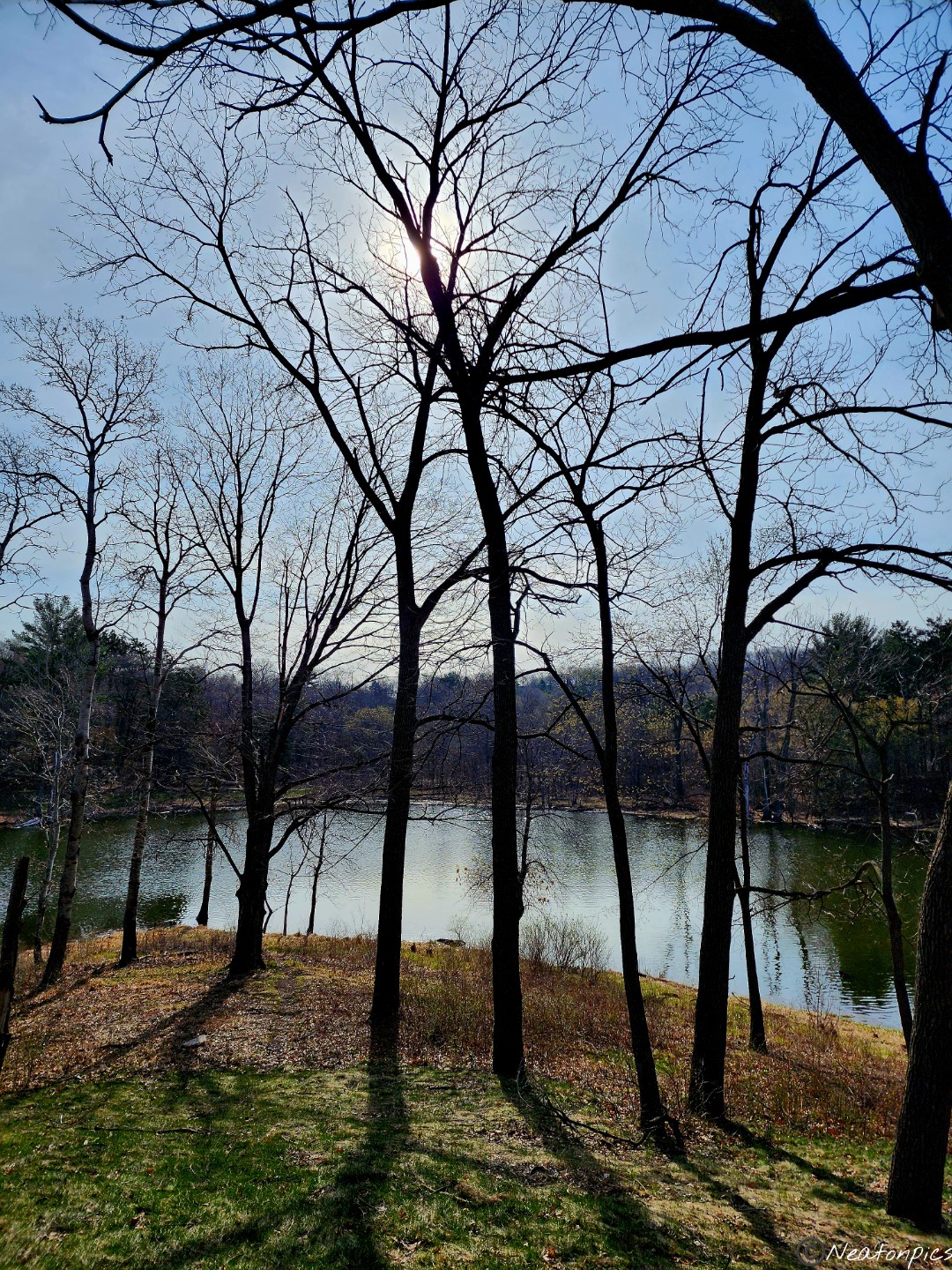
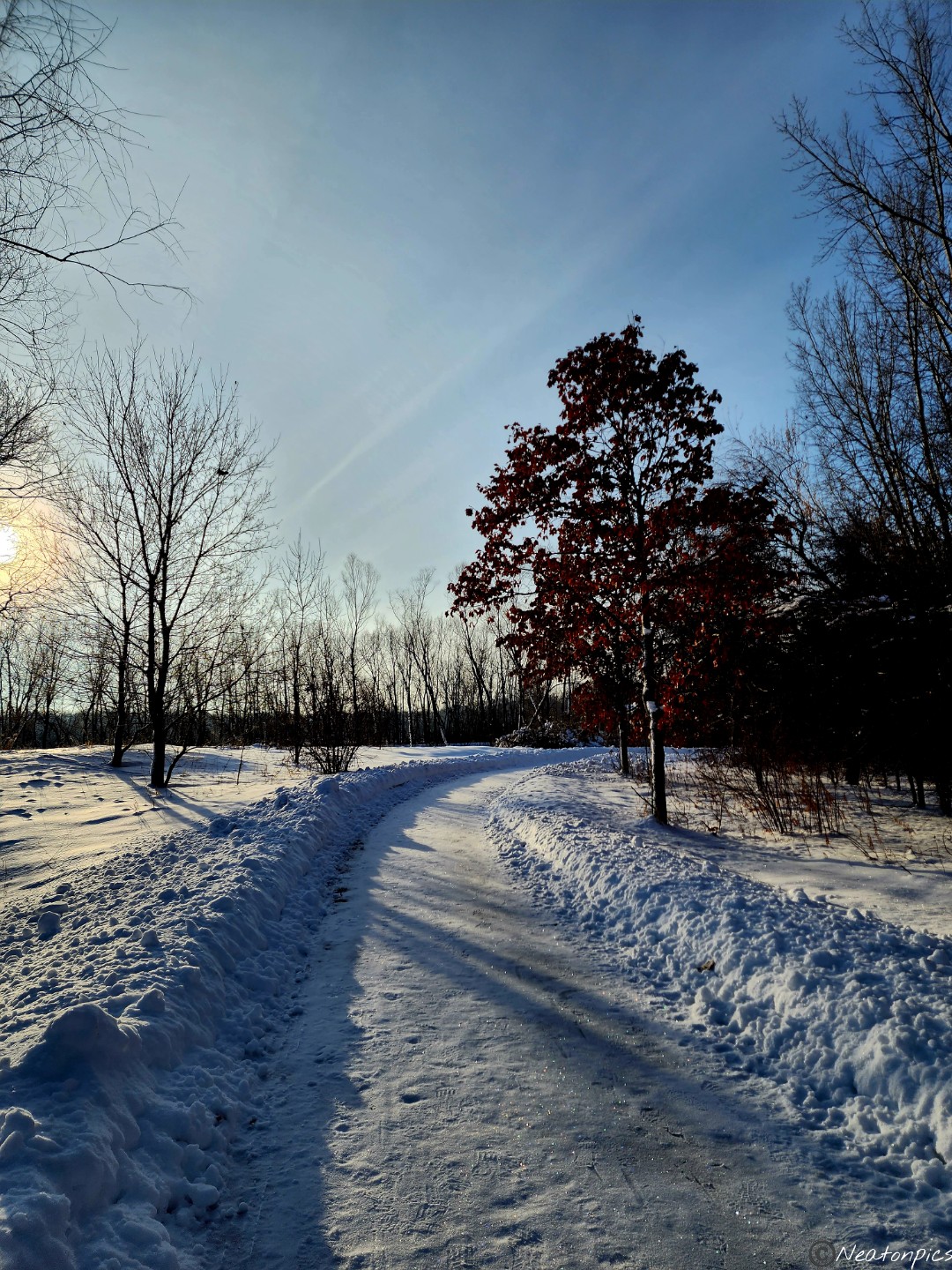
We hiked Red River State Recreation Area on July 12th, 2023.
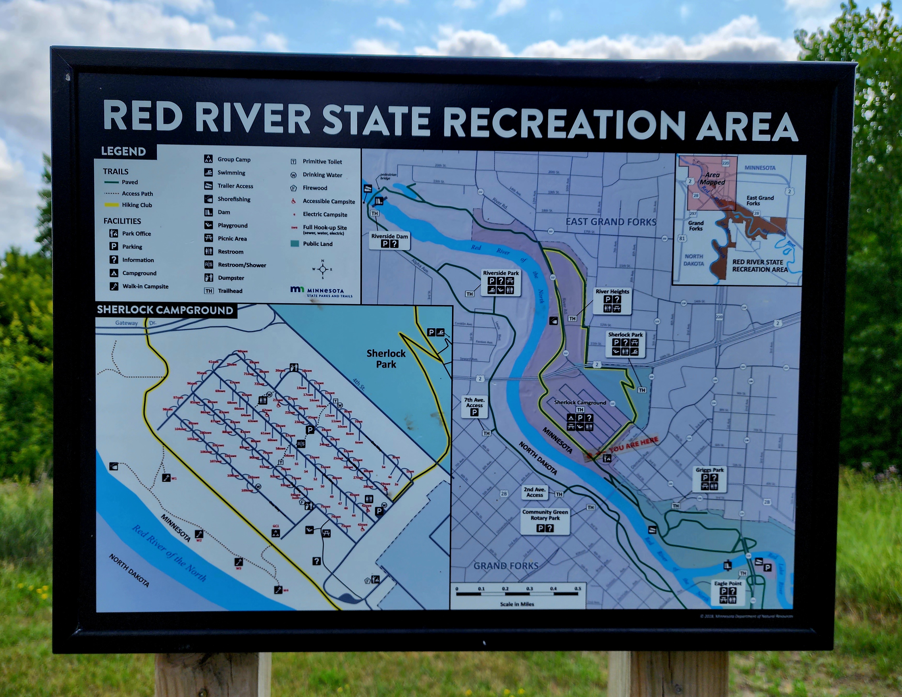
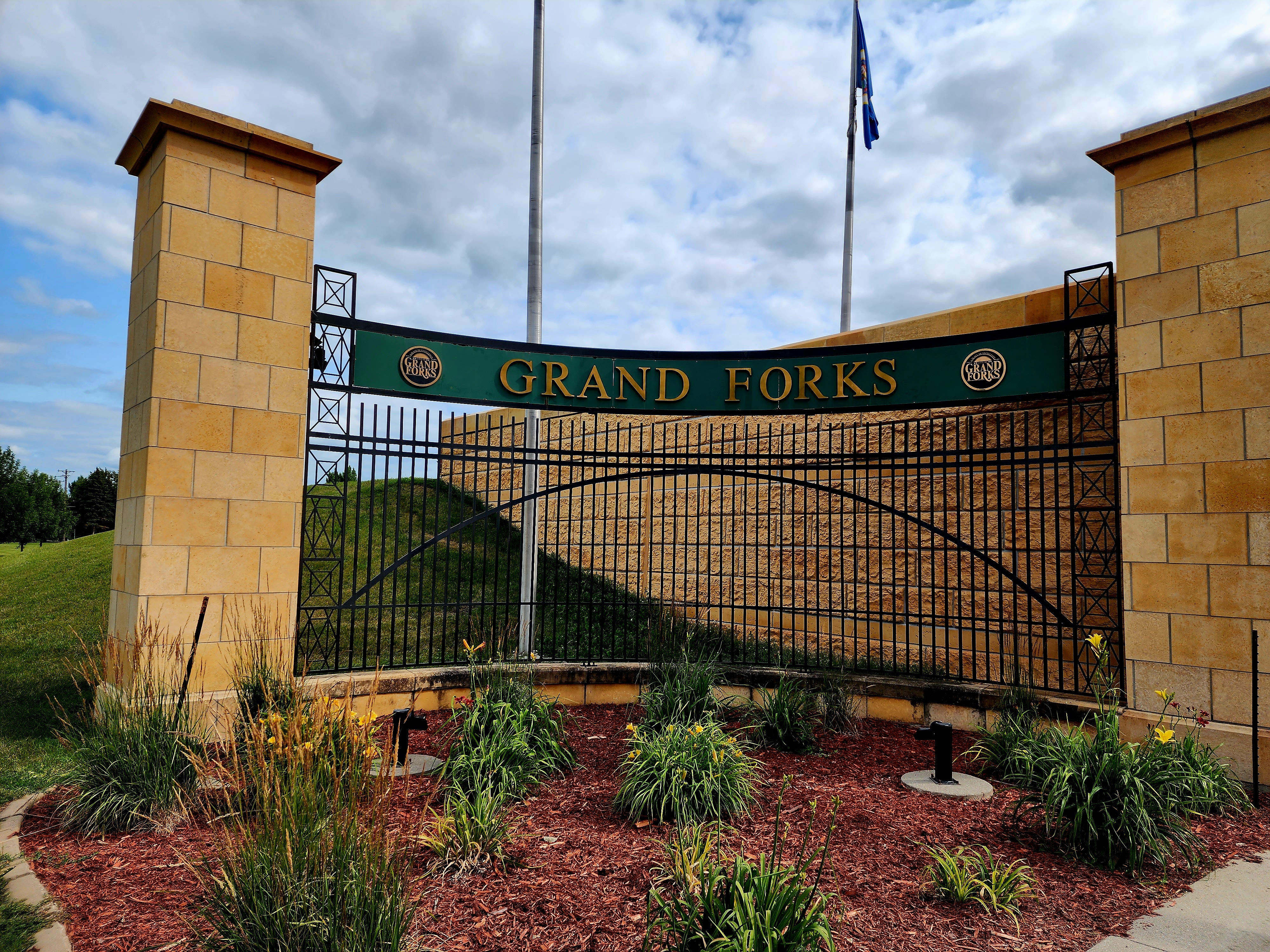
The entrance to Red River State Recreation Area threw us off a bit. Our directions had us turn into a mall/business parking lot. At the end of the parking lot was the entrance to the park. We parked and began our hiking adventure.
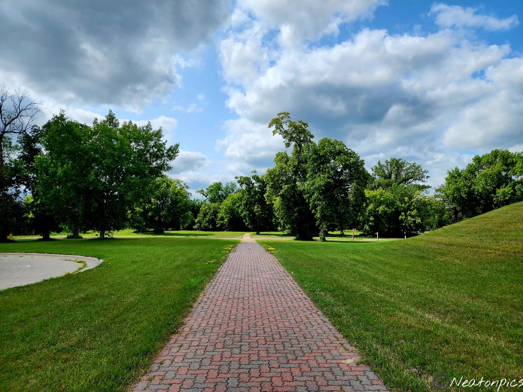
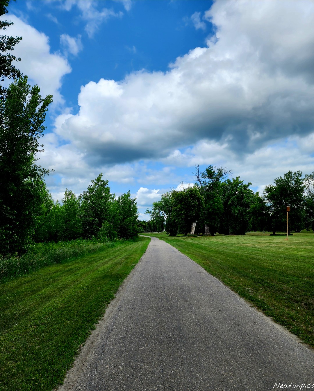
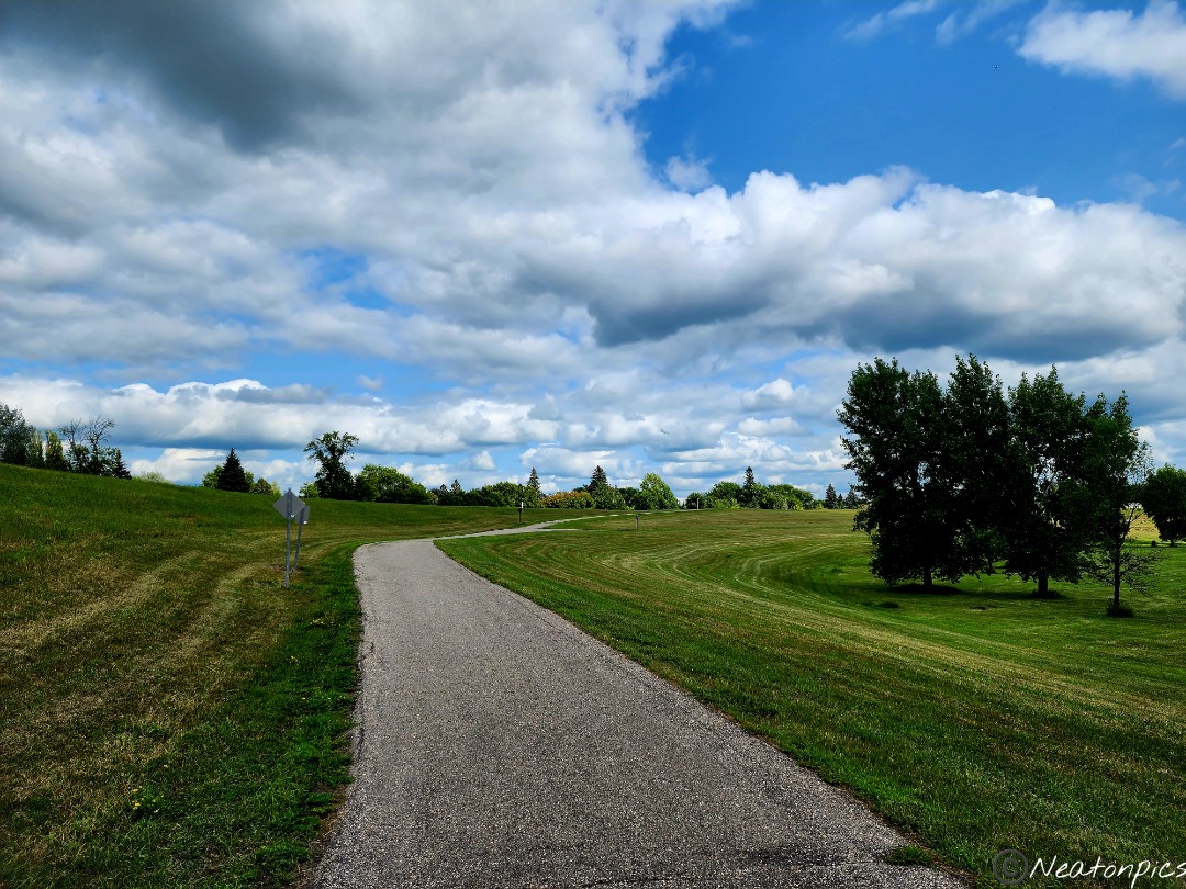
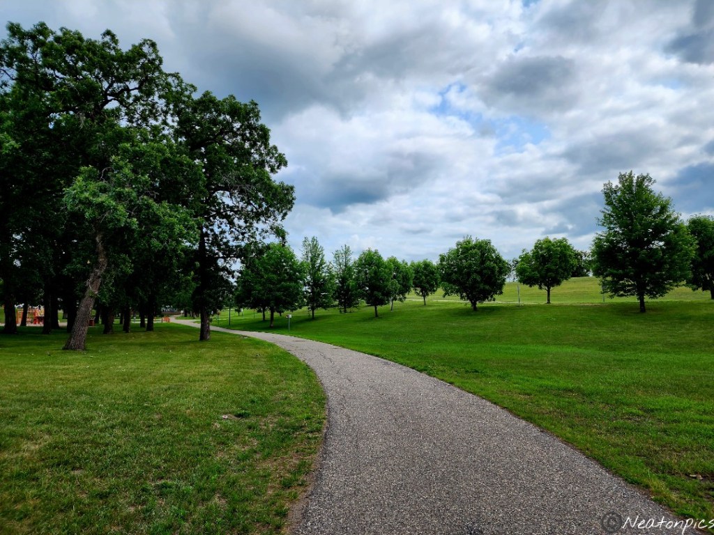
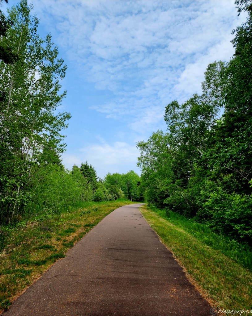
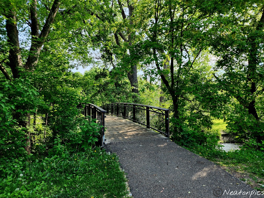
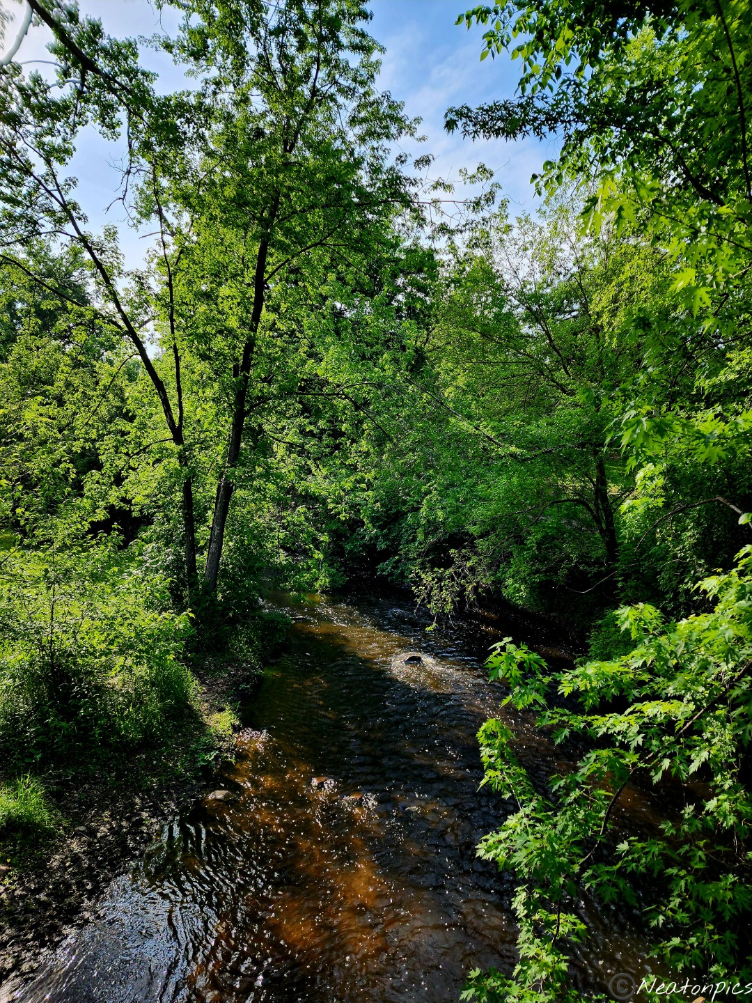
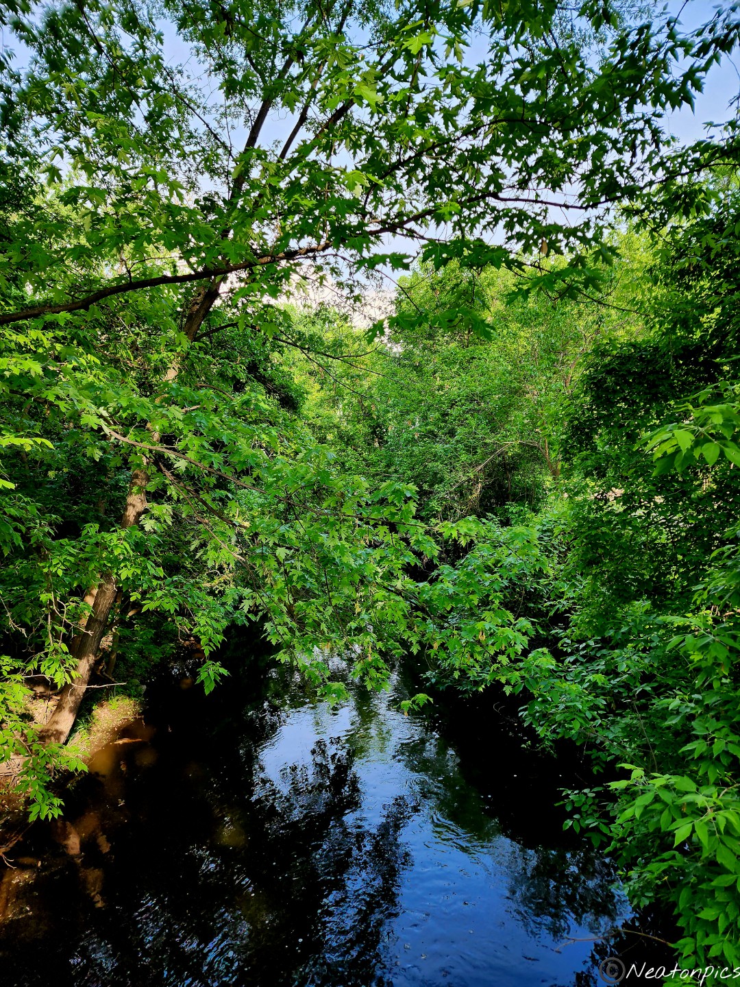
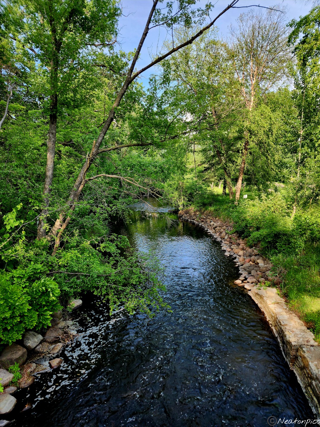
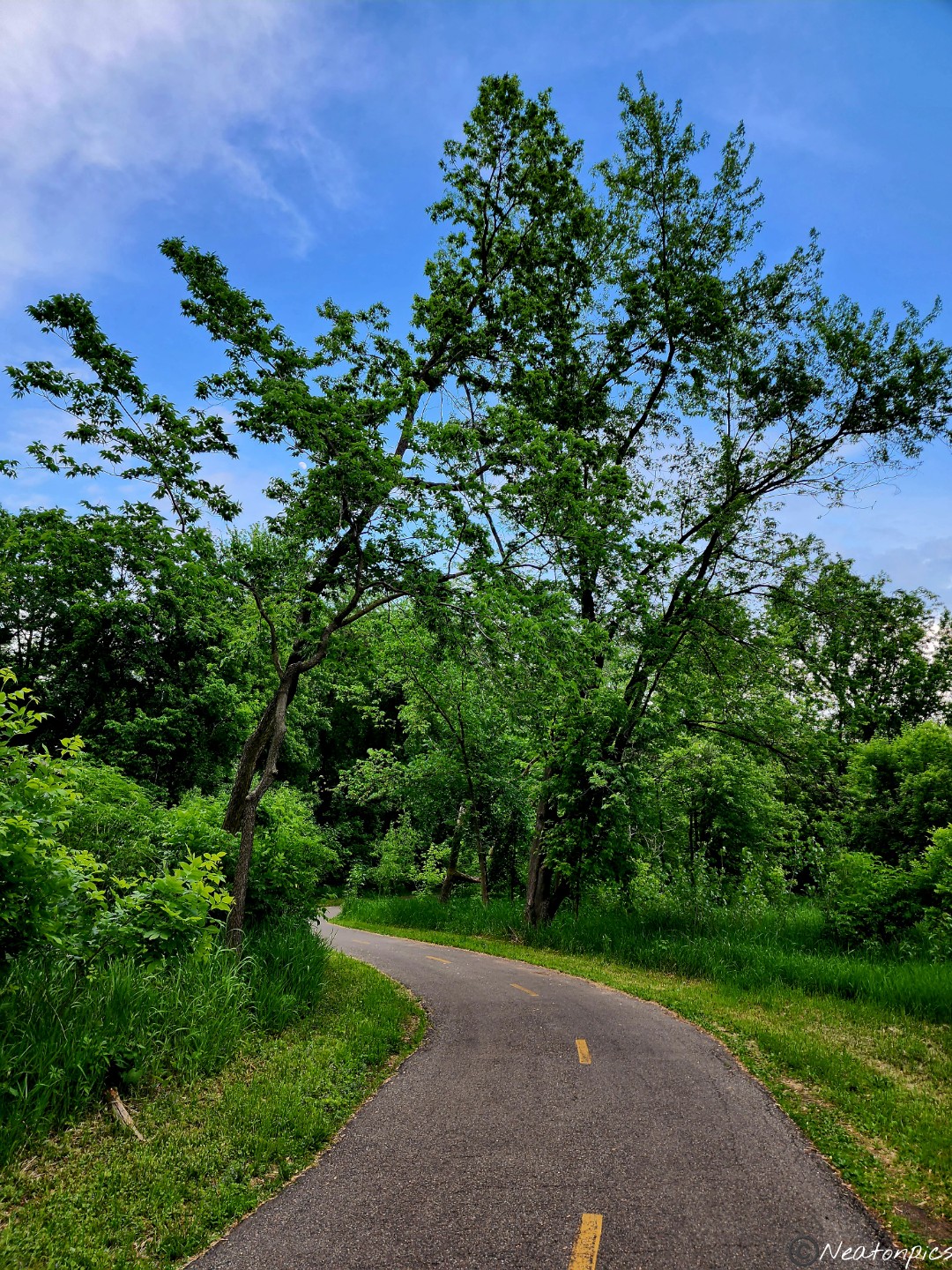
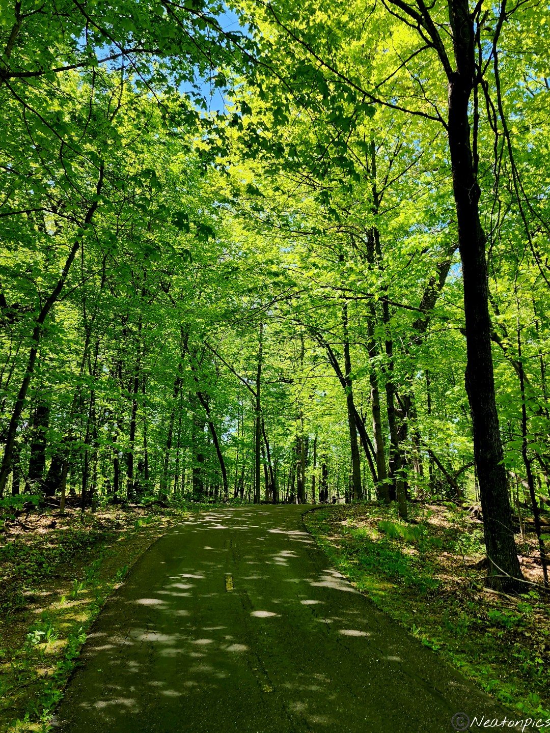
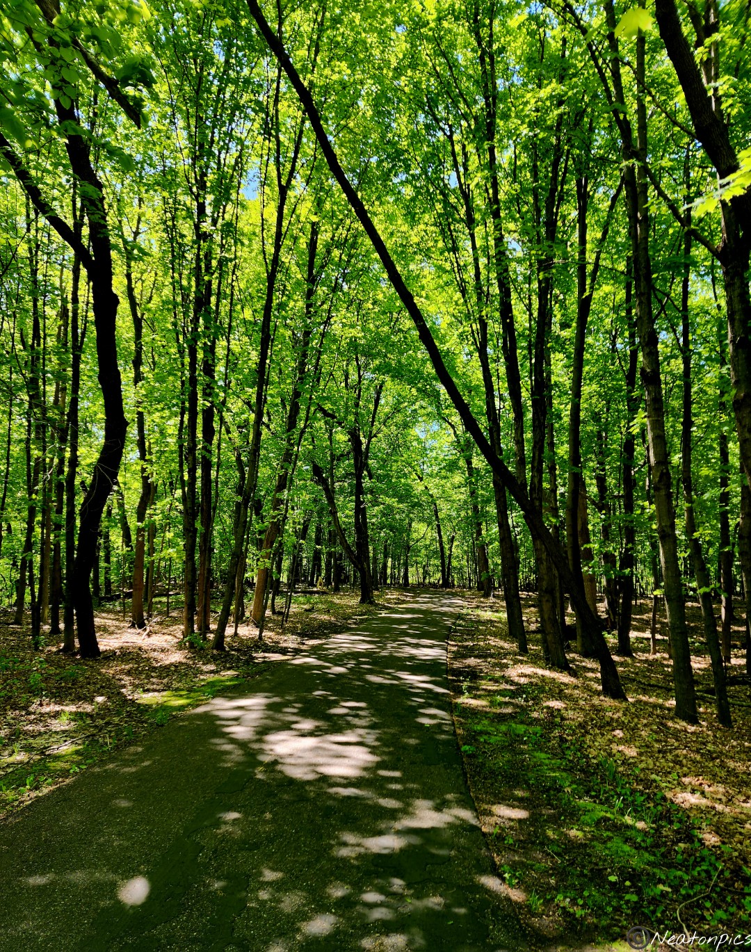
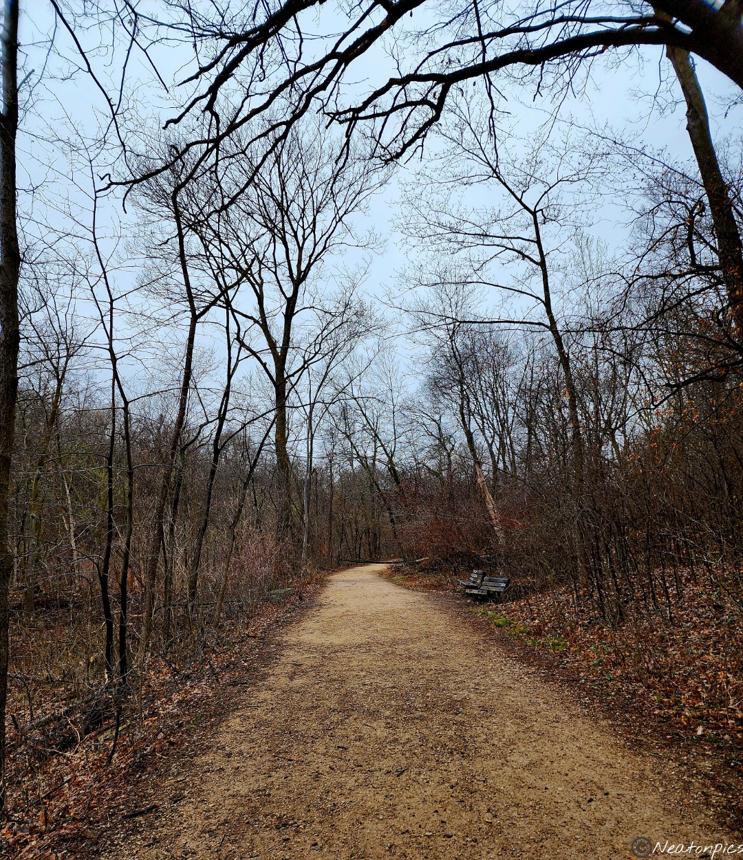
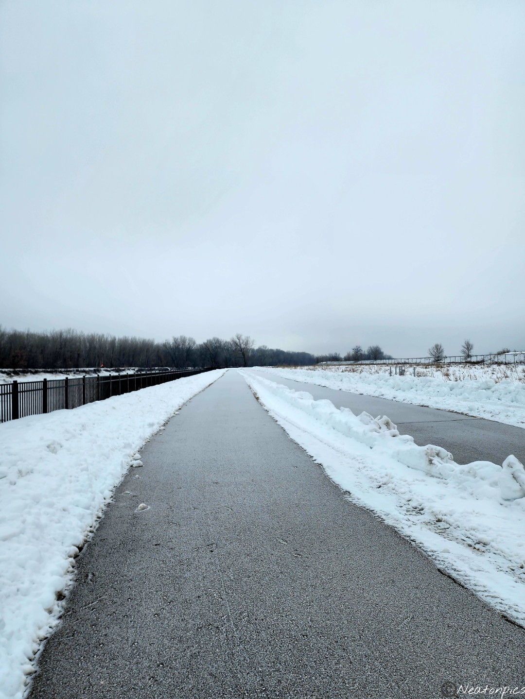
The Red River of the North was on our left and the campground was on our right. If you’re looking for a more urban campsite, this is the park. Lots of restaurants and shops are all within a few minutes walk from the park. The wide trail was nicely paved throughout our hike.
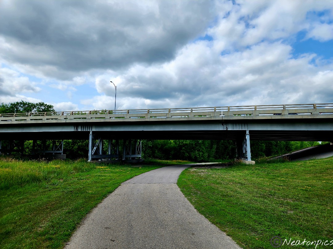
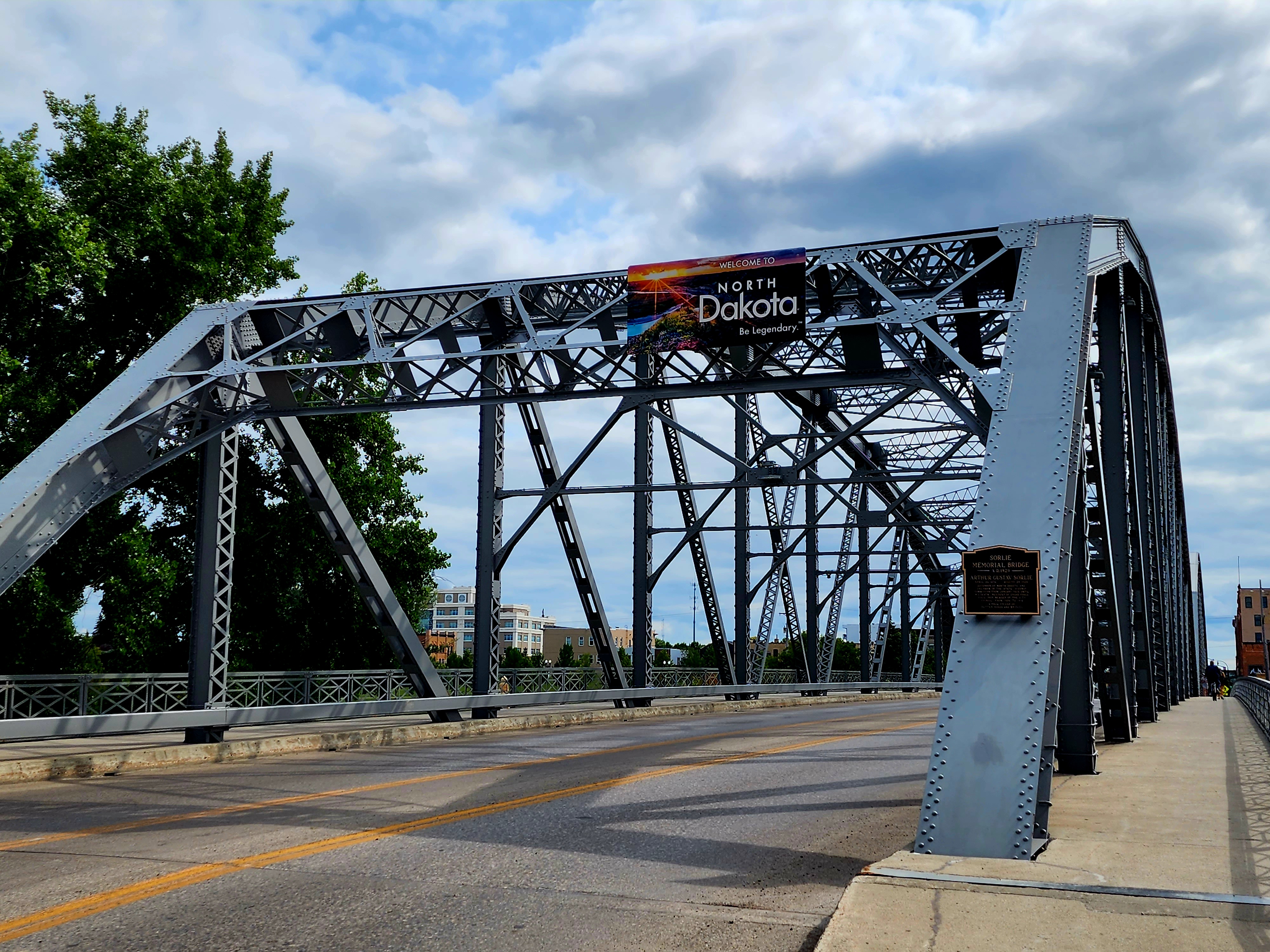
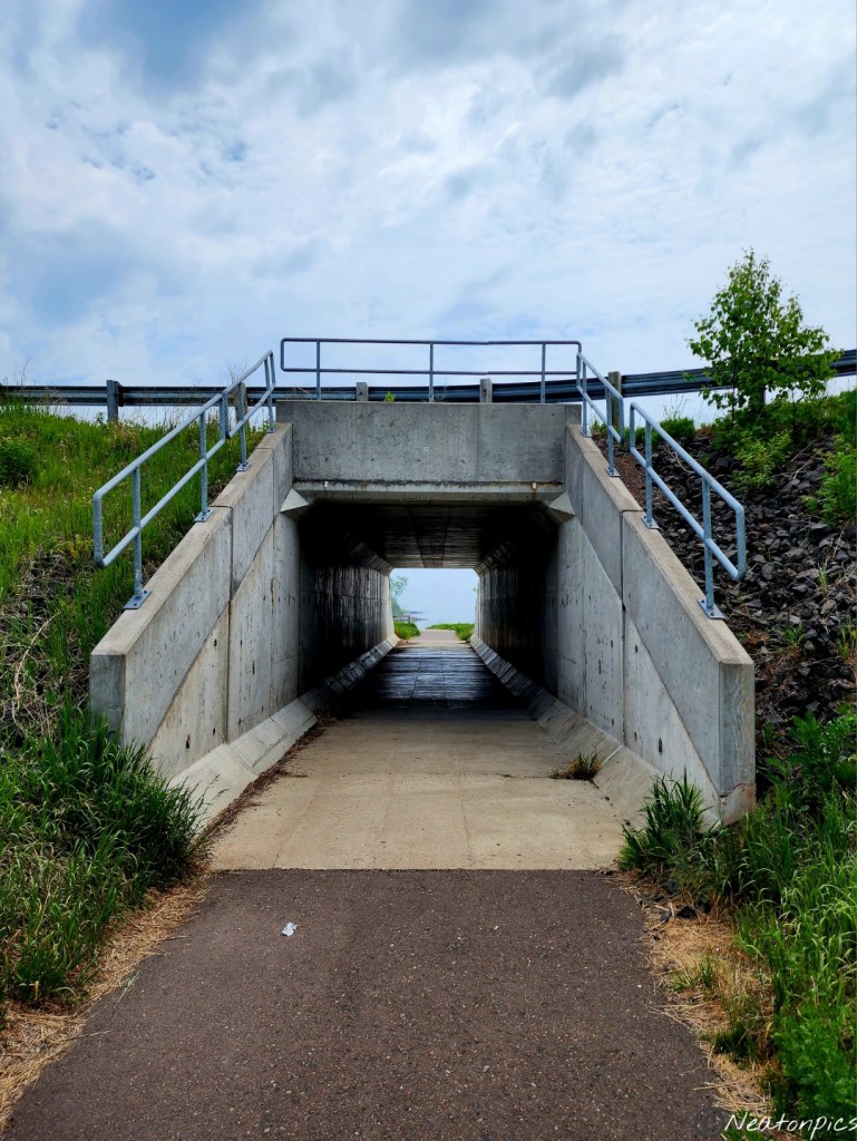
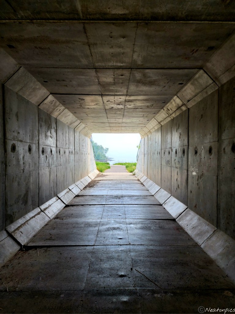
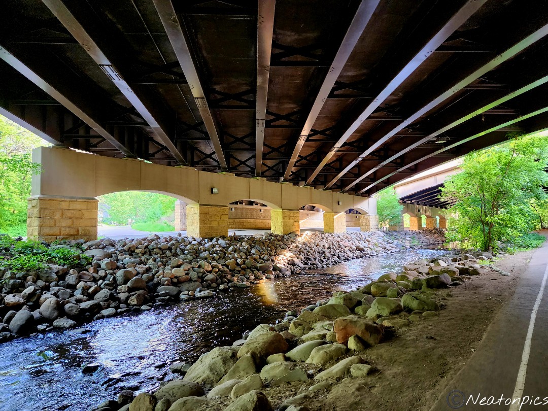
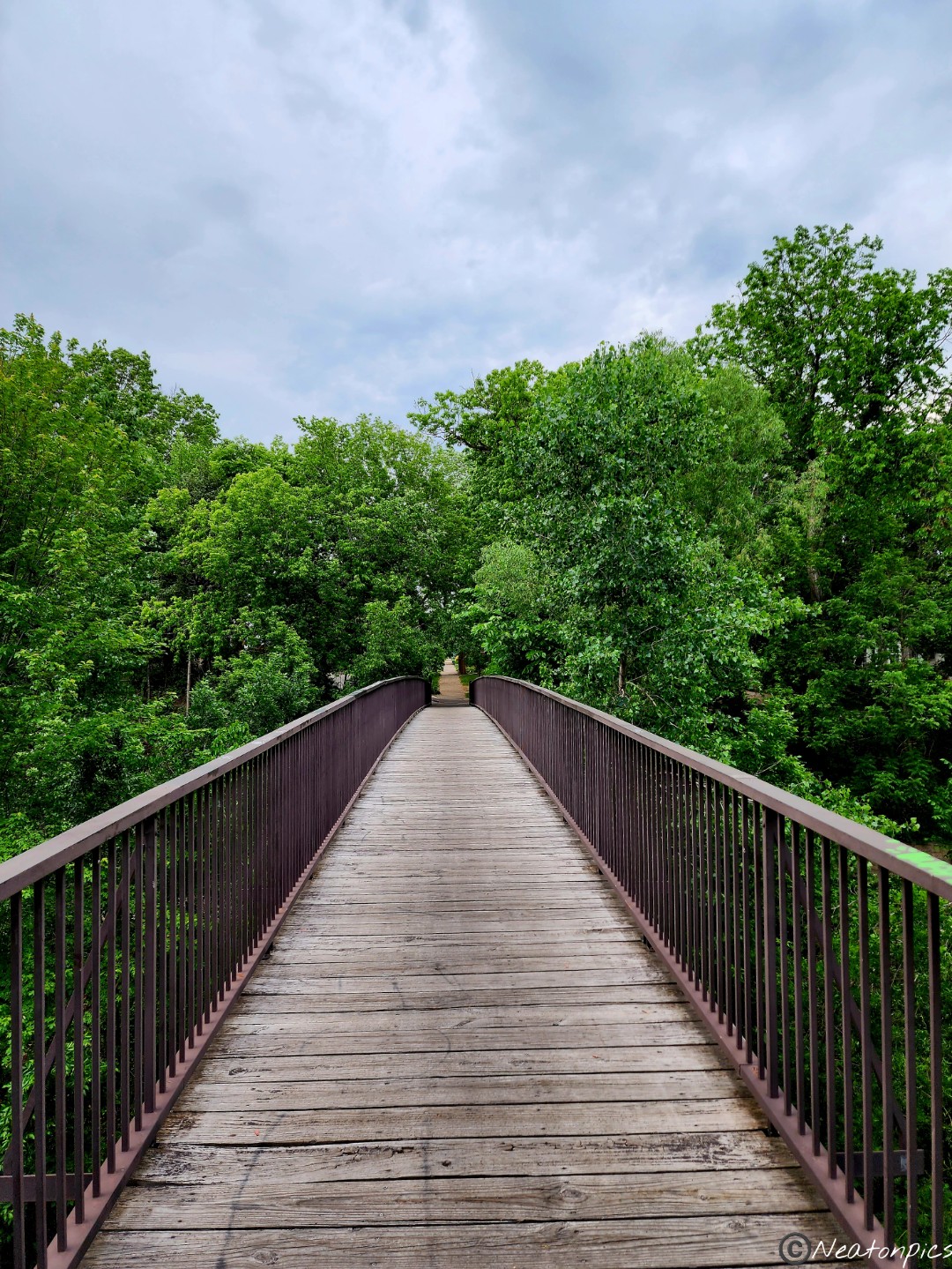
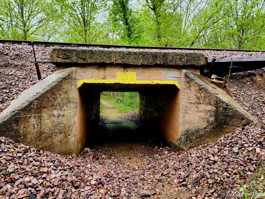
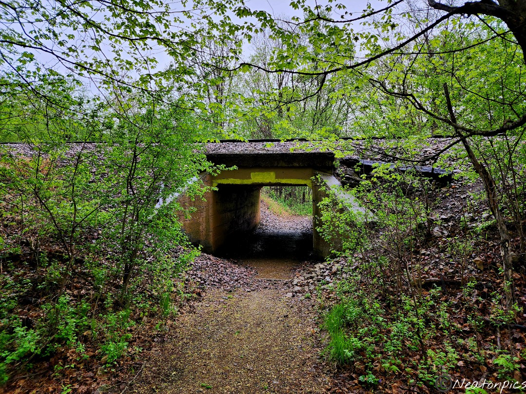
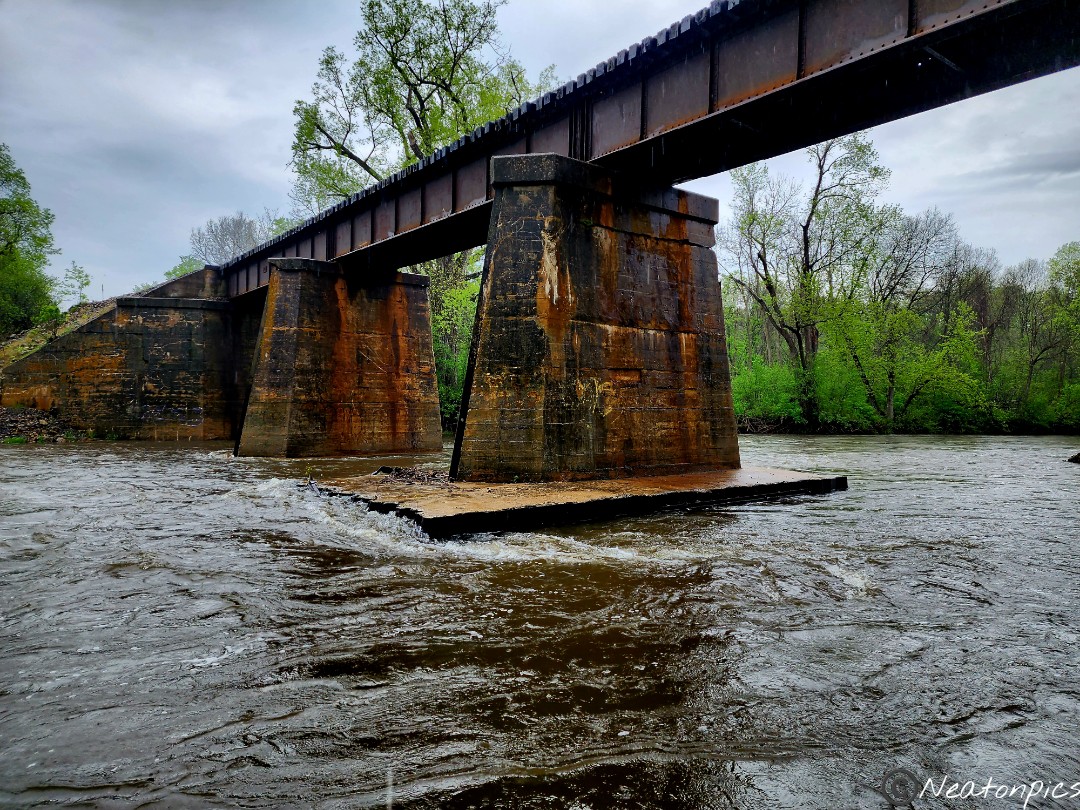
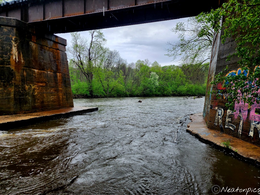
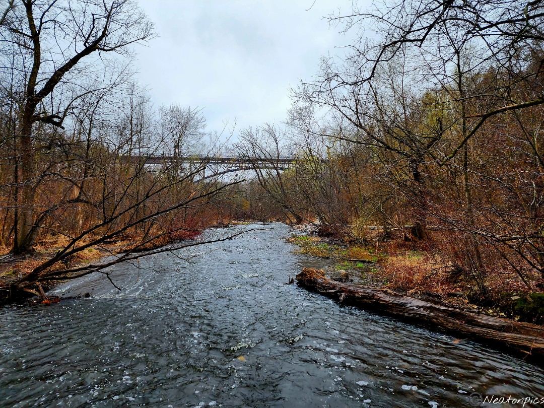
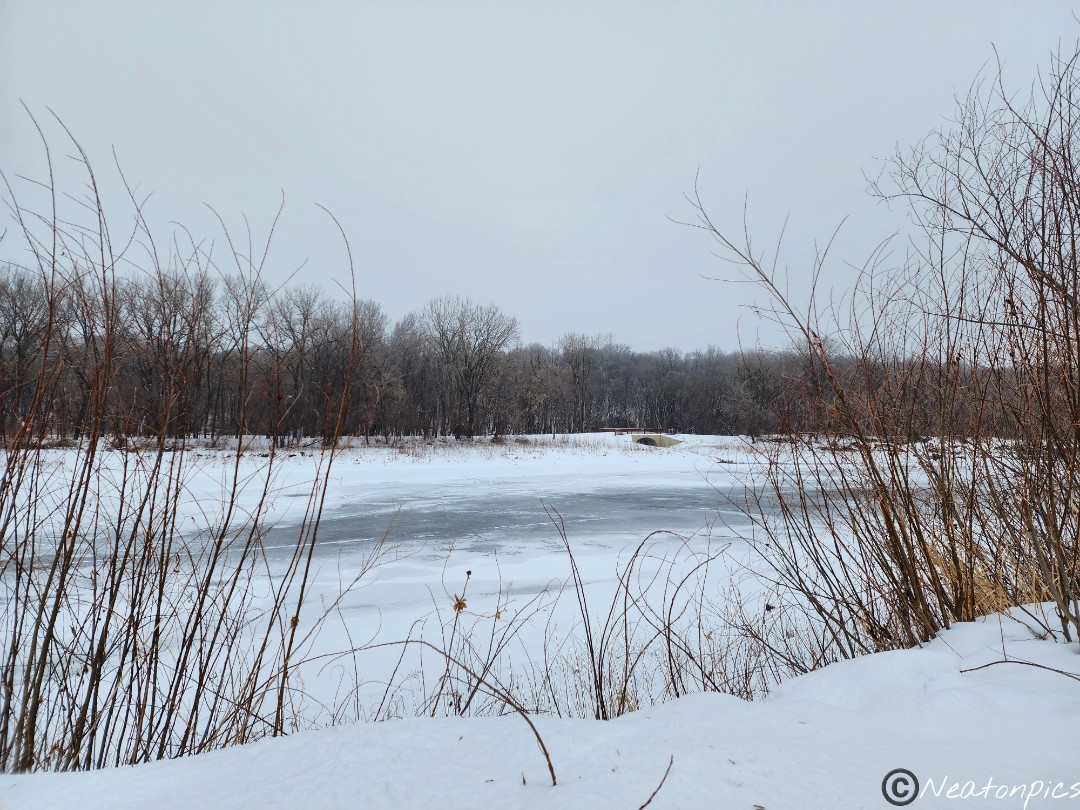
The trail led under the highway. North Dakota is just on the other side of the bridge.
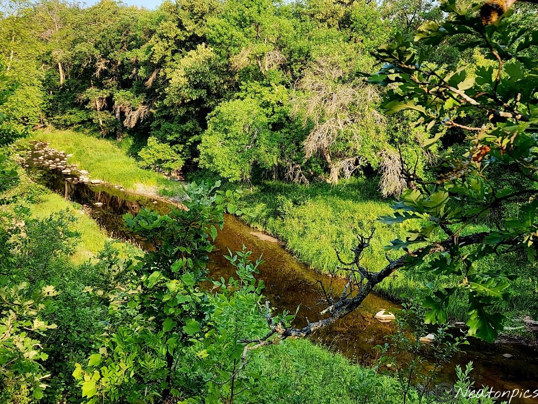
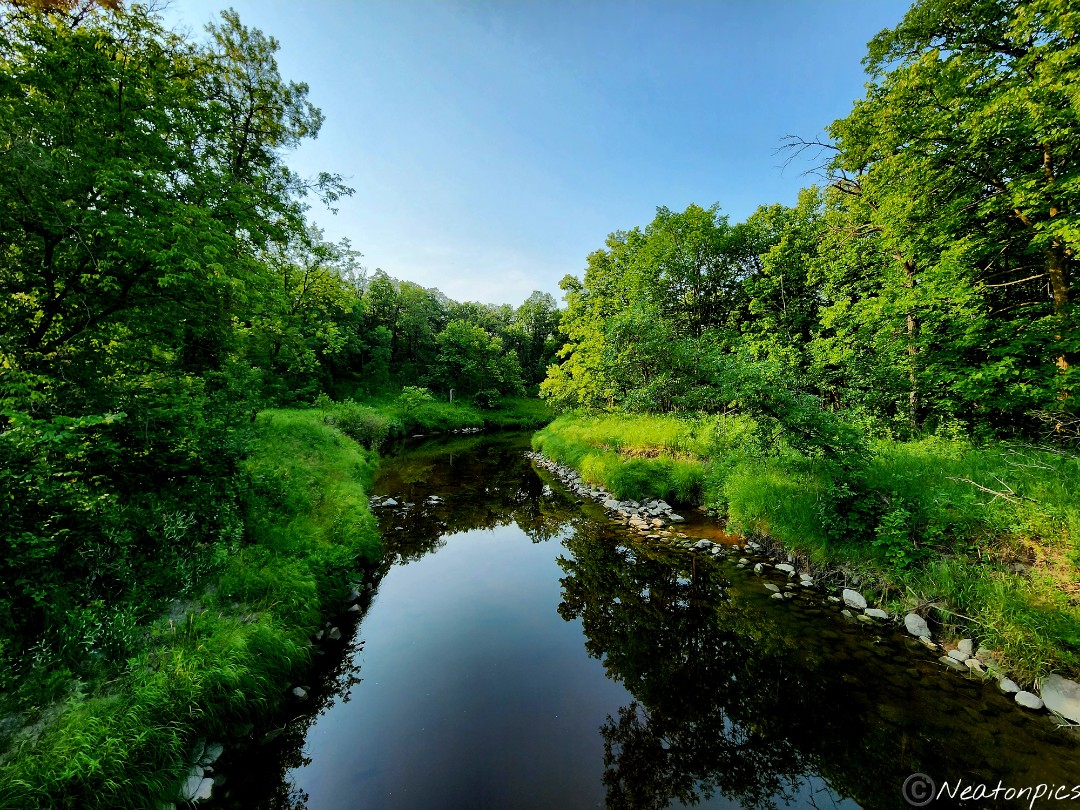
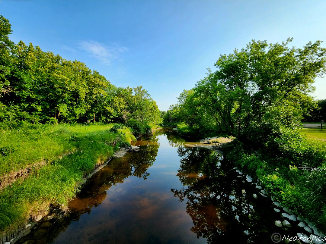
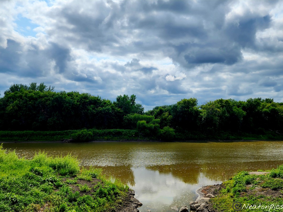
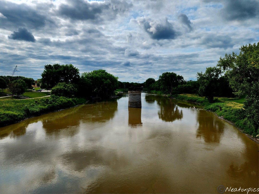
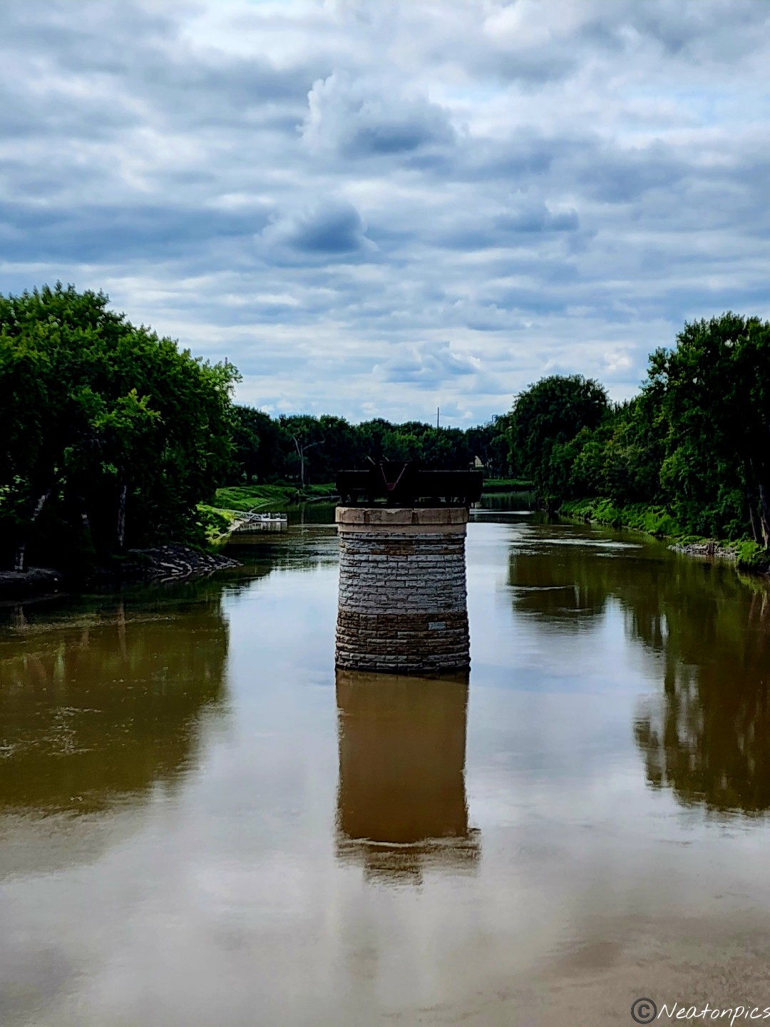
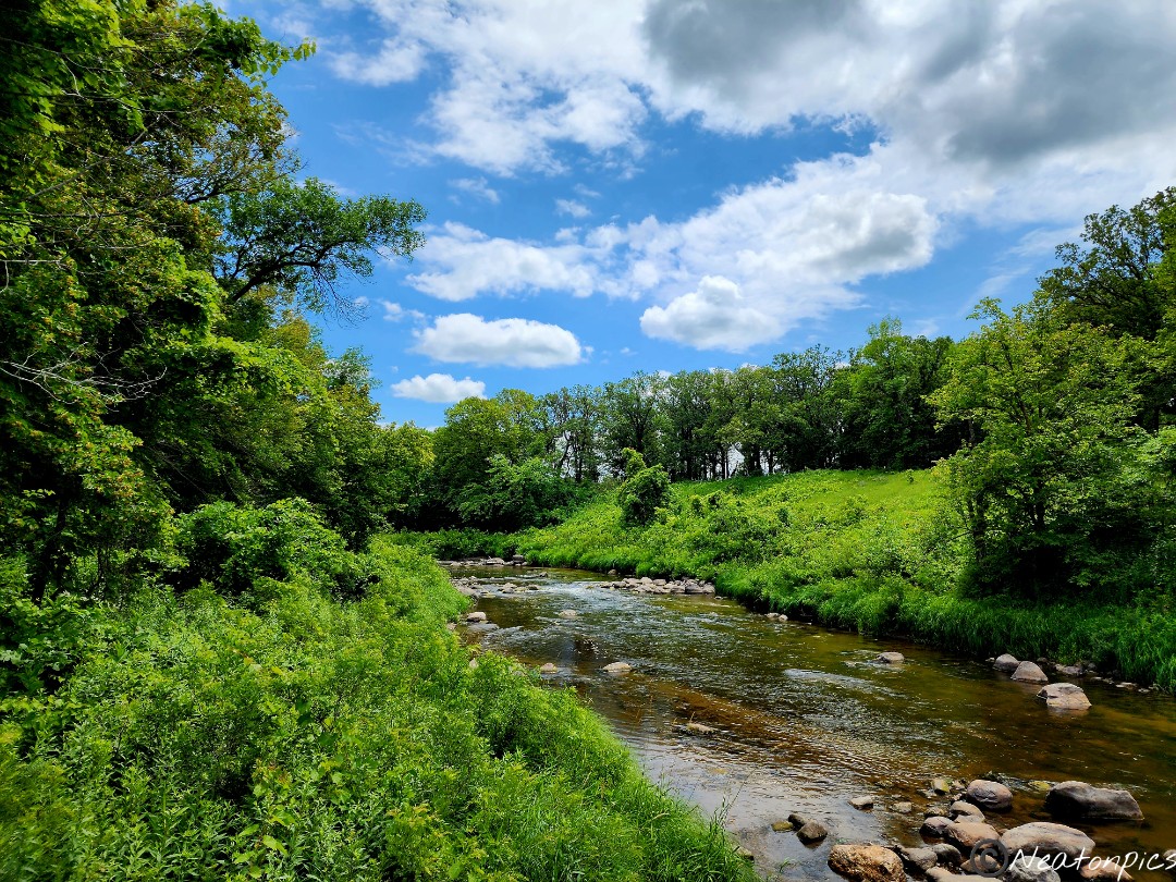
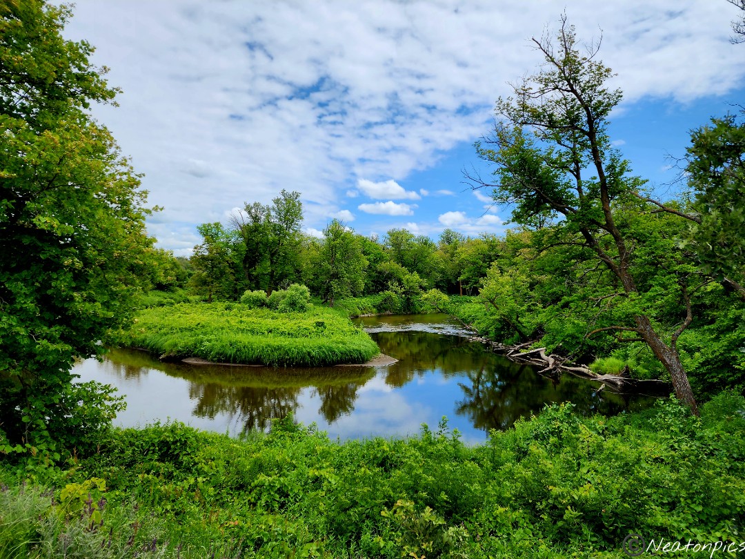
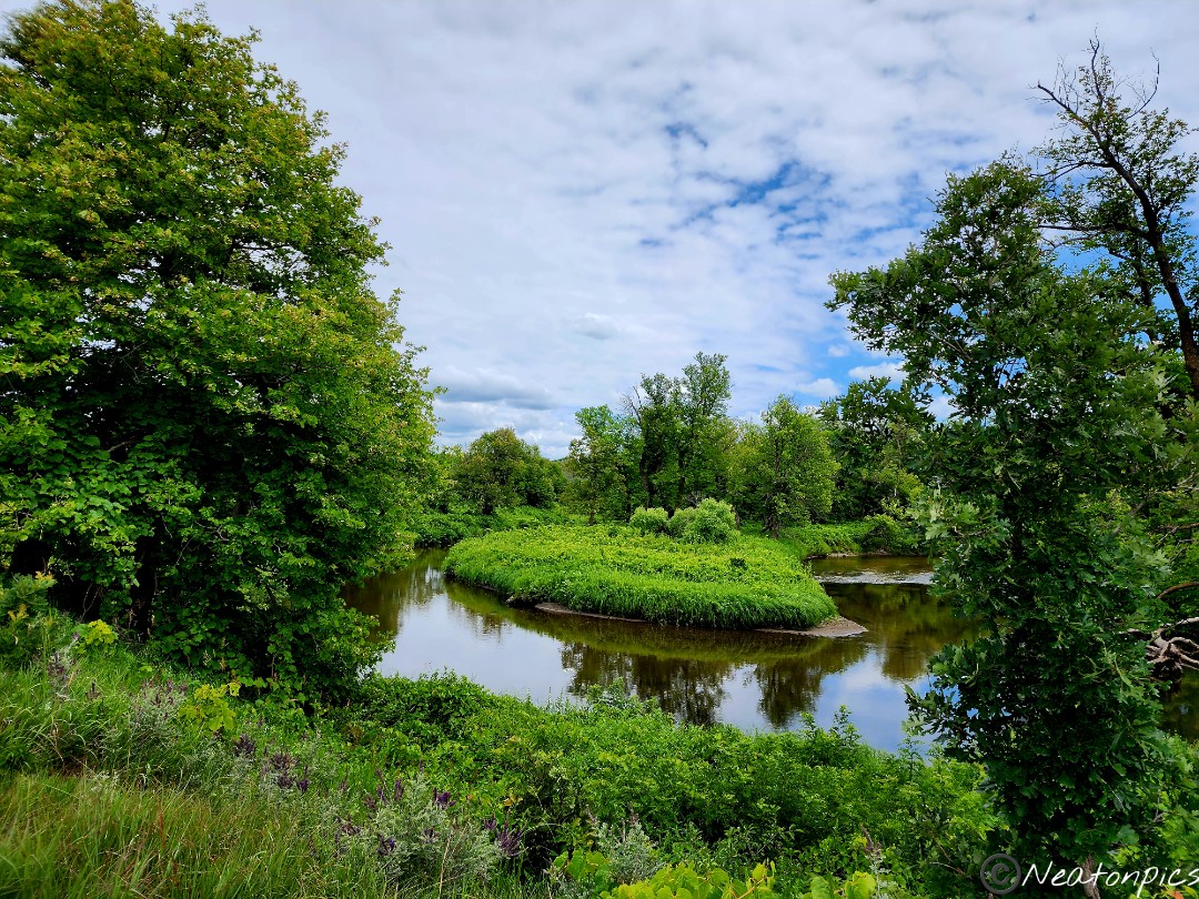
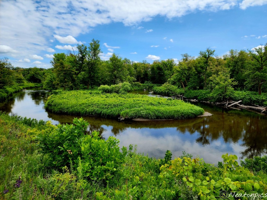
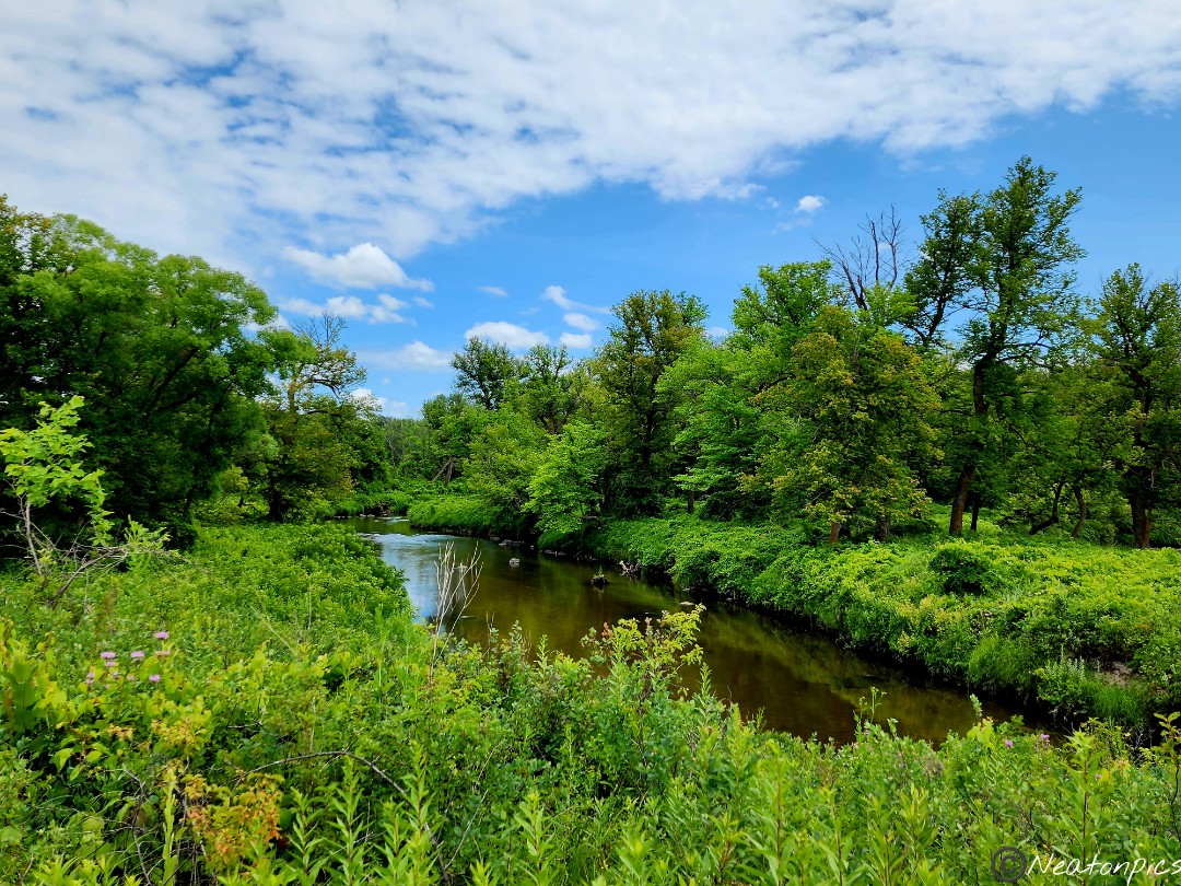
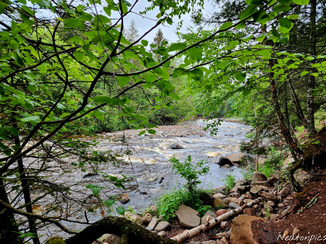
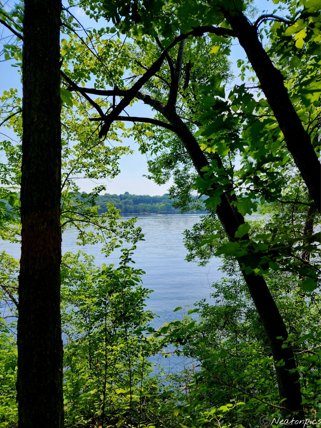
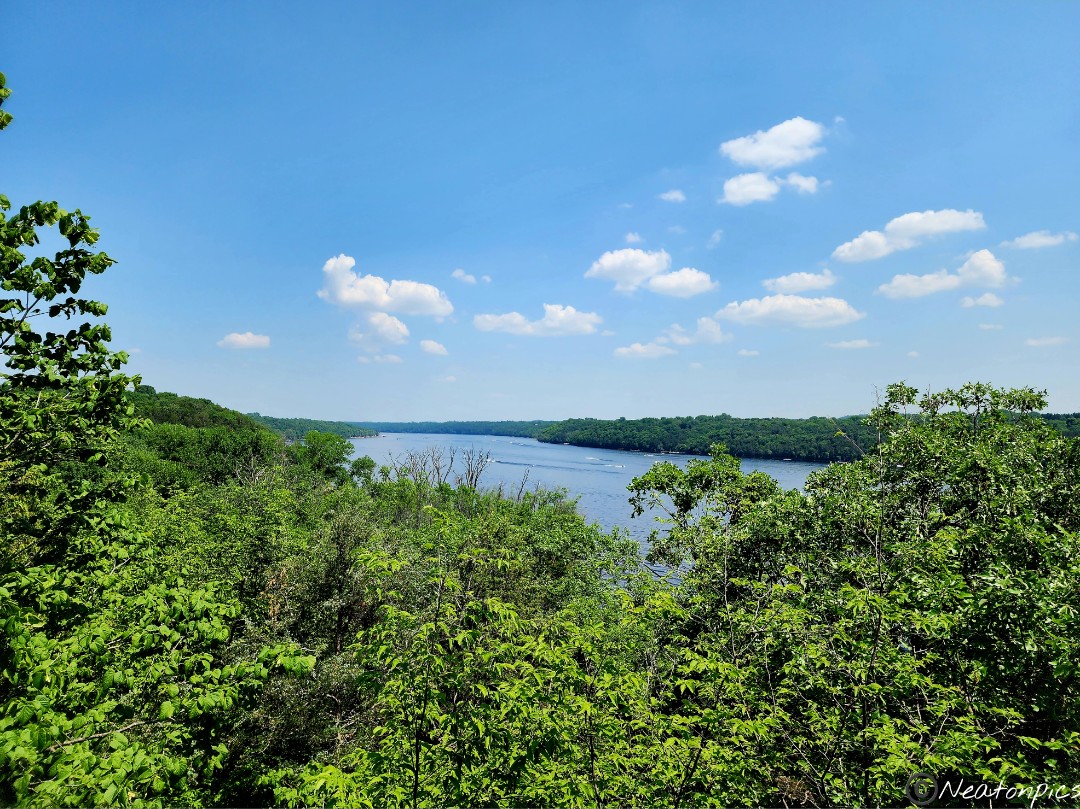
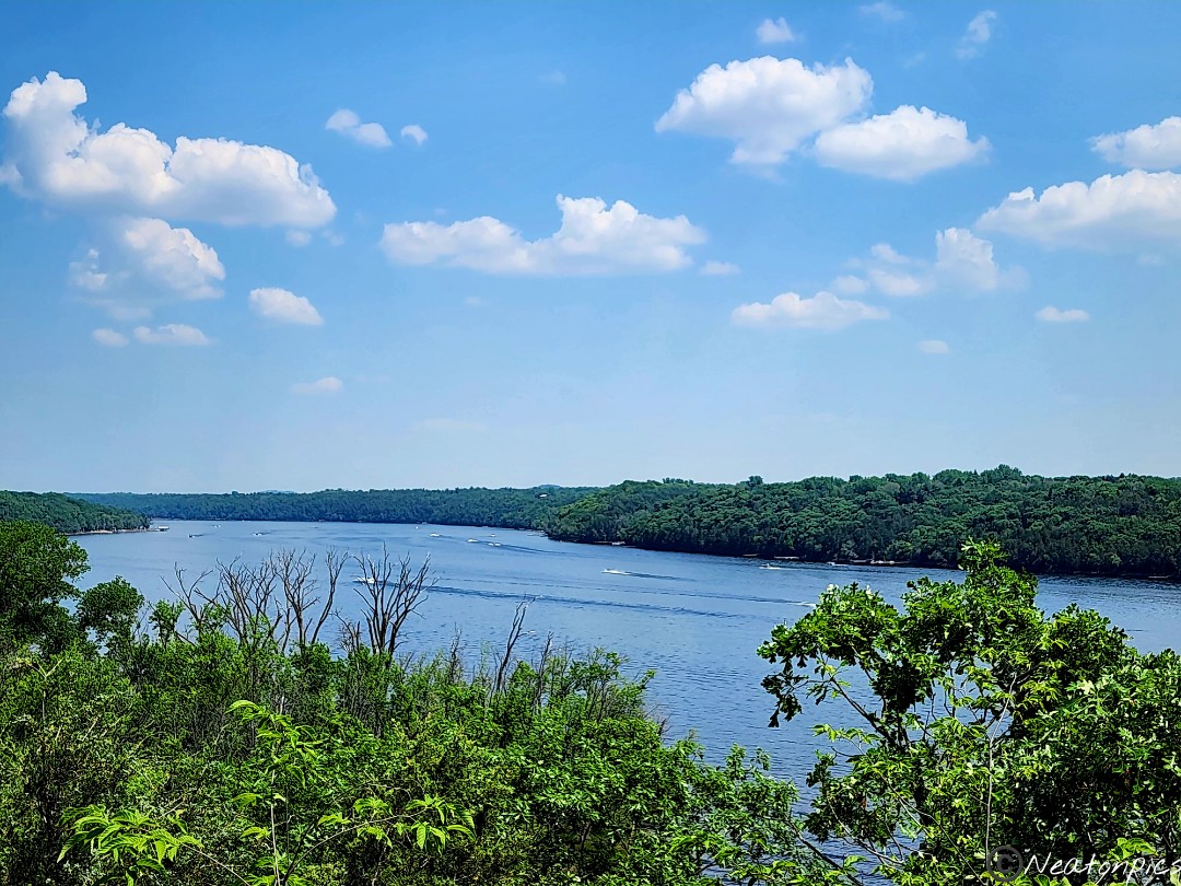
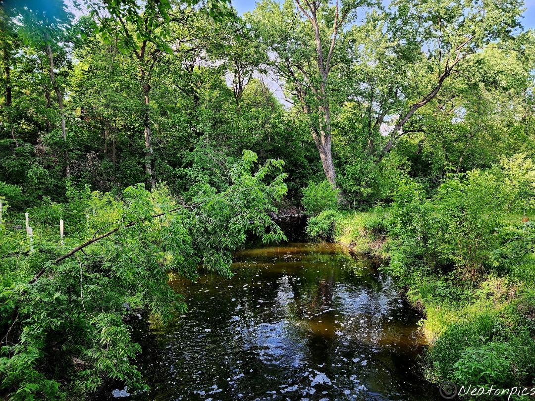
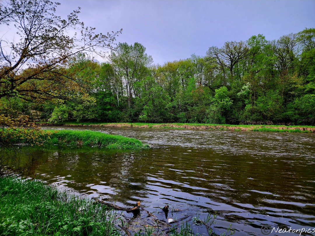
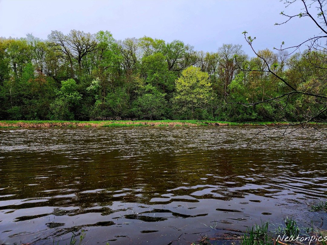
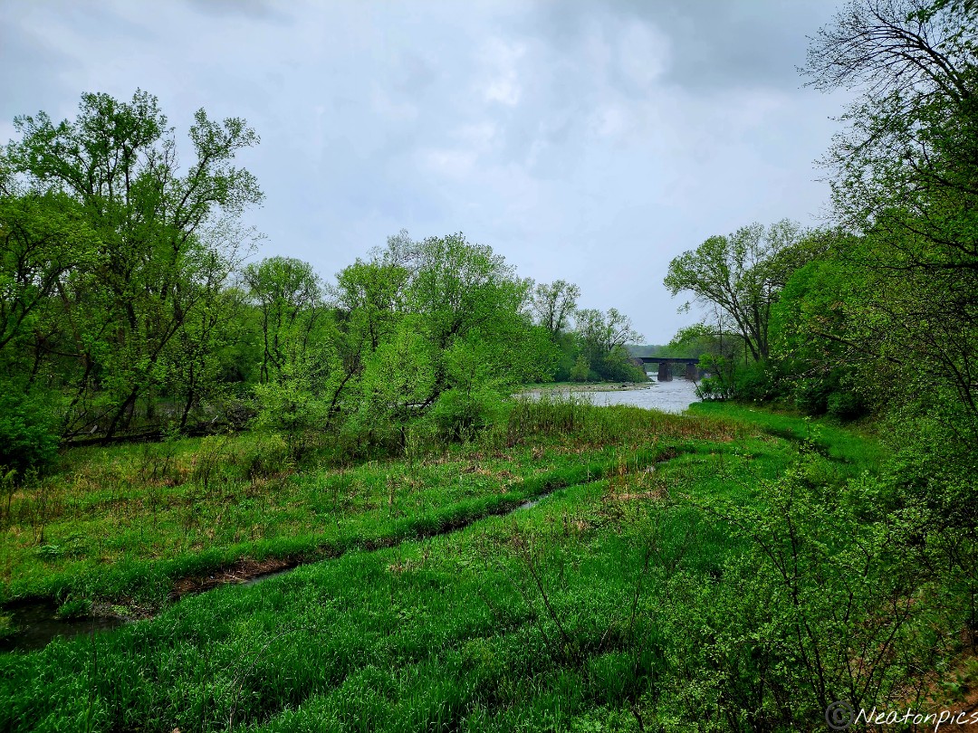
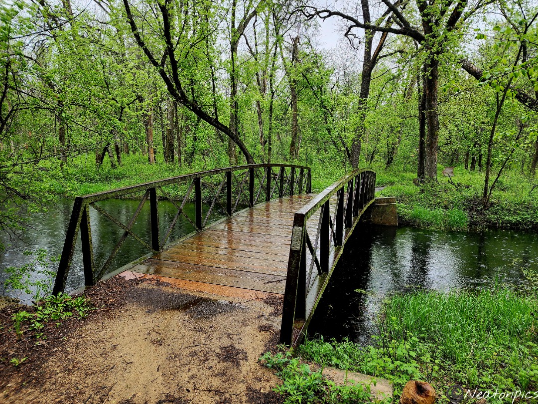
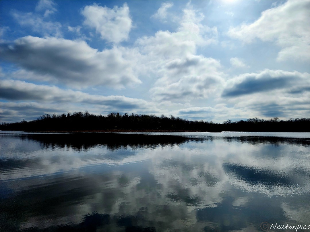
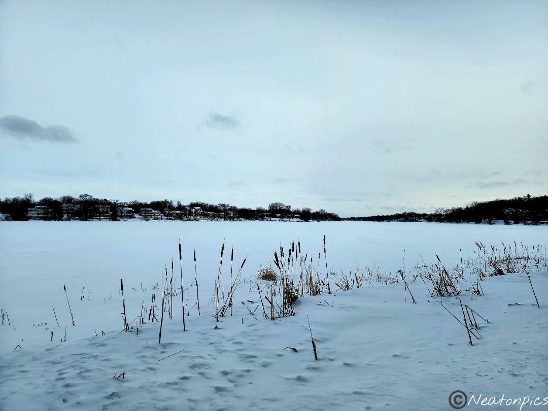
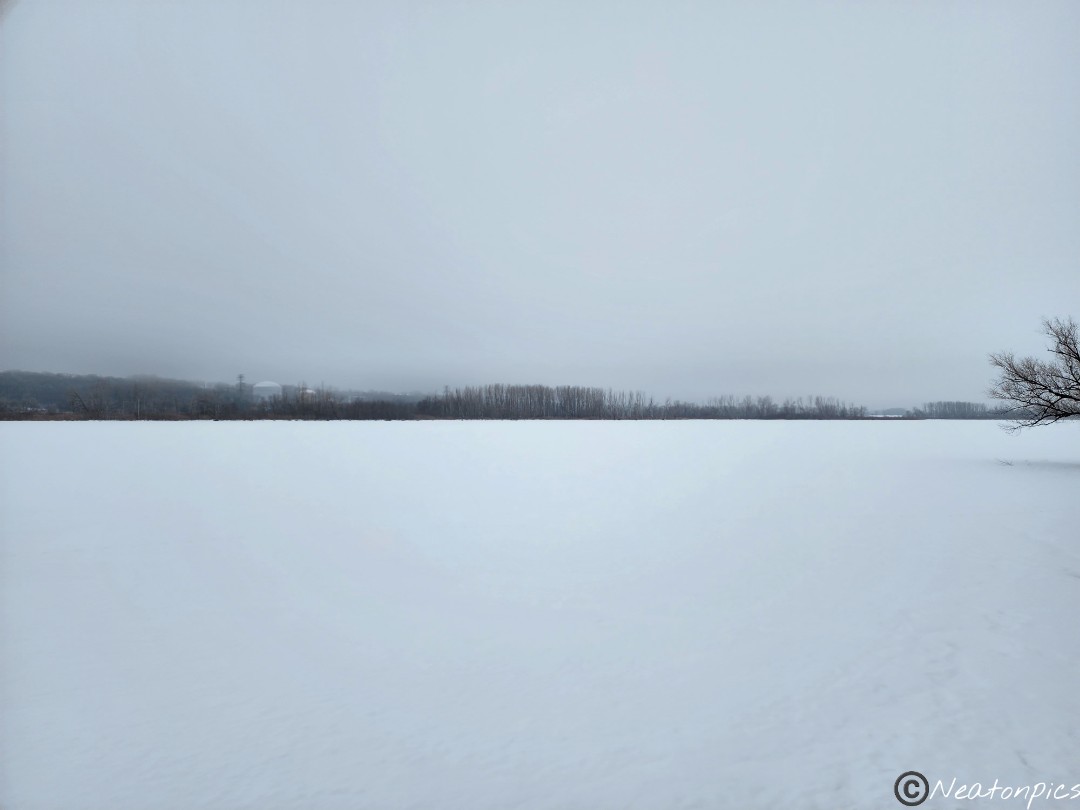
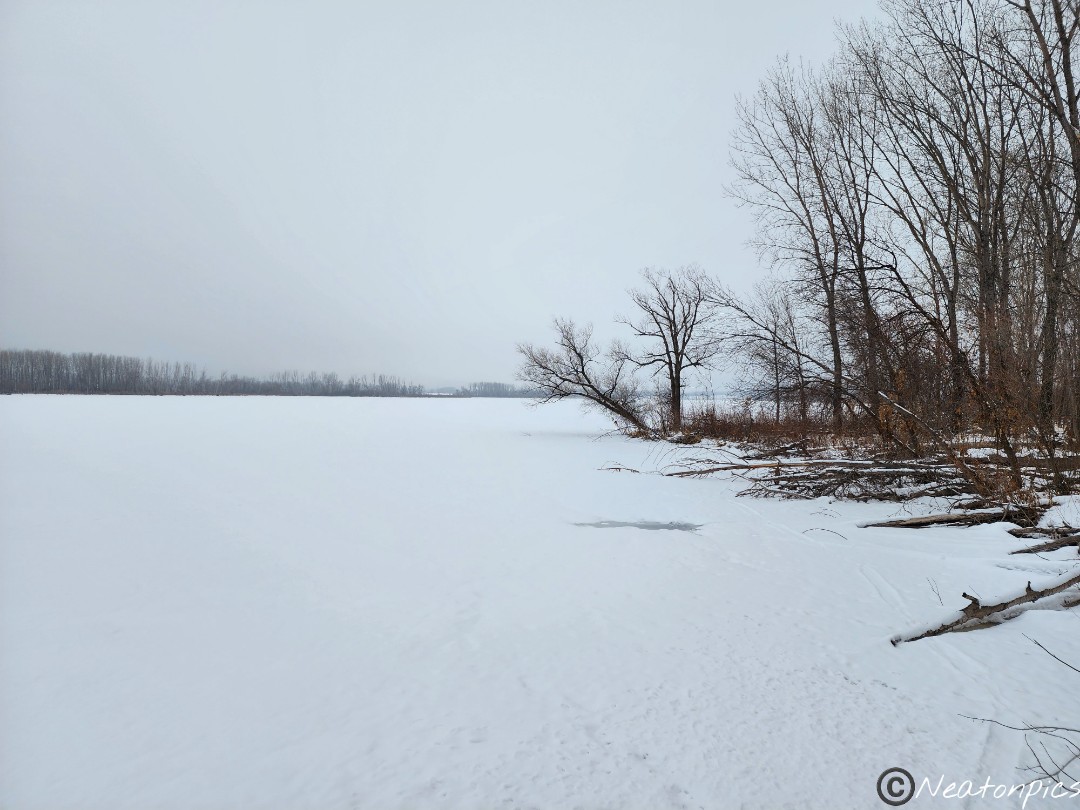
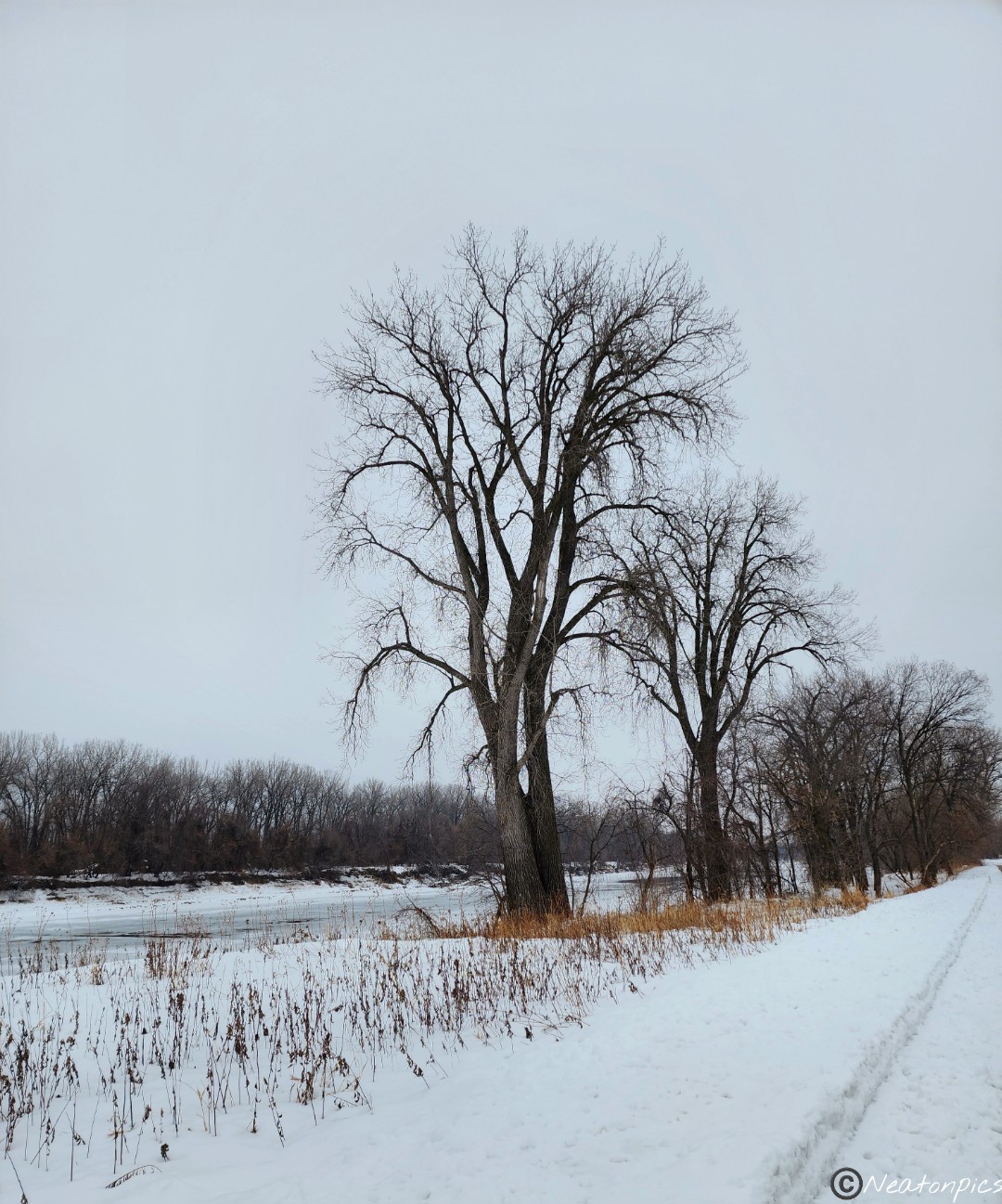
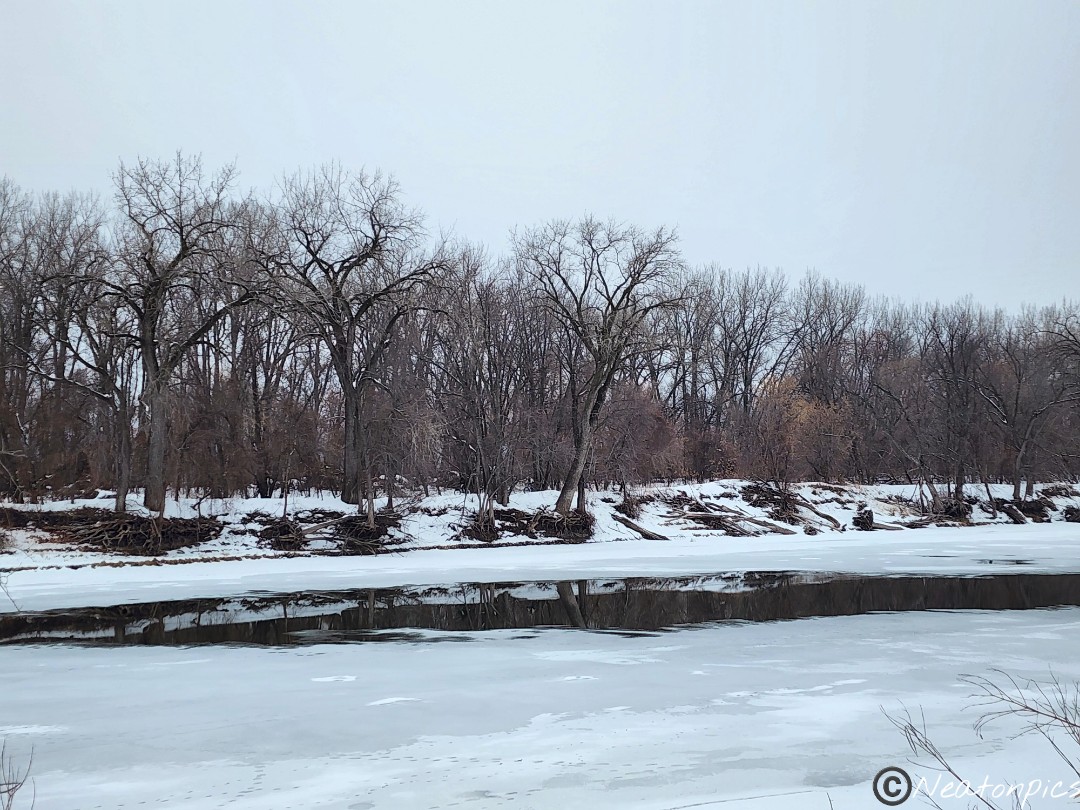
We diverted from the trail several times to take in views of the Red River of the North.
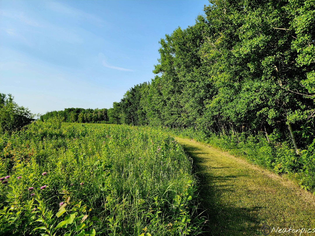
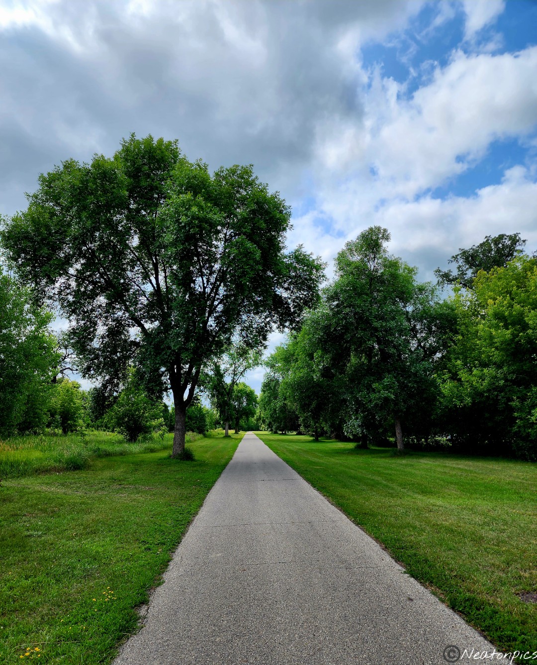
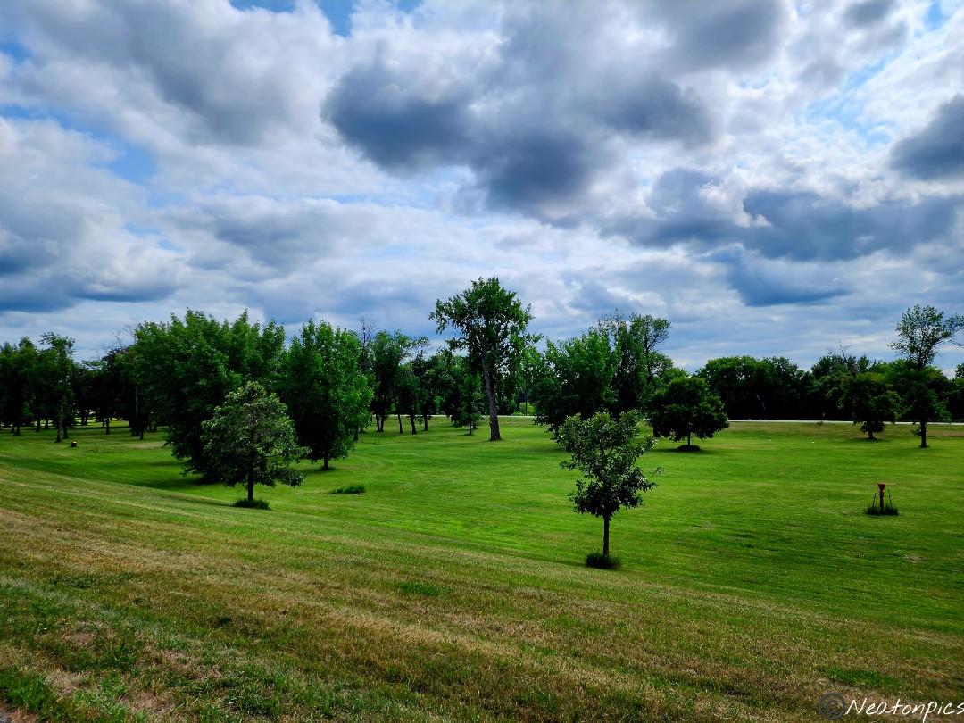
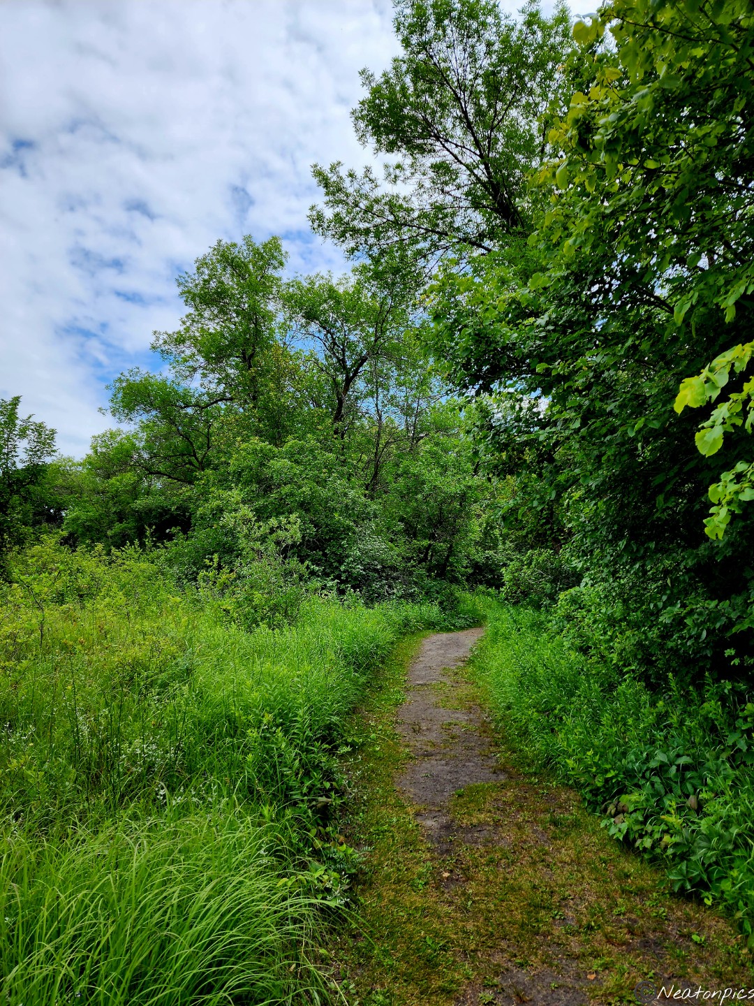
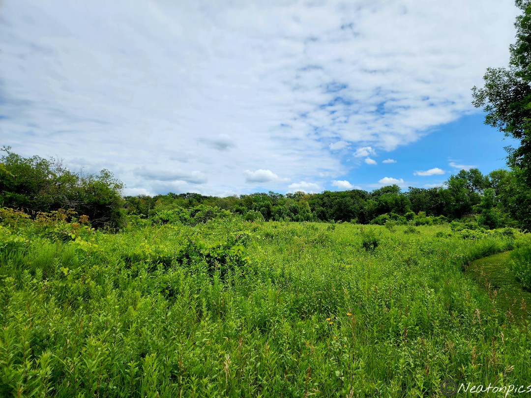
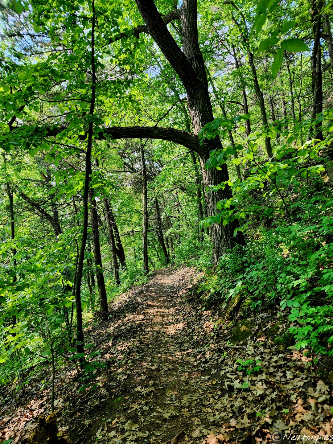
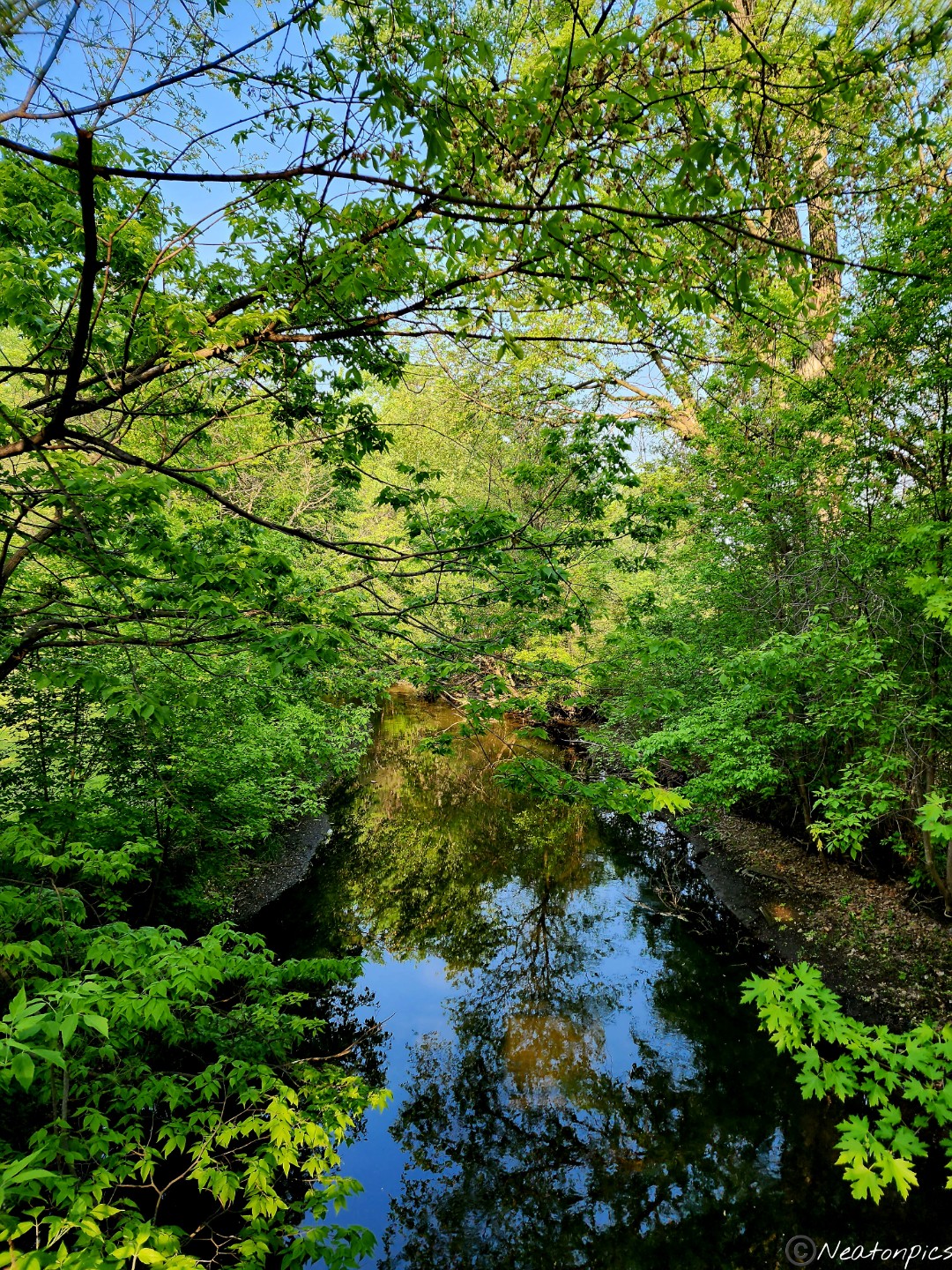
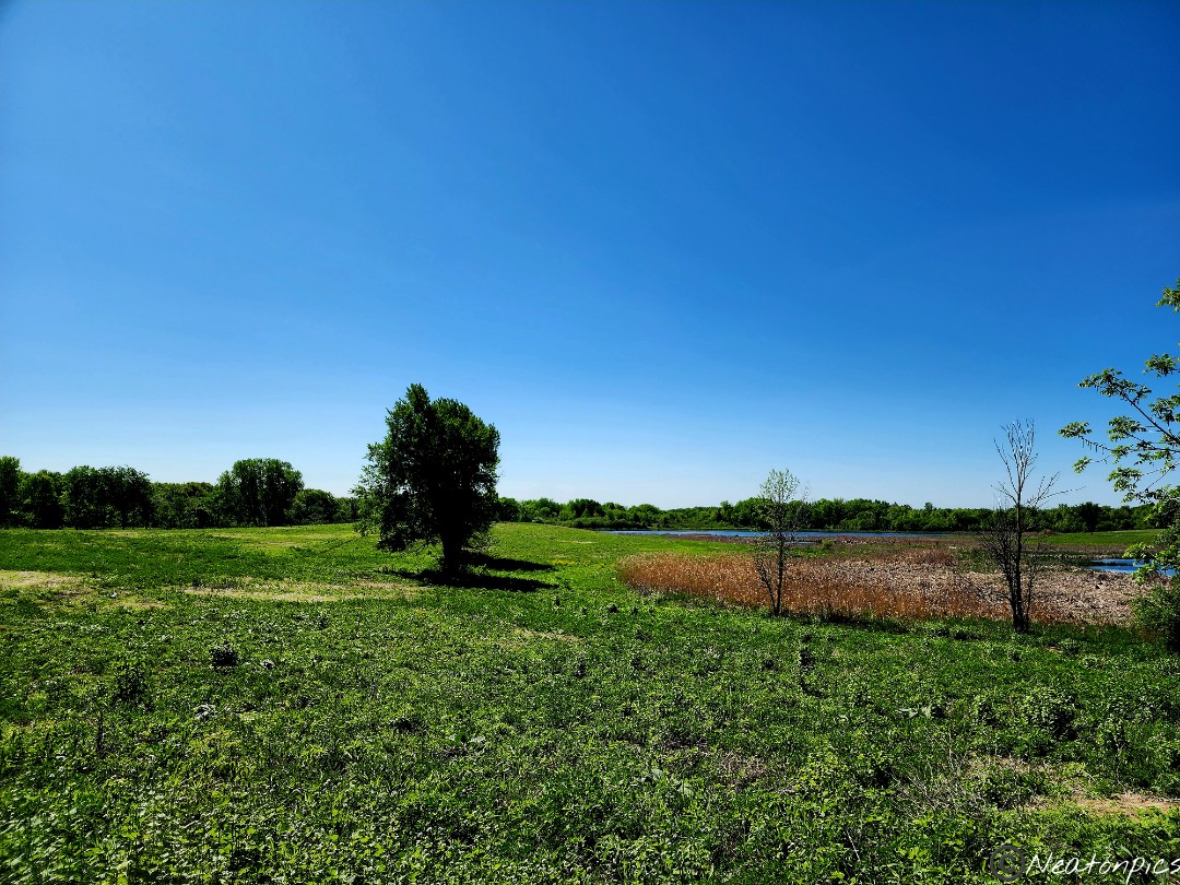
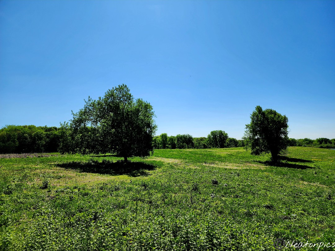
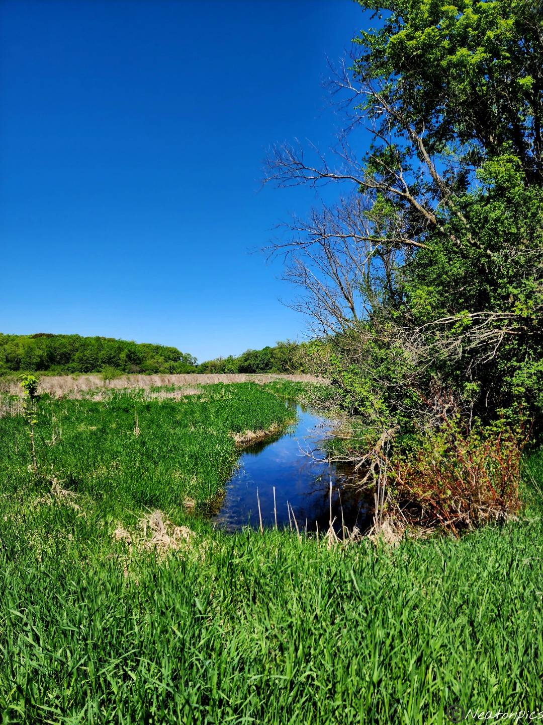
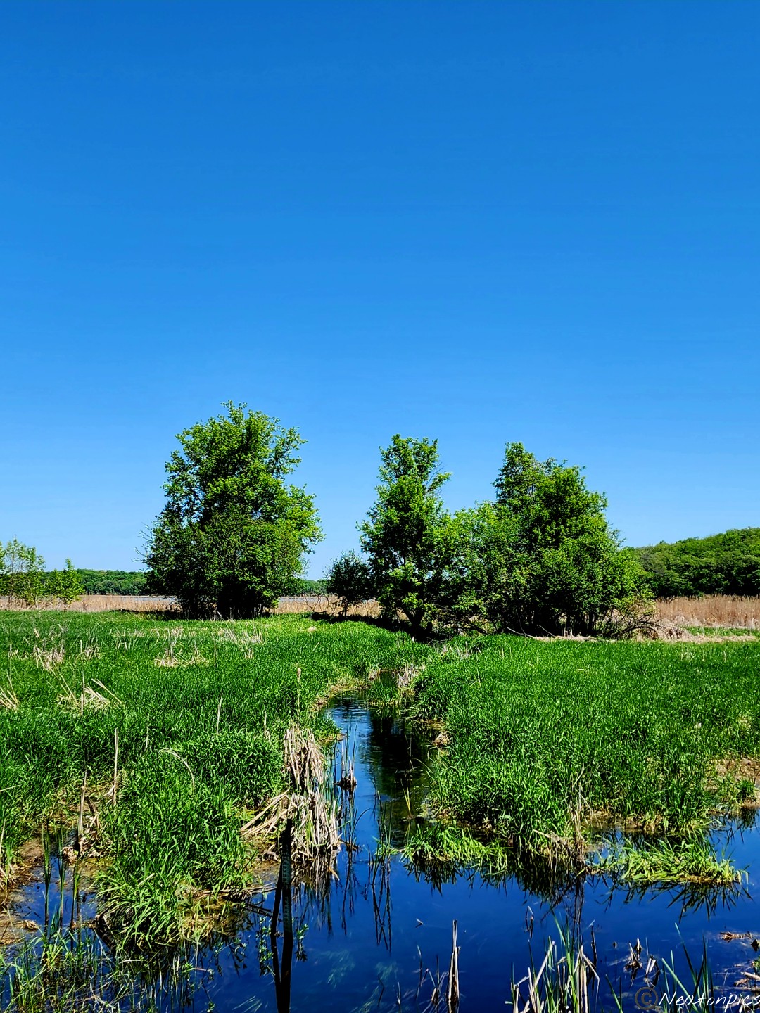
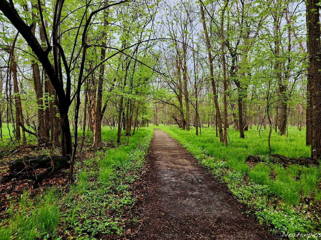
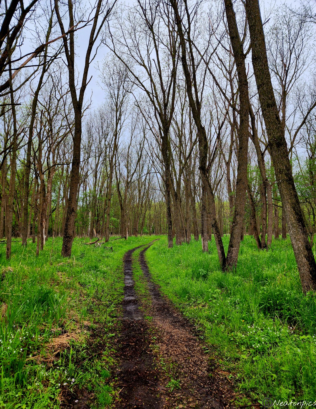
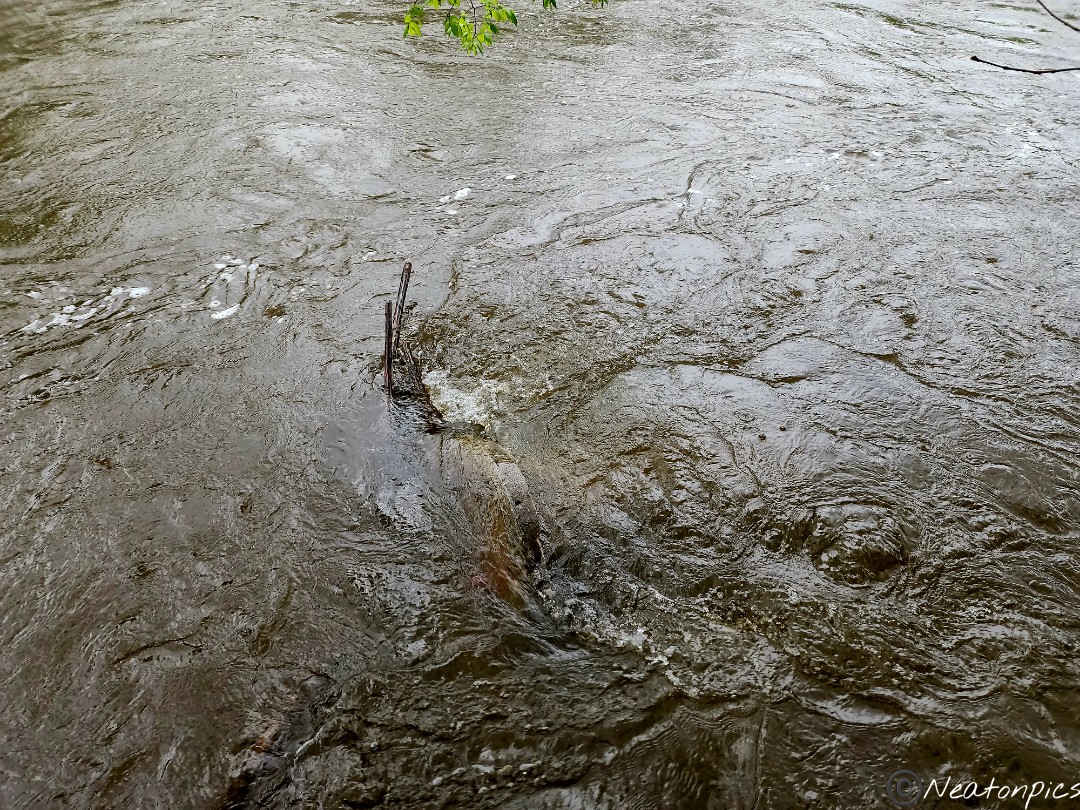
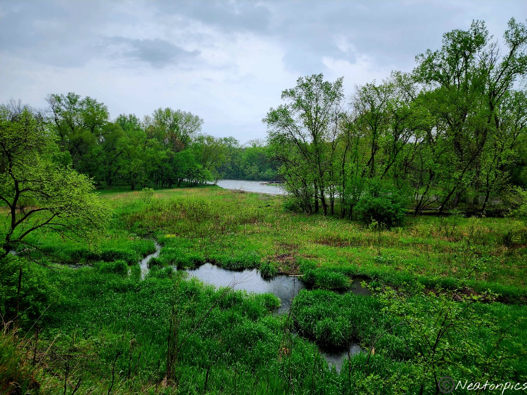
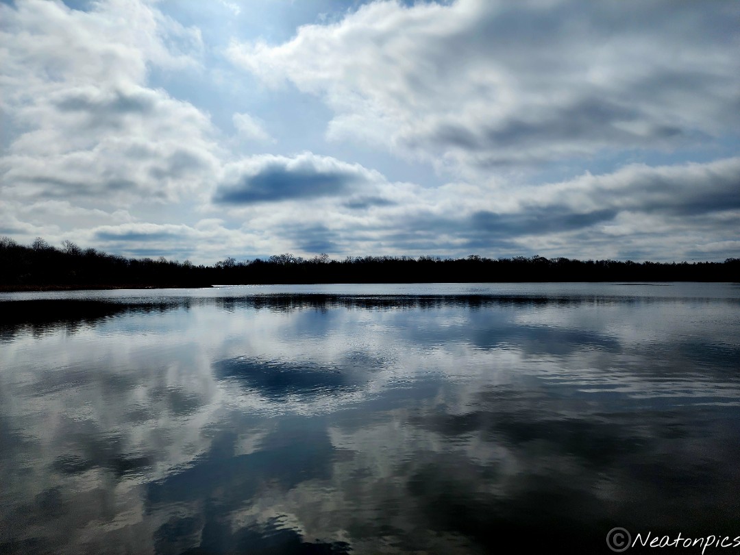
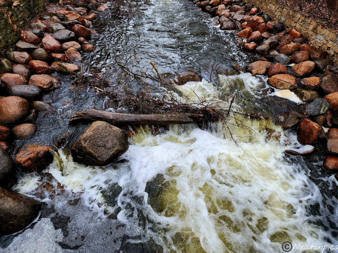
The trail continued across the road from the river. A huge beautiful park lay on both sides of the trail. We couldn’t believe all the open recreation space. We later found out that the reason for all the open recreation space is due to the floods that happen every spring. Some years, the floods were devastating.
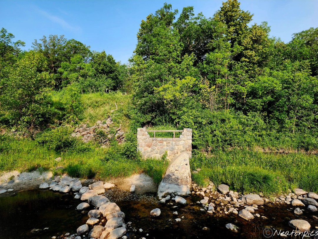
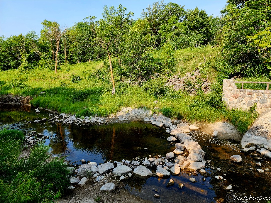
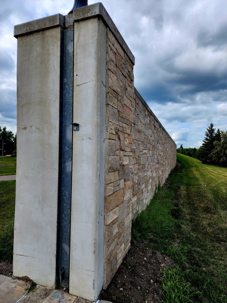
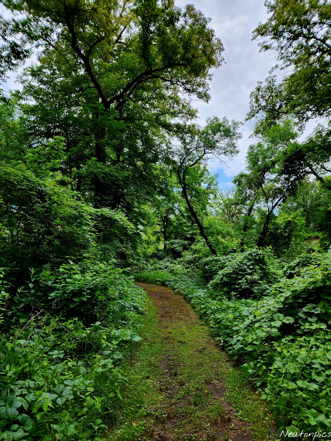
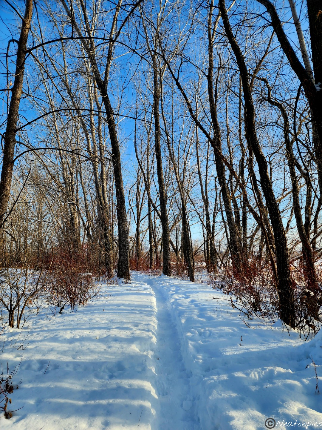
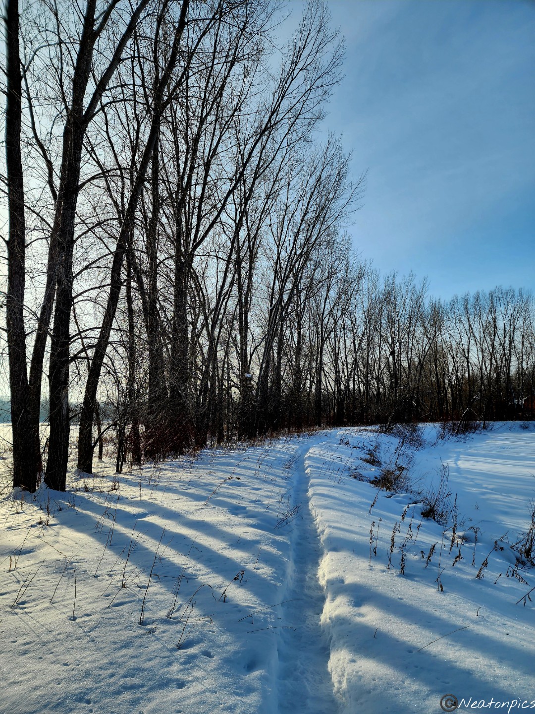
The trail led us through a neighborhood. We could not help but notice the large stone wall that divided the park and the neighborhood. As beautiful as the river is, it can also be so destructive.
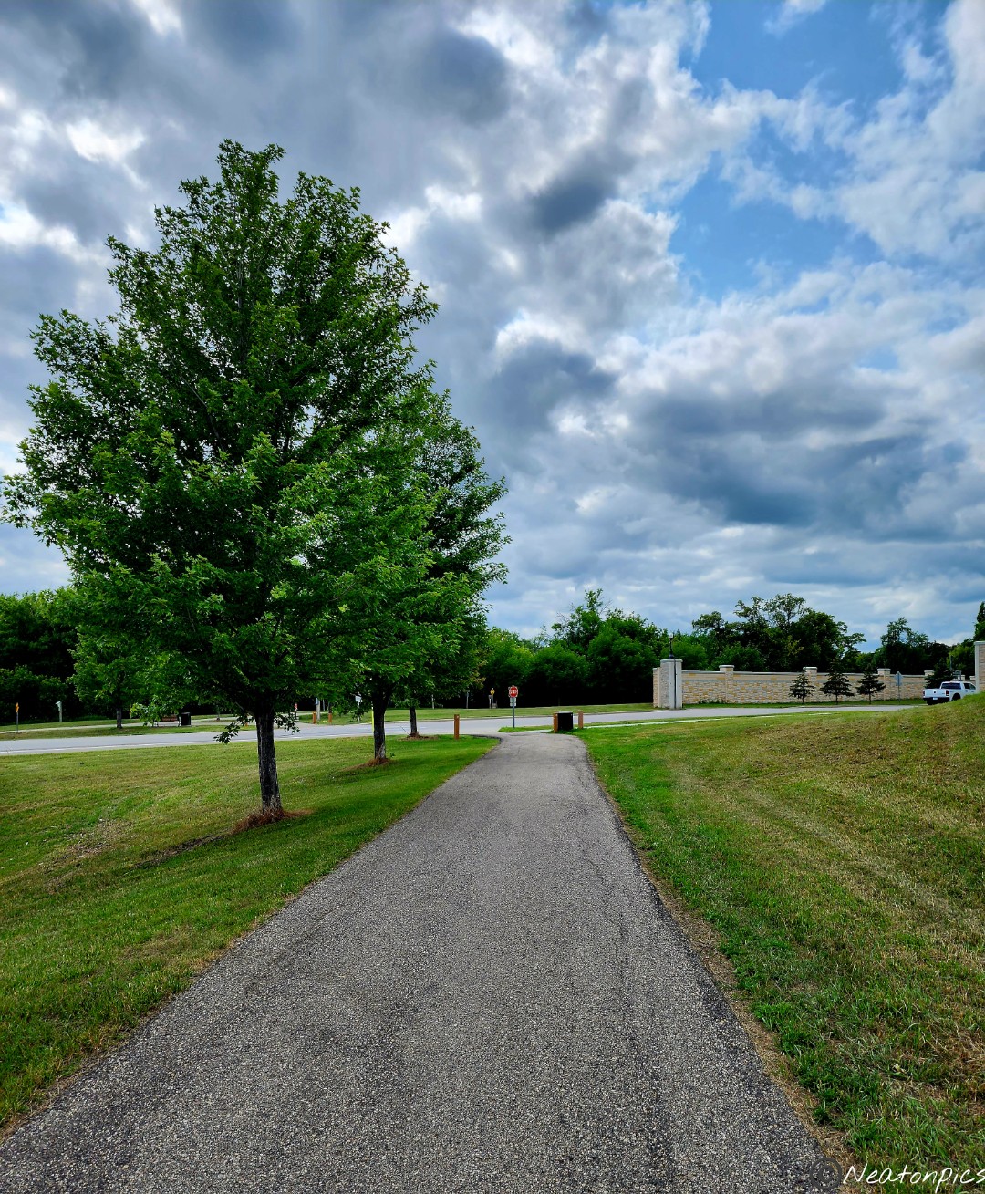
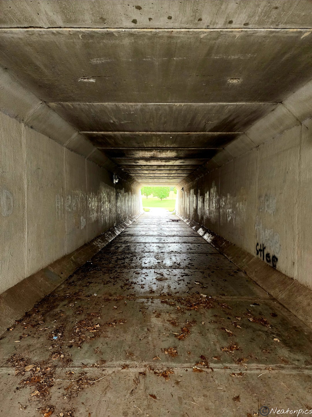
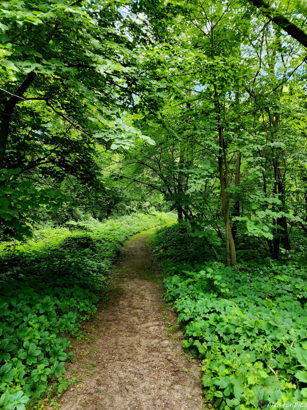
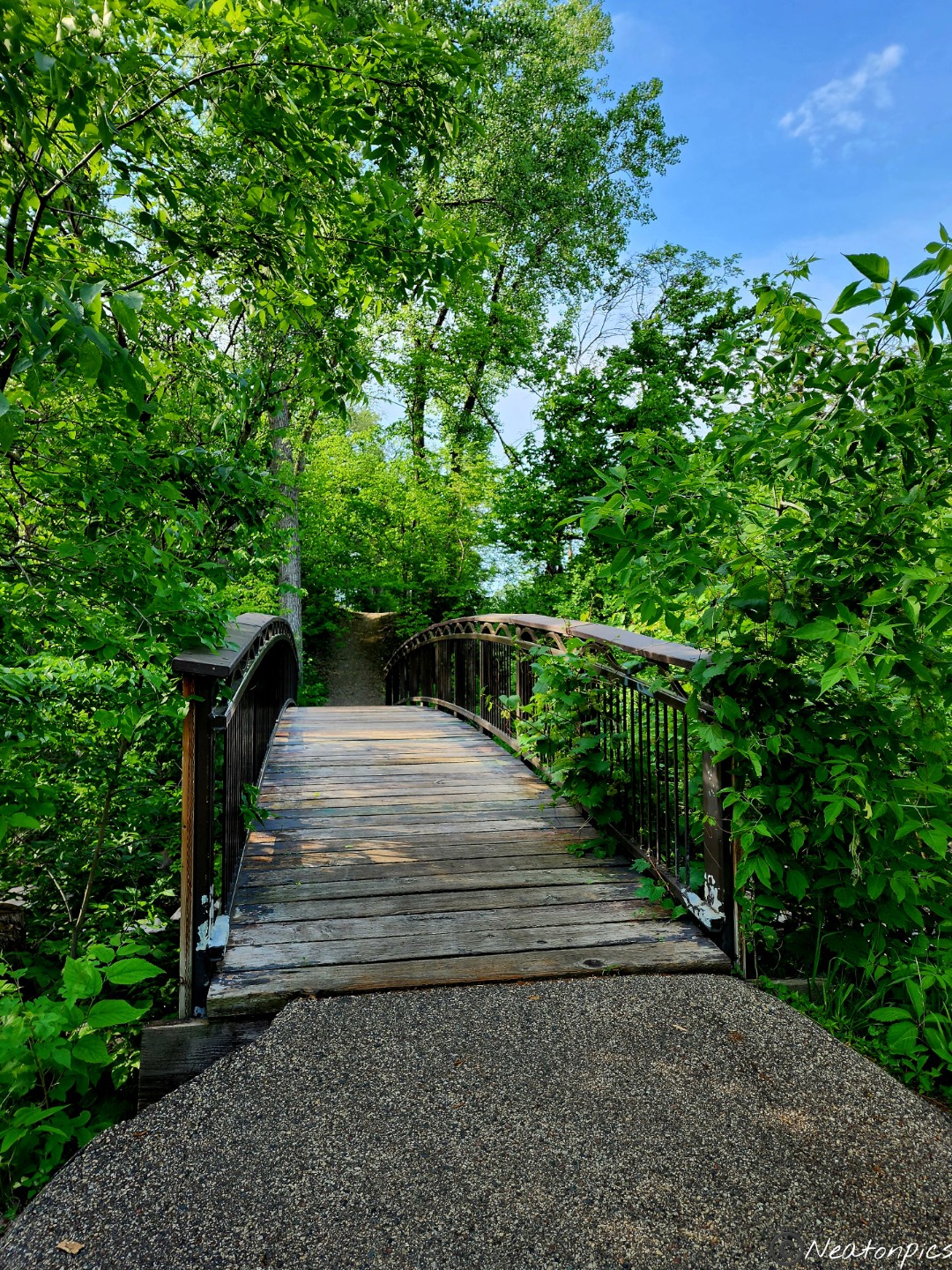
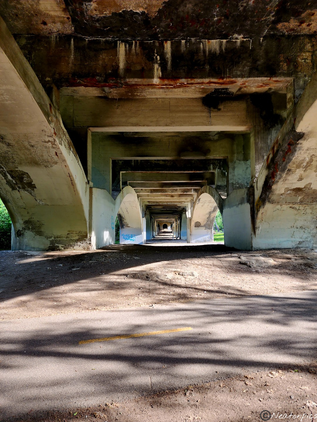
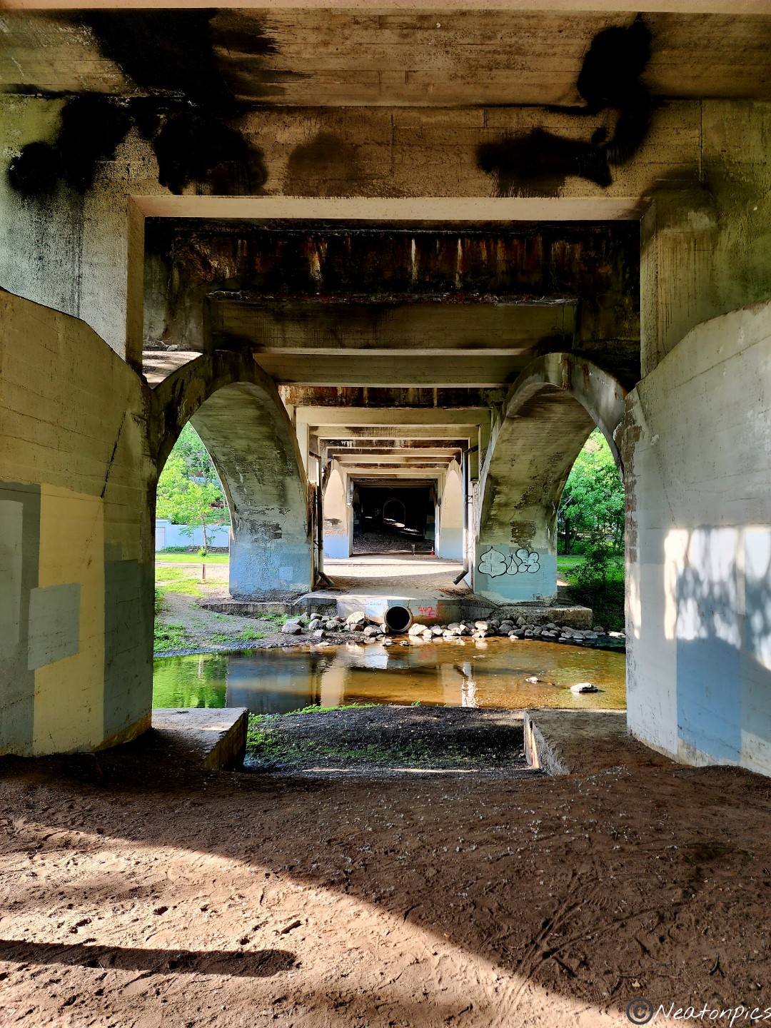
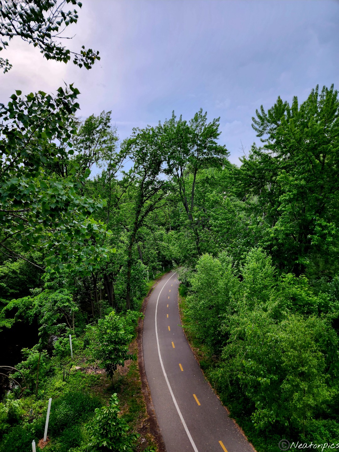
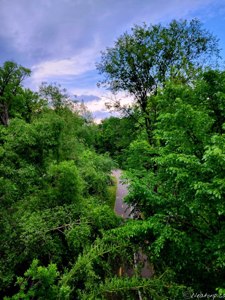
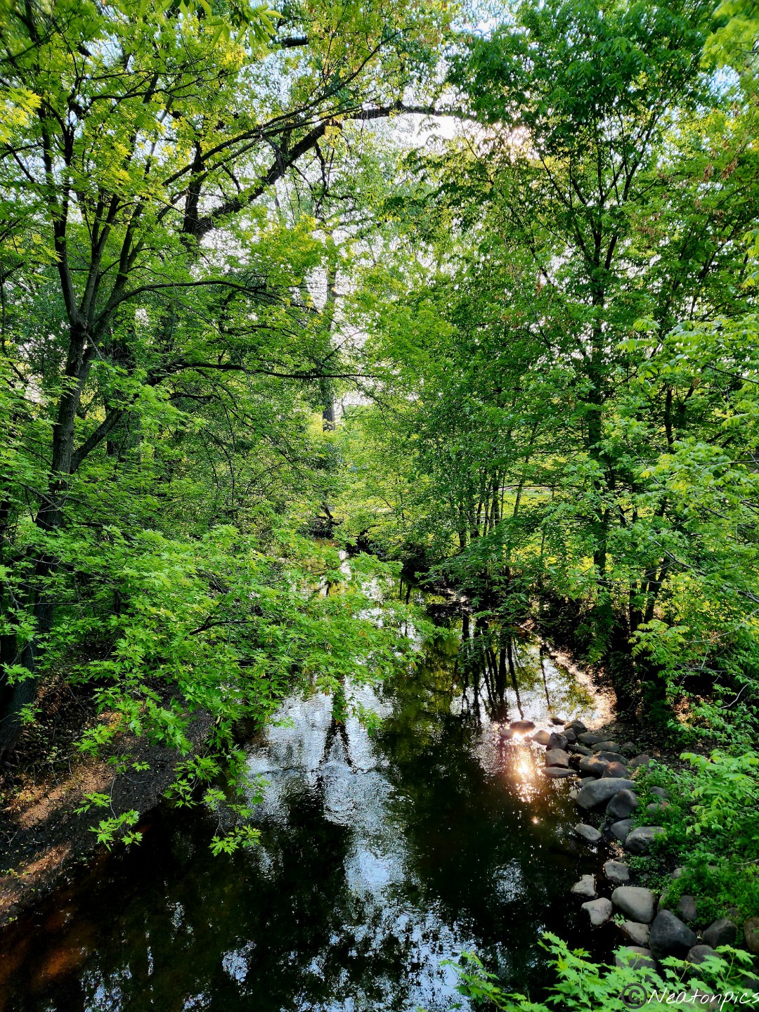
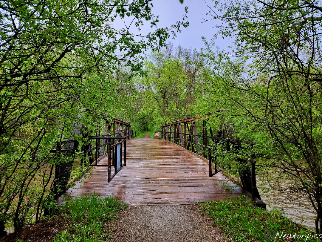
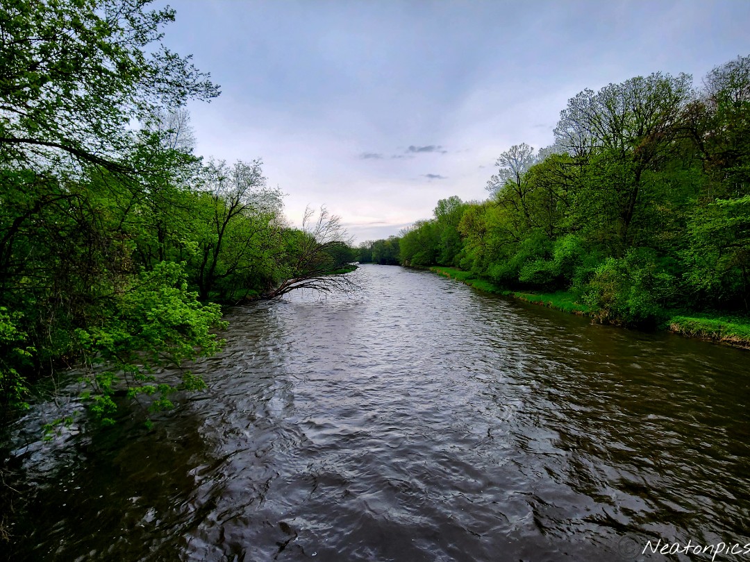
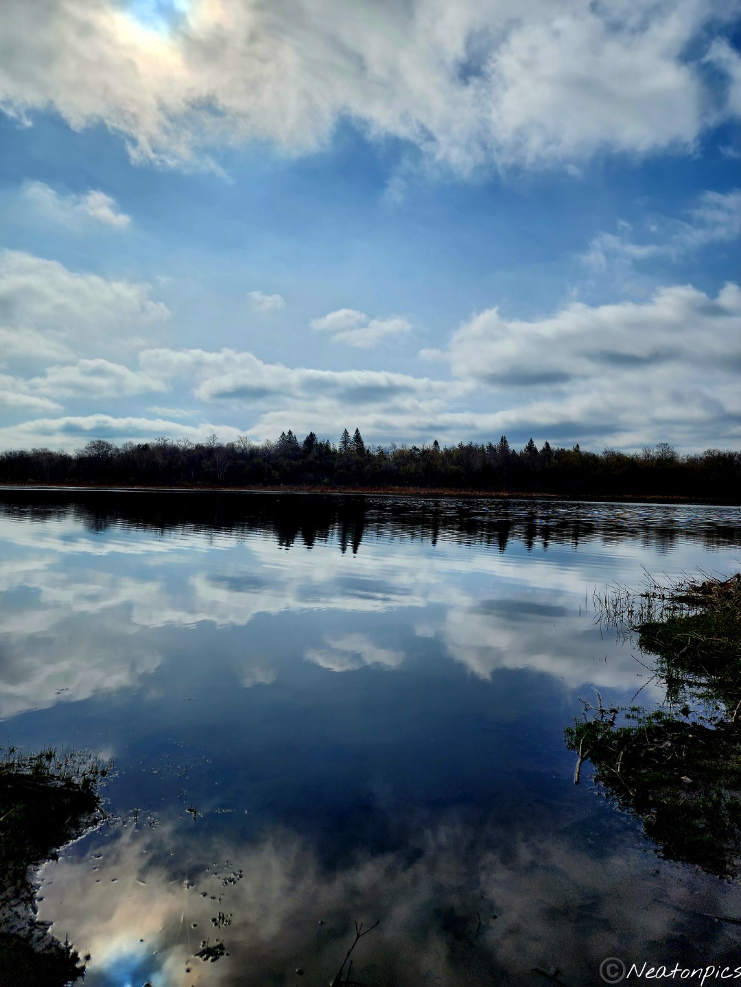
The trail continued through a tunnel under the road as we made our way back to our starting point.
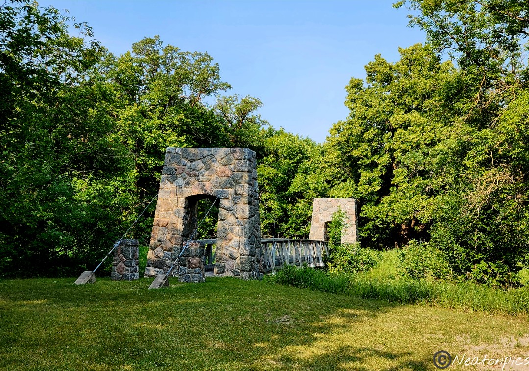
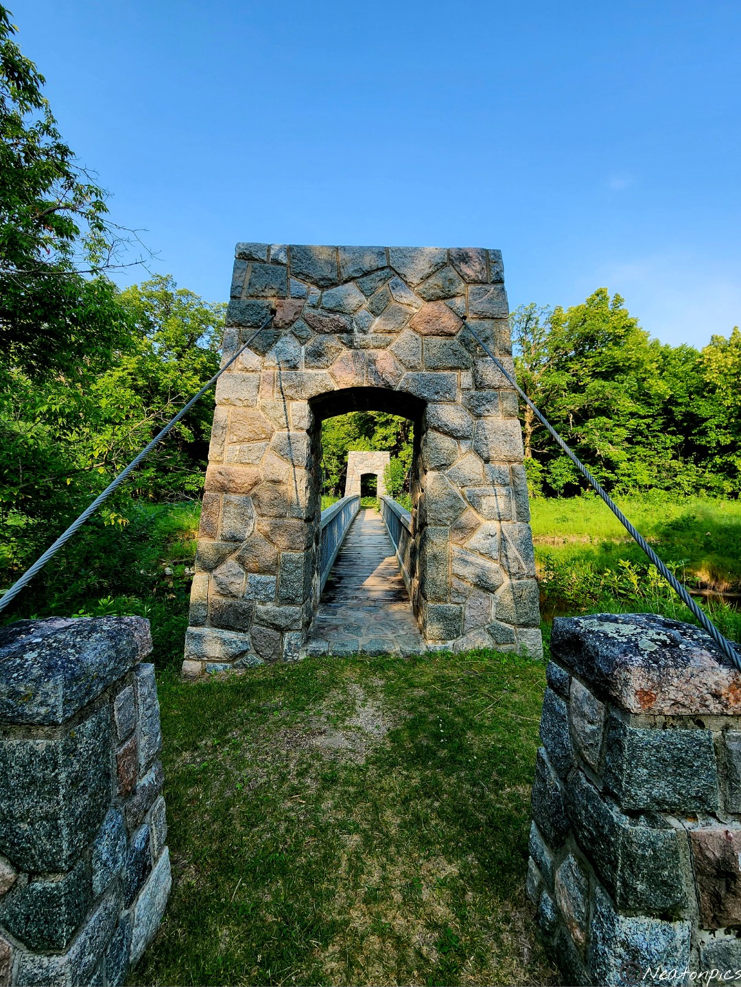
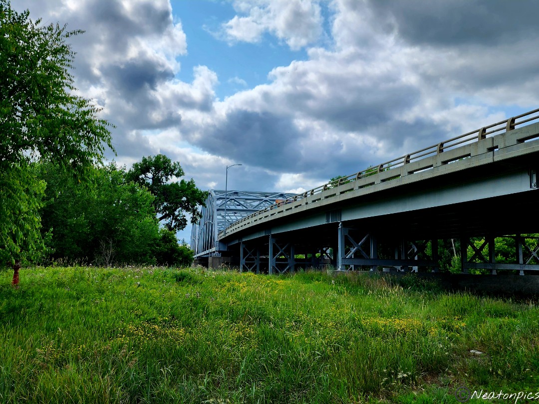
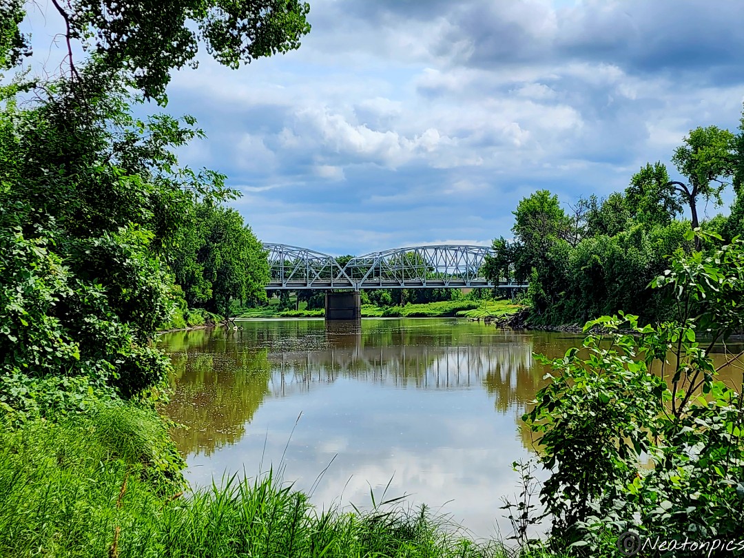
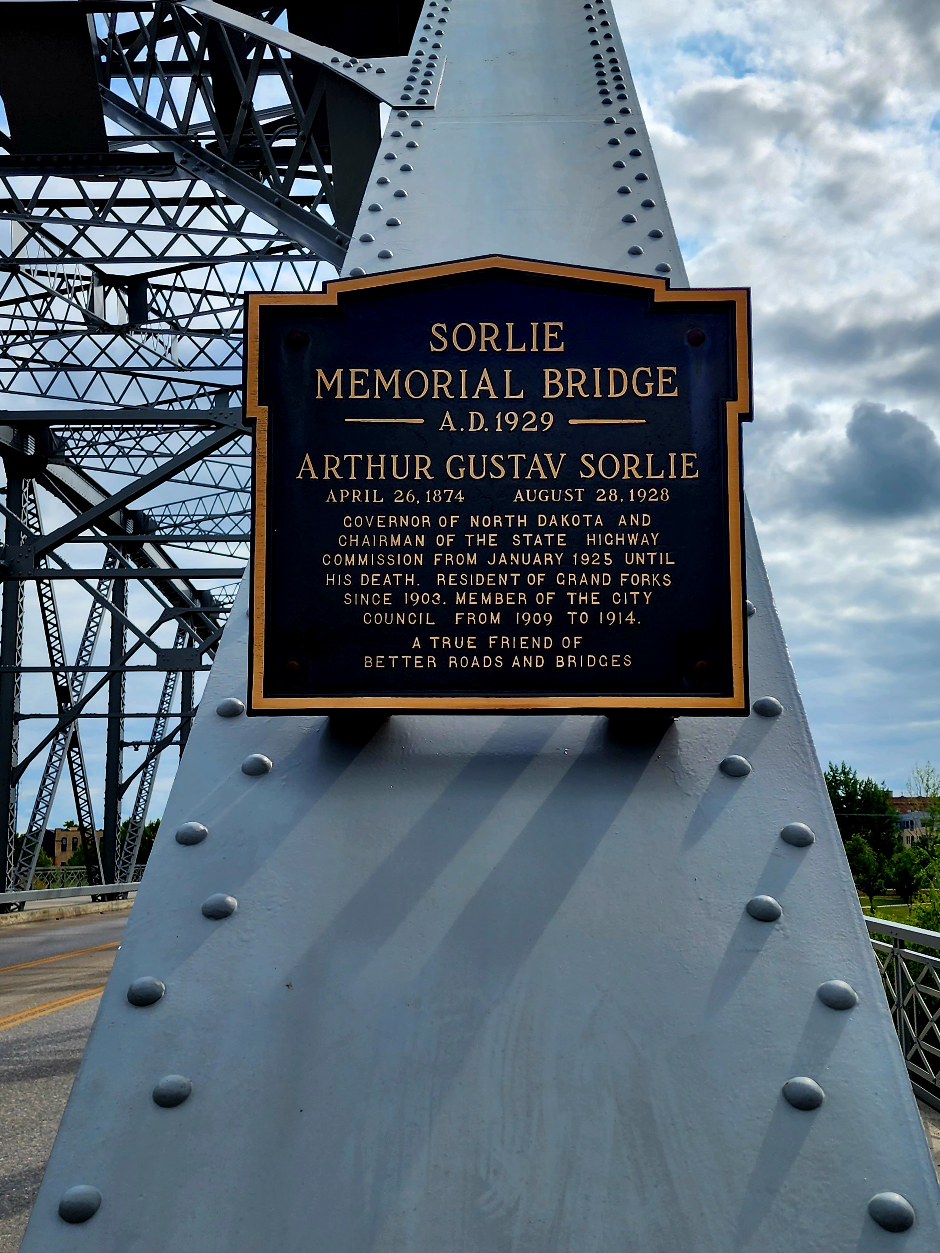
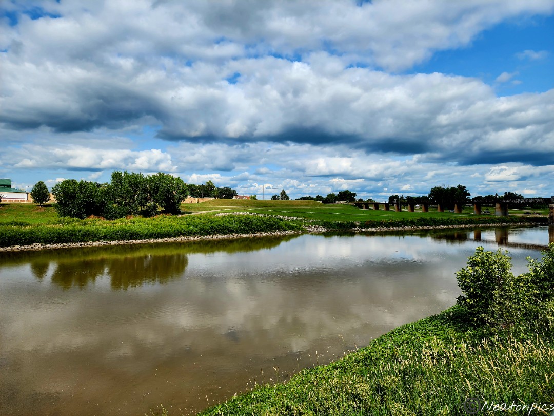
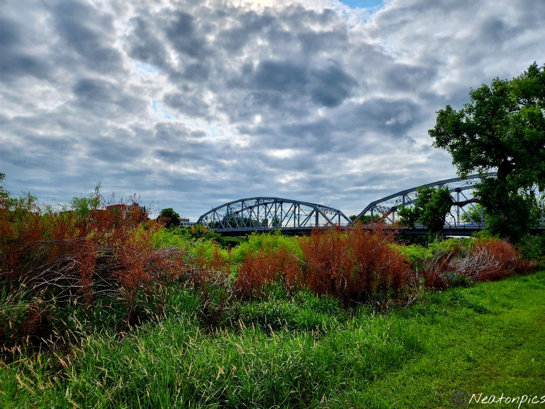
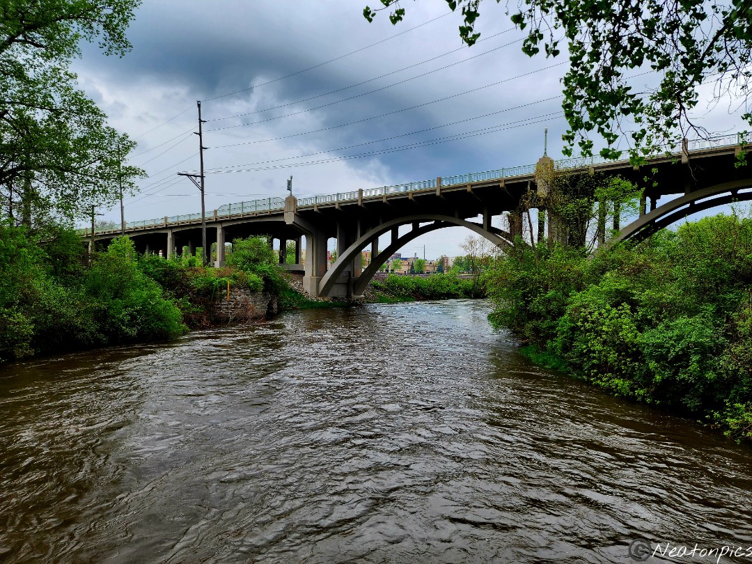
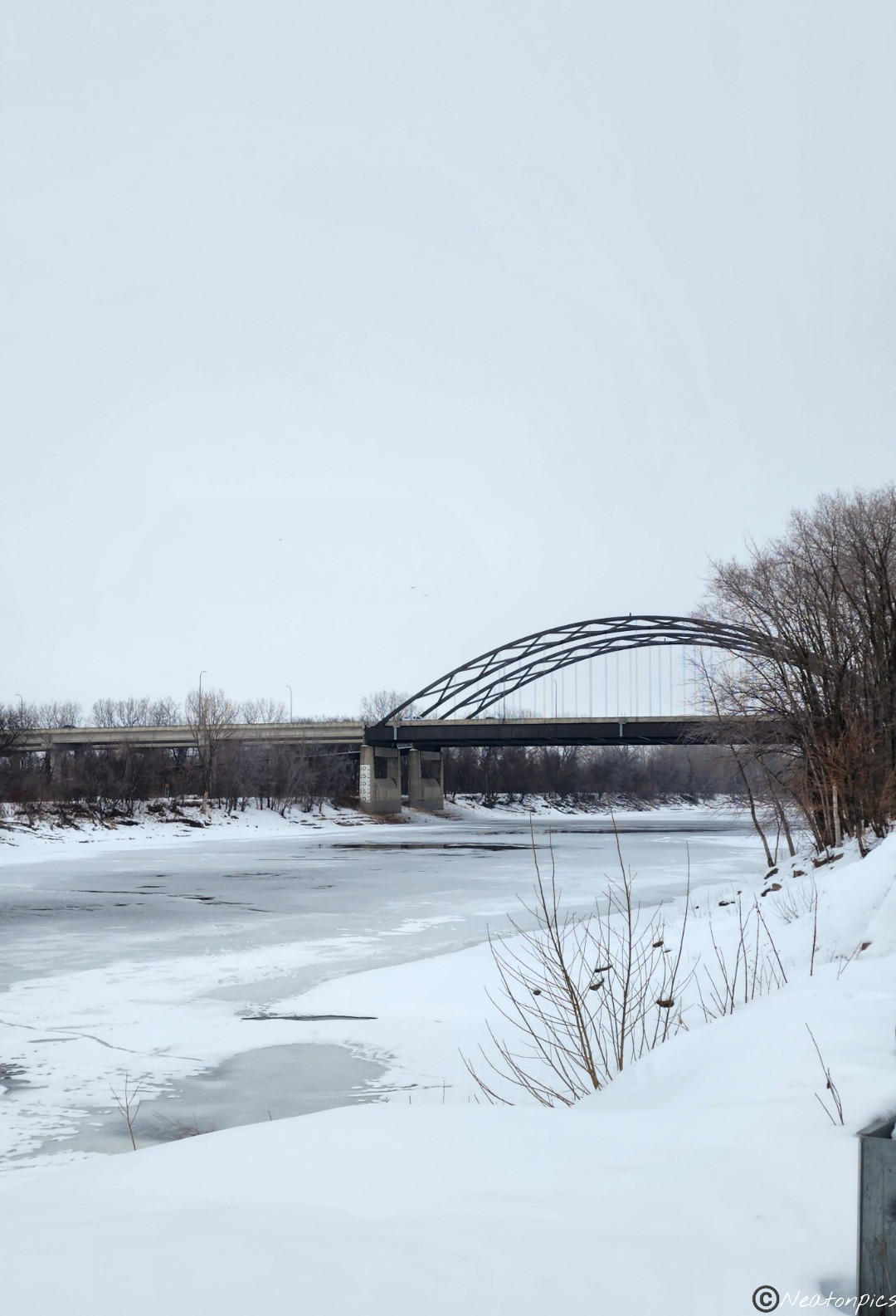
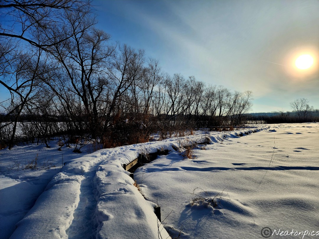
After we finished our hike through the Red River Recreation Area, we decided to take in the view from the bridge.
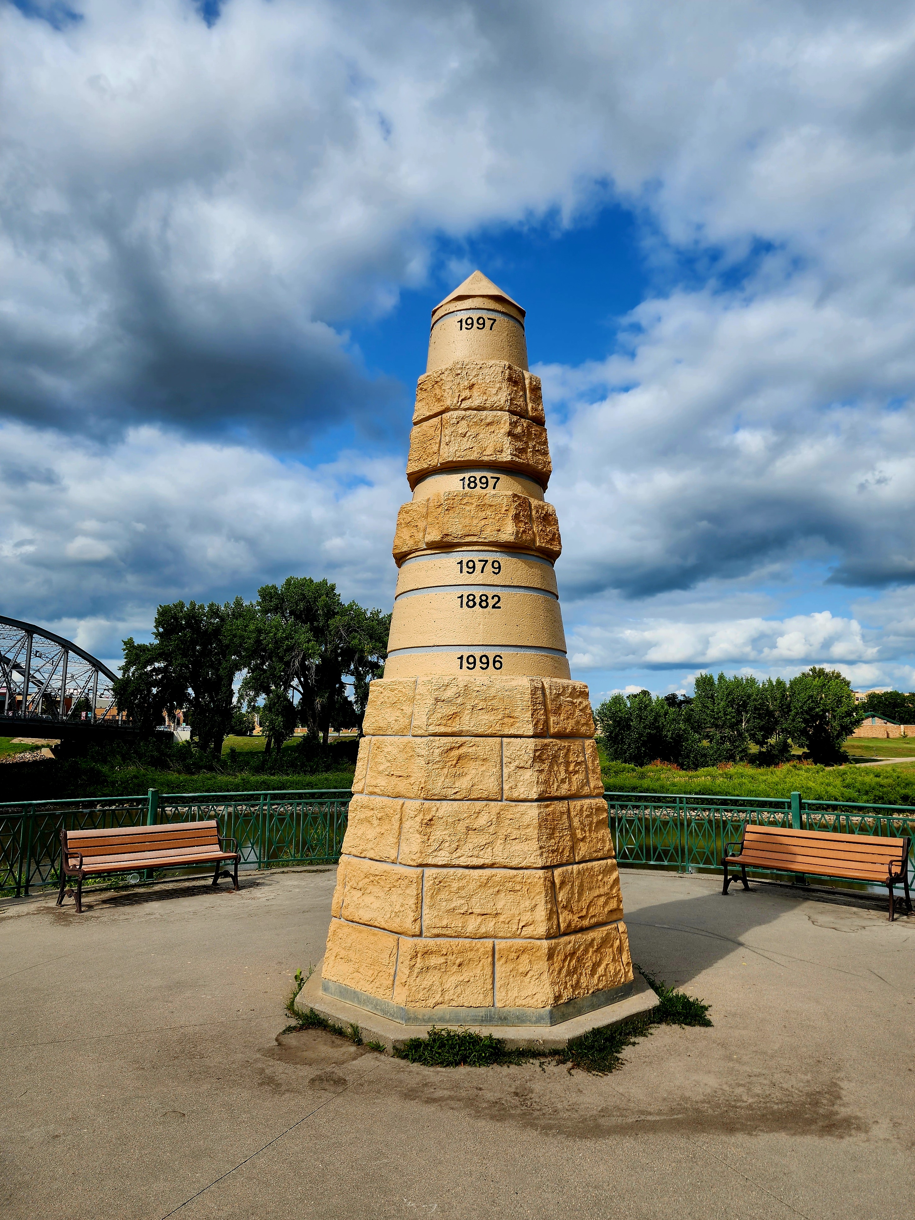
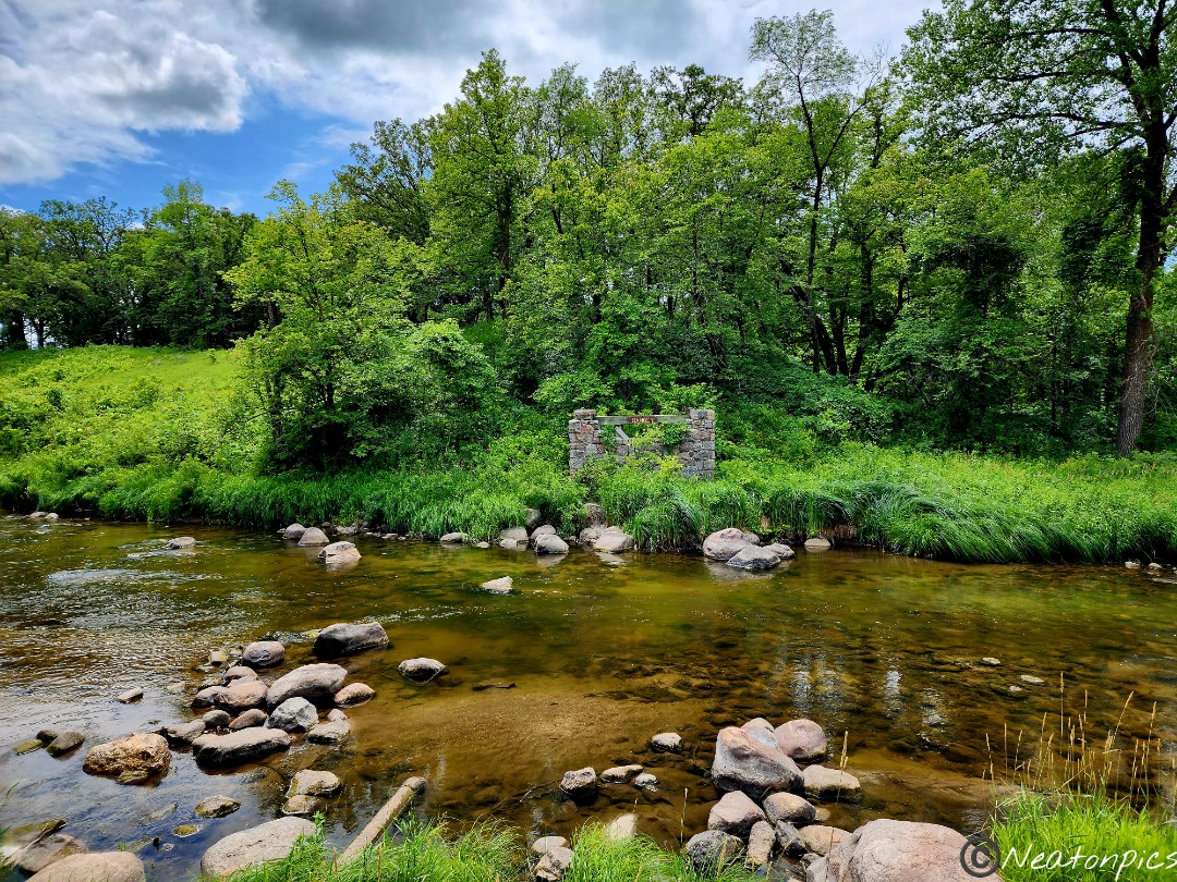
Grand Forks, North Dakota had a monument showing the different heights the flood waters had reached throughout the years.
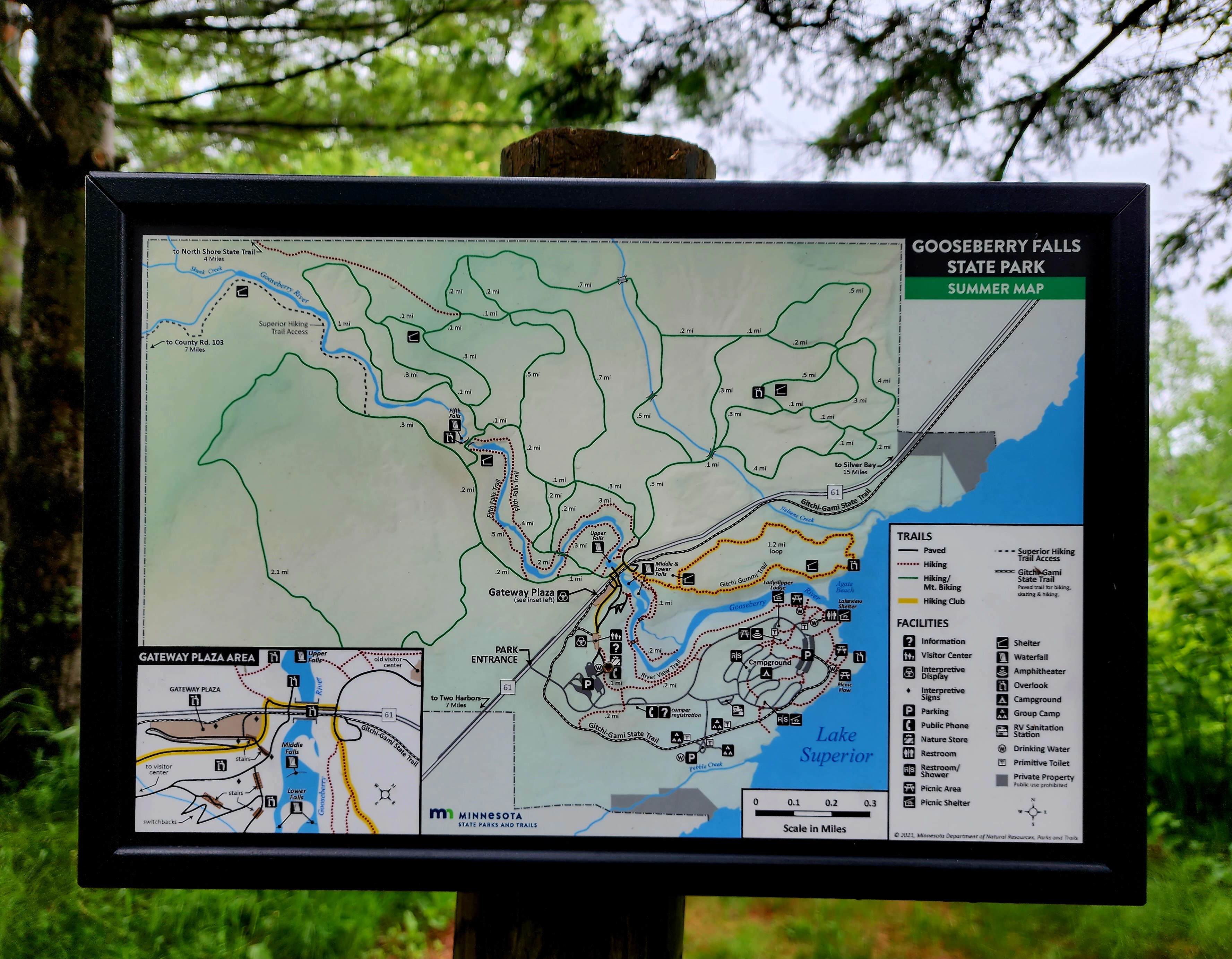
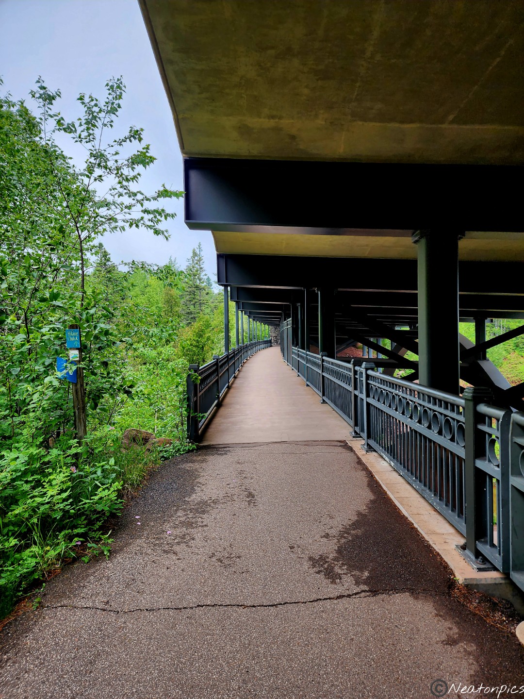
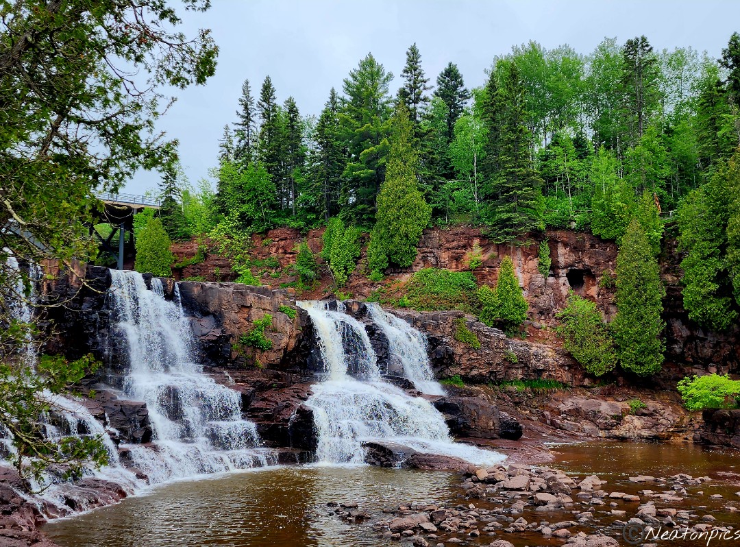
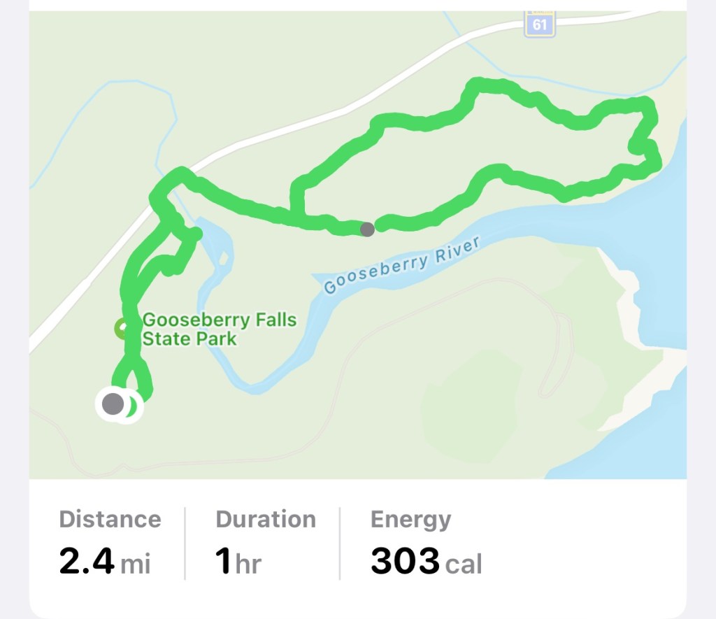
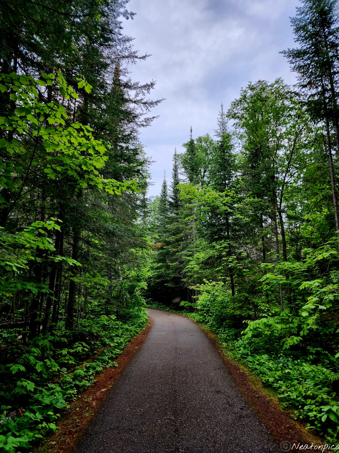
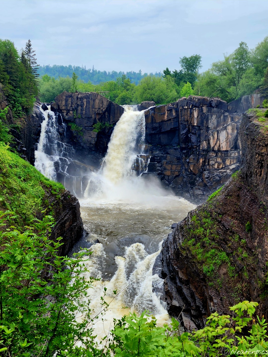
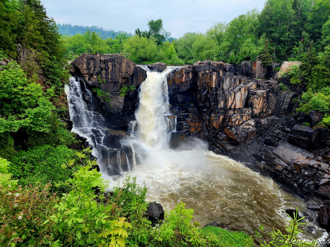
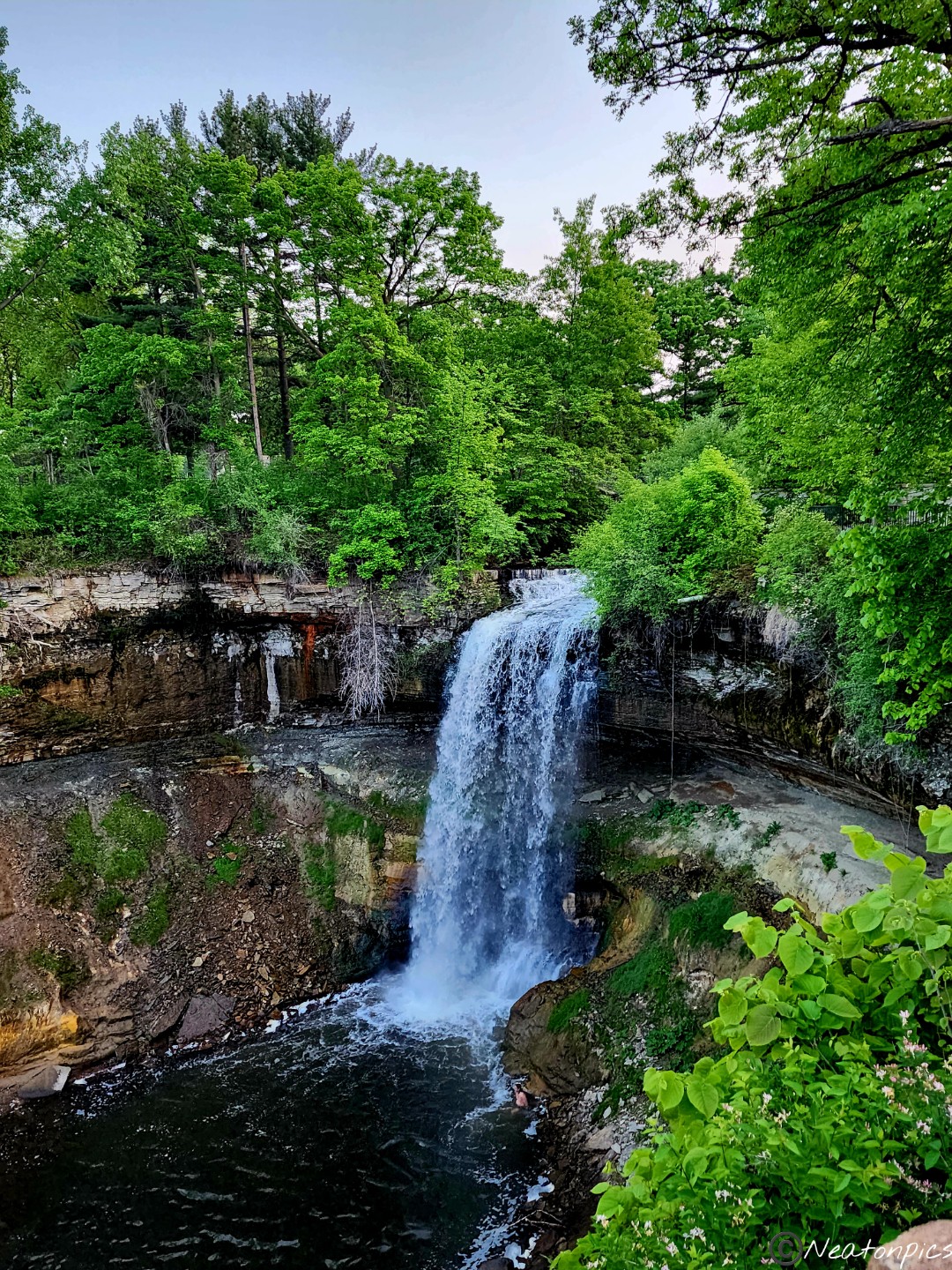
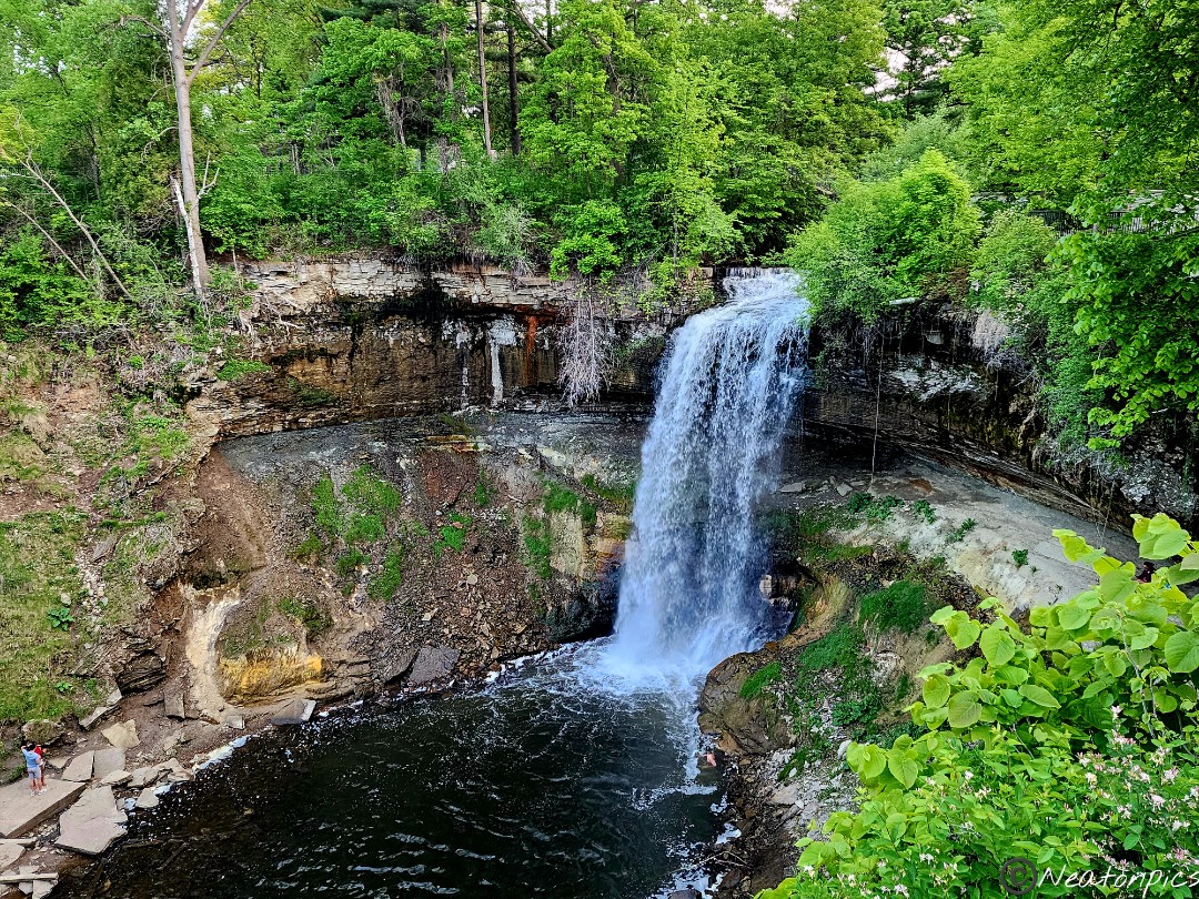
We hiked Gooseberry Falls State Park on June 25th, 2023.
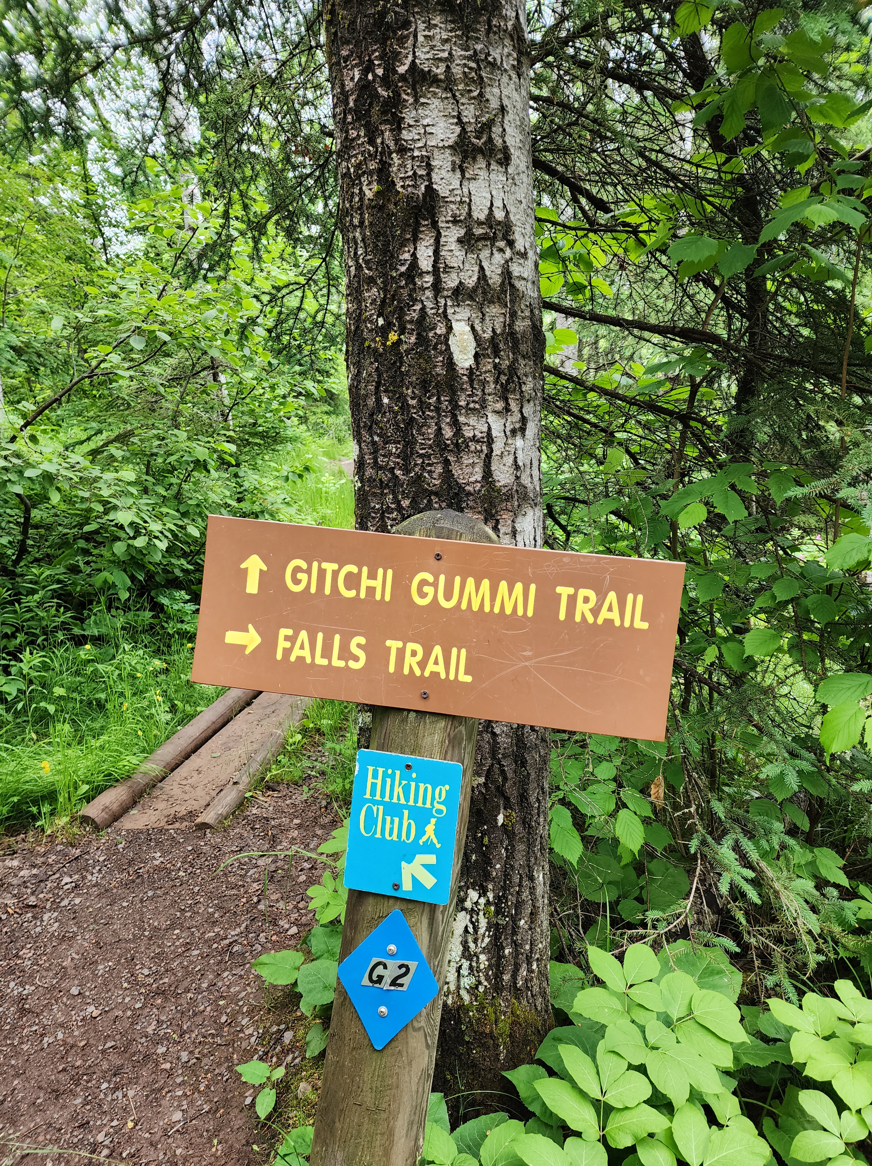
The trail began just past the Joseph N. Alexander Visitor Center. As we crossed the Highway 61 Catwalk, we took in the view of the Upper Falls.
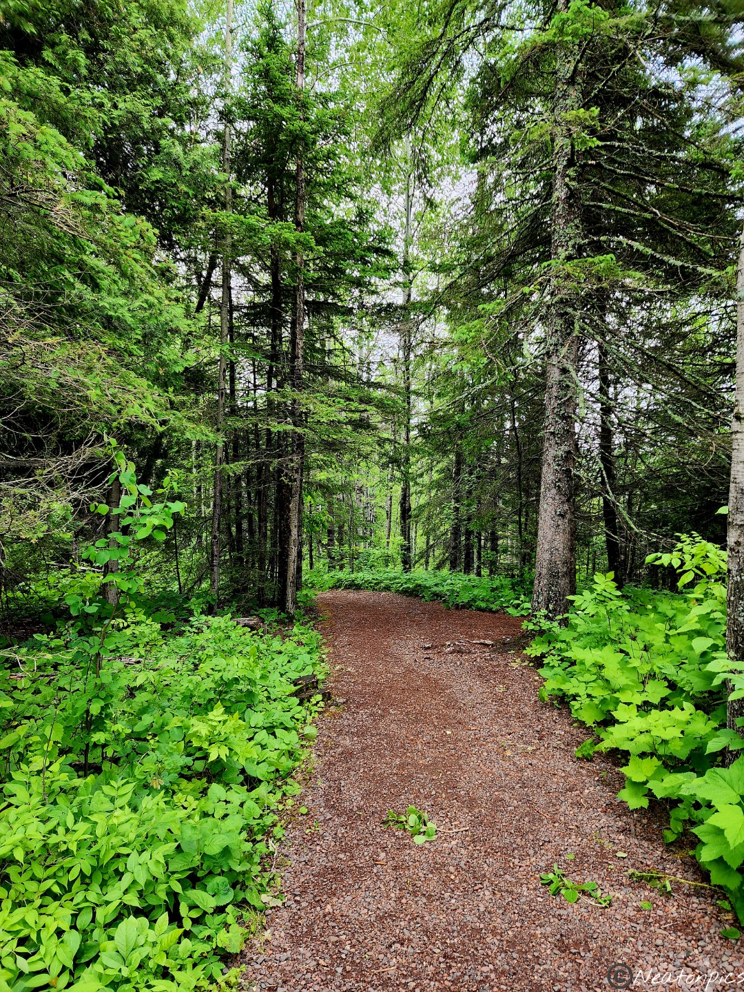
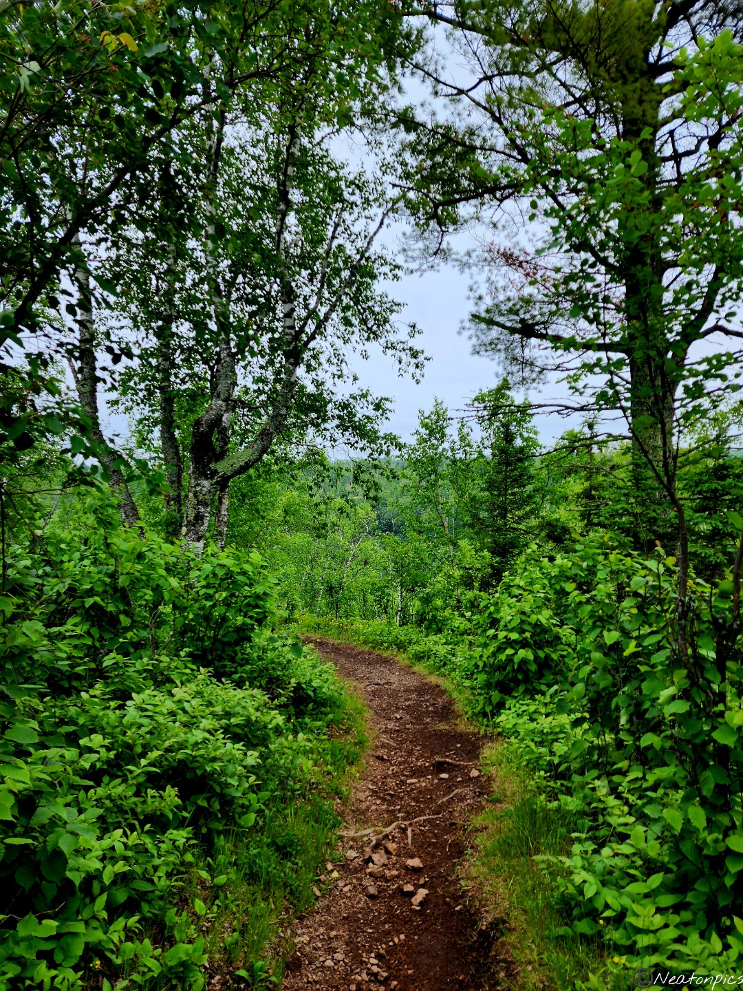
We continued our hike on the Gitchi Gummi Trail.
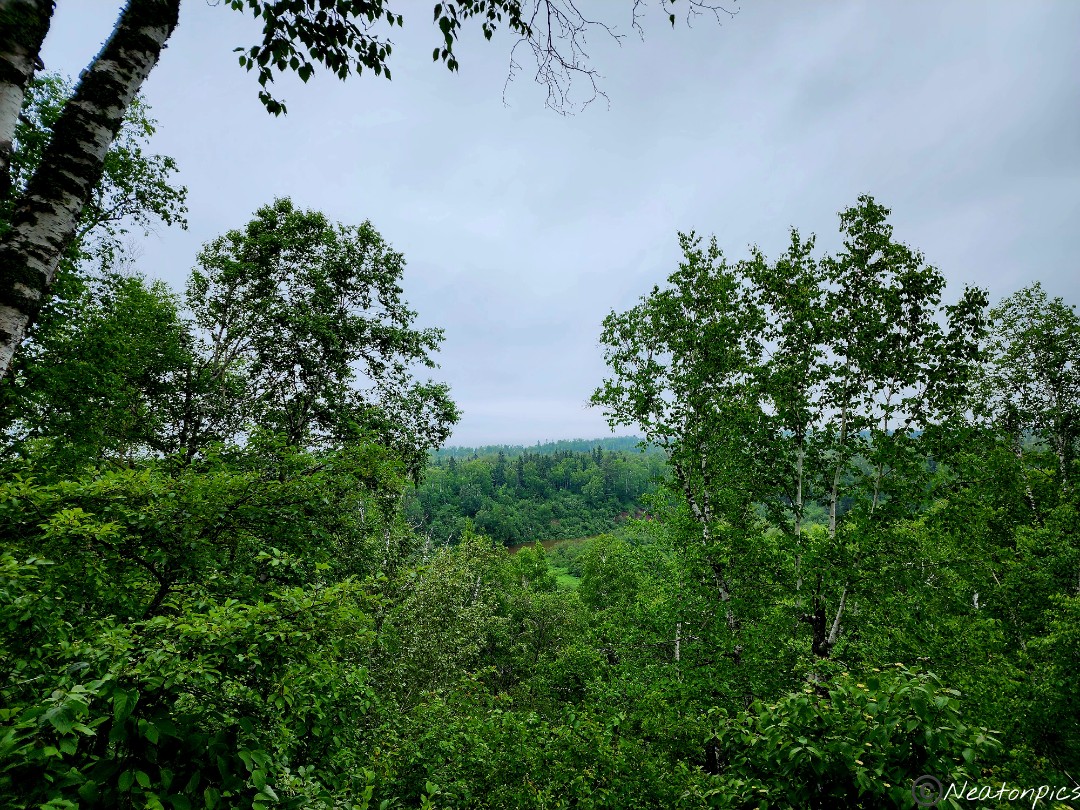
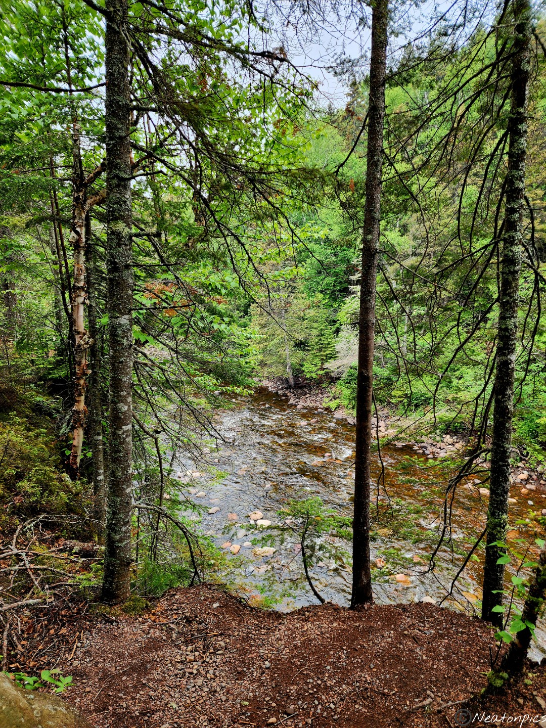
The trail had a steady incline. A view of the Gooseberry River Valley began to appear through the trees.
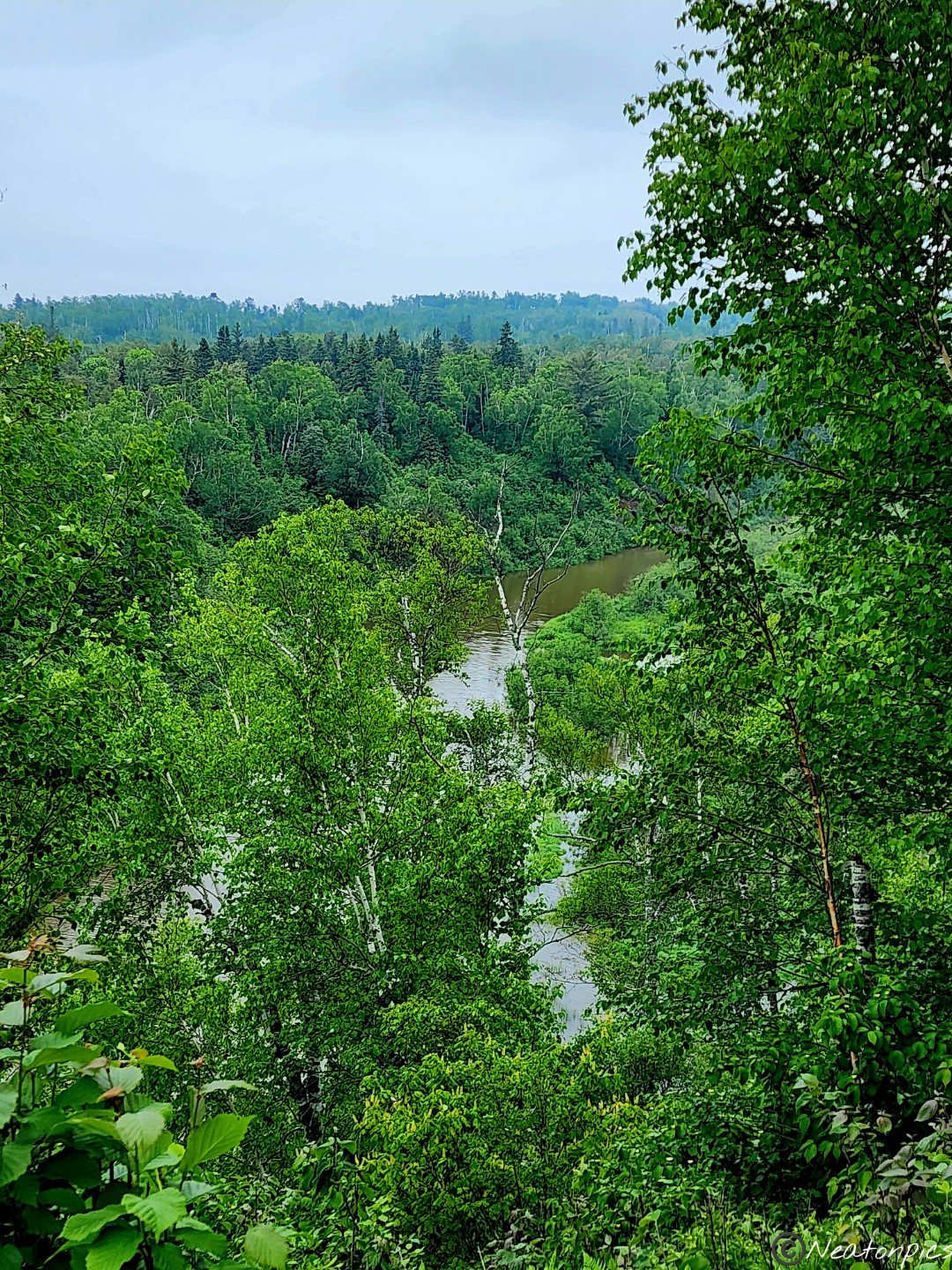
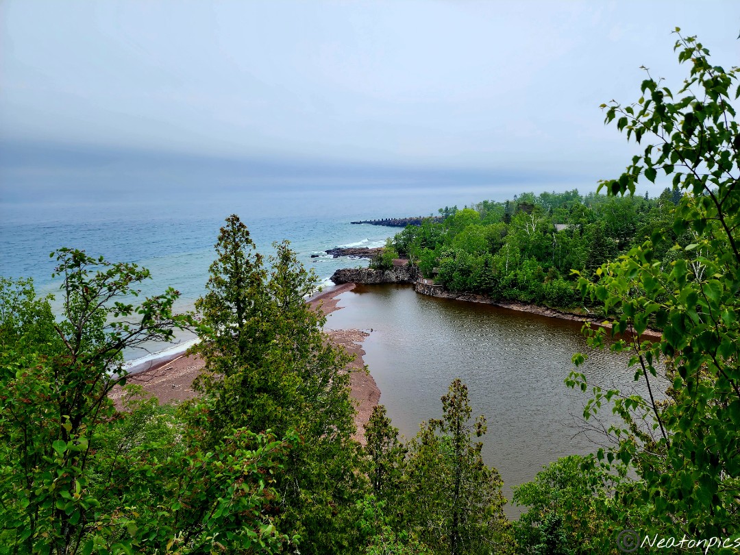
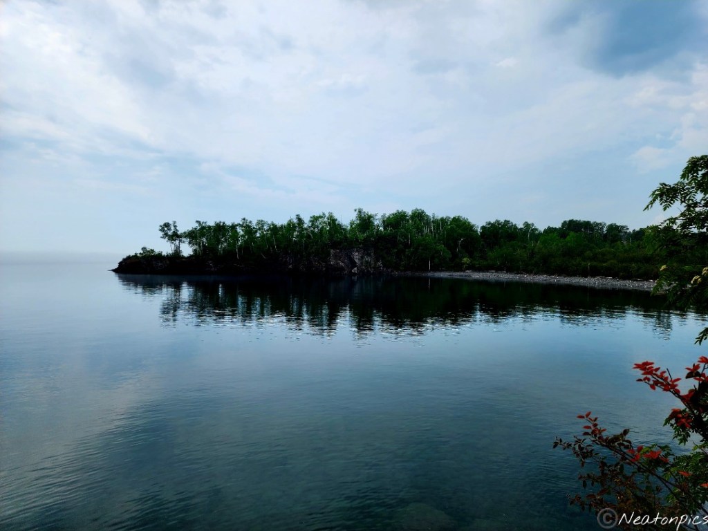
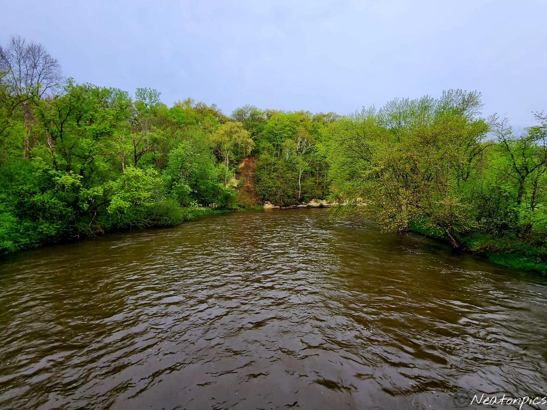
The Gooseberry River was flowing by with Lake Superior in the near distance.
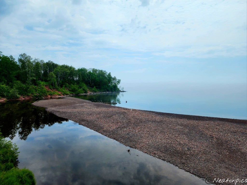
A sandbar appears to stop the Gooseberry River from flowing into Lake Superior.
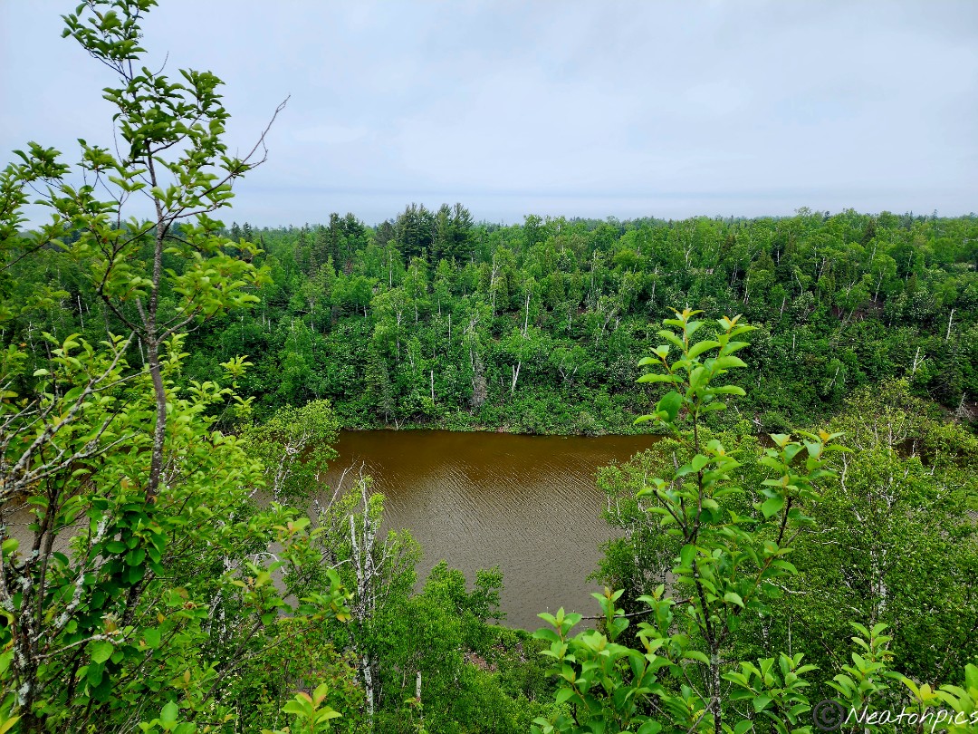
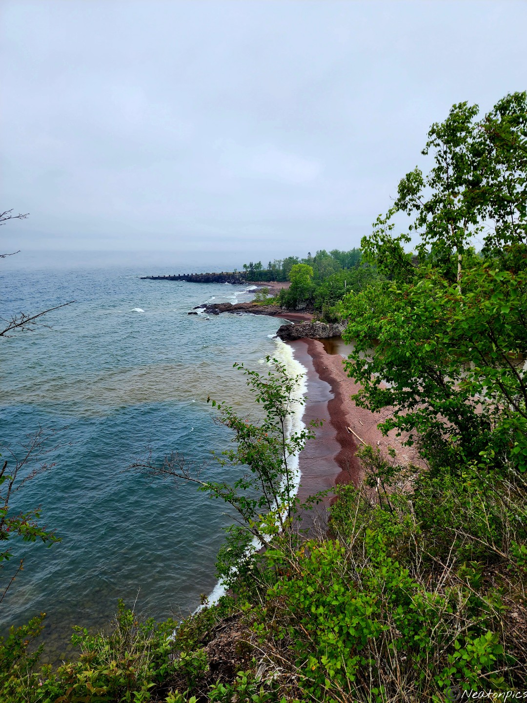
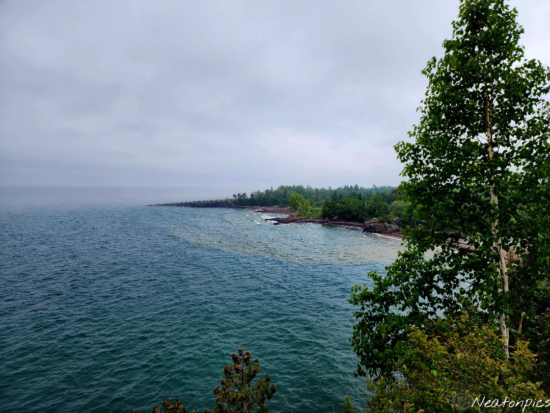
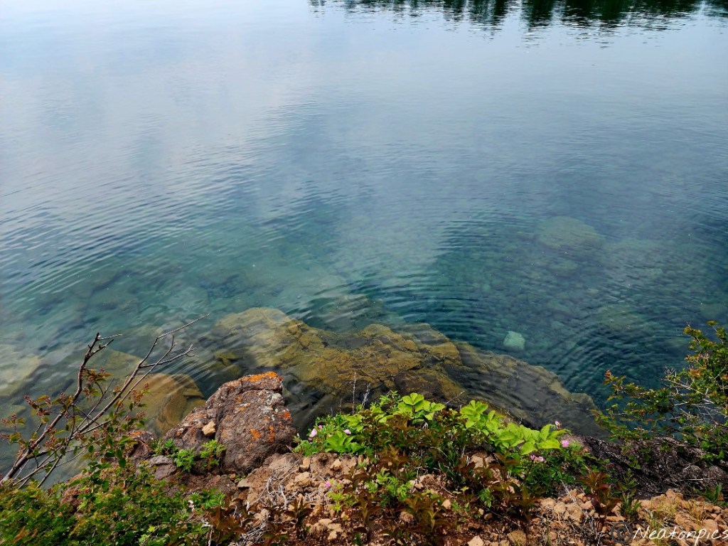
The trail continued alongside the lake offering a different view of the Gooseberry River flowing into Lake Superior. The river is flowing under the sandbar. The photos below show the rich brown river penetrating the lake.
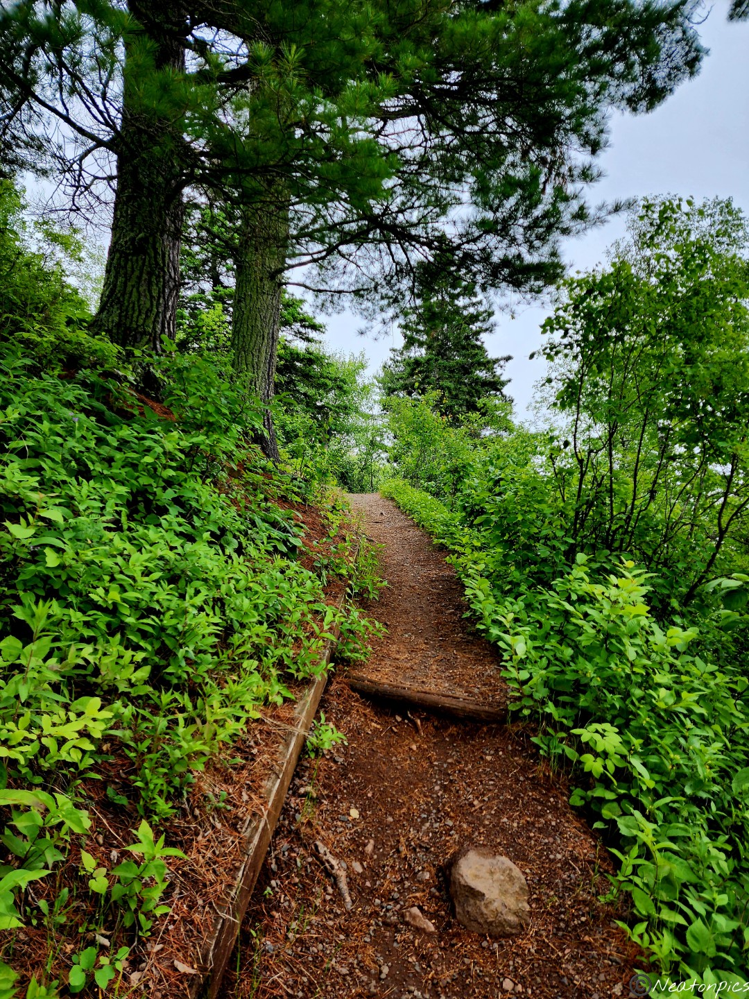
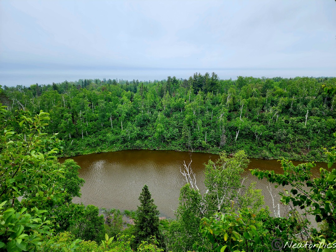
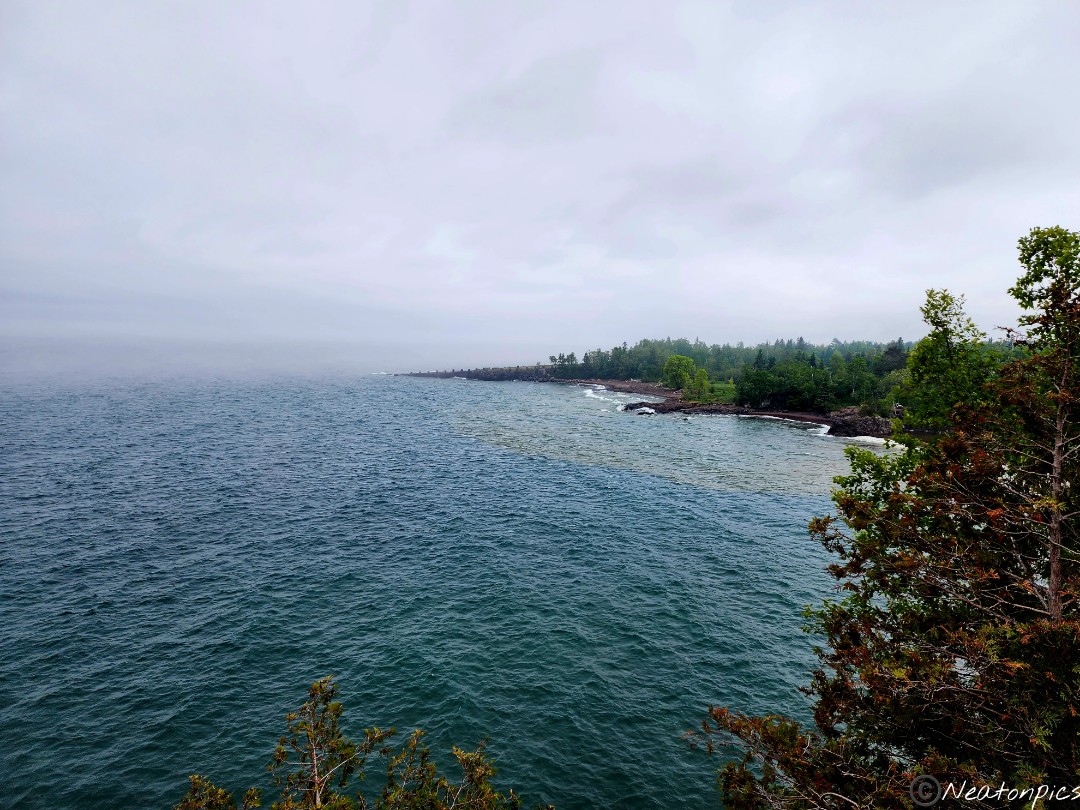
One final overlook of the lake before heading back through the forest.
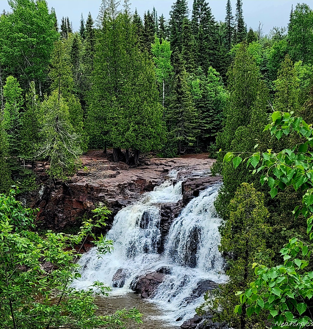
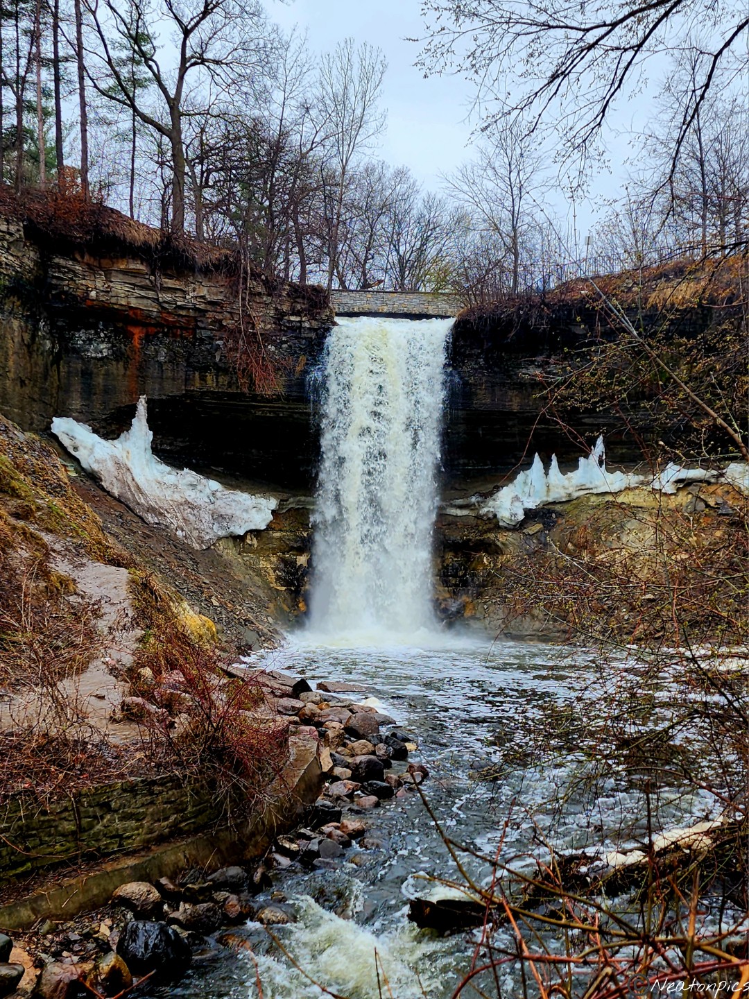
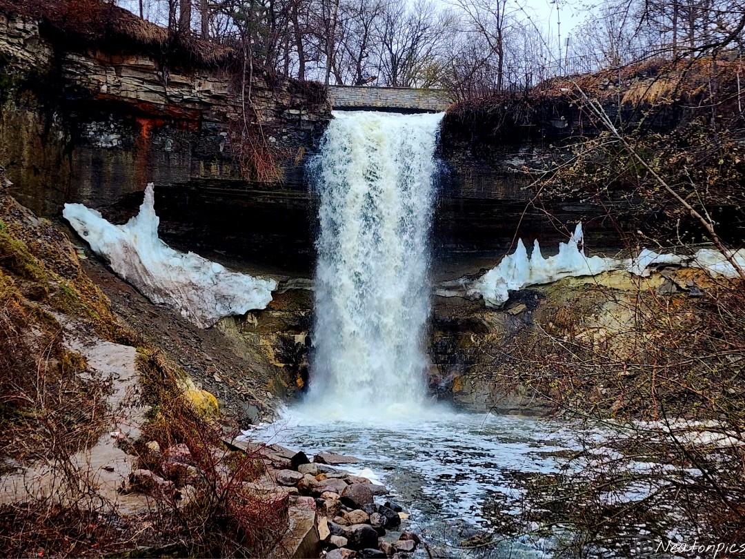
As the trail looped us back to our starting point, we took a quick detour to take in the amazing view of the Gooseberry Middle Falls.
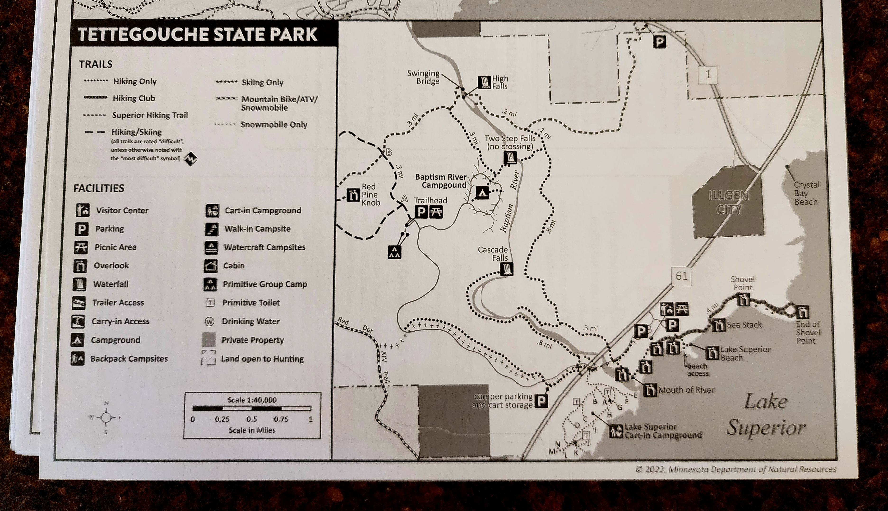
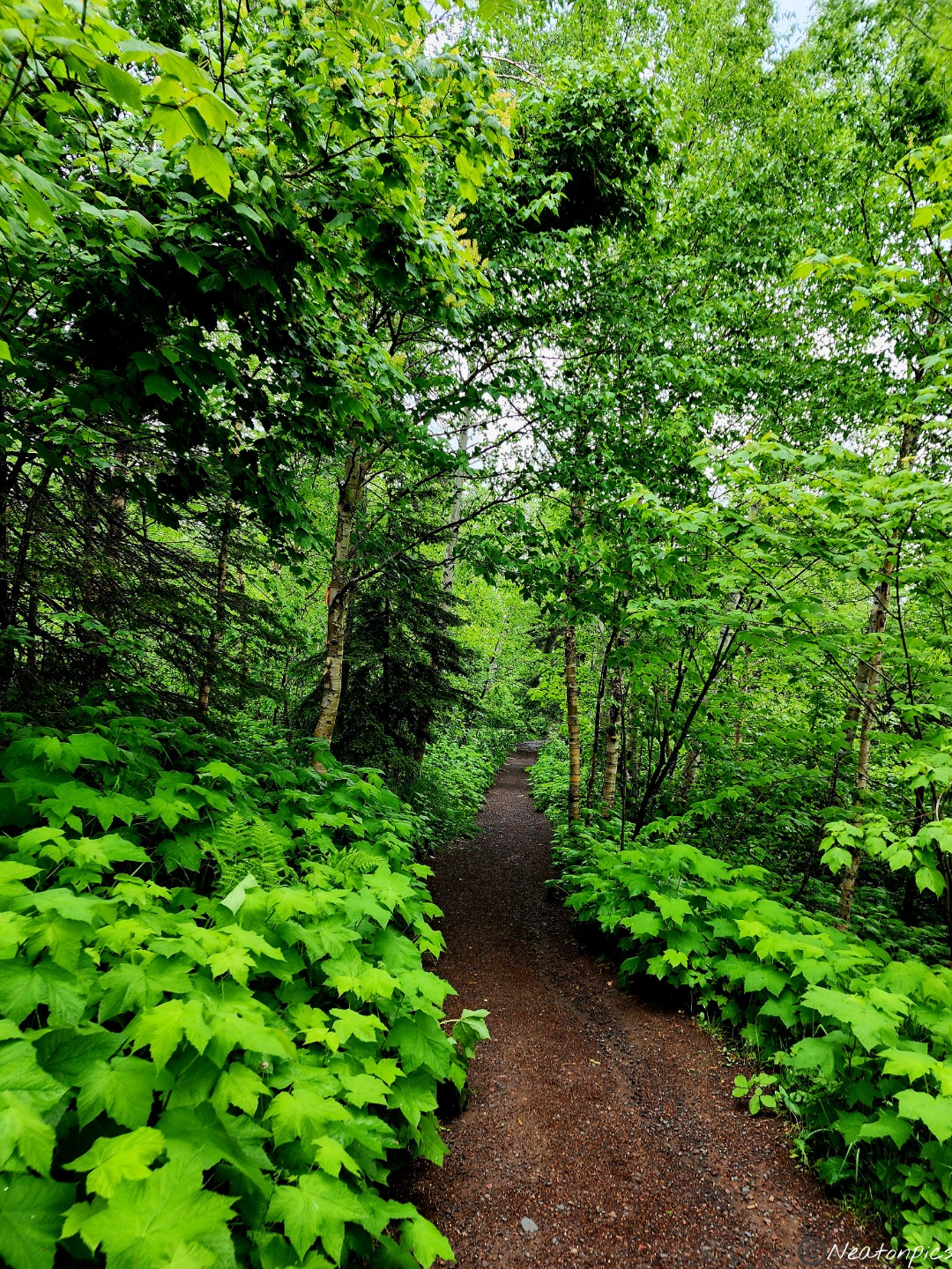
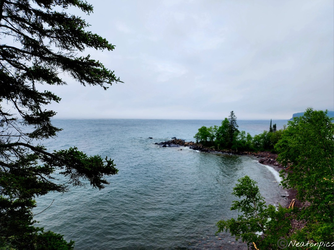
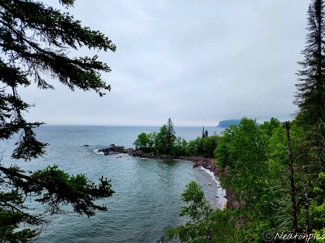
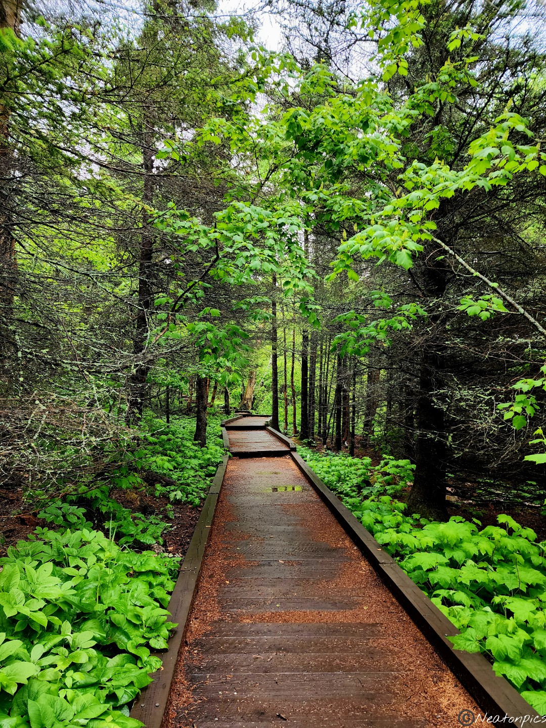
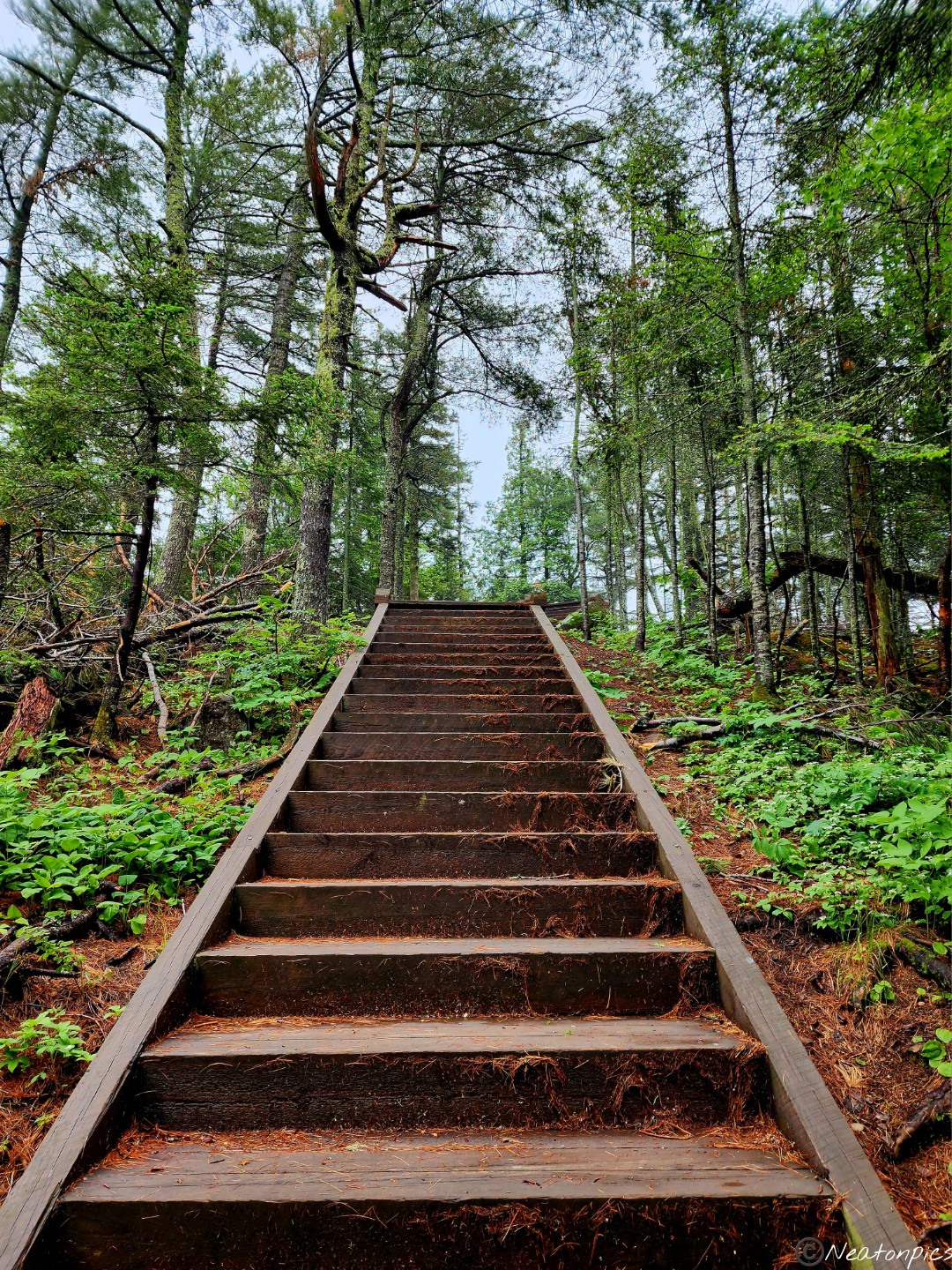
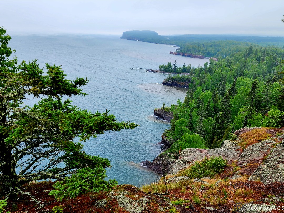
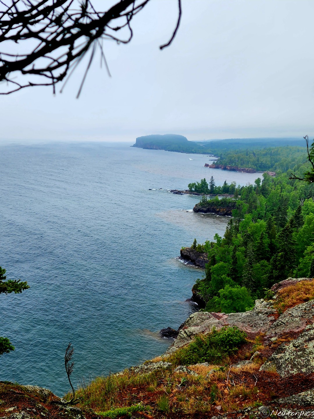
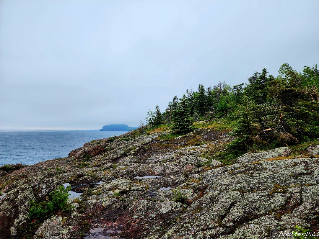
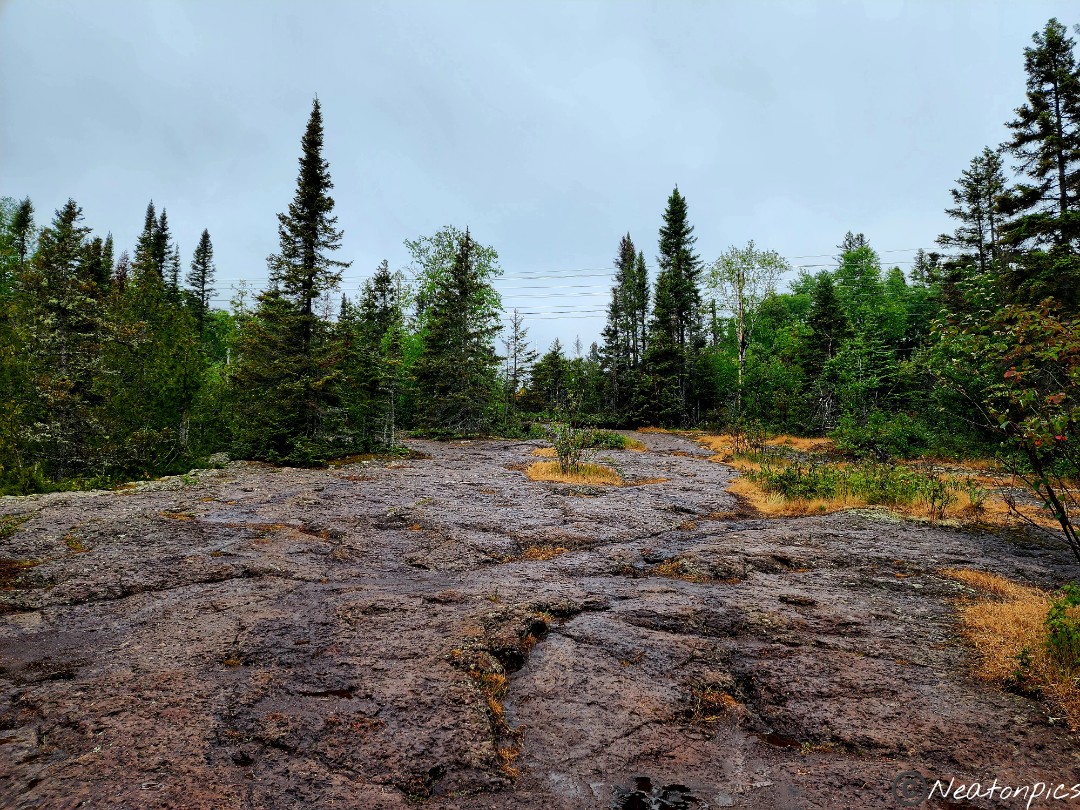
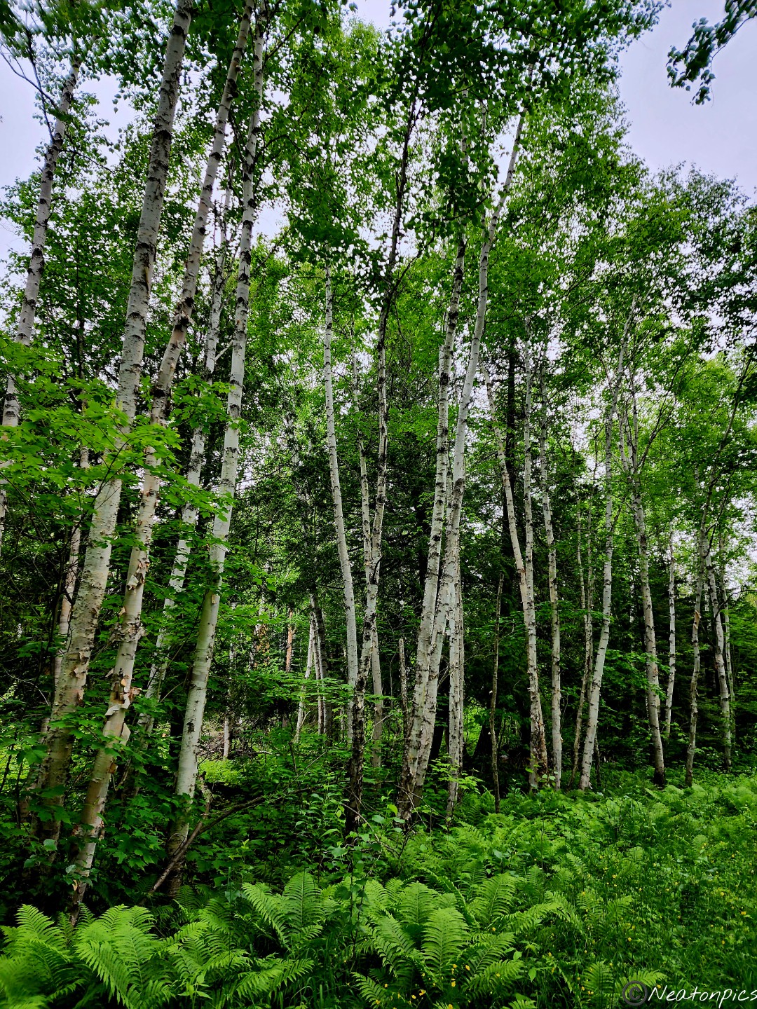
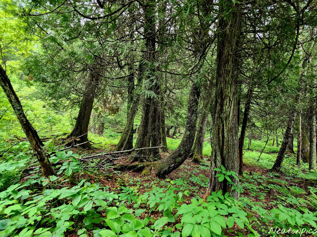
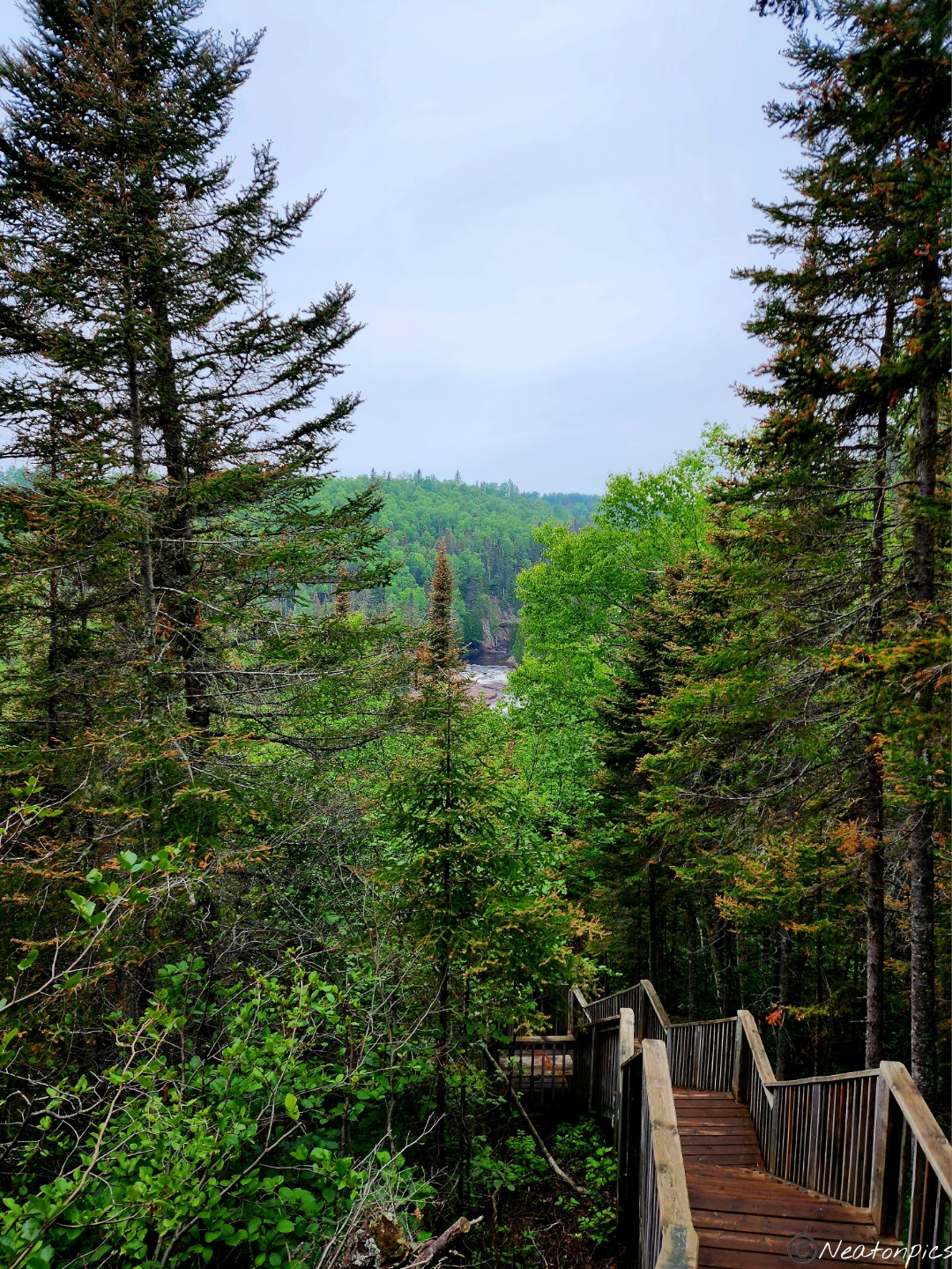
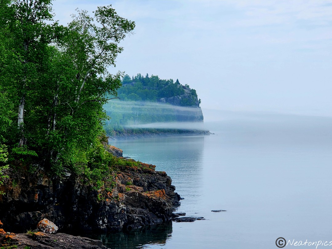
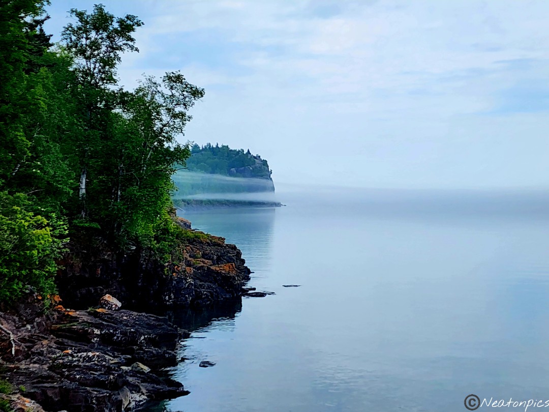
We hiked Tettegouche State Park on June 25th, 2023.
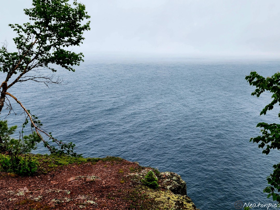
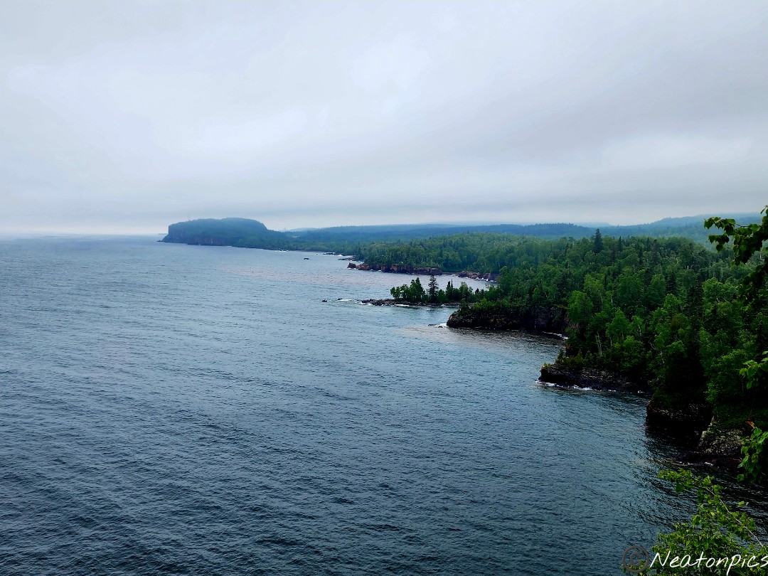
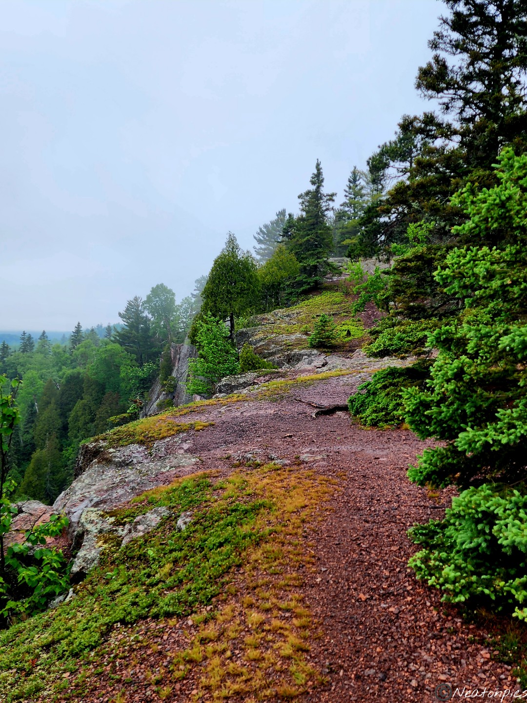
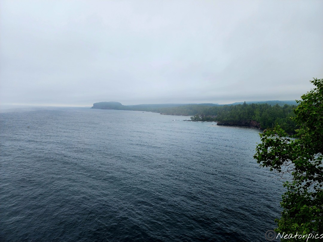
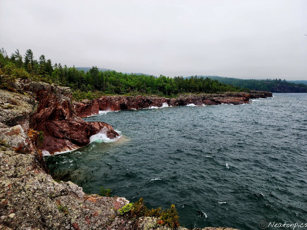
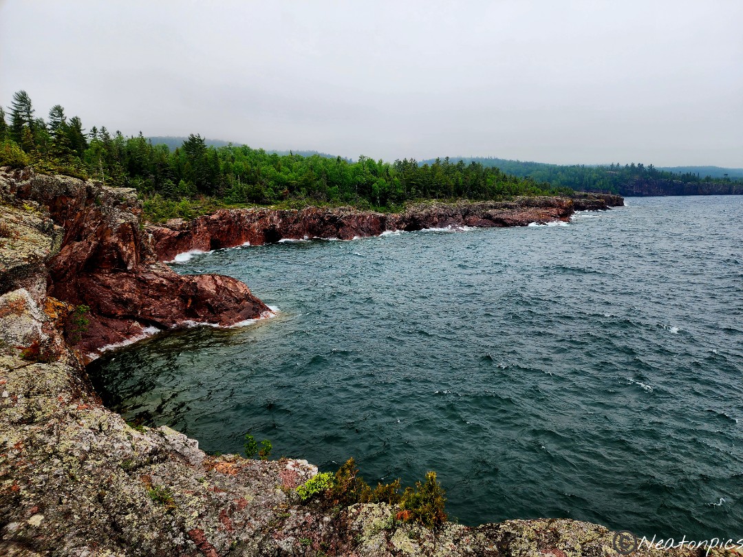
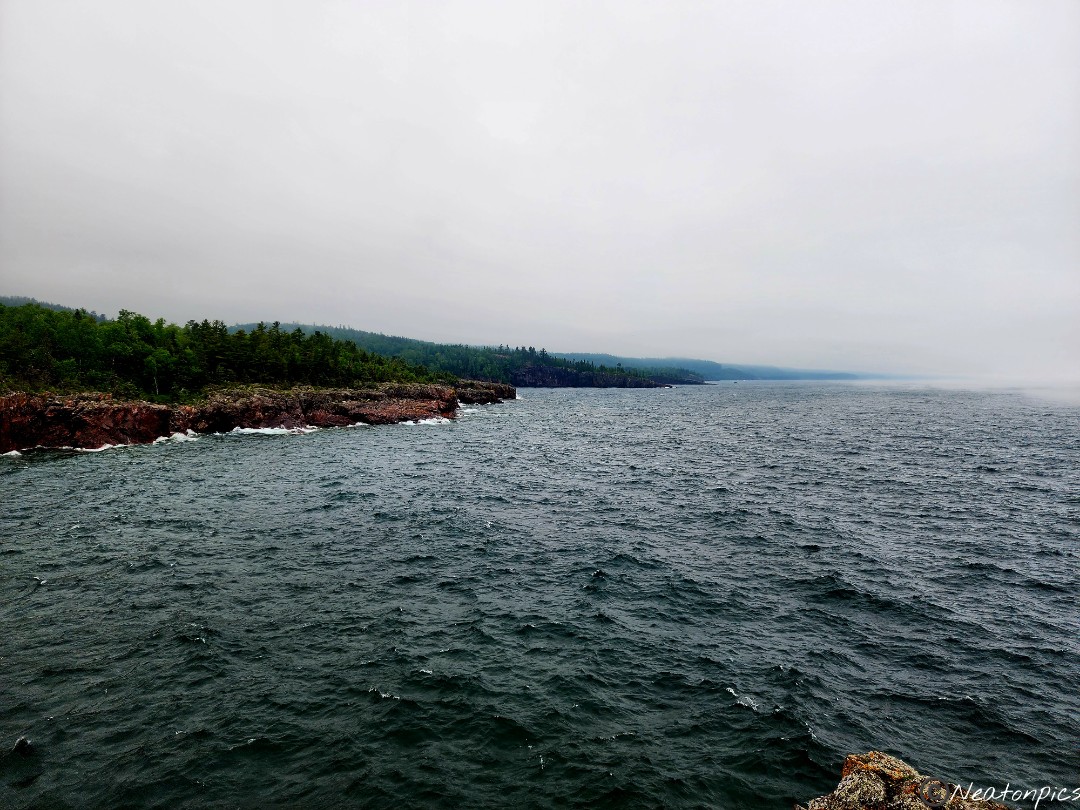
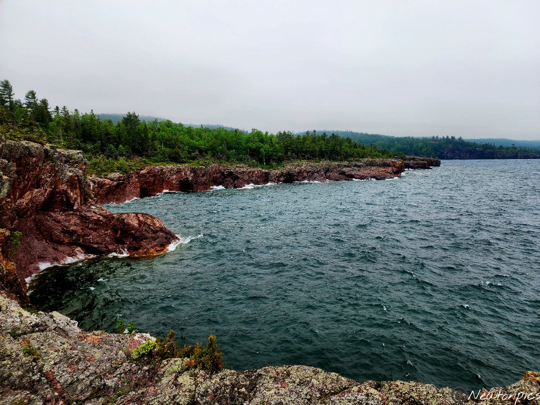
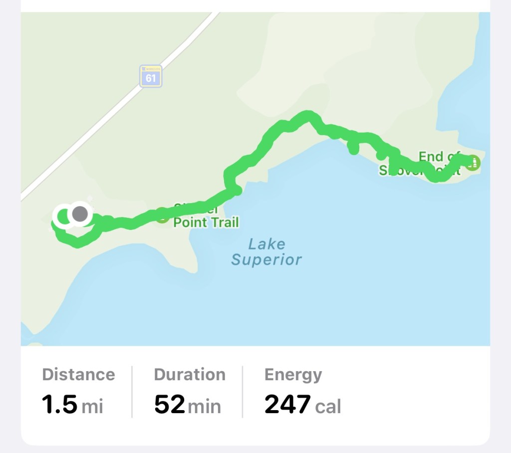
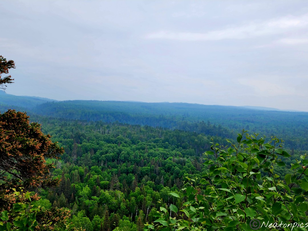
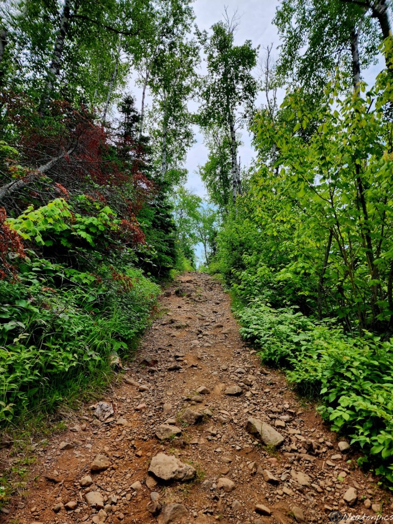
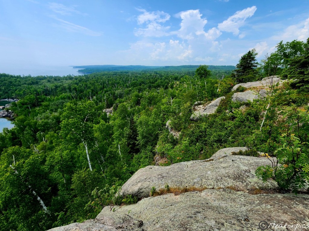
Tettegouche is the first state park we have visited that did not have a welcome sign at their front entrance. They do have a large Nature Center for visitors to rest, enjoy a coffee, shop and learn about the nature around them. We hiked the Shovel Point Trail alongside the magnificent Lake Superior.
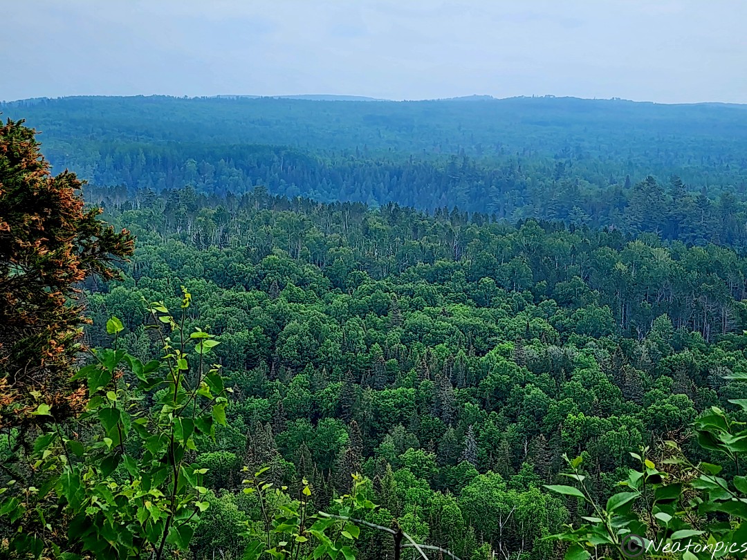
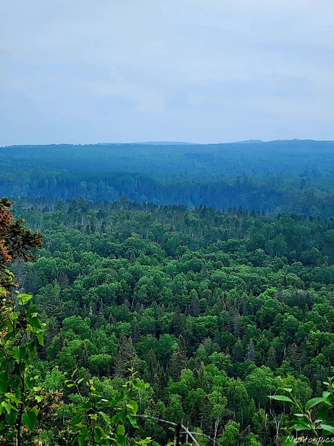
The rain stopped shortly before we began our hike. Everywhere we looked the colors appeared to be richer and more vibrant. We approached our first overlook on the trail.
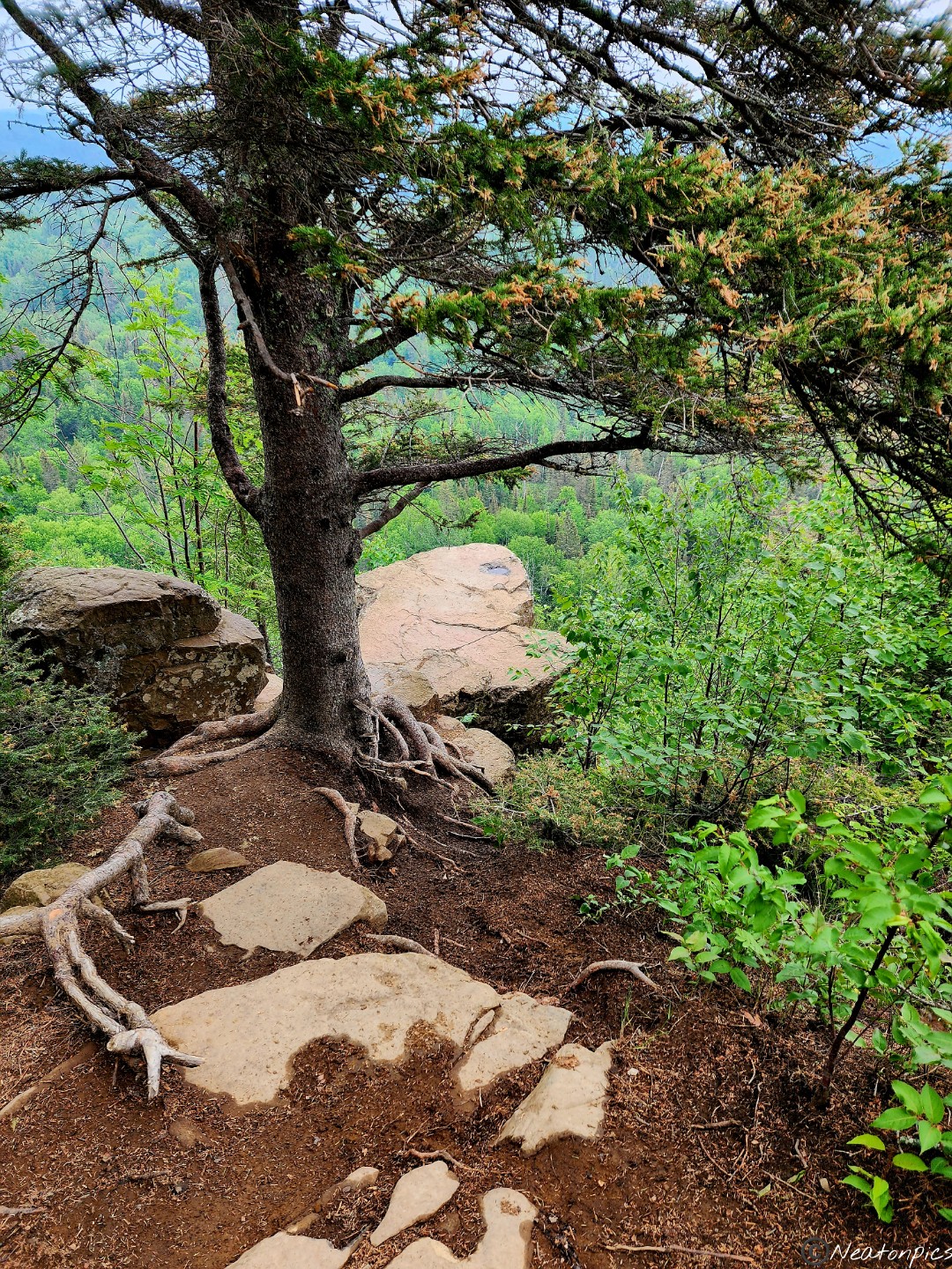
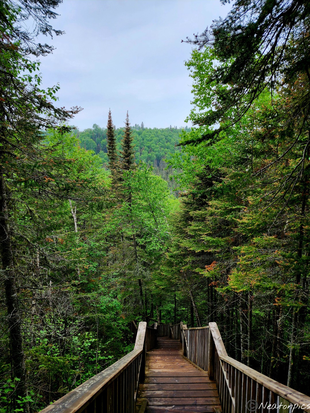
The beautiful wooden path the park put in place helped to preserve the land surrounding the trail. I can only imagine this is a well traveled trail.
Nature always seems to amaze me. I love how the tree continued to grow around the giant rock. Up, up, up, we went to the next overlook.
Are you brave enough to go to the edge of the cliff for the view? You better believe I am!
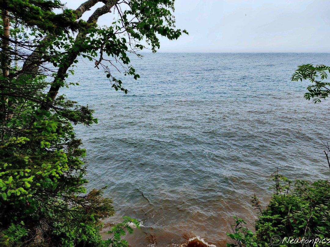
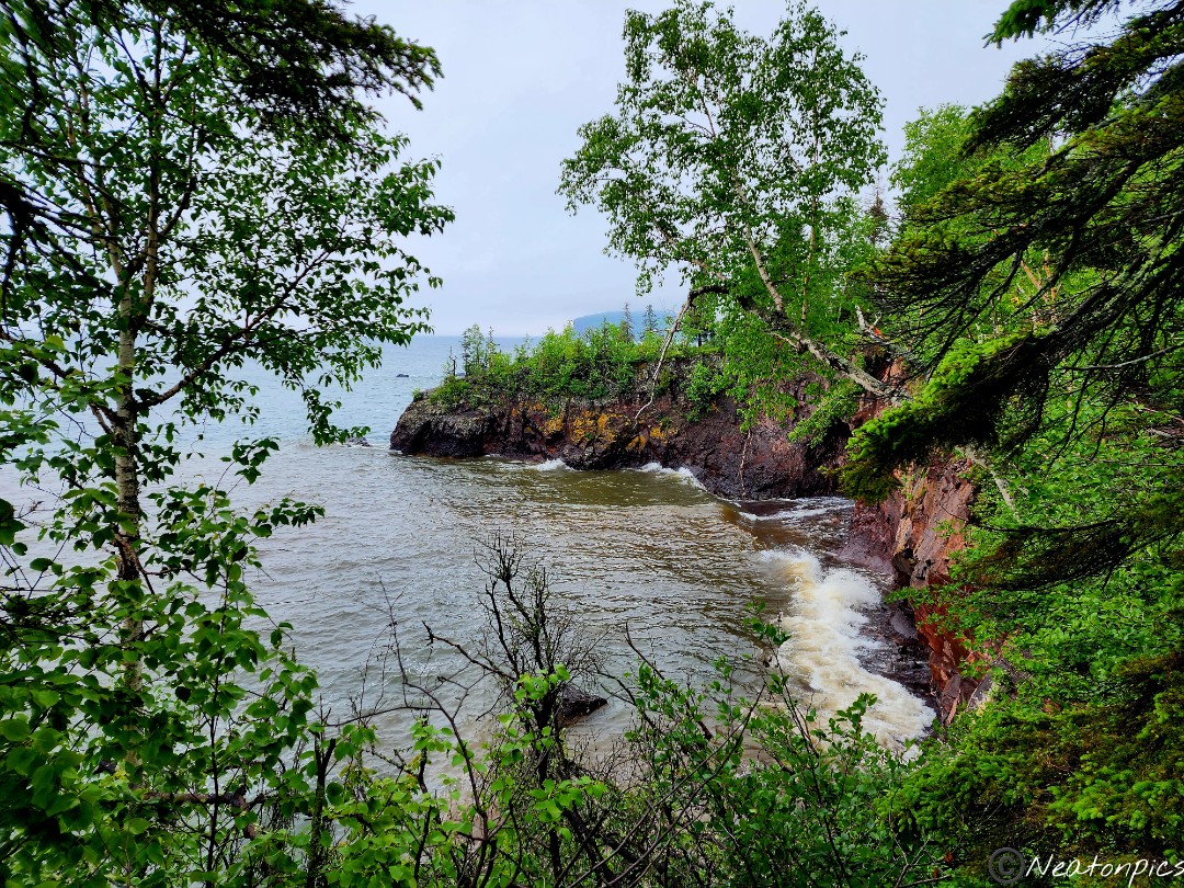
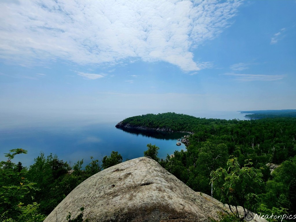
We reached the final overlook on the trail. The waves crashed into the rocky shoreline. The view was amazing.
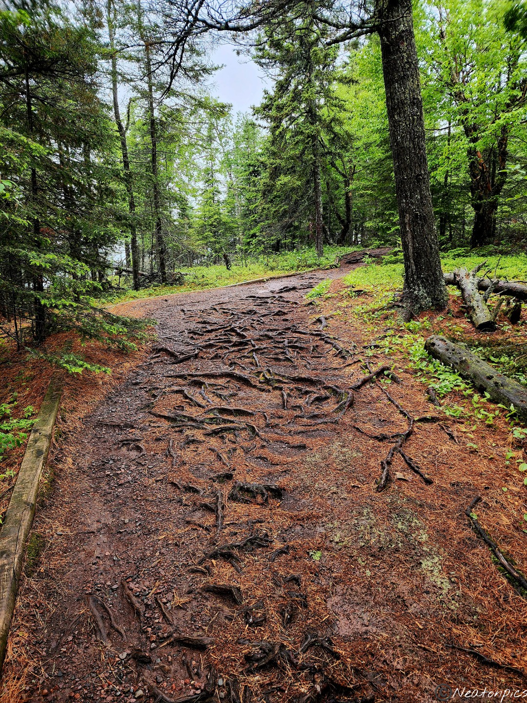
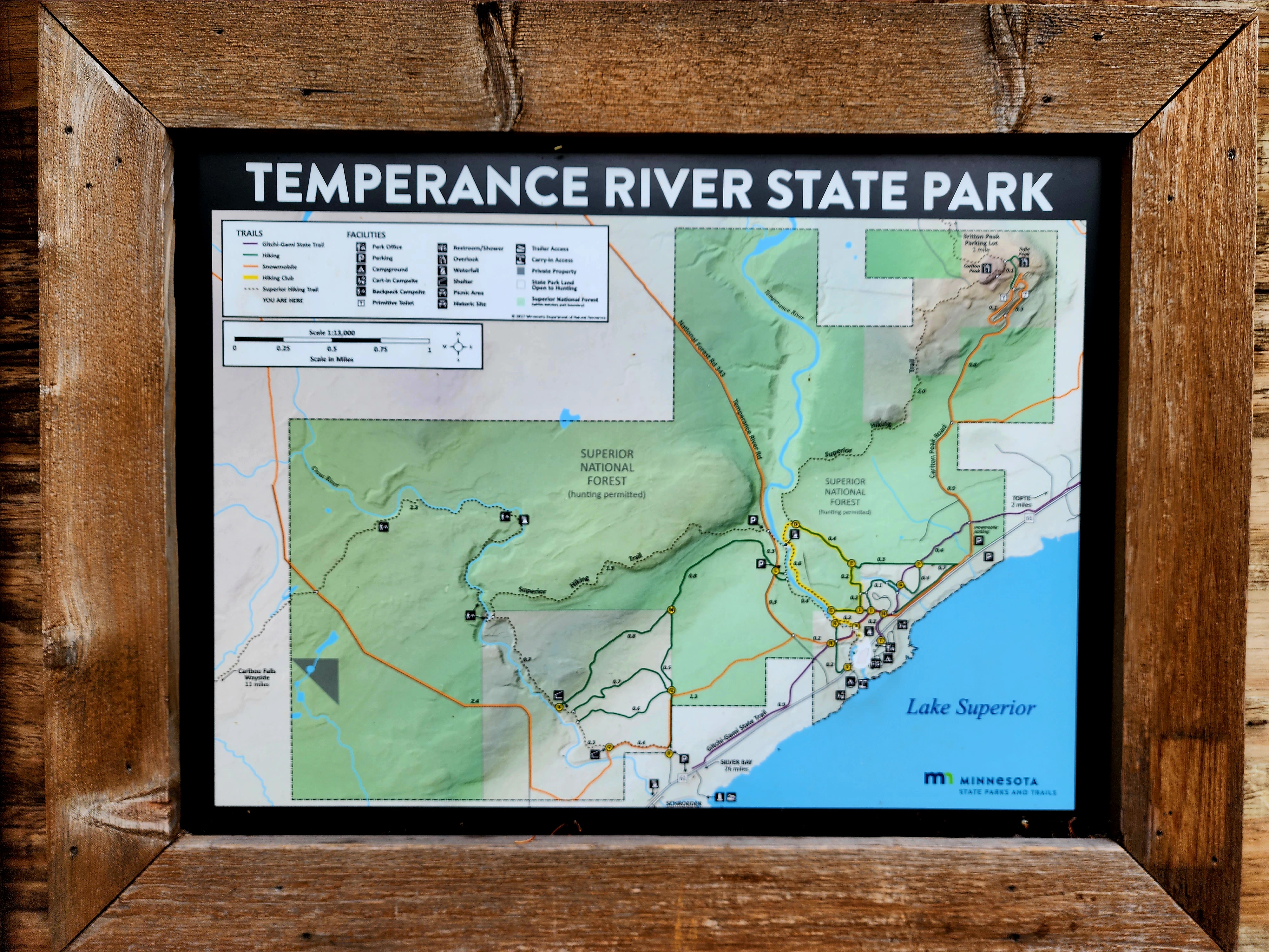
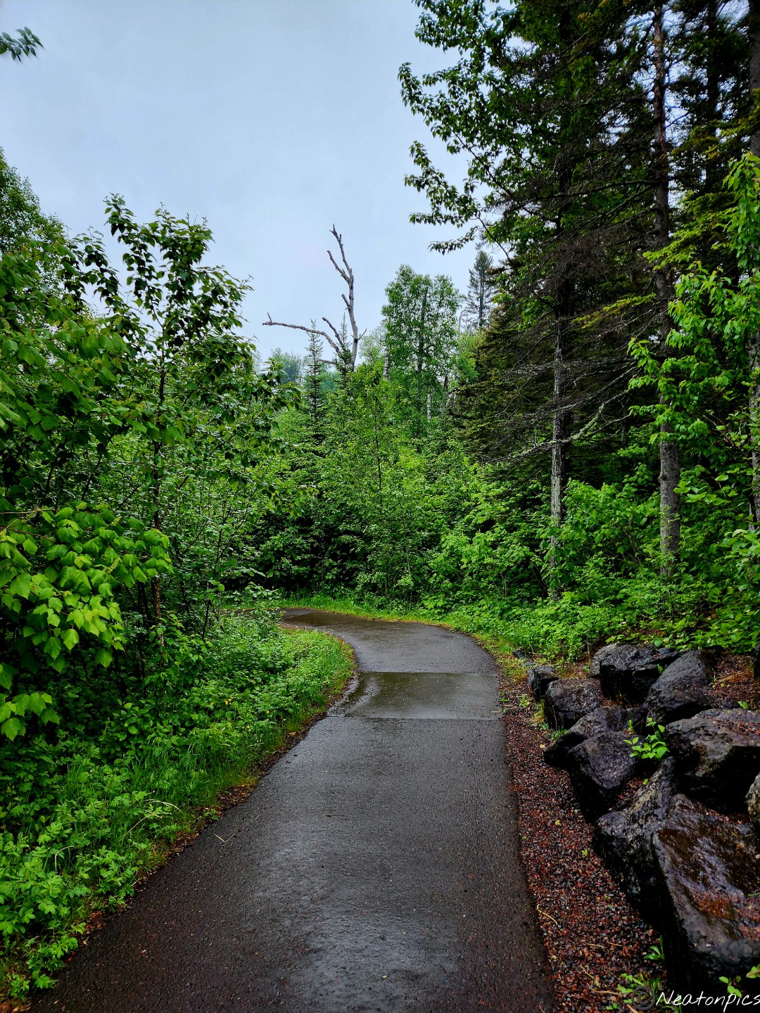
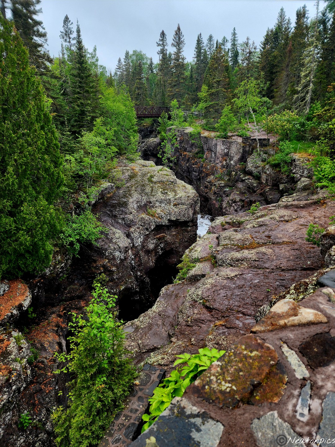
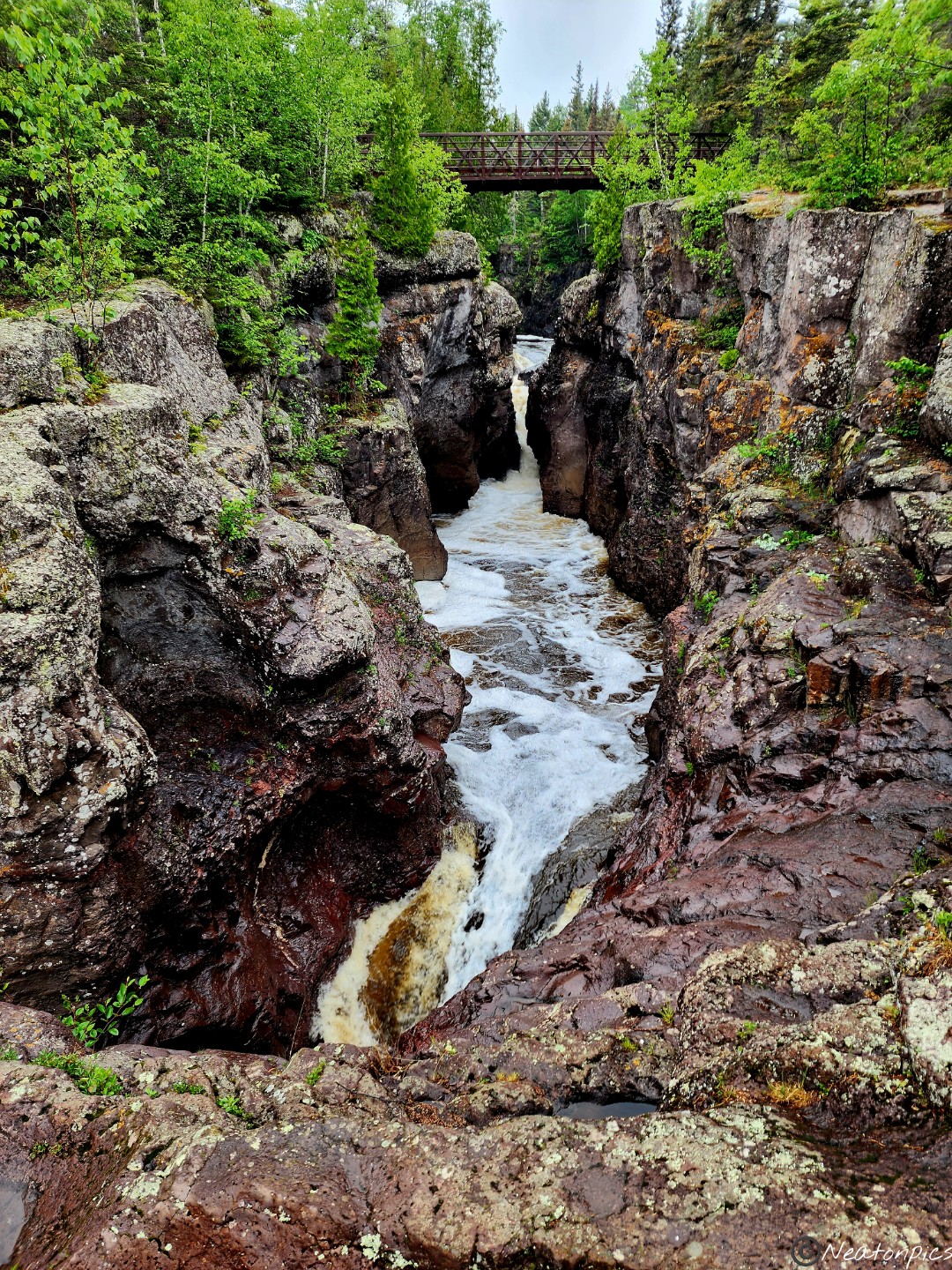
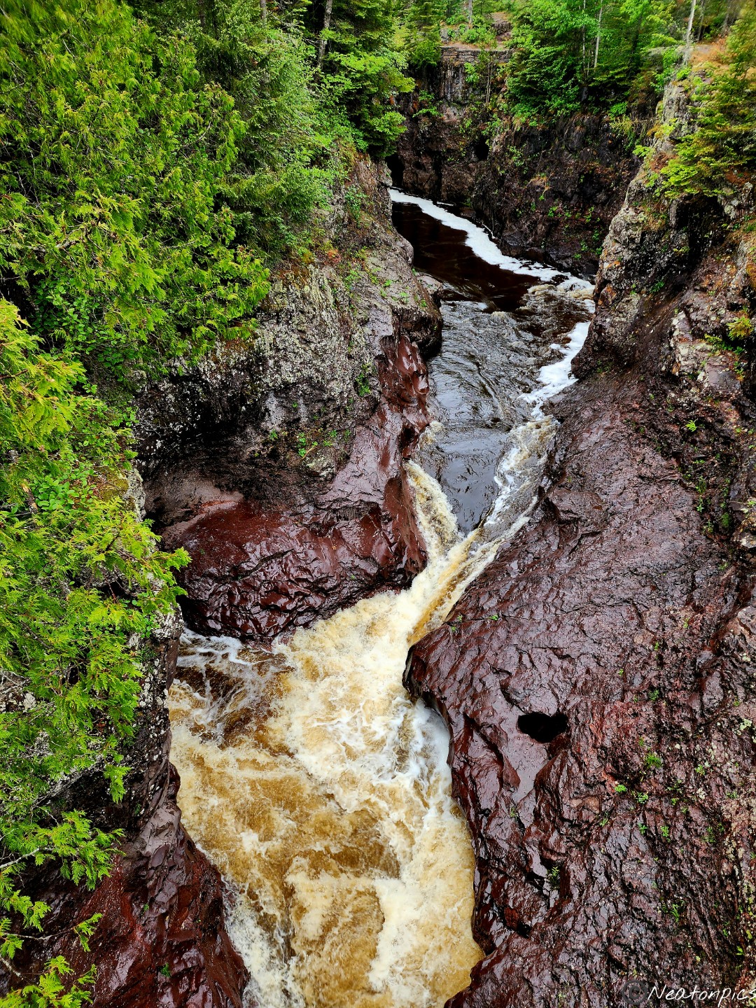
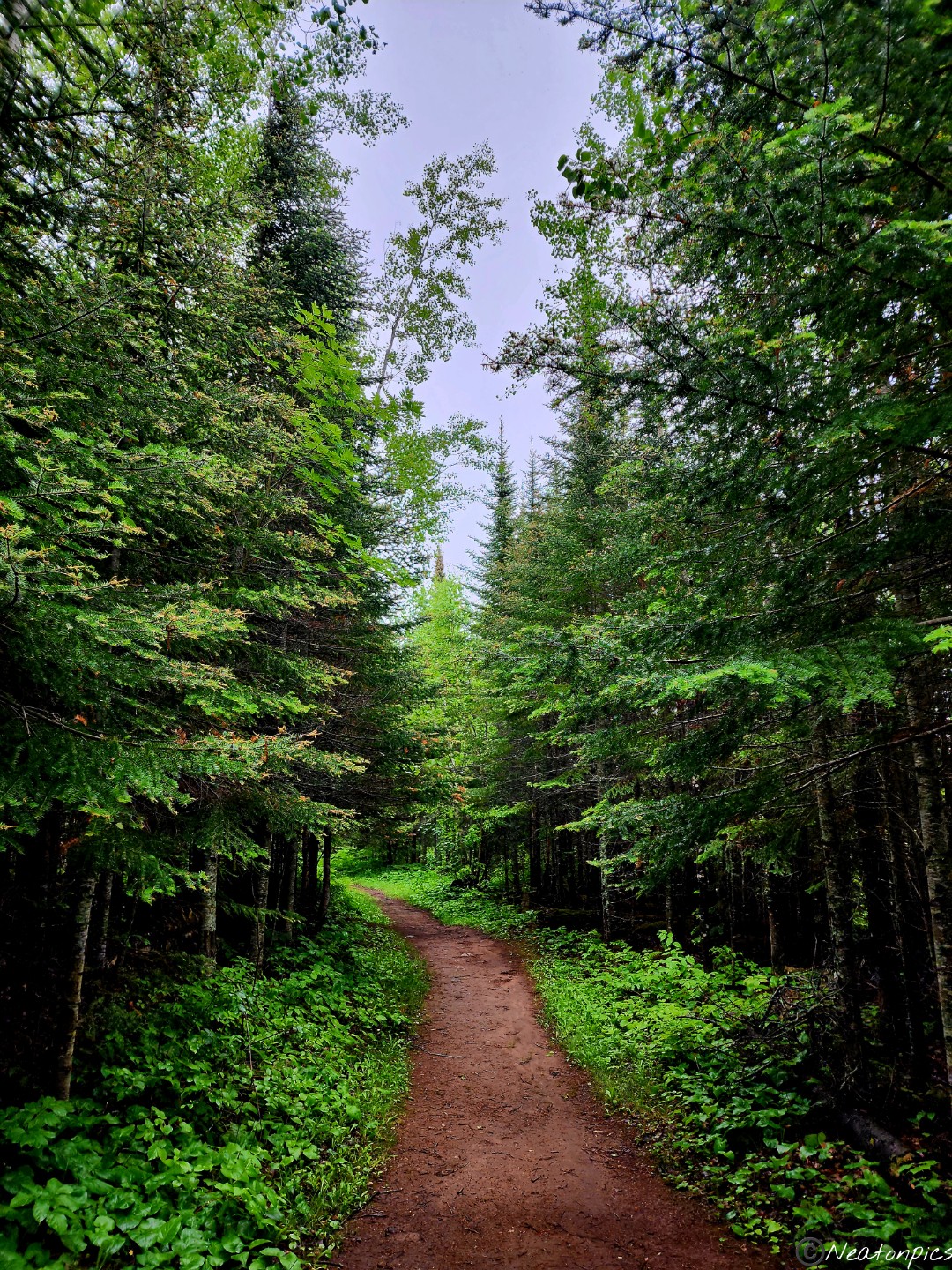
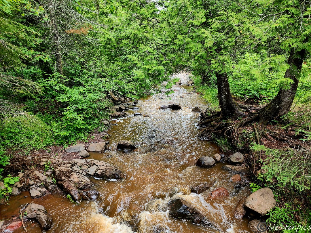
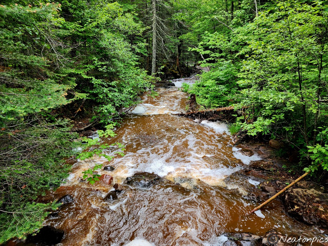
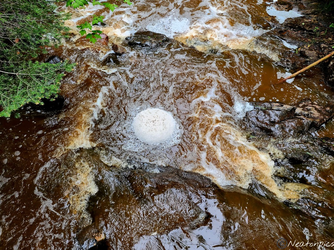
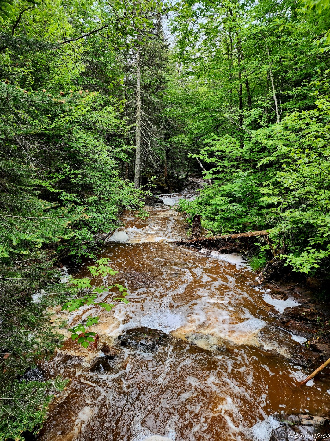
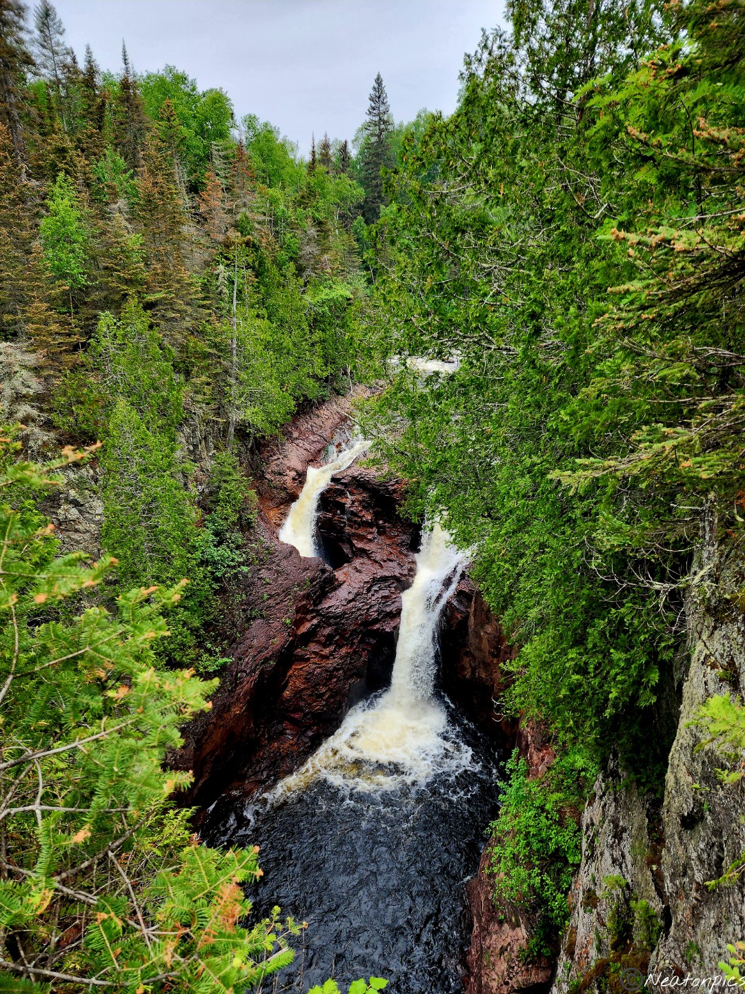
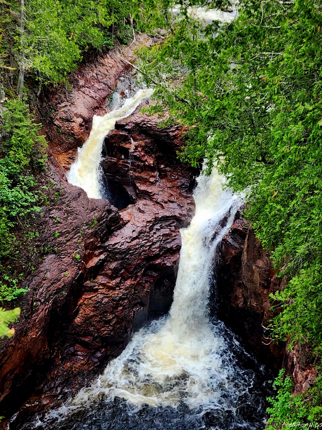
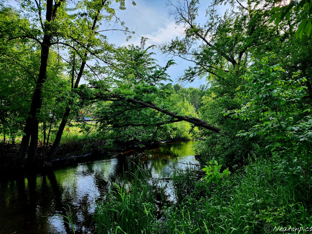
We hiked Temperance River State Park on June 24th, 2023.
We parked at the wayside rest area off of Highway 61 and began our hike on the paved trail.
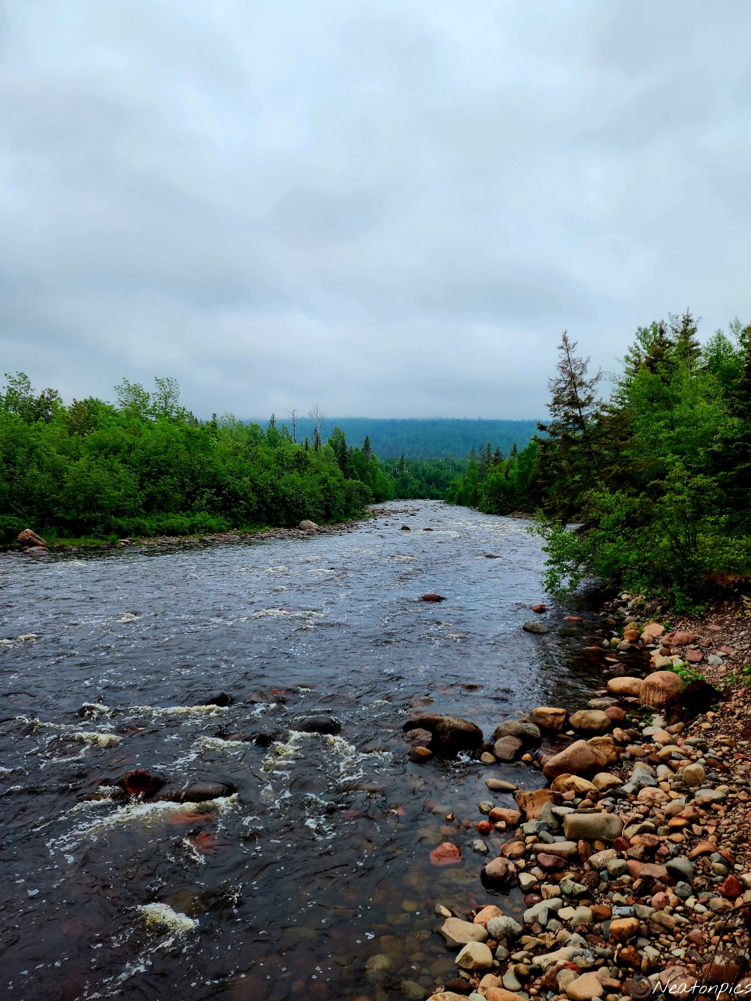
The paved trail ended once we reached the river.
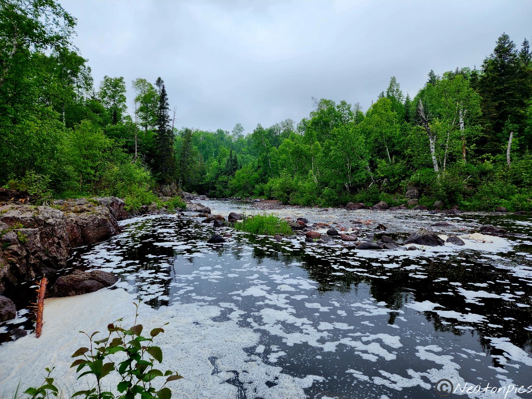
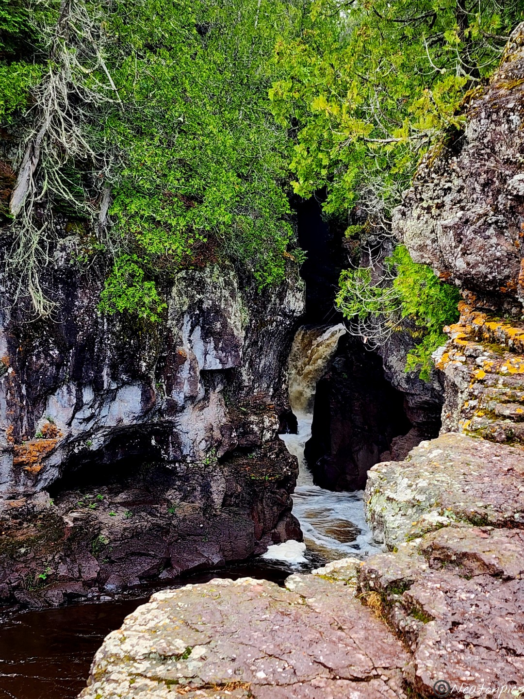
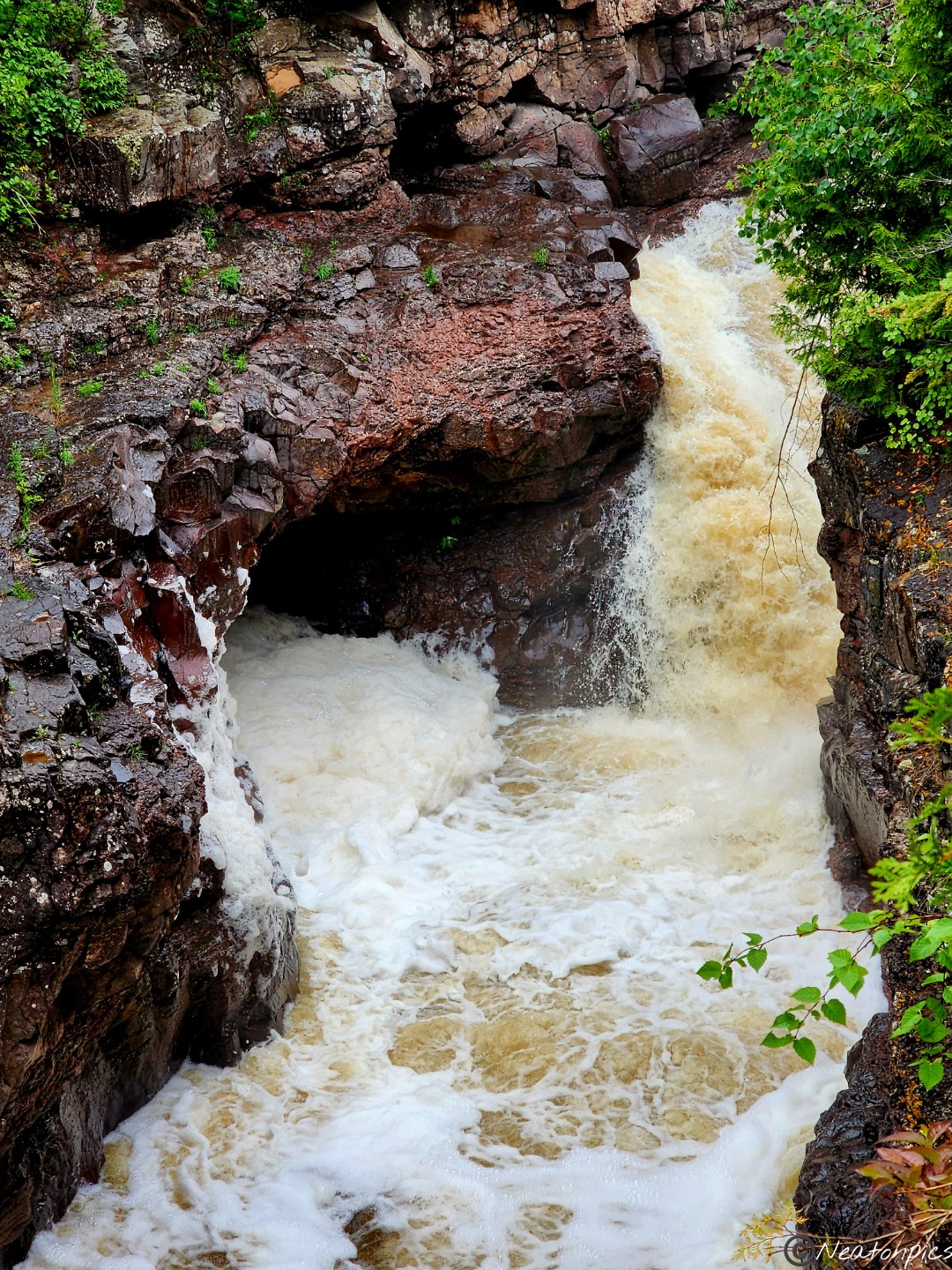
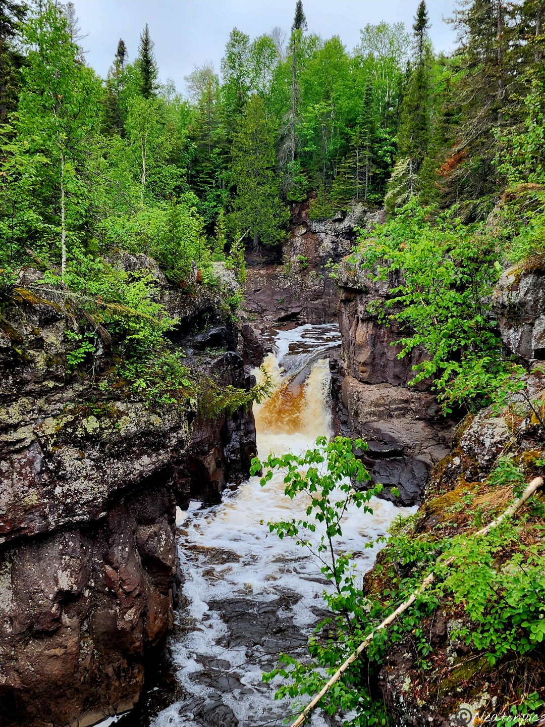
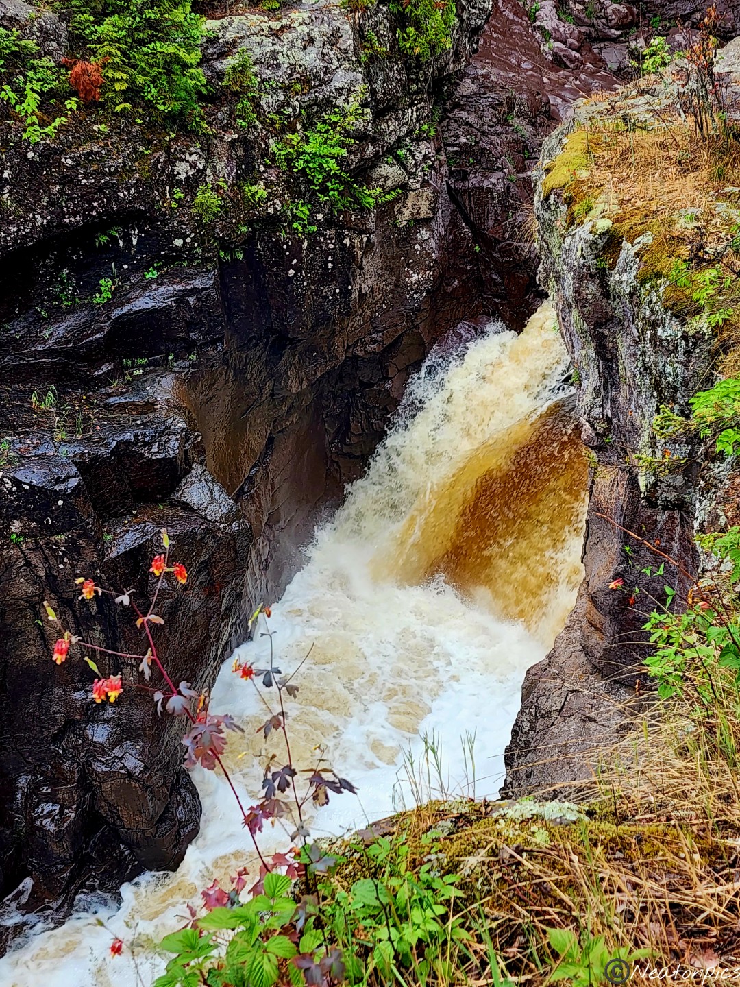
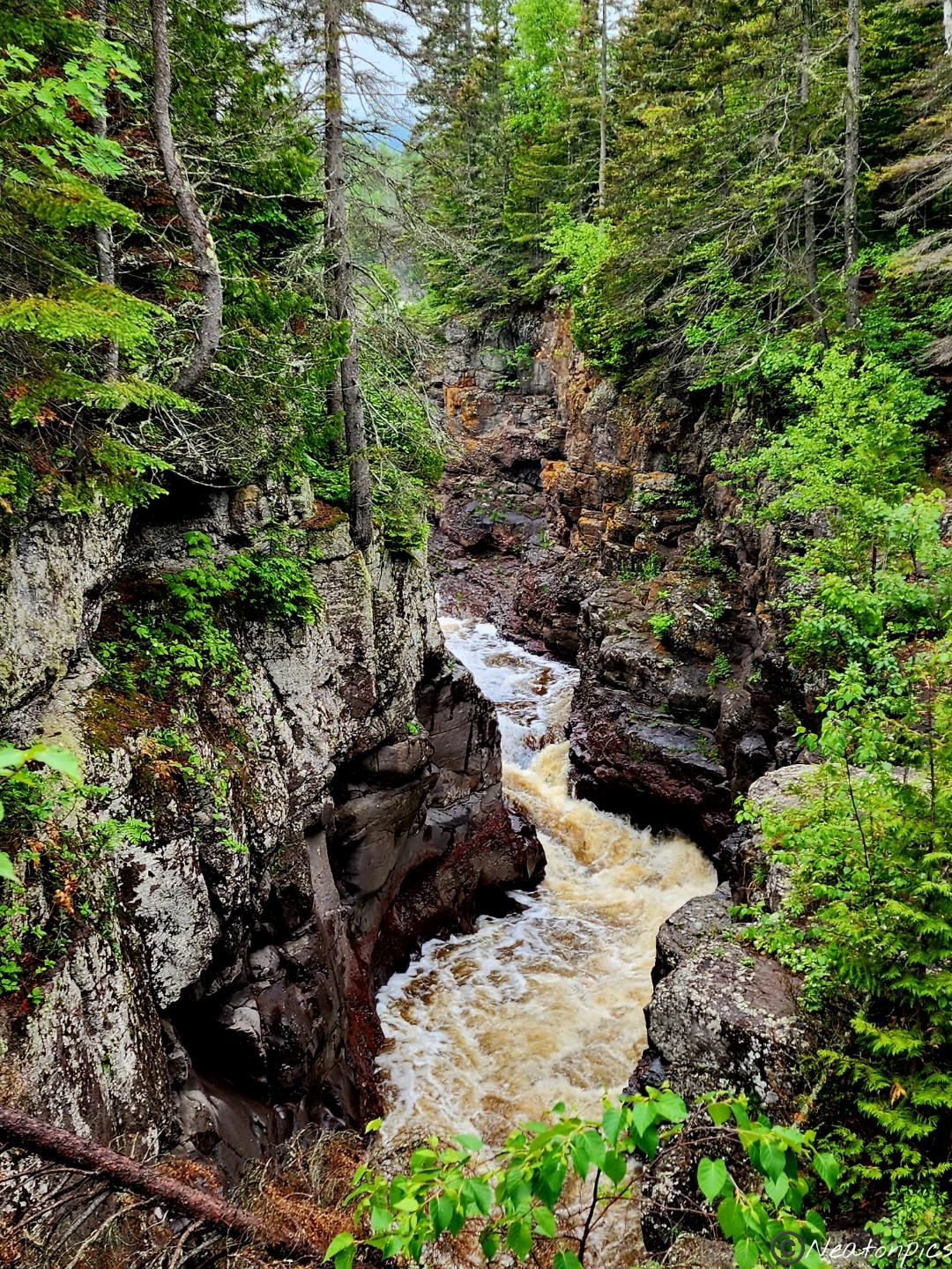
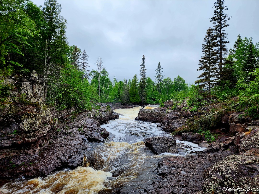
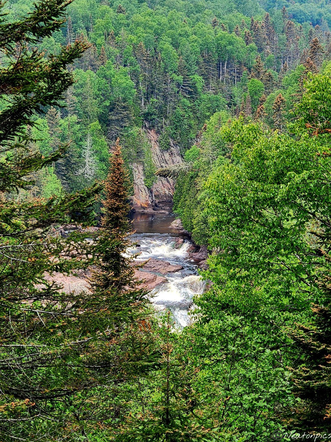
The Temperance River flows through a steep and rocky gorge. The views were amazing and in places, very dangerous.
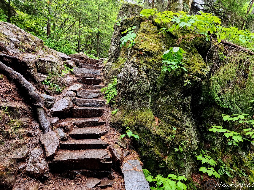
The higher we went up, the better the views.
The water spun around inside these carved out cauldrons.
The cascading waterfalls were such a sight to see.
My adrenaline was pounding as I stood on the edges of the rocks watching and hearing the river rush by me.
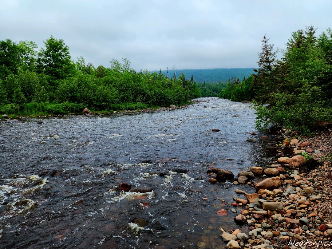
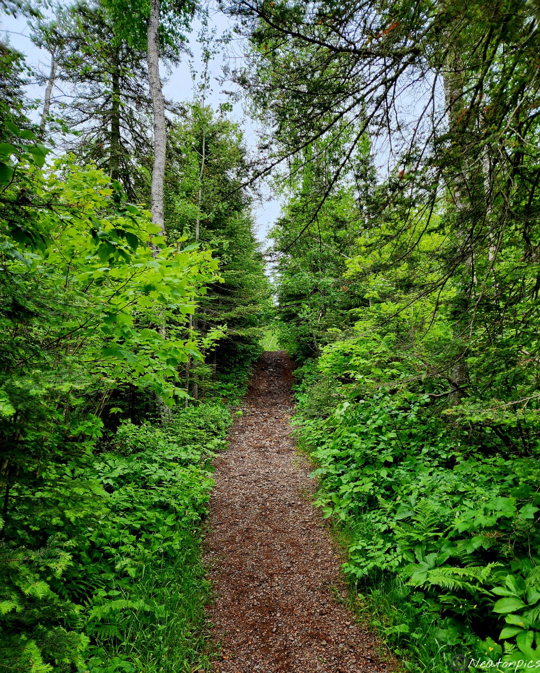
As we continued on the trail, the sounds of the river faded. The river became almost silent.
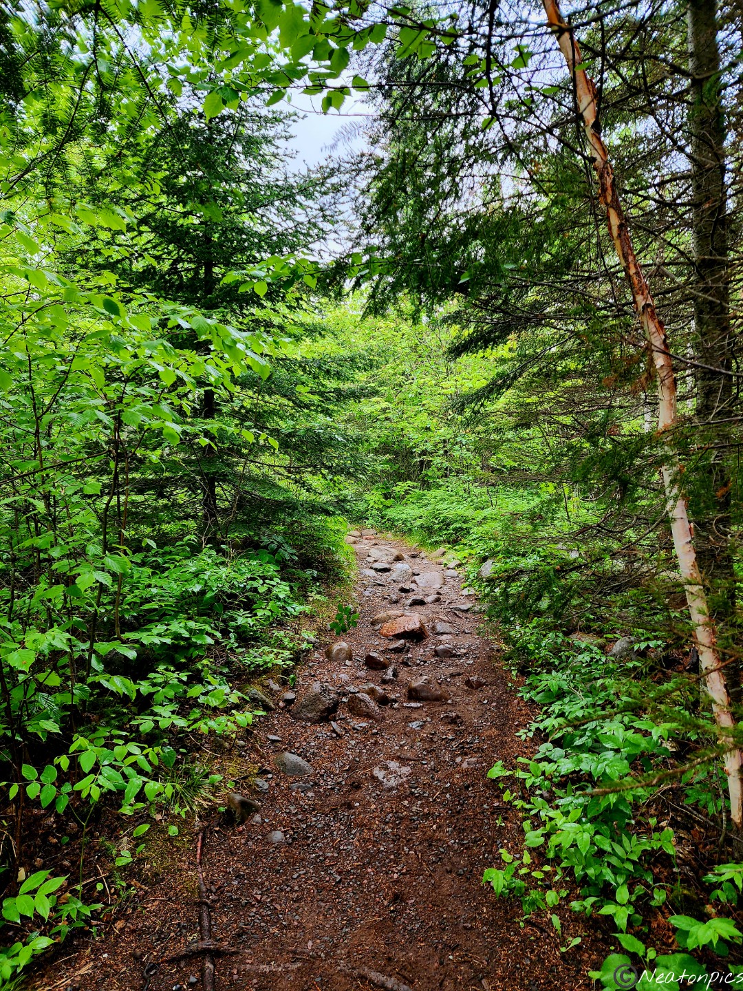
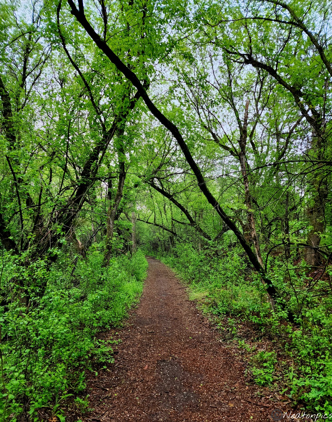
The trail led us away from the river and into the forest.
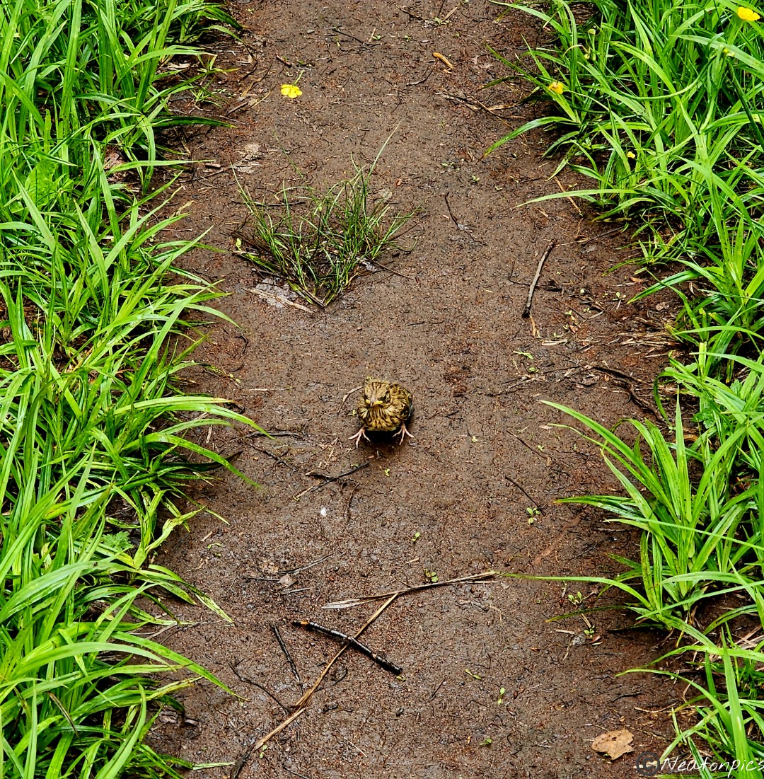
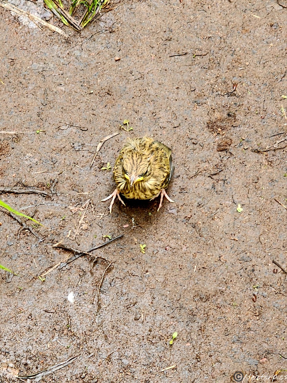
A little bird landed right in front of us on the trail. It watched us just as closely as we watched it. We ended up having to walk around it as it would not move. As soon as we made our way around it, it flew off.
The trail looped us back around to our starting point.
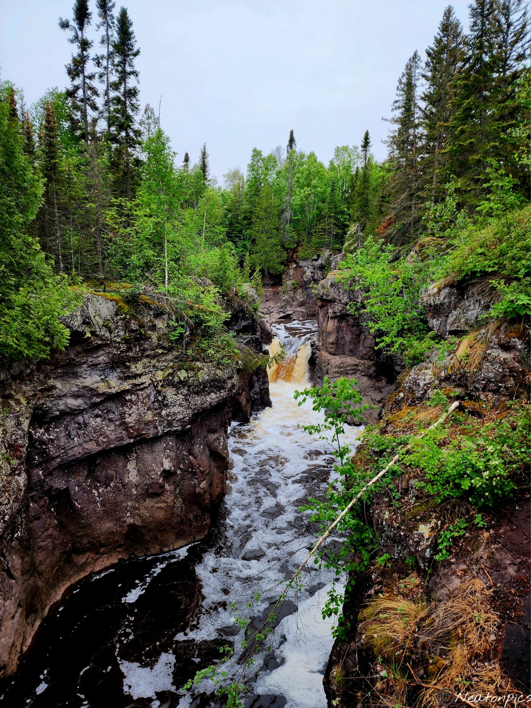
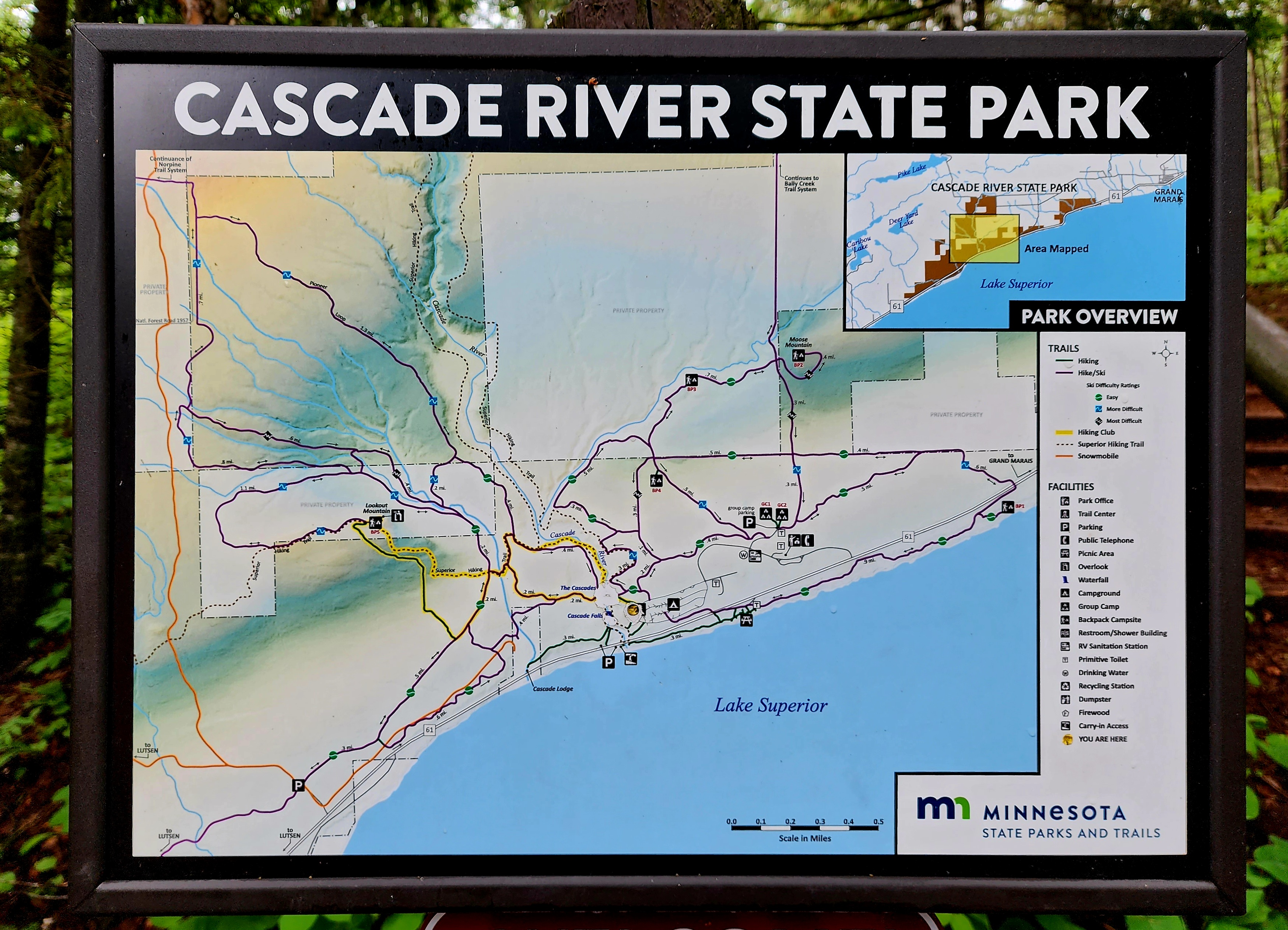
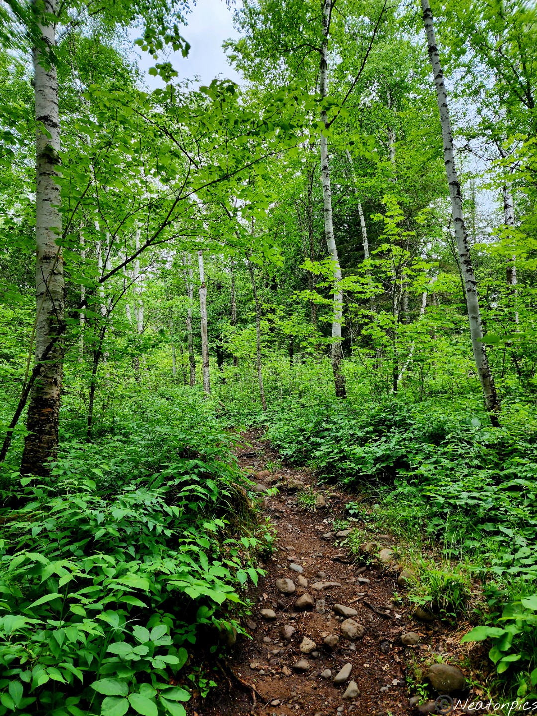
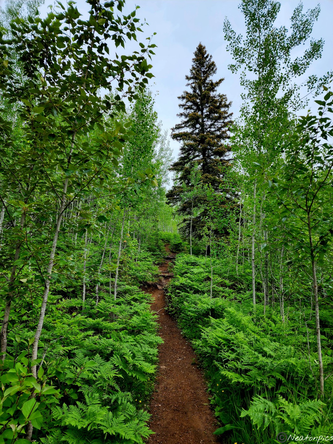
We hiked Cascade River State Park on June 24th, 2023.
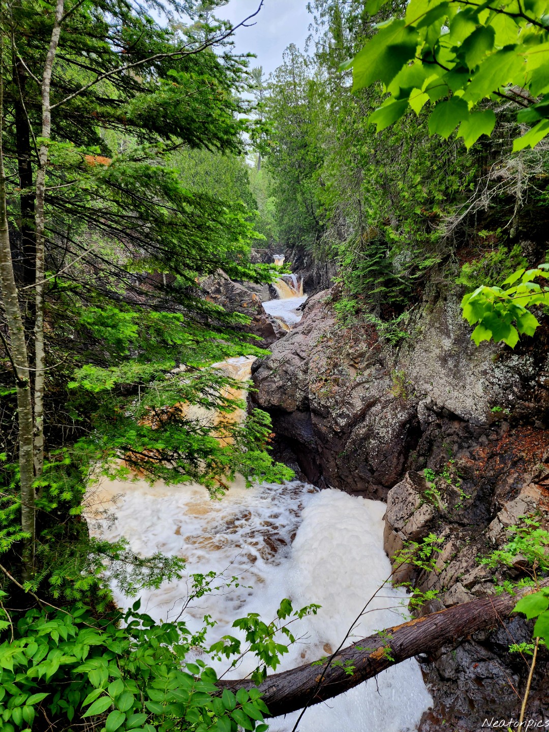
Our hike began at the Trail Center. Rushing water from the river could be heard in the near distance.
A short distance from the stairs, we saw the Cascade River crashing down through the rocks creating a cascading waterfall. The photos I took of the majestic beauty of these falls cannot be compared to seeing it with one’s own eyes and hearing the rush of the water hitting the rocks with one’s own ears.
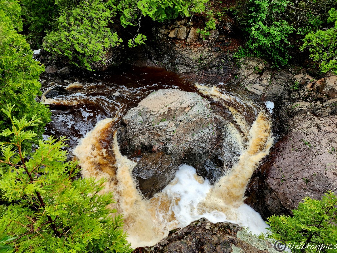
We continued on the trail alongside the river.
We diverted from the main trail for a few minutes for another closer view of the river. When the opportunity presents itself to take a quick detour, you better believe we take it.
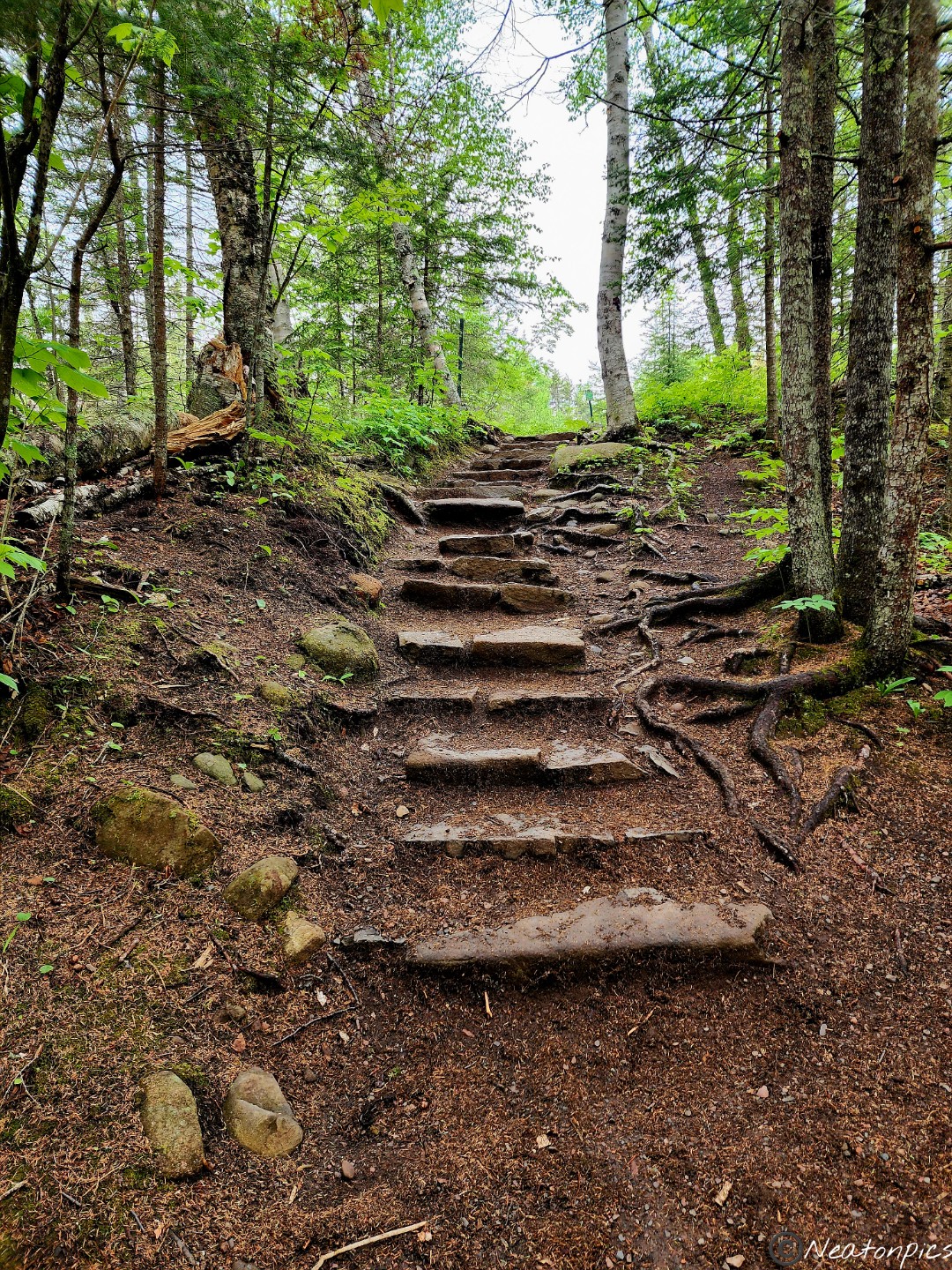
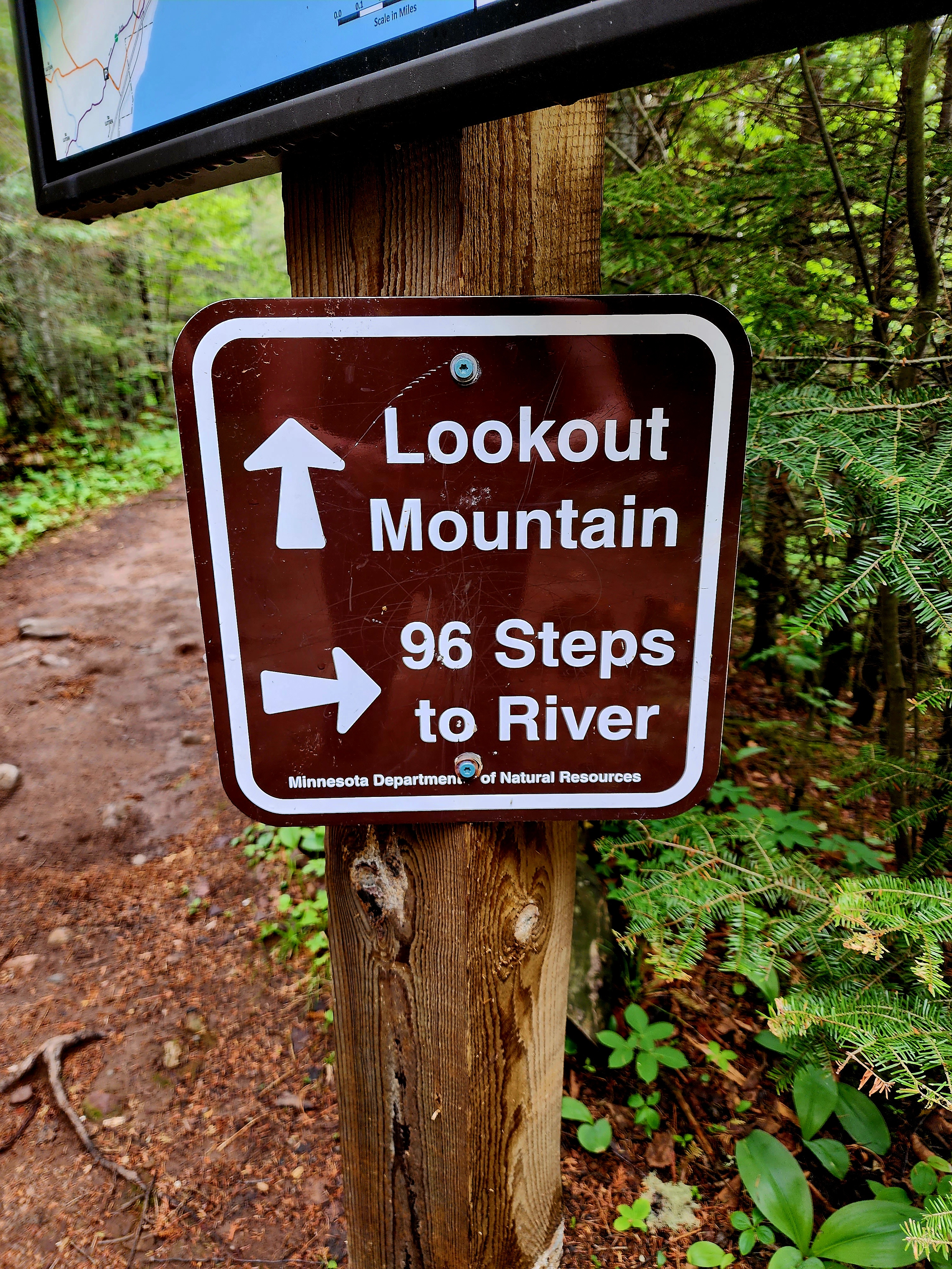
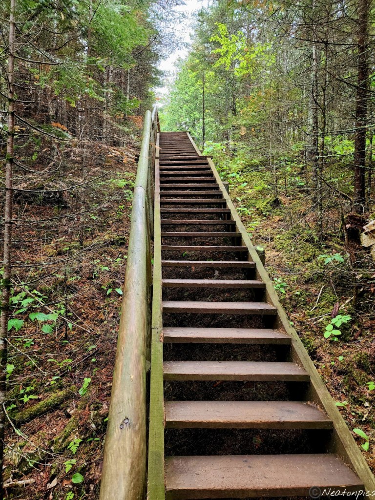
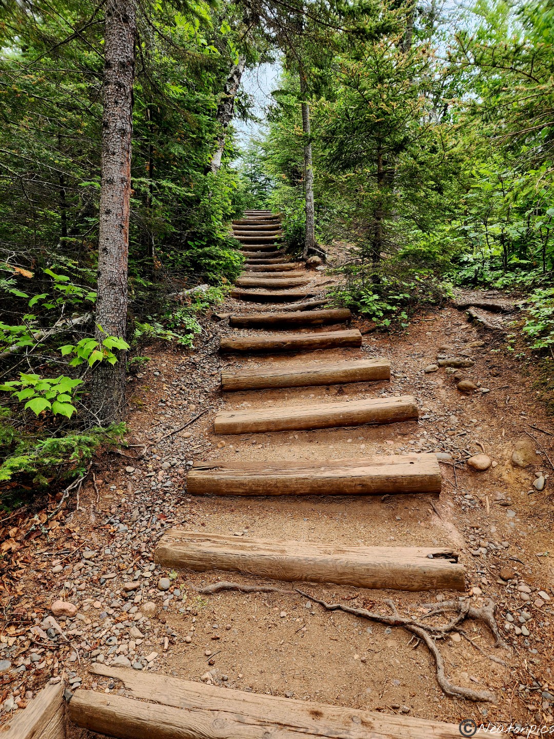
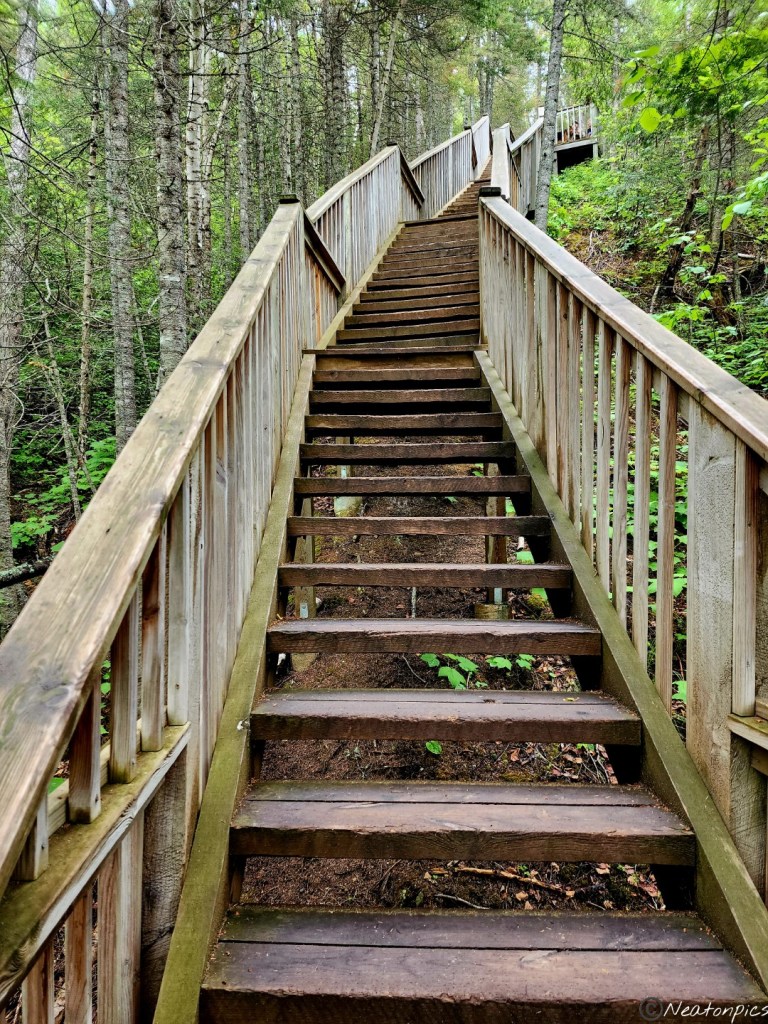
Up the 96 steps back to the main trail towards Lookout Mountain.
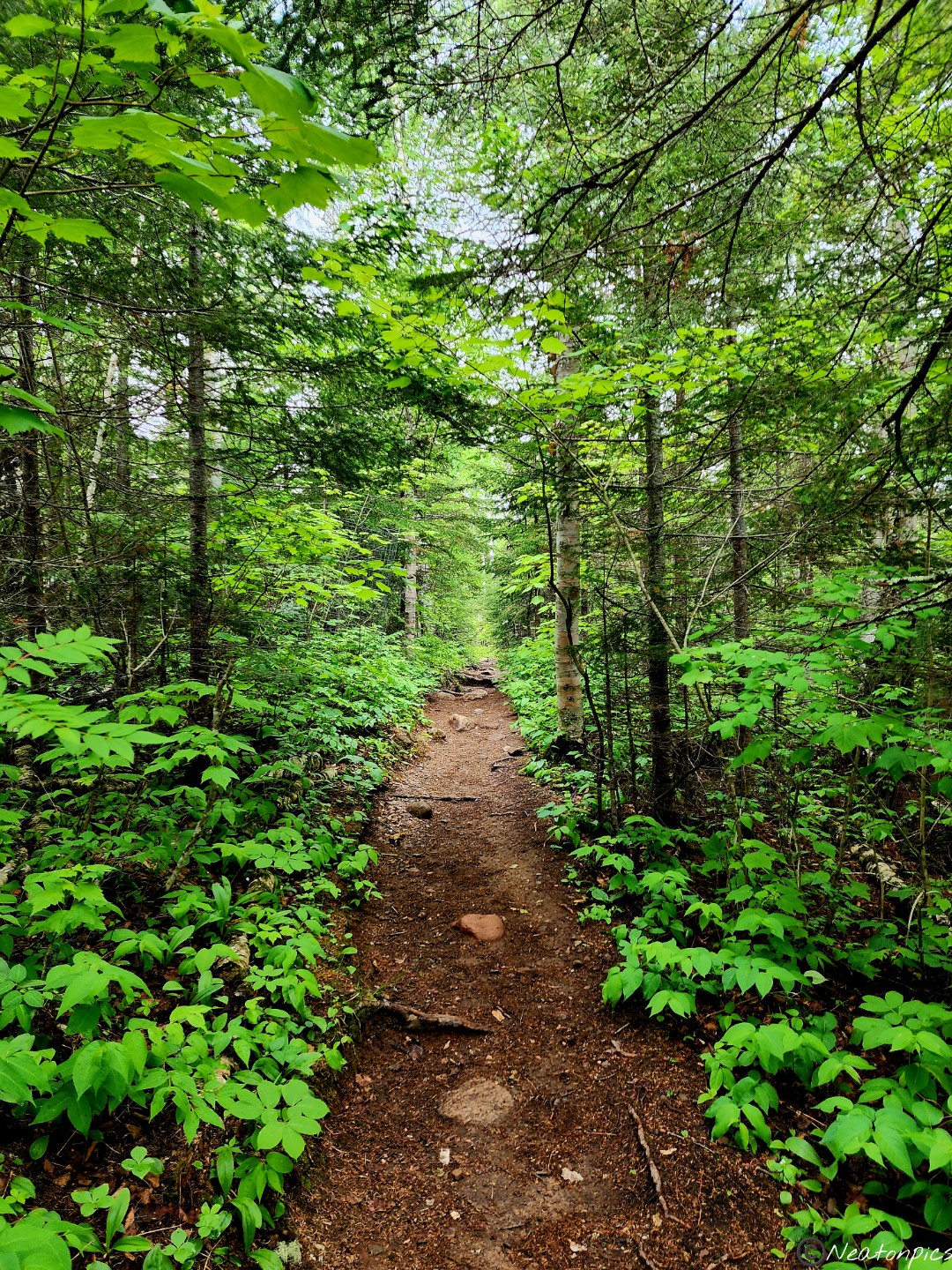
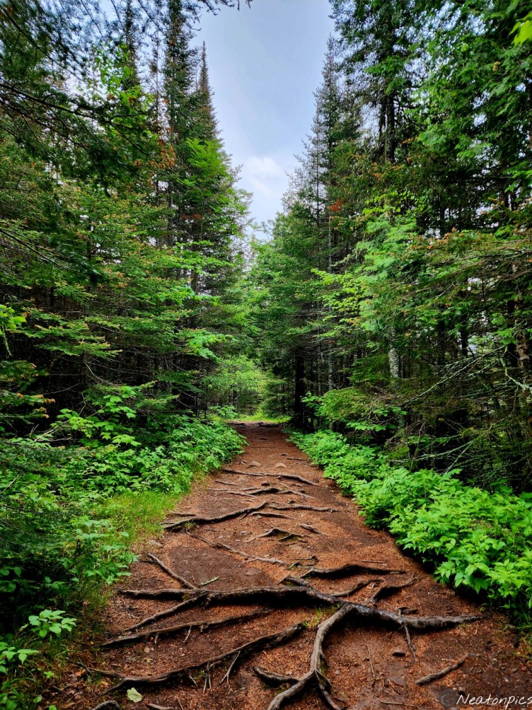
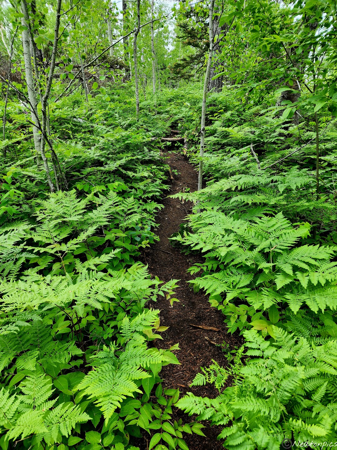
I absolutely love when the trail is made from Mother Nature’s dirt and tree roots. To me this sight signifies a great hike ahead.
We crossed over a bridge taking in views of the river.
Once on the other side of the river we began our incline towards Lookout Mountain.
Now, I know we don’t have actual mountains in Minnesota however, climbing a giant hill sure feels like climbing a mountain. But, the view! The view is always worth the climb. Every! Single! Time!
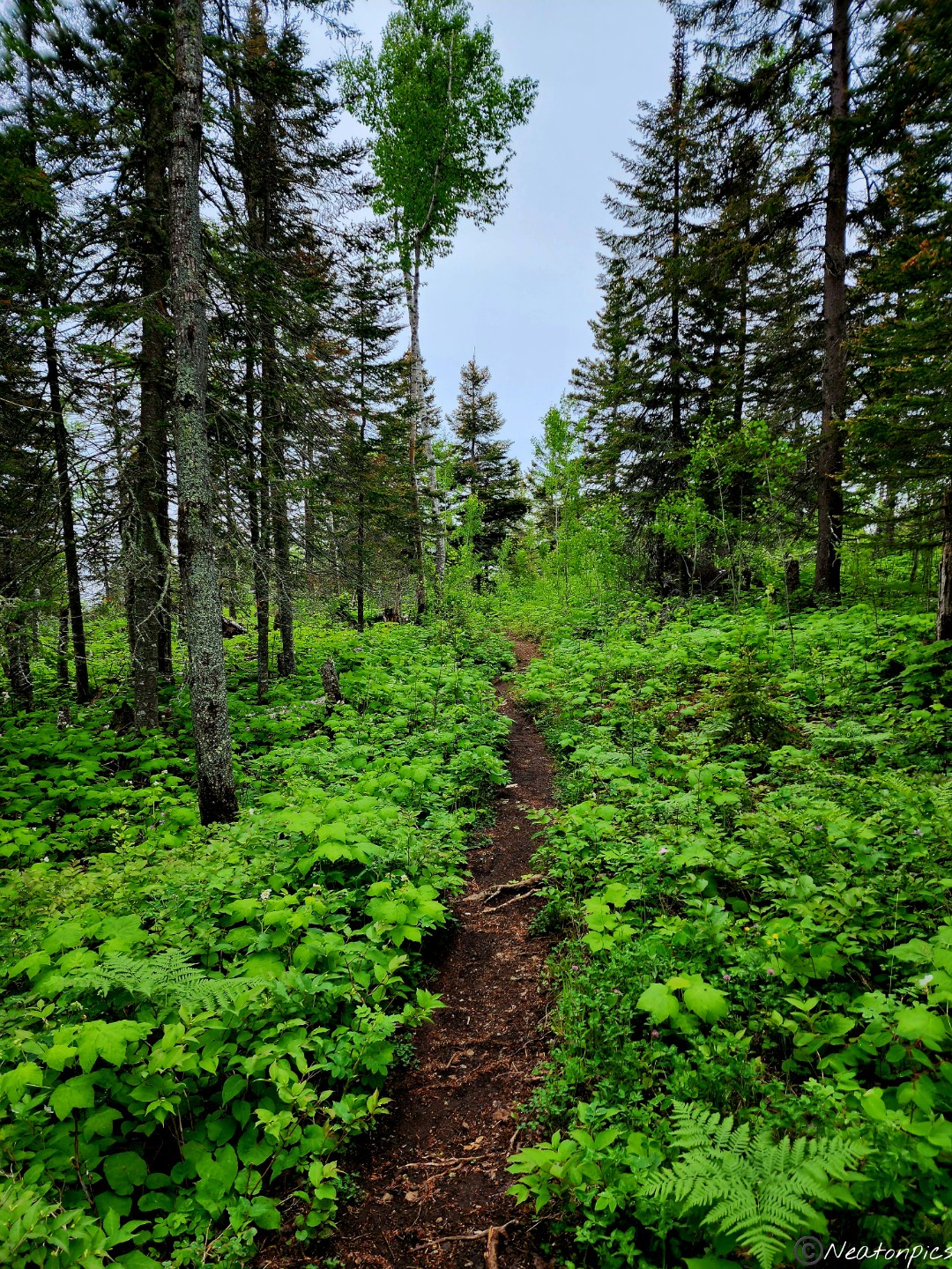
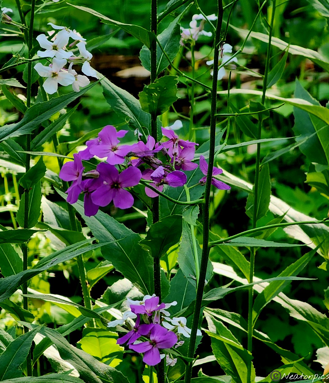
After soaking up this amazing view, we made our descent from the overlook. The trail was lined with wildflowers and ferns.
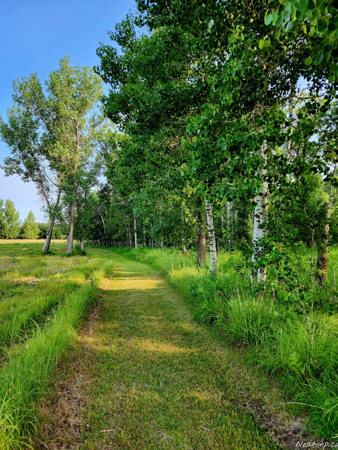
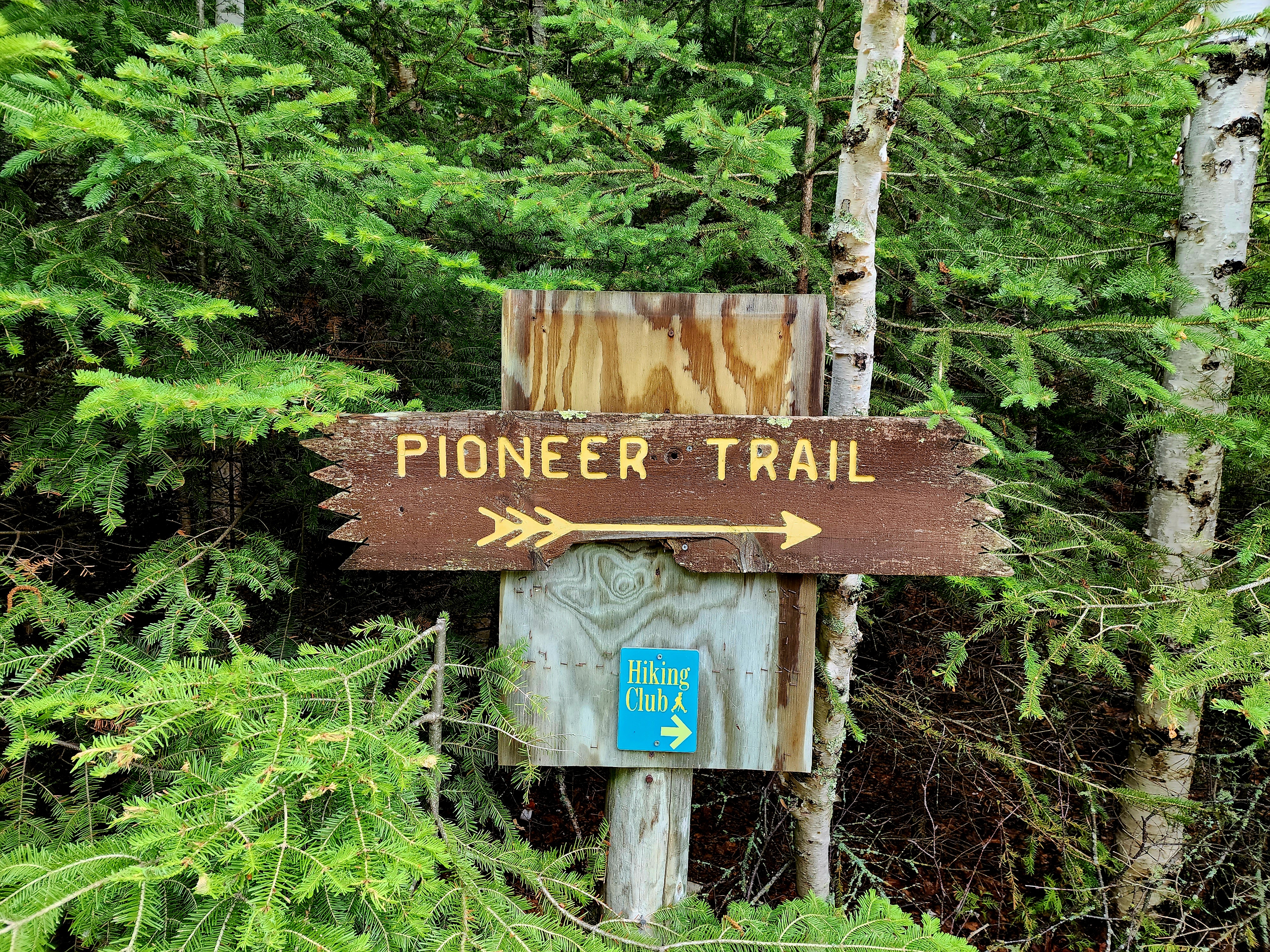
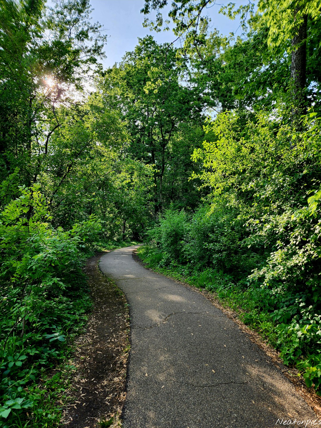
Pioneer Trail was a quiet trail. Tall trees towered over us. Forests are a magical peaceful place, and this trail reminded us of that.
We crossed back over the river towards our starting point.
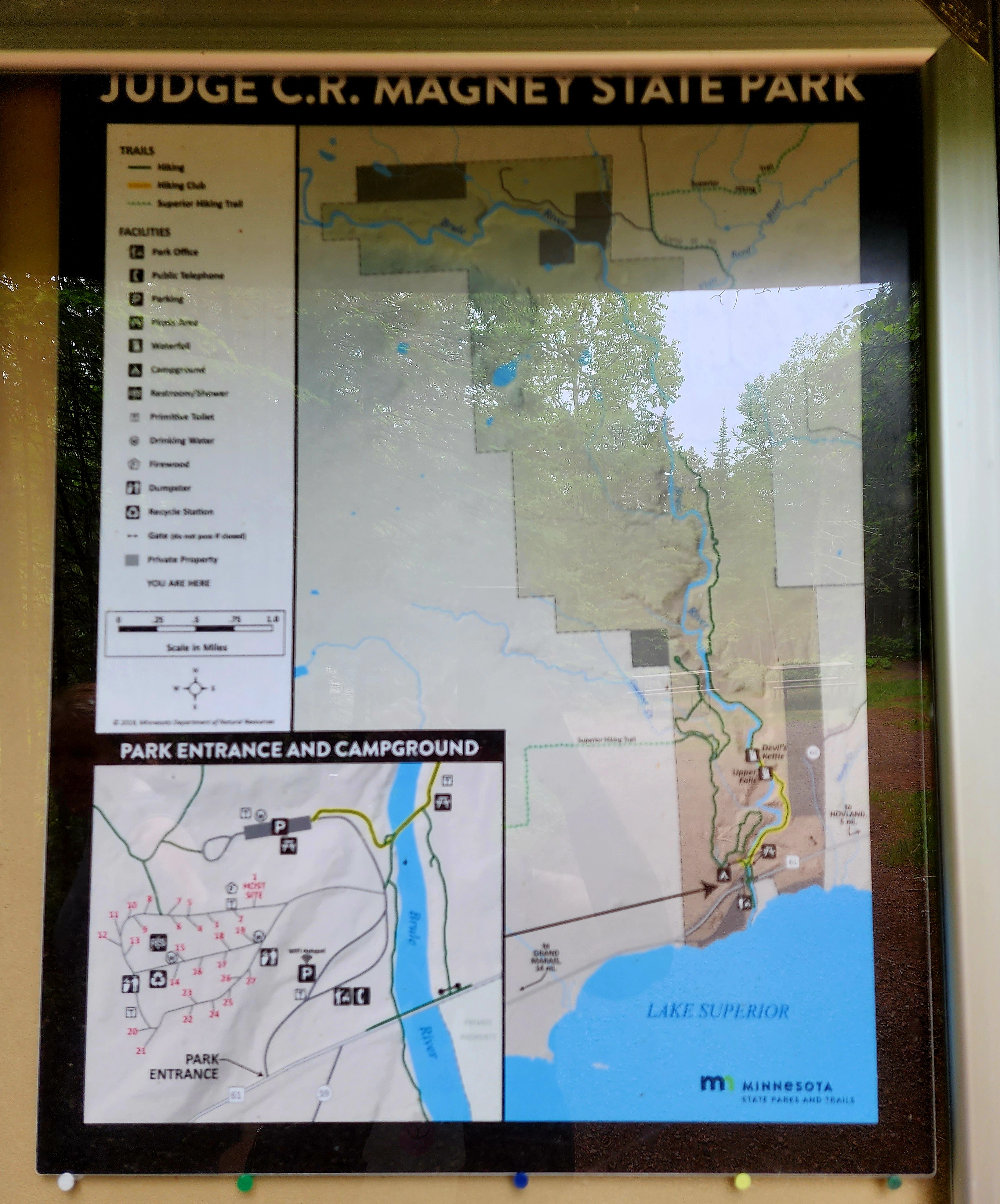
We hiked Judge C.R. Magney State Park on June 24th, 2023.
Our hike began at the trailhead parking lot. The trail immediately led us across the Brule River.
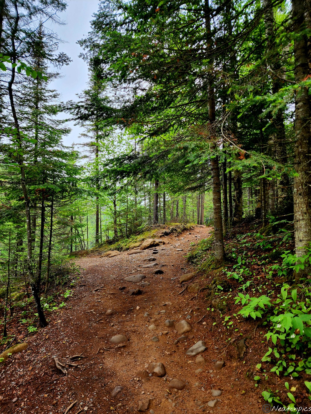
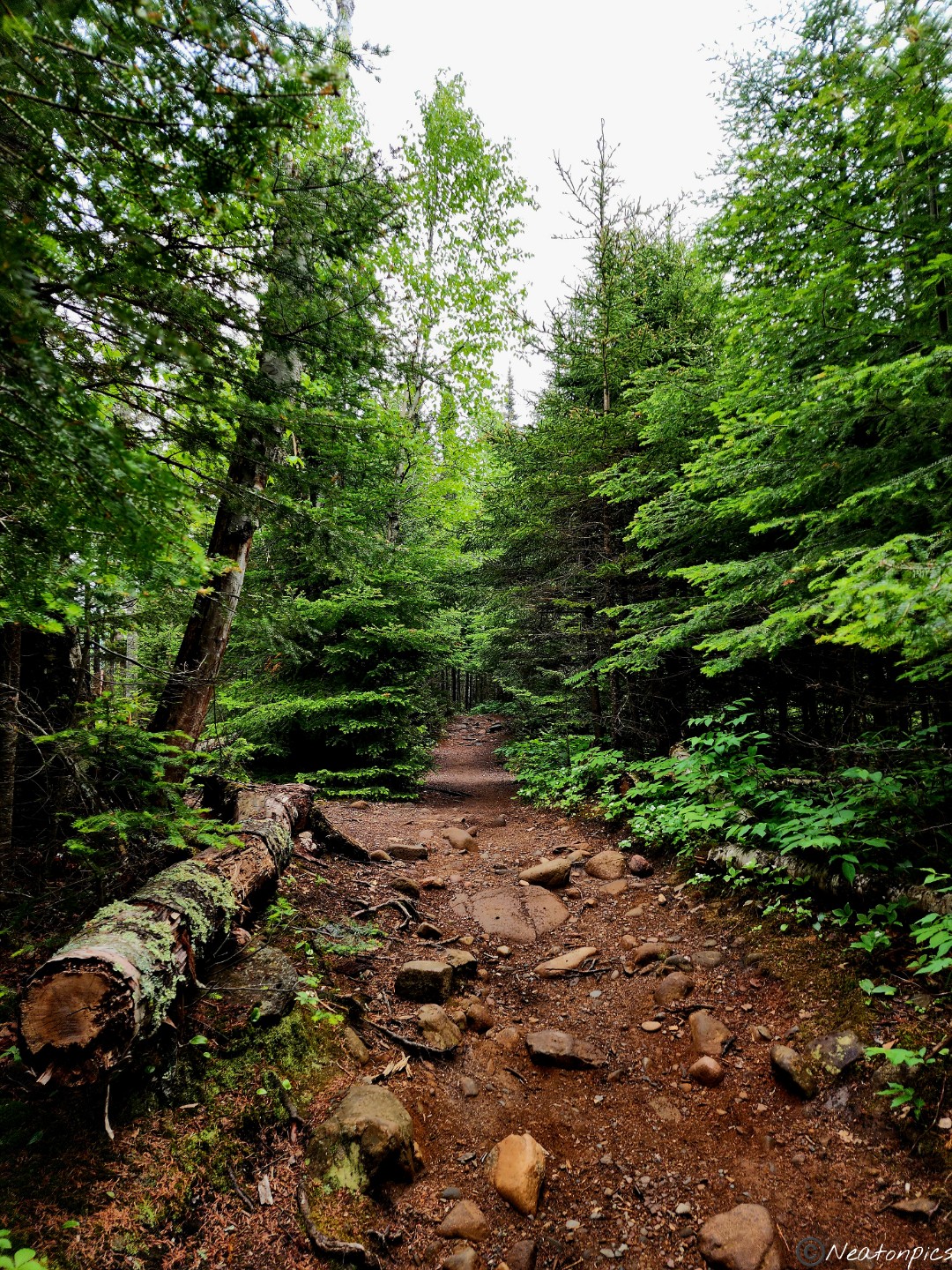
The rocky unpaved trail ran parallel to the Brule River.
The trail continued to have a slight incline as we hiked up the cliffs. Small overlooks allowed us to view the river rushing below.
We reached another set of wooden stairs. Someone wrote on the staircase that there were 192 steps to the bottom. The view on the way down was astonishing.
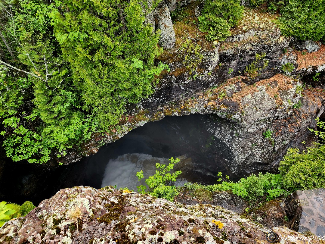
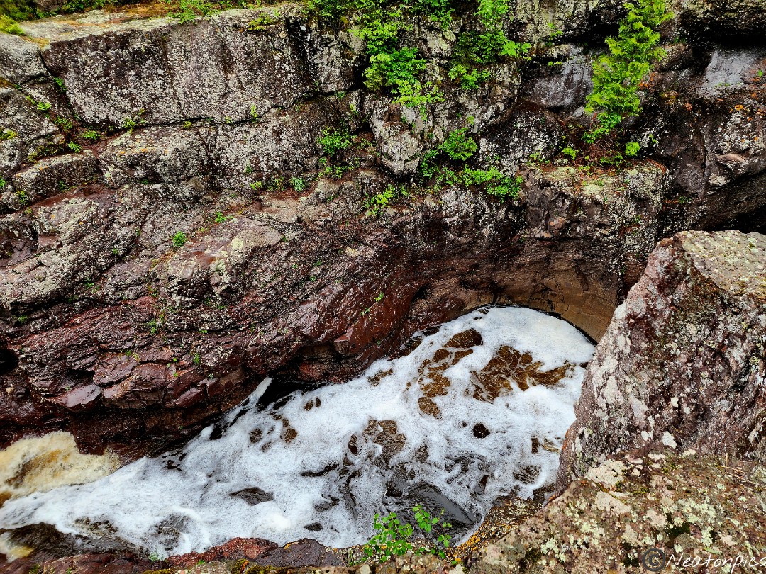
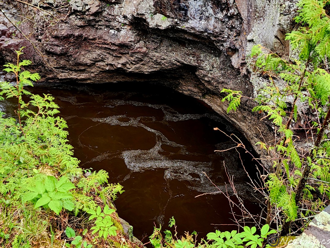
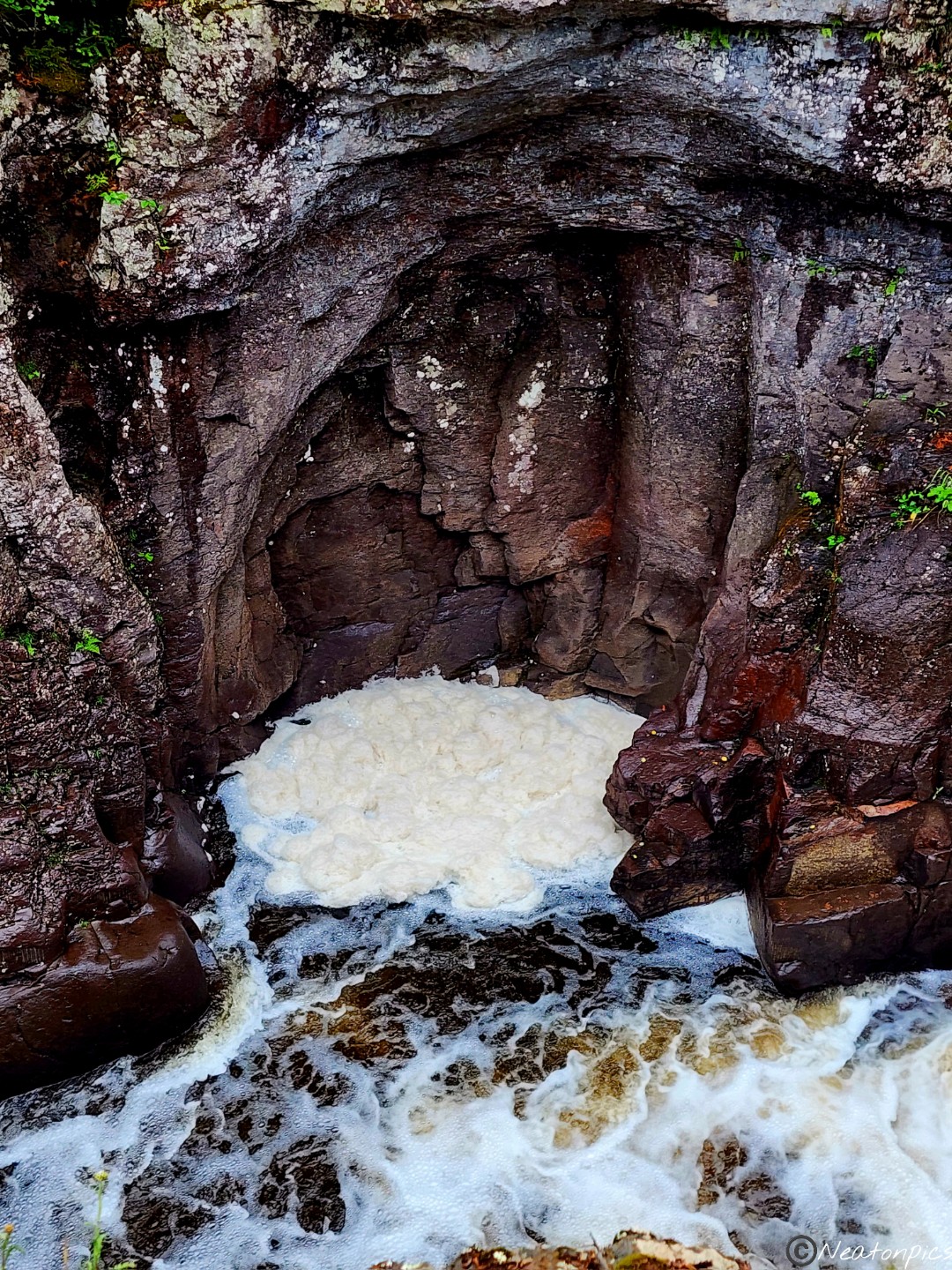
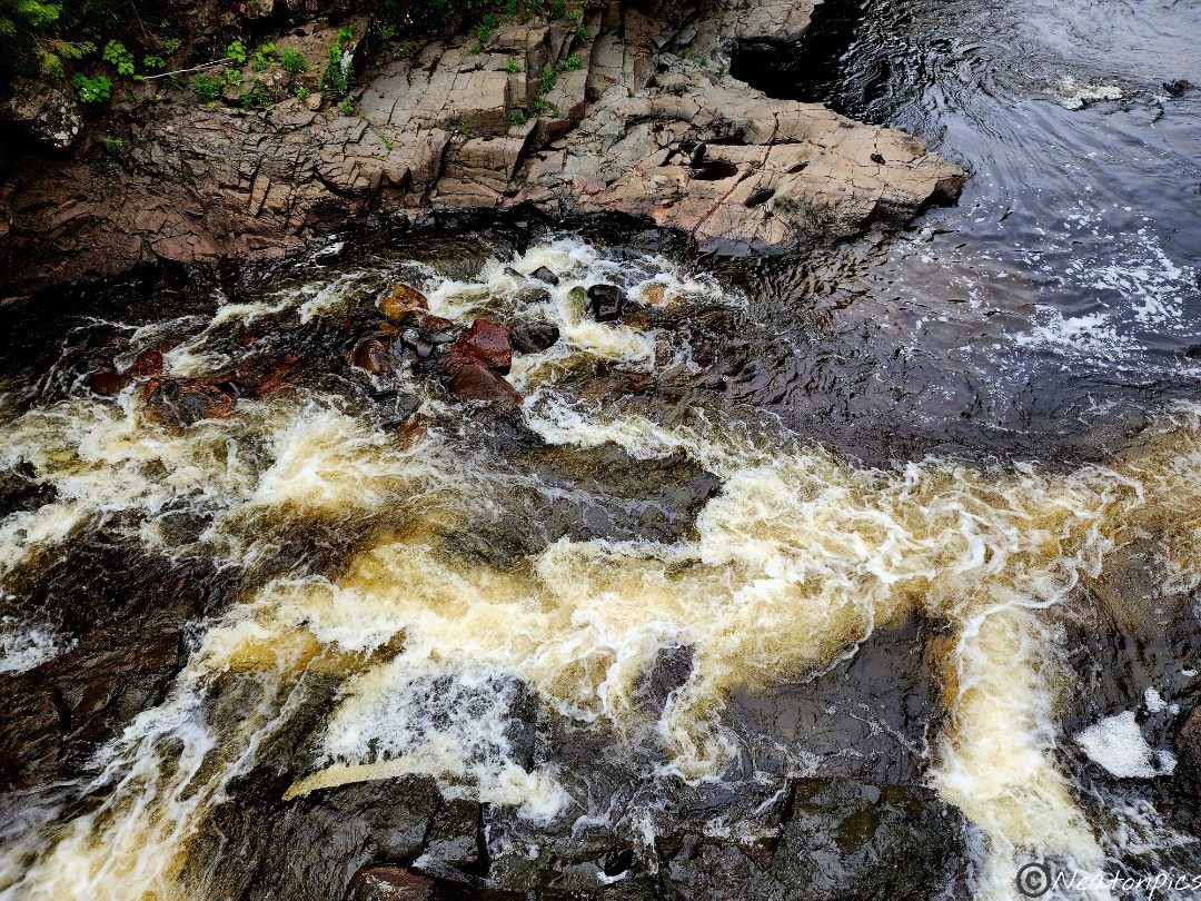
We reached the bottom of the stairs and we heard the rushing of the Brule River going over the Upper Falls. Unfortunately, the staircase to view the falls was out of order/broken. I snapped a few photos through the trees and then we hiked up another set up stairs to view the Devil’s Kettle Falls.
There is a mystery that surrounds Devil’s Kettle Falls. One section of the river flows down a beautiful waterfall. The other part of the river flows into a huge pothole called Devil’s Kettle. Where the water goes after it enters the pothole has been a mystery for years. Scientists believe the water reappears further down the river, however, any item that has been dropped inside the Devil’s Kettle has never reappeared.
We spent a moment taking in the breathtaking sight.
We went back up the 192 steps and down the trail back to our starting point.
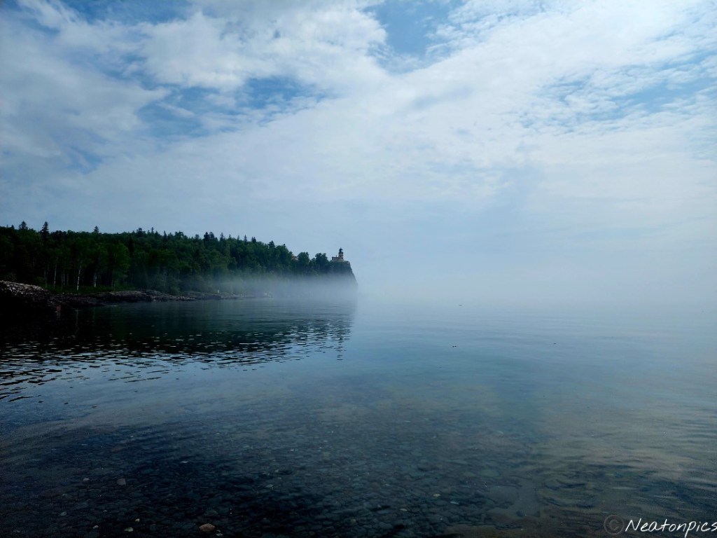
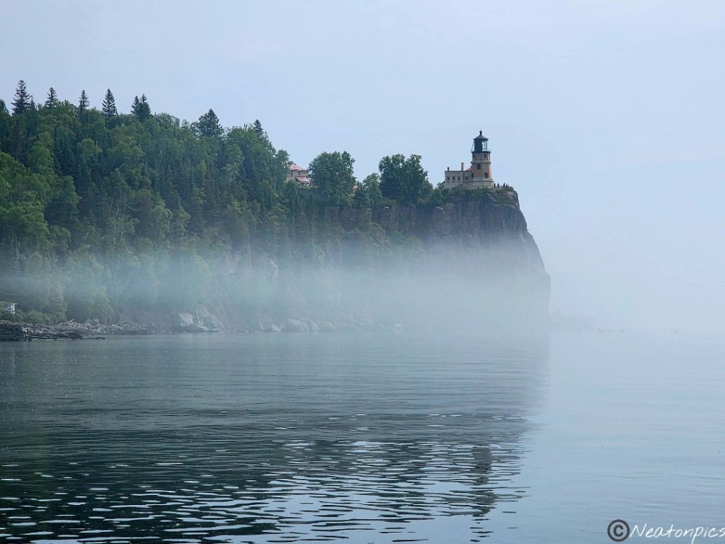
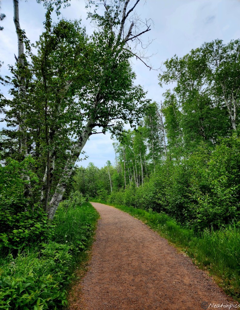
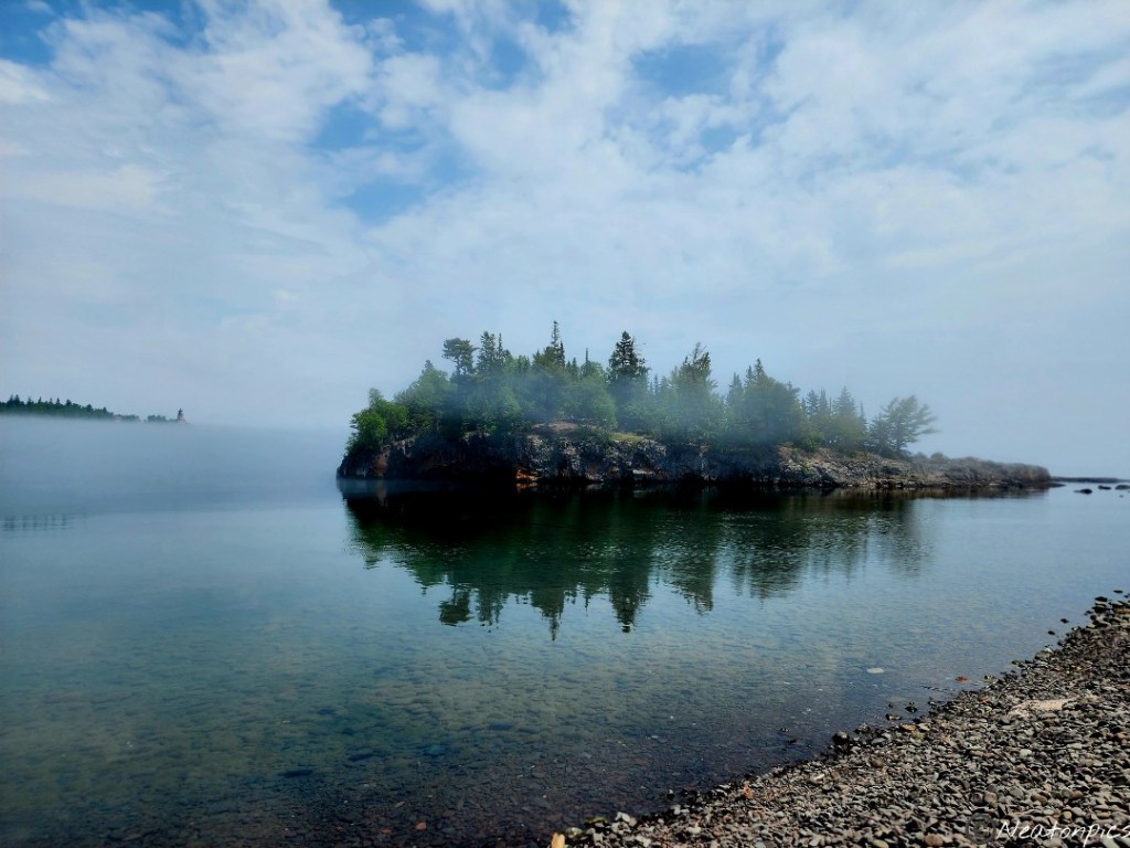
We hiked Split Rock Lighthouse State Park on June 23rd, 2023.
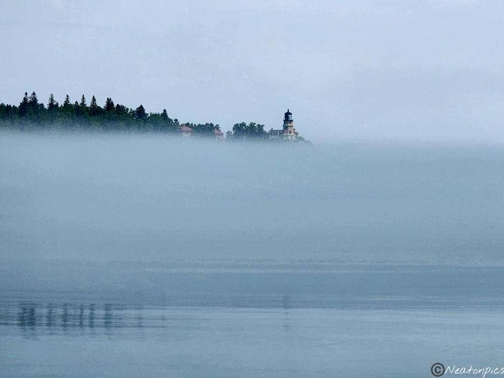
Our hike began at the trail center. Immediately we had amazing views of the historic lighthouse and Lake Superior. The air by the lake was cool and a light fog danced on top of the water.
Many other visitors were enjoying the view with us. People were kayaking, kids were playing on the rocks, a bride and groom were getting their photos taken and others were just sitting taking in the impressive view.
As we began to hike away from the lighthouse, we had the trail to ourselves.
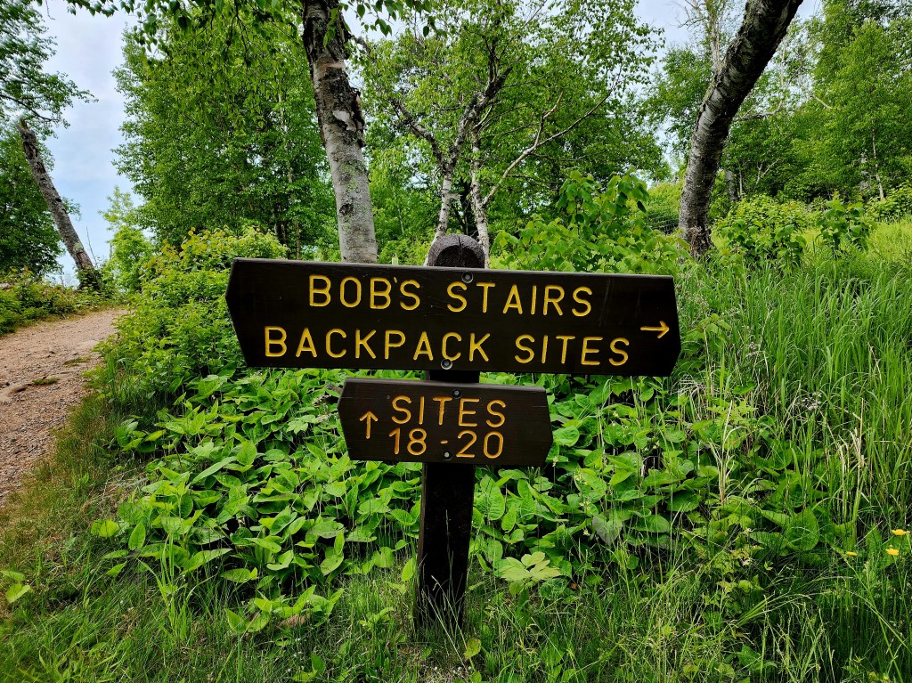
We made our way to Bob’s Stairs.
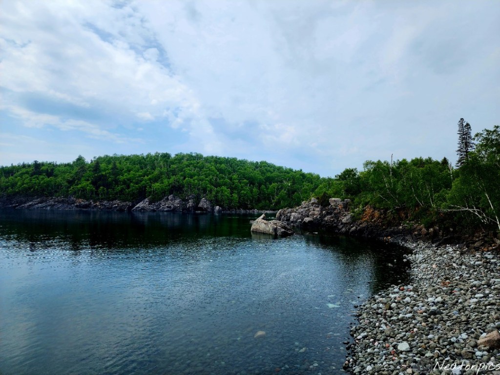
At the bottom, we found a small beach. Not much swimming happens in Lake Superior though, being the water temperature is usually below 55 degrees even on hot days.
Beautiful wildflowers lined the trail.
The trail led us across a bridge where a giant tree made itself a home.
The different overlooks of Lake Superior on the trail were breathtaking.
We diverted from the main trail we were on for a few minutes to take in the bay and cross under Highway 61. The second photo is the view from the other side of the highway. I was amazed how completely different the view was from what we have seen so far on the trail.
Back under Highway 61 and through the tunnel we went.
We hiked a small part of the Gitchi-Gami State Trail. The Gitchi-Gami State Trail is a wide paved trail that is over 34 miles long!
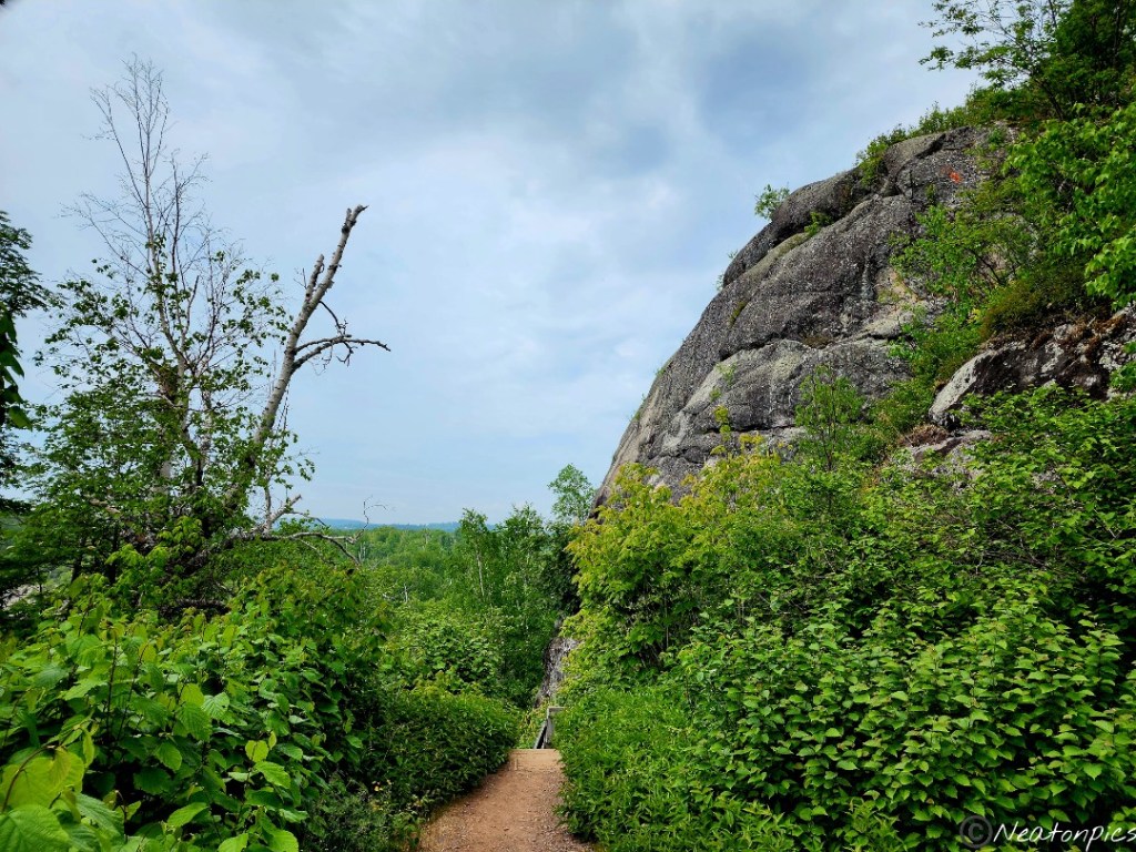
We reached the part of the trail where we exited the Gitchi-Gami State Trail and began the Day Hill Trail. There were two different trails at this point; one that went straight up the cliff and the other was a regular non paved trail. Up the cliff we went. And let me tell you, we were not disappointed in our decision. The view was AMAZING!
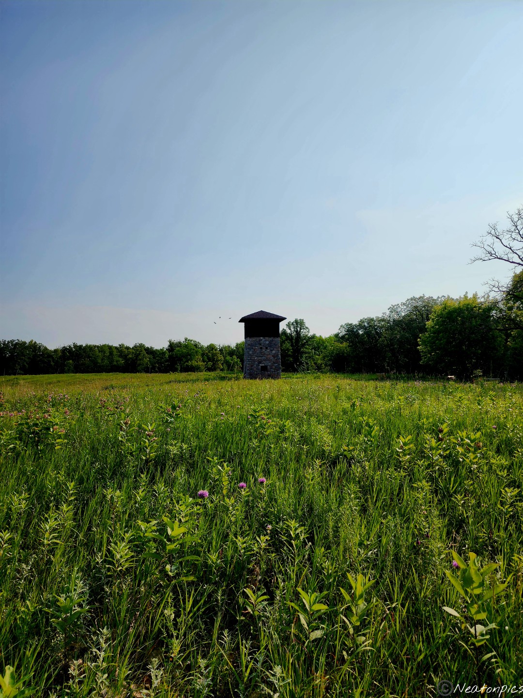
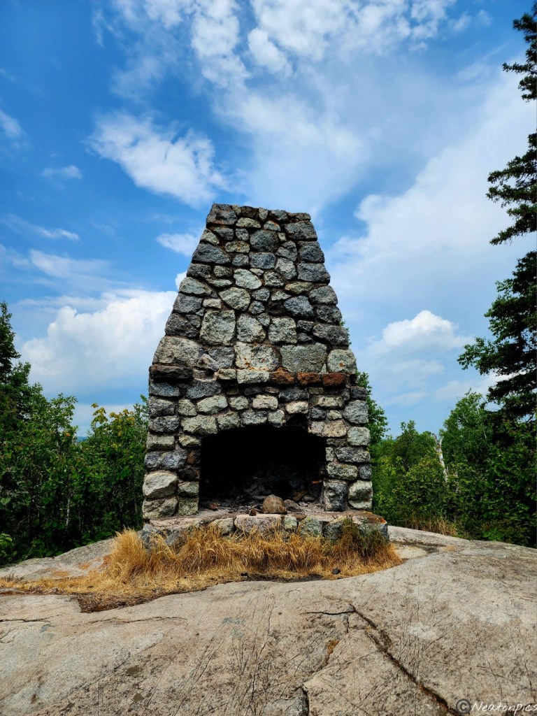
We found a stone fireplace at the top of the cliff. The sign nearby explained it was a mystery as to who built the fireplace. They think it was built in the early 1900’s. I included a photo of the sign as there is another explanation of the fireplace.
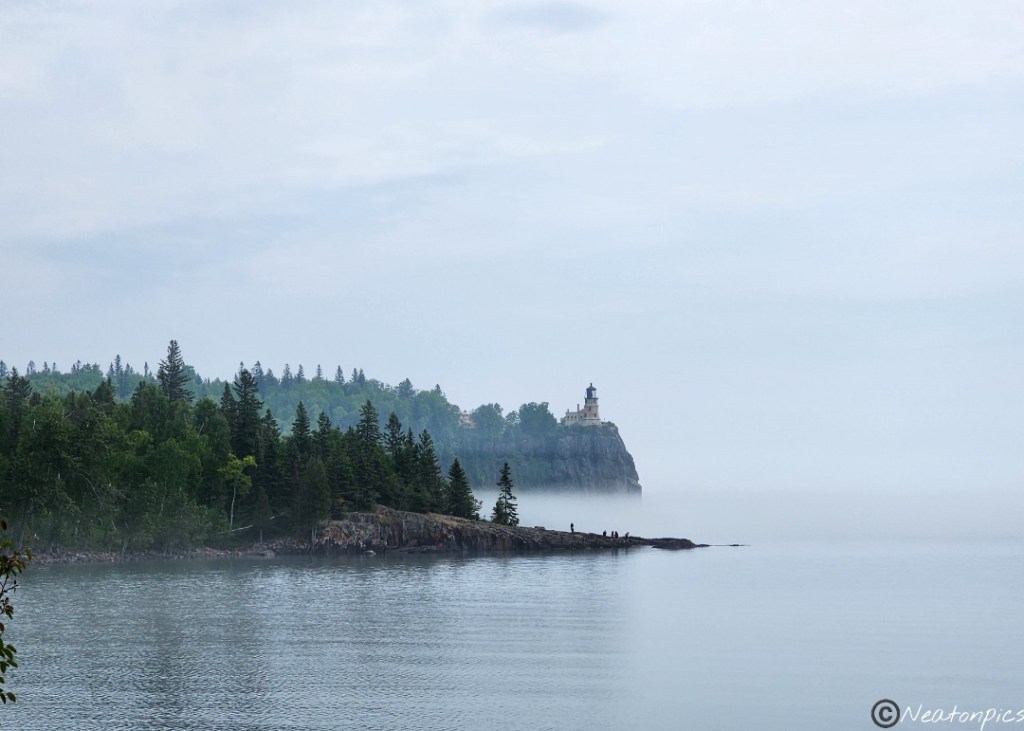
We followed the trail back down the cliff and began our hike back to our starting point. We took in a few more views of the lighthouse which was almost out of sight due to the fog.
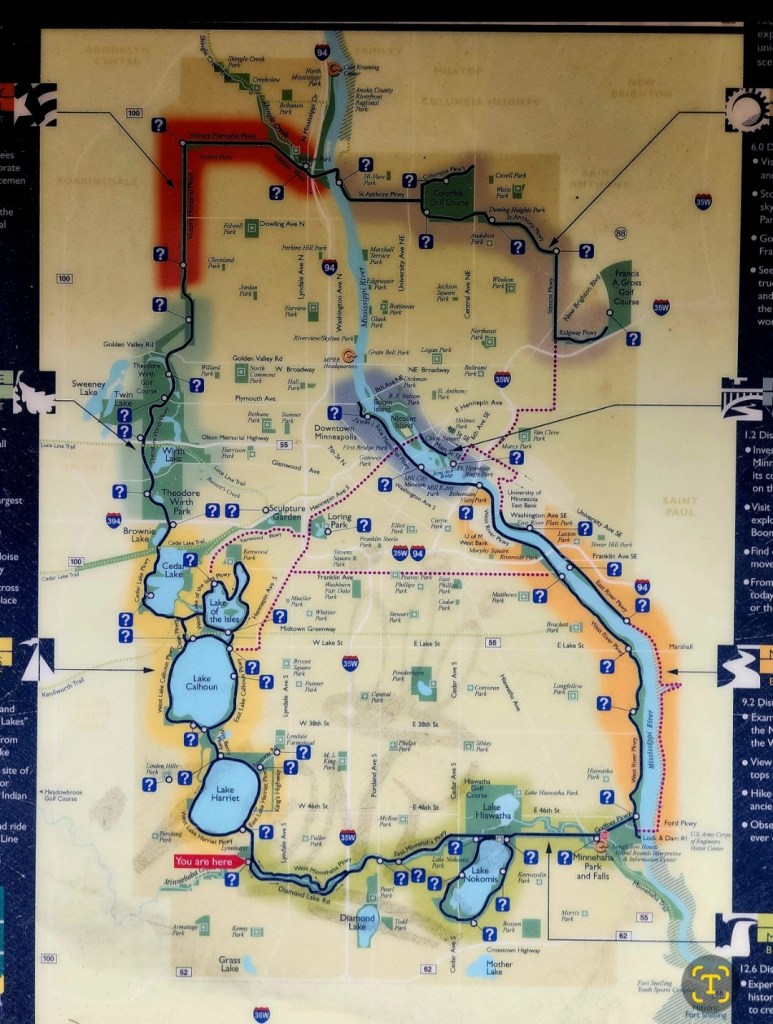
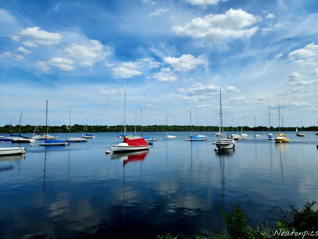
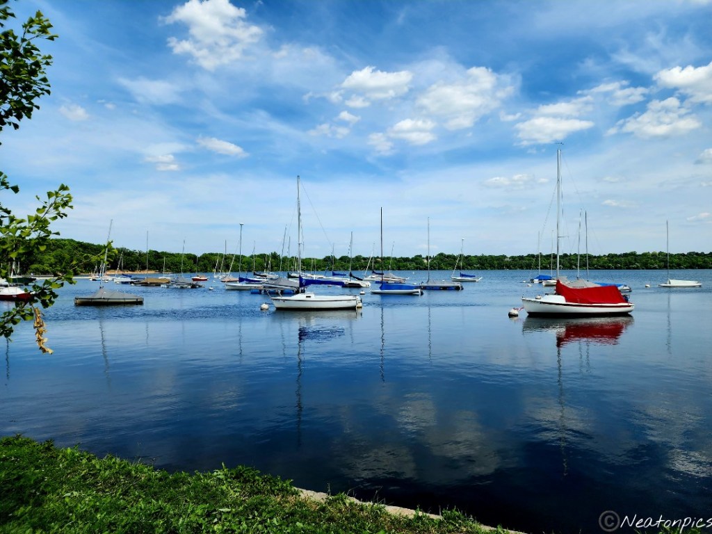
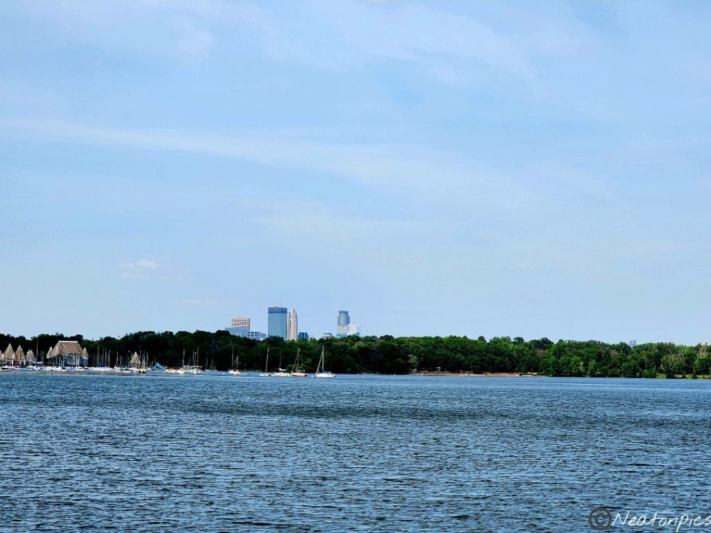
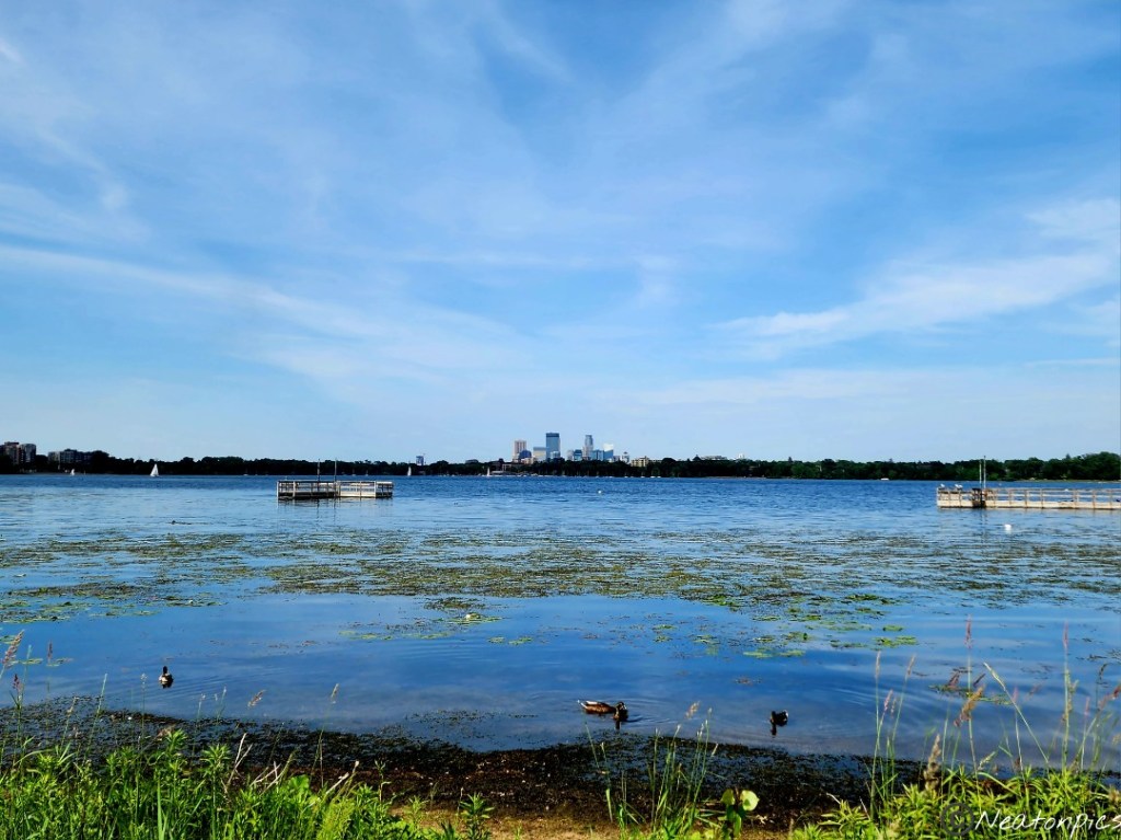
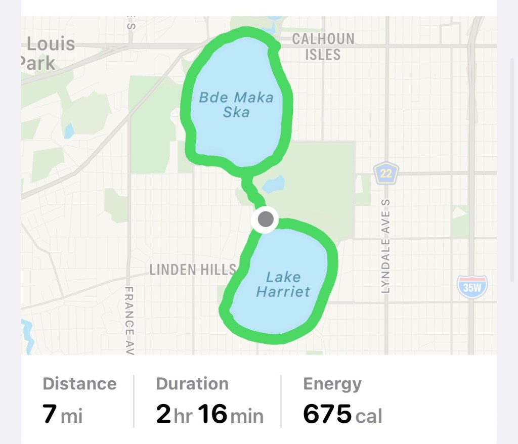
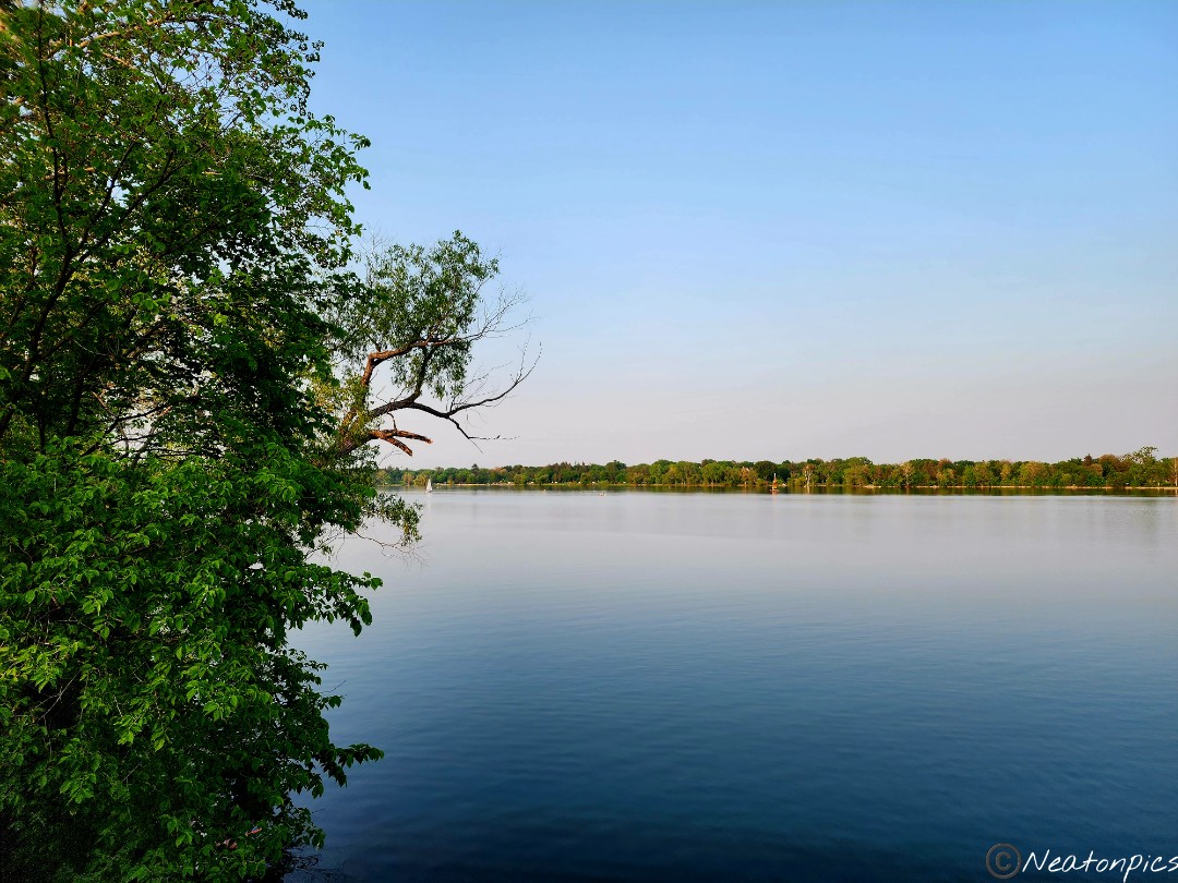
This evening’s hiking adventure began at Lake Harriet.
Minneapolis has many wonderful lakes with wide paved trails for bikers, walkers, rollerbladers, etc. to enjoy. The best part is almost all of the lakes connect to each other through a wonderful trail system.
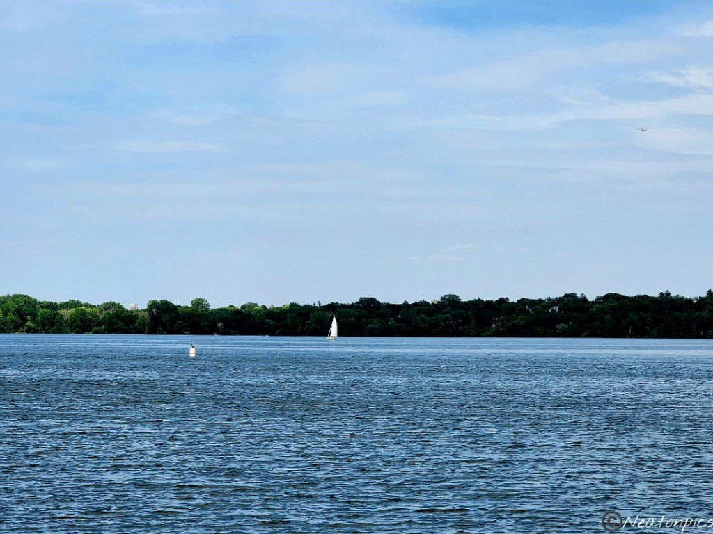
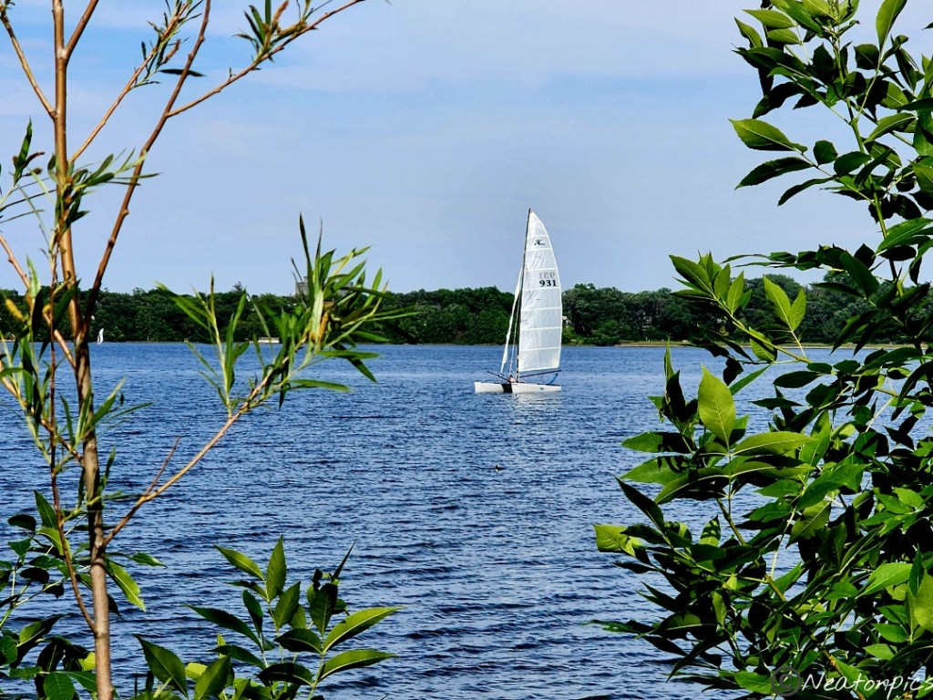
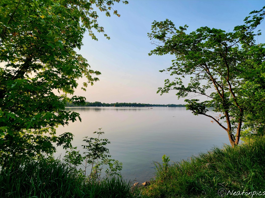
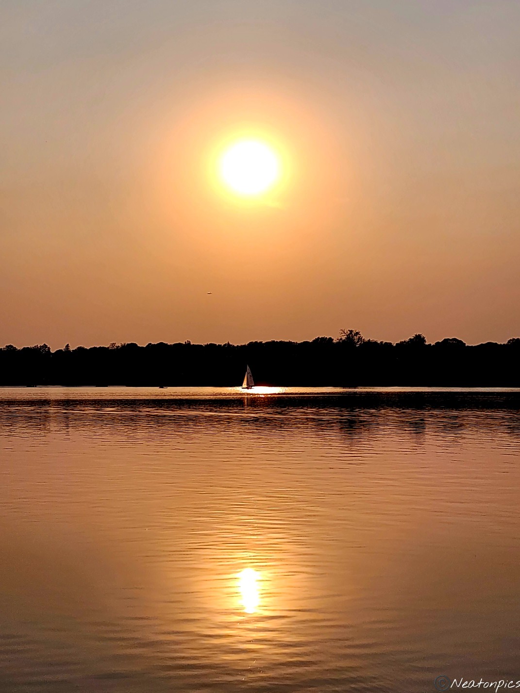
Many sailboats call Lake Harriet home.
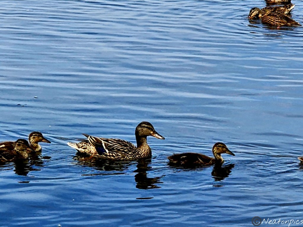
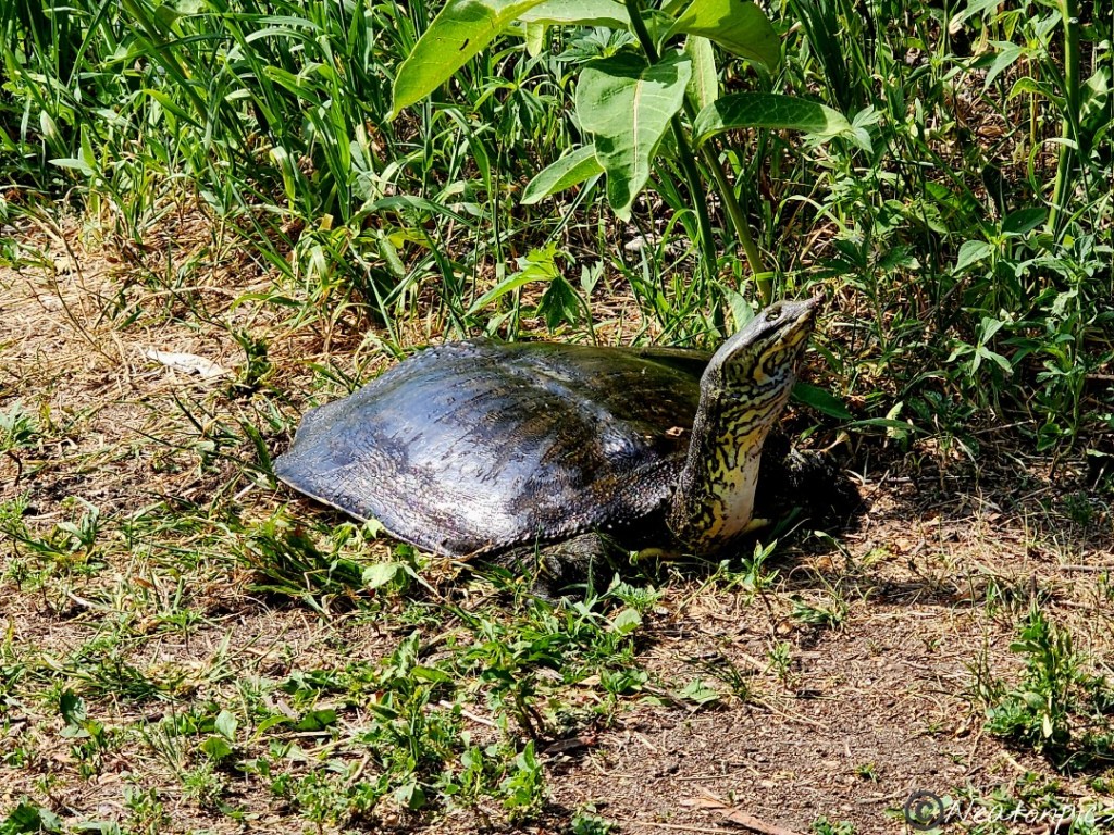
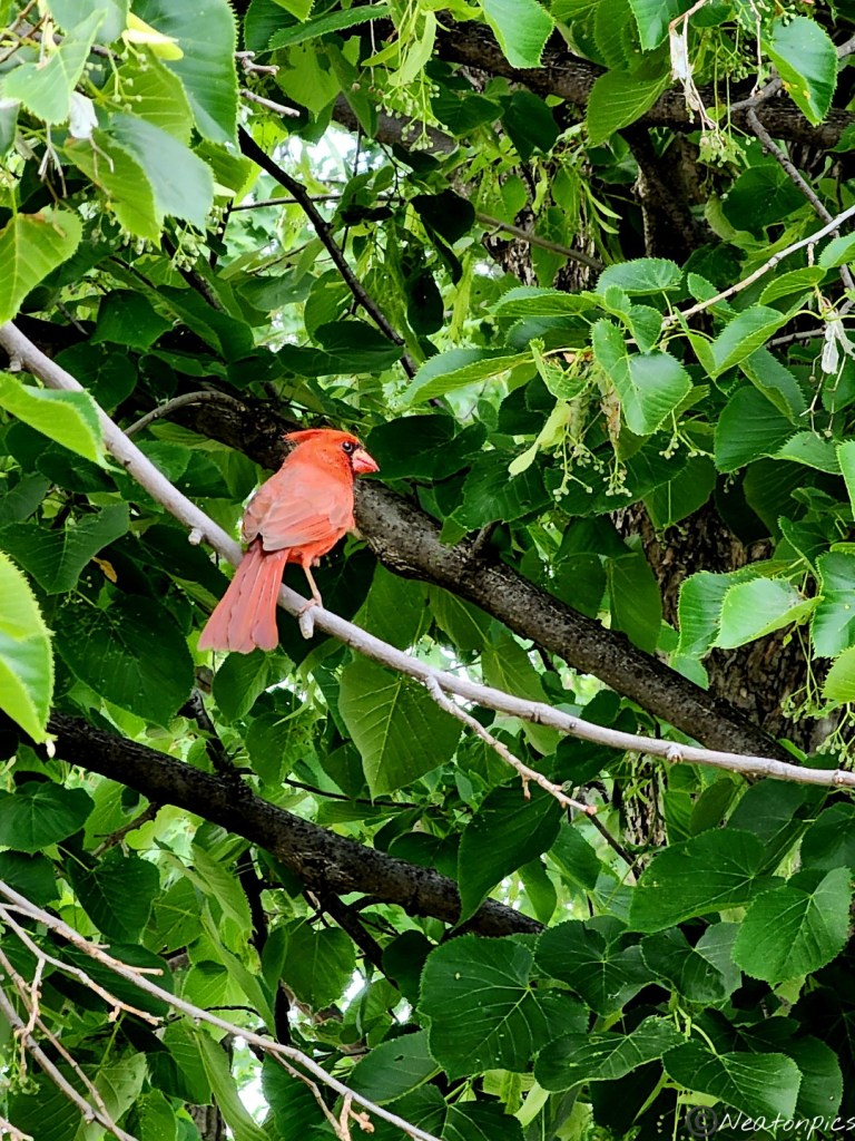
Normally, I take lots of trail photos. Tonight I chose not to due to all the people enjoying their evening outing. Instead, I focused on the wildlife and lake shots.
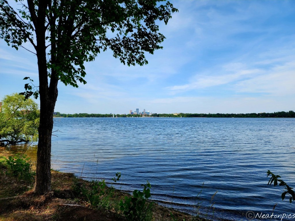
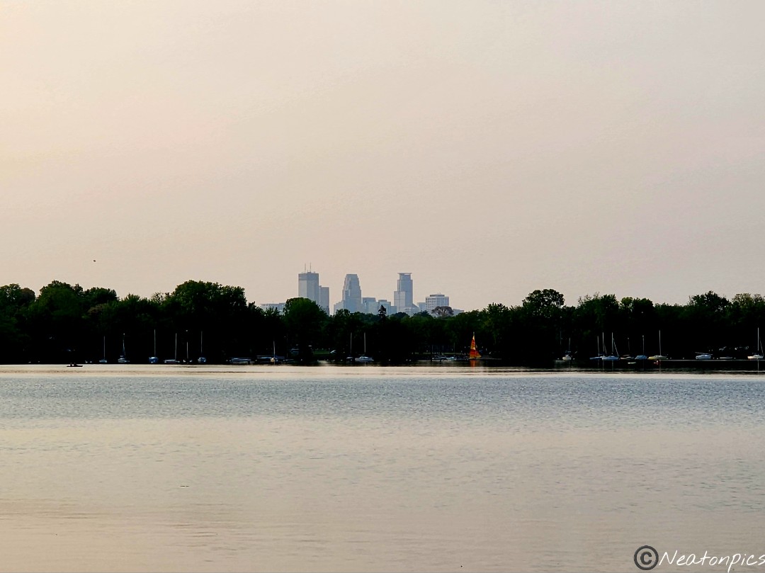
Downtown Minneapolis can be seen in the distance.
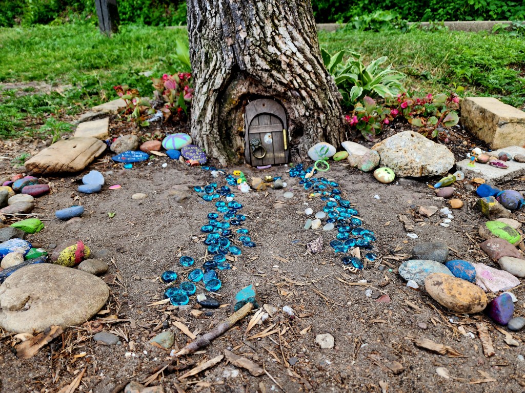
We found a Gnome and a fairy door along the trail.
This beautiful turtle was laying eggs near the trail.
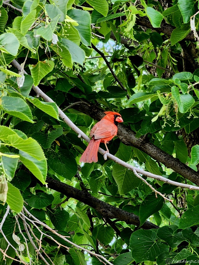
A cardinal landed in the tree not far from us.
A few sailboats were out enjoying the lake.
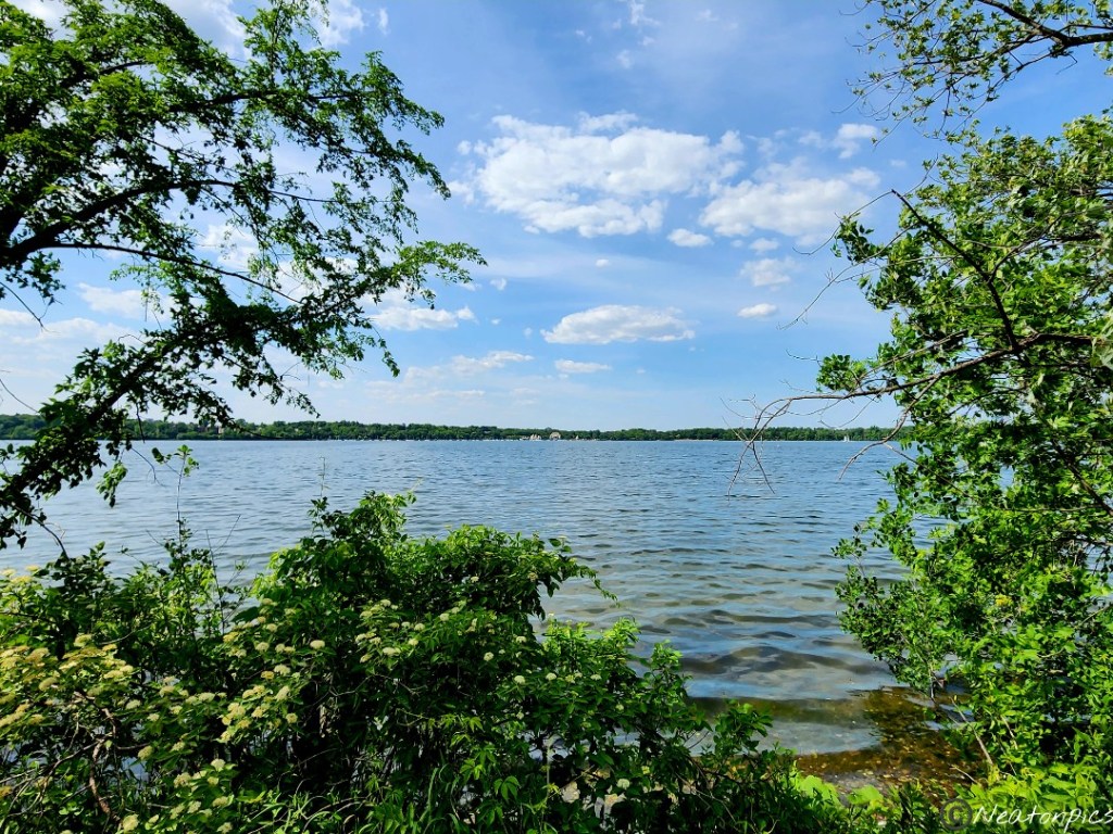
Our next destination was Bde Maka Ska.
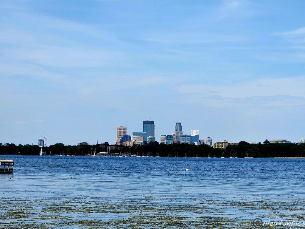
This lake has been a favorite of mine for years. They have many beaches, a sand volleyball court, and many different places to sit and enjoy the great outdoors. Downtown Minneapolis can be seen from many different locations around the lake.
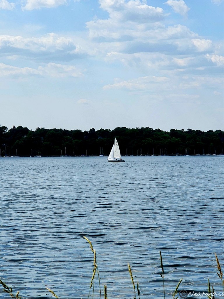
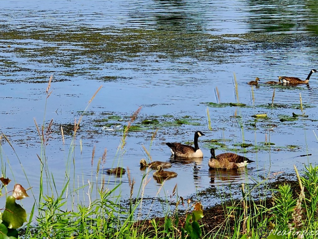
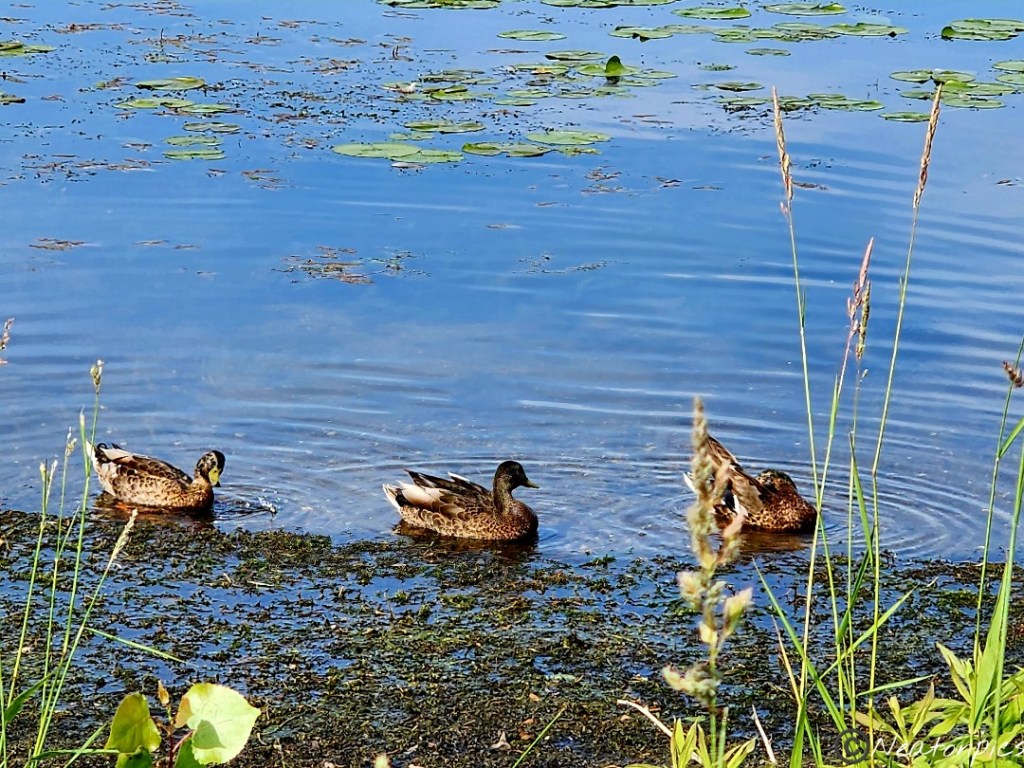
Ducks and geese were enjoying the warm evening too. They didn’t seem bothered by the sailboat in the near distance.
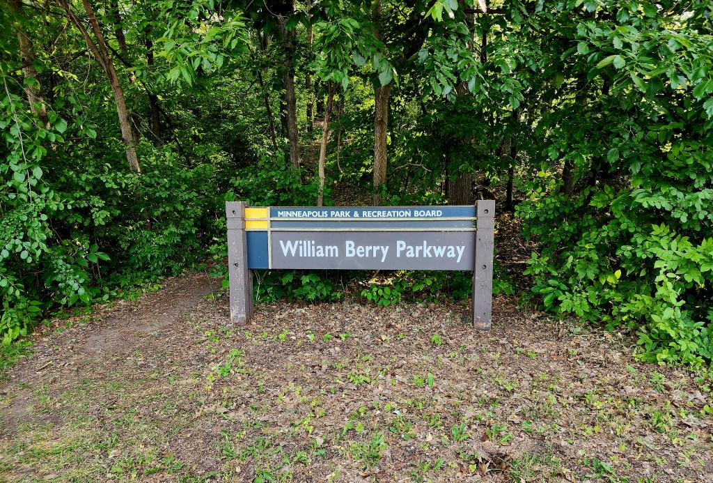
We took the William Berry Parkway back to Lake Harriet.
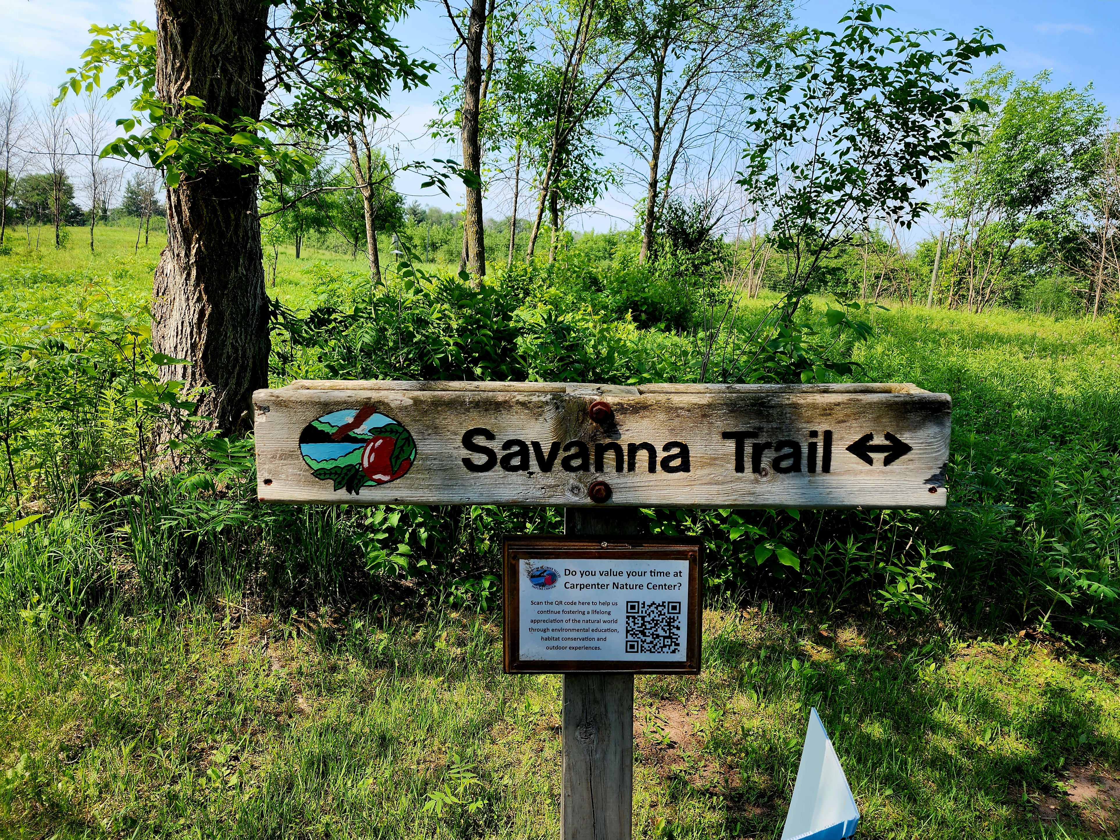
Today’s hiking adventure was at the Carpenter St. Croix Valley Nature Center.
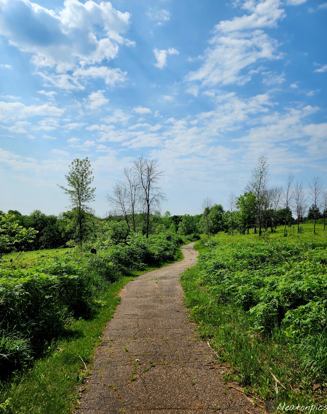
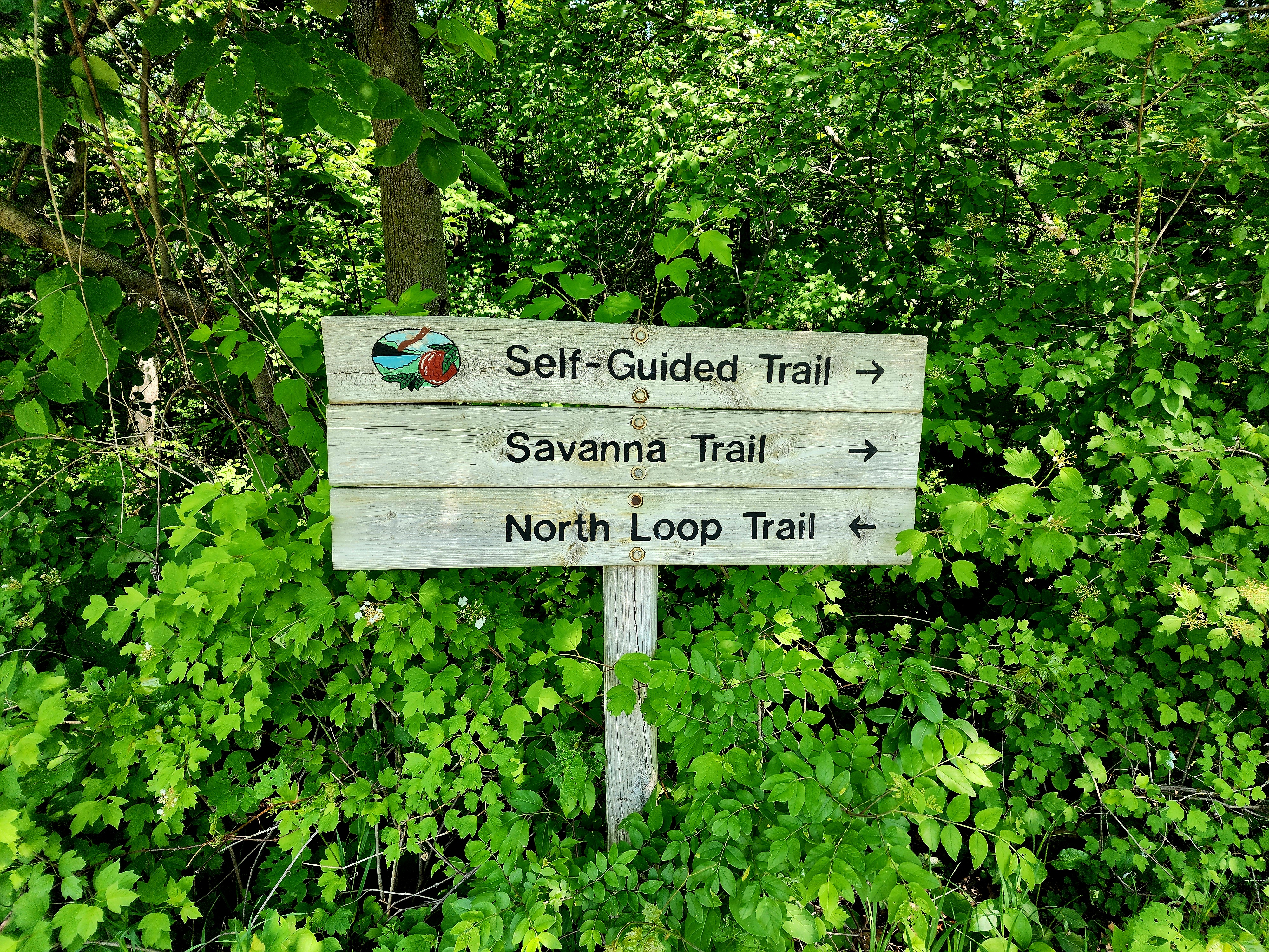
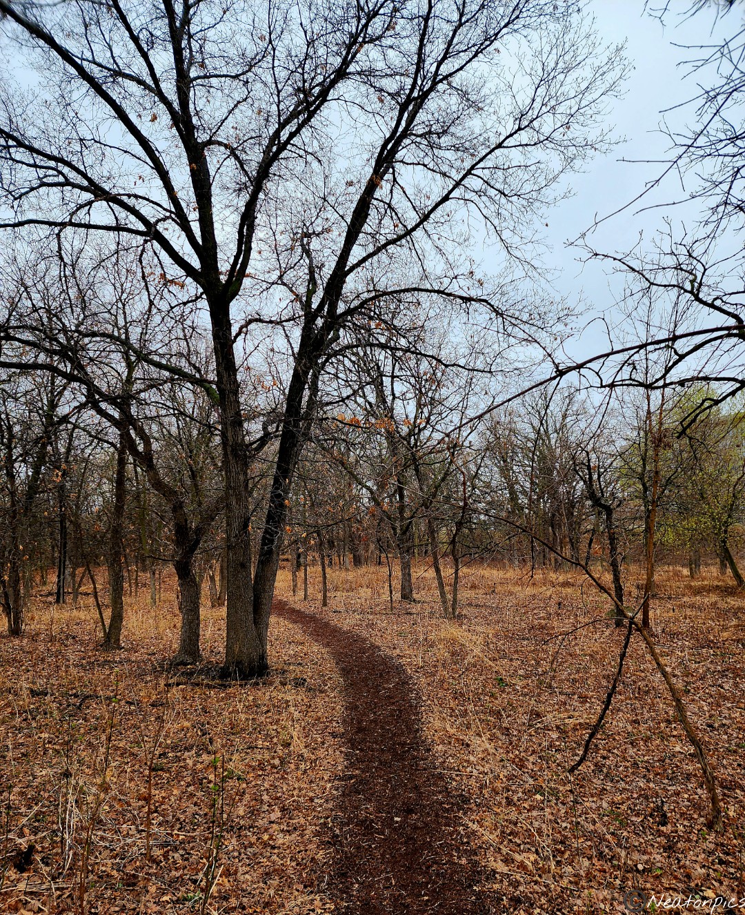
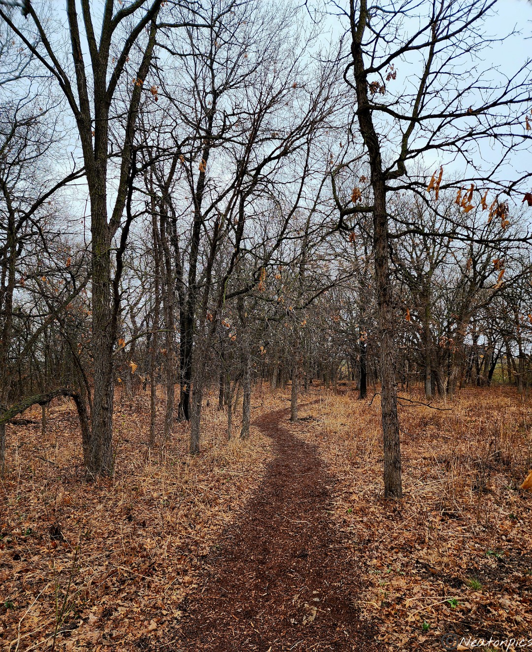
Today I adventured out for a solo hike. Mother Nature has a way of healing the soul and I needed a bit of that today. The sun was shining, the birds were chirping, and the squirrels were playing. I began my adventure on the Savanna Trail.
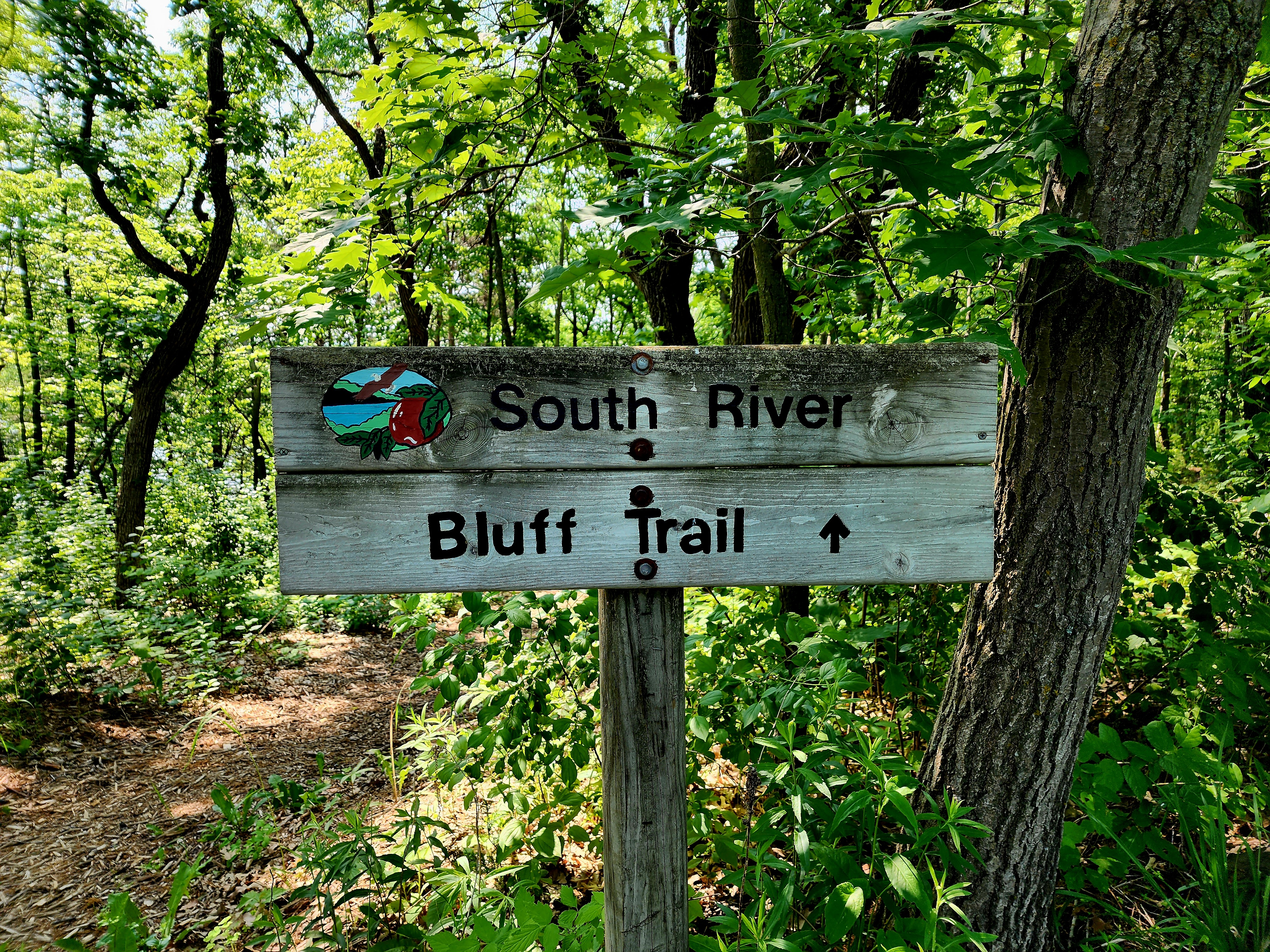
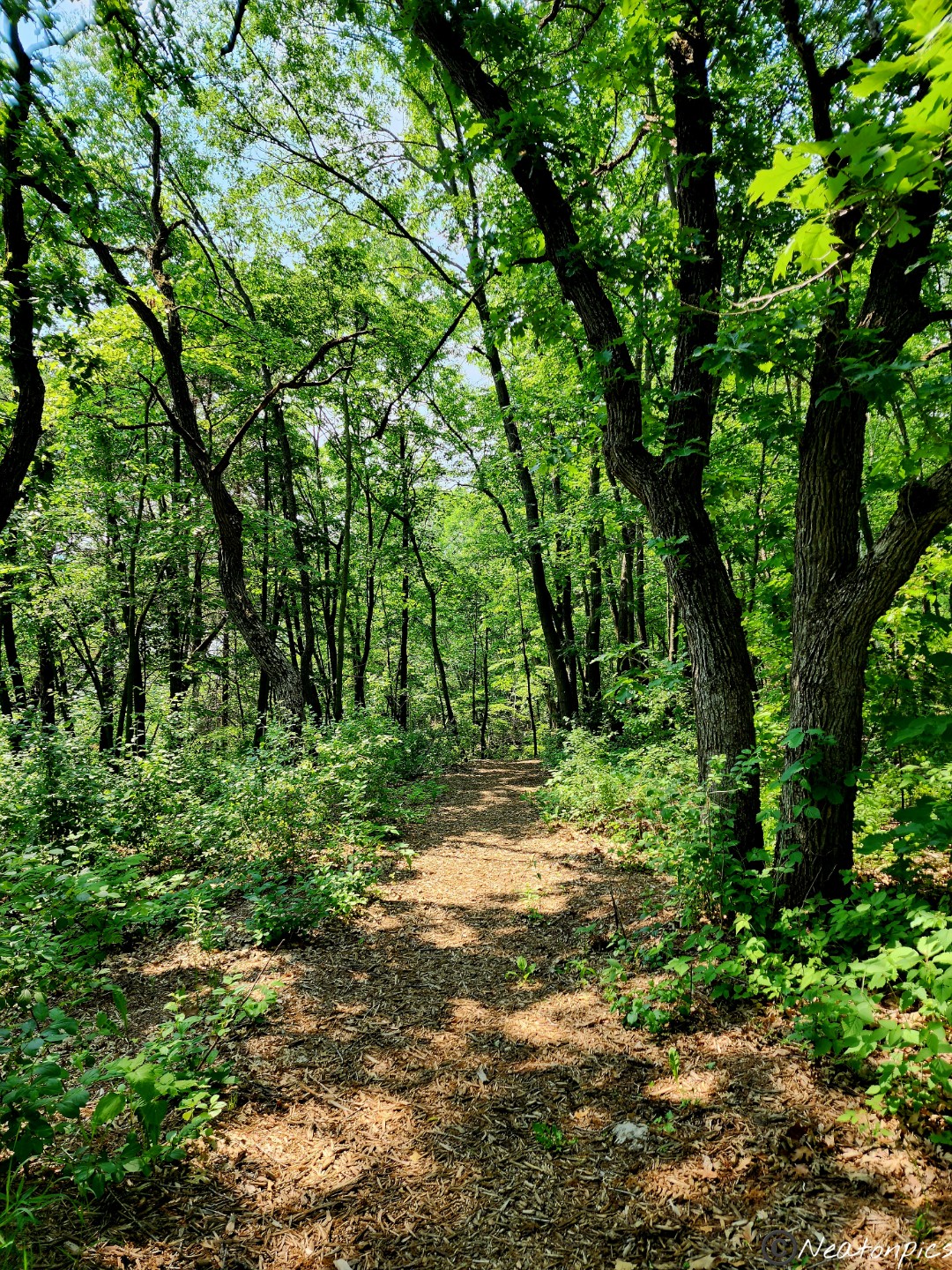
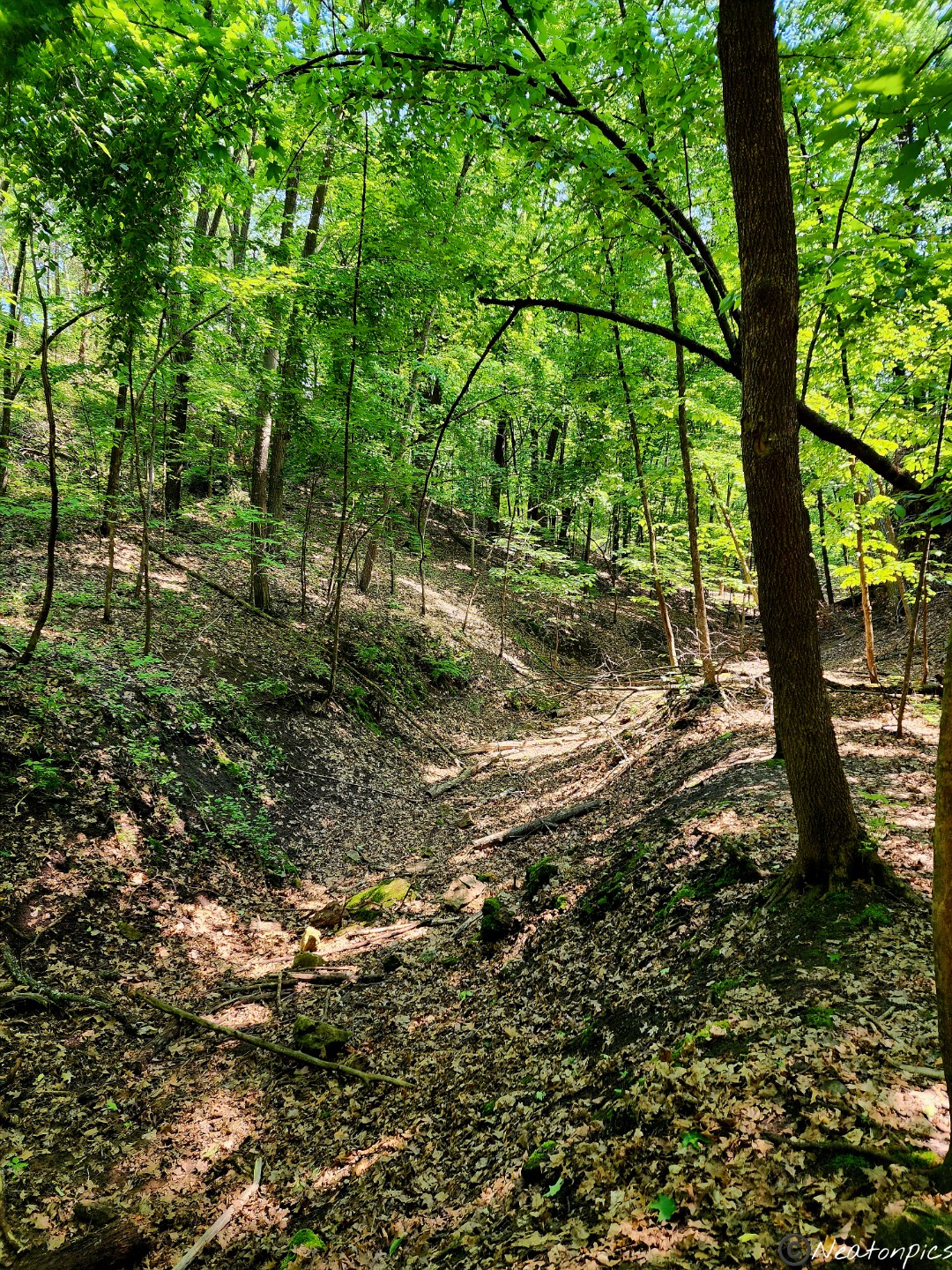
From the Savanna trail, I entered the South River Bluff Trail. The trail descended down the bluff towards the St. Croix River.
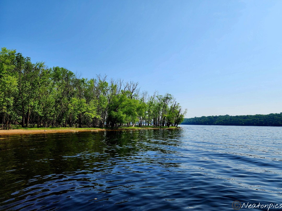
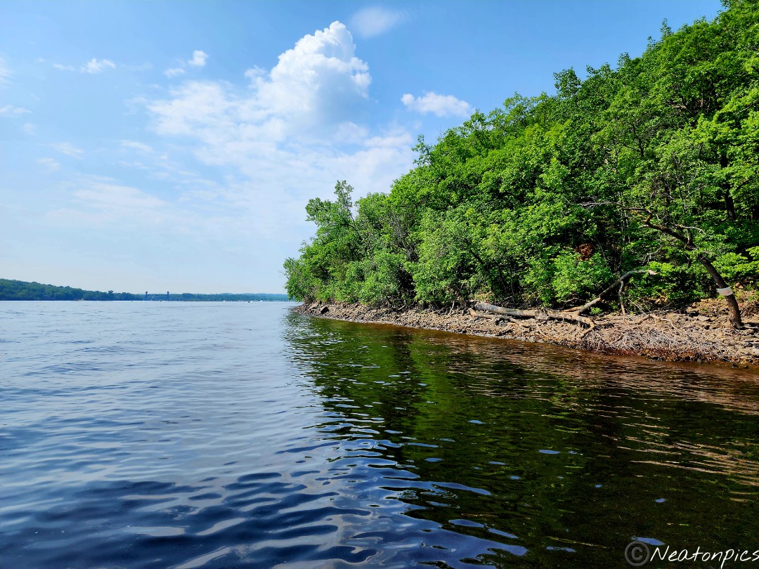
The river began to appear through the trees. I could hear all the boats’ motors roaring in the distance.
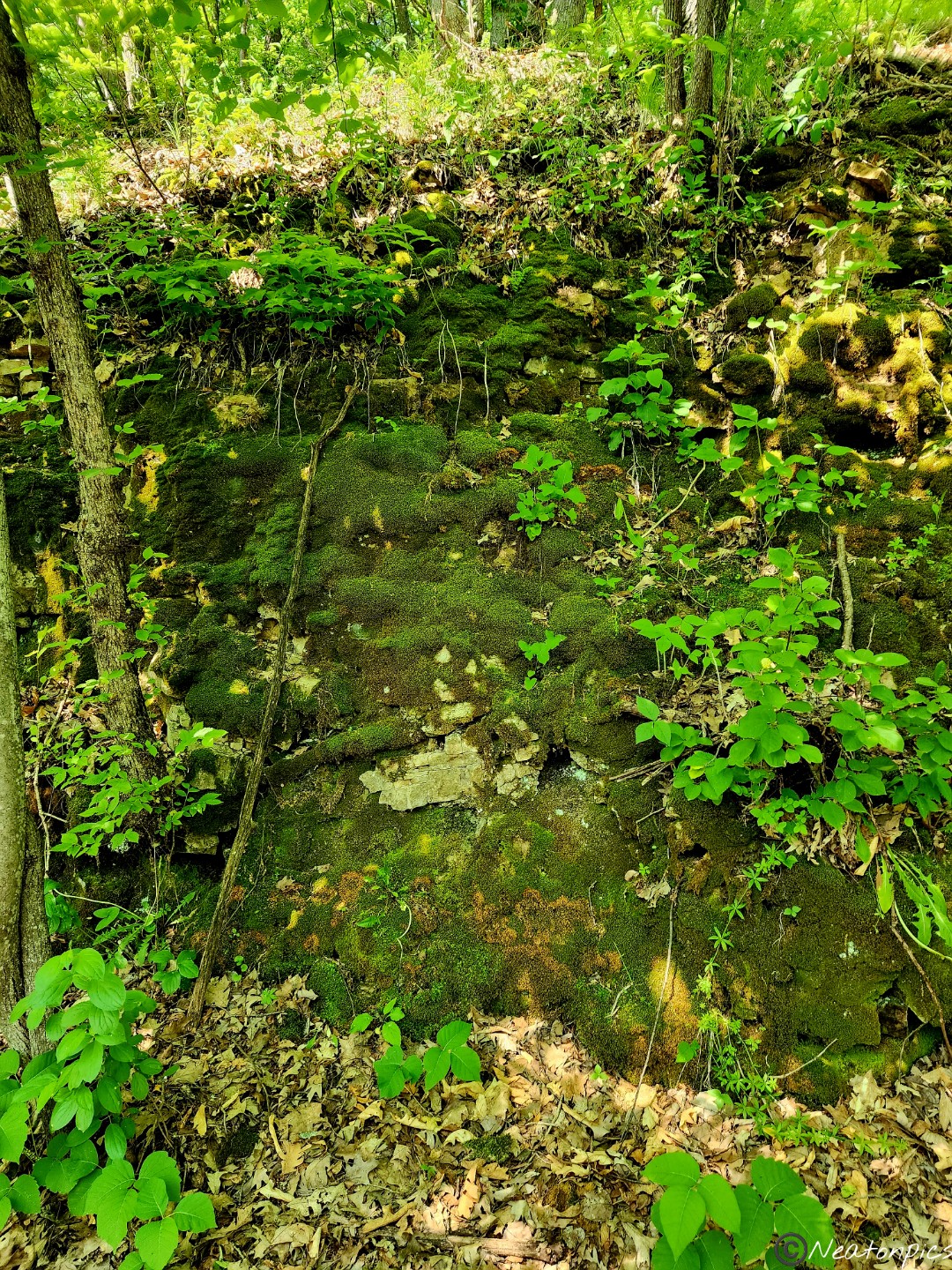
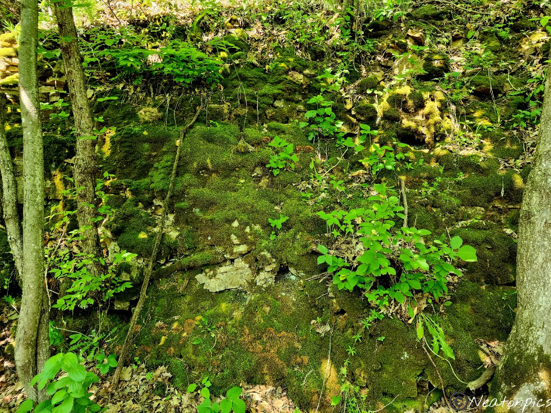
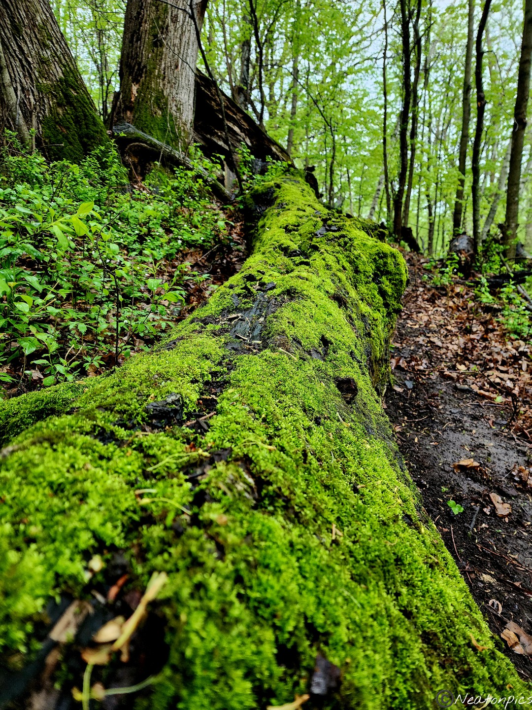
The right side of the trail was lined with stones. Some are covered in a dark green moss.
The trail led to a dock on the St. Croix River. Many boats passed by in the distance. The wake from the boats made the dock sway back and forth.
I must have been the first person on the trail this morning. I was walking into so many spiderwebs. Spiderwebs are so itchy!
The trail began to go straight up the bluffs. Many different ferns were basking in the heat.
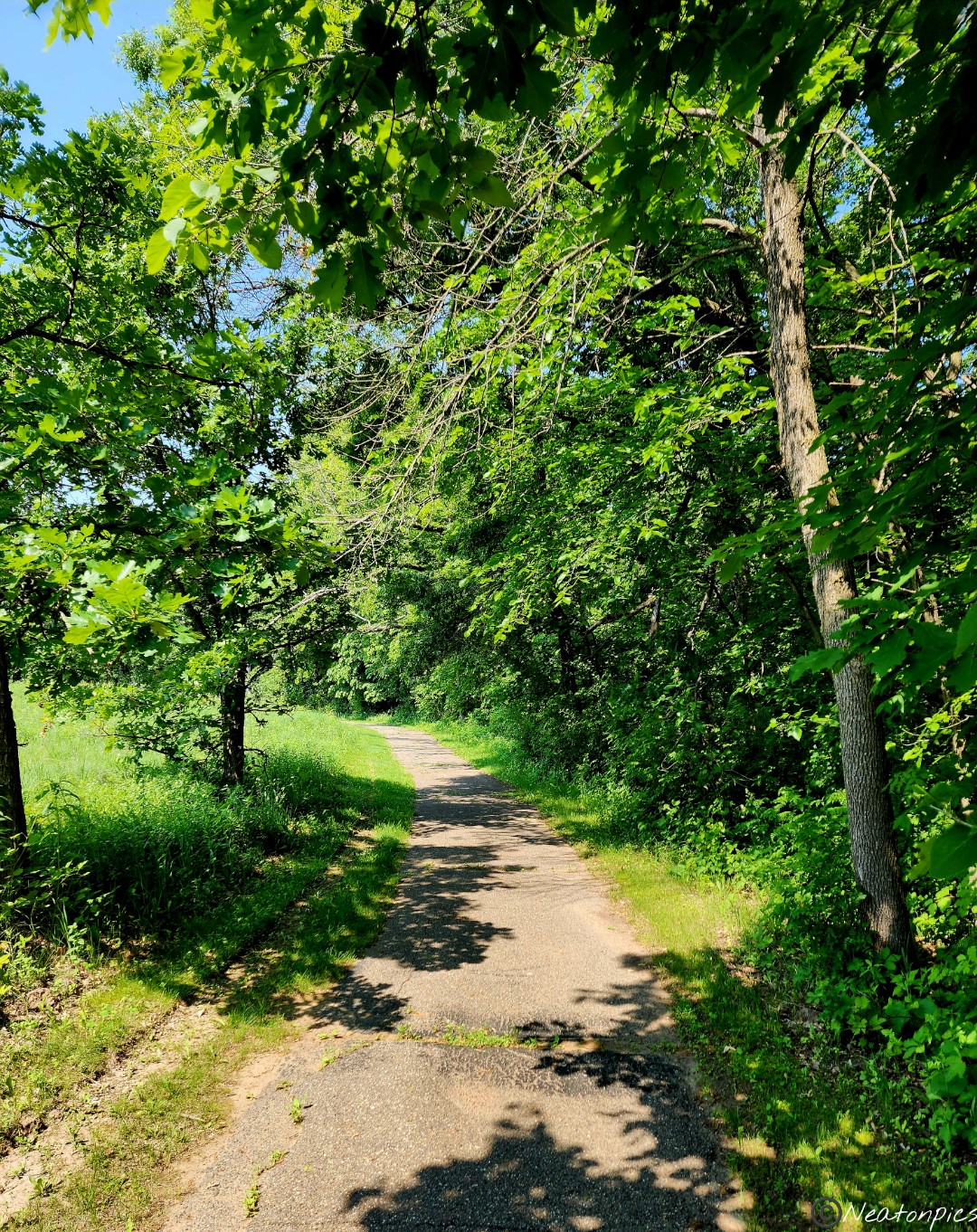
The trail led me back to the Savanna Trail.
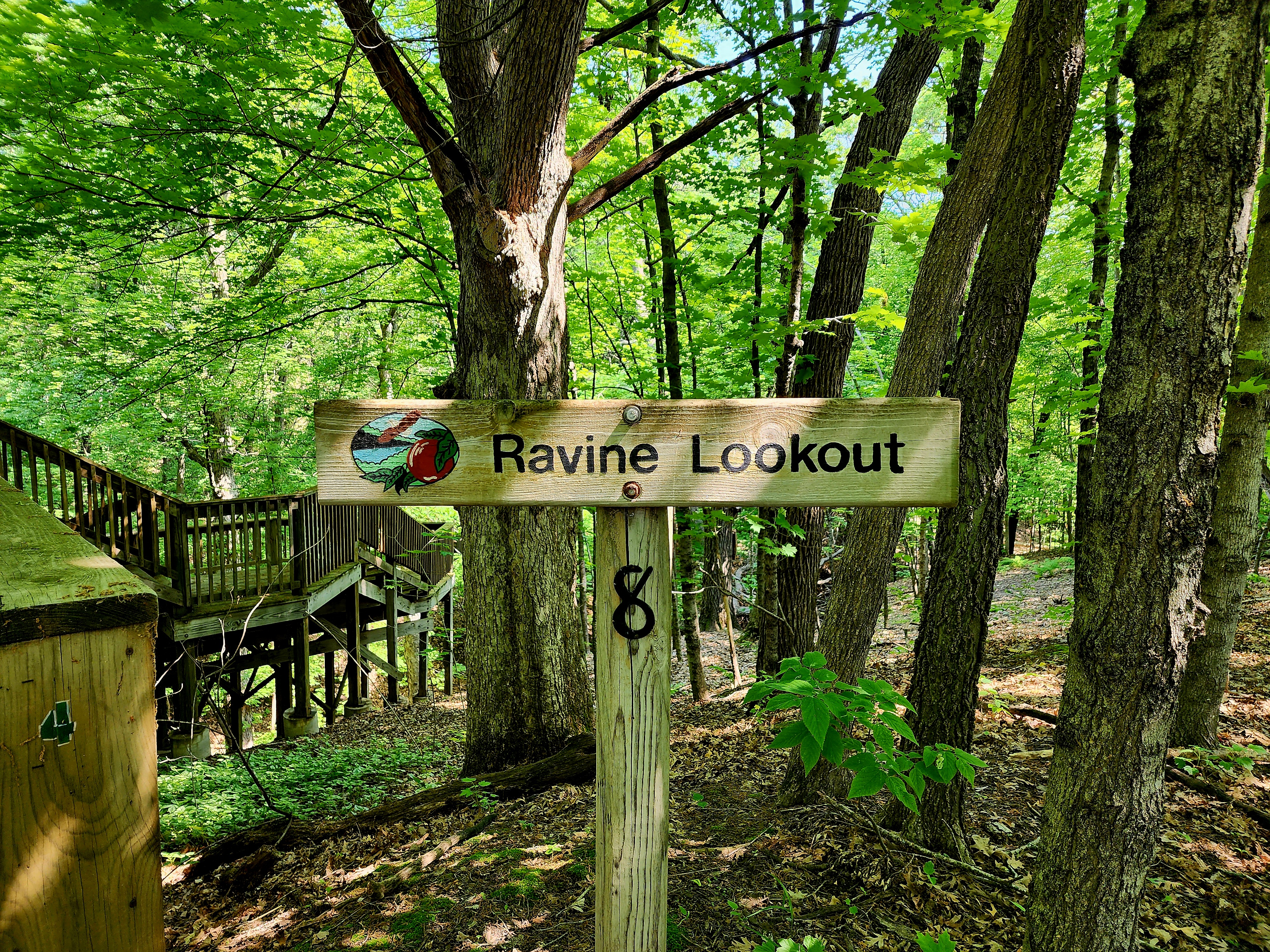
Next stop was the Ravine Lookout. A beautiful wooden deck stretched down the side of the hill. It was a bit buggy at the bottom, so I didn’t stay long.
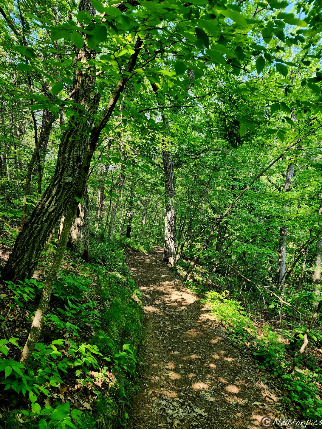
The North Loop Trail was next.
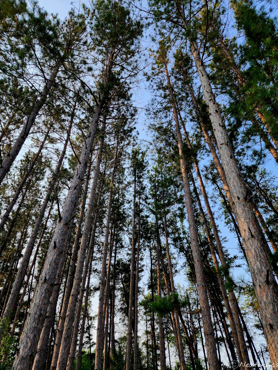
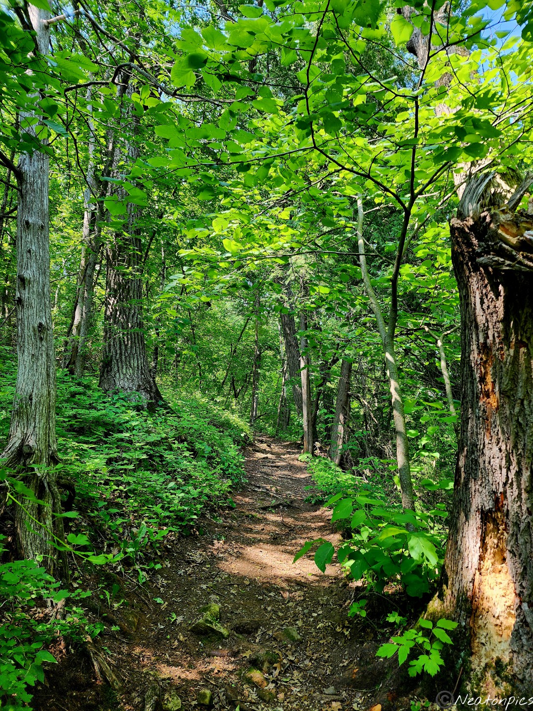
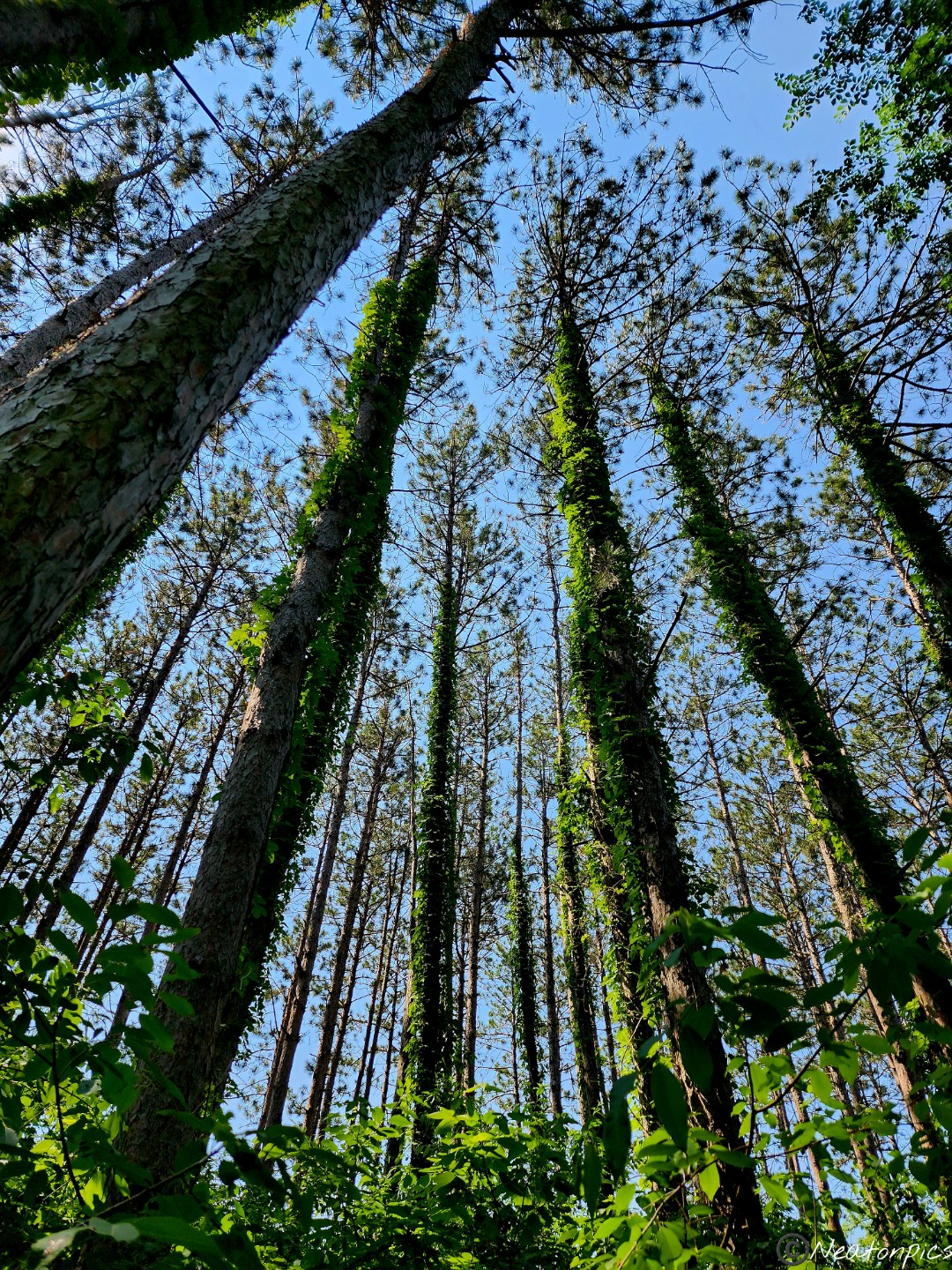
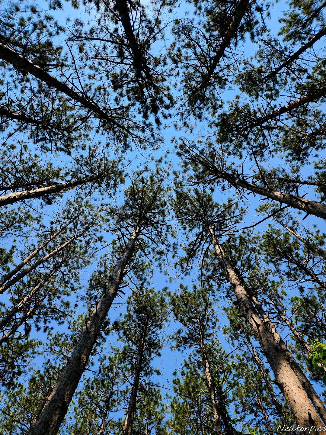
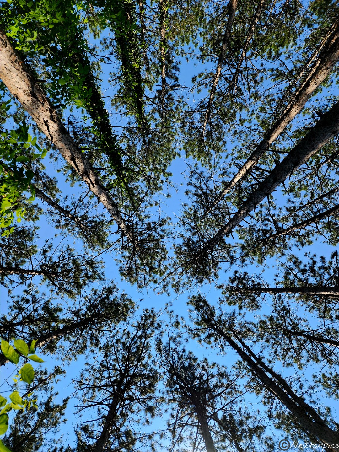
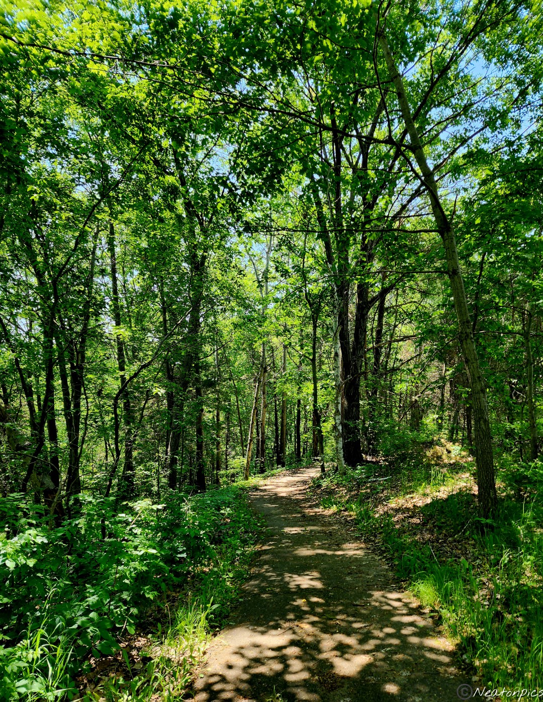
The next part of the trail was my favorite. The tall pine trees looked amazing and they smelled wonderfully.
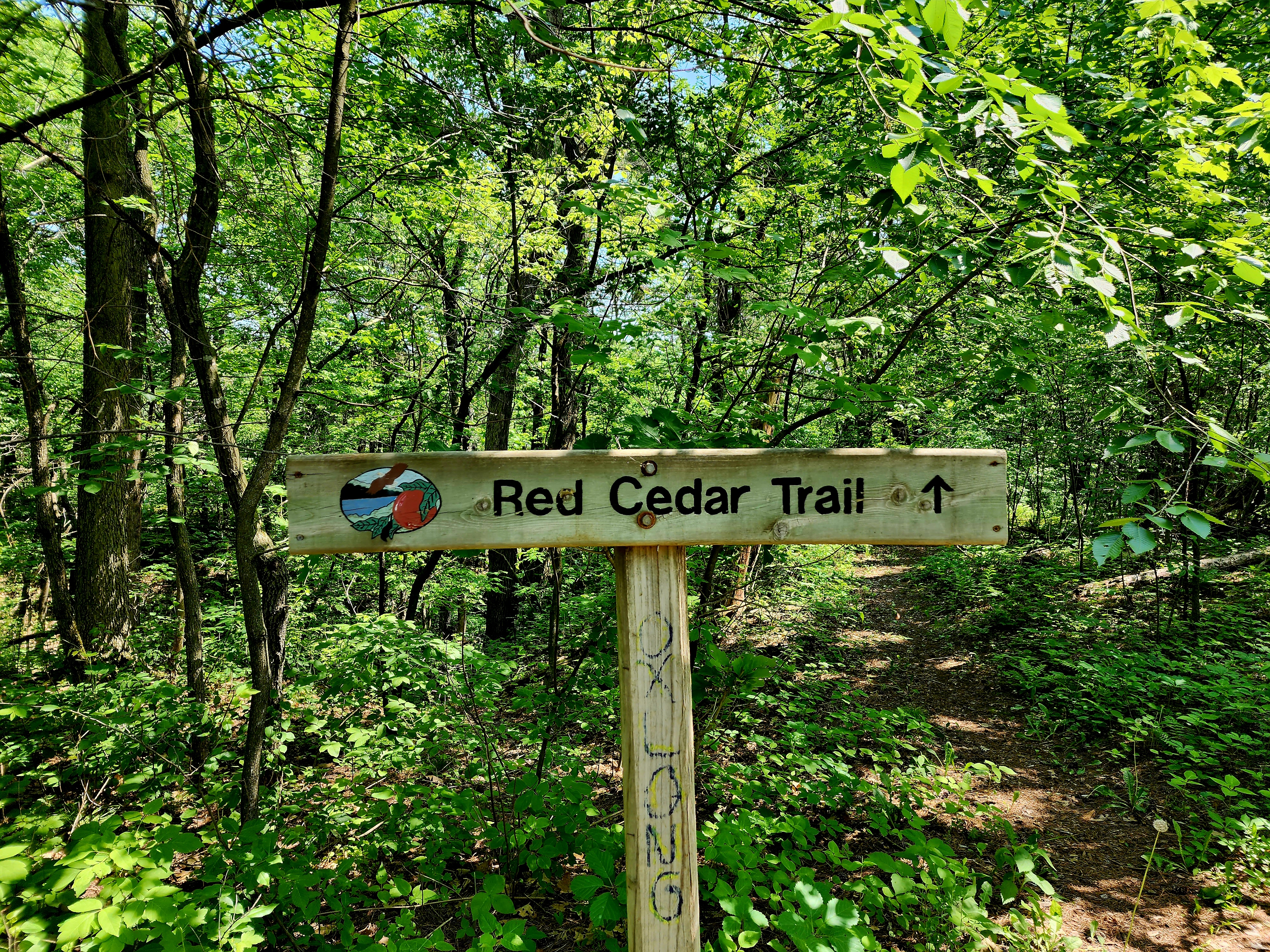
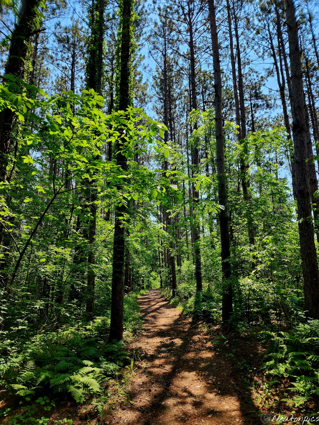
The Red Cedar Trail was next.
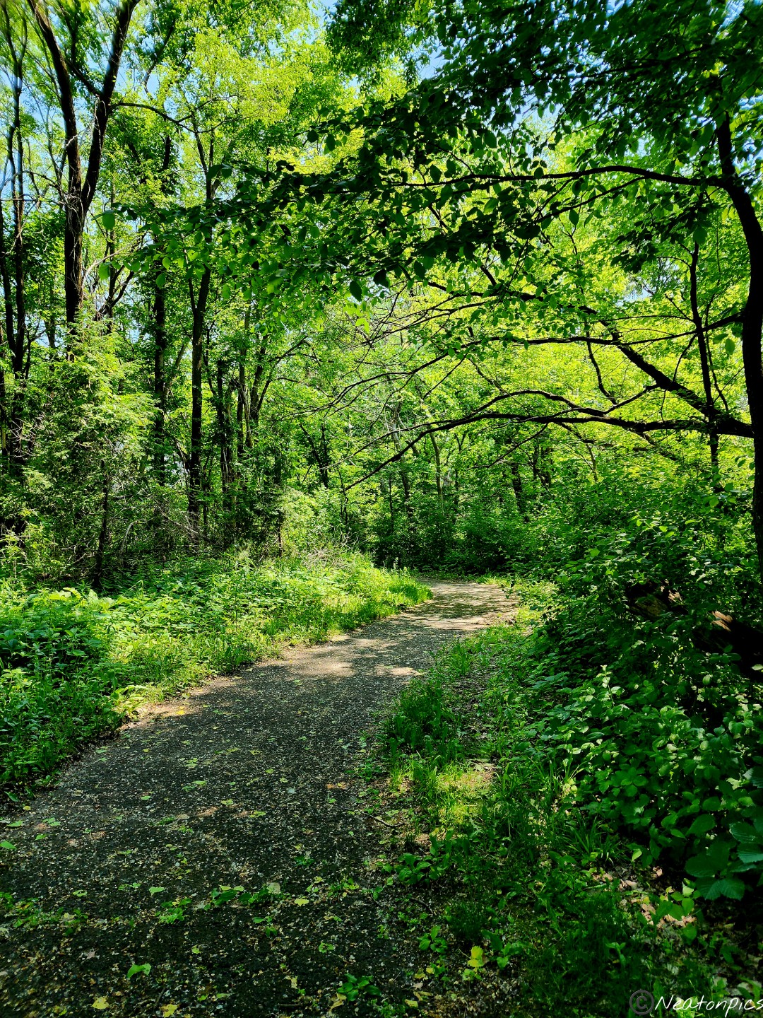
The Red Cedar Trail led back to the North Loop Trail.
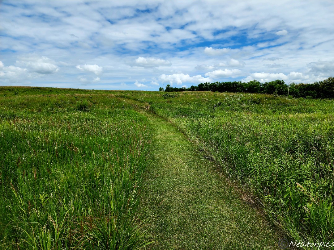
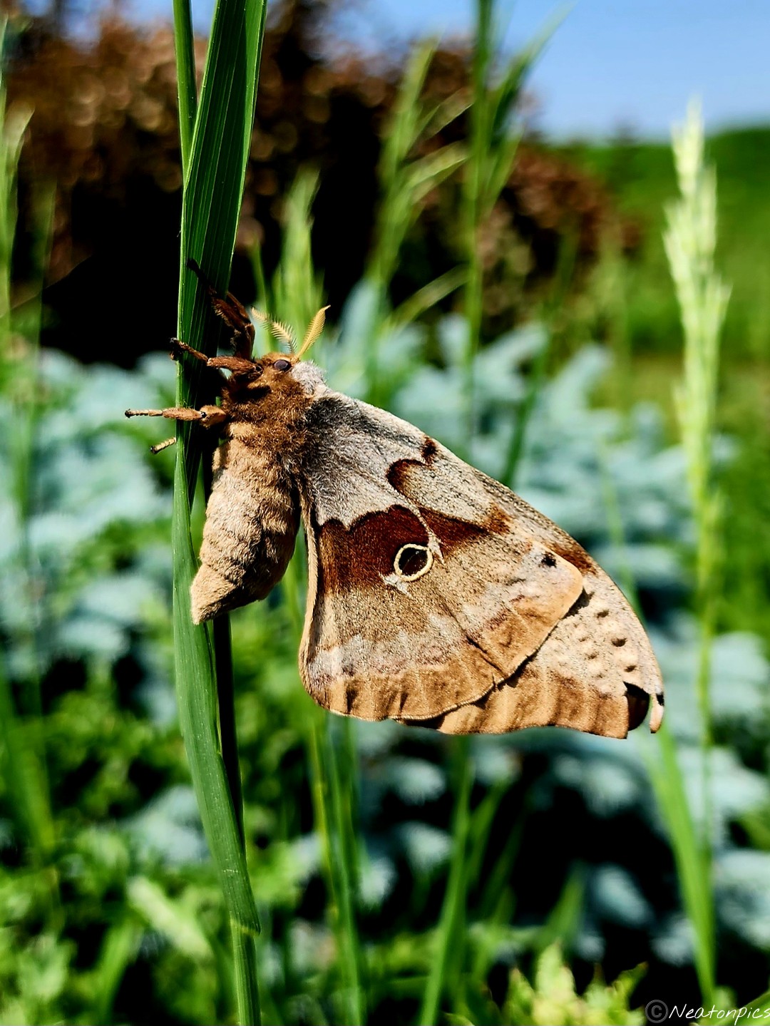
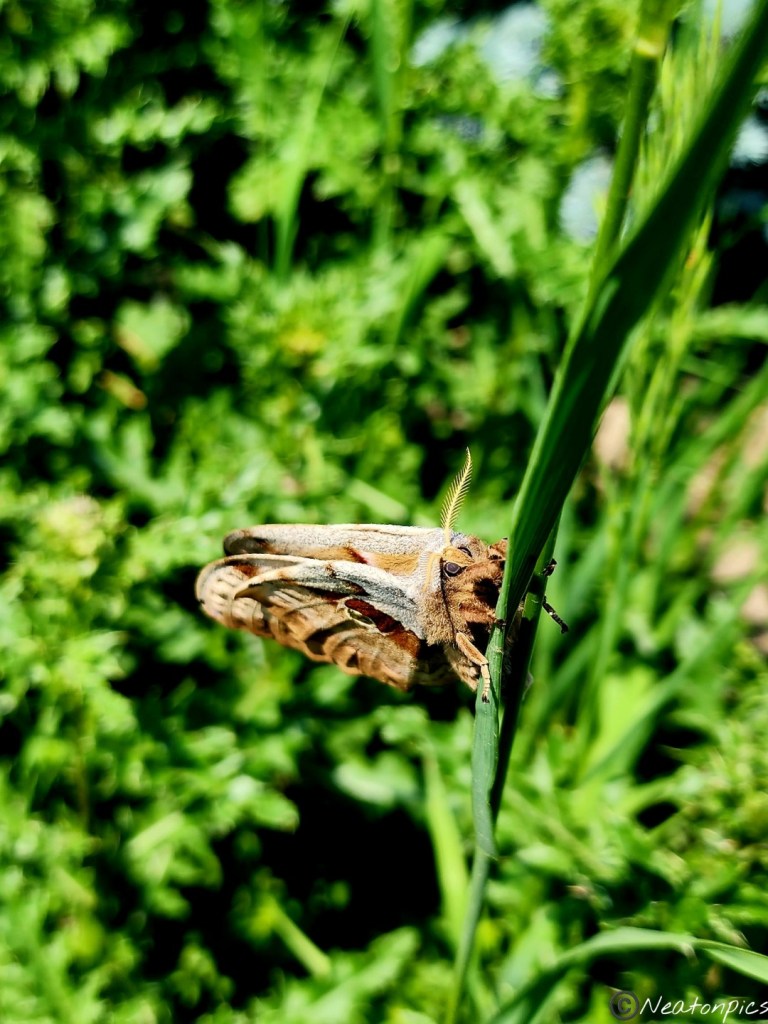
The trail led to the front of the park. I crossed the road to take a photo of the park sign. A beautiful Polyphemus Moth was hanging on to a stem. I couldn’t believe how huge it was. After a bit of research I learned they only live for 4 days. I am thankful I was able to see it in its short life. It remained very still for me to take its photo.
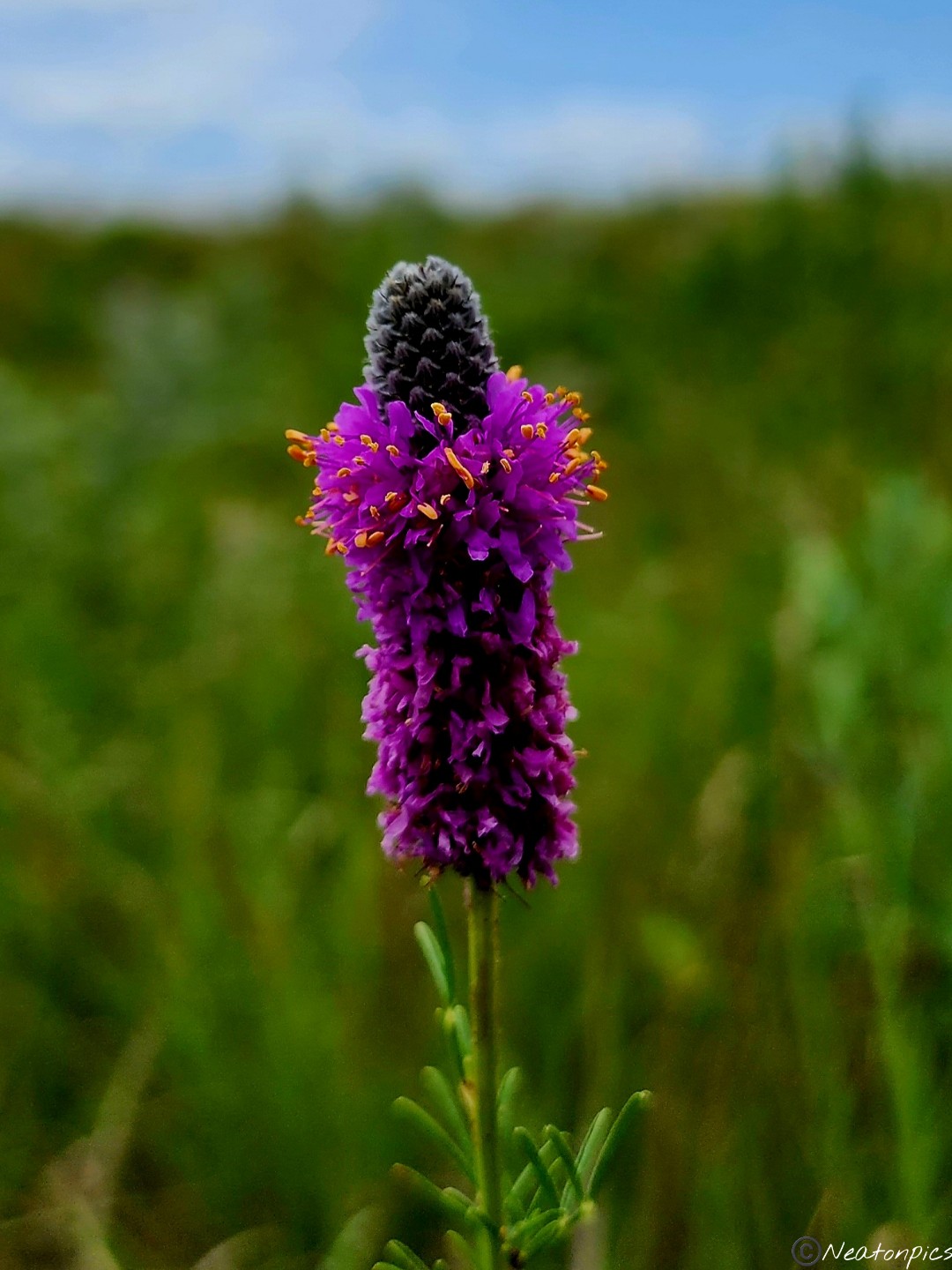
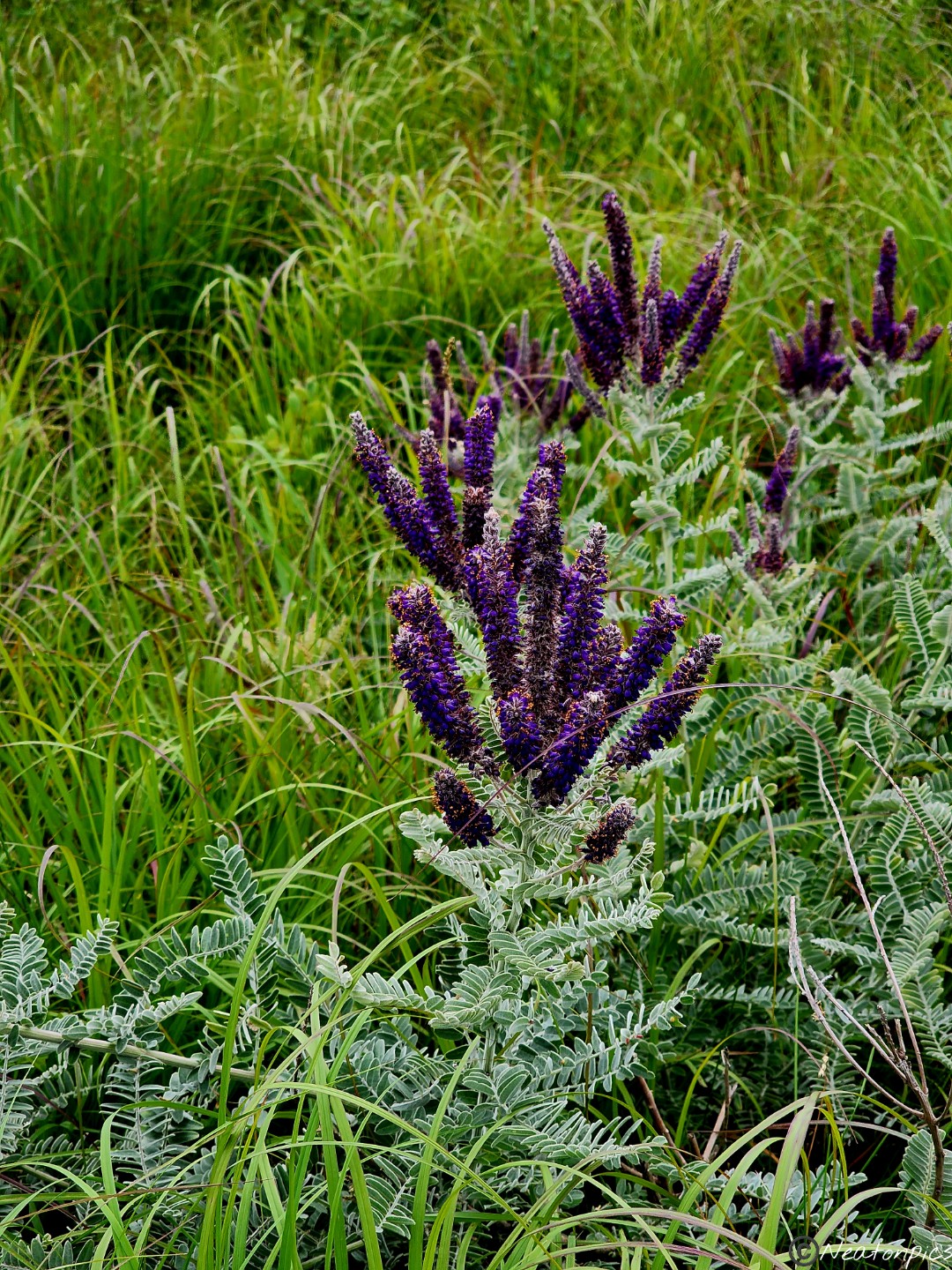
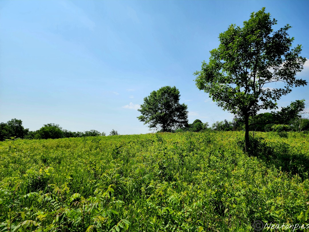
Vibrant purple lupine lined the field by the front of the park.
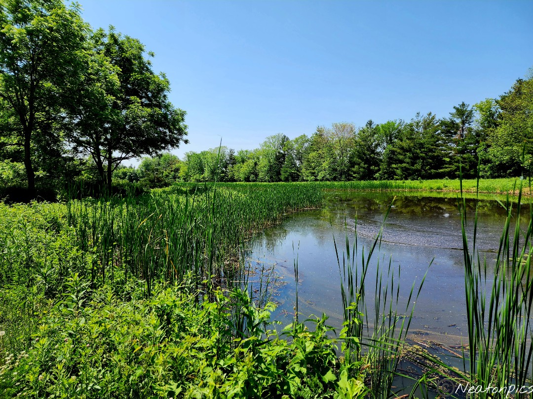
I crossed the street and headed back inside the park. I took the trail next to a small pond. The pond was full of tadpoles!
I wanted one more view of the river before leaving this amazing park. I took the trail to the River Overlook.
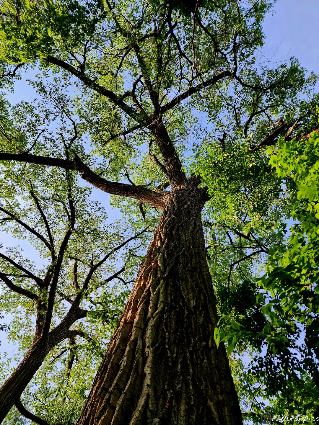
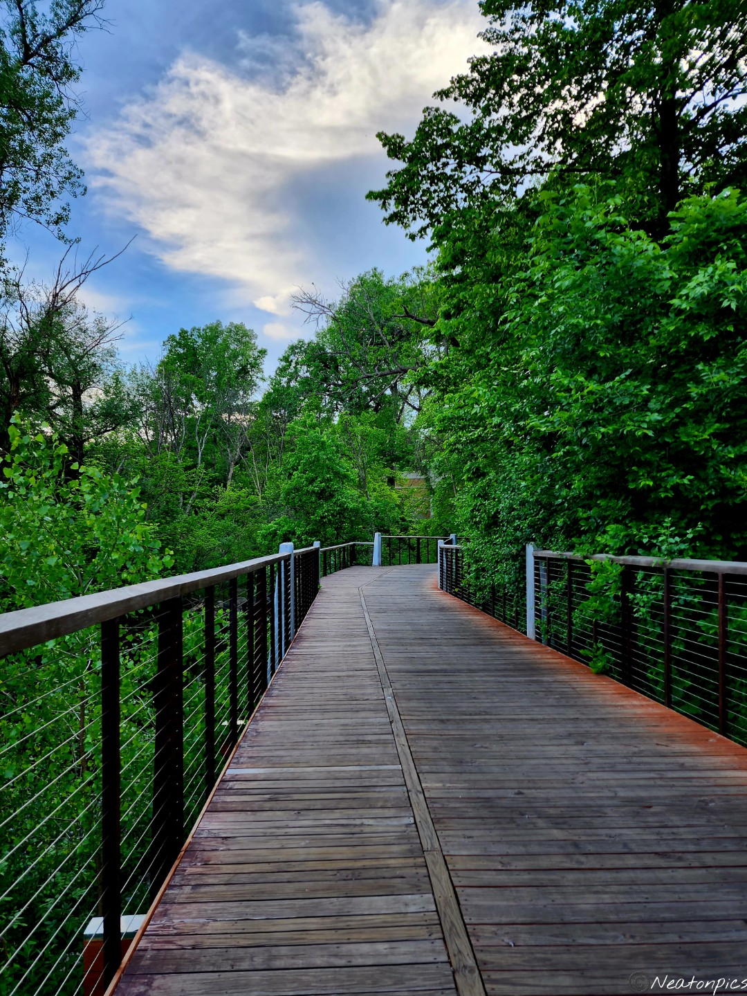
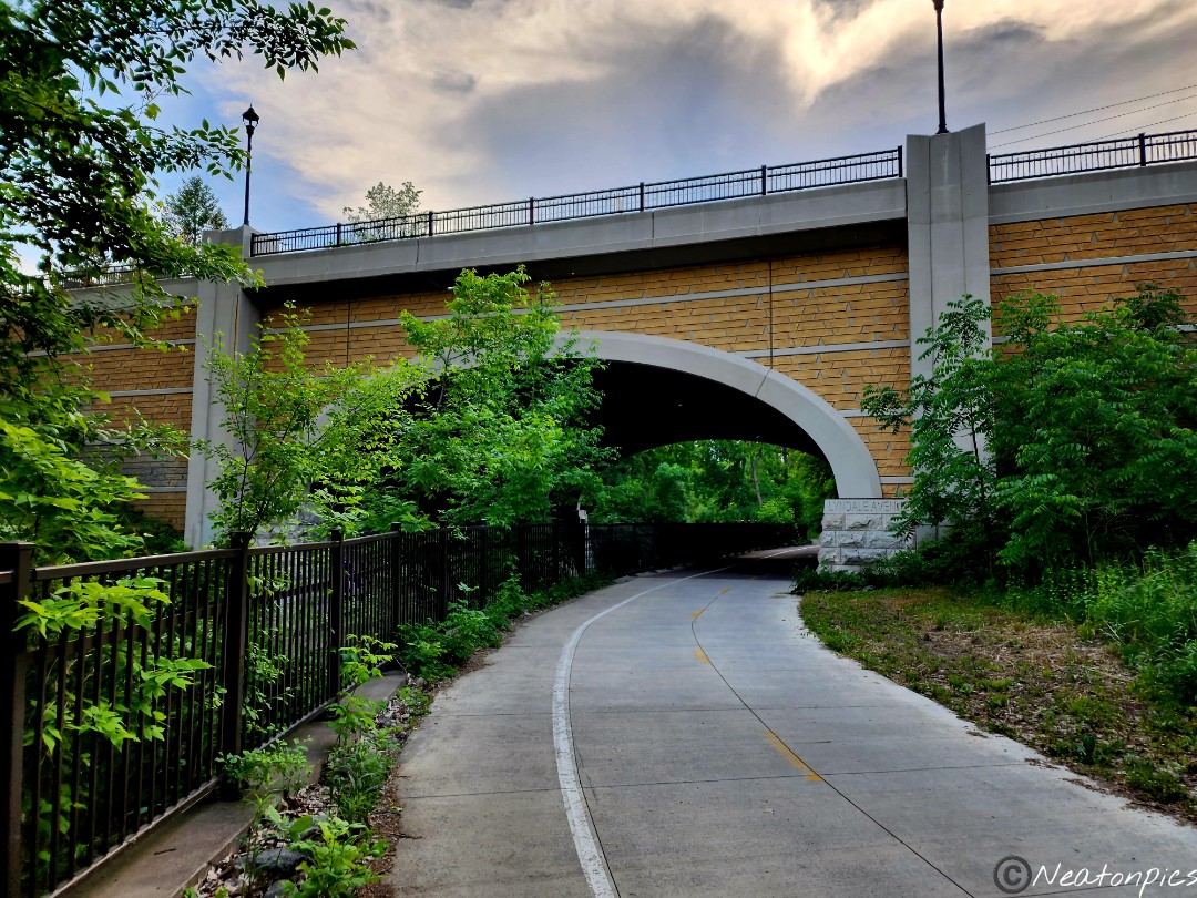
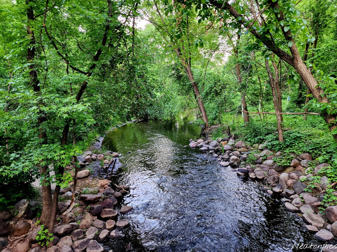
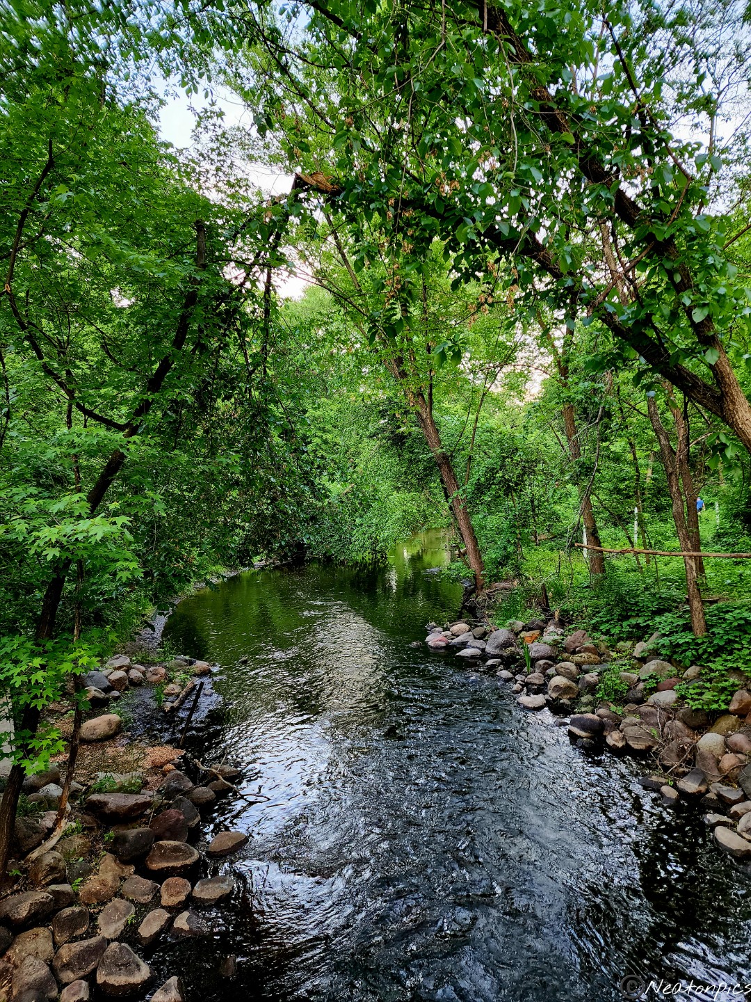
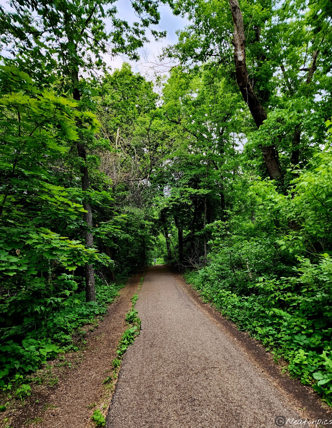
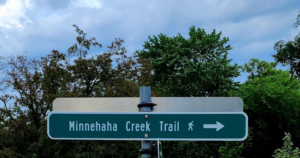
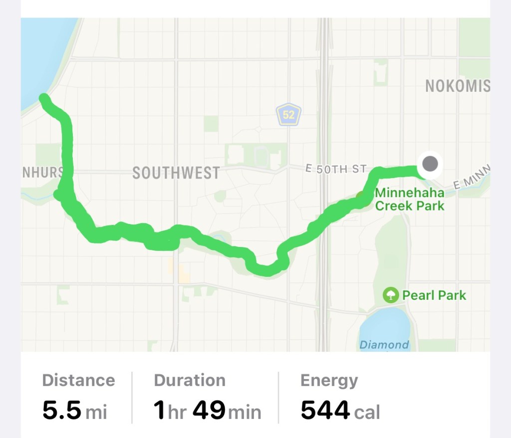
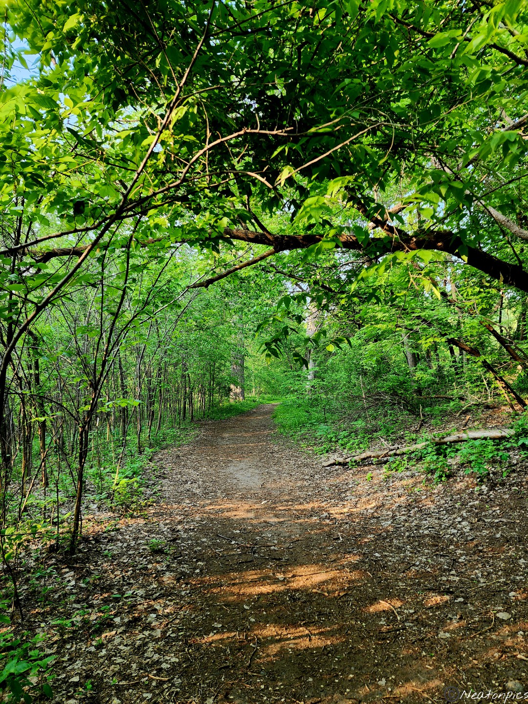
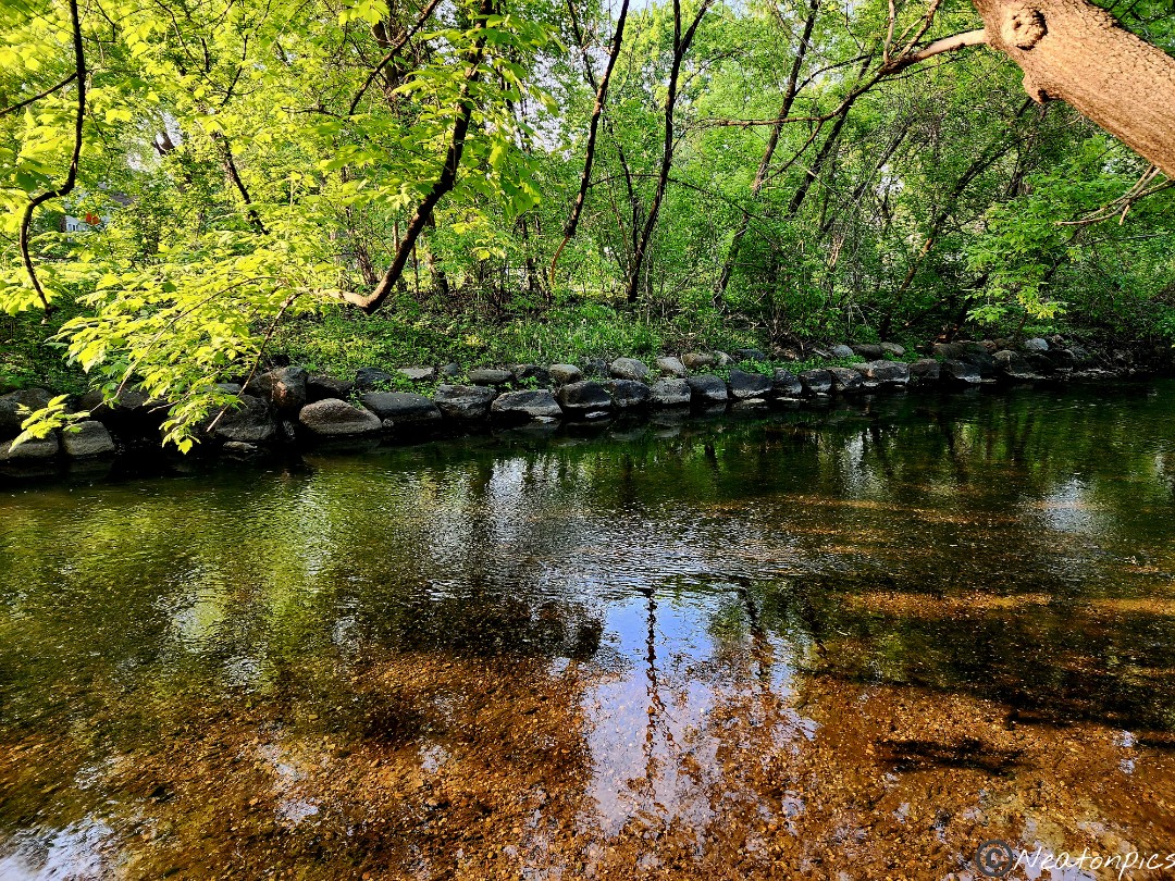
We continued our hike on the Minnehaha Parkway May 30th, 2023.
We started our hiking adventure this evening where we left off last week, off of Portland Avenue. Another beautiful night to be out, a bit hot and humid but hey, it’s almost summer.
The Minnehaha Creek and Parkway cuts through a large part of South Minneapolis’ neighborhoods. This means there are many different entry points to access the parkway. There are also many different bridges to cross over the creek. Of course, we had to take in all the different views.
The trail continues under Highway 35W.
Under Nicollet Avenue was next. I find hiking under the highways and roads I use all the time so interesting.
Below one of the bridges was a small dirt island where some ducks took up residence.
Vibrant wildflowers grew alongside the trail.
Along the trail are some giant ancient trees. The trunks on some of these trees are ginormous!
The next main road we went under was Lyndale Avenue.
We continued along the parkway trail towards Lake Harriet.
We reached Lake Harriet and decided to turn around and head back to our starting point.
On our way back, we decided to hike on the other side of the creek for a bit for a different view.
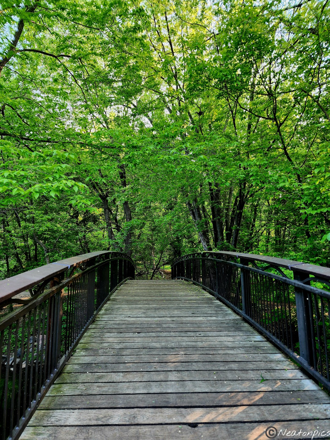
Earlier we had crossed under a long pedestrian bridge. We made sure to find a way to cross over it. It was cool to see the trail below that we had just hiked.
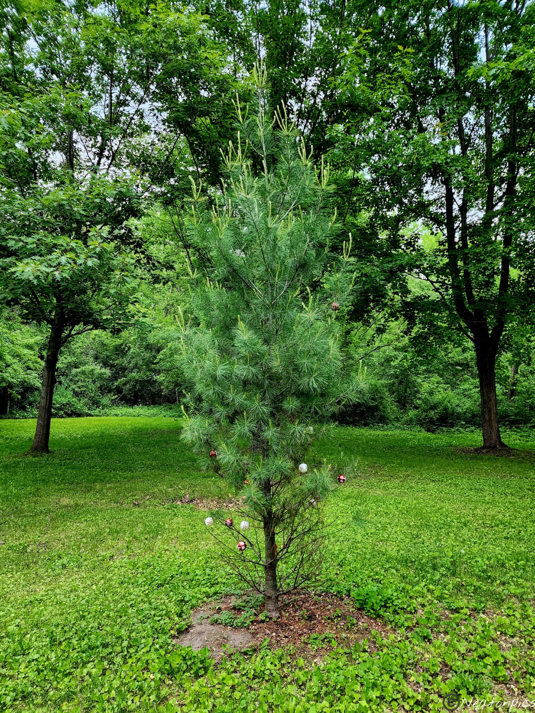
We noticed a pine tree still decorated in holiday ornaments. I have to assume that since only the bottom half was decorated, the gnomes must have done it.
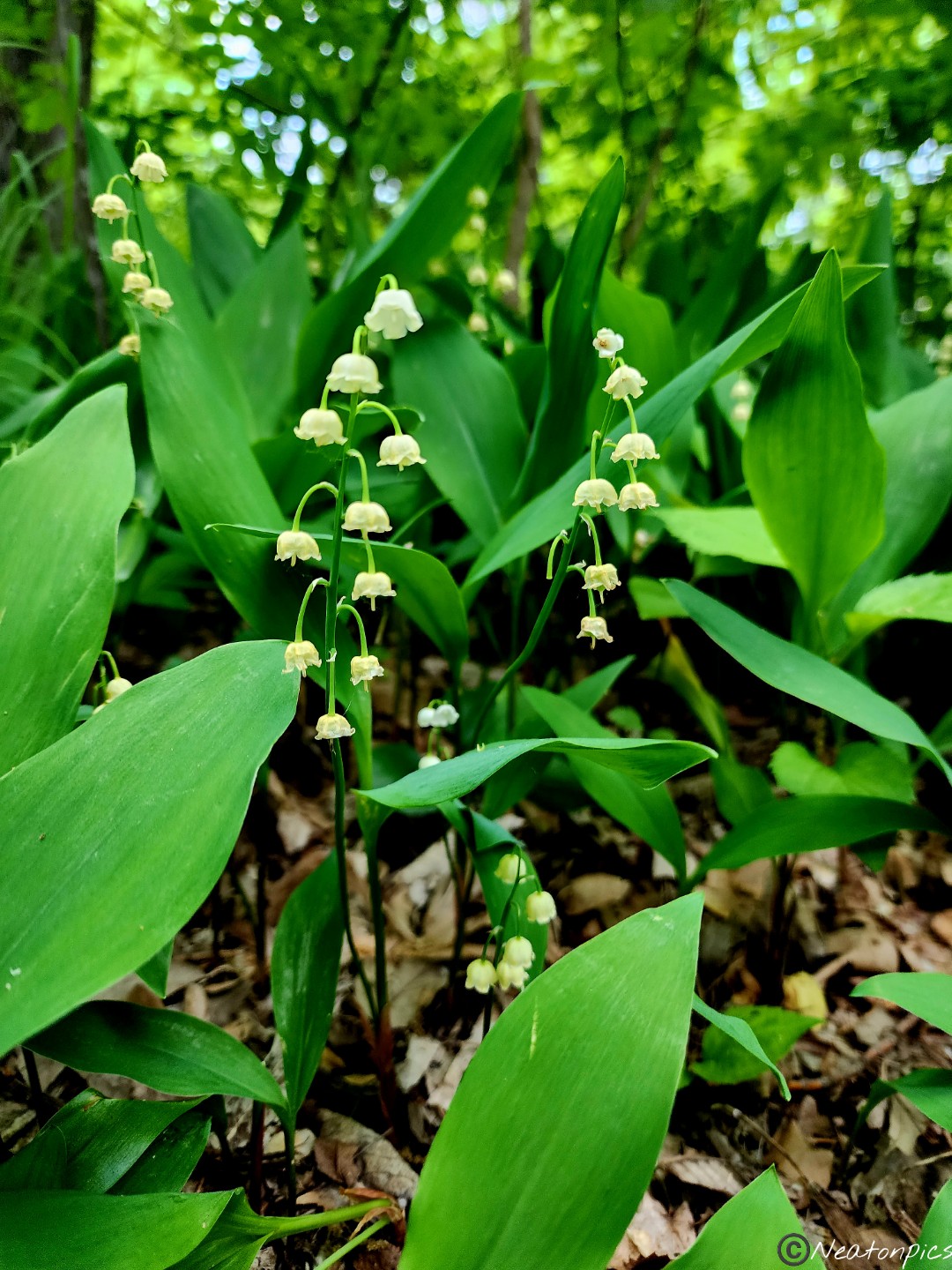
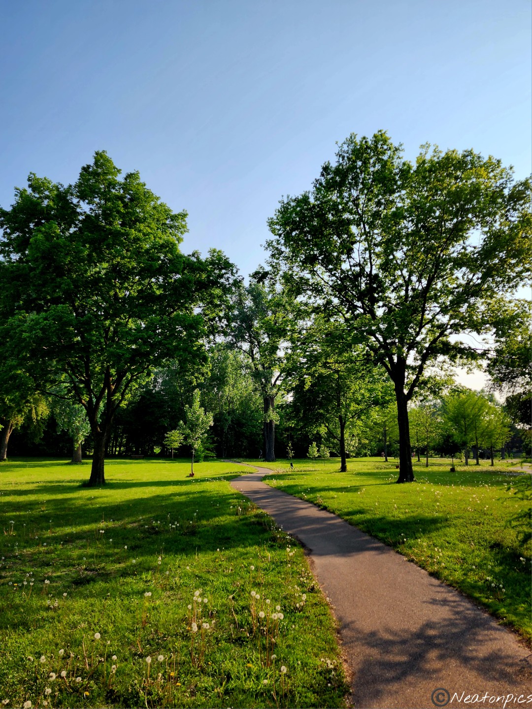
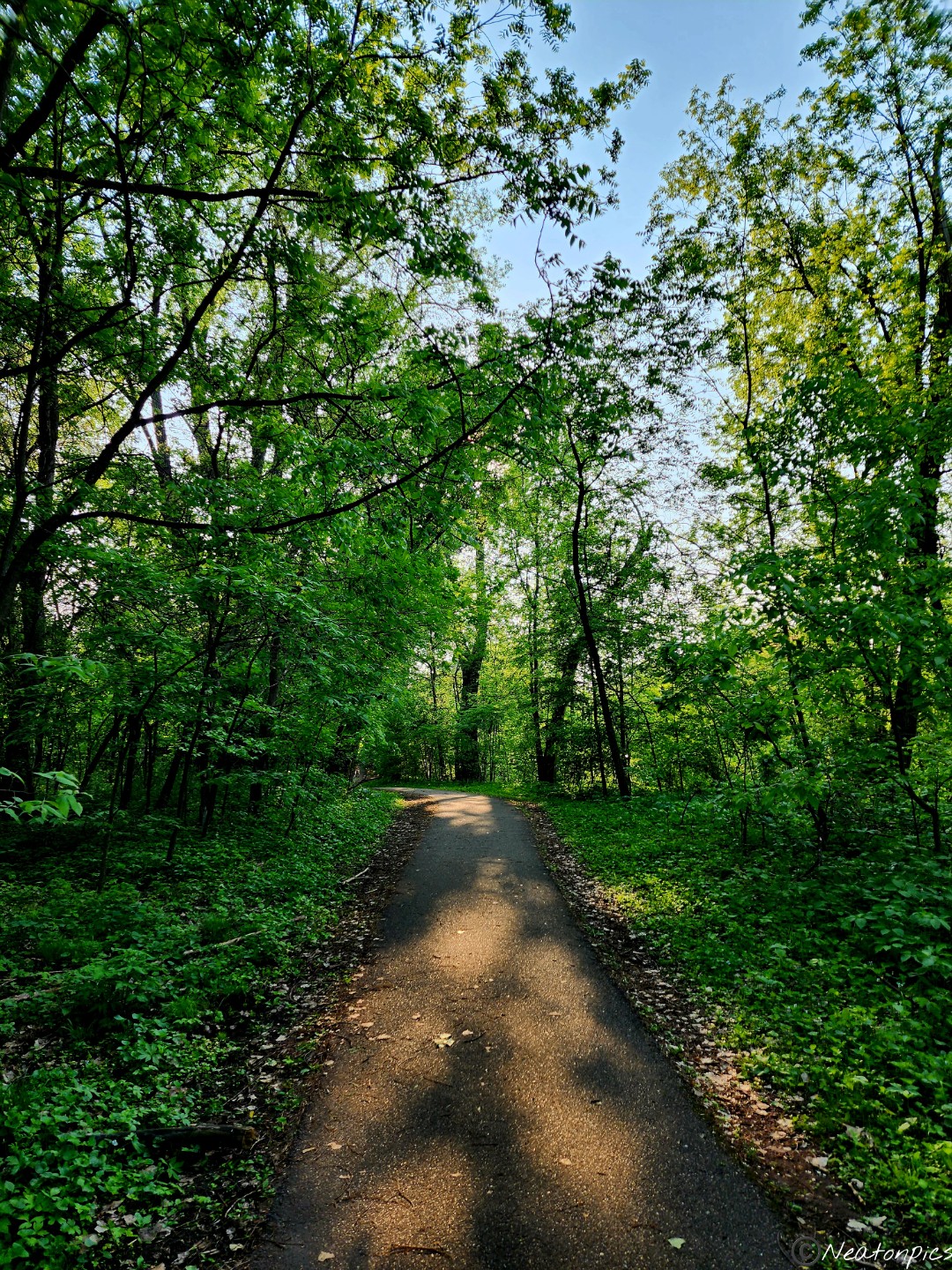
We began our evening adventure on the Minnehaha Parkway by the Minnehaha Falls. Beautiful homes, trees, and flowers lined the parkway.
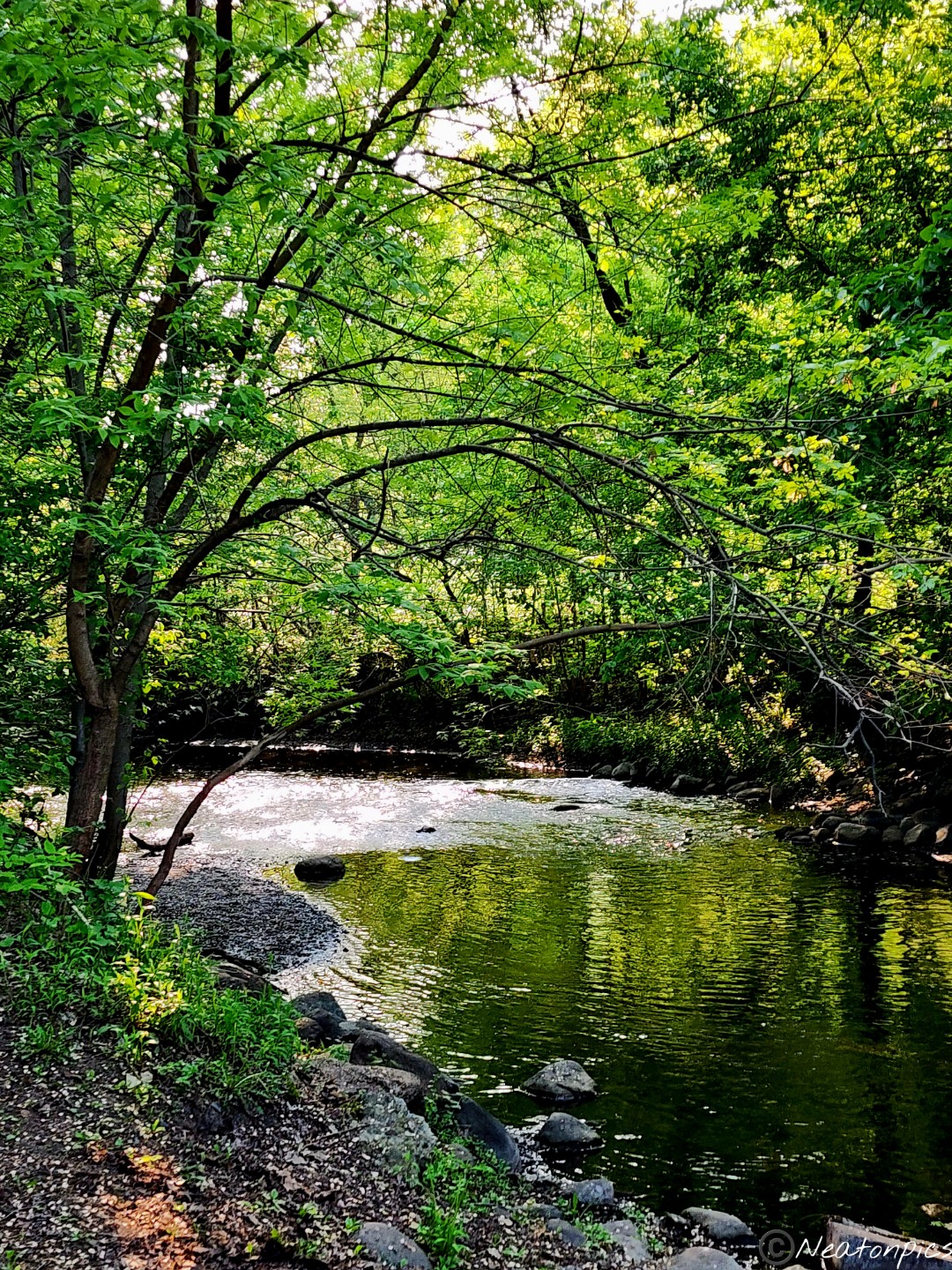
There were many different bridges to cross to view the creek below.
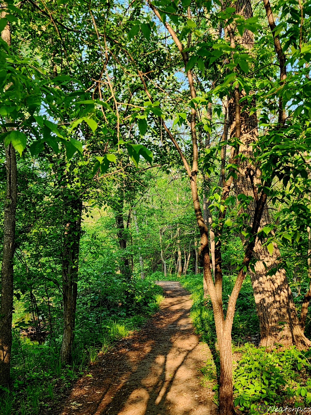
We continued along the paved trail.
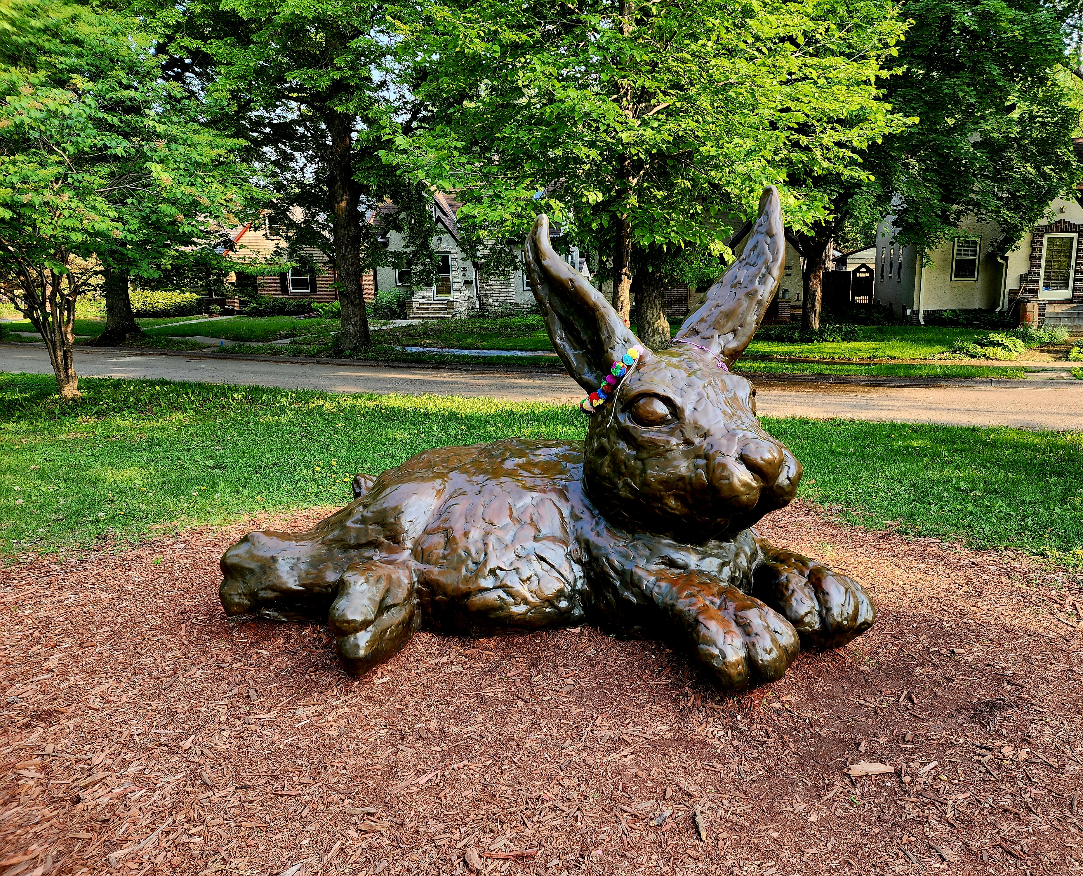
At Portland Avenue, there is a giant bunny statue. This bunny is decorated by the neighborhood residents throughout the year. We turned around and began to hike back. We chose to hike the unpaved trails close to the creek.
Being so close to the creek, the mosquitos began to swarm around us looking to make us their evening meal.
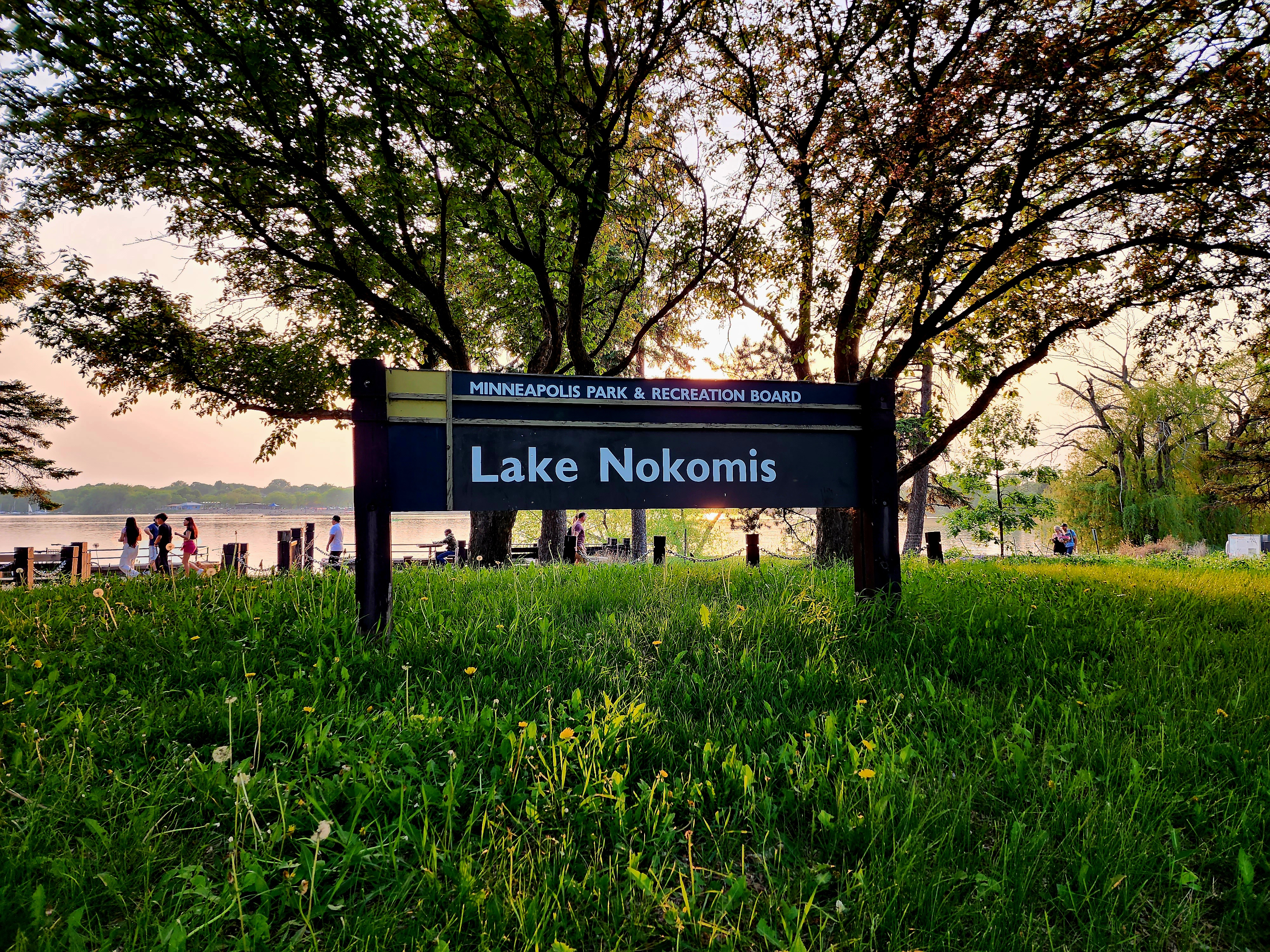
We rushed back to the paved trail trying to save ourselves from the mosquitos. It was a beautiful evening, so we decided to make a loop around Lake Nokomis before heading back to our starting point.
The lake was packed! Everyone was out enjoying the almost summer evening at Lake Nokomis. People were walking, biking, swimming, and sailboating.
The sun was beginning to set.
Lake Nokomis is near the airport and downtown Minneapolis. The smoke from the Canadian wildfires cast a haze over the sky.
The next few photos are my favorite of the evening.
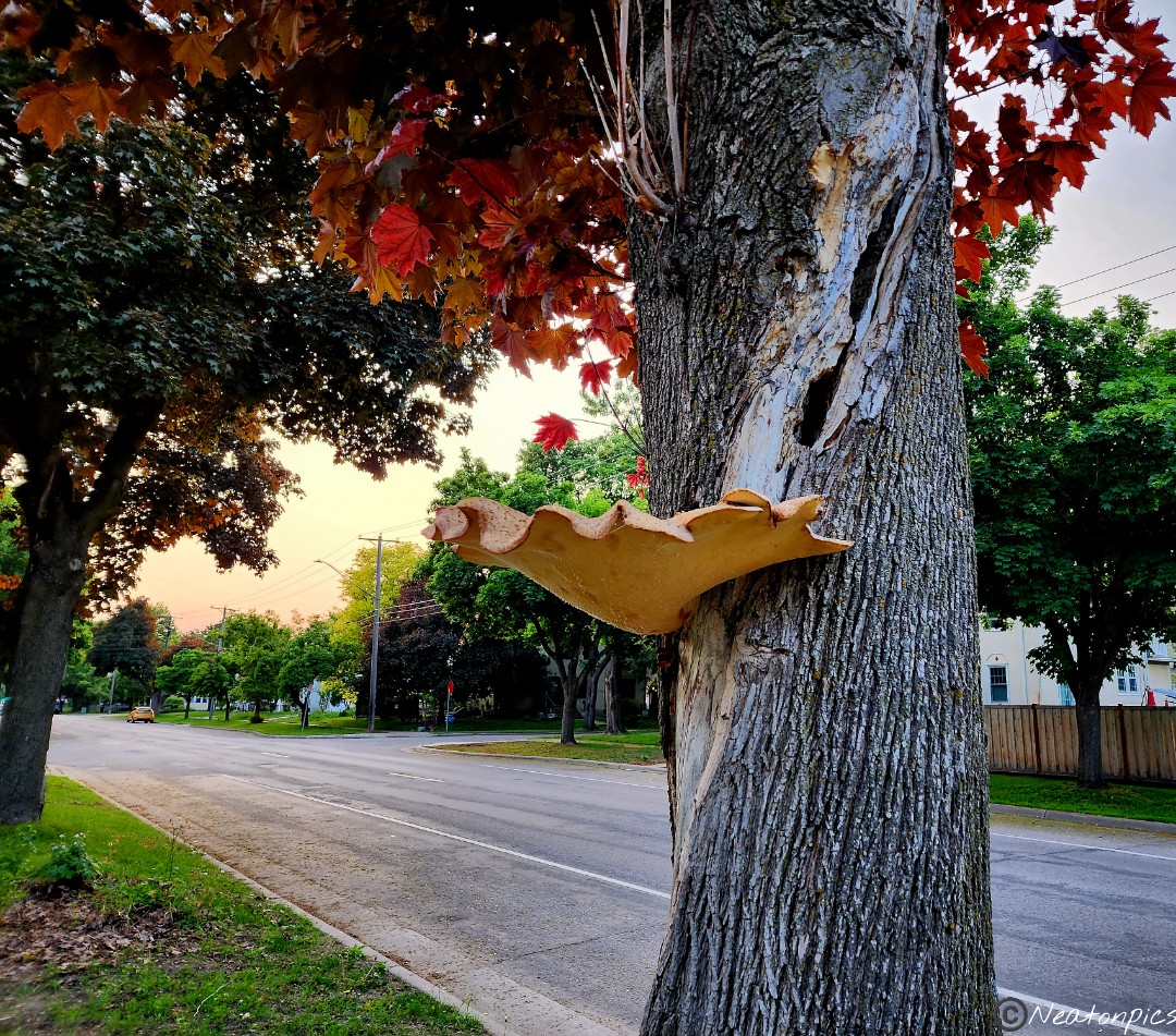
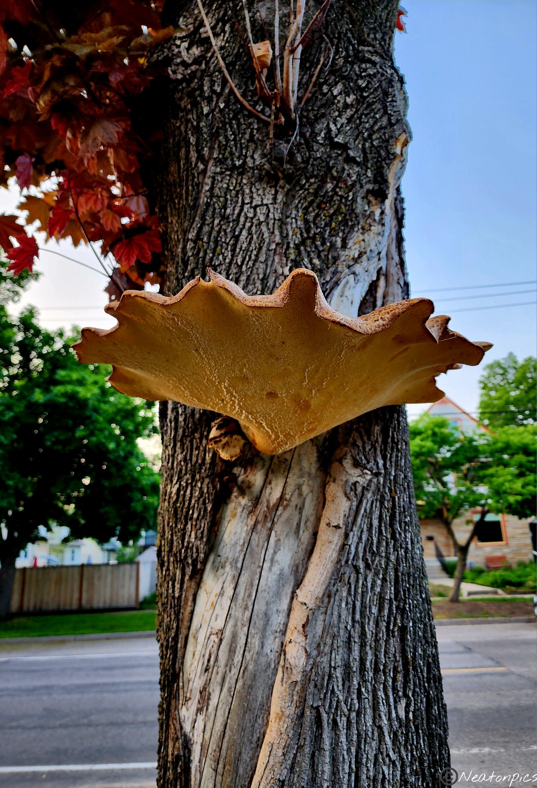
We took the sidewalk through the neighborhood back towards Minnehaha Falls. We passed a mushroom that looked fake due to its size. After a closer look, we determined the mushroom was real!
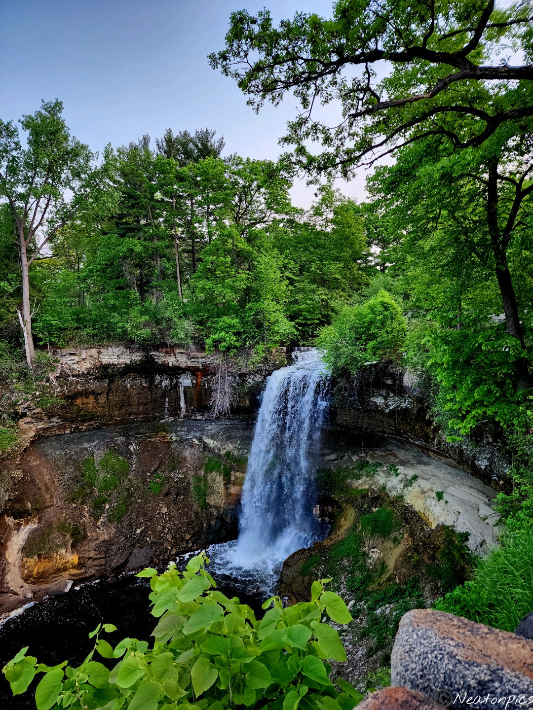
We took a moment to view the Minnehaha Falls before calling it a night.
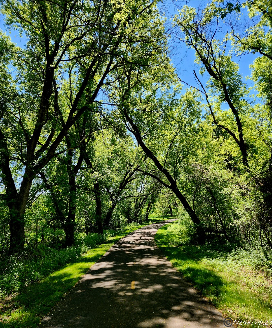
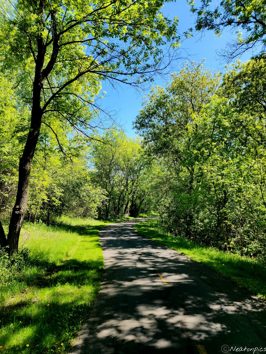
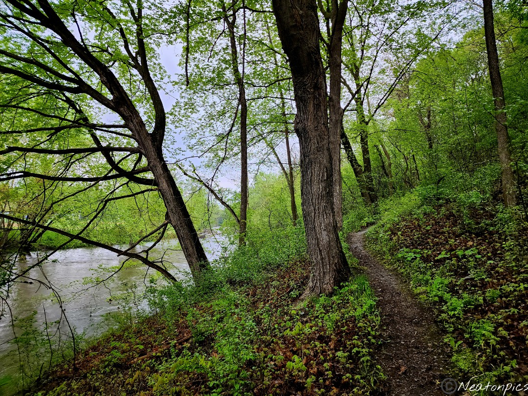
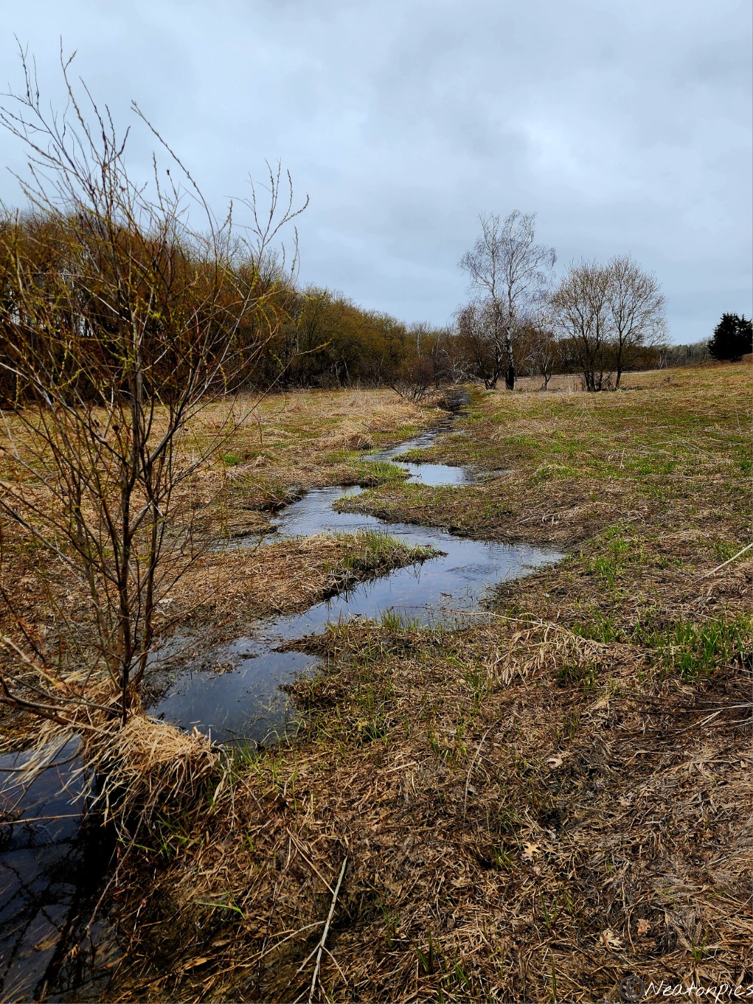
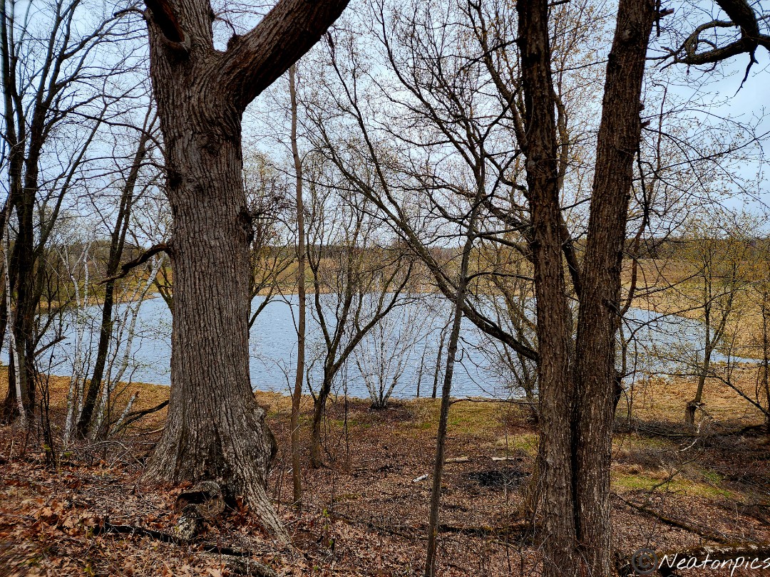
Today’s hiking adventure began at River Bend Nature Center.
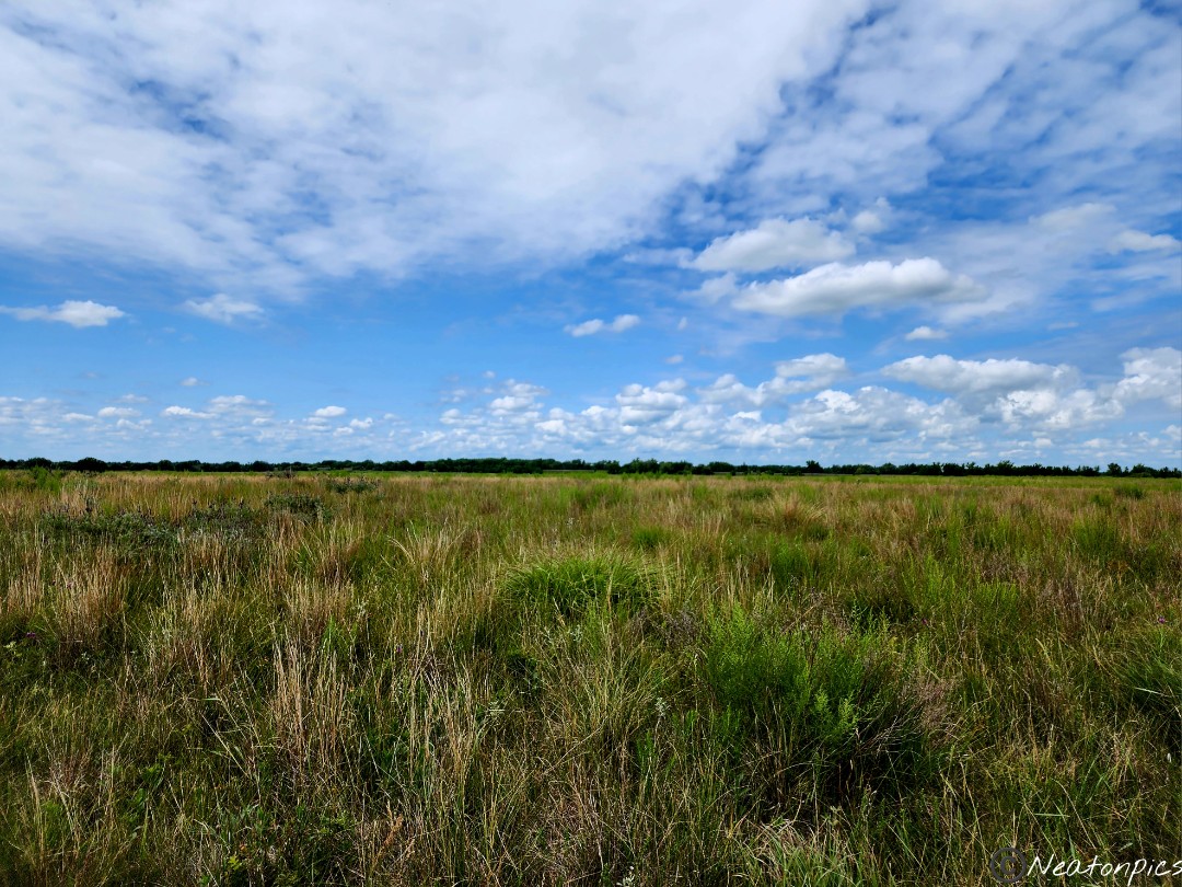
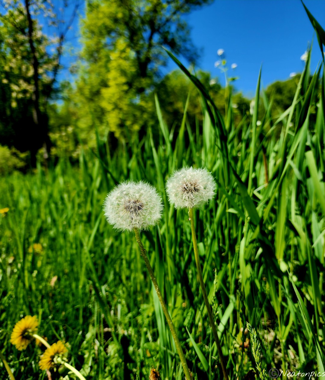
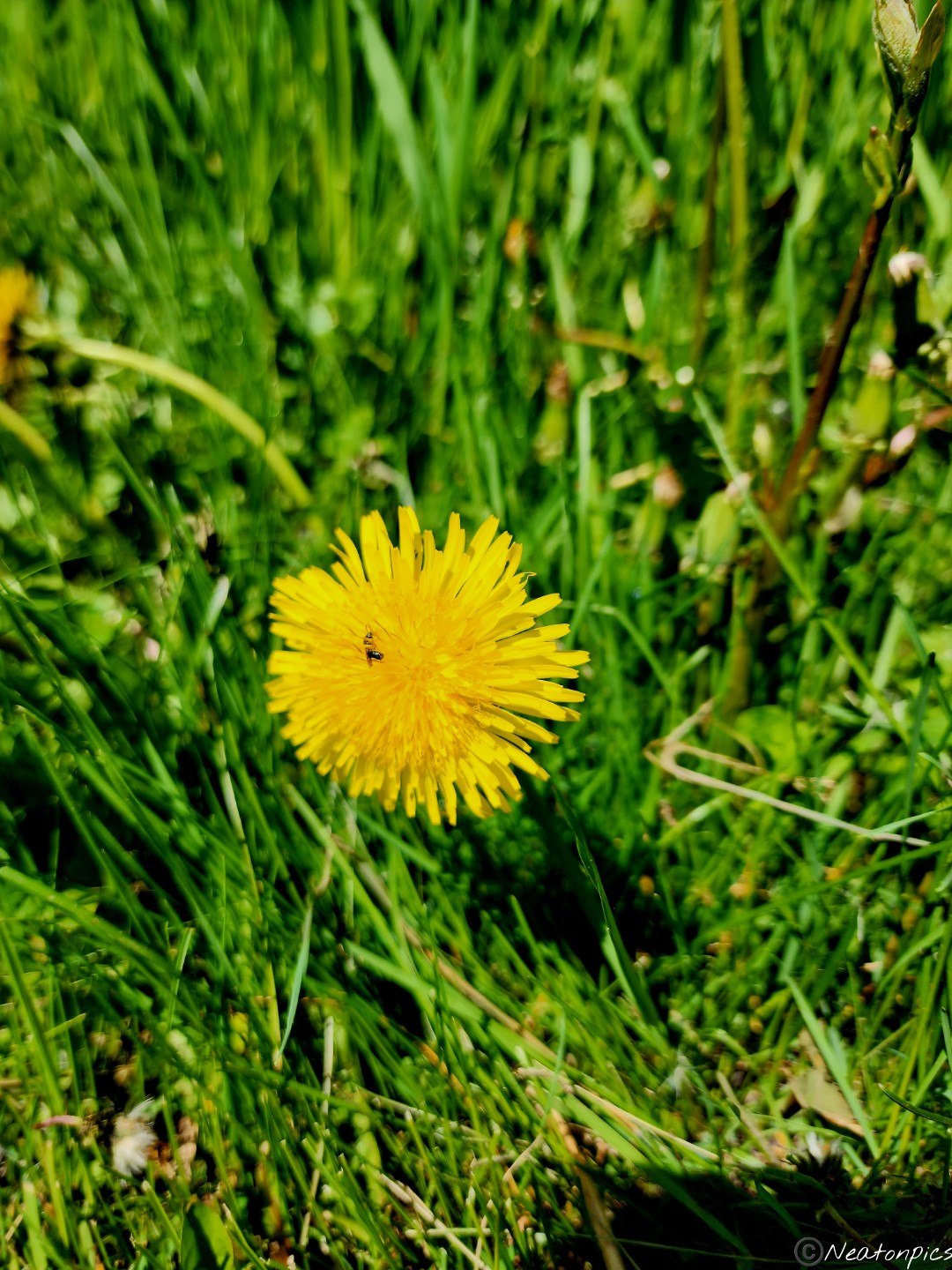
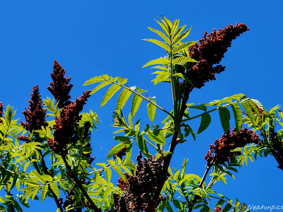
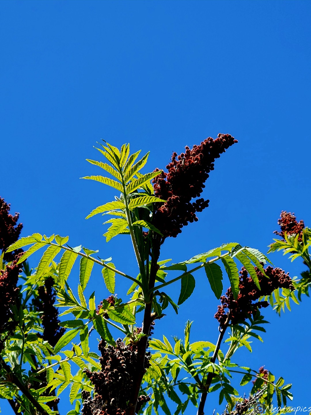
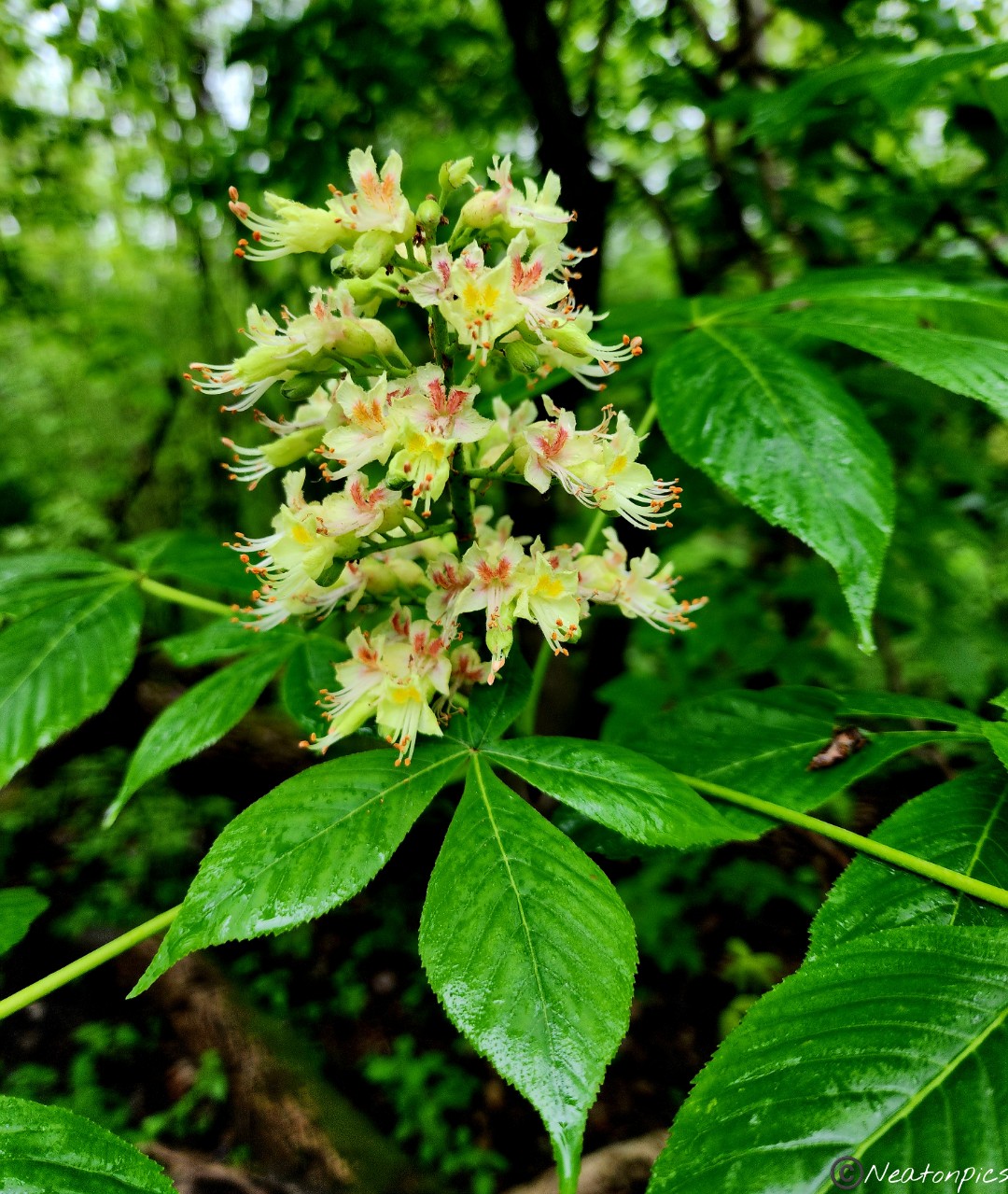
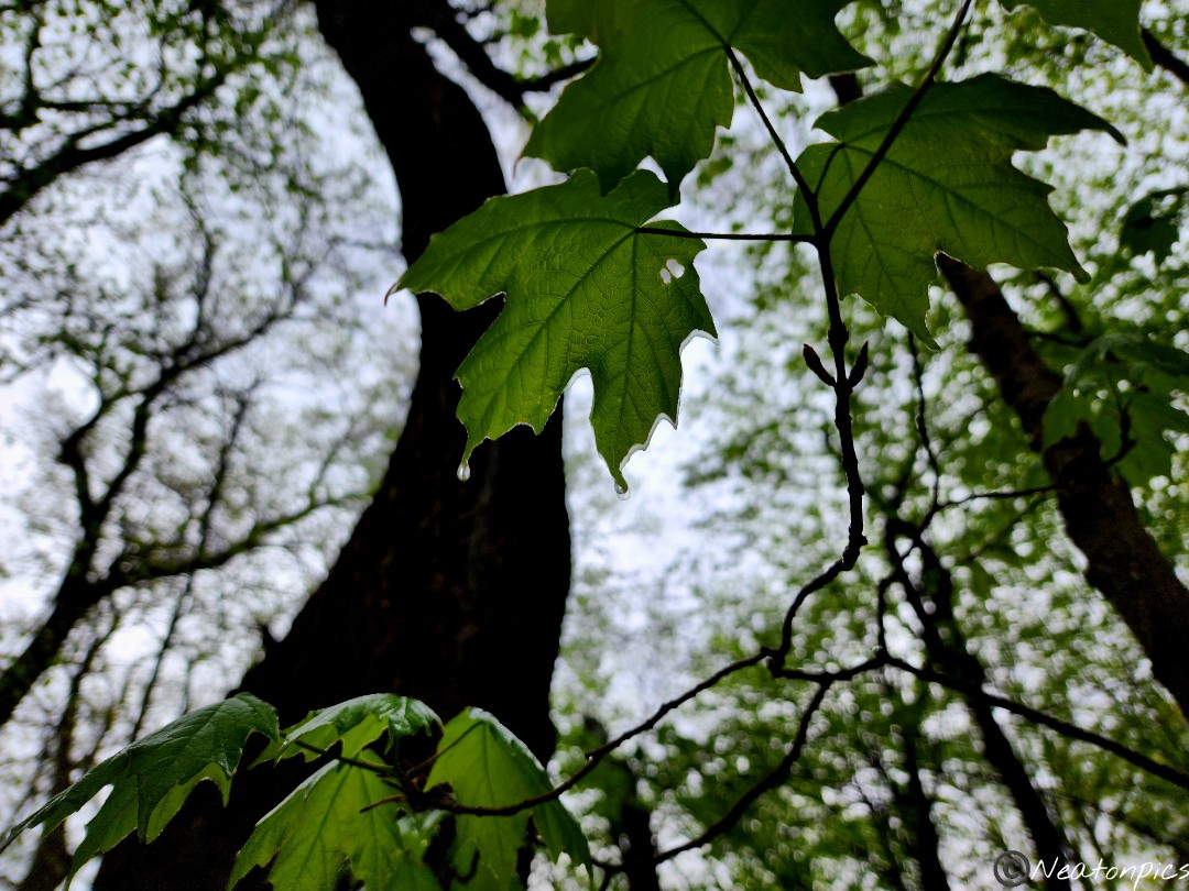
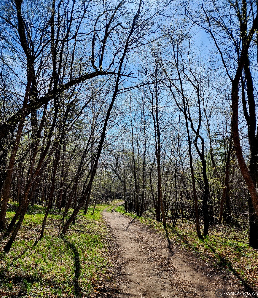
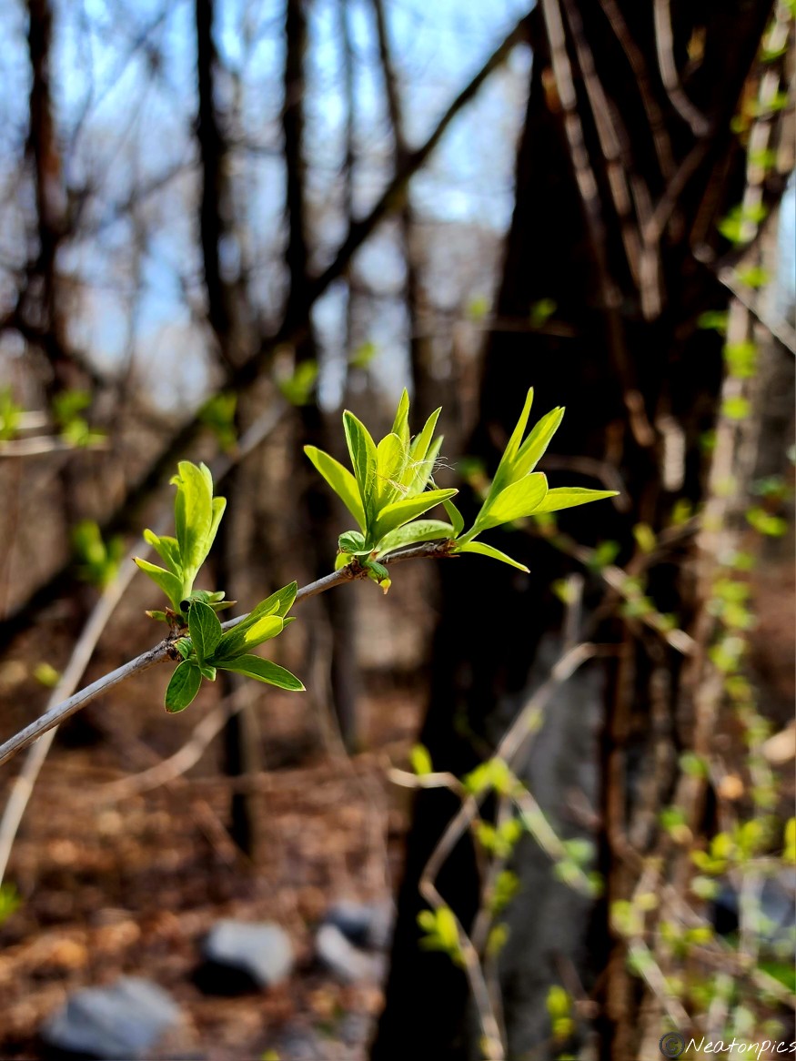
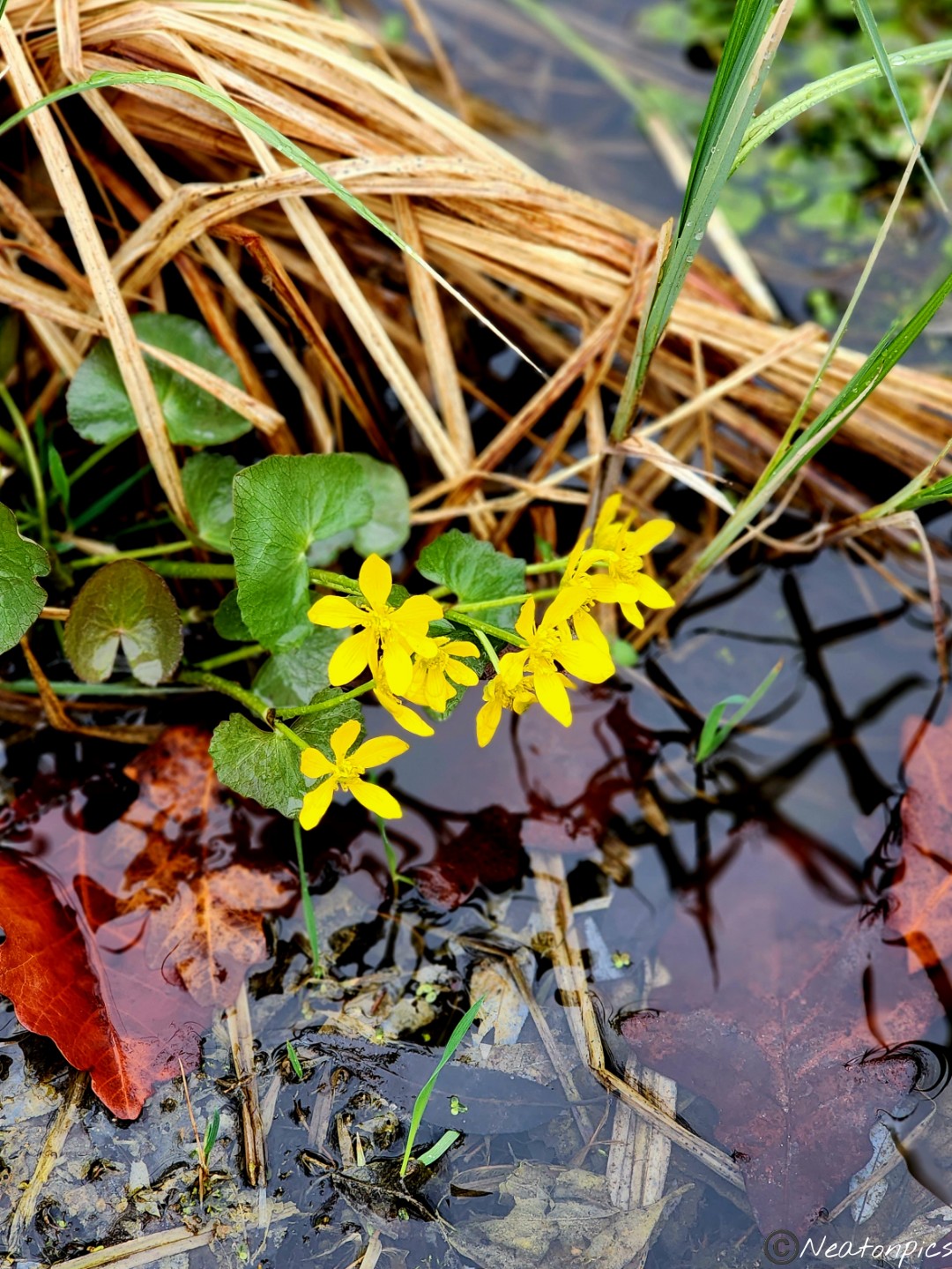
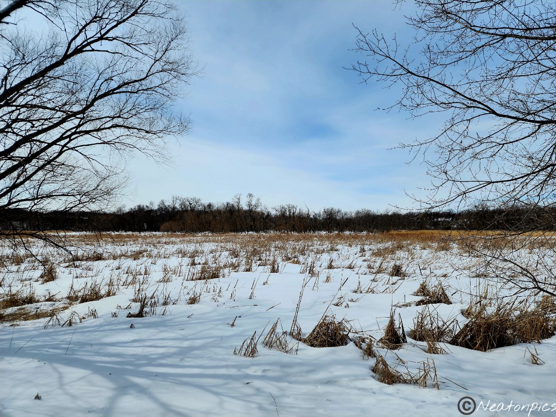
As we began our adventure, we couldn’t help but notice all the colors of Spring! From the green grass and leaves to the purple, white, pink and yellow wildflowers. The energy of the park was vibrant and alive.
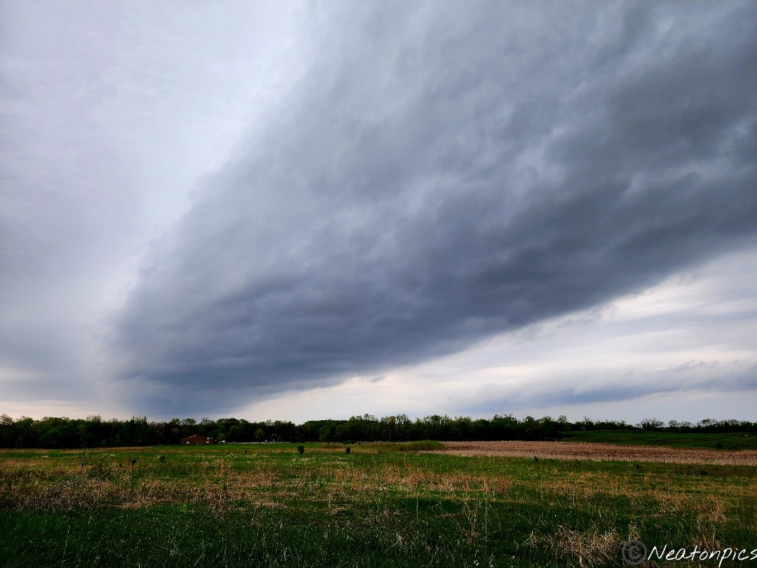
Not too long after we started our hike, we had to stop and put on our rain gear. Dark clouds appeared overhead and the rain began to fall.
For some reason, both of our internal navigation systems were off today. Every trail we thought we were on took us to a different destination then we read on the map. This park had surprises for us.
One side of the park borders the Minnesota State Prison. There were giant metal fences on one side of the trail and beautiful park land on the other. We continued on the unpaved trail.
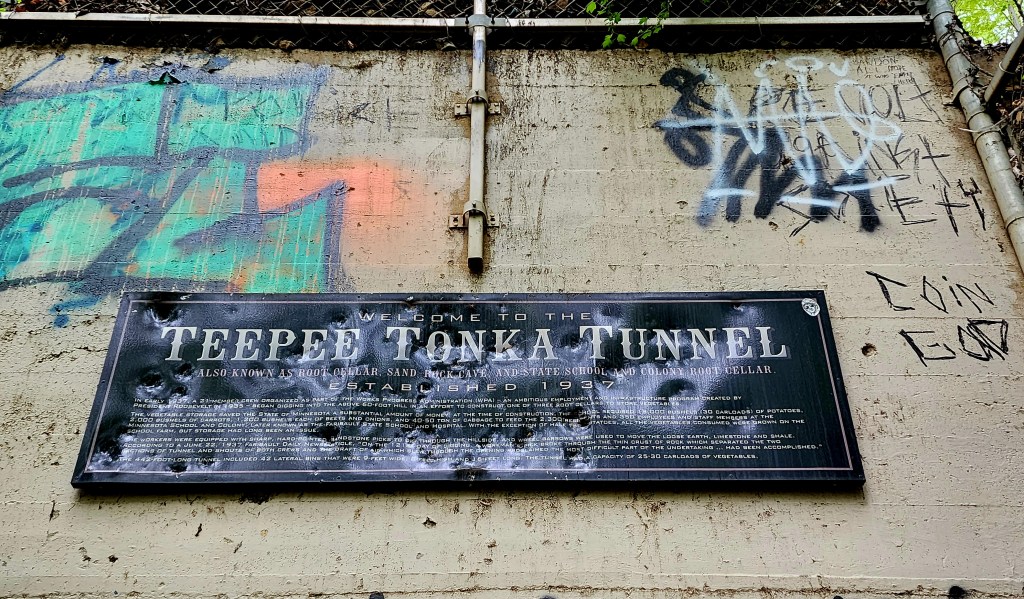
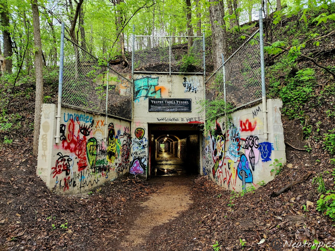
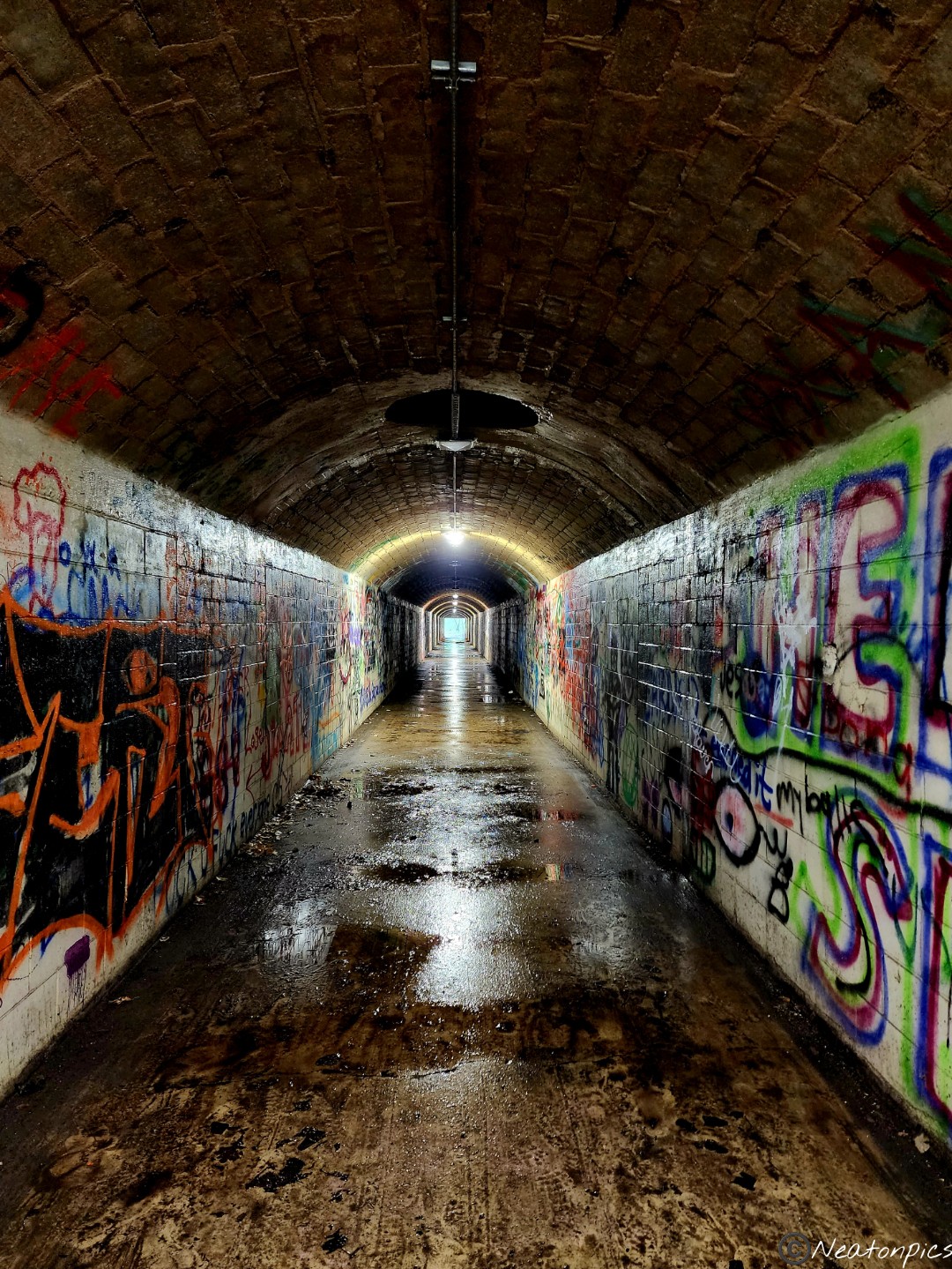
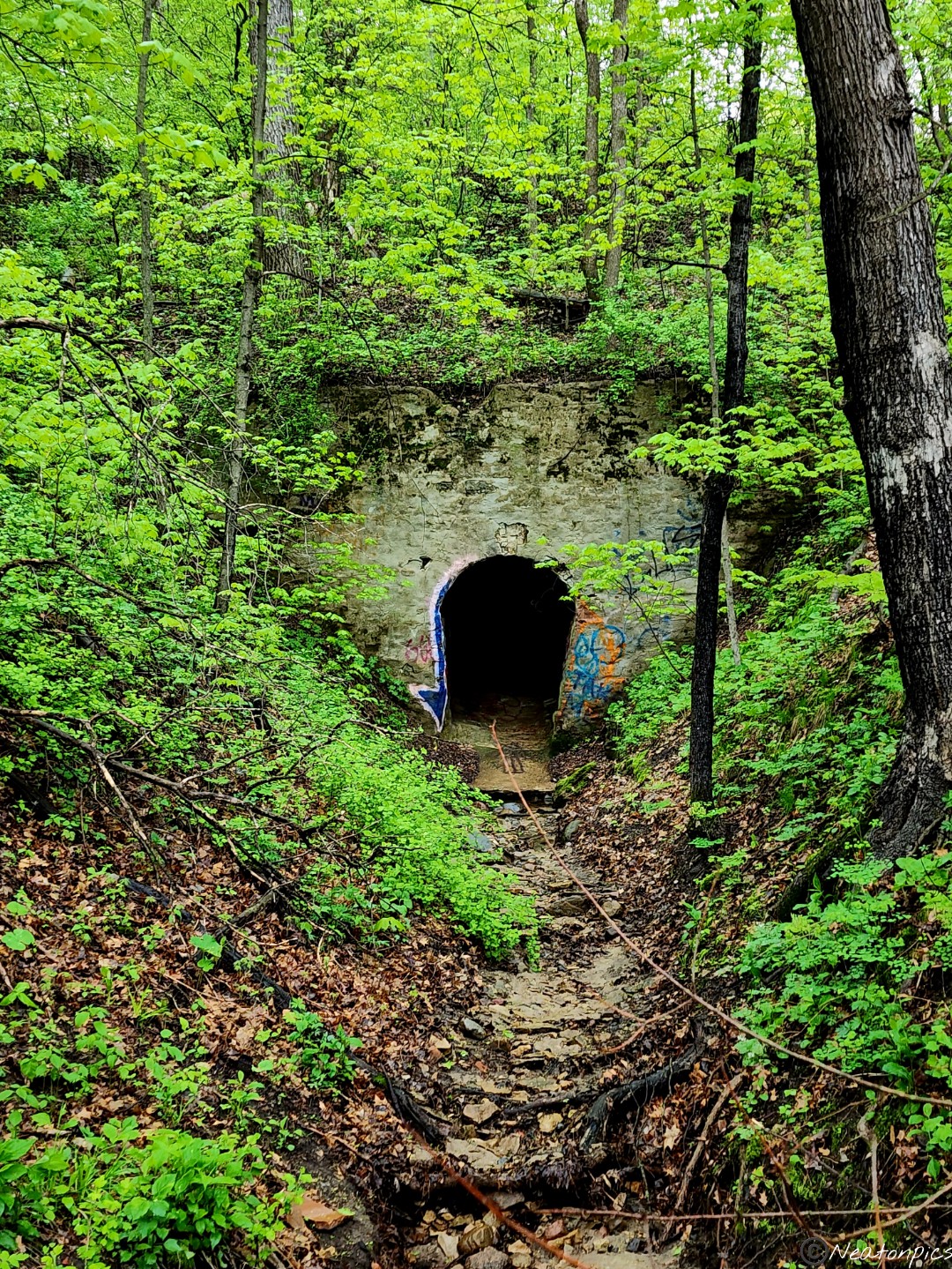
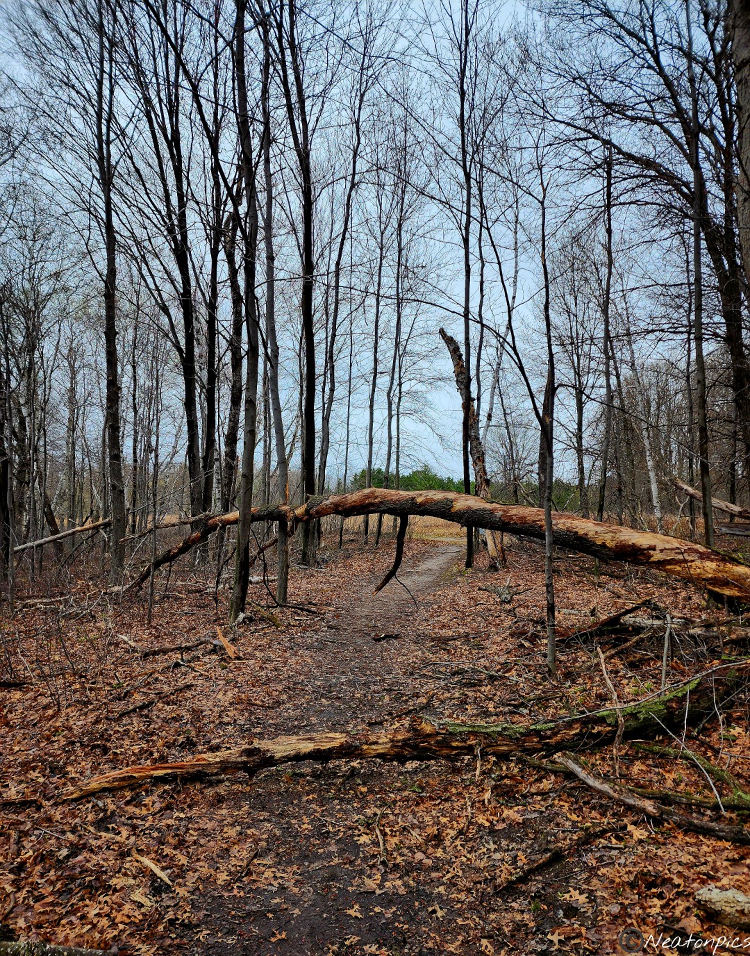
The trail led to a tunnel. It was called the Teepee Tonka Tunnel. The sign stated it was established in 1937 as an old root cellar. Of course, we had to go through it.
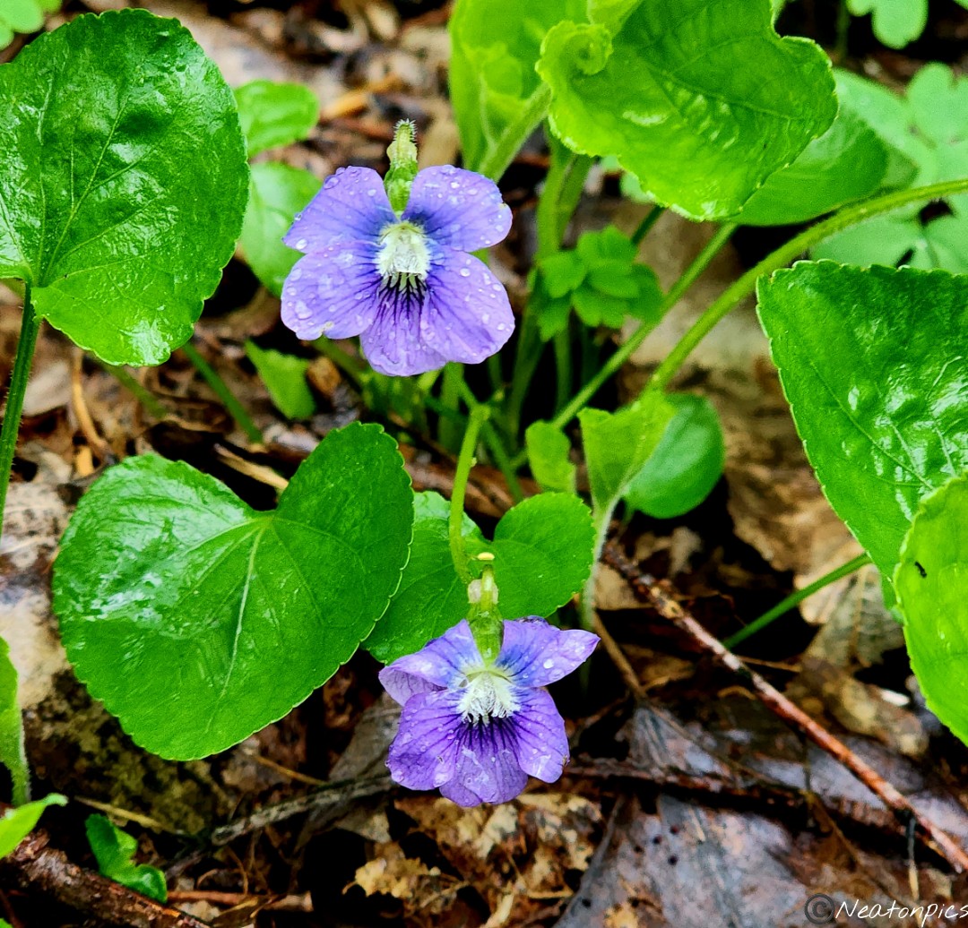
Once through the tunnel, colorful wildflowers lined the edges of the trail.
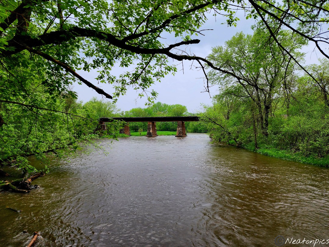
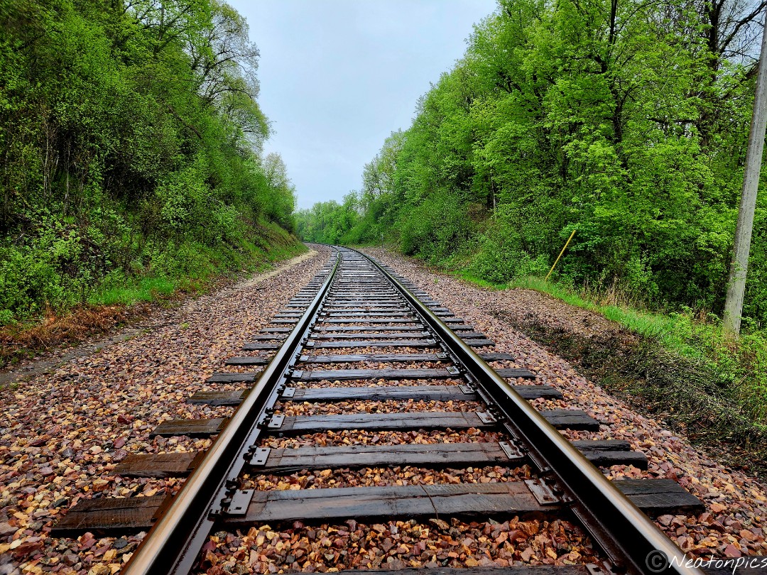
We stopped on the bridge that crosses over the Straight River. Trains crossed over the bridge in the distance. A lone goose sat on the bridge watching the rushing river below.
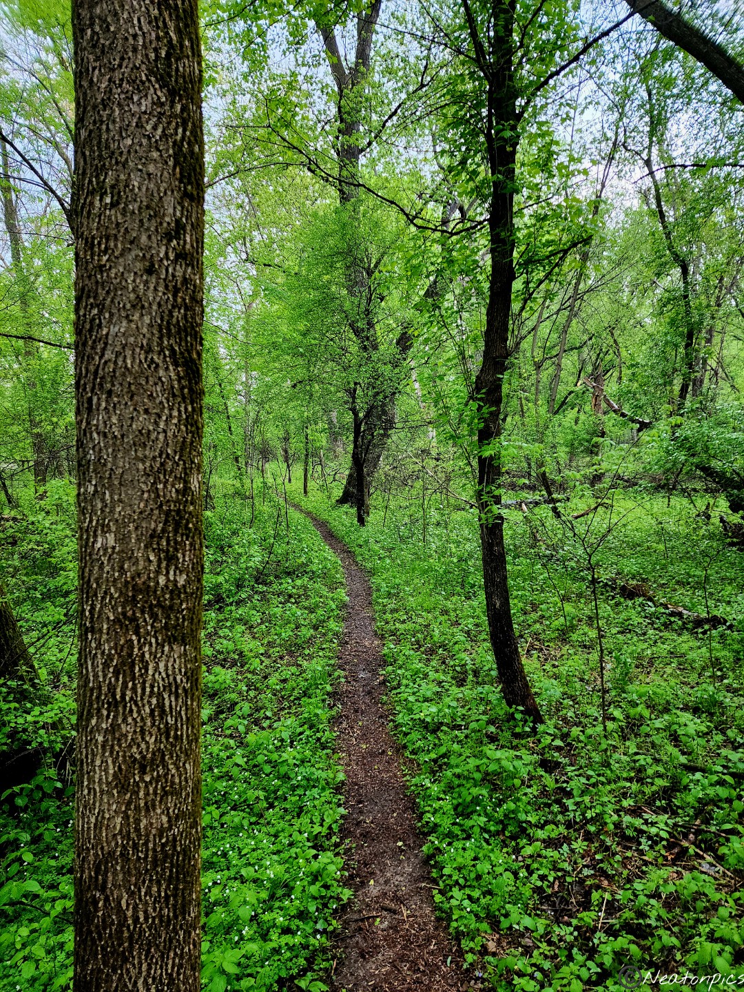
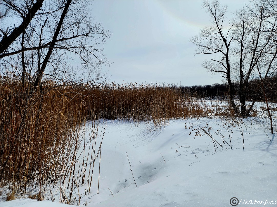
The trail continues on the other side of the bridge, however, the River Bend trail system ends. We decided to turn back and take the trail closest to the river. River trails never disappoint!
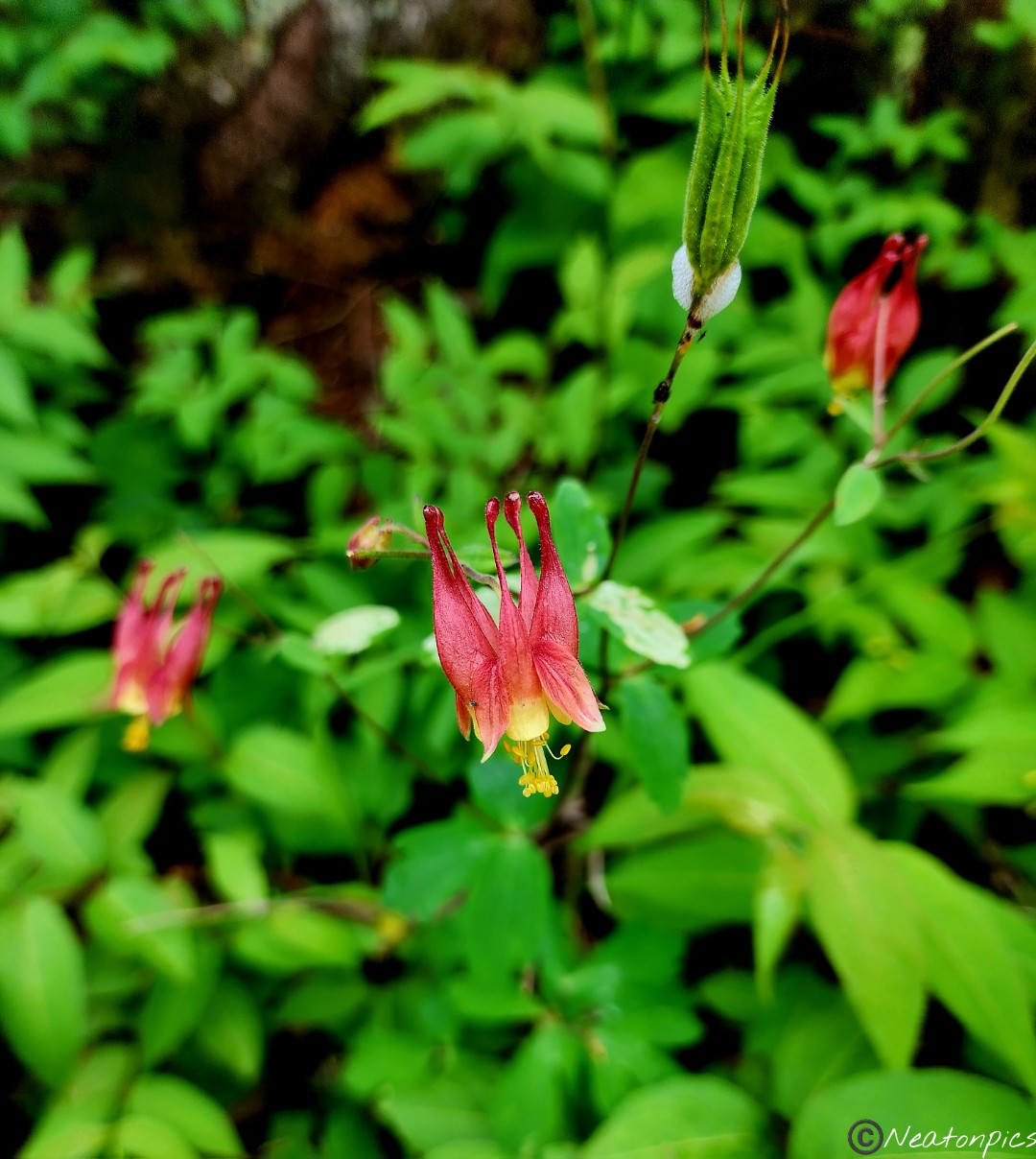
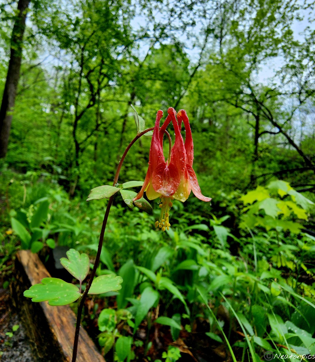
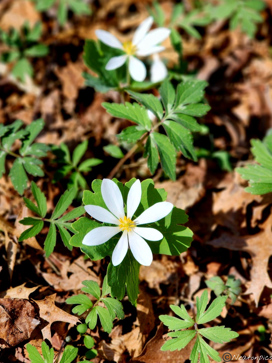
A single red Columbine grew alongside the trail.
We spotted another tunnel but decided against going into it. We stayed on the river trail until we reached Teepee Tonka Park.
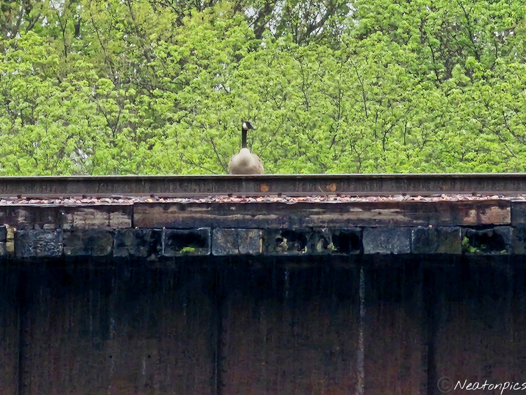
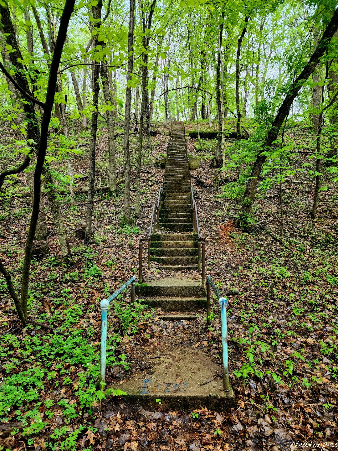
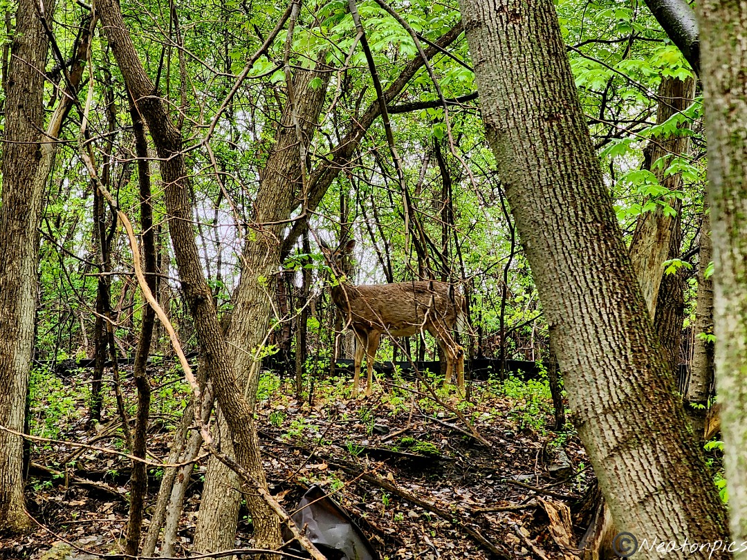
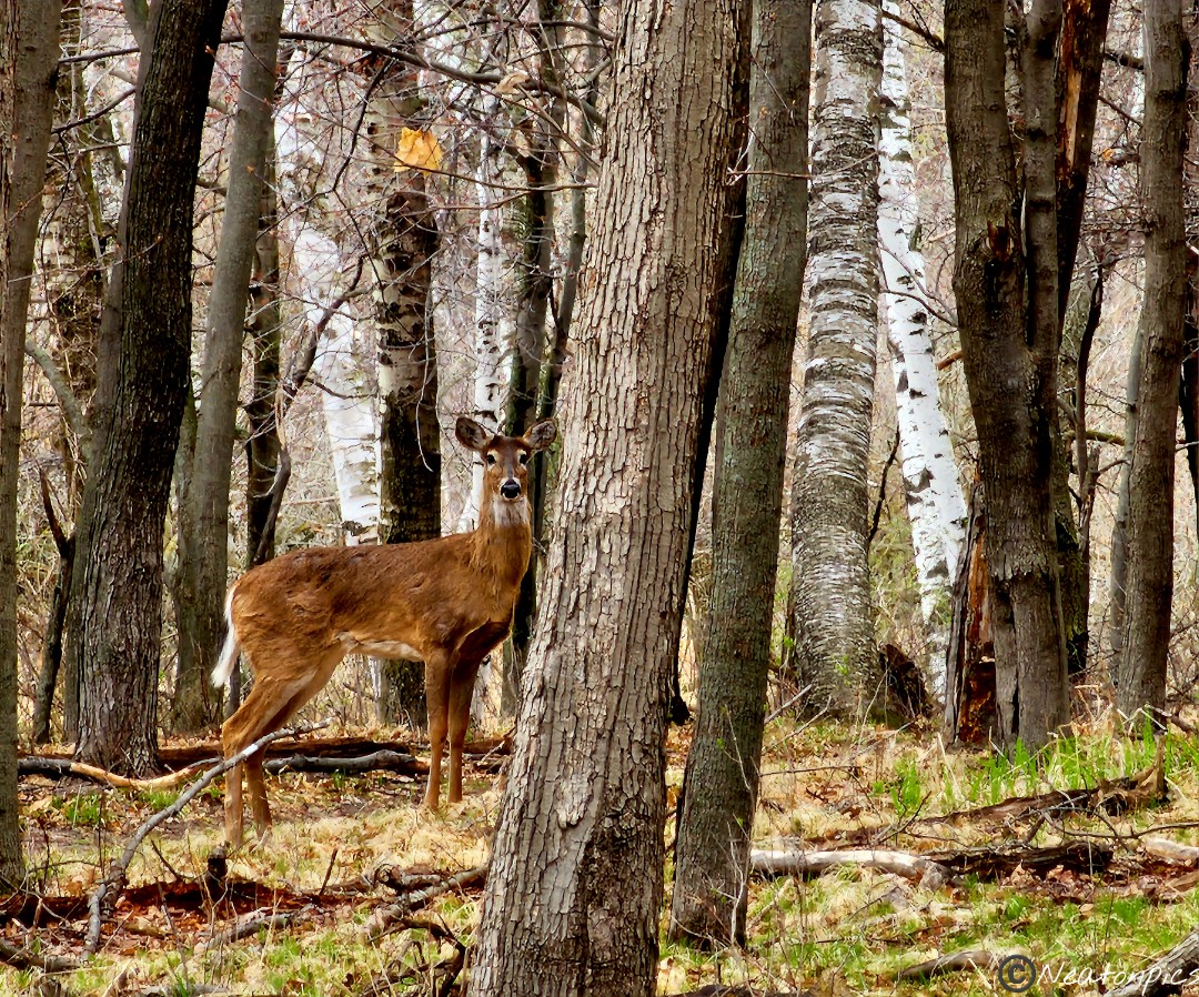
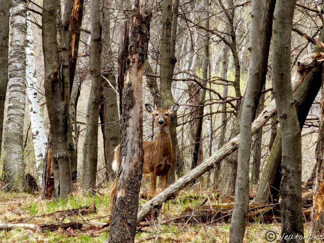
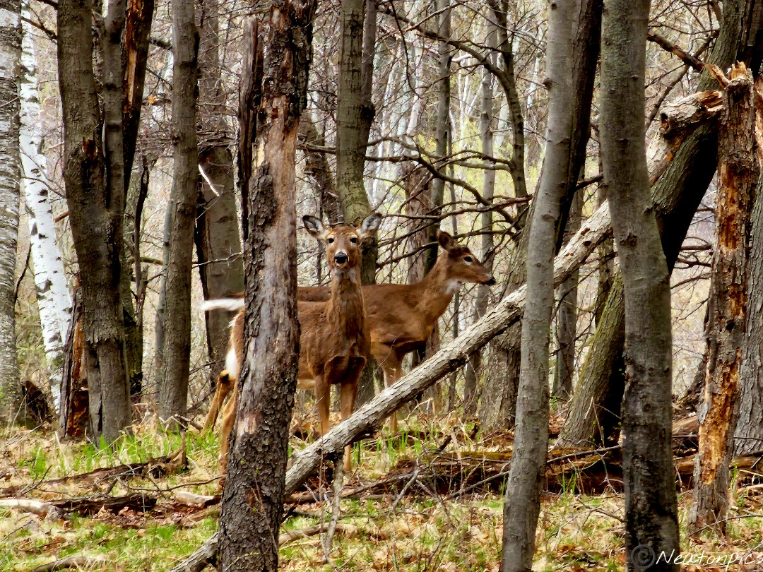
We looped around the park and it brought us back to where the lone goose was hanging out on the train bridge. And yes, the goose was still there. We found a tall set of stairs and decided to see what lay atop of the hill. We spotted deer at the top. We could not locate any trails, so back down the steps we went.
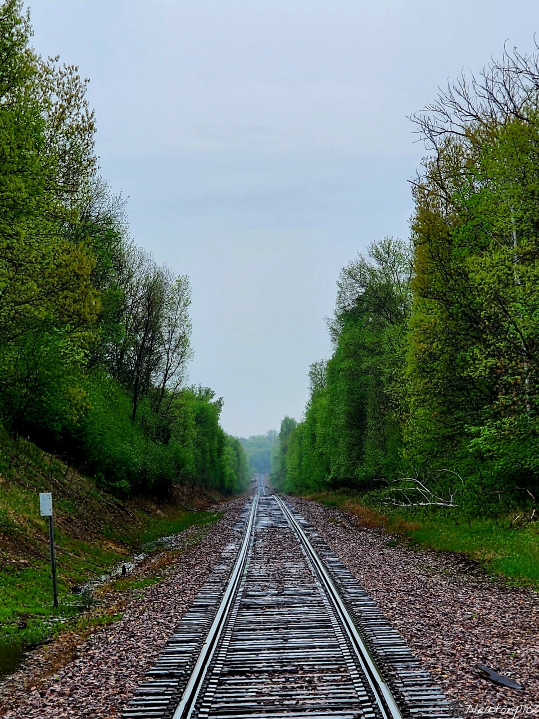
The trail laid parallel to the train tracks. We momentarily diverted from the trail to the train tracks.
We then crossed under the train tracks.
We continued along the trail.
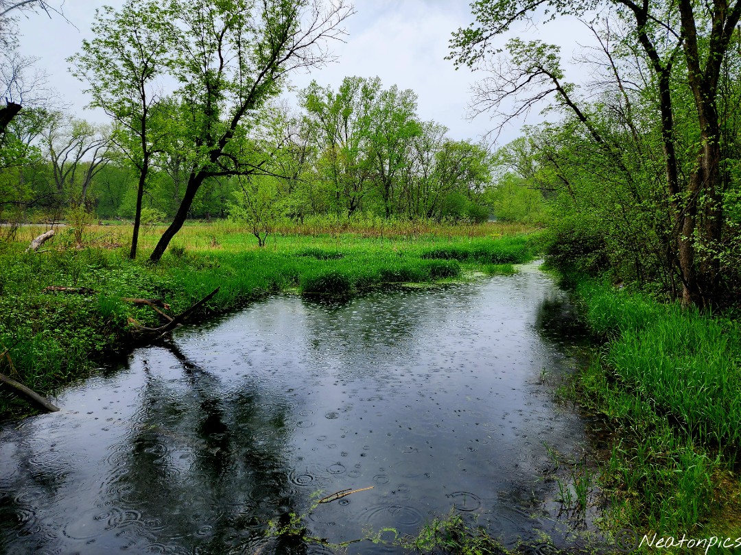
The Straight River is anything but that. We hiked alongside the river and then crossed over it again.
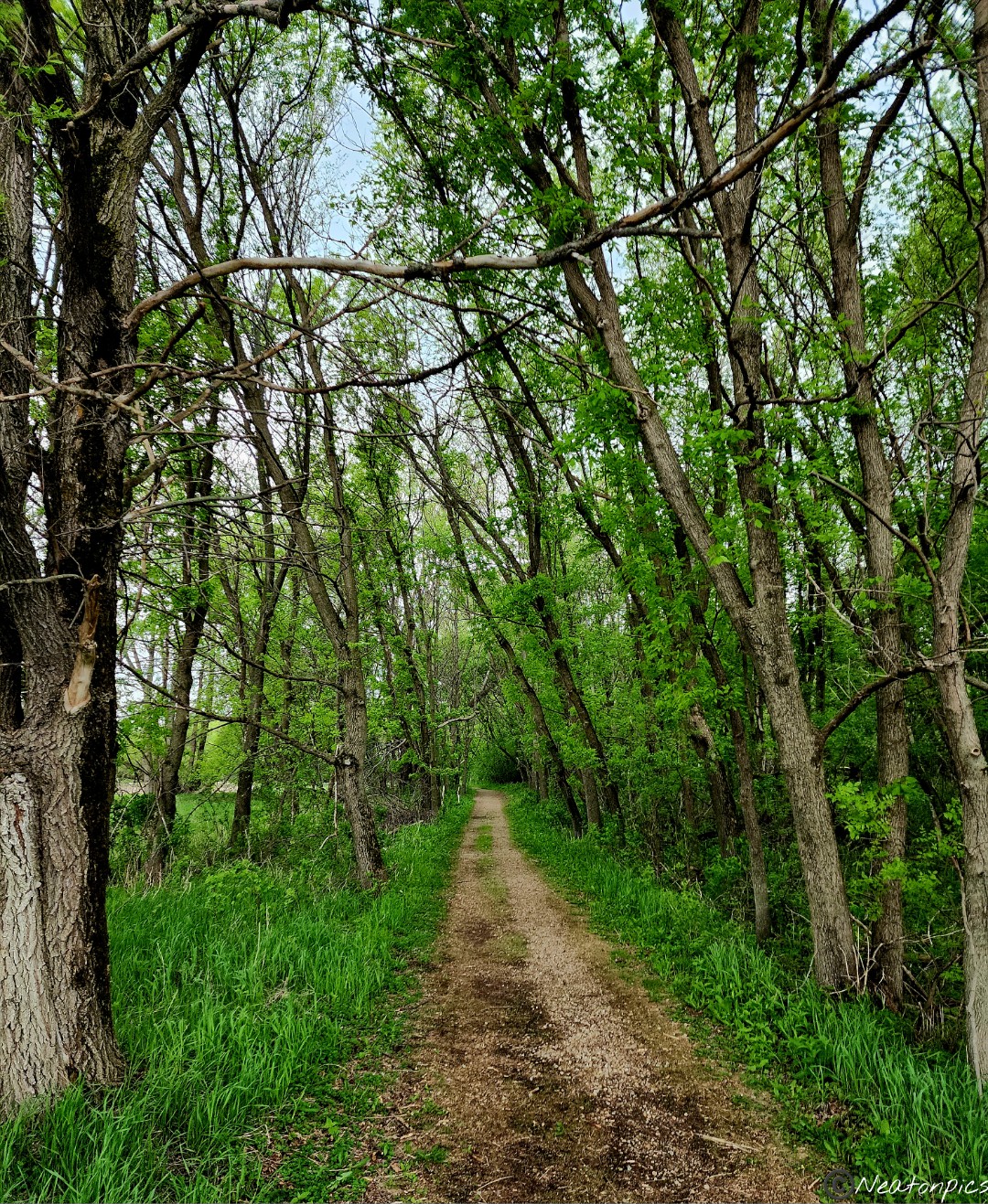
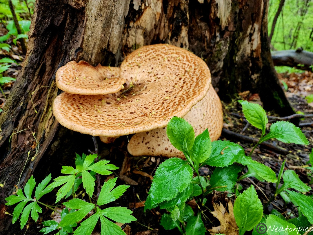
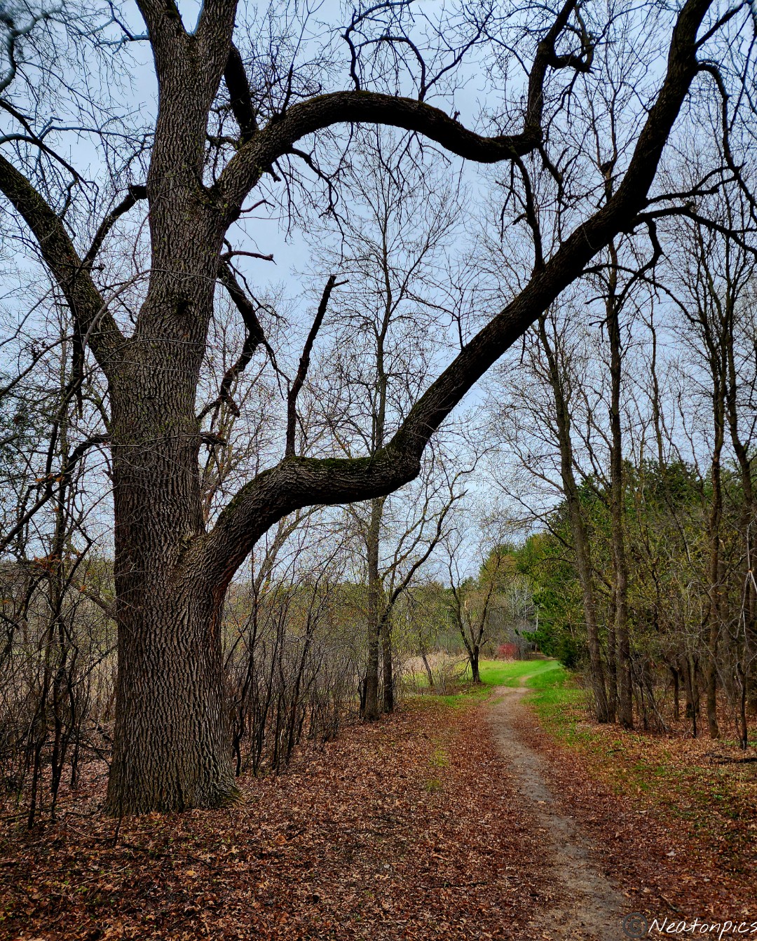
At this point I decided that this park is now one of my favorites. The variety of landscapes and trails are amazing! Even in the pouring rain, the beauty of this park spoke to me! Little did I know what else this park was about to show me.
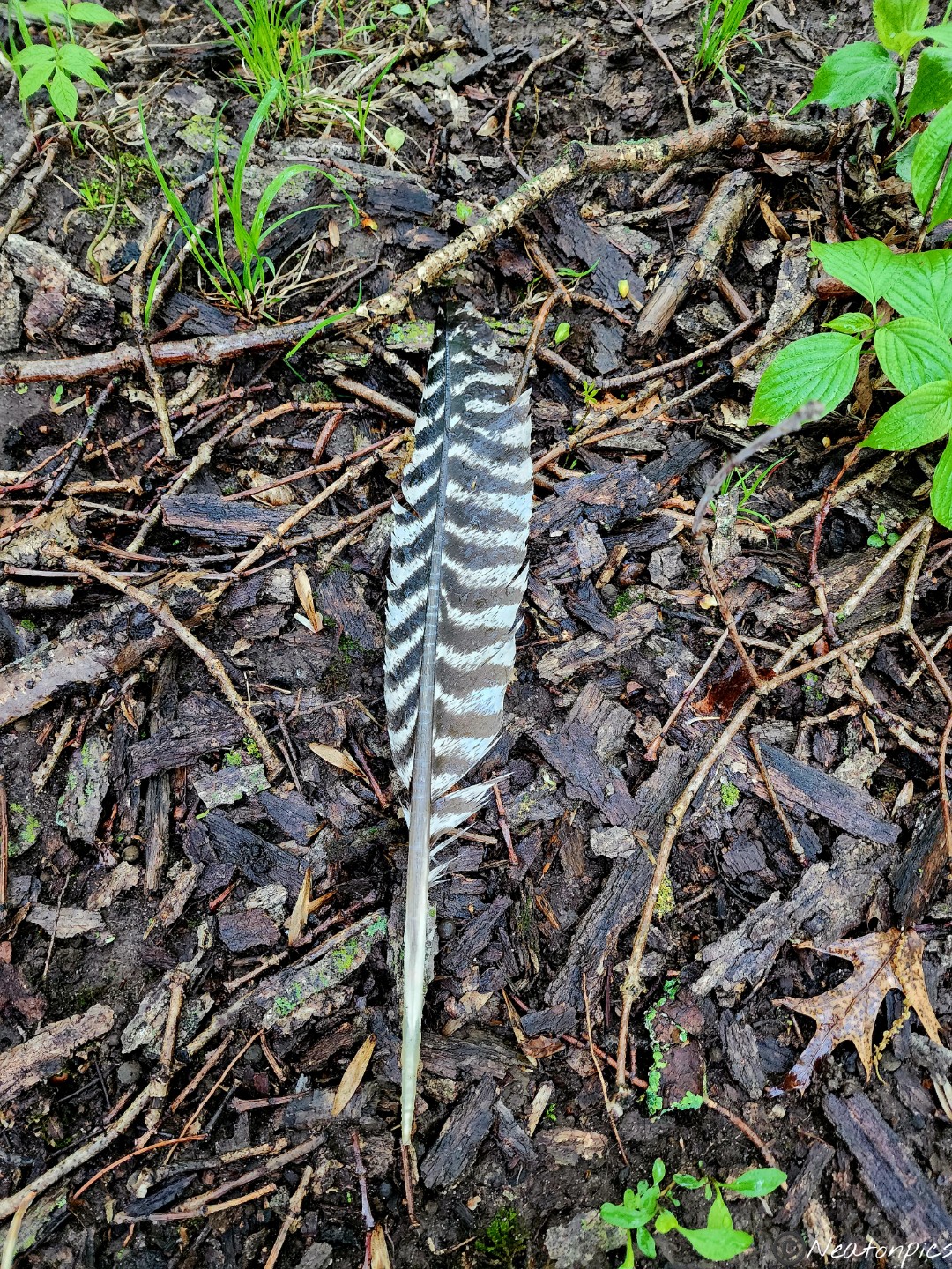
Lots of mushrooms! We even found a turkey feather.
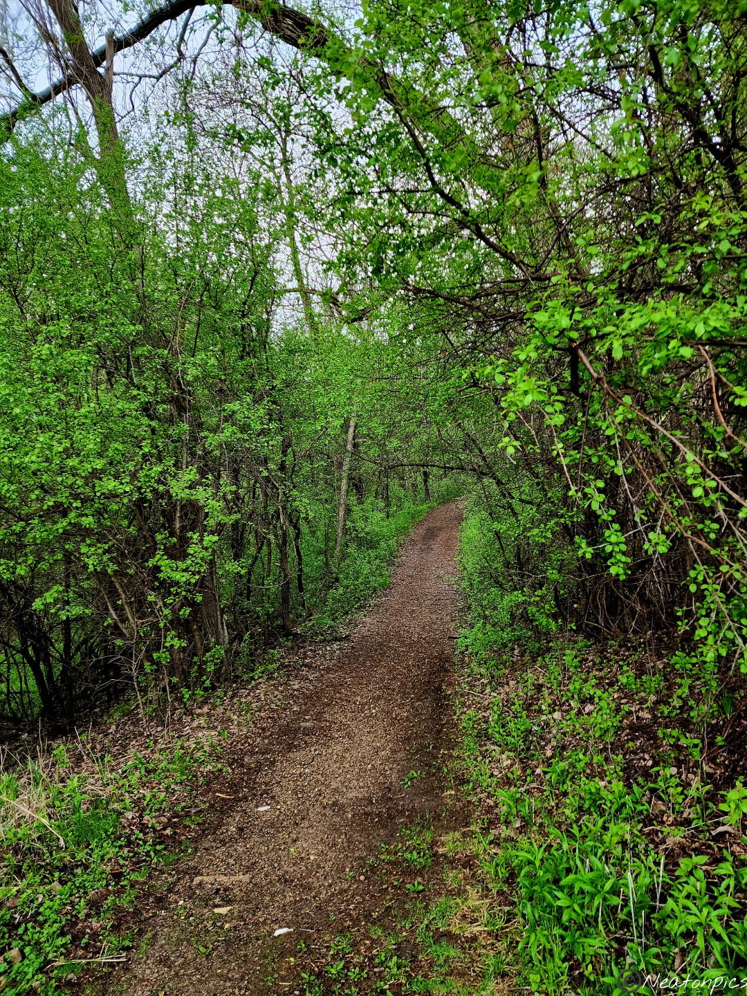
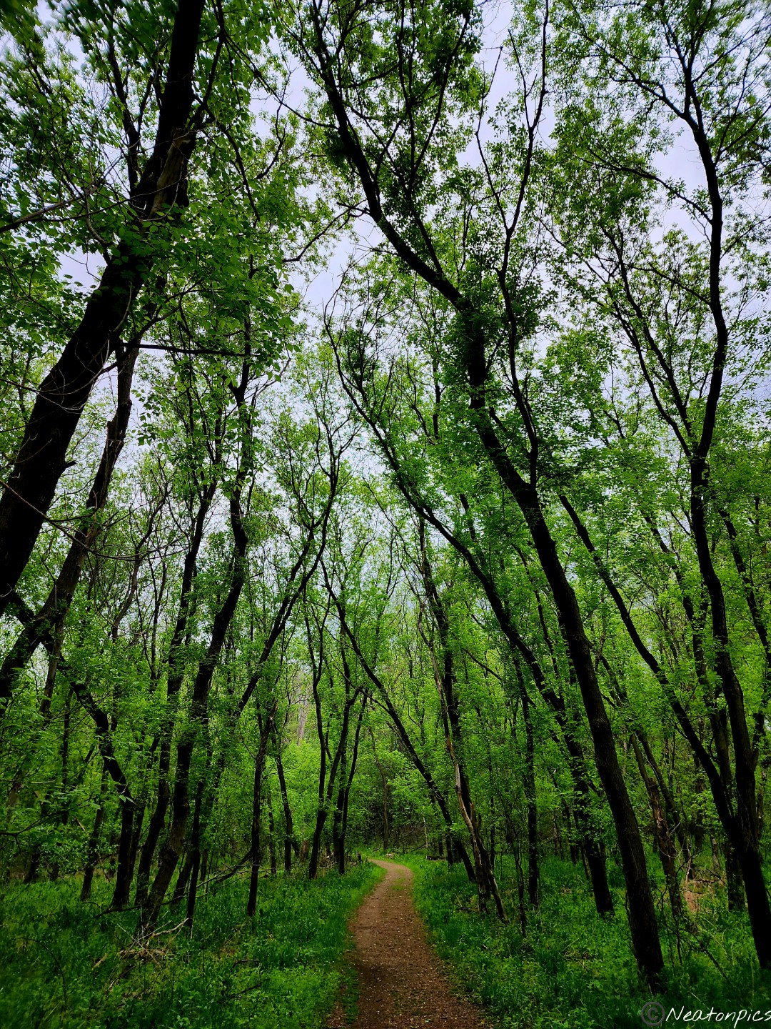
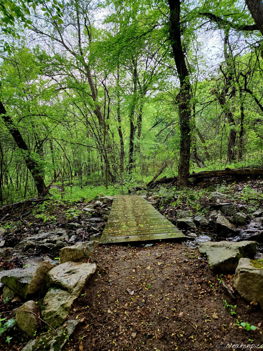
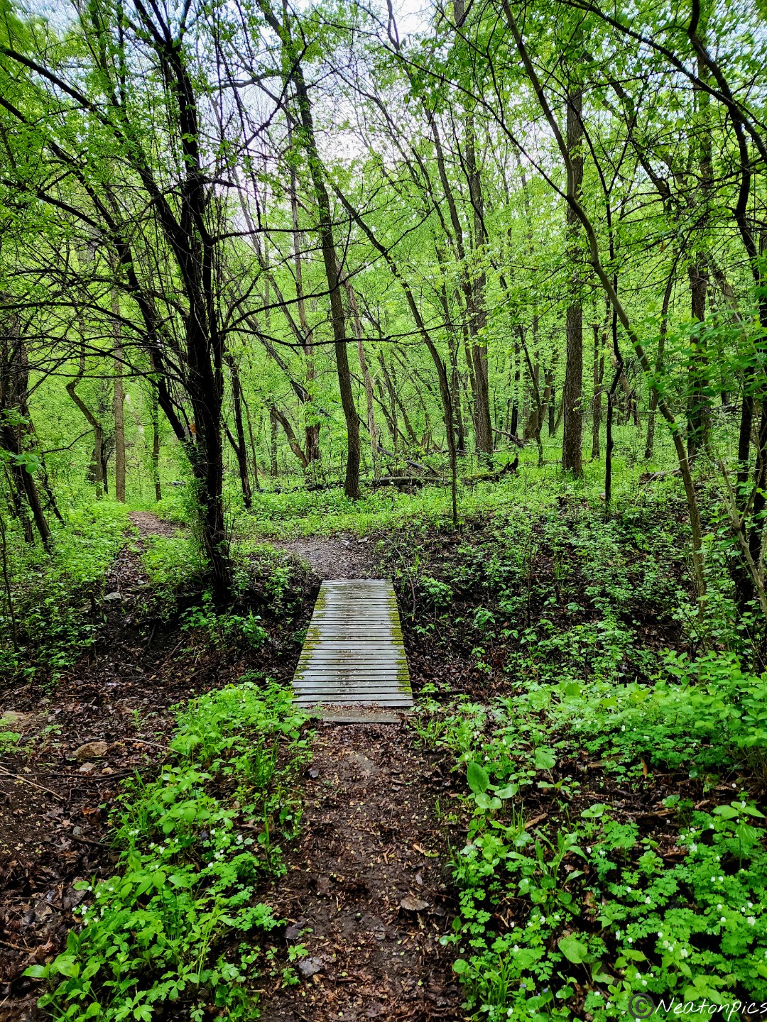
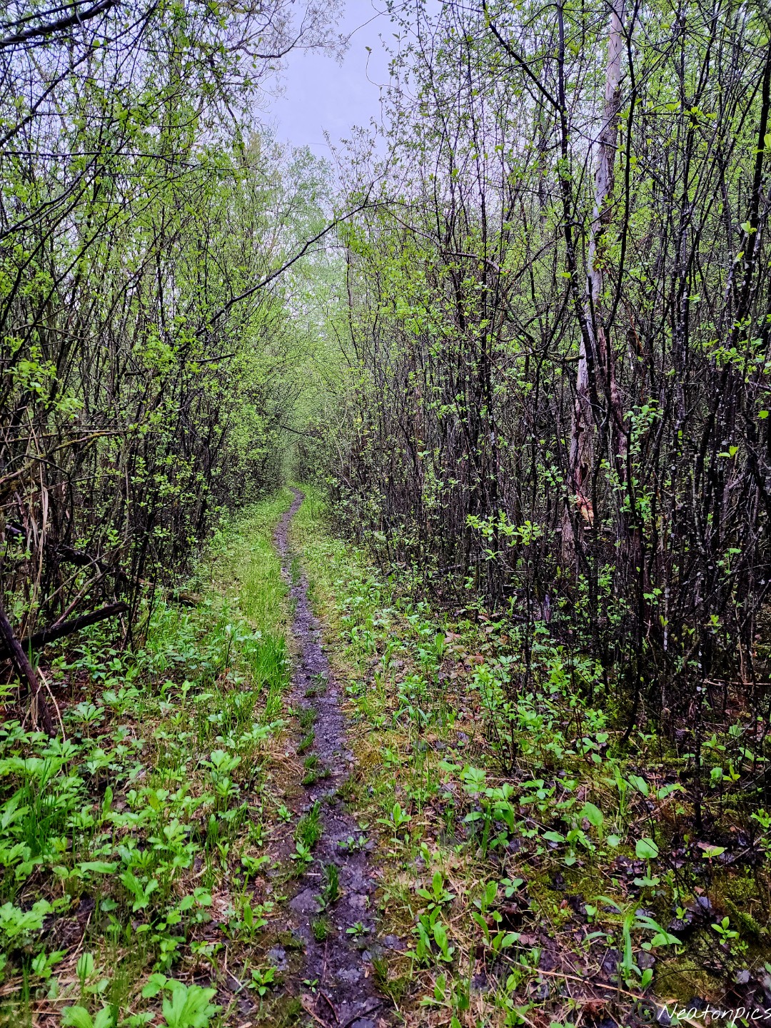
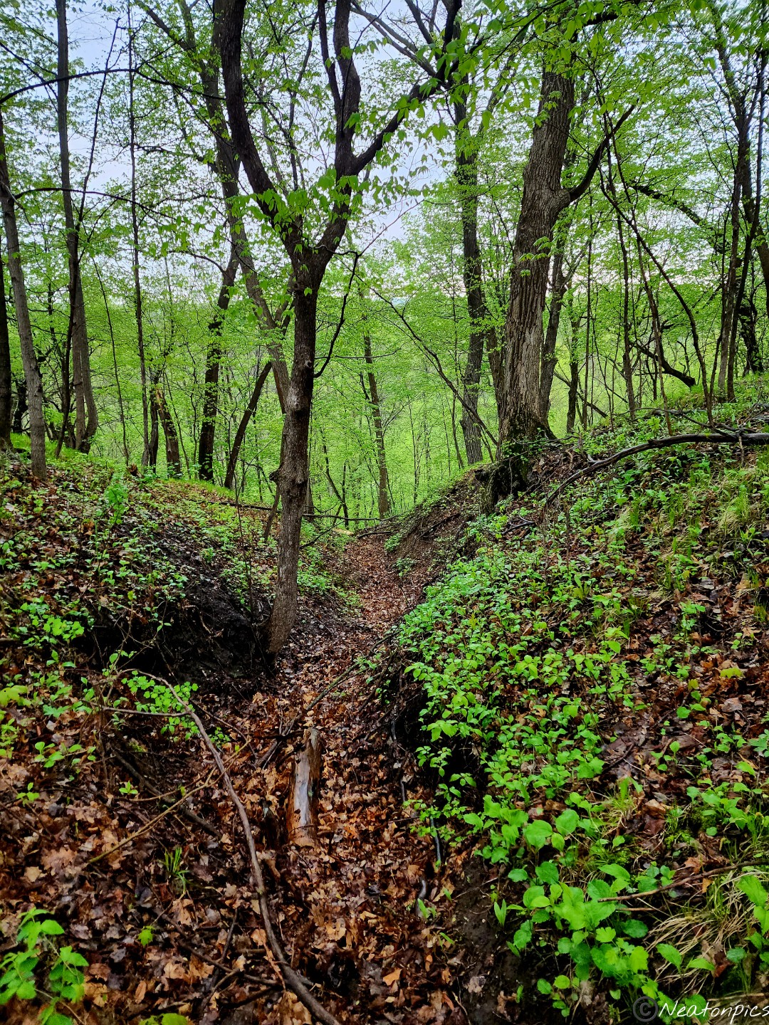
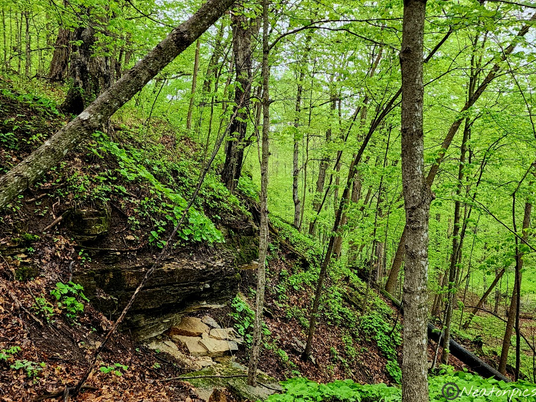
There were many trails to hike on, some wide and some narrow. The narrow trails led within the forest area. A little slippery at times due to the rain and incline of the trail.
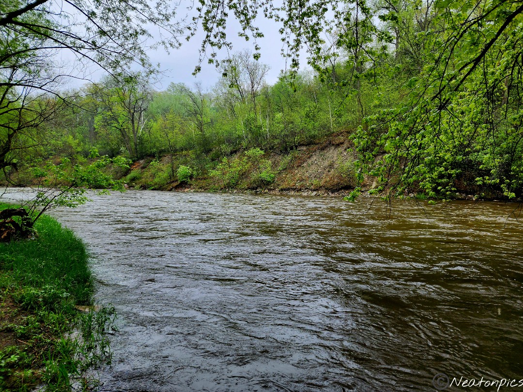
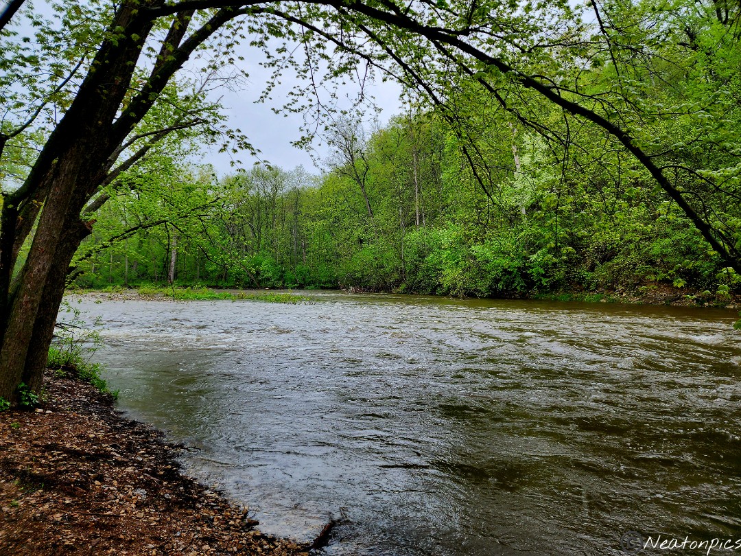
We looped back across the bridge over the Straight River and under the train tracks. There were several trails to choose from. As always, we chose the trail closest to the river. Wow! The river current was strong.
We continued on the trail taking in all the views of the river.
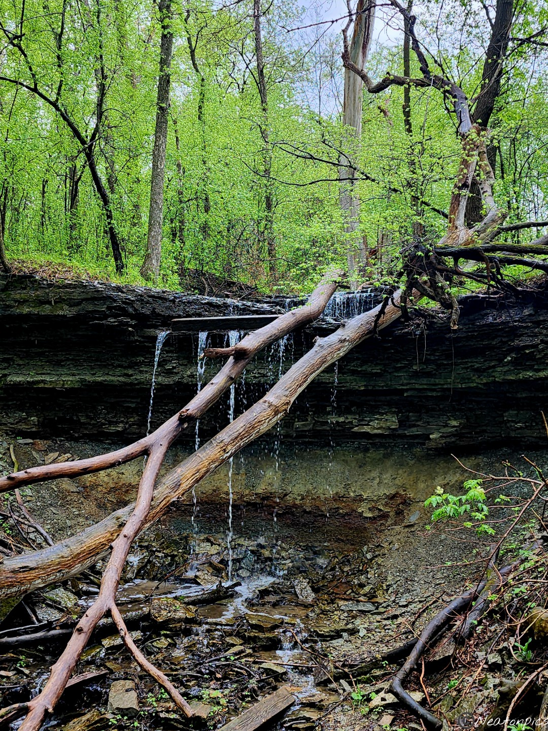
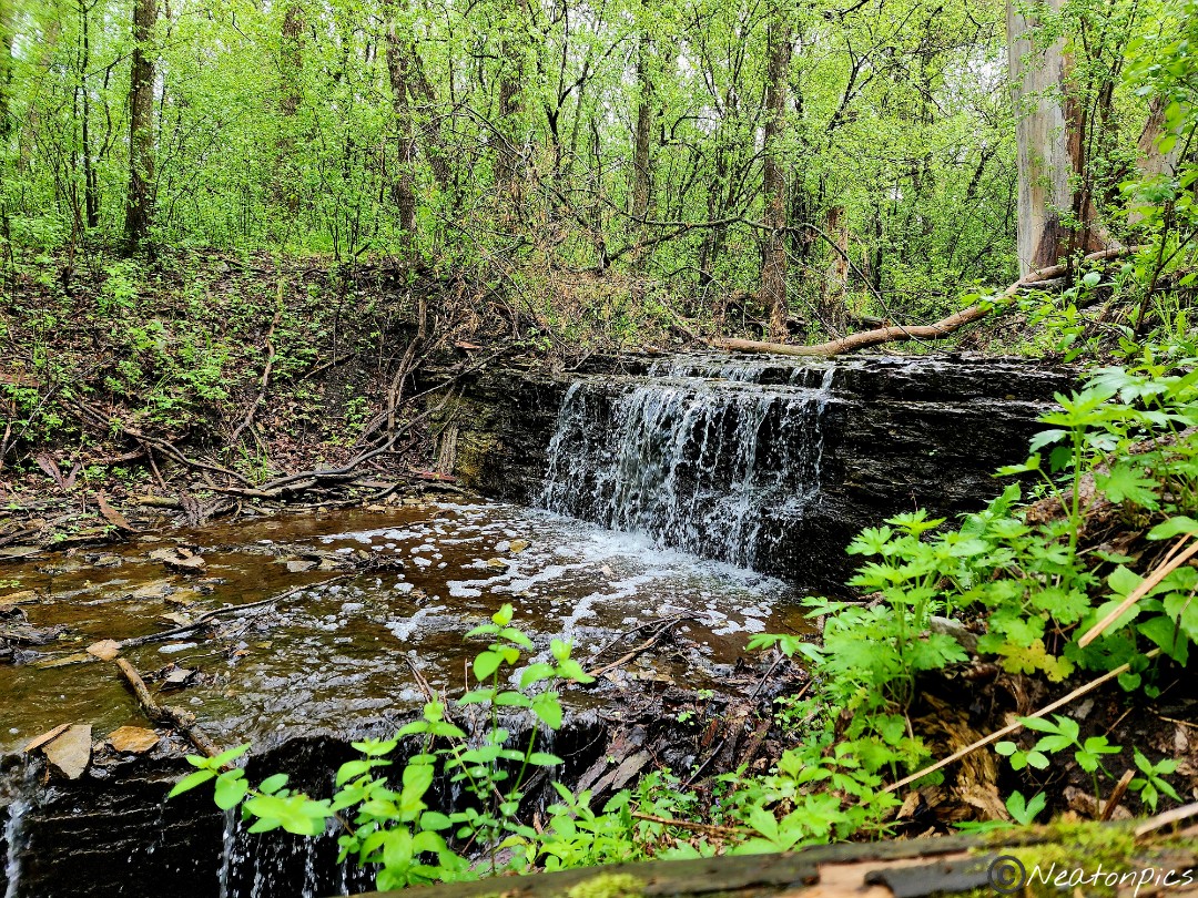
We made our way back to the Nature Center. As we were leaving the park, we saw a sign for a waterfall. We parked at the nearest lot and hiked back to see the waterfall.
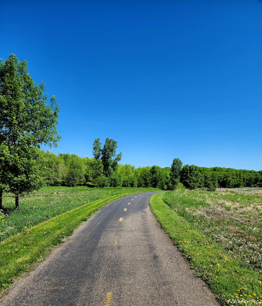
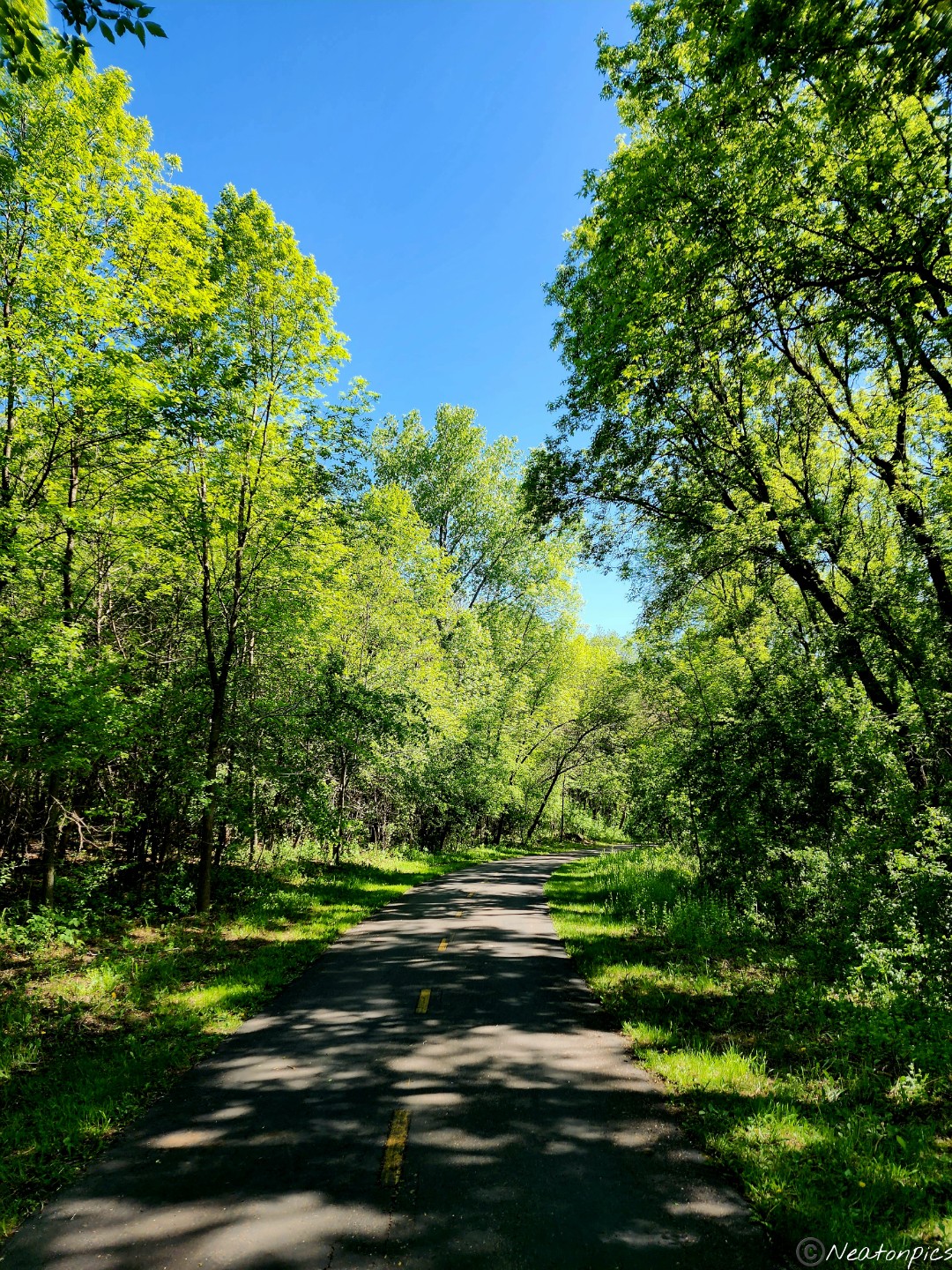
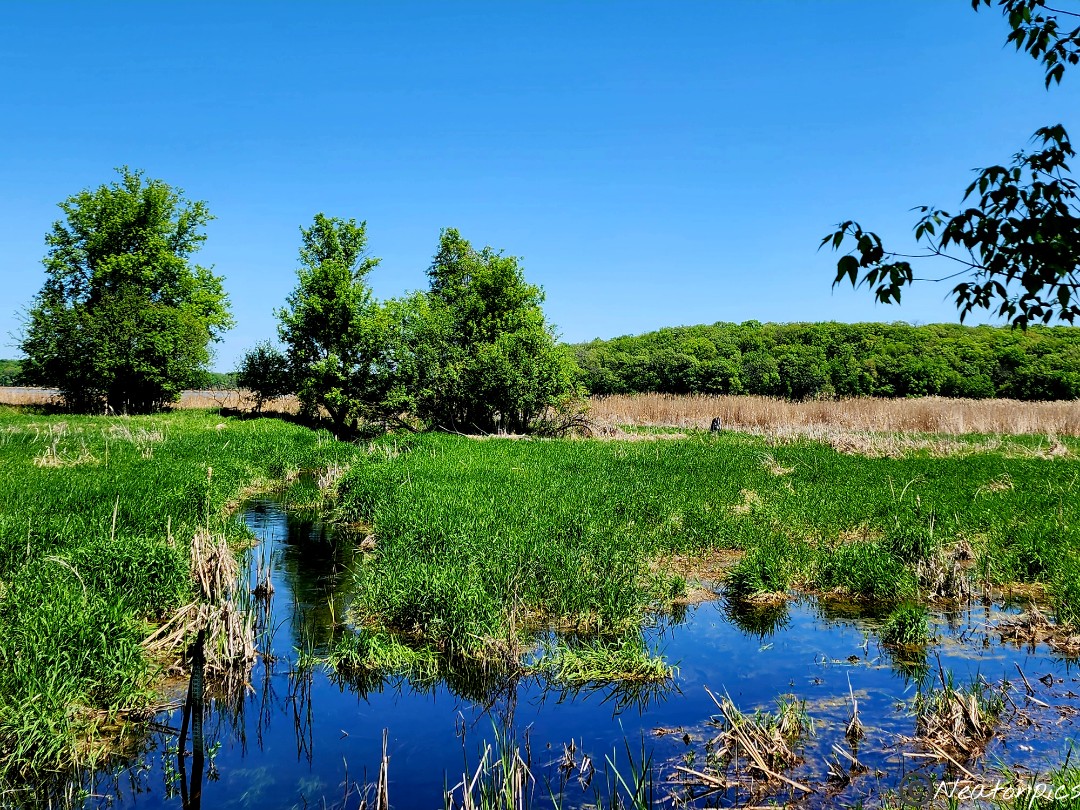
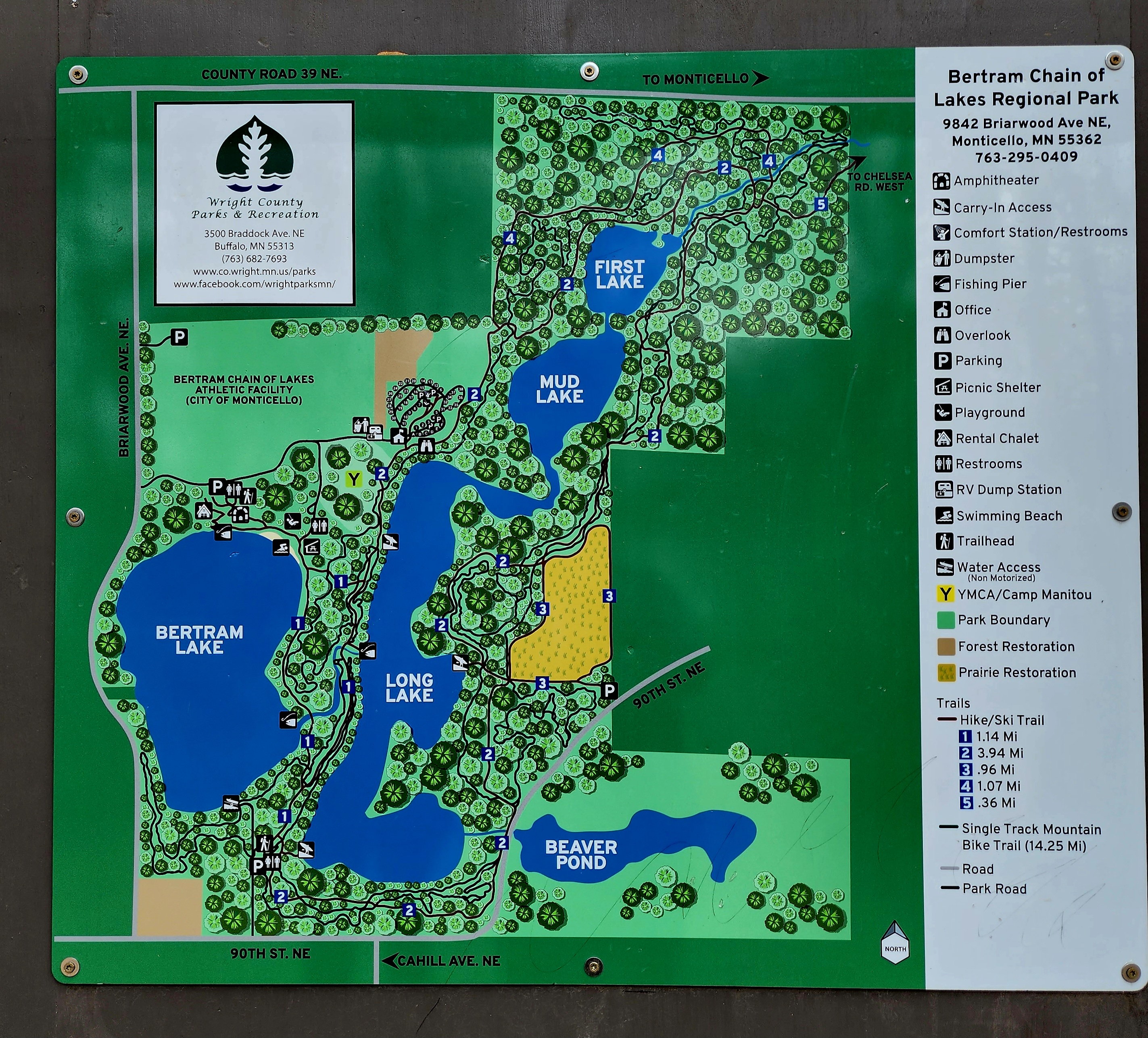
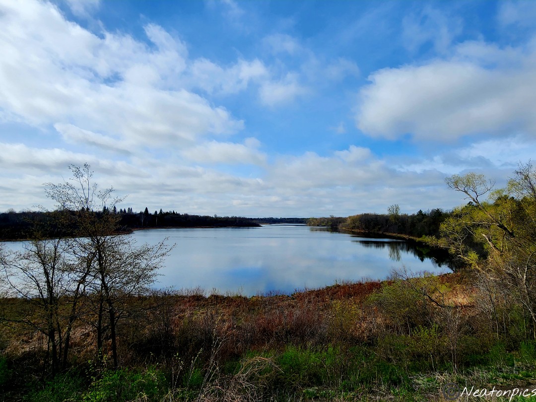
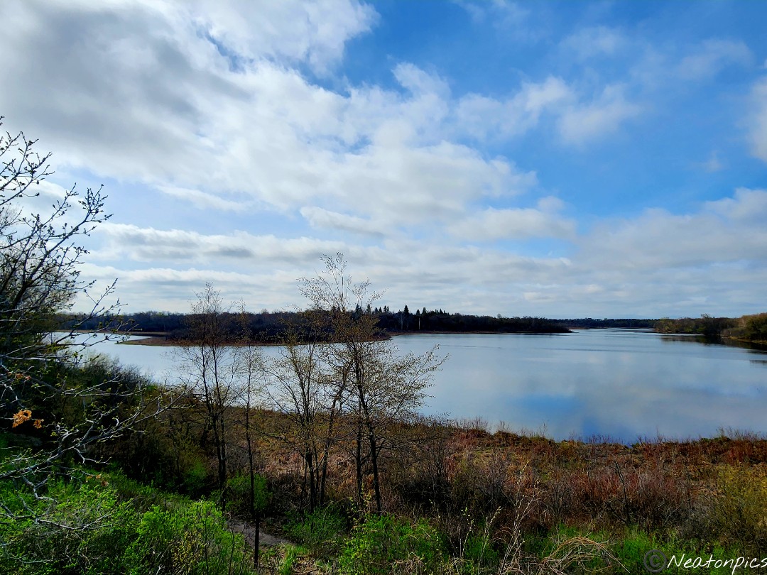
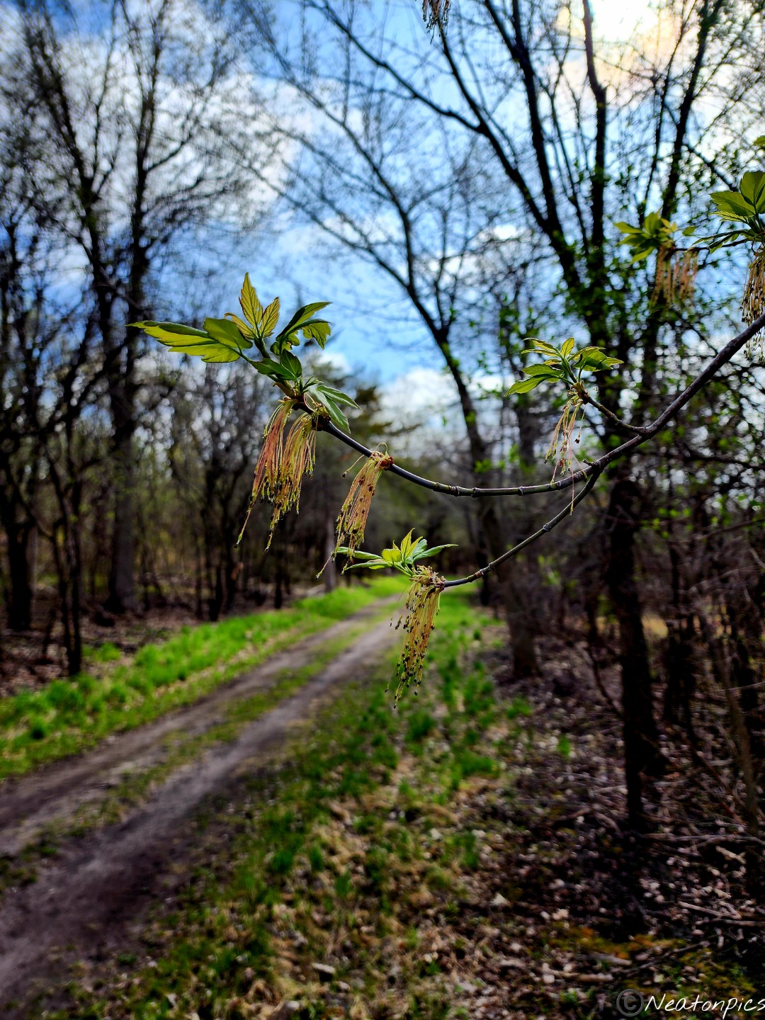
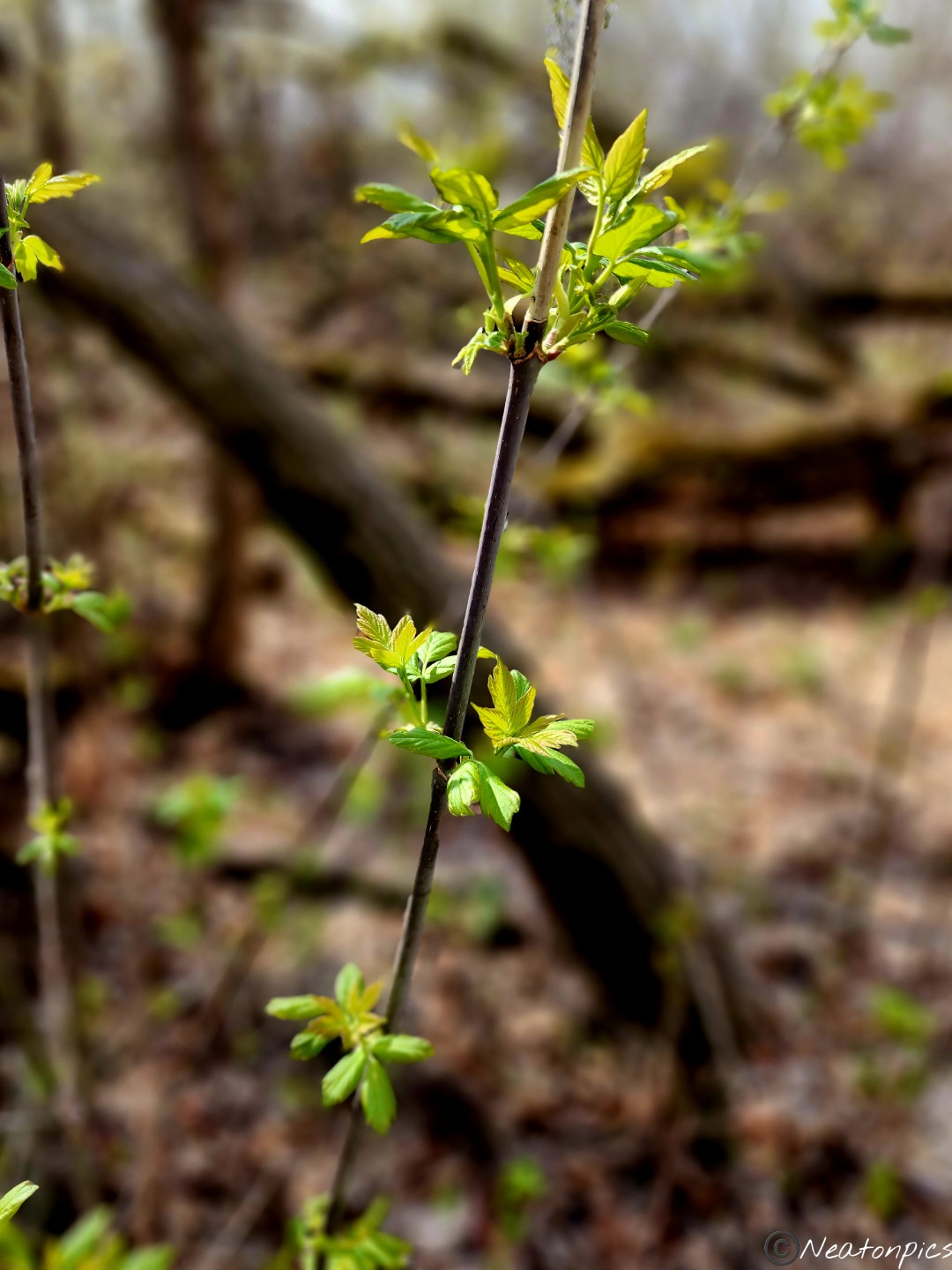
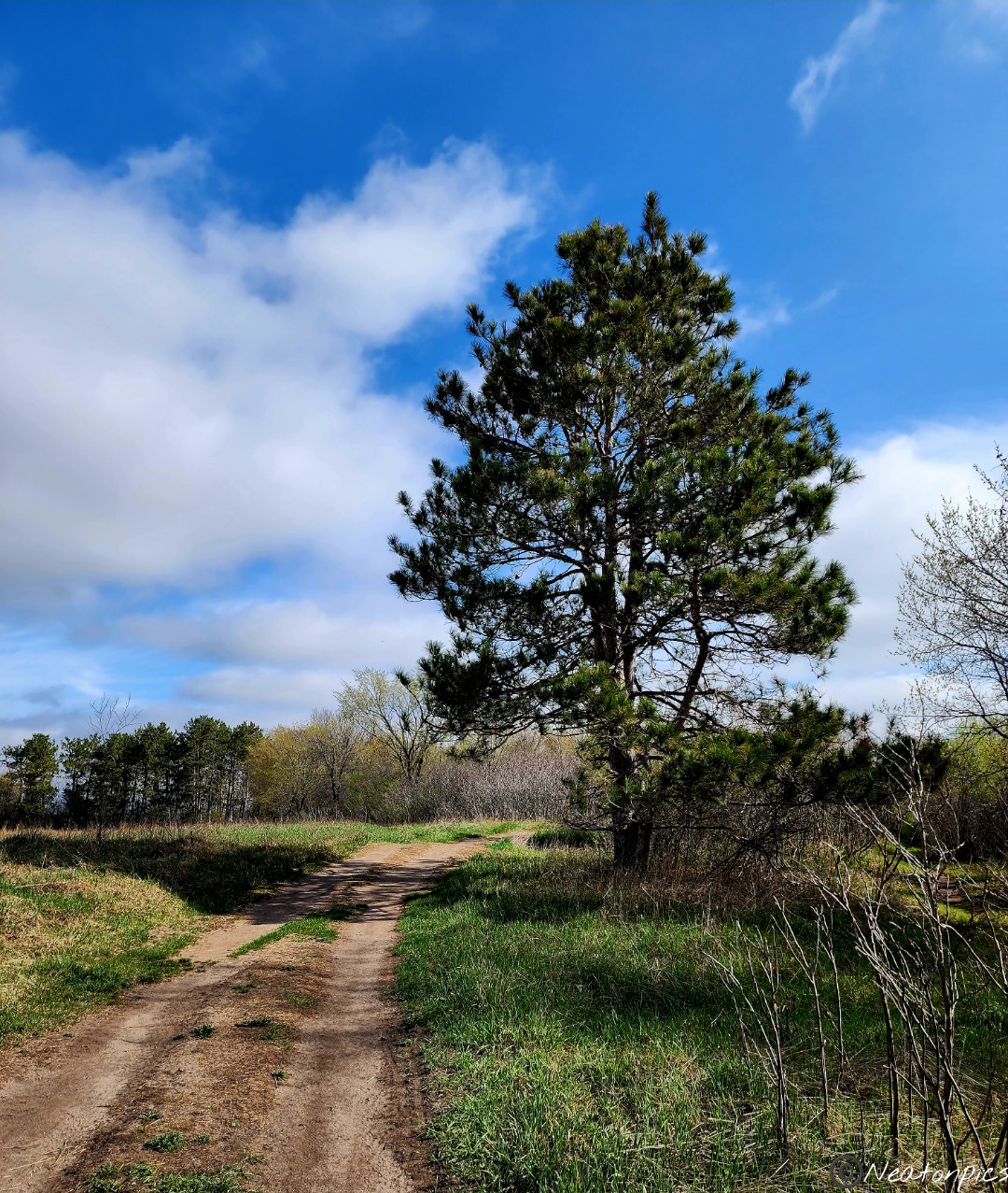
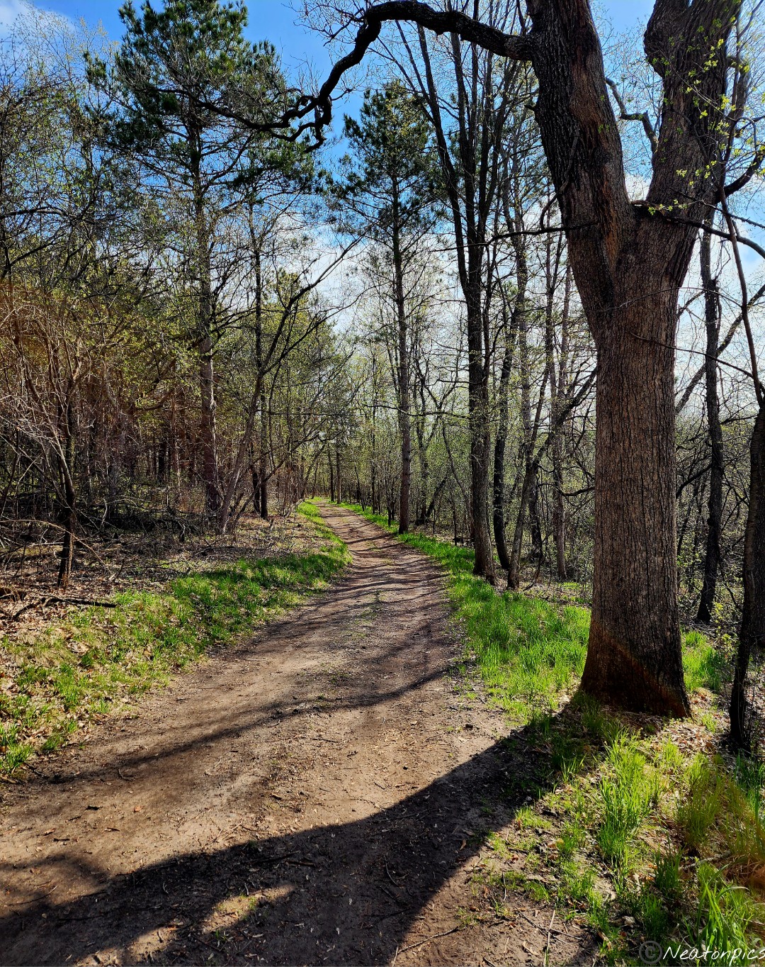
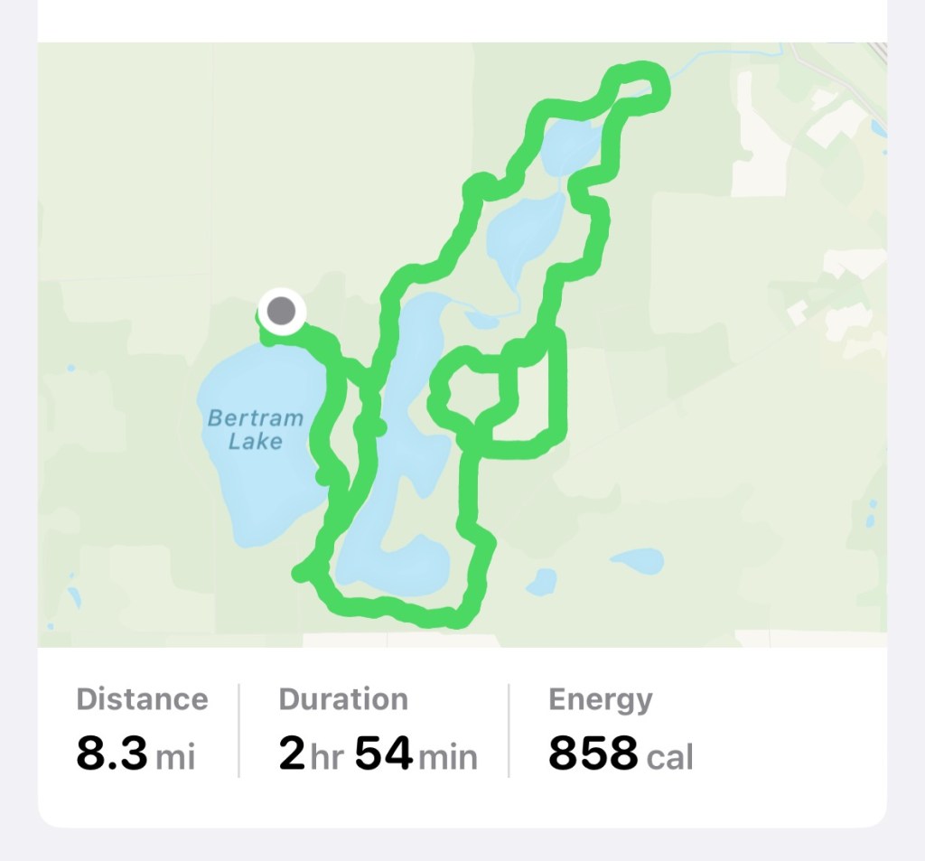
Today’s hiking adventure began at Bertram Chain of Lakes Regional Park.
After looking at the map, I can see why the park has “Chain of Lakes” in the title. Four lakes and a pond are surrounded by hiking trails.
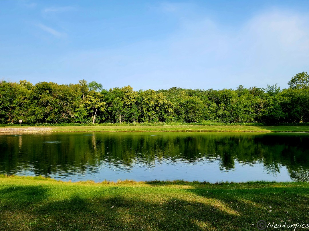
We followed the trail down to Bertram Lake.
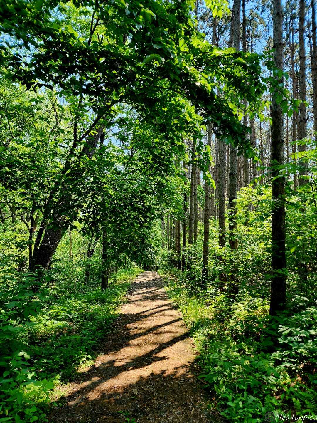
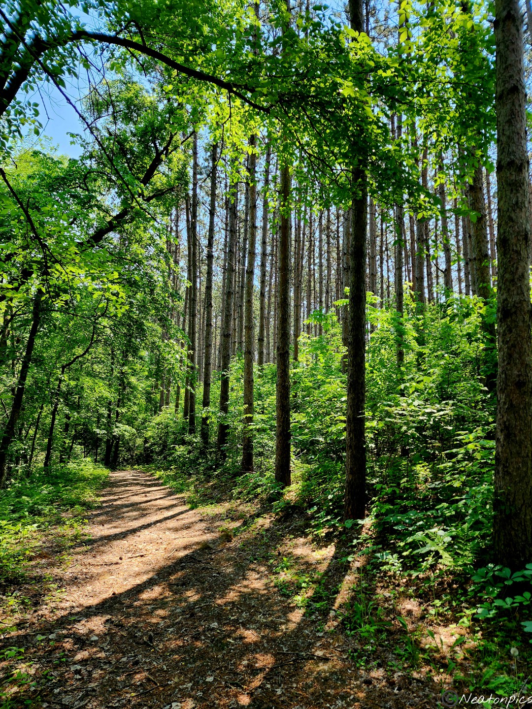
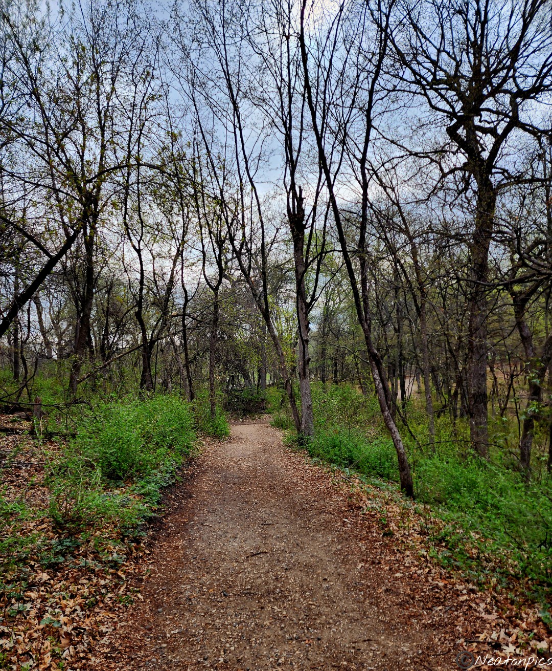
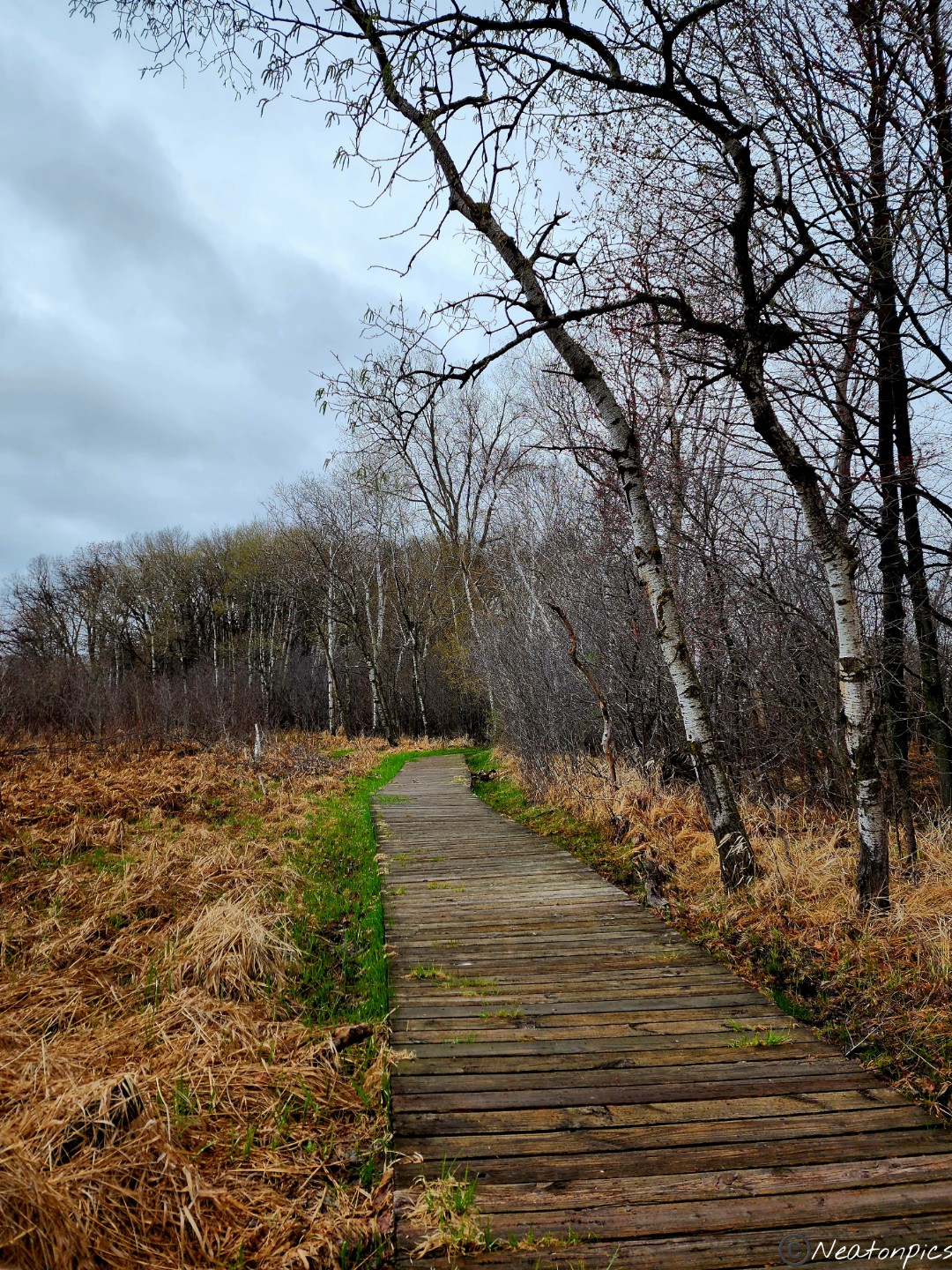
The unpaved trails were wide and well maintained.
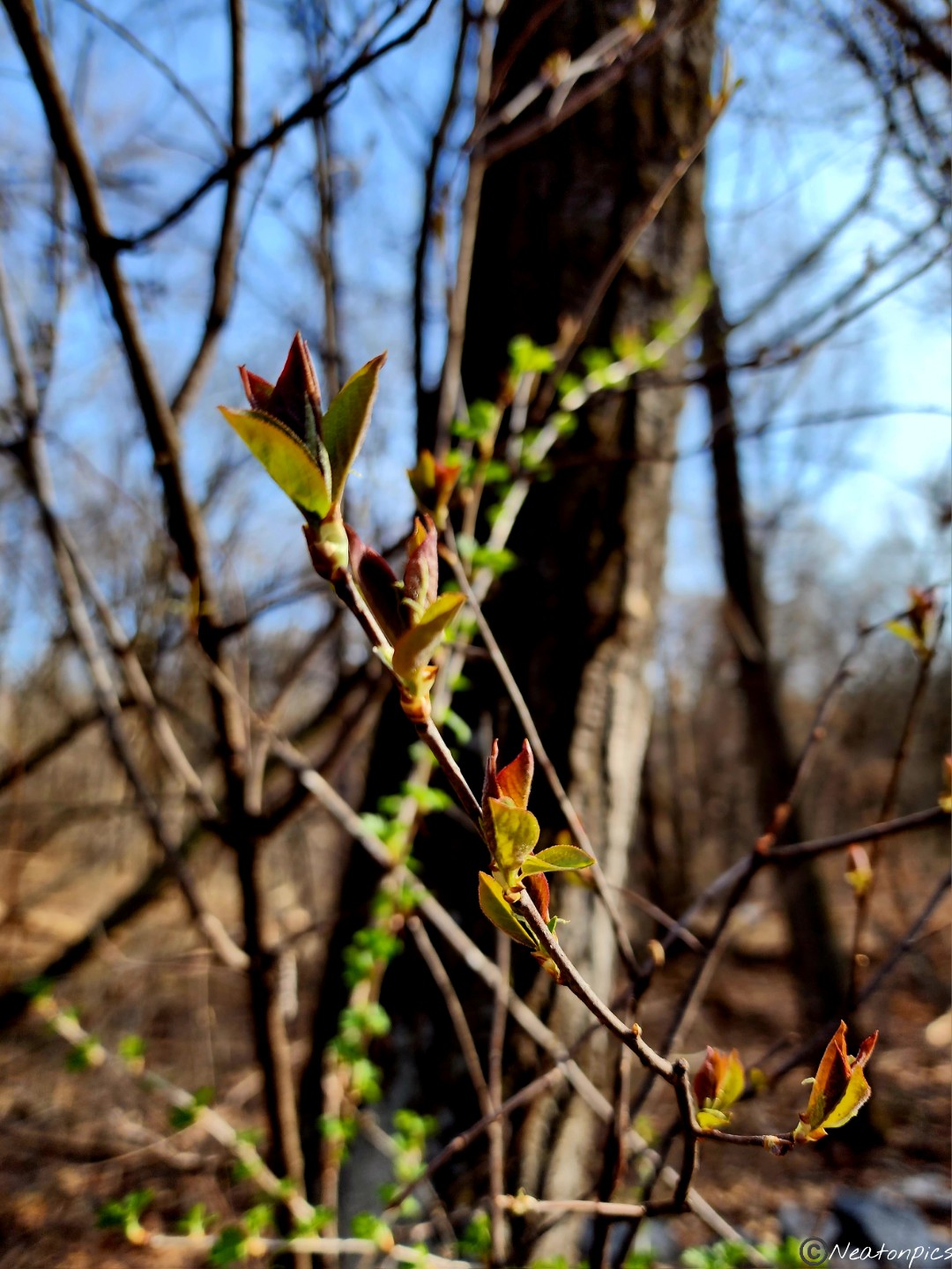
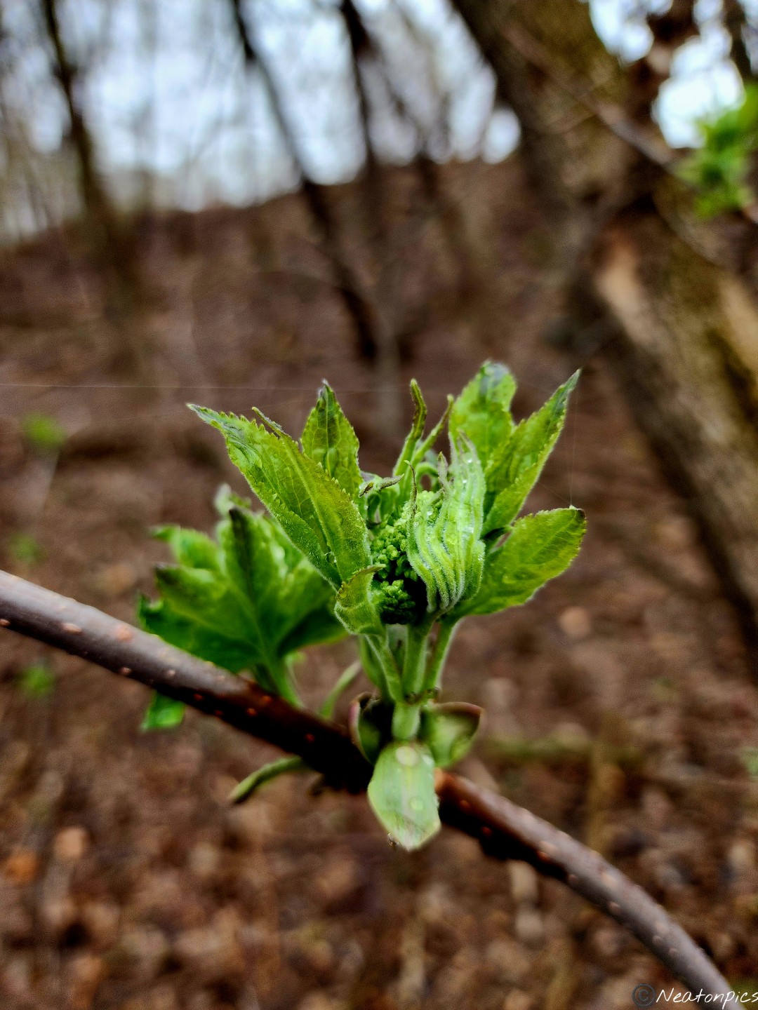
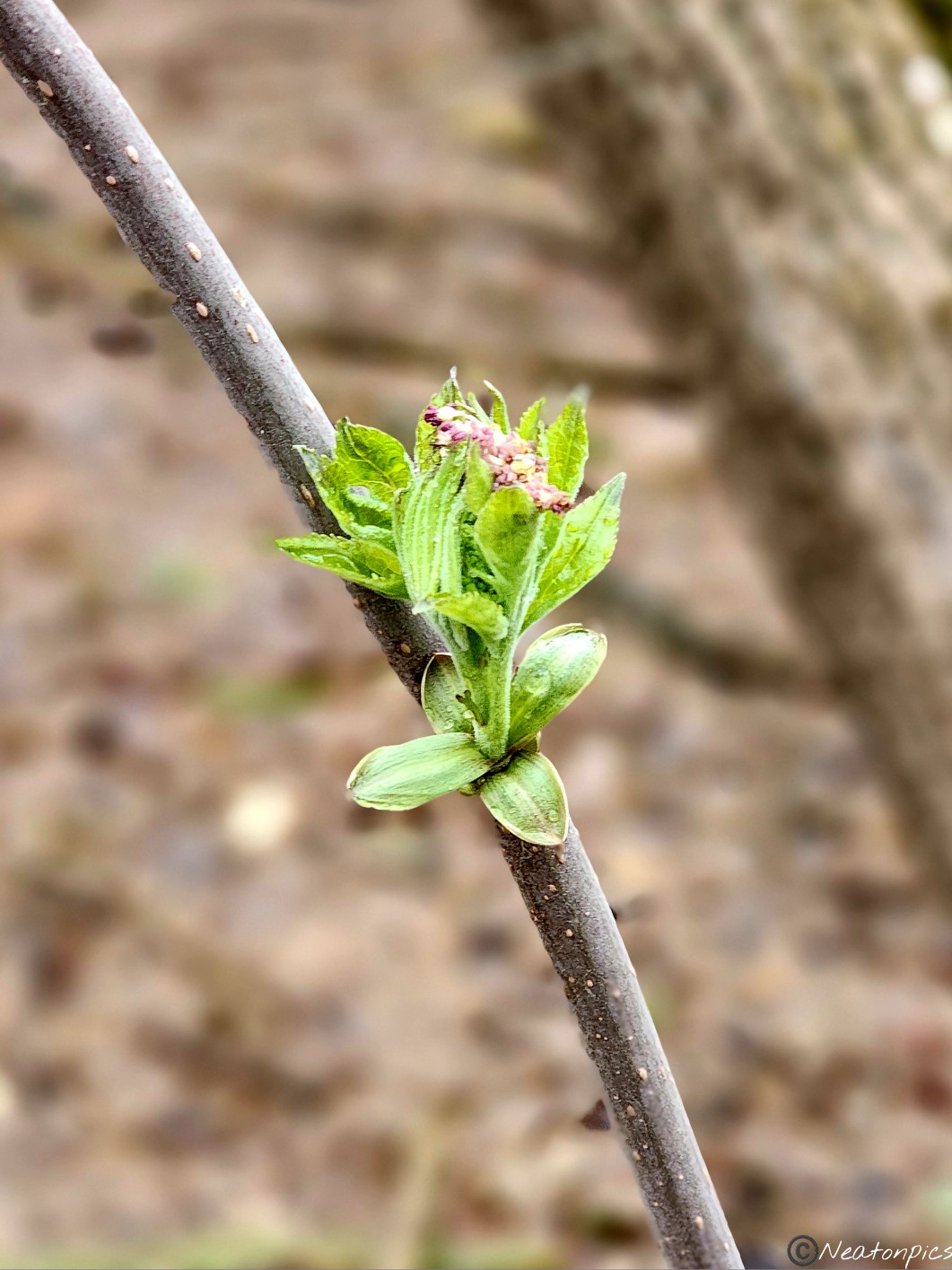
We crossed over many different bridges throughout our hike. Little bits of green were popping out. Spring is here!
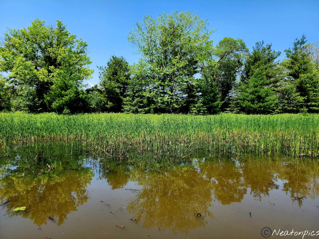
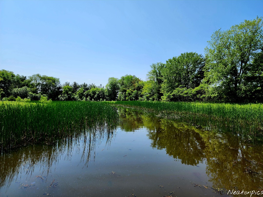
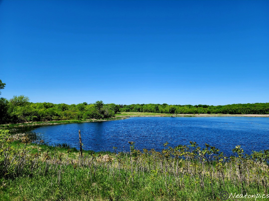
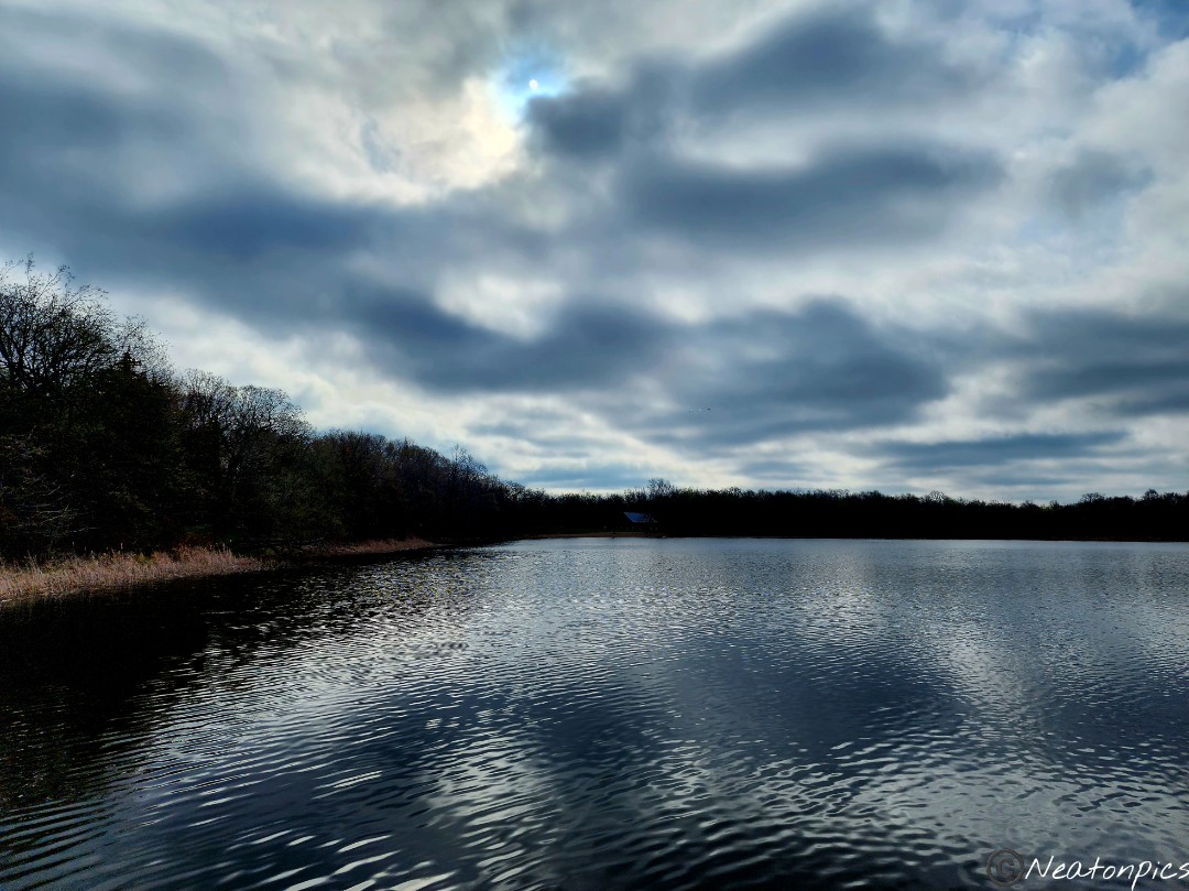
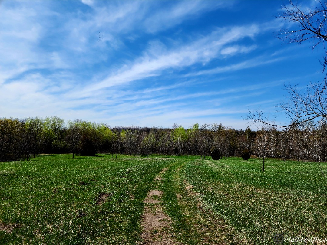
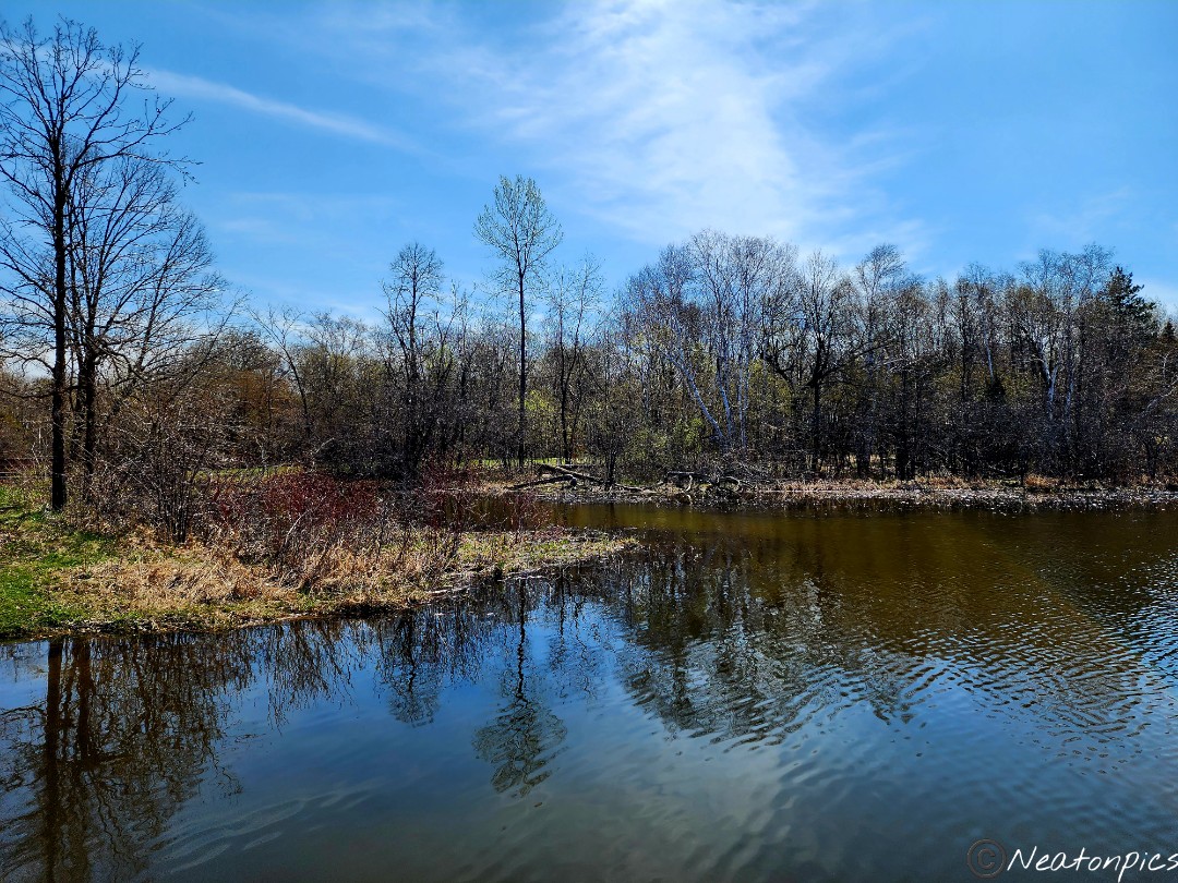
Long Lake offered beautiful views. The clouds mirrored themselves across the still lake. The lake was actually quite long, hence its name. There were several places along the trail to stop for different views.
New growth was everywhere!
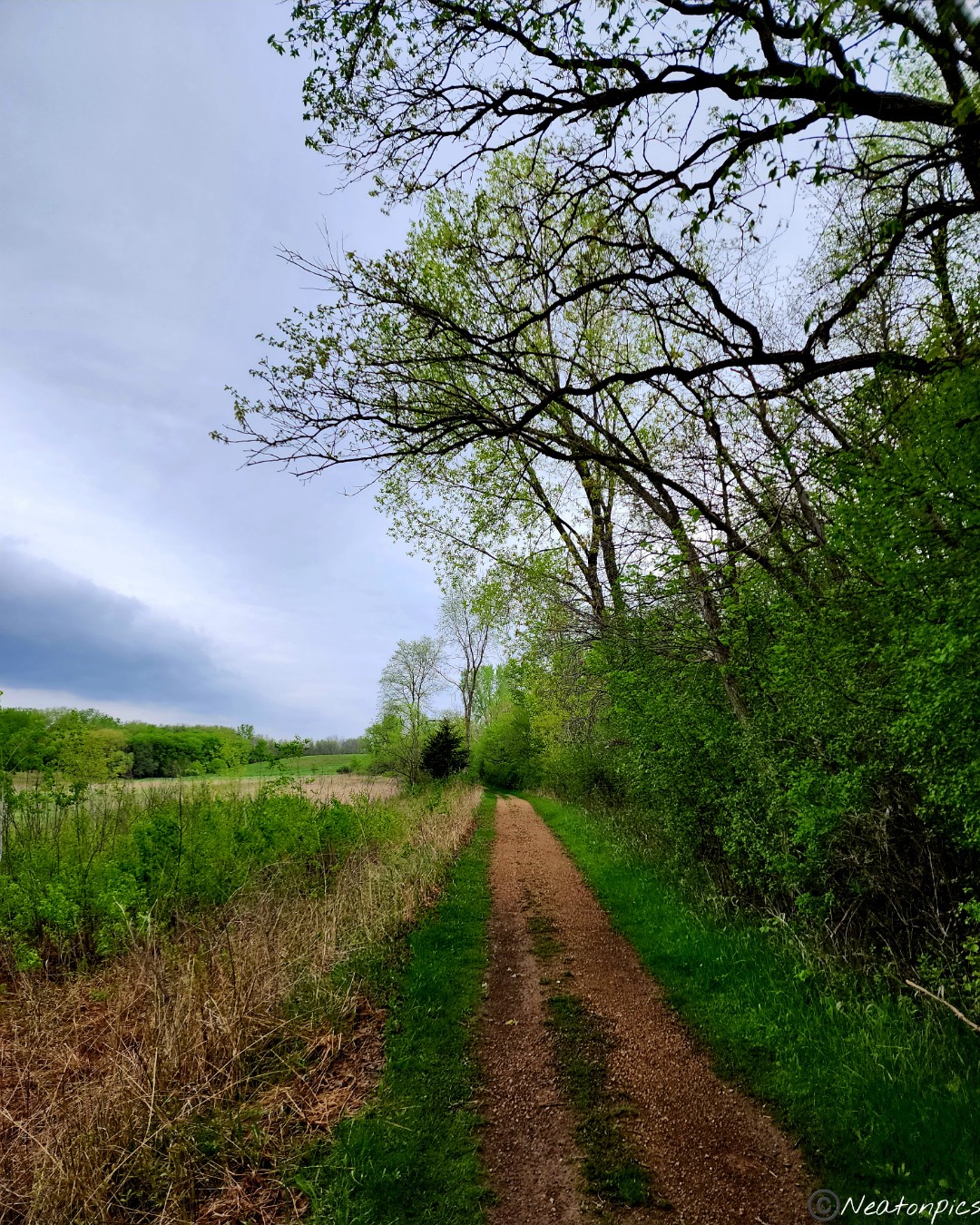
Alongside the hiking trails, a single track bike trail weaved throughout the forest.
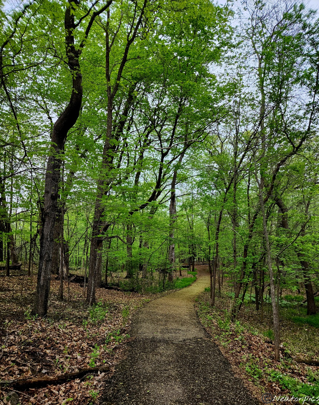
We continued on the trail.
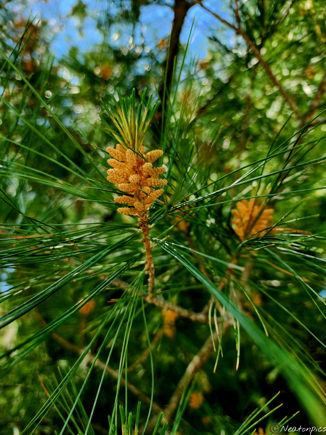
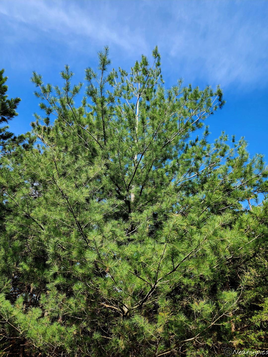
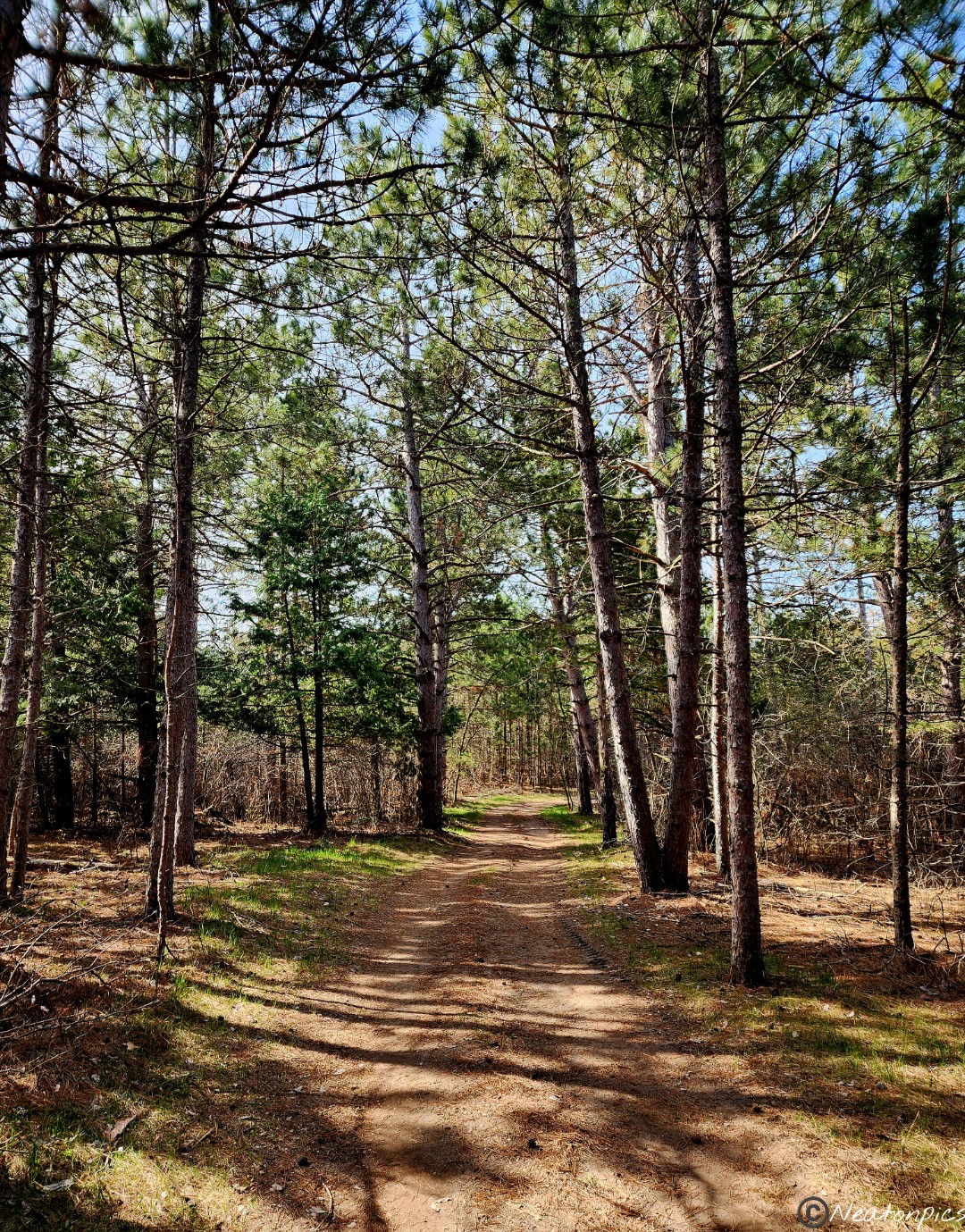
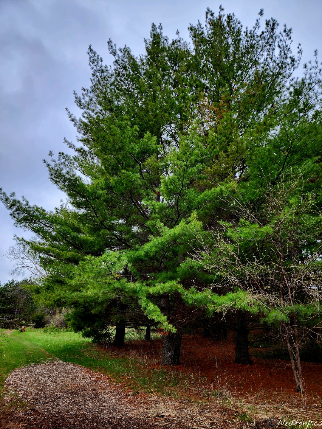
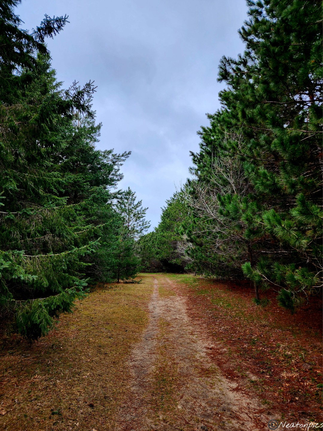
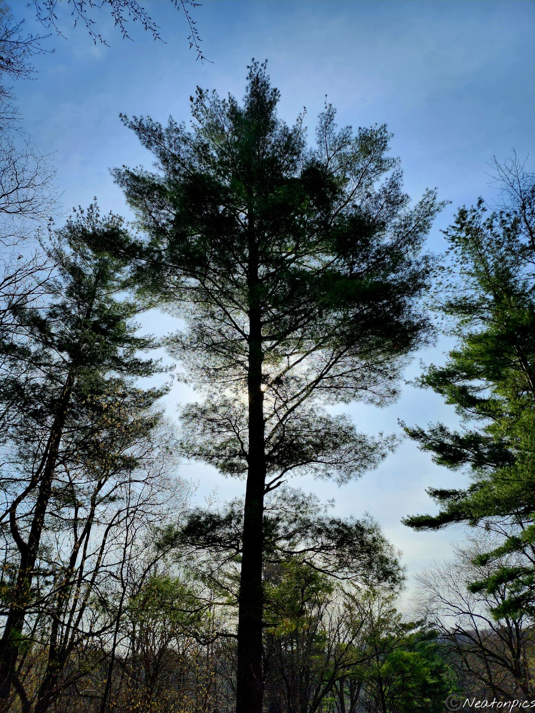
Hiking through the pine tree grove is always a favorite. The smell is so relaxing.
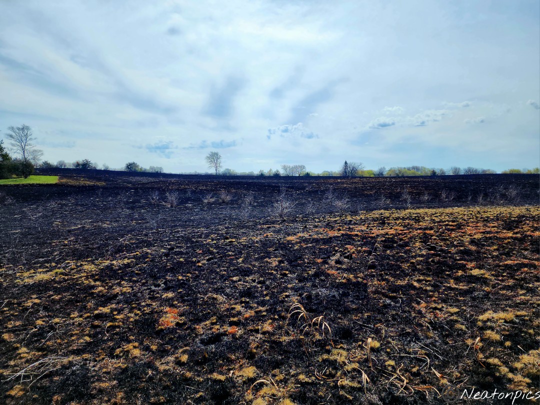
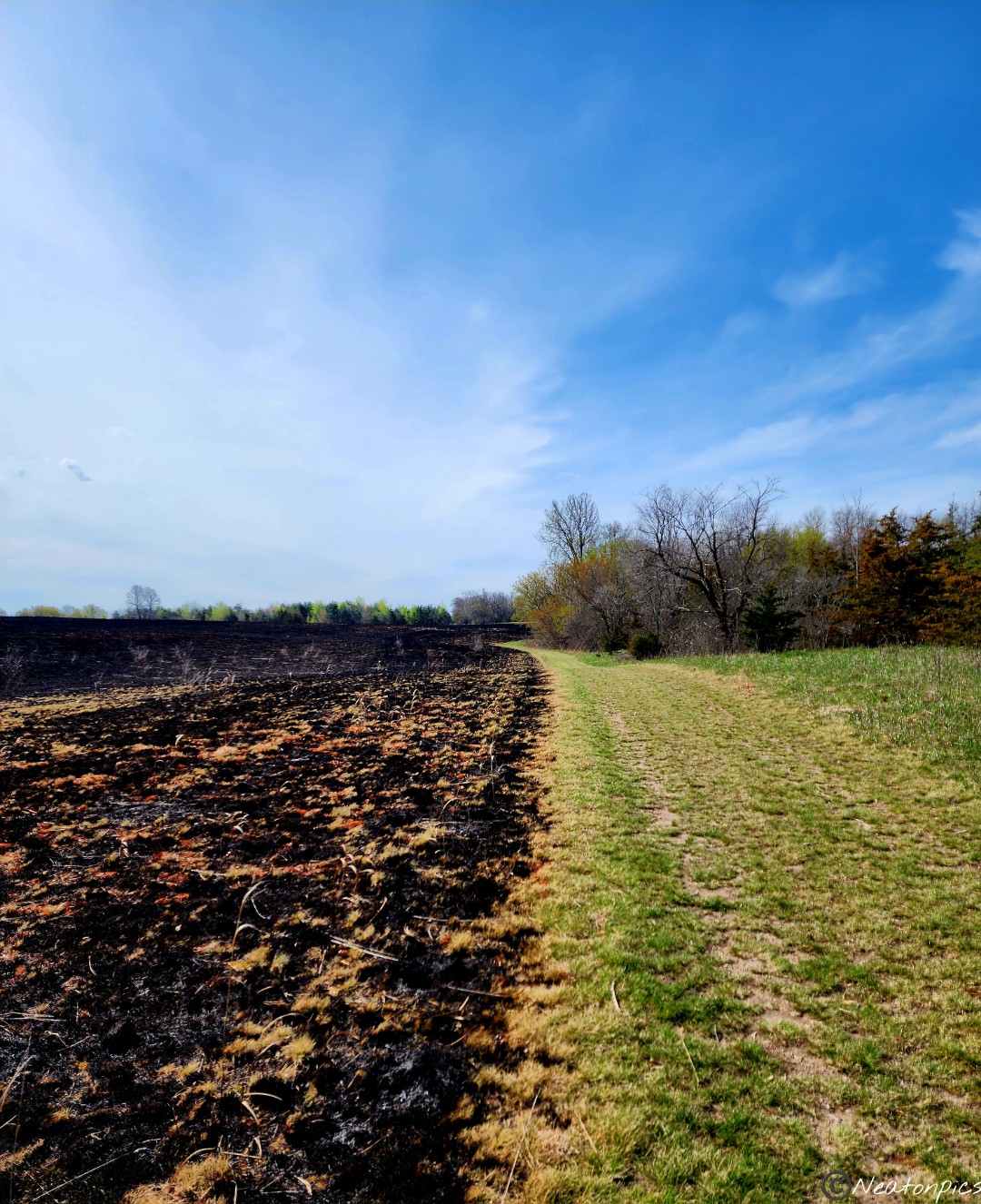
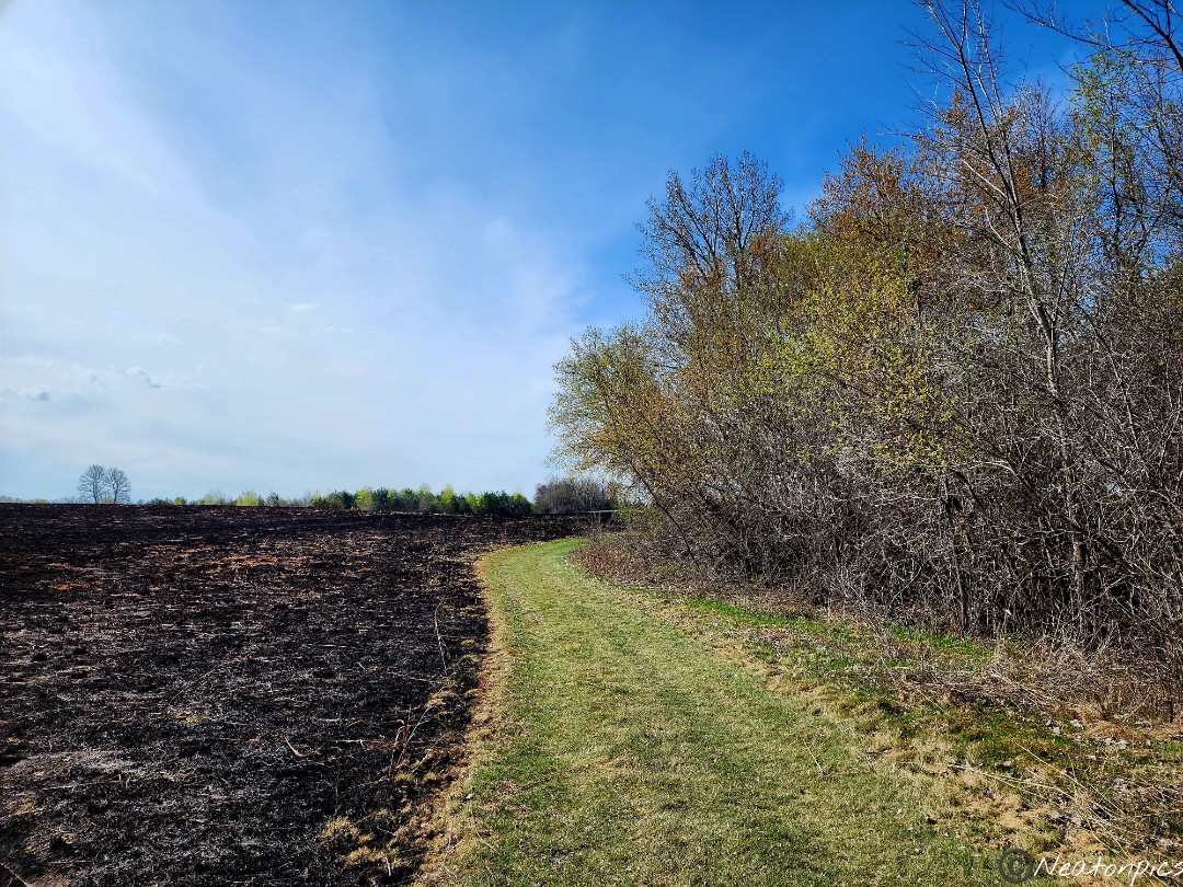
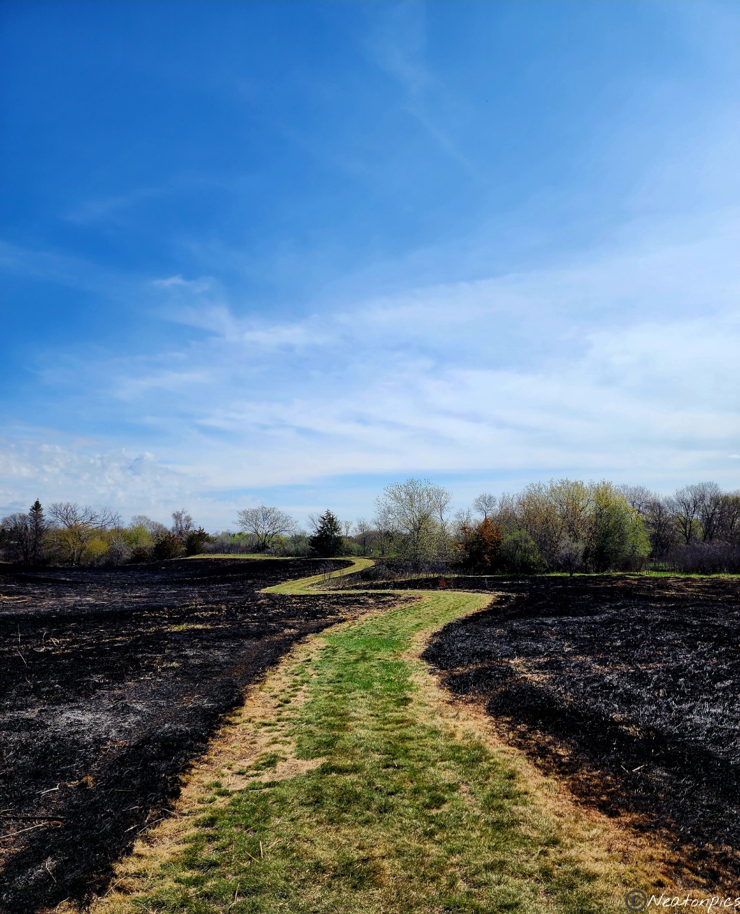
I forgot to mention earlier, the trails are numbered 1-5. So far we had been hiking on trails 1 and 2. Trail 3 is a loop which circles the park’s prairie restoration area. They recently had a controlled burn of the prairie. The contrast of the green trail and the burnt prairie was striking.
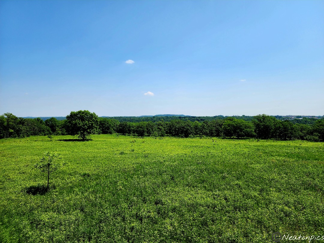
Back on trail 2… The bright blue sky and the green grass was so nice to see.
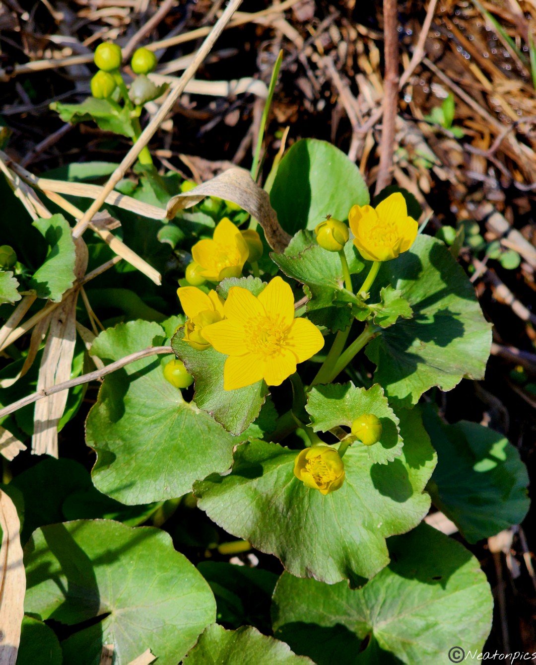
Wildflowers added a wonderful splash of color along the trail.
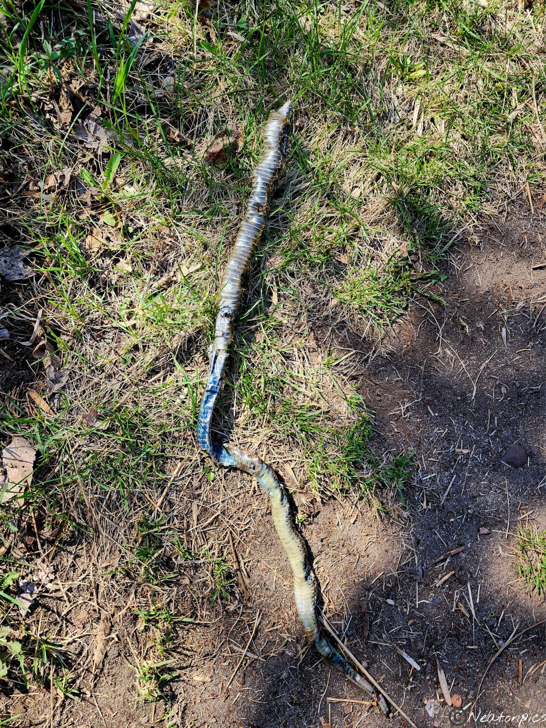
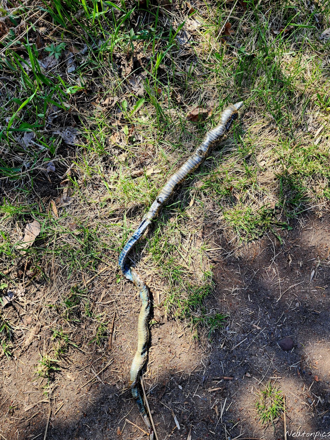
A snake shed its skin right on the trail.
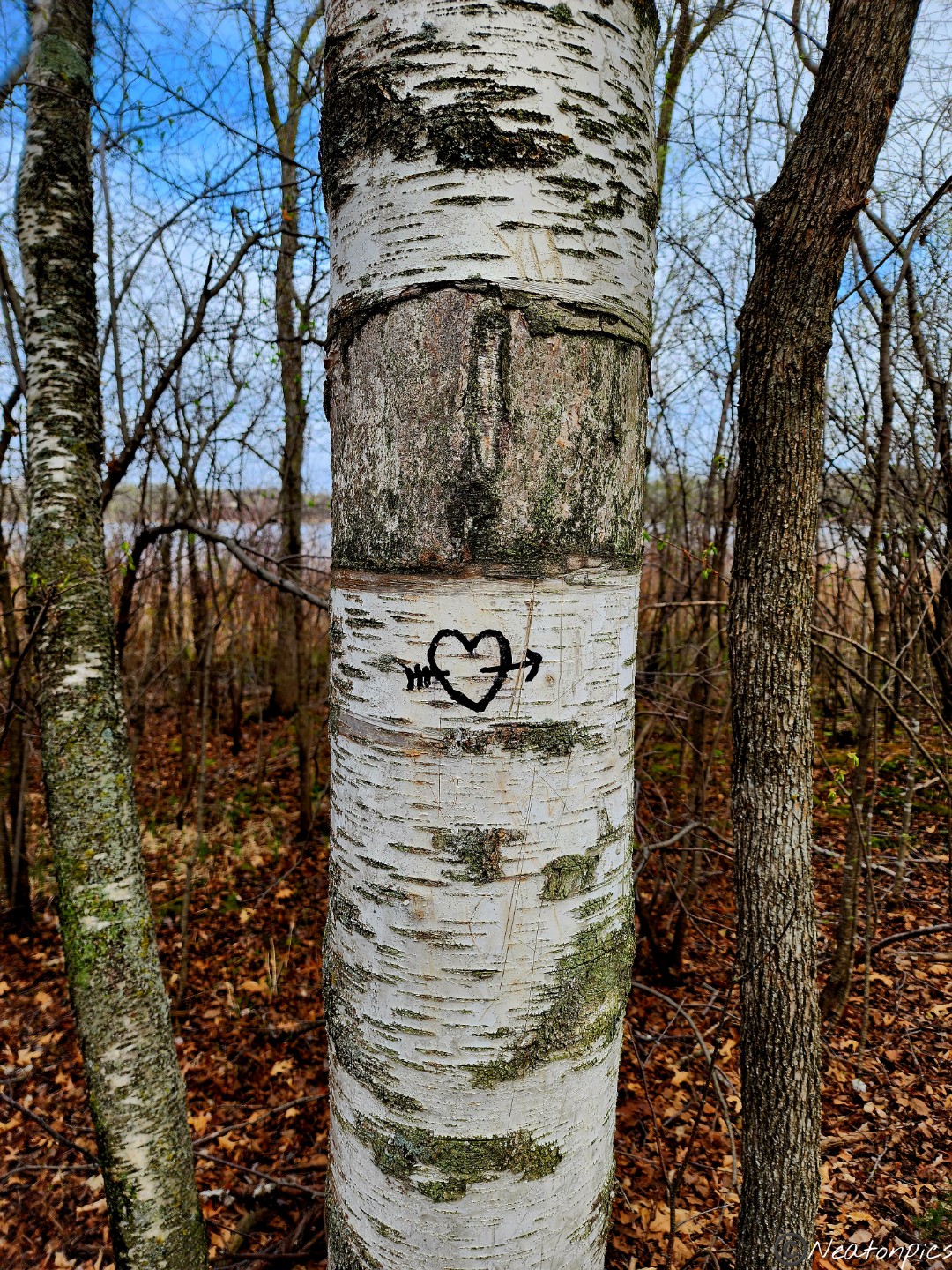
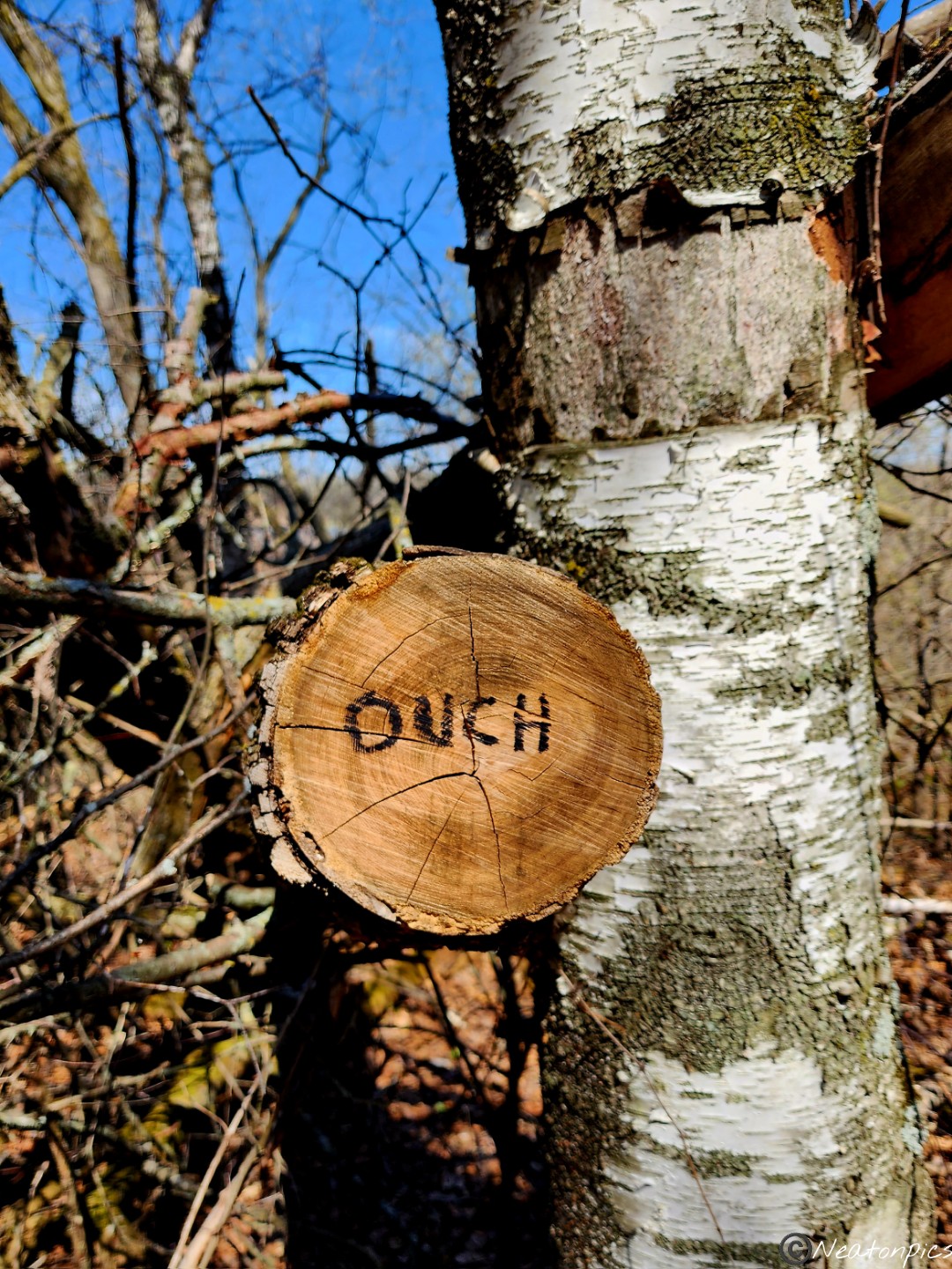
We found a bit of tree graffiti along the trail.
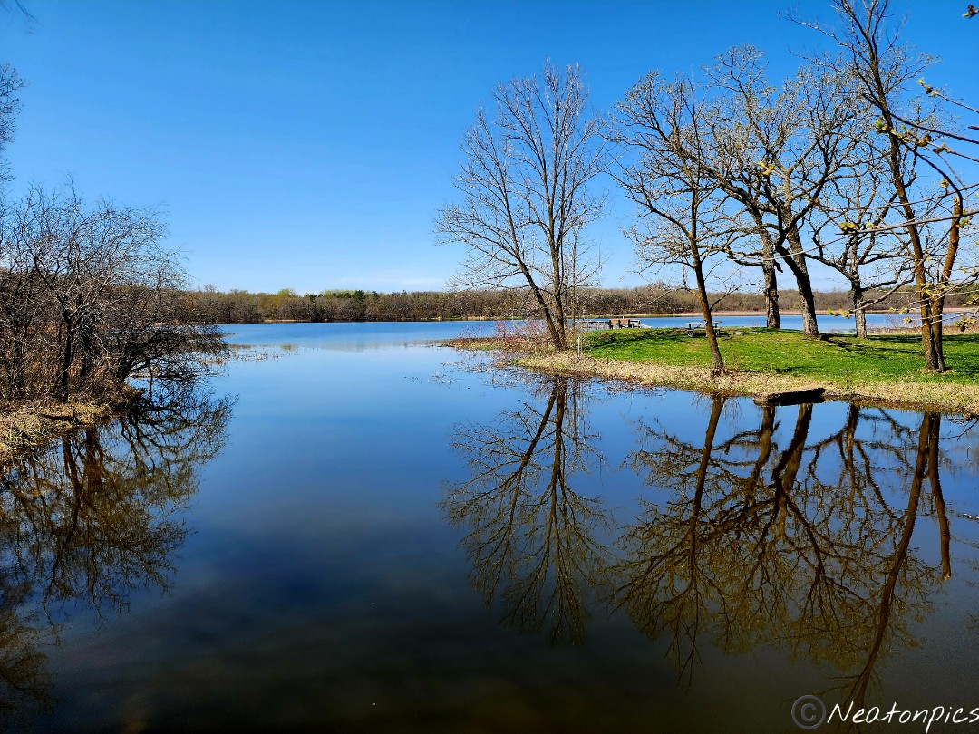
As we looped back to our starting point, the sky was mostly clear. I snapped a few more photos of Bertram Lake. The trees mirrored against the calm water.
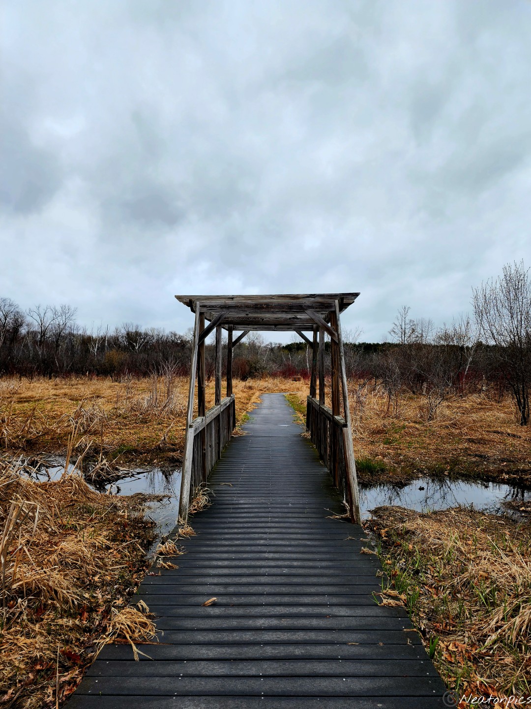
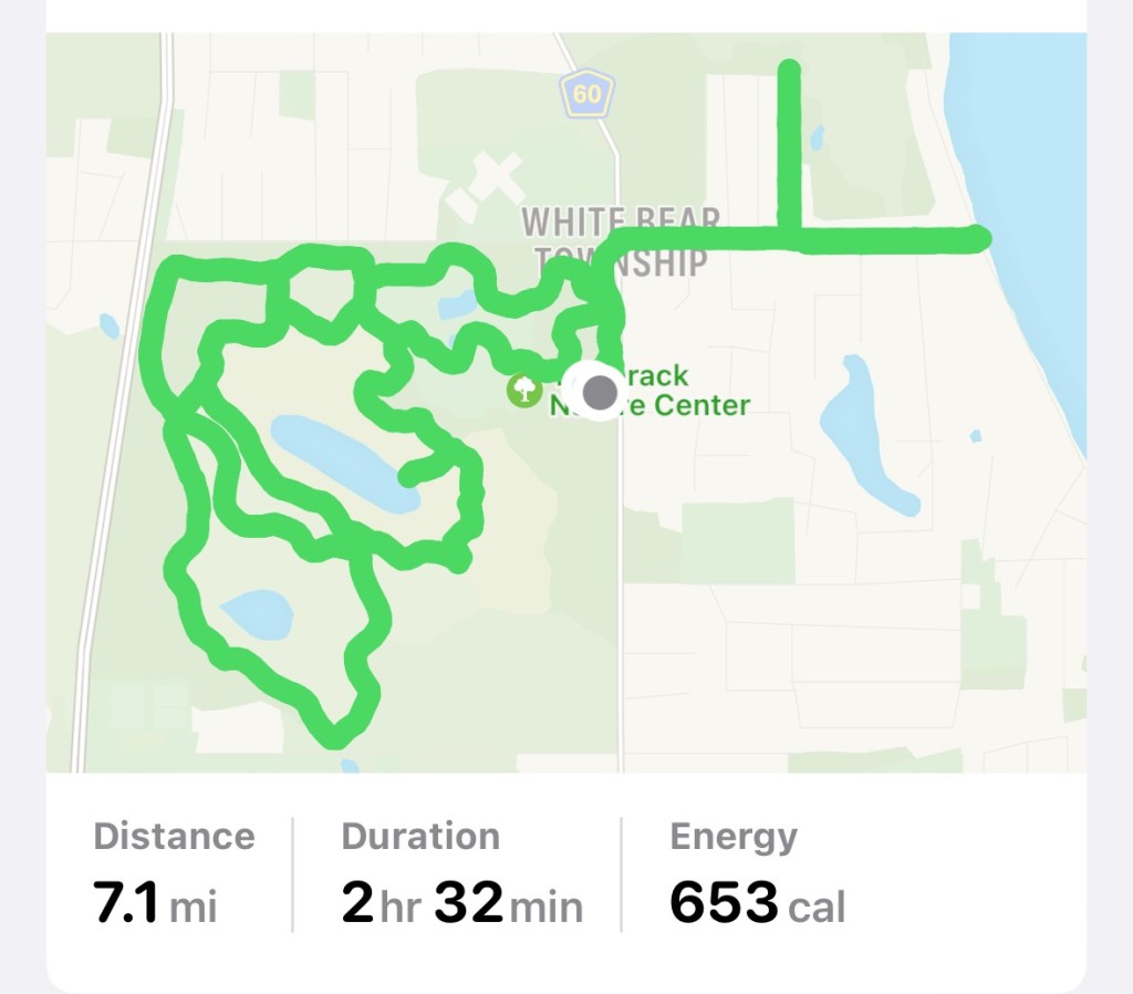
Today’s hiking adventure began at Tamarack Nature Center.
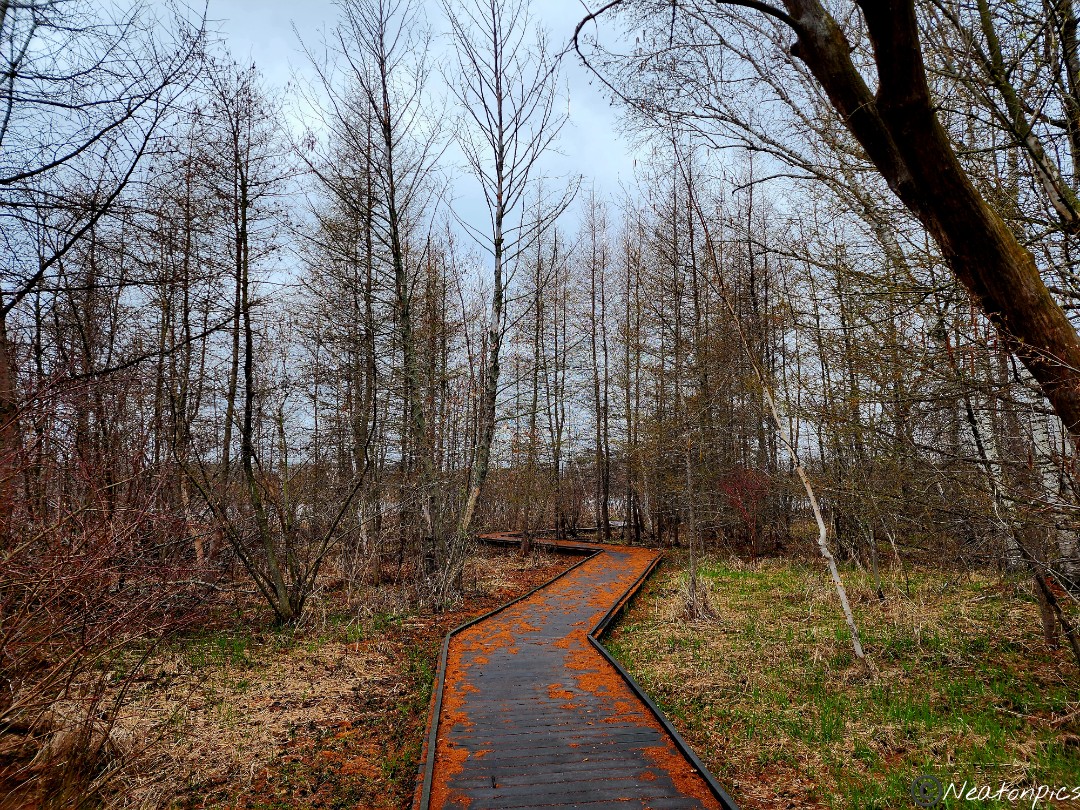
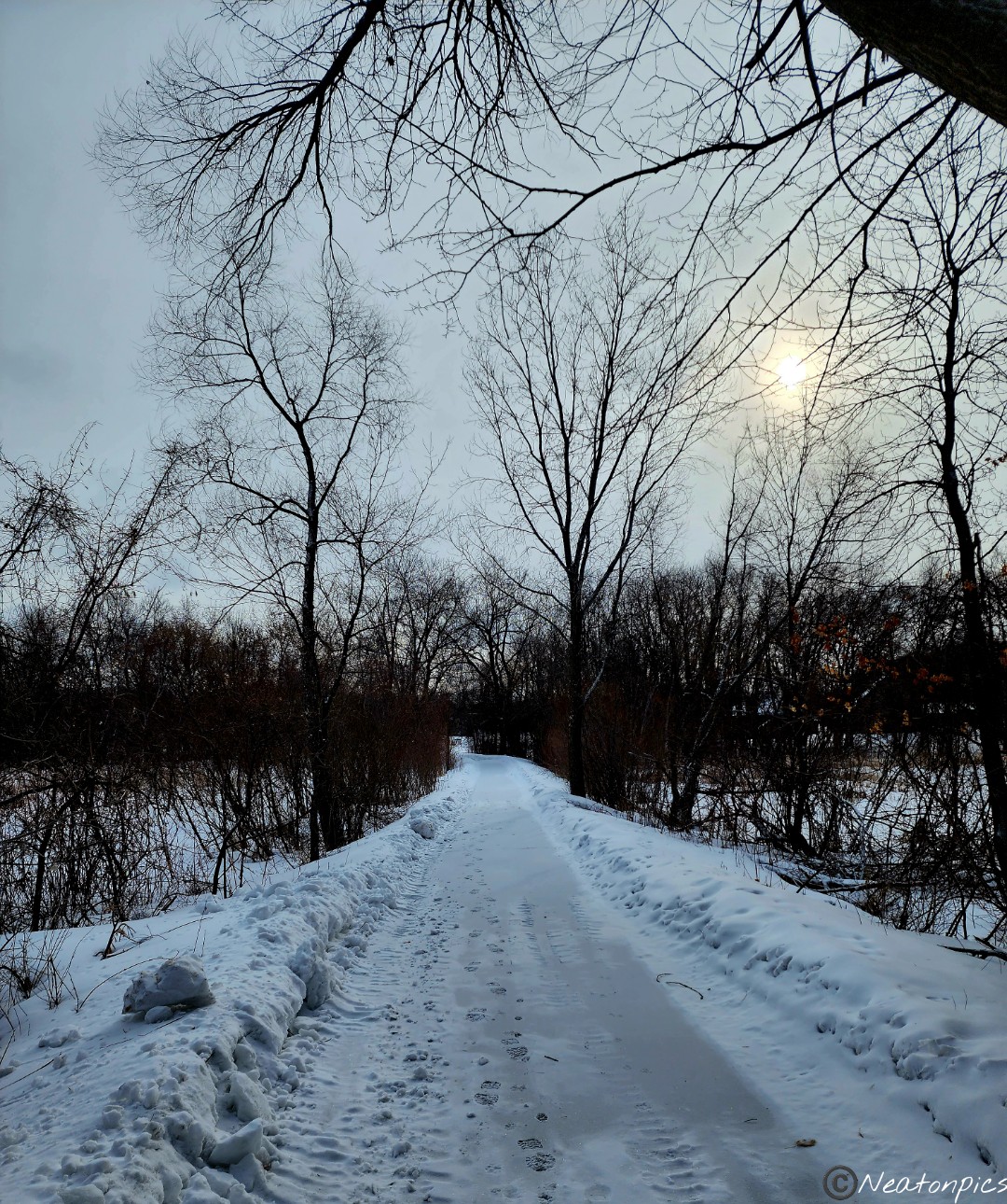
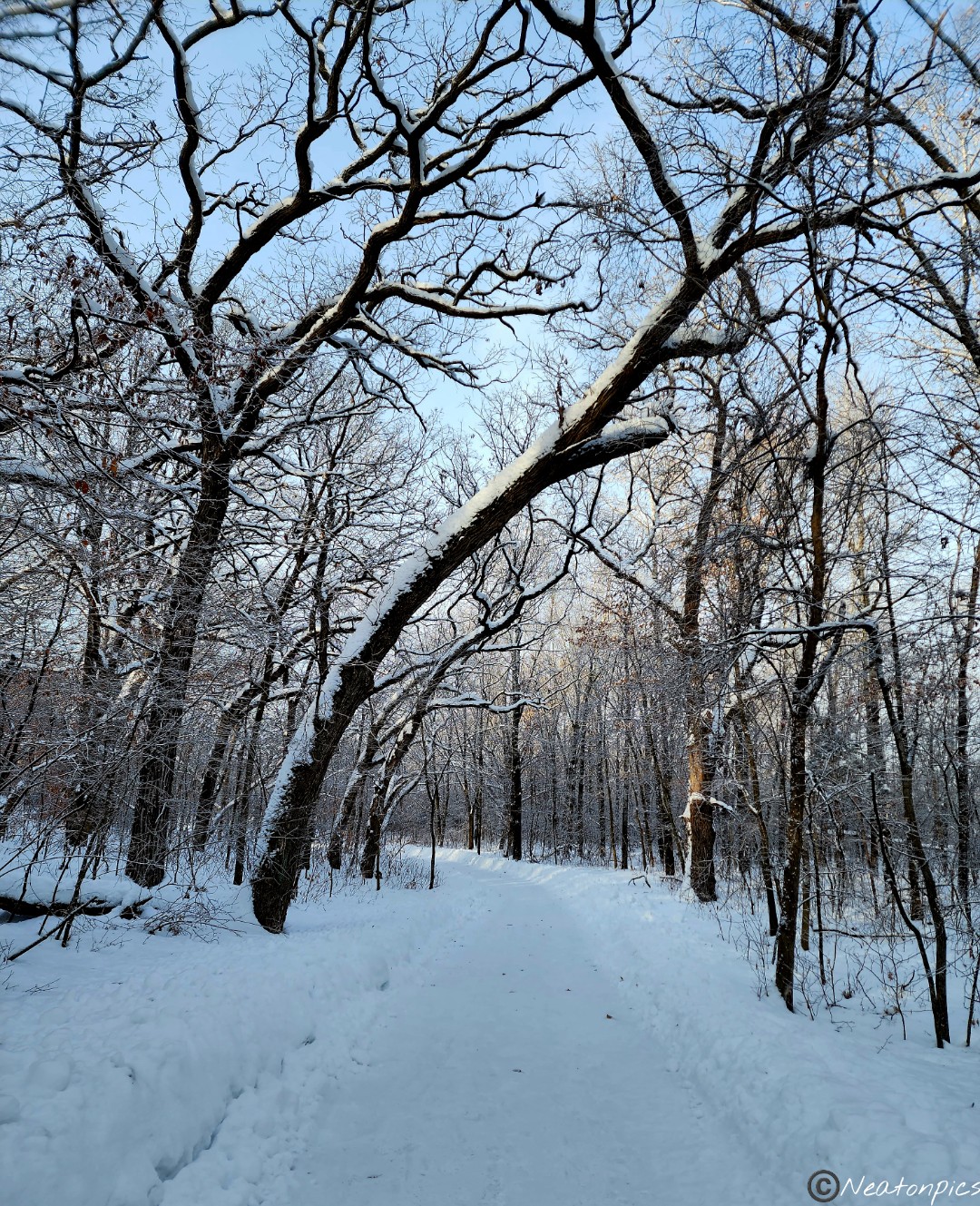
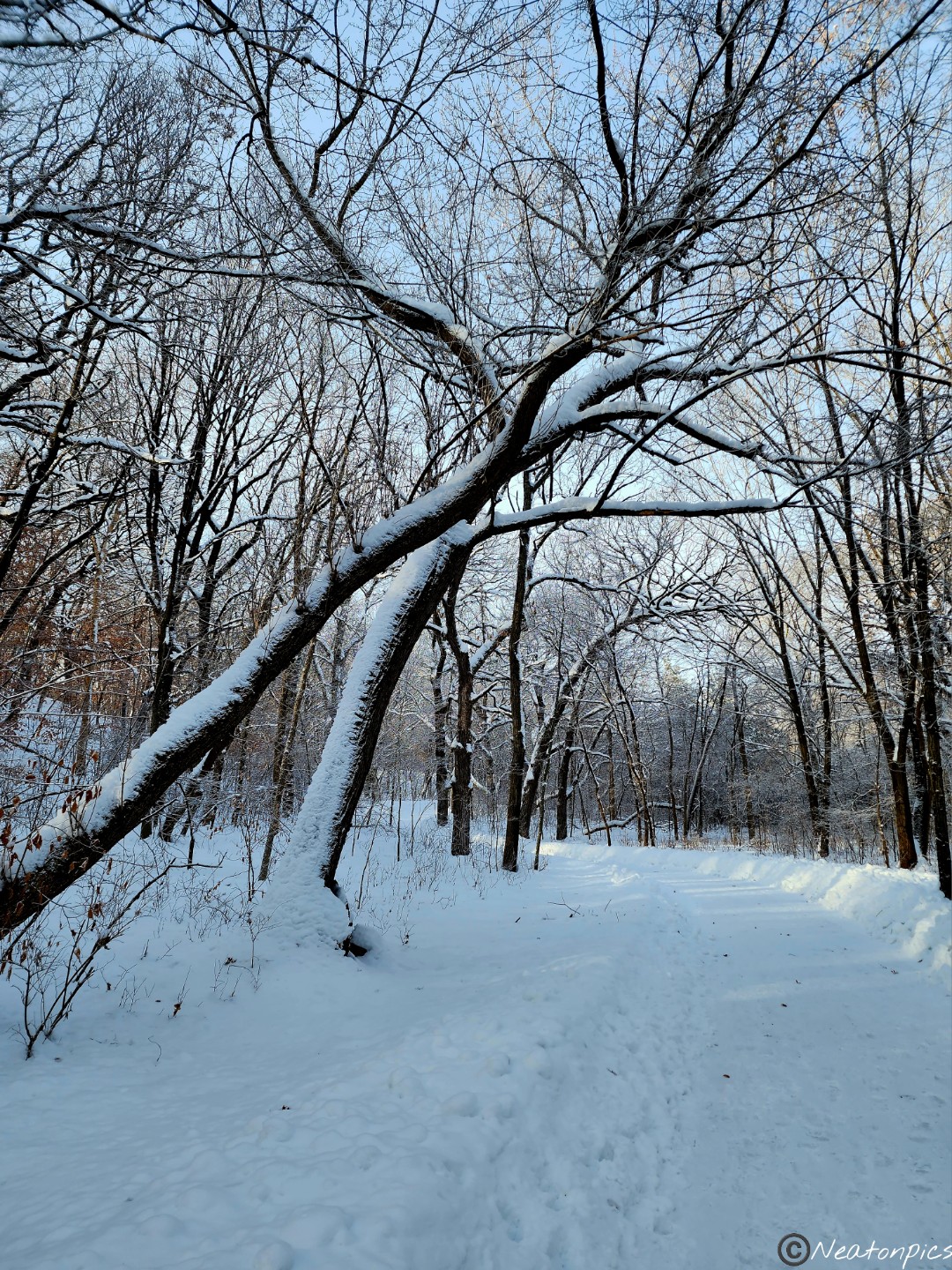
This past week I placed all my winter hiking items into storage. Oh boy, did I regret putting them away this morning. It was 38 degrees and windy and rainy as we began our hike. I’m not sure Minnesota will see a spring this year. We may just jump straight into summer. Nevertheless, we persevered as true Minnesotans do. Tamarack Nature Center has several trails throughout the park. We began our hike on the Acorn Loop.
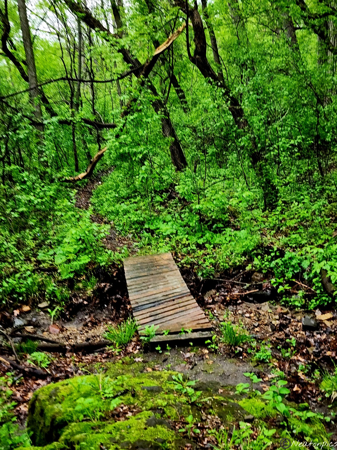
Throughout the park there were nice boardwalks. With the water level high due to all the snow and rain we have had this year, some of the boardwalks were almost level with the water.
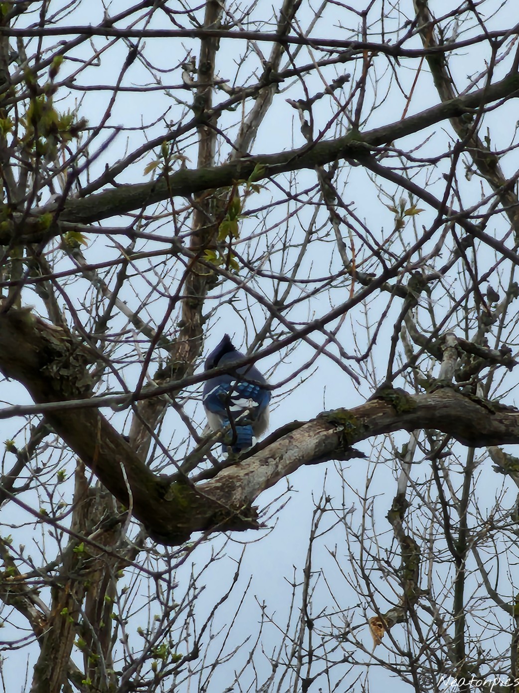
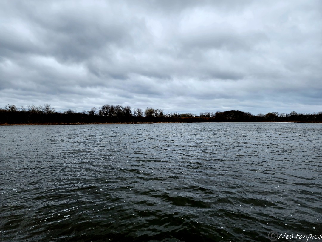
Tamarack Lake can be seen in the distance. A few blue jays were seen flying around. Unfortunately, they didn’t want to be photographed.
We took the Turtle Pass Trail down to the dock on Tamarack Lake.
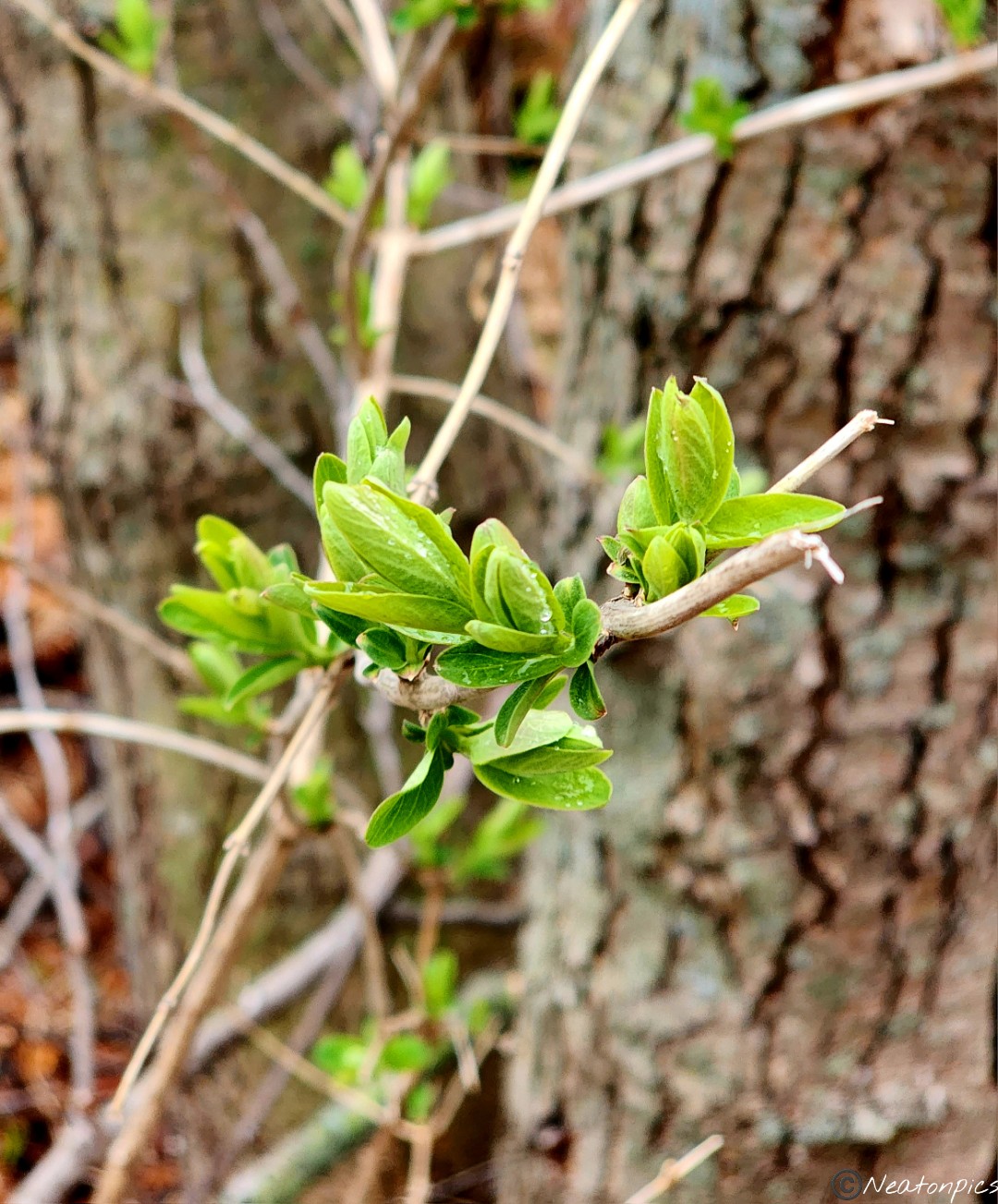
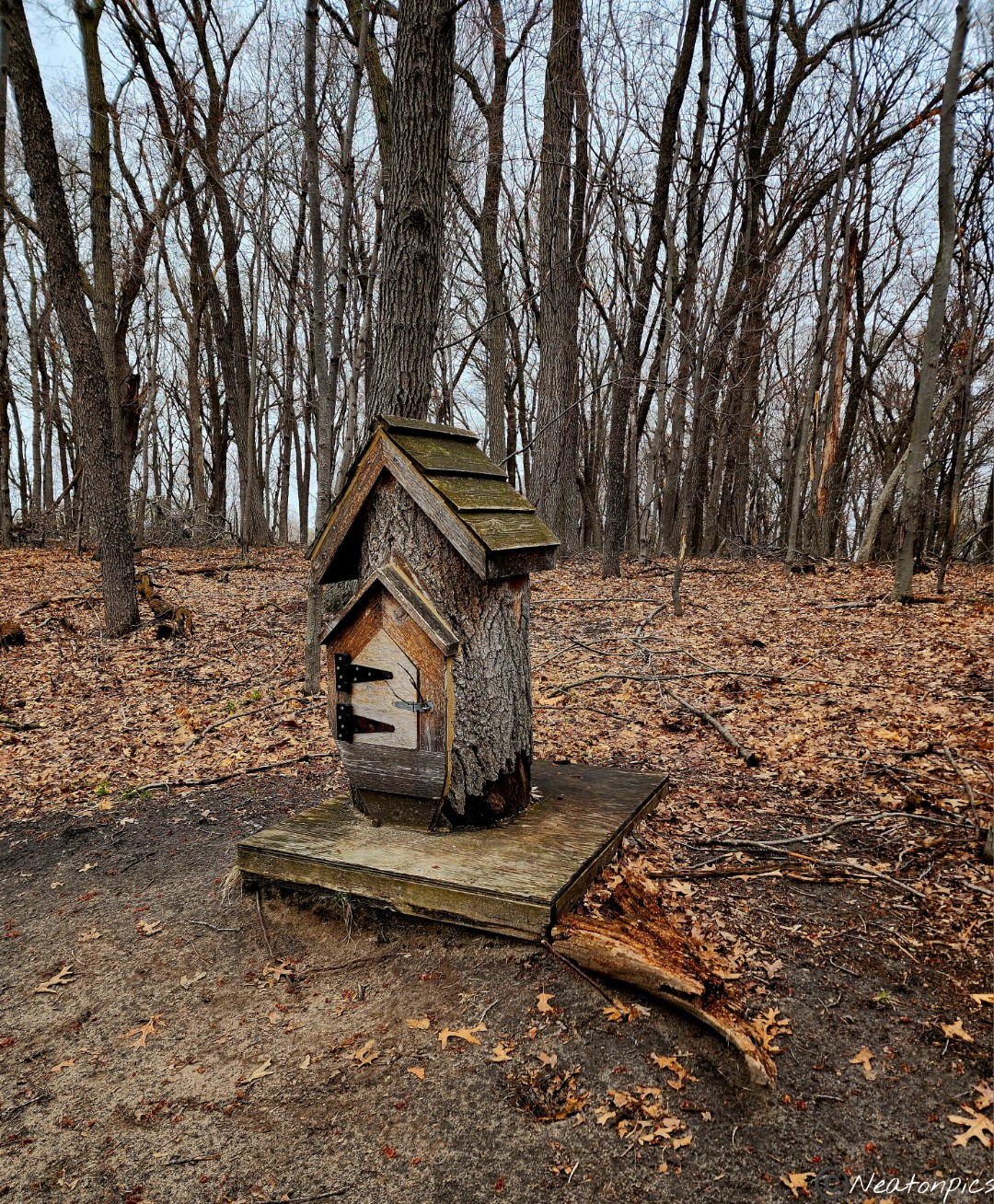
We continued on the Acorn Loop to the Dragonfly Loop. Baby leaves were popping out everywhere. We passed by a cute fairy house. Inside the house, there was a notebook where people could write down their wishes for the fairies to answer.
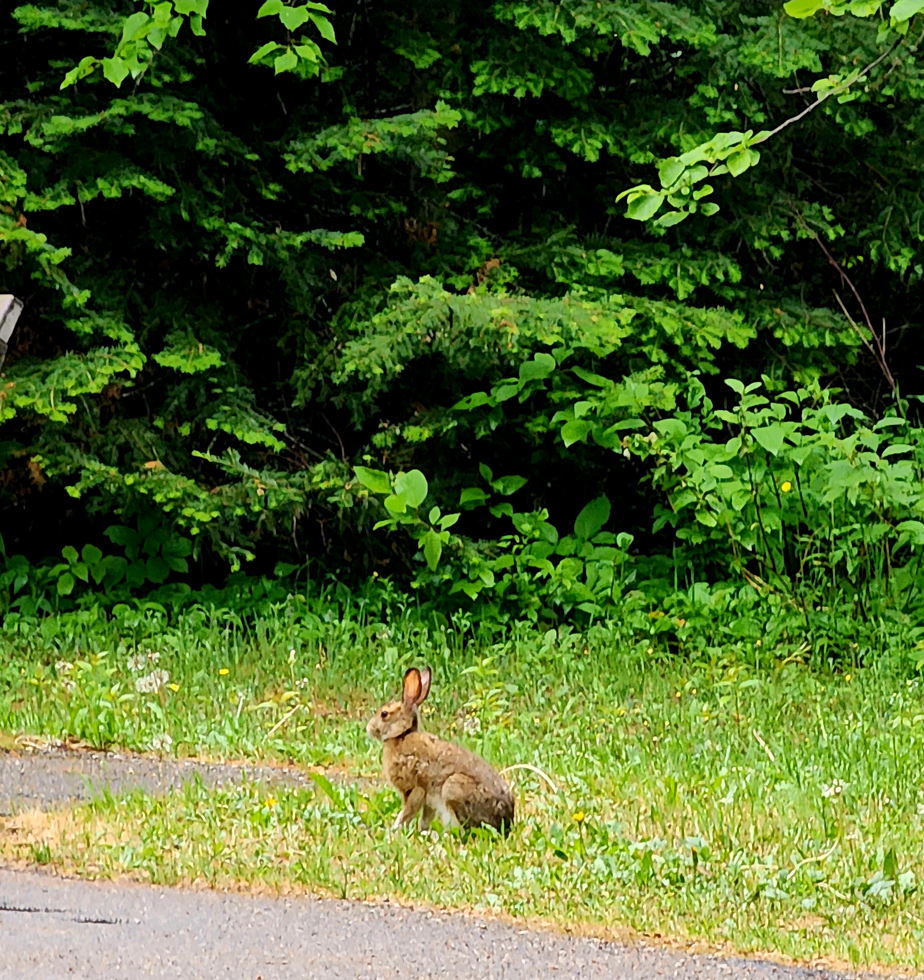
A bit further down the trail about 5 deer passed in front of us. They watched us just as closely as we watched them.
We continued on the Firefly Loop trail.
We passed through a beautiful green pine tree grove.
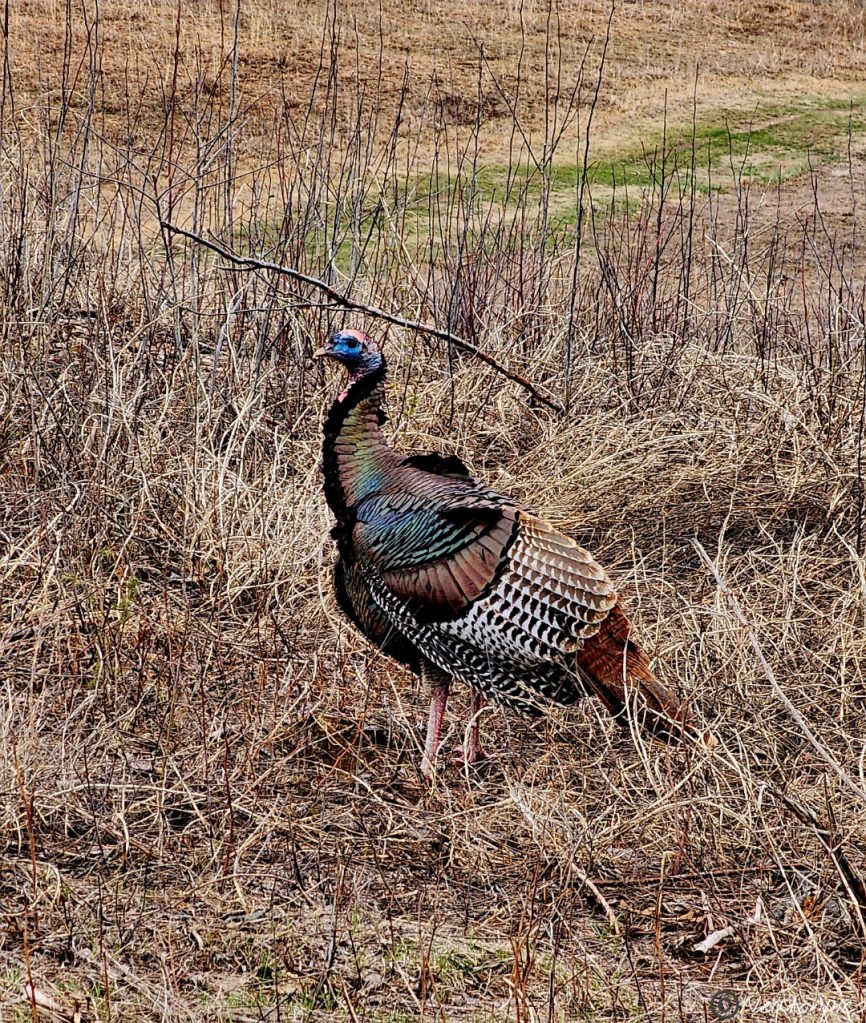
Several wild turkeys greeted us. One turkey just stood there as if I was the paparazzi, and they were enjoying having their picture being taken. They sure have beautiful feathers.
The Deer Pass Trail brought us to Fish Lake. The wetlands surrounding the lake were also full of water.
We finished our hike at Tamarack Nature Center and decided to hike towards Otter Lake. Unfortunately, the trails we found were underwater. We then hiked to Bald Eagle Lake to take in the view.
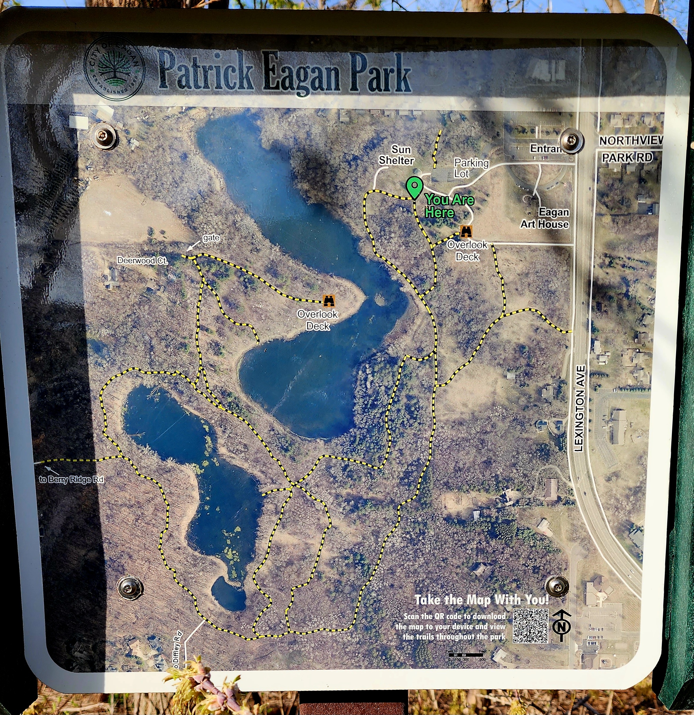
Today’s hiking adventure began at Patrick Eagan Park.
After a week of rain, it sure was nice to see the sun this morning. We found a zipline near the parking lot. Of course, we both had to take it for a ride. Now that our adrenaline was pumping, it was time for our hike.
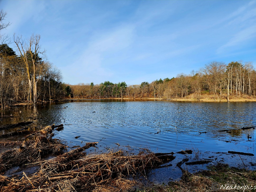
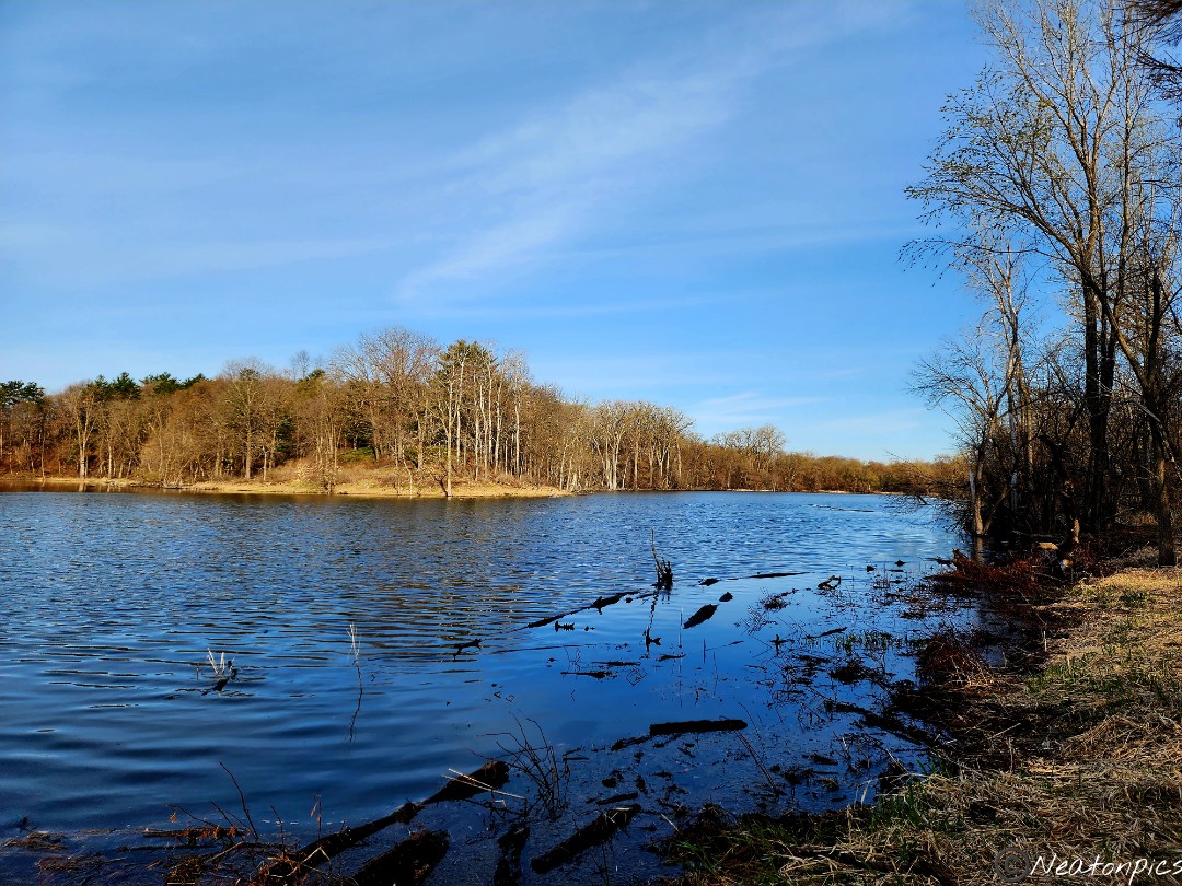
The trail led us to McCarthy Lake.
Little bits of green foliage were beginning to pop.
The morning sun shining through the trees is one of my favorite sights.
Up and down the hills we went.
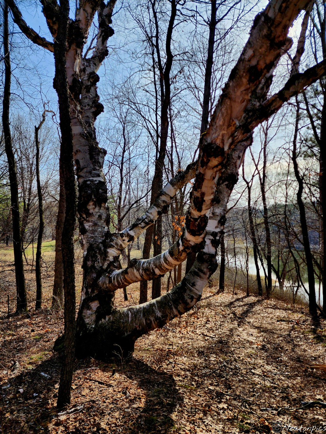
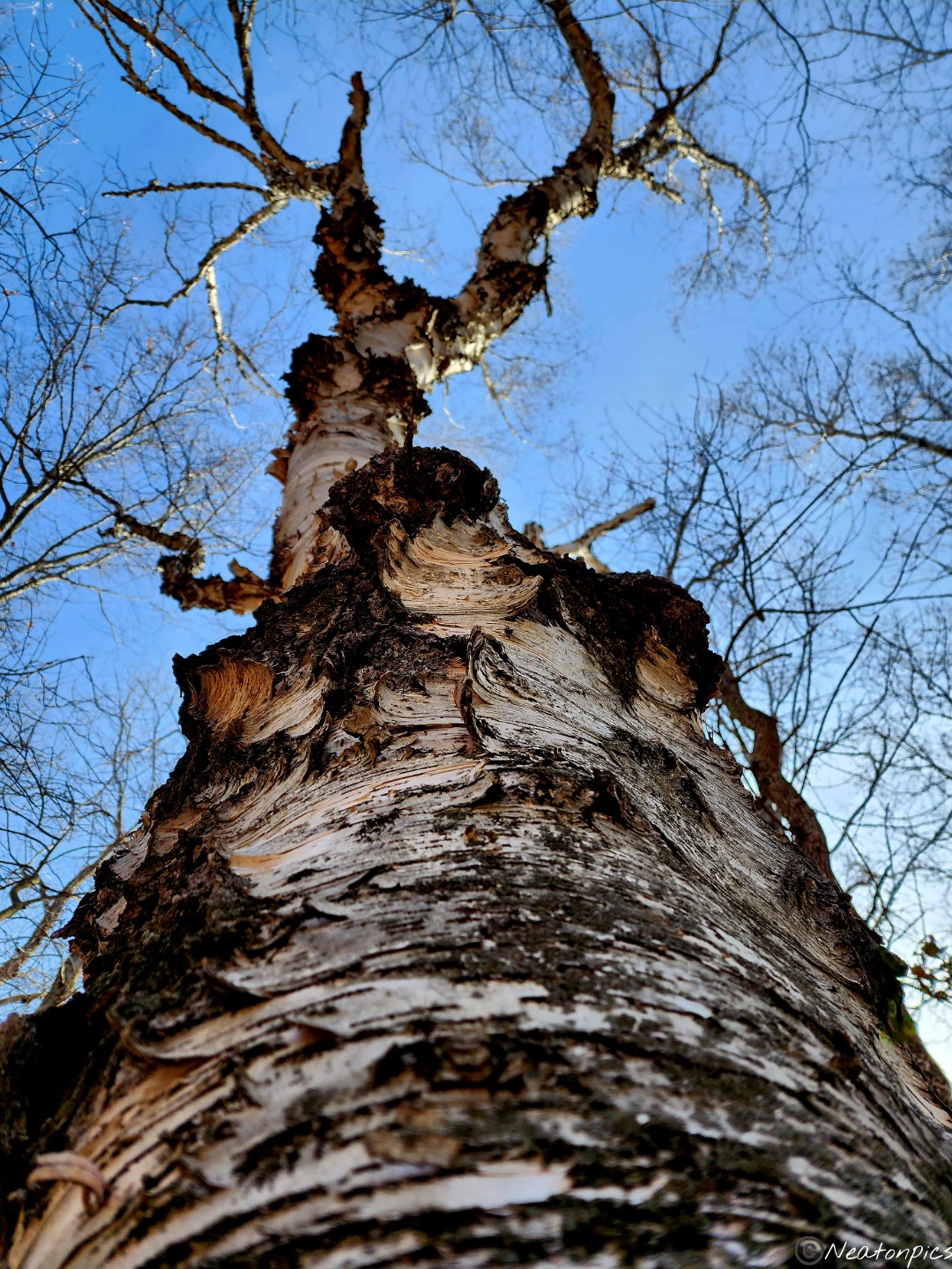
We found a giant birch tree.
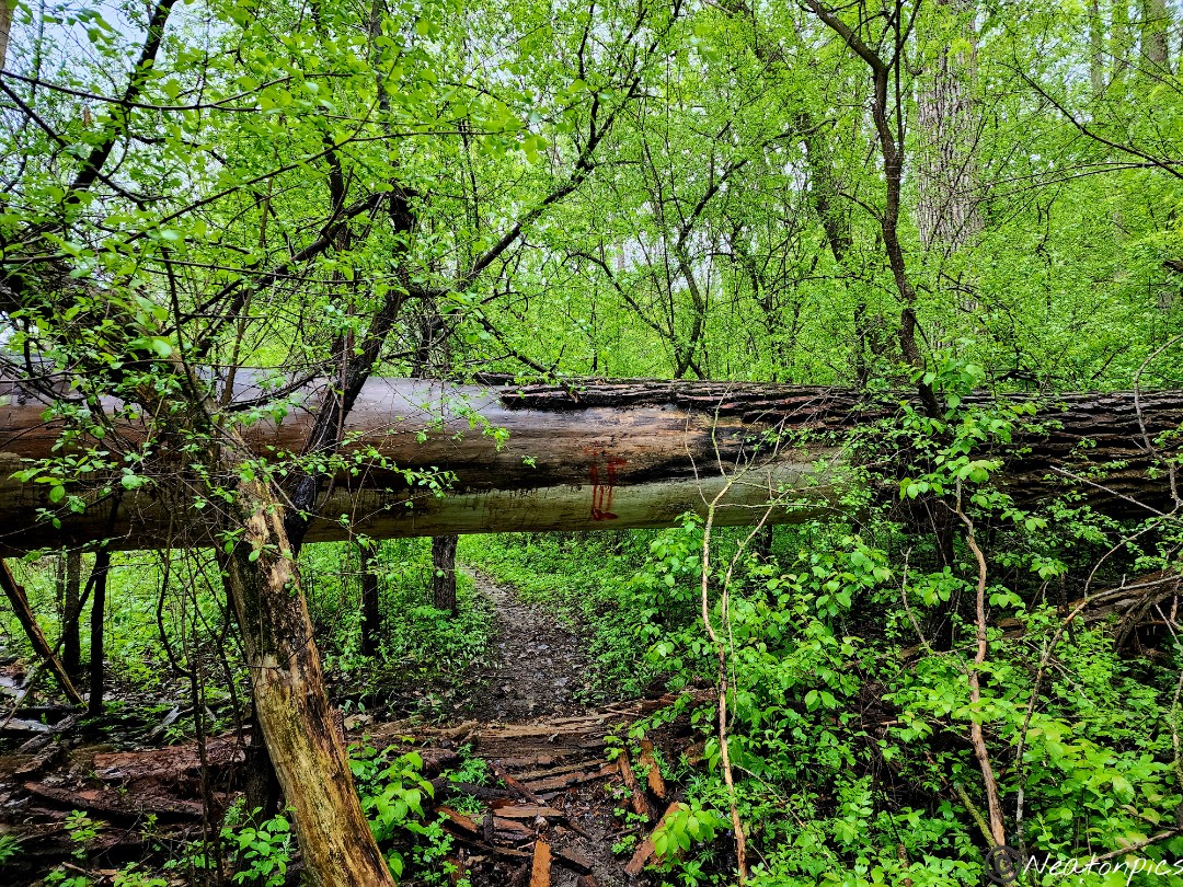
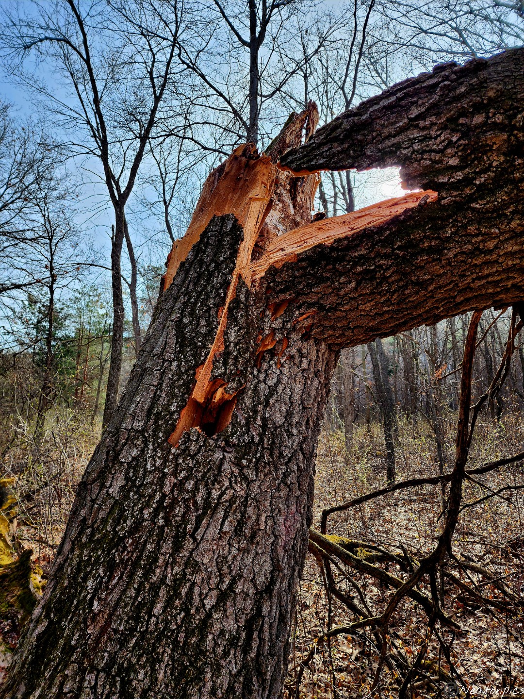
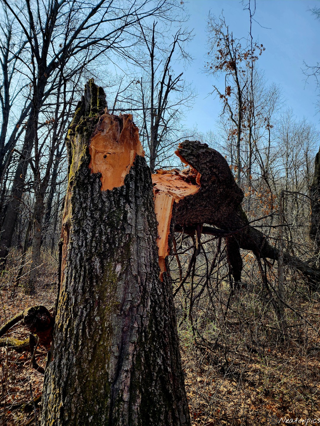
Due to the heavy snow we had this winter, many branches and several whole trees were down.
The trail led us between Lake McCarthy and another unidentified lake or pond.
Back at our starting point we decided to ride the zipline one more time!
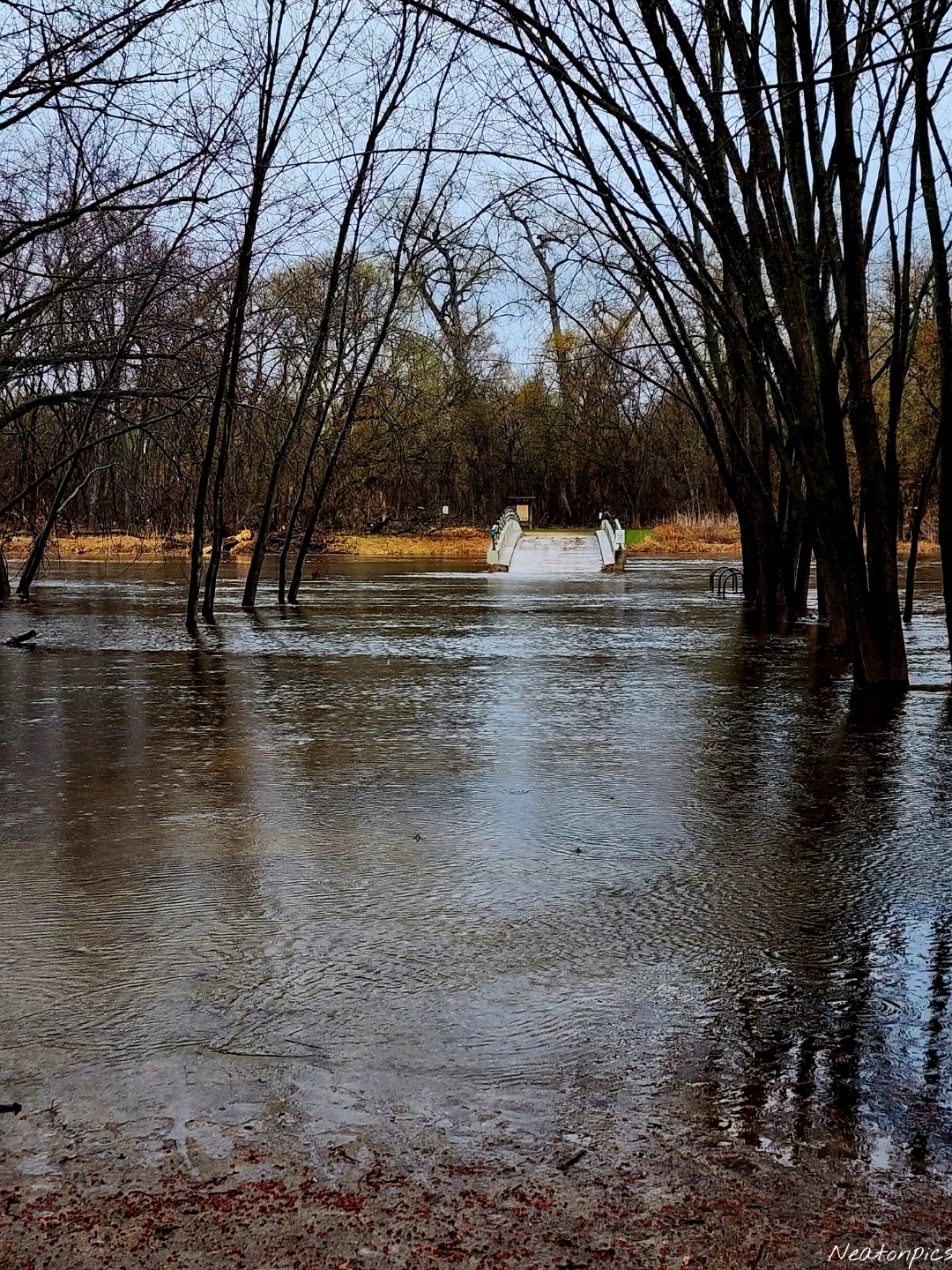
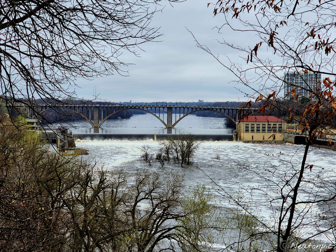
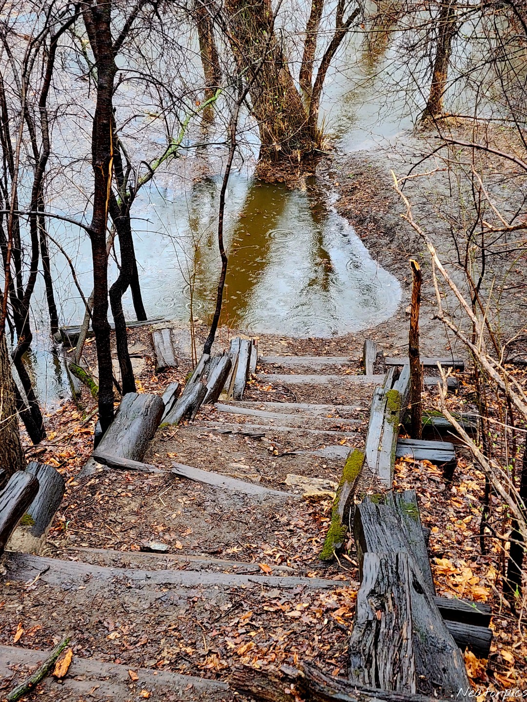
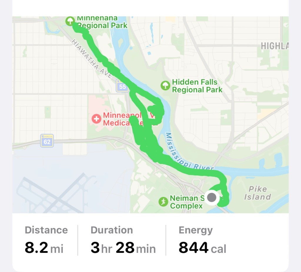
Today’s hiking adventure began at Fort Snelling State Park.
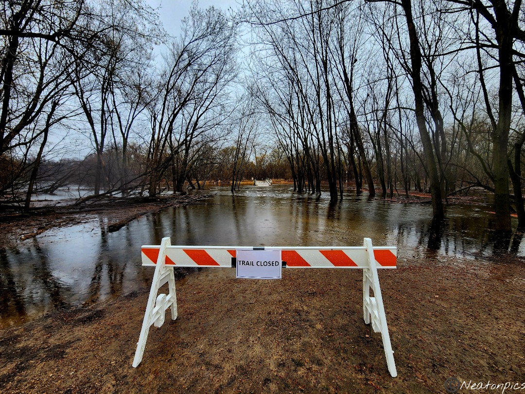
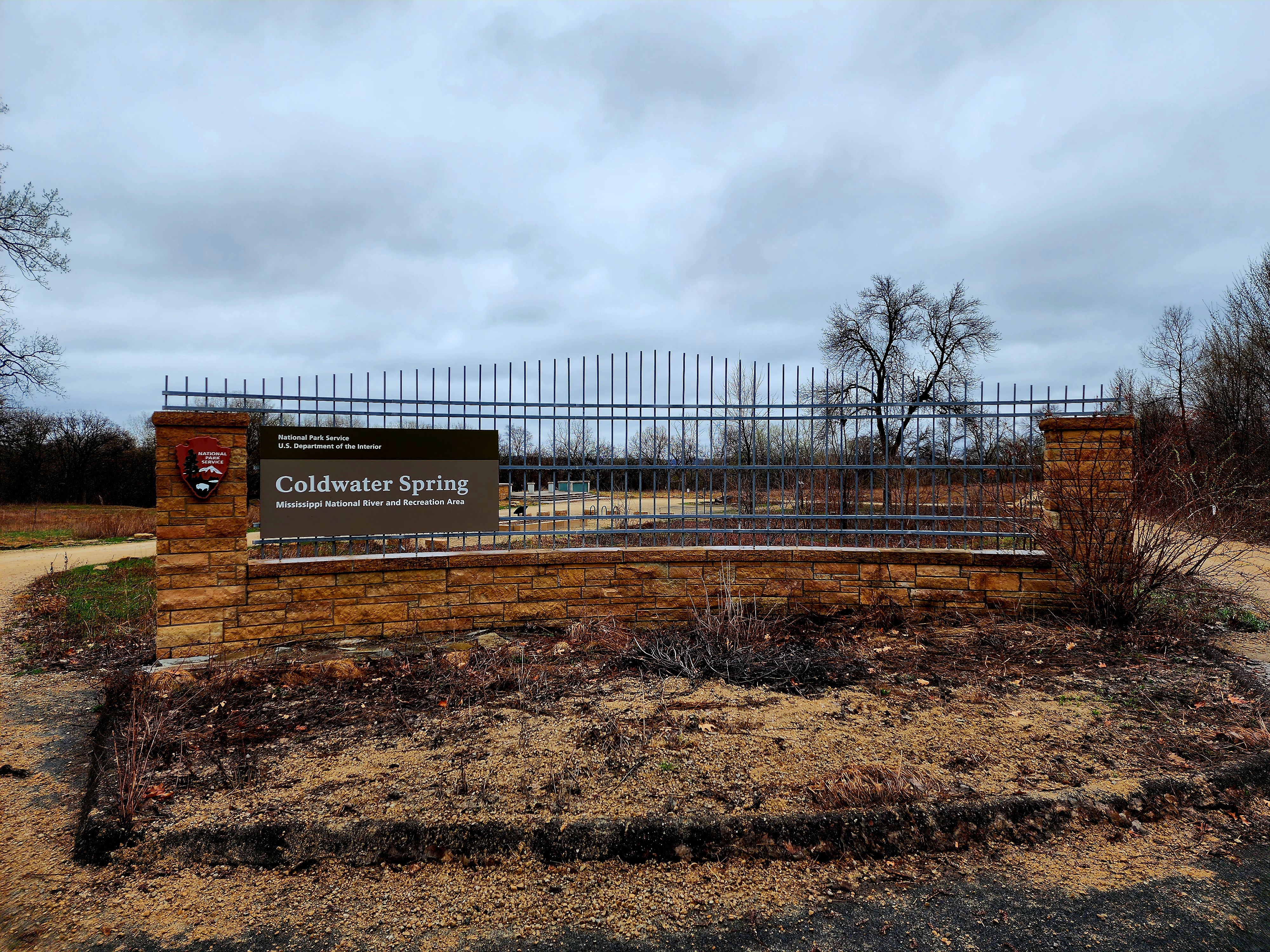
We parked by the Thomas C. Savage Visitor Center and began our hike towards Pike Island. Let me backup a bit, this past winter Minnesota experienced its 3rd snowiest winter. This past week, the weather was in the high 80’s which meant the snow melted fast! As we neared the bridge to cross over to Pike Island we noticed…well…as you will see in the picture below, the bridge was surrounded by water. Since we didn’t have a canoe, we needed to change our hiking plans.
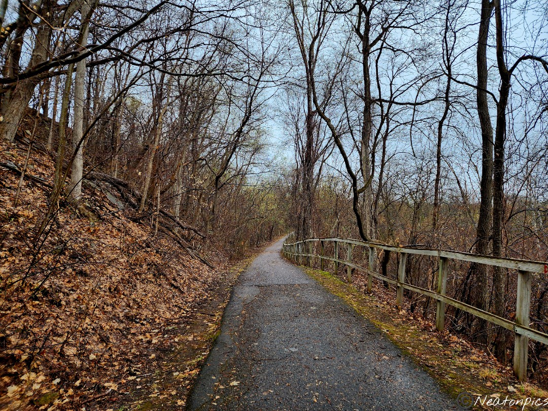
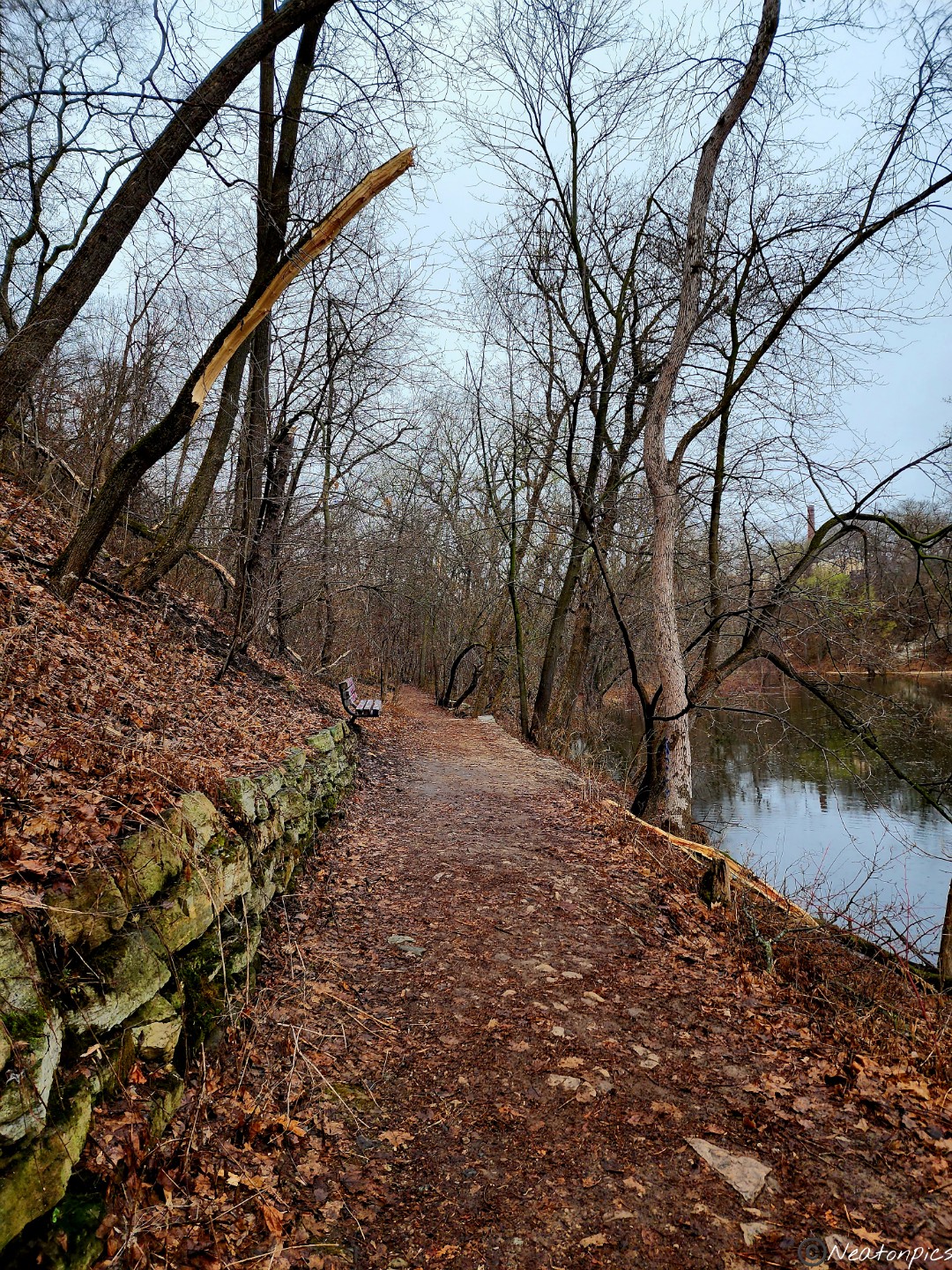
We decided to hike the paved trail towards Coldwater Spring. The weather was cool and rainy. It sure was nice to see little bits of spring beginning to pop out.
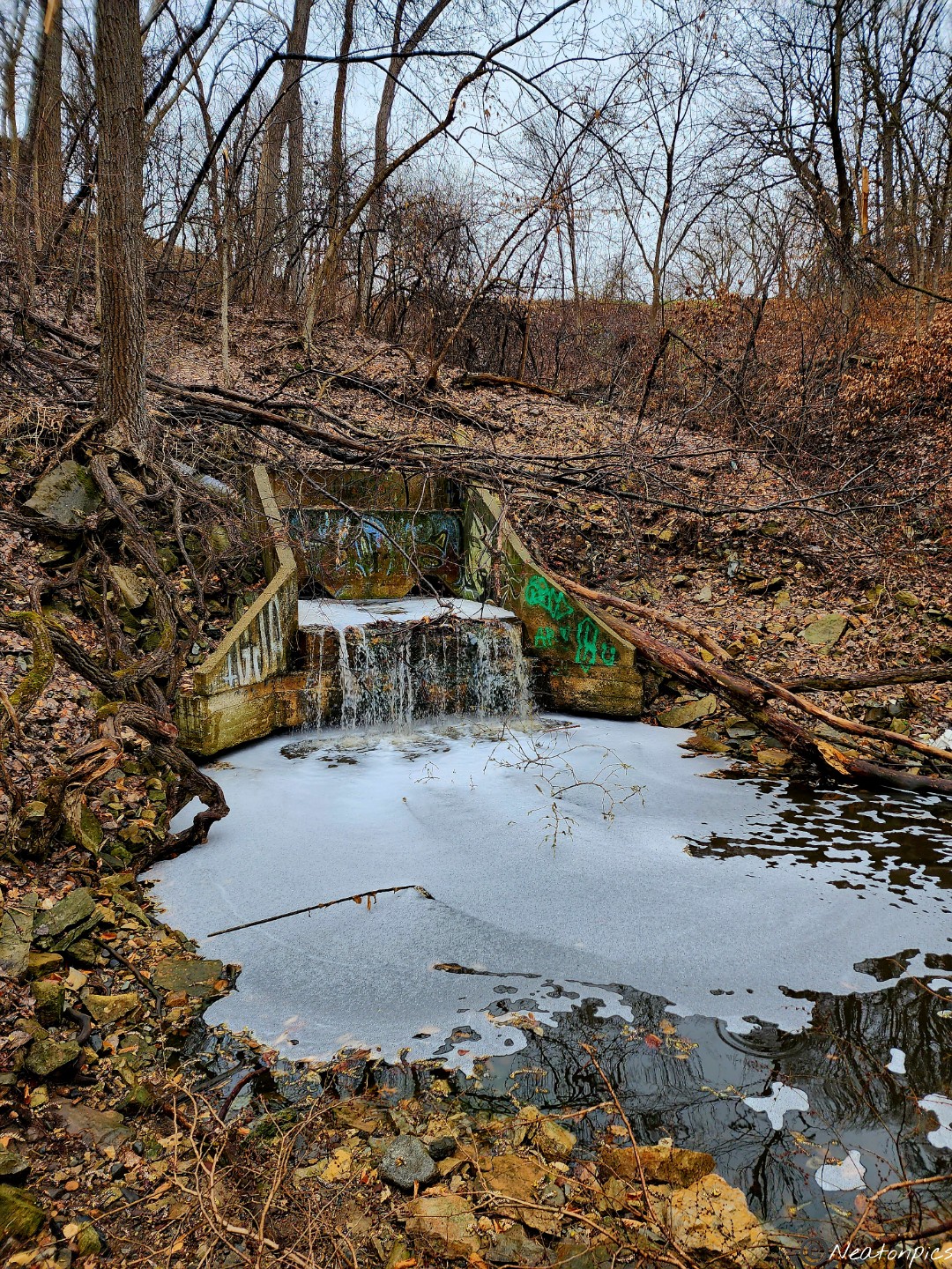
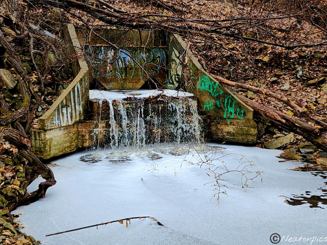
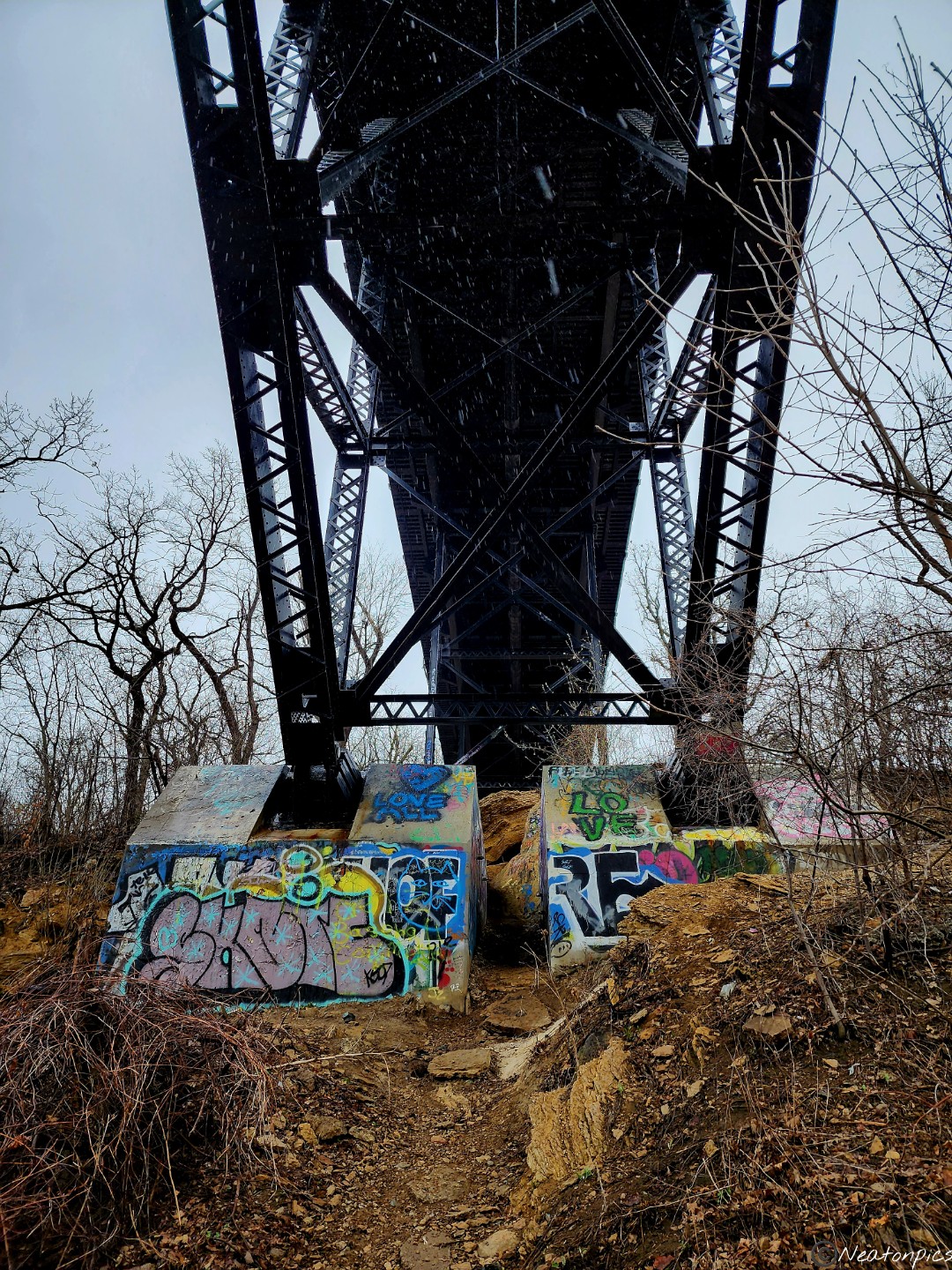
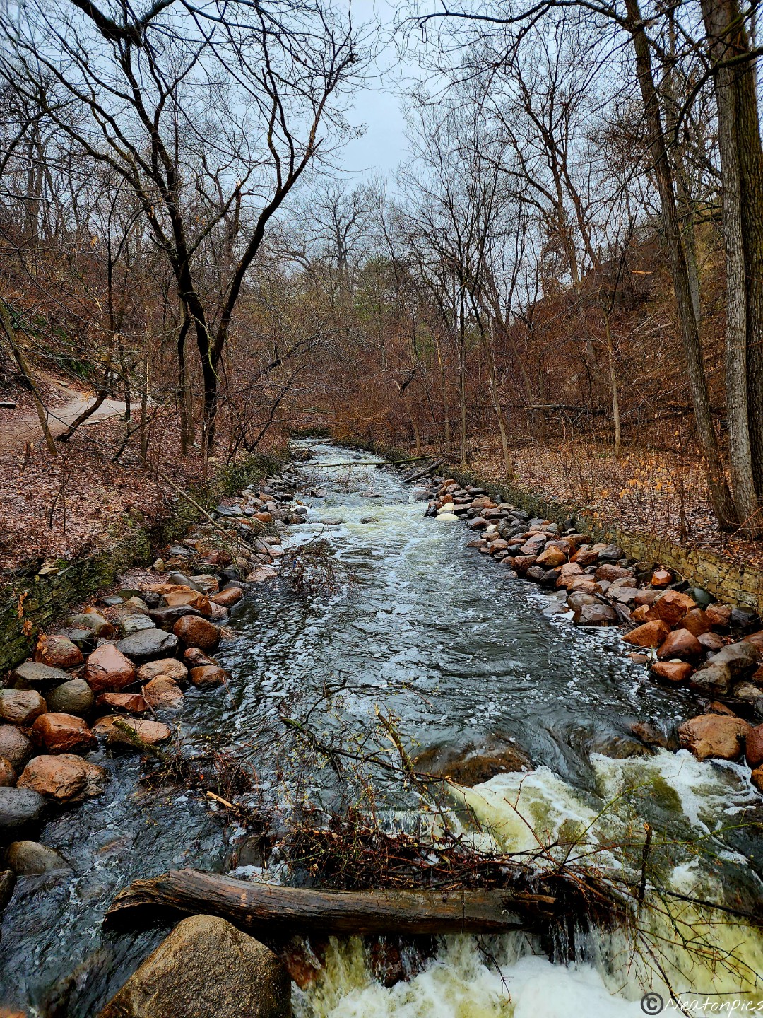
In the distance, we could hear running water. We exited the paved trail and began to explore the unpaved trails. A mini waterfall surrounded by colorful graffiti appeared.
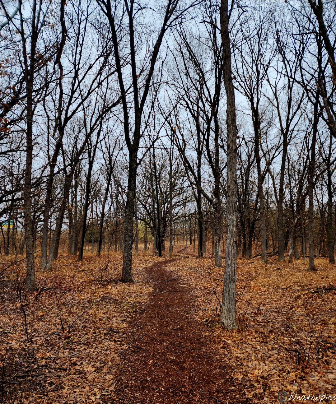
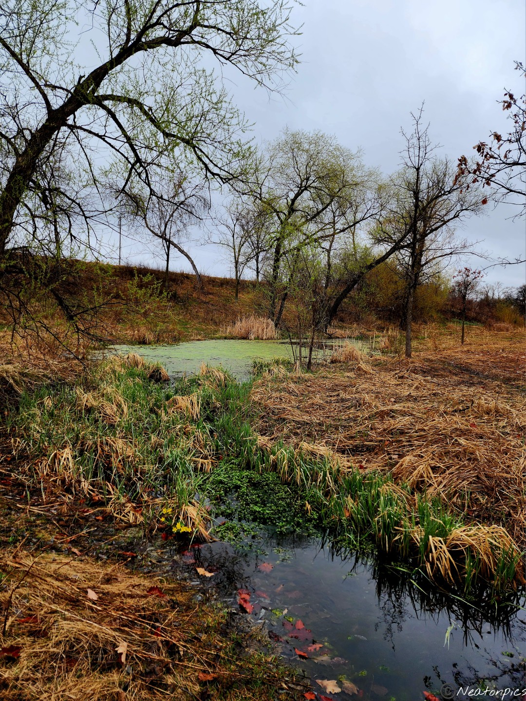
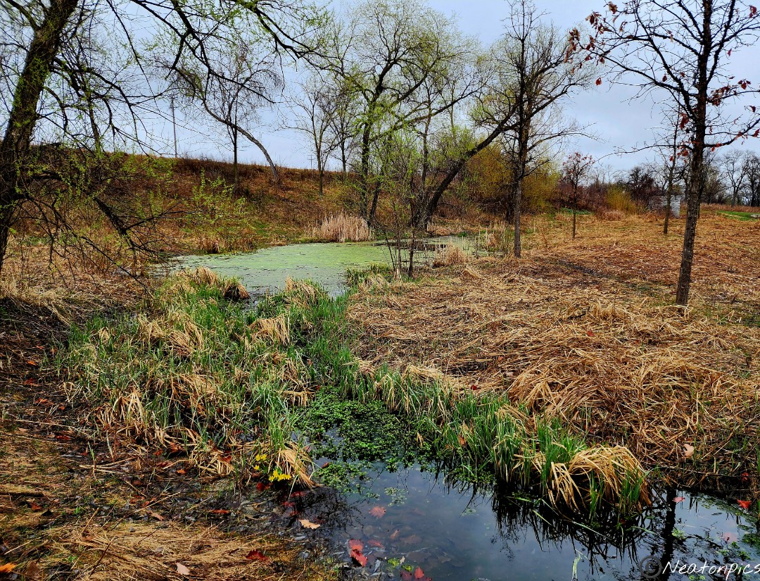
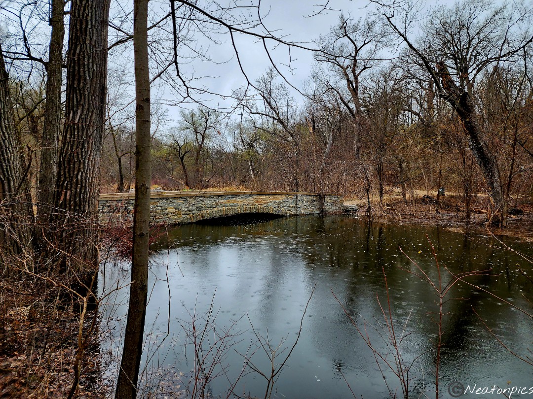
As we entered Coldwater Spring, more signs of spring began to appear.
We continued to hike the unpaved trails towards Minnehaha Falls.
The Mississippi River was flowing fast. Areas that were normally dry were now flooded.
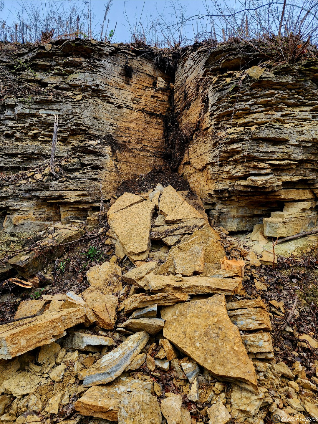
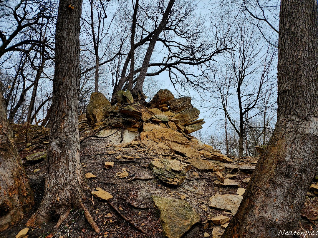
The trails led us up and down the cliffs. The heavy snow storm we had a week ago did lots of damage. Many trees were down, thick branches were snapped, and even the cliffs weren’t immune to the damage.
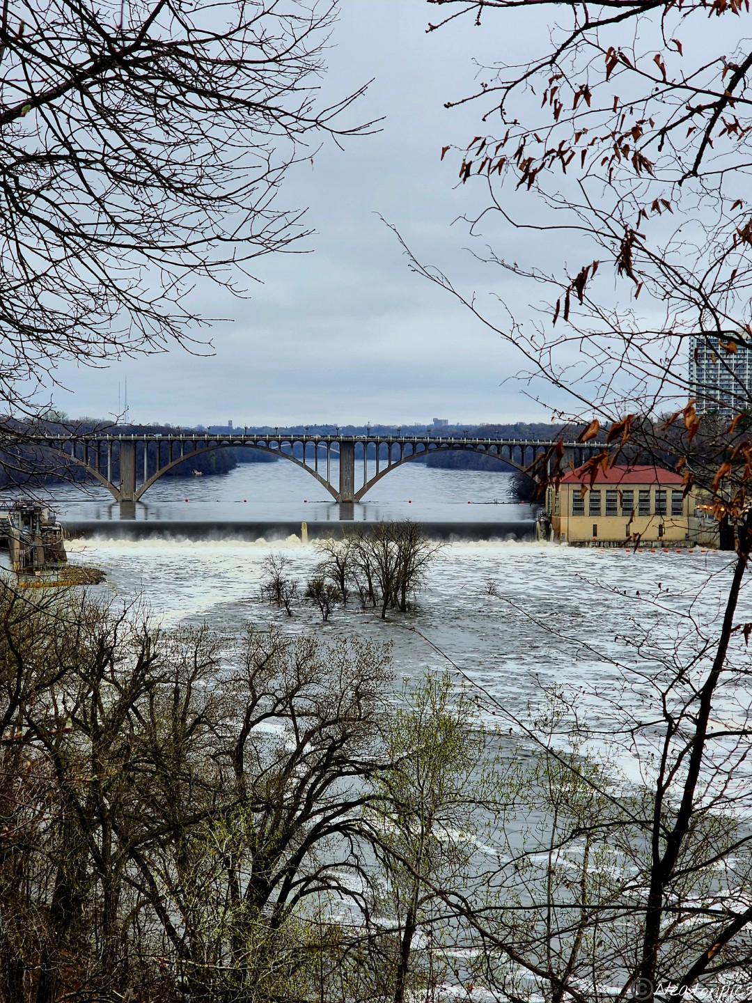
The trail close to the river was underwater, so back to the paved trail we went. The Ford Parkway Bridge can be seen in the distance. There is an island in the middle of the river. Currently it is under water, however, you can still see the tops of the trees.
We took the staircase back down to the trails closest to the river.
The water is close to the top of this bridge’s archway.
The trail crosses under the Steel Bridge also known as the Minnesota Veterans Home Bridge.
The closer we got to the Minnehaha Falls the louder the rushing water became.
Minnehaha Falls
As we looped back towards our starting point, more signs of spring began to appear.
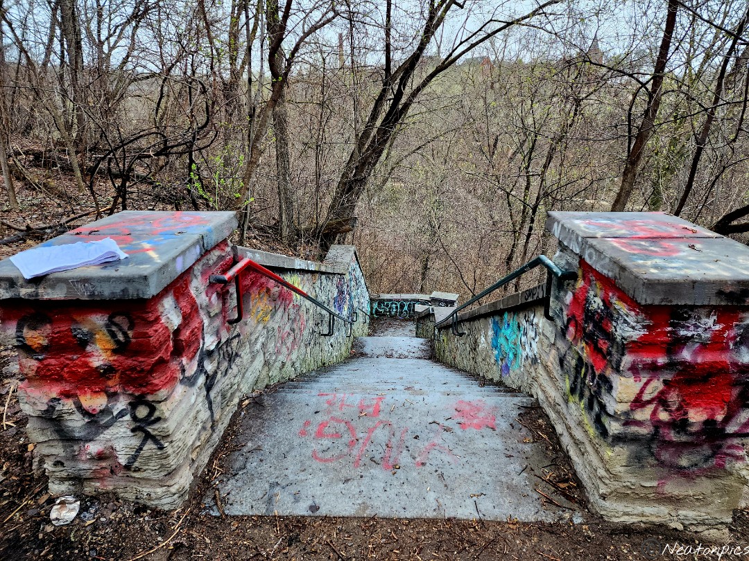
We crossed over an old bridge and down an old staircase. The trail at the end of the stairs was flooded.
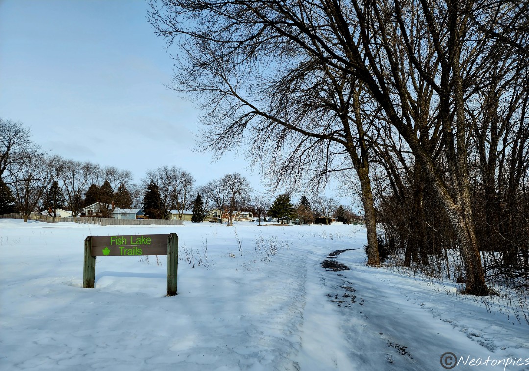
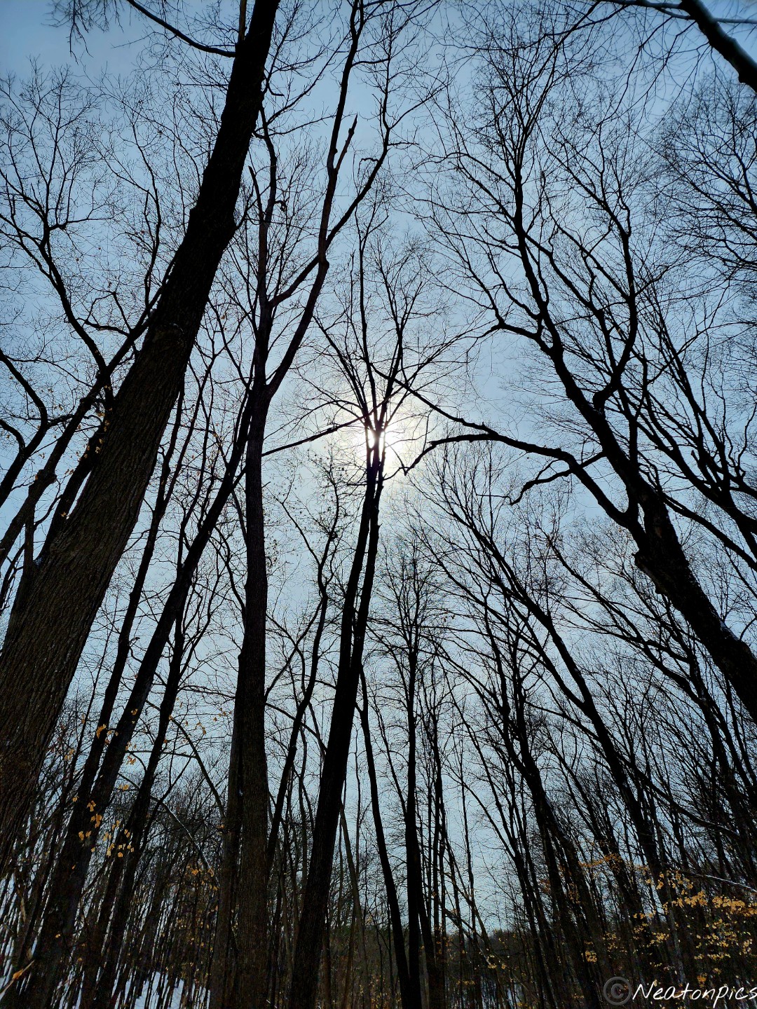
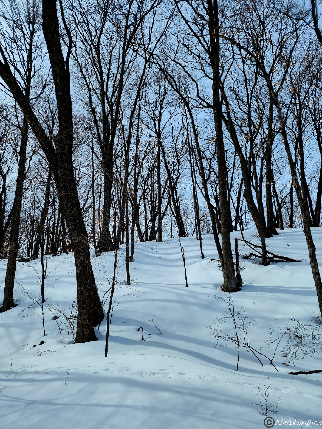
Today’s hiking adventure began at Fish Lake Regional Park.
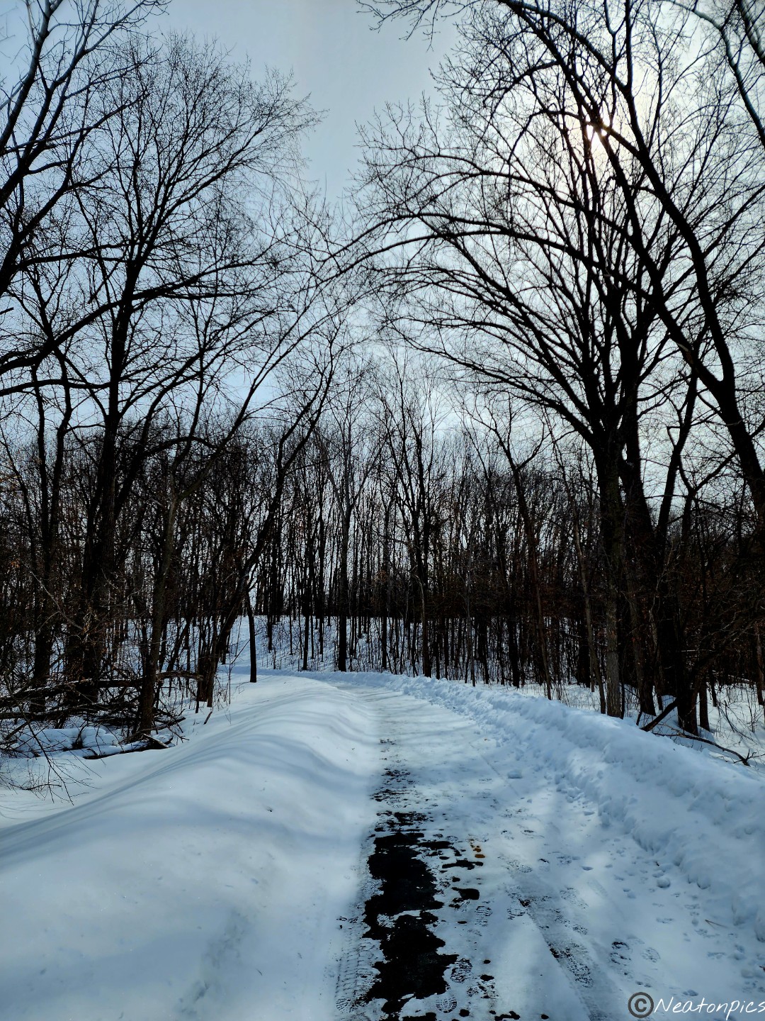
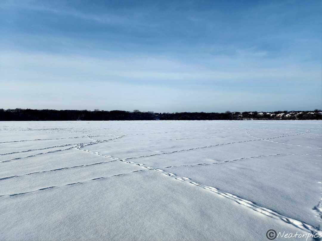
Burrr! This morning was so cold and the wind whipped through us as we began our hike. But, as true Minnesotans do, we persevered. With our Yaktrax on, we hiked the paved trail to Fish Lake.
Without a map present when we began our hike not knowing how long the trails were going to be, we decided to hike a bit on Fish Lake. We figured with spring approaching this may be our last chance to hike on ice.
The strong wind kept our hike on the lake short. Mini snow tornadoes blew past us. Back to the main trail we went.
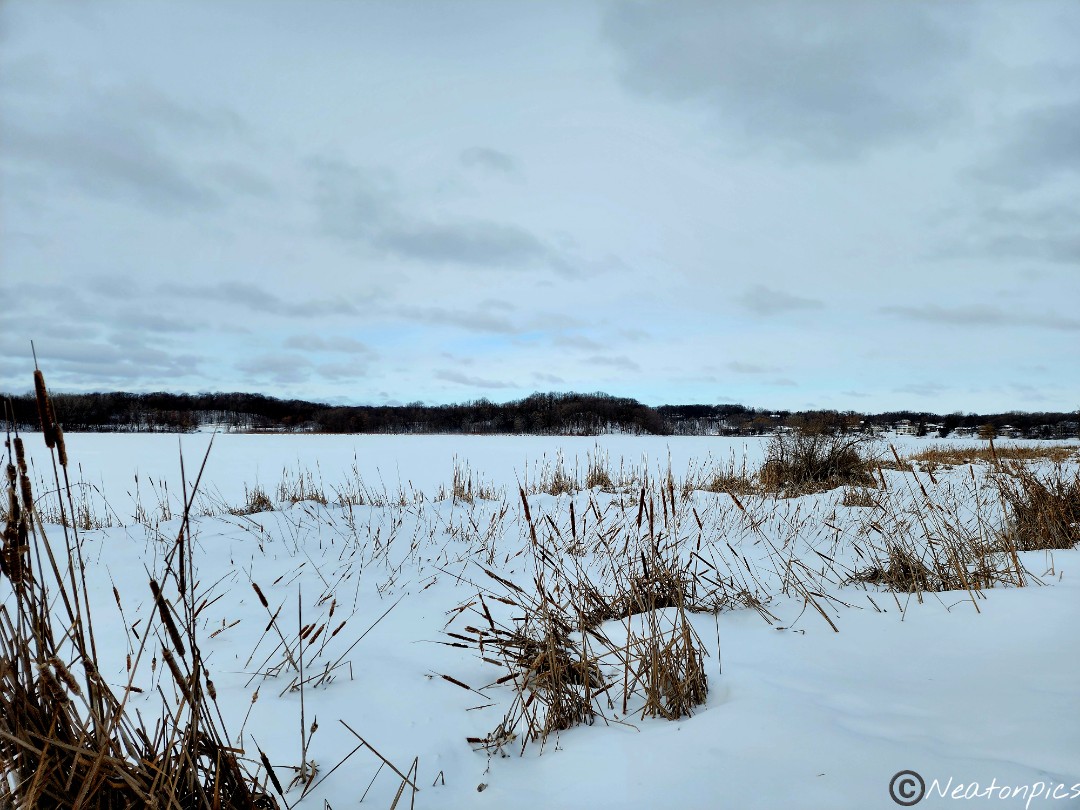
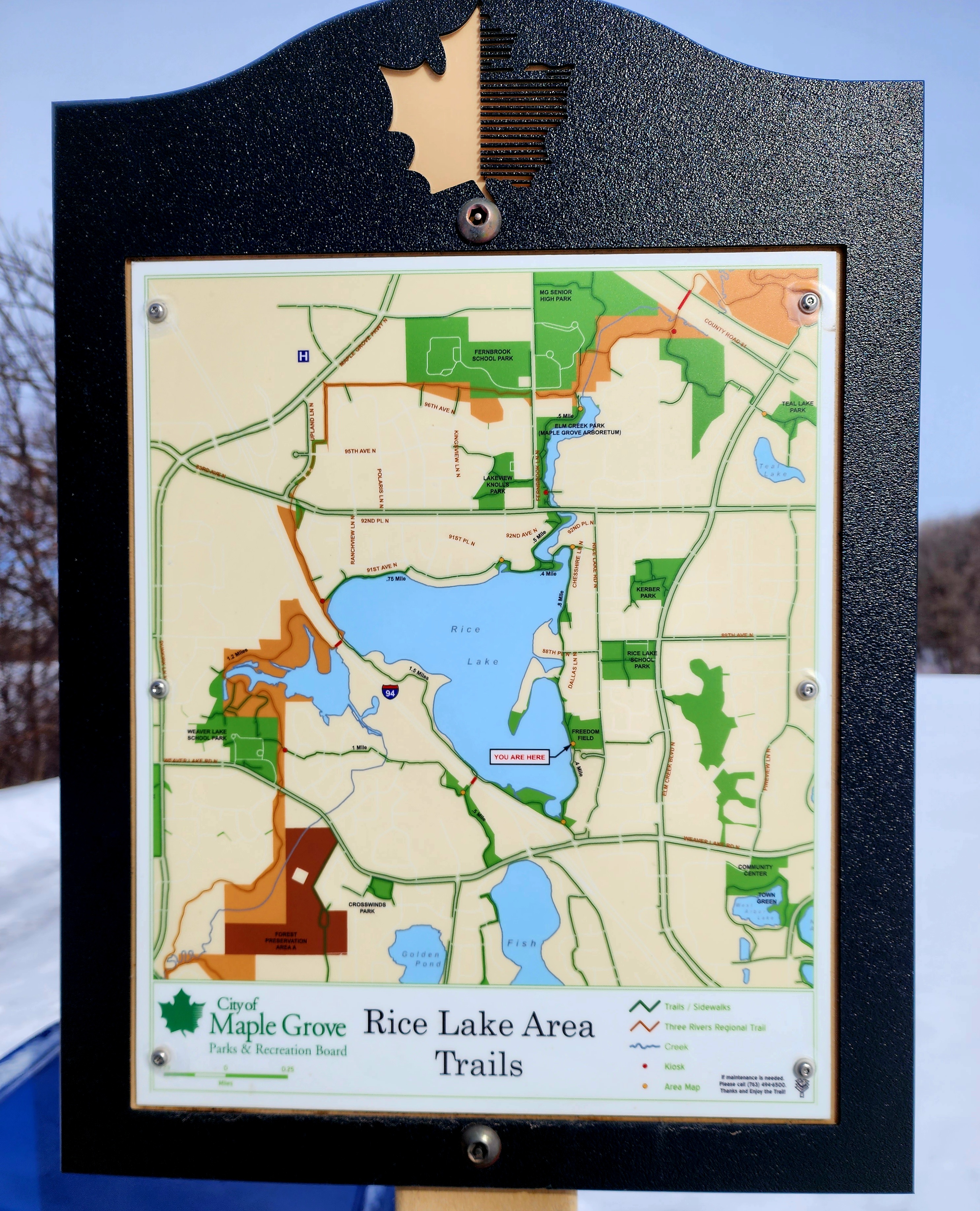
After finding and looking over the two trail maps of the area, we decided to hike to Rice Lake.
We crossed over Highway 94 on our way to Rice Lake.
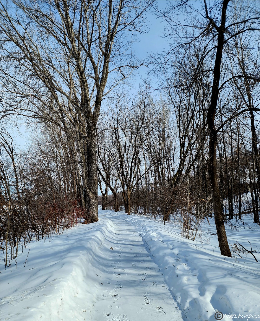
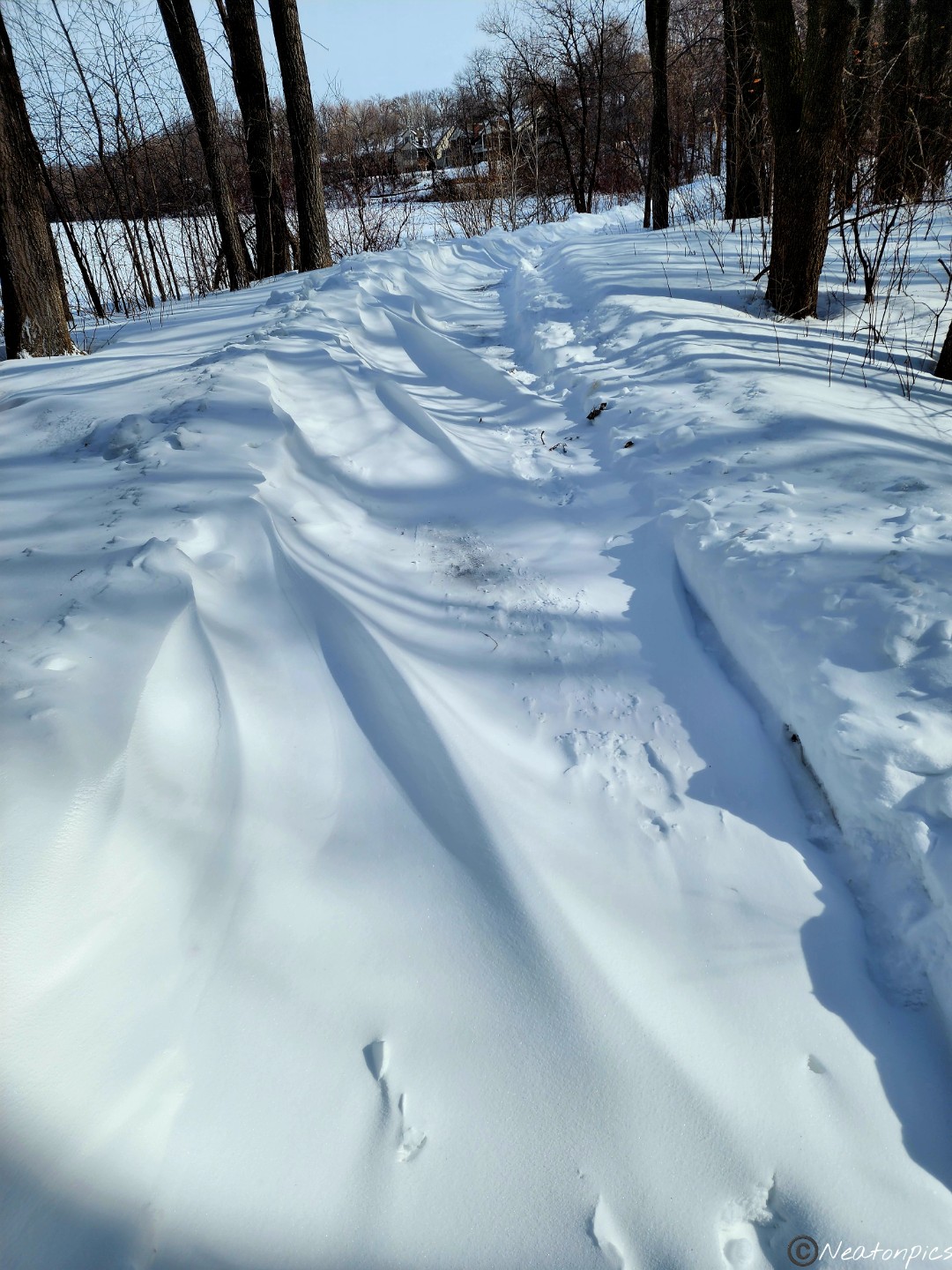
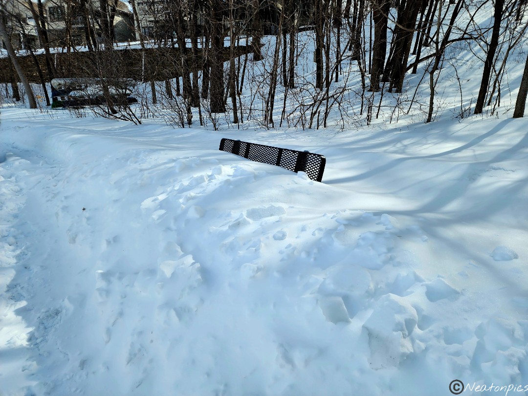
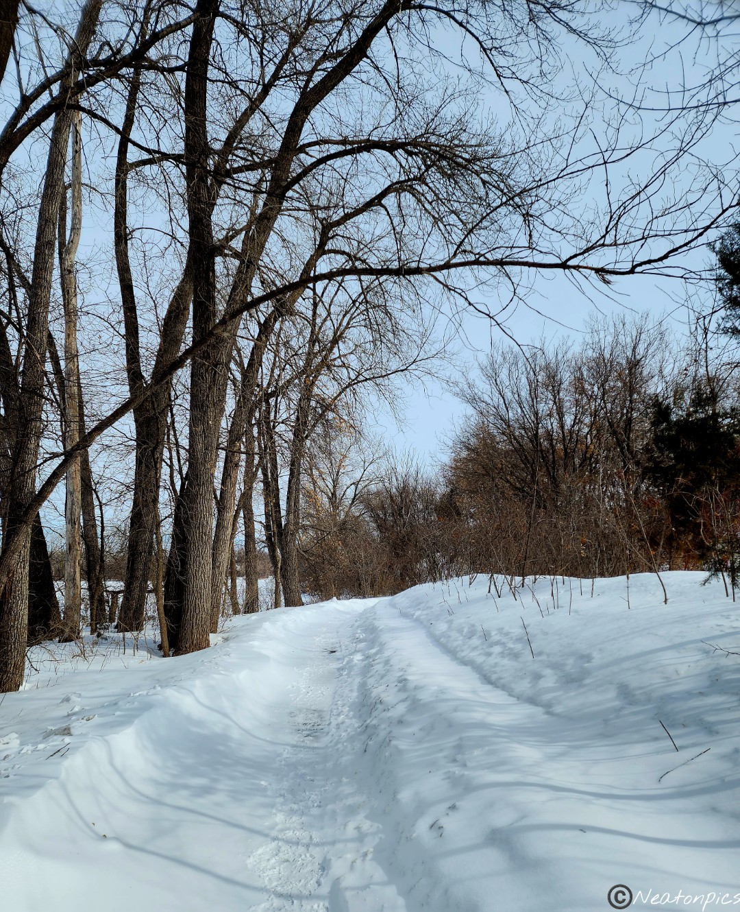
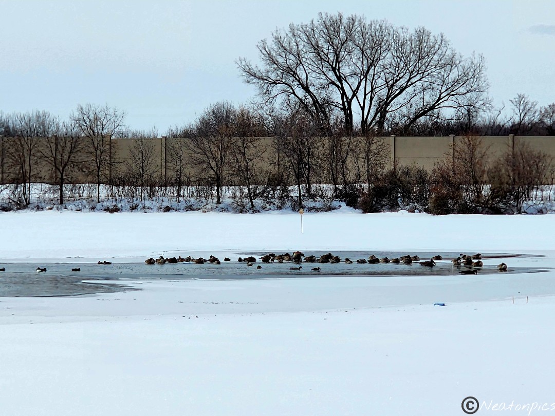
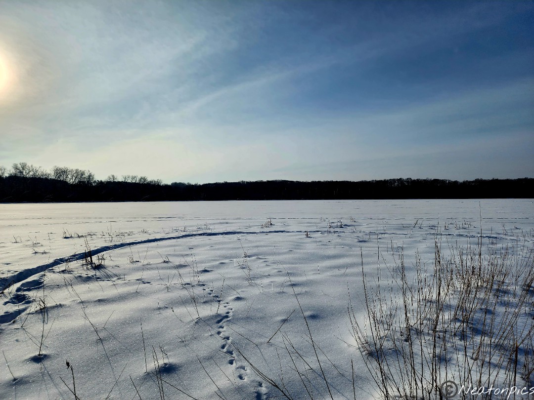
This winter Minnesota reached its 8th snowiest season on record. The wind caused snow drifts on parts of the trail. Need to rest? No worries, here is a bench for you to sit on.
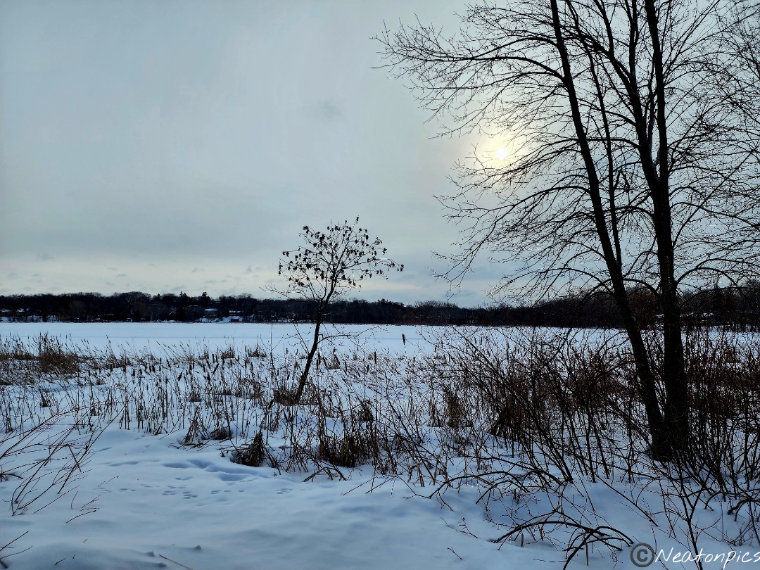
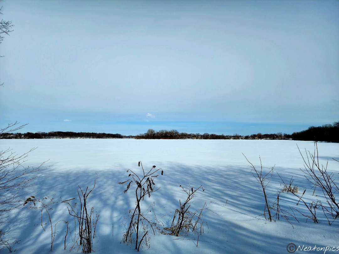
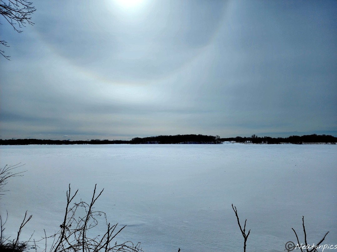
Rice Lake turned out to be a beautiful lake to hike around.
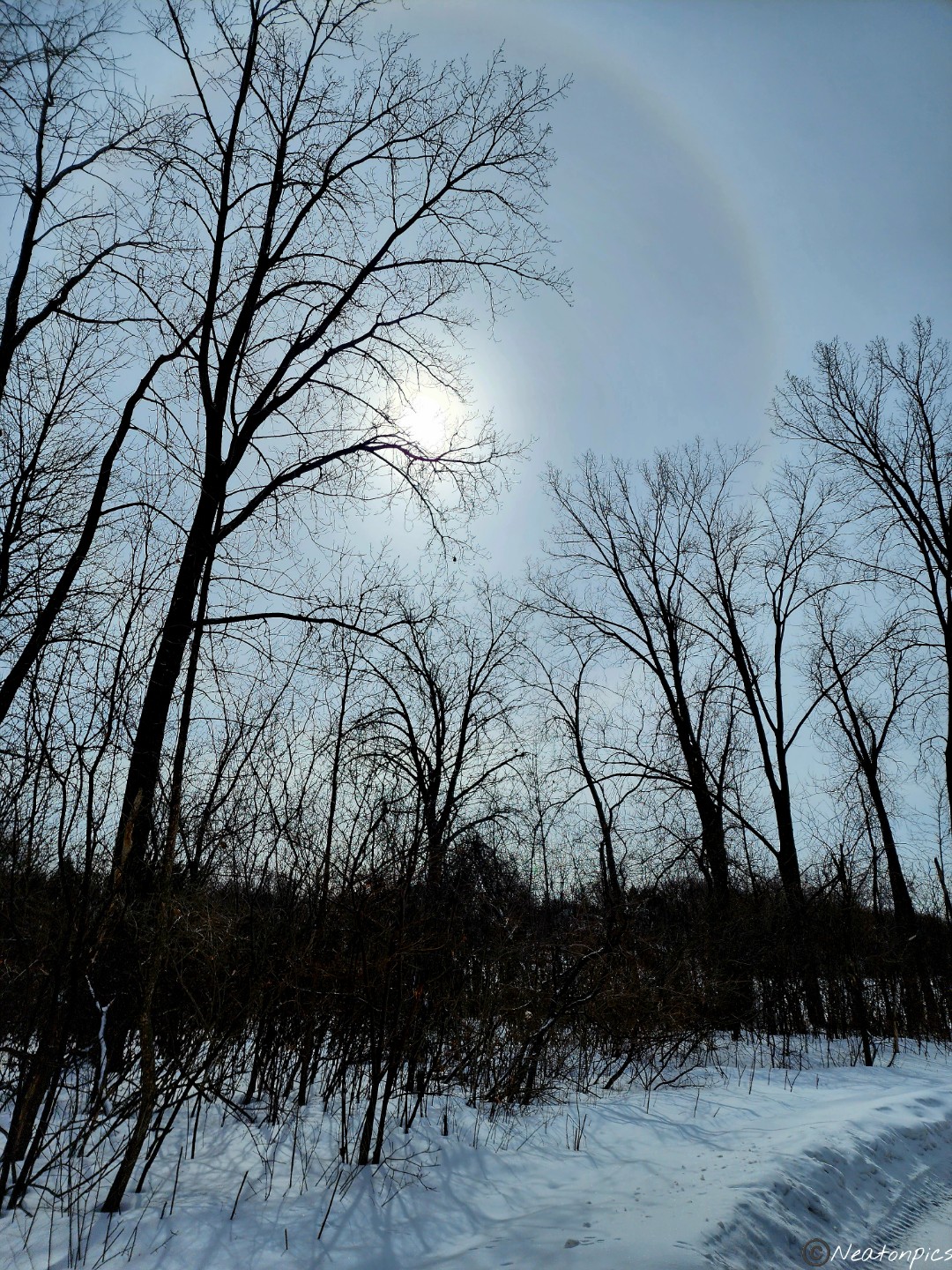
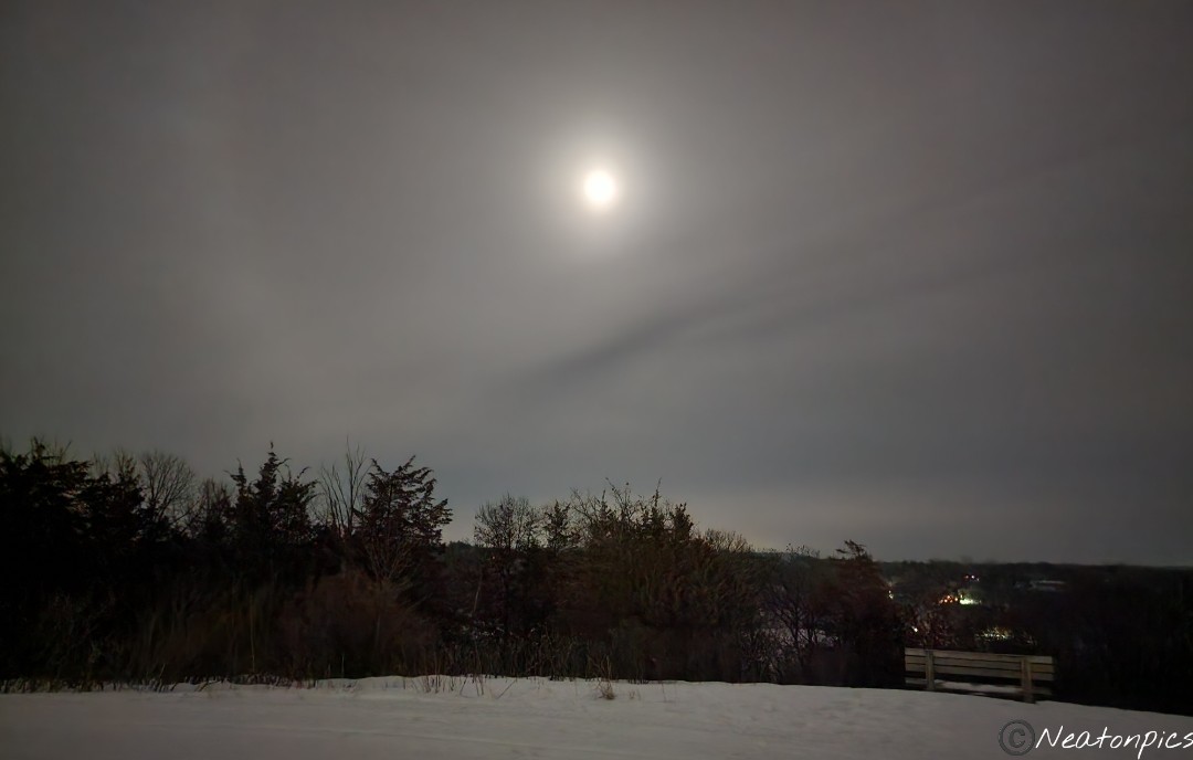
I was so happy to catch a sun halo.
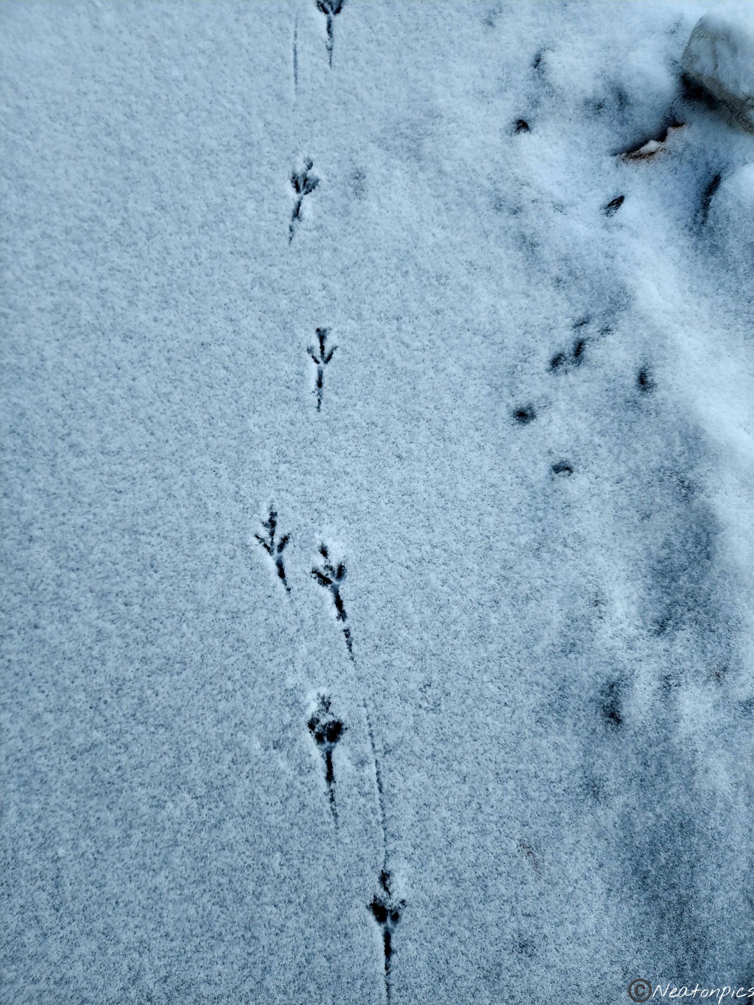
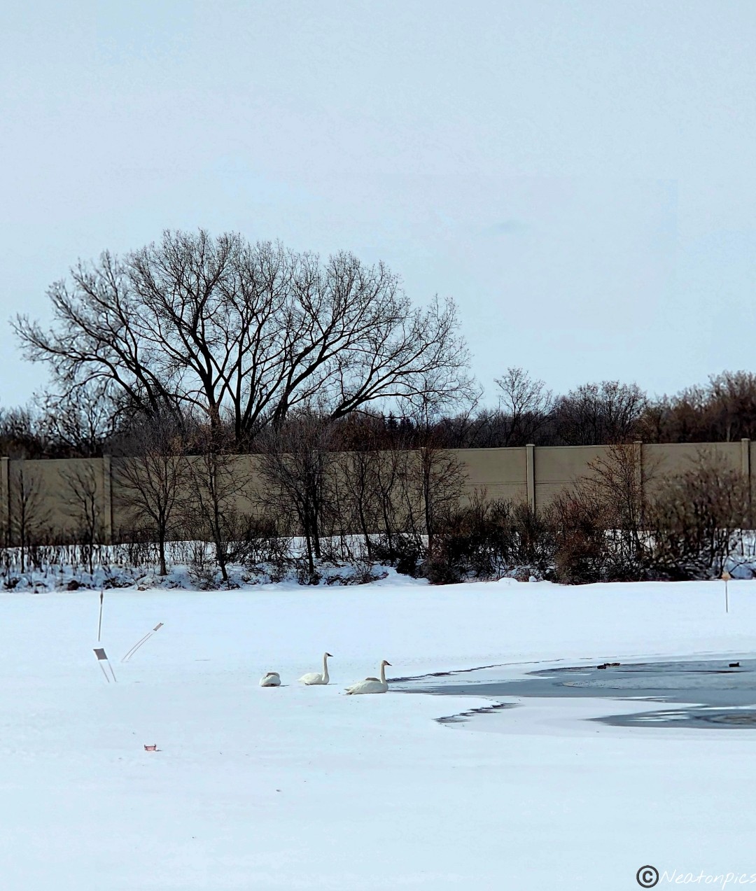
A few swans and a flock of geese were enjoying the open water.
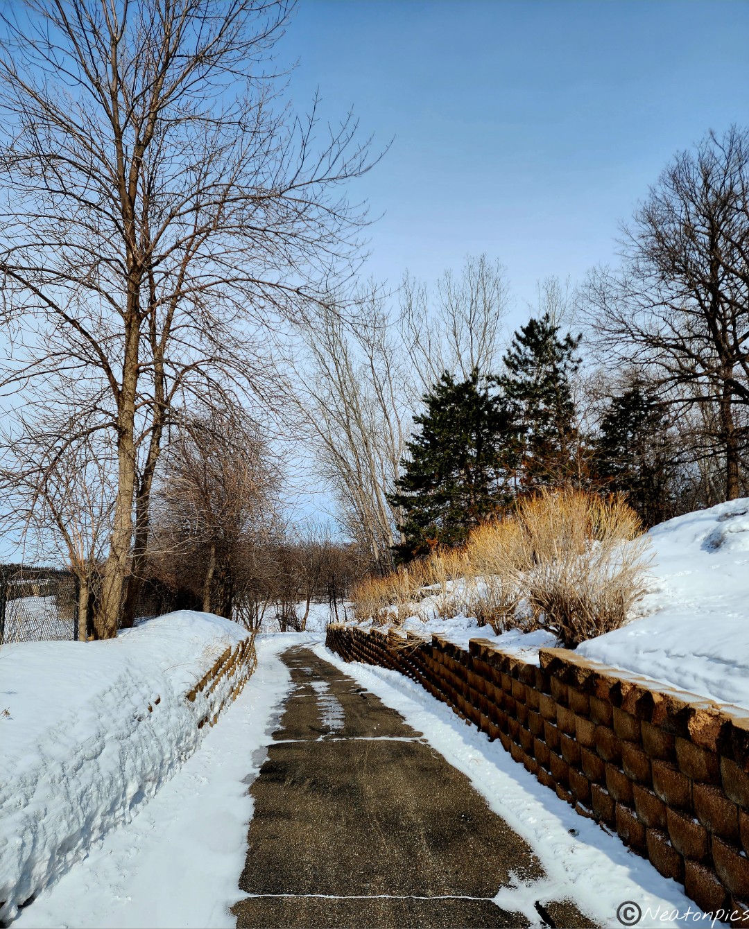
The trail led us under Highway 94. We continued on the Medicine Lake Regional Trail.
The sun felt so nice on our cheeks. All the wonderful trees kept the wind at bay.
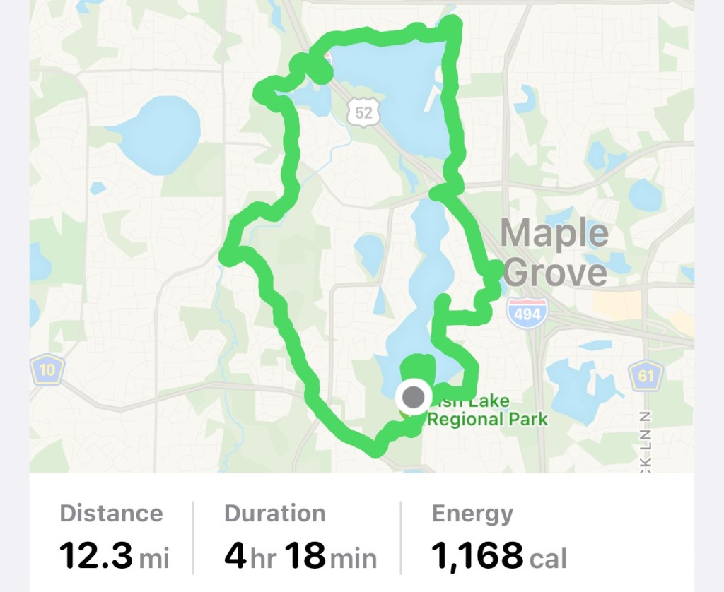
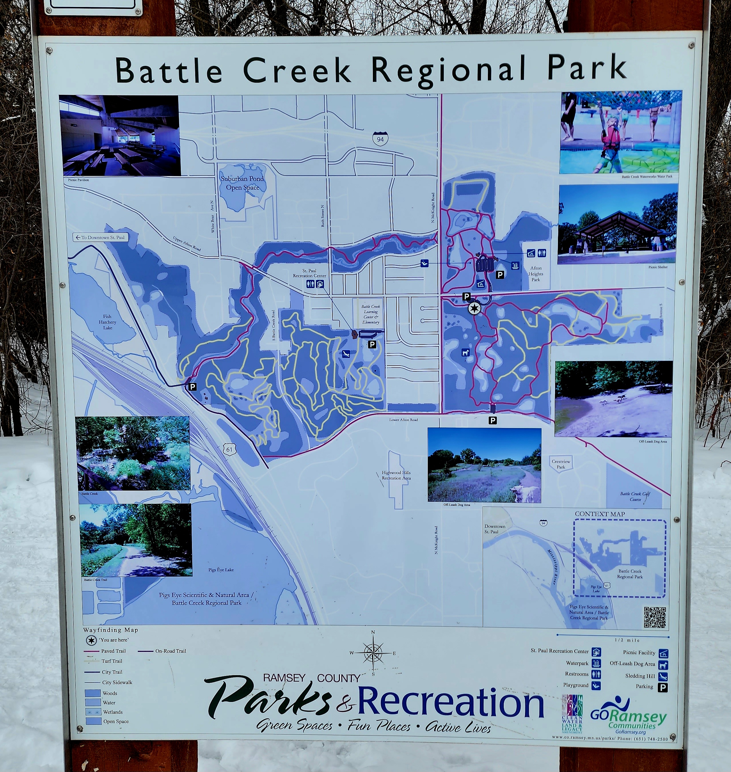
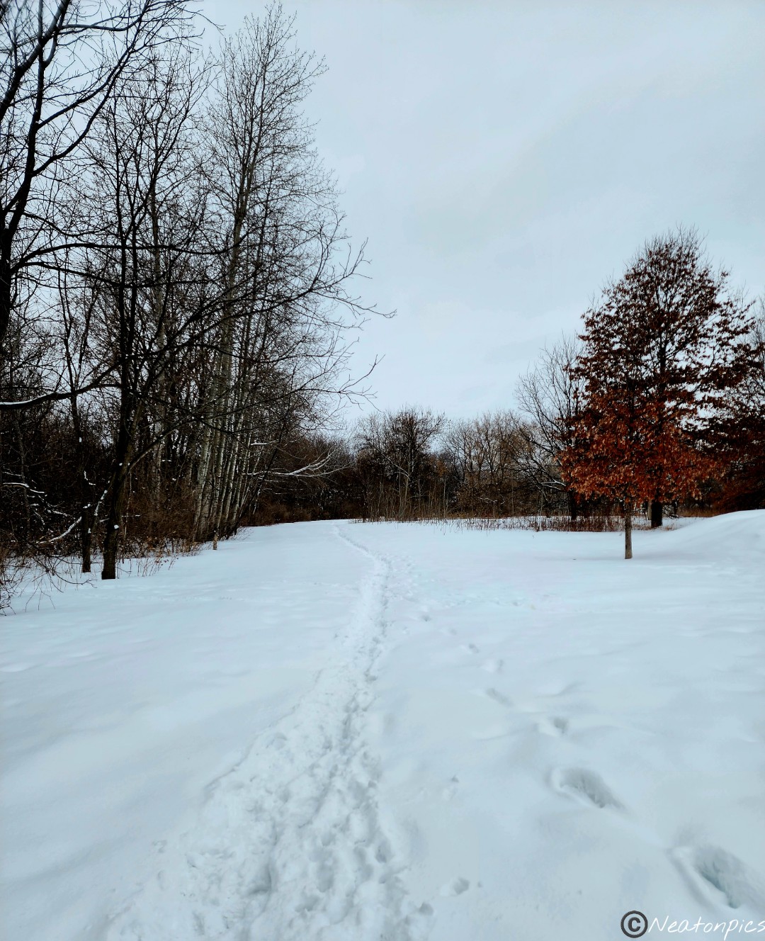
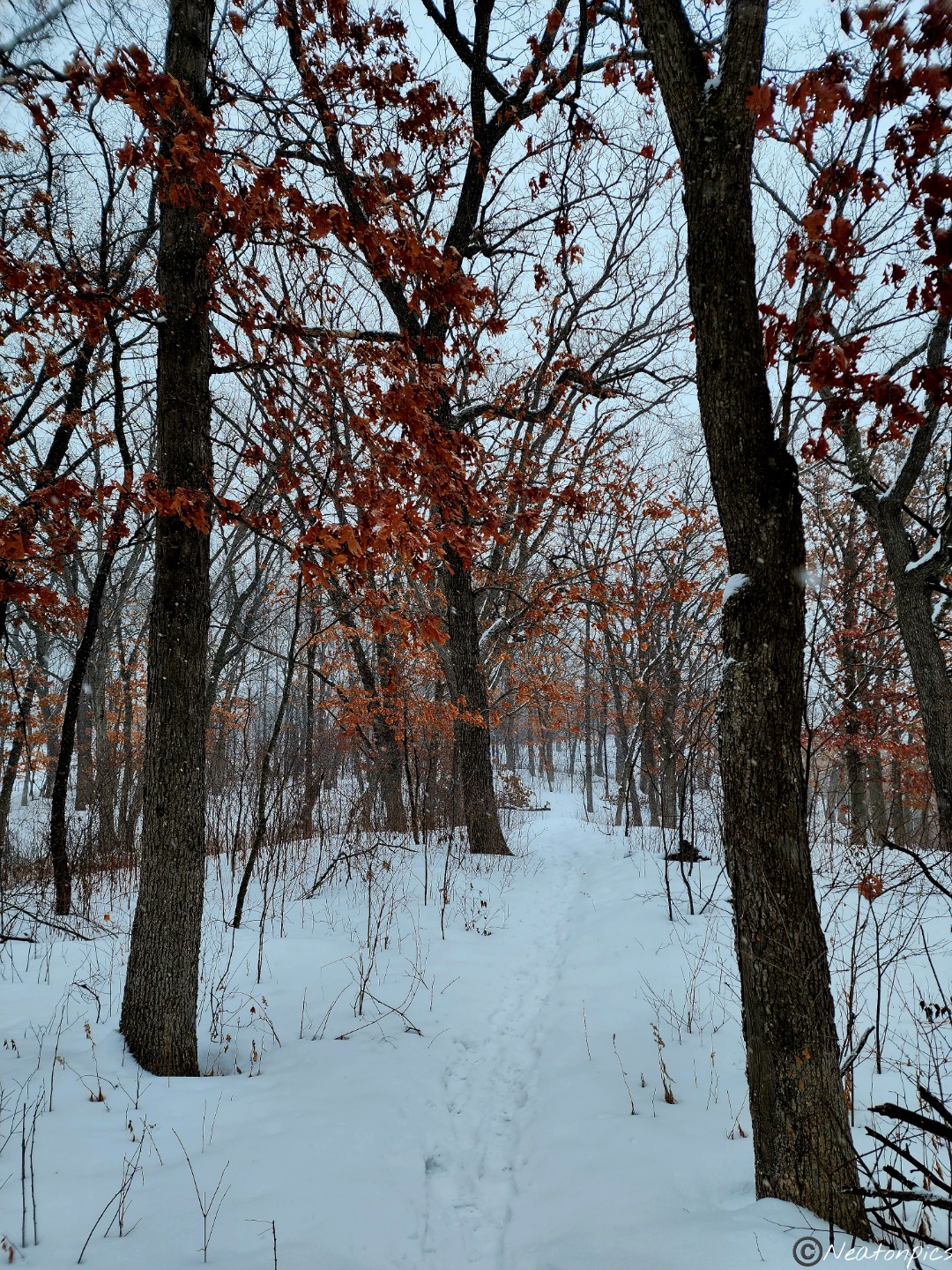
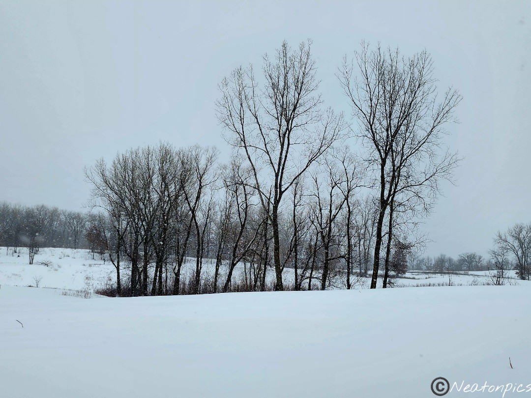
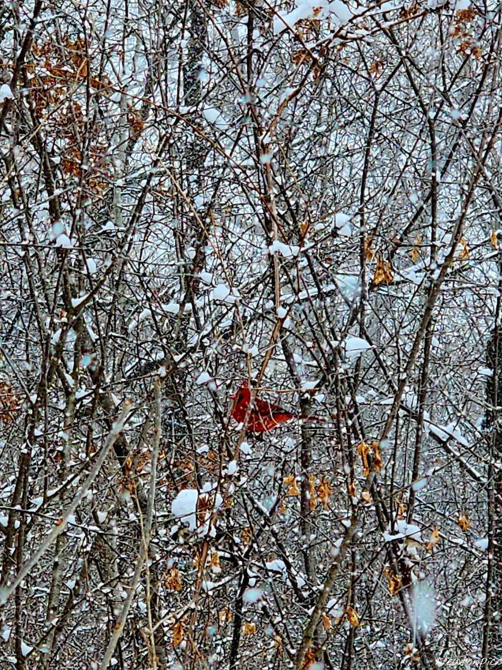
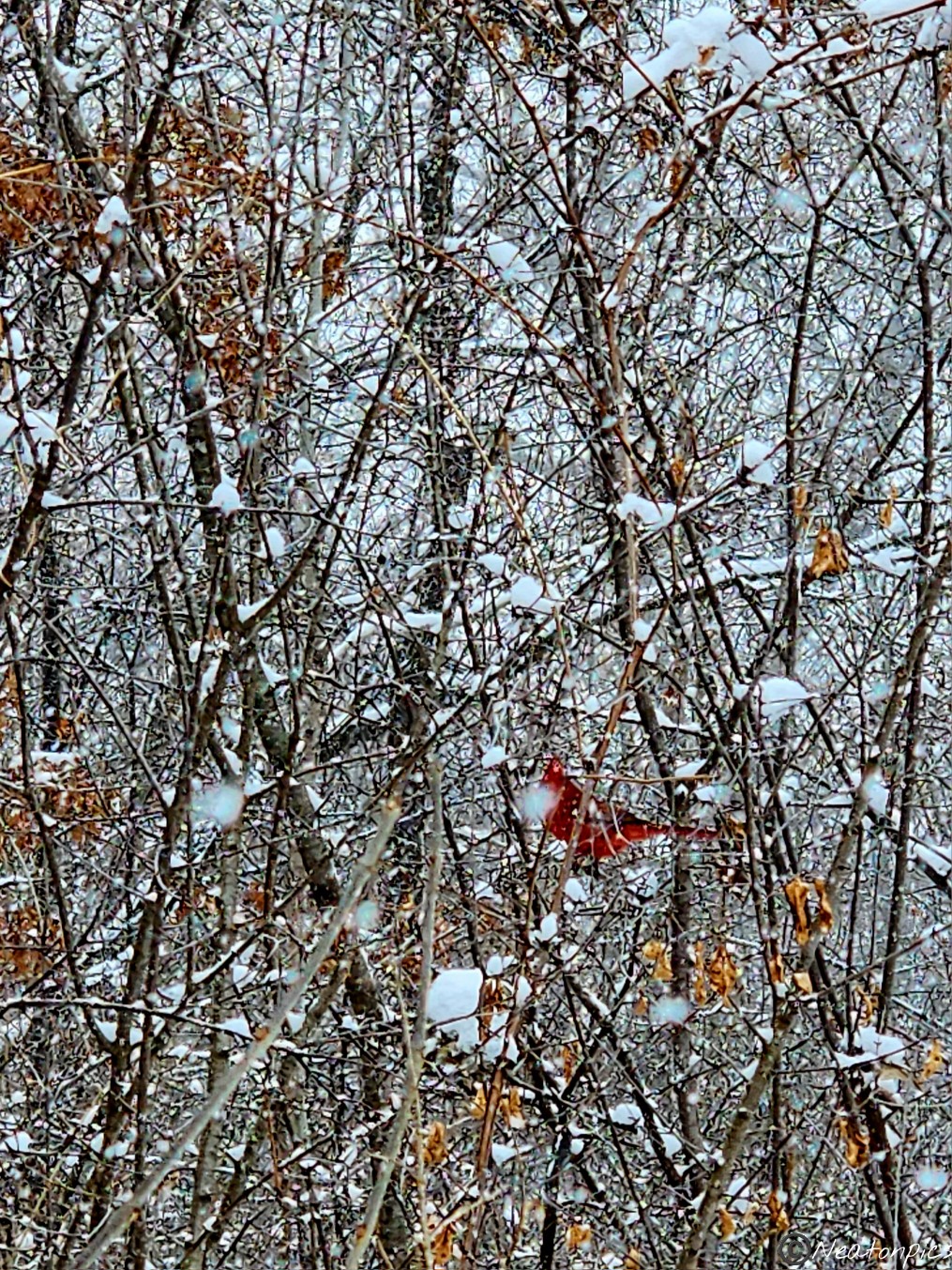
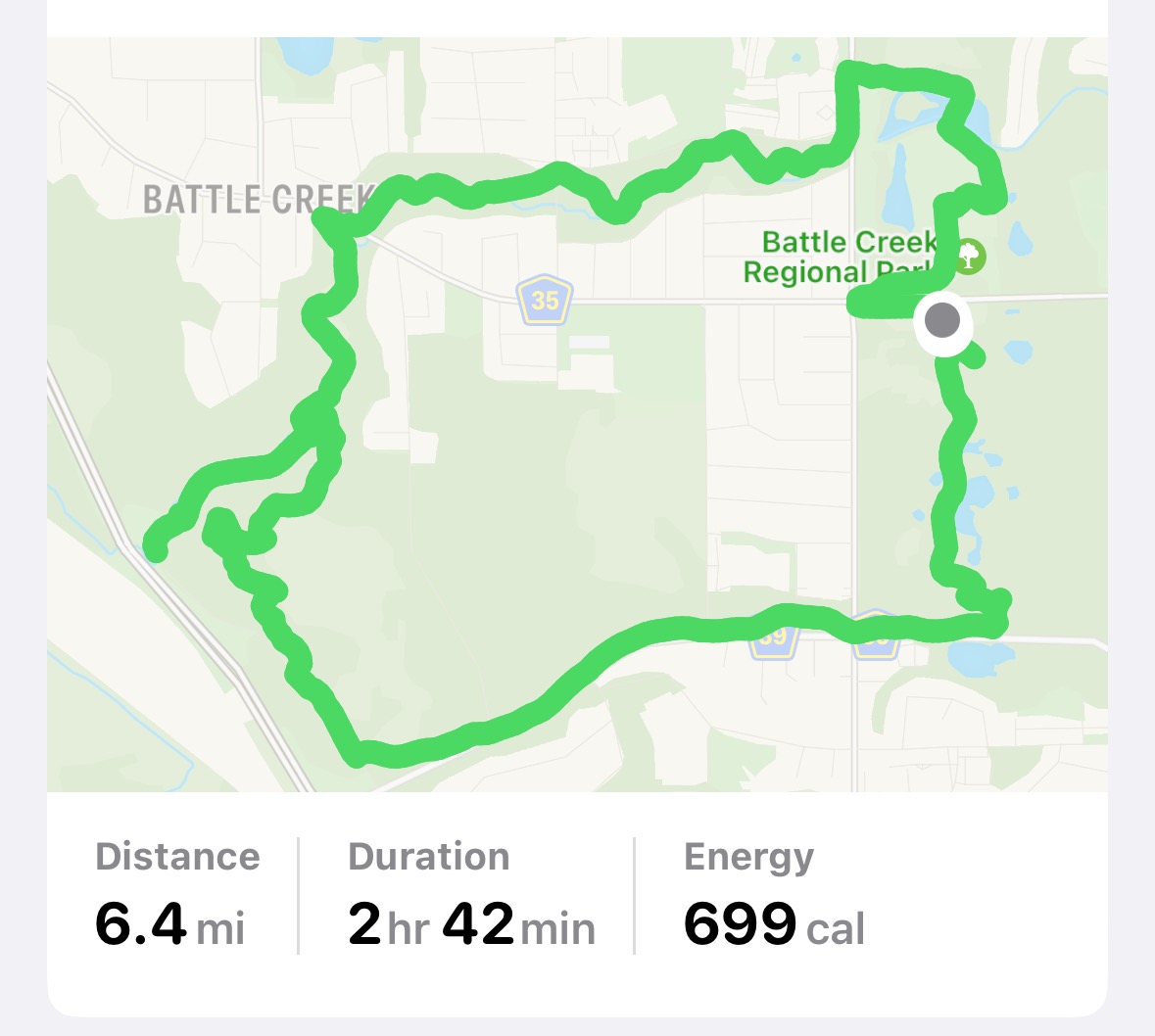
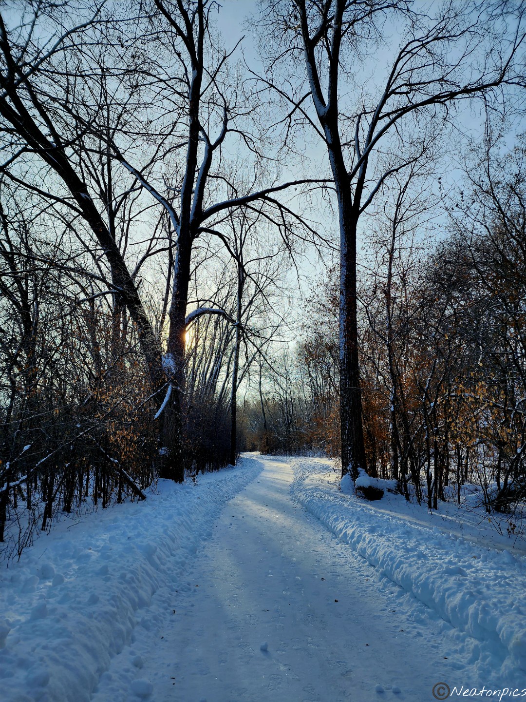
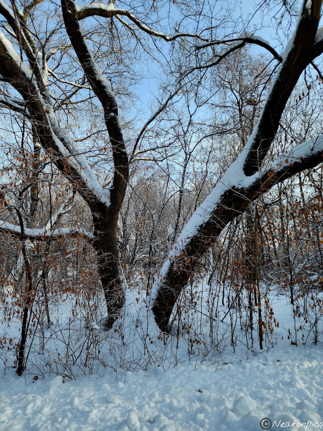
Today’s hiking adventure was at Battle Creek Regional Park.
Snow. Snow. SNOW! Minnesota has gotten so much snow this winter. We shall rename our state Minnesnowta. Snow fell throughout our entire hike. It sure was beautiful though.
We started our hike through part of the dog park. Ski trails win during the winter months at most parks. Sometimes finding the winter hiking trails takes a bit of map reading, exploring unusual areas, and hoping for the best. Once on the other side of the dog park, we hiked for a bit on the paved trail.
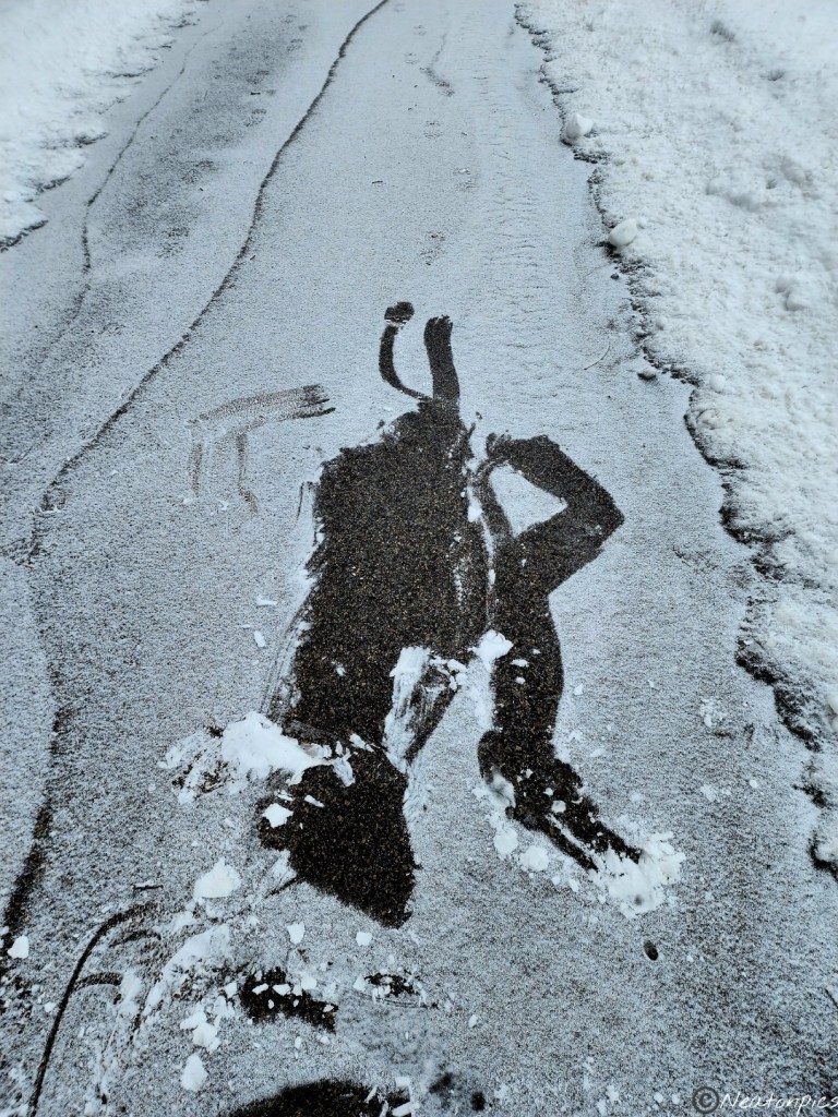
The ice on the trail was definitely covered by the fresh snow. I fell once, then my cousin and I both fell at the same time. We had a good laugh and then put on our Yaktrax. The next photo cracks me up. This is my proof of my tumble.
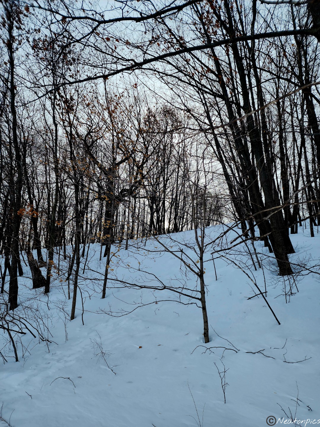
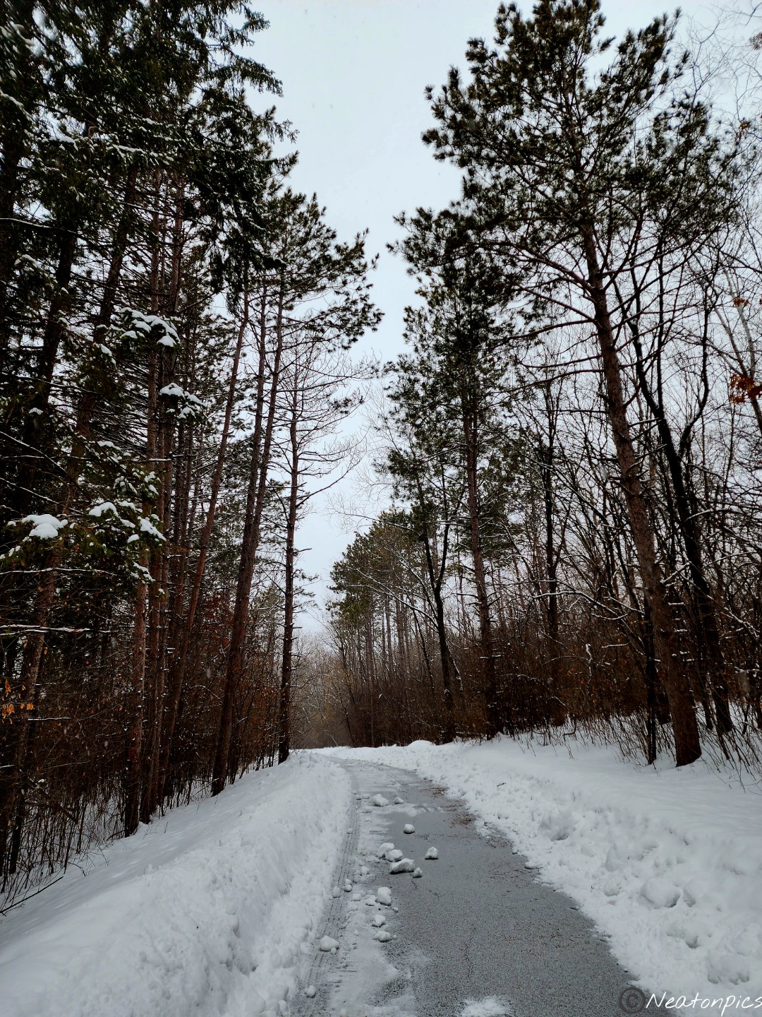
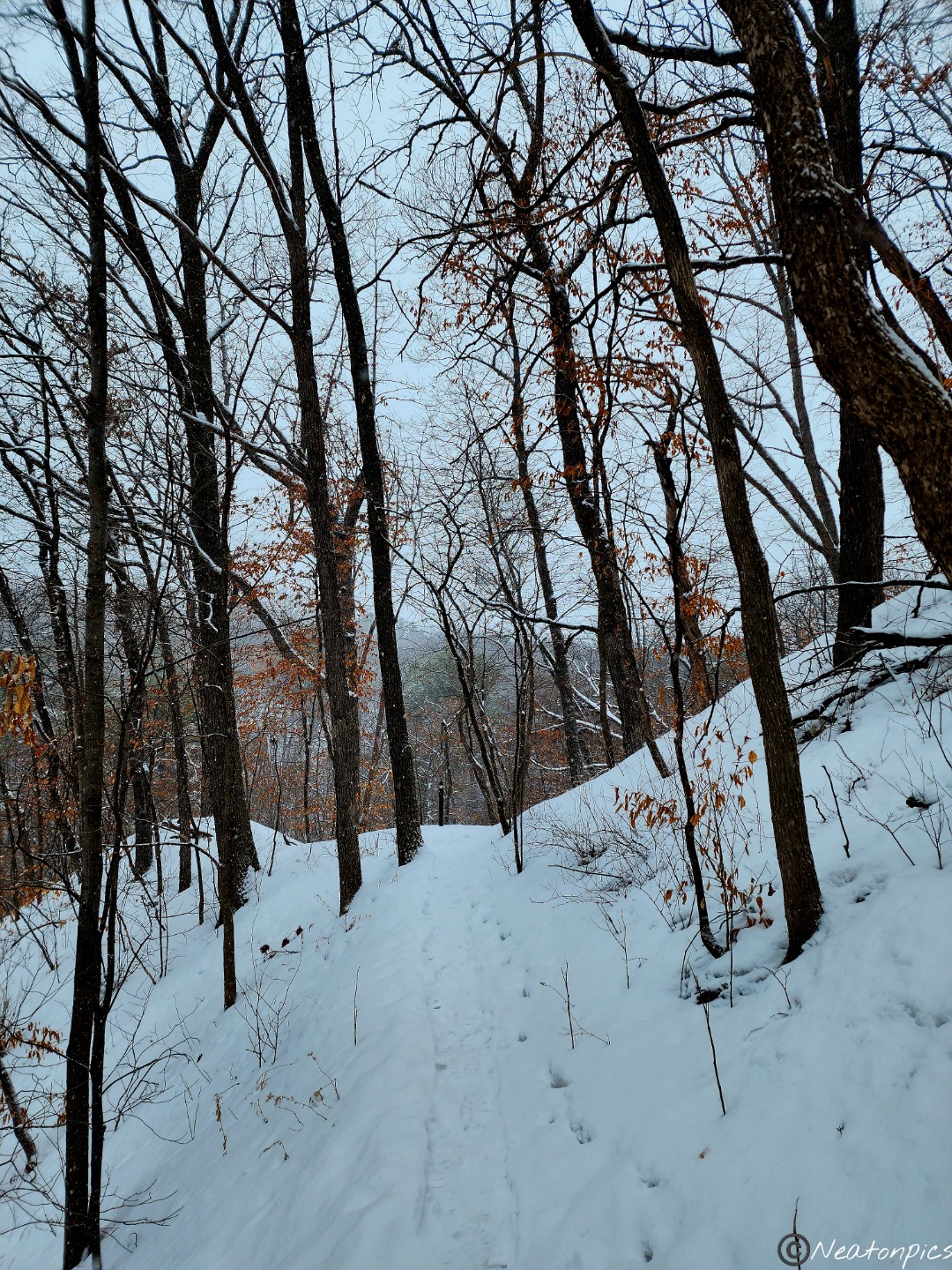
The paved trail ended and we were then hiking on the side of the road. The park was on our right and we could see there was an unpaved trail up on the hill, but how do we get there? Well, we made our own trail. Up the hill we hiked, and we were not disappointed.
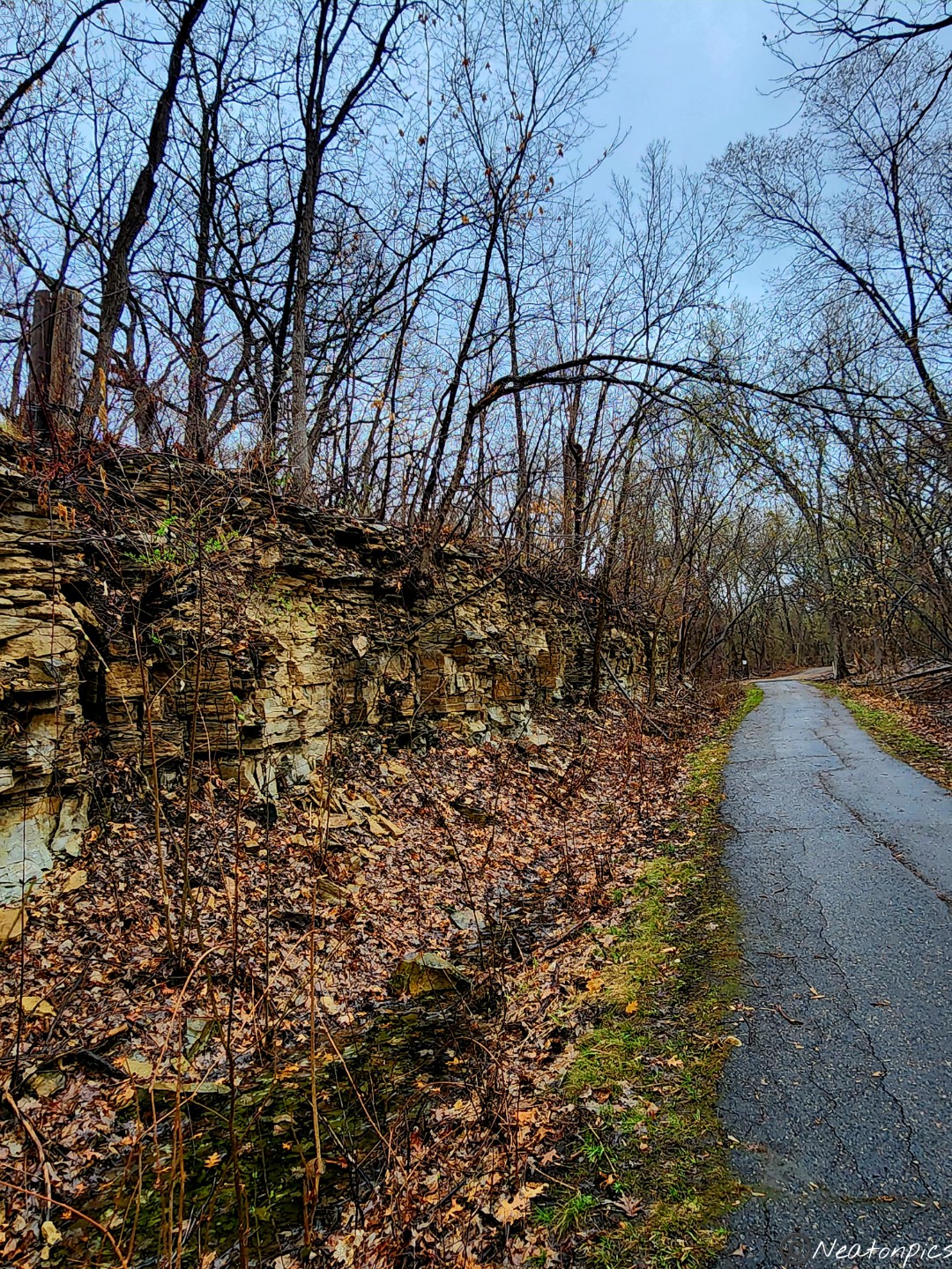
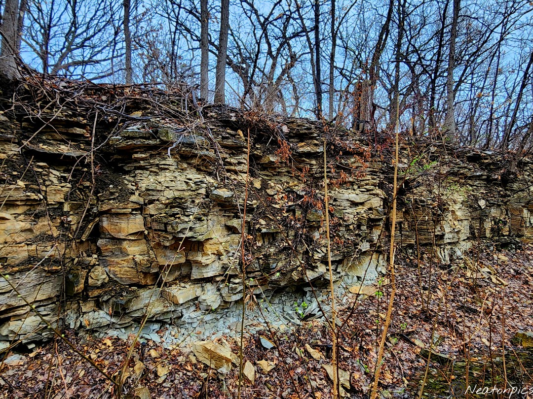
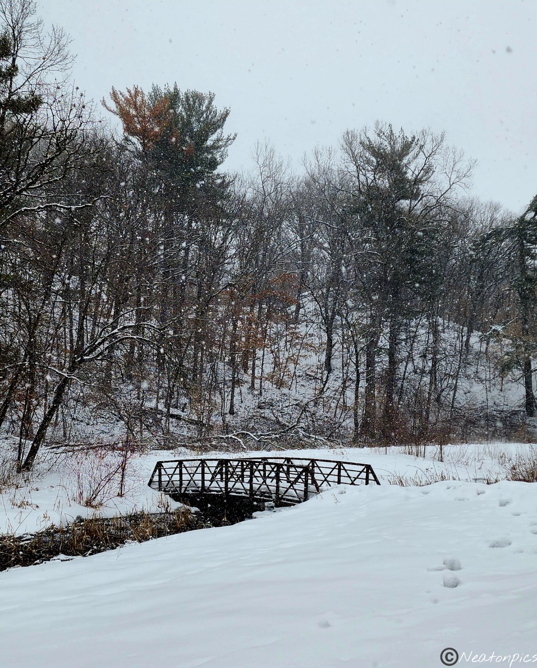
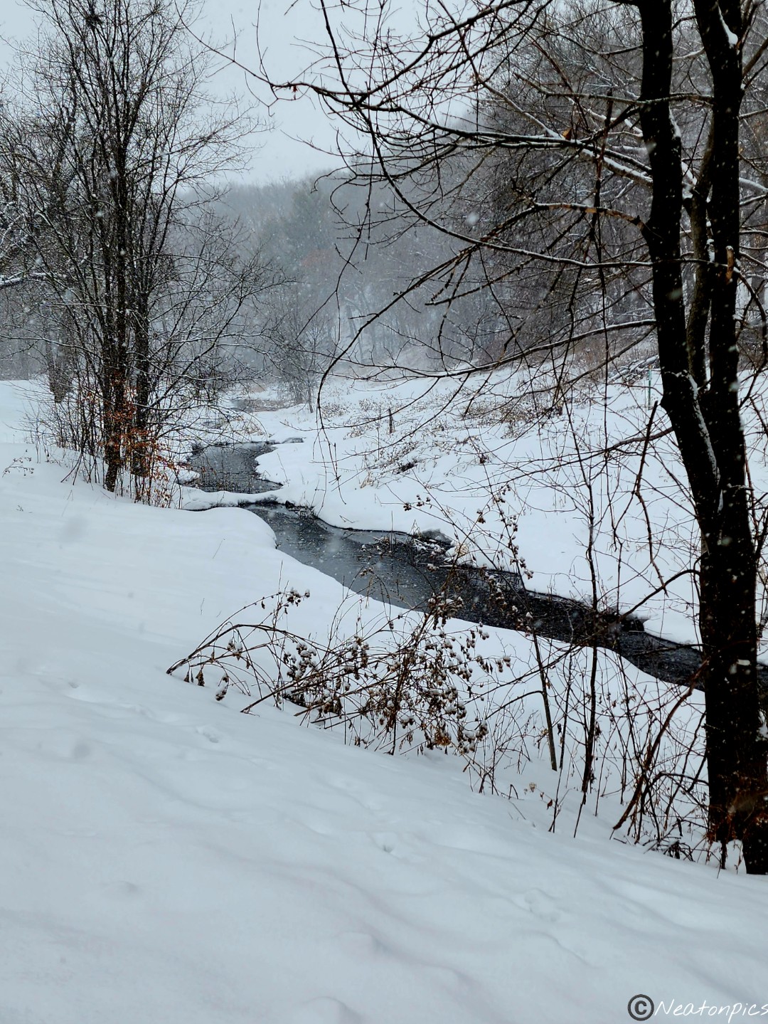
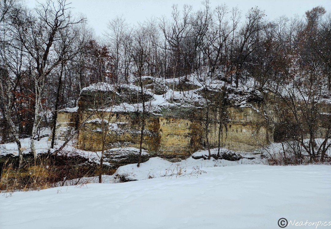
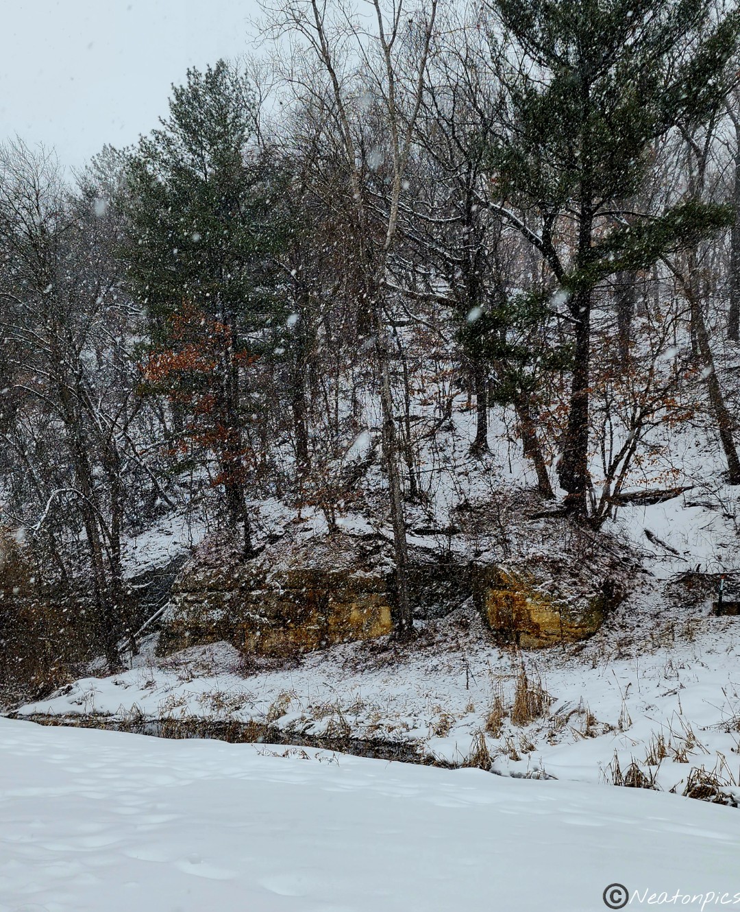
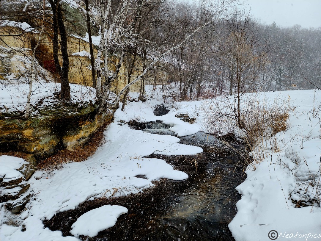
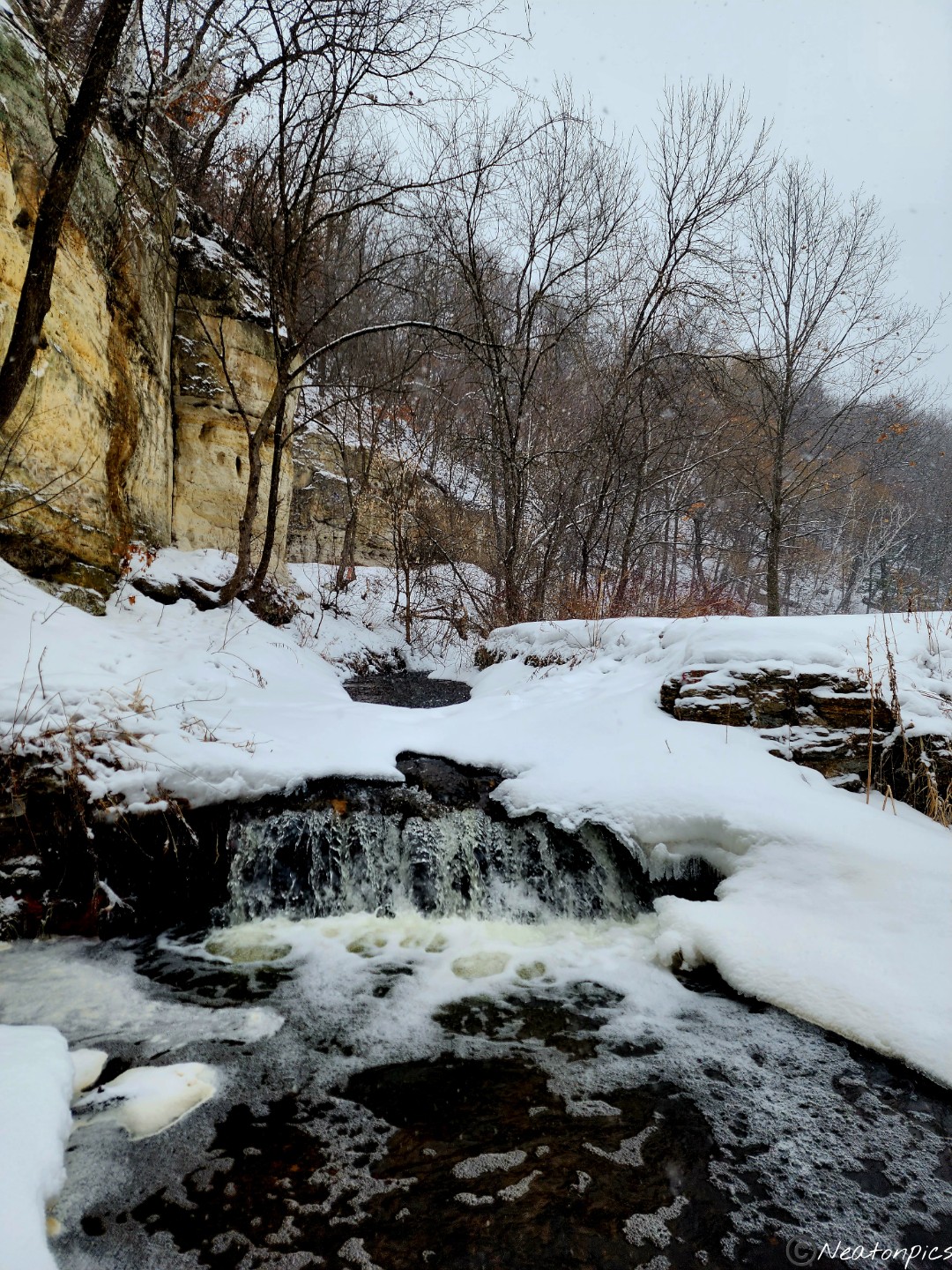
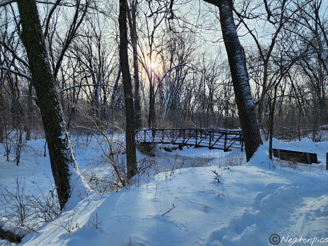
The unpaved trail looped us up and down the hills and through the forest. We jumped back on the paved trail once we reached Battle Creek. The fresh snow, the flowing creek, and the sandstone bluffs created a beautiful winter wonderland.
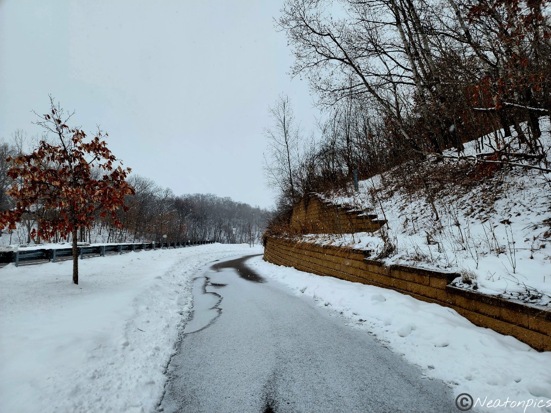
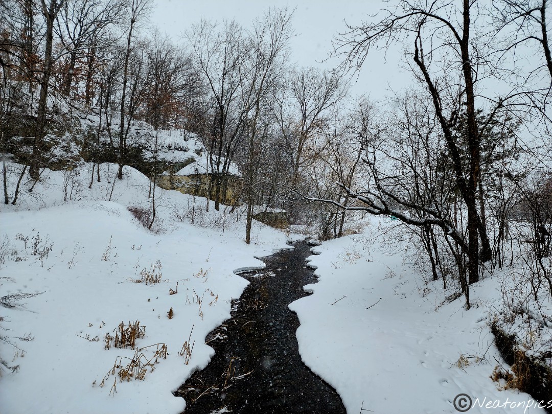
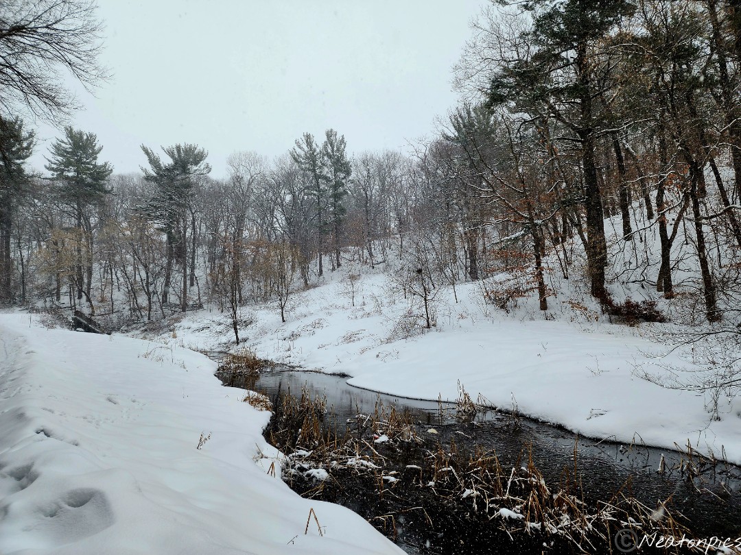
With the creek flowing next to us, we continued our adventure on the paved trail.
A bright red Cardinal graced our presence.
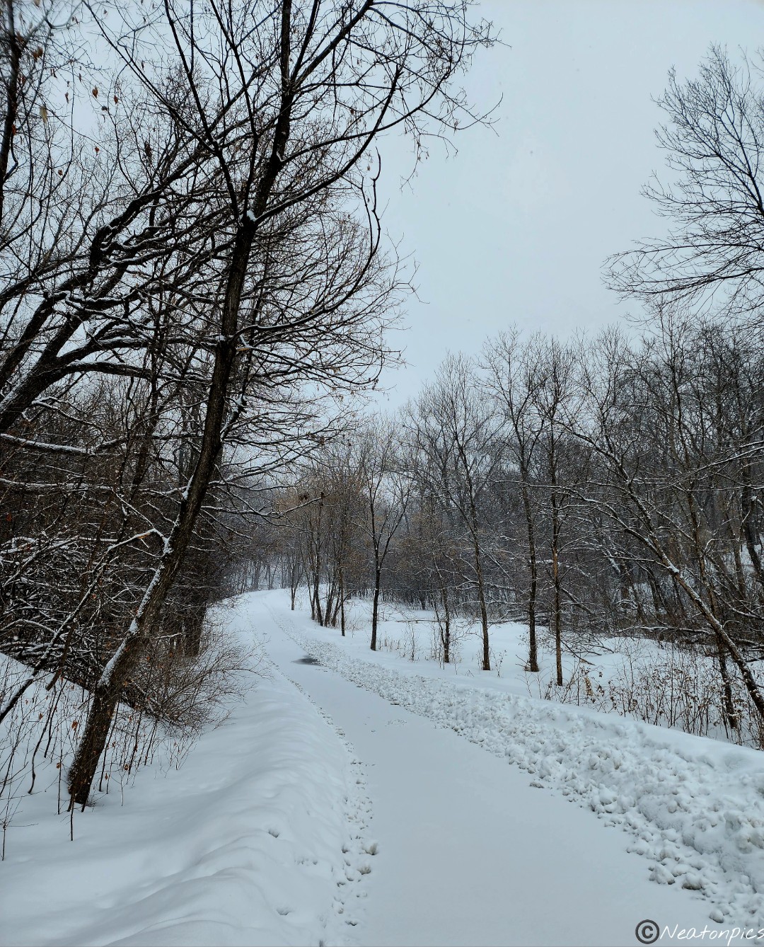
We continued on the paved trail until we reached our starting point.
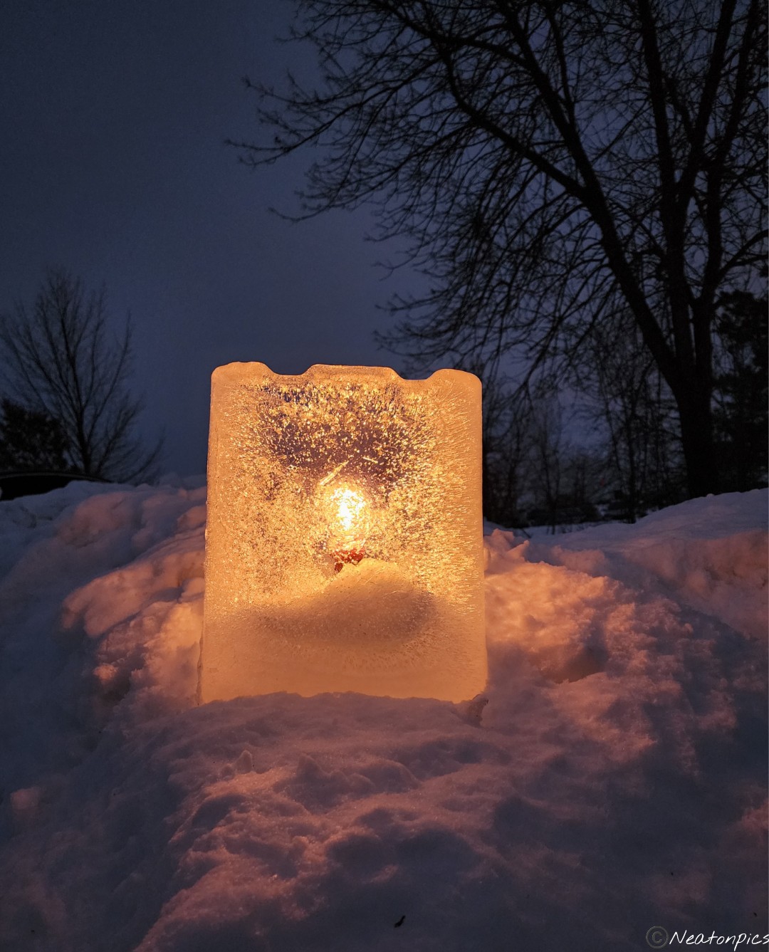
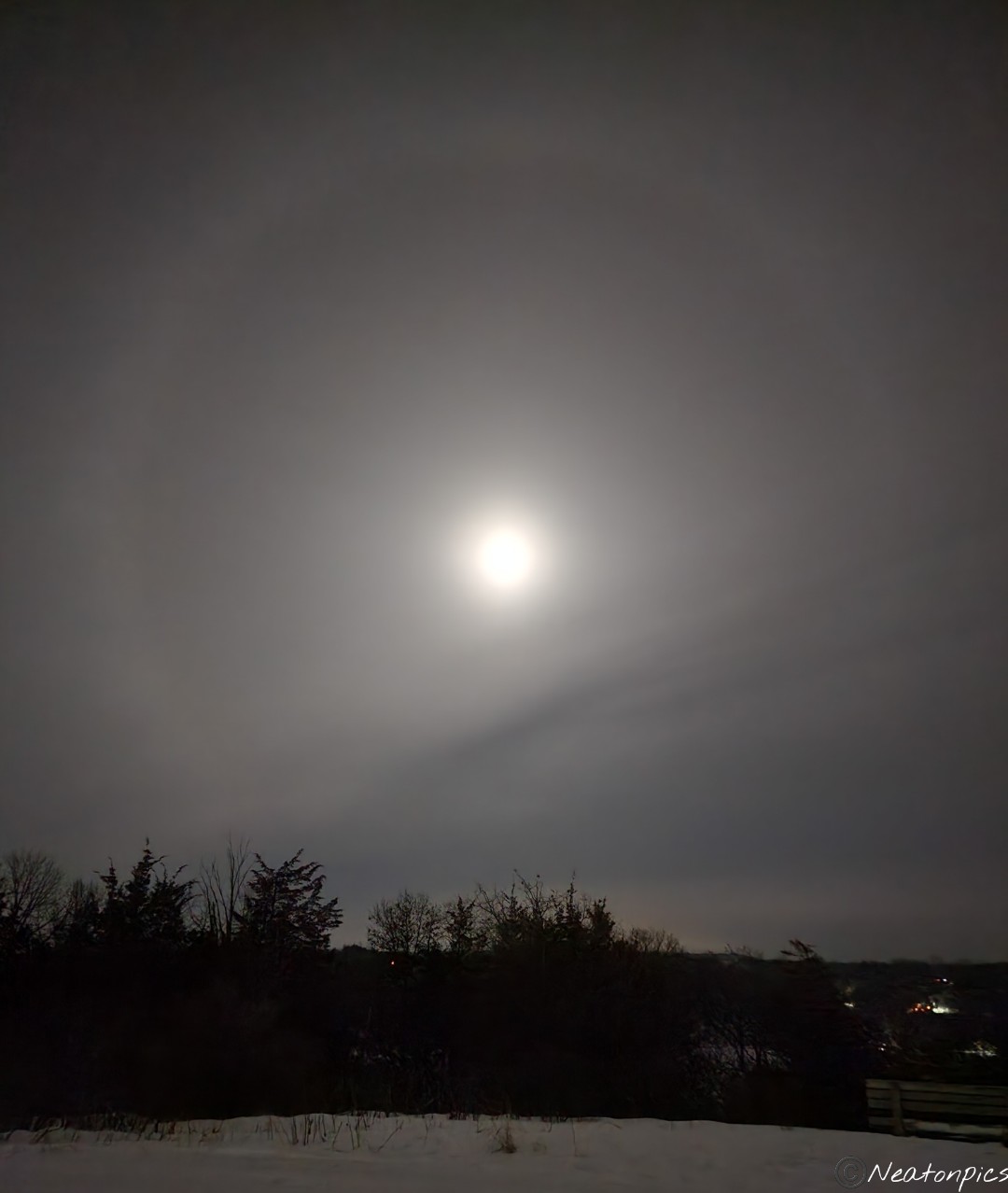
Last night’s hiking adventure was at Afton State Park.
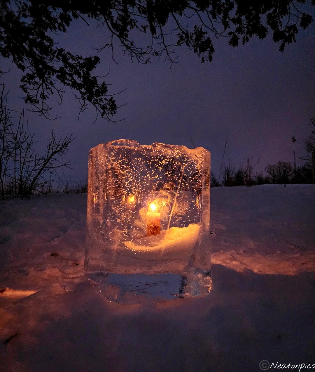
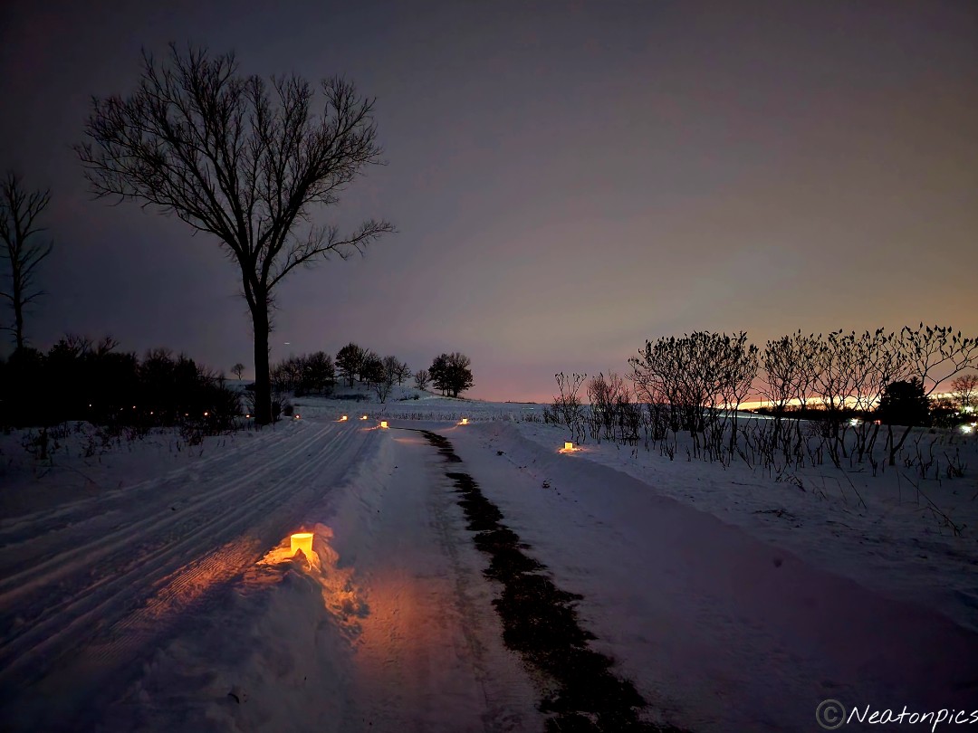
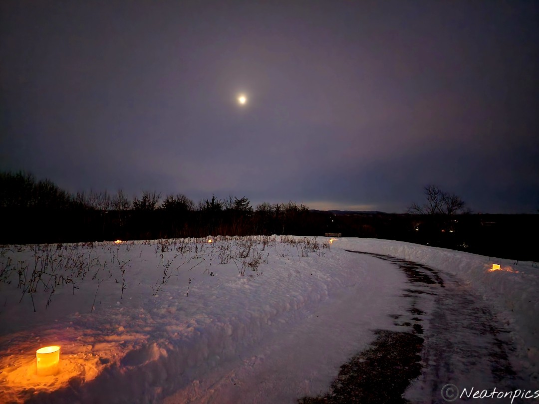
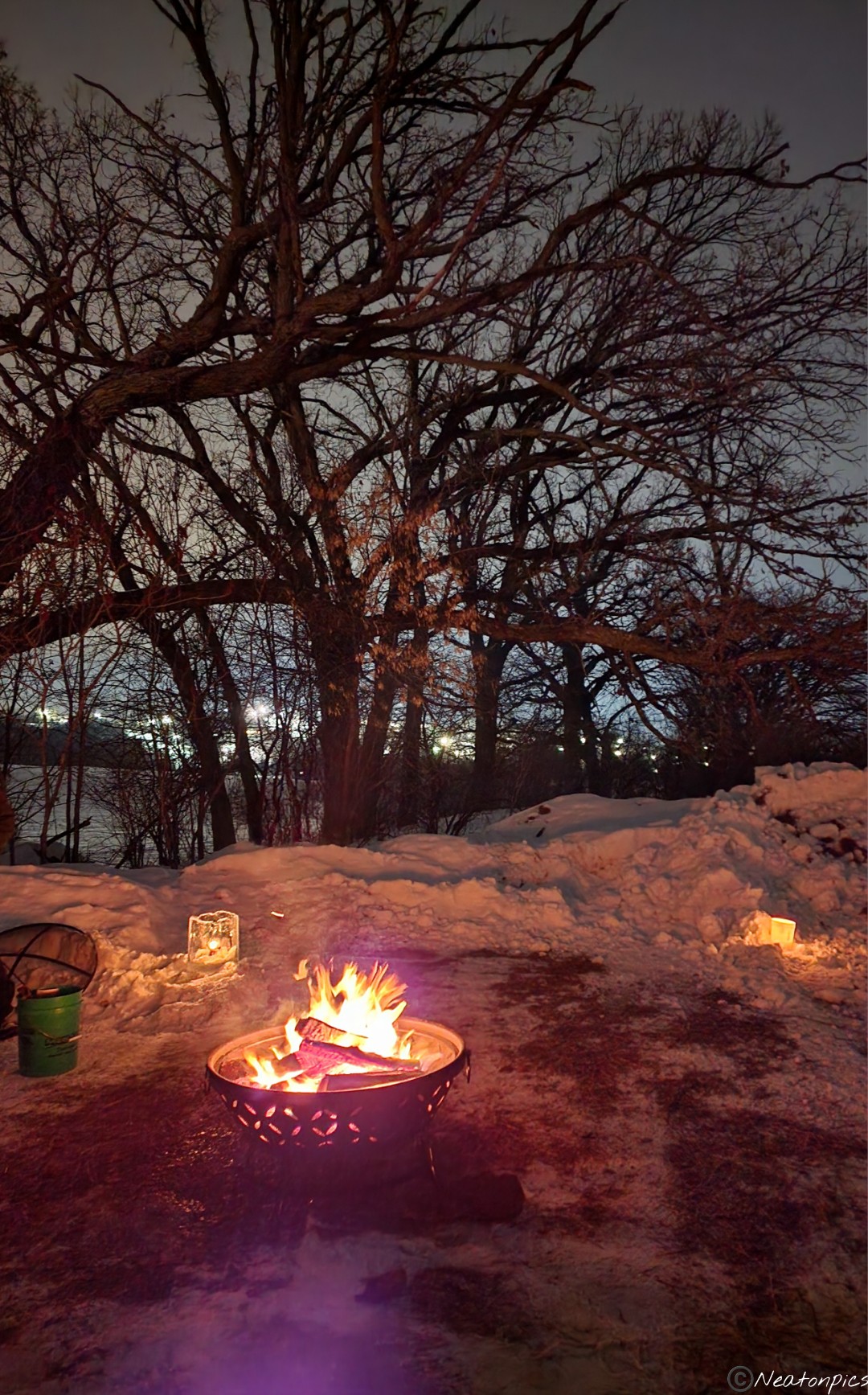
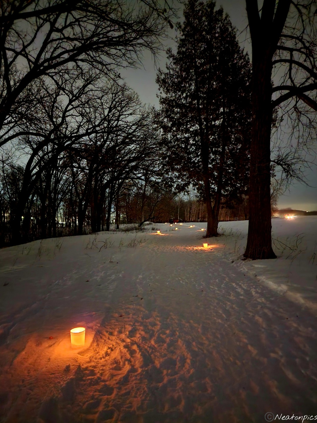
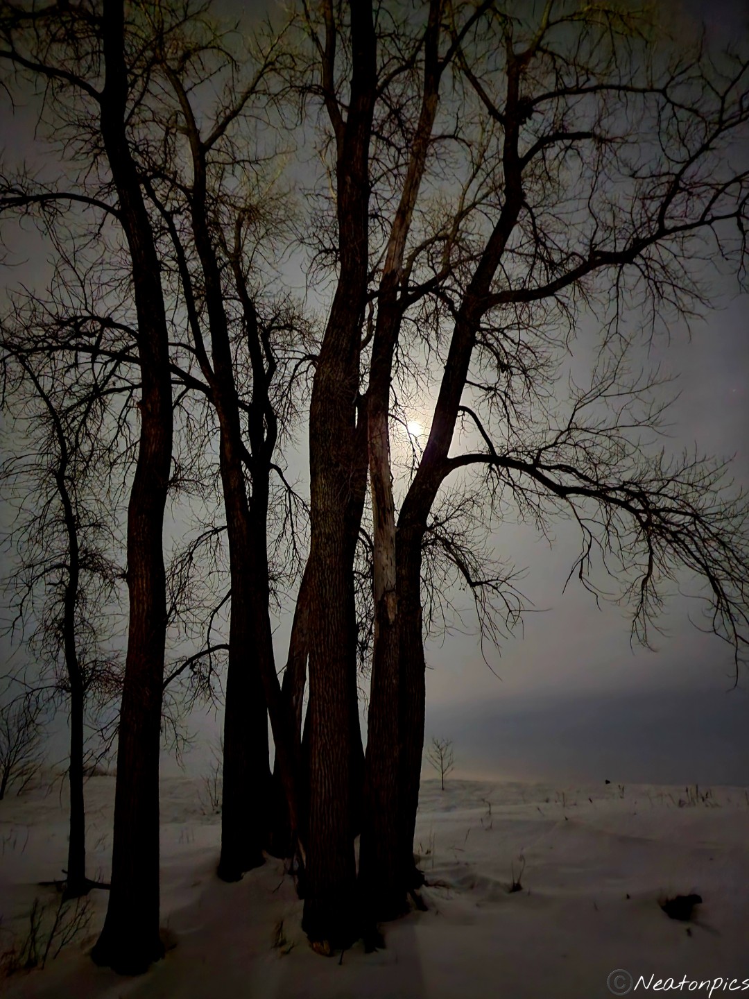
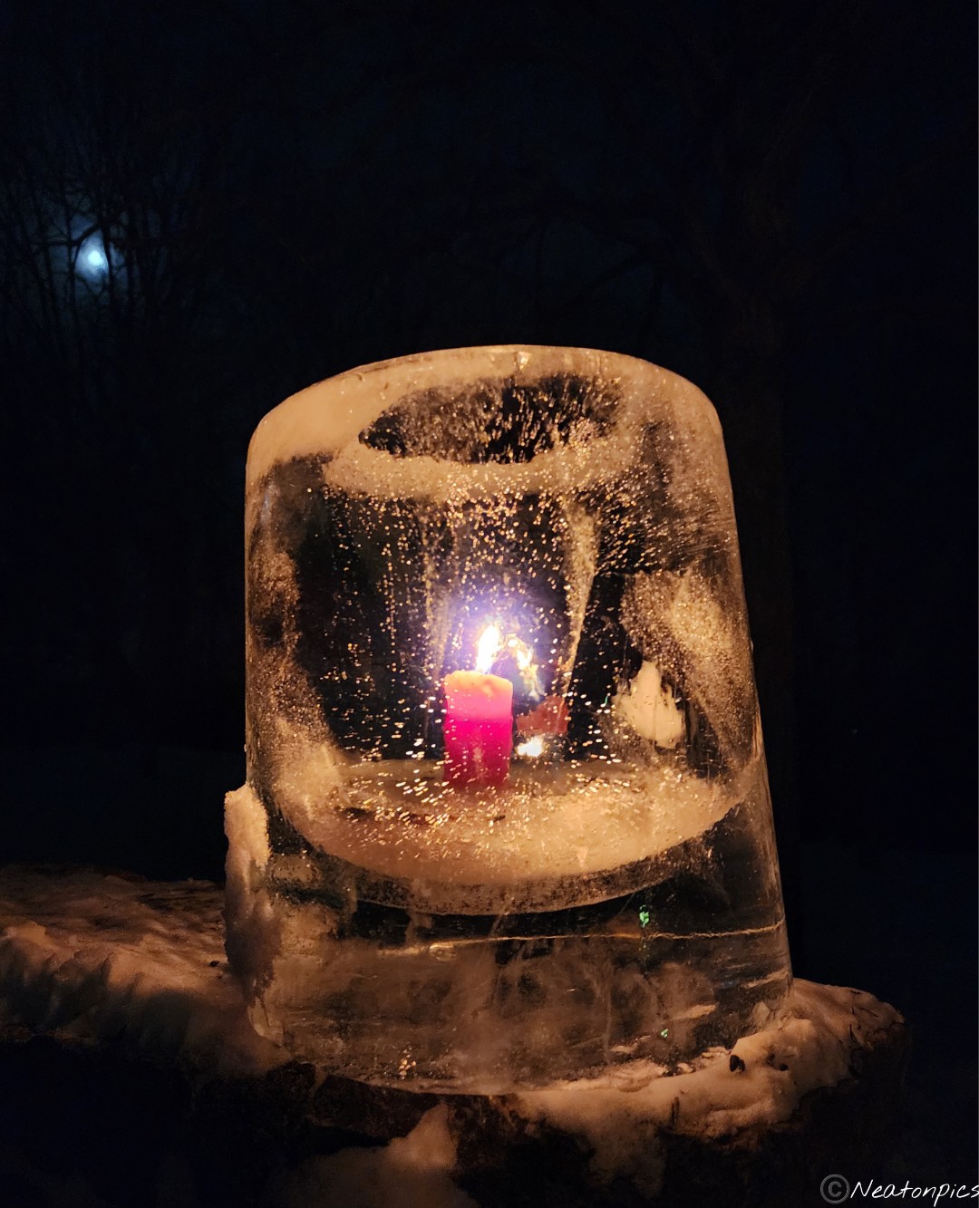
We pulled into the park and there was a line of cars at the front office. One would have thought we were pulling into a nightclub. Since we already had a parking pass, we flew by all the cars in the VIP lane. I had to park in the overflow overflow parking lot. We were not surprised to see so many people wanting to experience a night hike. The moon was full, the trail was lit by candlelight and the temperature was decent. The sunset was gorgeous last night. The sky looked like it was on fire! By the time we began our adventure just a sliver of light was left in the sky.
The first part of the trail was smooth with a few icy spots.
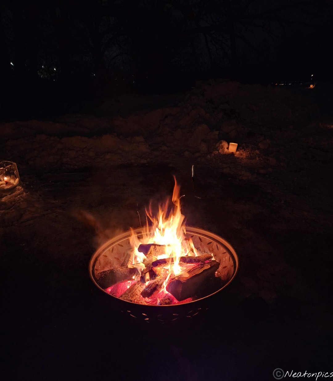
There was a bonfire about a half mile into our adventure.
The next part of the hike was a little less smooth. The snow was soft and thick. One moment we are hiking on the snow, the next moment your foot falls through the soft snow causing you to trip. Everyone was making funny sound effects and laughing when slipping through the snow. At one point my right leg went deep into the snow and bam on my knees I went. We got lots of laughing in last night.
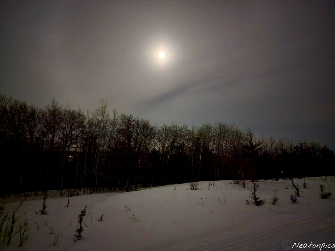
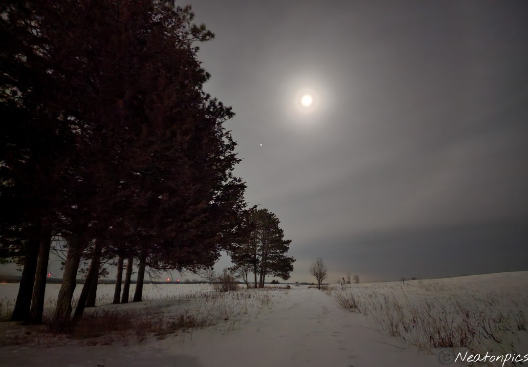
We decided to hike the trail twice due to it being a short loop. The moon was amazing!
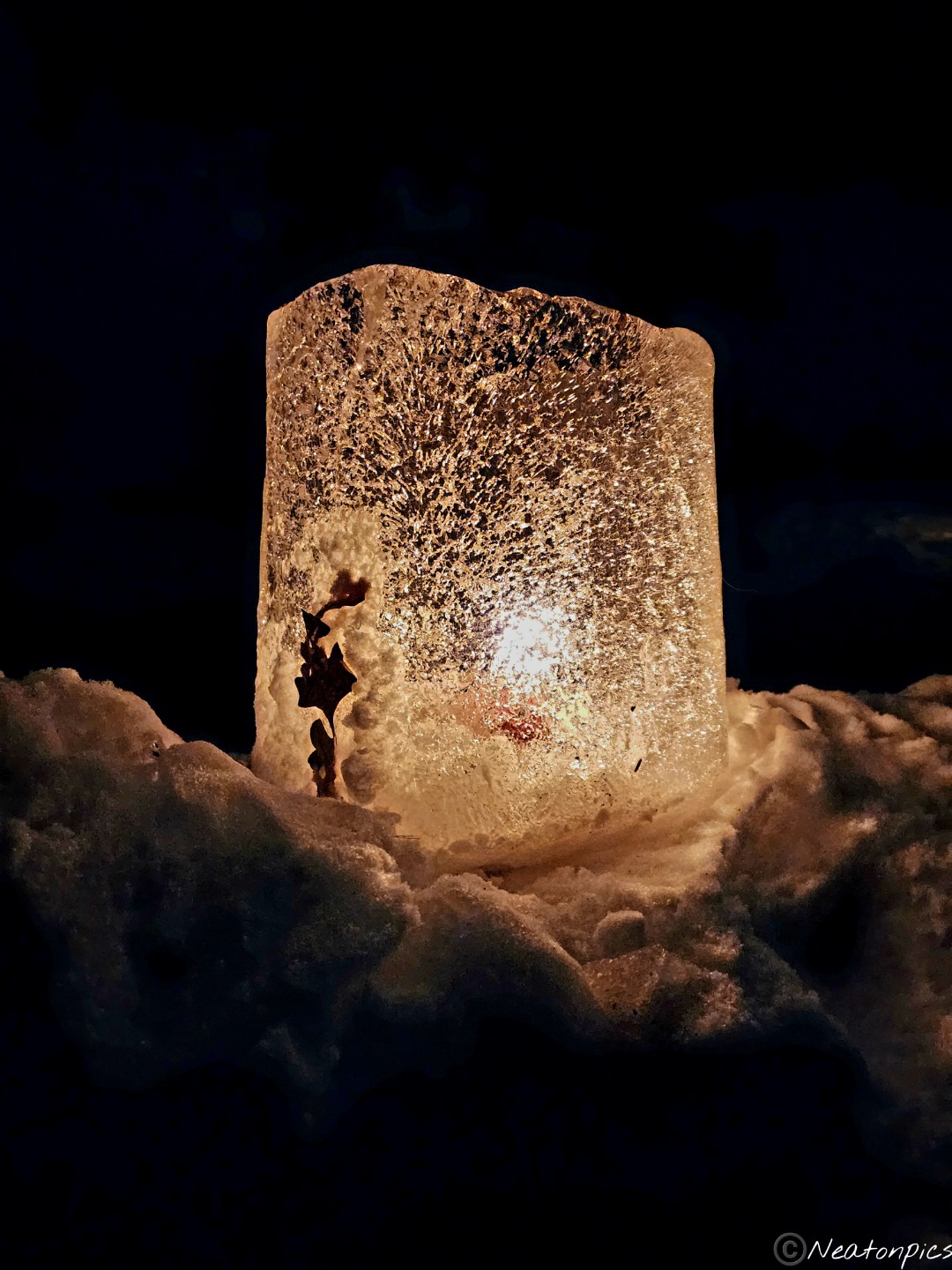
I absolutely loved all the candles lighting our way.
I highly recommend taking in a candlelit night hike. Our hiking adventure was 4 miles.
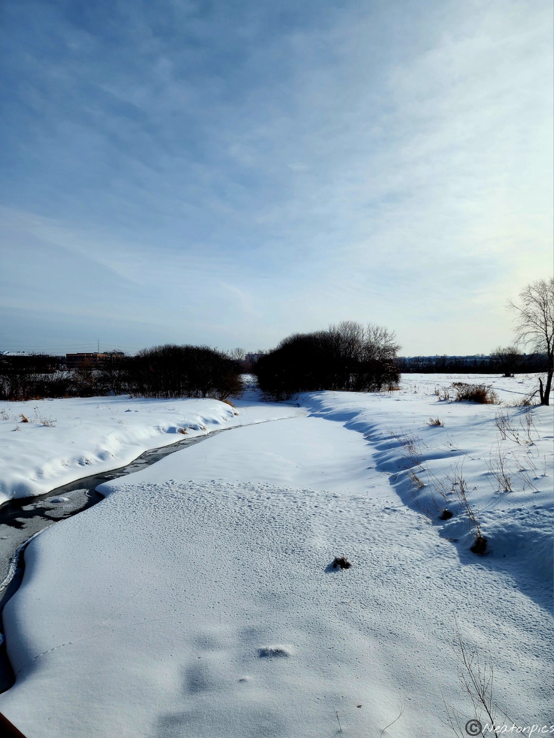
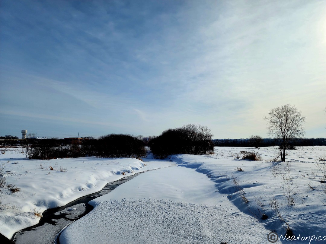
Today’s hiking adventure began at Black Dog Trailhead.
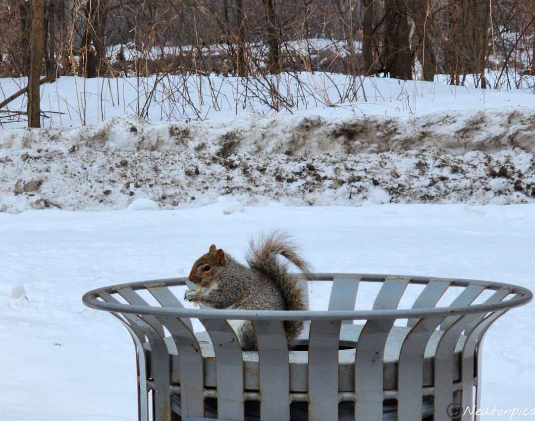
We hiked the Minnesota River Greenway alongside the Minnesota River. The trail began just shy of the Highway 35 W bridge and follows the river to the Cedar/Highway 77 Bridge. A squirrel greeted us as we began our adventure.
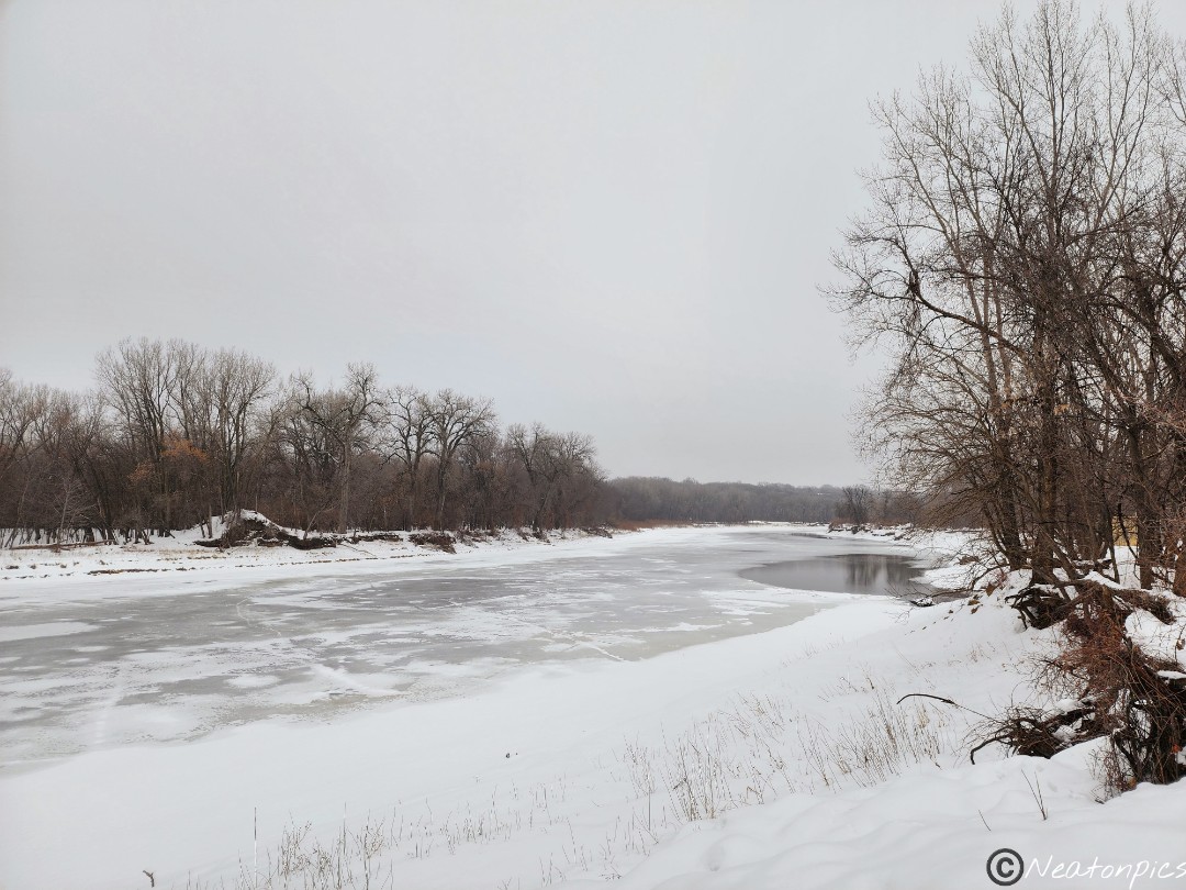
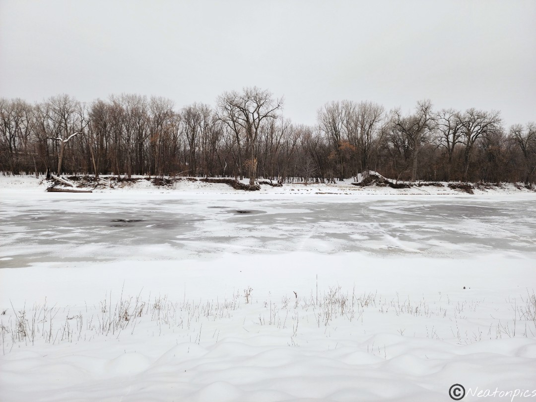
The Minnesota River was partially frozen.
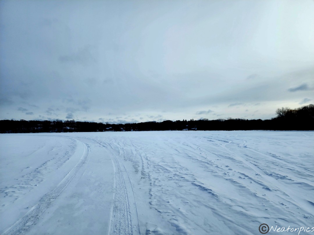
Besides a light dusting of snow at times, the paved trail was nice and clear of snow and ice.
Black Dog Lake Overlook
Across the river from us, we could see many people riding their fat tire bikes along the river bottom trail.
We hiked up to Cedar/Highway 77 Bridge and turned around back to our starting point.
The trail passes by the Xcel Energy Power Plant.
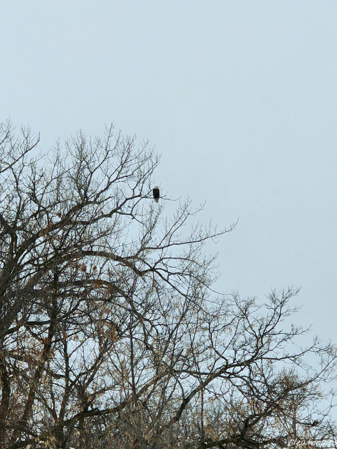
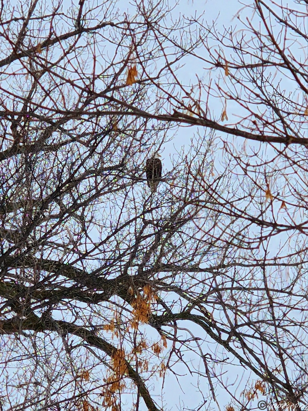
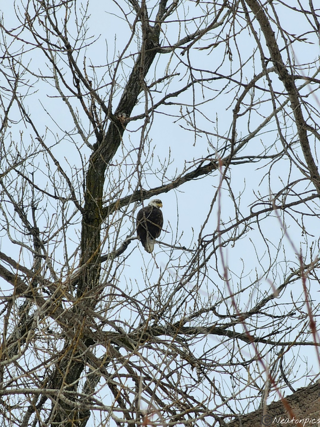
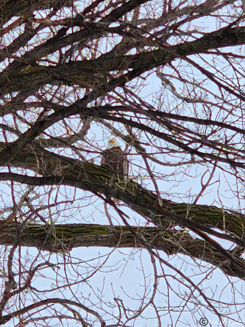
Several eagles perched in the trees above the river looking for a snack.
The Highway 35 W bridge can be seen in the distance.
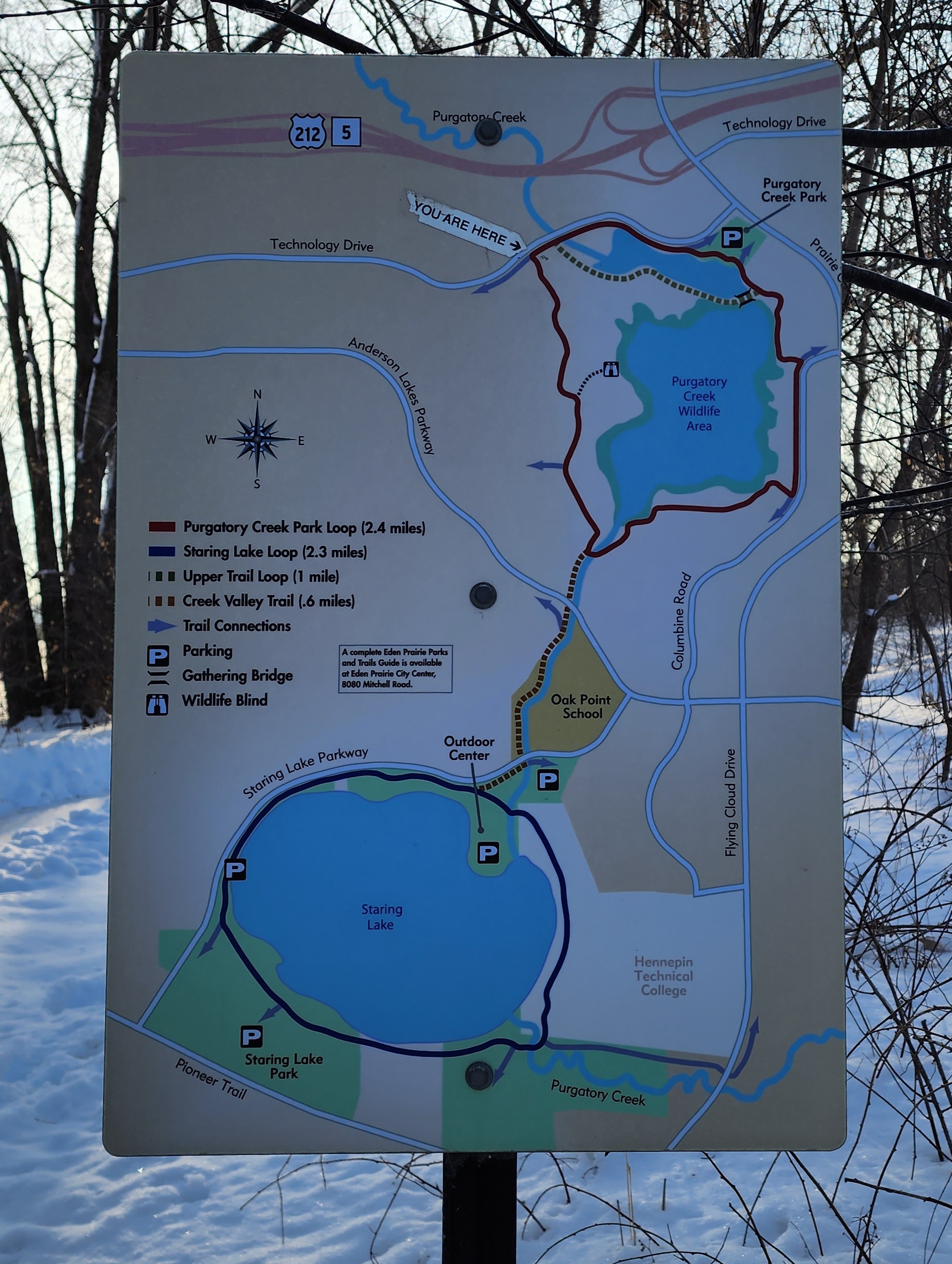
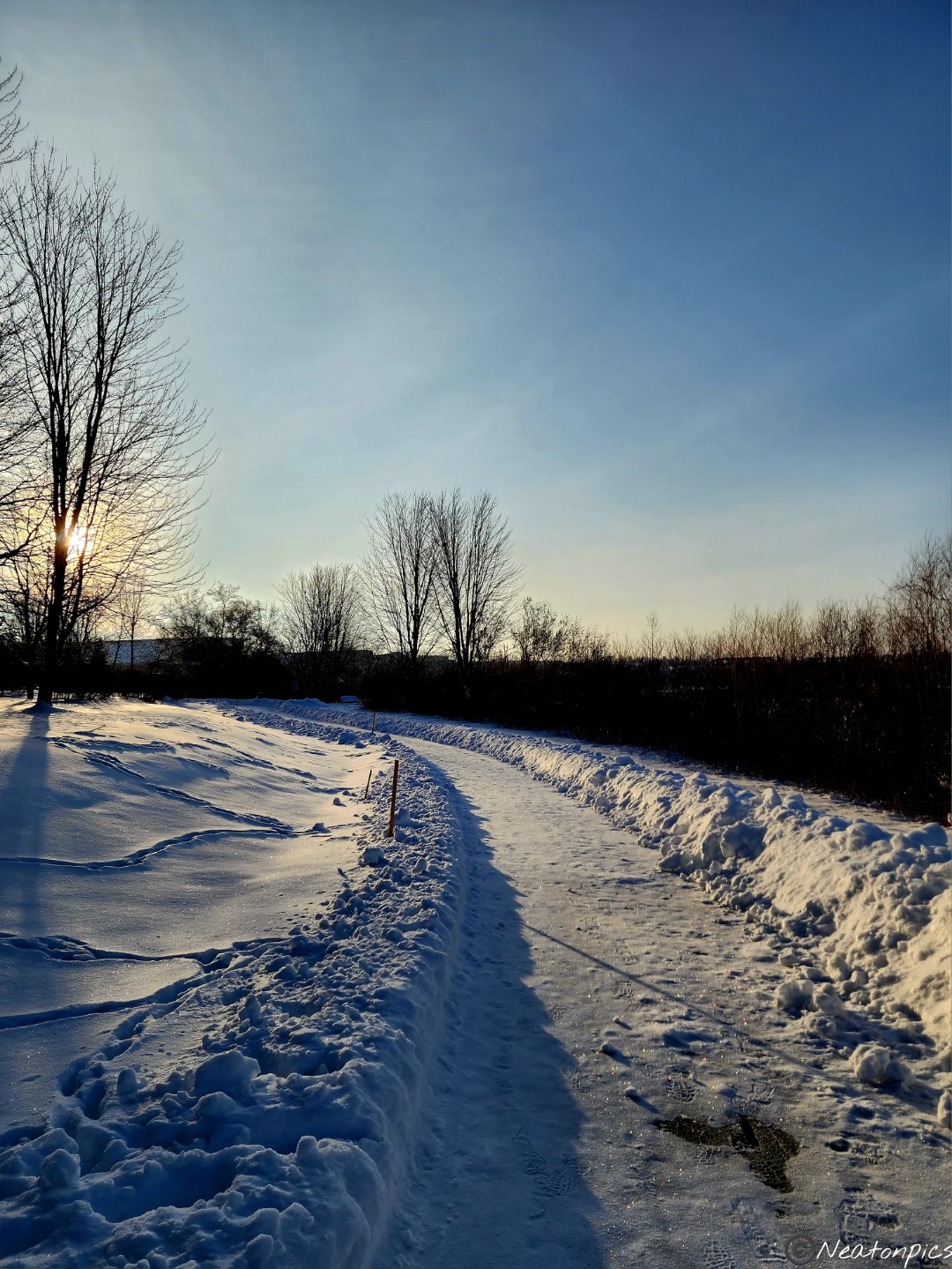
Today’s hiking adventure began at Purgatory Creek Park.
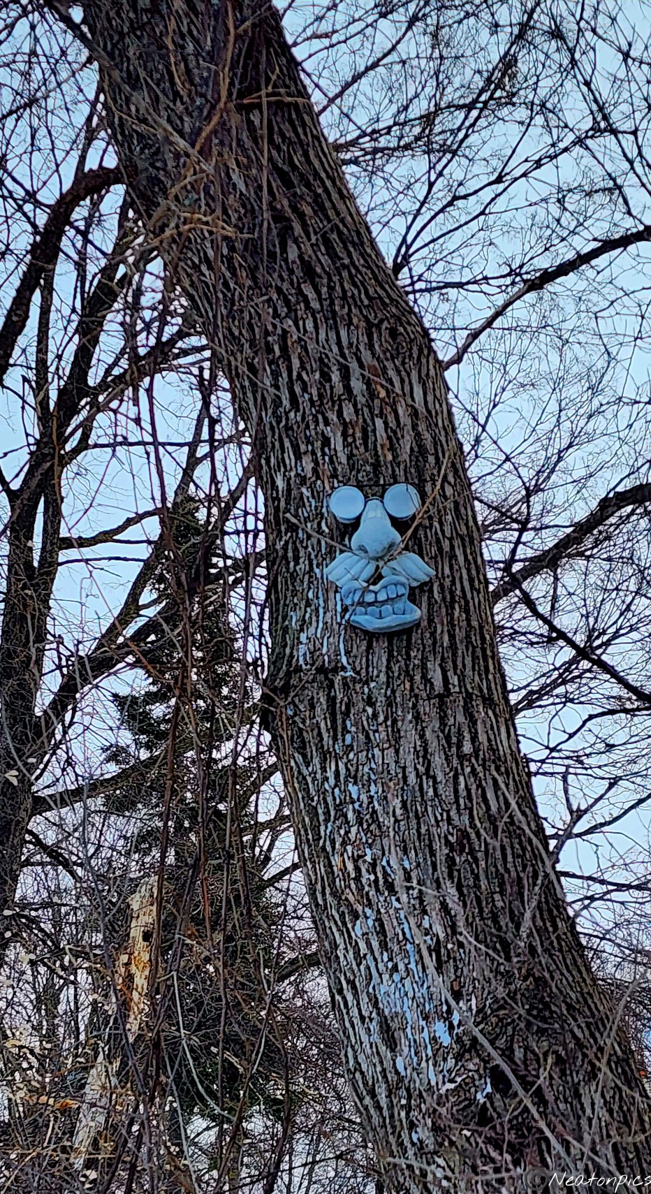
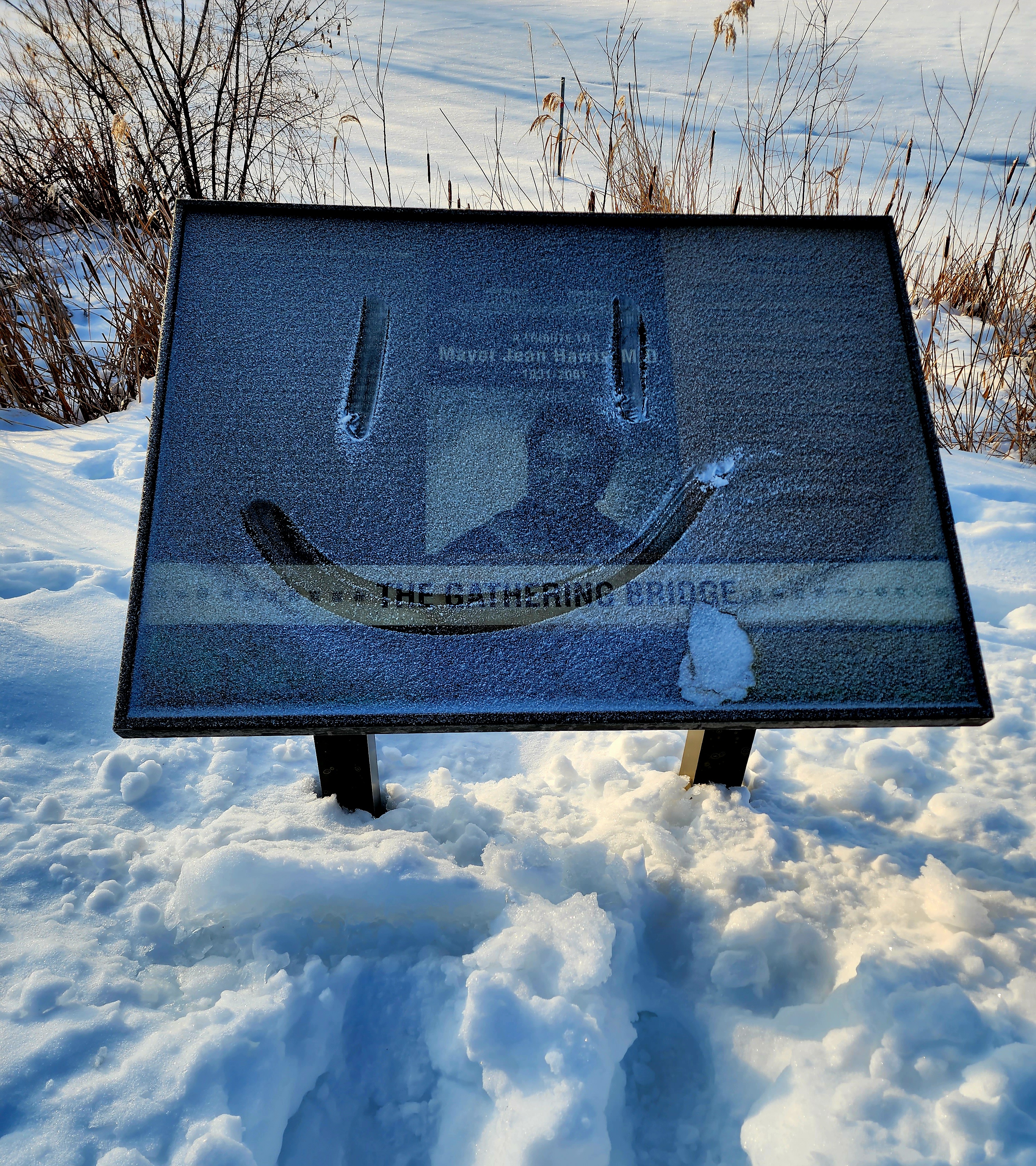
We hiked Purgatory Creek Park this past summer and loved it! So of course, we had to see how everything looked covered in snow. Wow! We were not disappointed. A happy face greeted us as soon as we hit the trail.
The paved trail was covered in ice. Thankfully, we had our Yaktrax in our bags so we slipped them on. It was our first time wearing our Yaktrax and we could not believe how amazingly they worked.
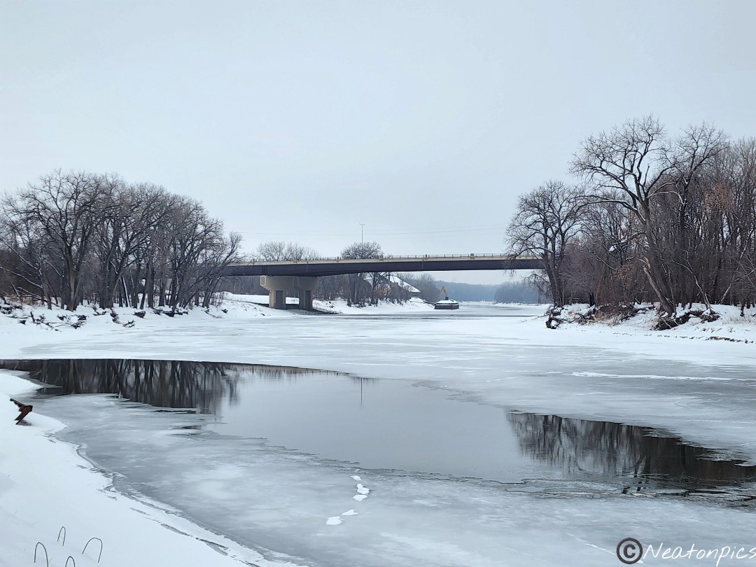
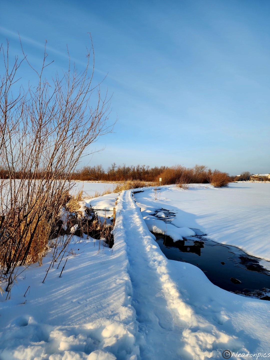
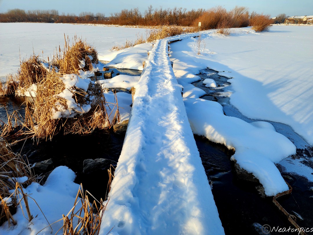
We veered off the main trail towards a narrow bridge which crossed over part of the lake. Most of the lake was frozen except near the bridge.
Back on the paved trail, it was interesting to see leaves still on the trees.
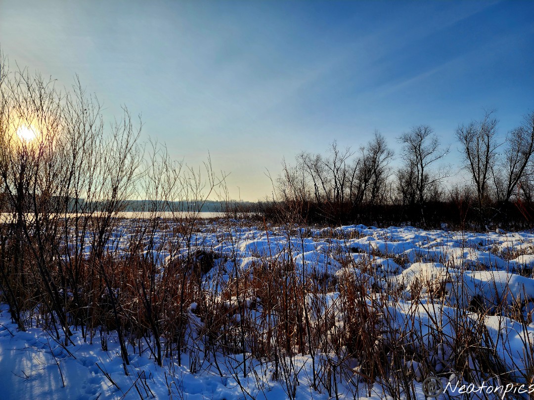
We took another detour off the main path. There was a narrow walkway that led to an overlook of the wildlife area.
We continued our hike towards Staring Lake.
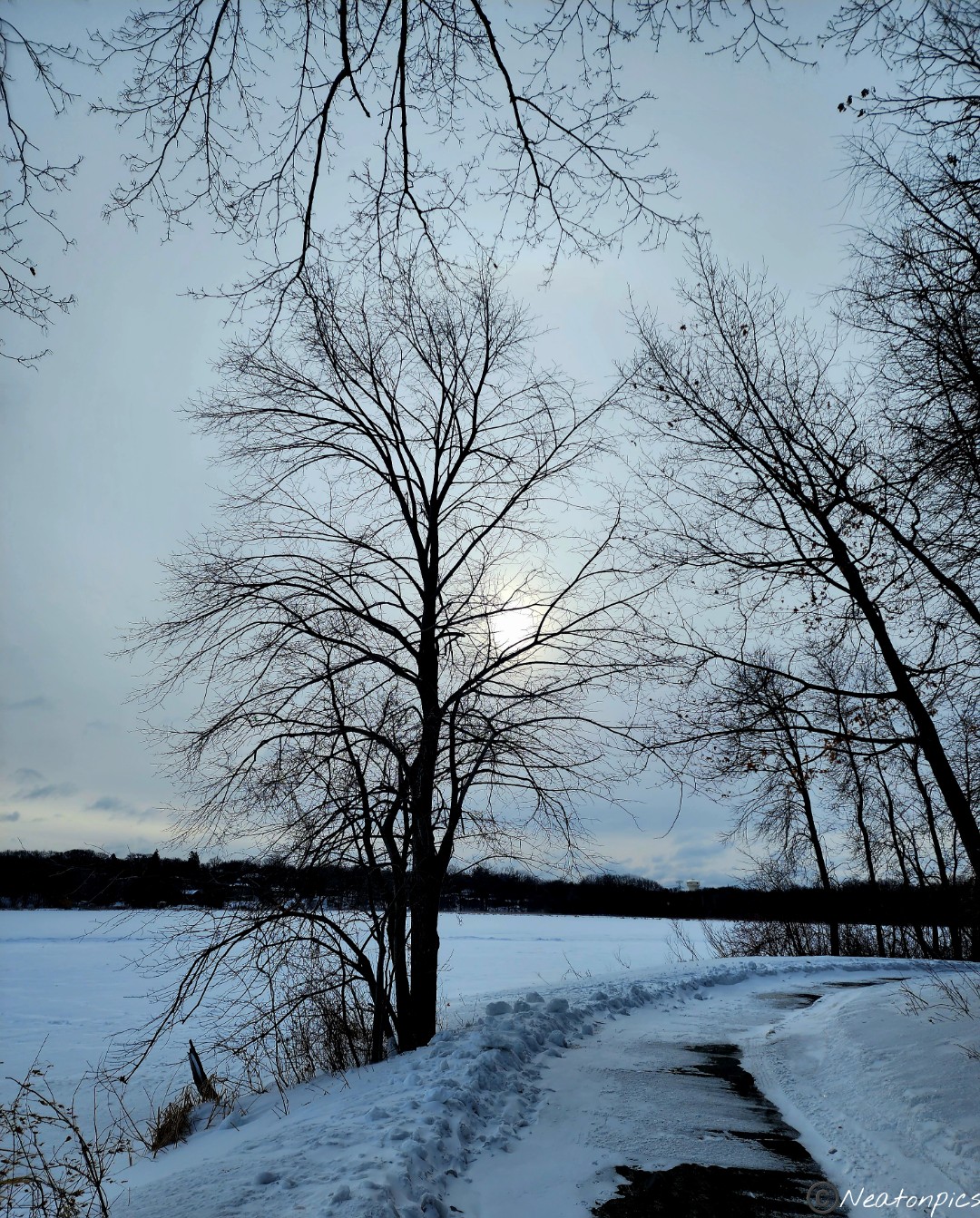
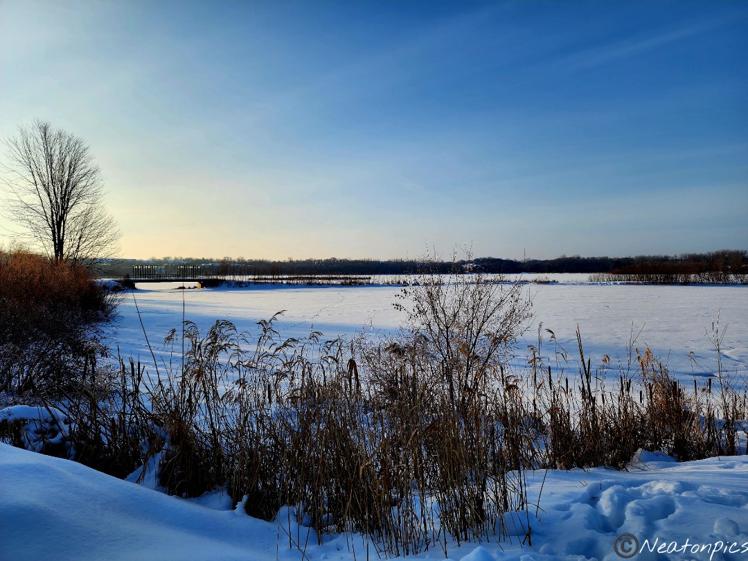
We hiked on the frozen Staring Lake.
The trees looked so beautiful covered in snow. At times, a gentle breeze would blow the snow off the trees which would catch the sunlight creating a glittery winter wonderland all around us.
We hiked back to our starting point crossing over the partially frozen creek.