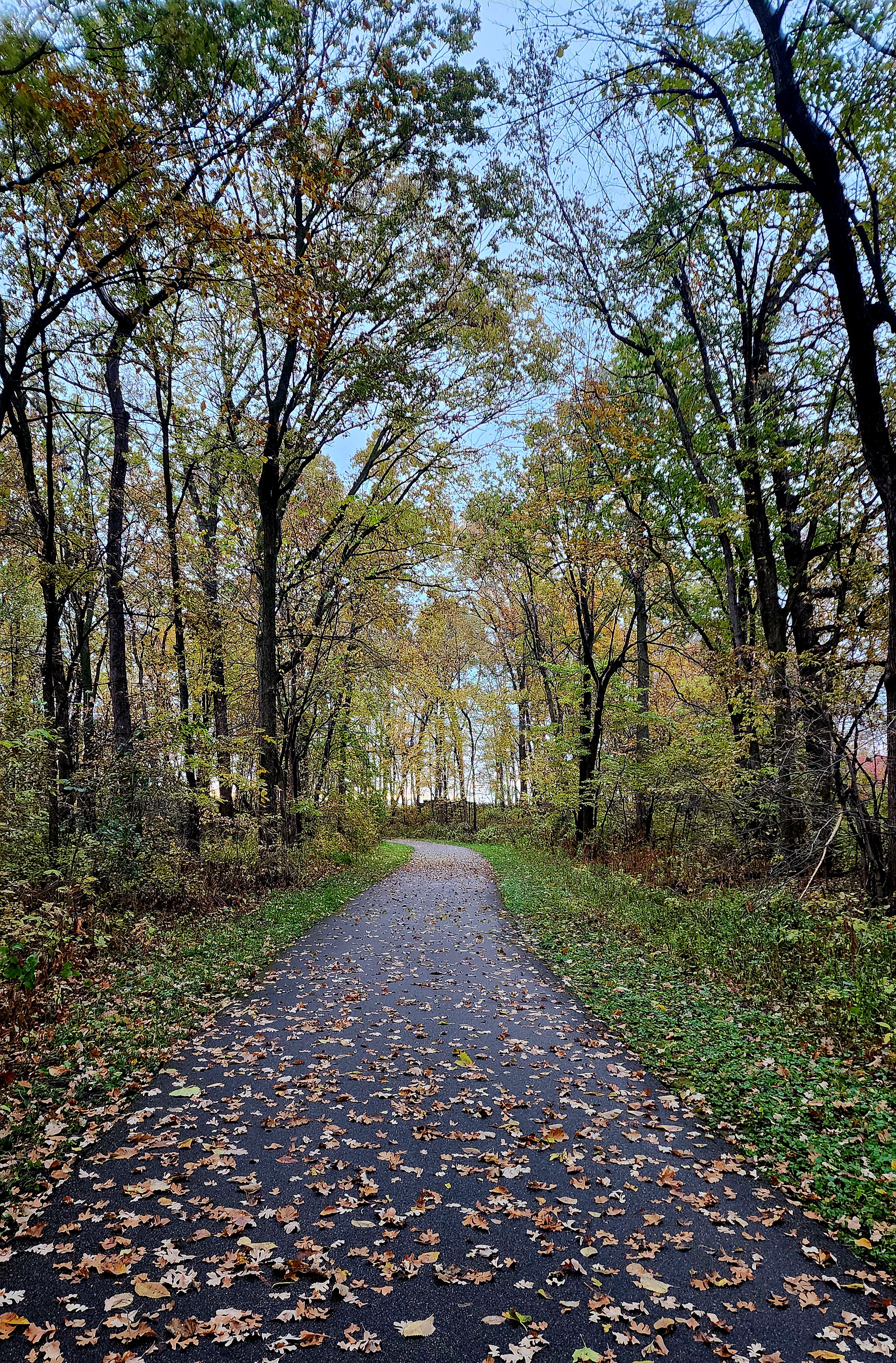
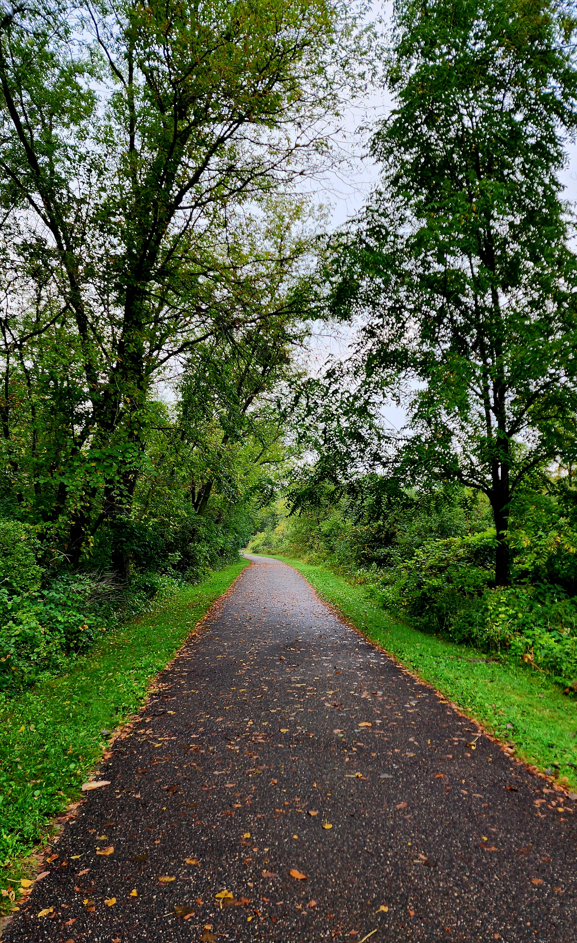
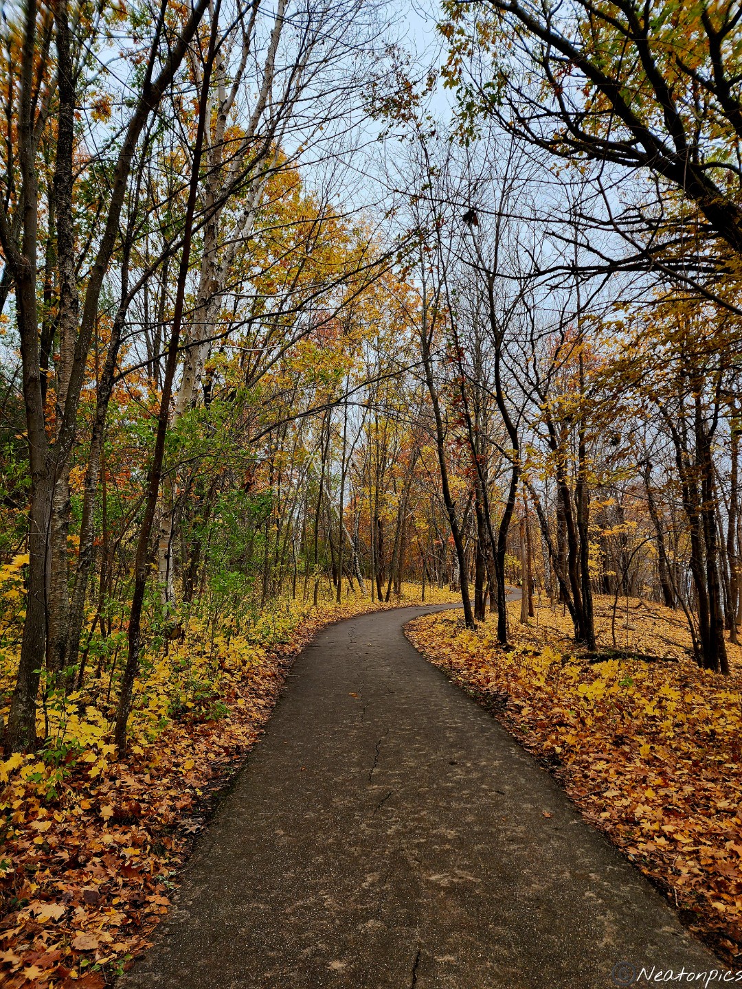
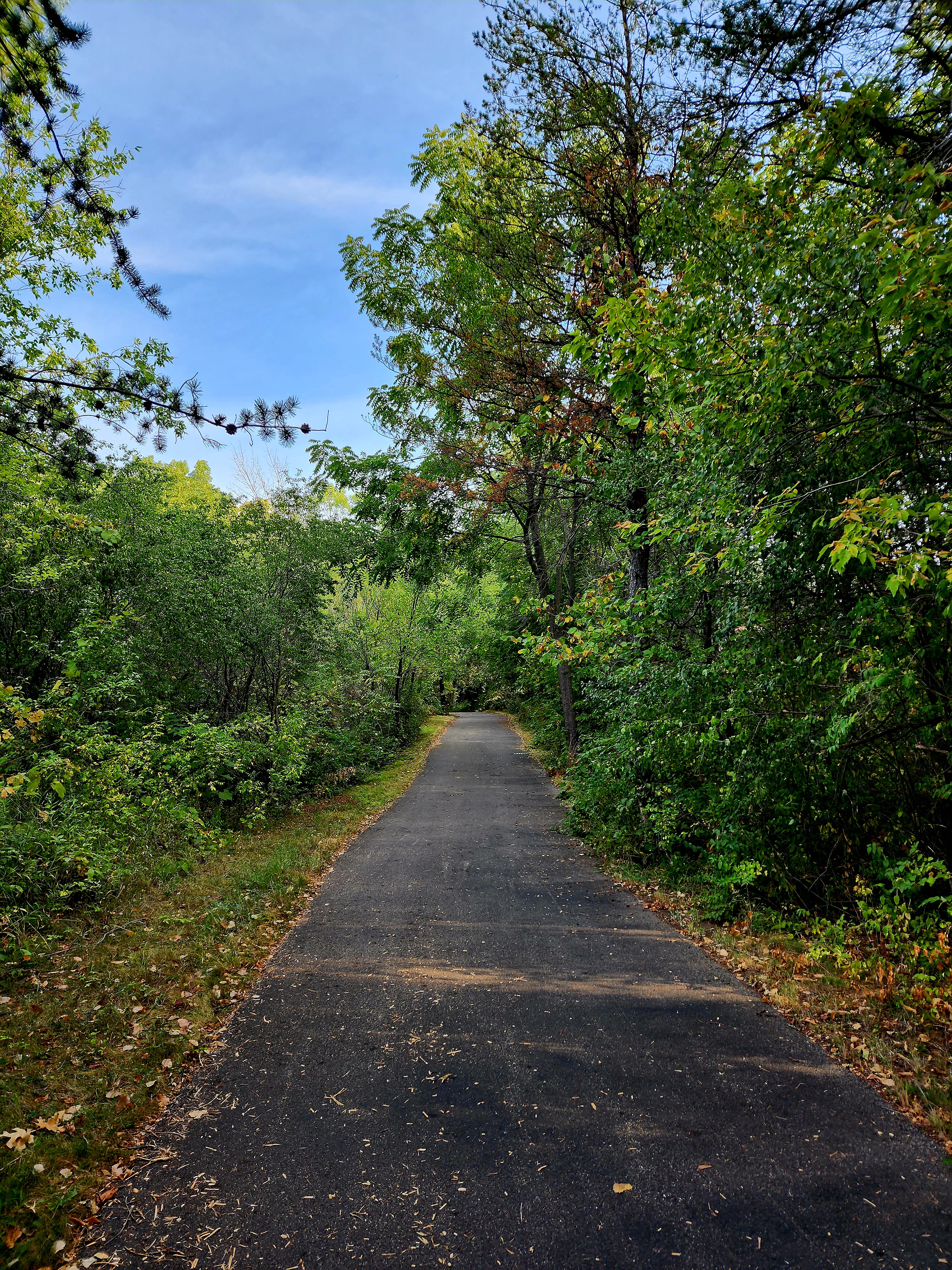
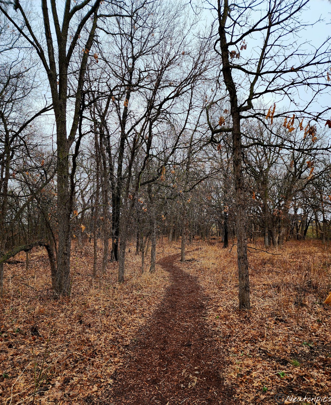
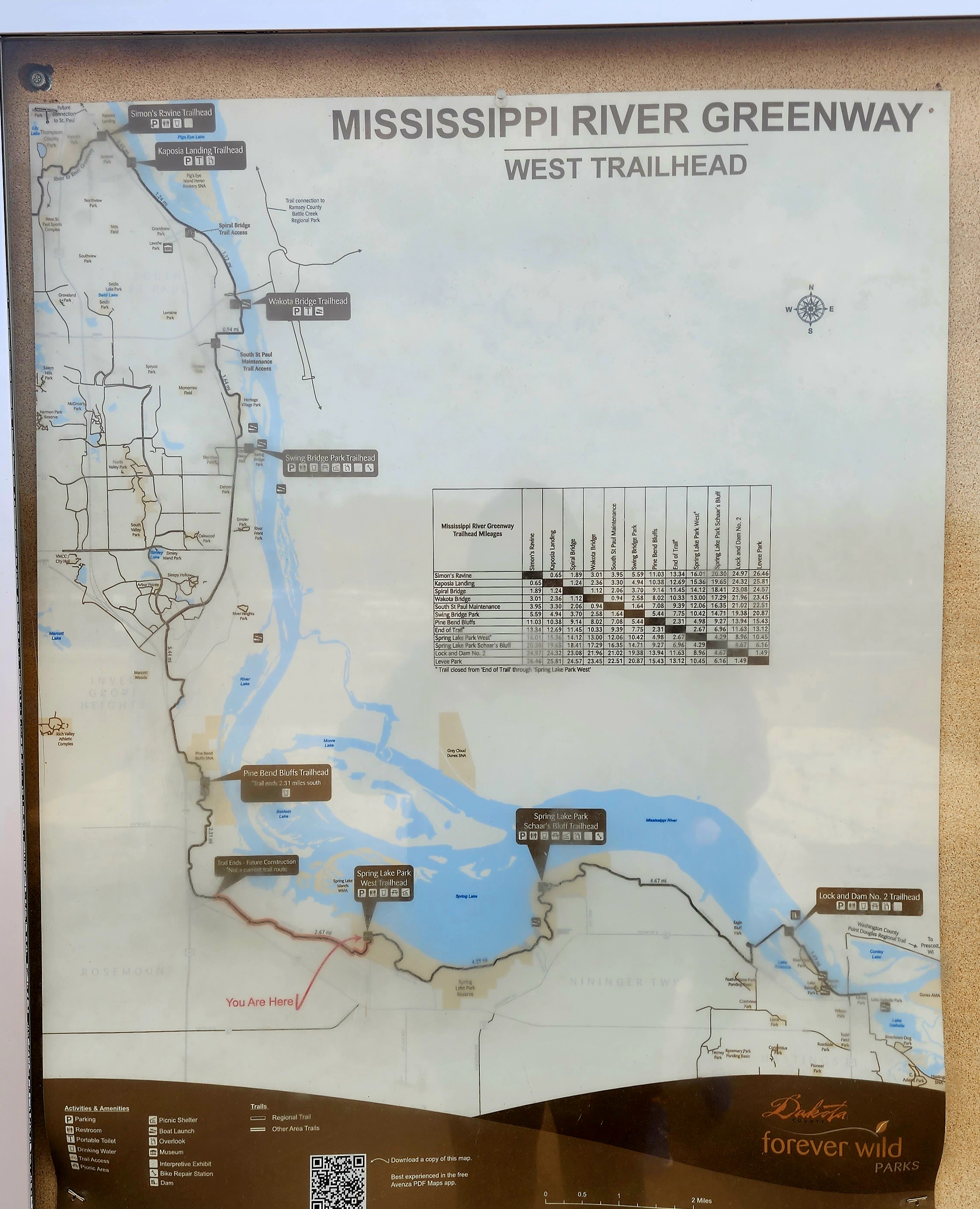
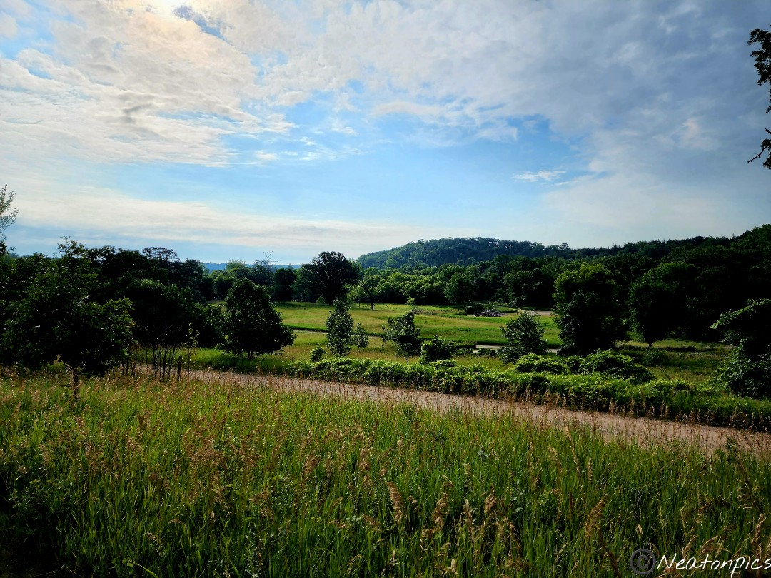
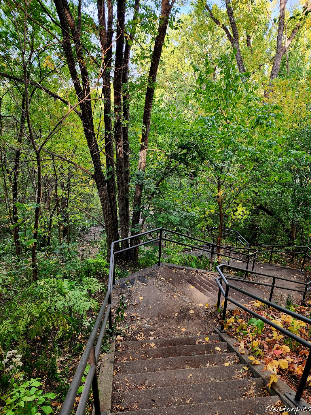
Today’s hiking adventure began at Spring Lake Park Reserve at the Schaar’s Bluff Trailhead.
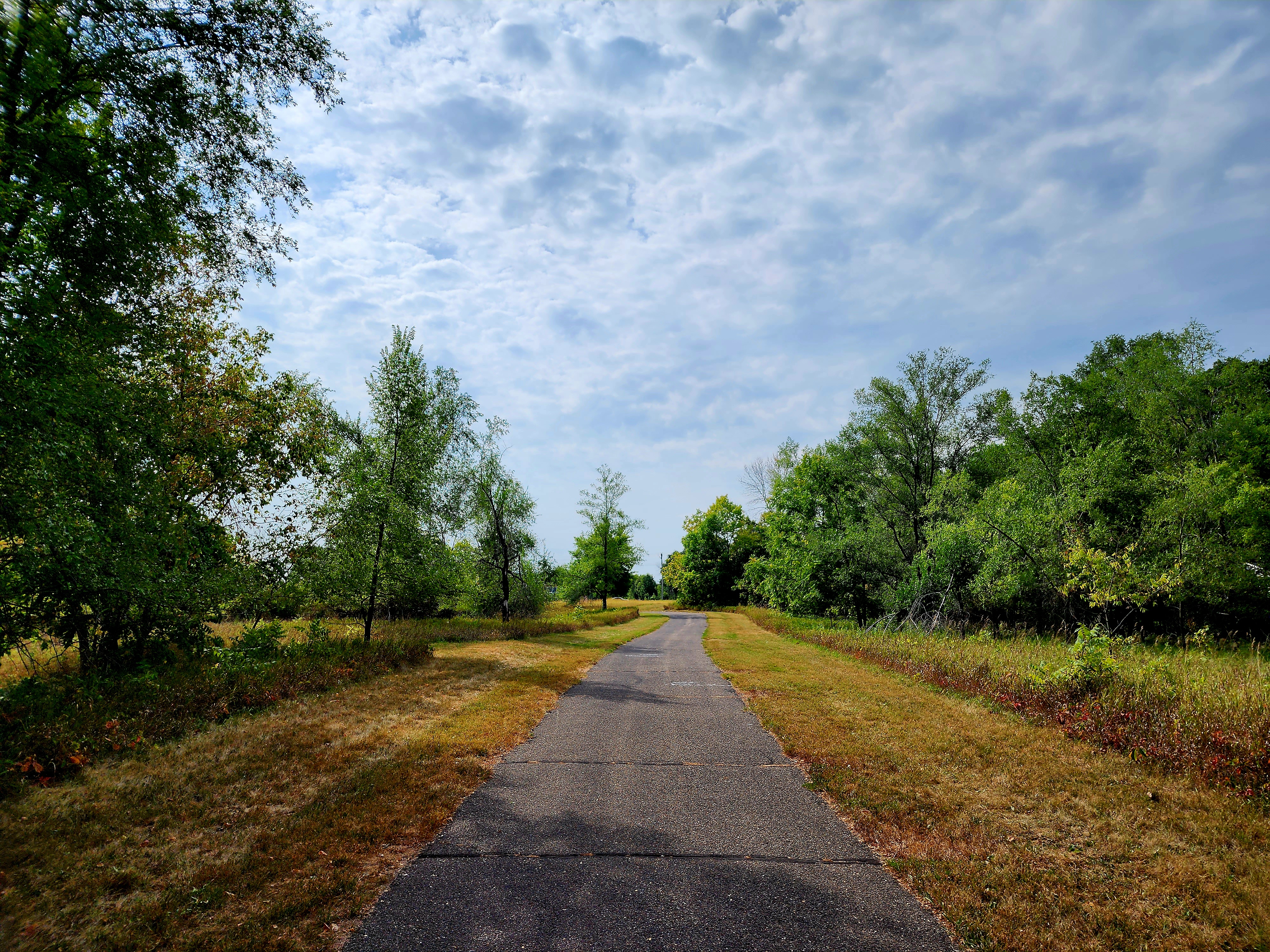
Early morning hikes are getting a bit chilly in Minnesota, especially today, with the clouds overhead and at times light rain drizzling down. Hiking a paved trail was the way to go today.
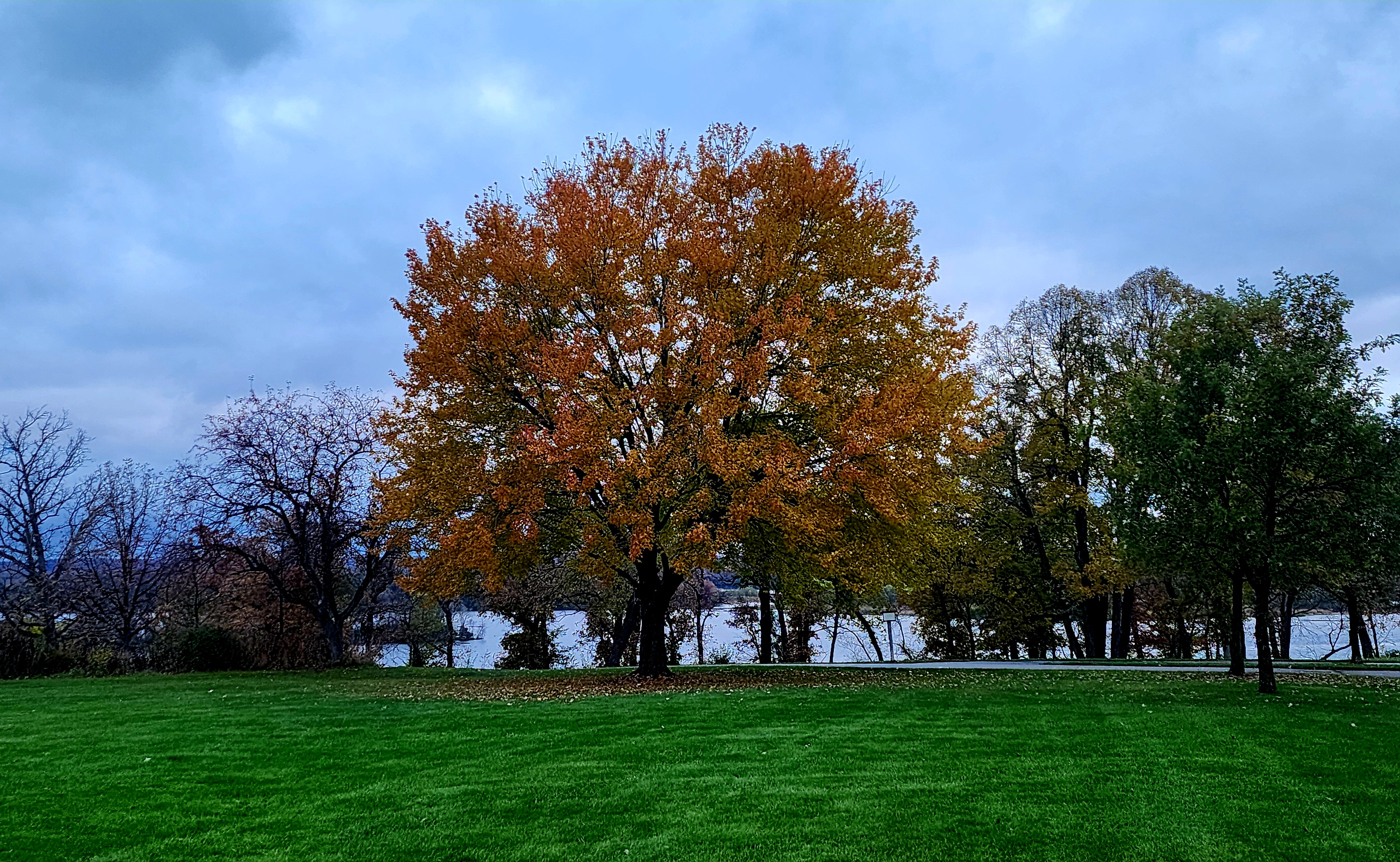
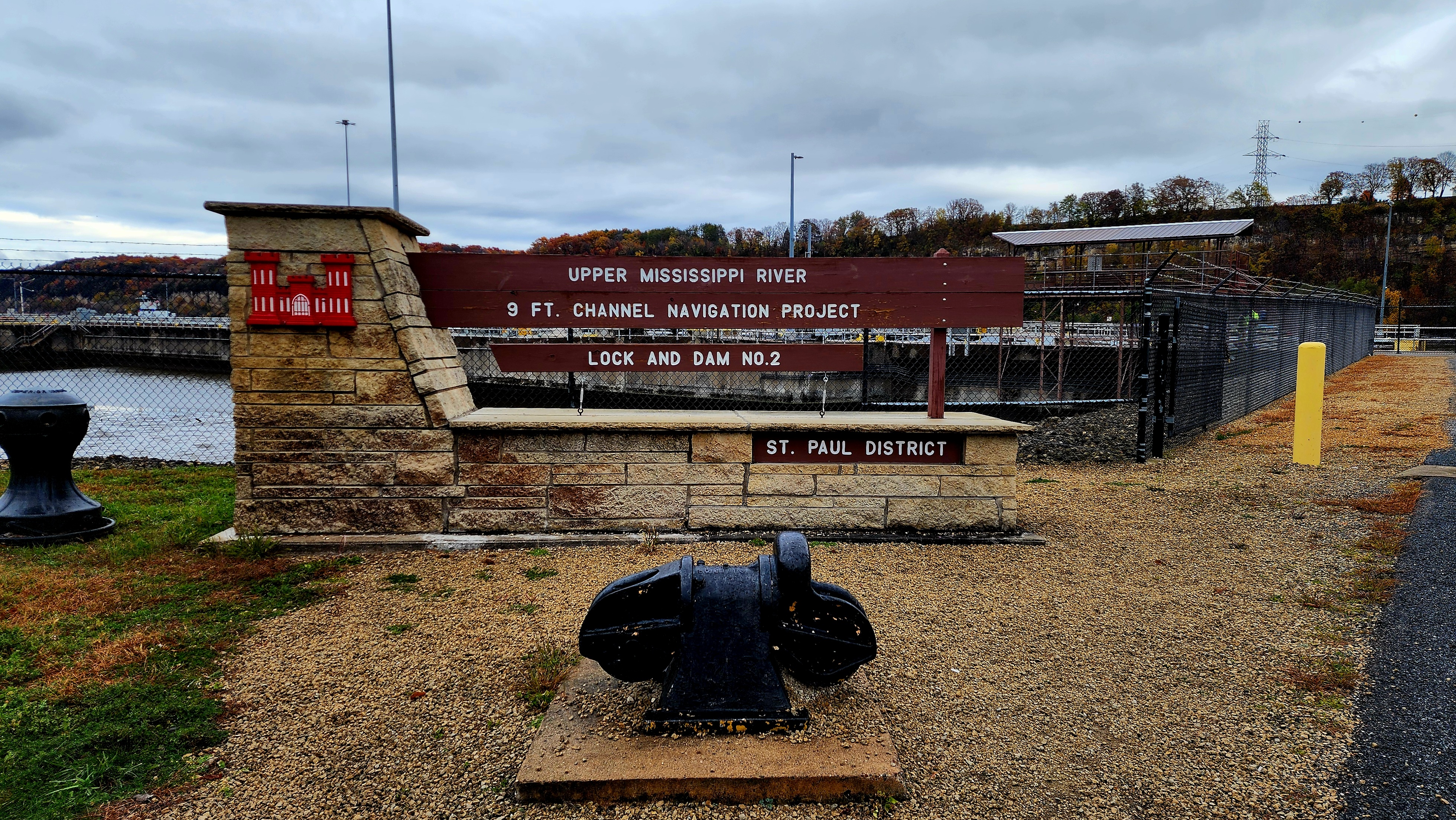
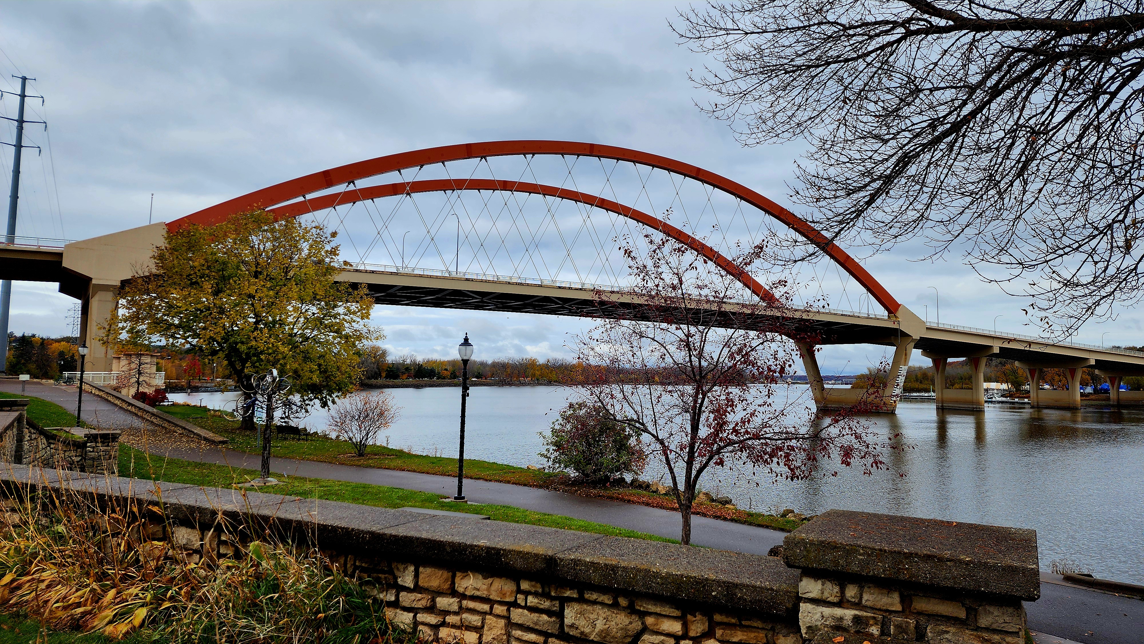
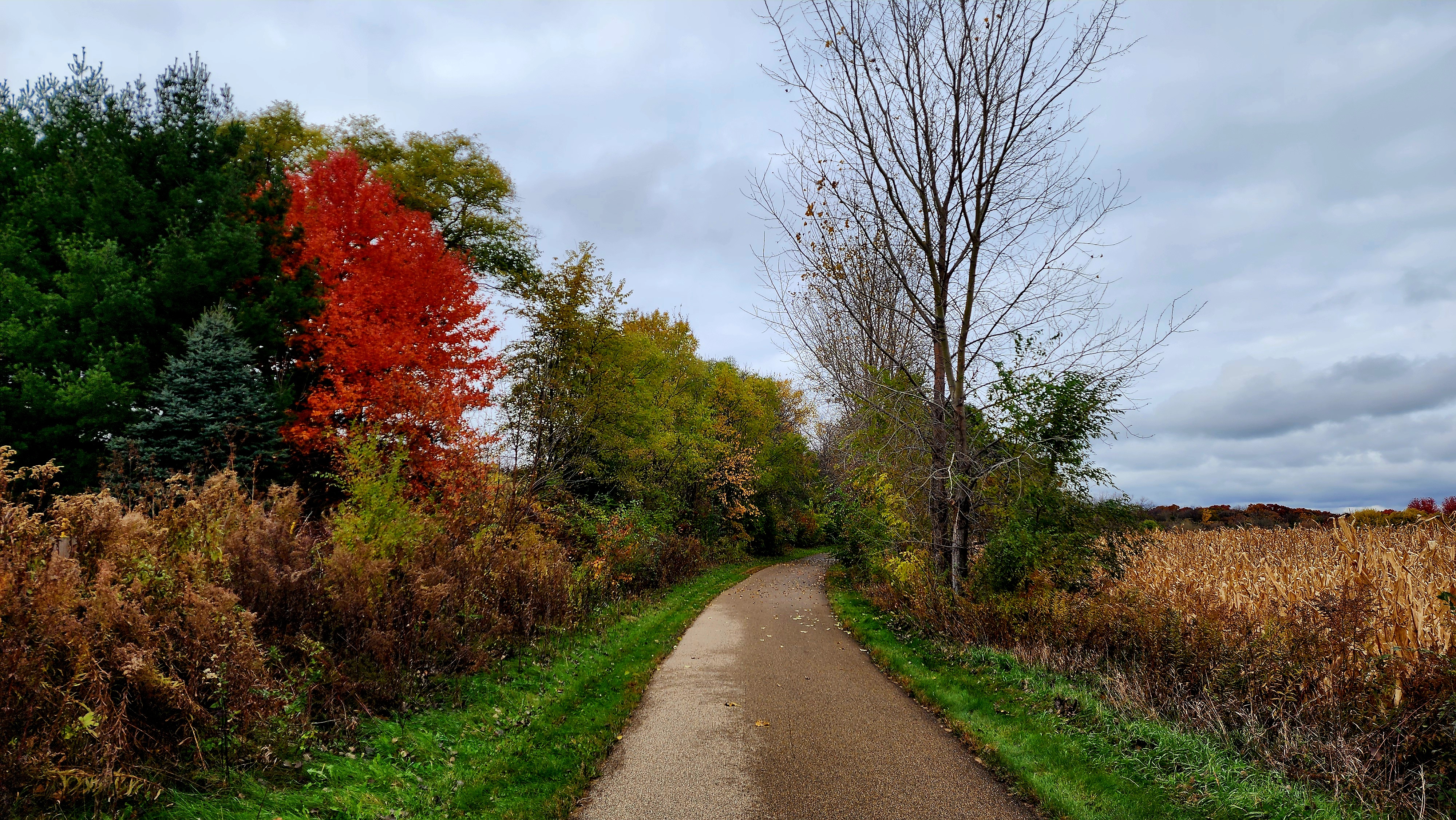
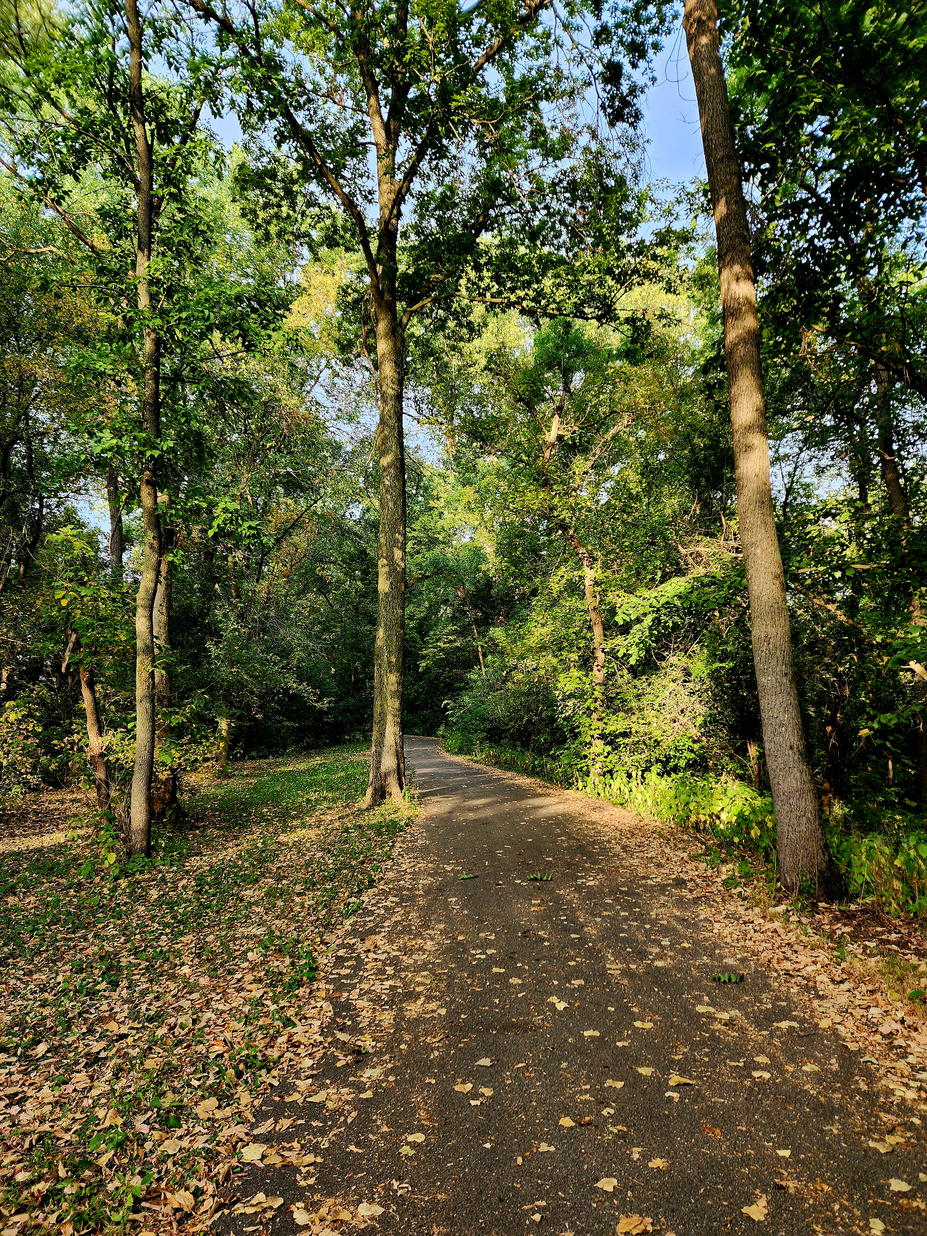
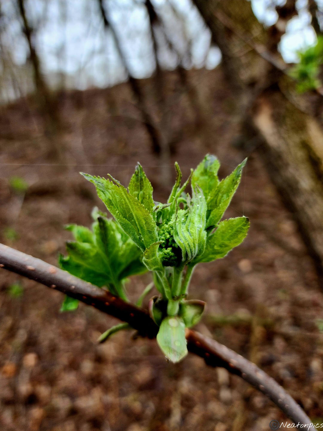
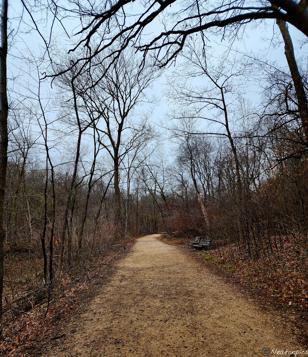
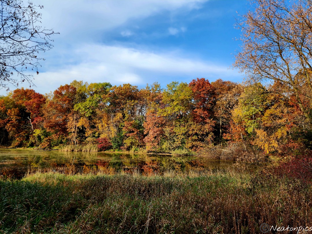
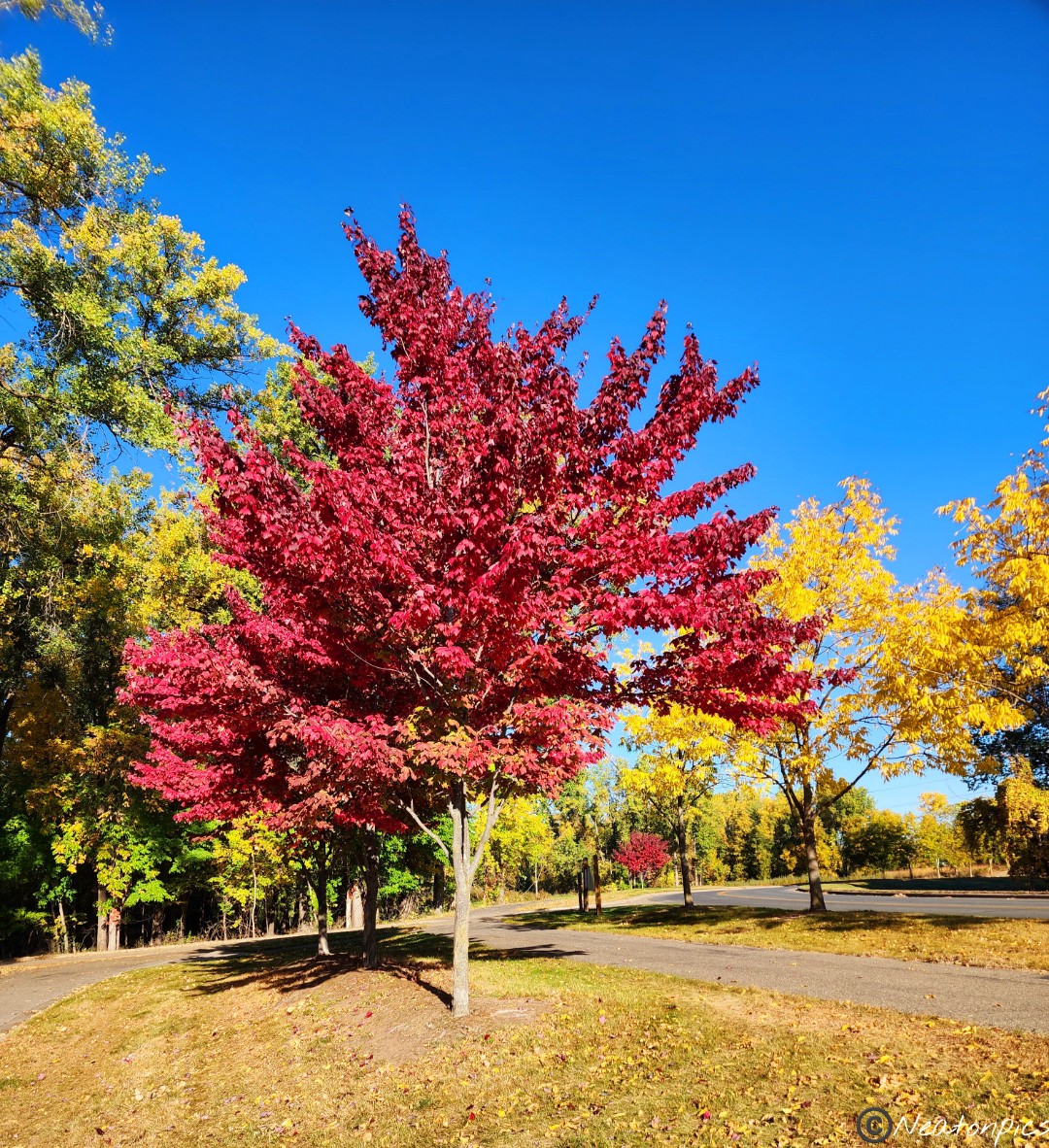
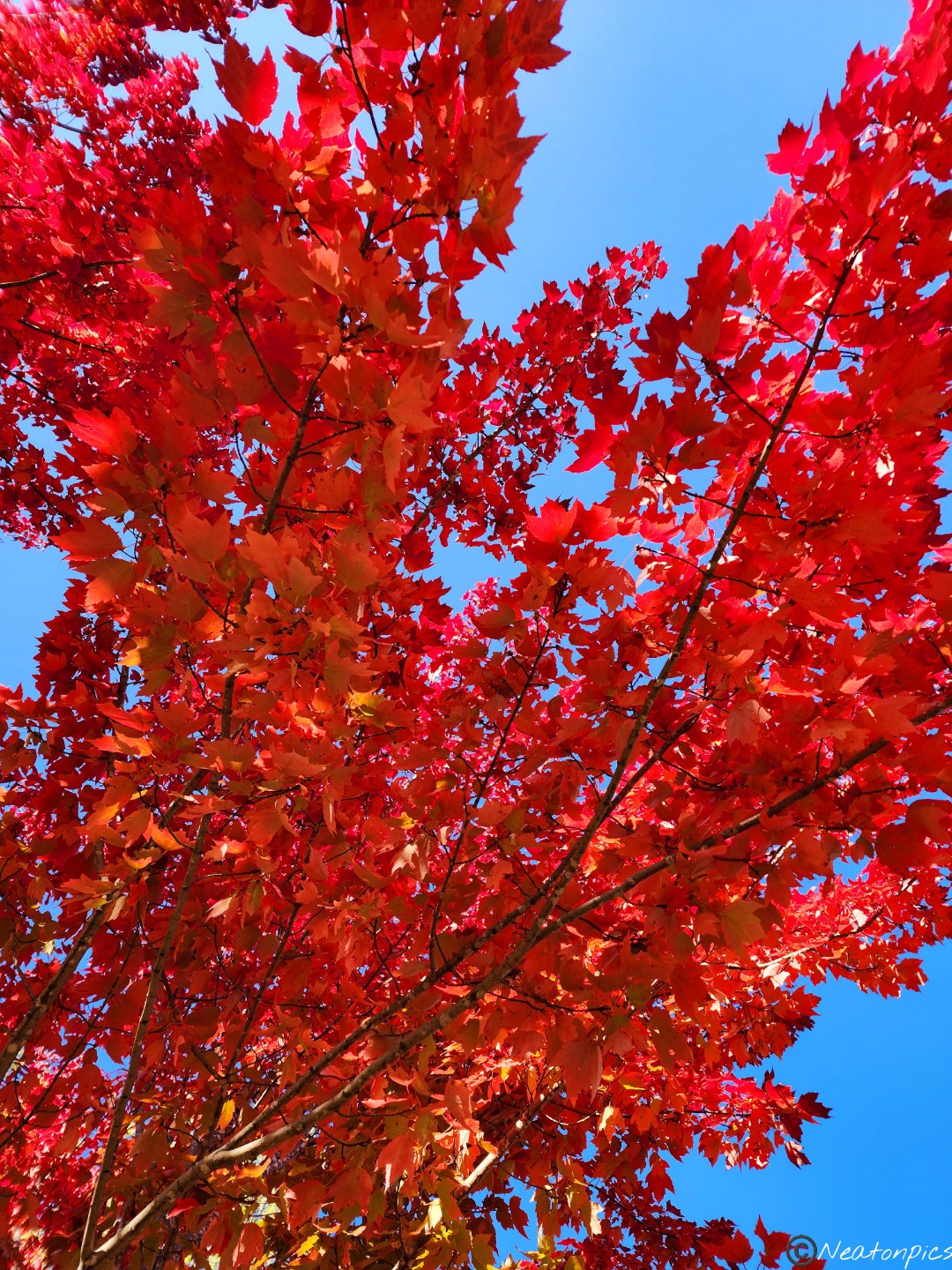
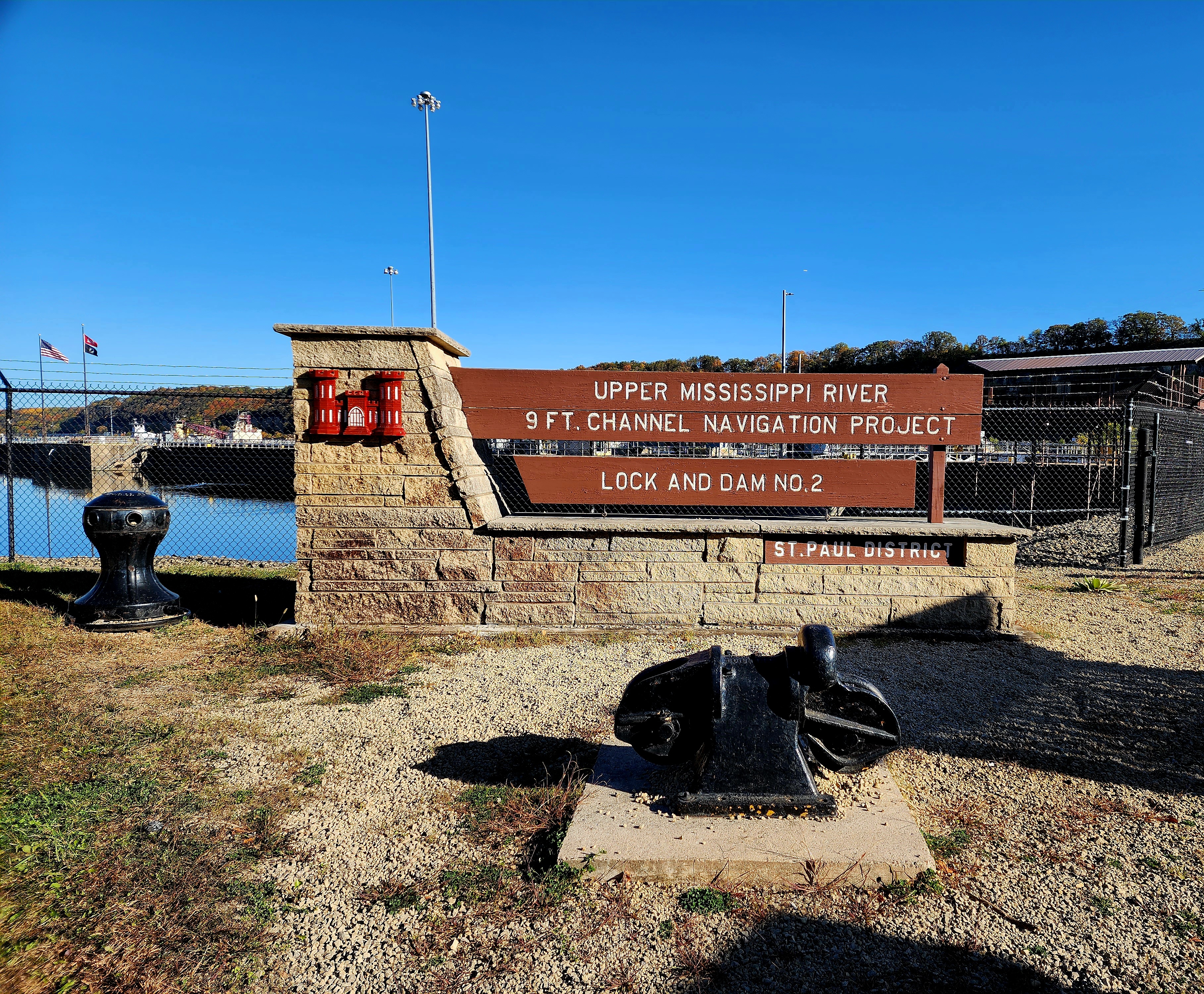
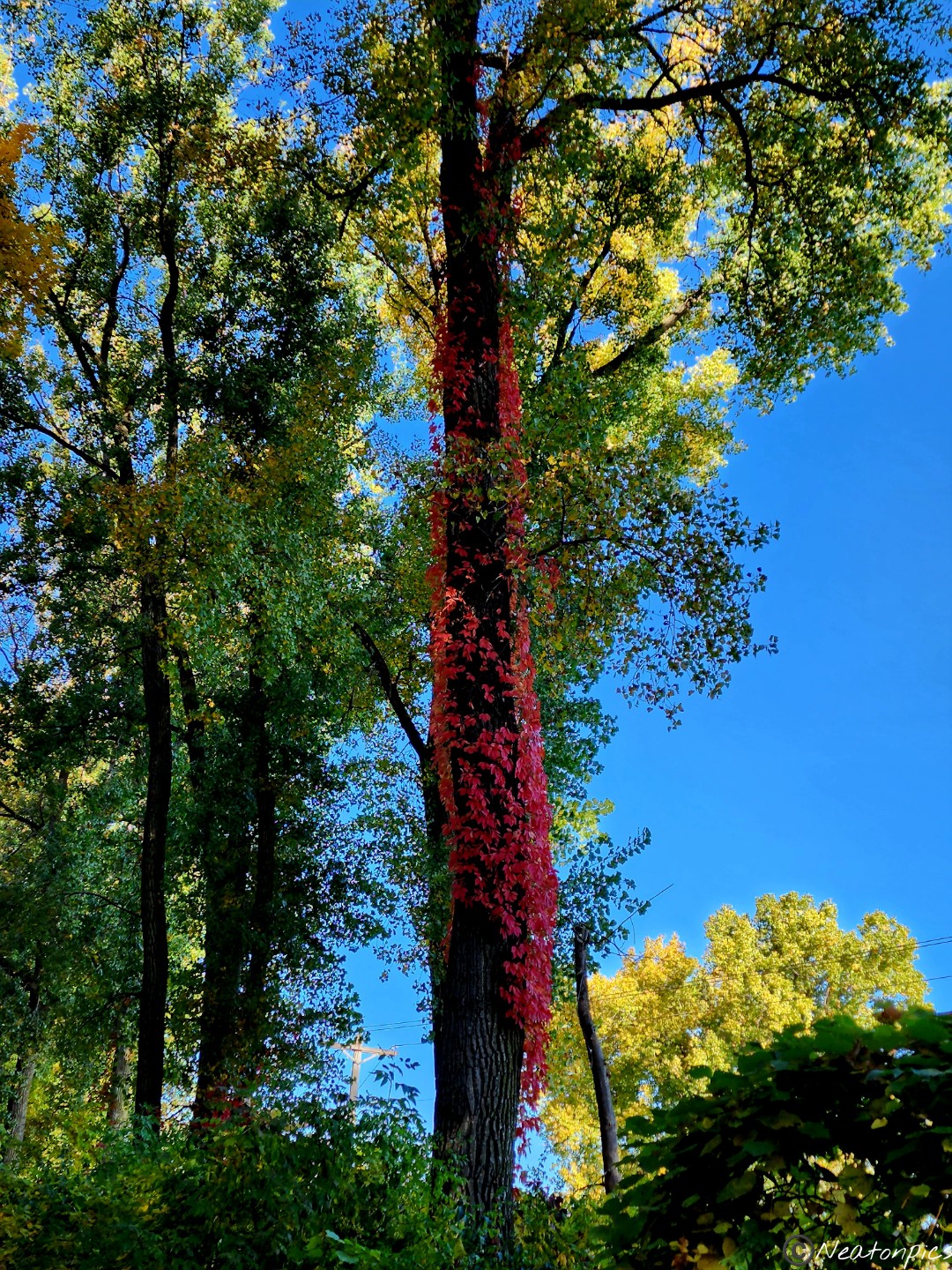
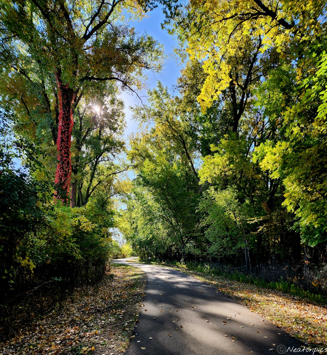
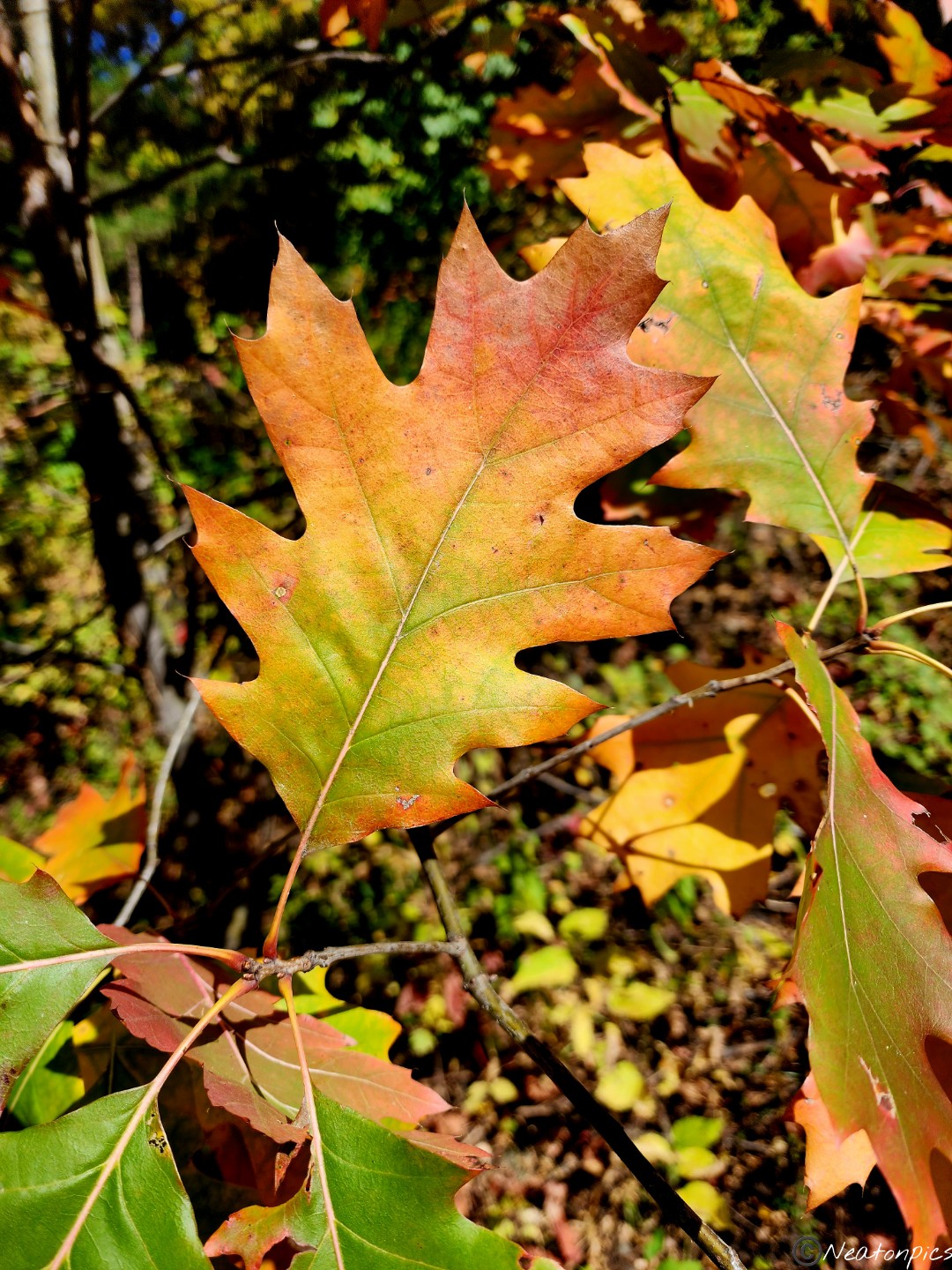
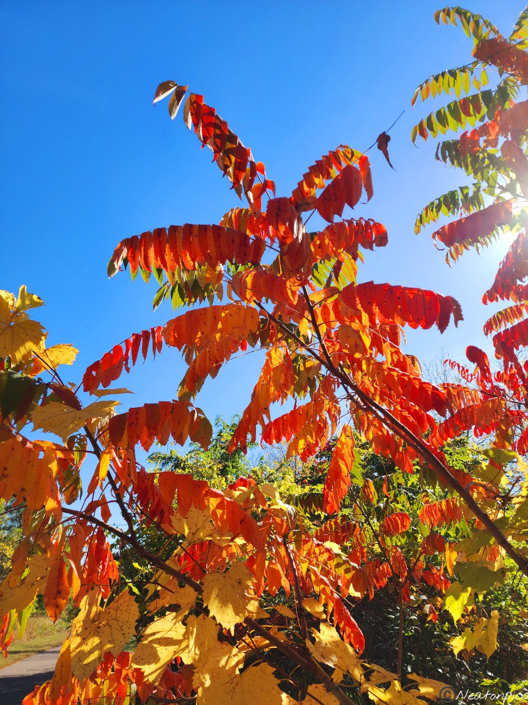
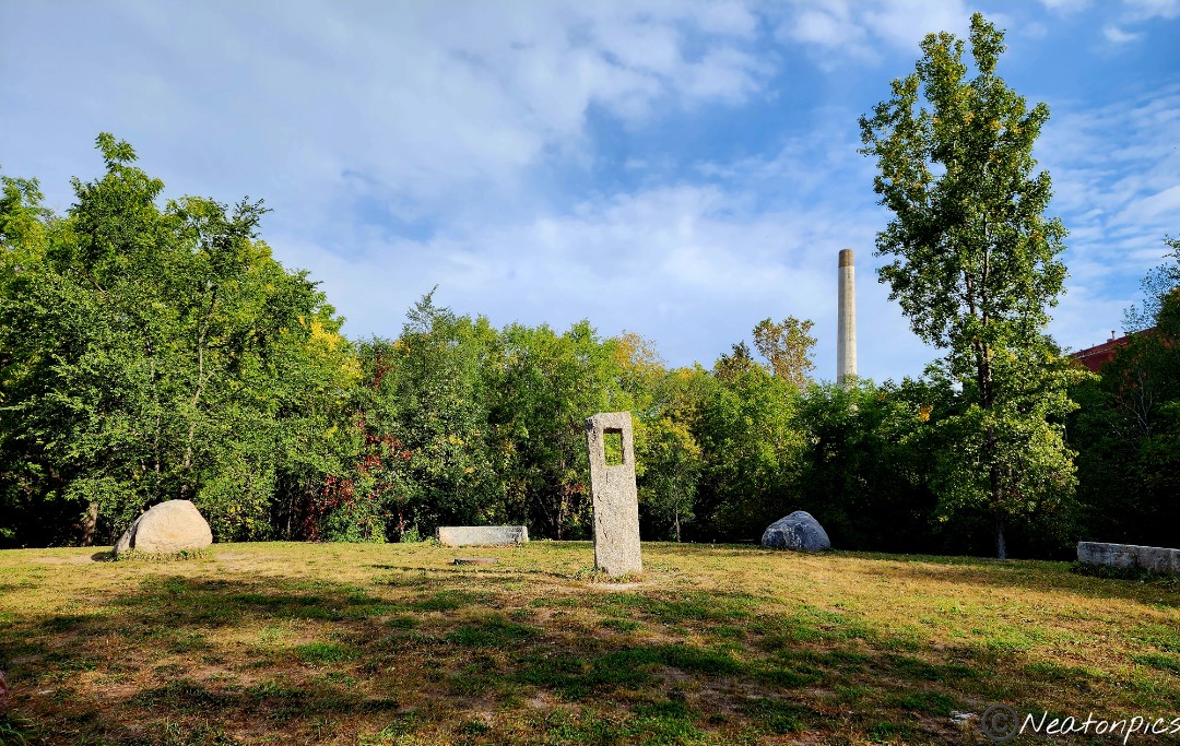
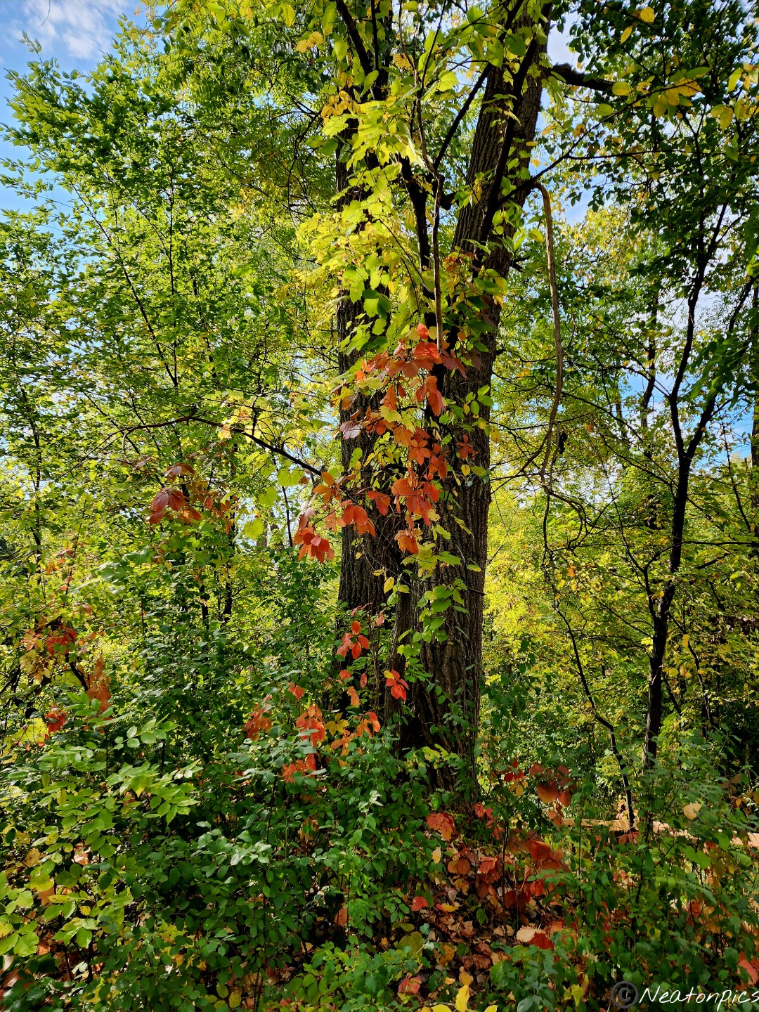
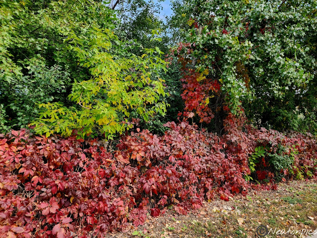
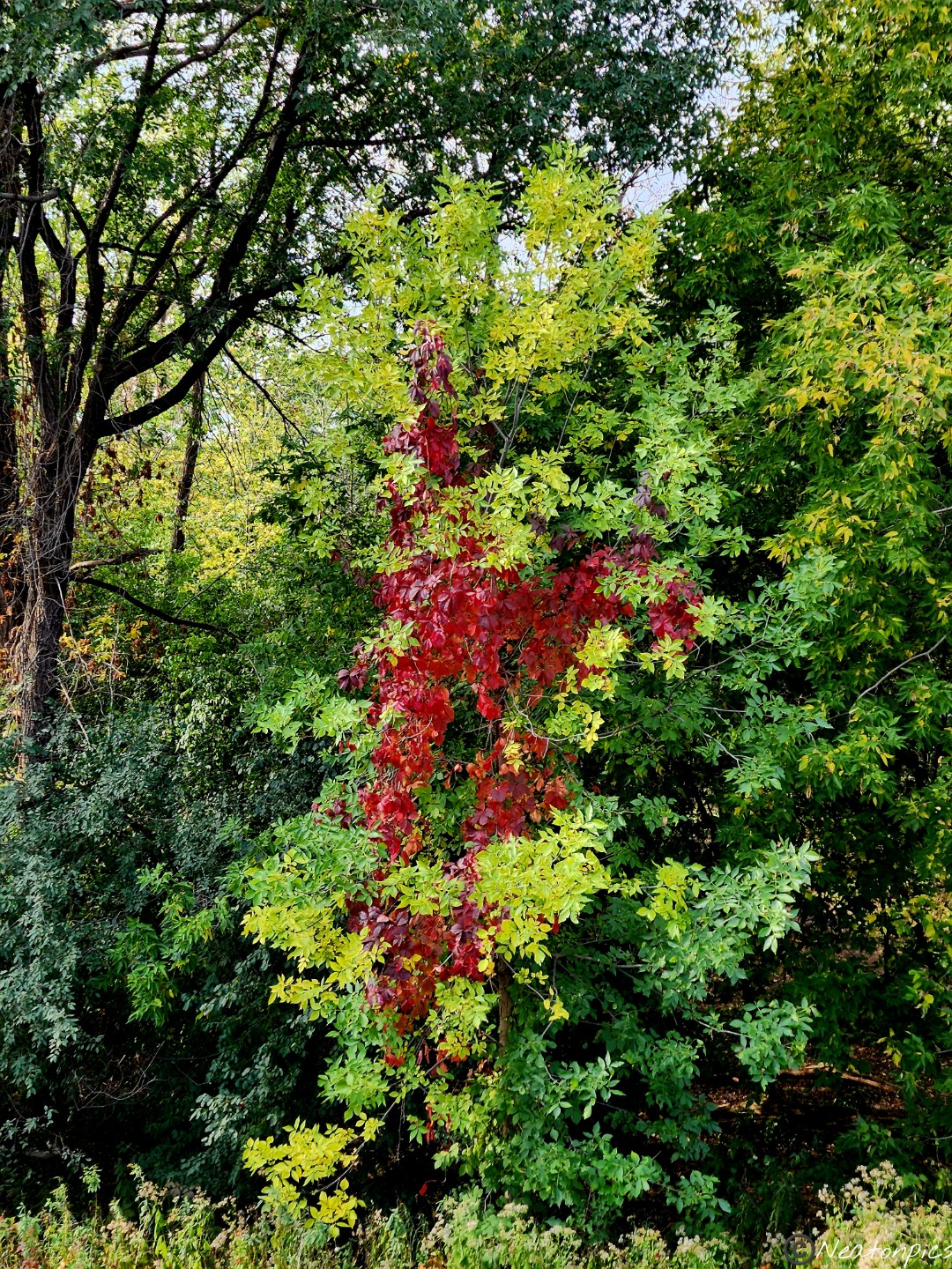
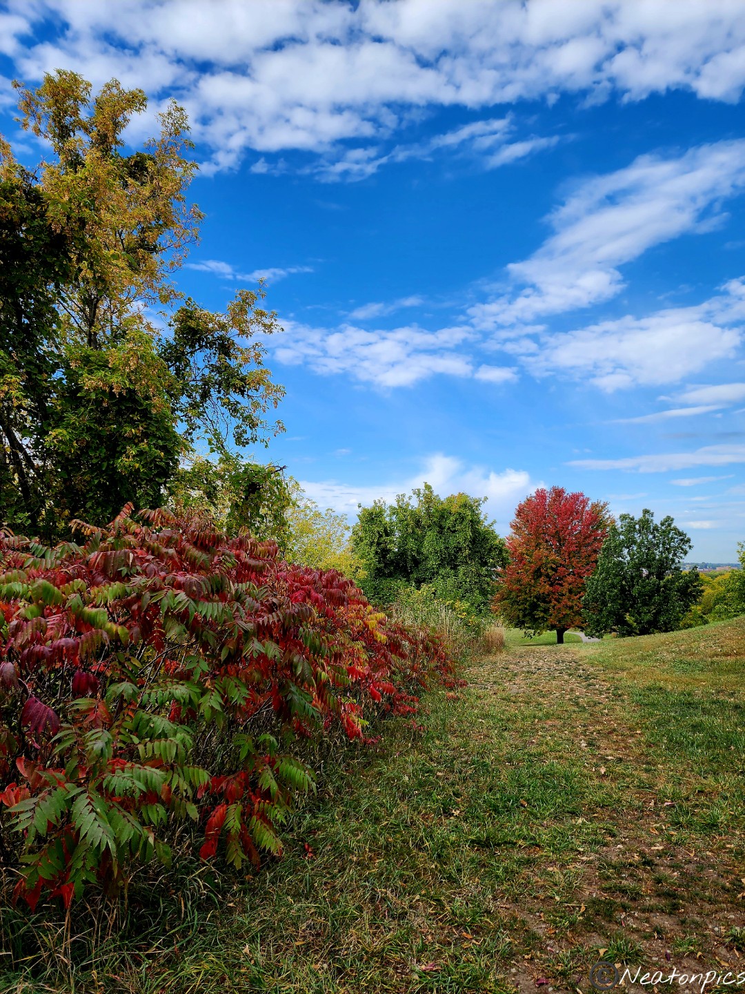
We decided to hike the trail towards the Hastings Lock and Dam No. 2. Some of the trees are still holding onto their colorful leaves.
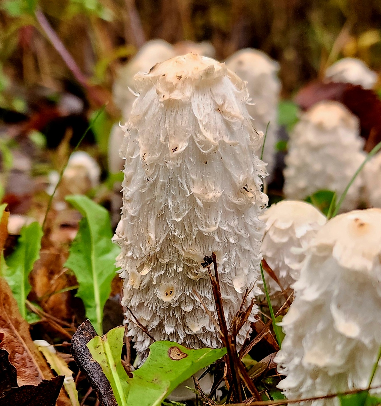
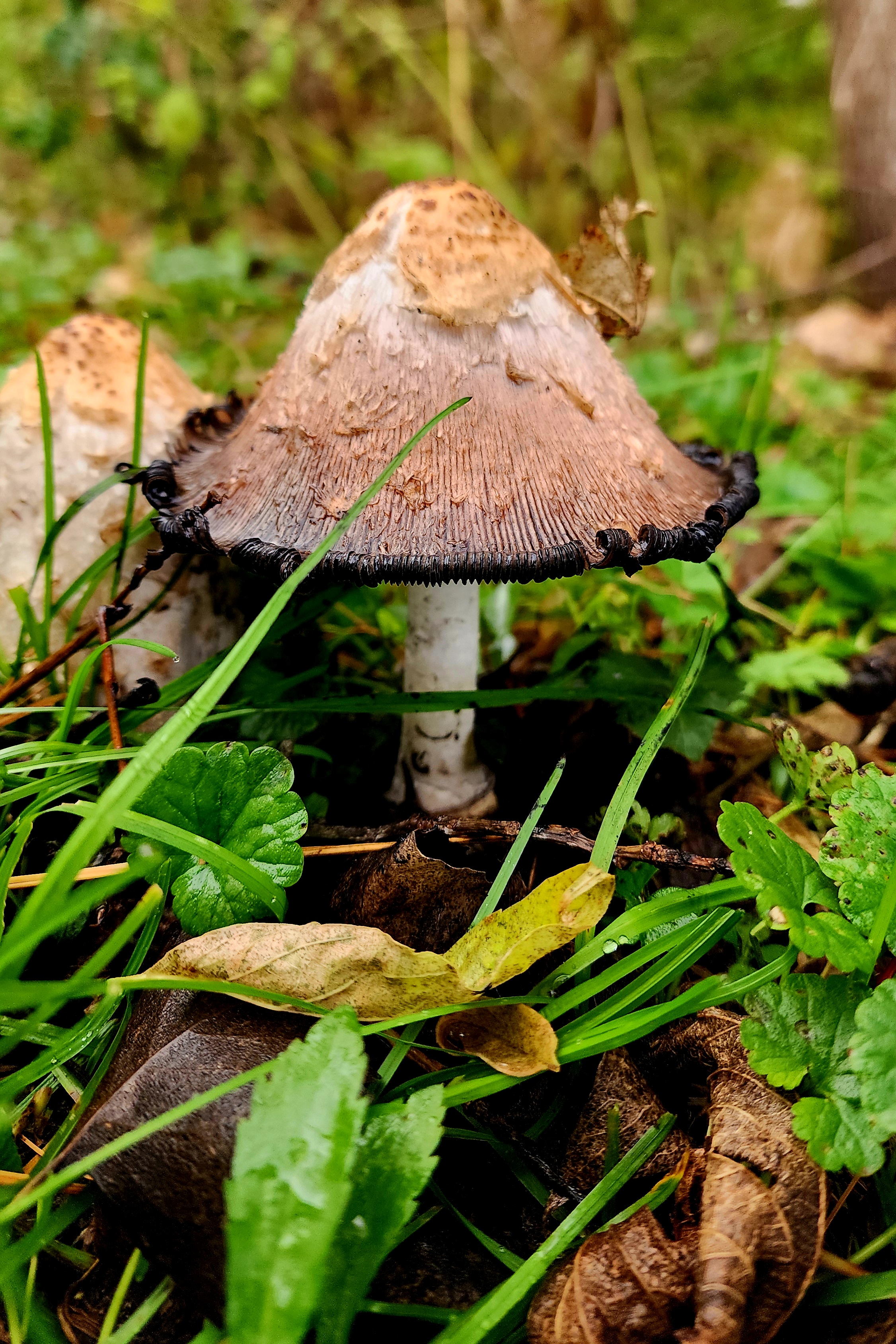
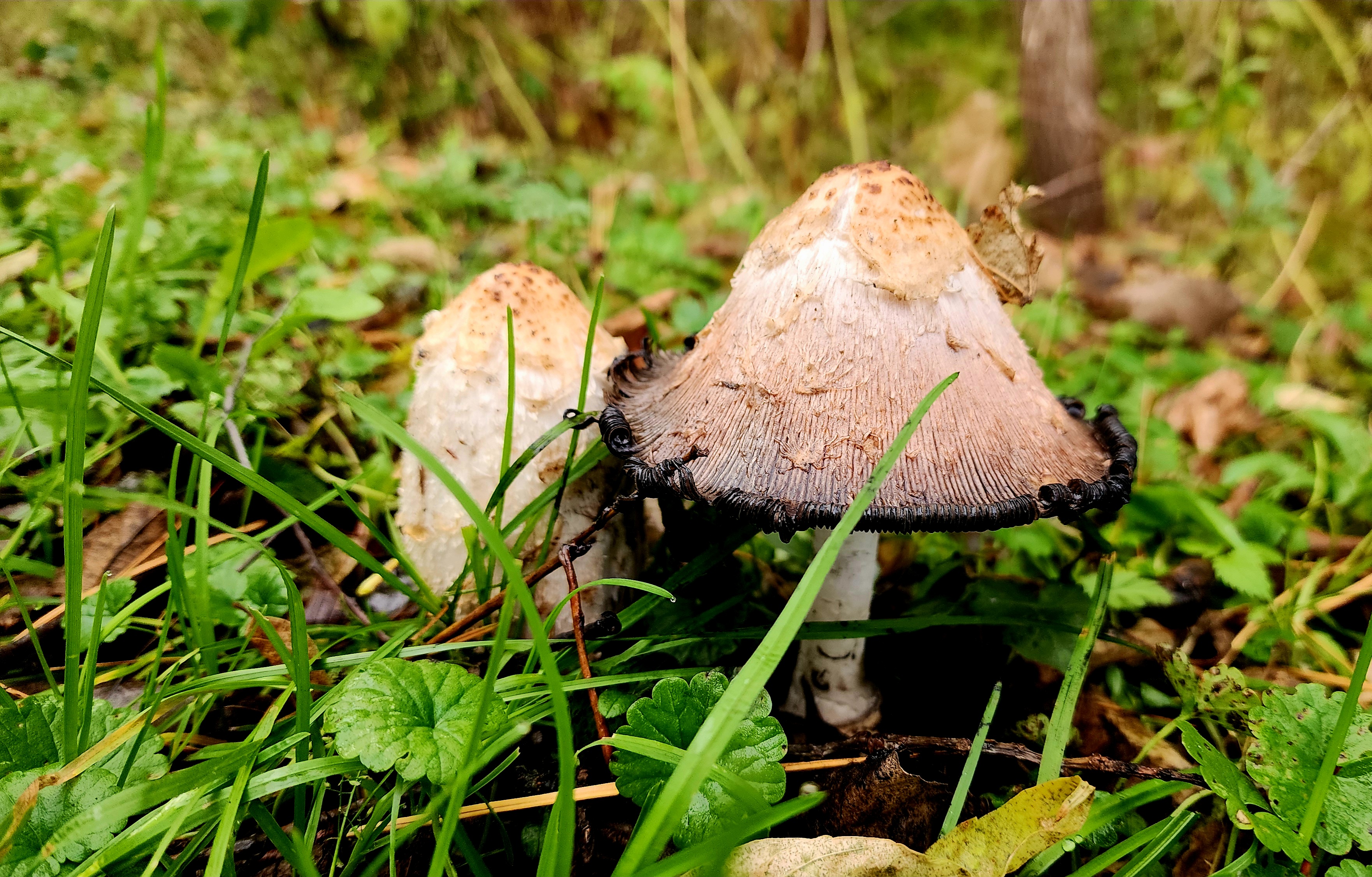
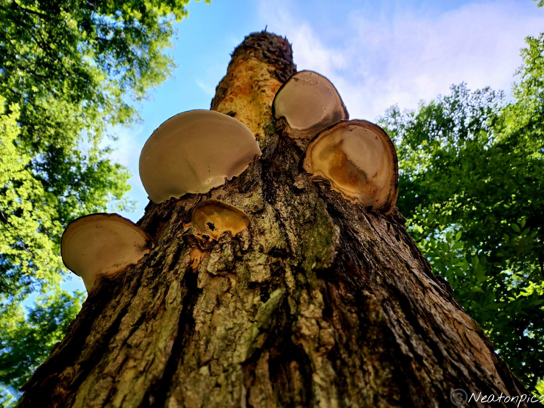
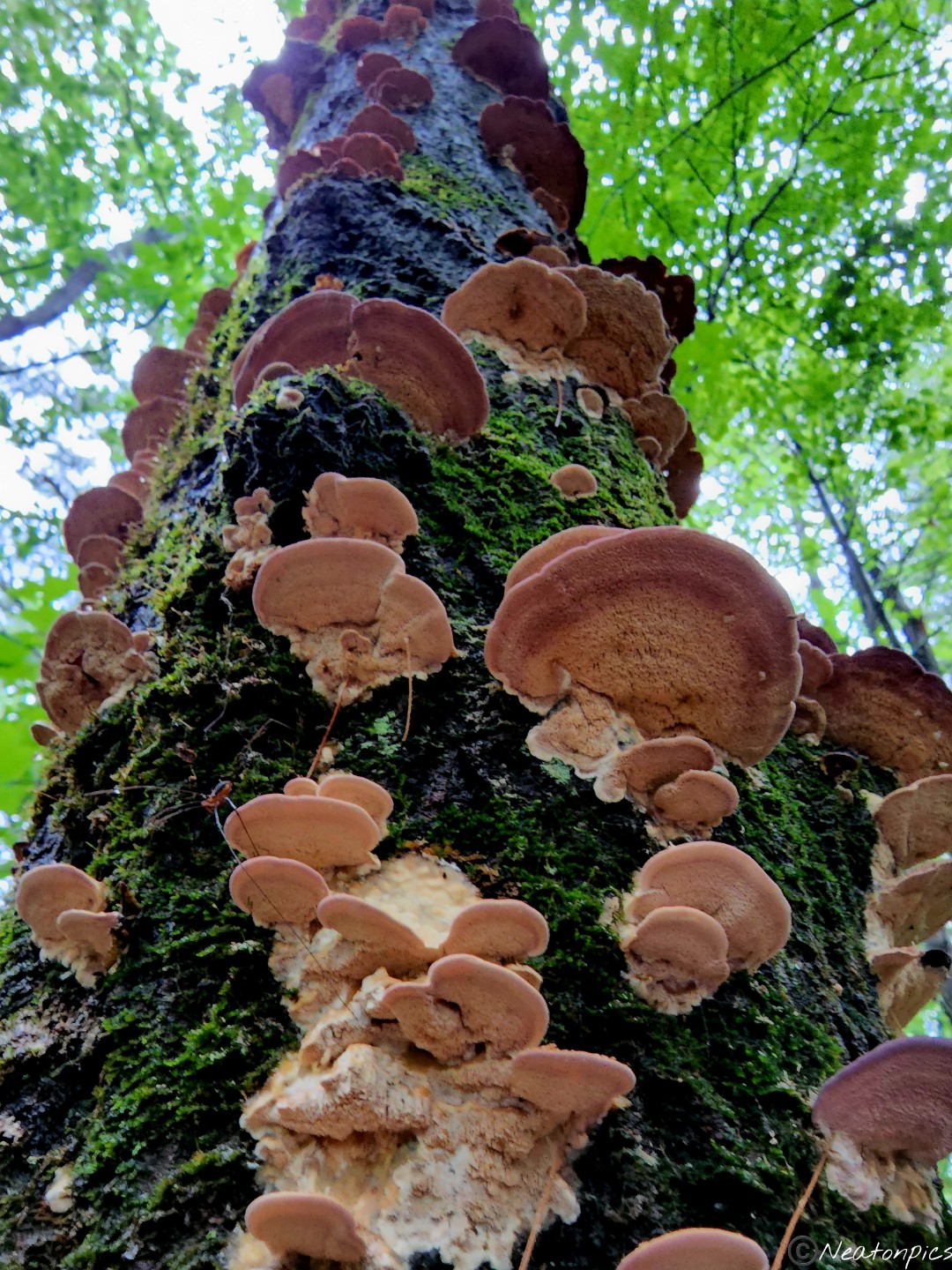
We found several patches with these mushrooms along the side of the trail.
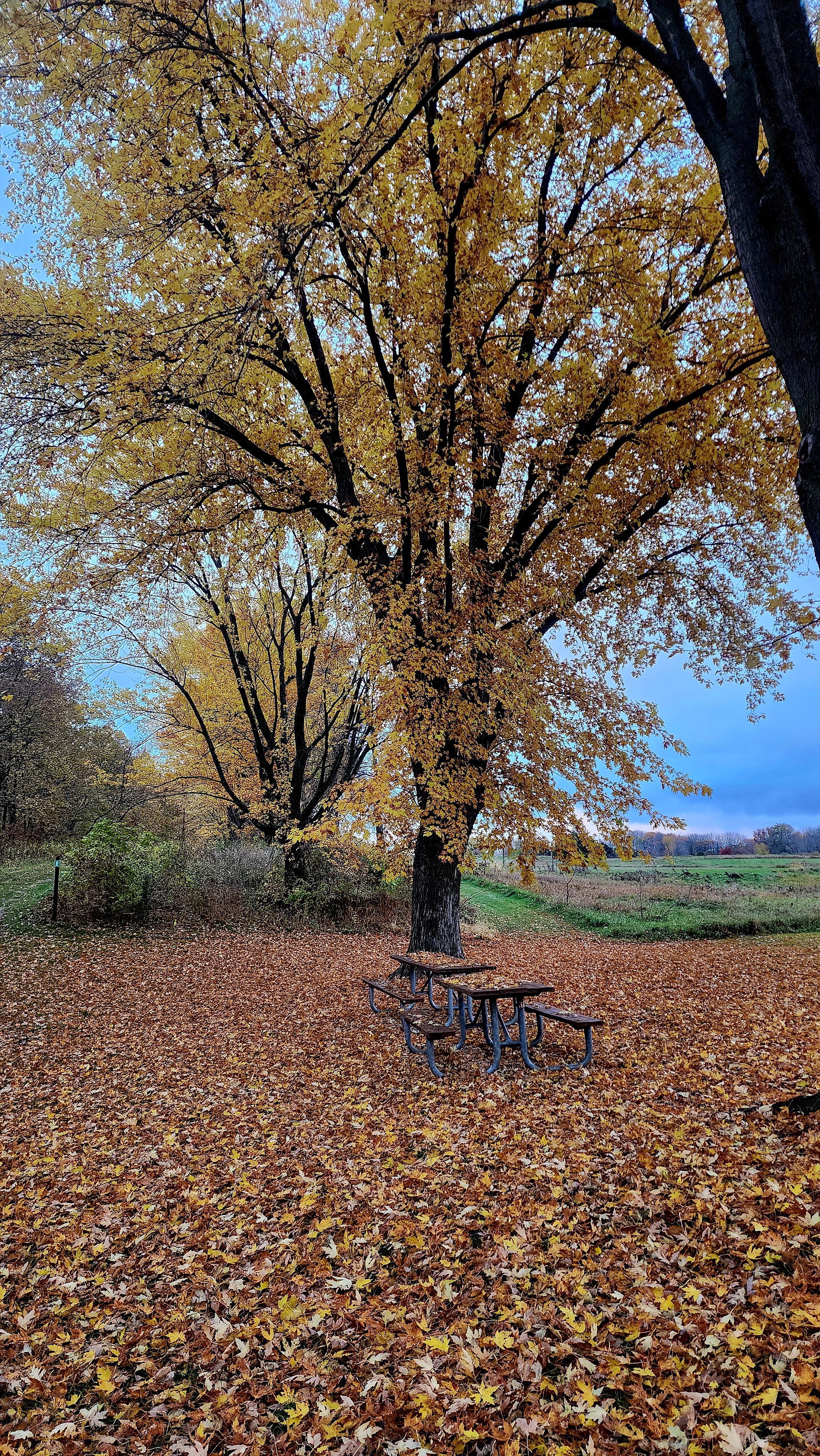
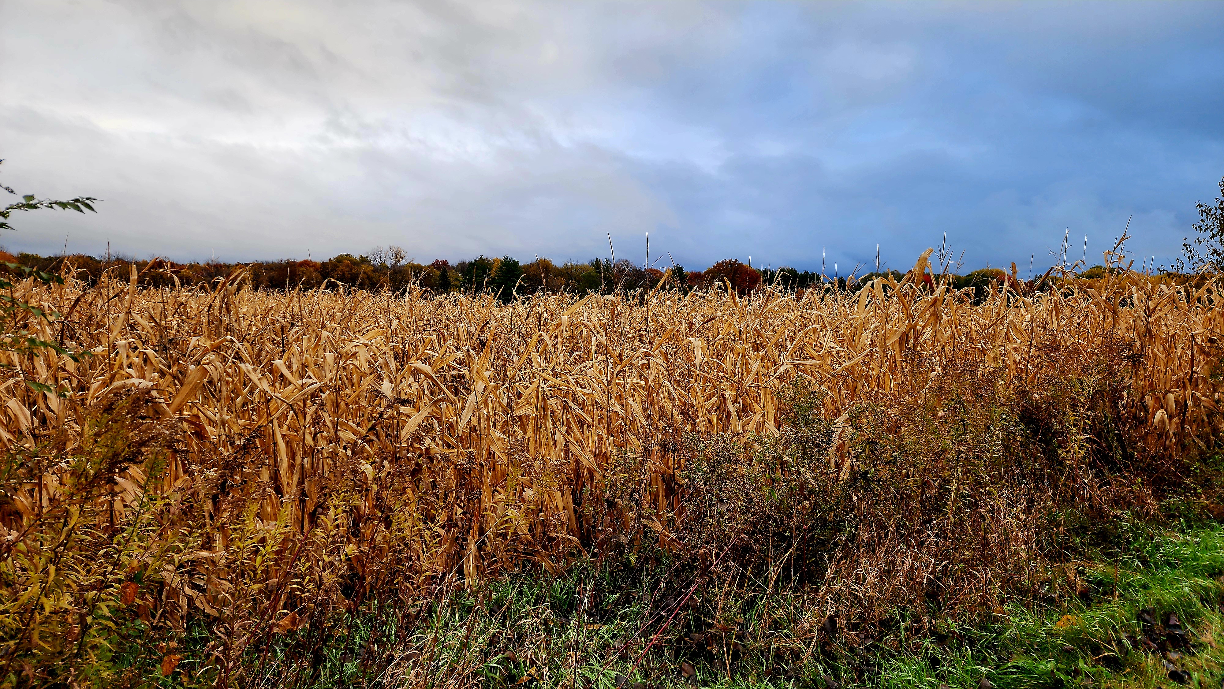
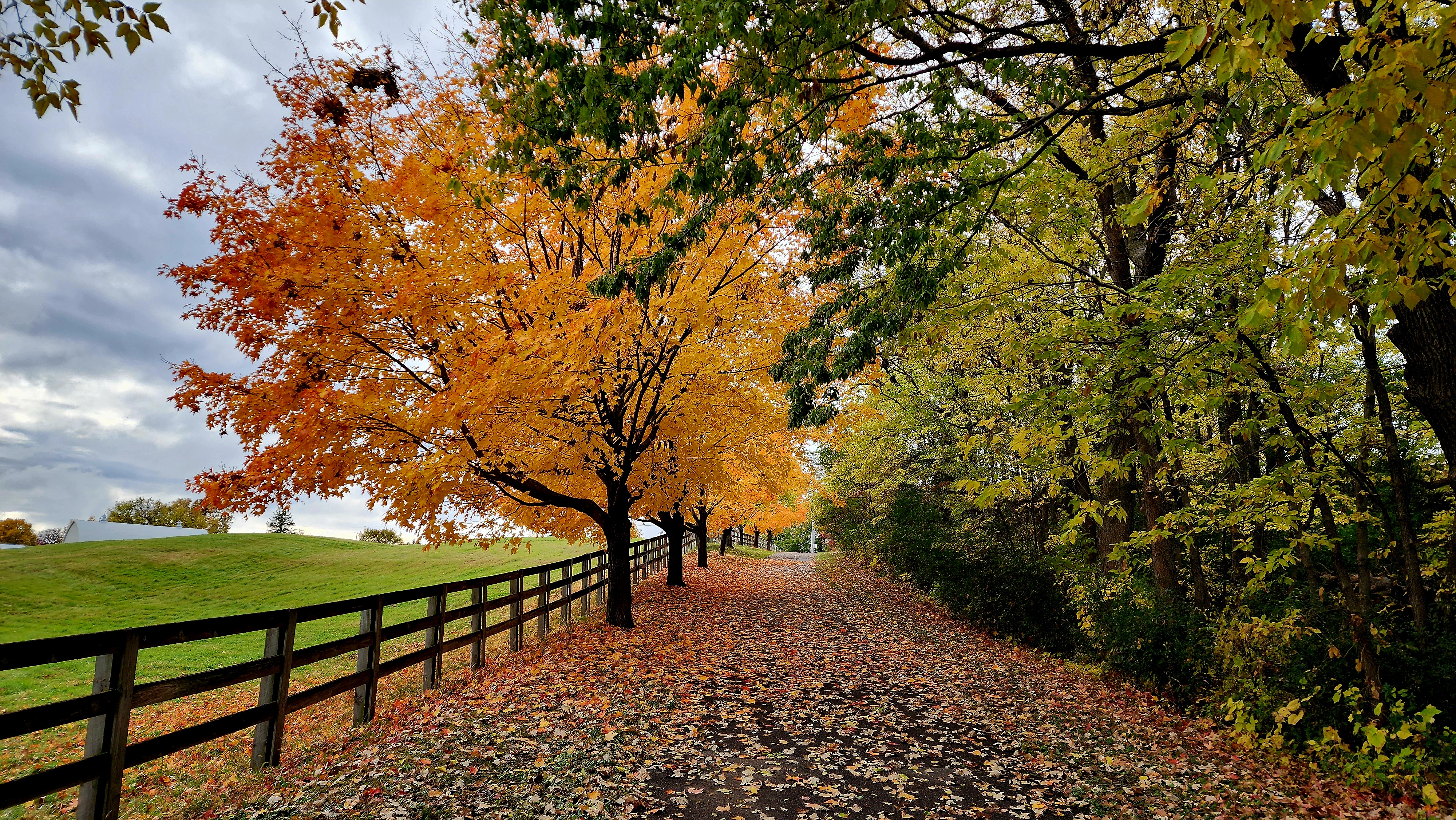
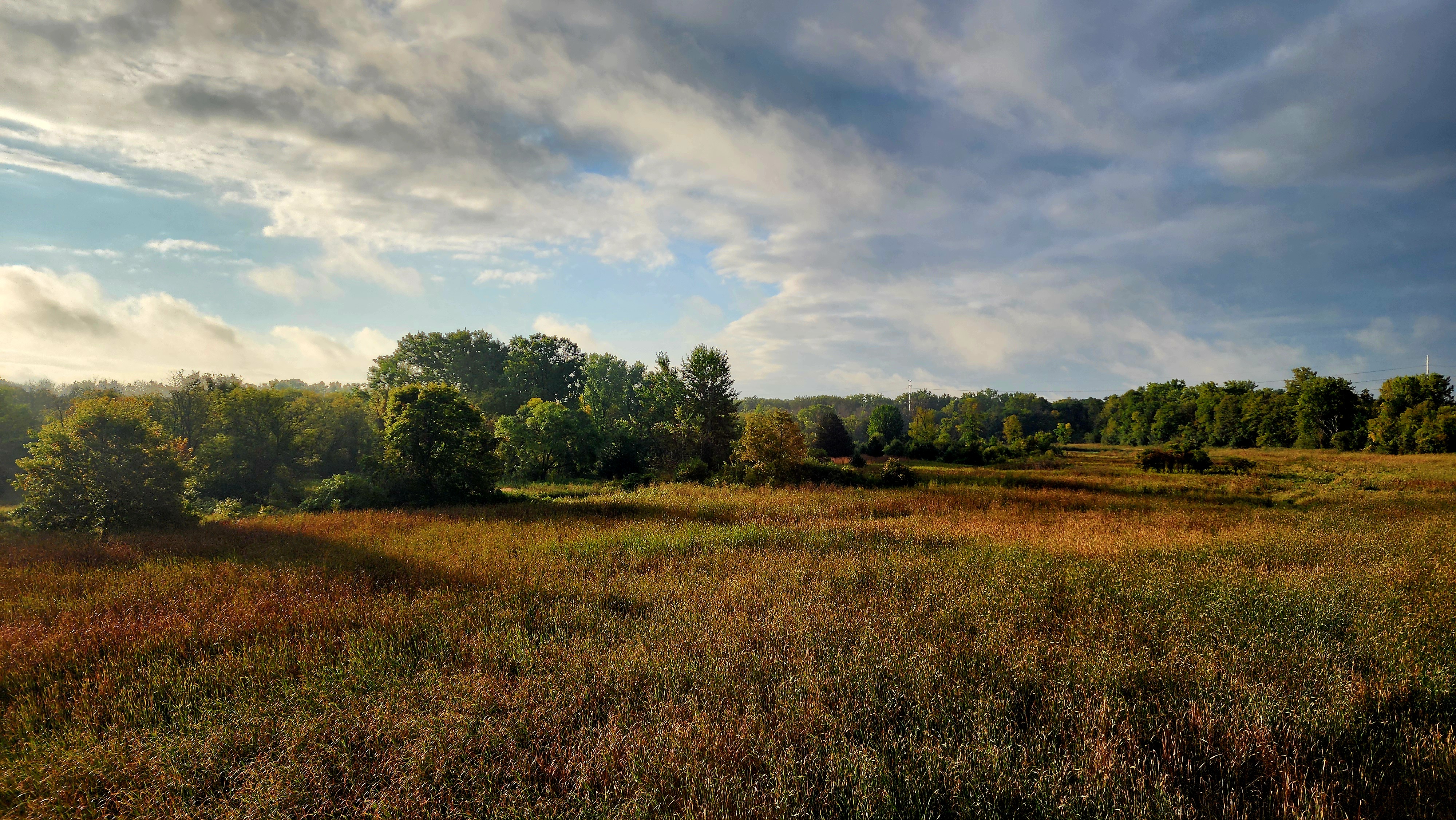
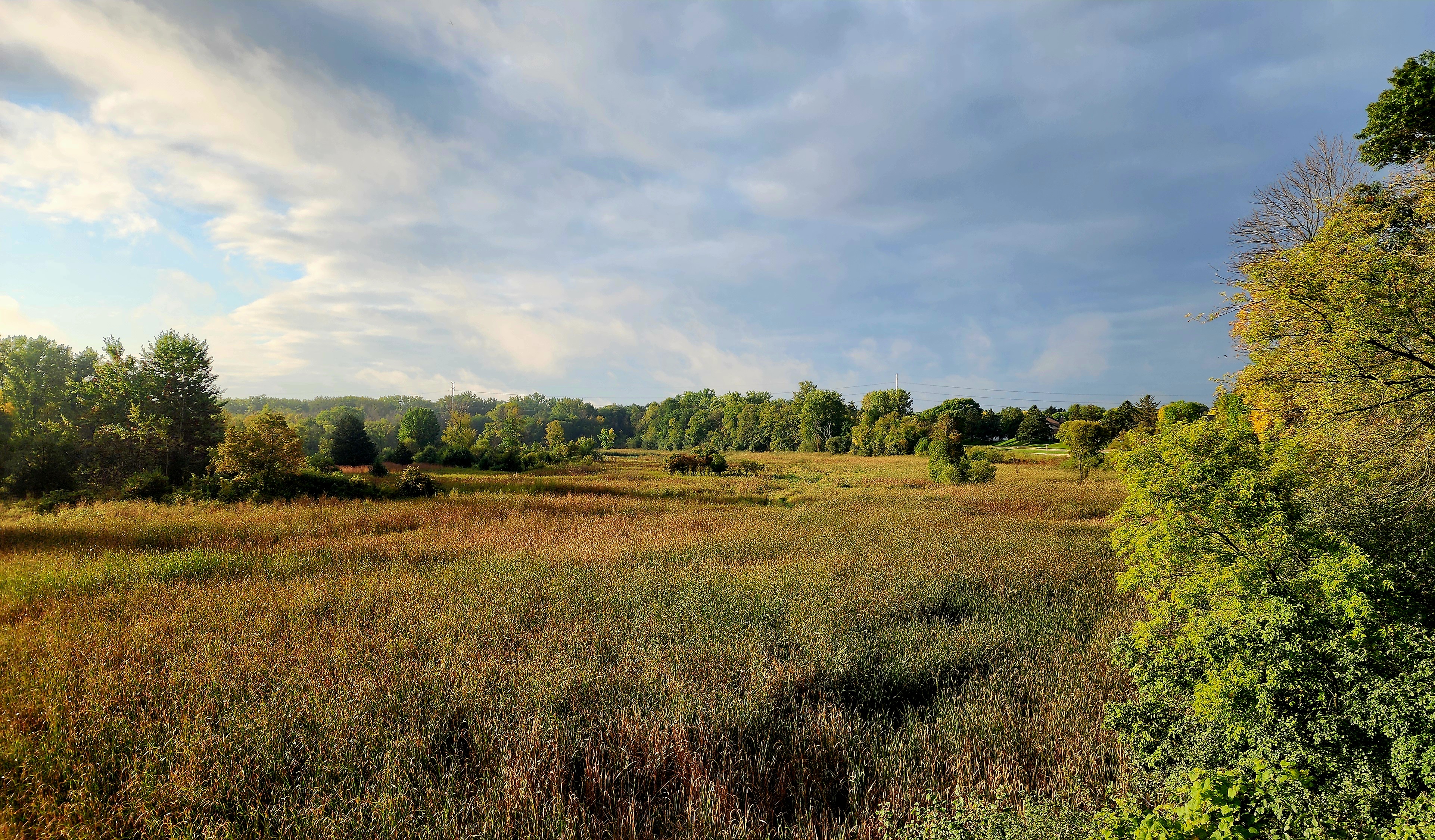
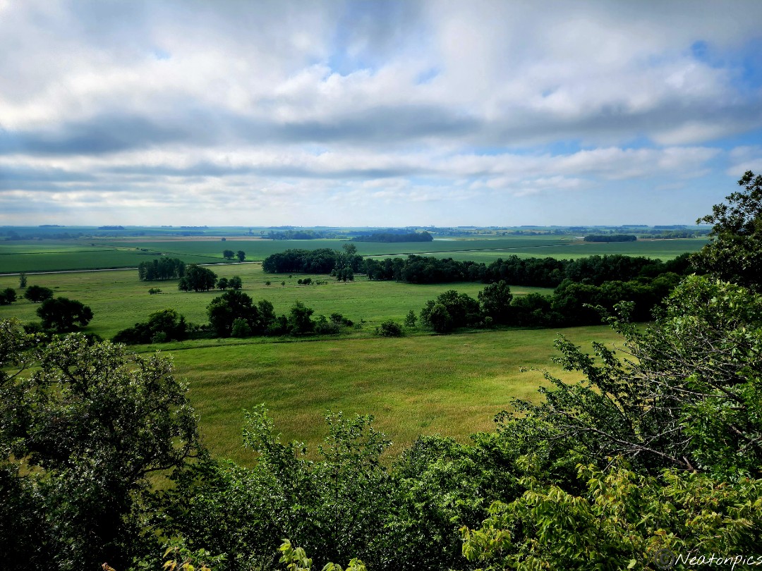
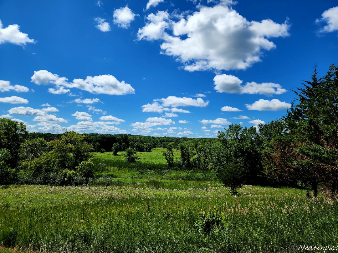
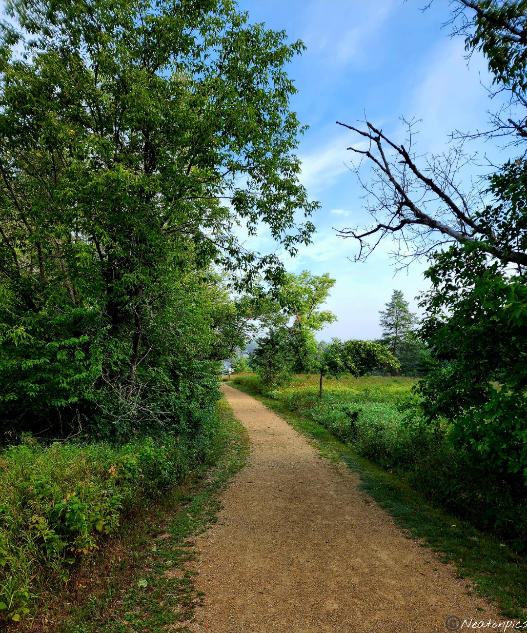
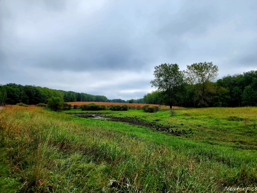
The trail led us past lots of farmland.
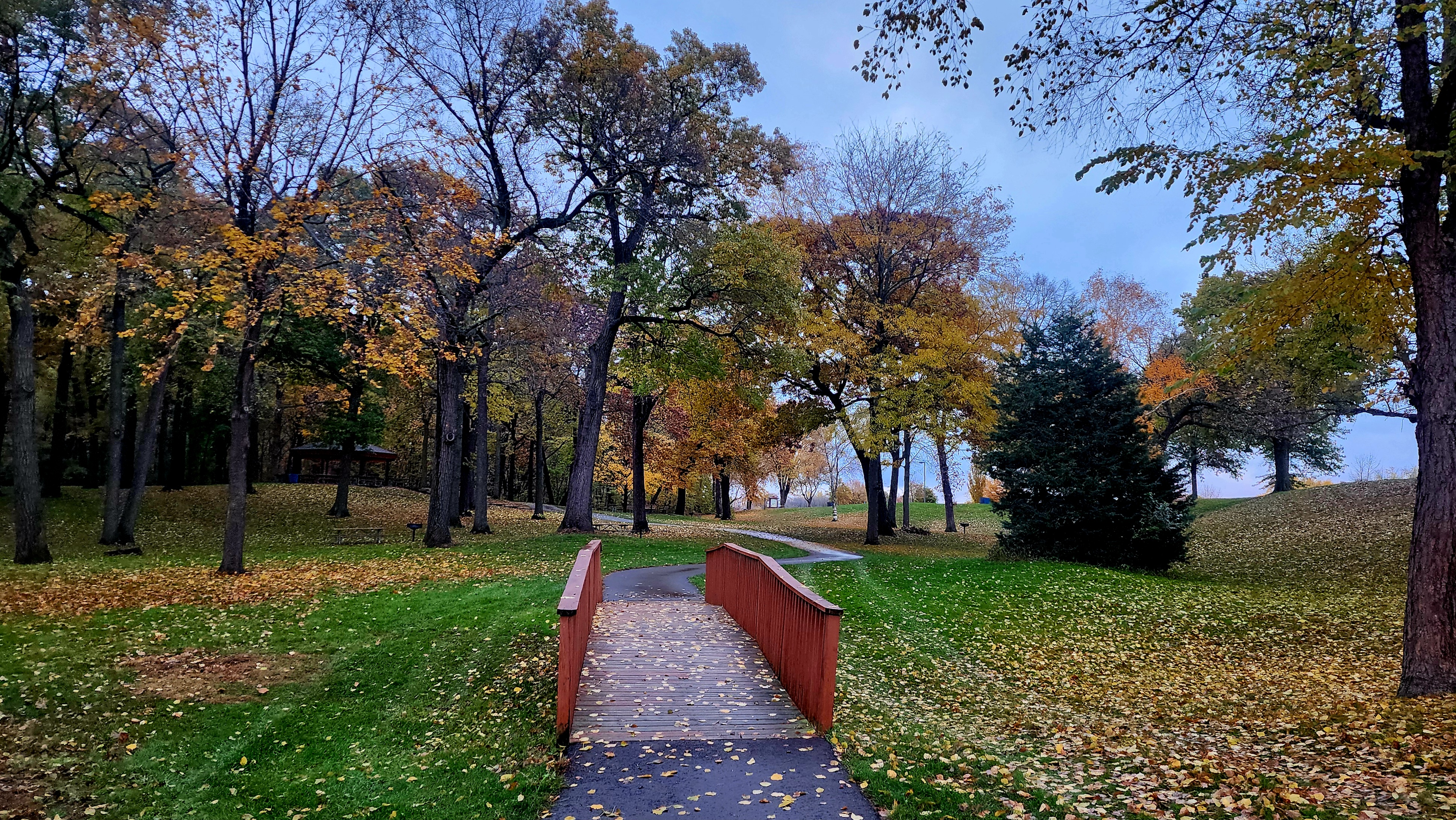
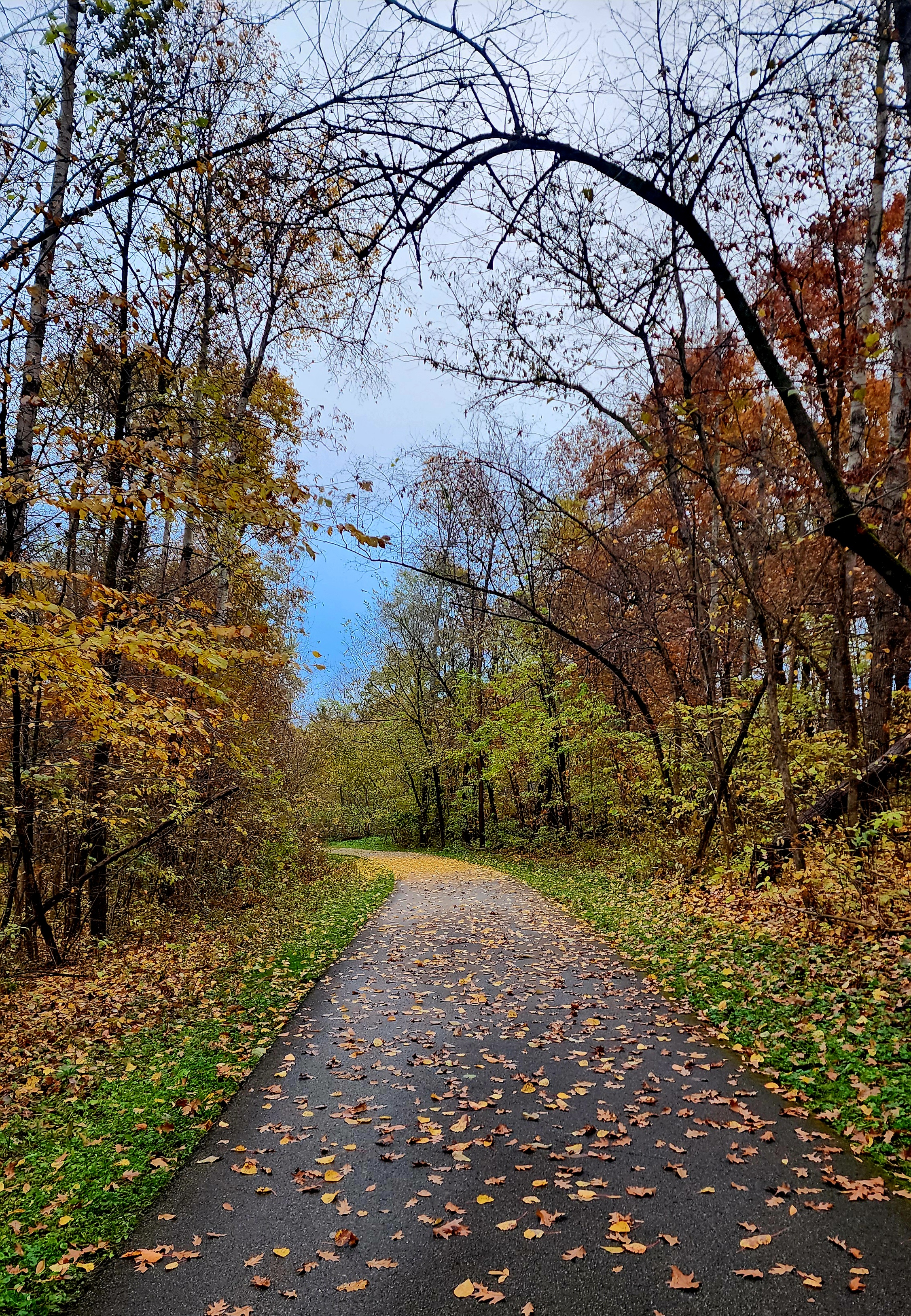
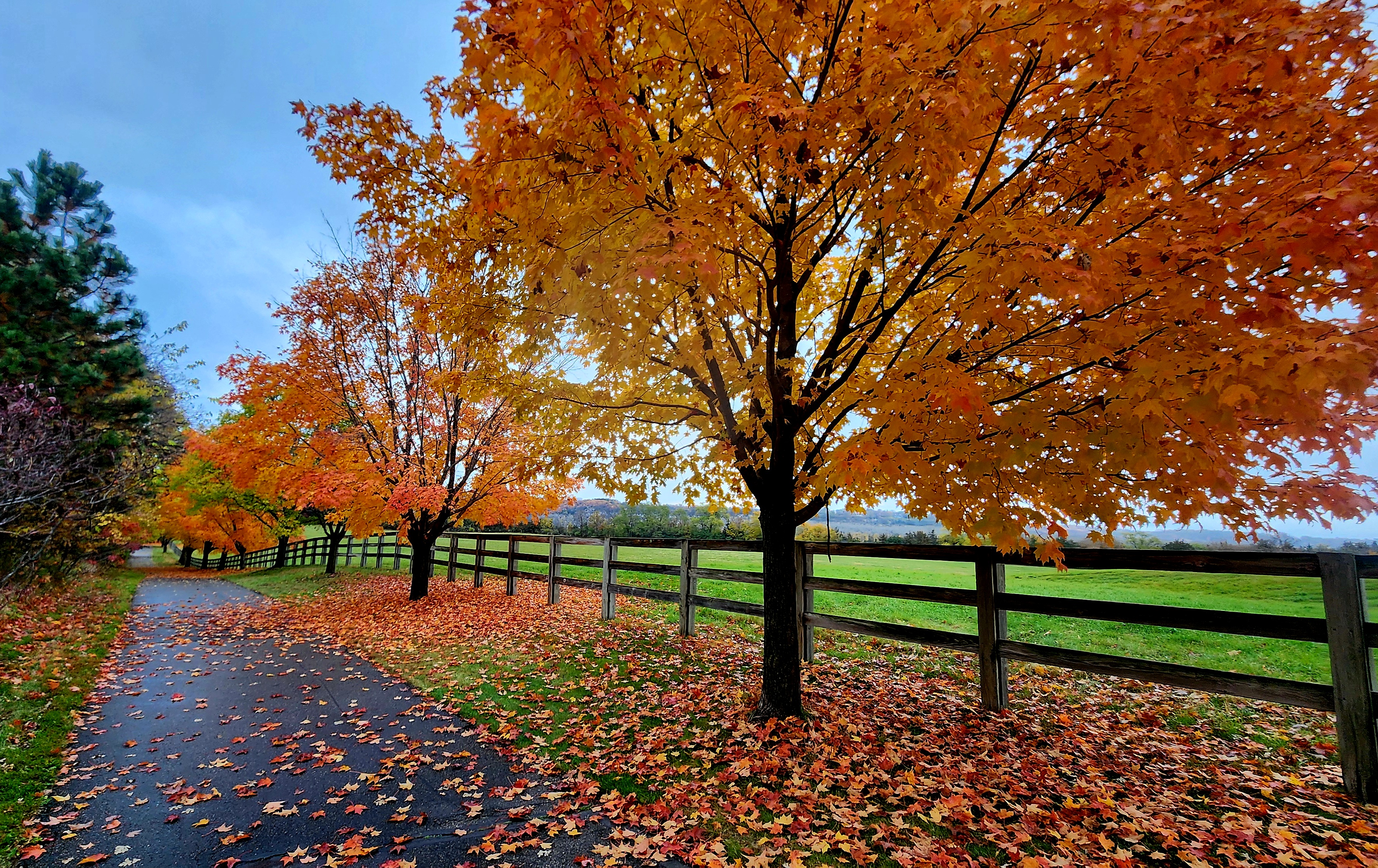
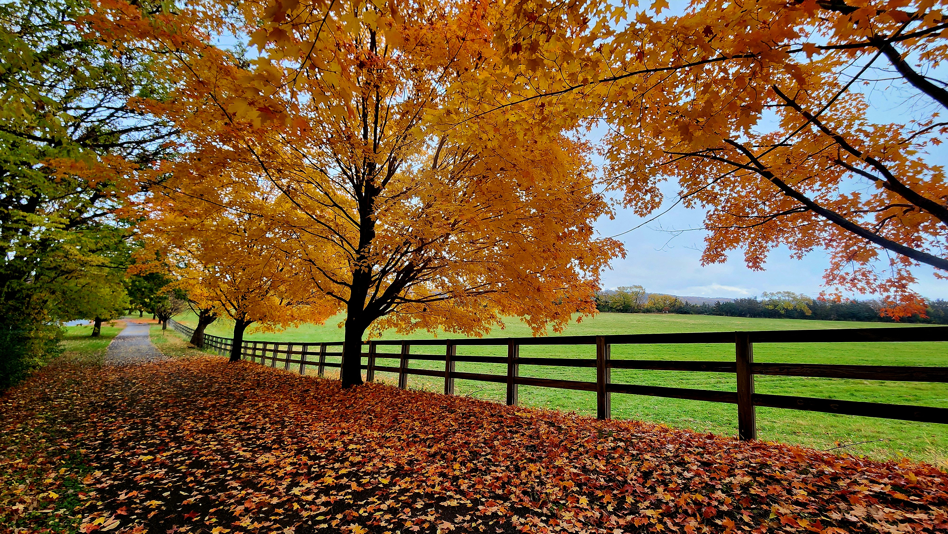
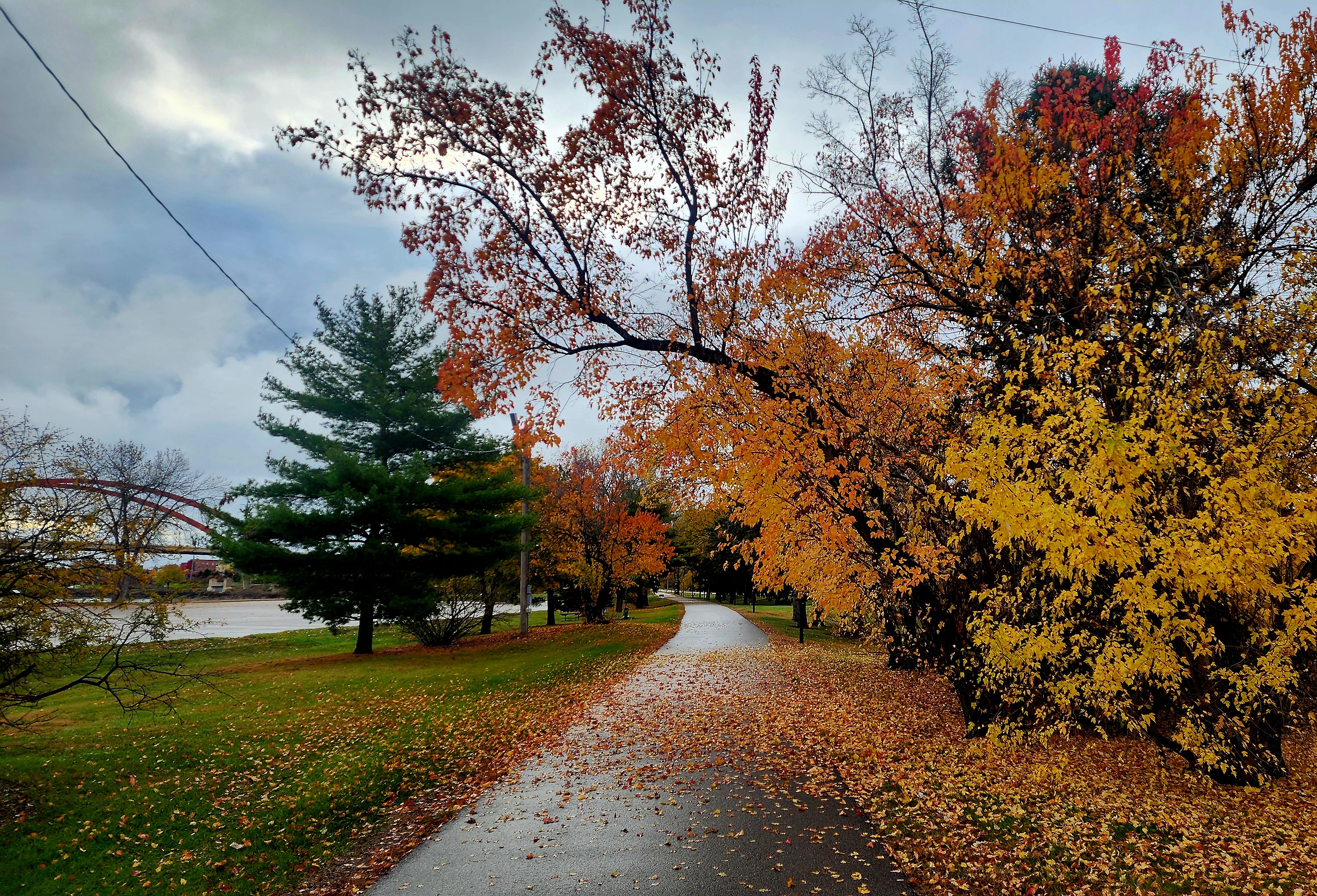
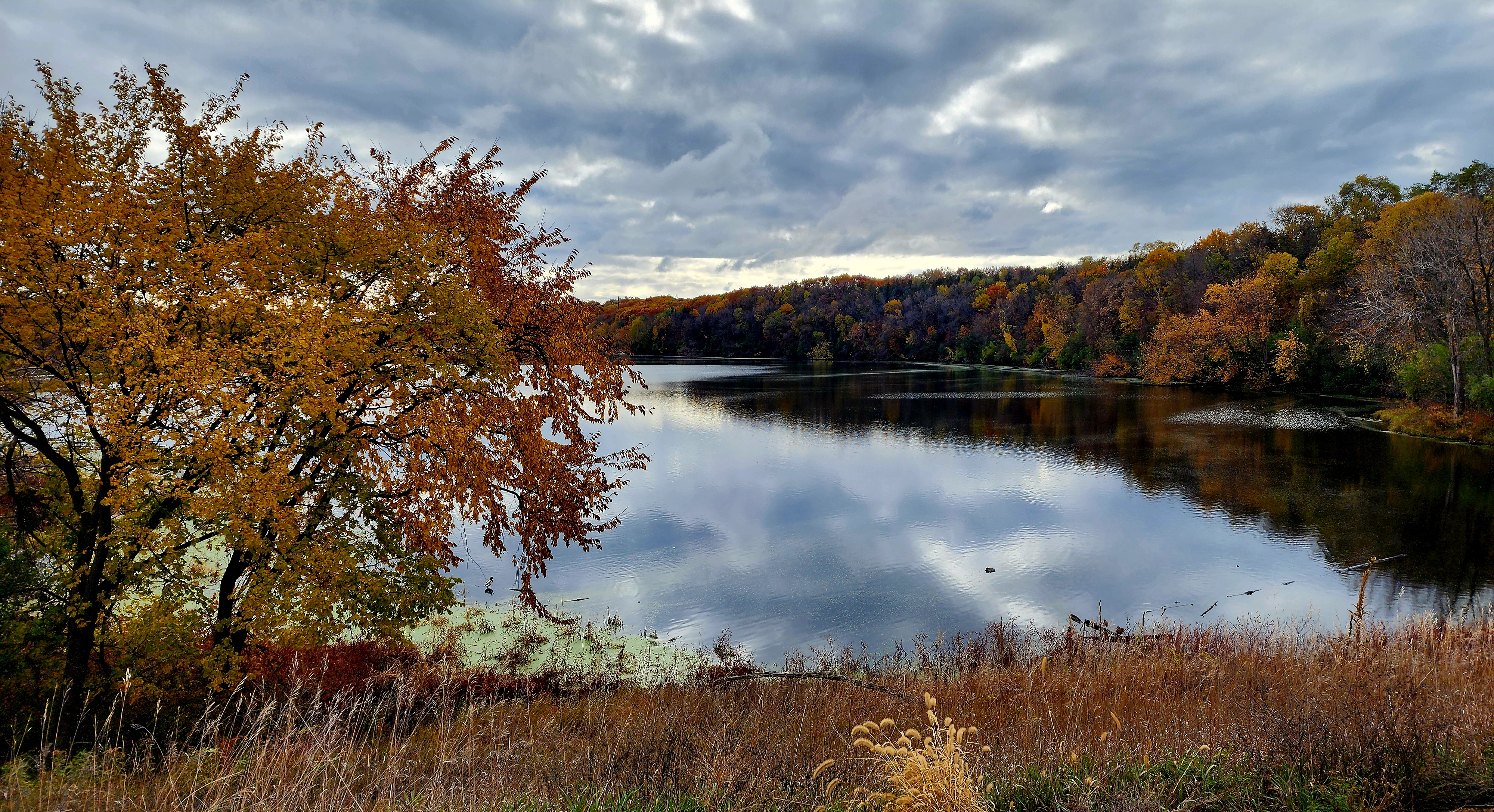
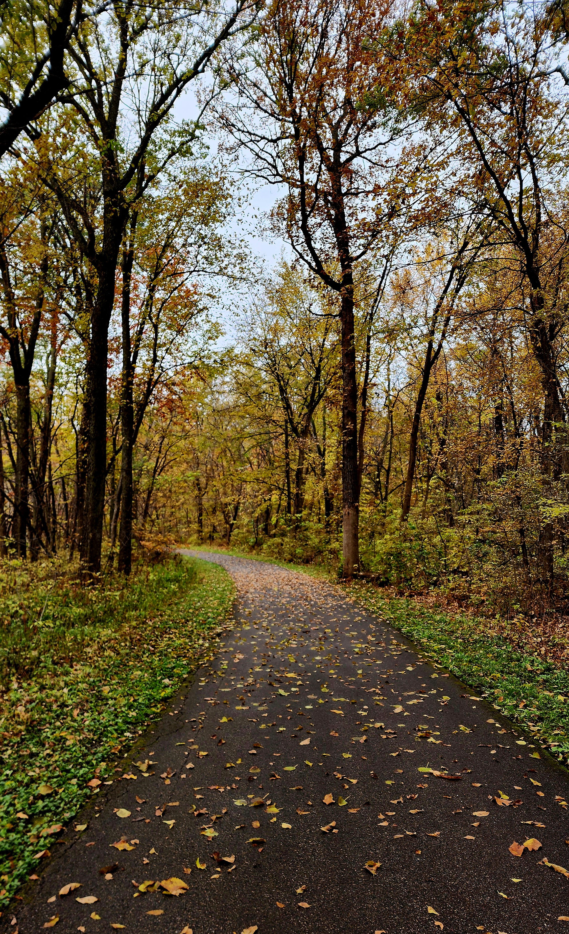
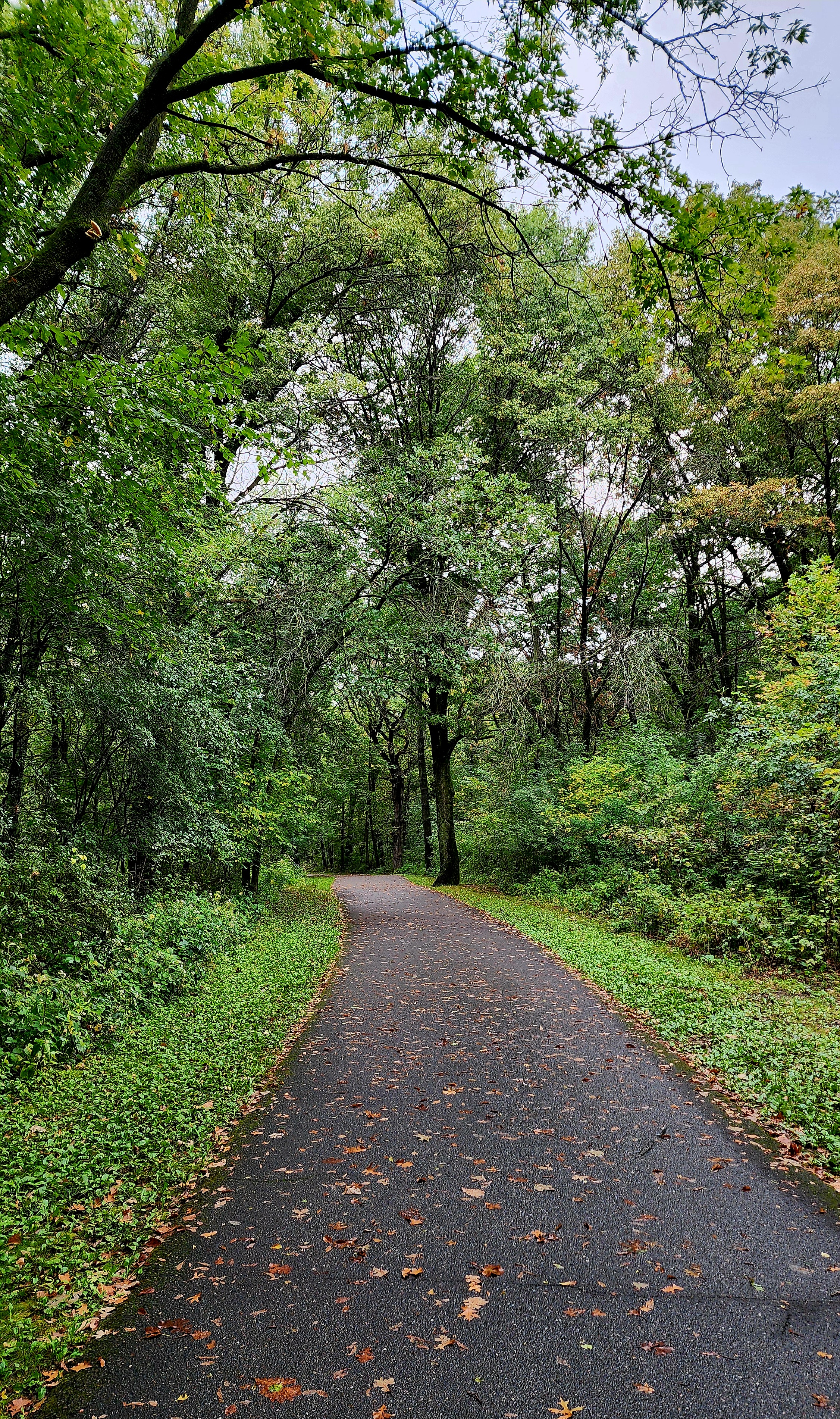
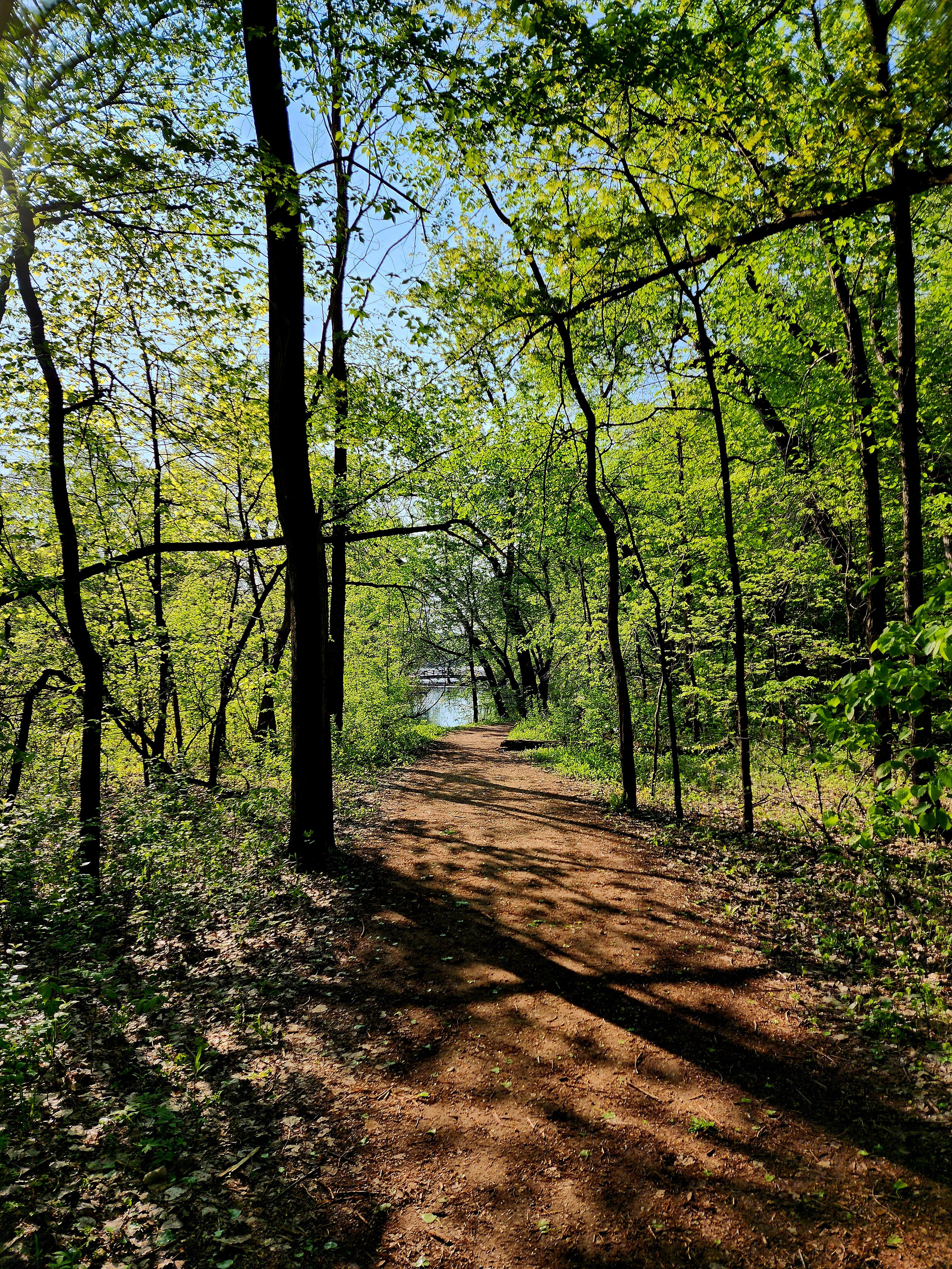
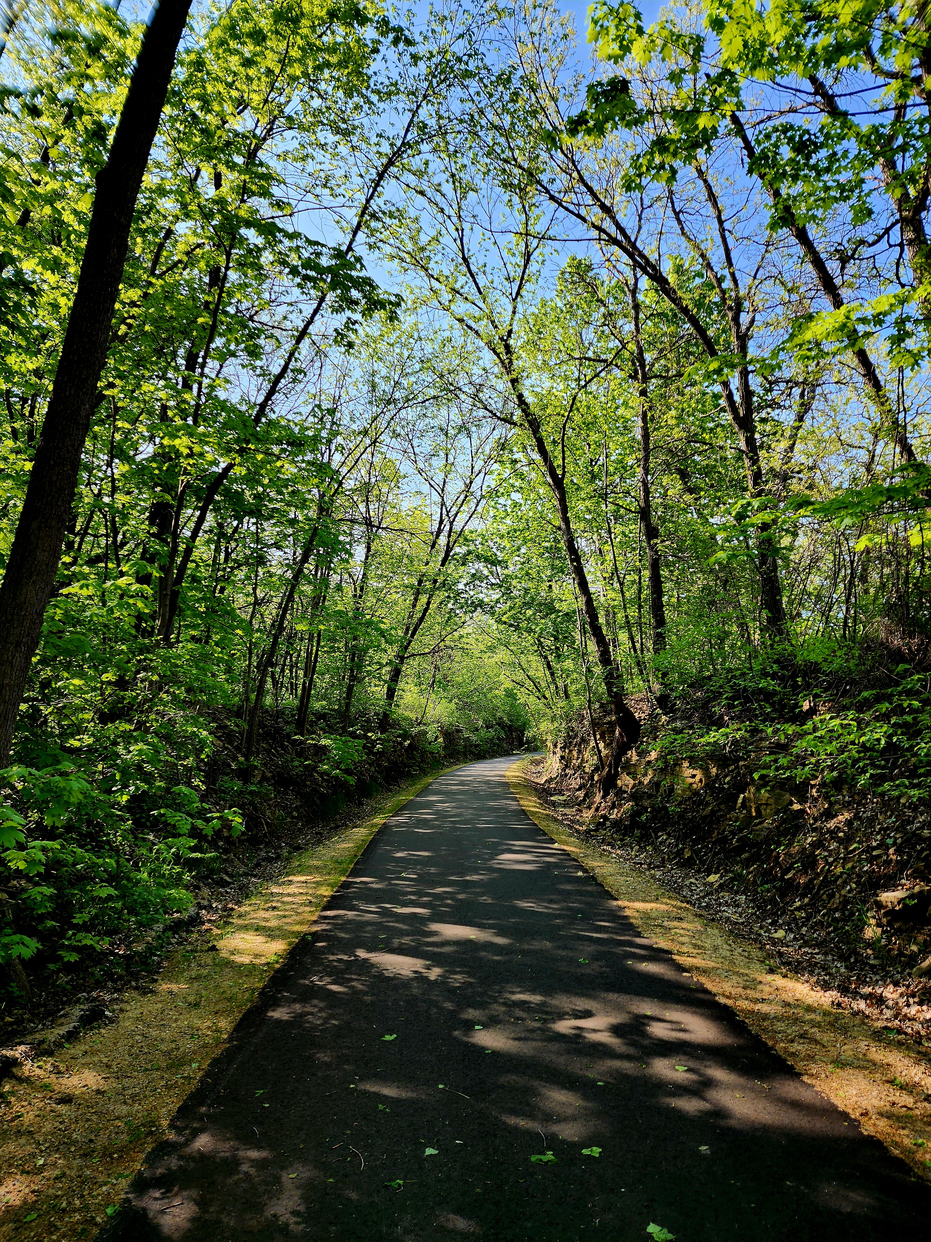
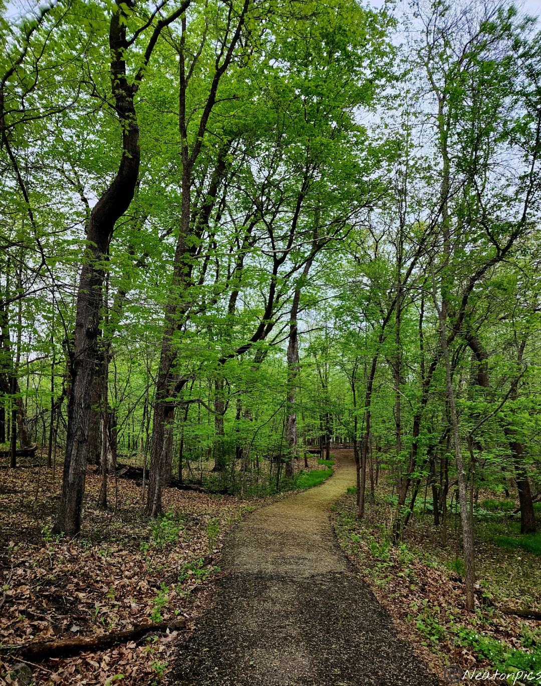
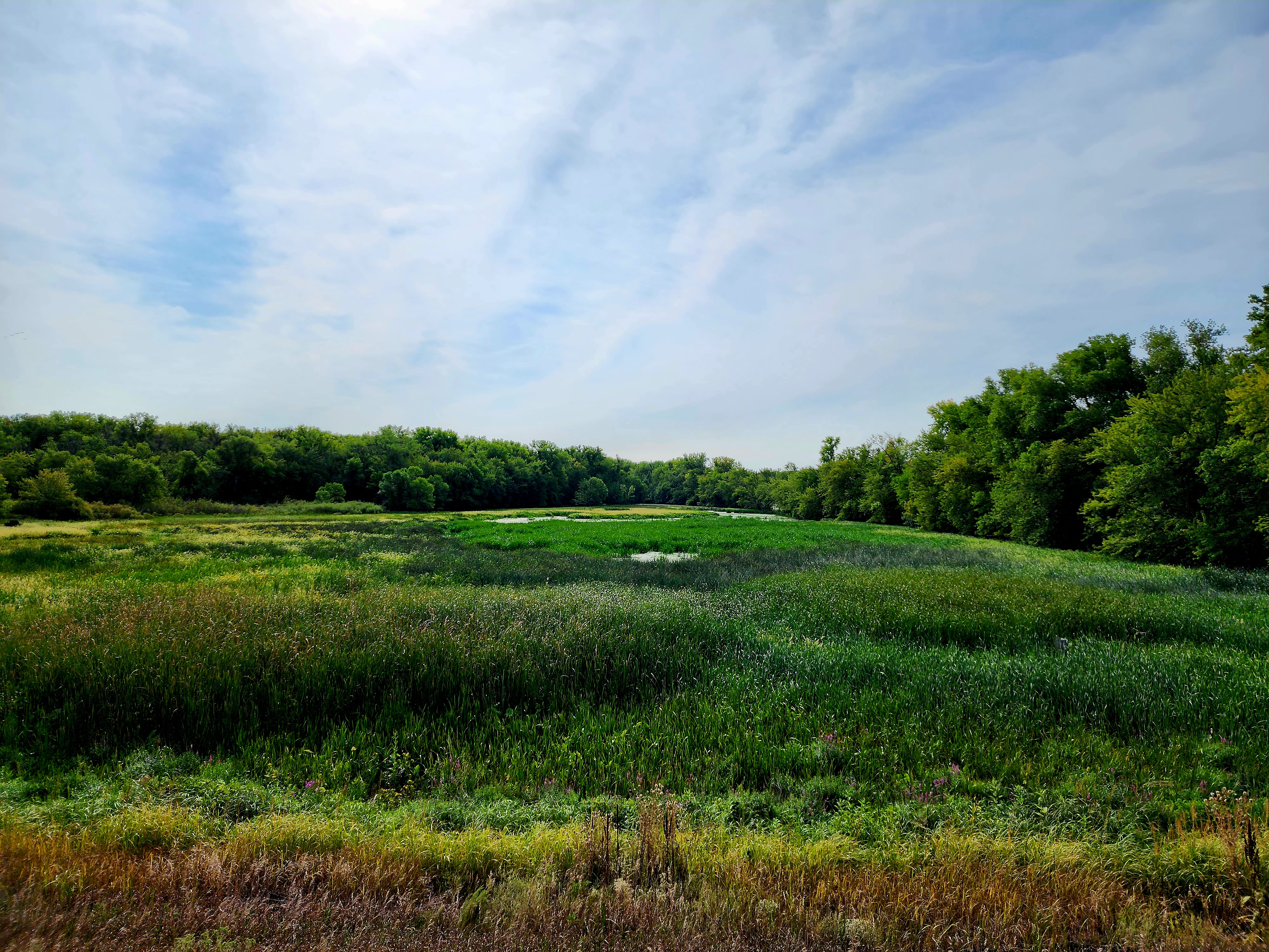
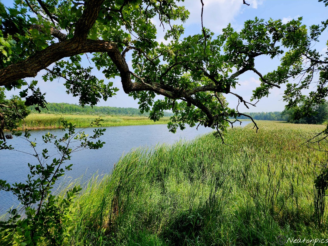
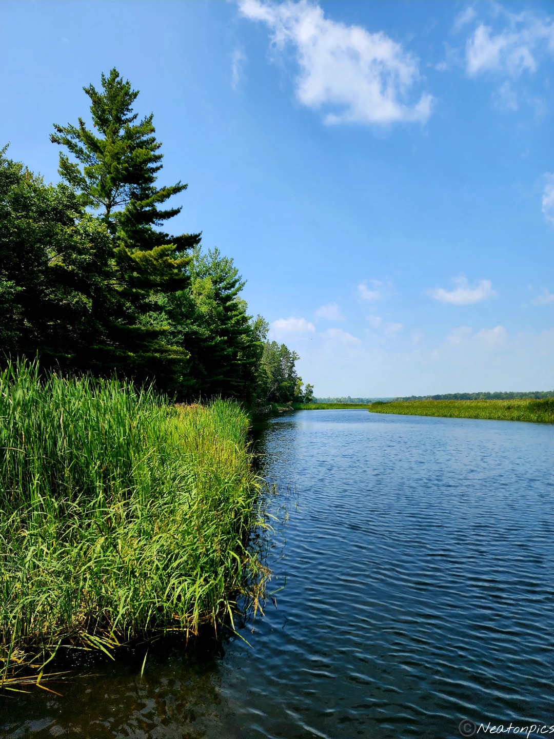
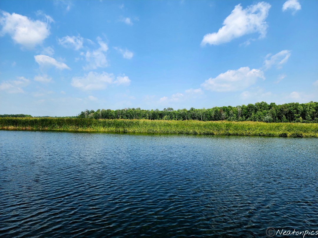
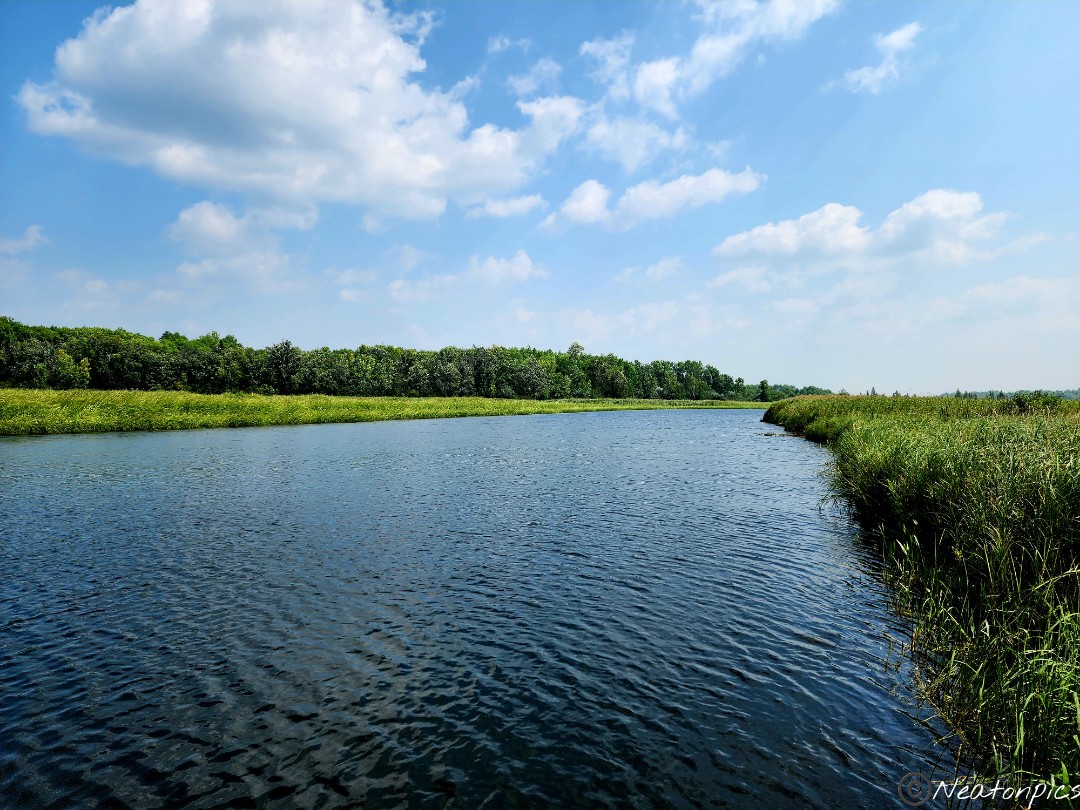
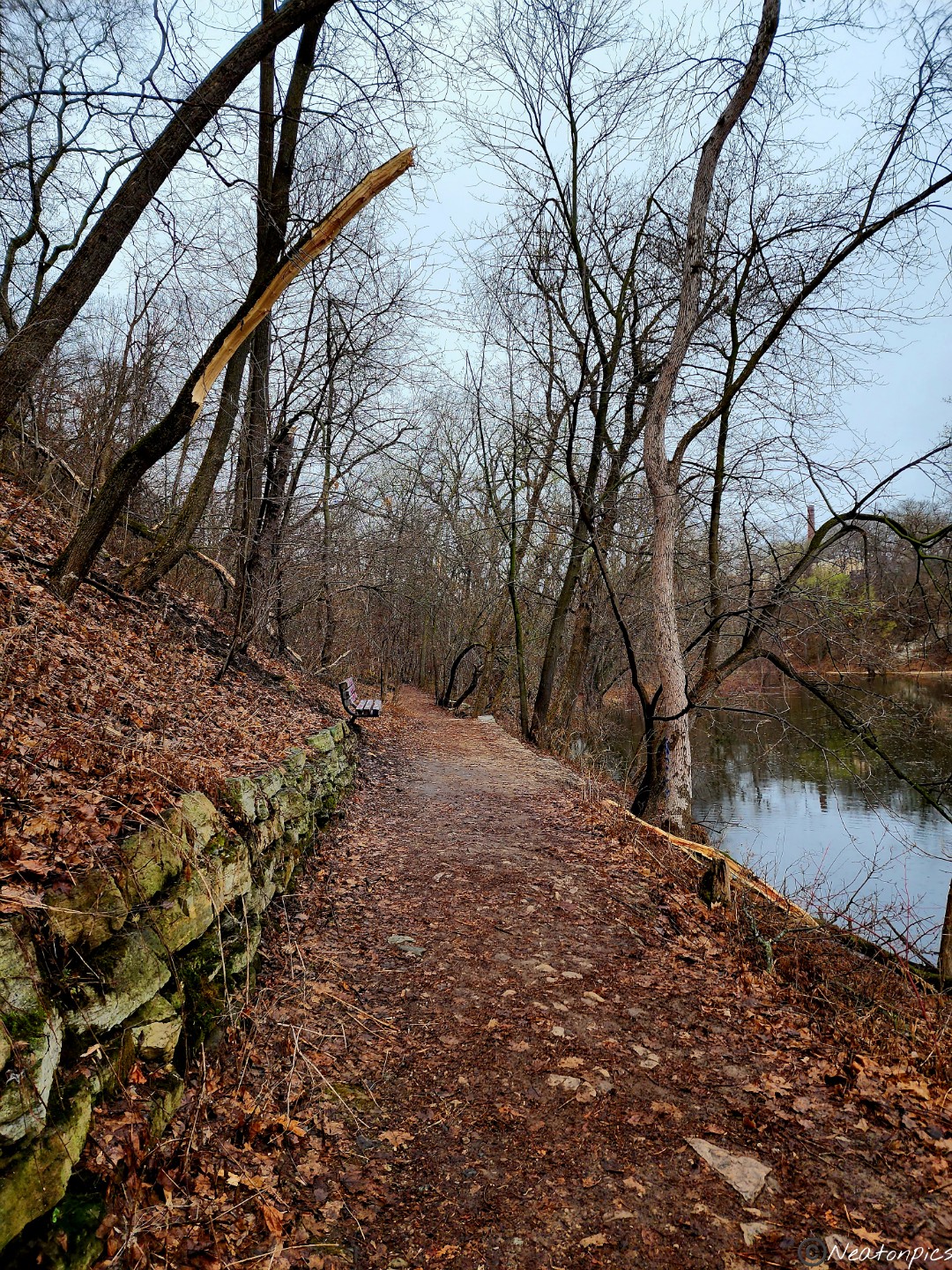
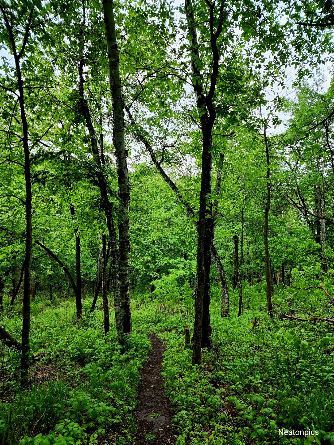
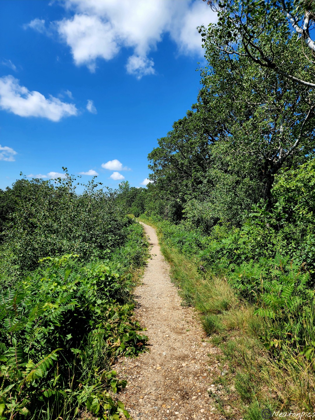
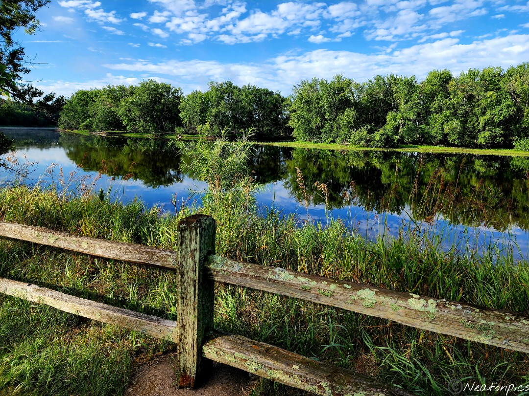
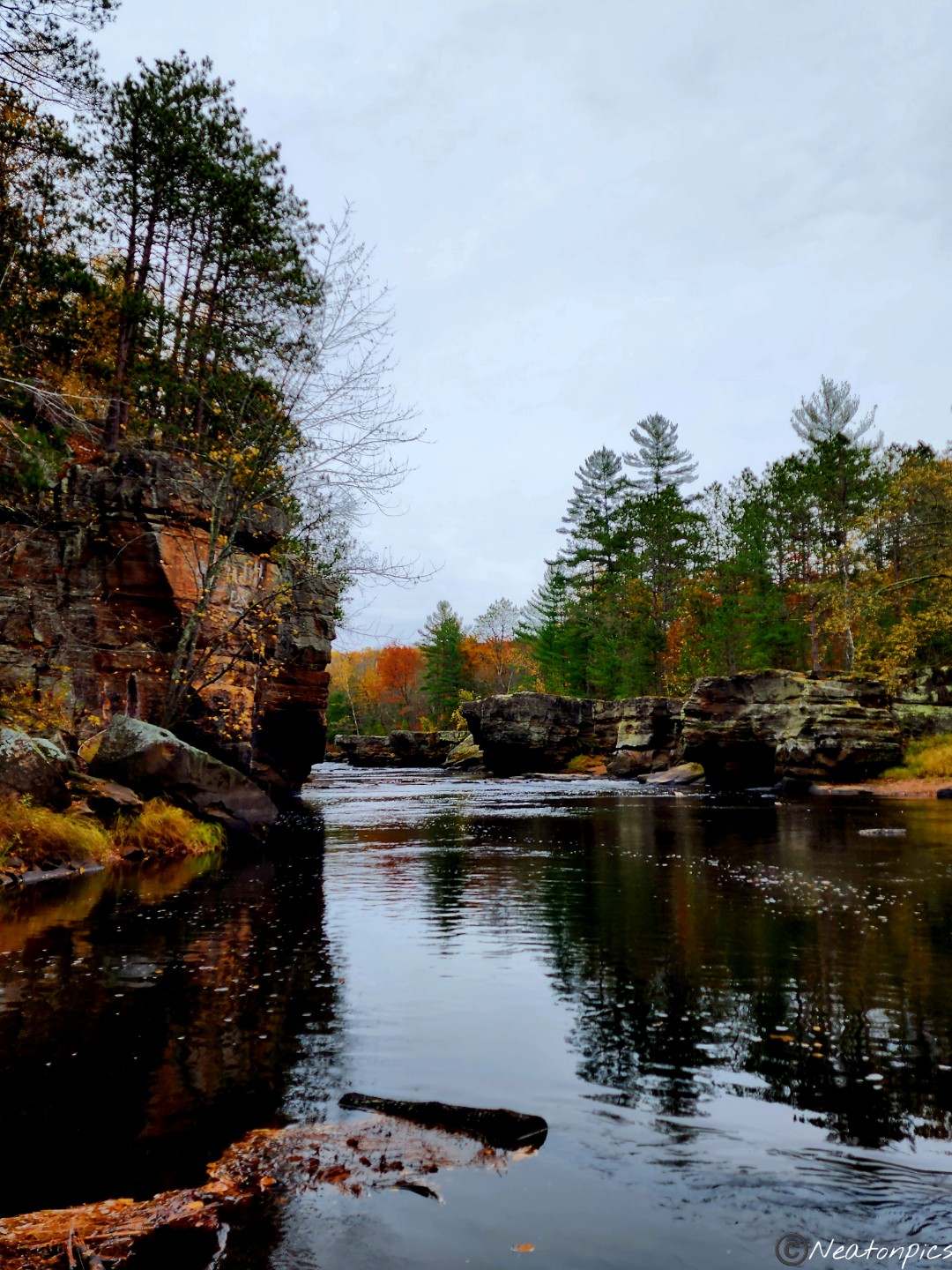
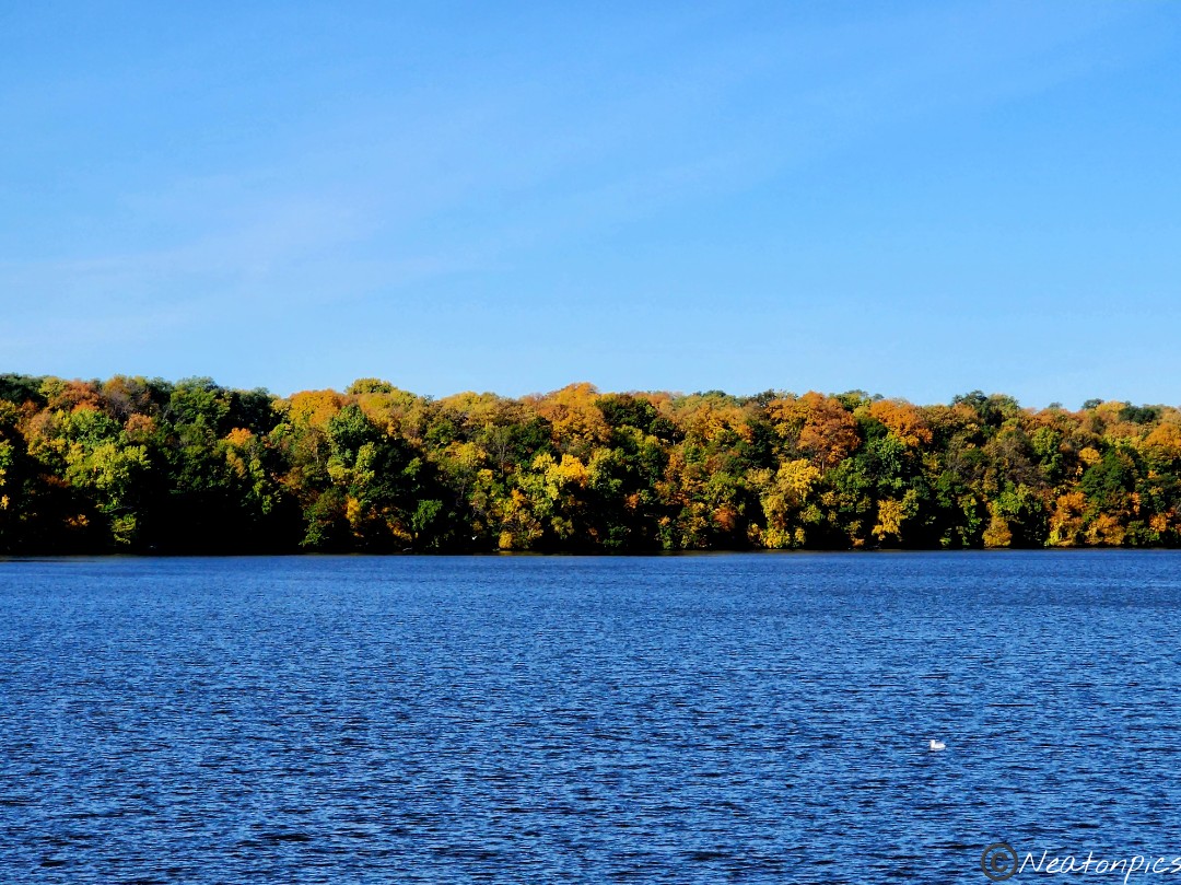
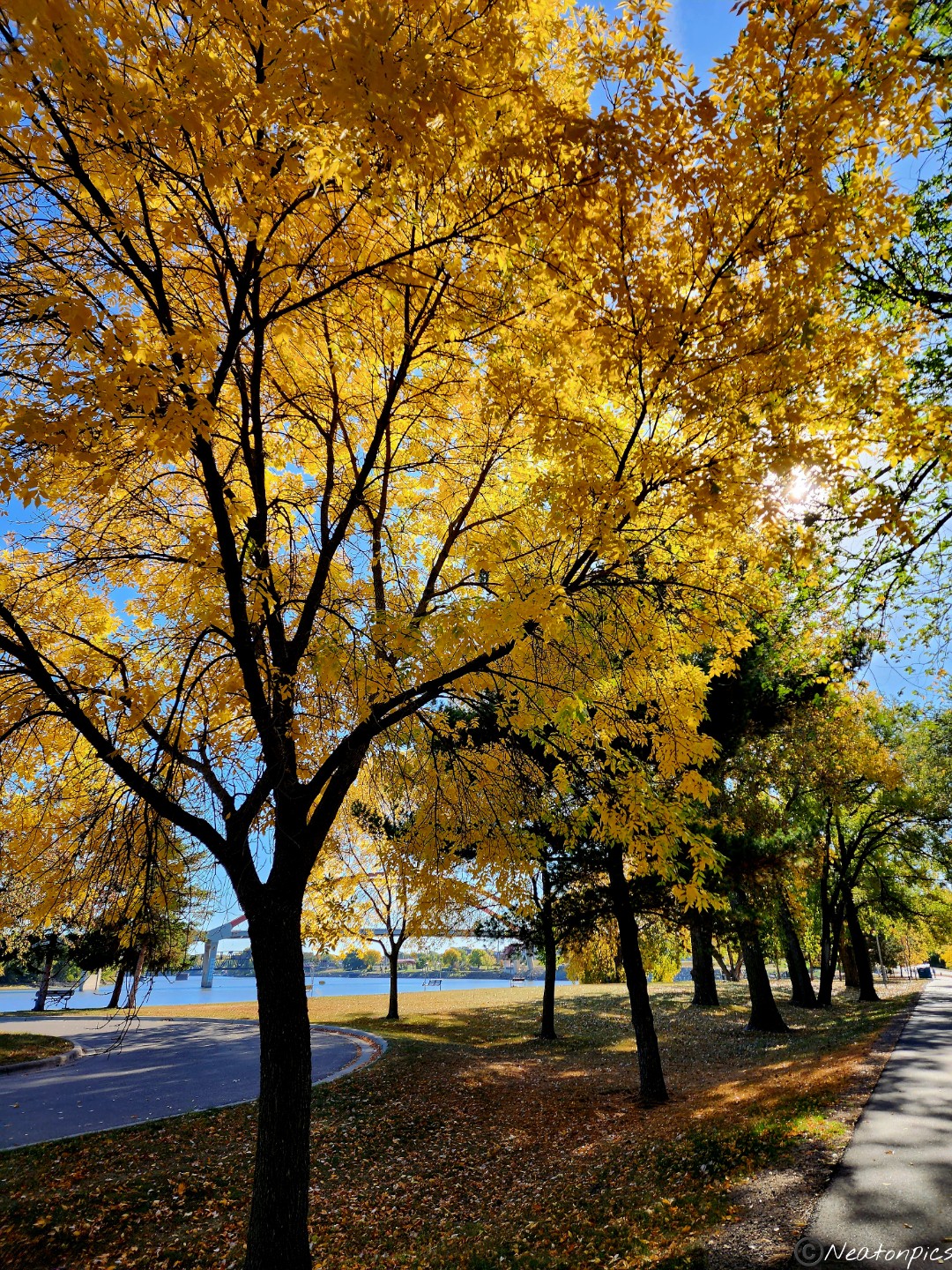
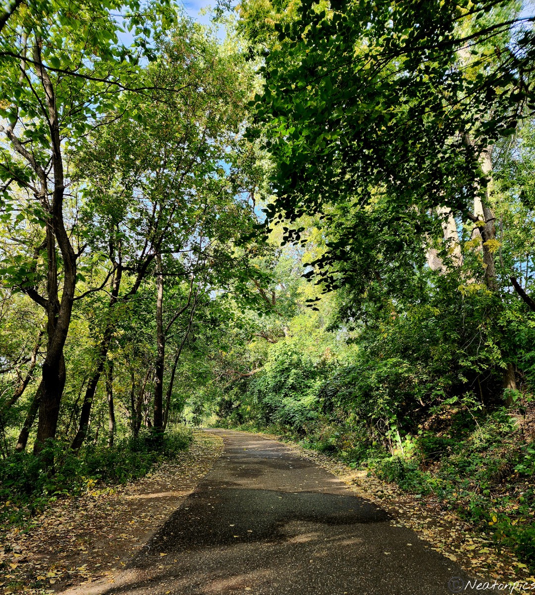
This part of the trail was absolutely gorgeous.
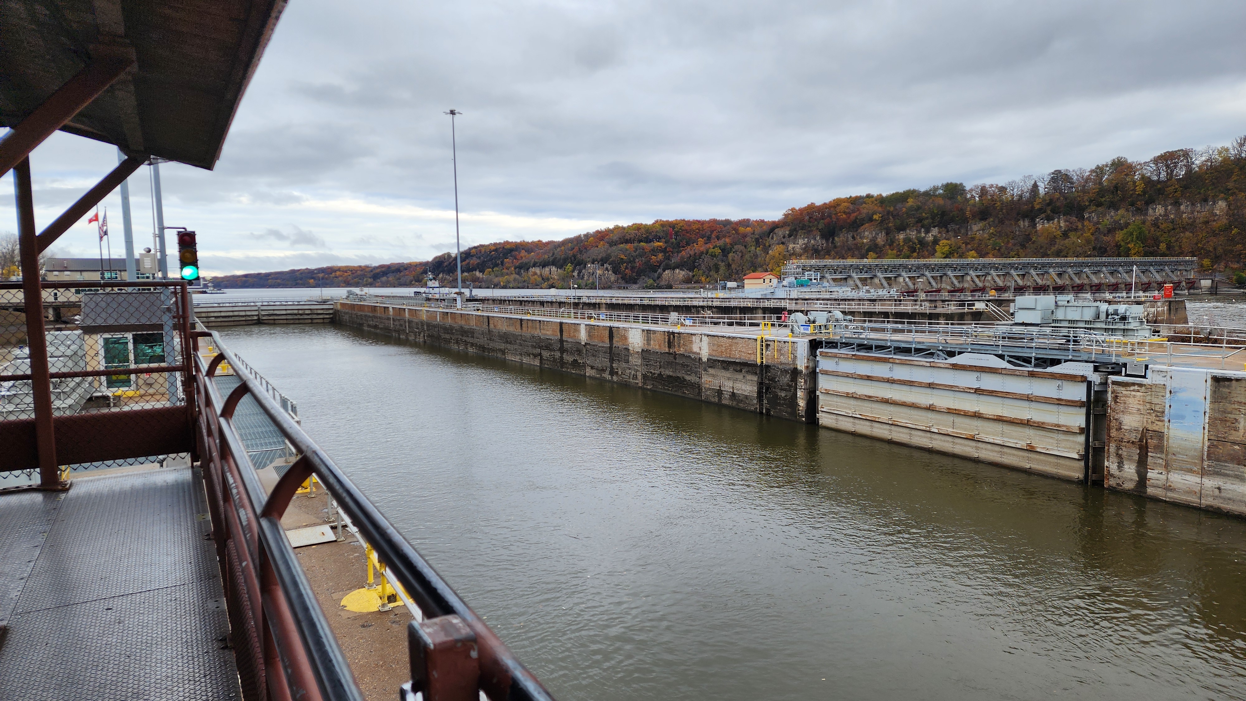
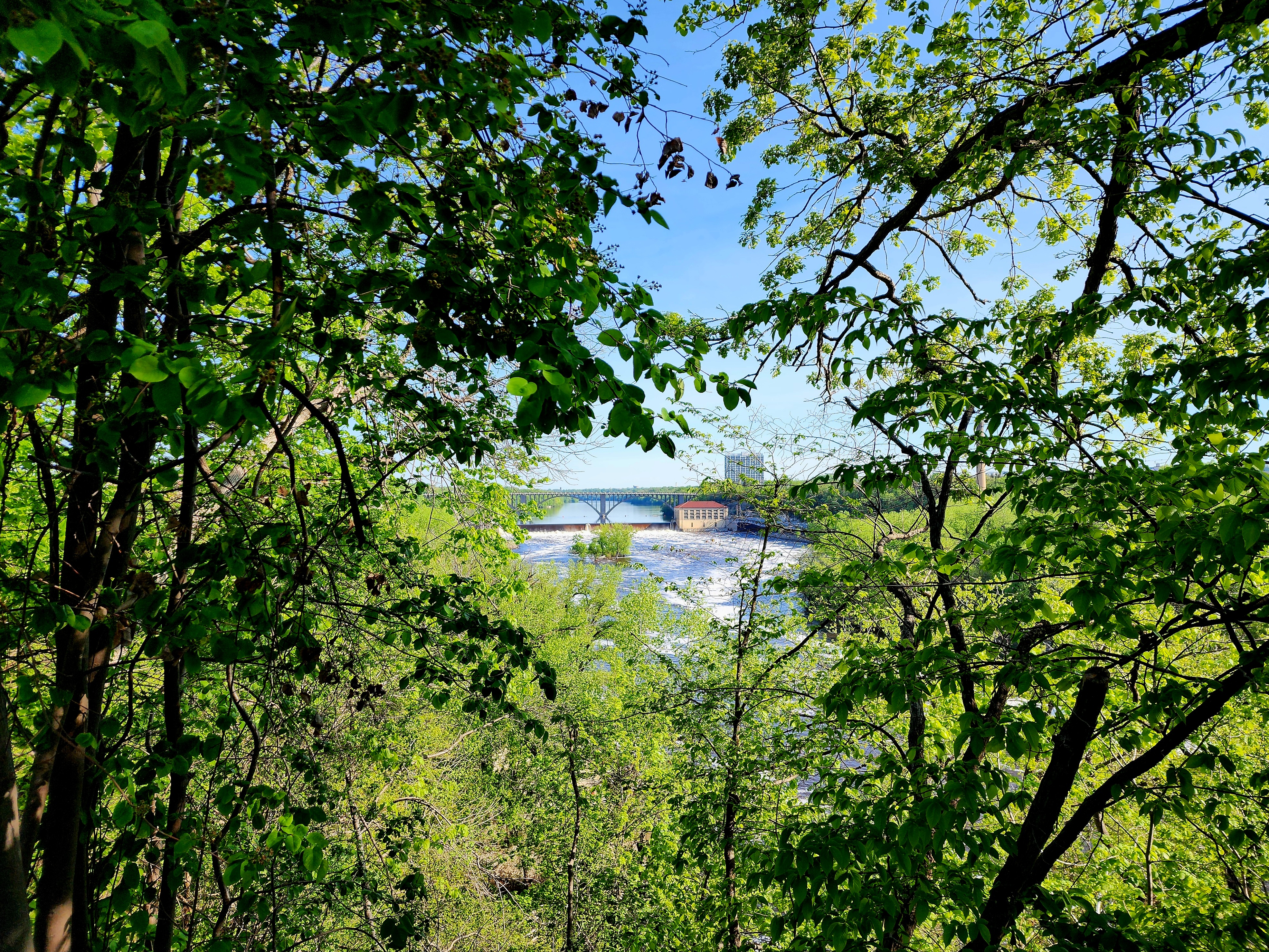
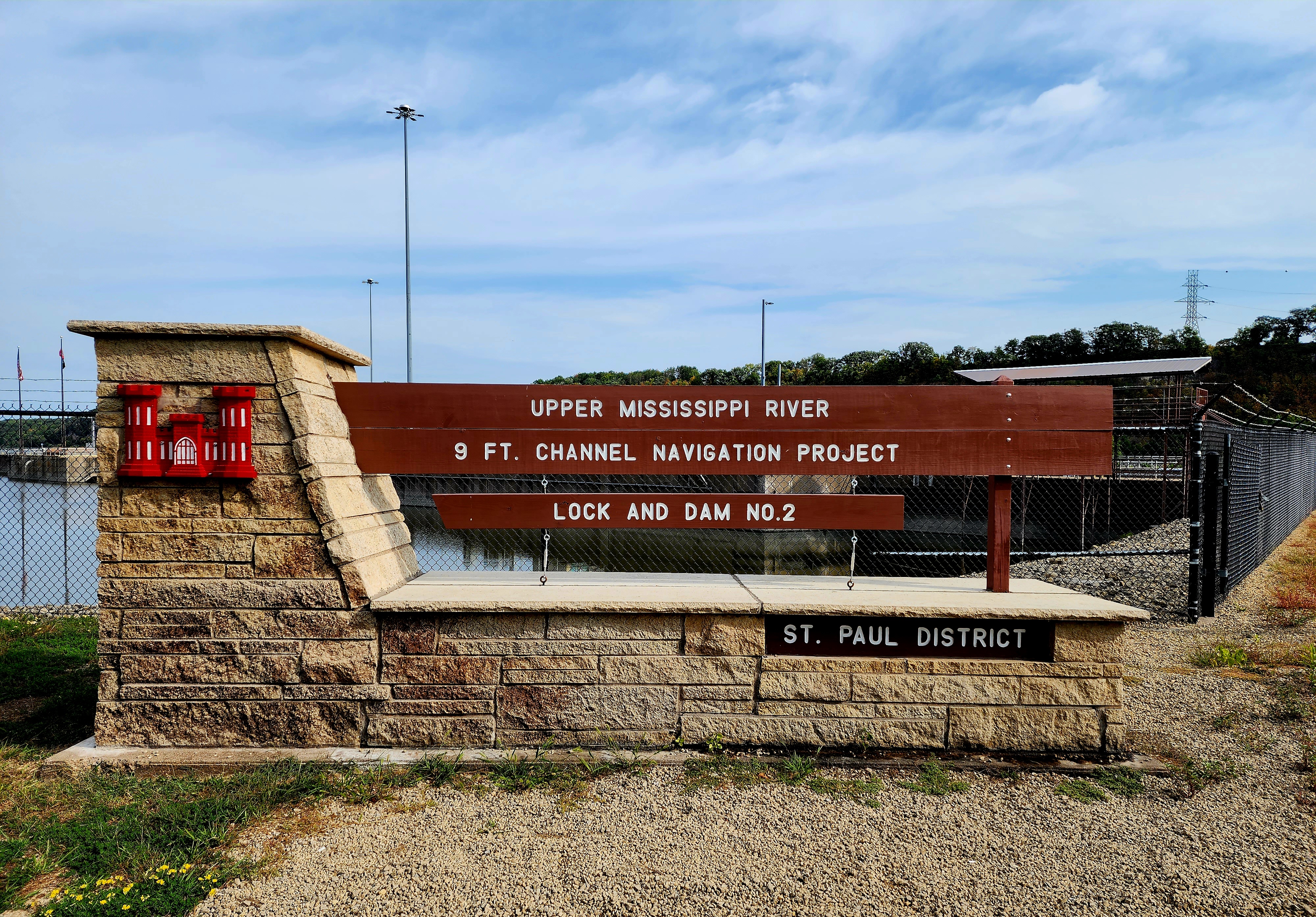
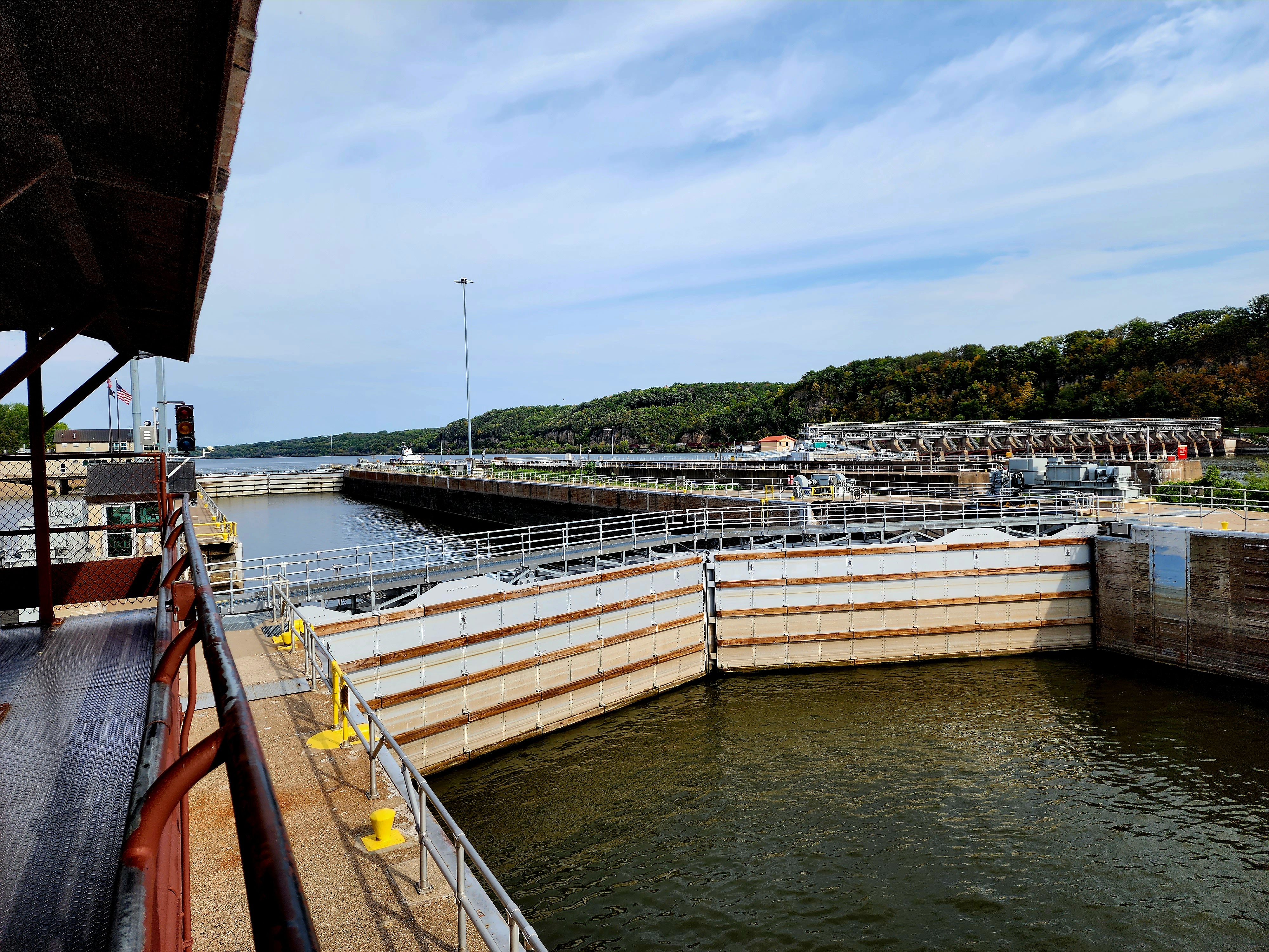
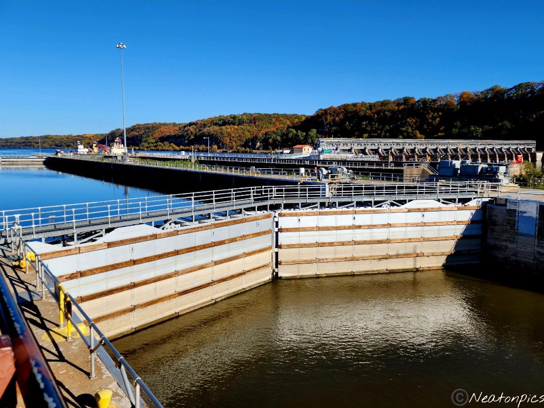
Lock and Dam No. 2.
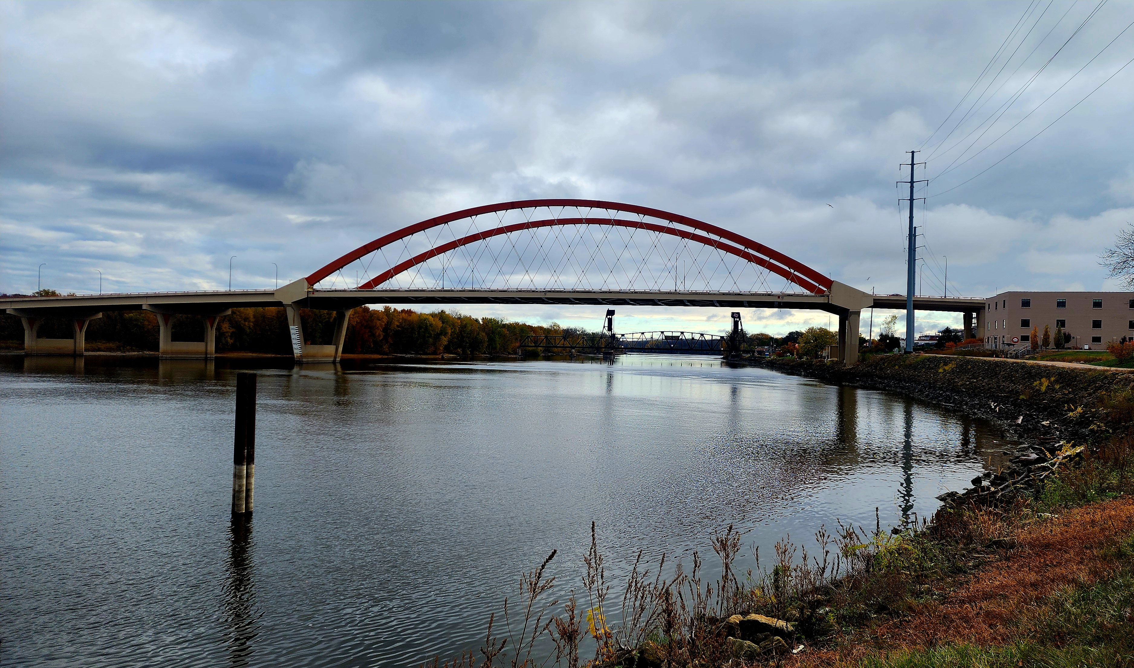
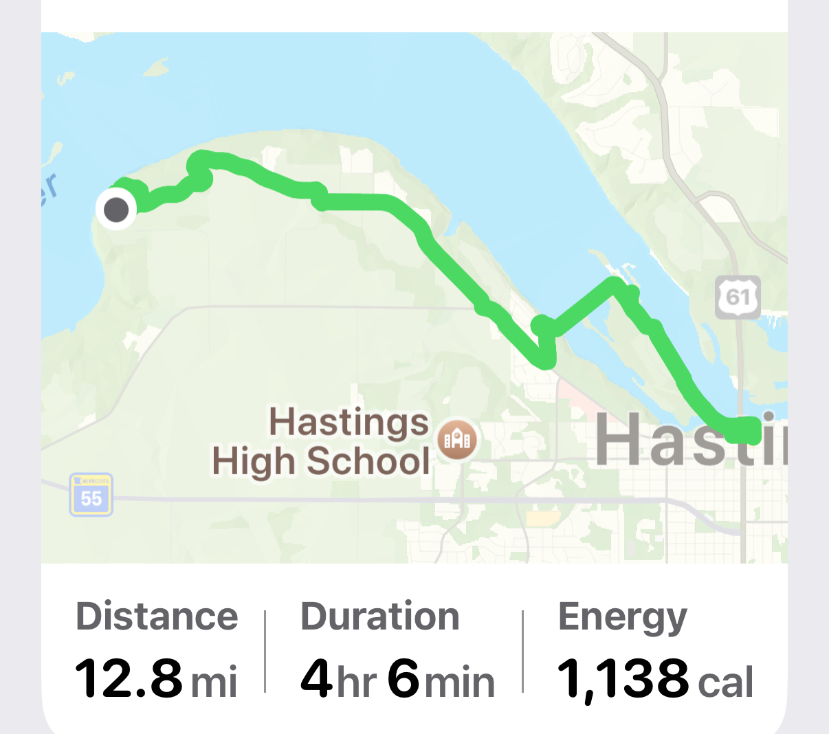
We hiked to downtown Hastings before heading back to Schaar’s Bluff.
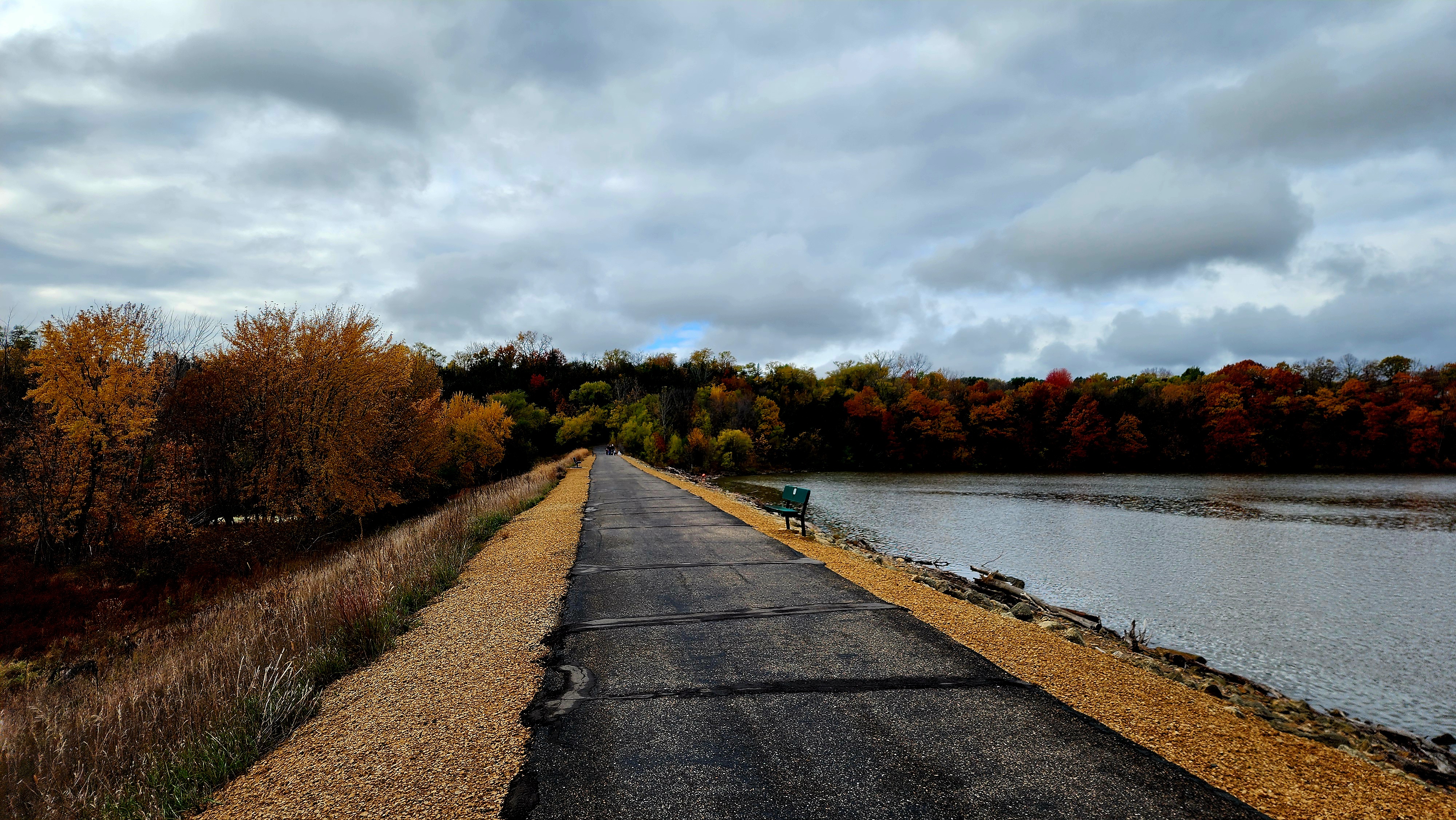
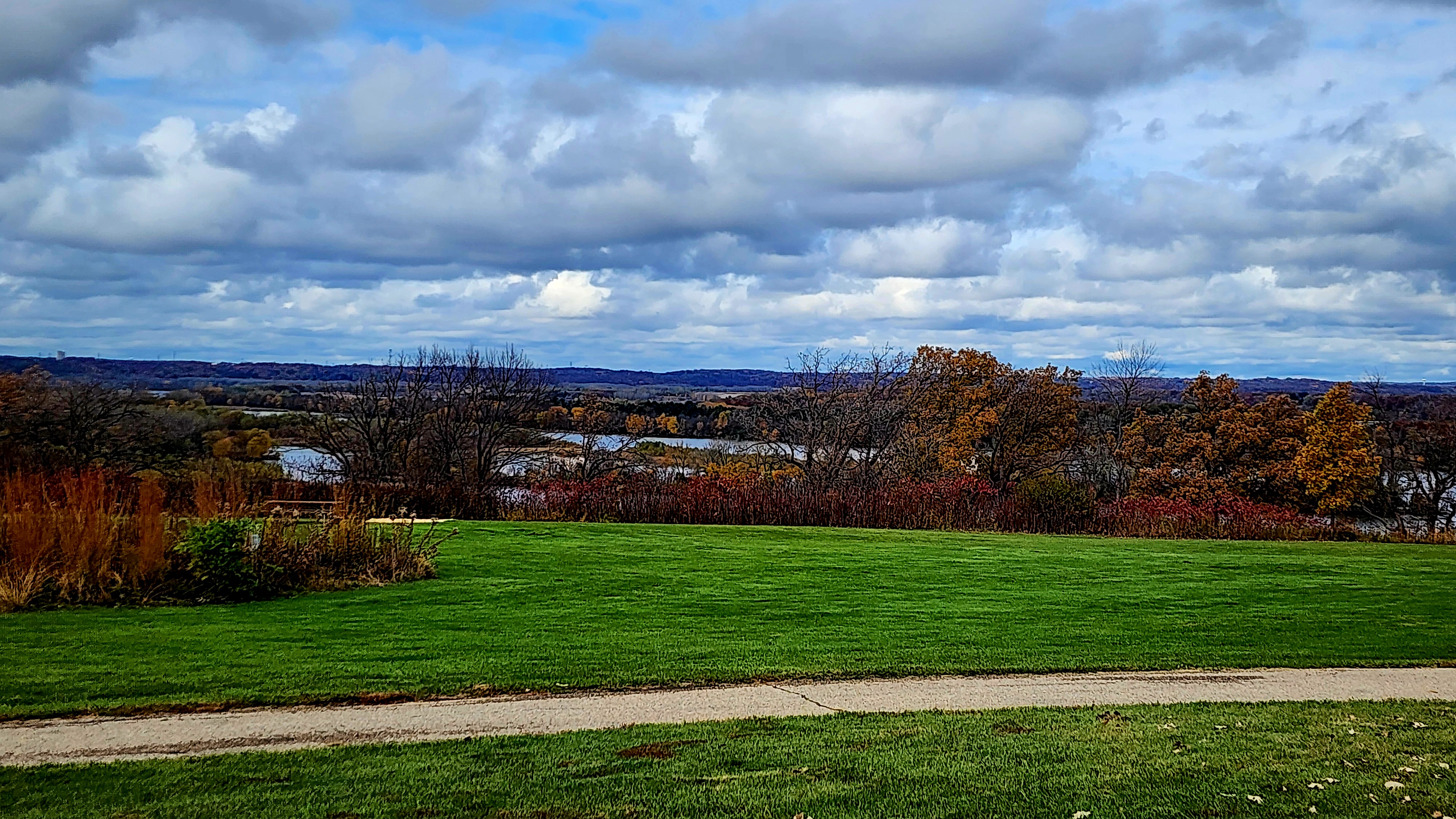
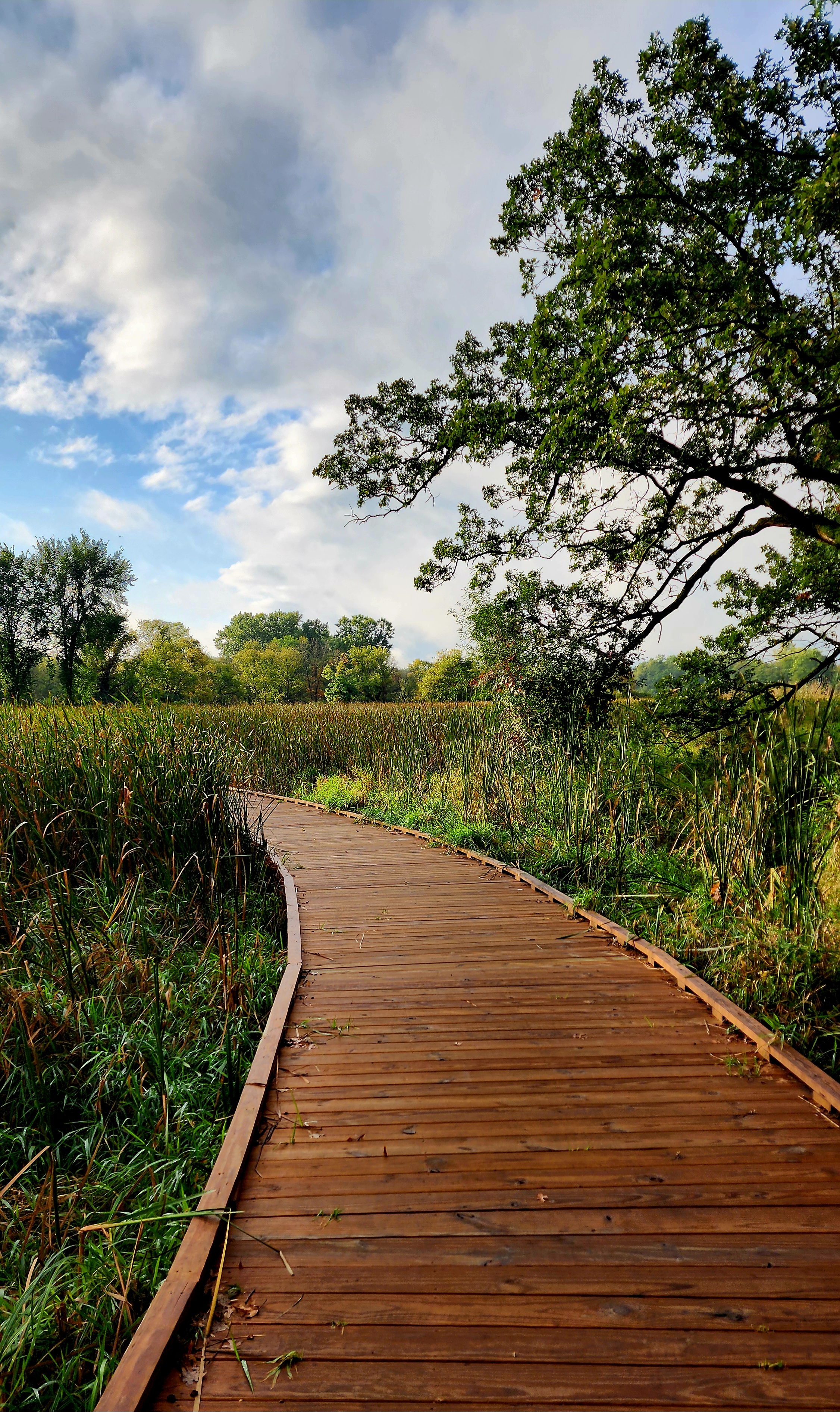
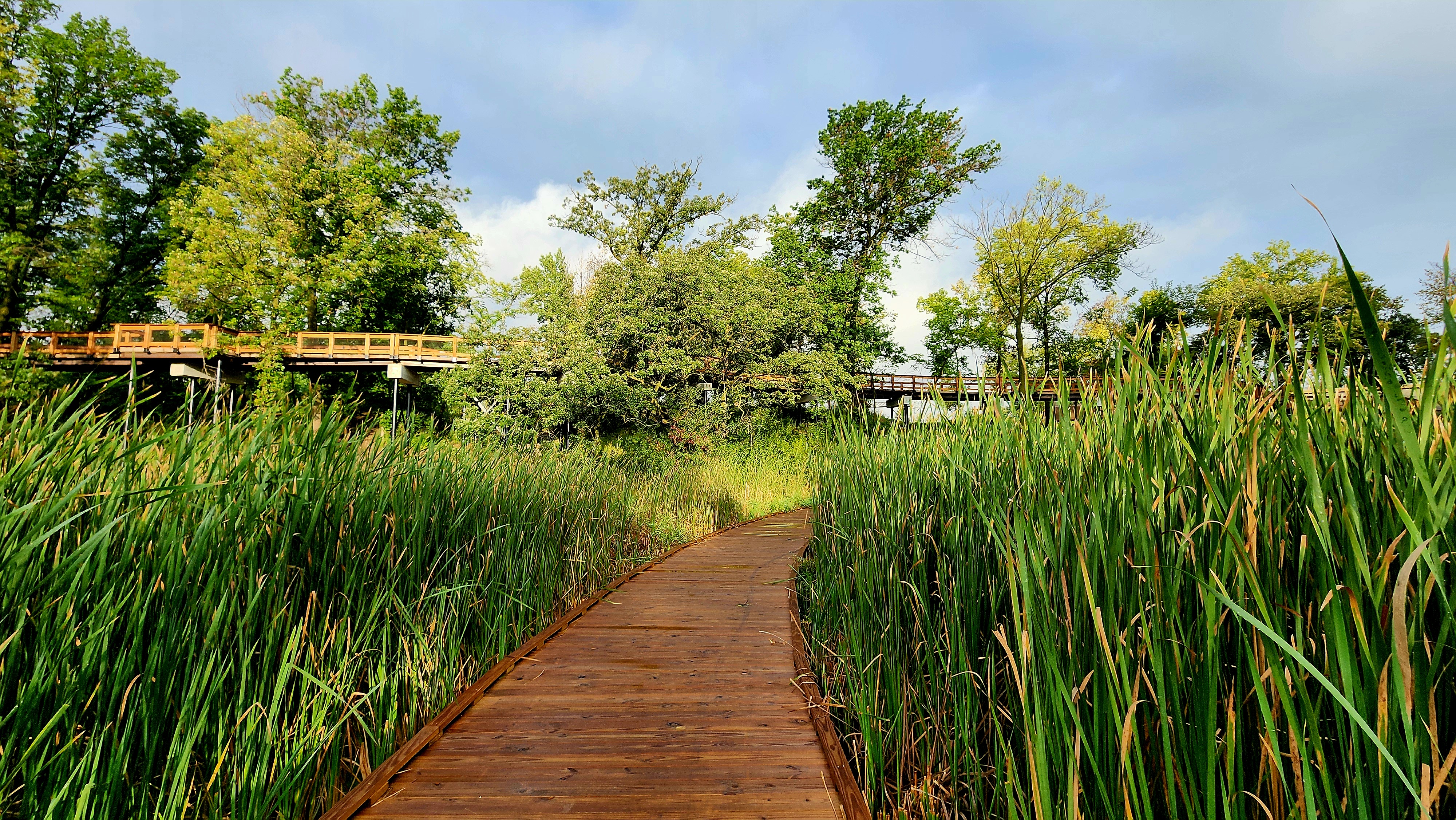
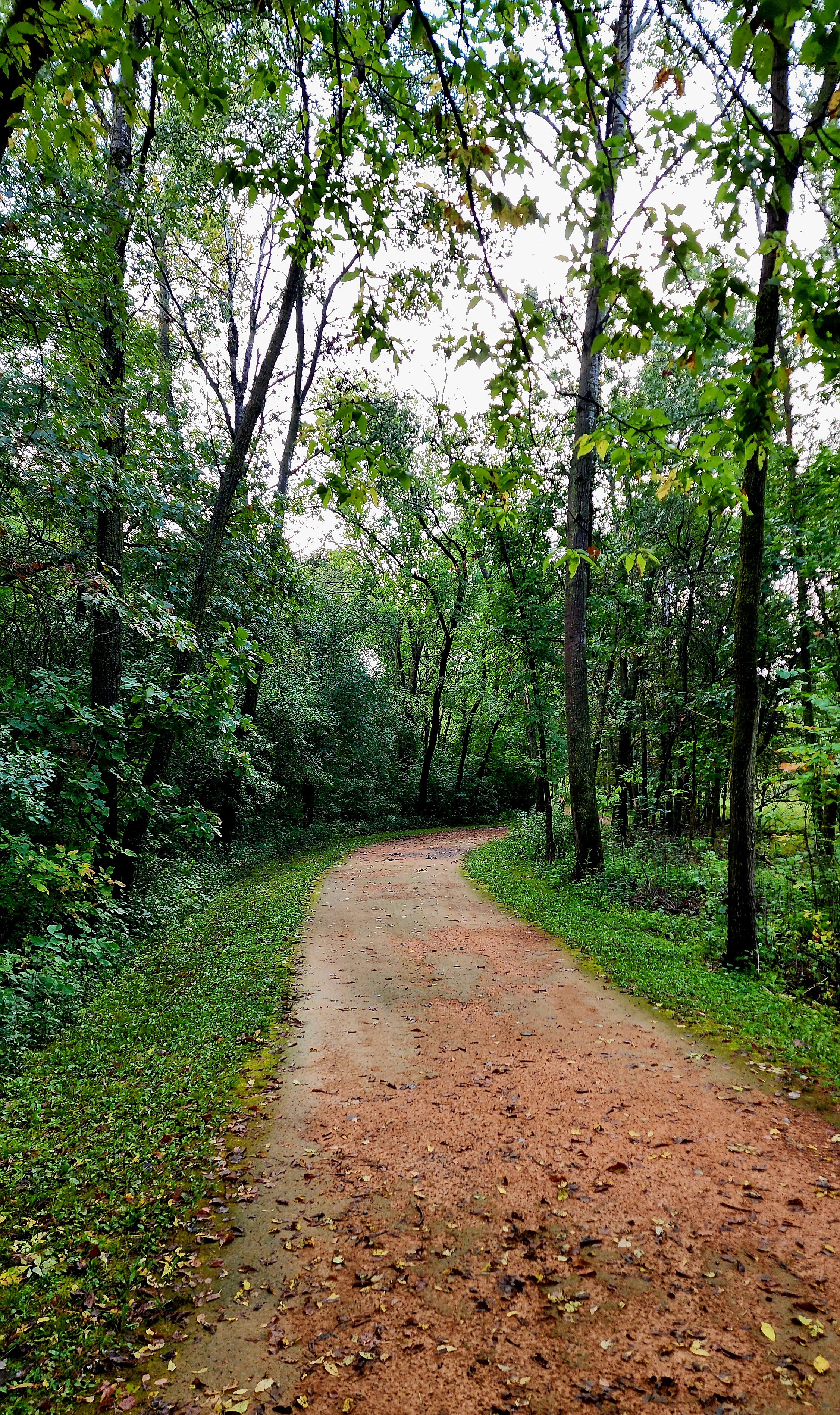
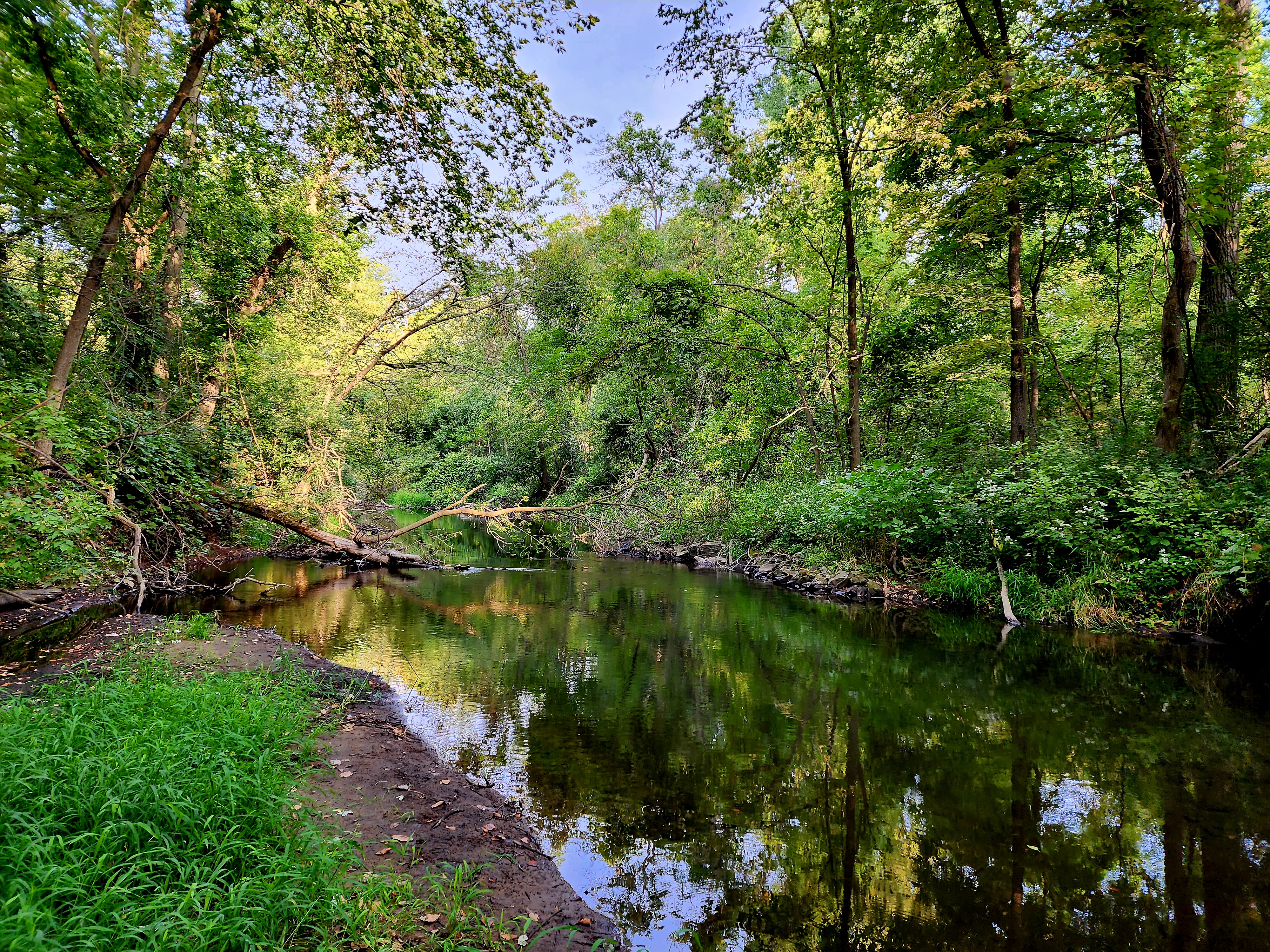
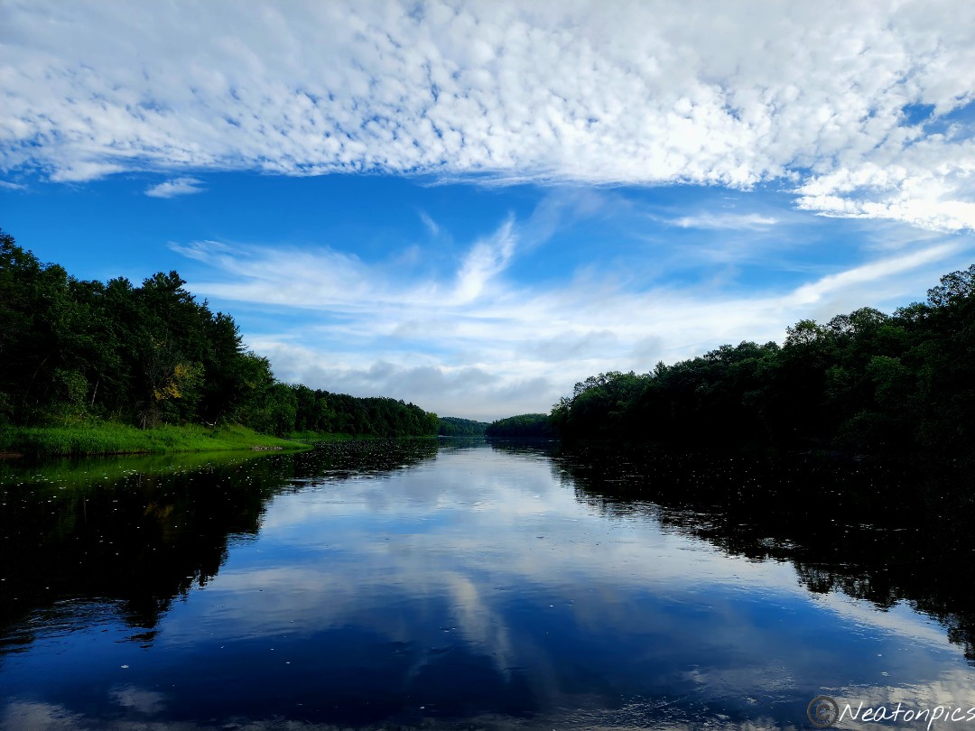
This part of the trail has always been my favorite. Hiking between the waterways is so calming and peaceful.
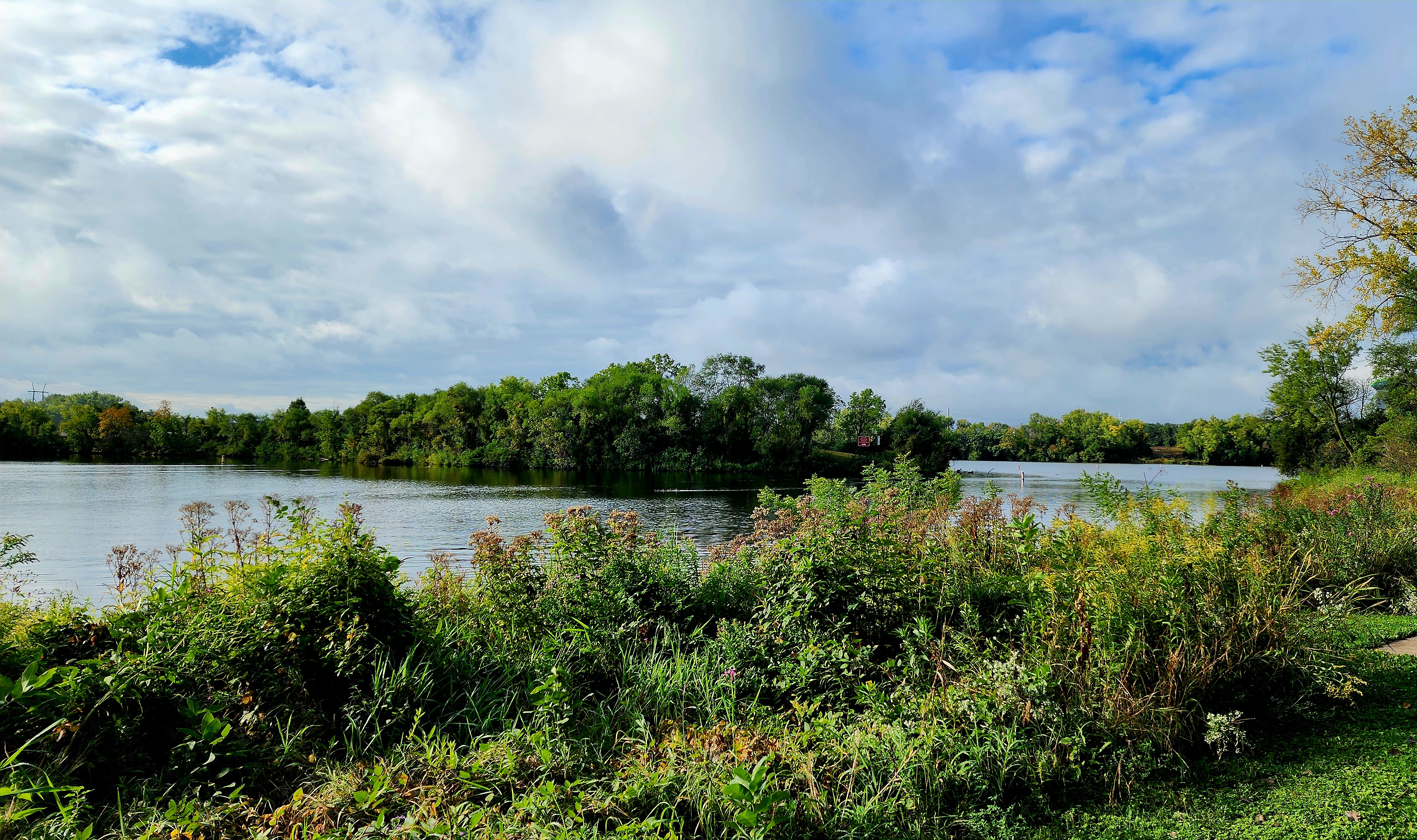
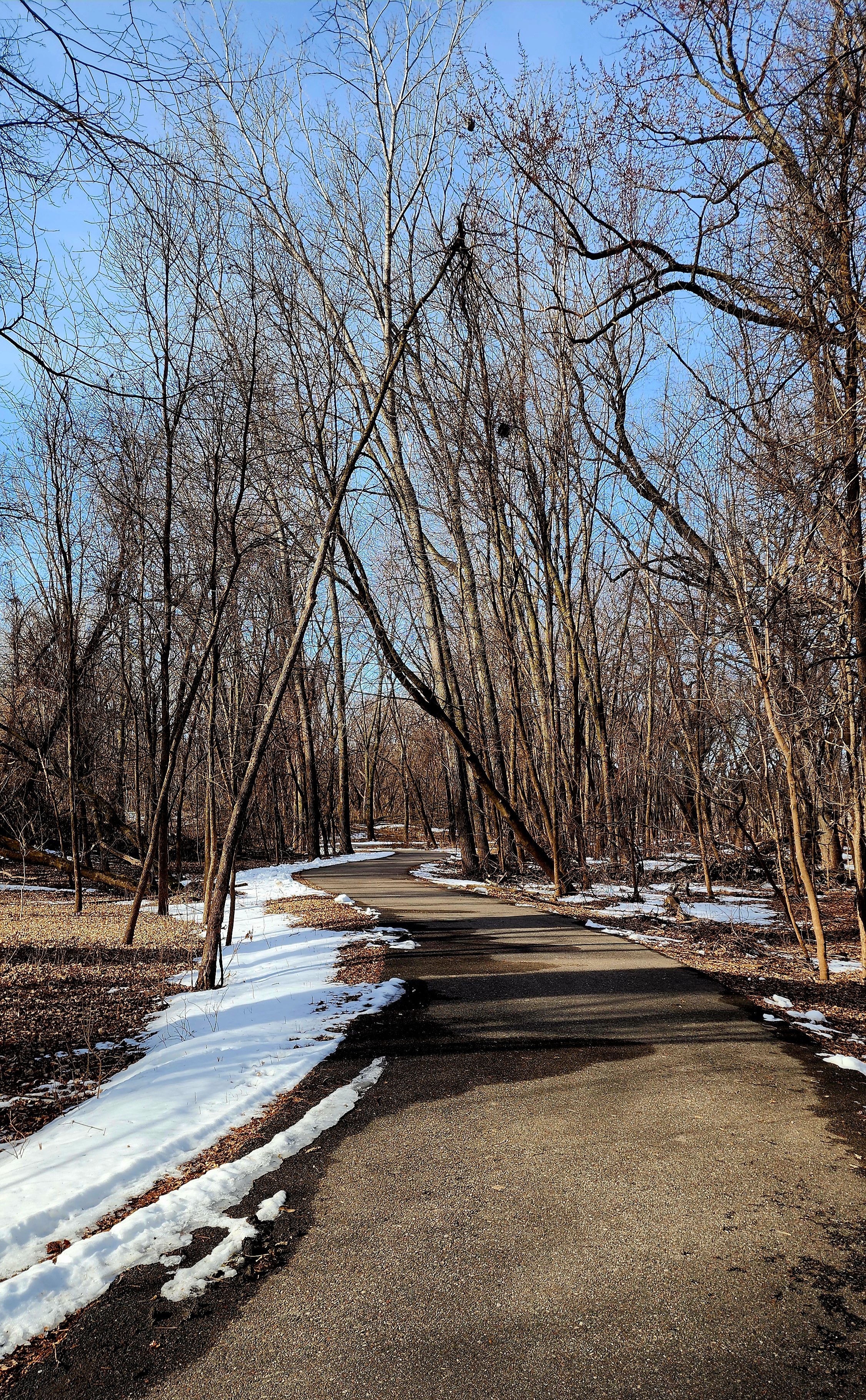
Today’s hiking adventure was at Mississippi Gateway Regional Park.
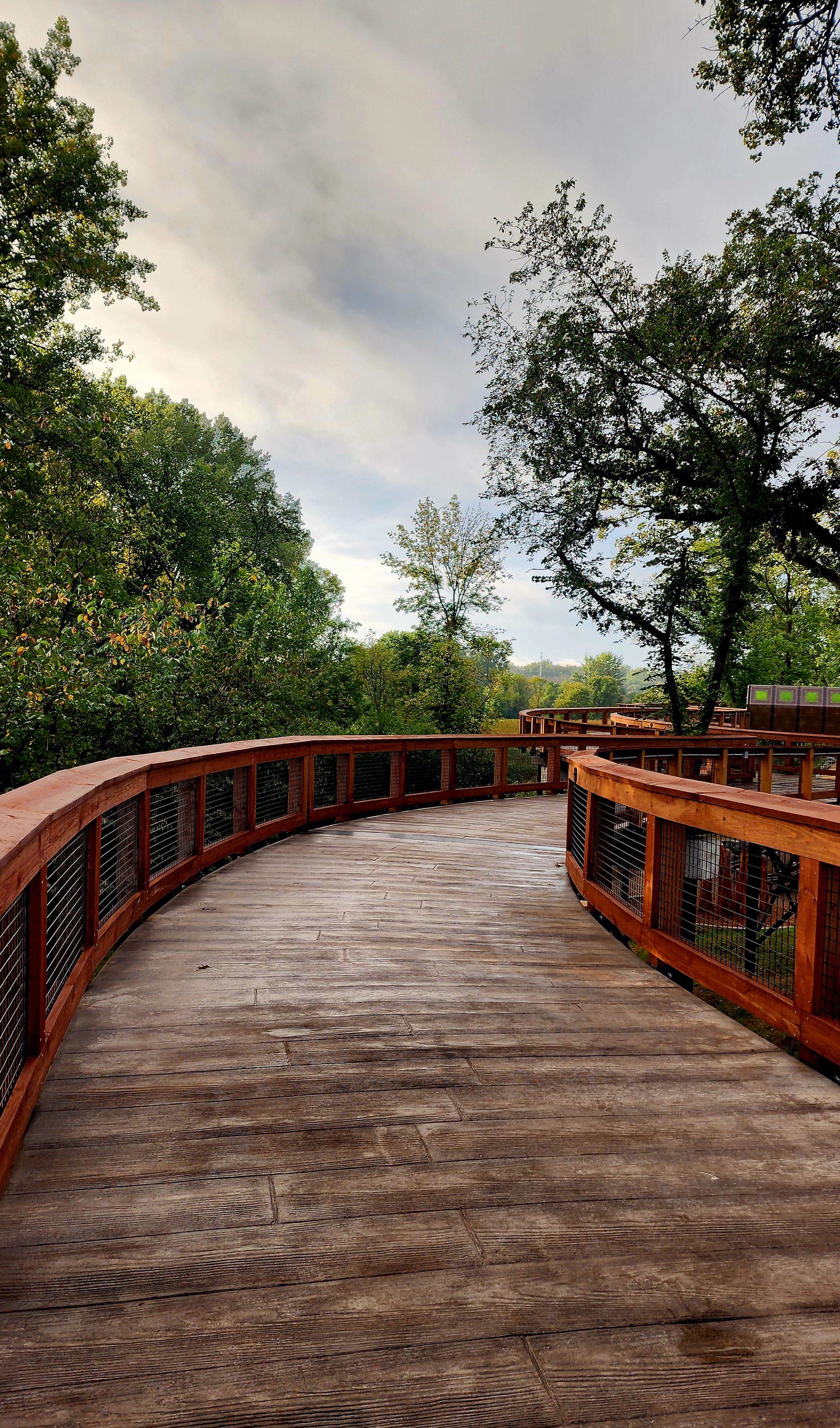
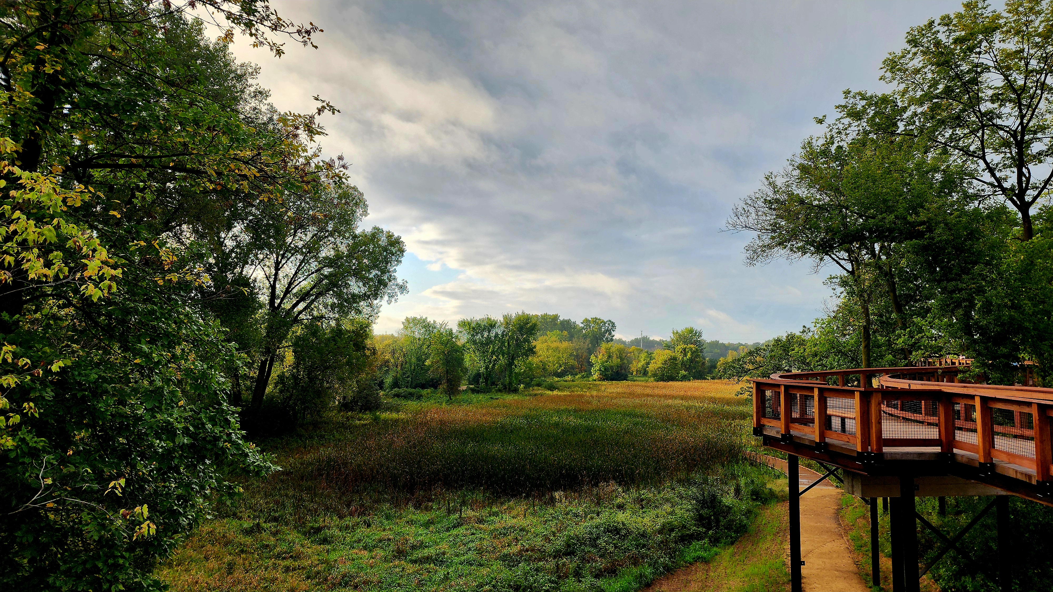
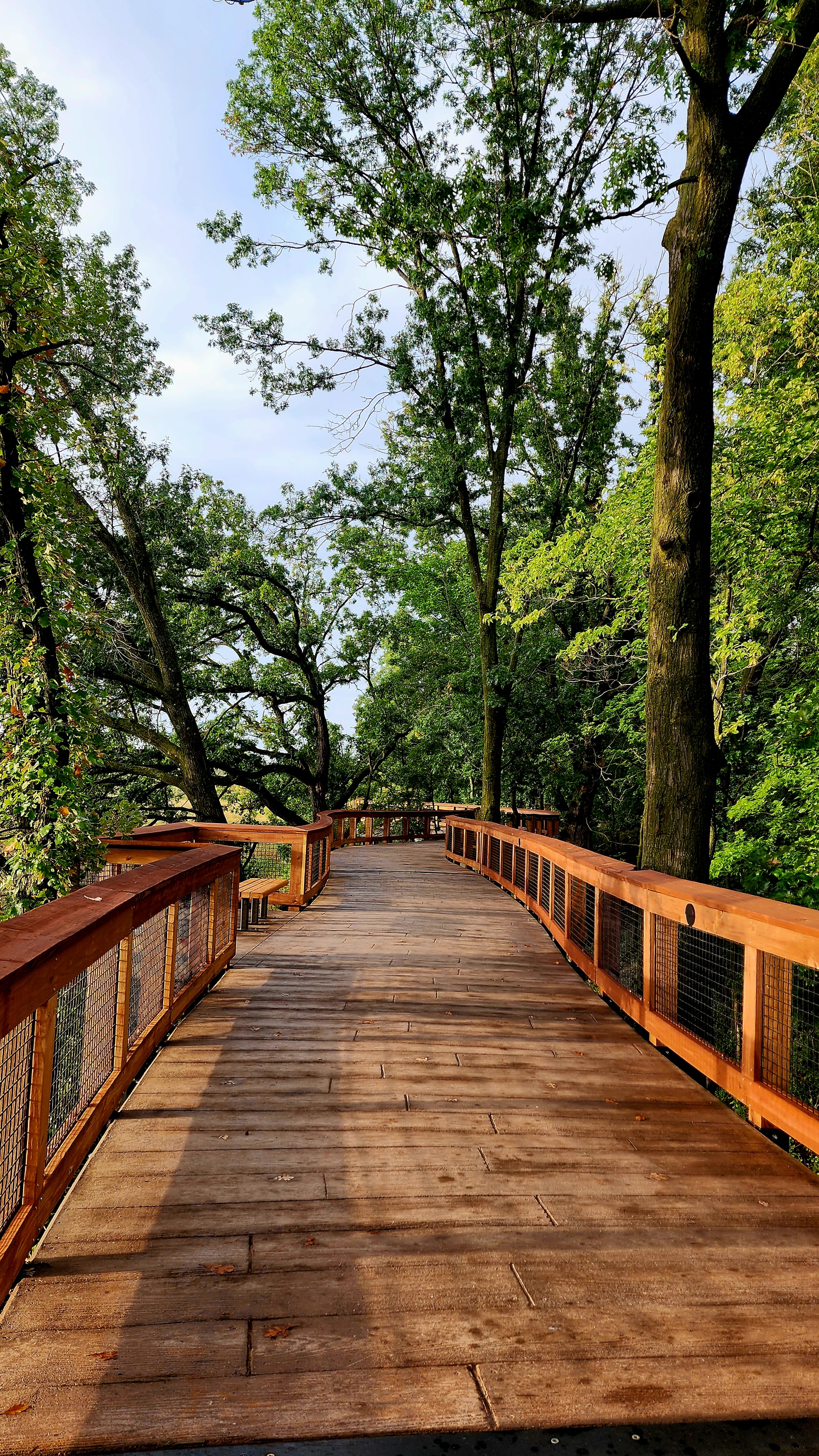
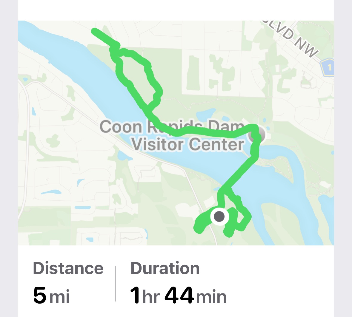
Our hike began at the newly built Treetop Trail.
The Treetop Trail was about .25 of a mile.
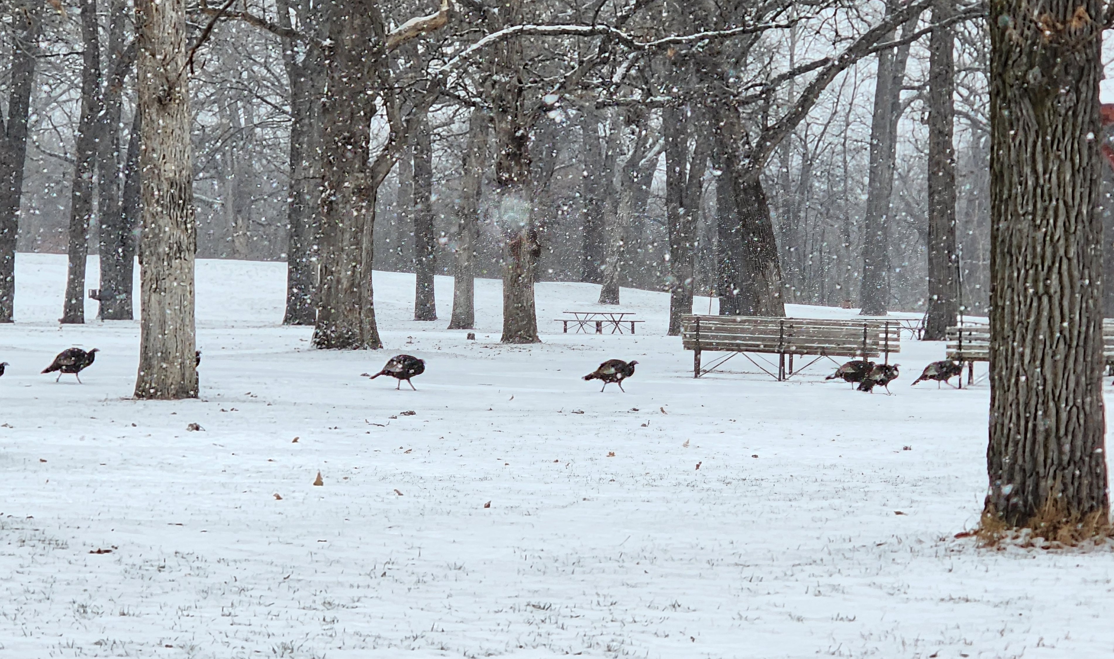
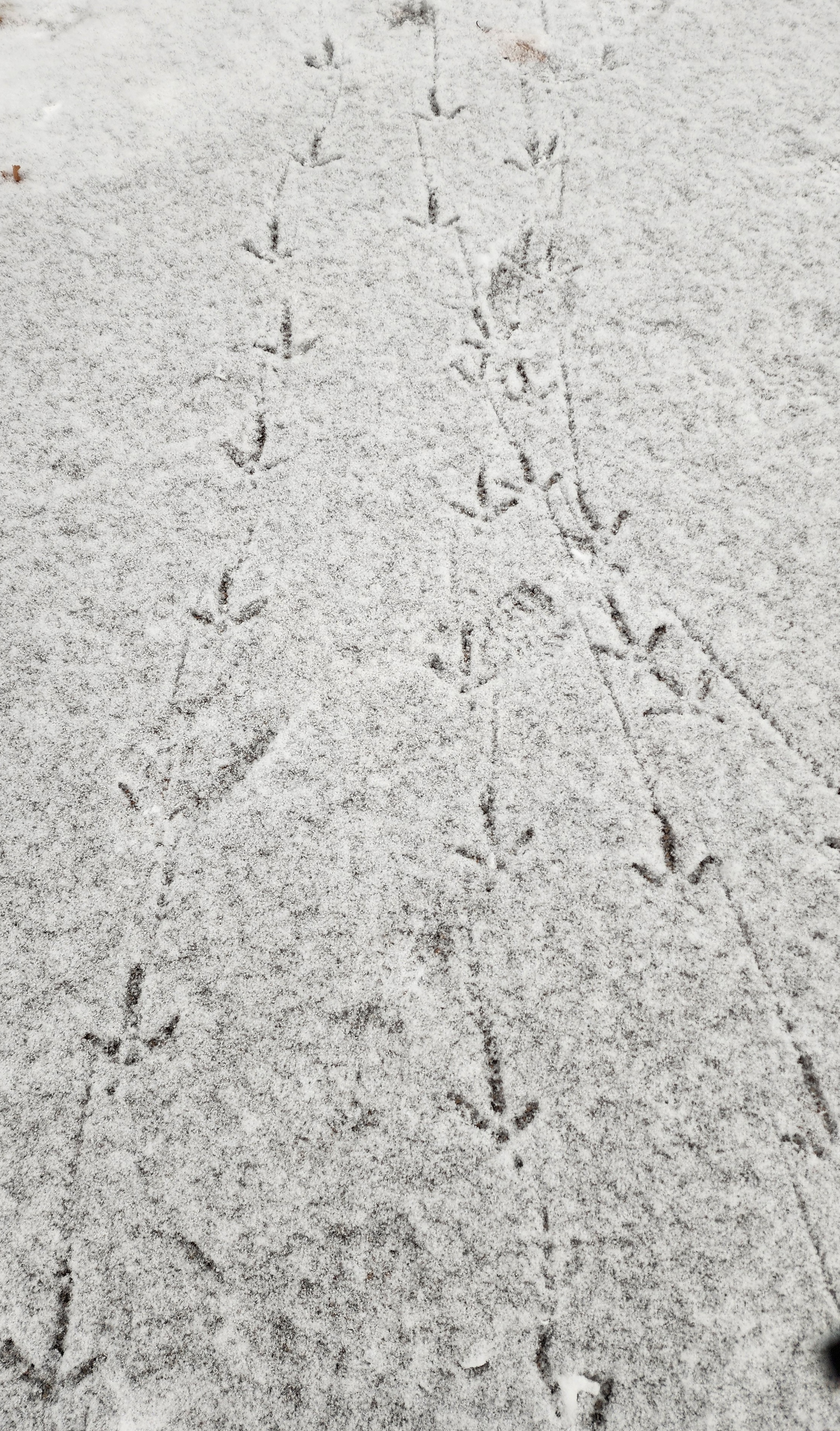
We followed the trail under the walkway. A few turkeys stopped for a visit.
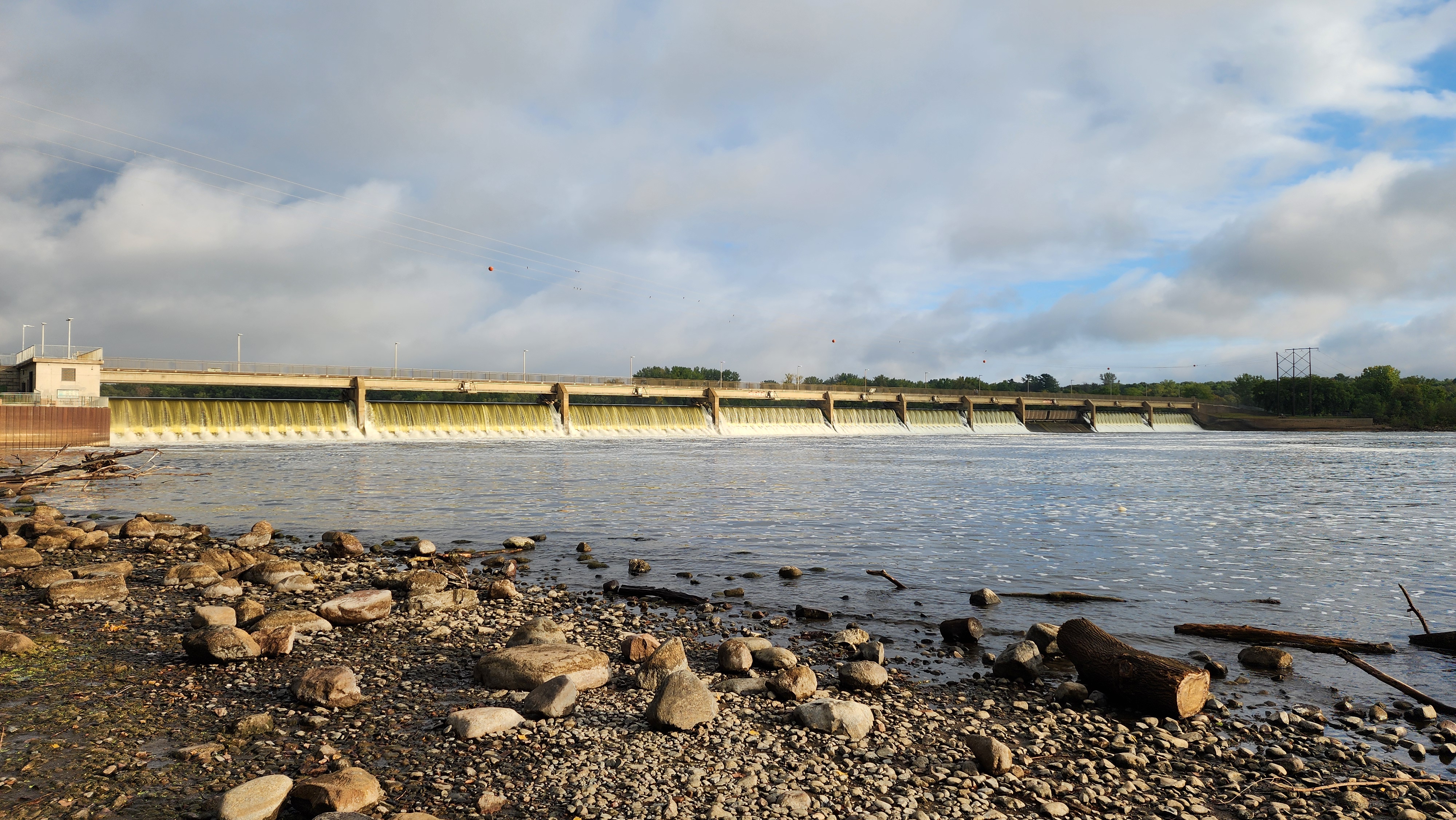
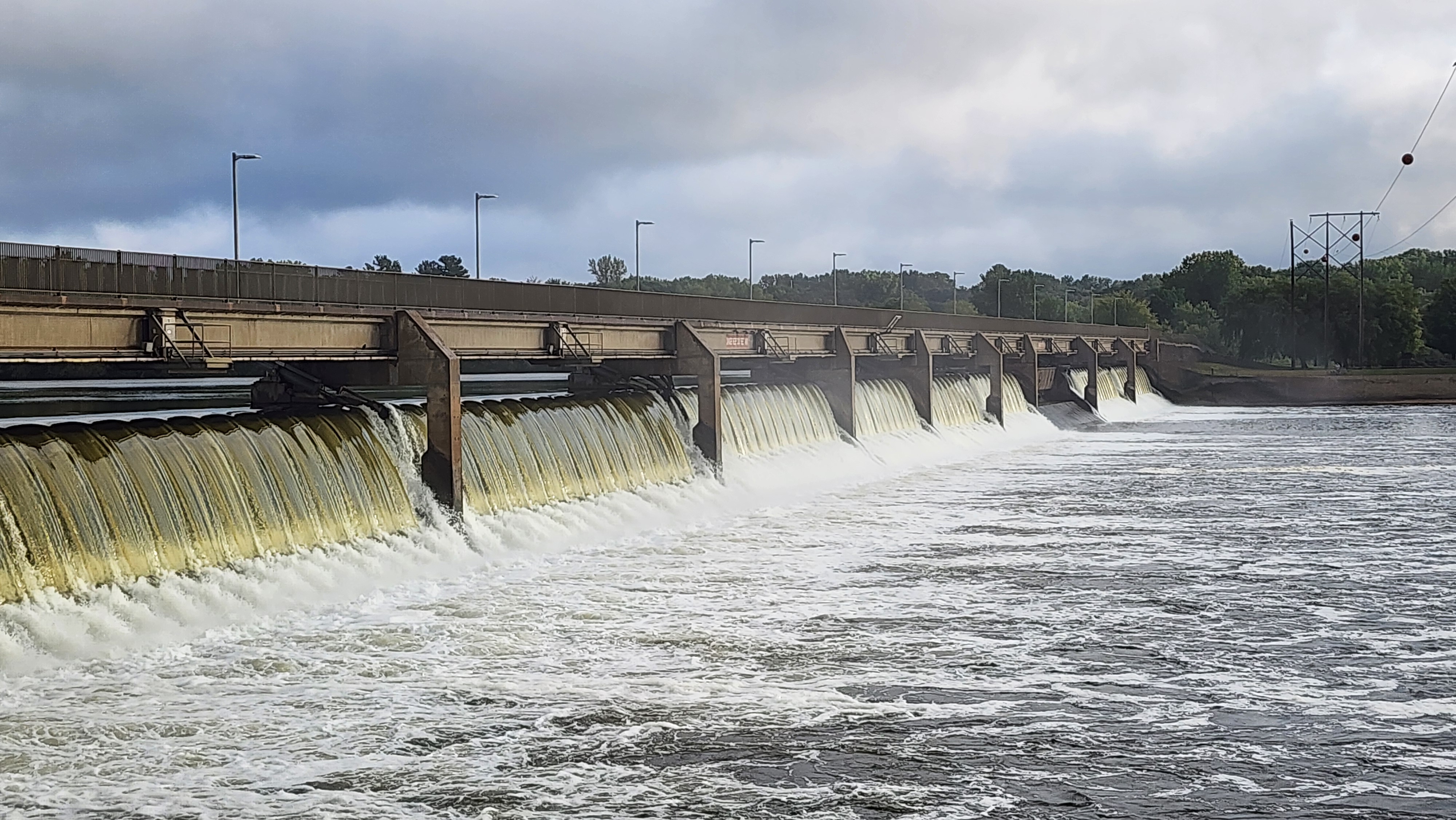
Coon Rapids Dam
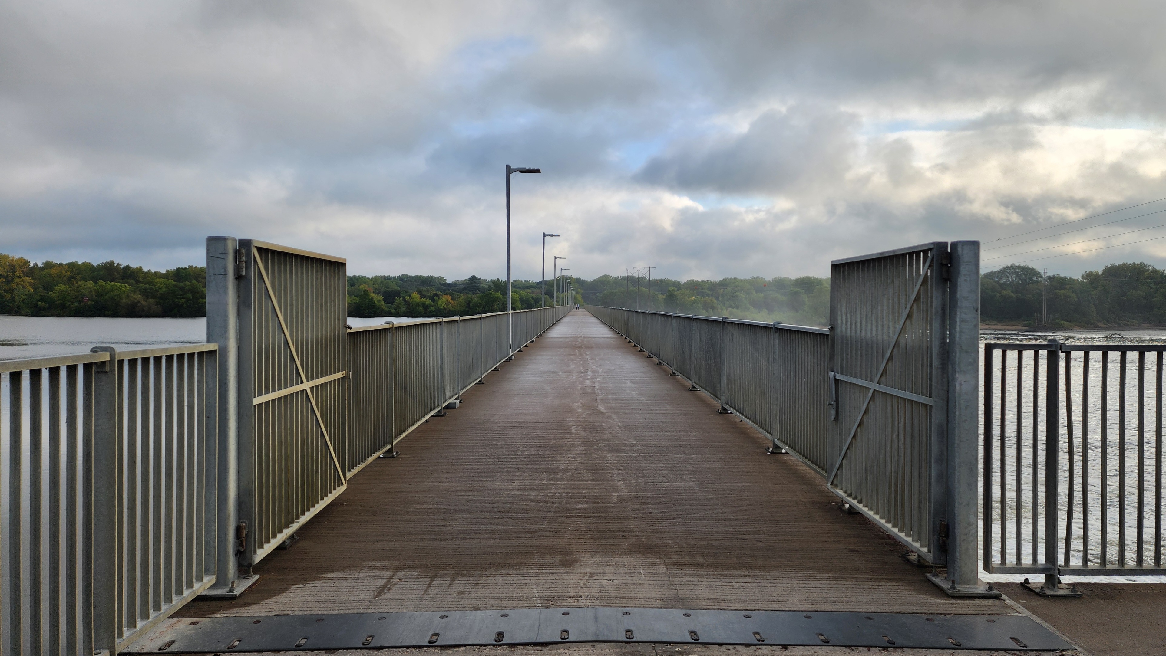
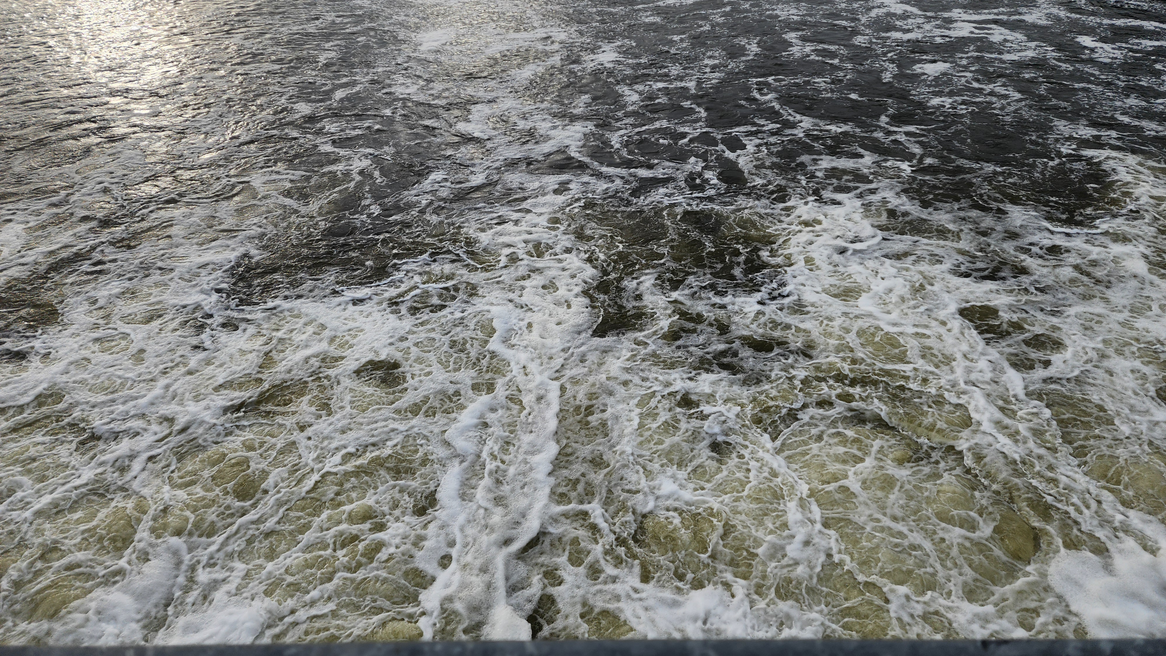
I always enjoy walking across the dam. One side of the bridge, the Mississippi River is smooth as glass and on the other side the water is thrashing through the dam.
We continued hiking the trail on the Coon Rapids side of the dam.
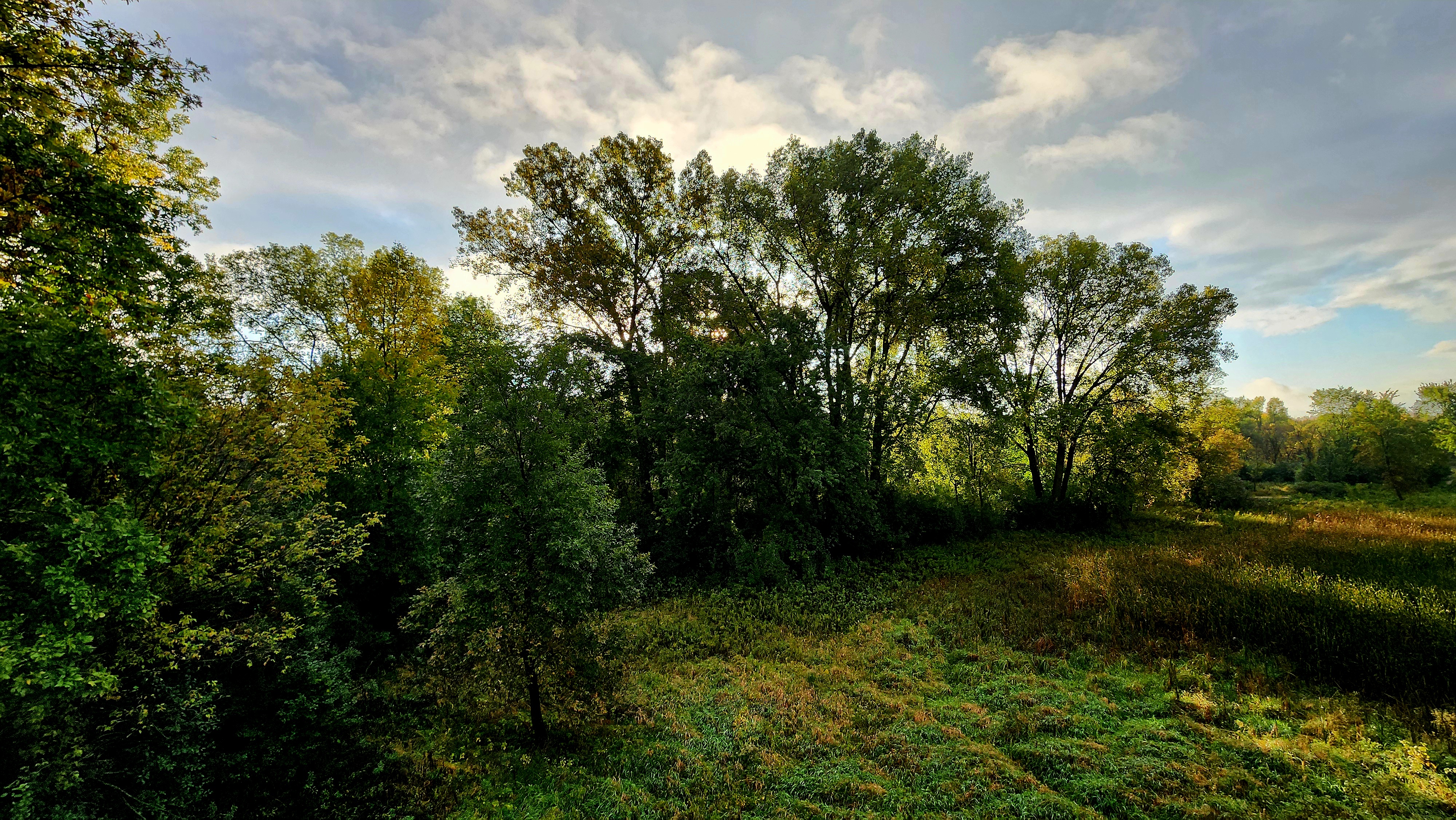
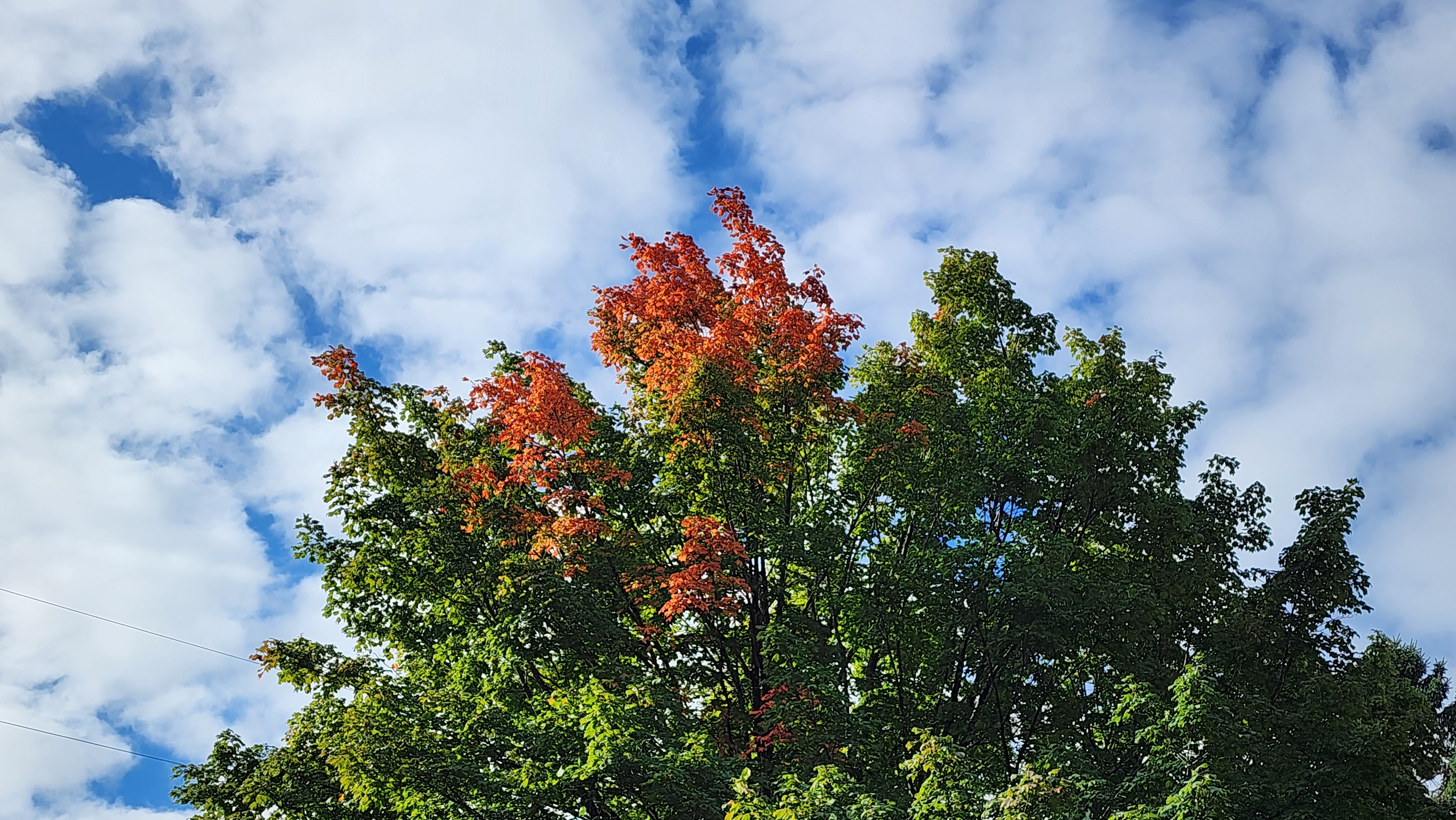
This is a magical tree. I might have to stop back for a visit once the fall colors are vibrant.
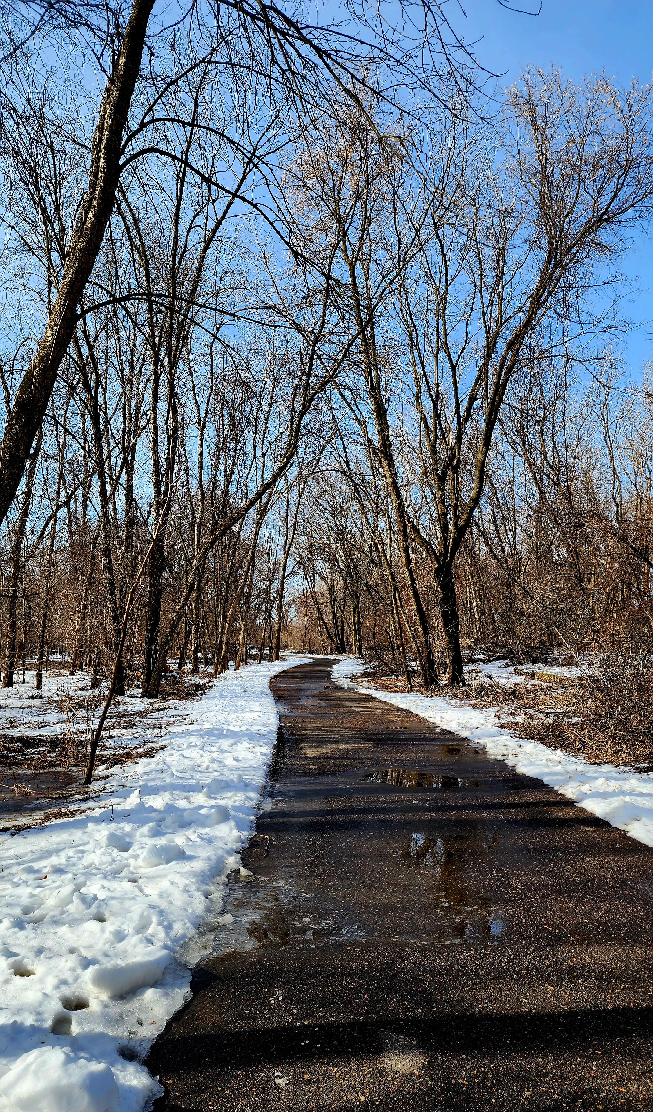
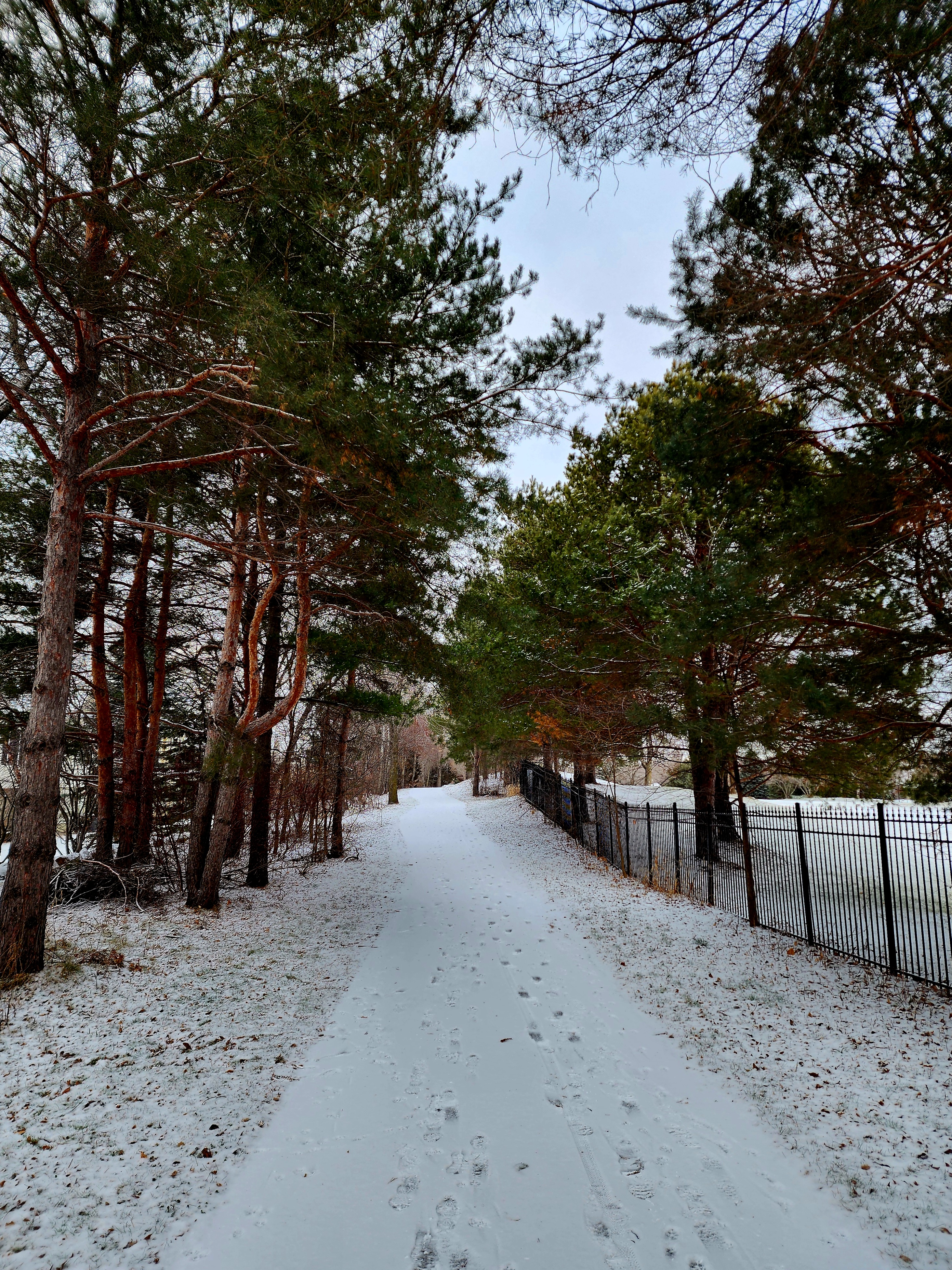
Today’s hiking adventure was at Lilydale Regional Park.
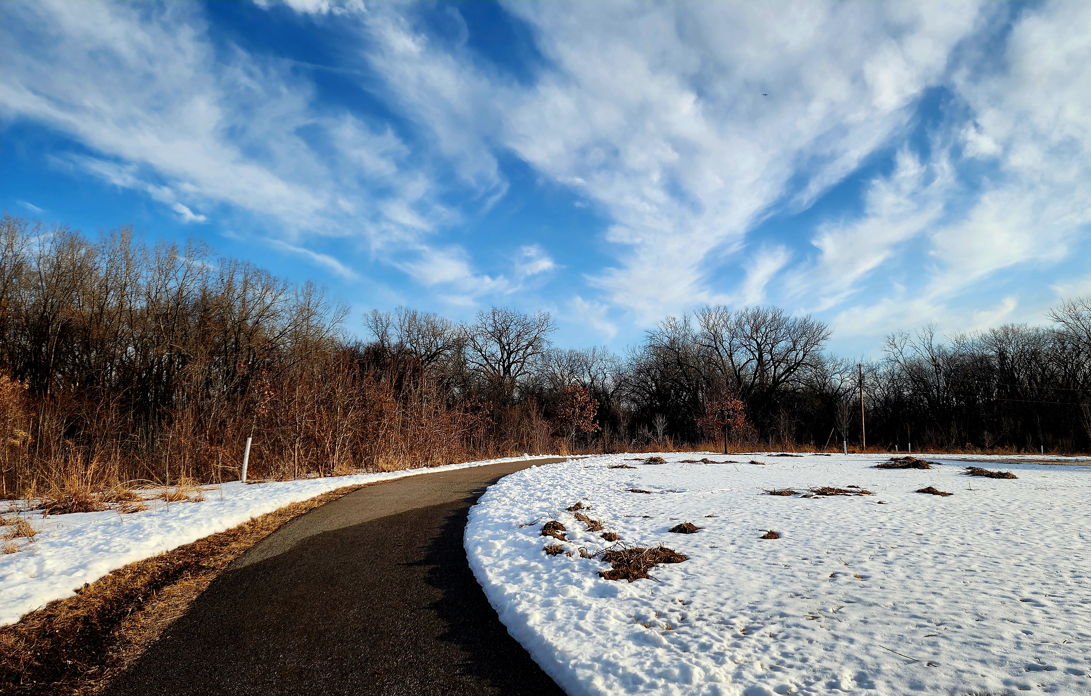
Minnesota was hit with lots of snow this past week. Thankfully, we have had some warmer temperatures so most of the snow has melted. With that said, we wanted to hike a paved trail. Lilydale trail was perfect!
Pickerel Lake had several geese enjoying the rising sun.
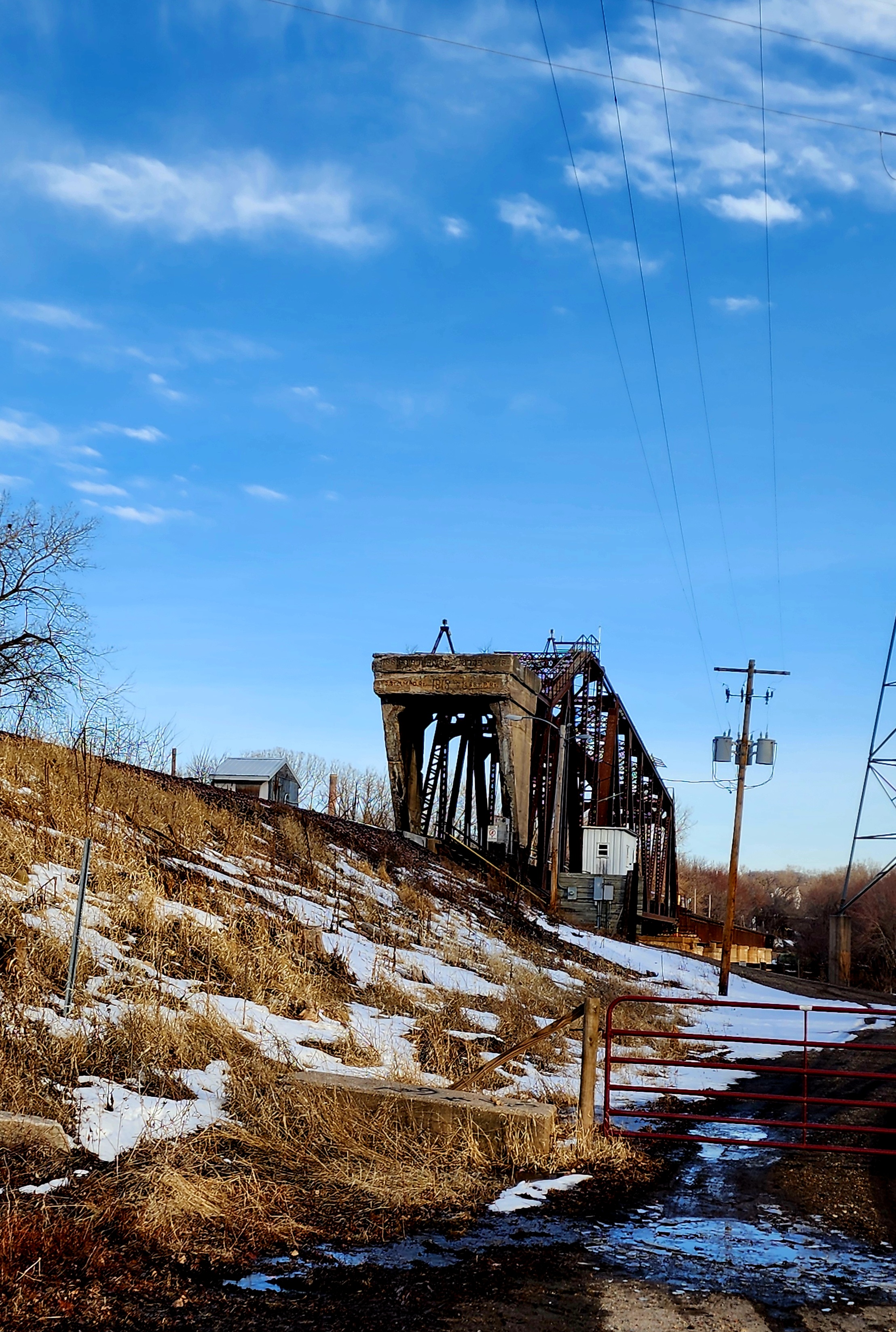
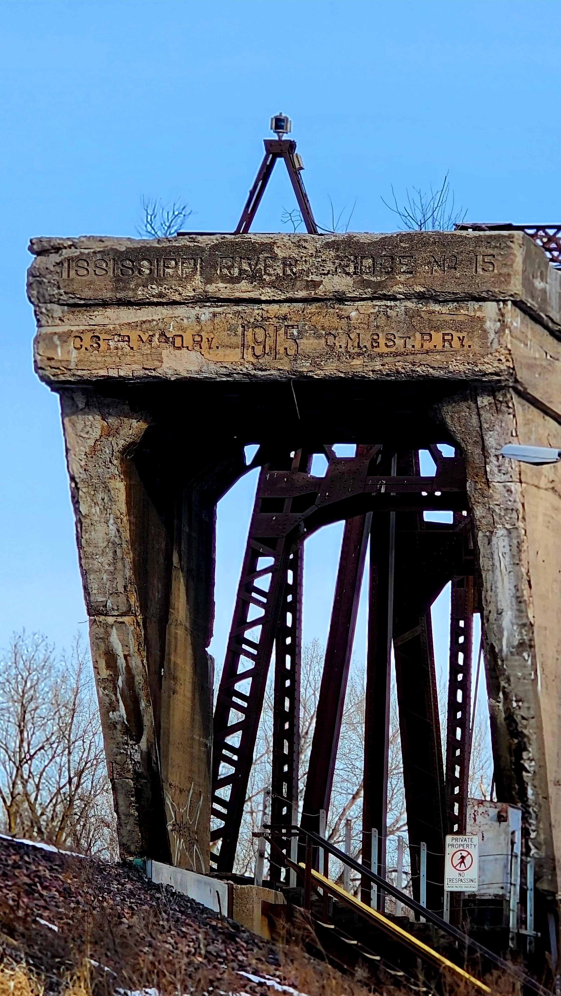
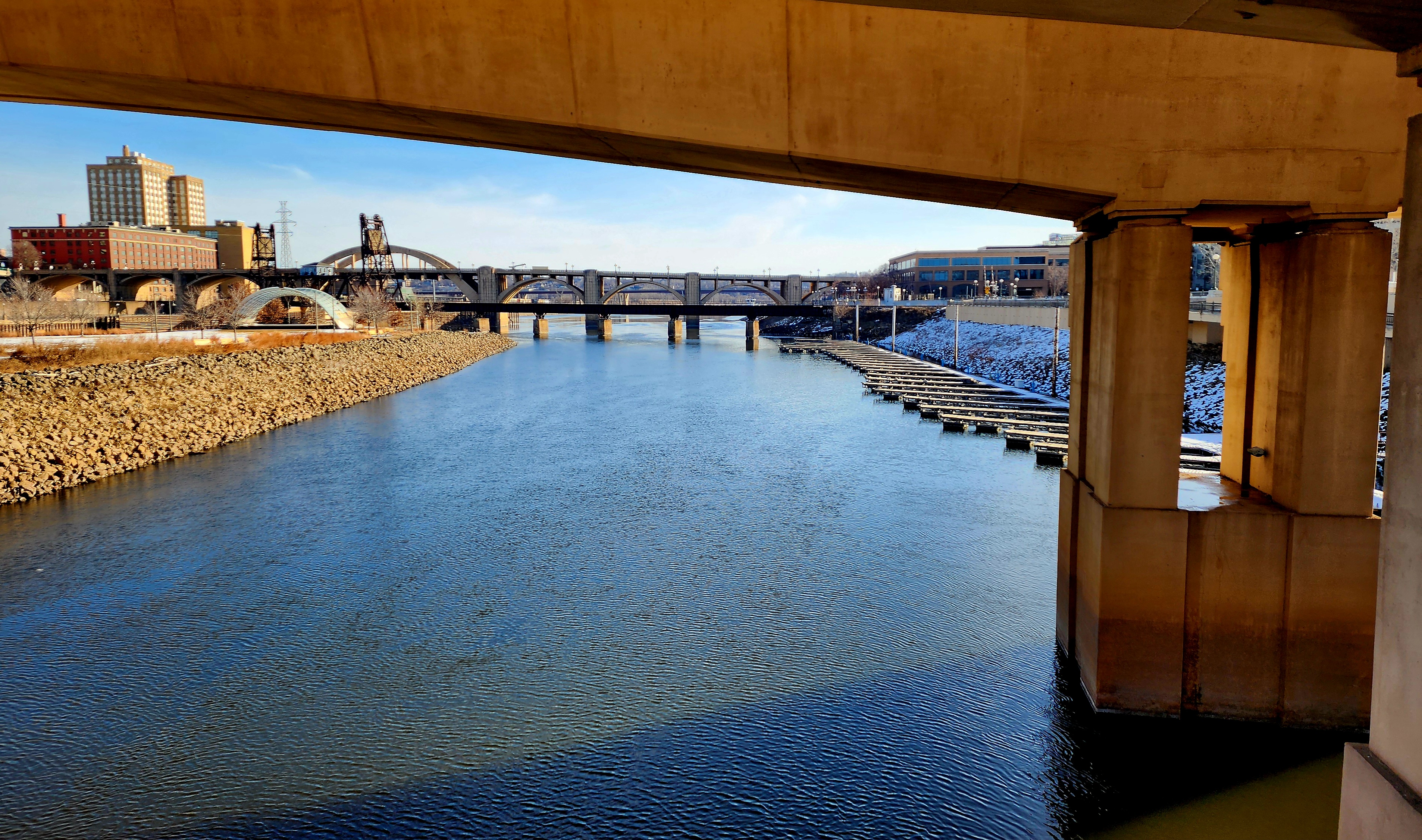
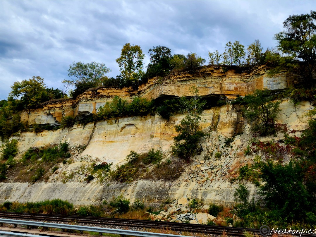
Old and new train tracks could be seen alongside the Mississippi River.
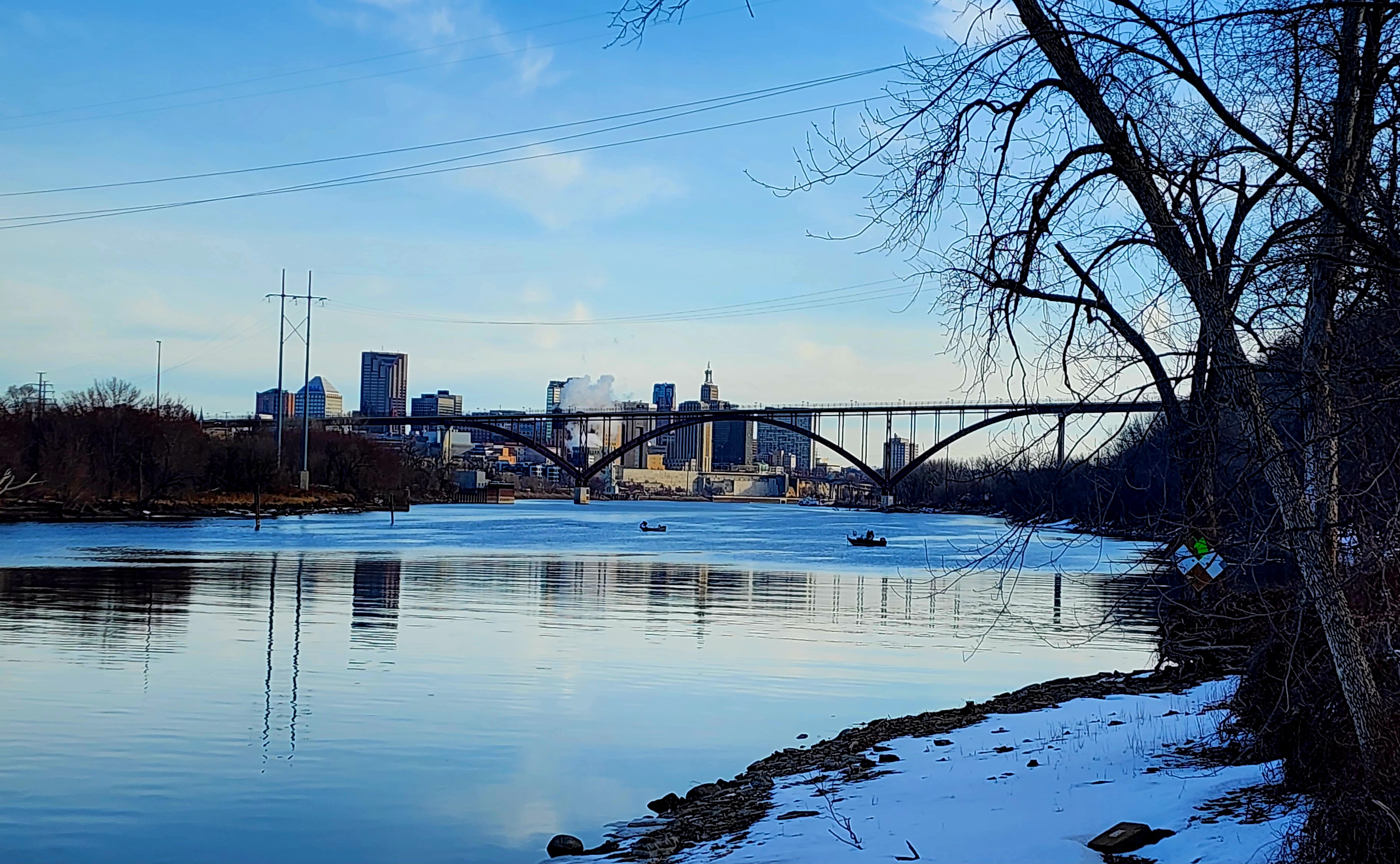
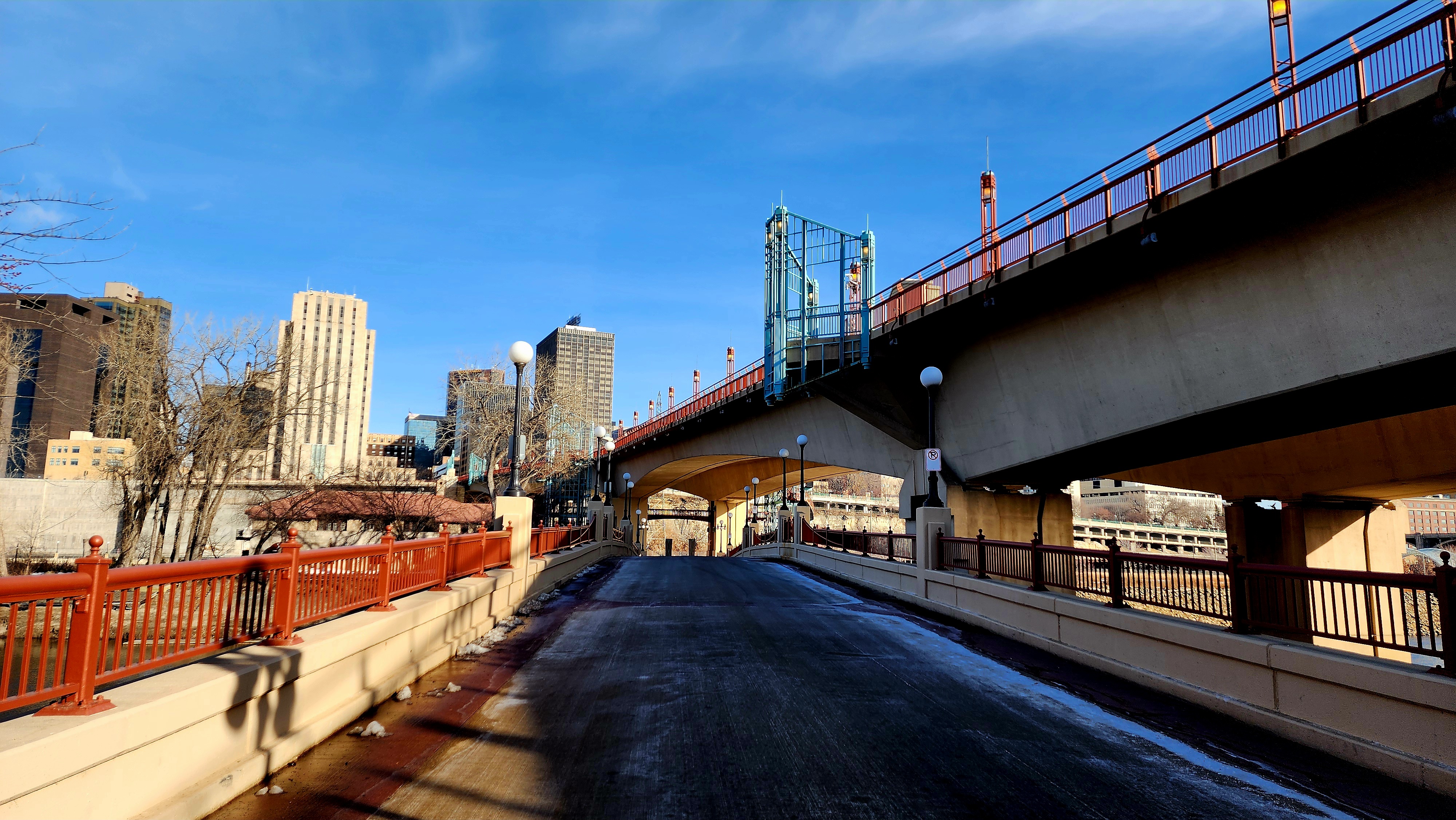
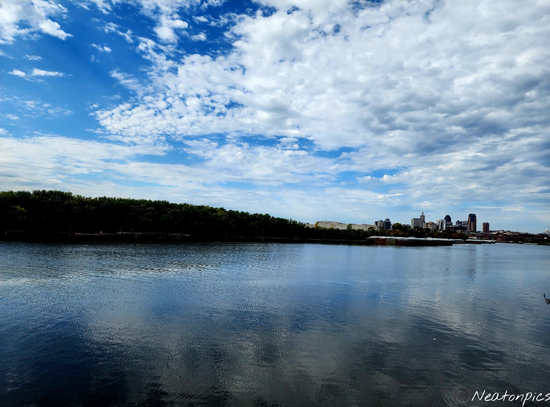
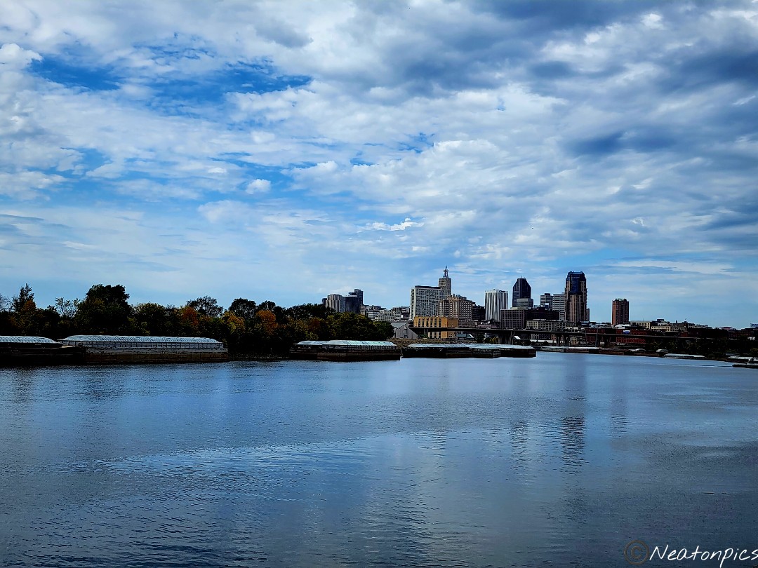
Mississippi River and Downtown St. Paul in the near distance.
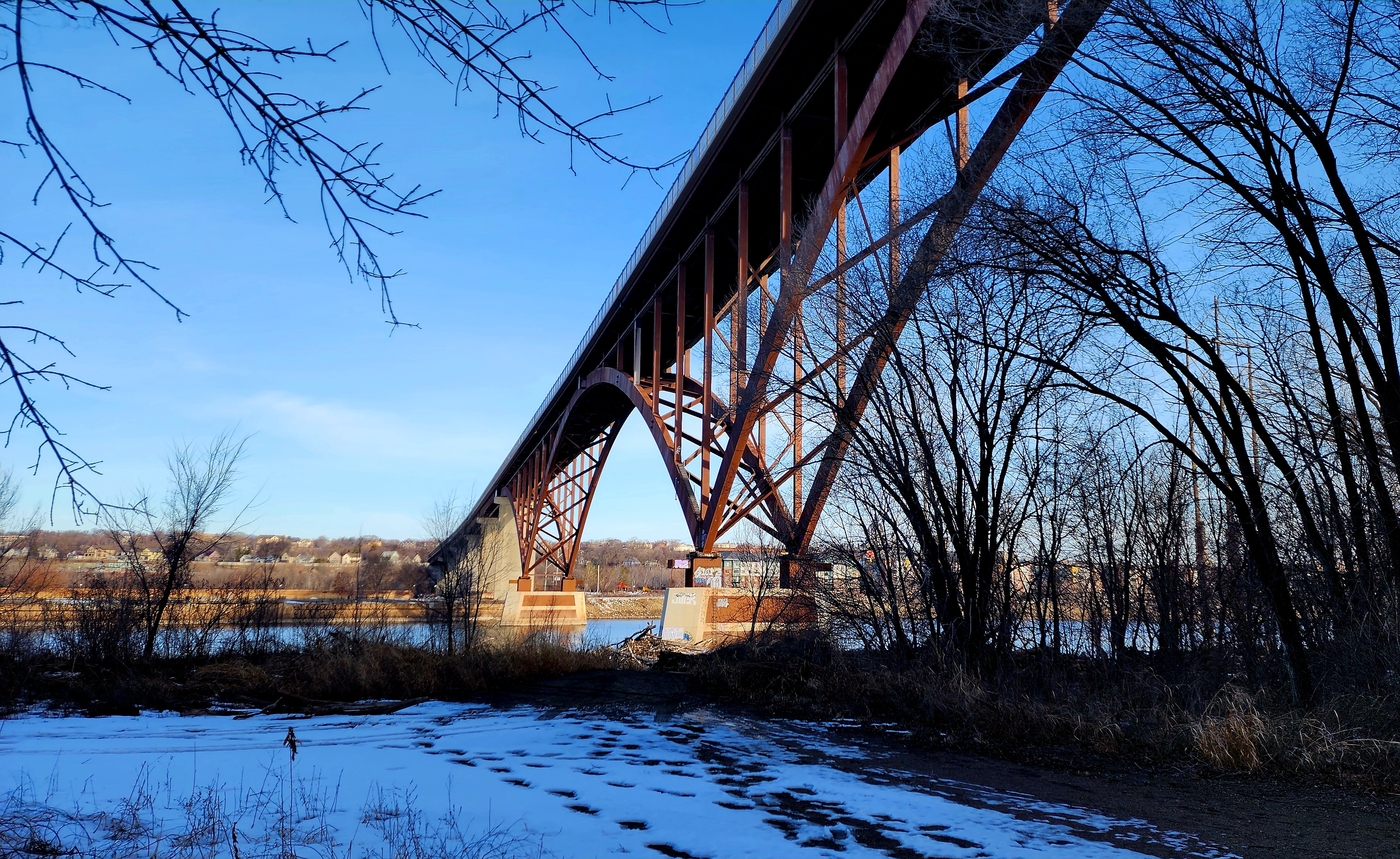
Hiking under the High Bridge/Smith Ave.
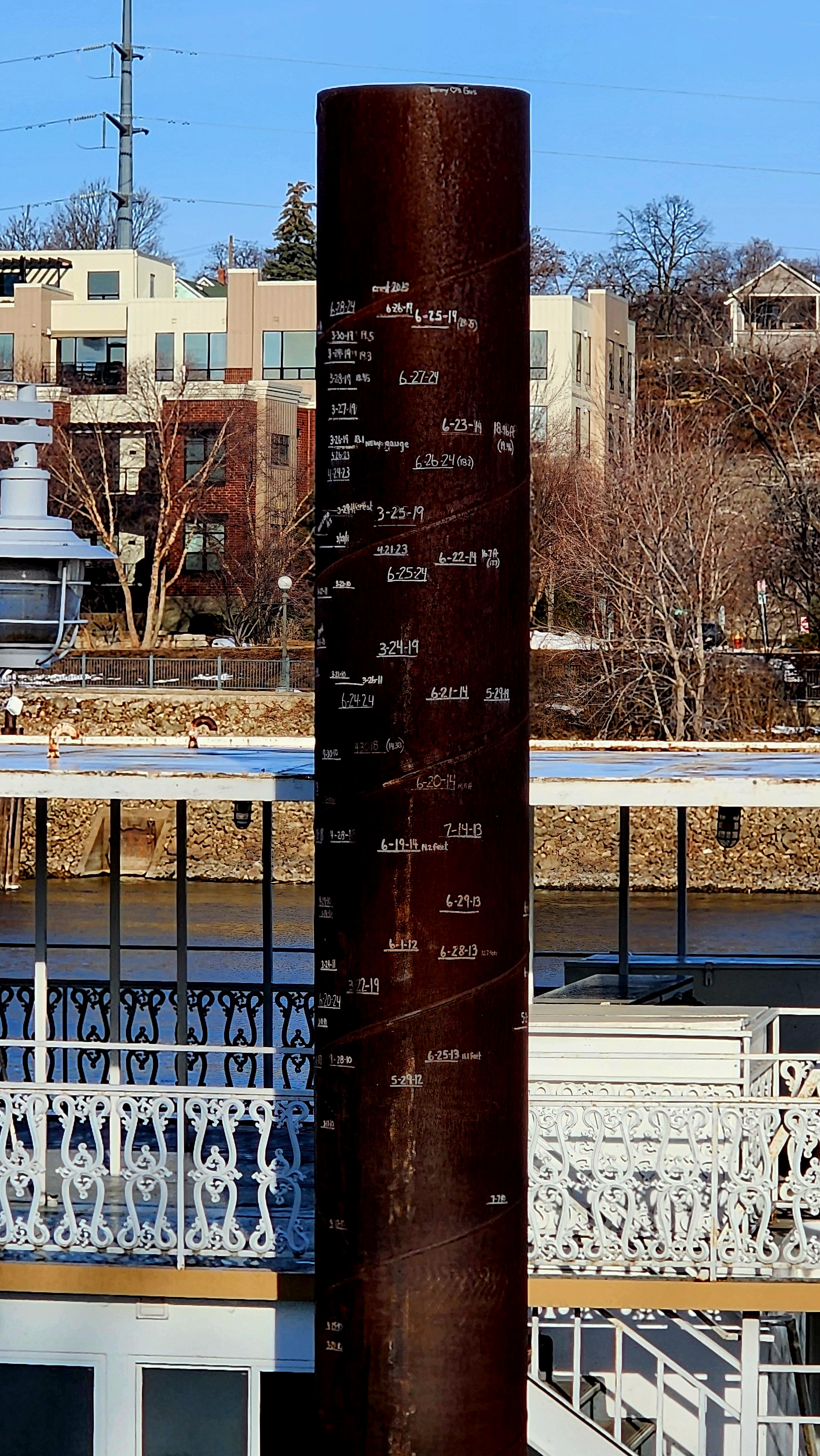
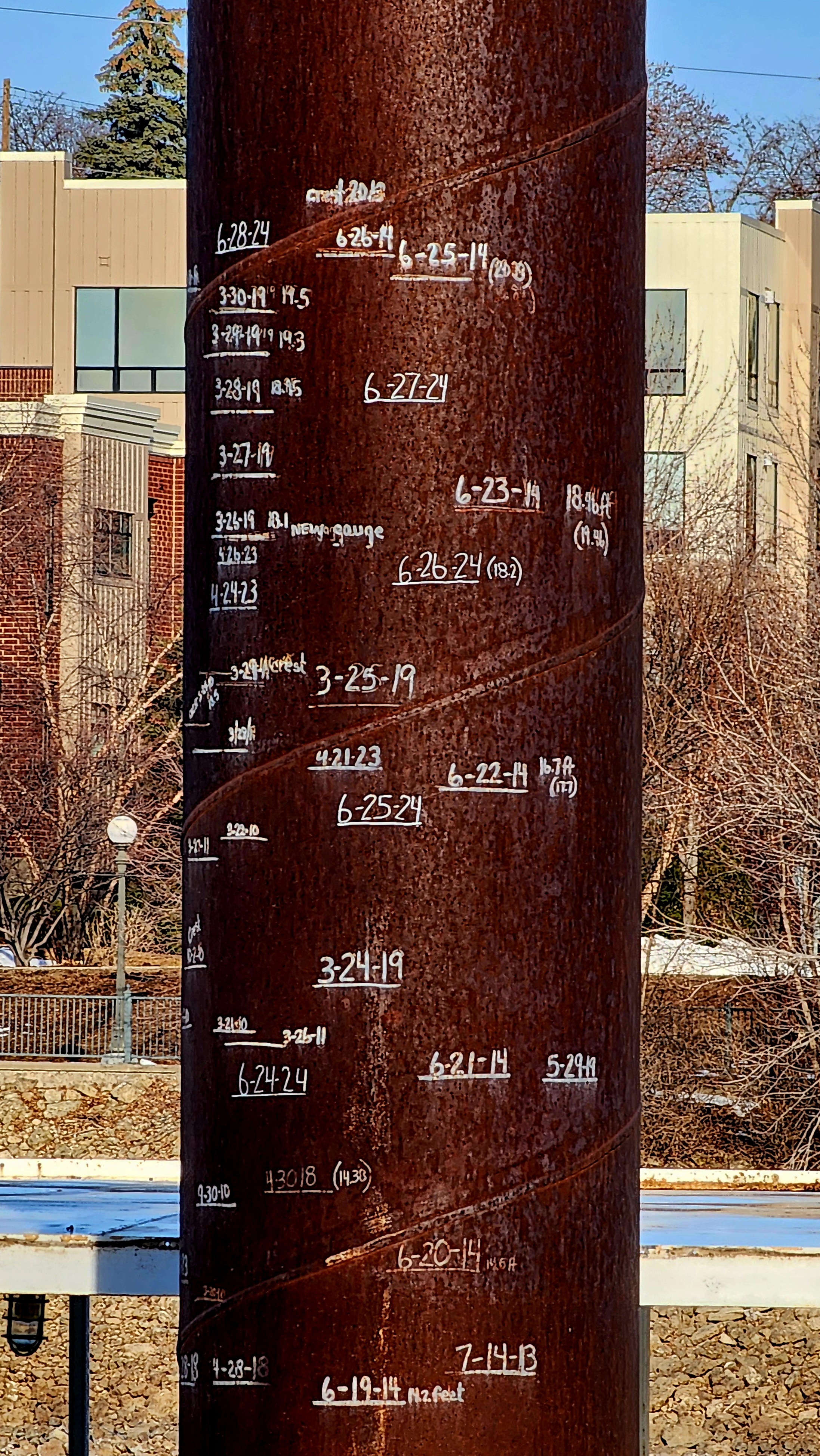
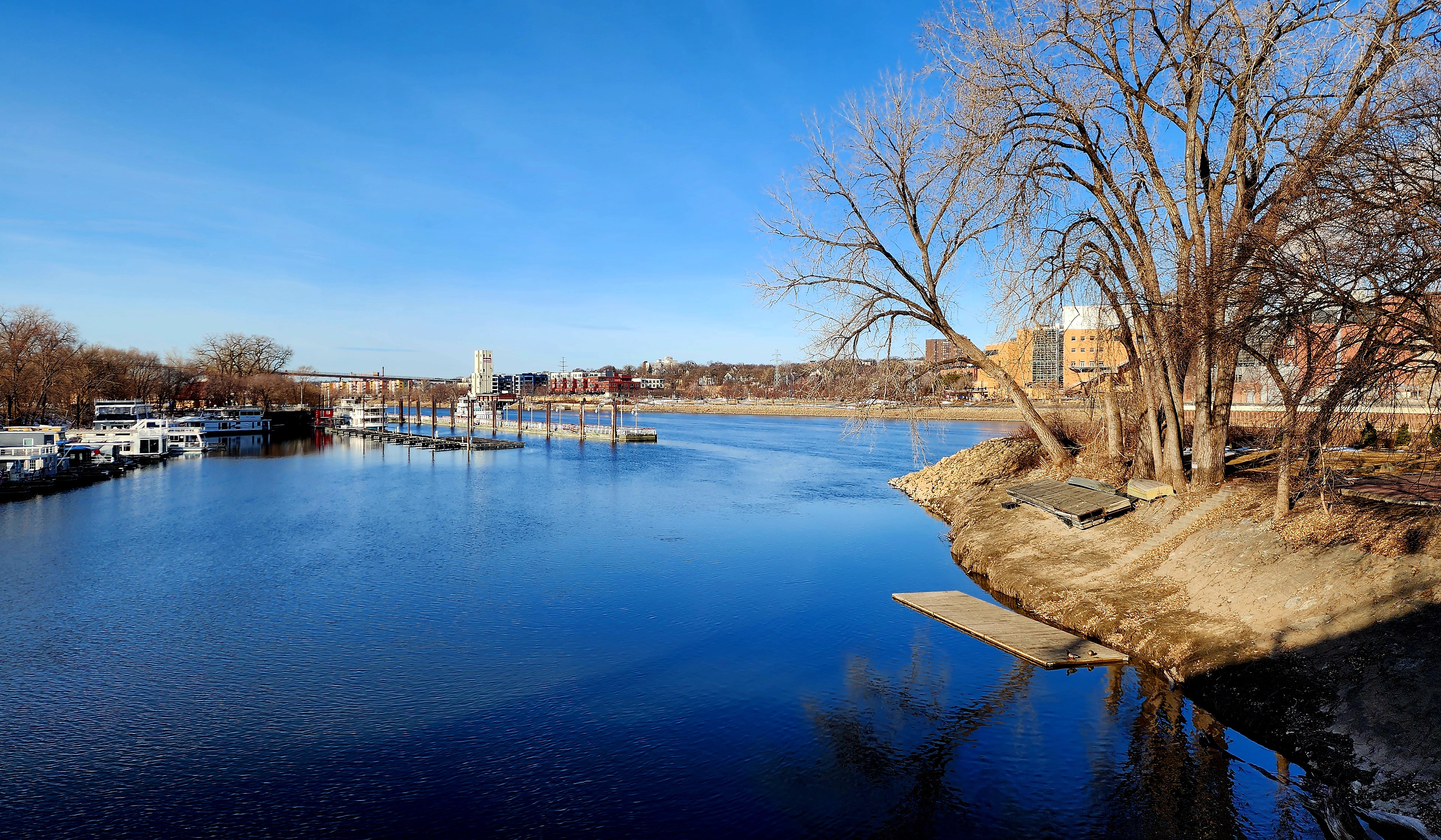
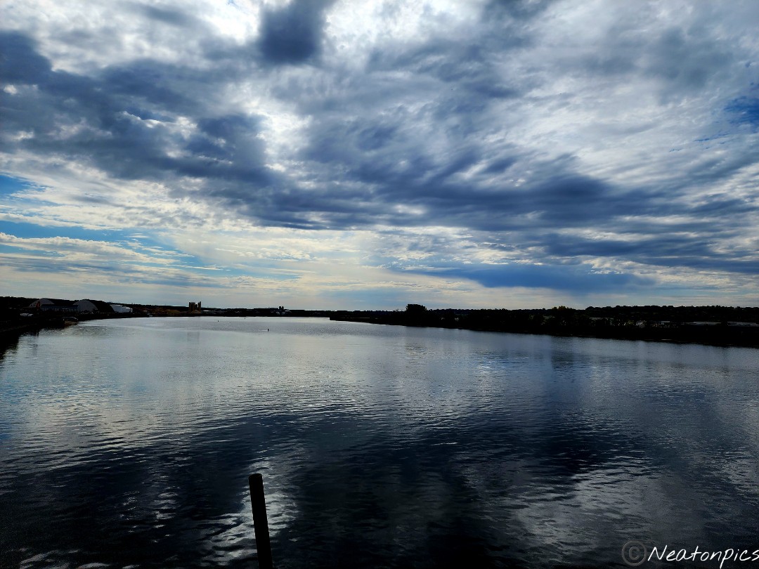
One of the poles on the dock had writing on it. I zoomed in to see if I could read what was written on it. It has water levels going back to 2013.
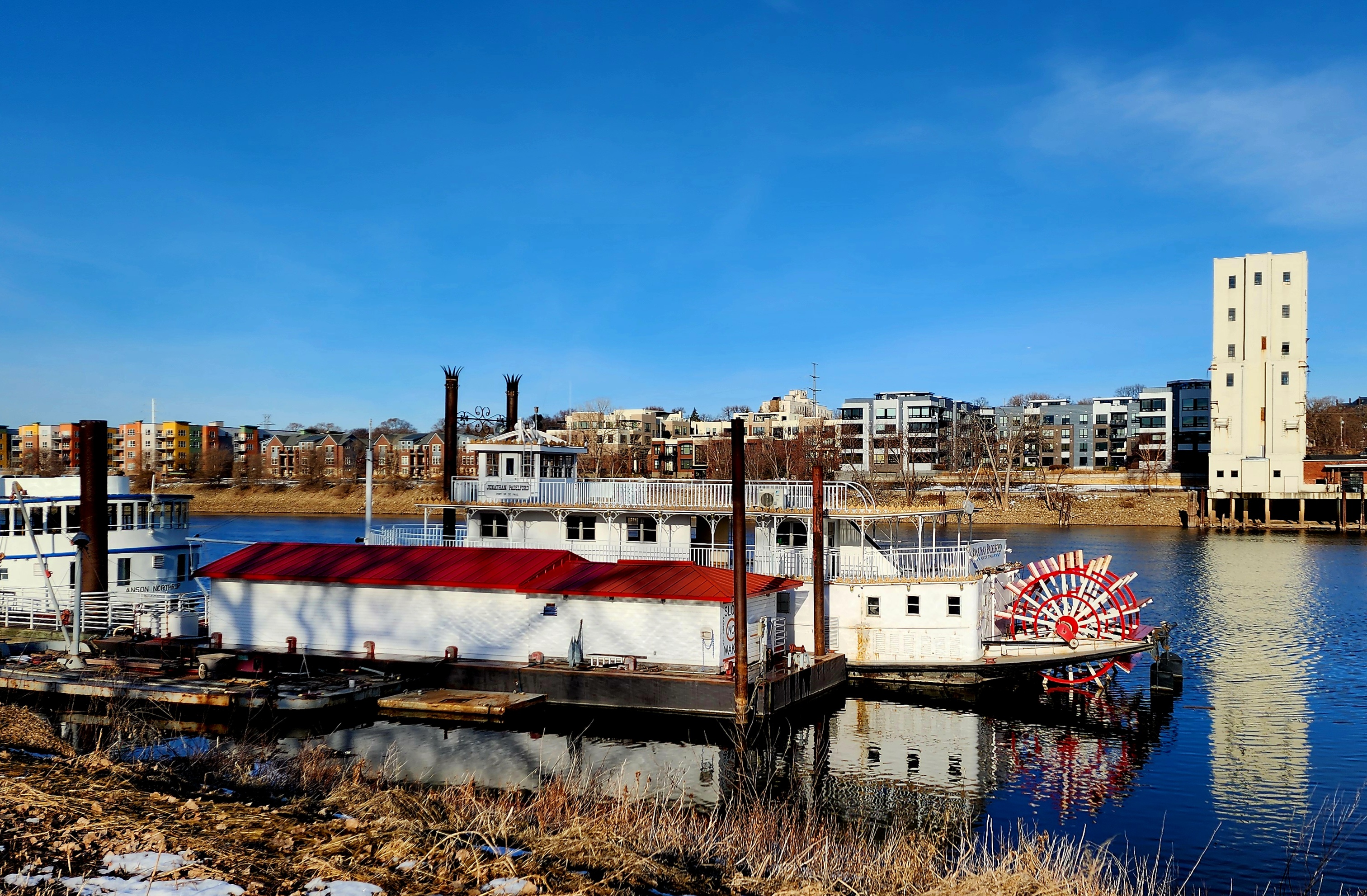
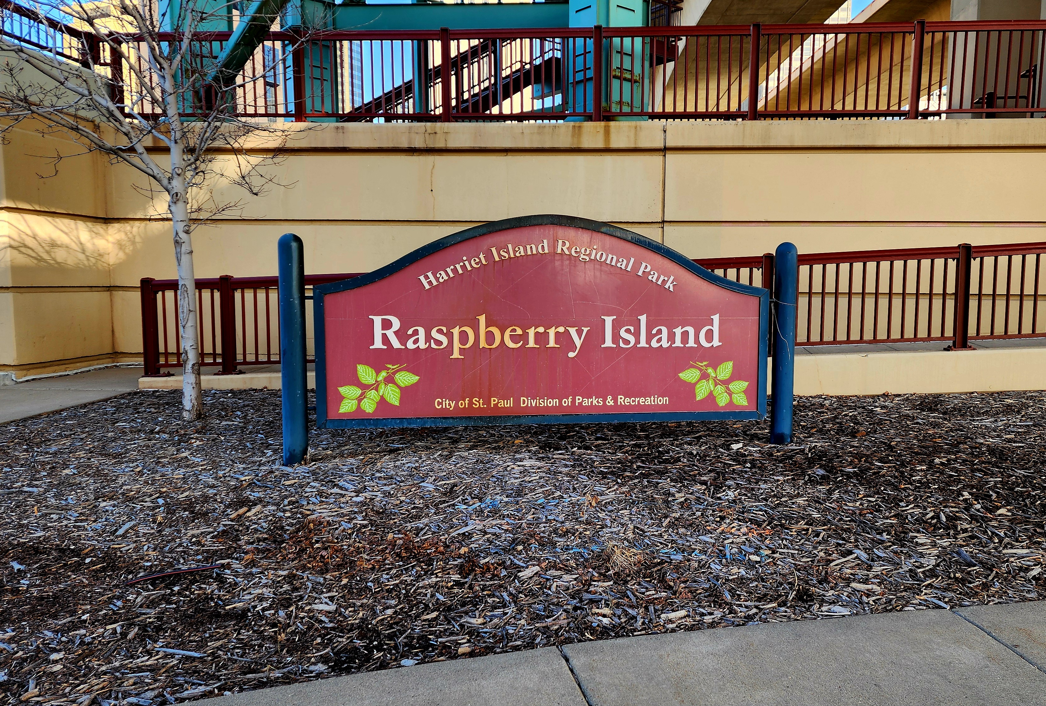
We hiked through Harriet Island Regional Park towards Raspberry Island.
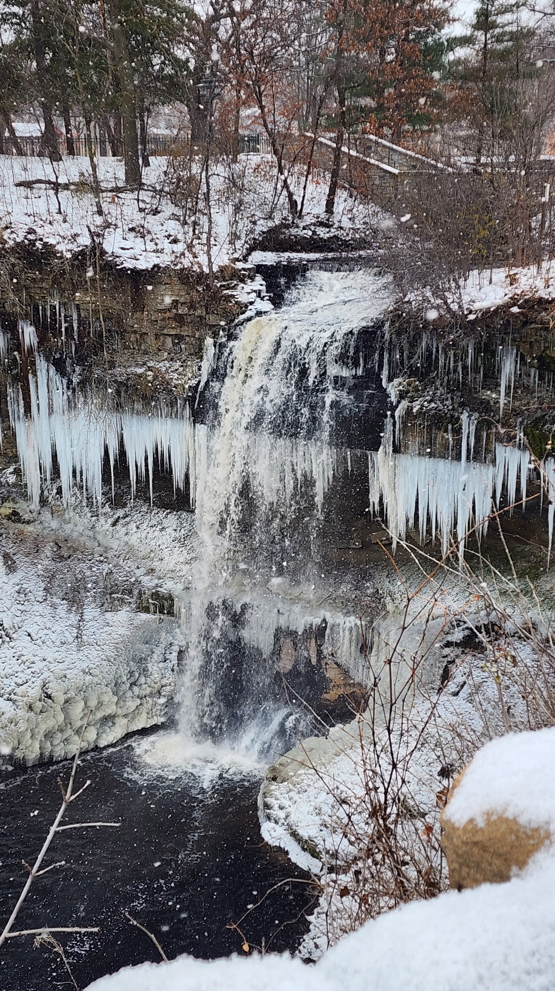
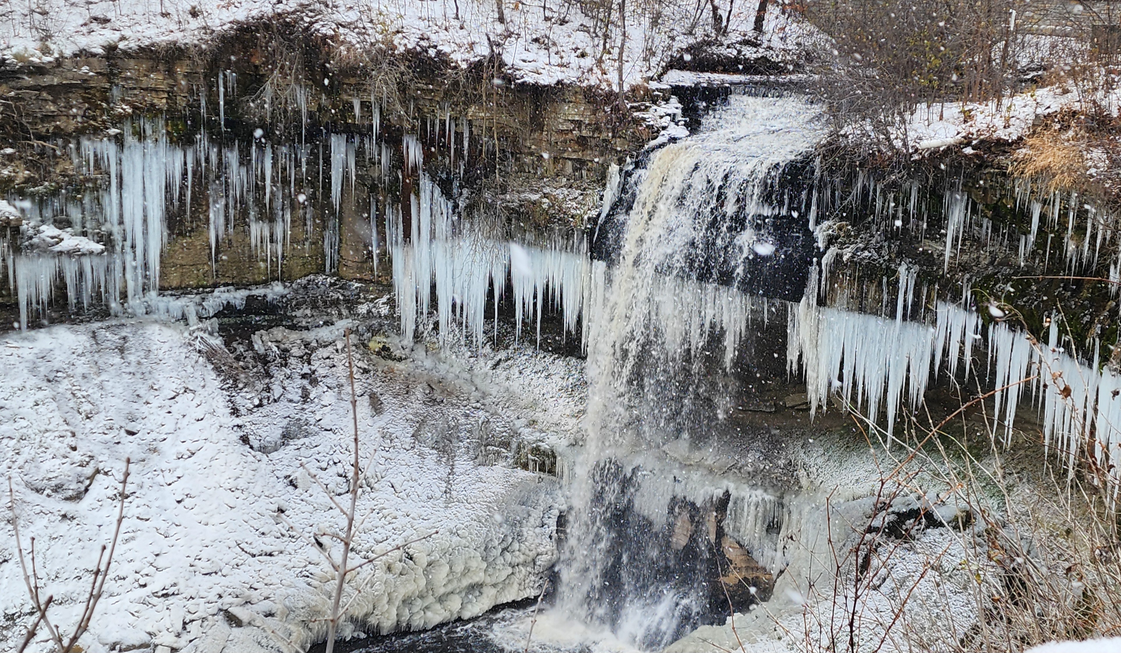
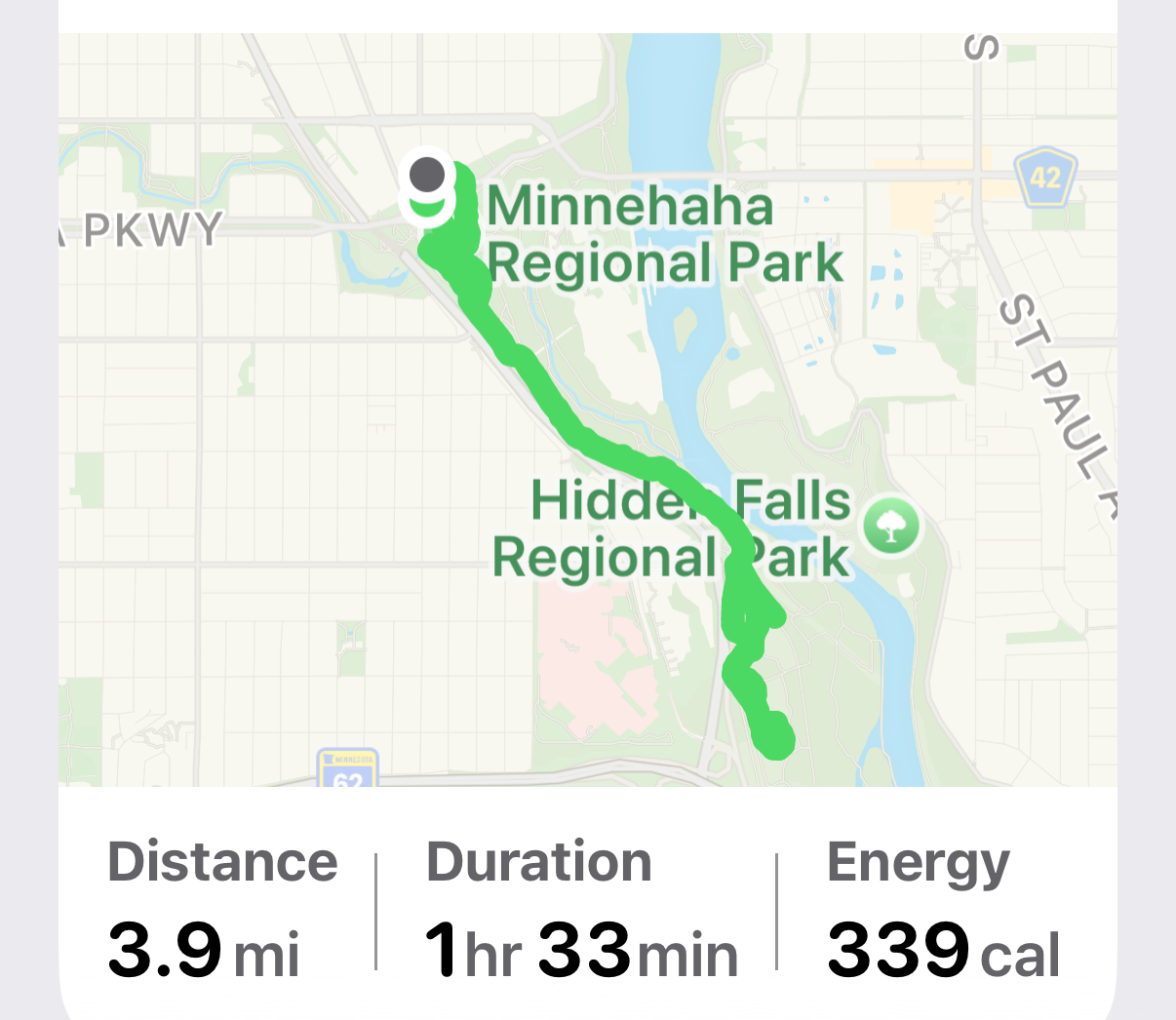
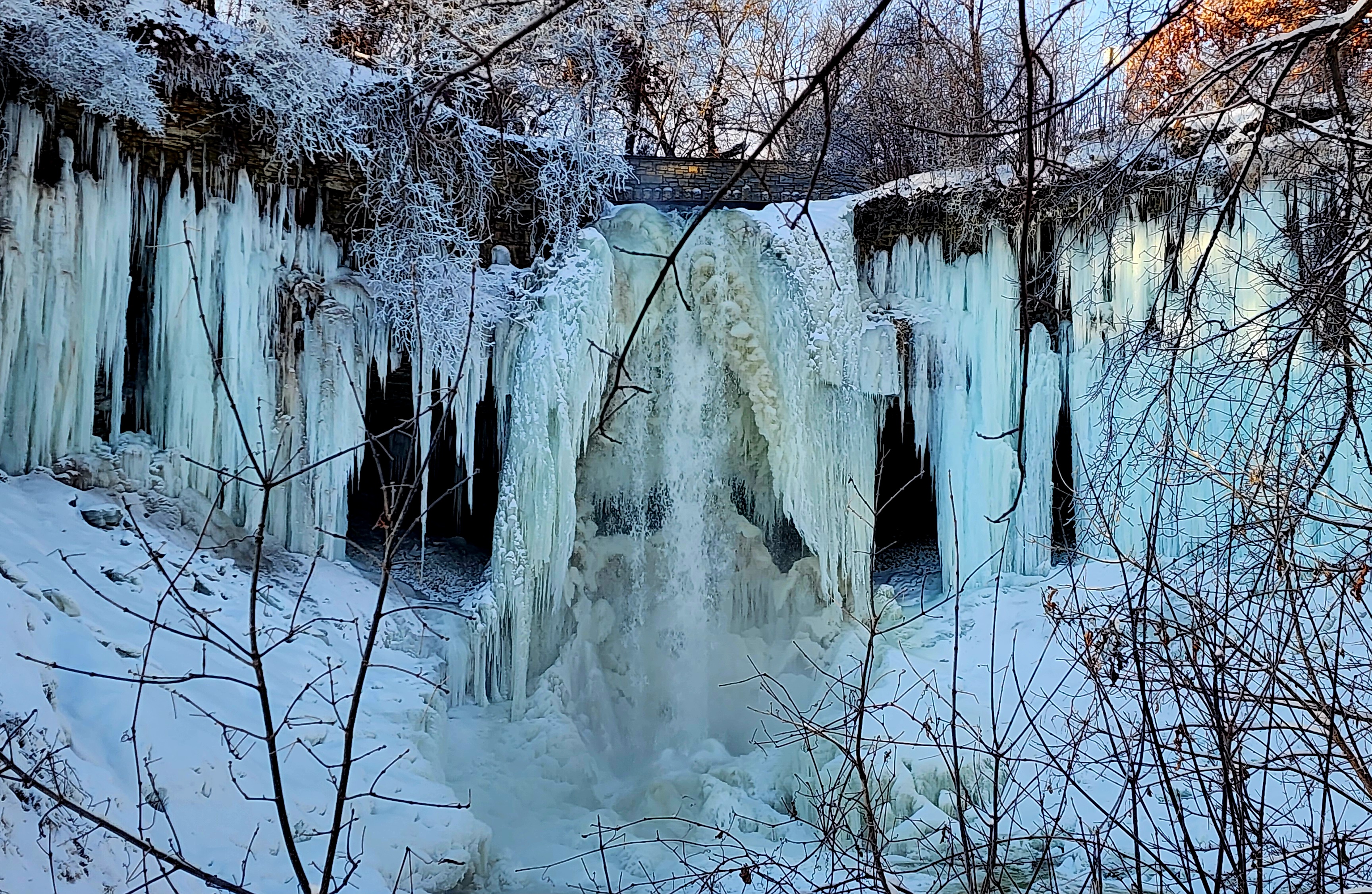
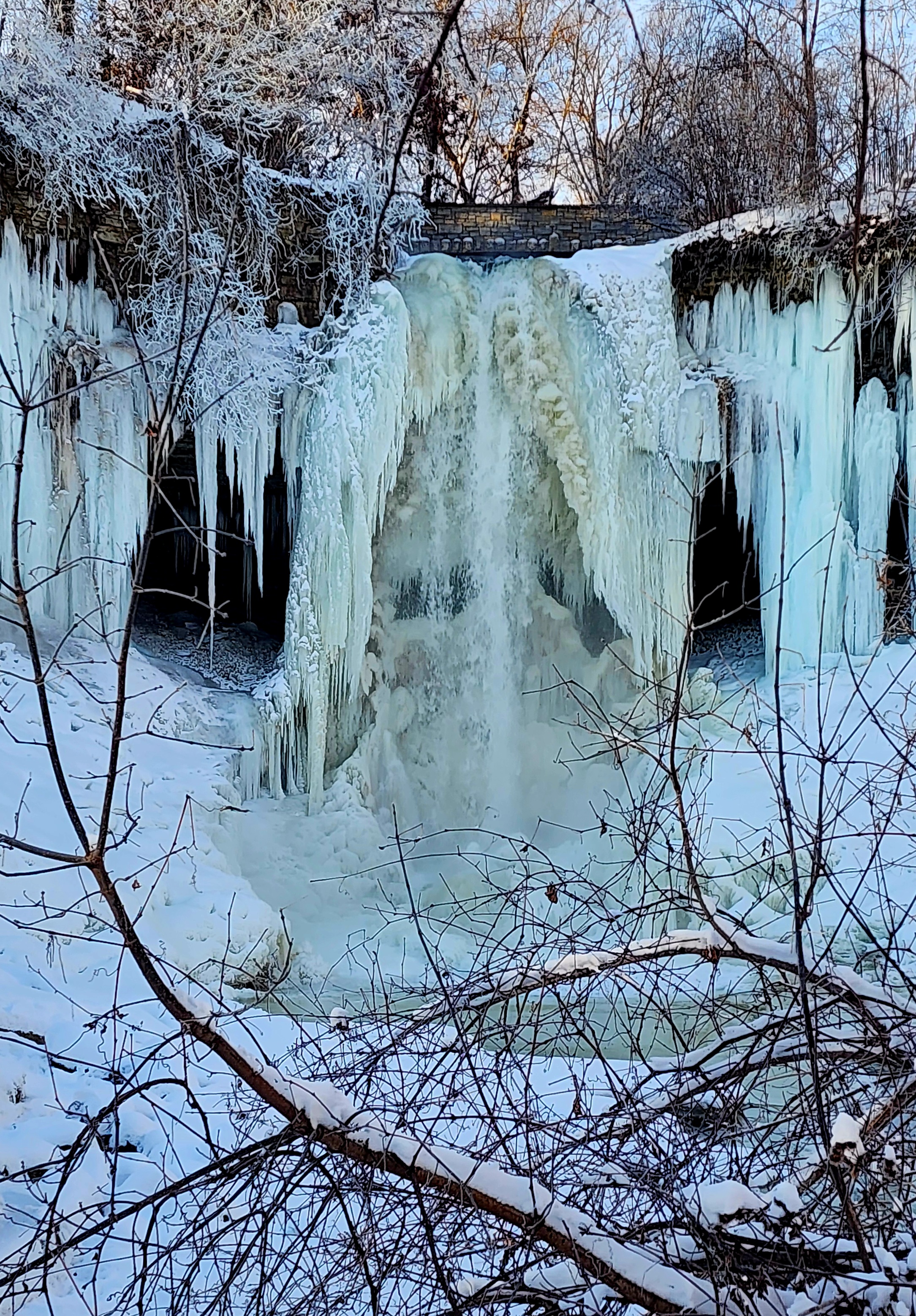
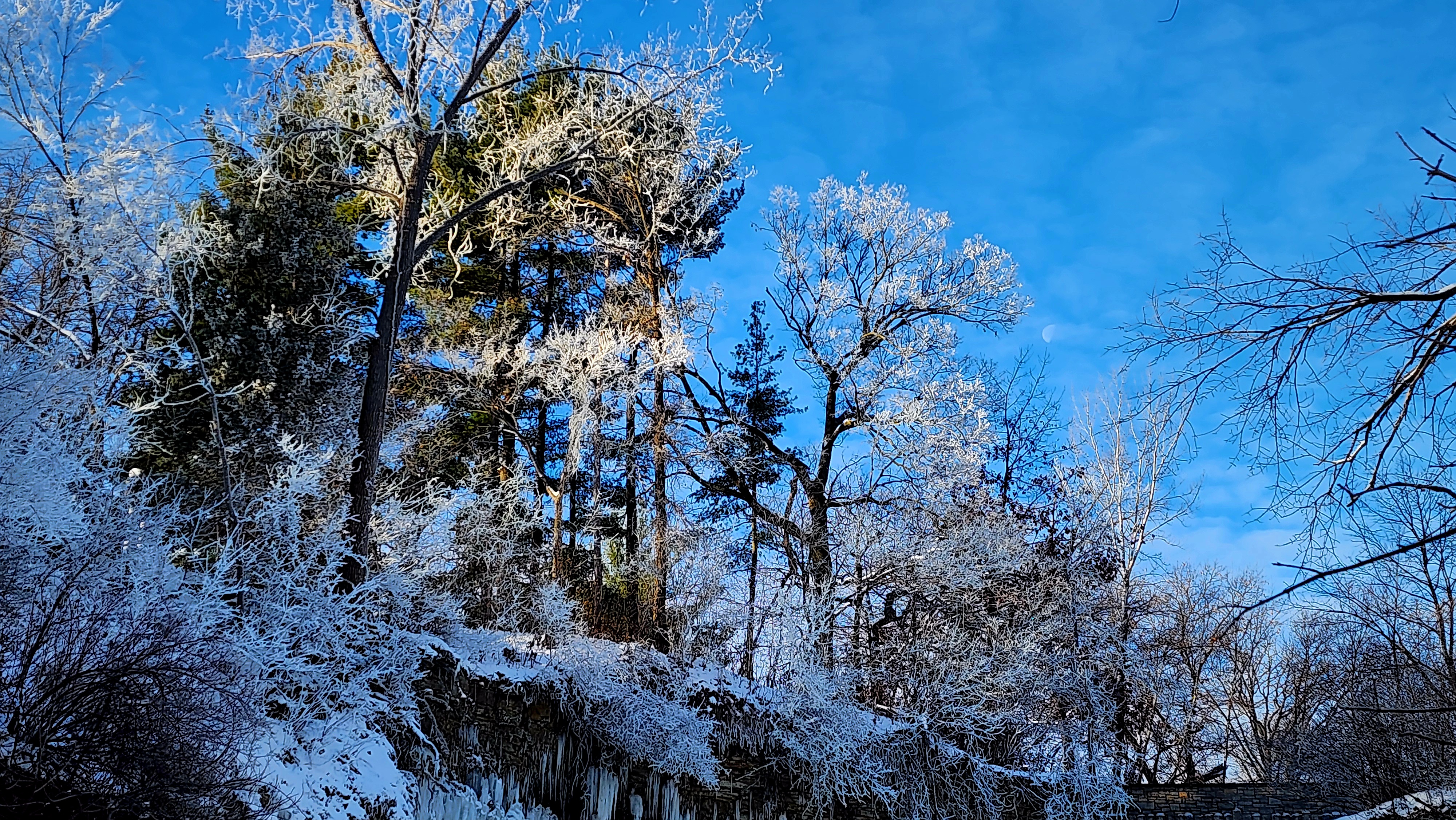
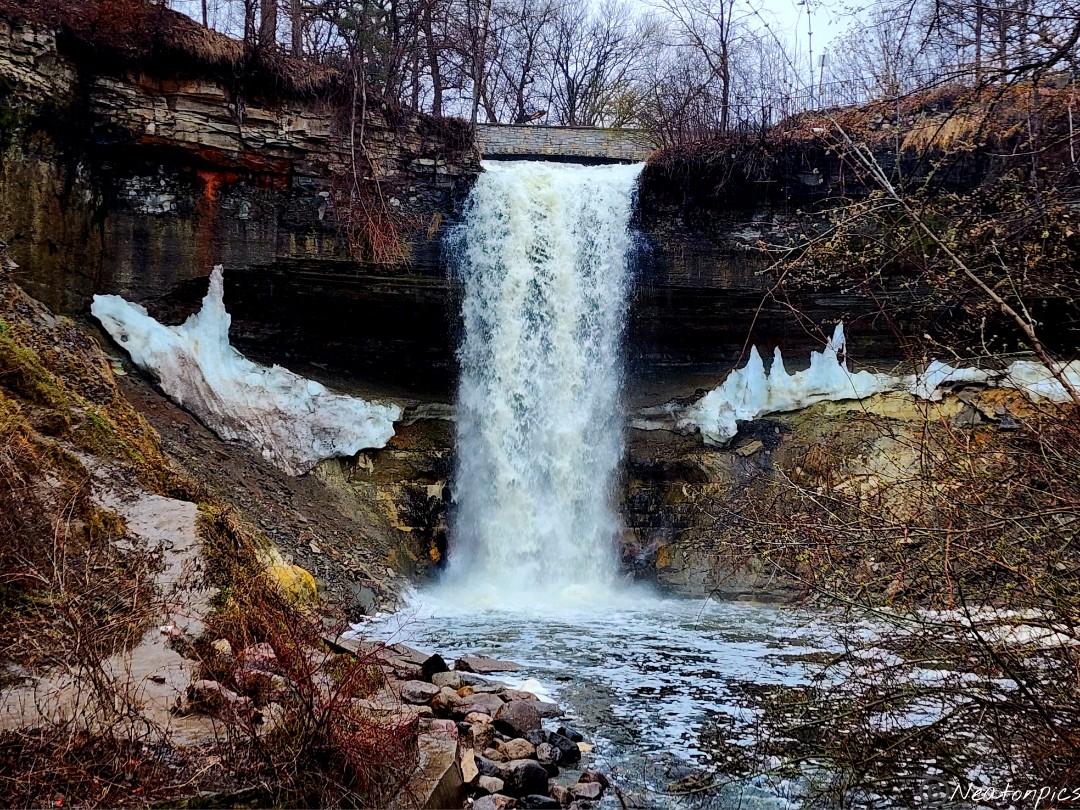
Today’s hiking adventure was at Minnehaha Falls Park.
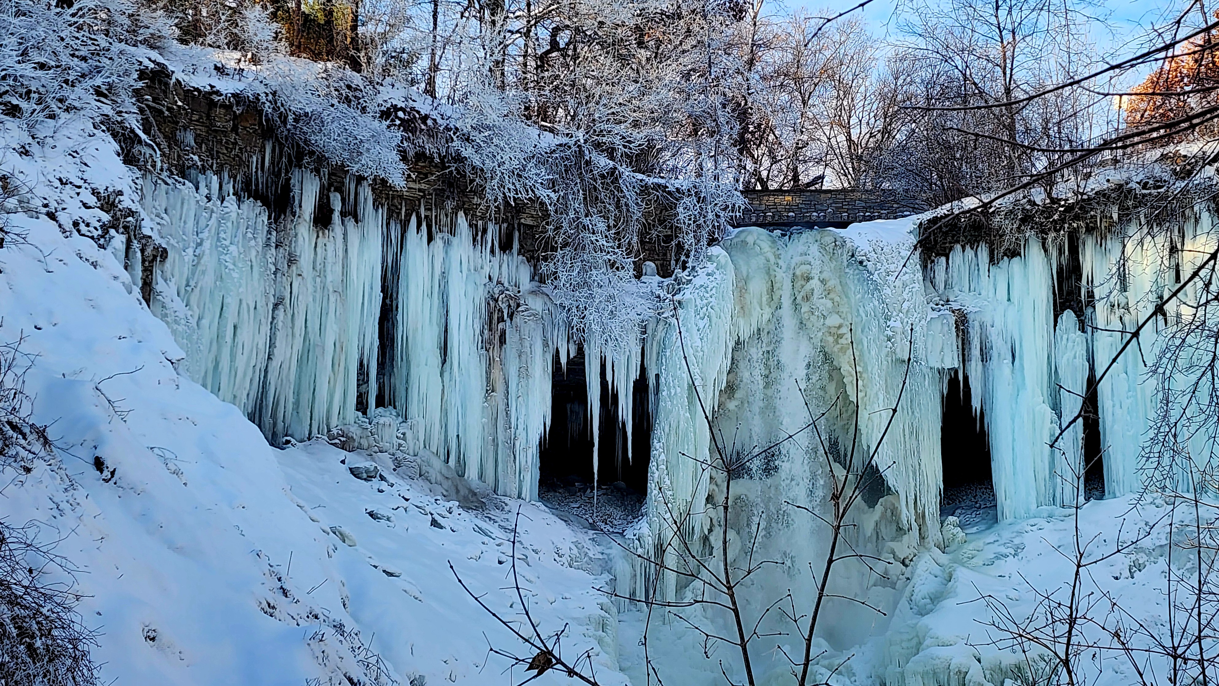
Minnesota received a wonderful blanket of fluffy snow this week. The temperature has been staying pretty cold, too. With that said, I knew Minnehaha Falls would look amazing and it did!
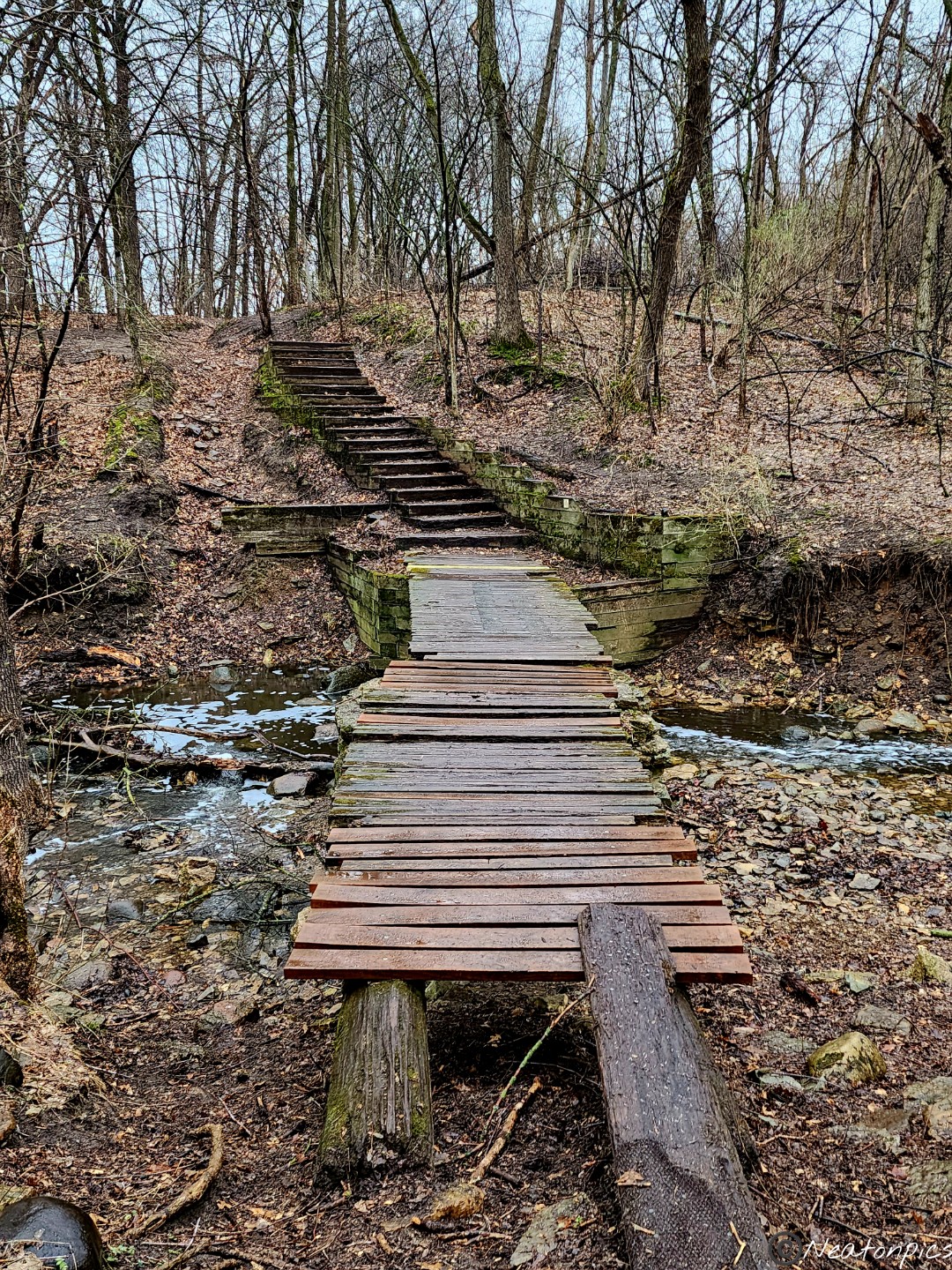
We hiked across Highland Bridge taking in the view of the Mississippi River below.
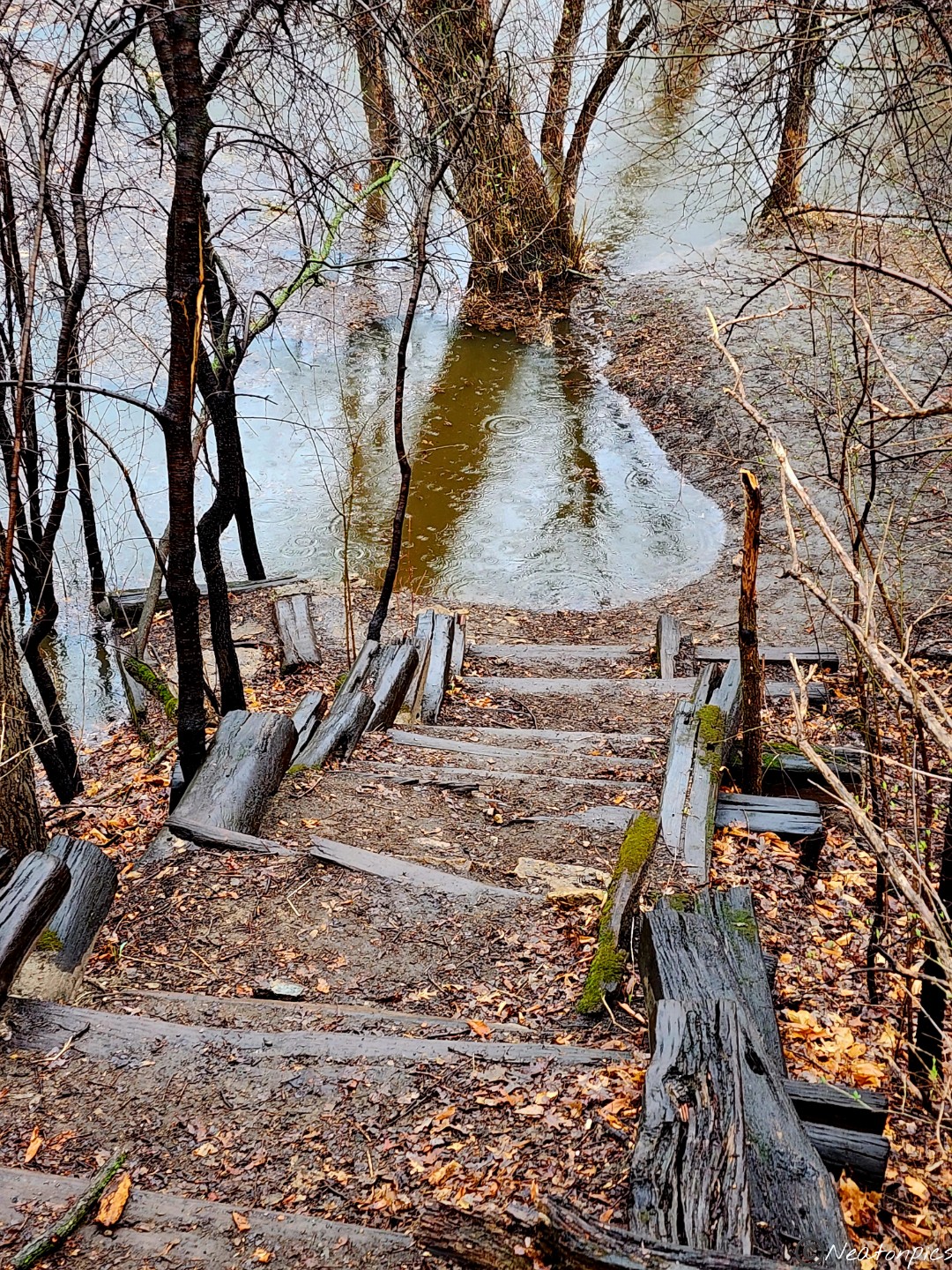
Getting to the trails along the river is a bit tricky in the winter. The park closes off the staircases leading down to the trails. We jumped over their “suggested closure” and carried on with our hike.
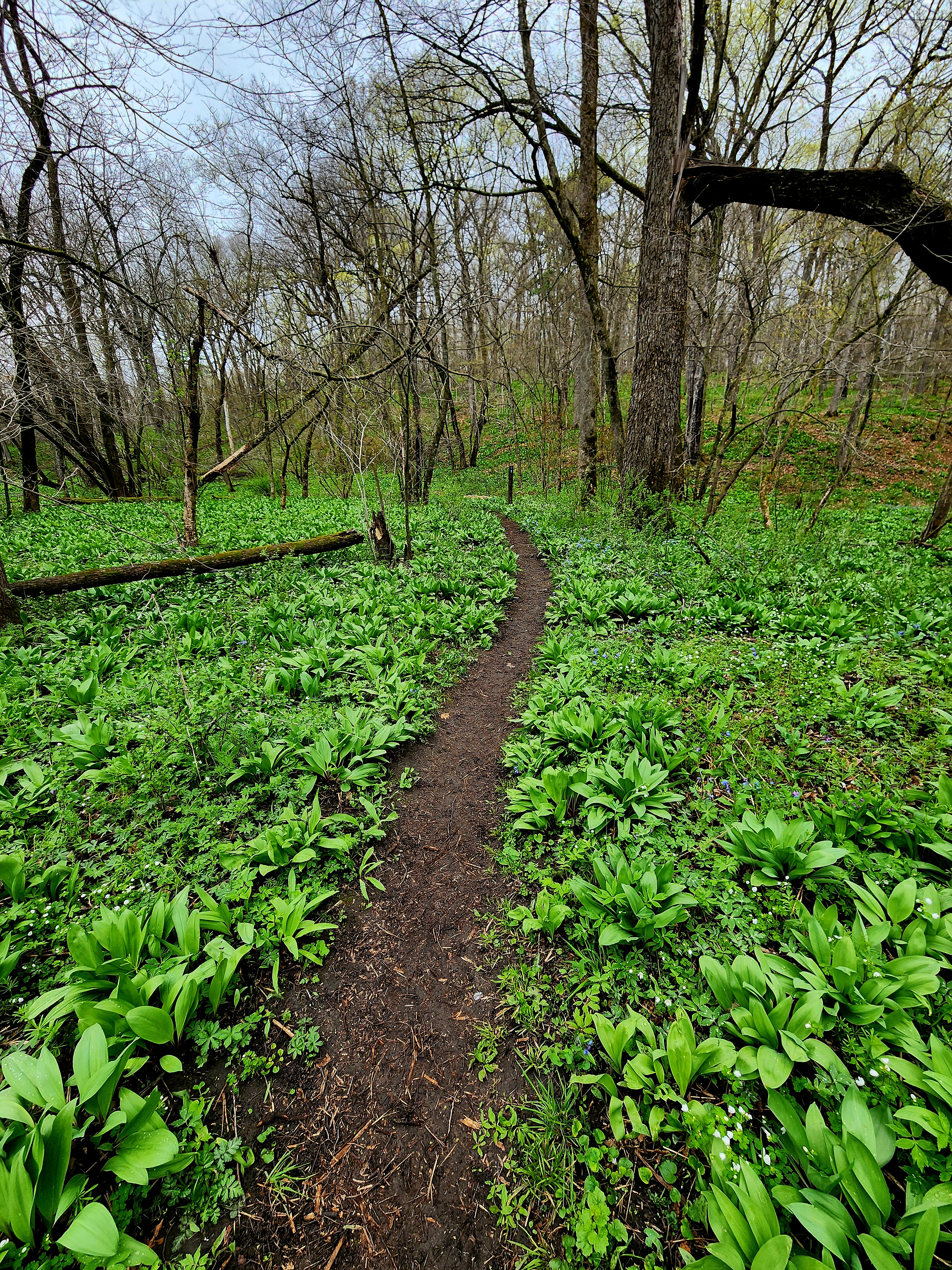
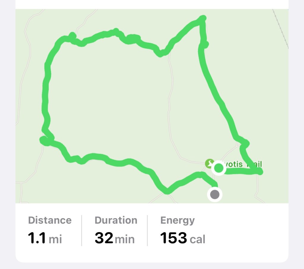
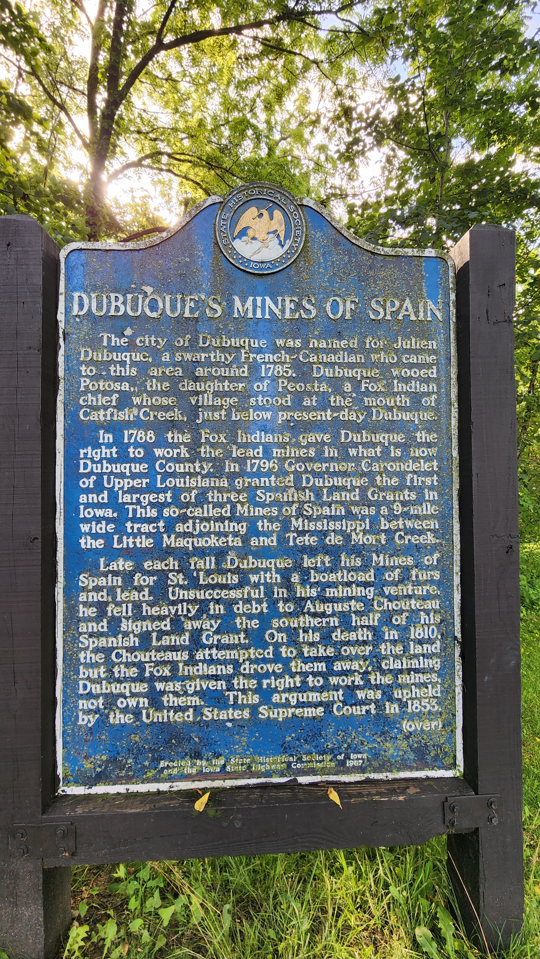
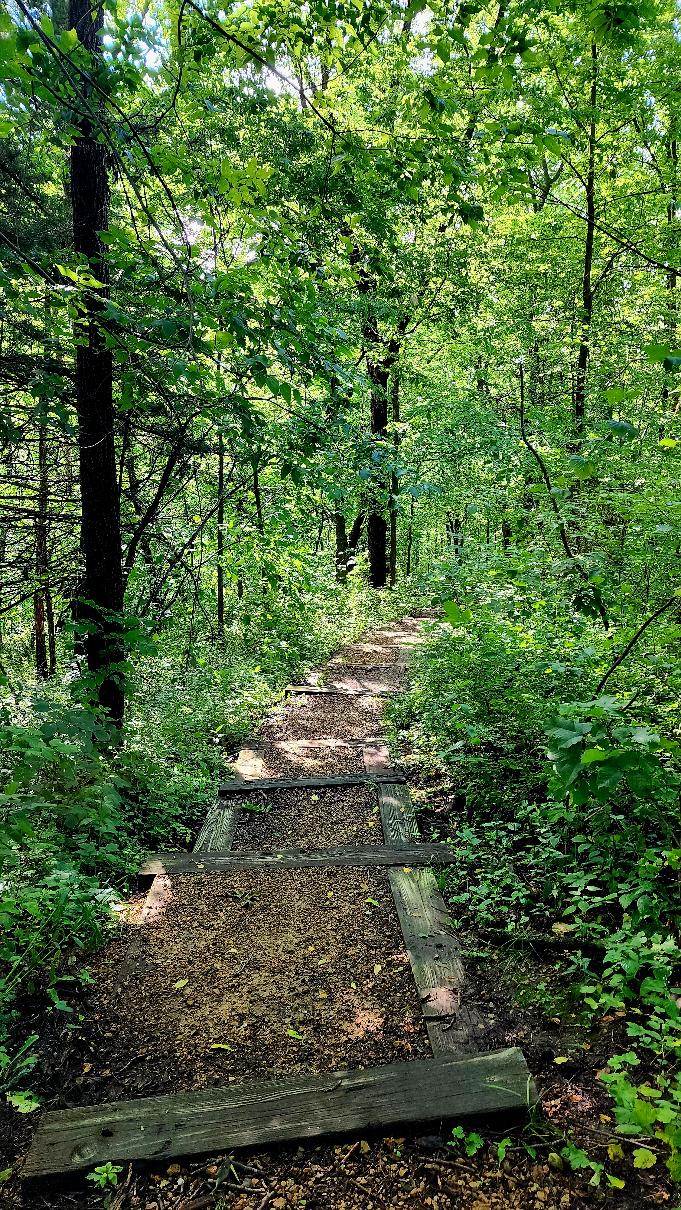
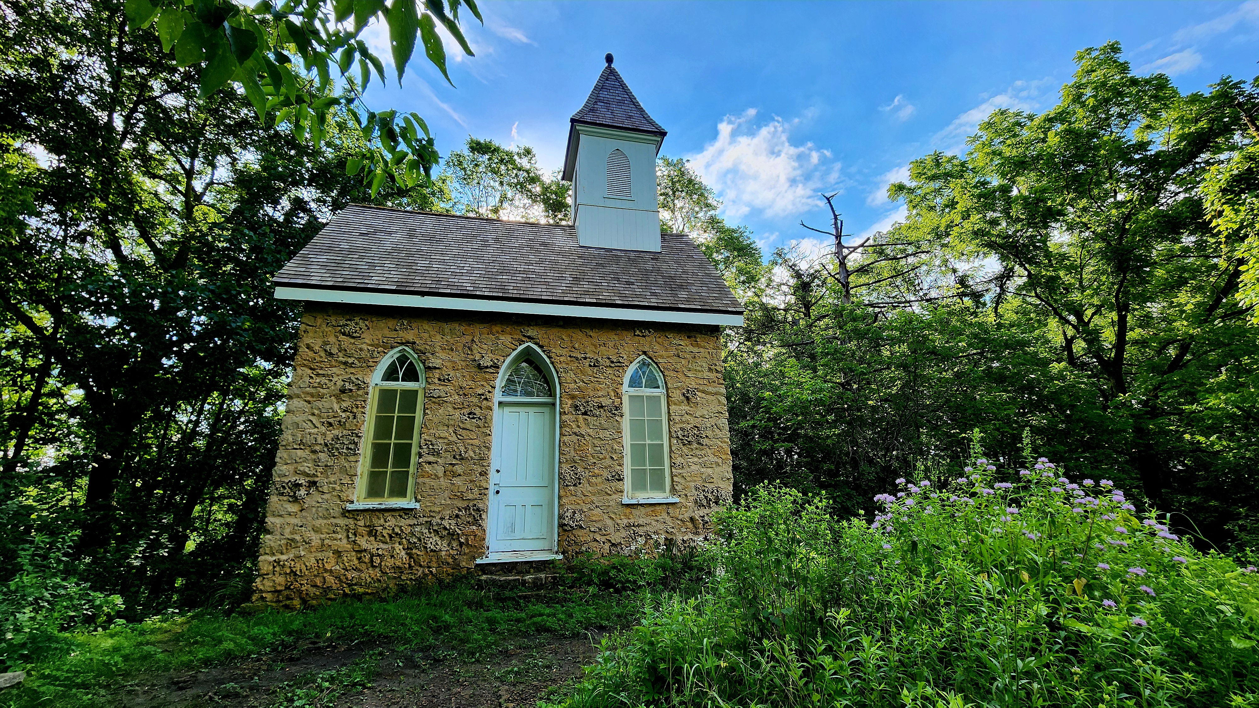
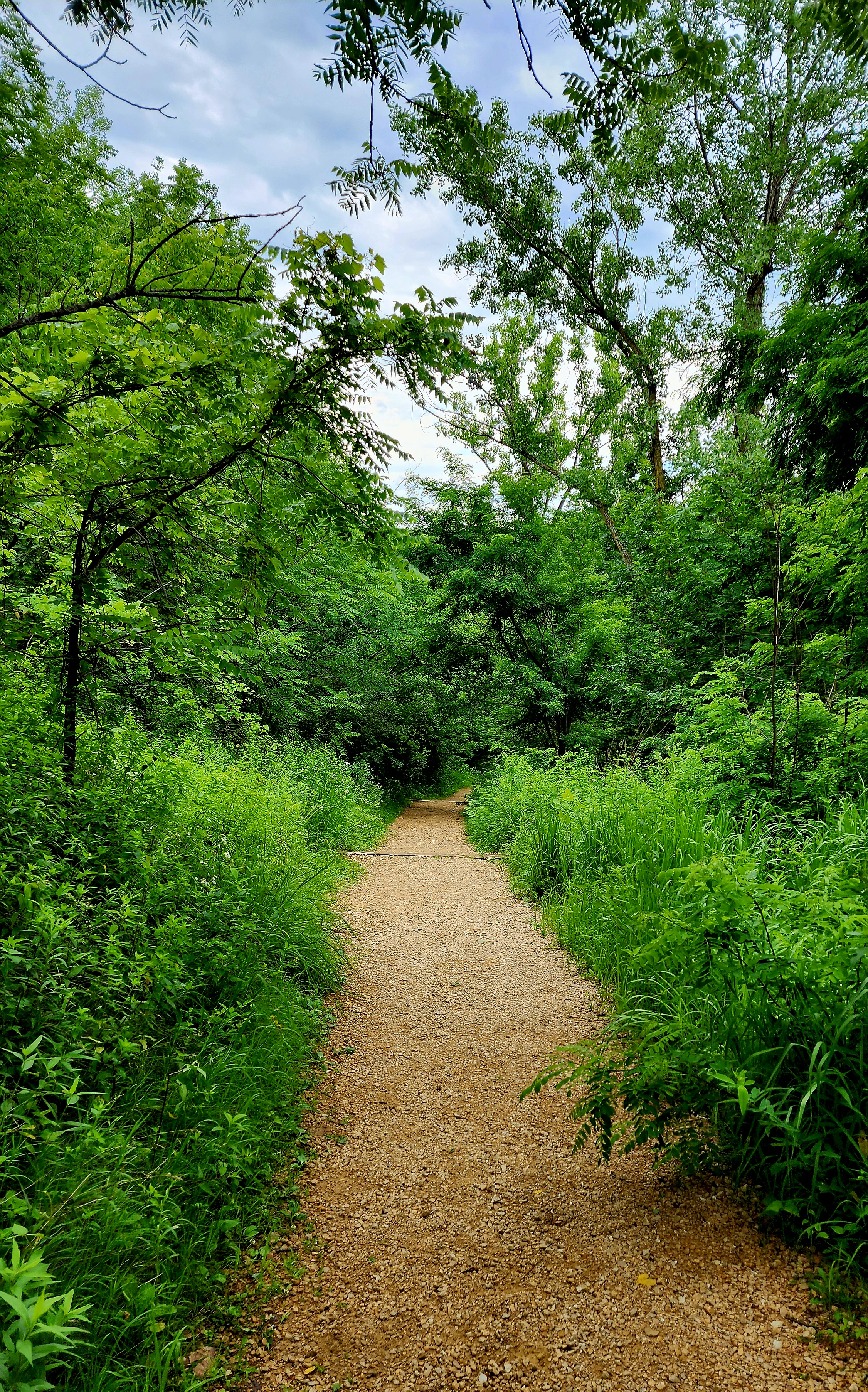
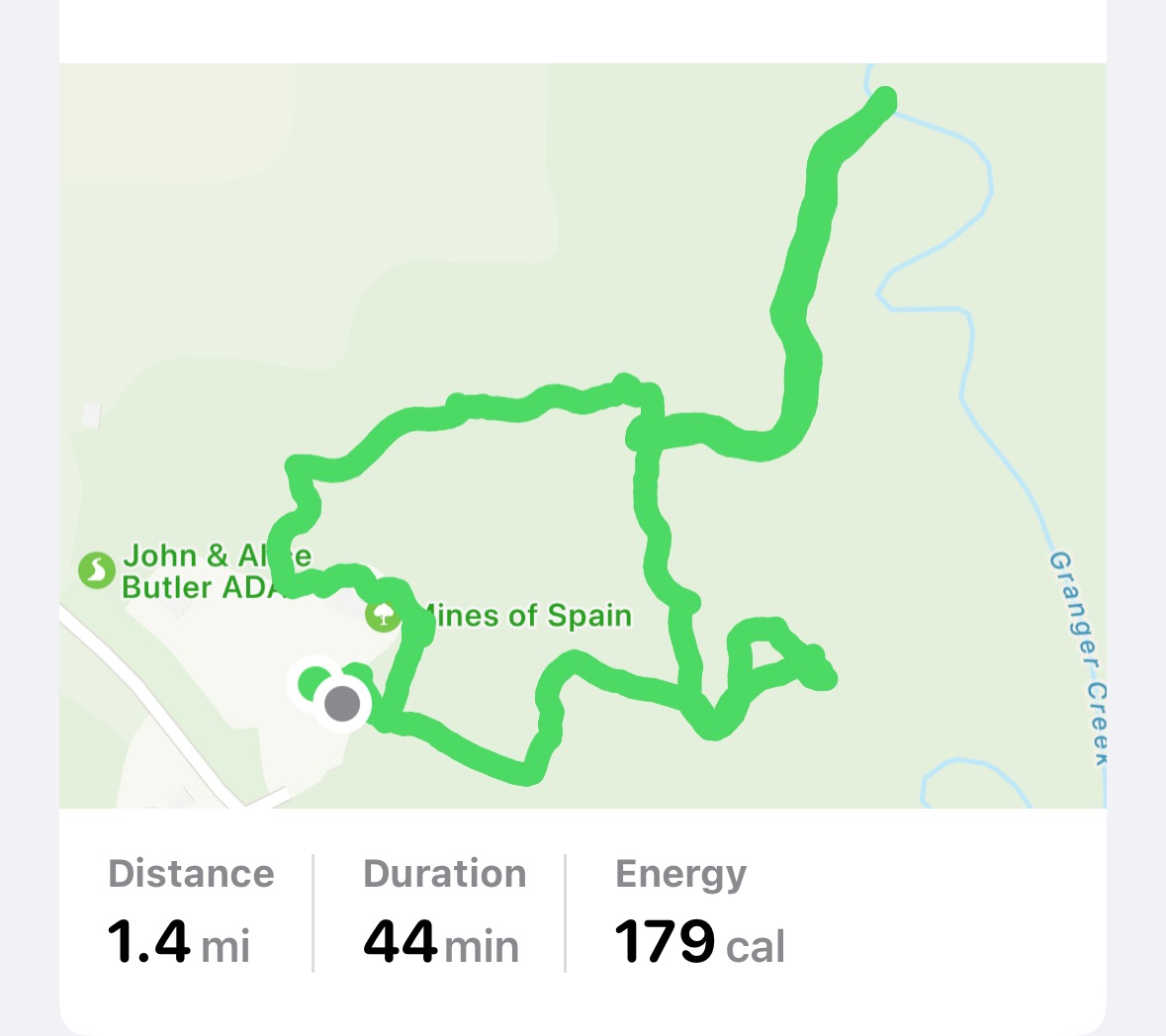
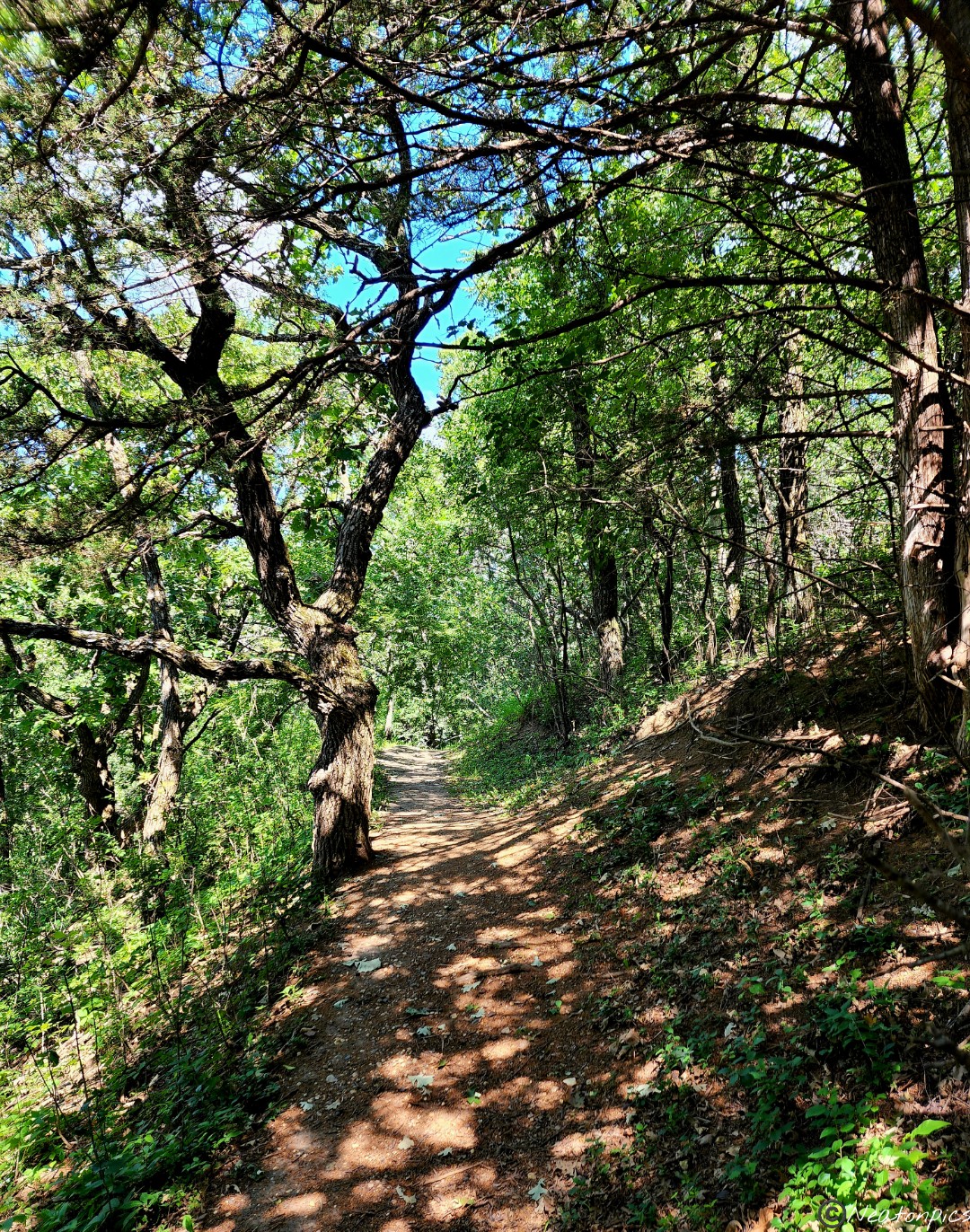
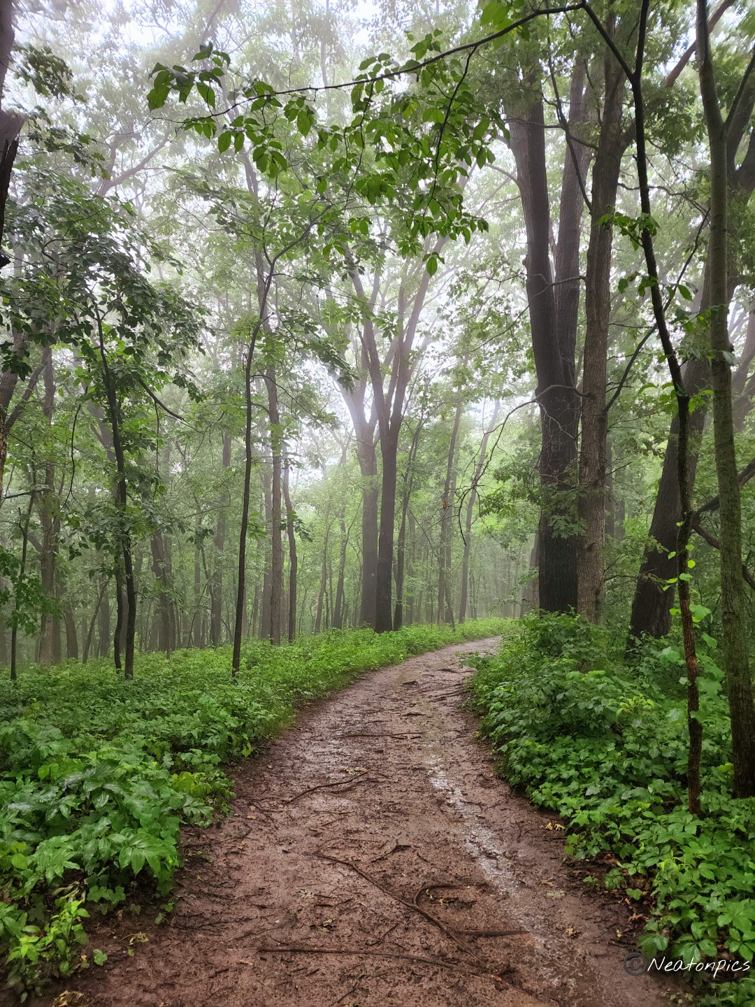
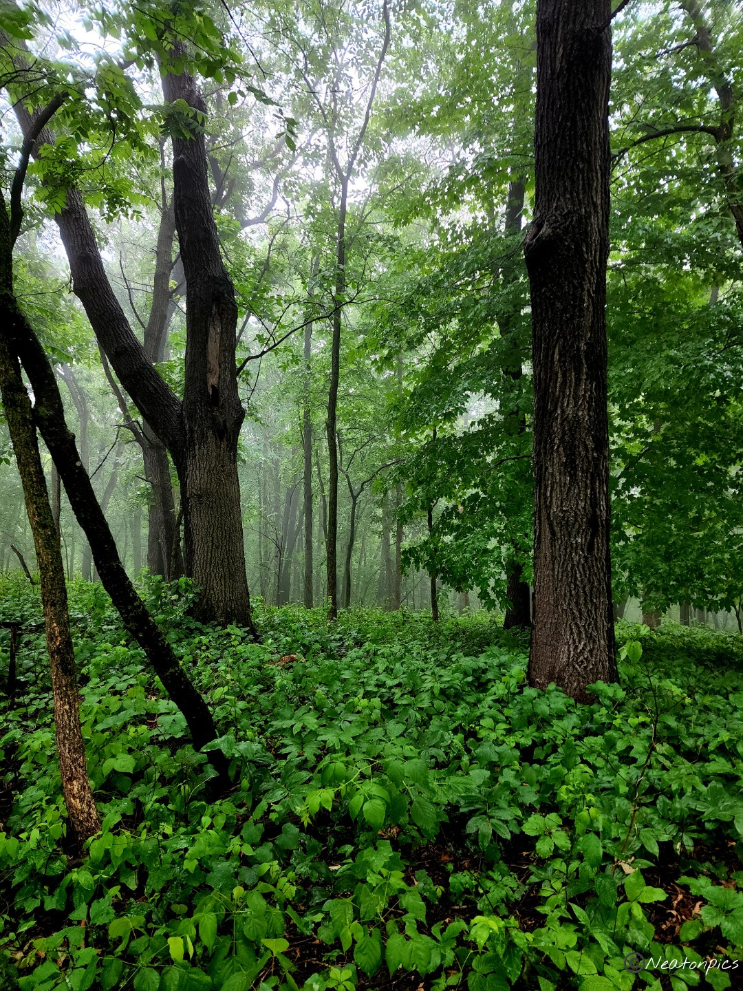
We hiked Mines of Spain State Recreation Area June 29th, 2024. Our adventure began on the Pine Chapel Foot Trail.
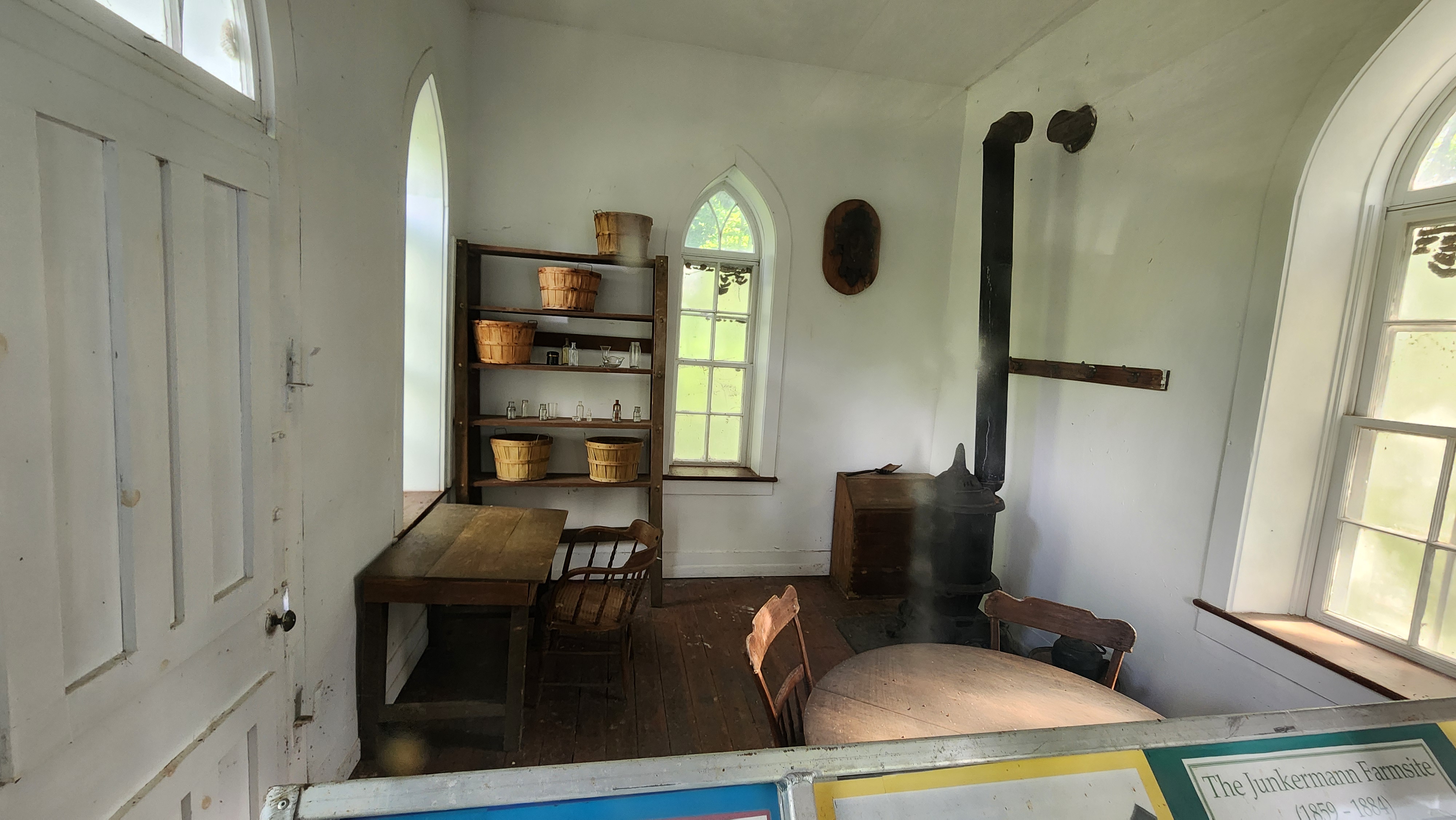
Pine Chapel is a tiny one room chapel.
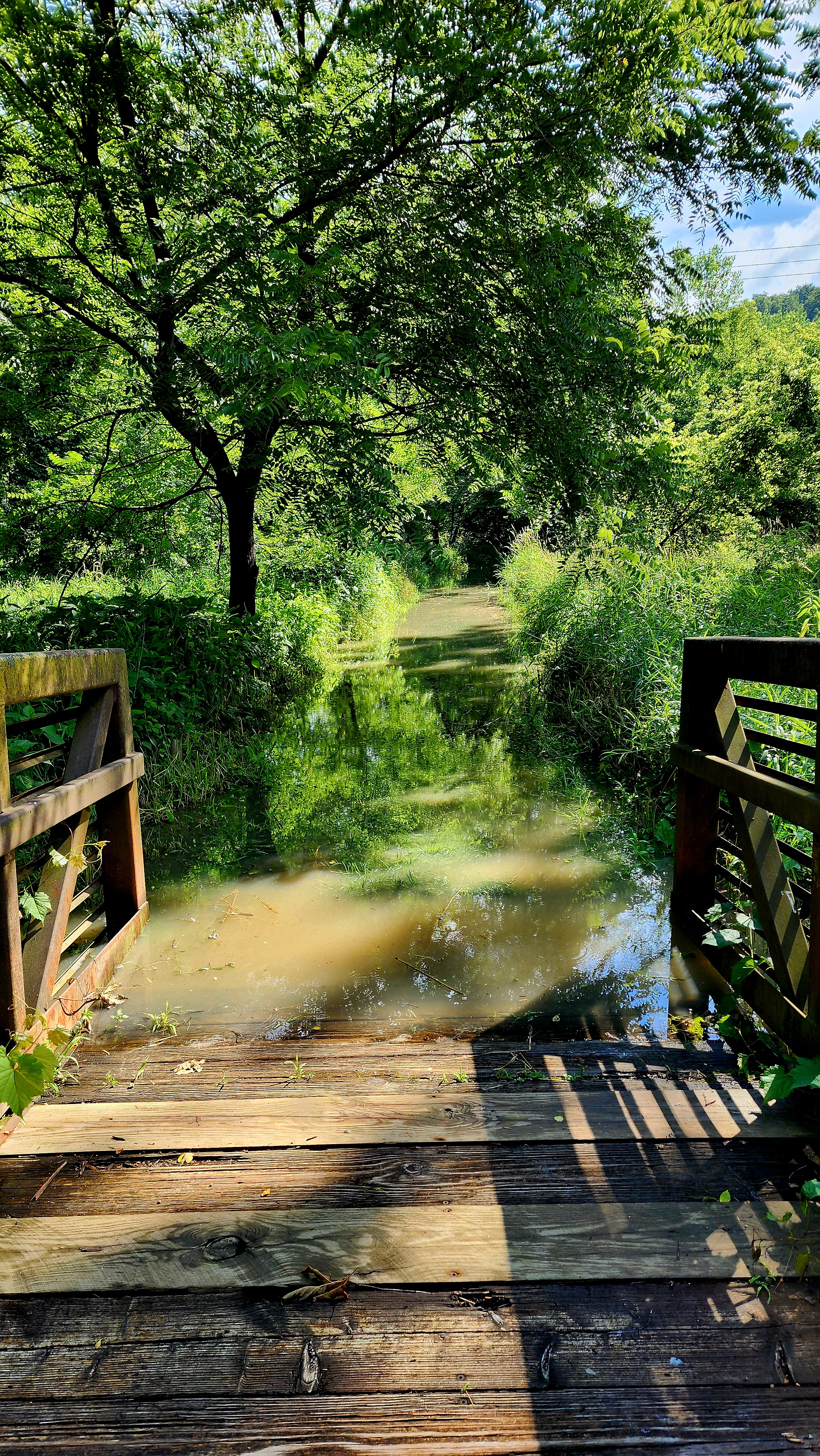
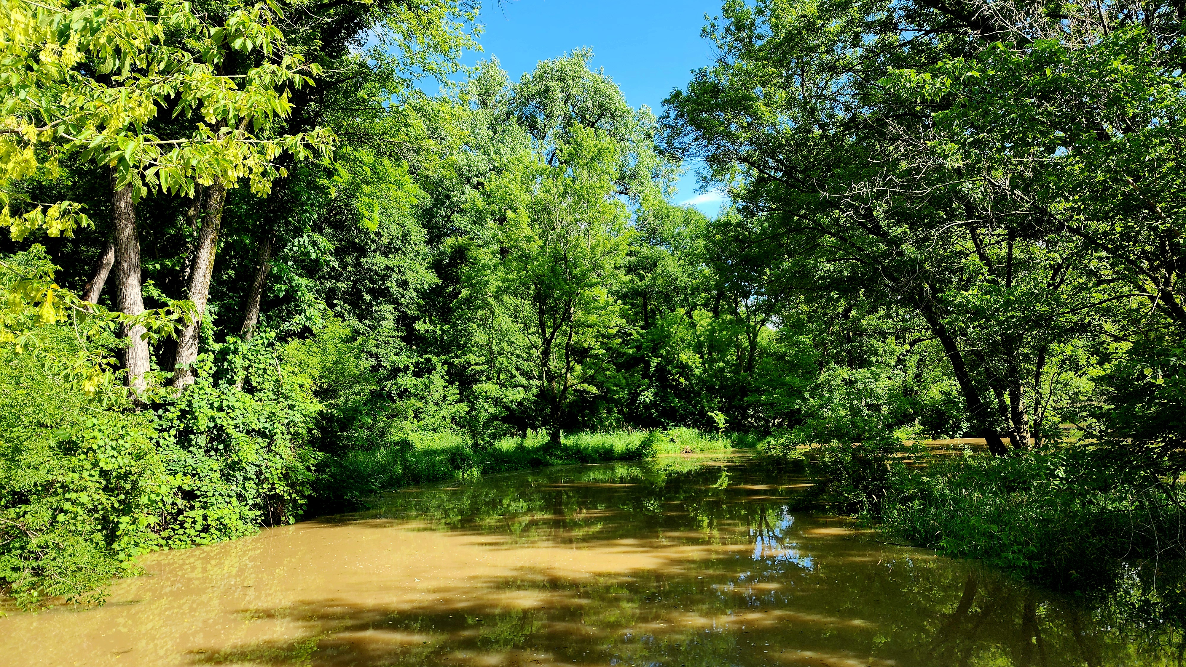
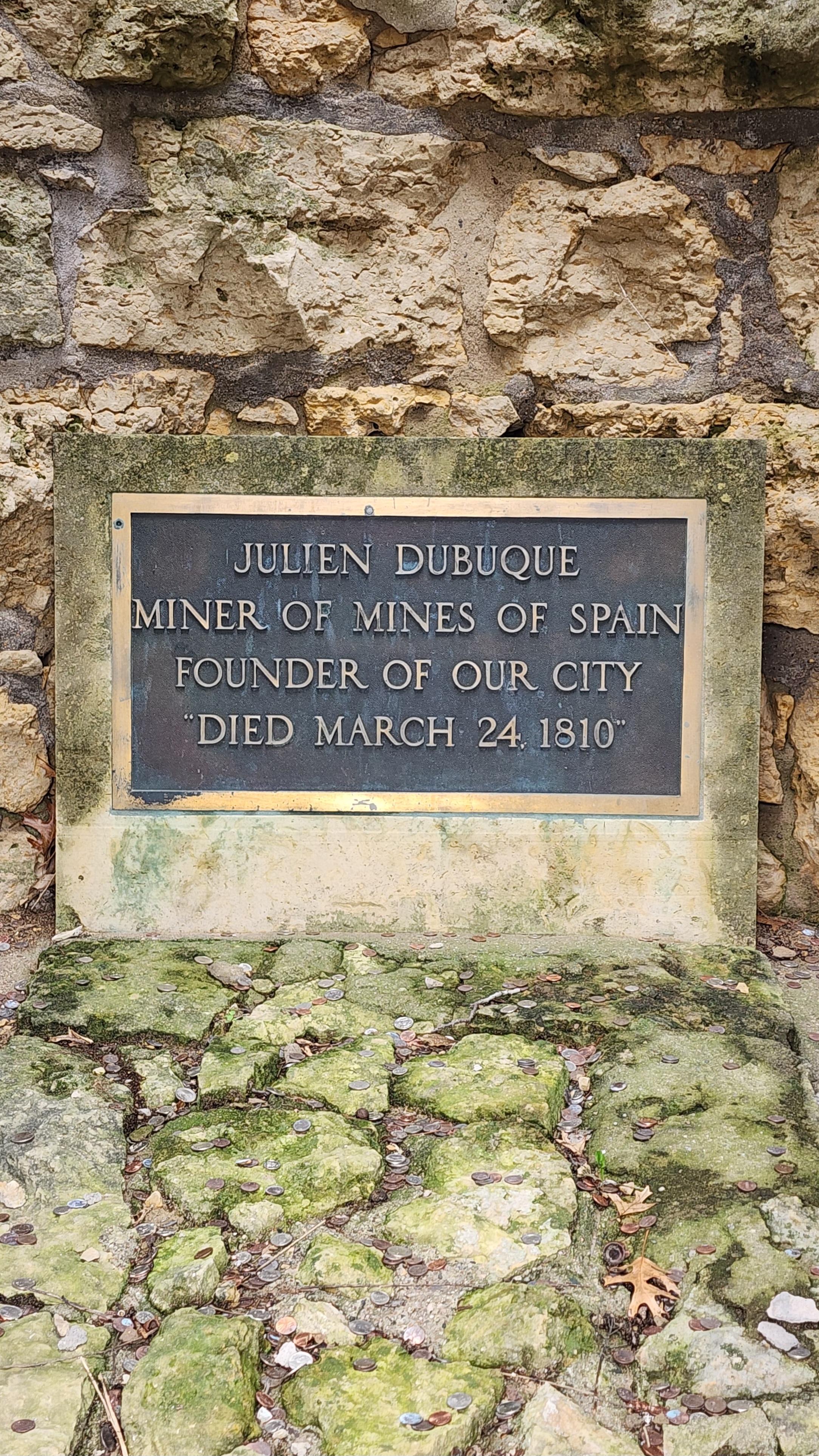
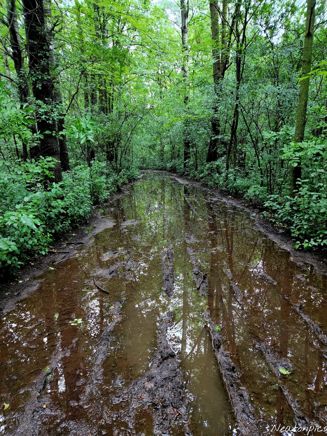
The next trail we tried to hike was towards the Julien Dubuque Monument. Unfortunately, due to all the rain the trail was closed.
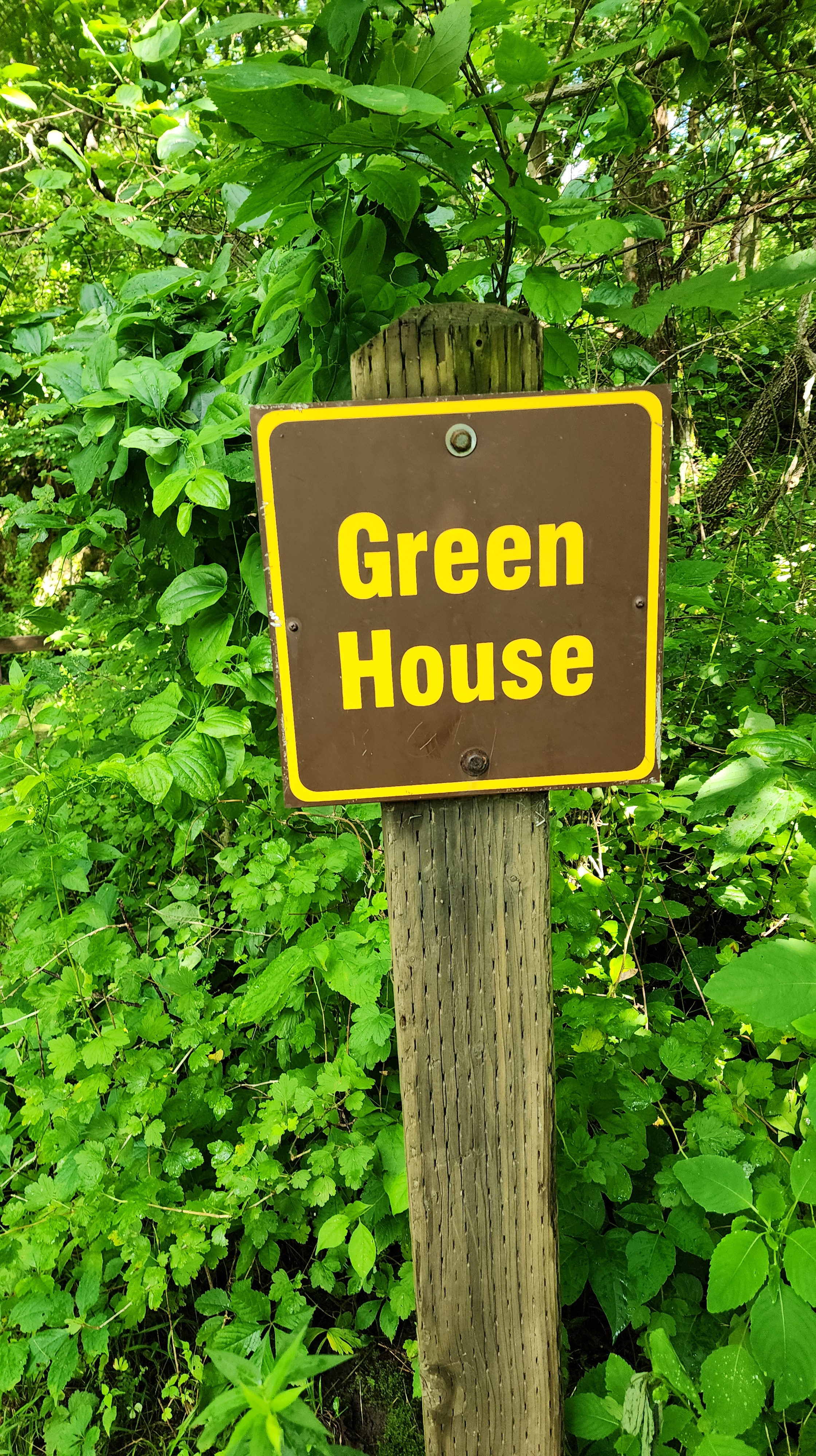
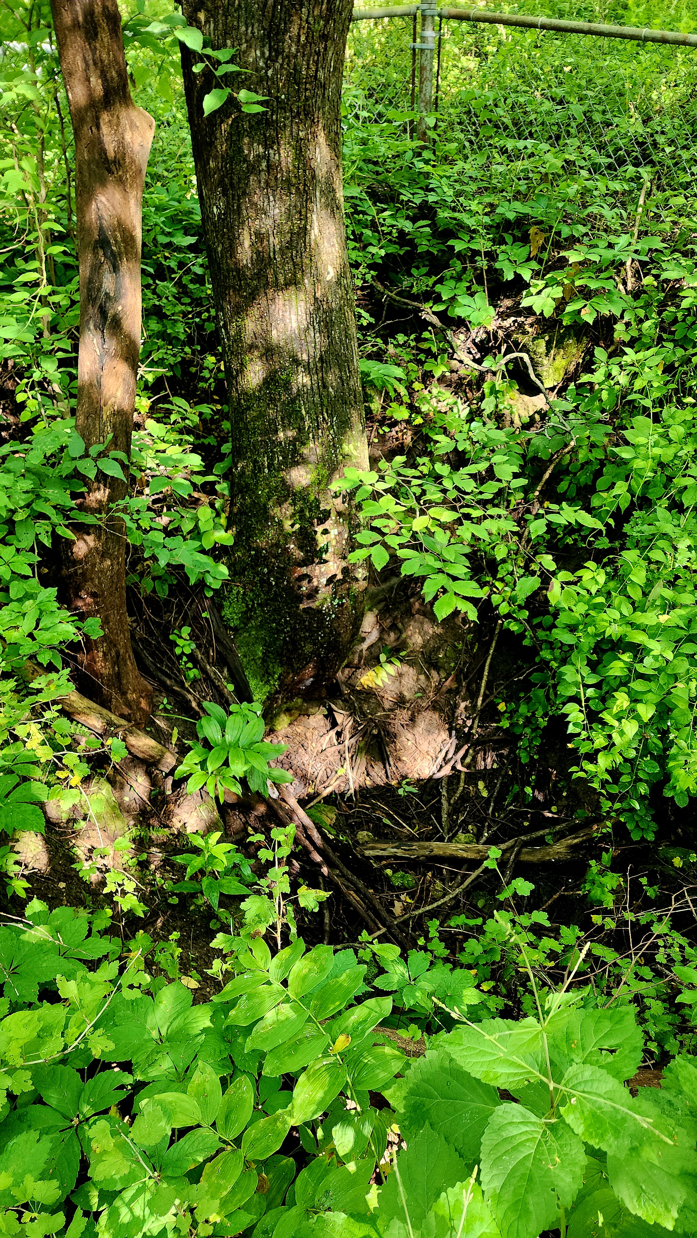
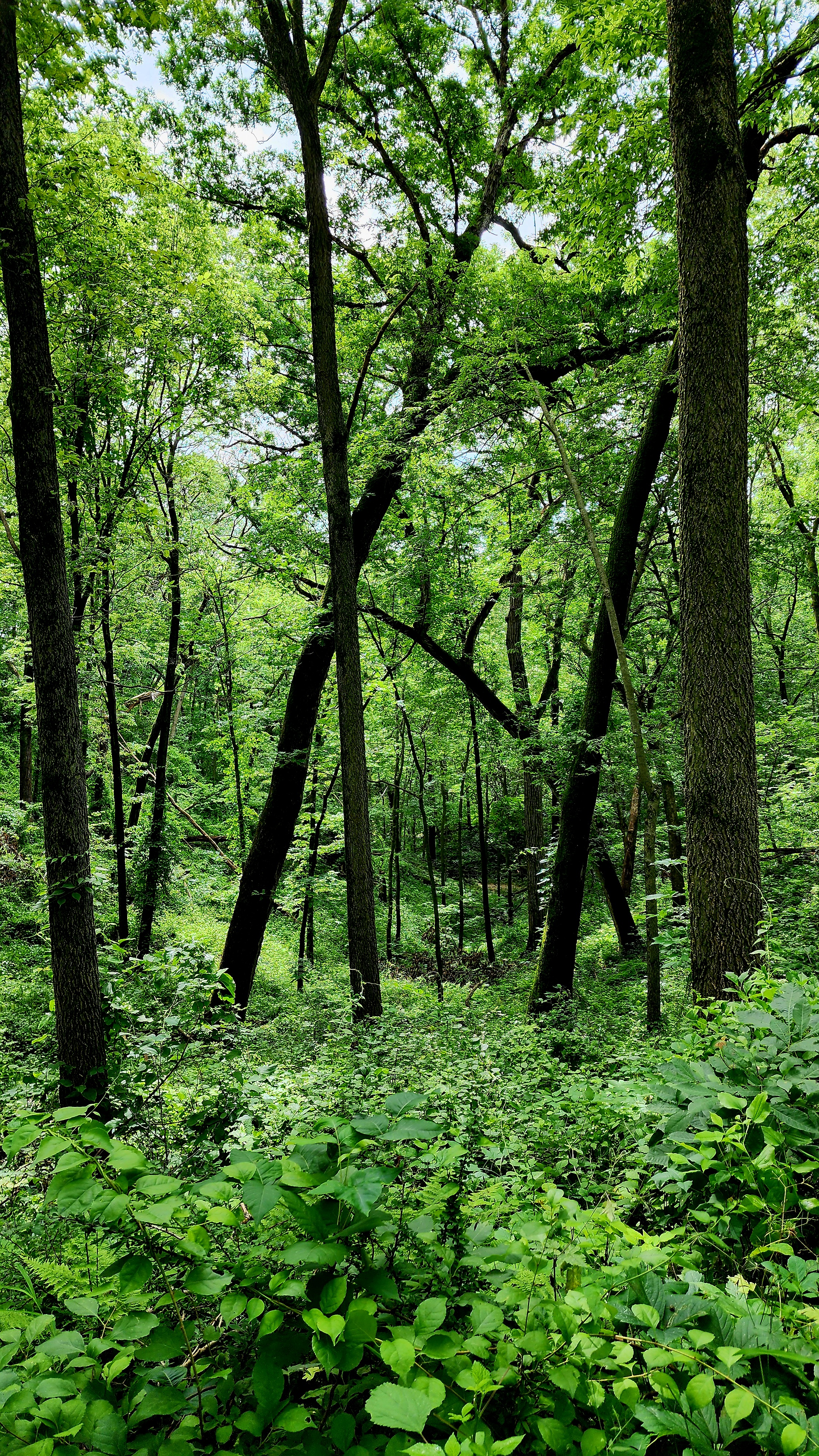
As we made our way back to our starting point, we passed an old Green House and an old Lead Mine of Julien Dubuque. The area around the mine was fenced in and is barely recognizable with all the plant overgrowth.
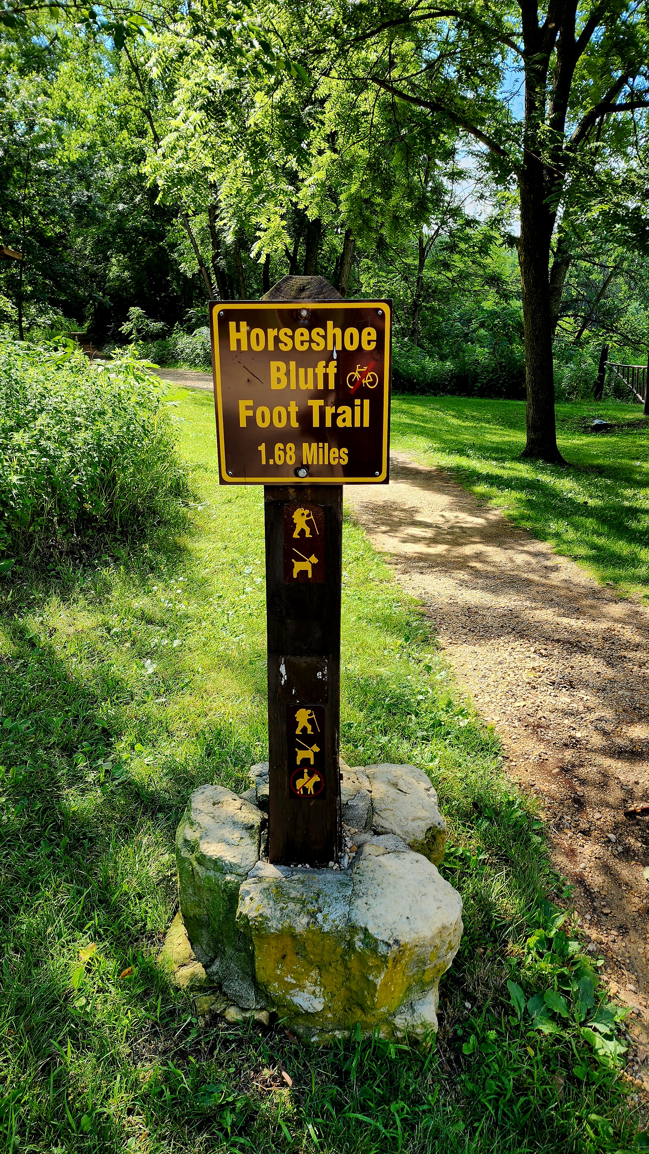
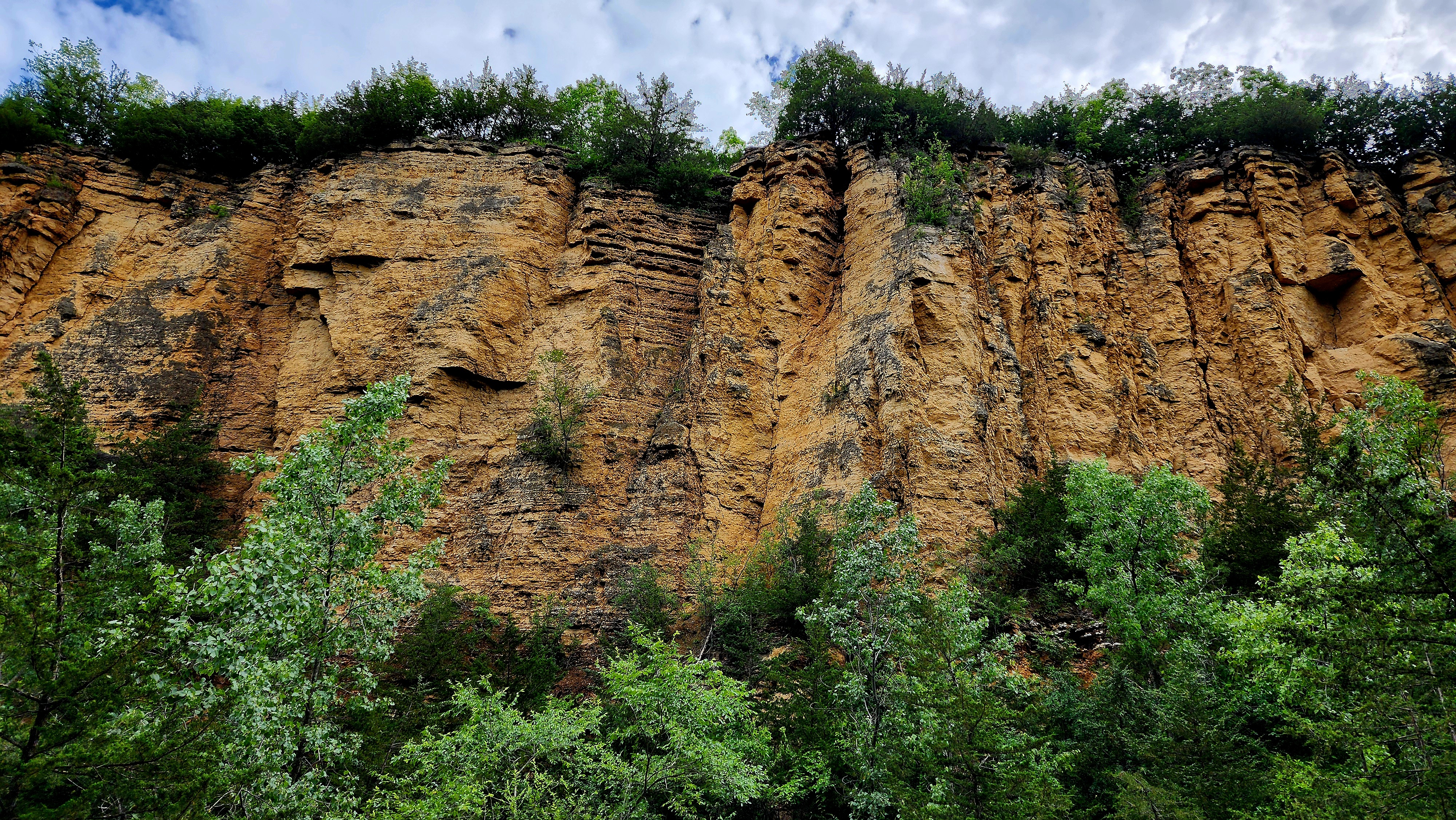
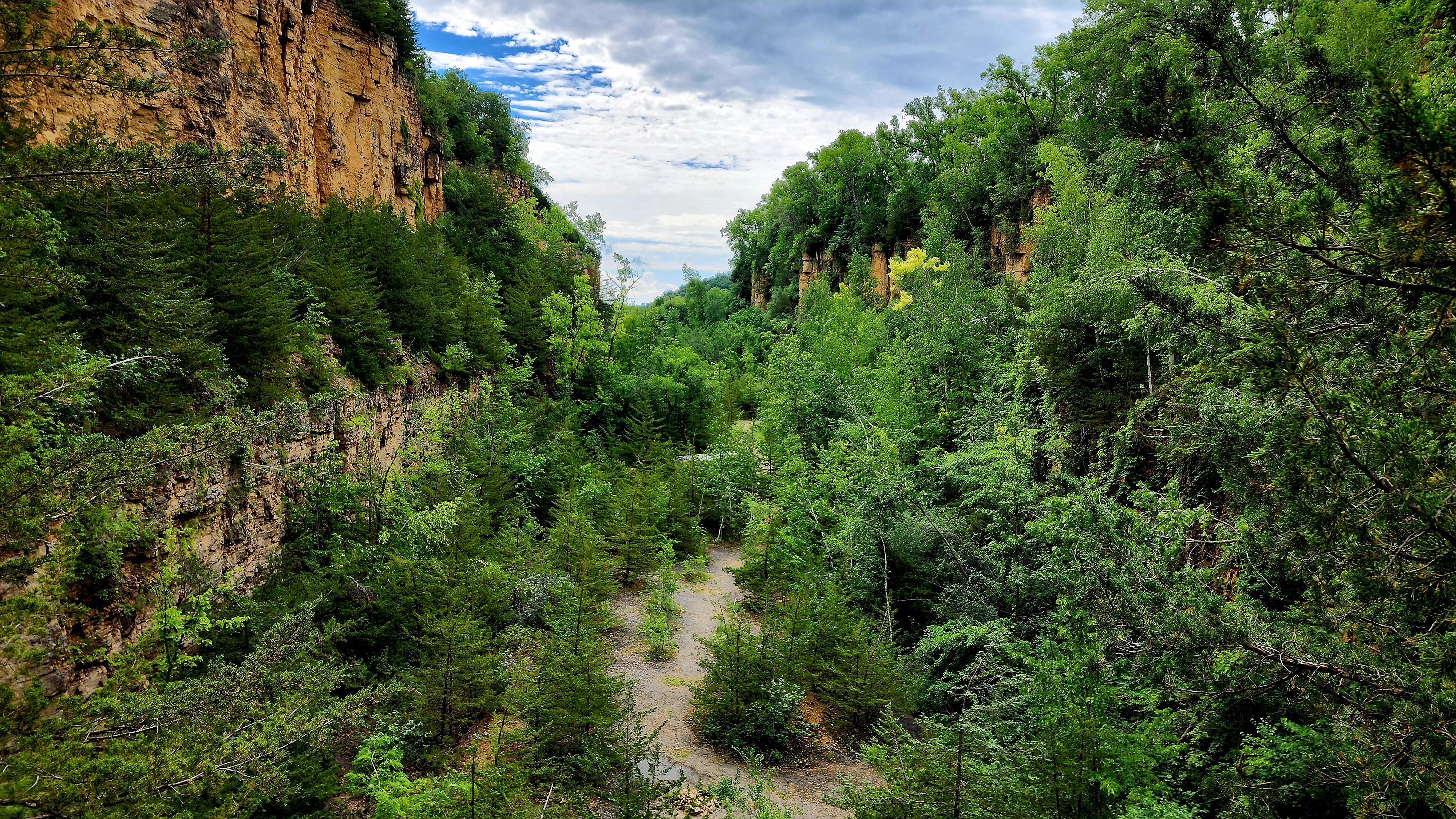
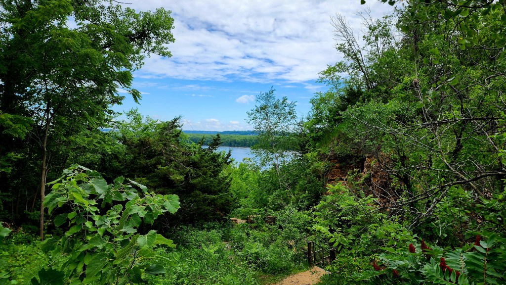
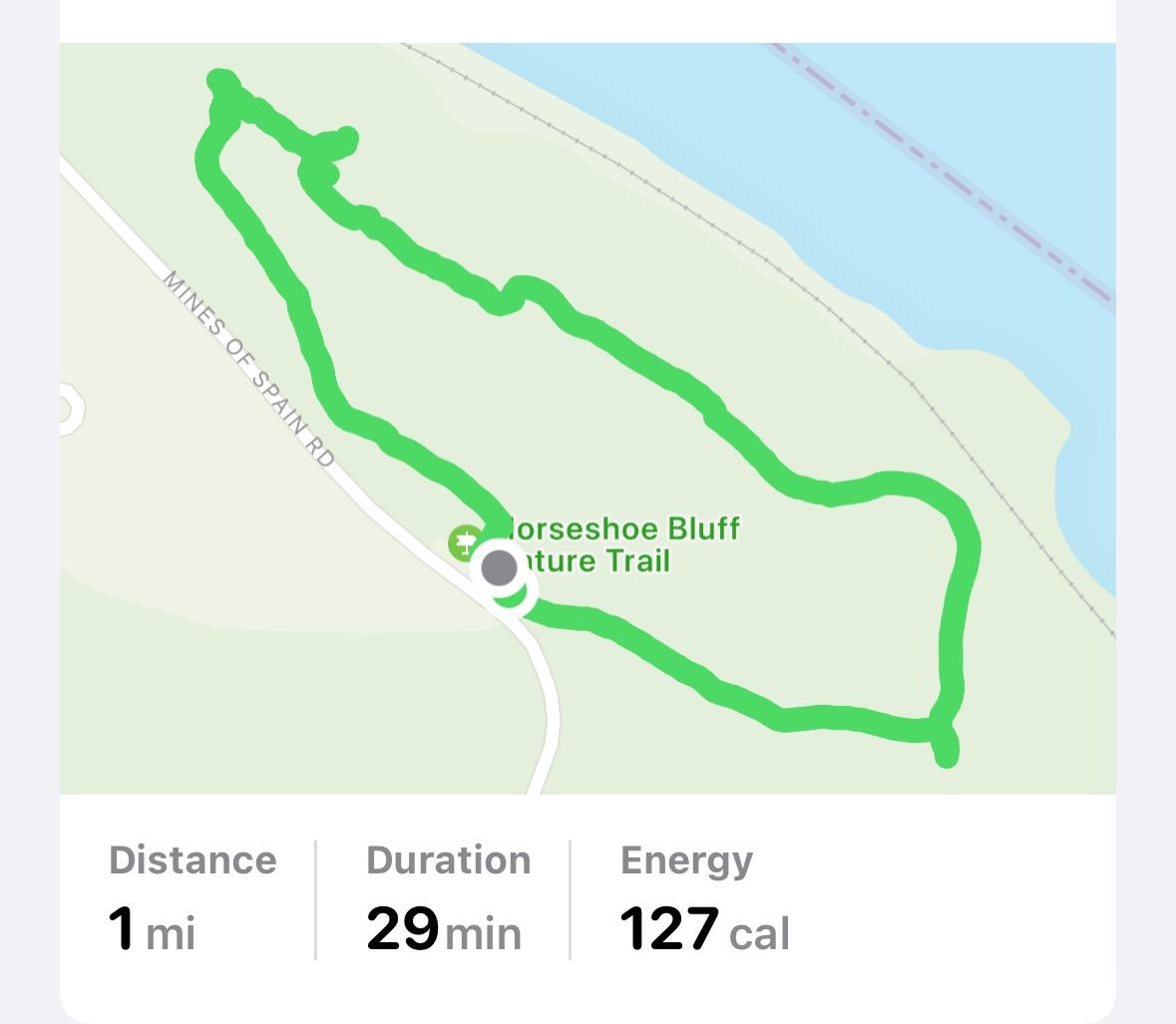
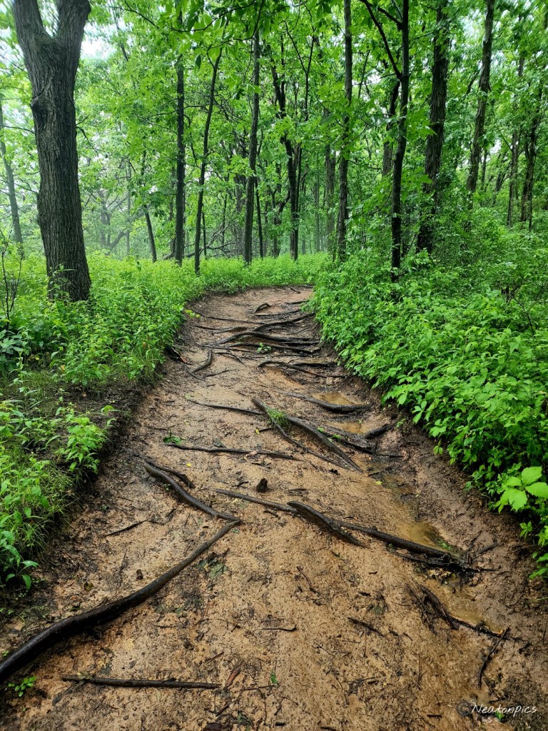
Due to the trails being flooded, we drove to the Horseshoe Bluff Foot Trail.
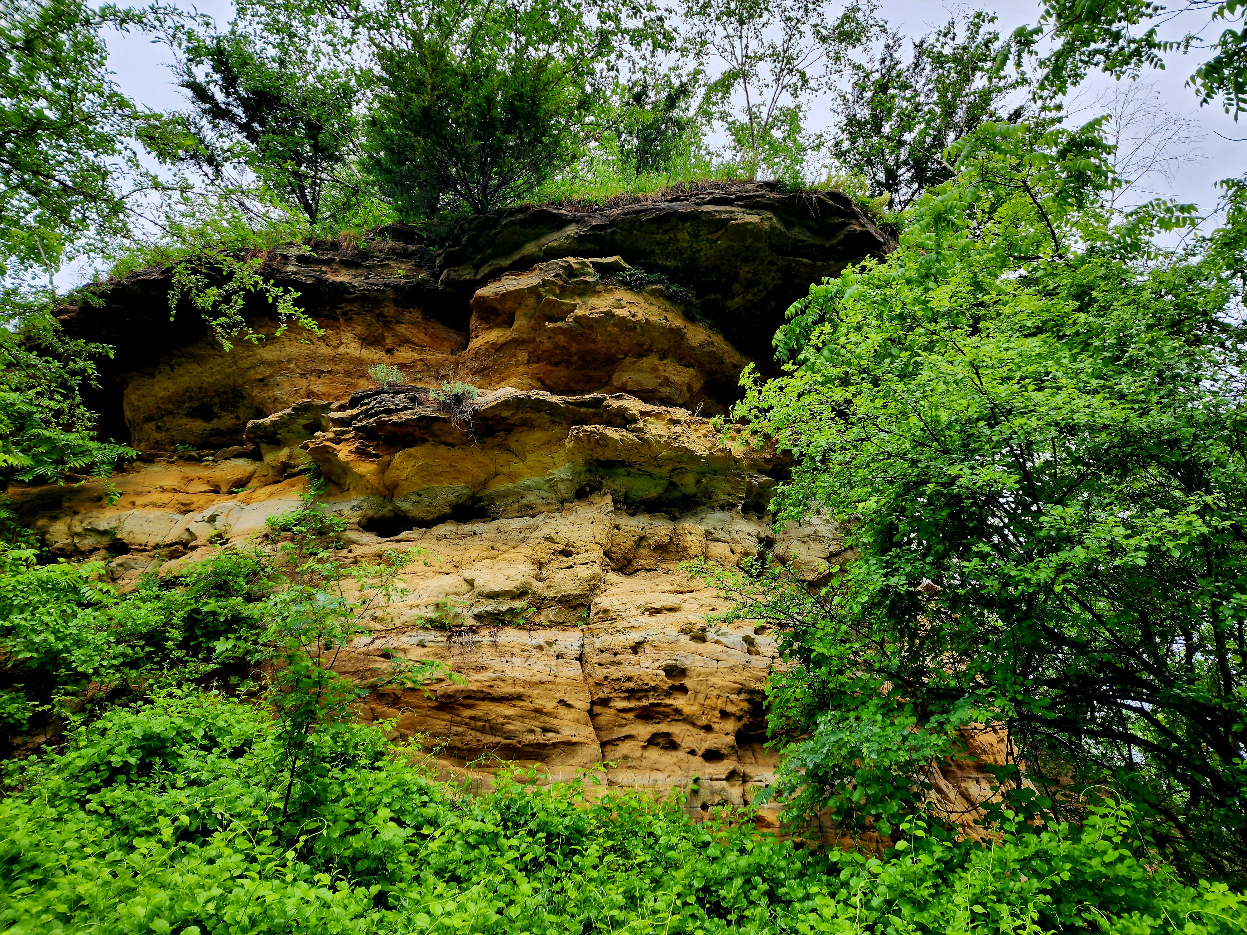
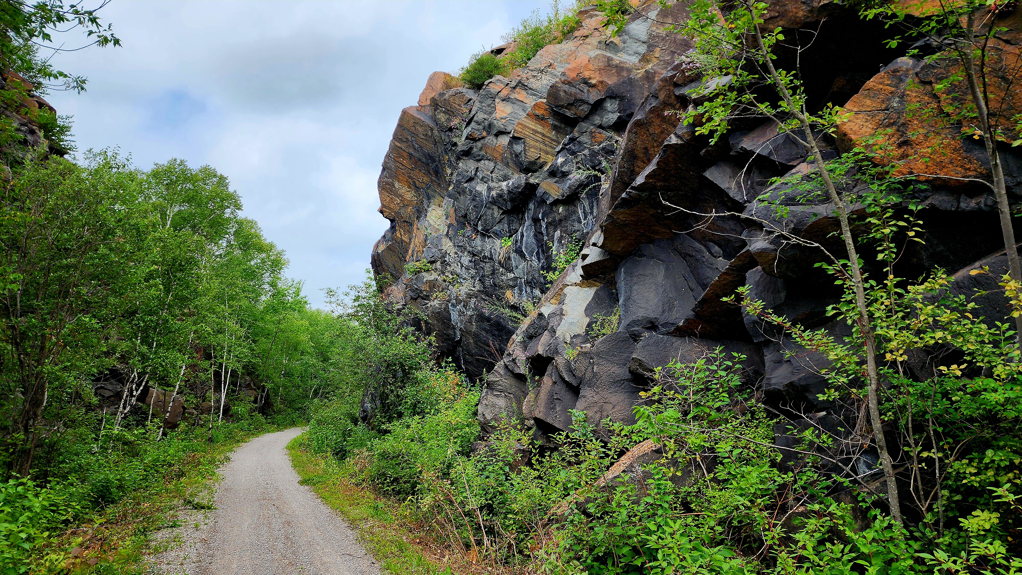
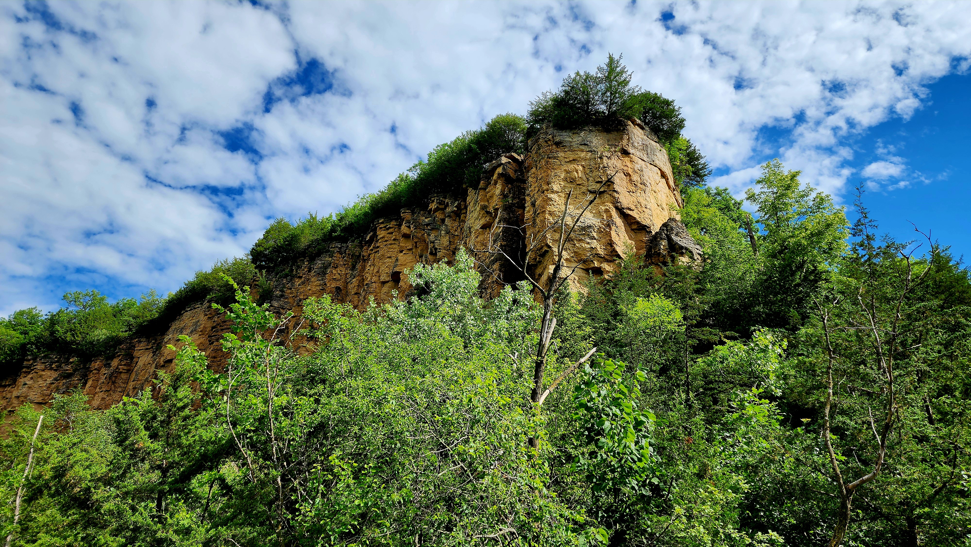
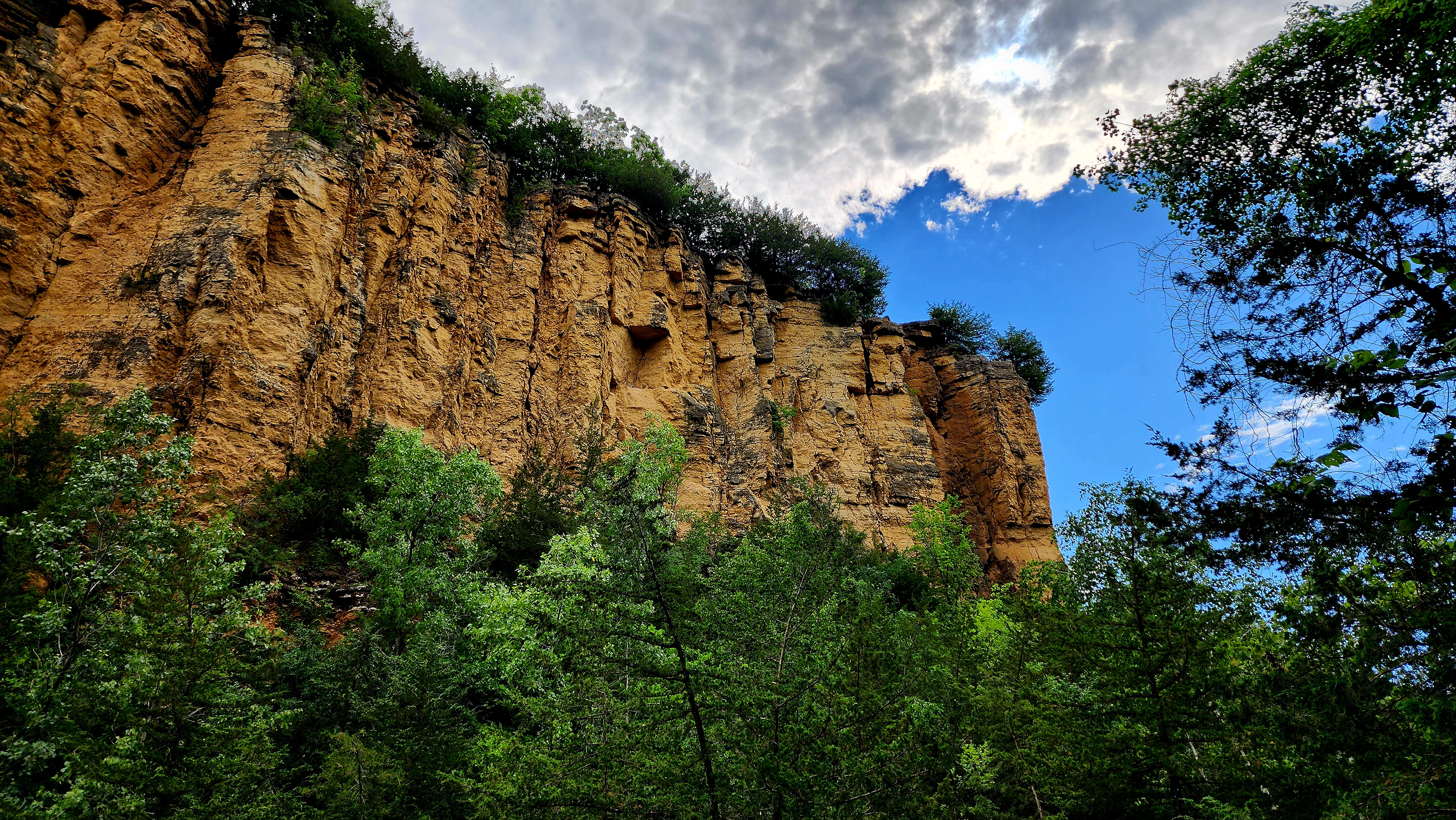
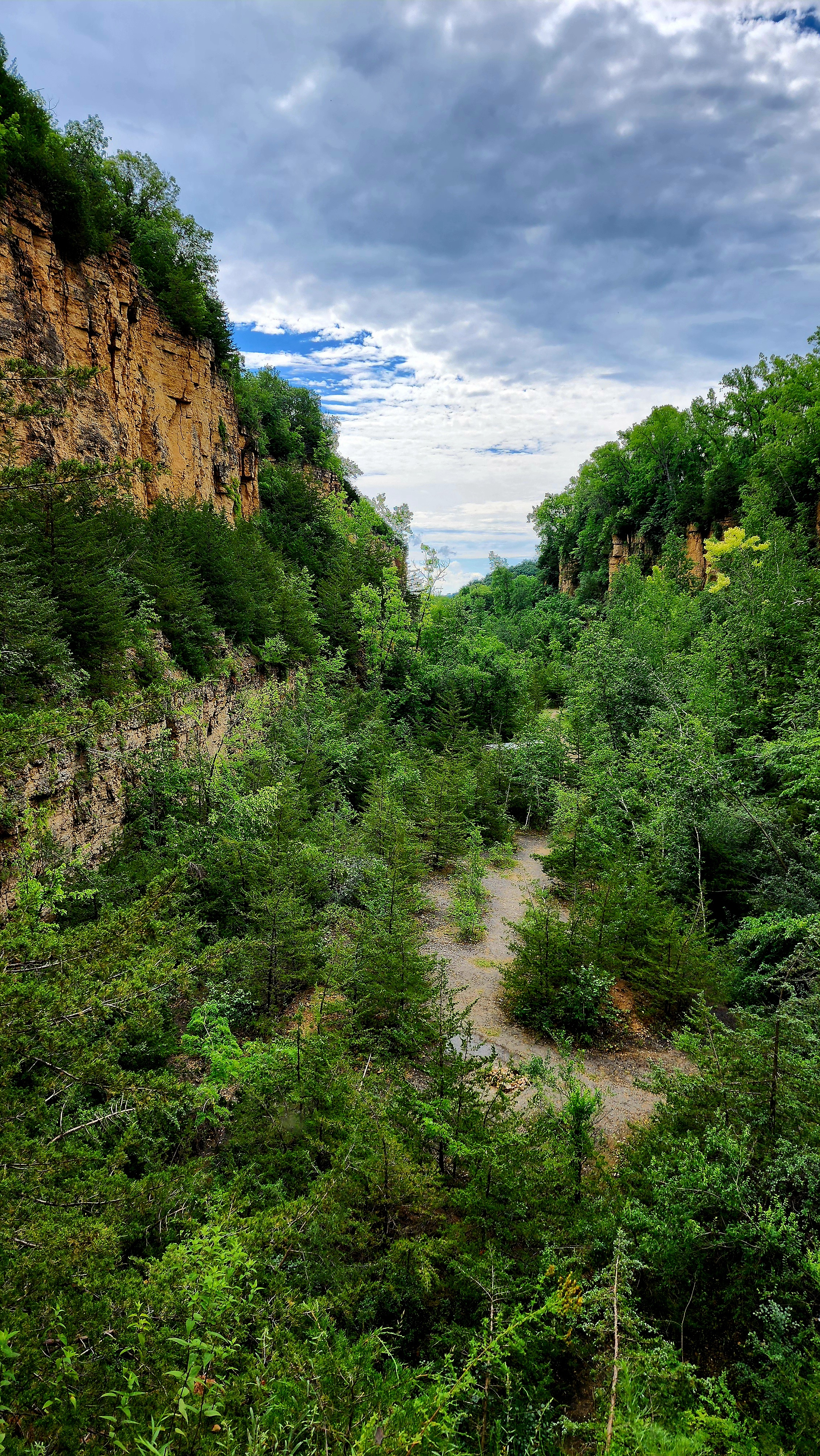
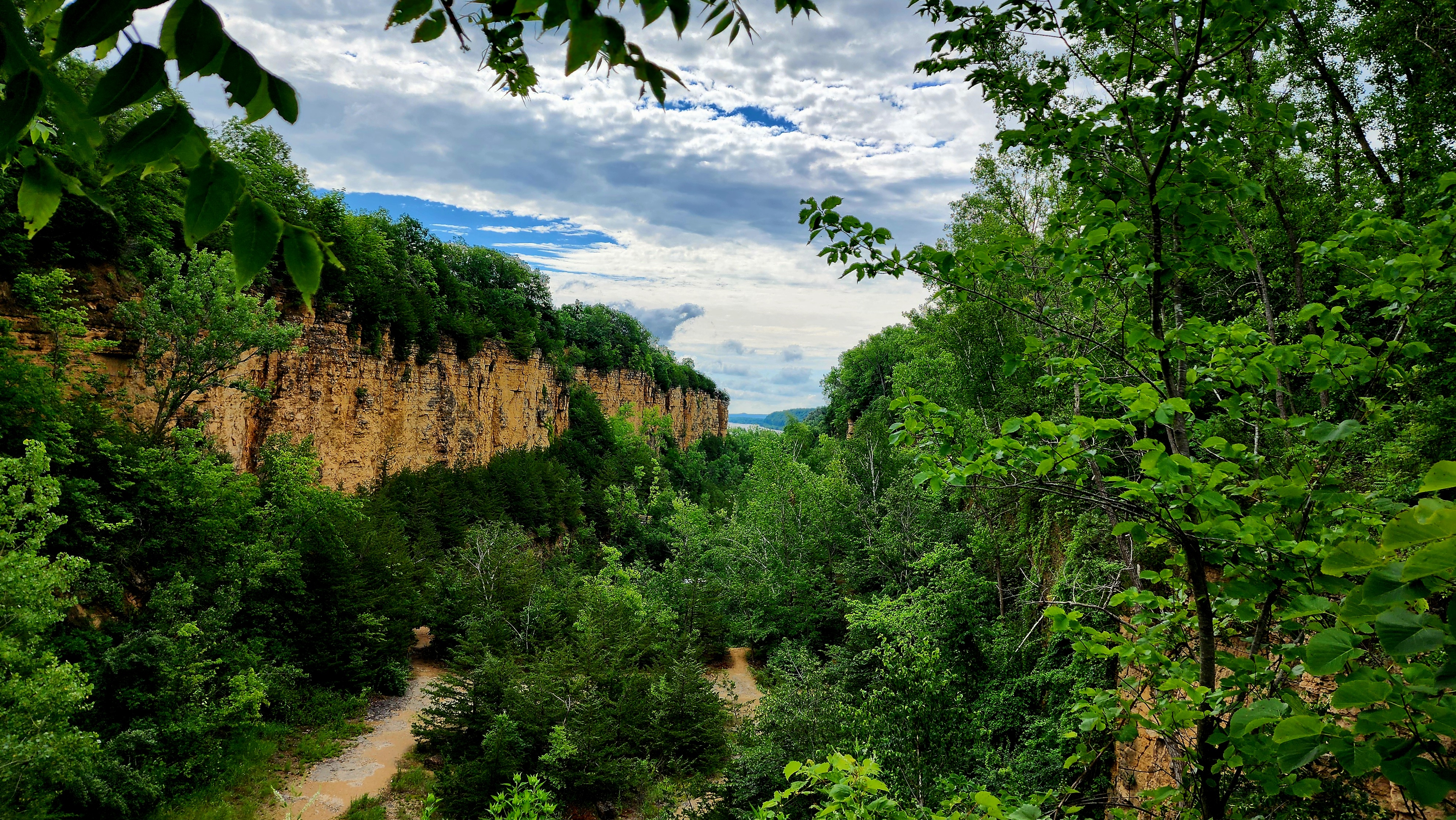
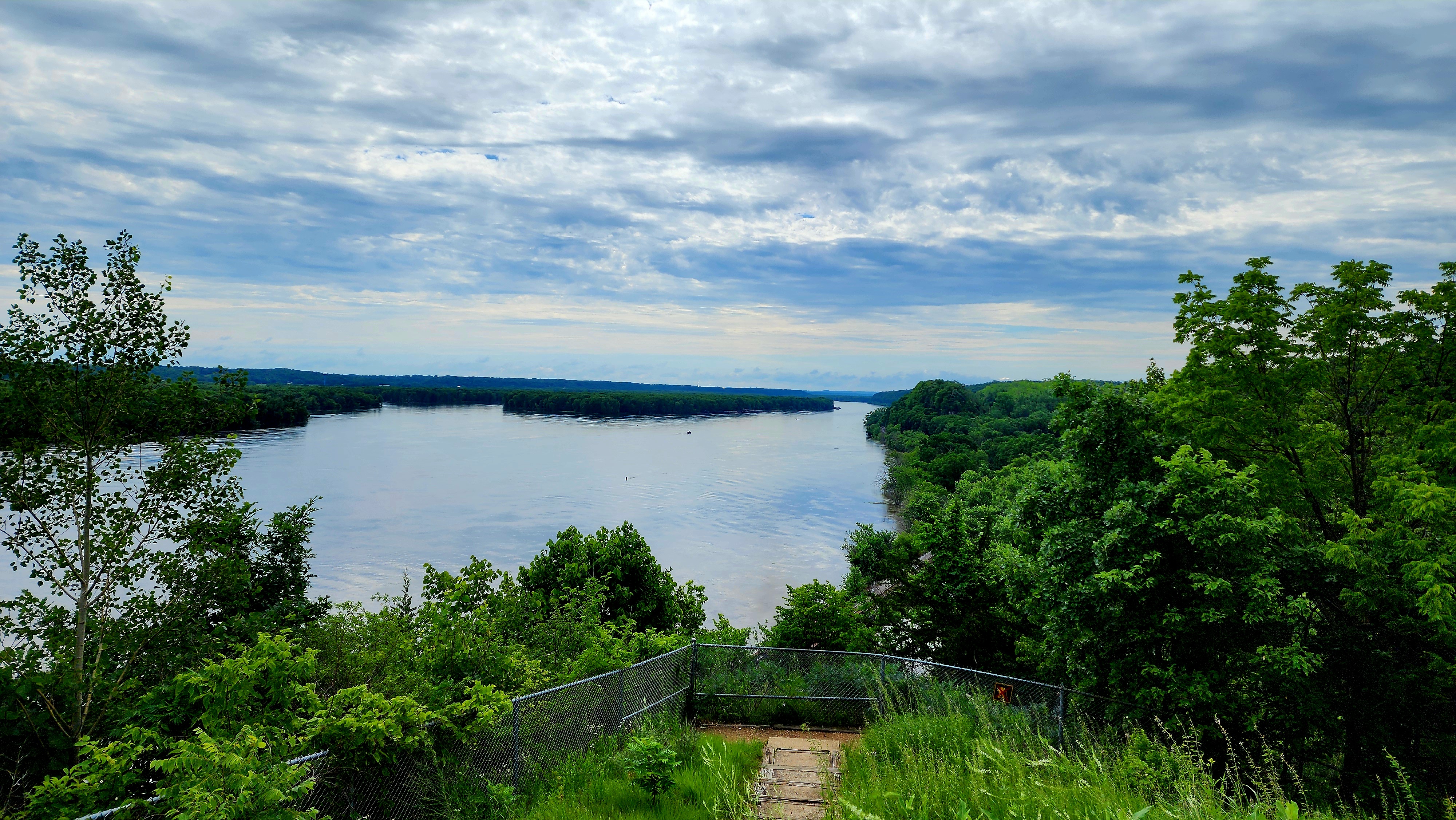
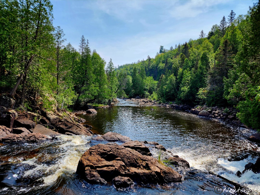
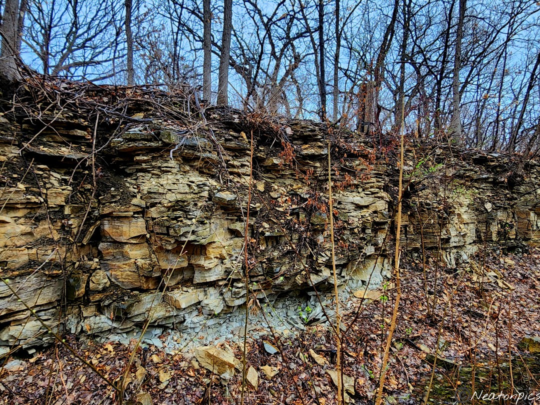
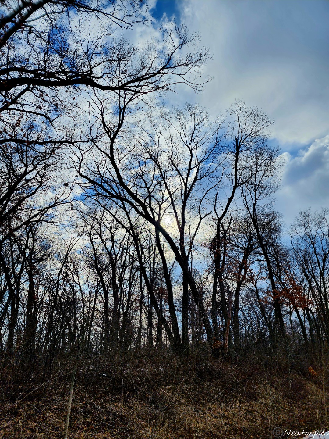
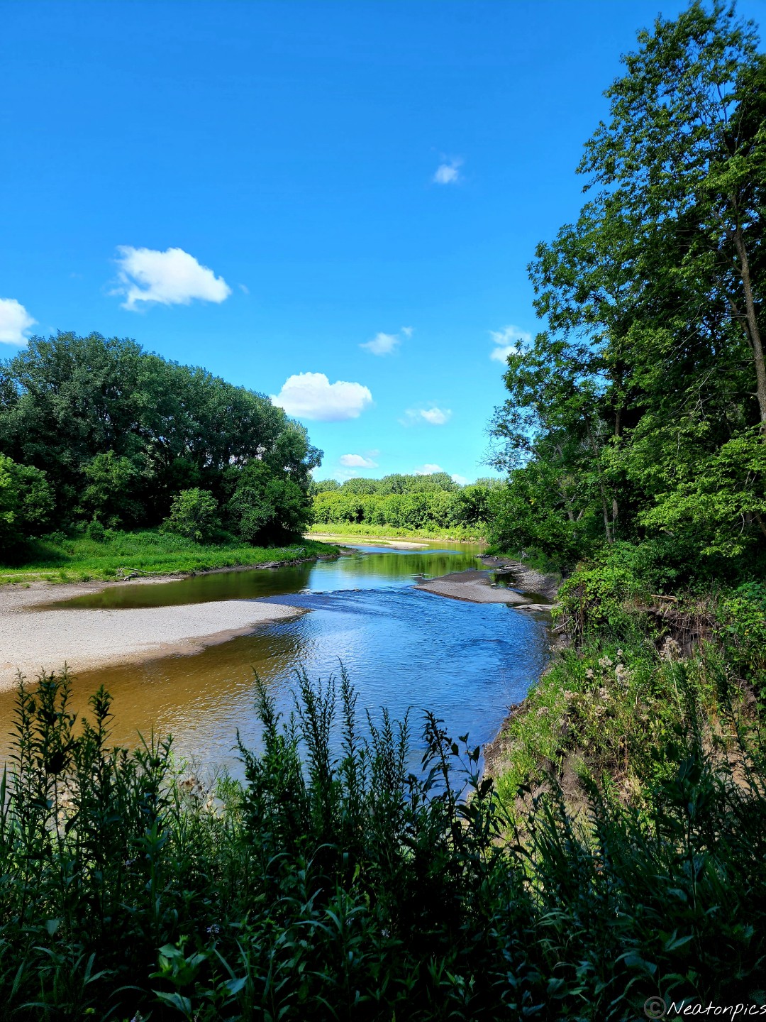
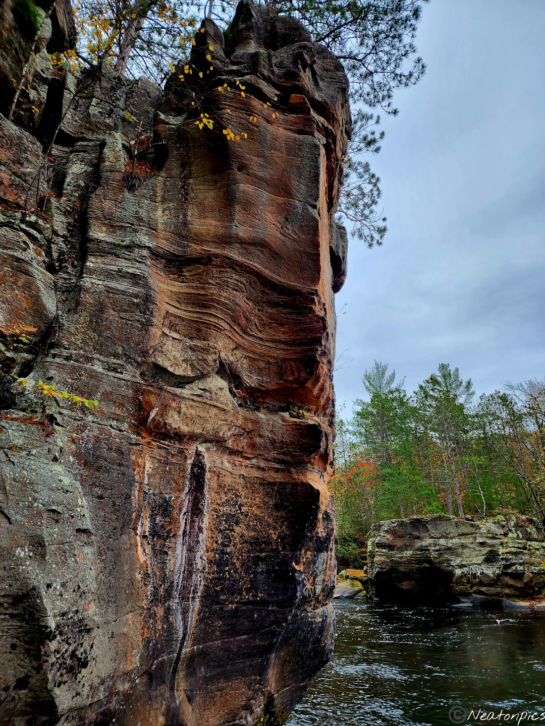
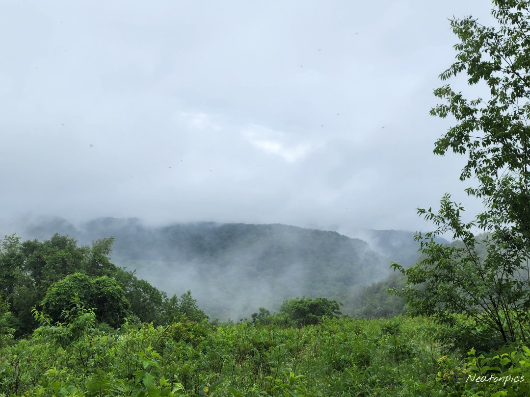
The bluffs begin to appear. I absolutely love the bluffs especially against the brilliant blue sky!
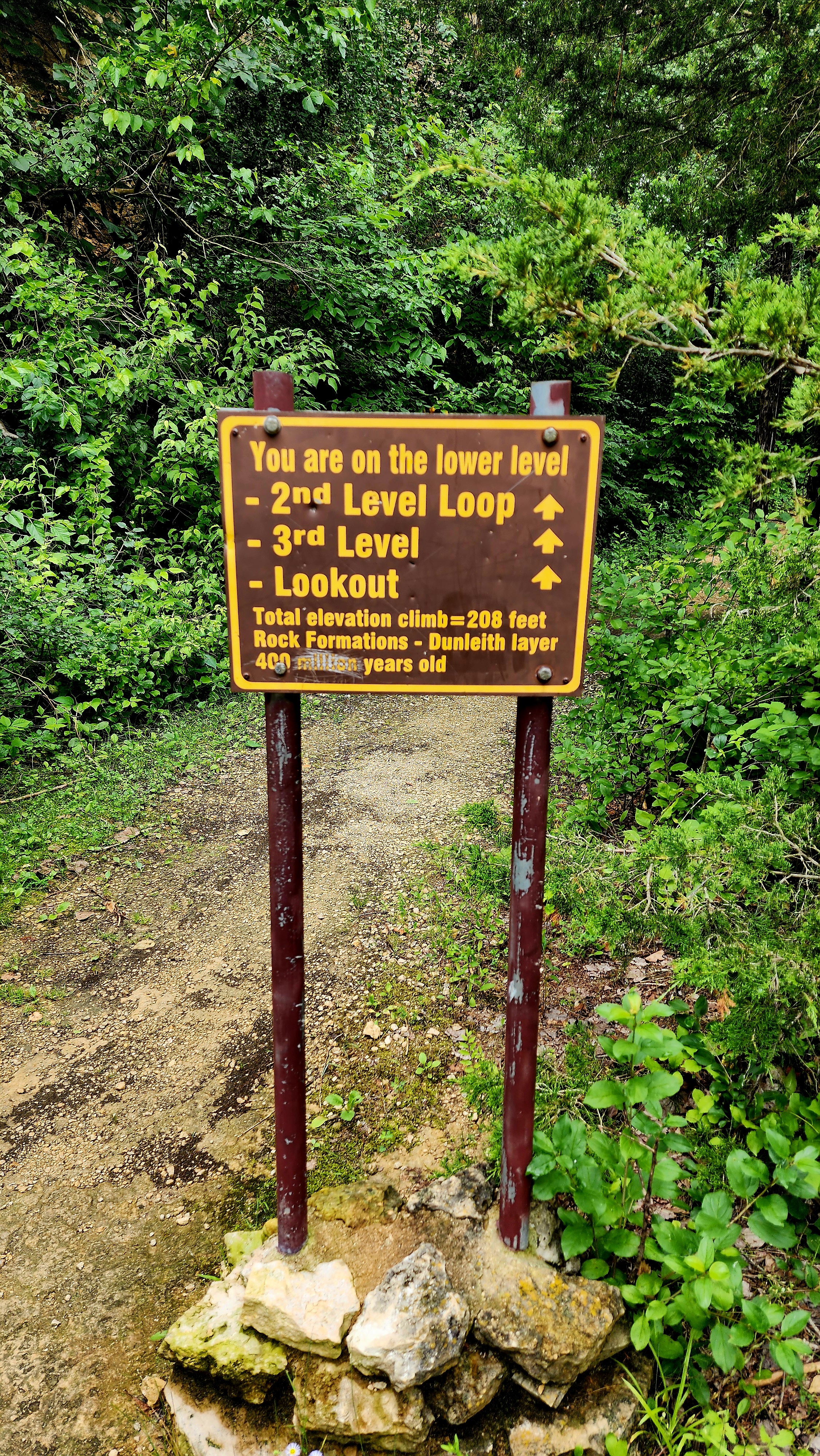
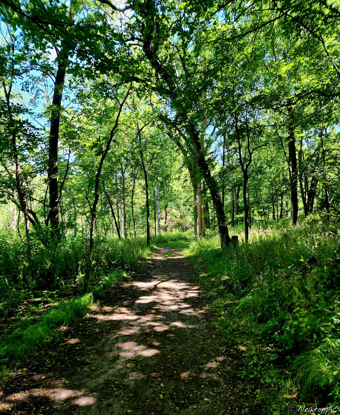
We followed the trail up to the different levels.
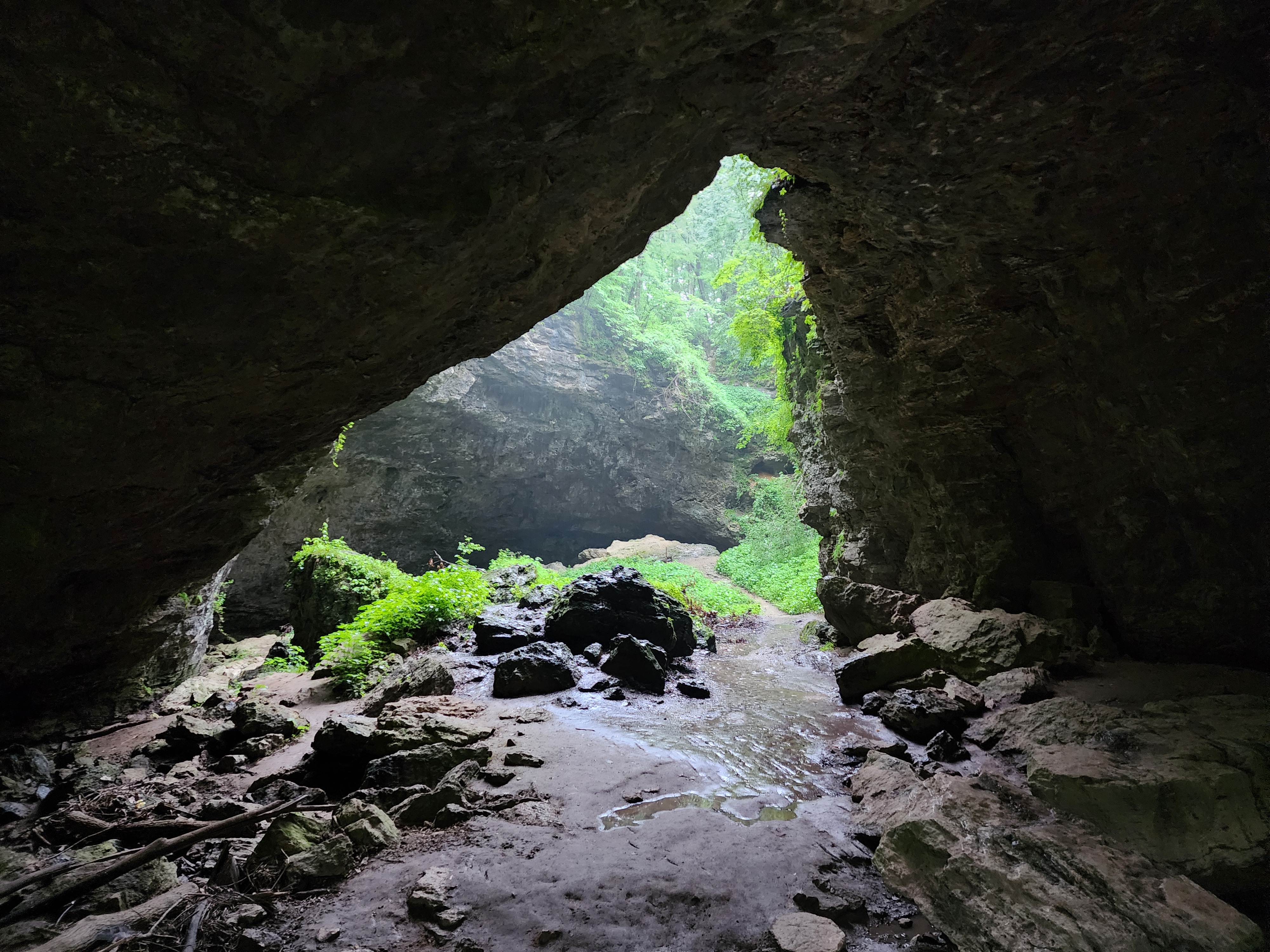
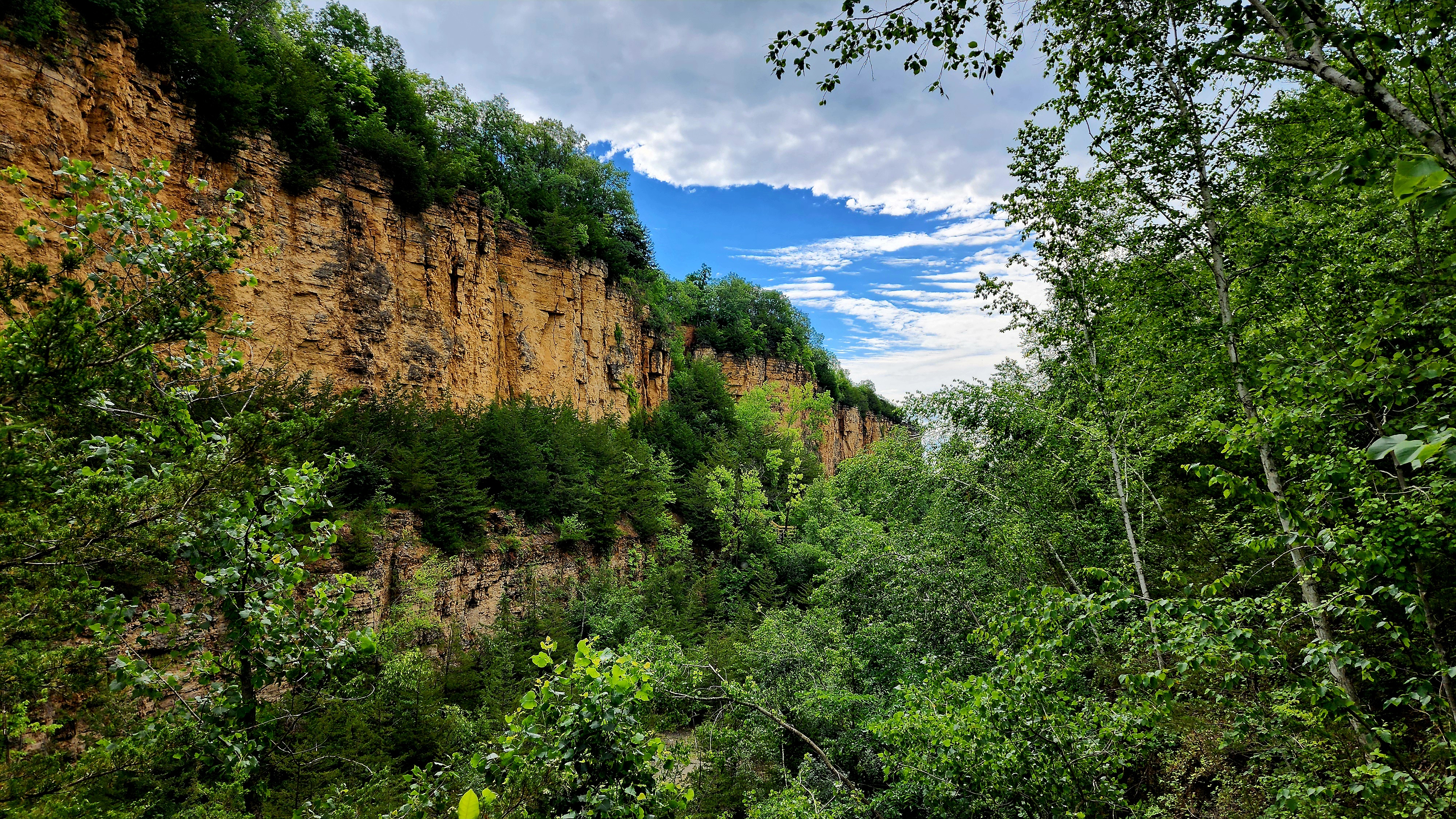
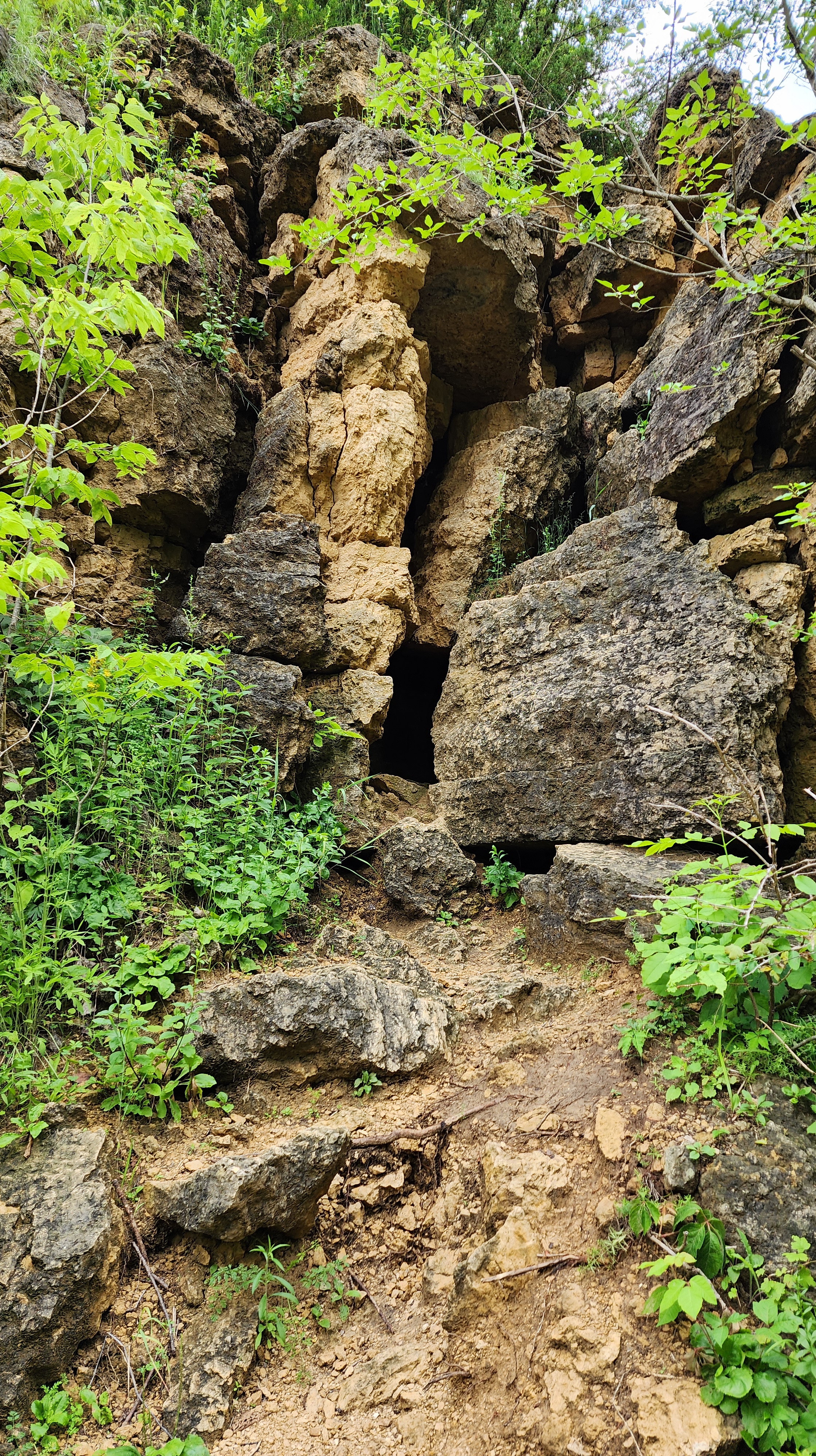
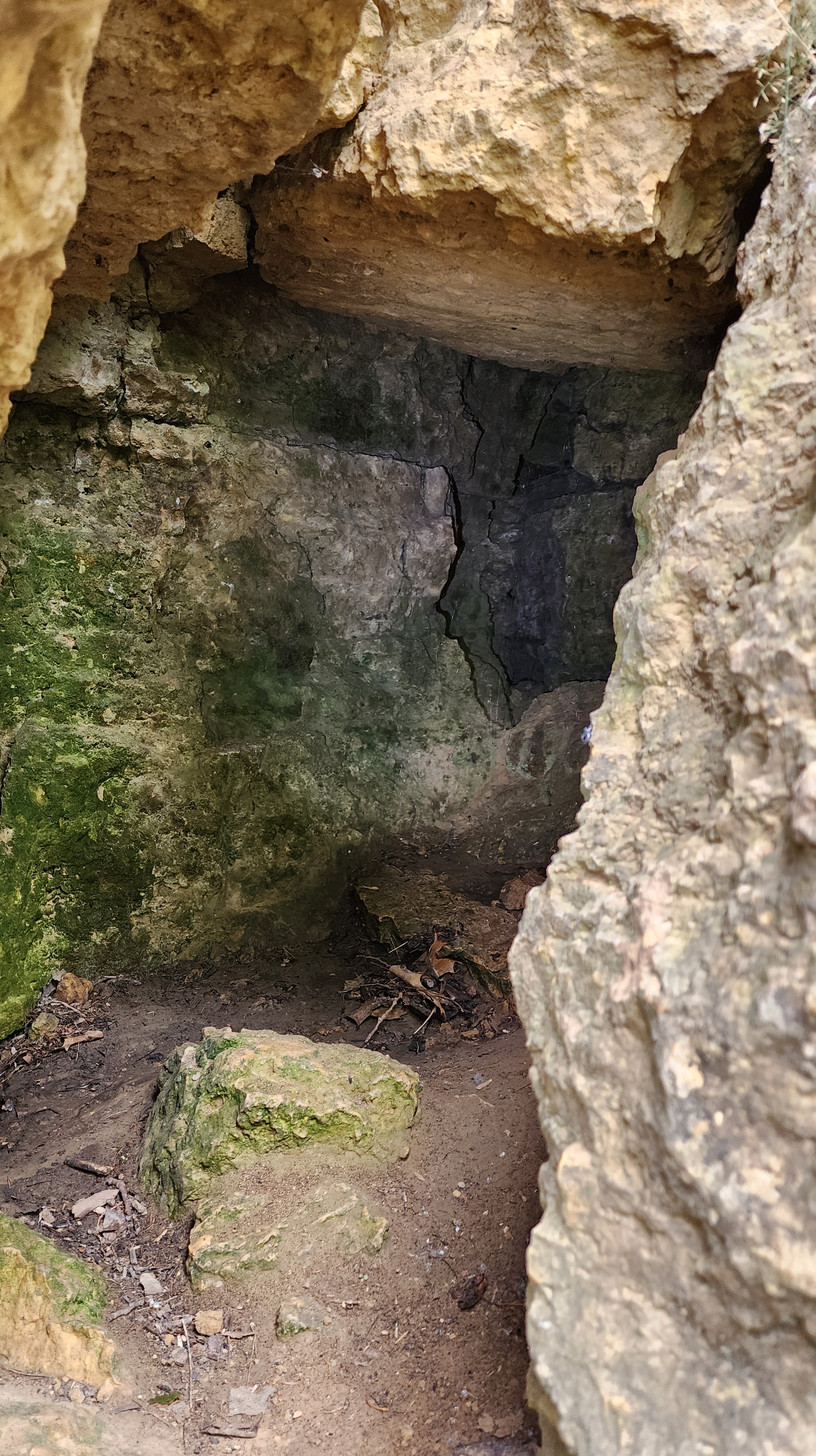
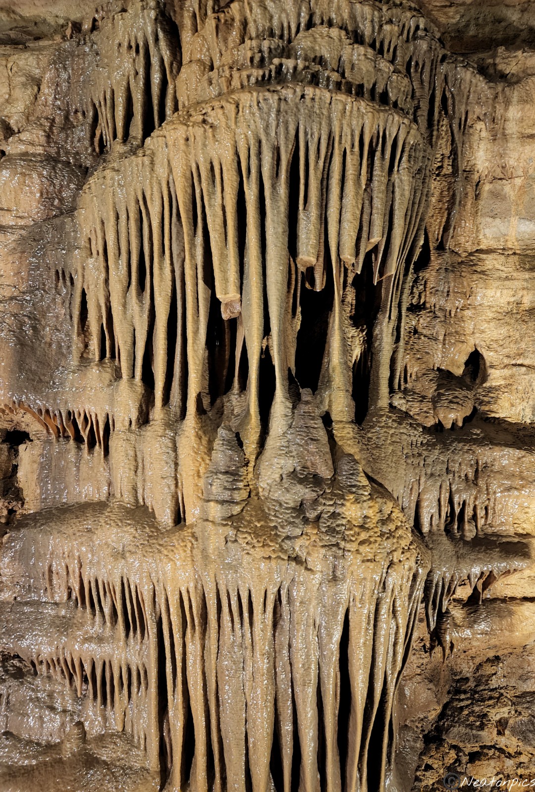
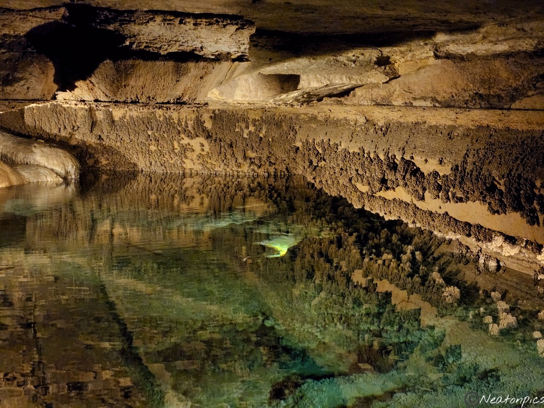
A small cave was located next to the overlook.
We looped back to our starting point to find our next destination.
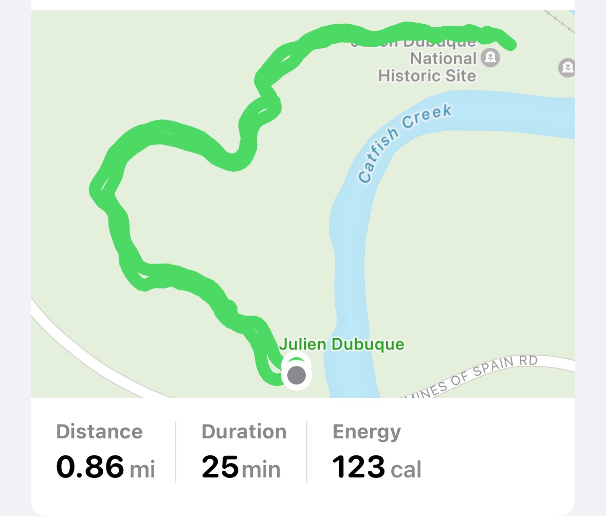
Down the road a bit, we pulled over to hike the Julien Dubuque Foot Trail. The trail at ground level was flooded so we made our way to the second trail leading us to the Julien Dubuque Monument.
Up, up, up we went.
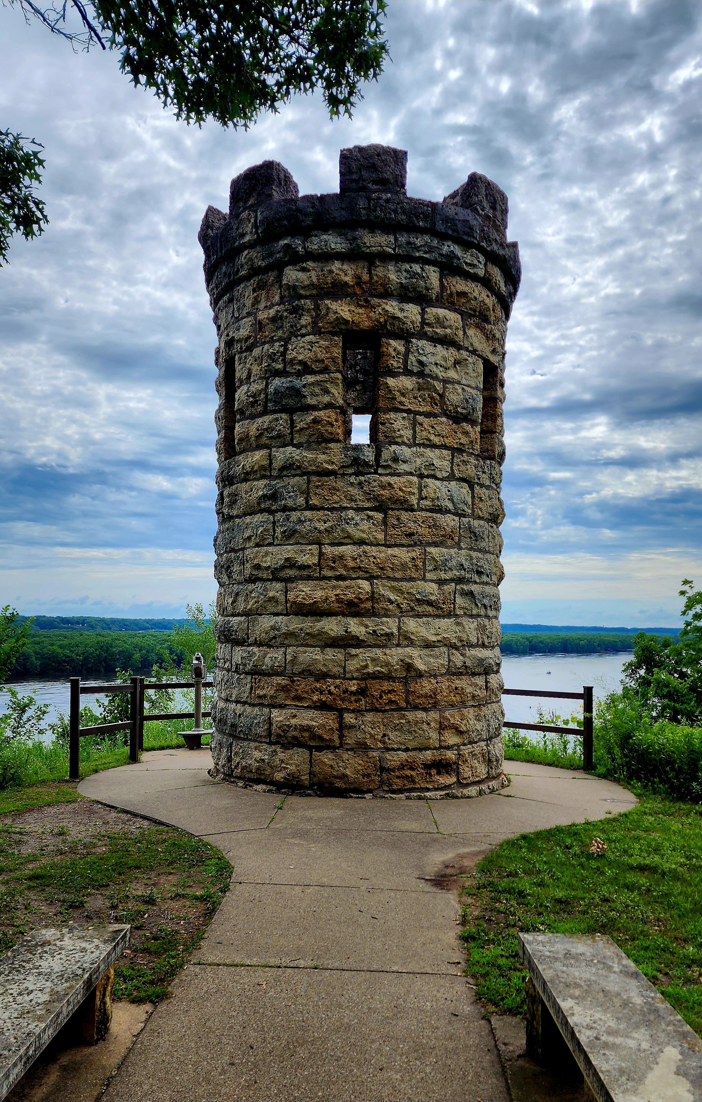
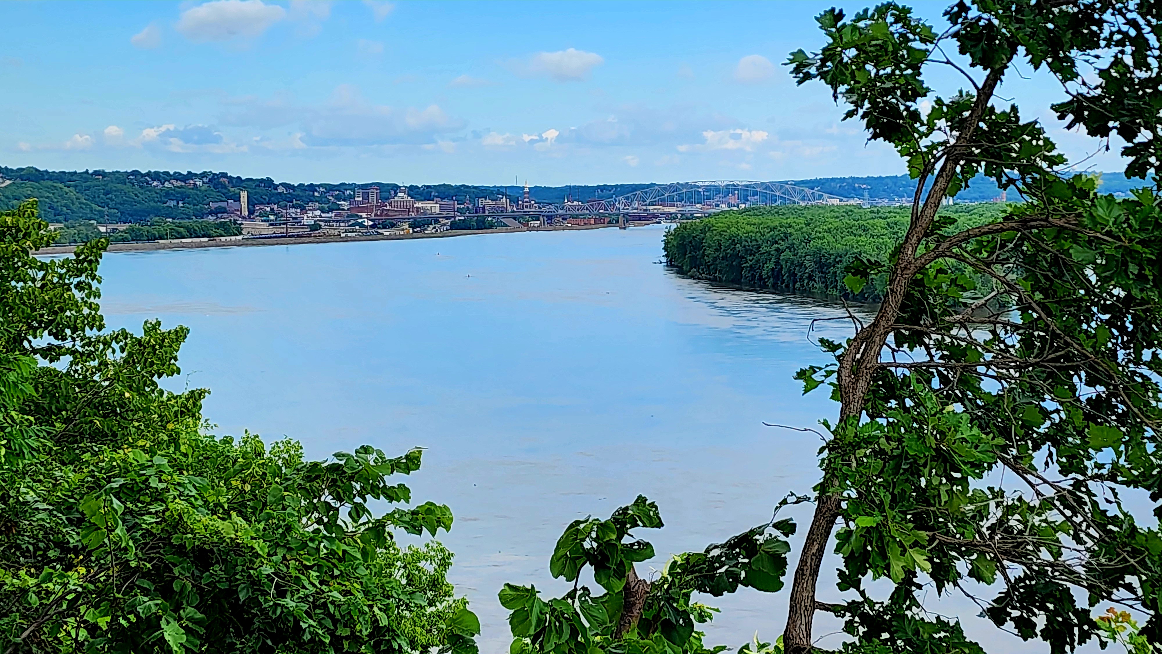
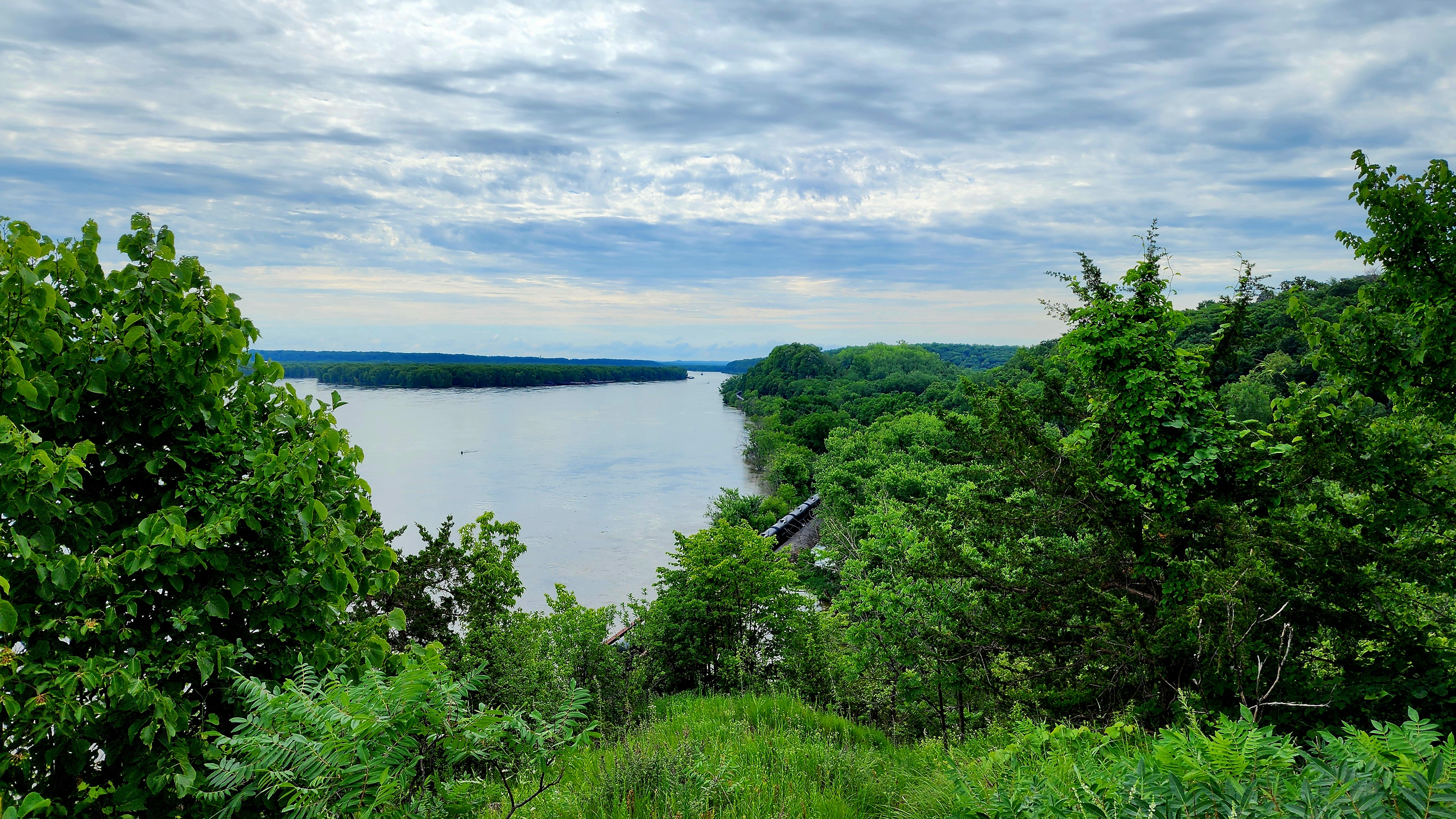
The Julien Dubuque Monument
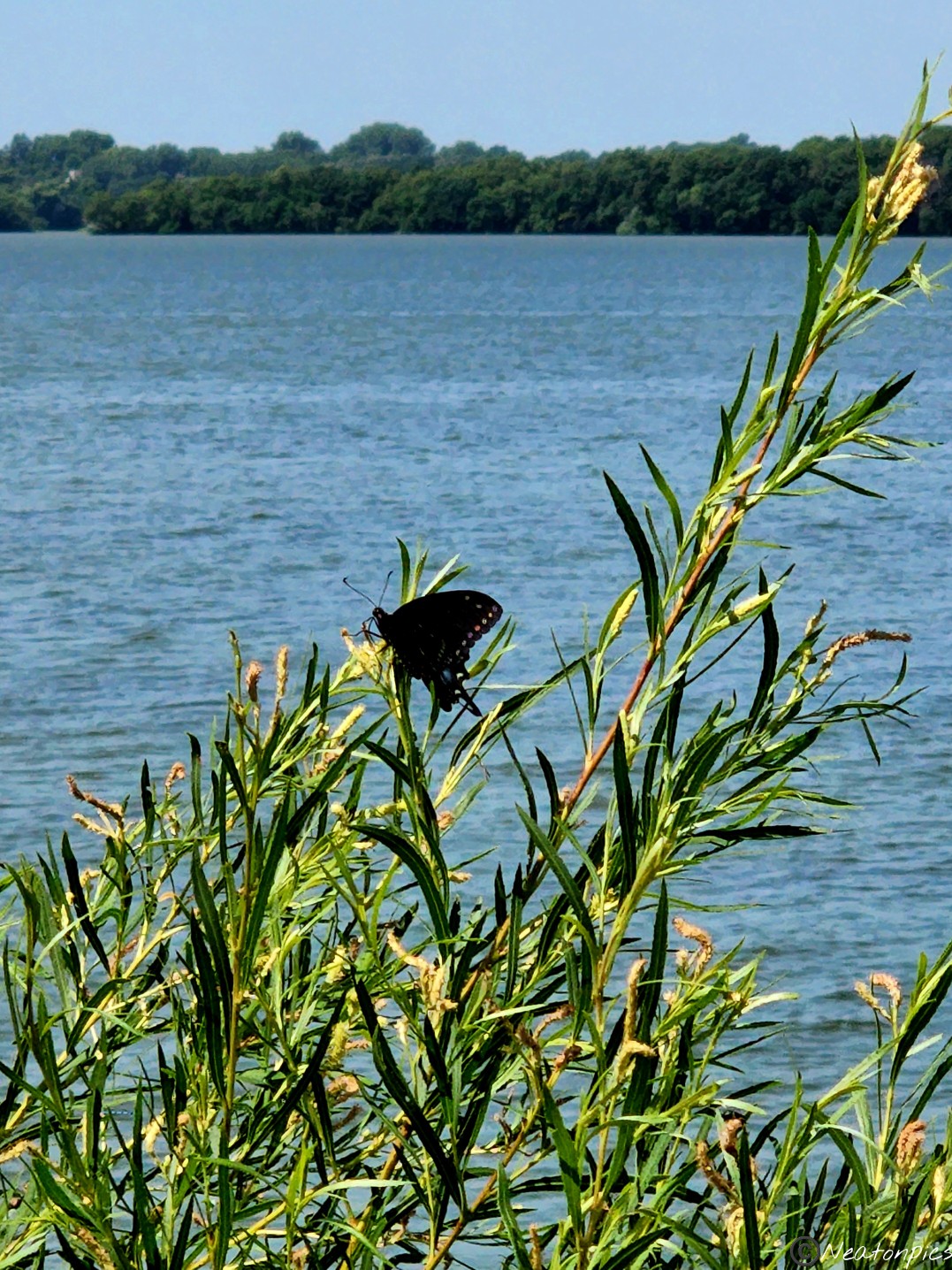
The view was worth the climb. It always is. The overflowing Mighty Mississippi River rushed past us.
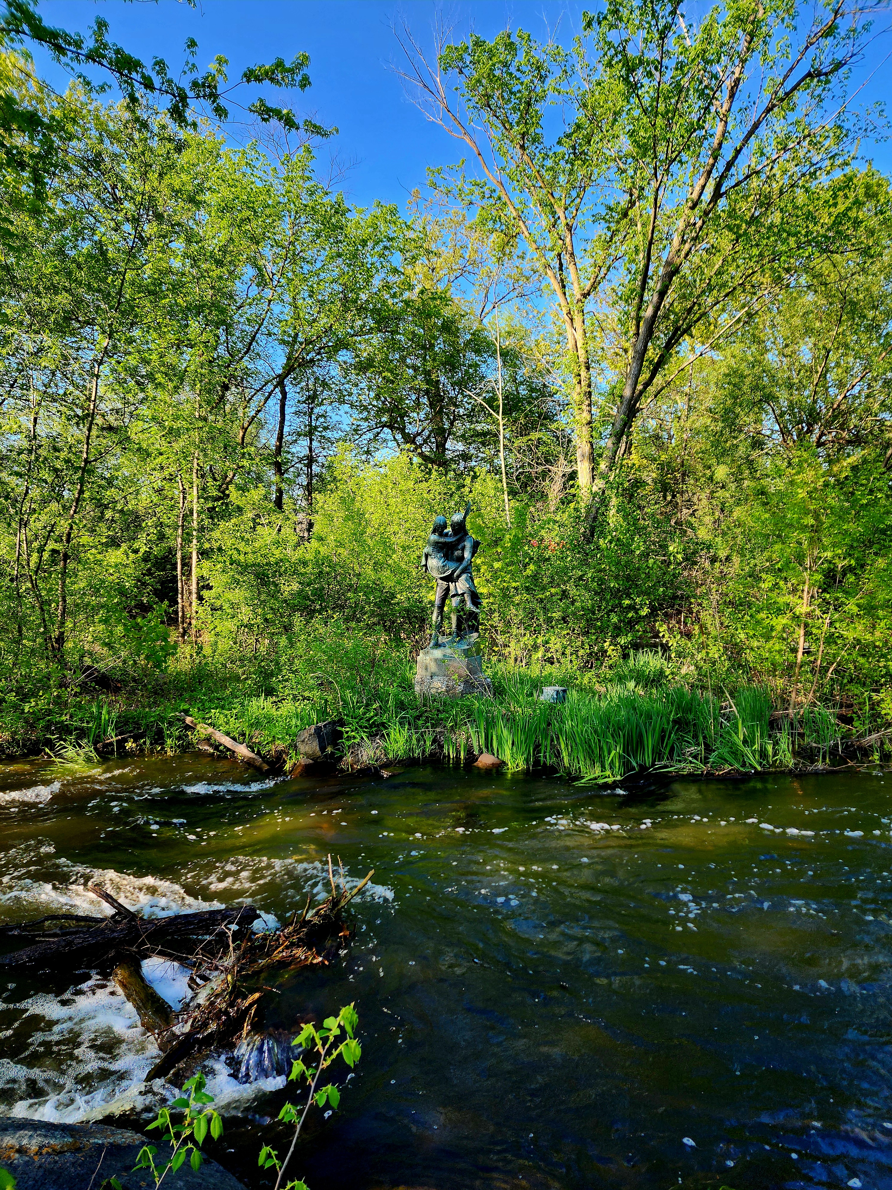
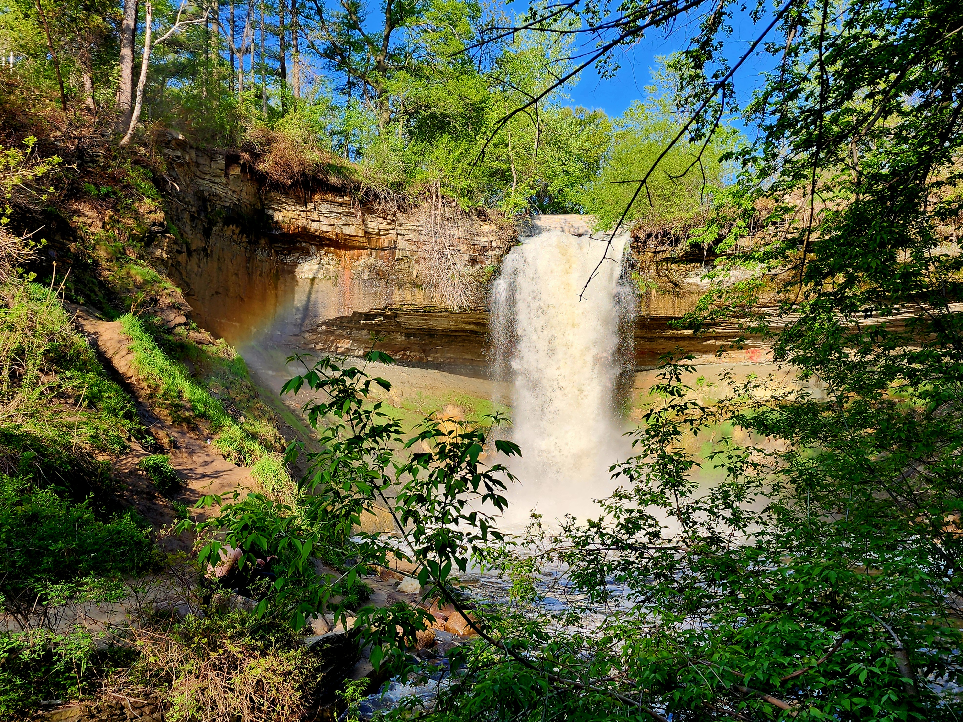
Today’s hiking adventure began at Minnehaha Falls.
Spring is officially here! The tulips and crabapple trees are blooming all throughout the park.
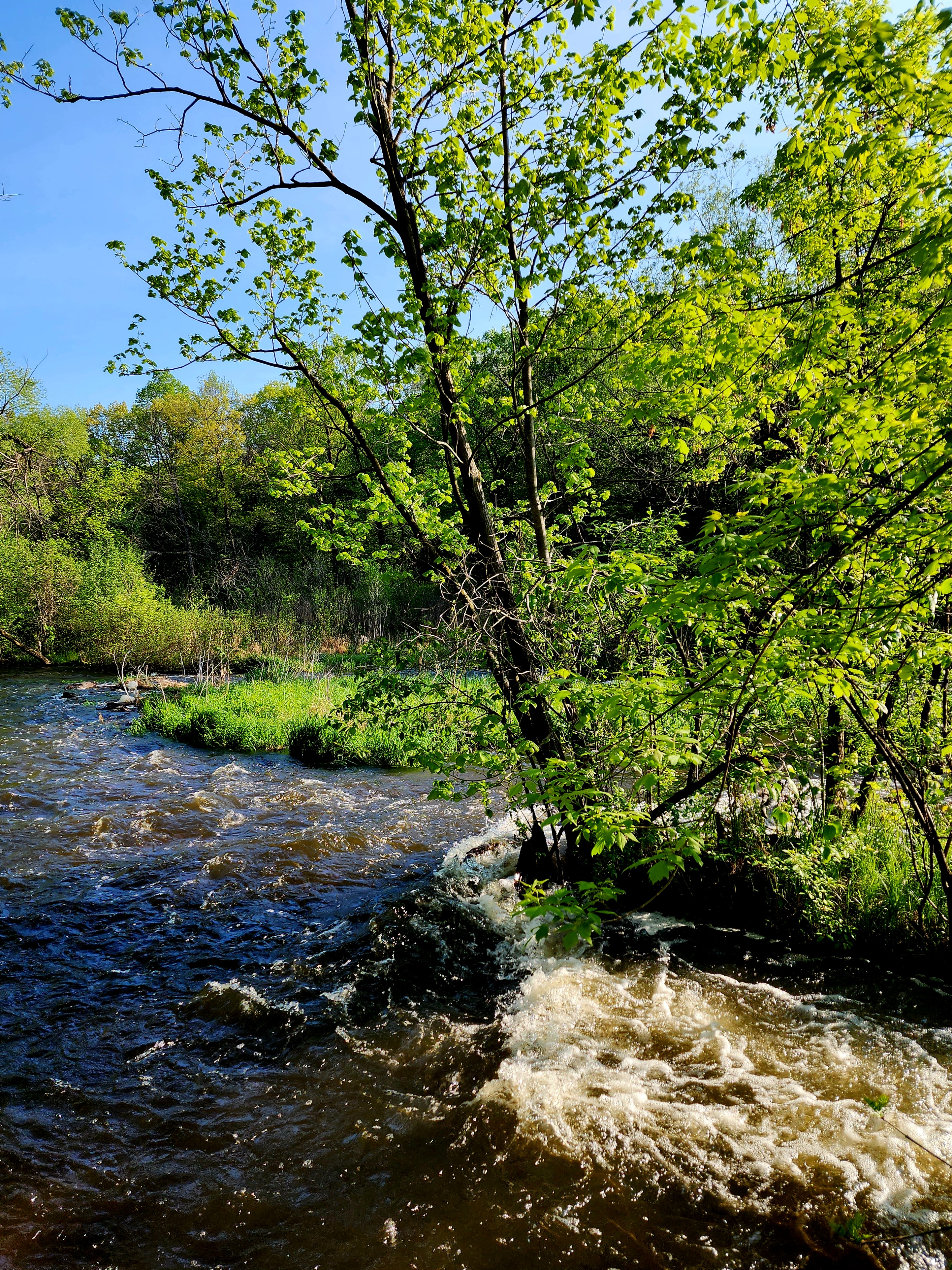
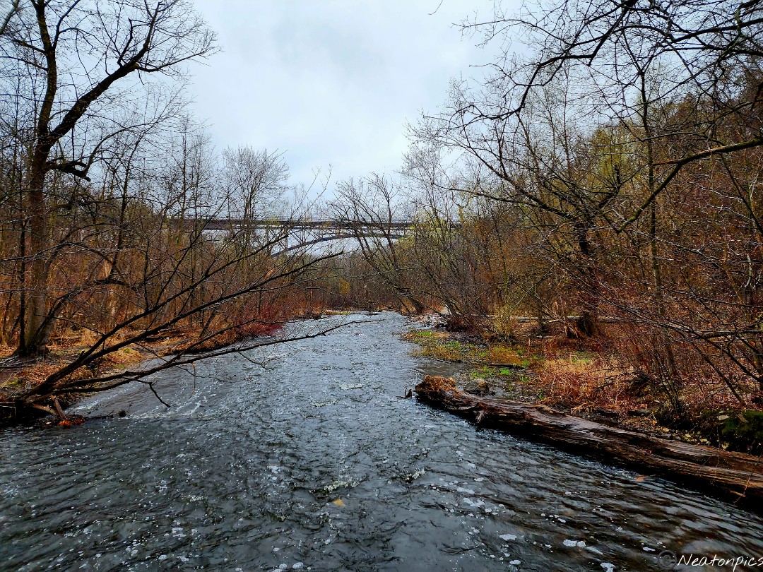
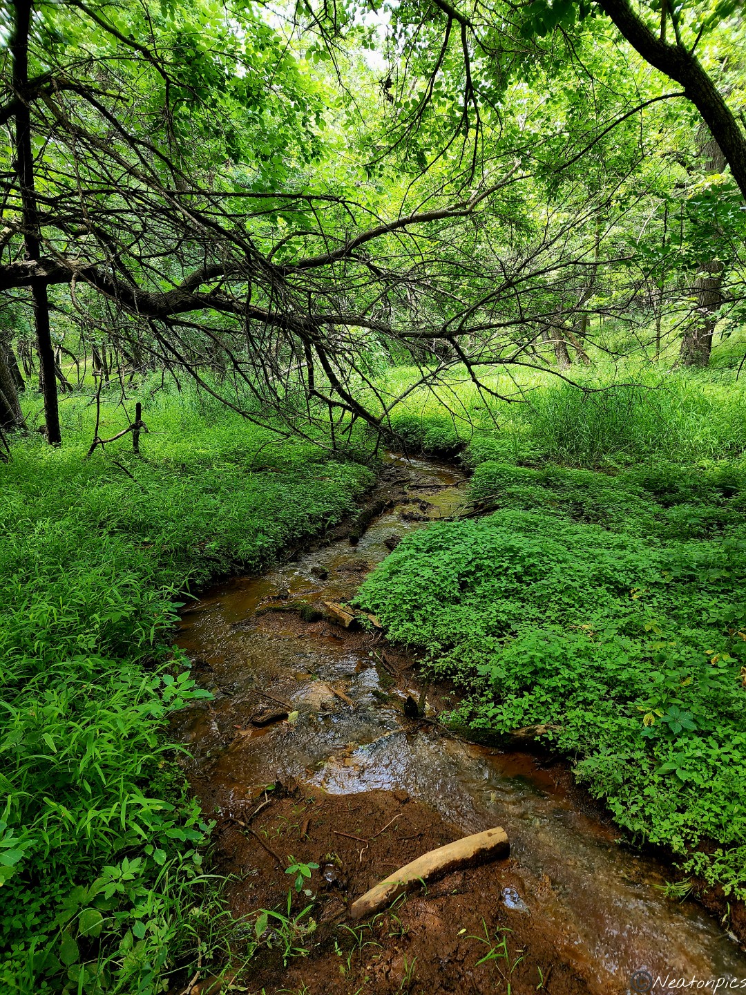
All the rain Minnesota has received lately was definitely noticed as we passed the fast flowing Minnehaha Creek.
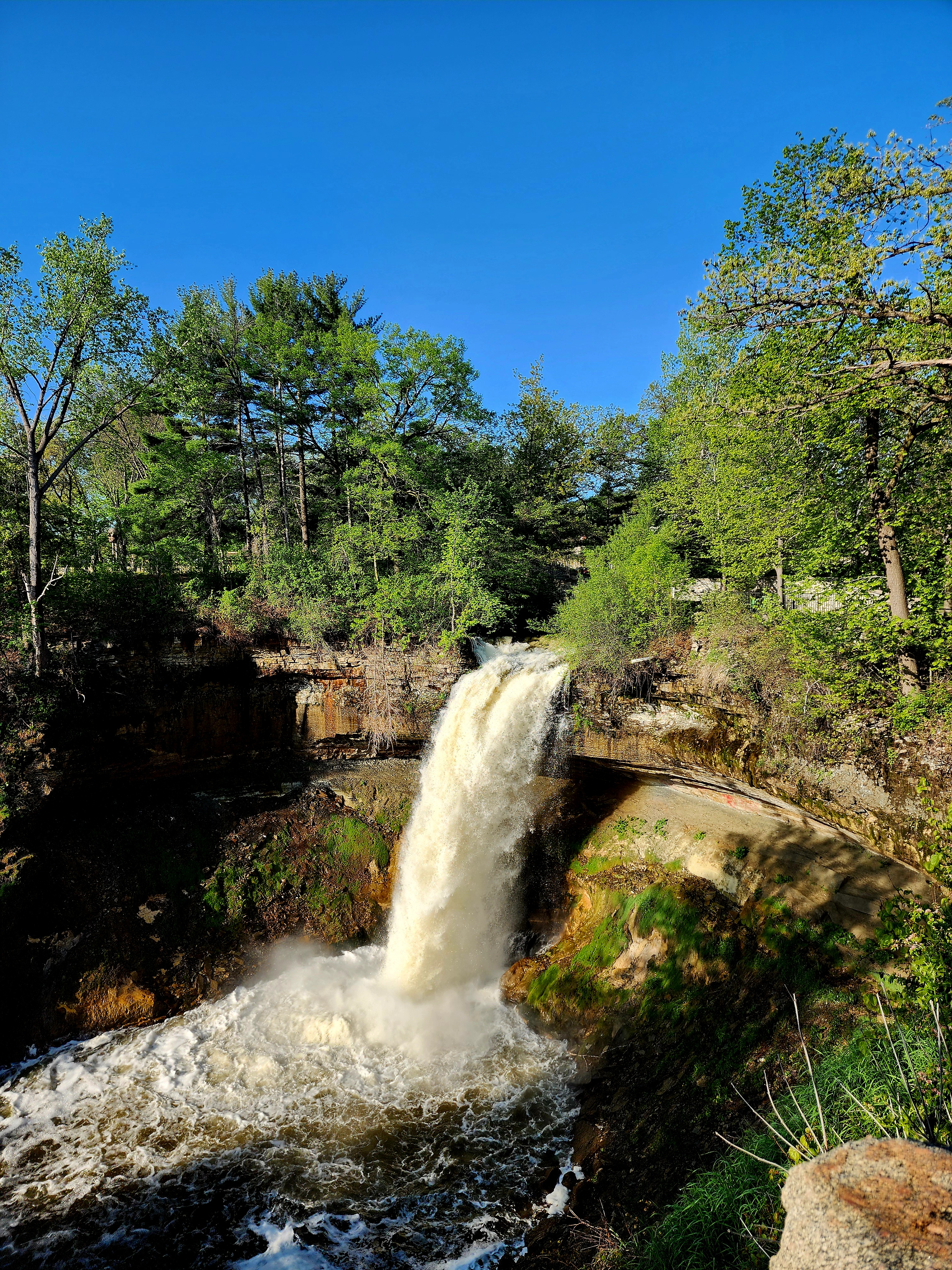
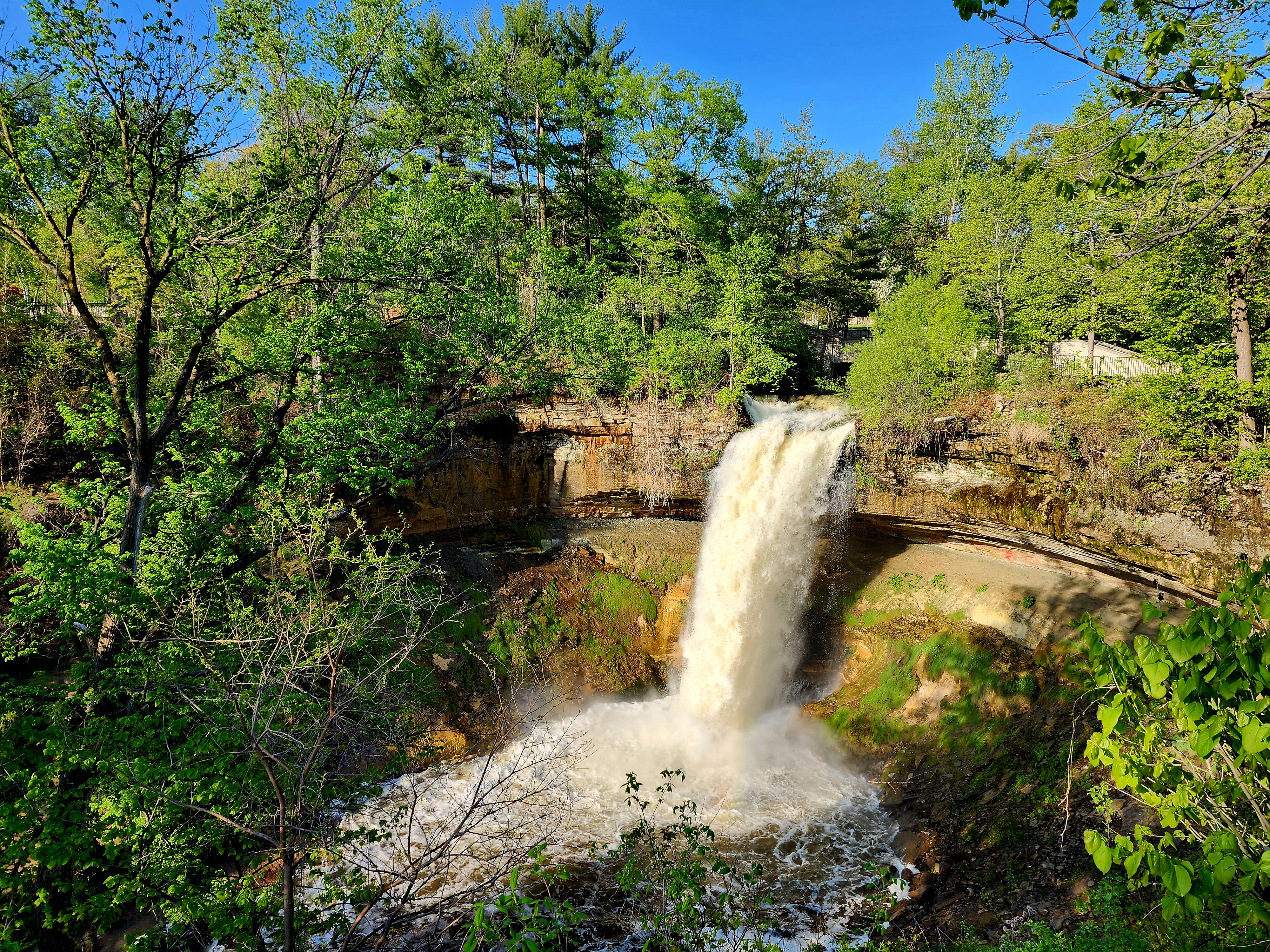
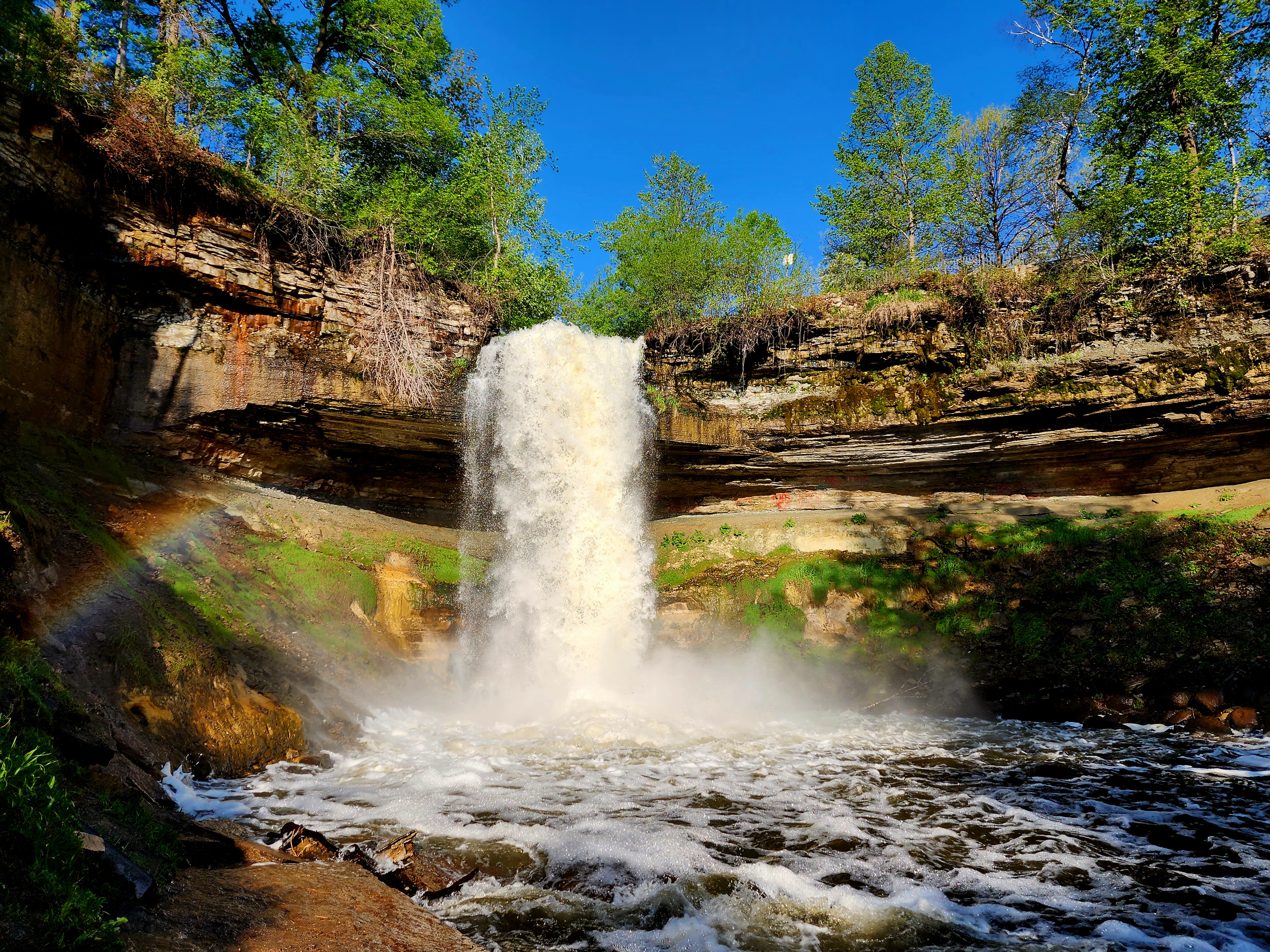
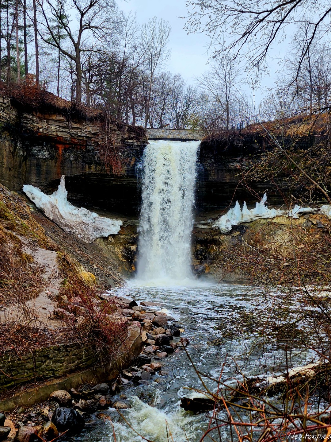
The Minnehaha Falls
We took the steps down to hike the trails below. But first, we had to take in all the different views of the falls.
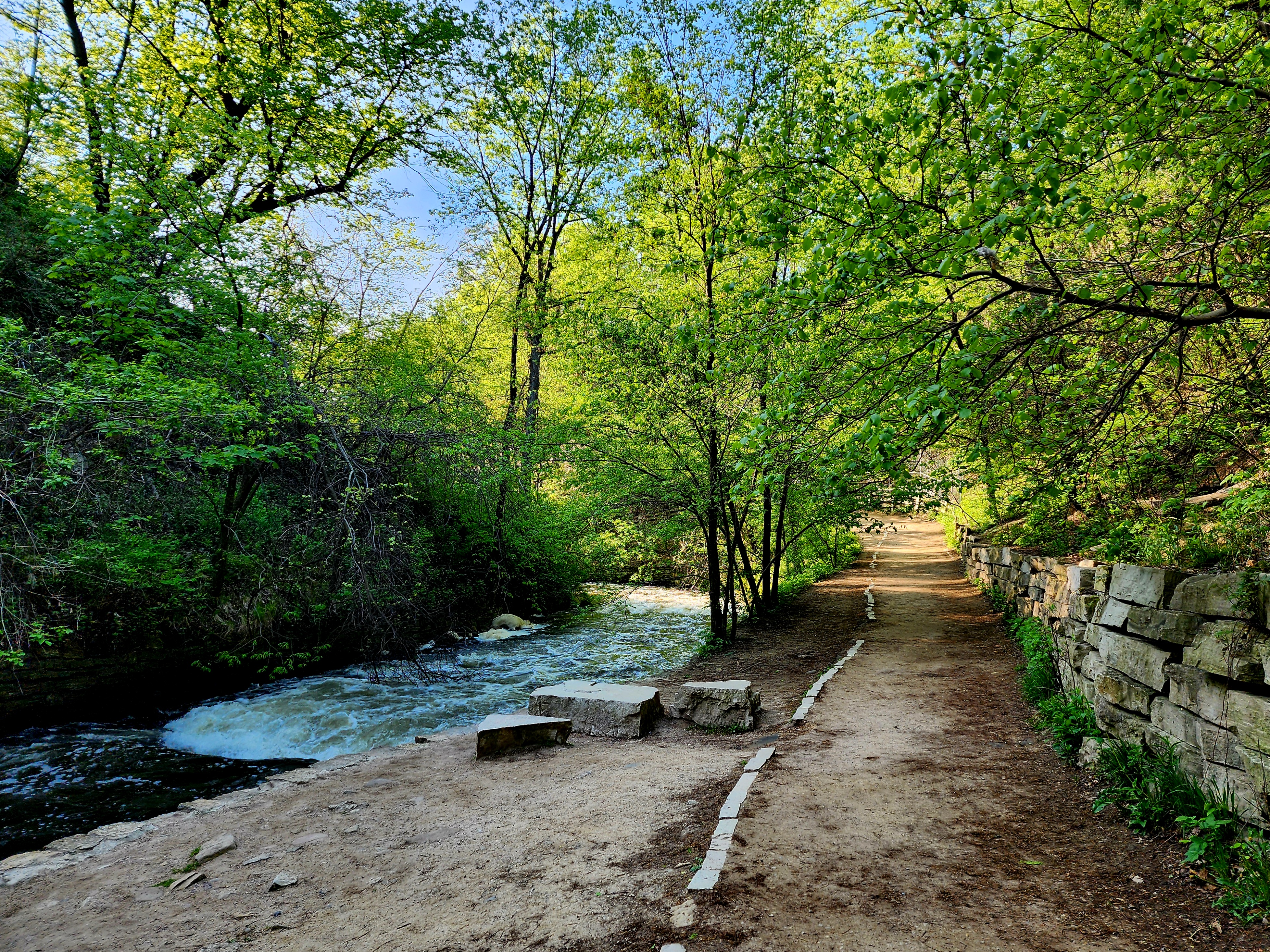
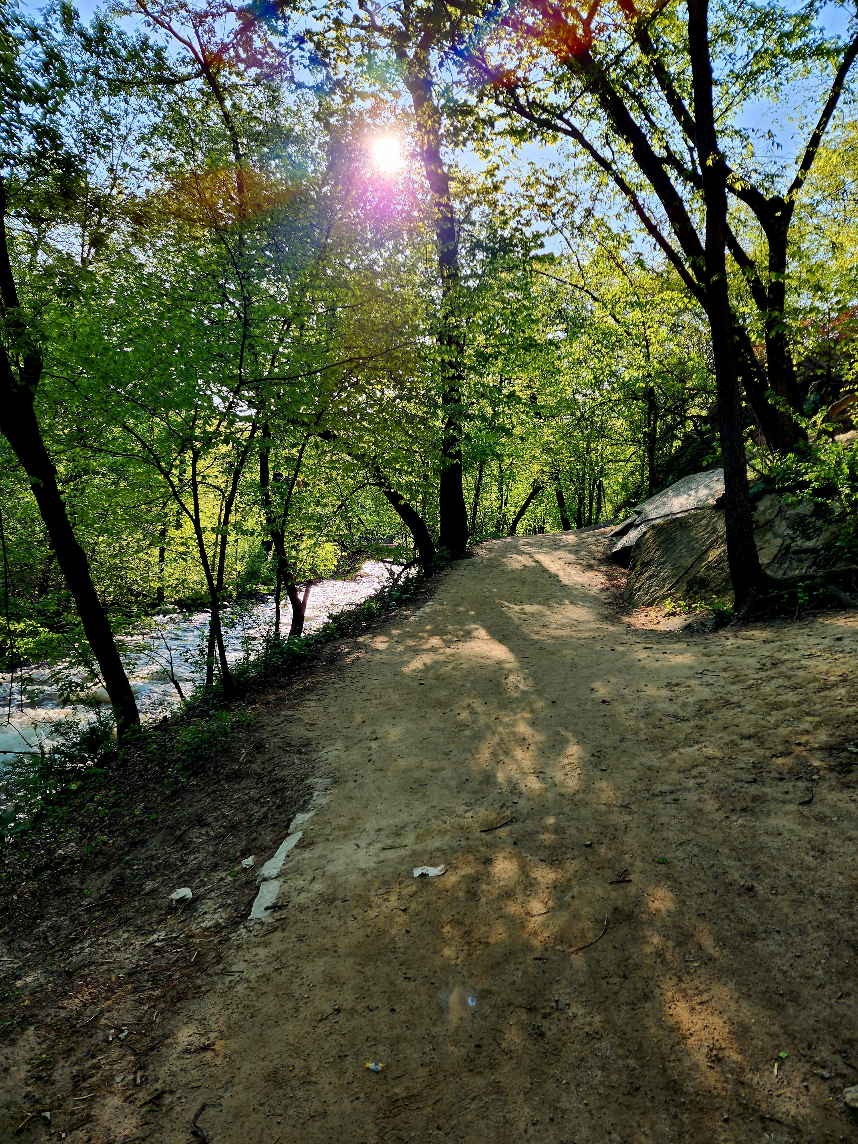
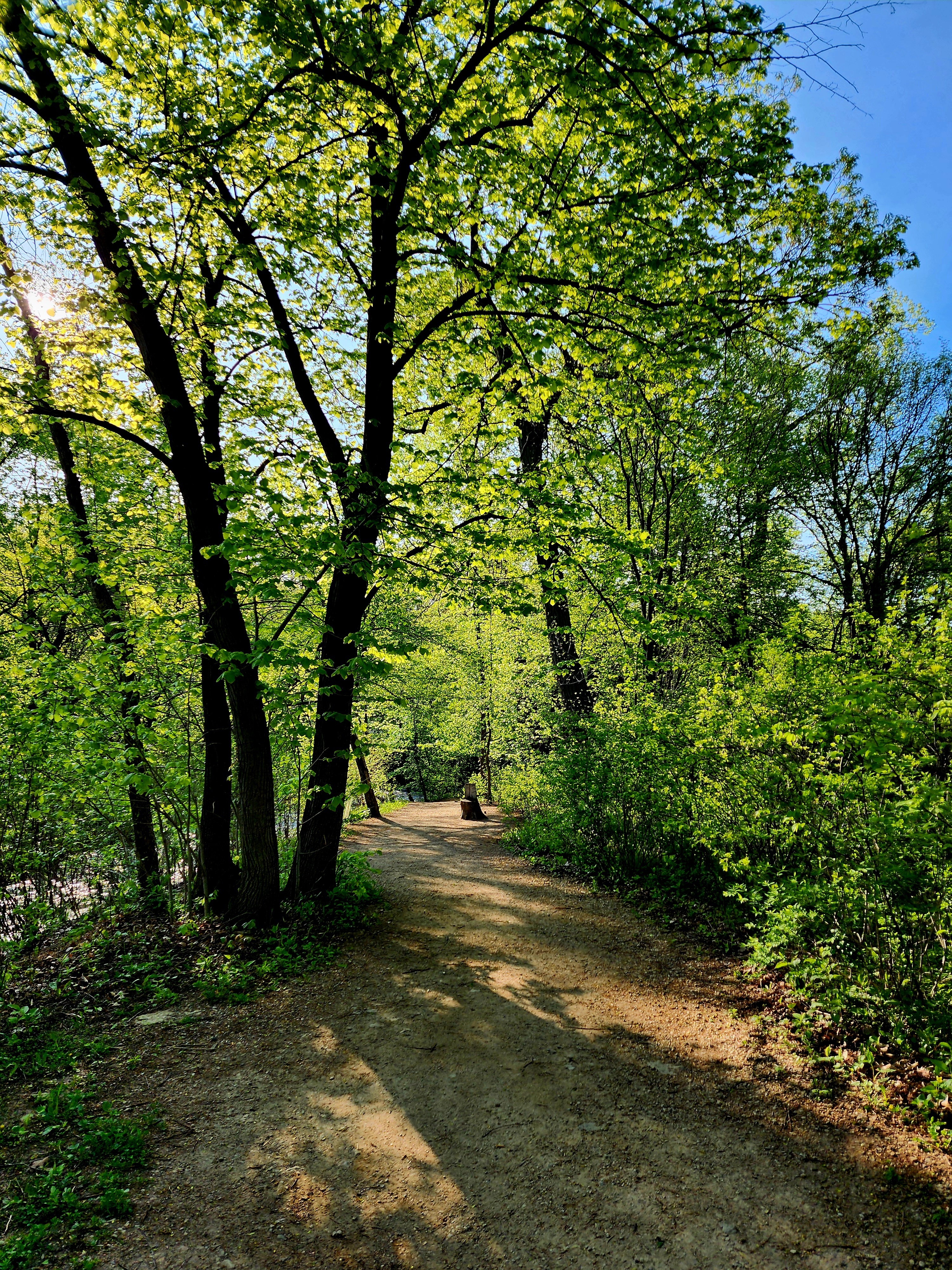
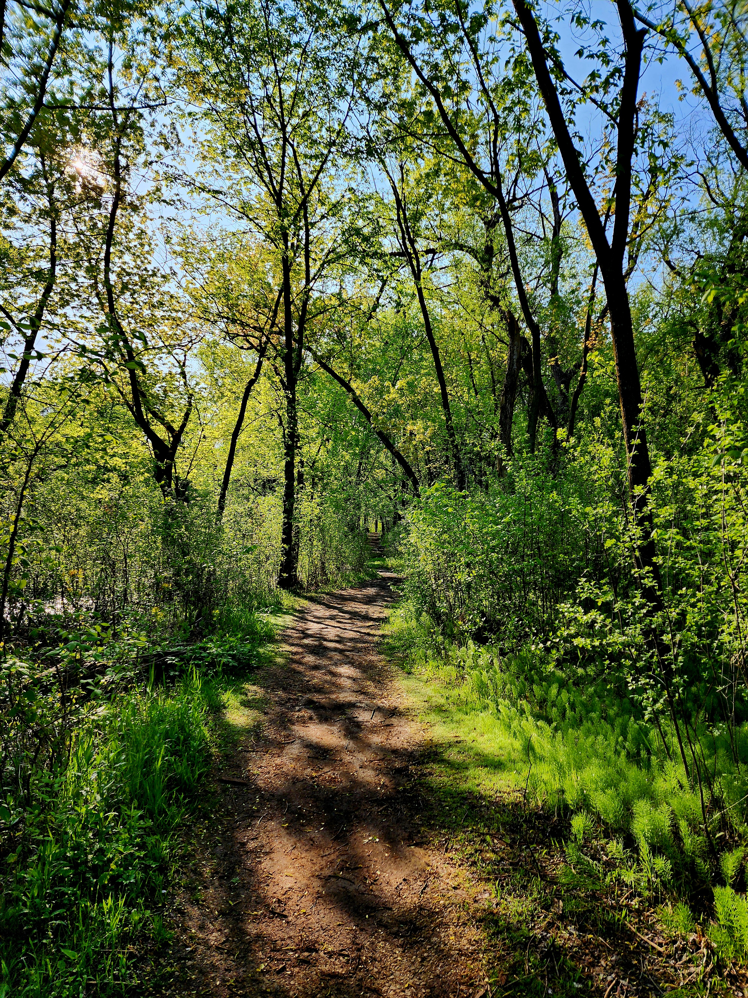
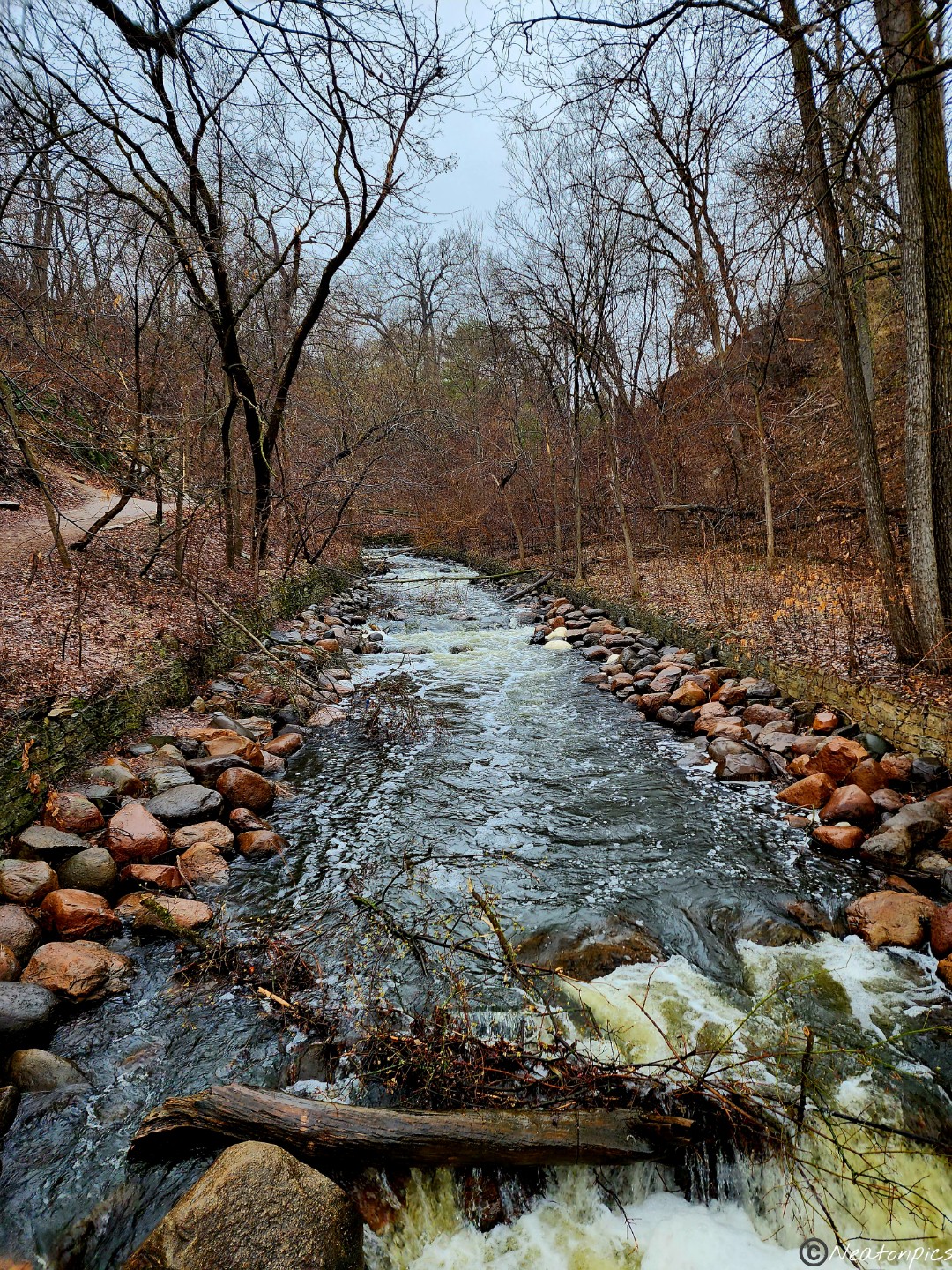
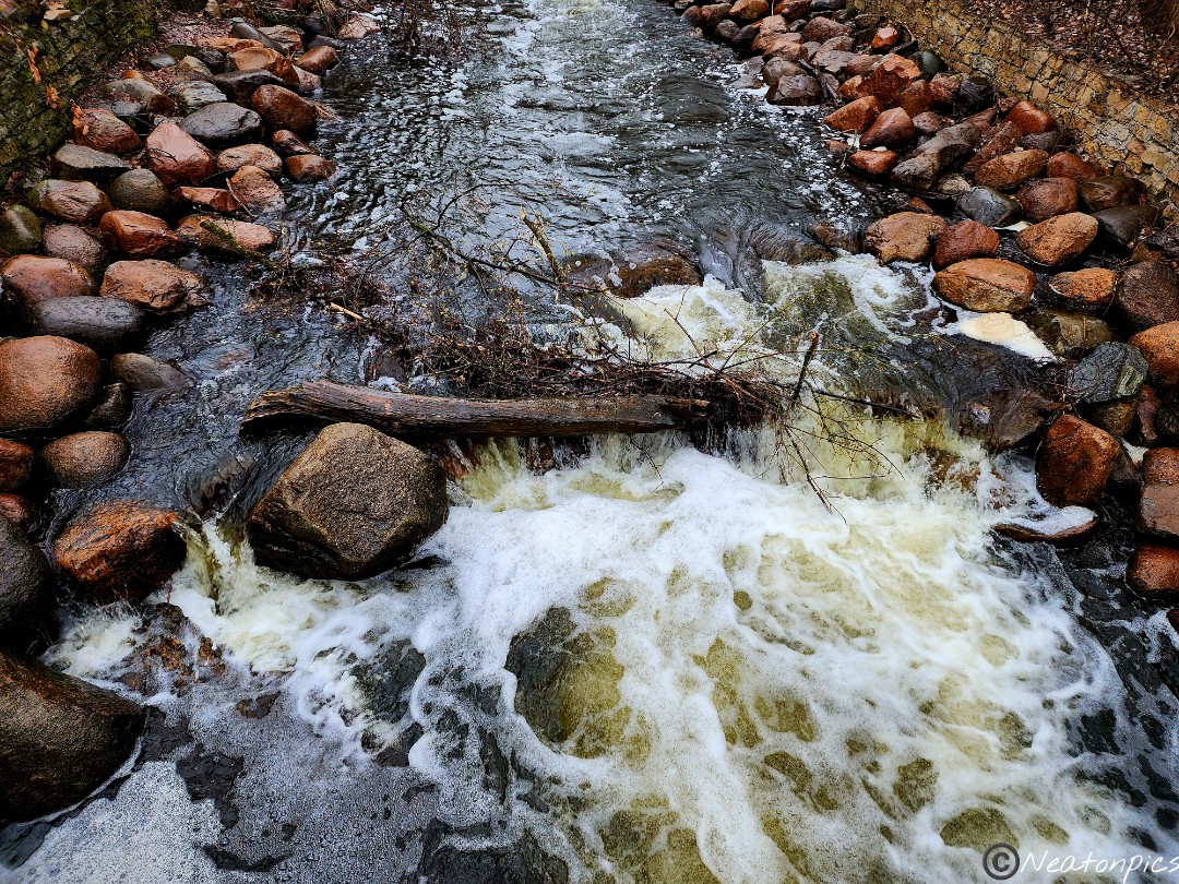
The trail followed along the Minnehaha Creek.
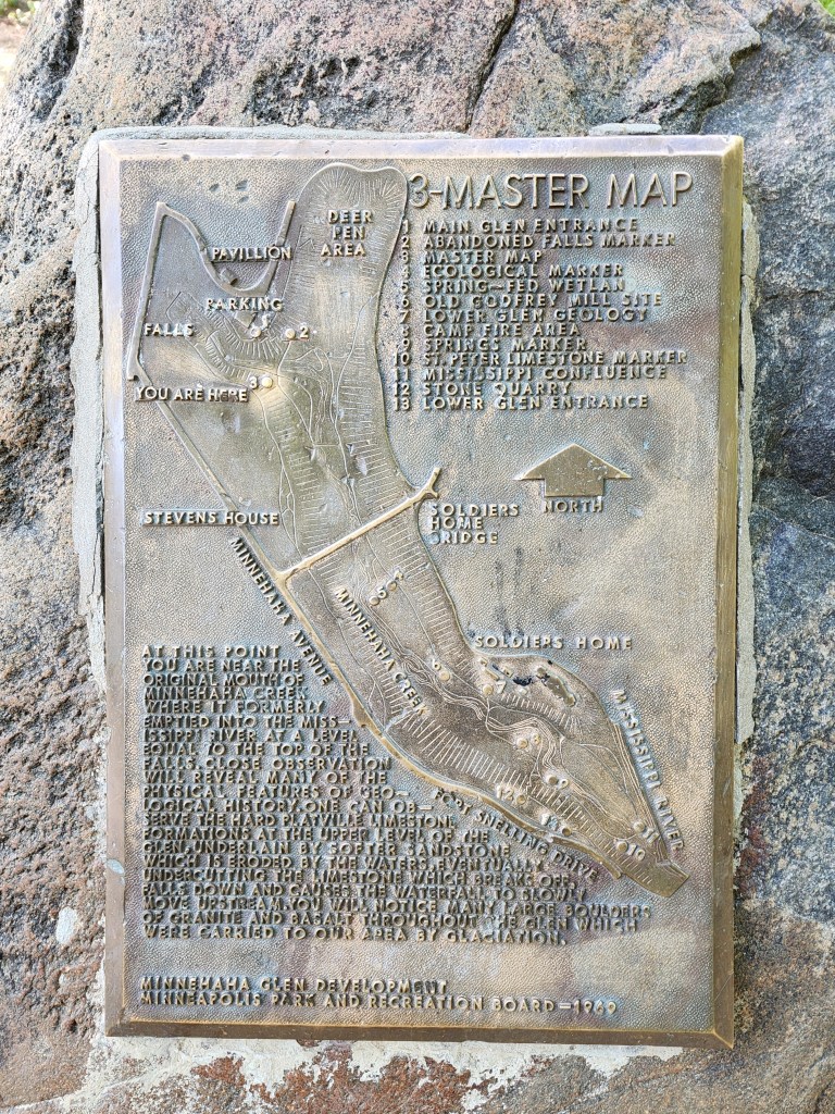
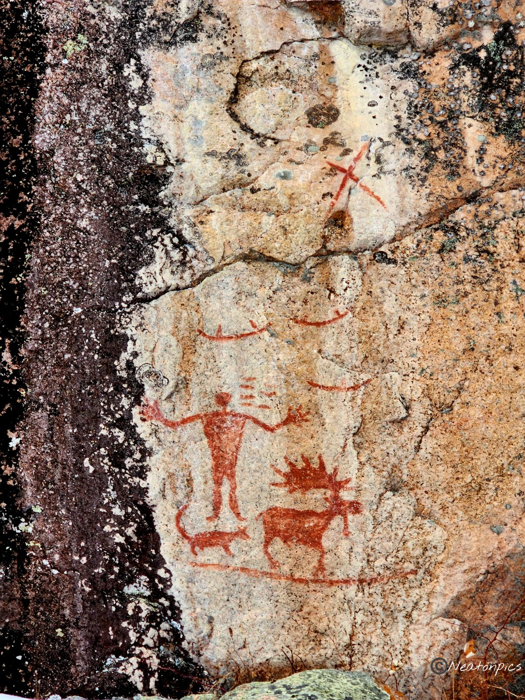
I find it amazing how many times I can hike an area and still find something new. The following map was located on a large rock. It has been there since 1969. Well, today was the first time I noticed it.
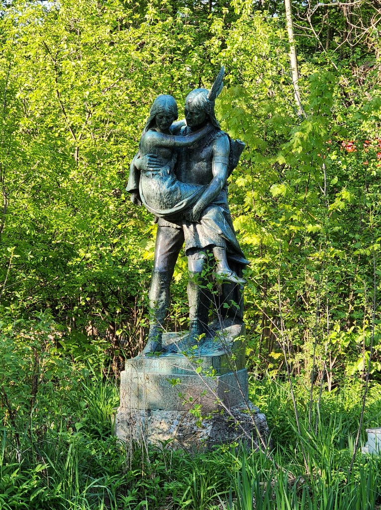
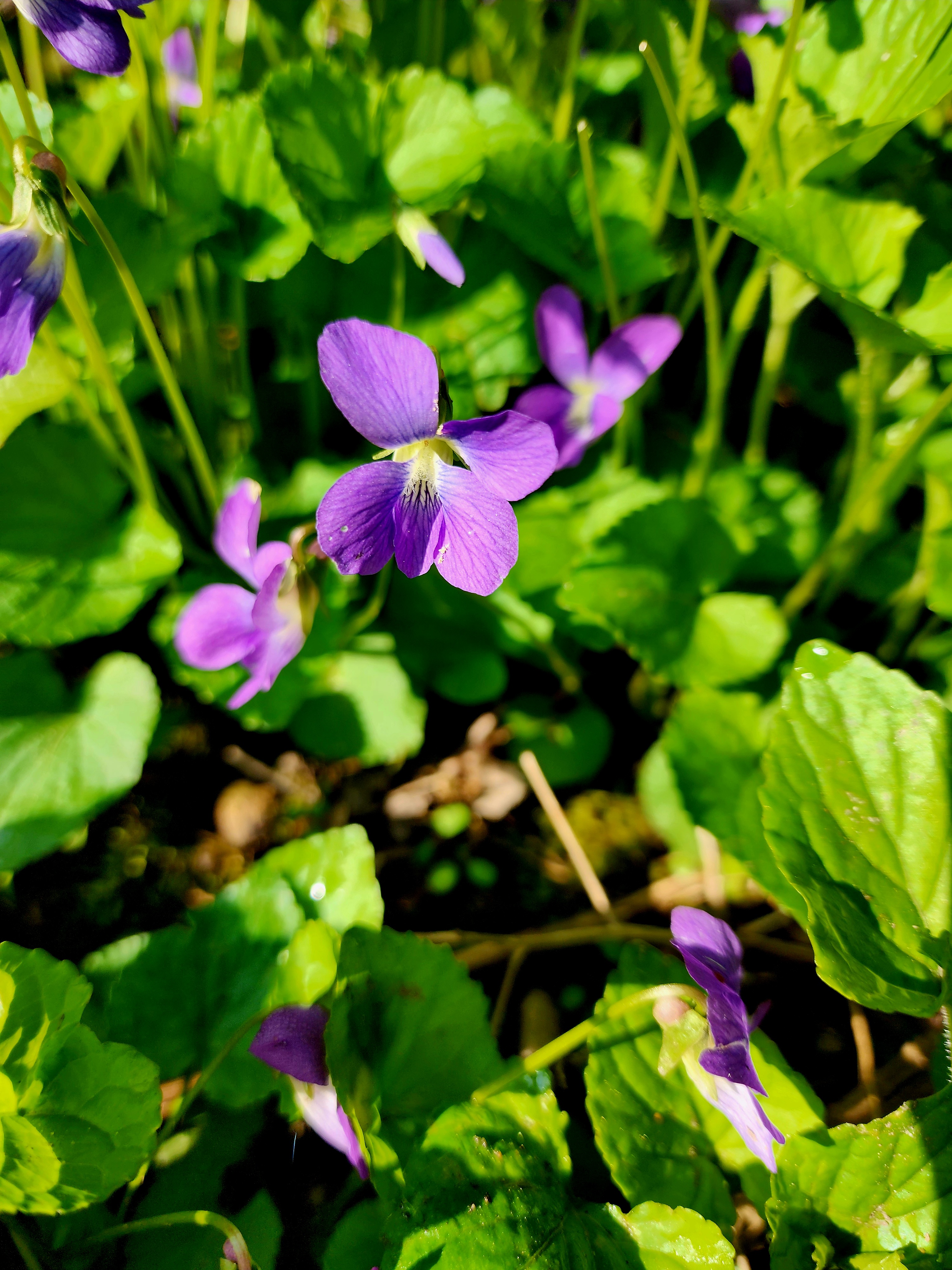
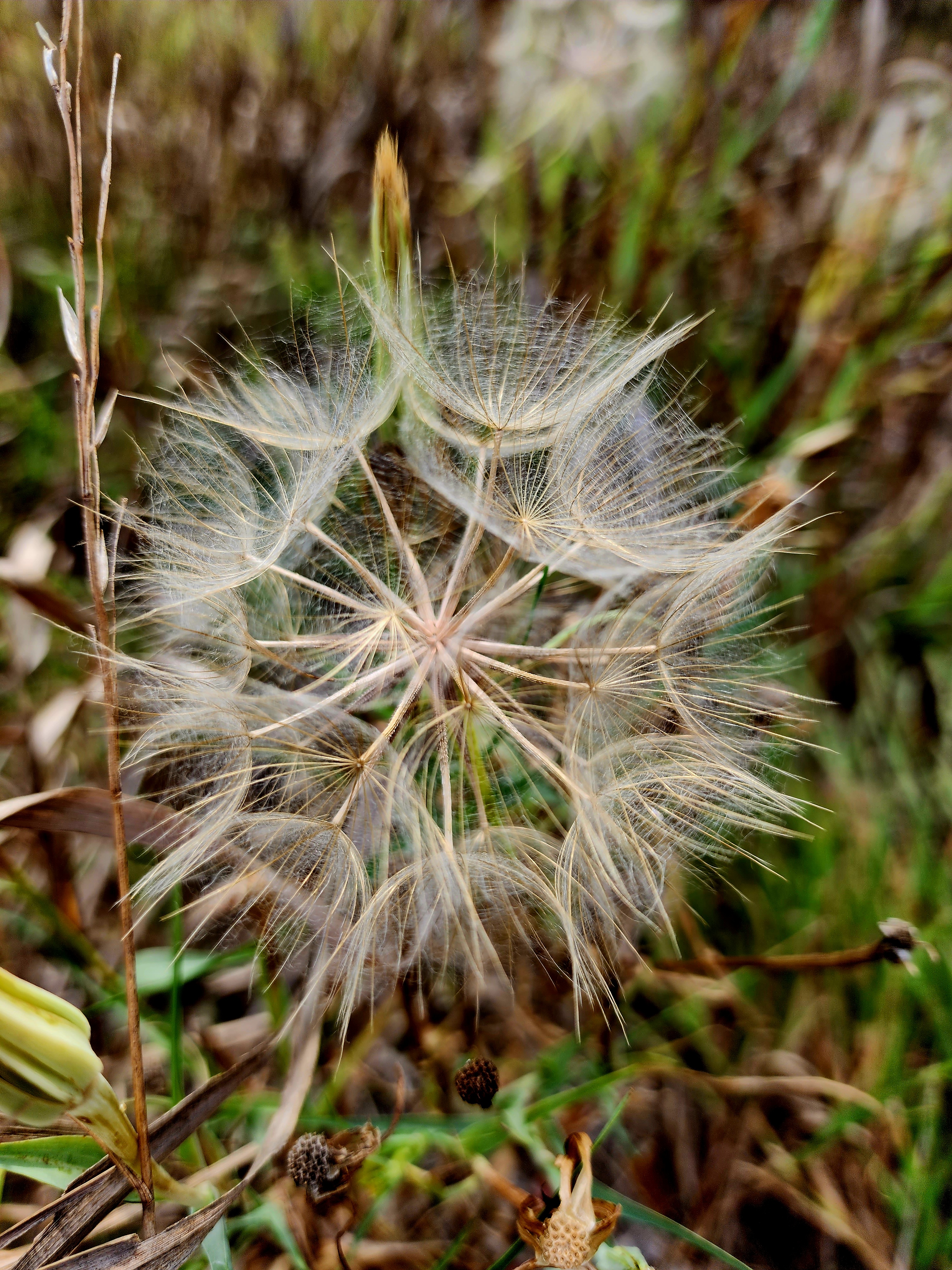
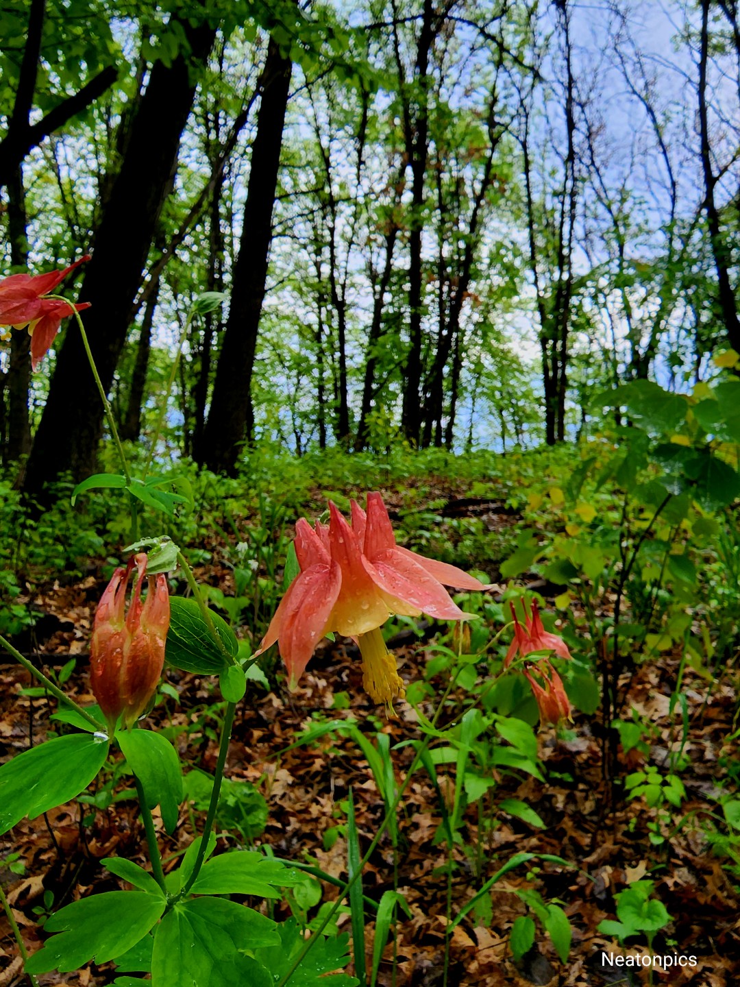
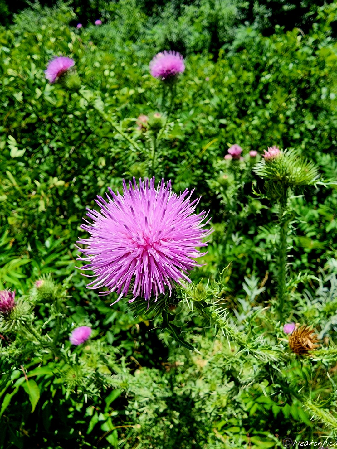
Nature’s colors were so vivid today.
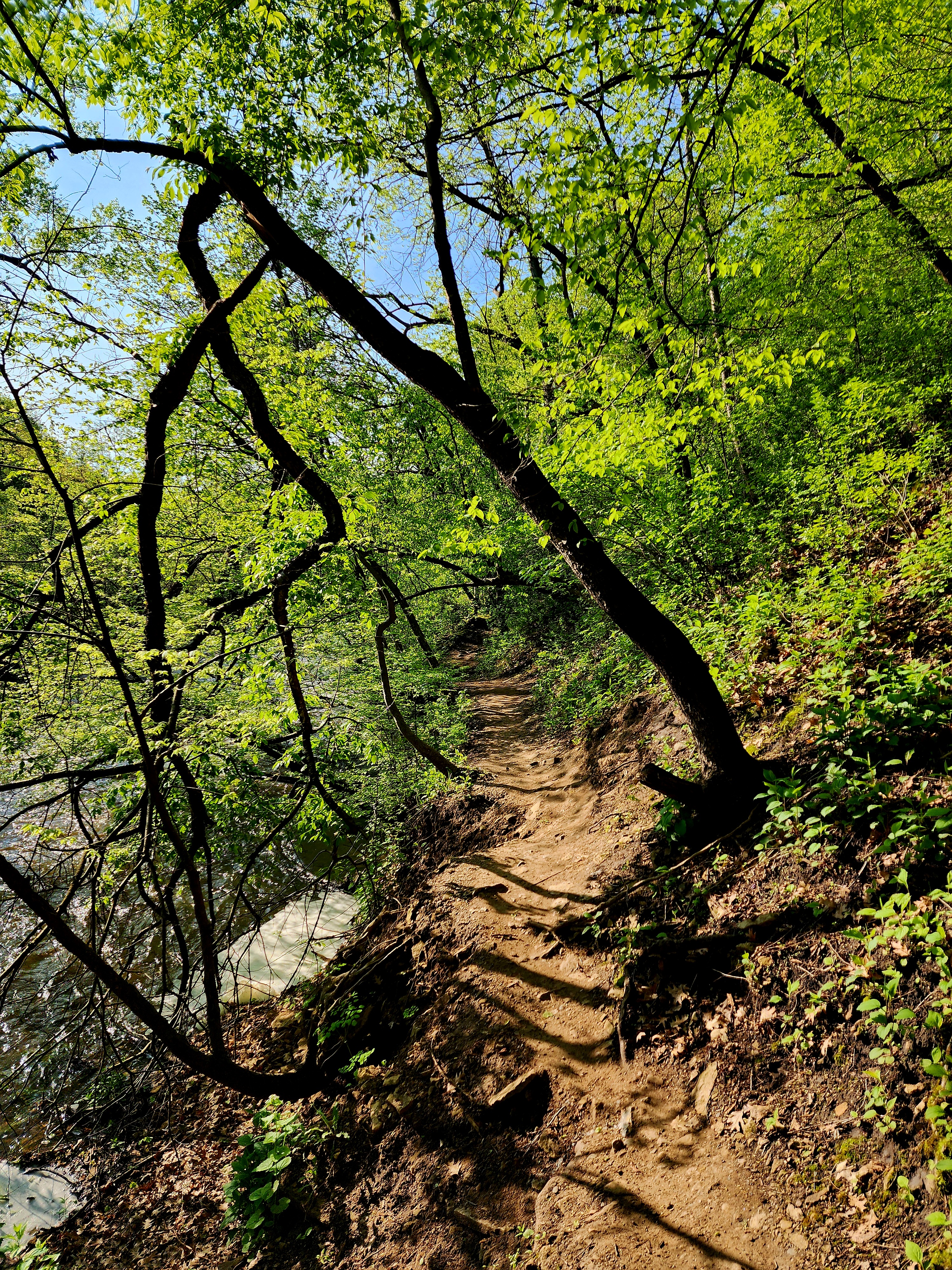
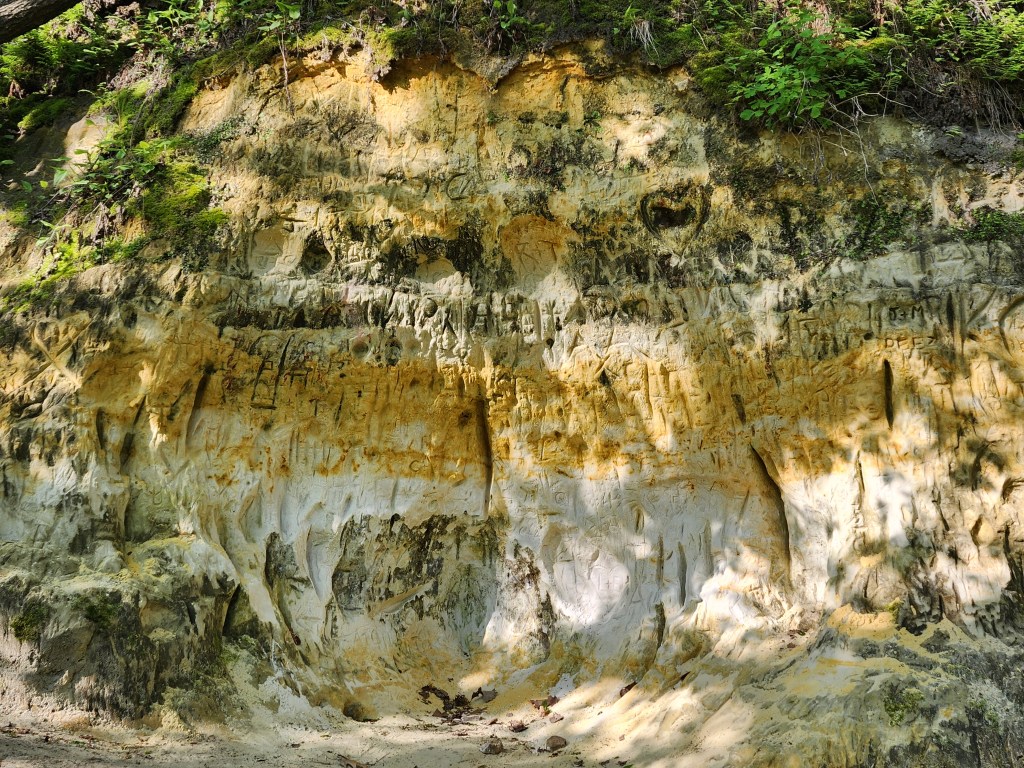
We found lots of names carved into the sandstone.
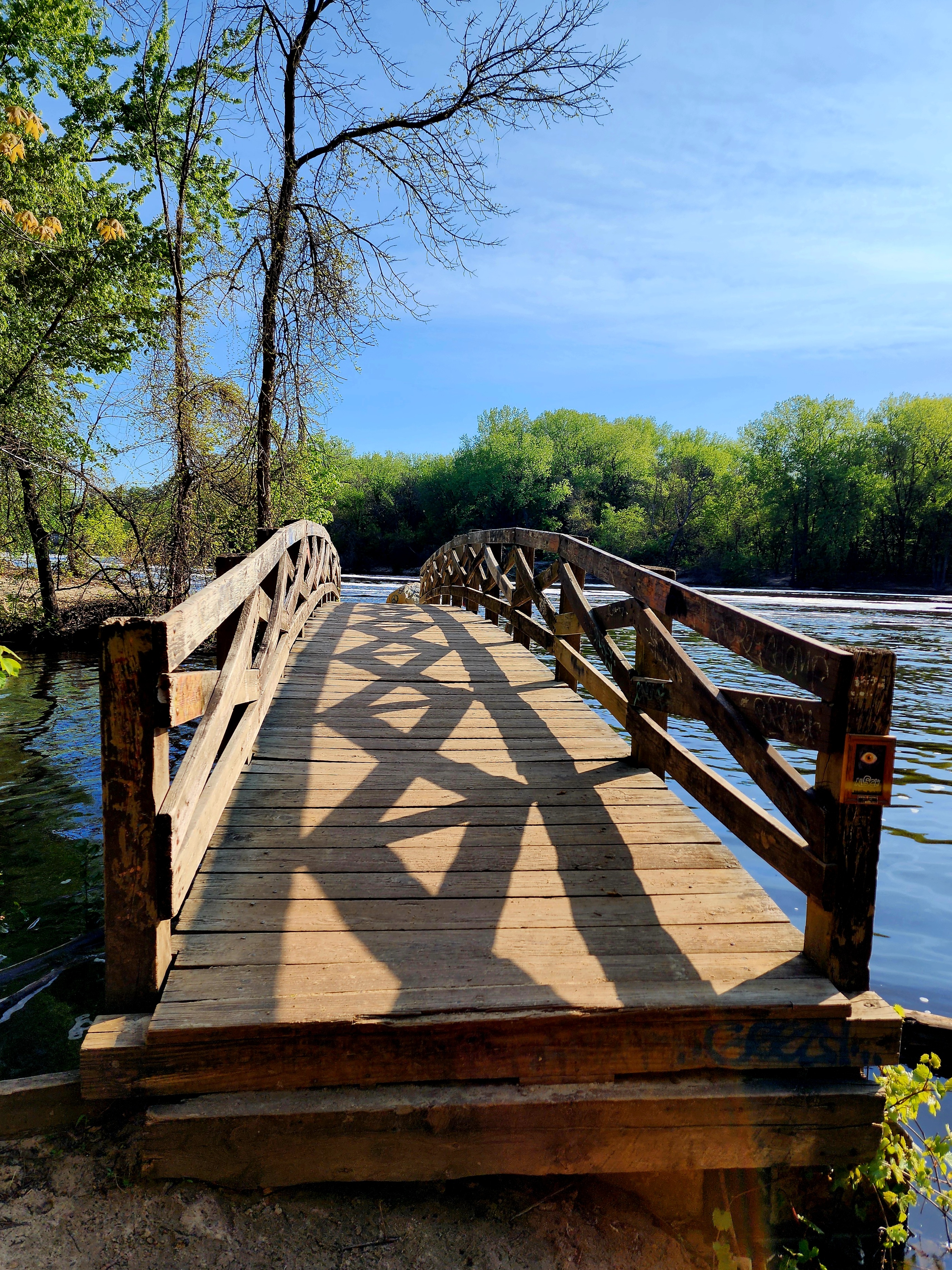
The trail led us to a wooden bridge. We watched as the Minnehaha Creek emptied into the Mississippi River.
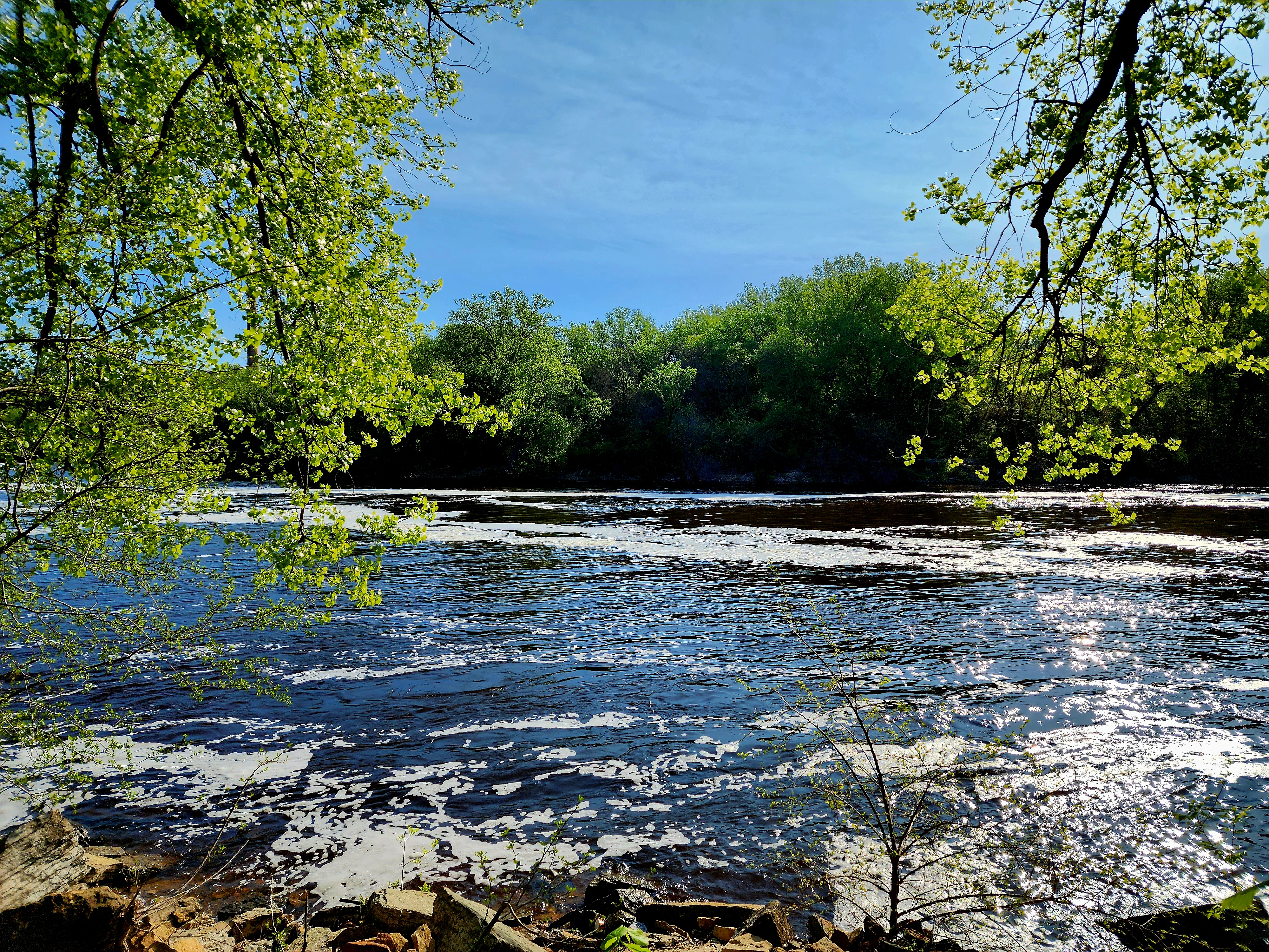
The Mississippi River
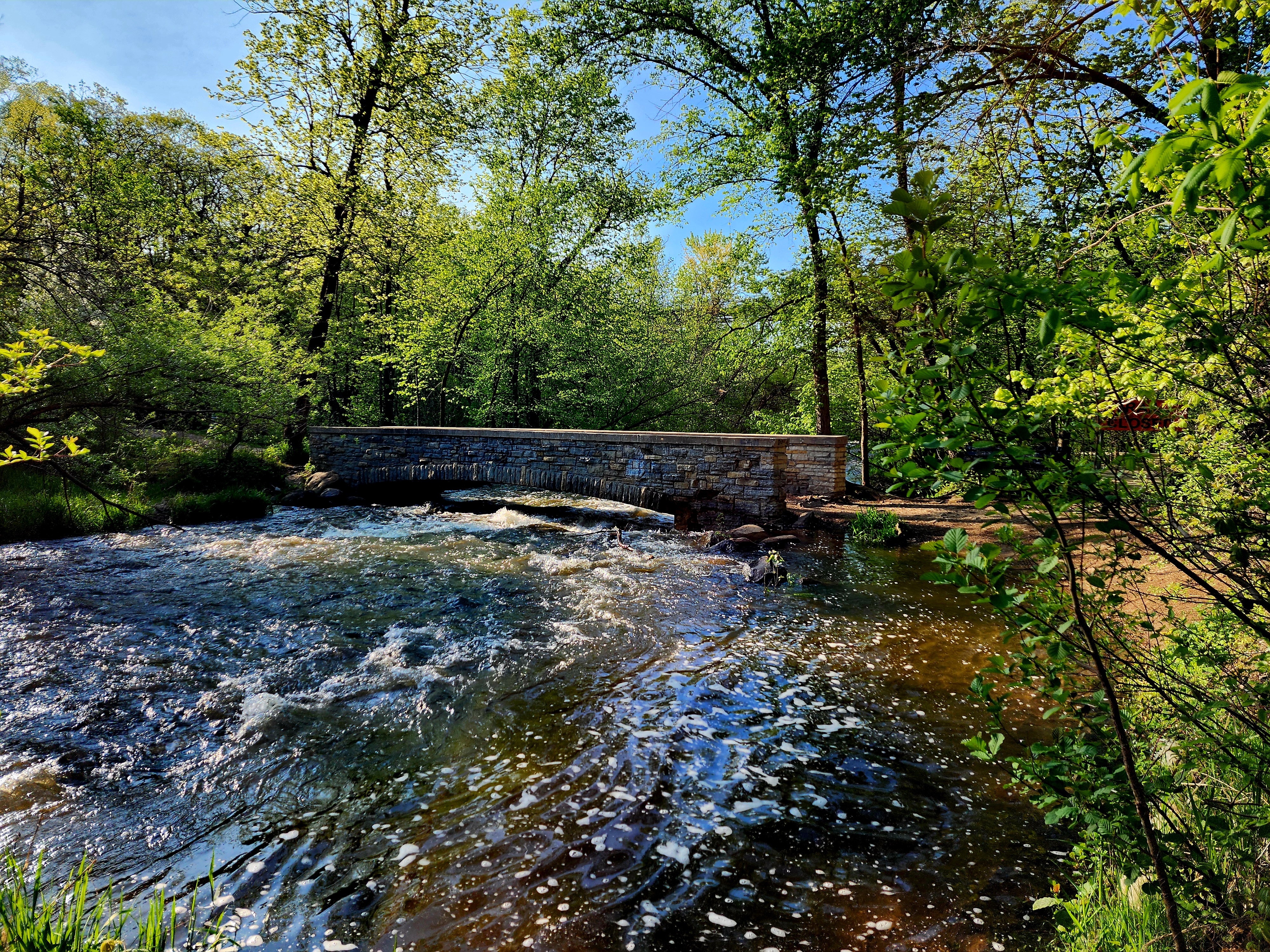
We decided to hike a new path up the side of the bluff. The Veterans Home was at the top. They have a beautiful campus. We crossed over the Veterans Home bridge.
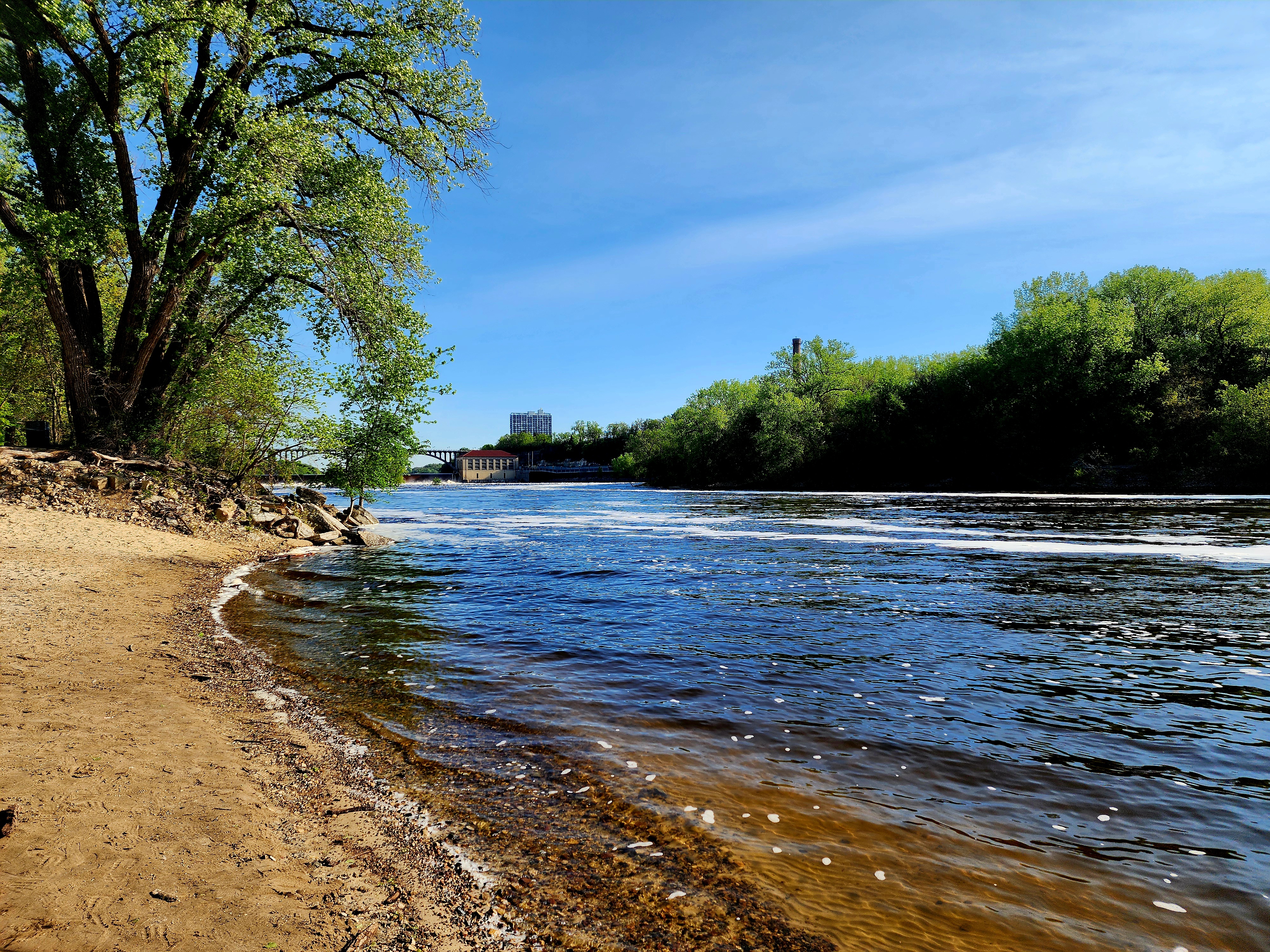
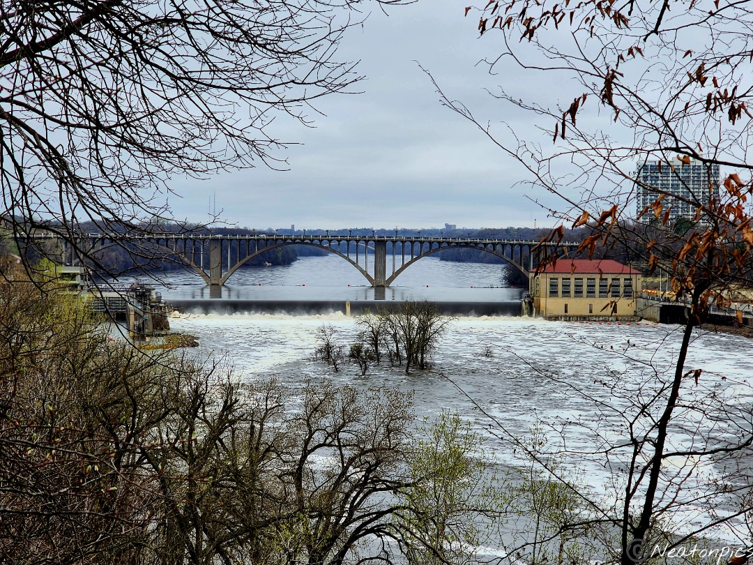
The Ford Dam on the Mississippi River
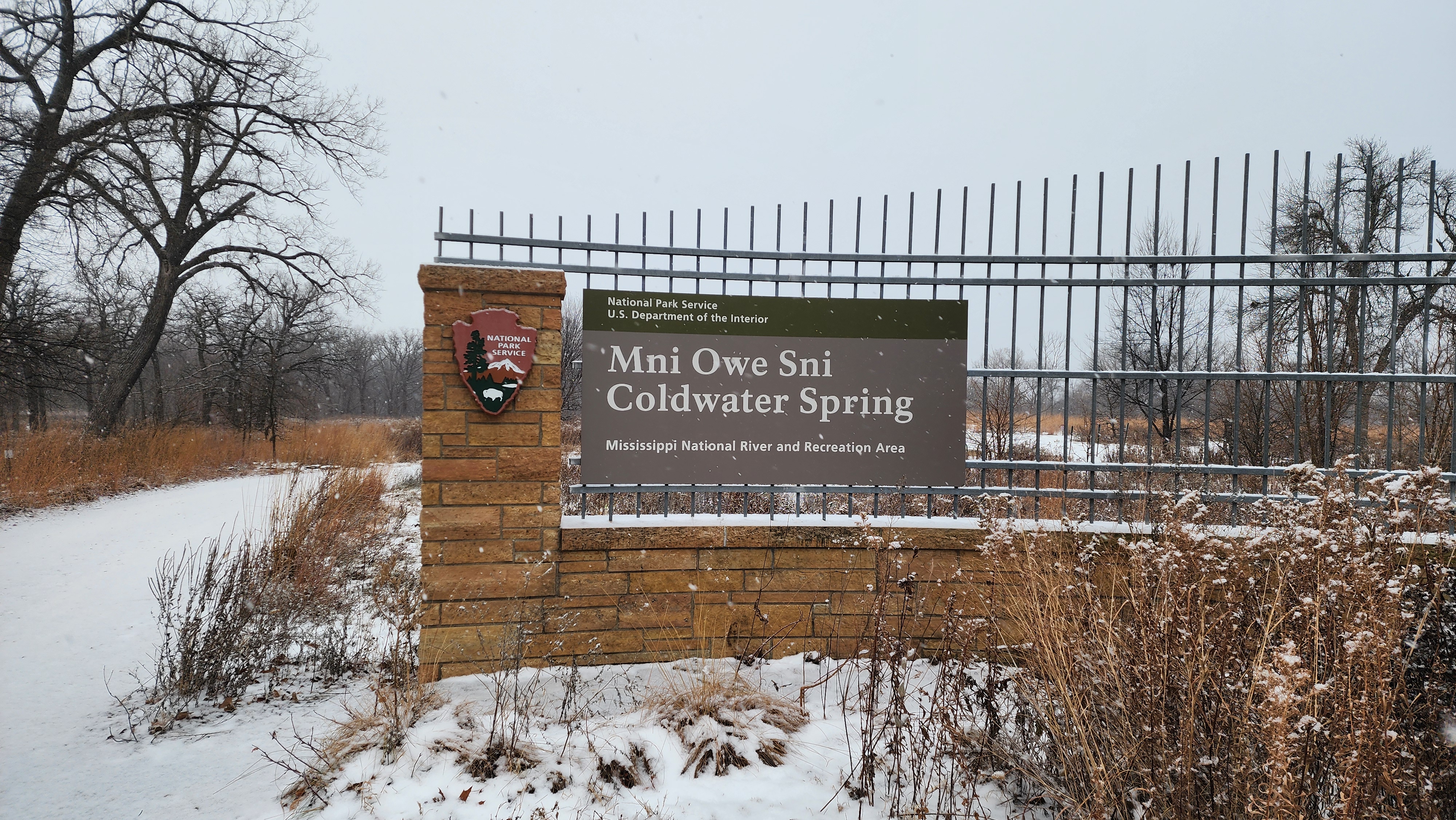
We hiked the paved trail towards Coldwater Spring which is located between Fort Snelling State Park and Minnehaha Falls Park.
We made our way back to Minnehaha Falls Park.
Down the long staircase we went to hike the trail along the other side of the Minnehaha Creek.
A different view of the Veterans Home Bridge we crossed earlier.
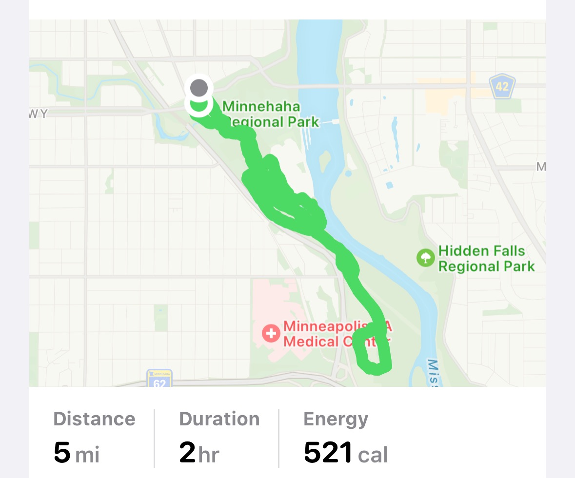
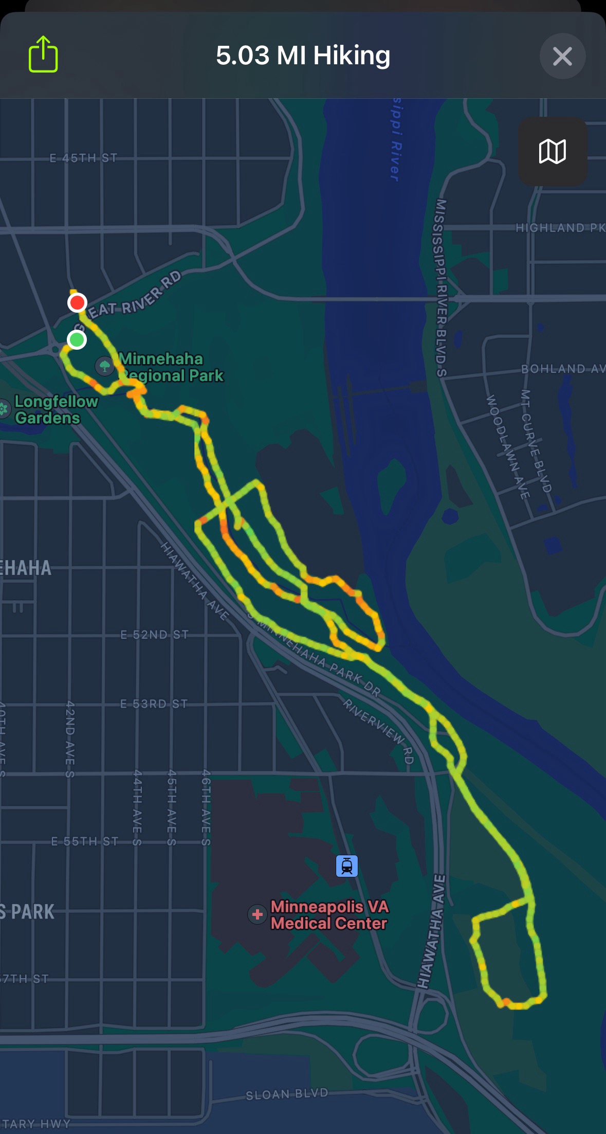
Today’s hiking adventure was at Fort Snelling State Park.
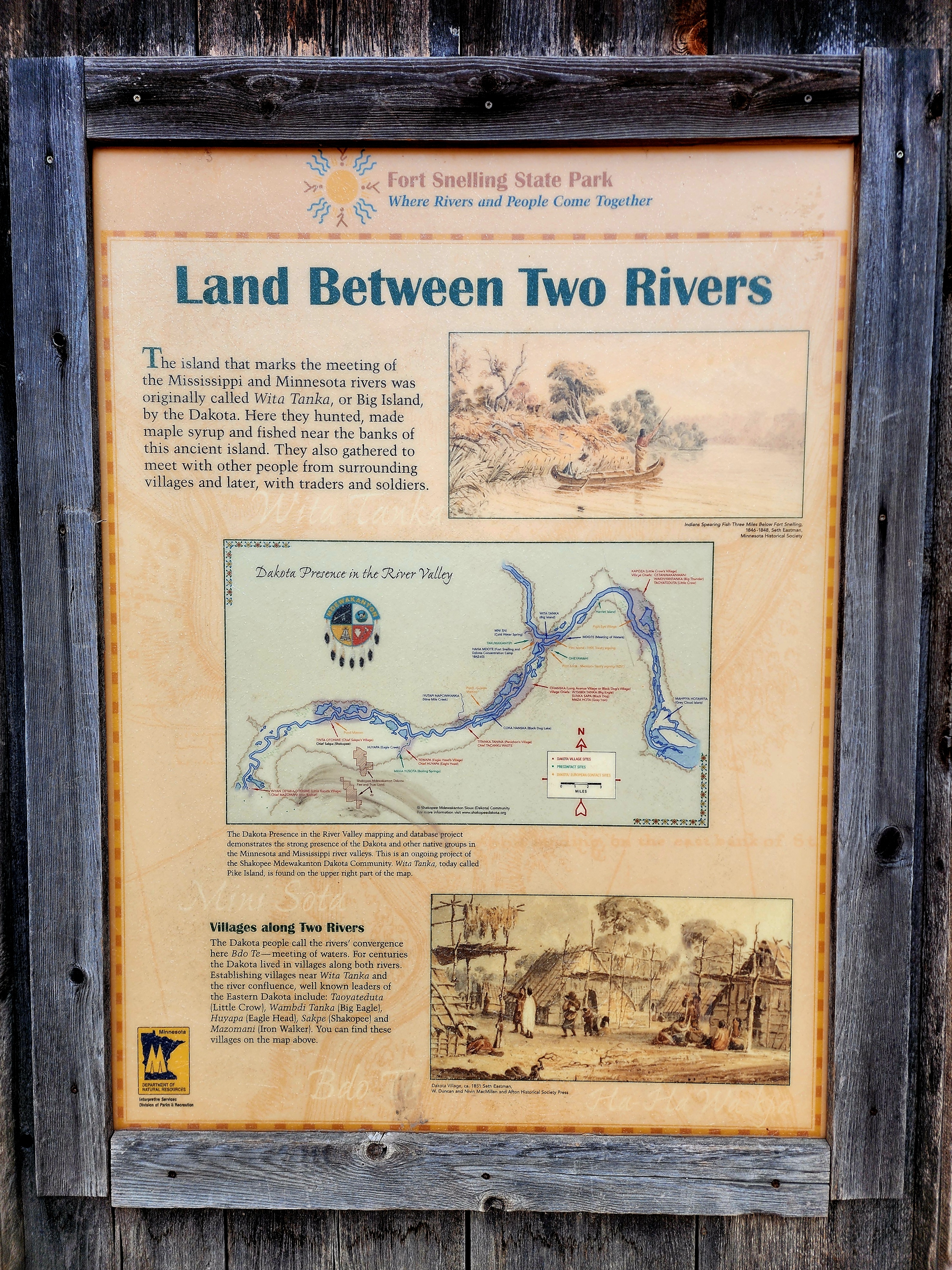
We hiked at one of my favorite places, Pike Island. The island is surrounded by the Minnesota River and Mississippi River.
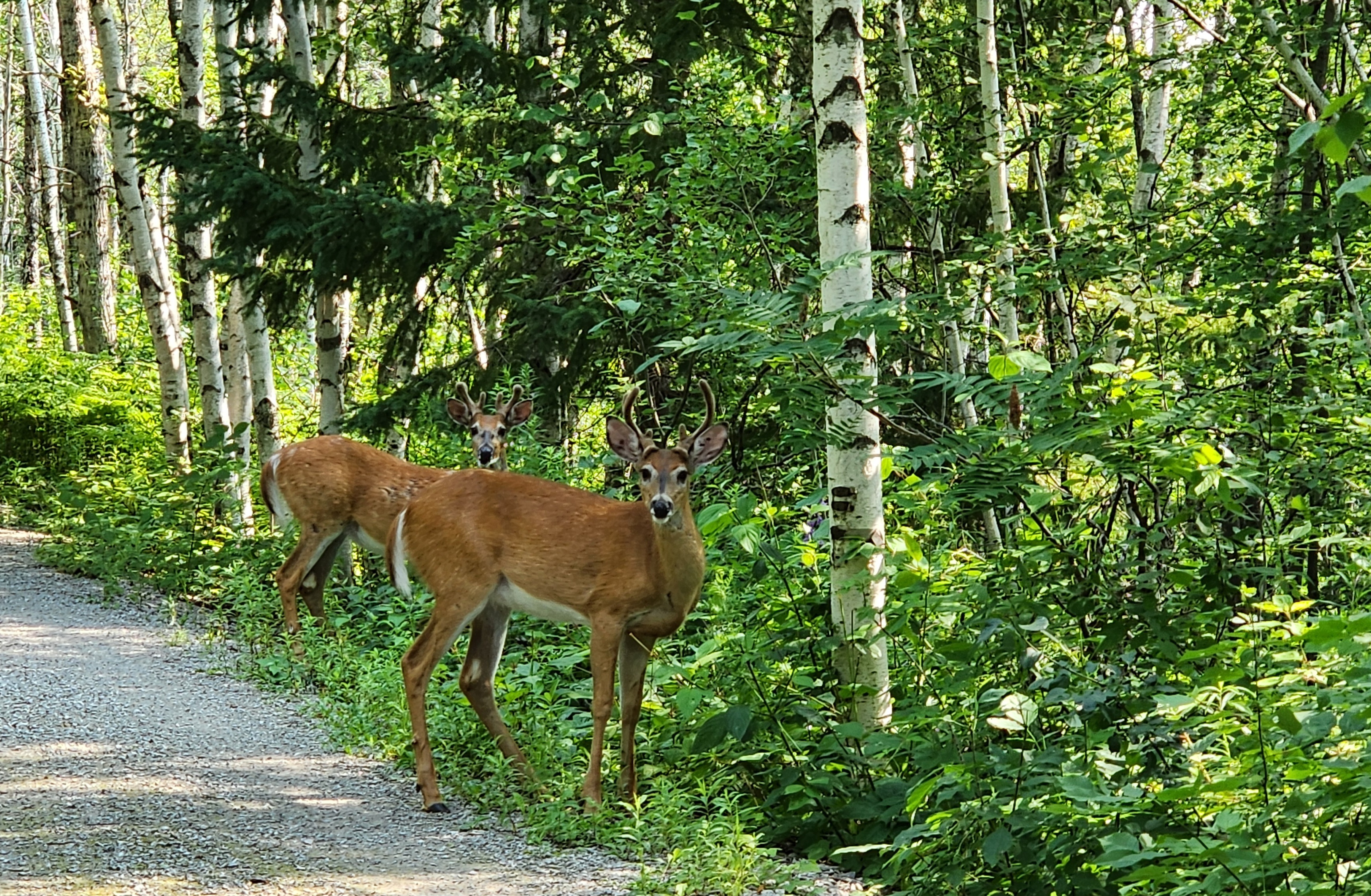
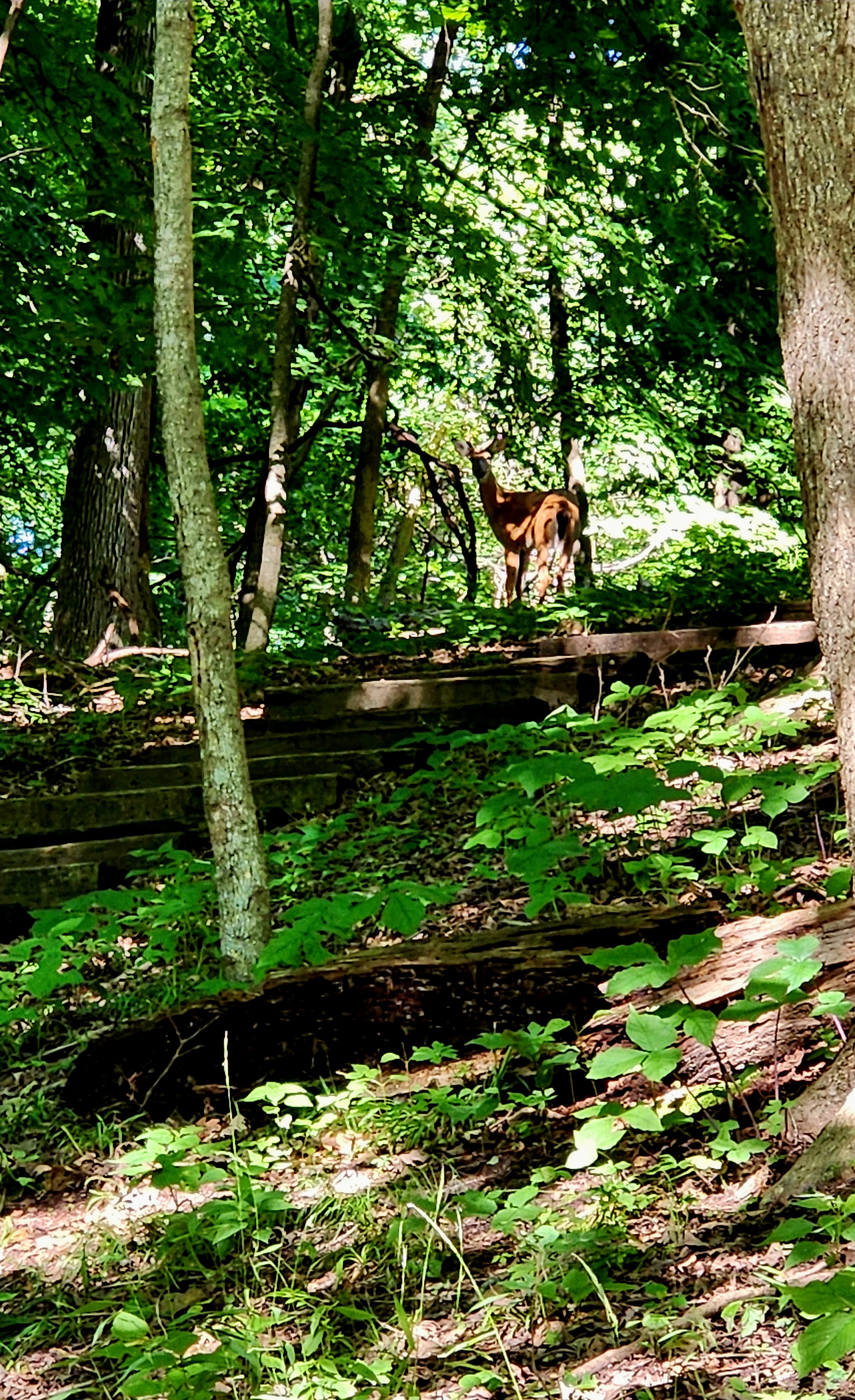
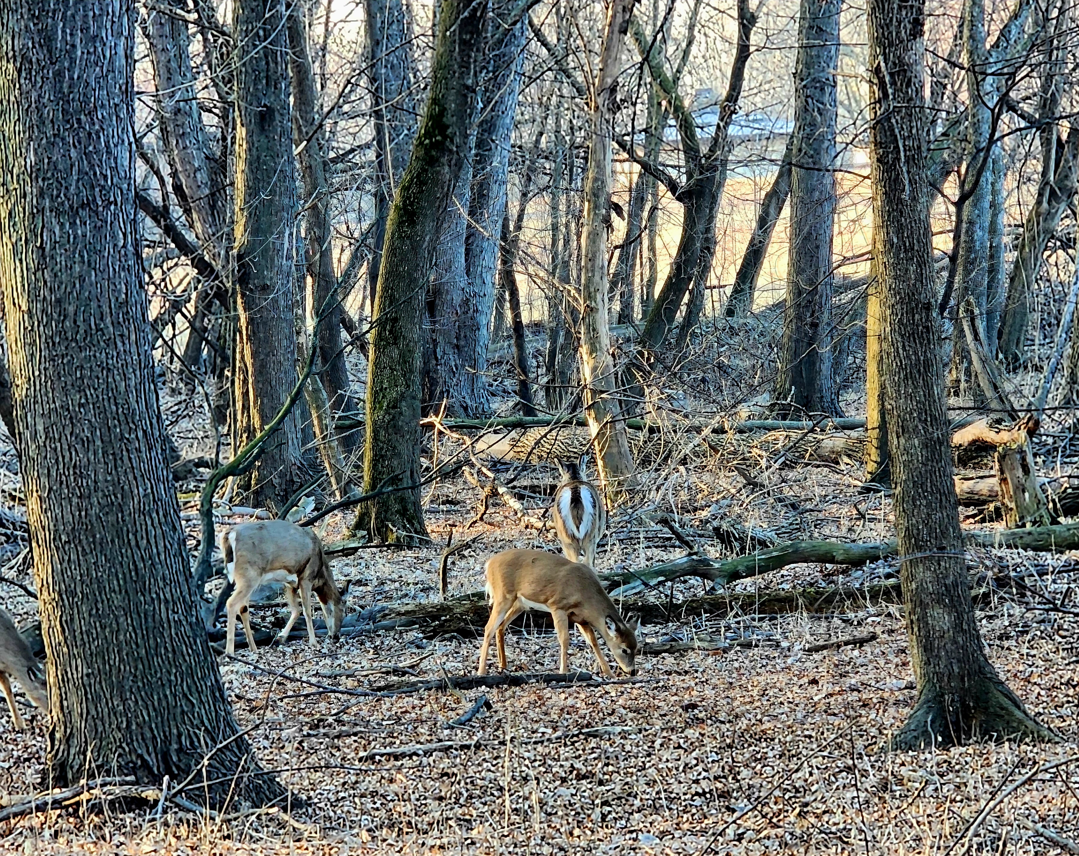
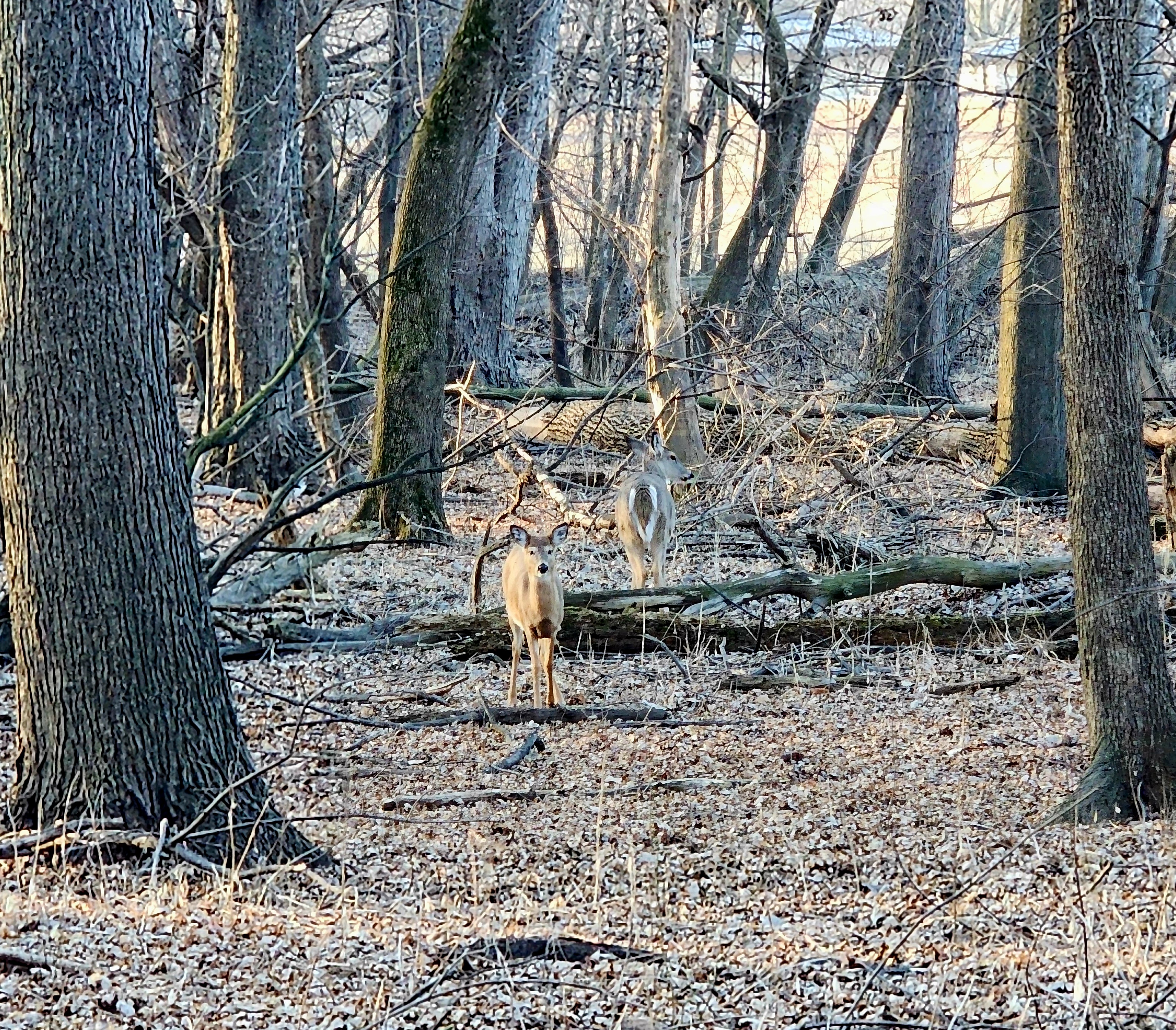
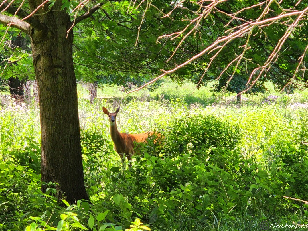
As we made our way to Pike Island, we spotted several deer having their morning breakfast.
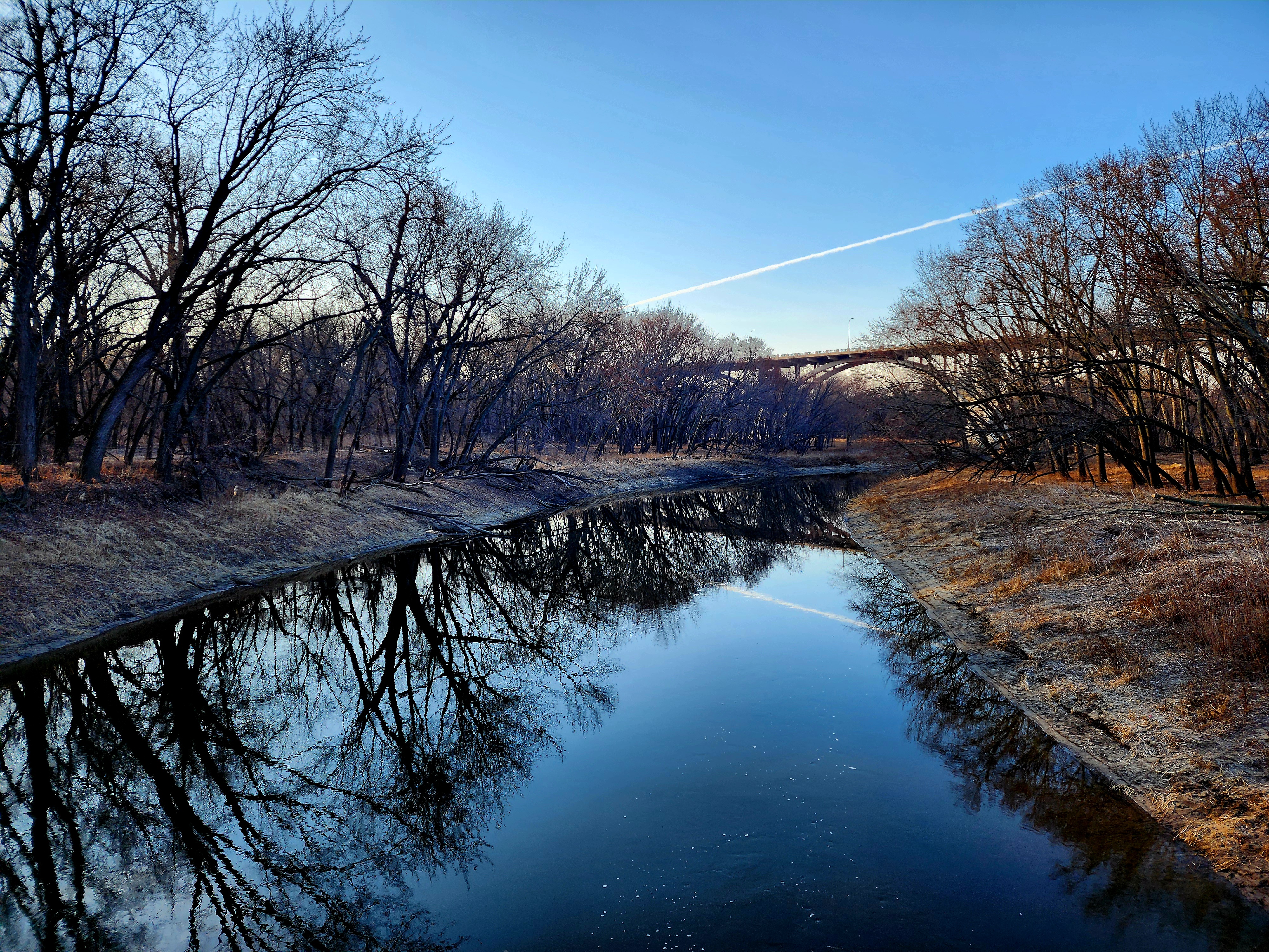
To access Pike Island, one has to cross a small bridge with the Minnesota River flowing below.
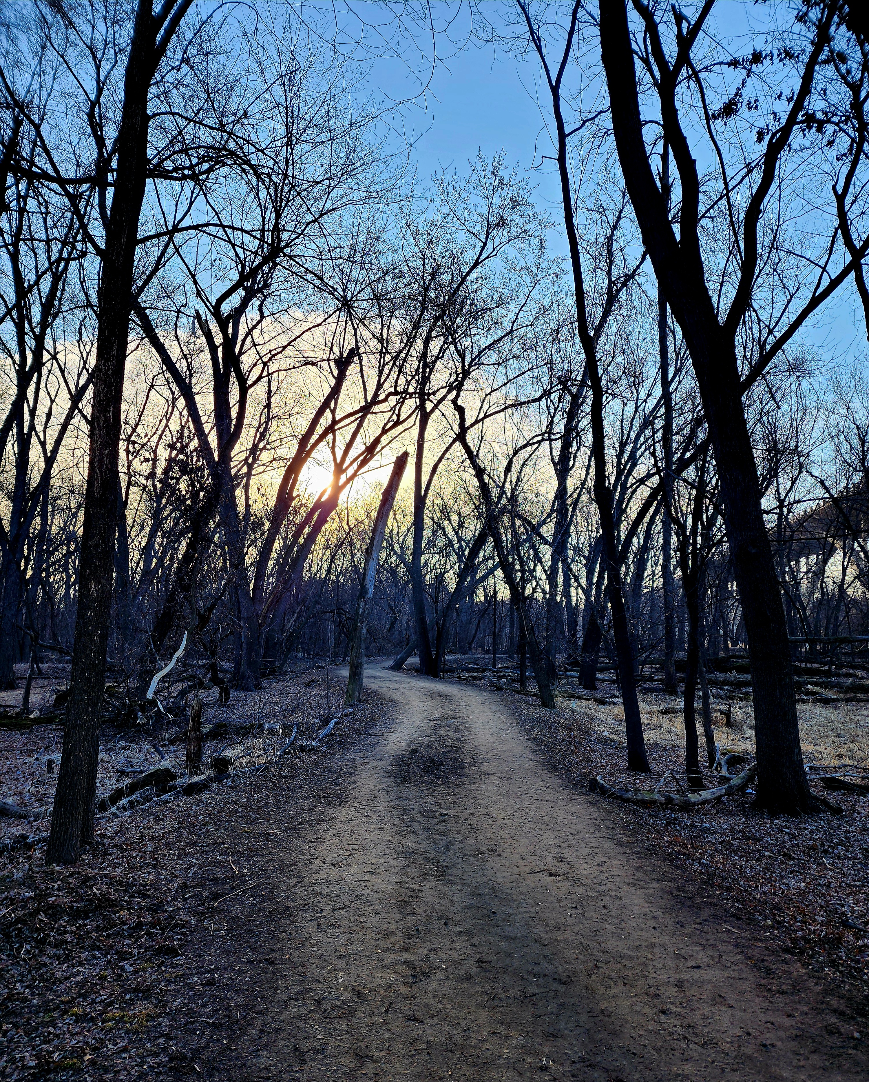
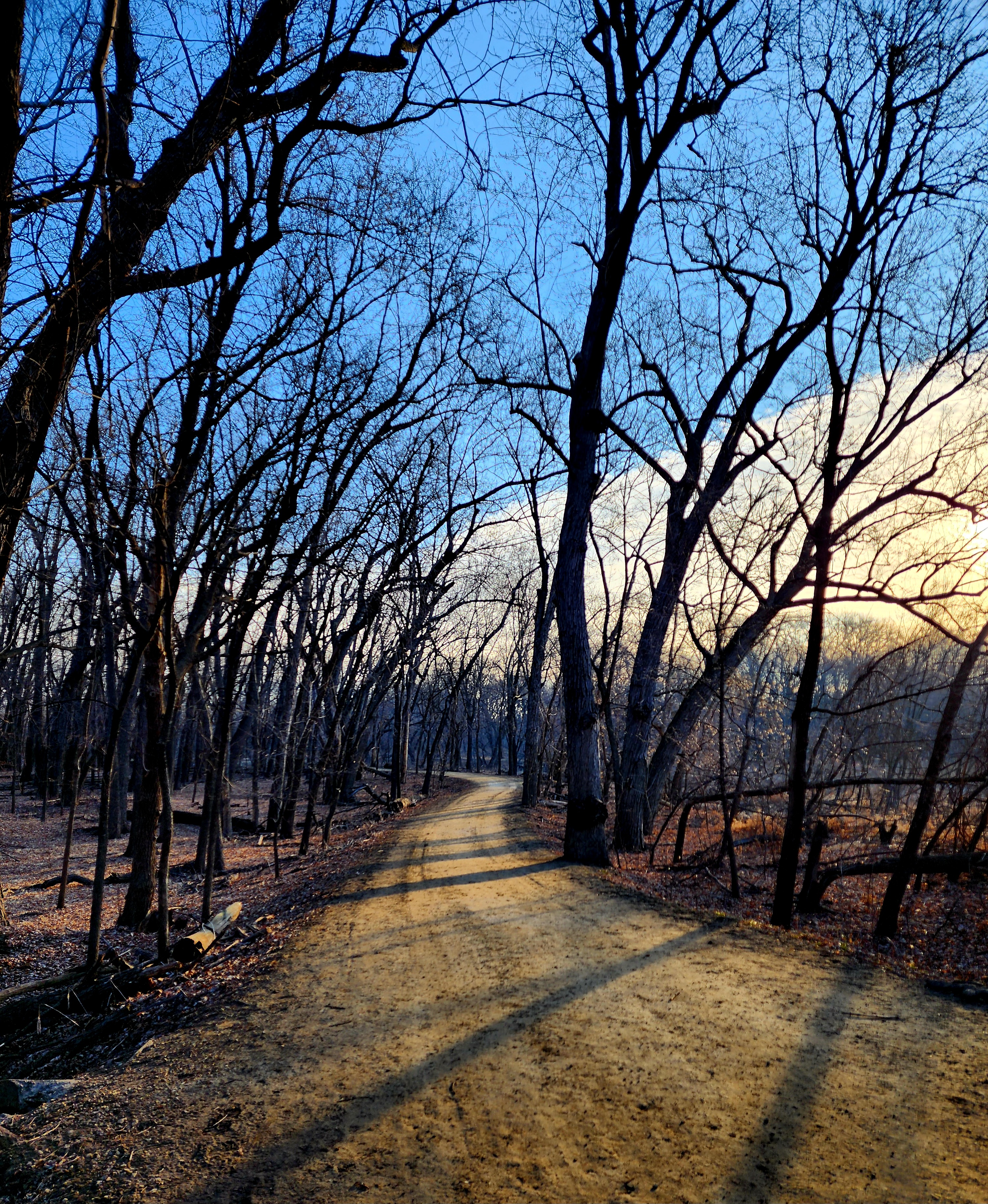
The trails are nice and wide around the island.
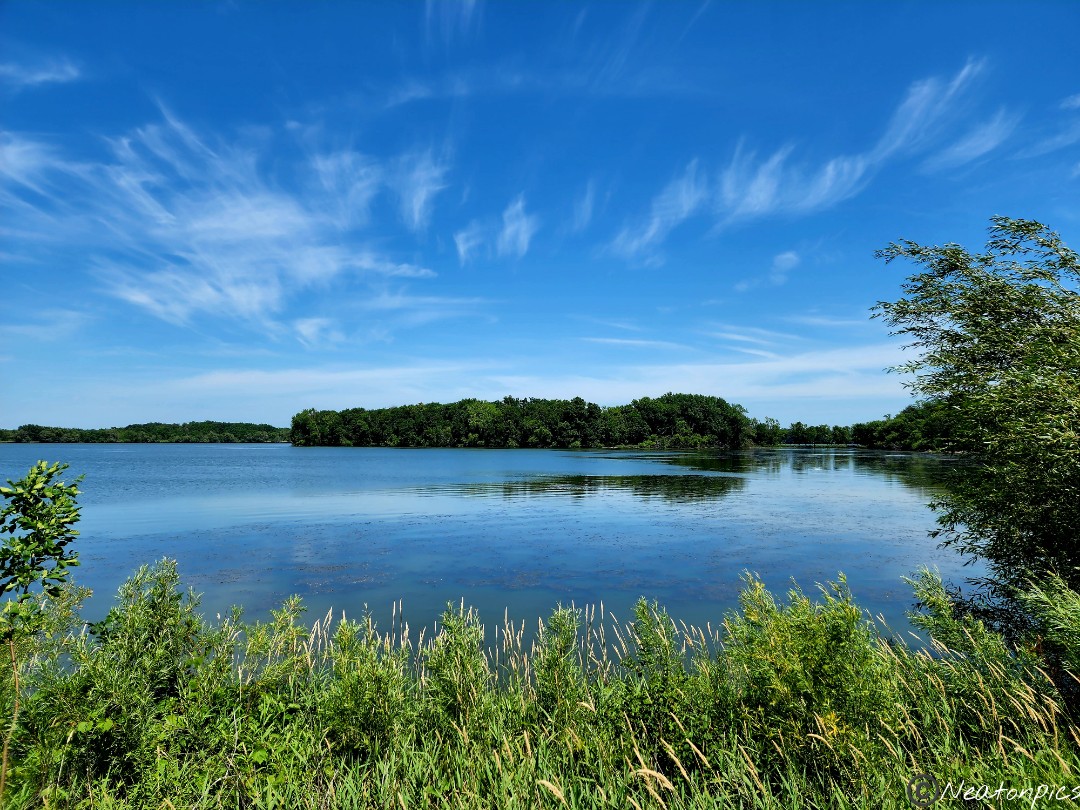
The Minnesota River
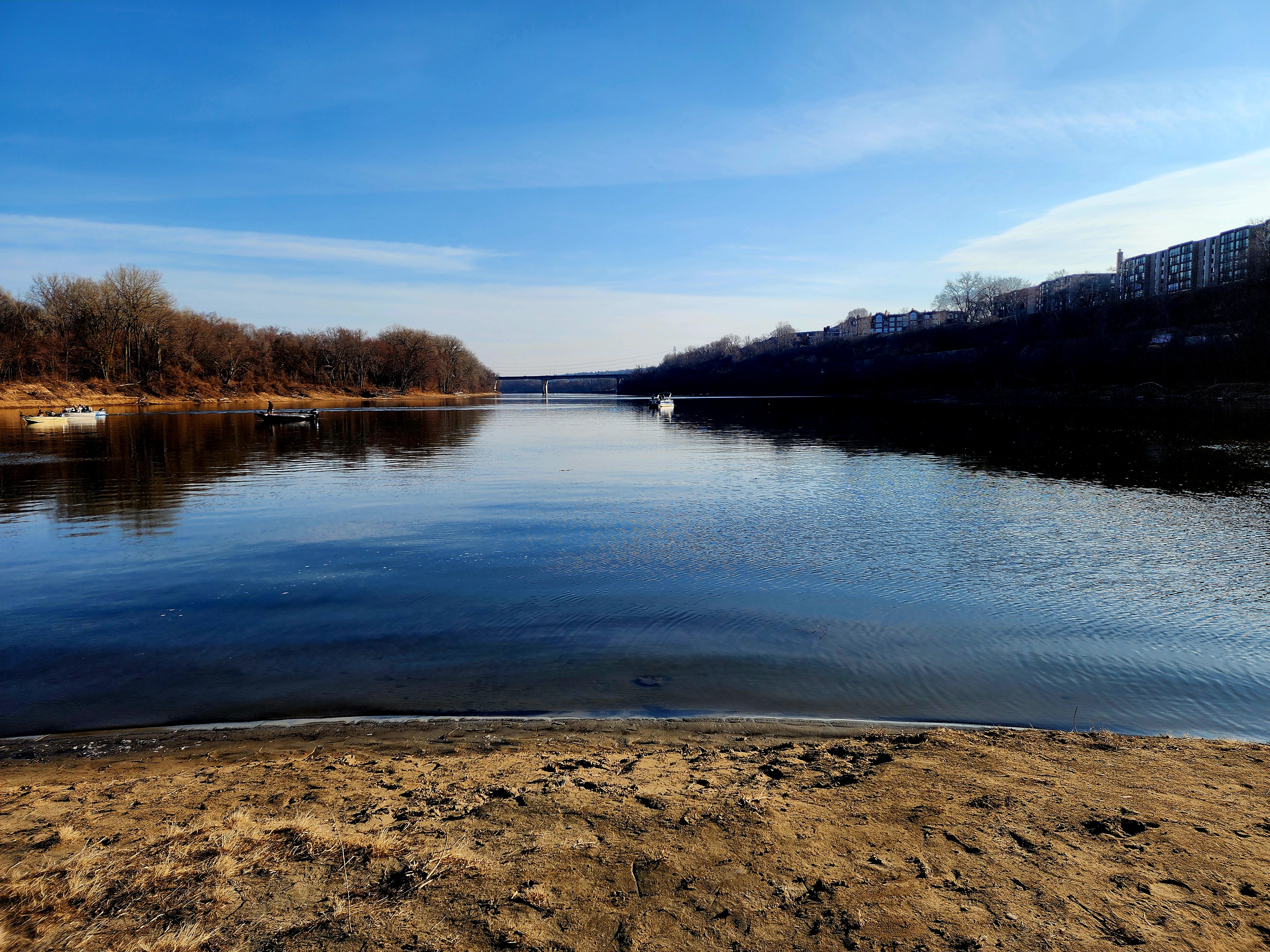
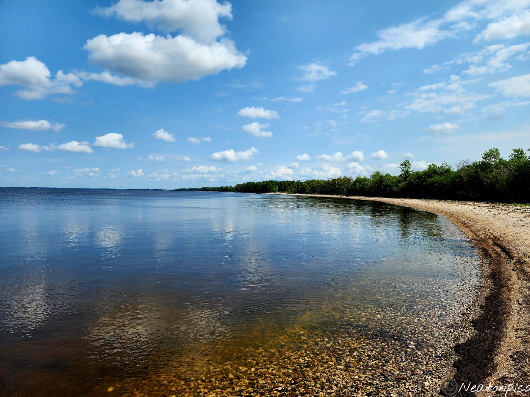
We made our way to the sandy shores of the island where the Mississippi River and Minnesota River meet. Lots of people were fishing out on their boats enjoying the beautiful morning.
The Mississippi River was to our left and the Minnesota River was to our right.
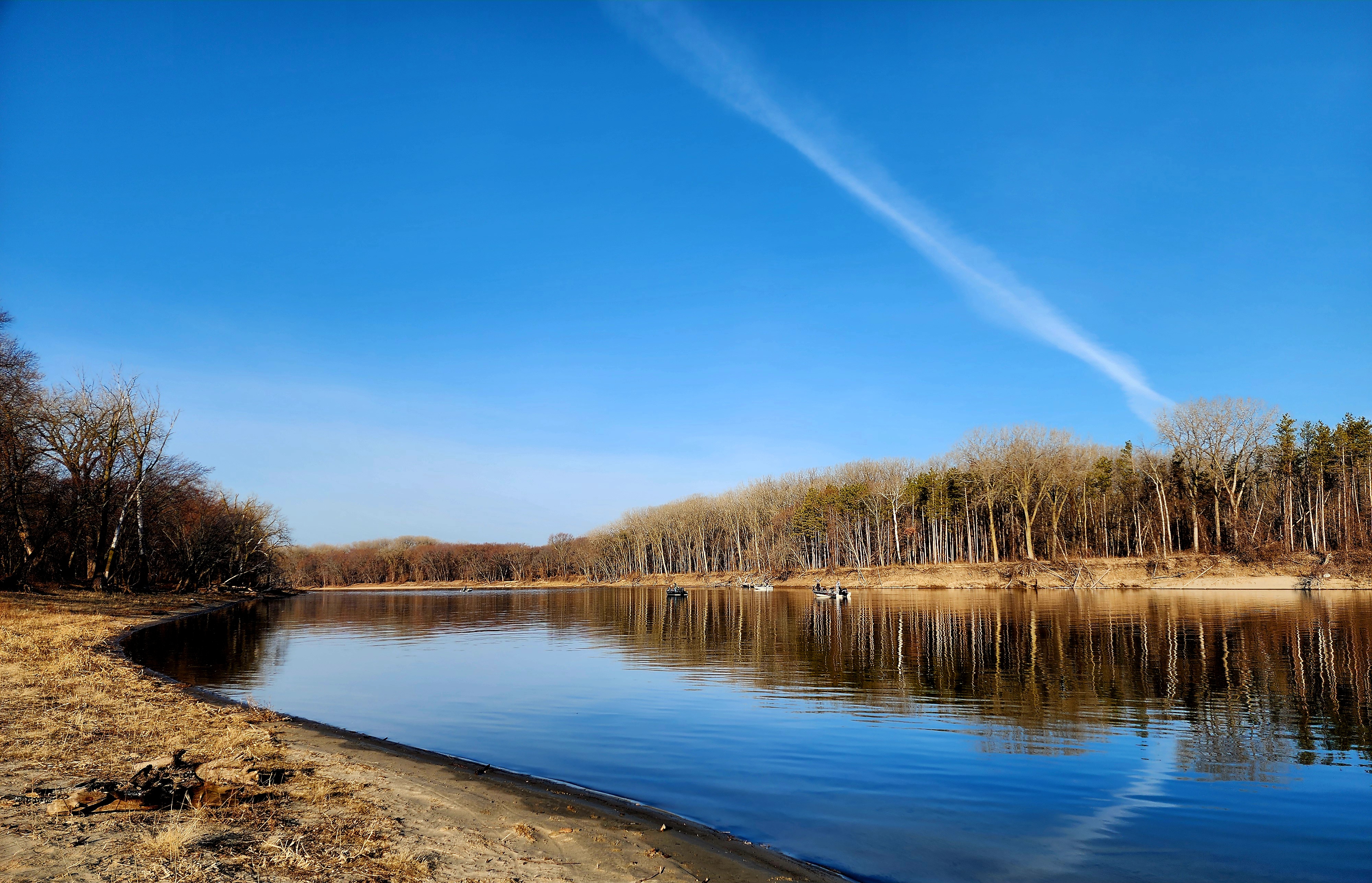
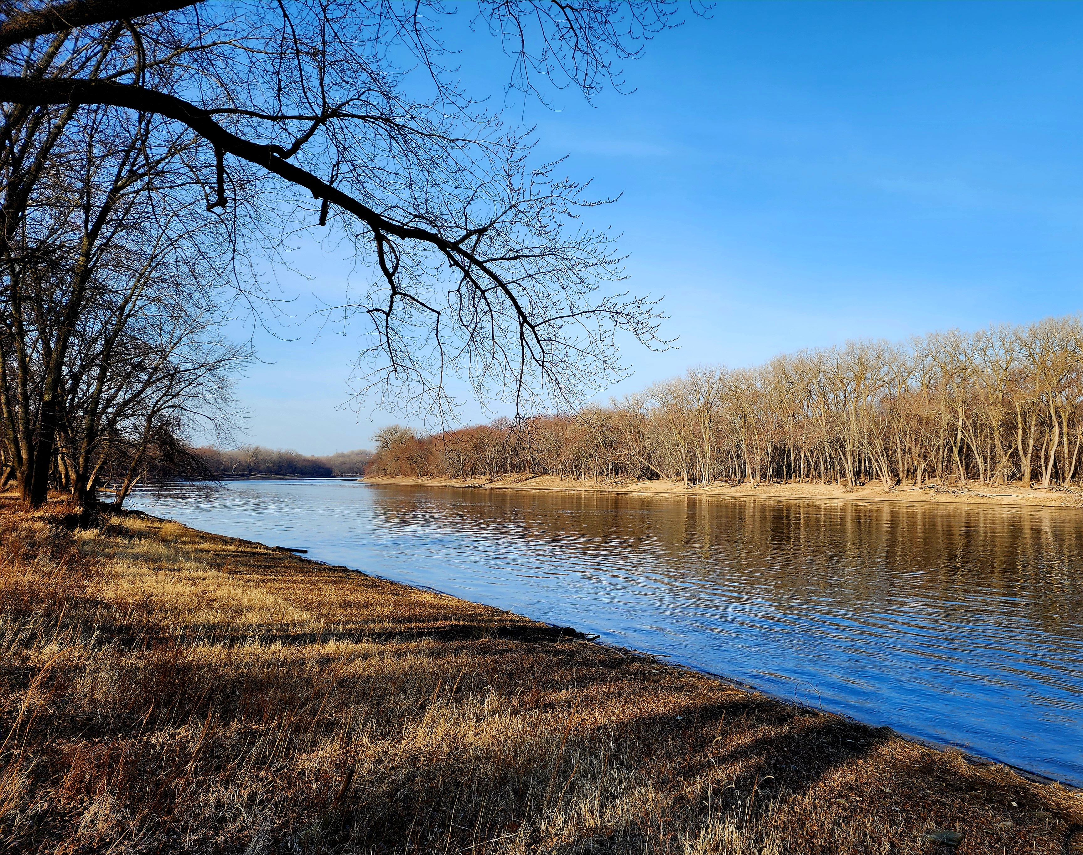
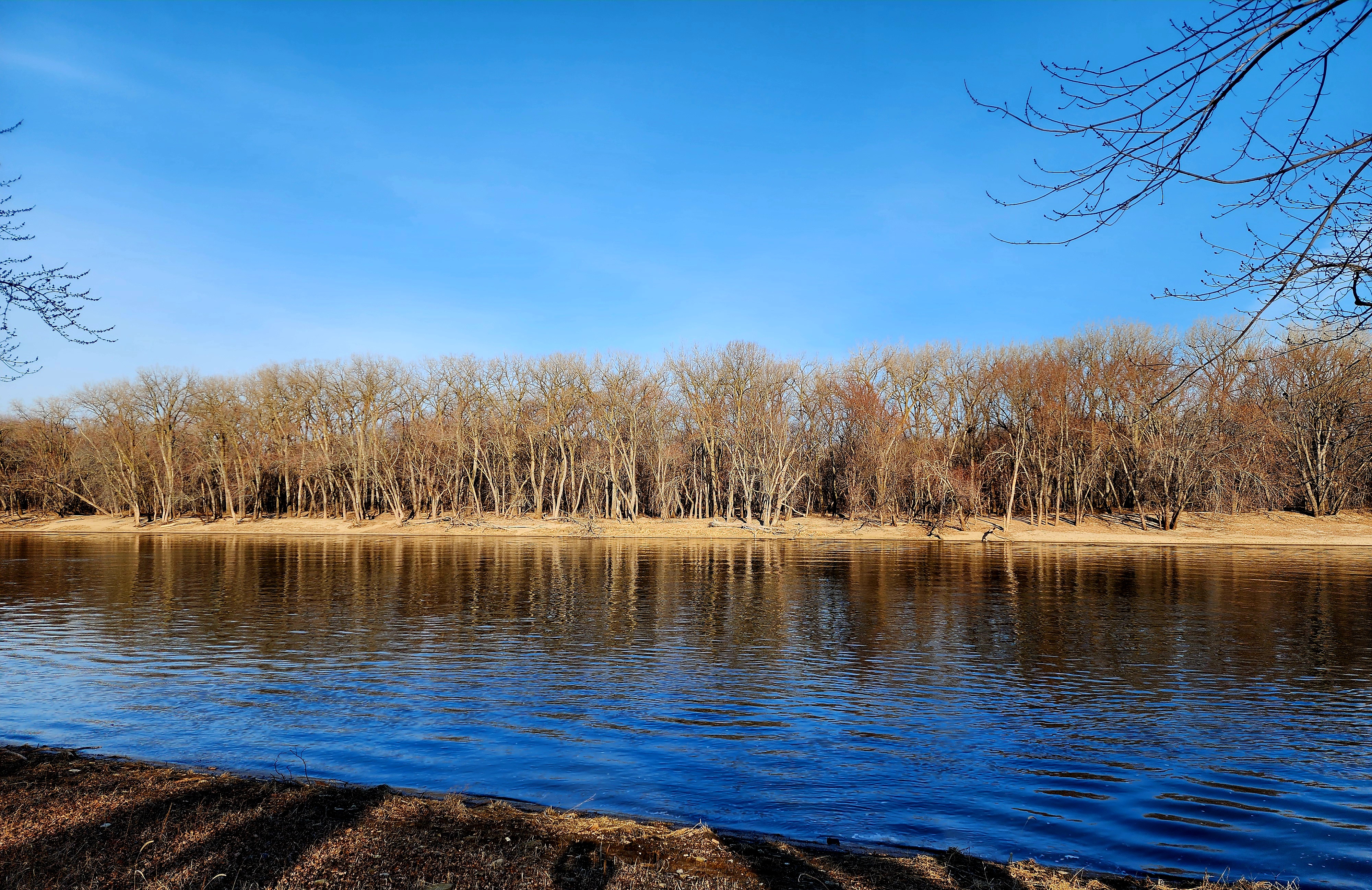
We continued along the trail following alongside the Mighty Mississippi River.
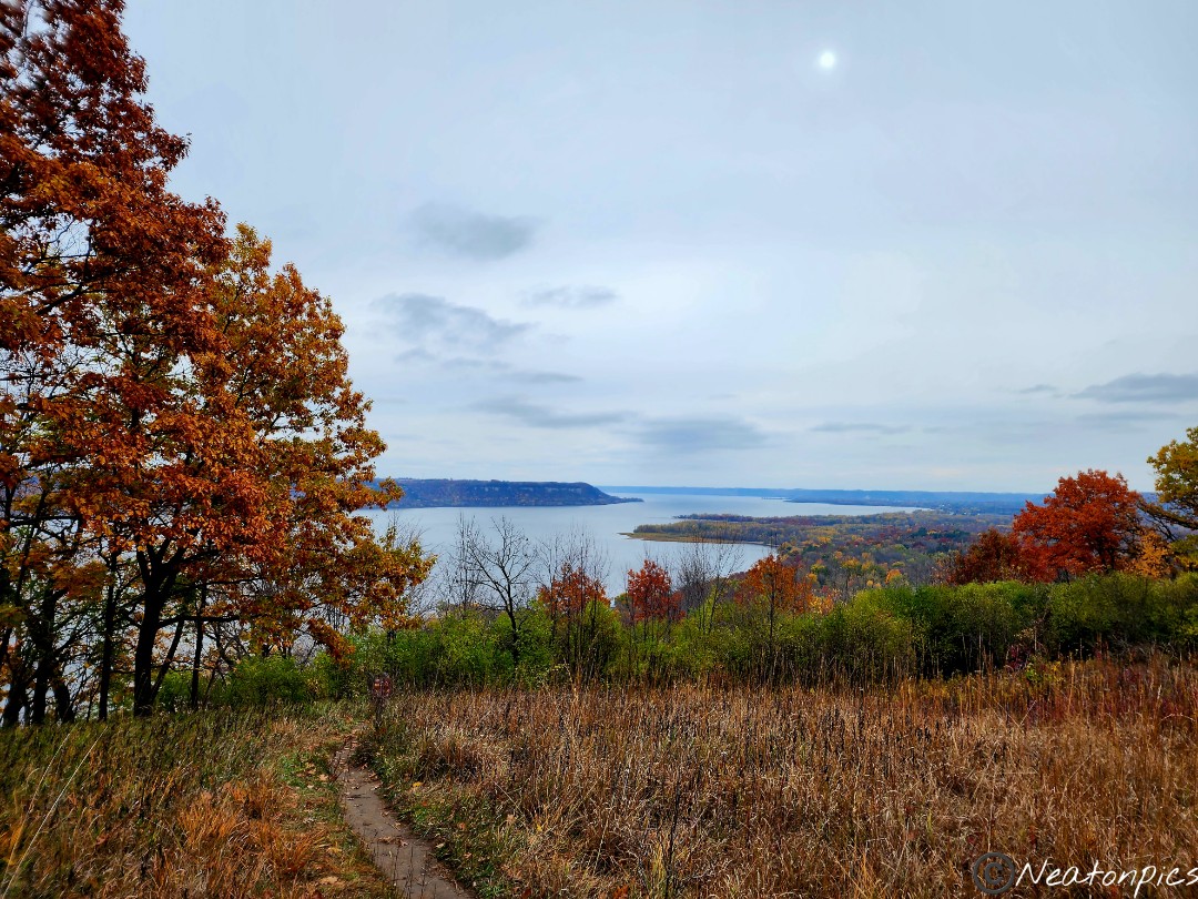
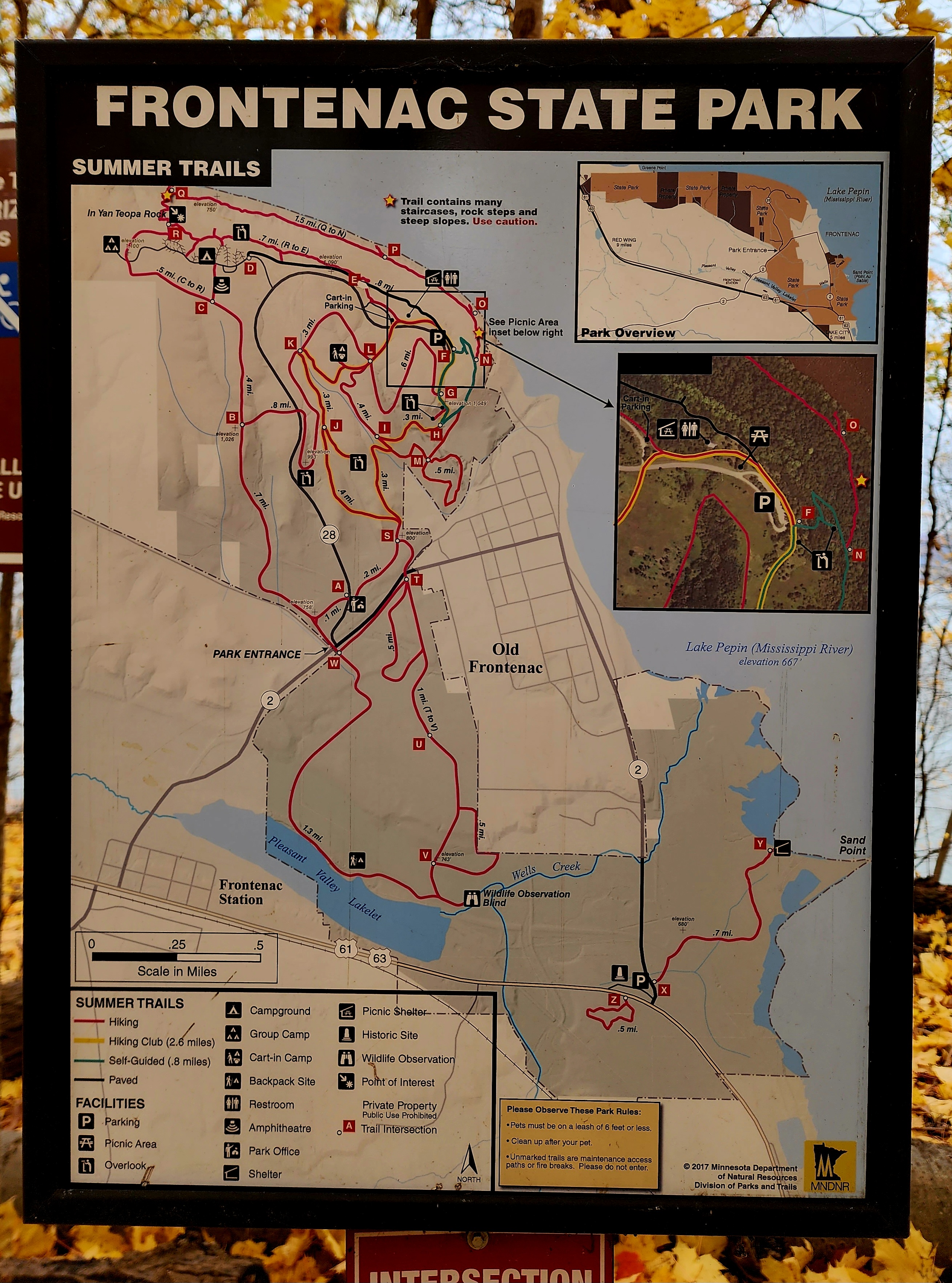
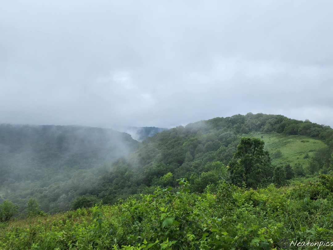
Today’s hiking adventure was at Frontenac State Park.
The weather in Minnesota has begun to change, again. It was a bit chilly this morning with the temperature in the low 30’s. The wind whipped around us, keeping us on the move.
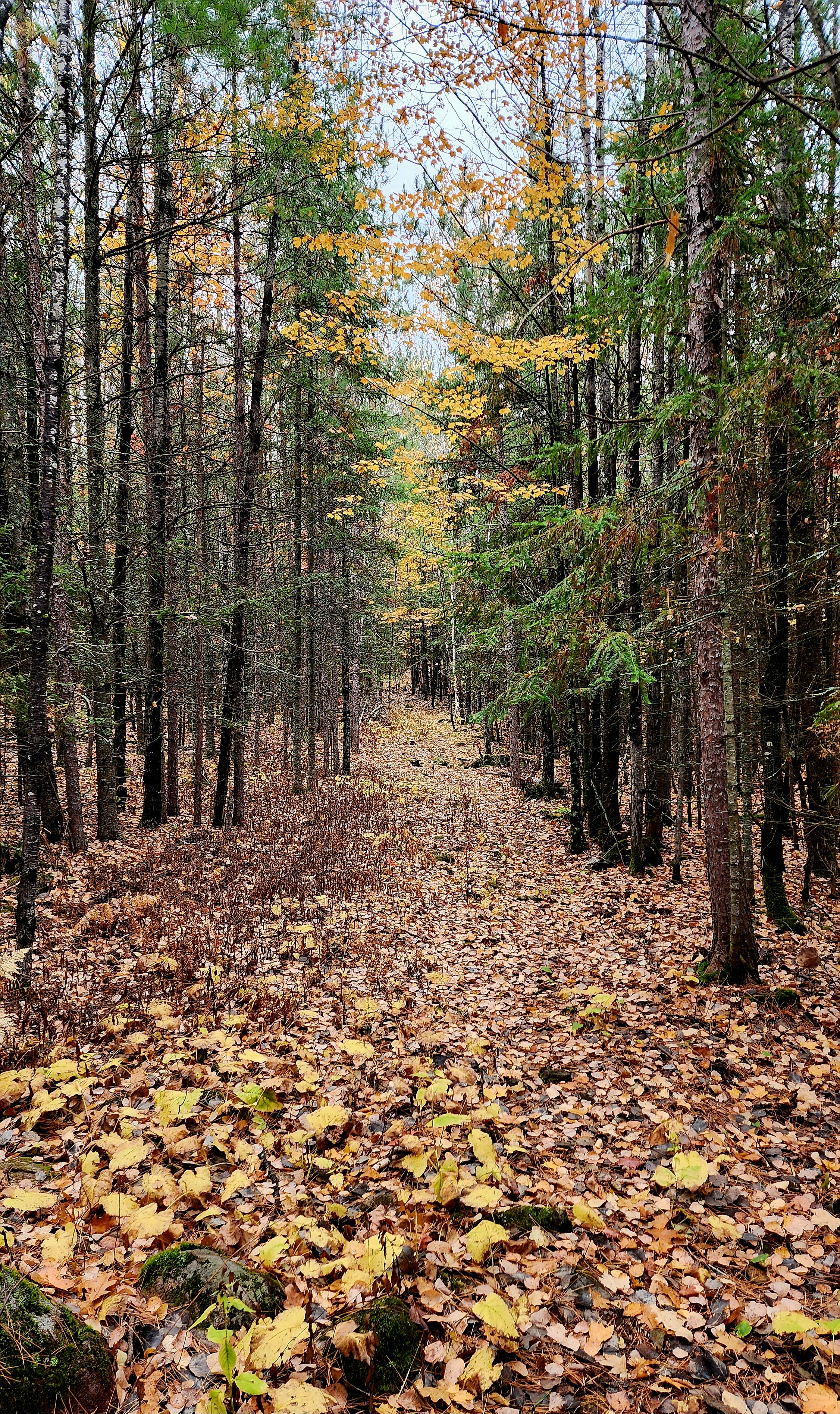
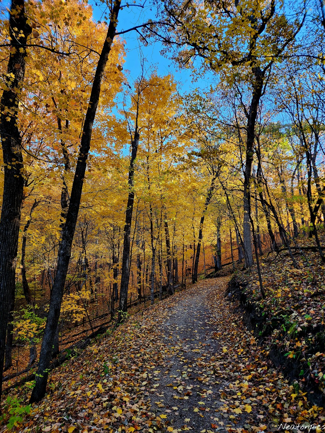
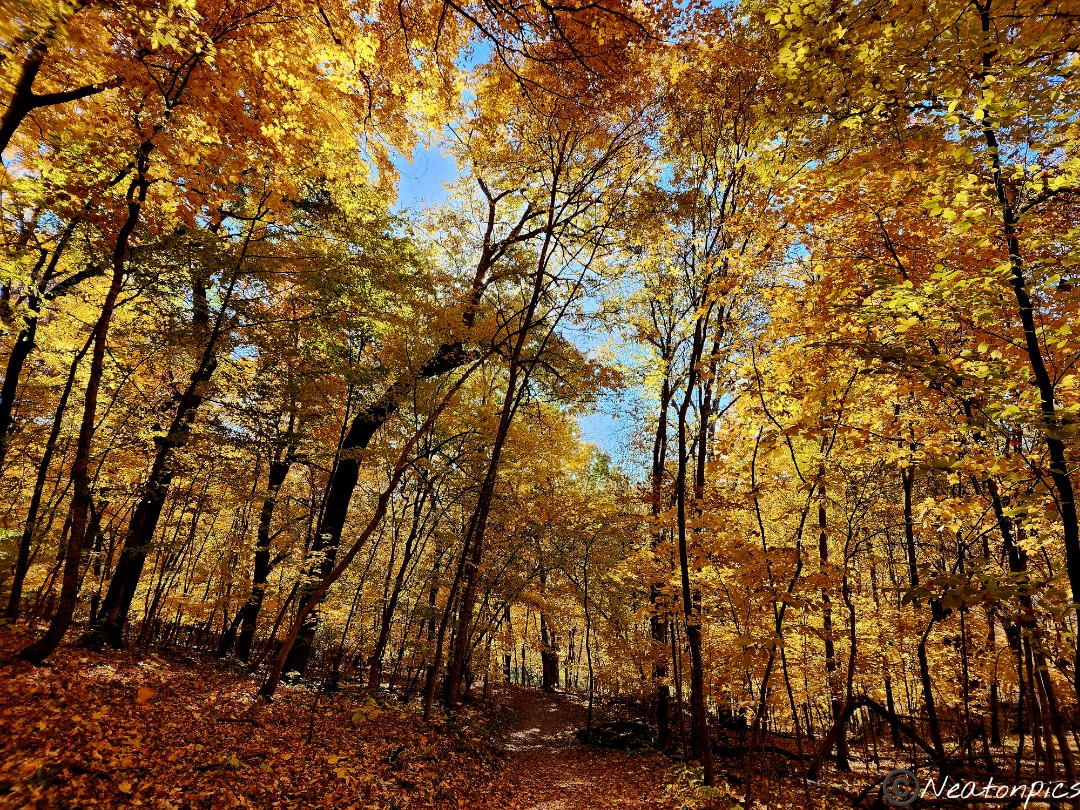
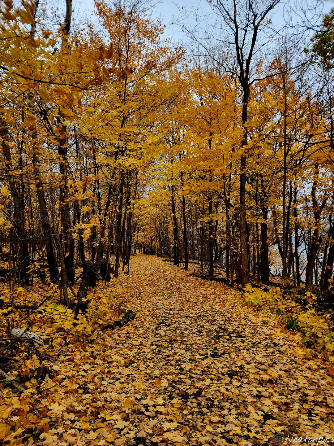
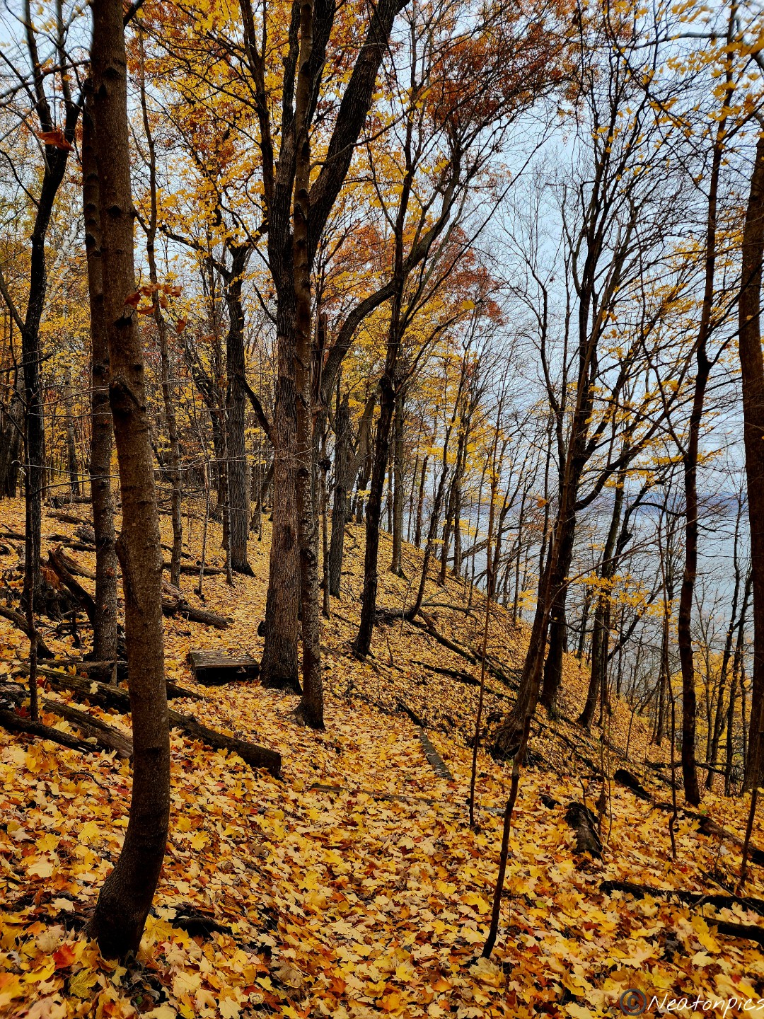
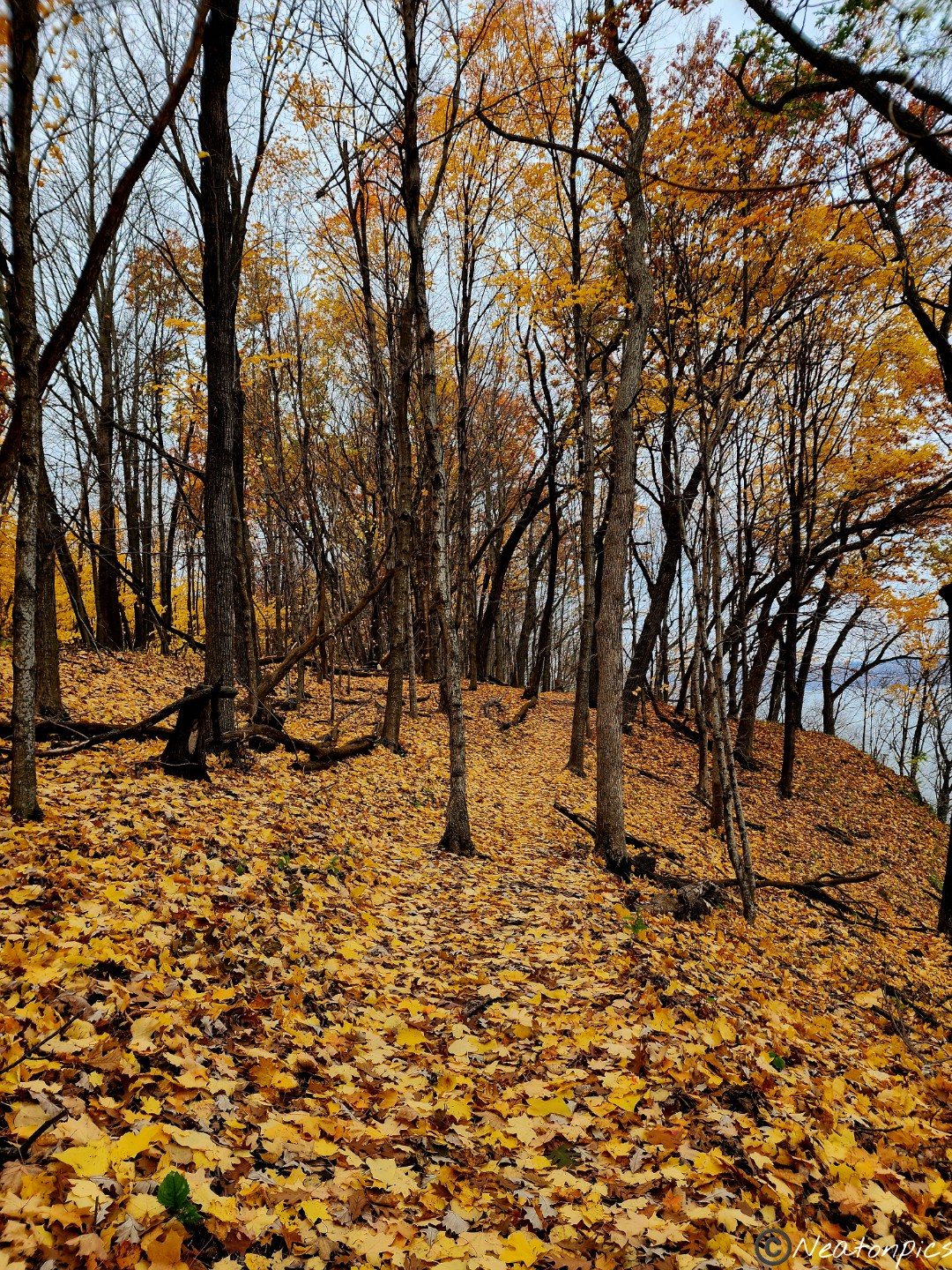
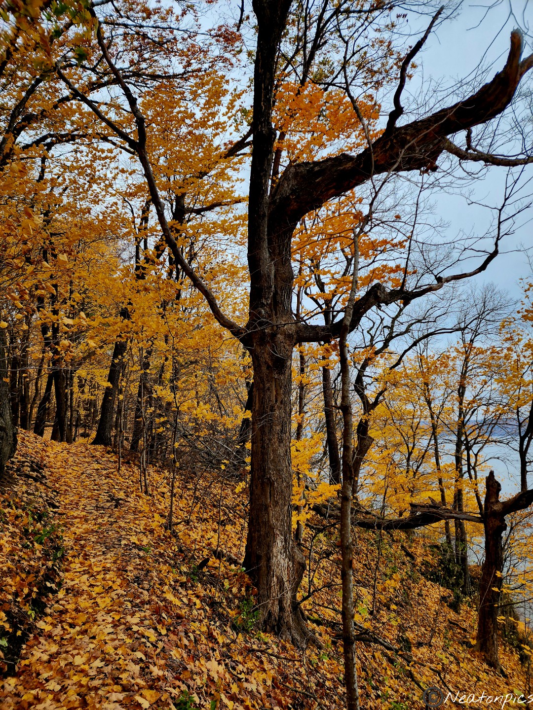
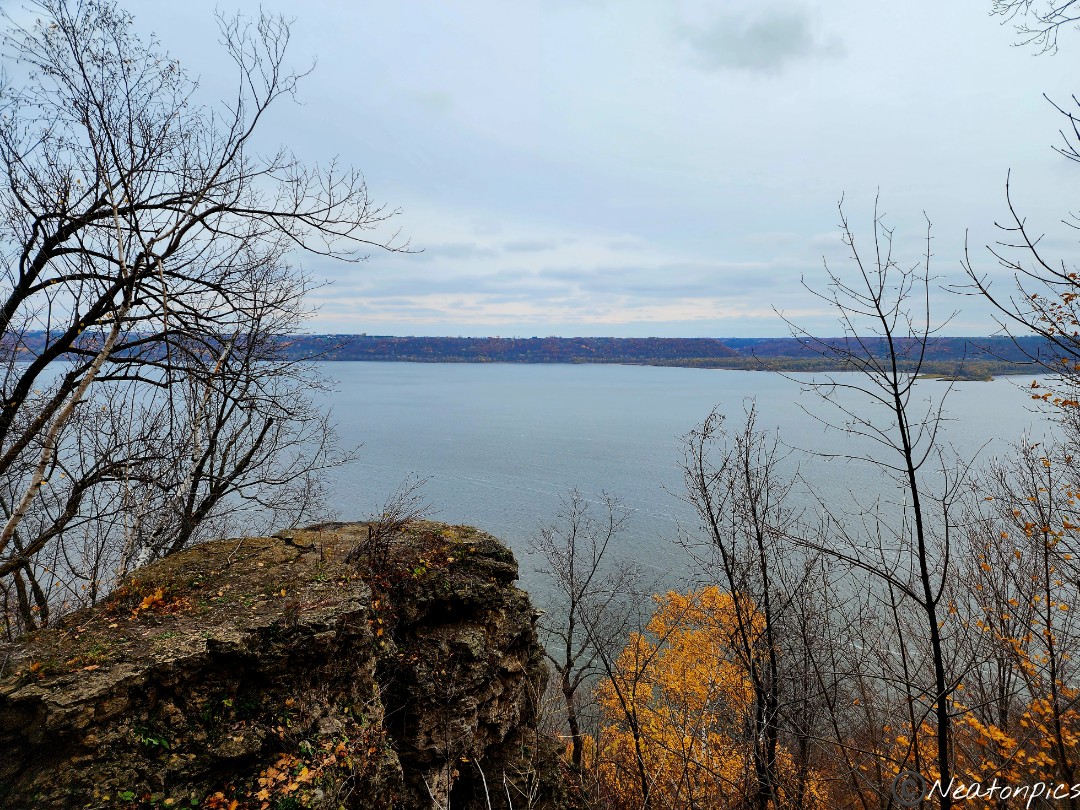
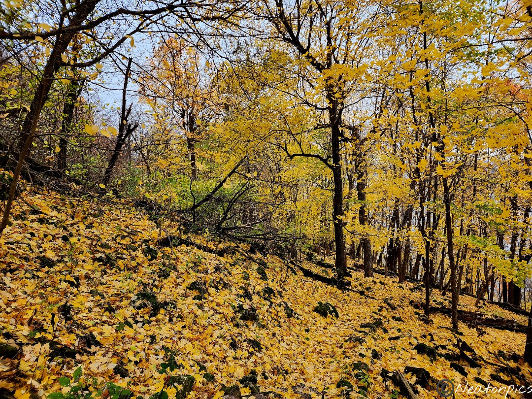
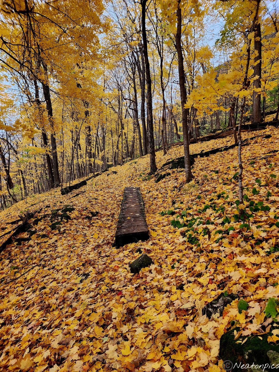
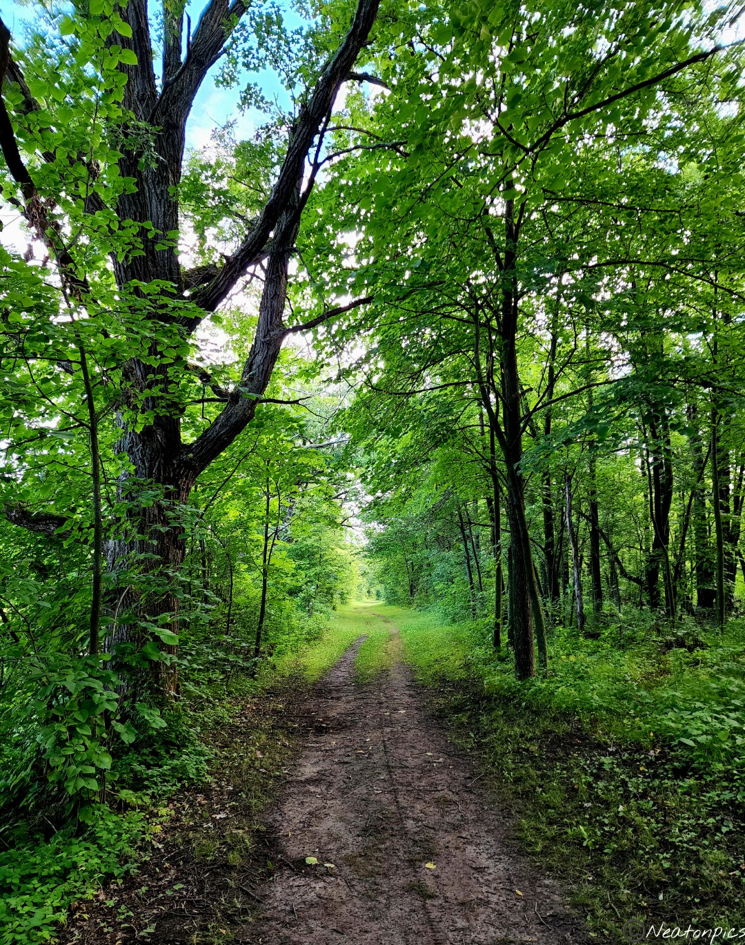
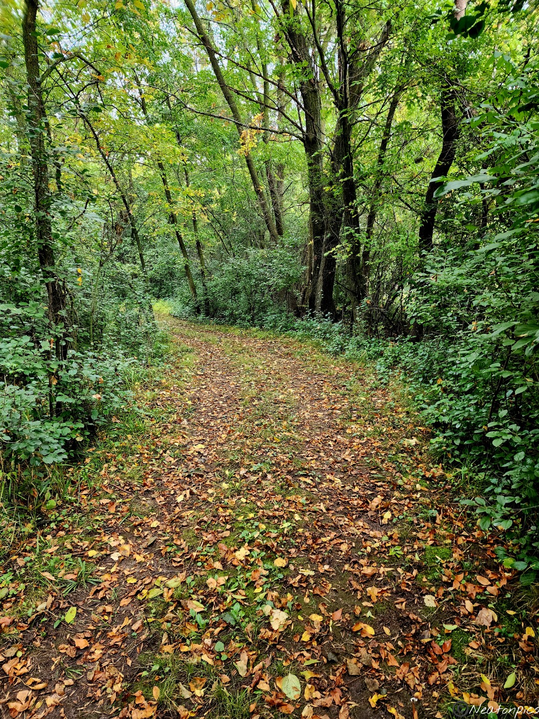
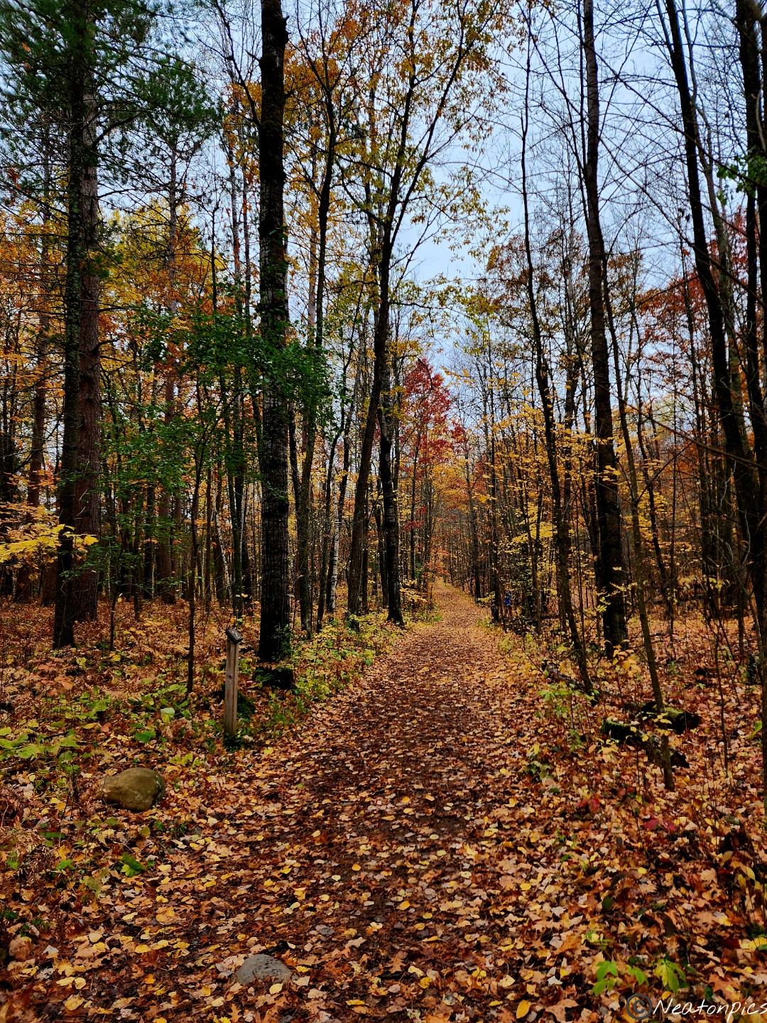
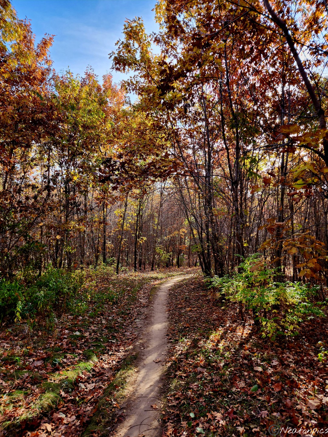
Our adventure began on the Riverview Trail. Golden leaves paved the way towards the Mississippi River Overlook.
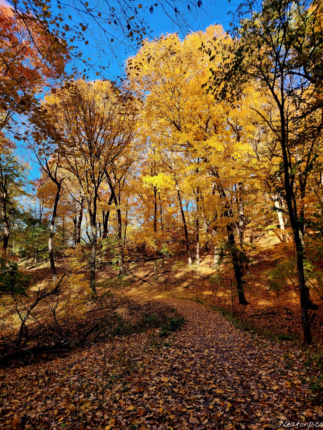
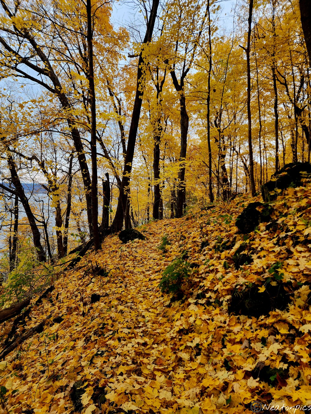
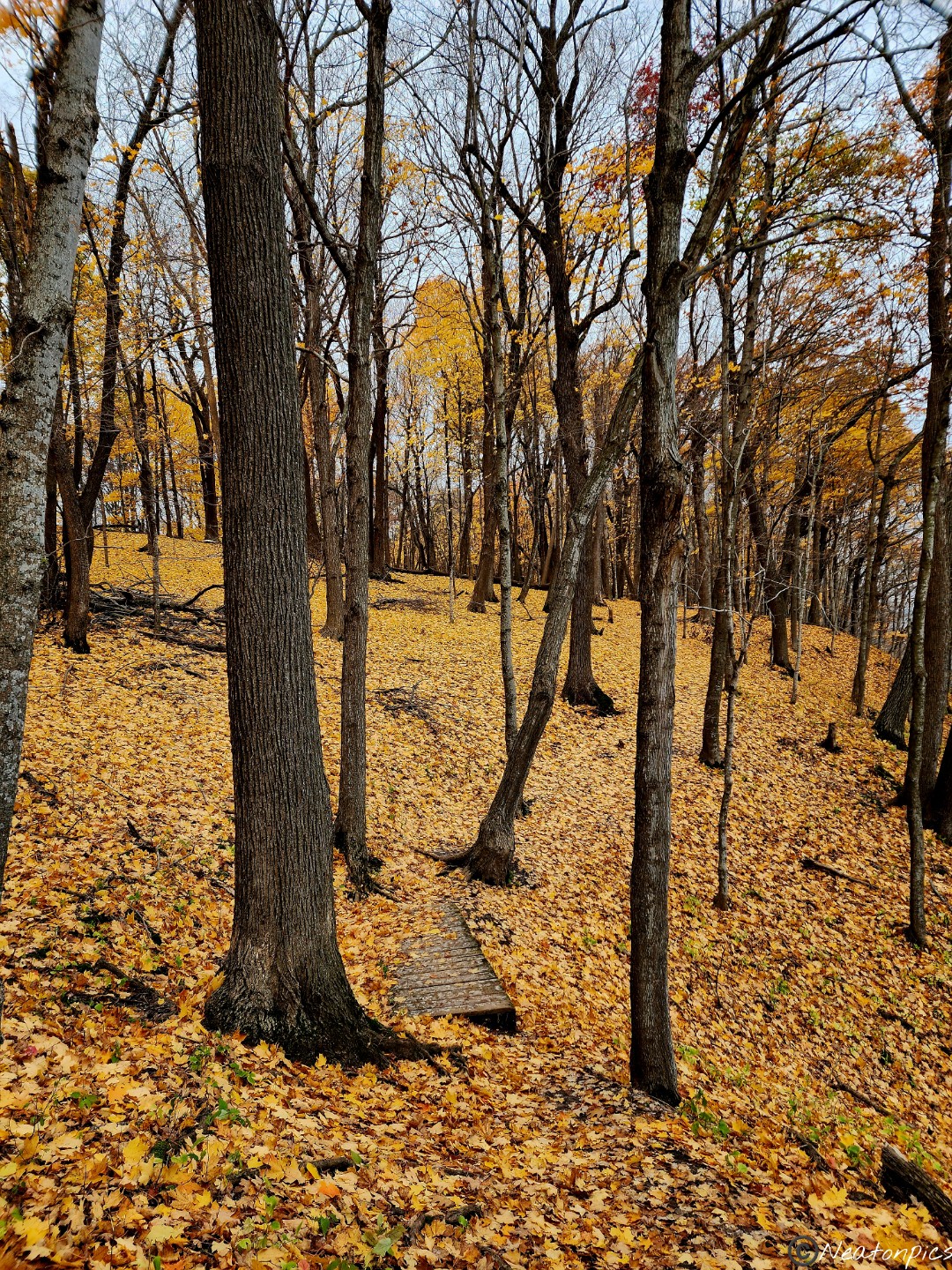
We veered off the paved trail to hike the Upper Bluff Trail. It was hard to see where the trail was at times due to all the fallen leaves.
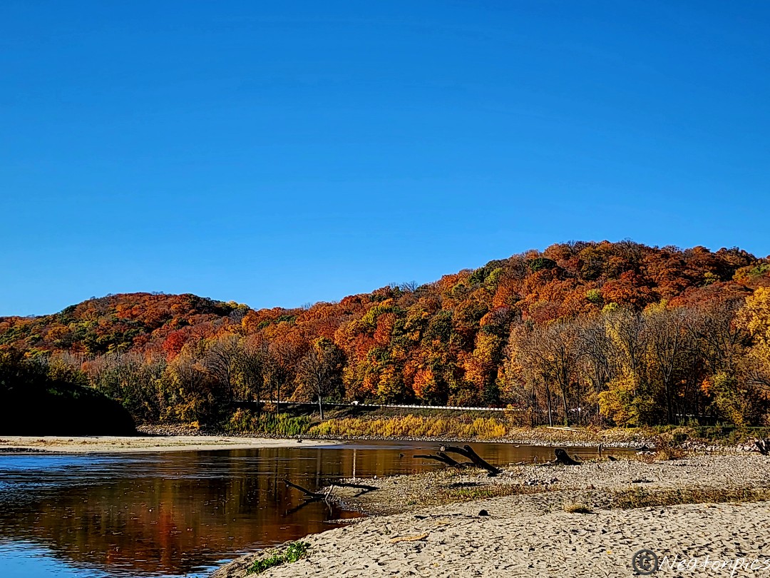
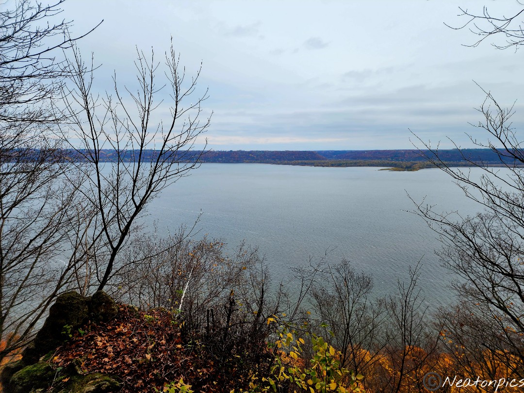
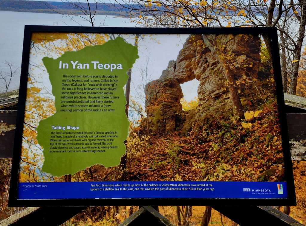
We took in another overlook of the river as we made our way towards In Yan Teopa Rock.
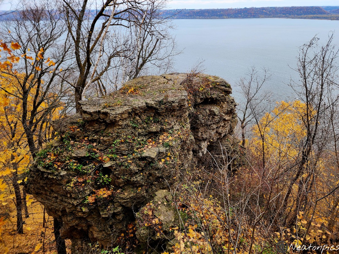
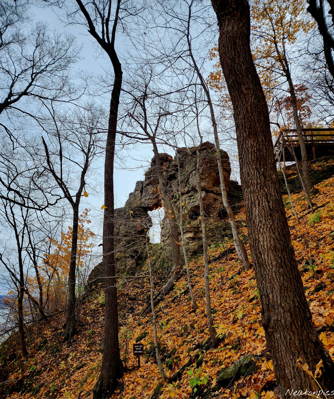
In Yan Teopa is a giant rock with a hole in it. The view from the overlook allowed us to view only the top of the rock.
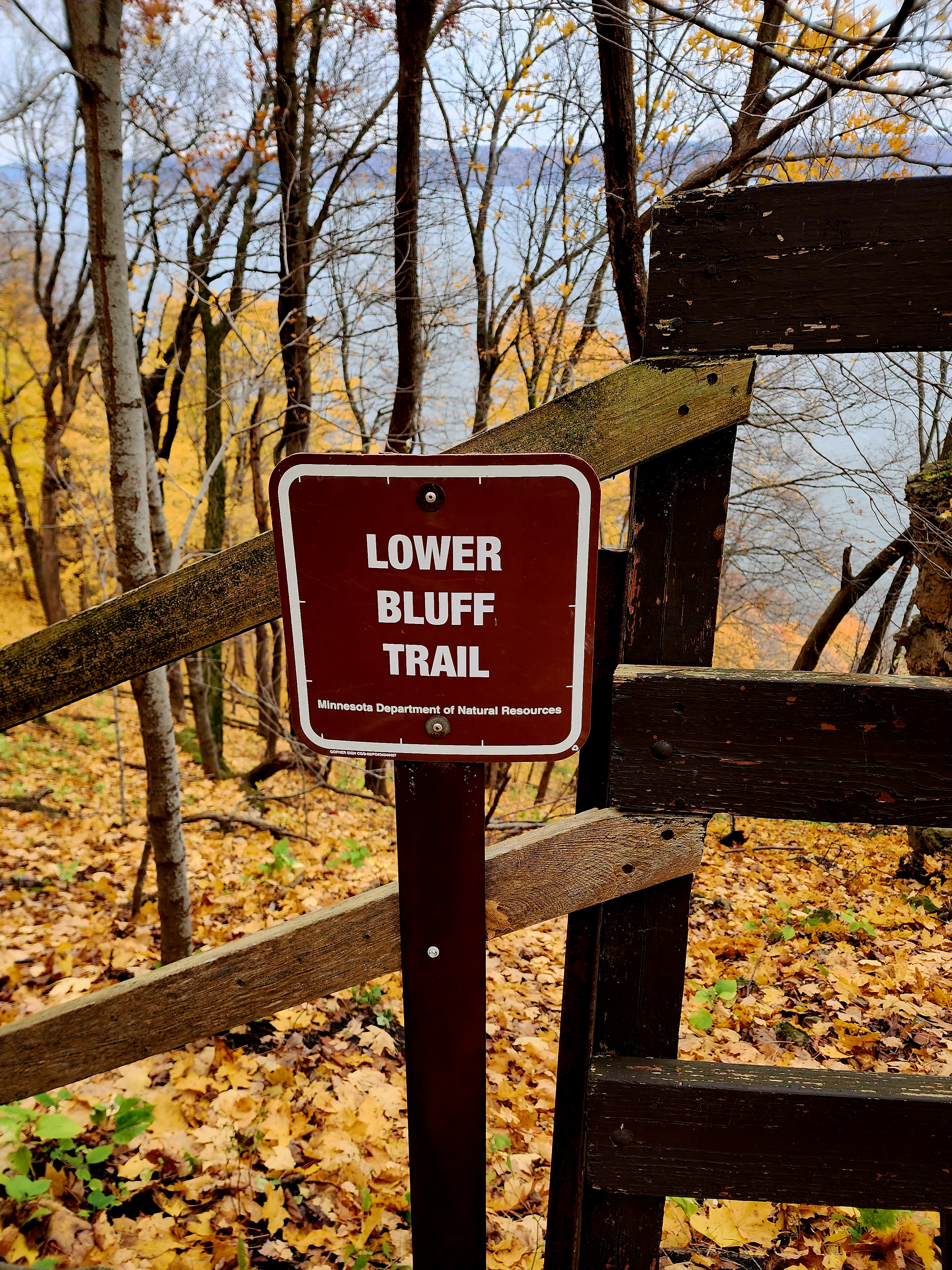
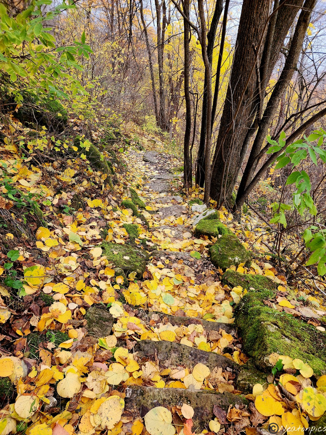
As we made our way down towards the Lower Bluff Trail a sign was posted warning people of the rough terrain ahead. Spoiler alert, the trail was rough, but definitely worth it.
In Yan Teopa came into view as we made our way down the bluff. An amazing sight!
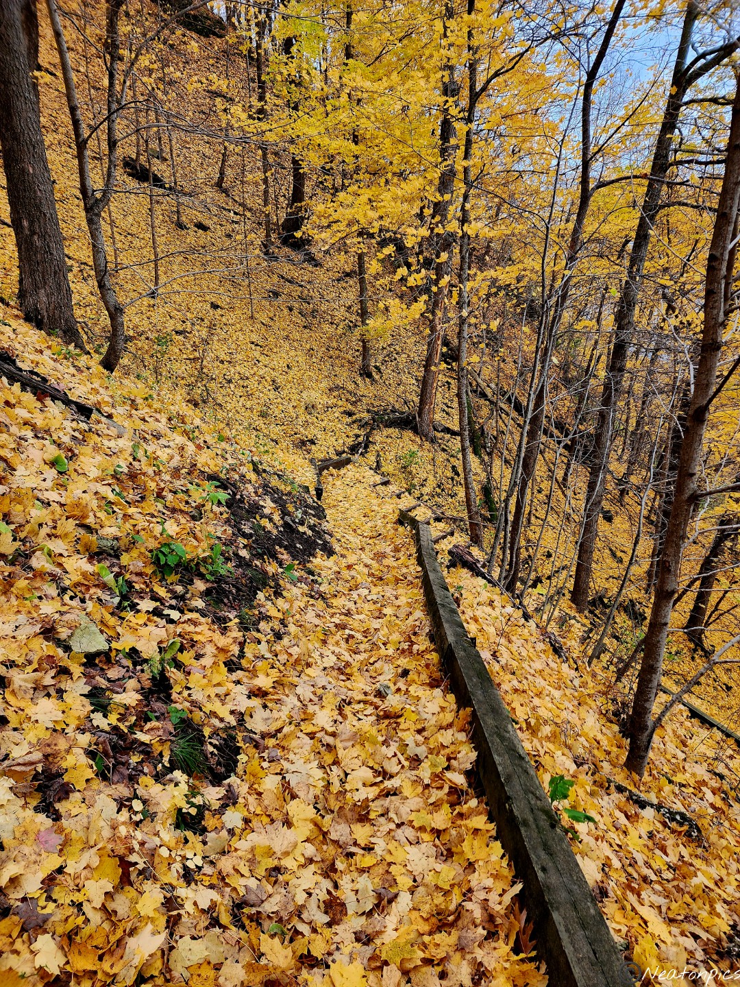
Down down down we went…
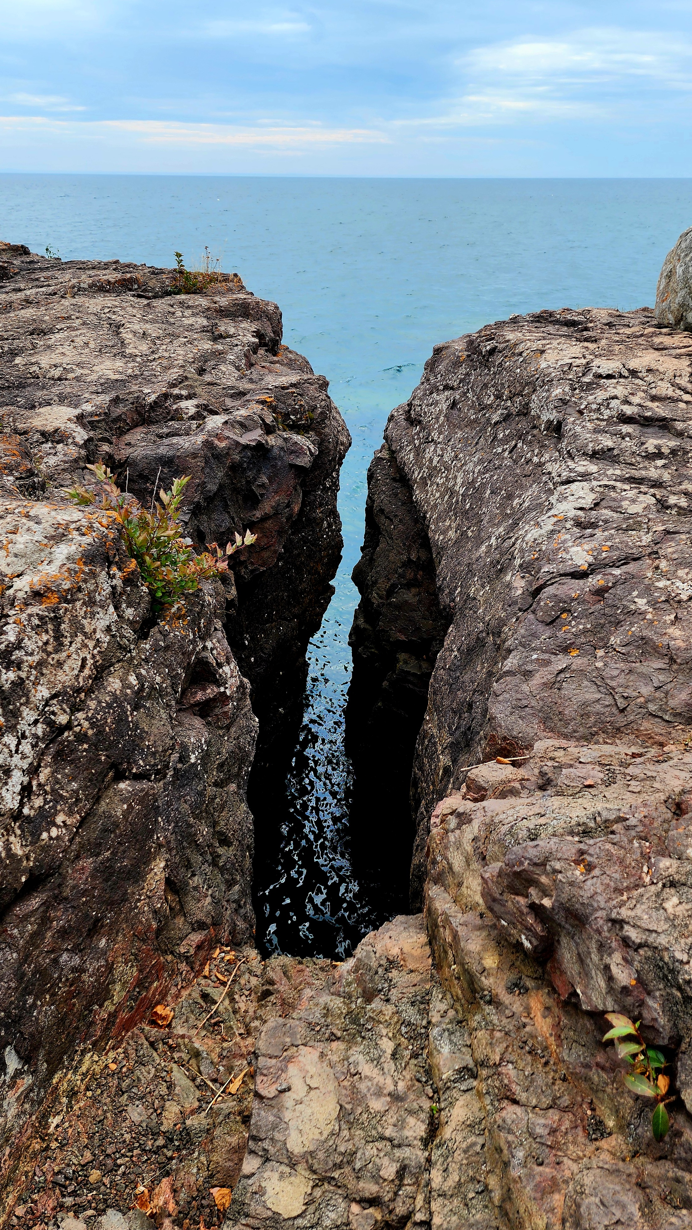
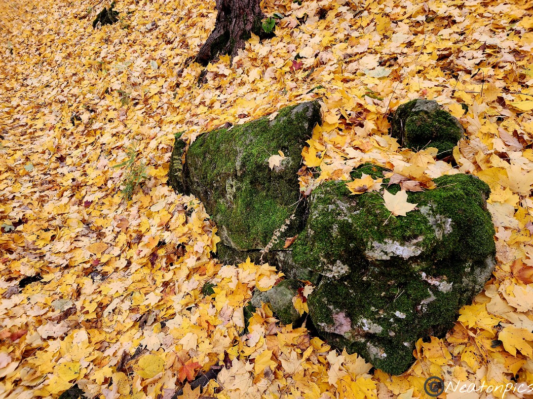
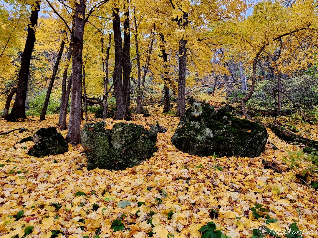
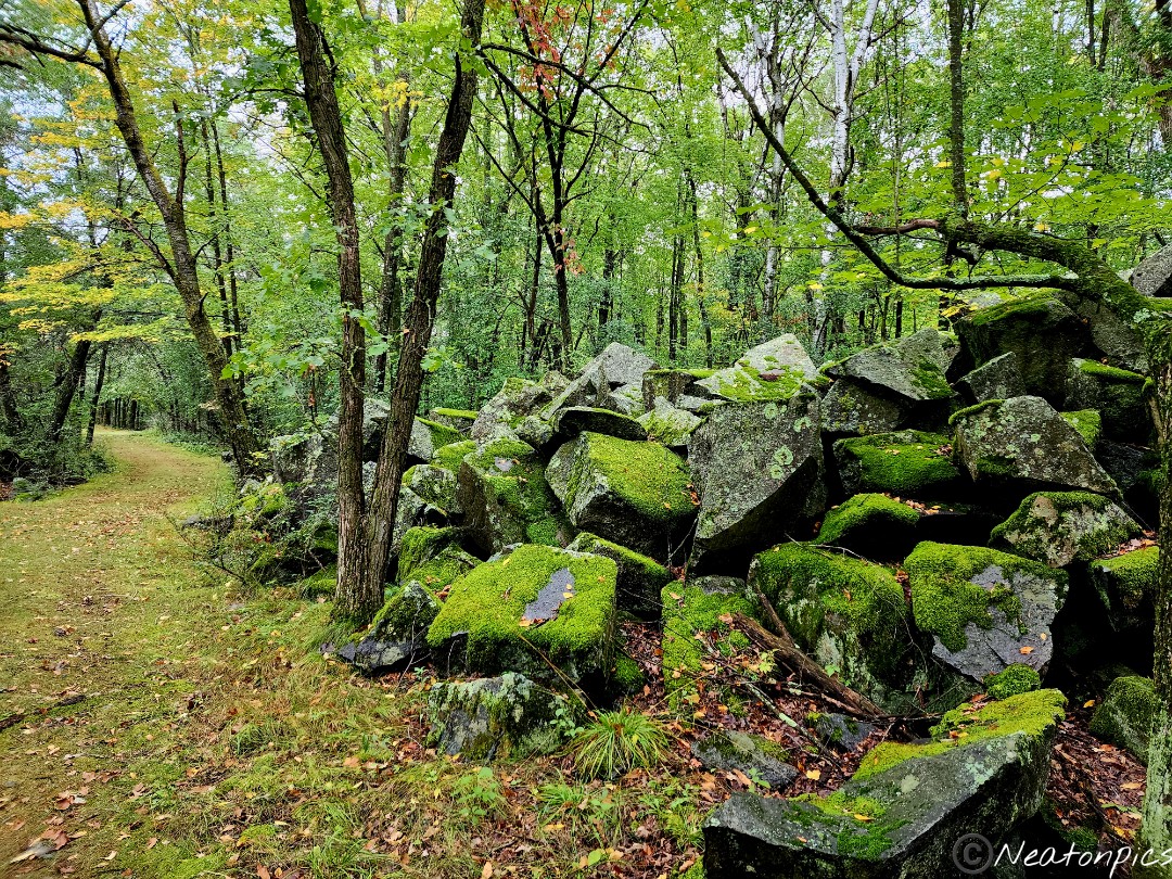
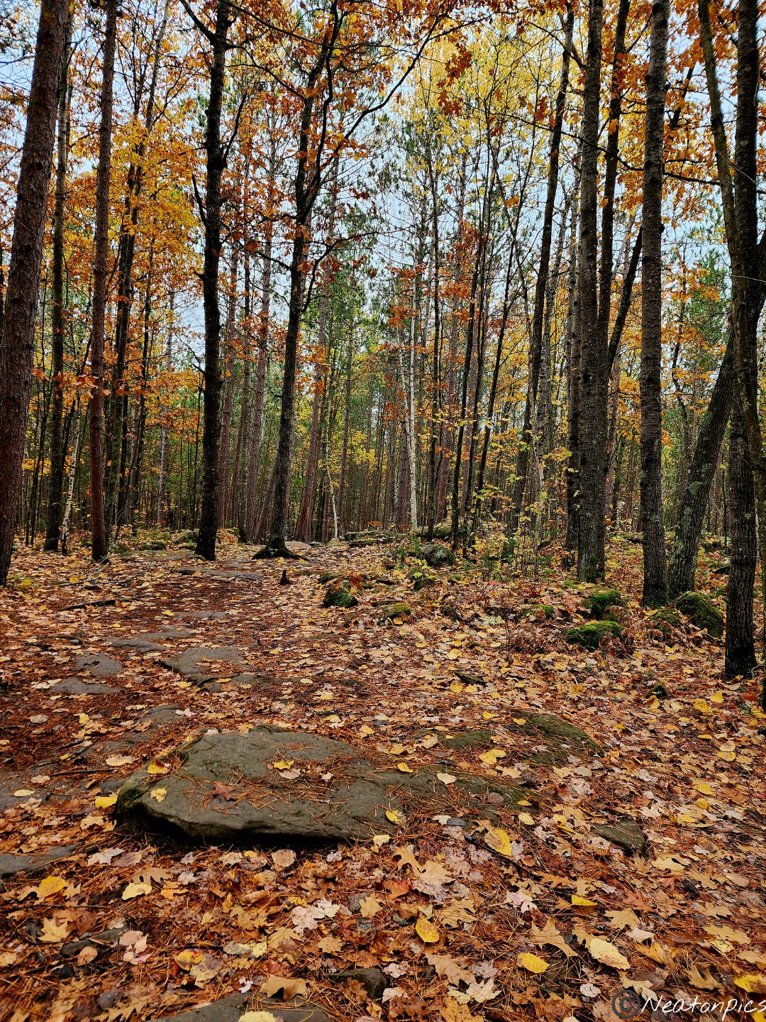
Large boulders were coated with a vibrant green moss. We really enjoyed the contrast of colors on this hike.
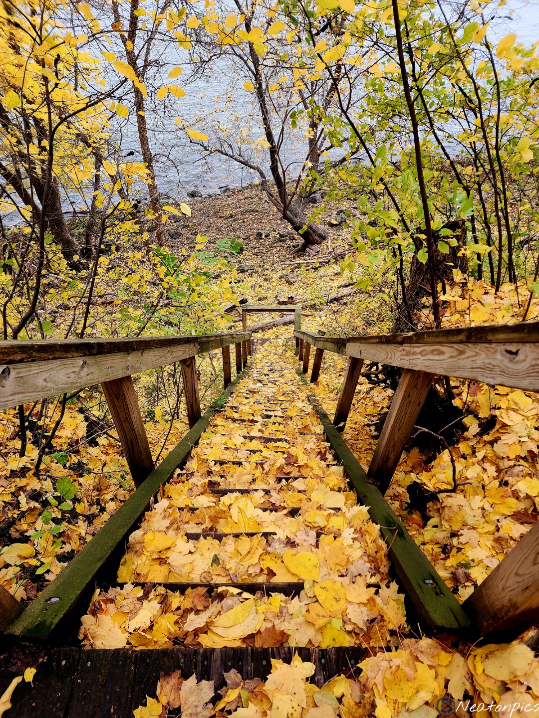
We made our way down to the river.
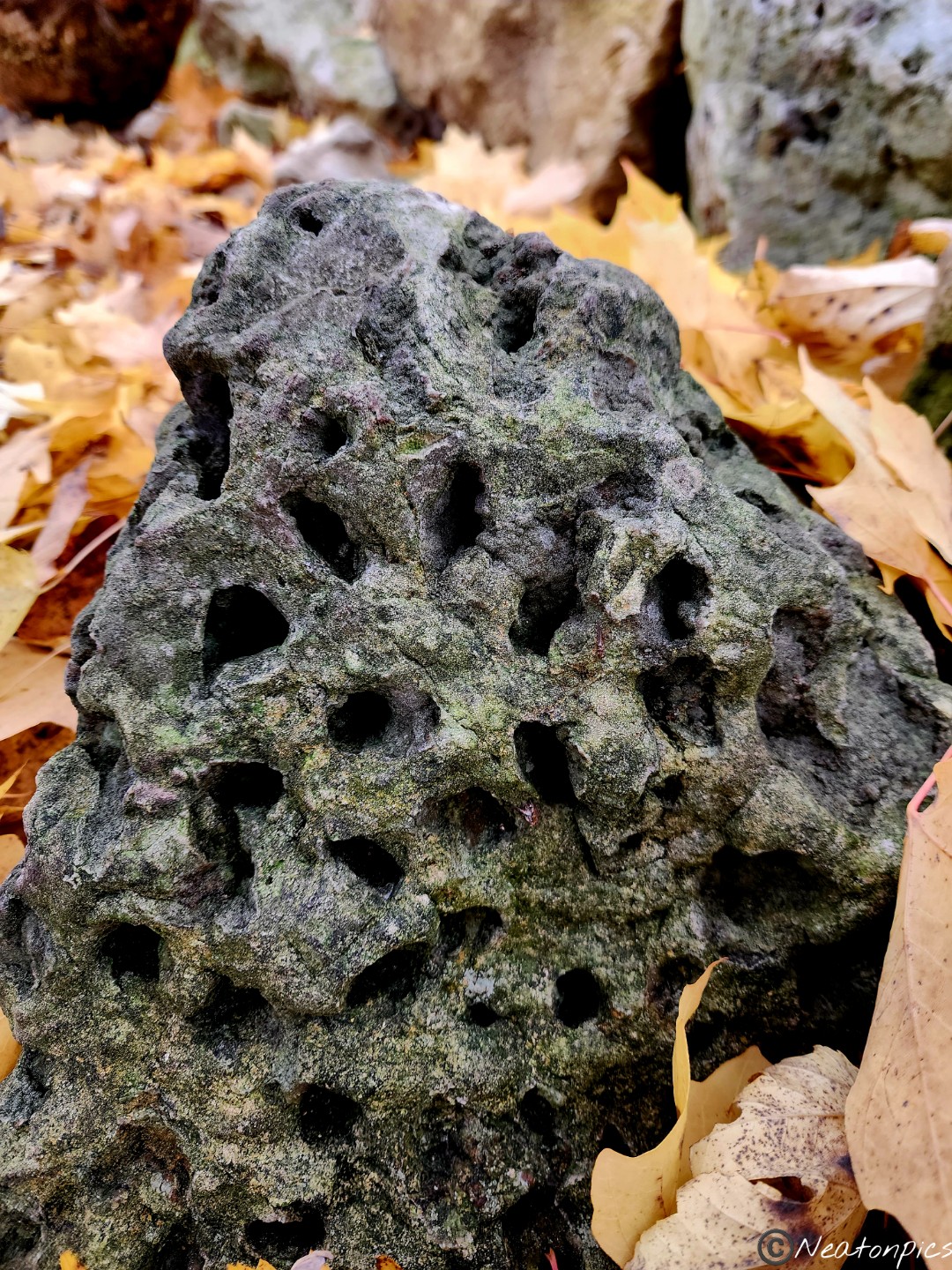
Nature always astounds me! Check out this interesting rock and design in the trunk of a tree we found.
Finding the trail was tricky at times.
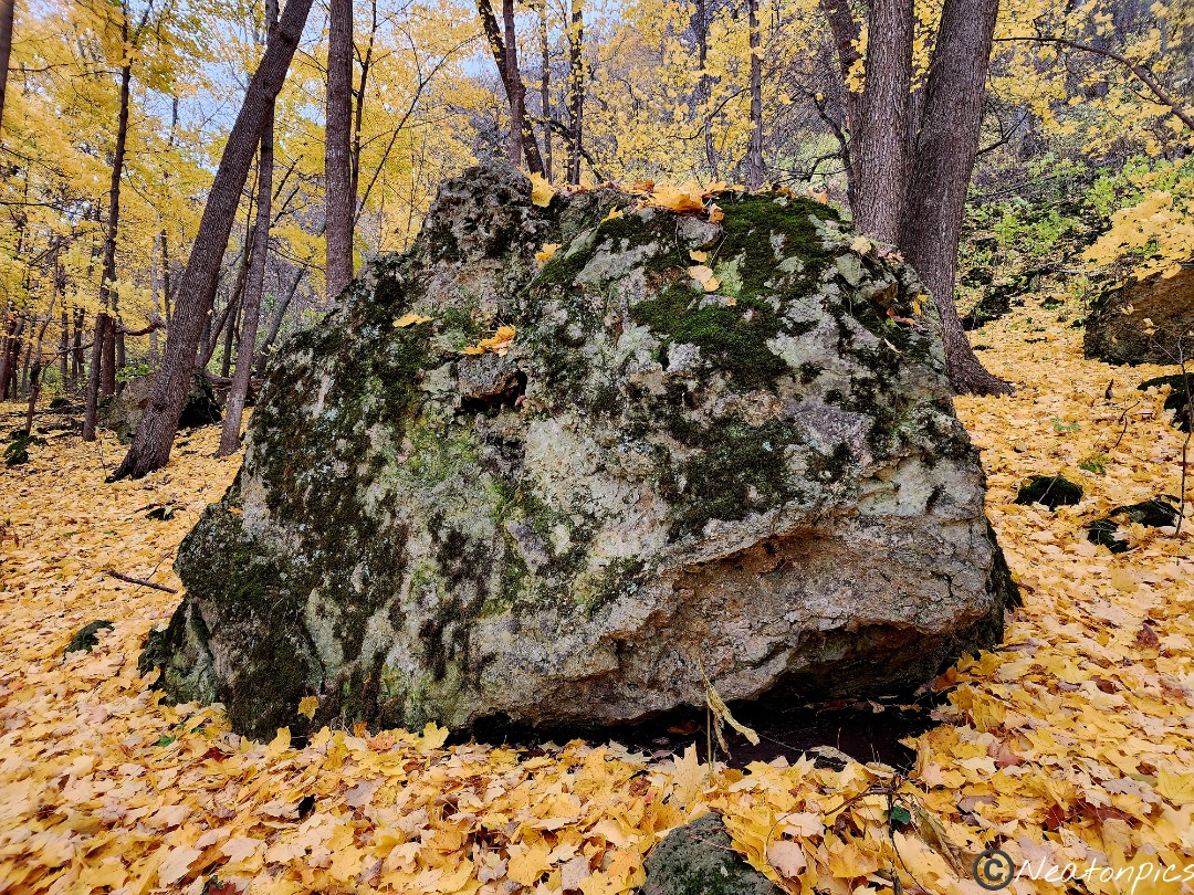
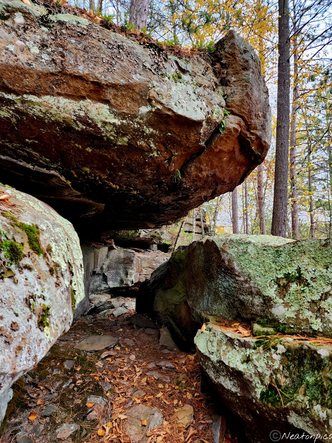
So many large boulders made their home along the bluff.
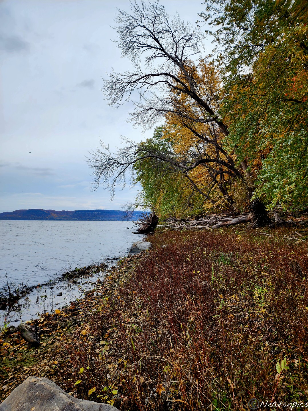
We continued along the trail and eventually made our way back down to the river.
More interesting designs were found in the trees located by the river.
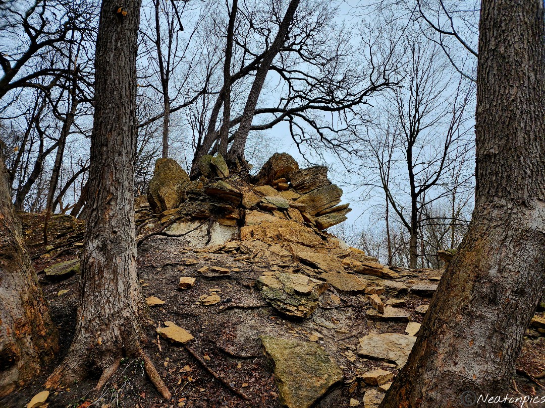
Up the bluffs we went. There was a bit of a human traffic jam as we made our way up. Everyone was stopping to rest and breathe. I, too, was one of those people trying to catch my breath. The only photos I took on the way up were of the colorful leaves on the ground.
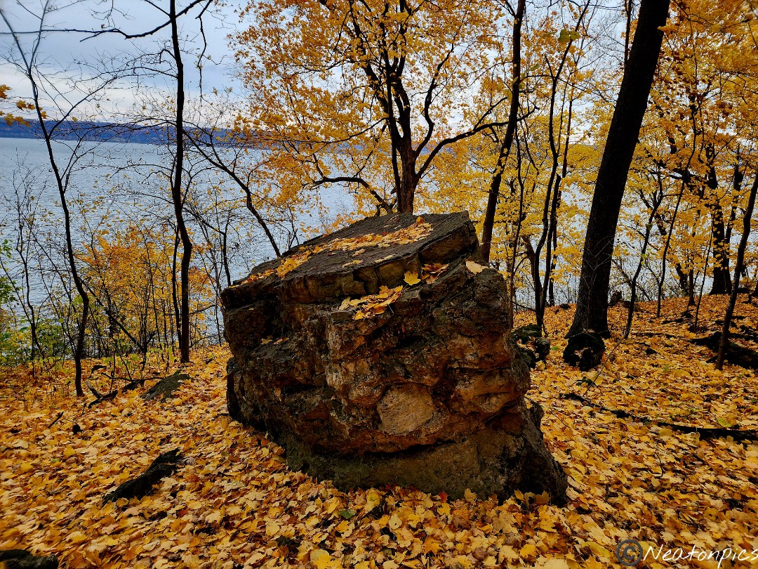
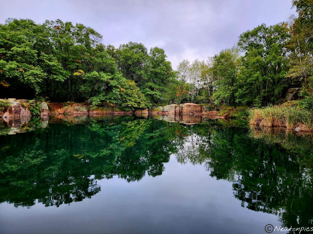
Near the top, we passed through the former Frontenac Quarry.
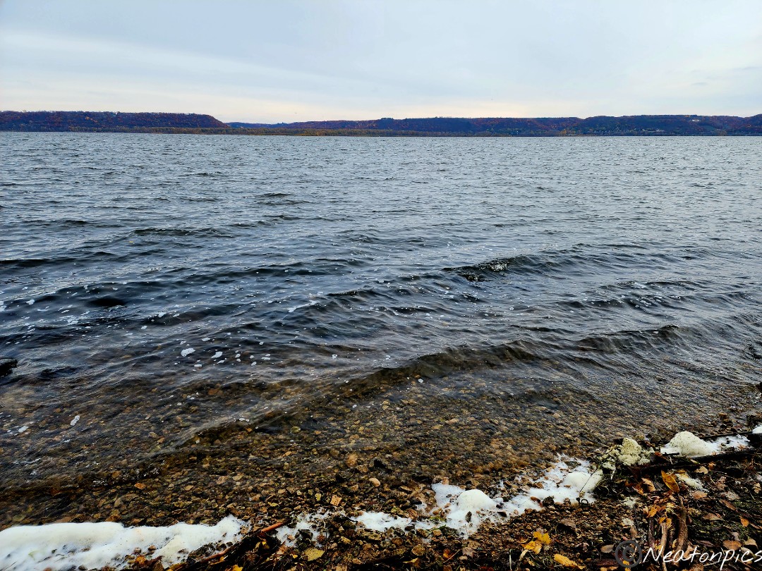
We enjoyed all the views of Lake Pepin which is a lake on the Mississippi River.
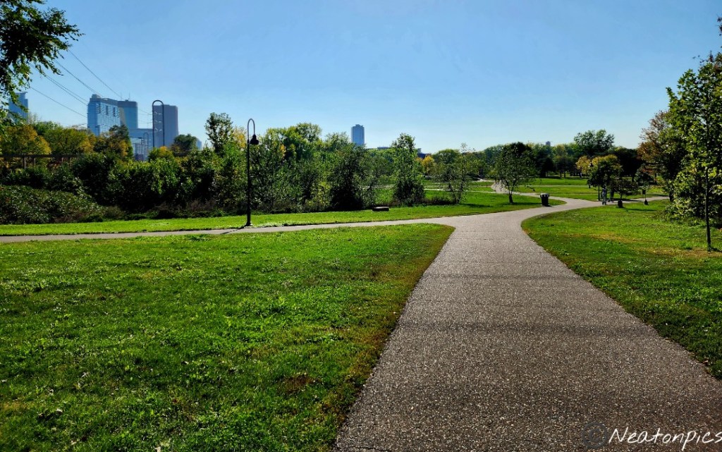
We hiked the Downtown Minneapolis River Trails on October 2nd, 2023.
Our hiking adventure began at B.F. Nelson Park. We followed the paved trail towards Boom Island Park. Boom Island is no longer an actual island, its back channel has long since been filled in. Logs used to float down the Mississippi River past the island towards the saw mills that the St. Anthony Falls powered.
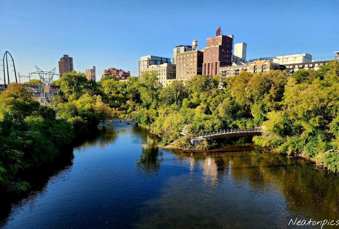
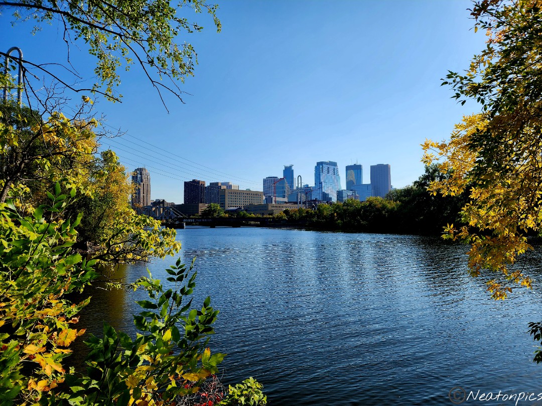
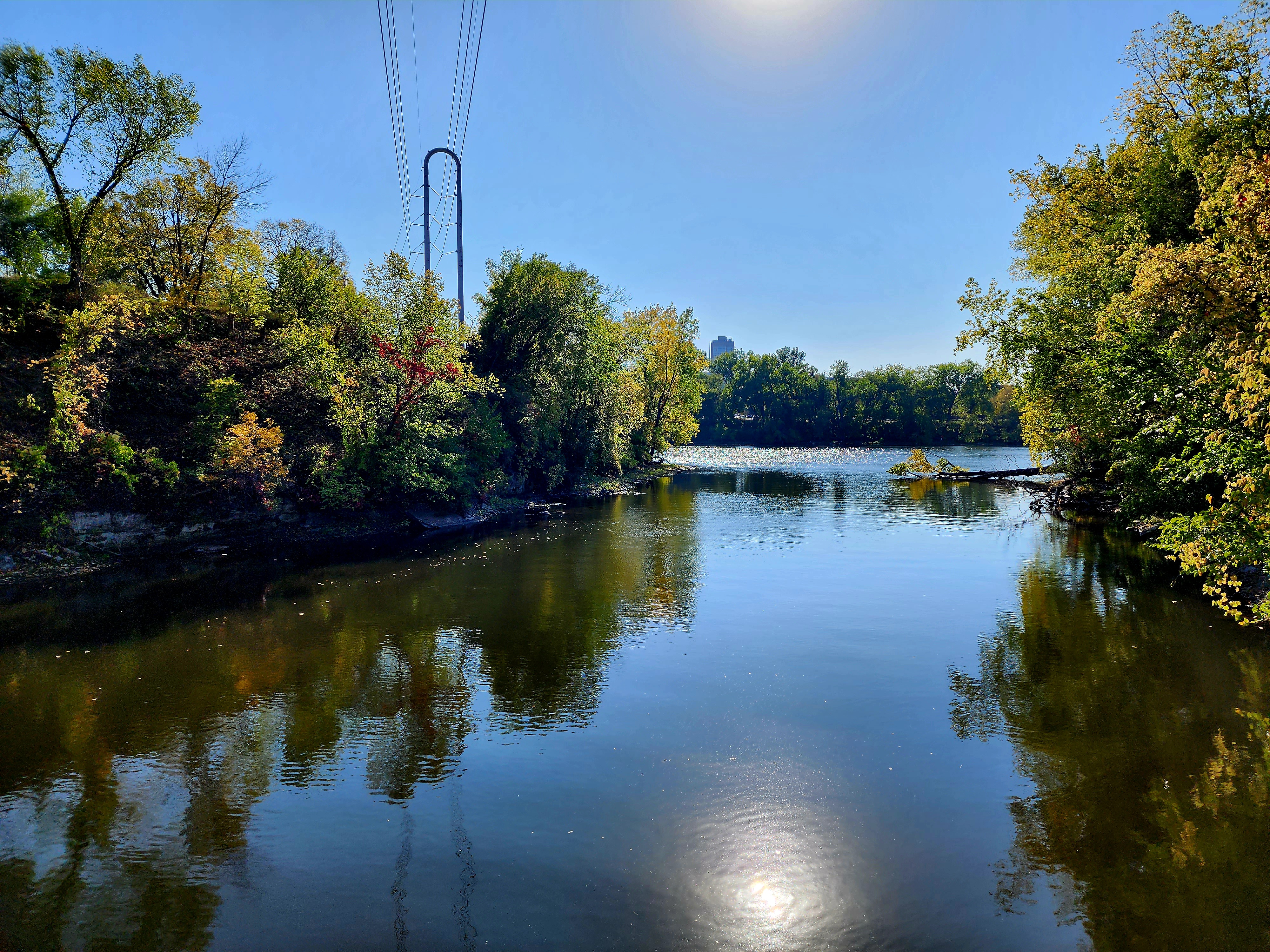
Views of Downtown Minneapolis appeared through the trees.
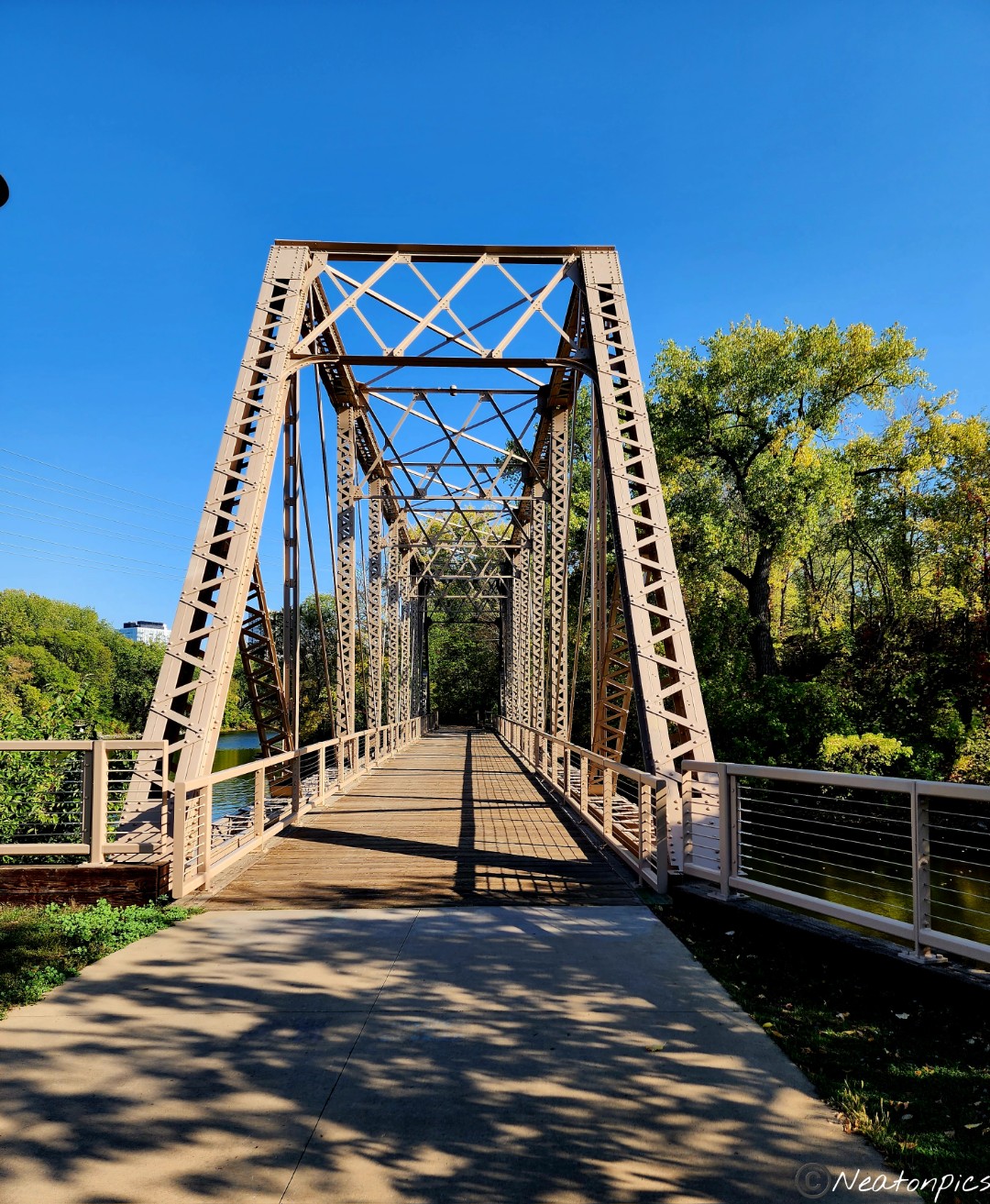
We crossed over the walking bridge towards Nicollet Island.
We hiked up the stairs and followed the sidewalk on Nicollet Island towards St. Anthony Main. Fall is beginning to make its presence known.
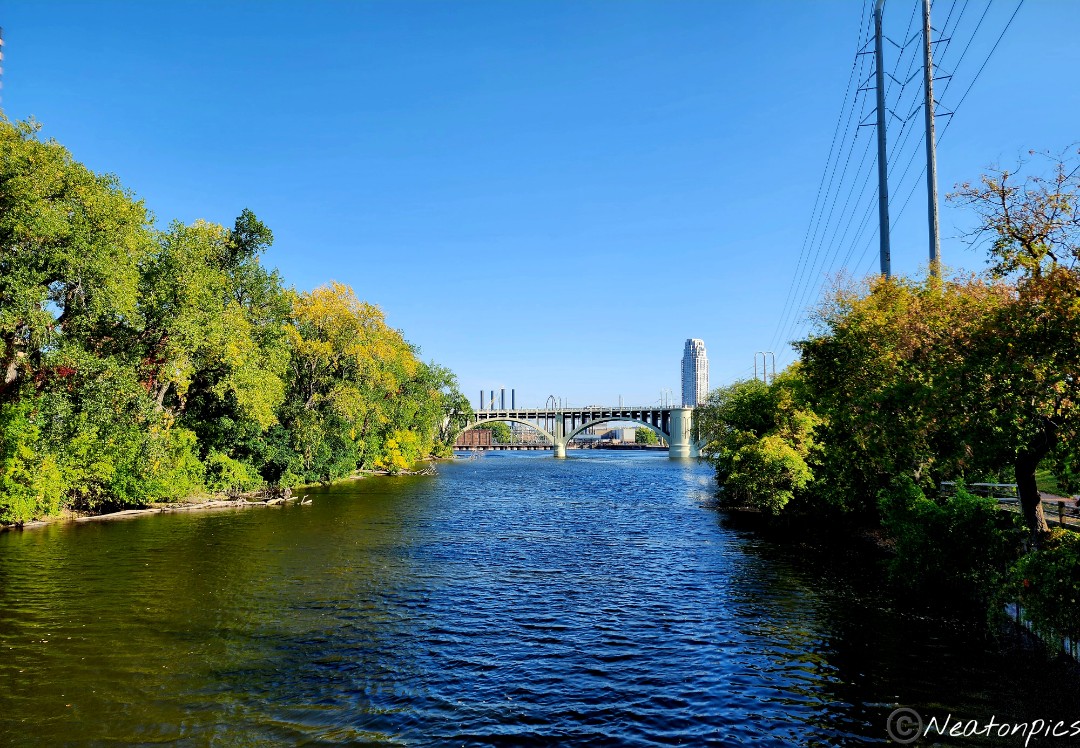
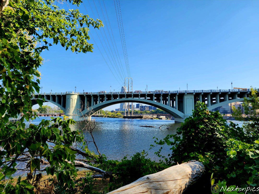
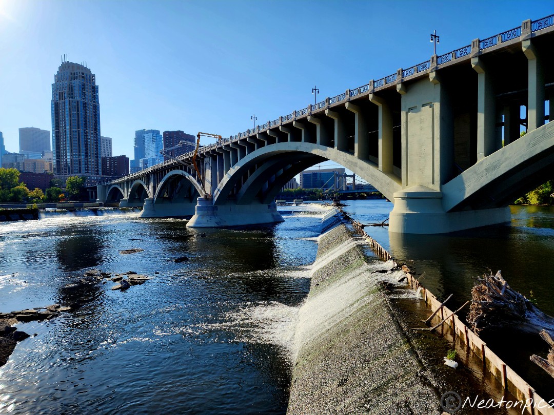
We made our way towards the 3rd Avenue Bridge.
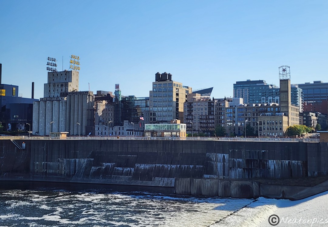
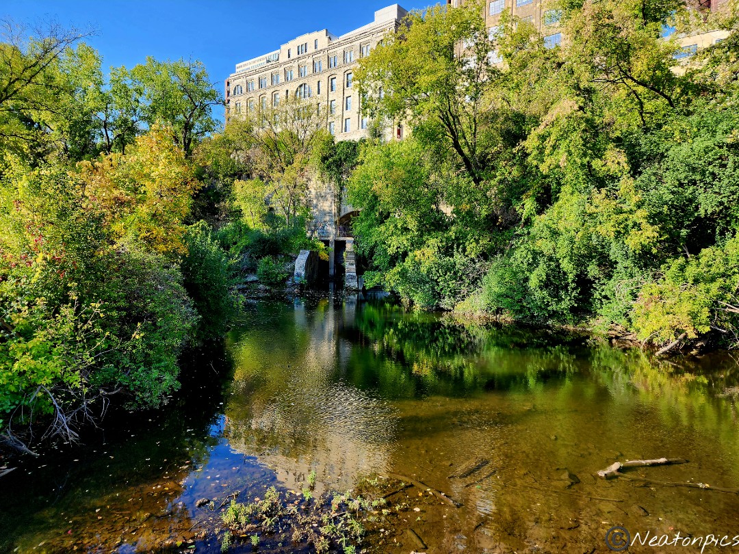
Once on the other side of the 3rd Avenue Bridge, we took in the view of the St. Anthony Falls.
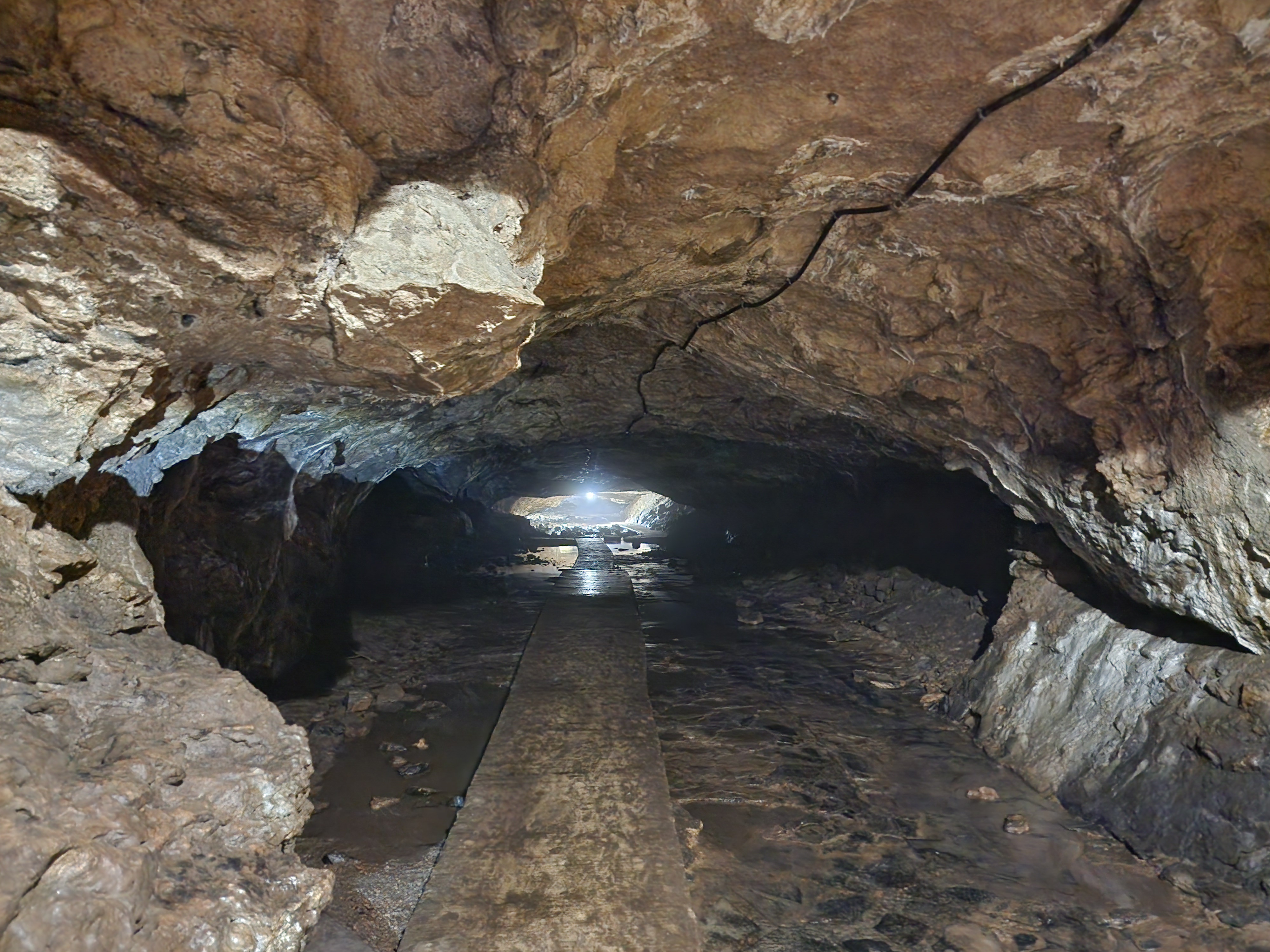
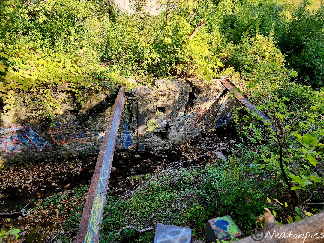
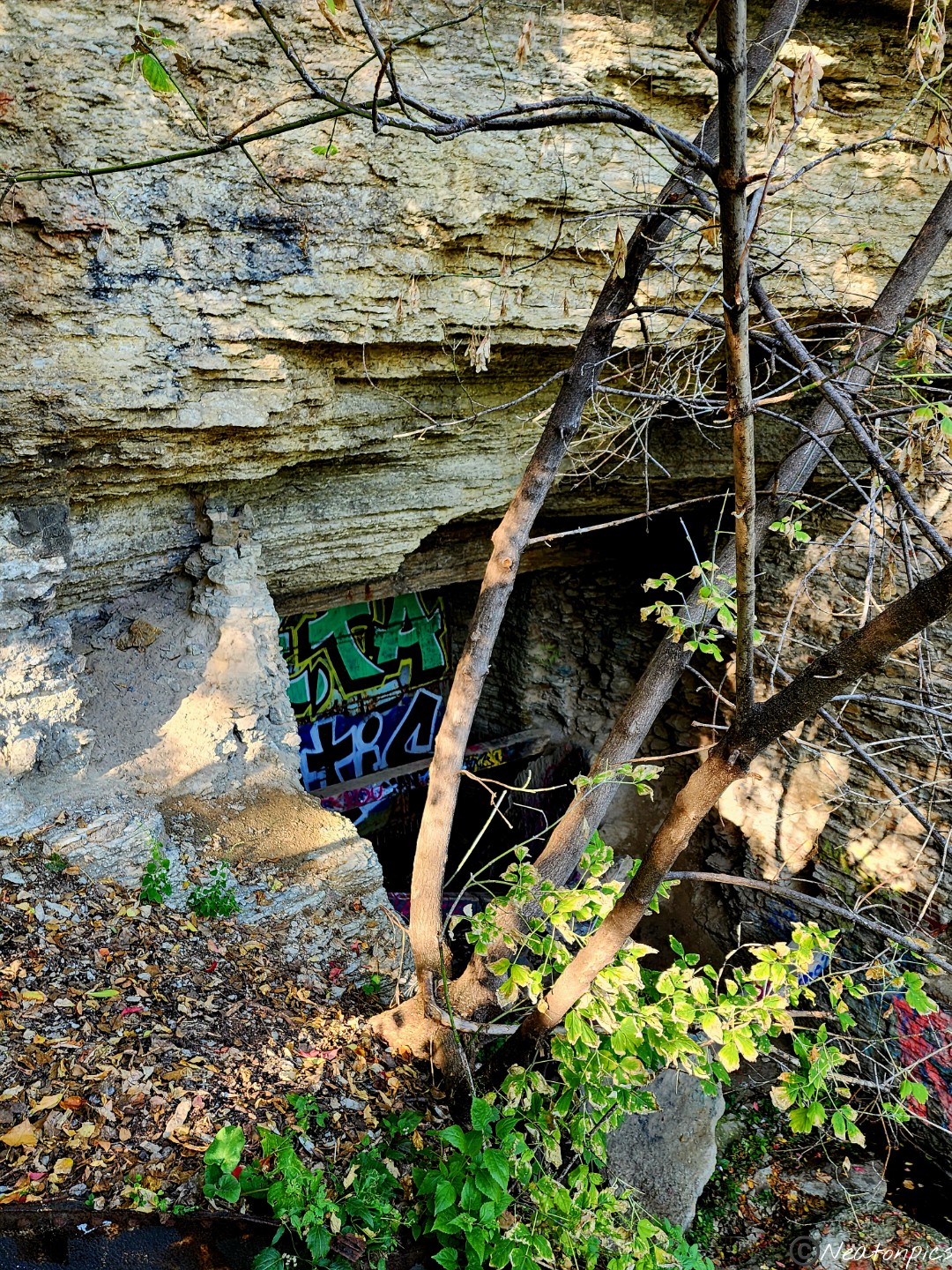
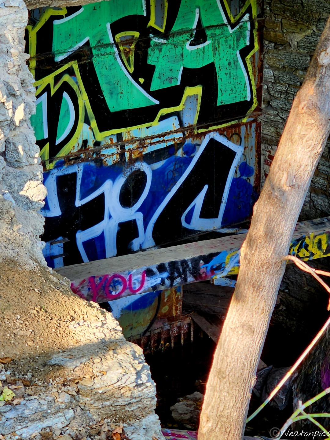
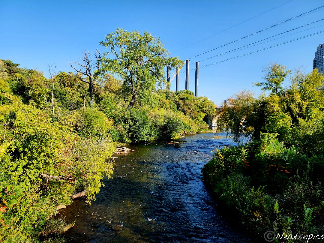
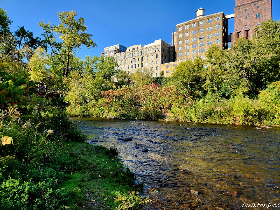
The lower trails brought us to Hennepin Island. I found this to be a very interesting place to explore. We found large metal pieces and possibly an old tunnel. The adventure side of my brain always kicks in when I see tunnels. I always want to know what is inside the tunnel!
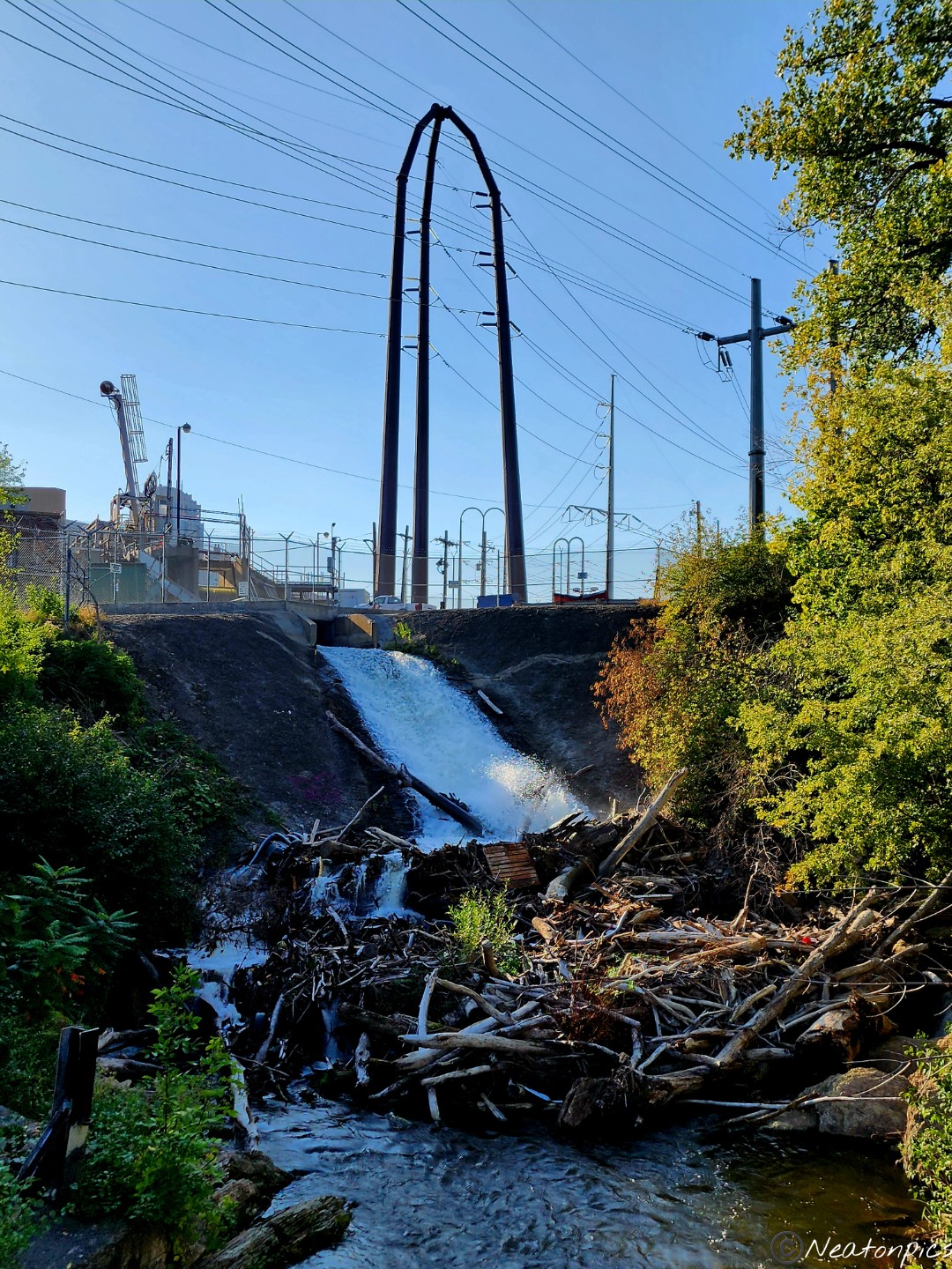
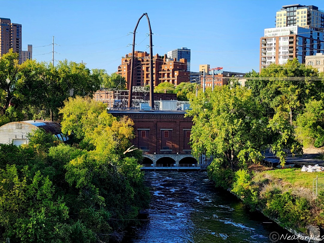
We continued exploring Hennepin Island. We found a Dam. The amount of wood at the bottom of where the water was rushing down was impressive especially since I don’t think beavers created the Dam.
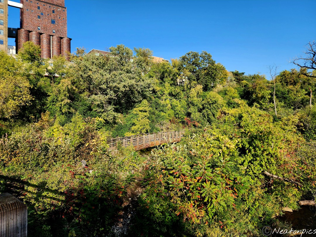
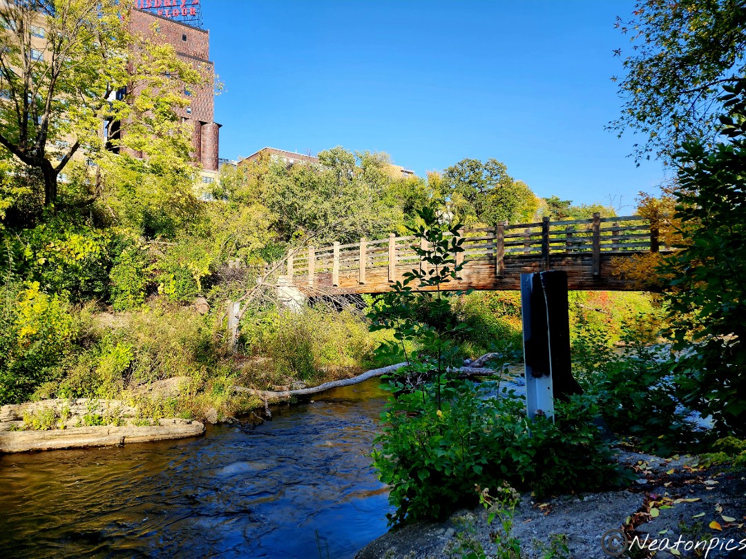
There are two bridges on the lower trails. Even though both bridges brought us to dead ends, it was worth the visit. It was an interesting perspective seeing the old buildings on St. Anthony Main from such a lower point of view.
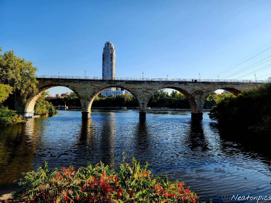
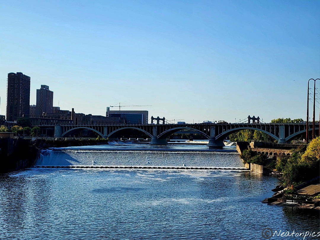
The second bridge we crossed had an amazing view of the Stone Arch Bridge. I have never seen the Stone Arch Bridge from the shoreline.
As we crossed over the Stone Arch Bridge, we could see Hennepin Island. I have to wonder, how many times have I crossed this bridge and I never paid any attention to the hiking trails on Hennepin Island before.
The view from the Stone Arch Bridge is always beautiful.
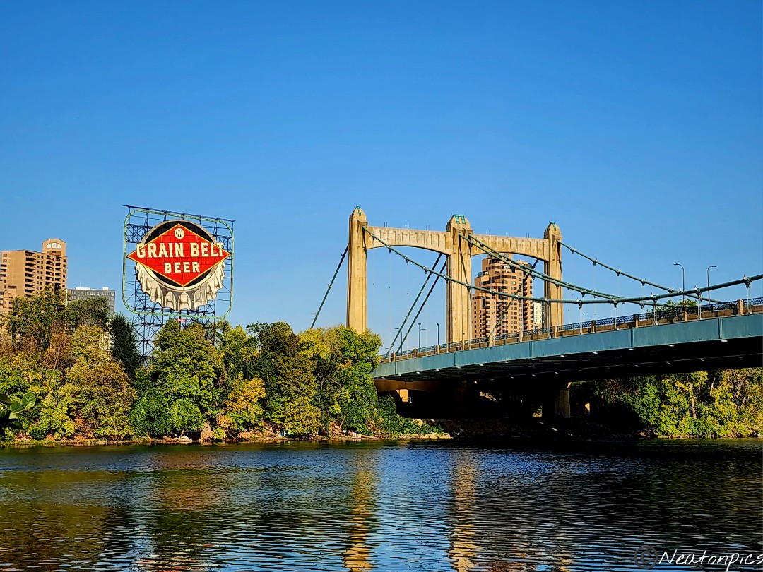
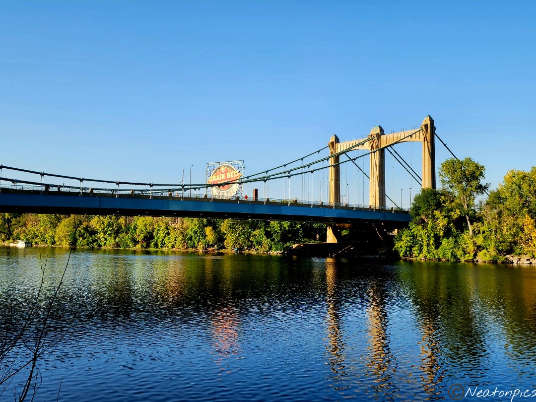
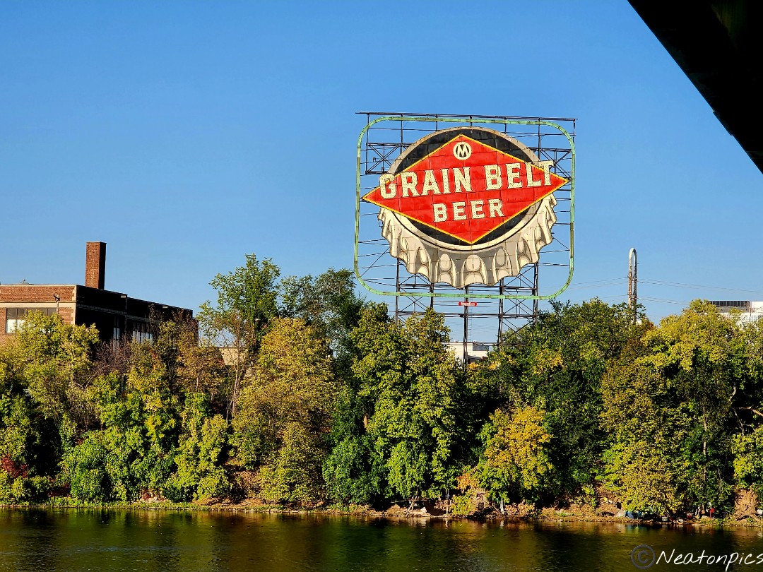
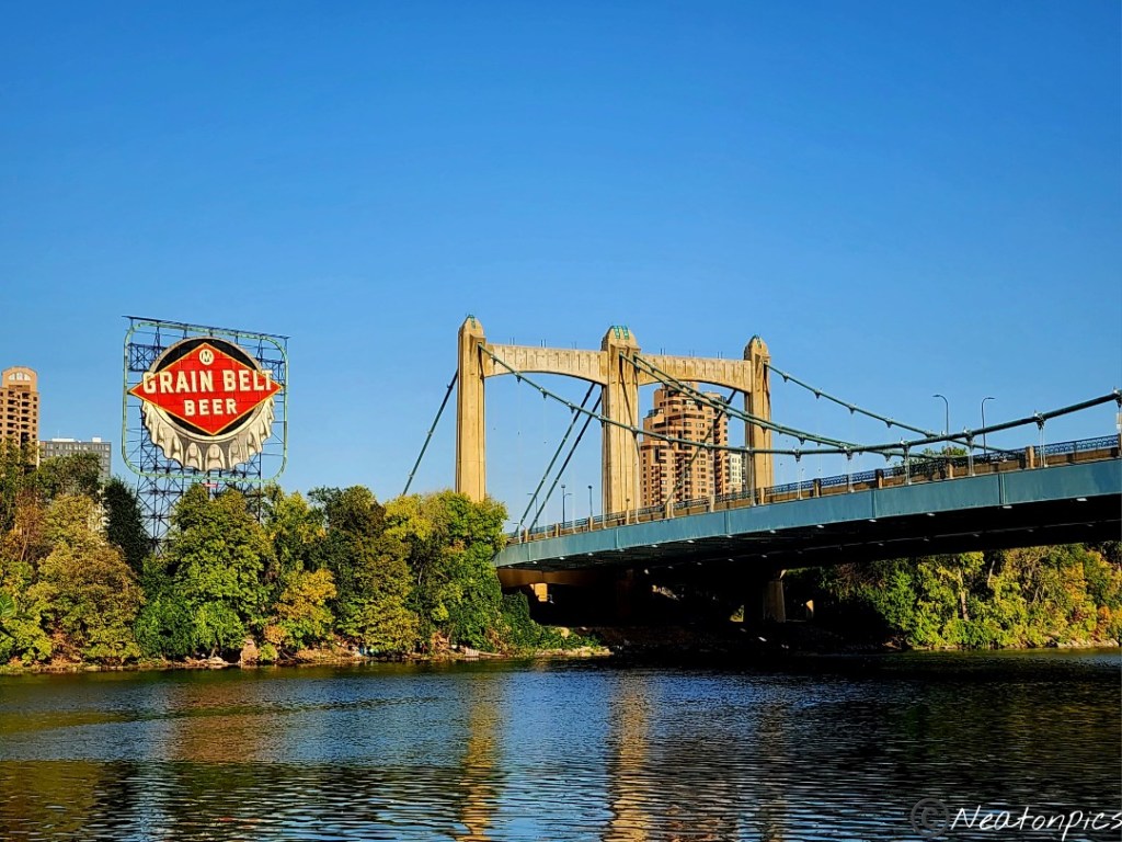
Once on the other side of the Mississippi River, we began the loop back to our starting point. The Hennepin Avenue Bridge and the Grain Belt Beer sign are historic sites to see.
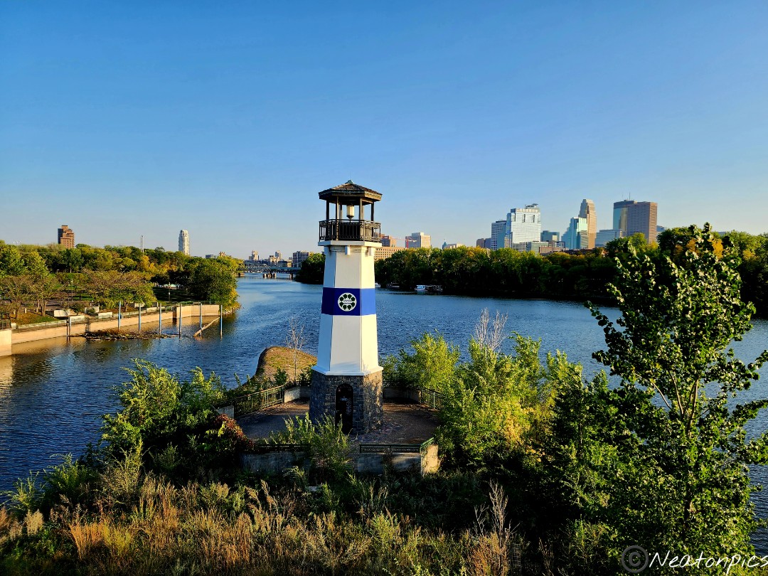
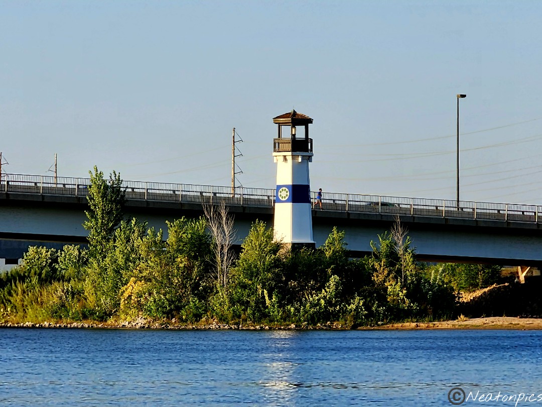
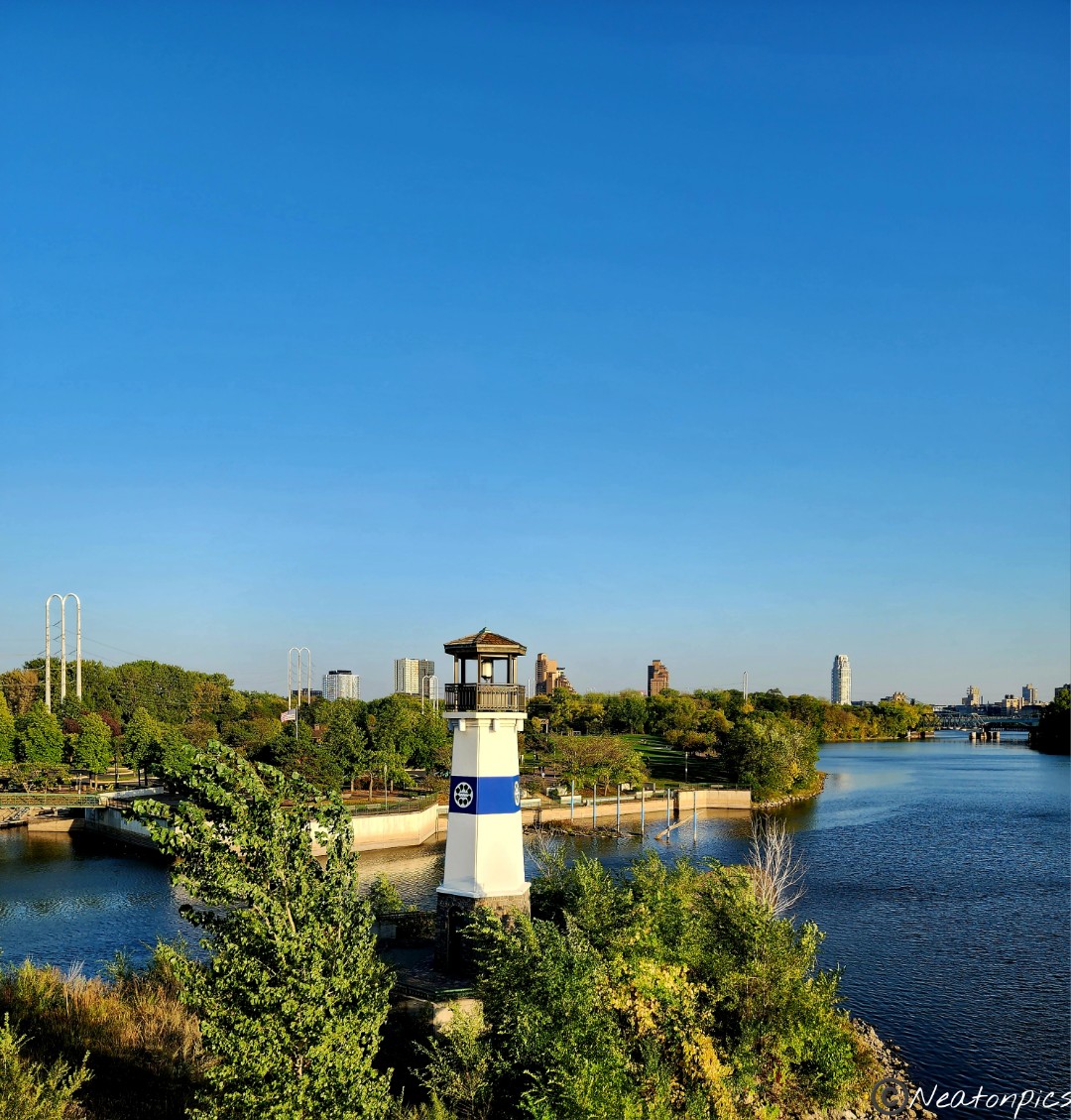
Boom Island Lighthouse with views of the Plymouth Avenue Bridge and Downtown Minneapolis.
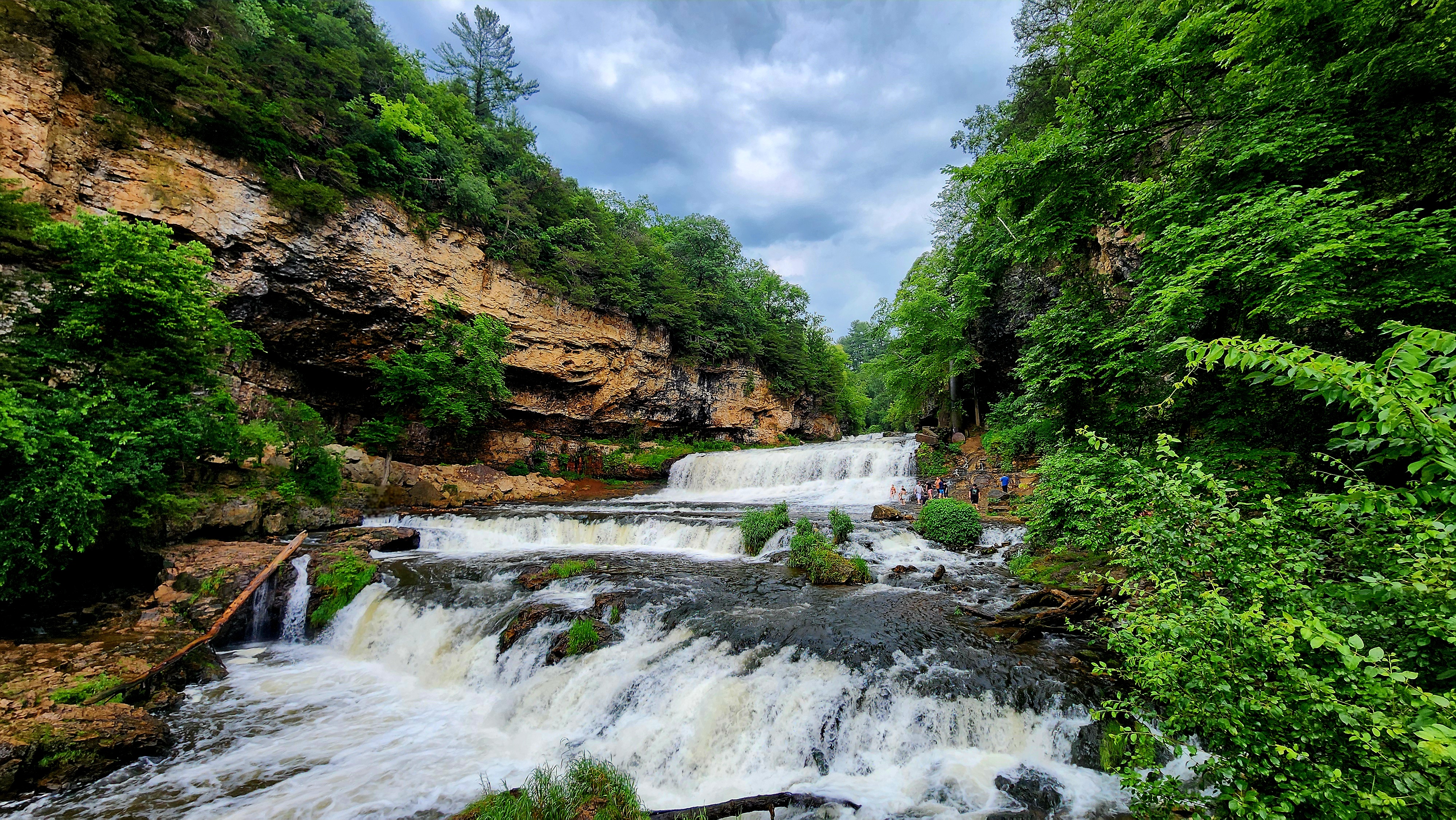
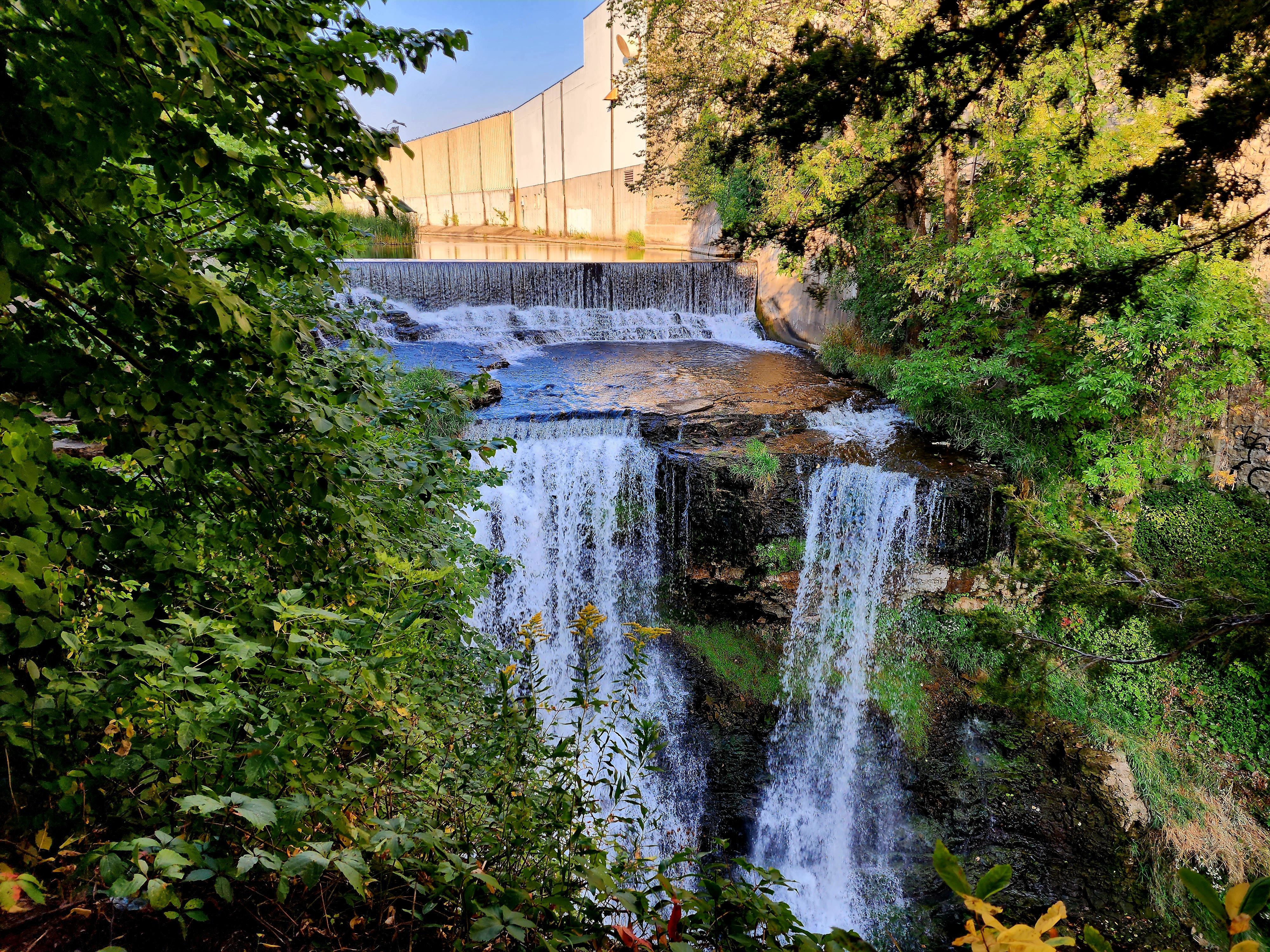
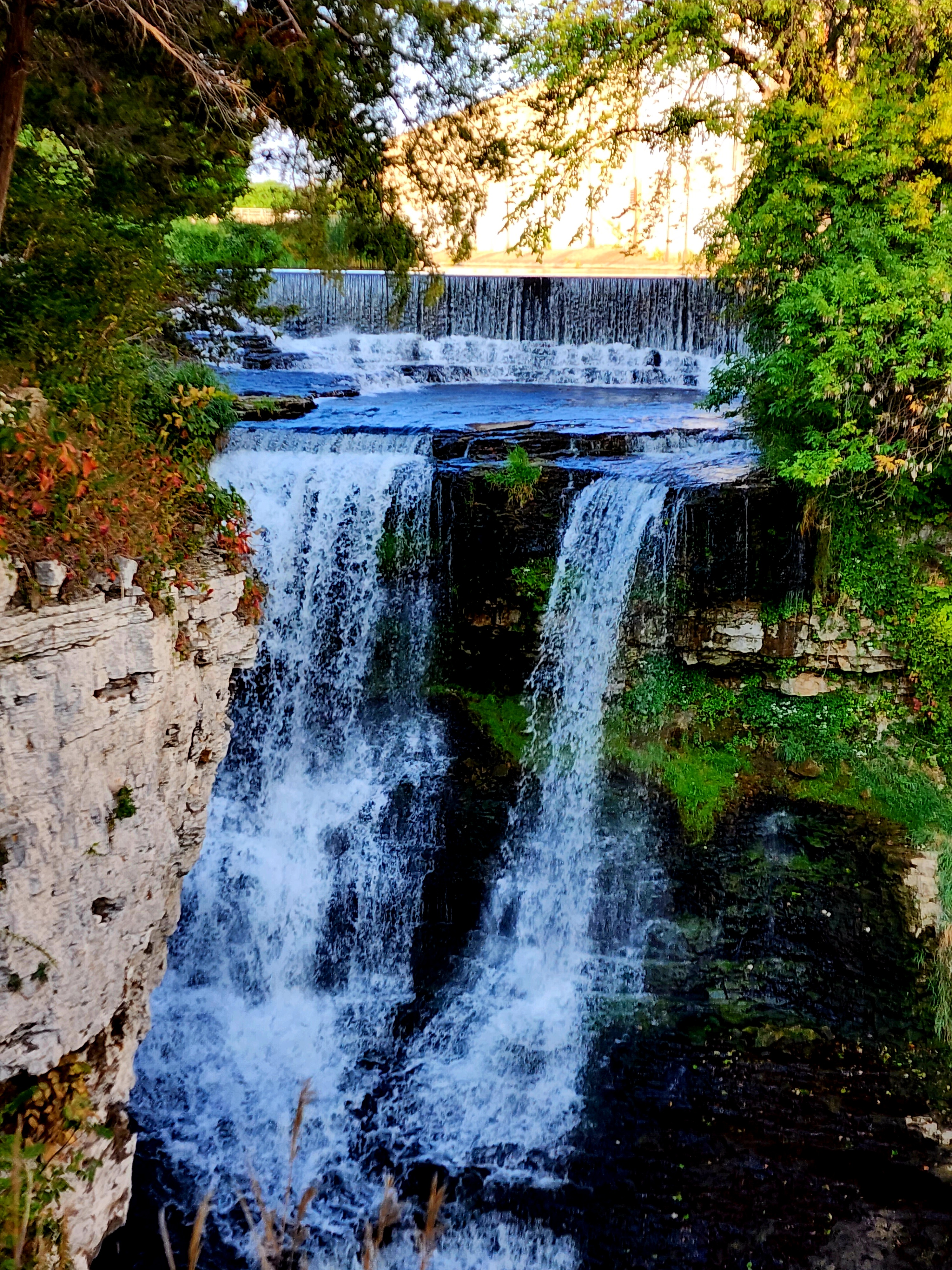
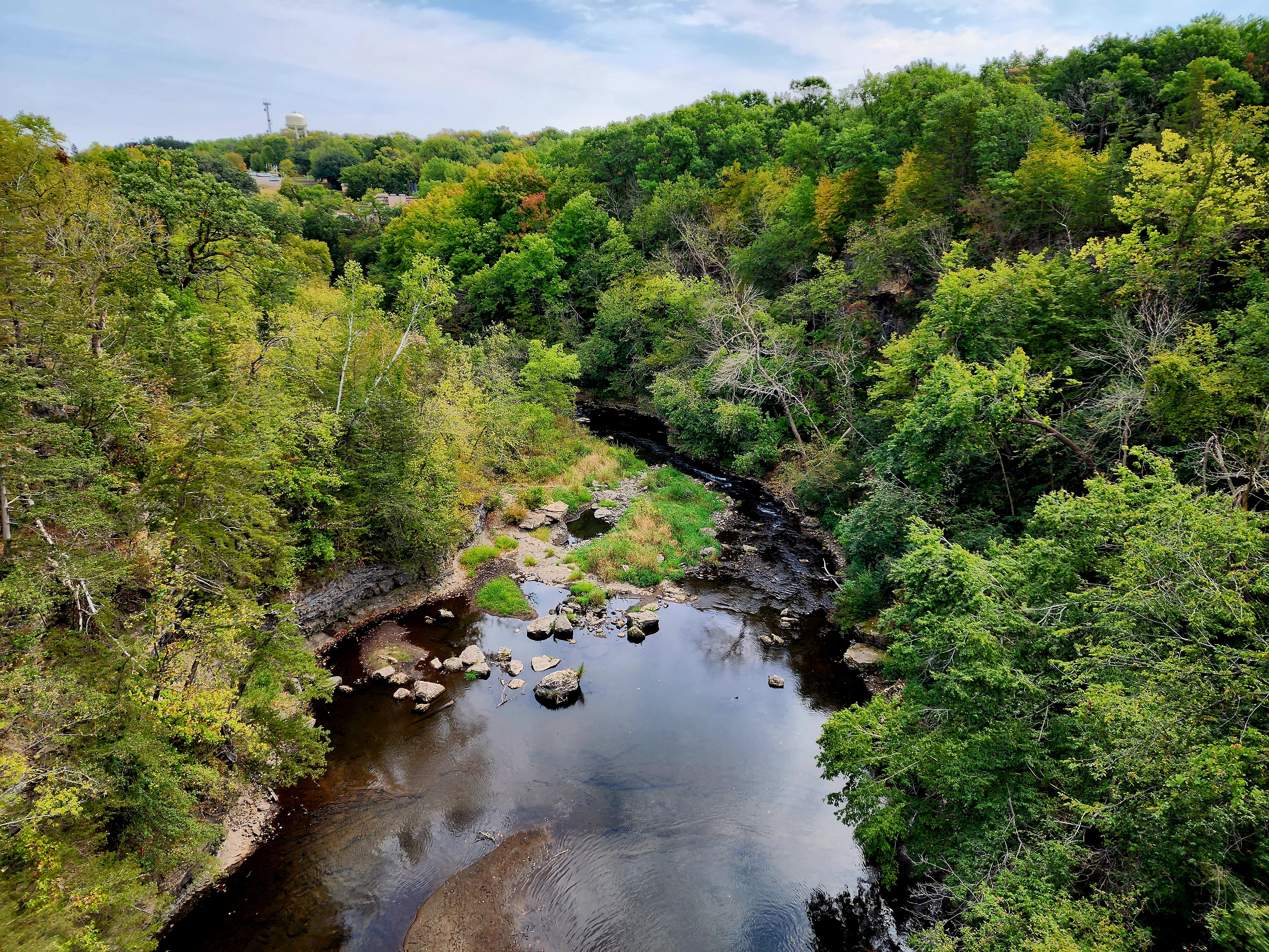
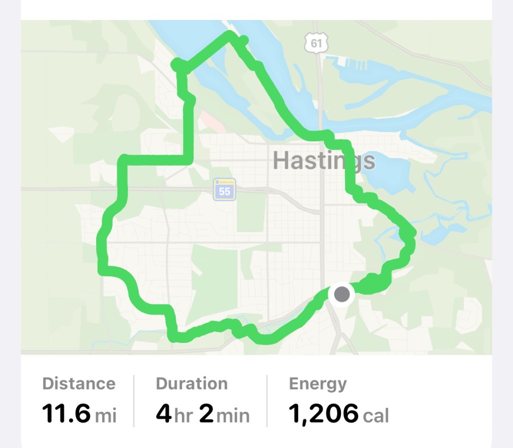
Today’s hiking adventure began at Vermillion Falls Park.
Vermillion Falls used to power the mill that is across the river in the mid 1800’s.
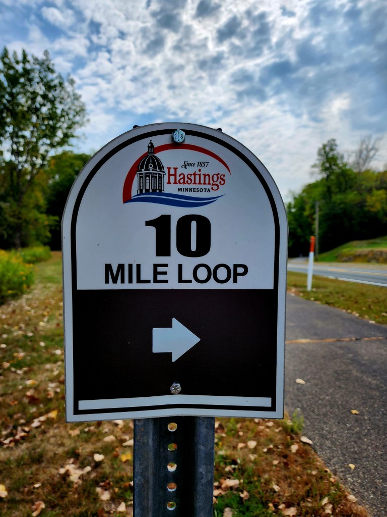
We set out to hike the Hastings 10 mile loop.
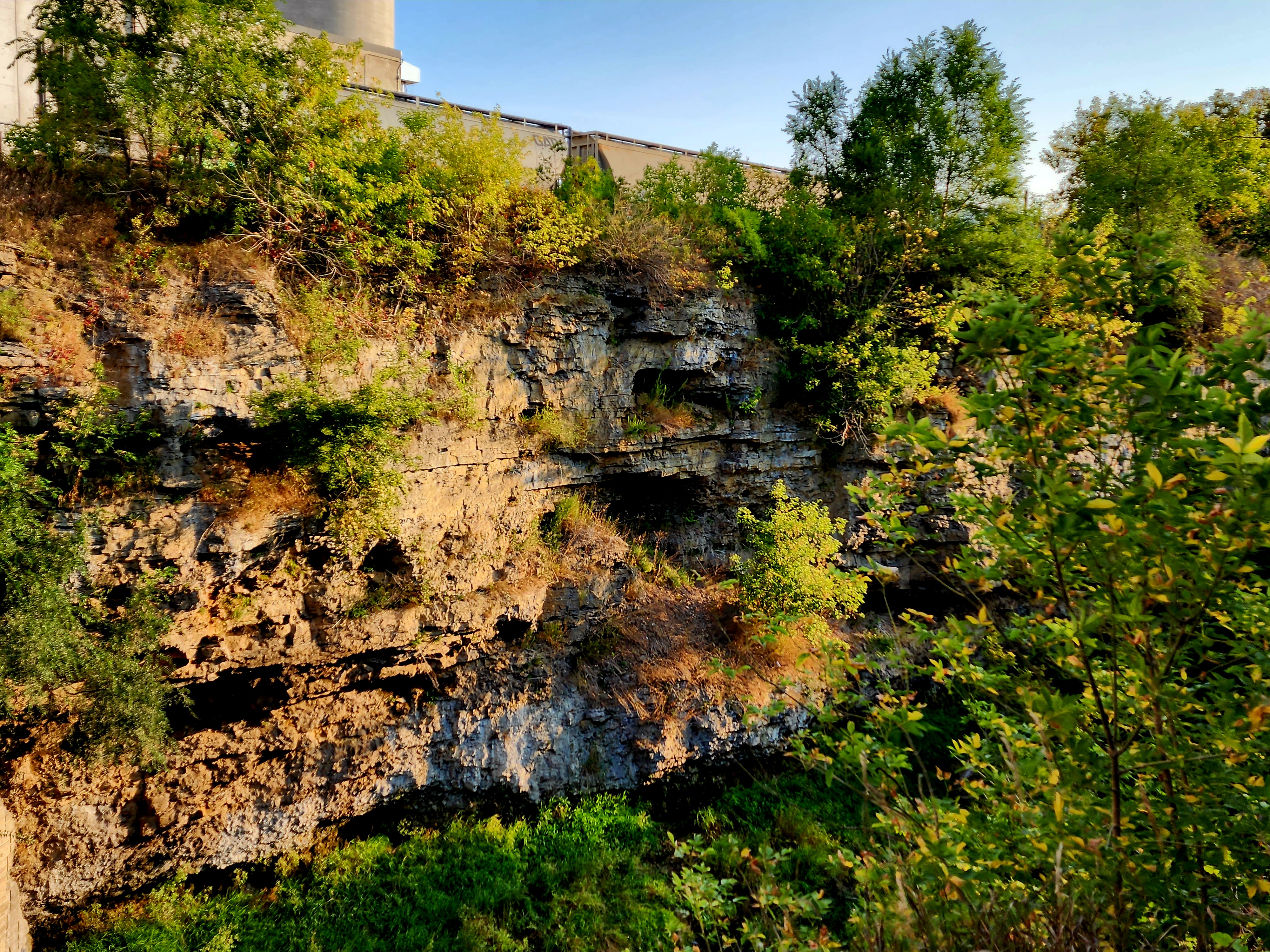
After leaving the Falls, the 10 mile loop followed along the Vermillion River Trail for a bit.
Wasps were taking over a bench. Hopefully, they were just resting and not creating a new home.
The trail followed alongside the Vermillion river.
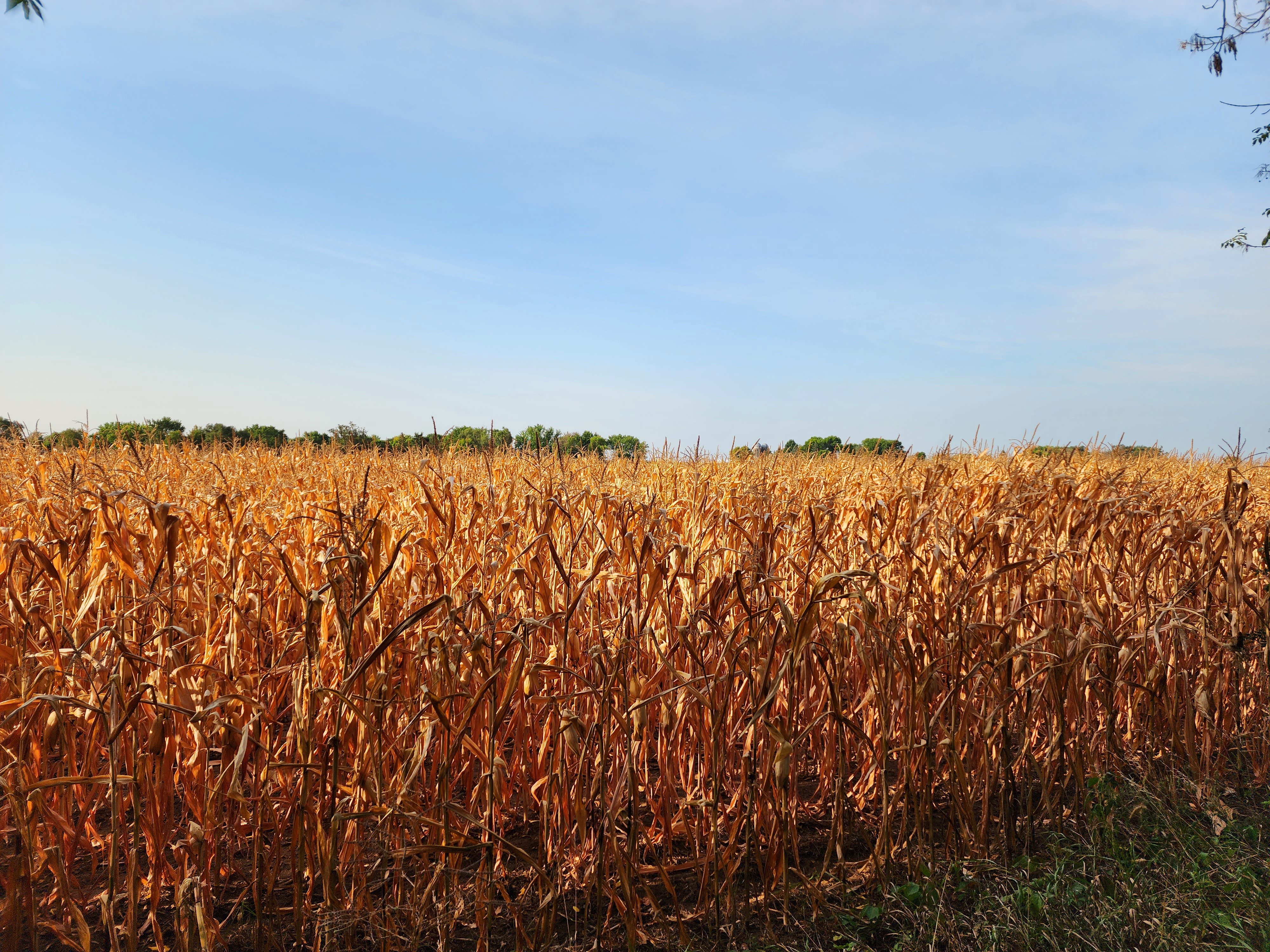
A large corn field appeared to glow from the golden sun shining down on the end of season stocks.
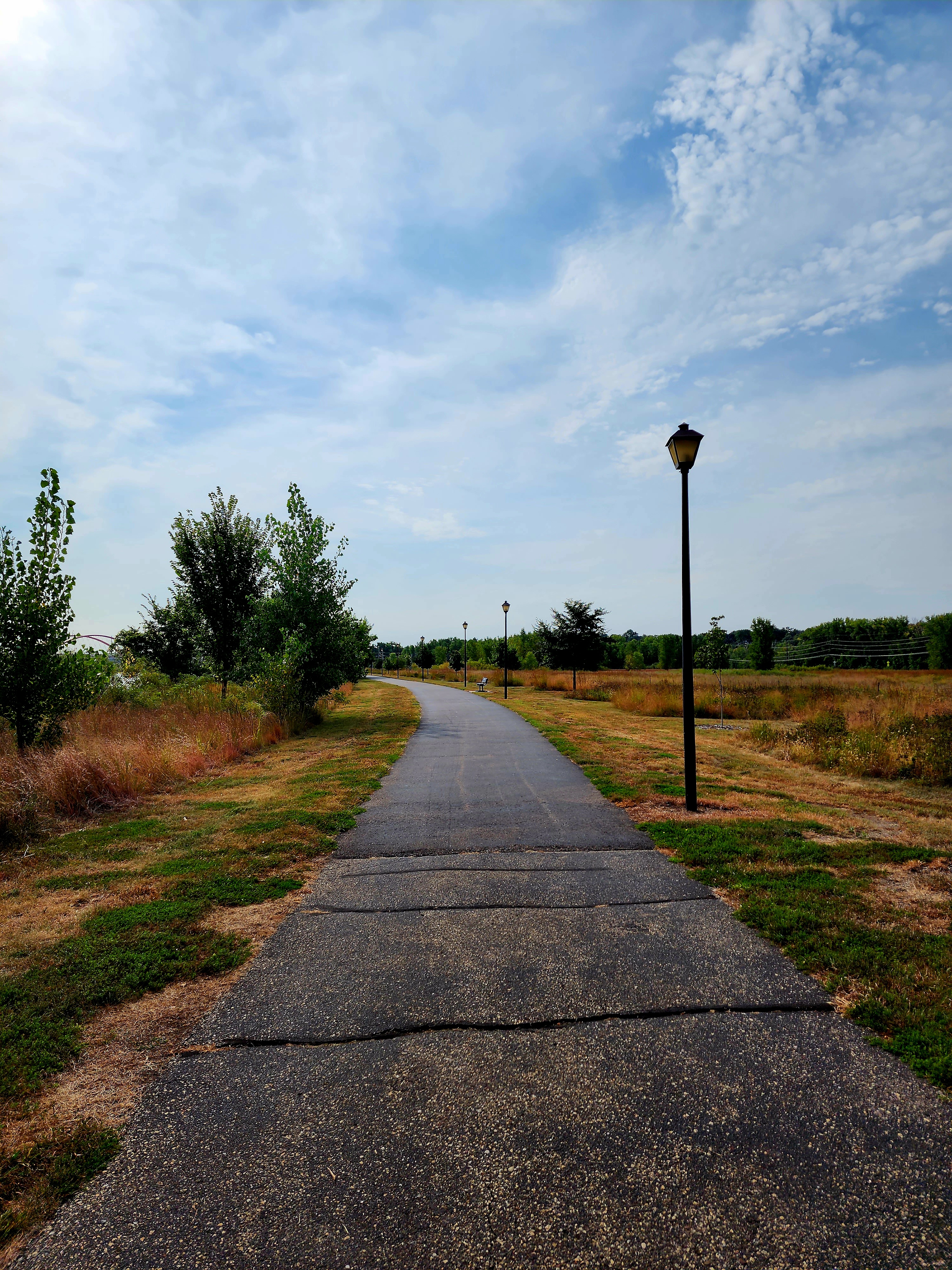
The trail continued for several miles throughout several neighborhoods, schools, and businesses. After hiking through town, the trail led us closer to the Mississippi River.
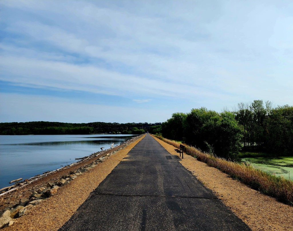
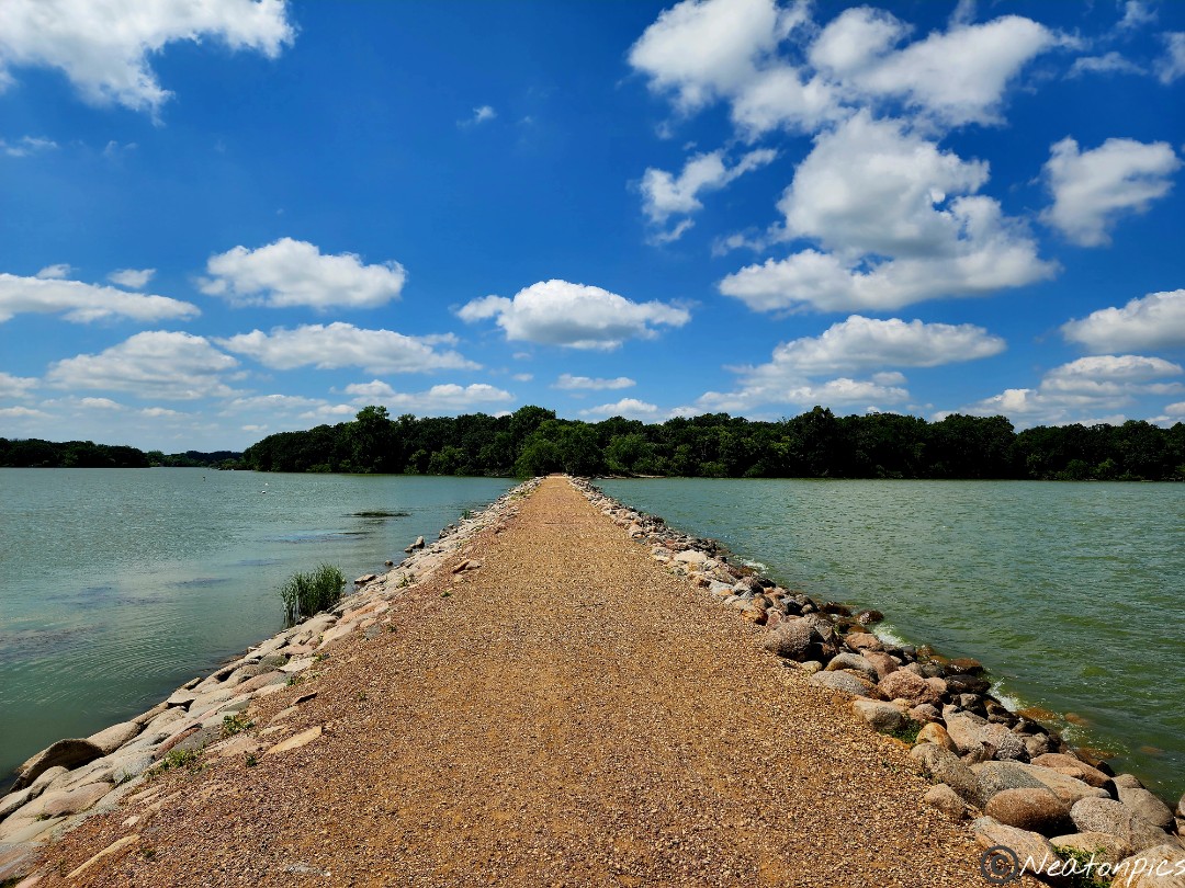
One of my favorite trails in Hastings is along the River Dike Trail/Mississippi River Regional Trail. The Mississippi River is on one side of the trail and Lake Rebecca on the other side.
Lock and Dam #2 was our next stop.
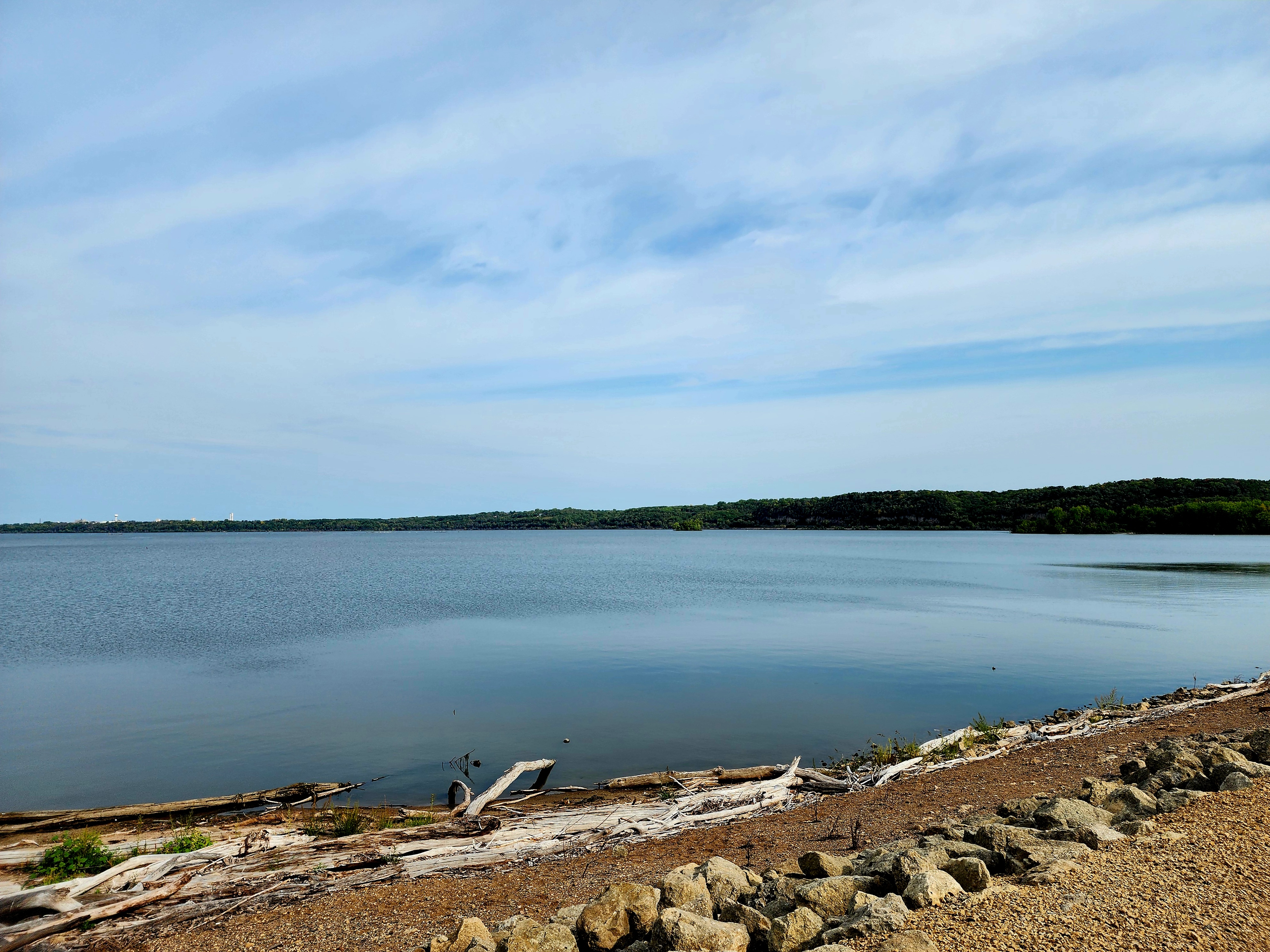
We continued on the trail alongside the Mighty Mississippi River.
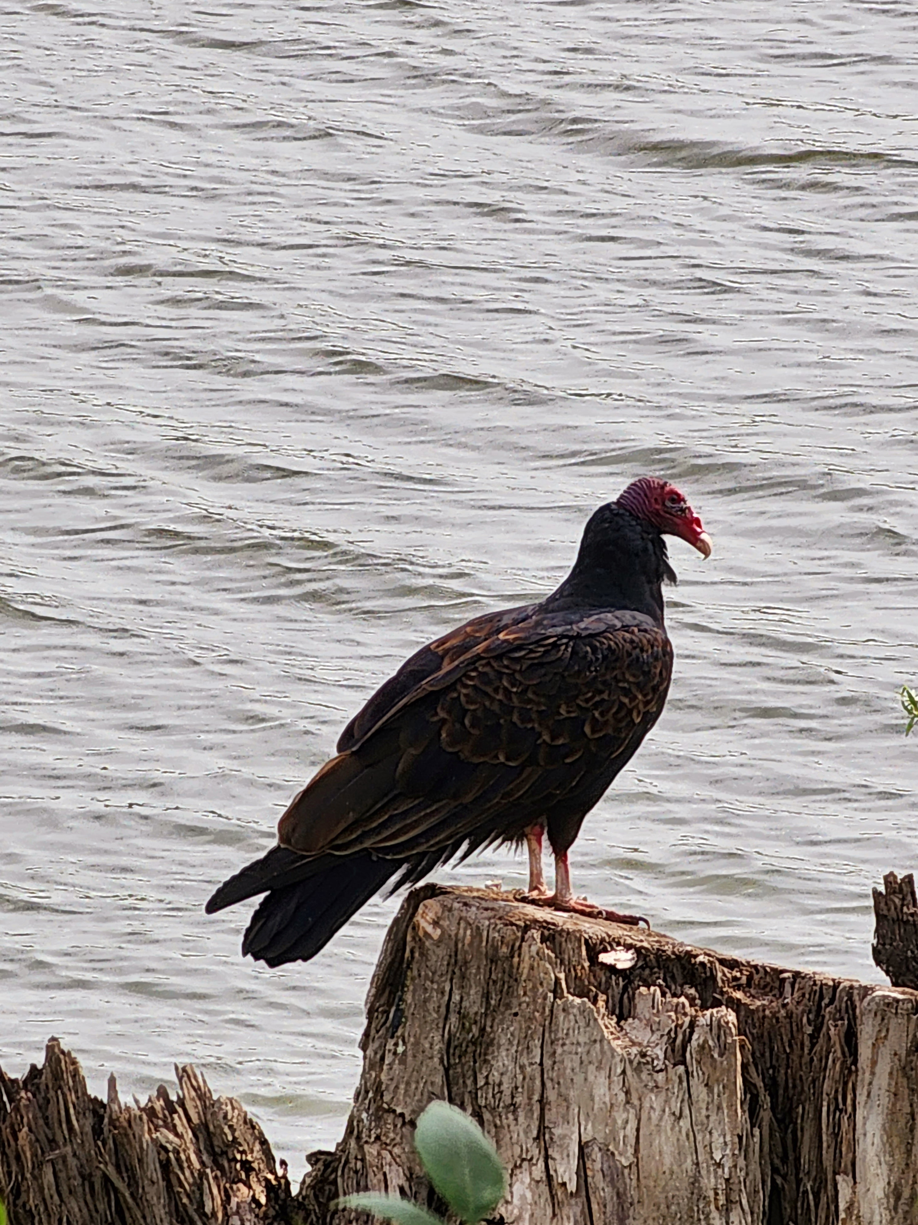
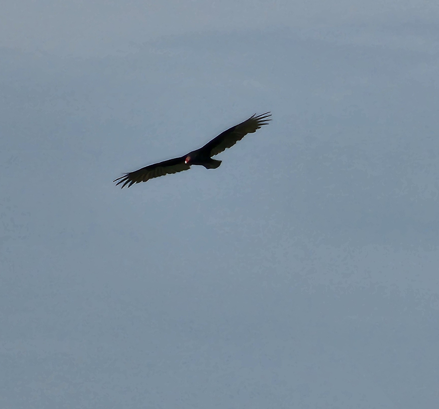
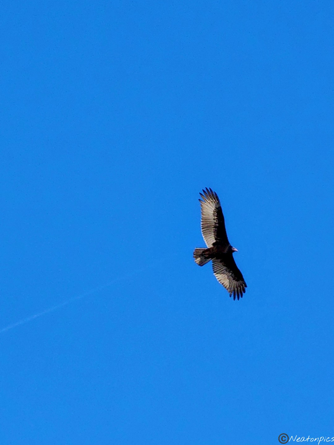
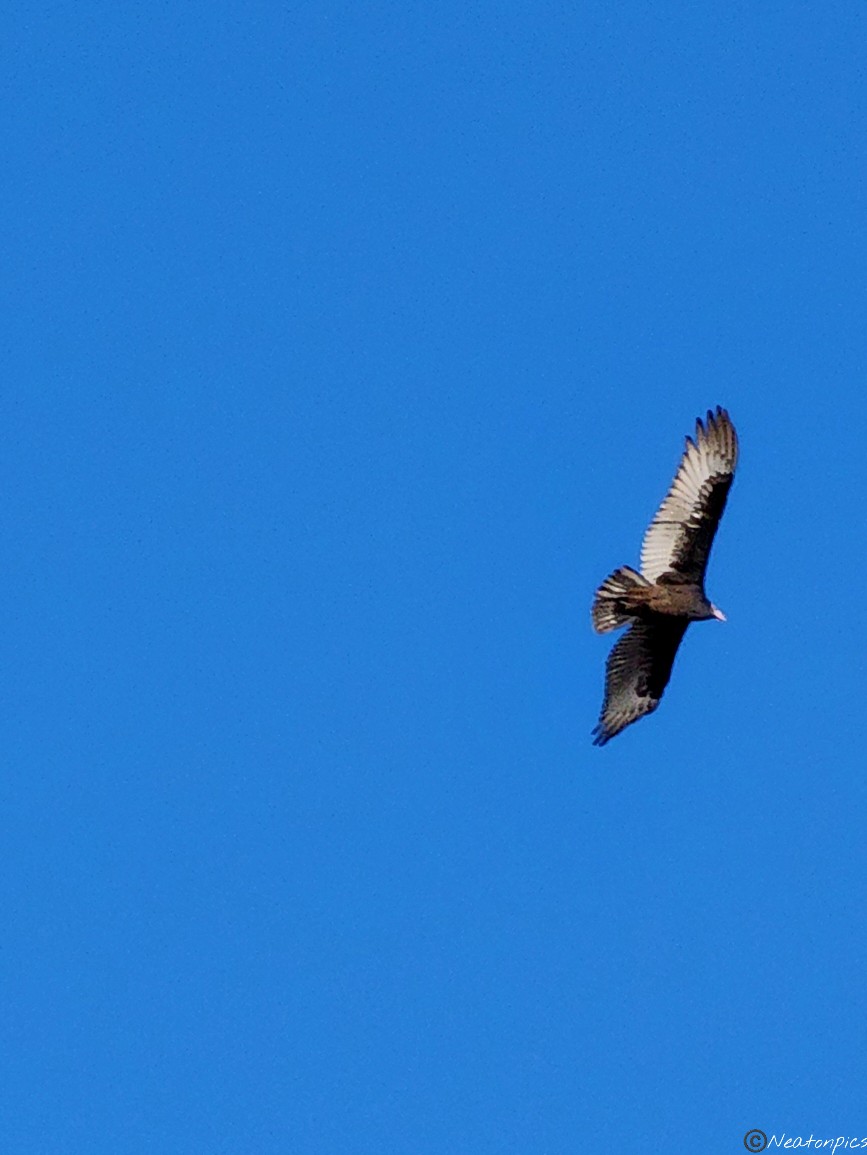
A Turkey Vulture was seen resting and another was in flight.
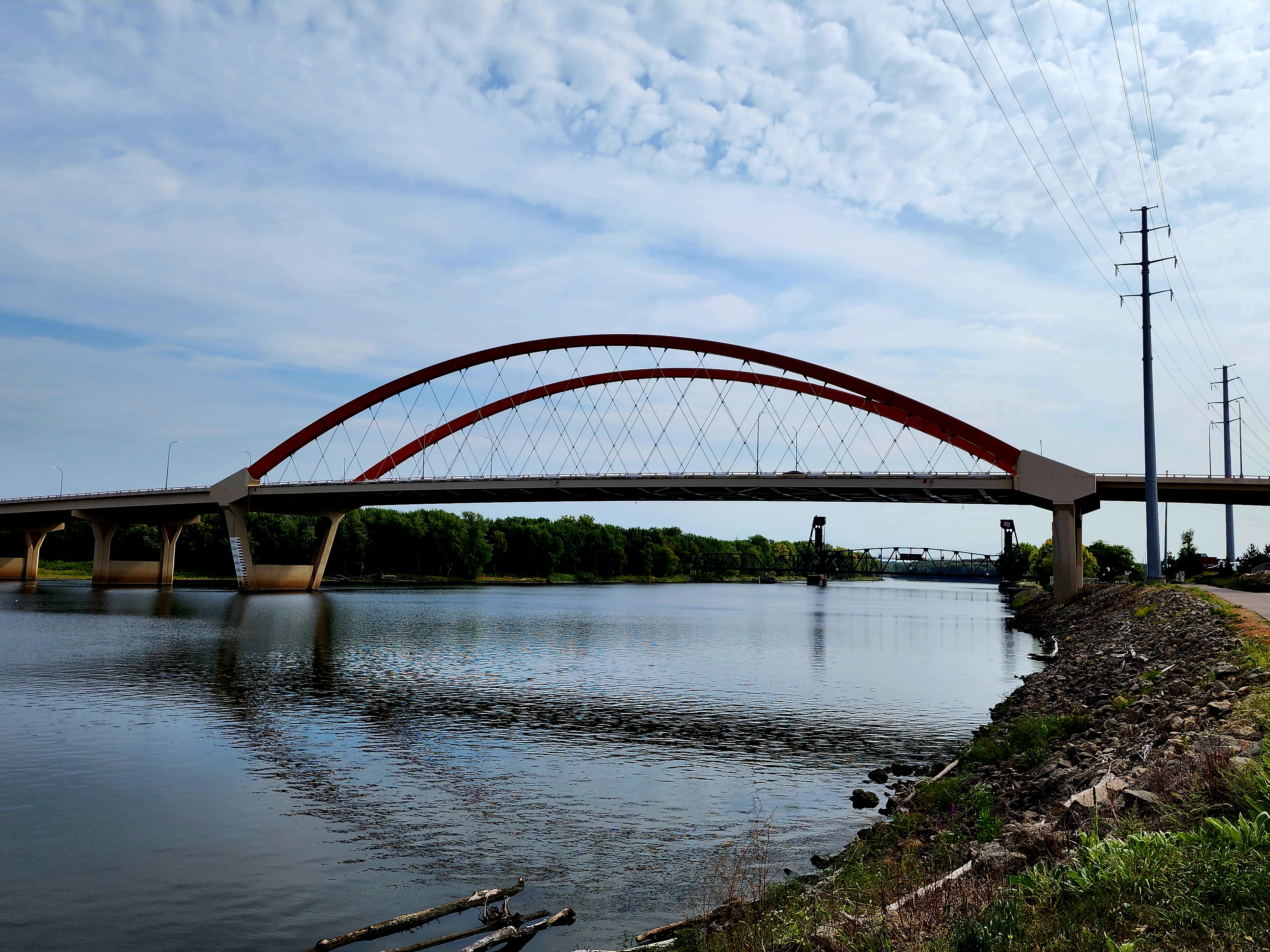
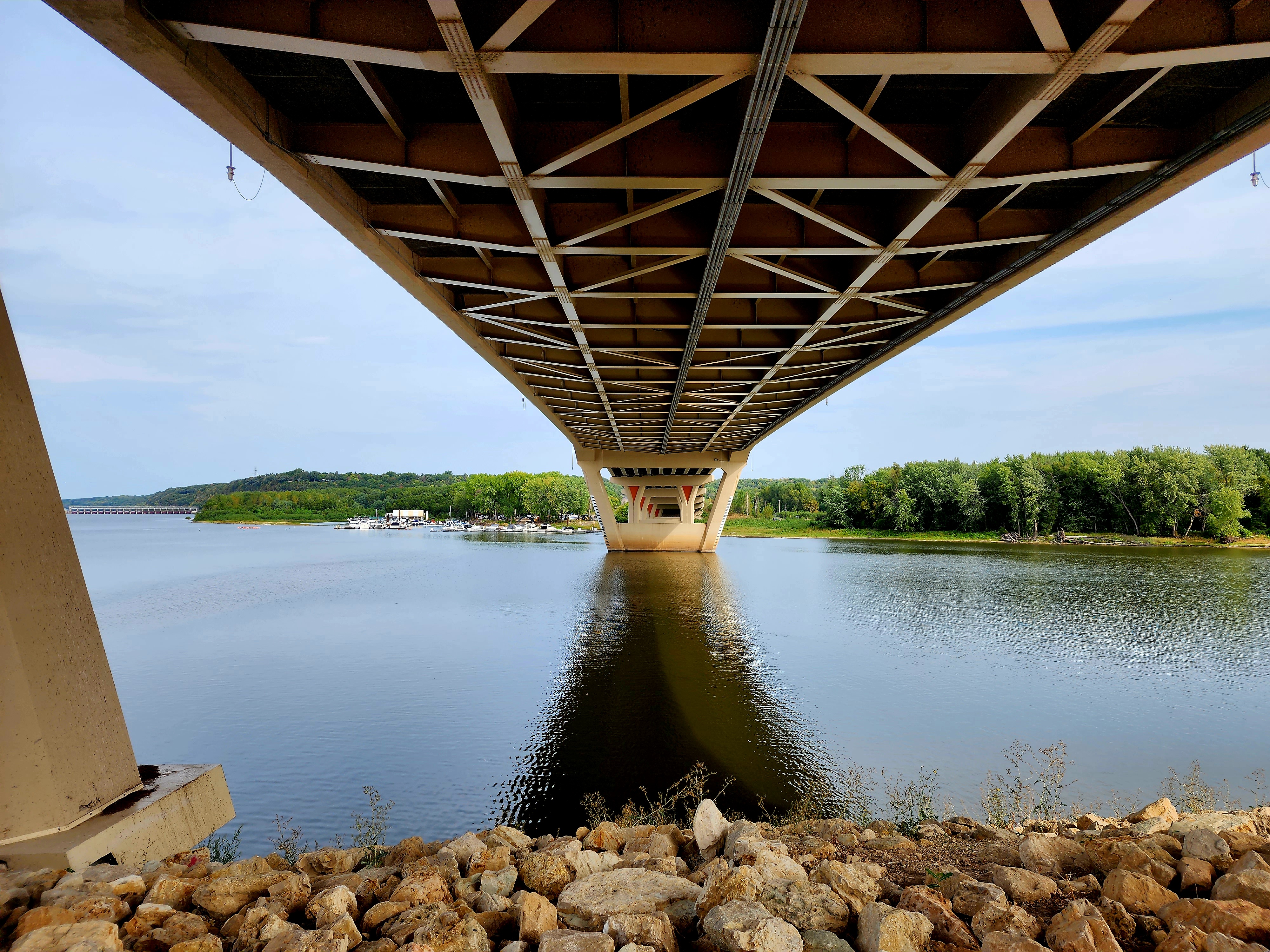
We crossed under the Hastings Bridge and made our way towards Levee Park.
The trail led us through the Historic Downtown Hastings and across several train tracks as we made our way towards C.P. Adams Park.
The Vermillion River Bridge has love locks all along the fence. Couples add their locks to the bridge as an expression of love.
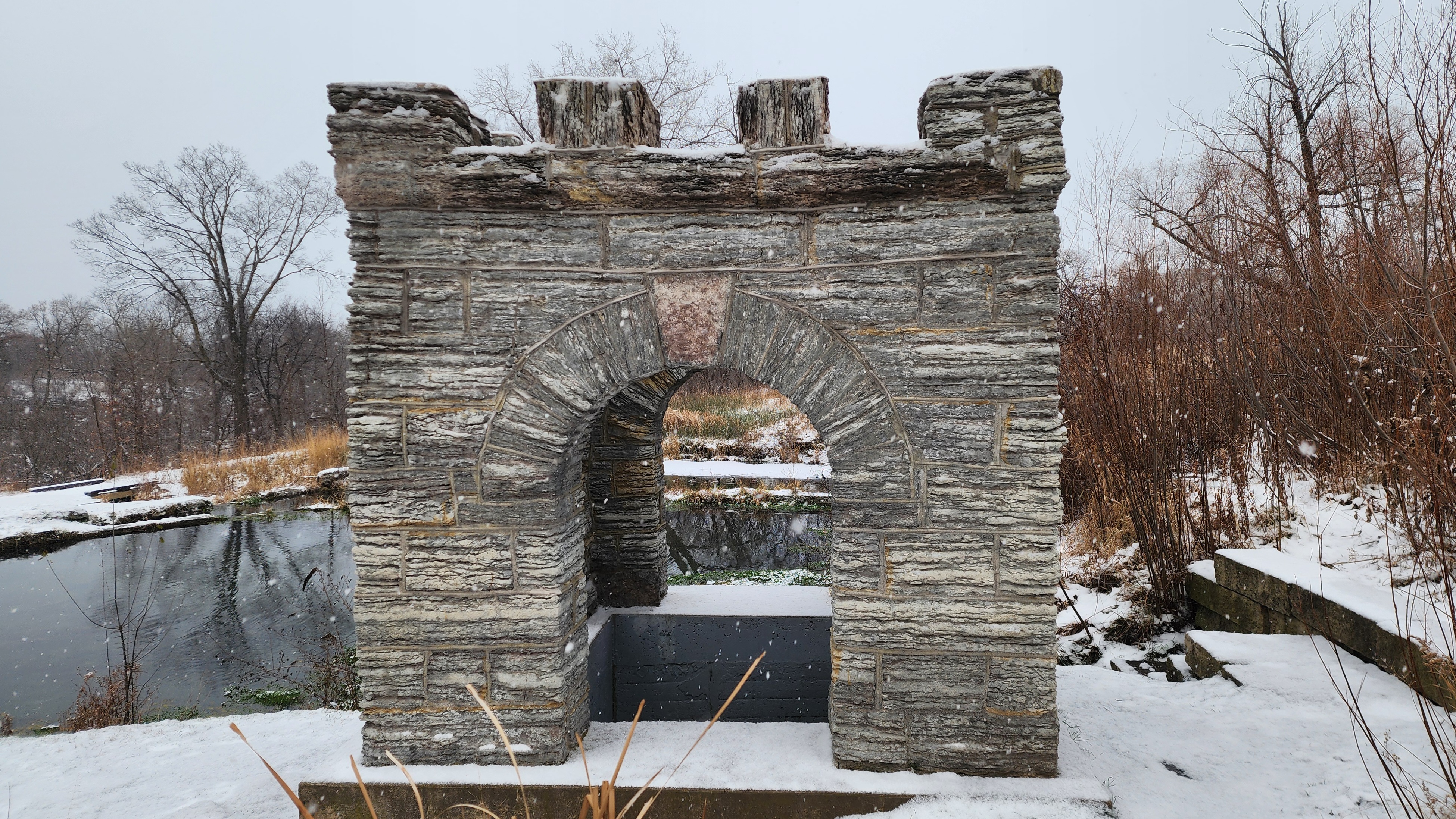
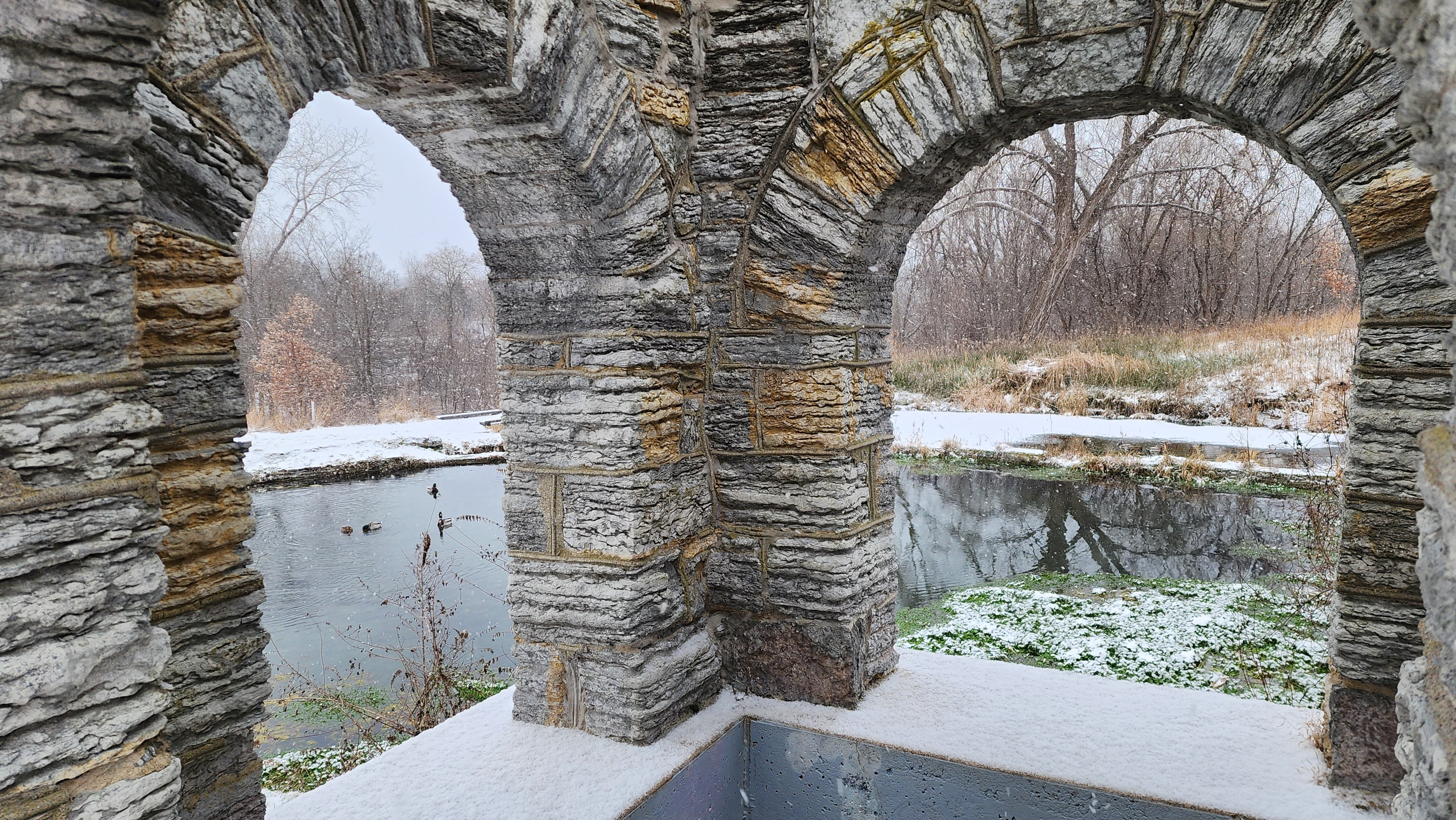
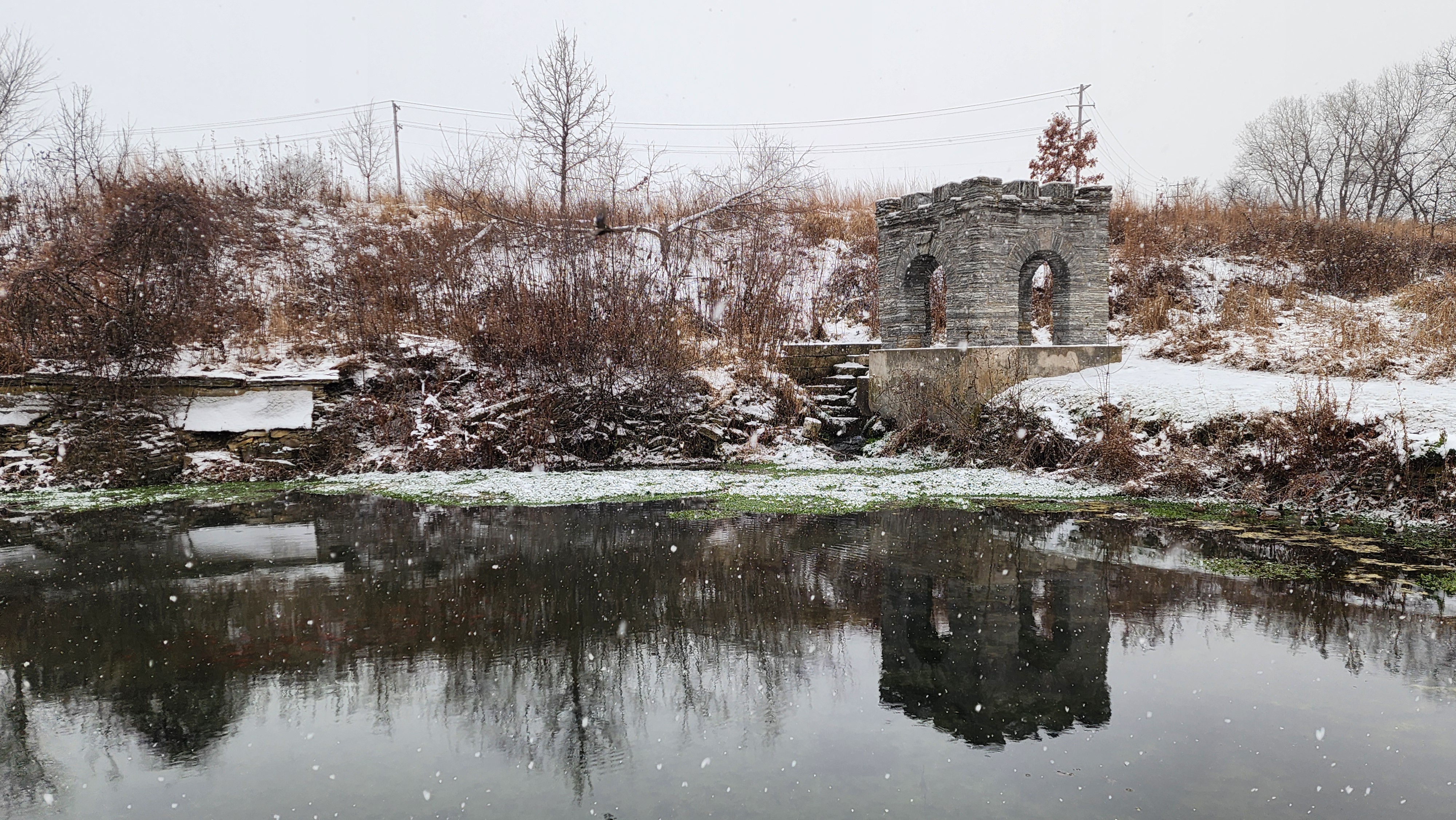
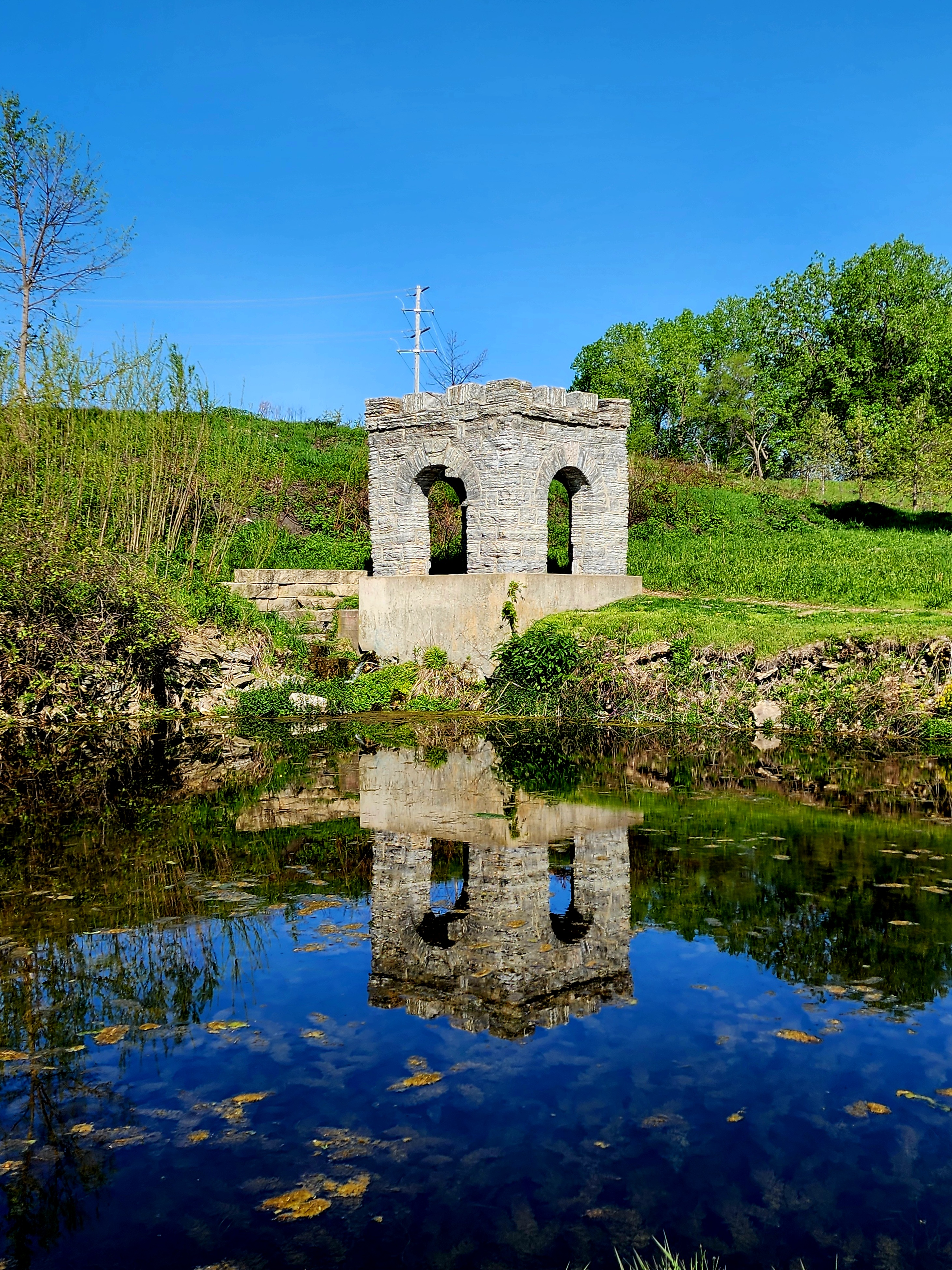
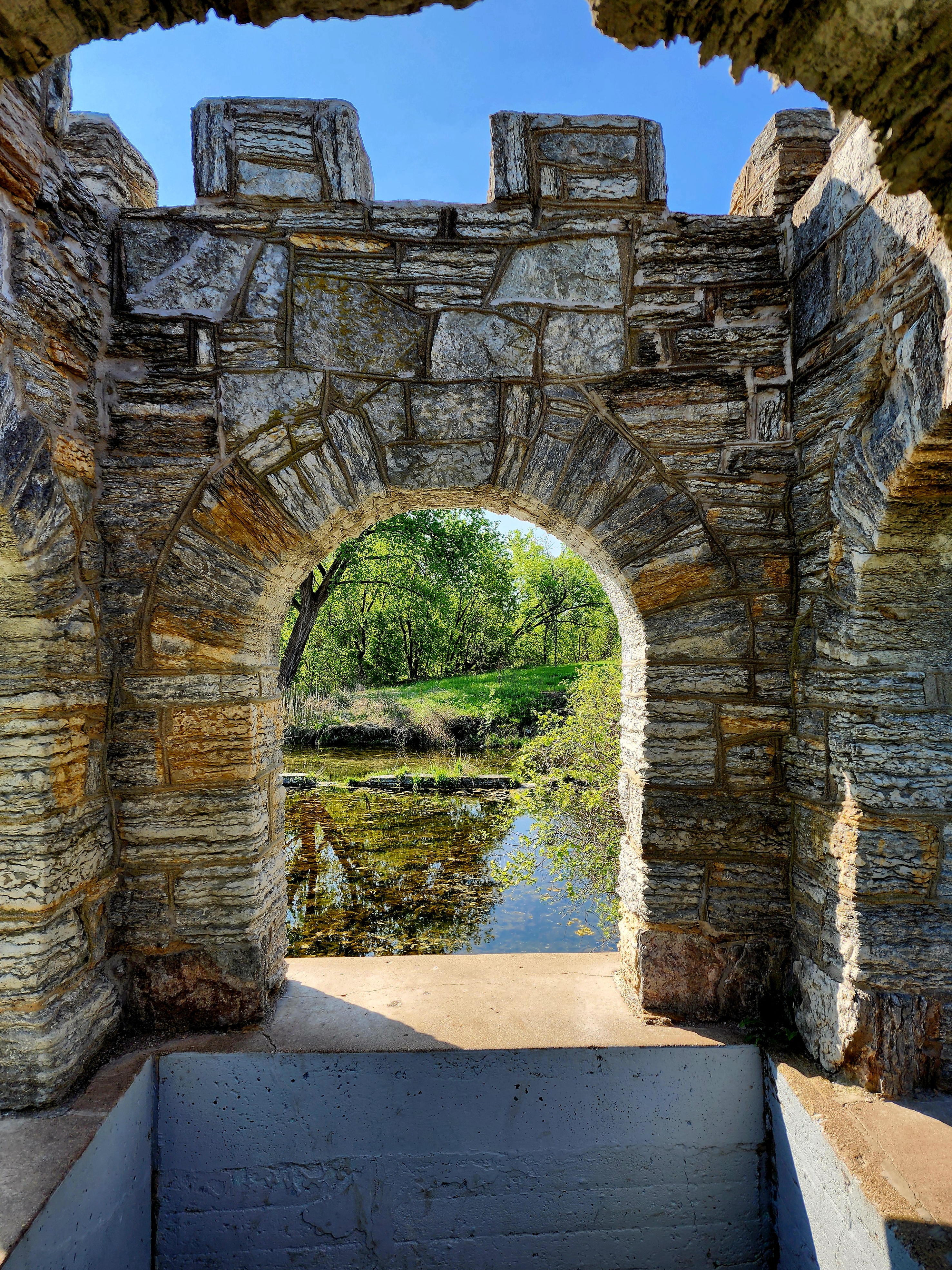
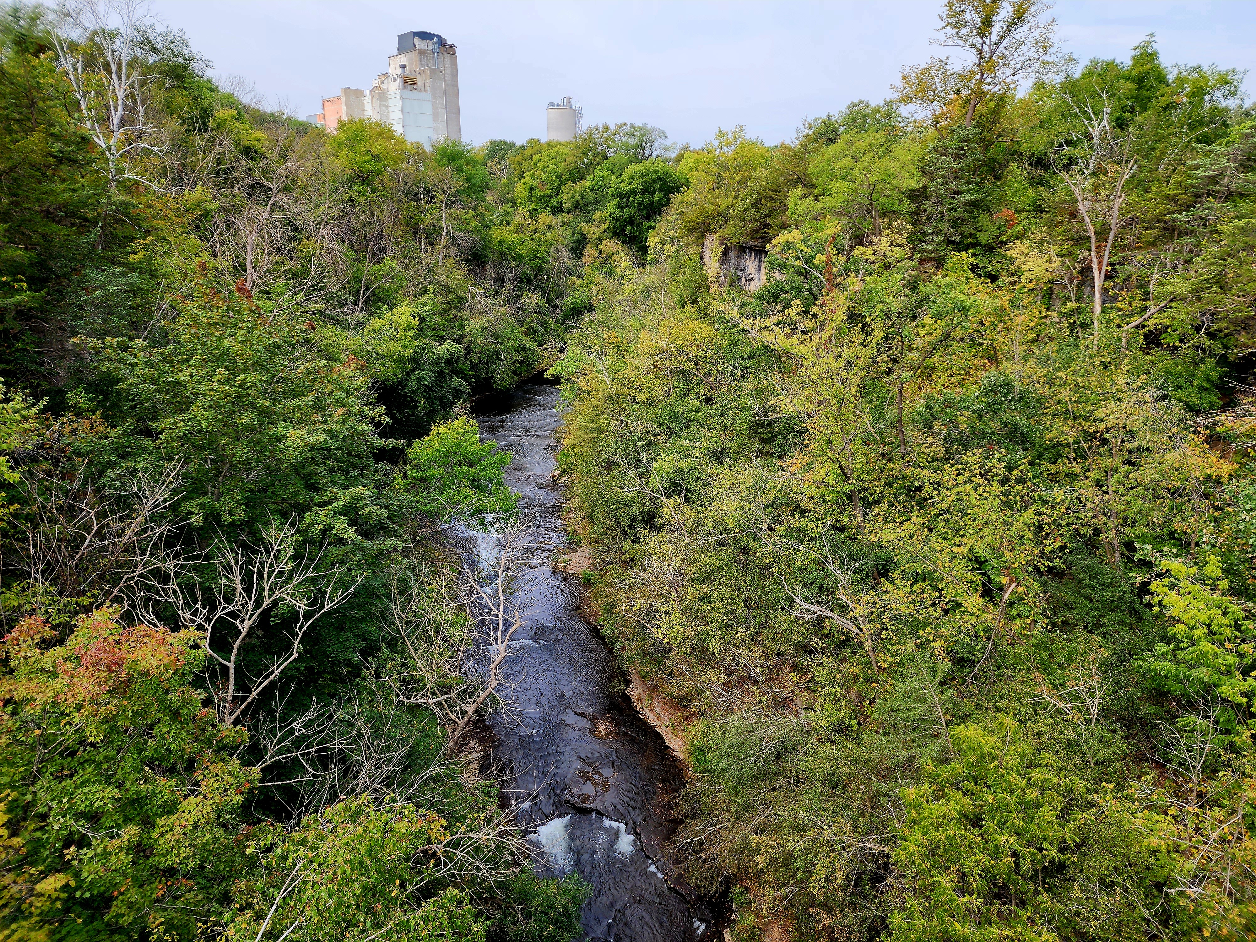
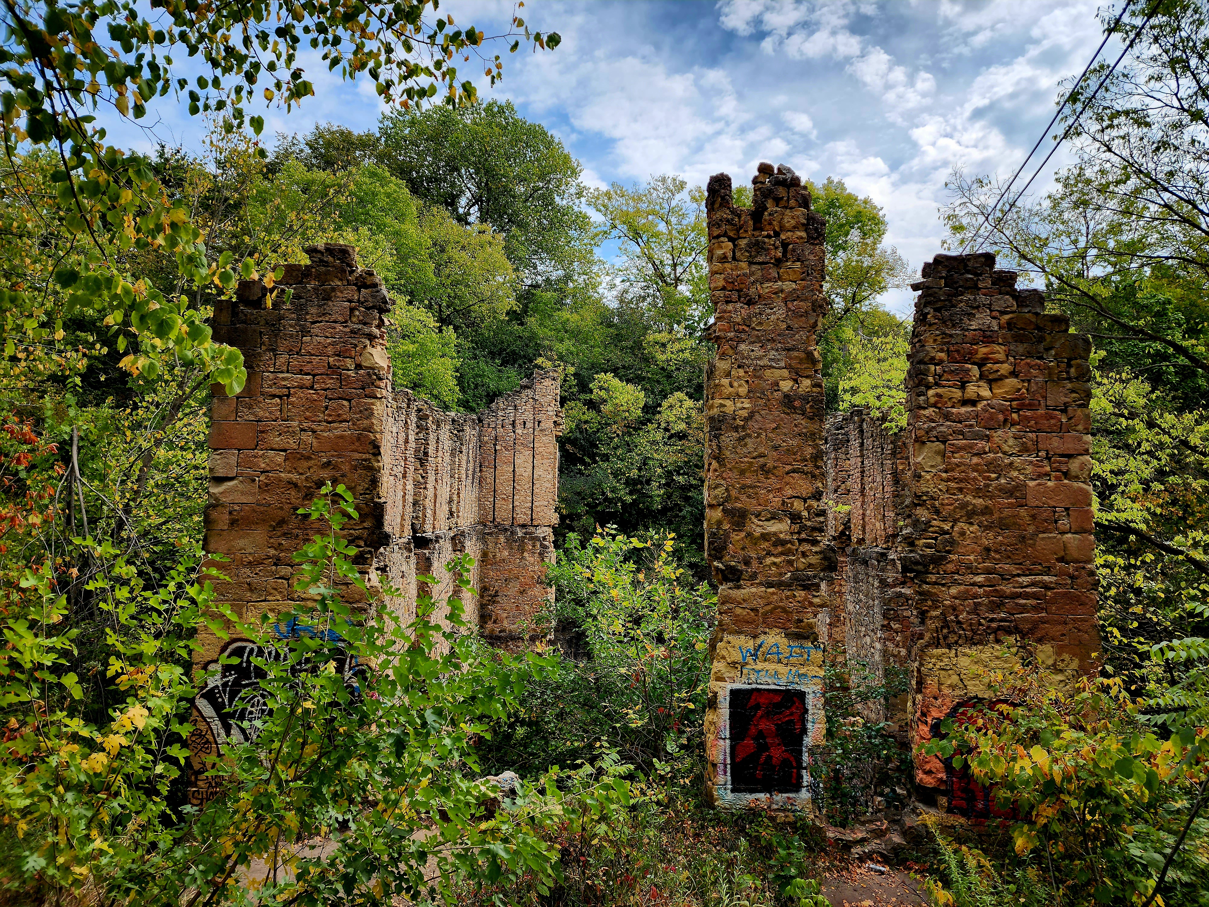
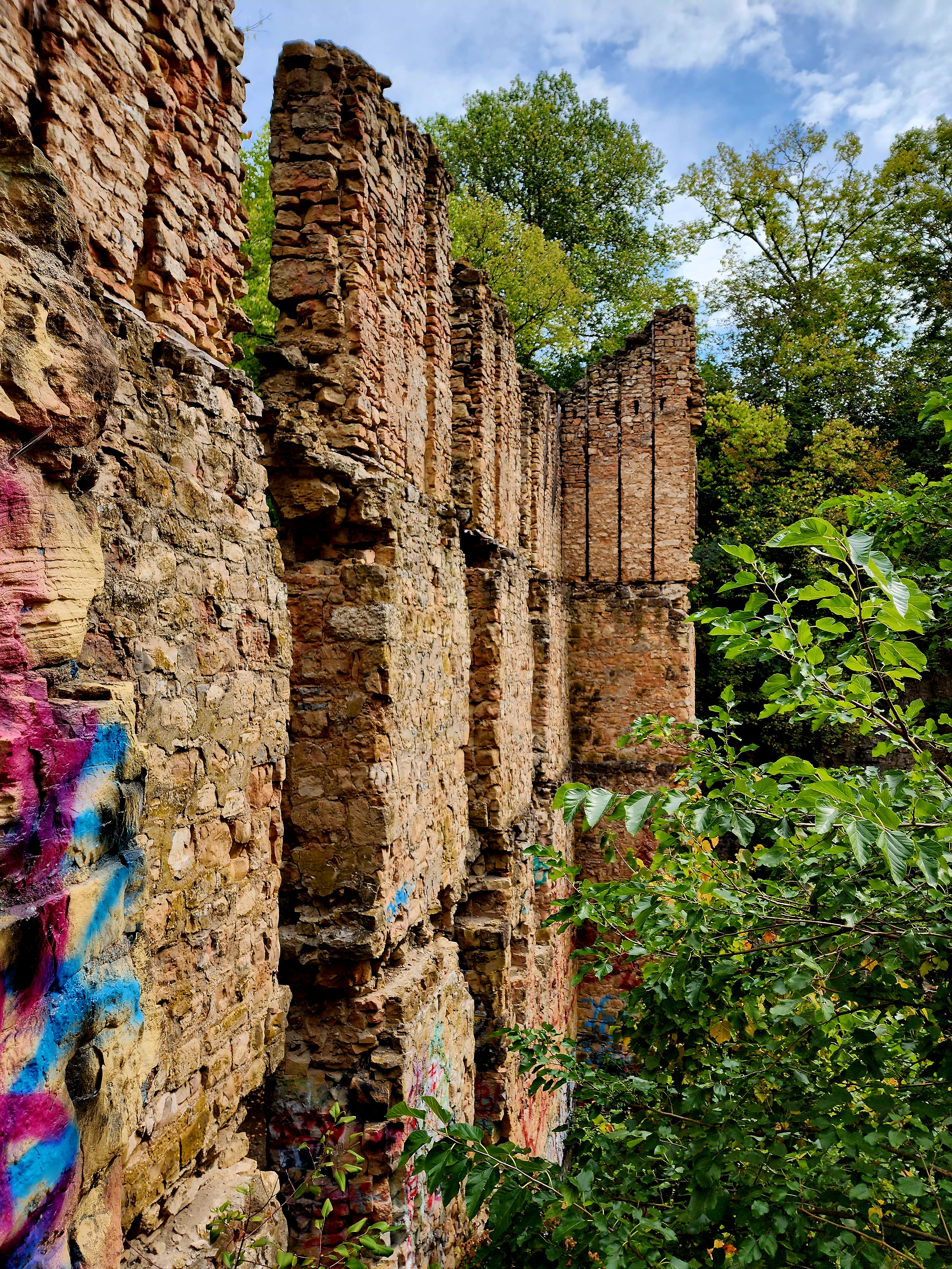
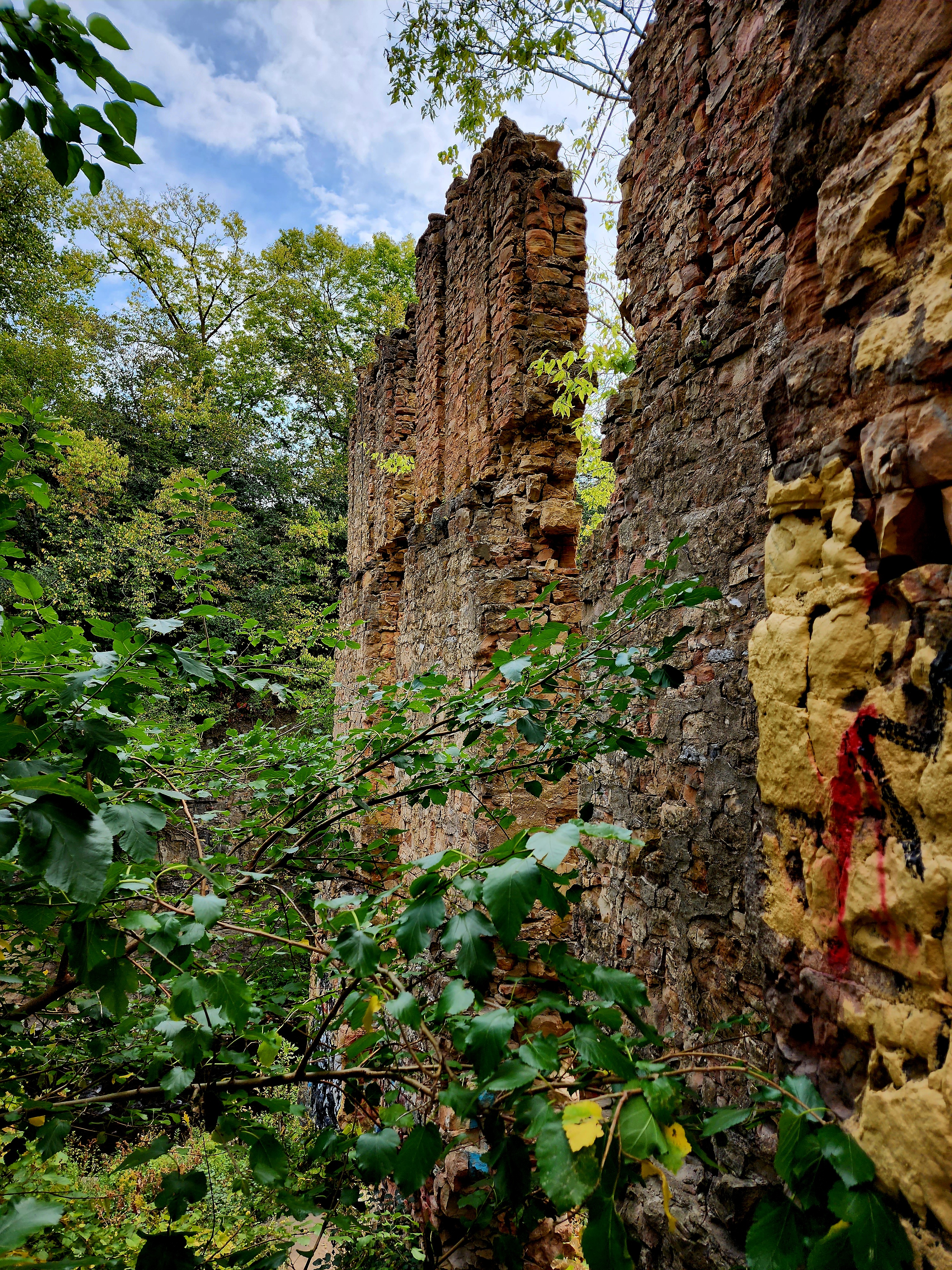
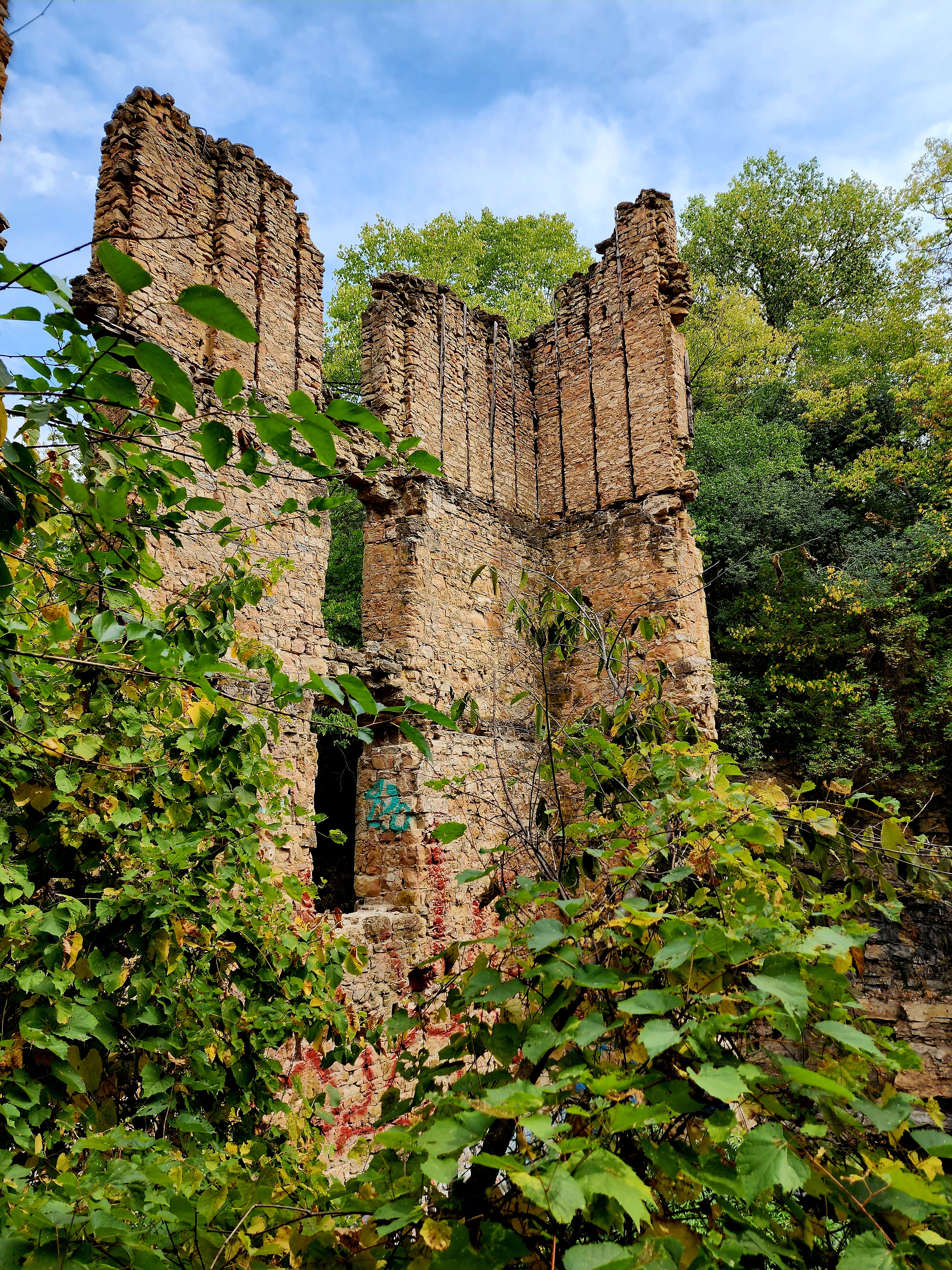
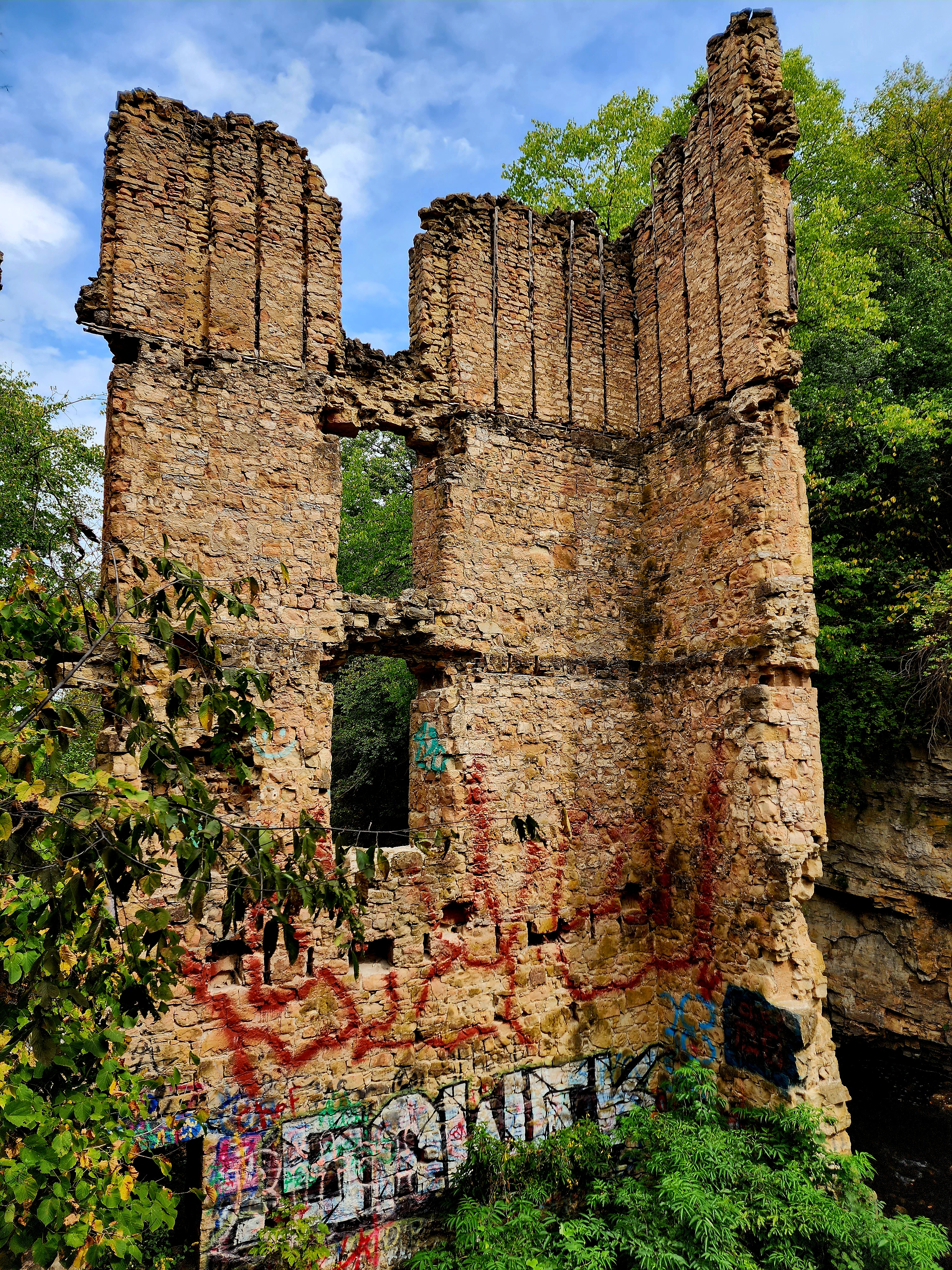
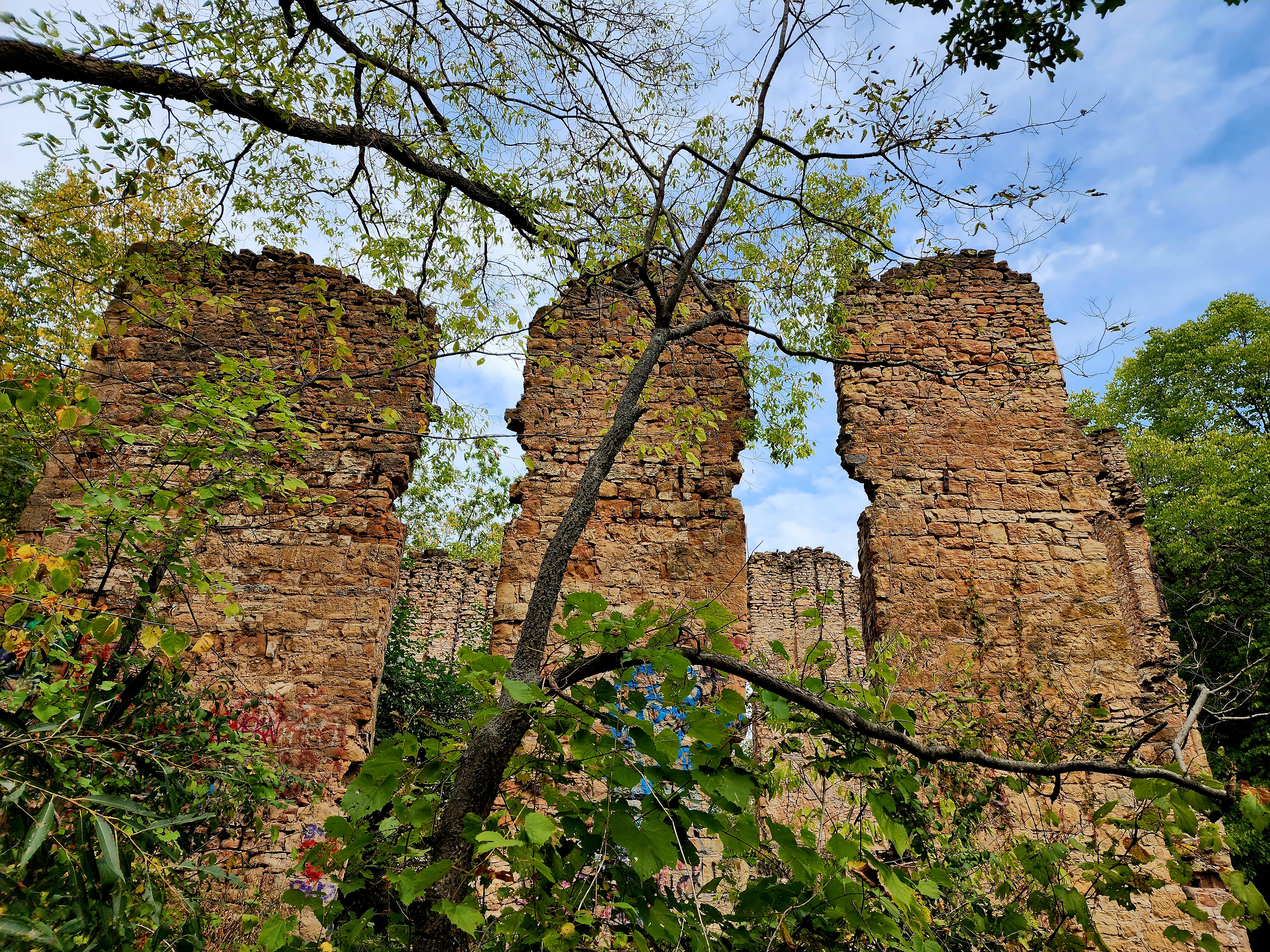
For a change of scenery, we hiked a few non-paved trails towards the Old Mill Ruins.
The Old Ramsey Mill was built in the mid 1800’s. The mill caught fire on December 22, 1894. Today, we got to explore the old mill.
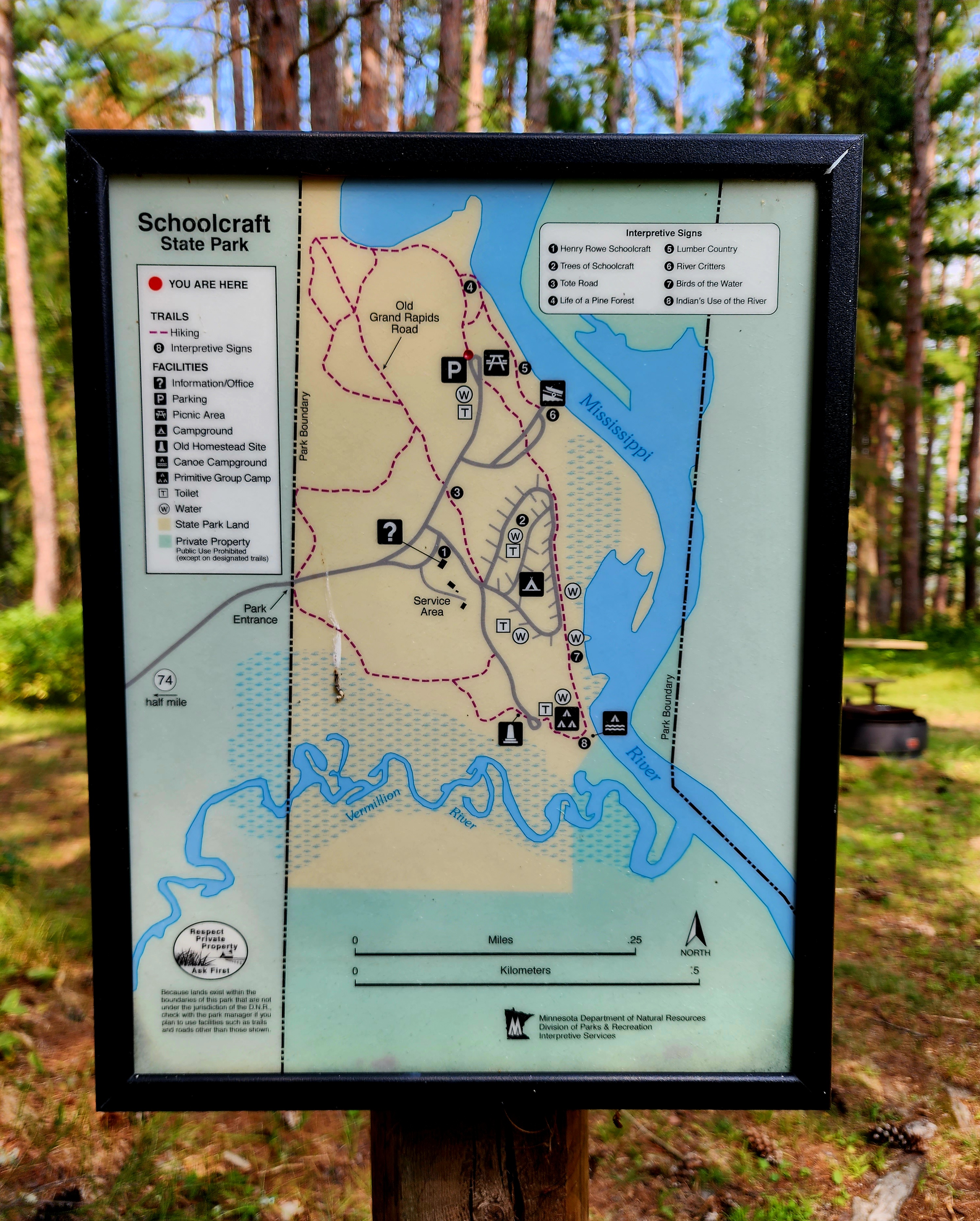
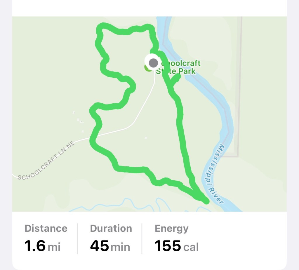
We hiked Schoolcraft State Park on August 17th, 2023.
Our hike began from the picnic area parking lot.
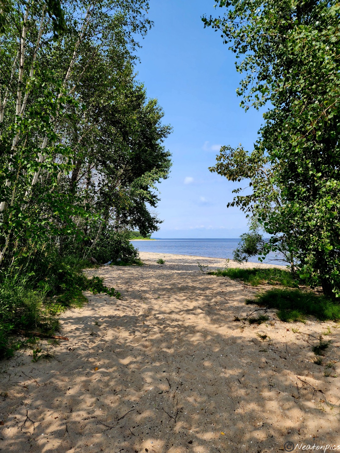
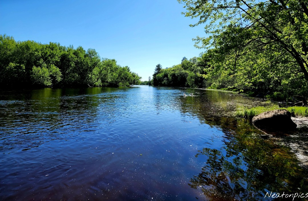
The trail led us towards the Mississippi River.
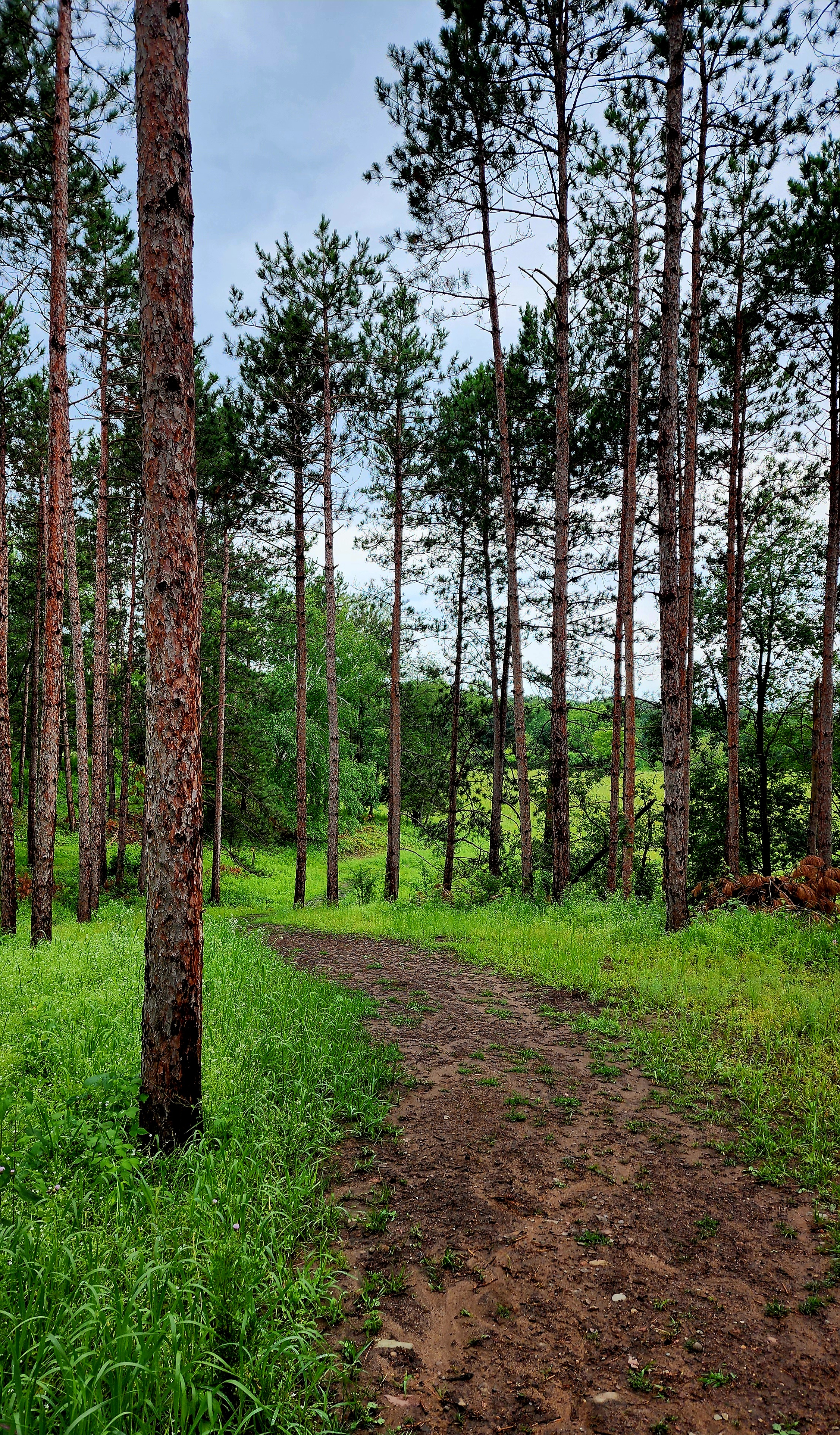
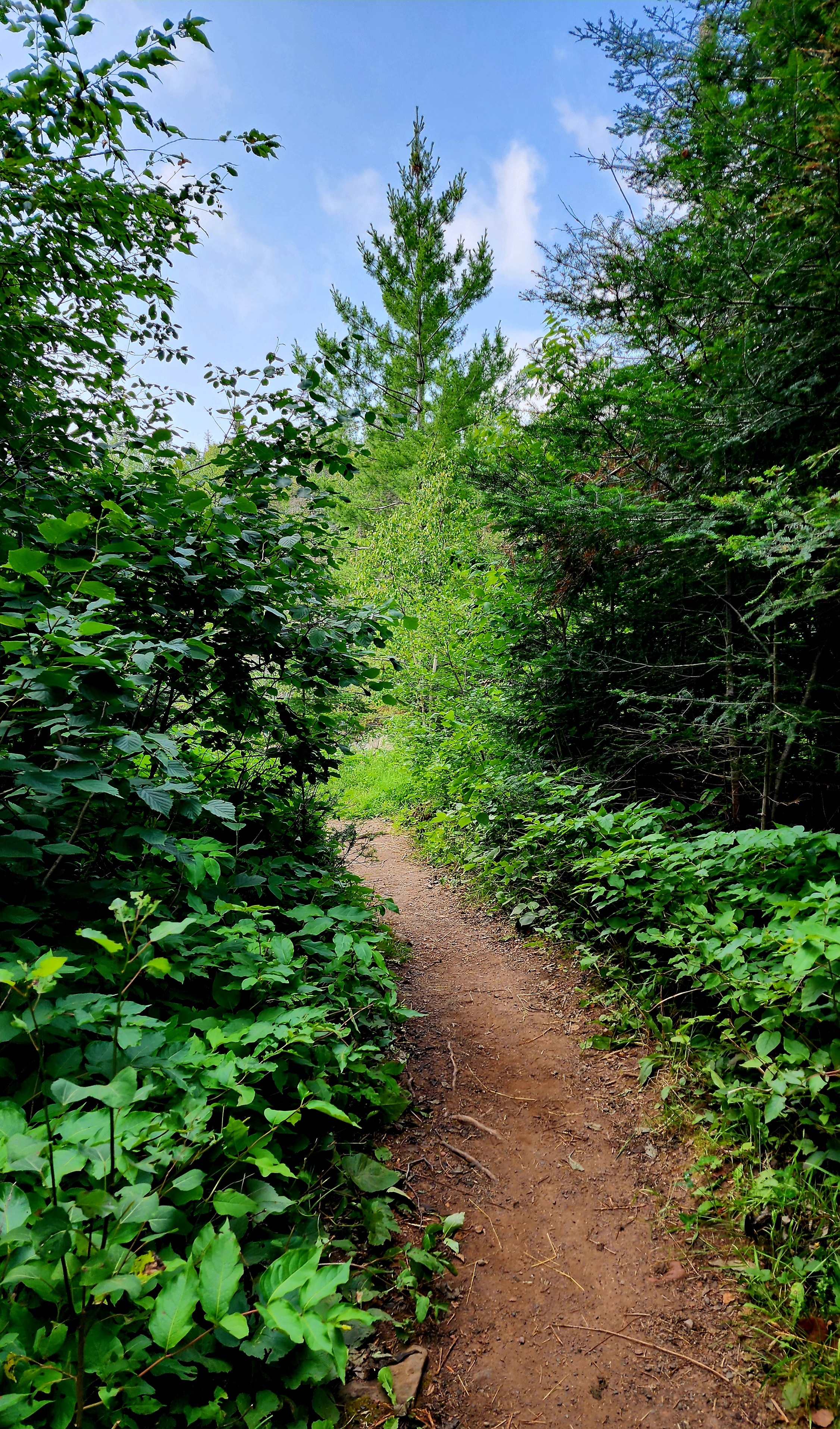
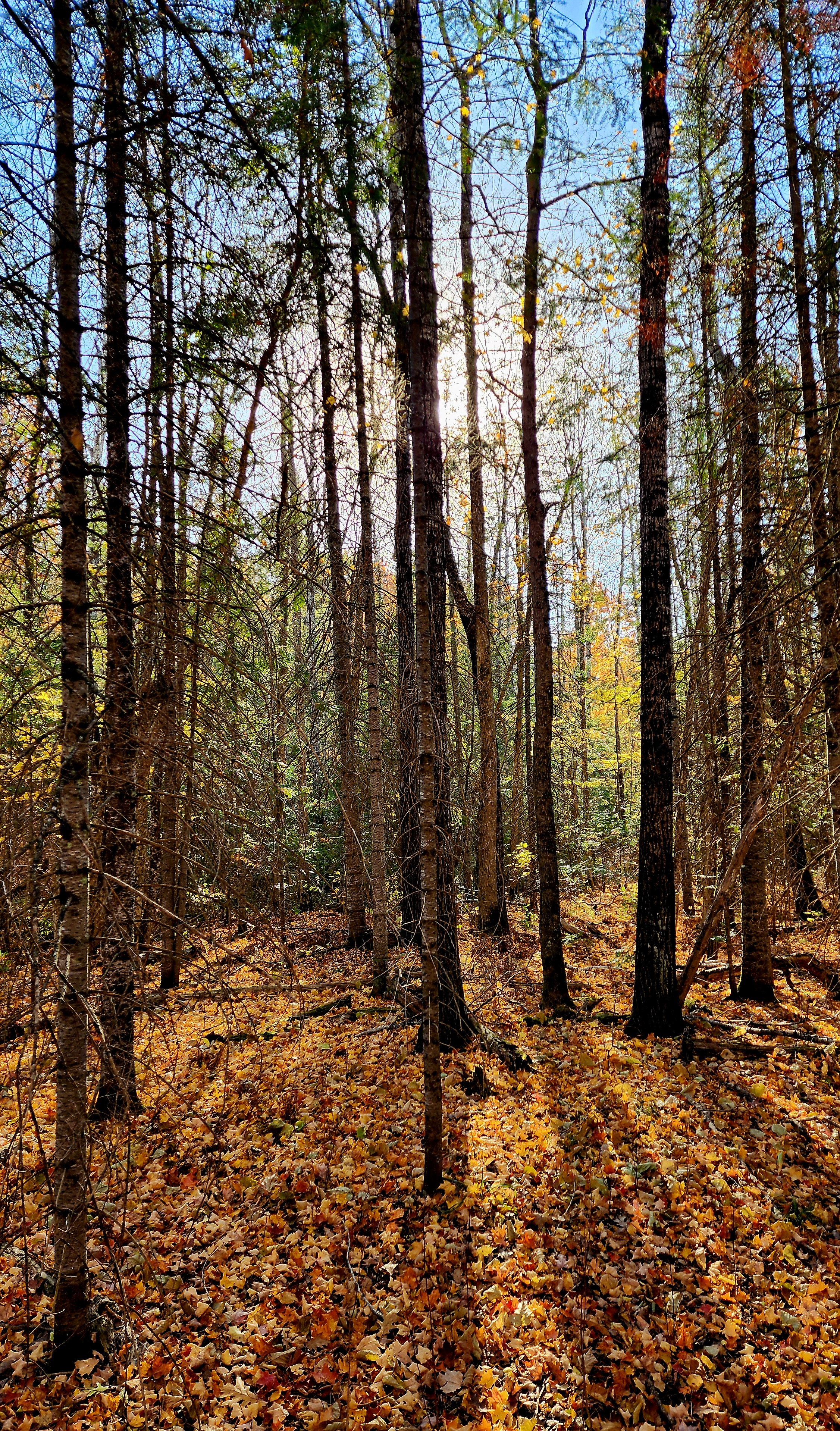
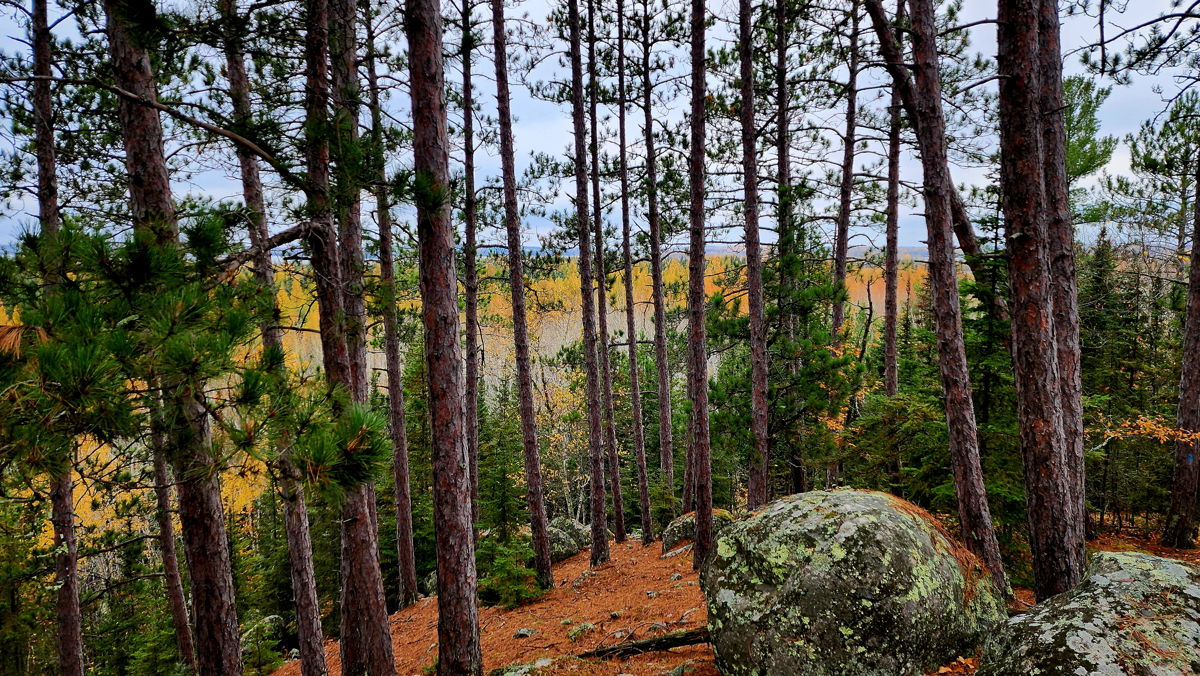
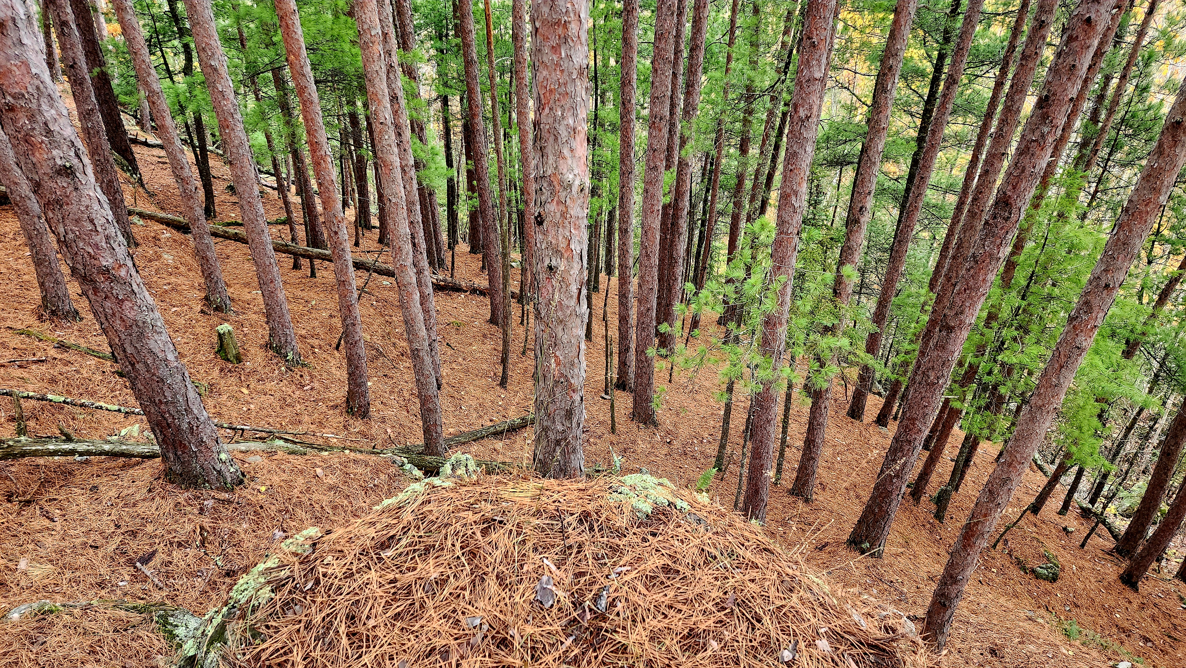
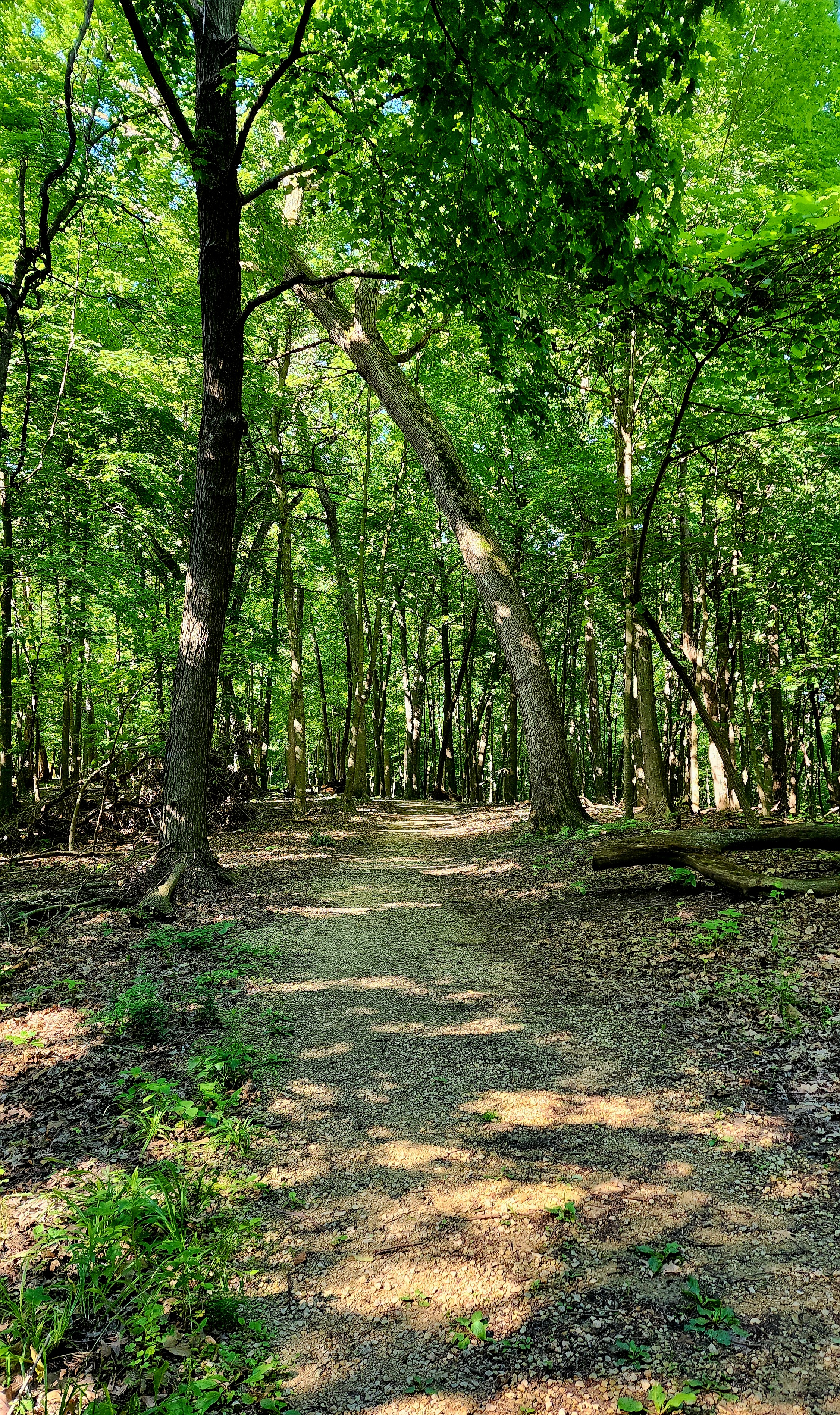
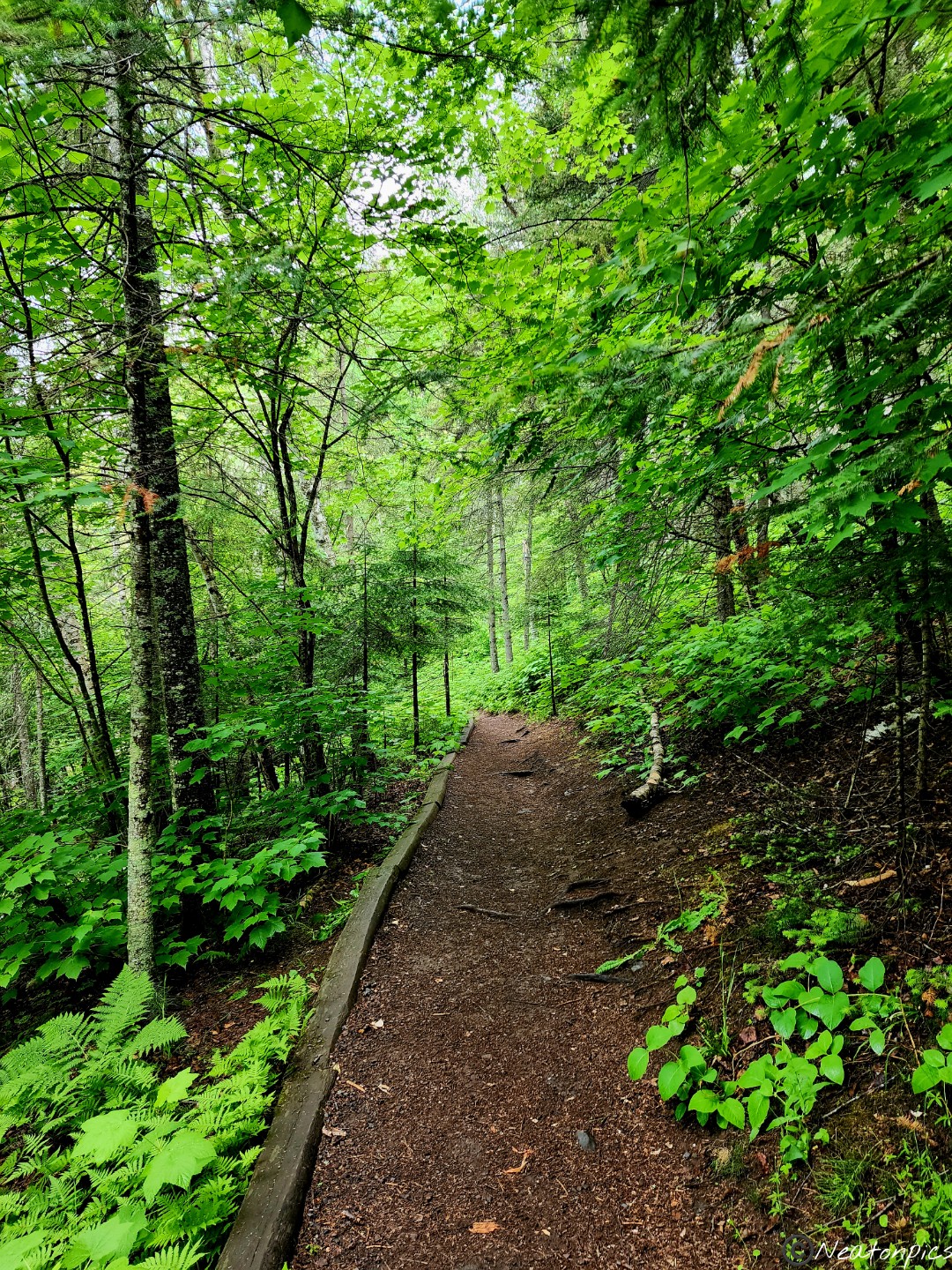
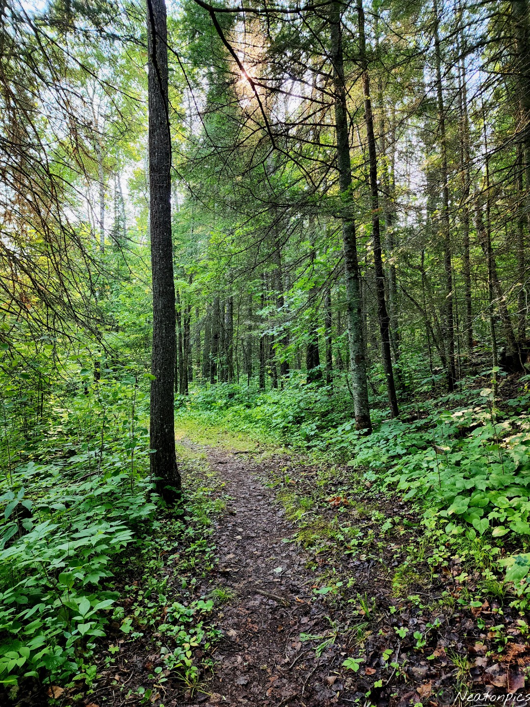
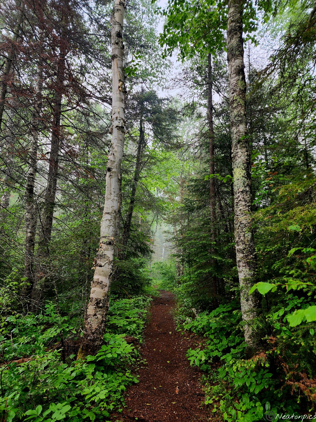
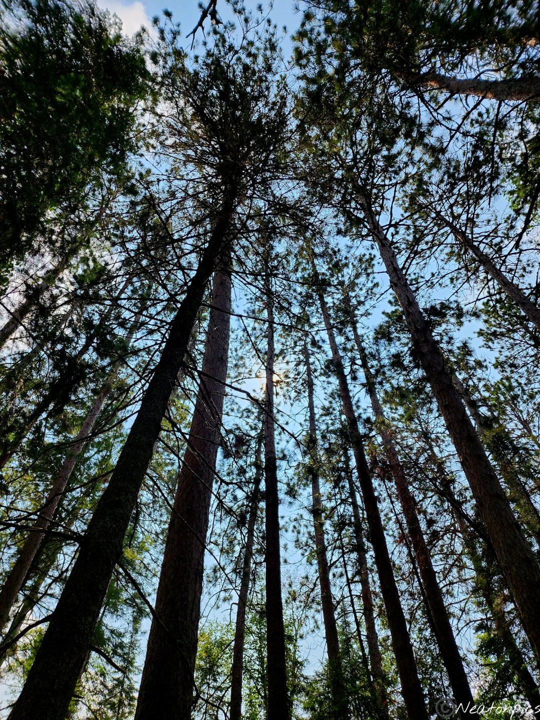
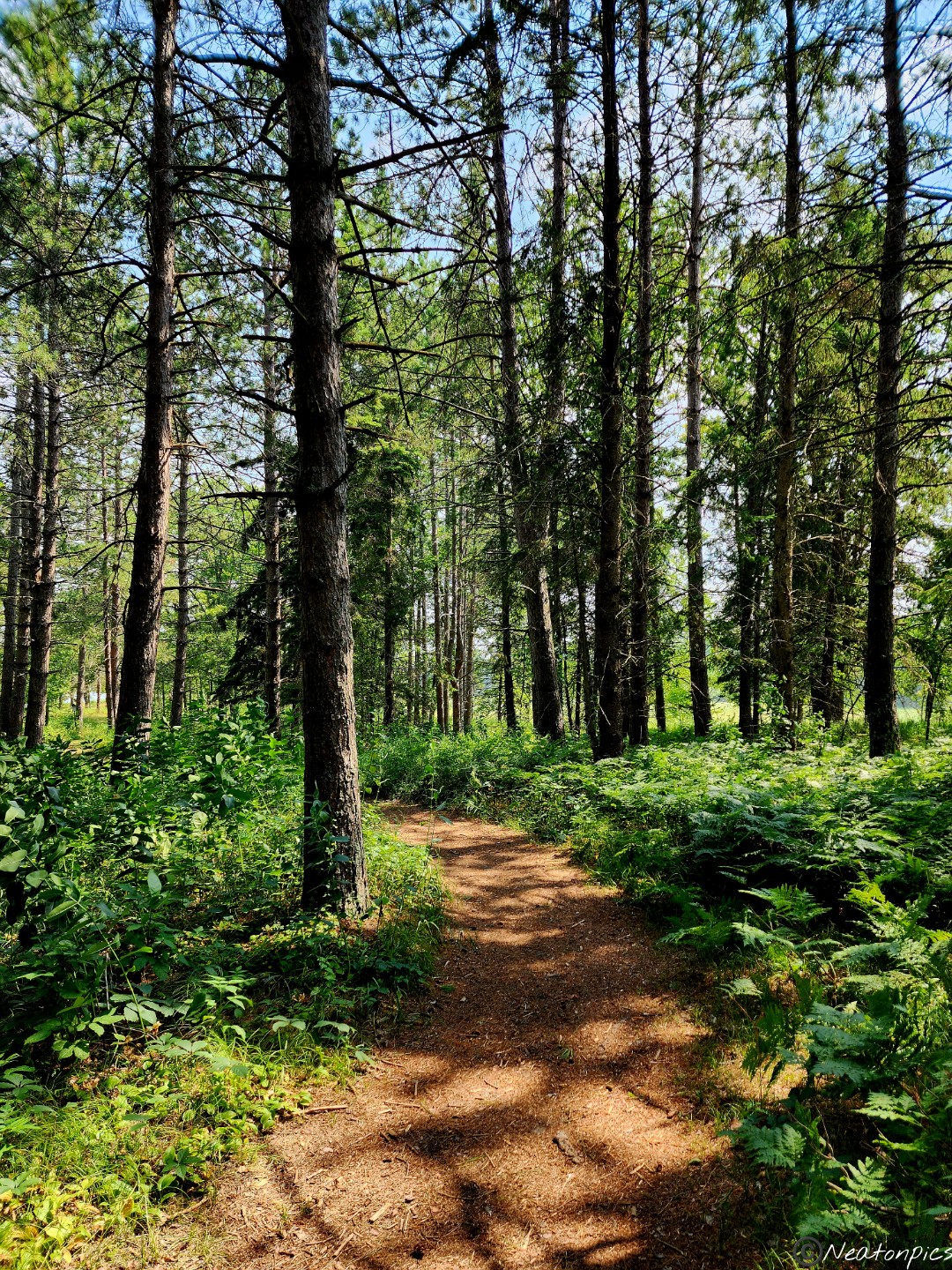
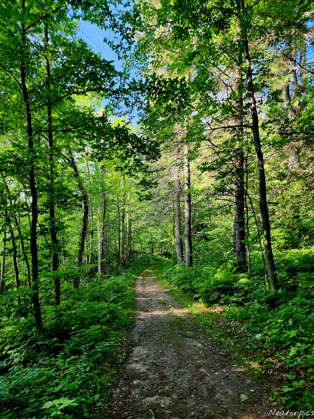
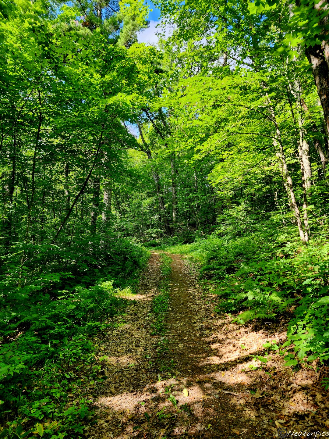
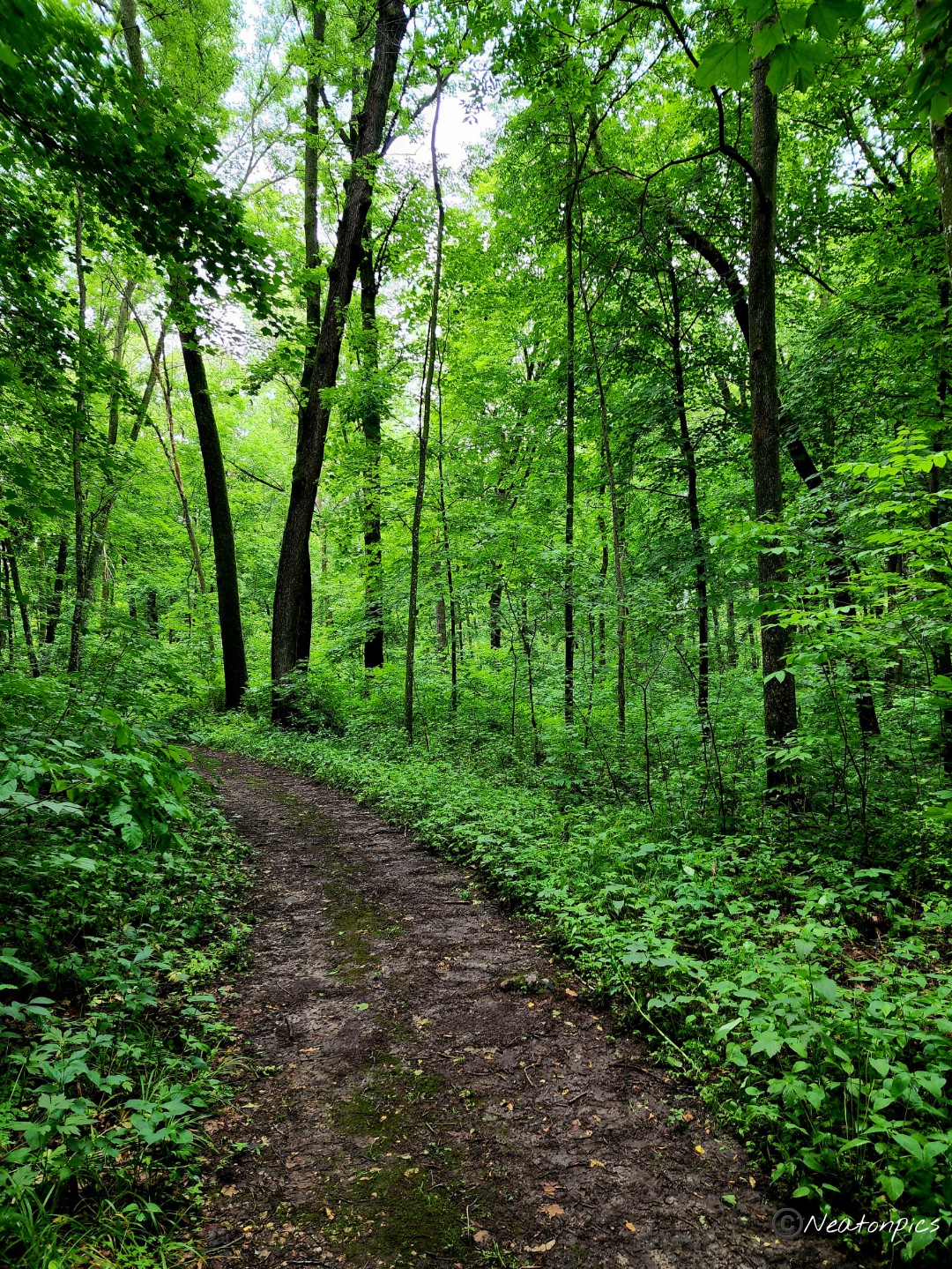
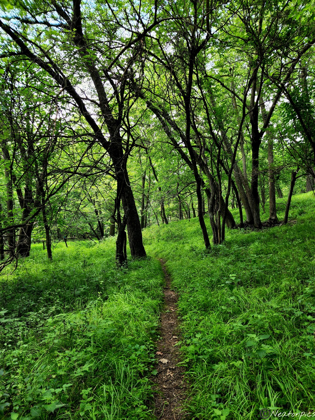
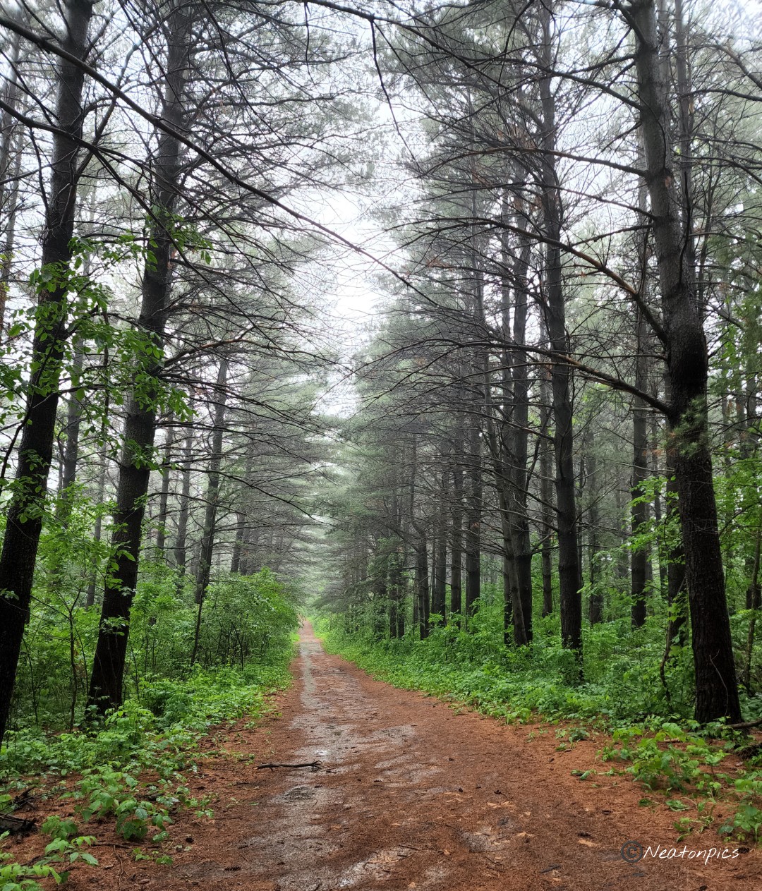
The trail quickly diverted from the river and into the forest.
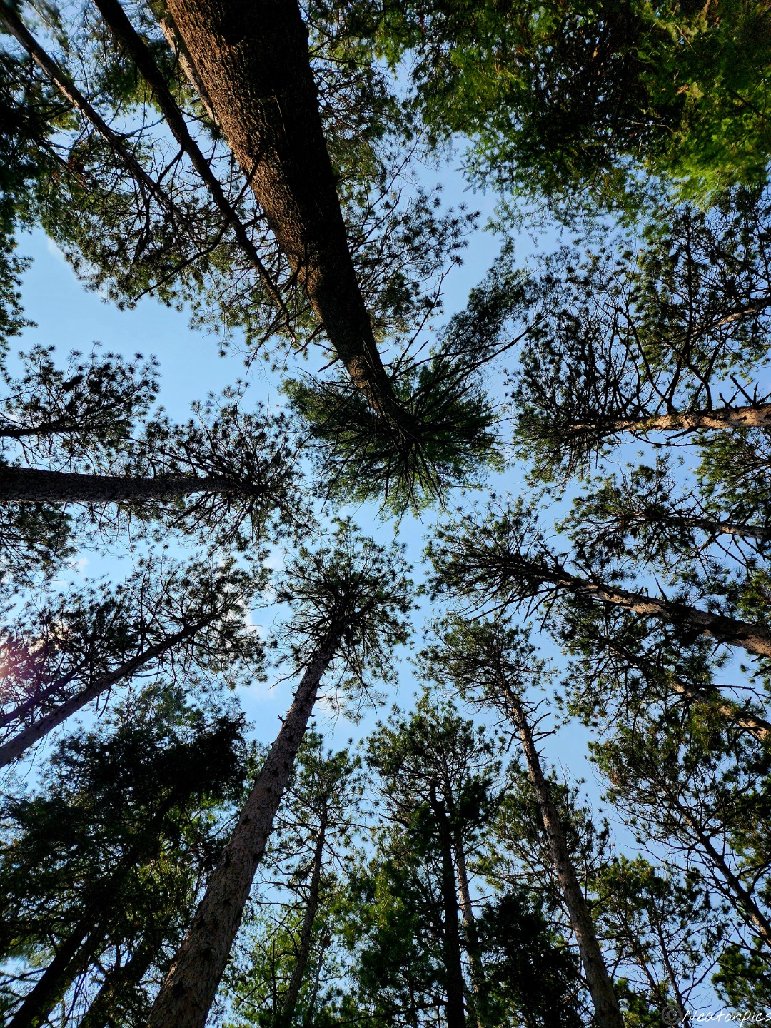
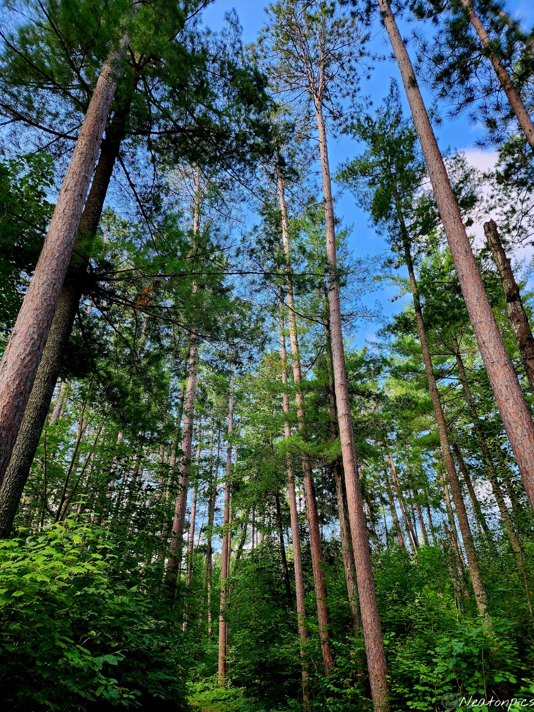
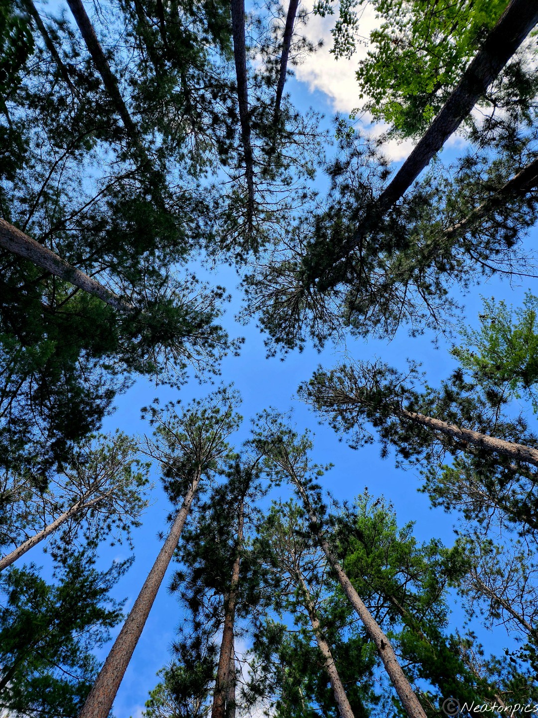
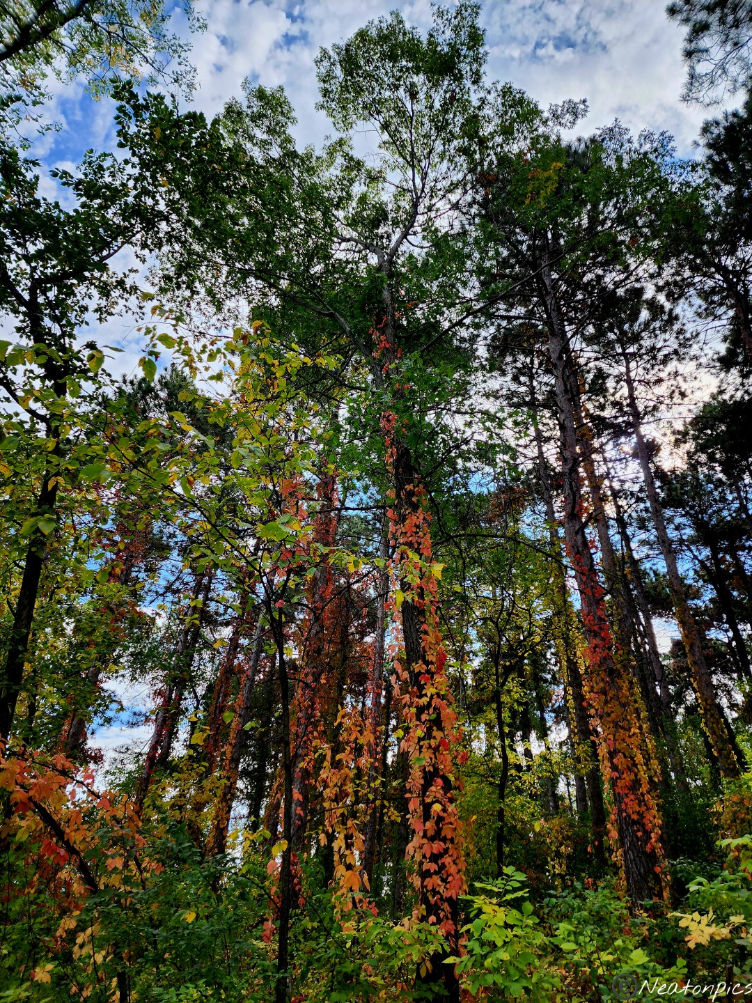
The gigantic trees towered over us. The cool wind graced our senses with an intoxicating aroma from the pine trees.
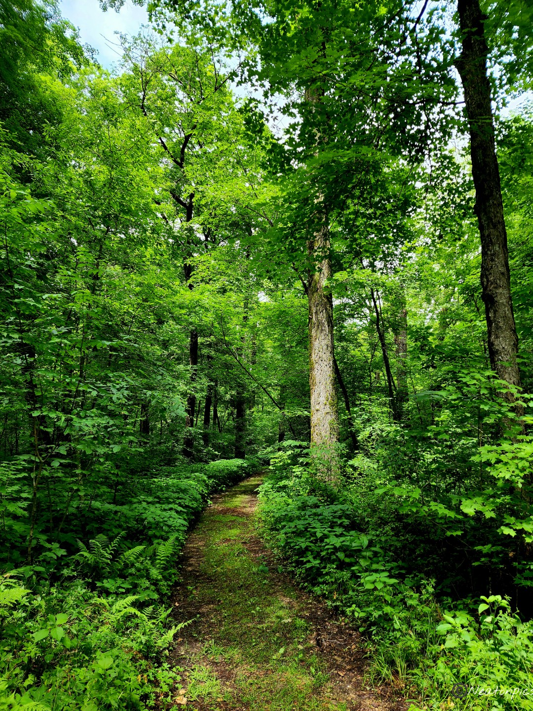
This park is the perfect place to escape from the busy world. It brought perspective to how small we are in this enormous world. The photo below is of my cousin hiking in the near distance. She looks so small compared to the trees around her.
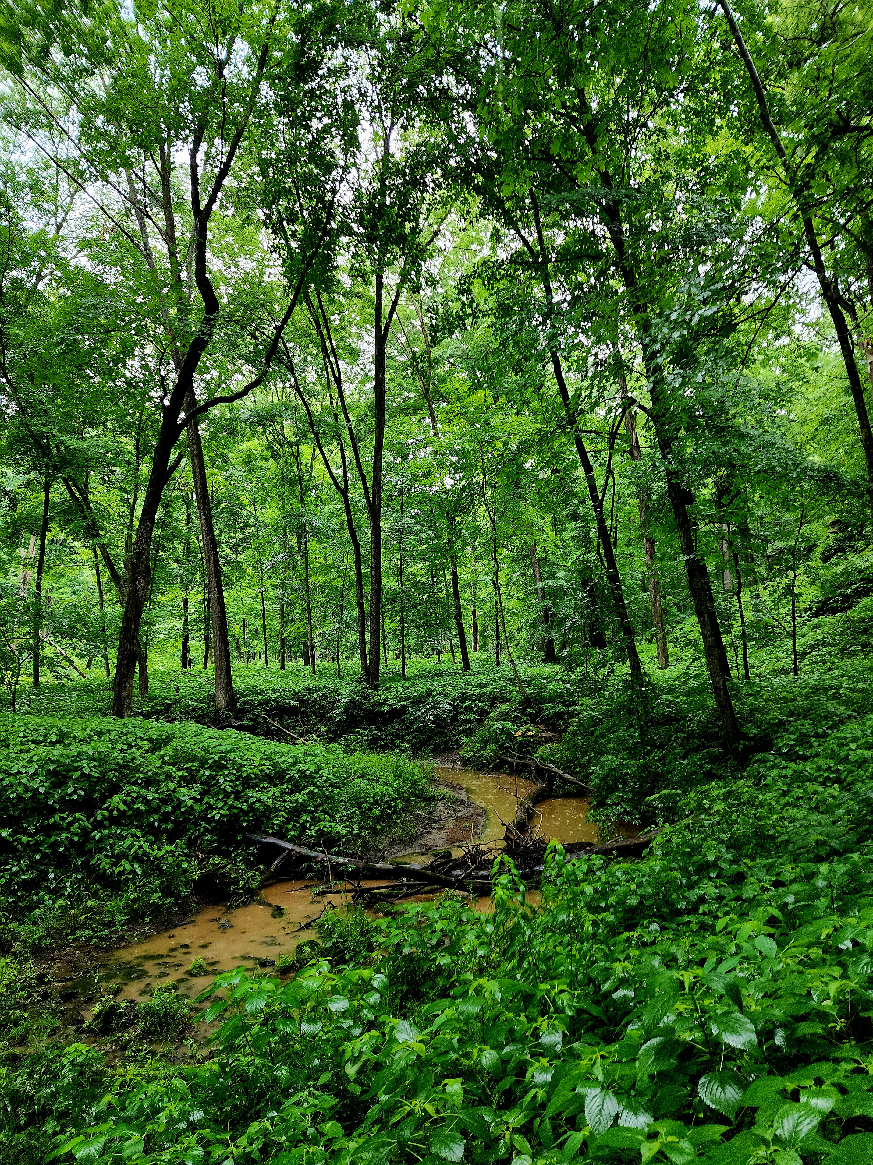
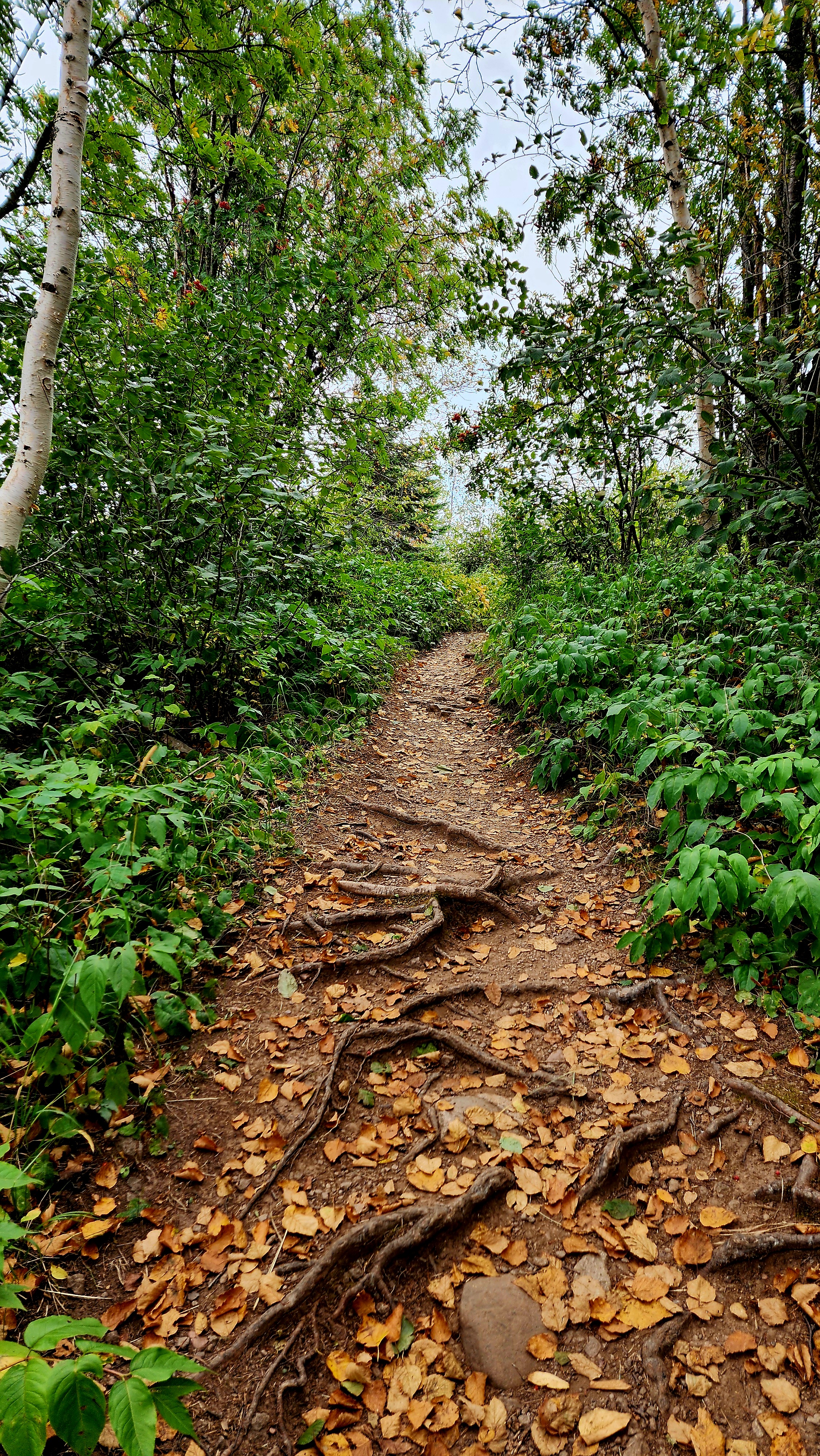
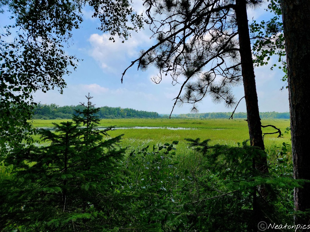
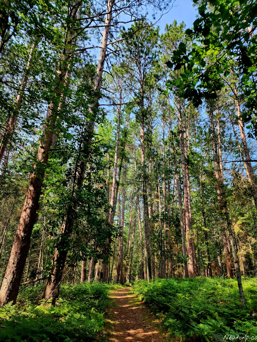
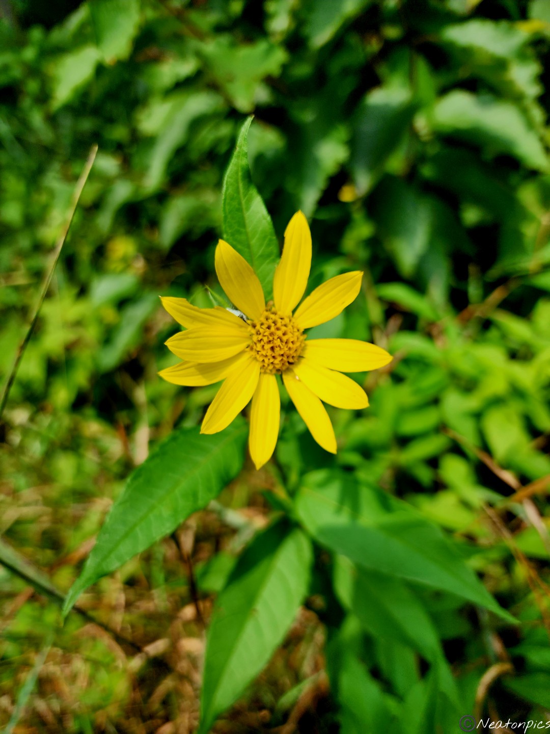
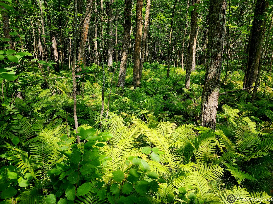
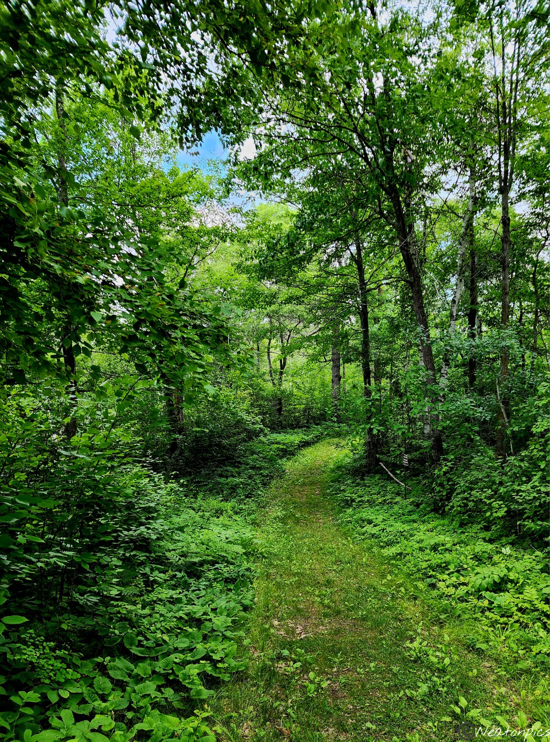
The landscape began to change as more wildflowers and ferns began to appear along the trail.
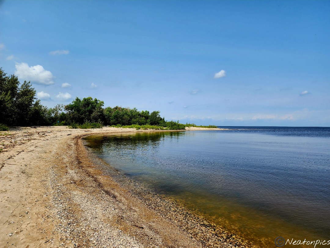
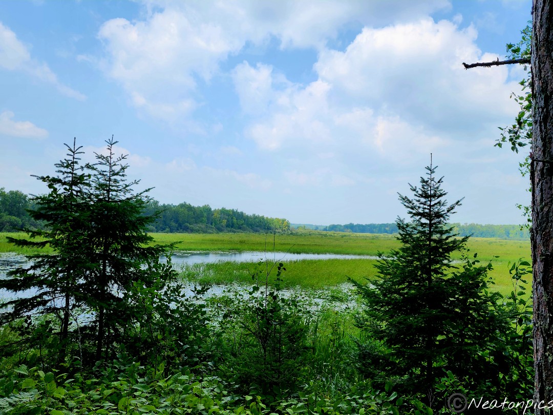
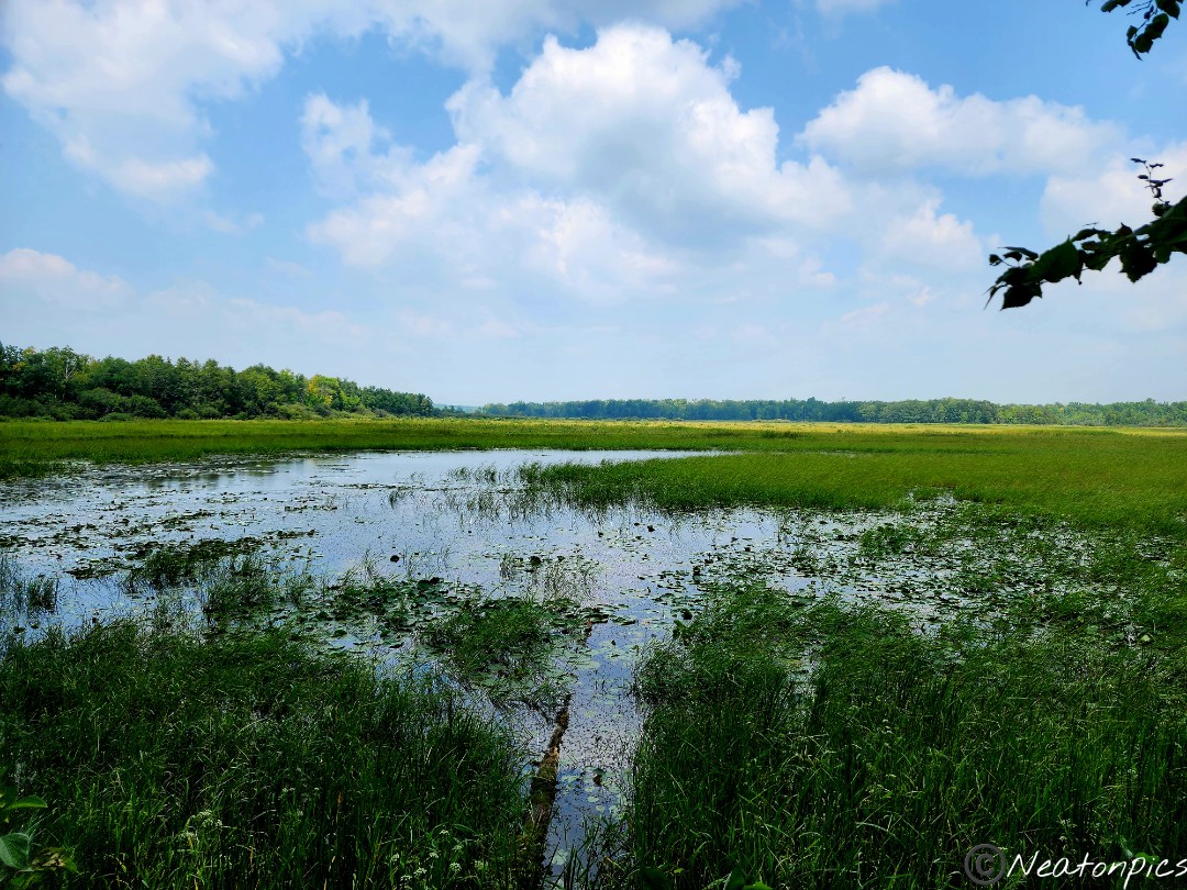
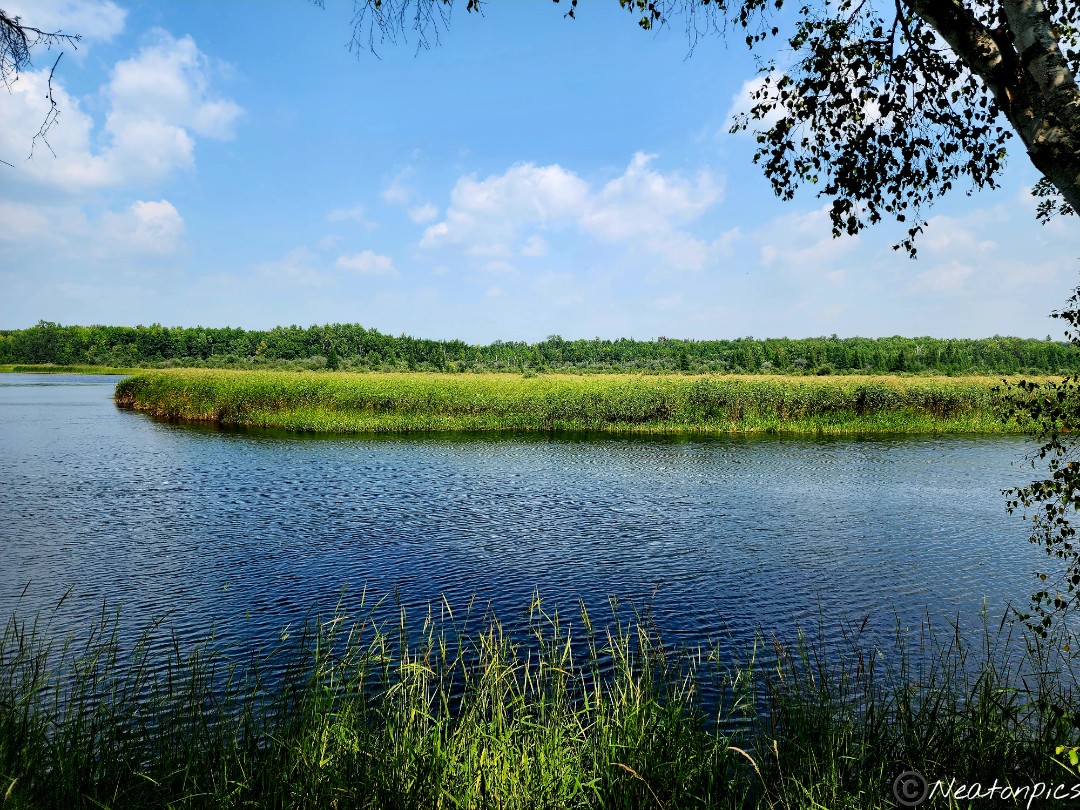
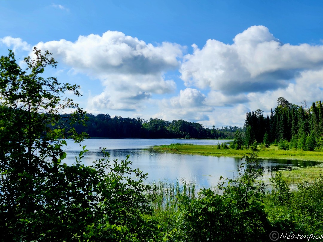
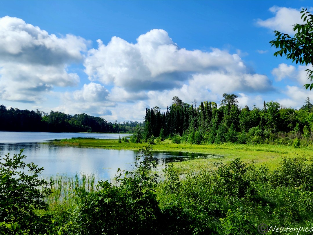
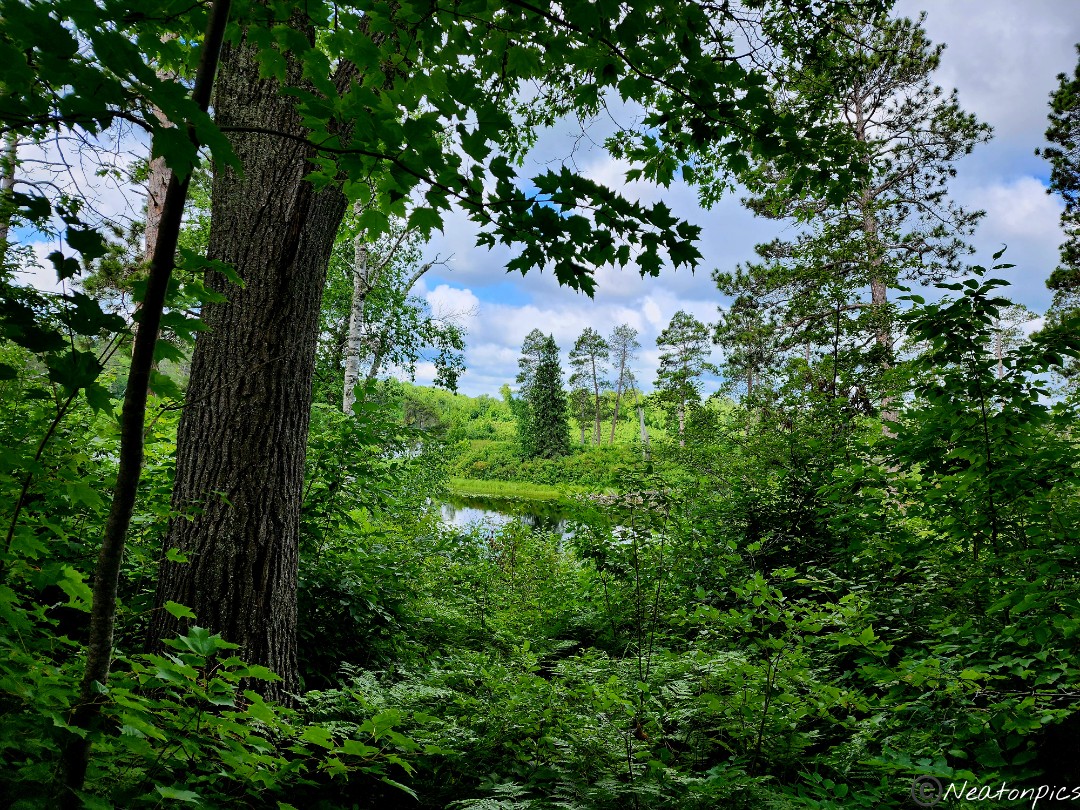
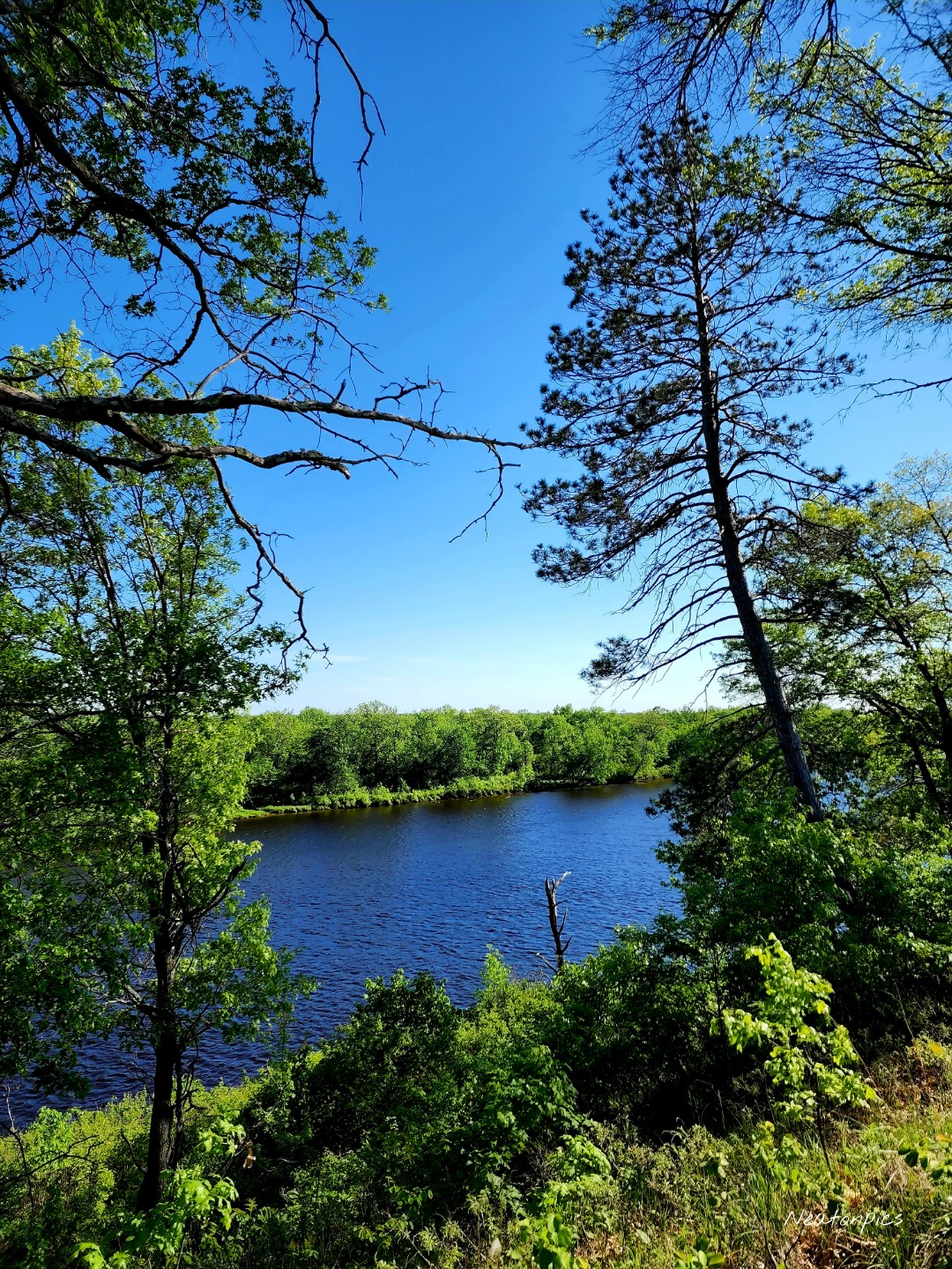
The trail led us to a wonderful view of the Mississippi River.
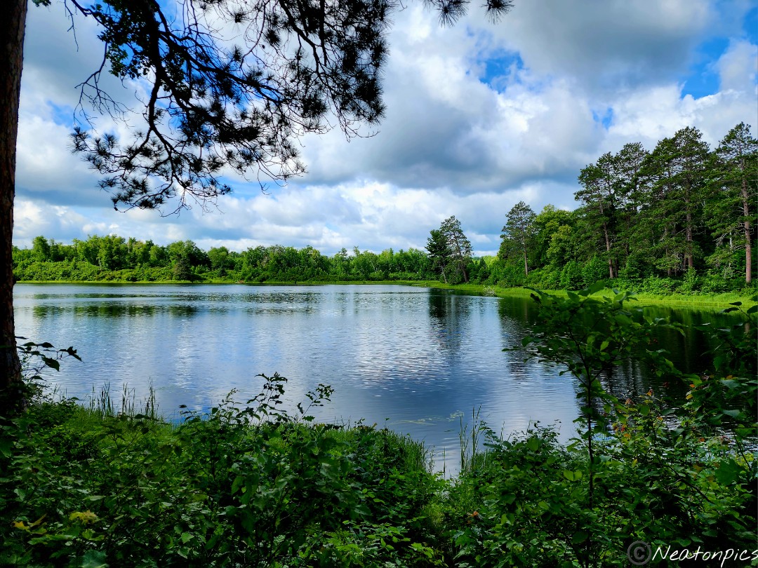
As we neared our starting point, we hiked out onto a dock to take in more amazing views of the mighty Mississippi River.
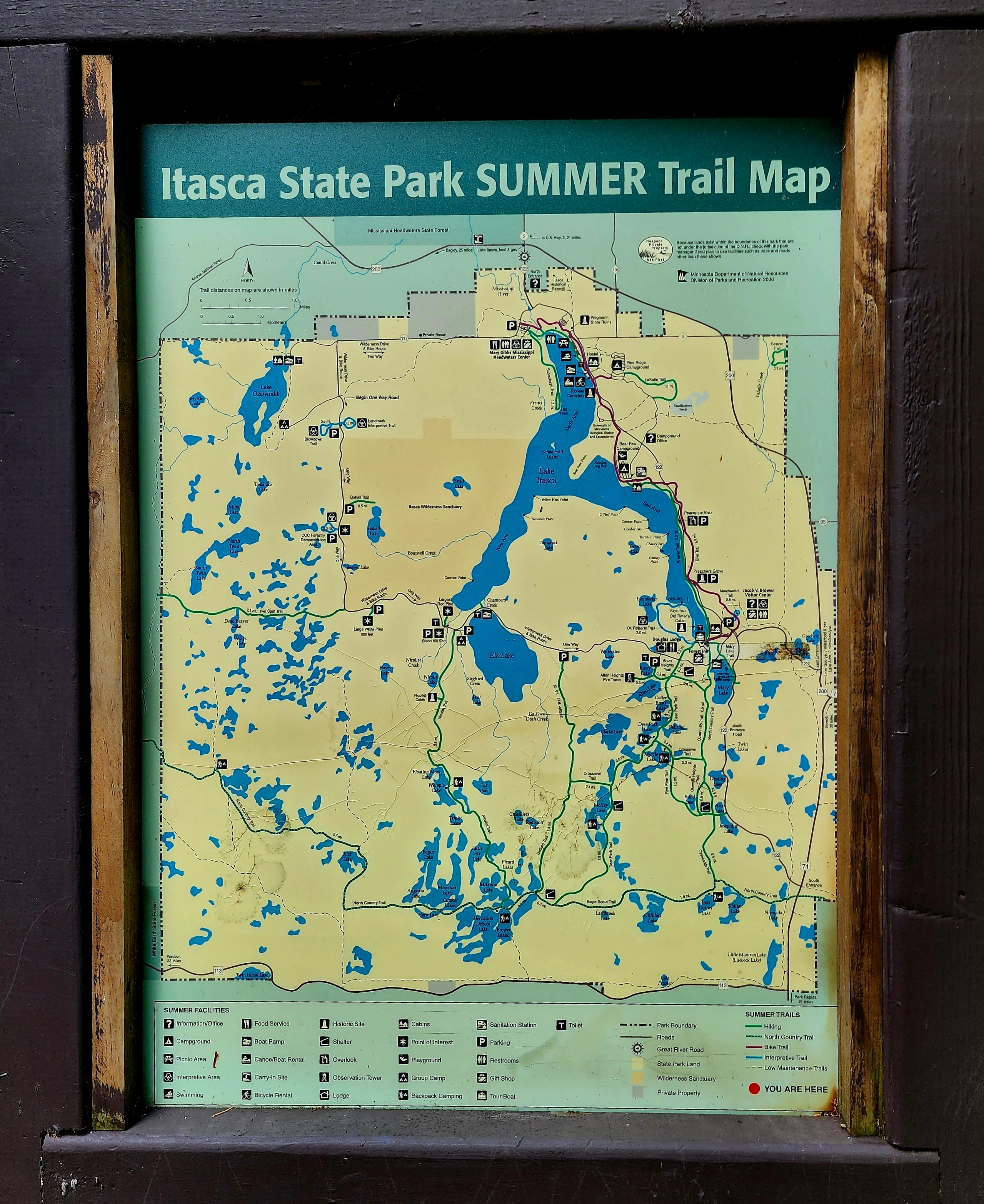
Being established in 1891, Itasca State Park is the oldest state park in Minnesota. The park encompasses 32,690 acres making it the second largest state park in Minnesota. I had to crop the summer map down to show the trails we hiked.
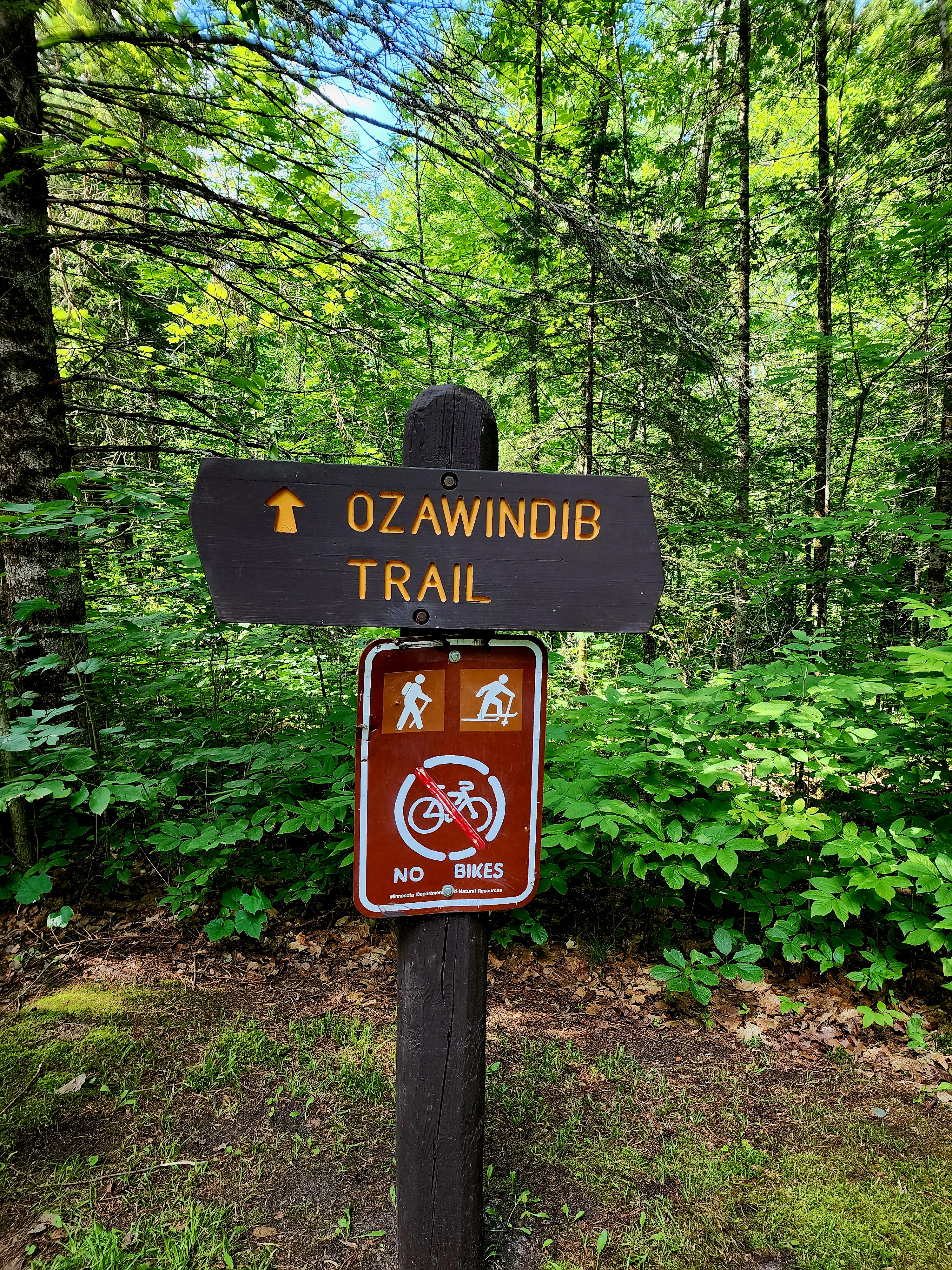
Our adventure began on the Ozawindib Trail near Douglas Lodge.
The tall trees towered above us. Mother Earth’s colors were so vivid.
There are more than 100 lakes at Itasca State Park. The first lake we encountered was Mary Lake. Mary Lake offered stunning views.
We continued hiking on Ozawindib Trail.
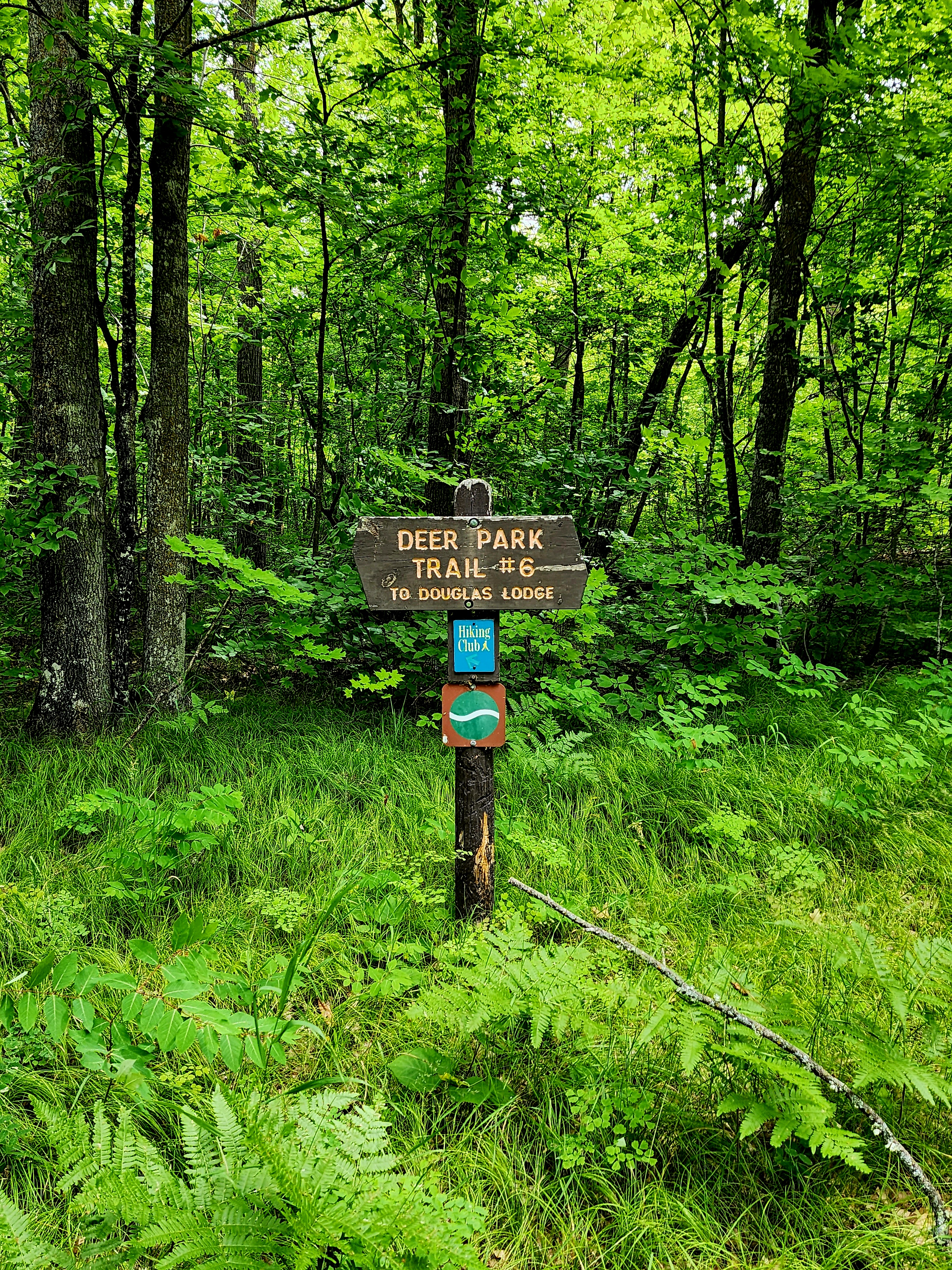
We diverted from the Ozawindib Trail to hike the Crossover Trail which led us to Deer Park Trail.
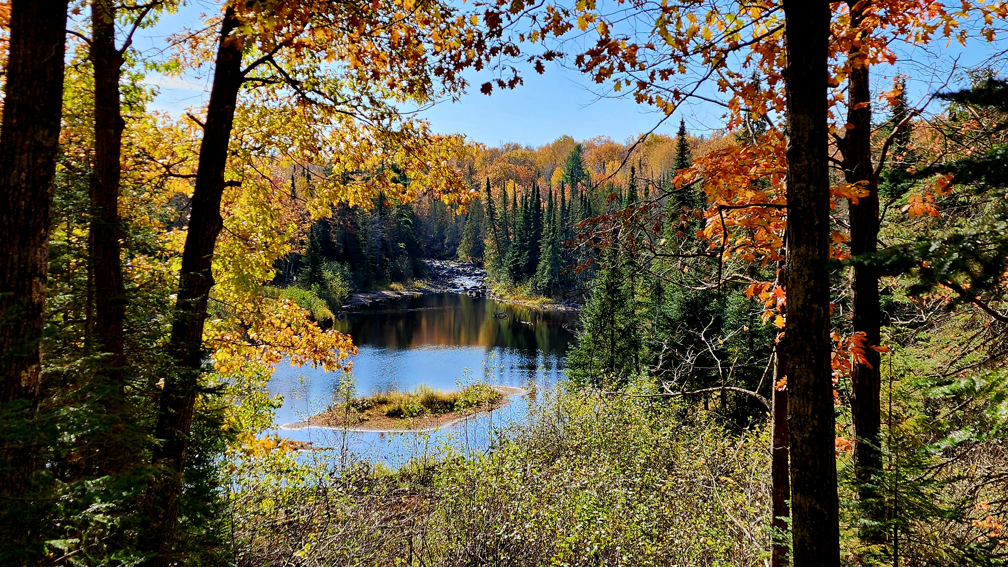
Myrtle Lake began to appear through the trees.
This next lake I am not too sure of the name. It is one of the following three lakes; Deer Park Lake, Fallstad Lake or Coffee Break Lake. Either way, it sure was gorgeous.
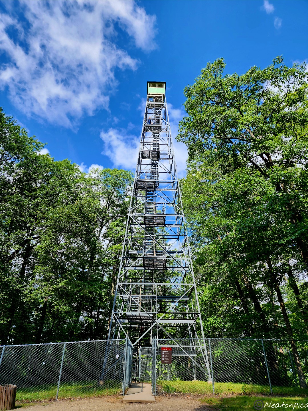
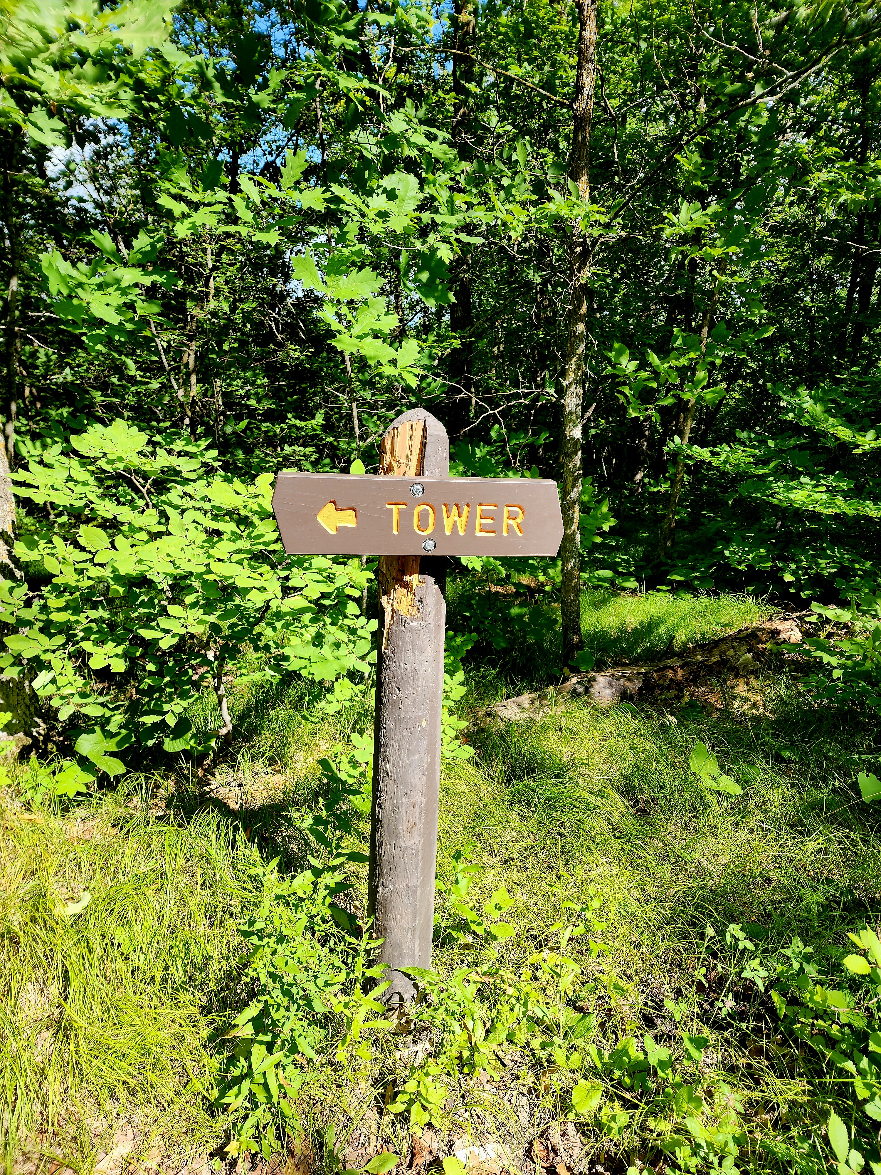
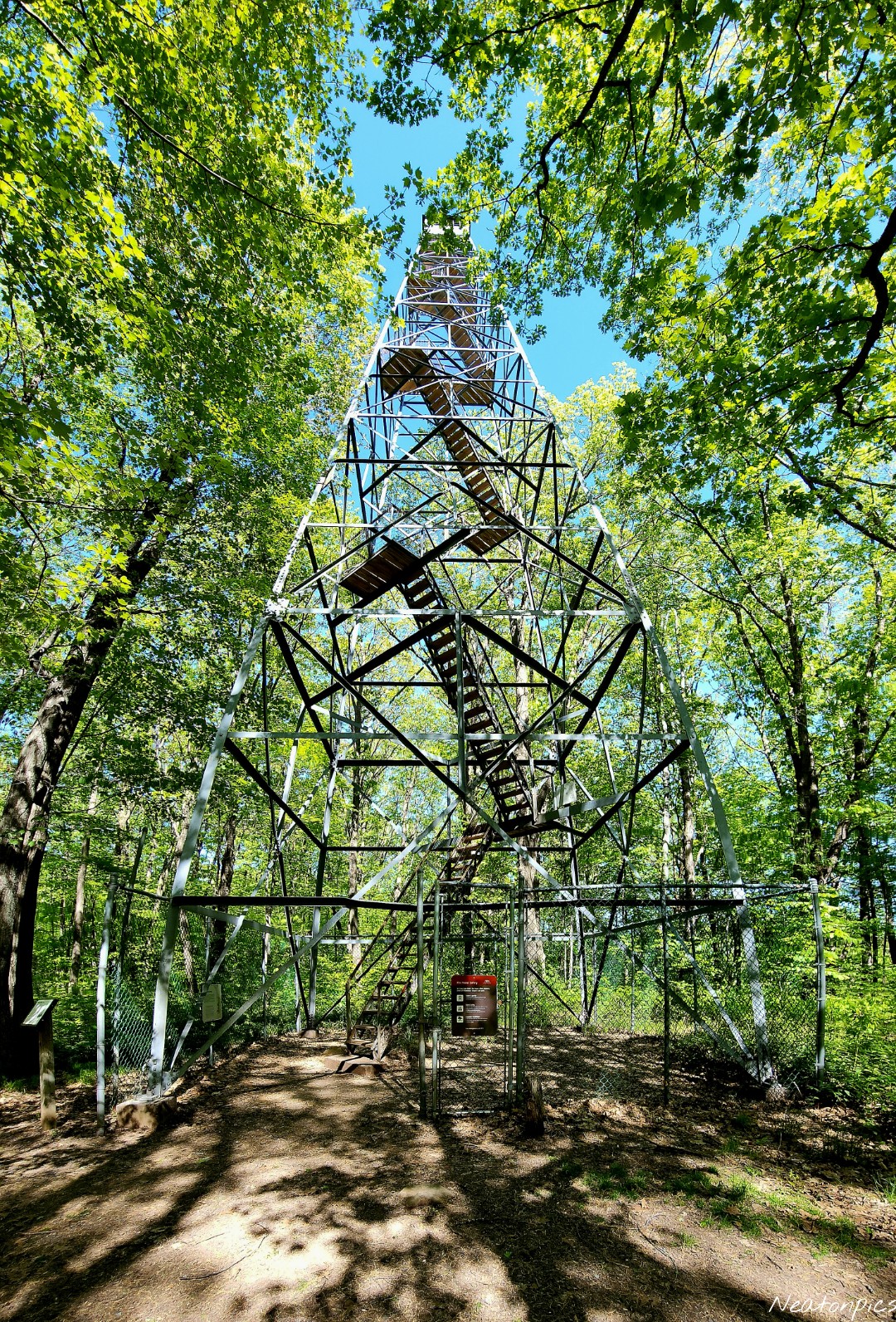
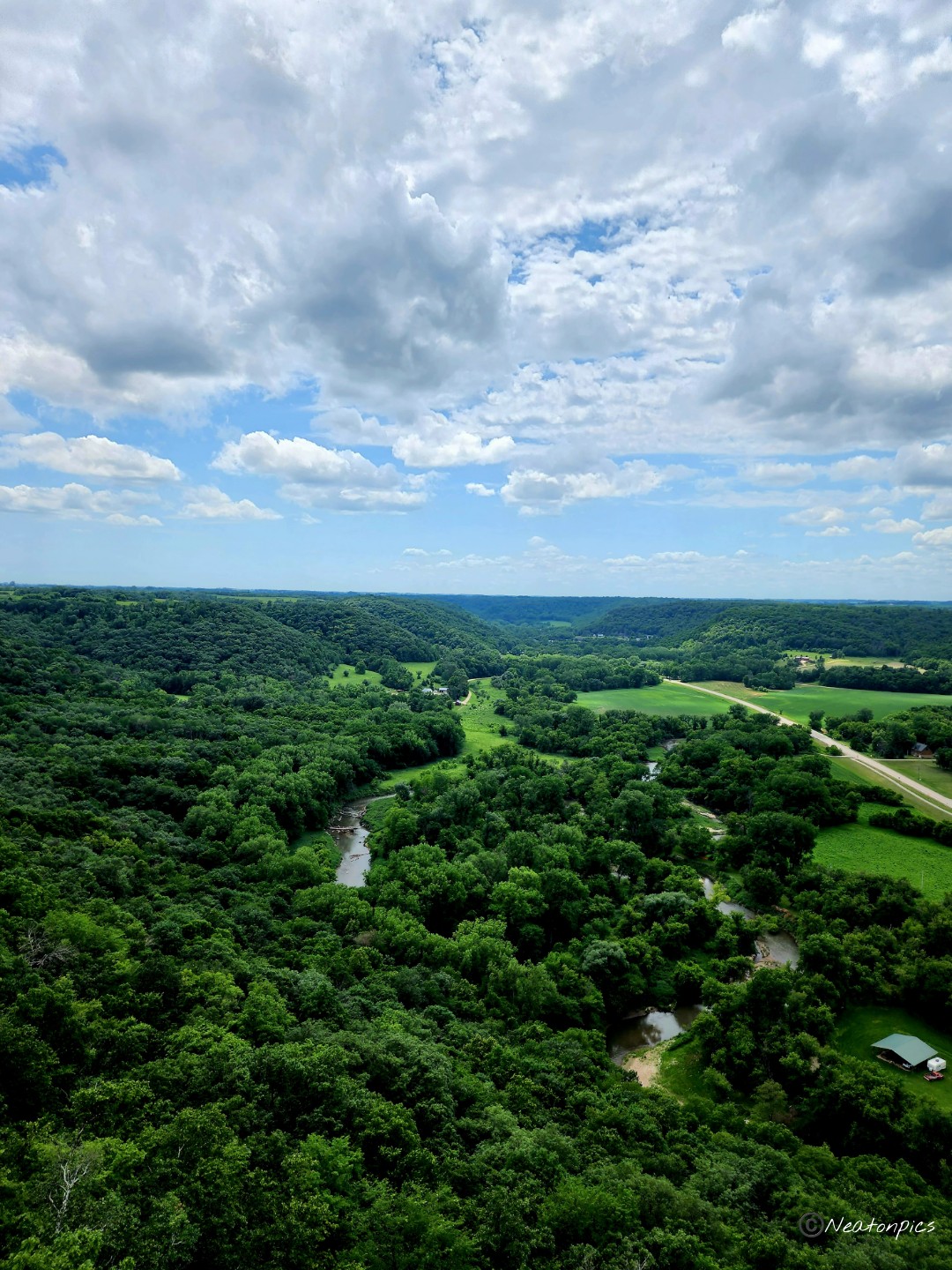
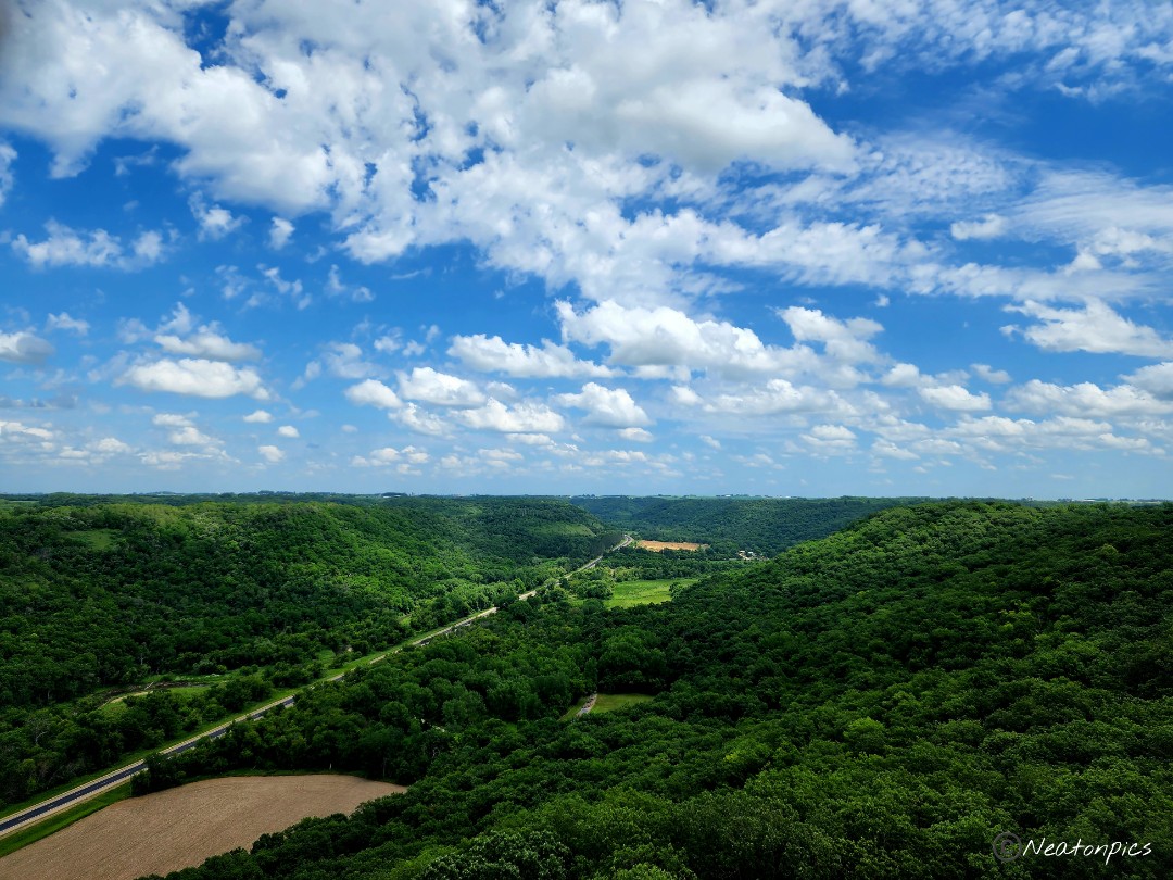
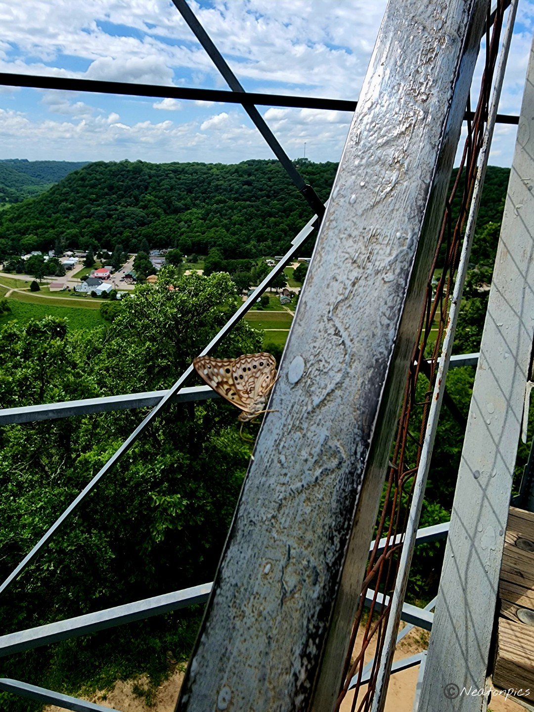
We decided to sidetrack from Deer Park Trail when we saw the sign for Aiton Heights Trail. A fire tower? Oh yes, we had to climb it!
Allen Lake and Kasey Lake were along the Aiton Heights Trail as we made our way to the tower.
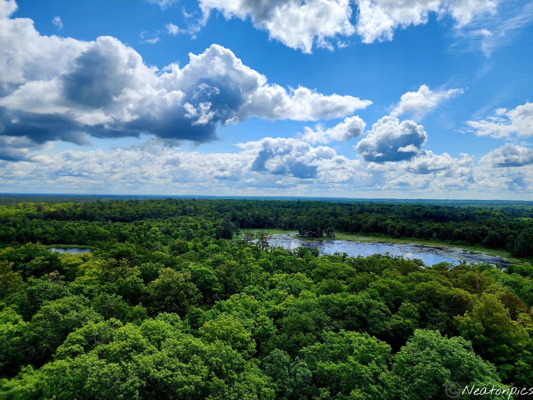
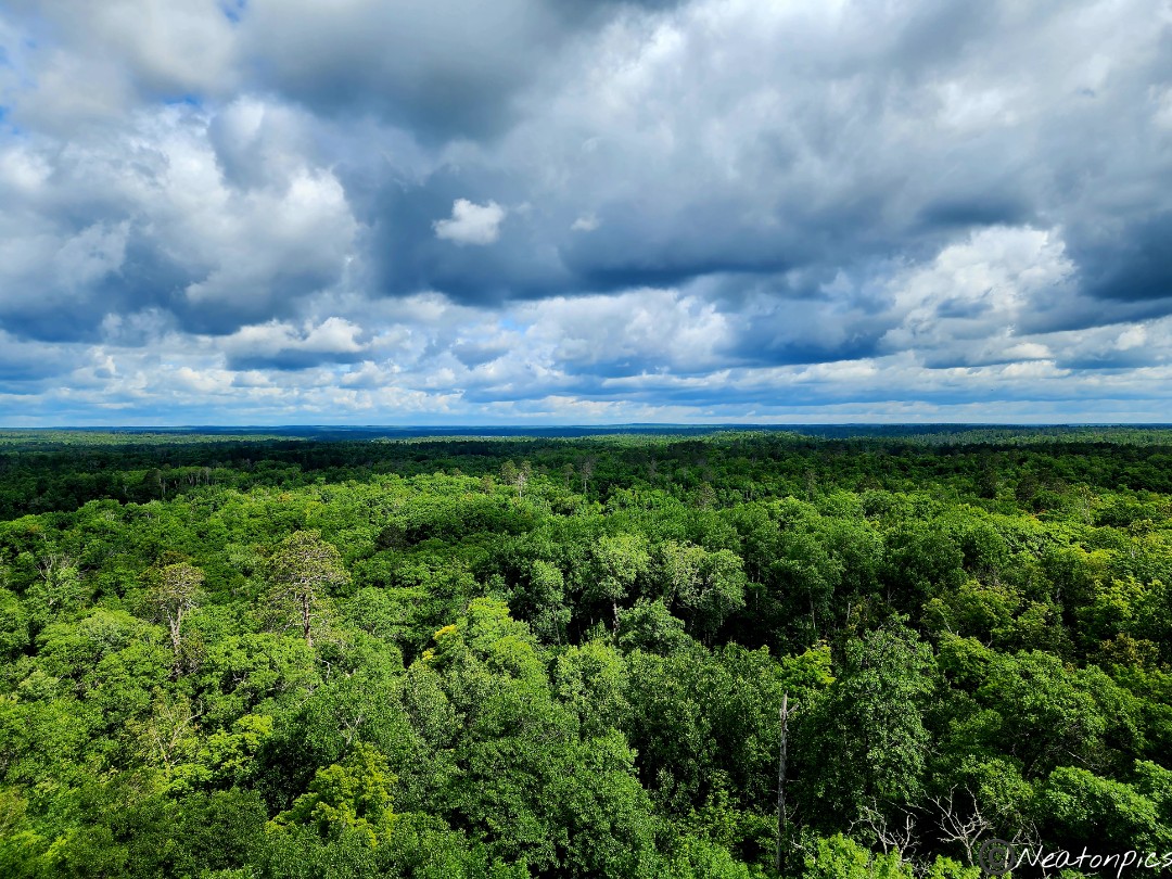
The fire tower is 135 steps to the top and 100 feet tall. The views from the top of the tower were AMAZING!
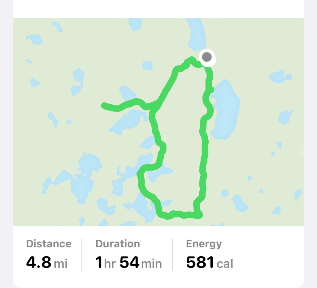
Now that our adrenaline was pumping, we began our hike back on Deer Park Trail towards Douglas Lodge.
Our hiking adventure was 4.8 miles.
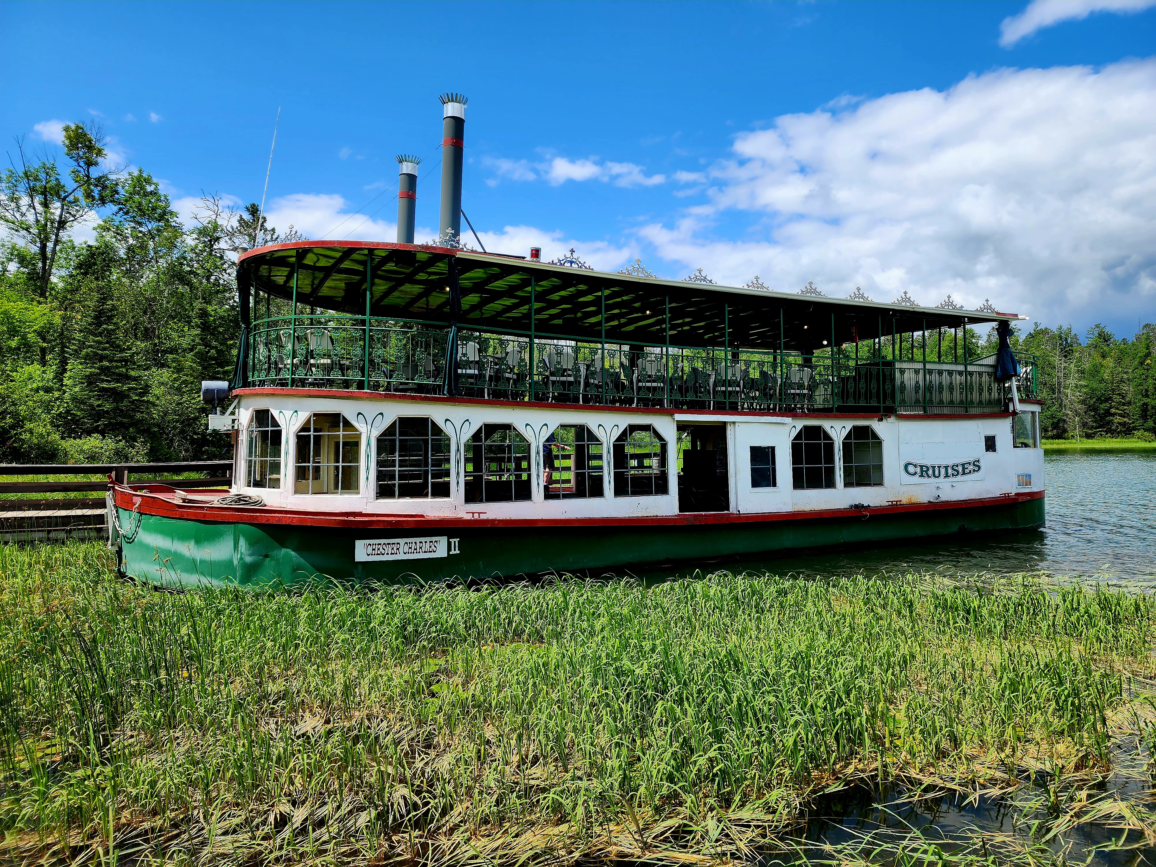
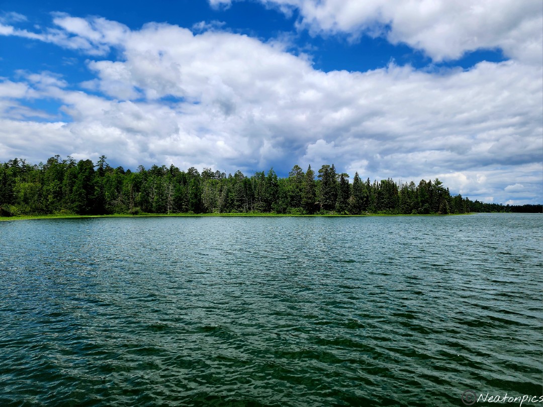
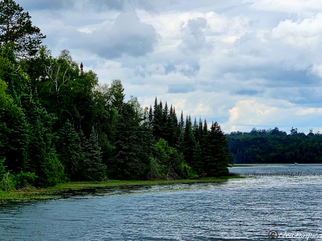
Our next adventure at Itasca State Park was a boat ride on Lake Itasca. I was very excited for our boat tour. Lake Itasca Tours did a wonderful job explaining the landscape, wildlife, and early explorers.
Lake Itasca Tours brought us close to the Mississippi River Headwaters before heading back.
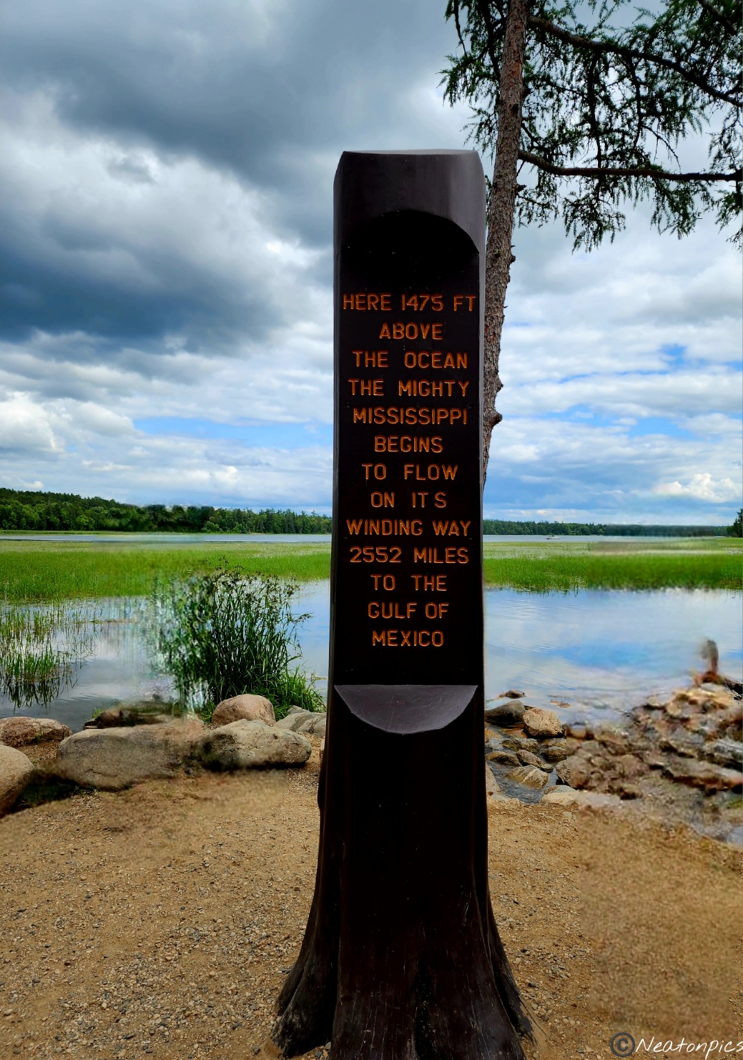
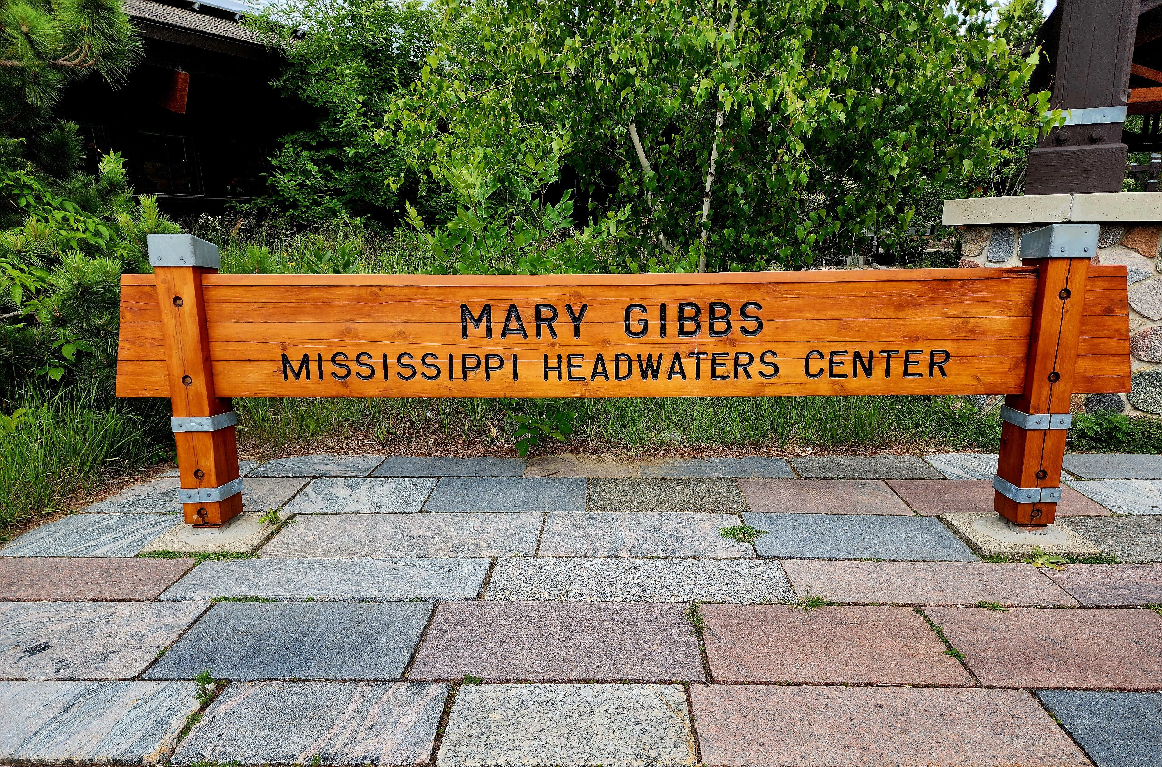
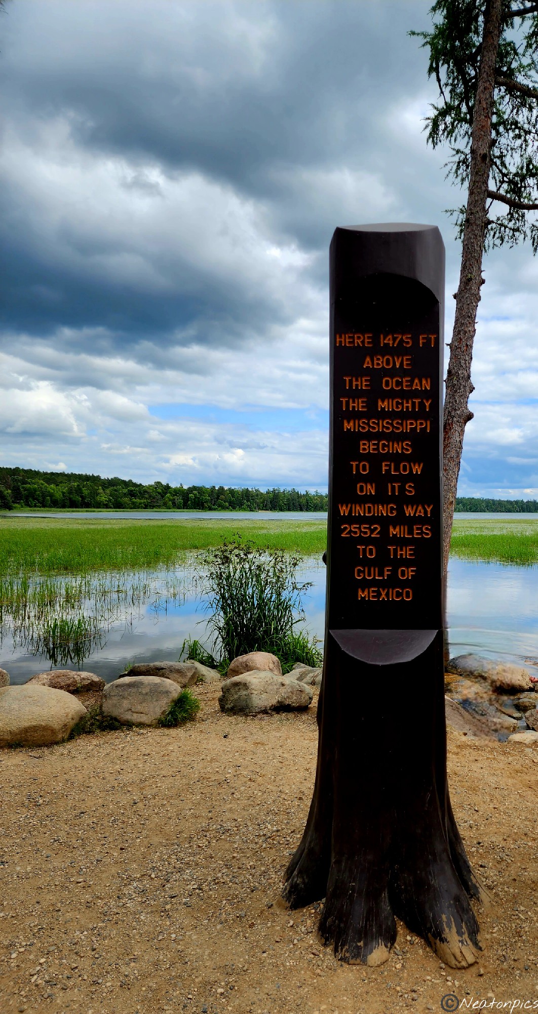
Our final adventure at Itasca State Park was at the Mississippi River Headwaters. It’s interesting what excites me as I get older. I felt like a little kid on Christmas morning. I almost ran down the trail as we made our way towards the beginning of the Mississippi River.
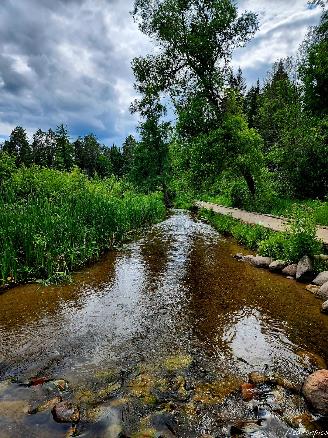
We made it! Seeing the headwaters of the Mighty Mississippi River was an amazing experience. Of course, we had to cross over this mighty river’s beginnings.
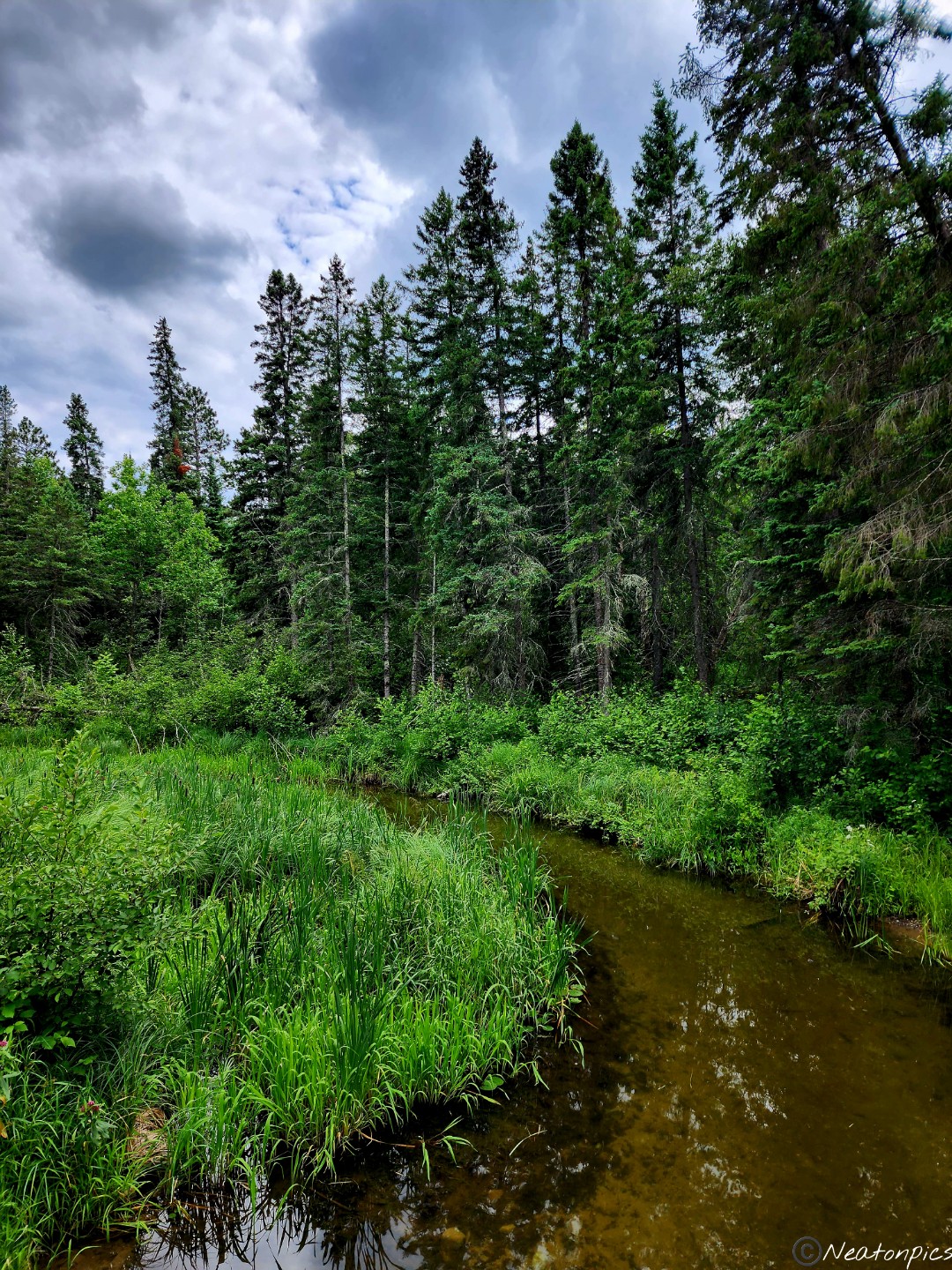
The trail back to the Mississippi River Headwaters Center offered many views of the small yet magnificent river.
Another bucket list adventure crossed off the list!
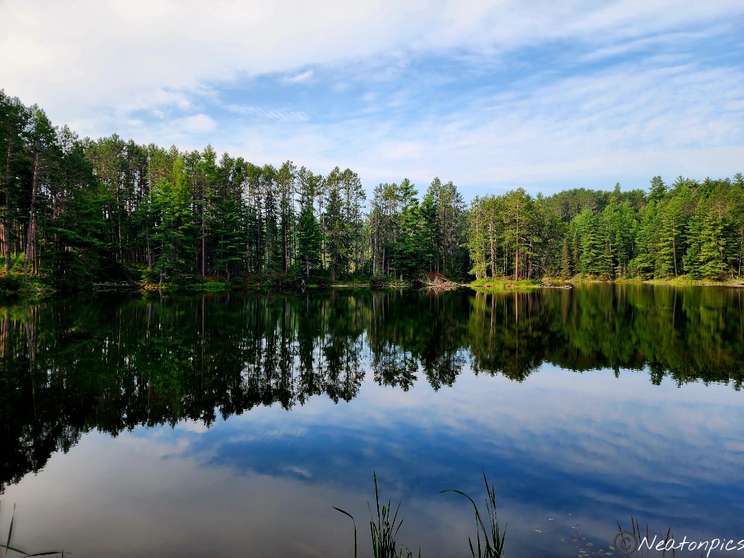
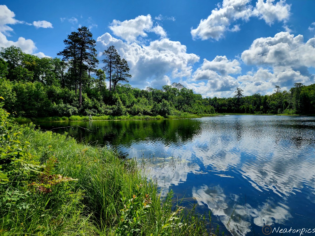
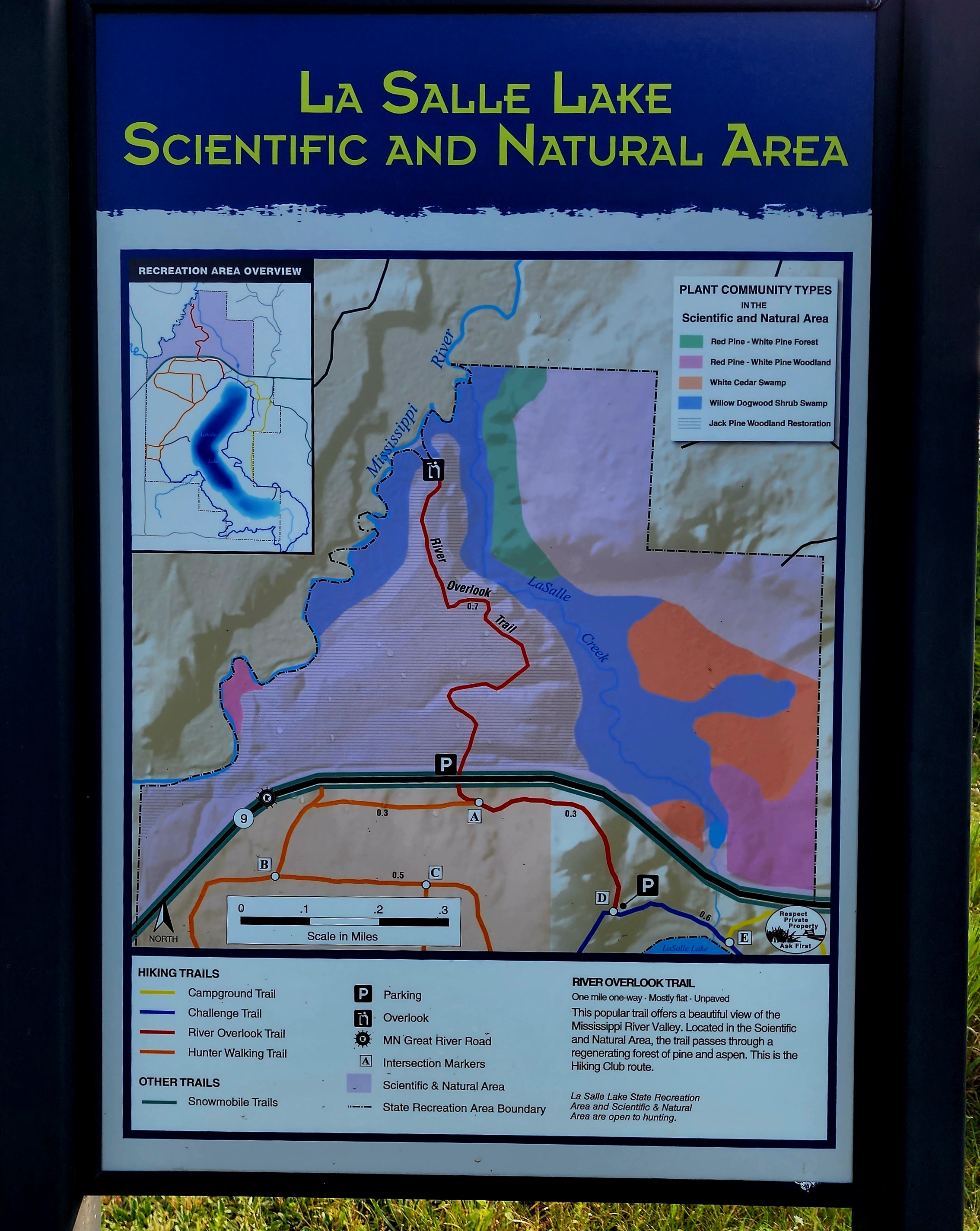
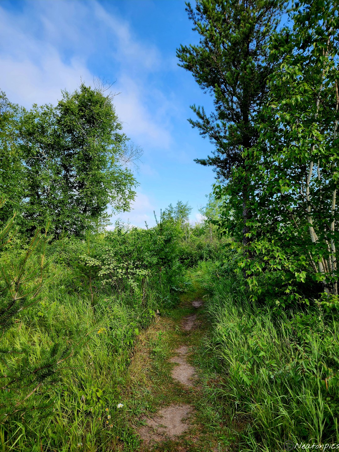
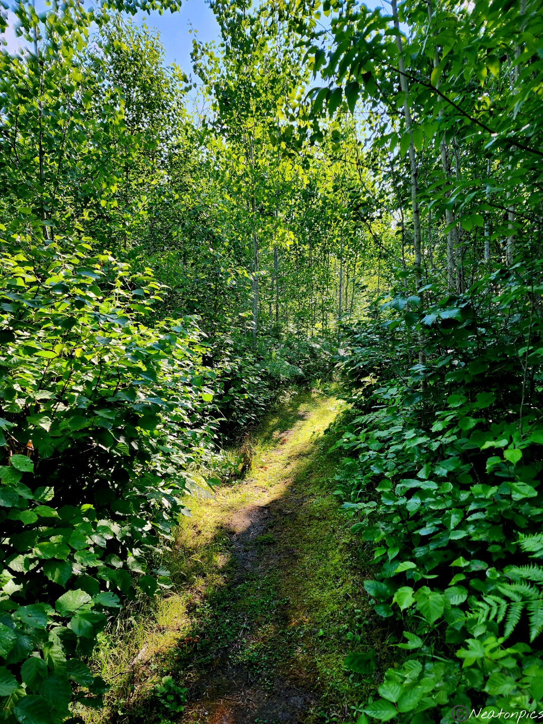
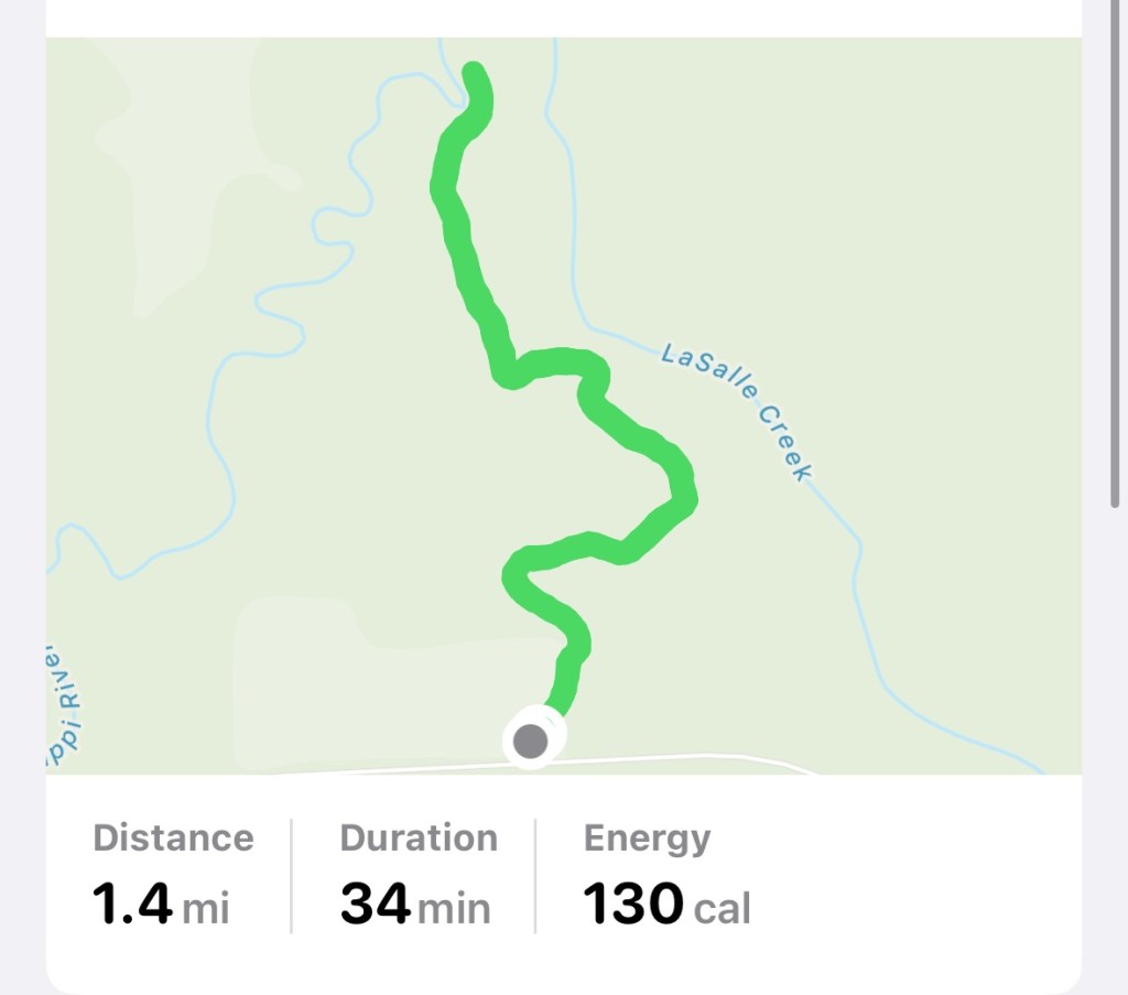
We hiked La Salle Lake Scientific and Natural Area on July 15th, 2023.
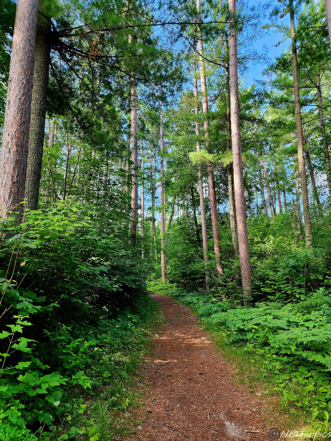
There is something wonderfully magical about early morning hikes. With the morning dew gently resting on the leaves and a crisp smell in the air, it’s almost an intoxicating experience.
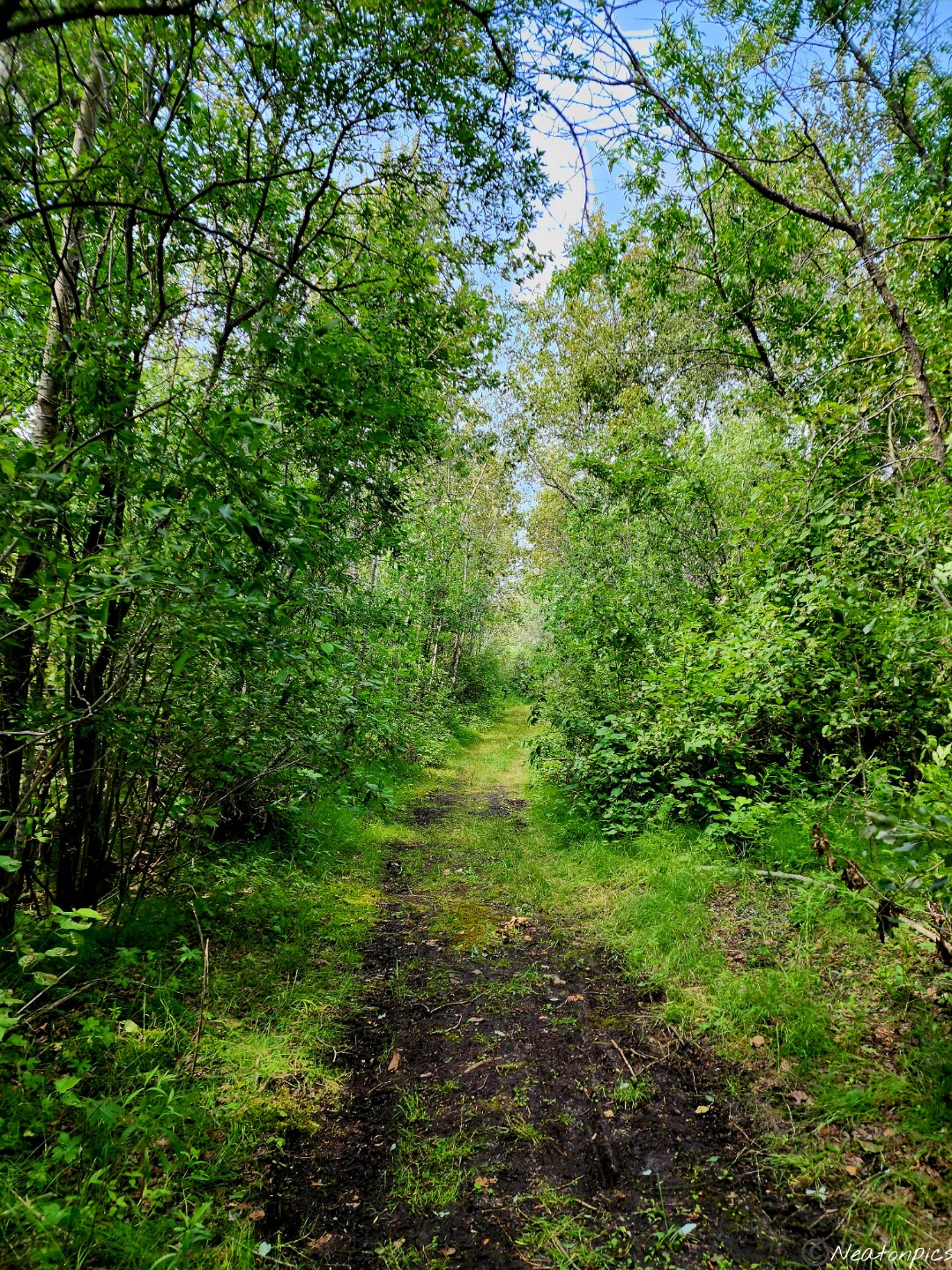
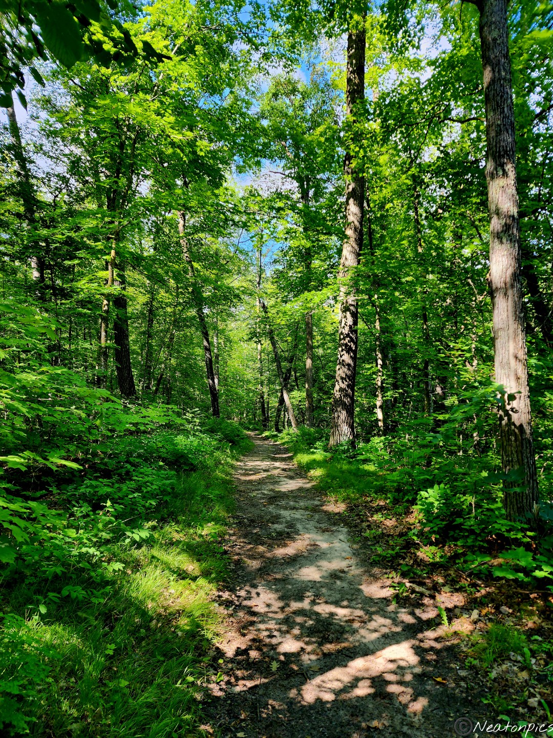
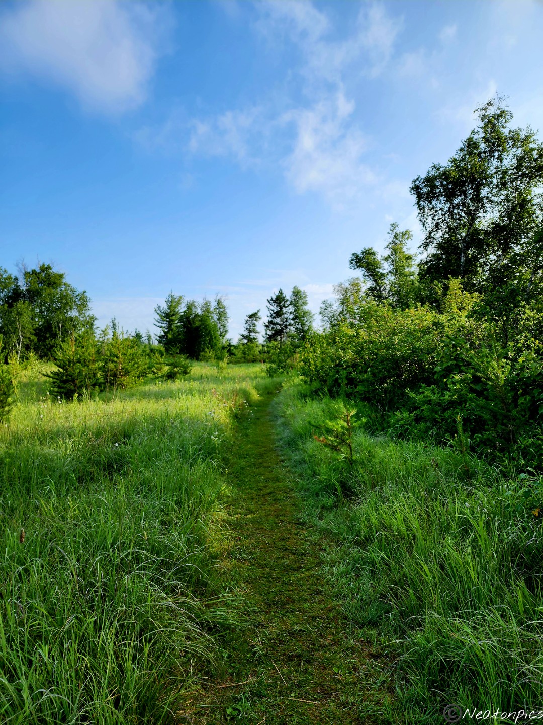
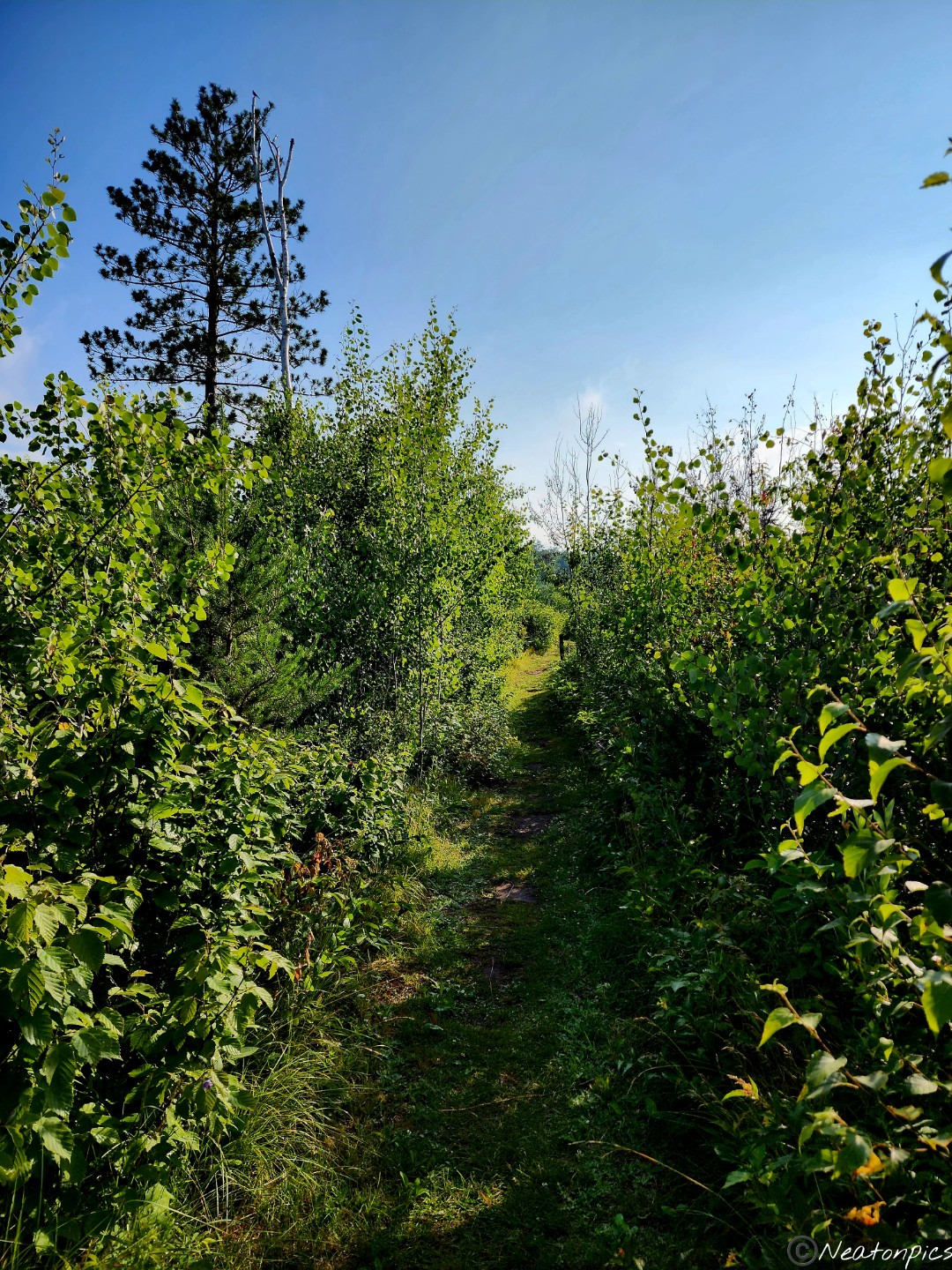
The first half of the trail is behind a fenced in enclosure. In 2012, this area lost many of their Jack Pine Trees due to a windstorm. The enclosure helps protect the young Jack Pine that were planted from hungry deer.
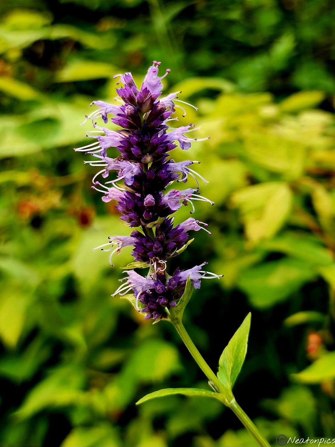
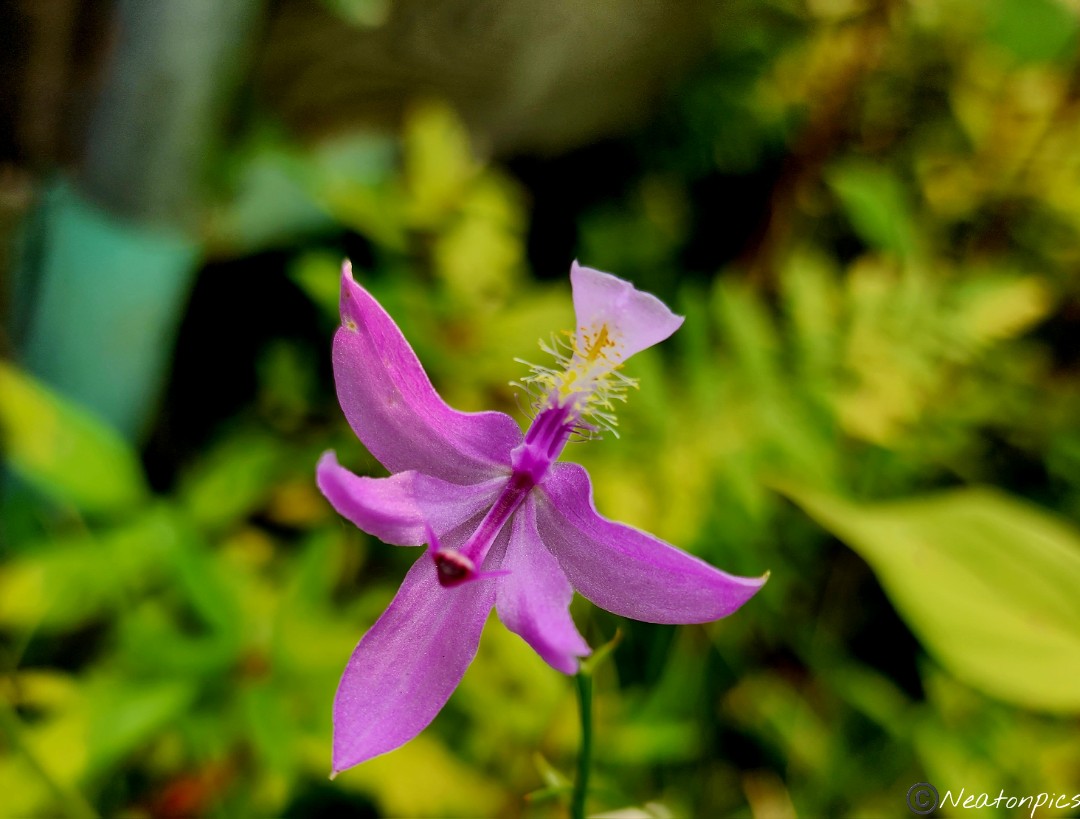
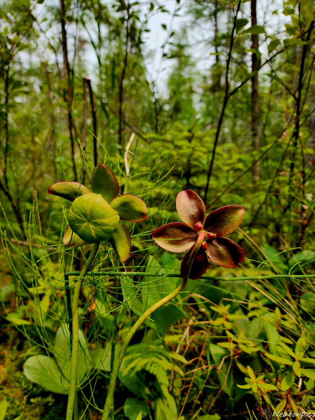
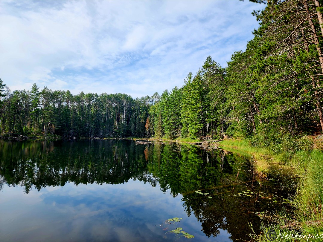
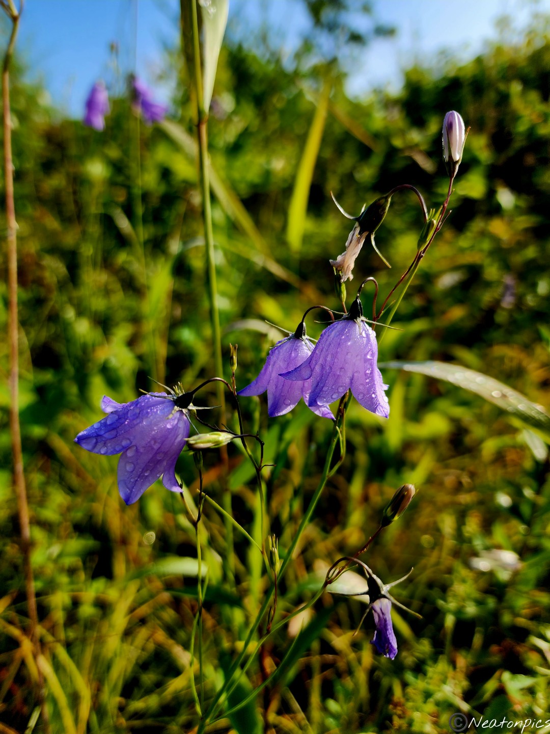
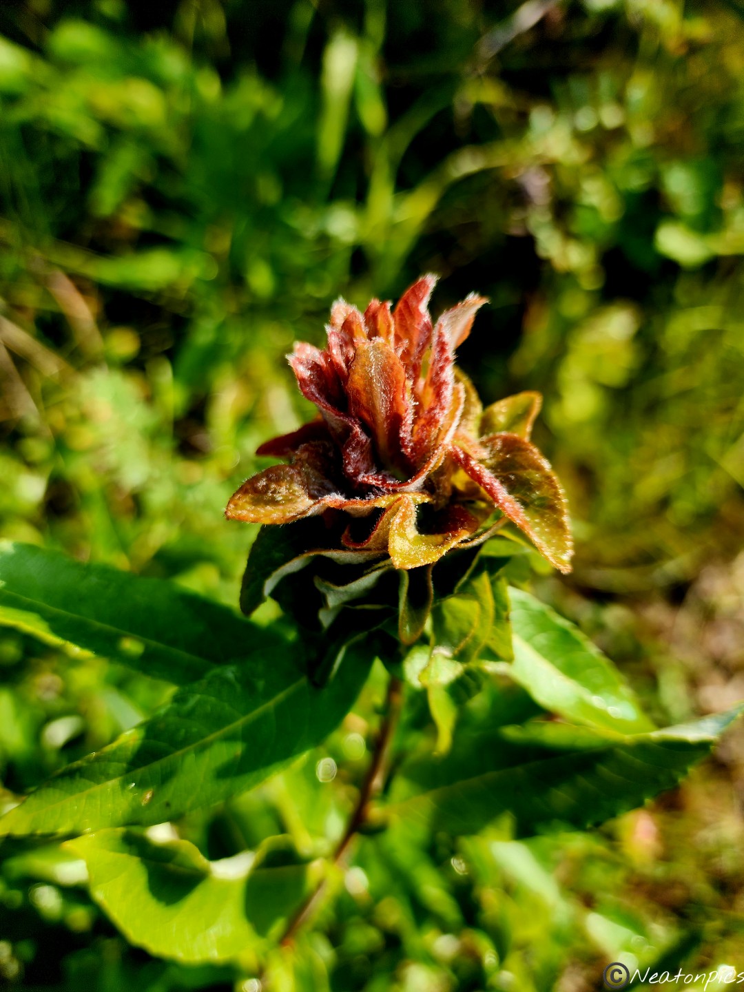
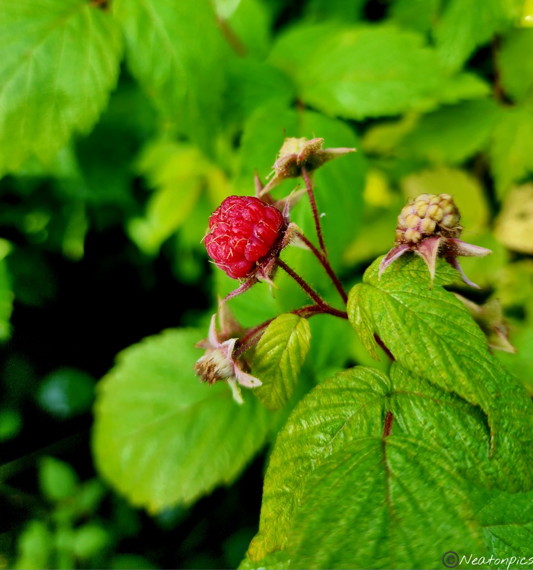
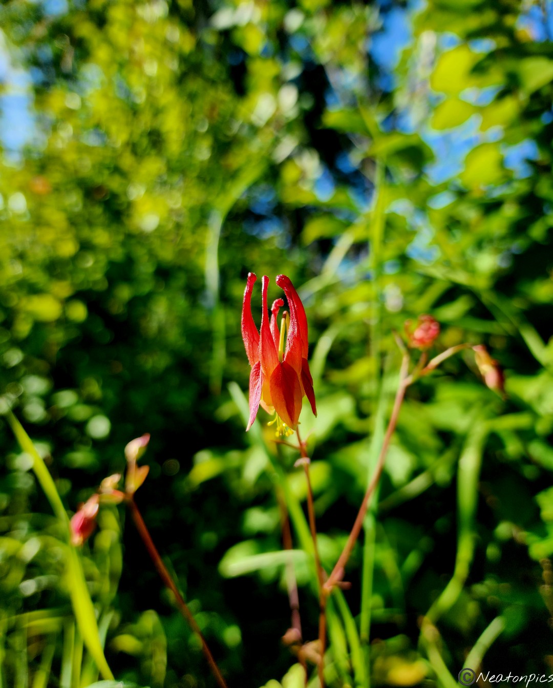
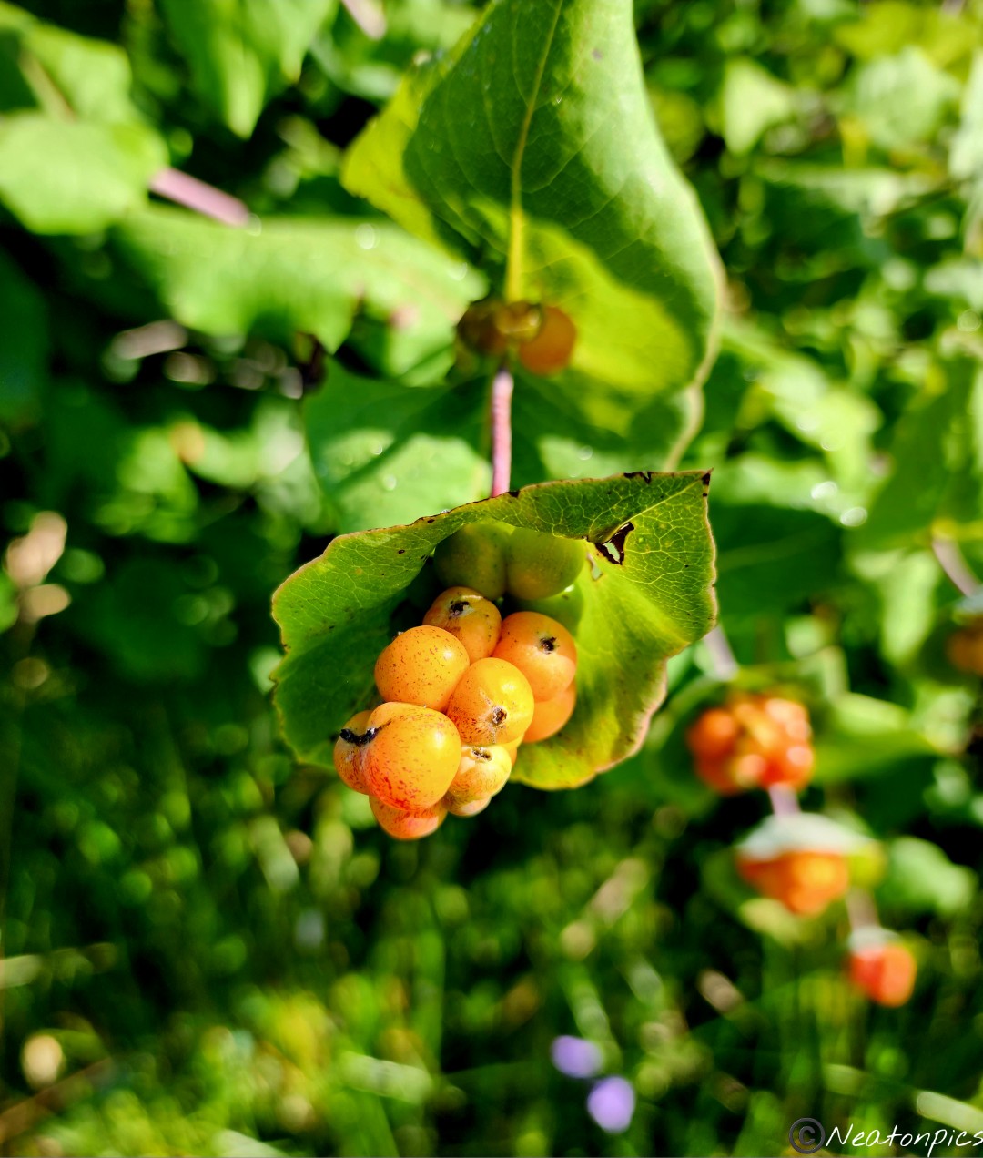
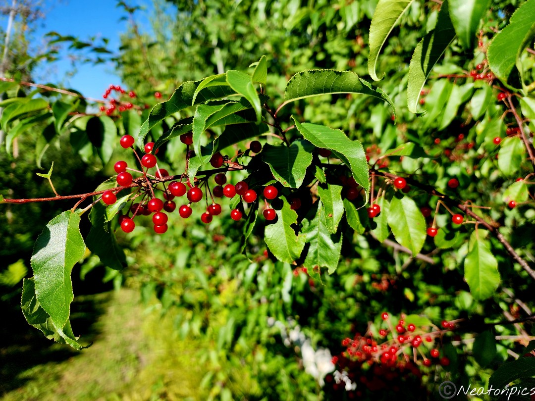
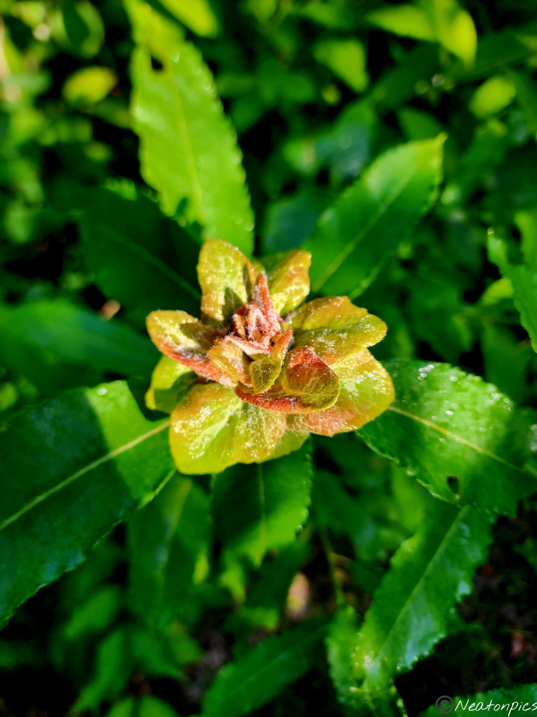
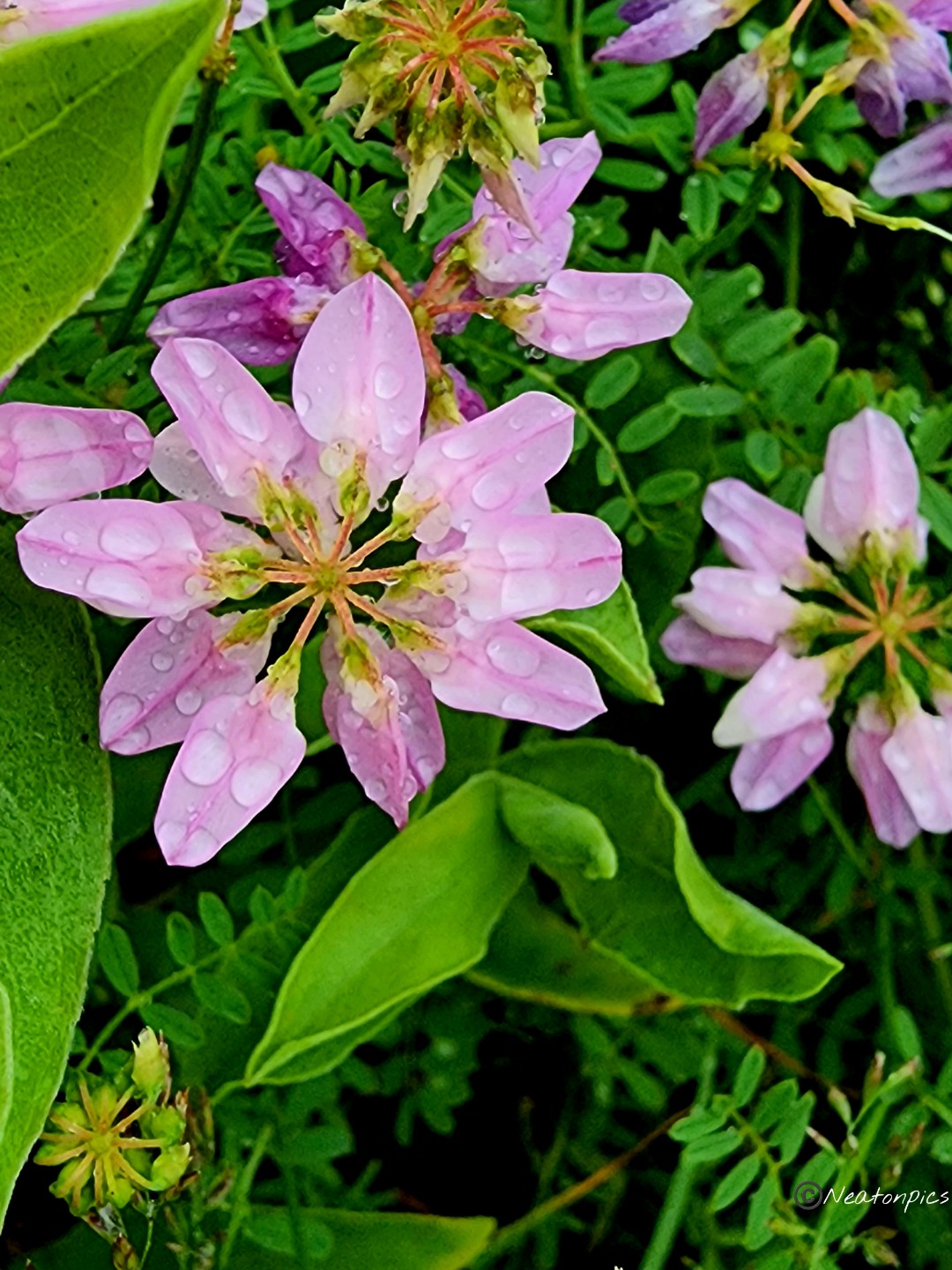
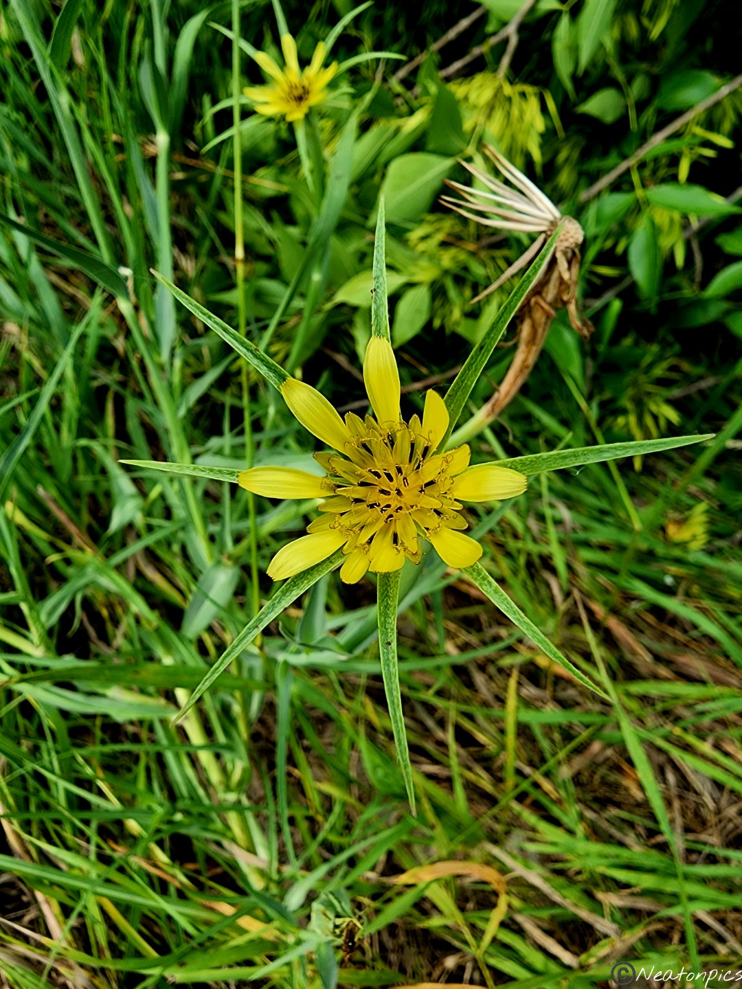
While hiking on the narrow trail, we noticed the abundance of flowers and berries that were growing. Without the deer being present, the plant life has really been able to flourish.
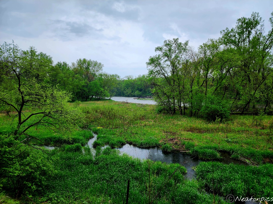
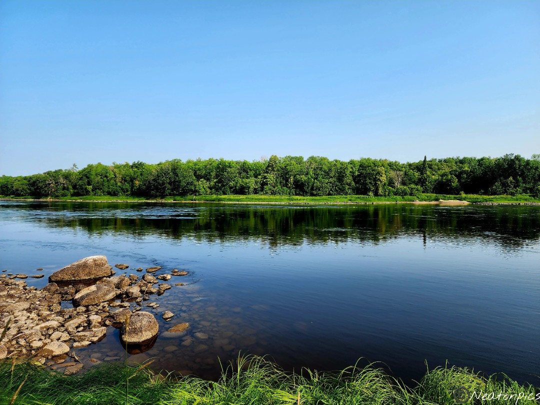
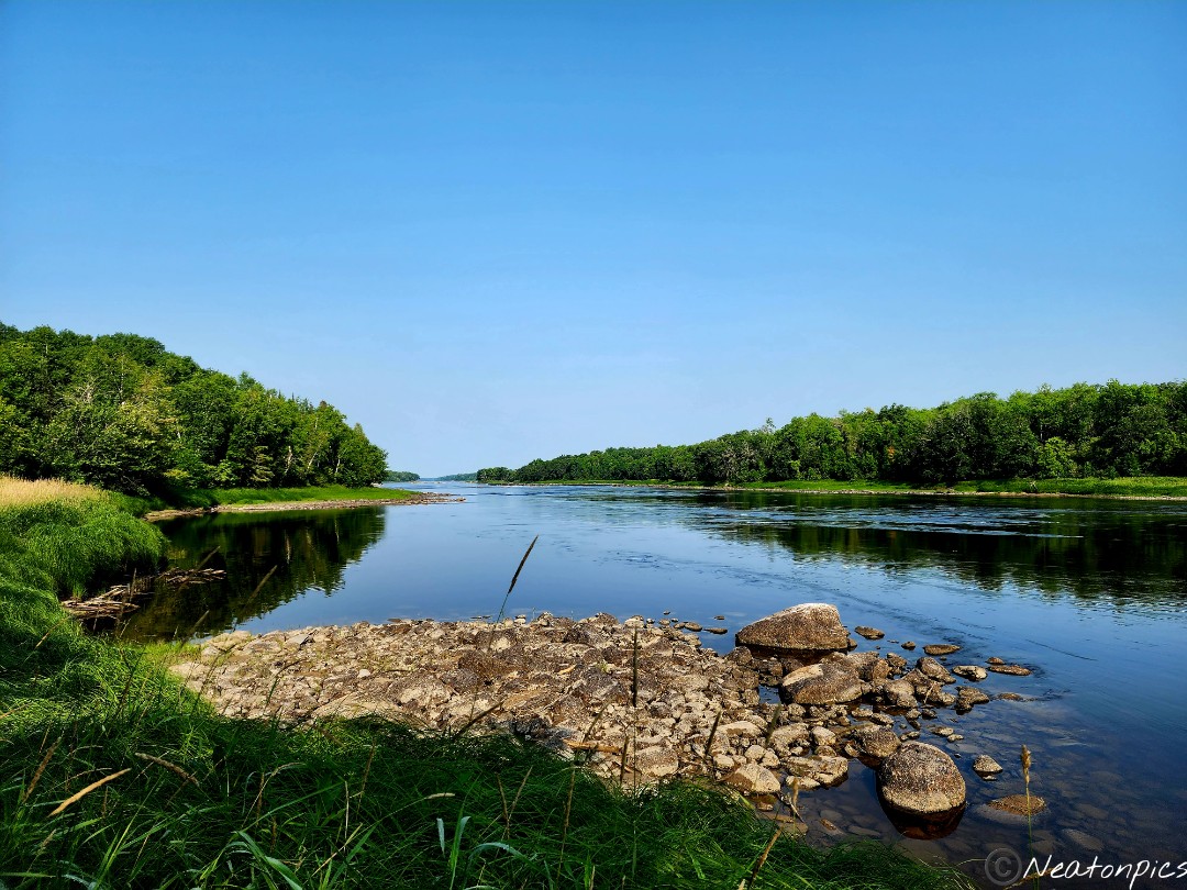
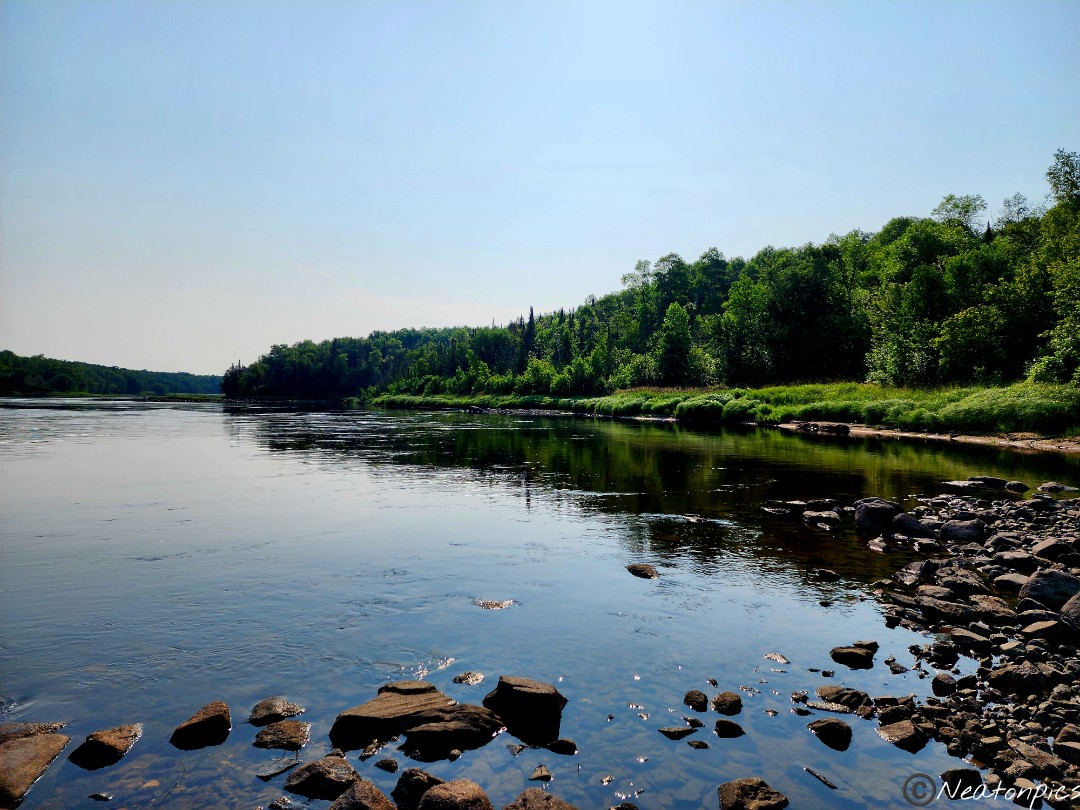
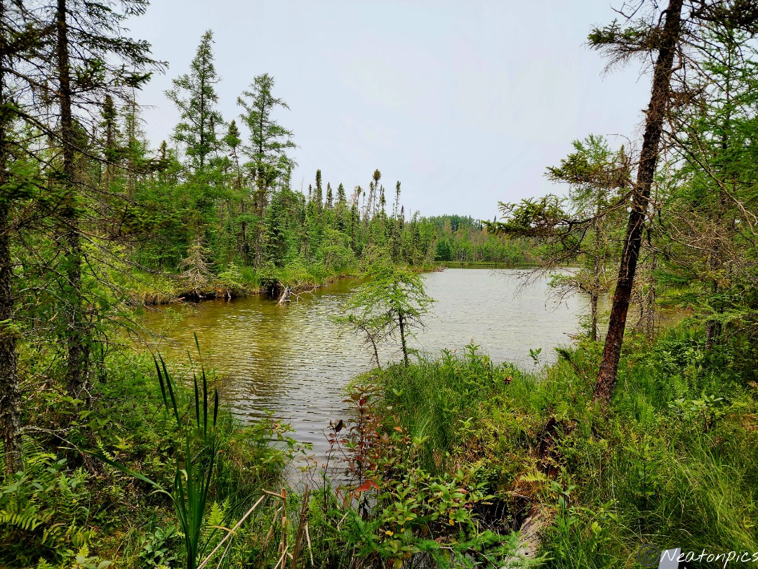
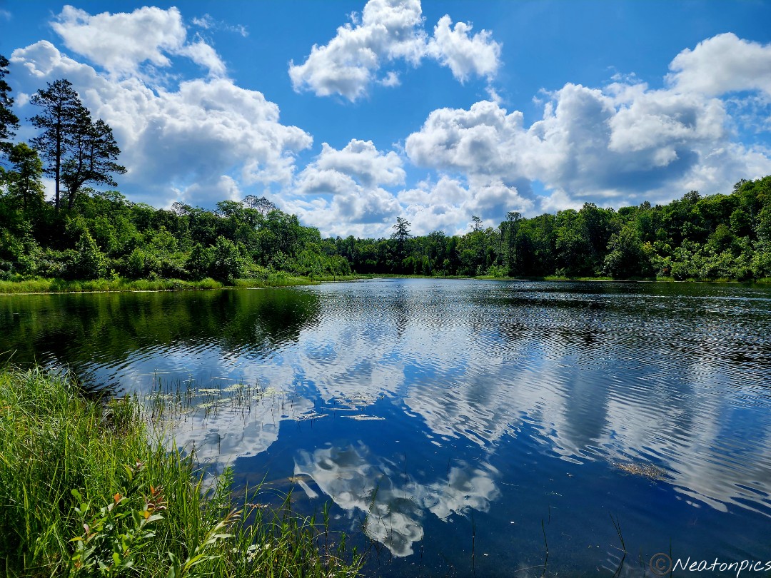
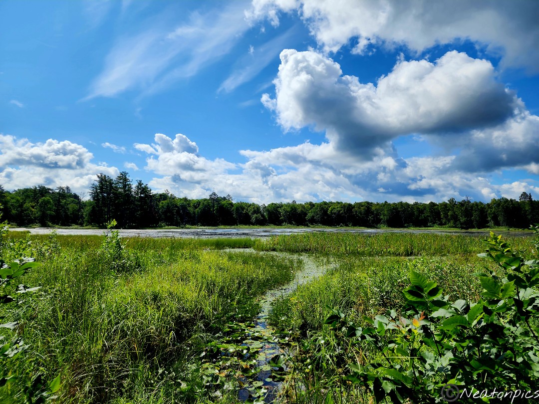
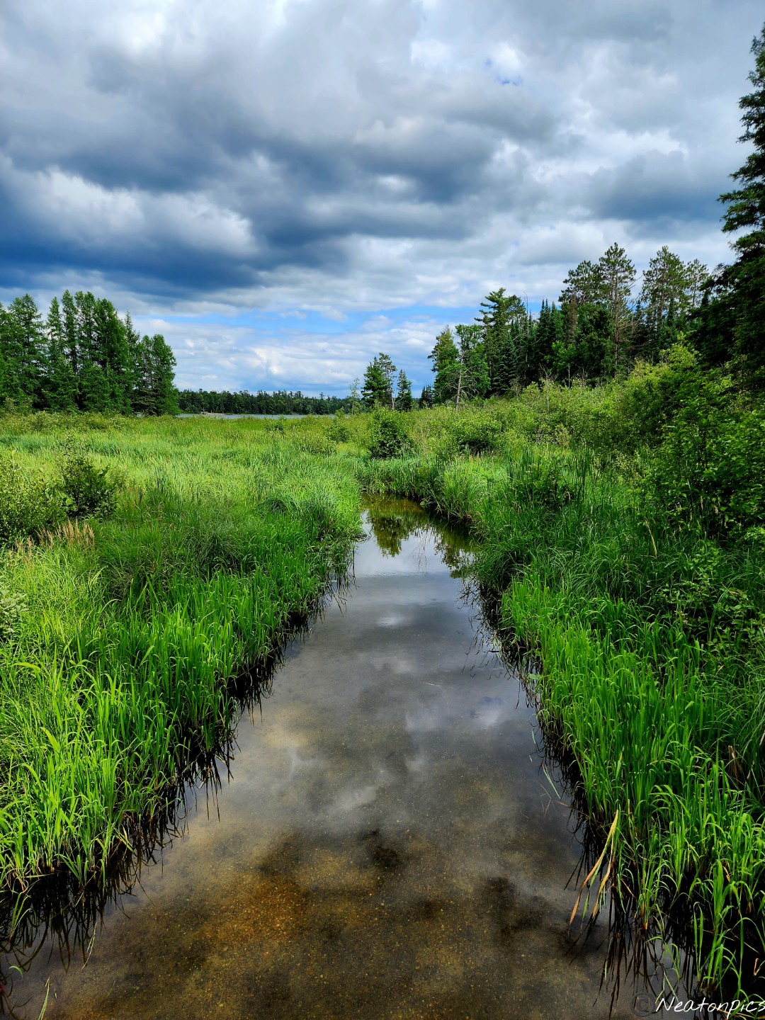
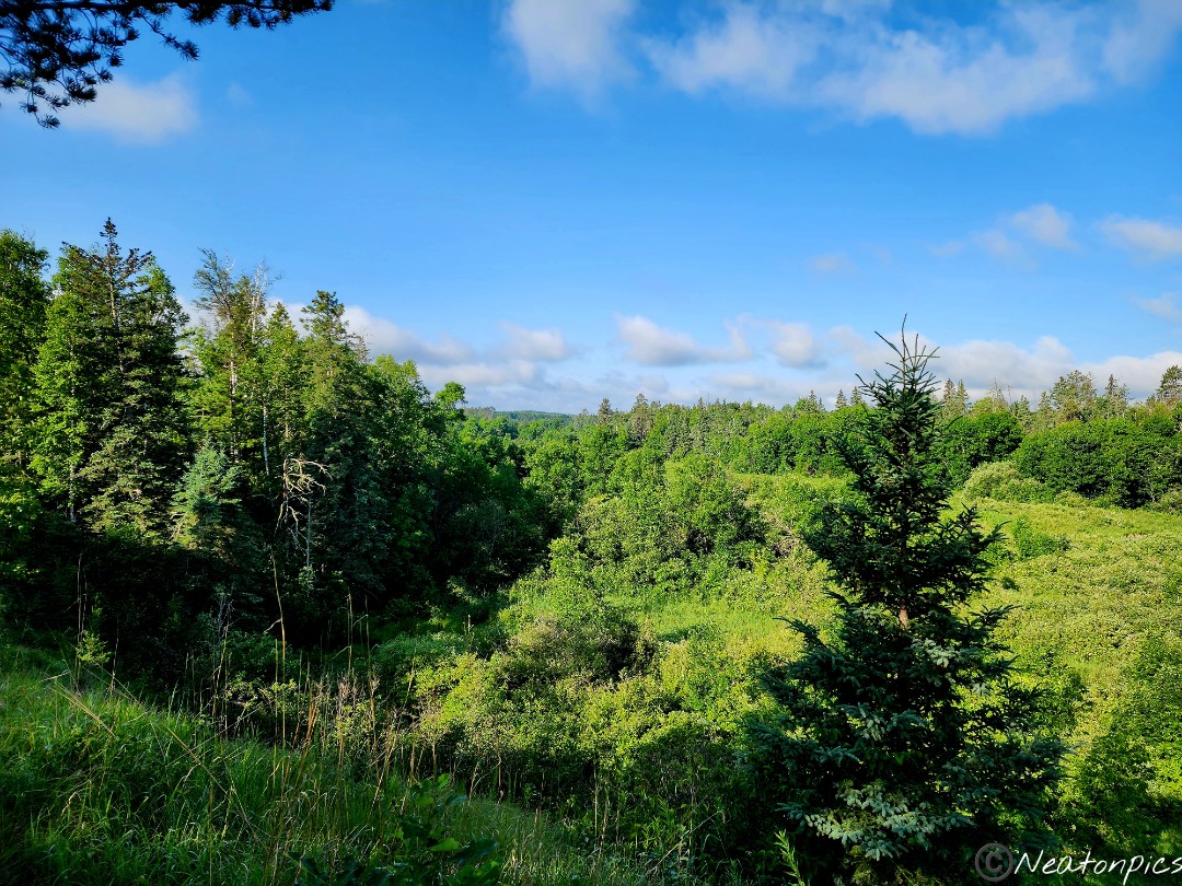
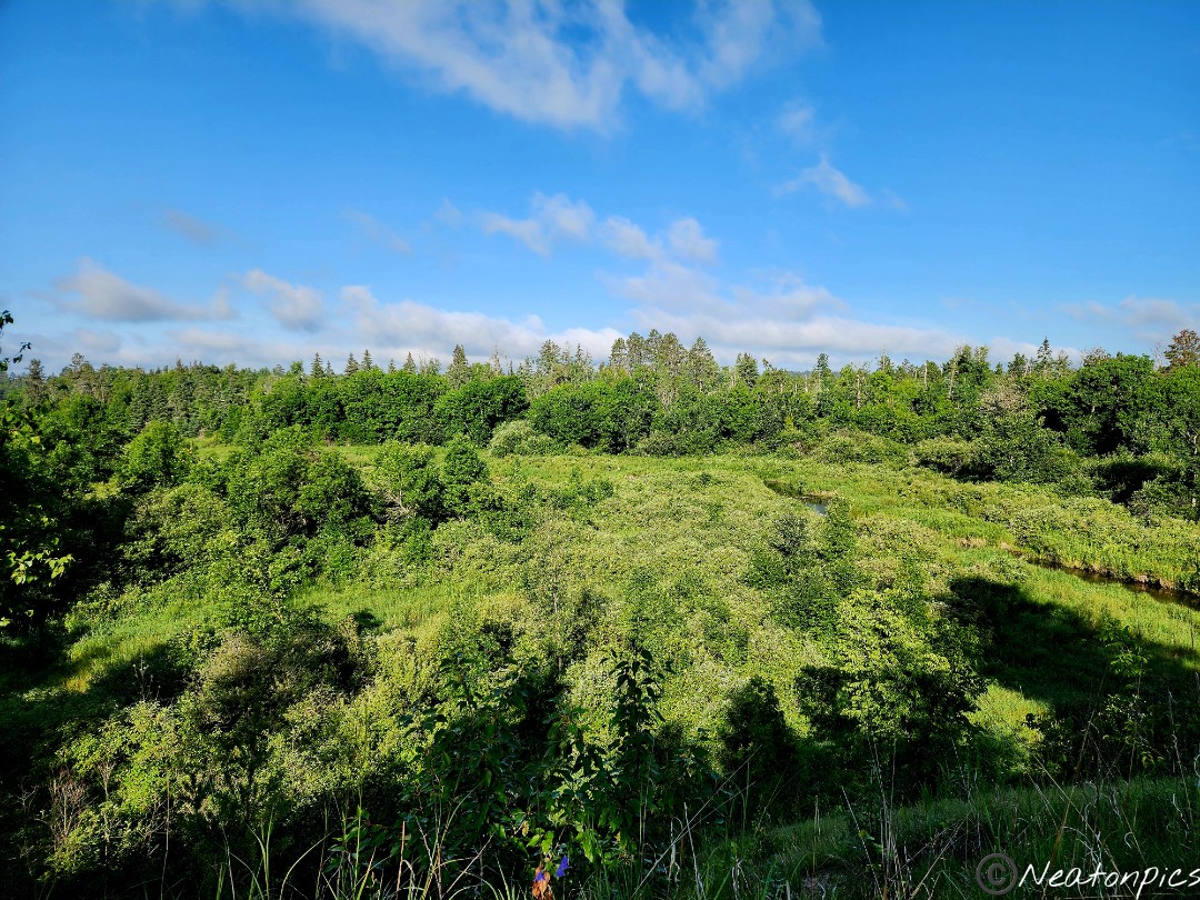
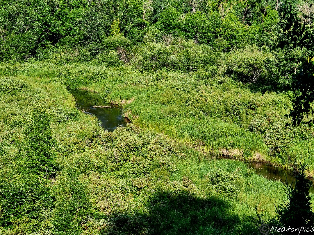
As we reached the end of the trail, a beautiful valley appeared. In the distance we saw a narrow river flowing by. It was the Mississippi River. I could not believe my eyes! I am used to seeing a wide, swift, and mighty Mississippi River. The river before me was none of that! A nearby sign stated the beginning of the Mississippi River is only 7 miles from where we were standing.
After a moment of feeling awestruck, we began our hike back to our starting point.
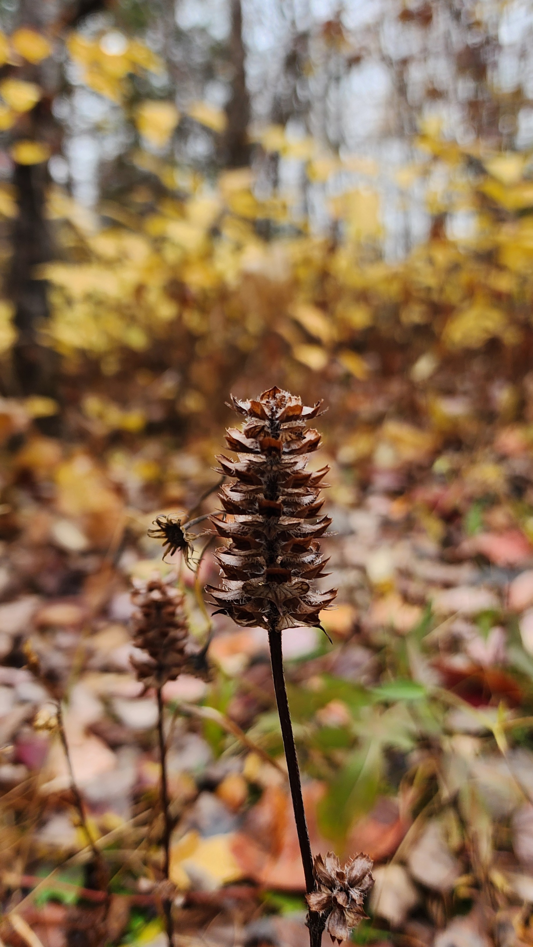
My cousin finished the hike well before me. I just had to stop and take photos of all the plant life.
Today’s hiking adventure began at Fort Snelling State Park.
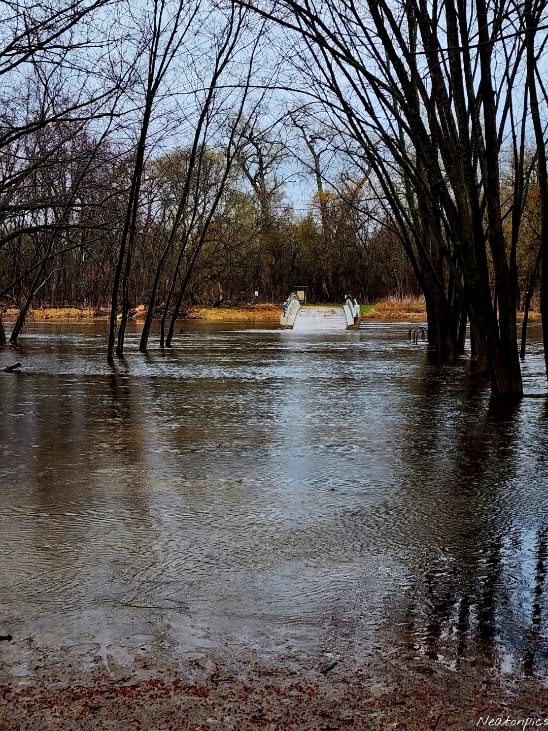
We parked by the Thomas C. Savage Visitor Center and began our hike towards Pike Island. Let me backup a bit, this past winter Minnesota experienced its 3rd snowiest winter. This past week, the weather was in the high 80’s which meant the snow melted fast! As we neared the bridge to cross over to Pike Island we noticed…well…as you will see in the picture below, the bridge was surrounded by water. Since we didn’t have a canoe, we needed to change our hiking plans.
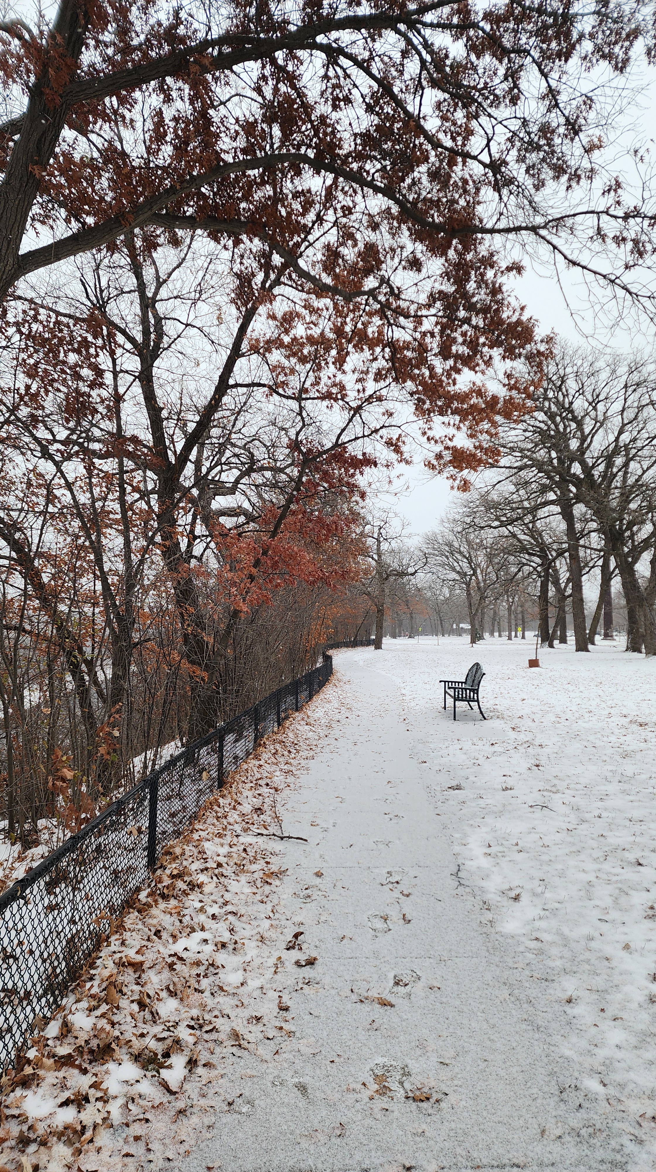
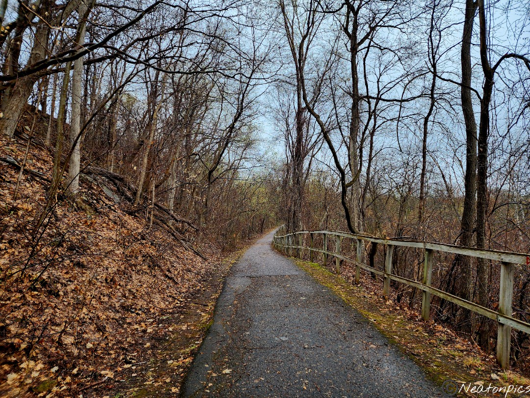
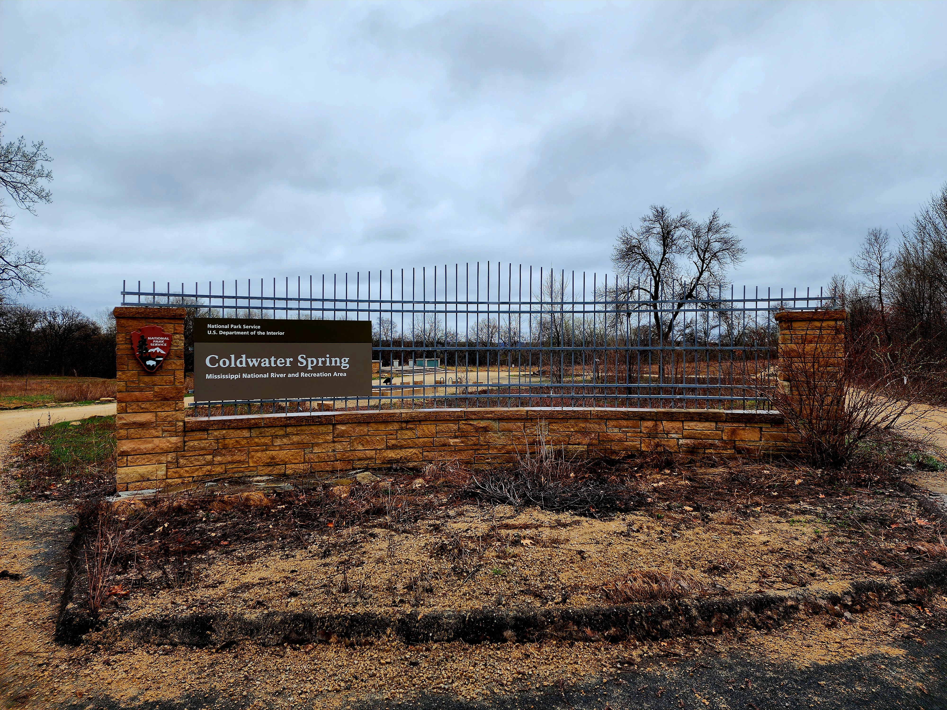
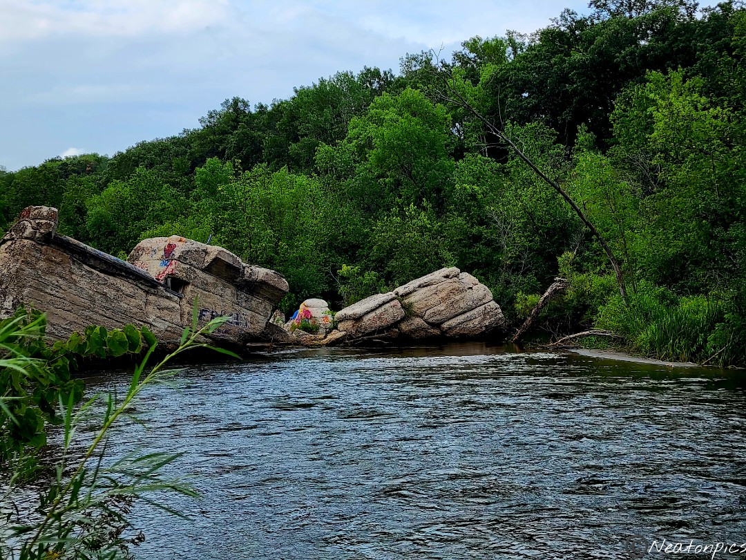
We decided to hike the paved trail towards Coldwater Spring. The weather was cool and rainy. It sure was nice to see little bits of spring beginning to pop out.
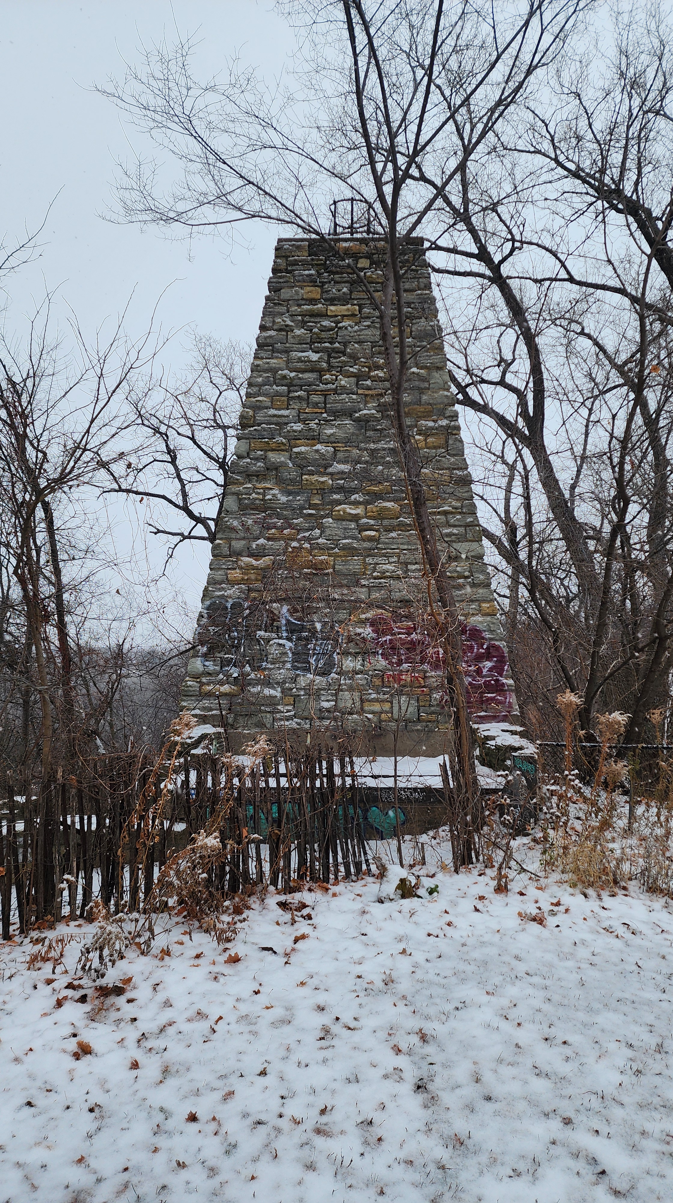
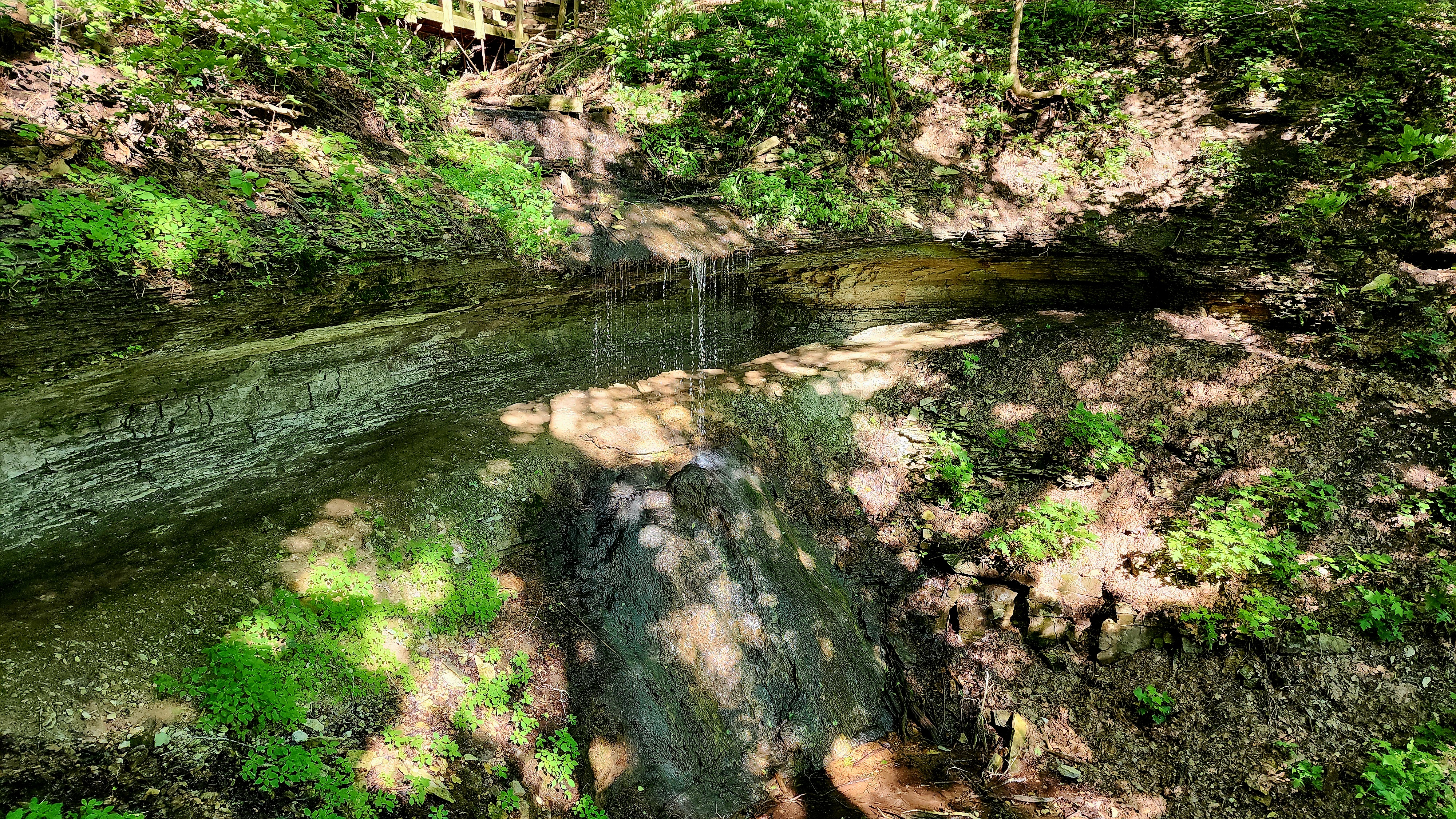
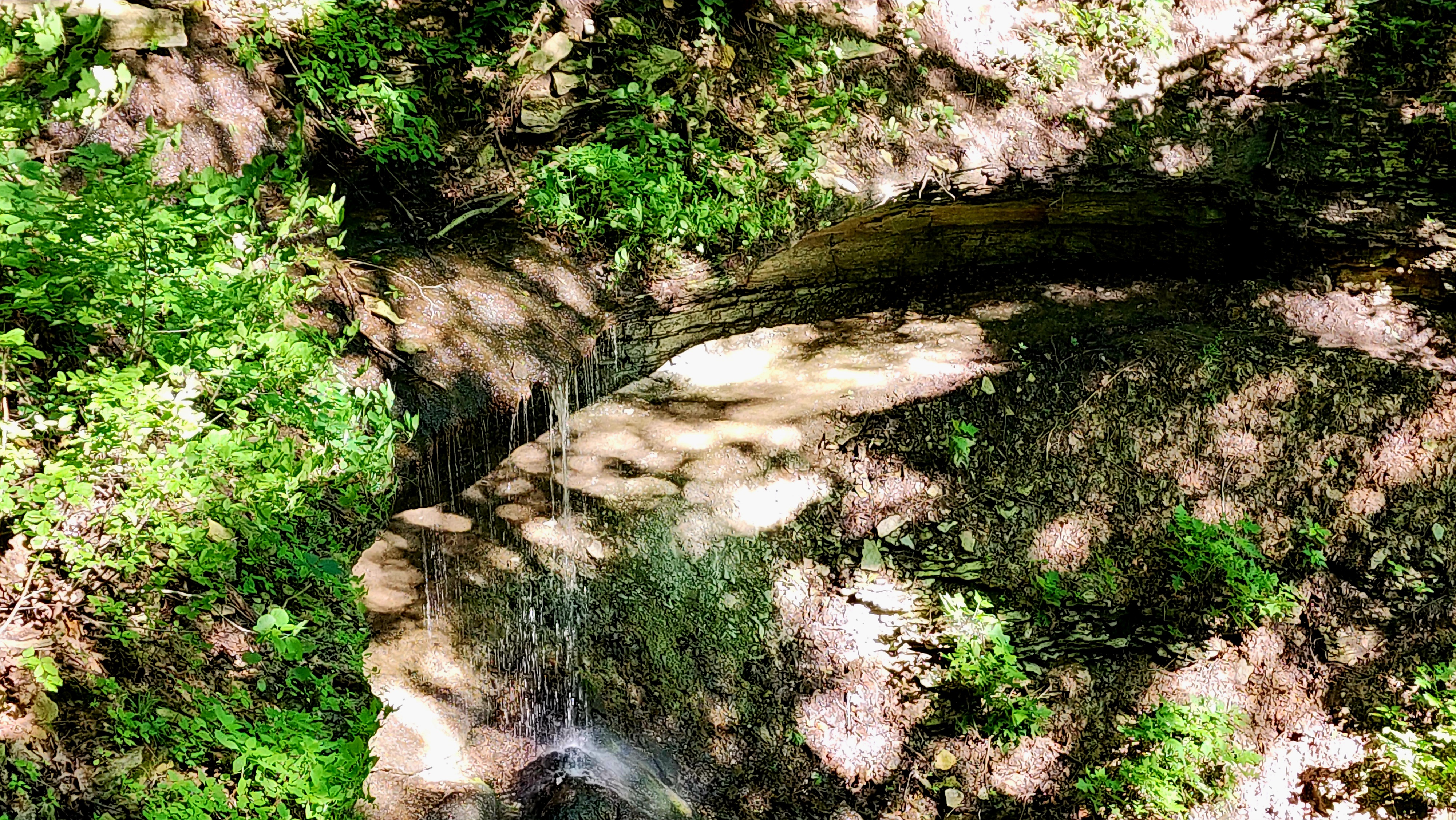
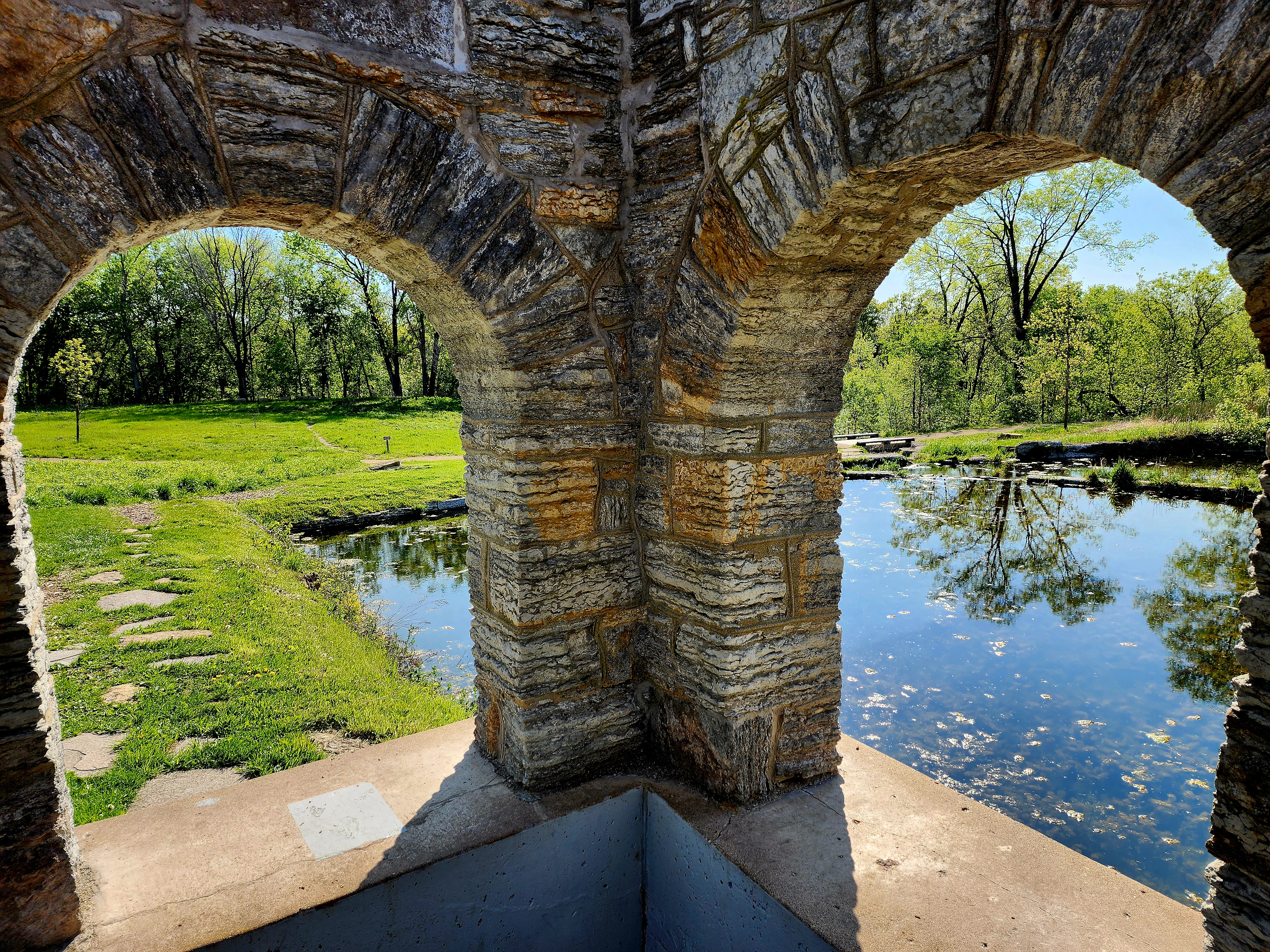
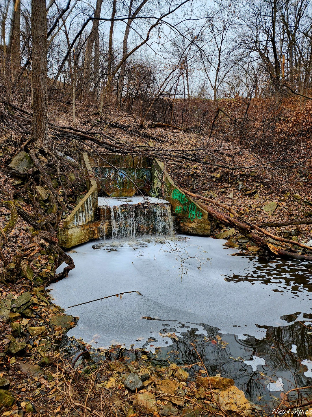
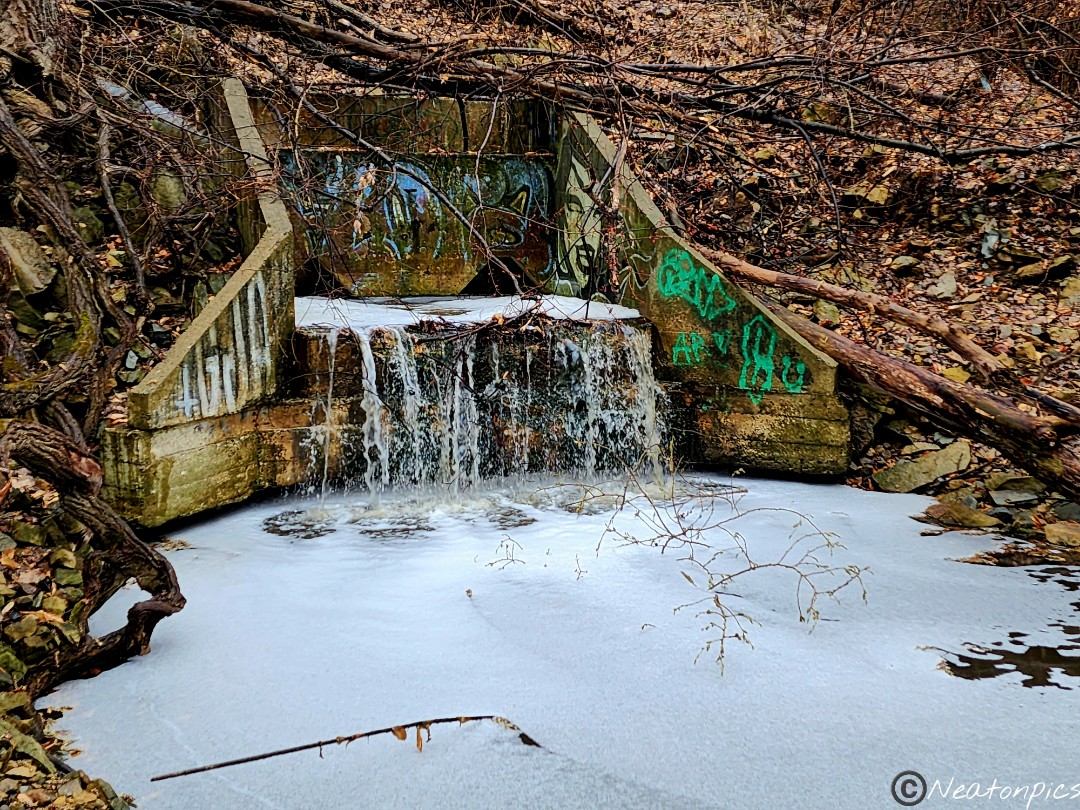
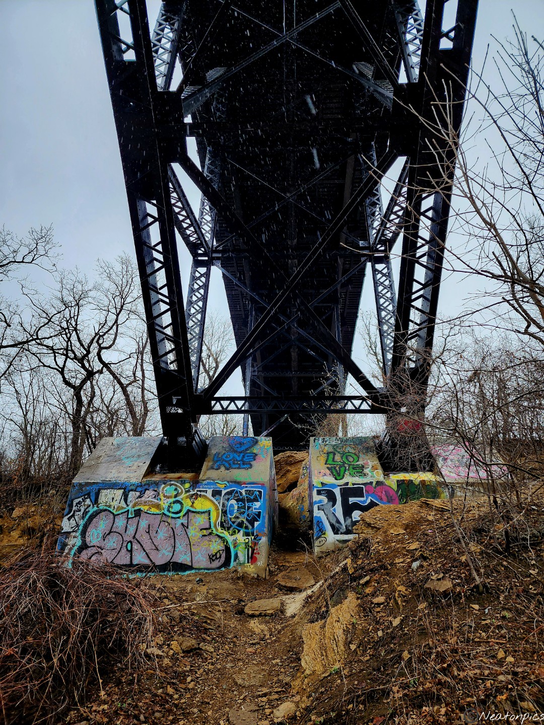
In the distance, we could hear running water. We exited the paved trail and began to explore the unpaved trails. A mini waterfall surrounded by colorful graffiti appeared.
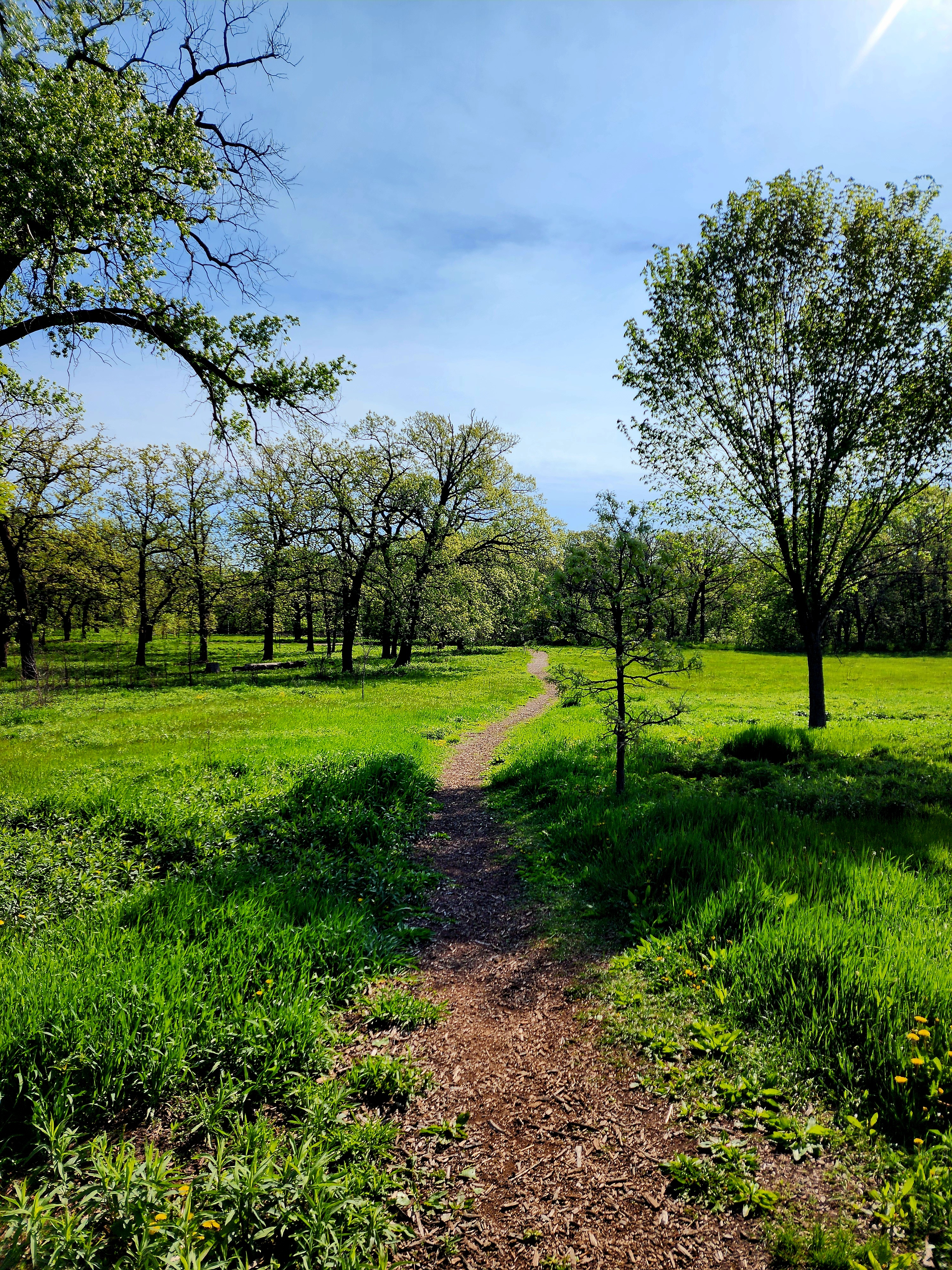
As we entered Coldwater Spring, more signs of spring began to appear.
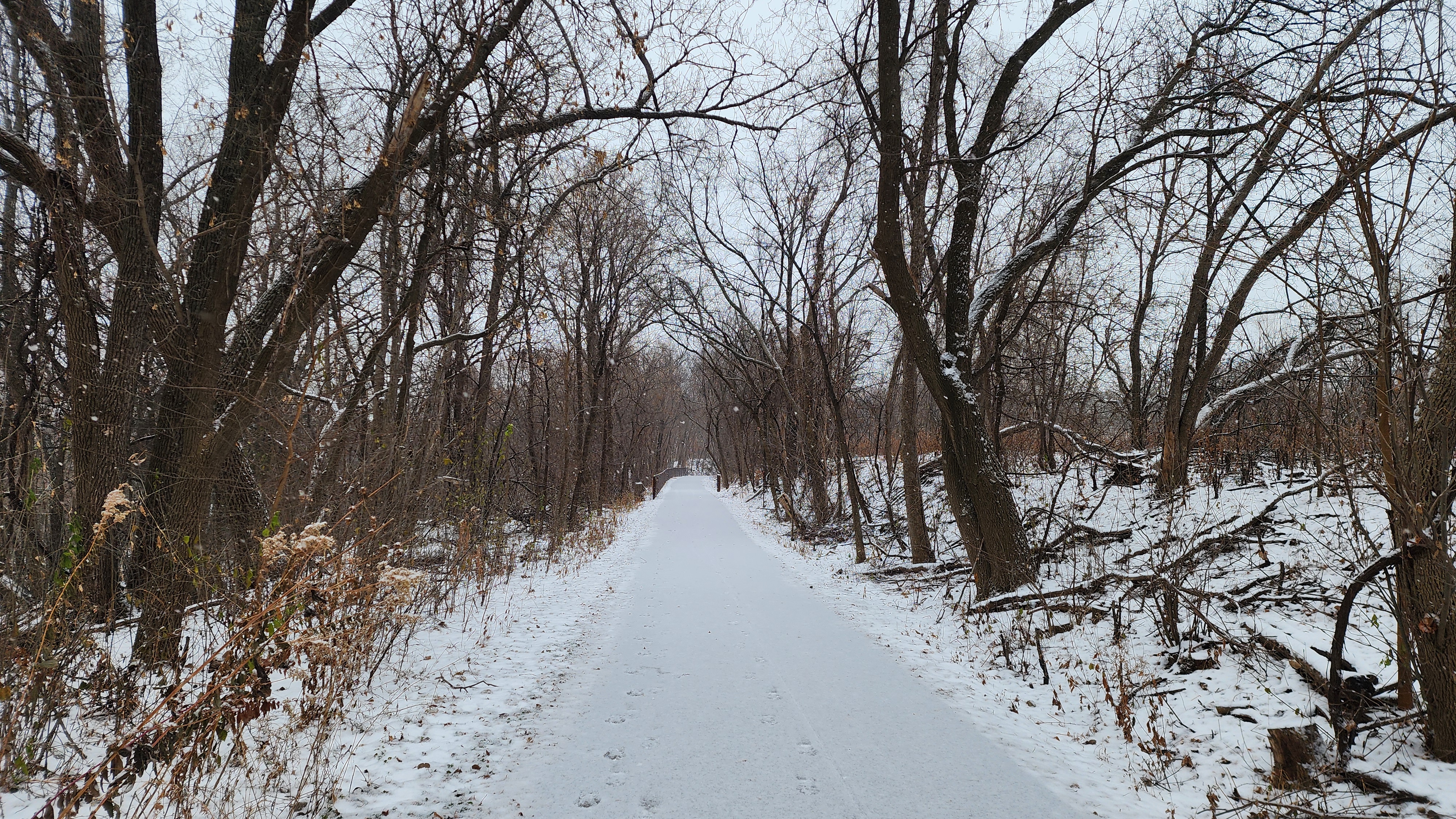
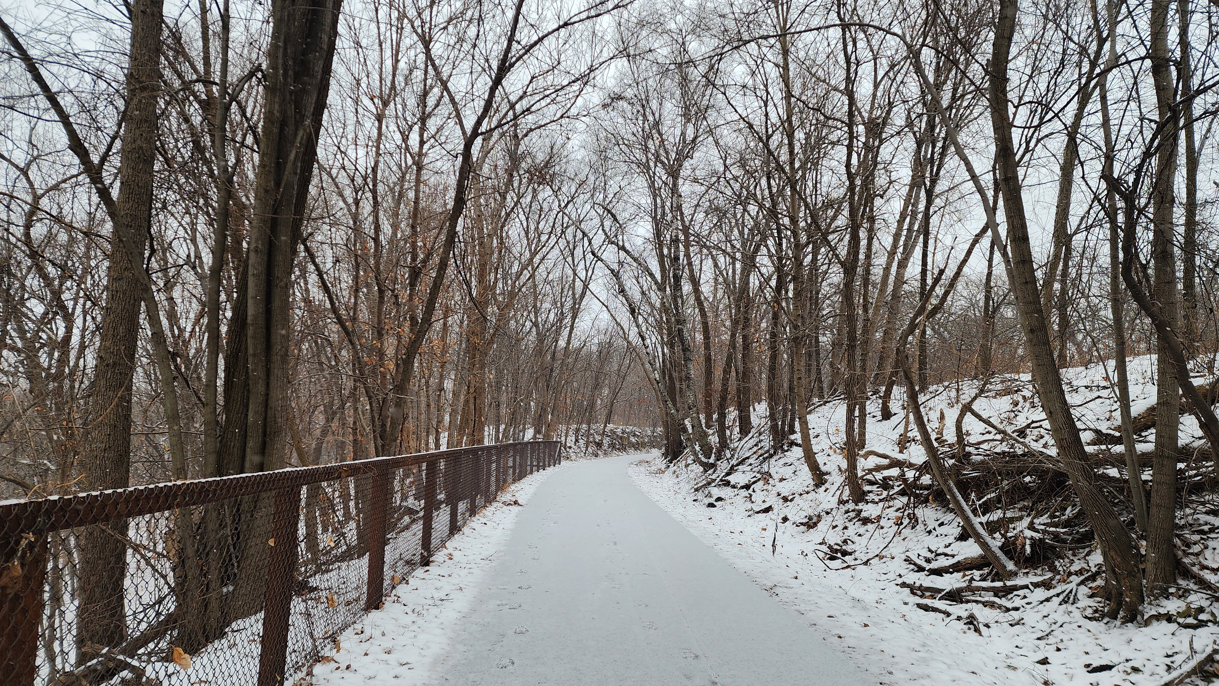
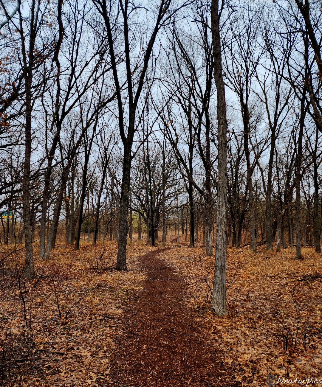
We continued to hike the unpaved trails towards Minnehaha Falls.
The Mississippi River was flowing fast. Areas that were normally dry were now flooded.
The trails led us up and down the cliffs. The heavy snow storm we had a week ago did lots of damage. Many trees were down, thick branches were snapped, and even the cliffs weren’t immune to the damage.
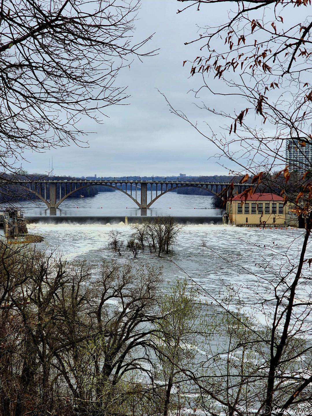
The trail close to the river was underwater, so back to the paved trail we went. The Ford Parkway Bridge can be seen in the distance. There is an island in the middle of the river. Currently it is under water, however, you can still see the tops of the trees.
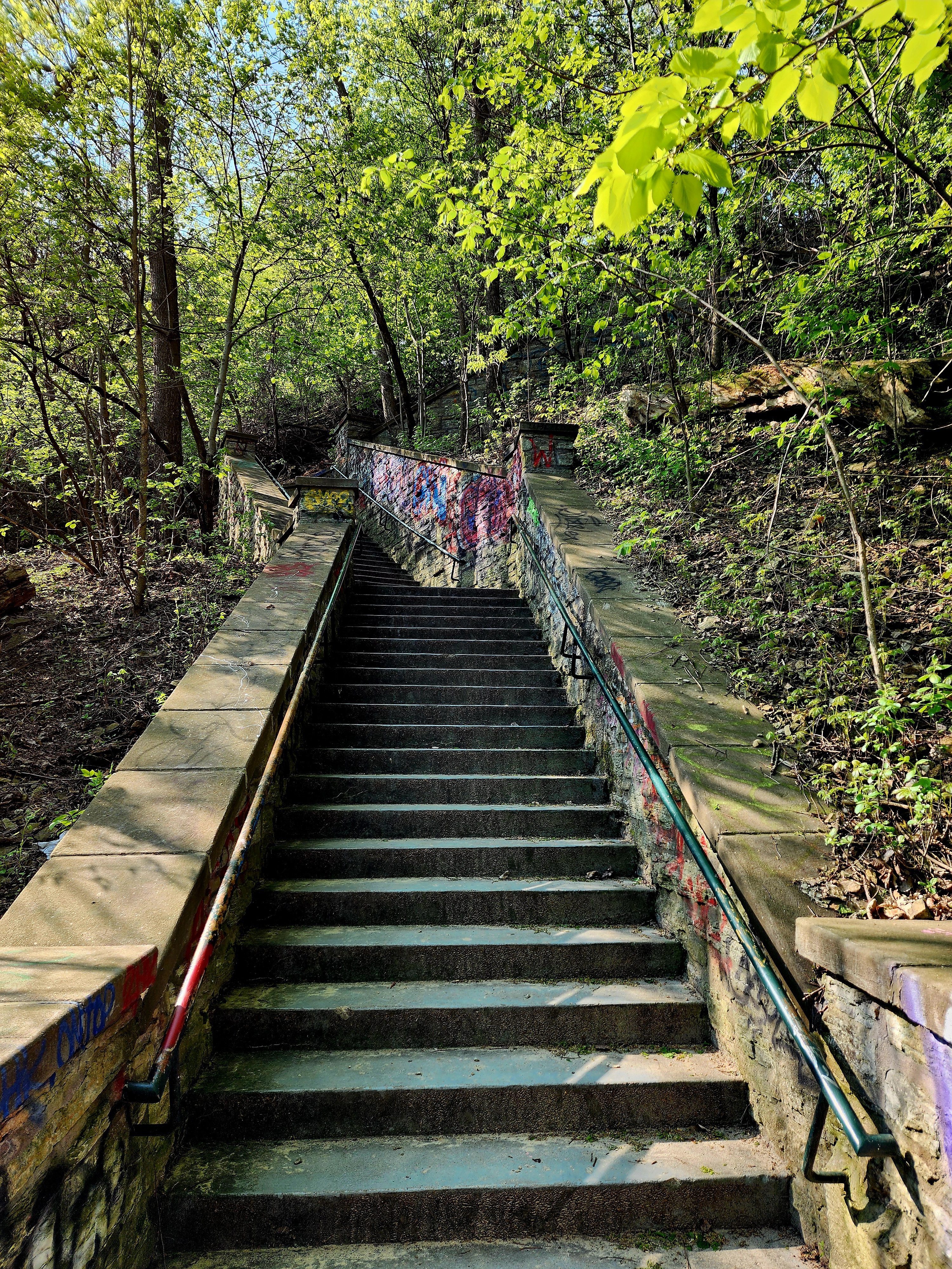
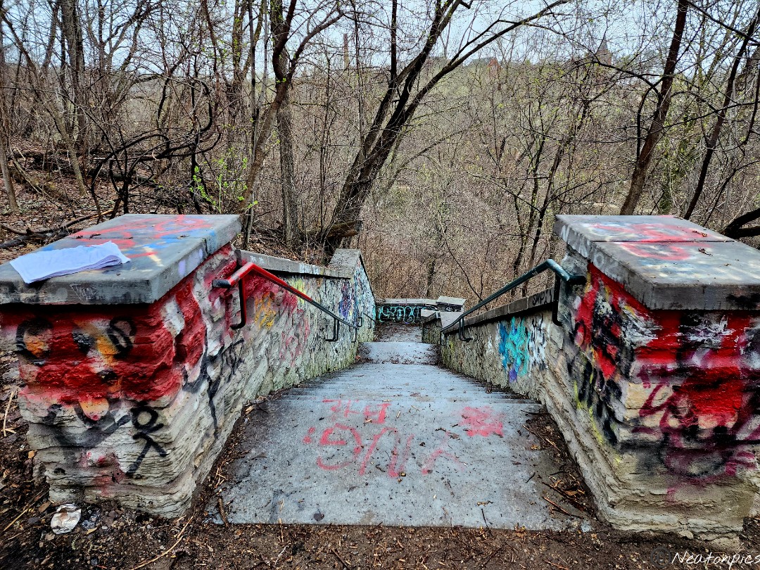
We took the staircase back down to the trails closest to the river.
The water is close to the top of this bridge’s archway.
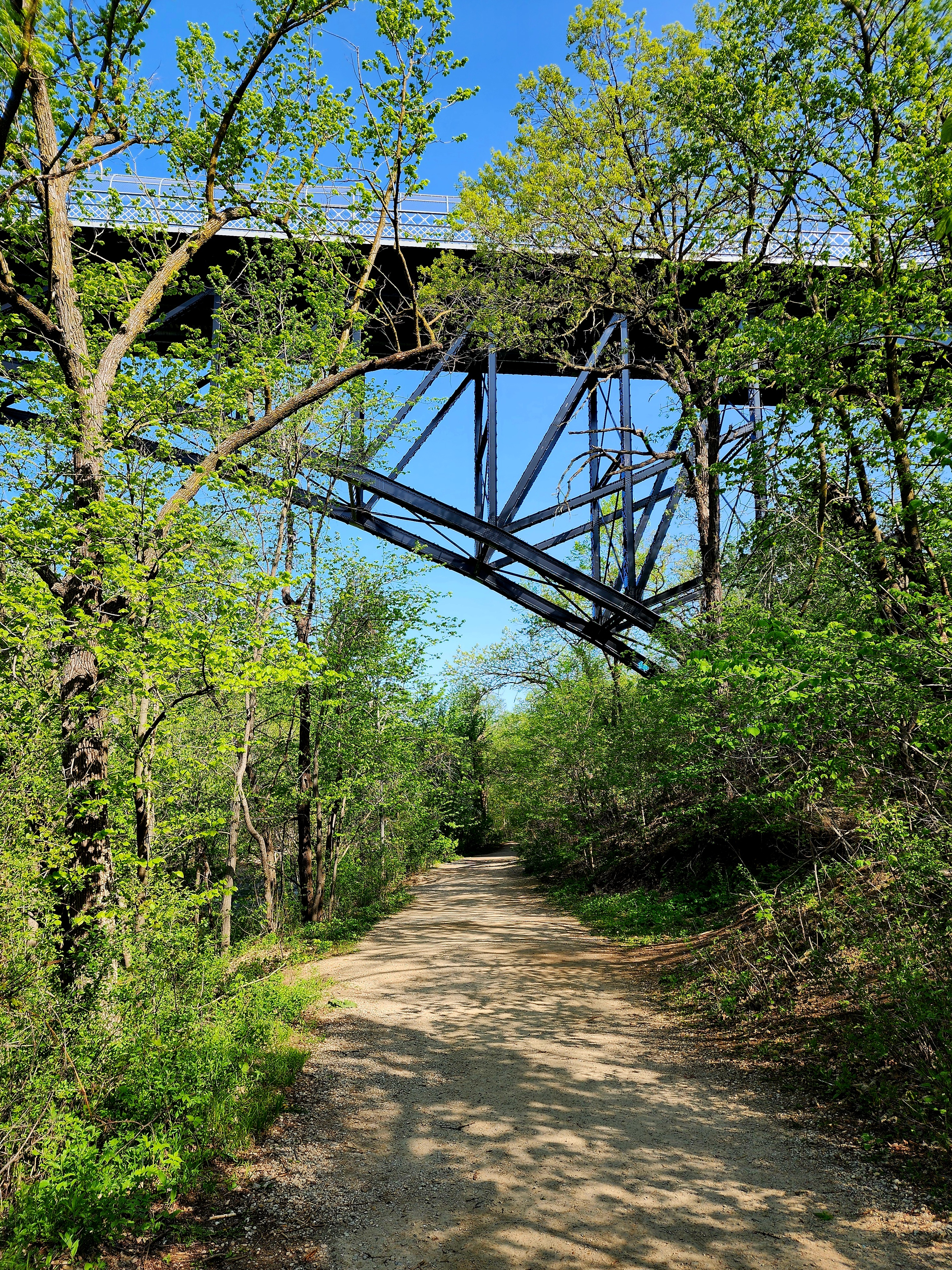
The trail crosses under the Steel Bridge also known as the Minnesota Veterans Home Bridge.
The closer we got to the Minnehaha Falls the louder the rushing water became.
Minnehaha Falls
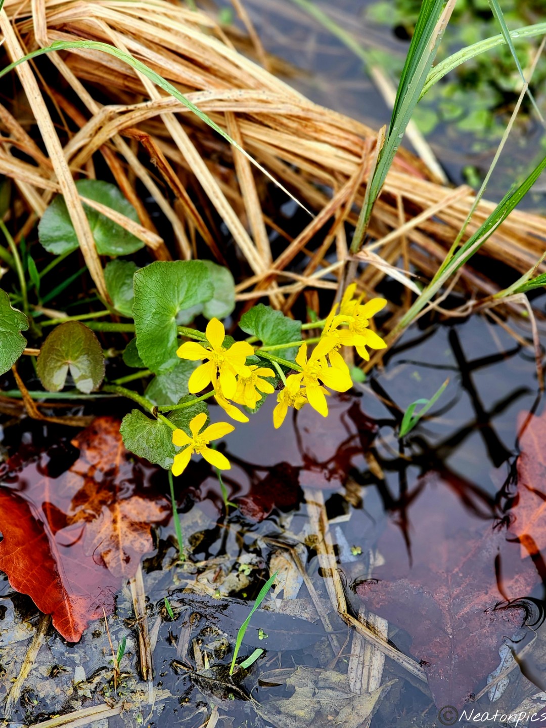
As we looped back towards our starting point, more signs of spring began to appear.
We crossed over an old bridge and down an old staircase. The trail at the end of the stairs was flooded.
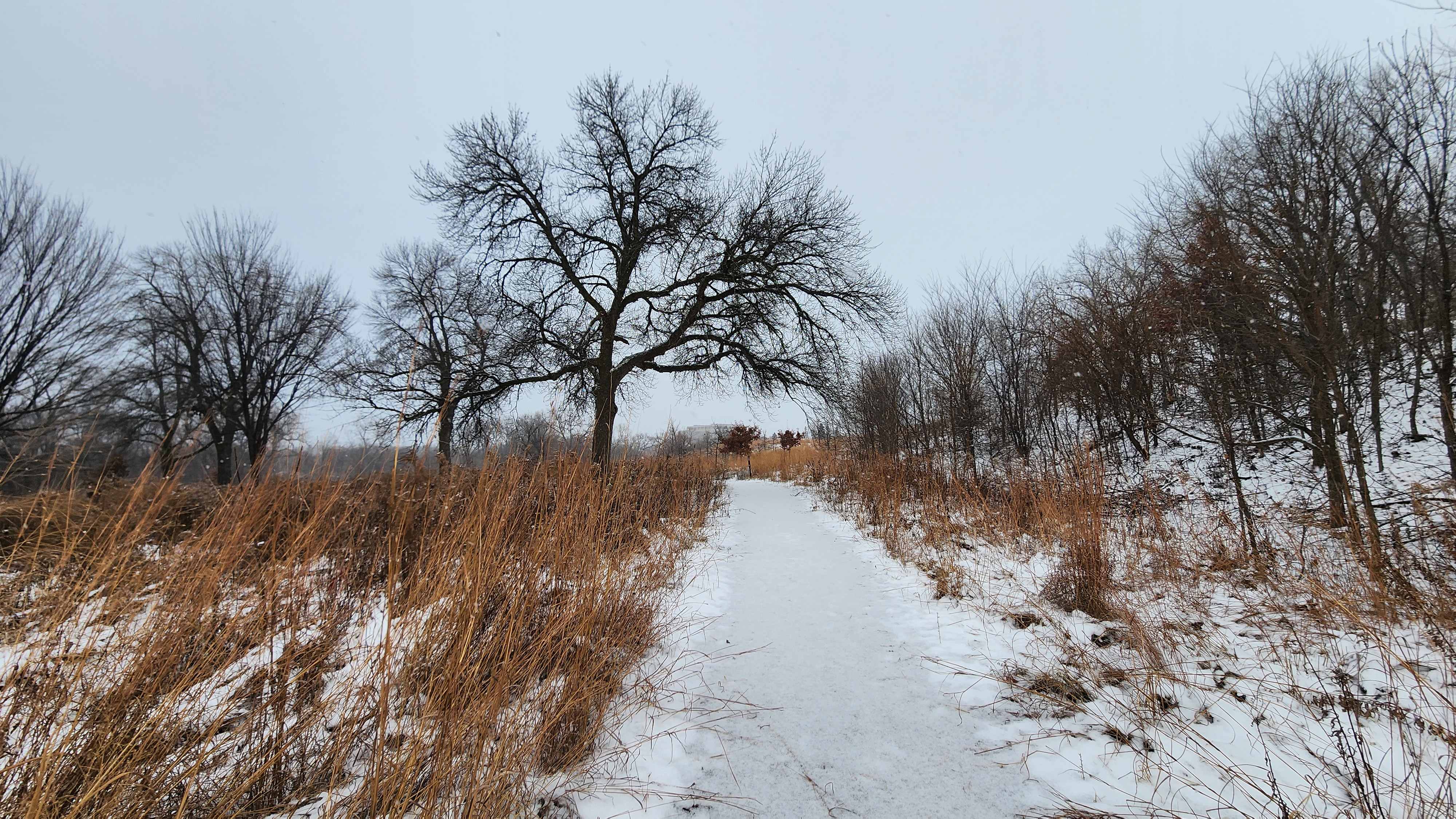
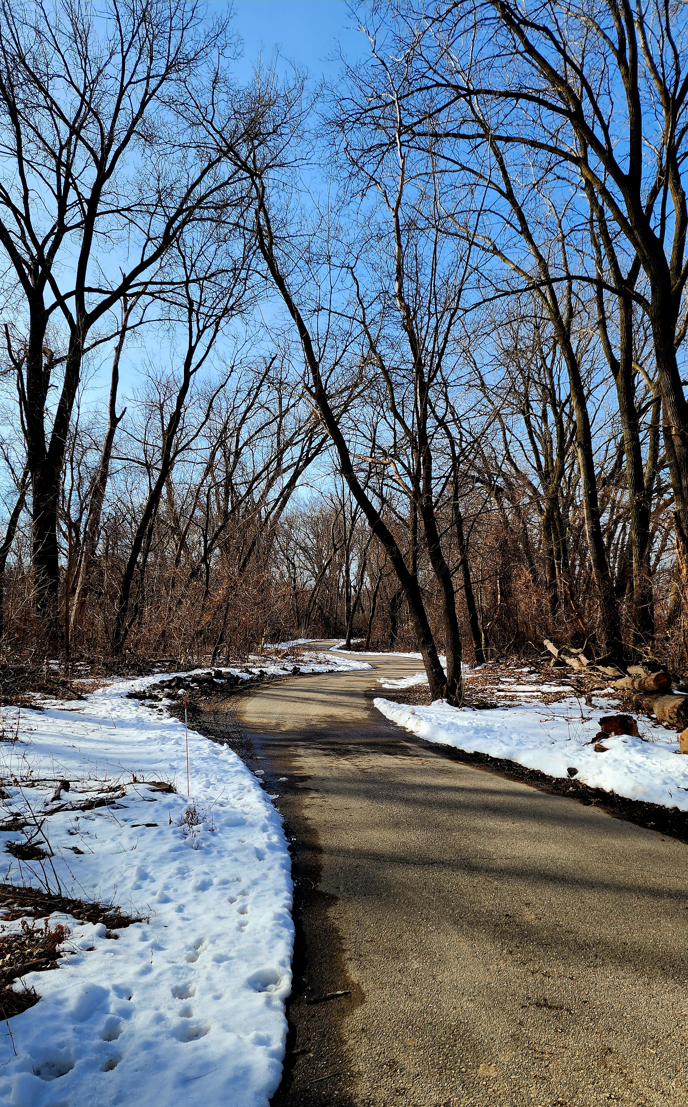
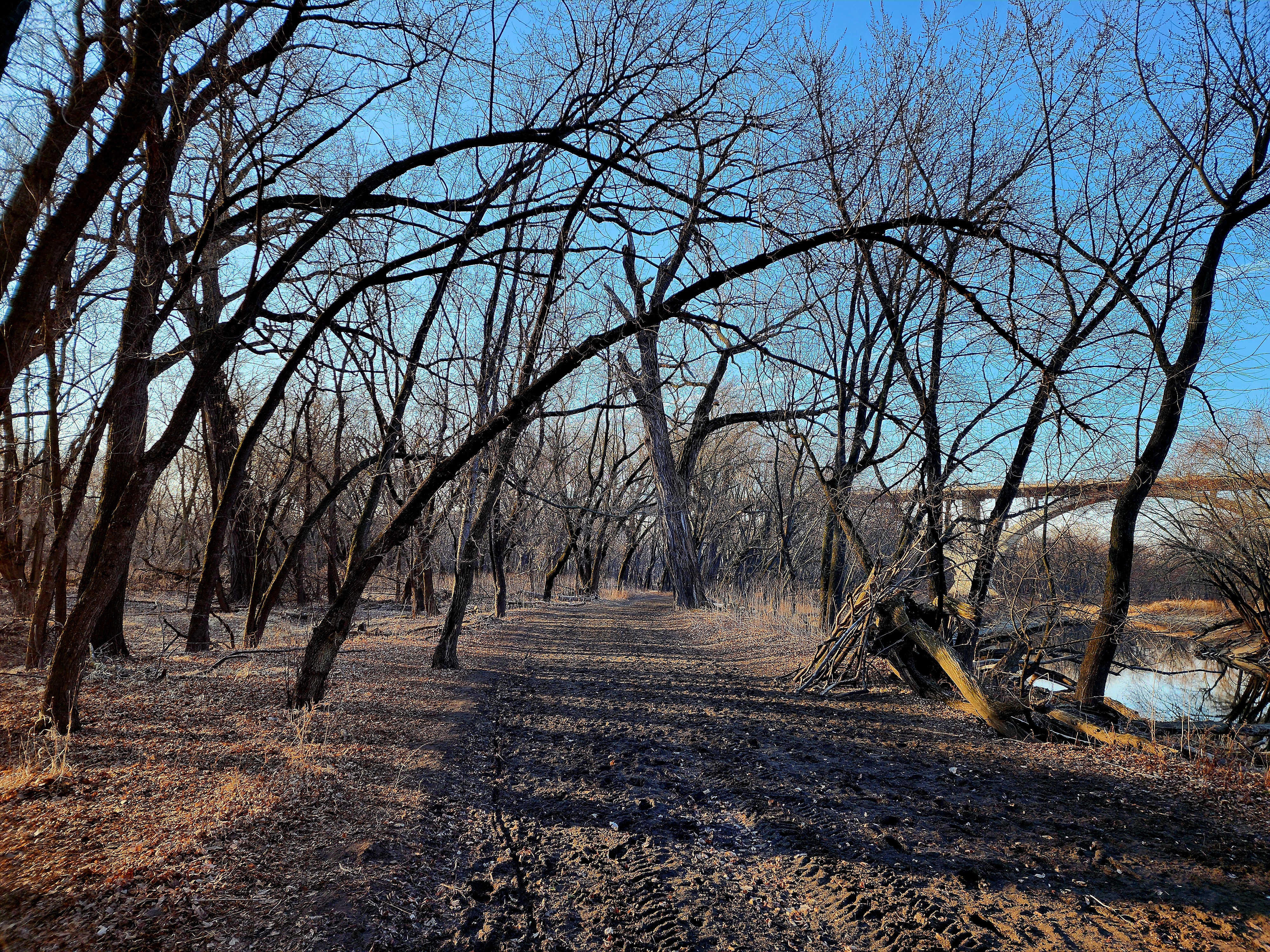
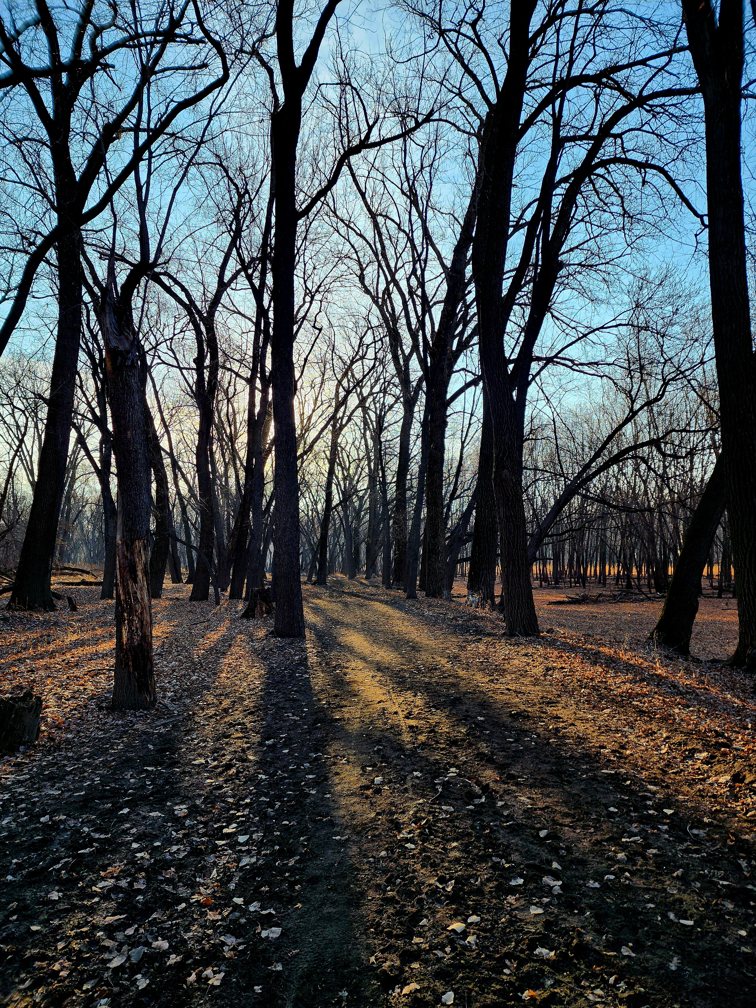
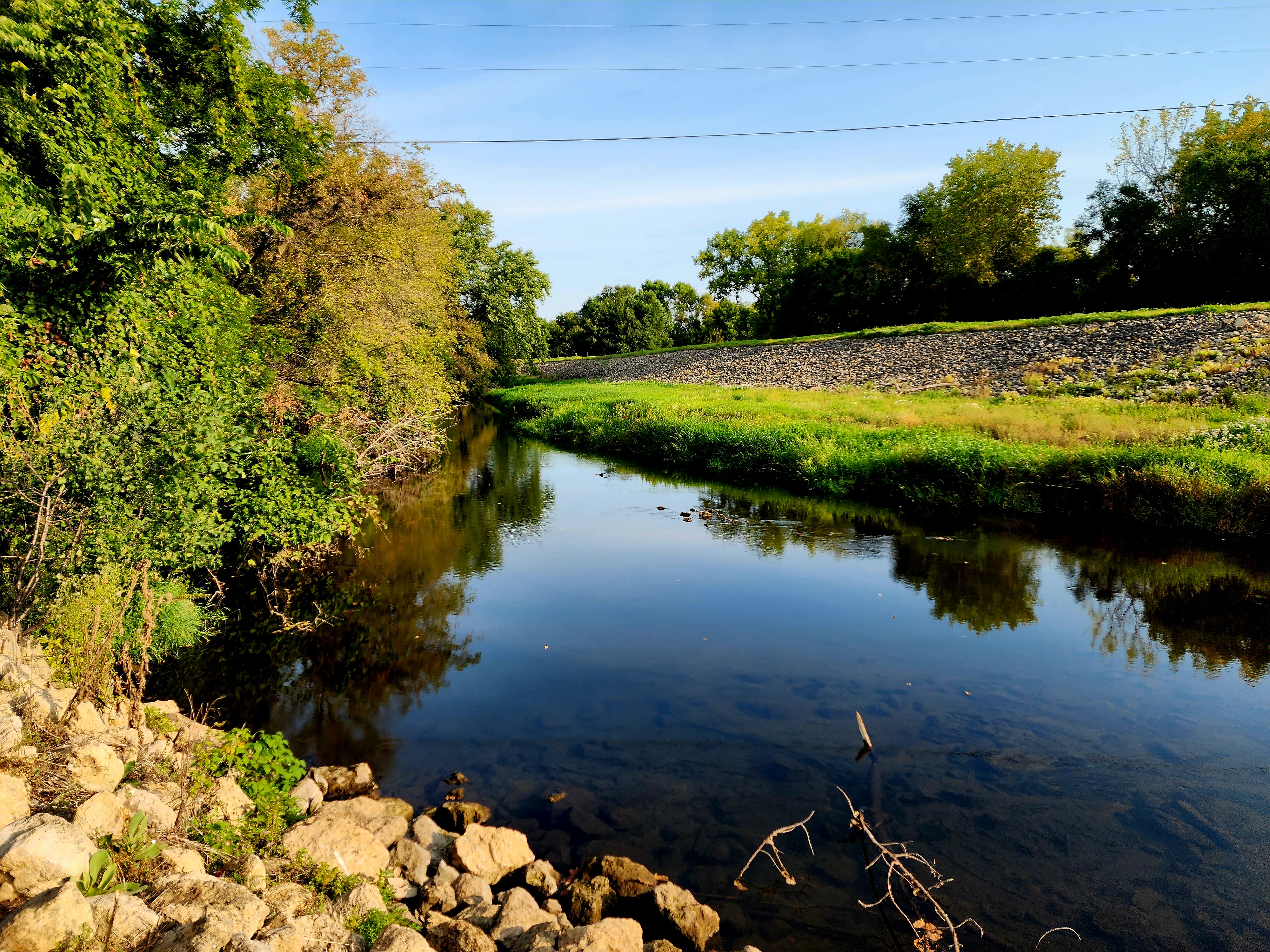
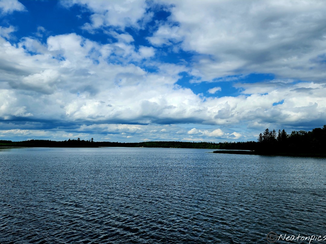
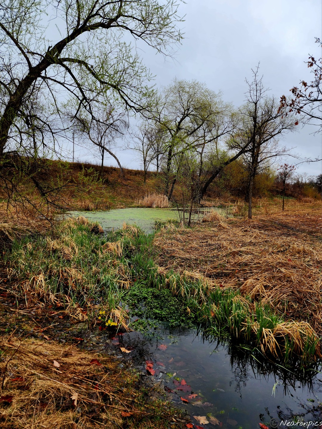
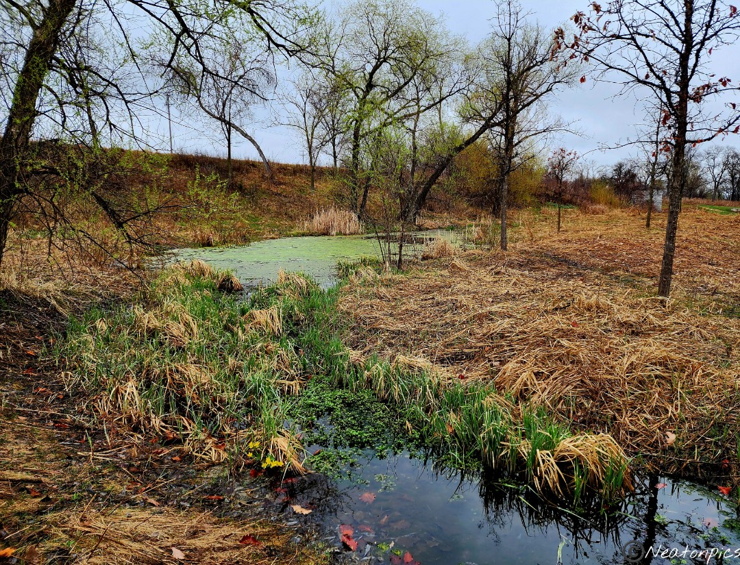
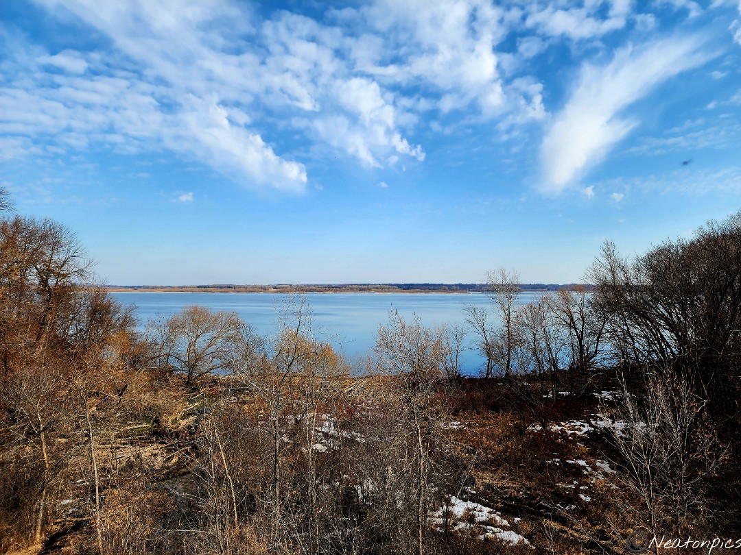
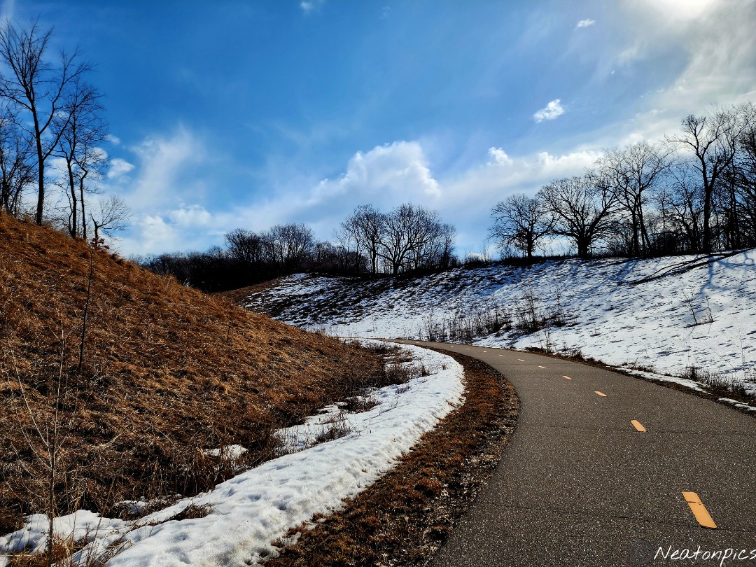
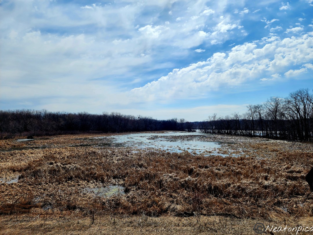
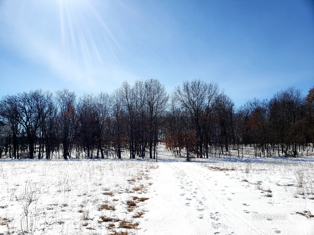
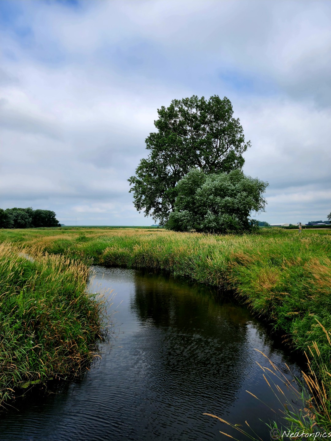
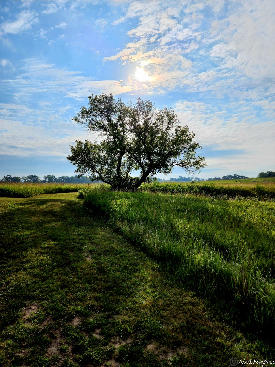
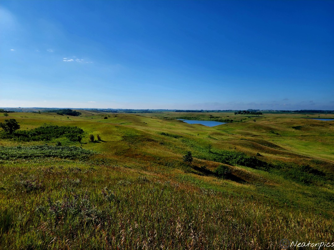
Today’s hiking adventure began at Spring Lake Park Reserve.
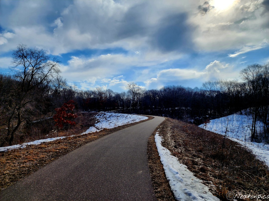
Finally, the weather felt like spring! With the sun shining and the temperature decent, we began our hike on the Mississippi River Greenway Trail towards Schaar’s Bluff.
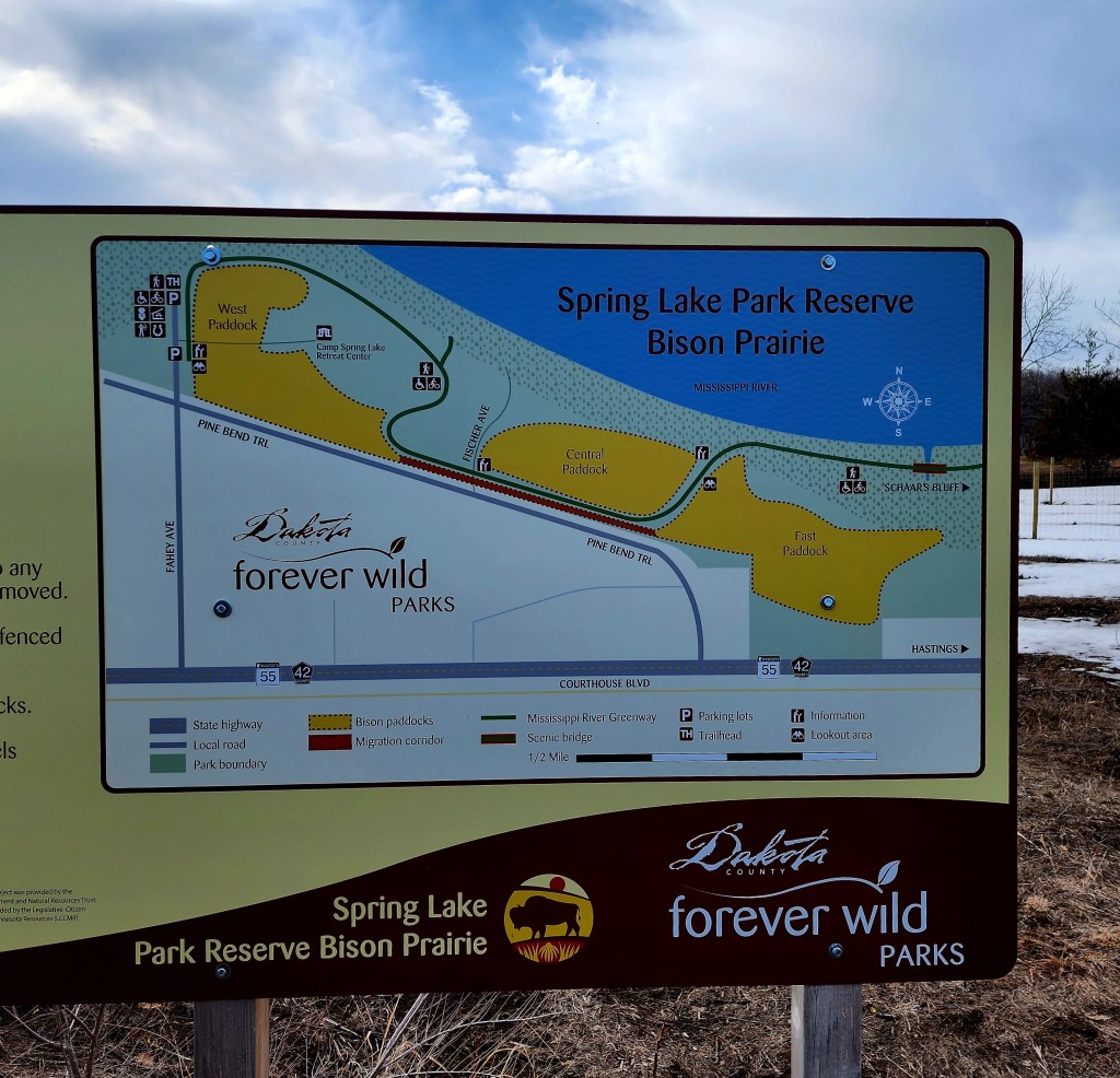
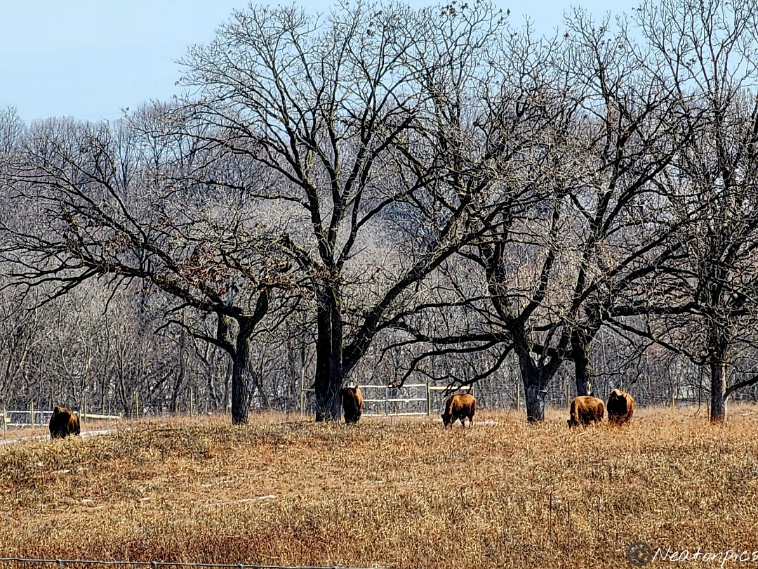
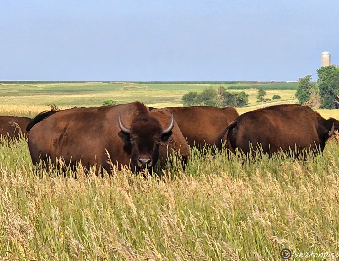
The park has recently added bison to the land. We were excited to catch a glimpse of them as we hiked by. Unfortunately, the bison were grazing out of sight. We continued on the trail hoping to catch them on the return trip.
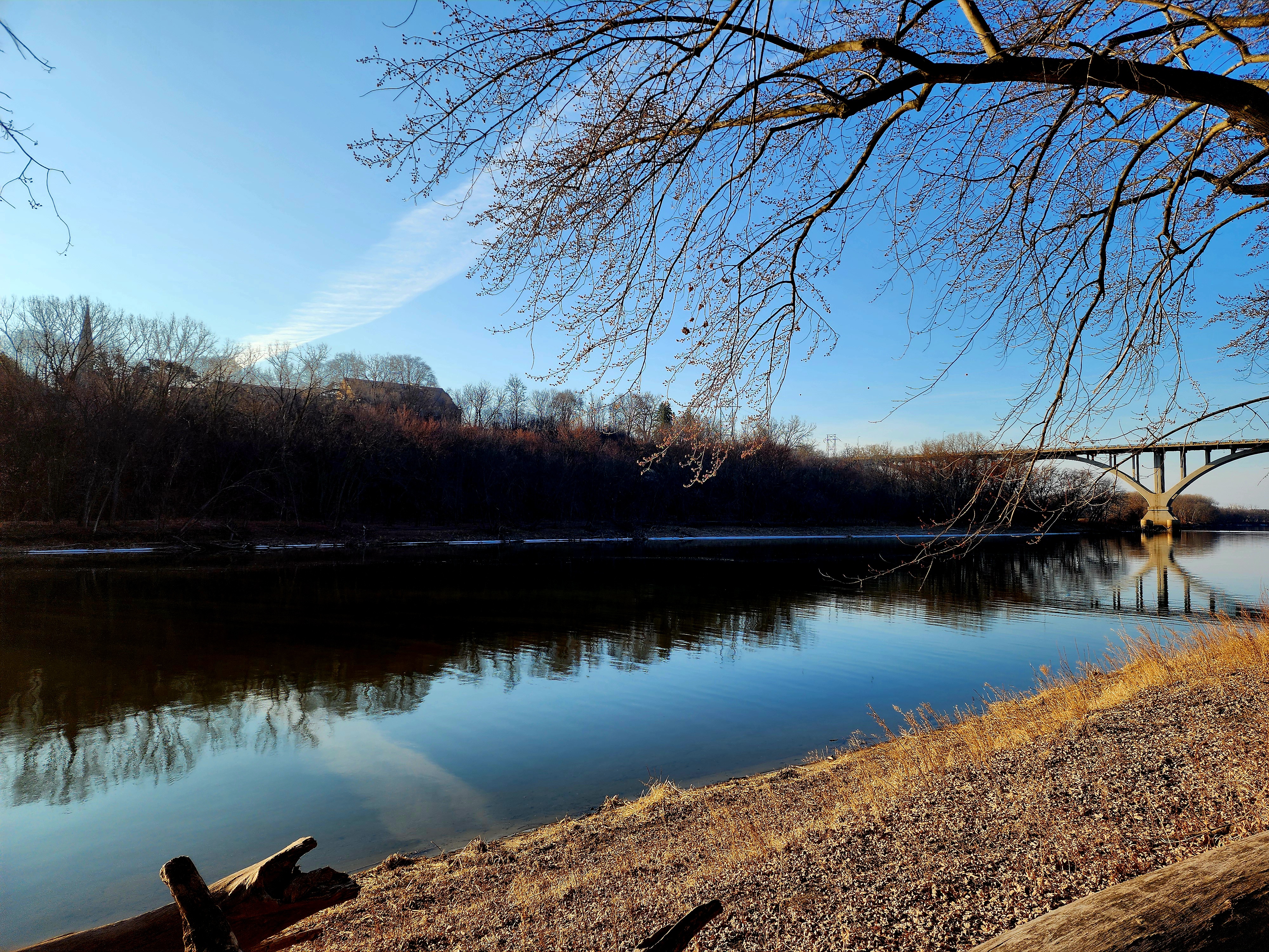
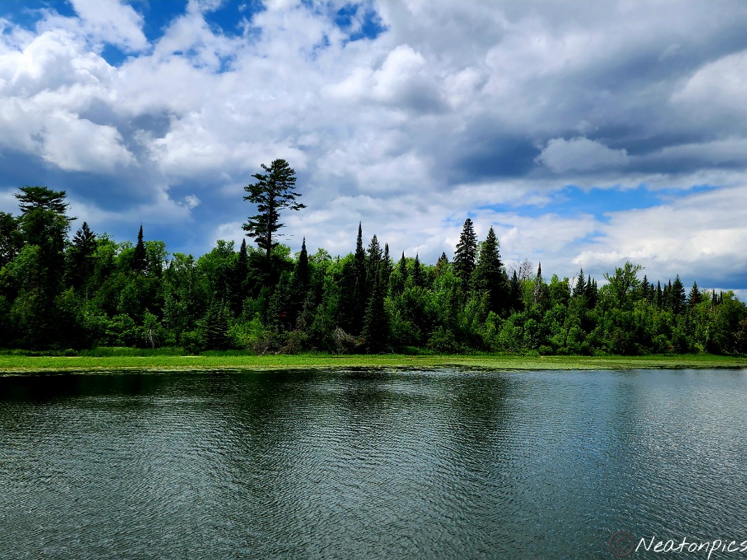
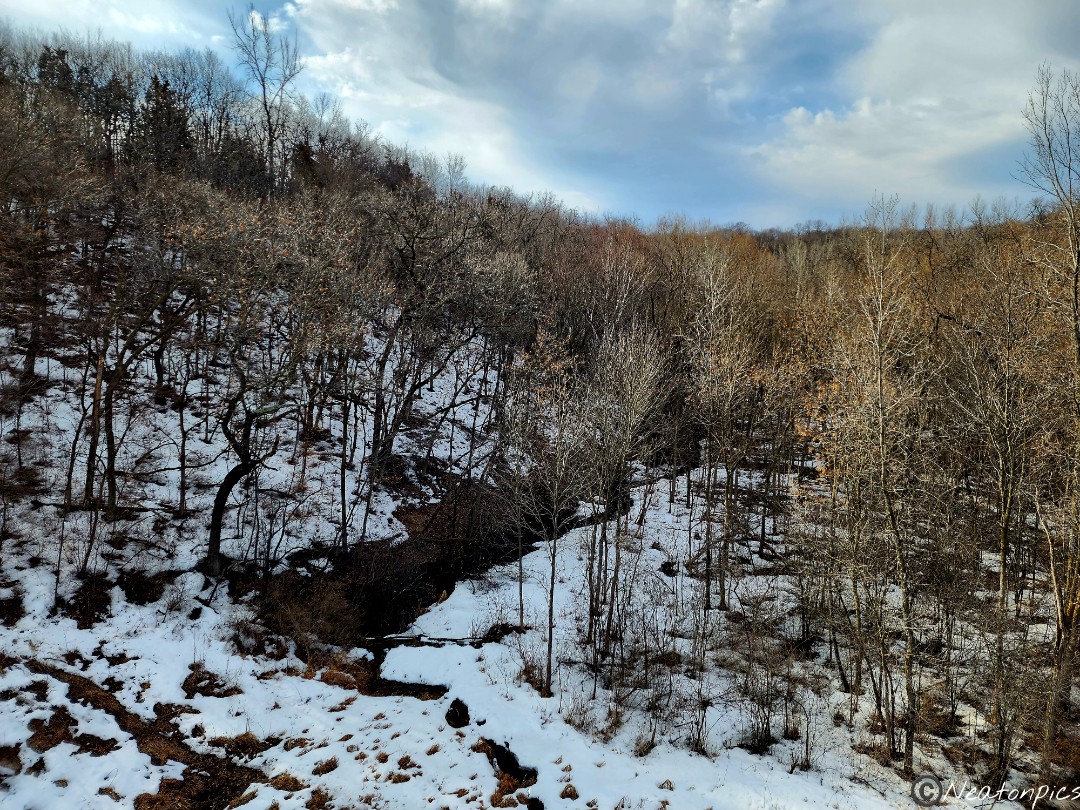
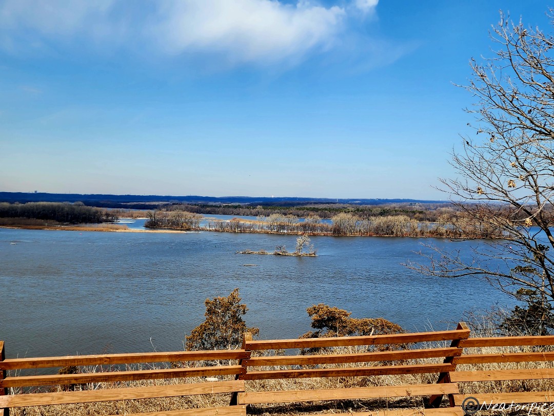
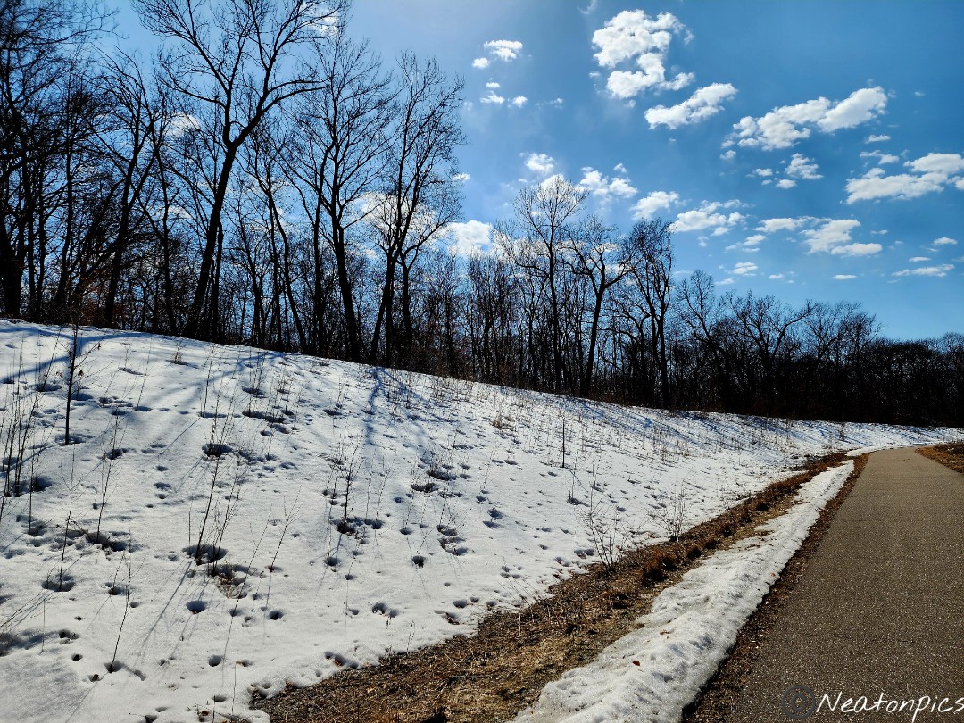
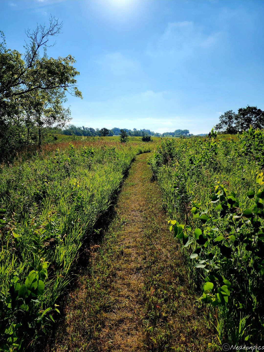
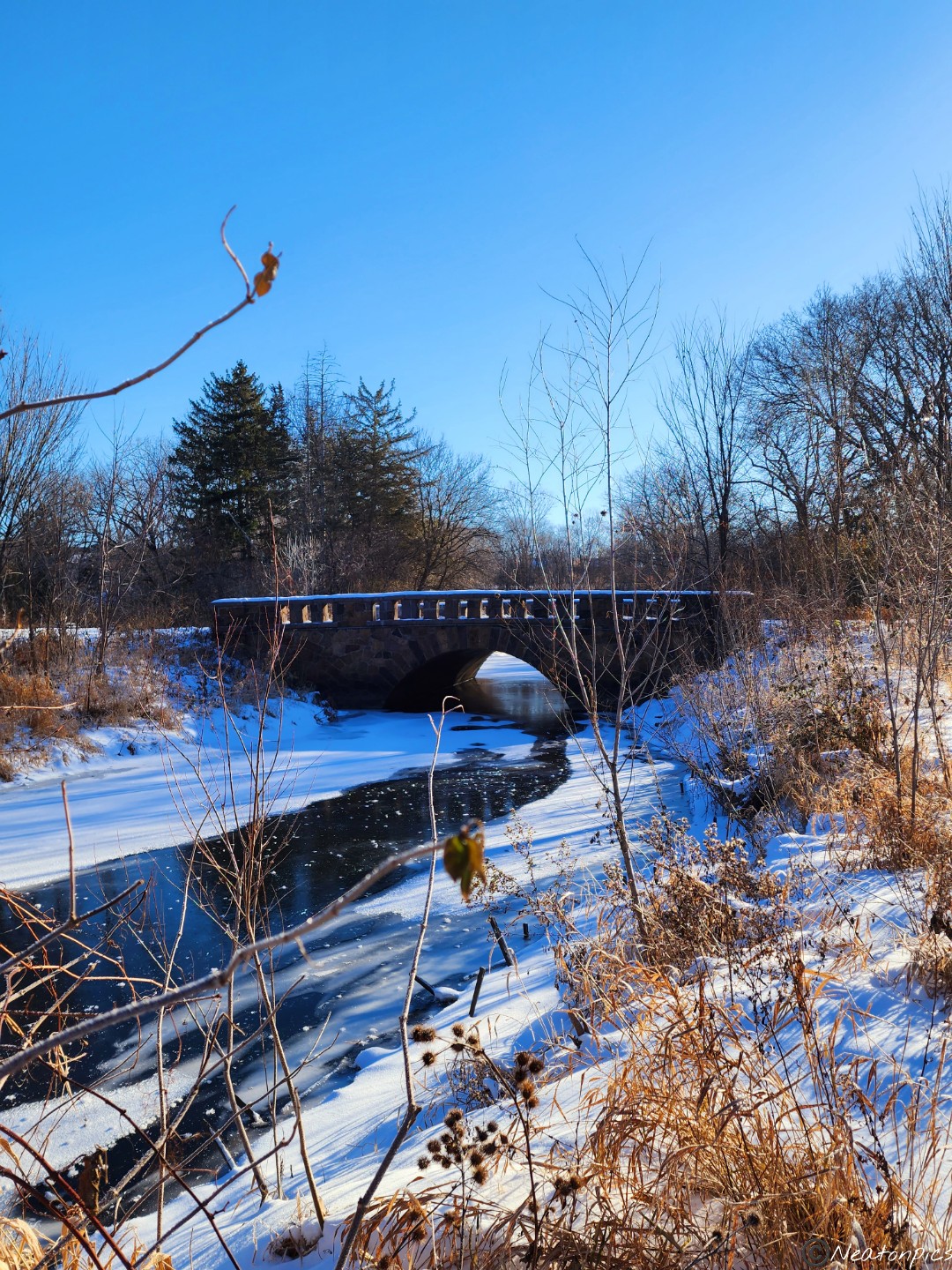
The first bridge we crossed offered a great view of the Mississippi River and the valley below.
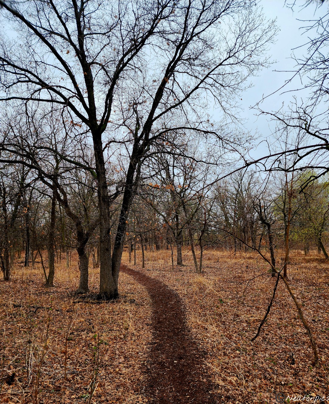
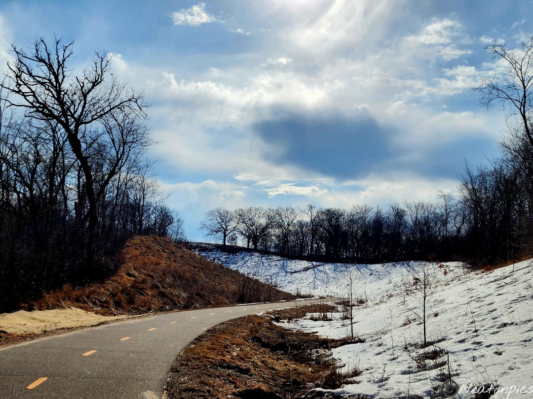
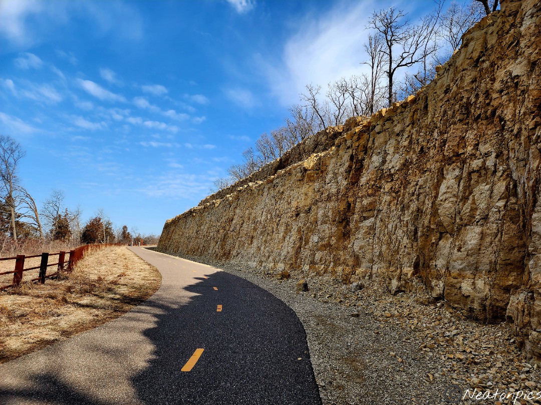
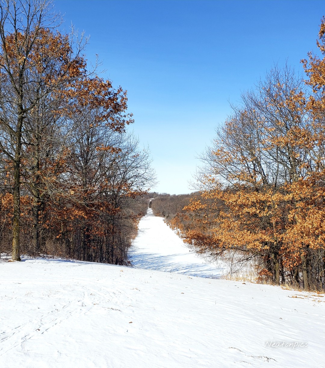
The trail curves and bends around the bluffs.
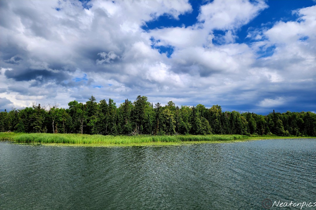
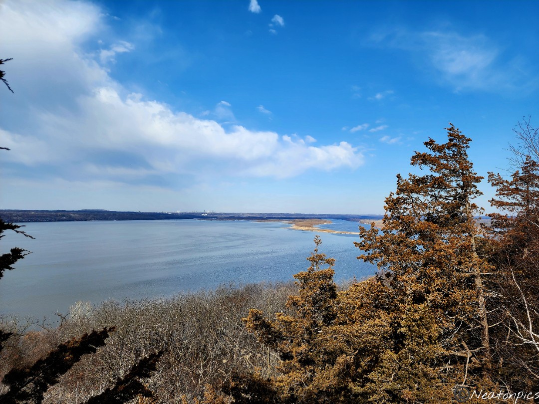
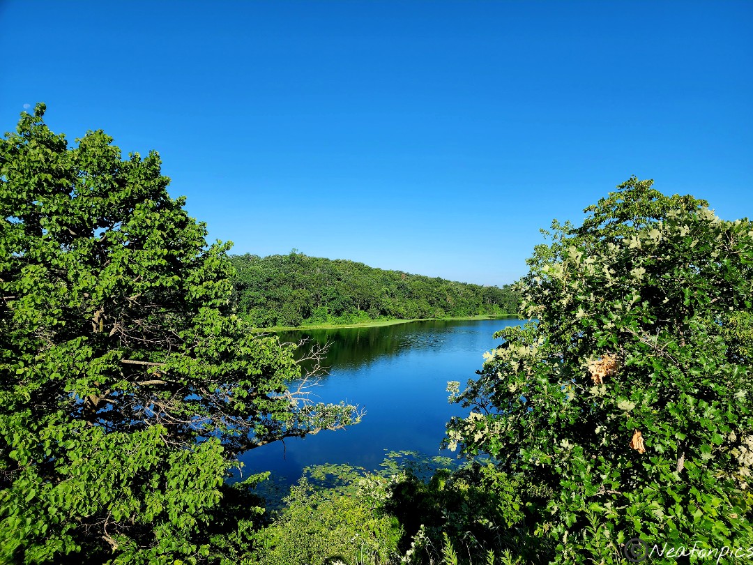
The view of the Mississippi River from an overlook.
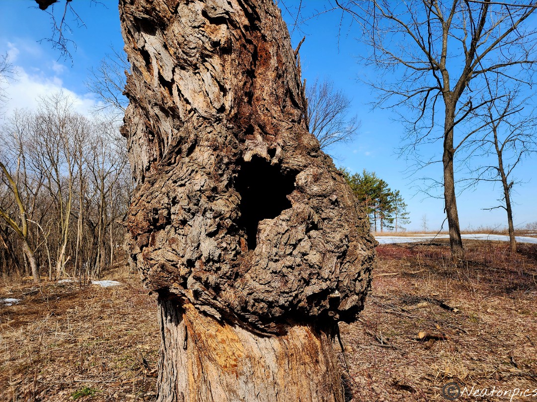
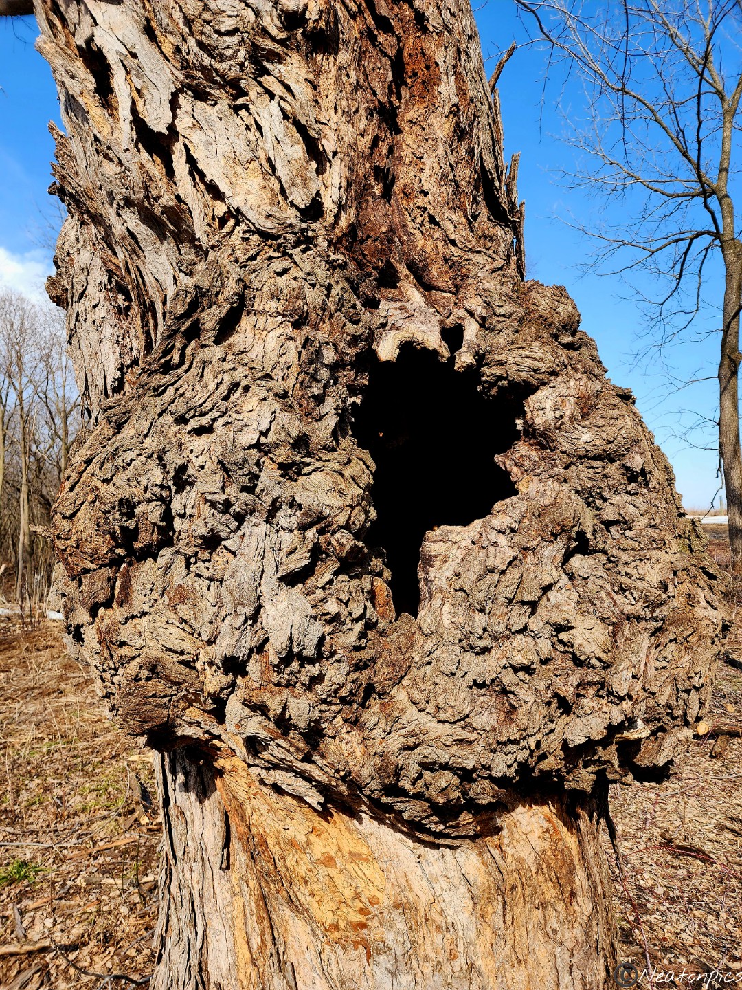
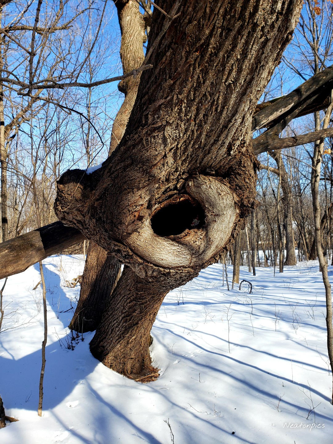
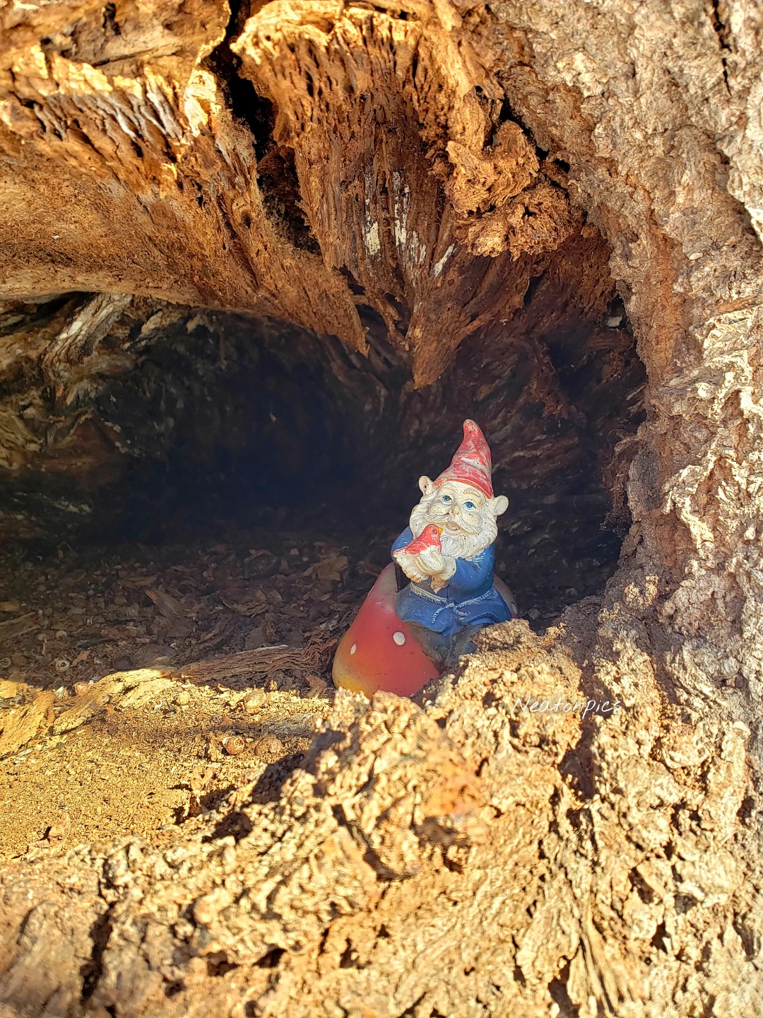
This tree had a huge burl. We had to stop and get a closer look. The tree was completely hollow inside.
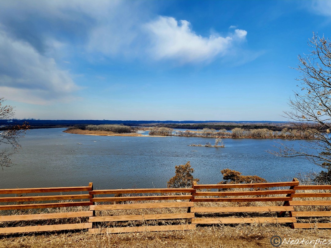
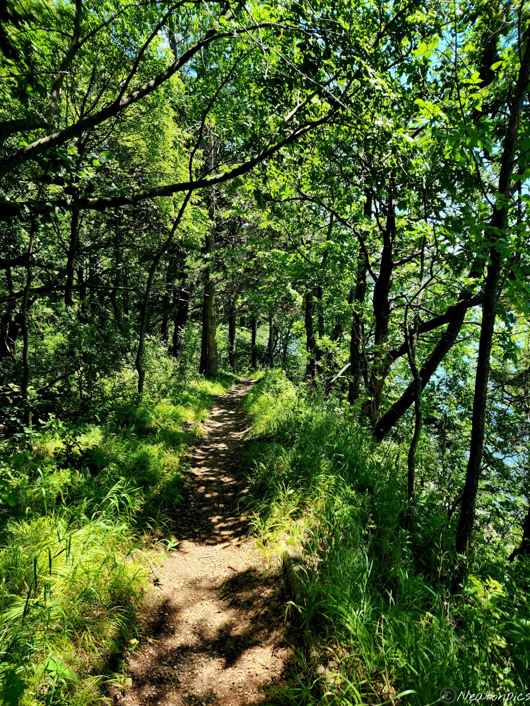
We reached Schaar’s Bluff. Thankfully, their Gathering Center was open. After looking around the center, back outside we went to take in another view of the Mississippi River.
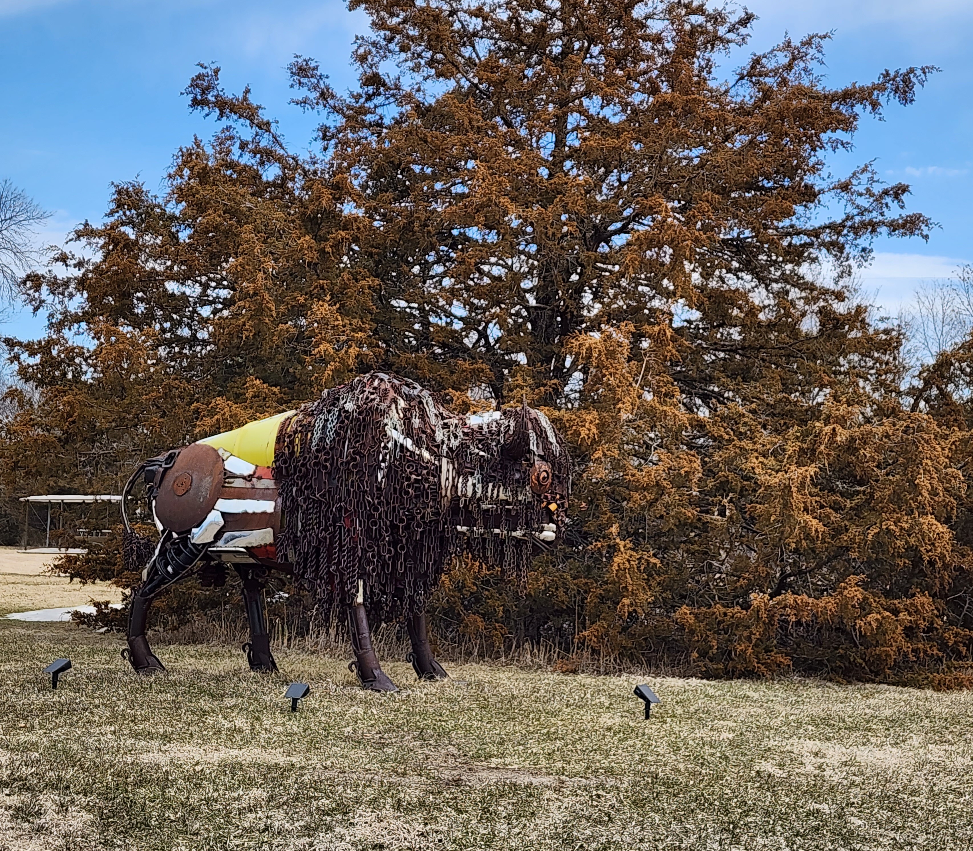
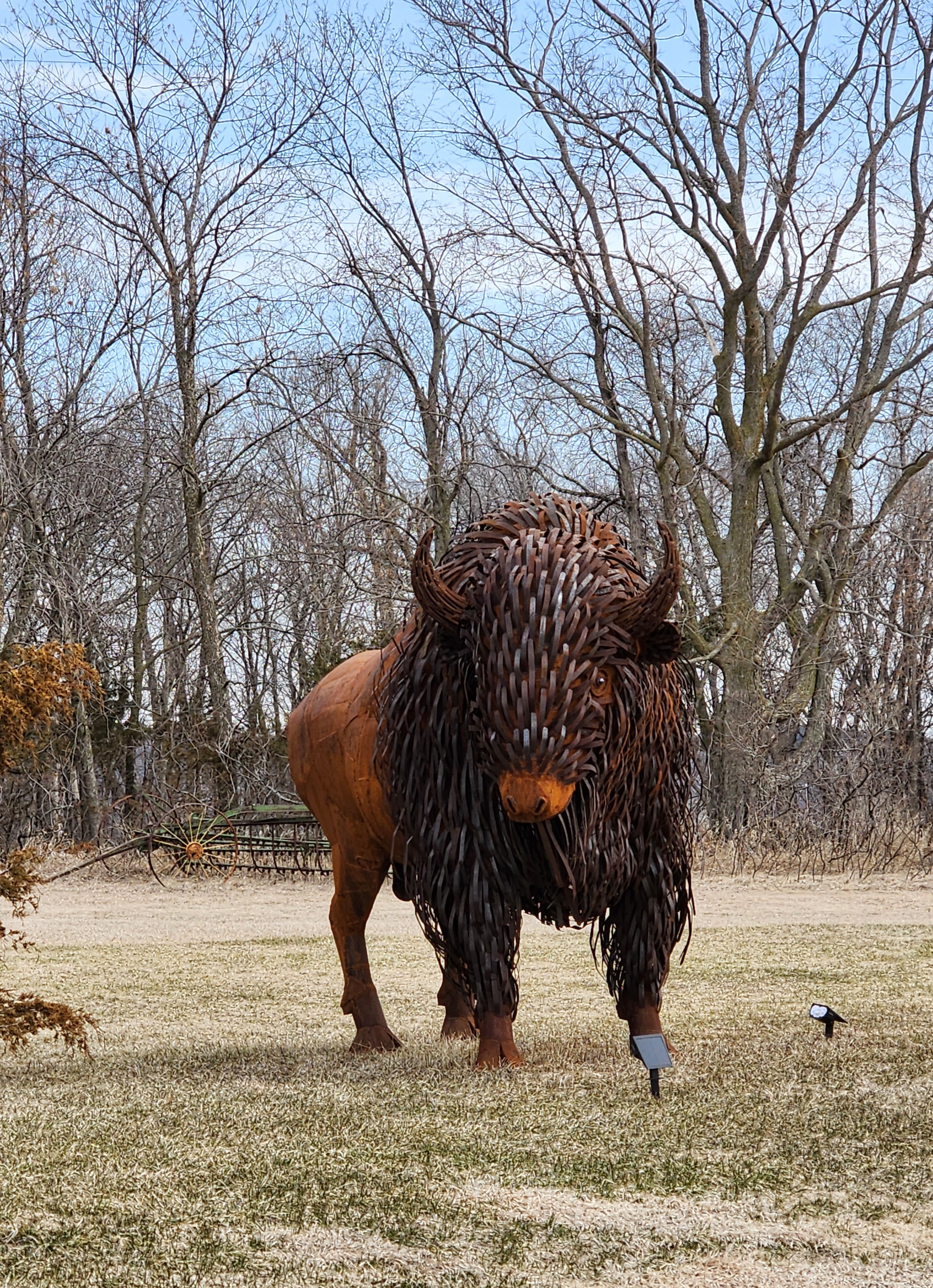
Our plan was to turn around and head back, however, the day was too perfect to end our hike so soon. We carried on to the Lock and Dam #2. The trail led us past someone’s personal art sculptures. I made sure to take pictures of the bison sculptures in case we missed the real ones.
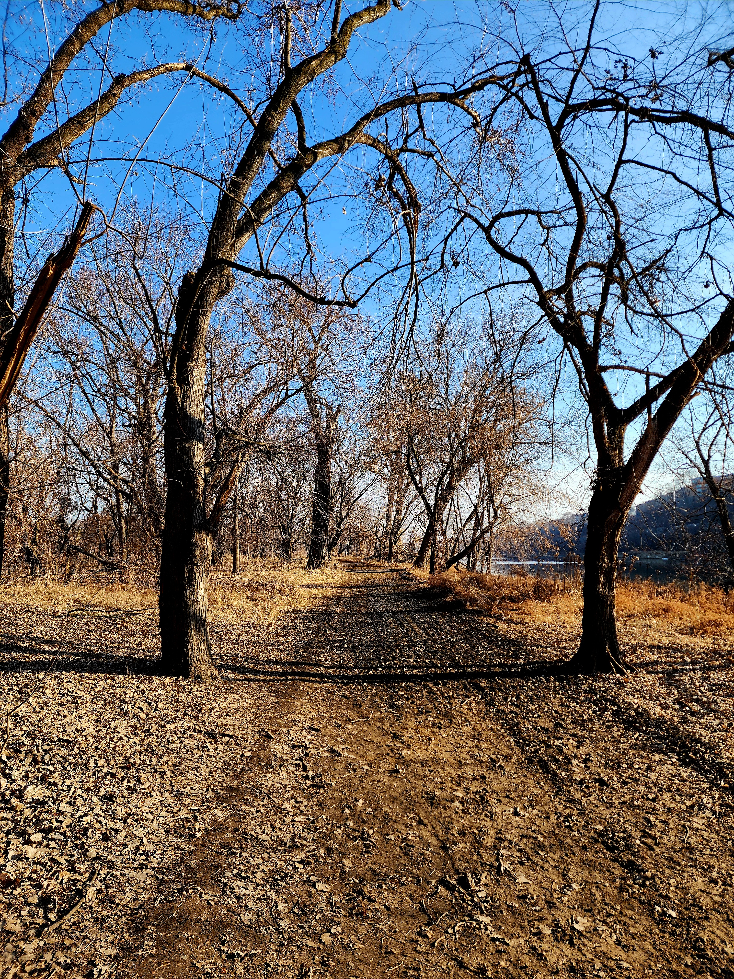
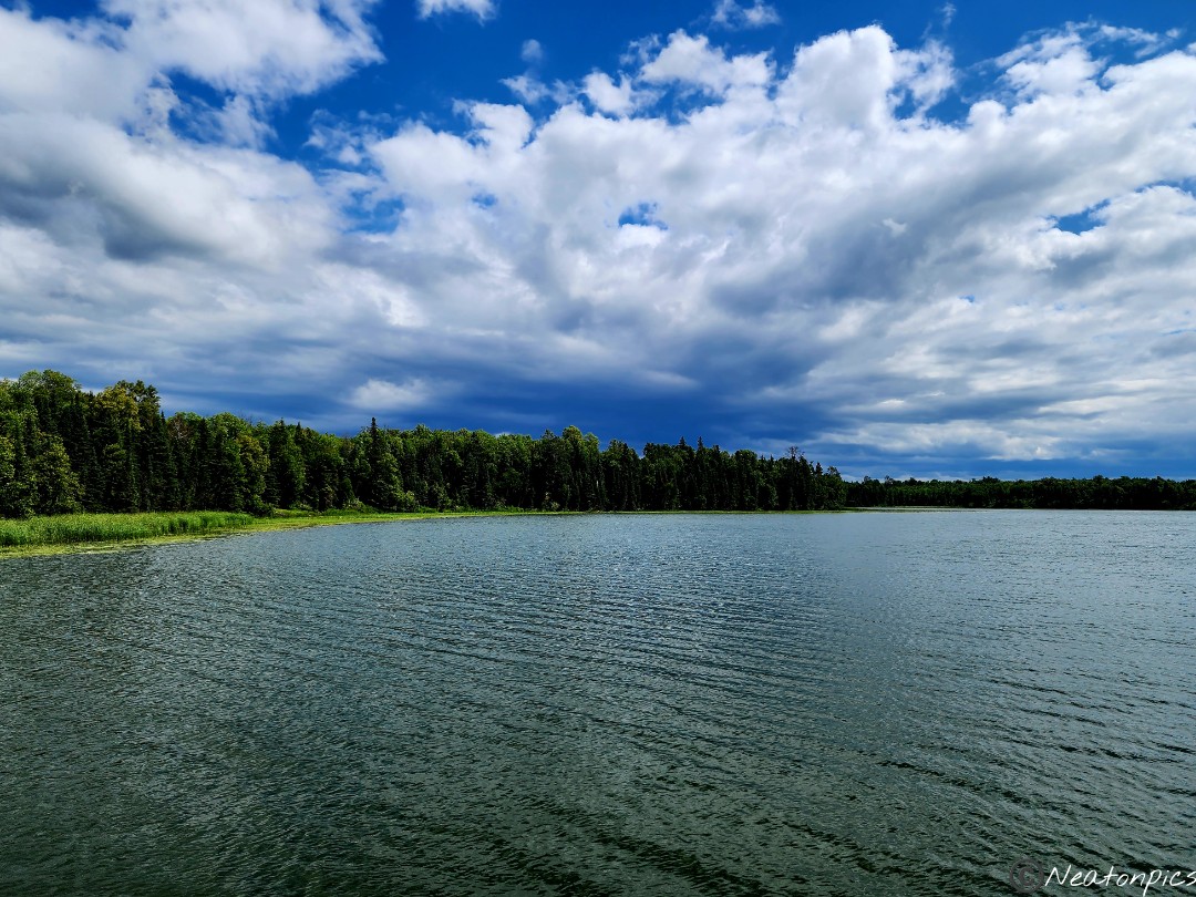
The trail led to one of my favorite places in Hastings. The trail cuts in between the Mississippi River and Lake Rebecca Park.
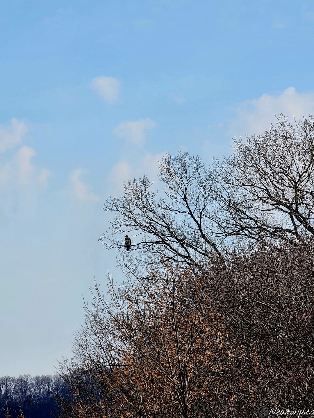
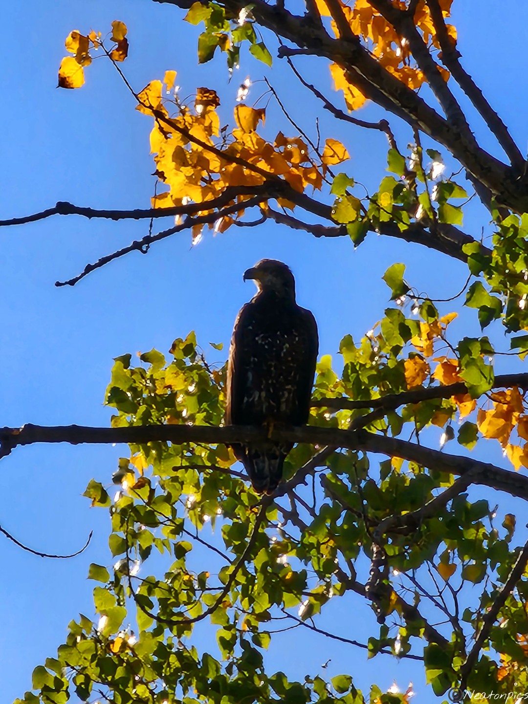
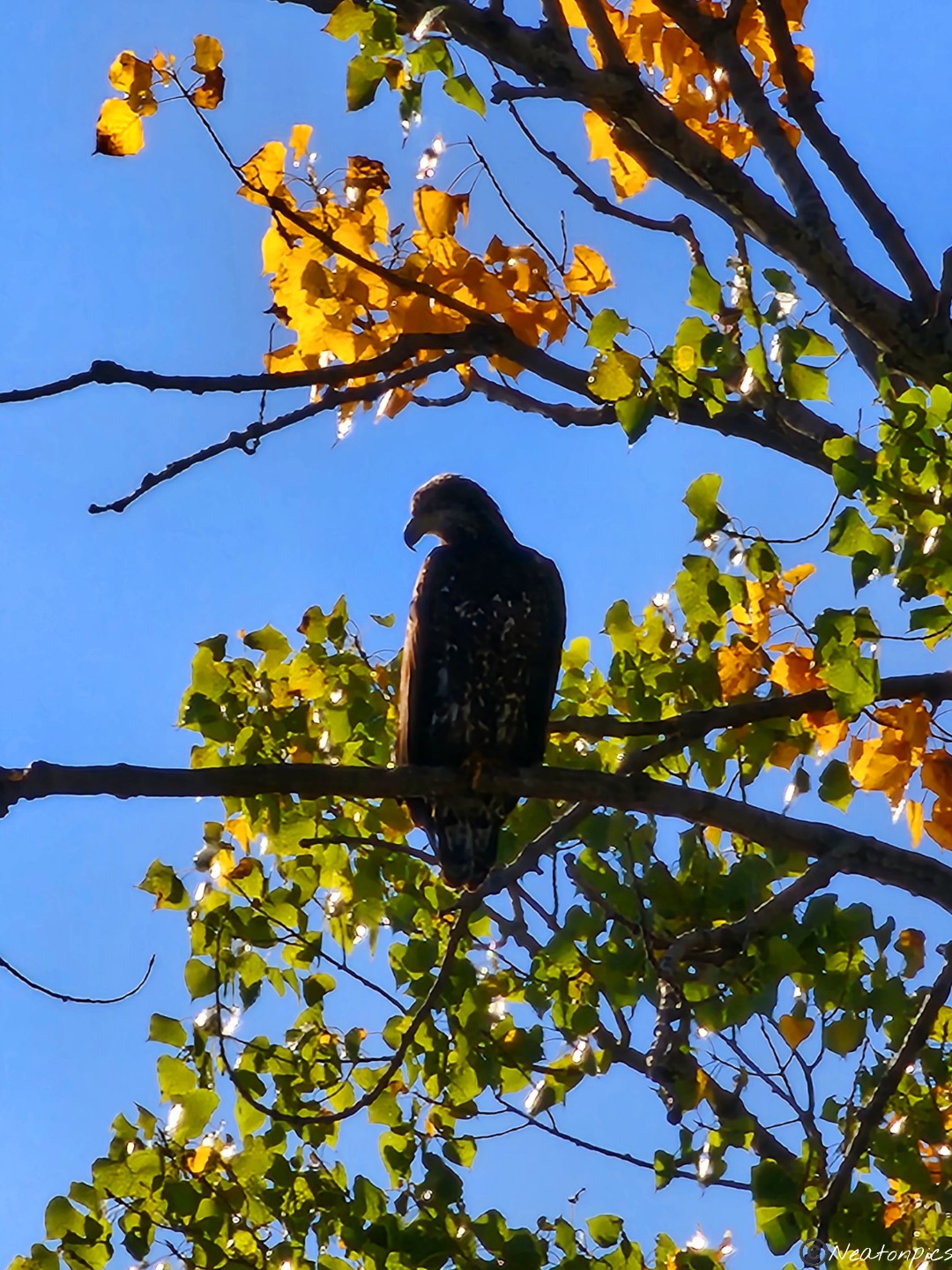
An eagle was on the edge of the ice on the river as it looked for a snack on the open water.
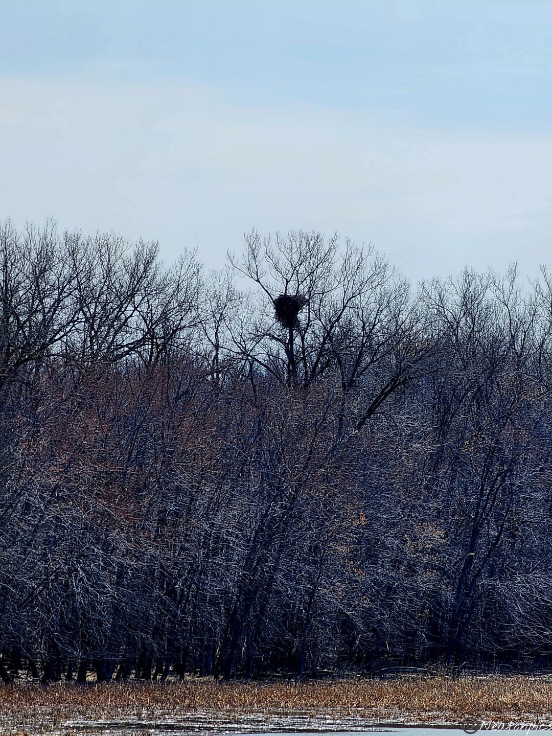
Lots of giant nests along the river.
Lock and Dam #2 was closed. After a quick rest we decided to head back to our starting point. As we hiked past an open farm field, we saw at least 24 deer run across it. I’m not sure where they came from or where they were going but WOW! That was a lot of deer. We also saw an owl take off from the ground. As soon as the owl landed, it must have turned its invisibility cloak on because… poof, it was gone. We were happy to have had other animal sightings since we were unable to see the bison, although, we were still hoping to catch a glimpse of them.
We found them! The bison were out grazing in the far end of the East Paddock. There were about 6 of them.
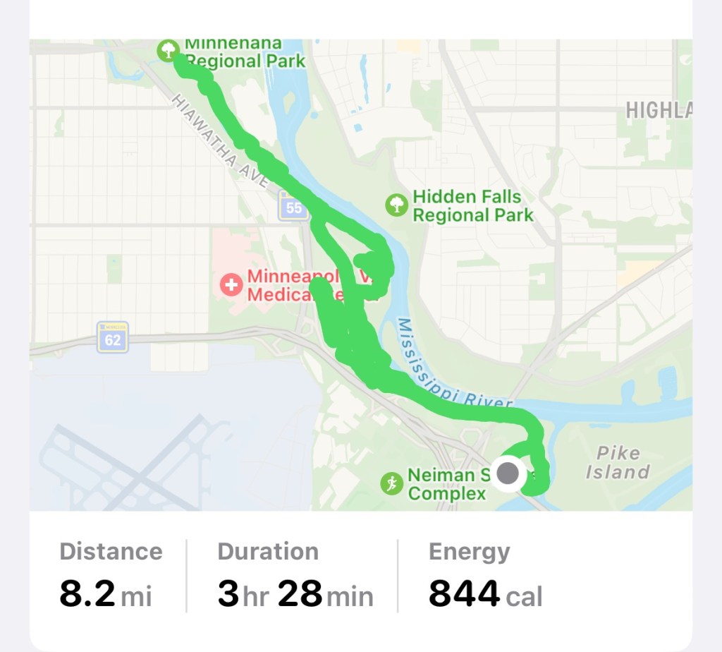
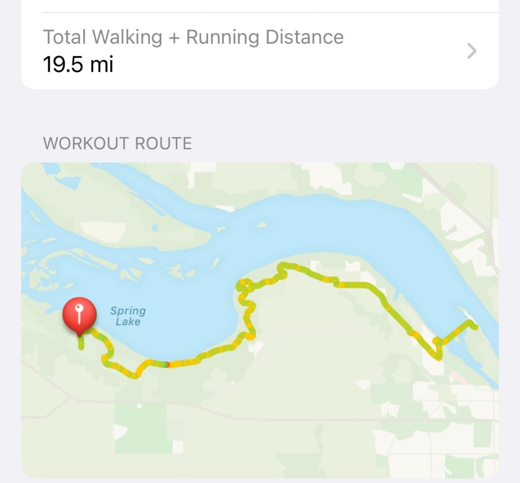
Today’s hiking adventure was our longest hike to date at 19.5 miles.
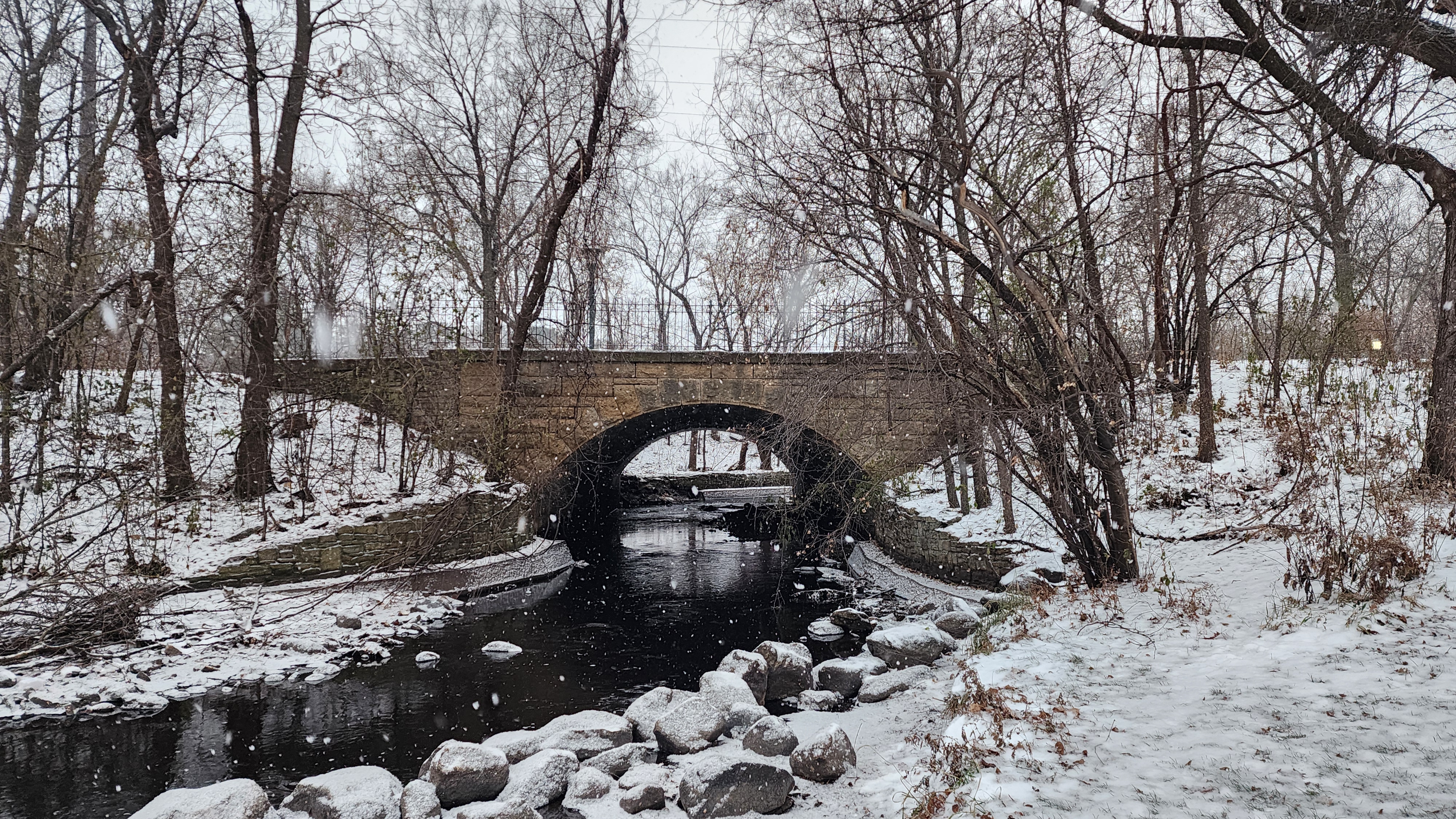
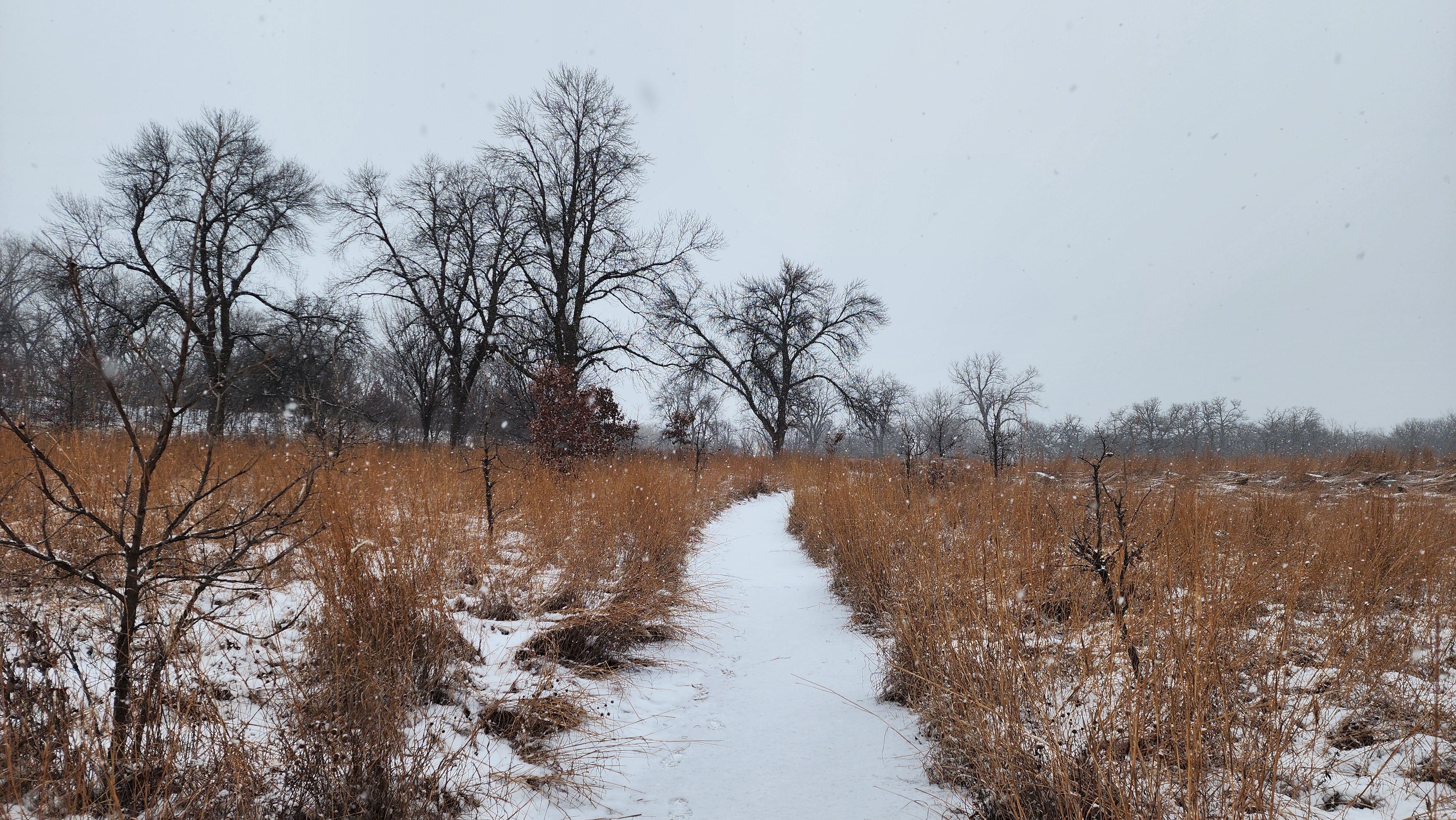
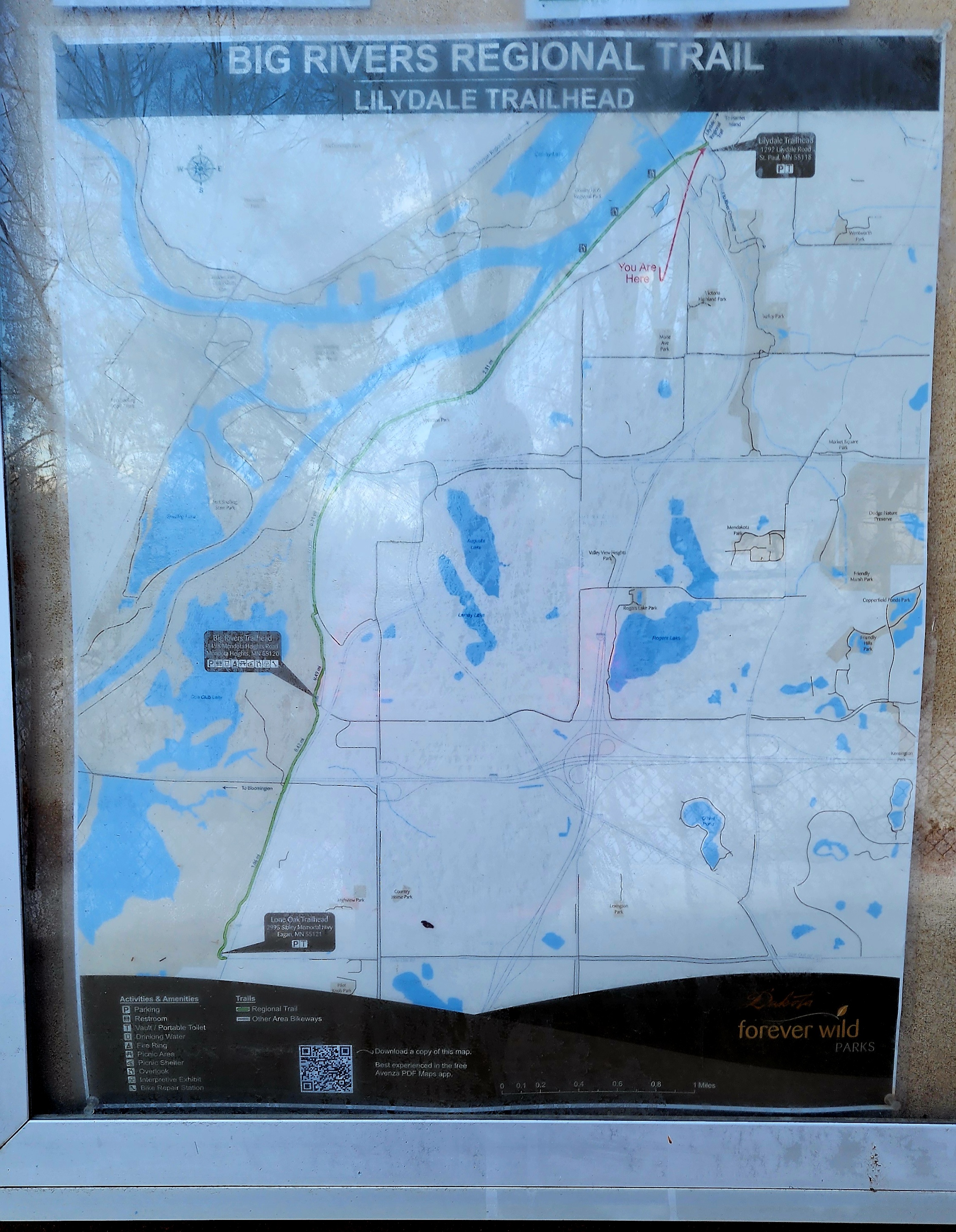
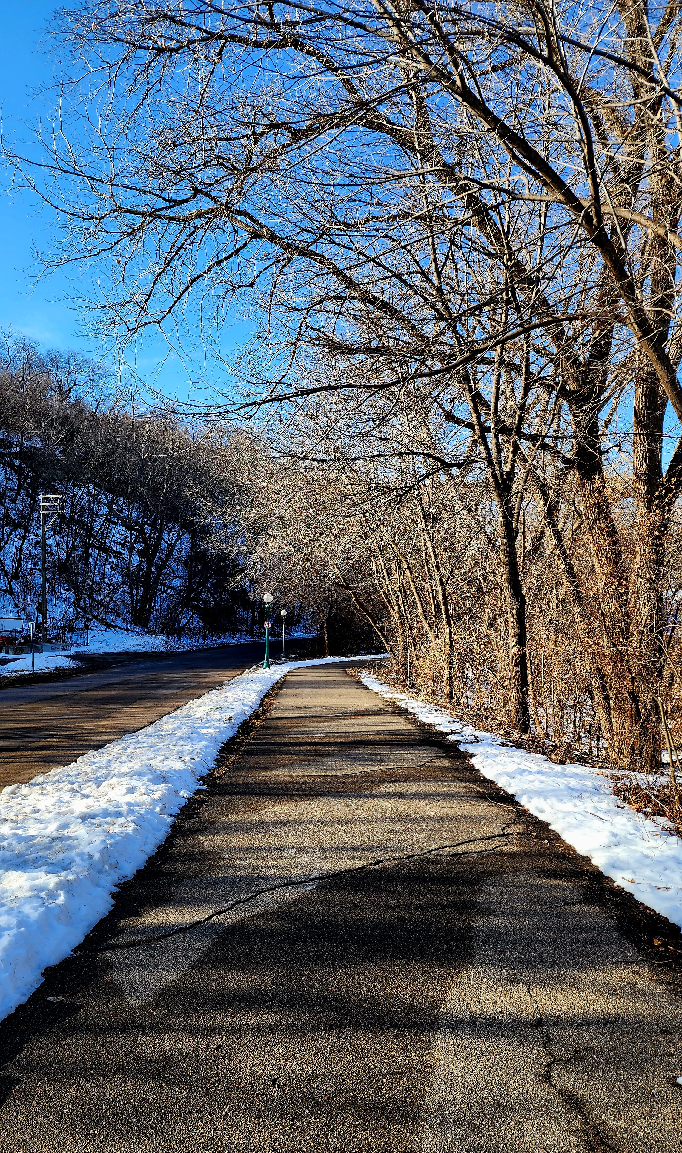
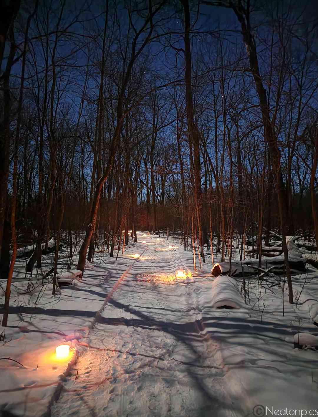
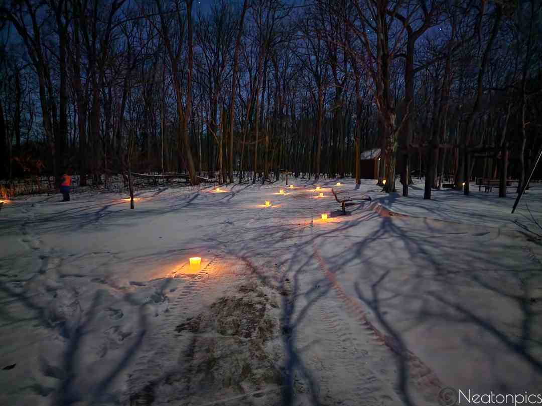
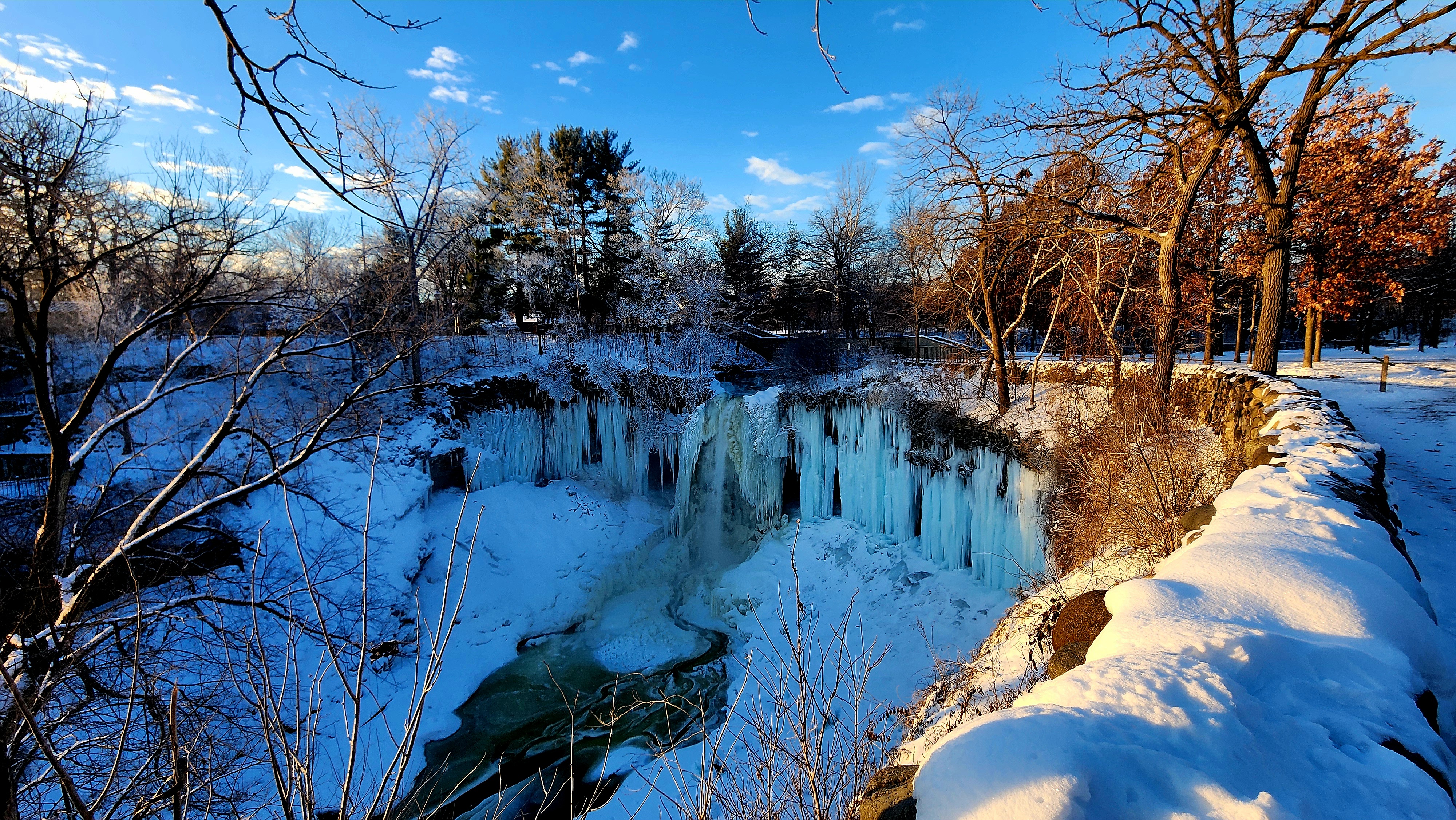
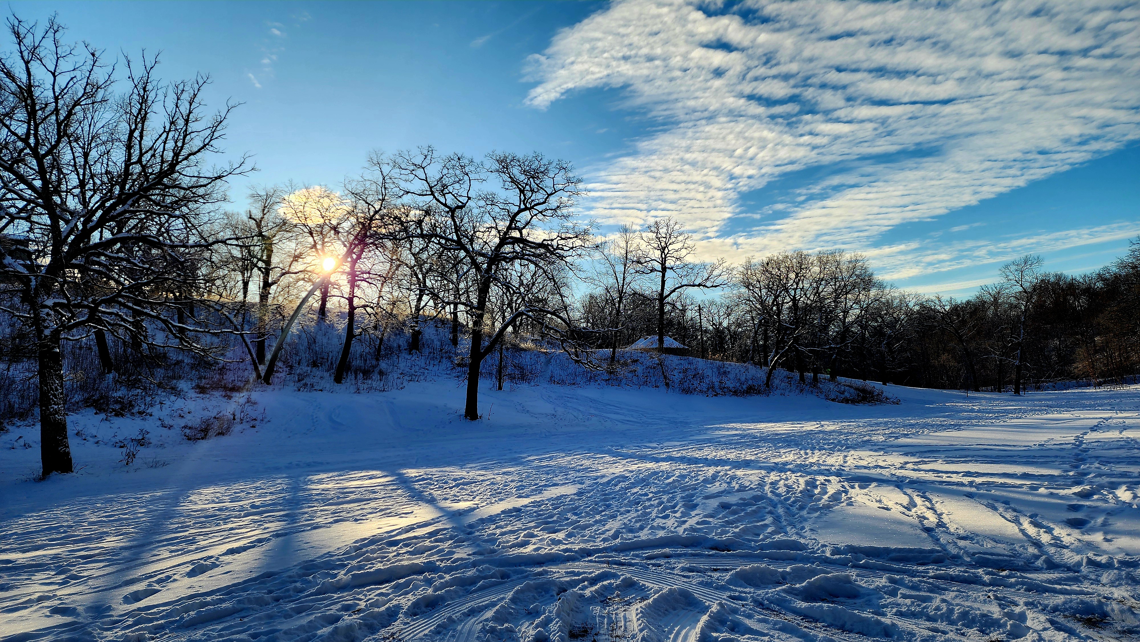
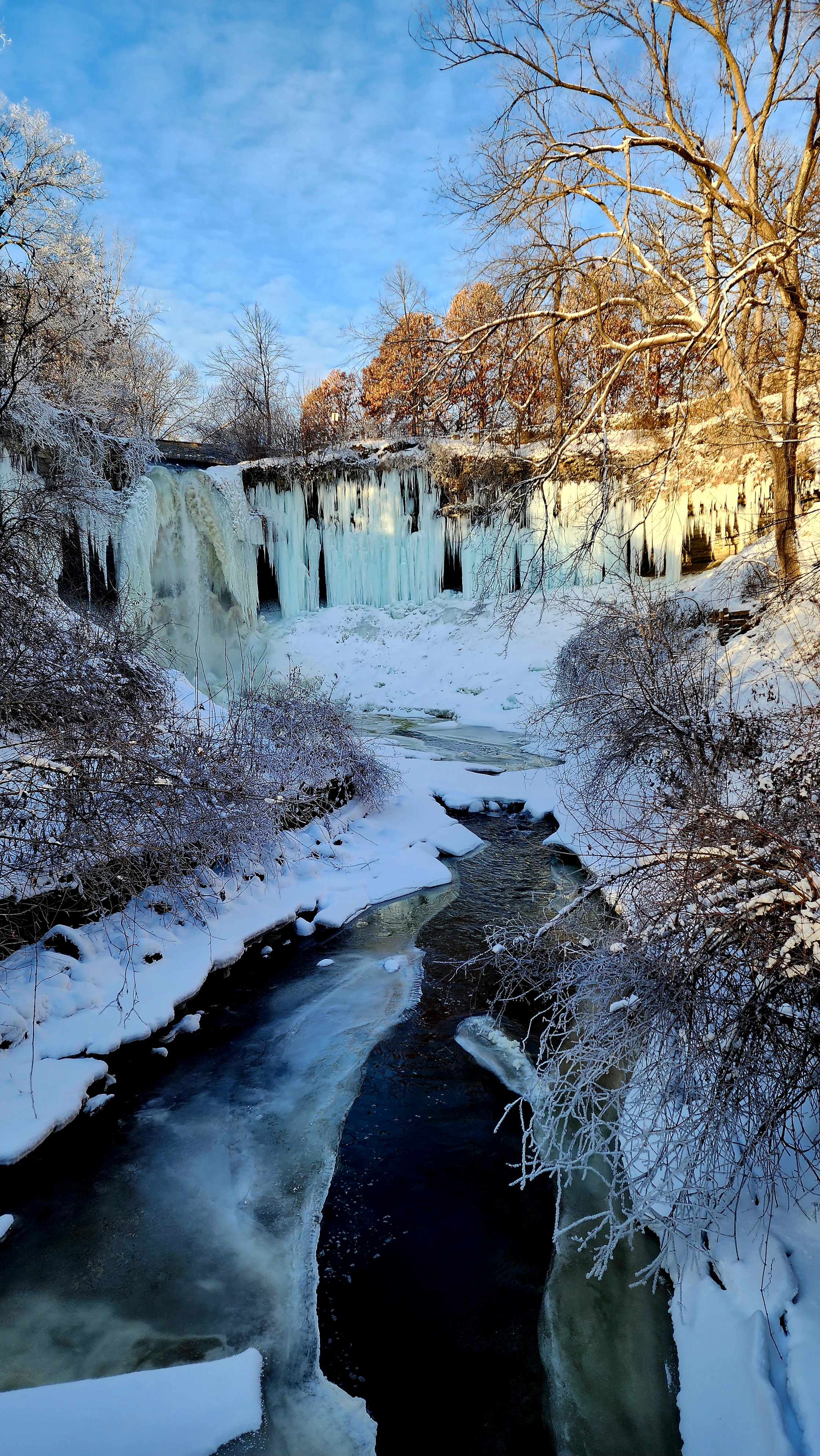
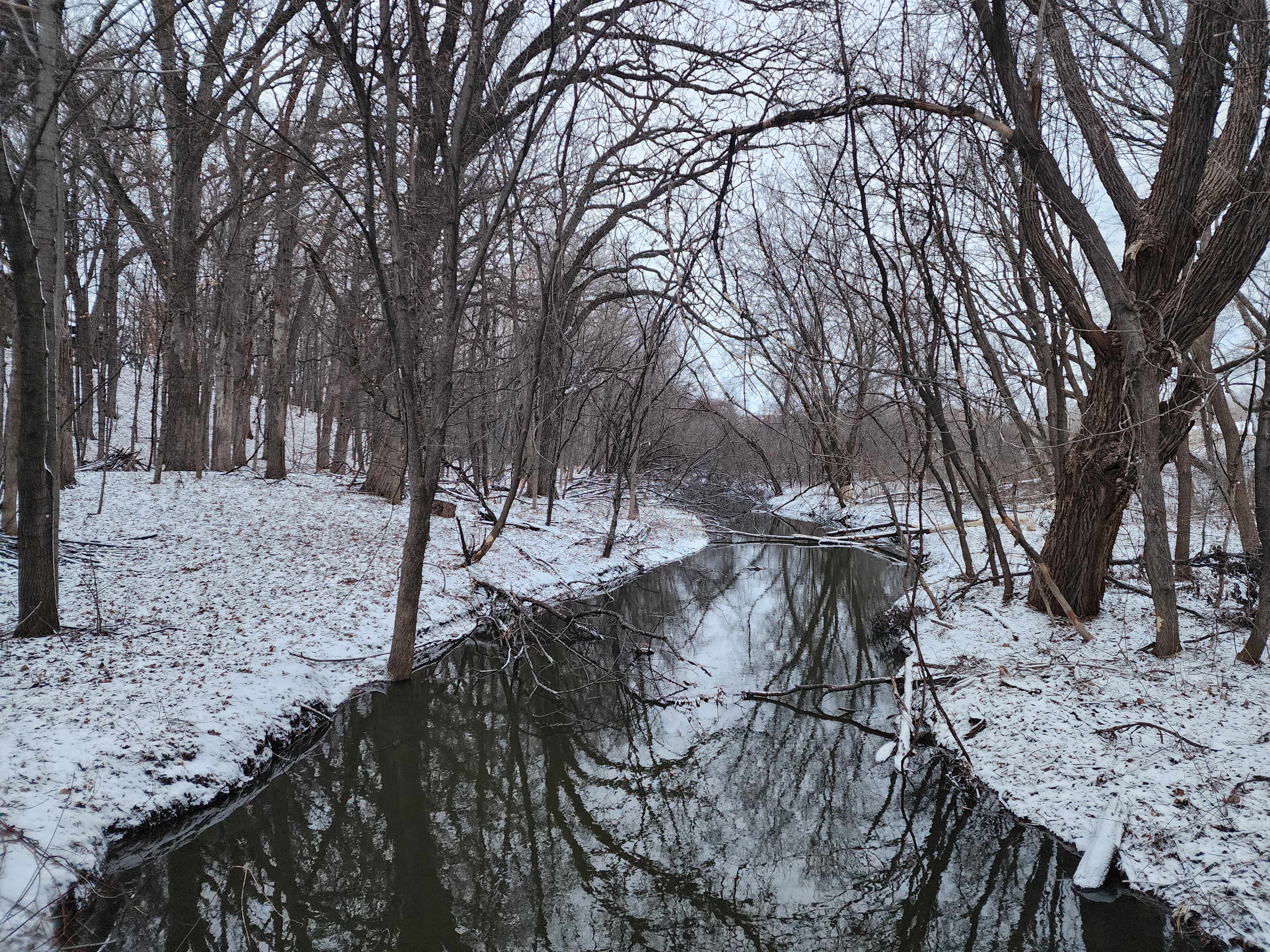
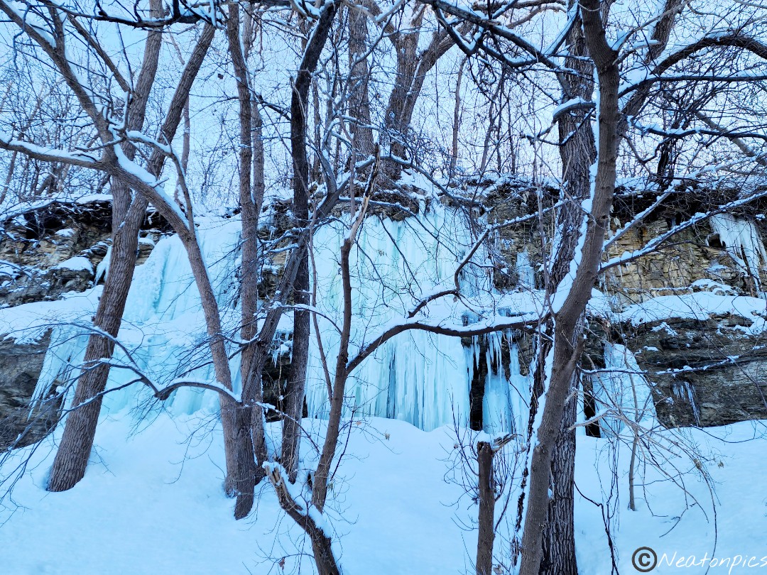
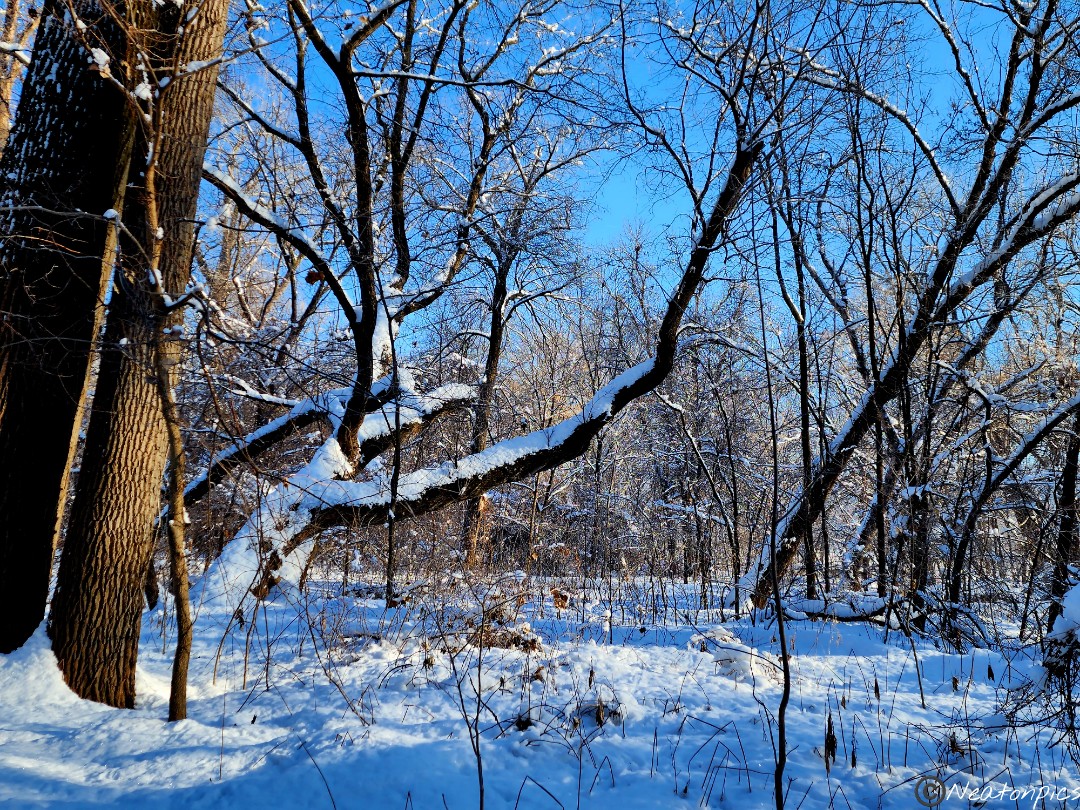
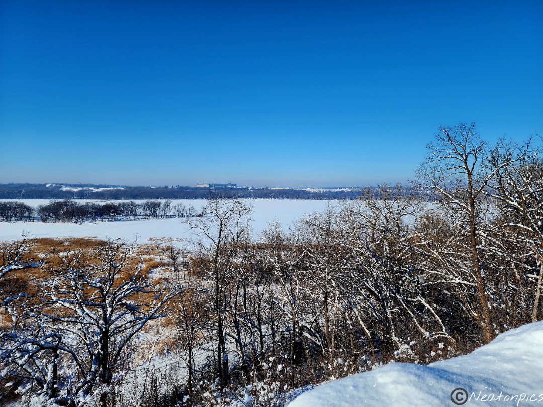
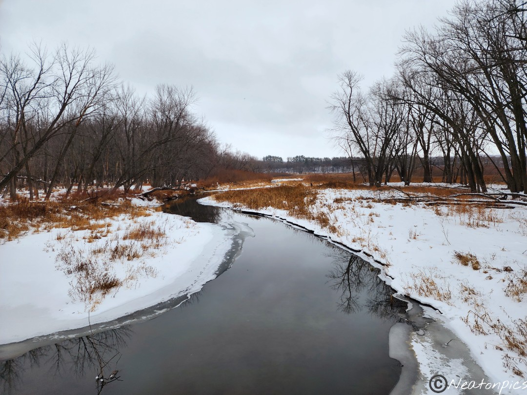
Today’s hiking adventure began at the Big Rivers Regional Trailhead.
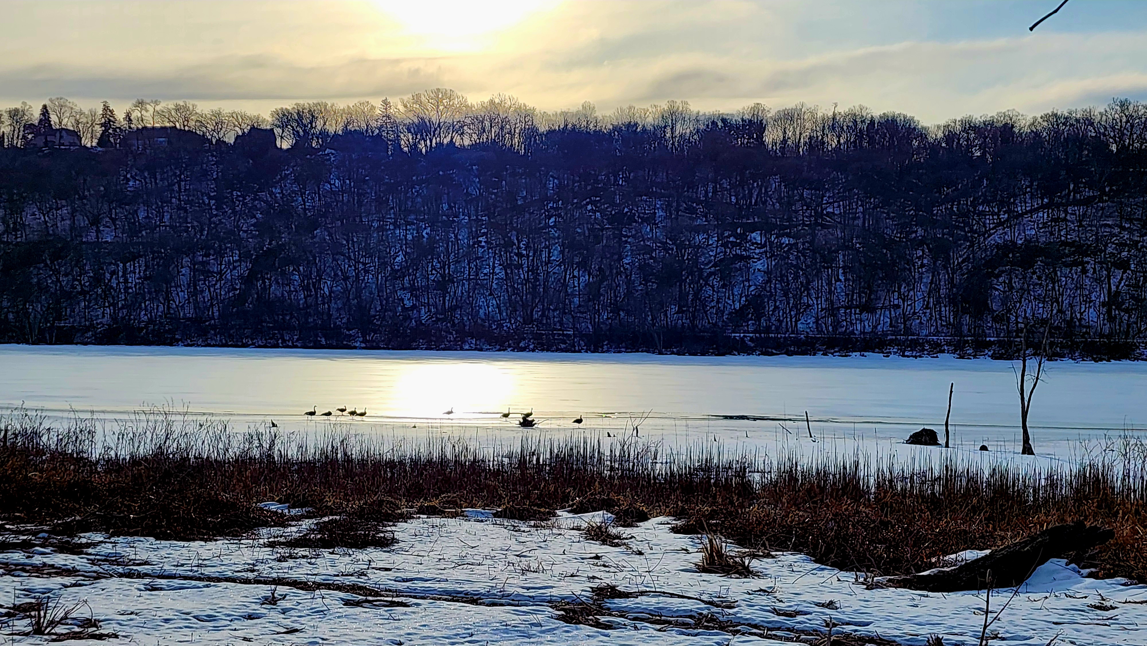
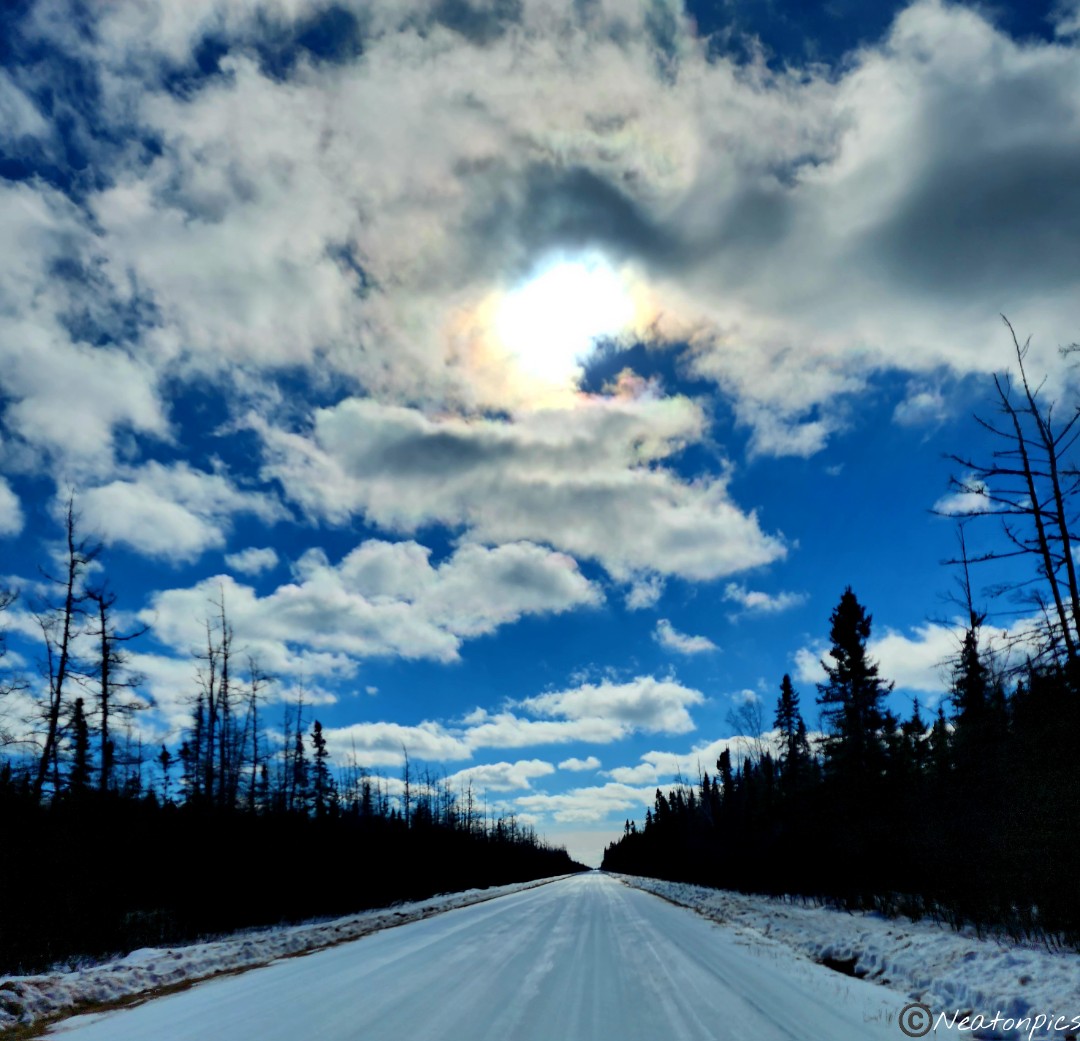
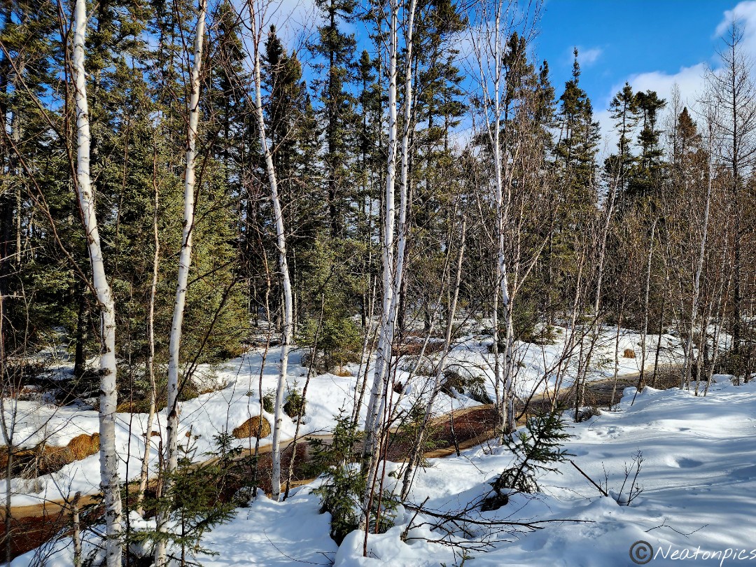
After a week of heavy snowstorms, it felt great to get outside while the sun was shining. The temperature was a bit cool at -1 as our adventure started.
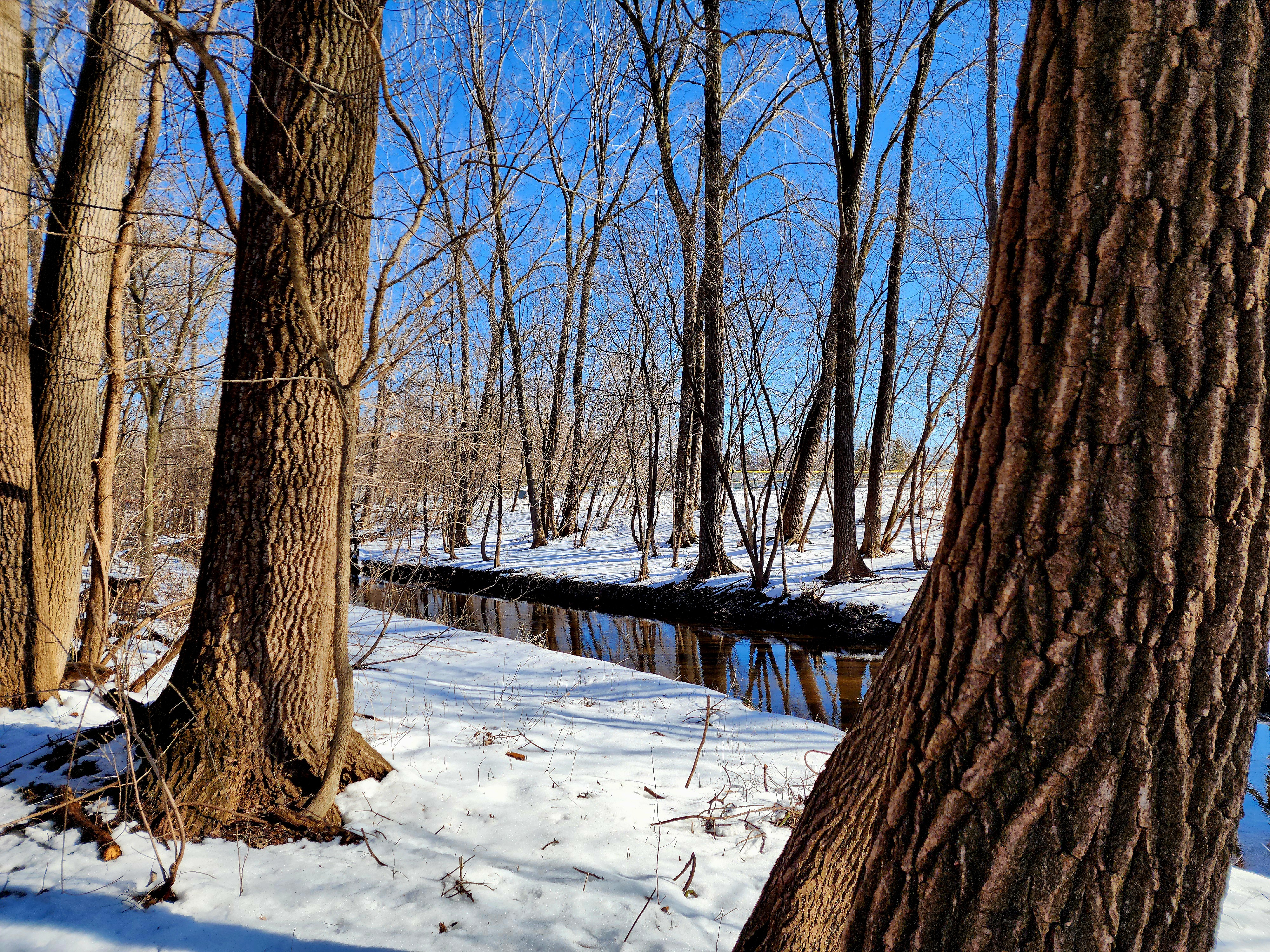
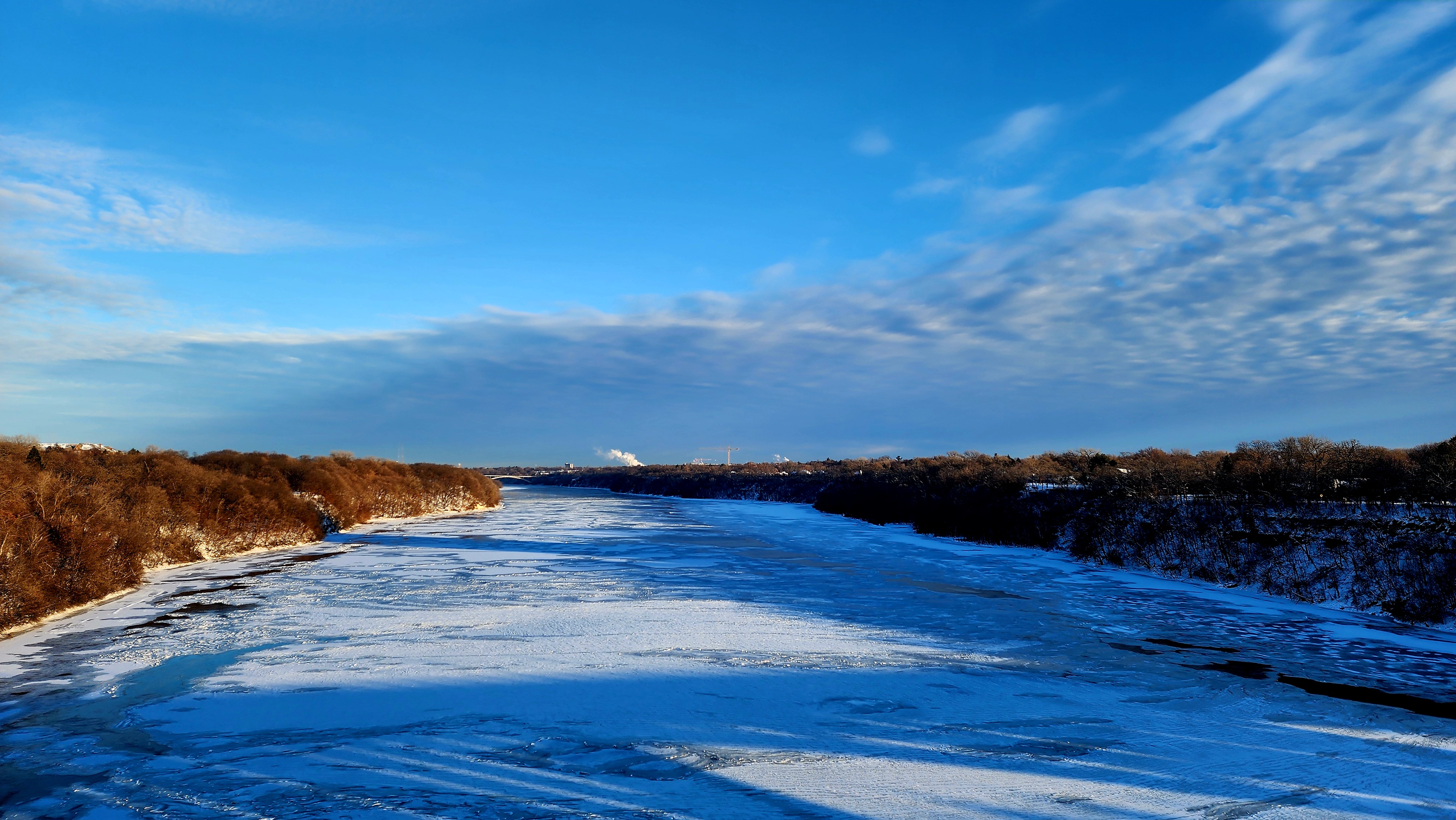
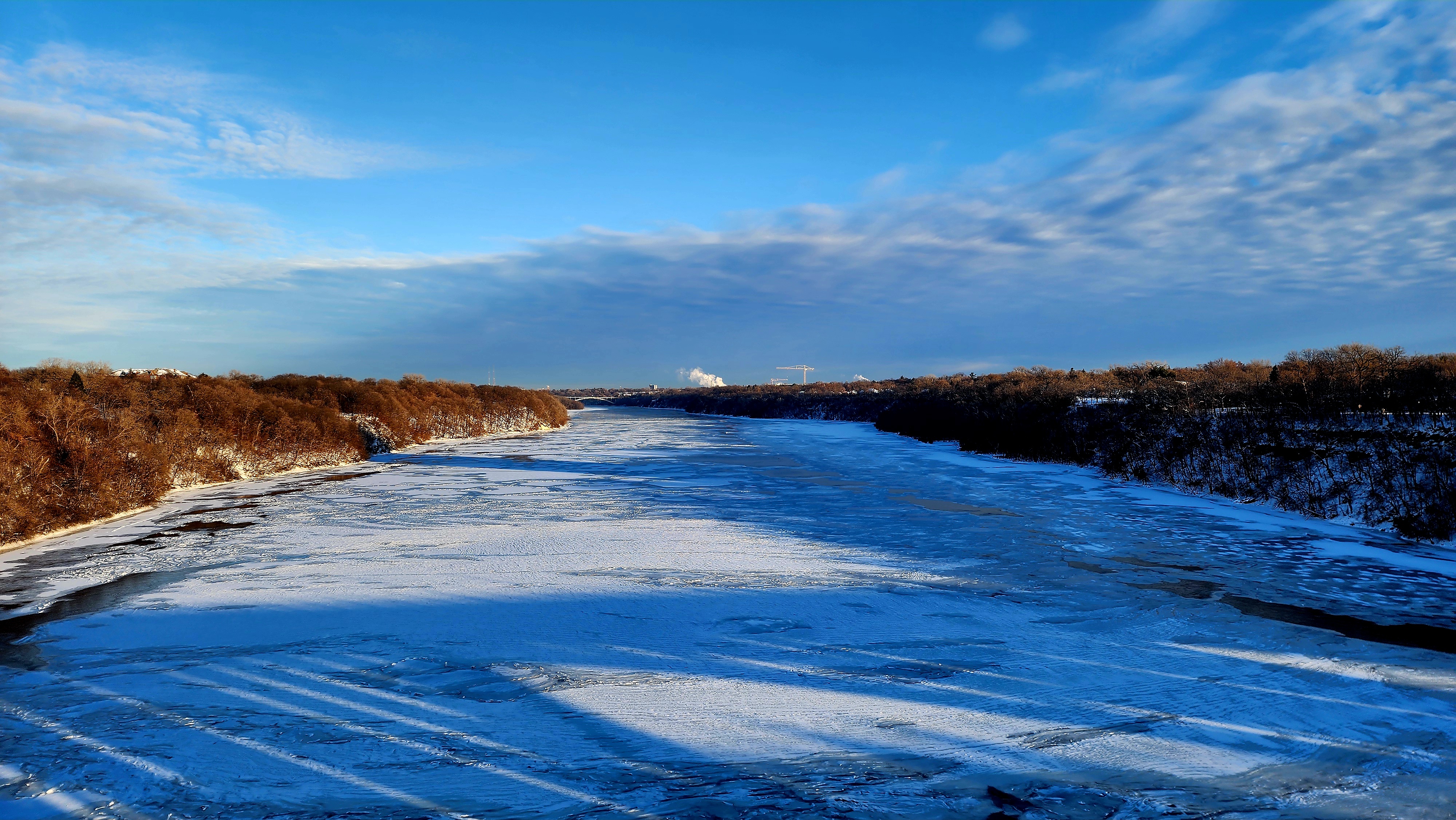
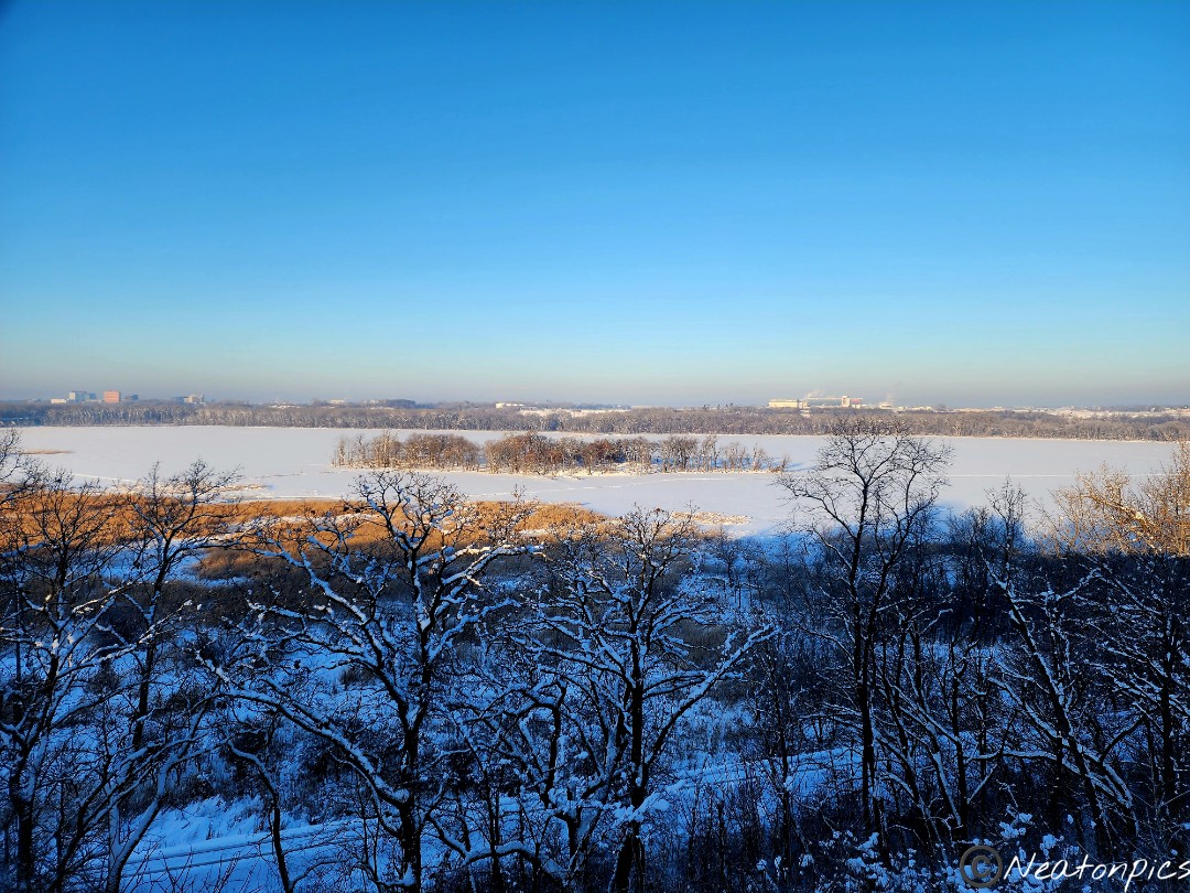
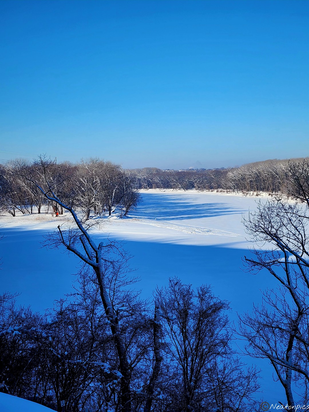
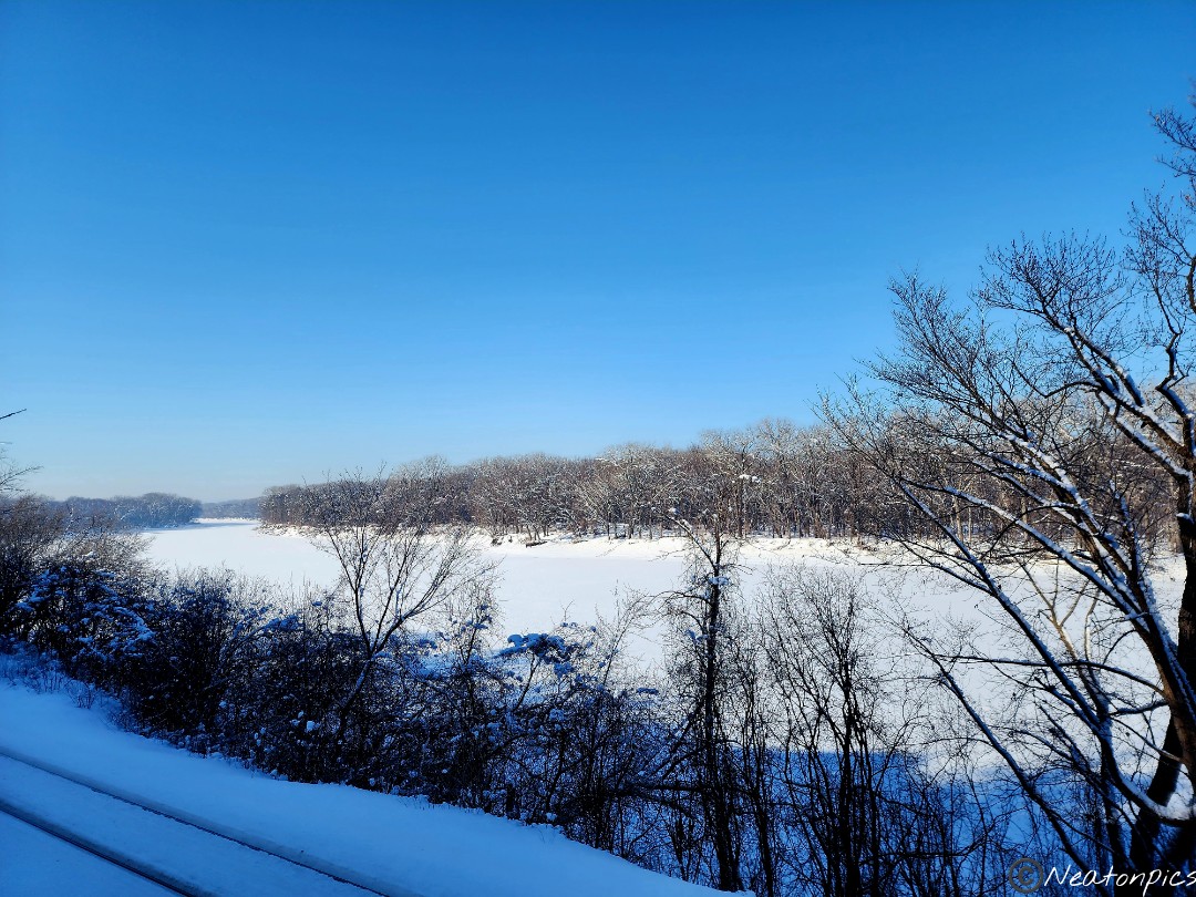
Big Rivers Trailhead has an amazing year round view of the Minnesota River and the airport. Planes were flying low overhead coming and going from the airport.
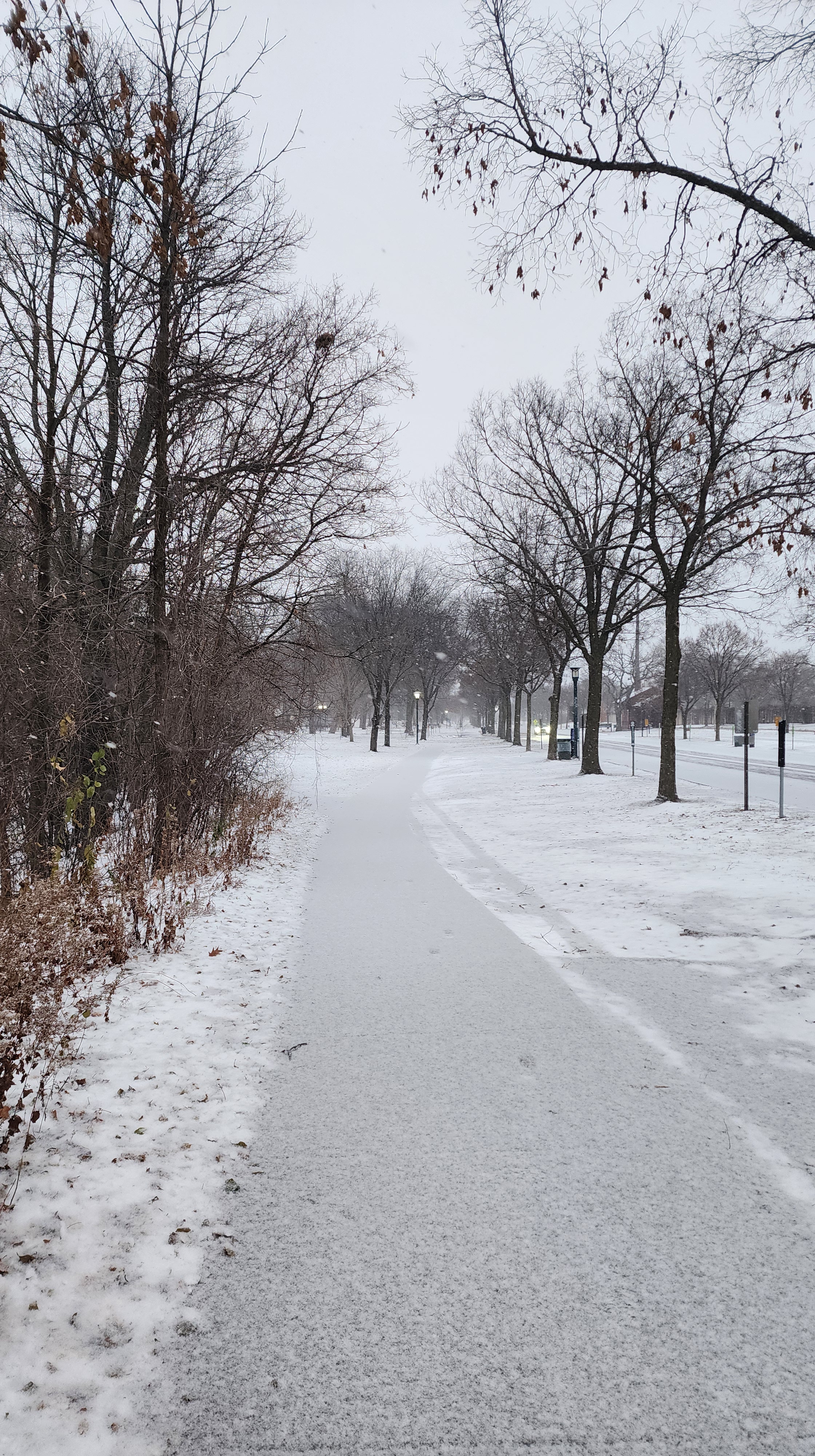
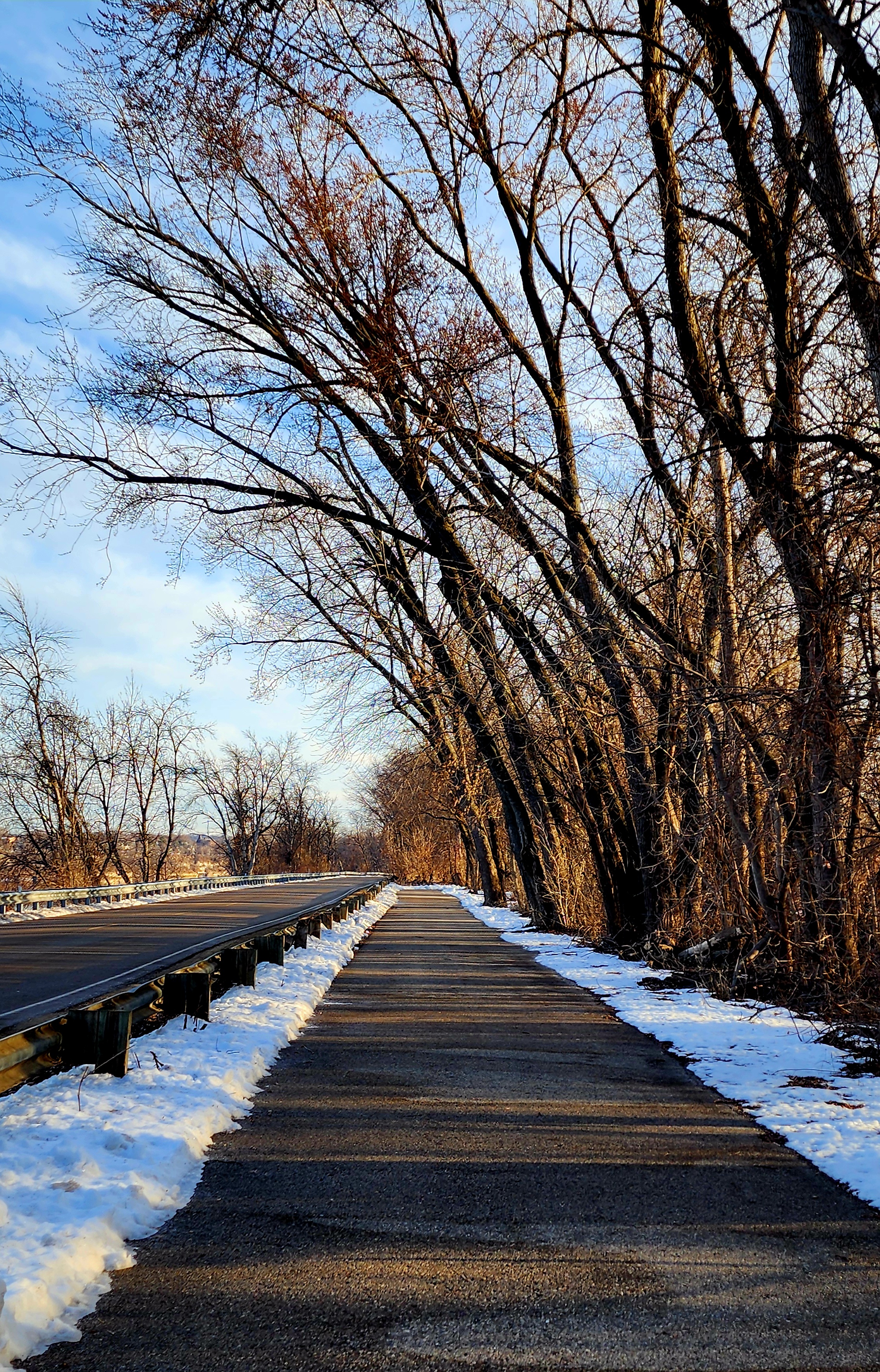
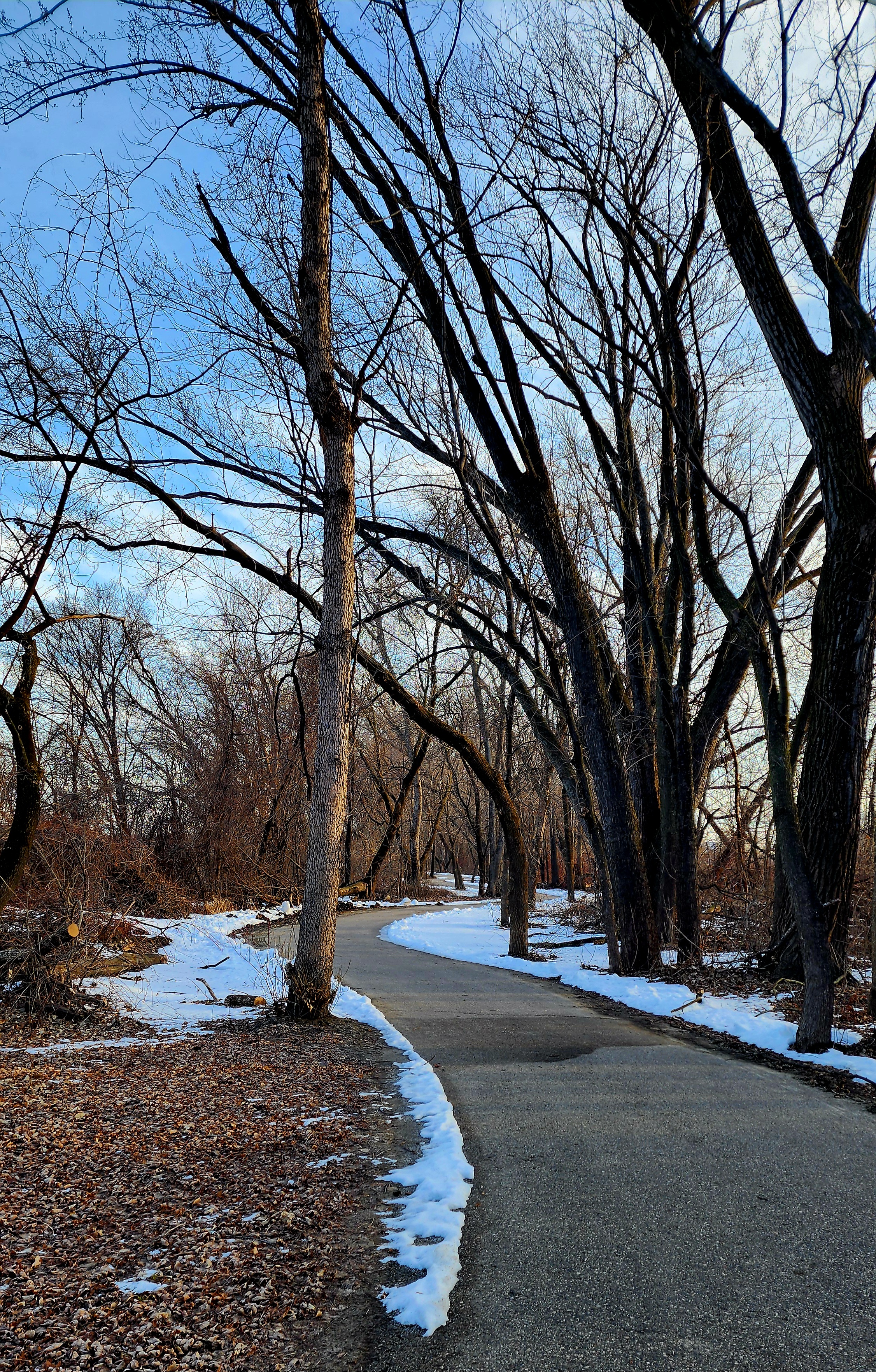
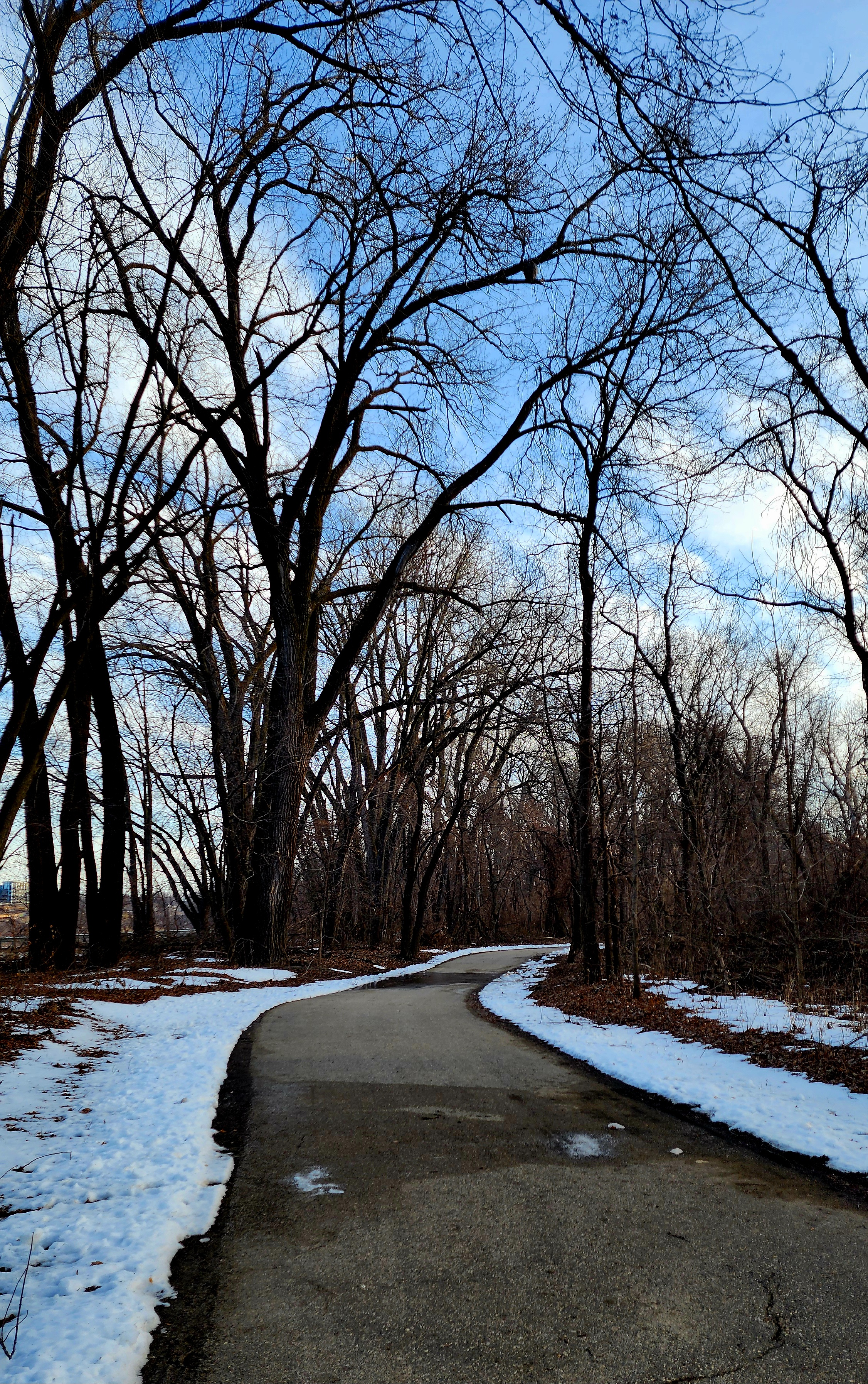
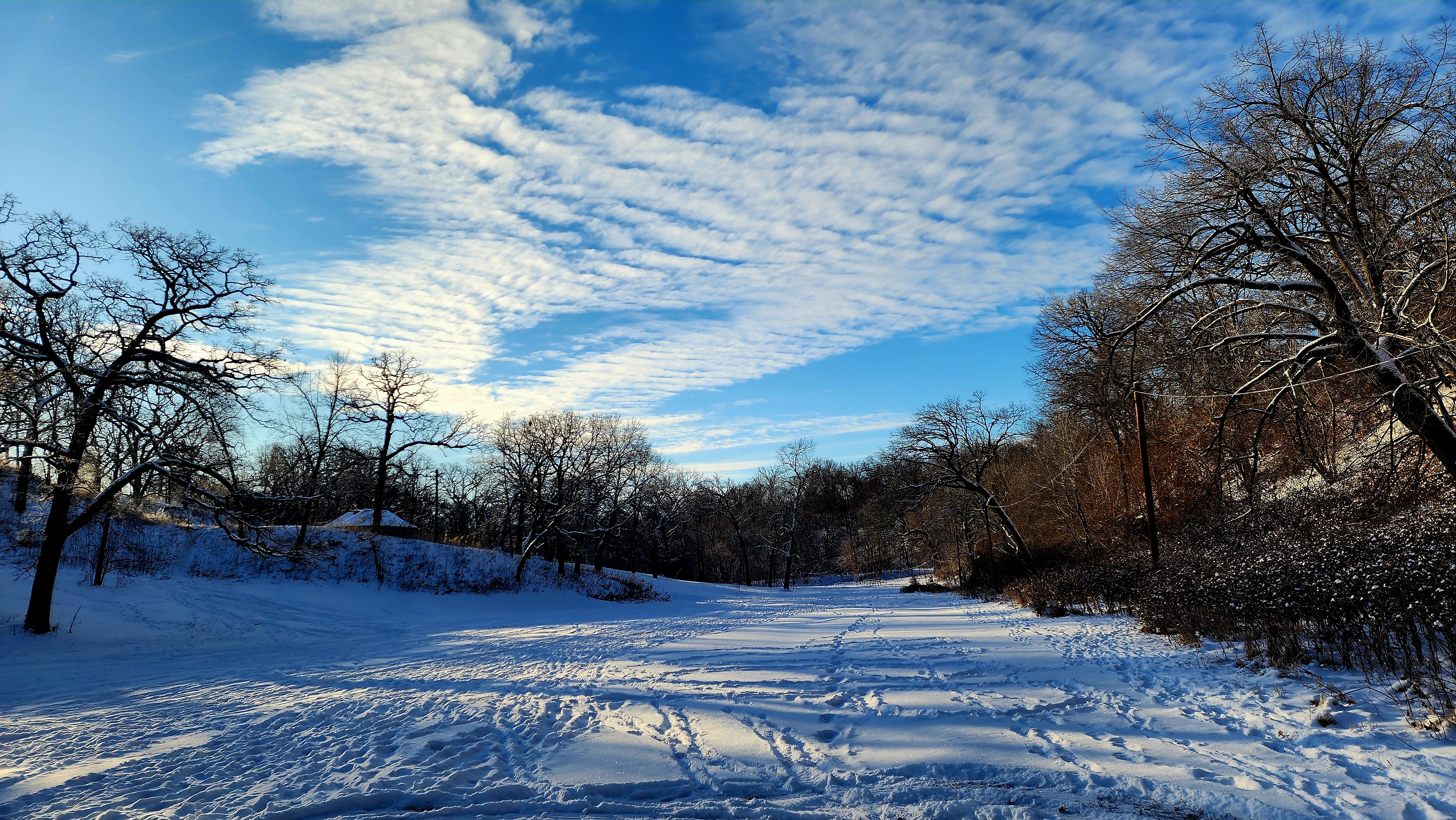
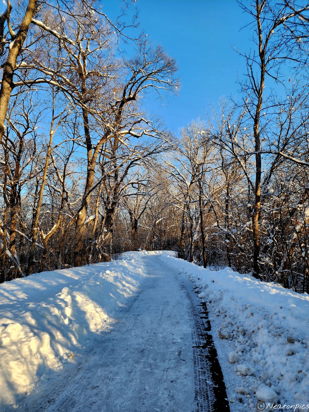
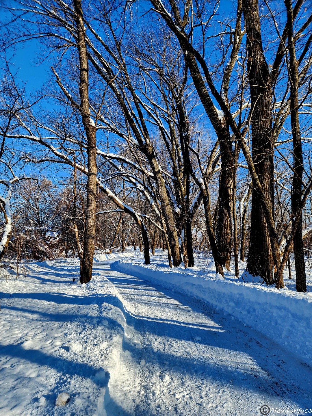
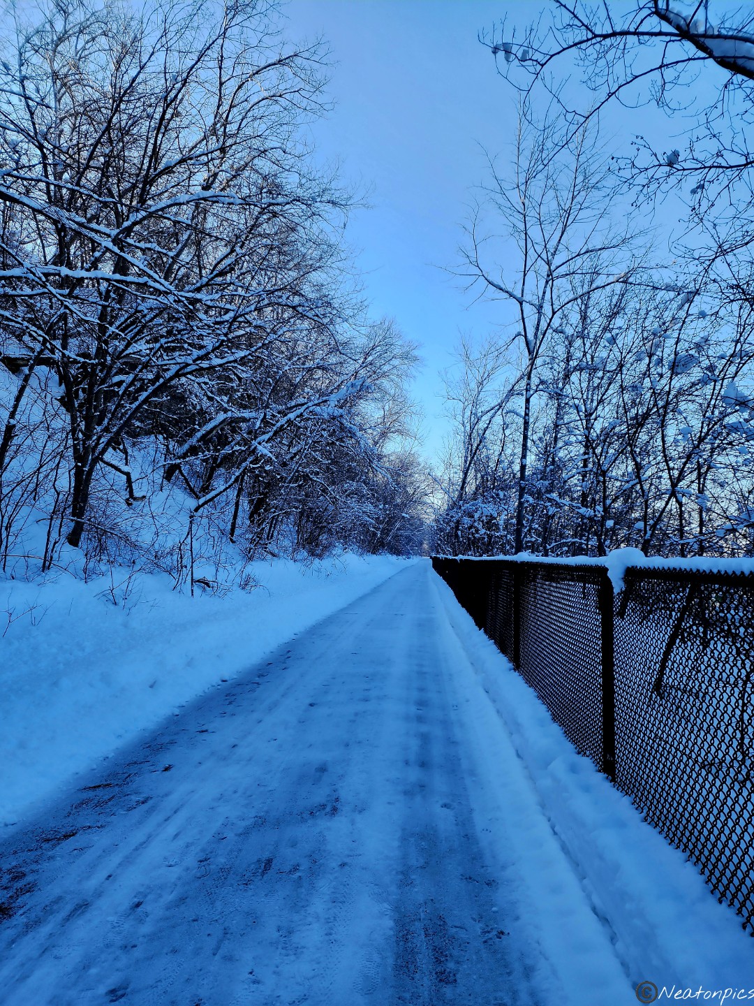
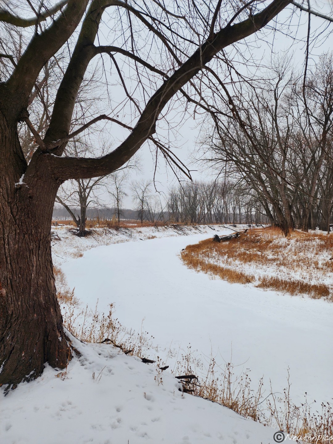
The paved trail was freshly plowed.
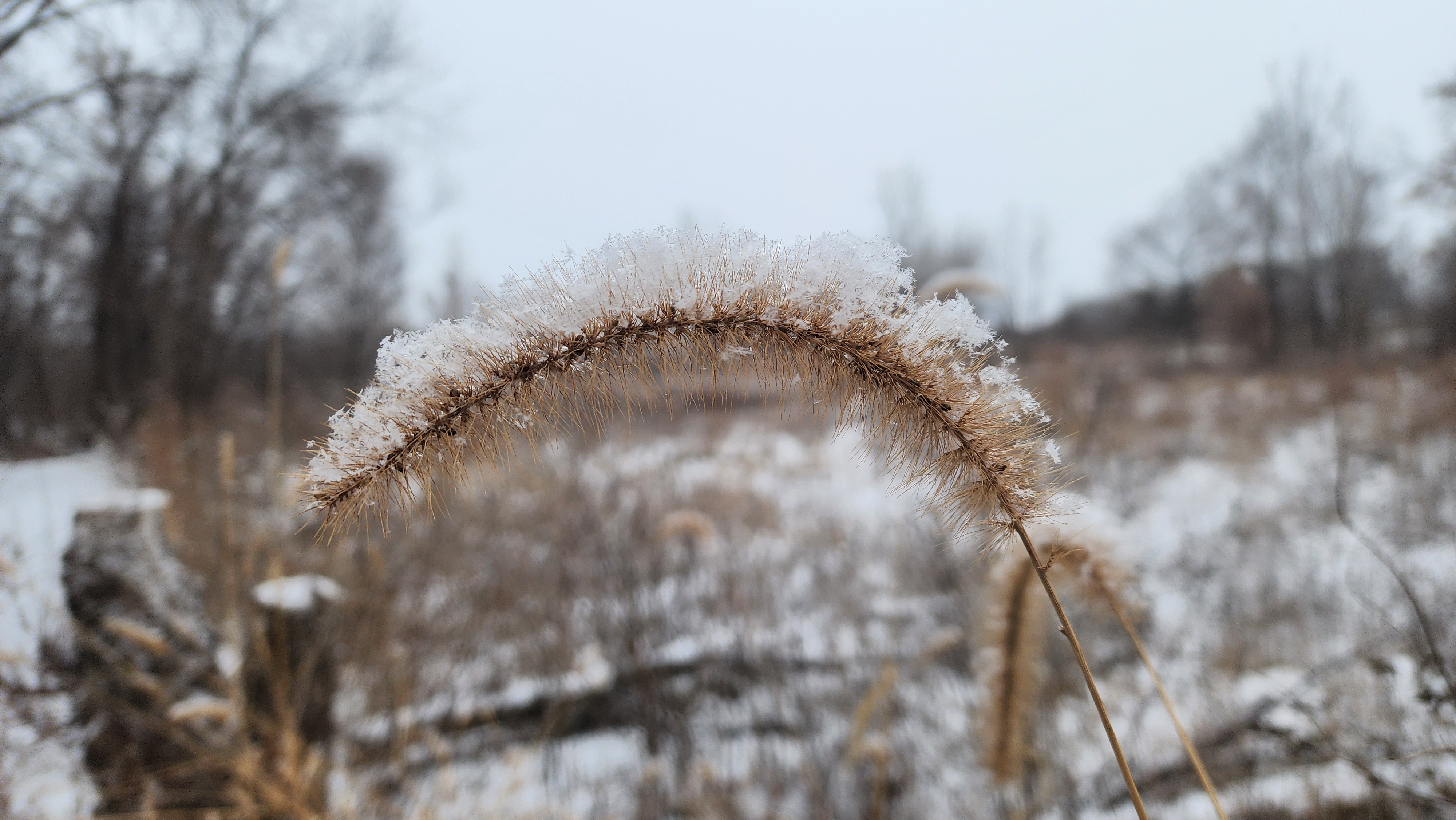
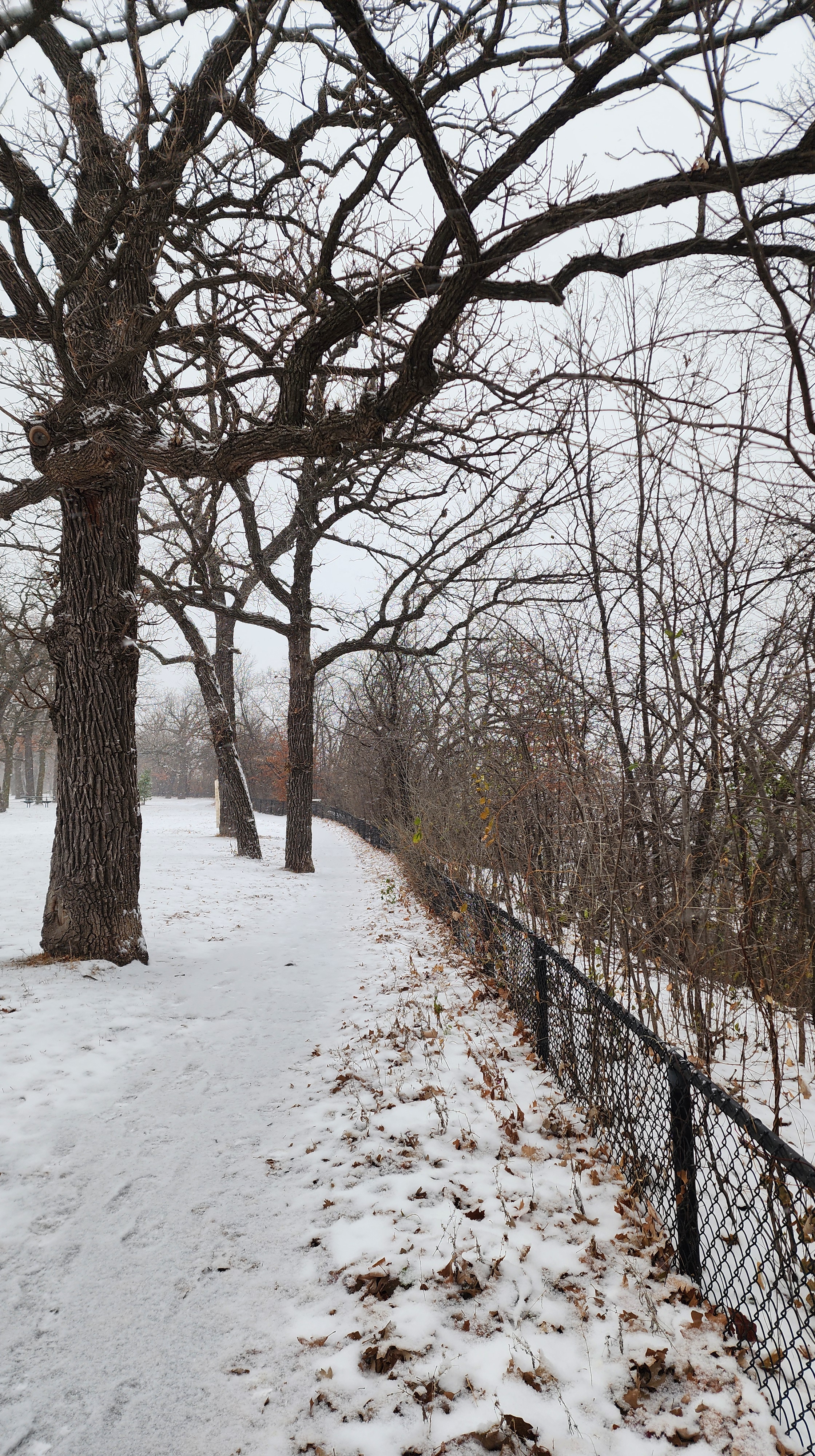
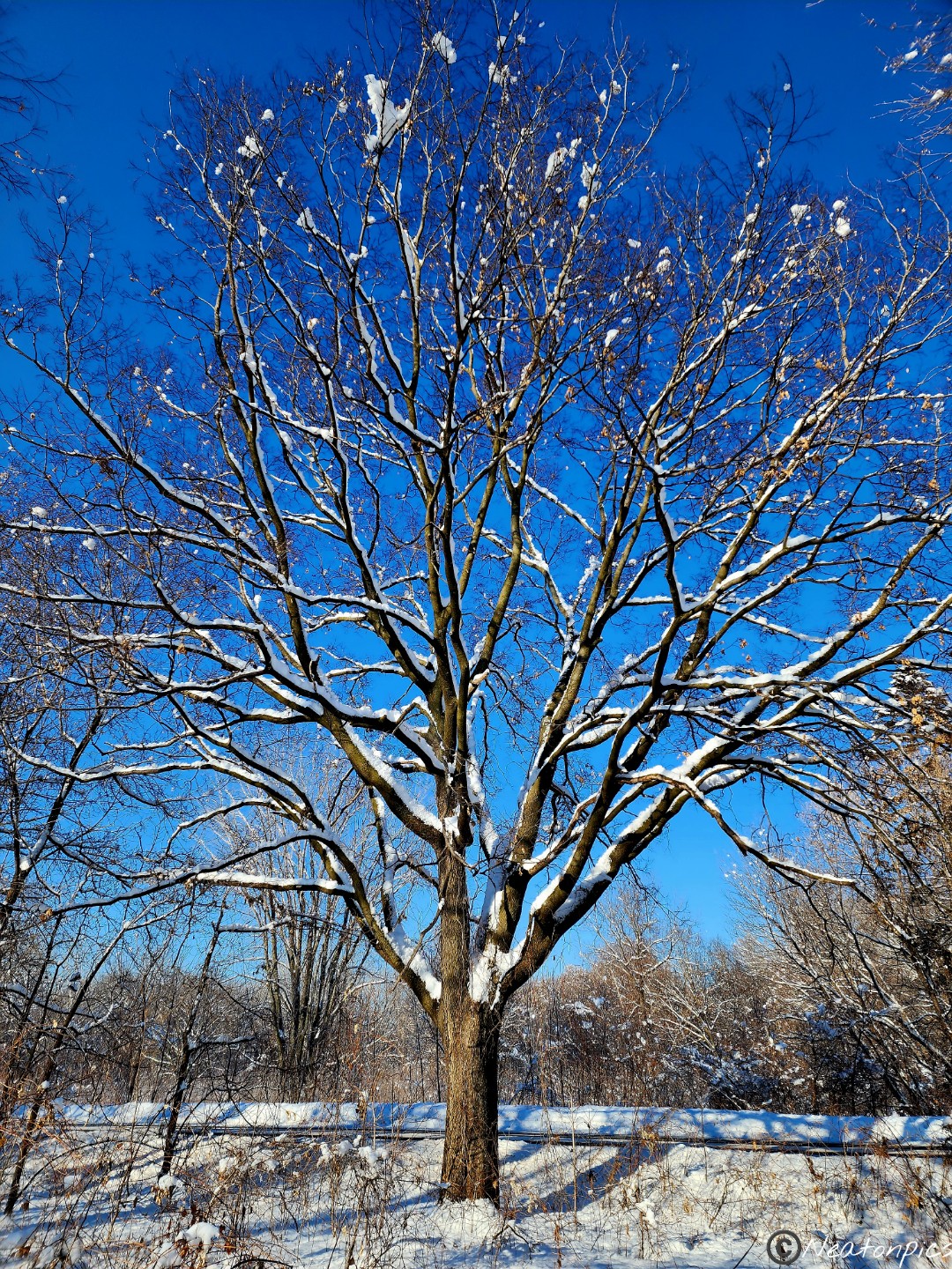
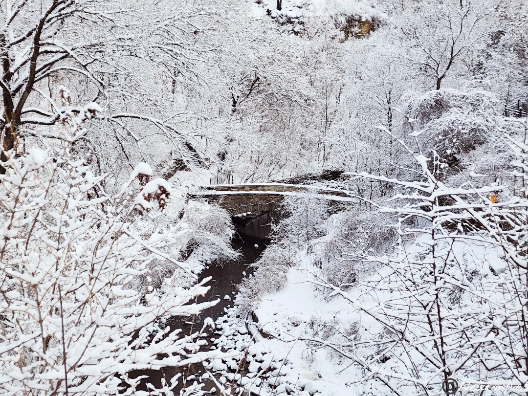
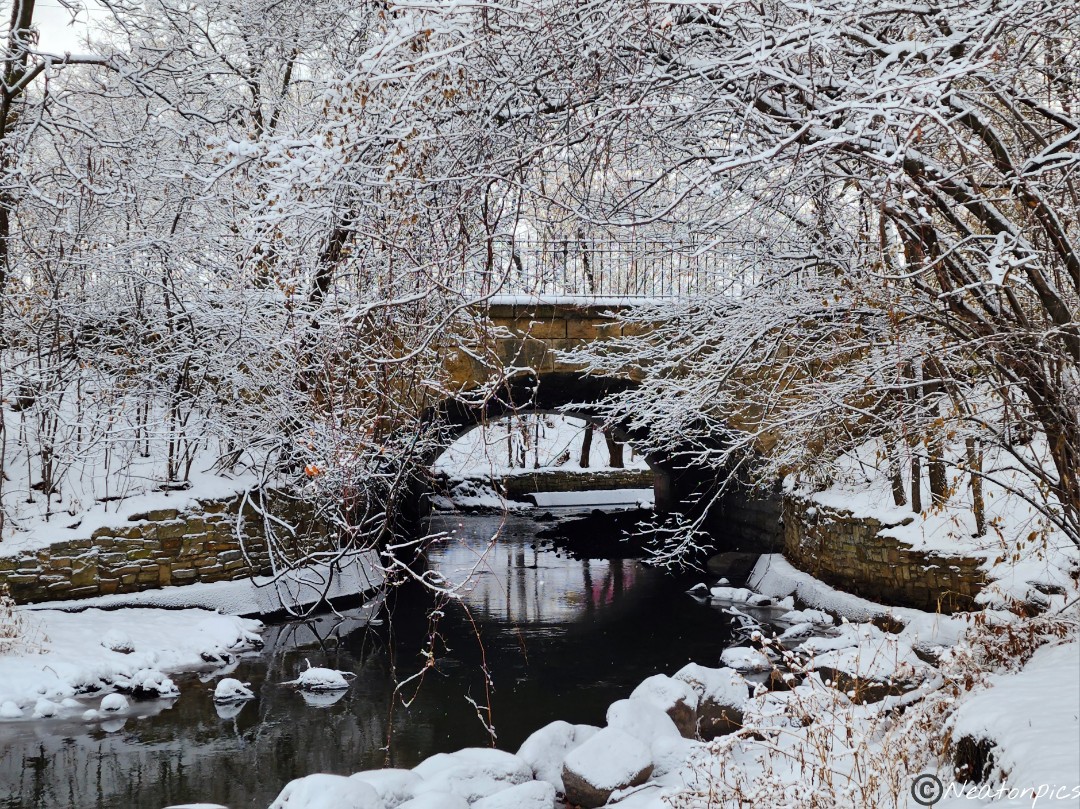
Giant snowballs gripped the branches of the trees. It gave the appearance of fluffy cotton balls.
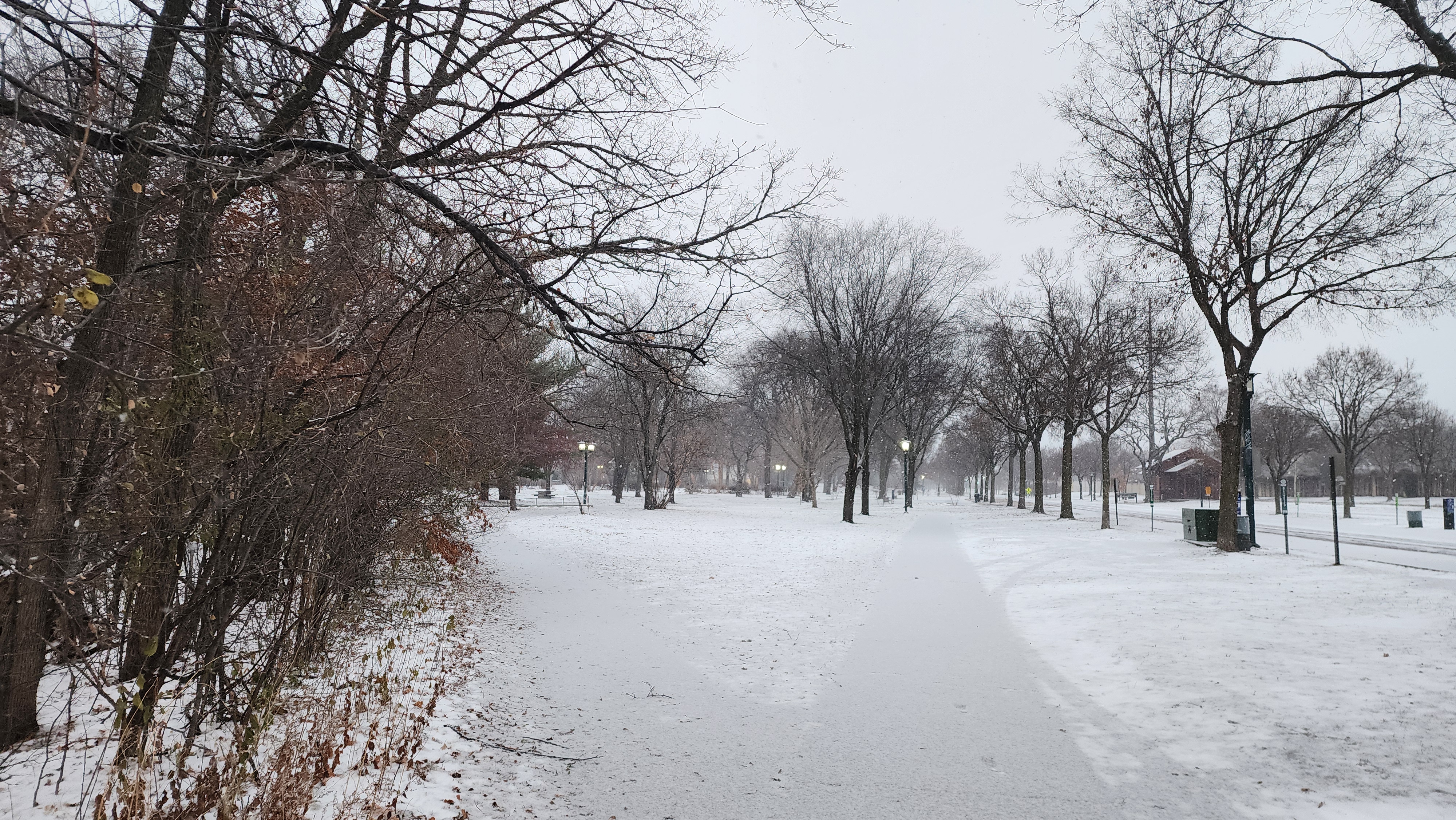
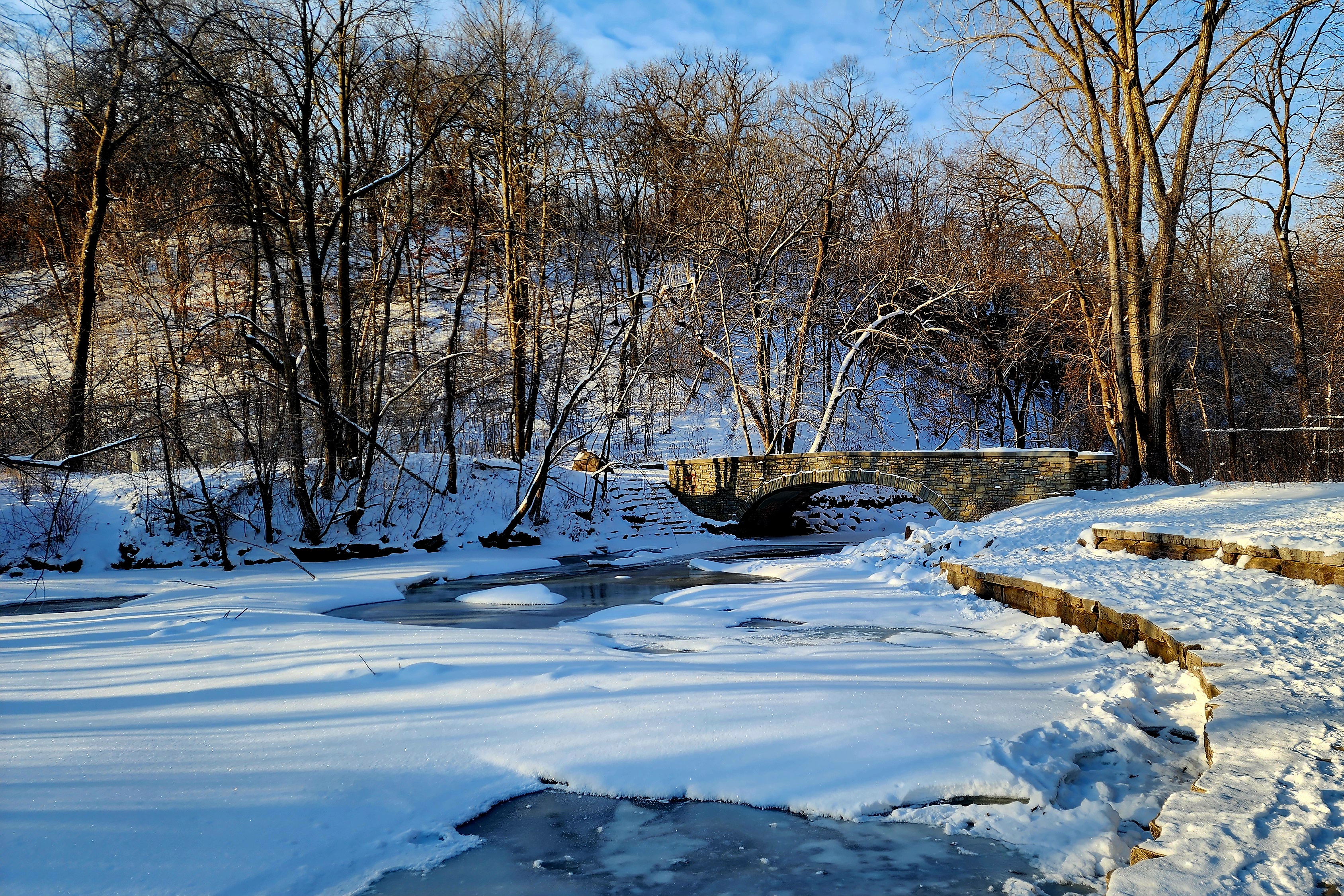
The trail continued through the small town of Mendota.
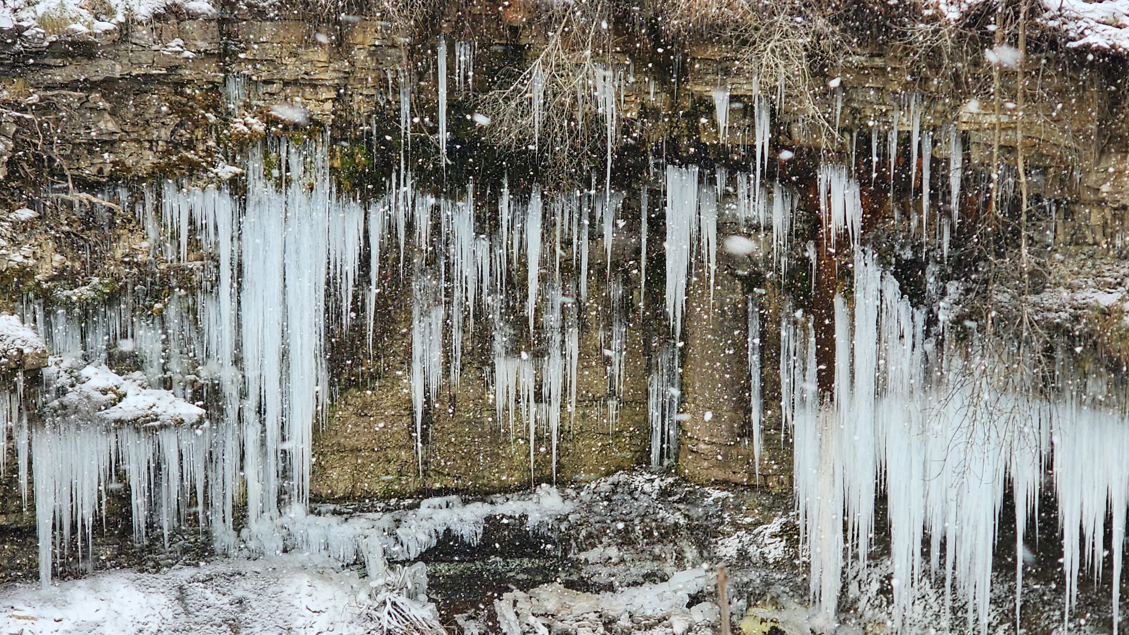
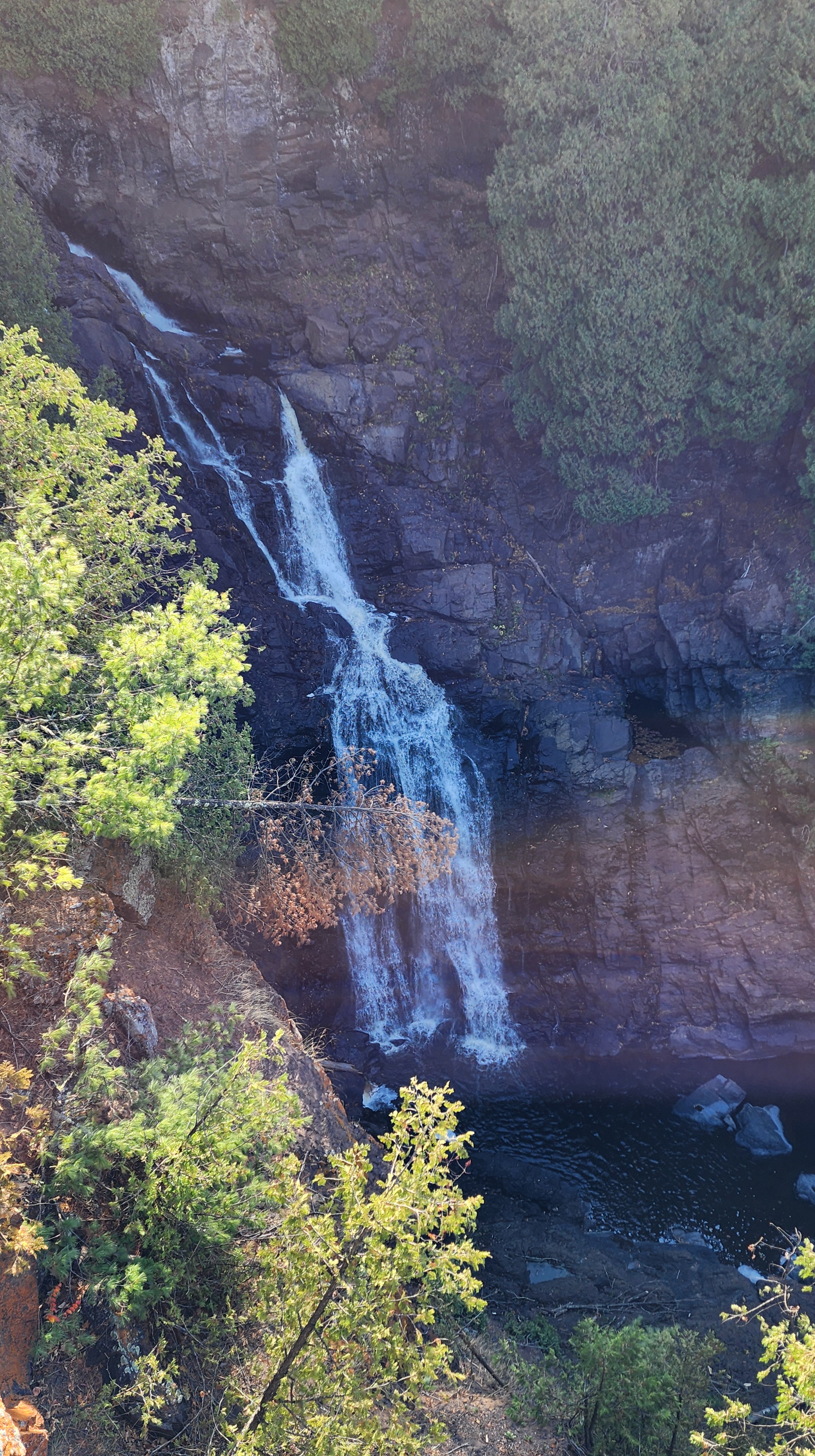
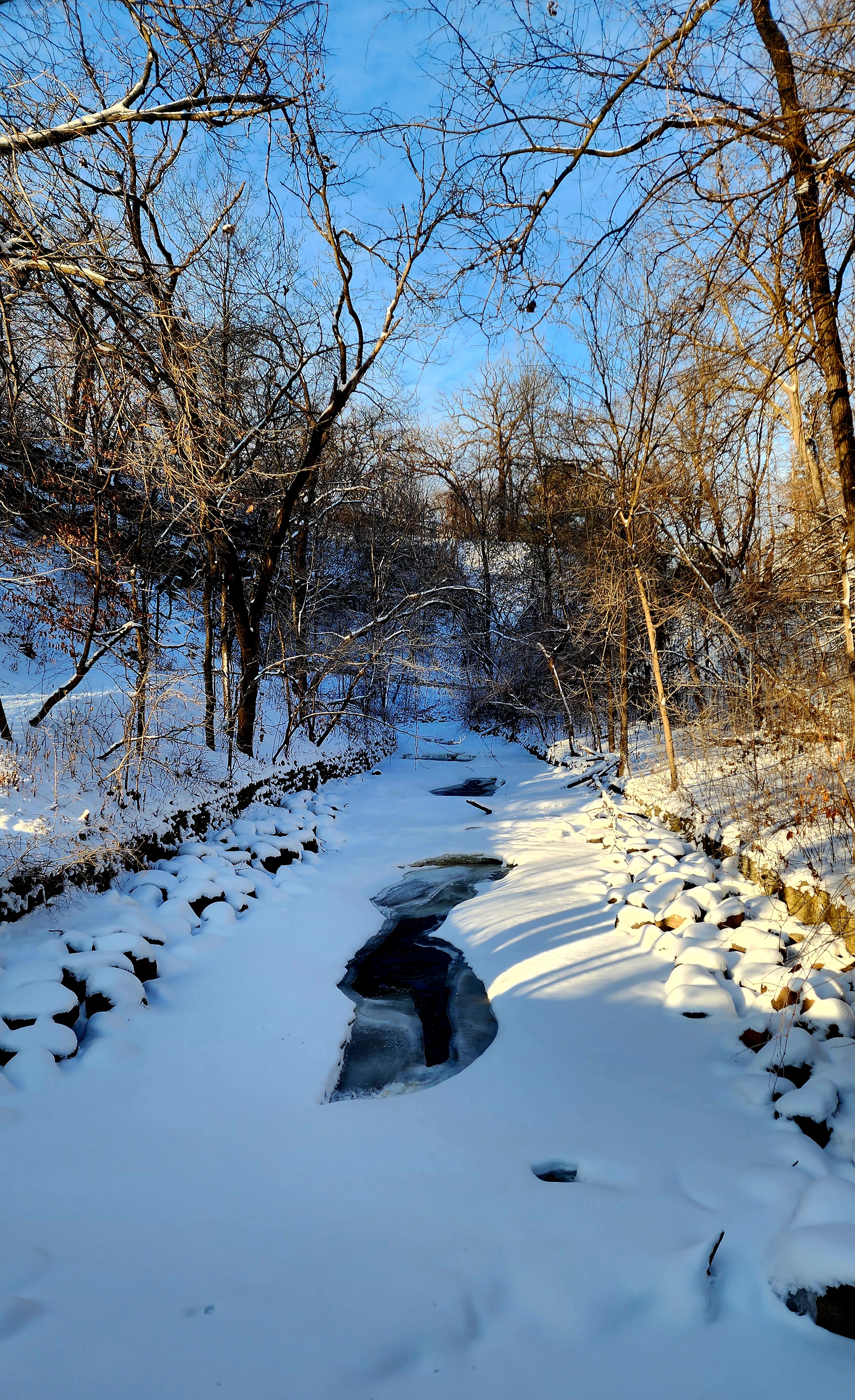
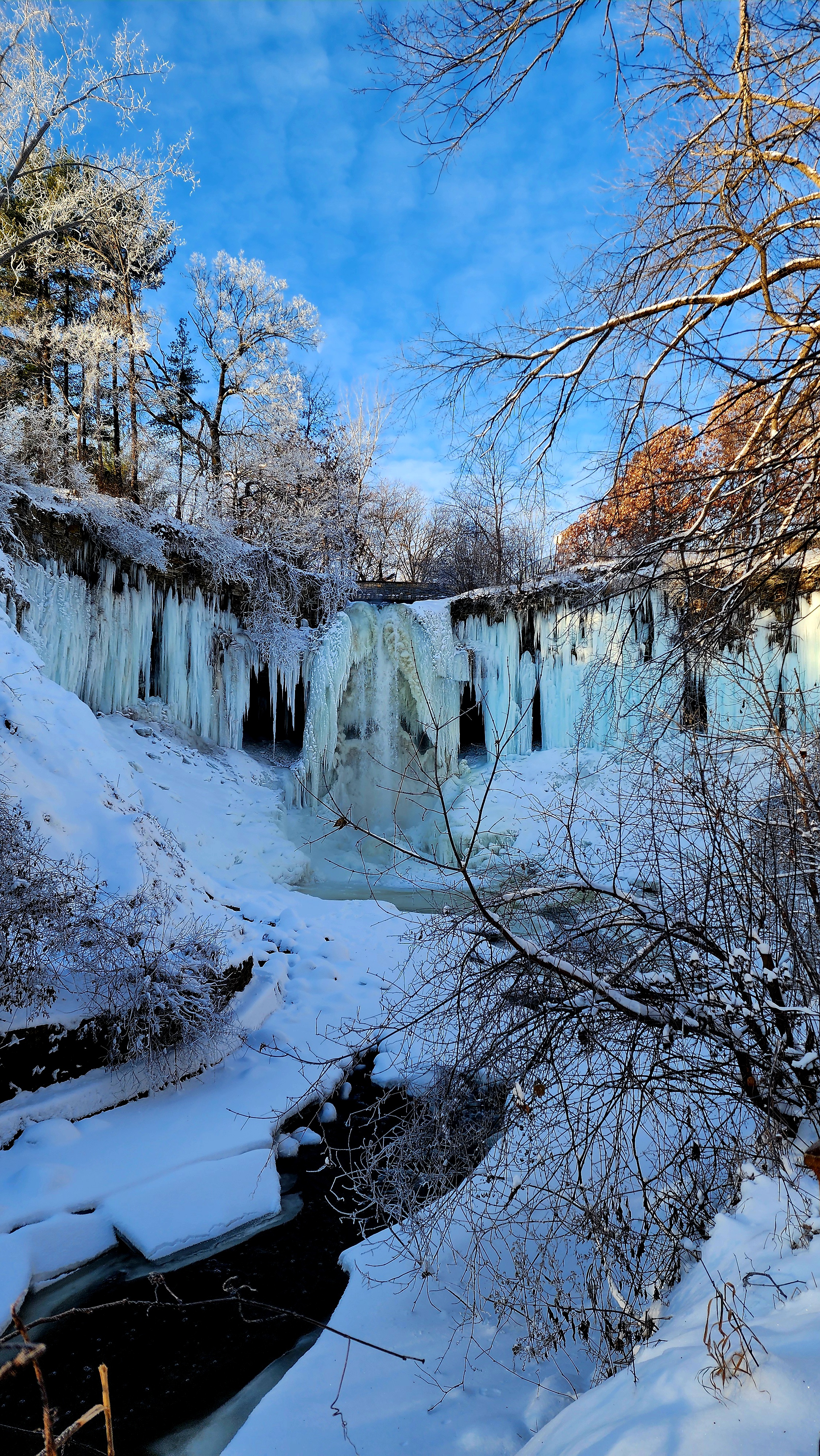
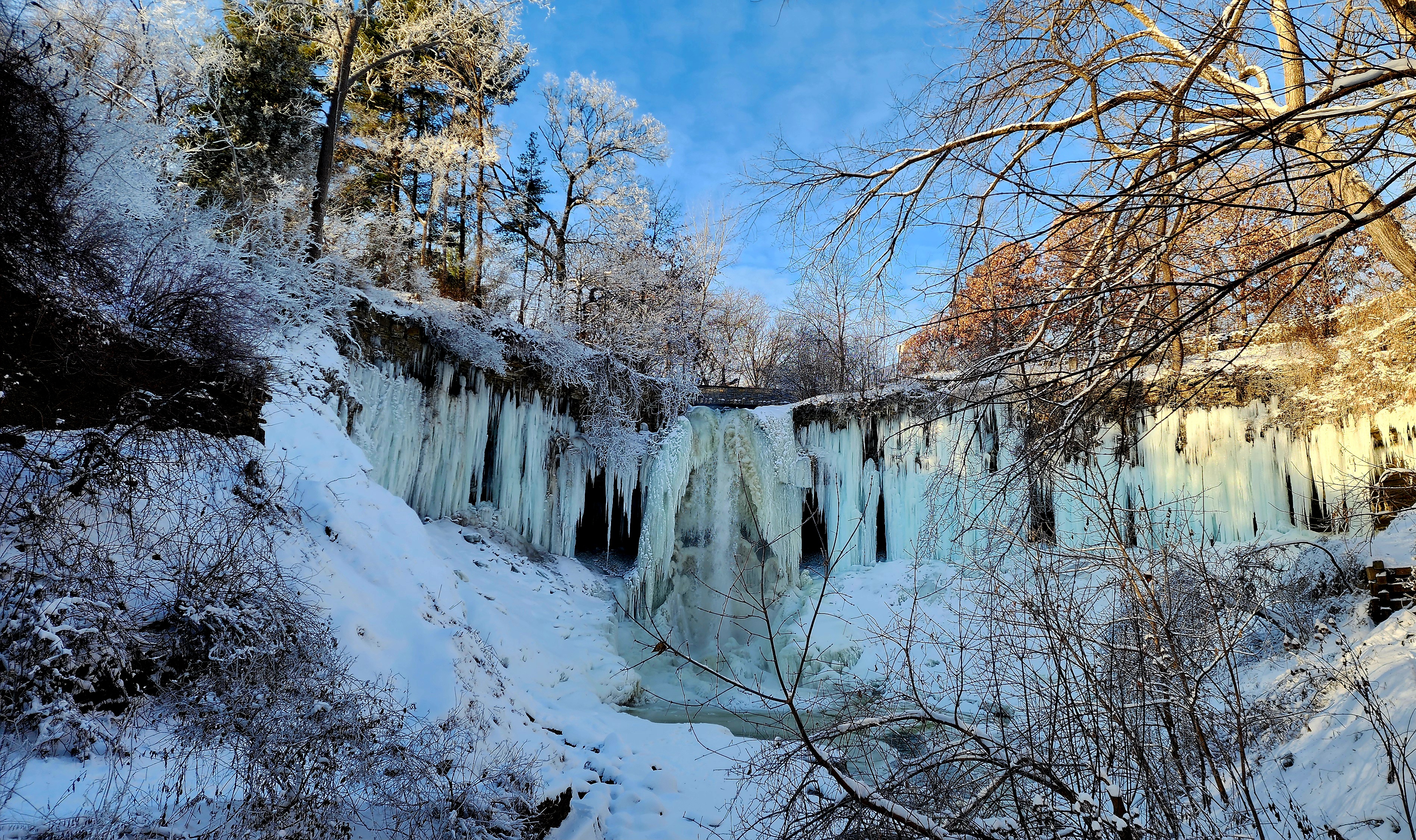
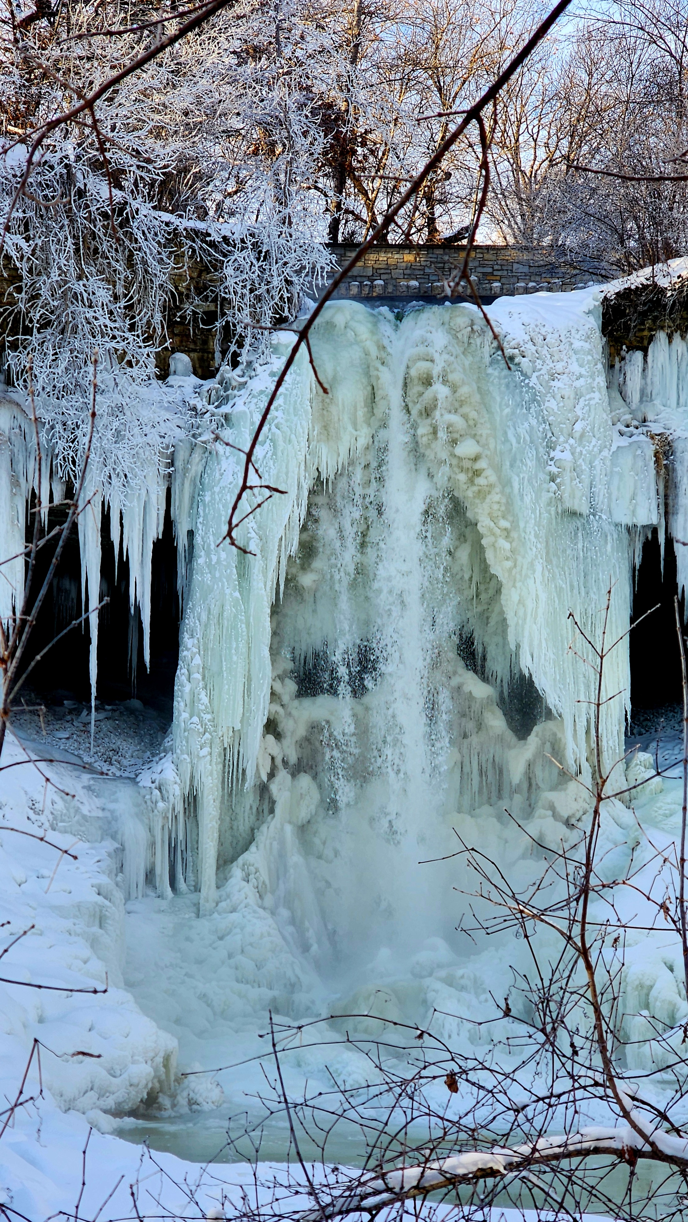
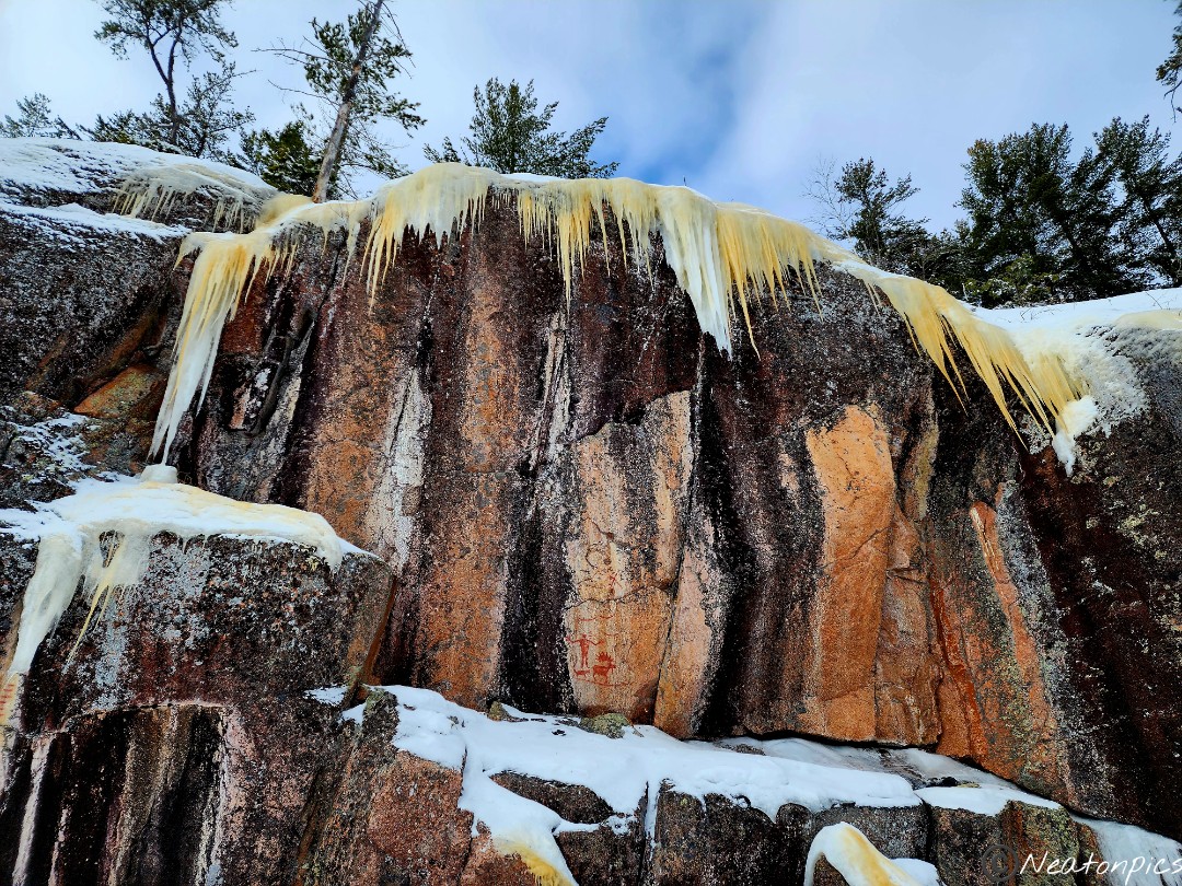
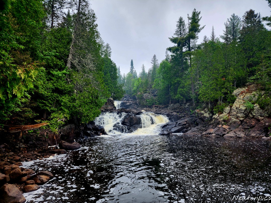
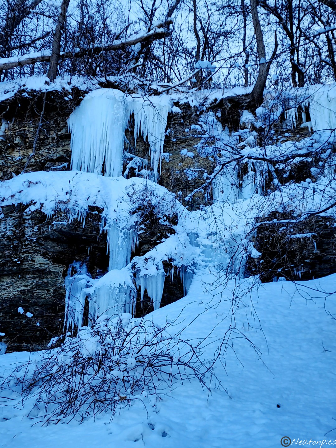
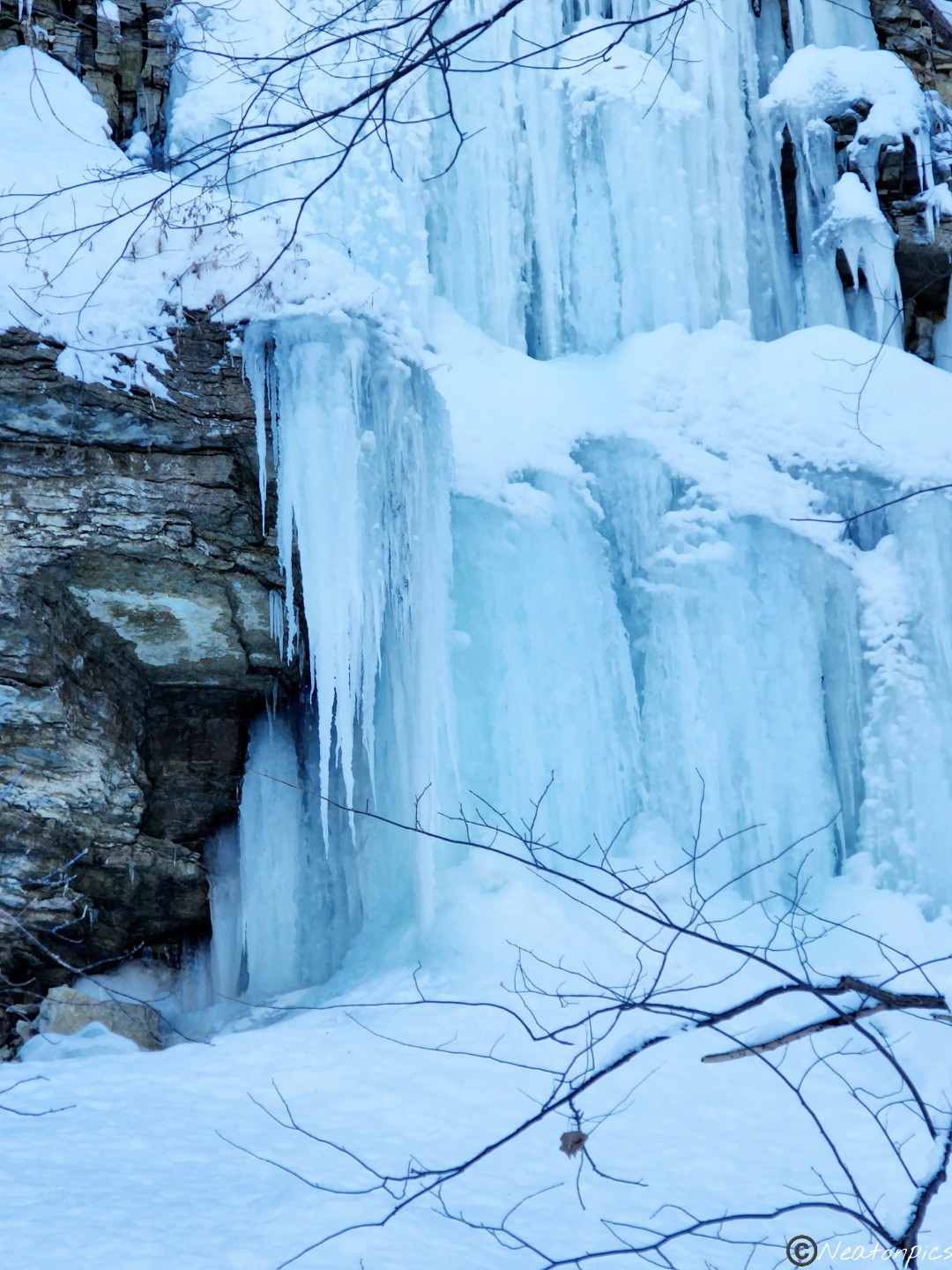
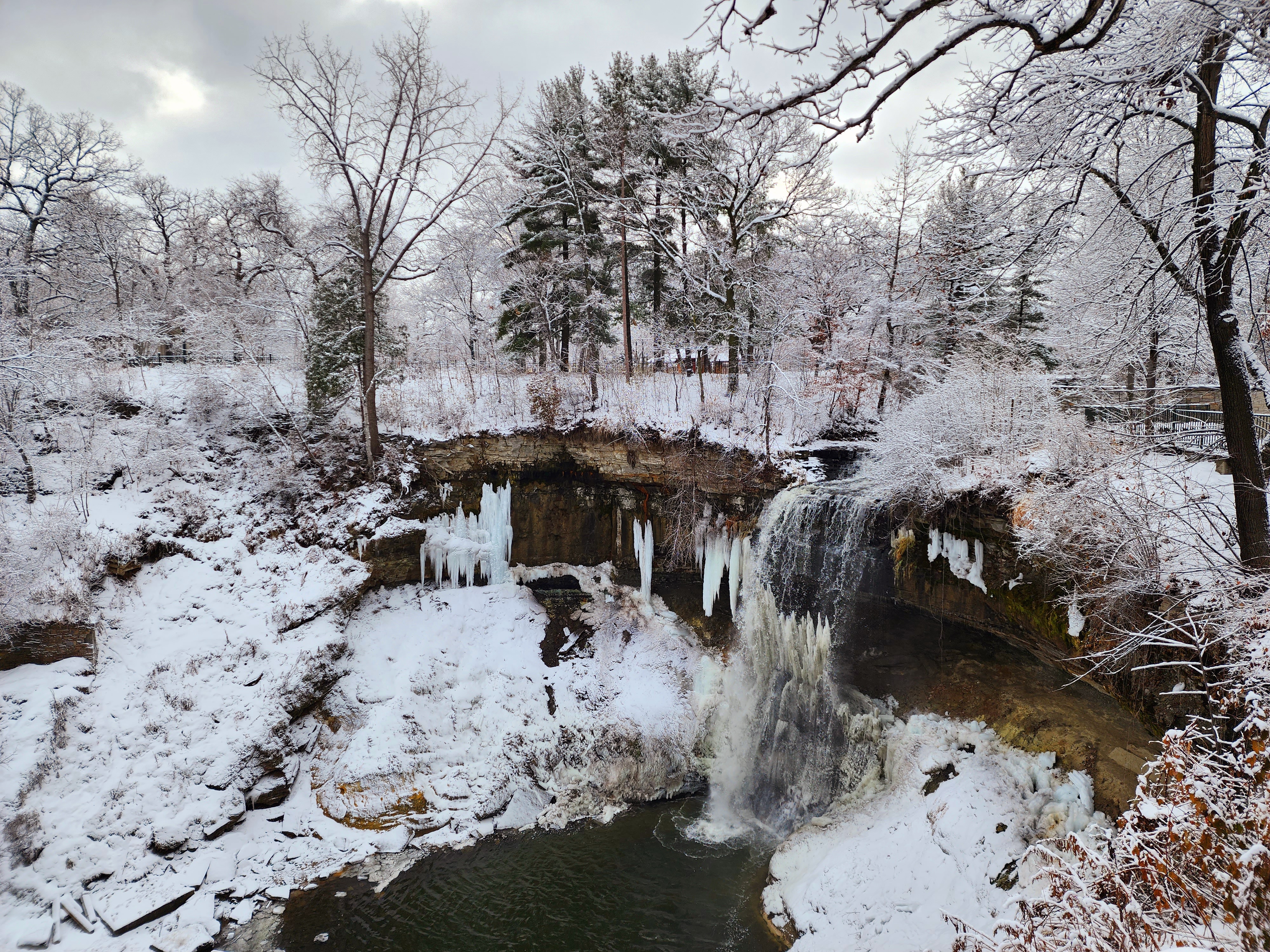
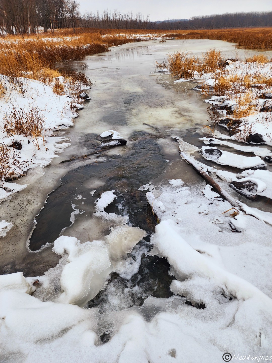
Frozen water cascaded down the side of the rocky cliffs.
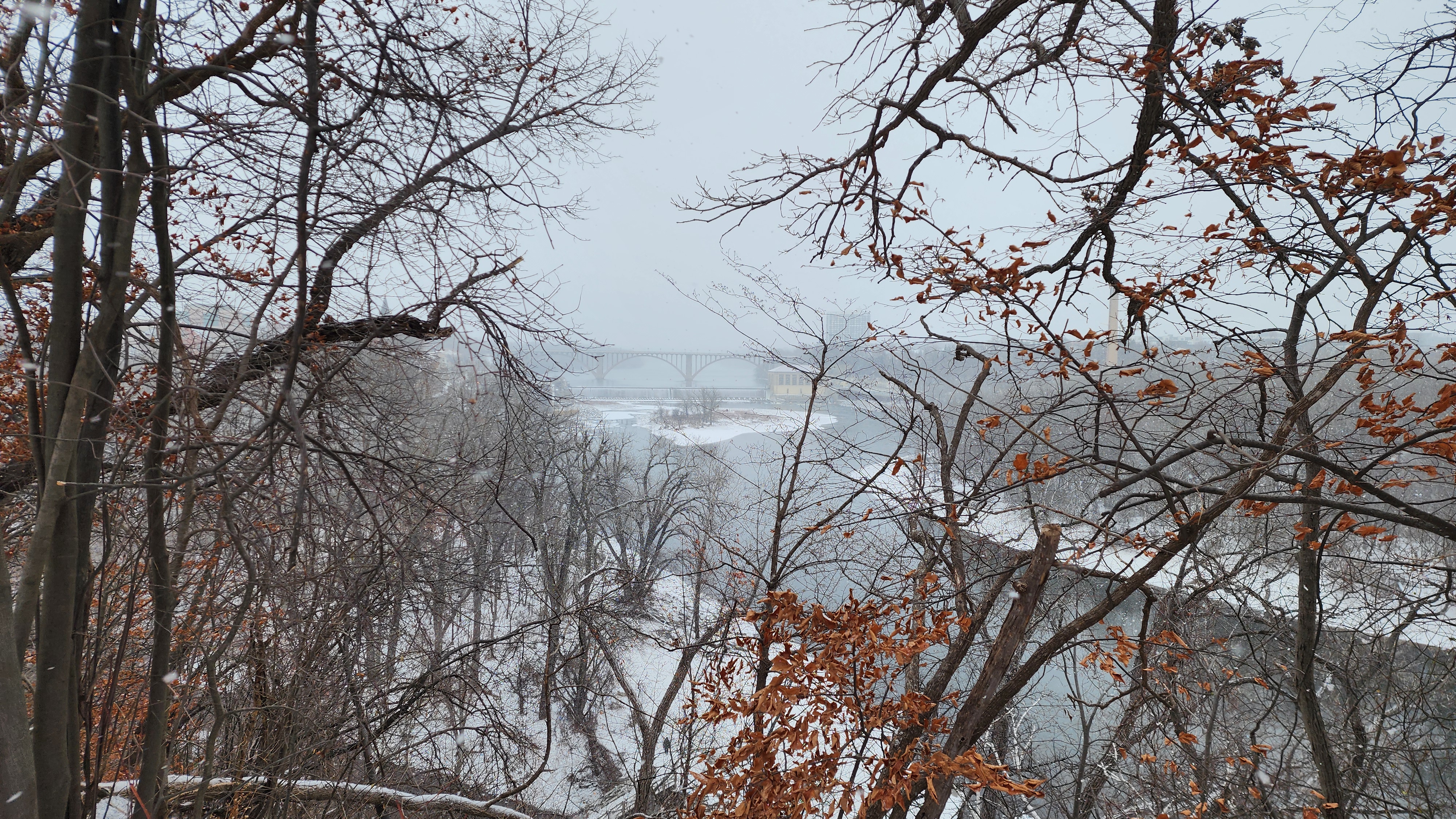
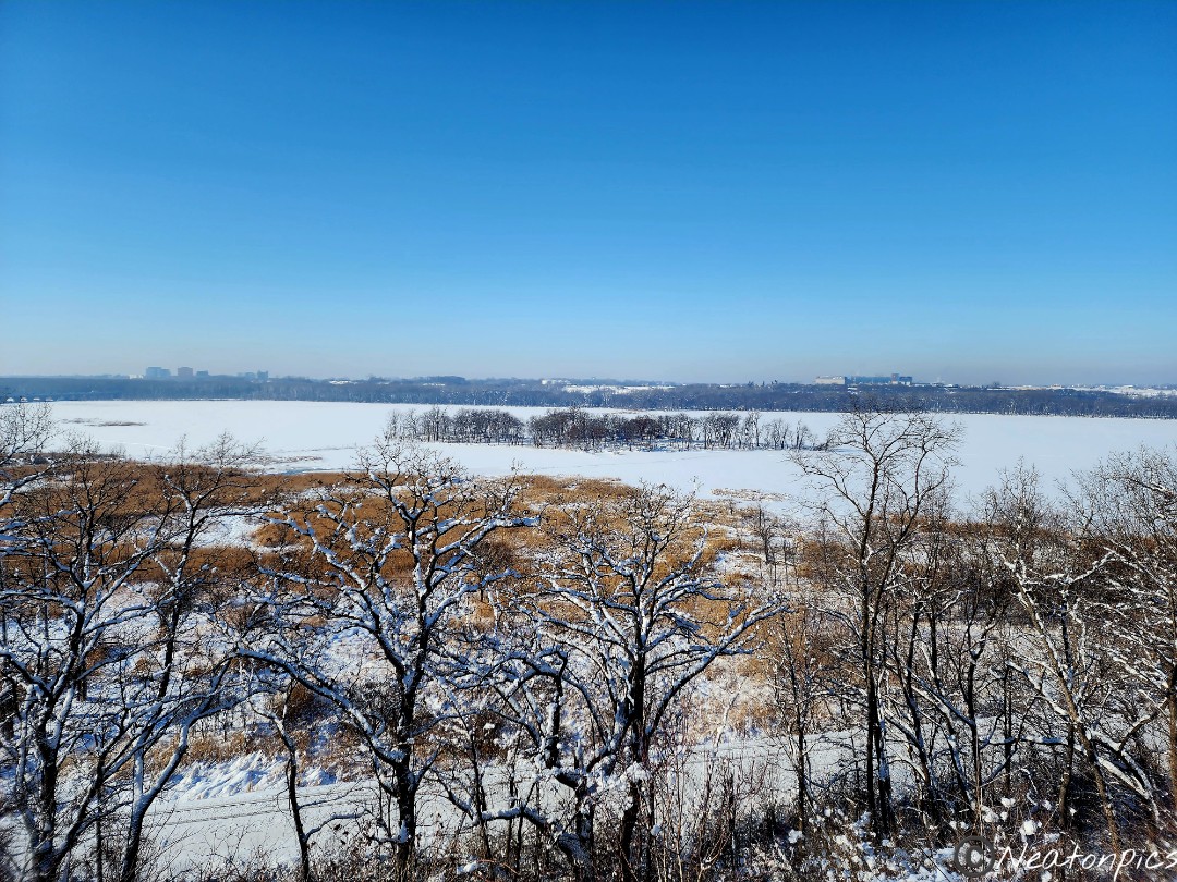
The confluence of the Mississippi River and the Minnesota River at Pike Island
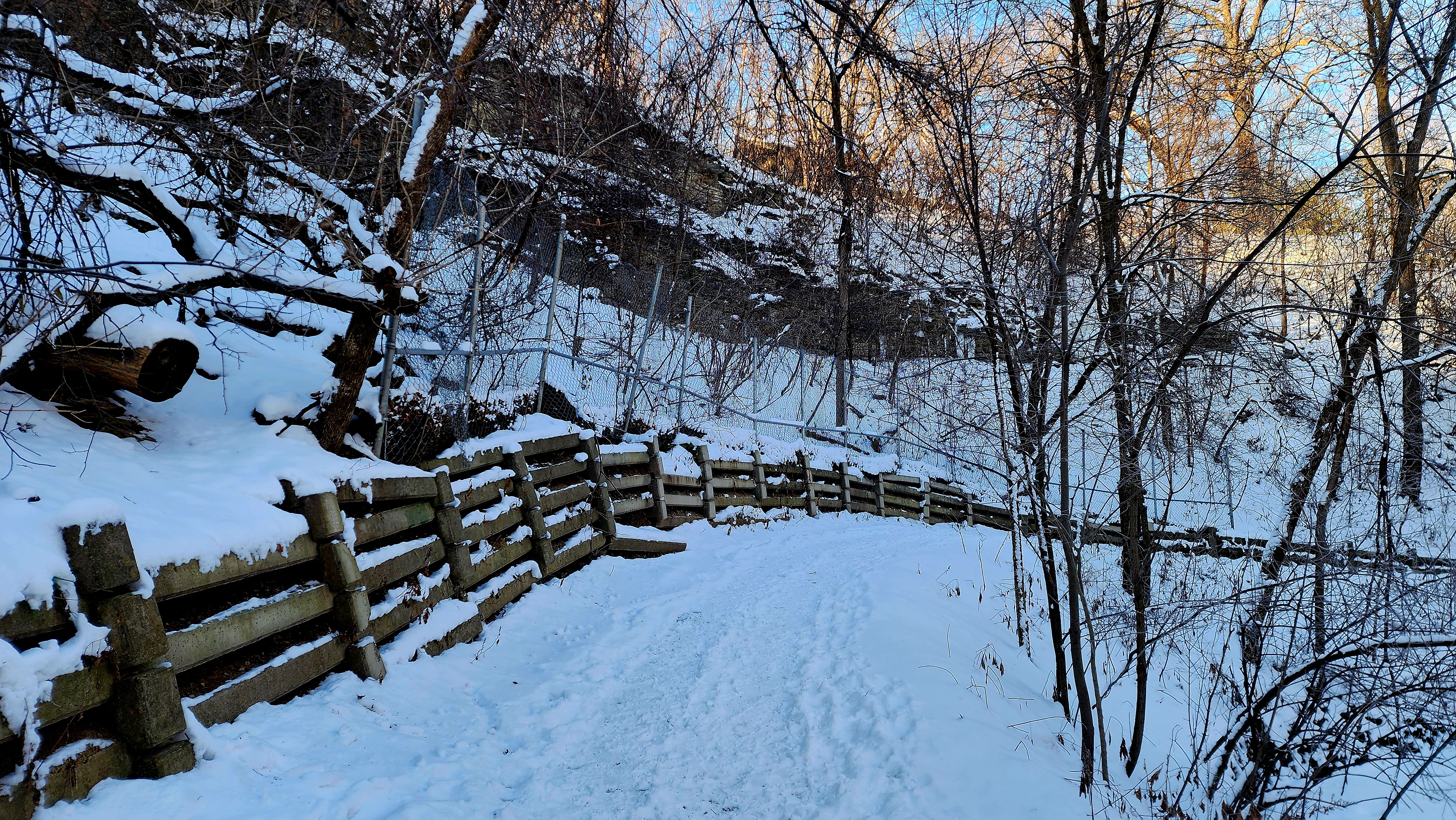
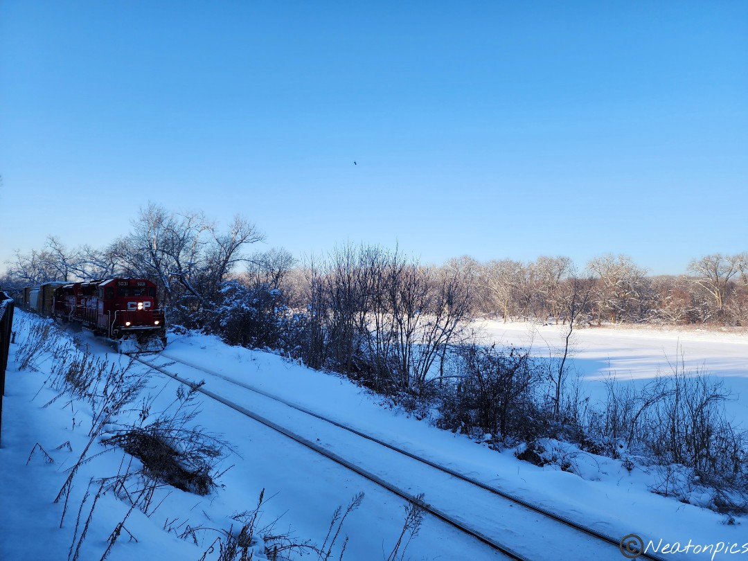
Train tracks lay parallel to the Big River Trail at times. A long train passed by us as we hiked.
We reached the Lilydale trailhead and decided to hike the Robert Piram Regional Trail.
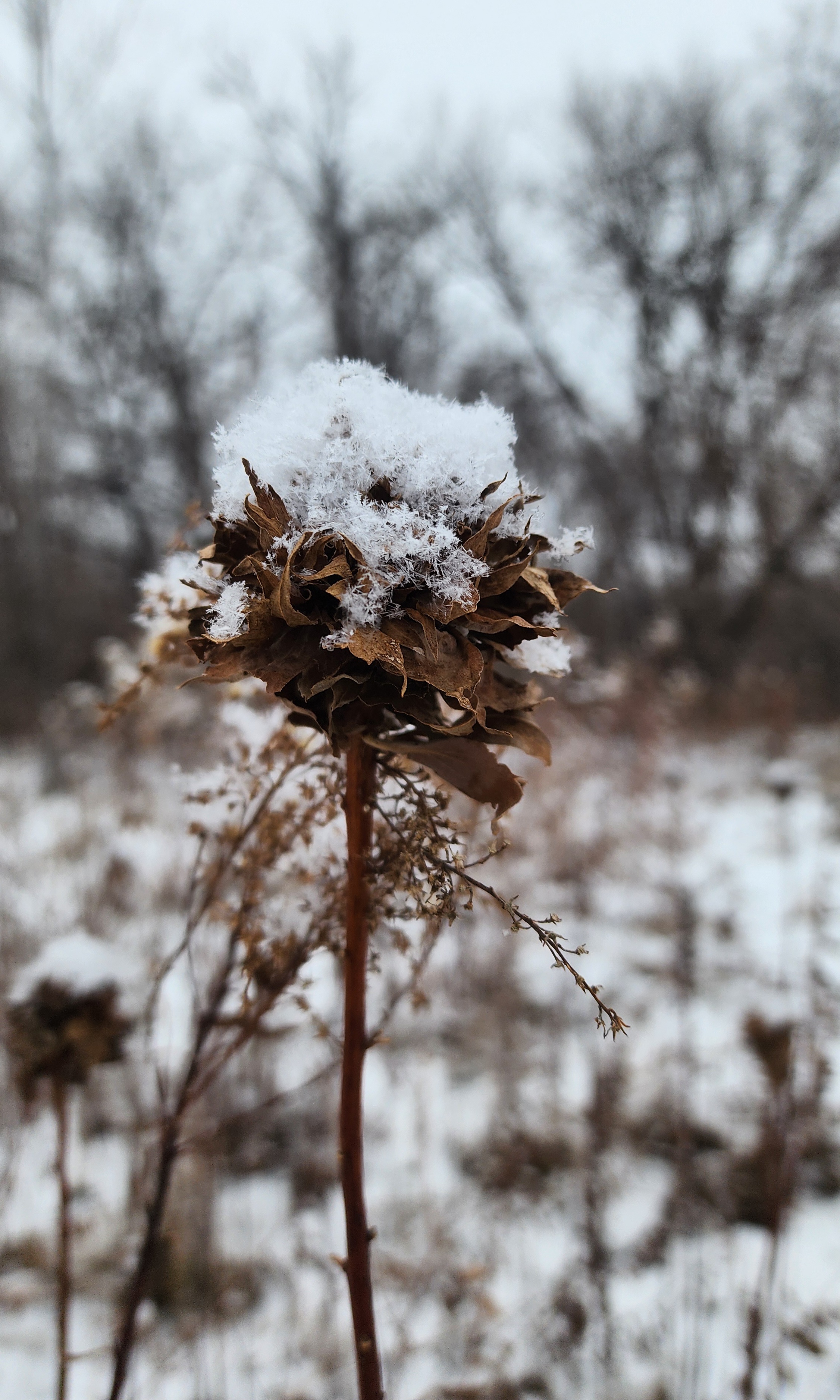
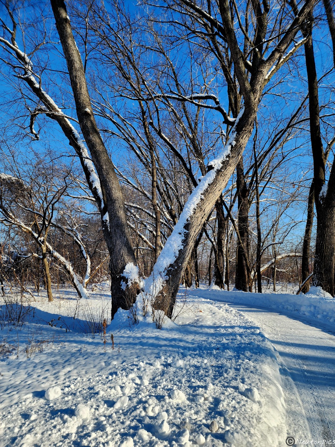
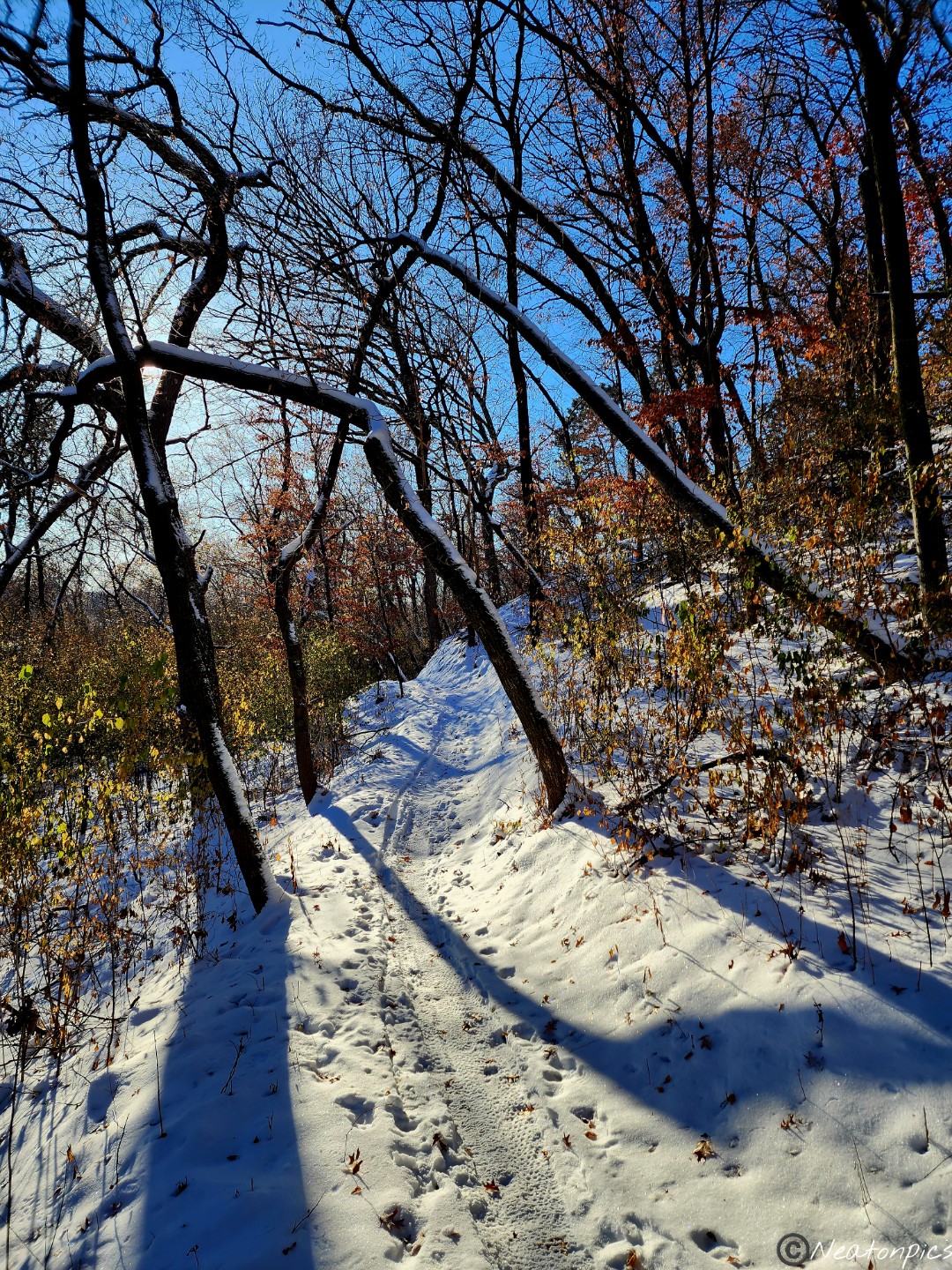
Tree branches were covered in snow. The snow shimmered in the sunlight.
We decided to turn around and head back to our starting point.
Once back at the Big Rivers Trailhead we took in another view of the Minnesota River.
This past year, my cousin and I hiked 36 Minnesota State Parks and 30 different Parks and Trails. Whether it was raining, snowing, or the sun was shining…we hiked. Our hiking adventures accumulated to a total of 348 miles in 2022!
Minnehaha Falls-Minneapolis
Crow-Hassan Park Reserve-Rogers
Cottage Grove Ravine Regional Park-Cottage Grove
St. Croix State Park-Hinckley
Elba Fire Tower-Elba
Great River Bluffs State Park-Winona
Forestville/Mystery Cave State Park-Preston
Myre-Big Island State Park-Albert Lea
Blue Mounds State Park-Luverne
Broken Down Dam Park-Fergus Falls
Lake Shetek State Park-Currie
Upper Sioux Agency State Park-Granite Falls
Big Stone Lake State Park-Ortonville
Glacial Lakes State Park-Starbuck
Sibley State Park-New London
Flandrau State Park-New Ulm
Charles A. Lindbergh State Park-Little Falls
Crow Wing State Park-Brainerd
Quarry Park and Nature Preserve-Waite Park
Banning State Park-Sandstone
Salem Hills Park-Inver Grove Heights
Theodore Wirth Regional Park-Golden Valley
Louisville Swamp-Shakopee
Happy New Year! Cheers to more adventures in 2023!
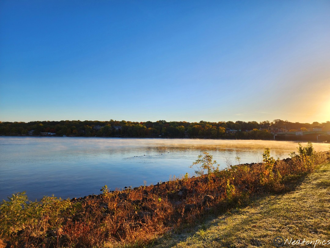
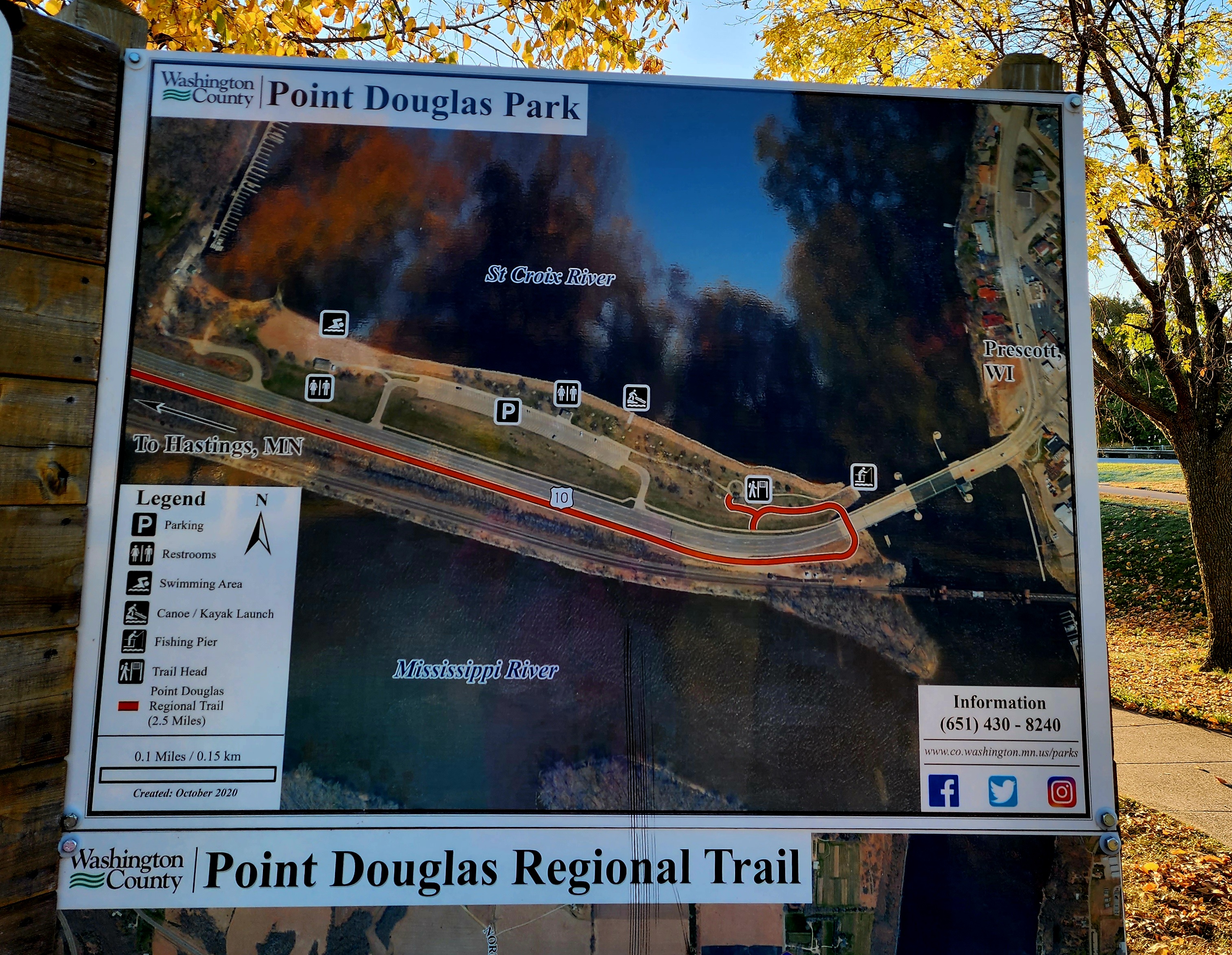
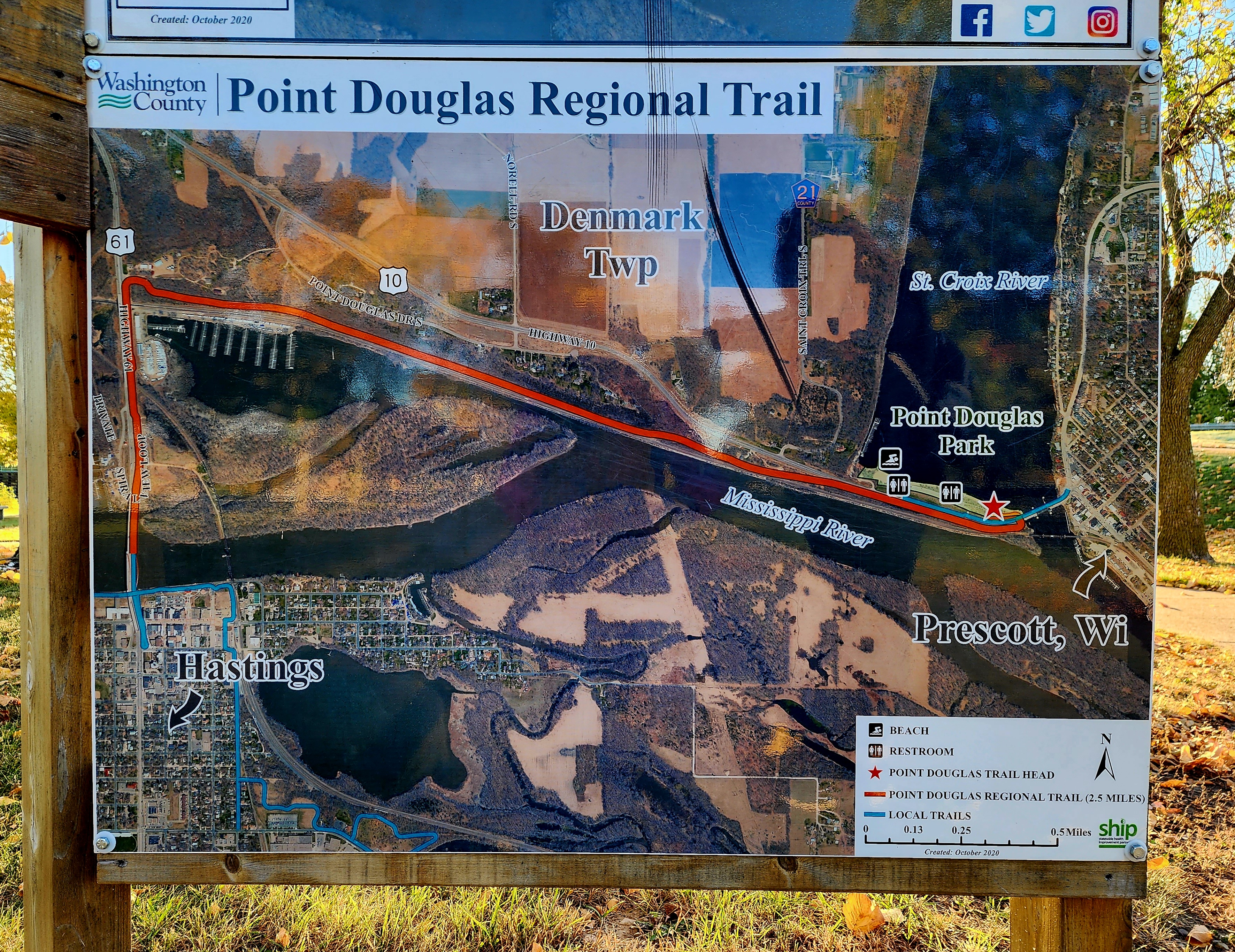
Today’s hiking adventure began at Point Douglas Park.
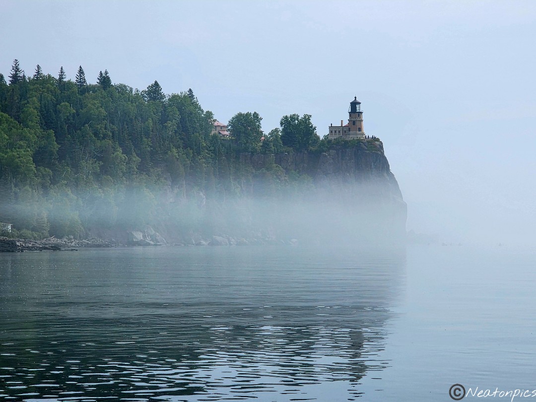
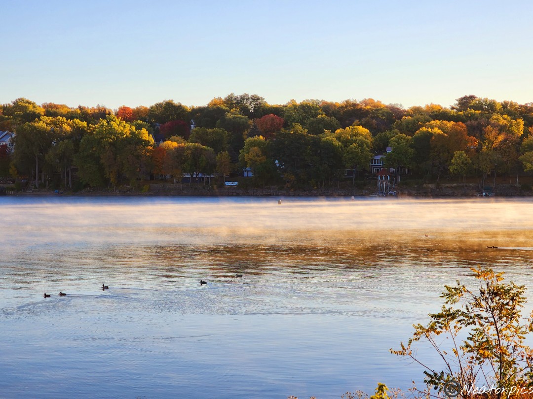
Brrrrr! It was a cold start to our adventure. Fog danced on top of the two merging rivers: St. Croix River and Mississippi River.
We left the park hiking on Point Douglas Regional Trail.
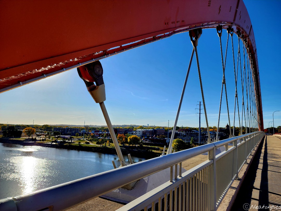
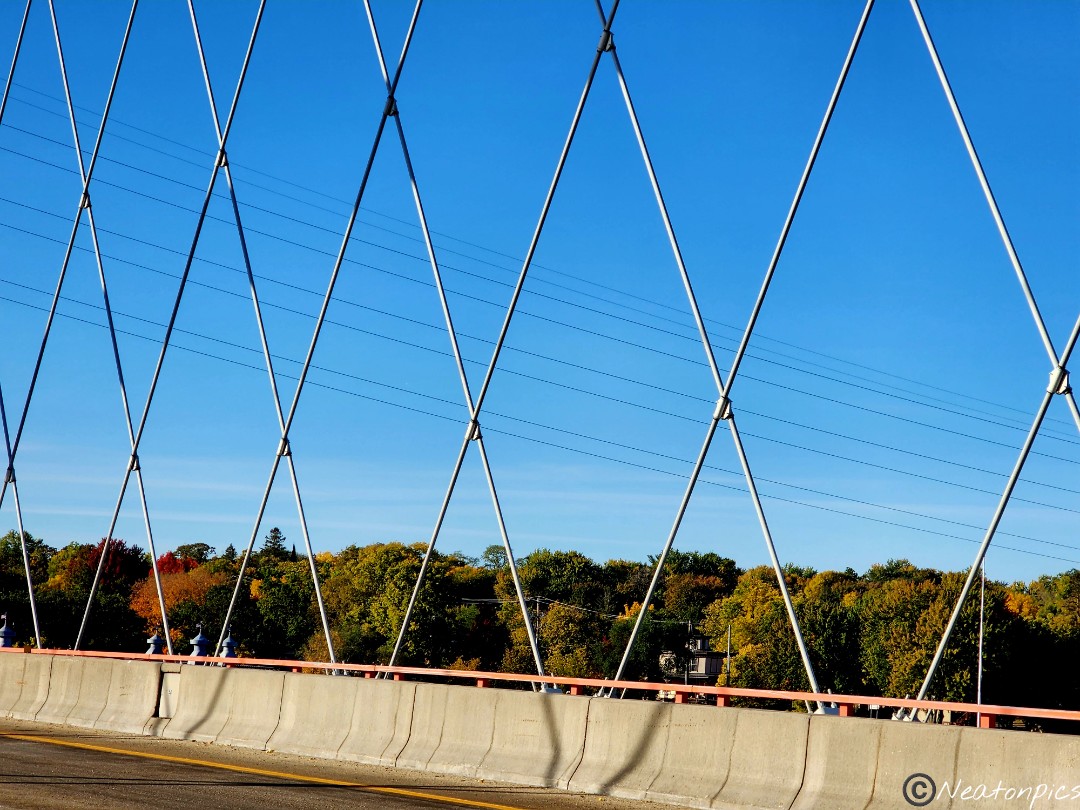
We crossed the Hasting Bridge where the mighty Mississippi River flowed under us.
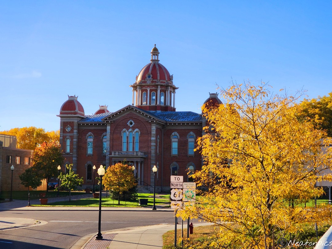
Hastings majestic City Hall appeared as we exited the bridge and continued our hike on the Mississippi River Regional Trail.
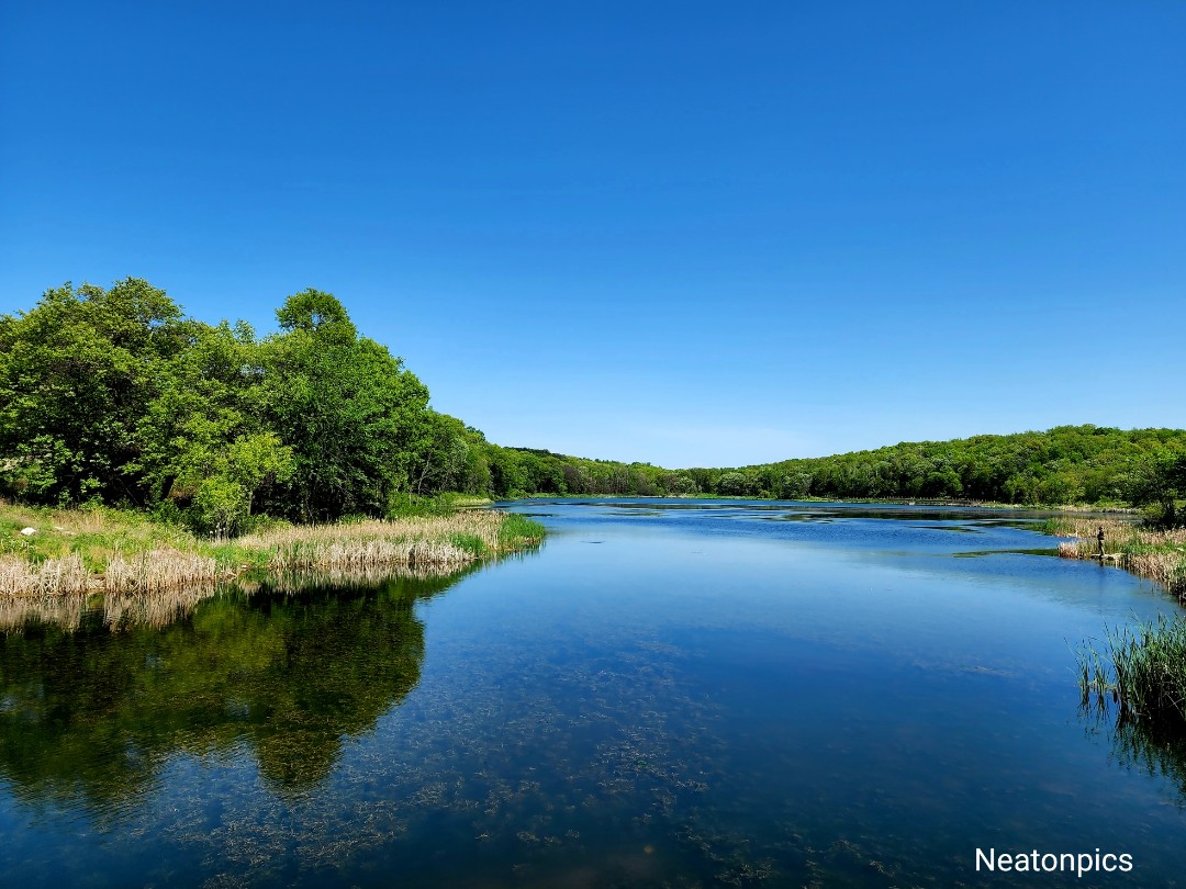
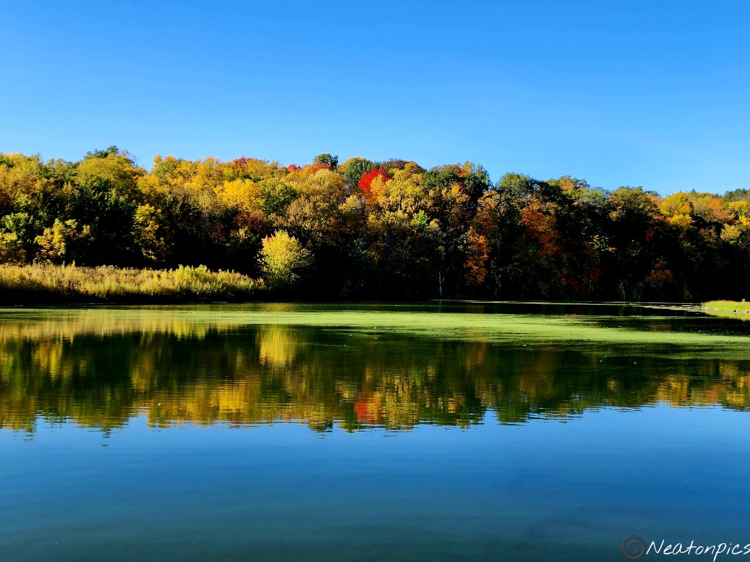
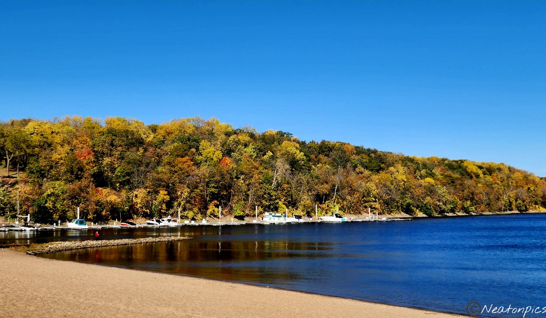
A quick stop at Lake Rebecca offered a colorful view.
A giant eagle perched above us looking down at the Mississippi River waiting for its next meal.
Turkey vultures soared above us.
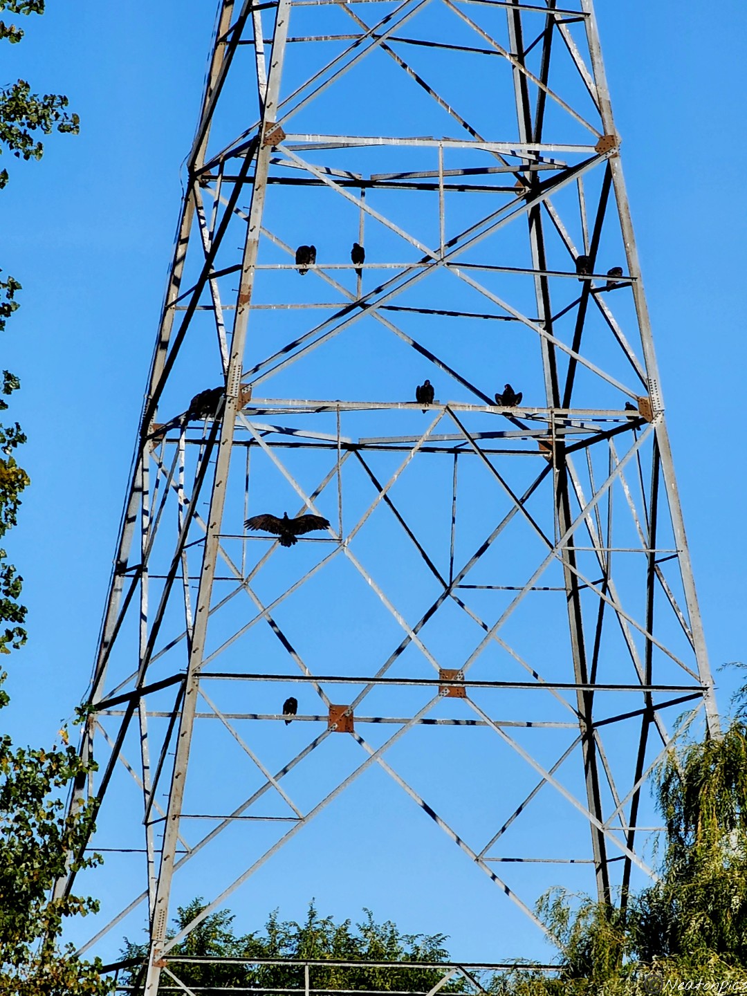
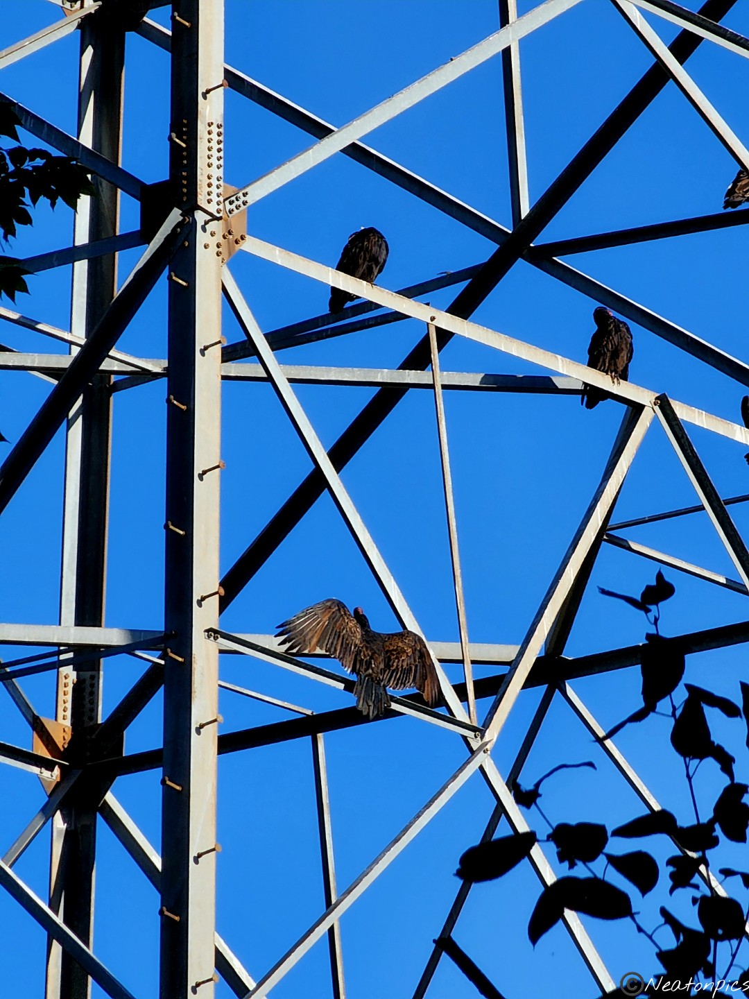
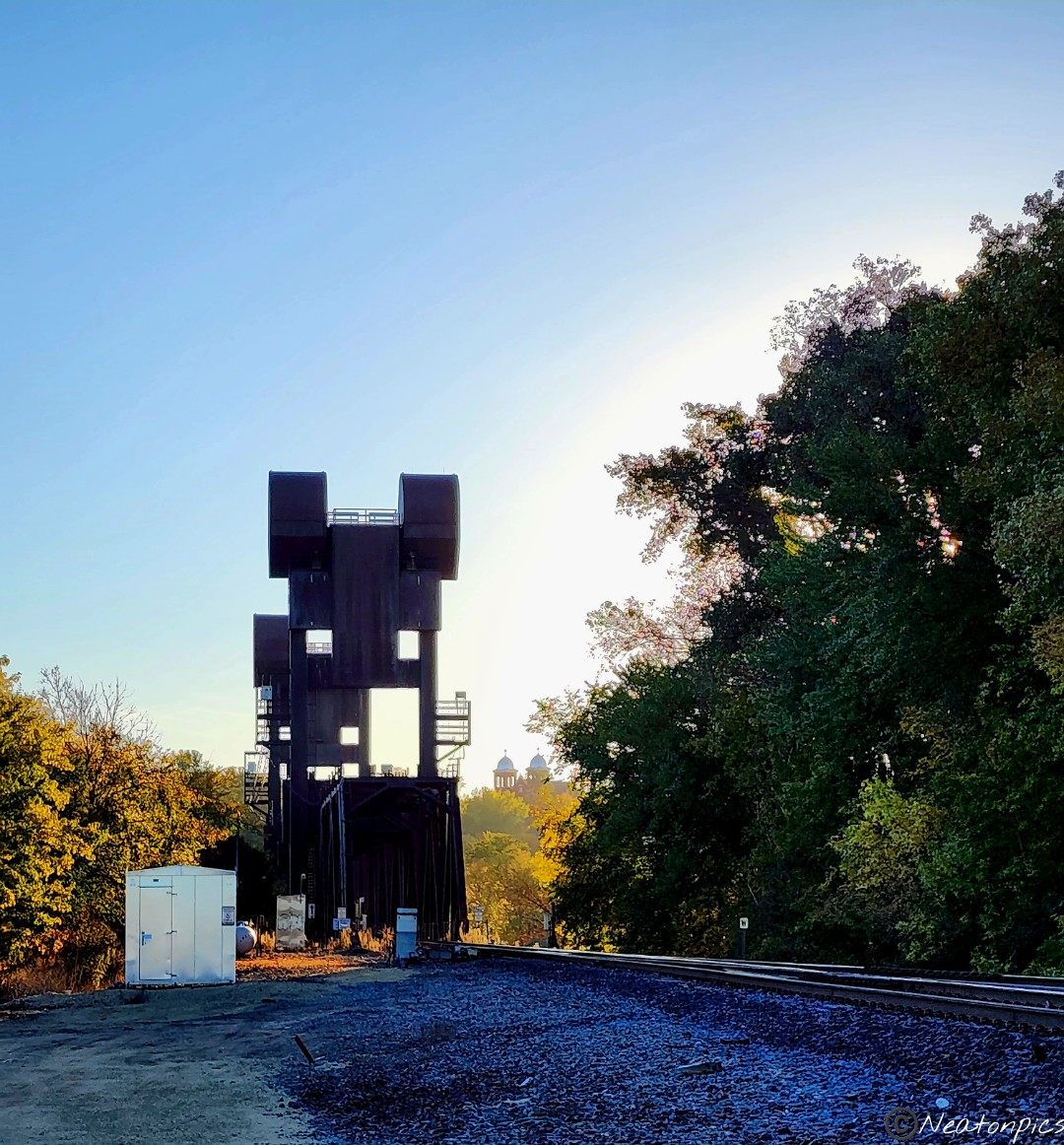
Some rested on a tower.
Our next stop along the trail was Lock and Dam #2.
Just after the Lock and Dam #2, the trail led us to a wider view of the Mississippi River. Here we decided to turn around and hike back to Point Douglas Park.
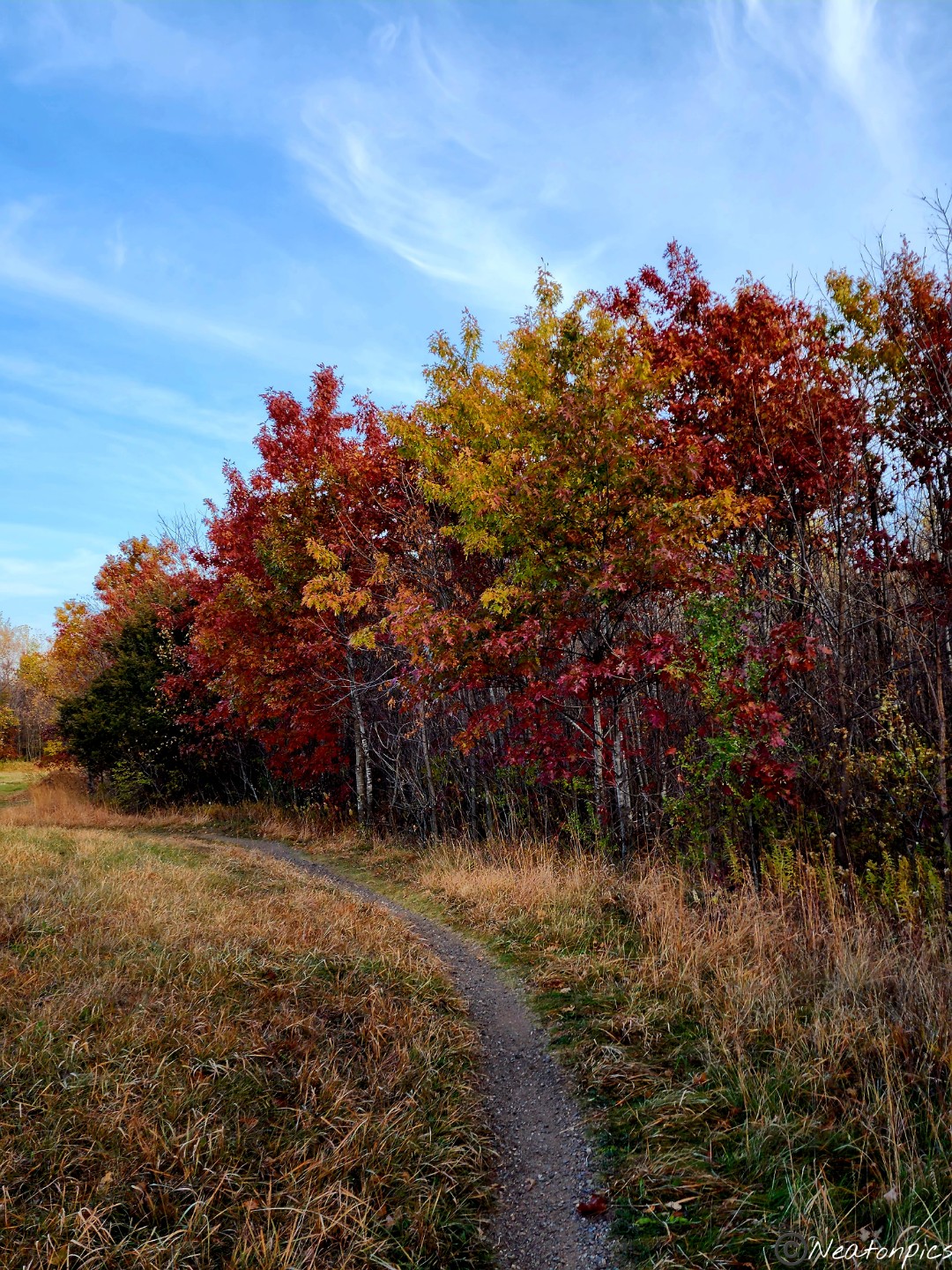
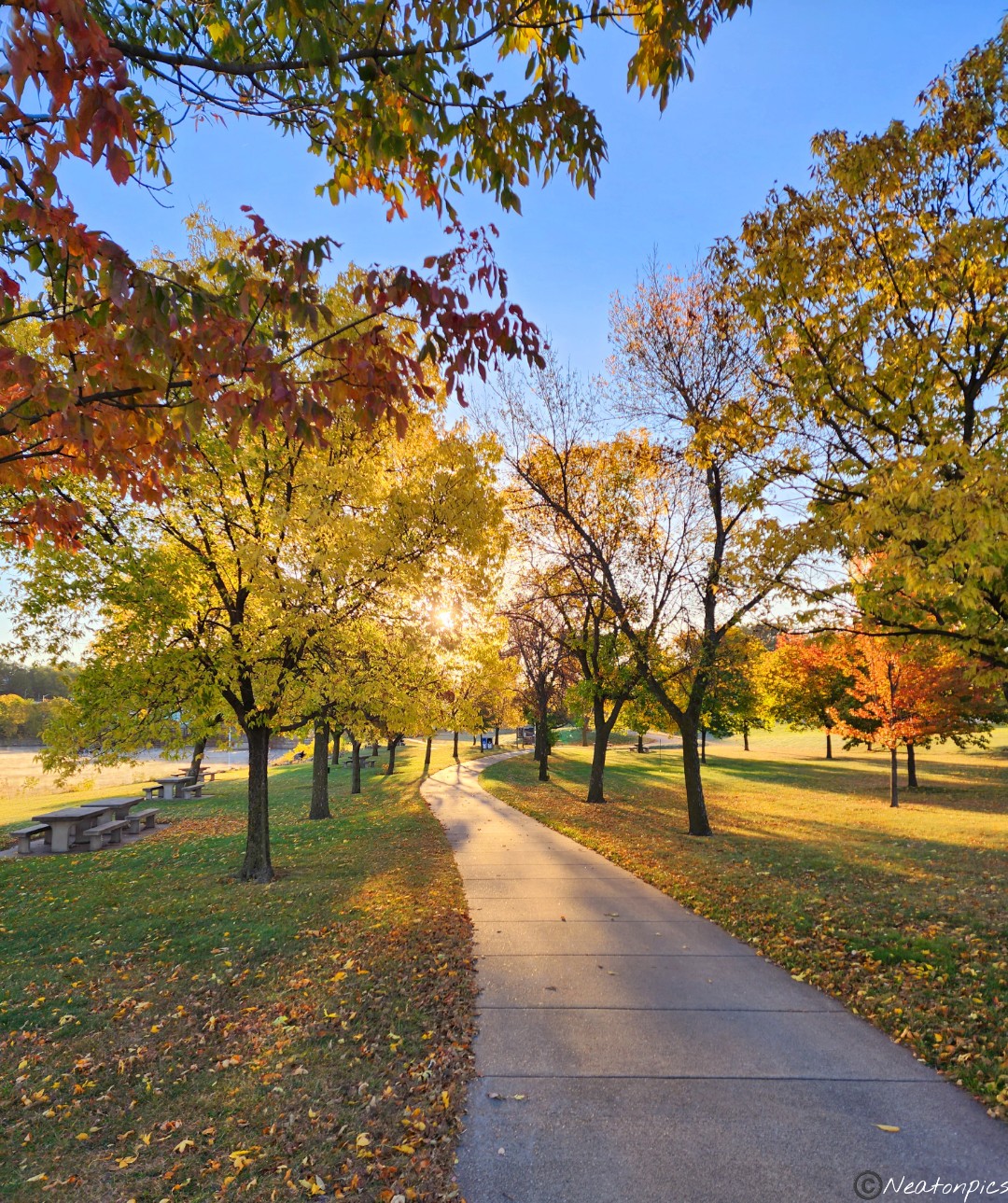
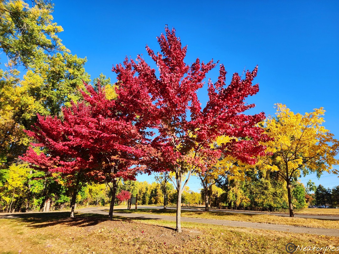
Fall is a magical time of year. The leaves are so colorful and the mid-morning sun warmed us from the cool air.
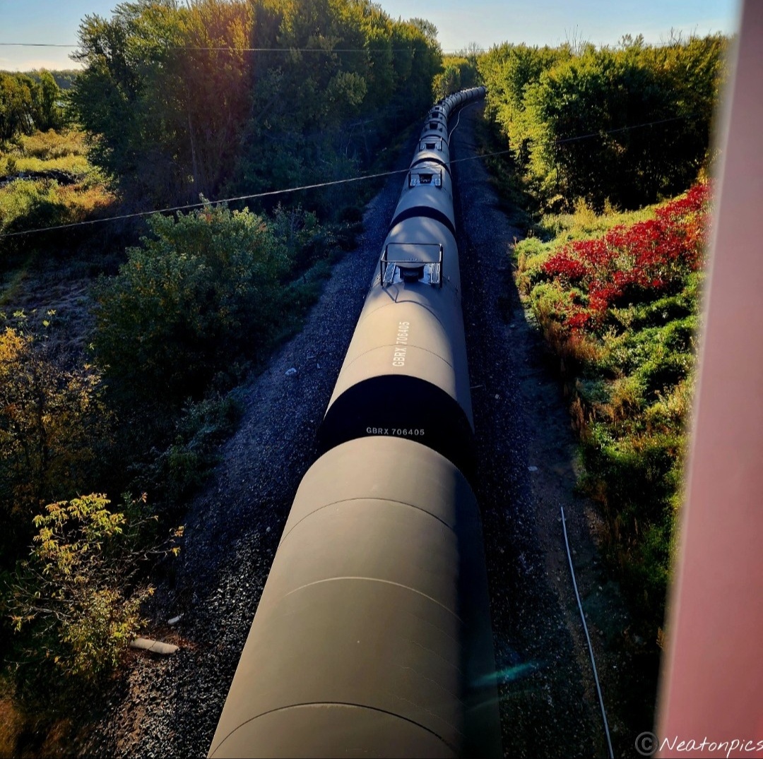
The train tracks were getting used today! We saw many trains pass by us on the different railways.
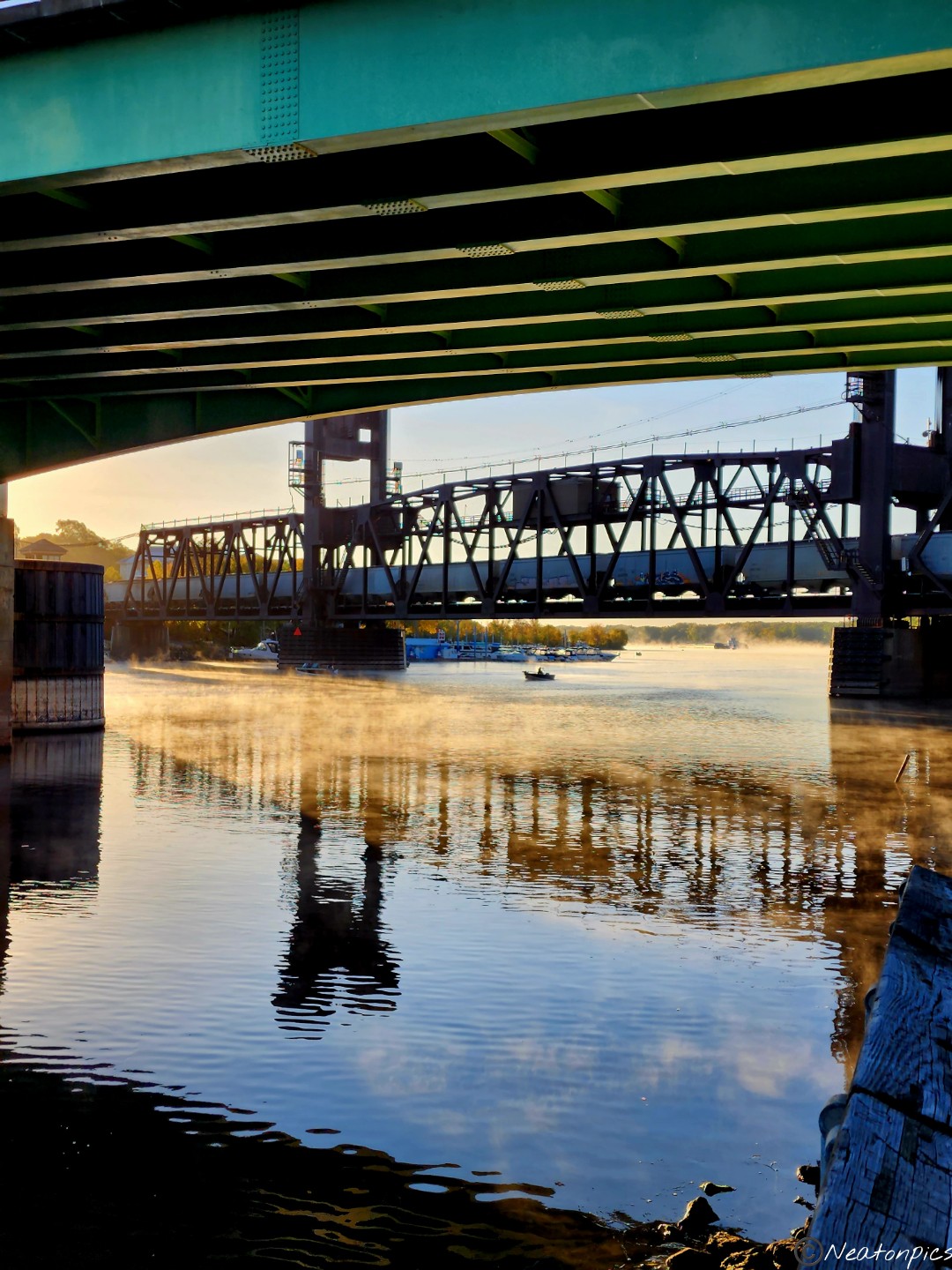
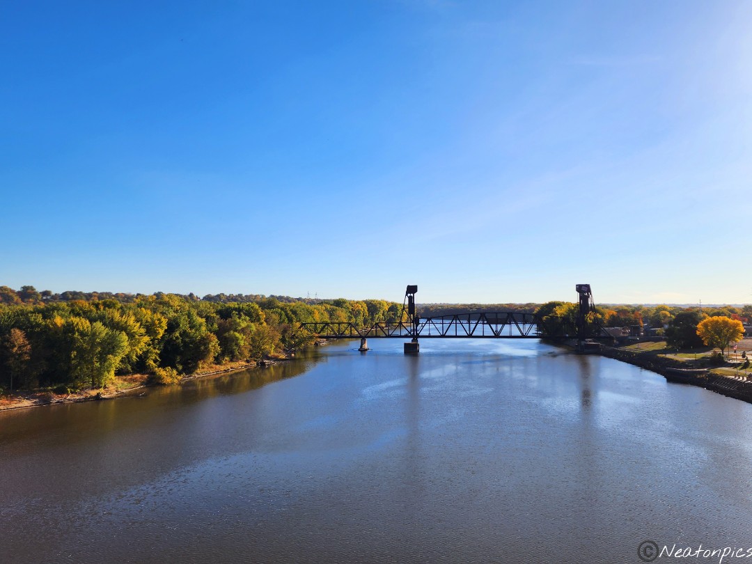
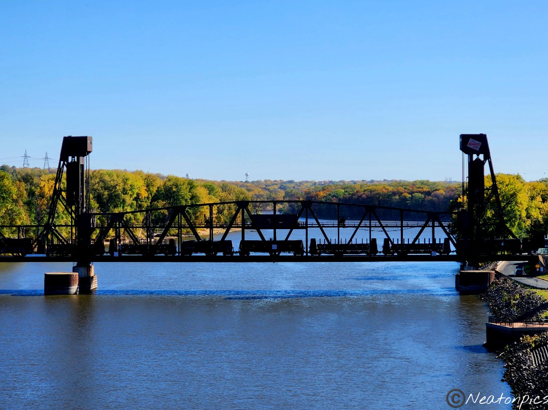
As we approached our starting point we decided to cross the Fort Douglas Bascule Bridge and hike into Prescott, Wisconsin. We took in the view of the BNSF Lift Bridge that was built in 1984 for trains to cross over the river.
We hiked to the end of Point Douglas Park taking in the view from the beach.
Today’s hiking adventure began at Swede Hollow Park.
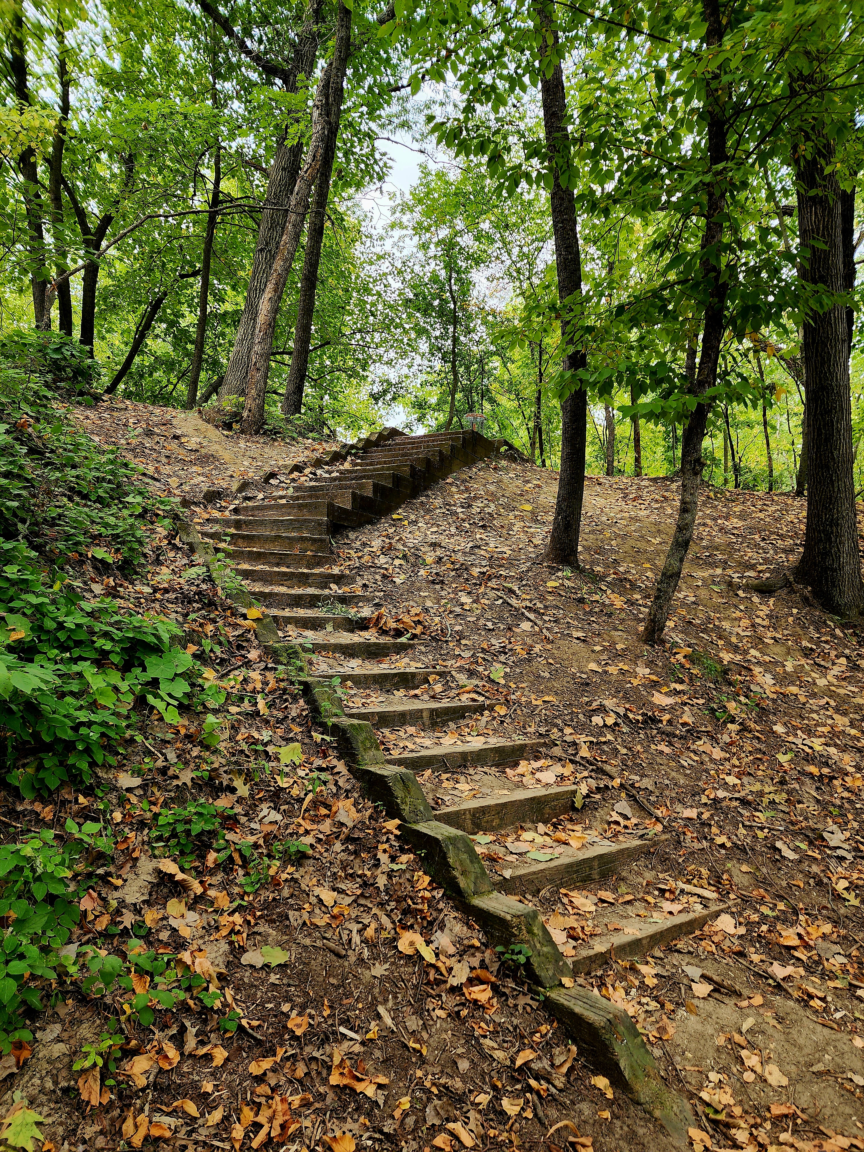
By descending down a long staircase, we started our adventure.
Swedehenge, a large stone exhibit, encompassed the lower level of the park. Informational historic markers lined the trail explaining the timeline of the park’s history.
We hiked out of Swede Hollow Park on the Bruce Vento Regional Trail.
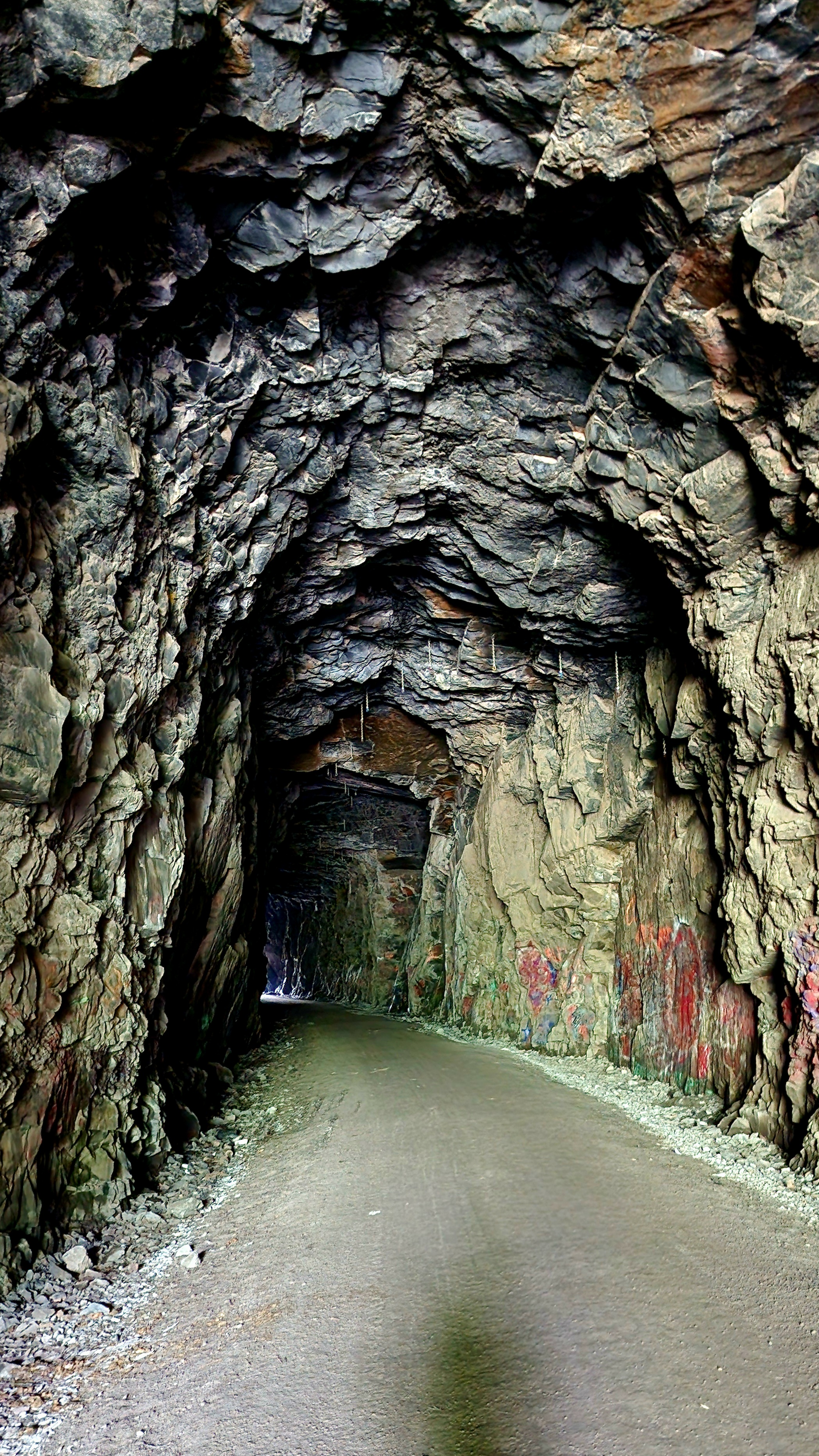
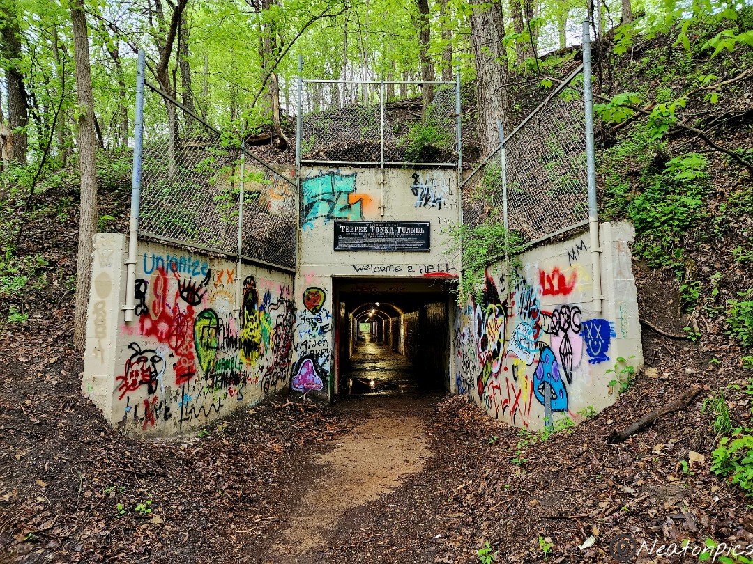
We hiked under E. 7th Street through a very intriguing stone tunnel.
The bright colors of fall began to whisper through the greenery.
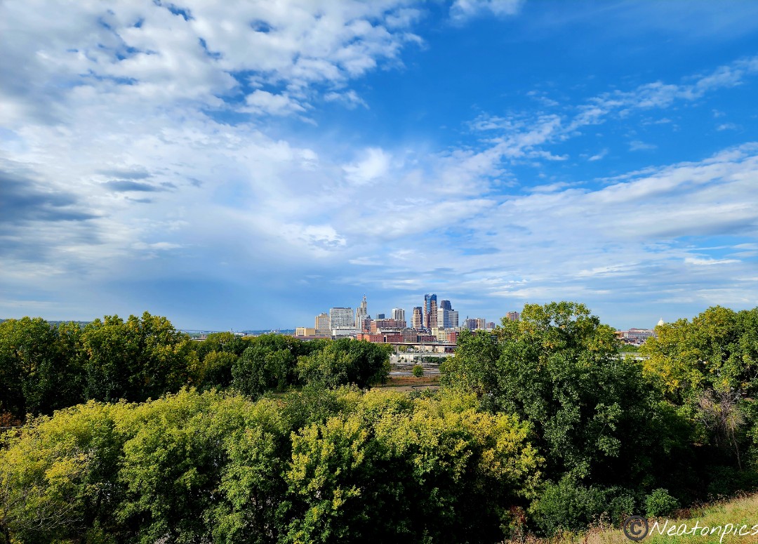
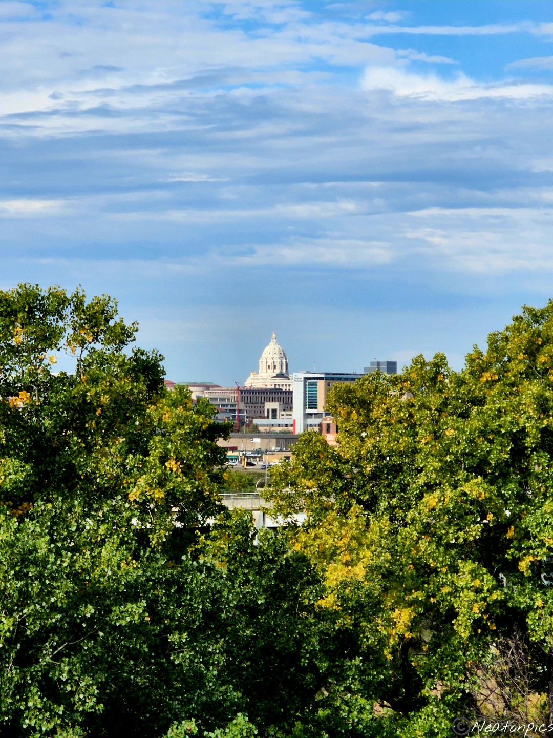
Downtown St. Paul and our State Capitol appear in the distance.
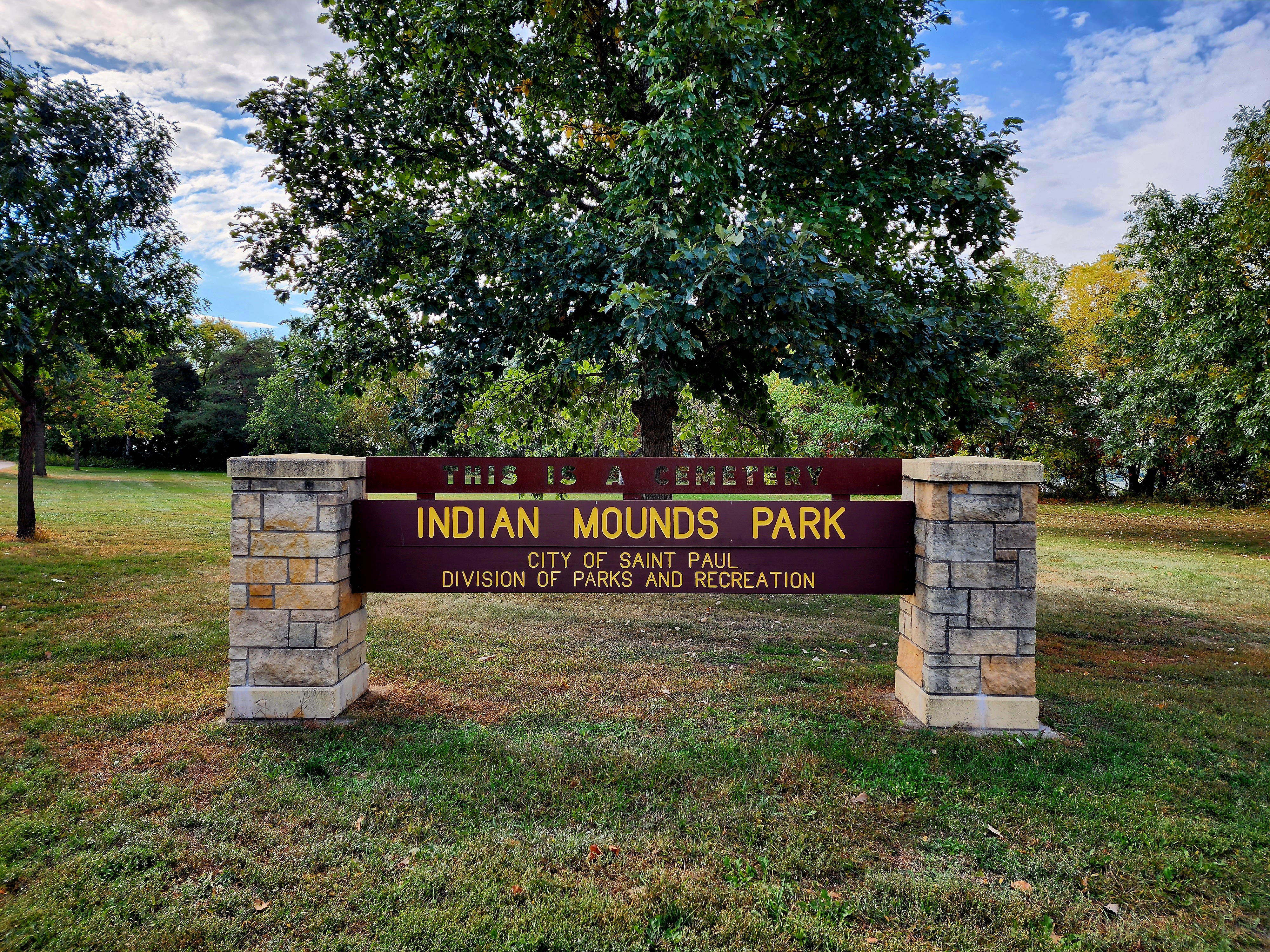
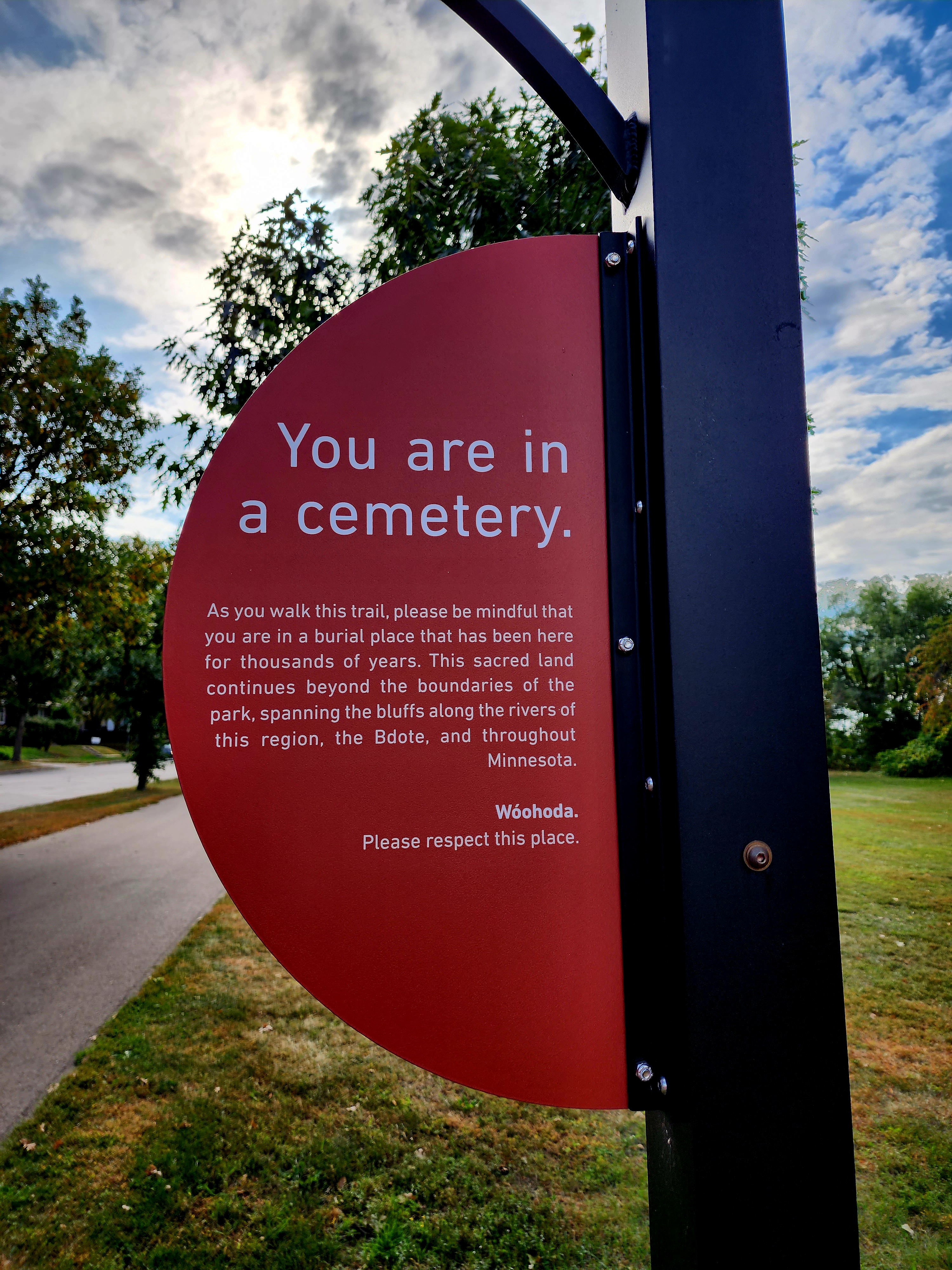
It was then on to Indian Mounds Park.
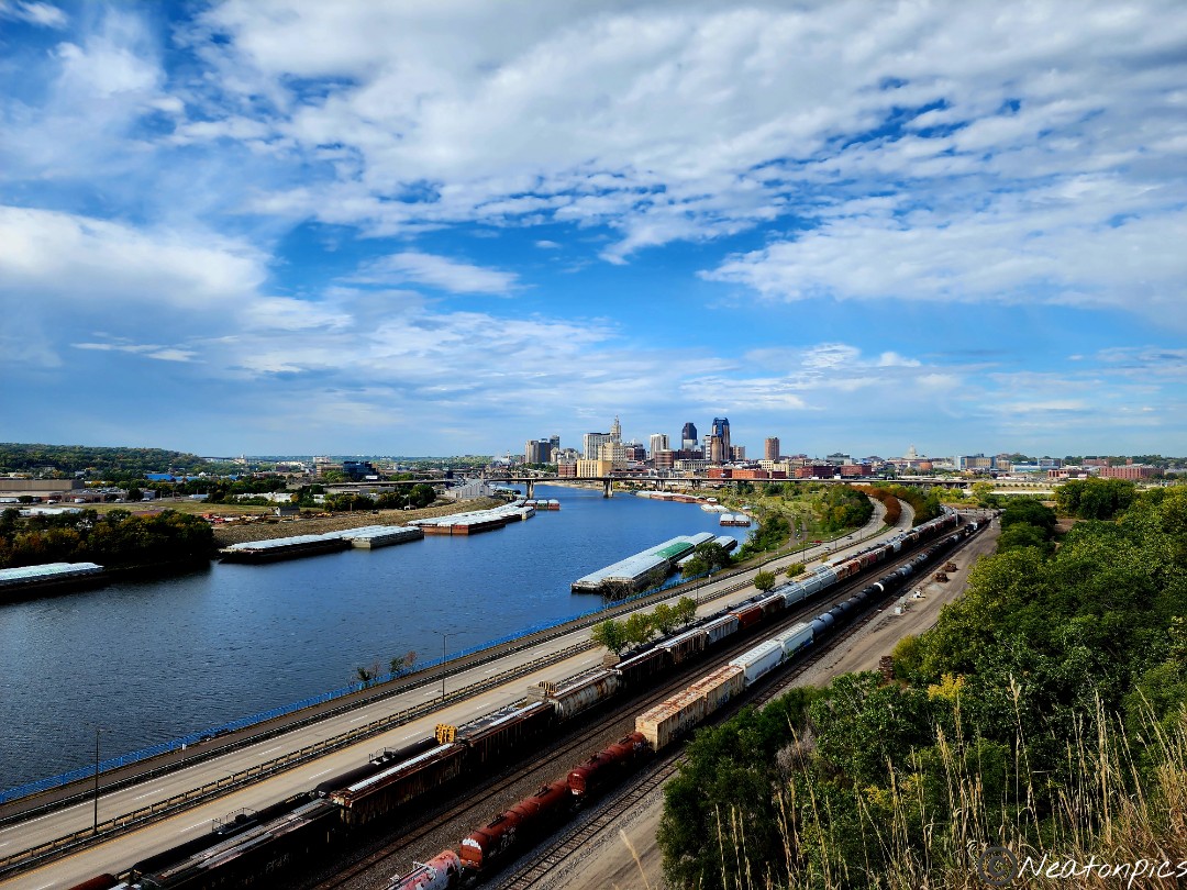
The park resides on the cliffs which offers great views of downtown St. Paul, the Mississippi River, and the train tracks below.
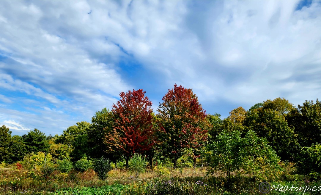
The fall colors were exploding as we hiked the trail through the park.
We continued our hike on the Samuel H. Morgan Regional Trail. The trail led us closer to the Mississippi River.
We hiked by the cliffs we were standing on earlier.
We continued hiking alongside the river passing under the Lafayette Bridge, Robert Street Bridge, and Wabasha Street Bridge. In order to loop back to our starting point, we hiked through downtown St. Paul capturing some fun photos along the way.
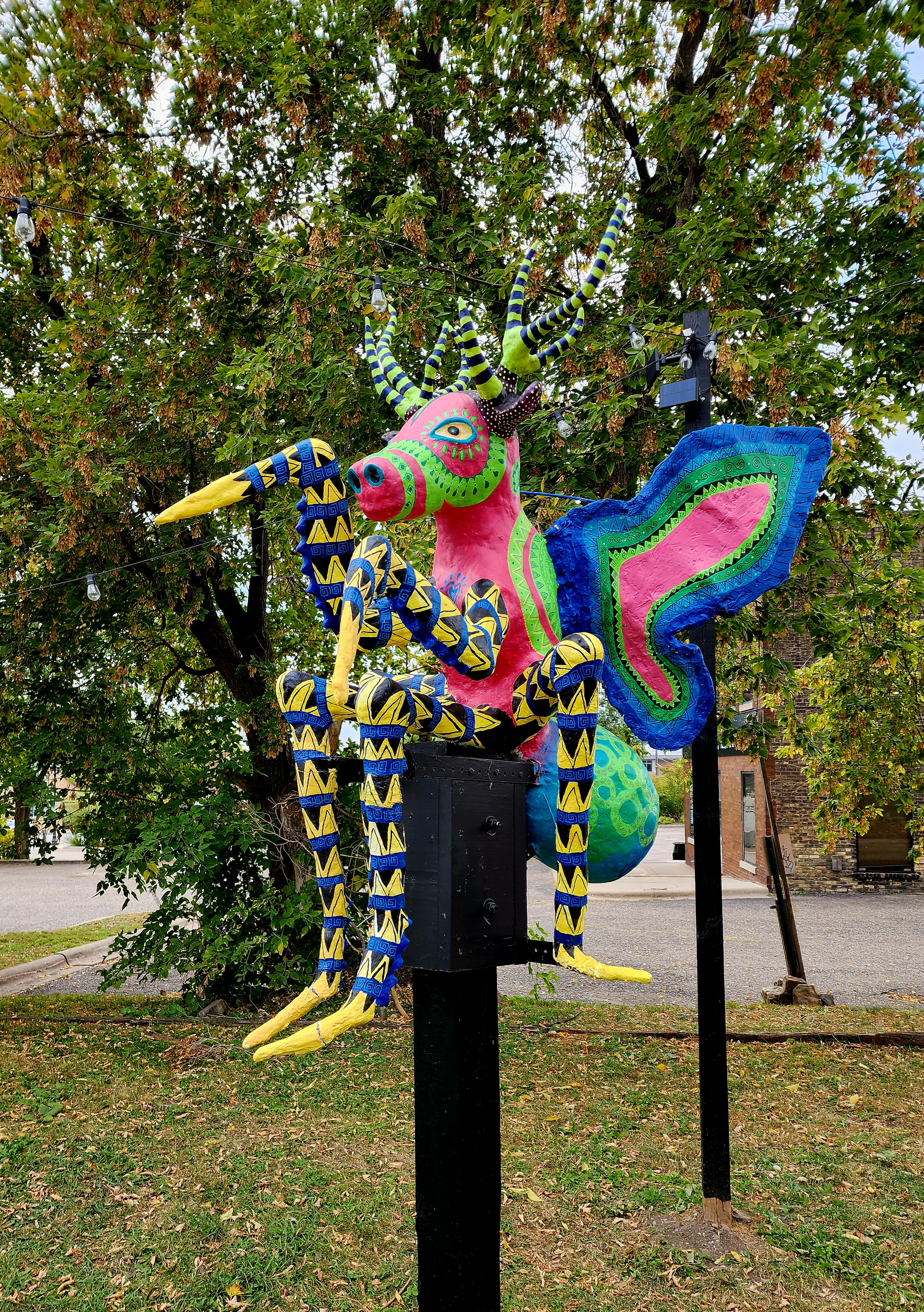
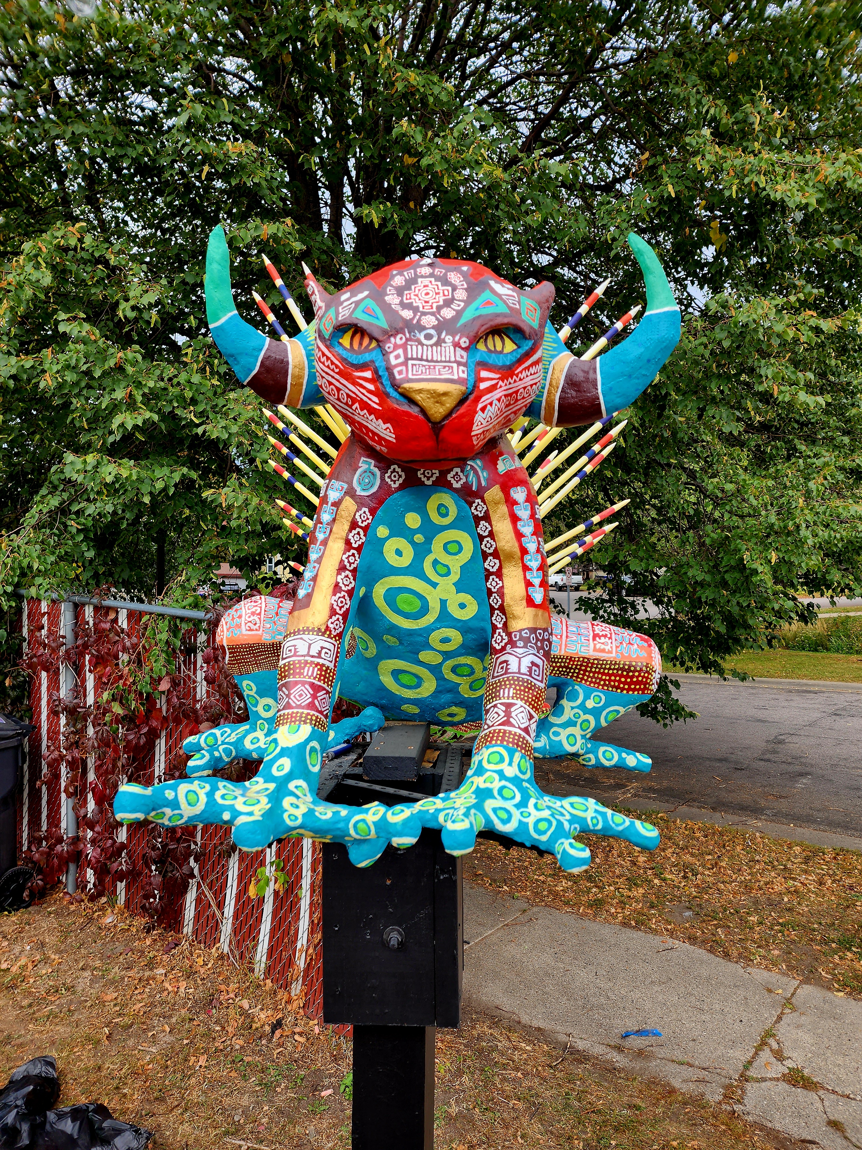
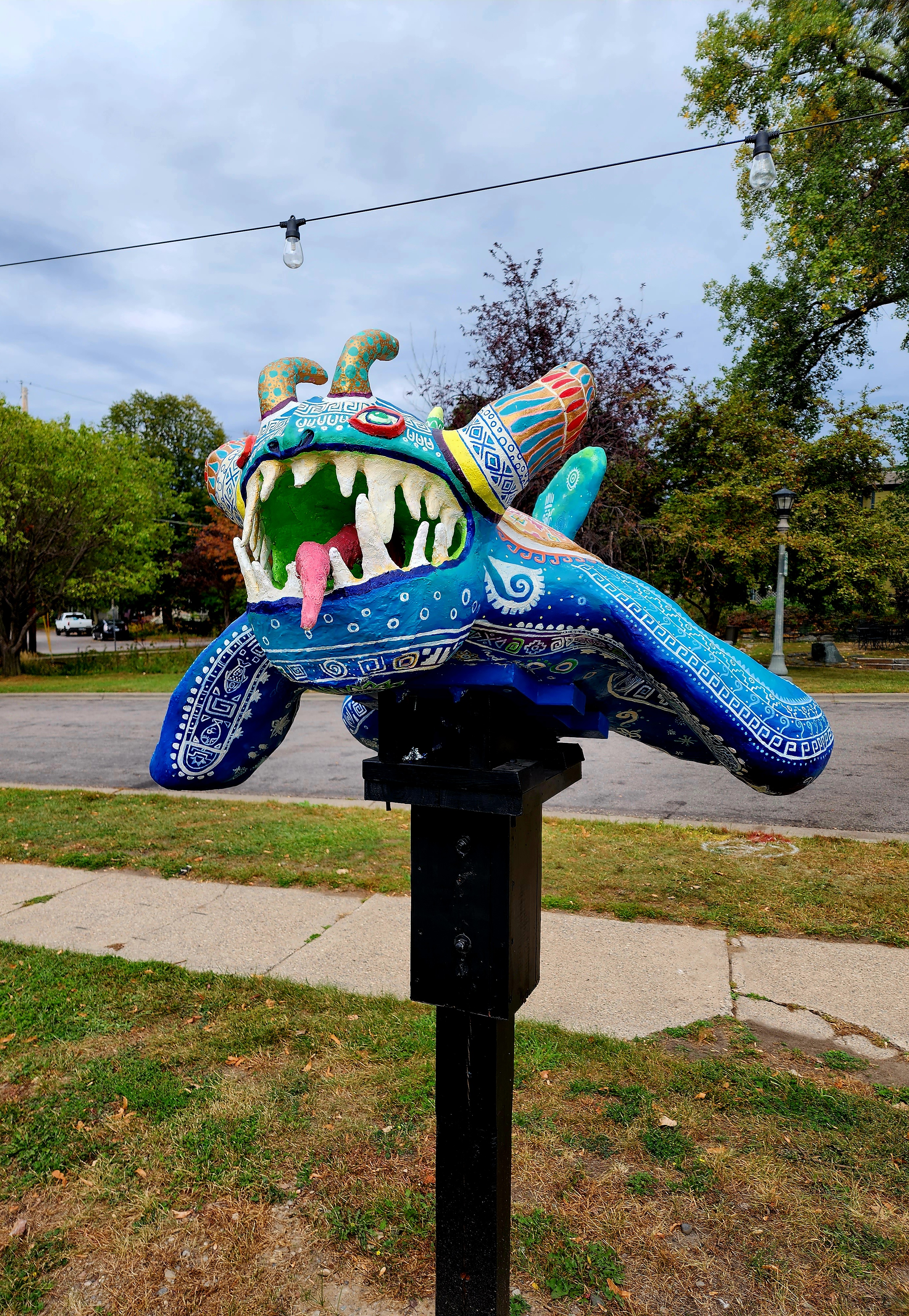
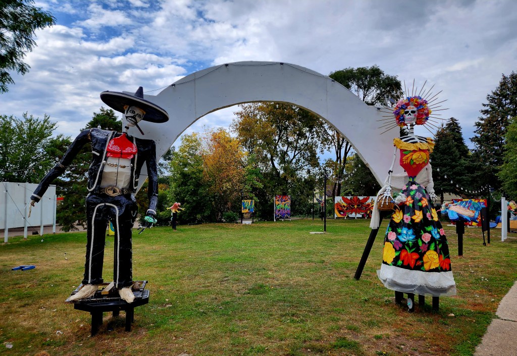
As we hiked along E. 7th Street, we passed by a fabulous neighborhood art exhibit.
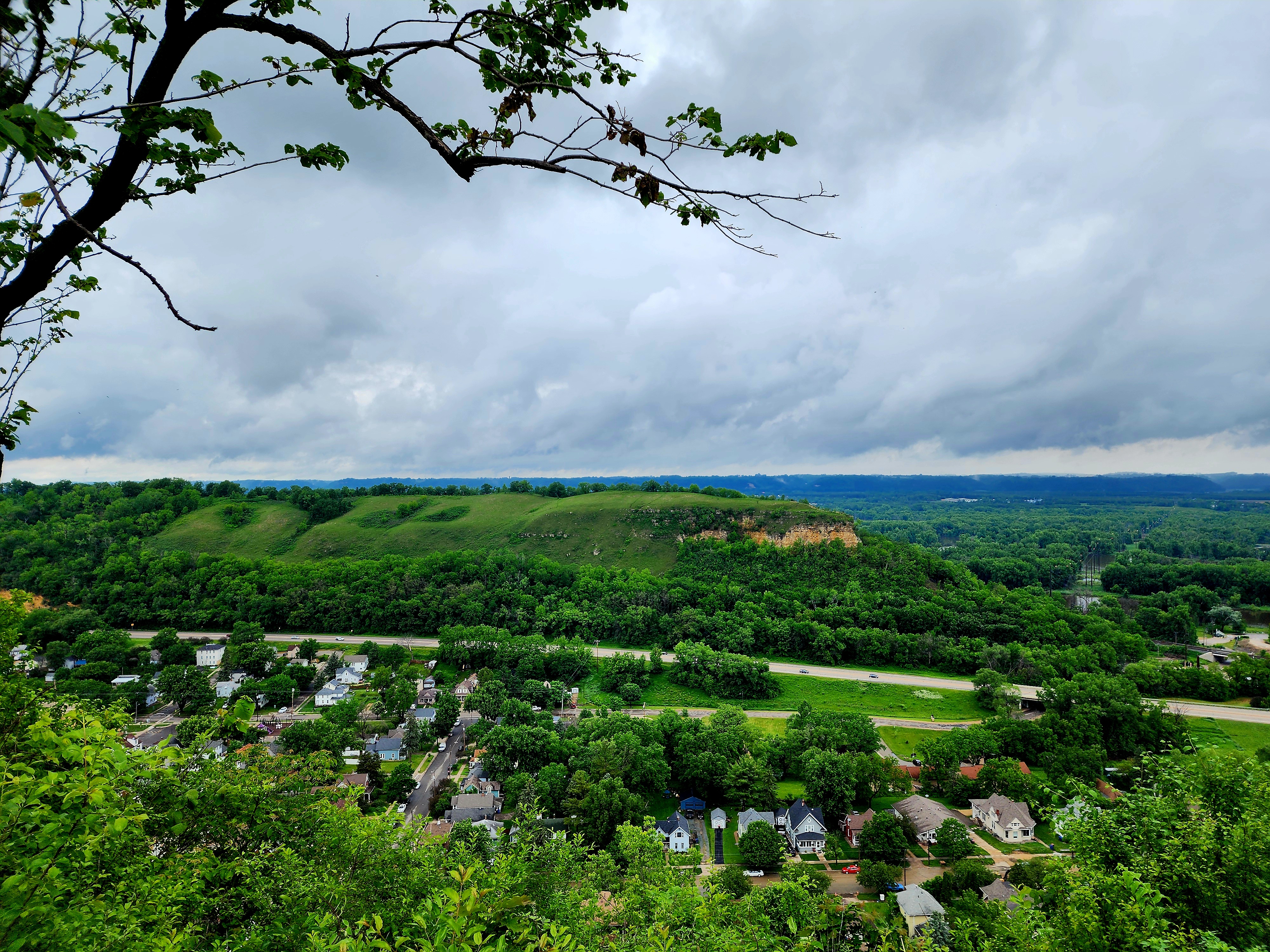
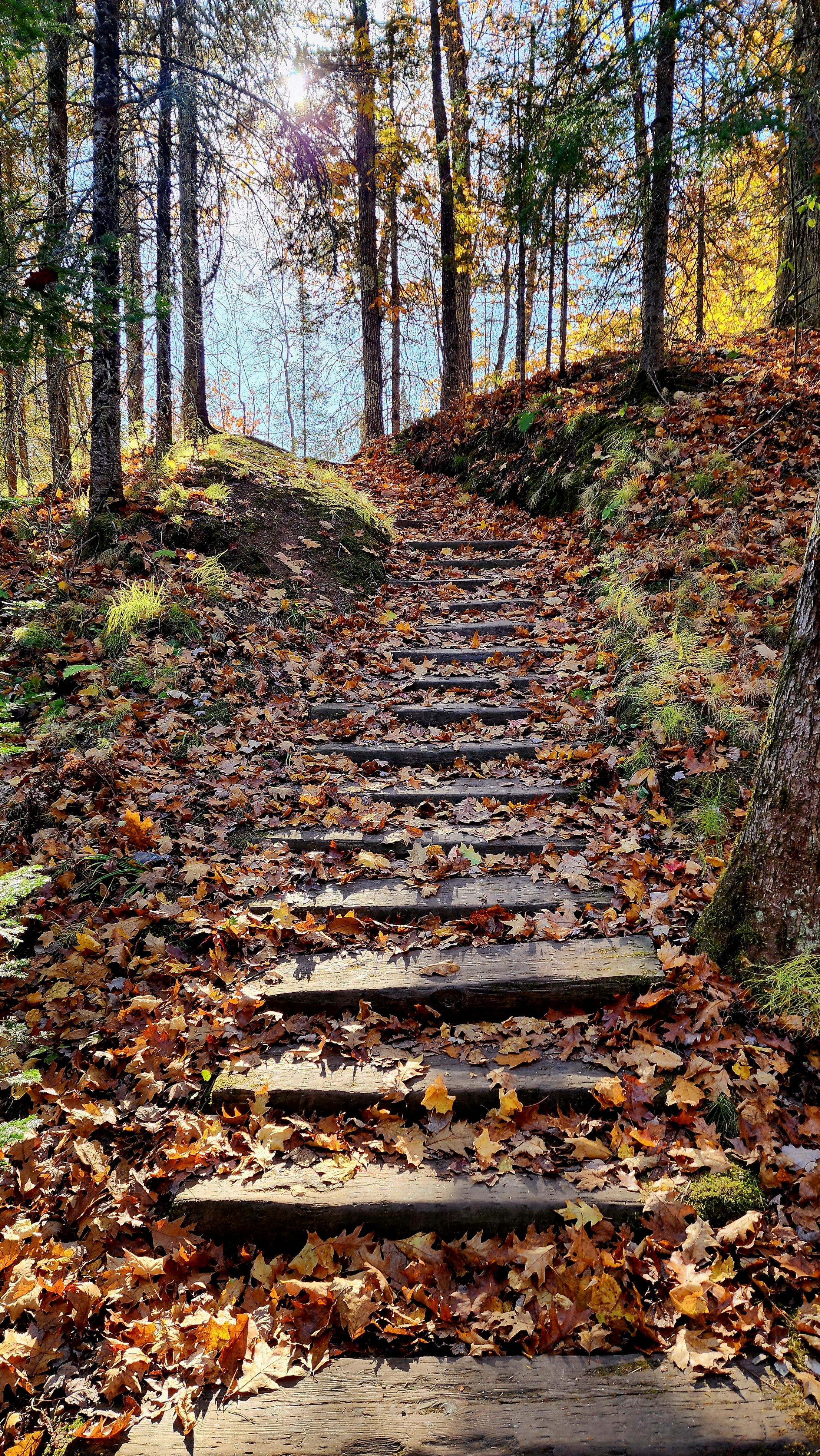
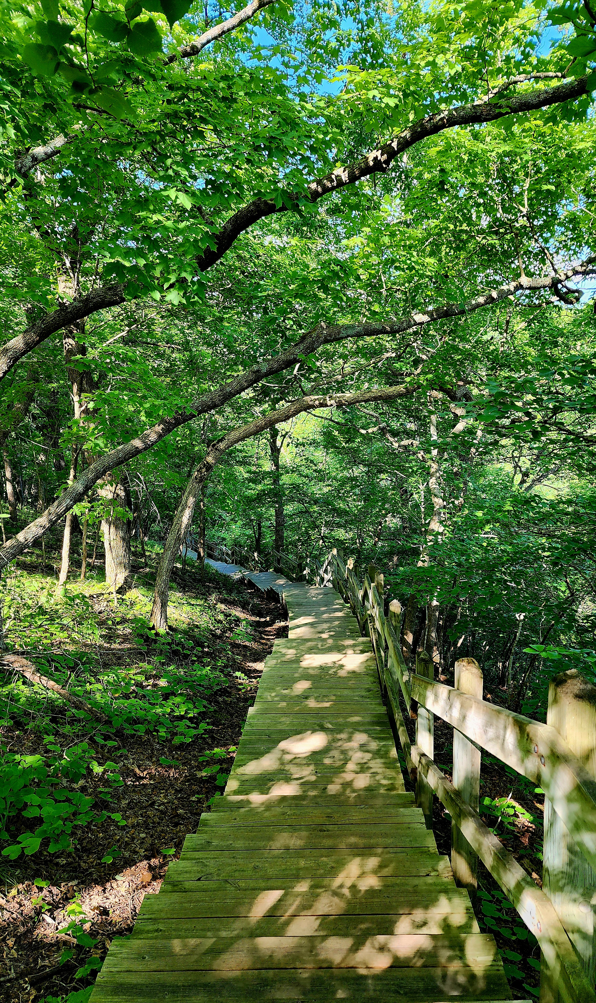
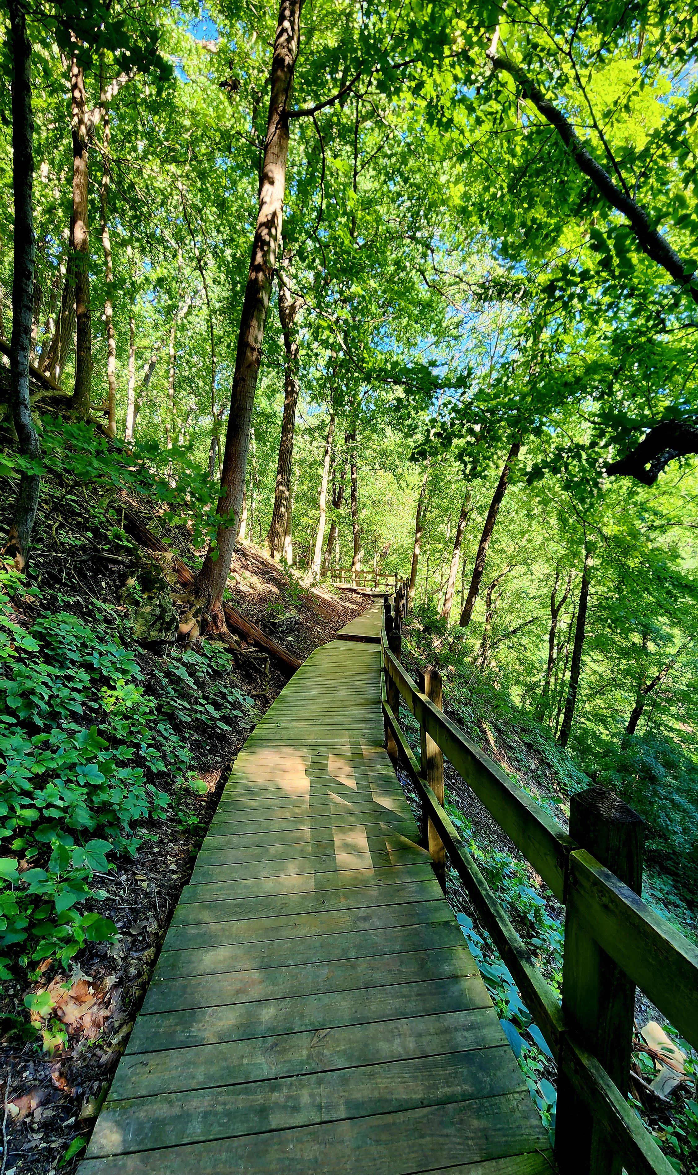
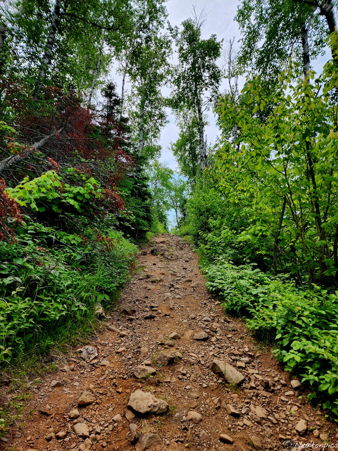
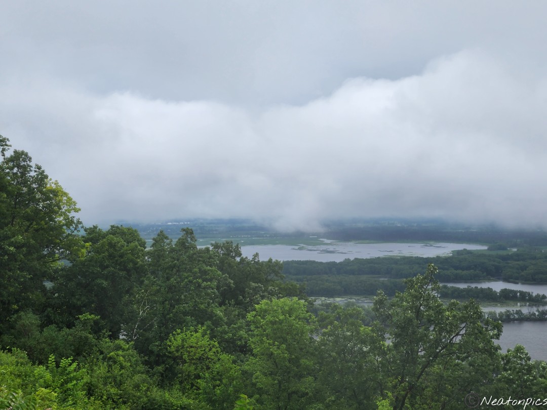
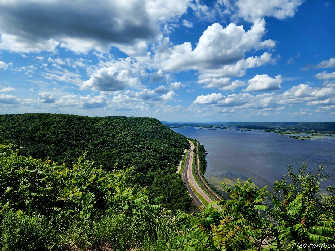
The Riverview Trail has a rating of difficult due to the 592 steps one needs to take straight up the bluff to Mount Charity Overlook.
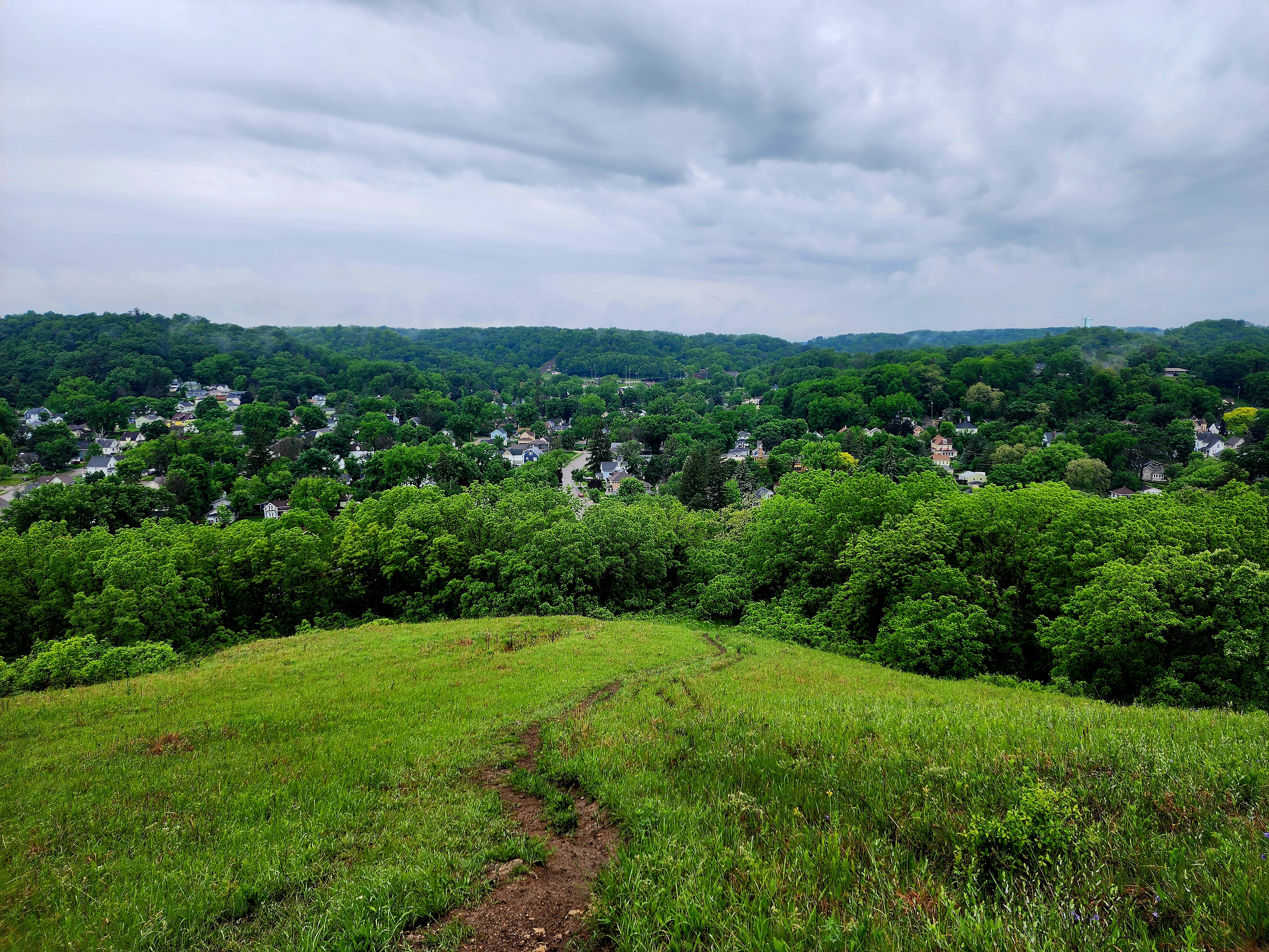
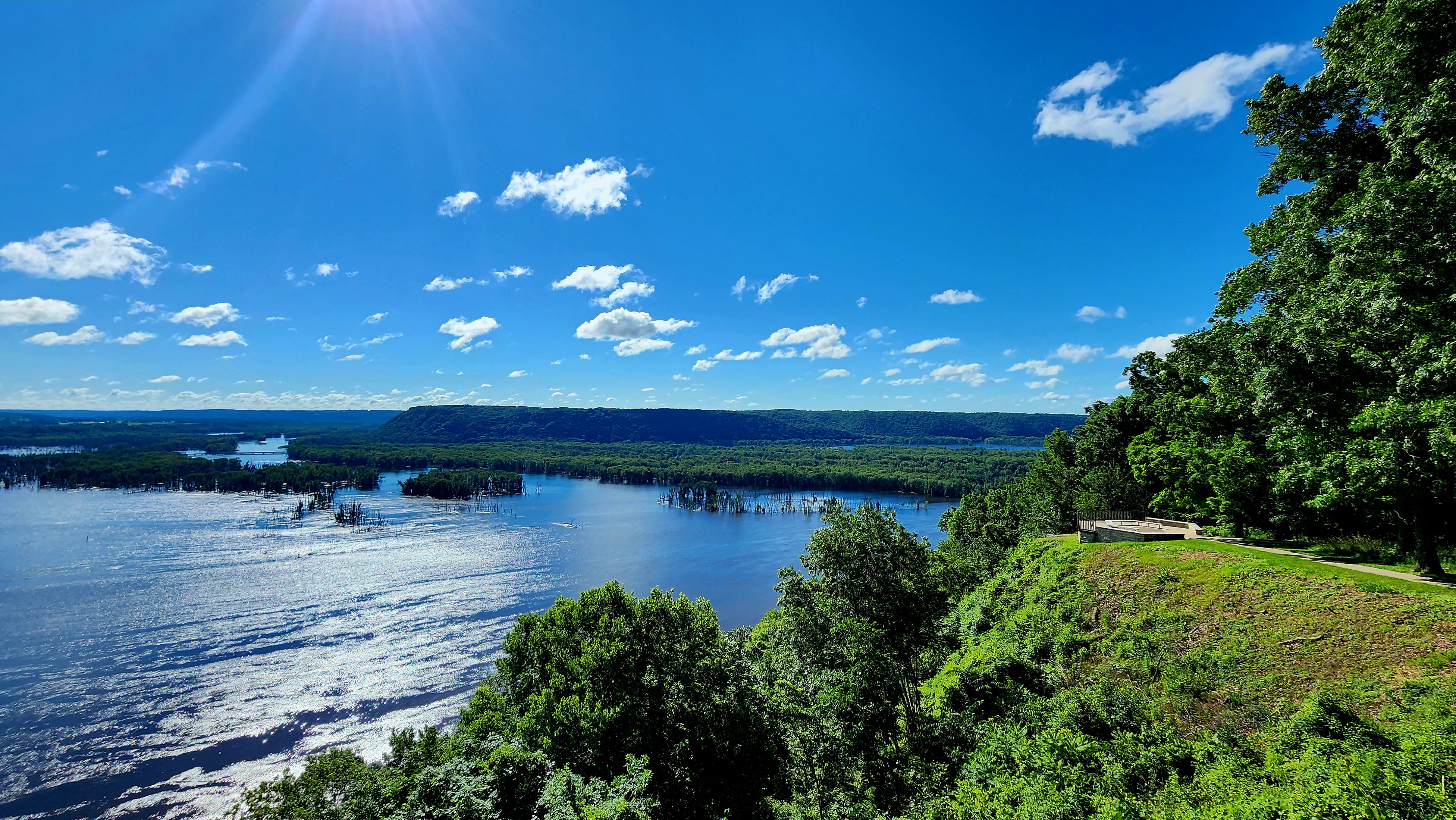
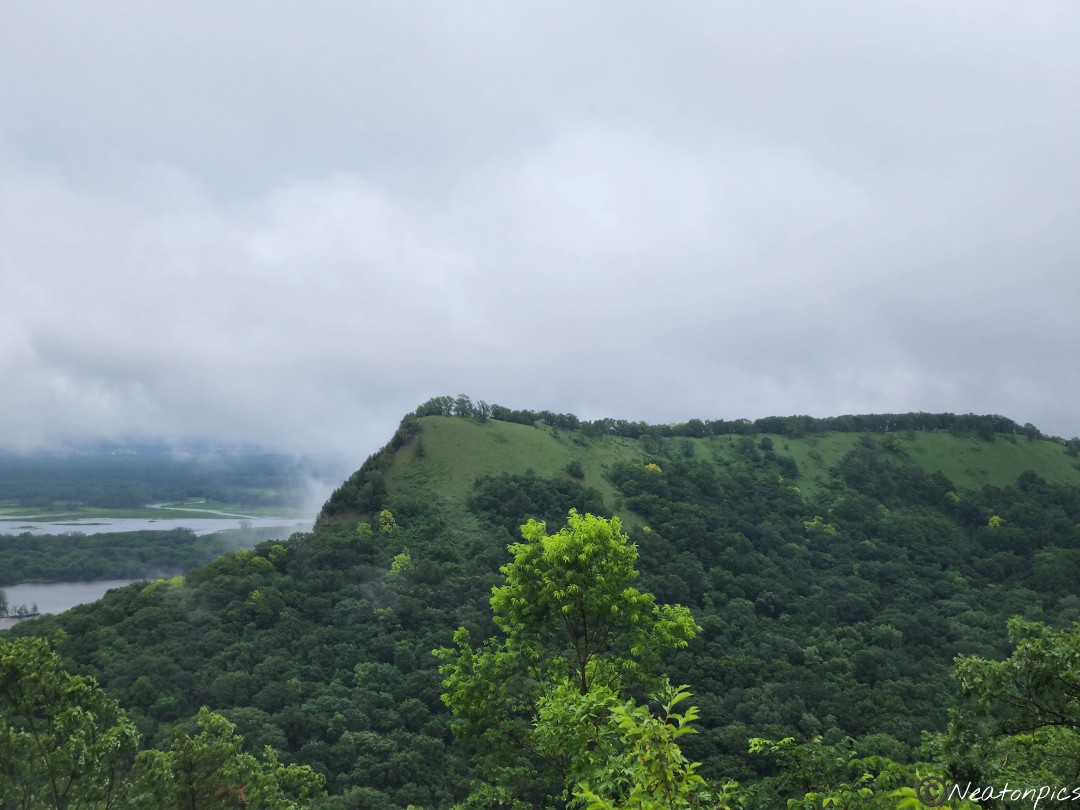
On a hot, sunny and humid summer day we took our time climbing up those stairs. We saw glimpses of what the top of the bluff might offer the higher we climbed.
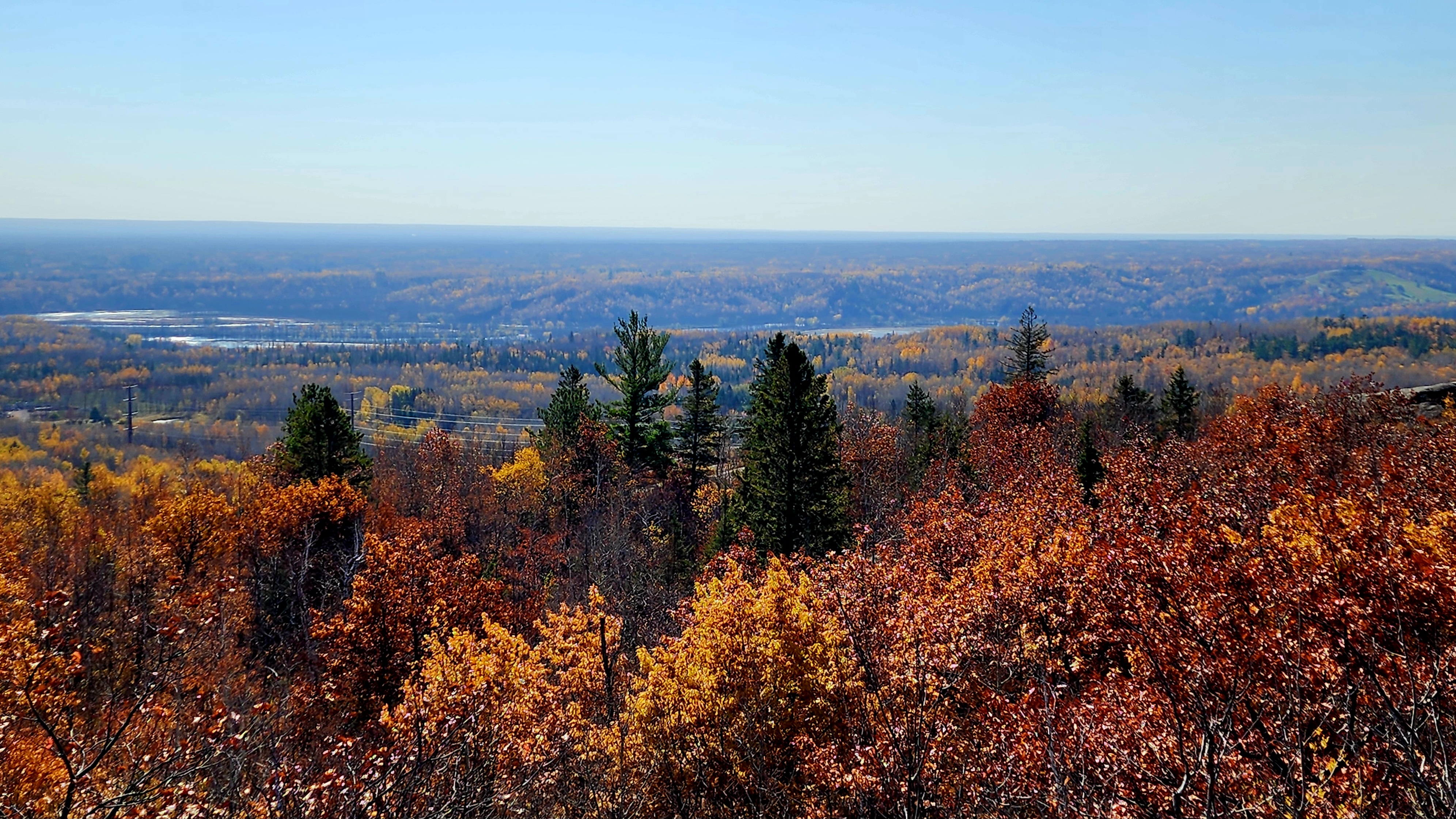
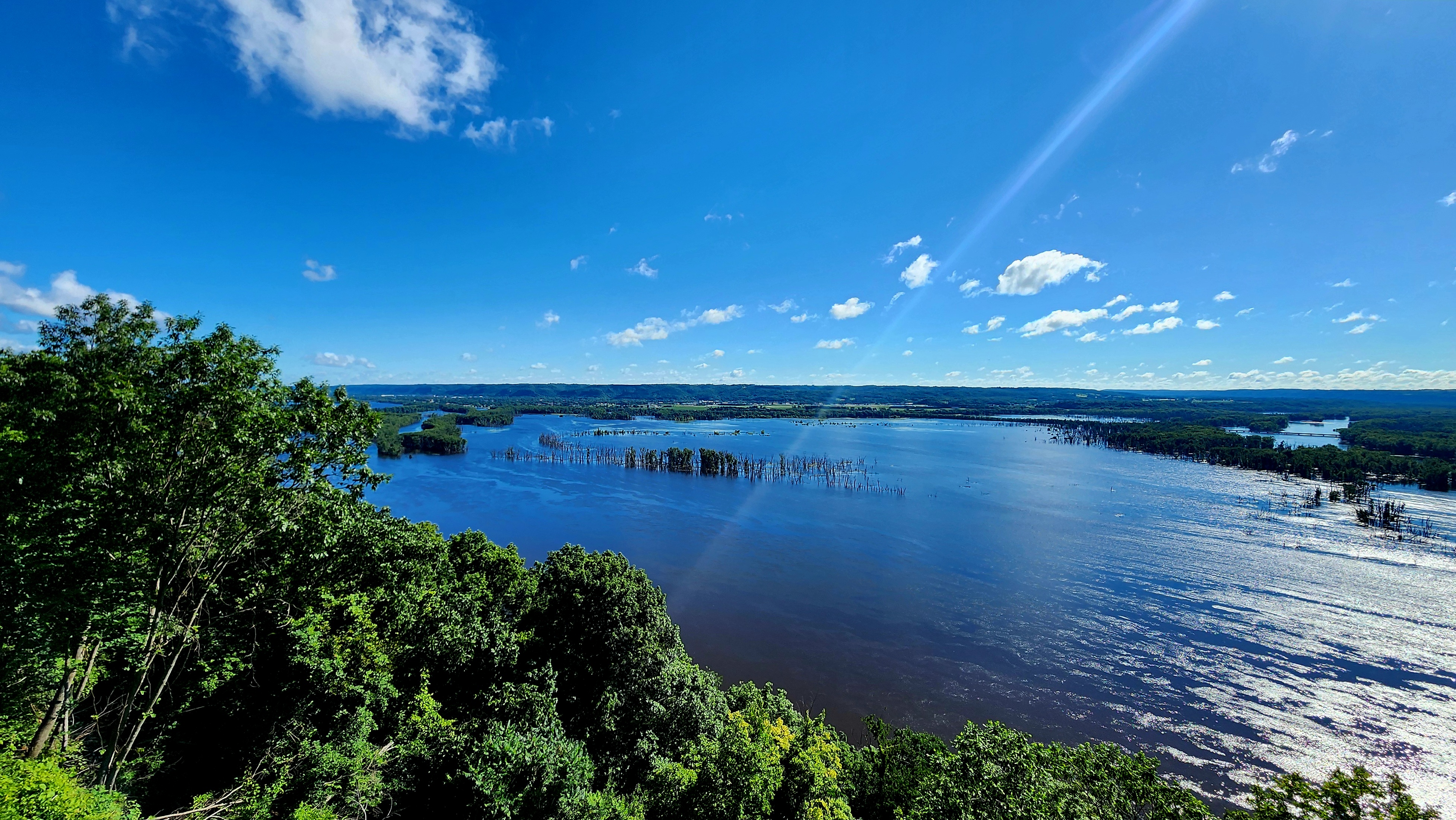
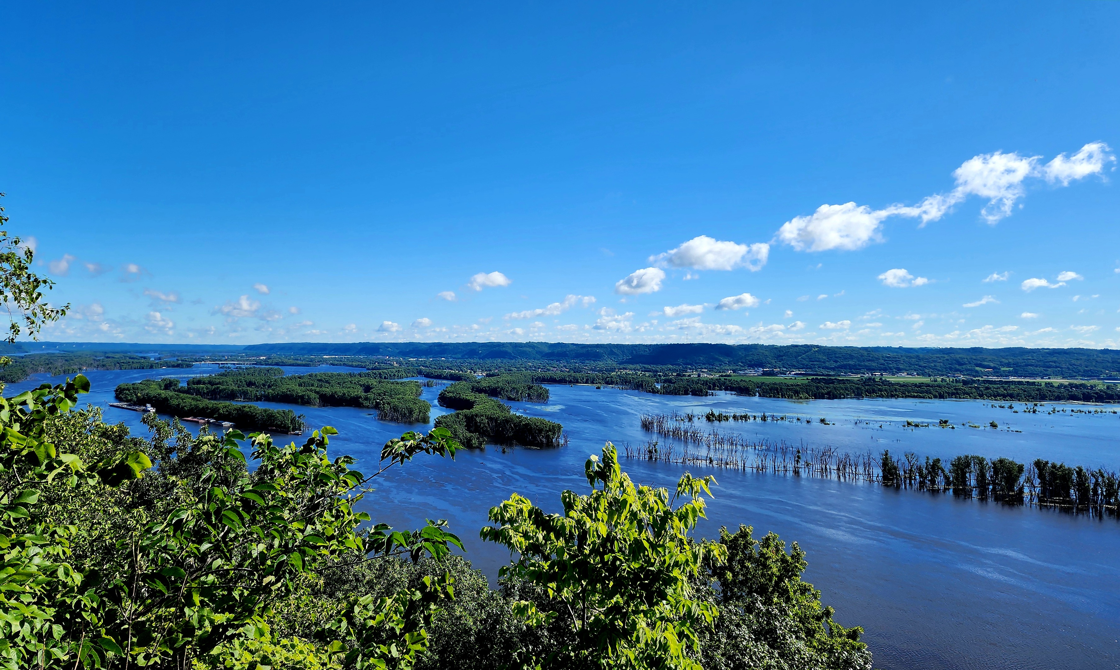
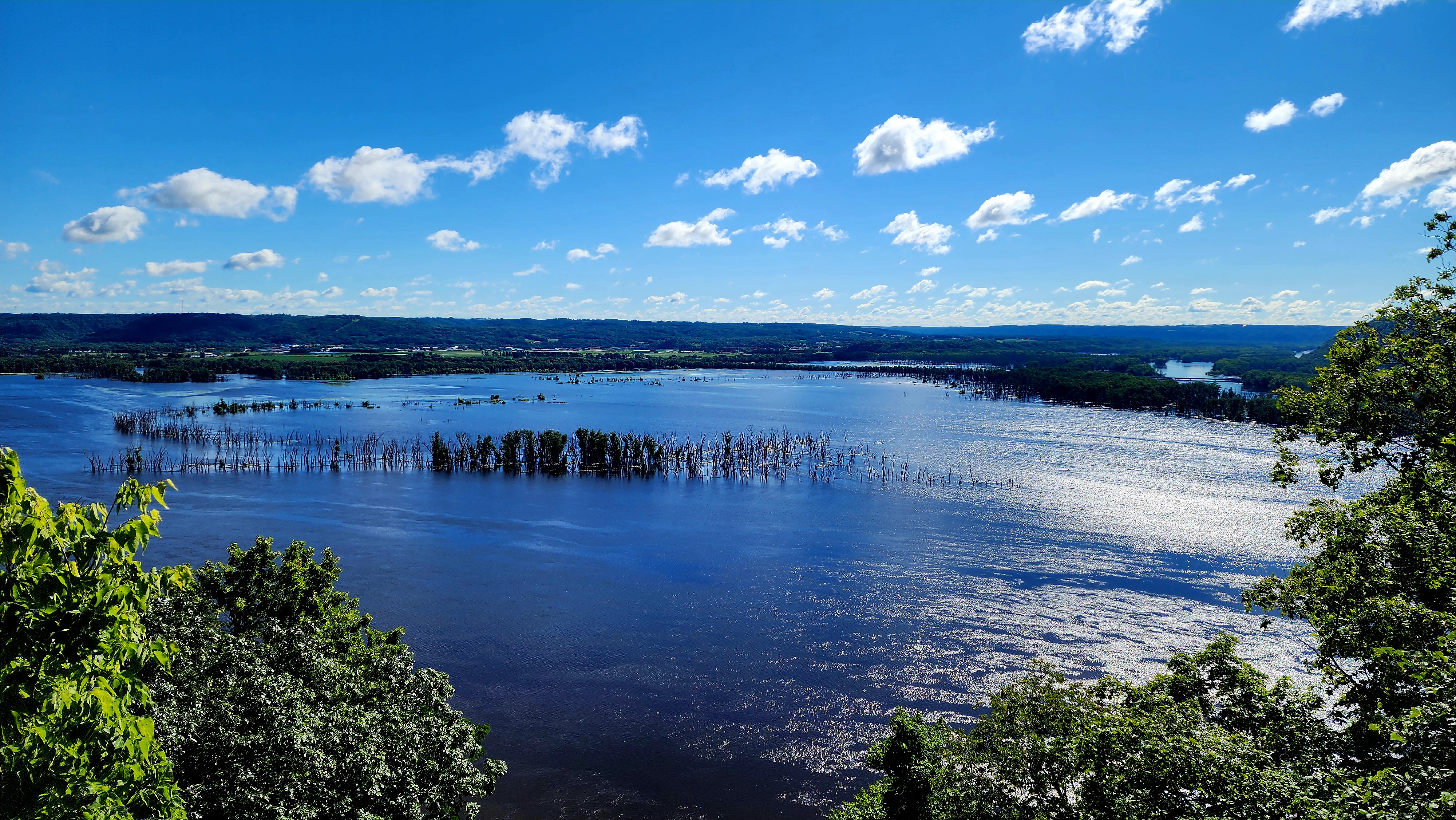
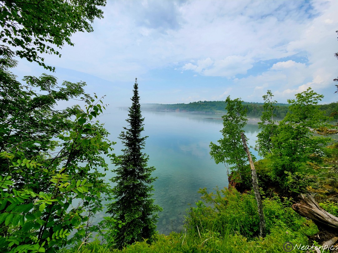
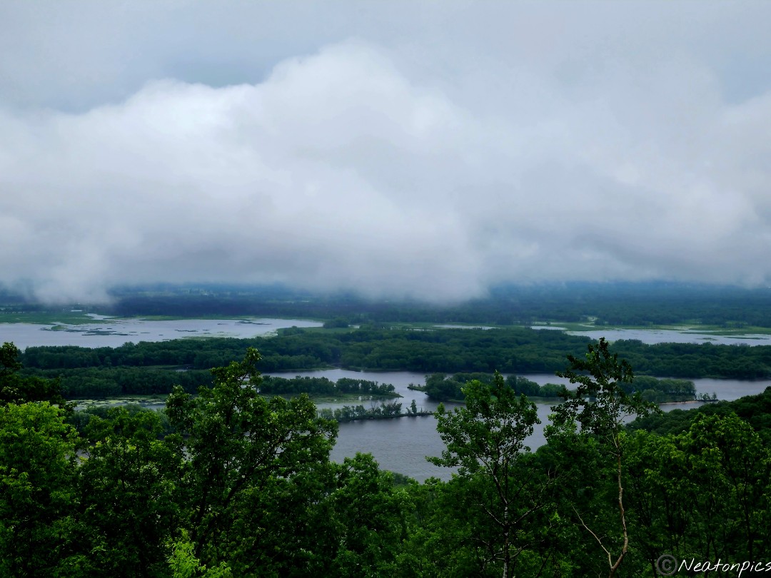
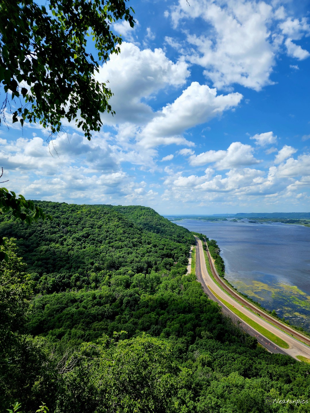
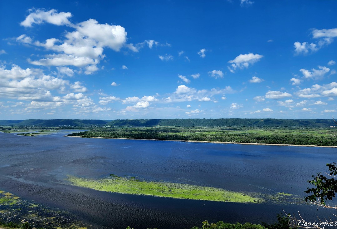
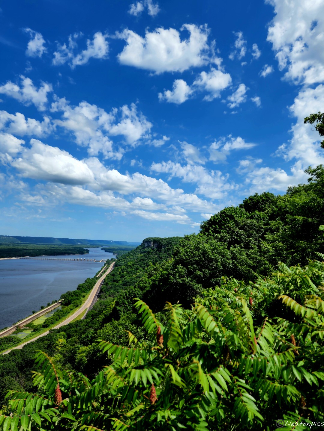
We made it to the top of the bluff! The overlook was worth the climb. The view of the mighty Mississippi River was magnificent.
Lock and Dam #5 can be seen in the distance.
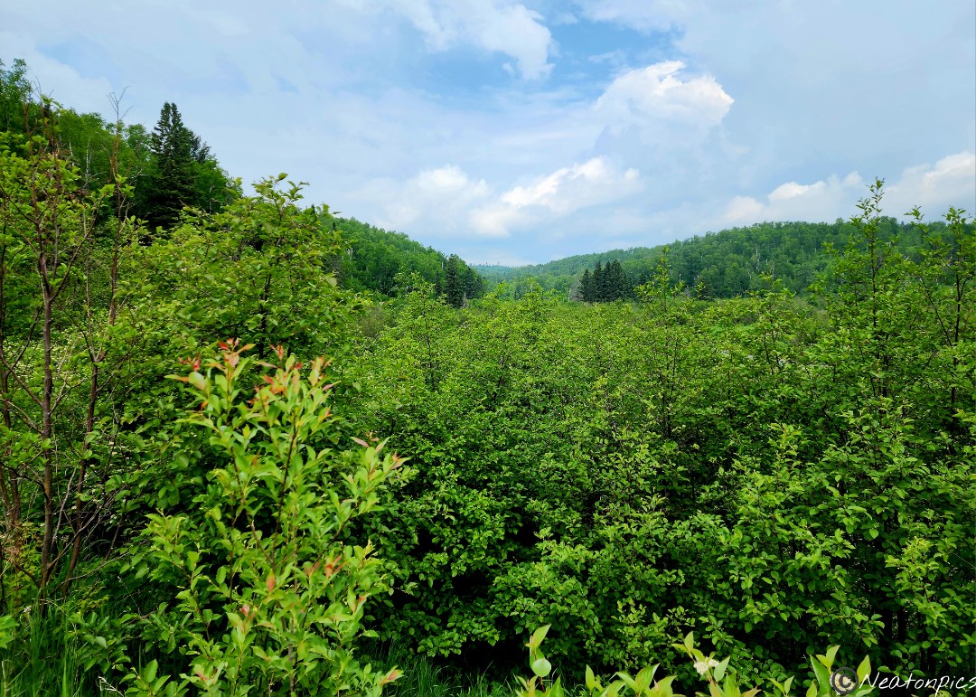
What goes up must come down.
Our hiking adventure was 592 steps straight up the bluff.