Big Rivers Regional Trail-Mendota Heights-Minnesota

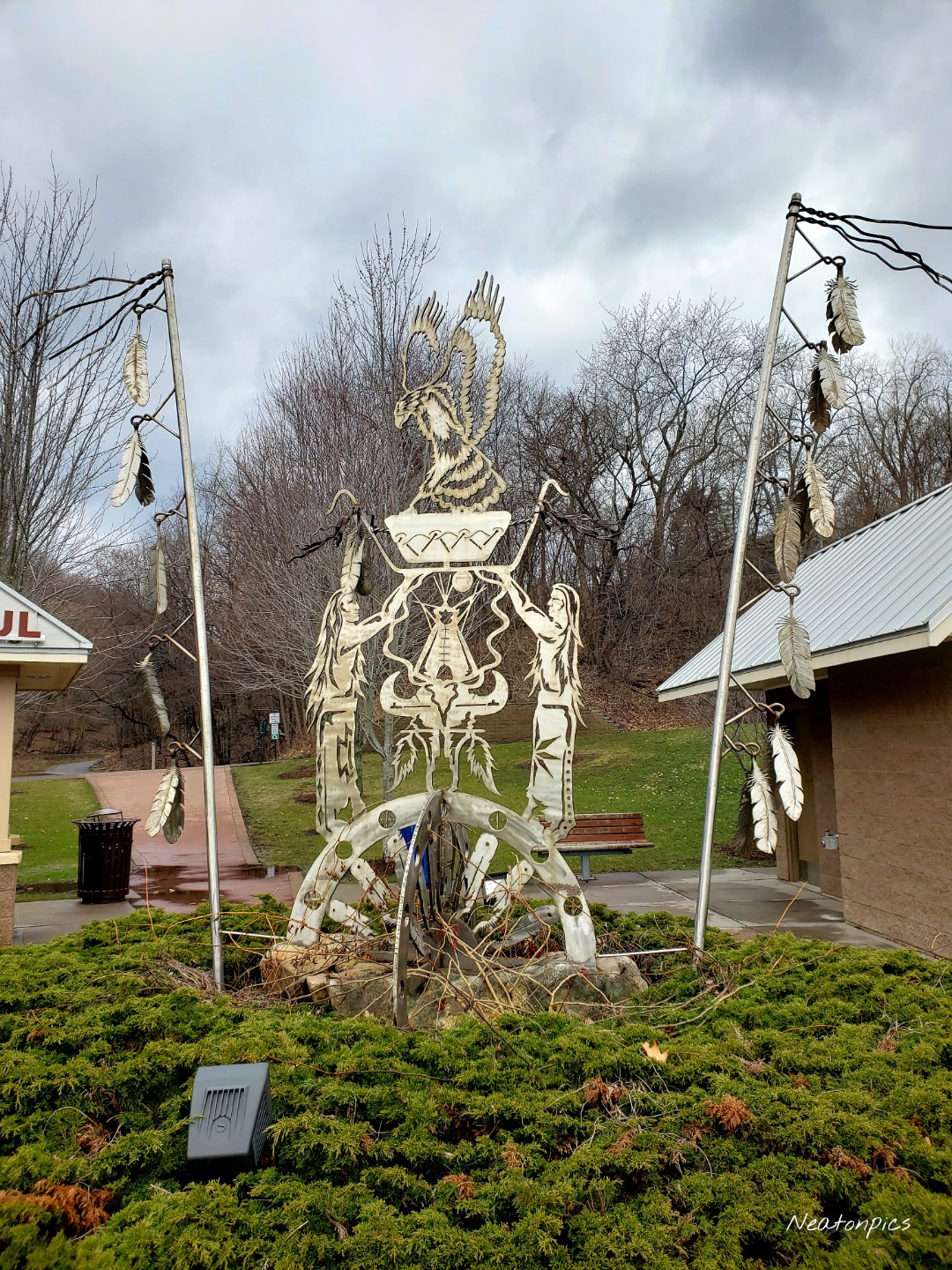
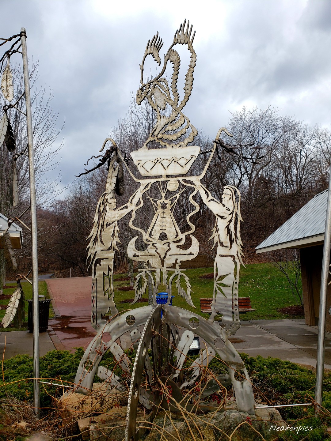
Today’s hiking adventure began at the Big Rivers Regional Trailhead.

After a week of heavy snowstorms, it felt great to get outside while the sun was shining. The temperature was a bit cool at -1 as our adventure started.

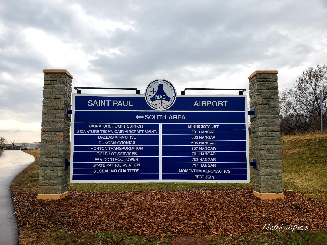
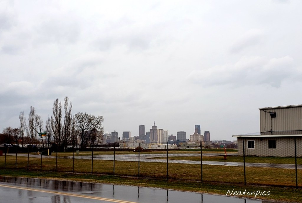
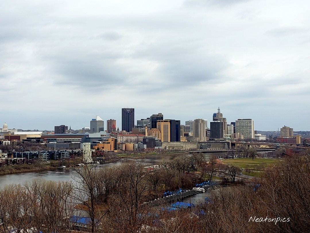
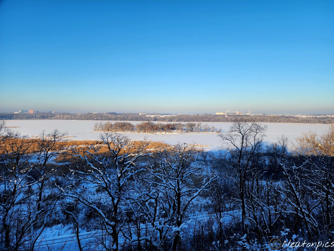
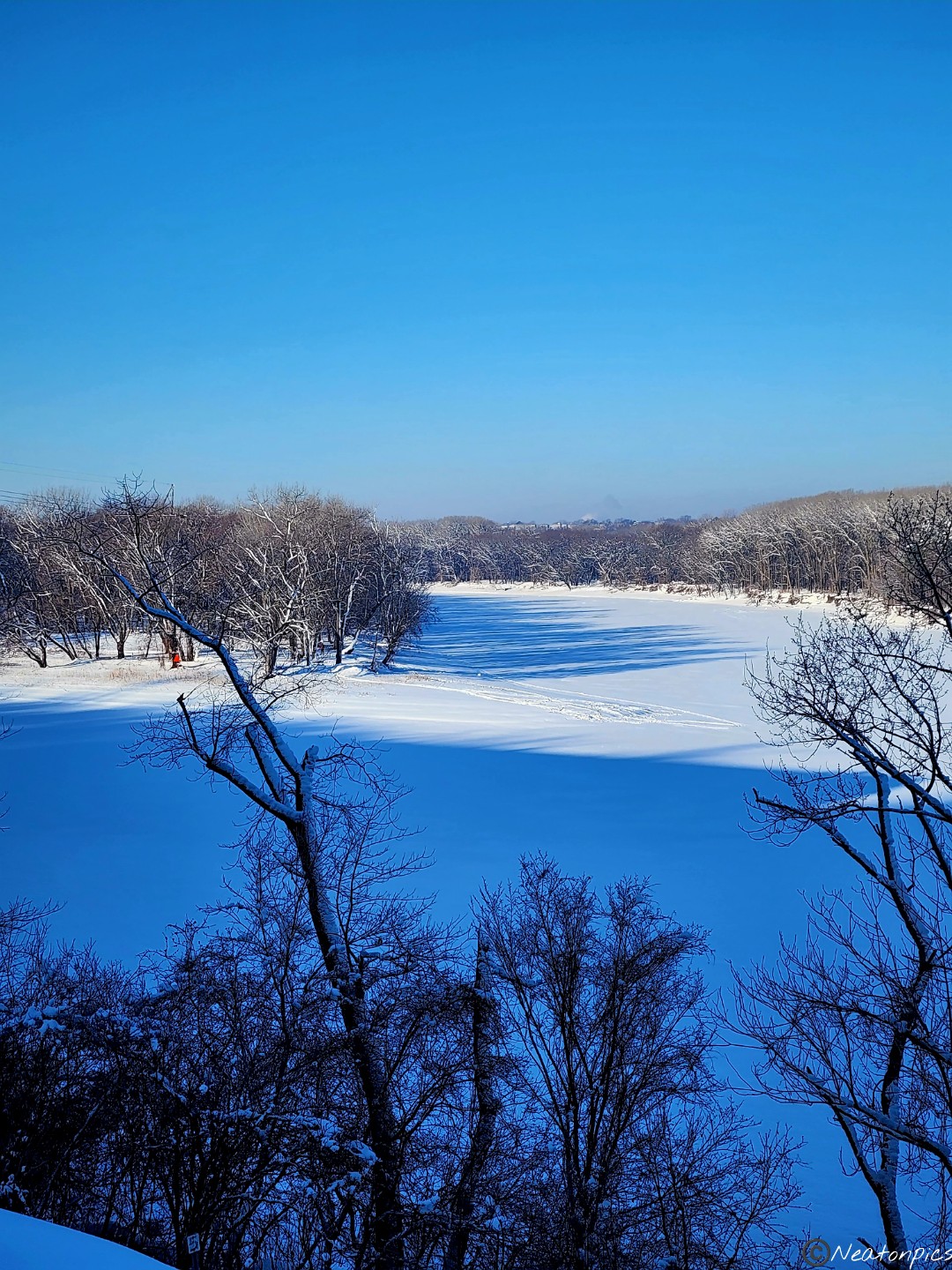
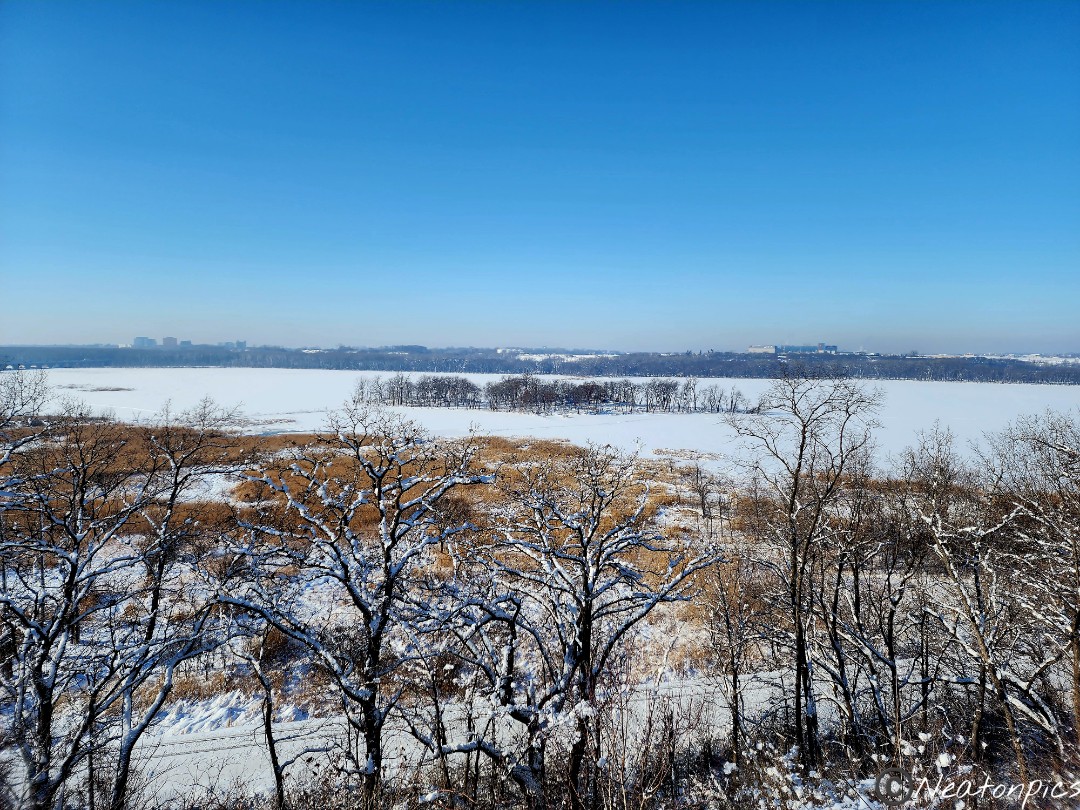
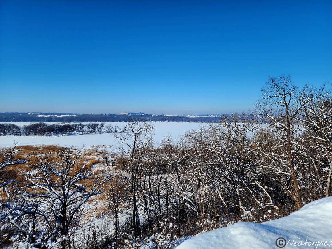
Big Rivers Trailhead has an amazing year round view of the Minnesota River and the airport. Planes were flying low overhead coming and going from the airport.

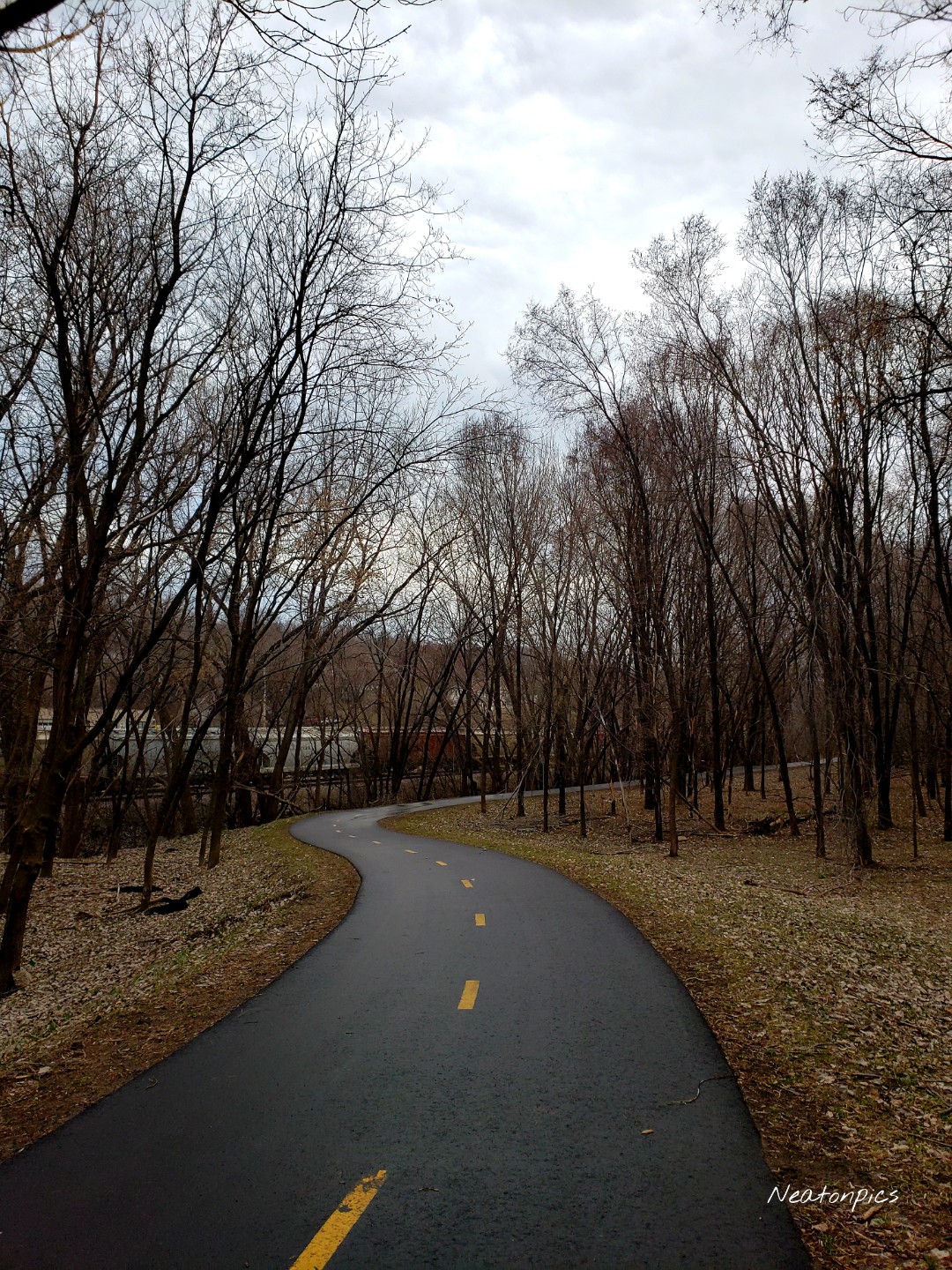
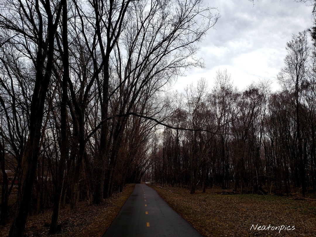
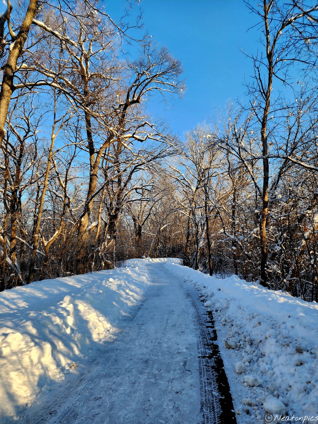
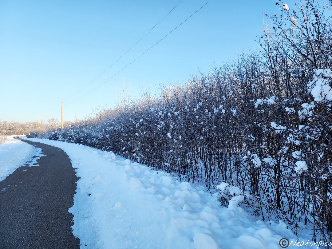
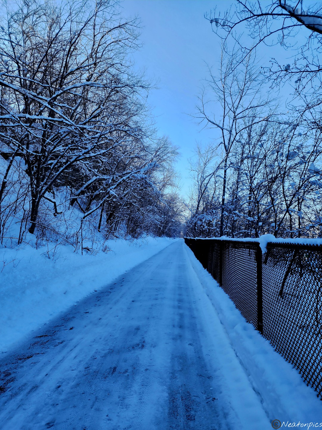
The paved trail was freshly plowed.

Giant snowballs gripped the branches of the trees. It gave the appearance of fluffy cotton balls.

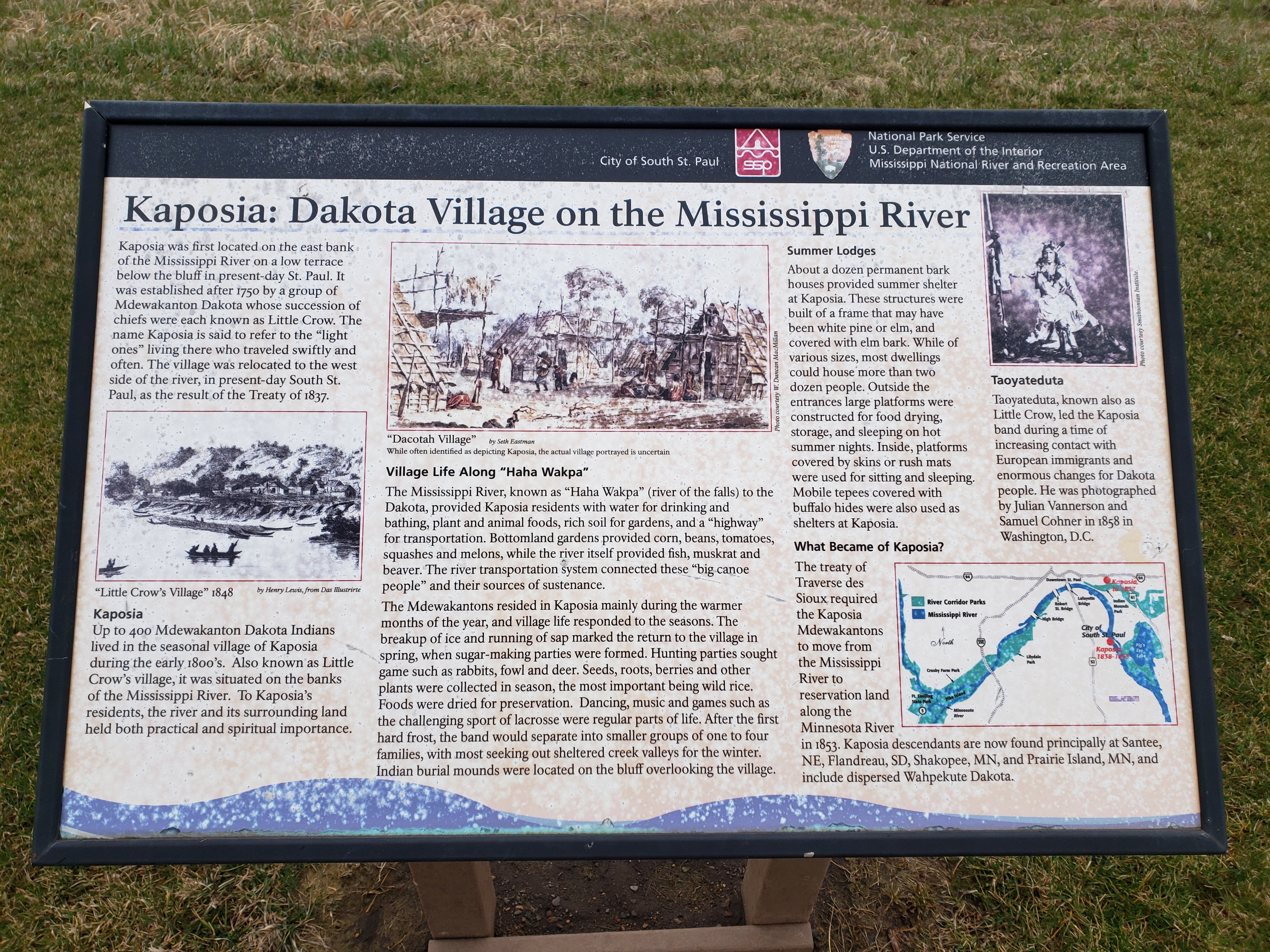
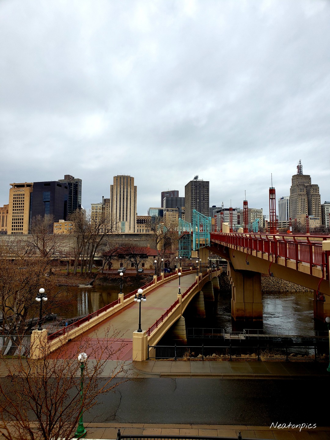
The trail continued through the small town of Mendota.

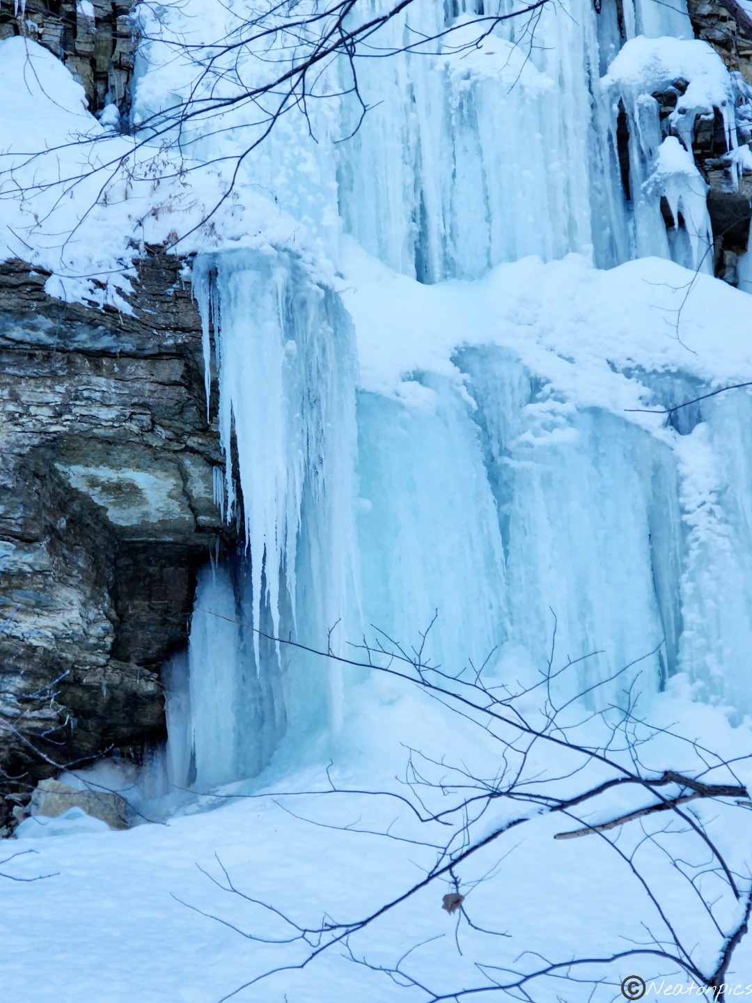
Frozen water cascaded down the side of the rocky cliffs.

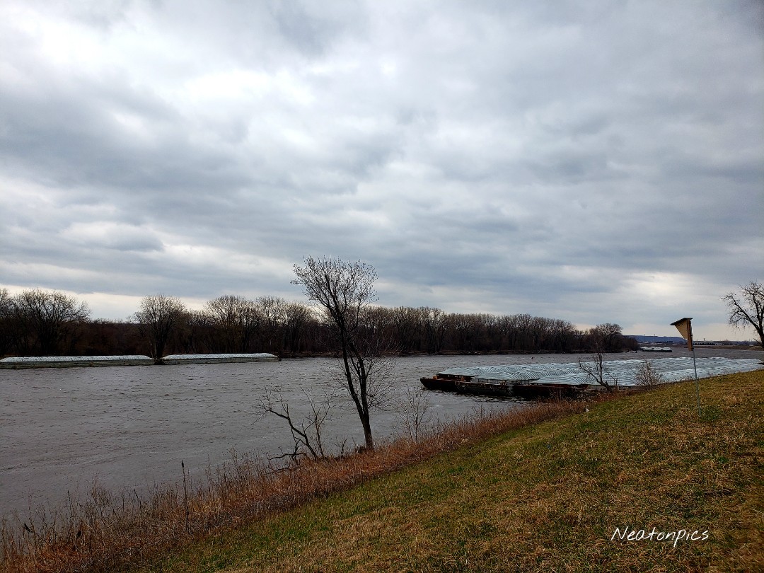
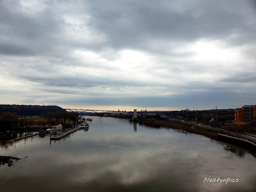
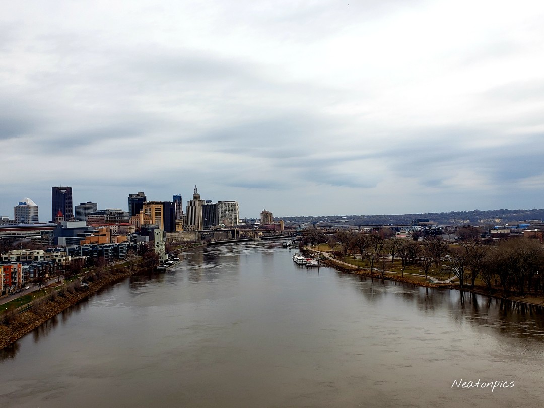
The confluence of the Mississippi River and the Minnesota River at Pike Island

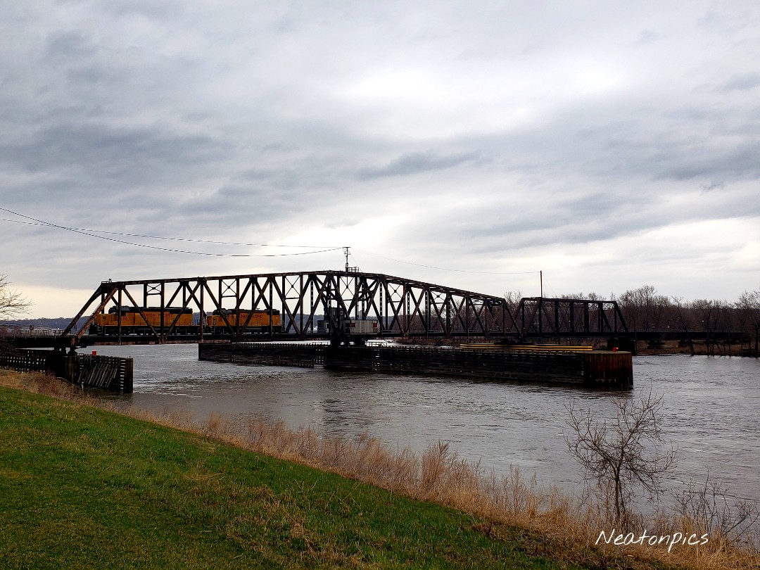
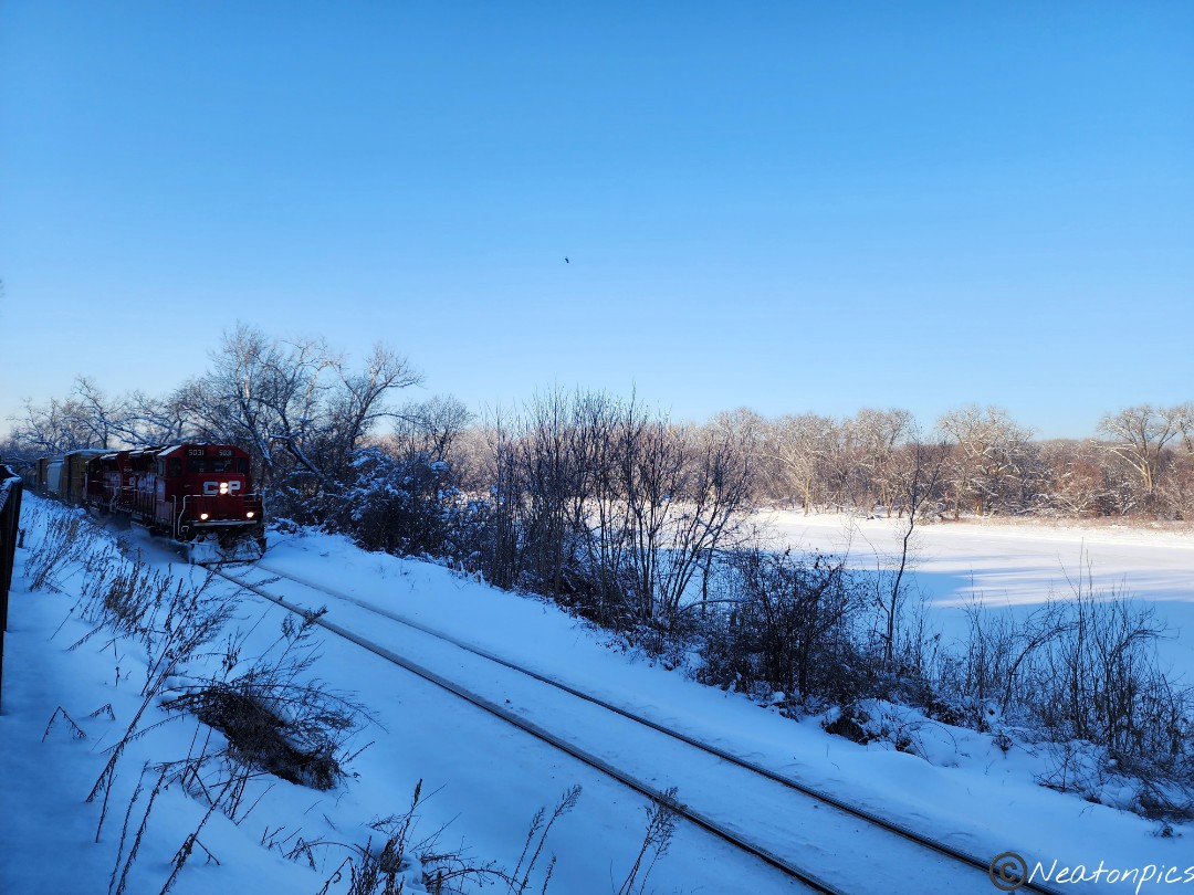
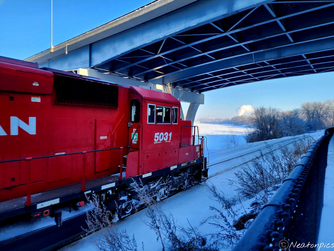
Train tracks lay parallel to the Big River Trail at times. A long train passed by us as we hiked.

We reached the Lilydale trailhead and decided to hike the Robert Piram Regional Trail.

Tree branches were covered in snow. The snow shimmered in the sunlight.

We decided to turn around and head back to our starting point.

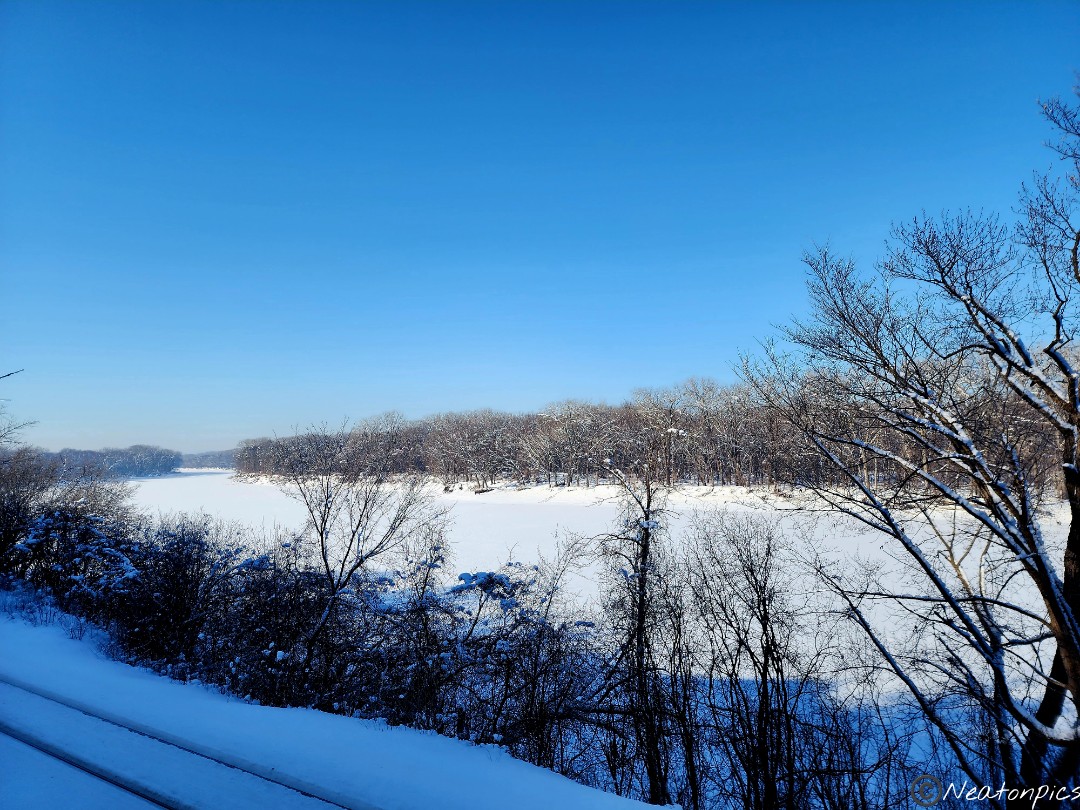
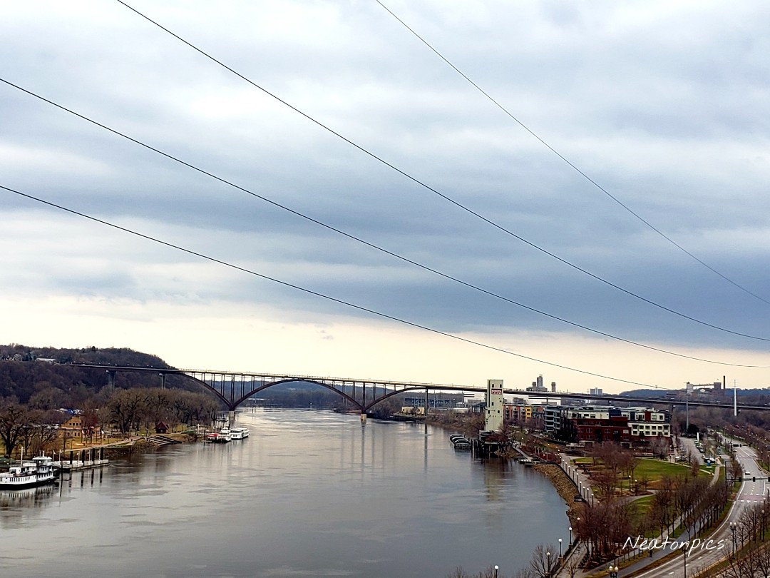
Once back at the Big Rivers Trailhead we took in another view of the Minnesota River.

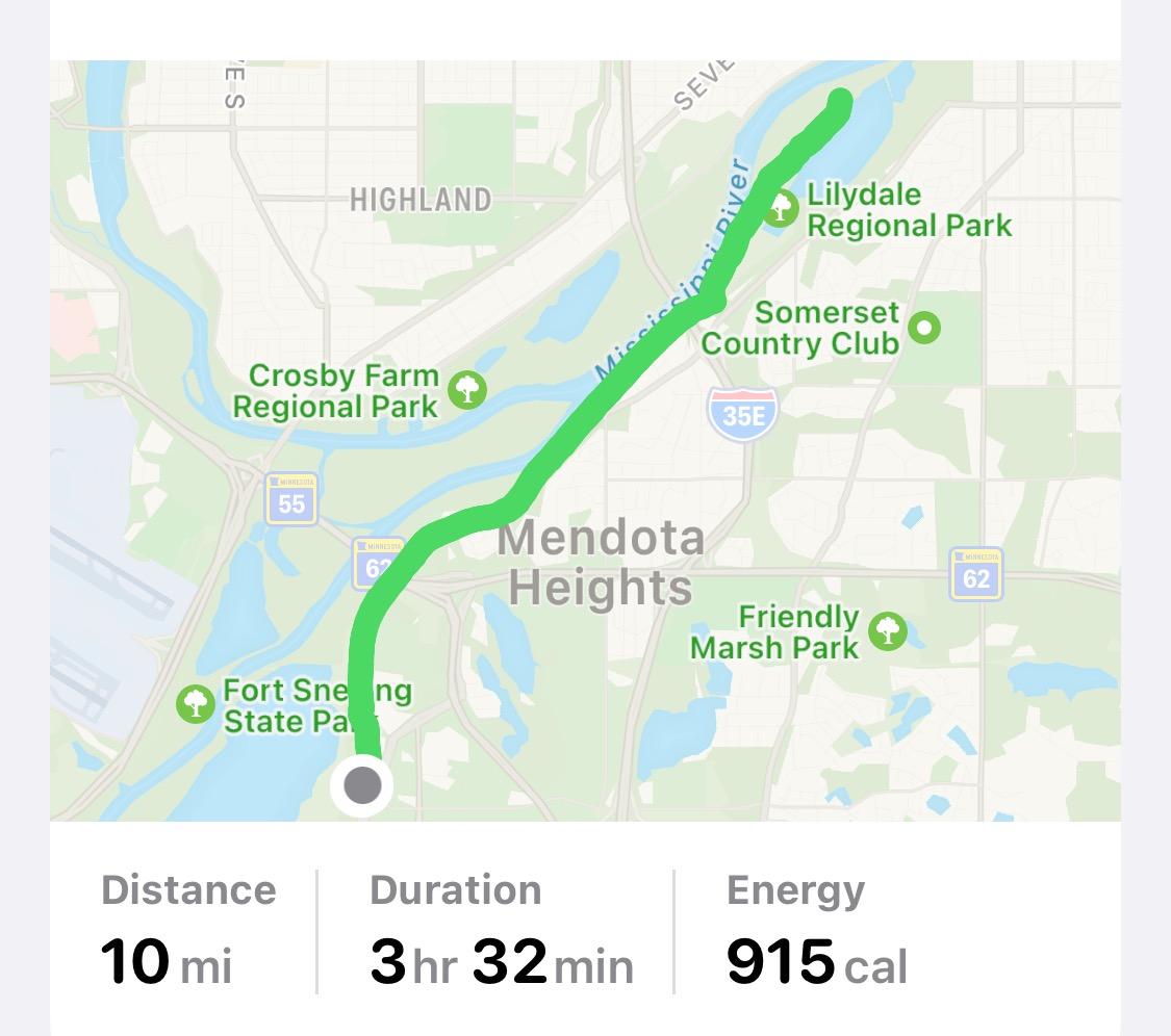
Today’s hiking adventure was 10 miles.

Kaposia Landing-South St. Paul-Minnesota

Today’s hiking adventure began at Kaposia Landing.

The paved trail we hiked was called the Robert Piram Regional Trail. The trail offered views of the Mississippi River and many trains.

The sky turned dark and rain began to downpour on us. Lightning flashed across the sky in front of us as the thunder crashed. We decided to stay the course and continued on. Thankfully the storm passed quickly.

On the trail, we passed an old car not far from the railroad tracks.  

We hiked past the St. Paul Airport. Downtown St. Paul can be seen in the photo below.

Harriet Island Regional Park was our next stop.

We crossed the Wabasha Street Bridge into downtown St. Paul. Smith Avenue High Bridge can be seen in the distance.

Downtown St. Paul has some great old buildings.

We even found Snoopy!

On the north side of the Smith Avenue High Bridge was a small sculpture garden. The green chair weighs 2,500 pounds!

Crossing the Smith Avenue High Bridge offered beautiful views of the Mississippi River and downtown St. Paul.

The High Bridge Overlook was the next stop on our hike, which is on the south side of the Smith Avenue High Bridge. Eagles could be seen soaring below scanning the river for their next meal.

Being an urban explorer offers the advantage of stopping for a snack. We decided to walk down Wabasha Street towards several restaurants. We passed the Wabasha Street Caves. They offer cave tours and host other events. Around the corner from the Wabasha Caves we found a cave entrance that was closed, however, it offered us a peek inside.

Tacos for the midday snack! Charlie Brown greeted us as we walked towards the entrance.

We continued our hiking adventure down Cesar Chavez Street until we reached the Robert Piram Regional Trail. Once back at Kaposia Landing we crossed the bridge over the railroad tracks to see Simon’s Ravine Trailhead. We decided to tackle that trailhead another day. They have a beautiful sculpture at the Simon’s Ravine trailhead.

Today’s hiking adventure was 10.5 miles.