Swede Hollow Park-St. Paul-Minnesota

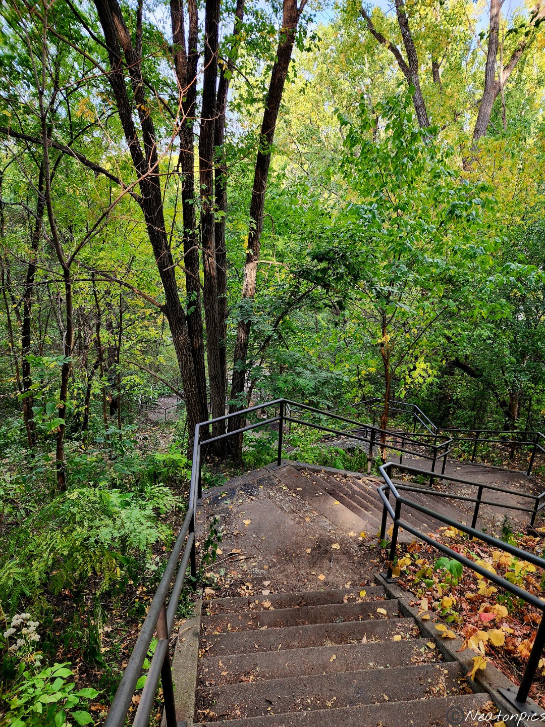
Today’s hiking adventure began at Swede Hollow Park.

By descending down a long staircase, we started our adventure.

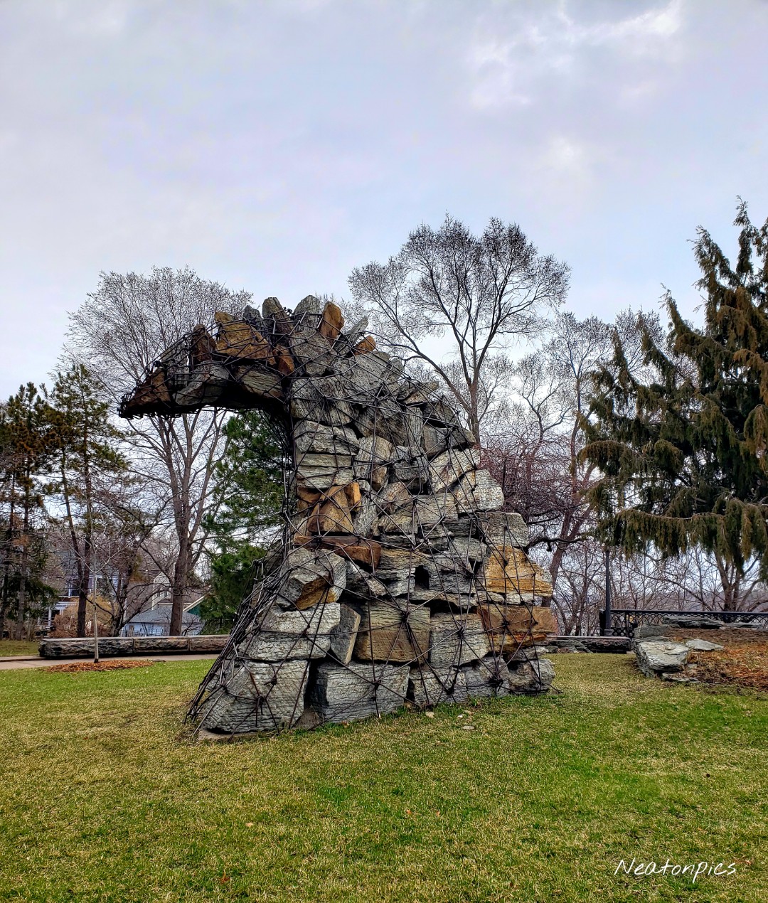
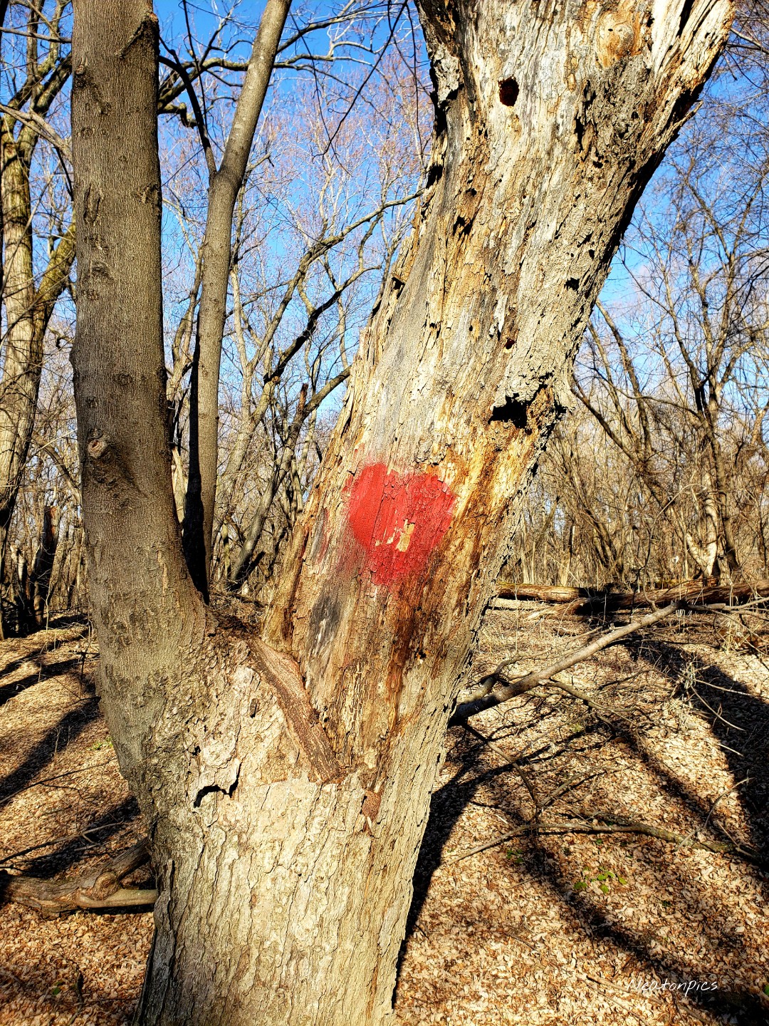
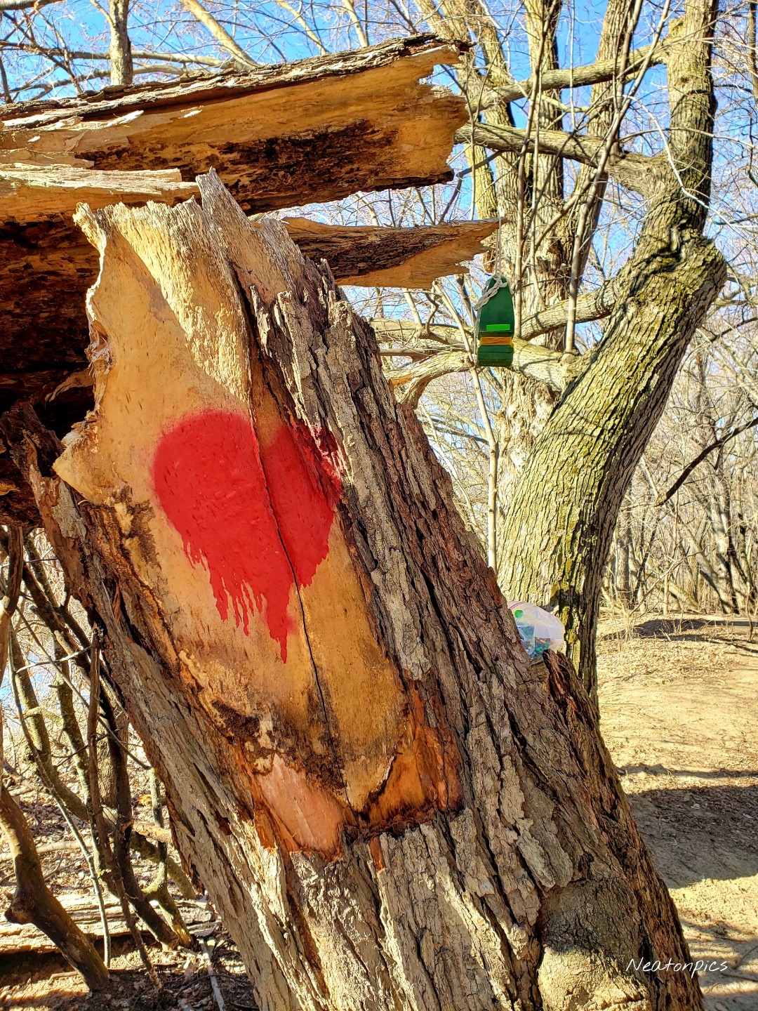
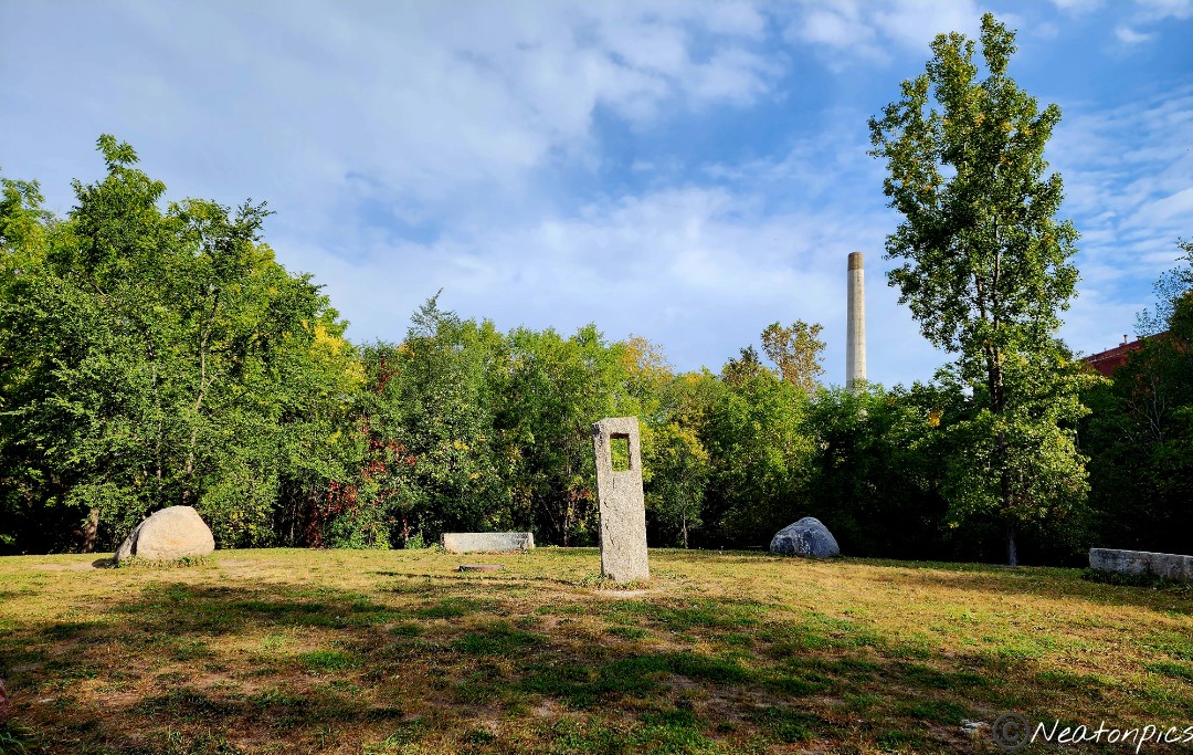
Swedehenge, a large stone exhibit, encompassed the lower level of the park. Informational historic markers lined the trail explaining the timeline of the park’s history.

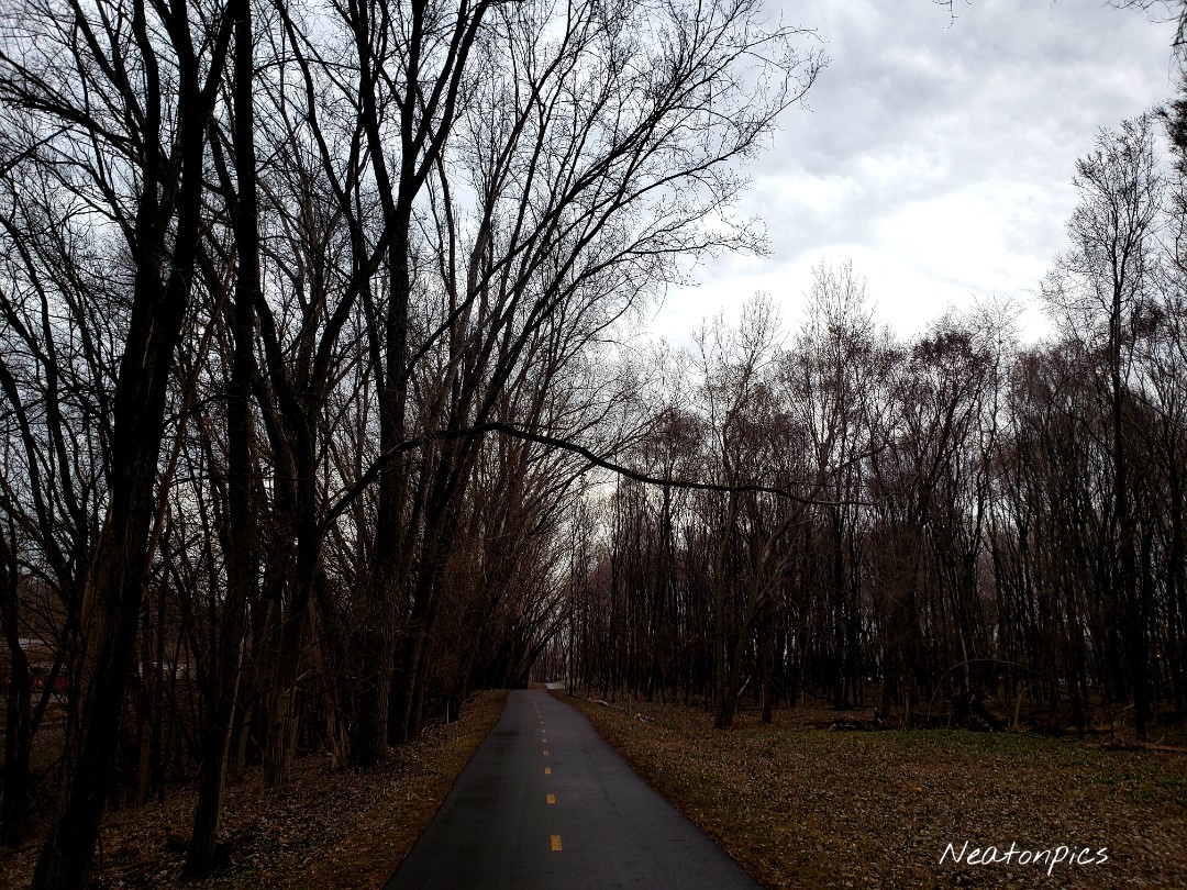
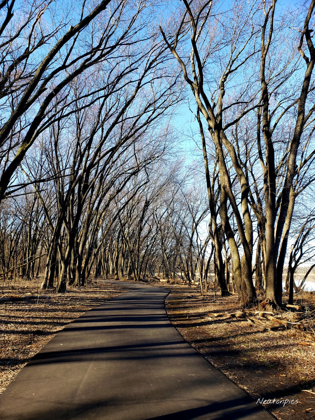
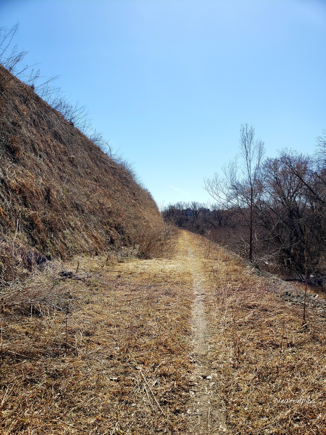
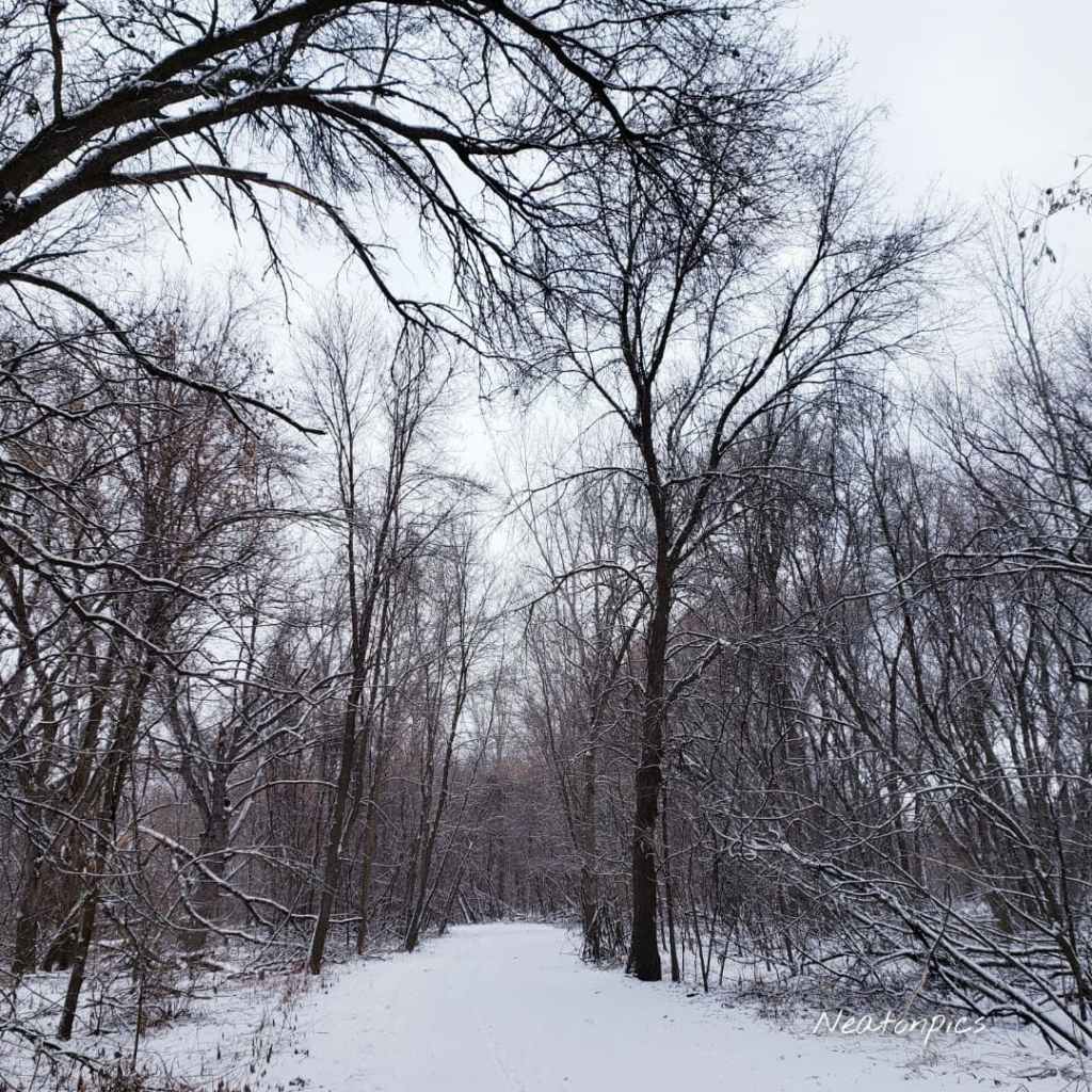
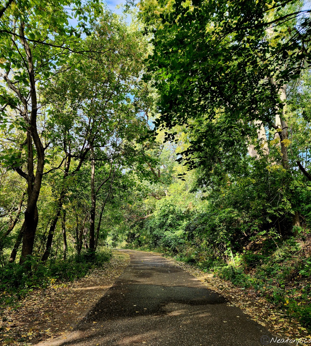
We hiked out of Swede Hollow Park on the Bruce Vento Regional Trail.

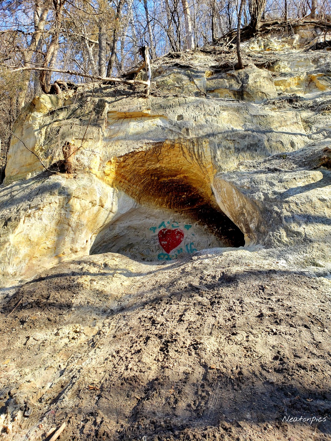
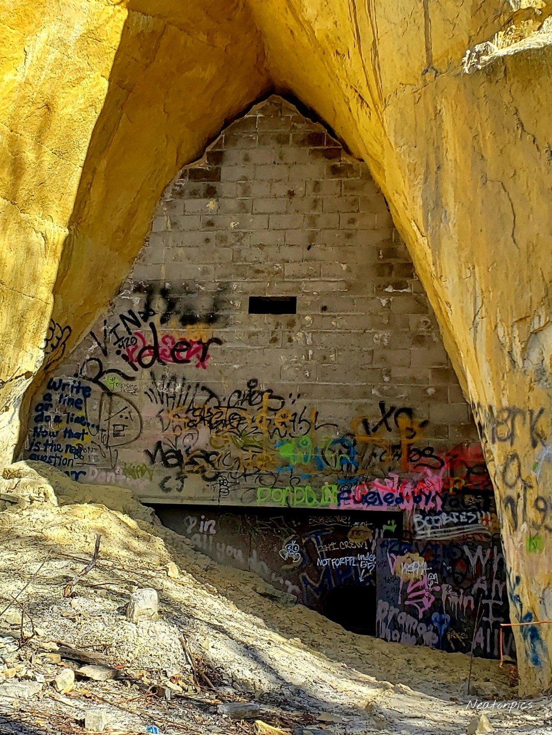
We hiked under E. 7th Street through a very intriguing stone tunnel.

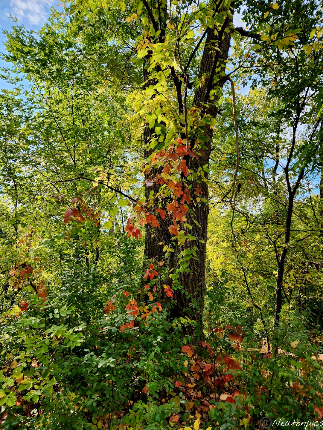
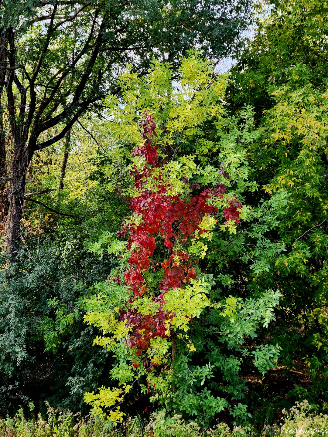
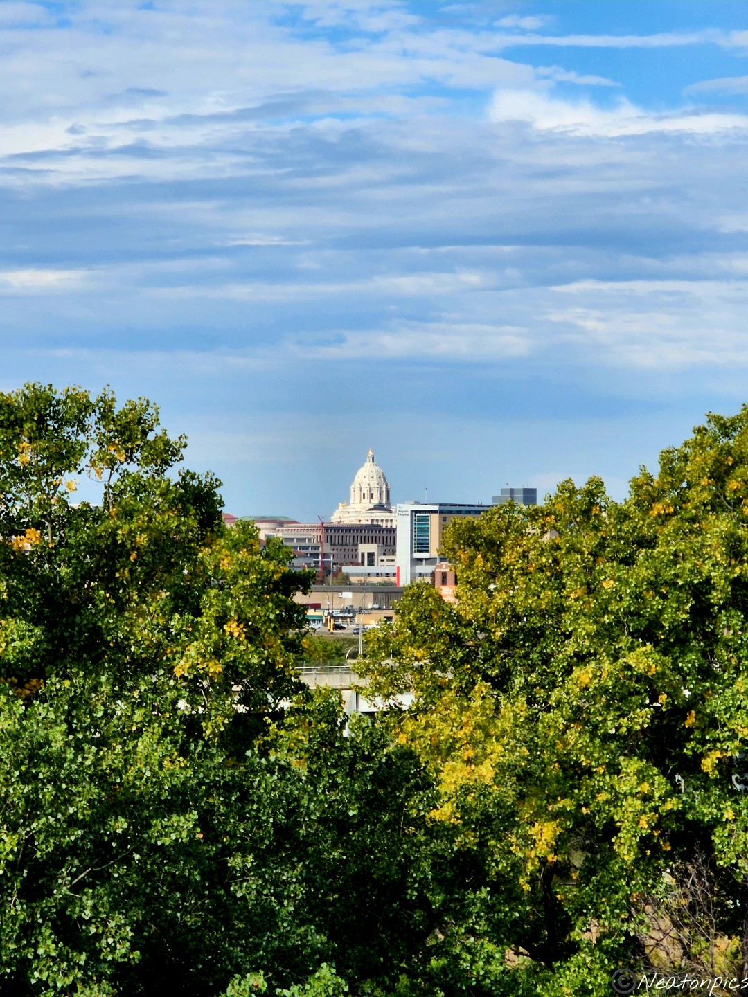
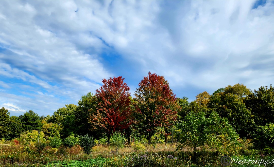
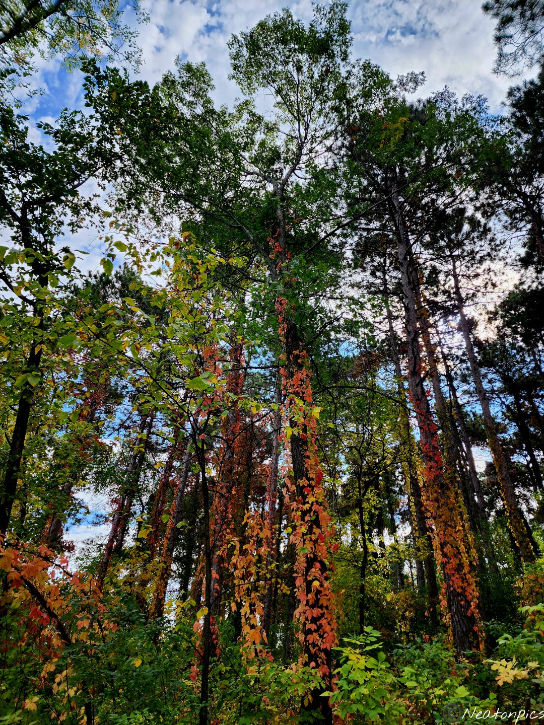
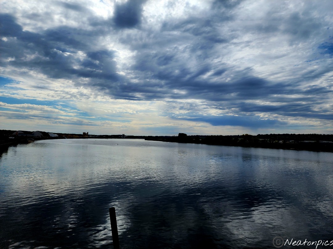
The bright colors of fall began to whisper through the greenery.

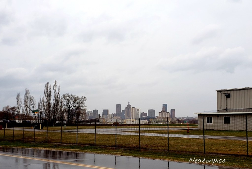
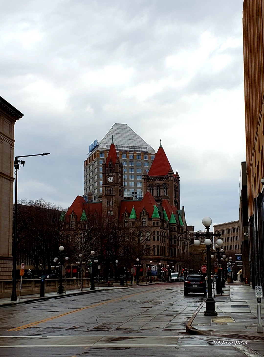
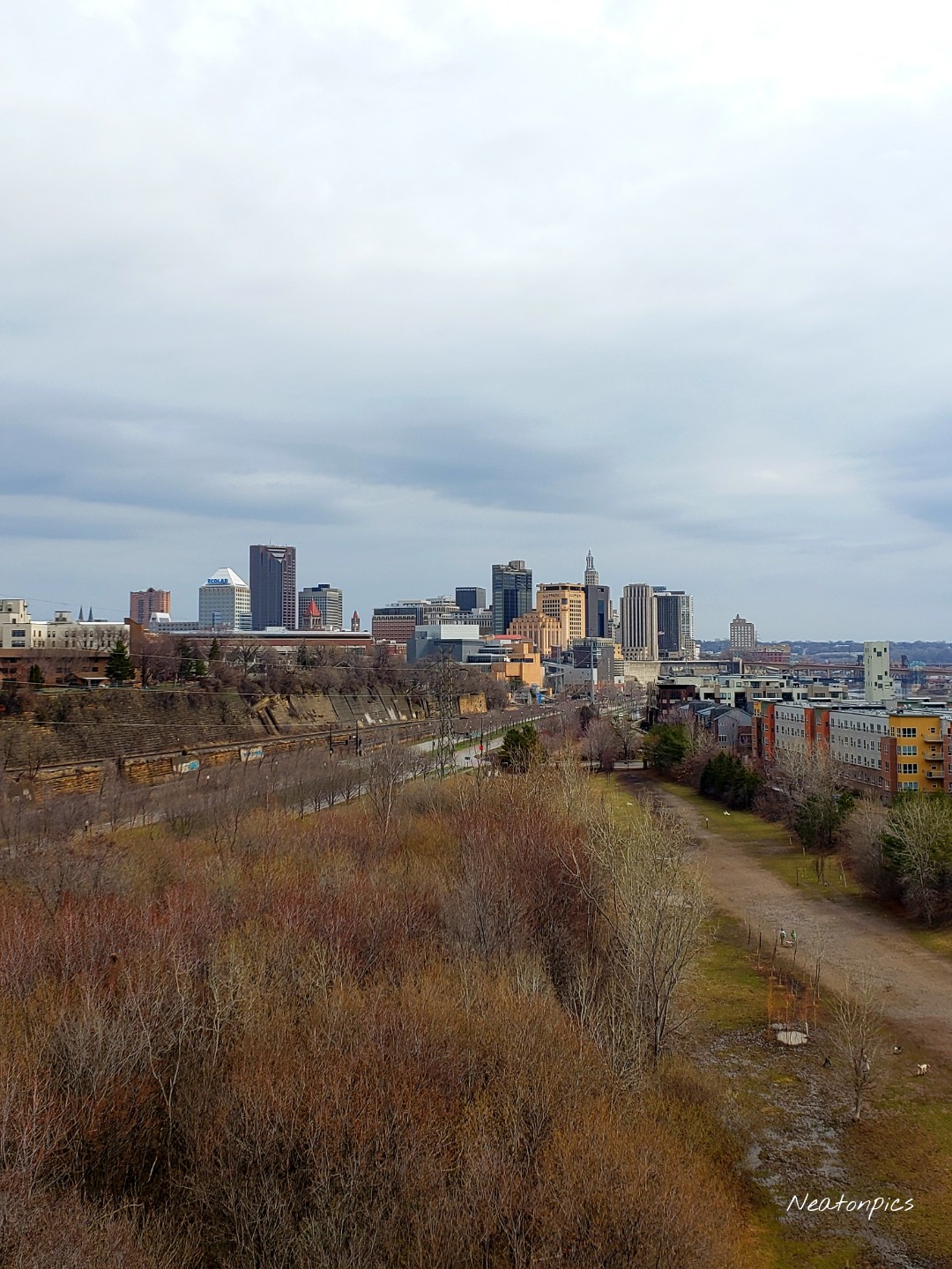
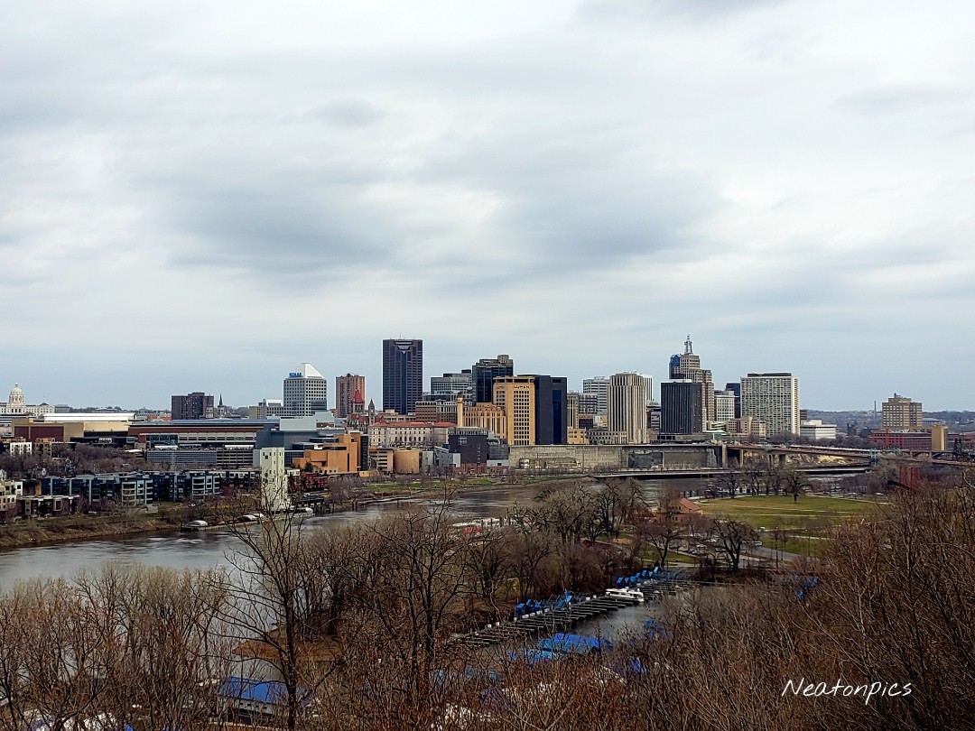
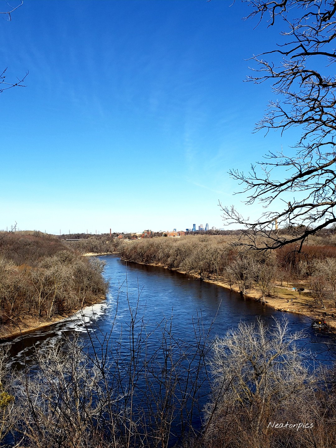
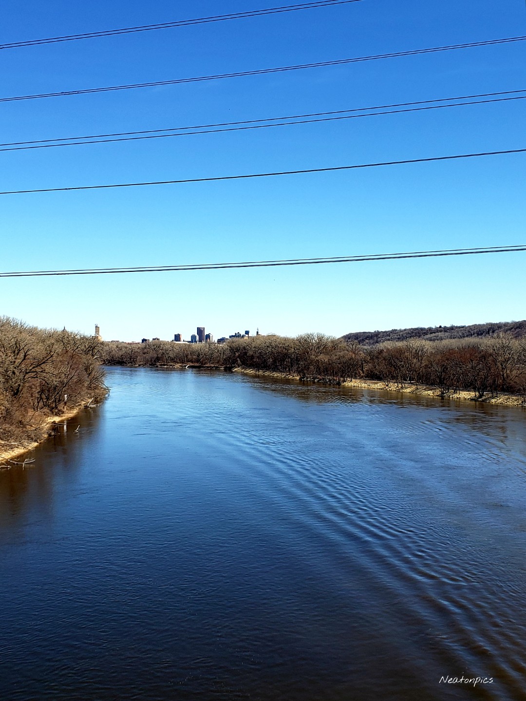
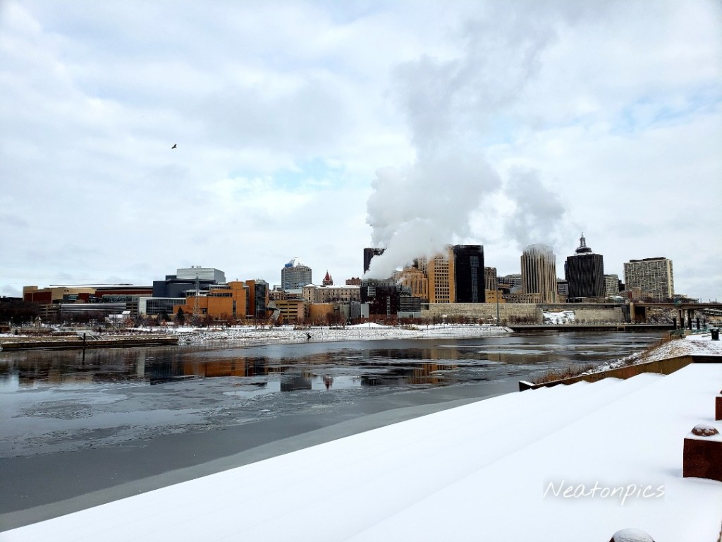
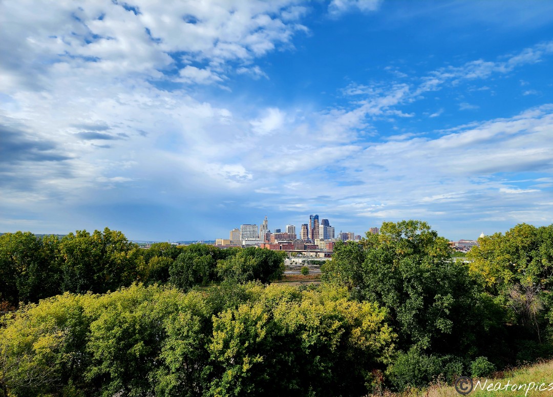
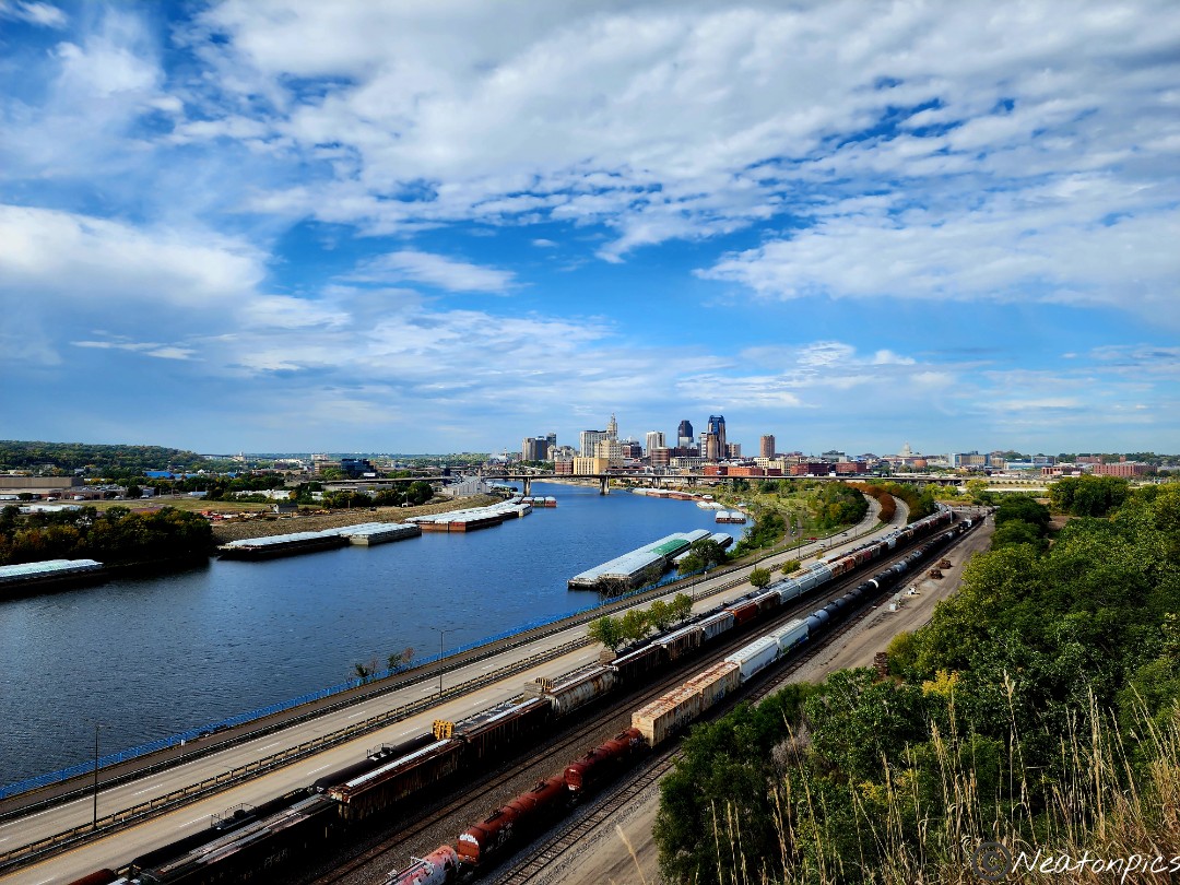
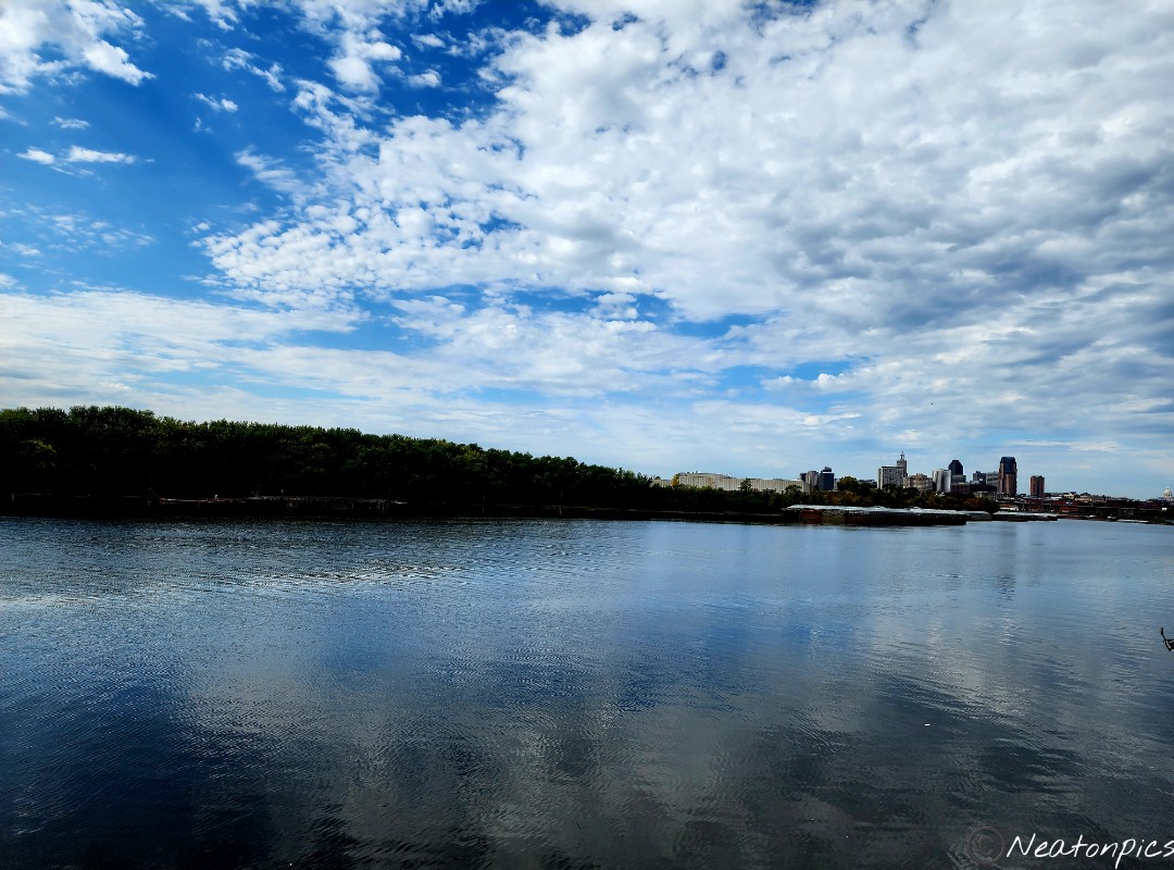
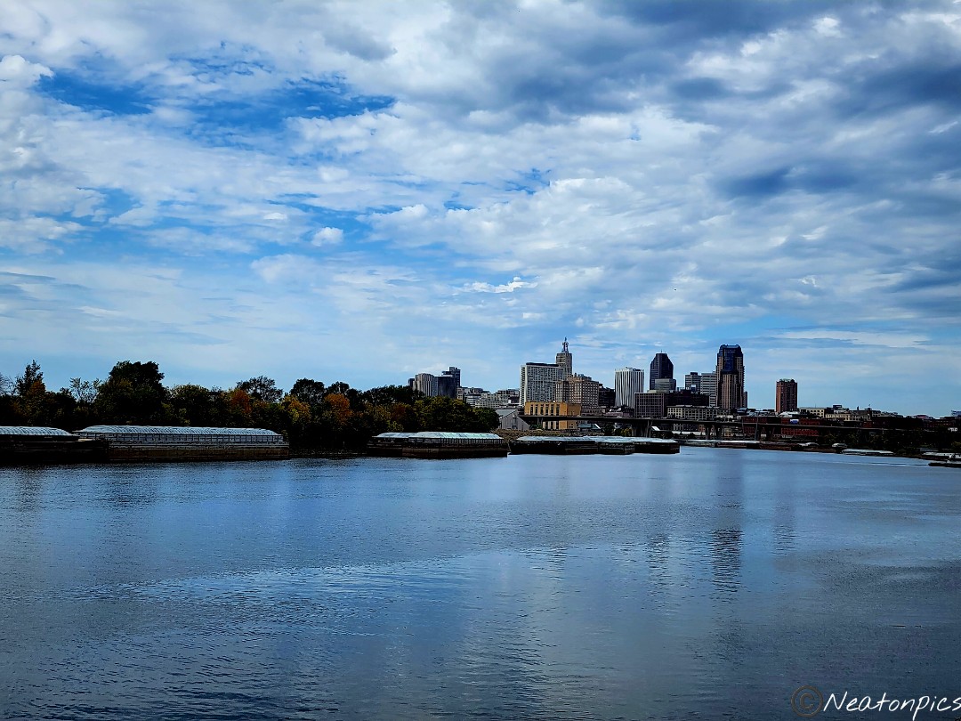
Downtown St. Paul and our State Capitol appear in the distance.

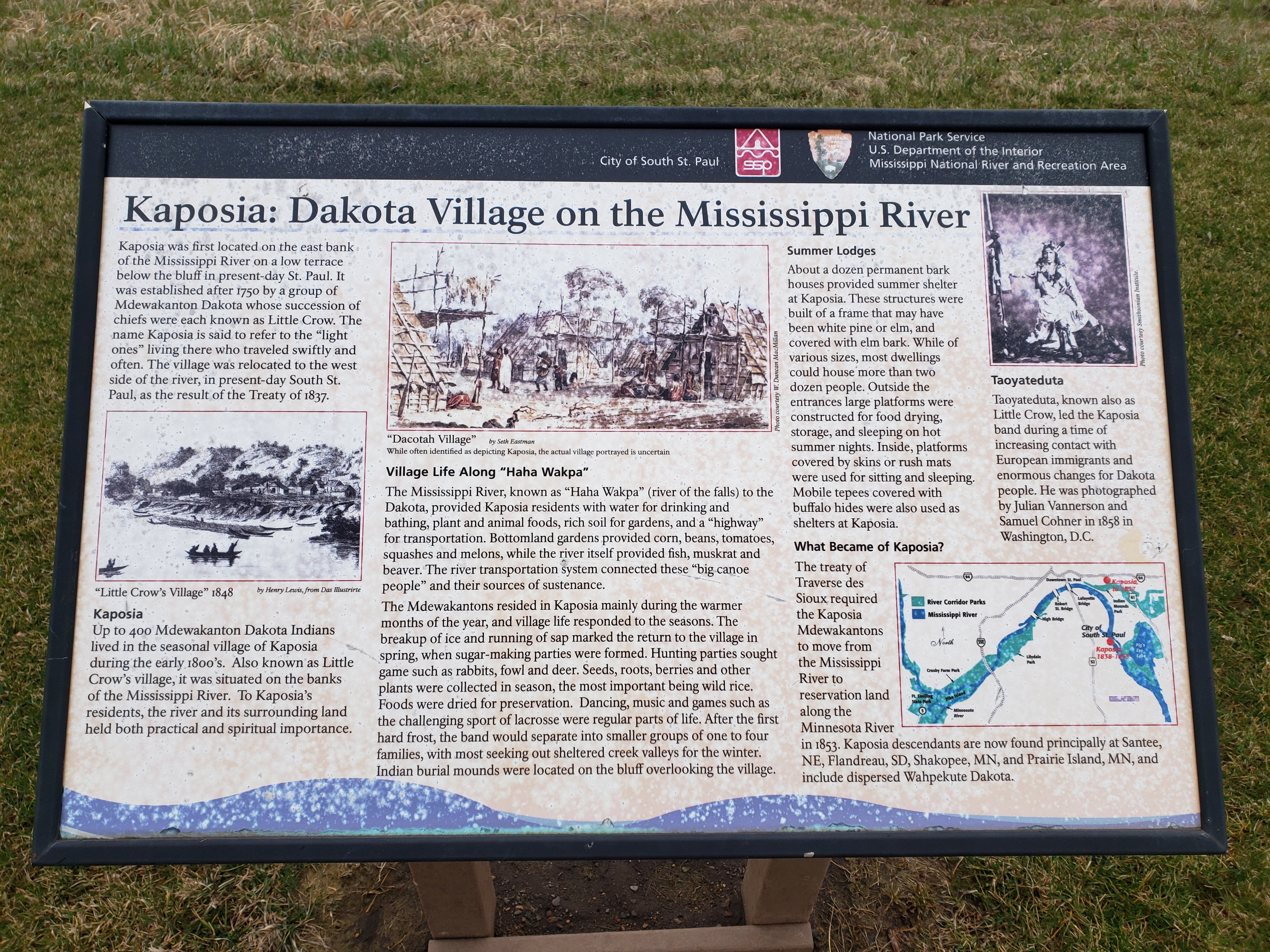
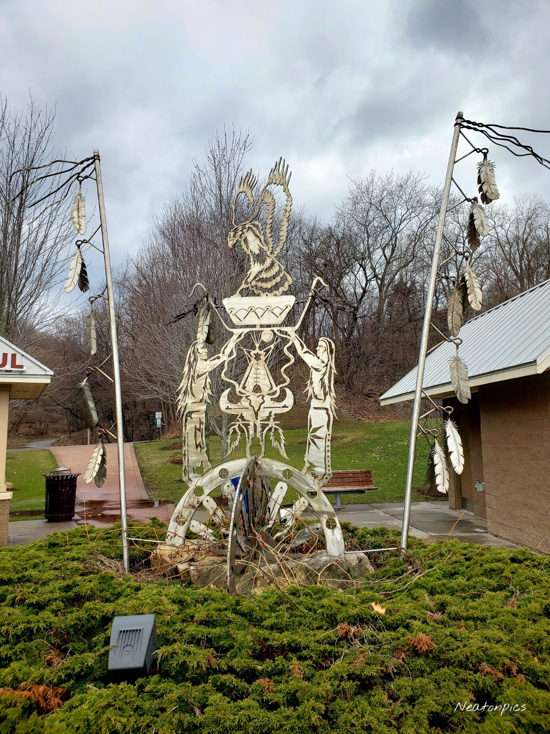
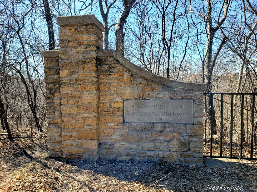
It was then on to Indian Mounds Park.

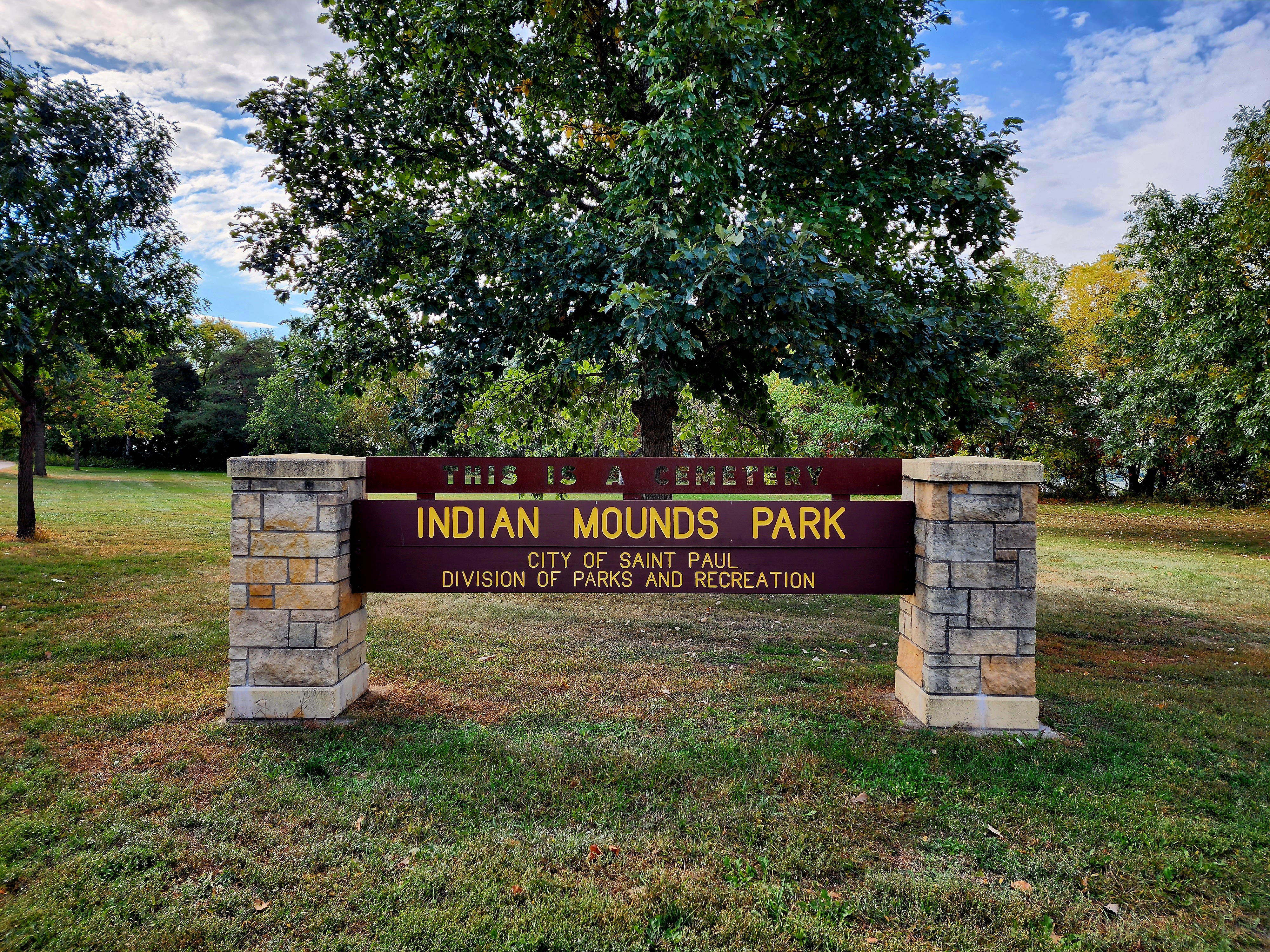
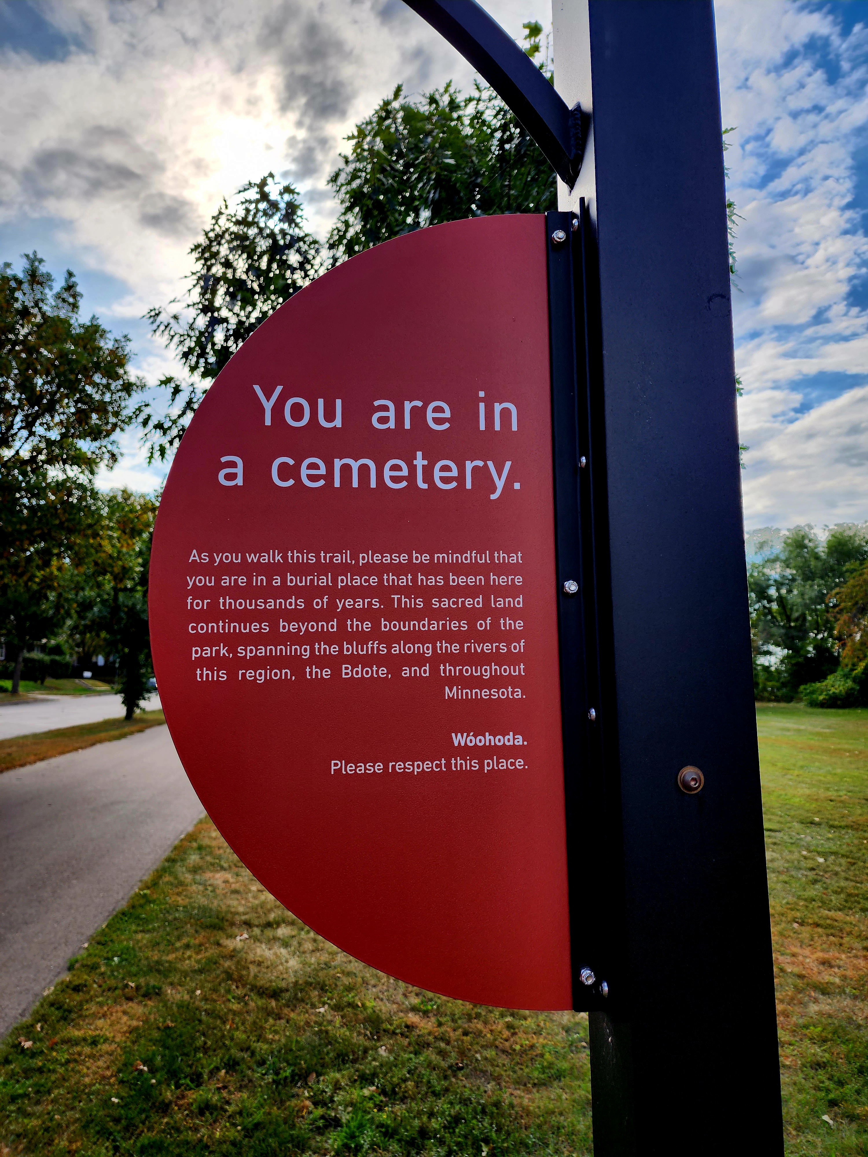
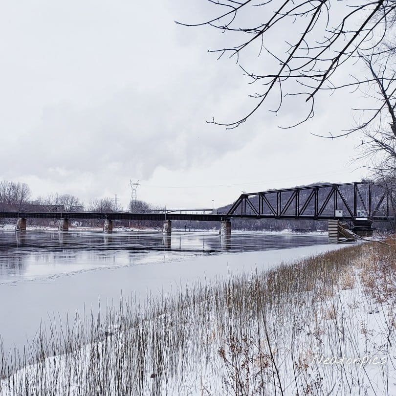
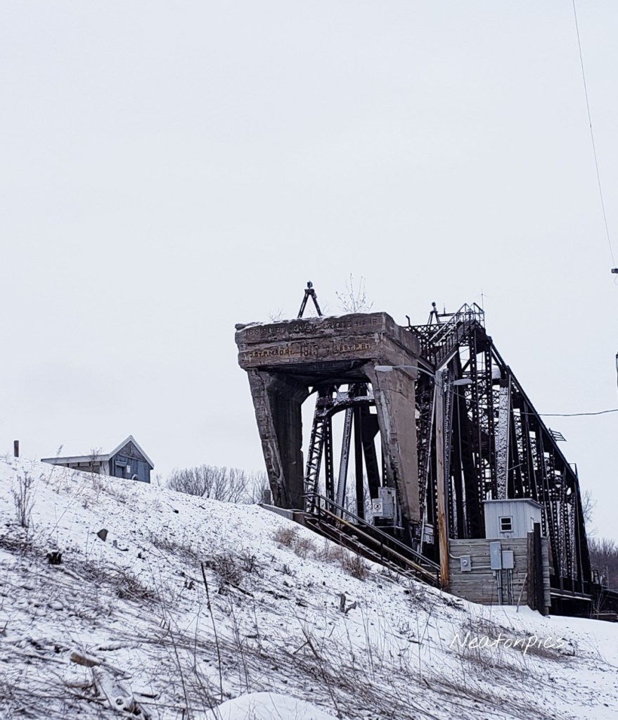
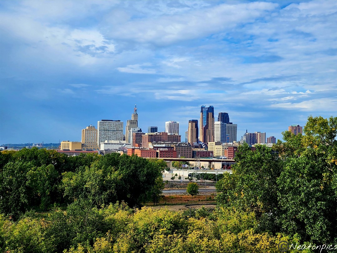
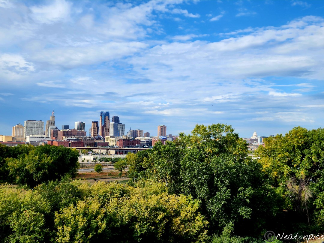
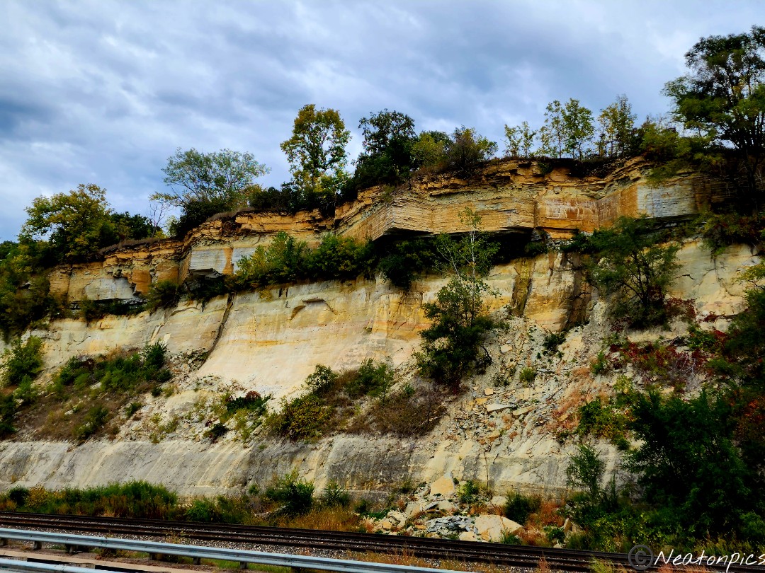
The park resides on the cliffs which offers great views of downtown St. Paul, the Mississippi River, and the train tracks below.

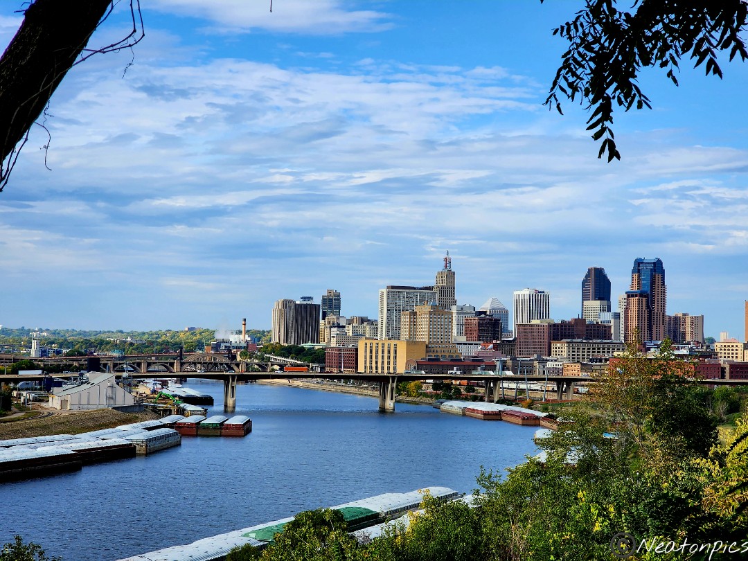
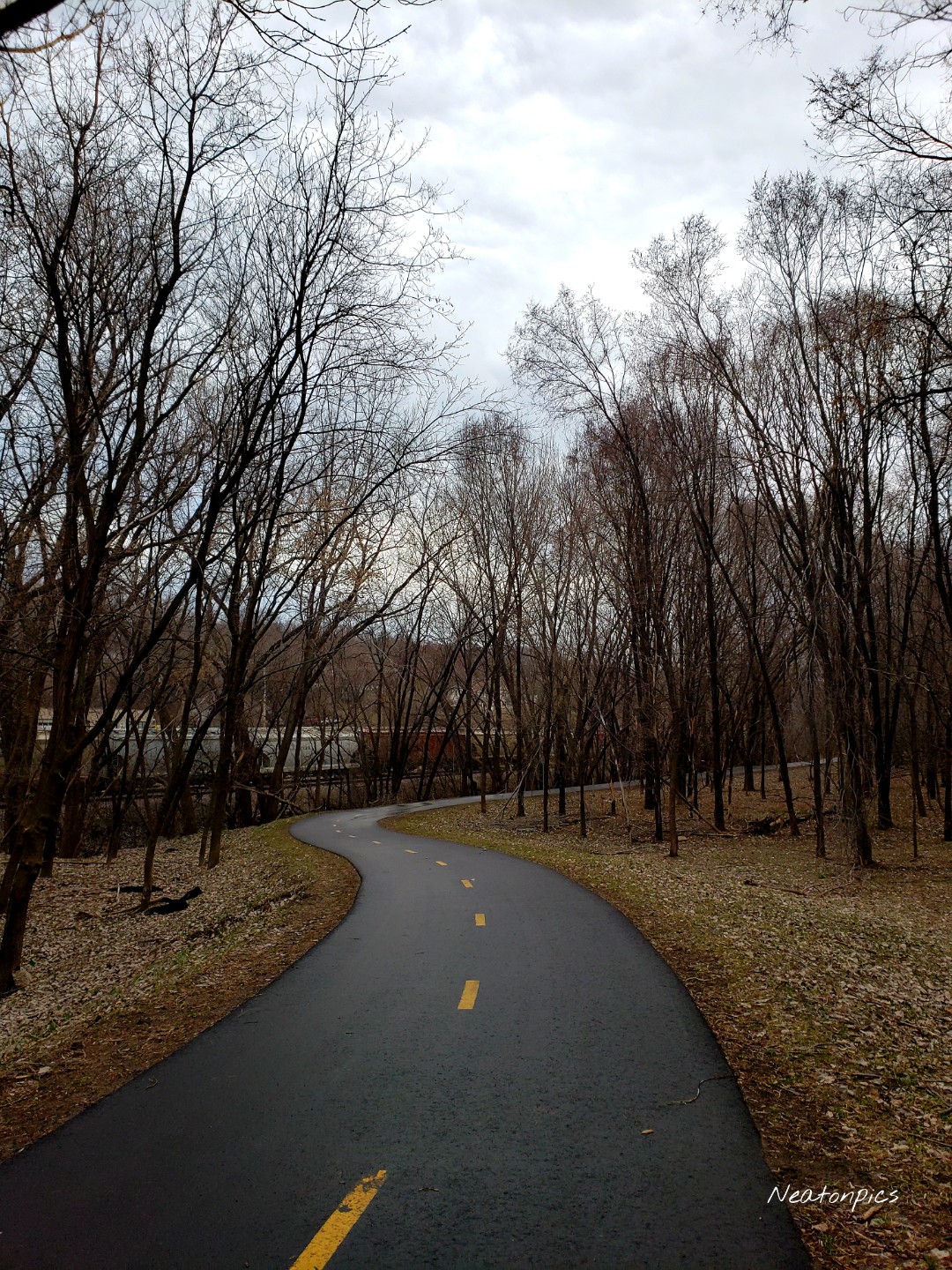
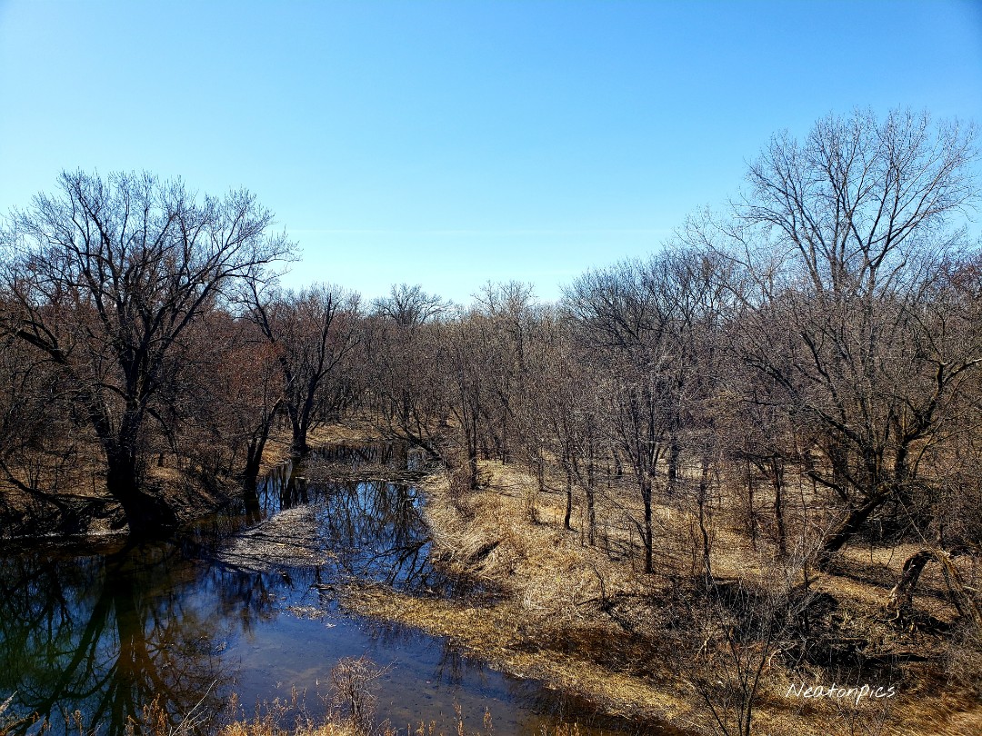
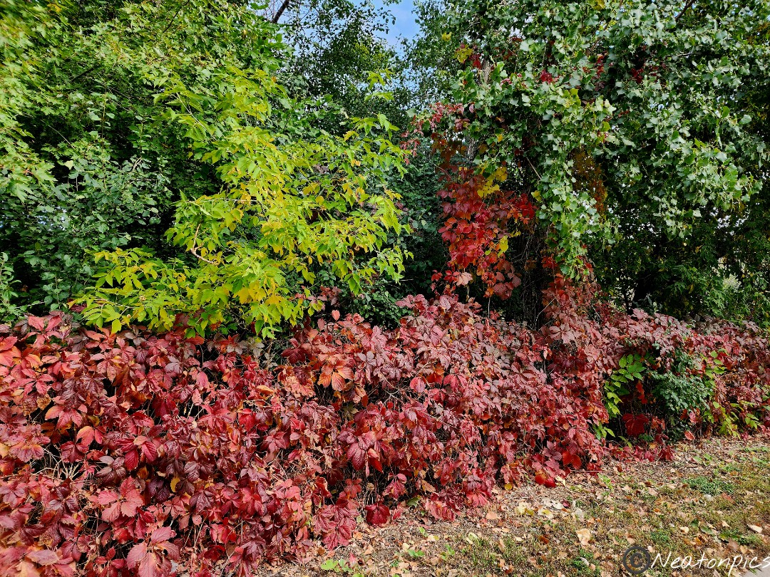
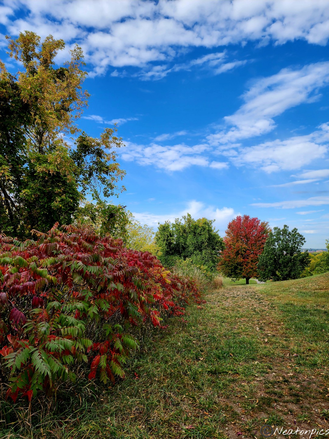
The fall colors were exploding as we hiked the trail through the park.

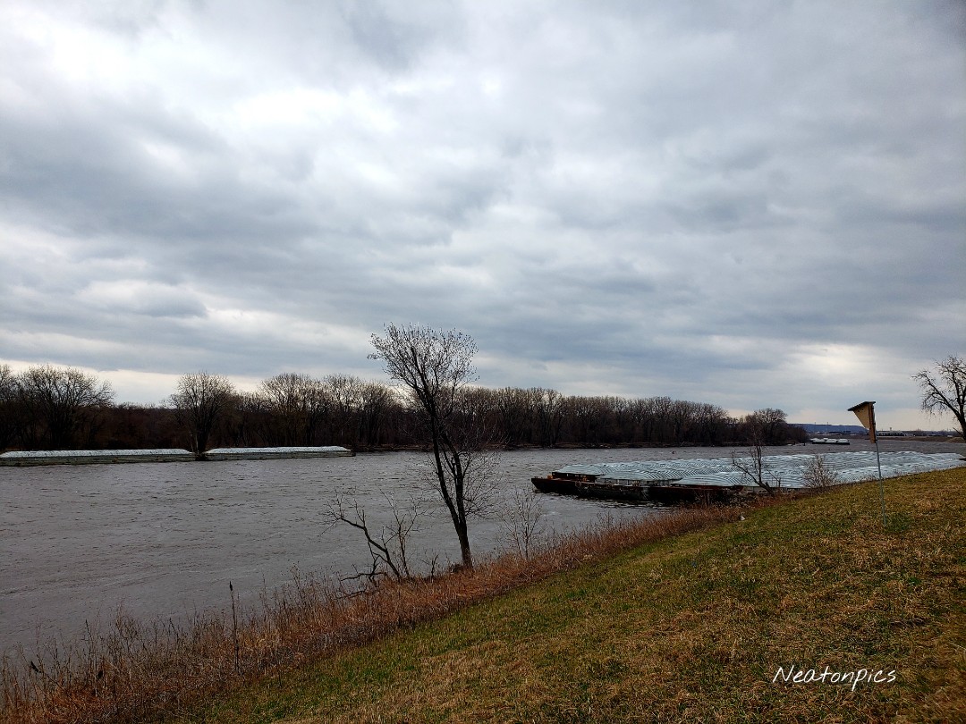
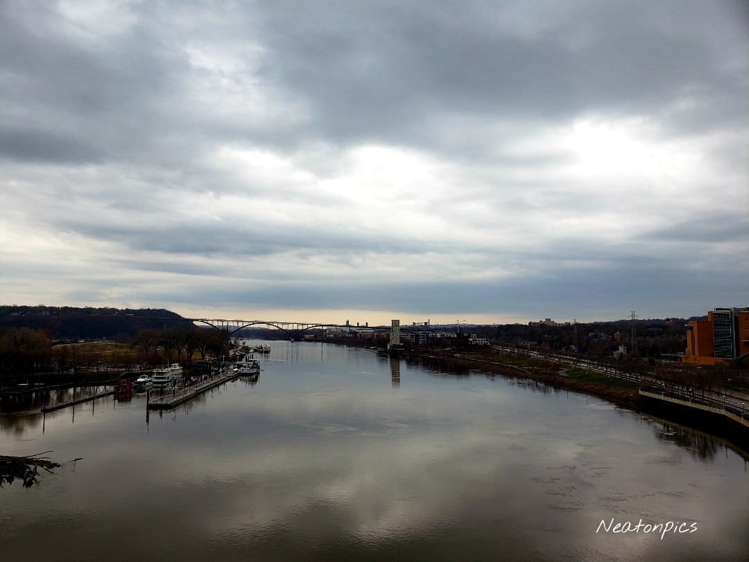
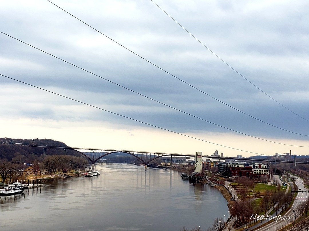
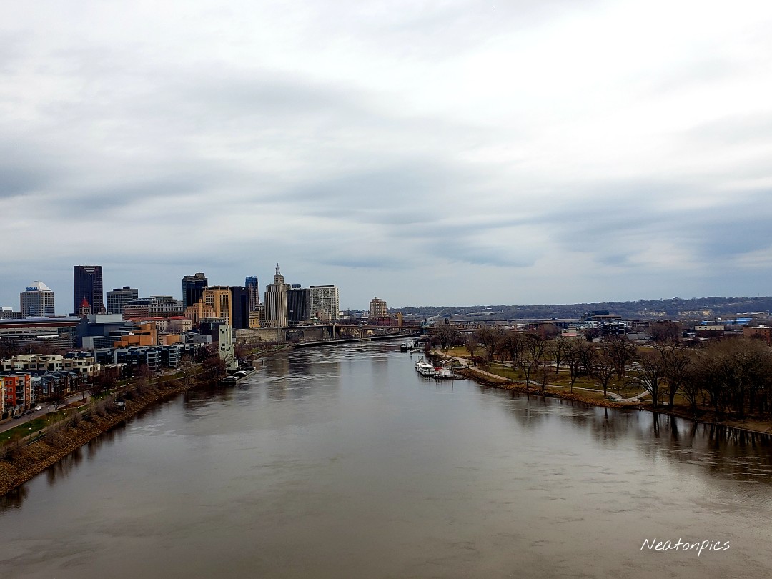
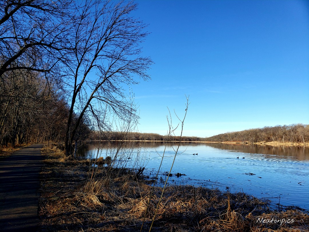
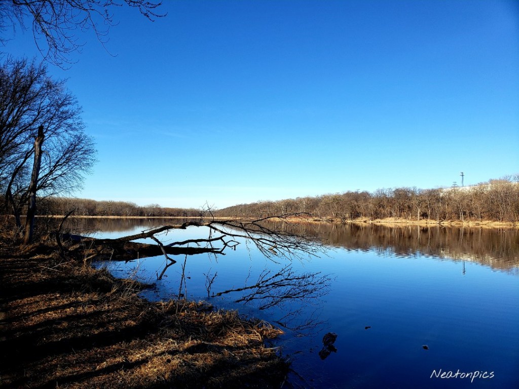
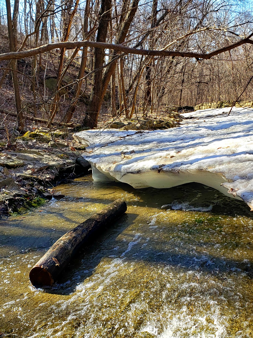
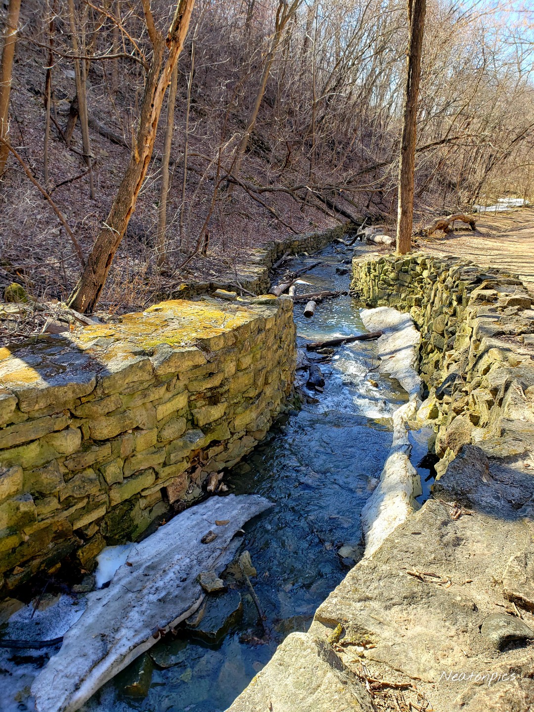
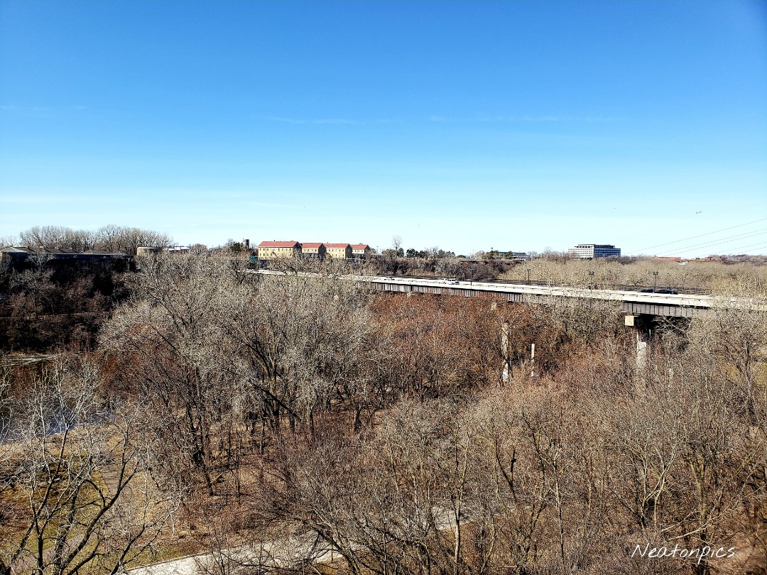
We continued our hike on the Samuel H. Morgan Regional Trail. The trail led us closer to the Mississippi River.

We hiked by the cliffs we were standing on earlier.

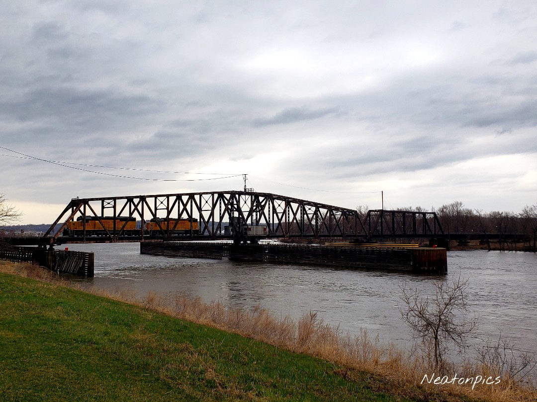
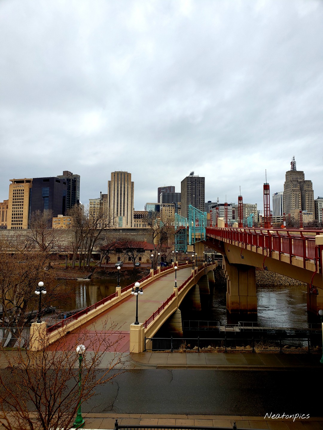
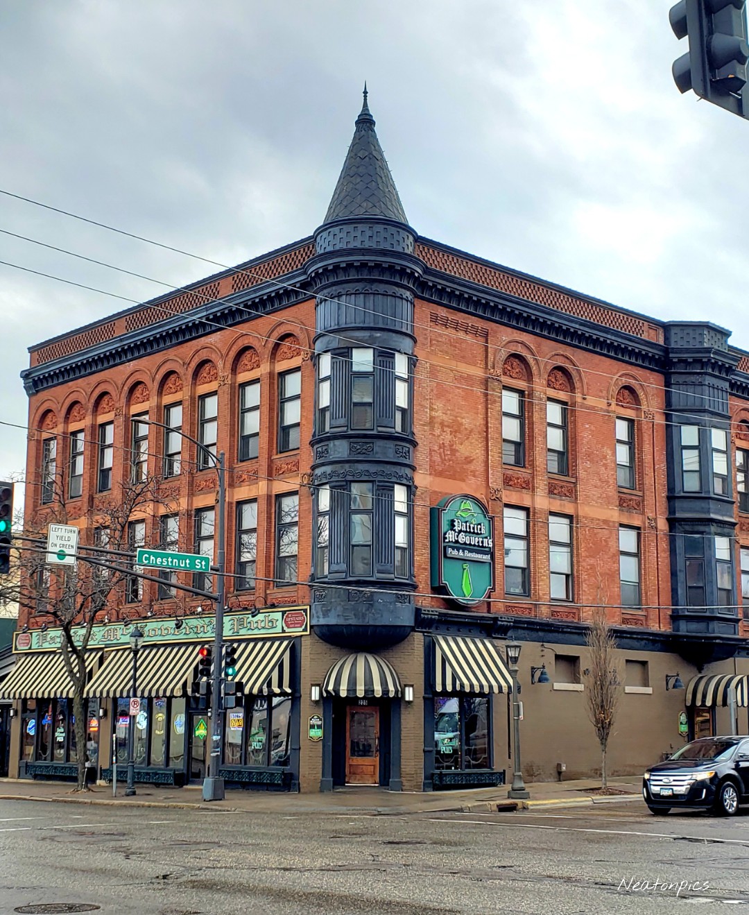
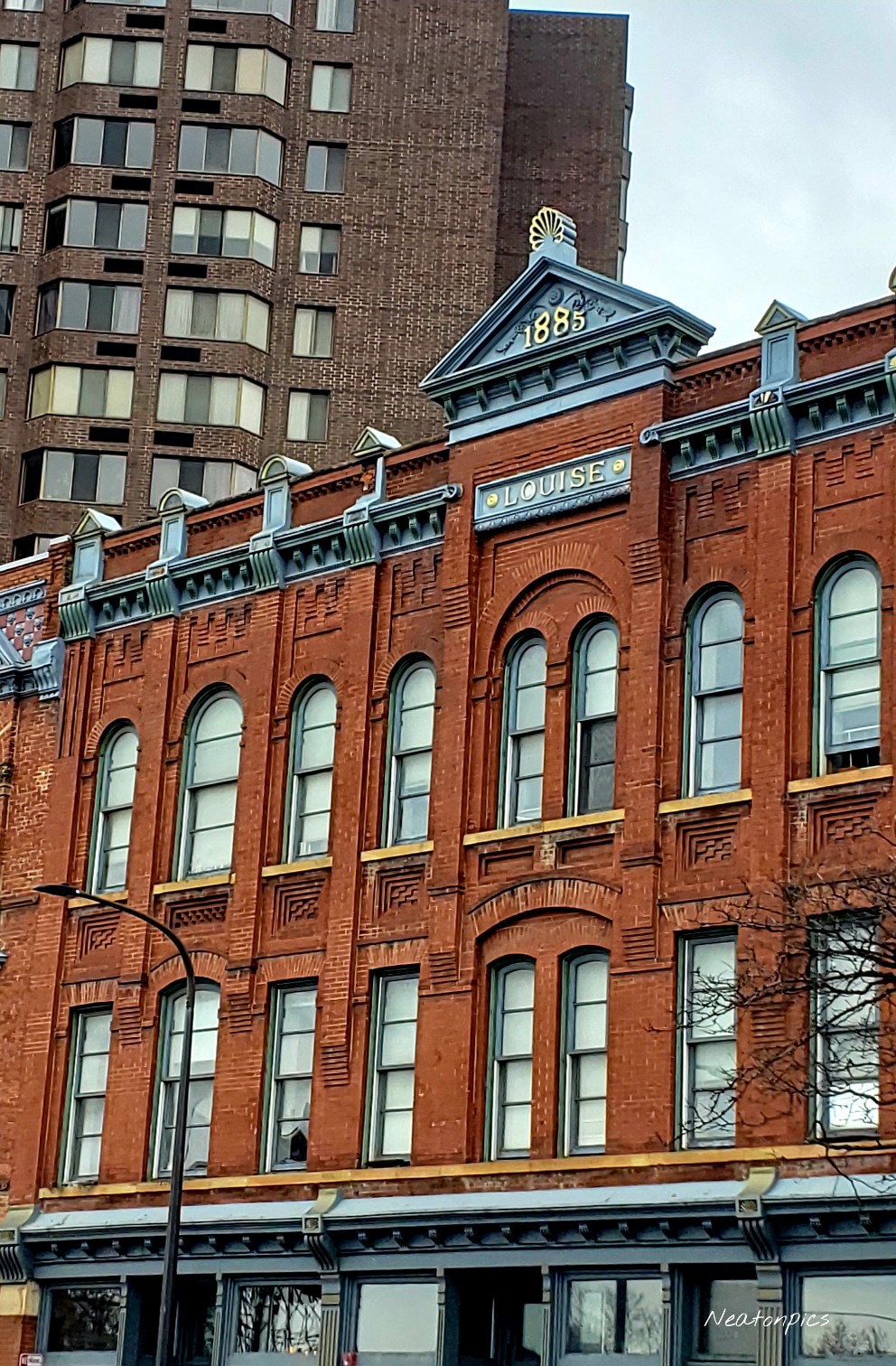
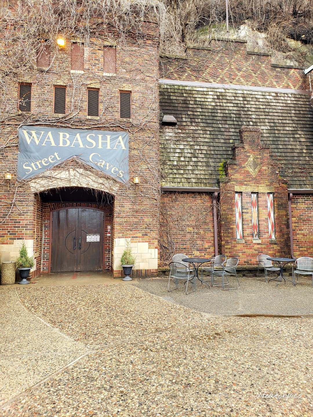
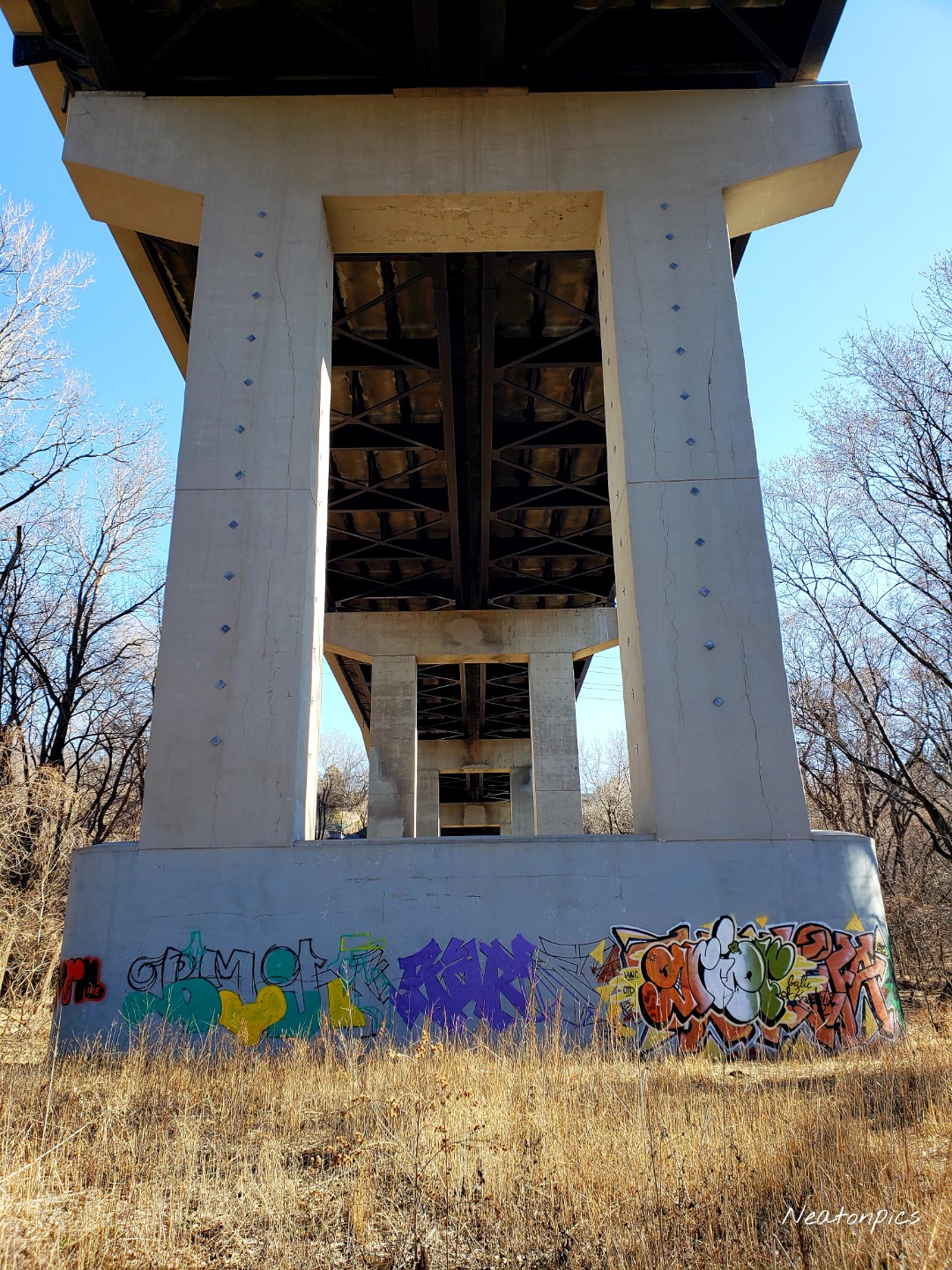
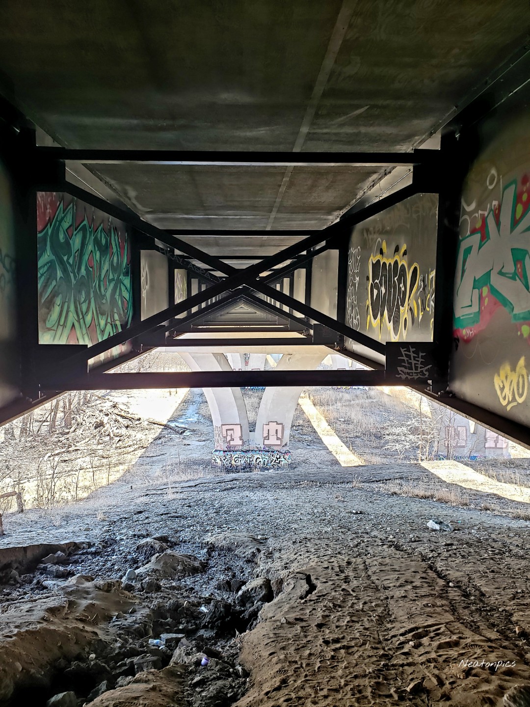
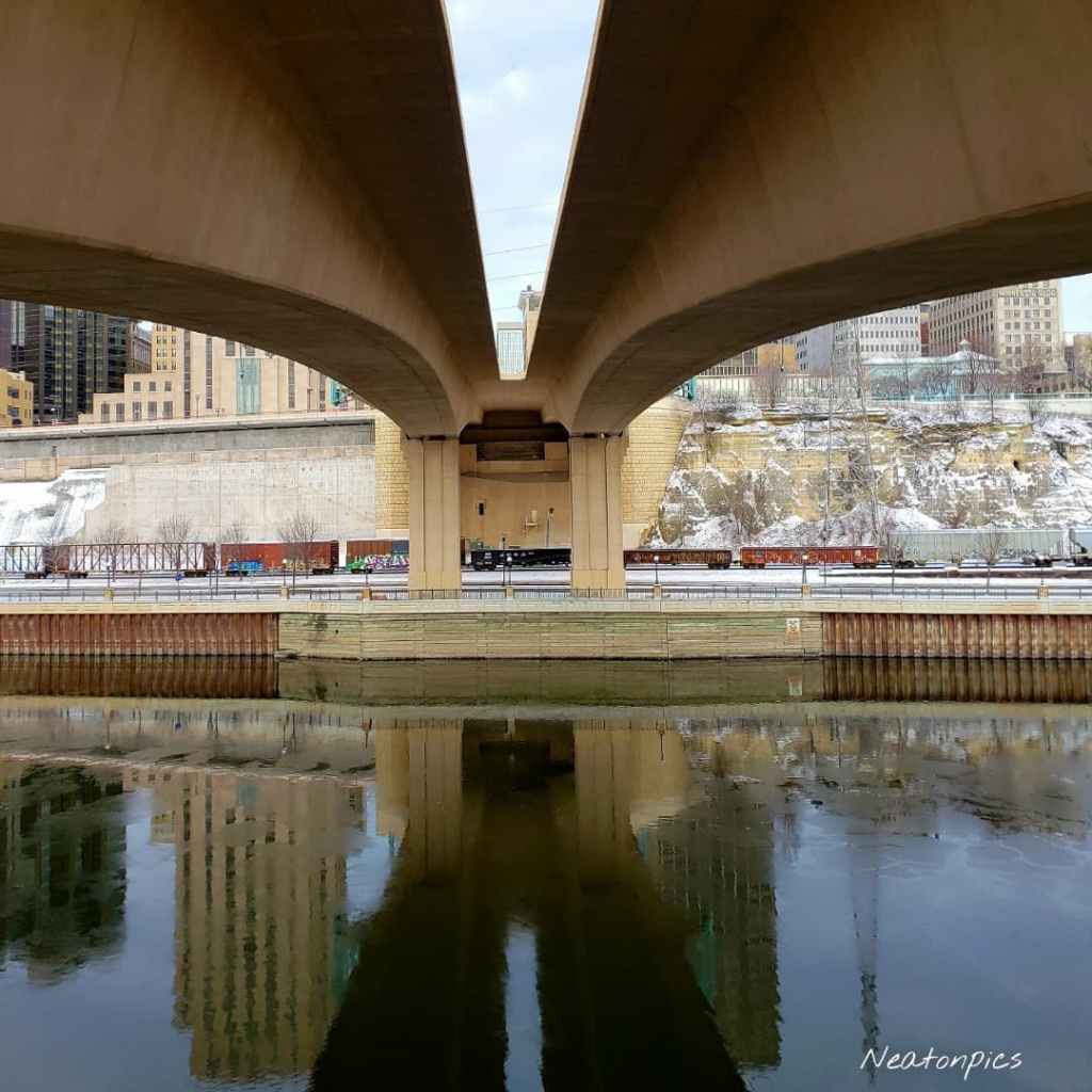
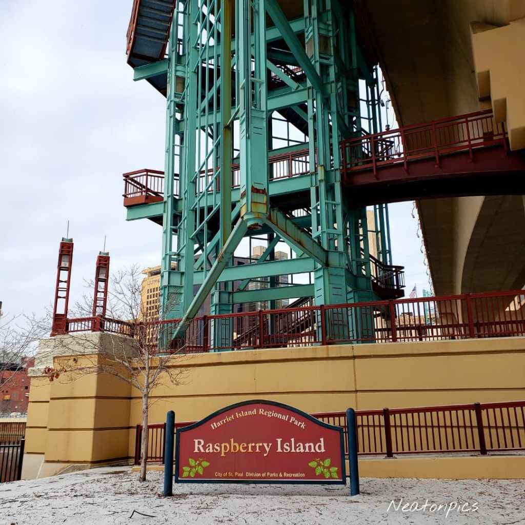
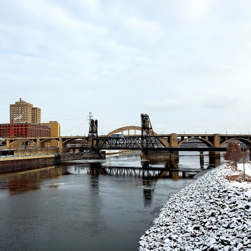
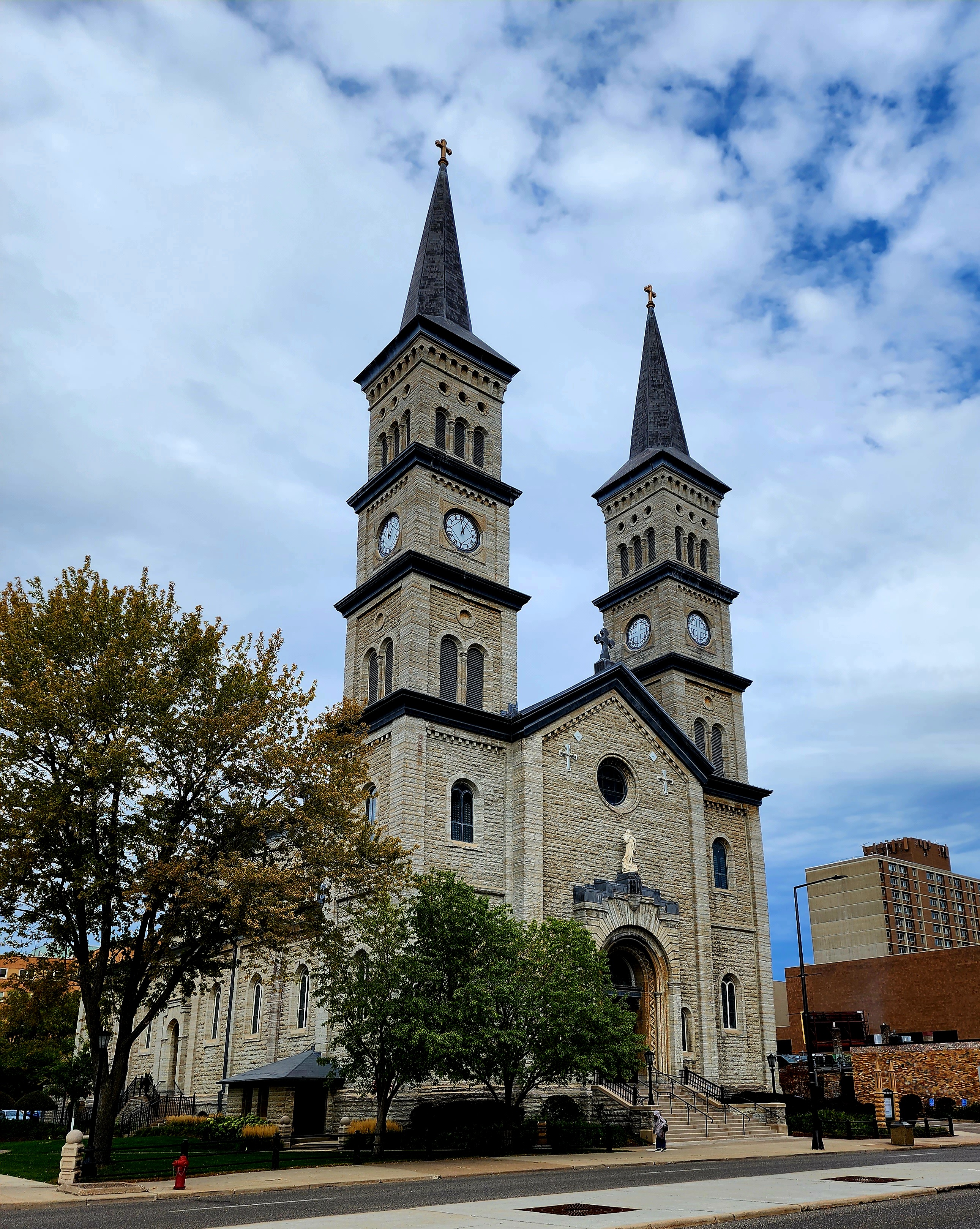
We continued hiking alongside the river passing under the Lafayette Bridge, Robert Street Bridge, and Wabasha Street Bridge. In order to loop back to our starting point, we hiked through downtown St. Paul capturing some fun photos along the way.

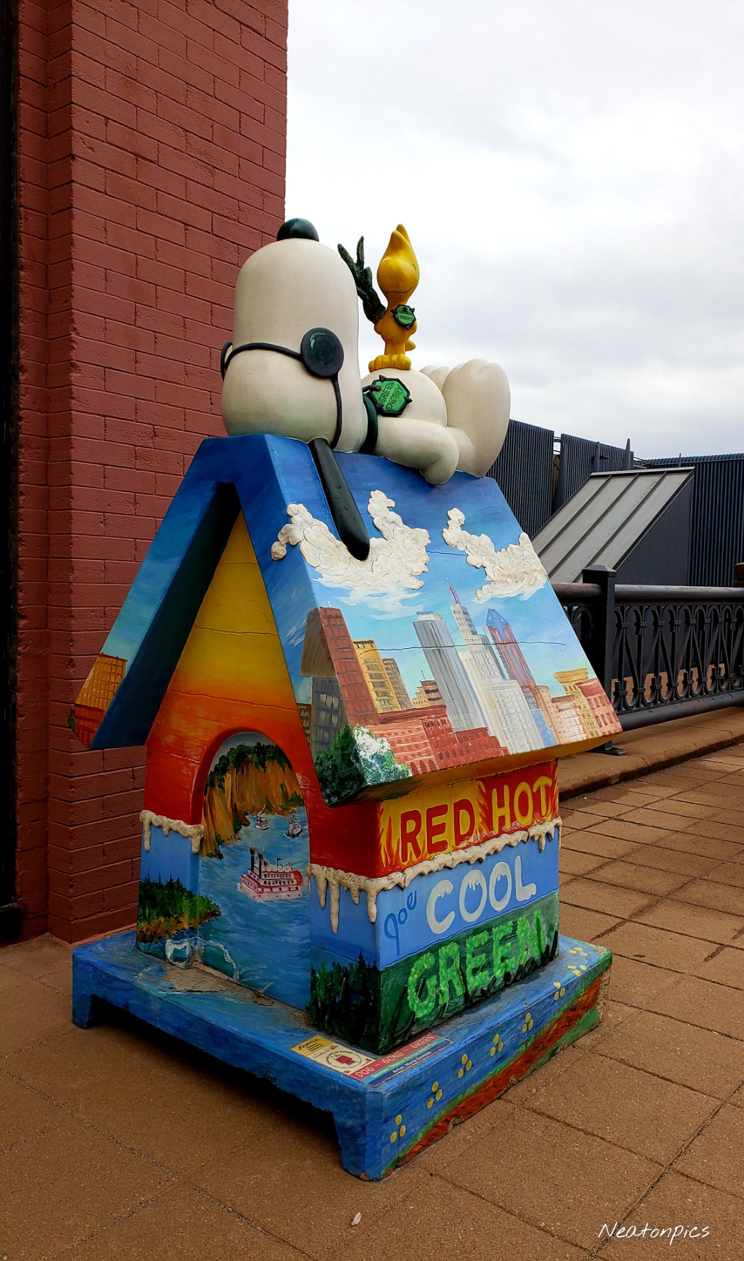
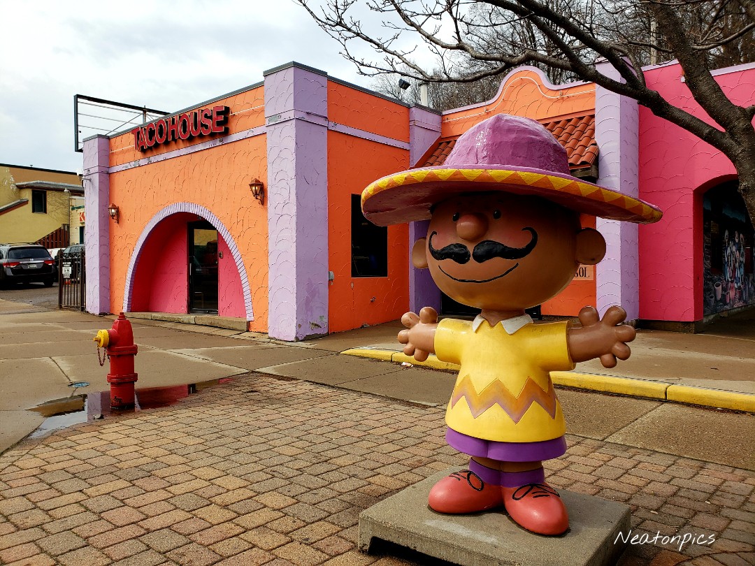
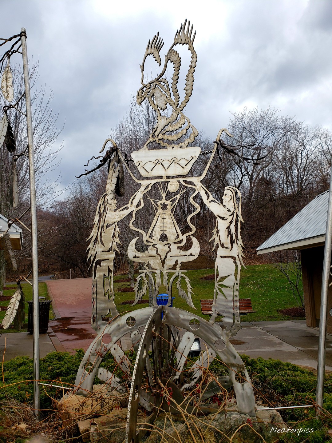
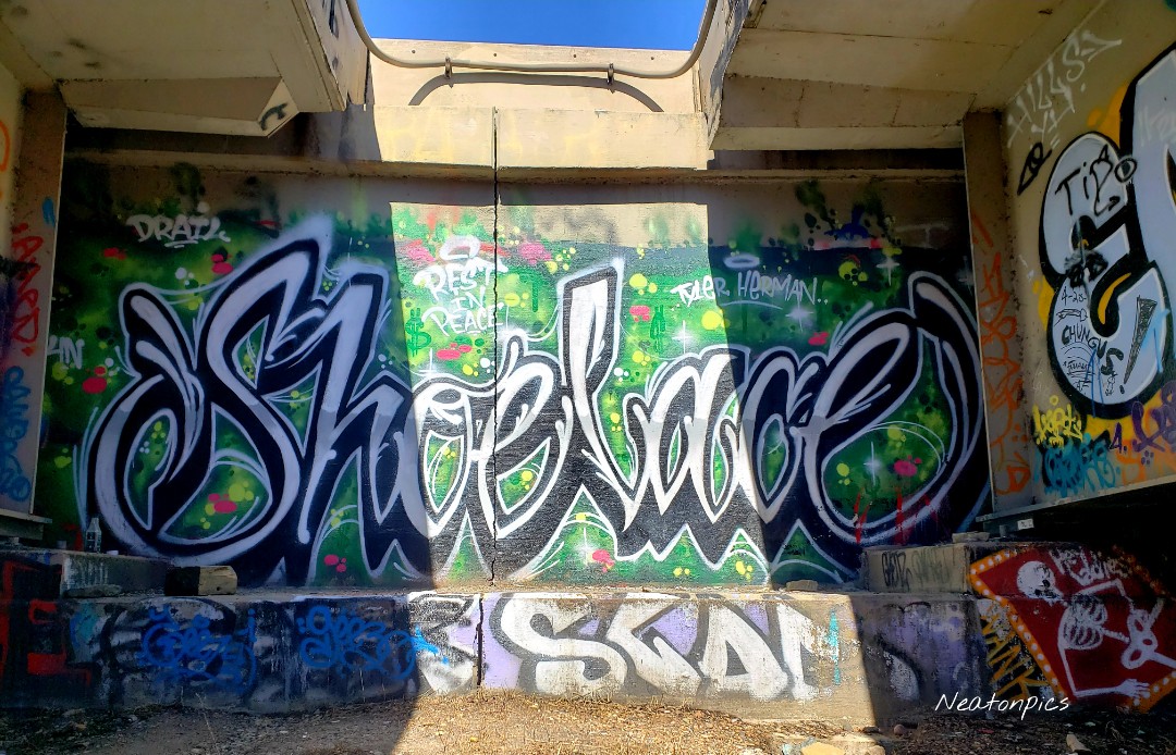
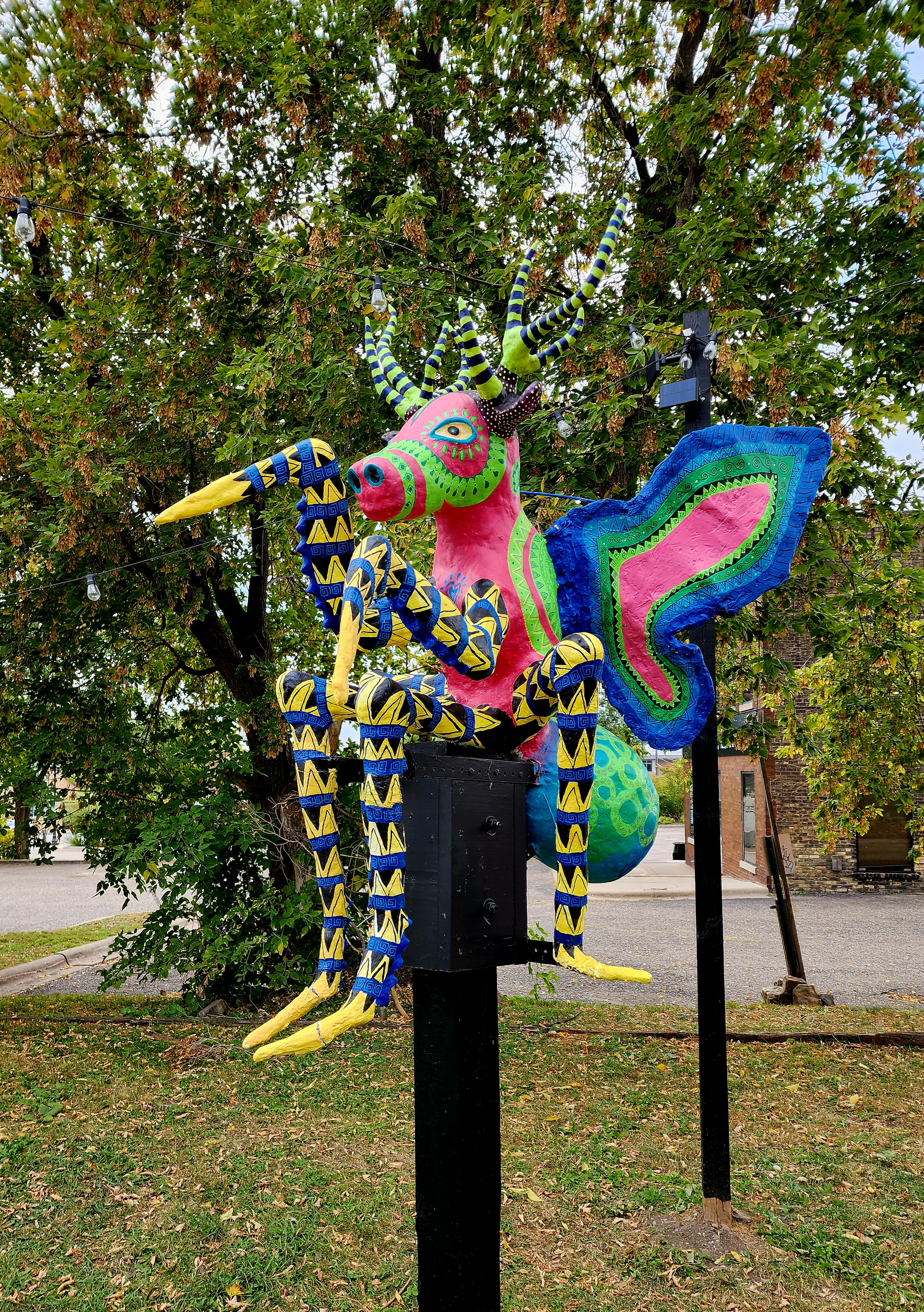
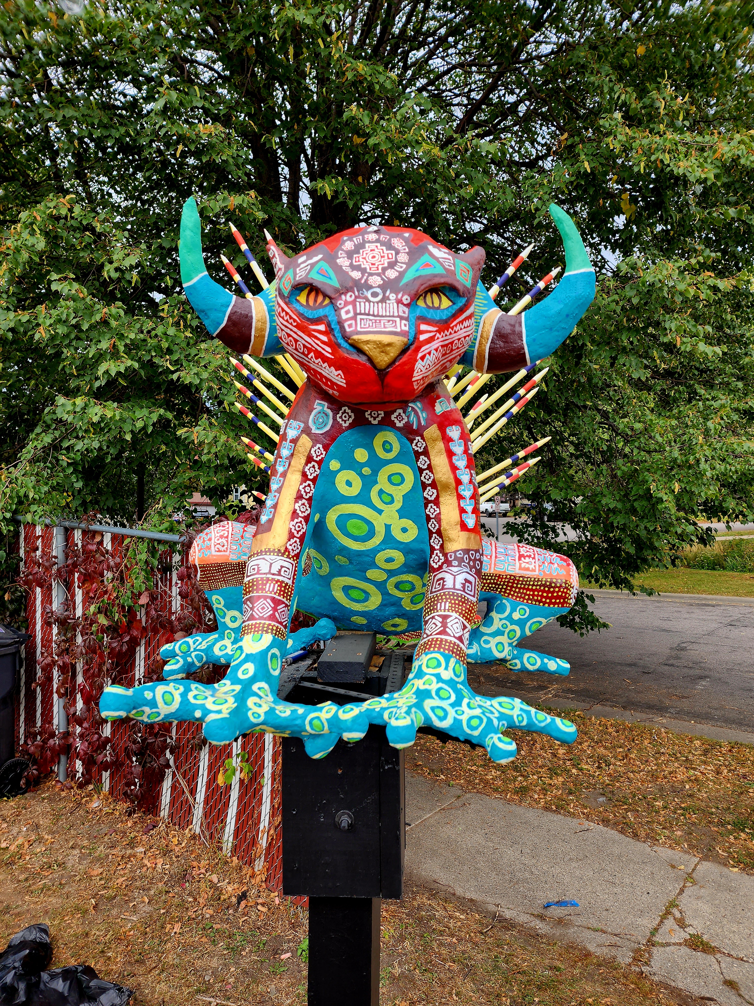
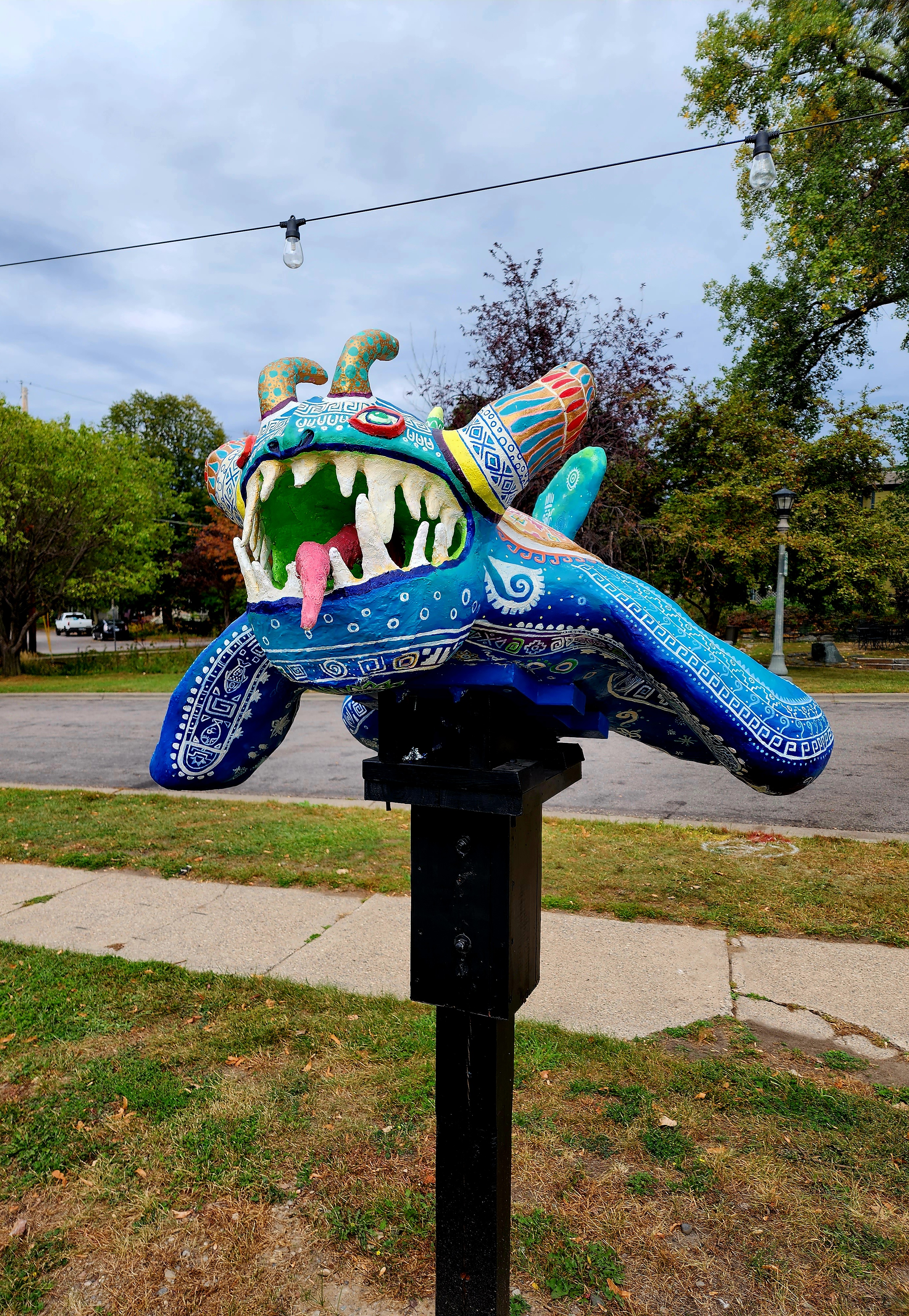
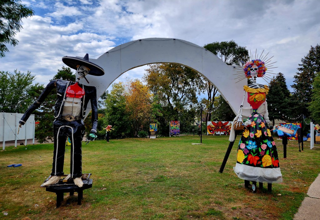
As we hiked along E. 7th Street, we passed by a fabulous neighborhood art exhibit.

Today’s urban hiking adventure was 10.5 miles.

Kaposia Landing-South St. Paul-Minnesota

Today’s hiking adventure began at Kaposia Landing.

The paved trail we hiked was called the Robert Piram Regional Trail. The trail offered views of the Mississippi River and many trains.

The sky turned dark and rain began to downpour on us. Lightning flashed across the sky in front of us as the thunder crashed. We decided to stay the course and continued on. Thankfully the storm passed quickly.

On the trail, we passed an old car not far from the railroad tracks.  

We hiked past the St. Paul Airport. Downtown St. Paul can be seen in the photo below.

Harriet Island Regional Park was our next stop.

We crossed the Wabasha Street Bridge into downtown St. Paul. Smith Avenue High Bridge can be seen in the distance.

Downtown St. Paul has some great old buildings.

We even found Snoopy!

On the north side of the Smith Avenue High Bridge was a small sculpture garden. The green chair weighs 2,500 pounds!

Crossing the Smith Avenue High Bridge offered beautiful views of the Mississippi River and downtown St. Paul.

The High Bridge Overlook was the next stop on our hike, which is on the south side of the Smith Avenue High Bridge. Eagles could be seen soaring below scanning the river for their next meal.

Being an urban explorer offers the advantage of stopping for a snack. We decided to walk down Wabasha Street towards several restaurants. We passed the Wabasha Street Caves. They offer cave tours and host other events. Around the corner from the Wabasha Caves we found a cave entrance that was closed, however, it offered us a peek inside.

Tacos for the midday snack! Charlie Brown greeted us as we walked towards the entrance.

We continued our hiking adventure down Cesar Chavez Street until we reached the Robert Piram Regional Trail. Once back at Kaposia Landing we crossed the bridge over the railroad tracks to see Simon’s Ravine Trailhead. We decided to tackle that trailhead another day. They have a beautiful sculpture at the Simon’s Ravine trailhead.

Today’s hiking adventure was 10.5 miles.

Crosby Farm Regional Park-St. Paul-Minnesota

After another week of rain and snow, the cold weather finally moved out creating a perfect sunny day for a hiking adventure. We began our hike at Crosby Farm Regional Park. We spotted eagles, ducks, geese, and even a grey heron along the shores of Crosby Lake as we hiked the paved trails towards the Mississippi River.

The Mississippi River trail offered beautiful views of the river. We also found several trees and rocks painted with red hearts and other graffiti along the river trail.

The trail brought us to Hidden Falls Regional Park. The actual Hidden Falls is hidden off the main trail, hence its name. The falls eluded us last summer, however, today we found our way.

Hidden Falls Creek flows into the Mississippi River. Parts of the creek were still covered in a thick sheet of ice.

We climbed the old rock steps by the falls to the Mississippi River Boulevard Parkway. Hiking the river road allowed us to loop back to our starting point, giving us a different perspective of the river below. Downtown Minneapolis and Fort Snelling can be seen in the distance in the photos below.

We made it back to our starting point at Crosby Farm Regional Park and decided to continue our hiking adventure a little further. The trail allowed us to cross the Mississippi River along the Highway 35 E bridge. Downtown St. Paul can be seen in the distance.

We found a dirt trail alongside the highway and decided to see where it would lead.

The trail led us to the underside of the 35 E Bridge. We found a cool view of the belly of the bridge and some colorful graffiti.

Today’s hiking adventure was 9.8 miles.

Lilydale Regional Park-St. Paul-Minnesota

My cousin and I hiked the trails along the Mississippi River on the Lilydale Regional Park trails this past Saturday morning. The air was crisp. The fresh early morning snowfall added to the beauty all around us. Several dozen eagles soared above us during our 8 mile hike. We started our walk at the Lilydale Trailhead parking lot and followed the river trail to Harriet Island and Raspberry Island in downtown St. Paul. I was surprised to see year-round houseboats and a bed and breakfast houseboat on the river by Harriet Island. I have now added staying the night on a houseboat to my bucket list. On the loop back to our cars we walked the trail next to Pickerel Lake. Several ice fishing tents resided on the opposite side of the lake. This is a beautiful trail to hike or bike and I cannot wait to revisit in the summer to get a different perspective.