Pine Point Regional Park-Stillwater-Minnesota

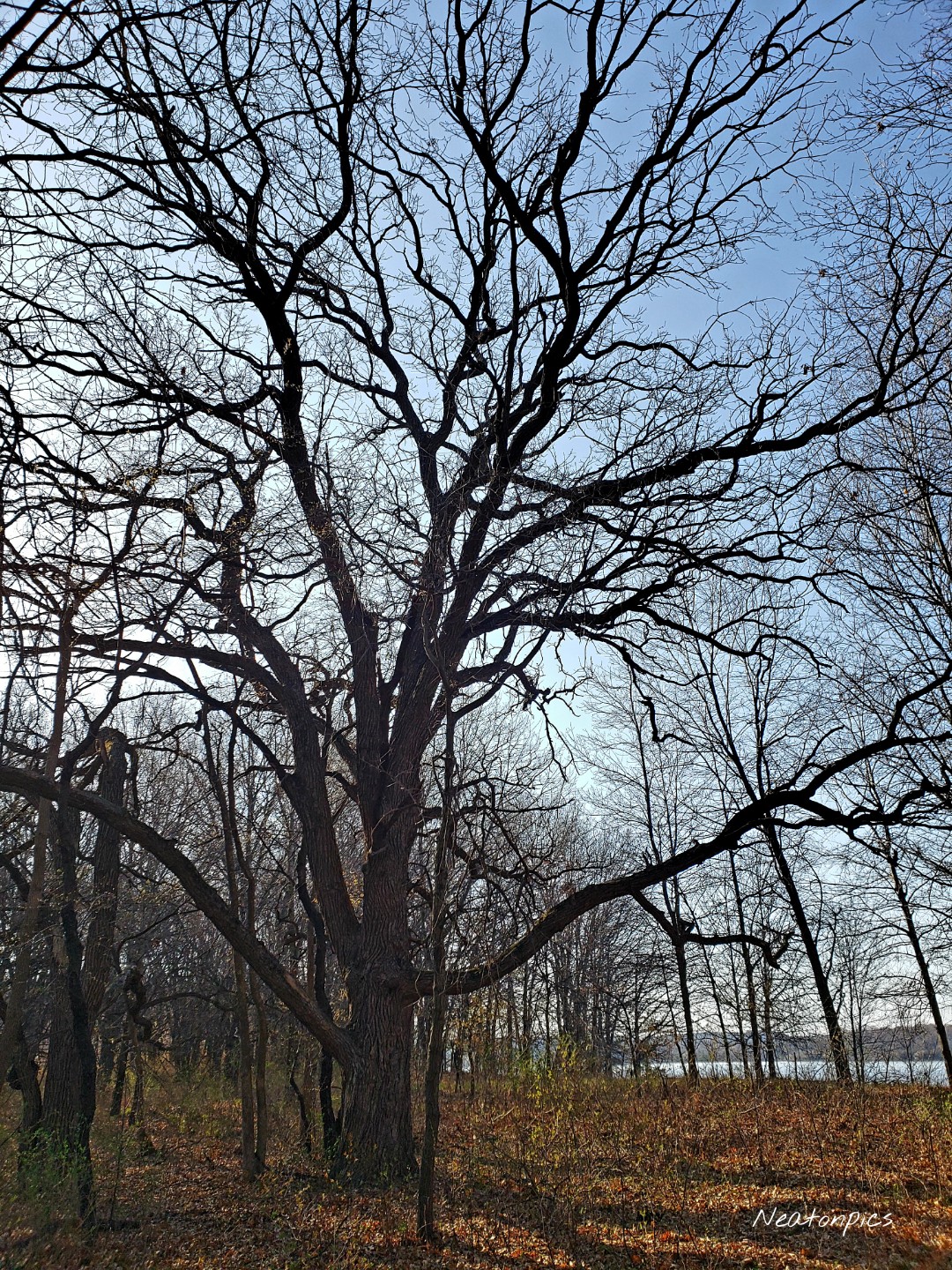
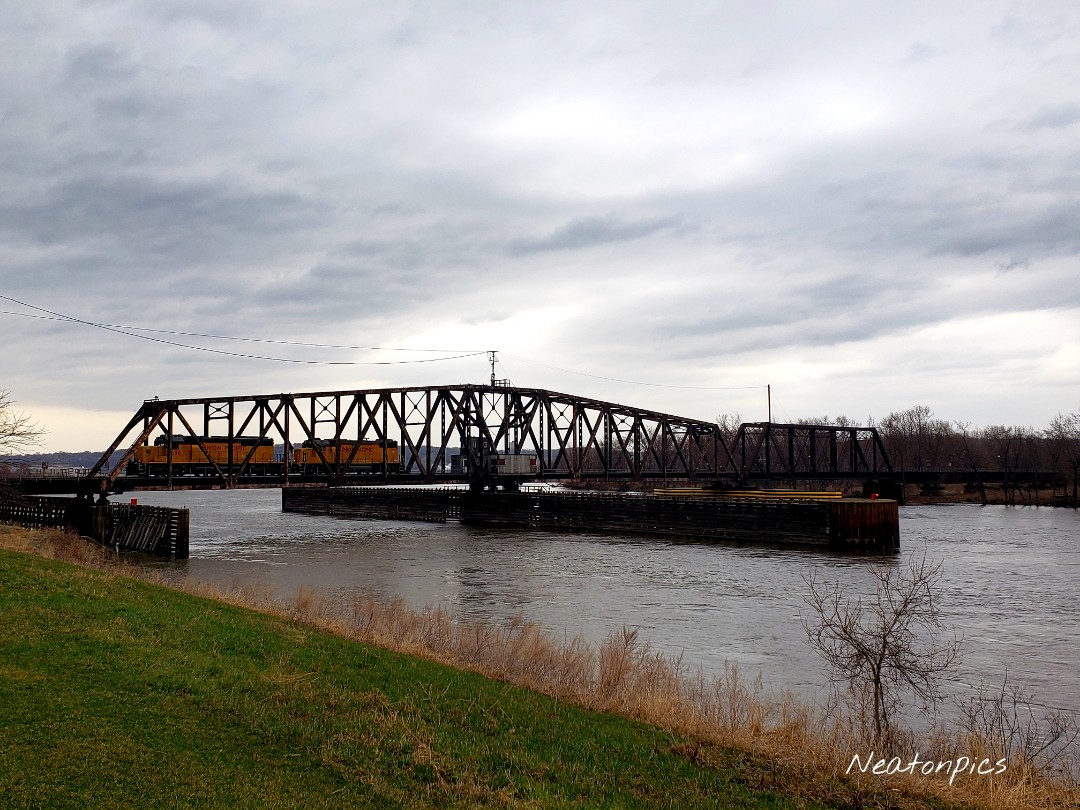
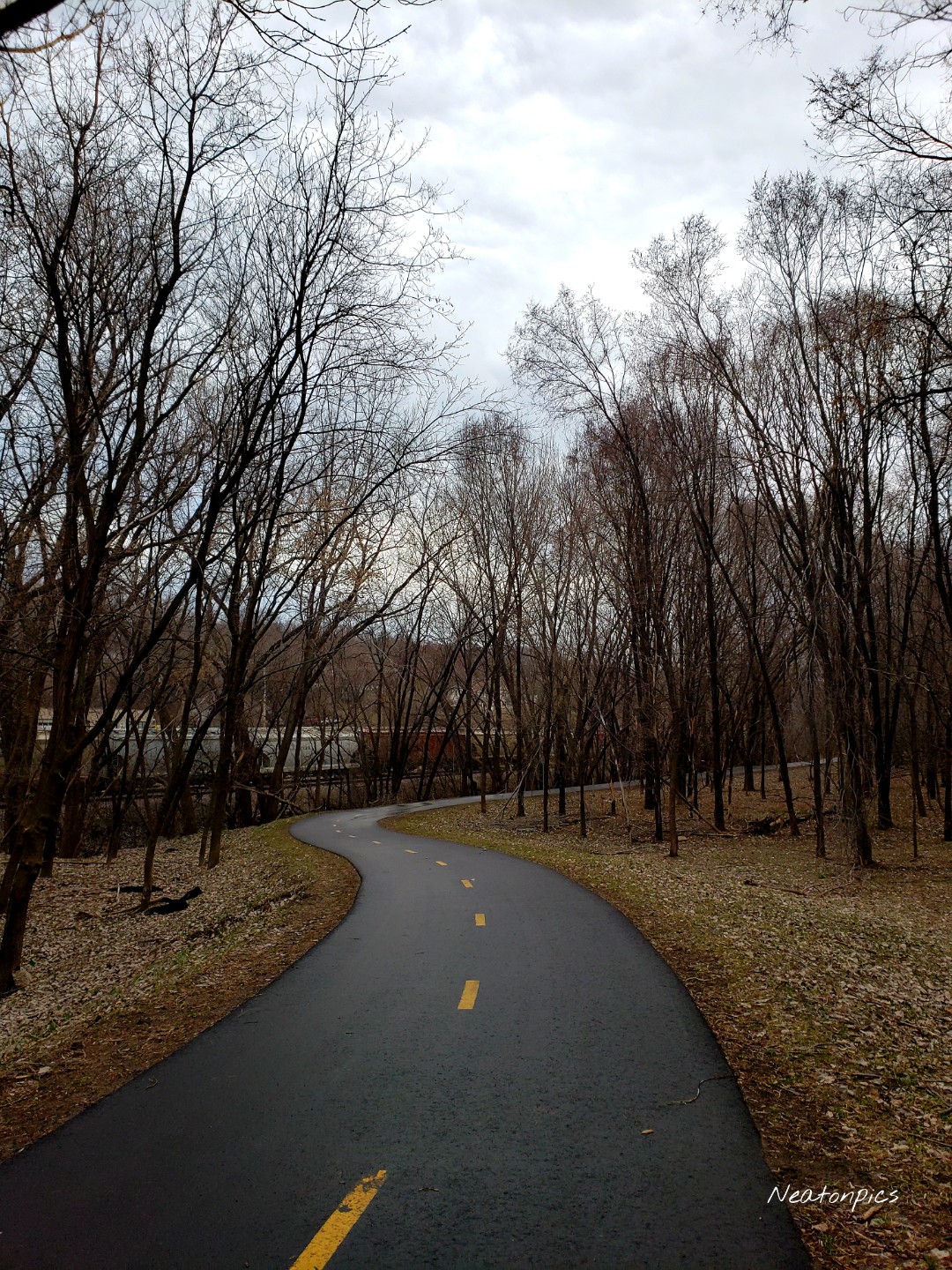
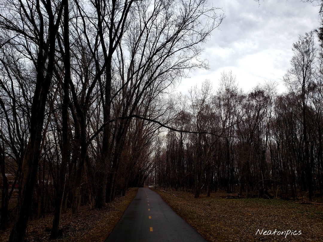
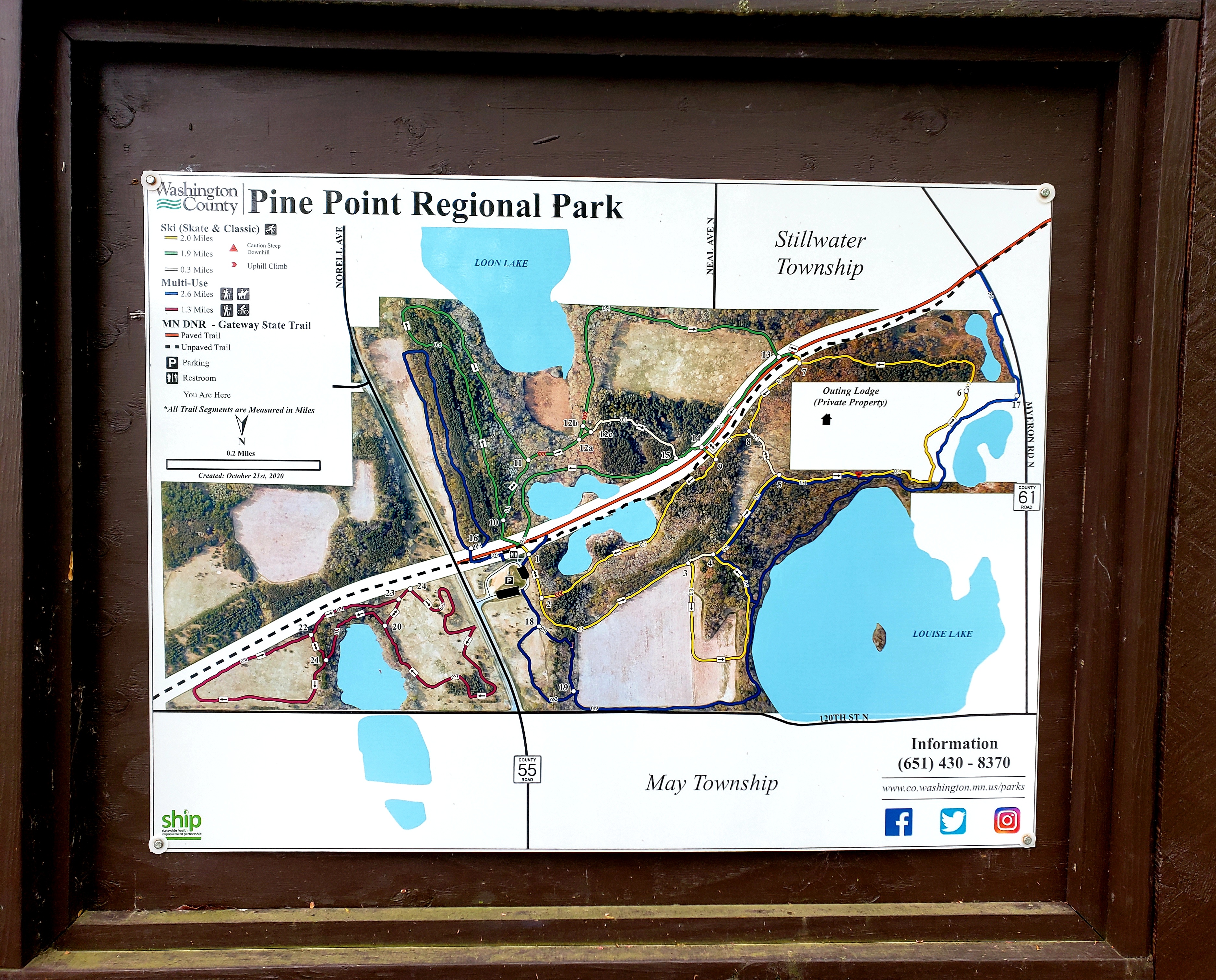
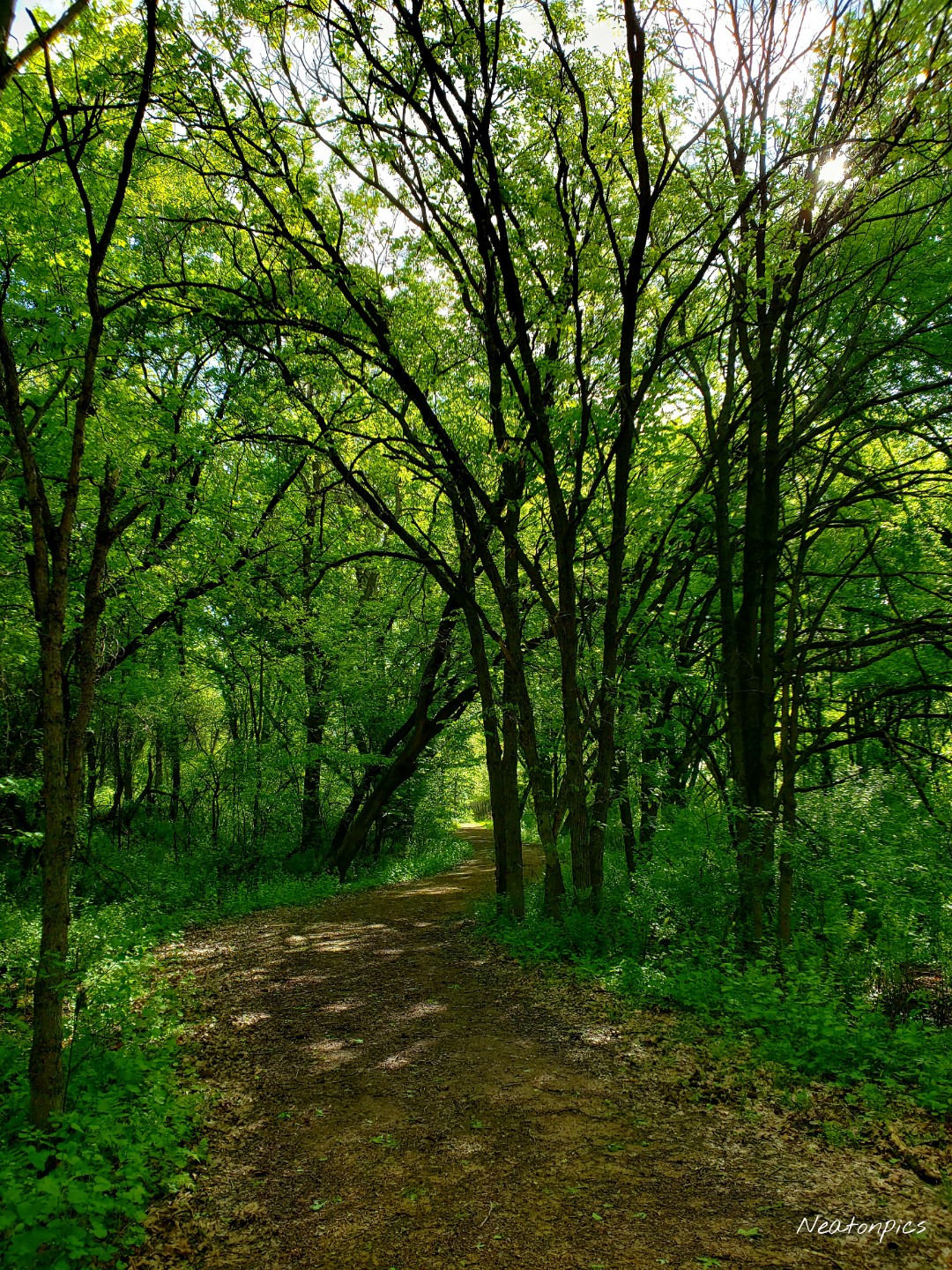
Today’s hiking adventure began at Pine Point Regional Park. This Washington County Park allows the trails to be used for hikers, bikers and our equine friends. The paved Gateway Trail cuts through the park. Most of the bikers we saw stayed on this trail. The trail map showed four different color coded looping trails. We decided to hike all four.

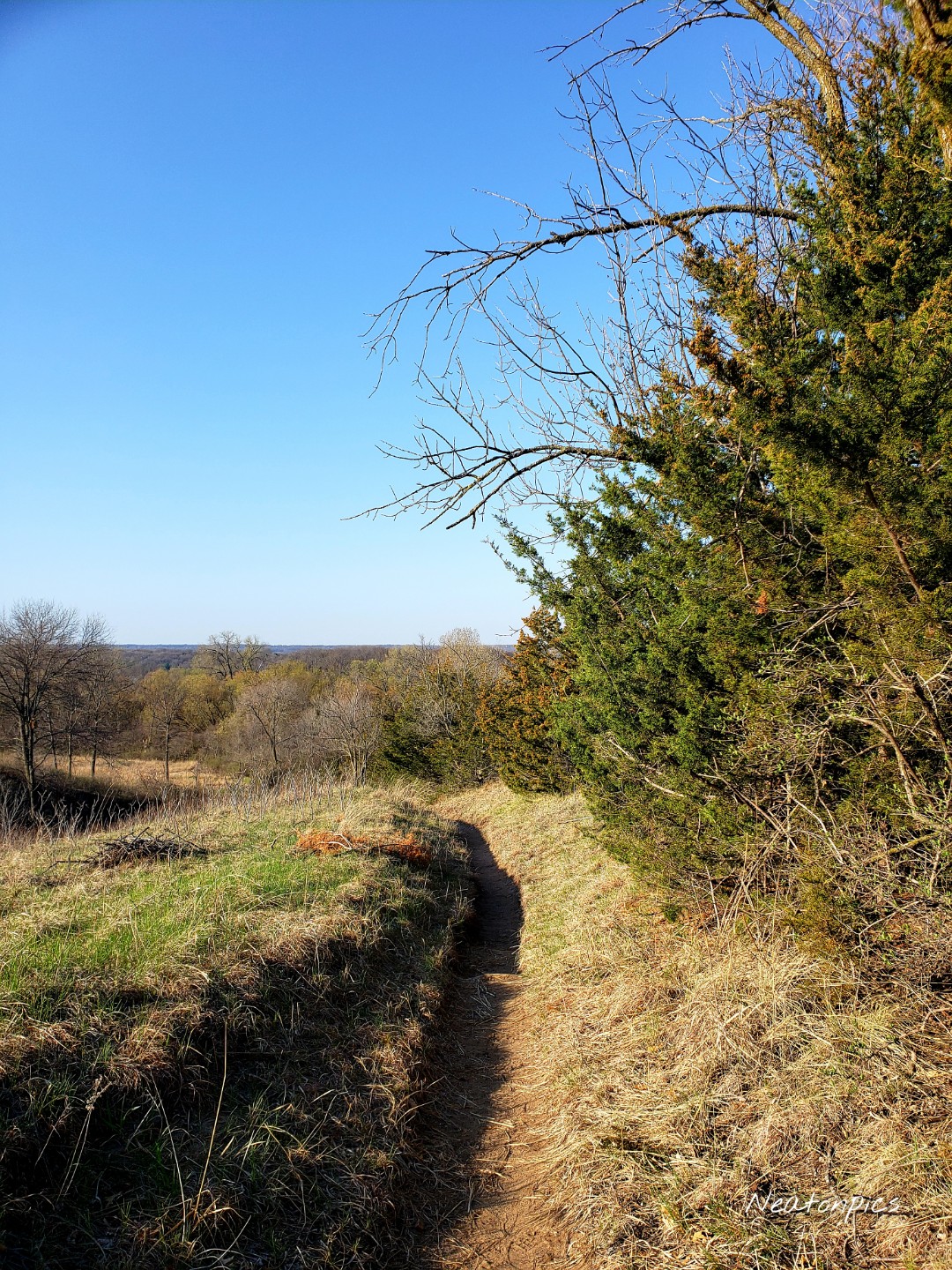
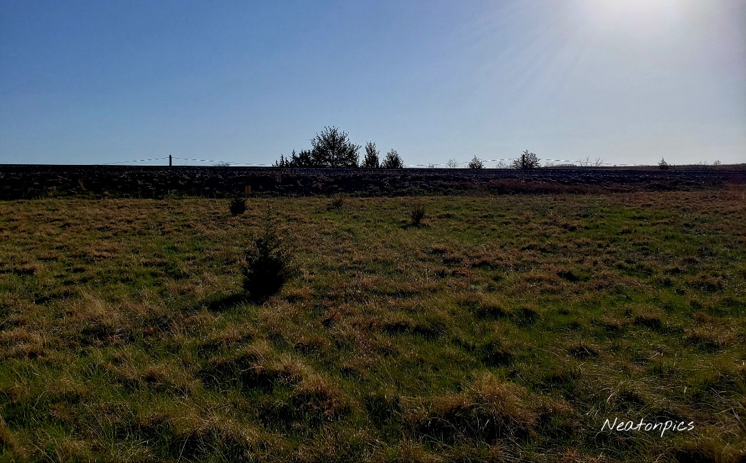
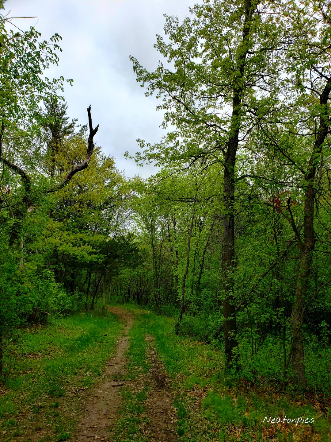
We began our hike on the yellow trail. This non paved trail led us through the woods and to a prairie.

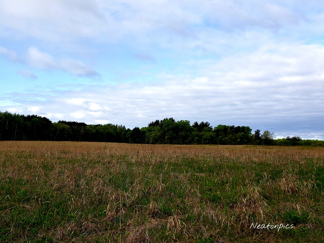
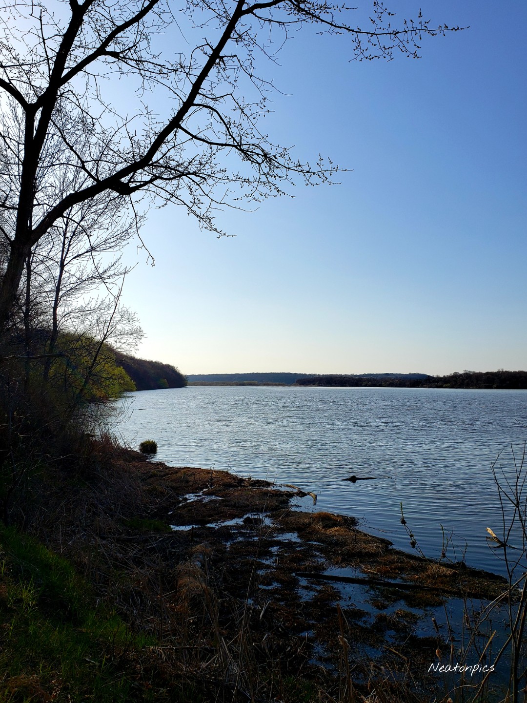
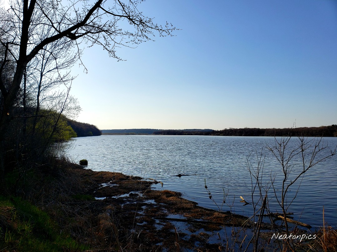
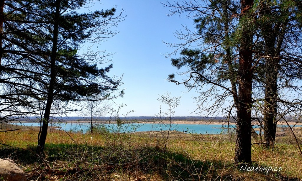
The trail continued to Louise Lake. We briefly detoured from the yellow trail to the blue trail so we could hike alongside the lake.

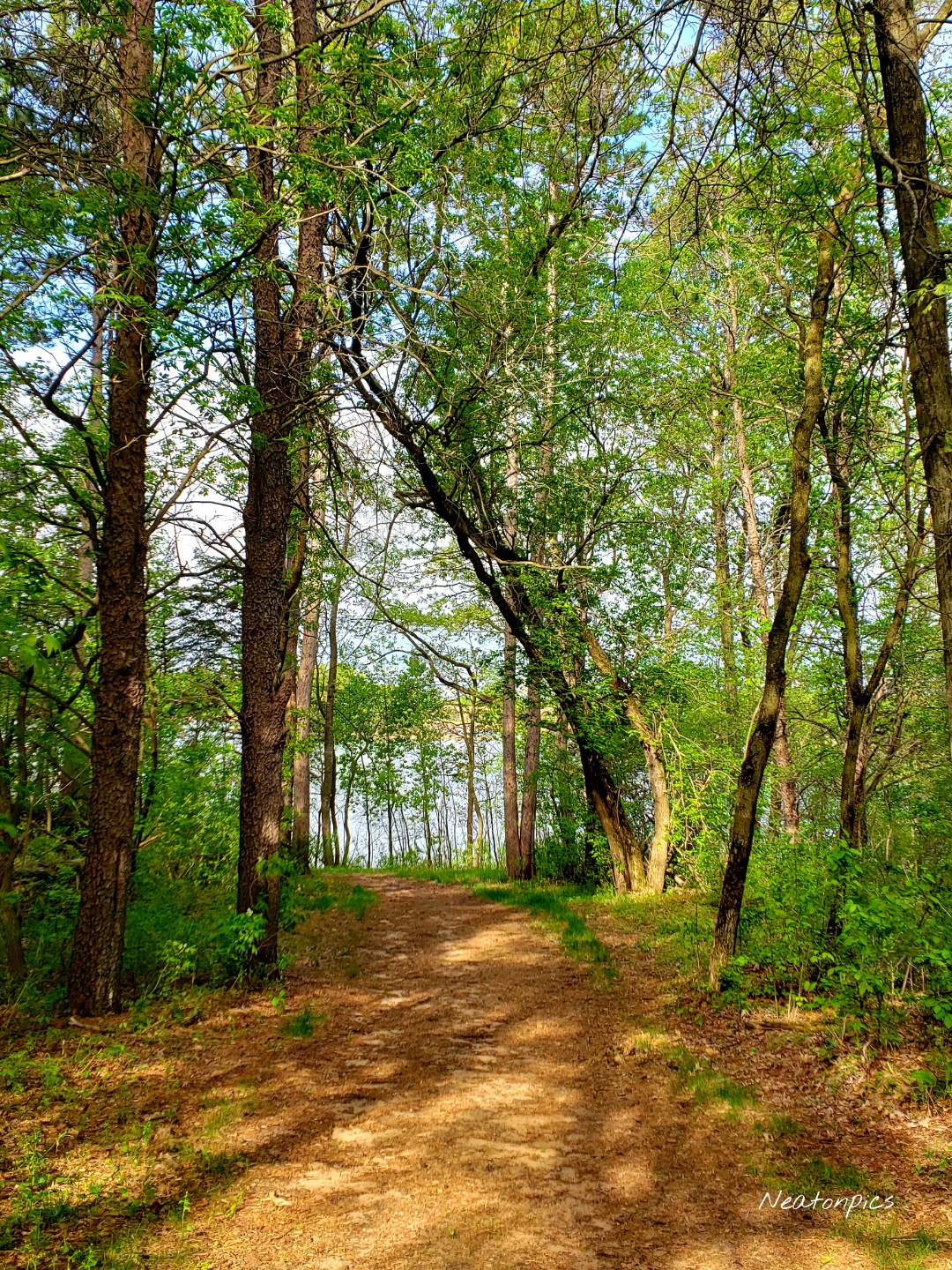
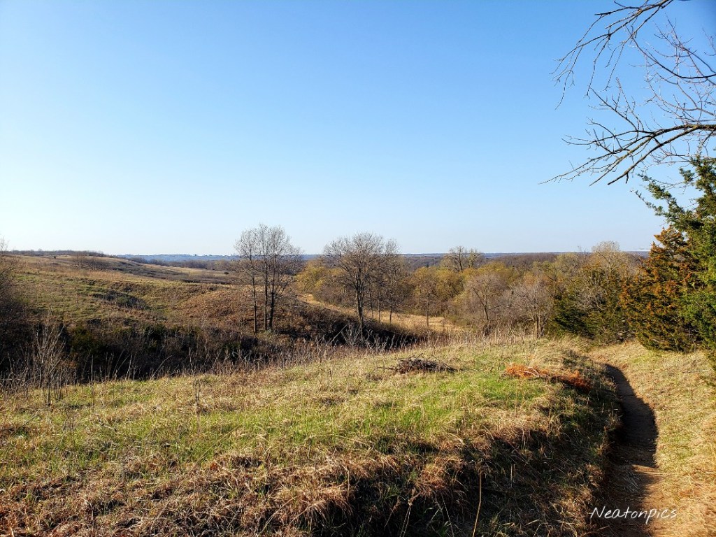
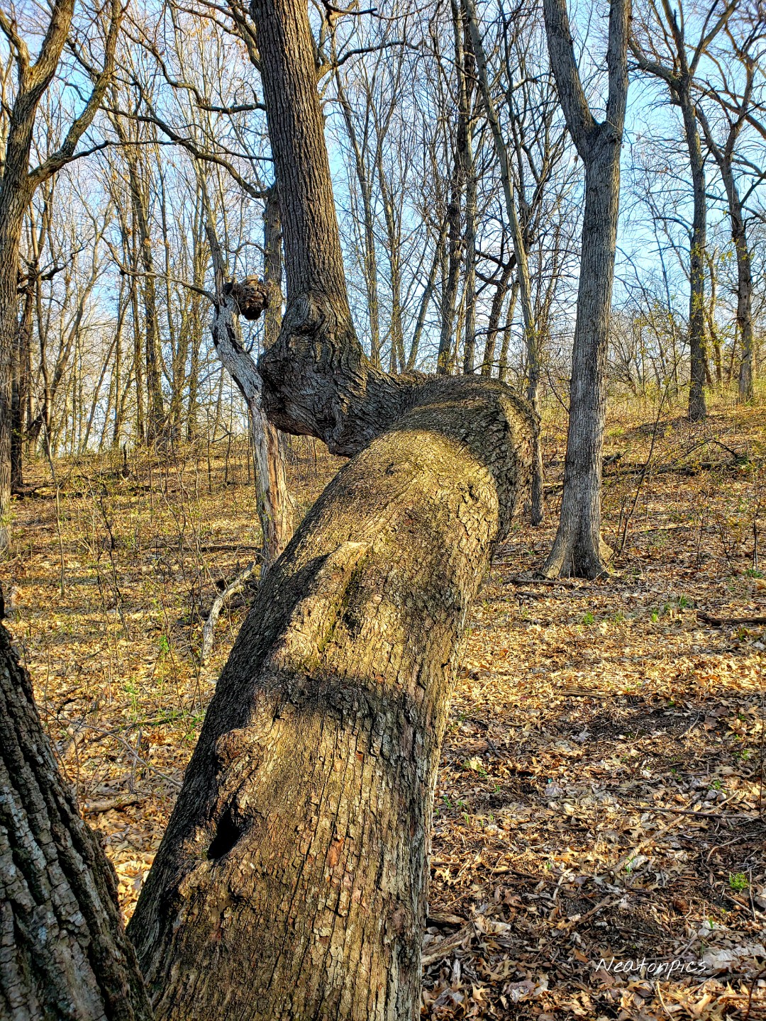
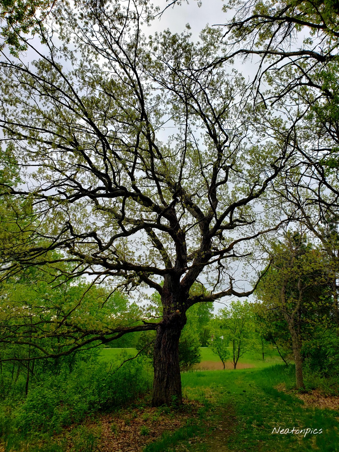
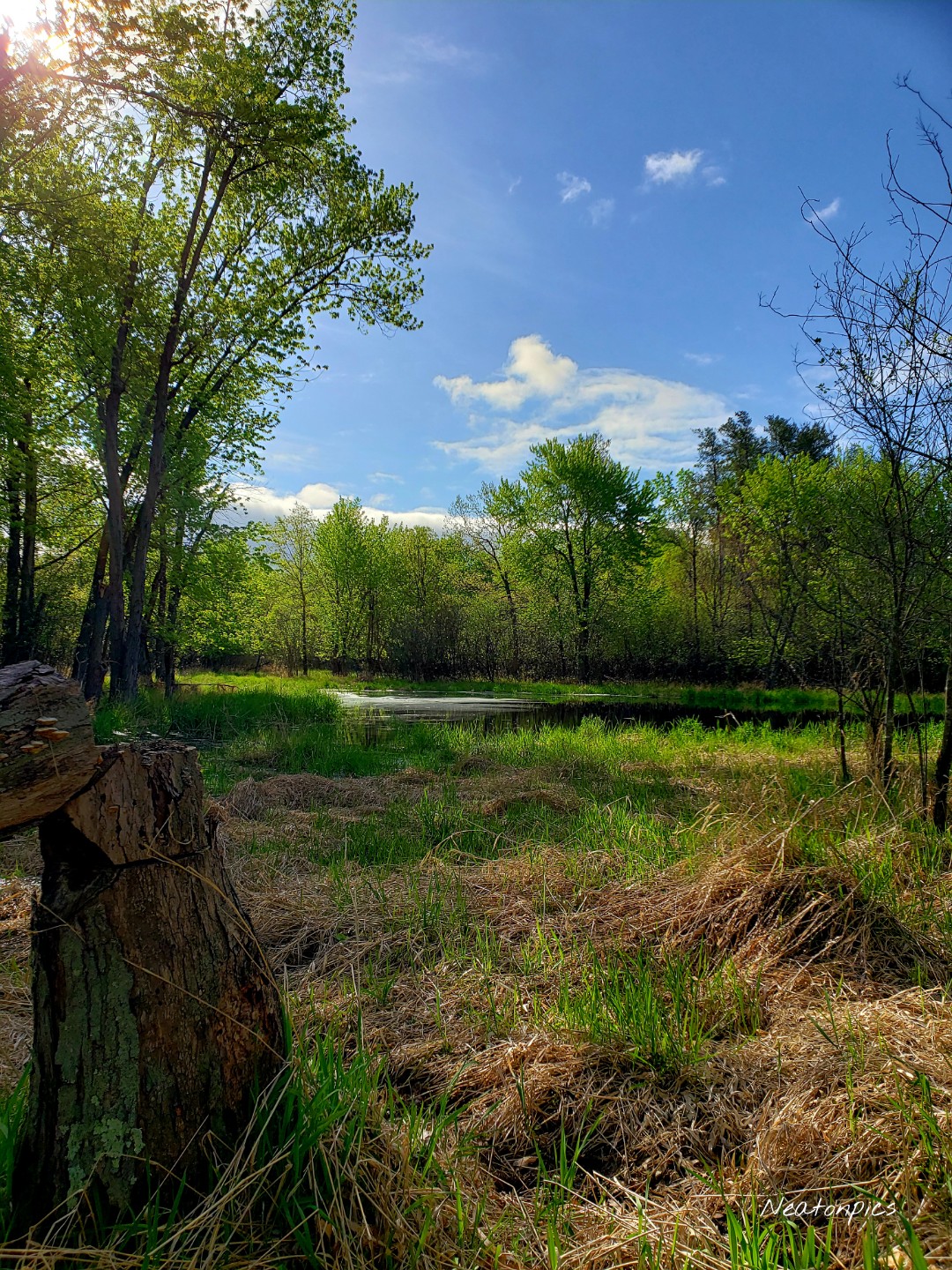
The terrain changed just as frequently as the weather did. The sun began to shine, and the green of the forest became electric.

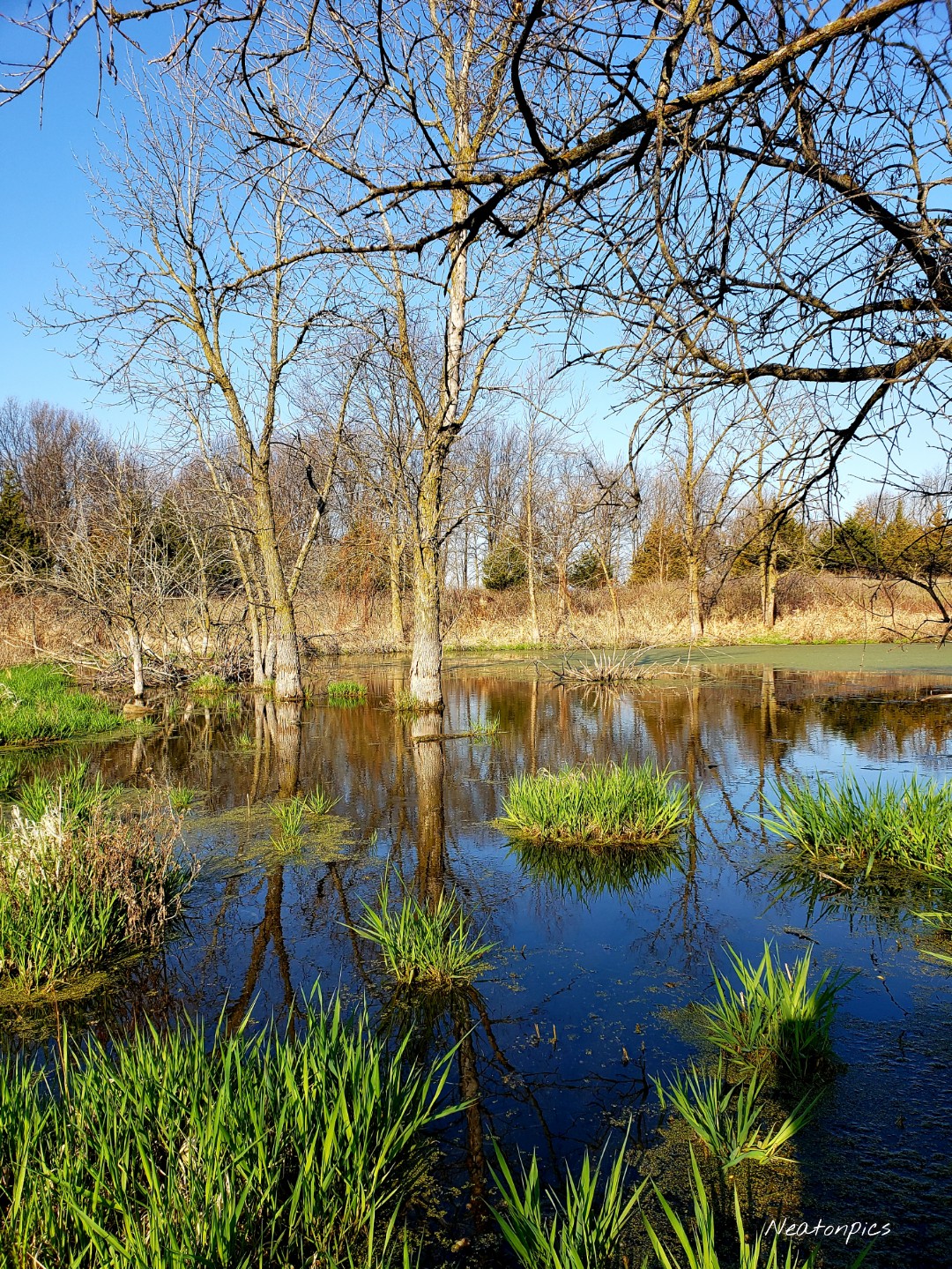
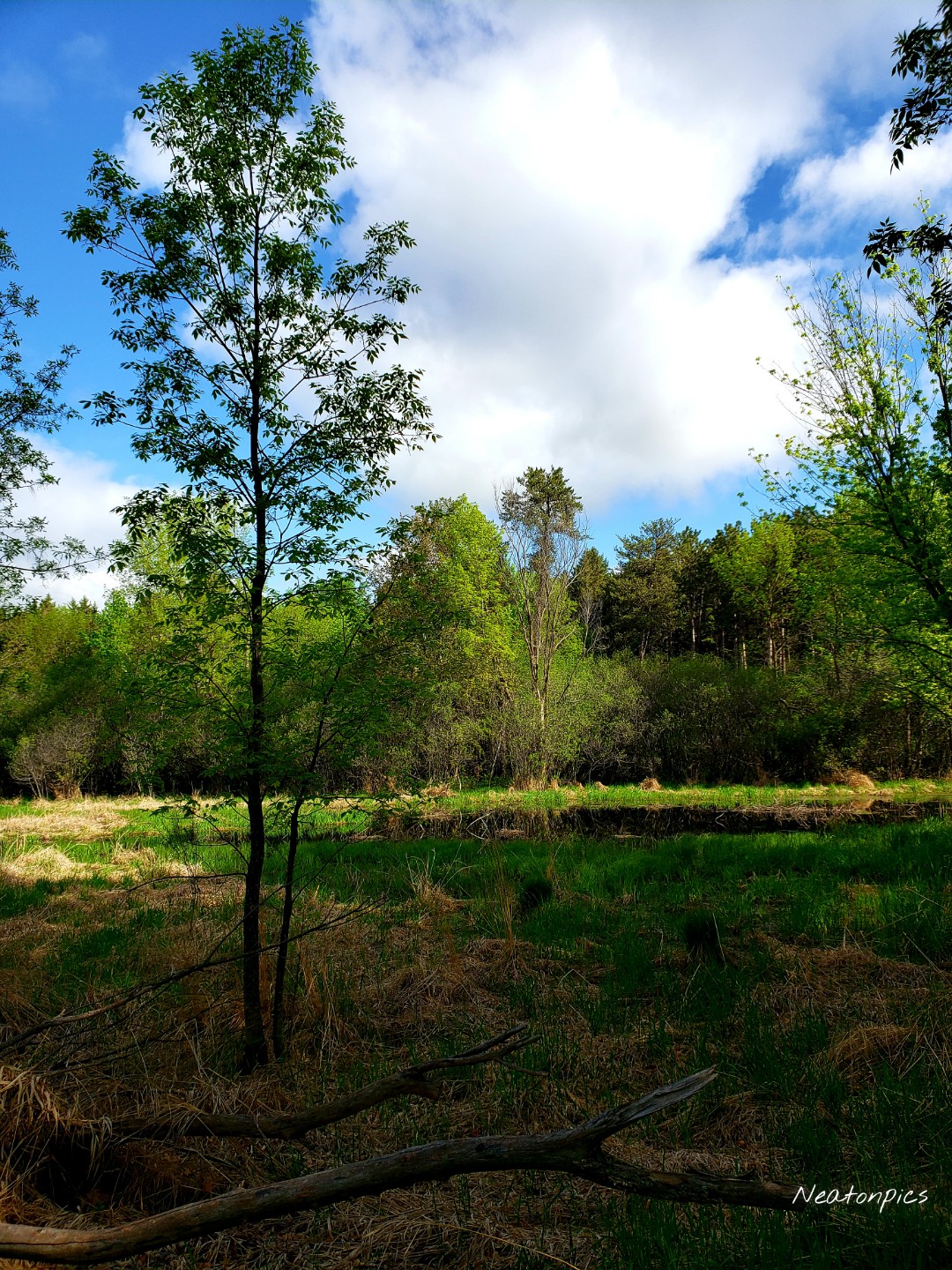
We hiked past several marshes that were higher than usual due to all the rain we have had lately. The frogs sang to us as we stopped for photos.

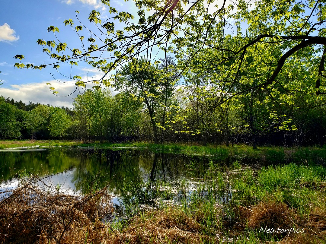
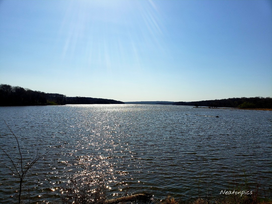
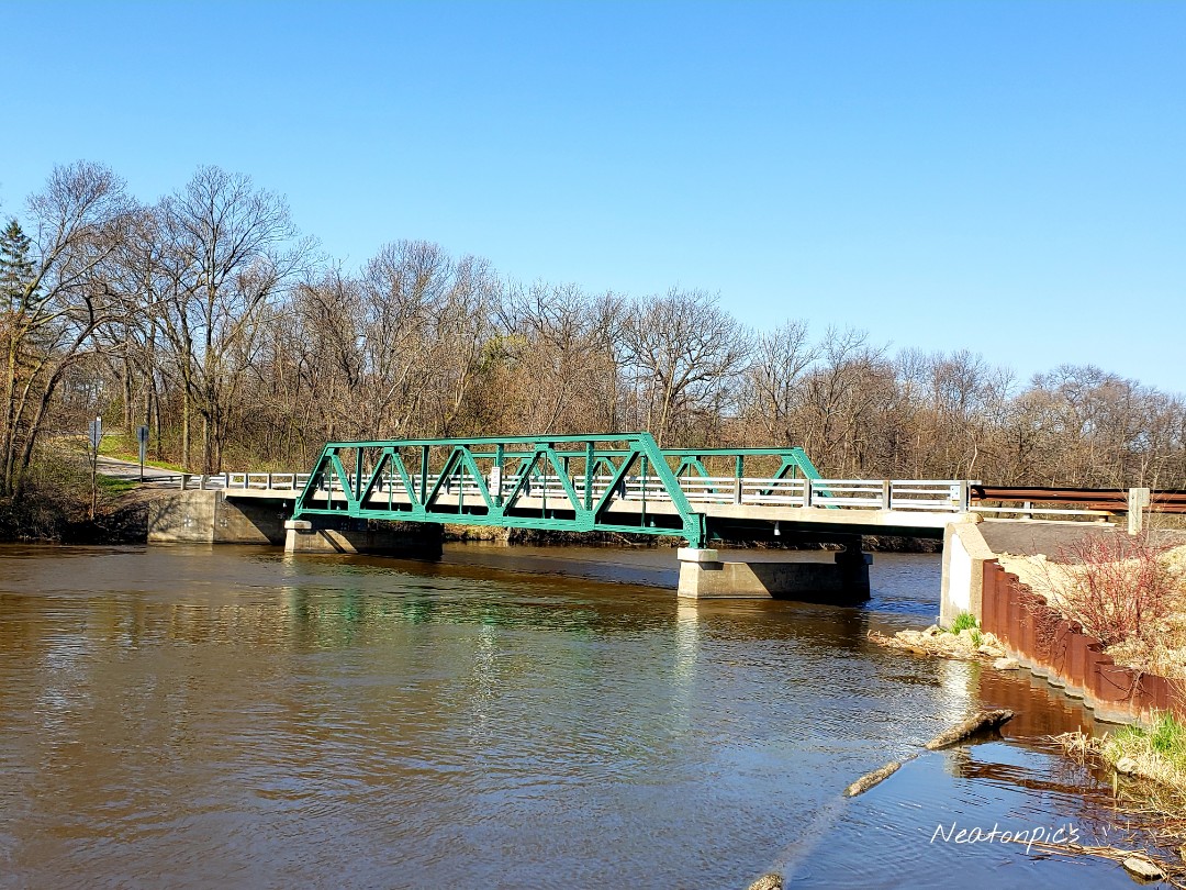
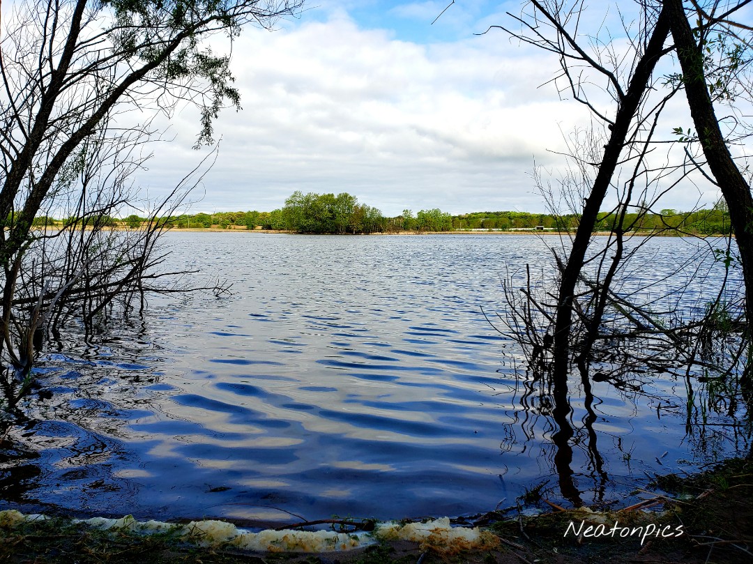
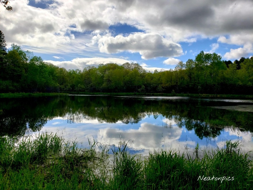
This next photo is my favorite of the day. The mirrored reflection is very serene.

The next trail we hiked was the blue trail. The trail was covered in thick grass and dandelions.

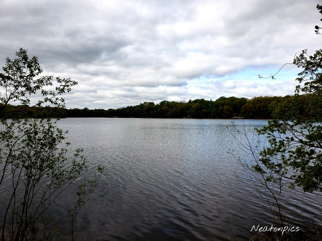
The green trail led us through a grove of birch trees as we hiked towards Loon Lake.

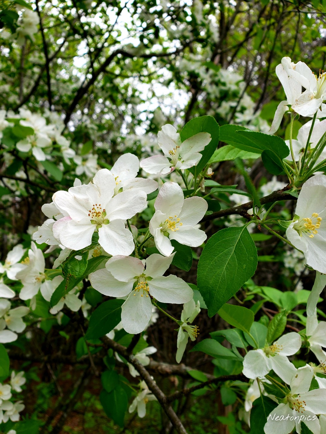
The youth of spring is nearing its end in Minnesota, however, we were able to see some crabapple blossoms and baby ferns growing.

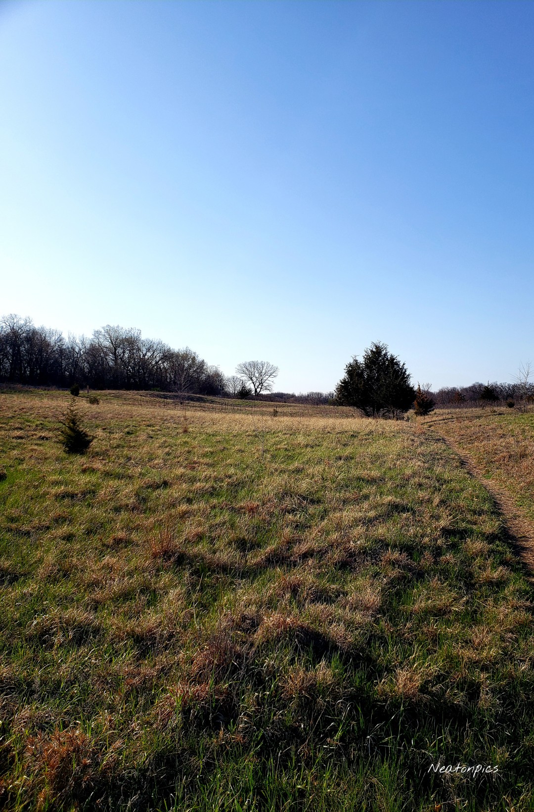
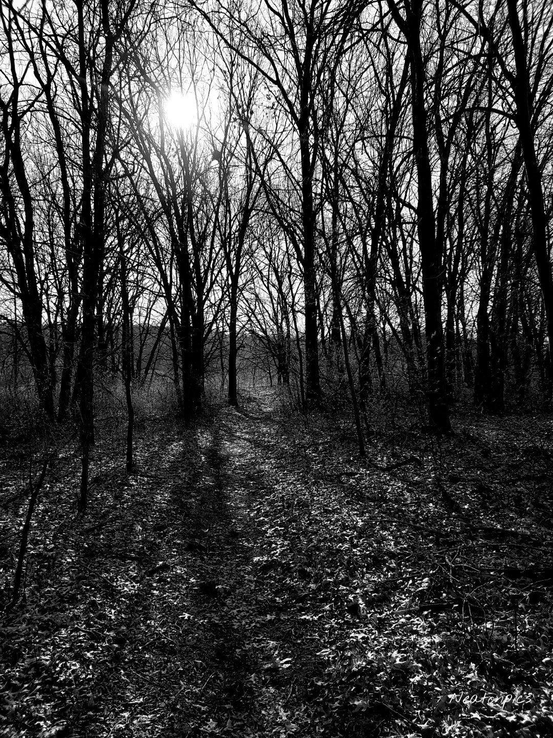
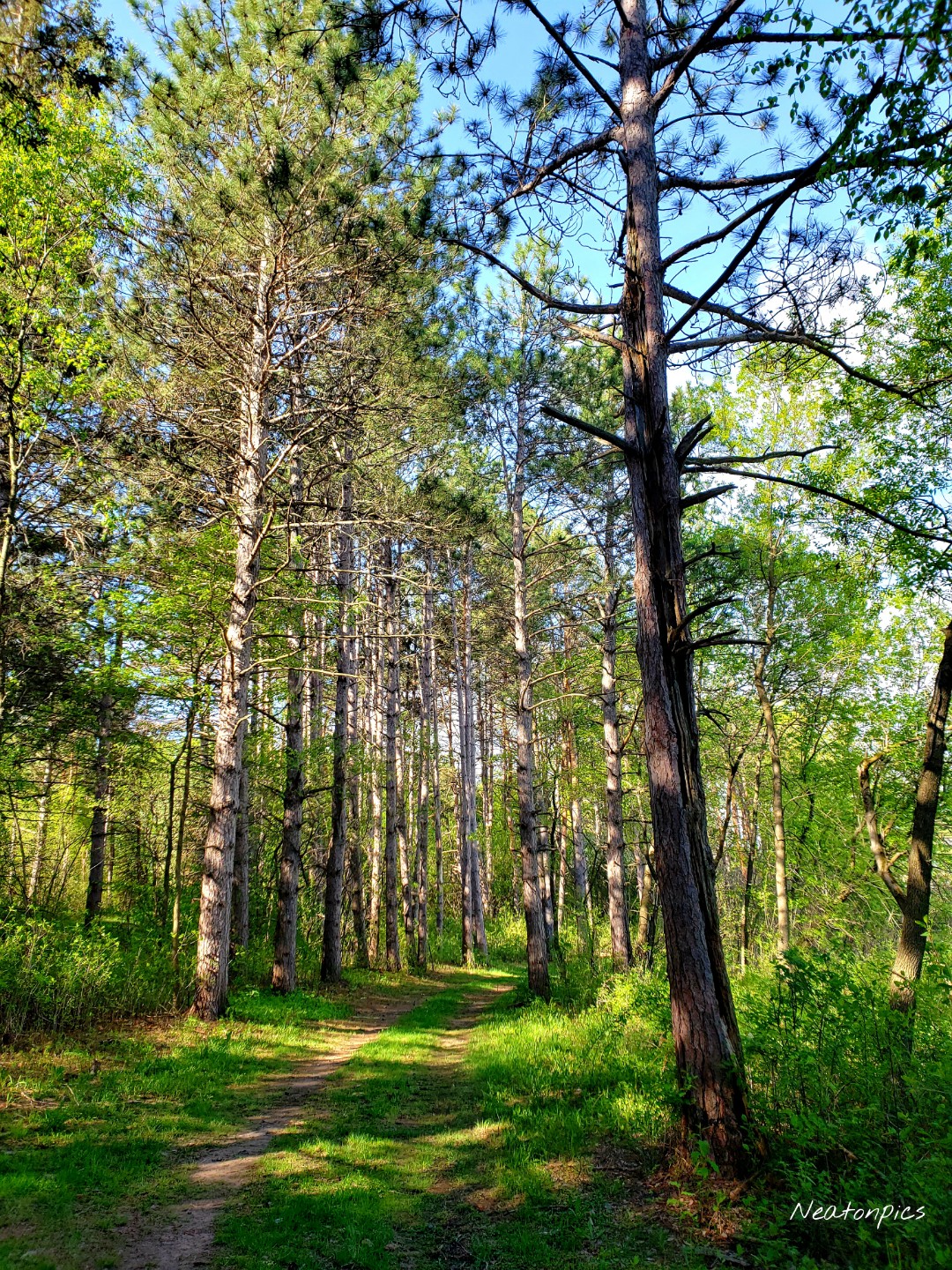
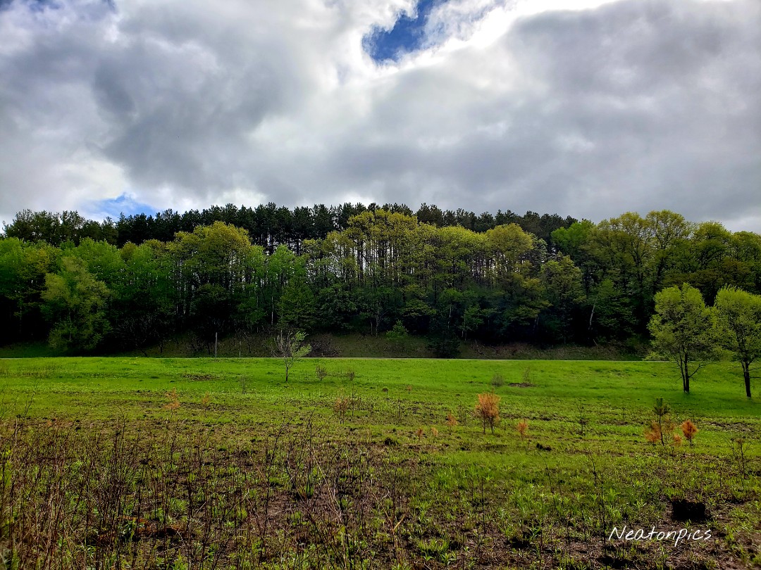
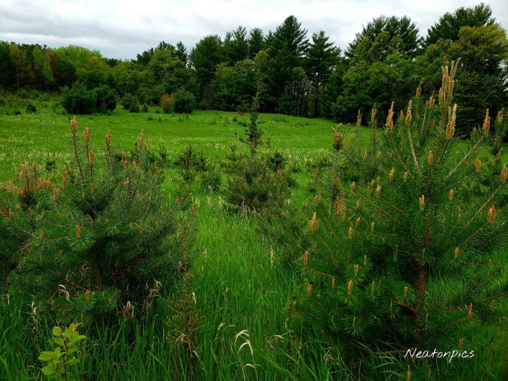
Last but not least, the red trail. The trail was covered with luscious green grass. The giant open field was covered in small pine trees.

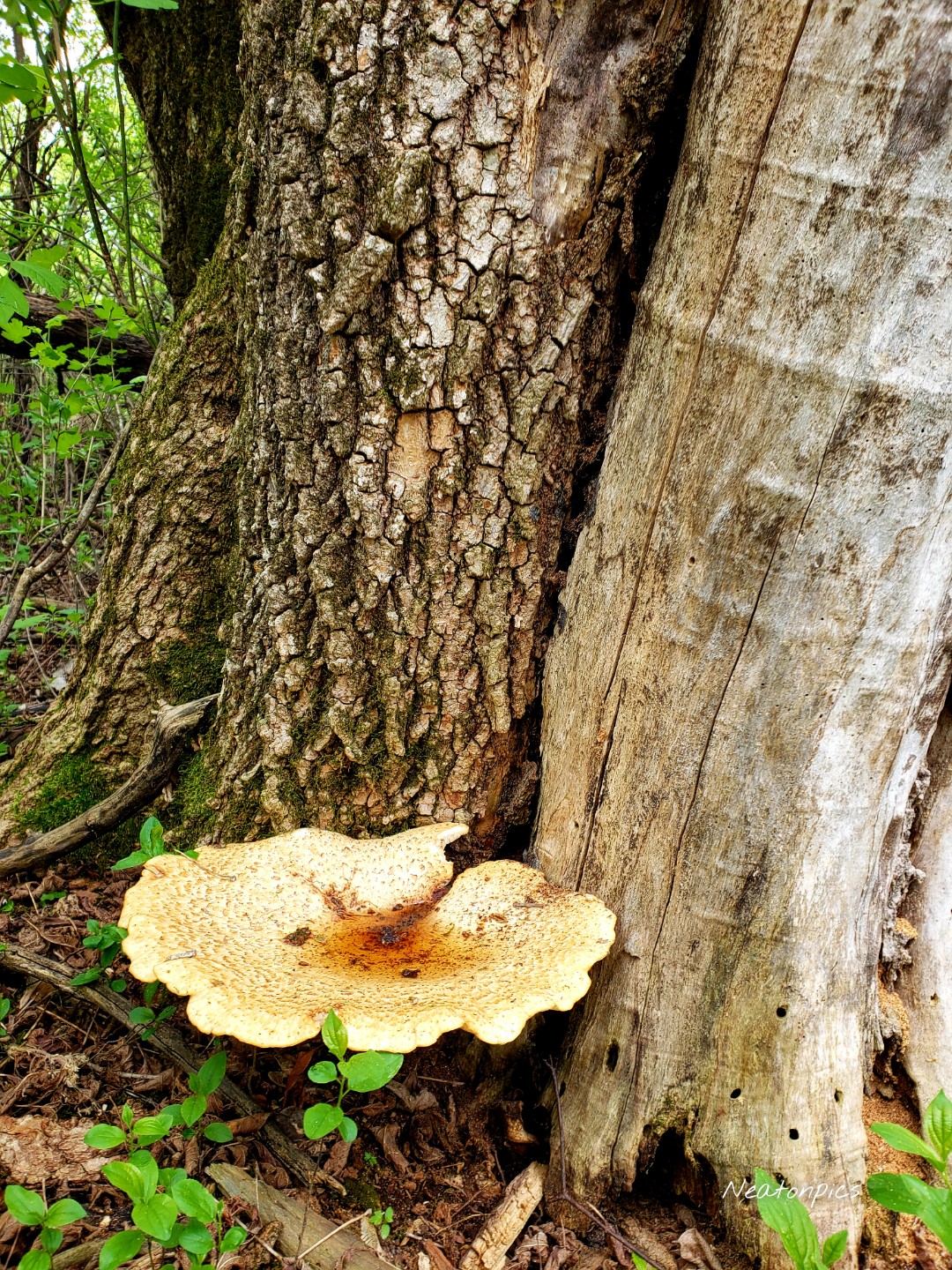
We found a giant mushroom, which I believe is called a Dryad’s Saddle.

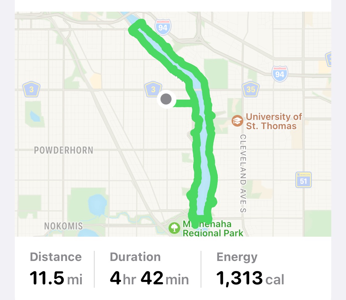
Today’s hiking adventure was 6.3 miles.

Grey Cloud Dunes SNA-Cottage Grove-Minnesota

Today’s hiking adventure began at Grey Cloud Dunes Scientific and Natural Area. Grey Cloud Dunes SNA is a type of sand-gravel prairie which is rare in Minnesota. We were very careful to stay on the trail so we did not damage the sensitive landscape.

Spring is definitely here! The dirt trails were surrounded by bright green grass. Little baby leaves were beginning to grow on the trees all around us.

The trail led us under the train tracks and to a beautiful open prairie.

As we hiked closer to the Mississippi River we came across several small ponds. The water and grass appeared so vibrant in color.

The Mississippi River offered beautiful views as always.

Along the trail, the trees were magnificent.

We crossed back over the railroad tracks and began our climb to the upper part of the prairie.

The higher view offered a beautiful view of the river below.

After hiking the Grey Cloud Dunes SNA, we continued our hike to Hazen P. Mooers Park. Mooers Lake connects to the Mississippi River. We crossed over the bridge and continued our hike on to Lower Grey Cloud Island.

Once on the island, we noticed there was a Sand and Gravel Mine. They had a huge excavator bucket on display at the beginning of their entrance.

The turquoise colored water next to a mining operation is always interesting to see.

Today’s hiking adventure was 9.9 miles.

Kaposia Landing-South St. Paul-Minnesota

Today’s hiking adventure began at Kaposia Landing.

The paved trail we hiked was called the Robert Piram Regional Trail. The trail offered views of the Mississippi River and many trains.

The sky turned dark and rain began to downpour on us. Lightning flashed across the sky in front of us as the thunder crashed. We decided to stay the course and continued on. Thankfully the storm passed quickly.

On the trail, we passed an old car not far from the railroad tracks.  

We hiked past the St. Paul Airport. Downtown St. Paul can be seen in the photo below.

Harriet Island Regional Park was our next stop.

We crossed the Wabasha Street Bridge into downtown St. Paul. Smith Avenue High Bridge can be seen in the distance.

Downtown St. Paul has some great old buildings.

We even found Snoopy!

On the north side of the Smith Avenue High Bridge was a small sculpture garden. The green chair weighs 2,500 pounds!

Crossing the Smith Avenue High Bridge offered beautiful views of the Mississippi River and downtown St. Paul.

The High Bridge Overlook was the next stop on our hike, which is on the south side of the Smith Avenue High Bridge. Eagles could be seen soaring below scanning the river for their next meal.

Being an urban explorer offers the advantage of stopping for a snack. We decided to walk down Wabasha Street towards several restaurants. We passed the Wabasha Street Caves. They offer cave tours and host other events. Around the corner from the Wabasha Caves we found a cave entrance that was closed, however, it offered us a peek inside.

Tacos for the midday snack! Charlie Brown greeted us as we walked towards the entrance.

We continued our hiking adventure down Cesar Chavez Street until we reached the Robert Piram Regional Trail. Once back at Kaposia Landing we crossed the bridge over the railroad tracks to see Simon’s Ravine Trailhead. We decided to tackle that trailhead another day. They have a beautiful sculpture at the Simon’s Ravine trailhead.

Today’s hiking adventure was 10.5 miles.

West River Parkway-Minneapolis-Minnesota

Today’s hiking adventure started out on the West River Parkway in Minneapolis.

We began our hike on the paved path, however, we quickly found our way walking down the stone steps to the river trail.

The trail we were on was called The Winchell Trail.

Due to the recent rain and snow we had, the river trail was muddy and slippery at times. We were even able to see some icicles along the rocks.

The trail brought us to the Locks and Dam #1. Unfortunately, the observation deck was closed for the season. This allowed us to see several different views of the Ford Parkway Bridge.

Once on the other side of the Ford Parkway Bridge, we continued our hike along the river trail in St. Paul. We found two waterfalls along the trail. The first waterfall was still frozen.

The second waterfall we saw is called Shadow Falls. The waterfall trickled down the side of the rockbed. 

The limestone bluffs offered great views of the Mississippi River.

The river trail continued to the Lake Street-Marshall Bridge.

We decided to continue our hike past the Lake Street-Marshall Bridge to the Franklin Bridge. The paved trail offered views of the Short Line Bridge and the Franklin Bridge.

We jumped back on the Winchell Trail after crossing the Franklin Bridge. We were able to hike under the Short Line Bridge which allowed us a close view of the giant metal pieces it was constructed from.

White Sands Beach was the next destination on the trail. The sand was very fine and soft to the touch.

We continued on the trail back to our starting point.

Today’s hiking adventure was 11.5 miles.