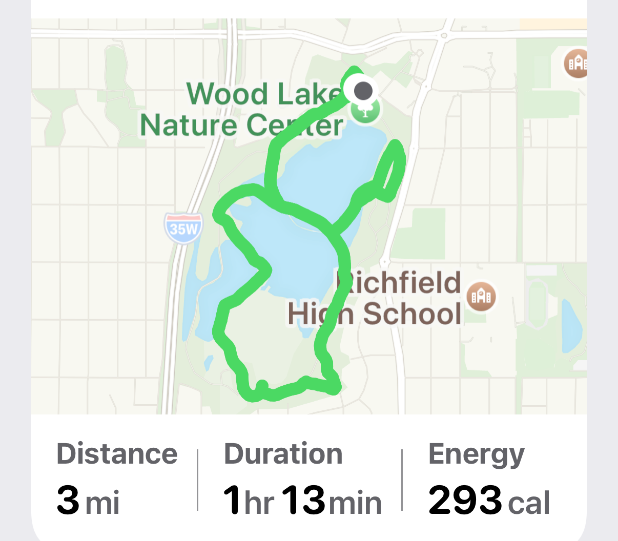
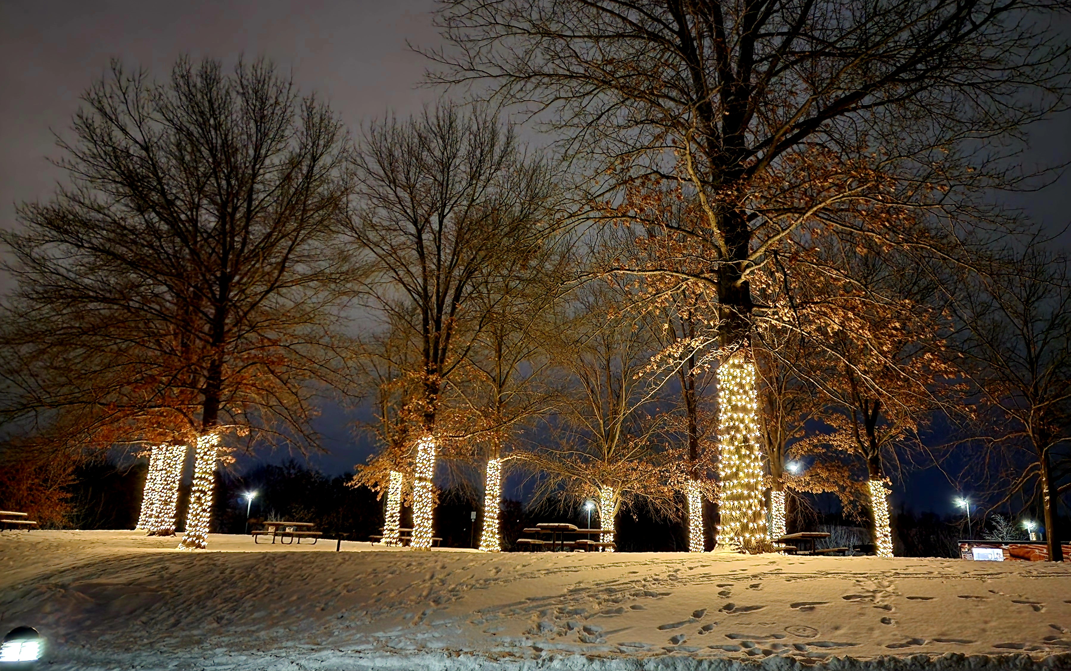
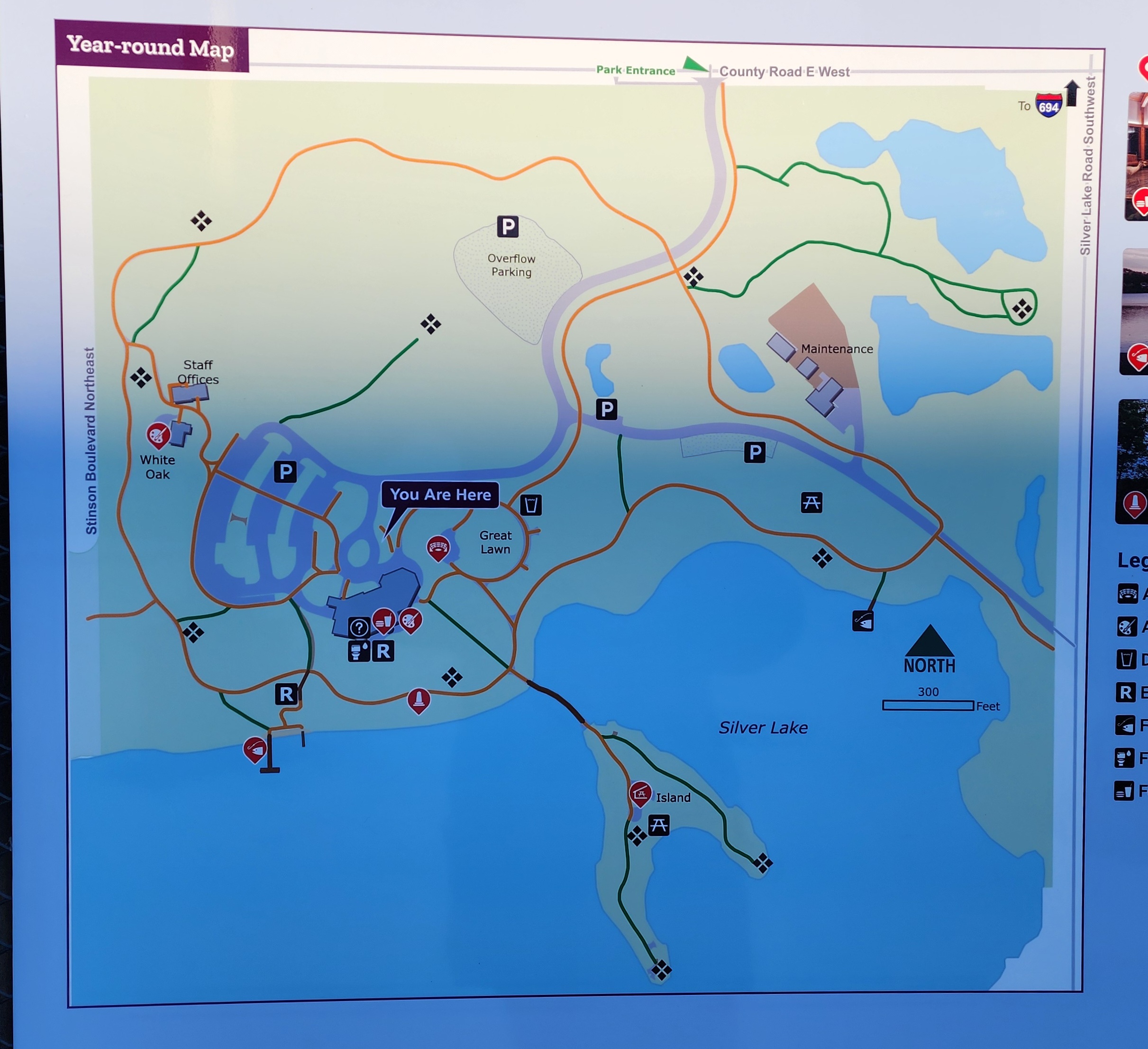
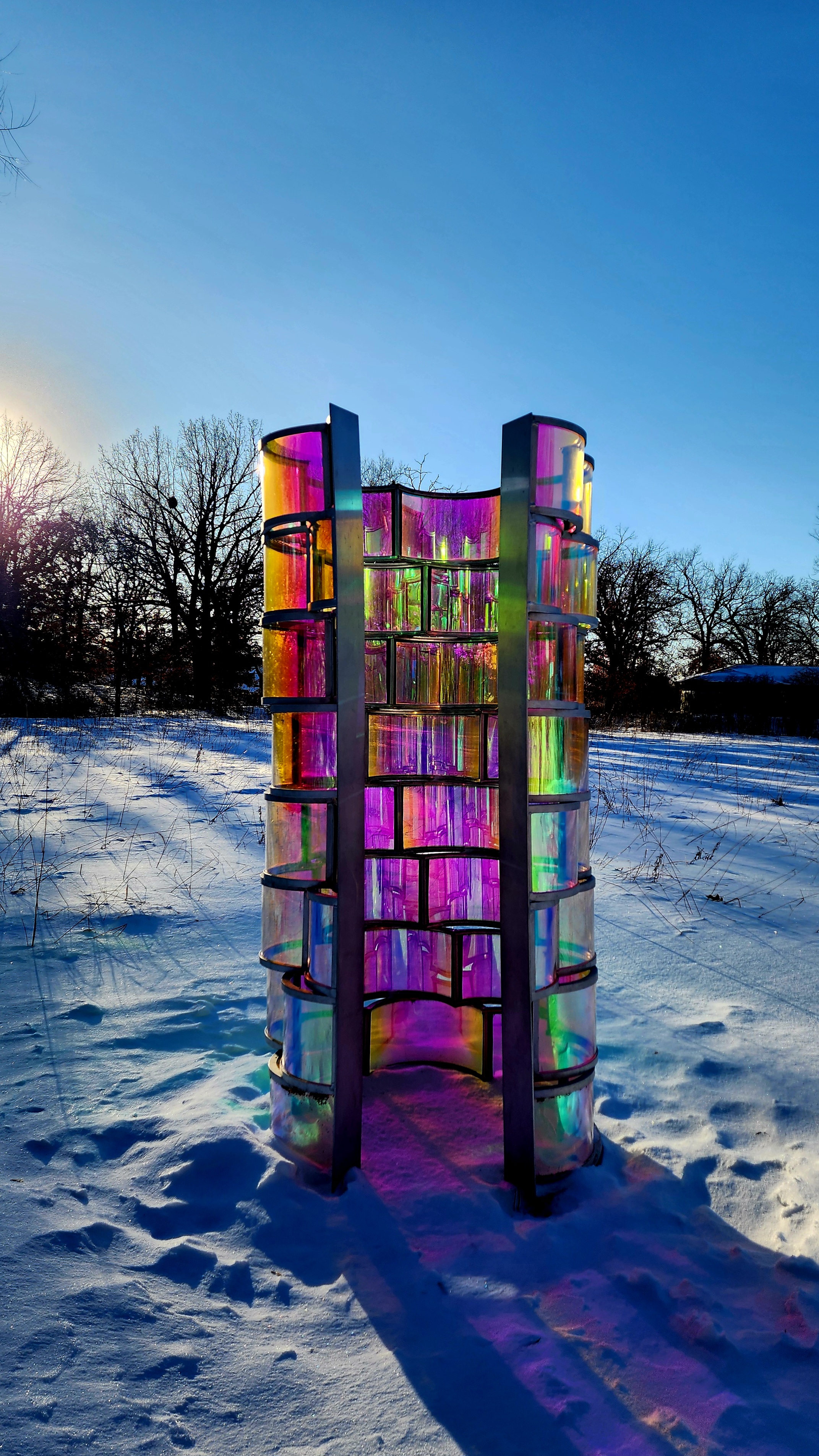
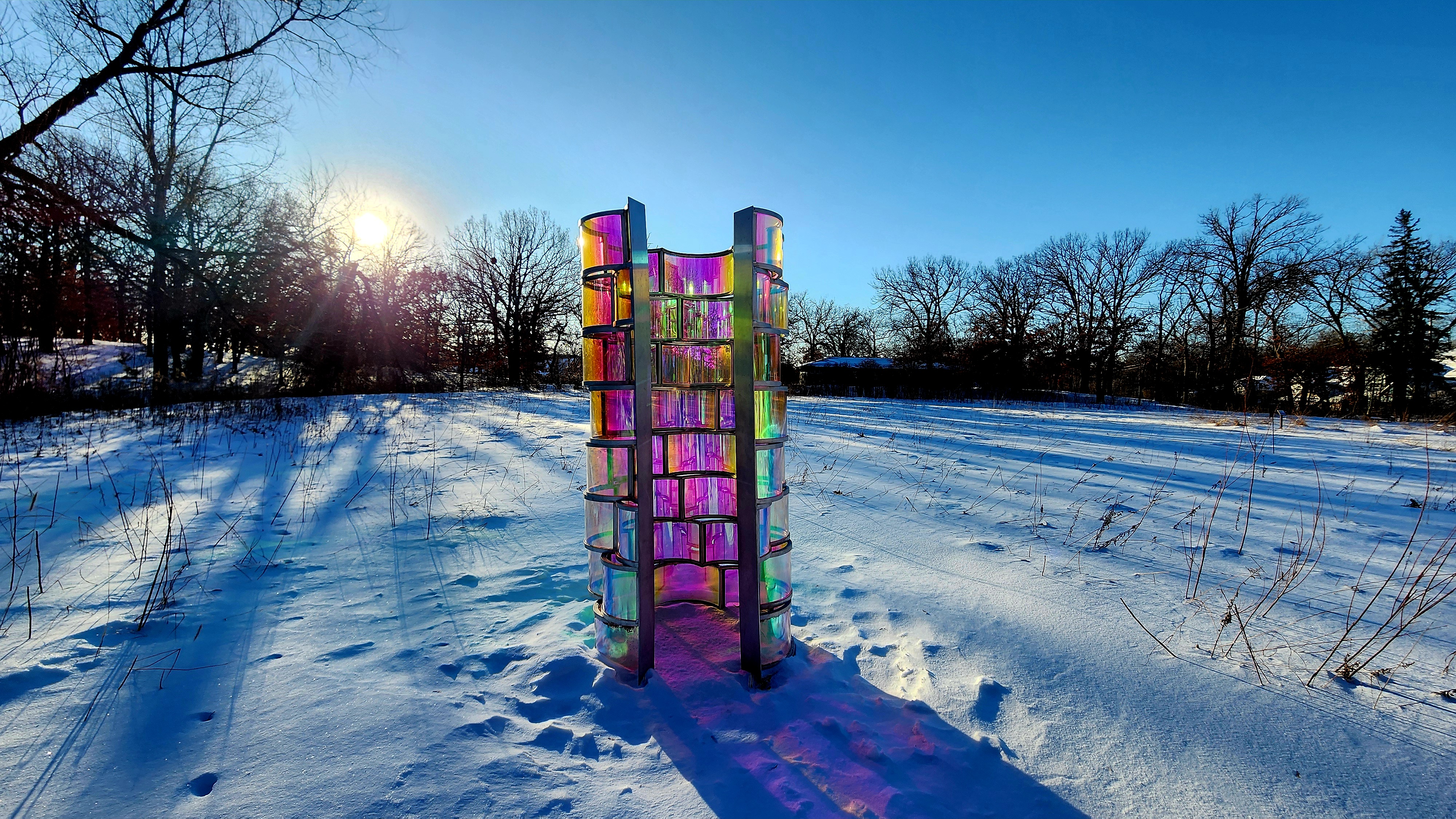
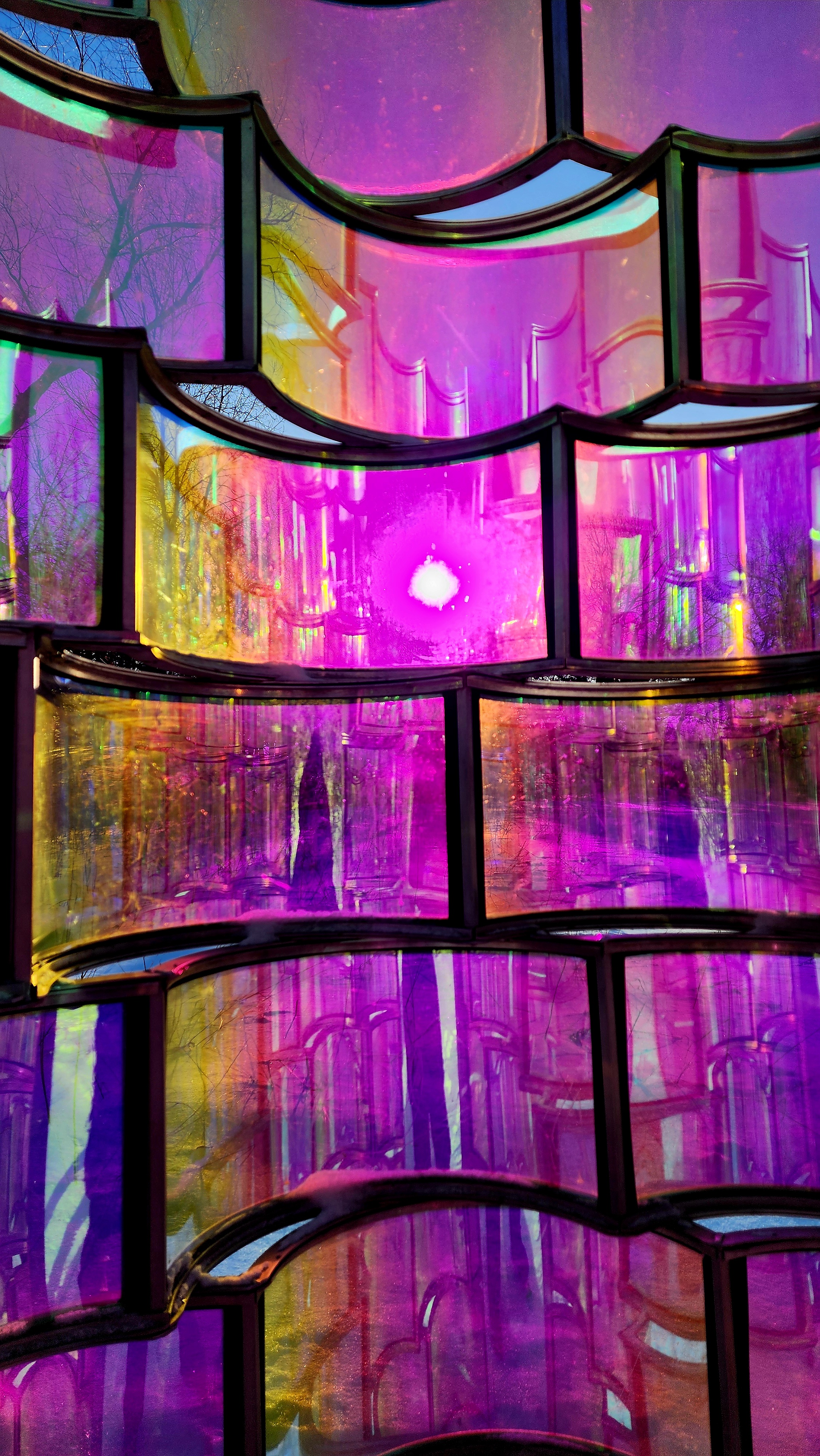
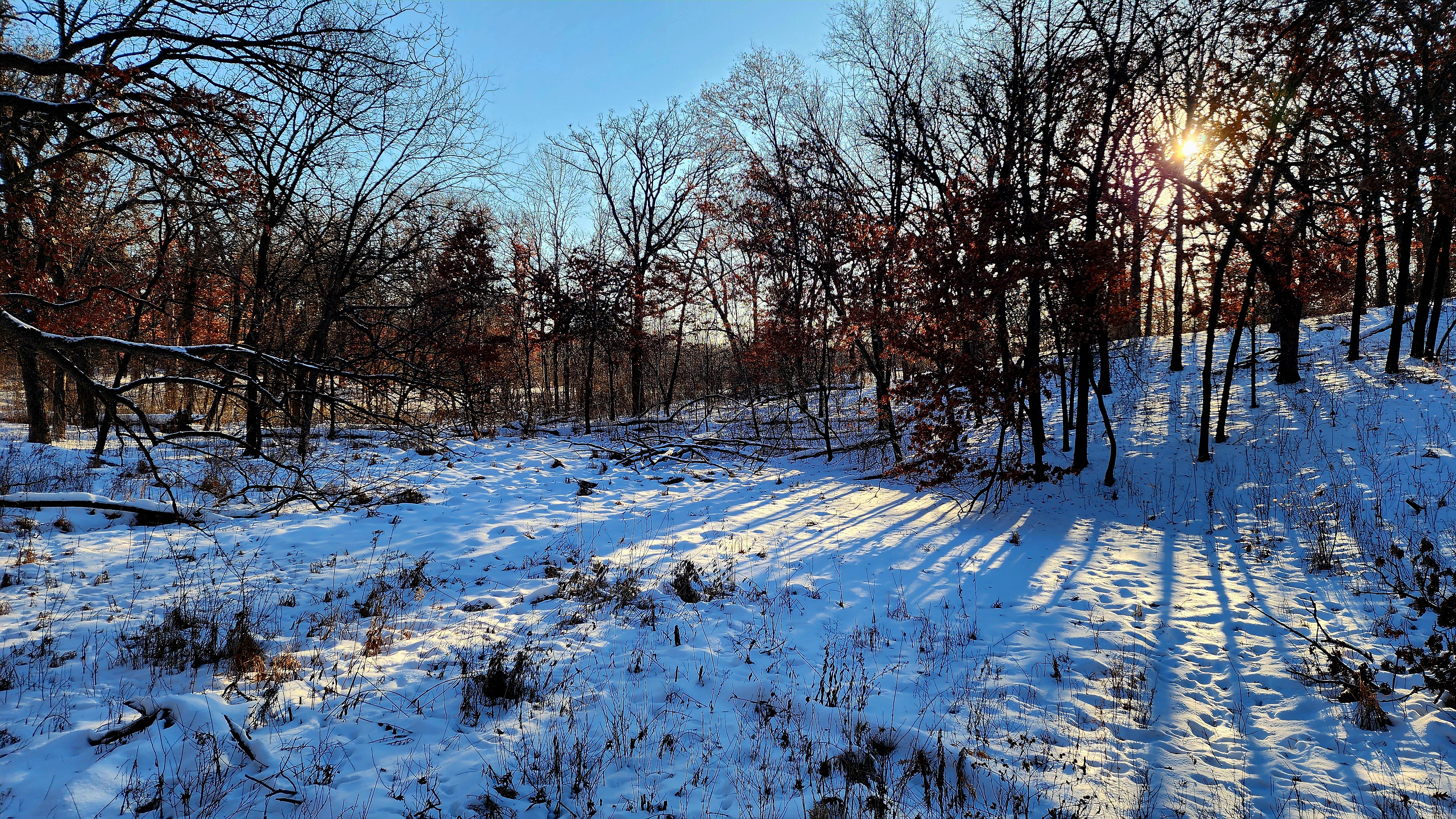
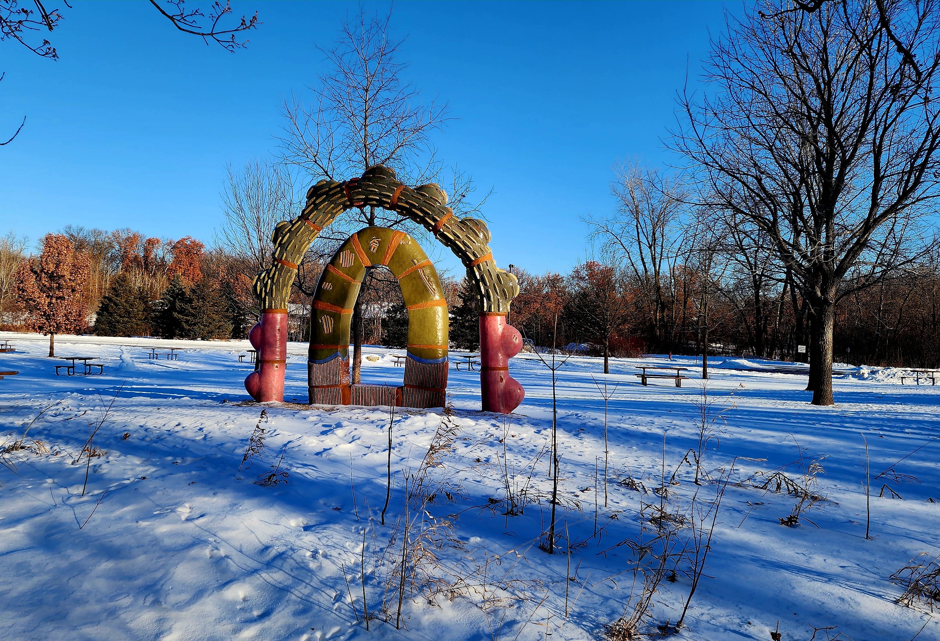
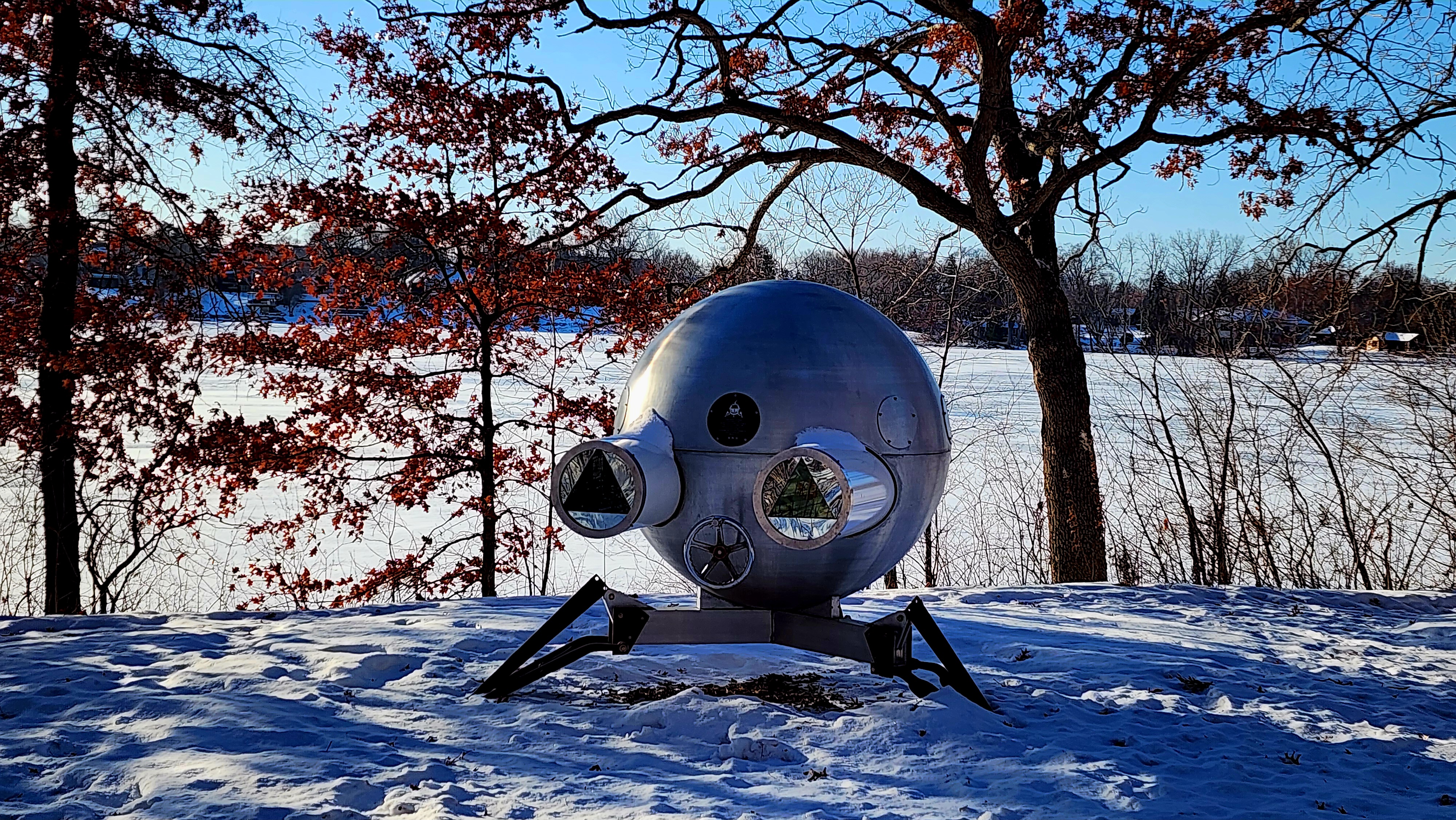
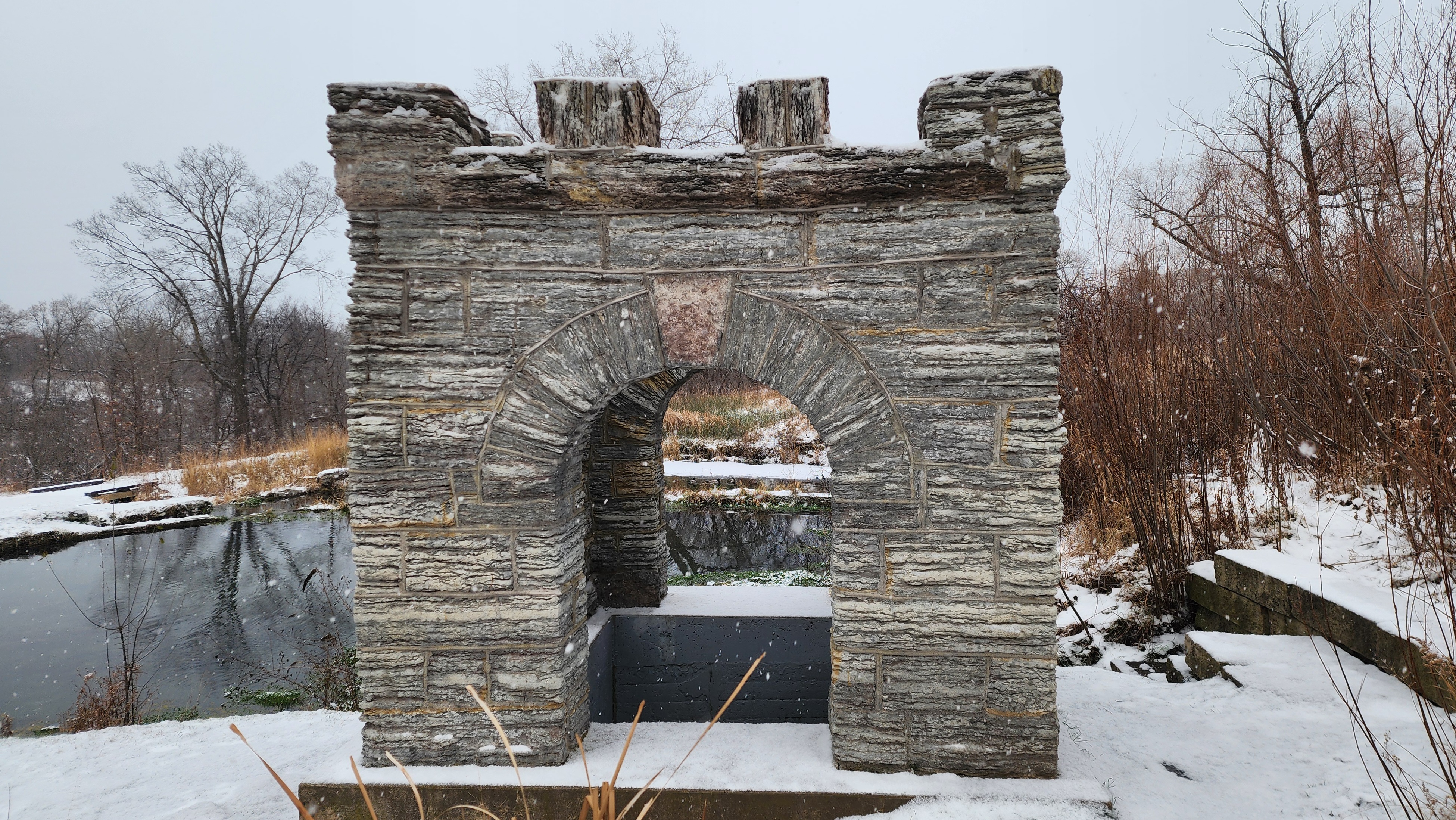
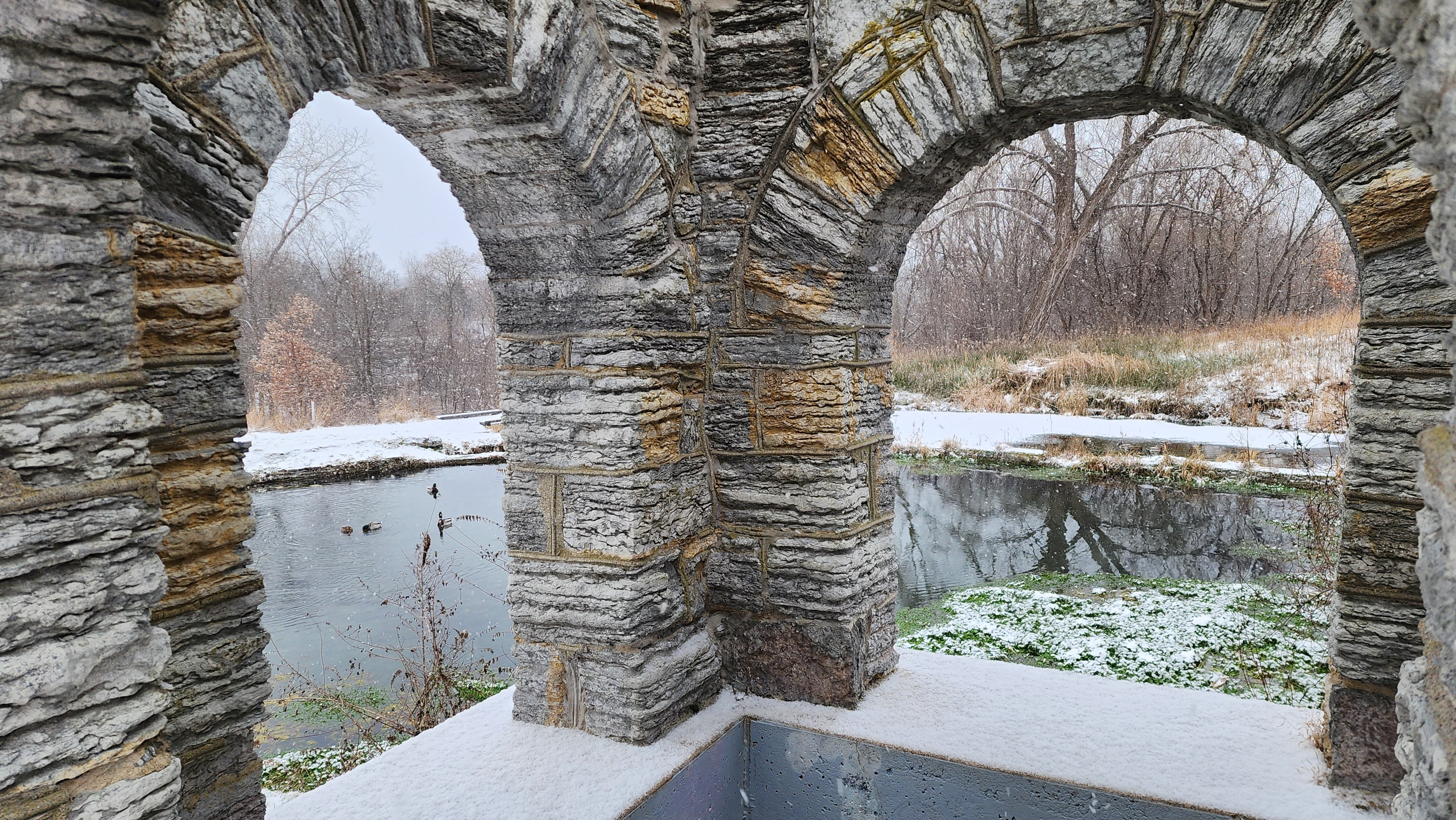
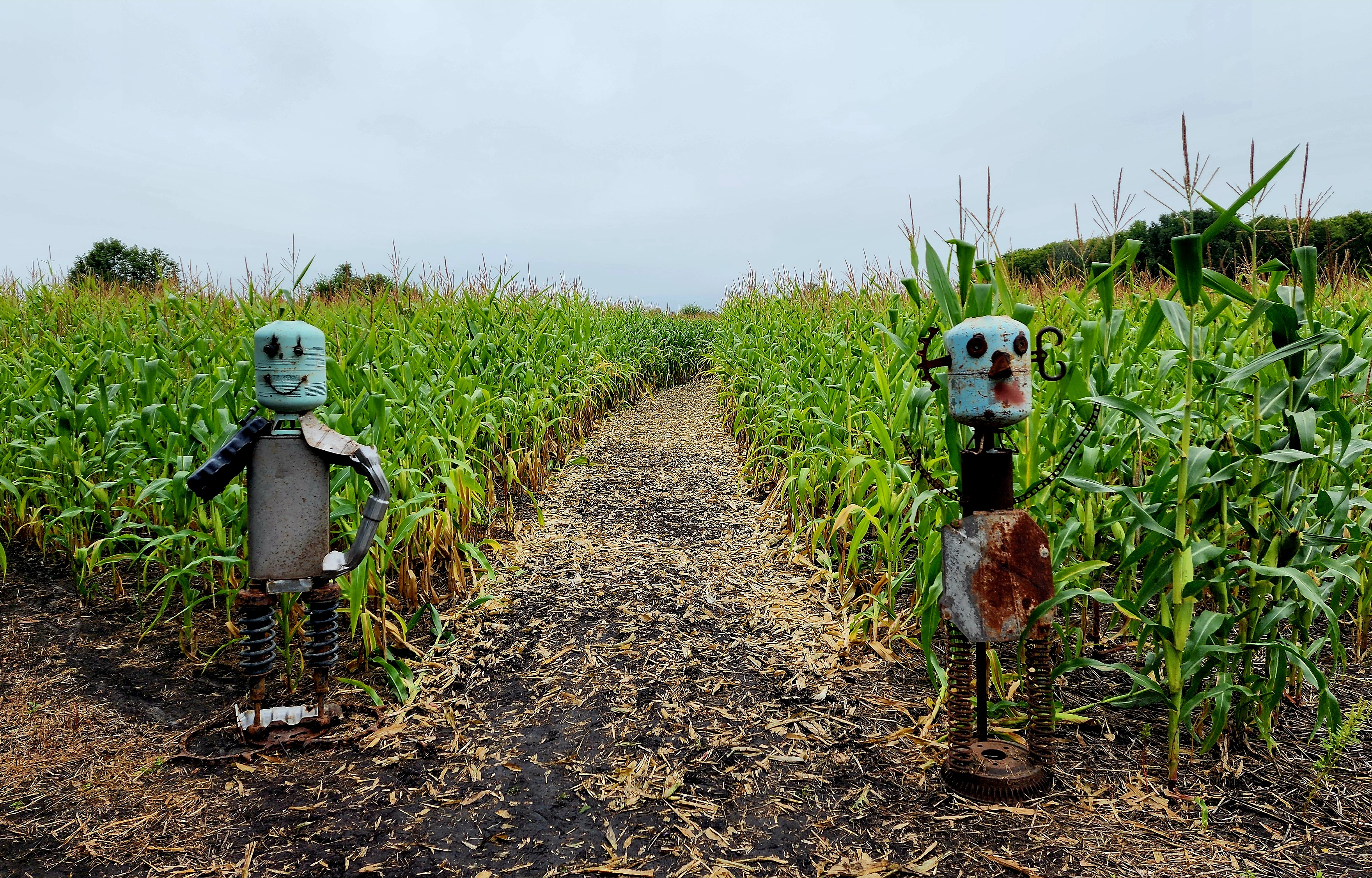
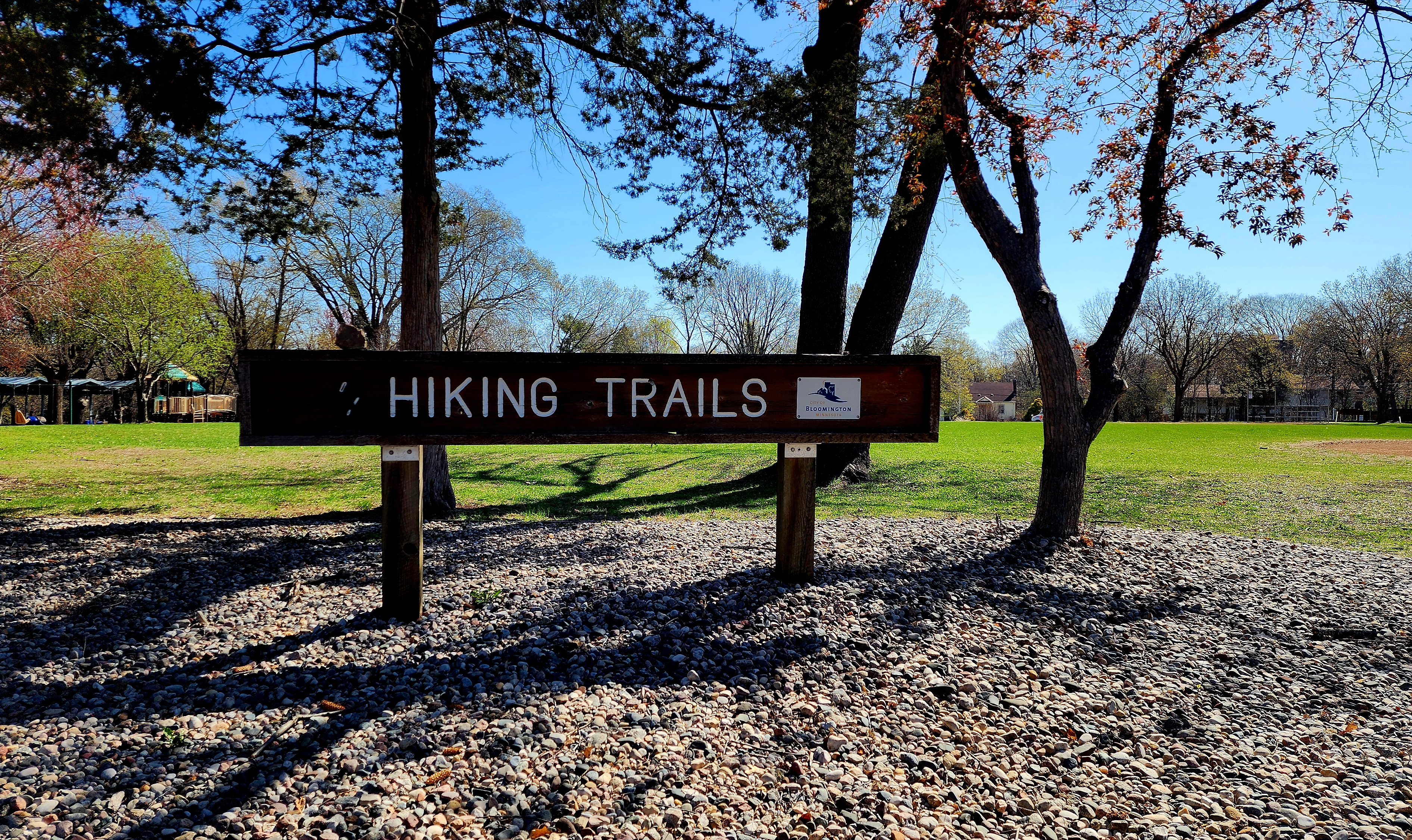
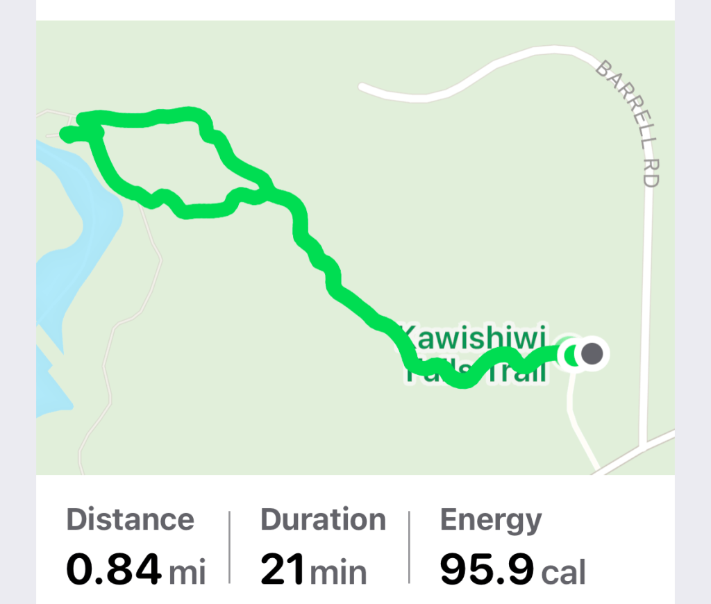
Our adventure began near the Visitor Center. Different varieties of sculptures were placed around the trail.
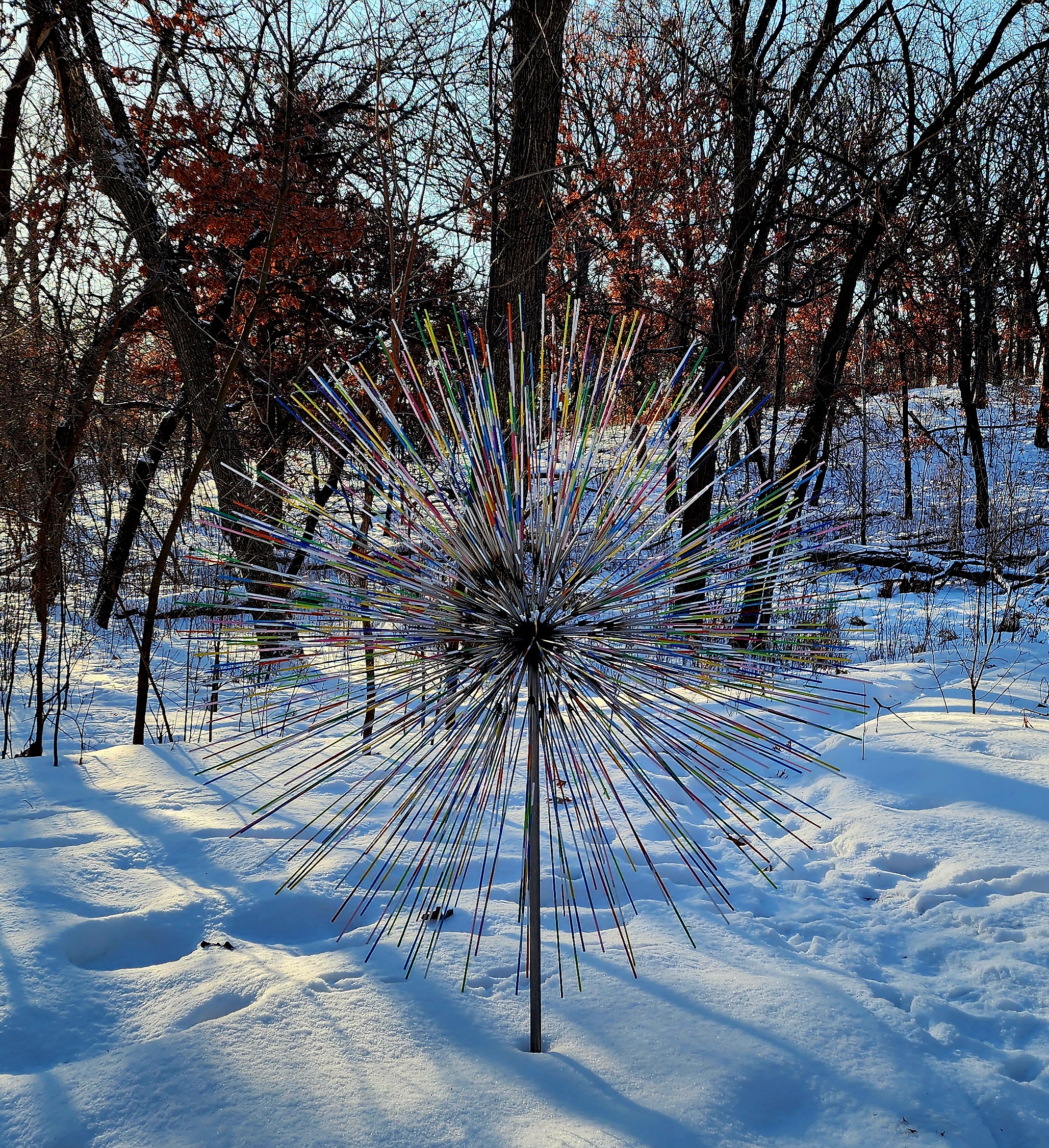
This was my favorite sculpture. The morning sun made the sculpture appear to glow.
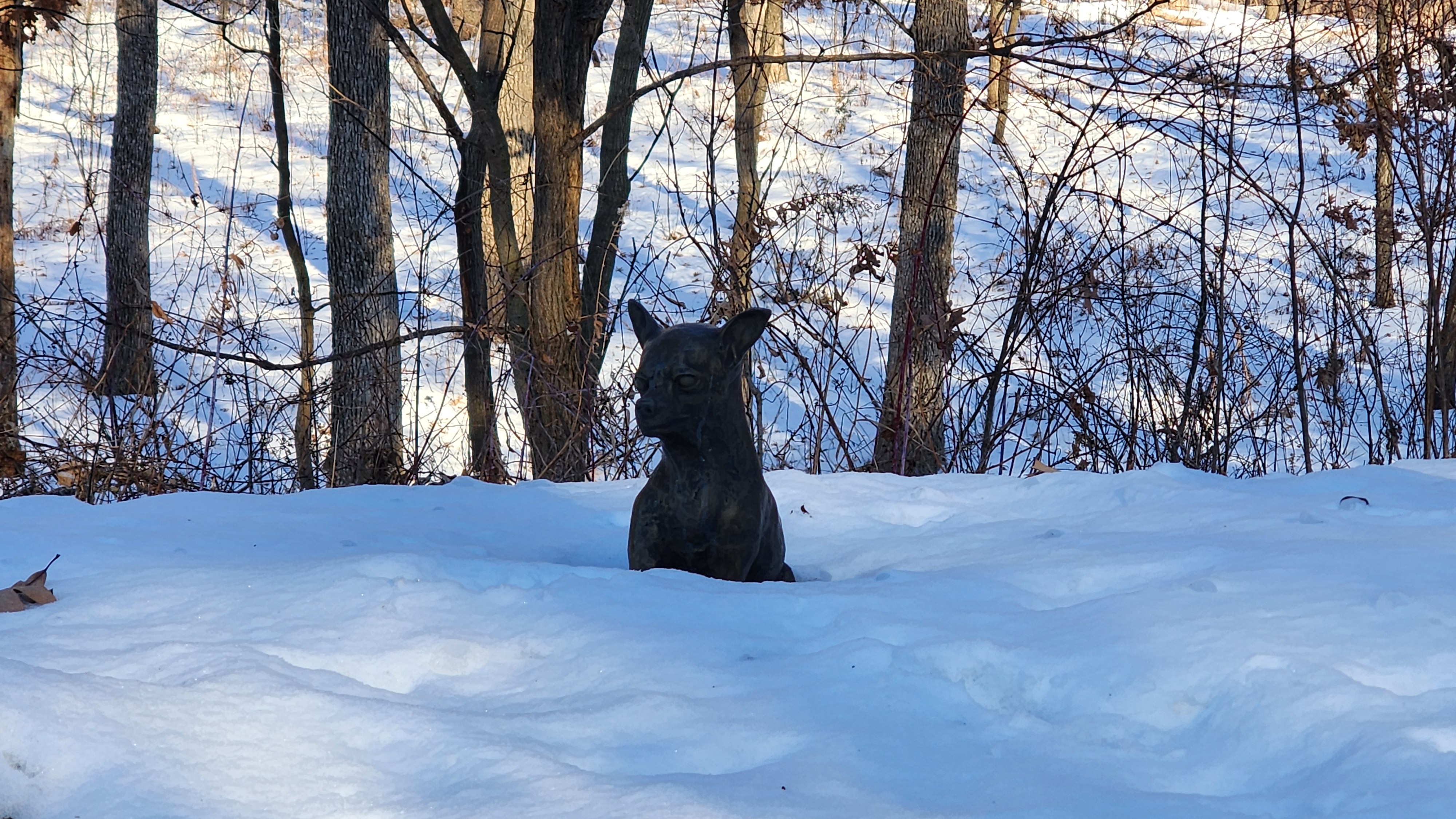
As we rounded the corner, a tiny dog appeared out of the corner of my eye. As I was getting ready to run towards it, I thought for sure it was frozen solid. Thankfully, it was a metal dog. Jokes, people got jokes!
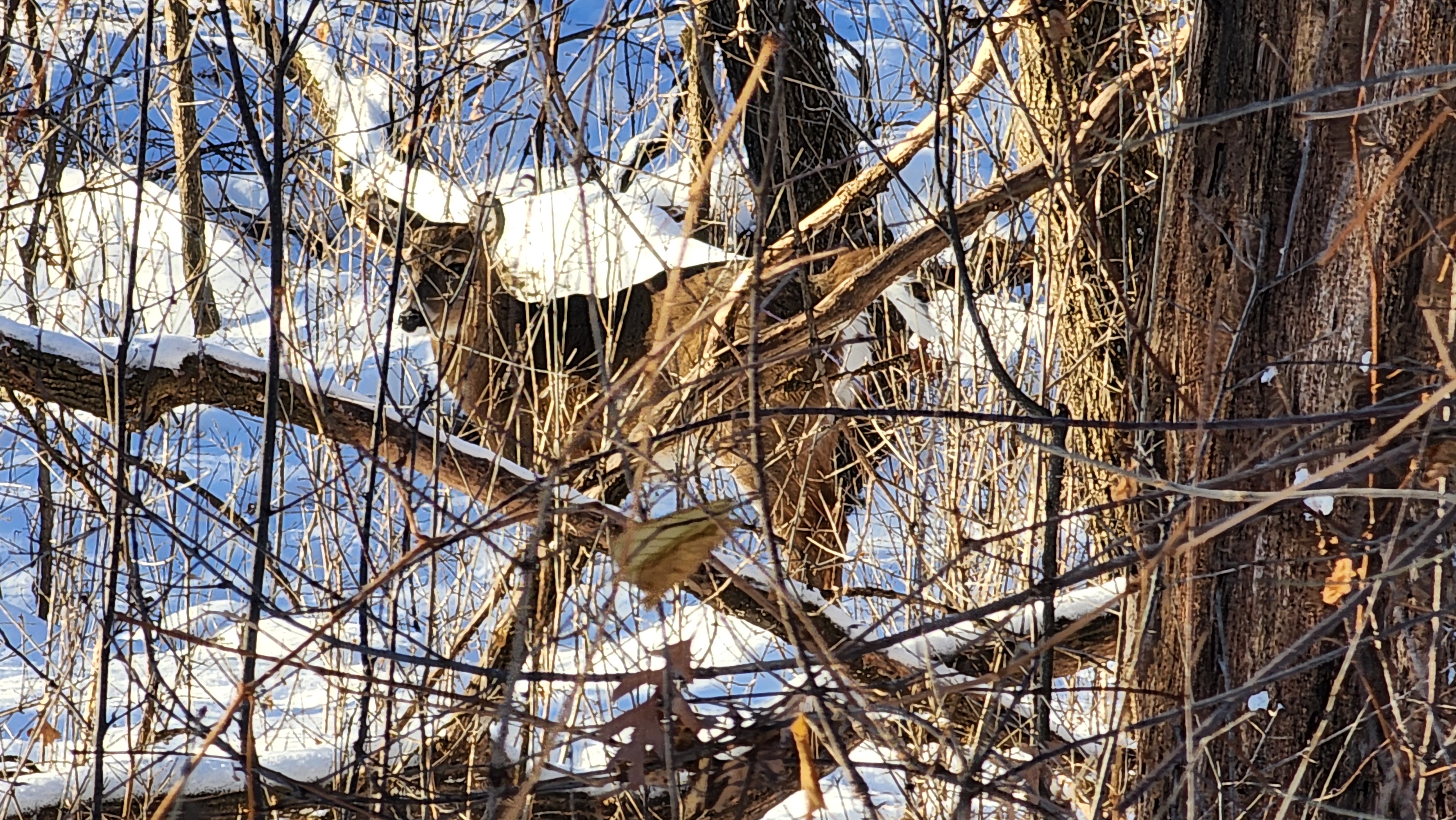
Now, once again, I see something out of the corner of my eye laying down in the snow. It must be another sculpture, right? Nope! There were at least 6 deer laying down in the snow. My photos of the deer are not the best, however, it was a cool experience to see them.
The next sculpture was kept company by a happy snowman.
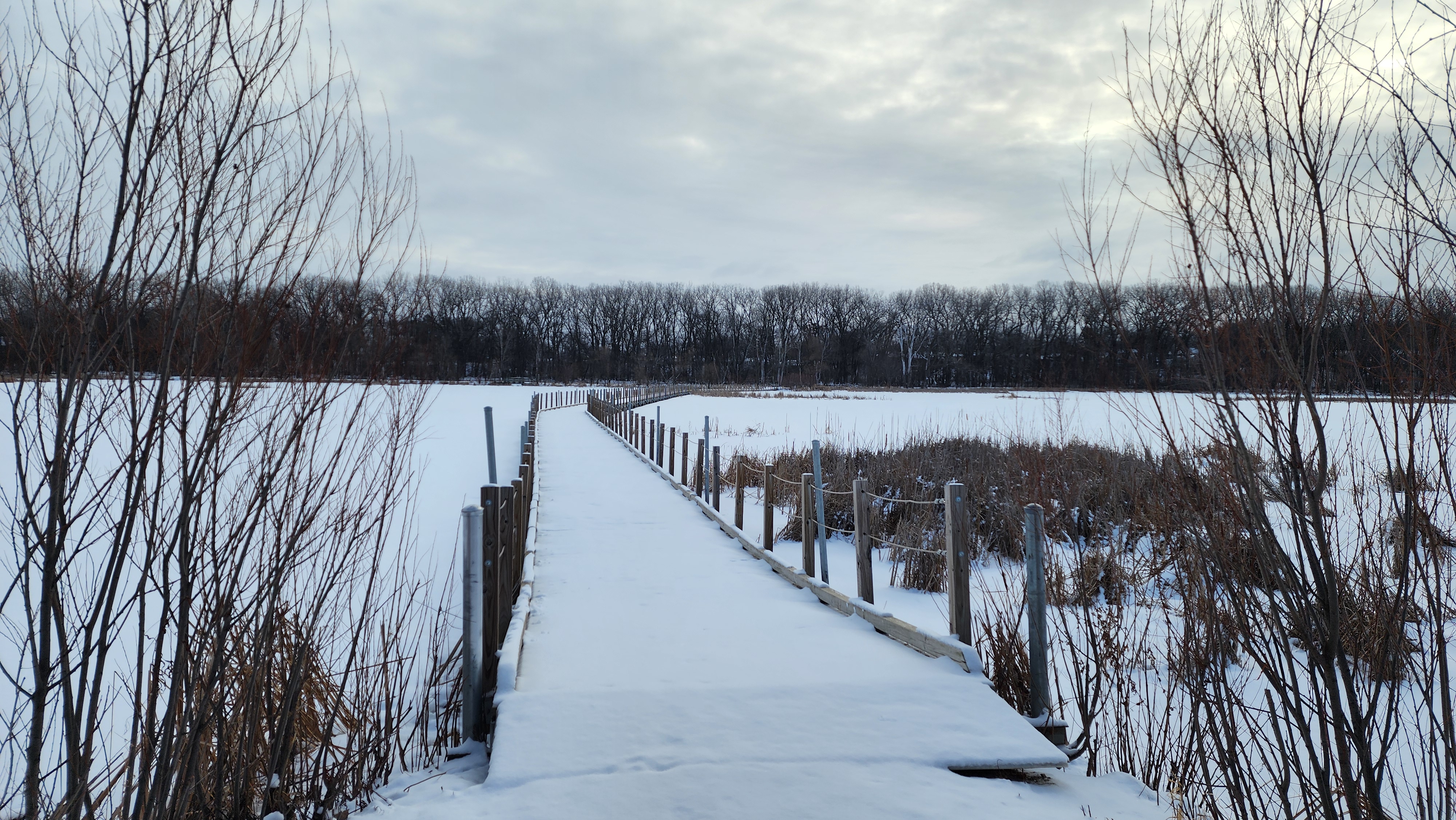
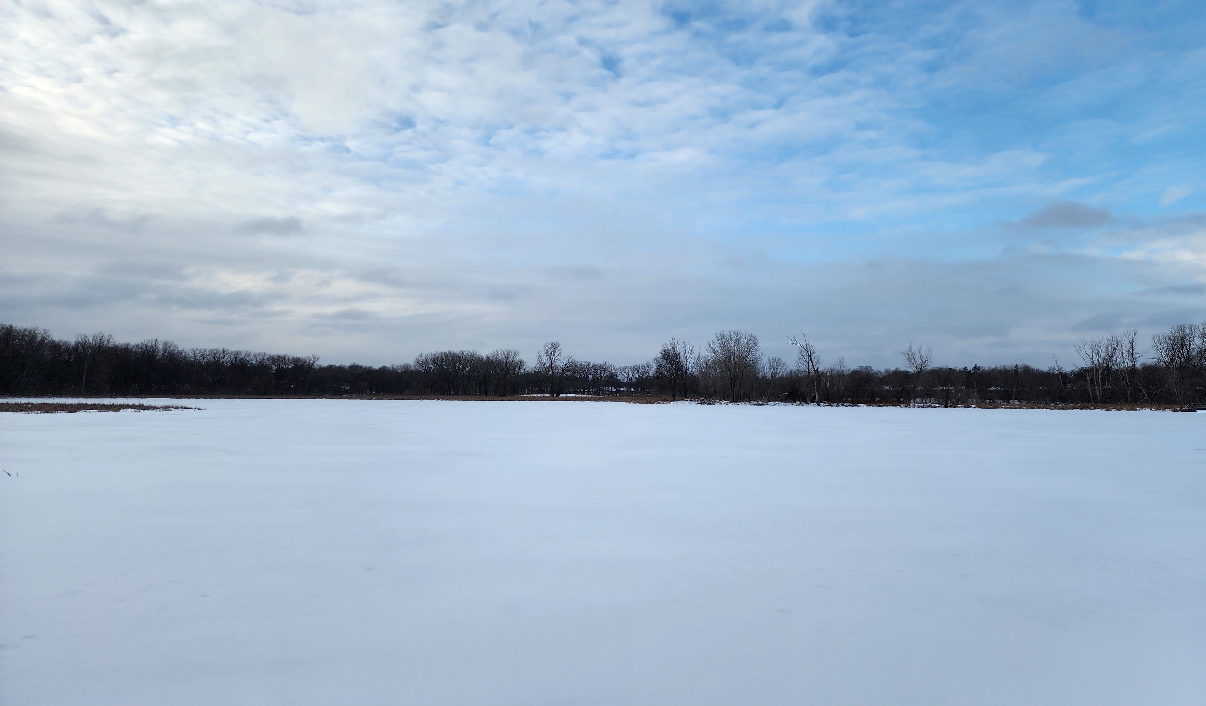
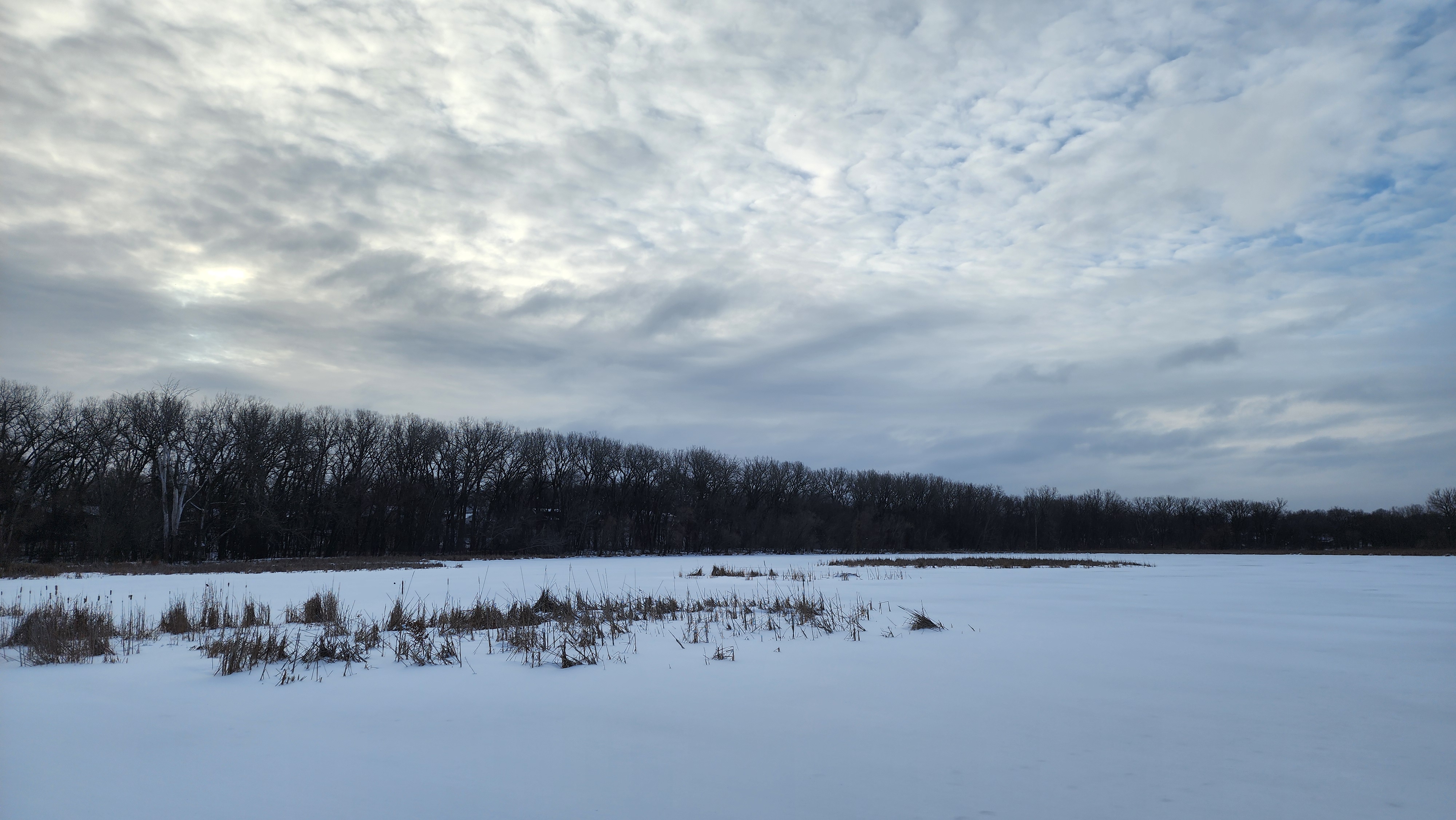
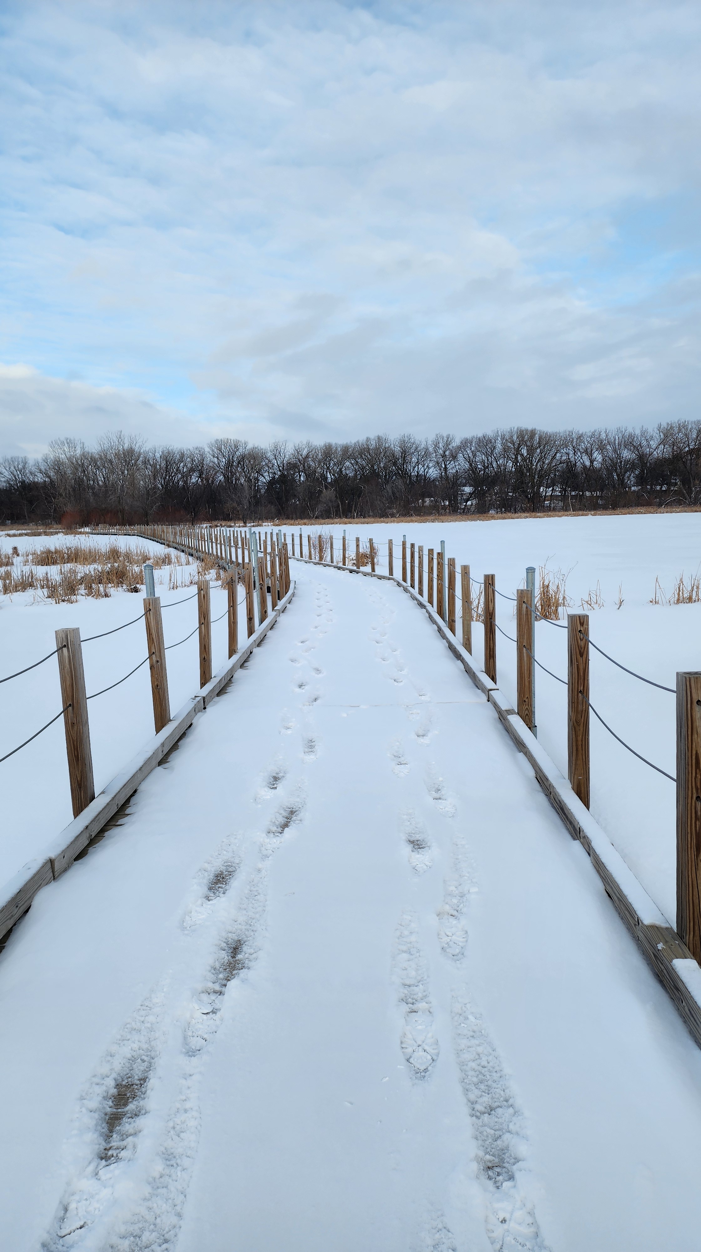
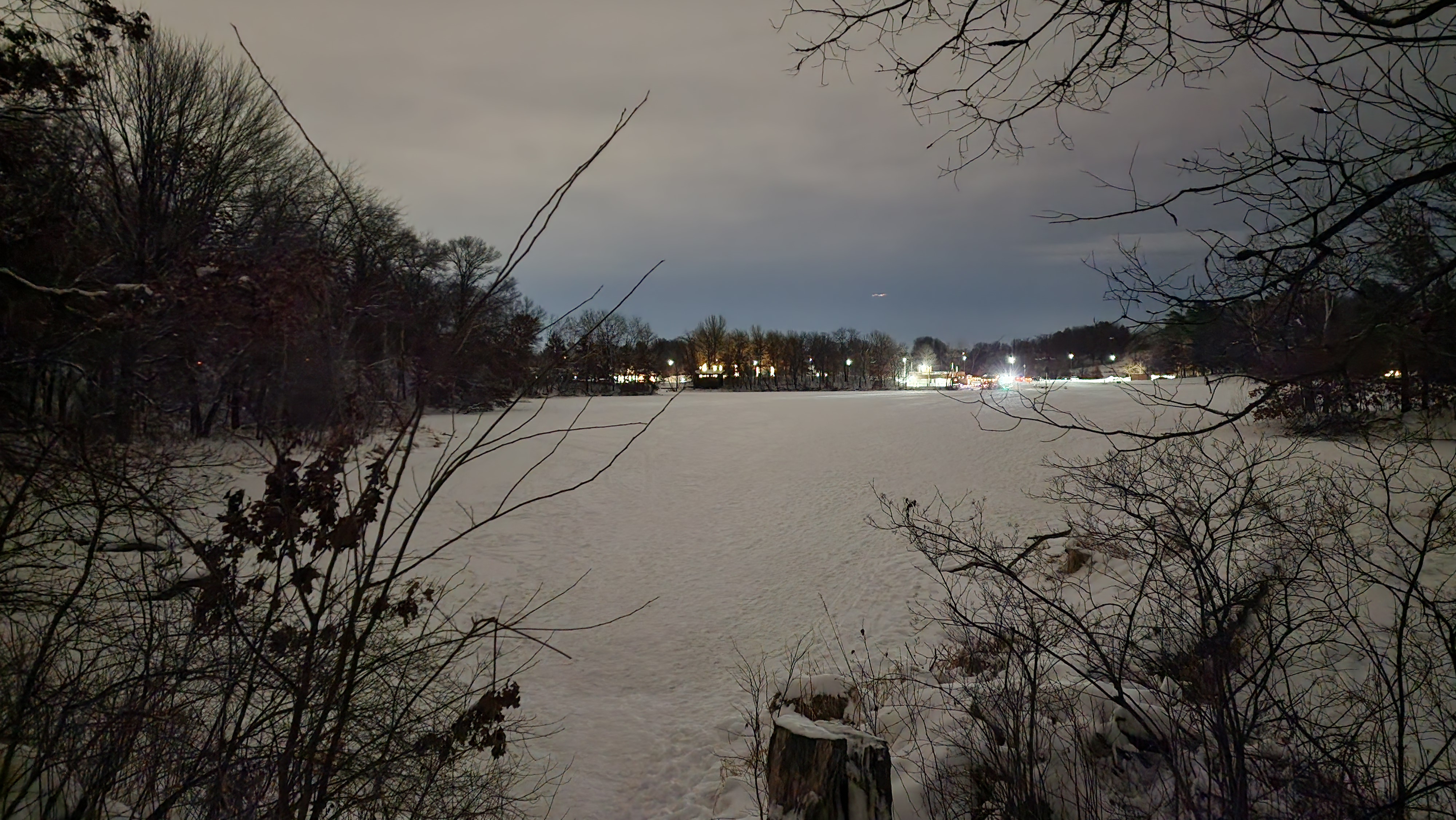
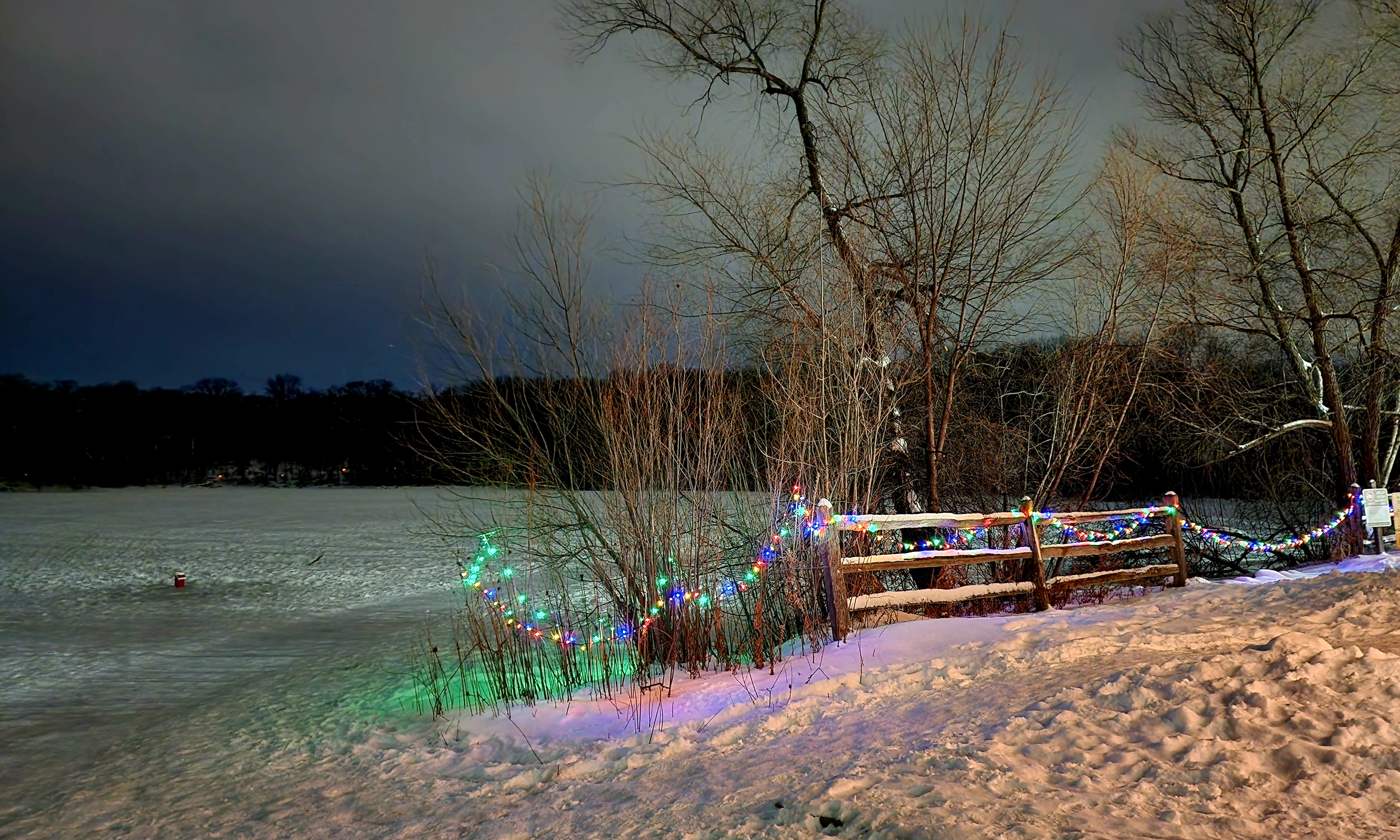
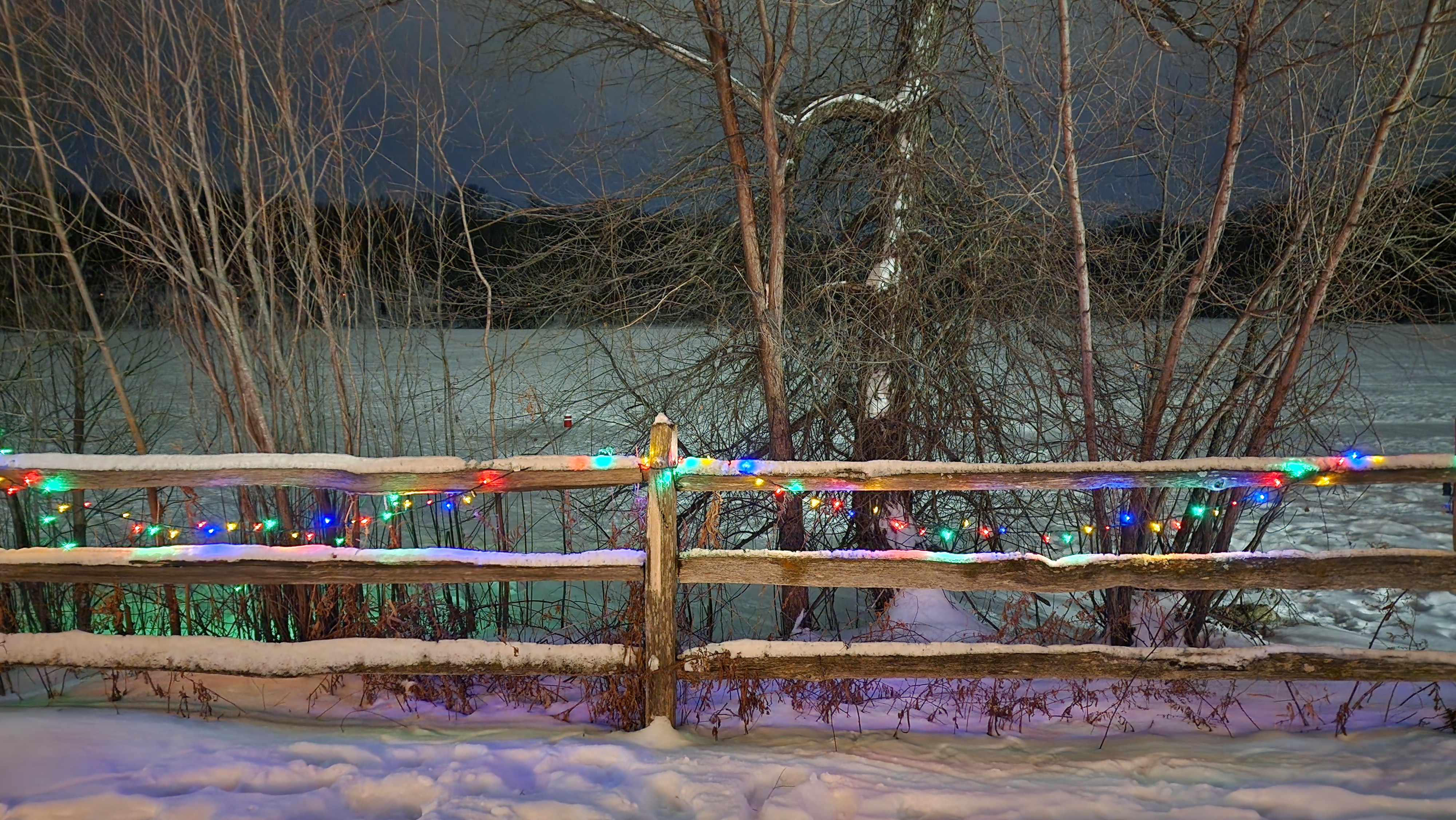
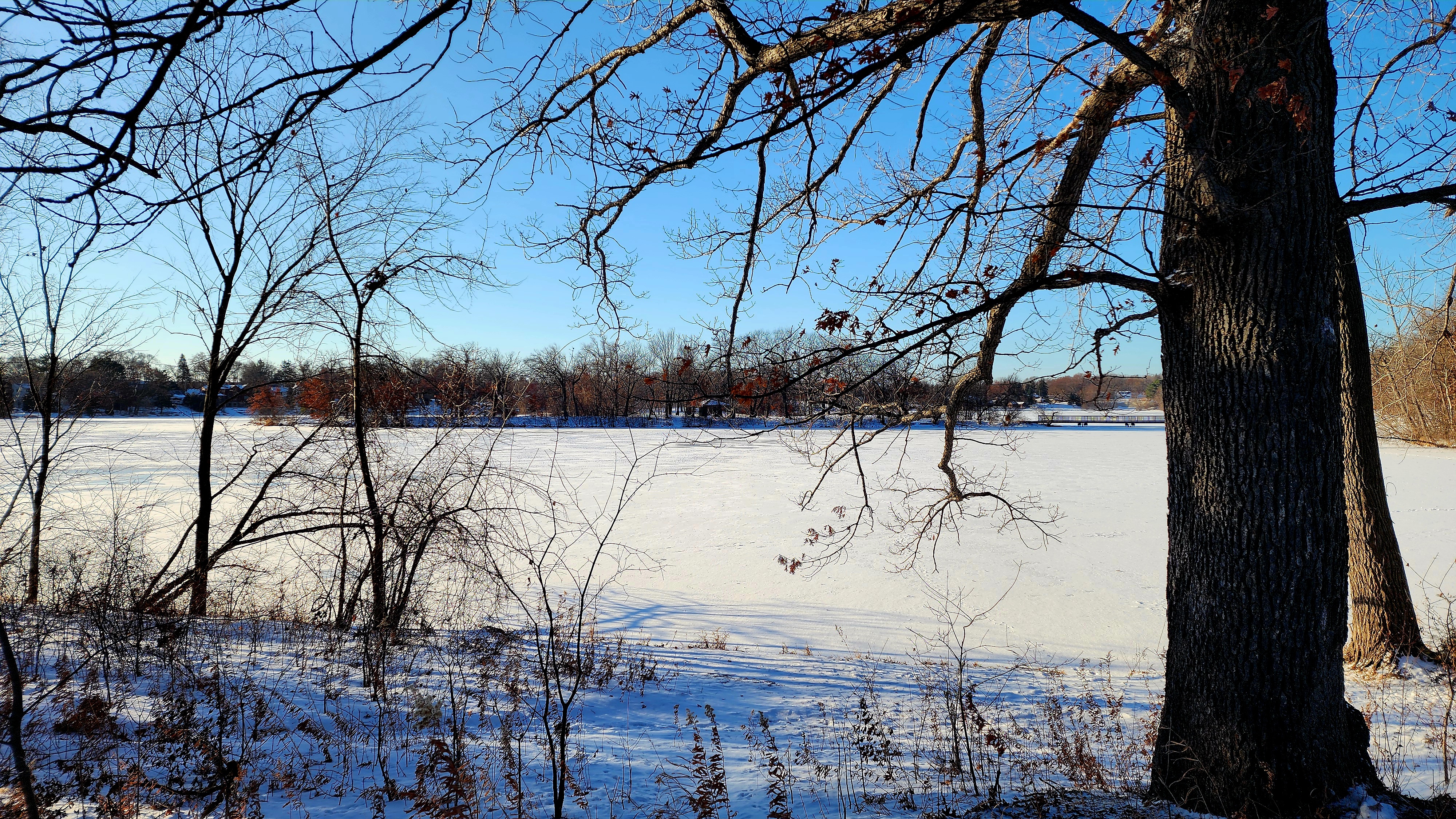
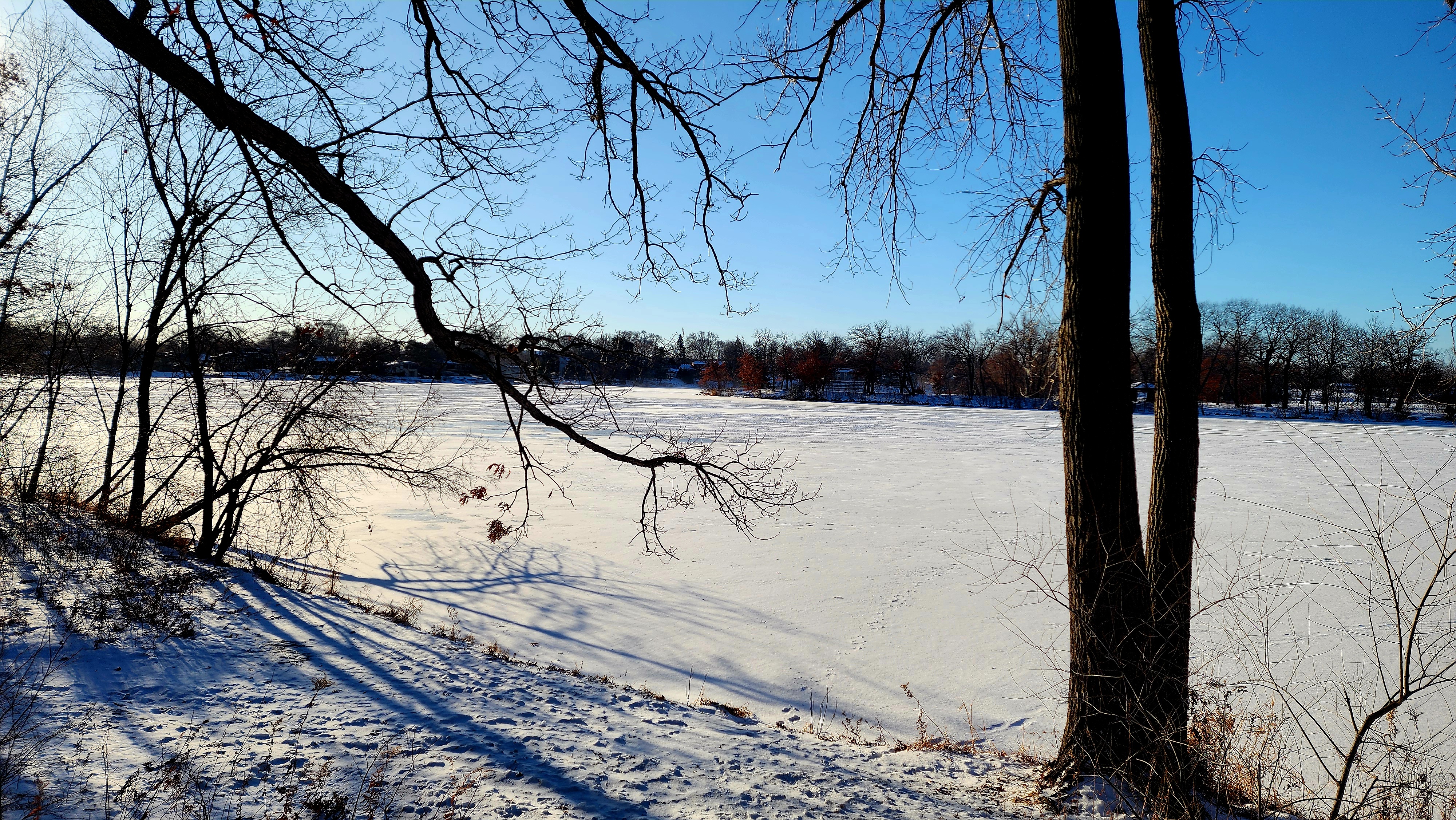
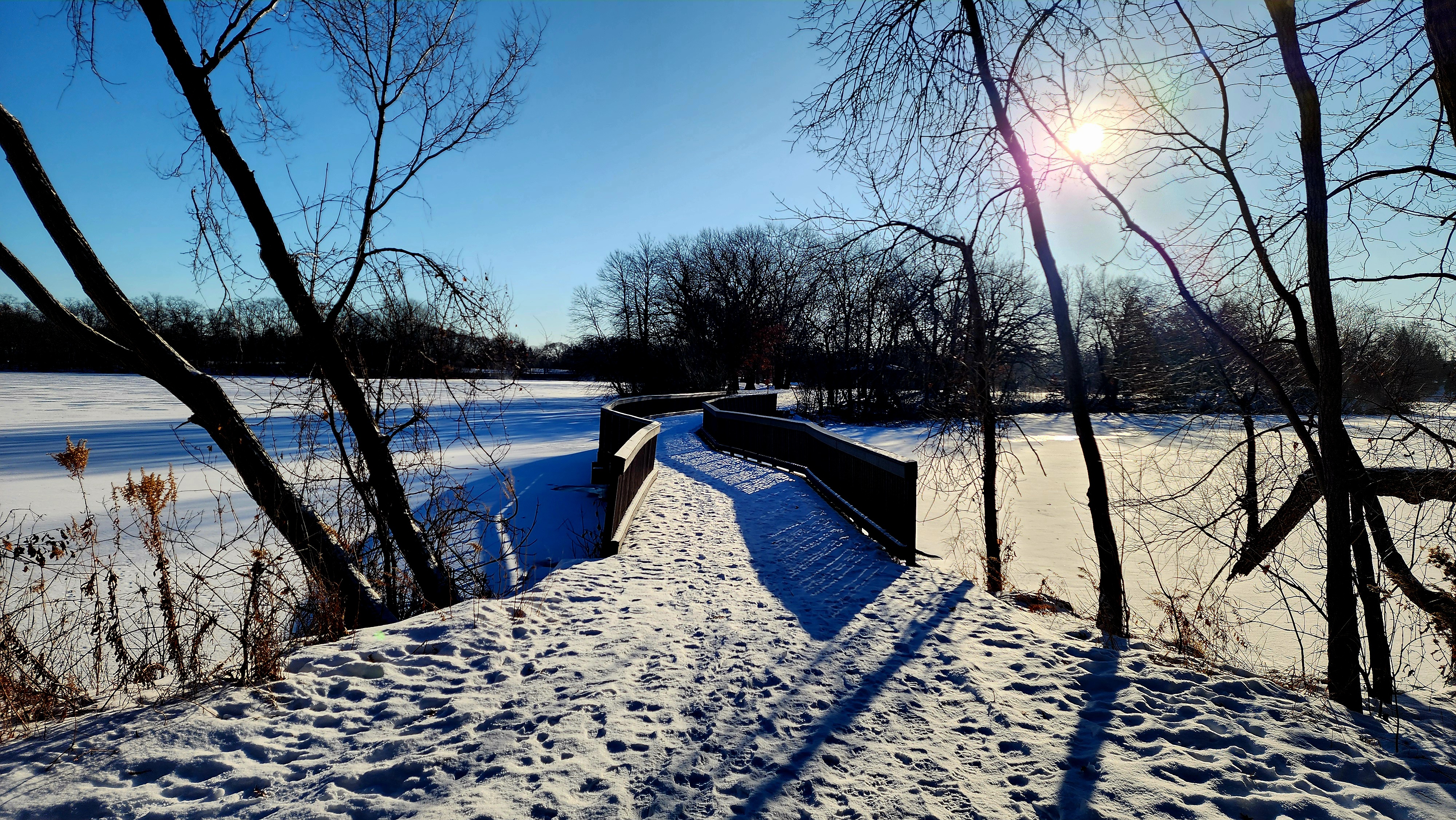
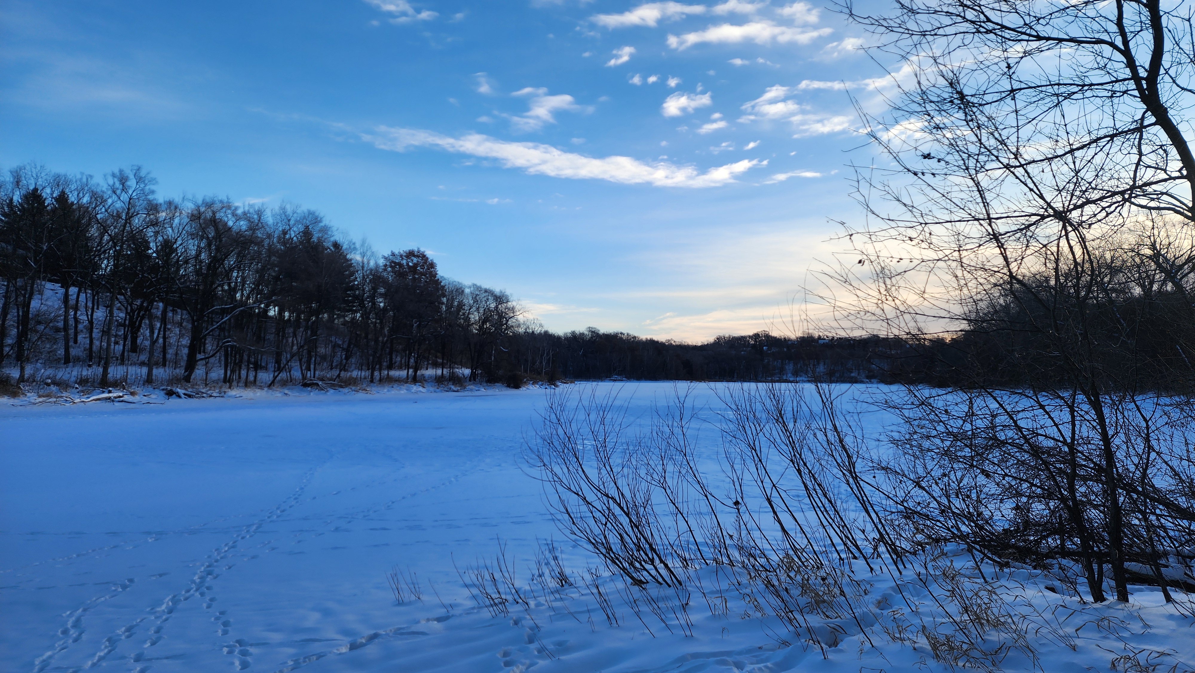
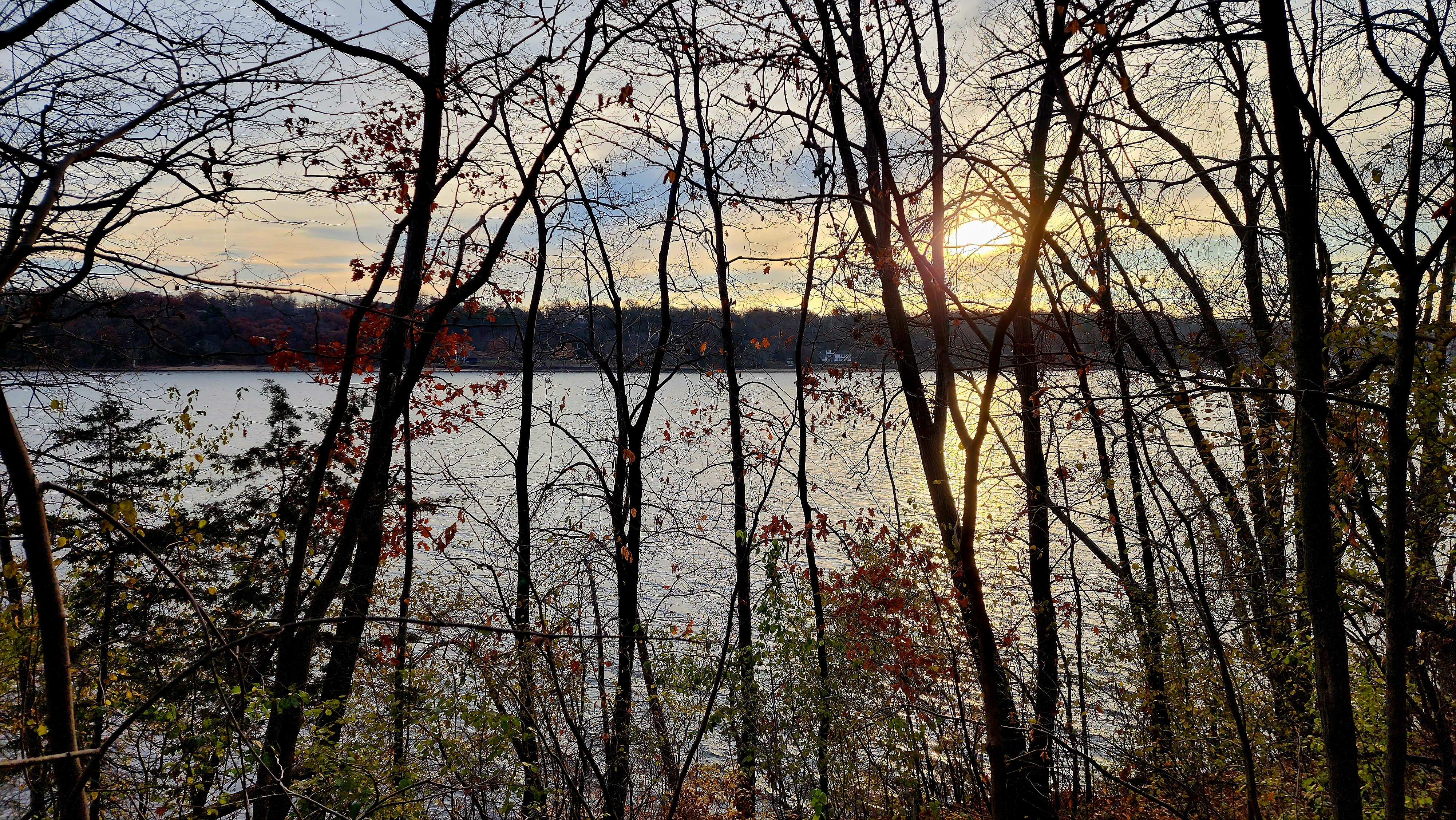
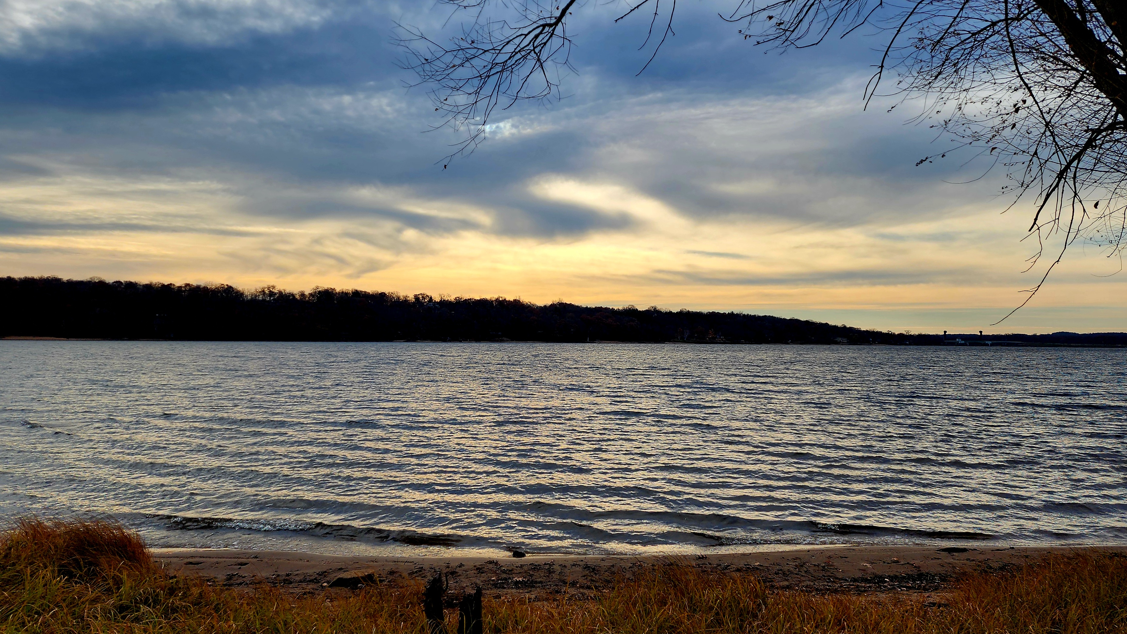
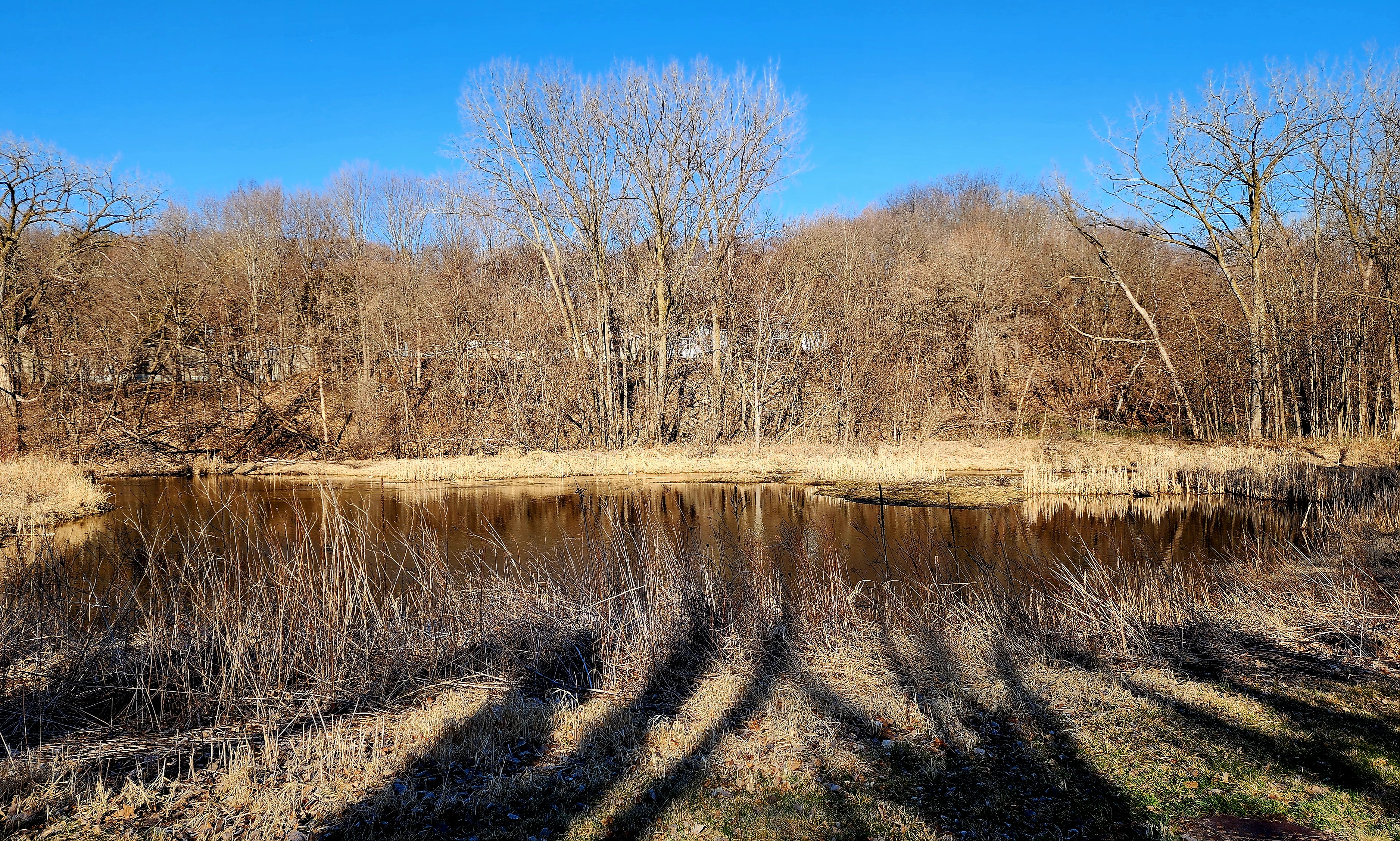
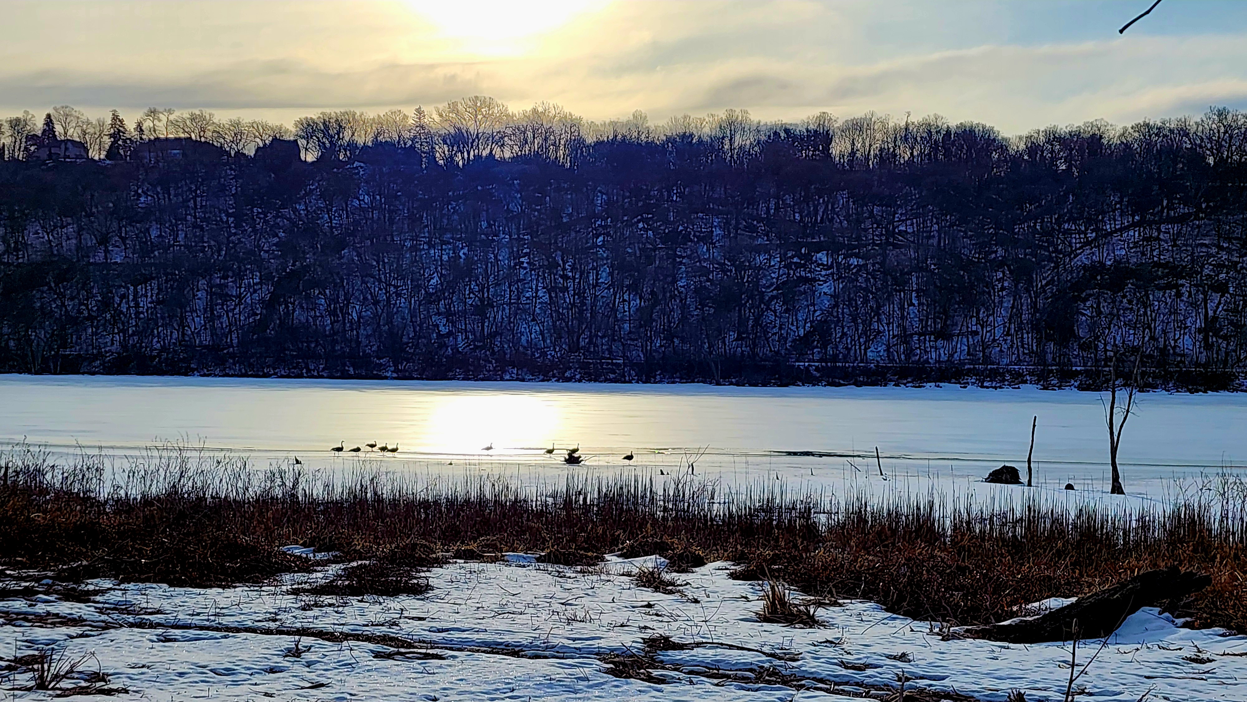
The cold wind whipped across Silver Lake.
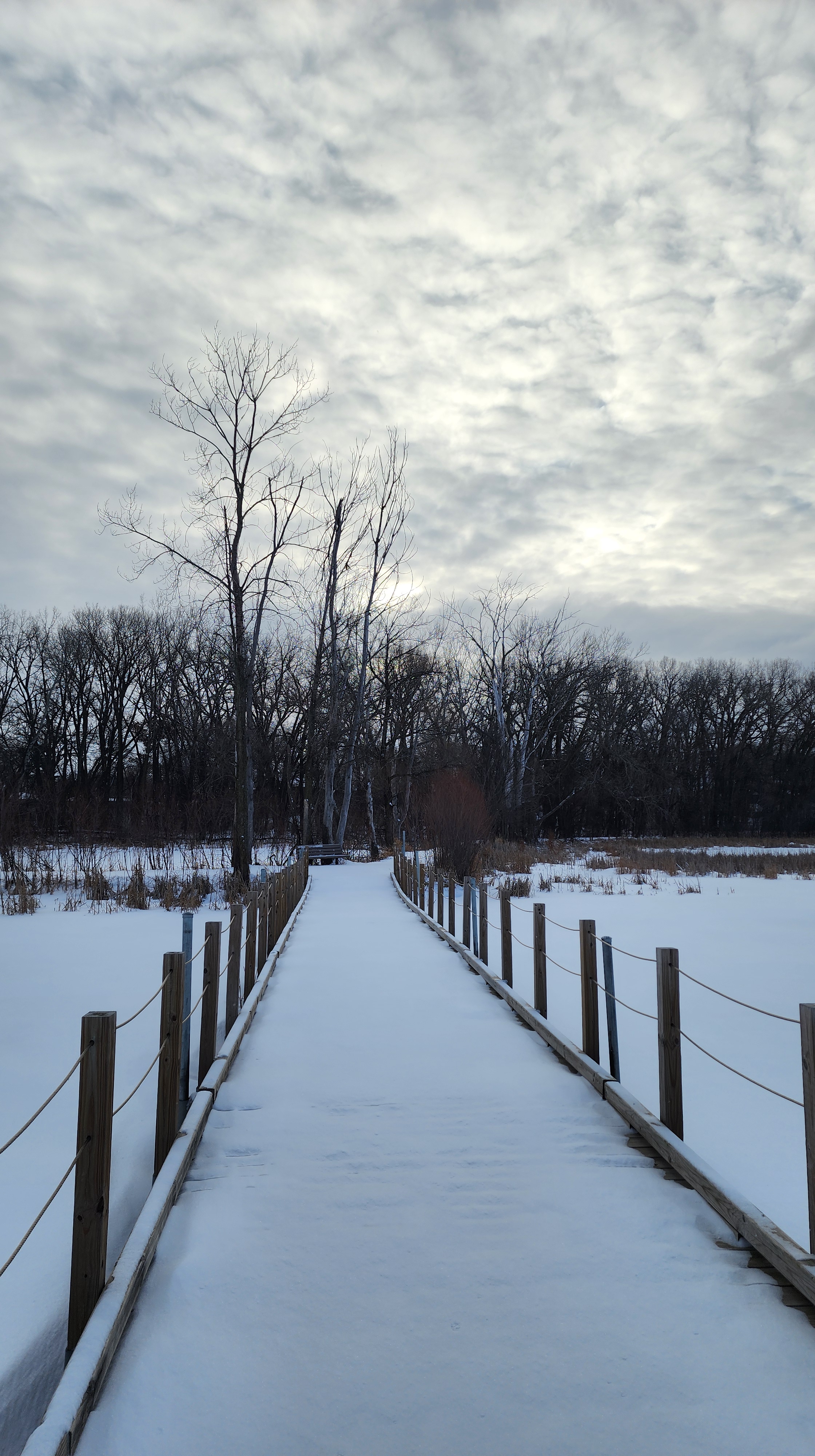
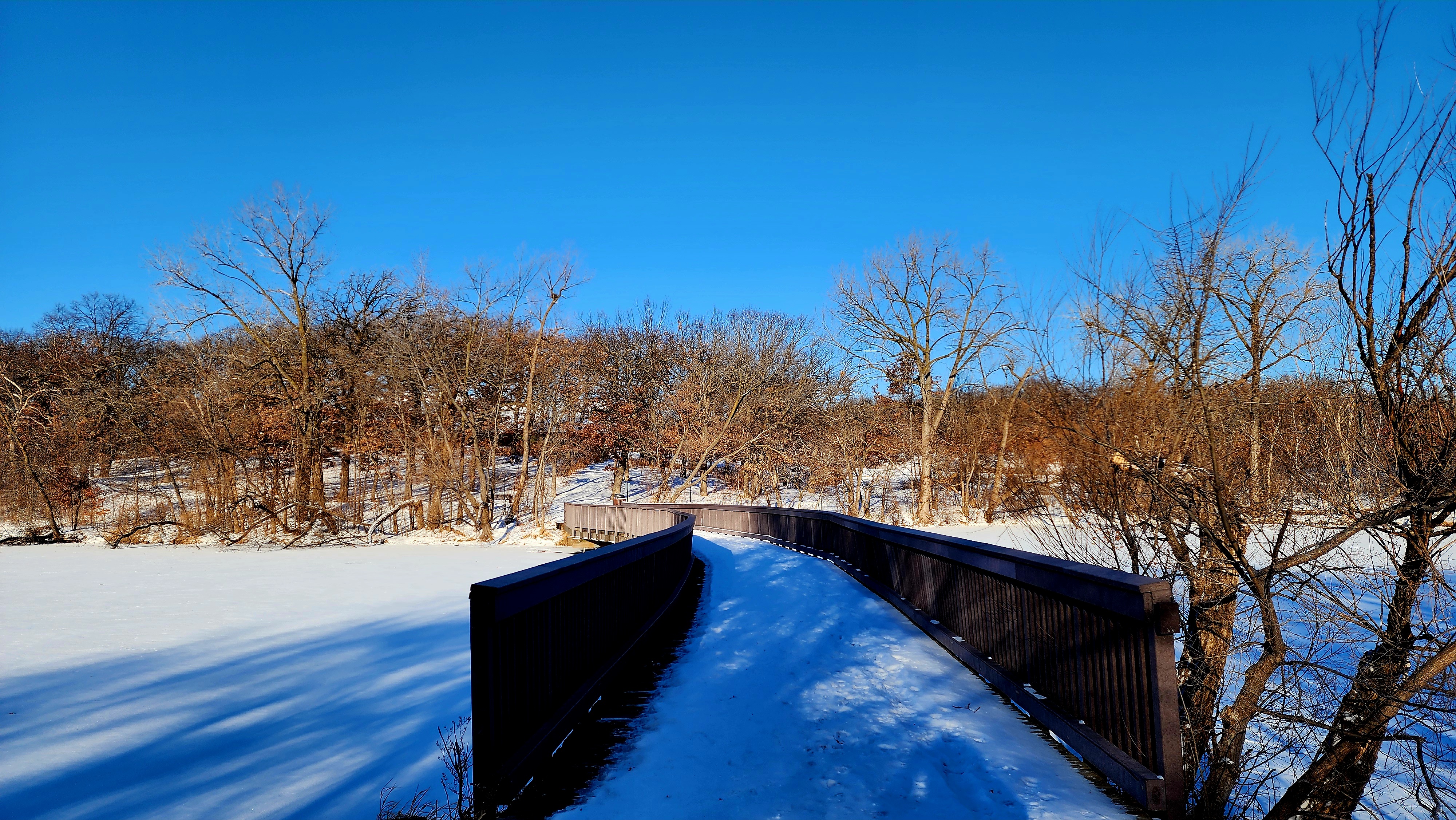
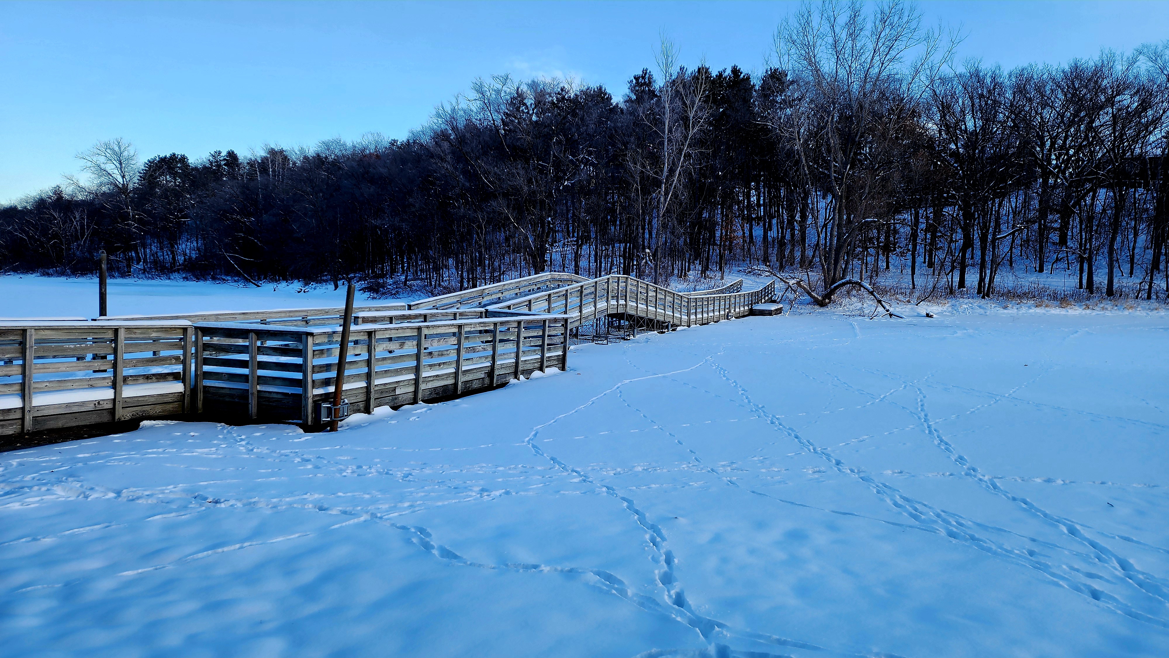
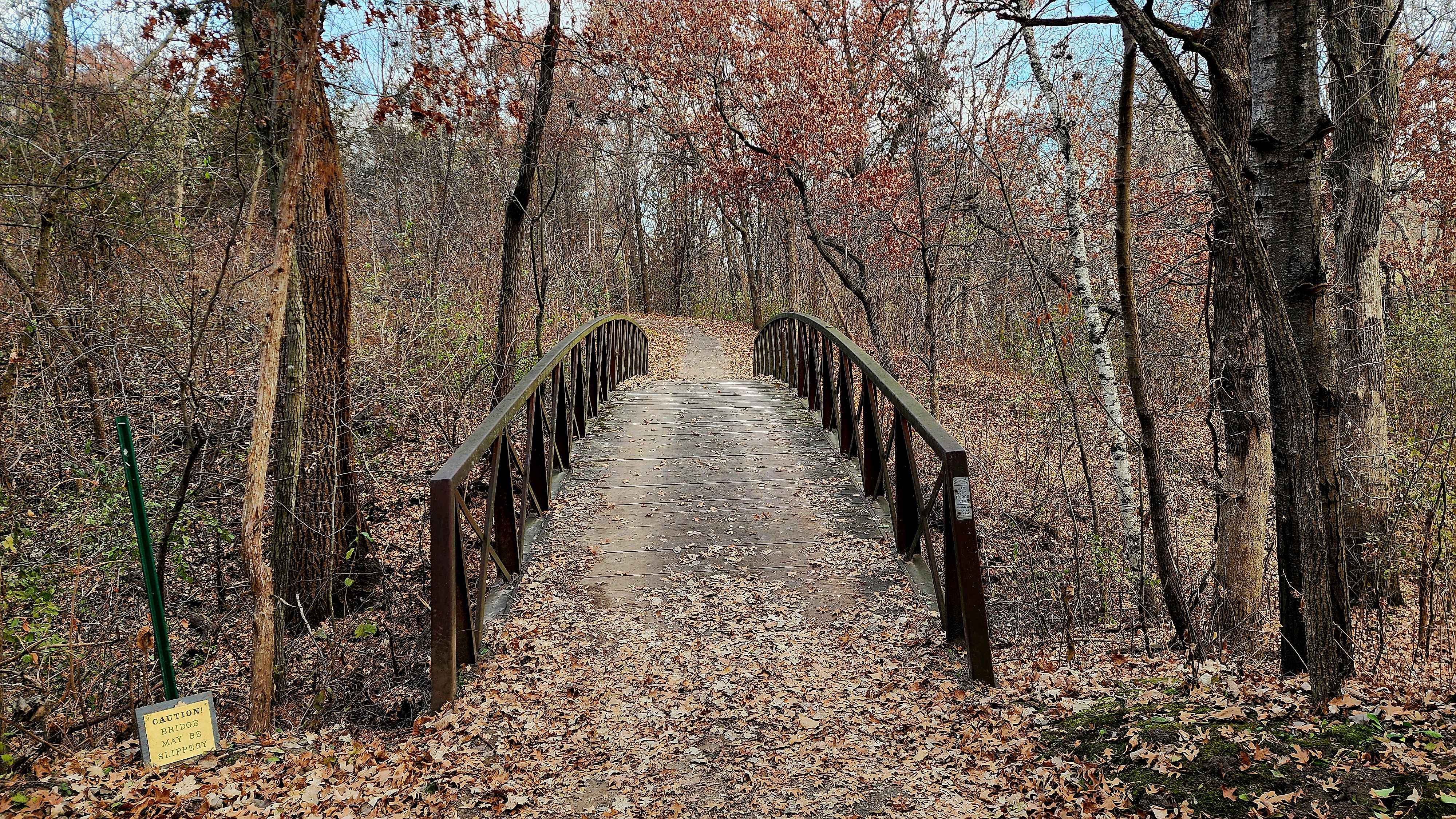
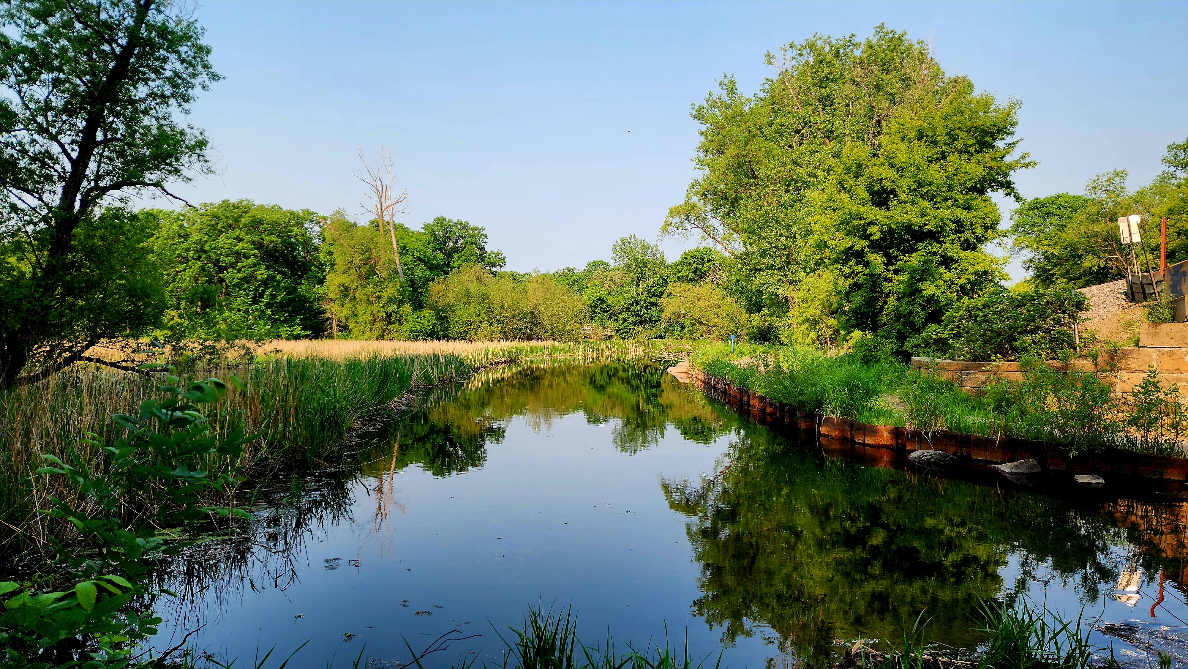
A large wooden bridge allowed us to cross Silver Lake to the nearby island. We looped around the island.
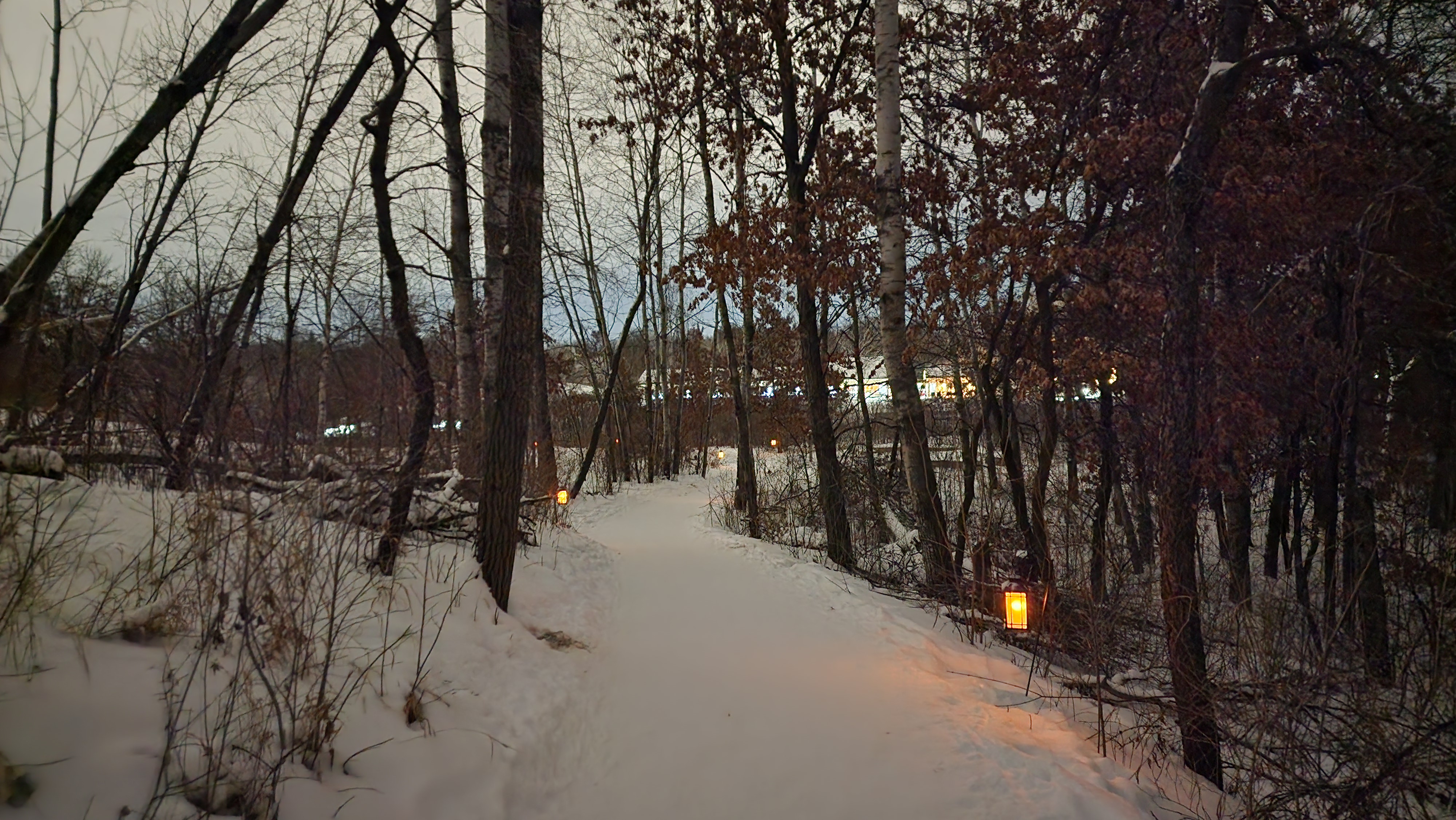
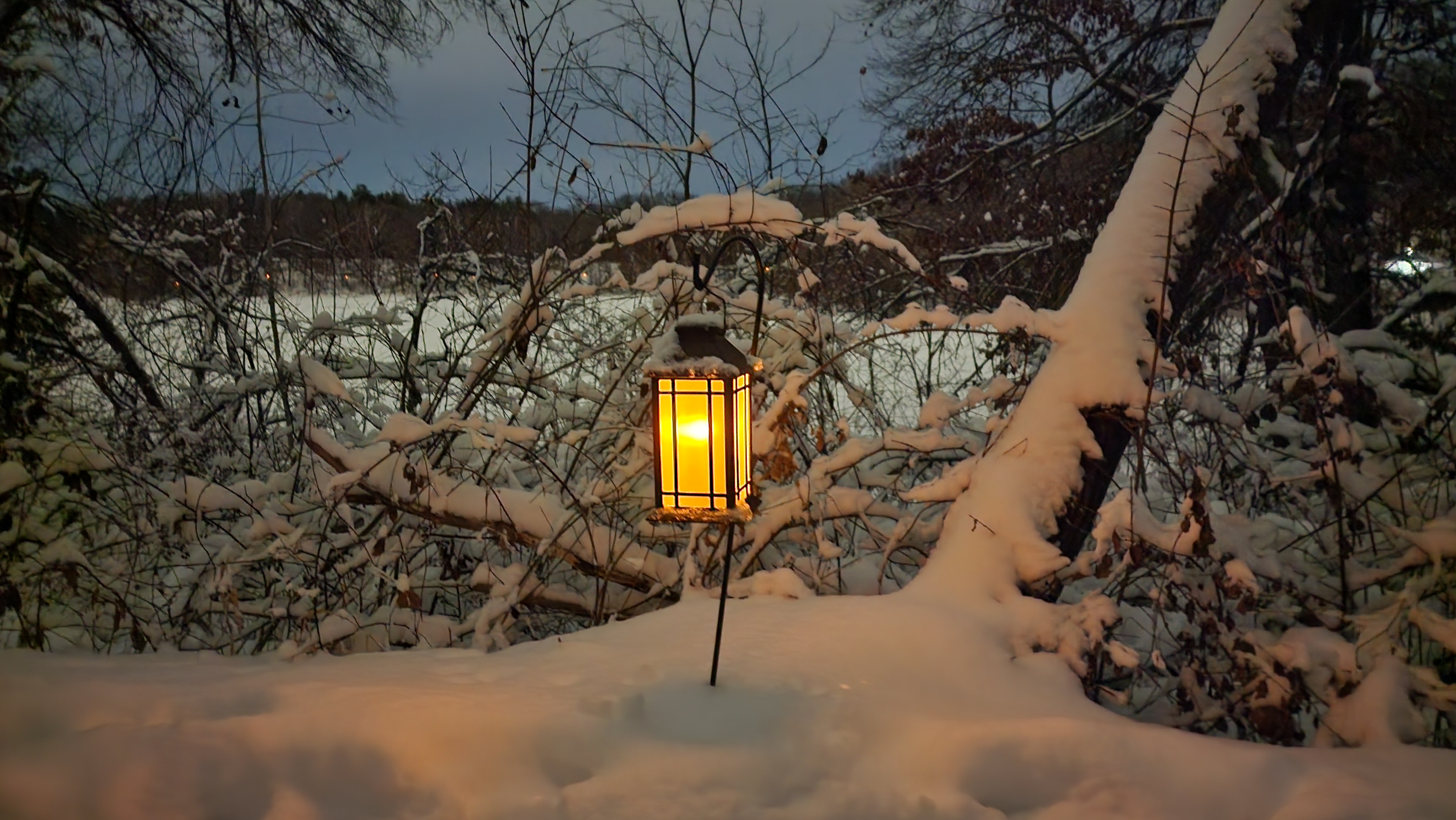
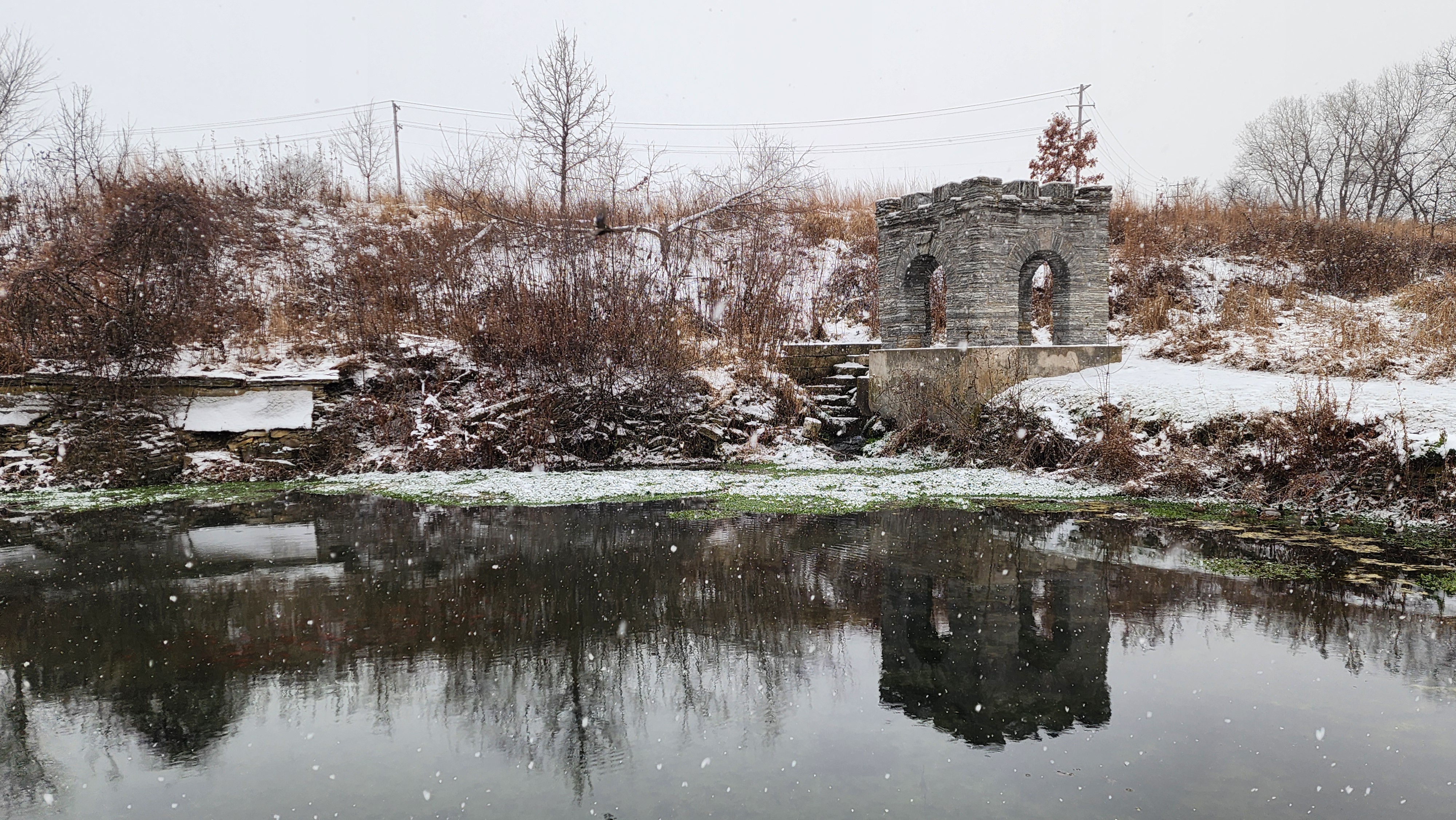
We found another fun sculpture as we made our way back to the Visitor Center.
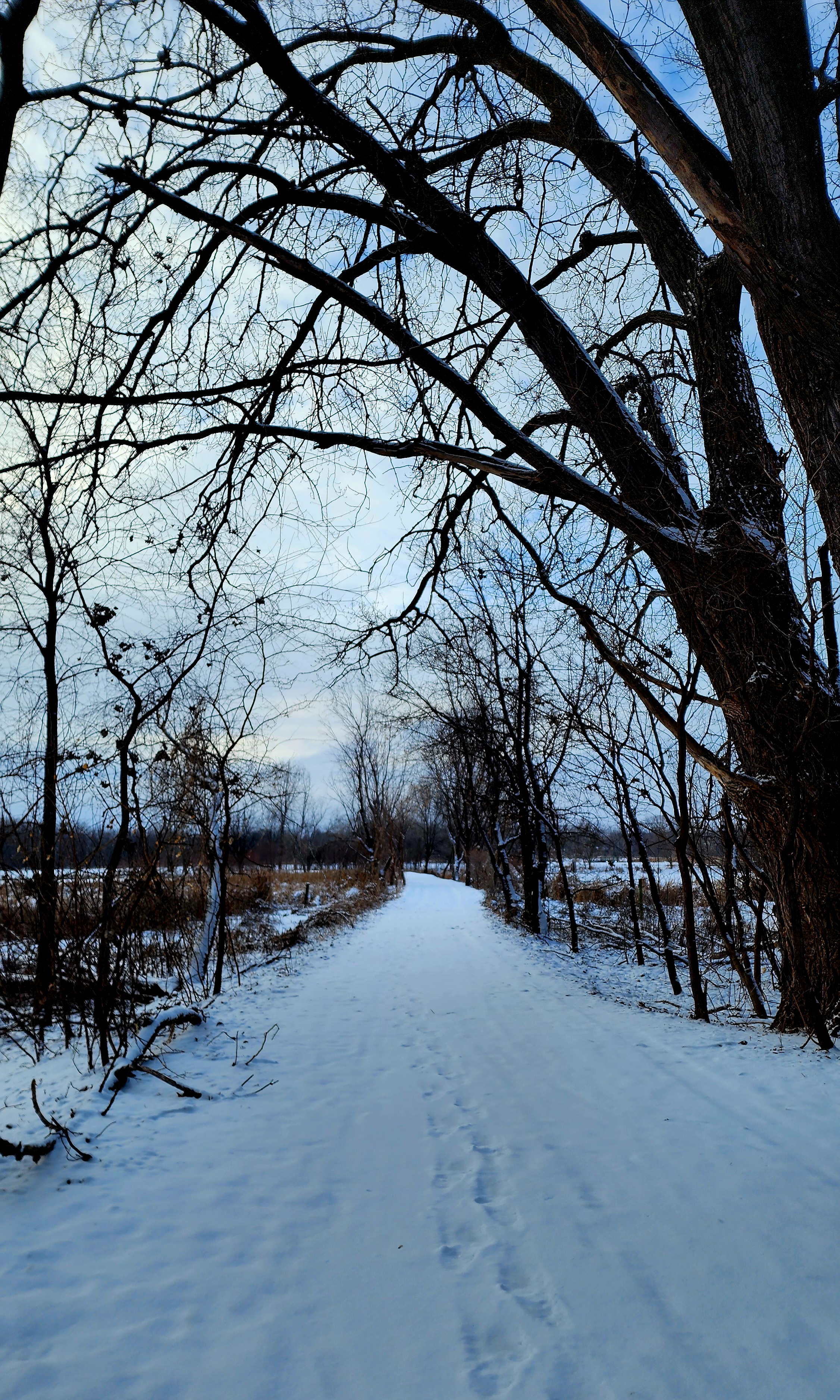
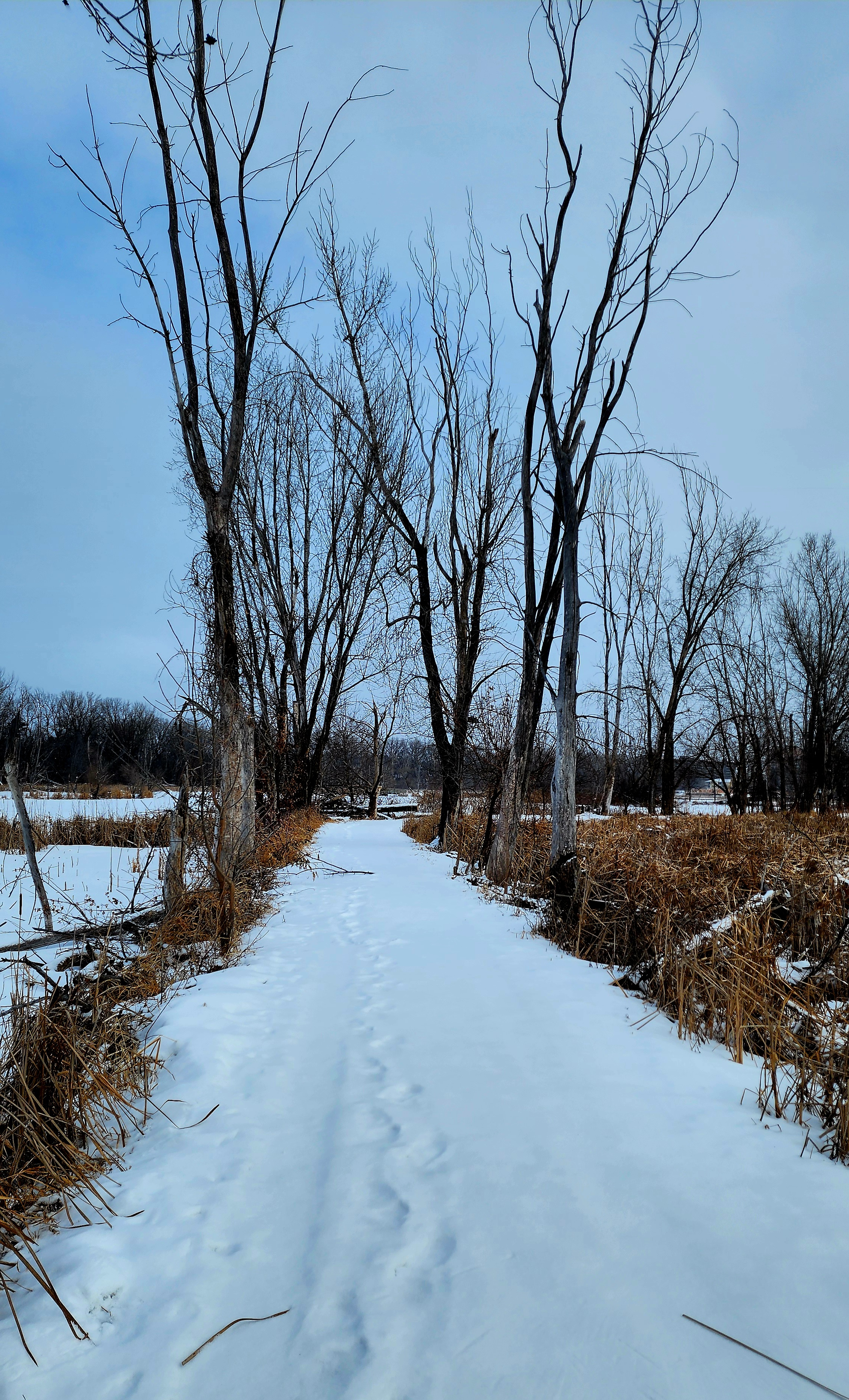
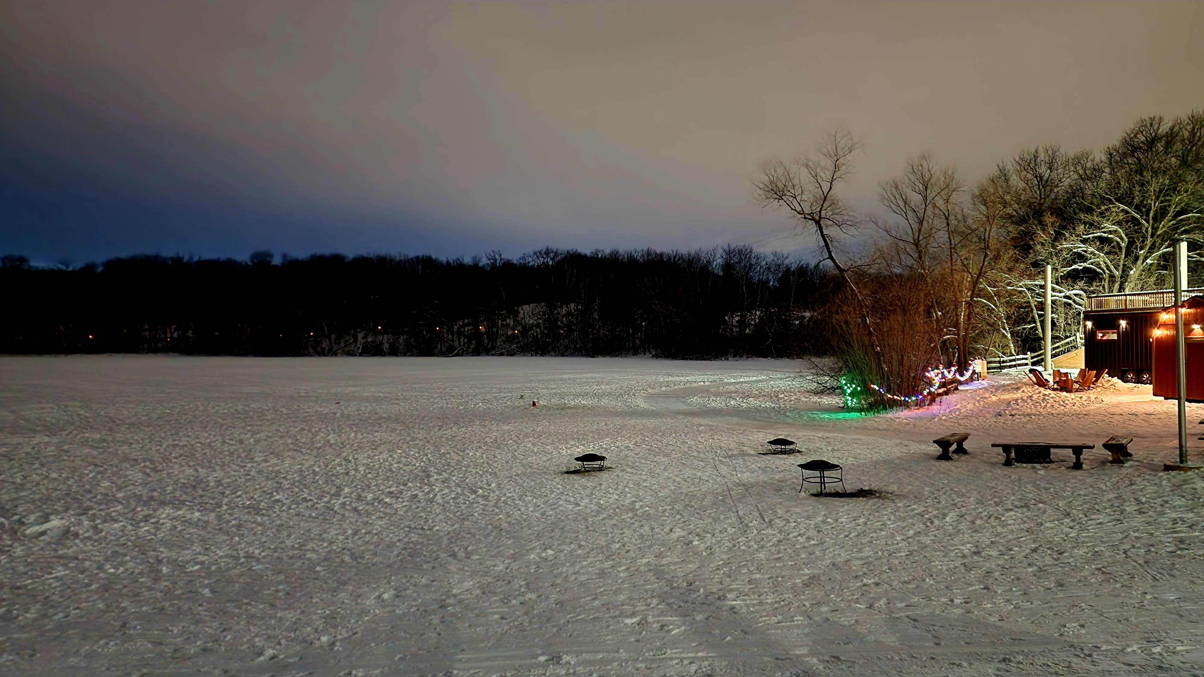
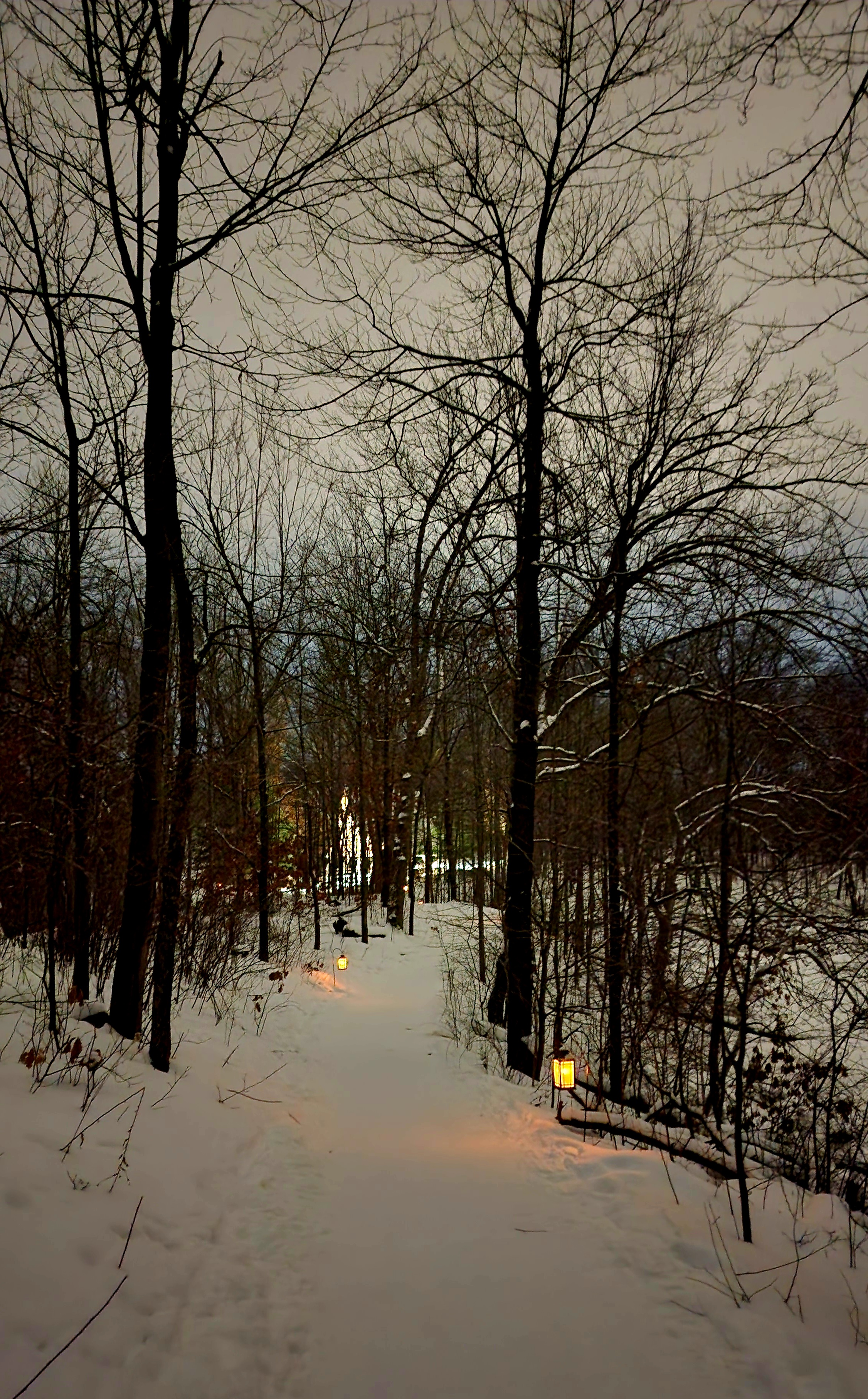
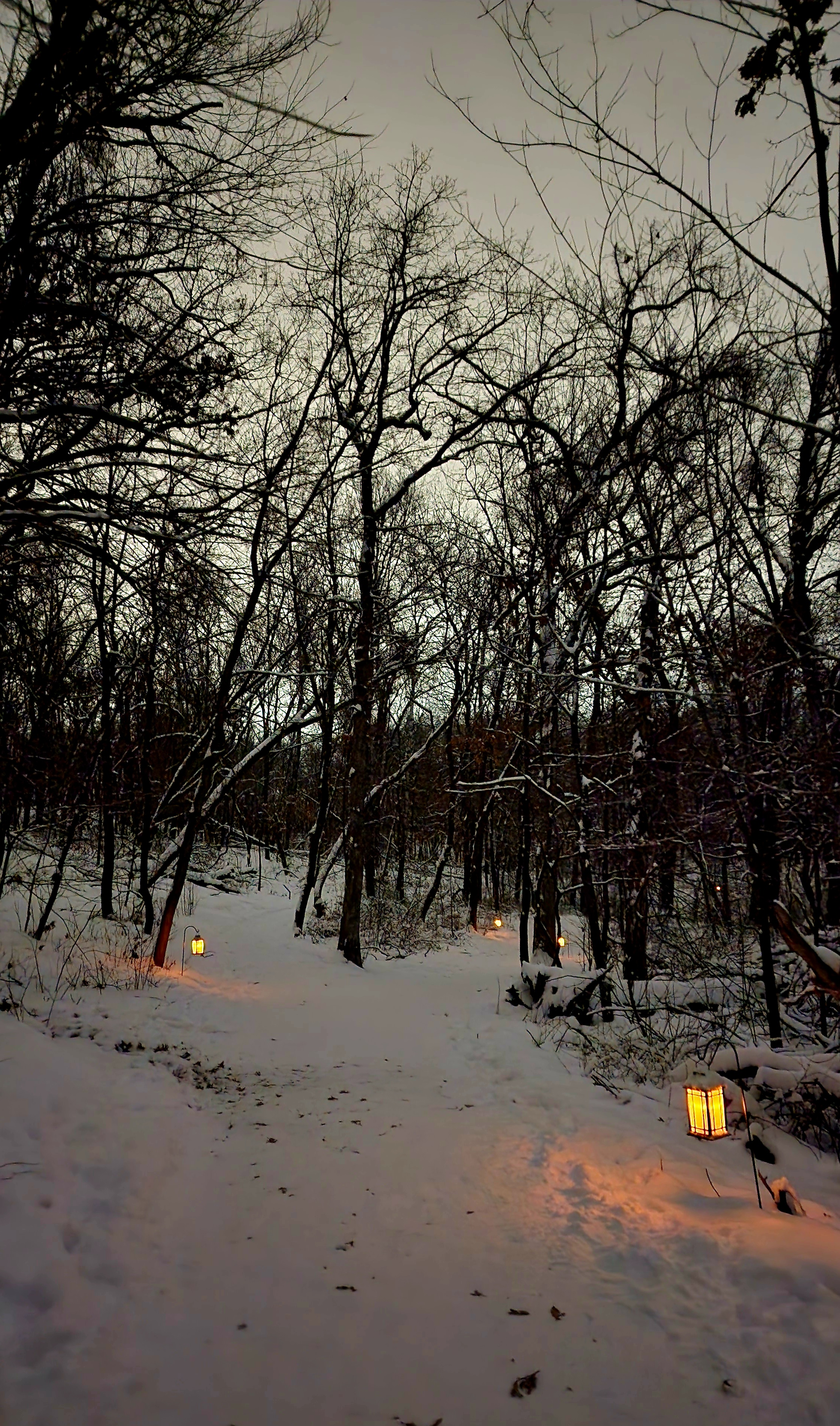
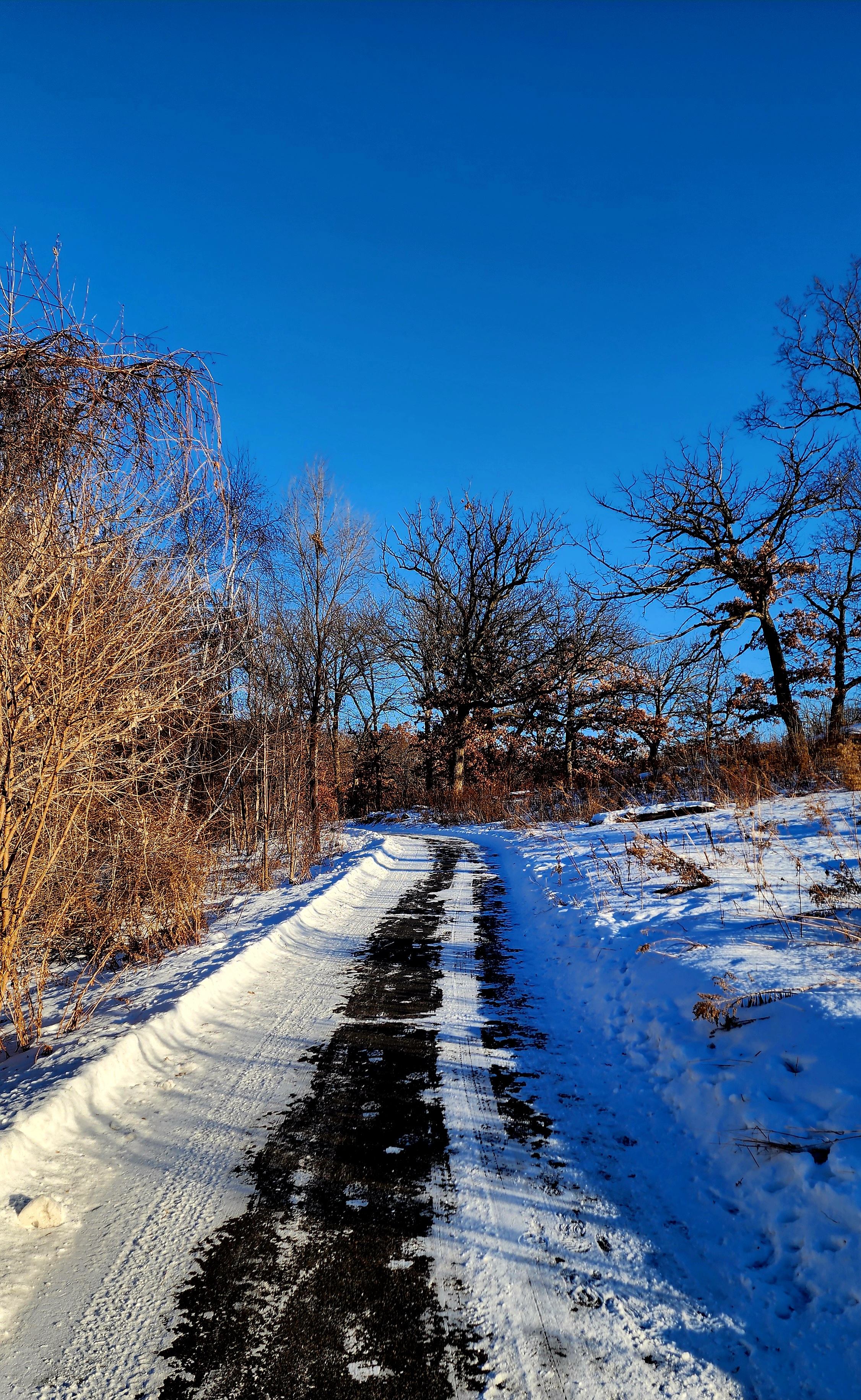
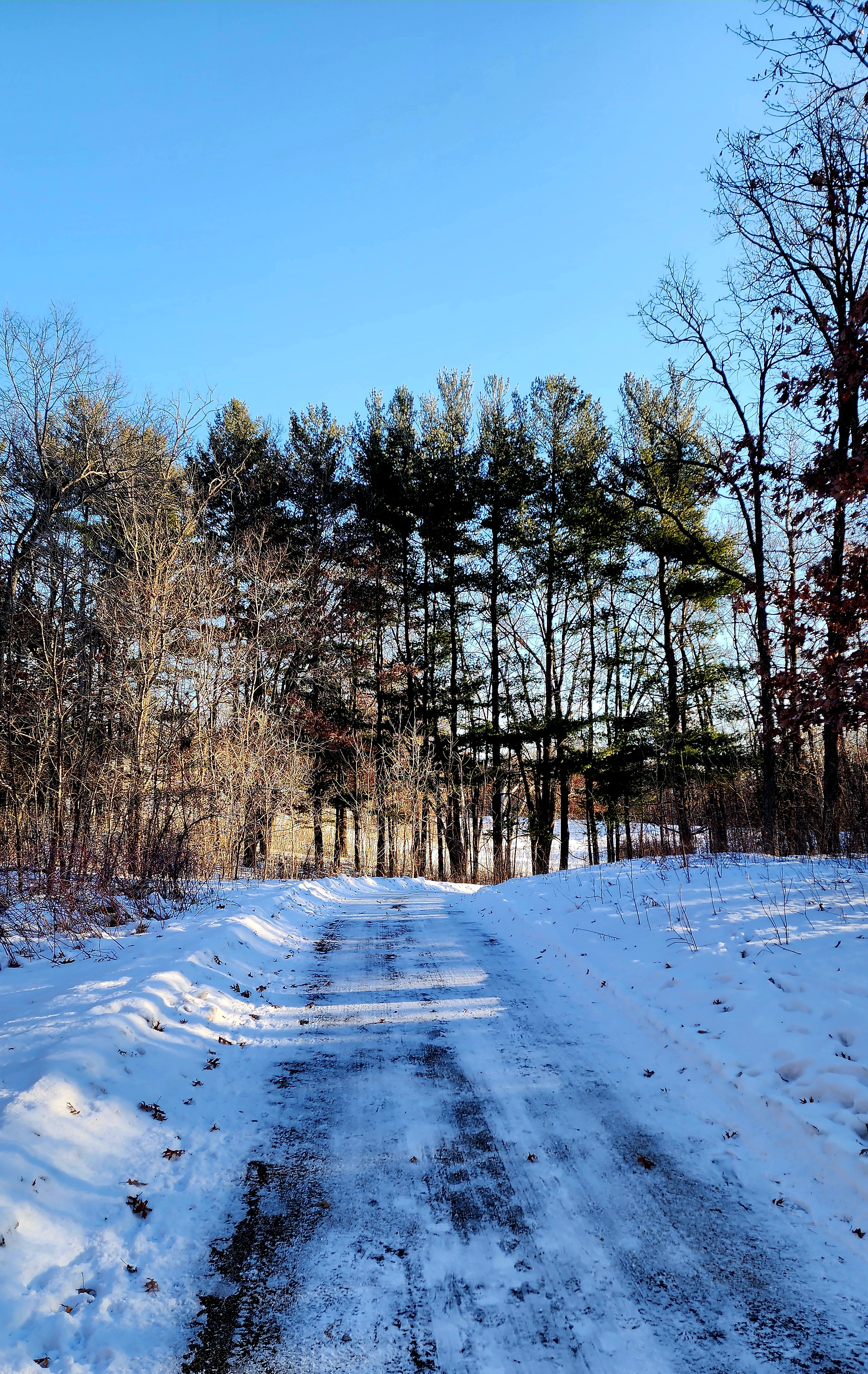
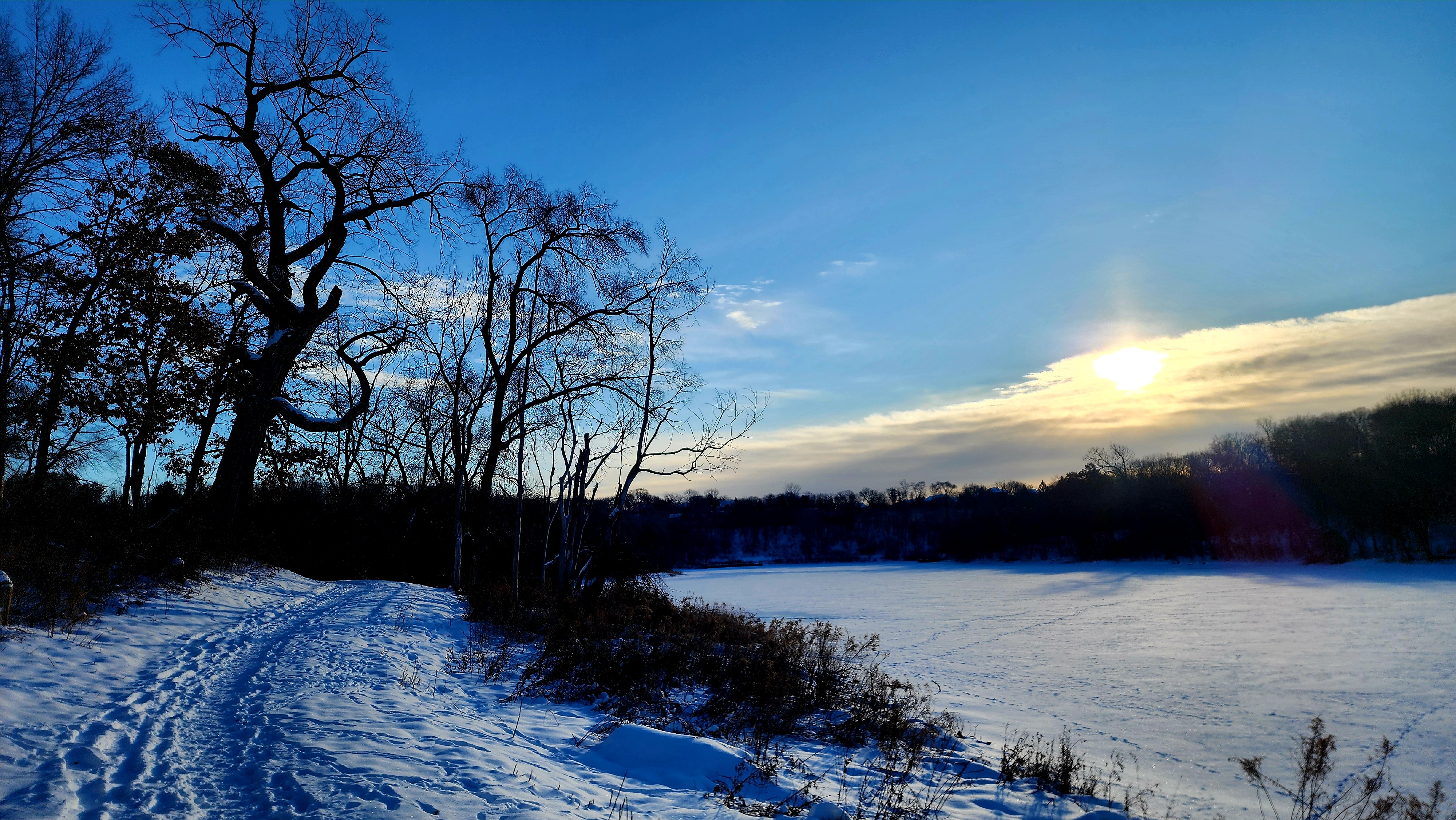
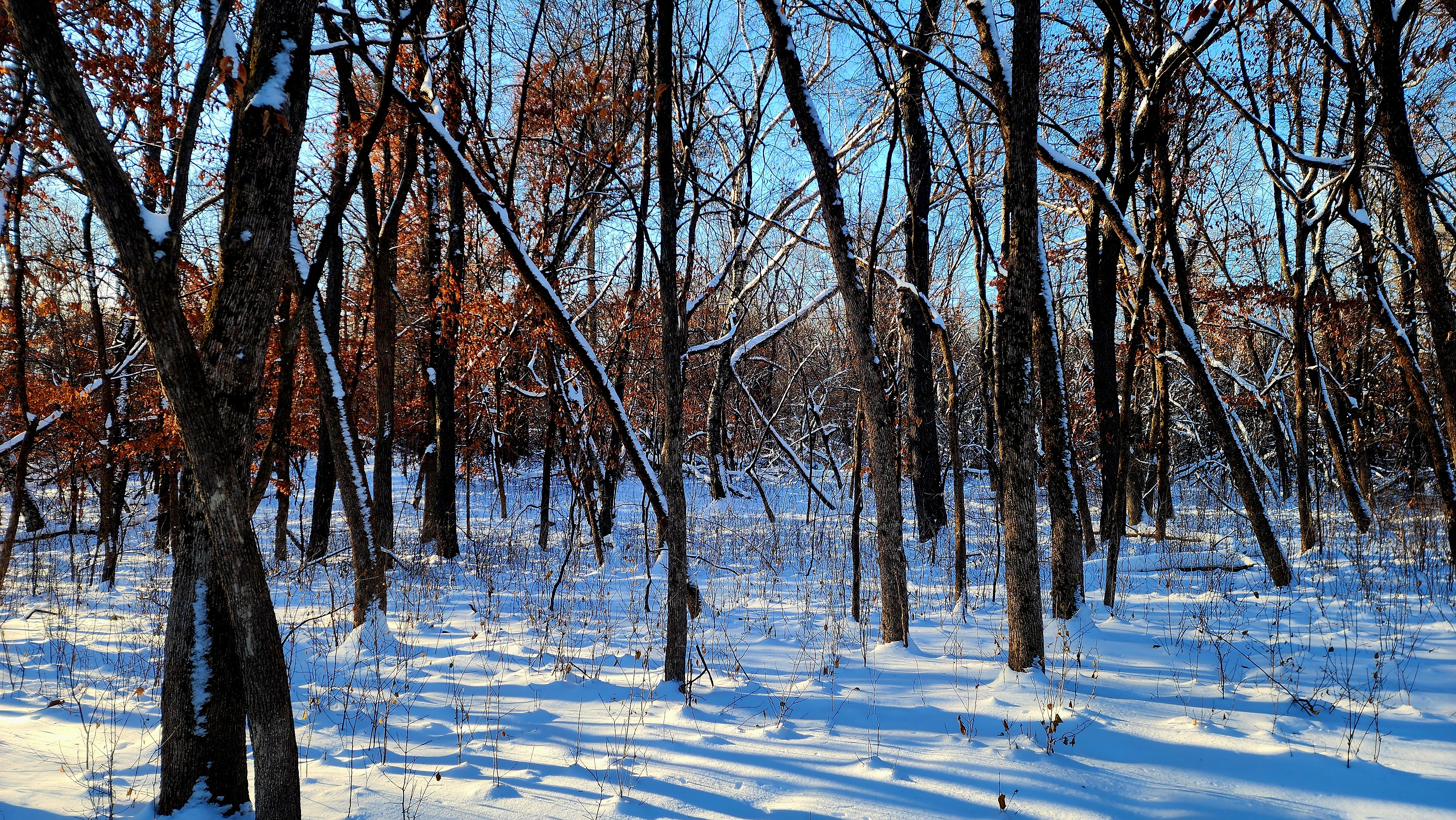
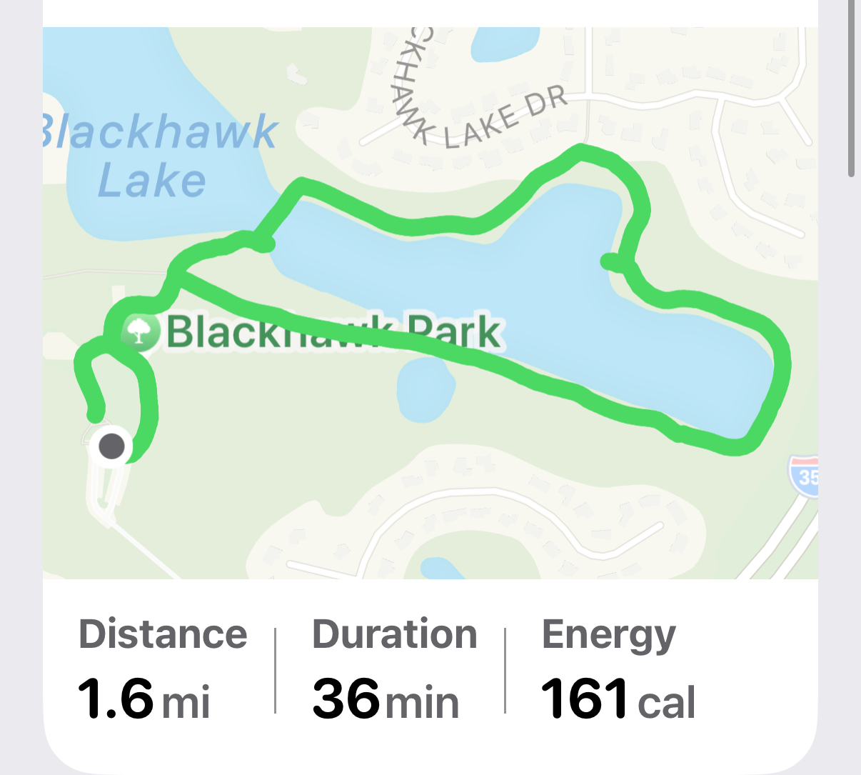
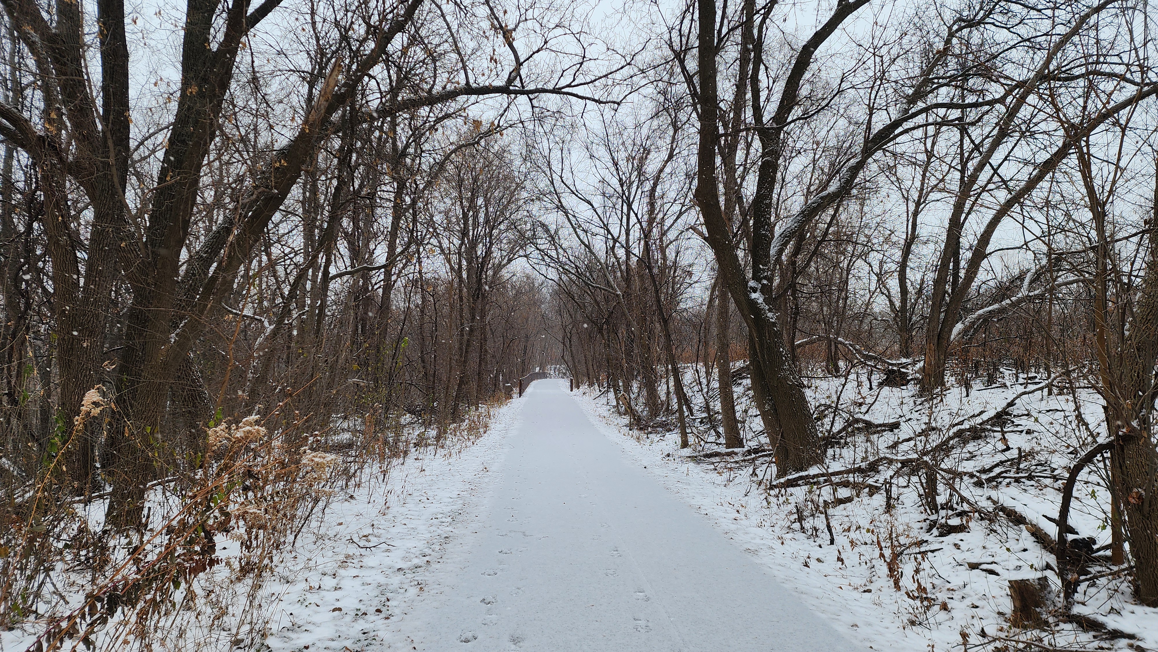
The sun was shining brightly above as we began our hike in -4 degree temperatures. My weather app said the “feels like” temp was -20. Yup! I agree, it is cold but dang, it is beautiful out.
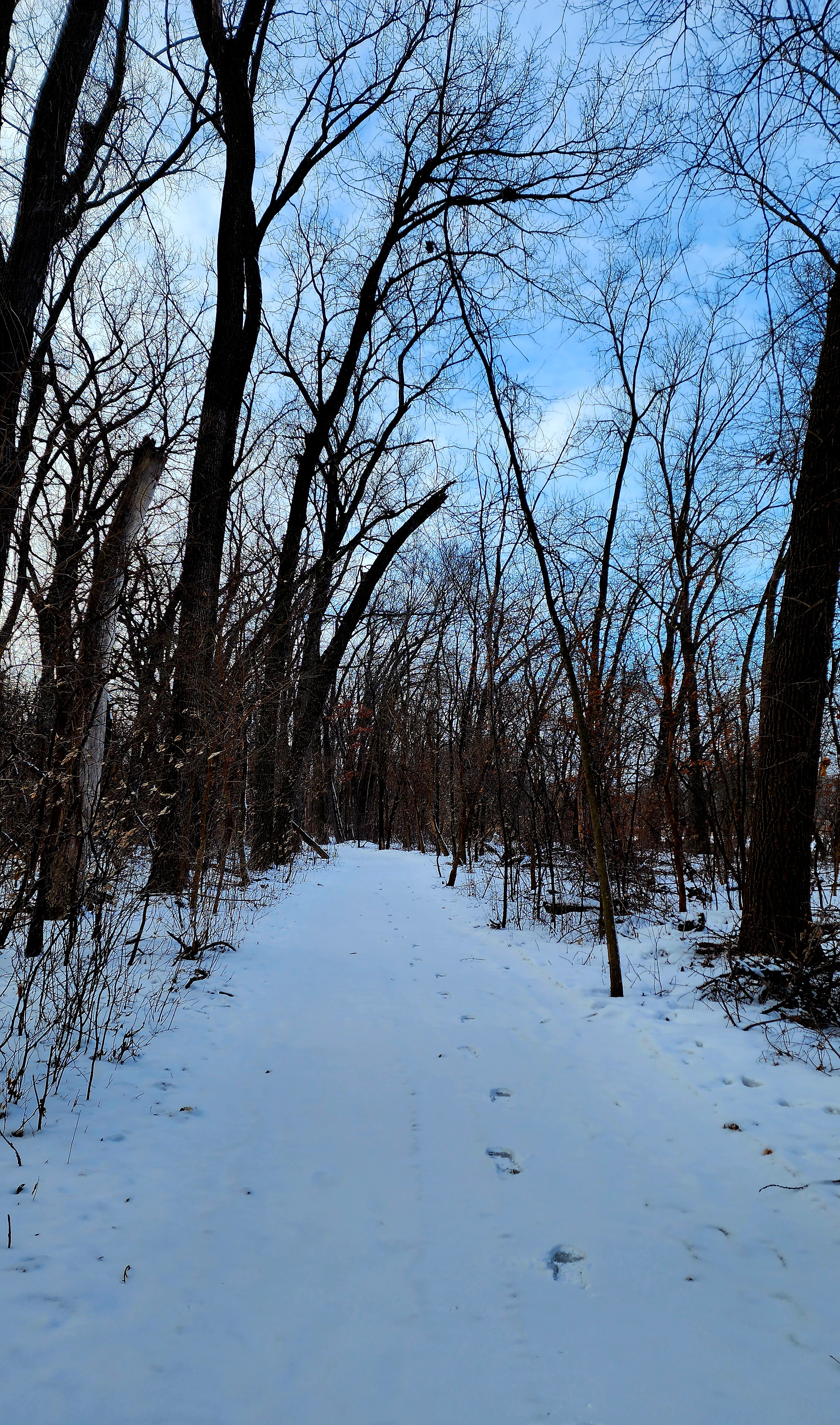
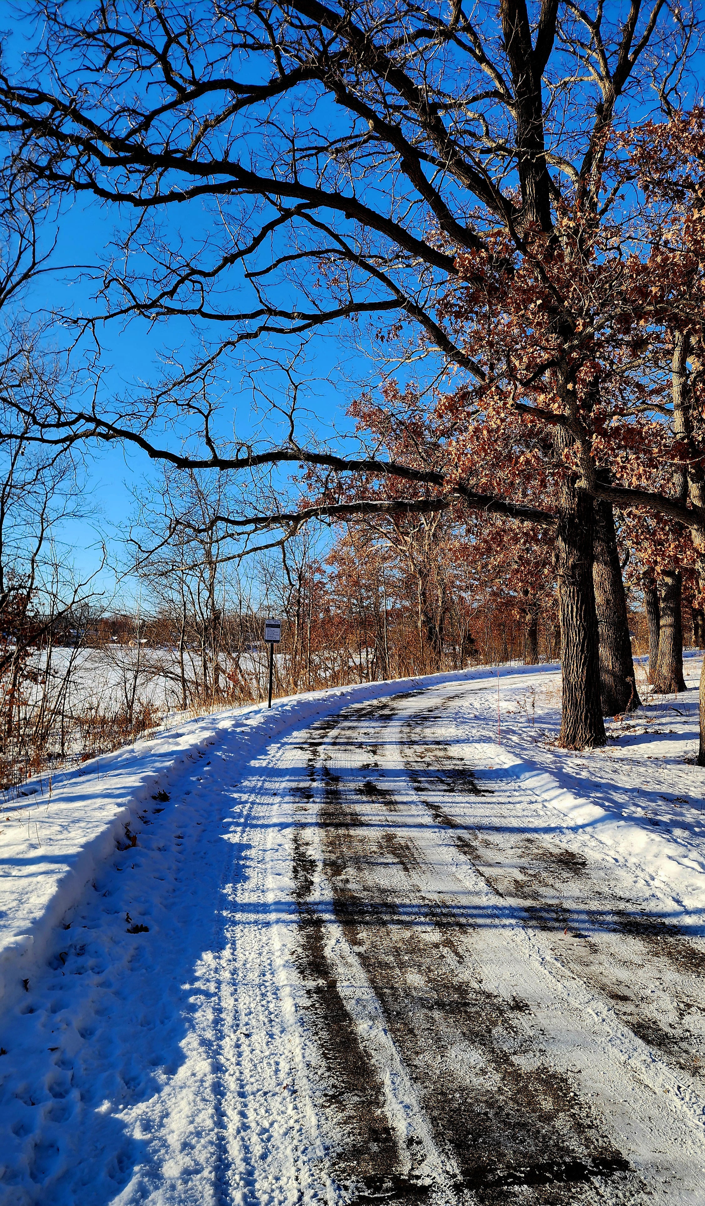
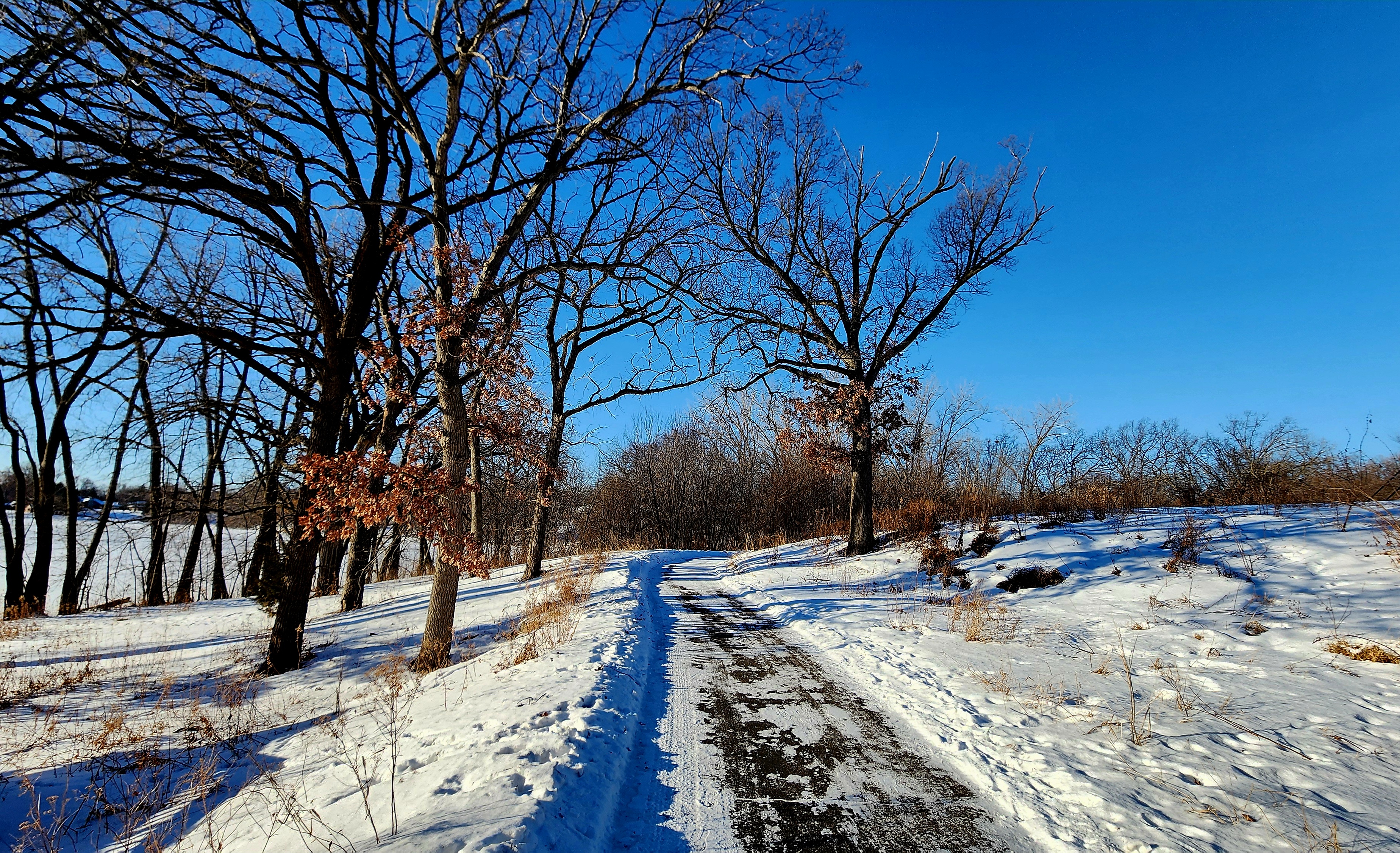
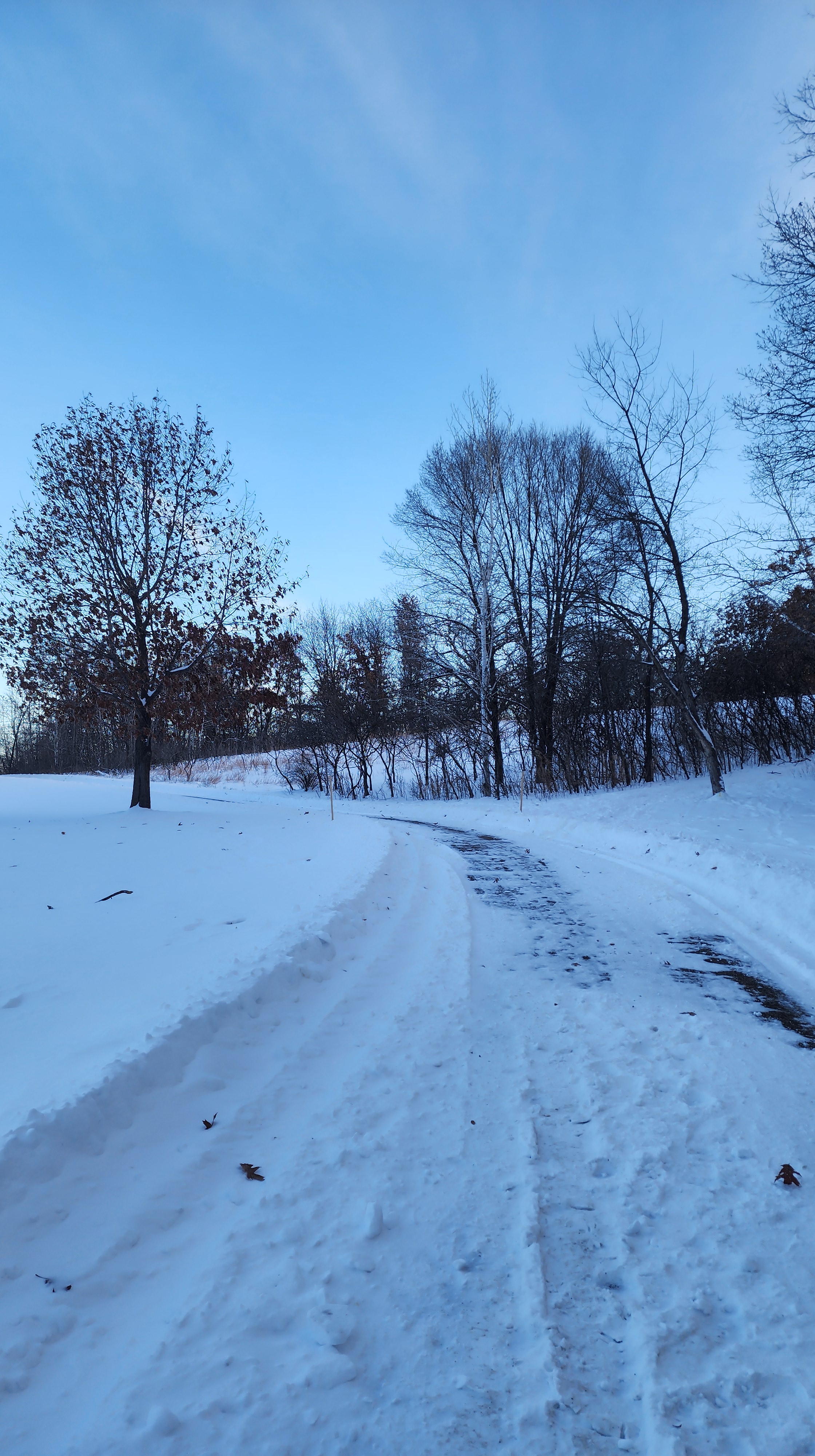
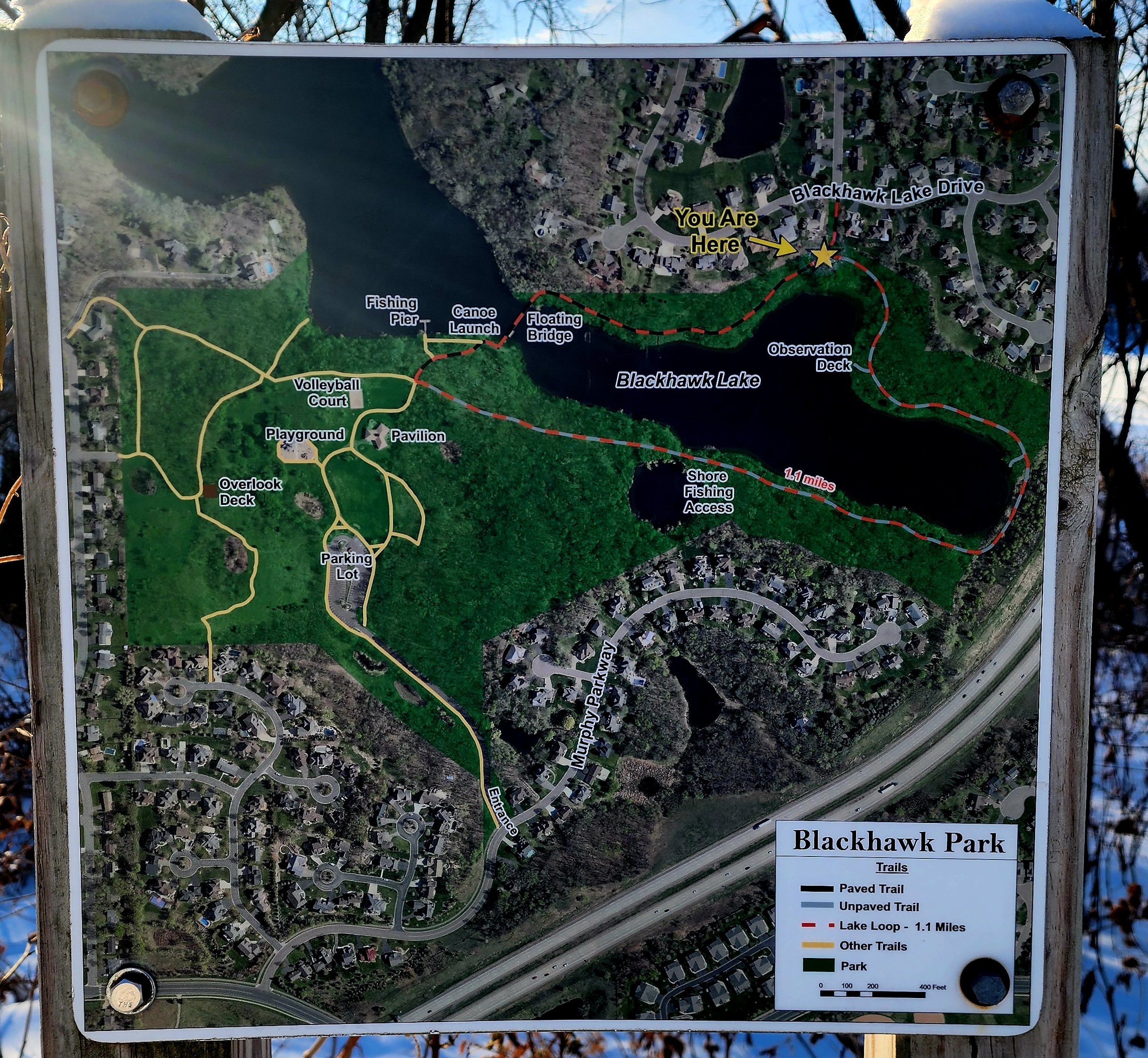
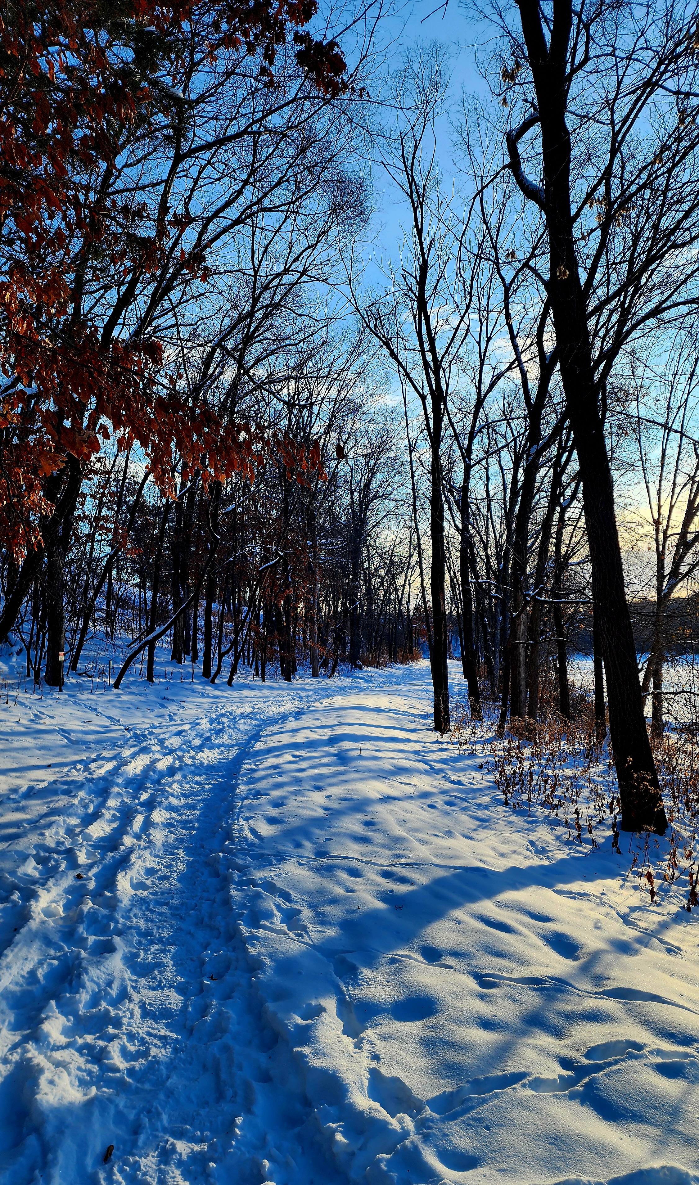
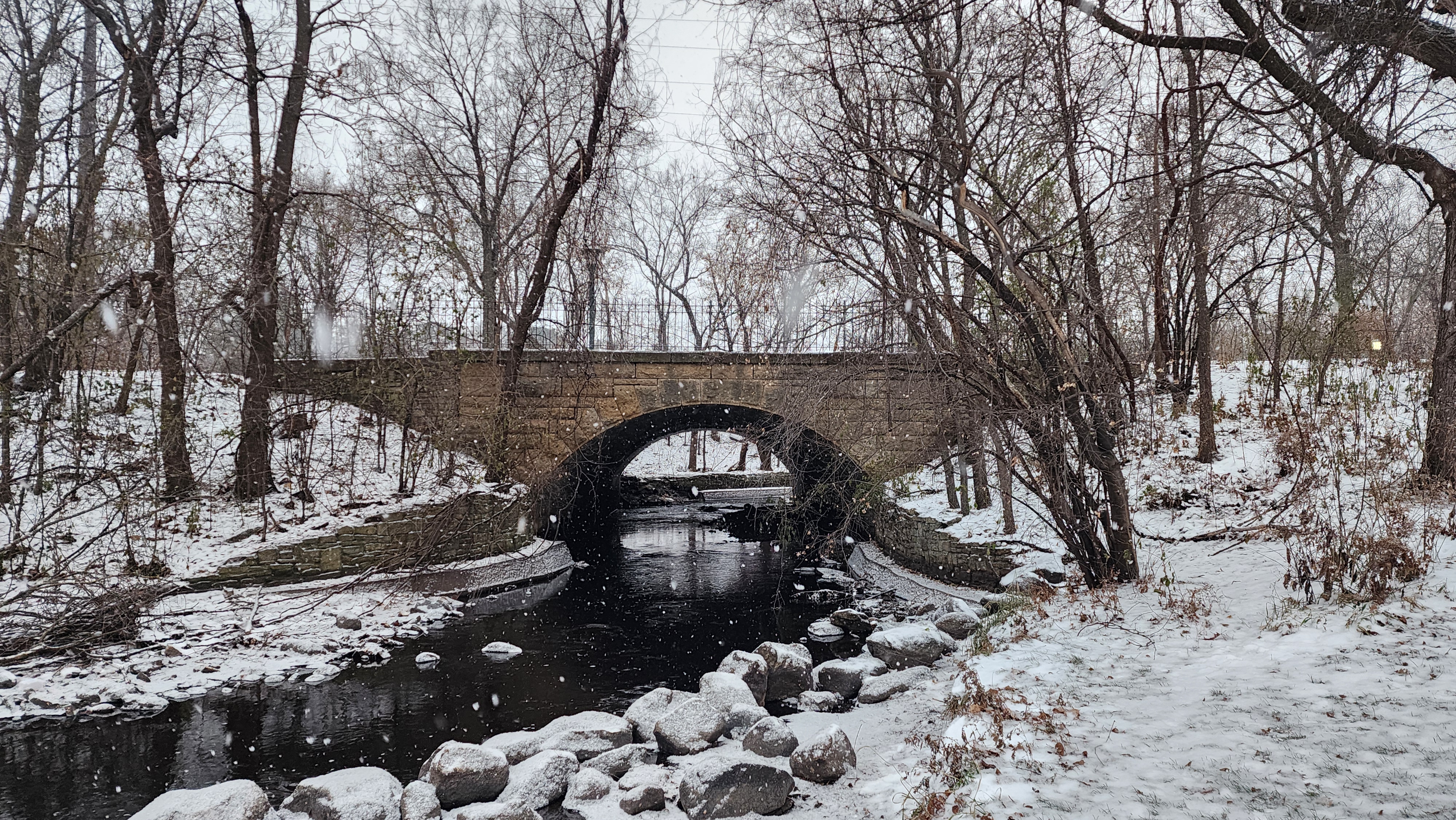
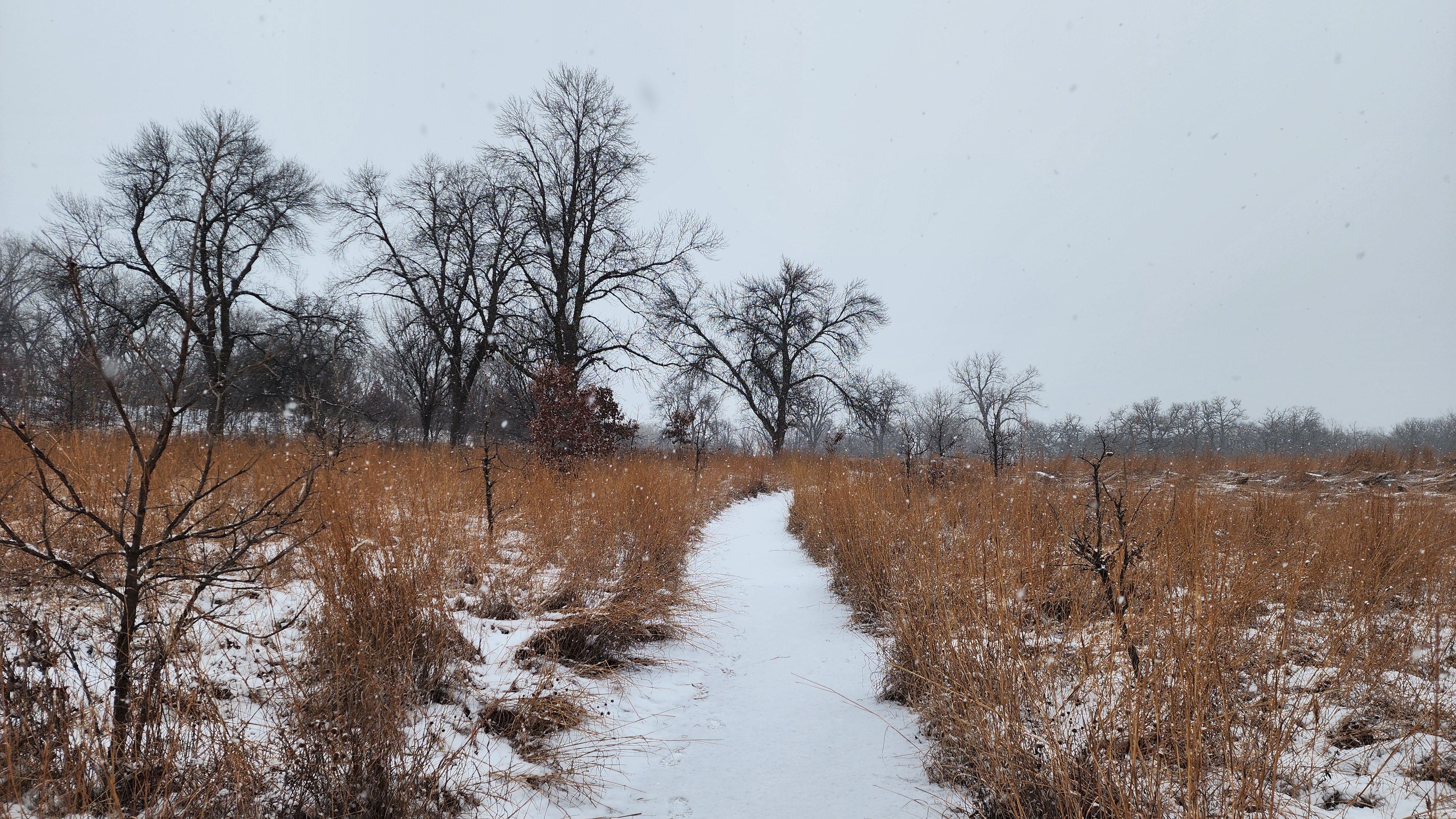
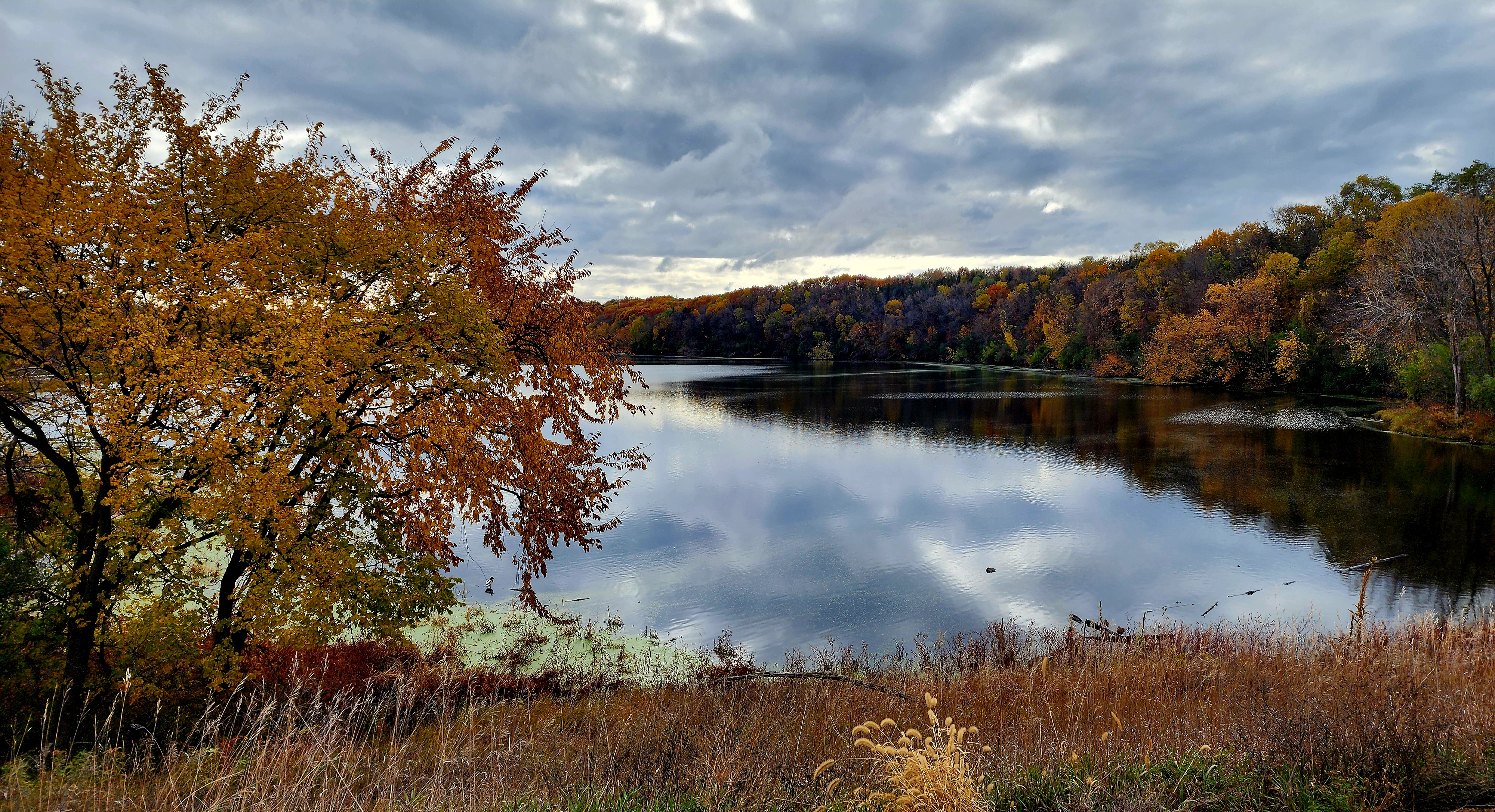
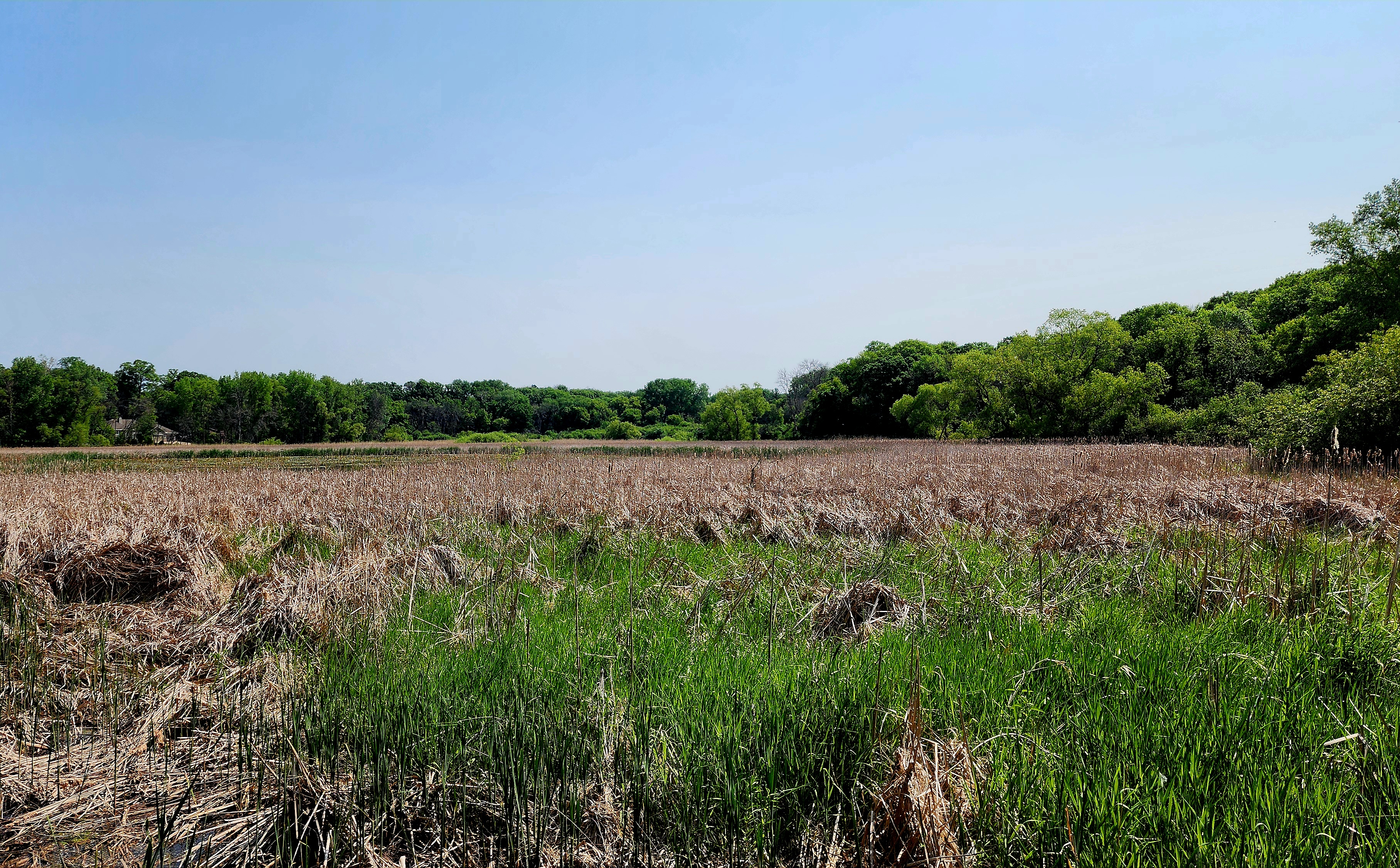
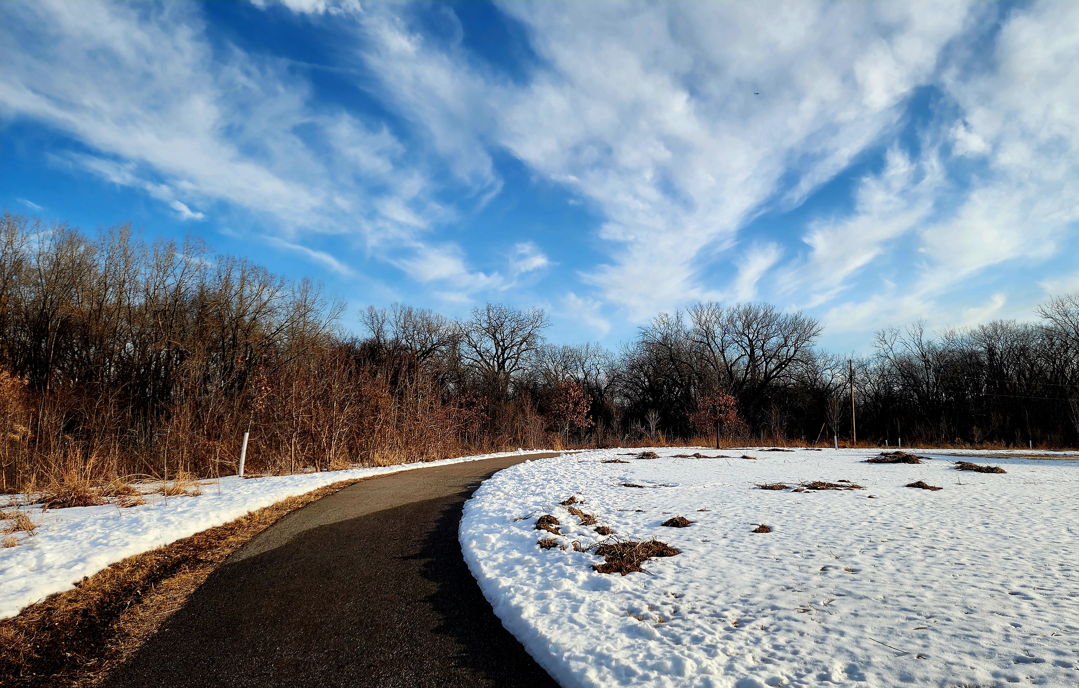
We followed the trail from the parking lot towards Blackhawk Lake.
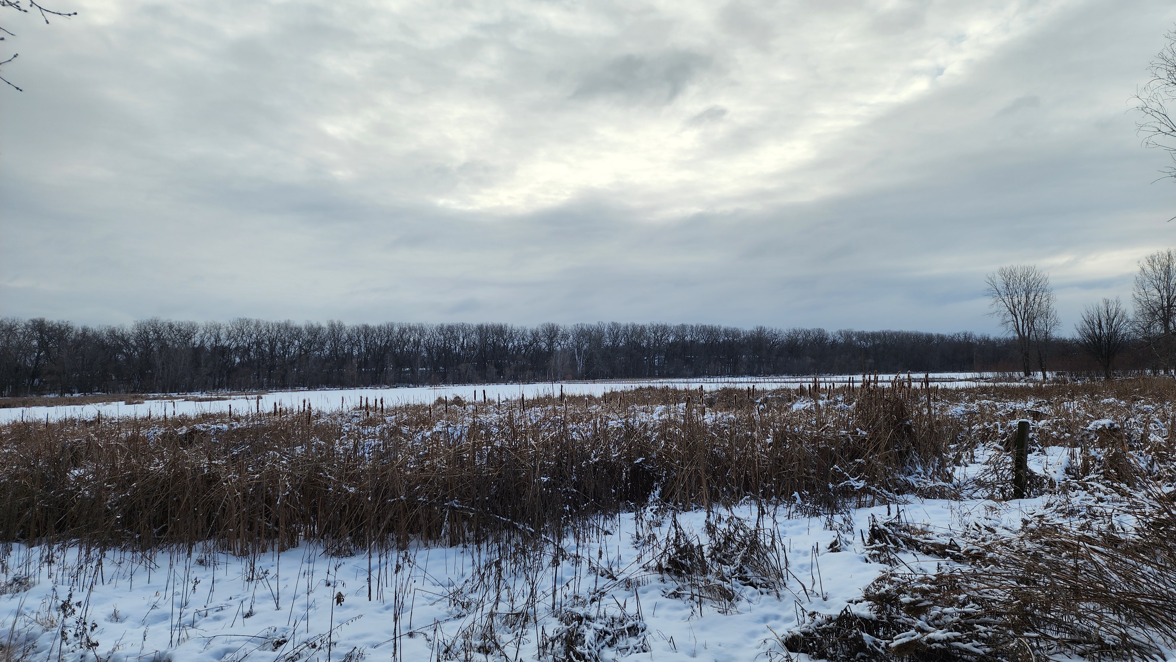
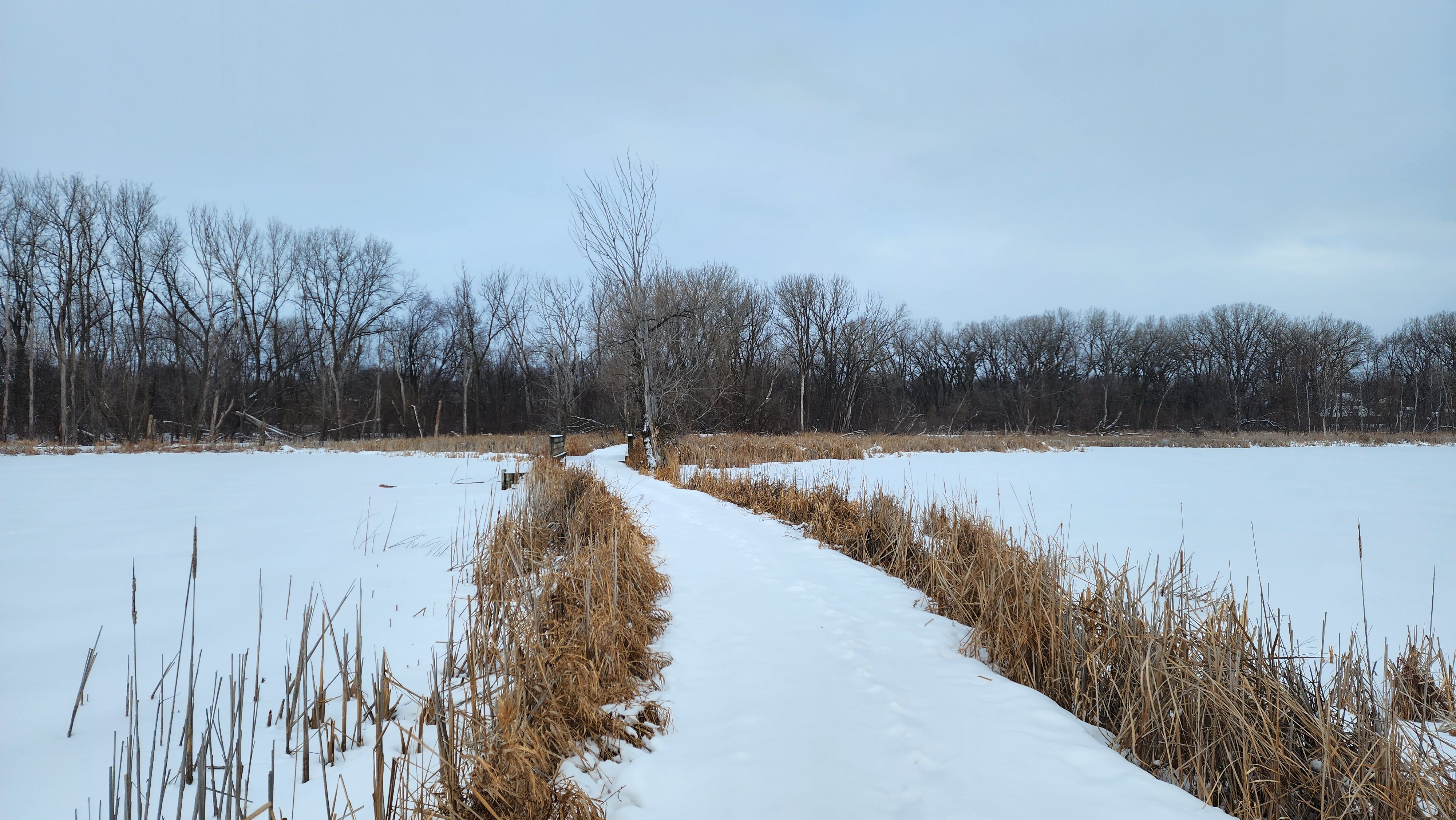
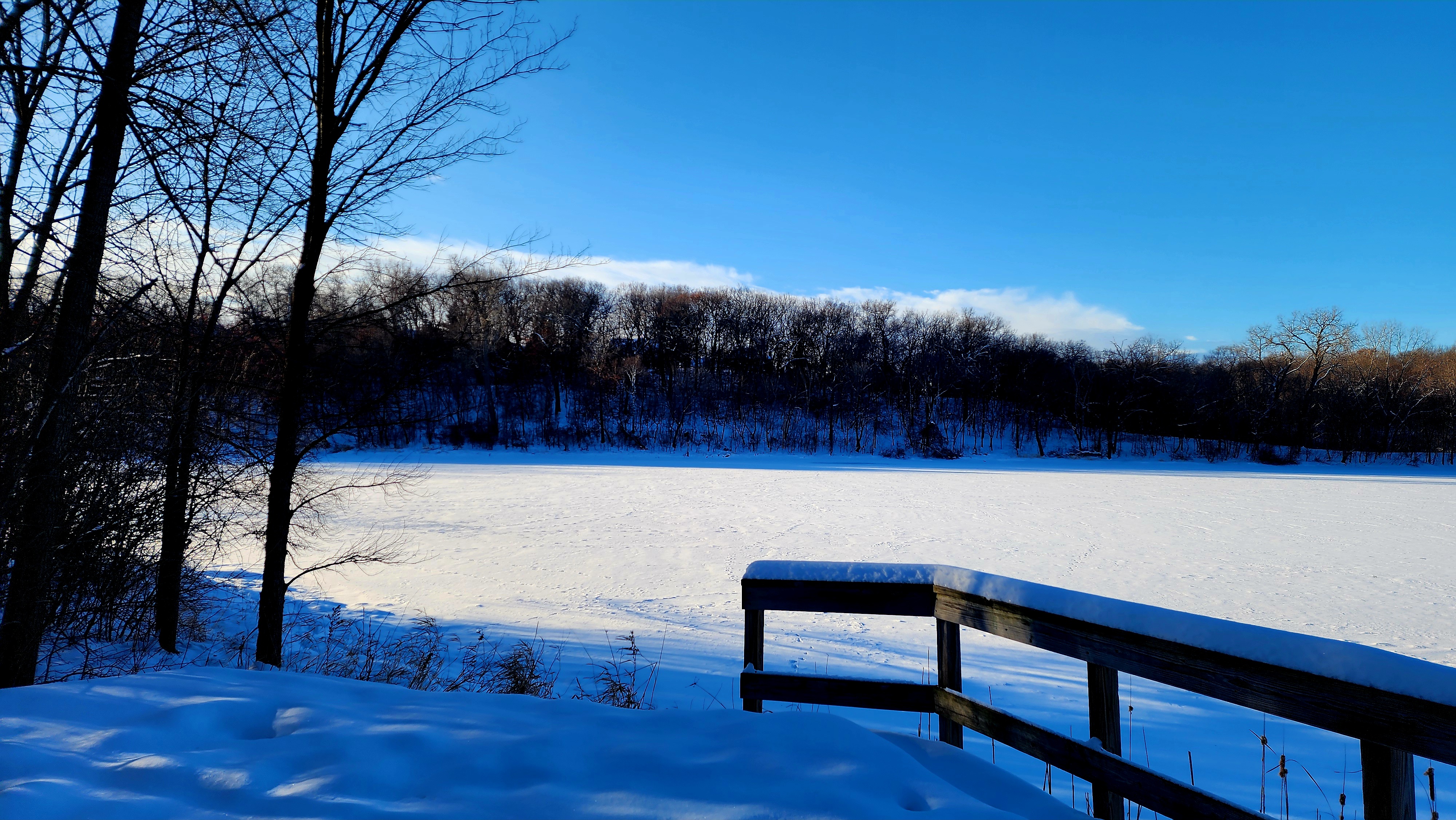
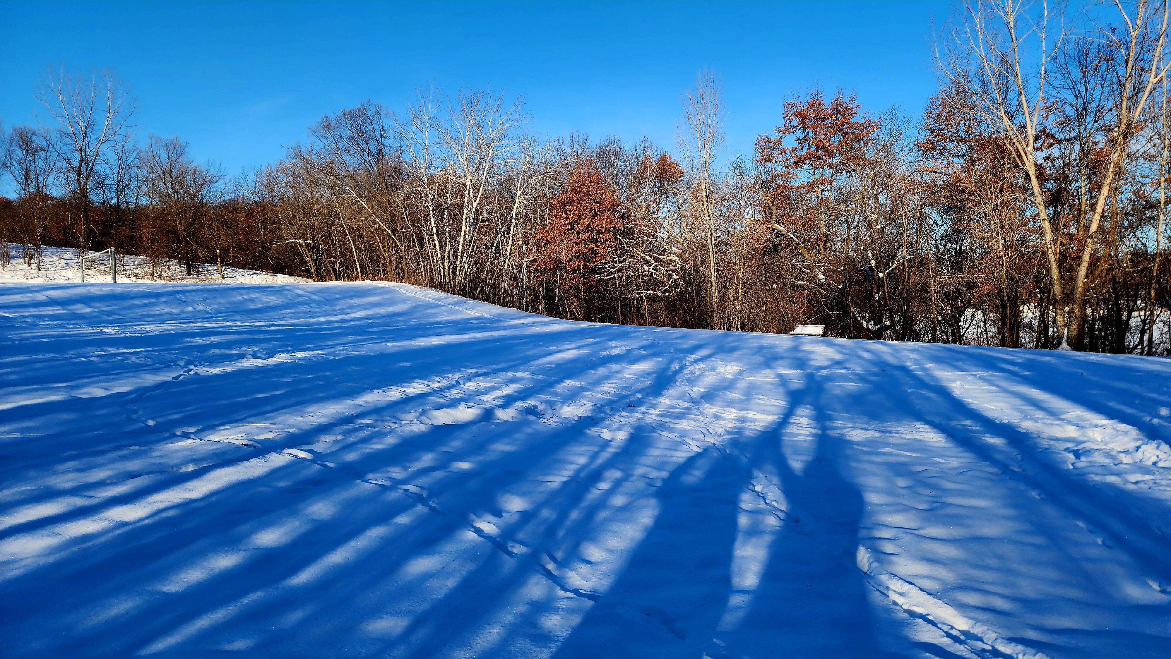
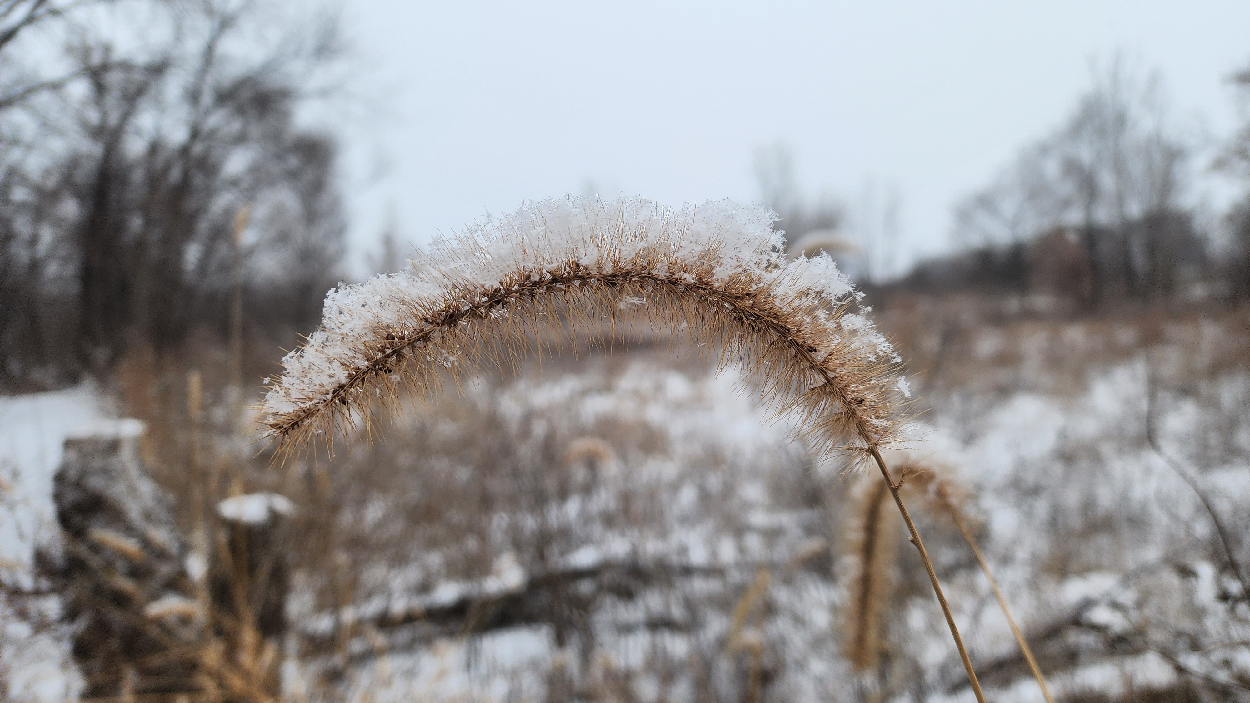
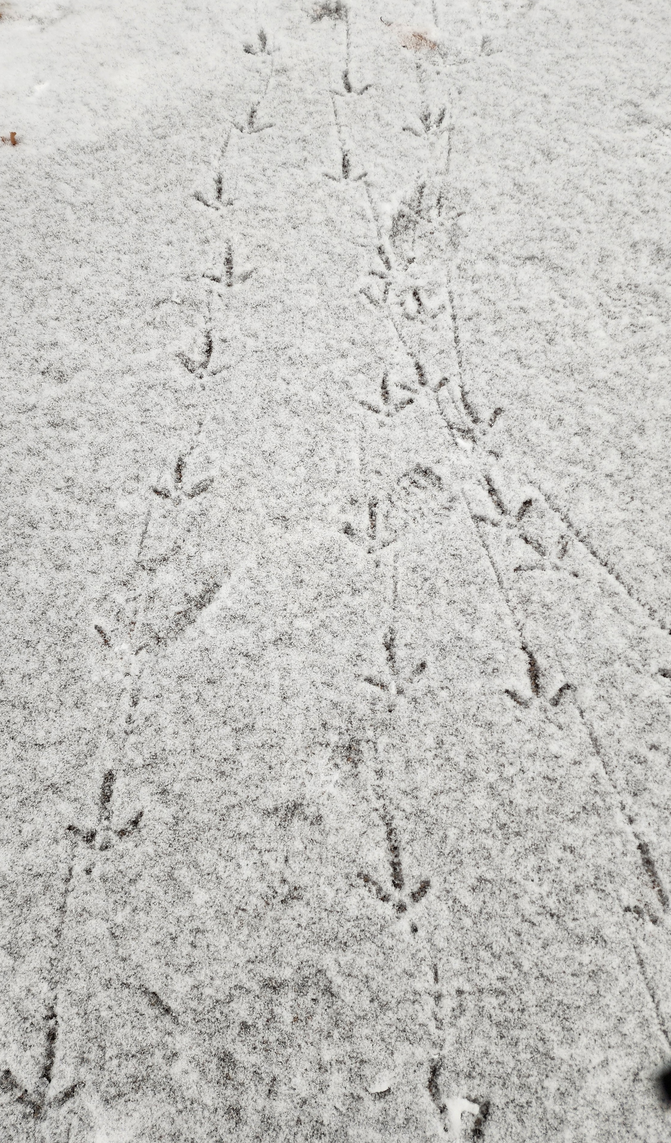
Lots of small animal footprints decorated the snow atop Blackhawk Lake.
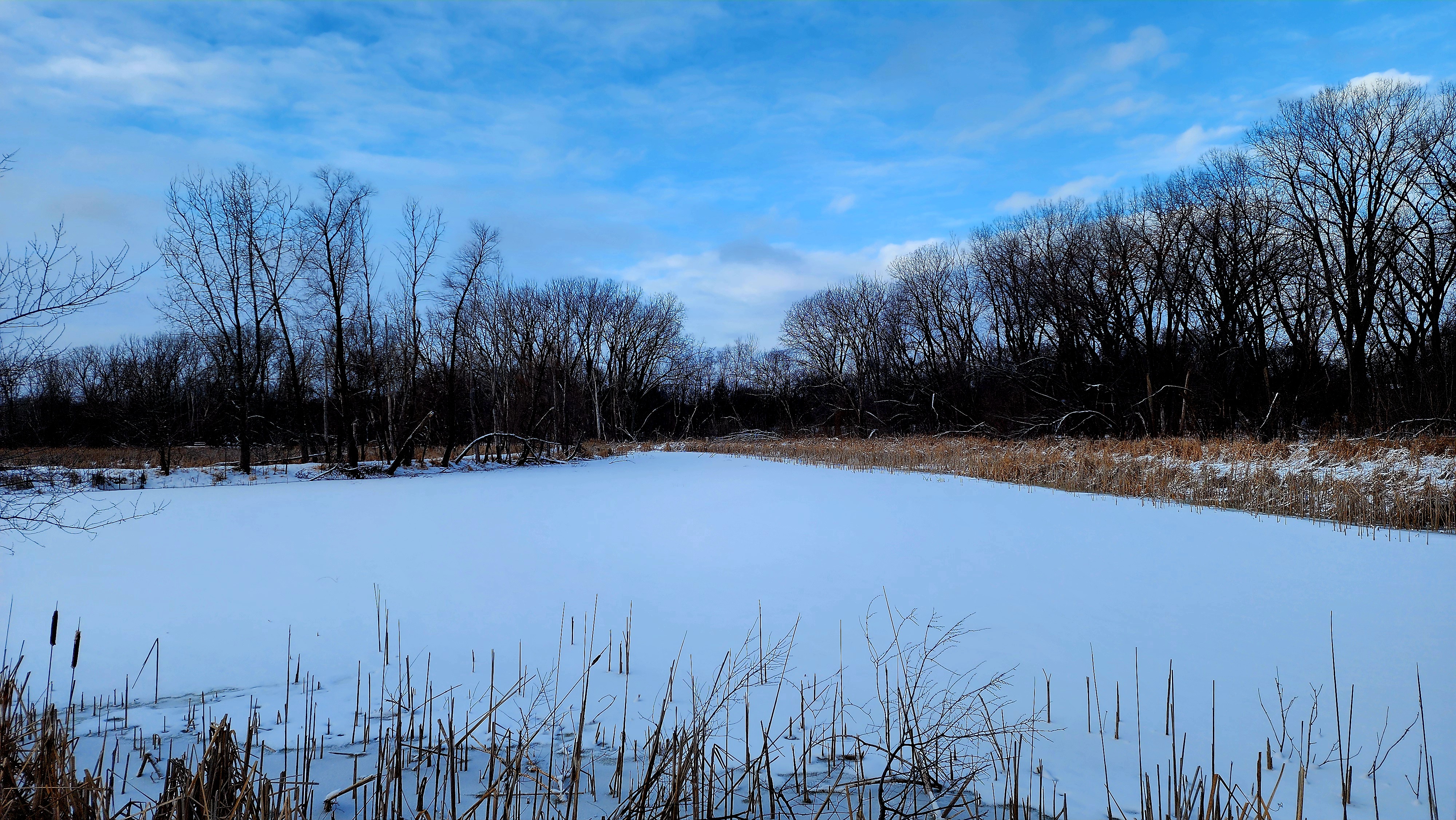
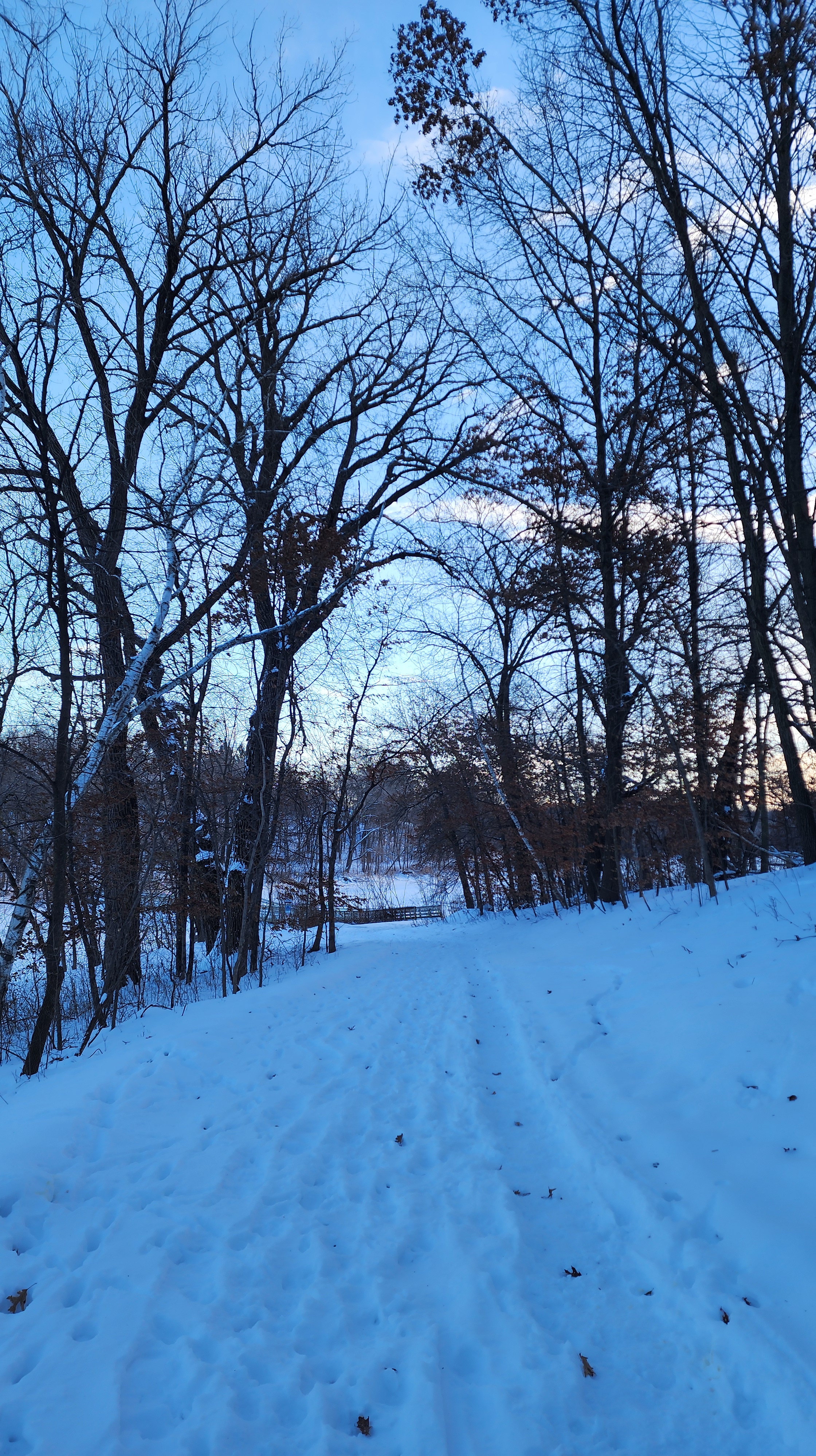
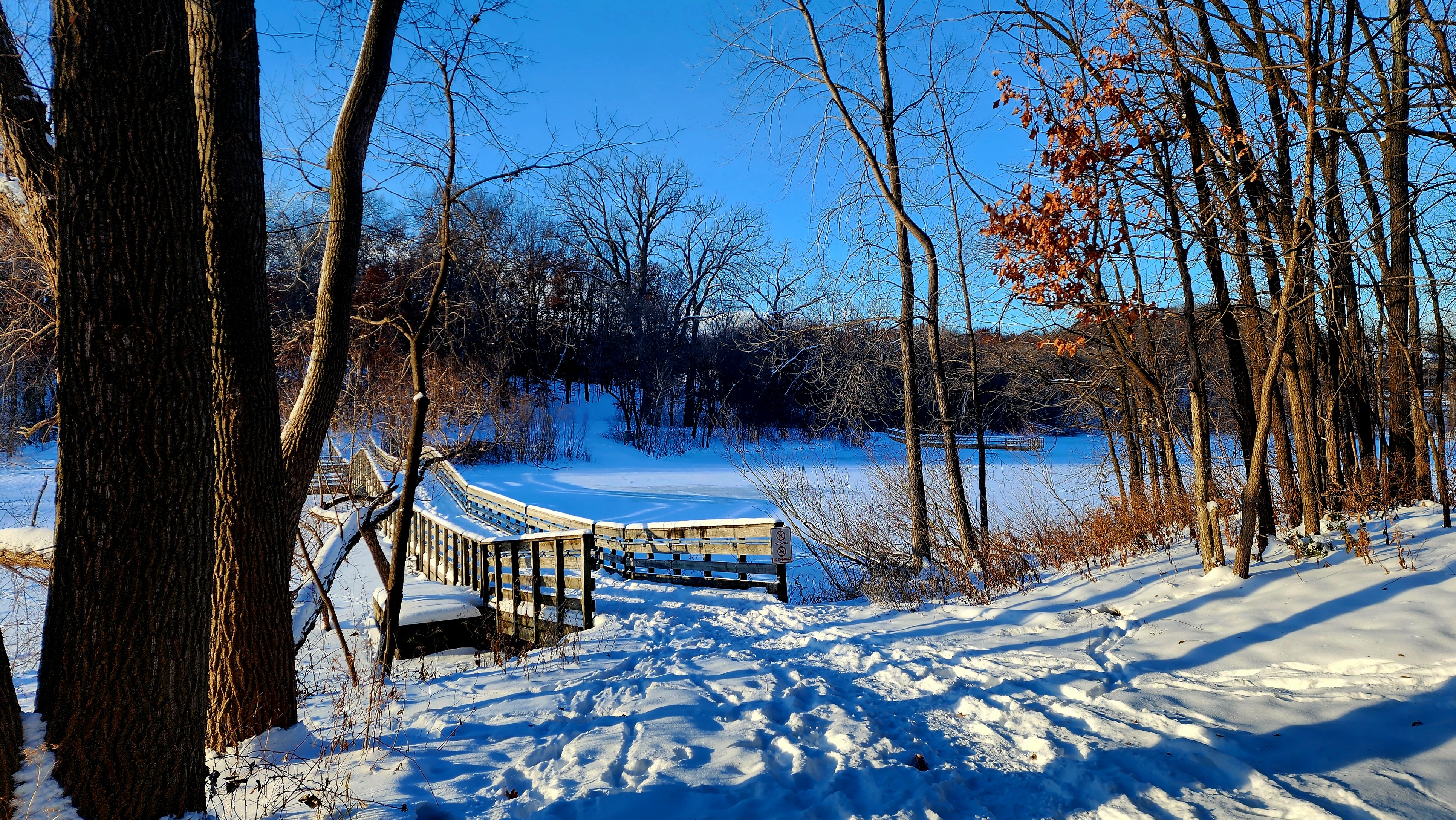
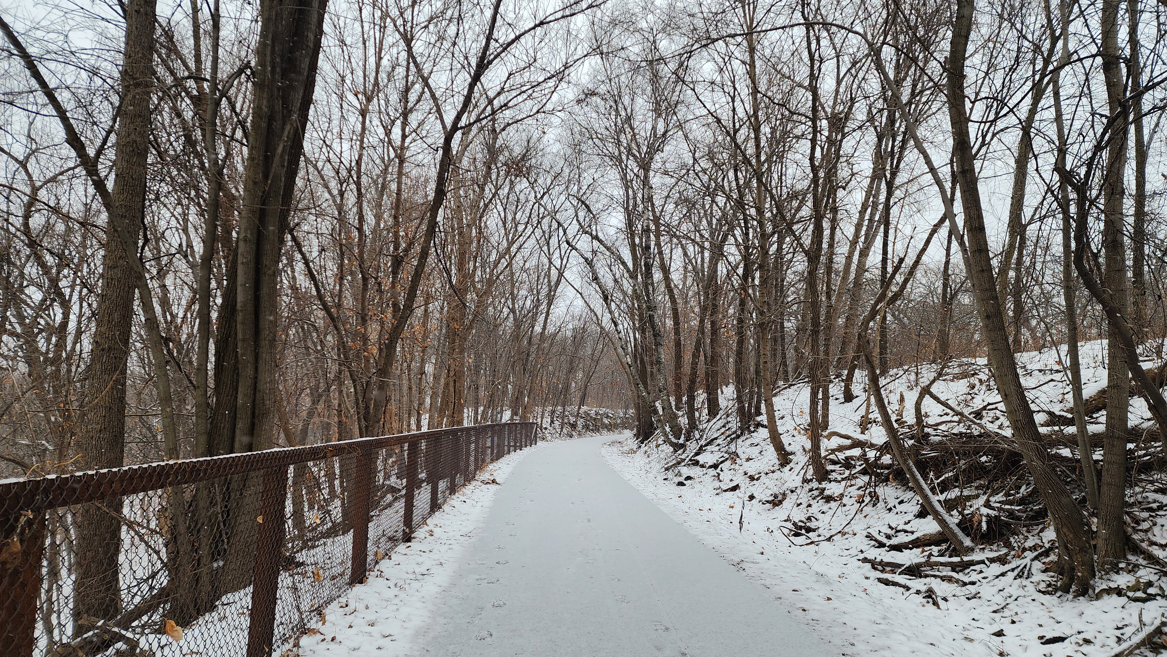
We crossed over the bridge quickly due to the wind.
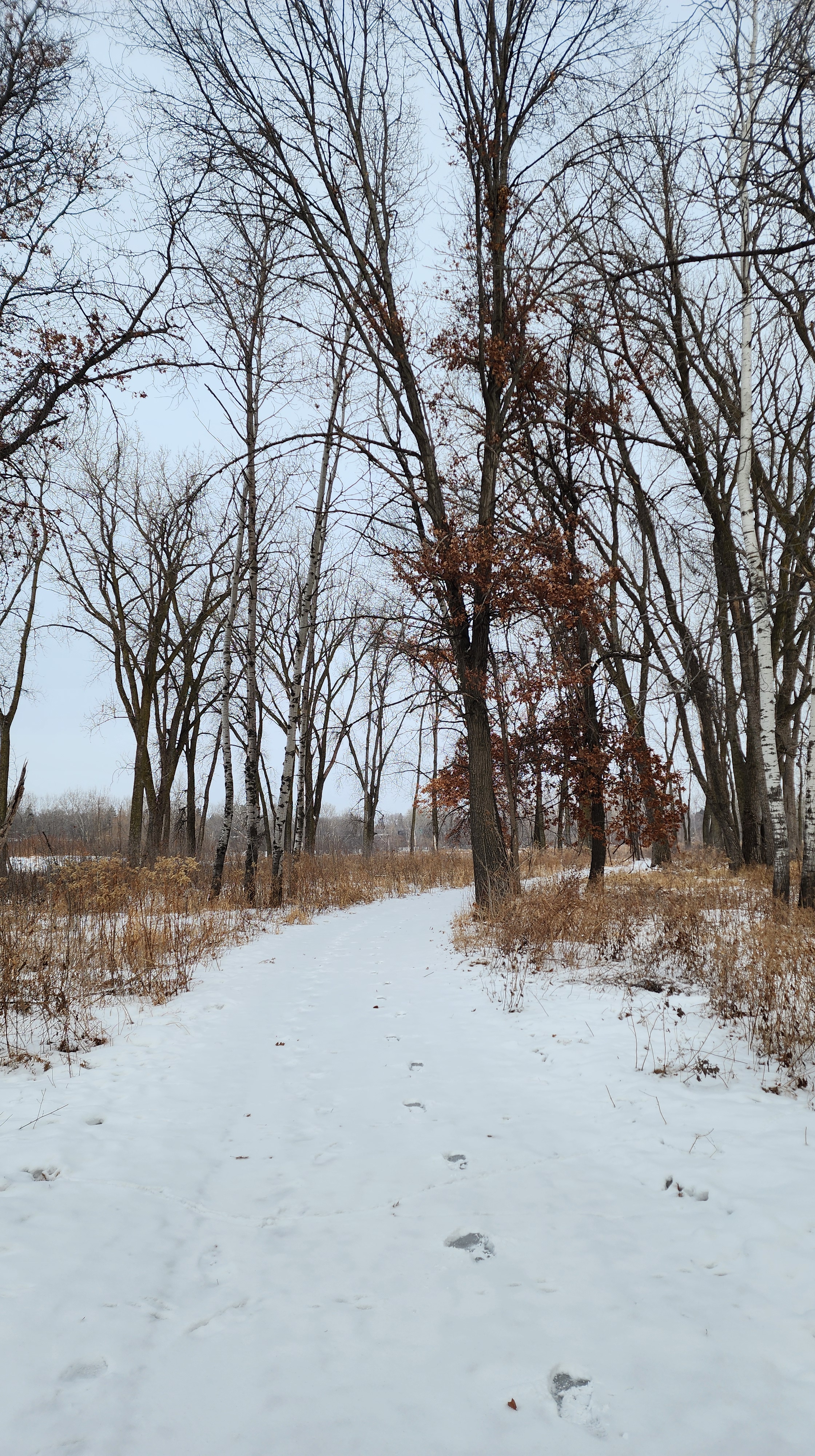
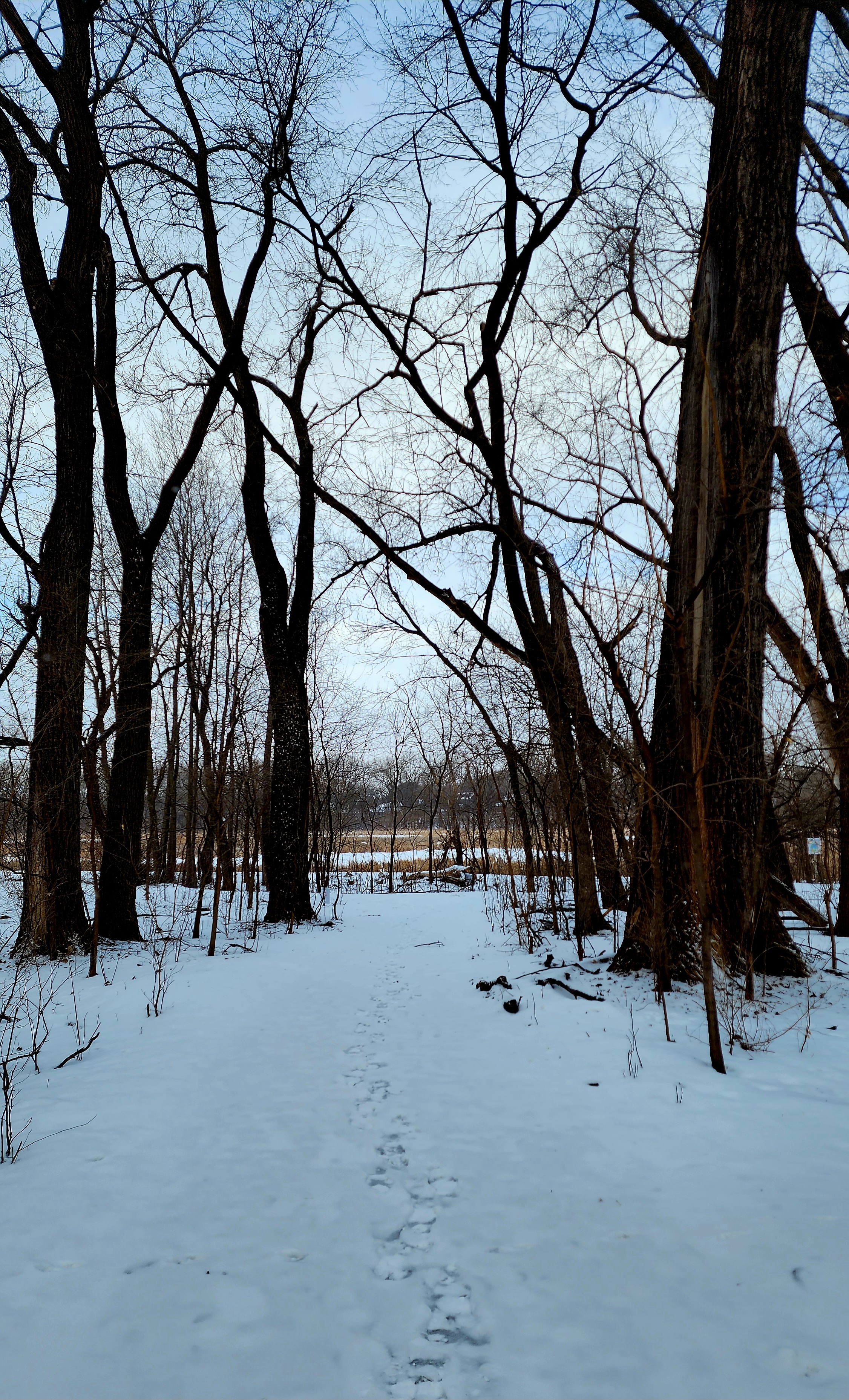
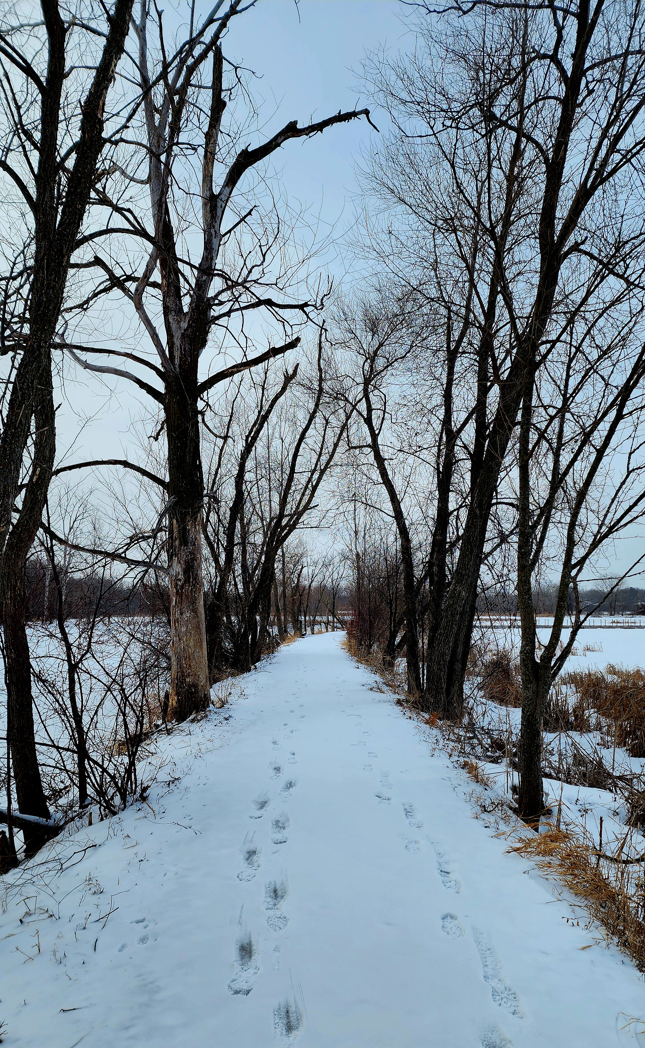
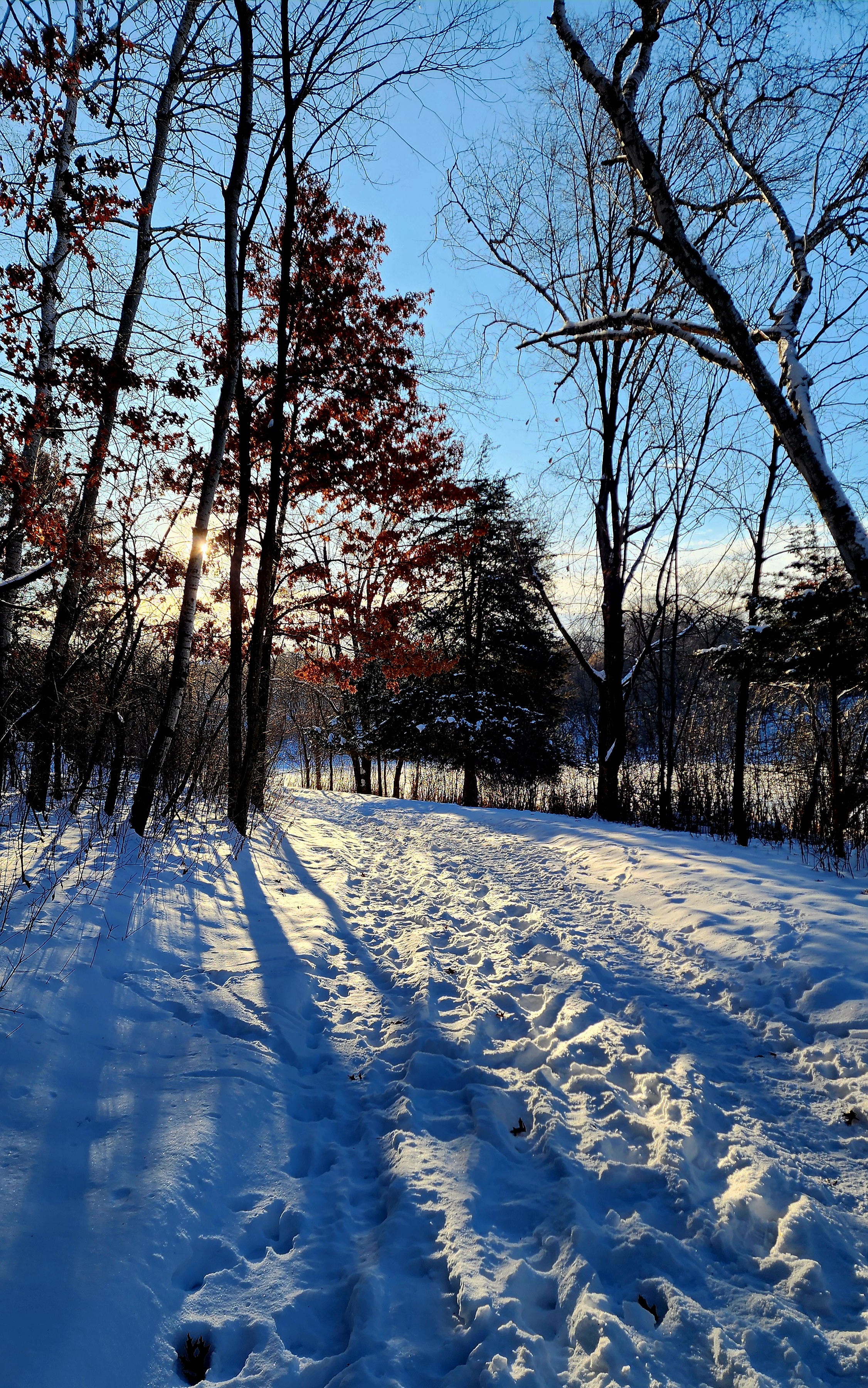
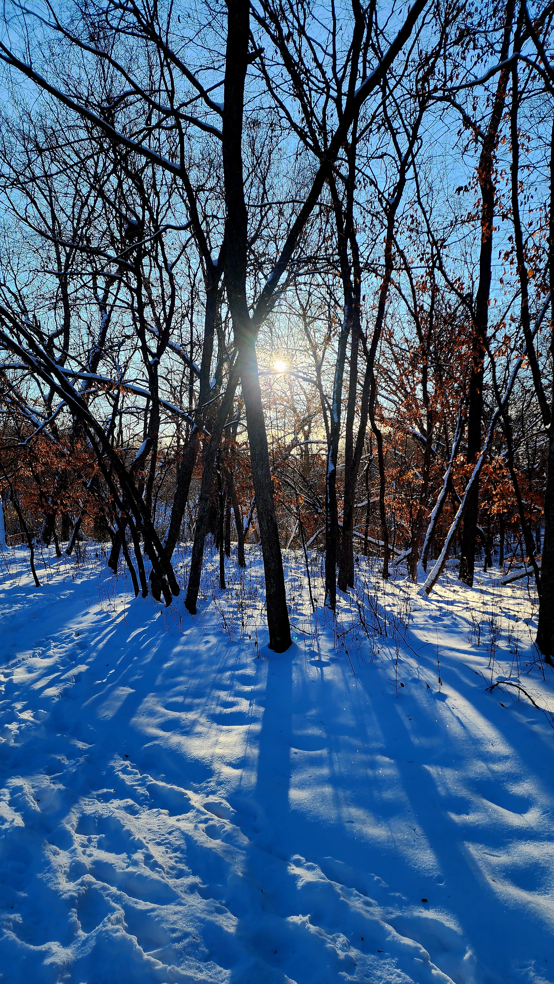
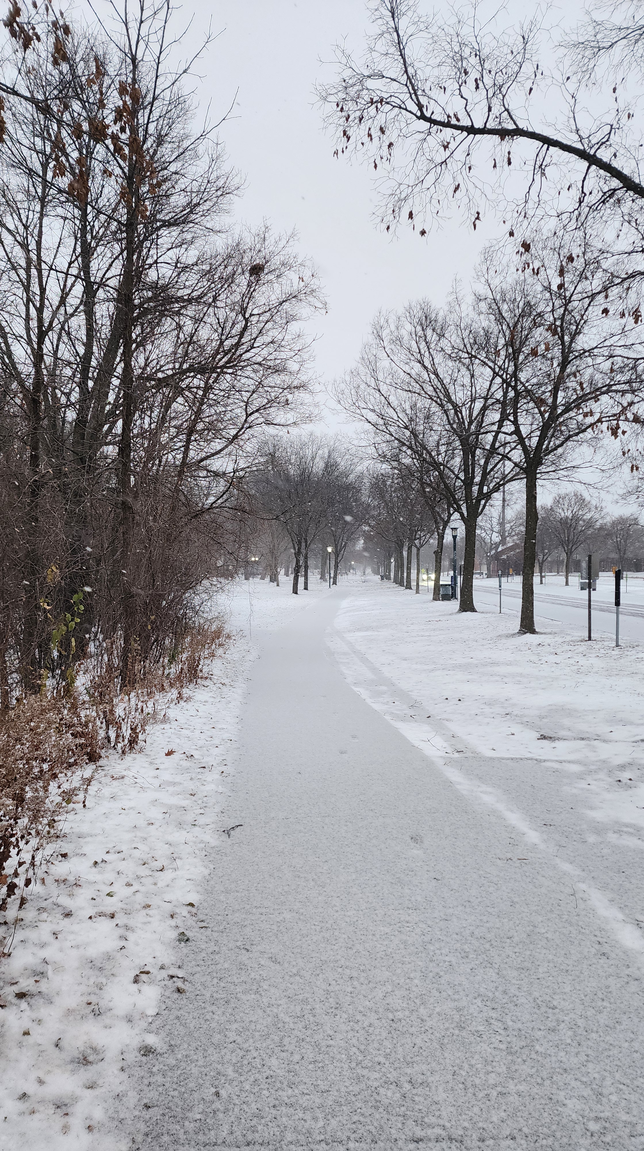
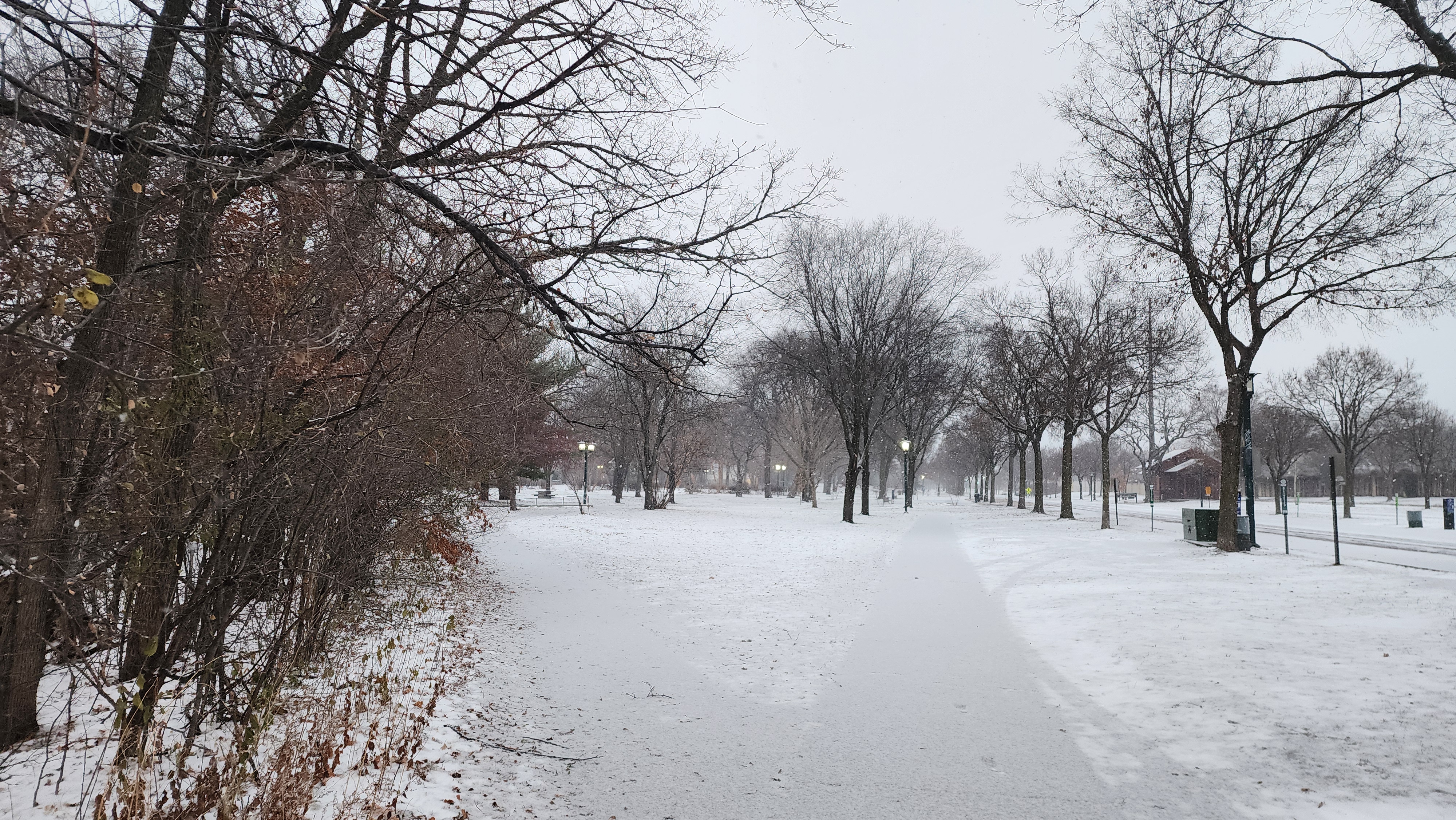
My cousin and I had the park to ourselves. Our boots crunching on the snow made for a loud hike. We scared all the squirrels and birds away, lol.
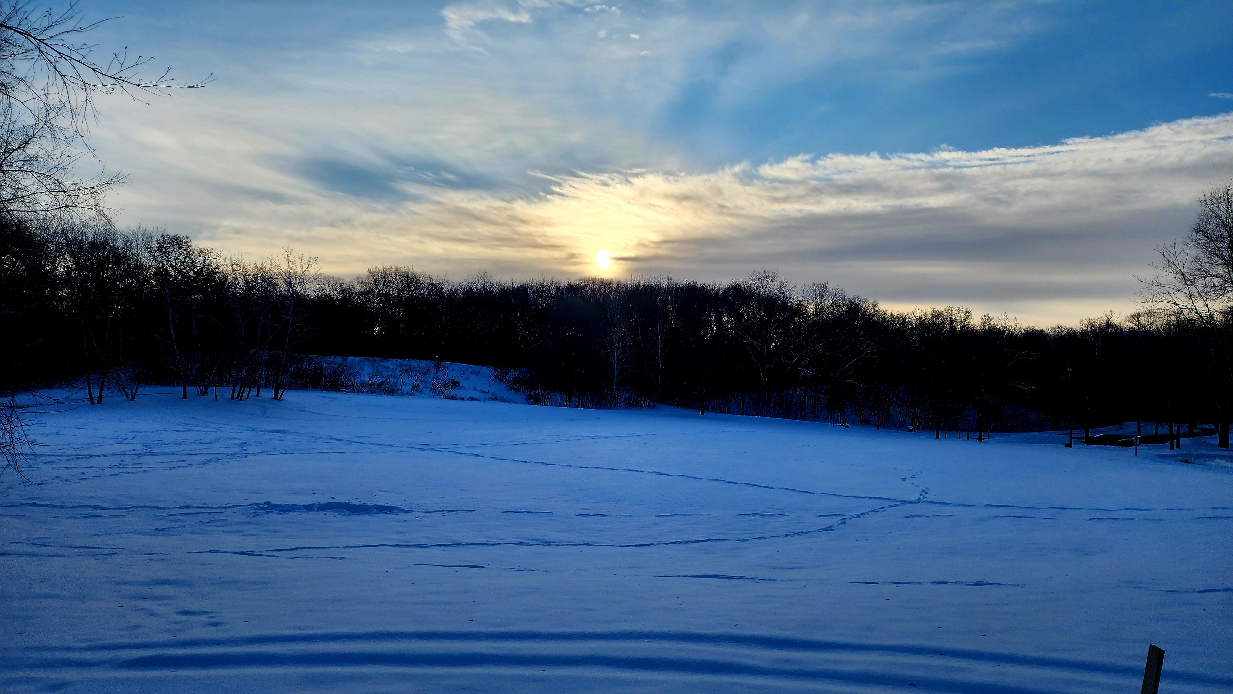
Morning sunrise
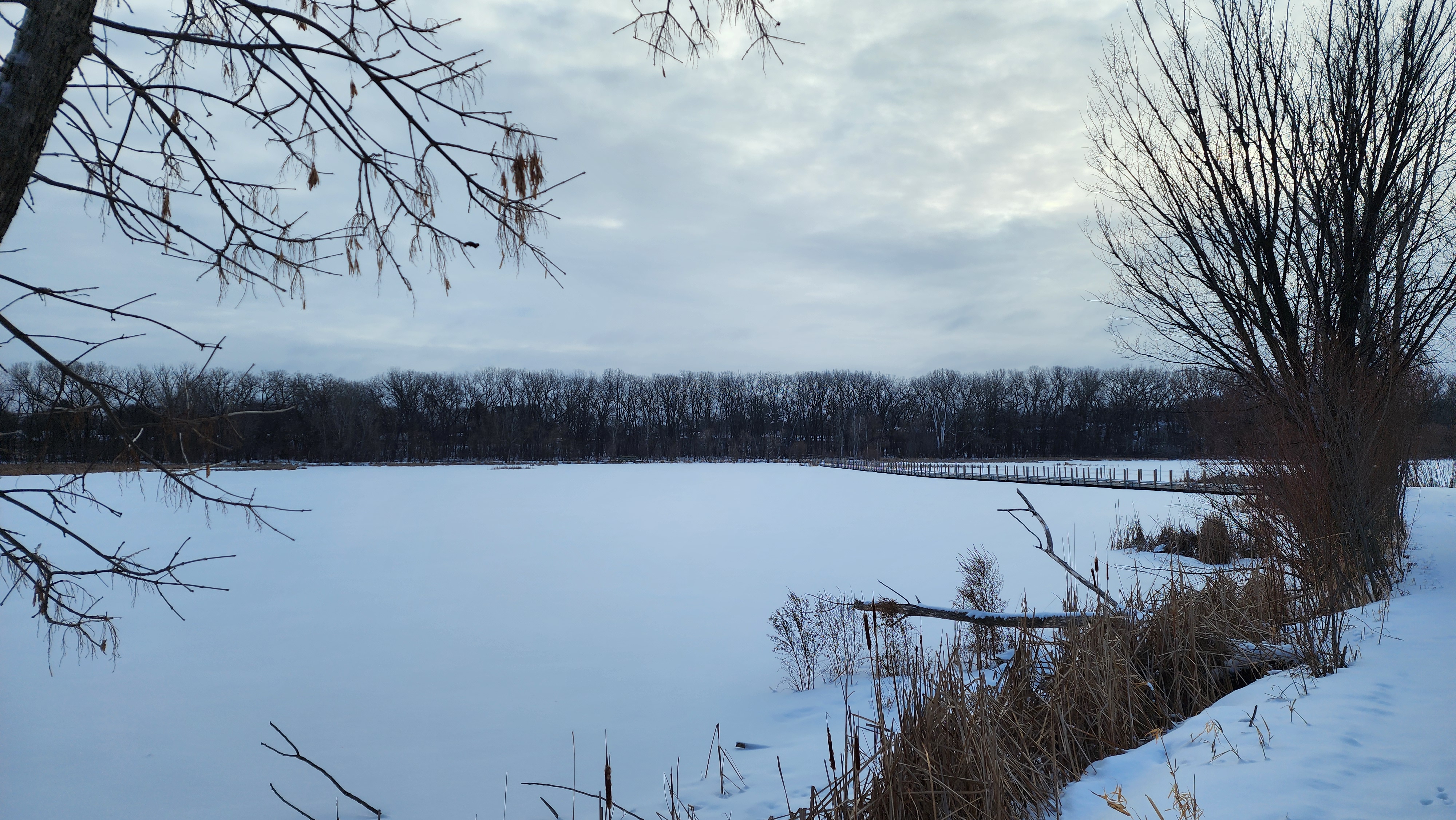
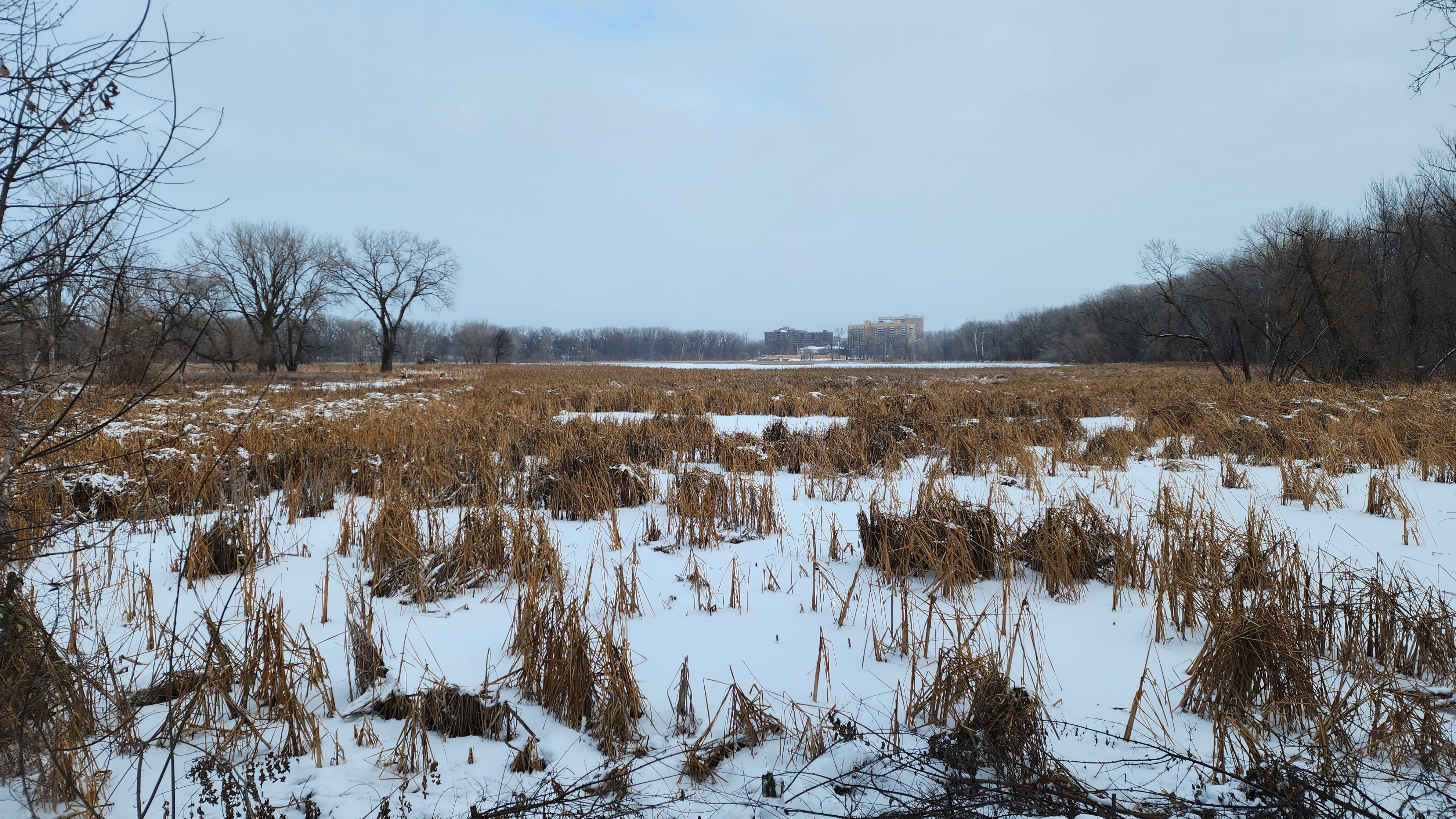
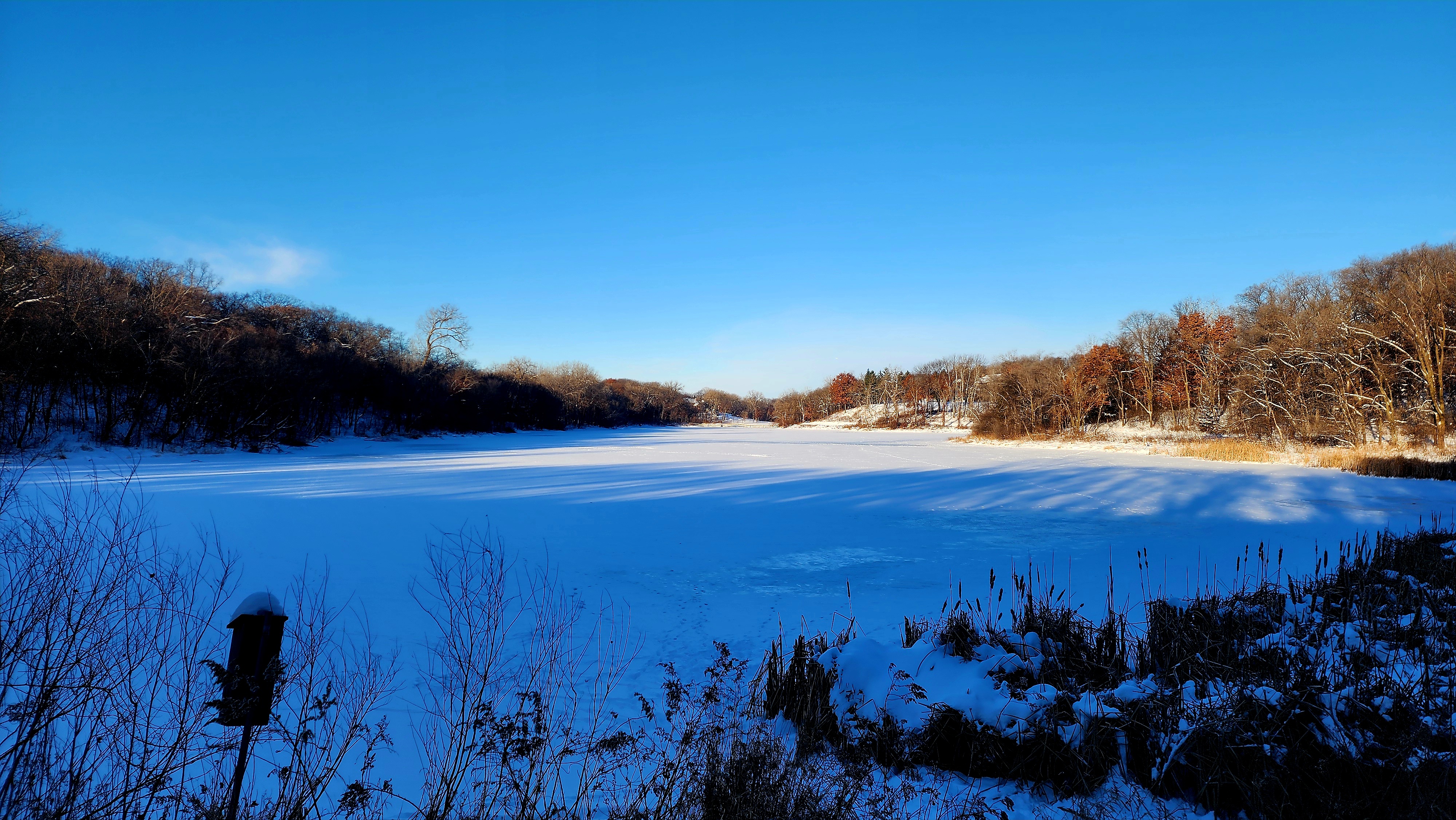
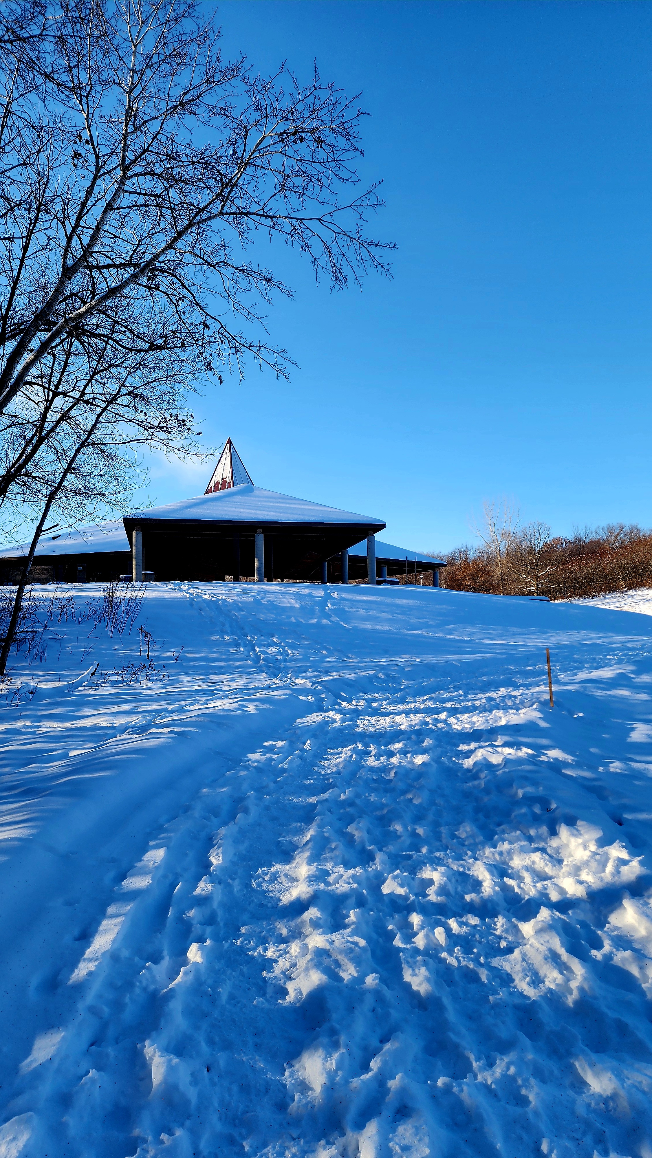
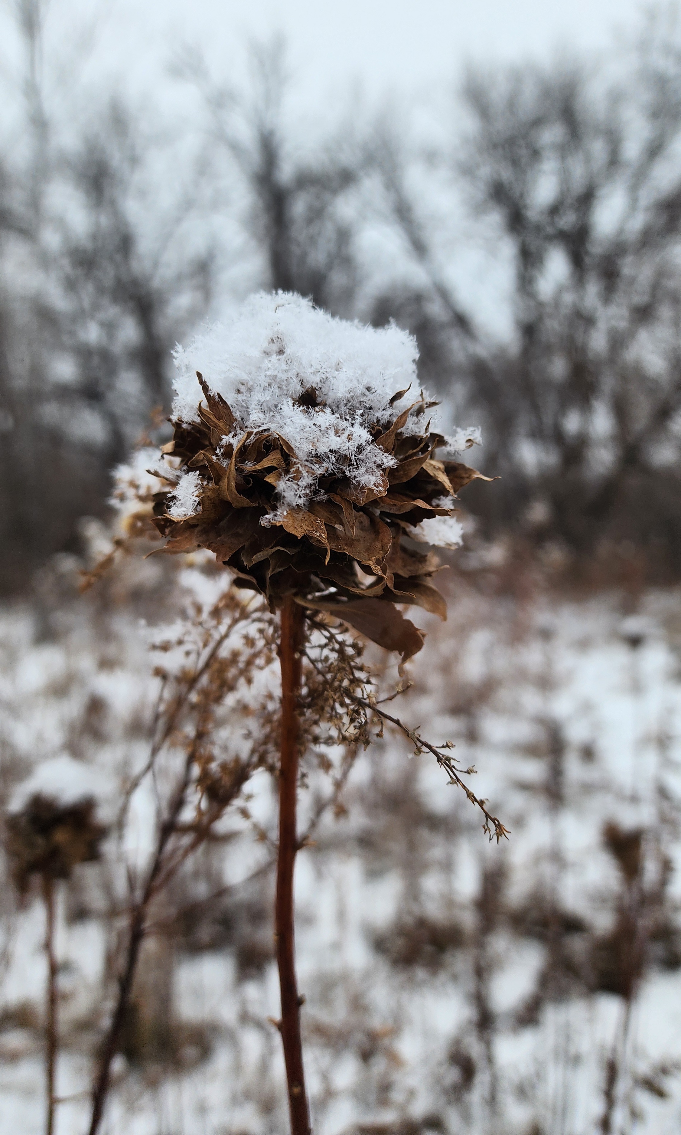
After looping around the lake we decided it was best to stop for the day. Our eyelashes were coated with frost.
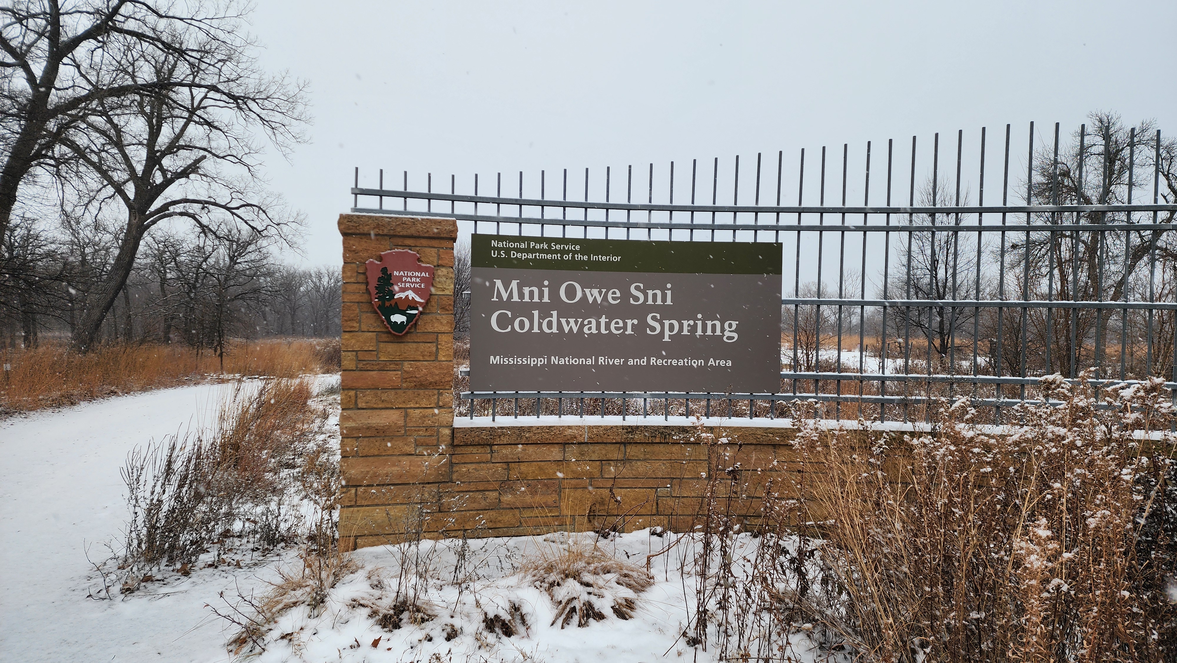
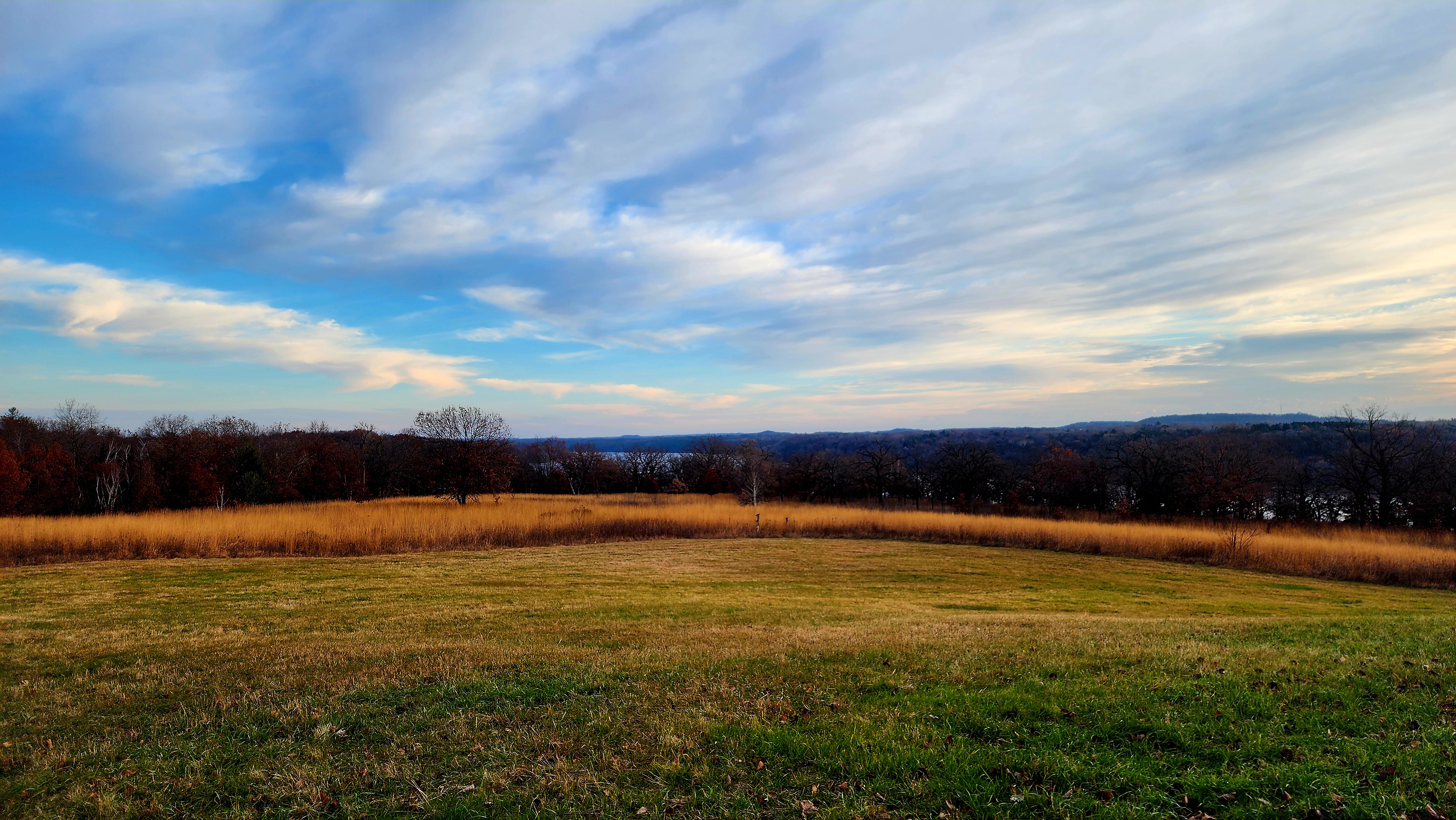
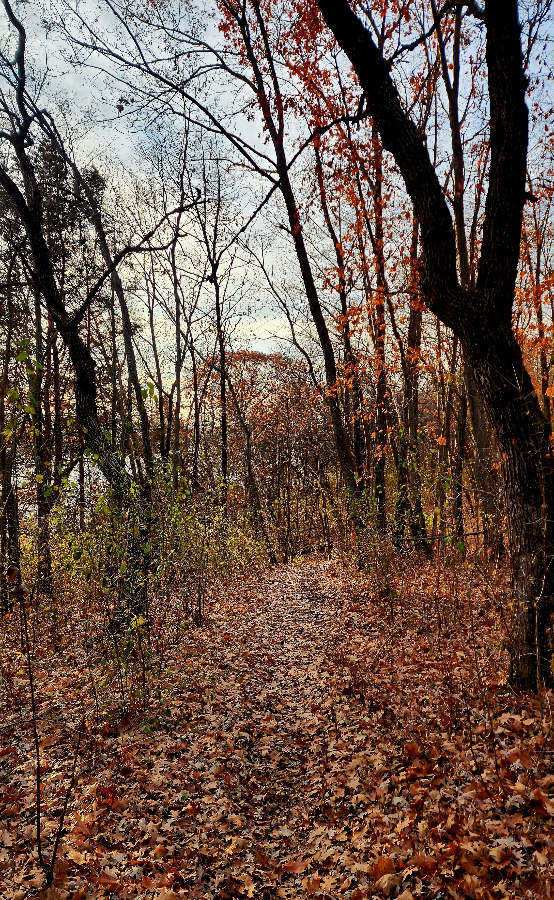
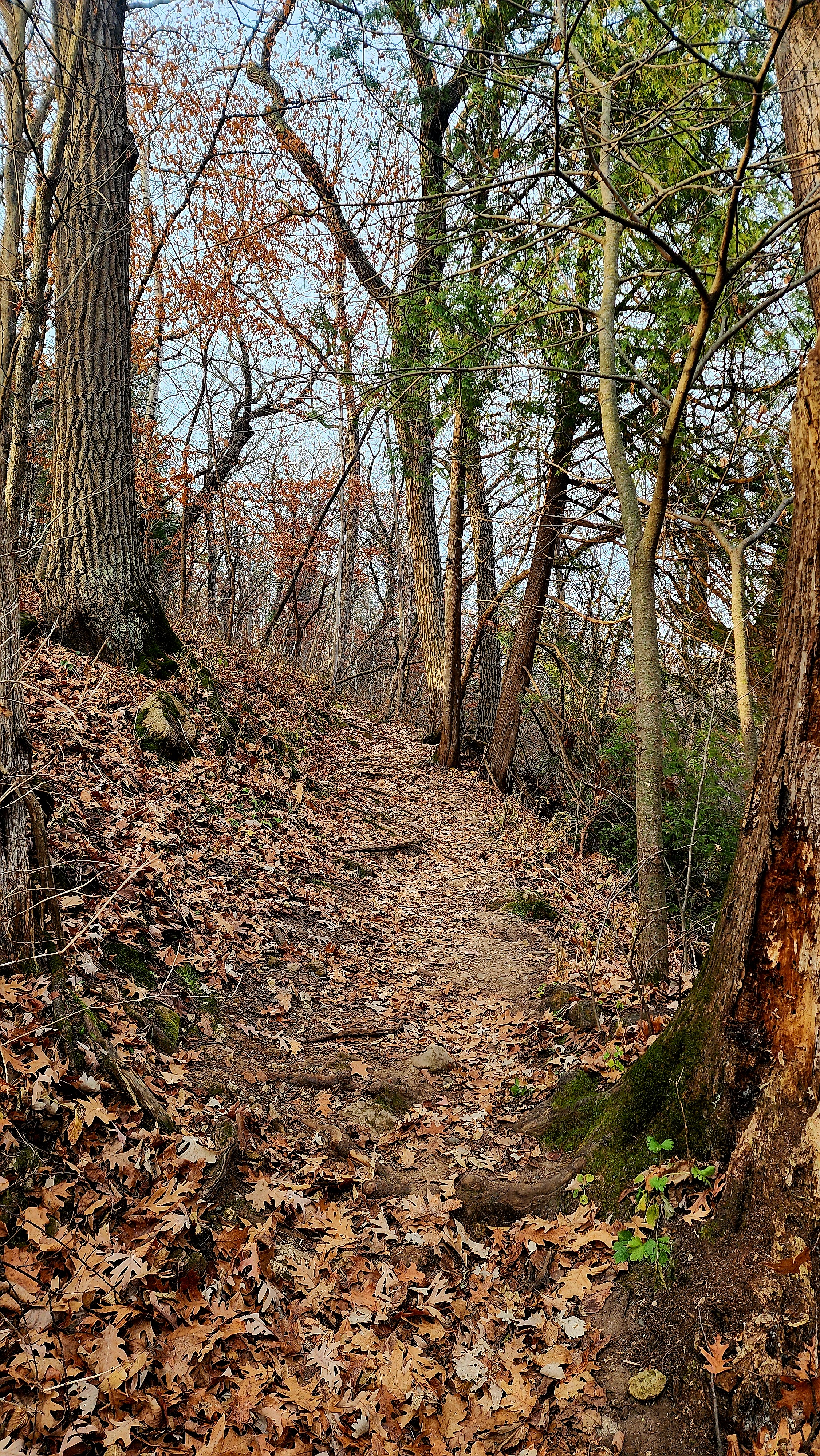
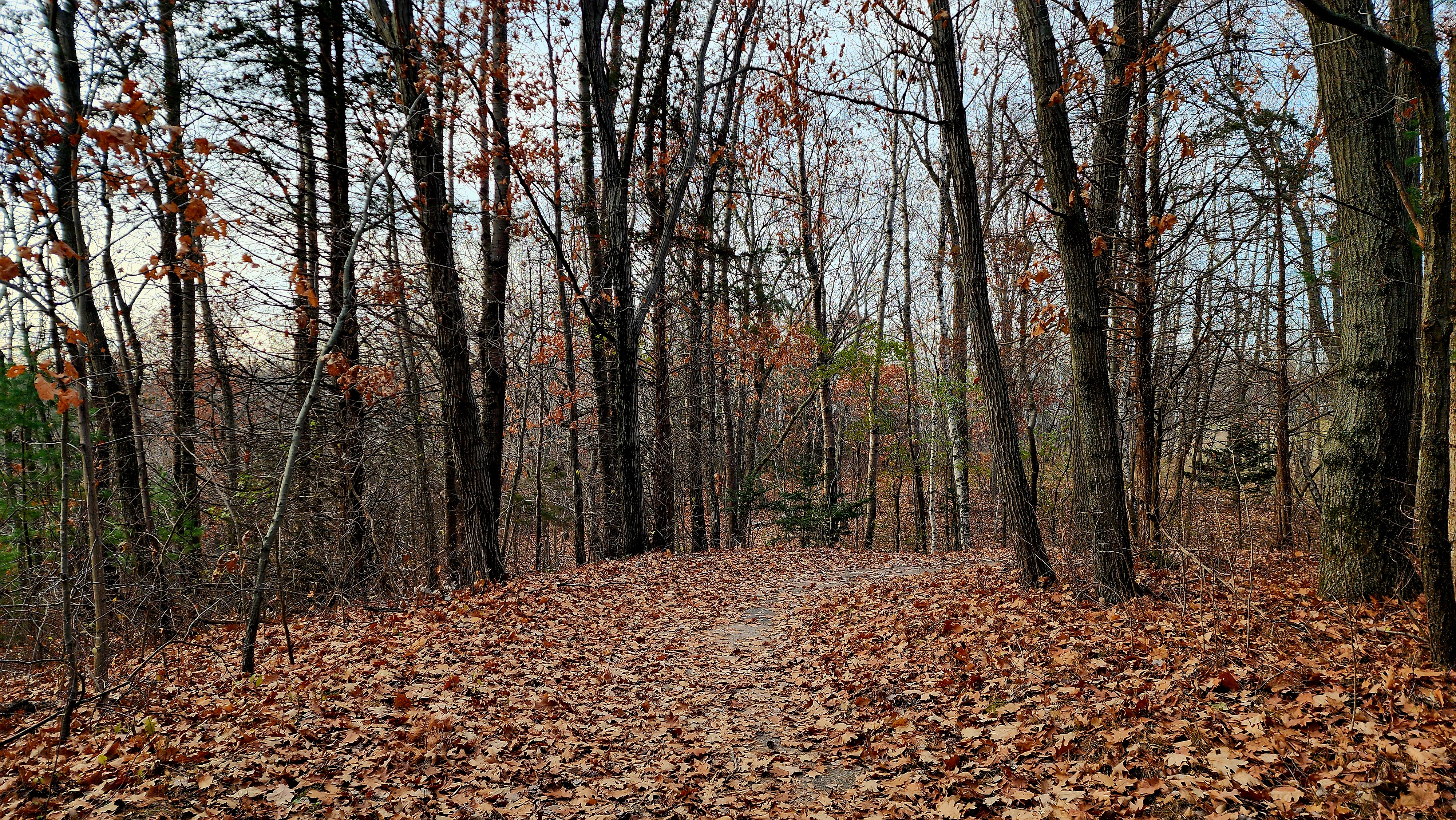
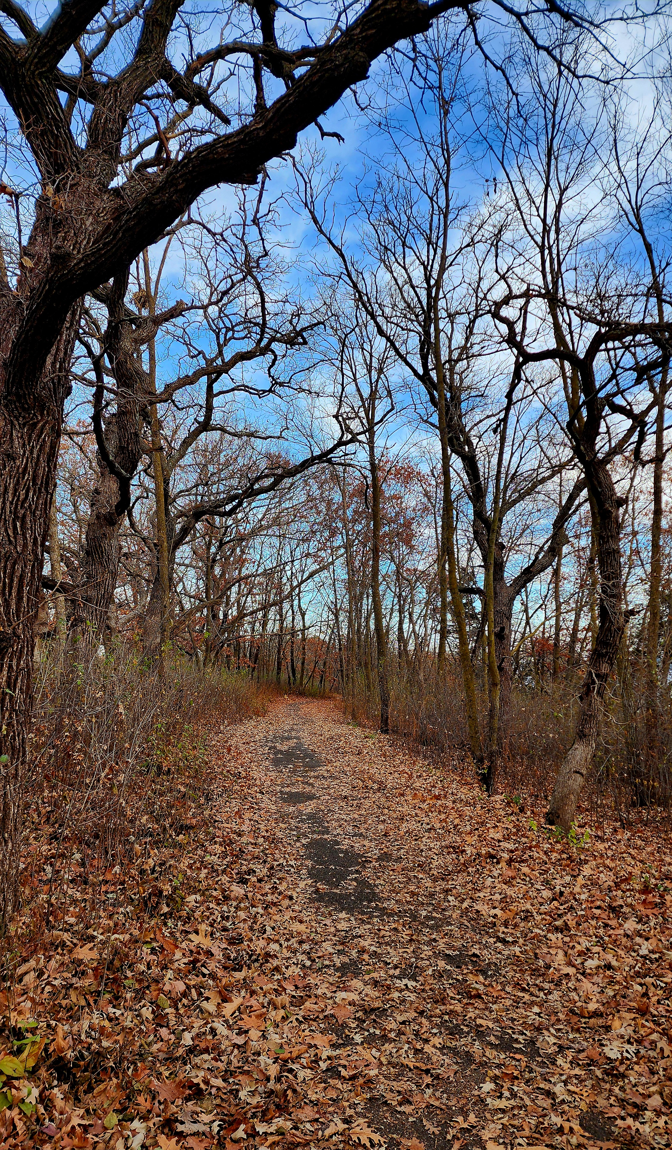
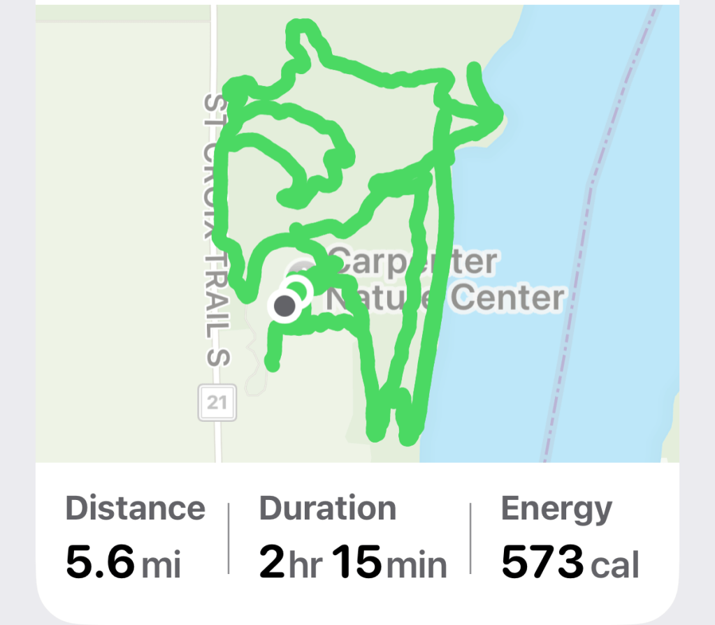
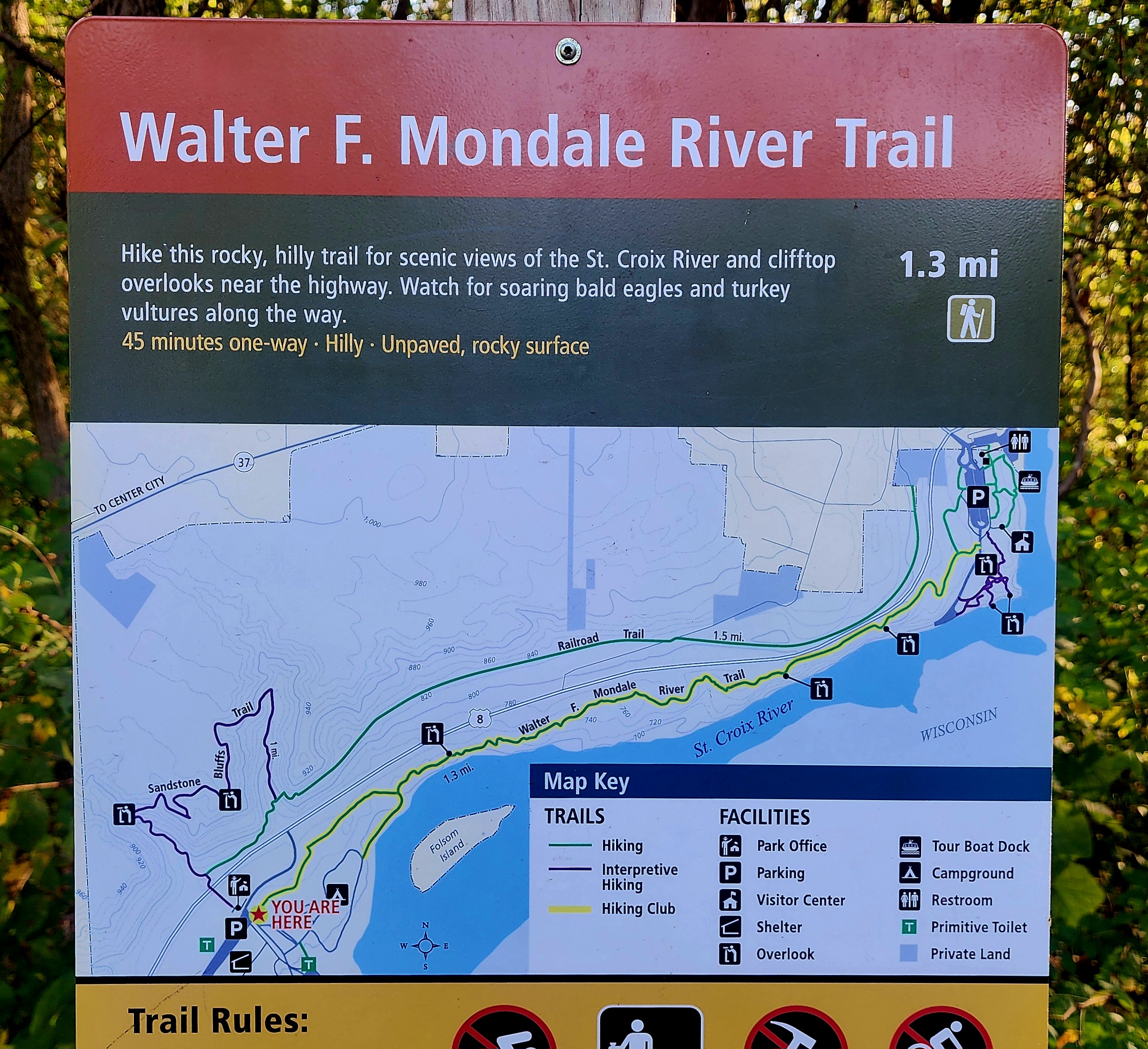
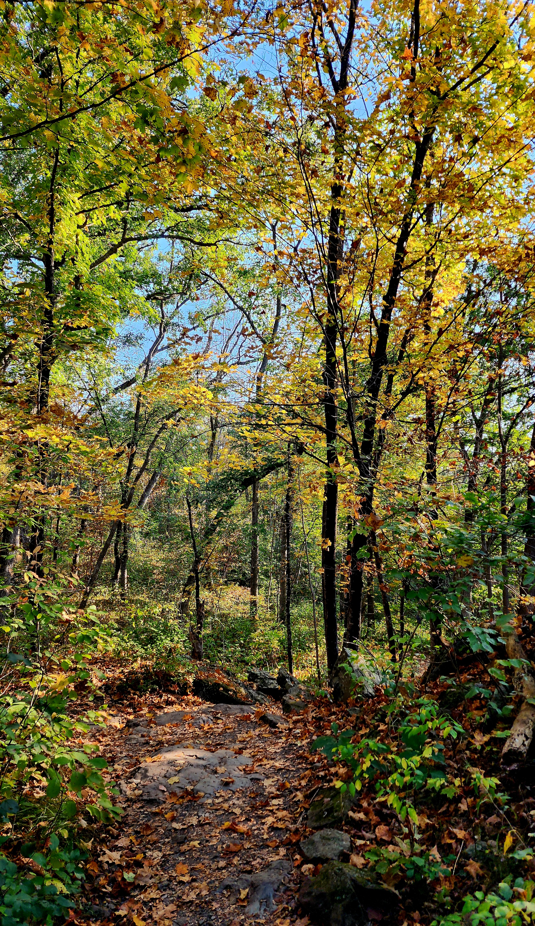
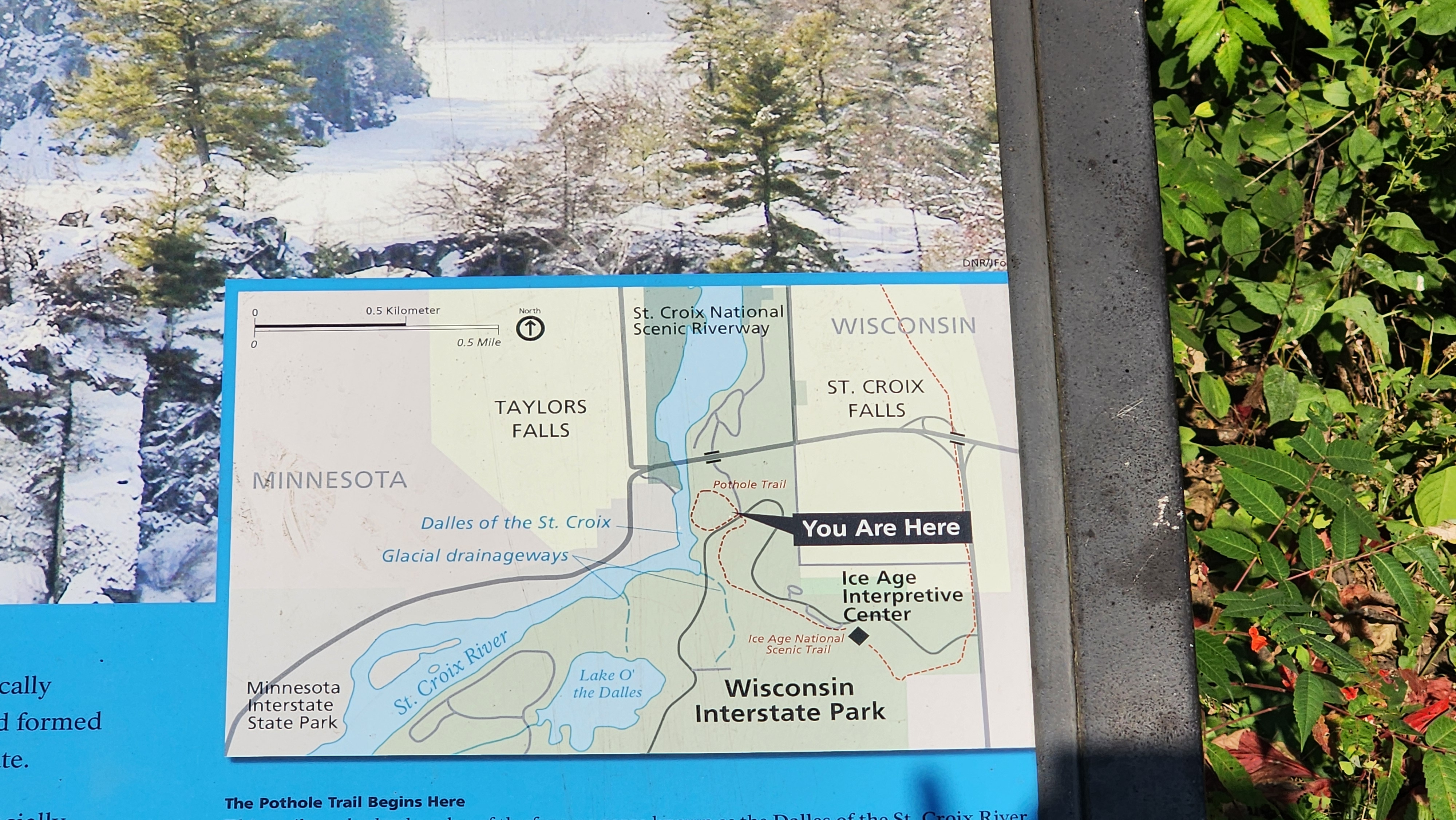
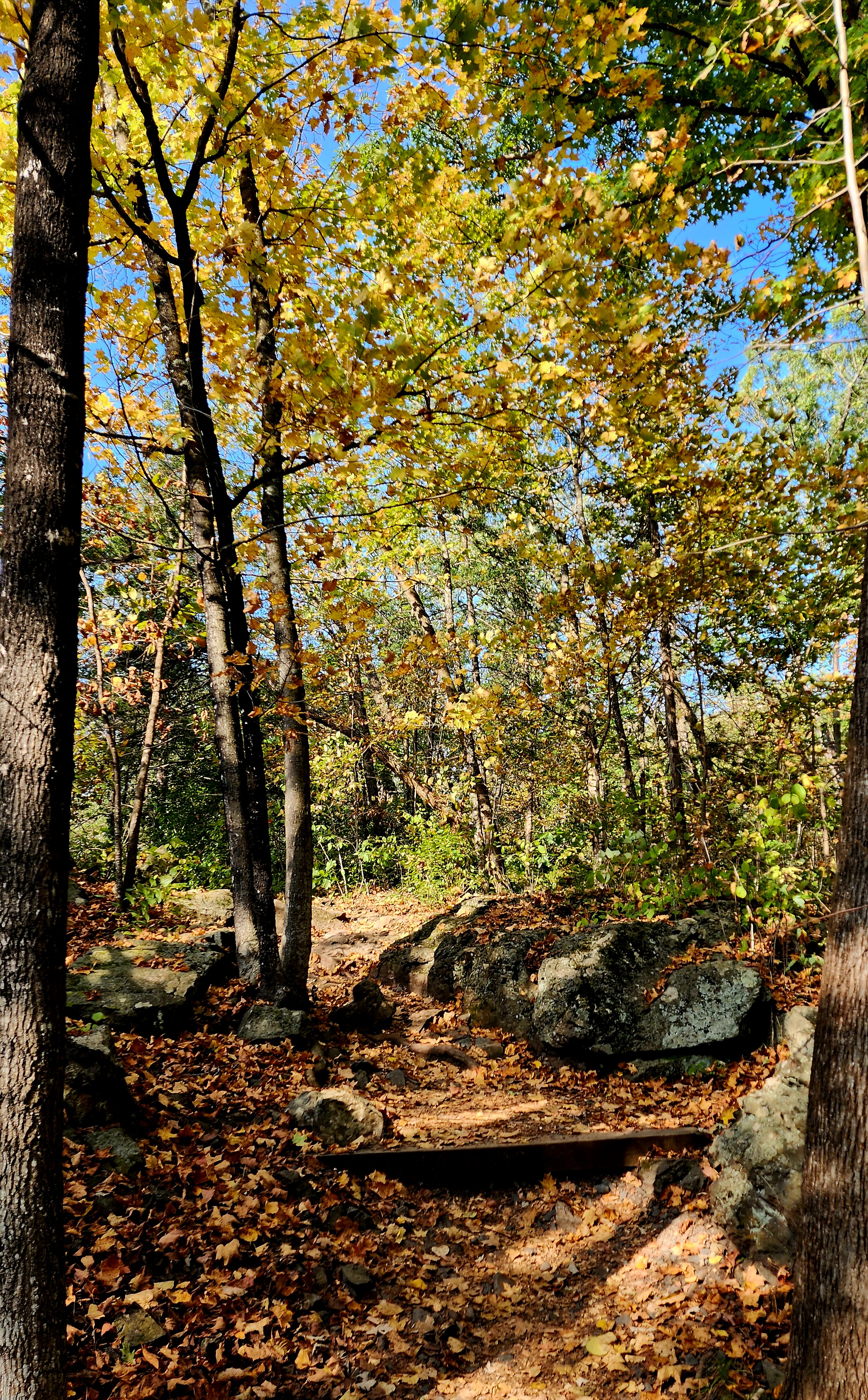
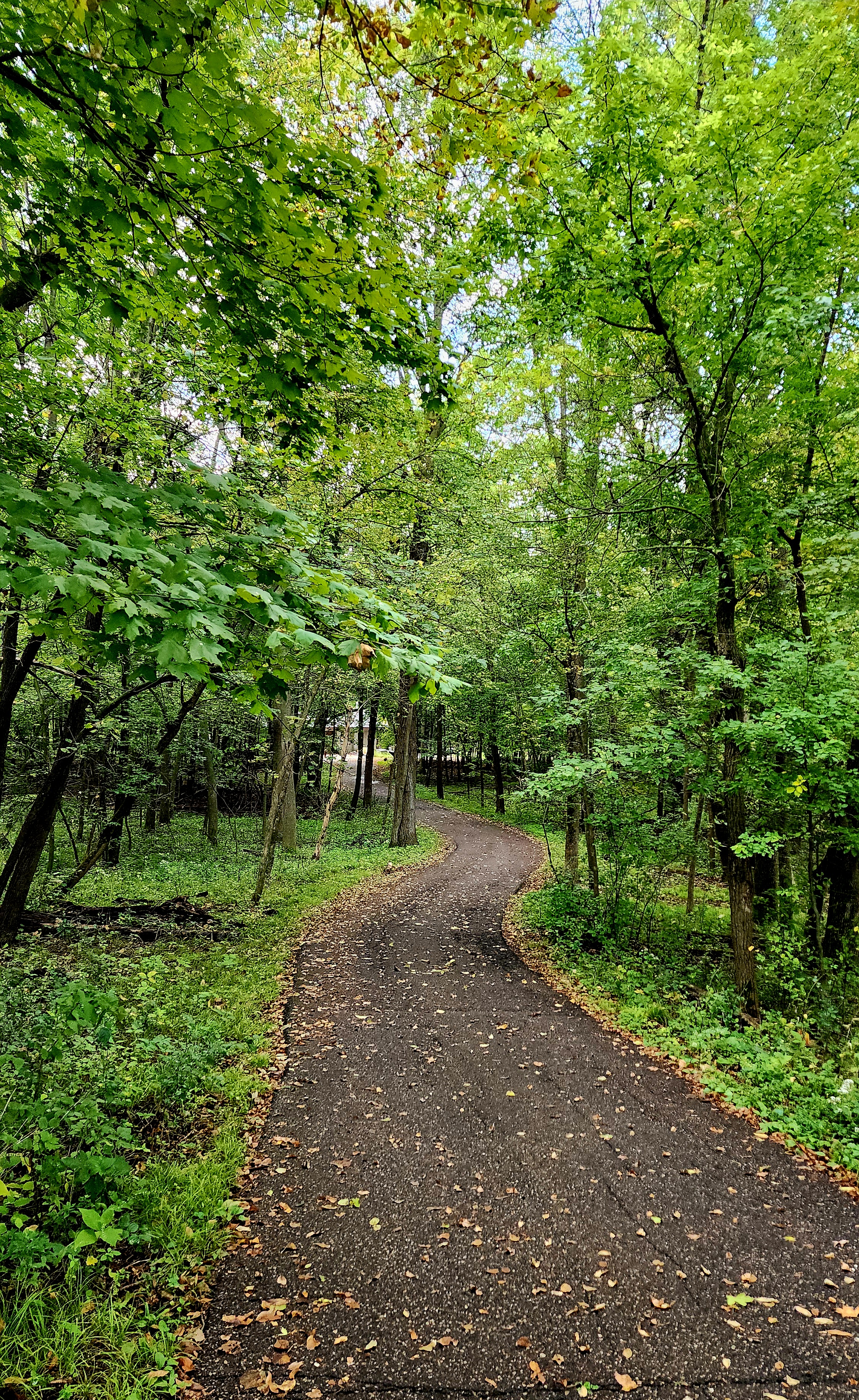
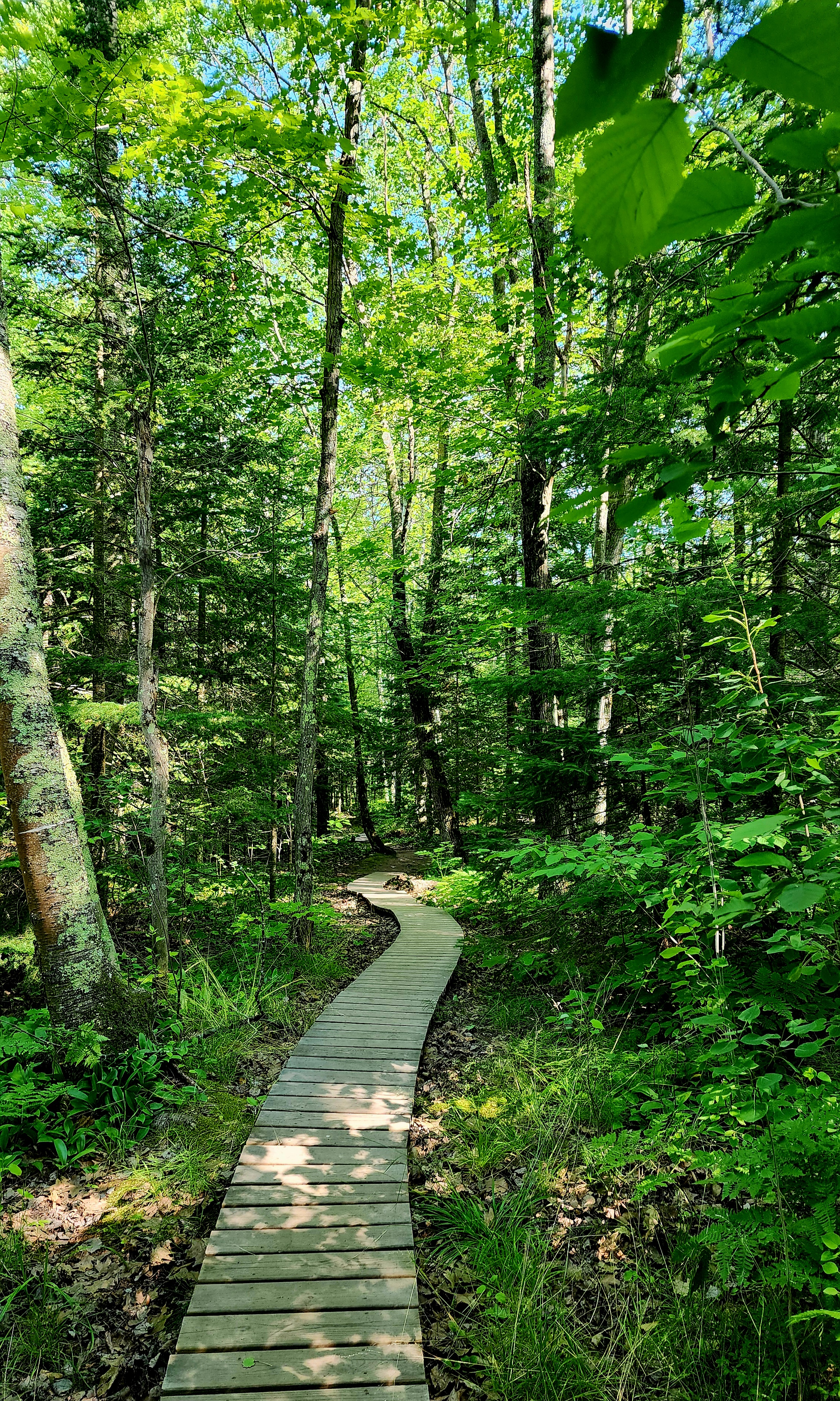
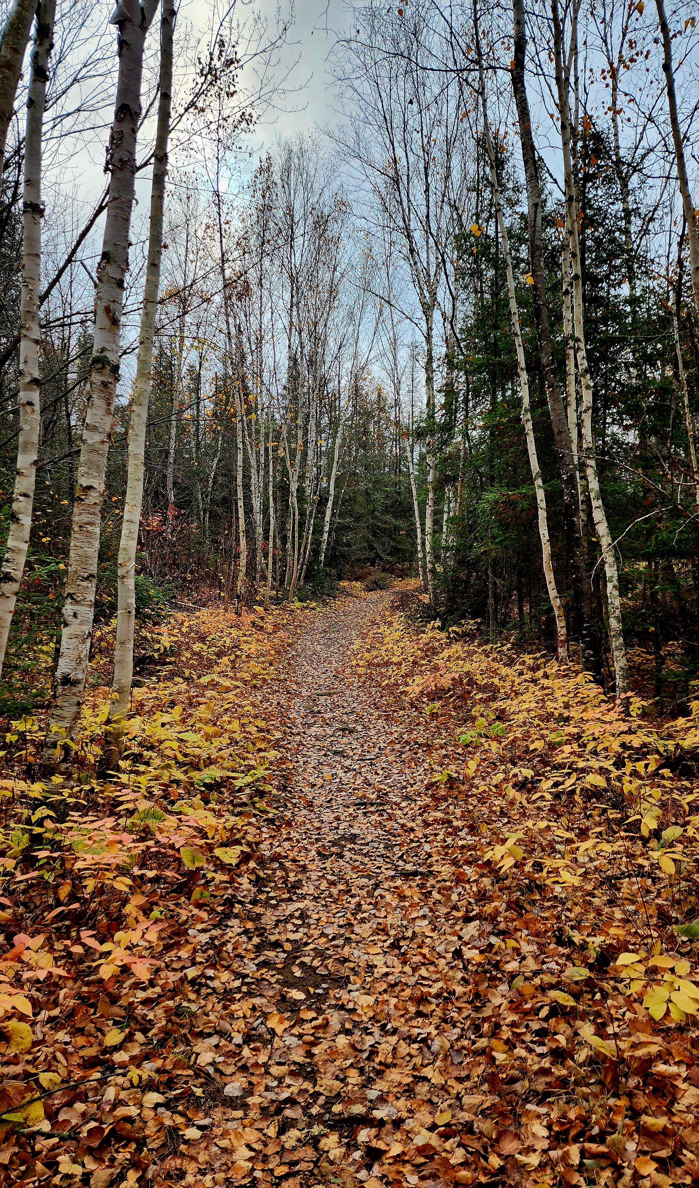
Today’s hiking adventure was at Carpenter St. Croix Valley Nature Center.
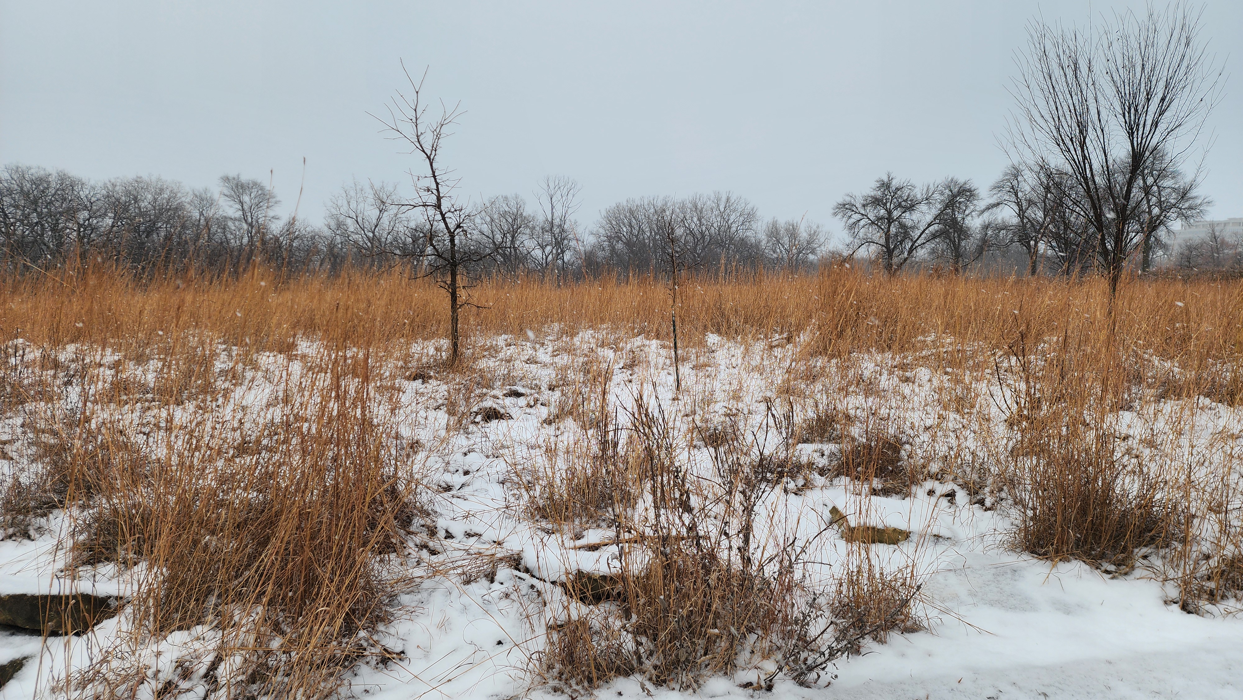
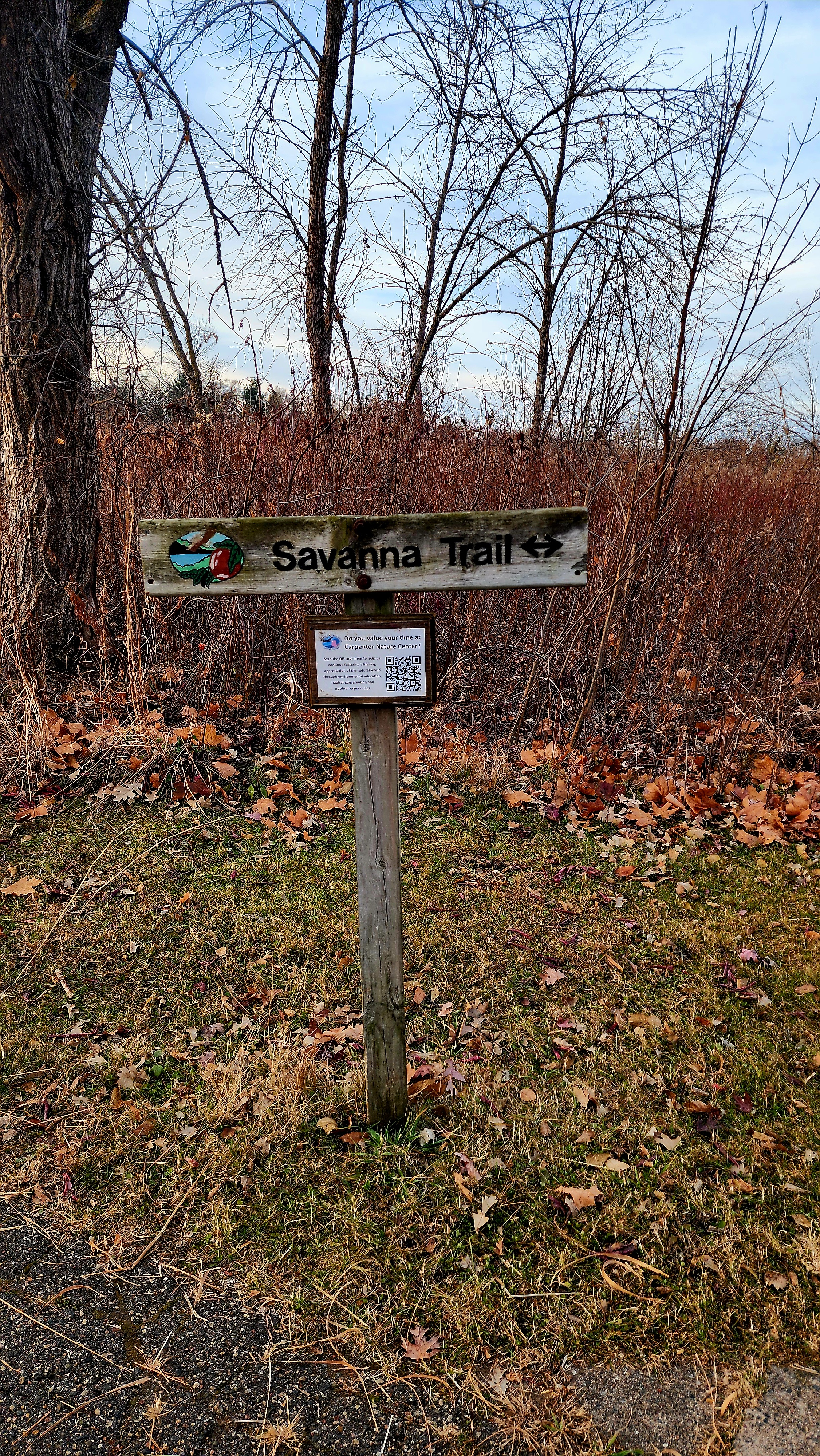
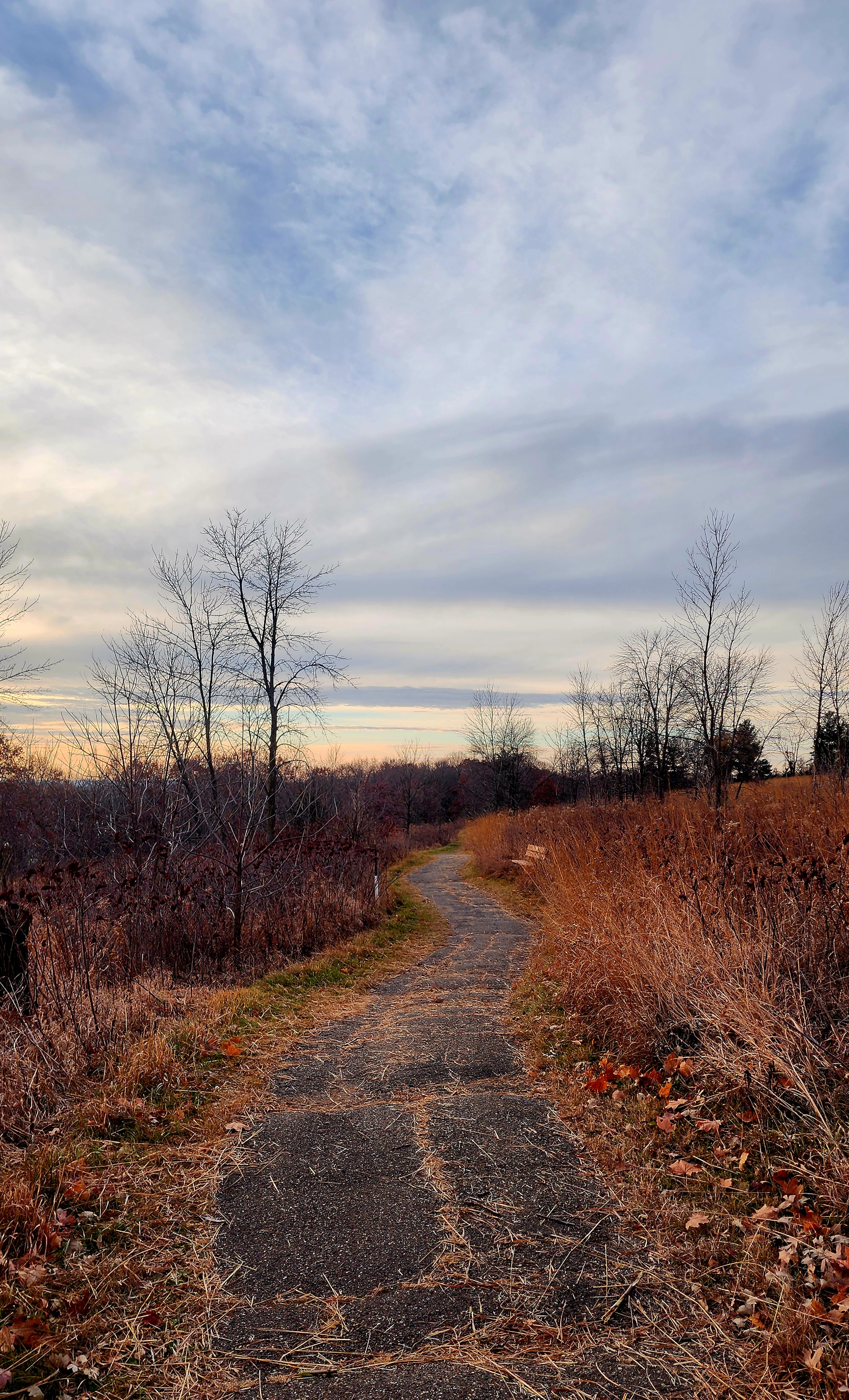
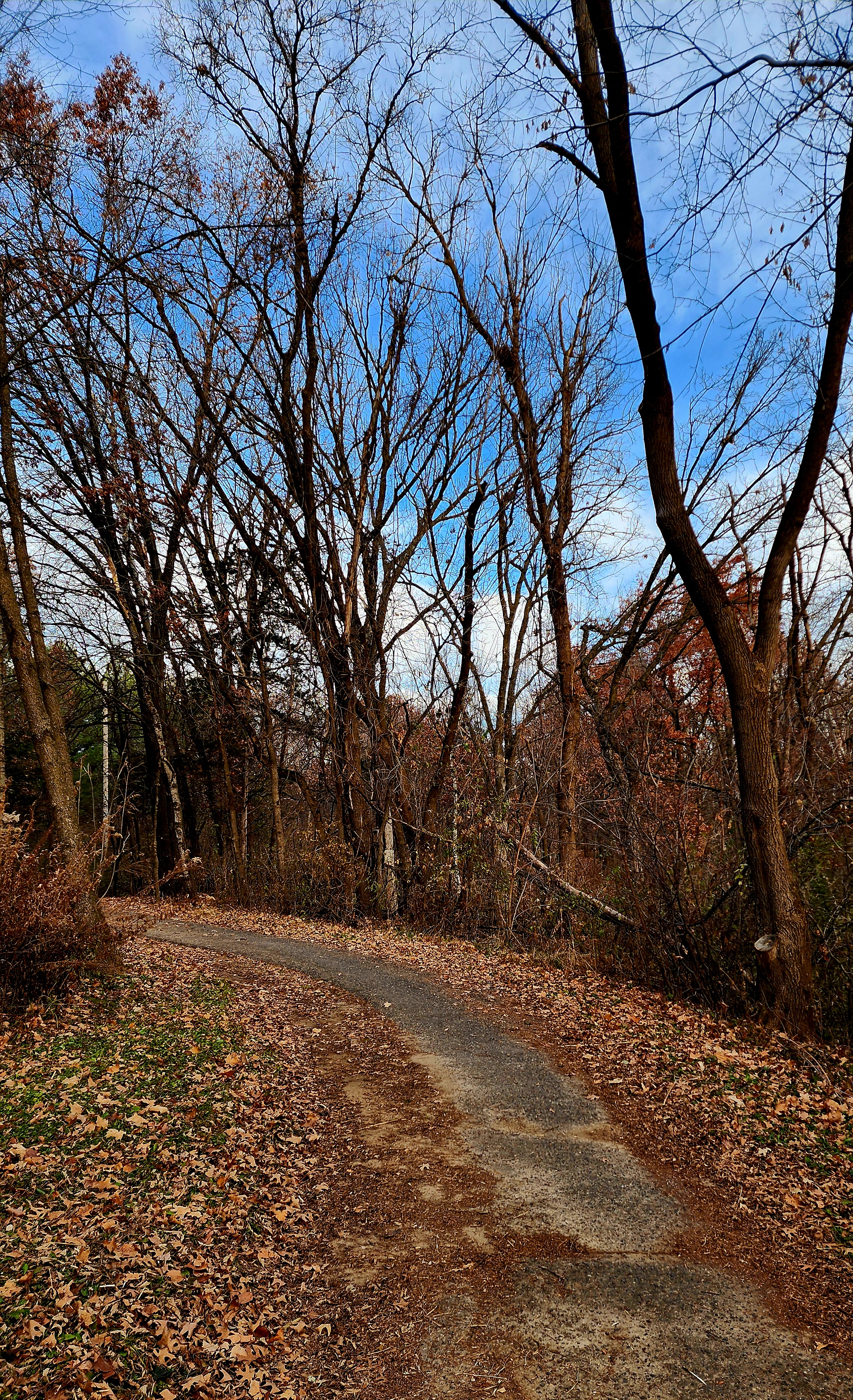
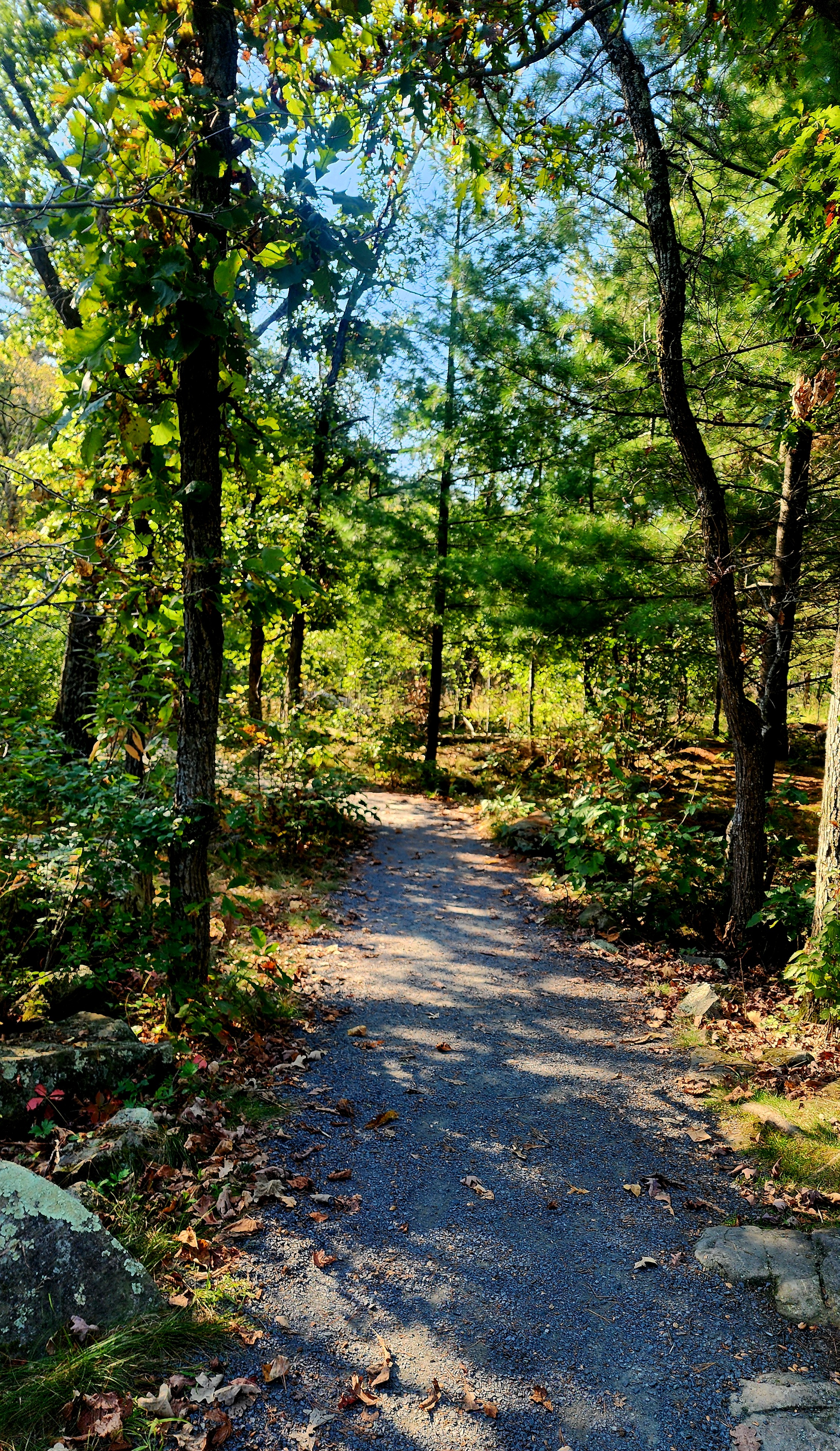
My cousin and I have been trying for several weeks to hike this park. Mostly, to take in the fall colors, but life had other plans. Most of the leaves have now fallen, however, nature was still able to offer us beautiful views. Our hike began on the Savanna Trail.
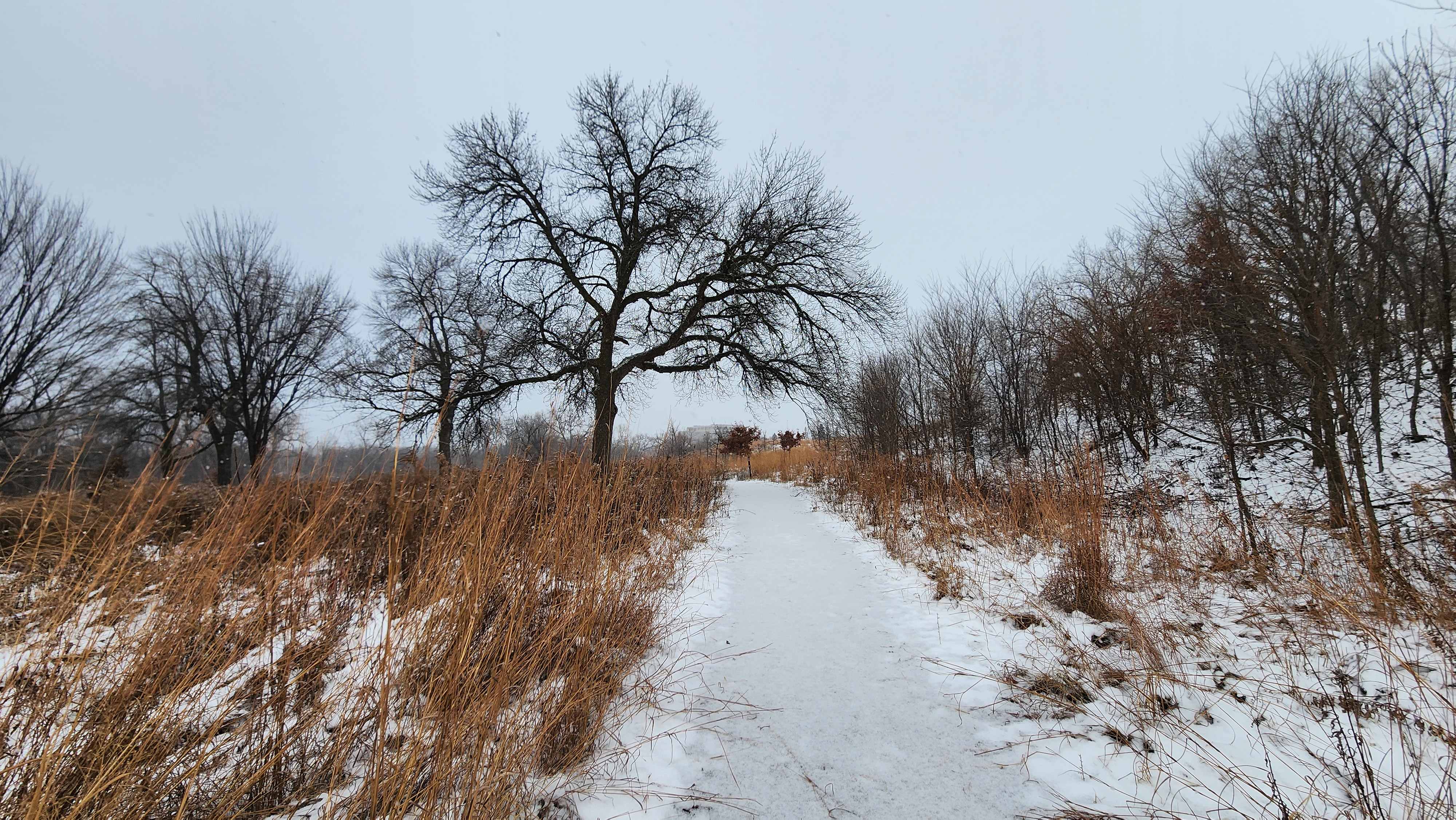
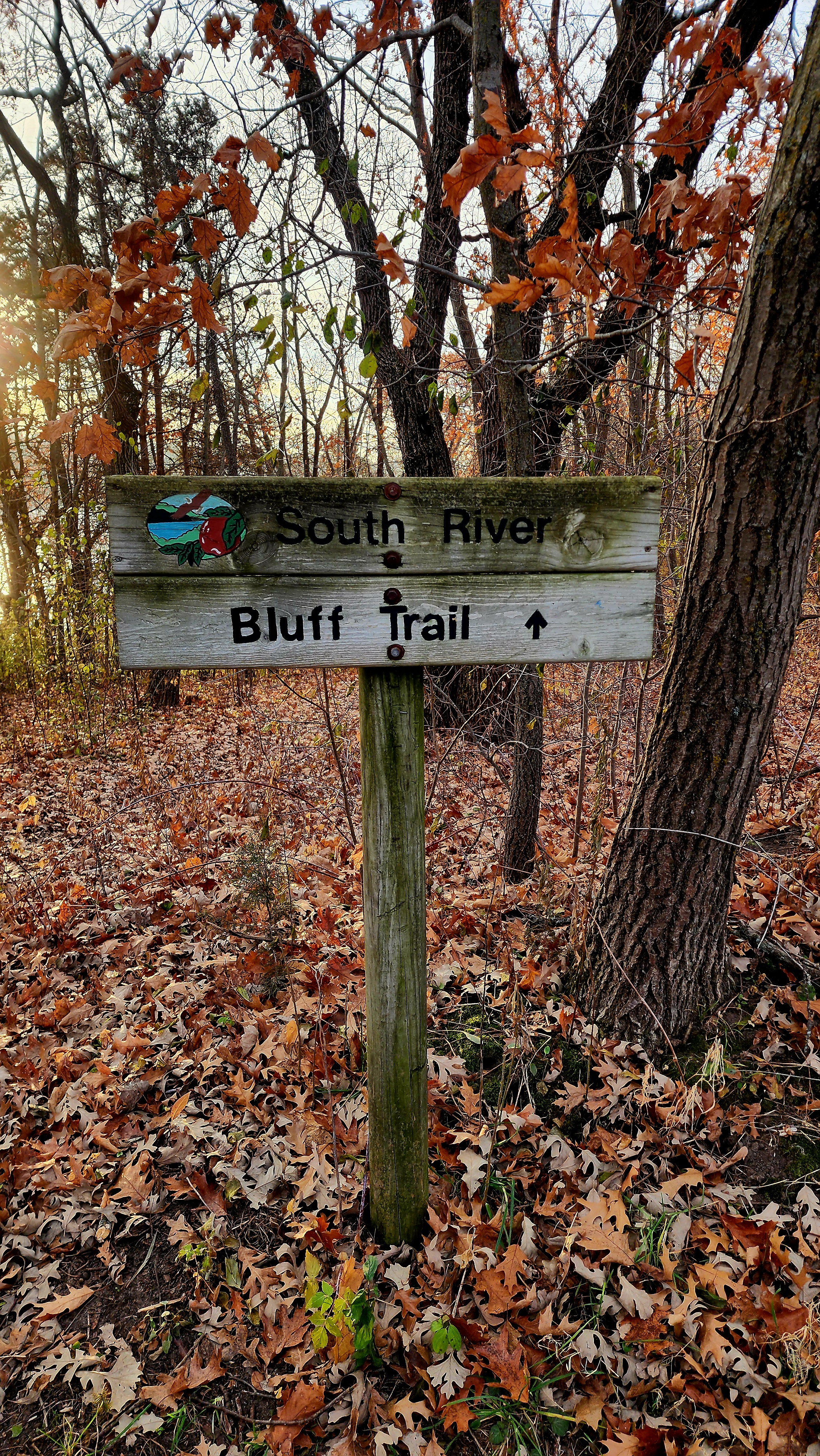
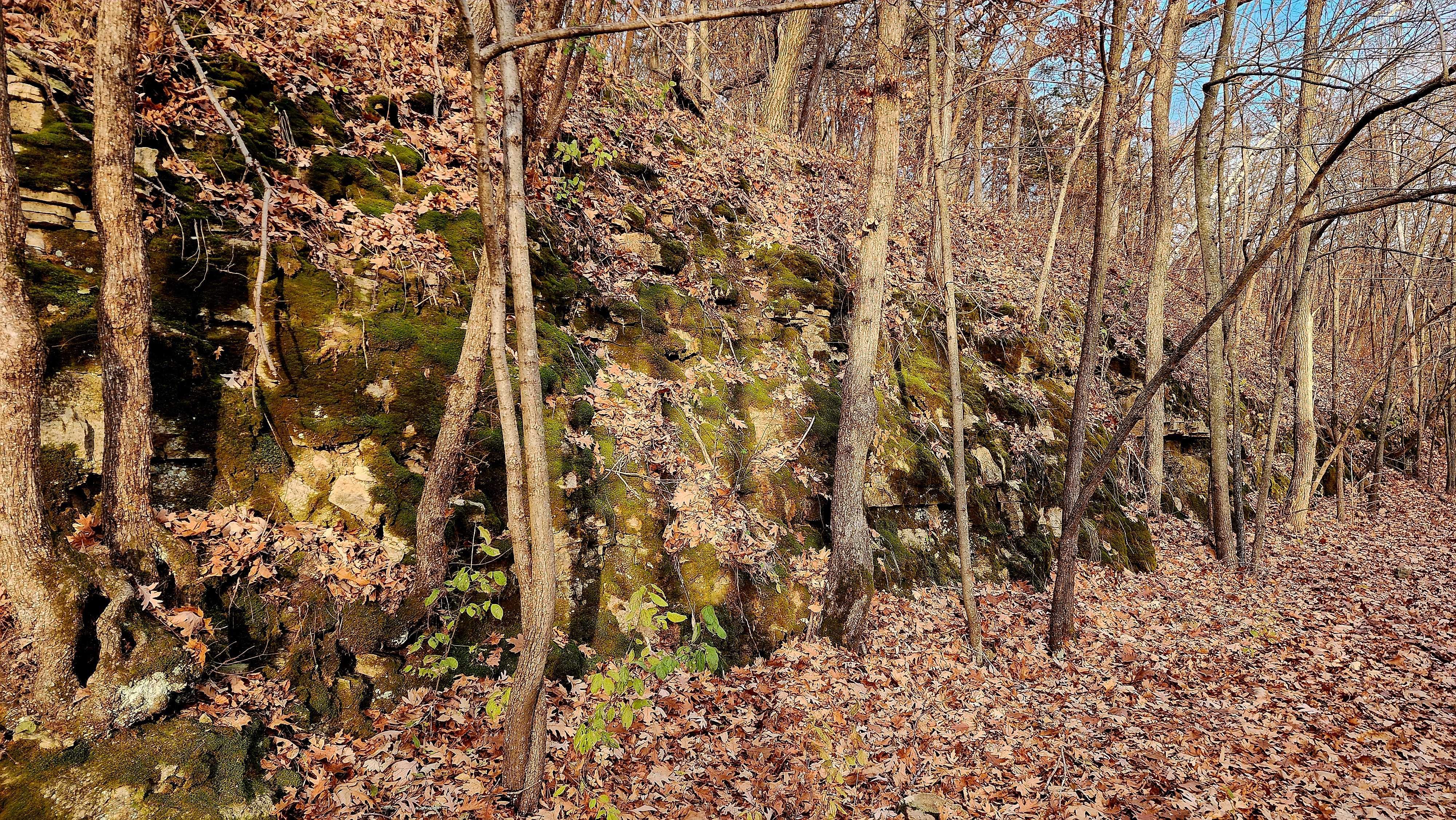
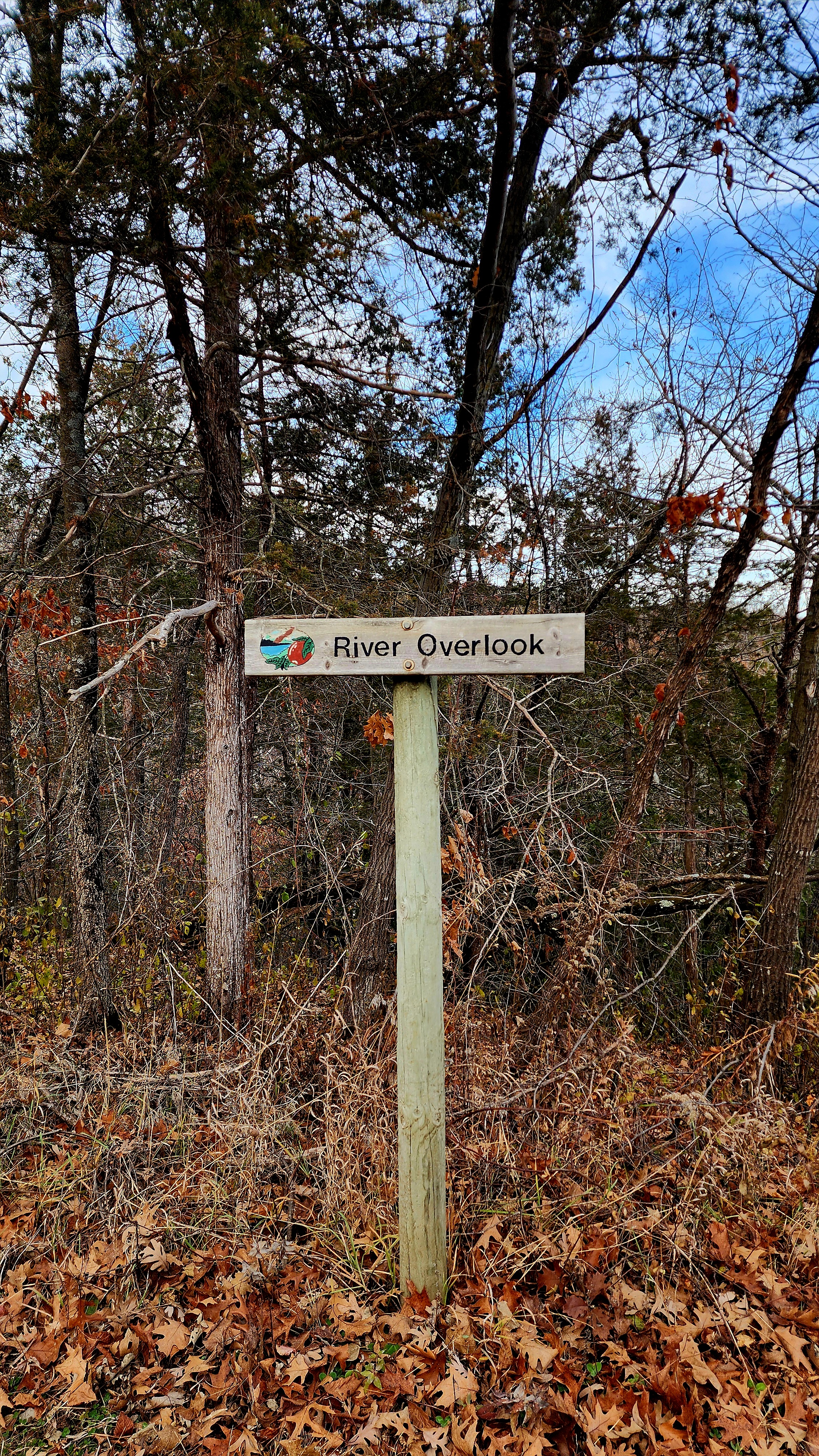
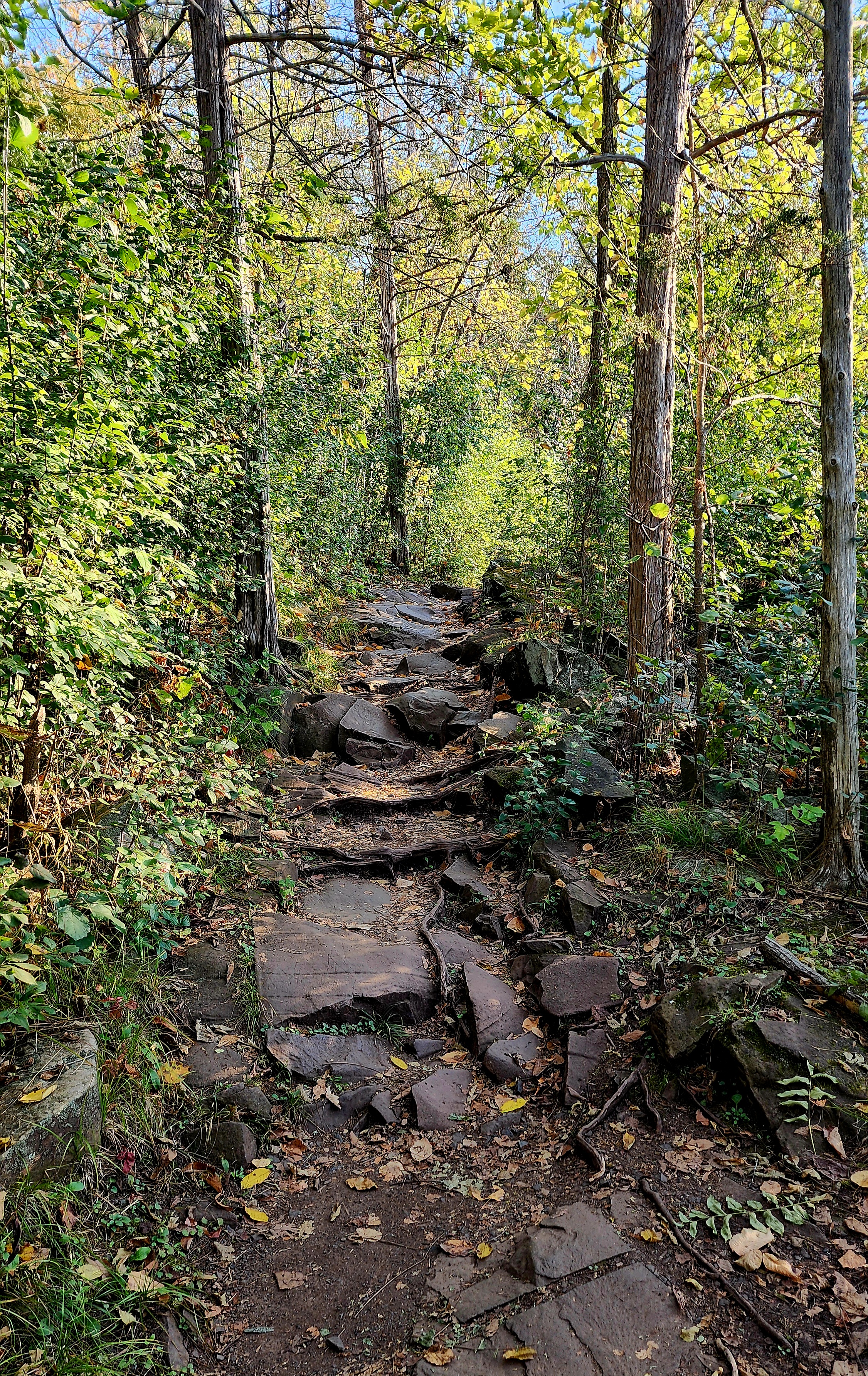
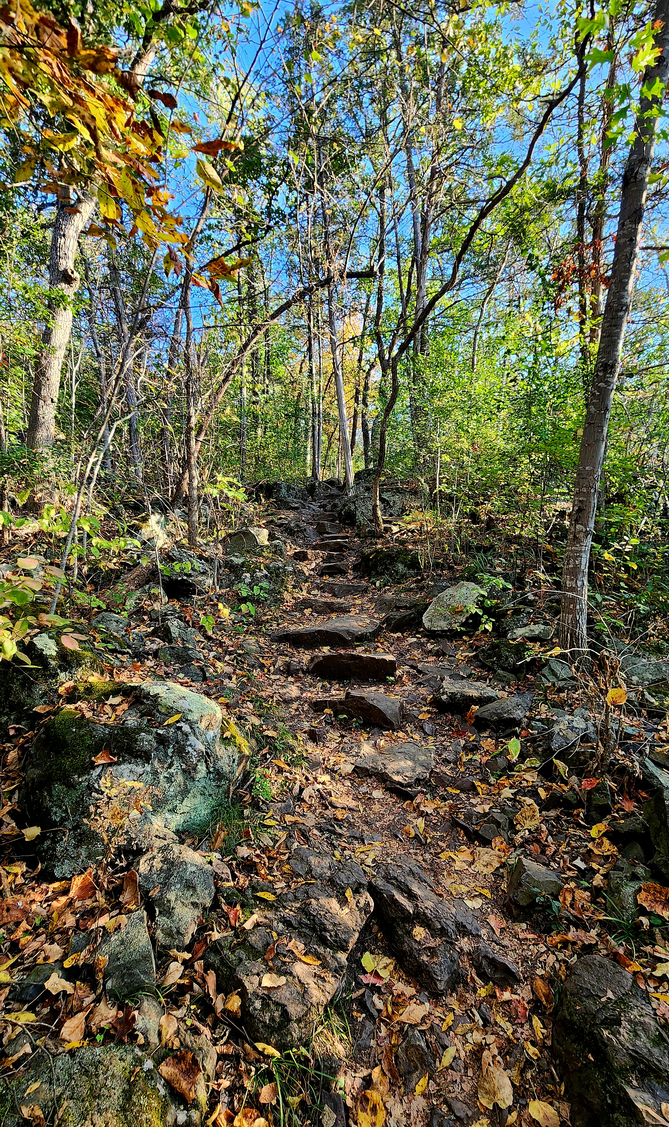
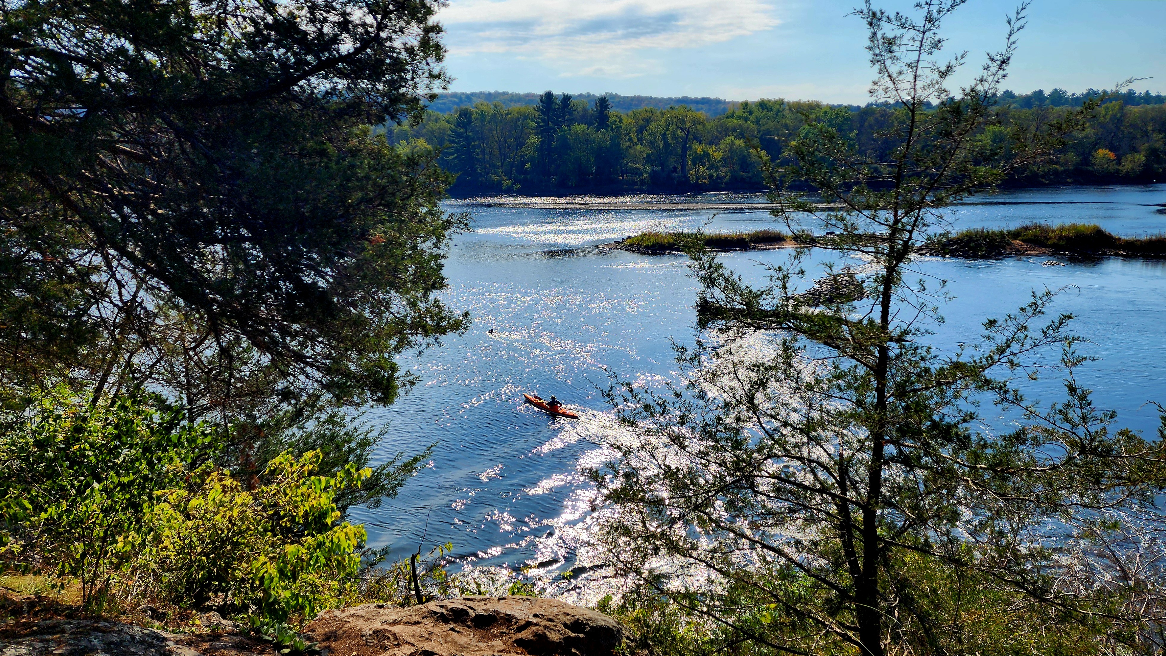
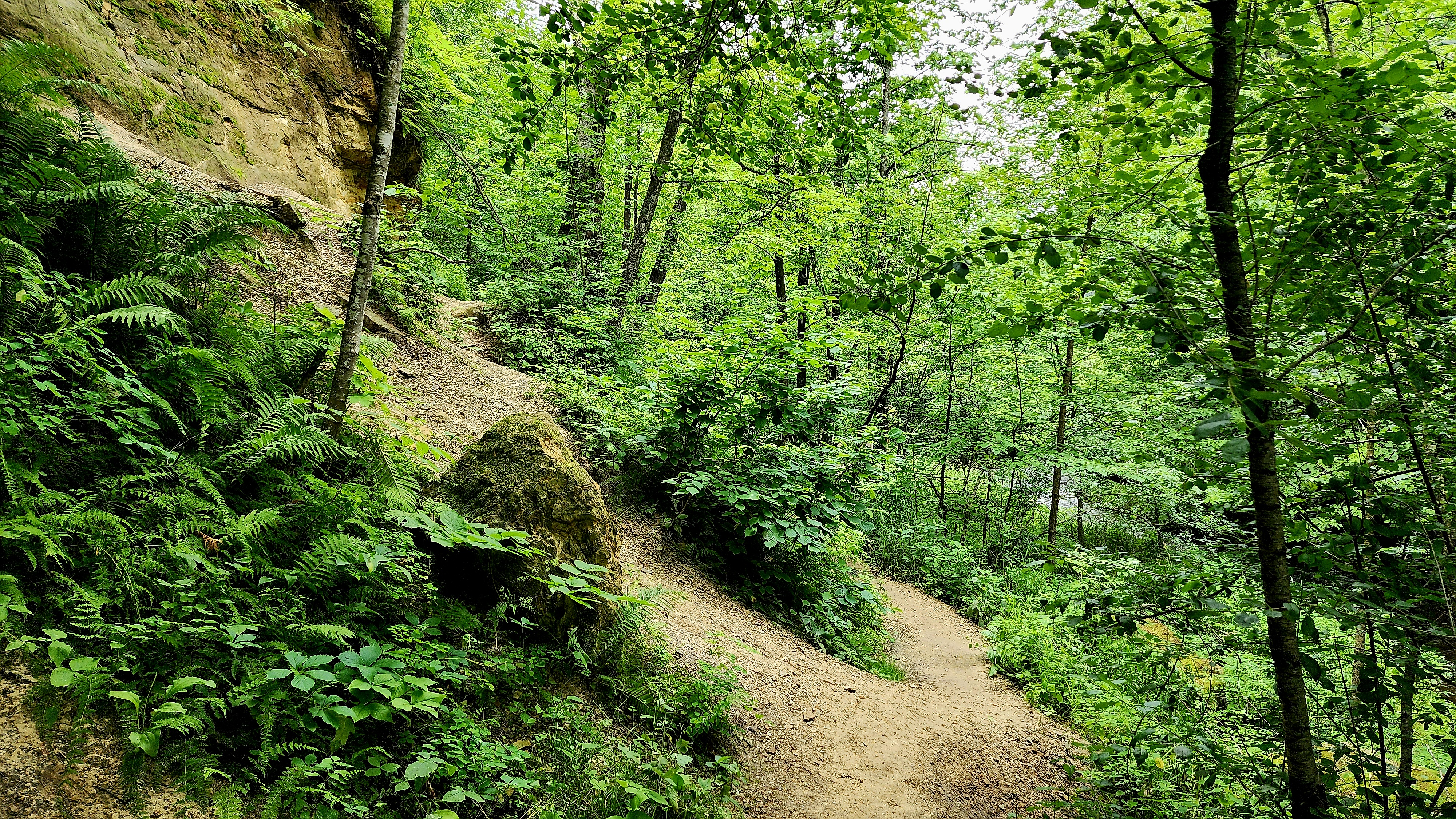
South River Bluff Trail was our next trail. Down the bluff we go!
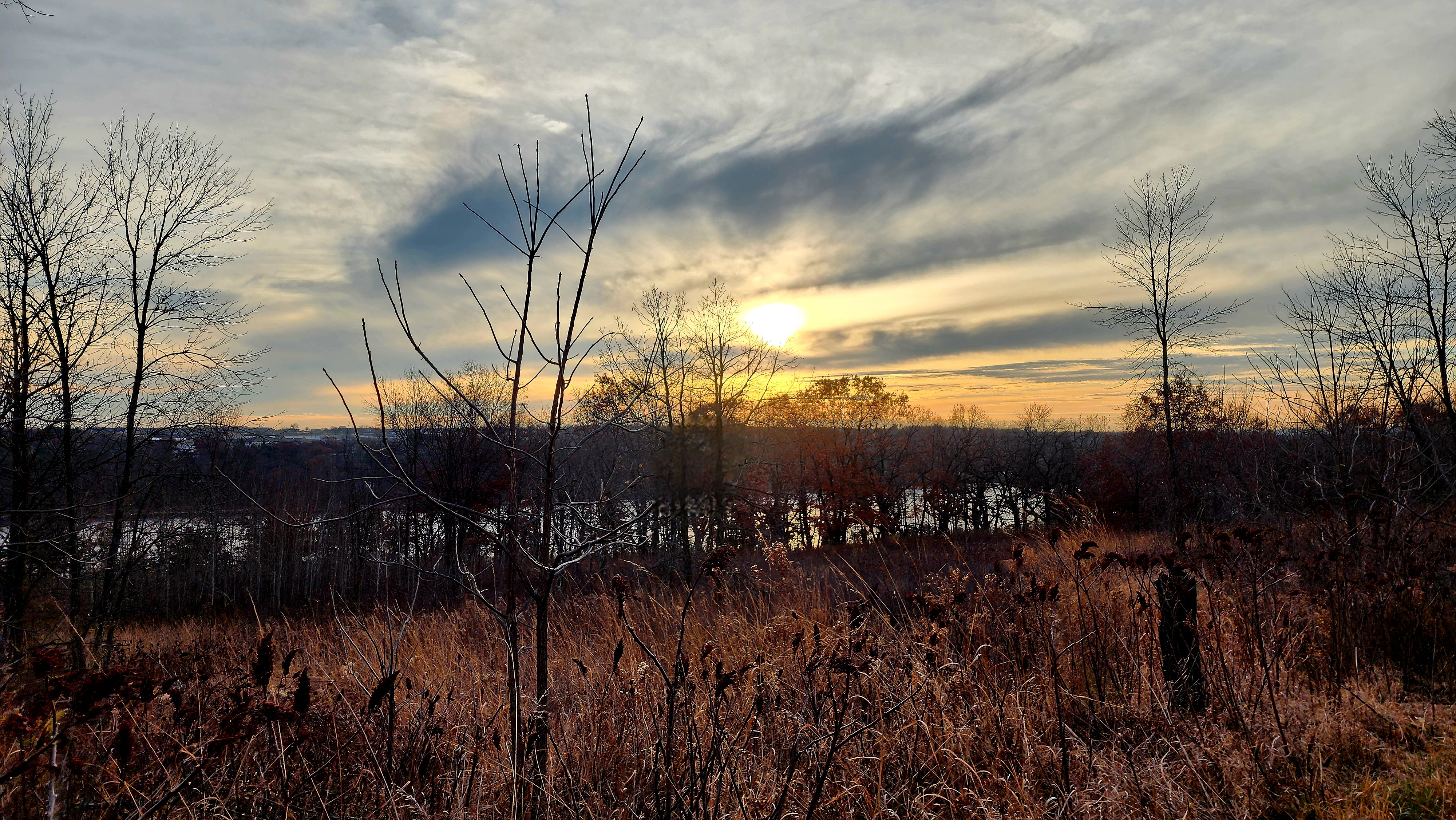
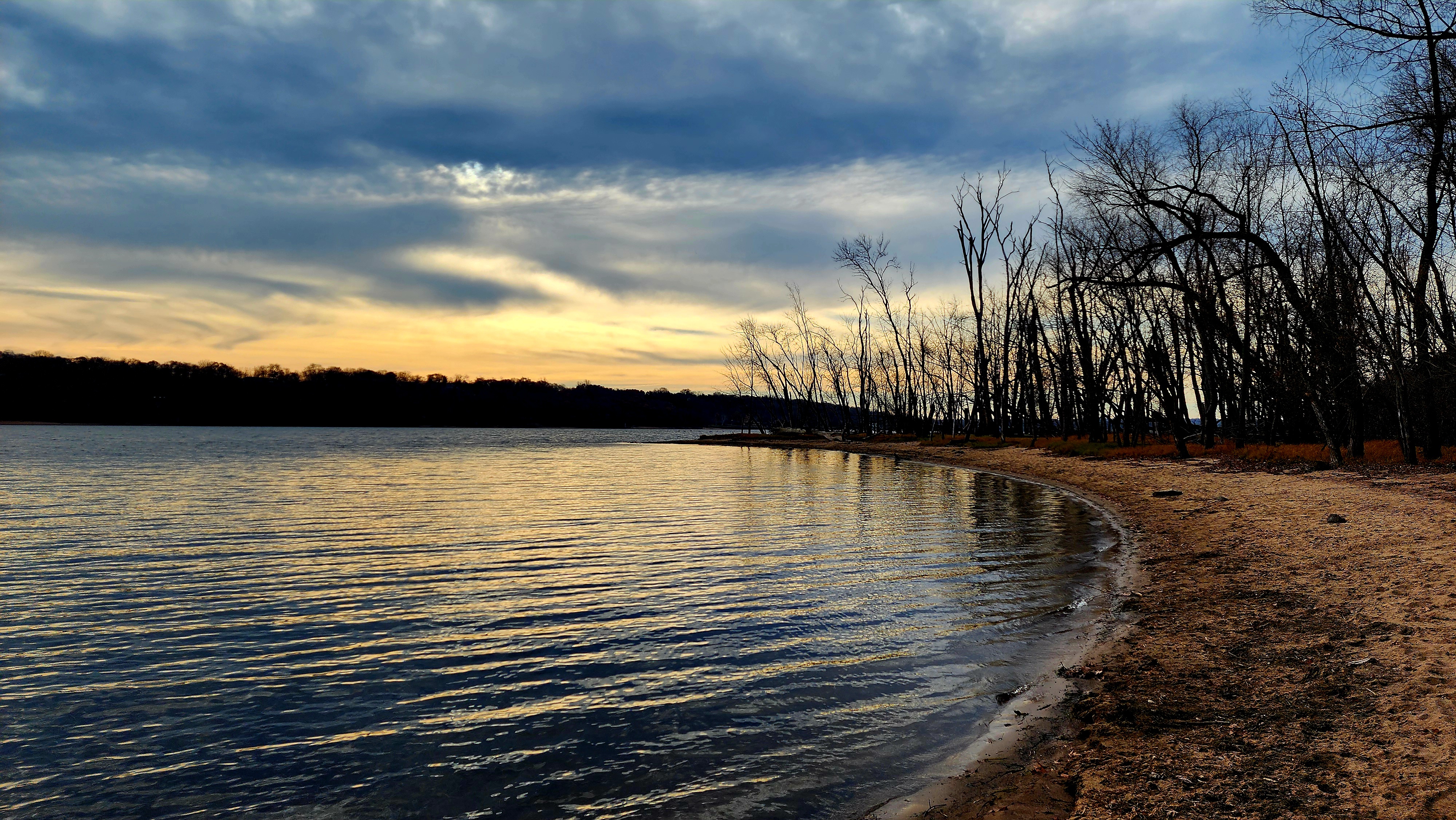
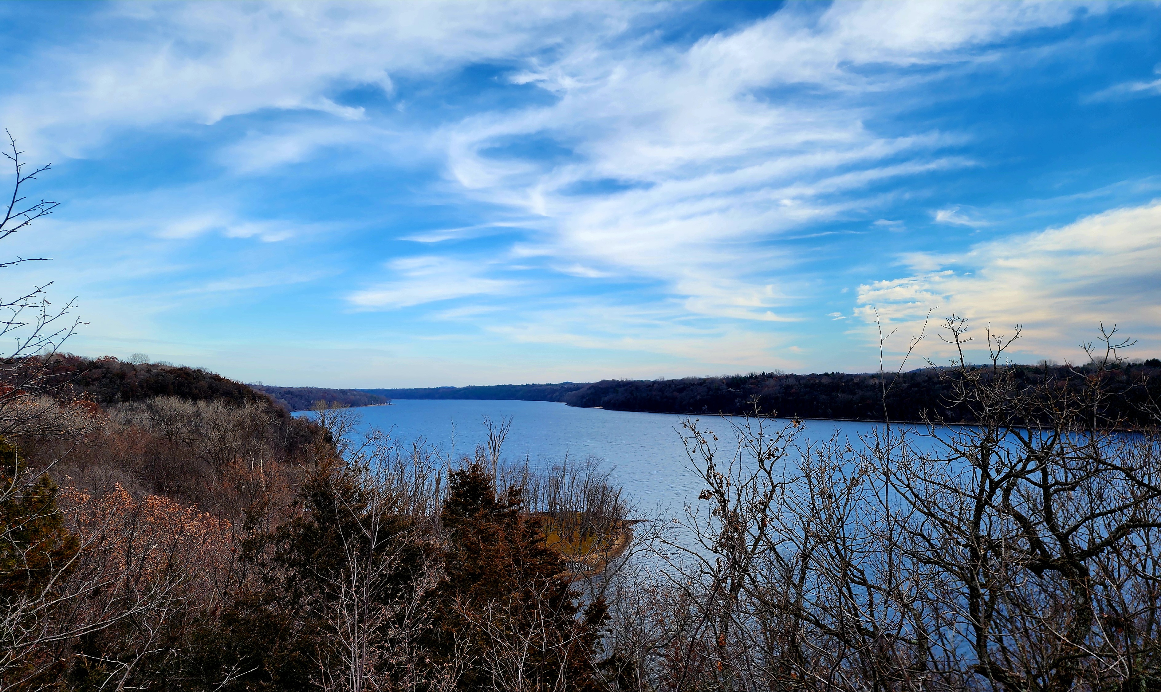
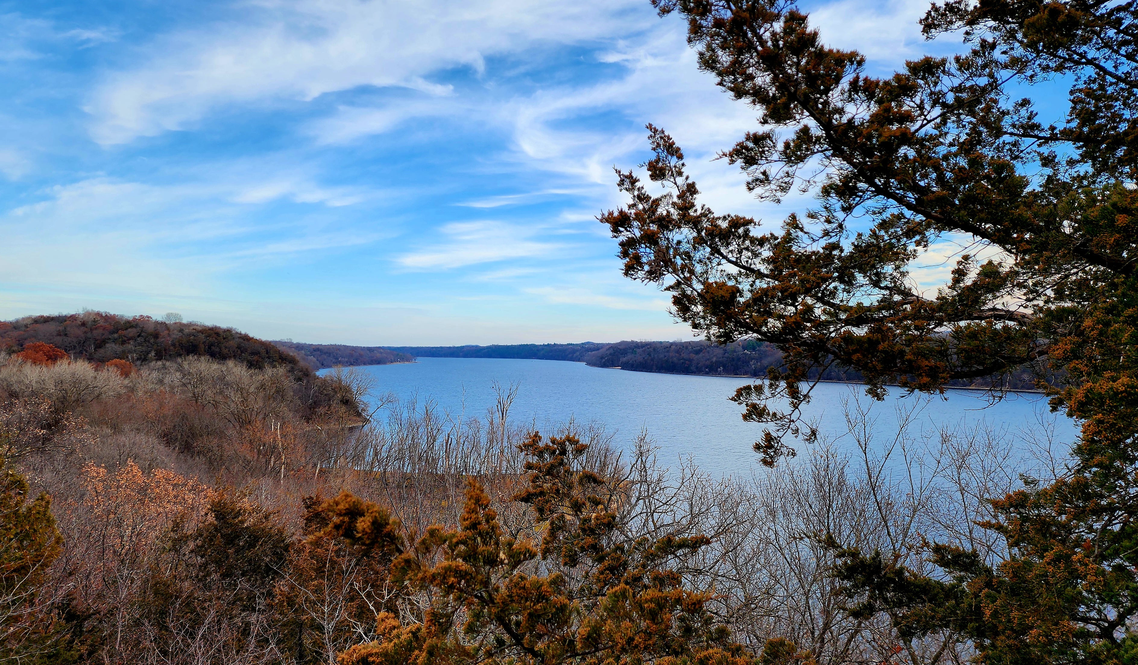
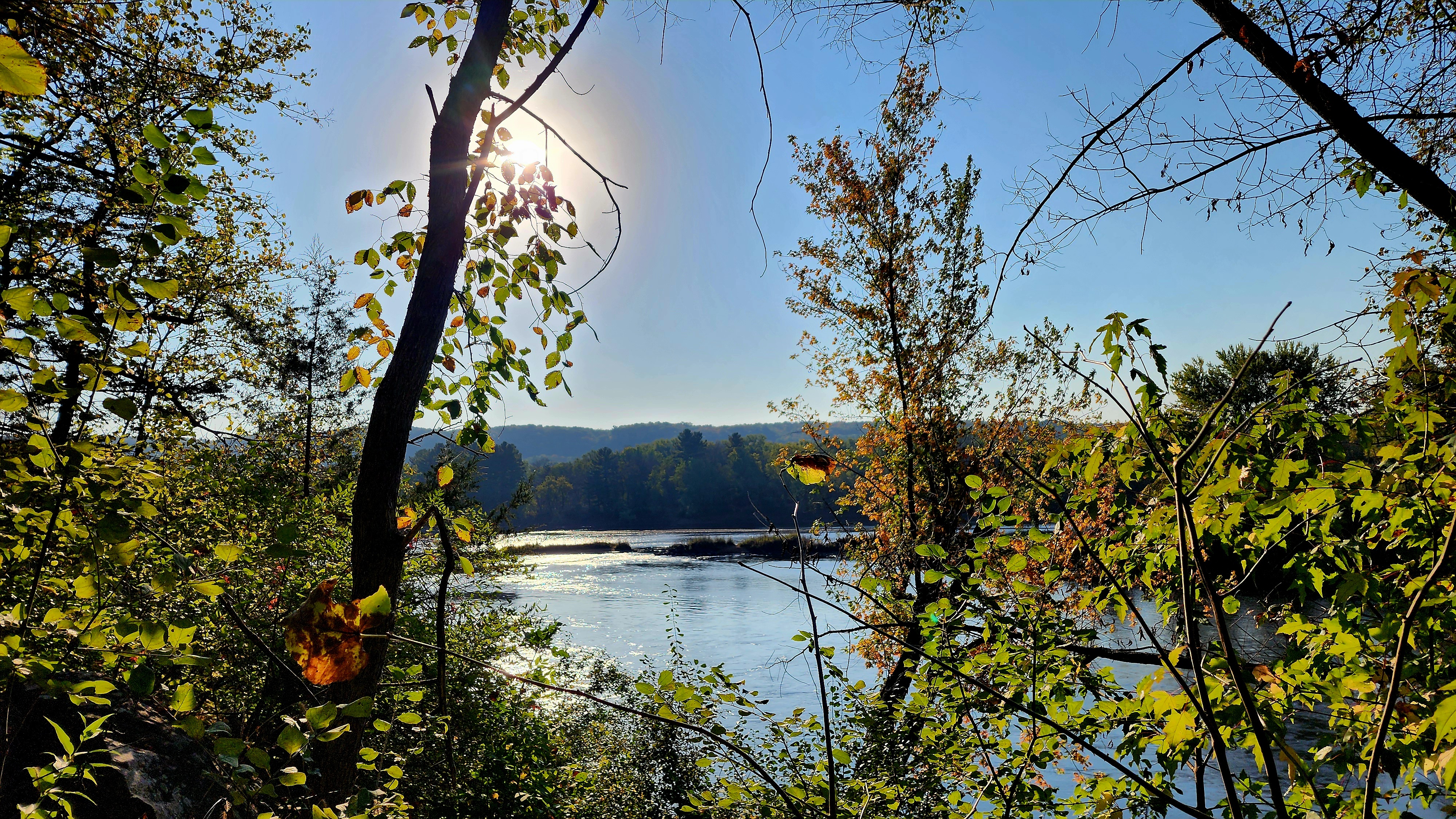
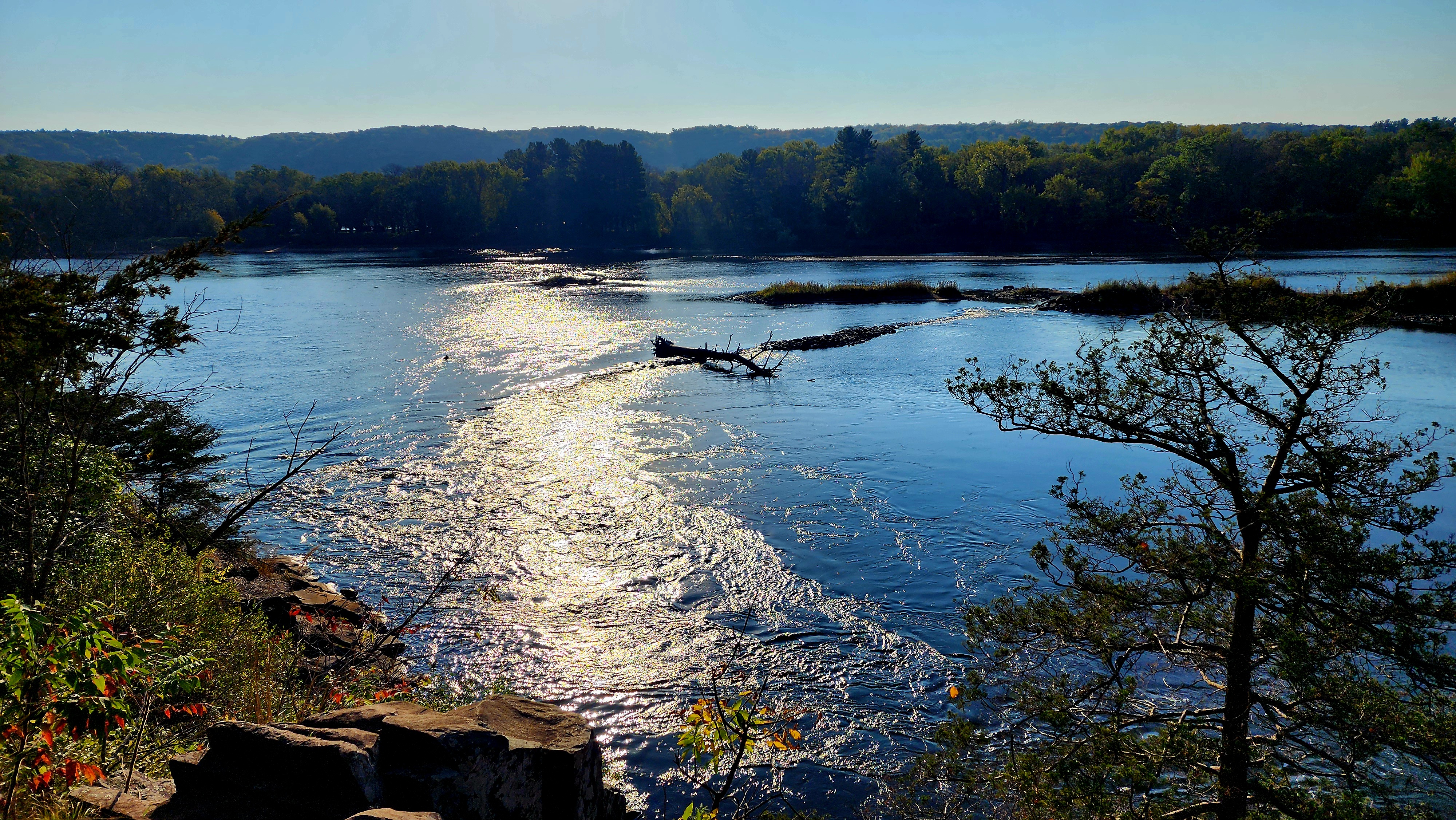
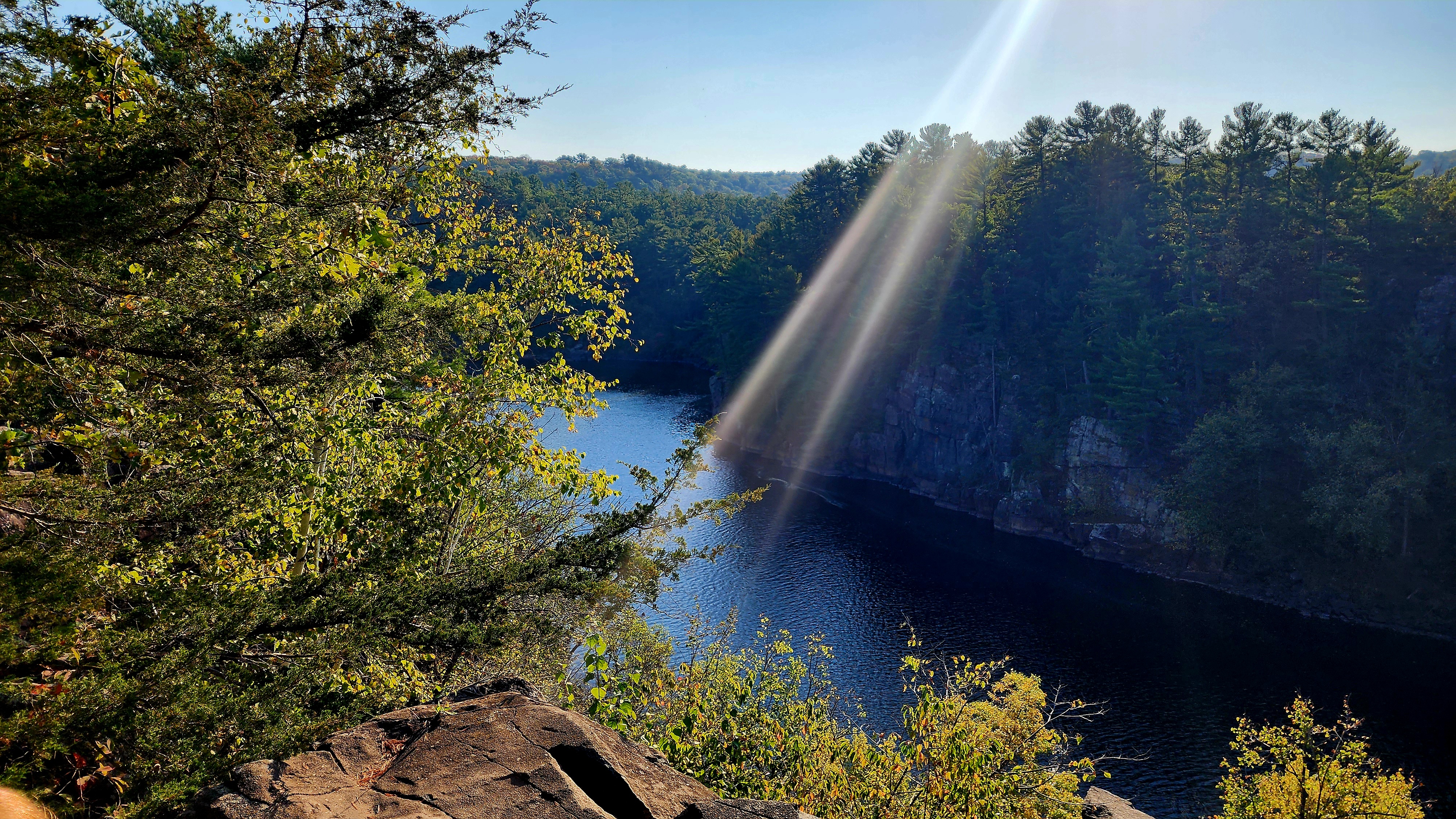
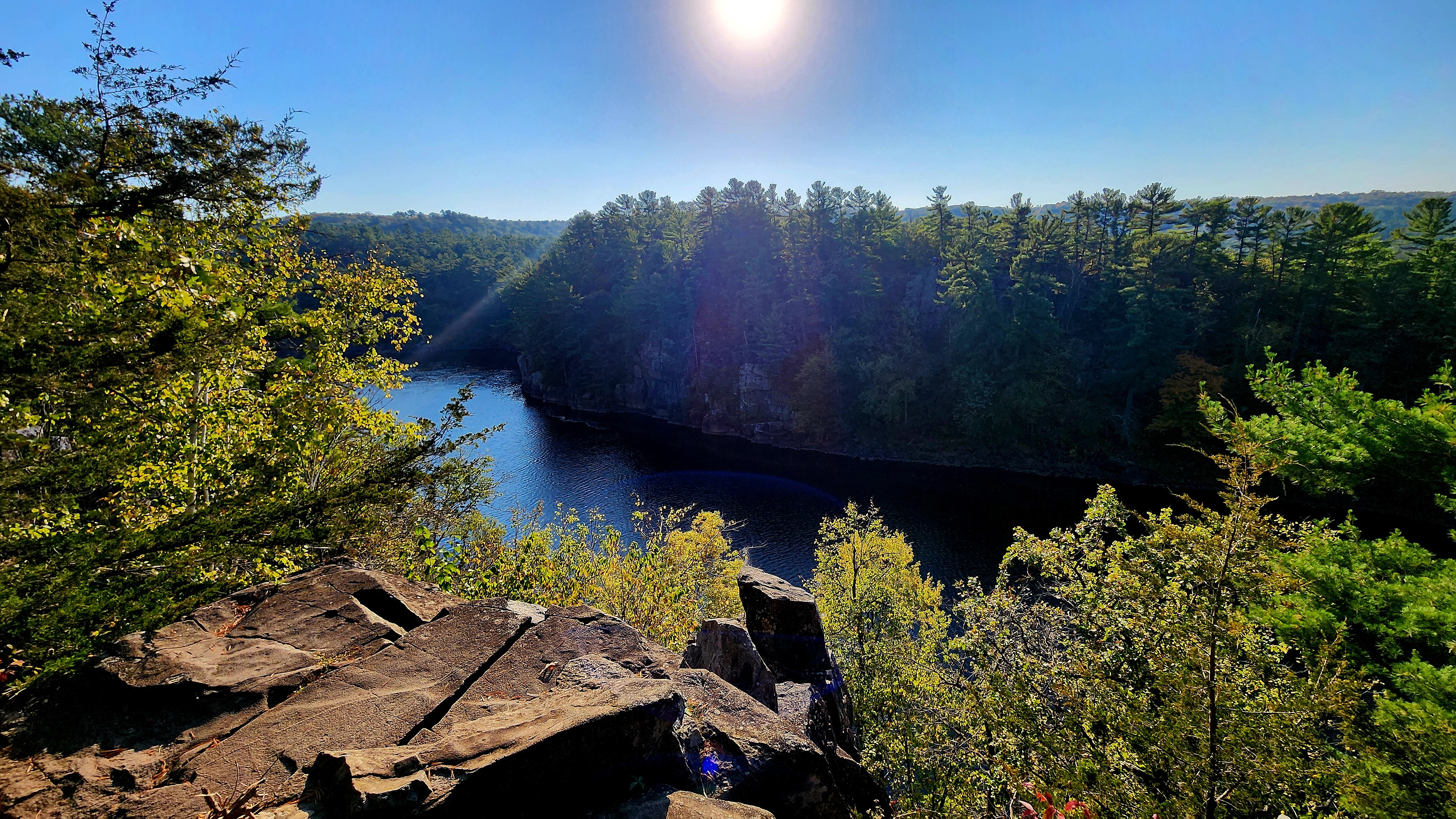
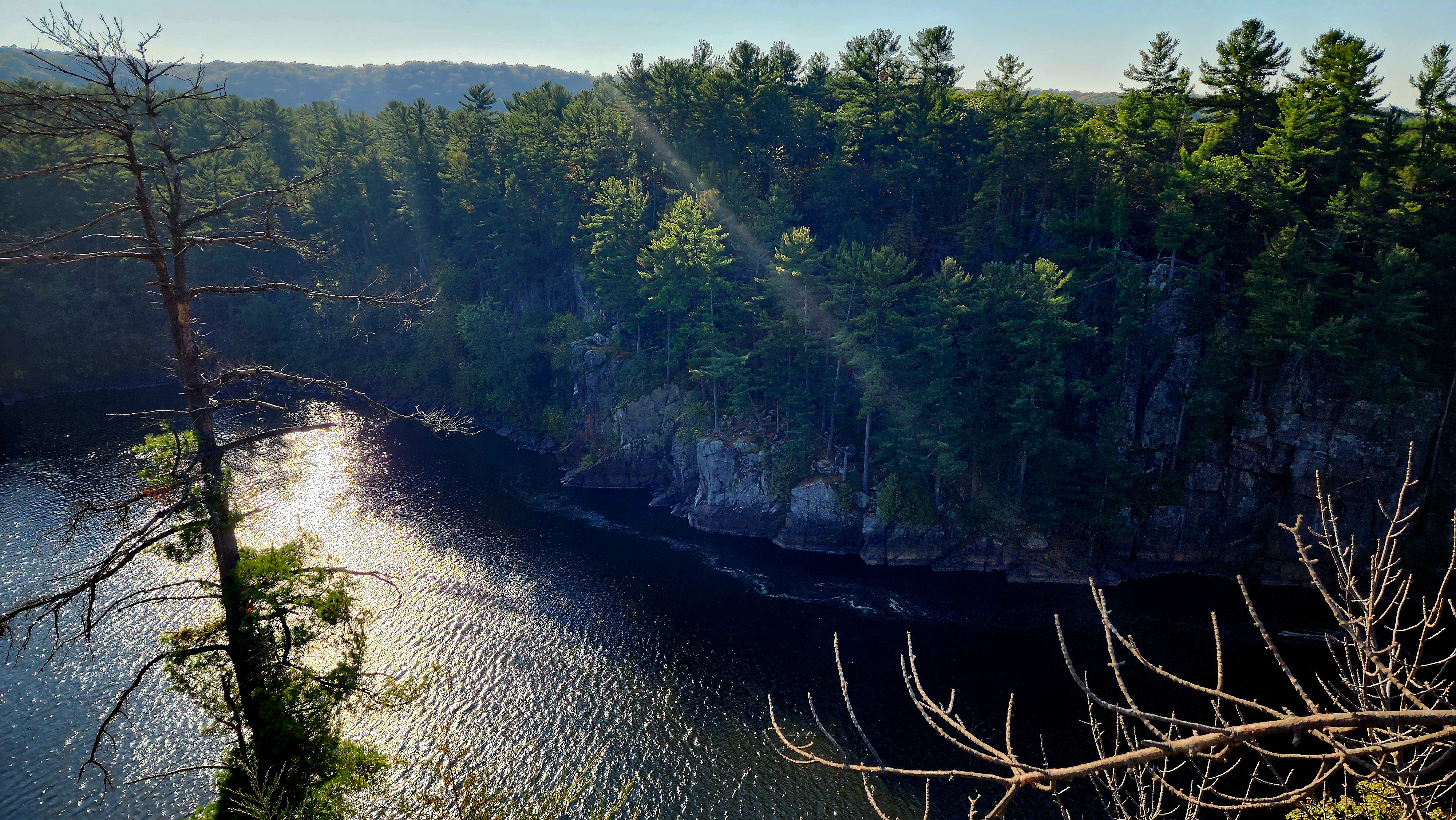
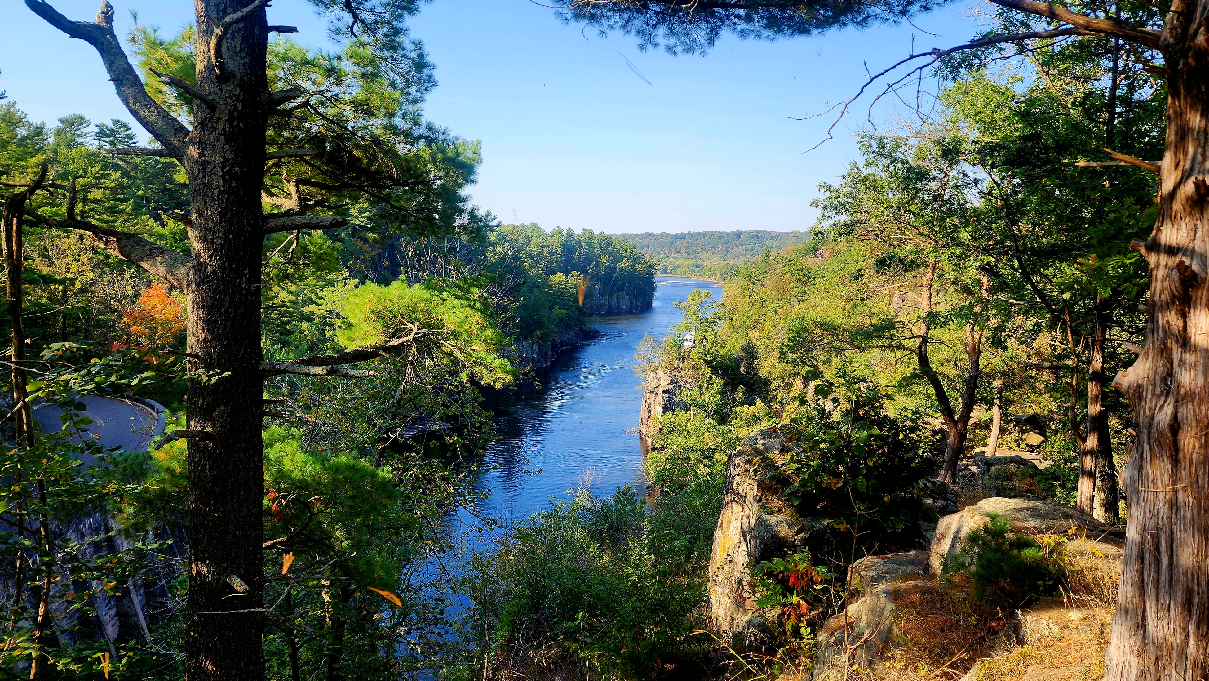
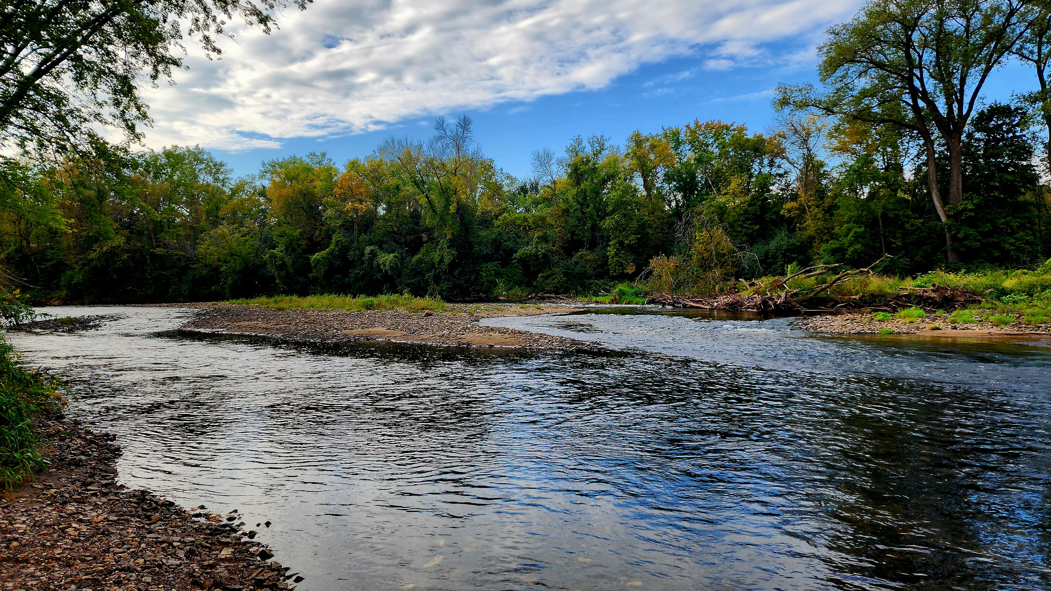
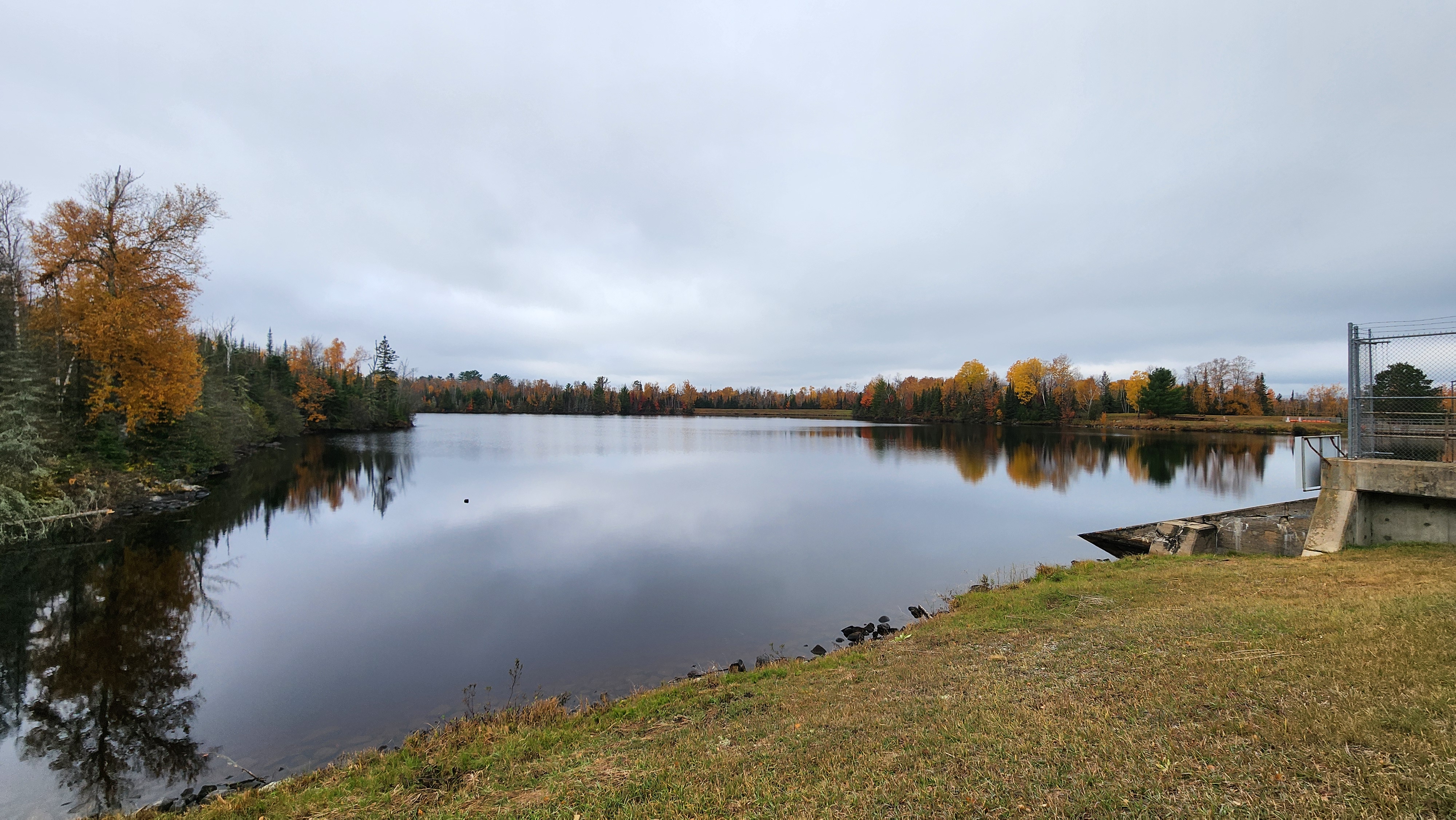
Sunrise on the St. Croix River.
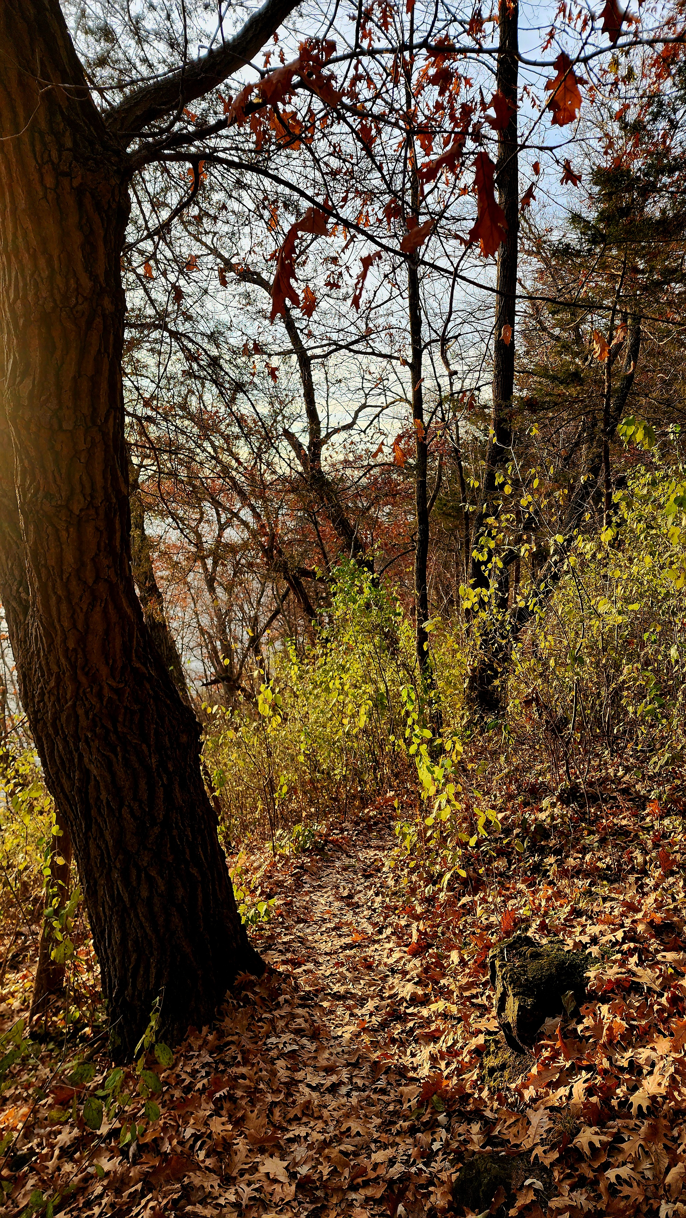
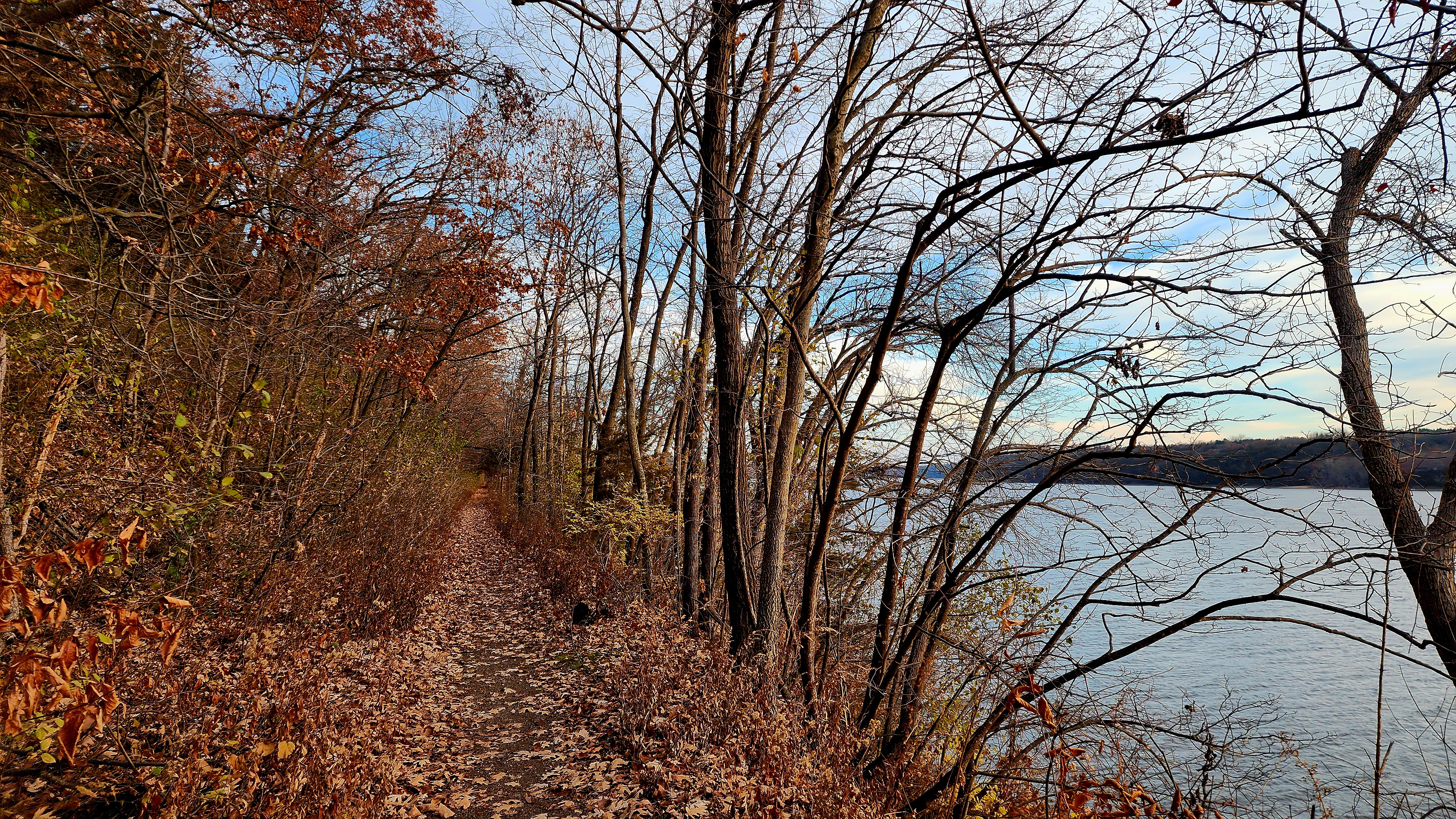
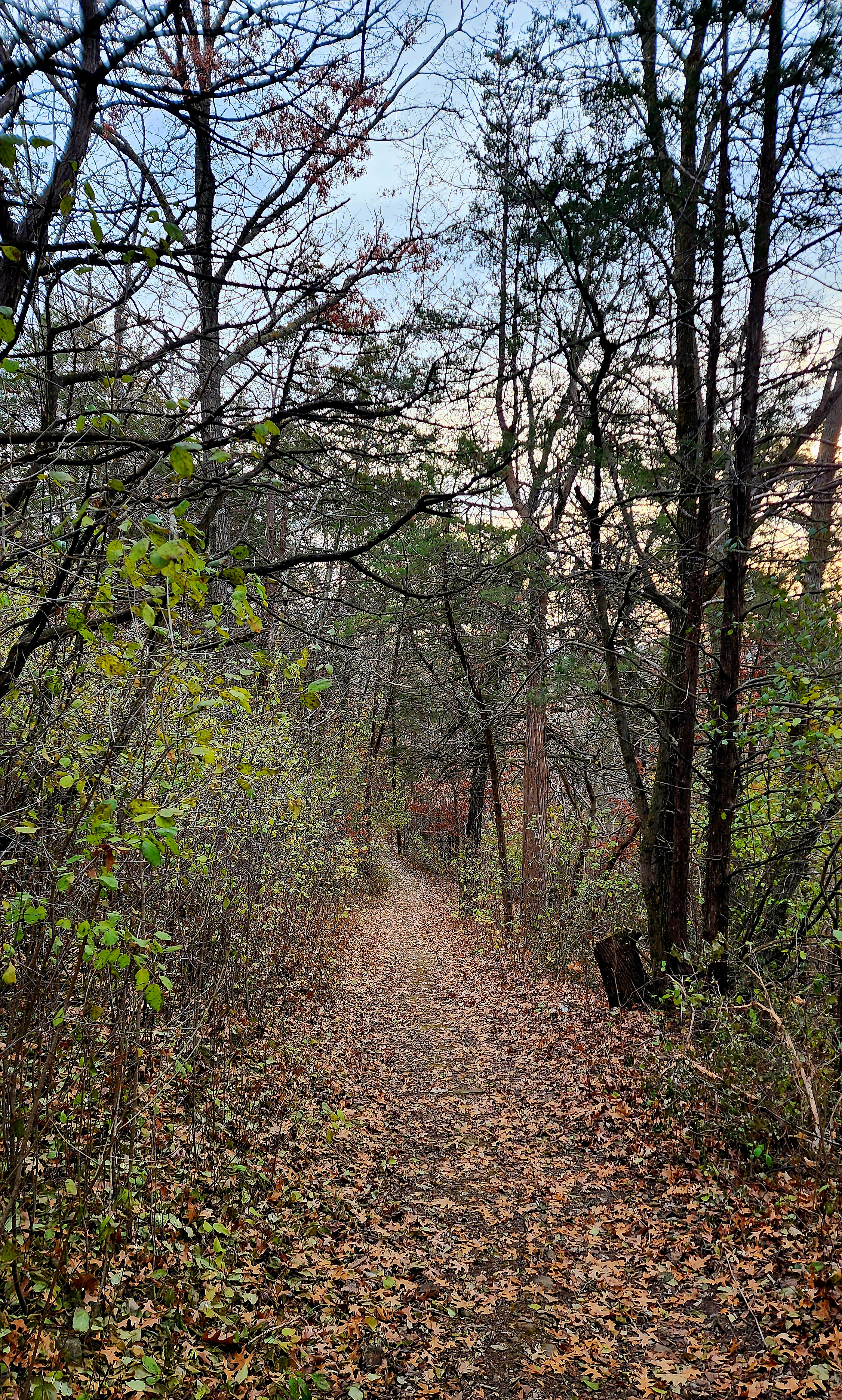
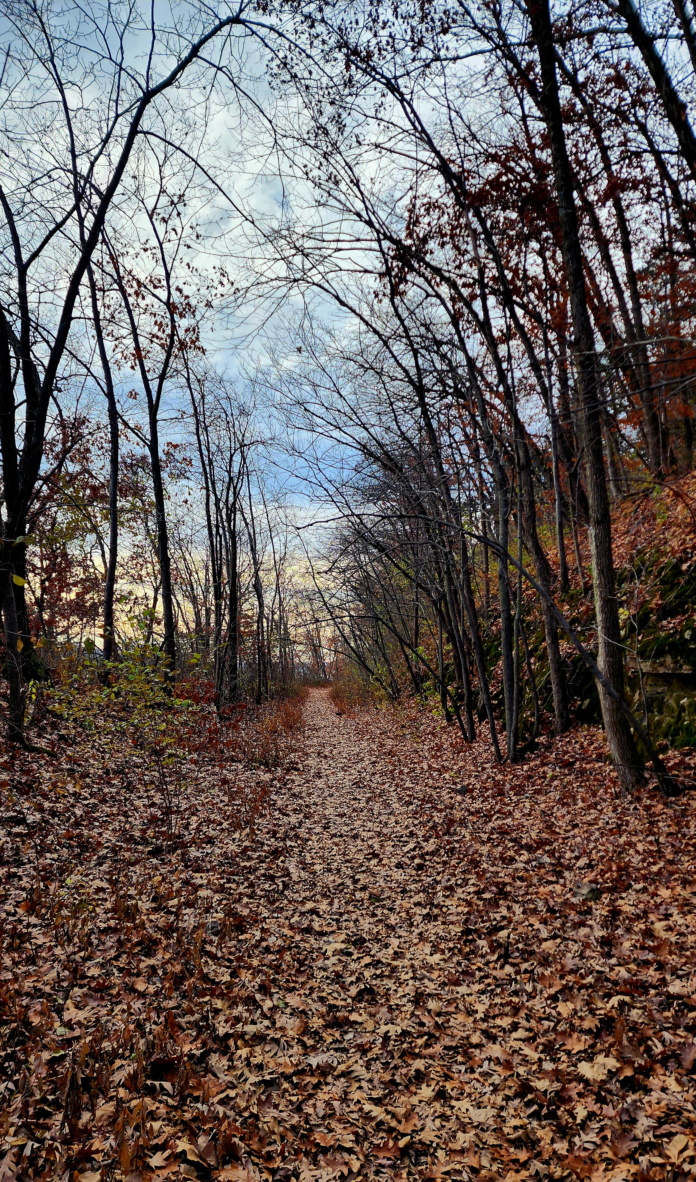
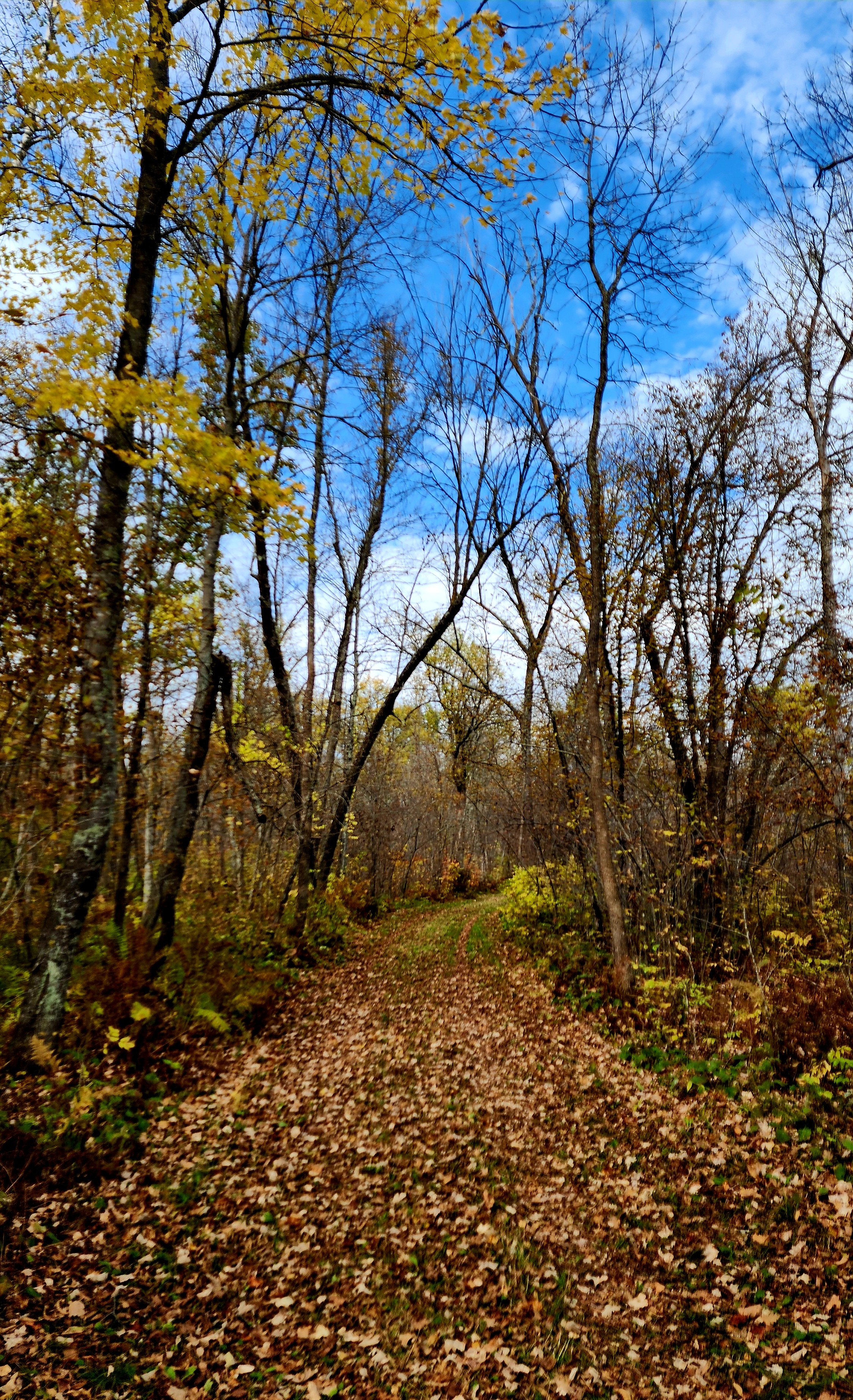
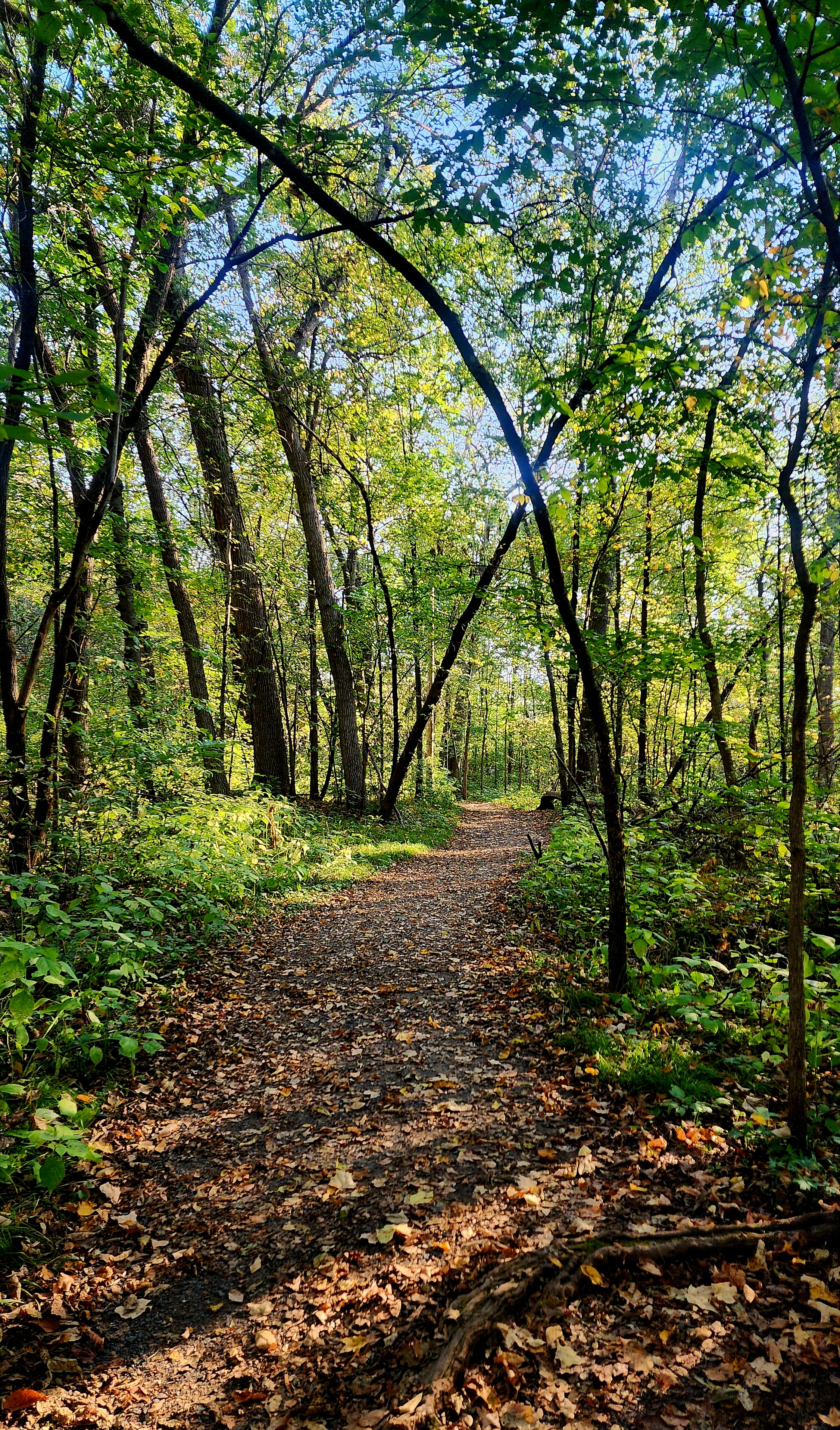
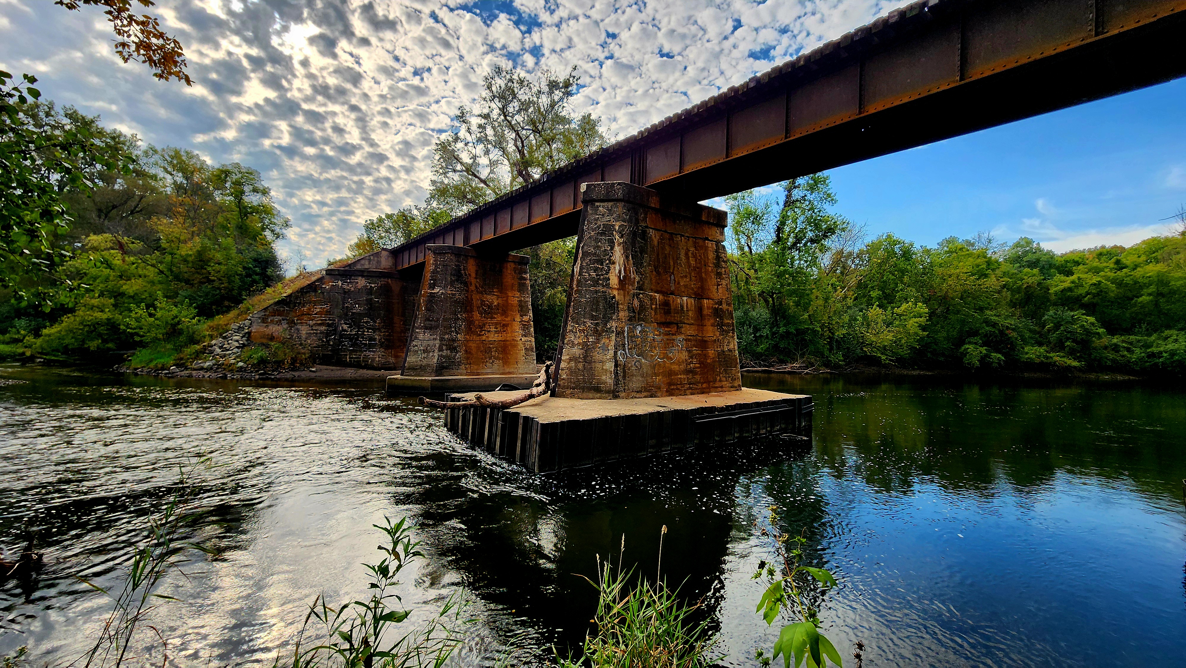
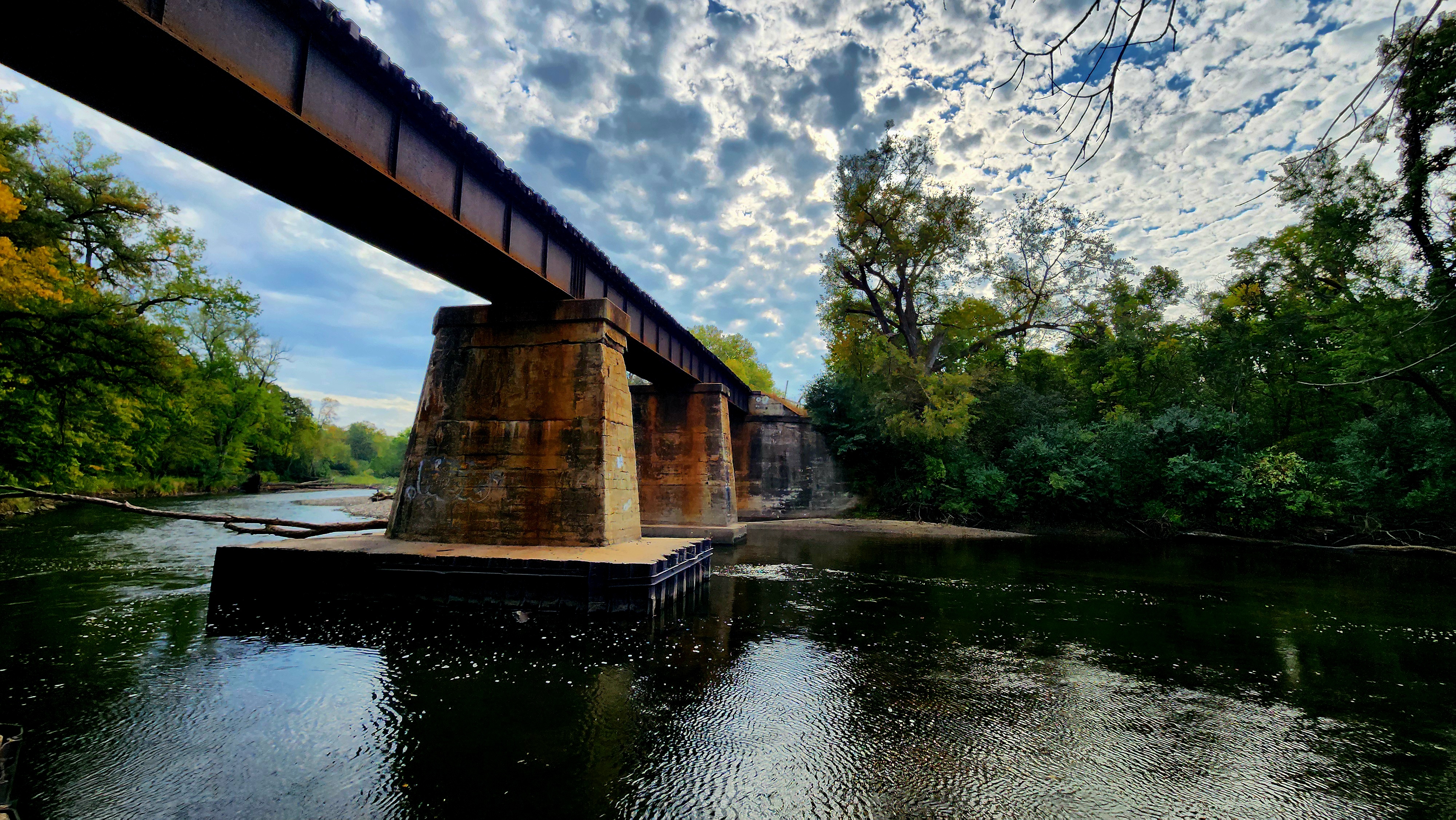
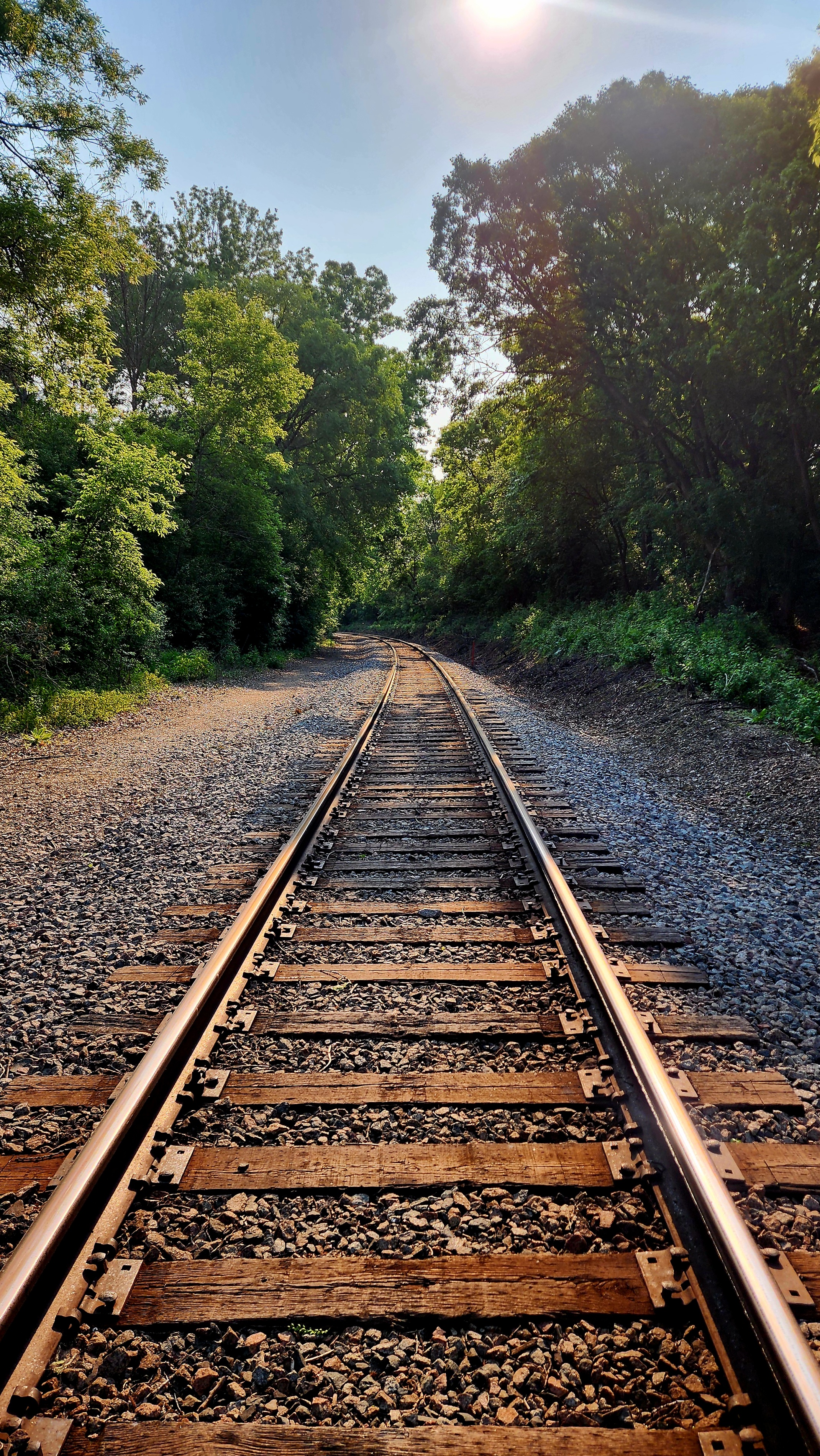
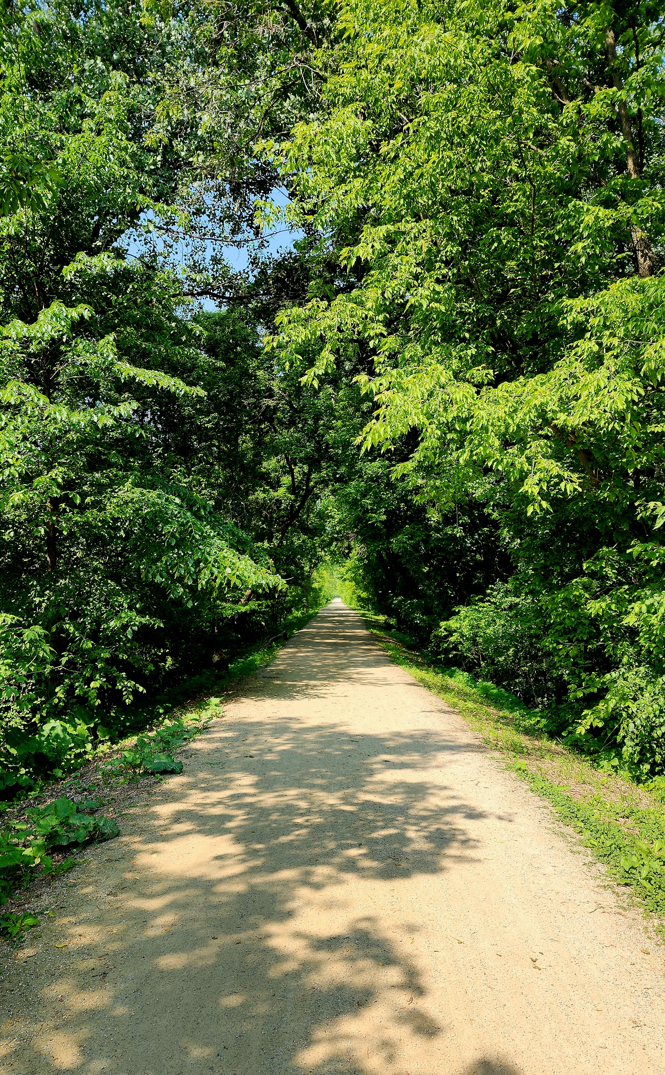
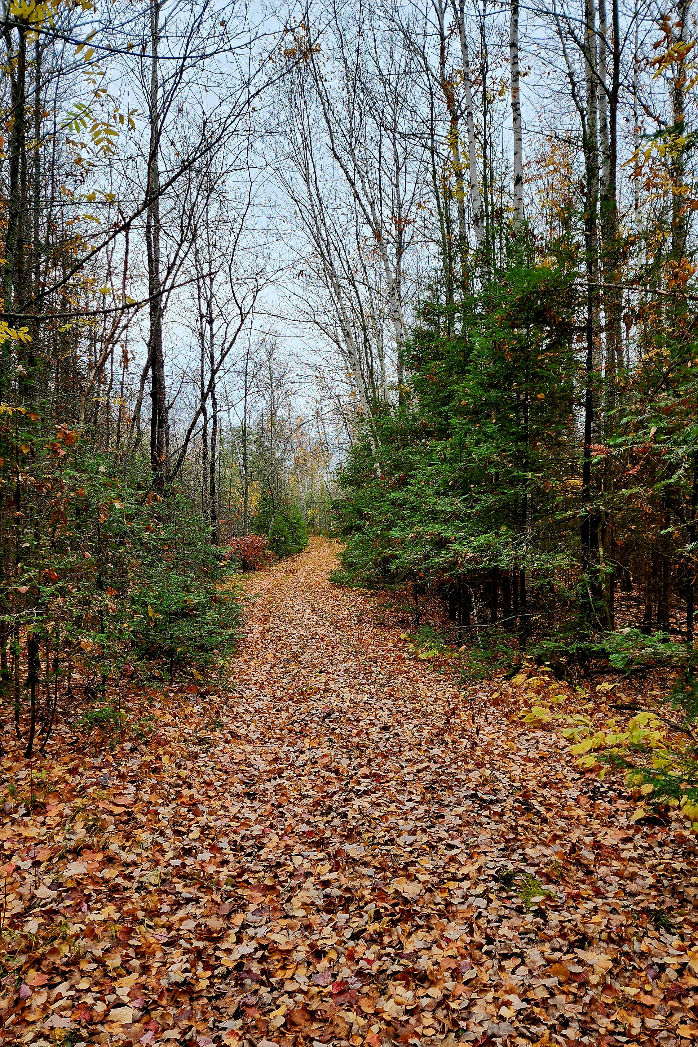
The Railroad Bed Trail
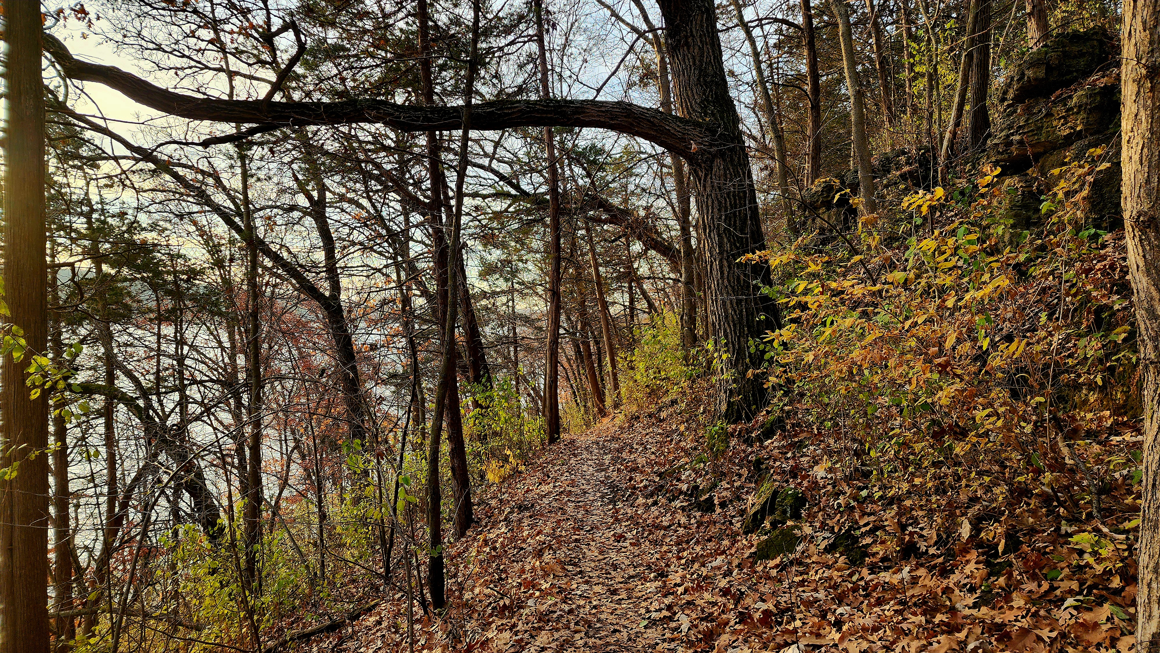
What goes down, must go up. Up the bluff we go!
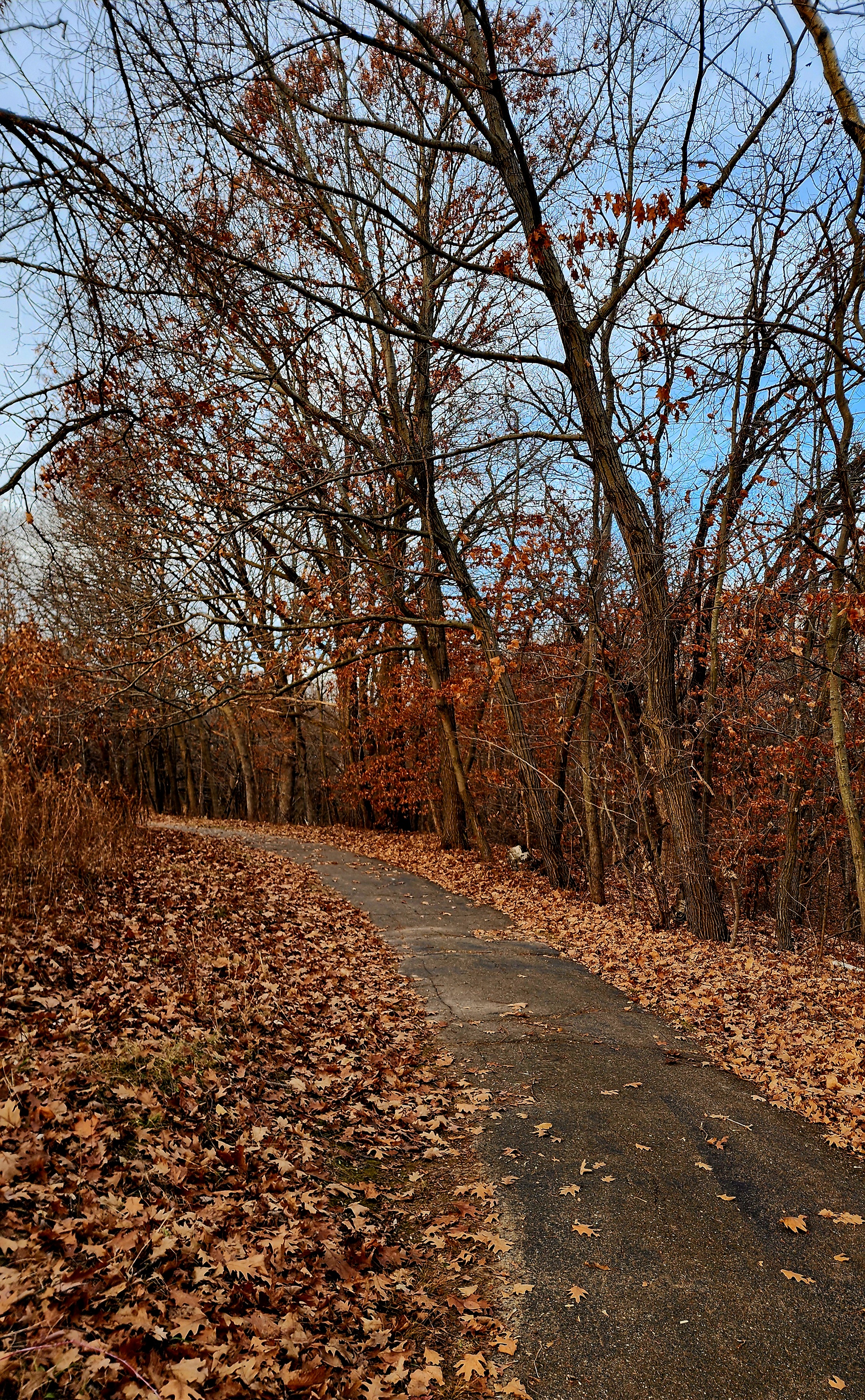
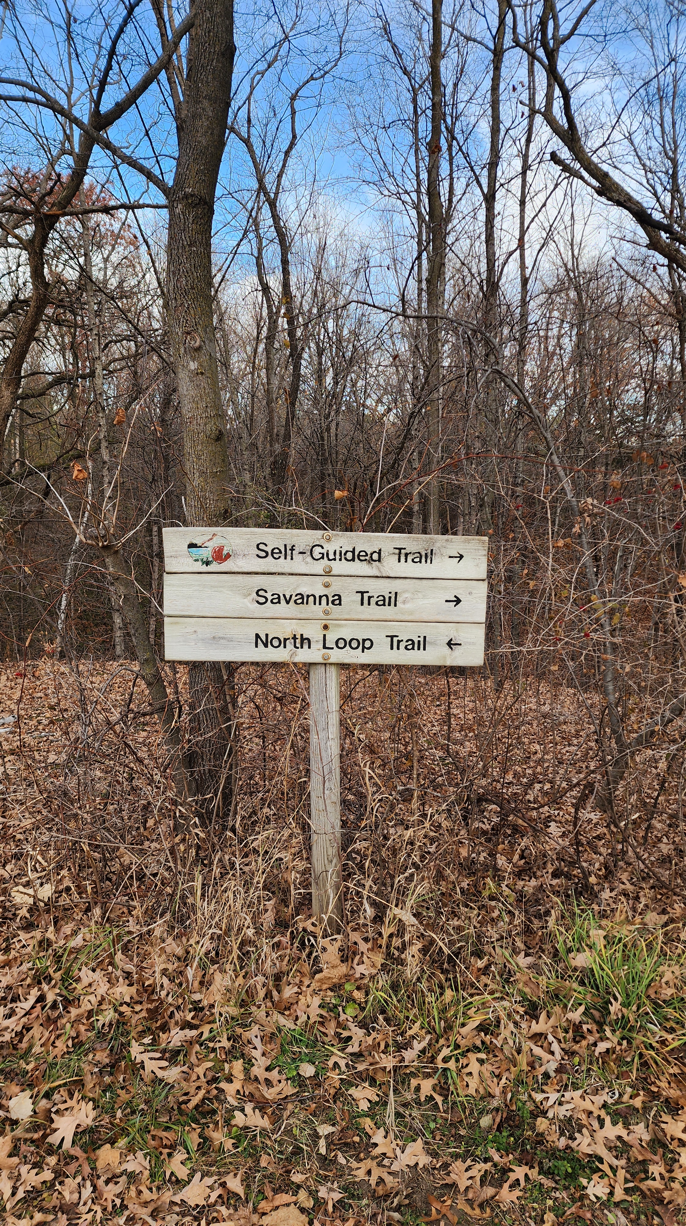
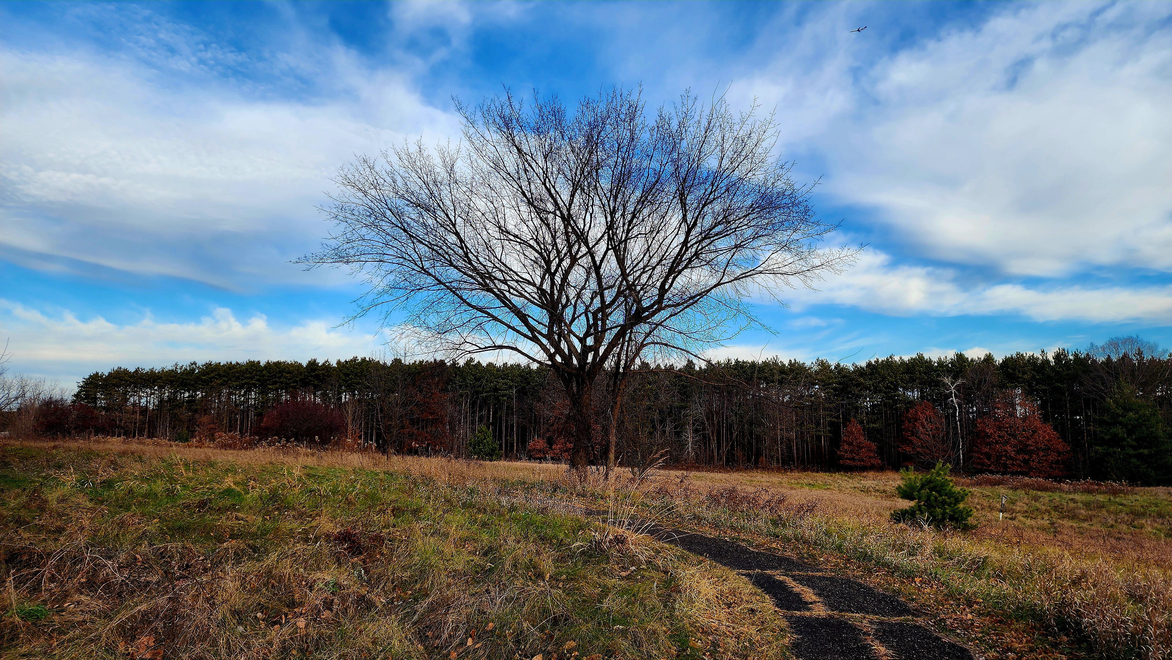
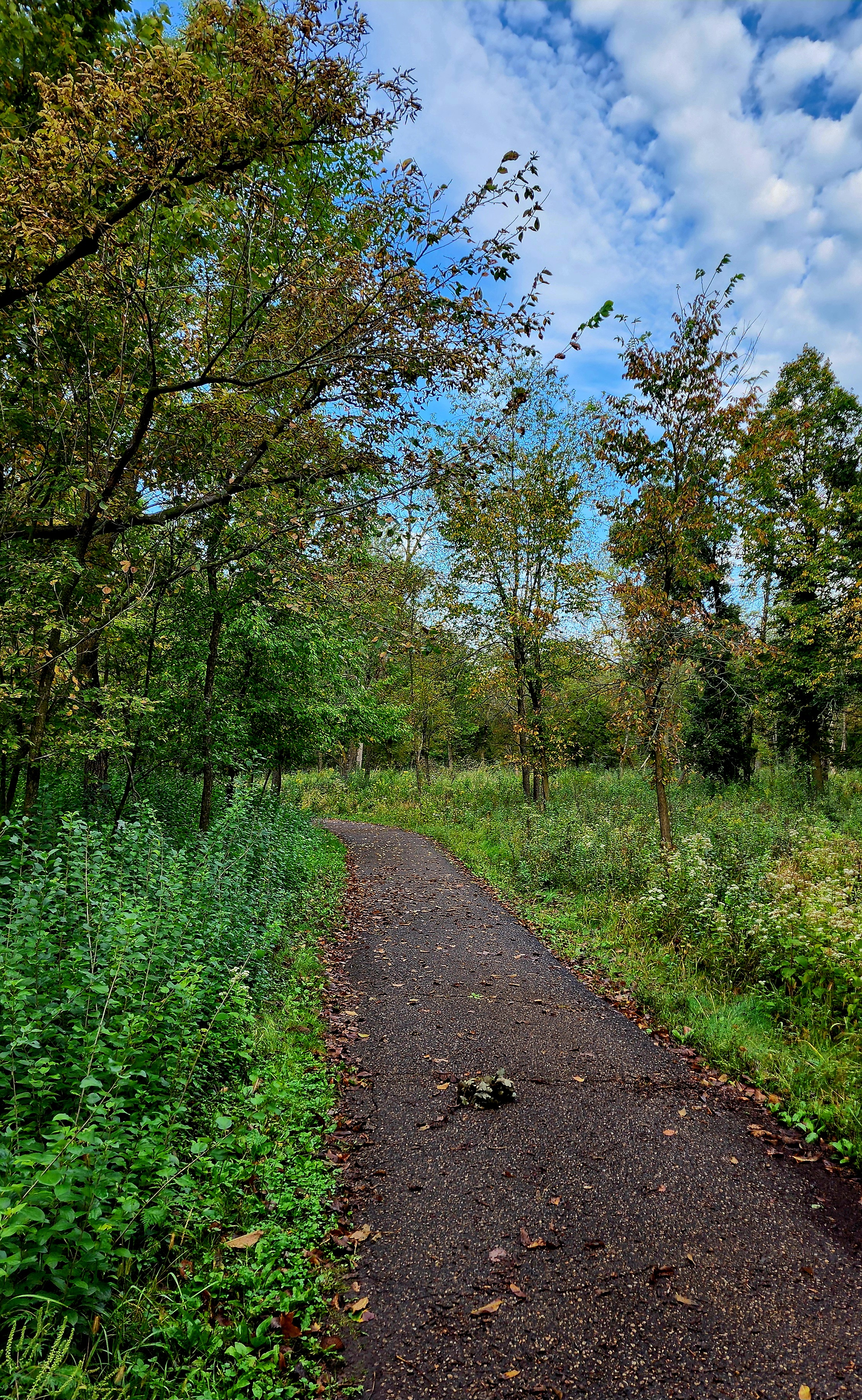
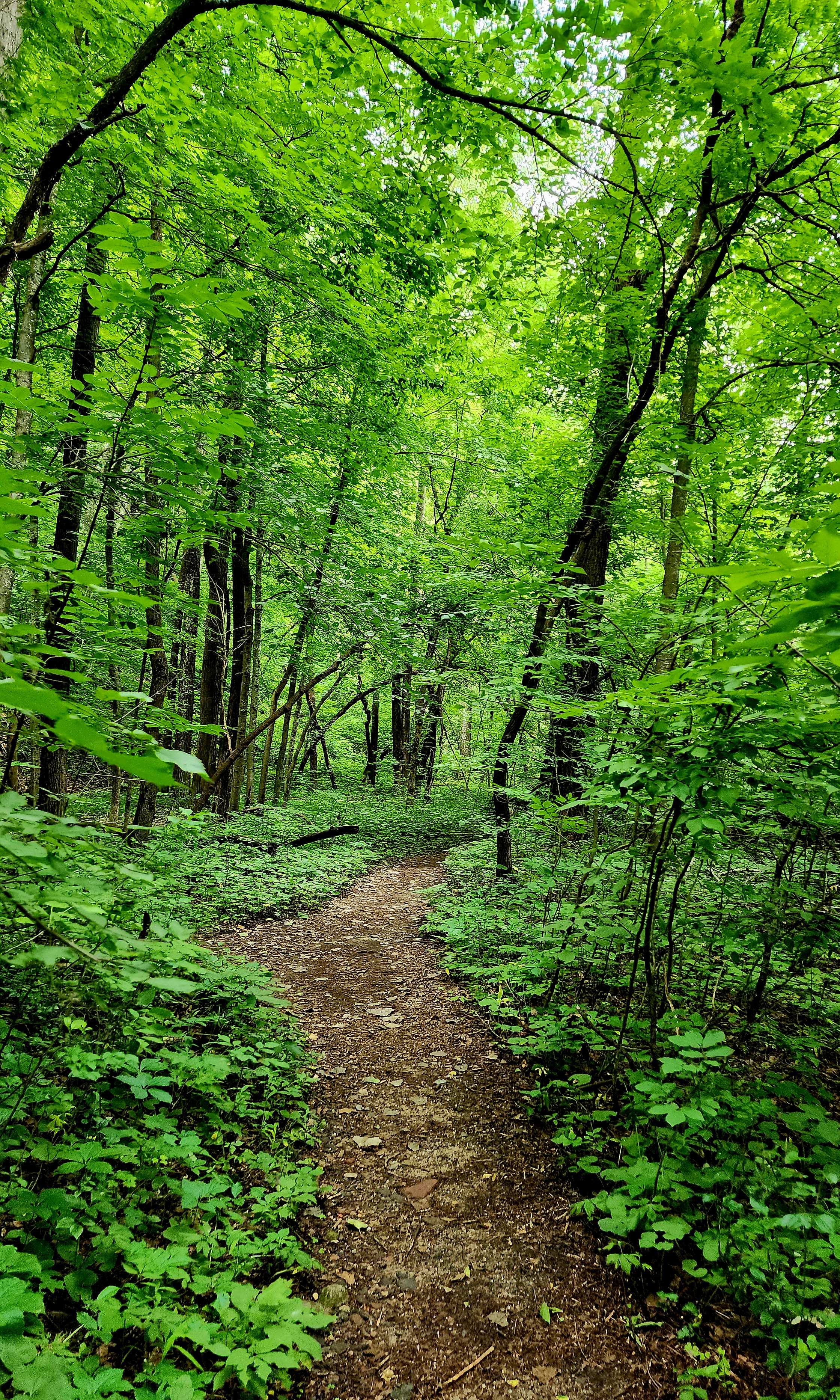
We followed the Savanna Trail towards the North Loop Trail.
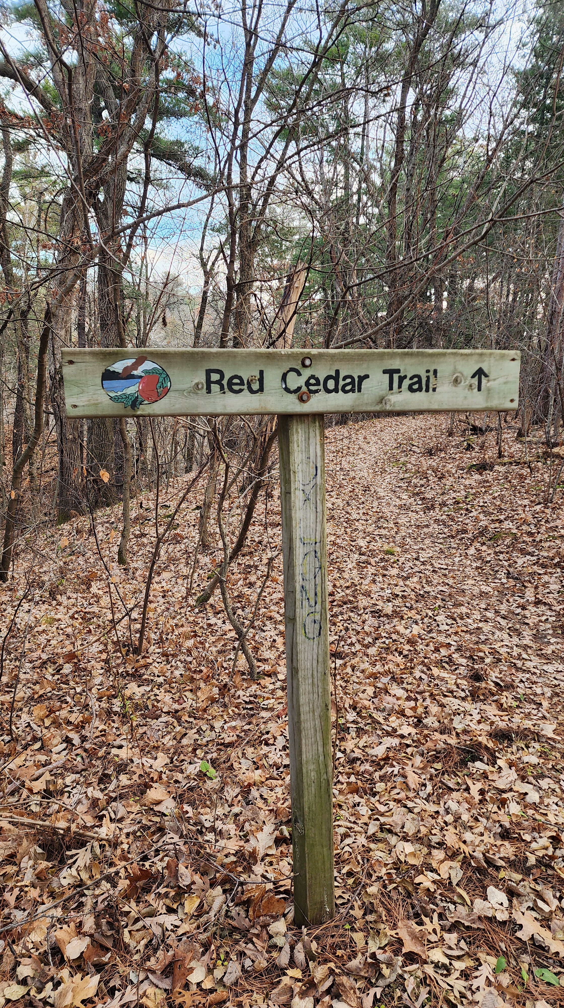
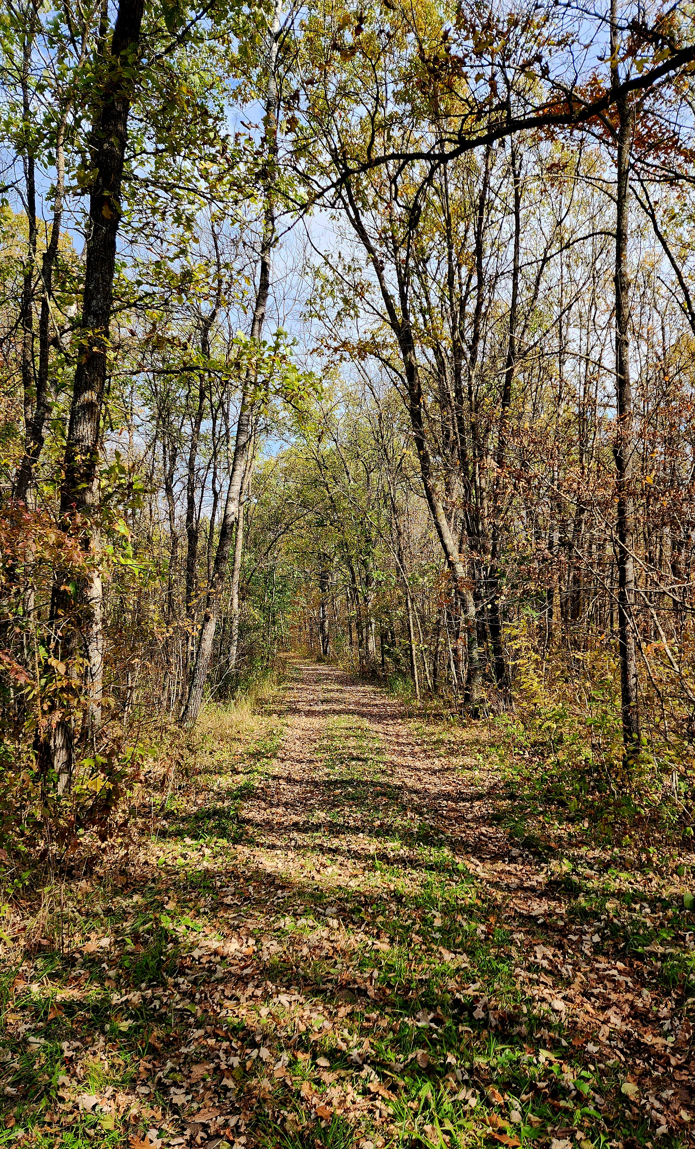
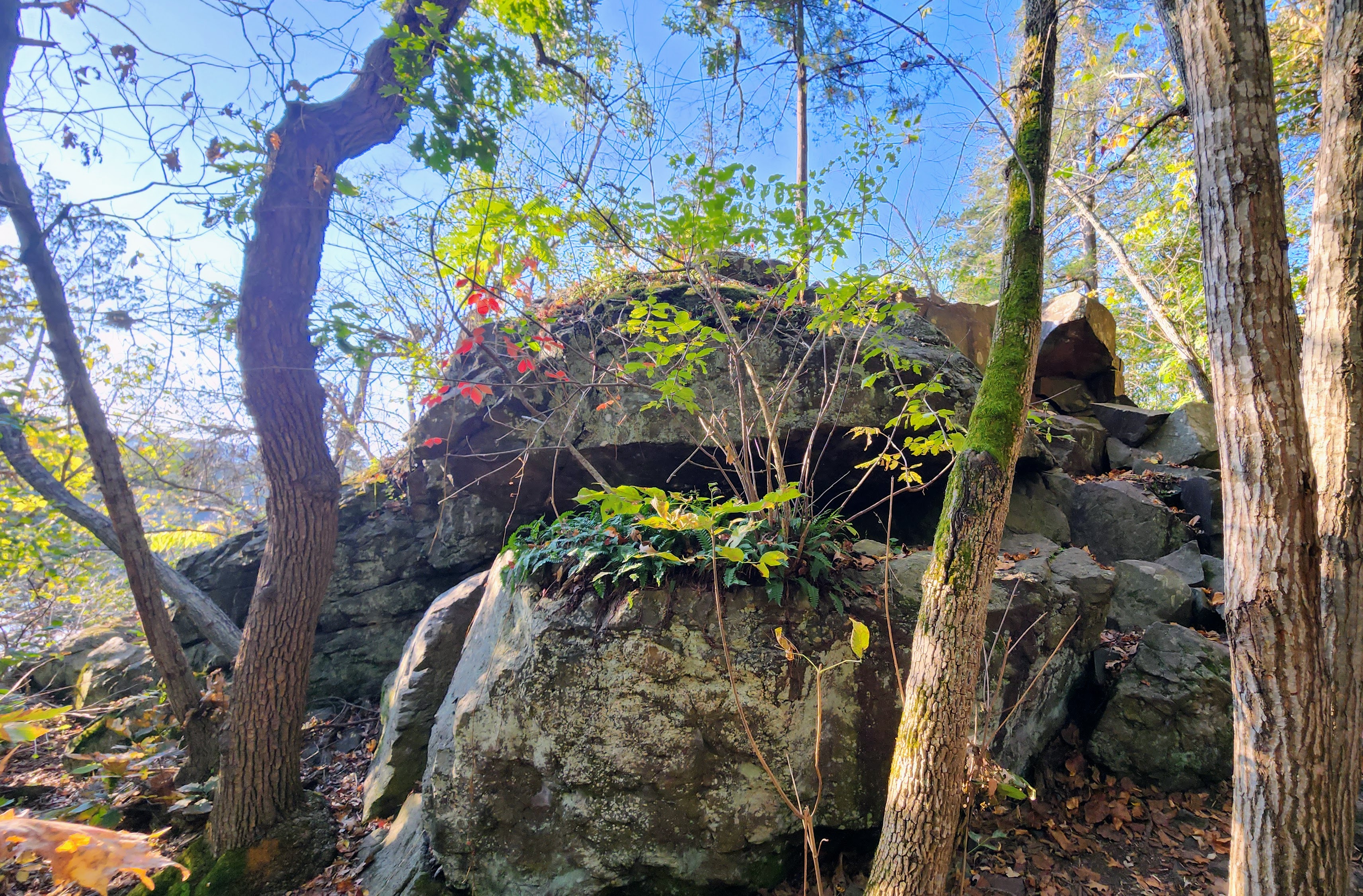
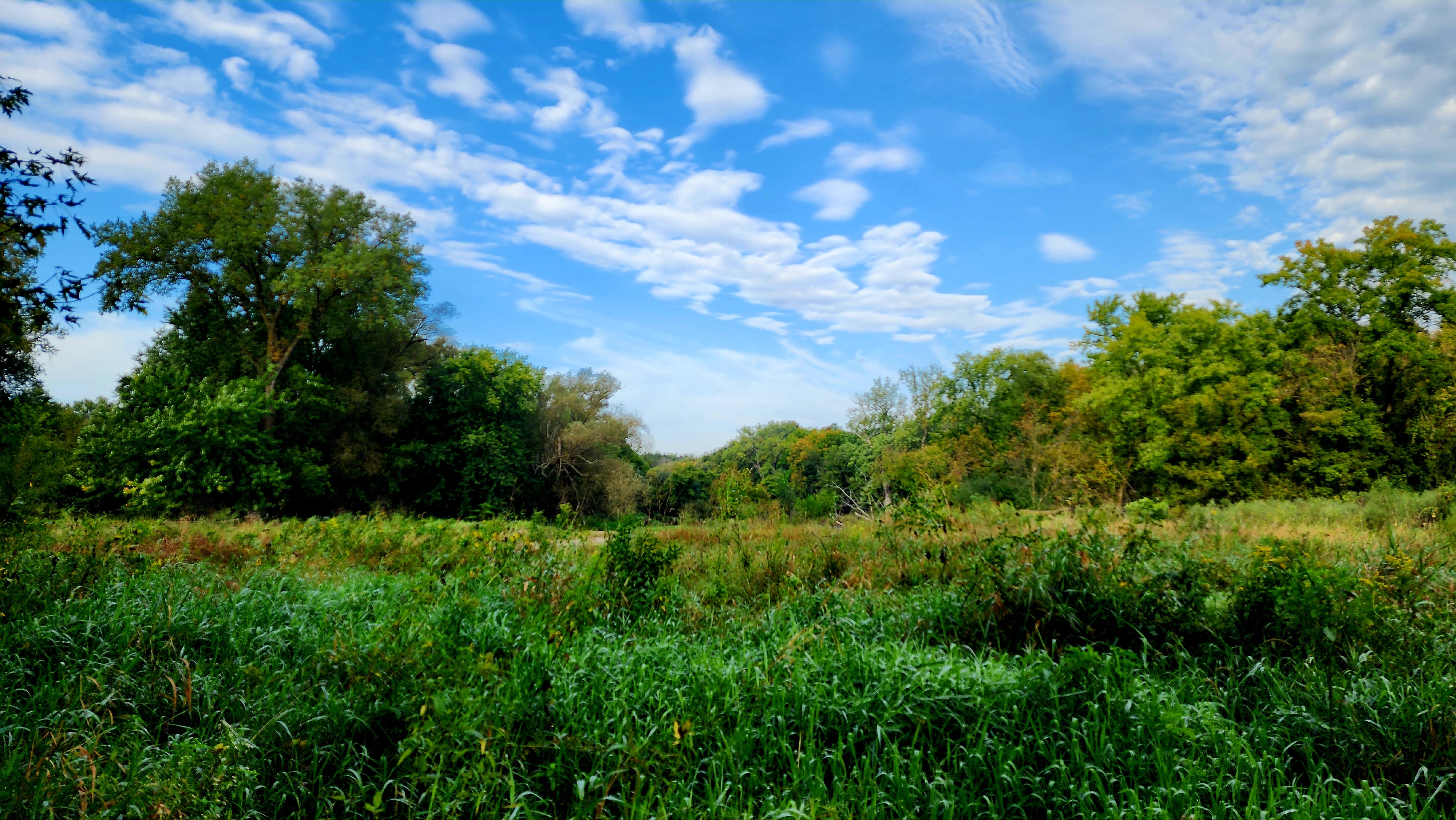
My favorite trail was the Red Cedar Trail!
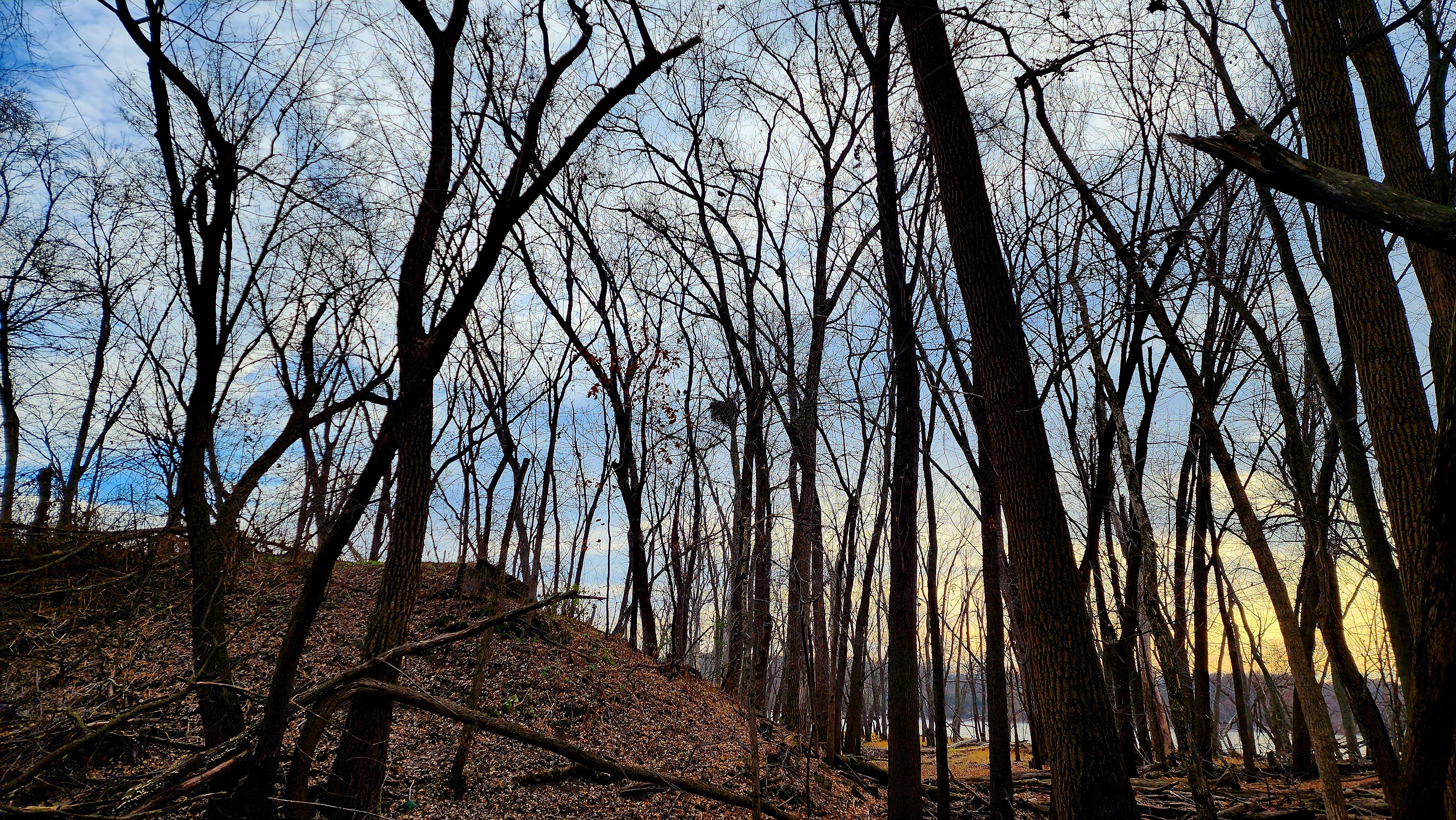
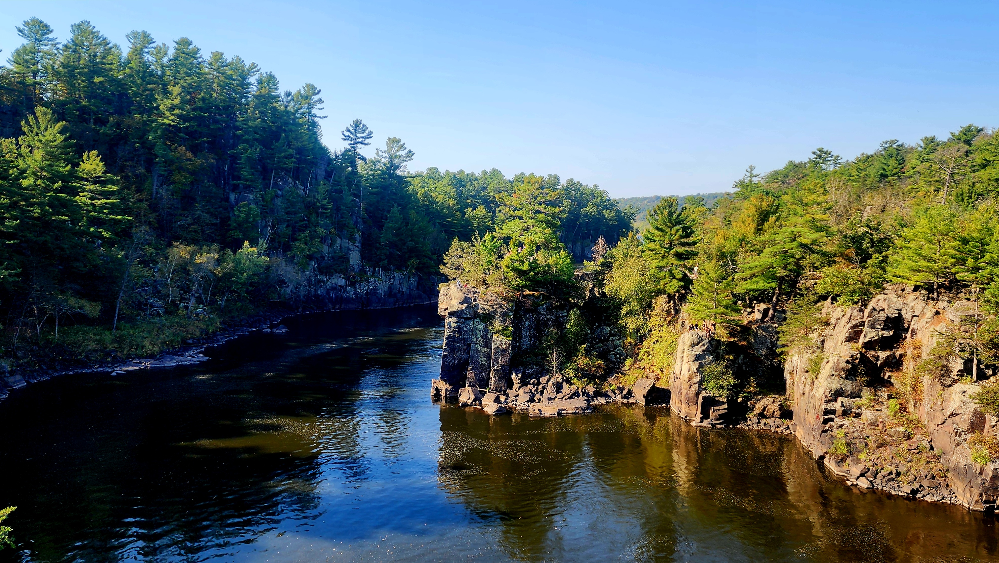
The North River Bluff Trail brought us back down to the river.
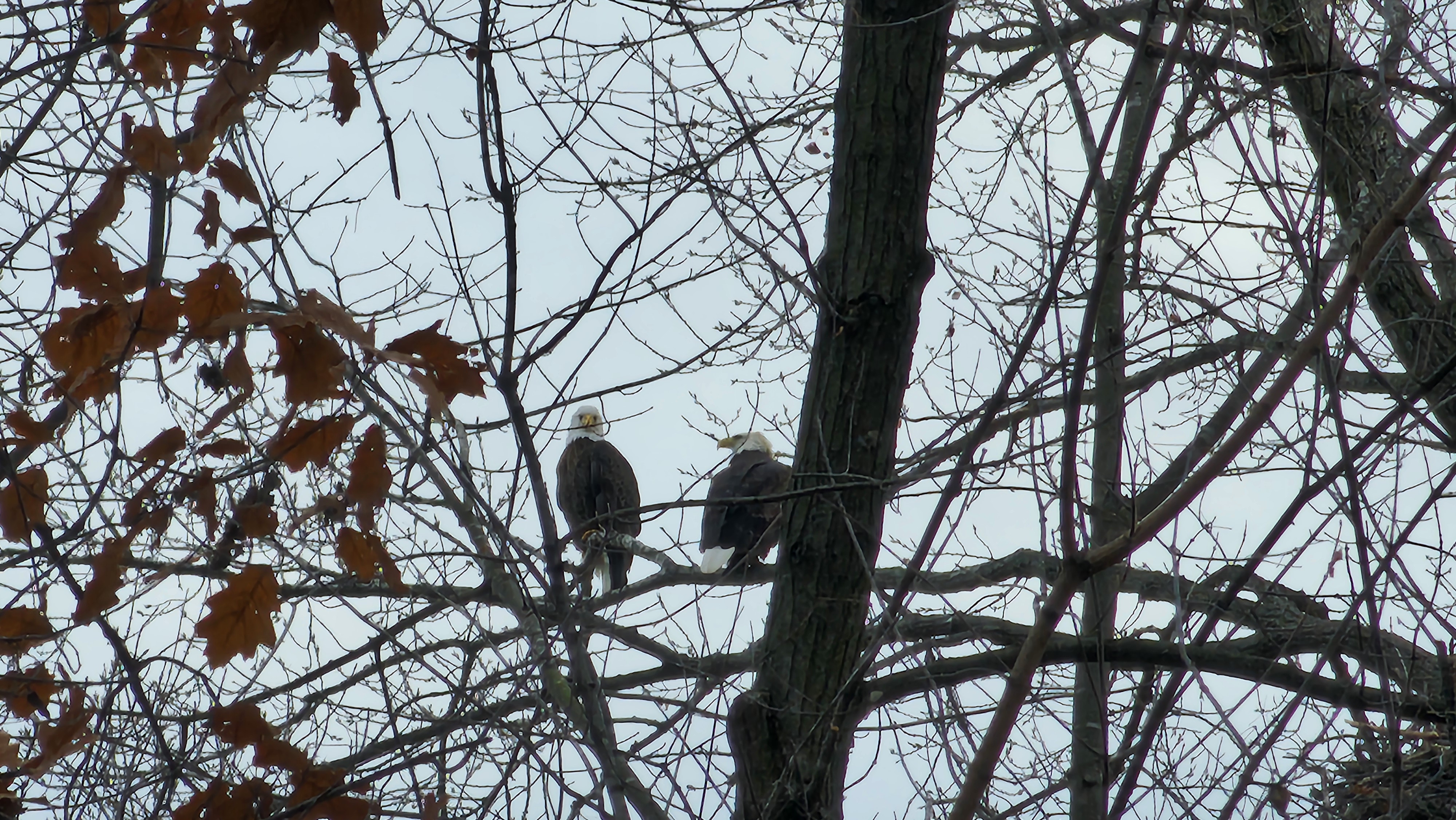
As we neared the river, a huge eagle’s nest and two eagles appeared high above on the trees. They flew off as we got closer to them.
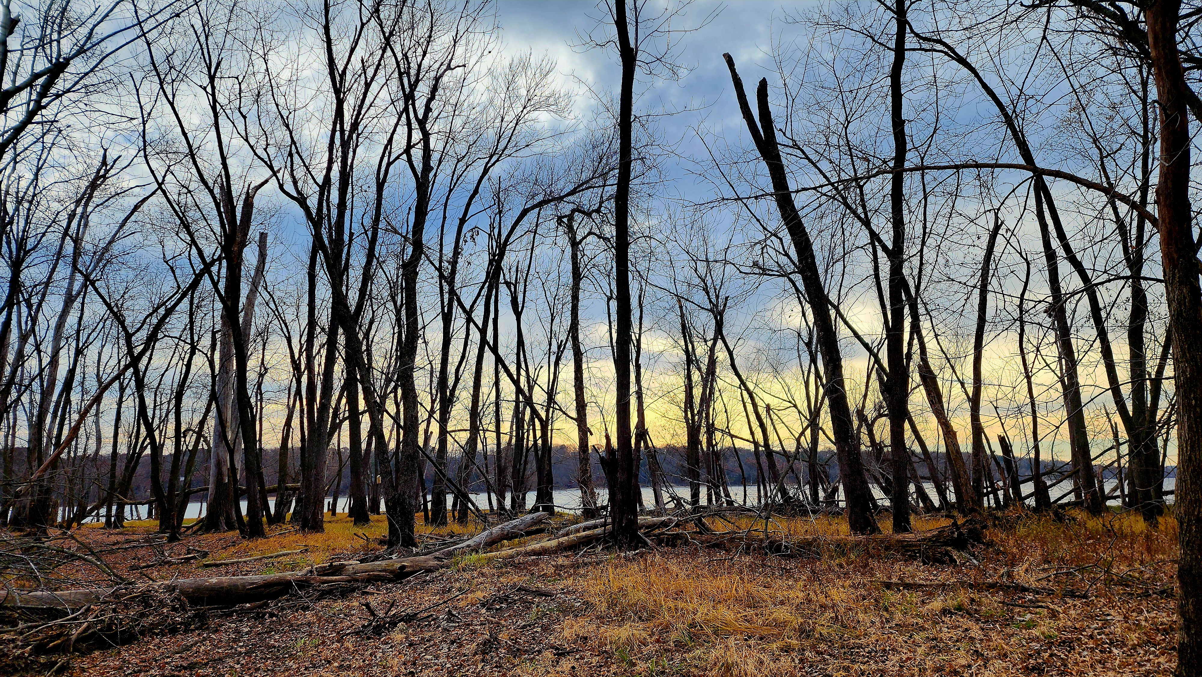
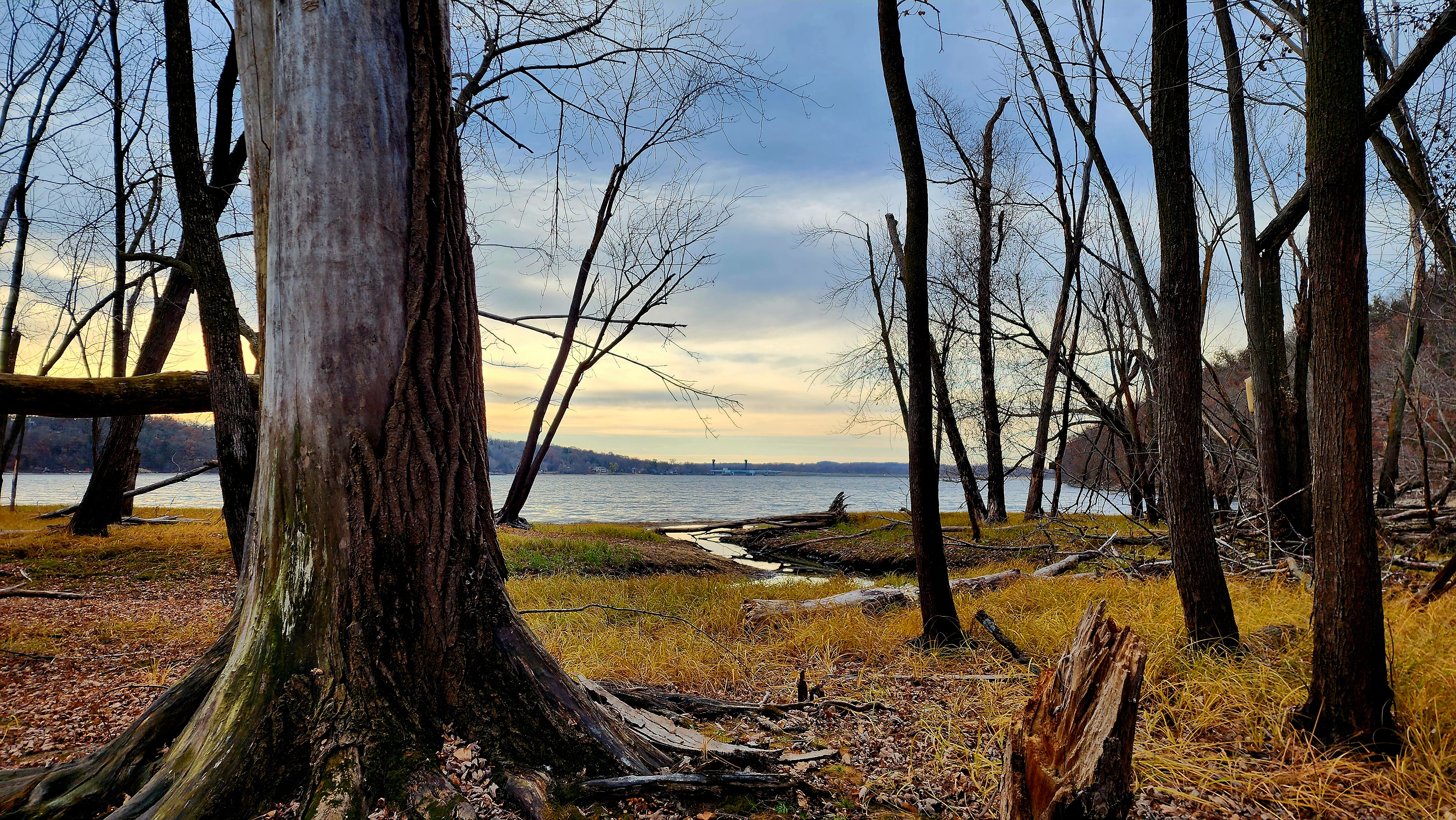
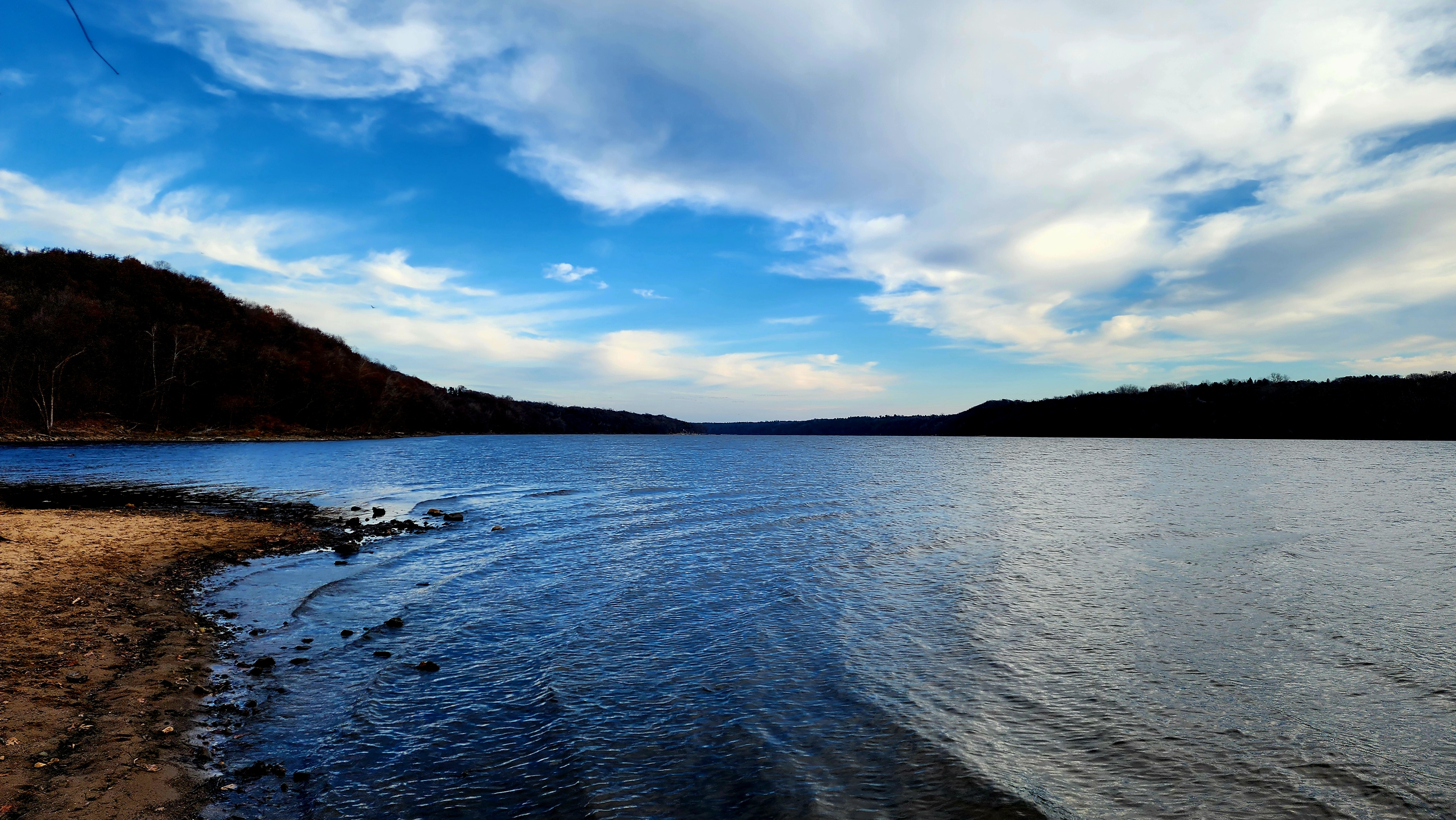
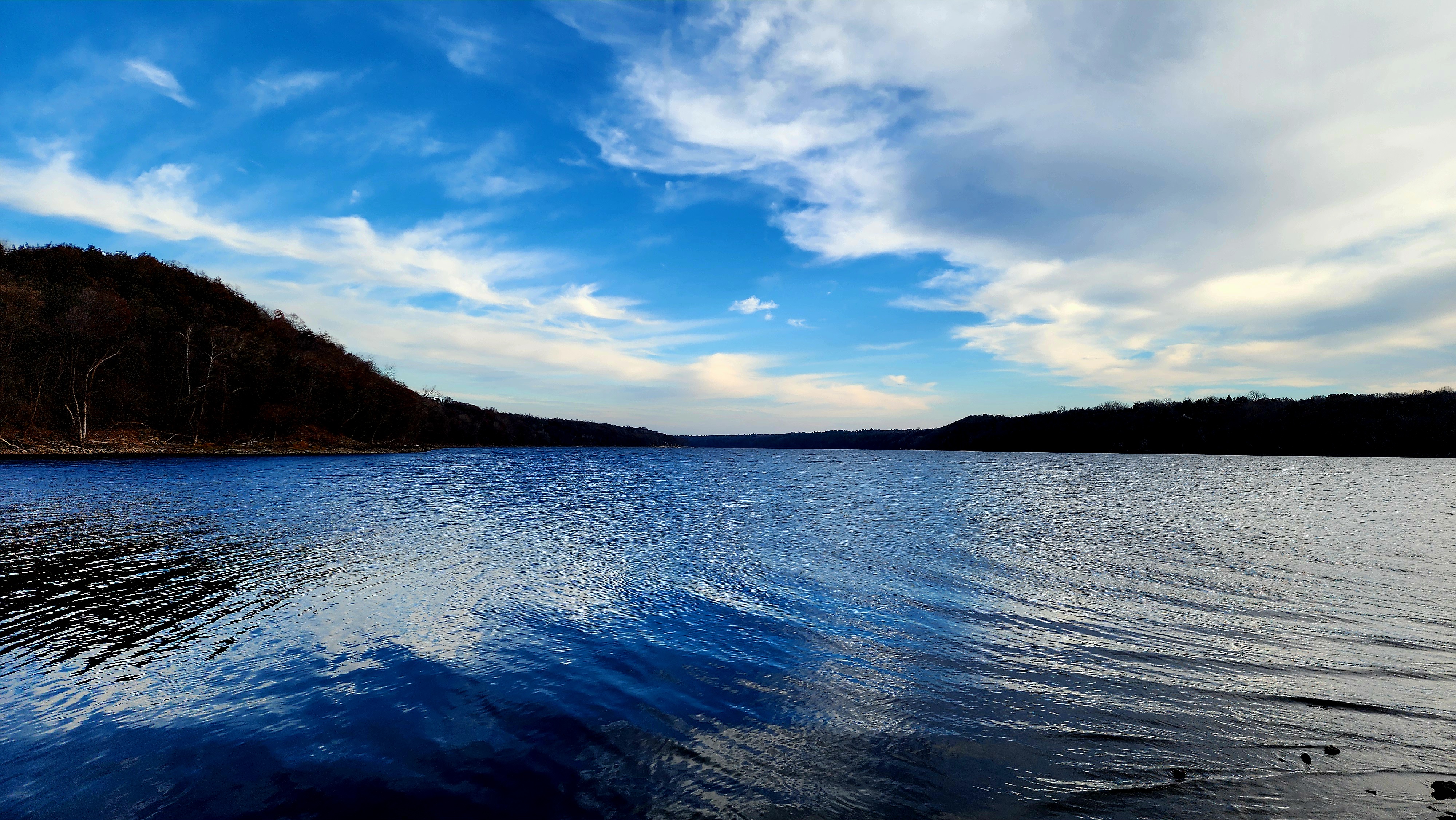
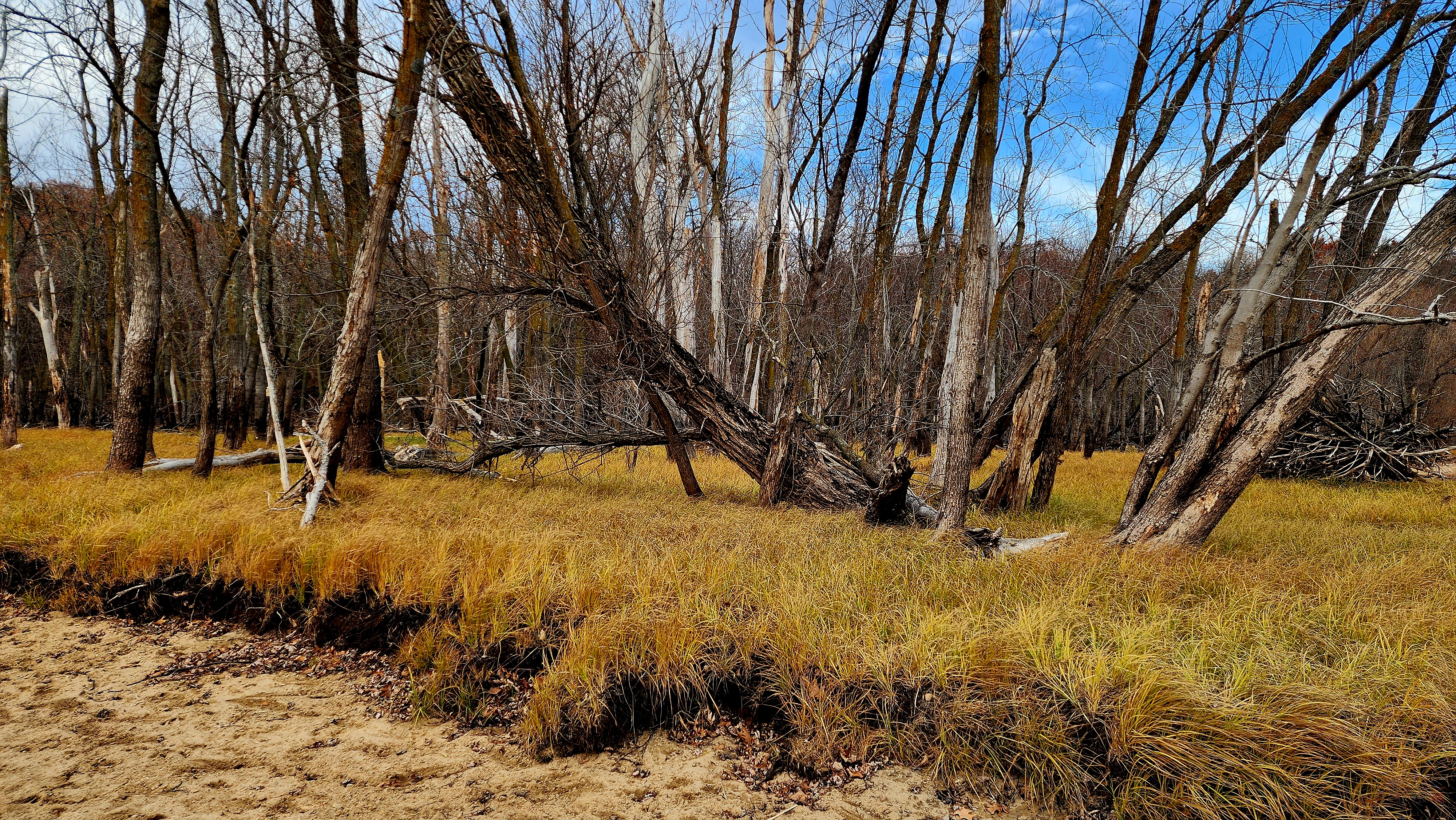
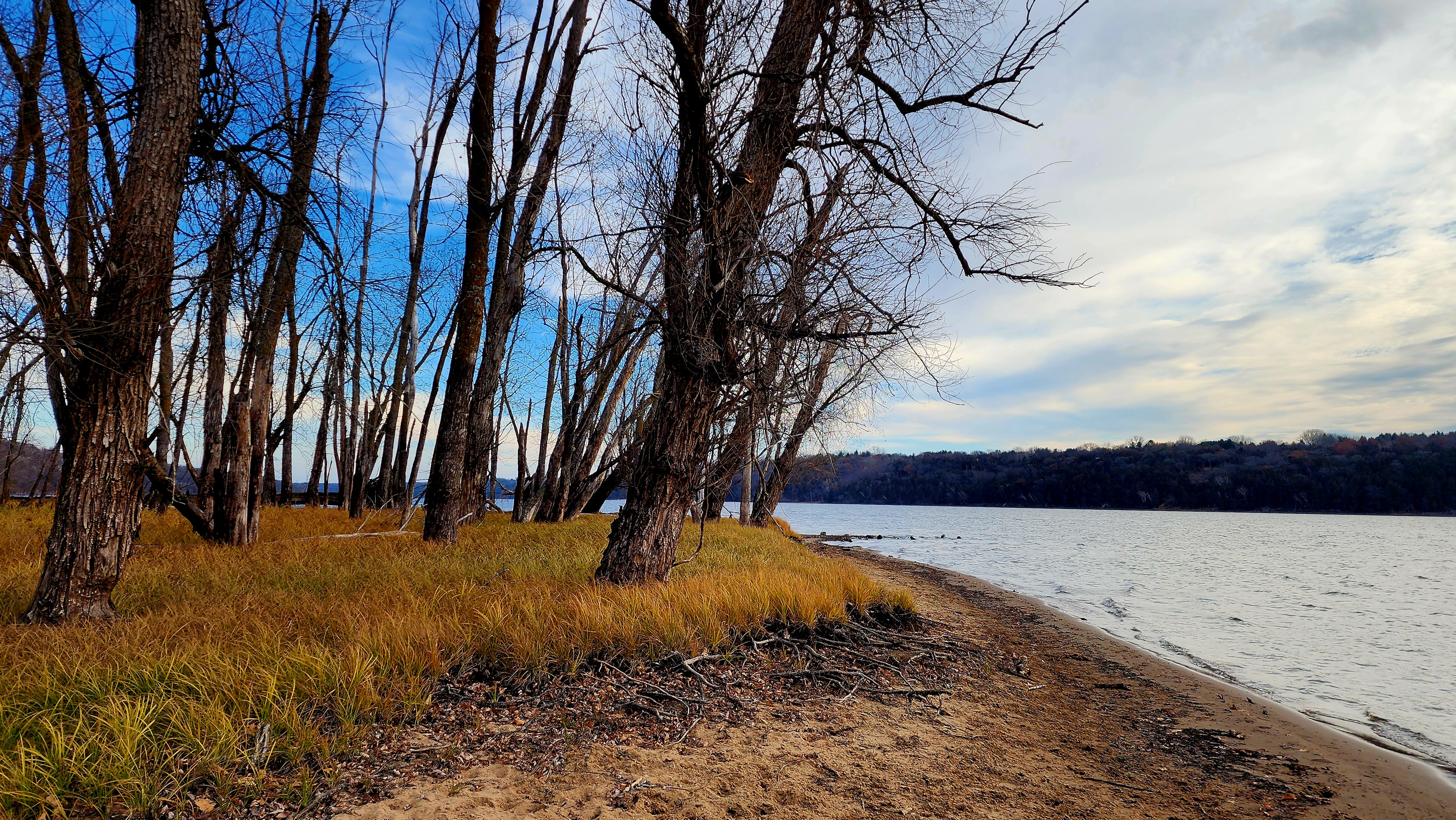
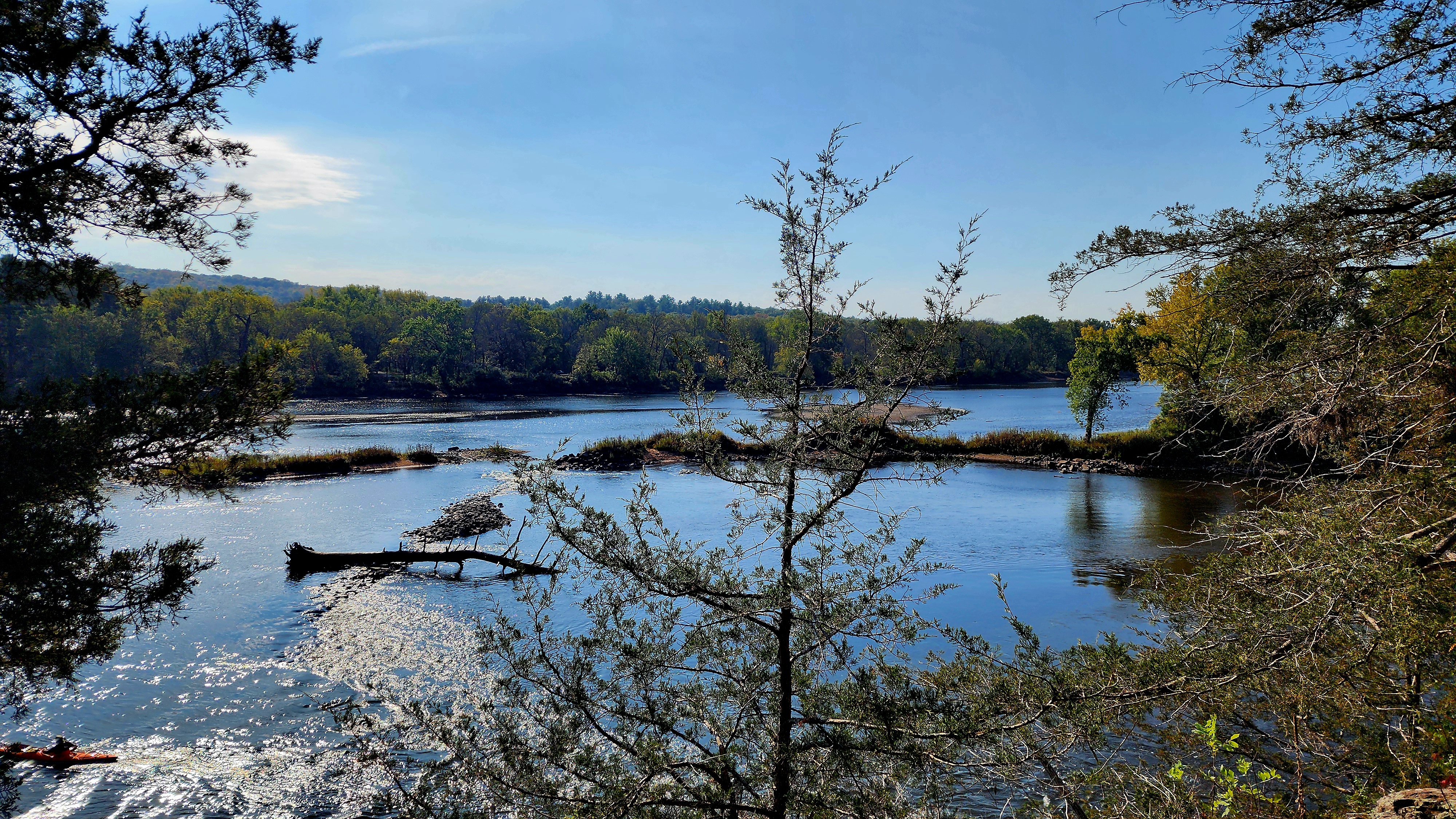
The beach was gorgeous. The view changed drastically due to the sky depending on which direction you looked.
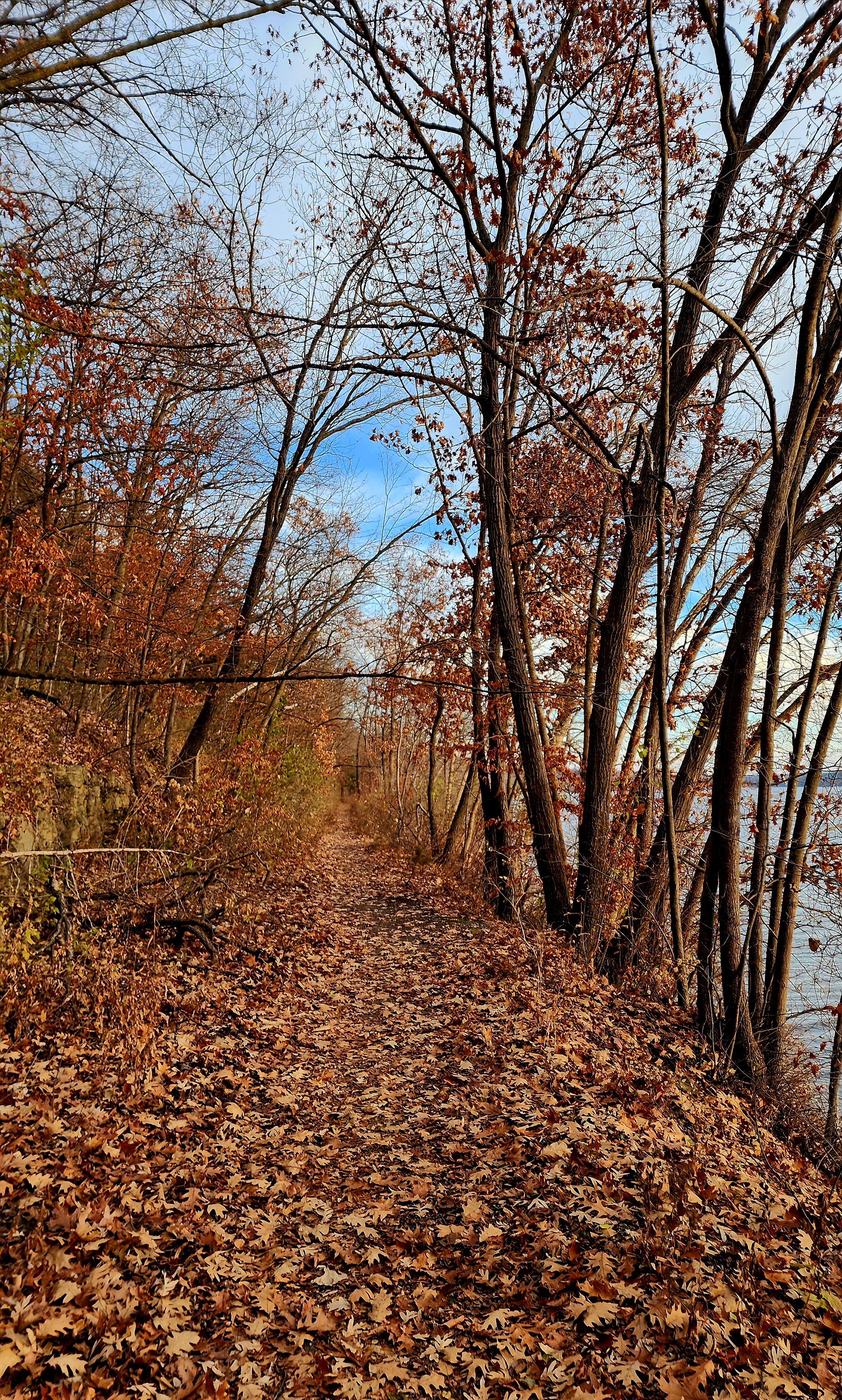
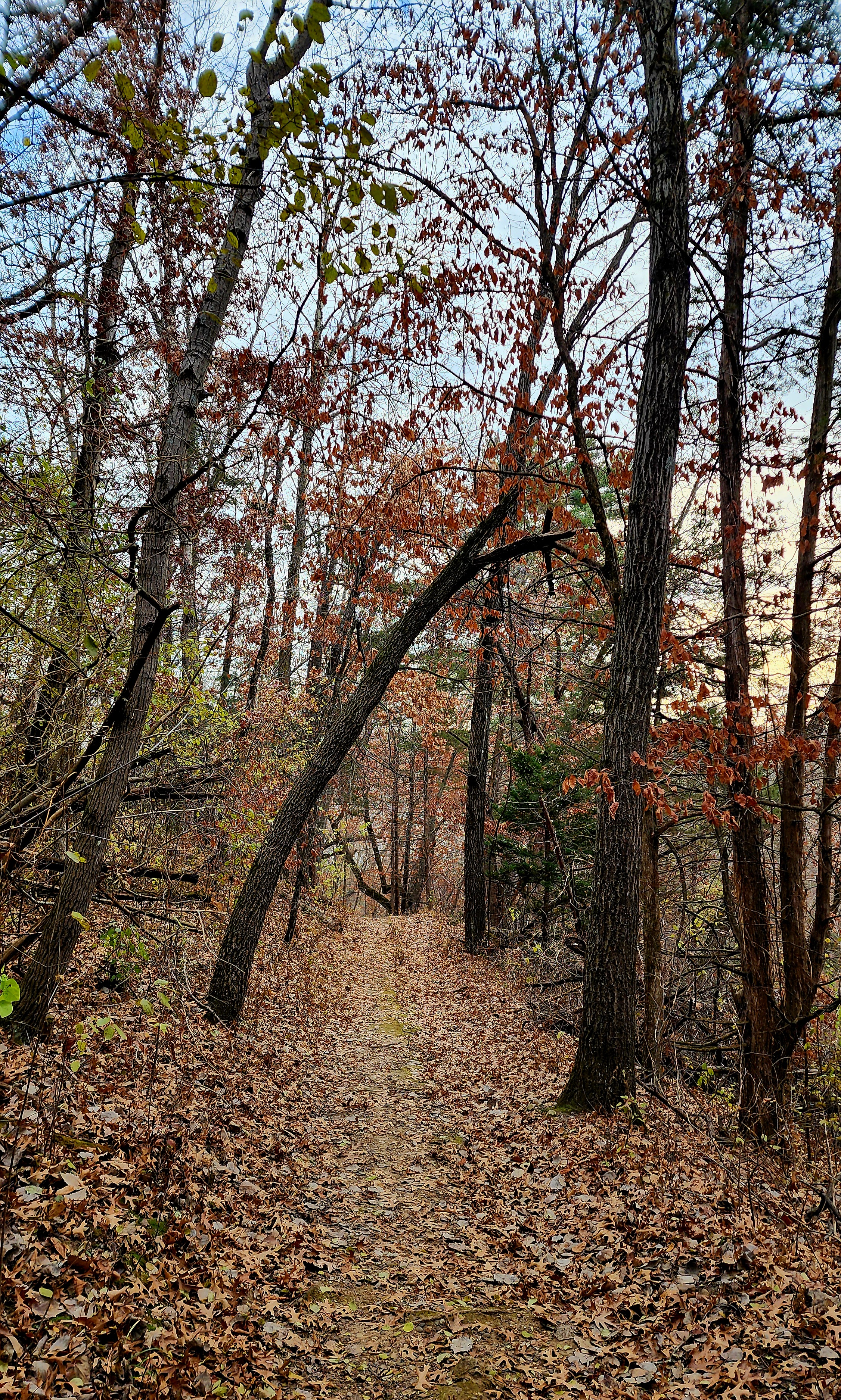
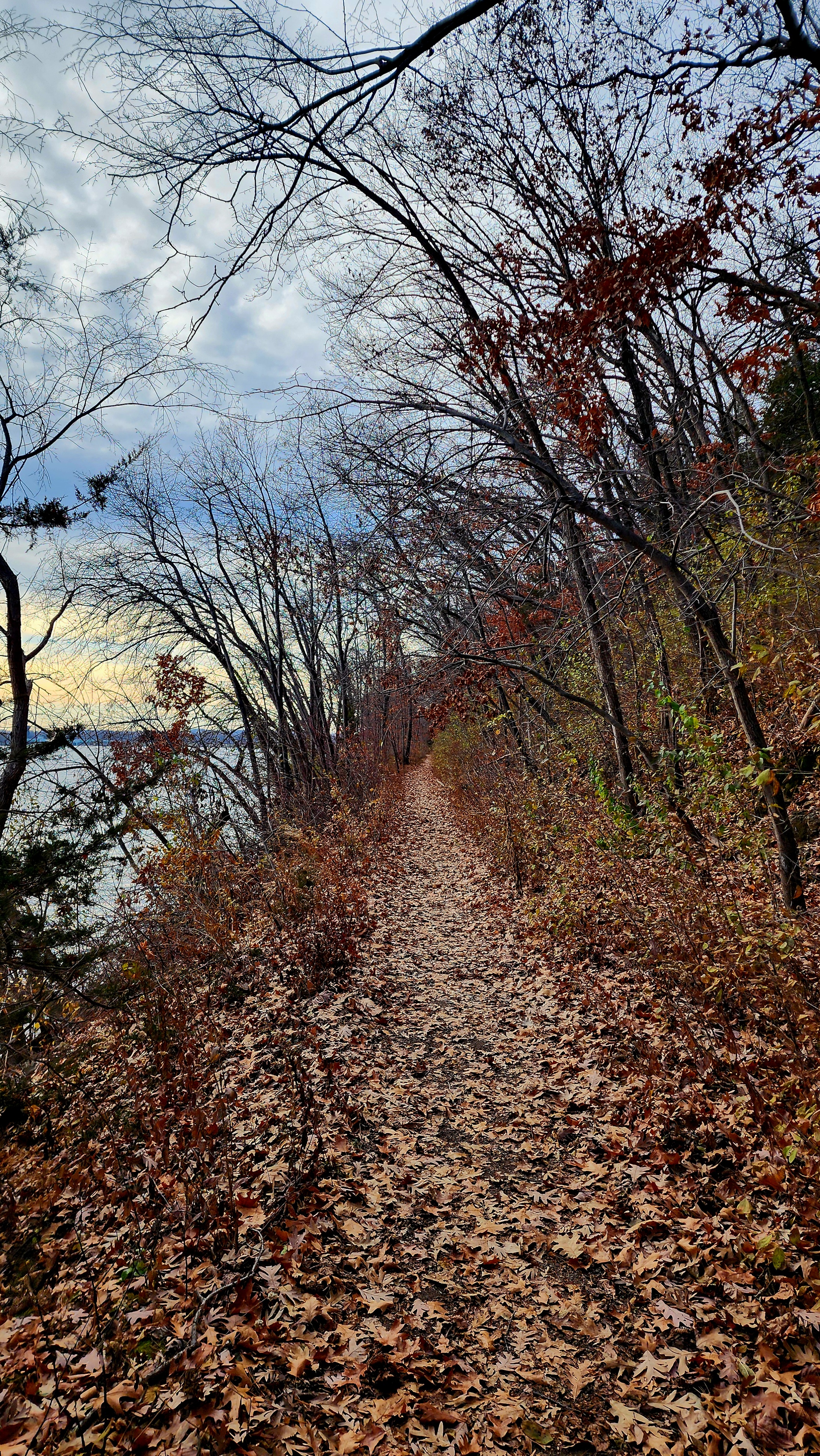
We followed the Railroad Bed Trail towards the South River Bluff Trail looping back to our starting point.
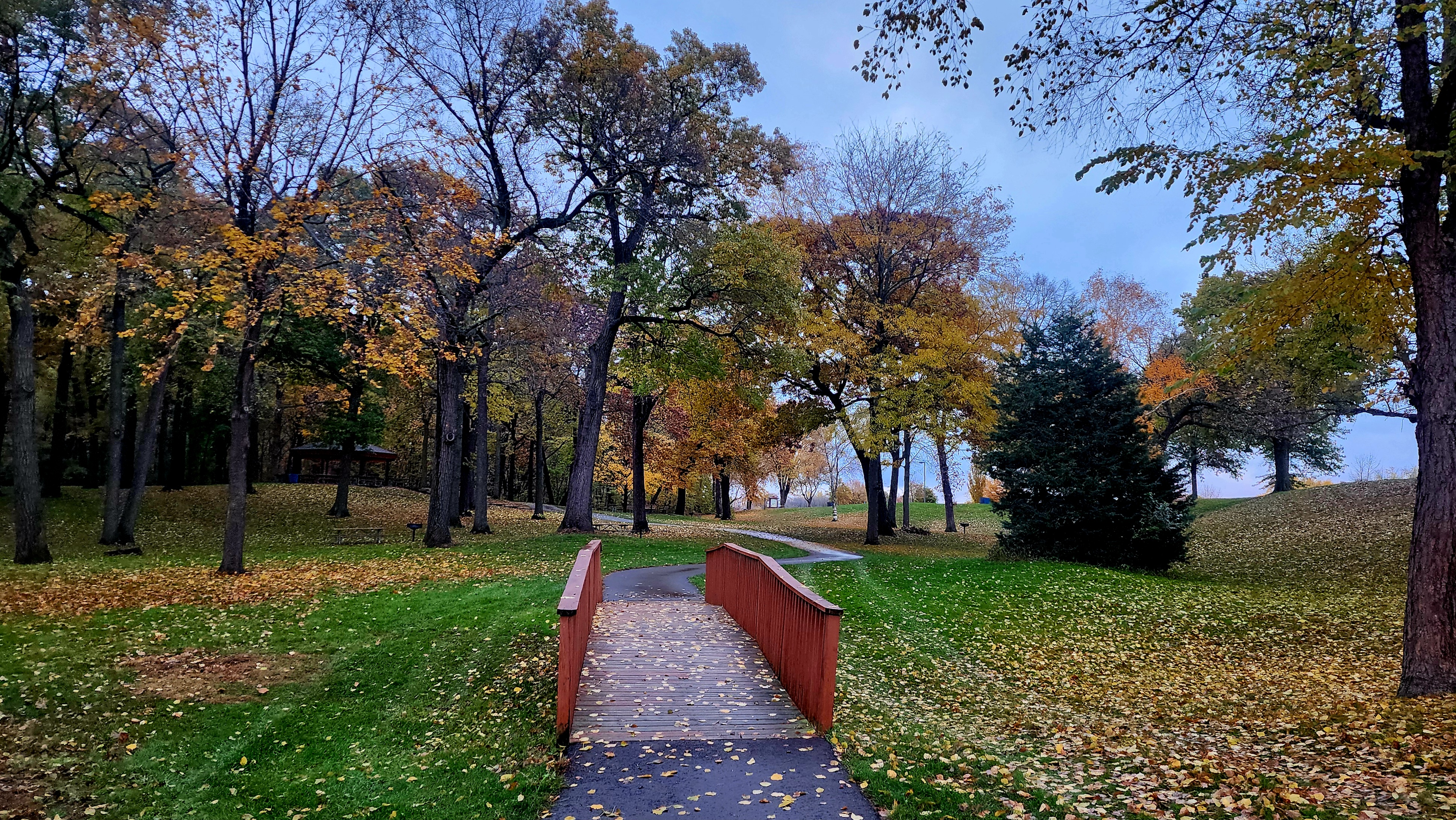
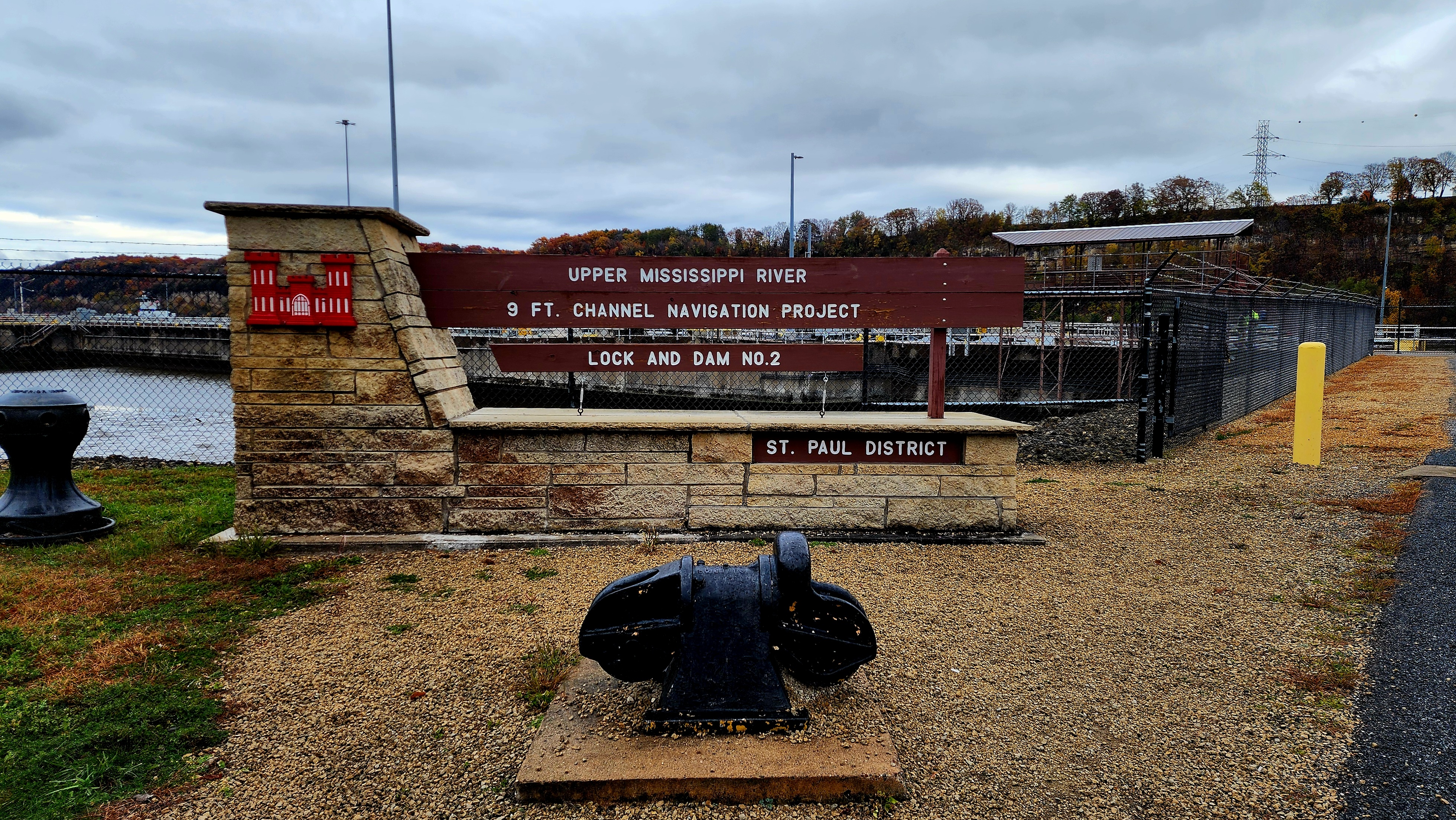
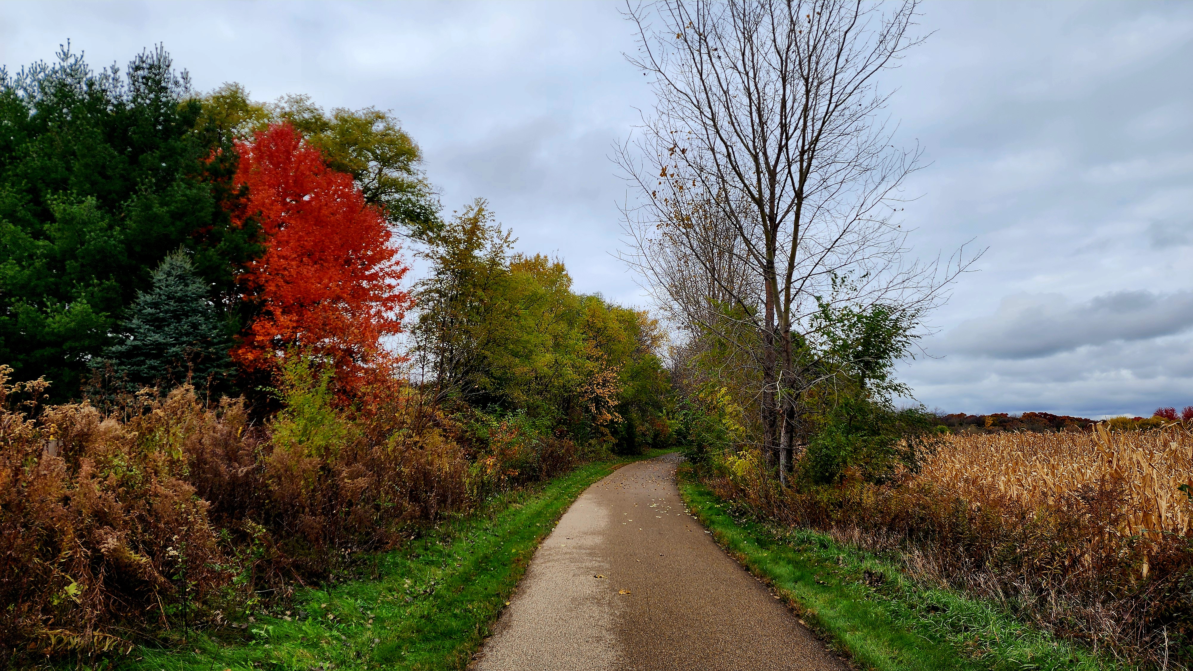
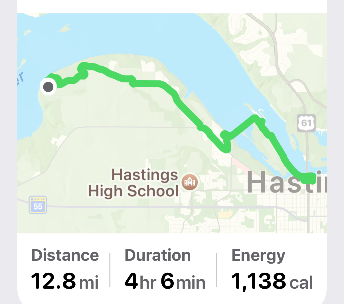
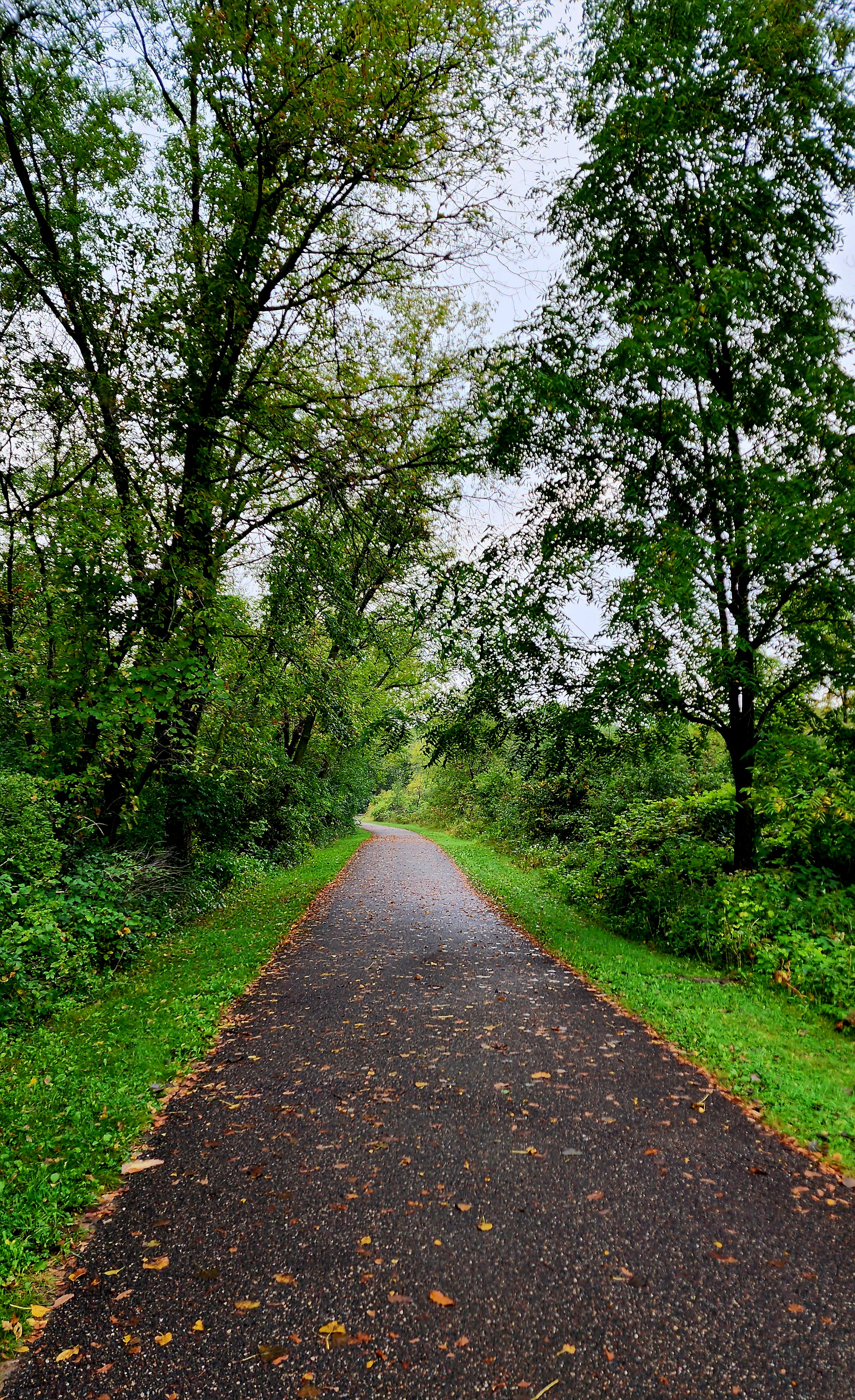
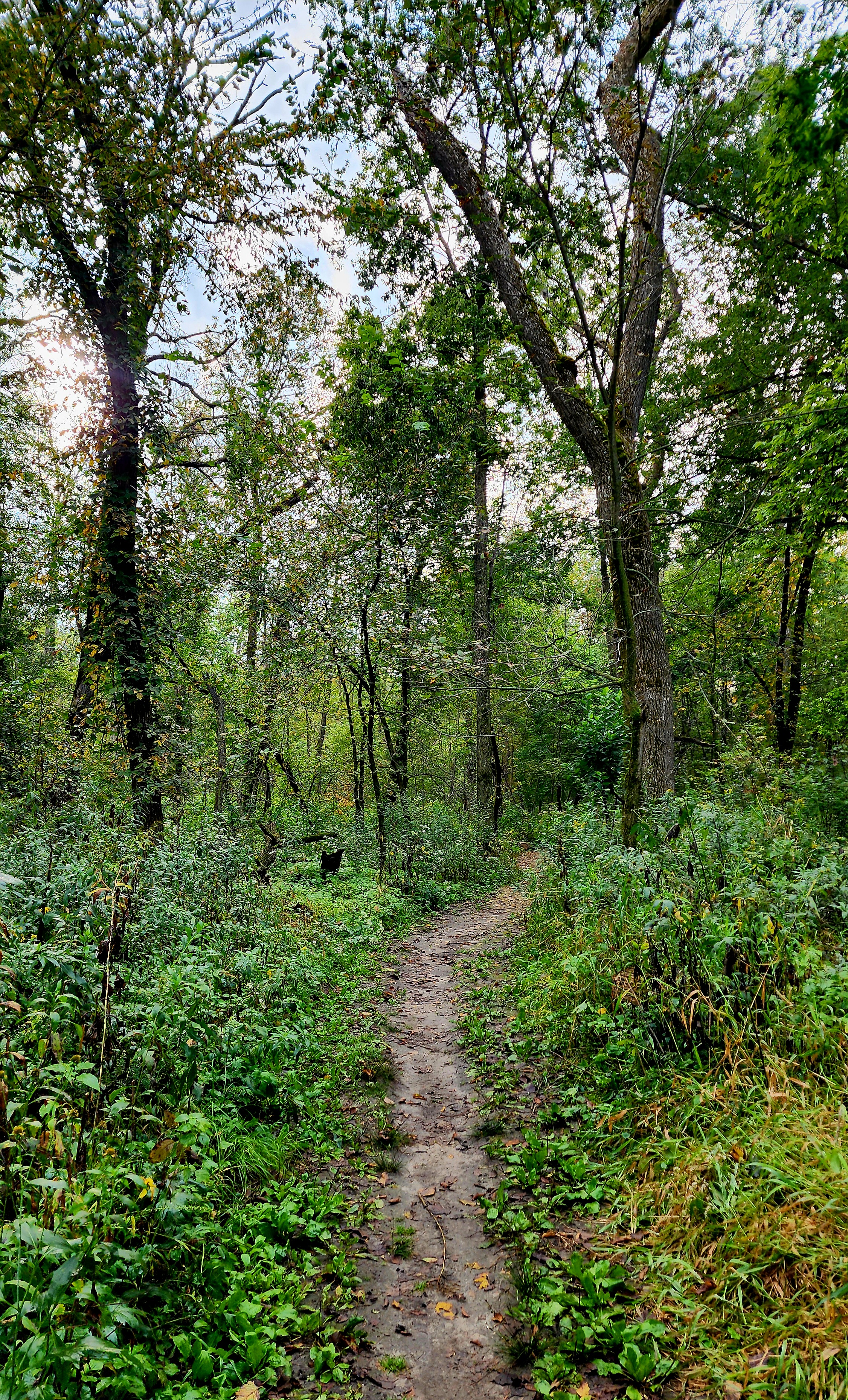
Today’s hiking adventure began at Spring Lake Park Reserve at the Schaar’s Bluff Trailhead.
Early morning hikes are getting a bit chilly in Minnesota, especially today, with the clouds overhead and at times light rain drizzling down. Hiking a paved trail was the way to go today.
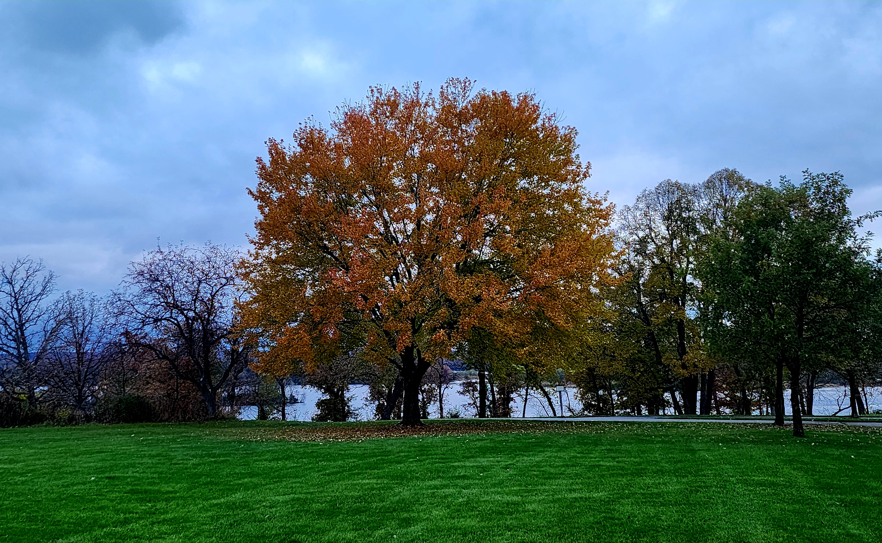
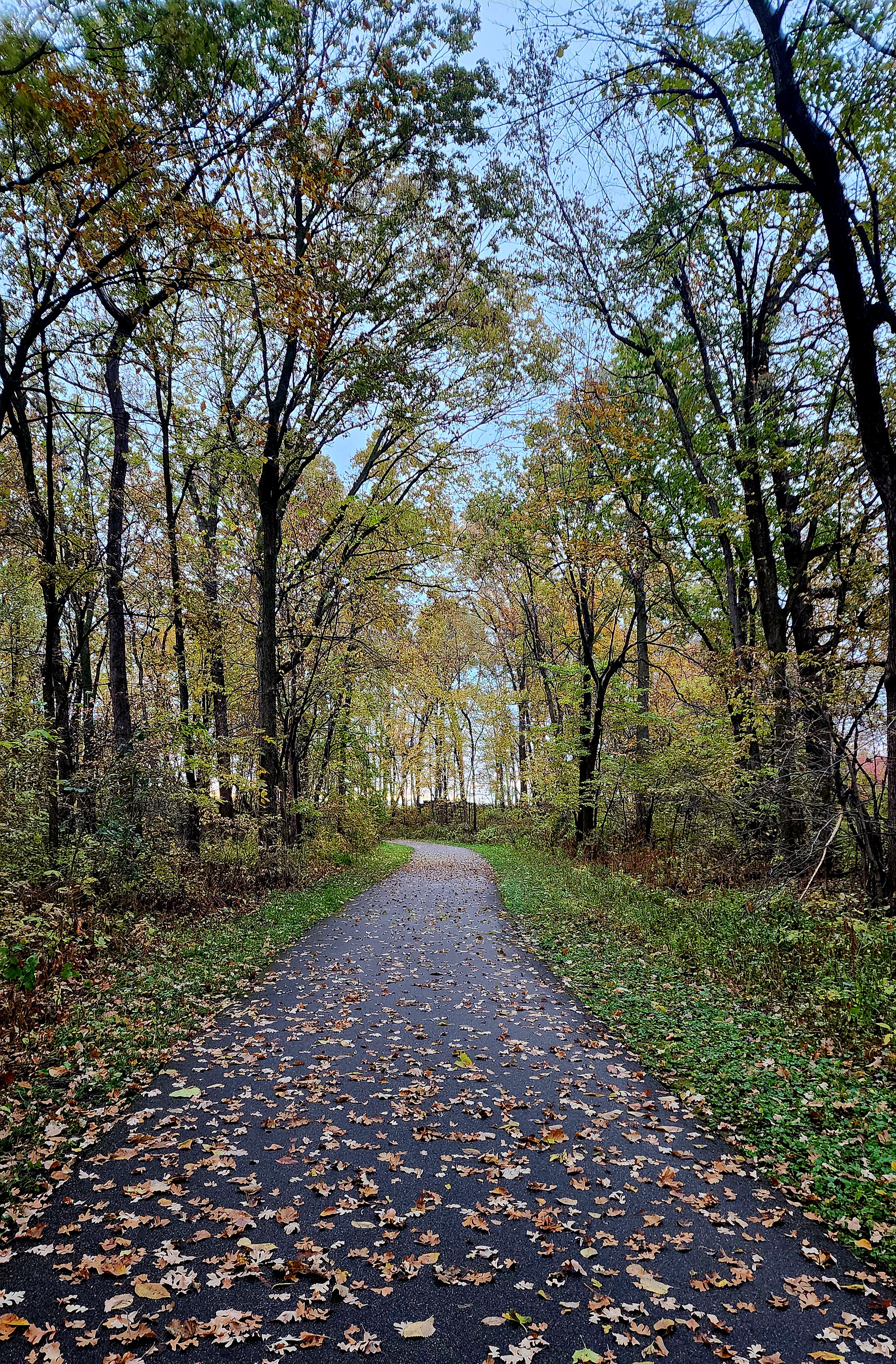
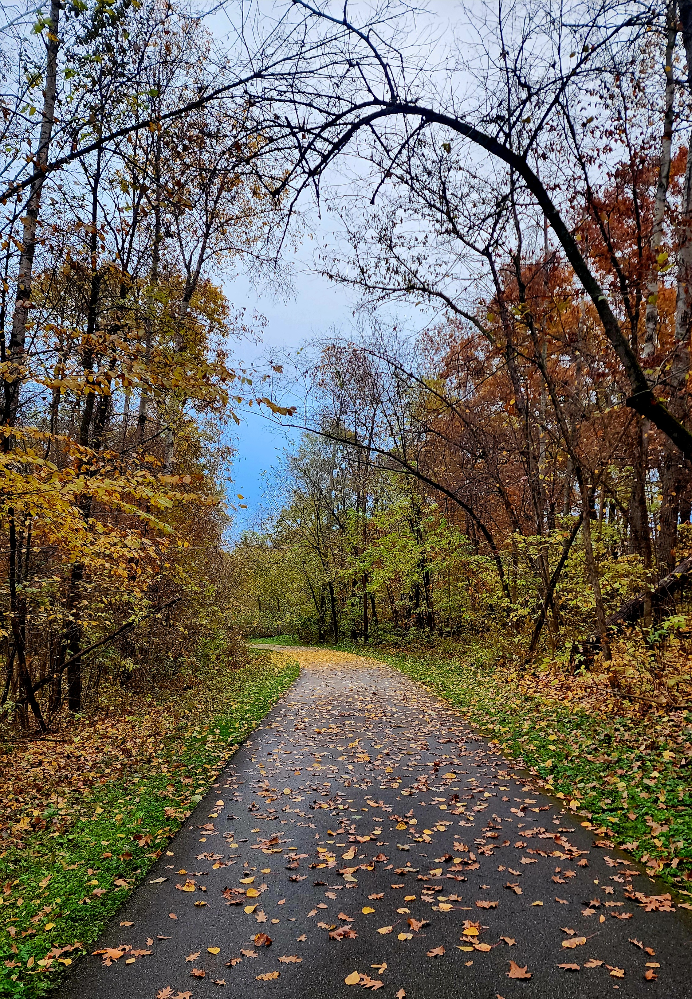
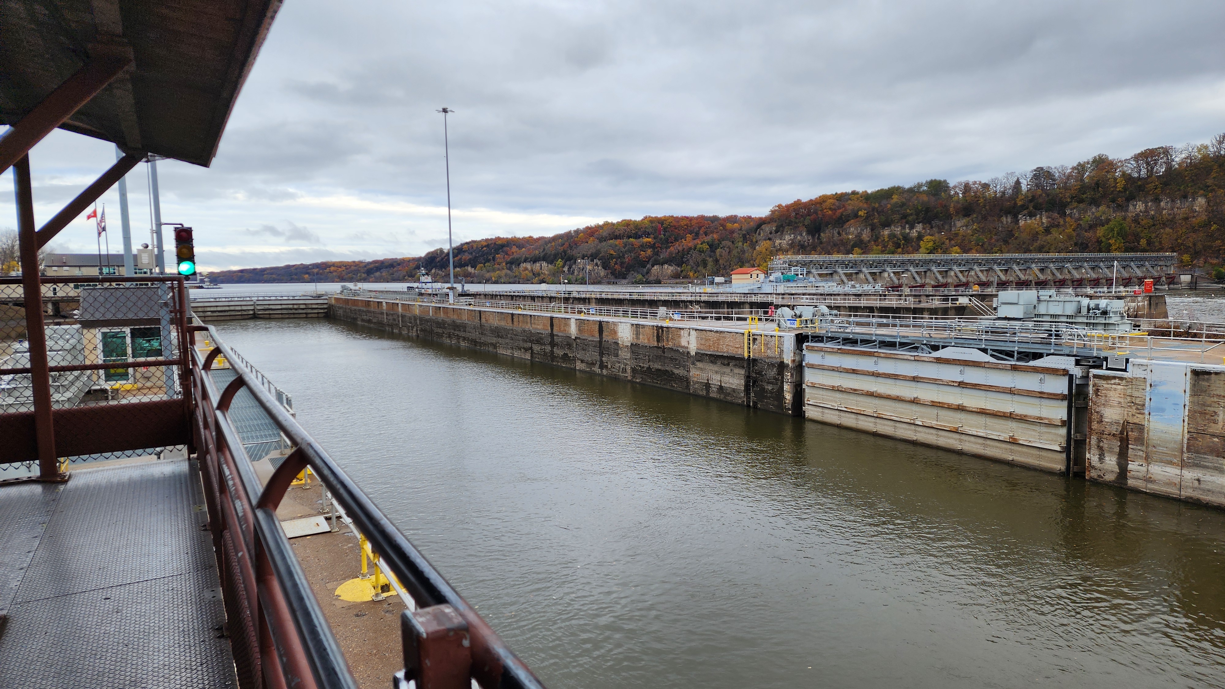
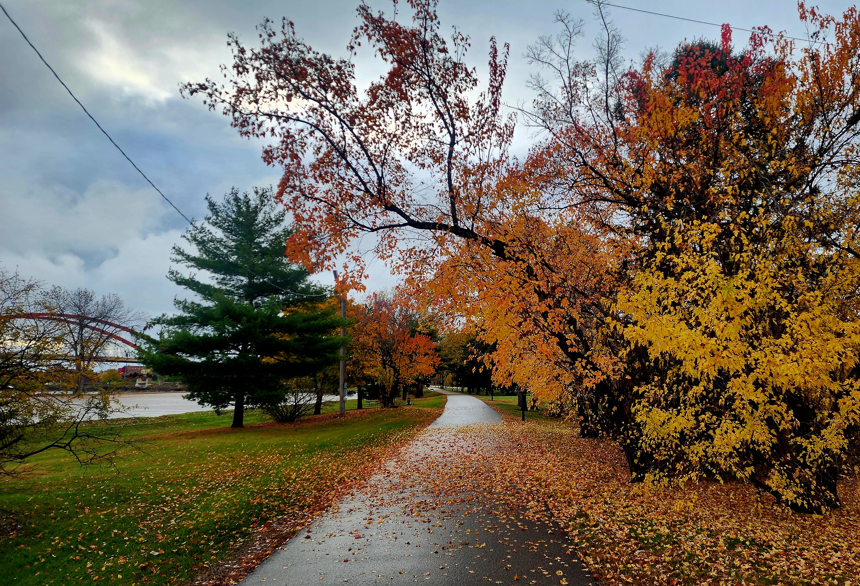
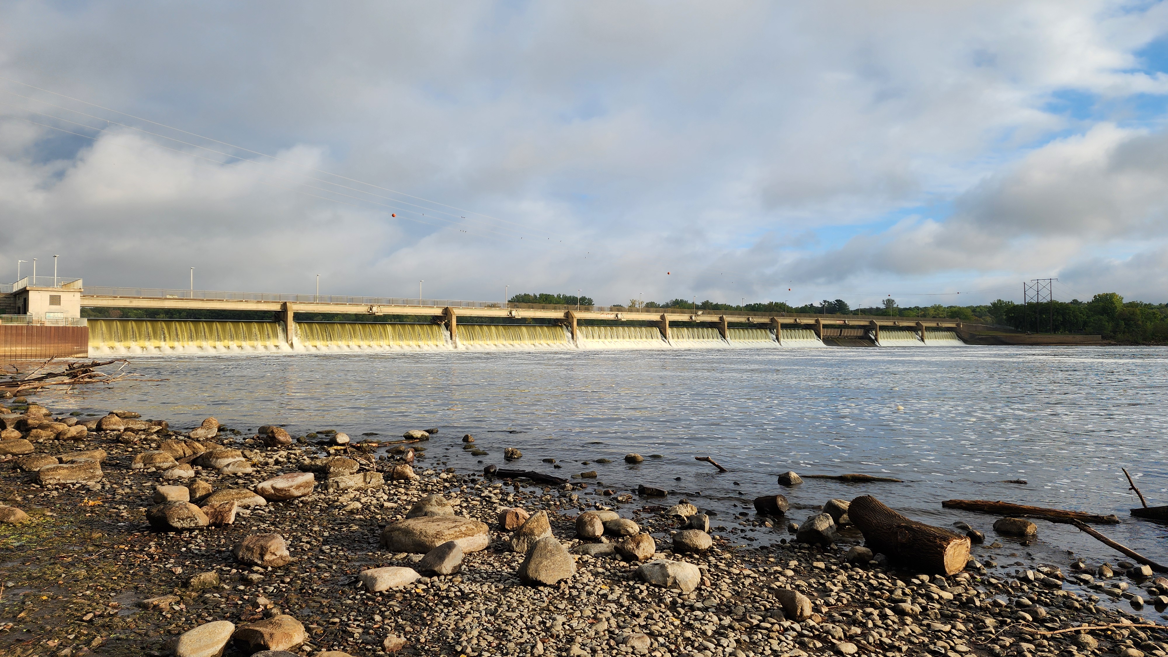
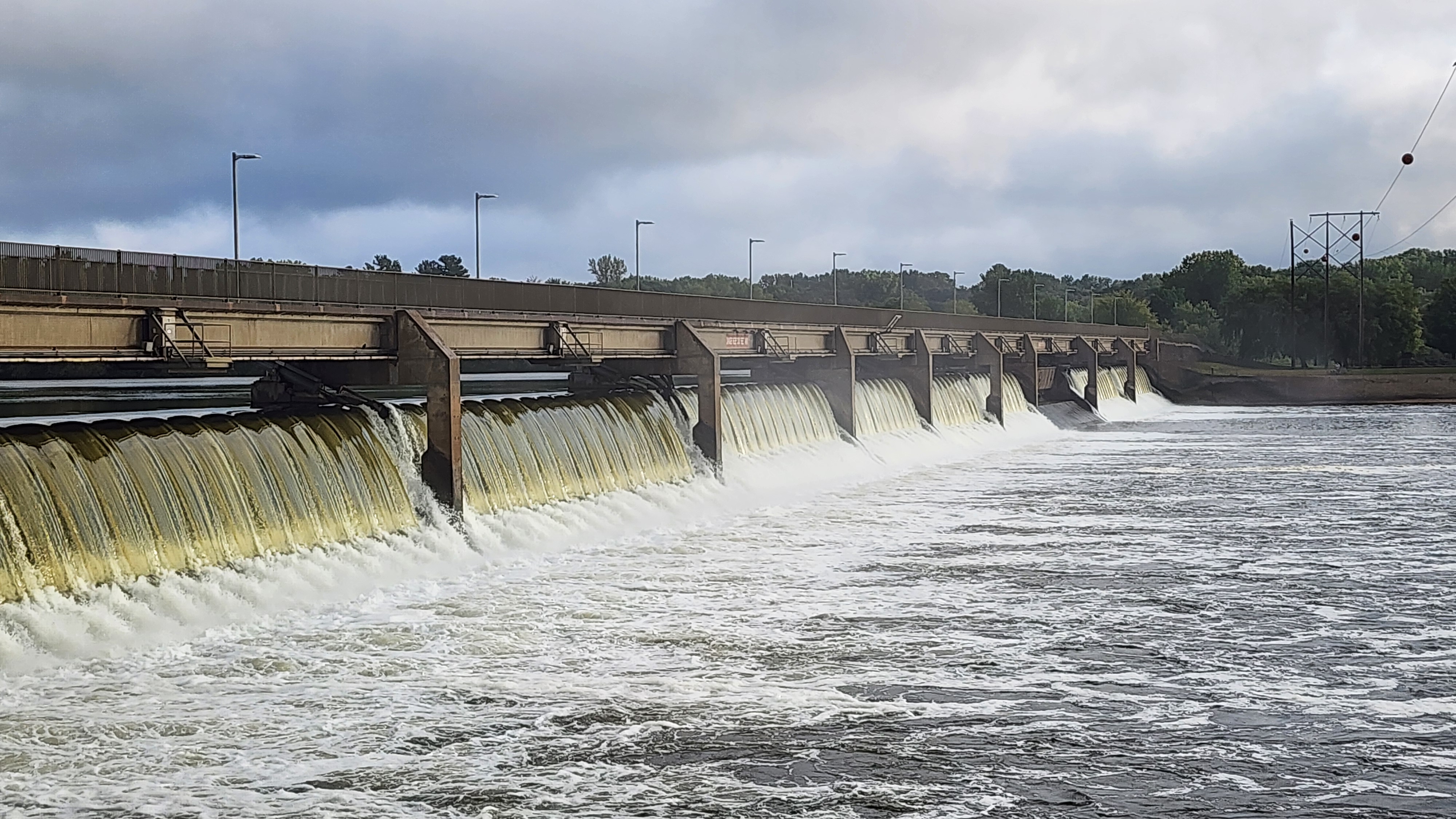
We decided to hike the trail towards the Hastings Lock and Dam No. 2. Some of the trees are still holding onto their colorful leaves.
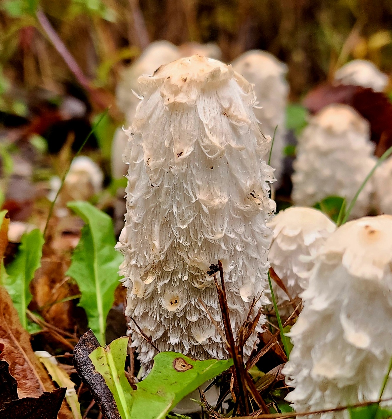
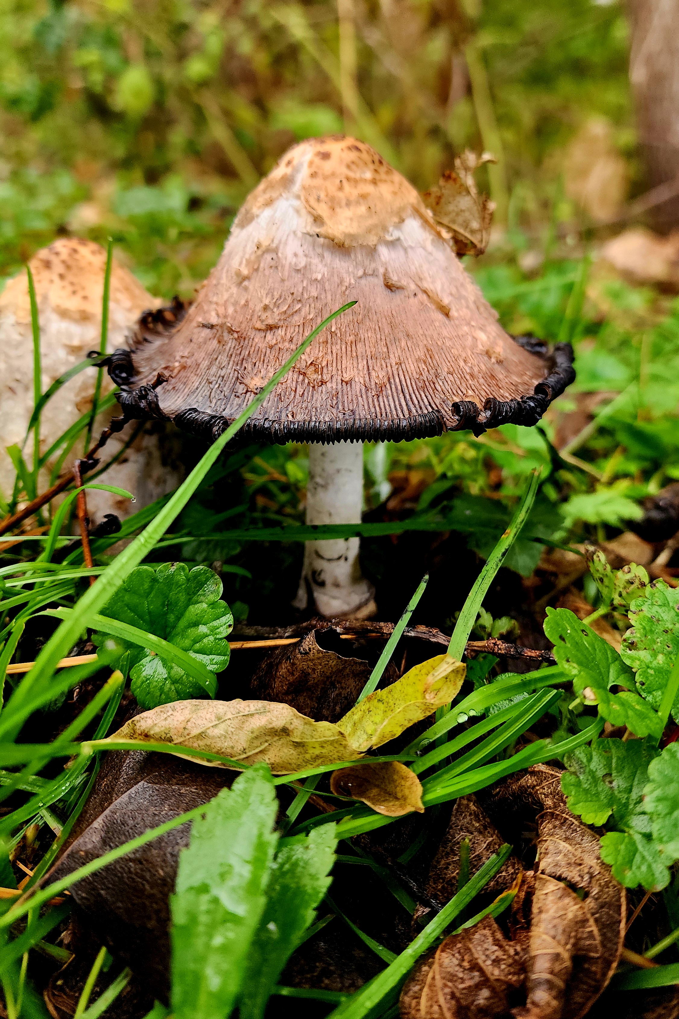
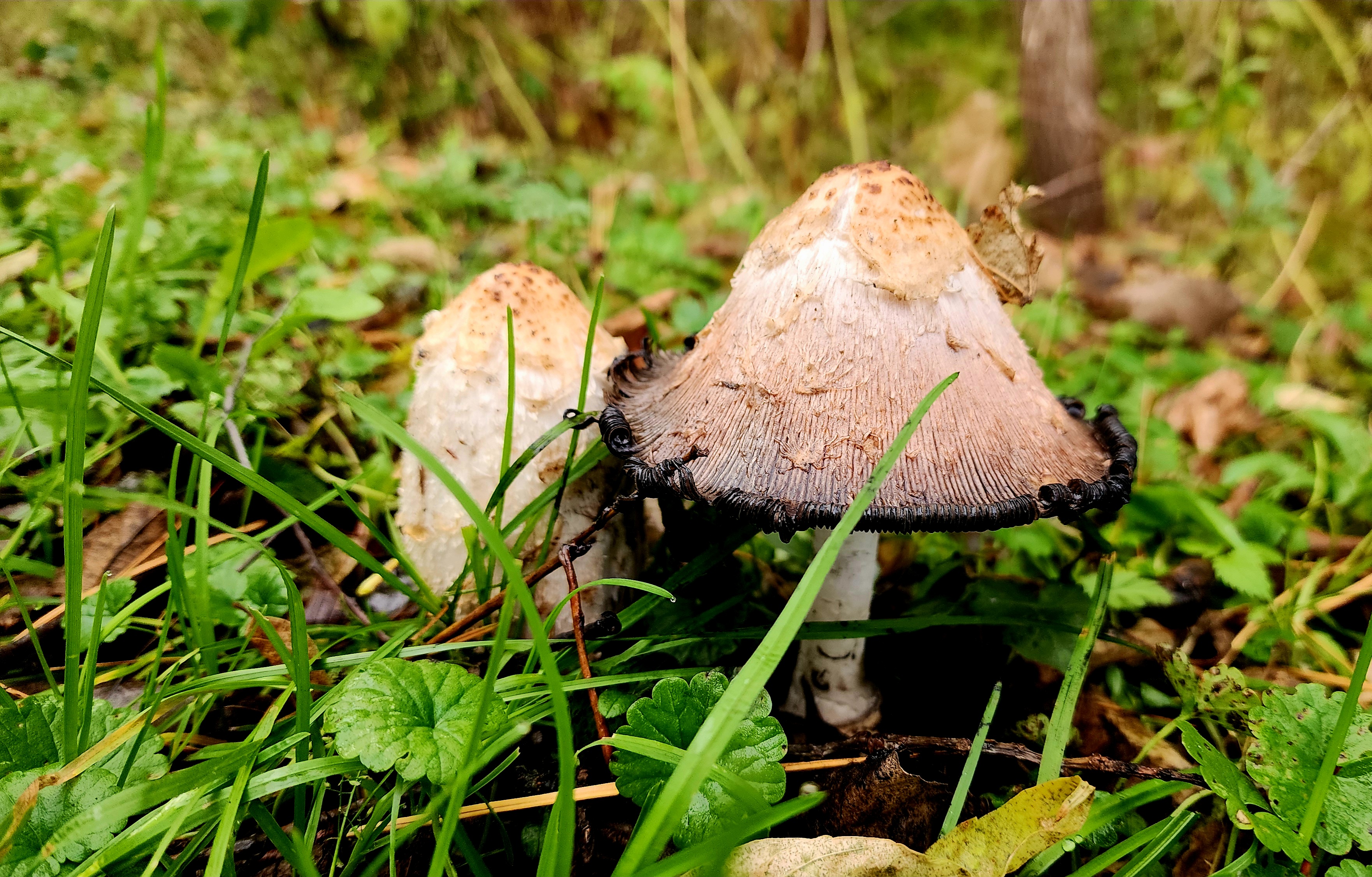
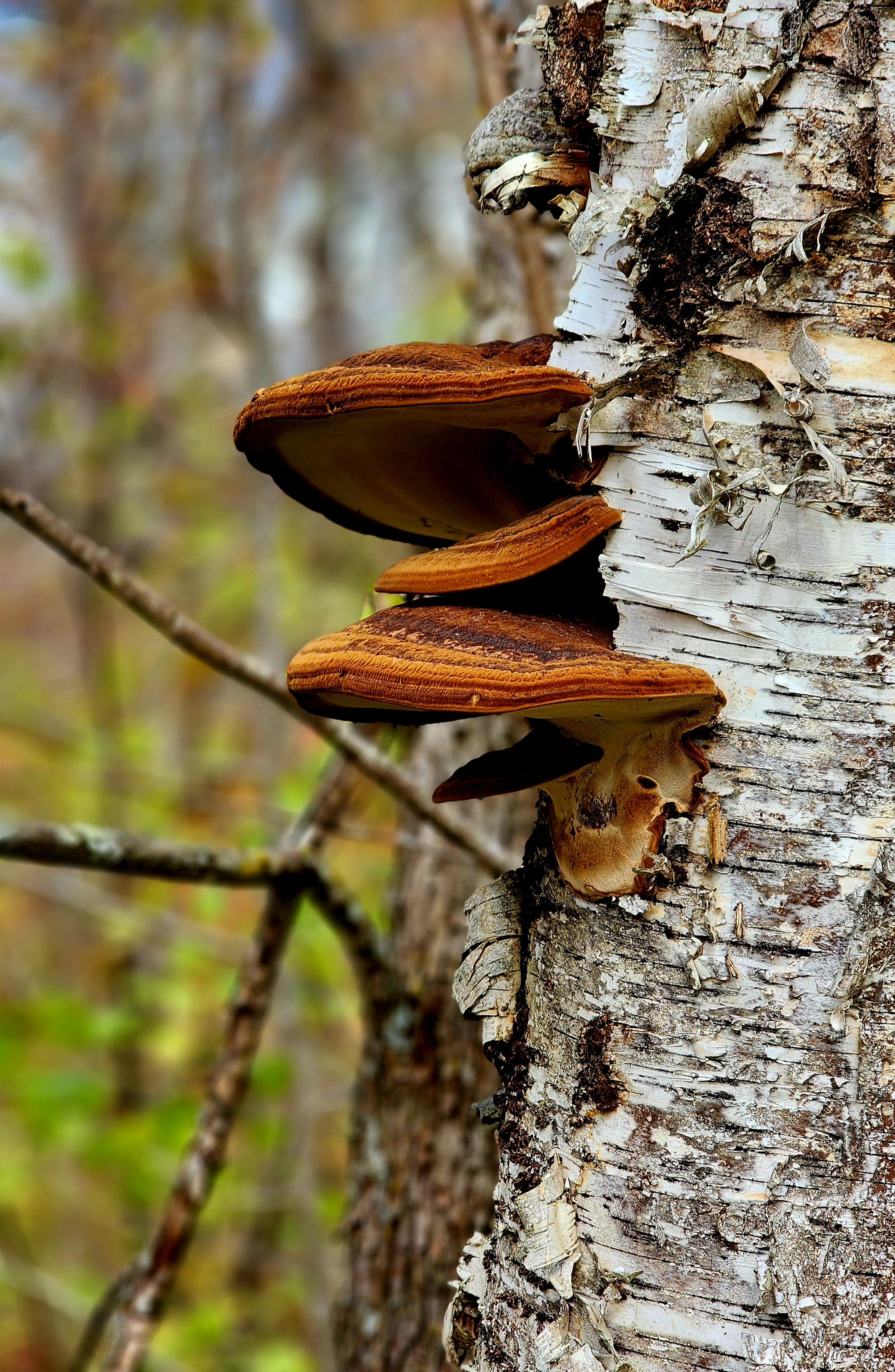
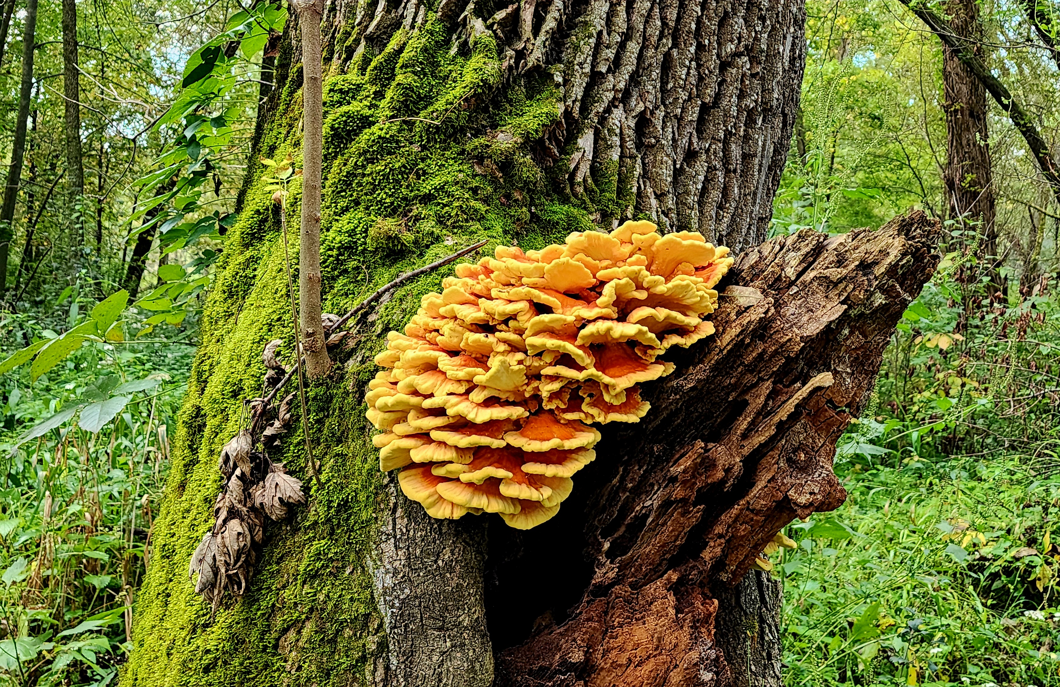
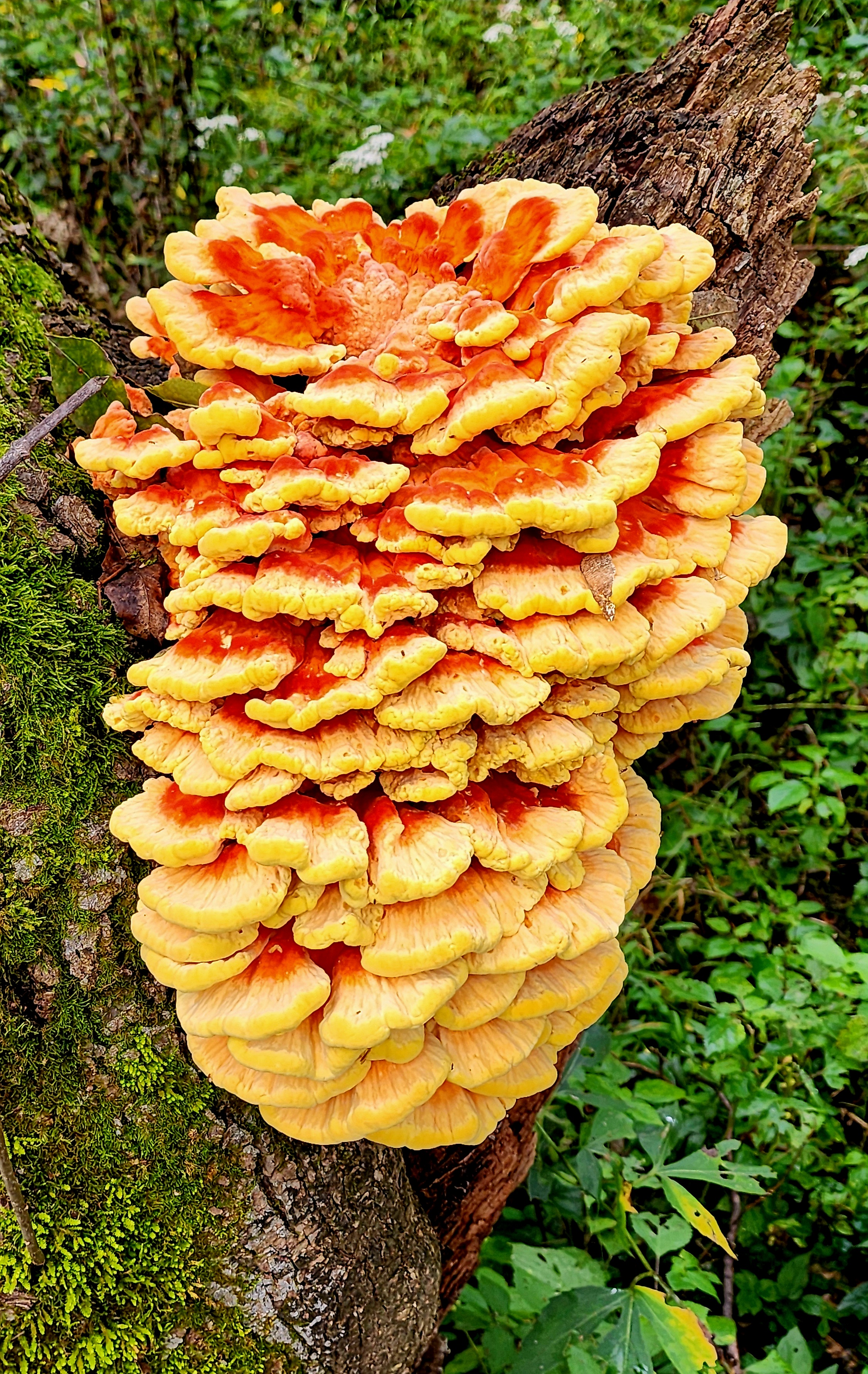
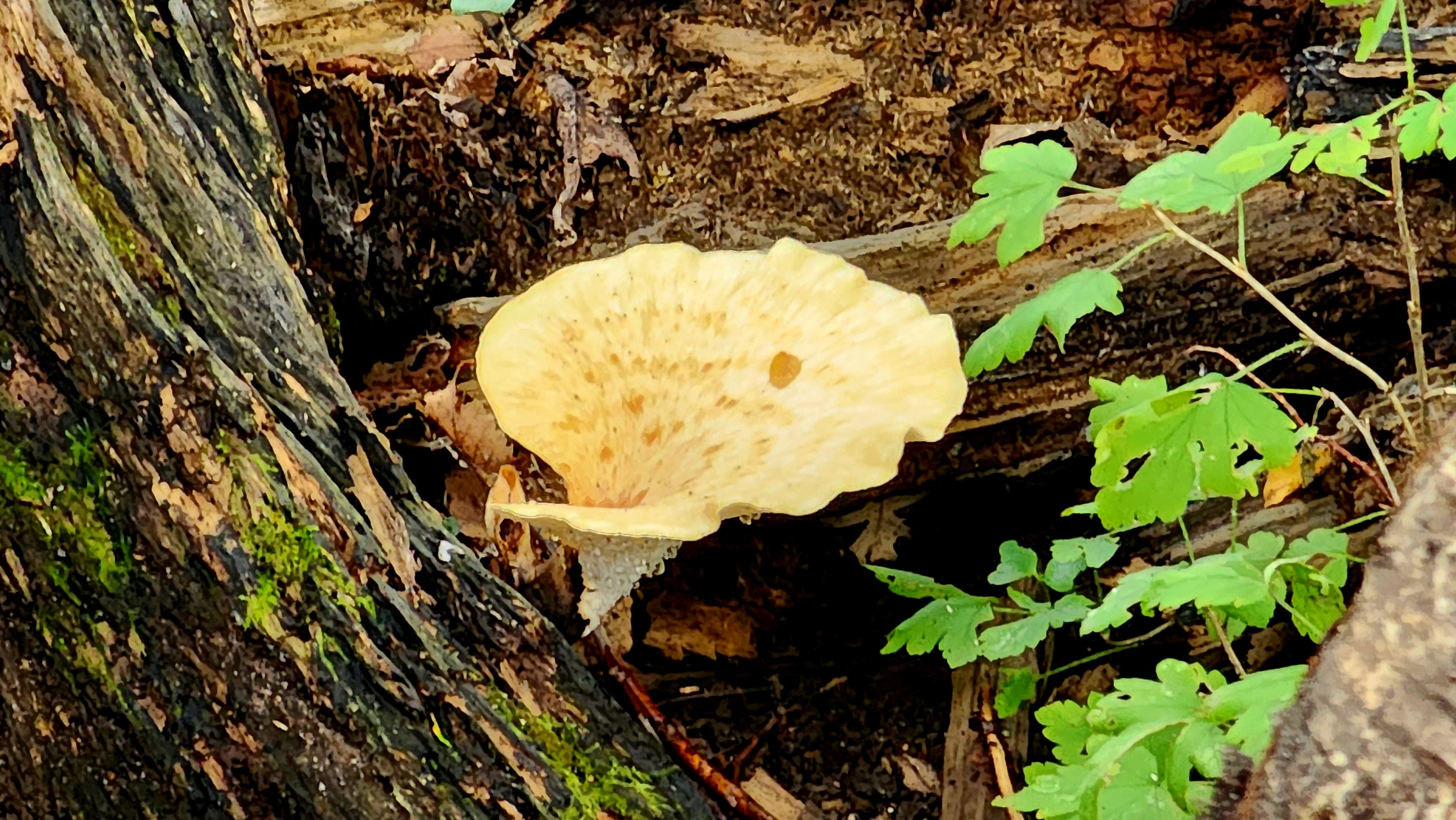
We found several patches with these mushrooms along the side of the trail.
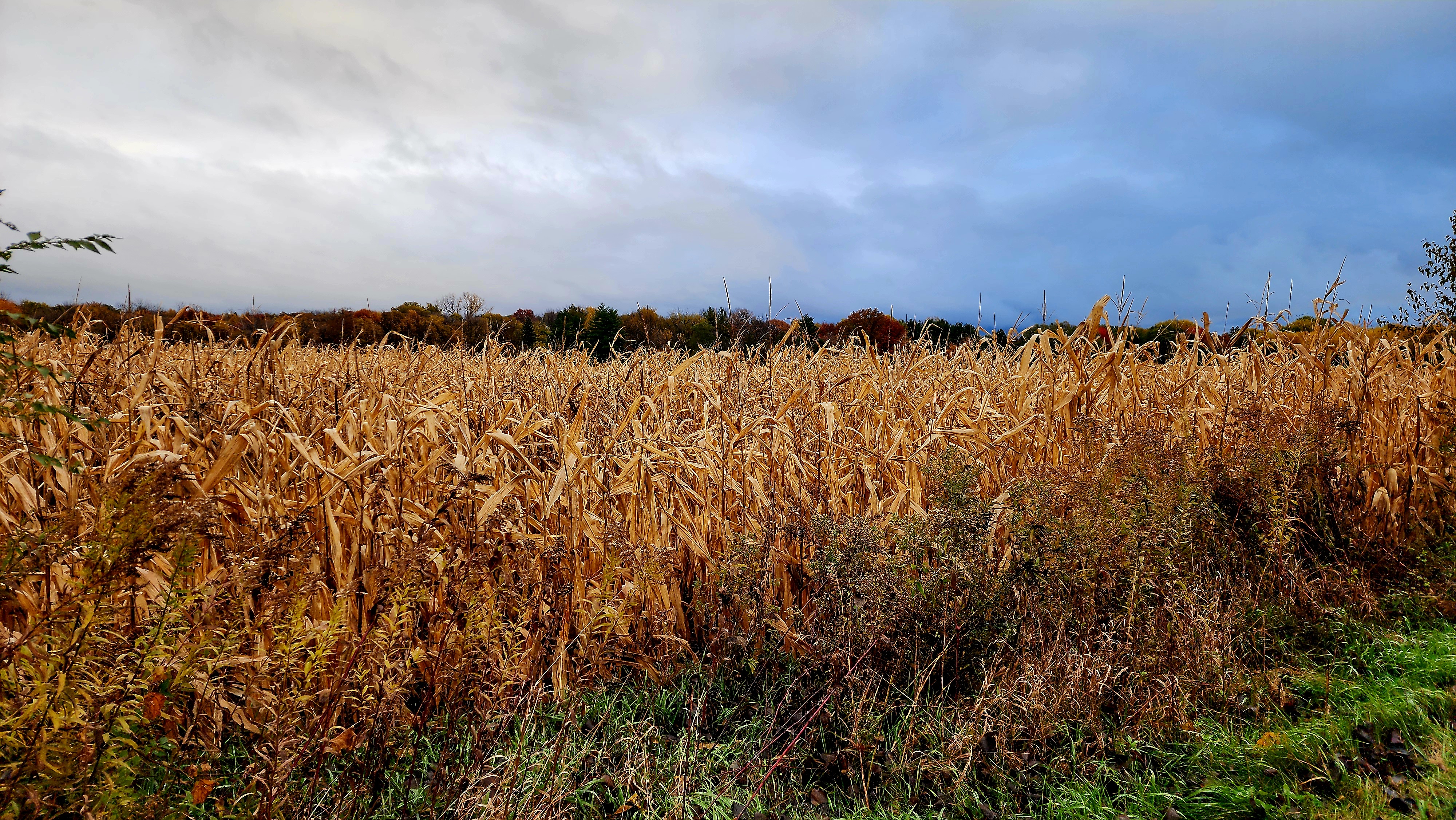
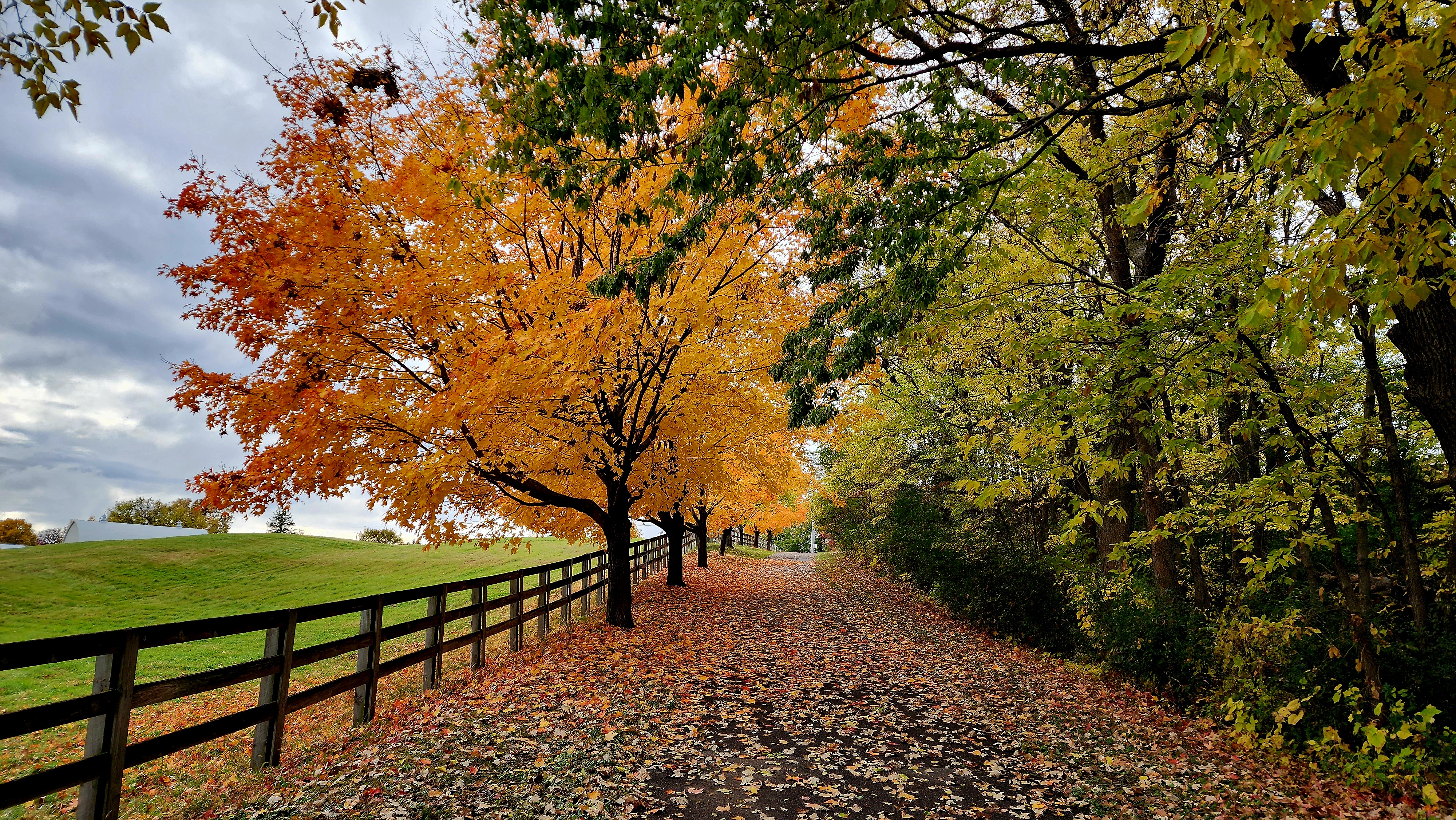
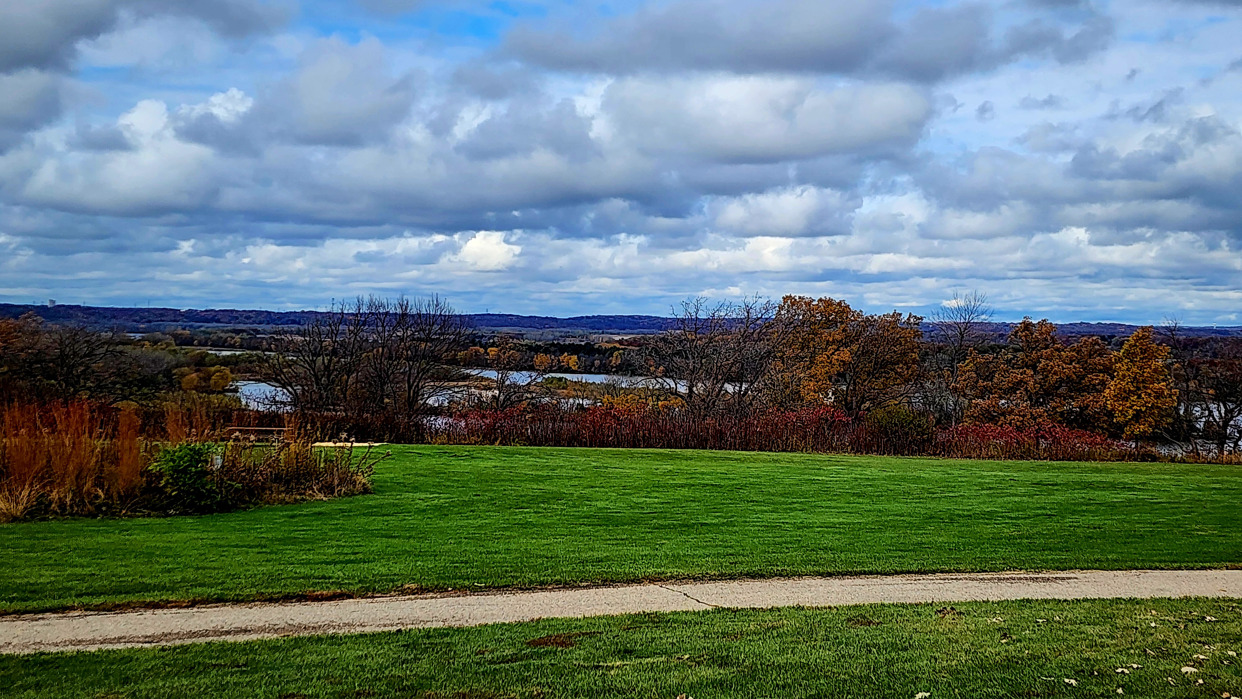
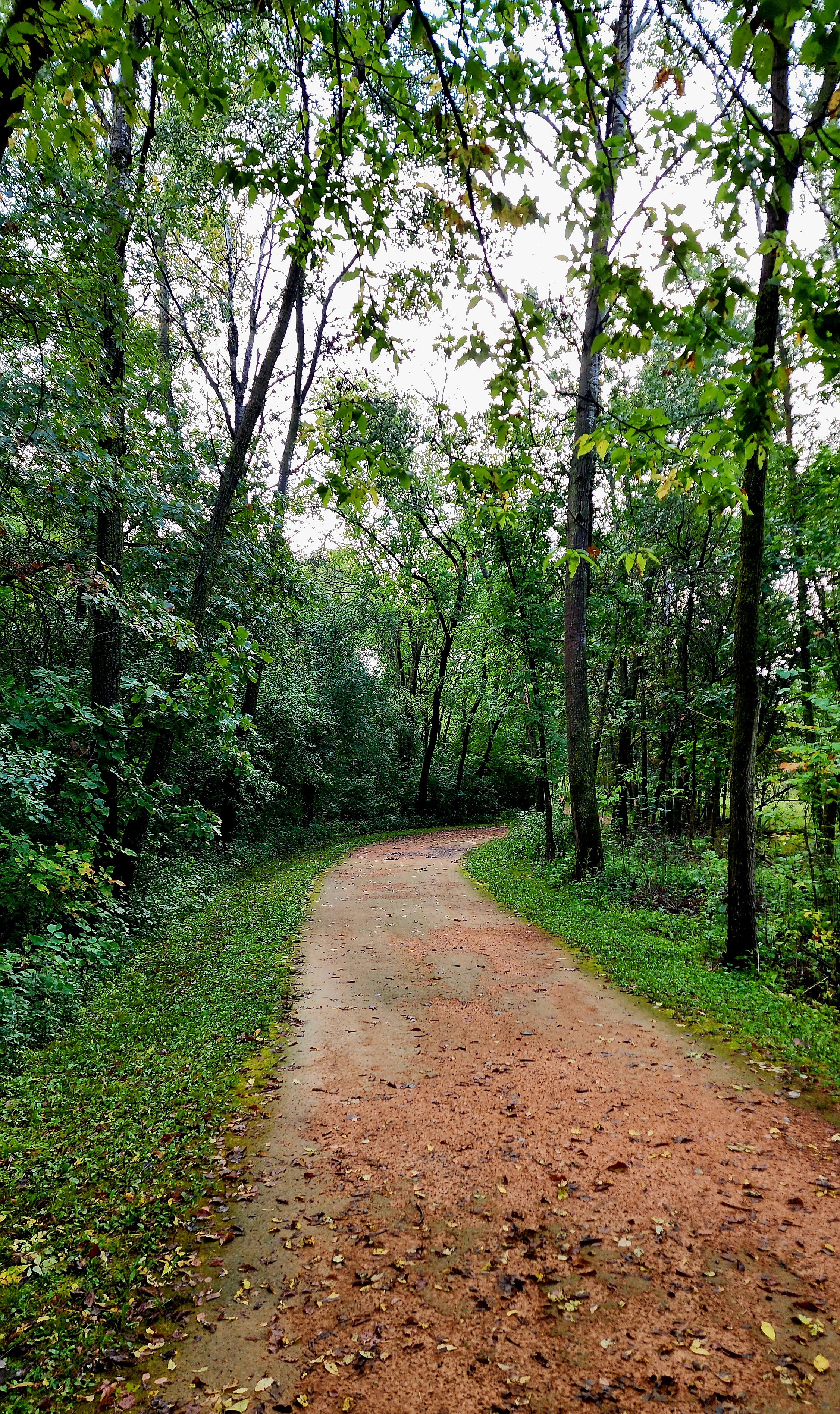
The trail led us past lots of farmland.
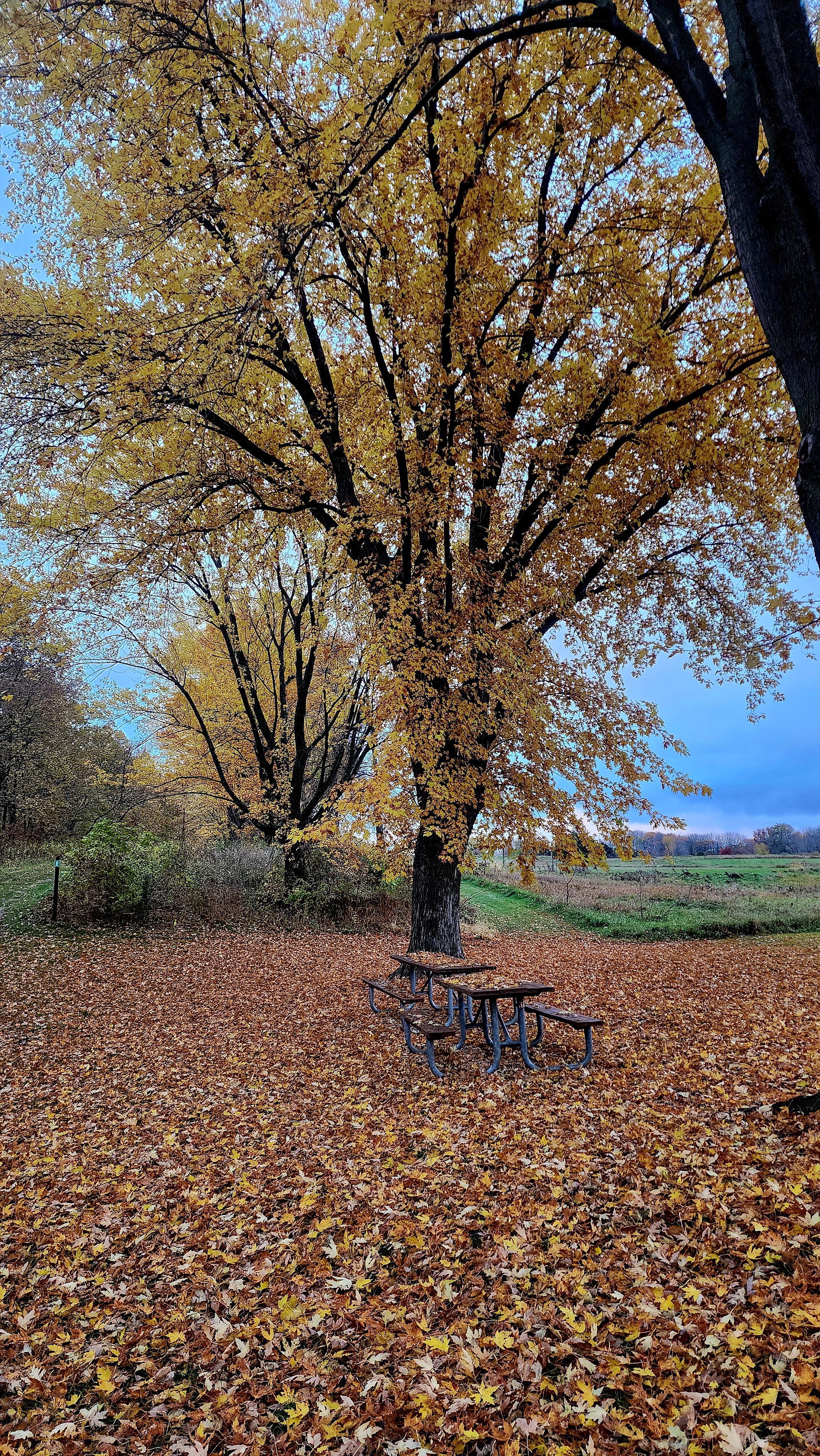
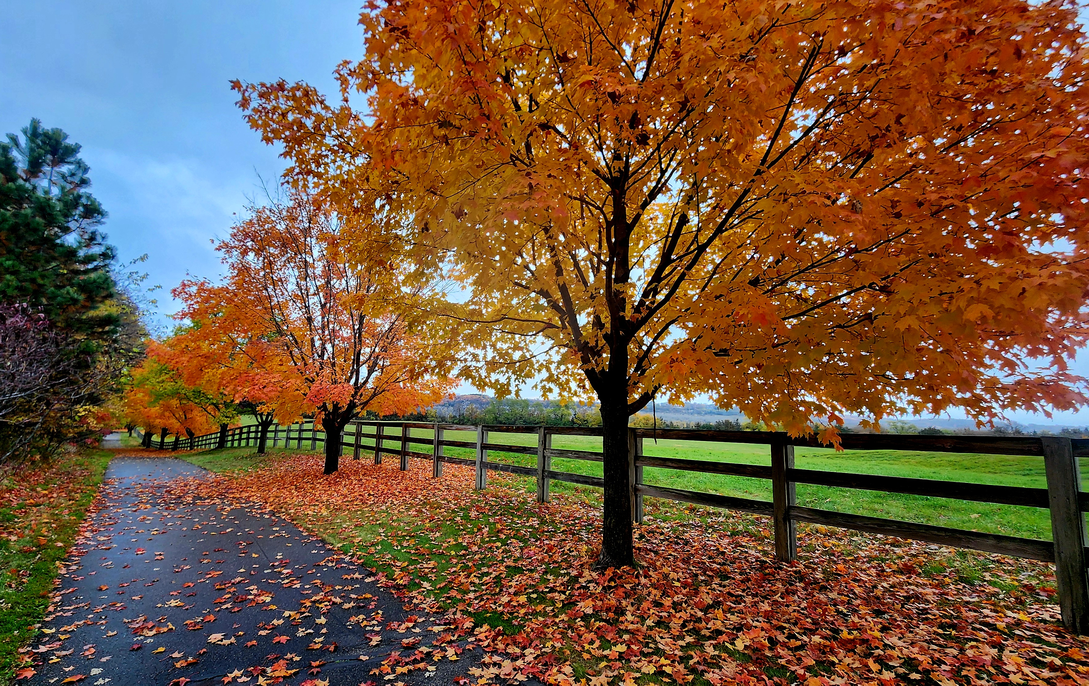
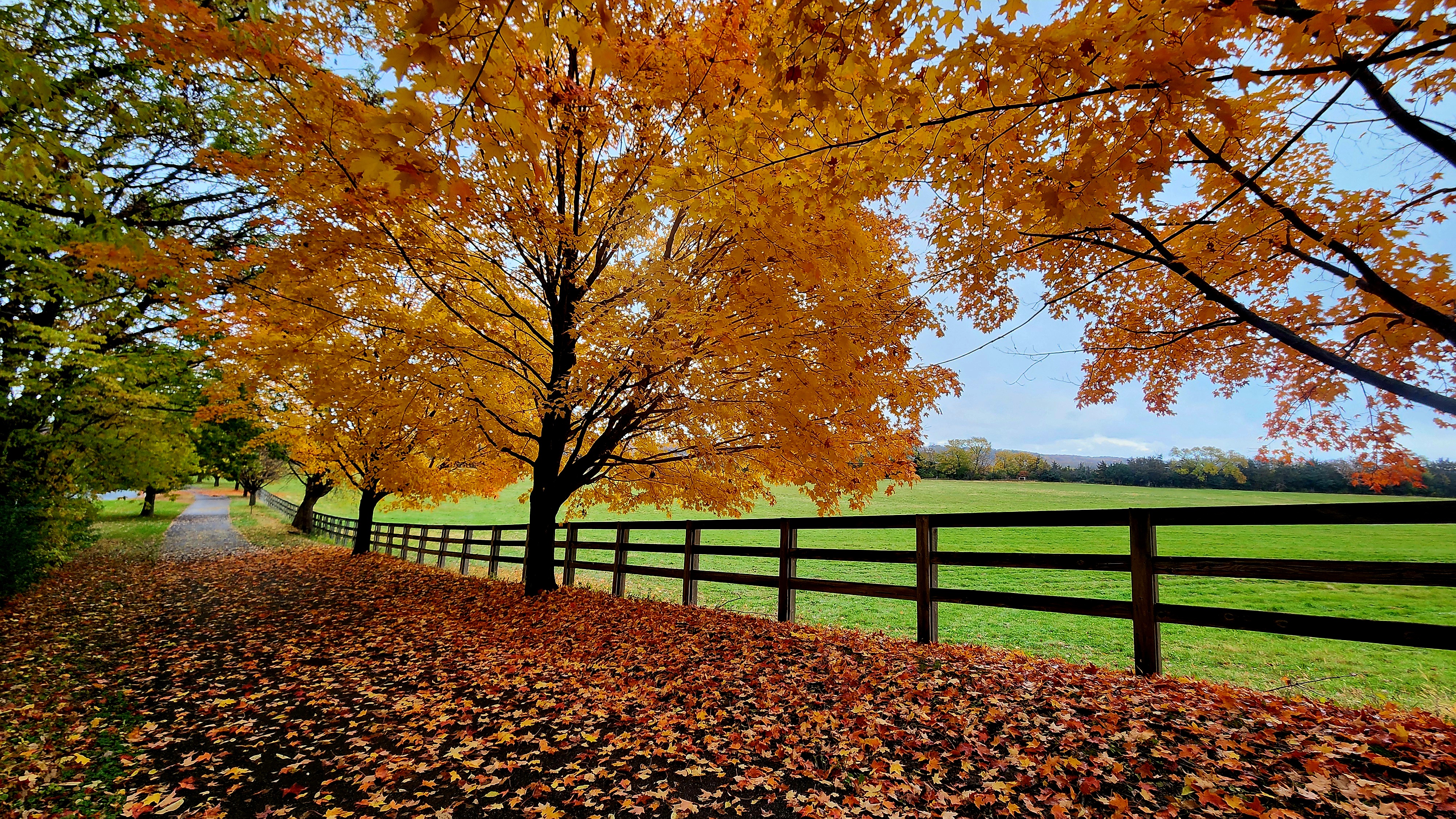
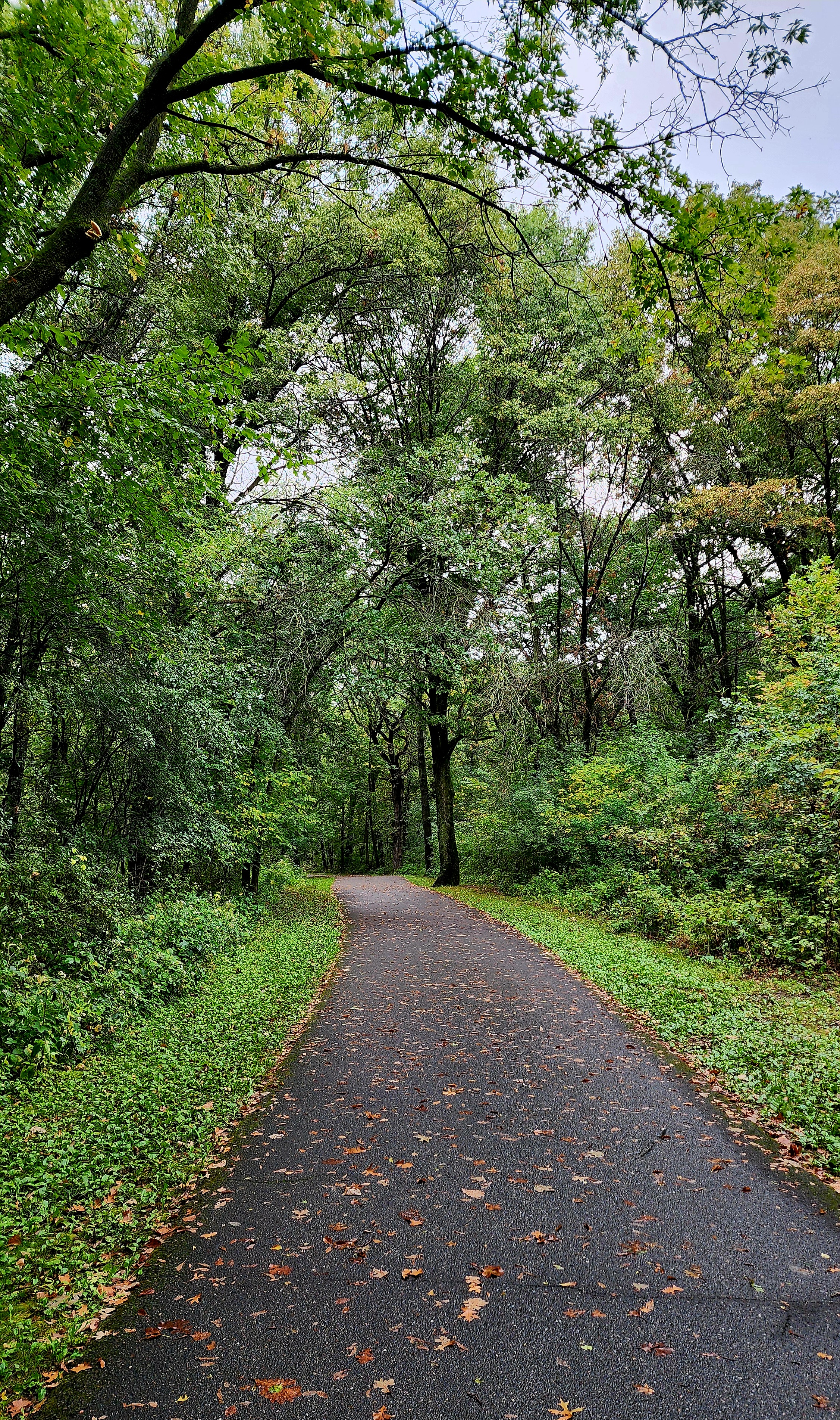
This part of the trail was absolutely gorgeous.
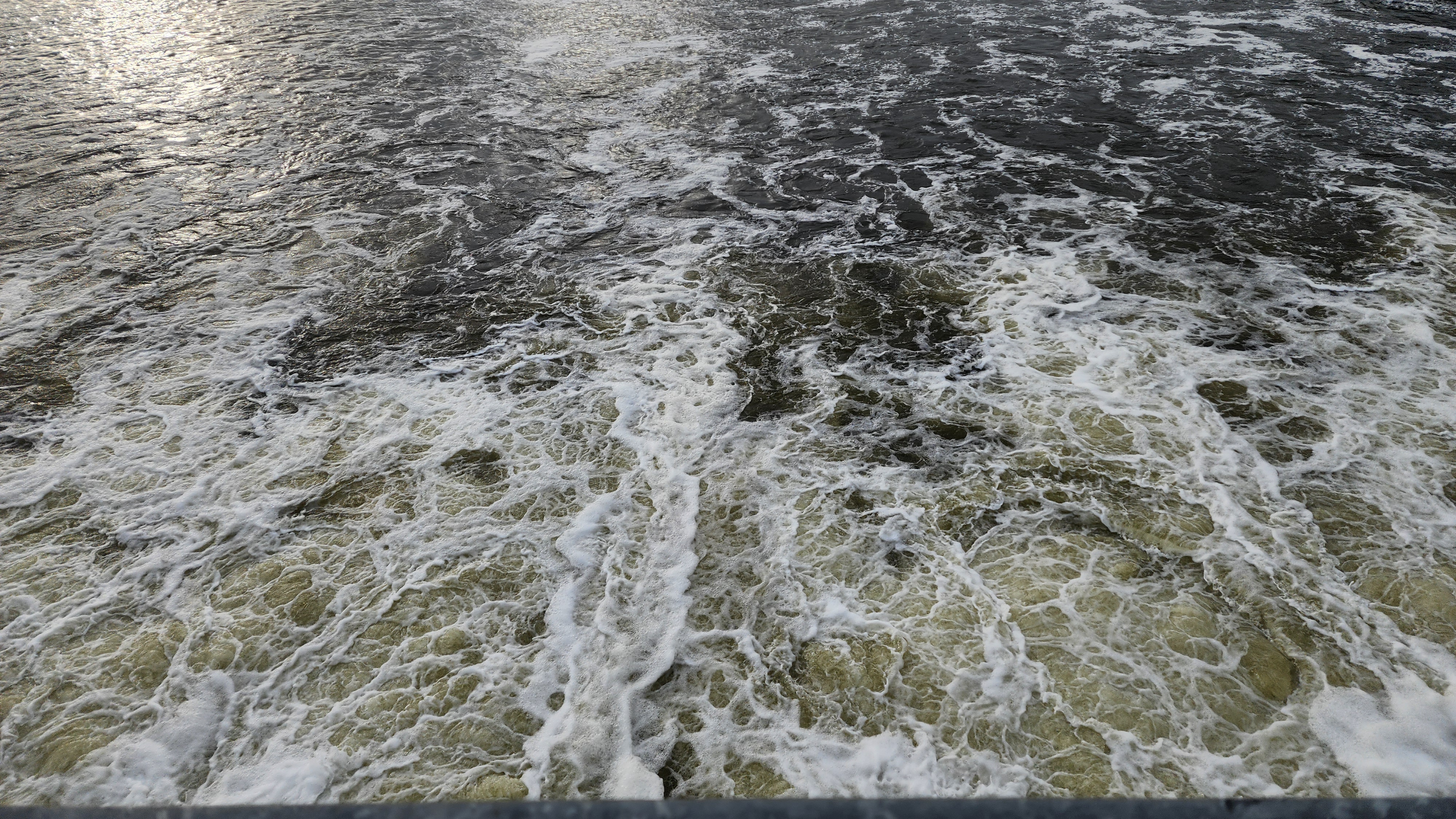
Lock and Dam No. 2.
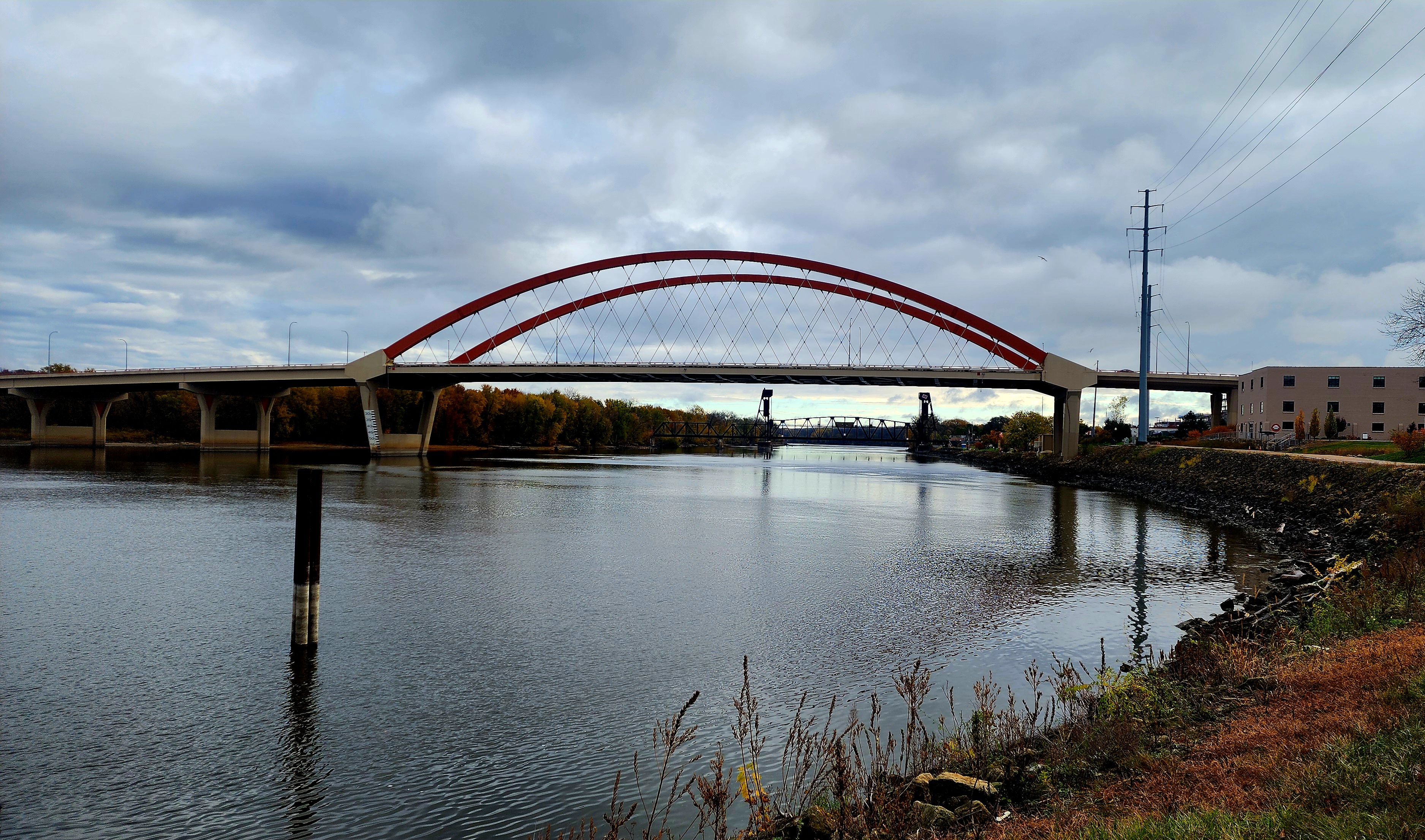
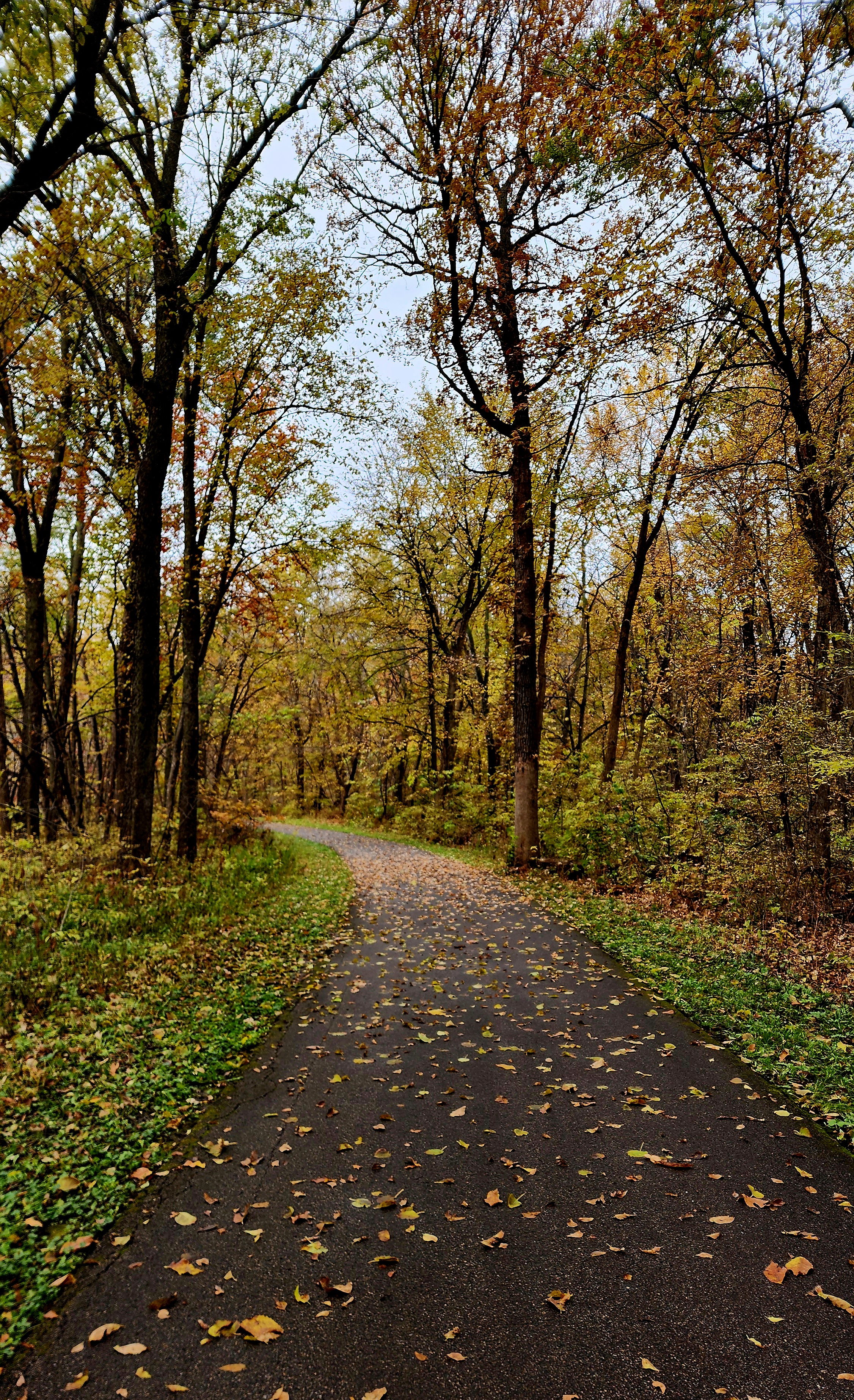
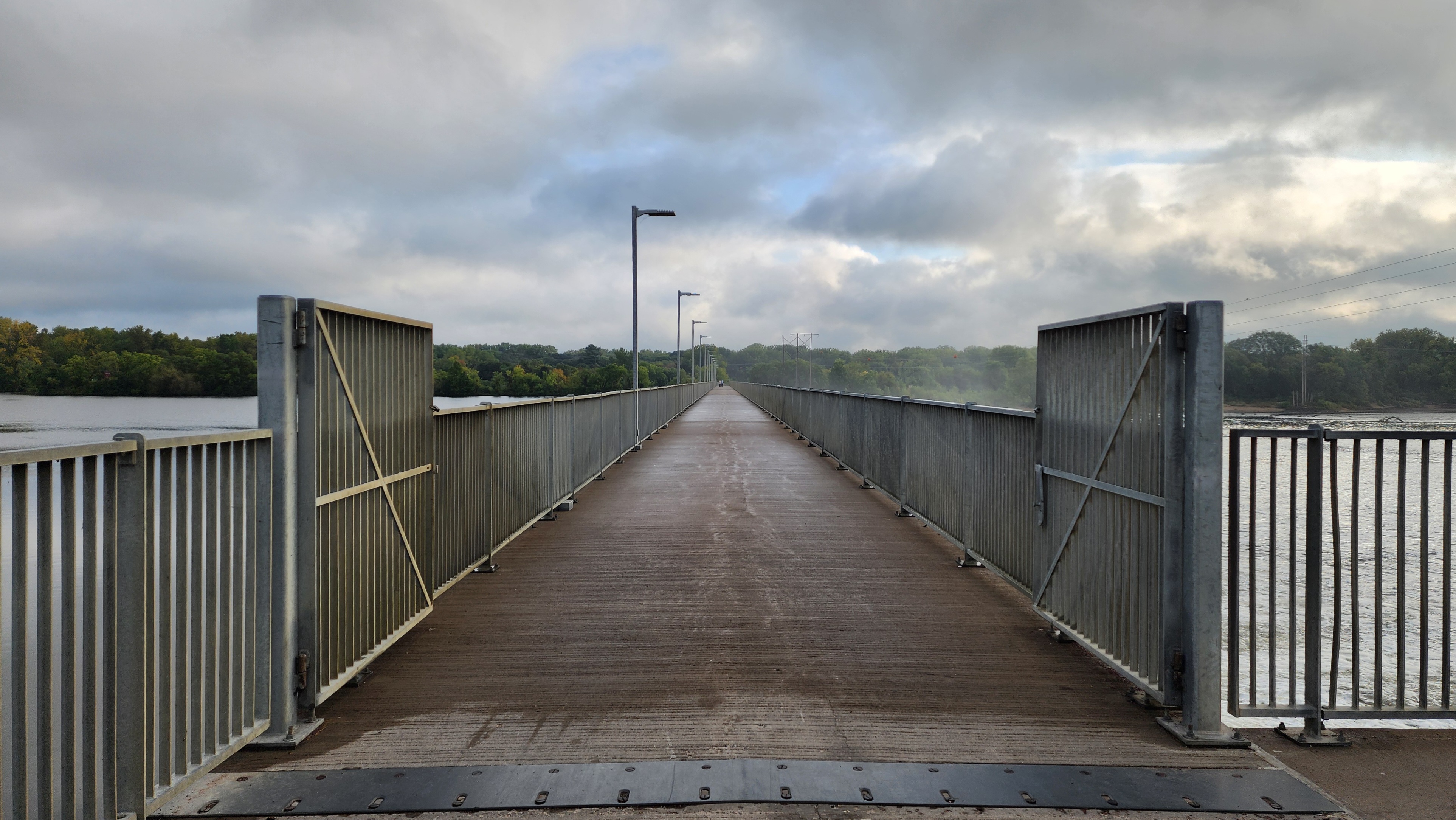
We hiked to downtown Hastings before heading back to Schaar’s Bluff.
This part of the trail has always been my favorite. Hiking between the waterways is so calming and peaceful.
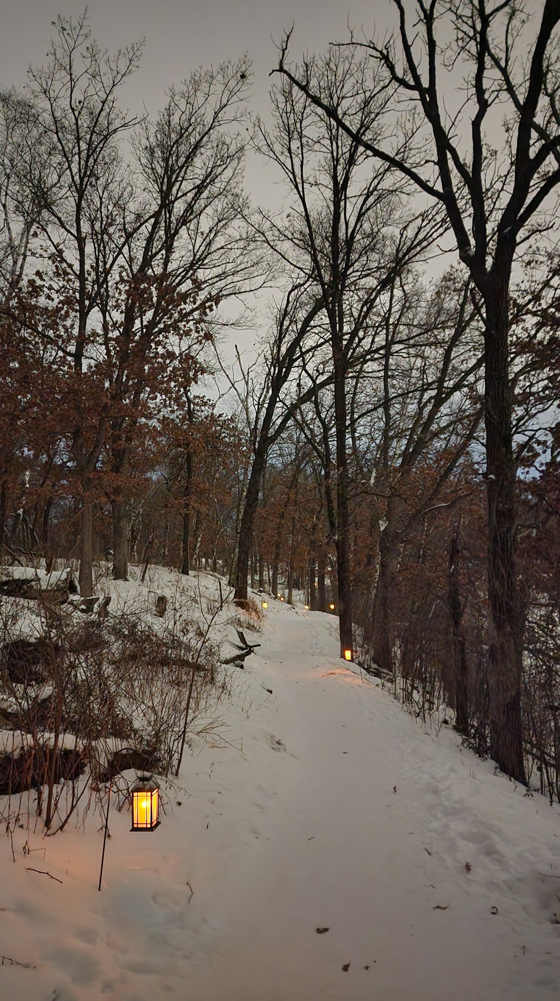
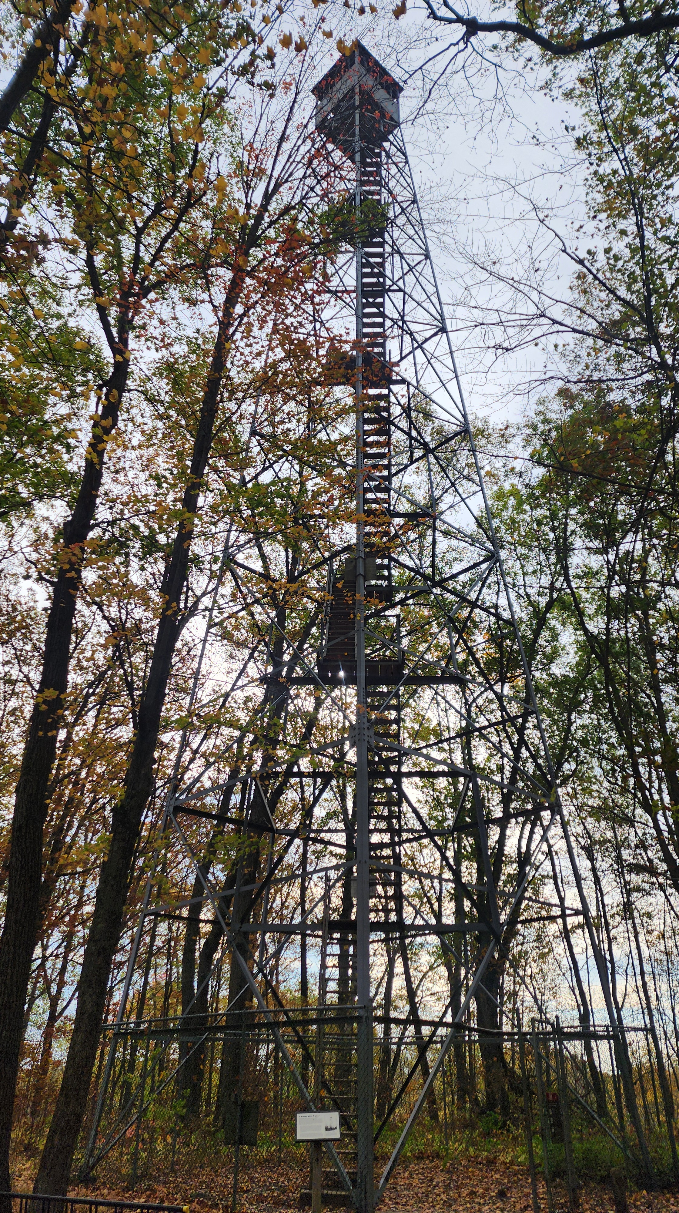
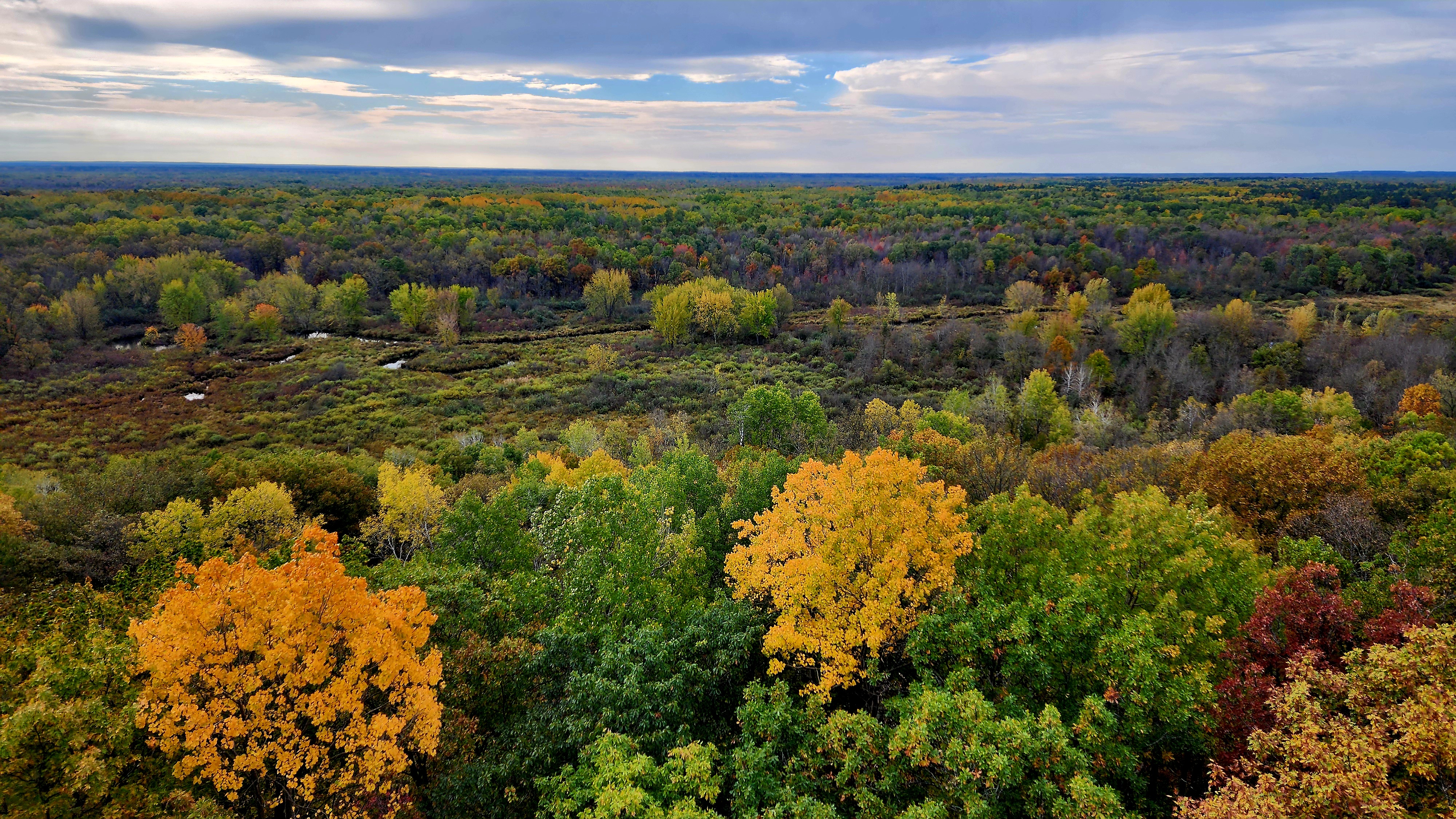
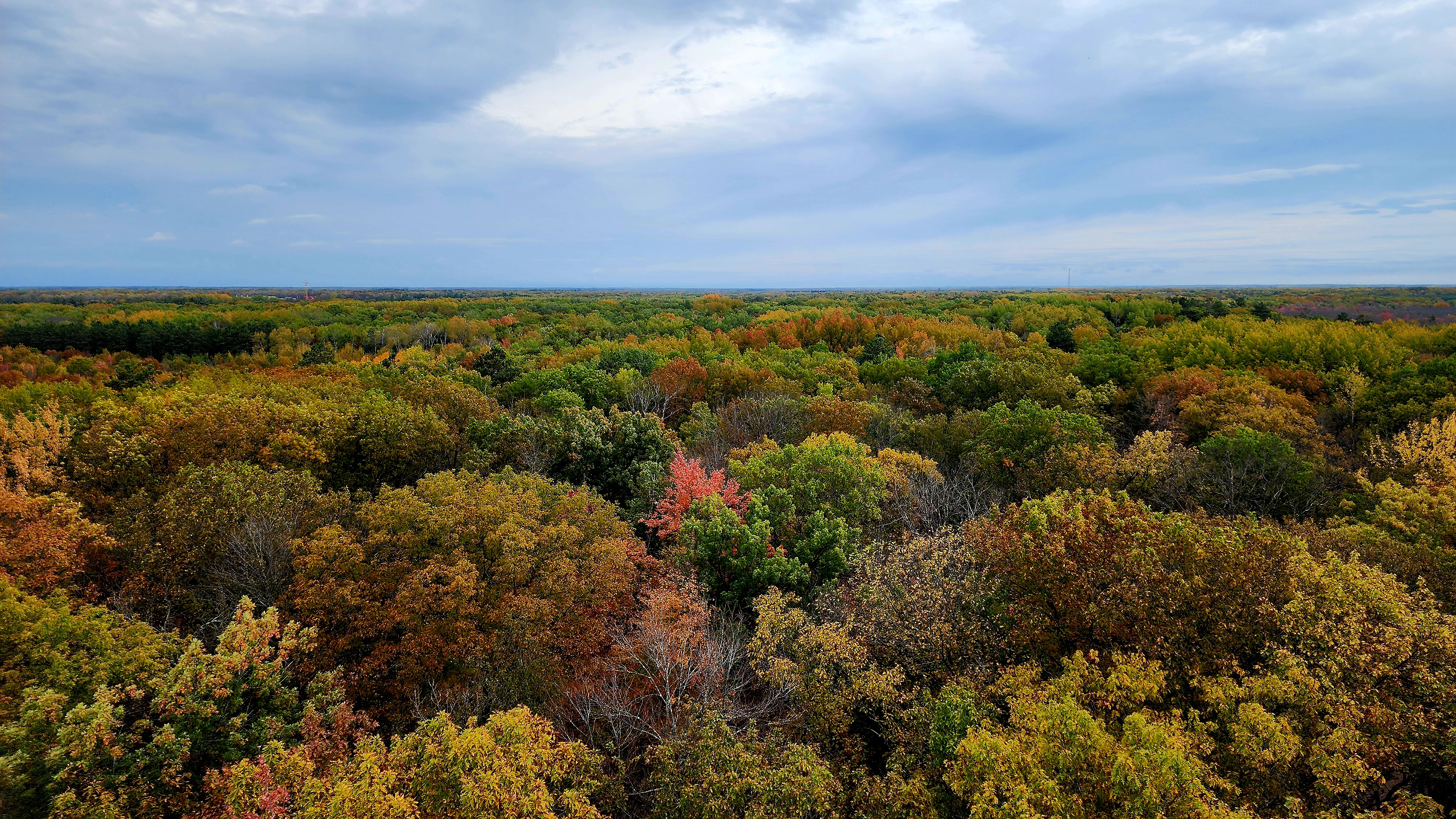
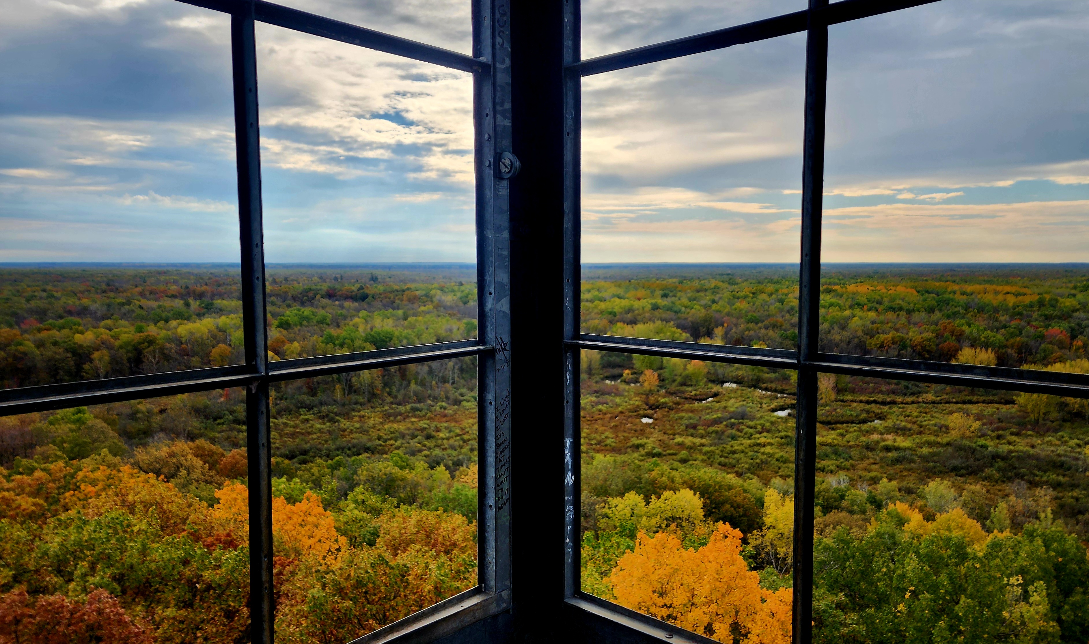
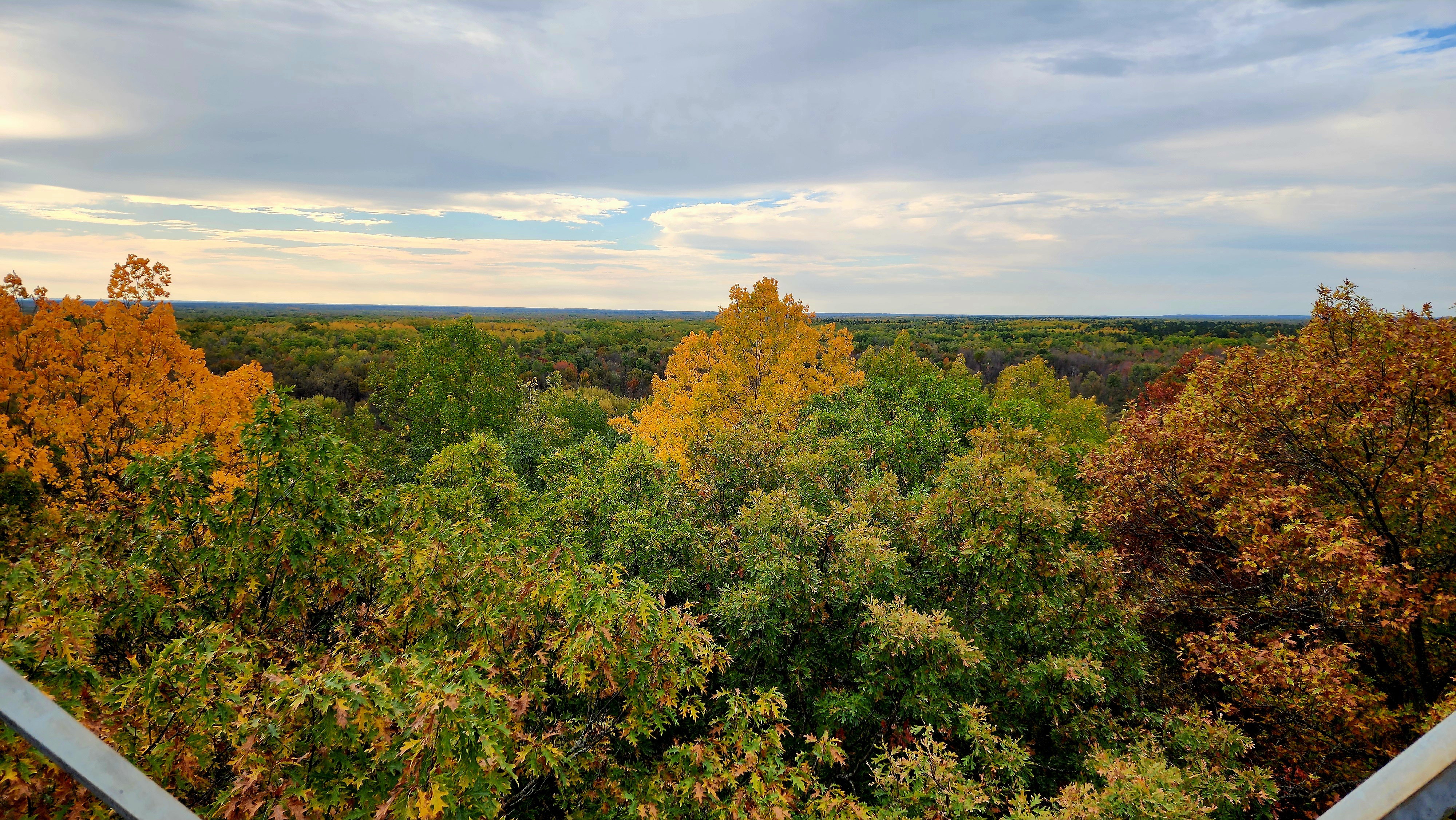
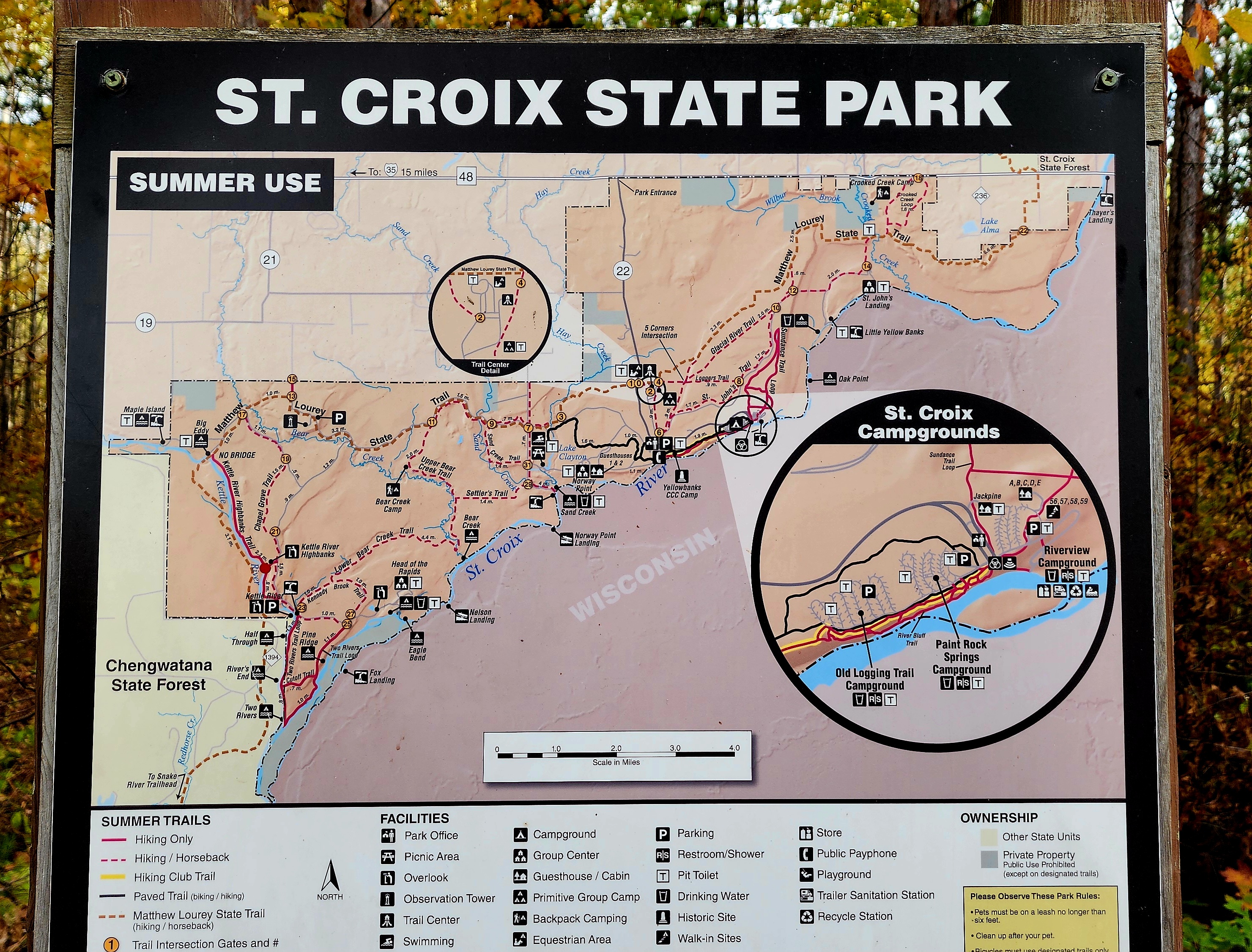
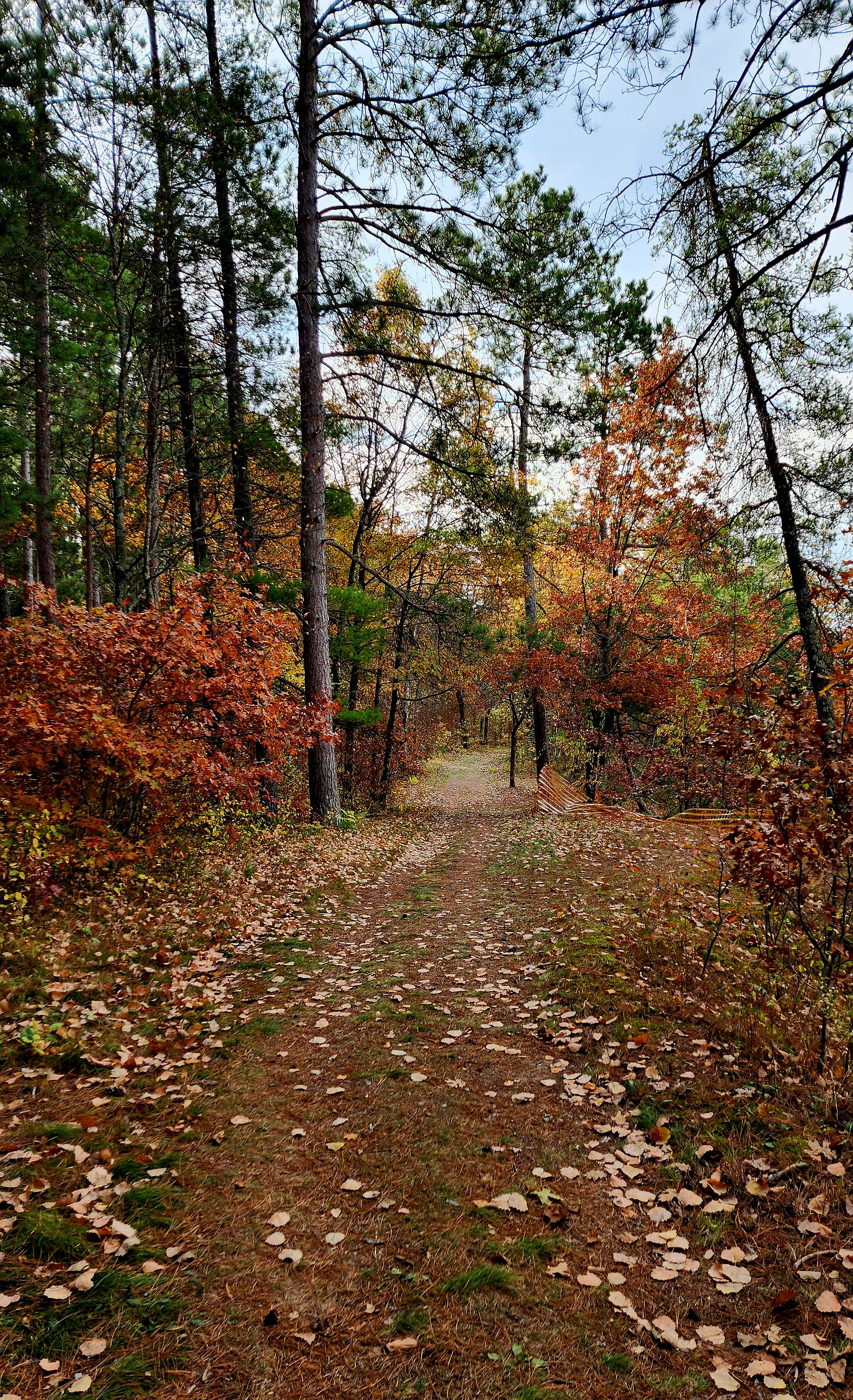
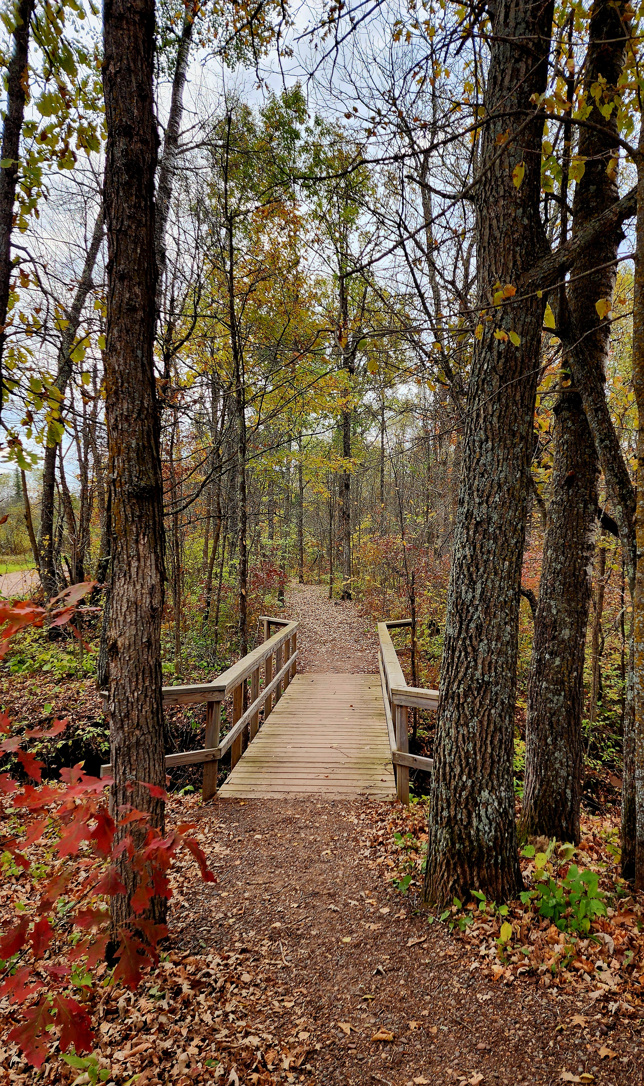
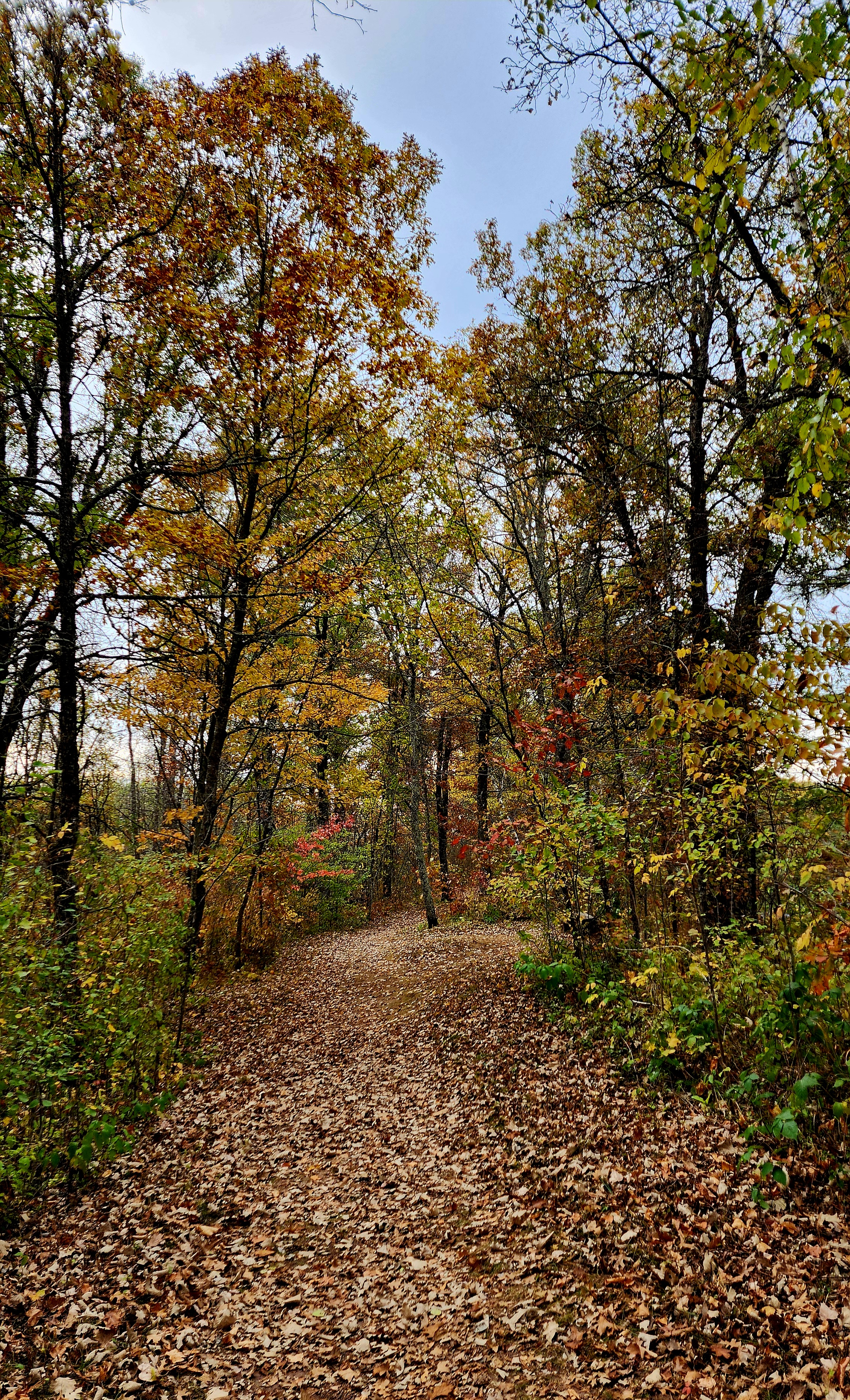
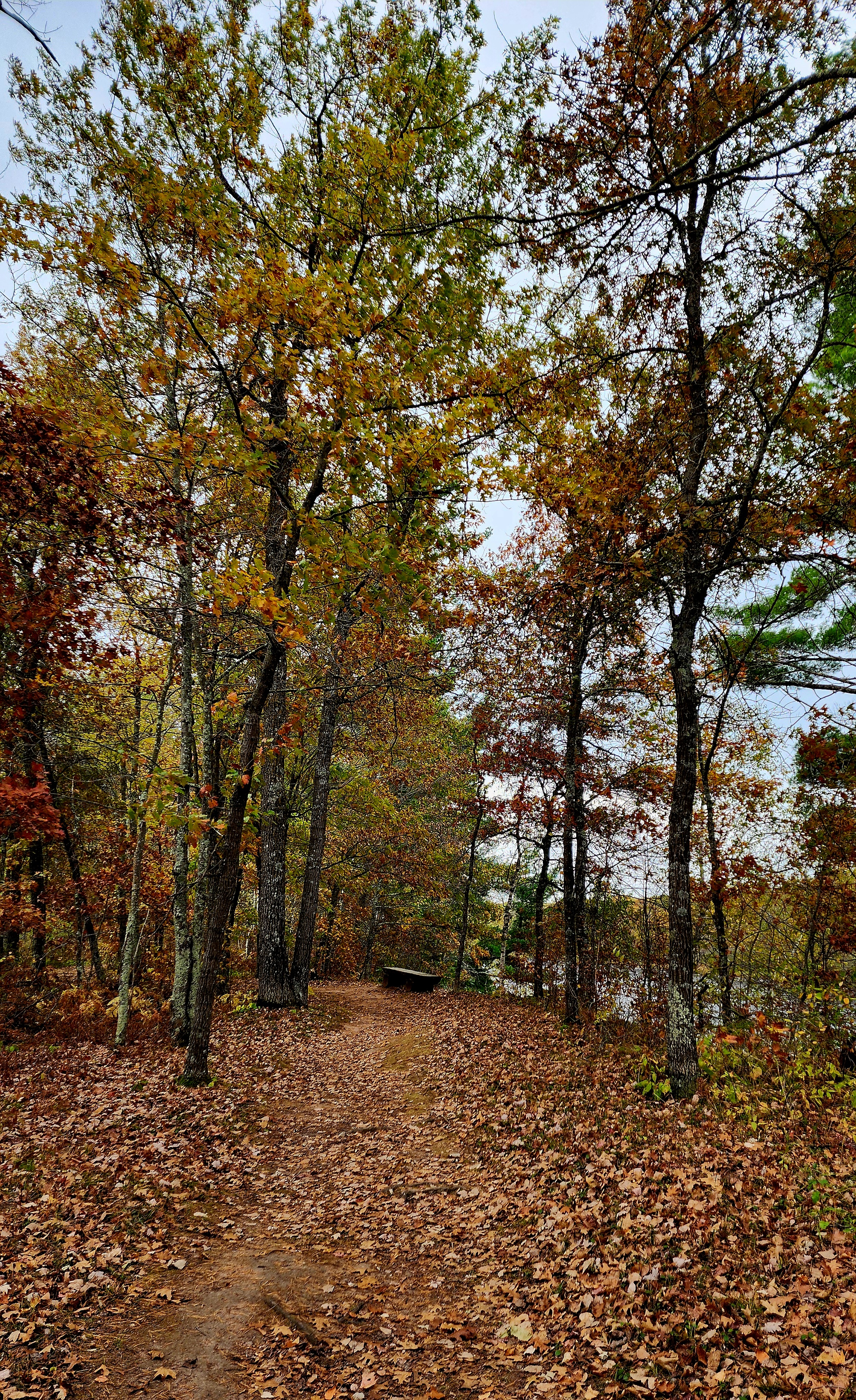
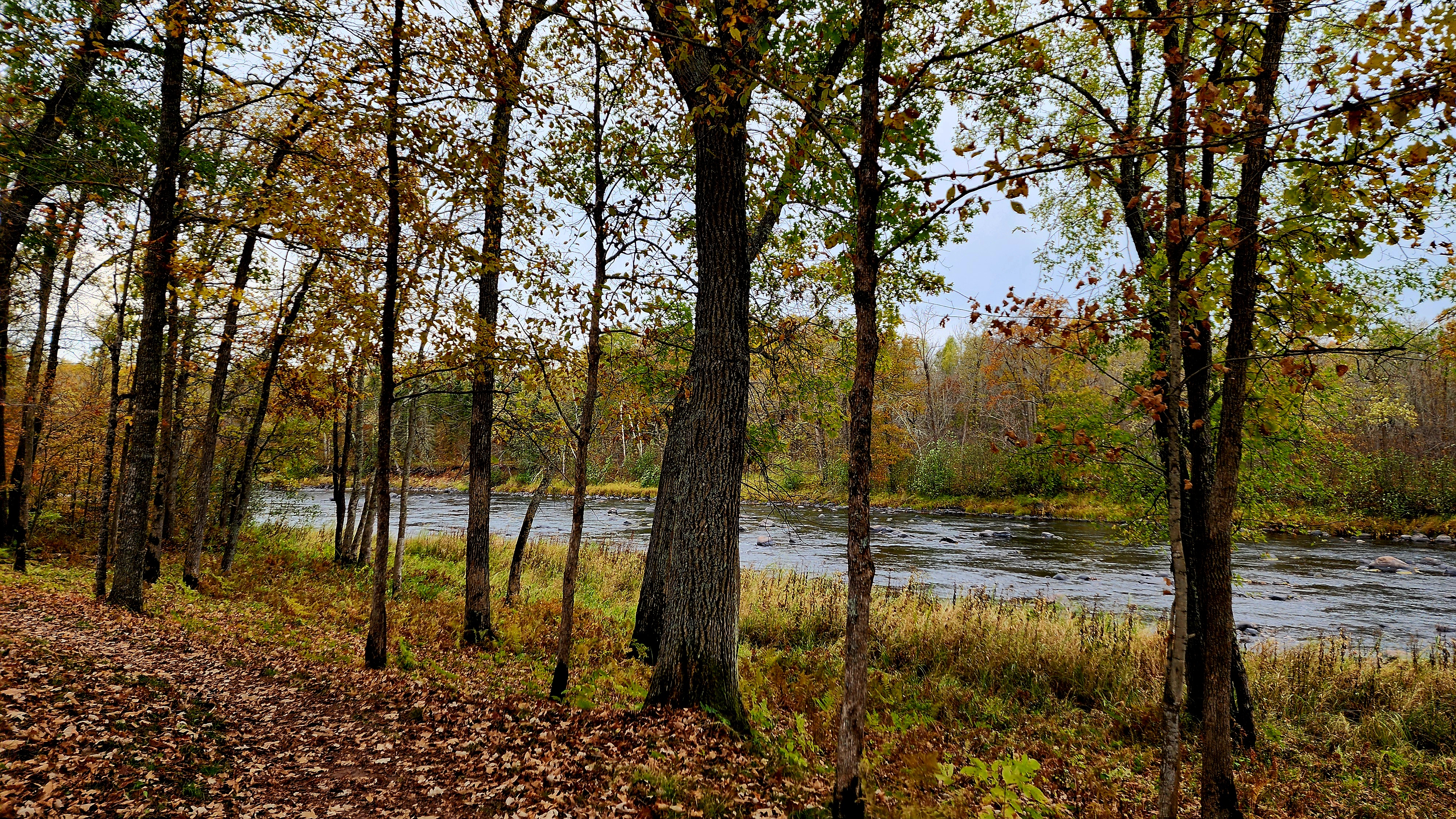
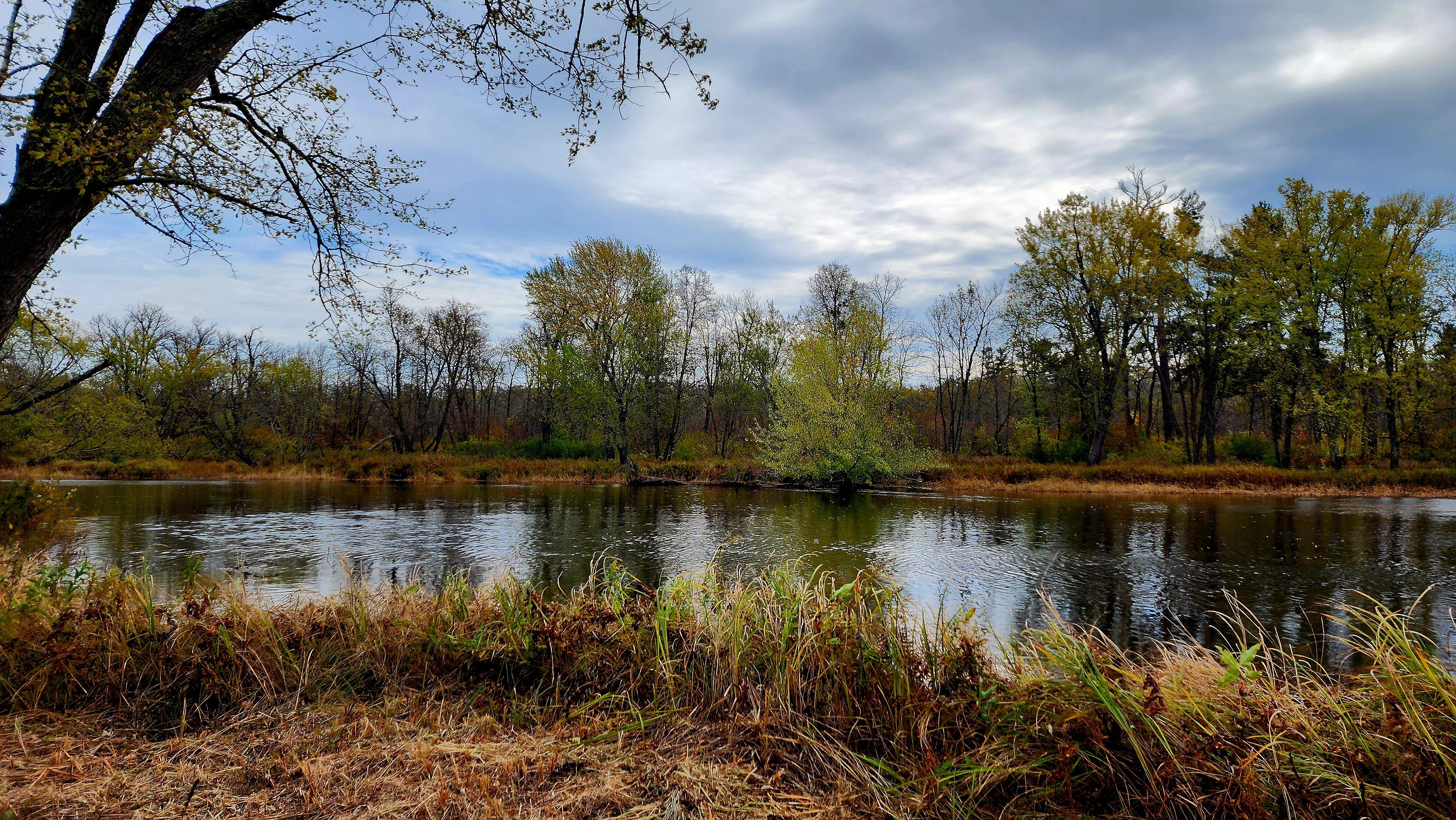
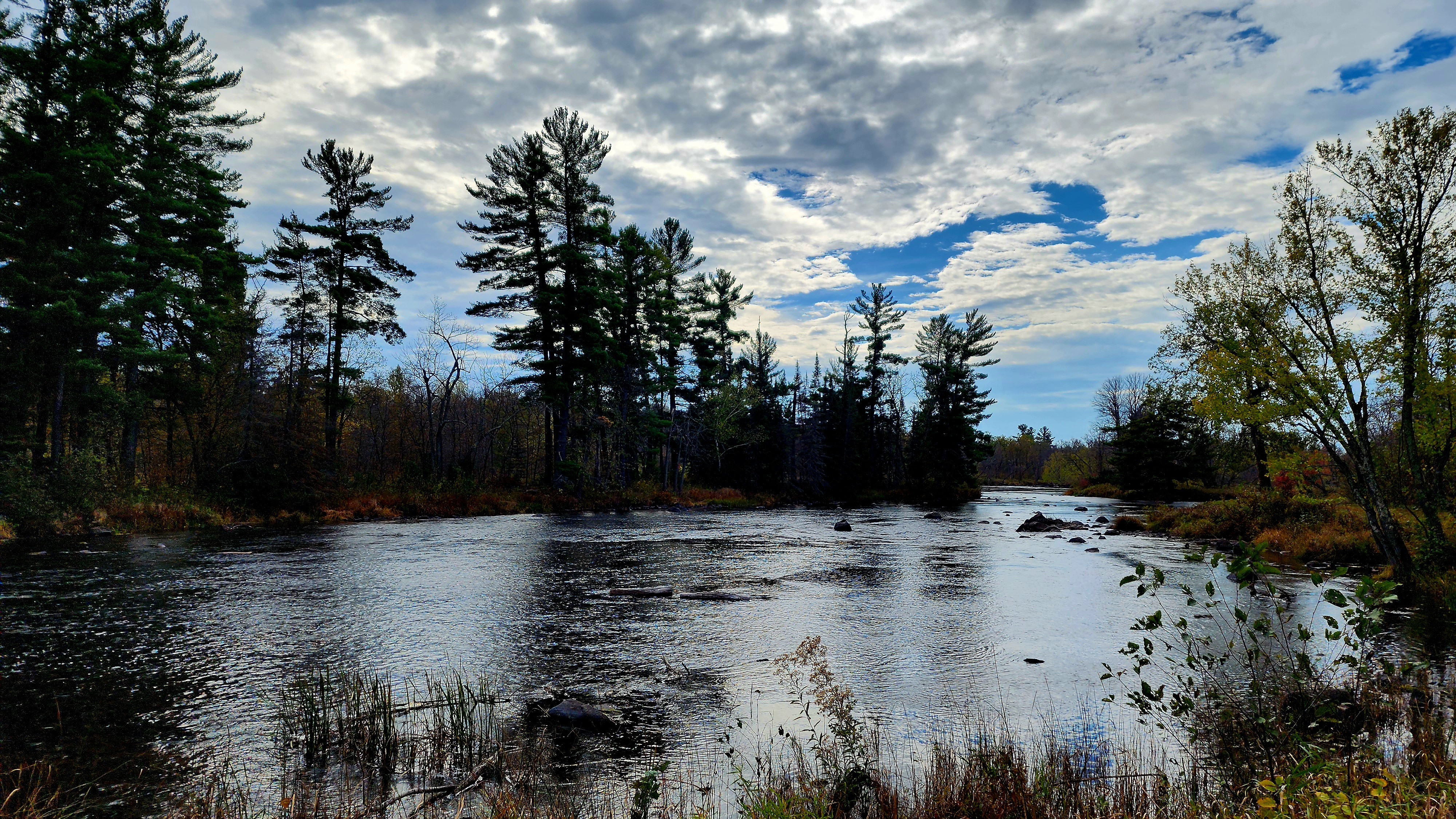
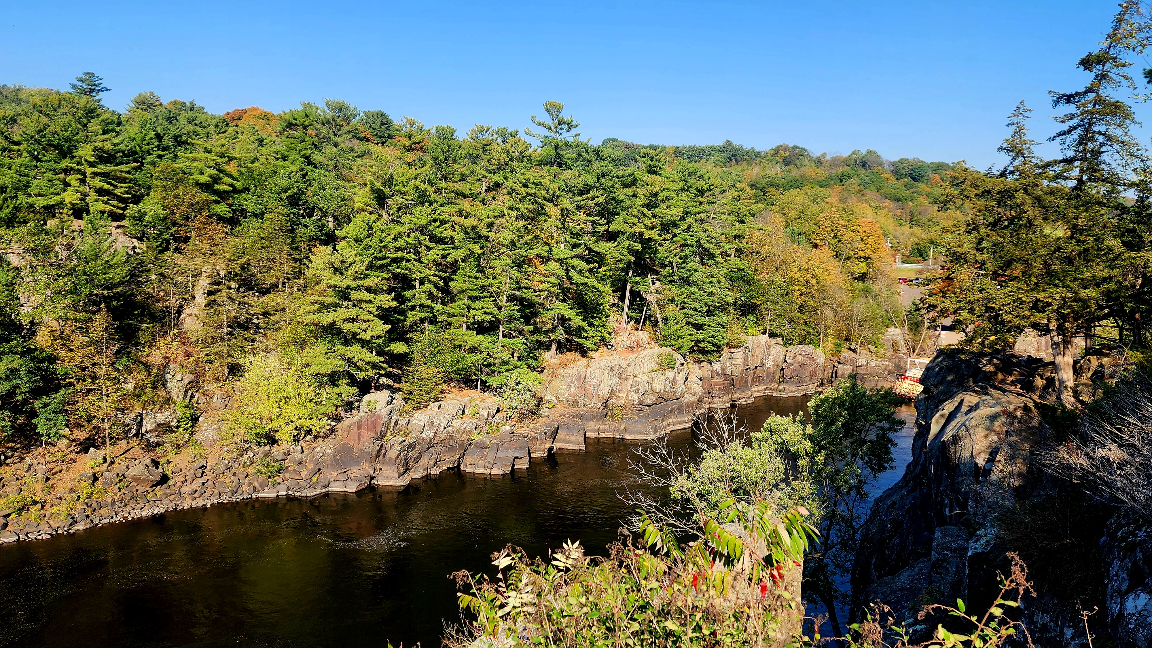
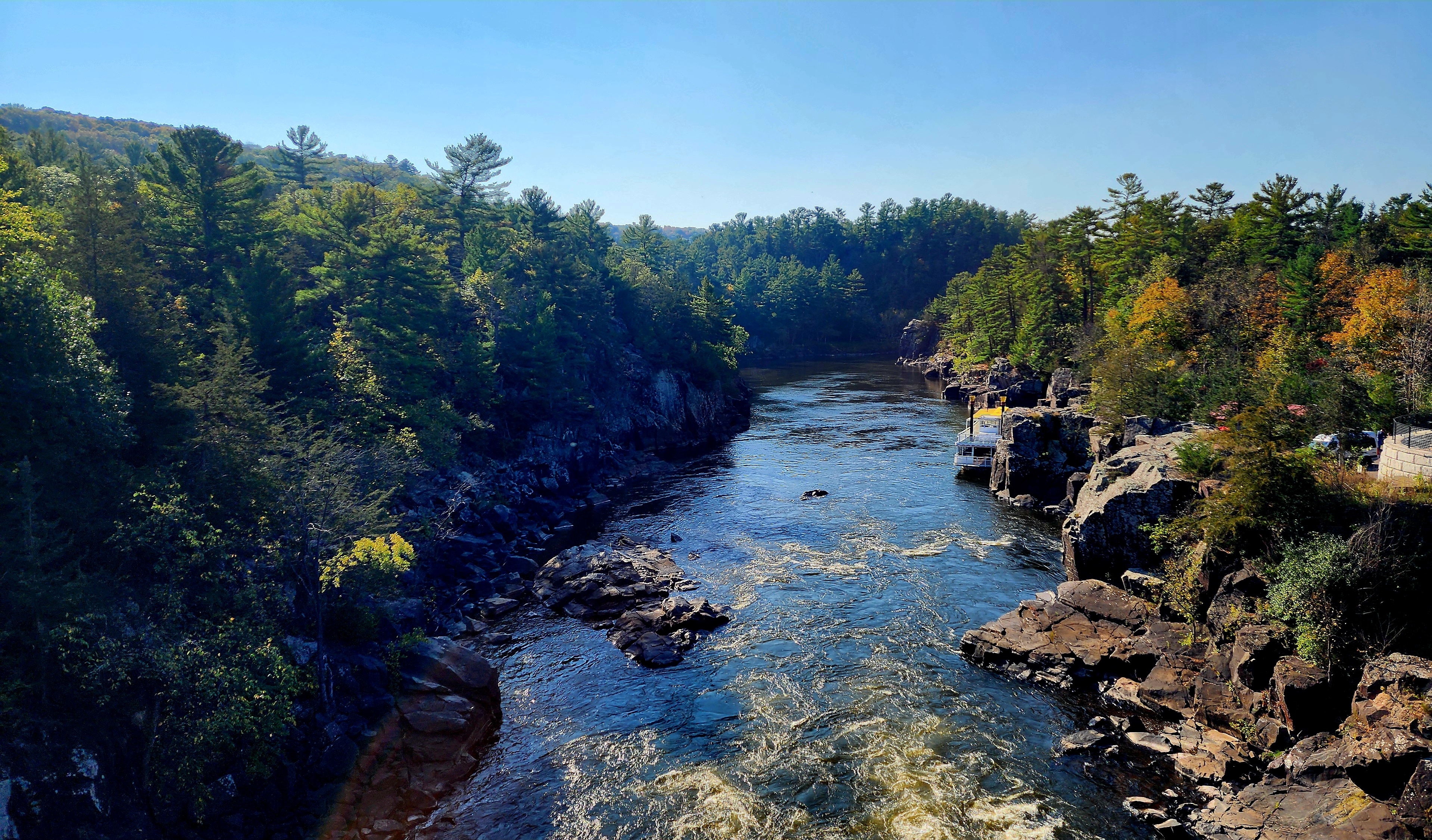
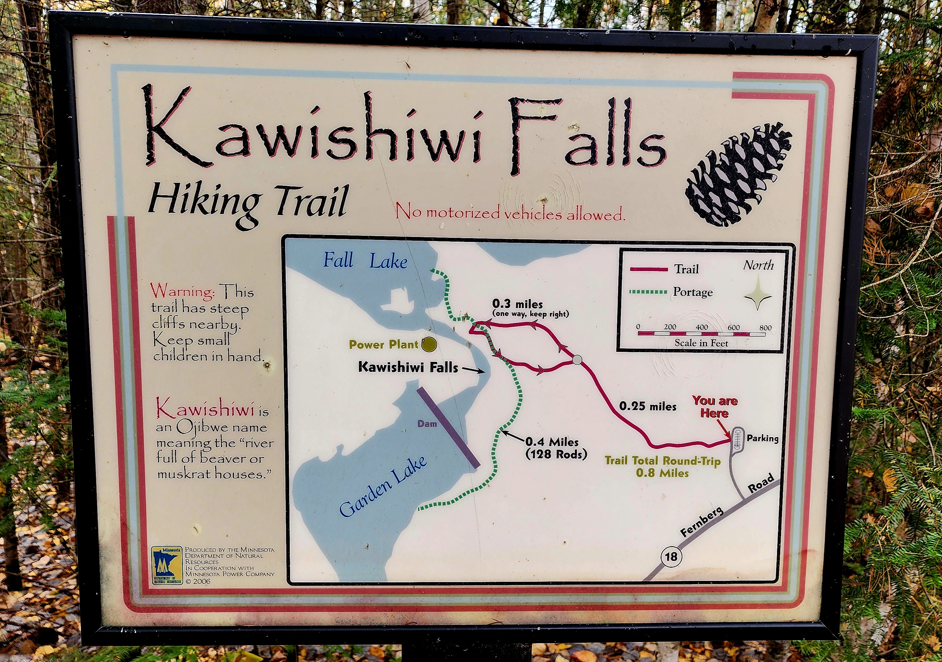
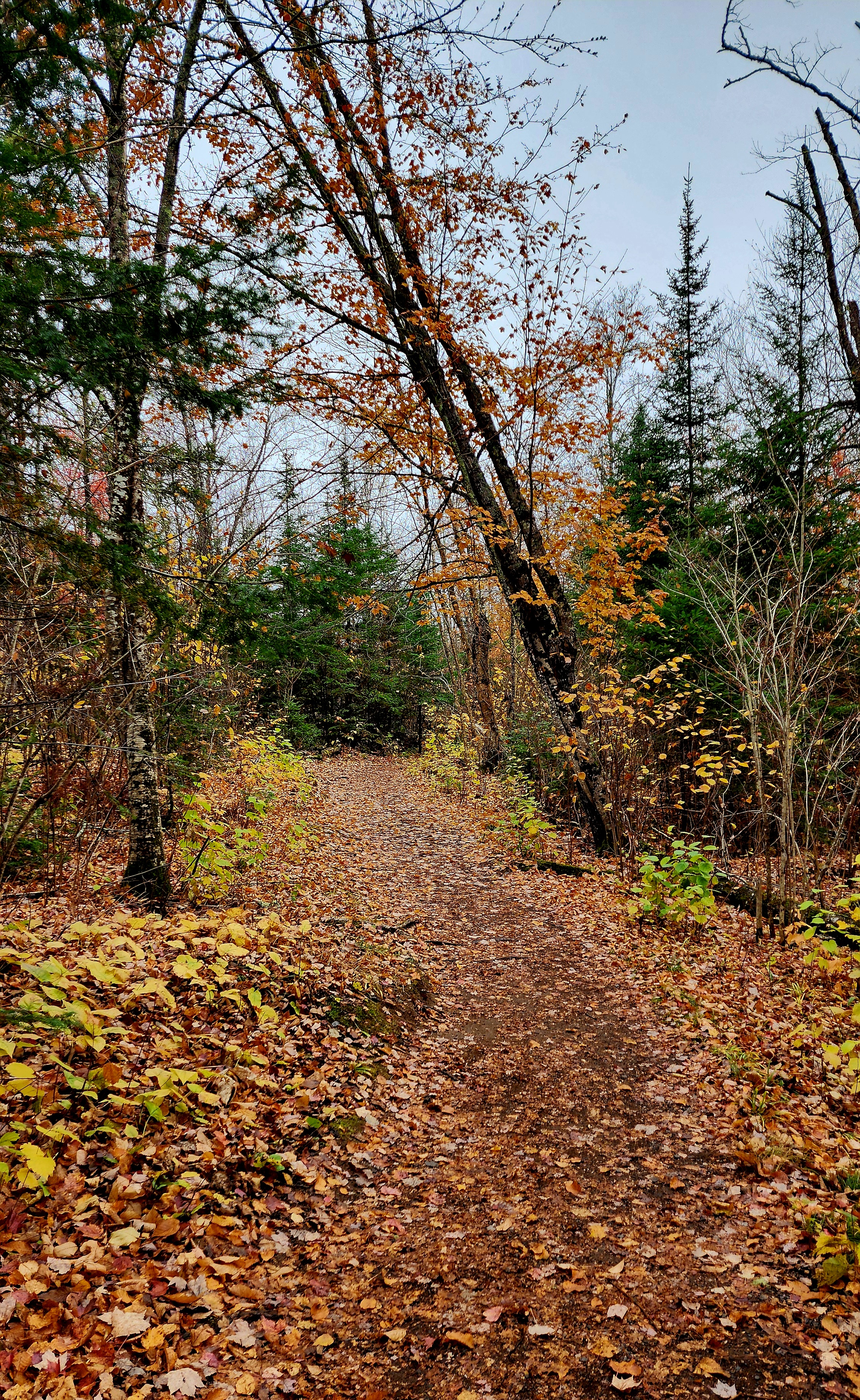
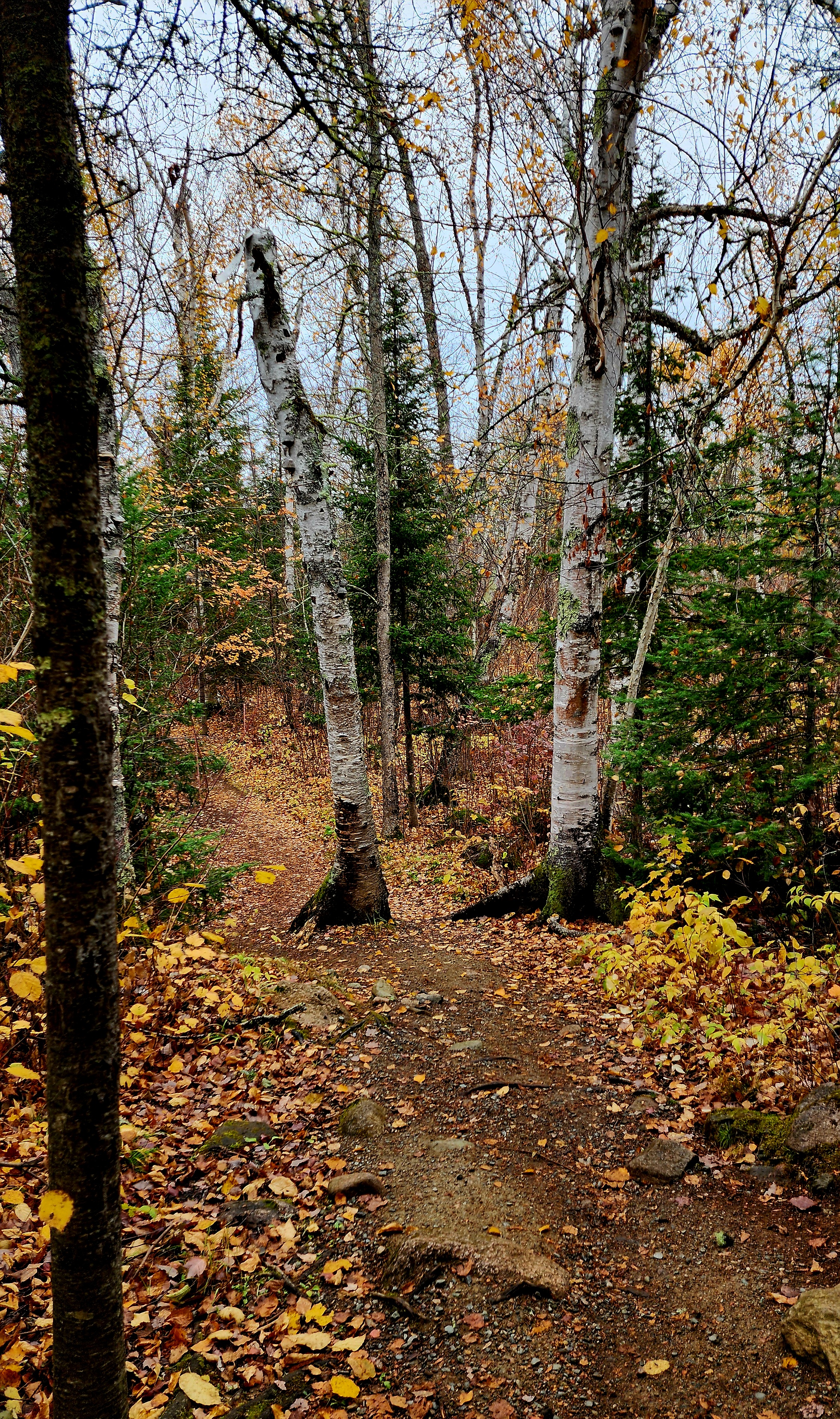
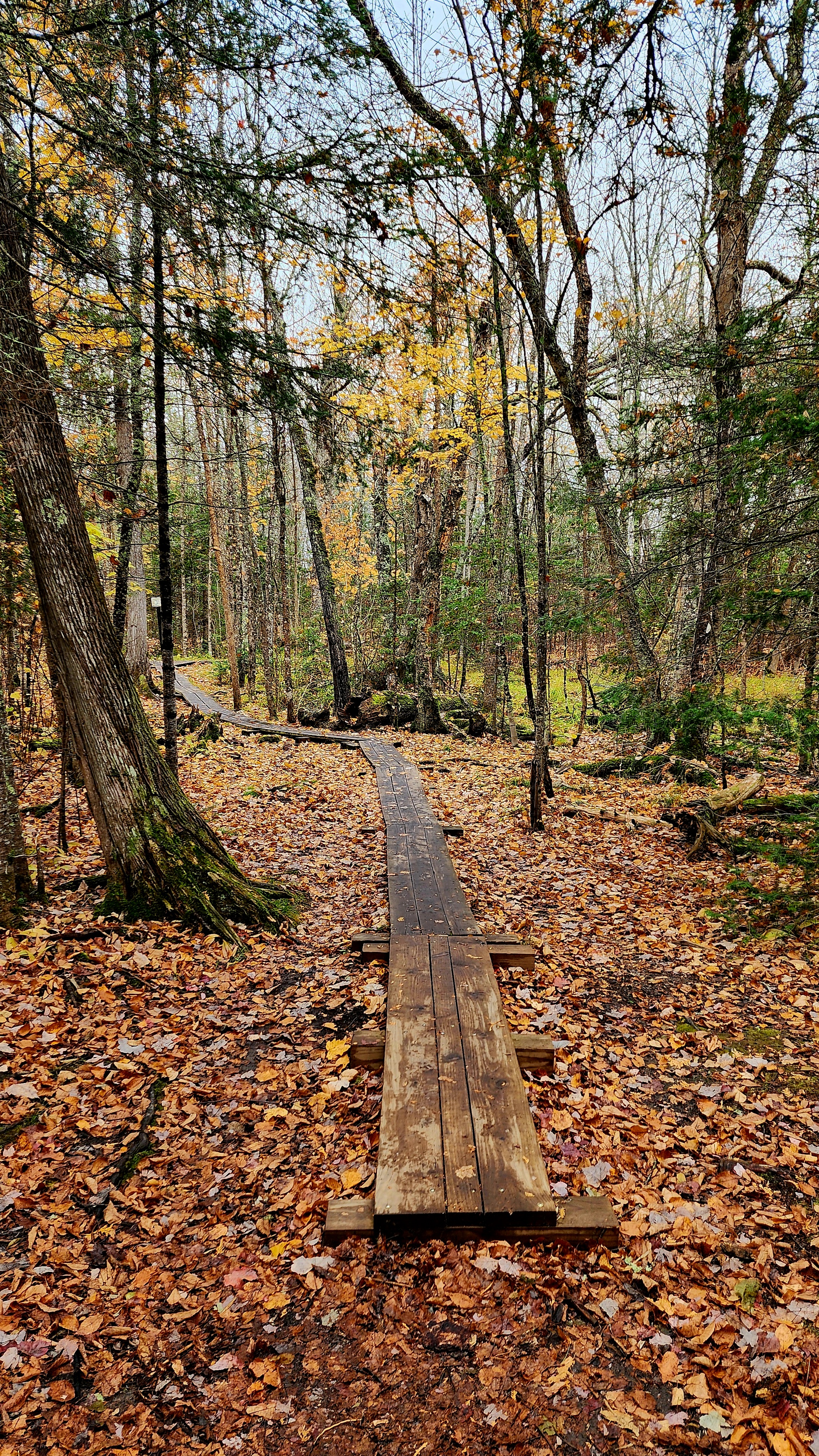
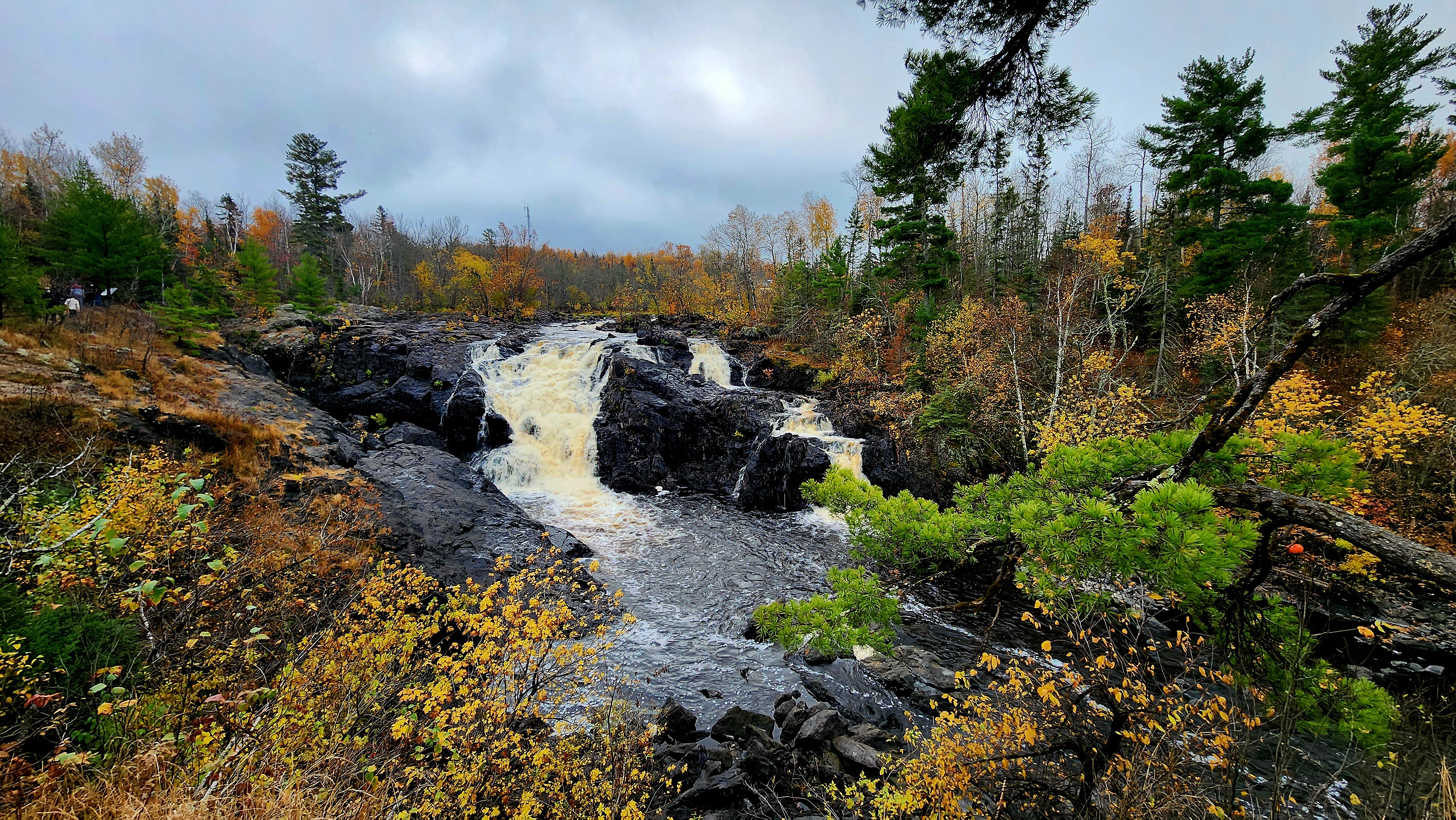
Today’s hiking adventure was at St. Croix State Park.
We began our adventure at the fire tower.
The change in weather, colorful trees, and crunchy footsteps, I LOVE IT ALL!!! I may have taken a few hundred photos today. Sit back and enjoy a little bit of fall from my part of the world!
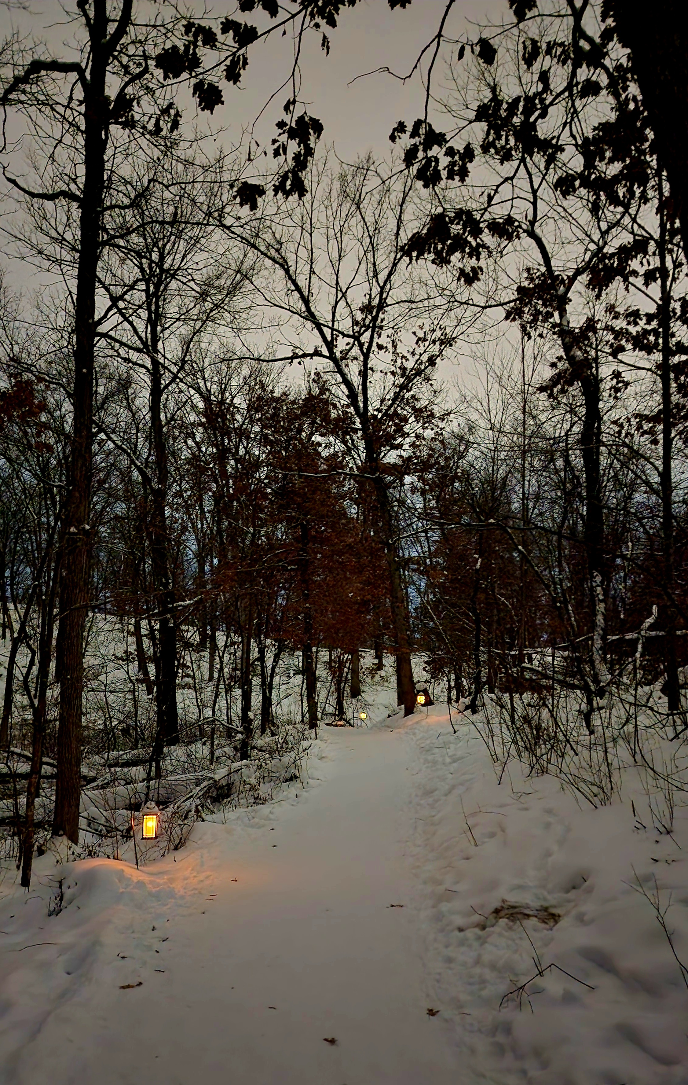
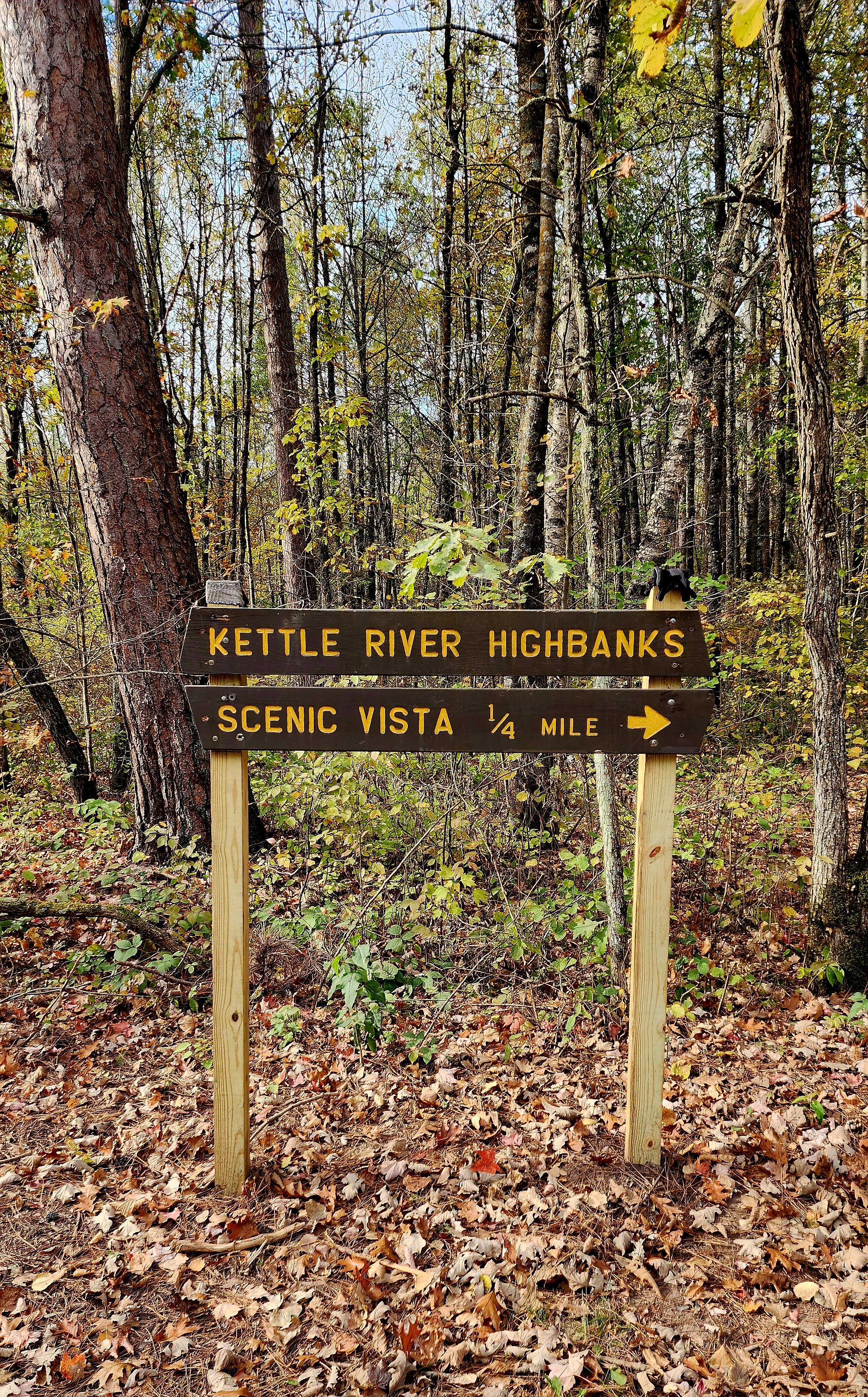
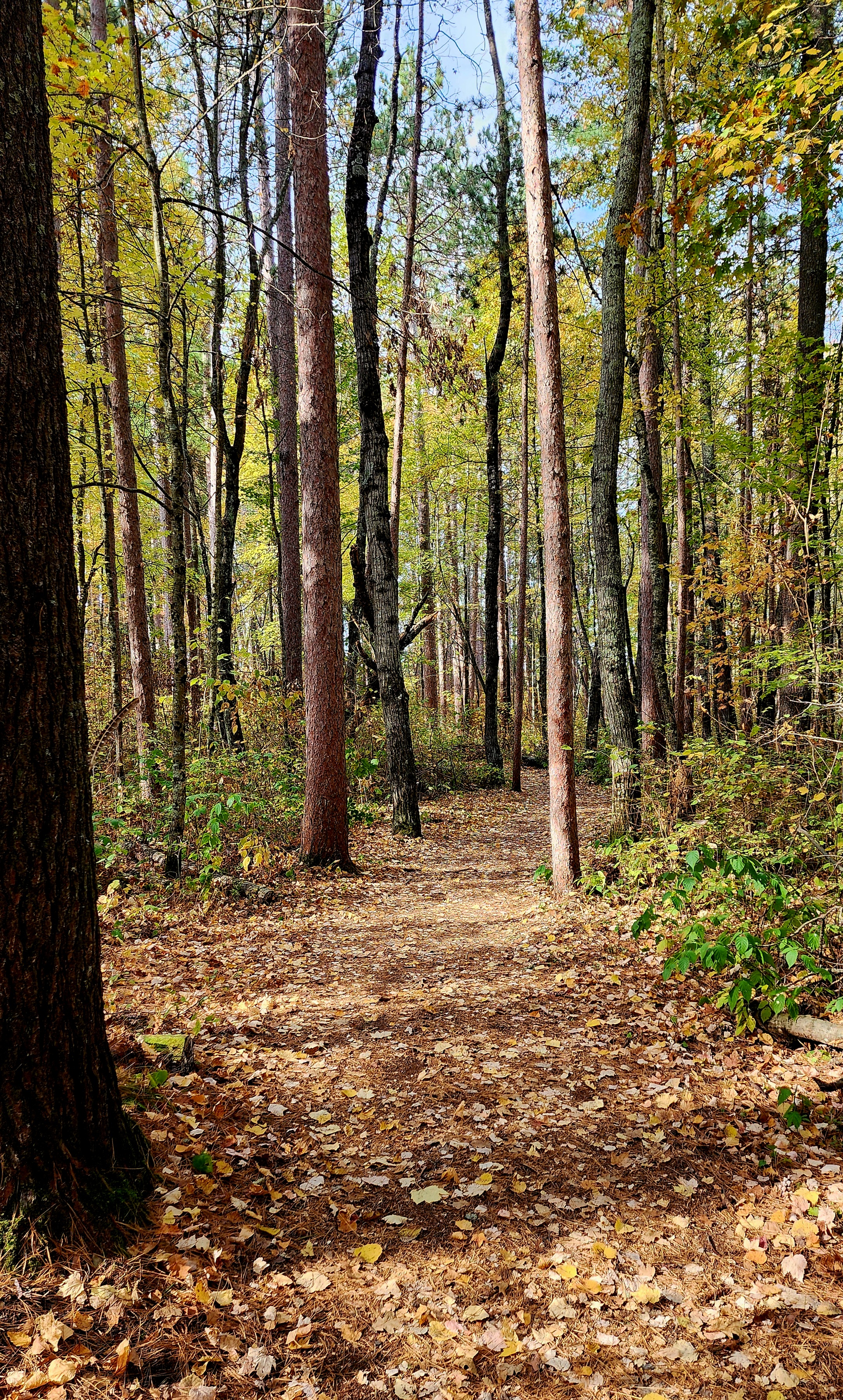
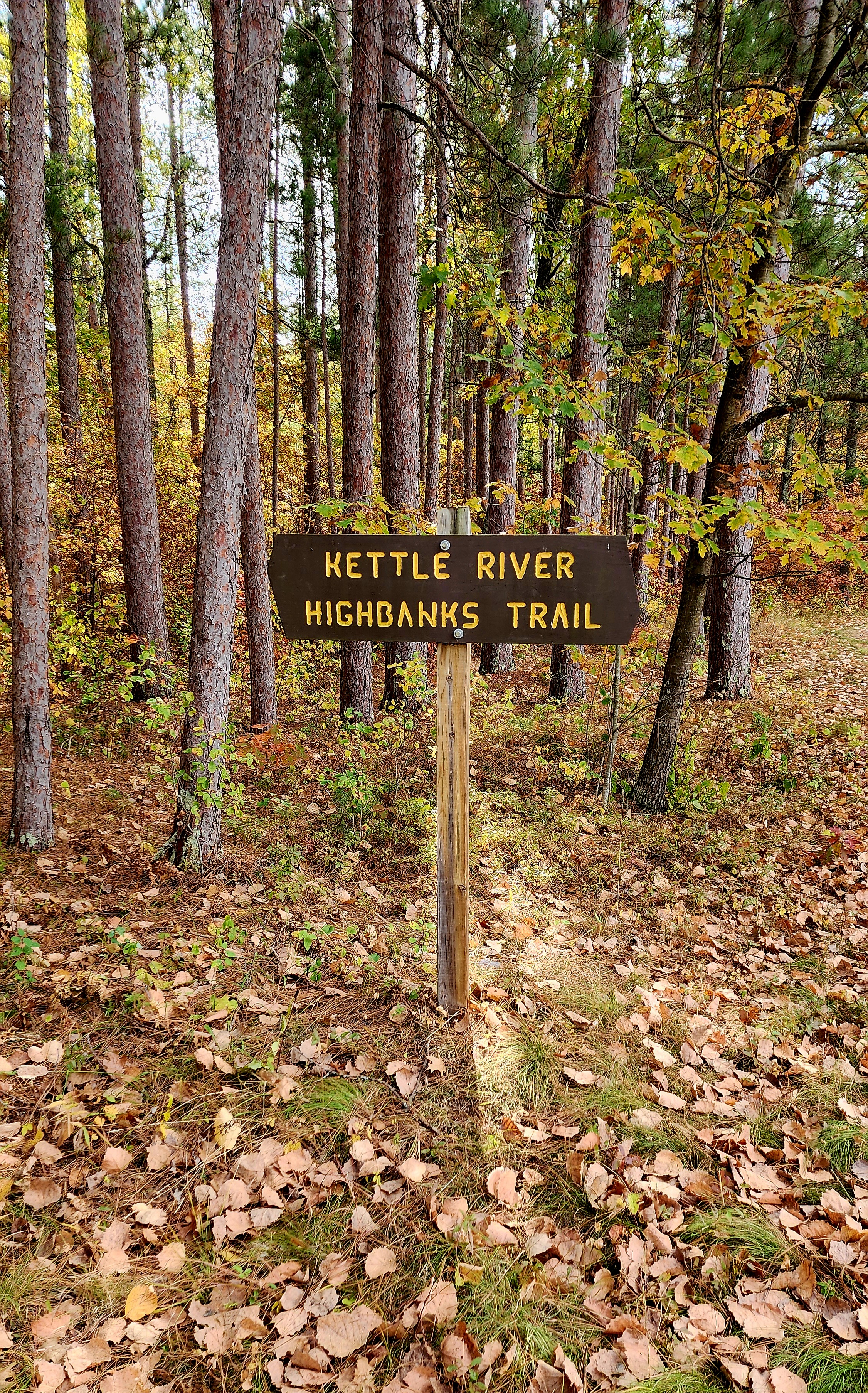
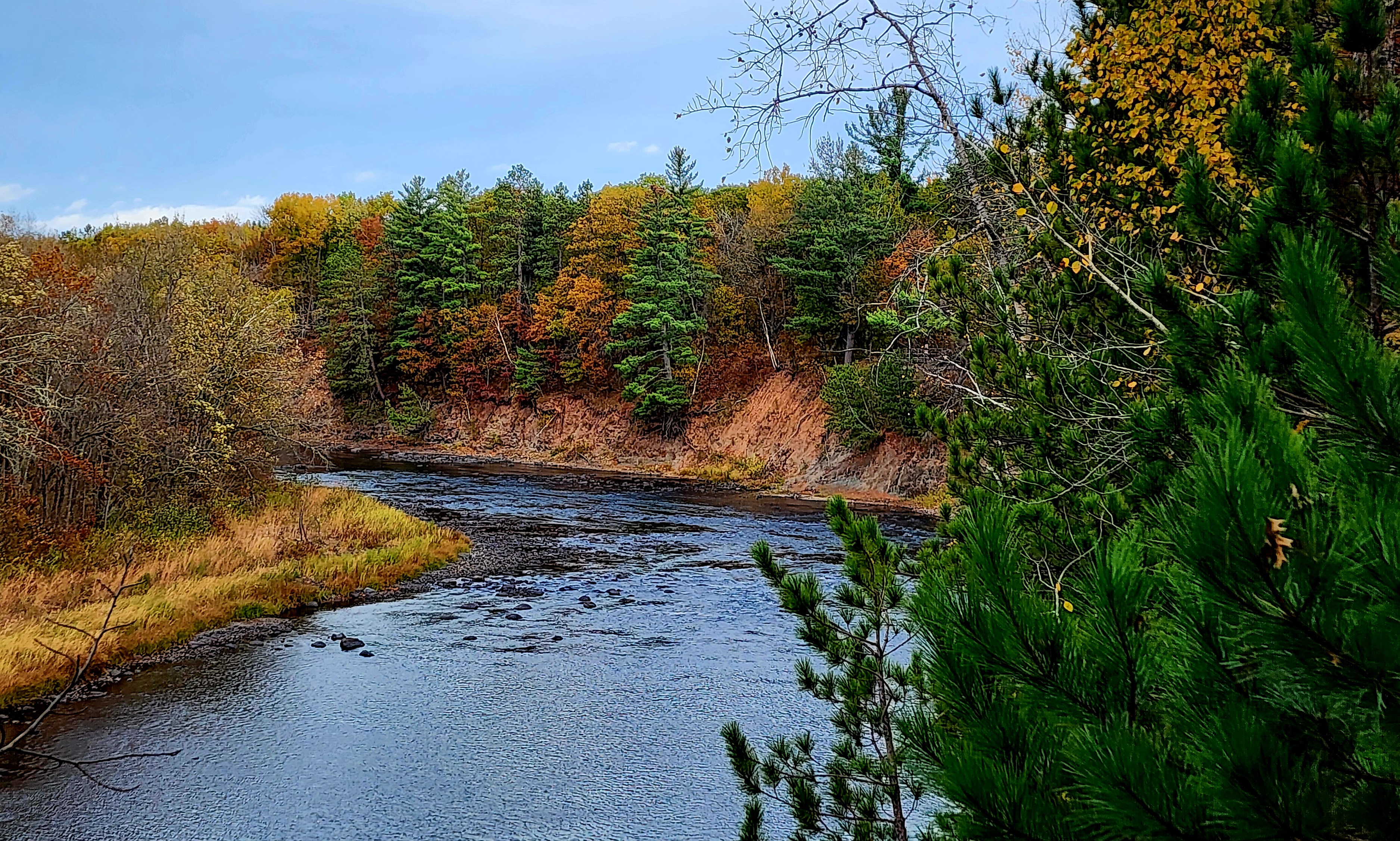
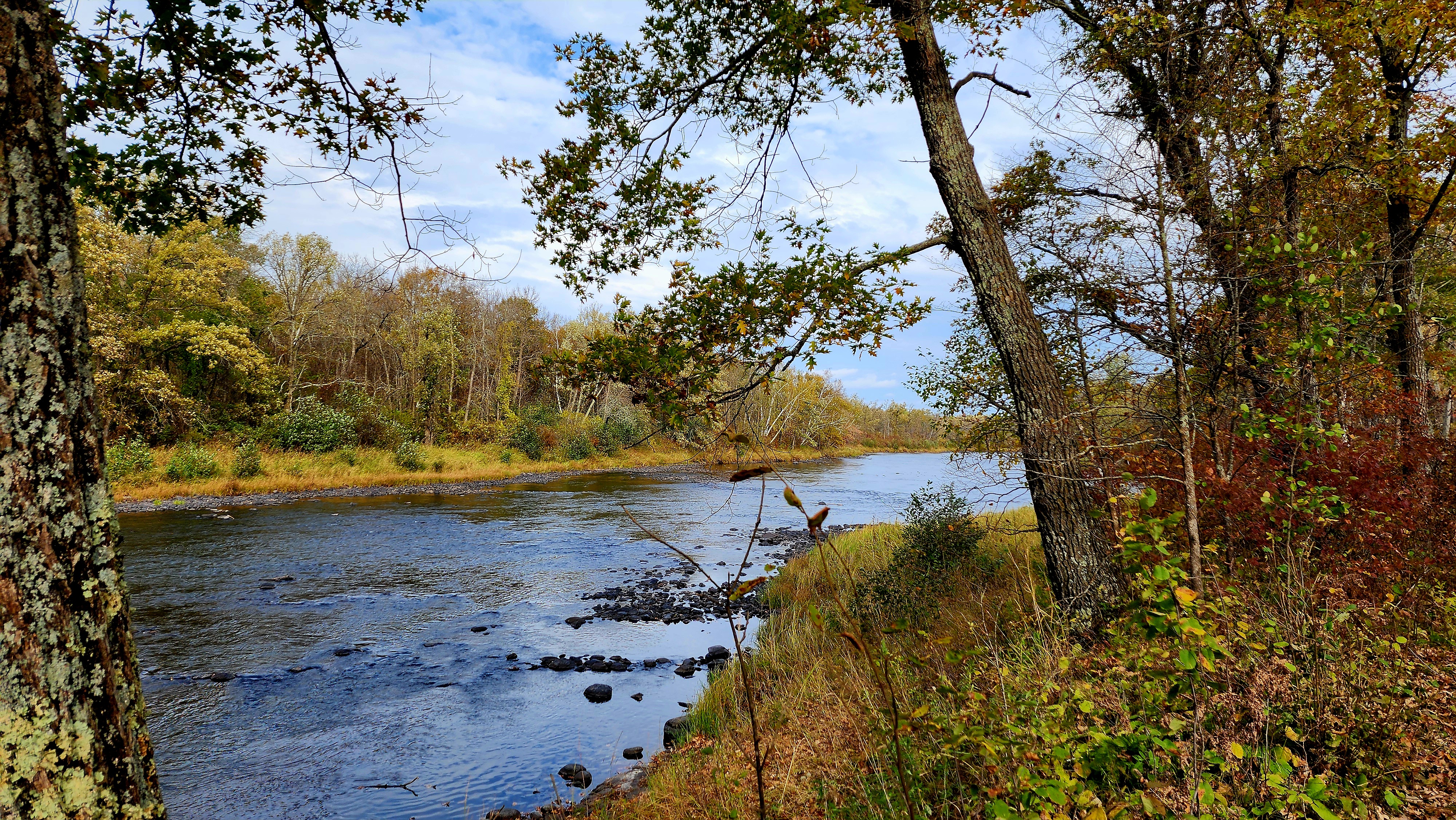
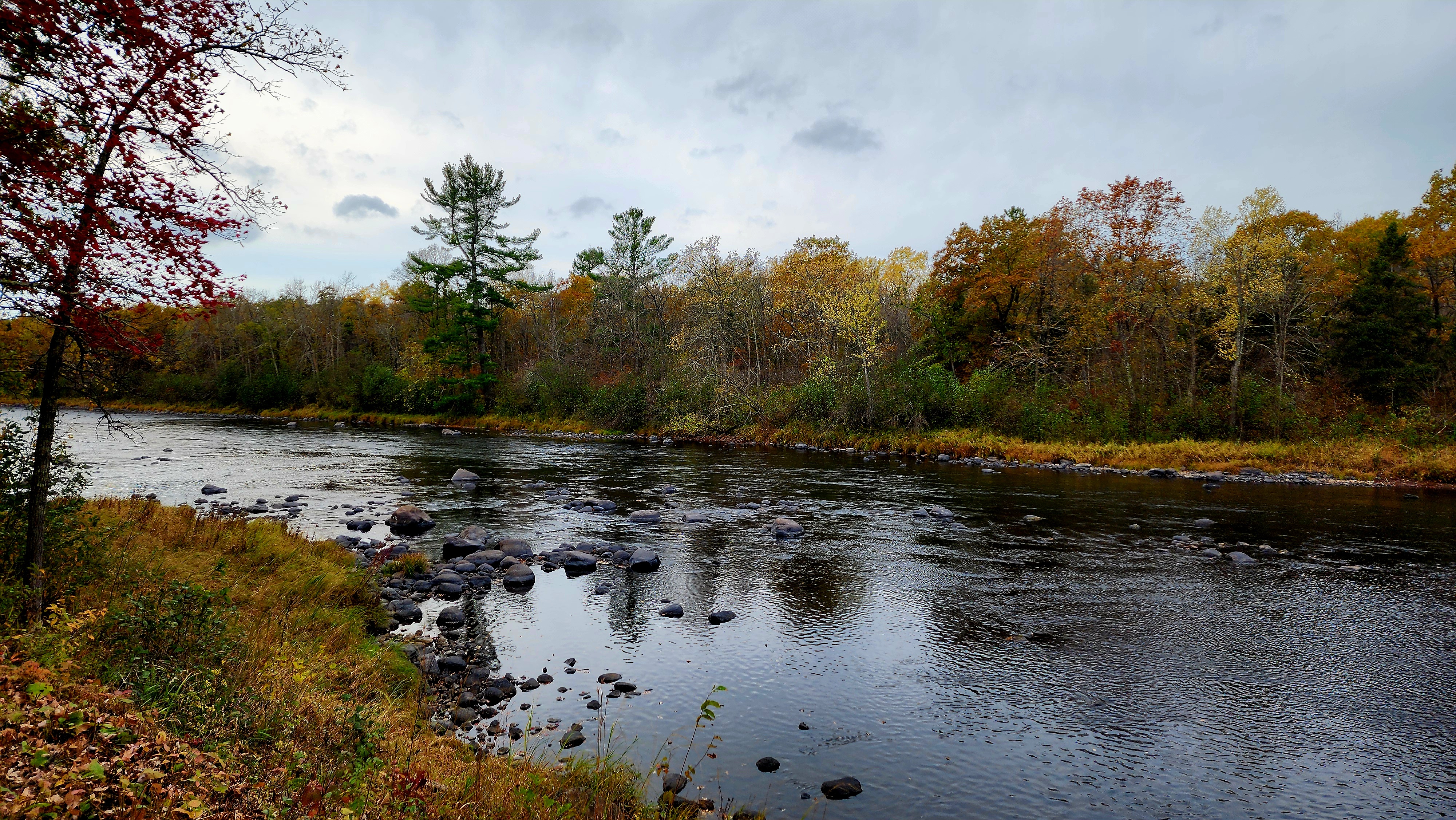
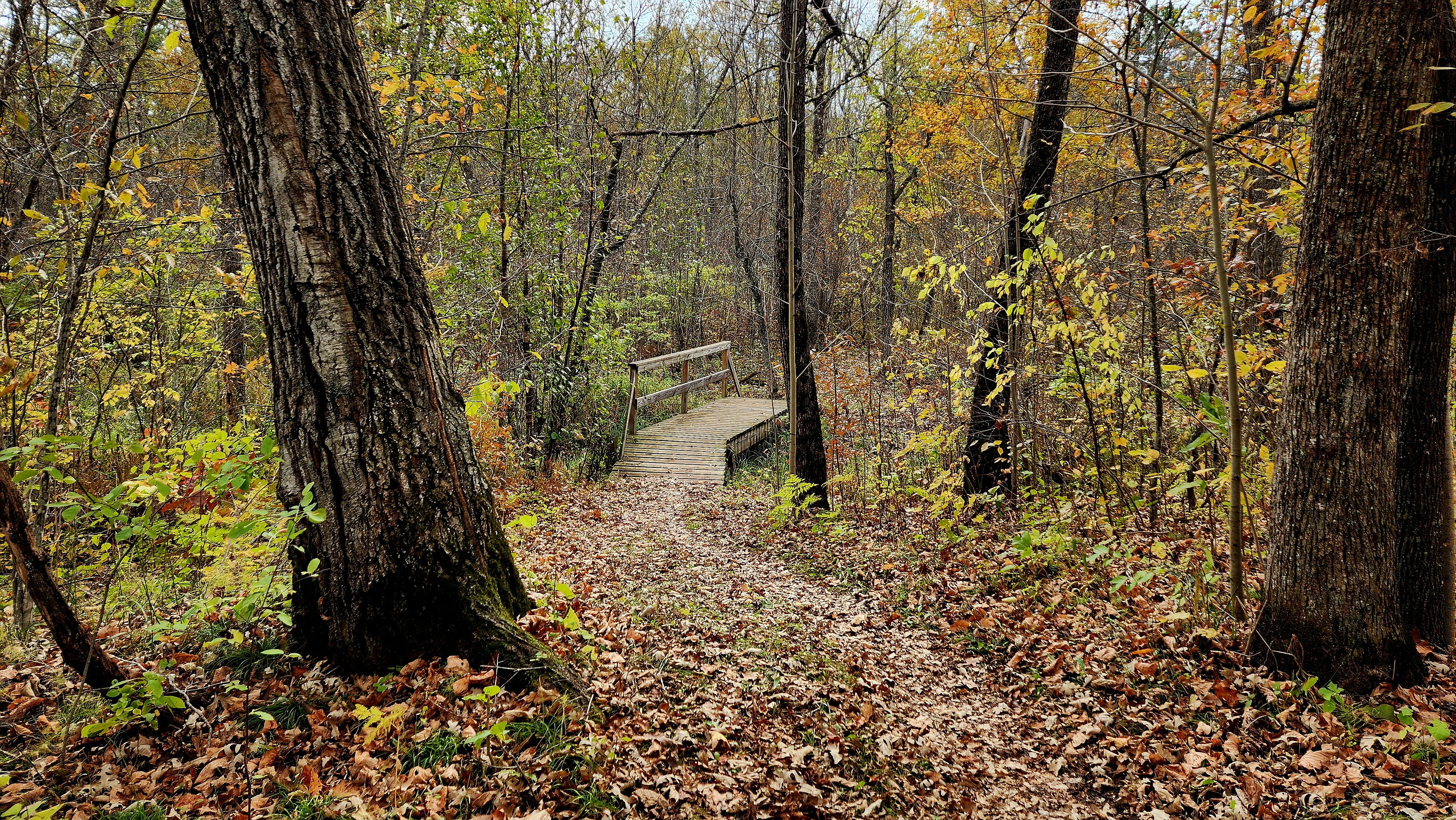
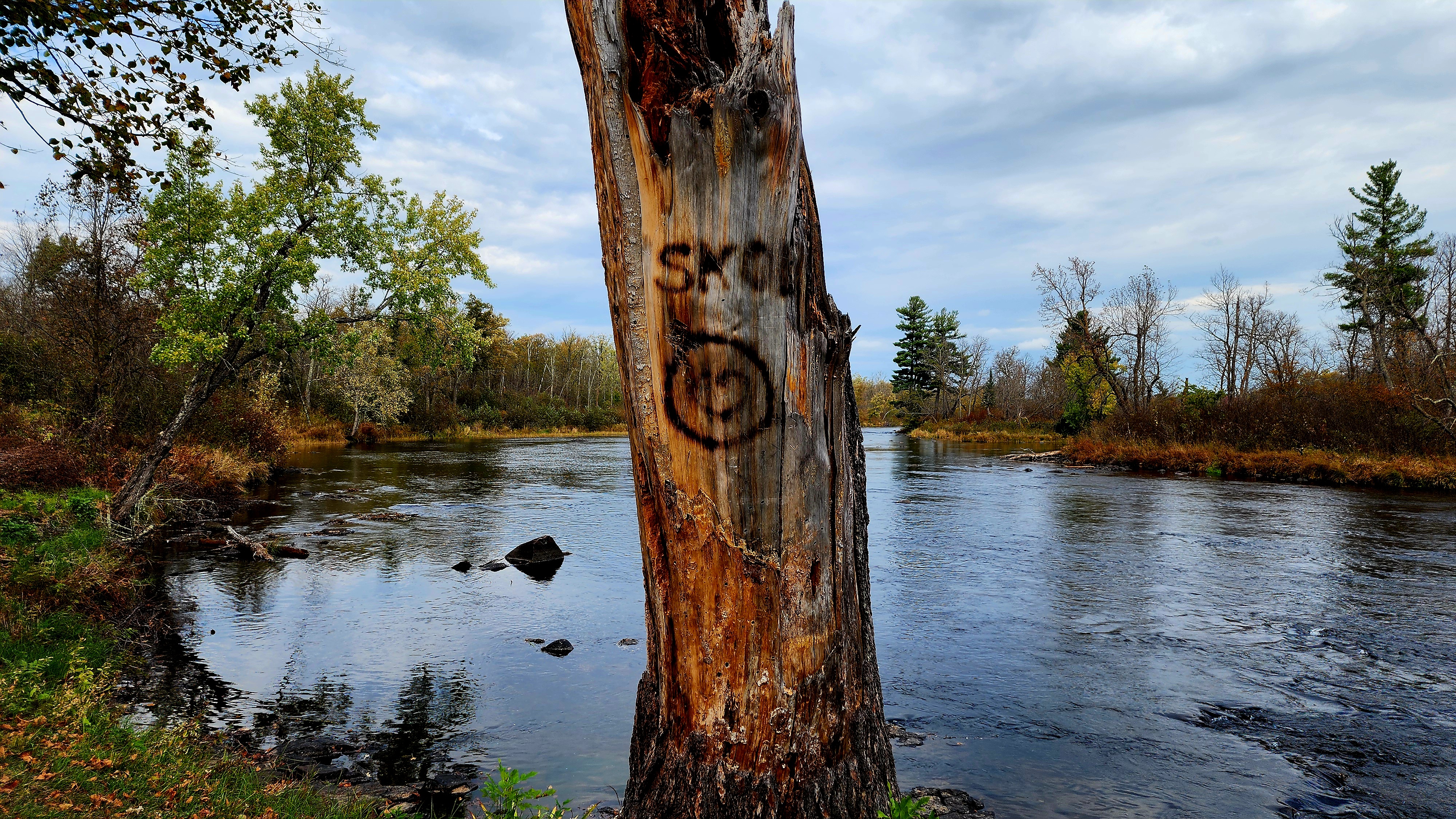
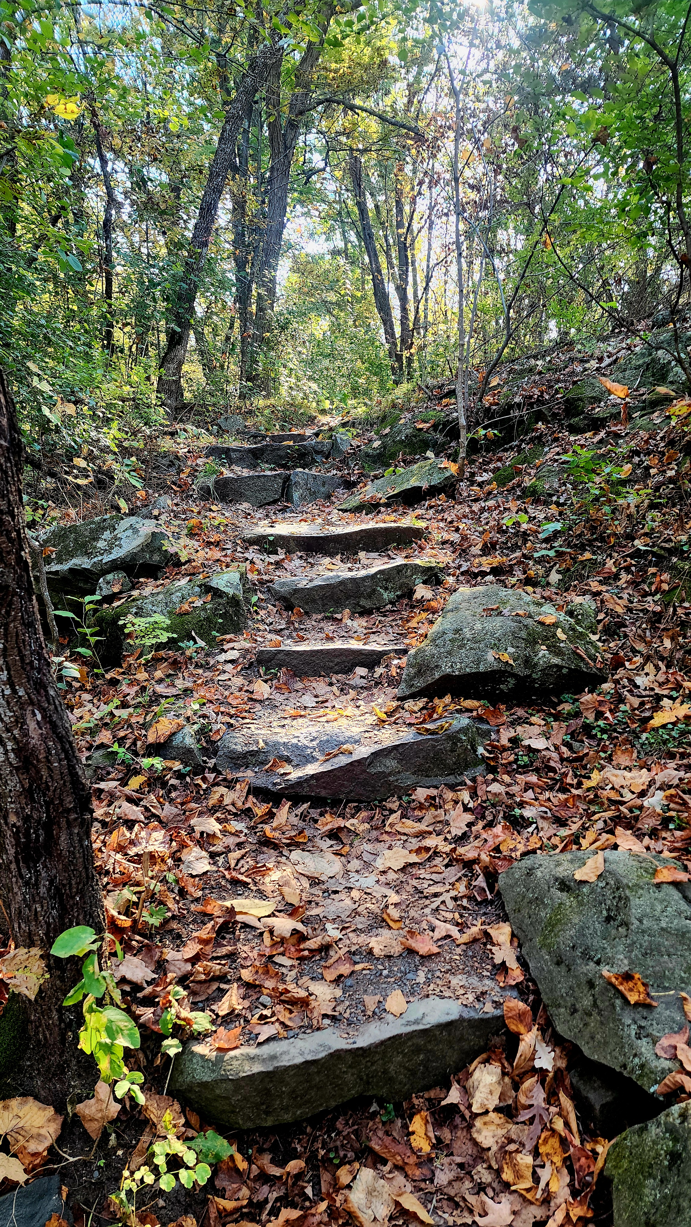
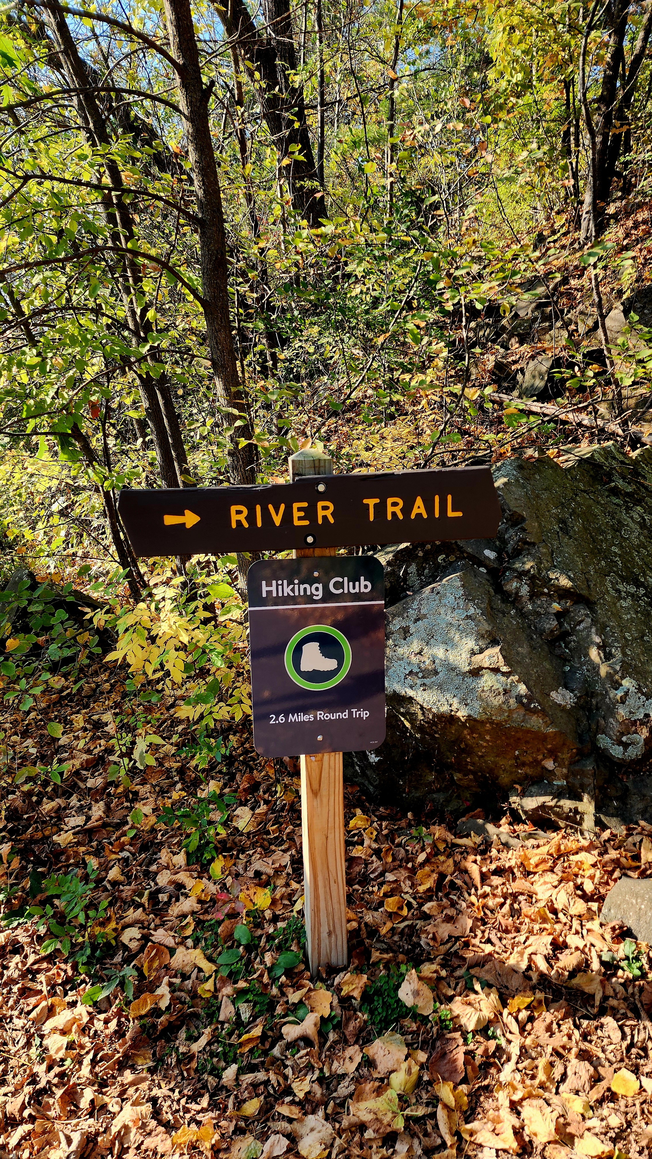
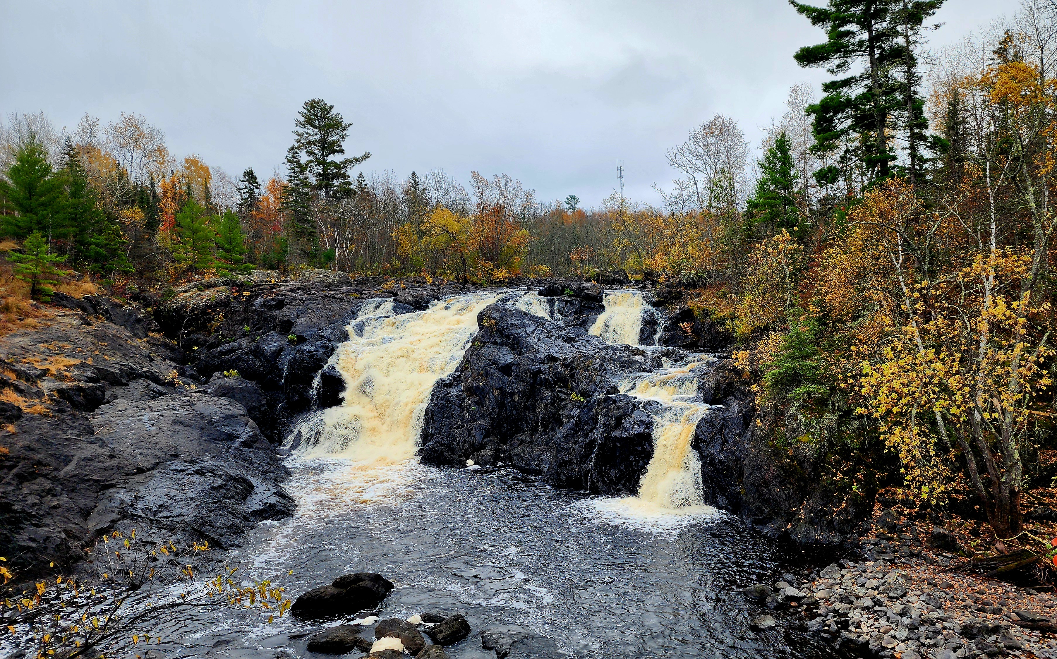
Our hike began at the Kettle River Highbanks Scenic Vista Trail.
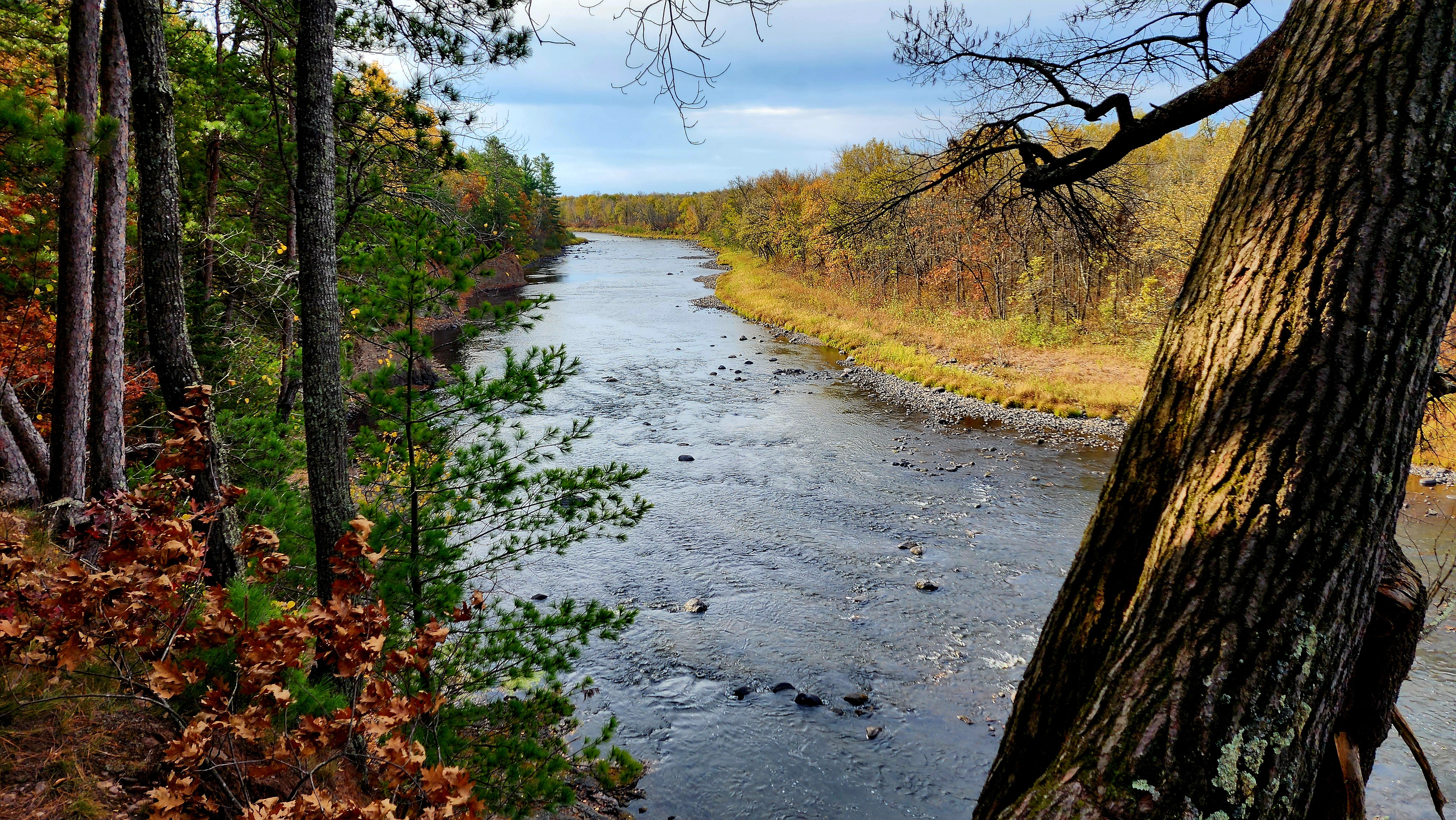
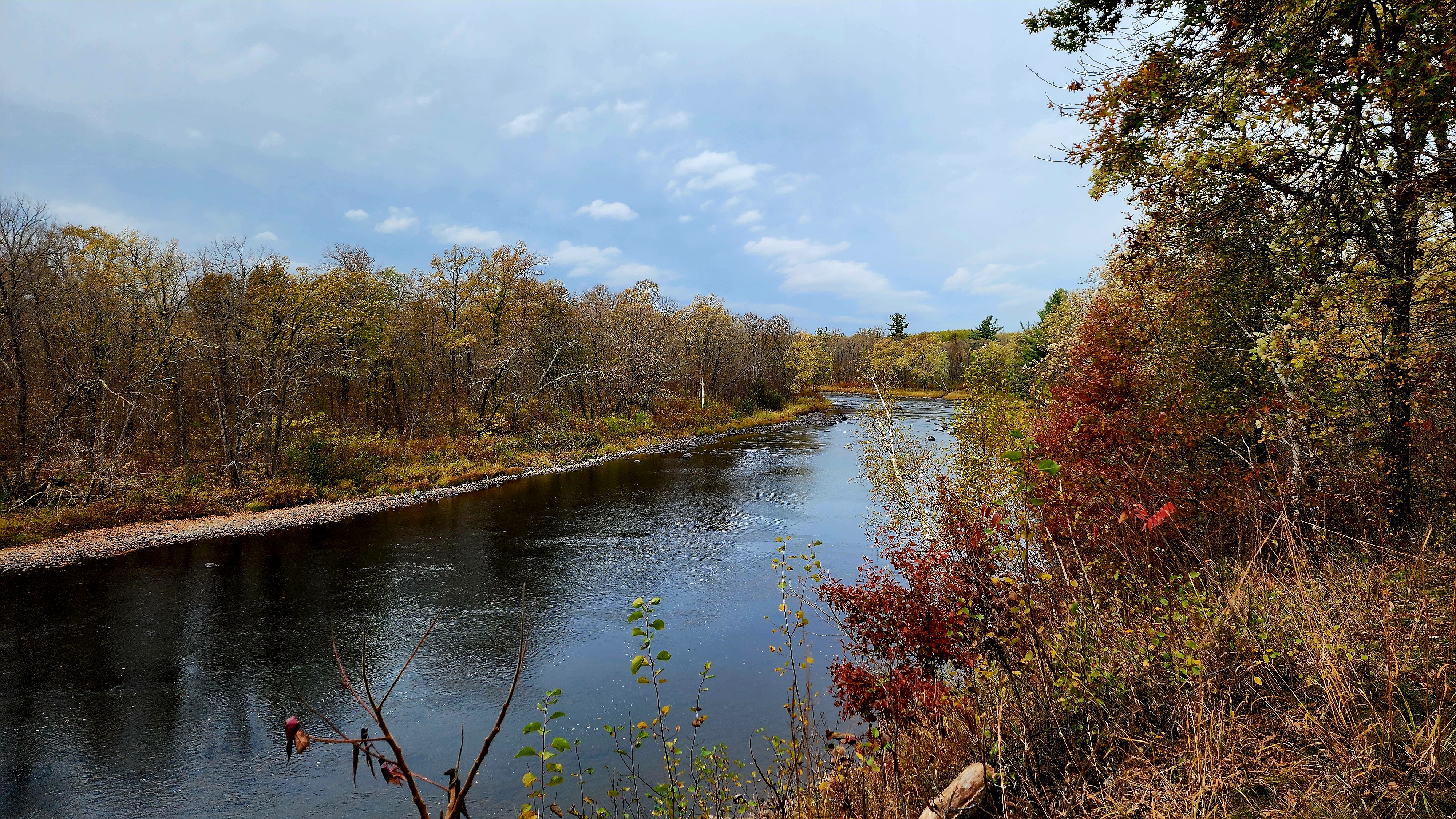
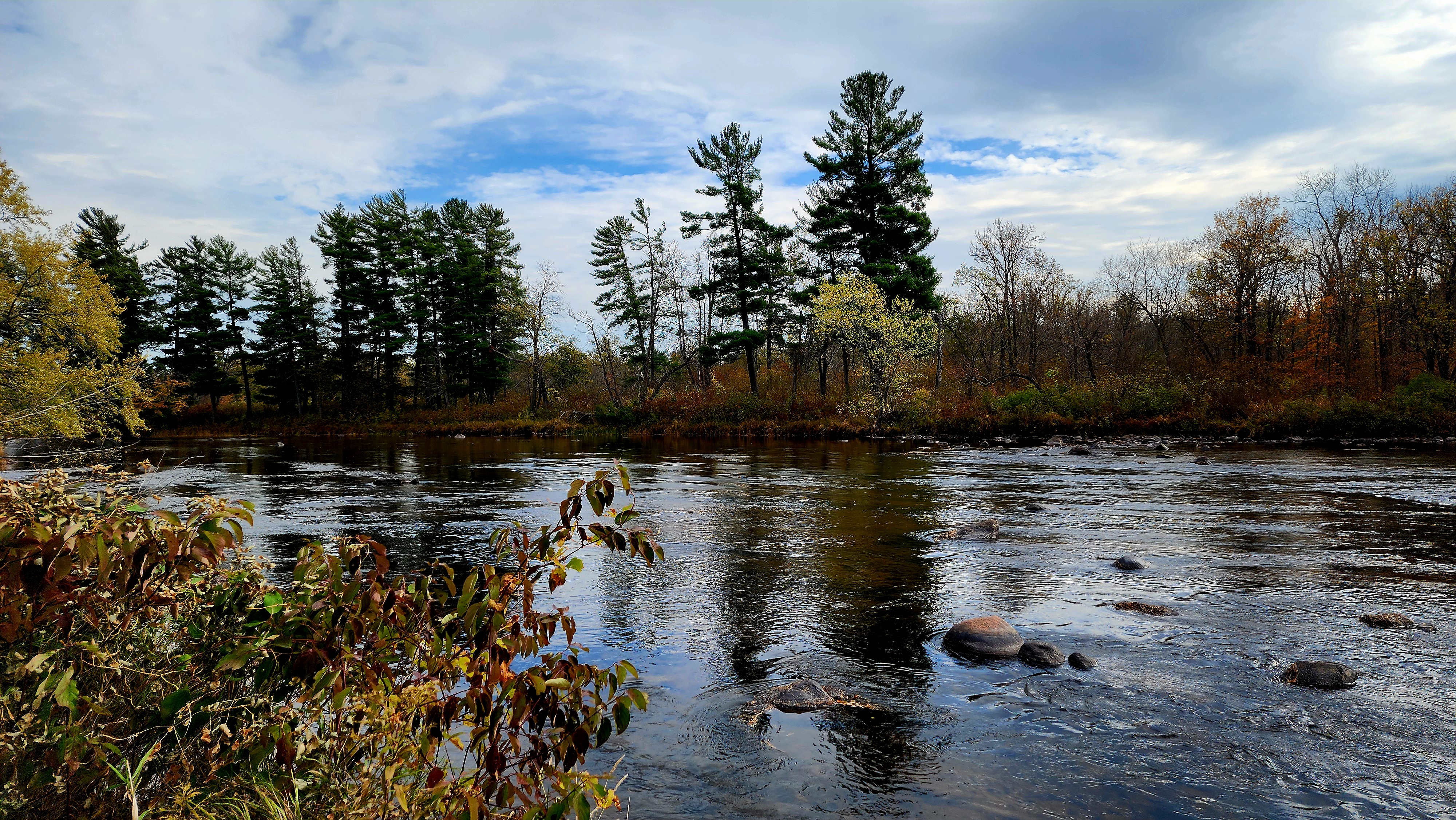
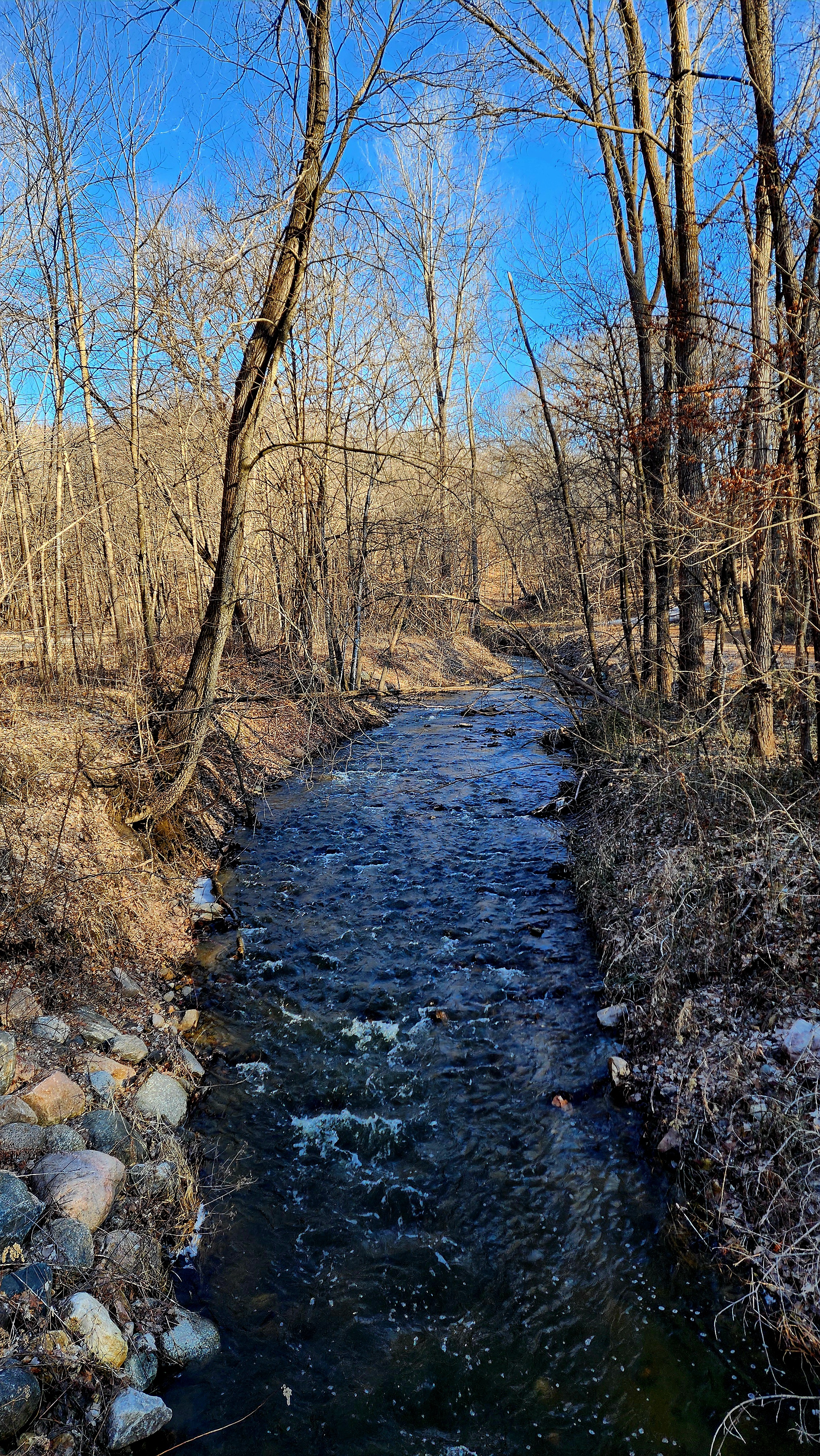
The Kettle River
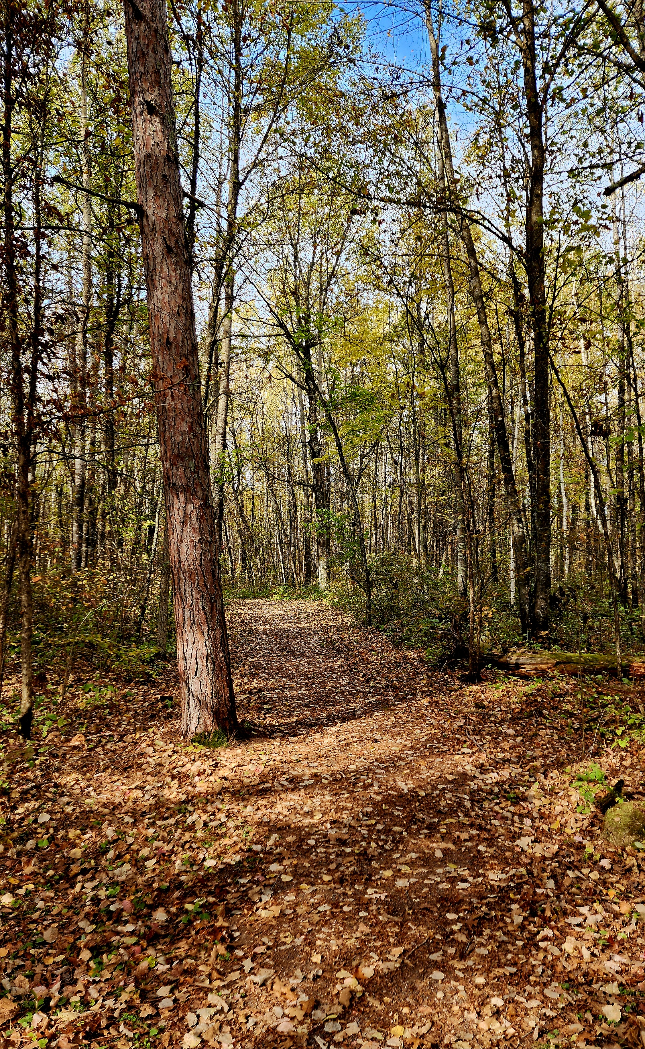
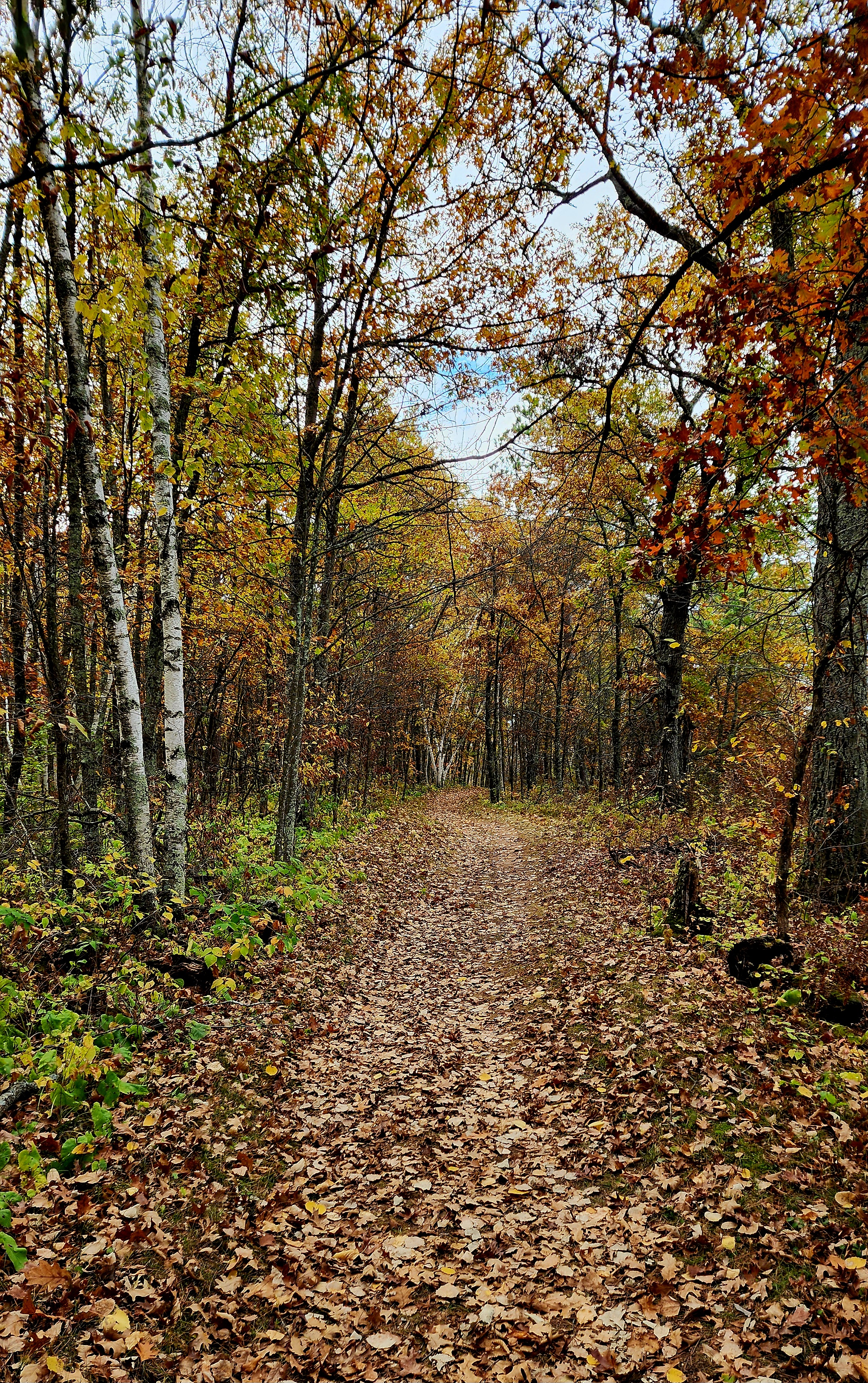
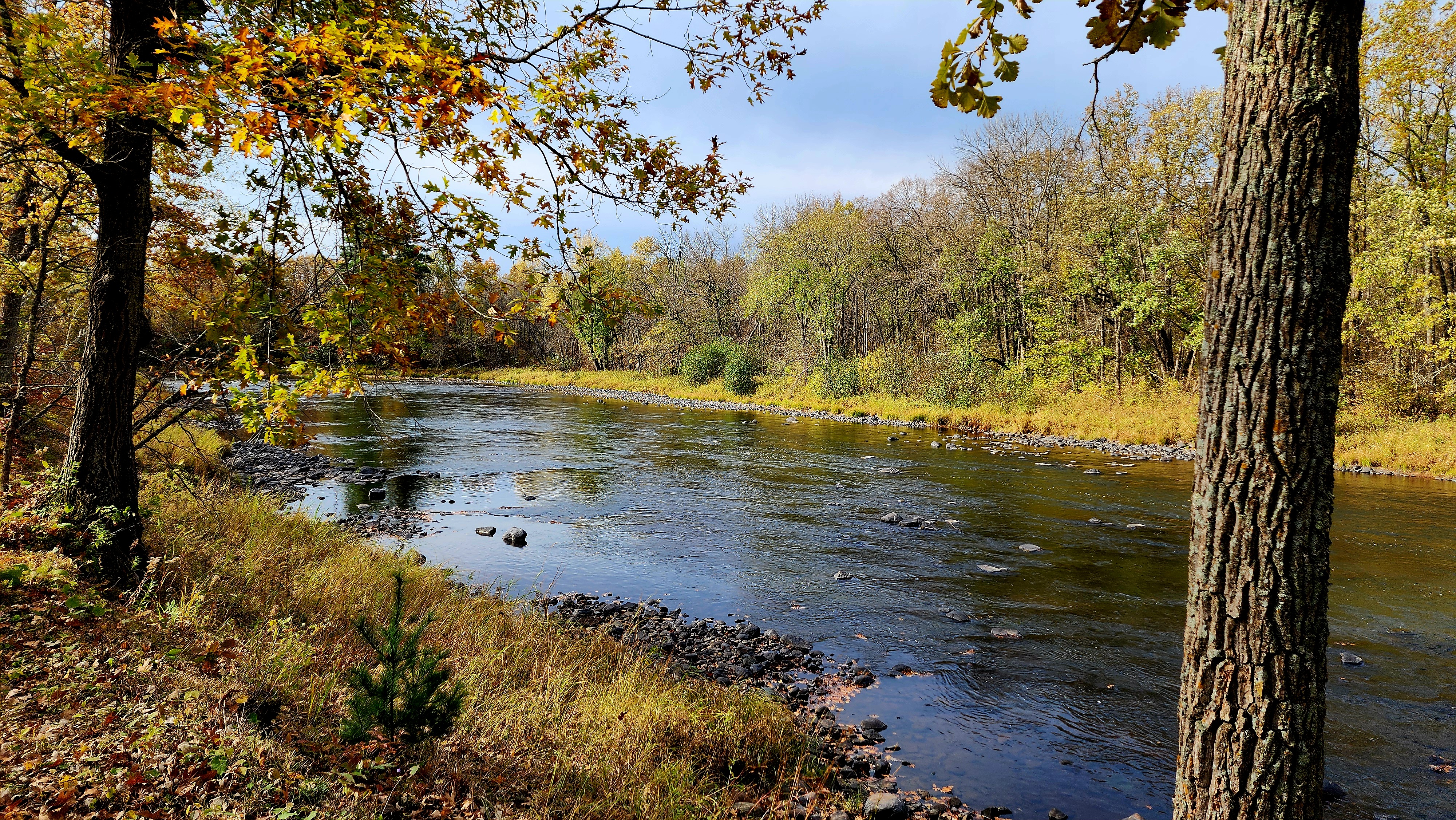
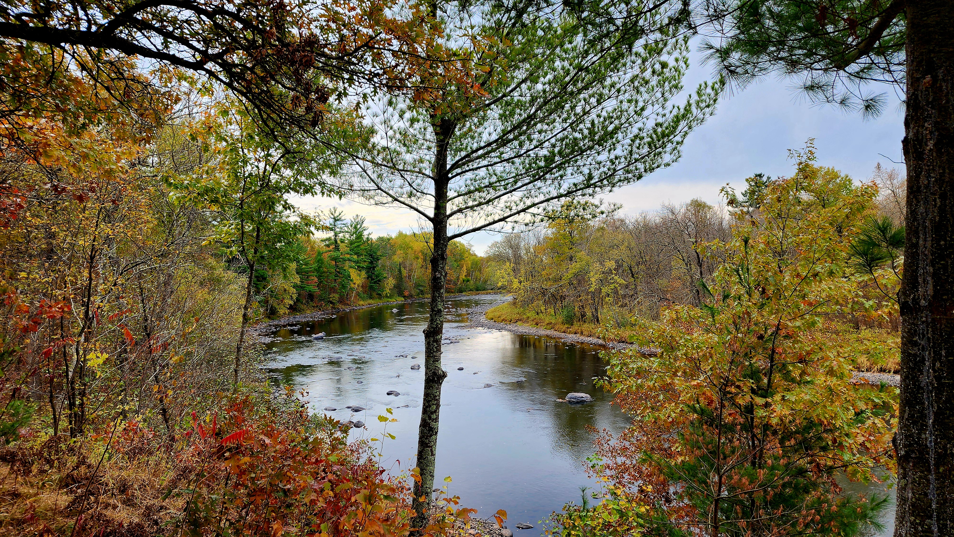
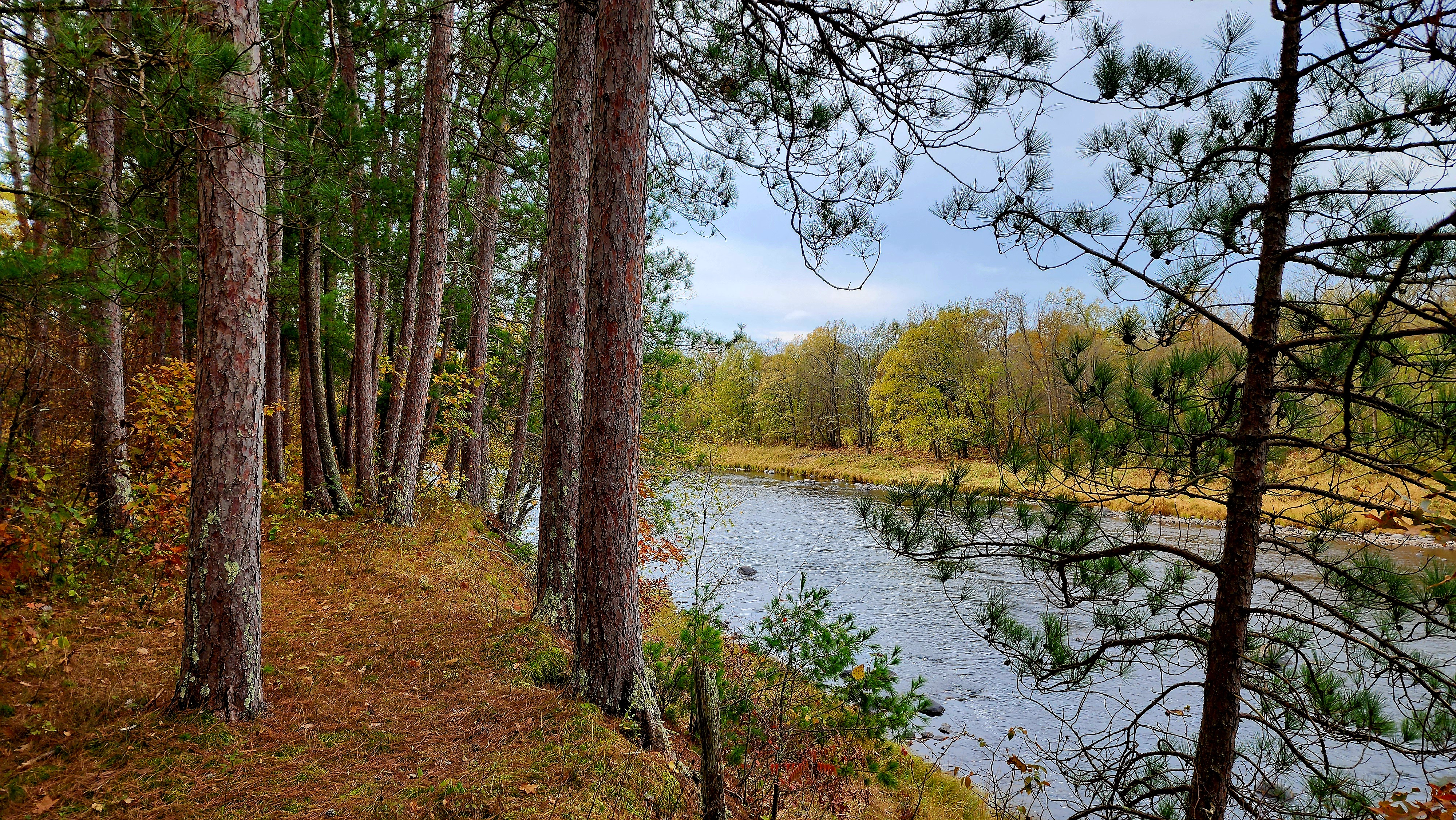
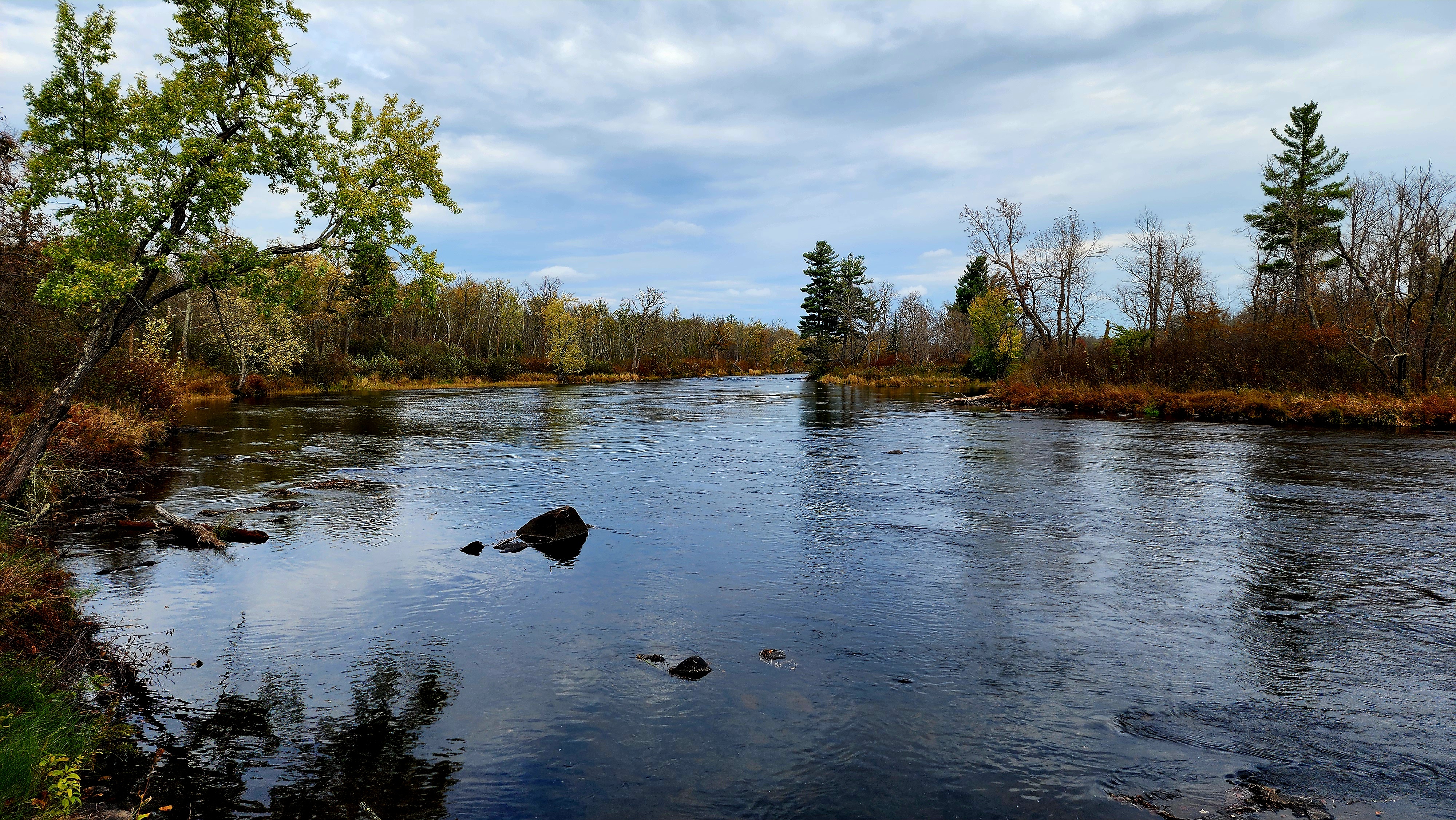
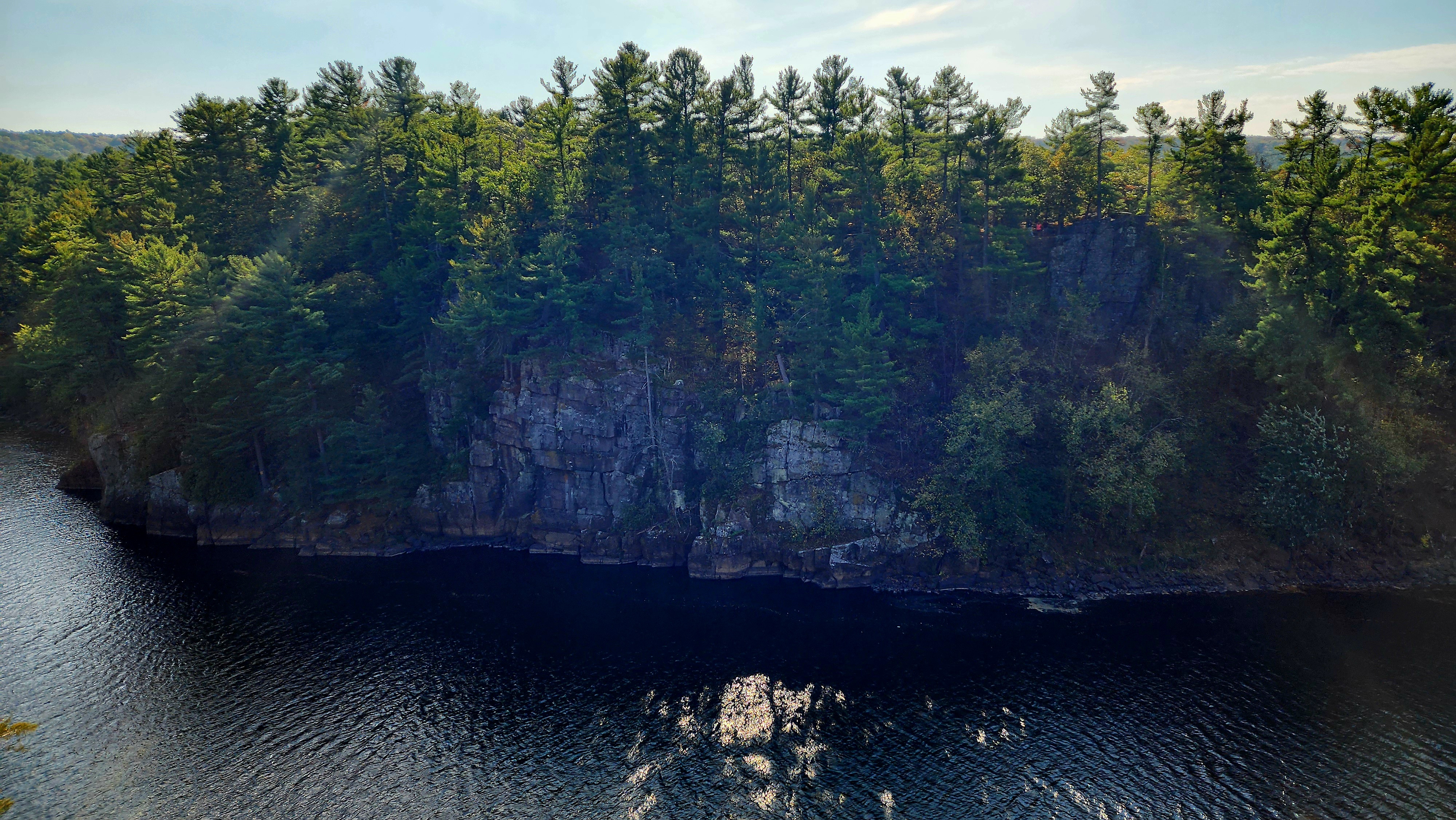
We continued on the Kettle River Highbanks Trail.
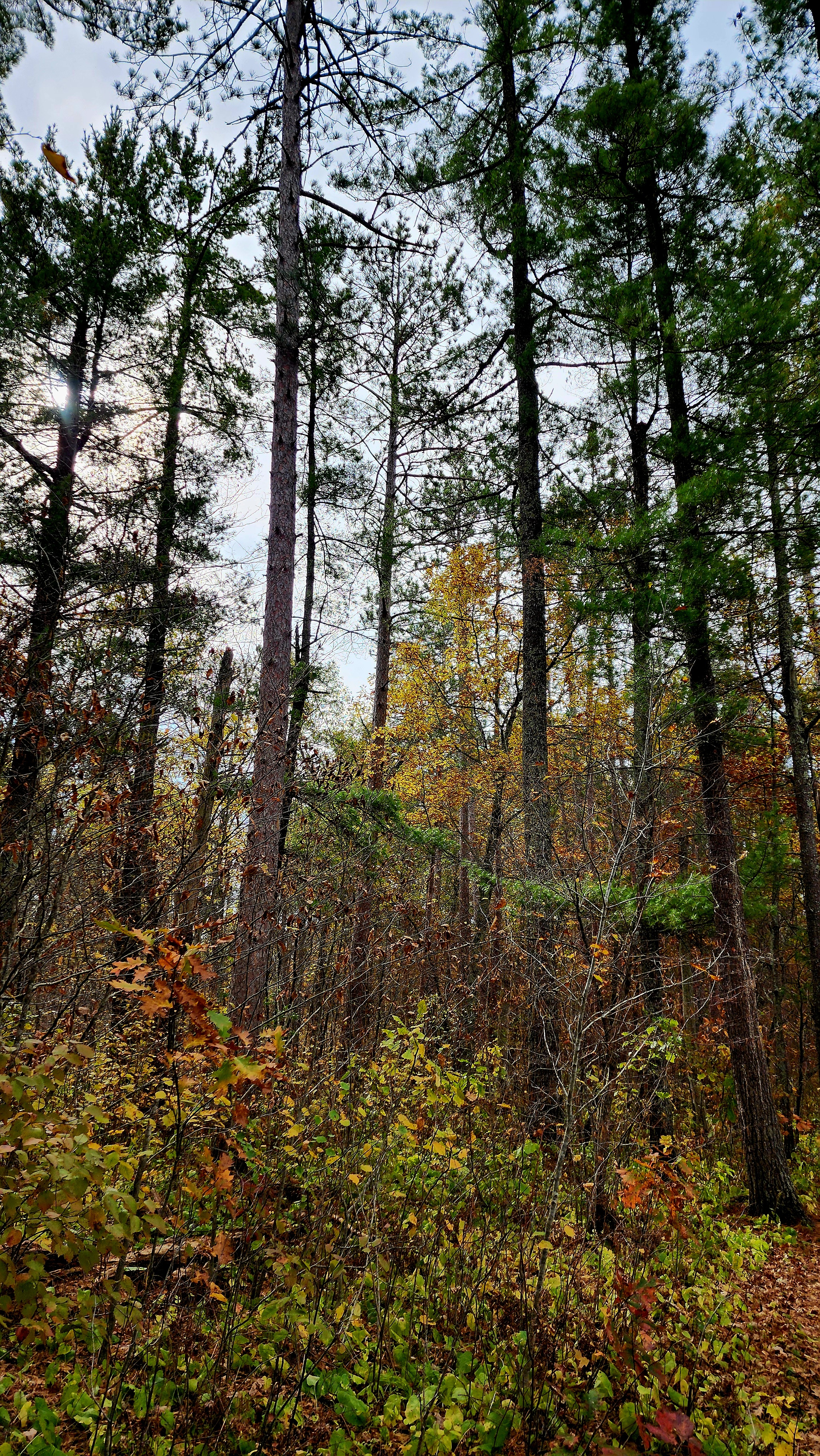
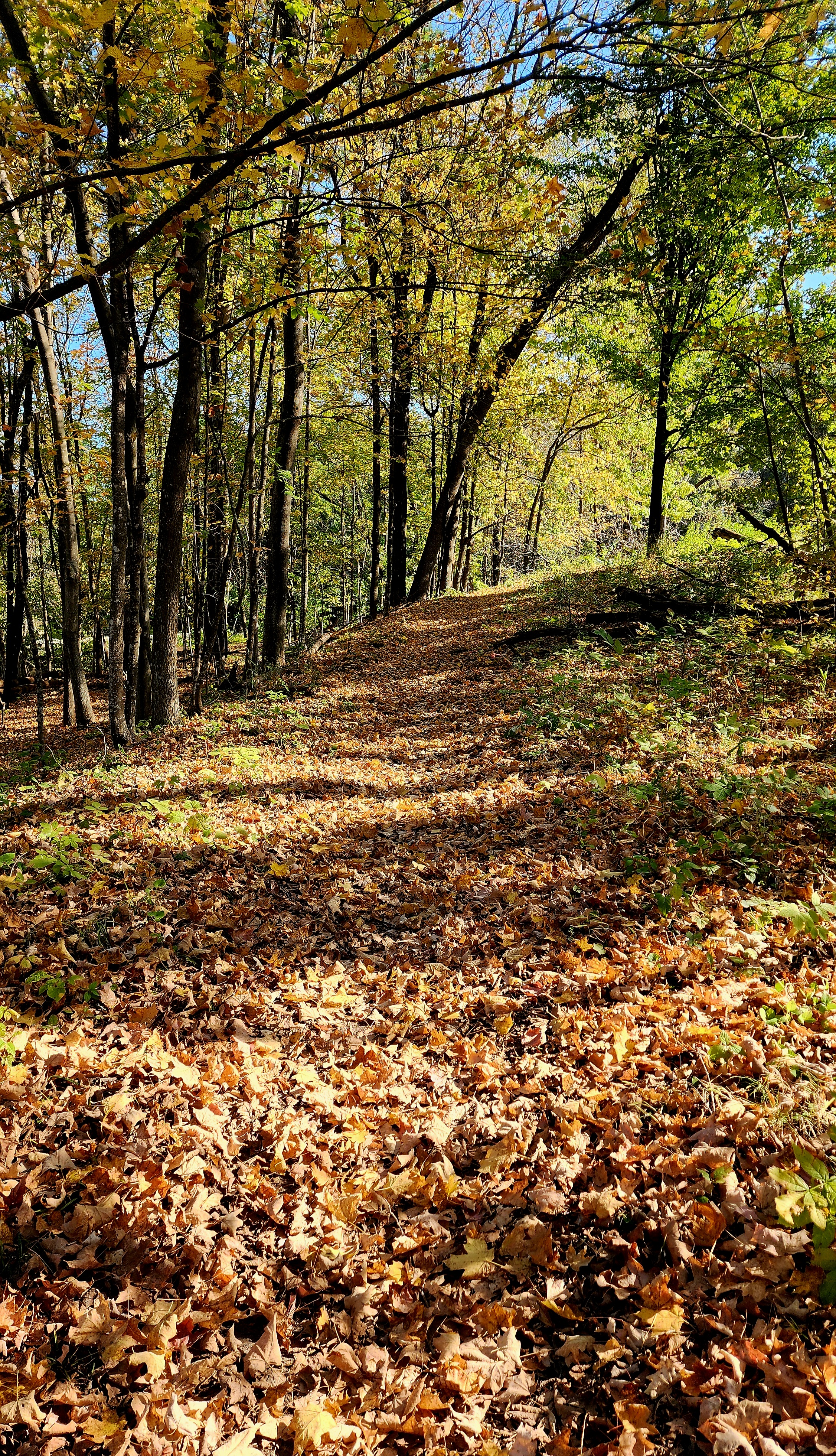
The crunching sound of our boots stepping on the leaves is so relaxing.
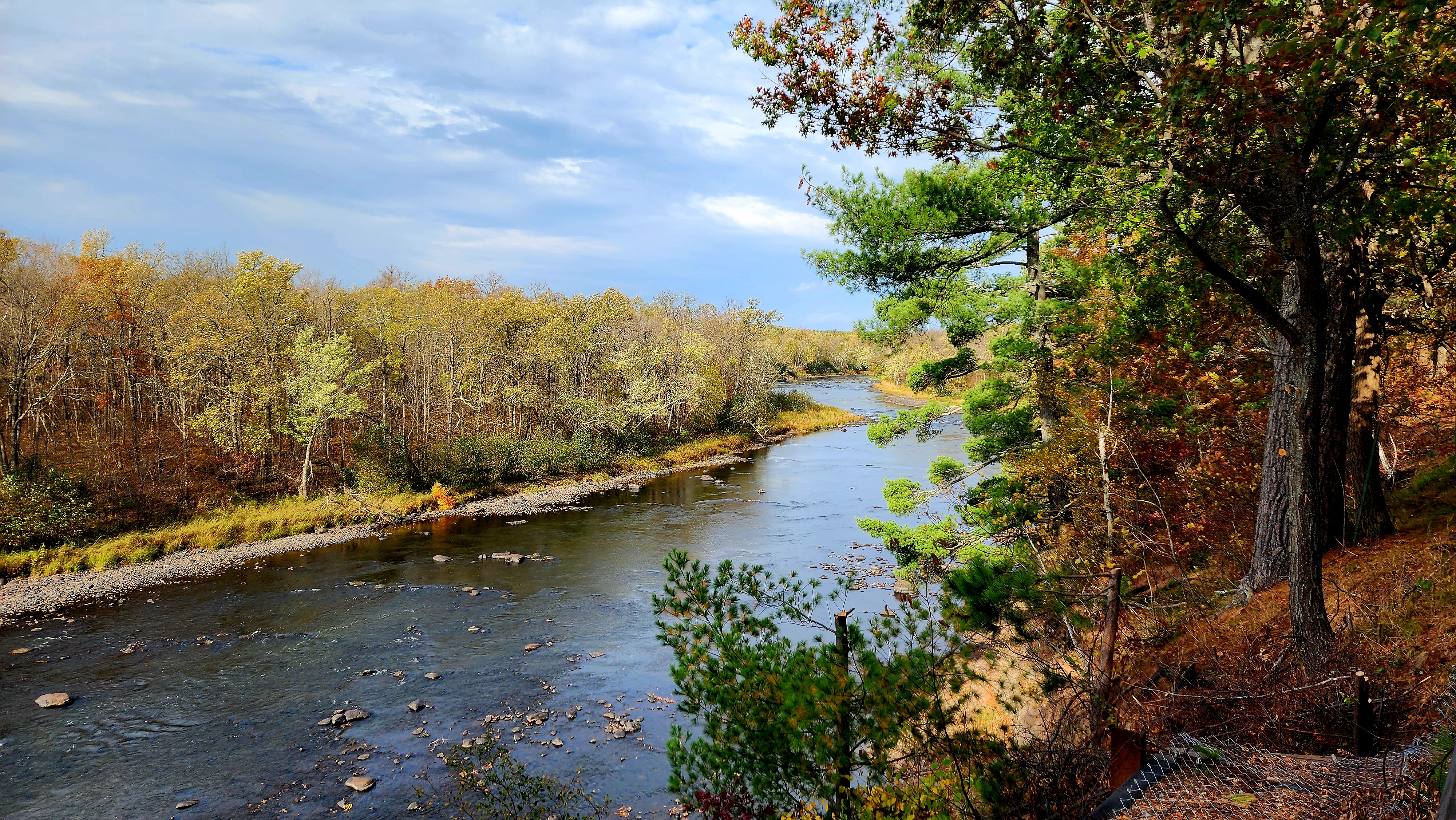
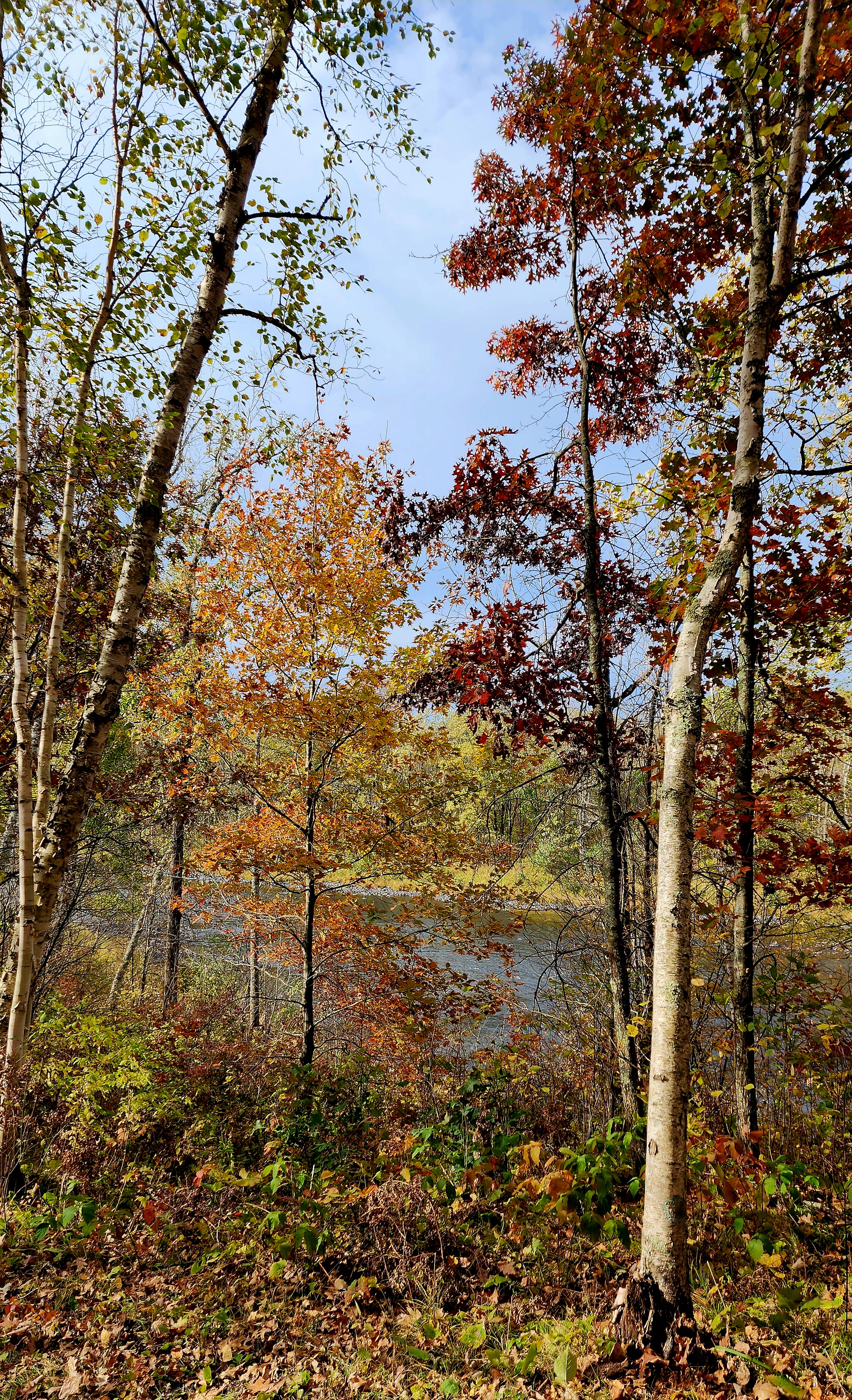
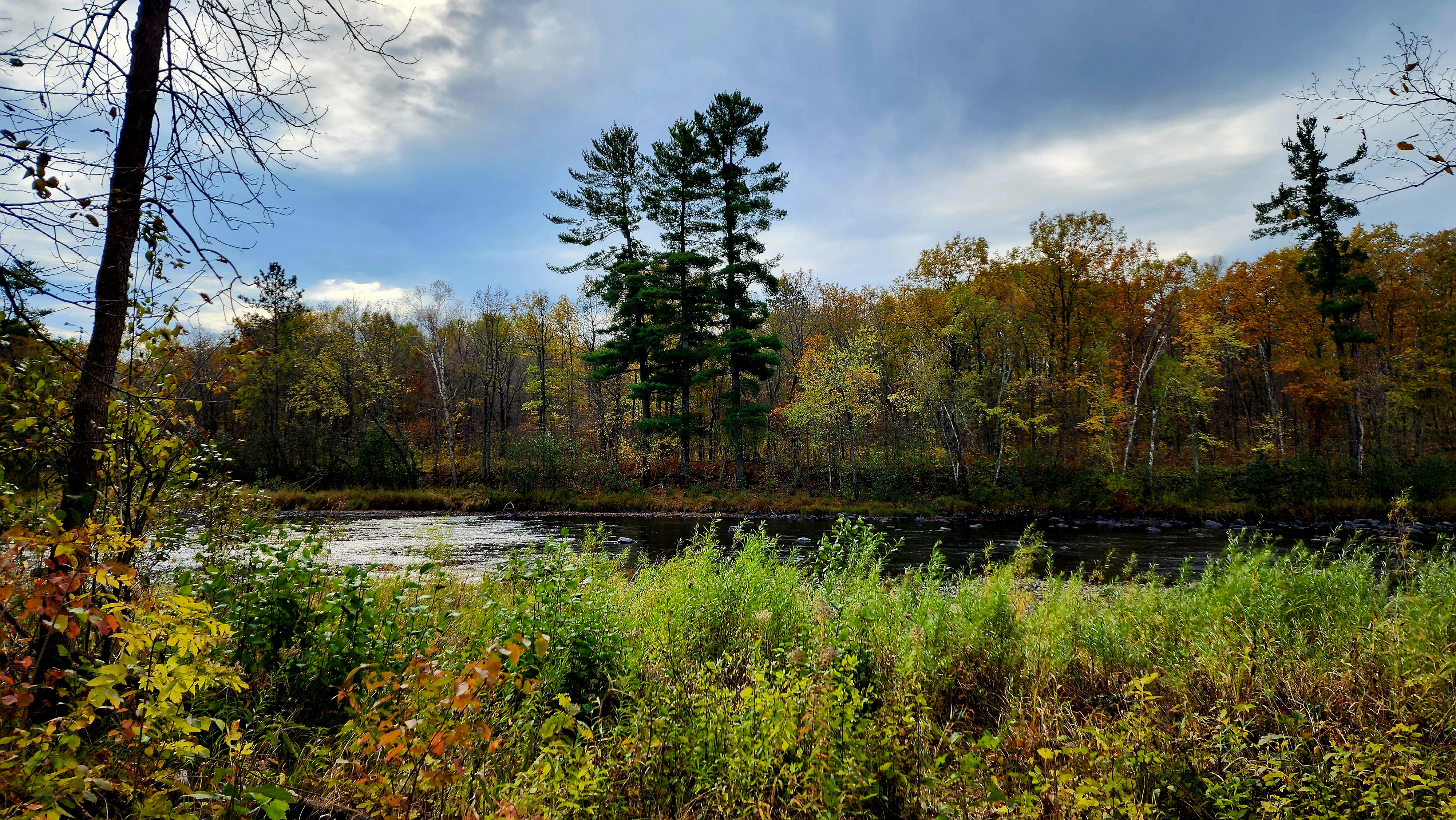
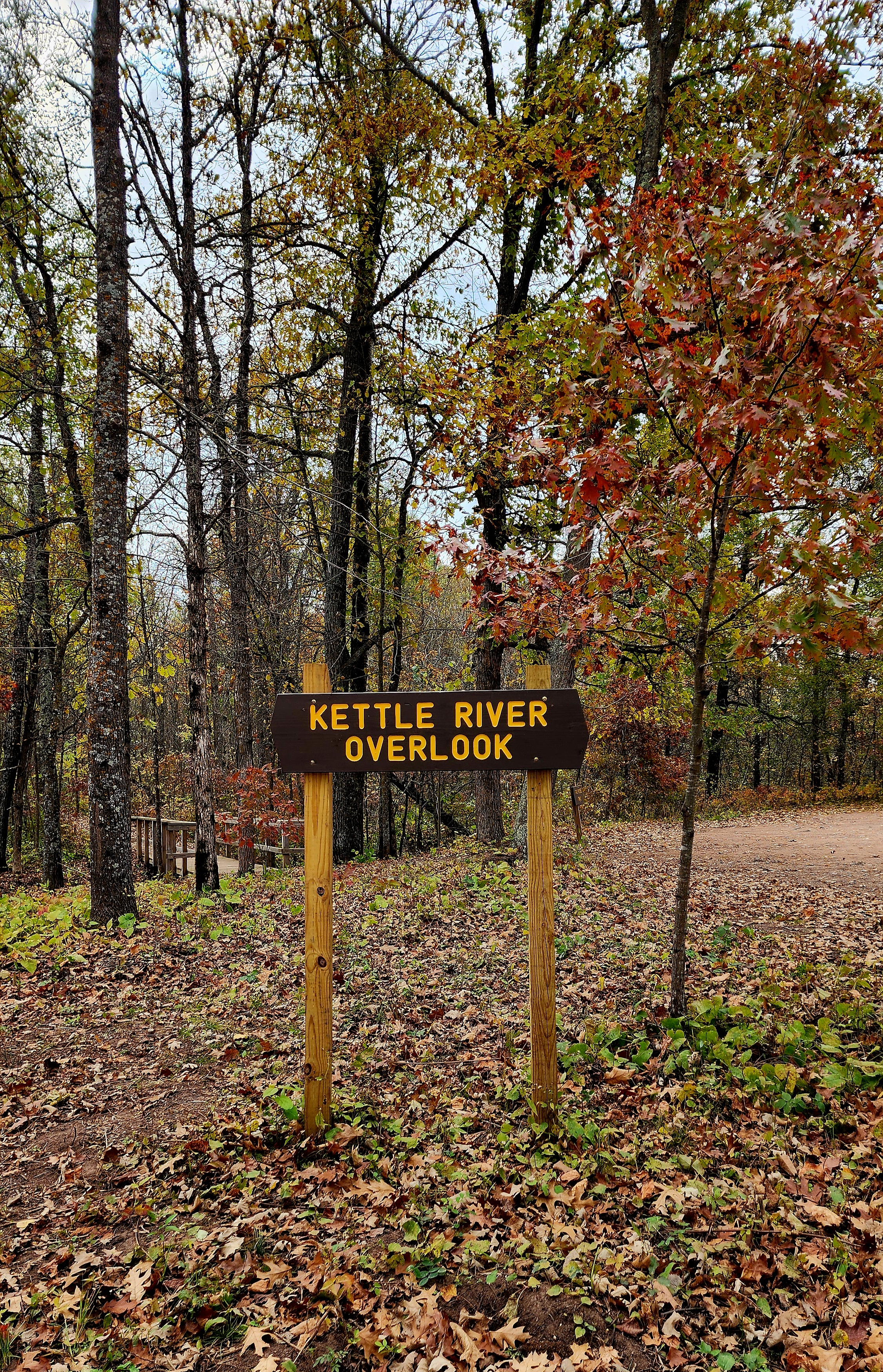
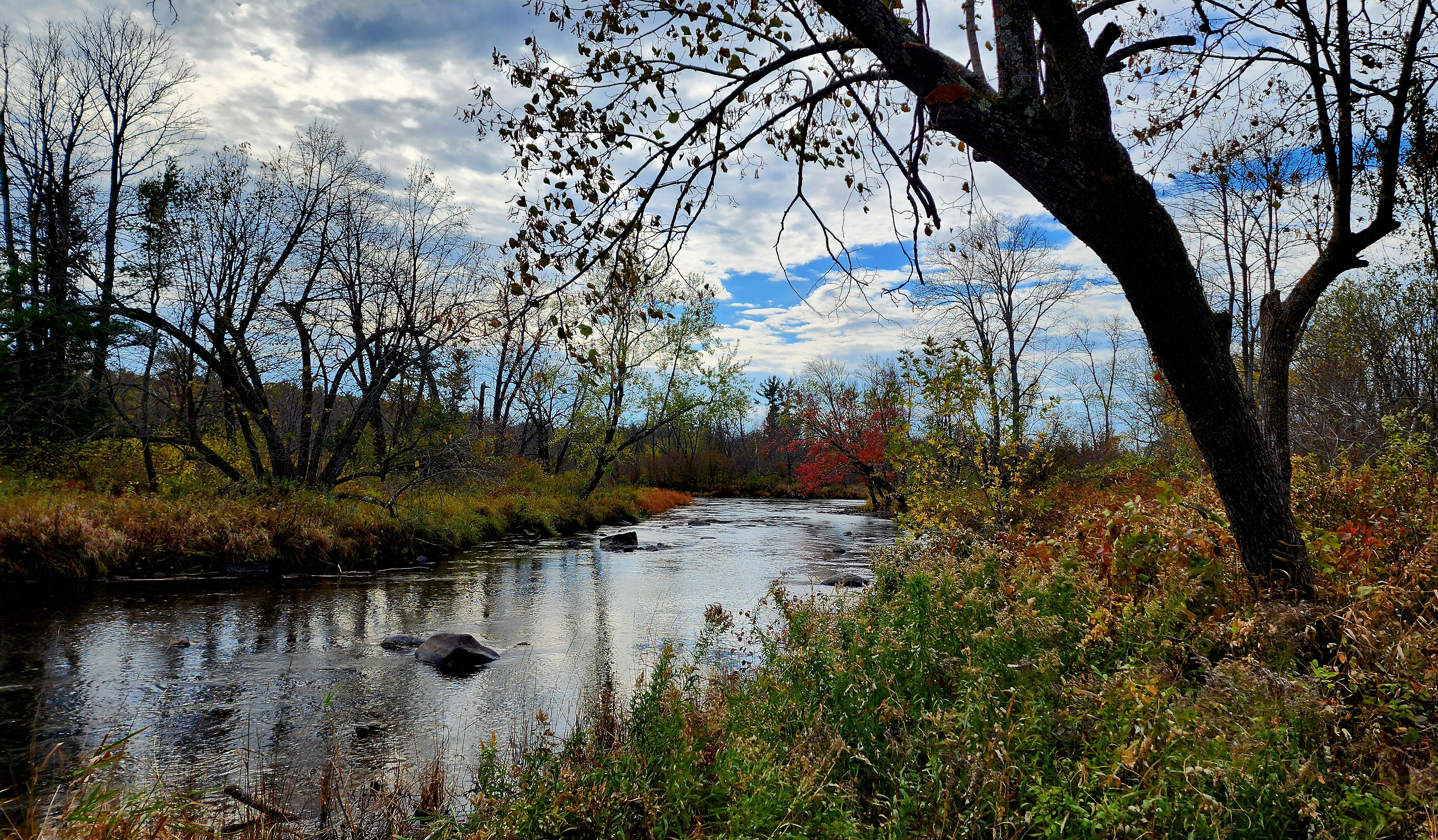
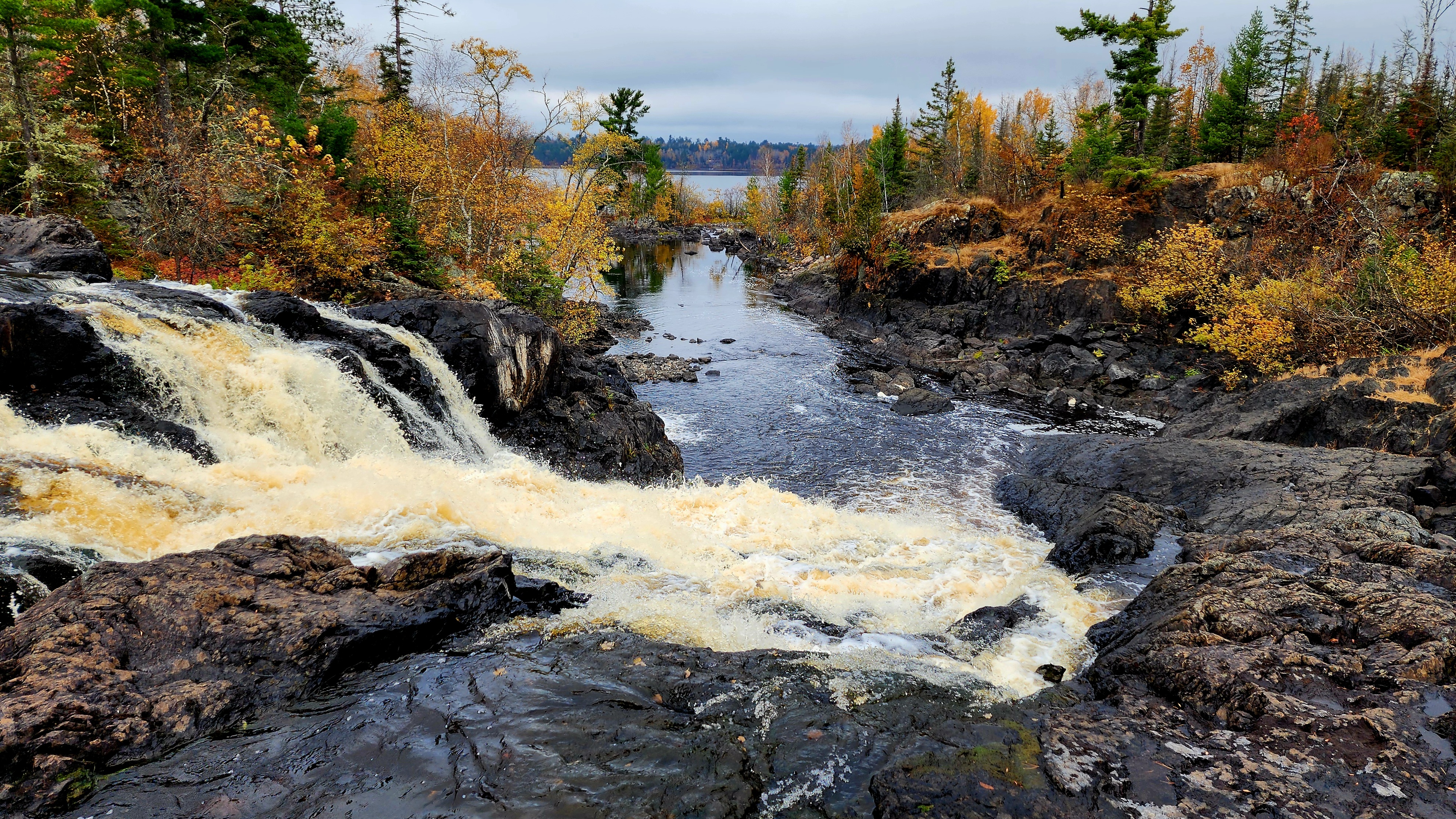
Another Kettle River Overlook
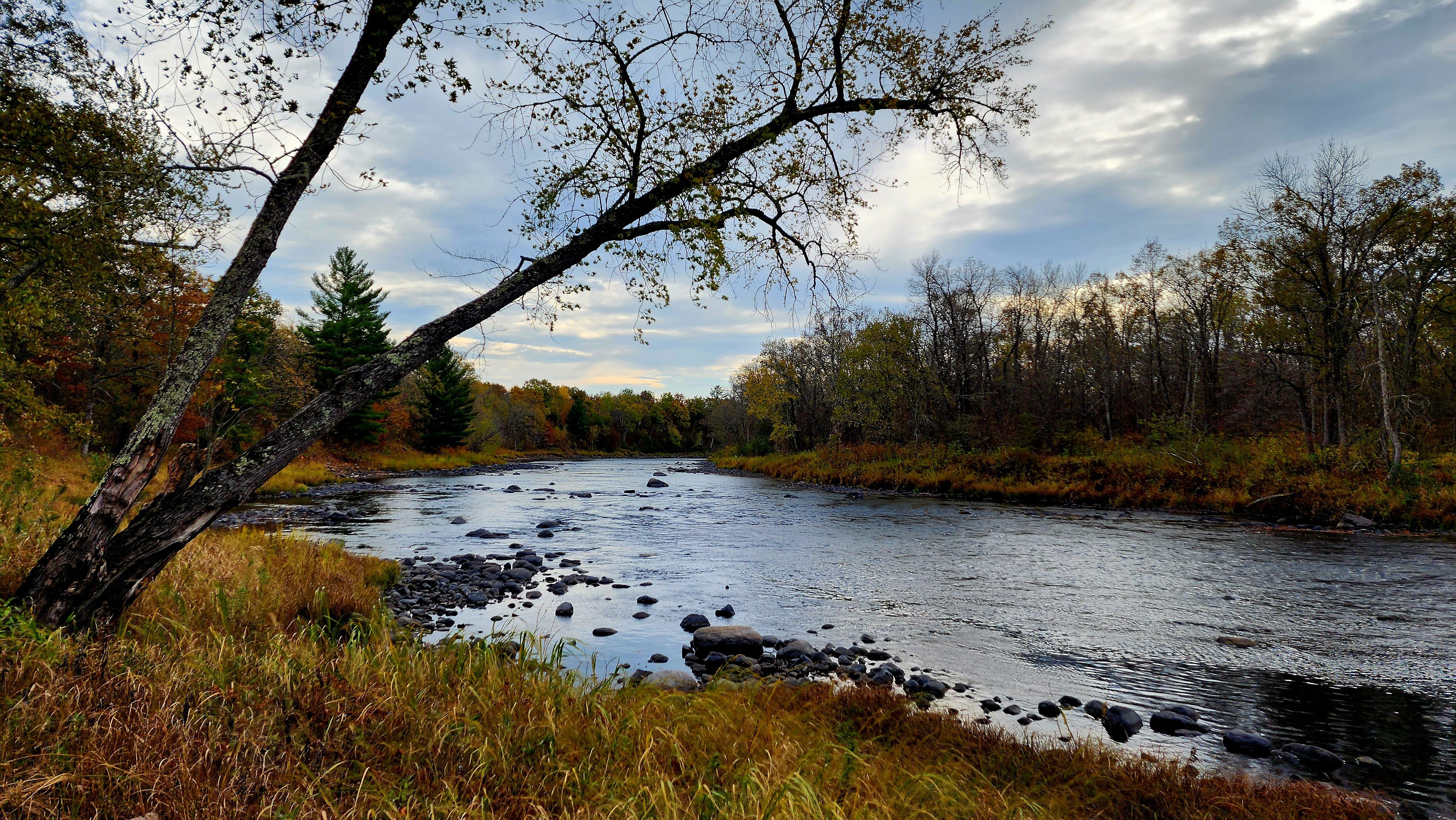
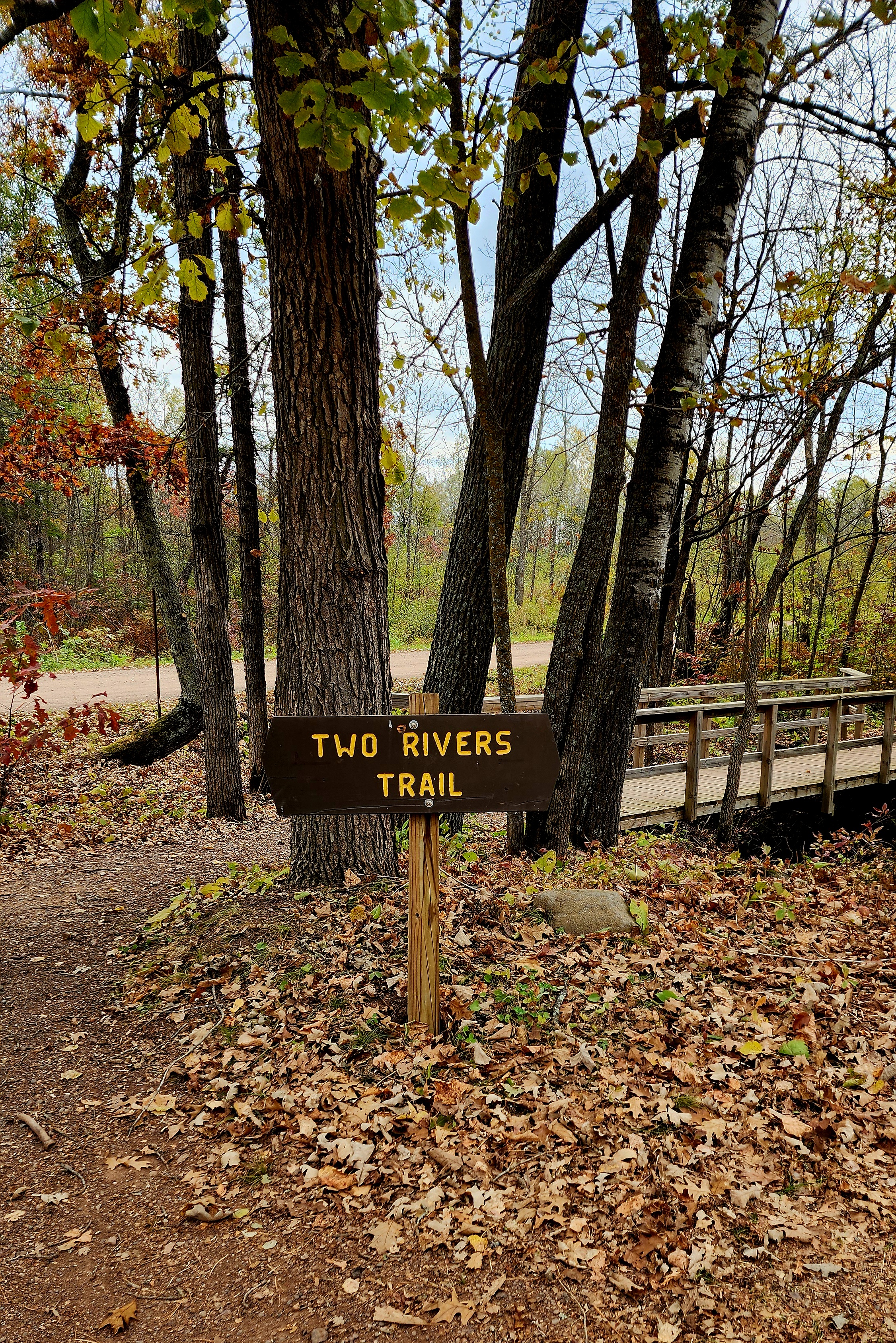
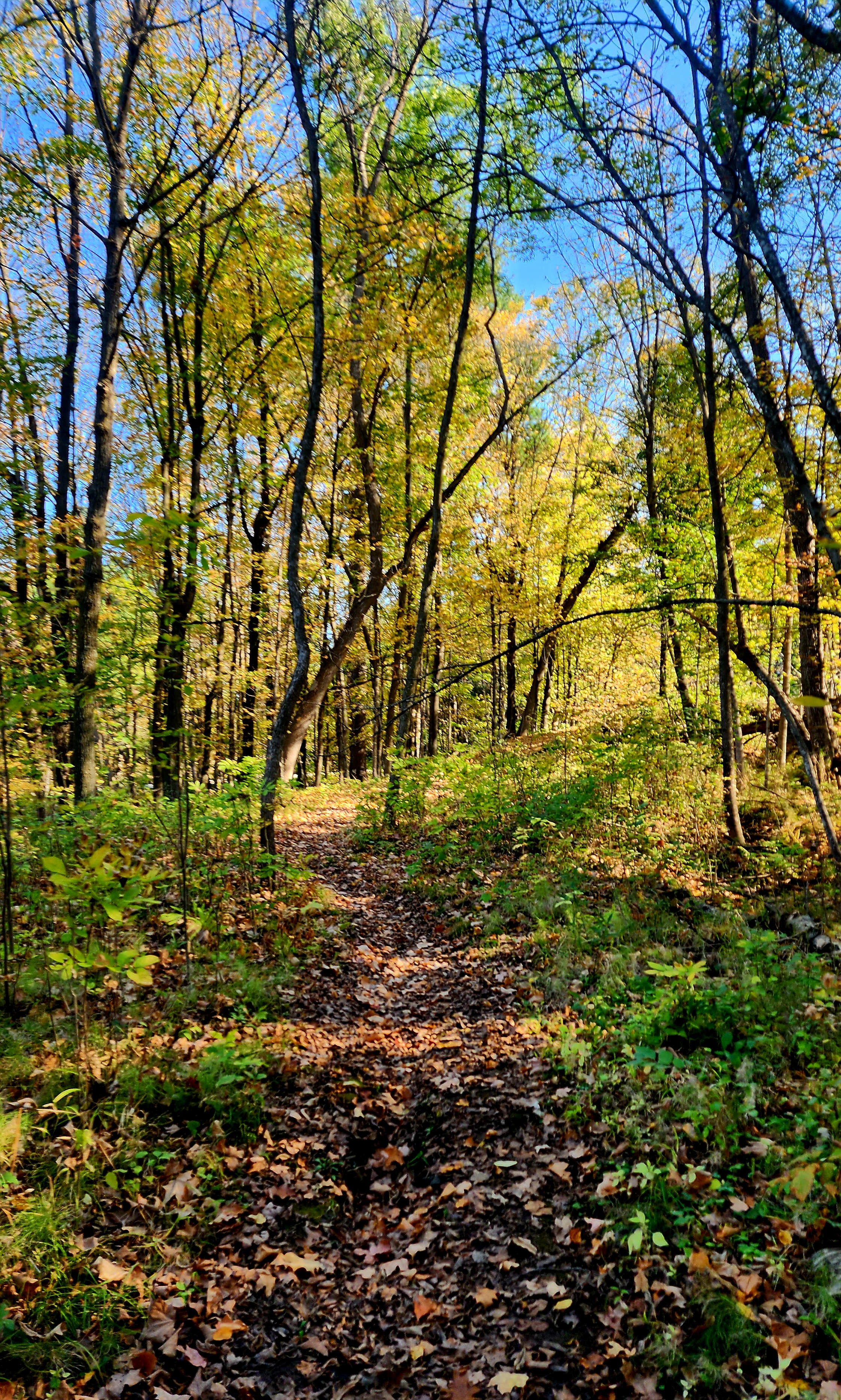
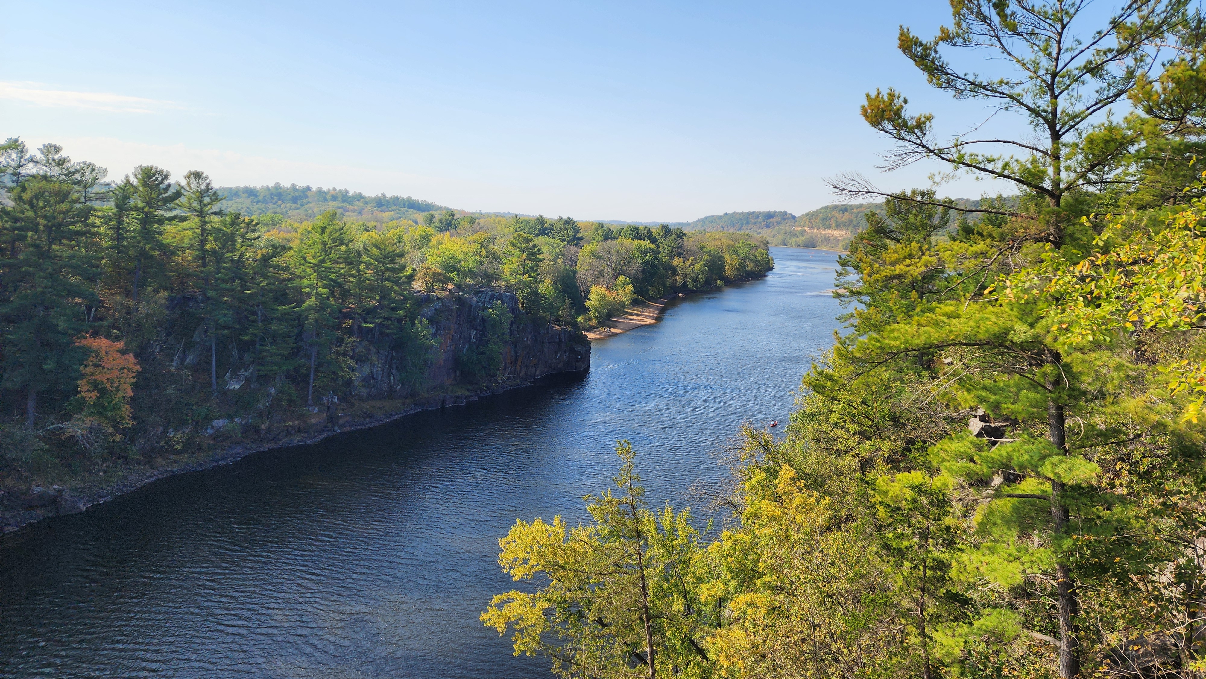
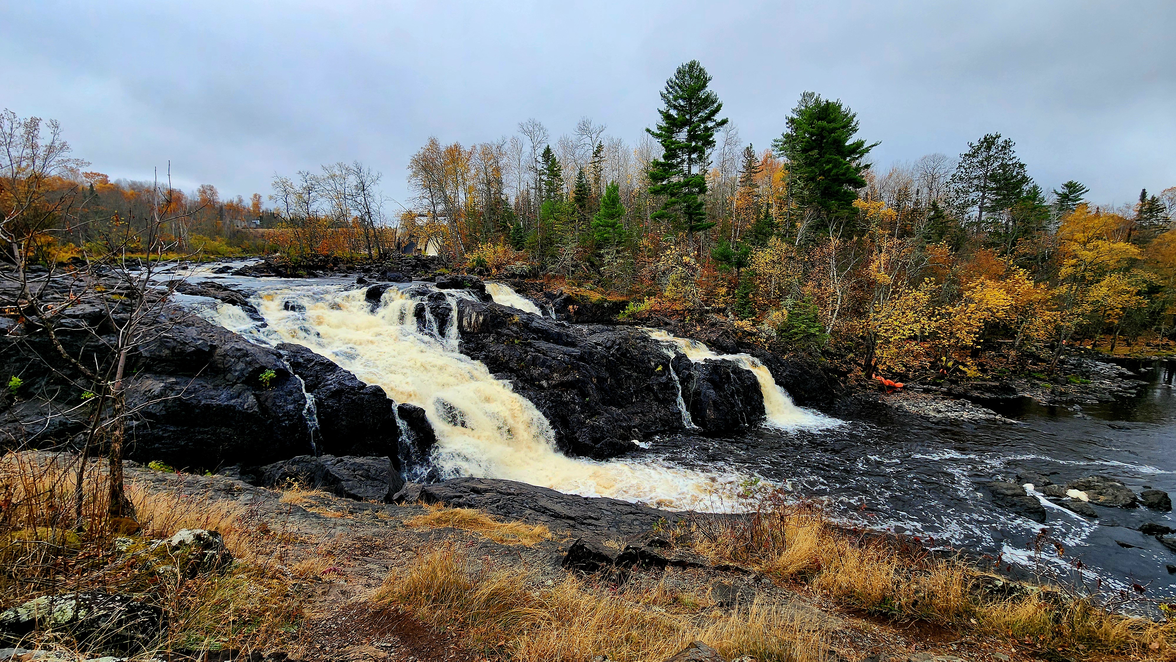
Two Rivers Trail was the next trail we hiked.
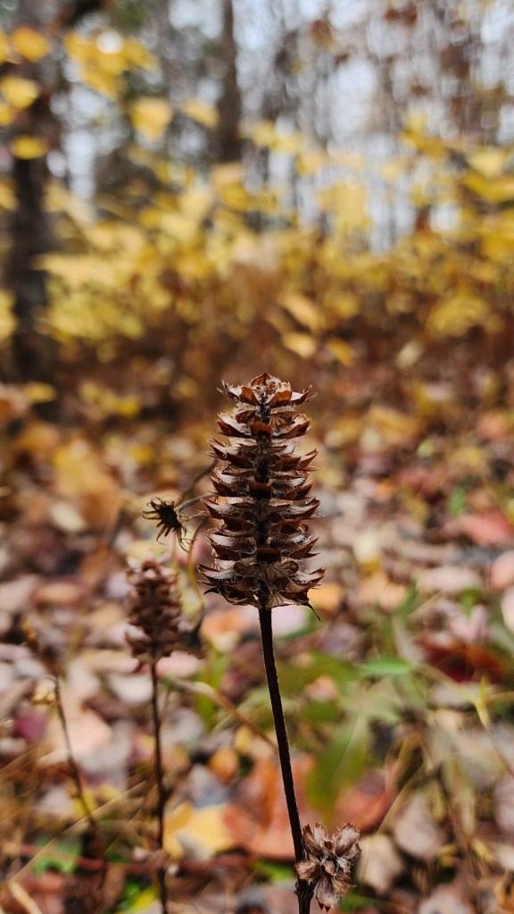
It’s not fall without finding mushrooms and feathers along the trail.
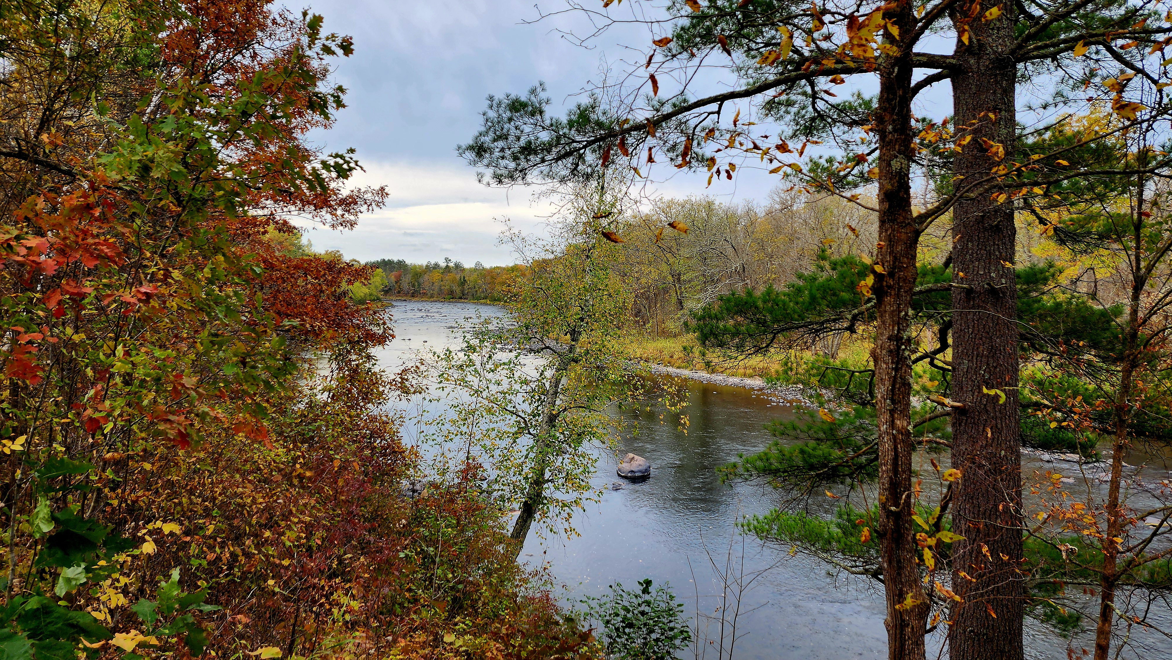
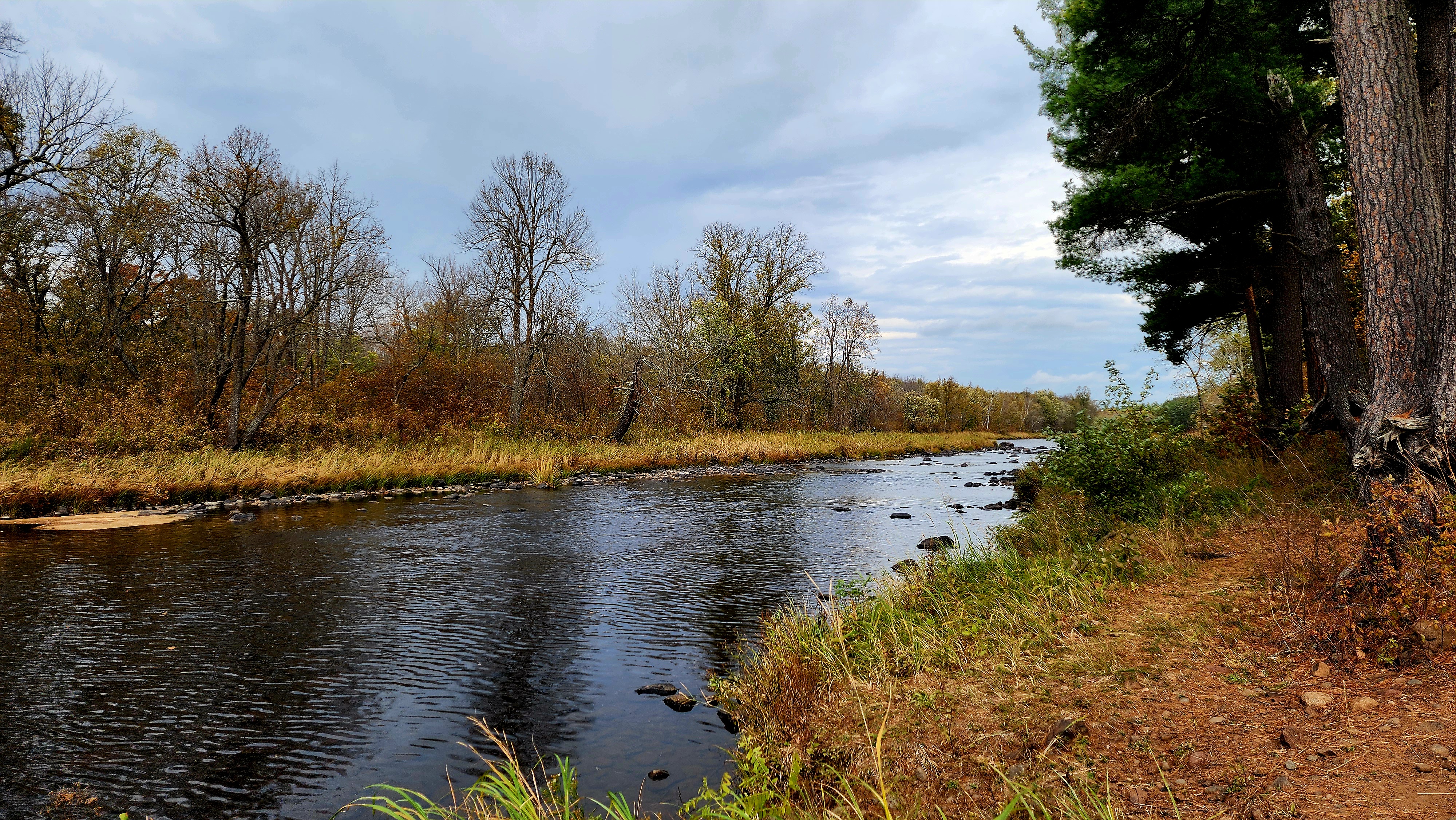
The confluence of the St. Croix River and Kettle River.
The blue sky sure was trying to show through the thick clouds.
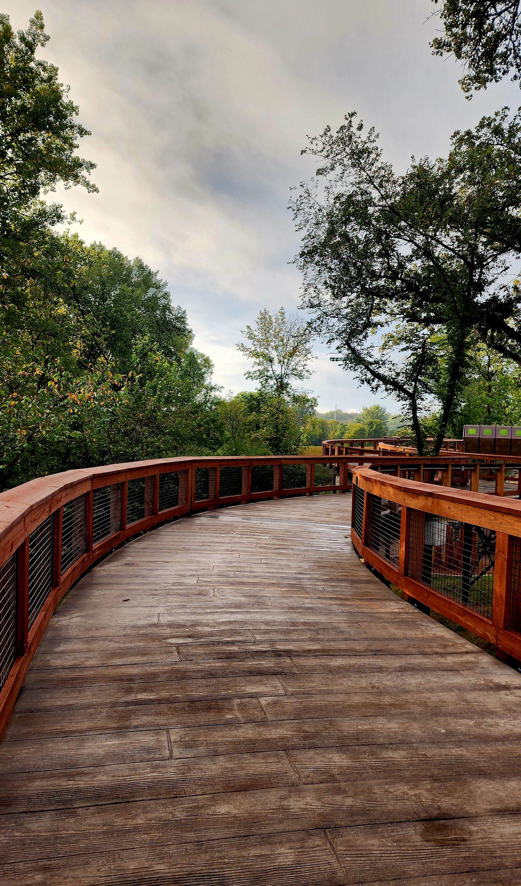
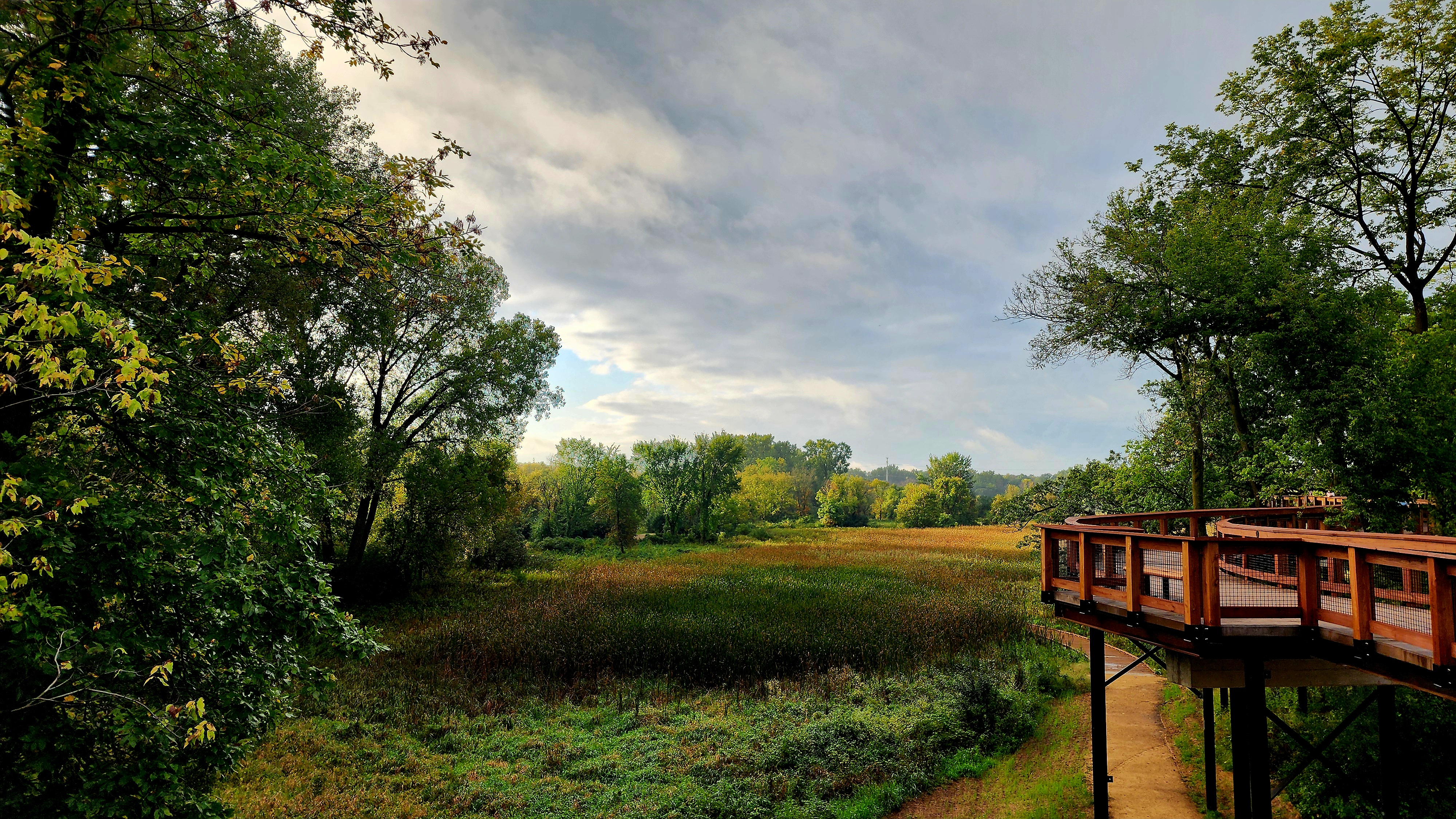
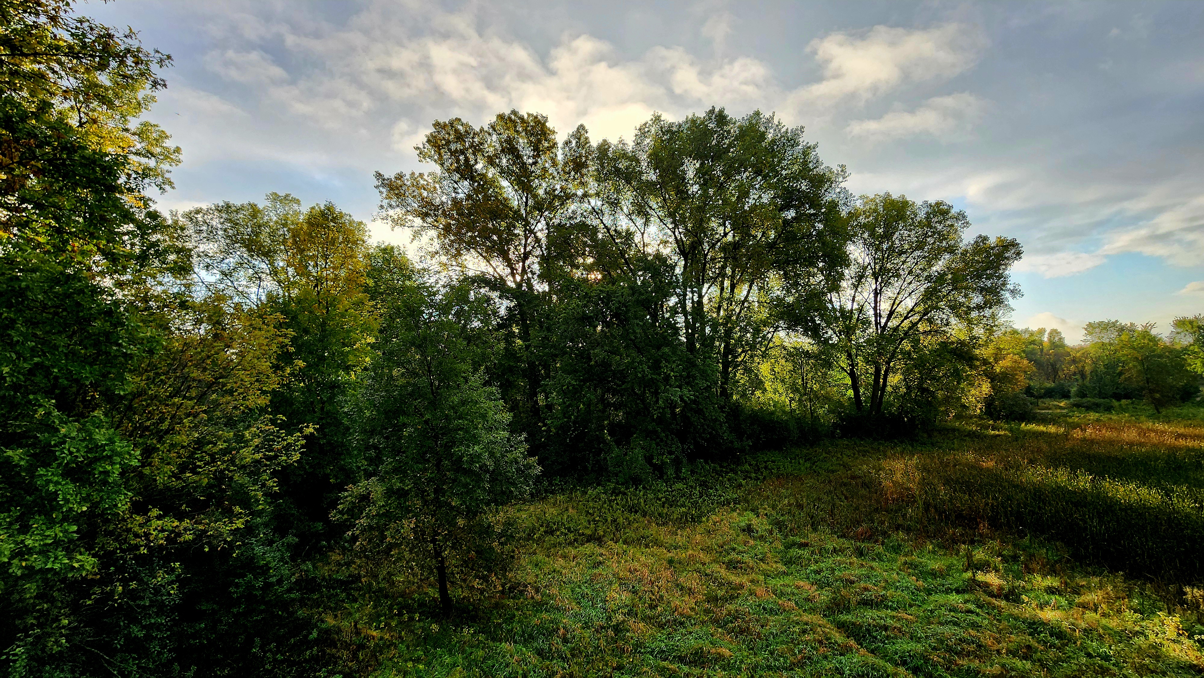
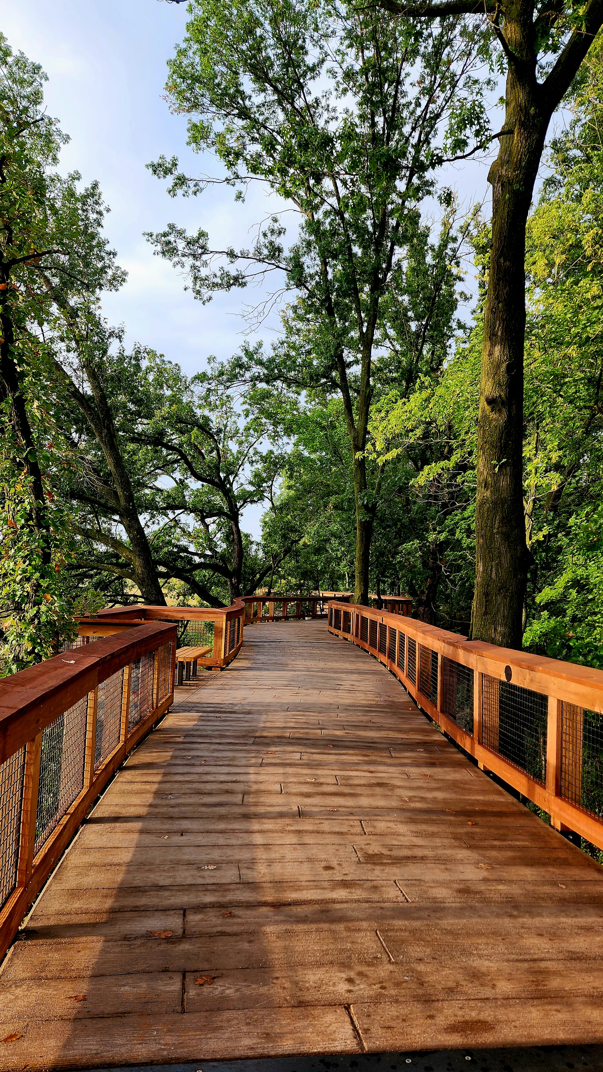
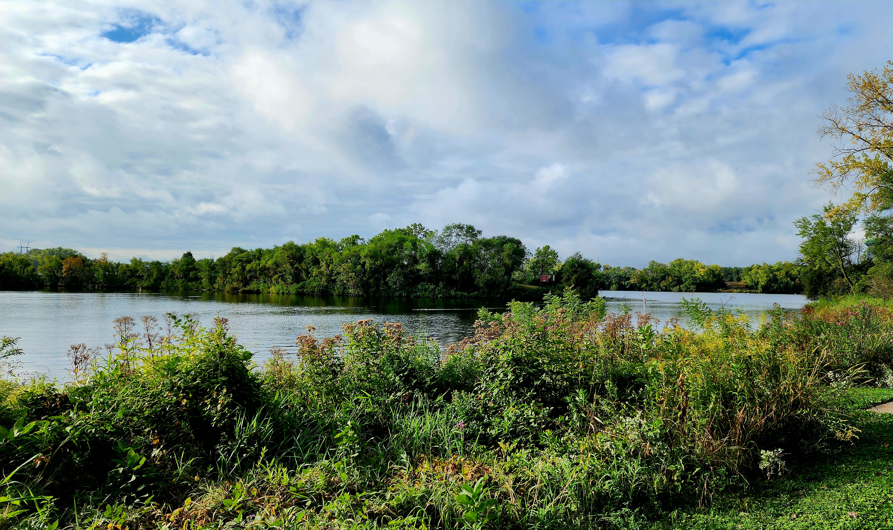
Today’s hiking adventure was at Mississippi Gateway Regional Park.
Our hike began at the newly built Treetop Trail.
The Treetop Trail was about .25 of a mile.
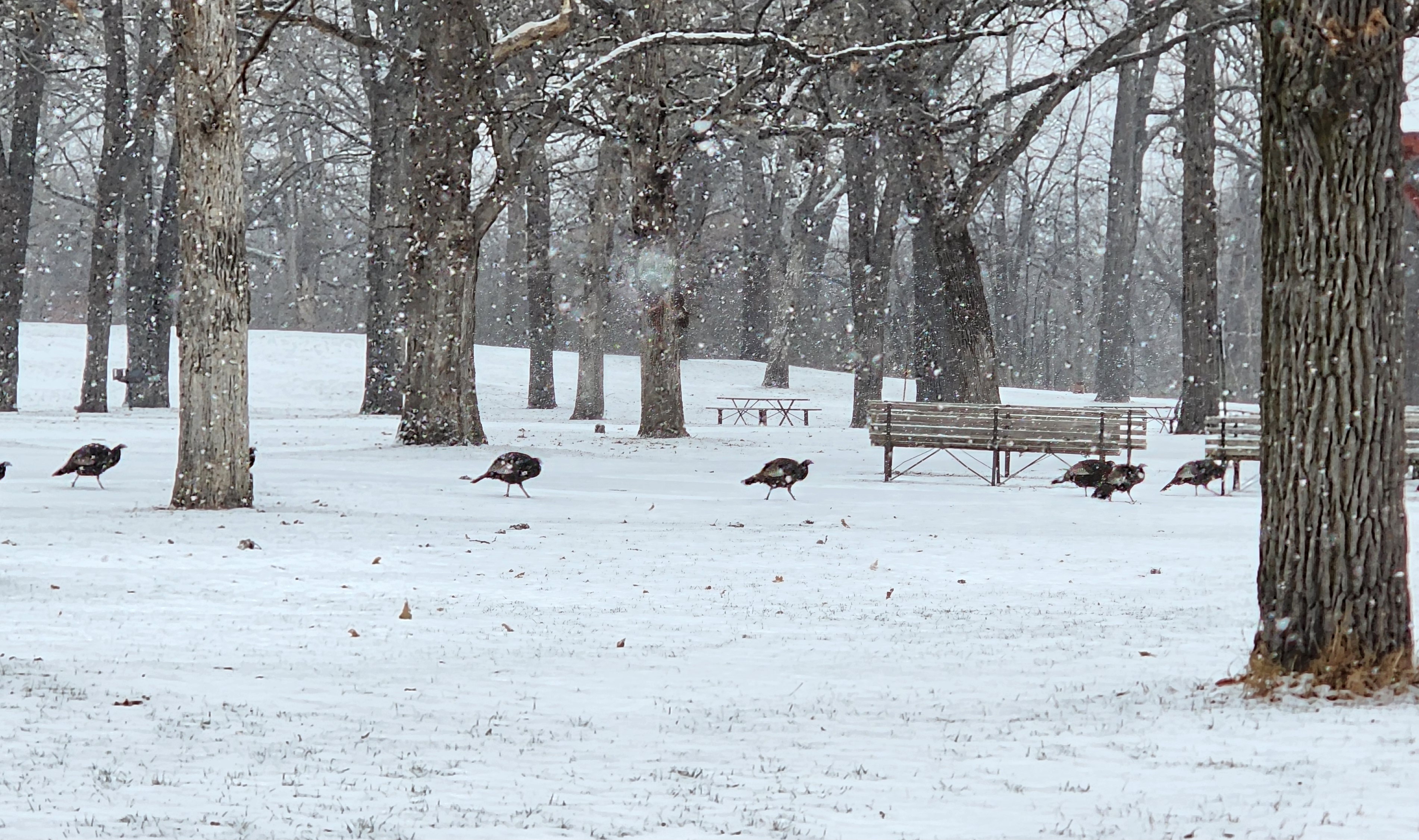
We followed the trail under the walkway. A few turkeys stopped for a visit.
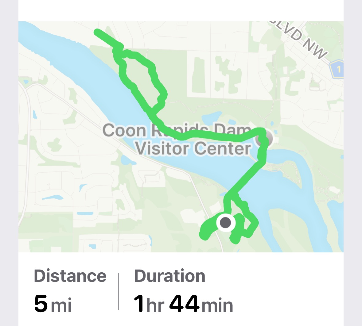
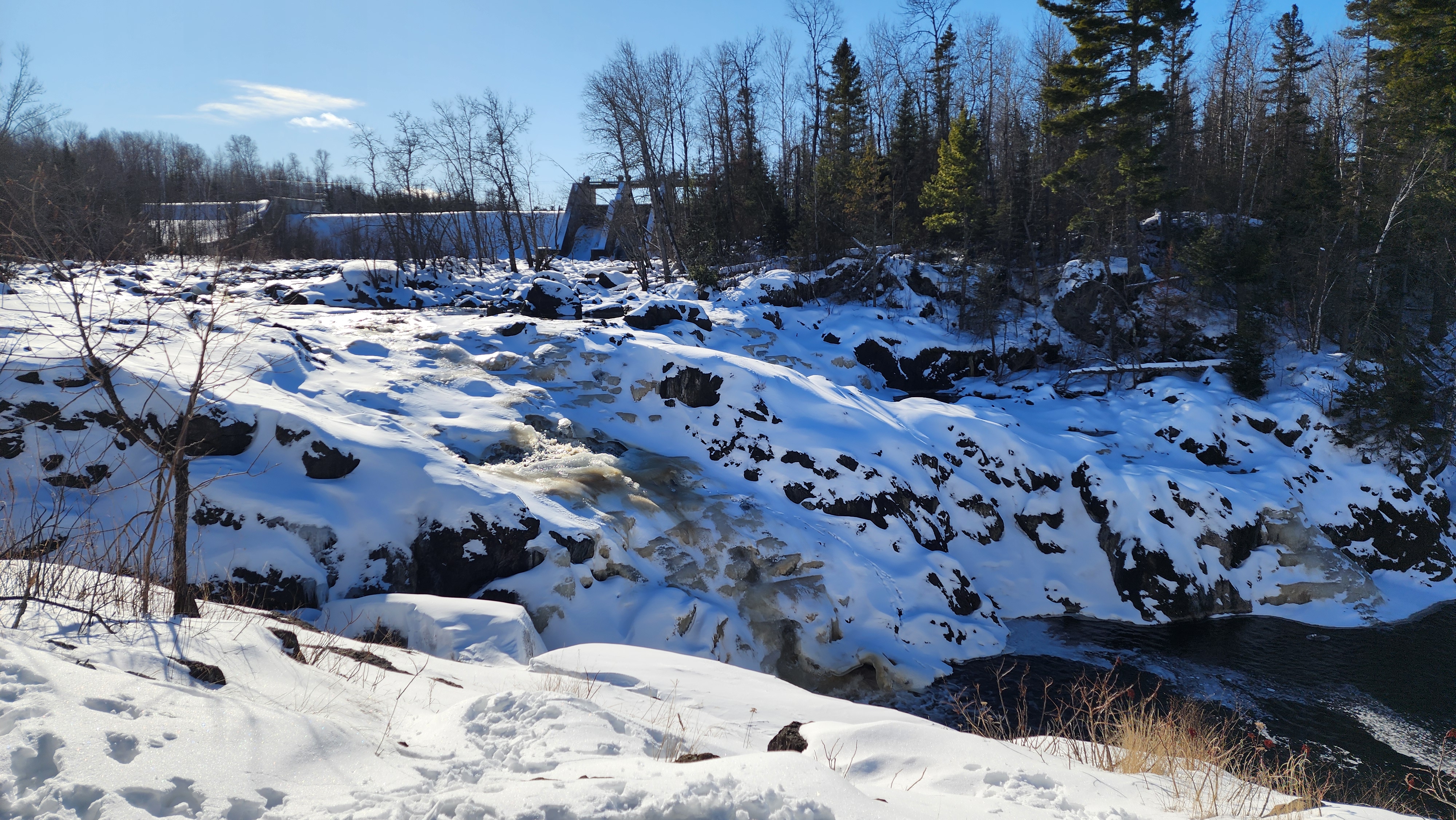
Coon Rapids Dam
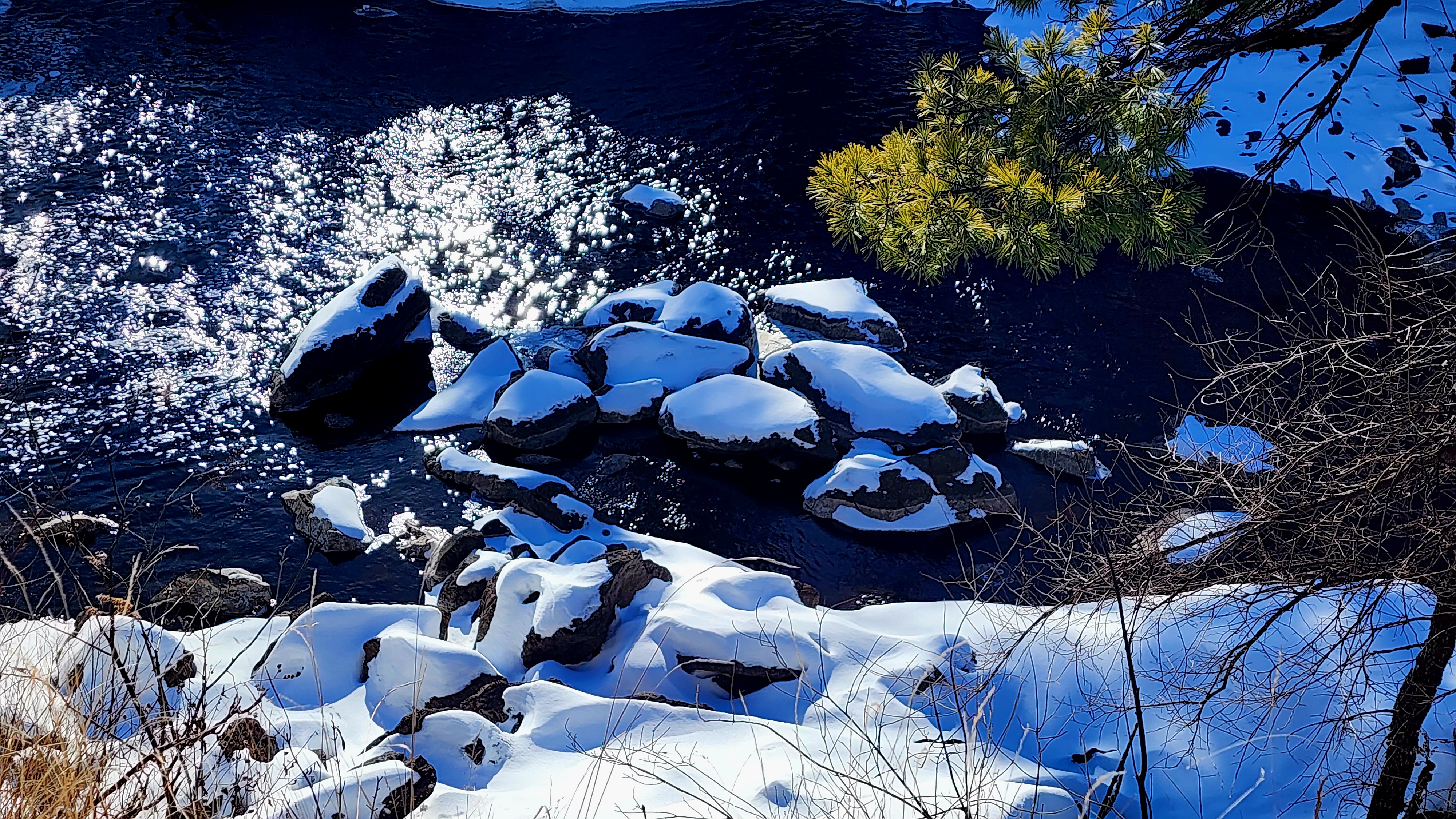
I always enjoy walking across the dam. One side of the bridge, the Mississippi River is smooth as glass and on the other side the water is thrashing through the dam.
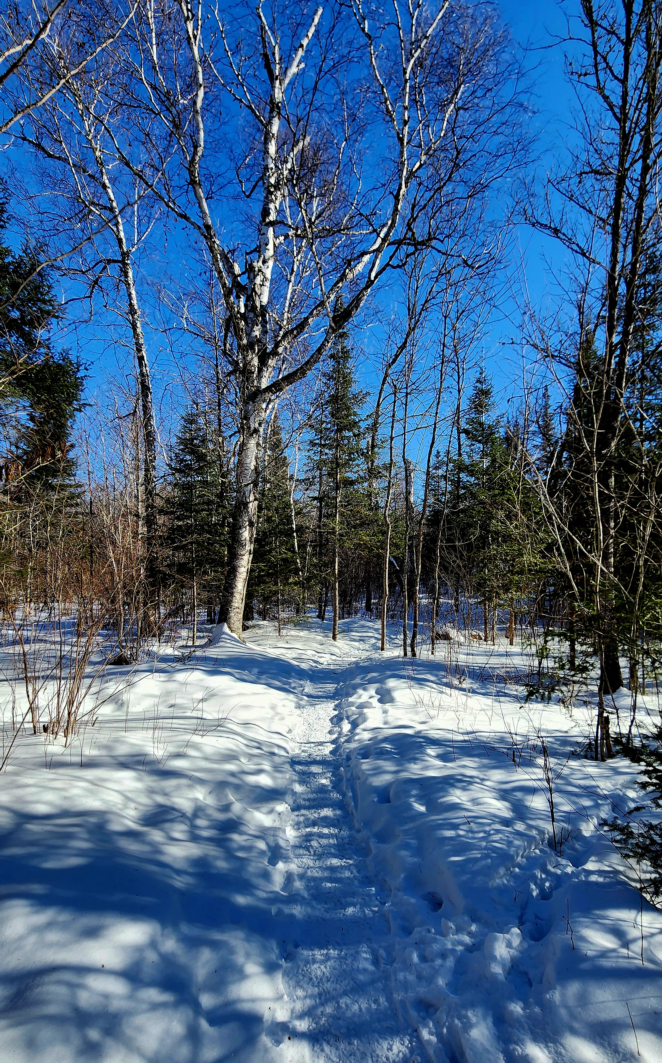
We continued hiking the trail on the Coon Rapids side of the dam.
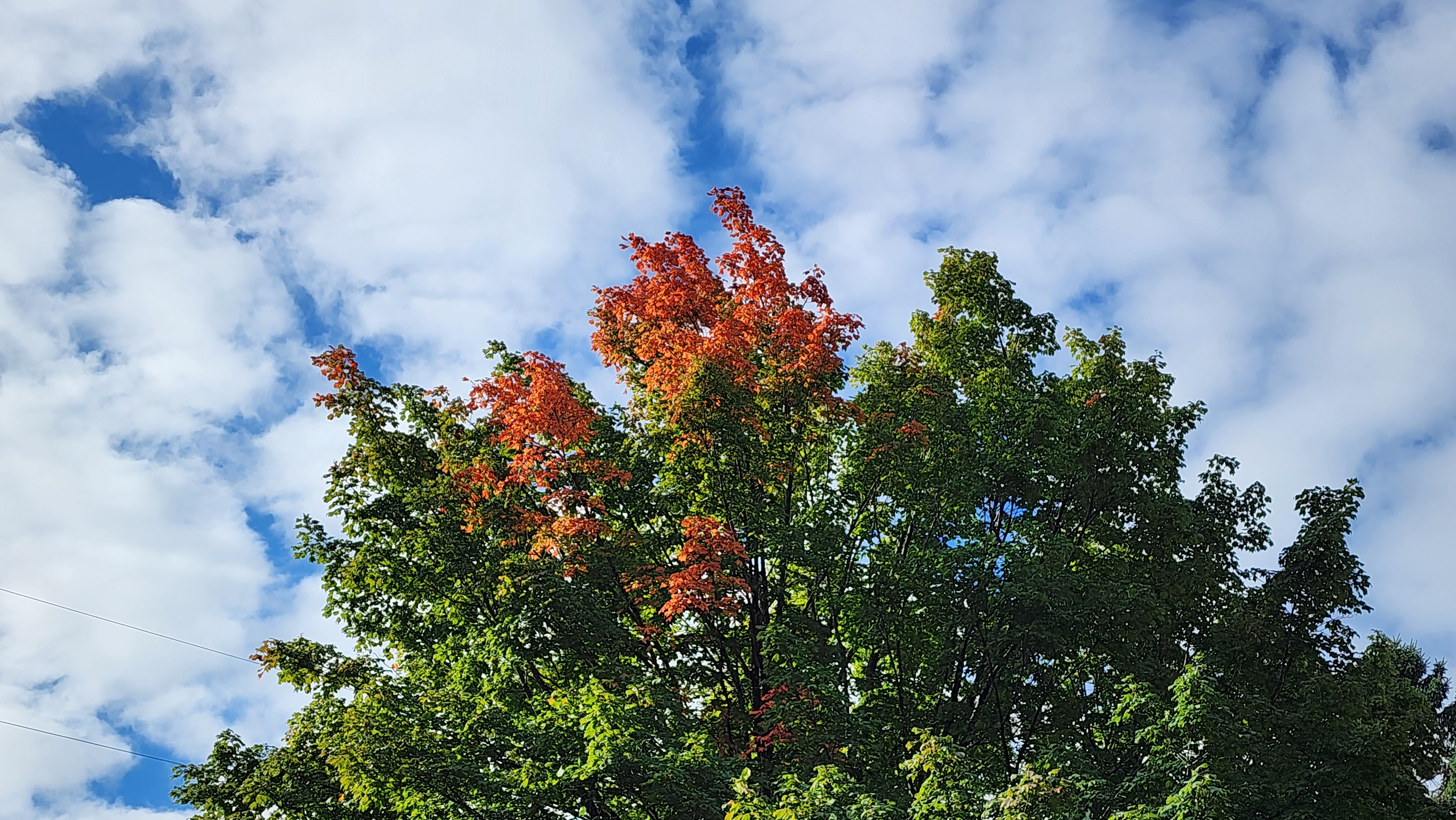
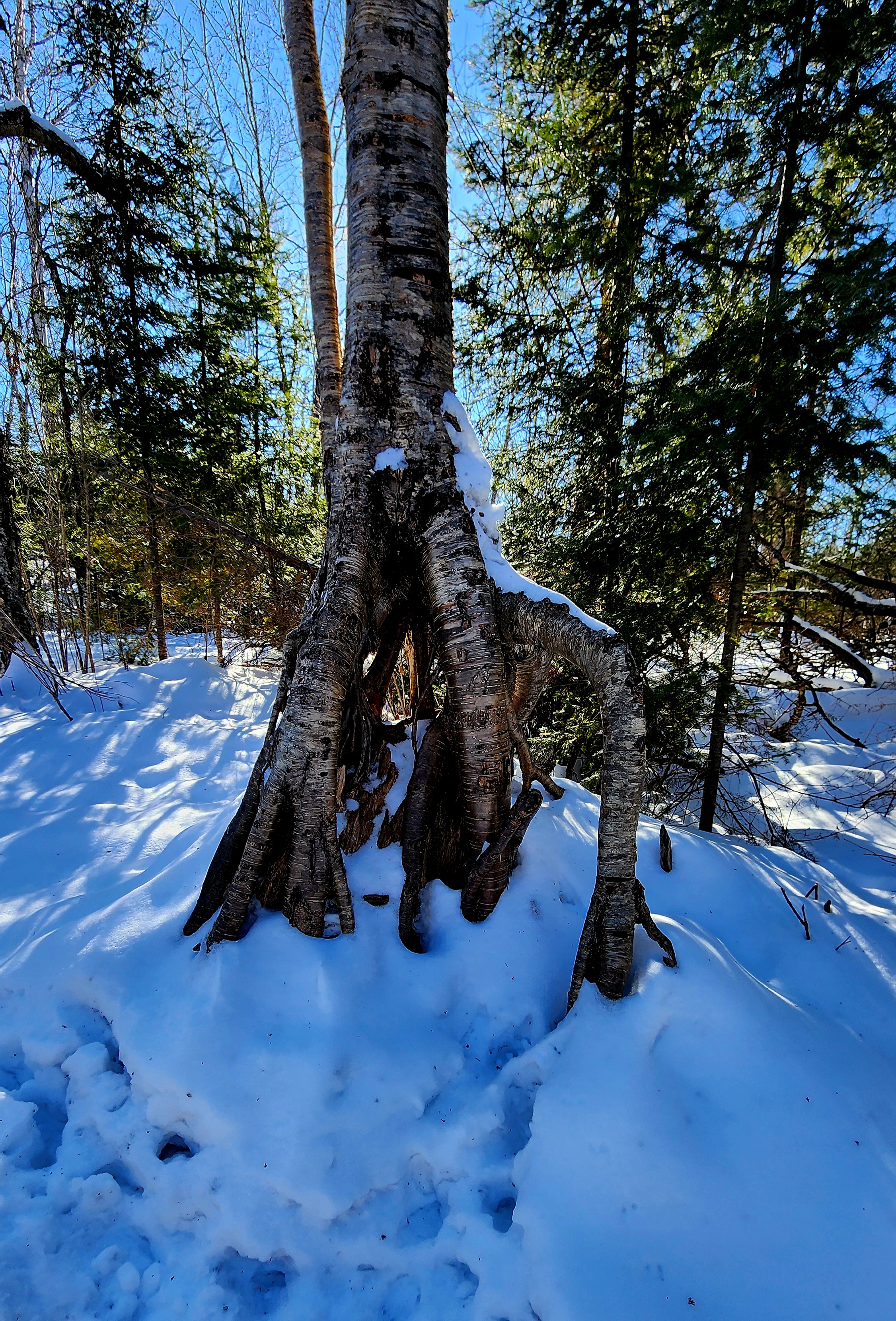
This is a magical tree. I might have to stop back for a visit once the fall colors are vibrant.
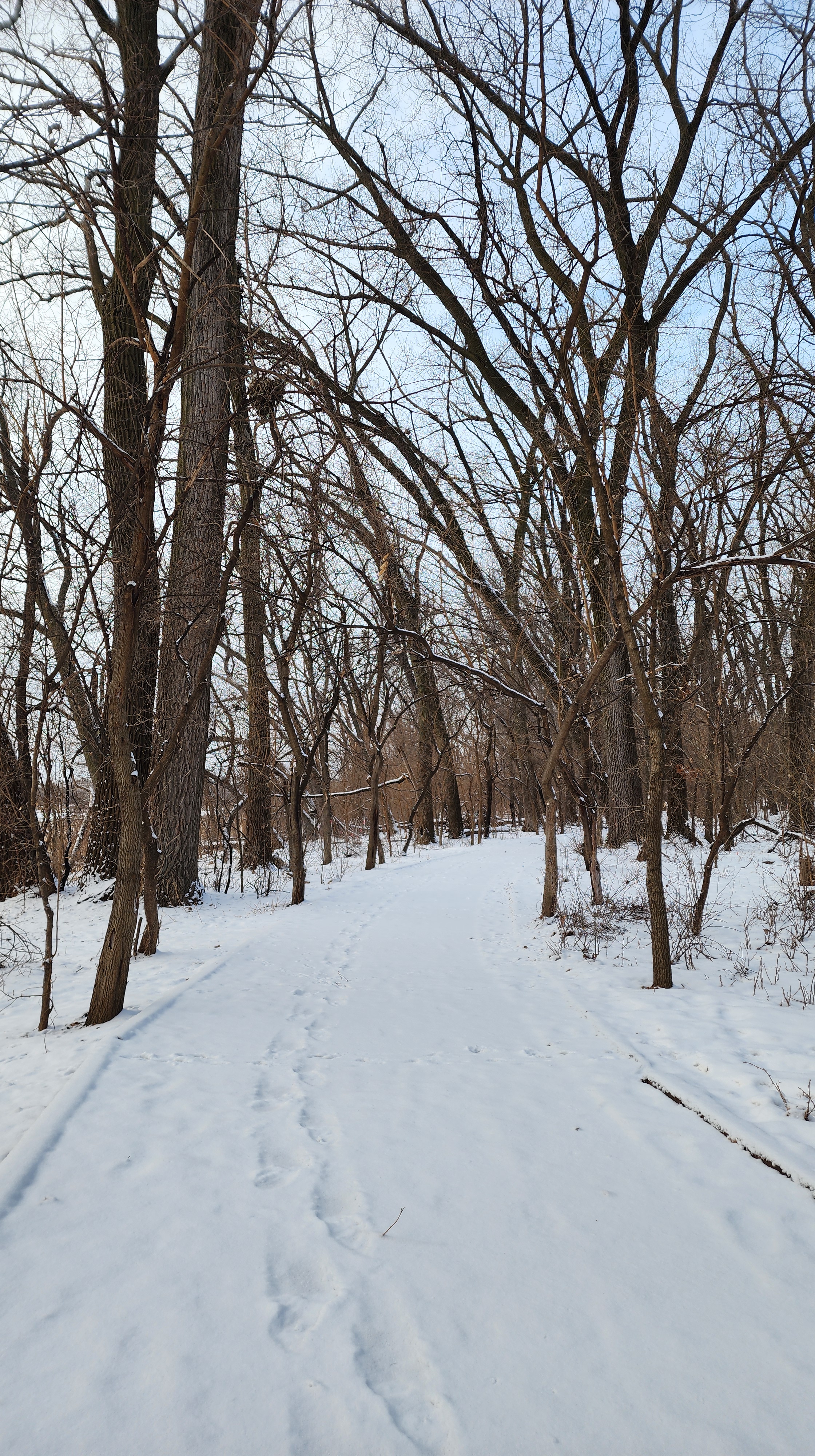
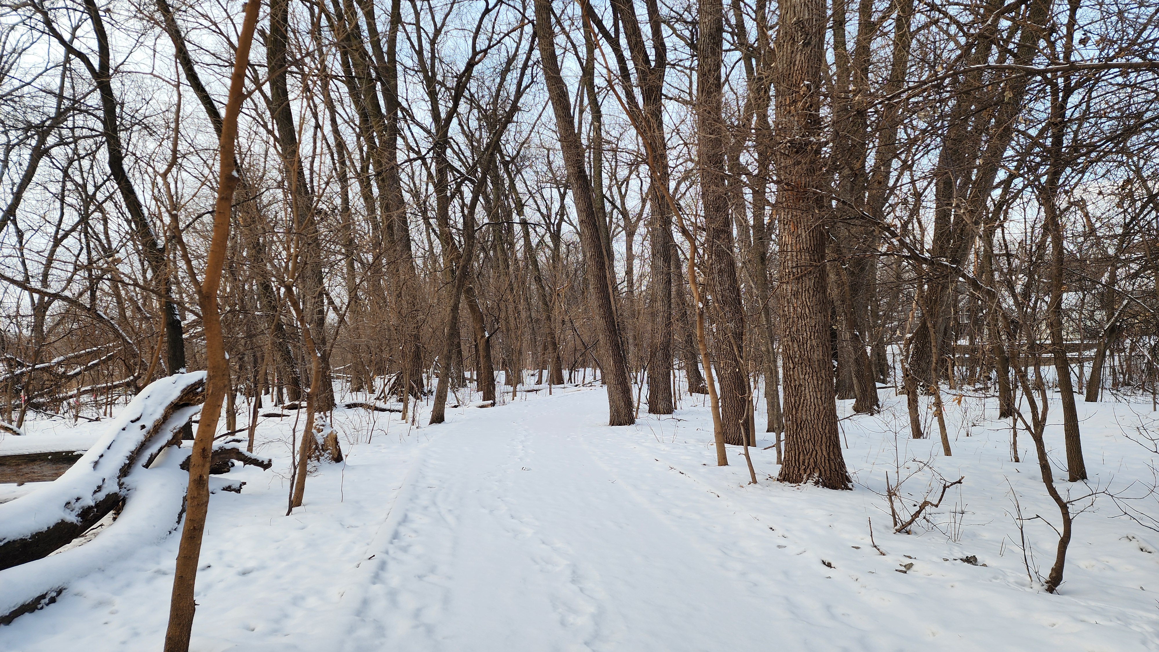
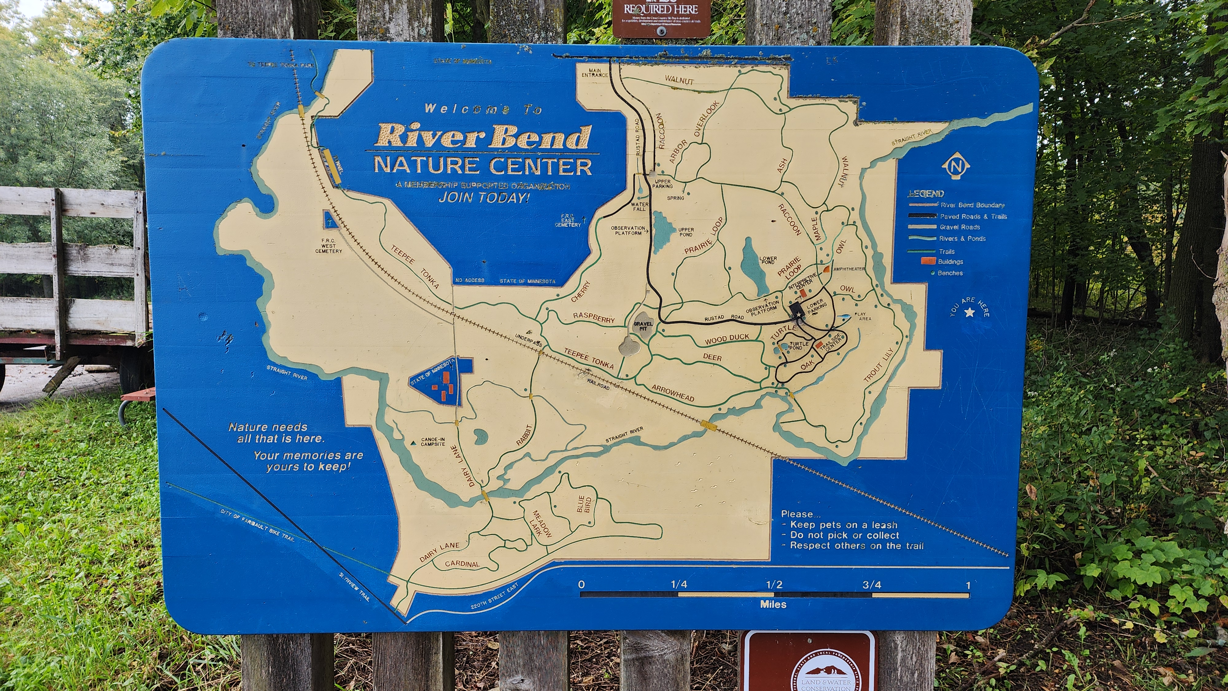
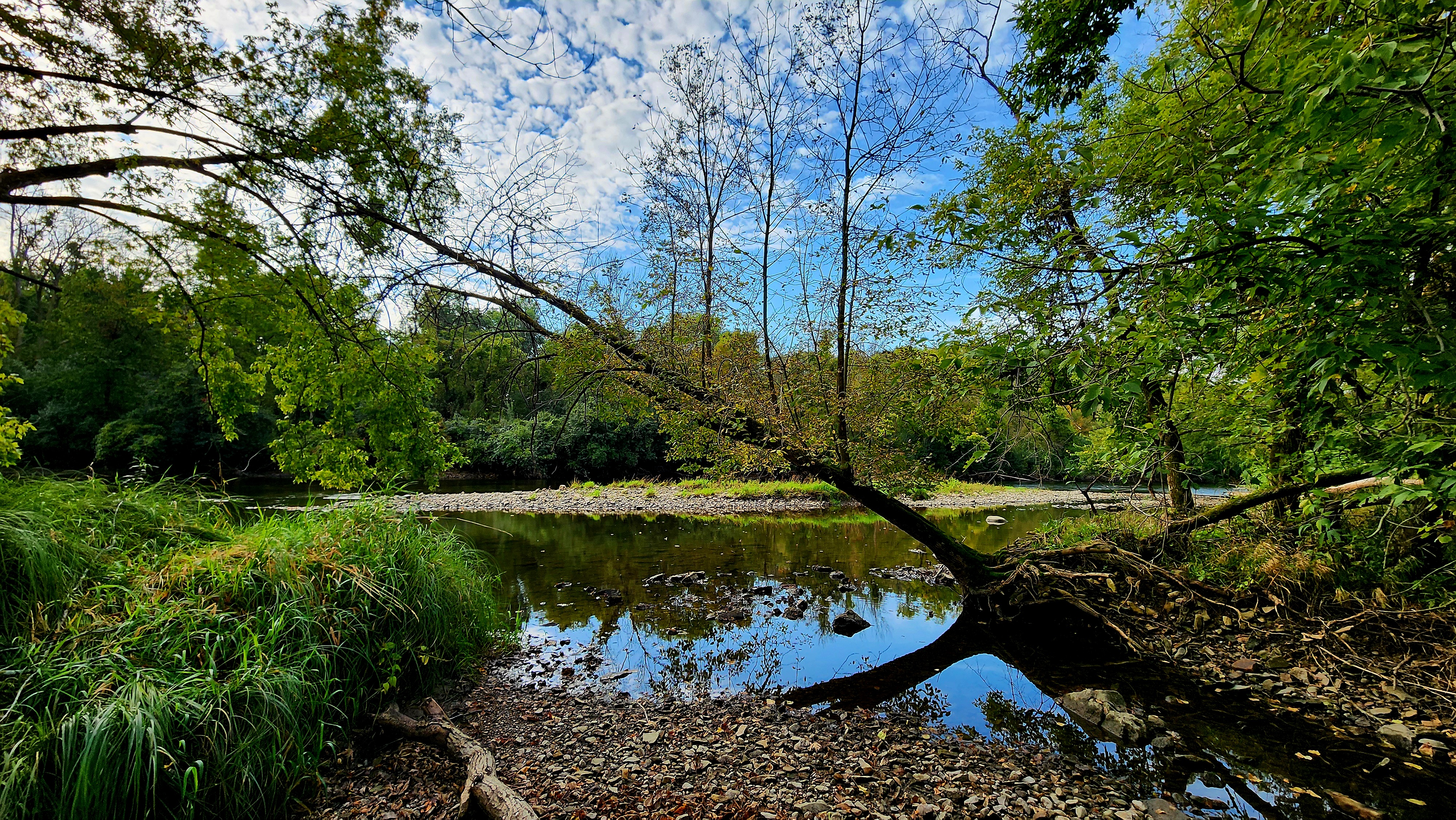
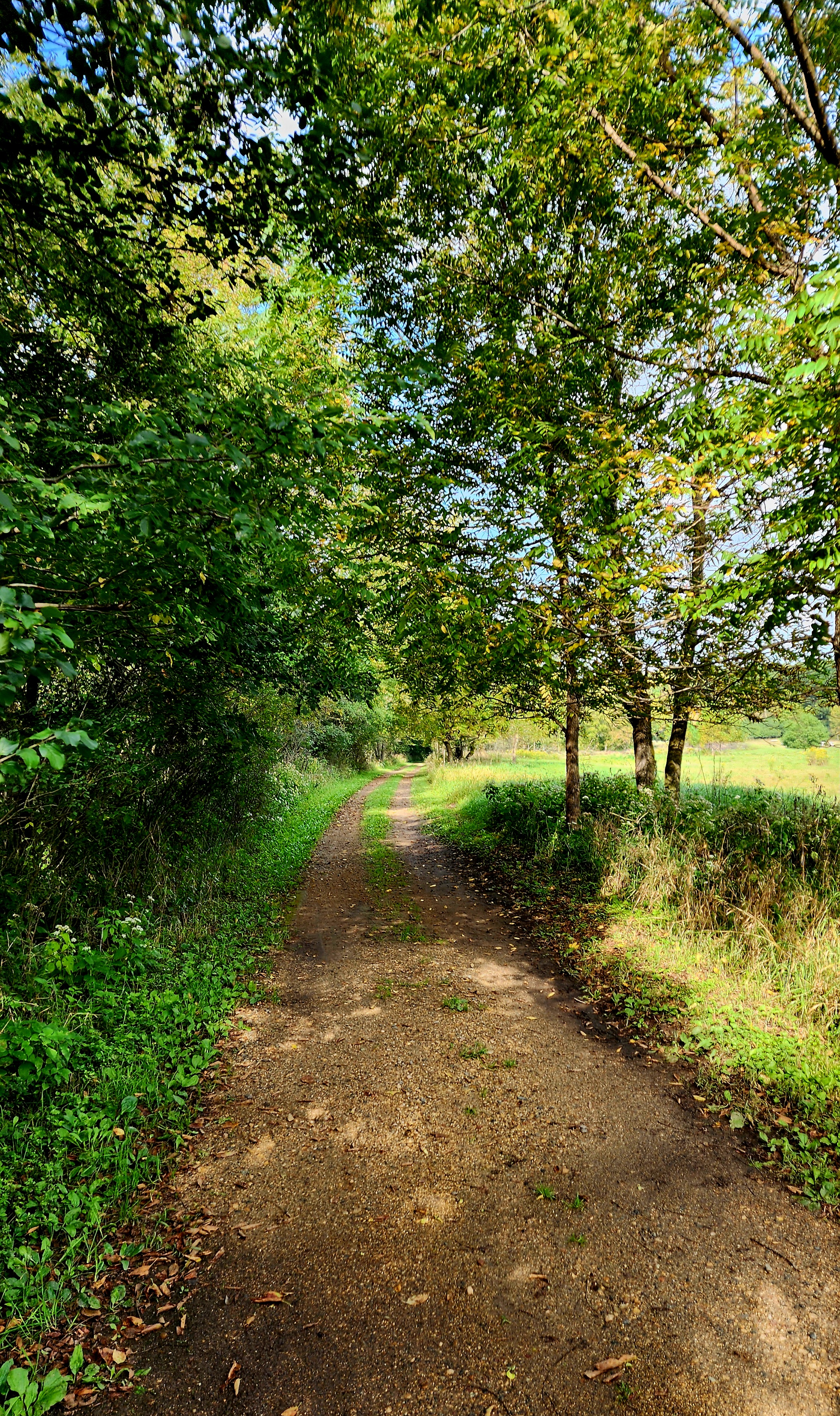
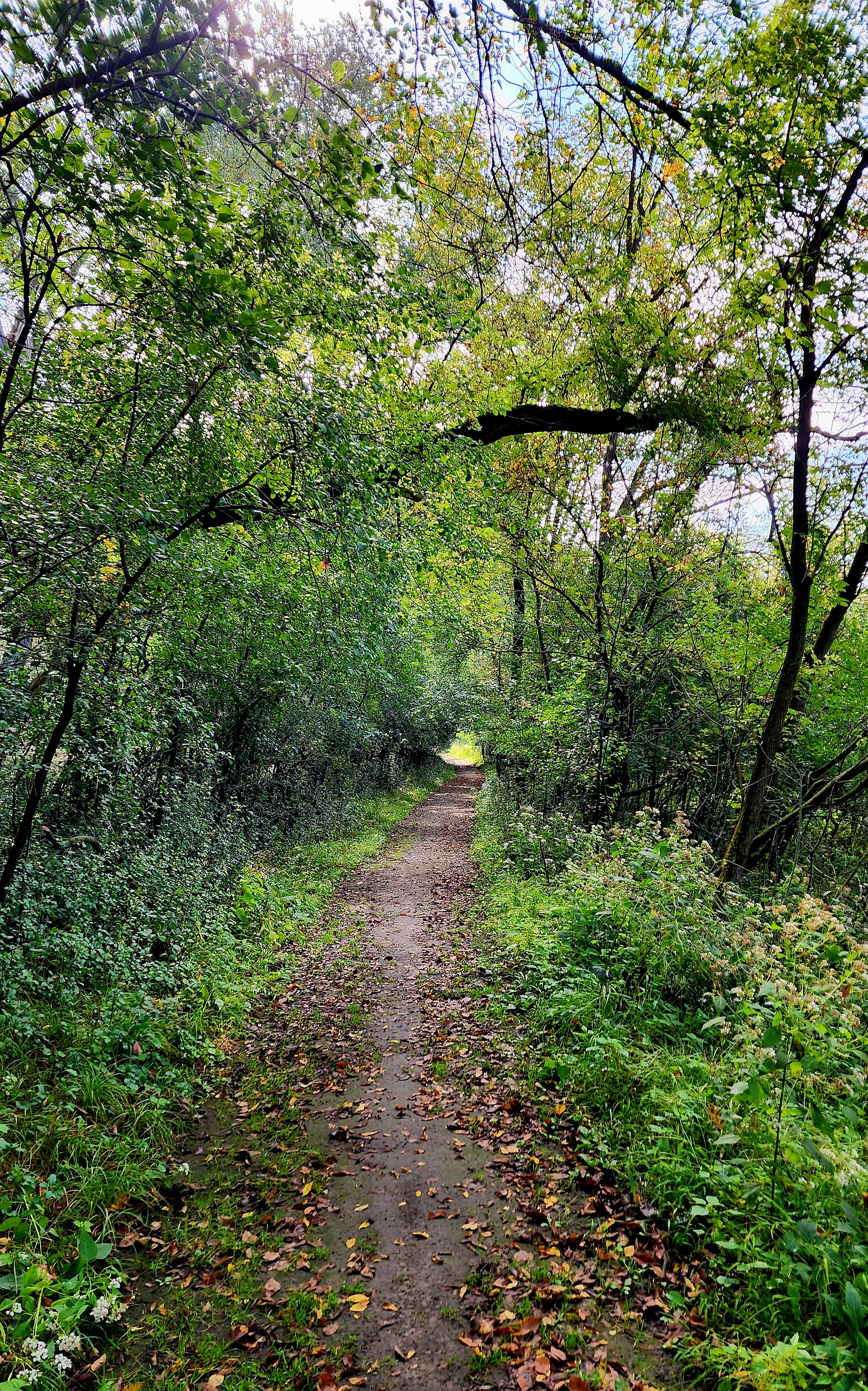
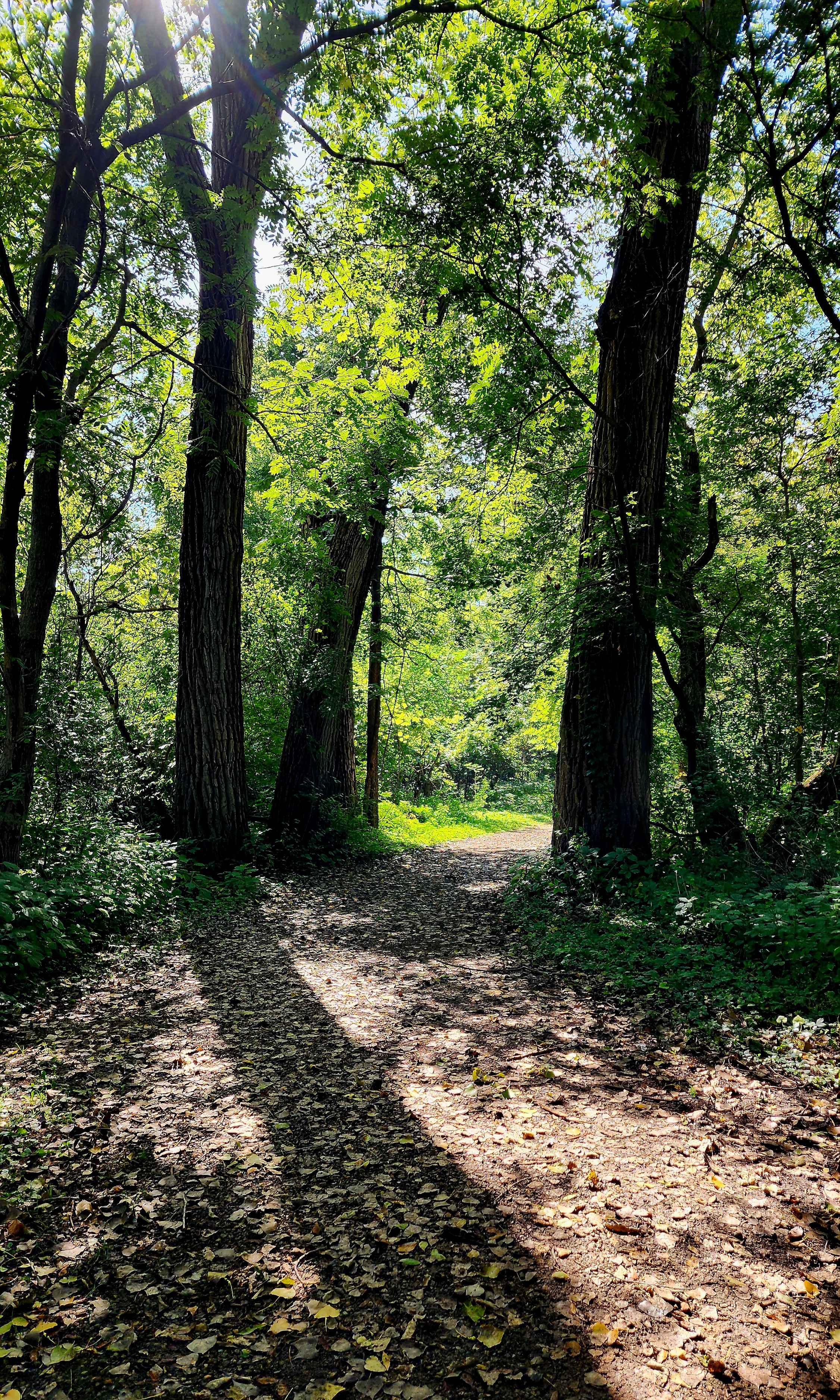
Our adventure began along the trails near the nature center.
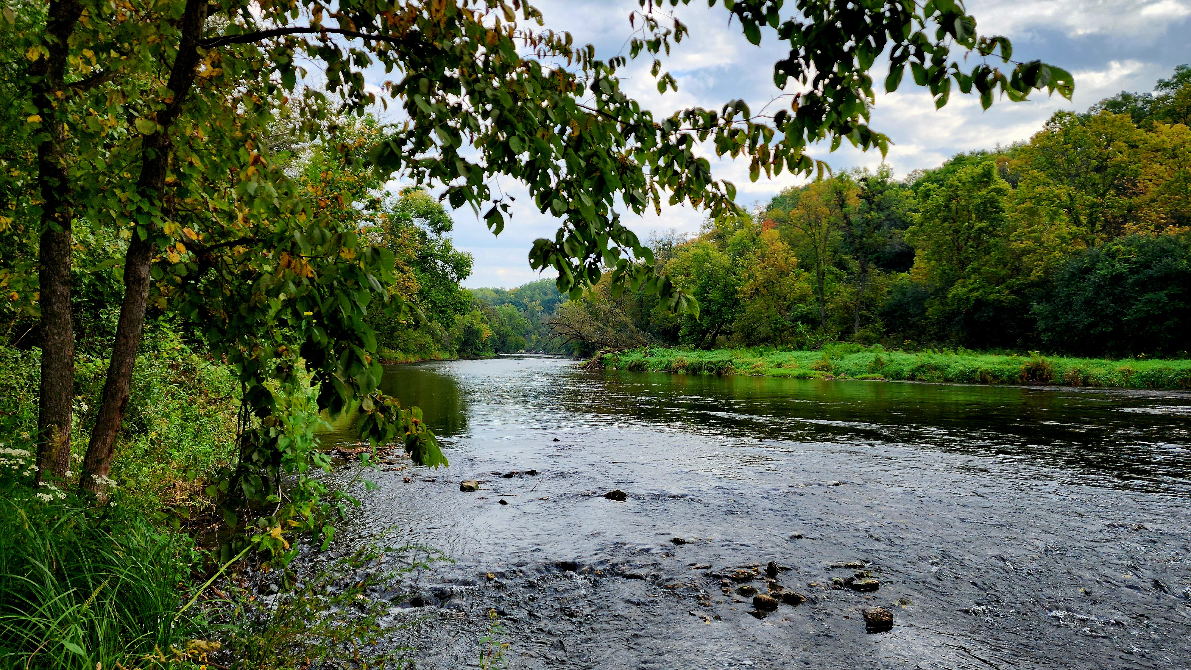
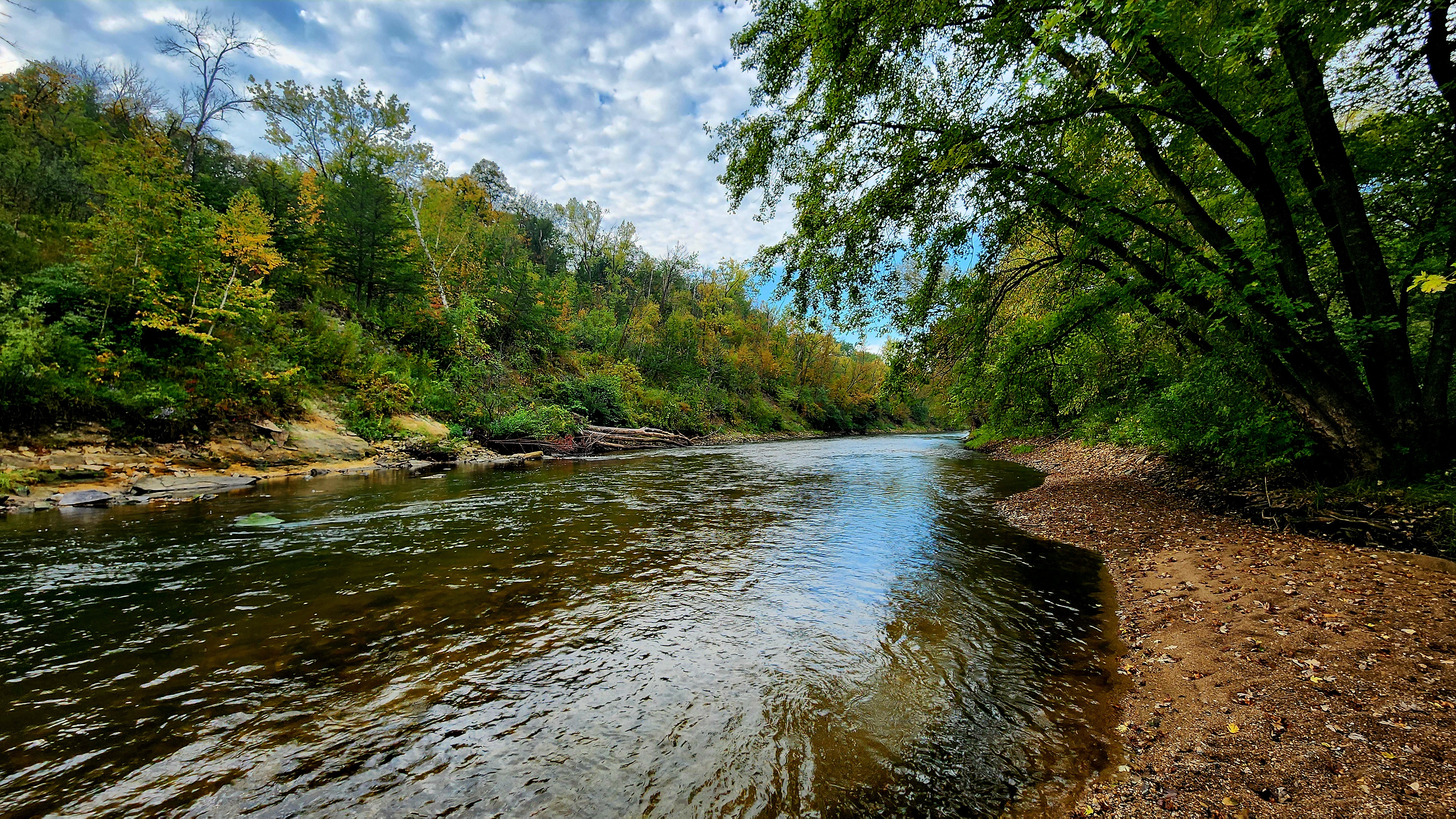
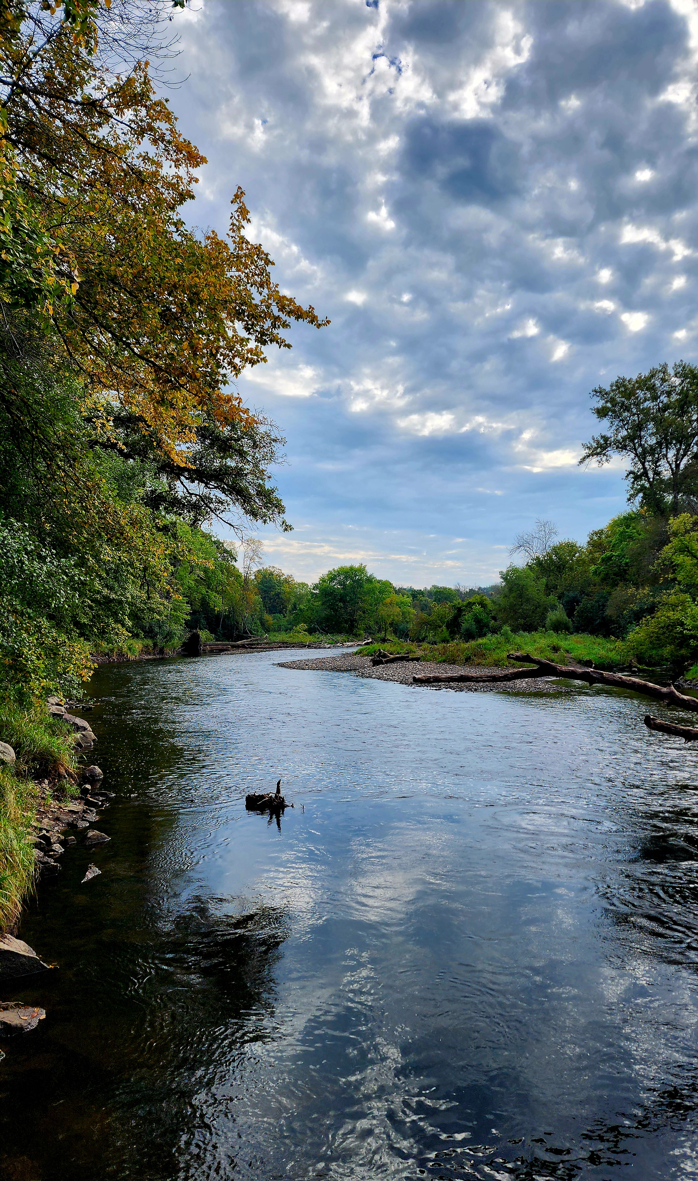
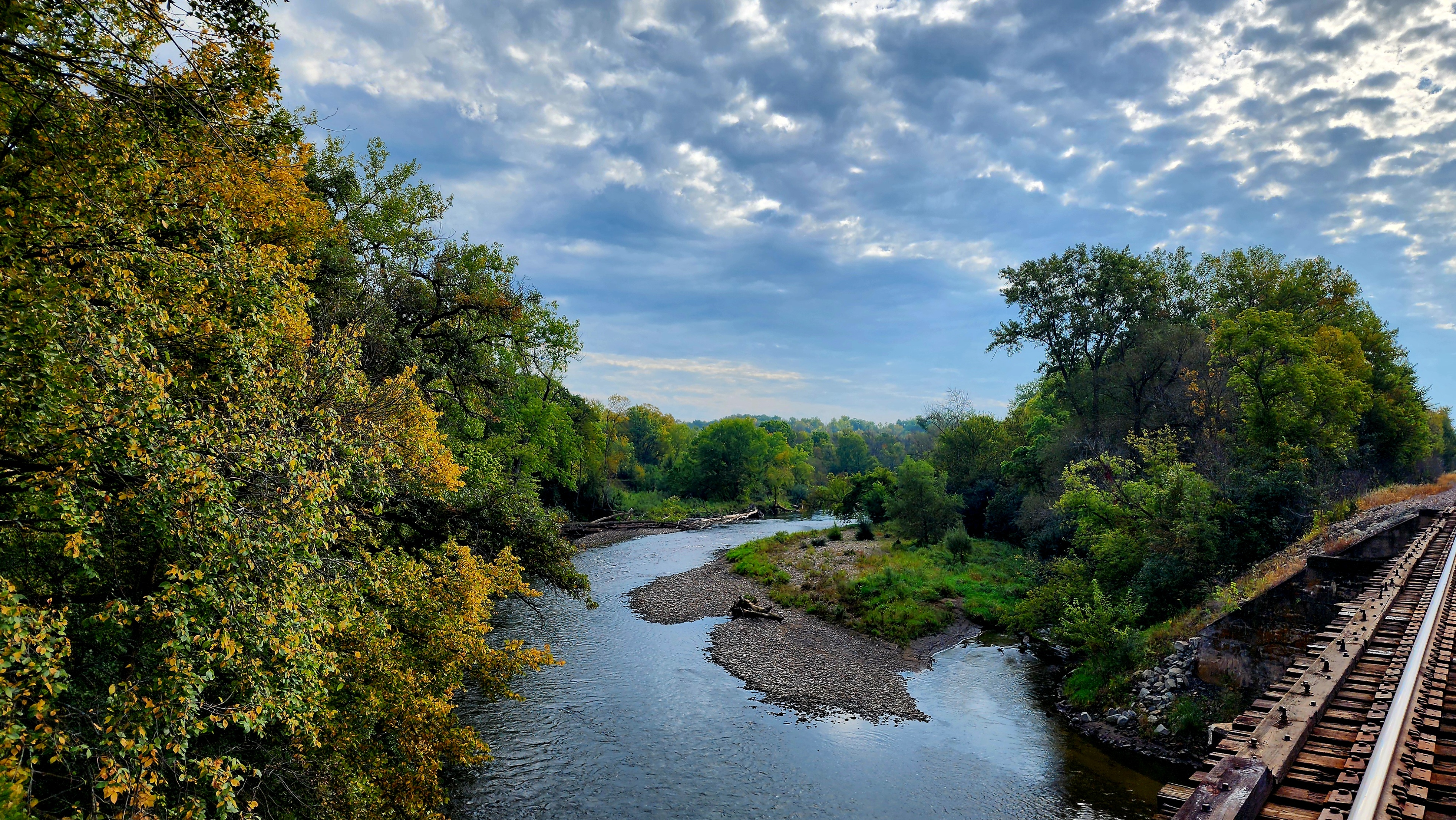
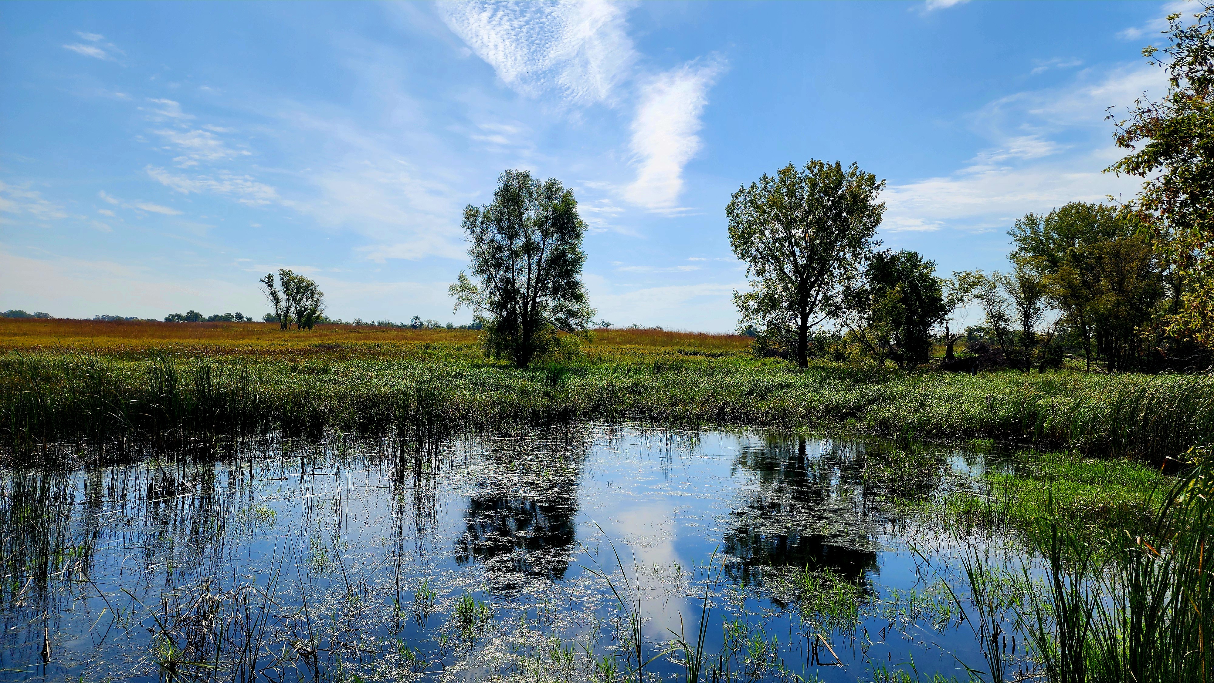
The Straight River runs through the park.
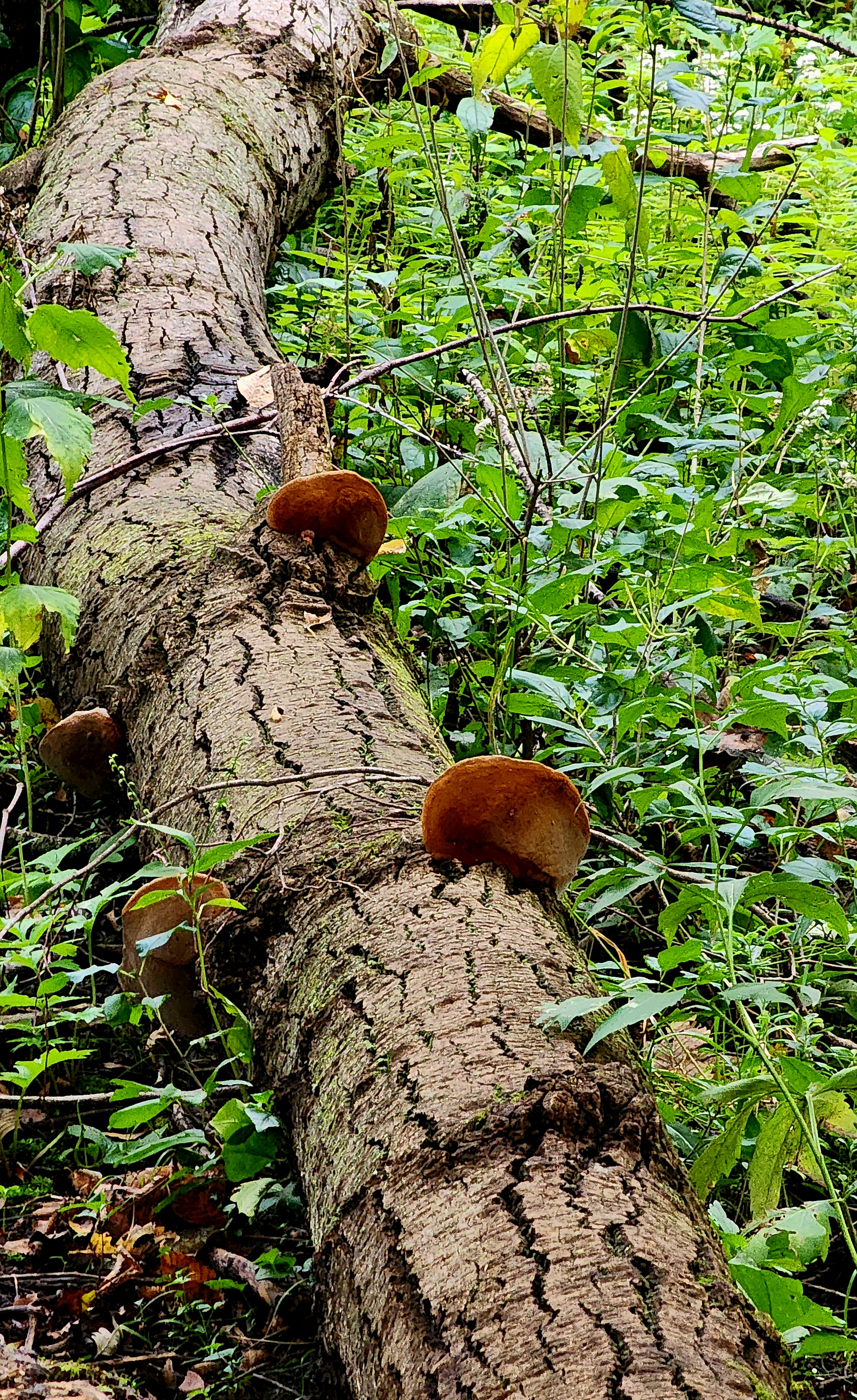
There were so many amazing mushrooms growing. They were huge!
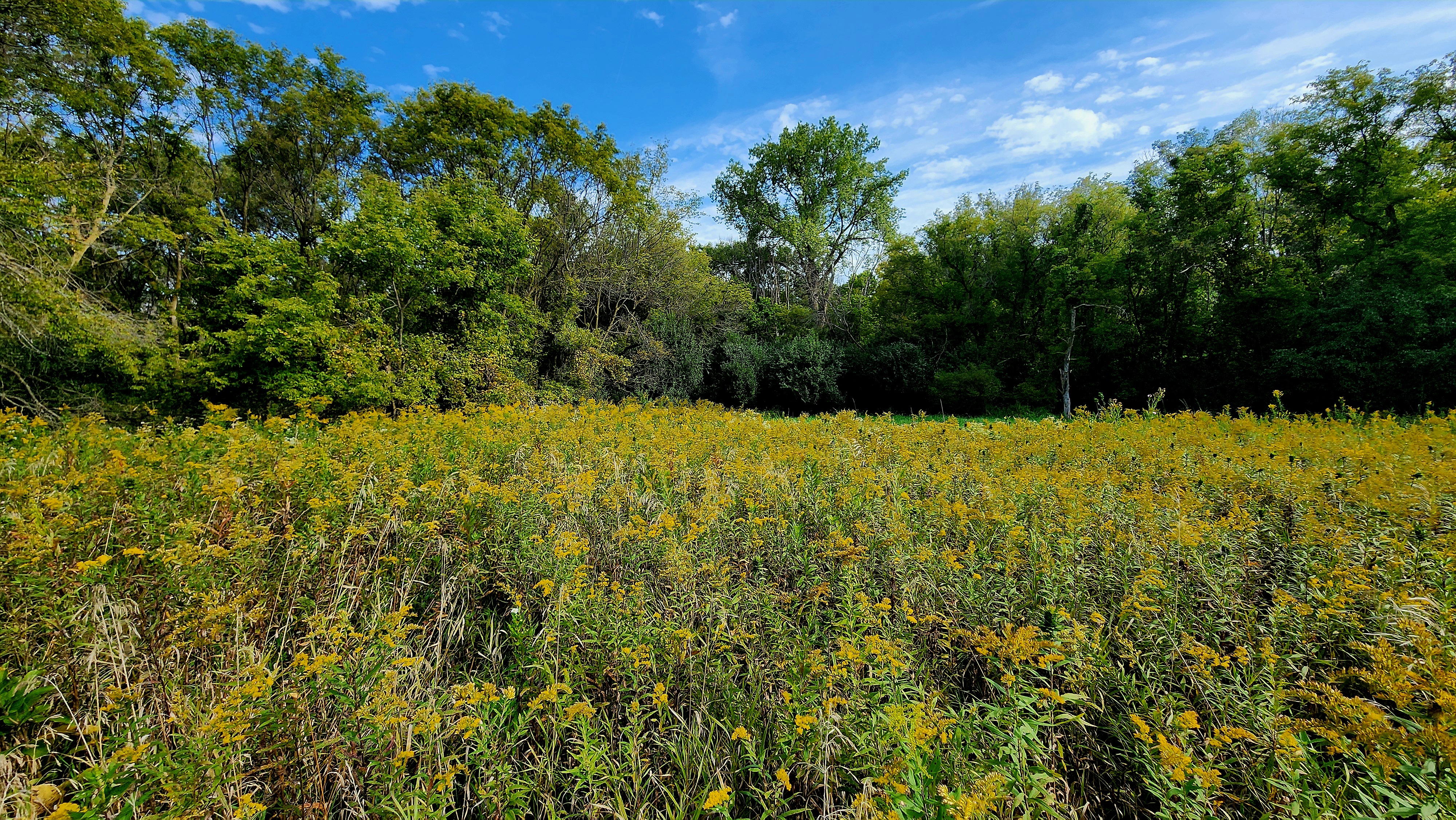
The trees are beginning to change colors.
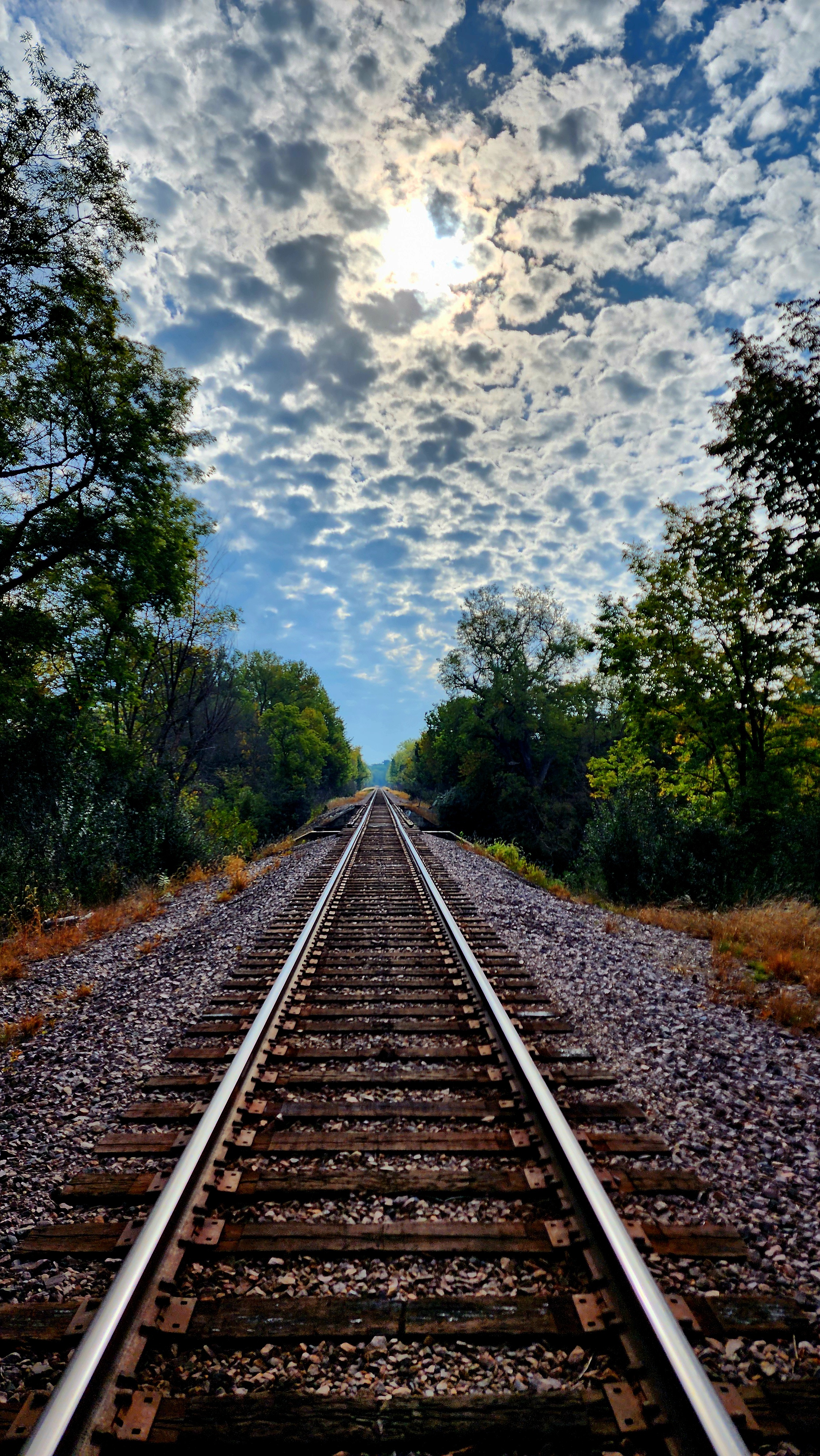
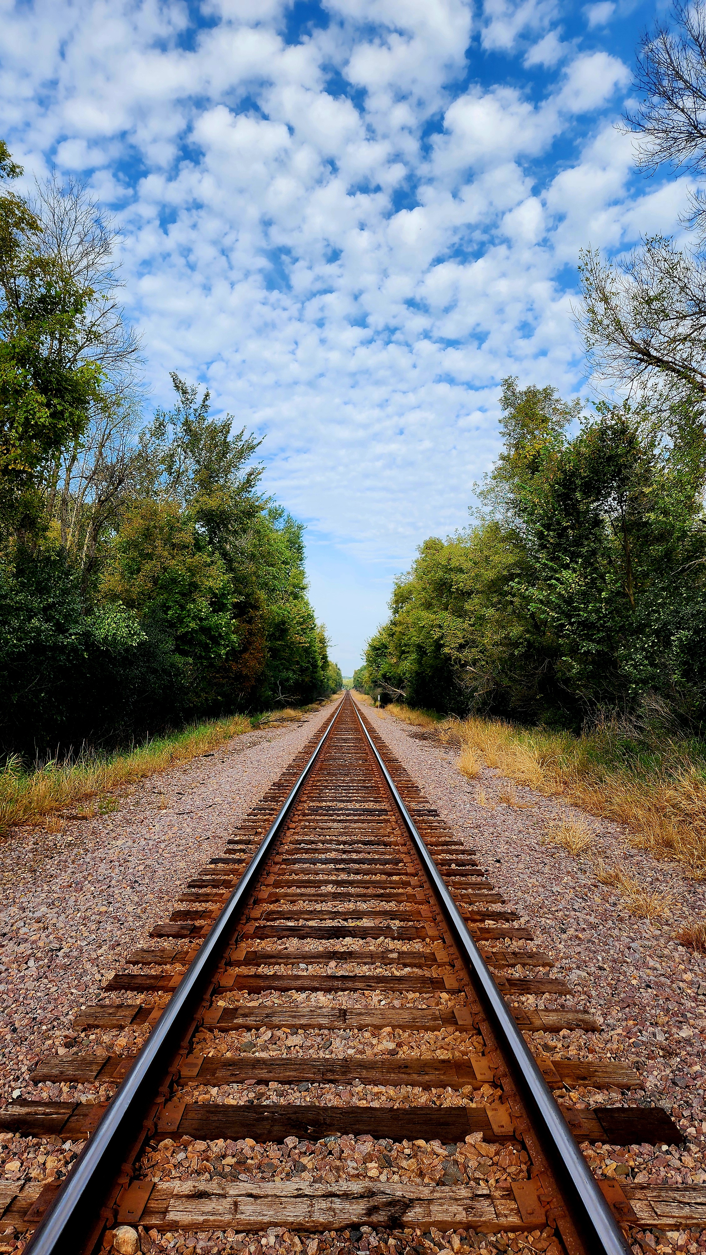
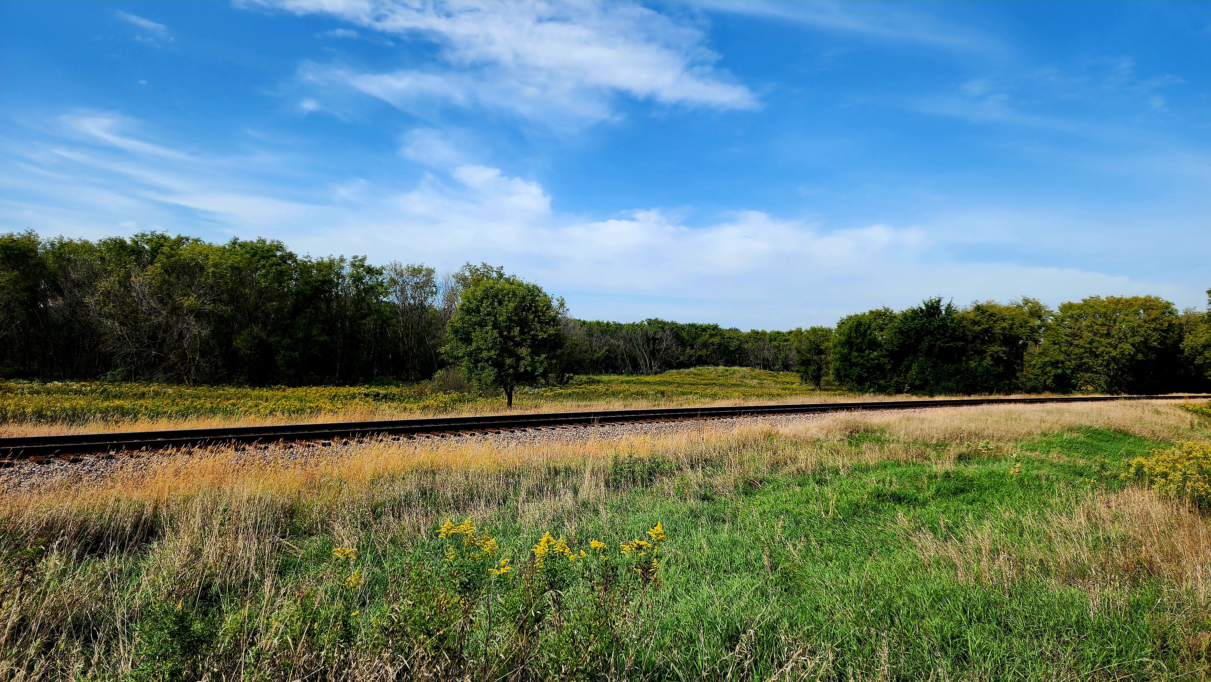
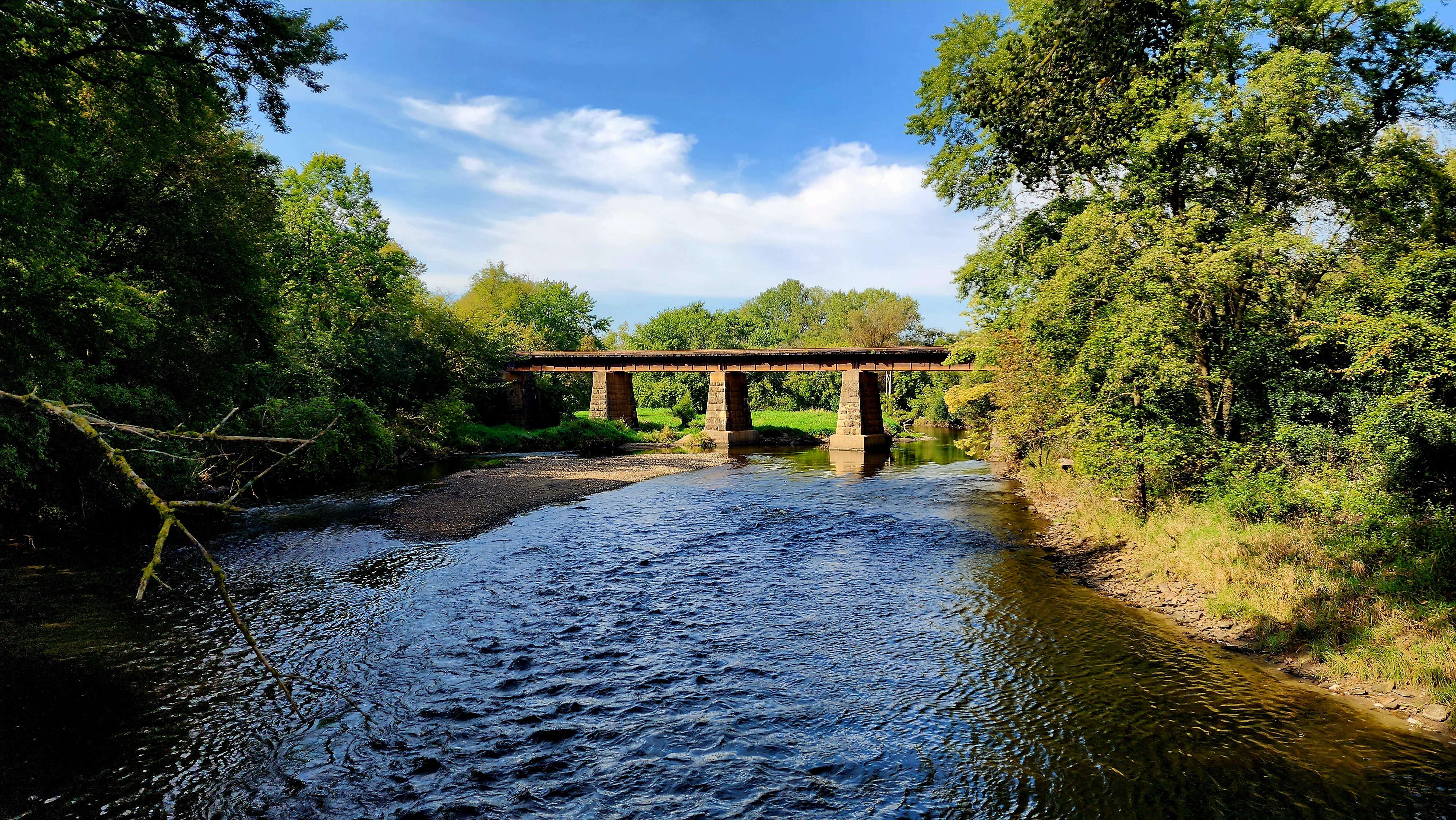
Railroad tracks crossing above.
We then made our way to the train tracks.
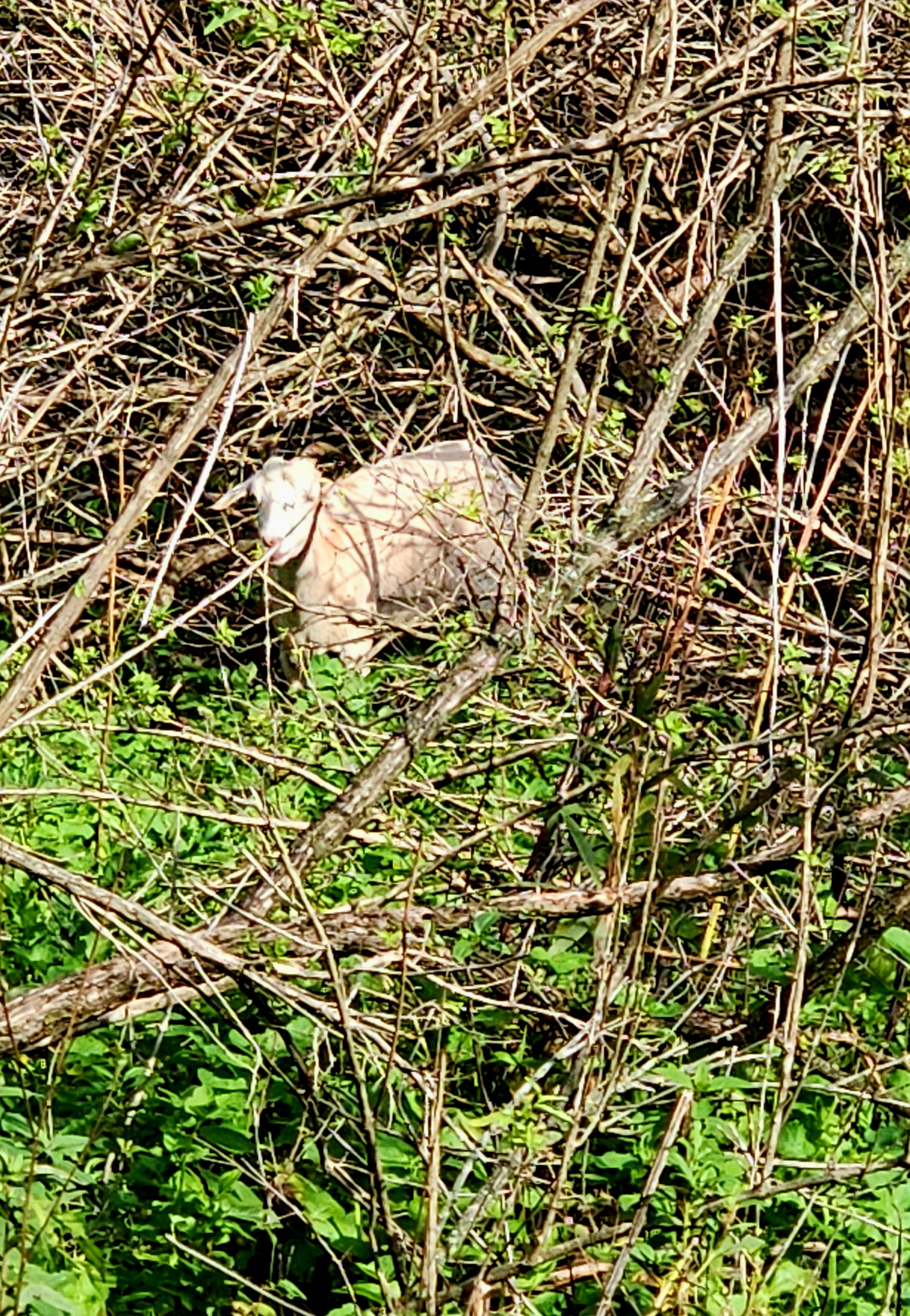
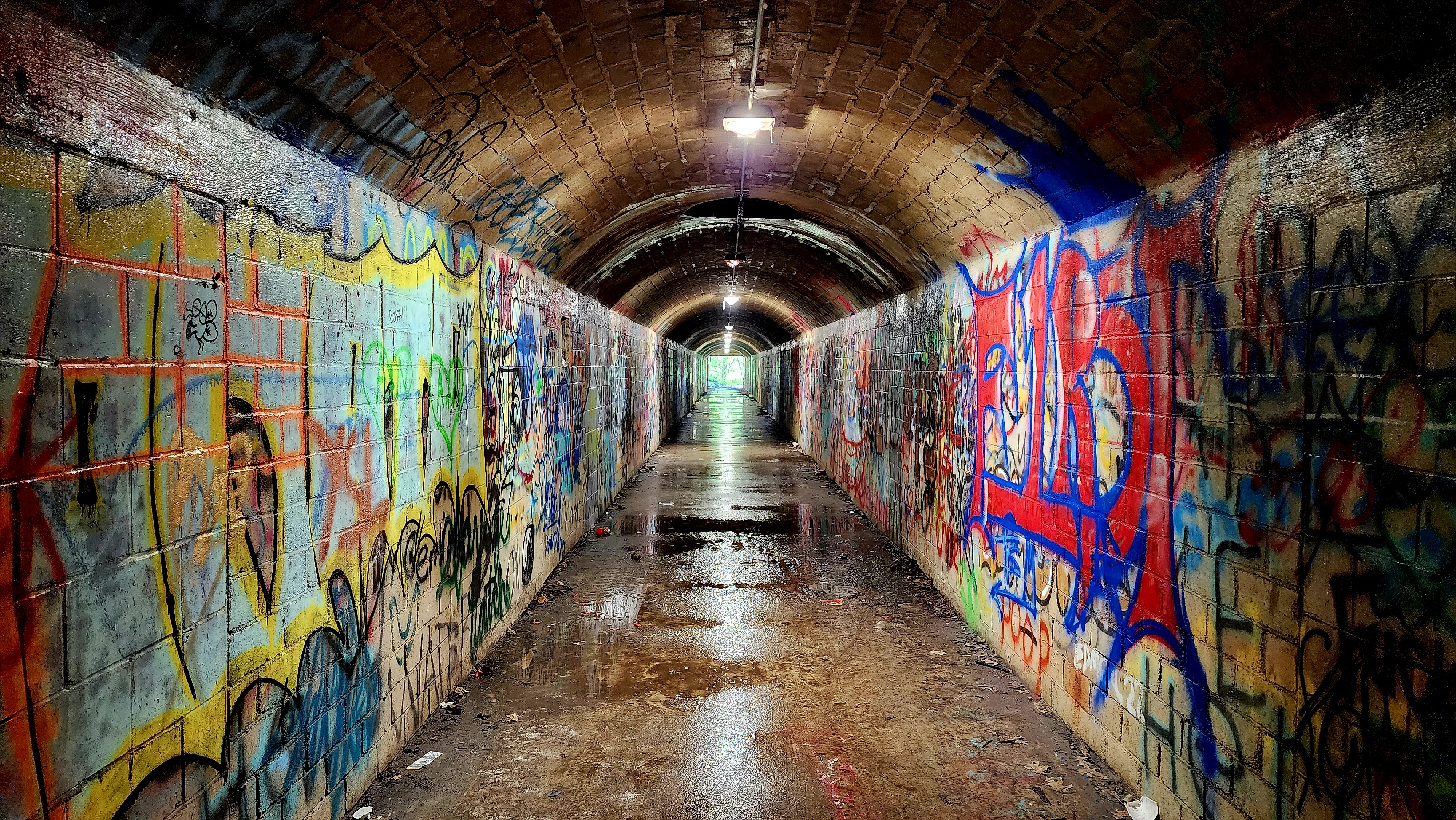
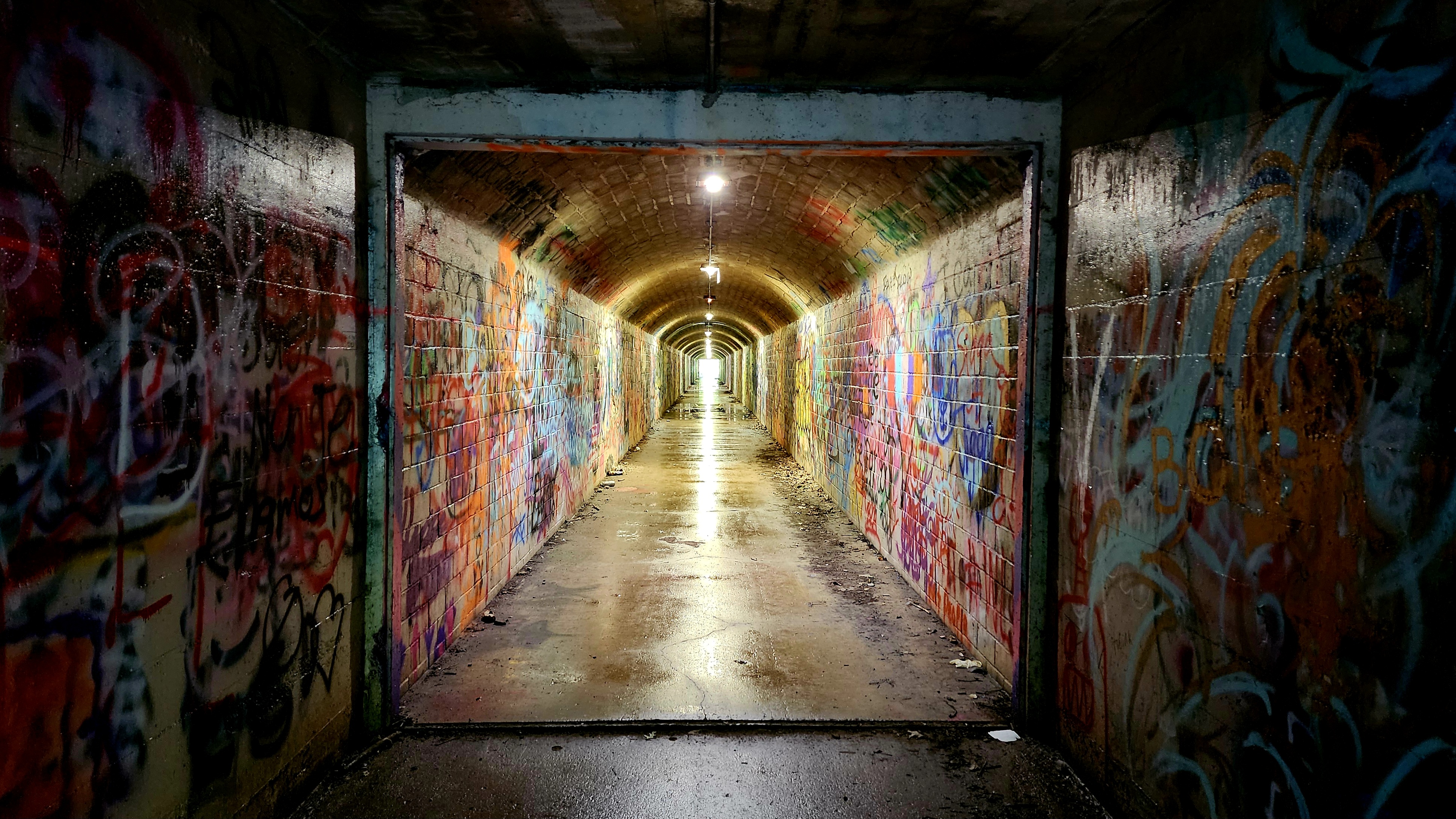
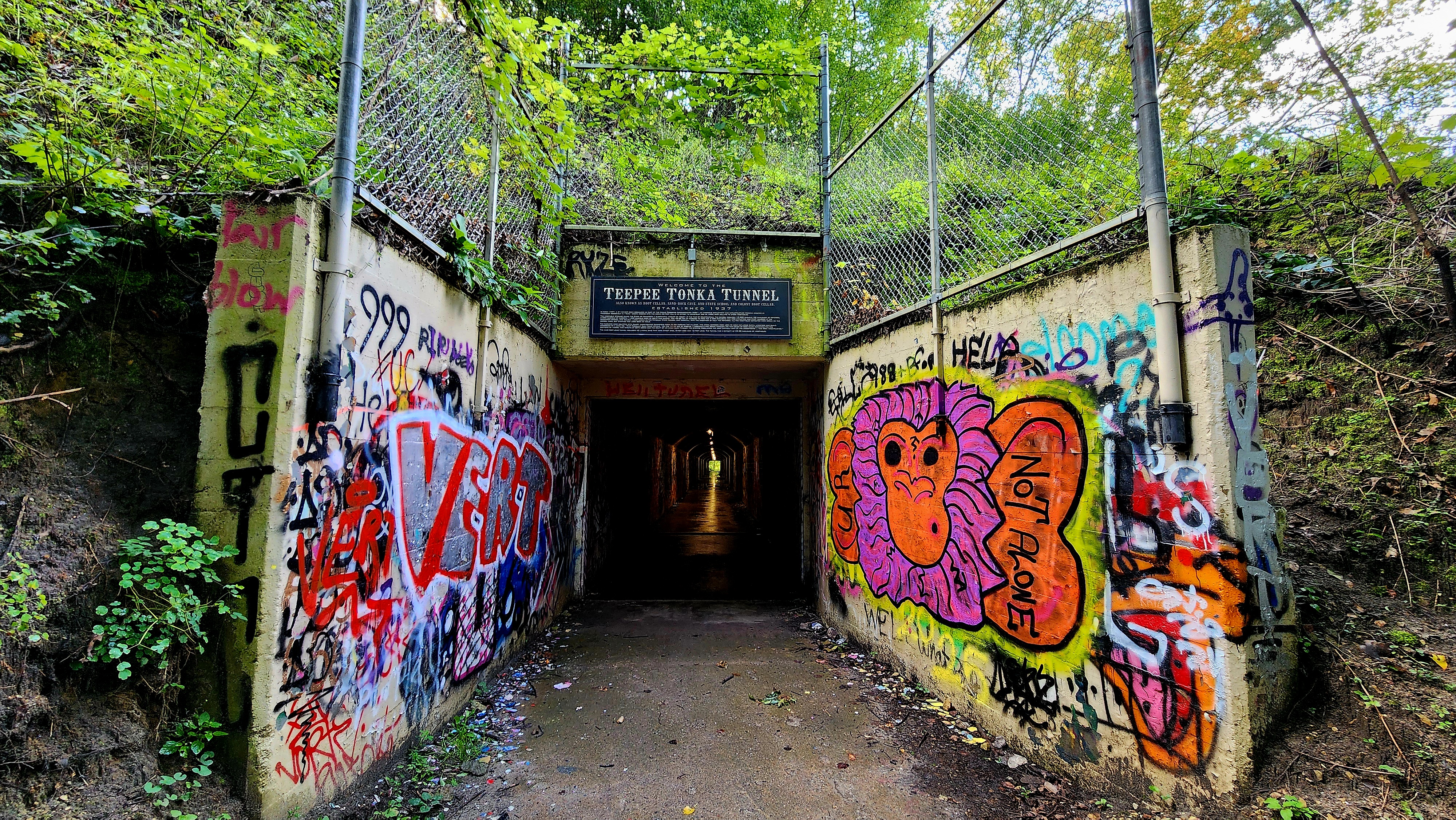
Our hike on the train tracks was short. Once back on the main trail we noticed there were goats eating the invasive plants. The goats were very shy today.
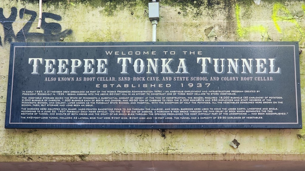
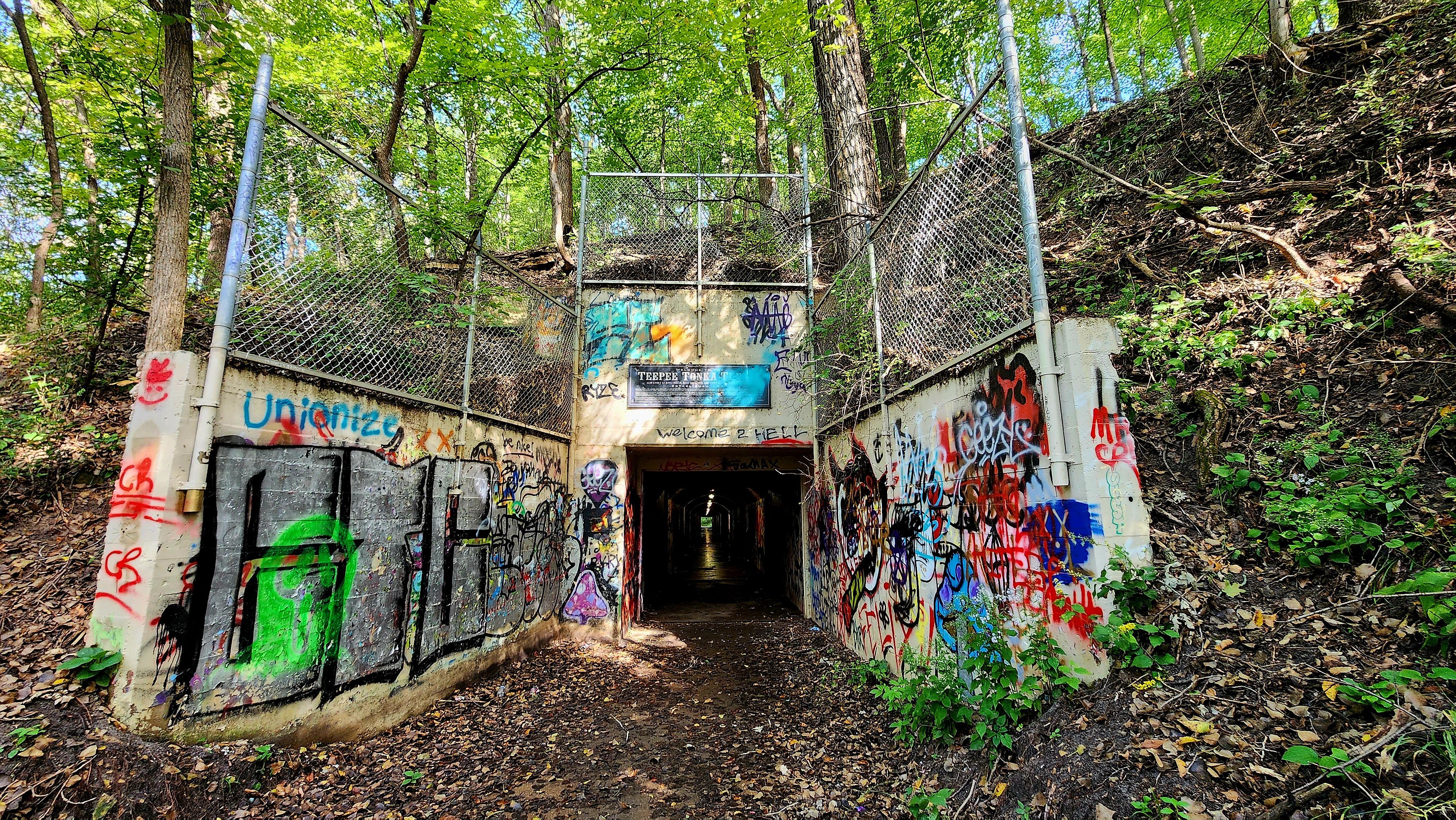
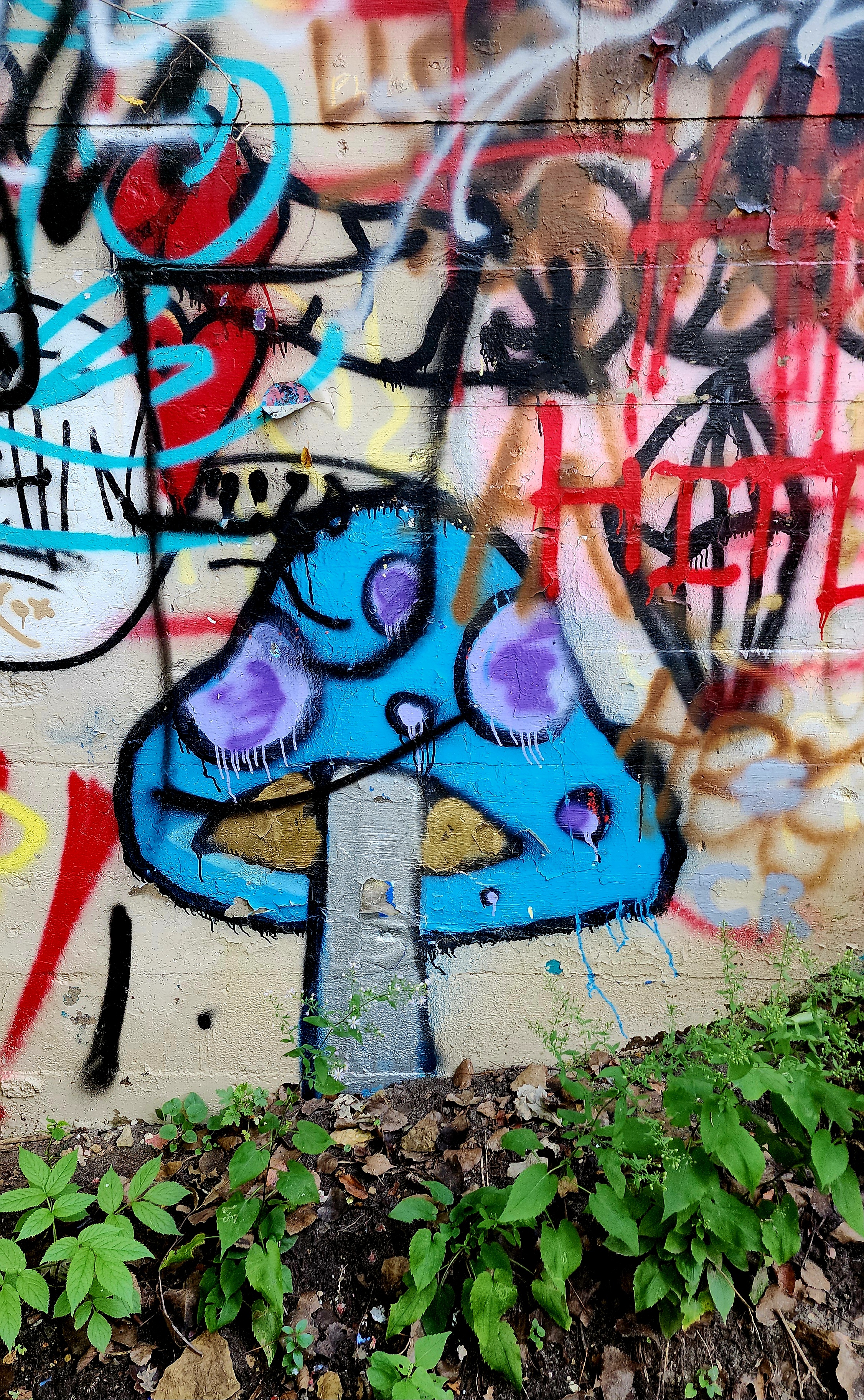
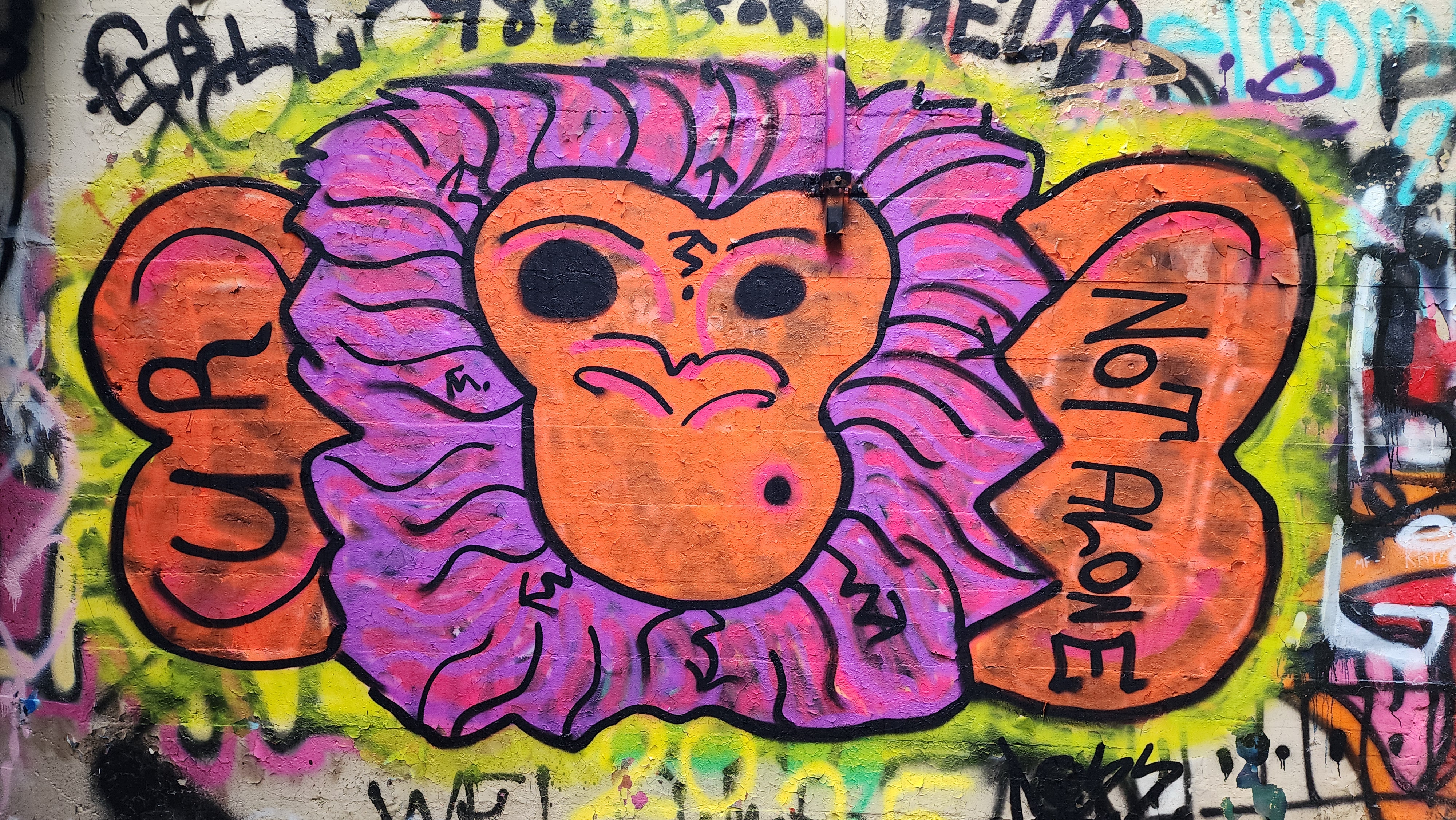
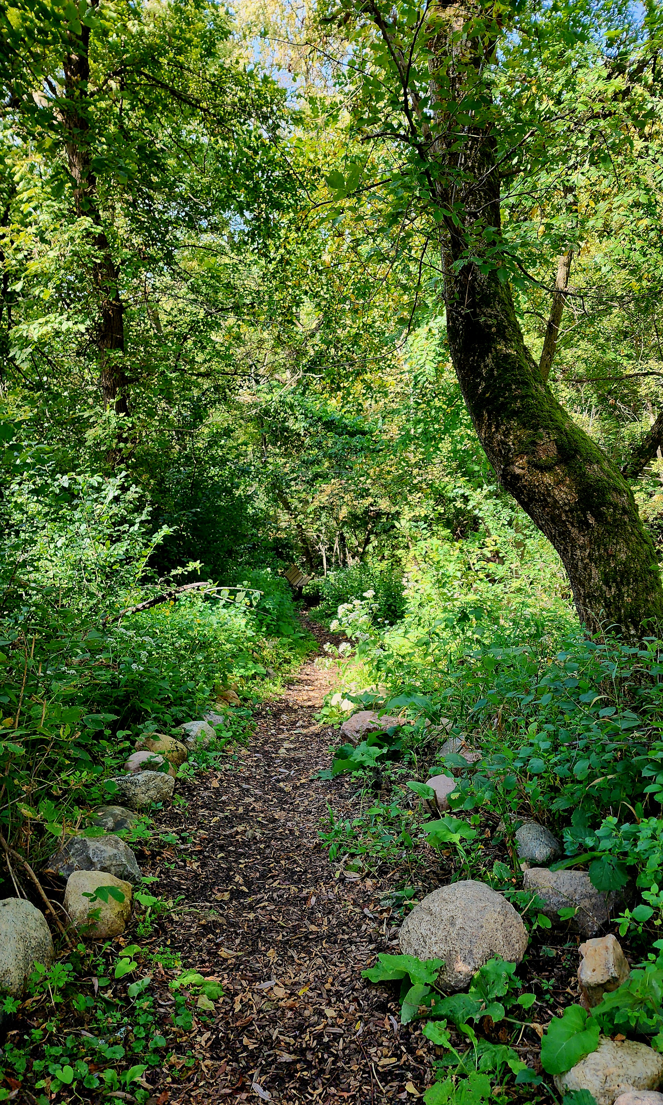
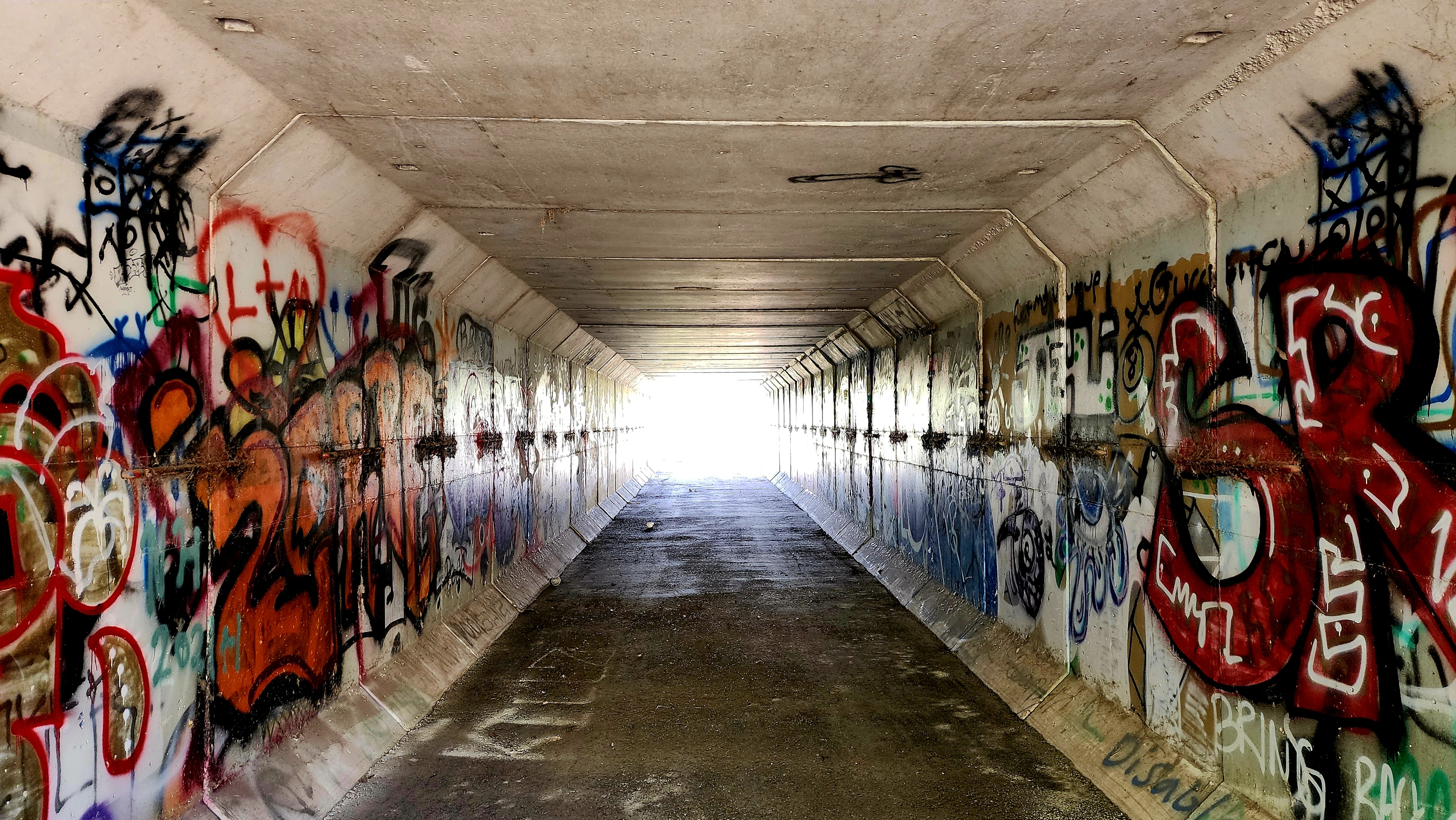
We made our way to the Teepee Tonka Tunnel. Lots of colorful graffiti lined the walls of the tunnel.
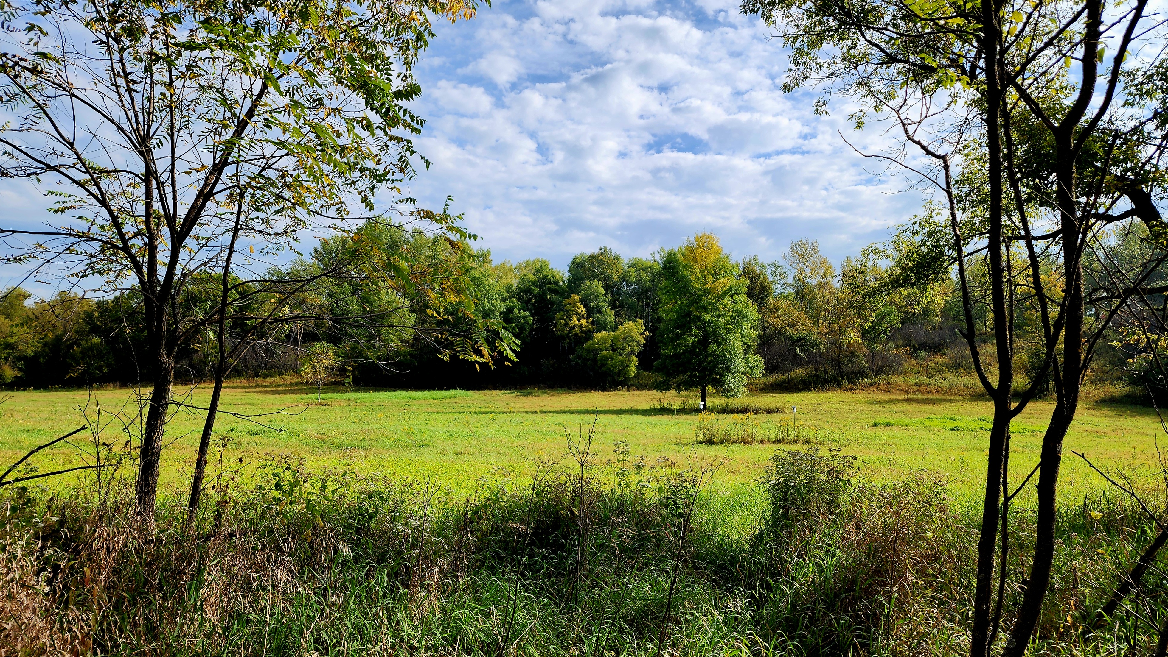
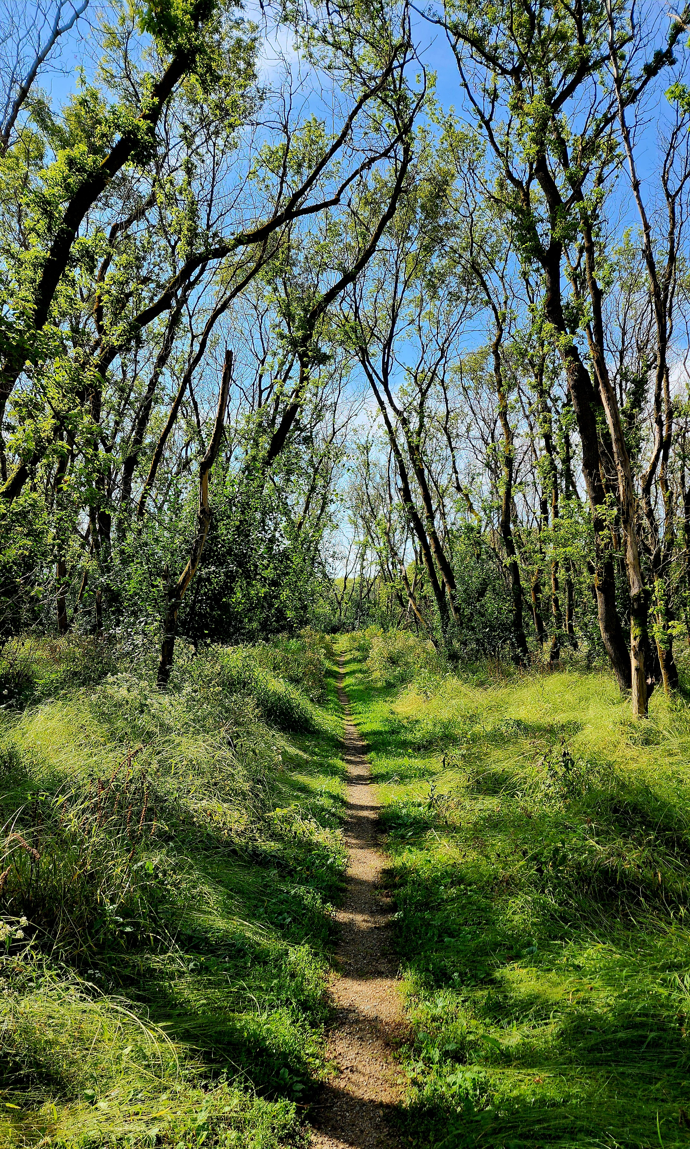
The trail led to Teepee Tonka Park. We stopped at the park for some water before making our way back to the nature center.
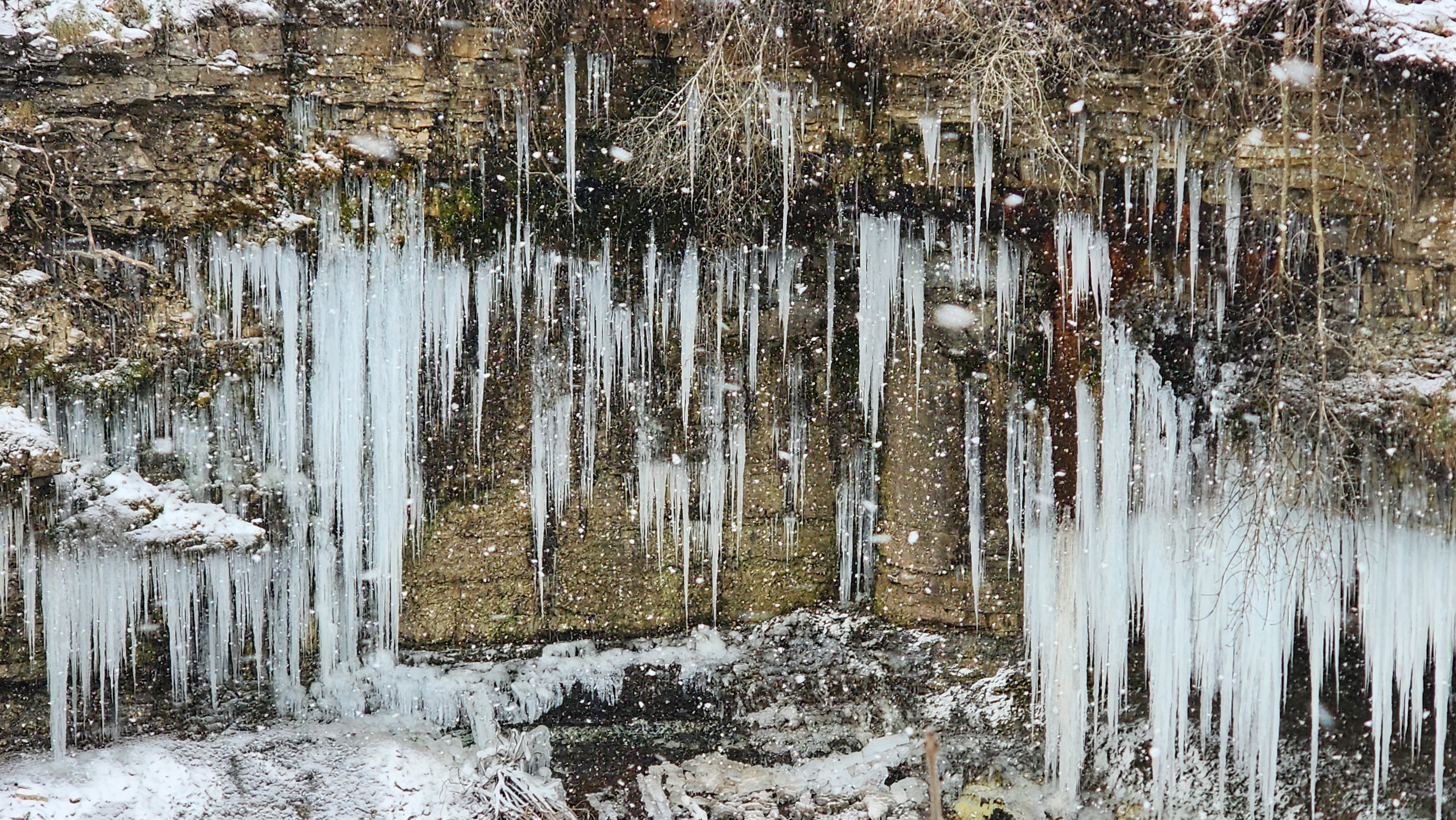
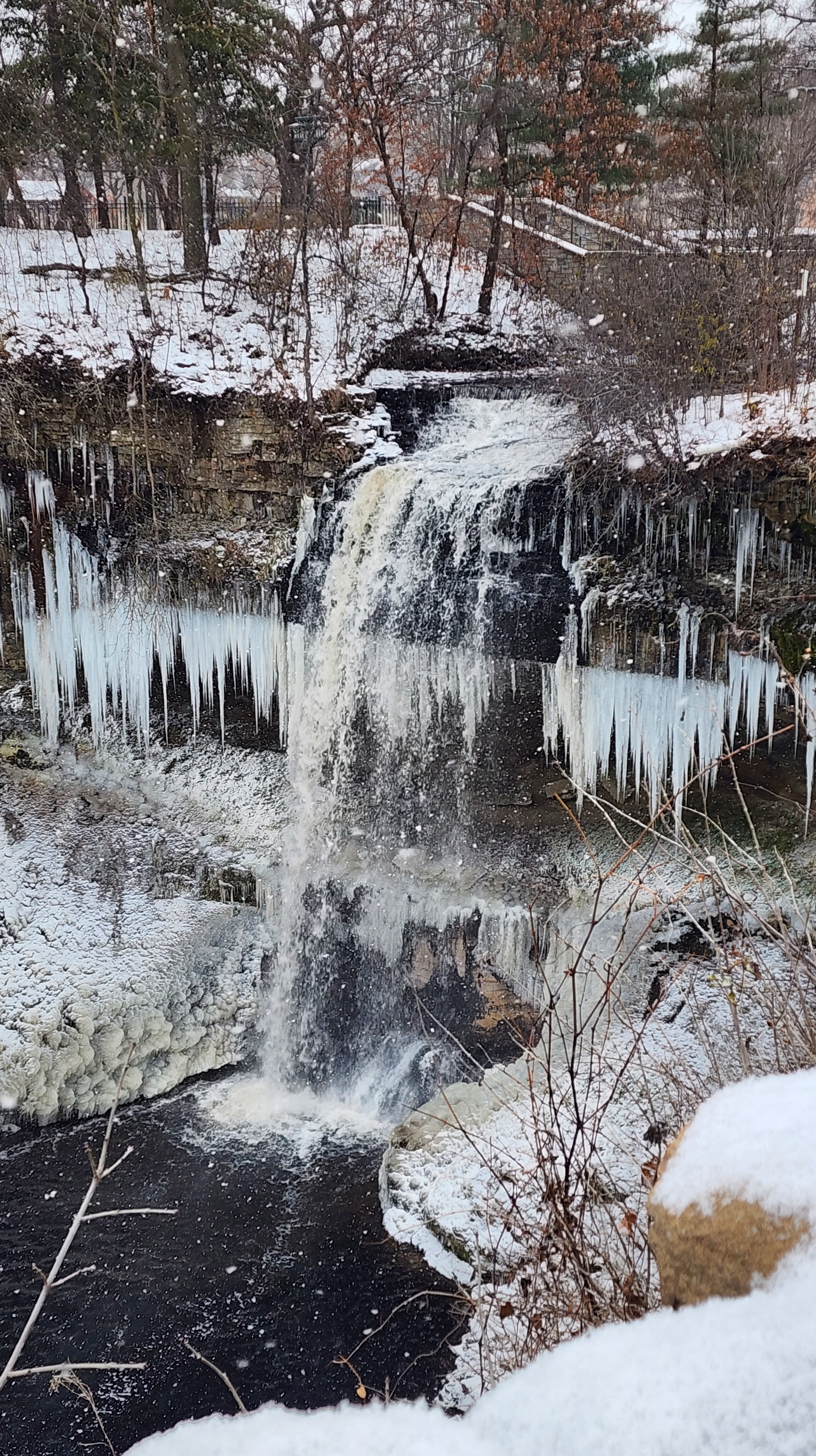
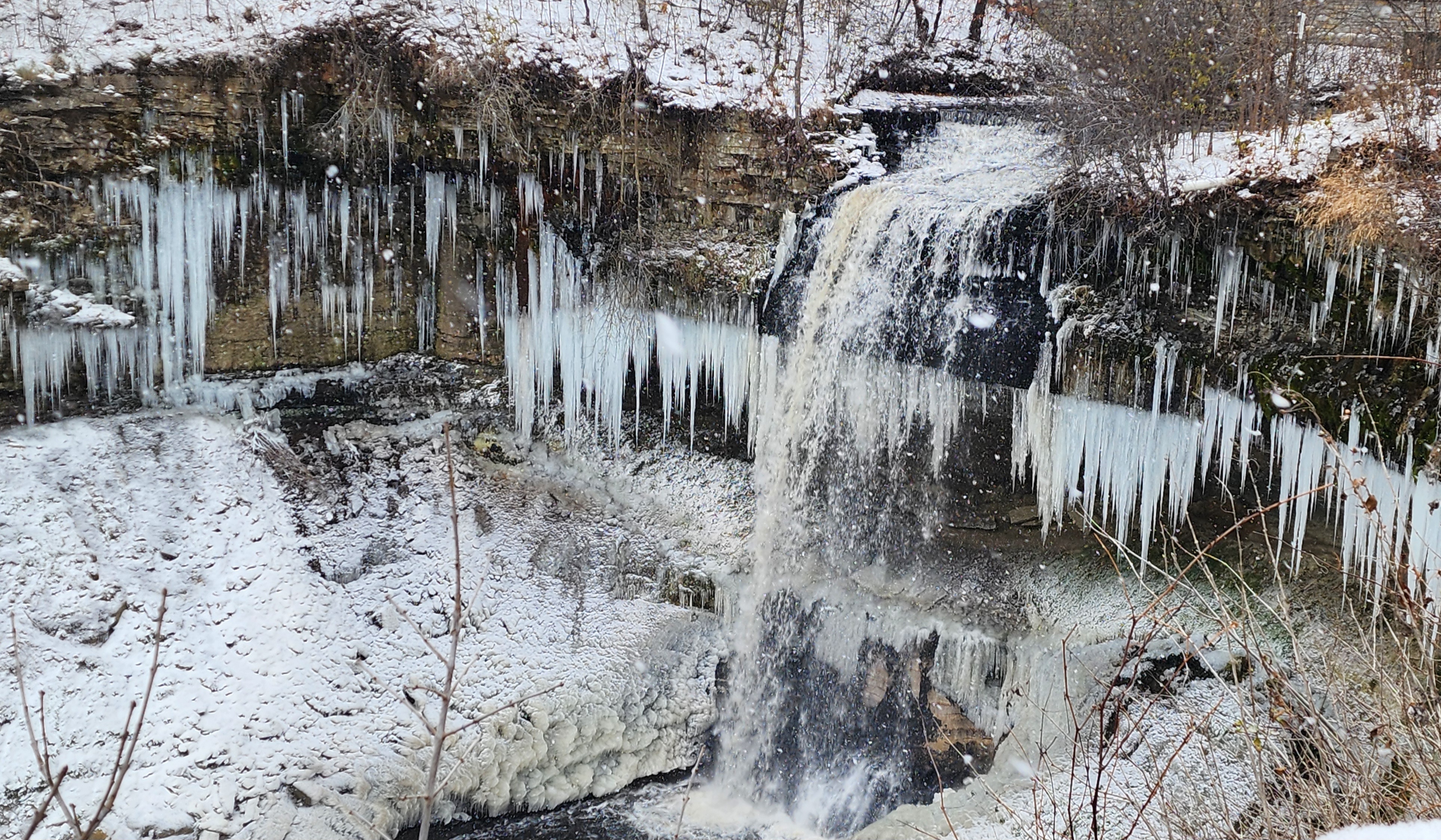
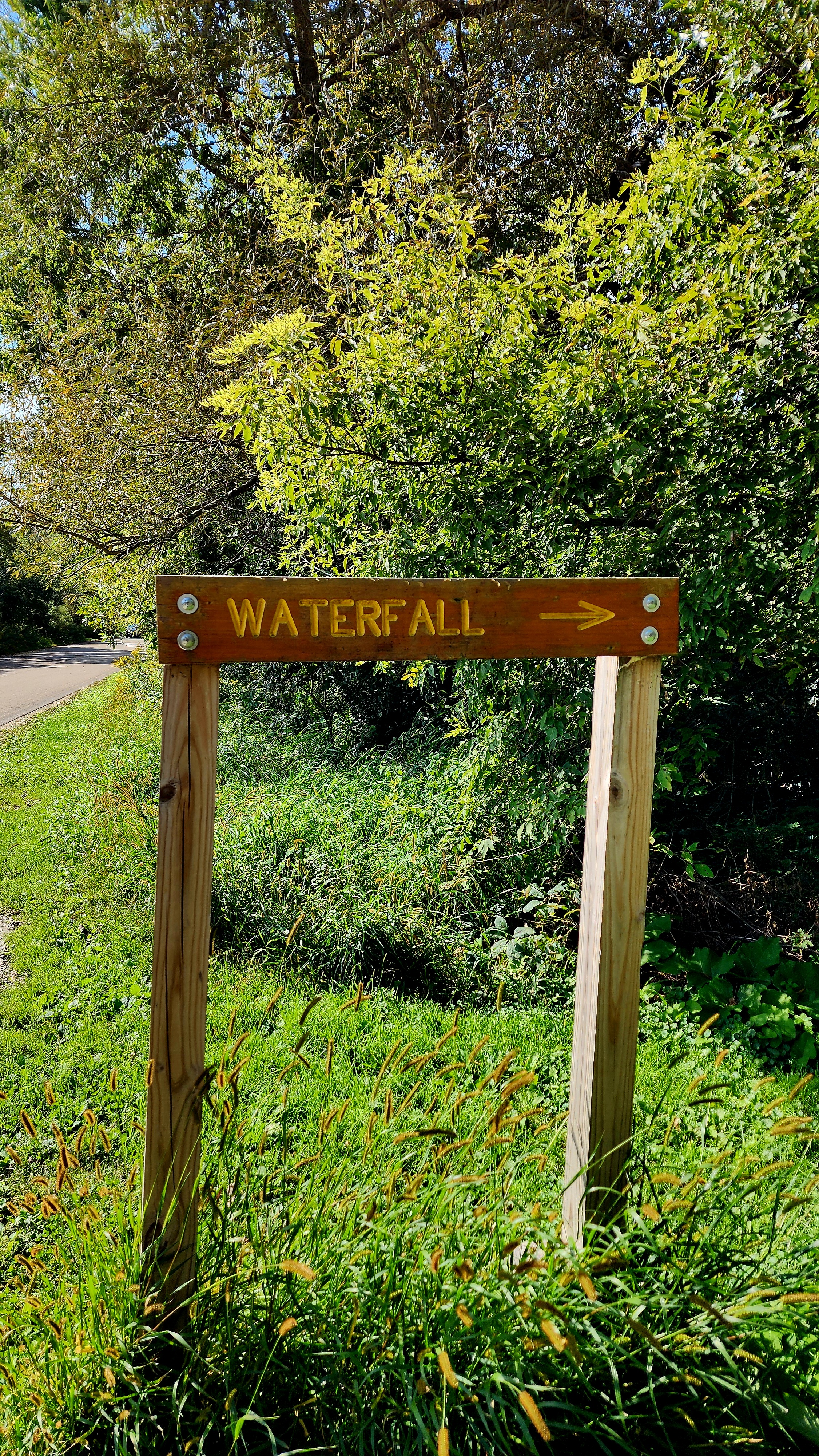
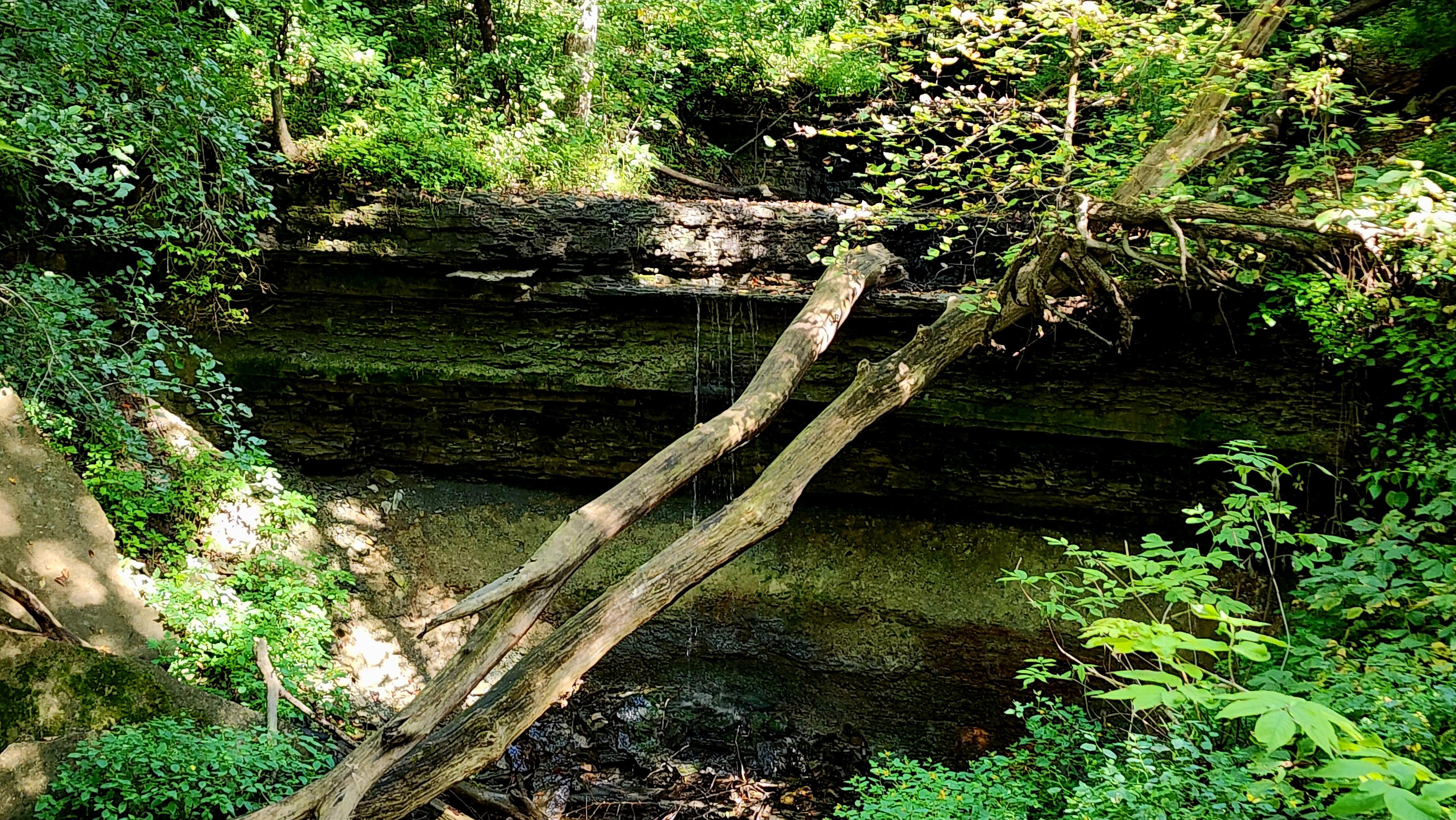
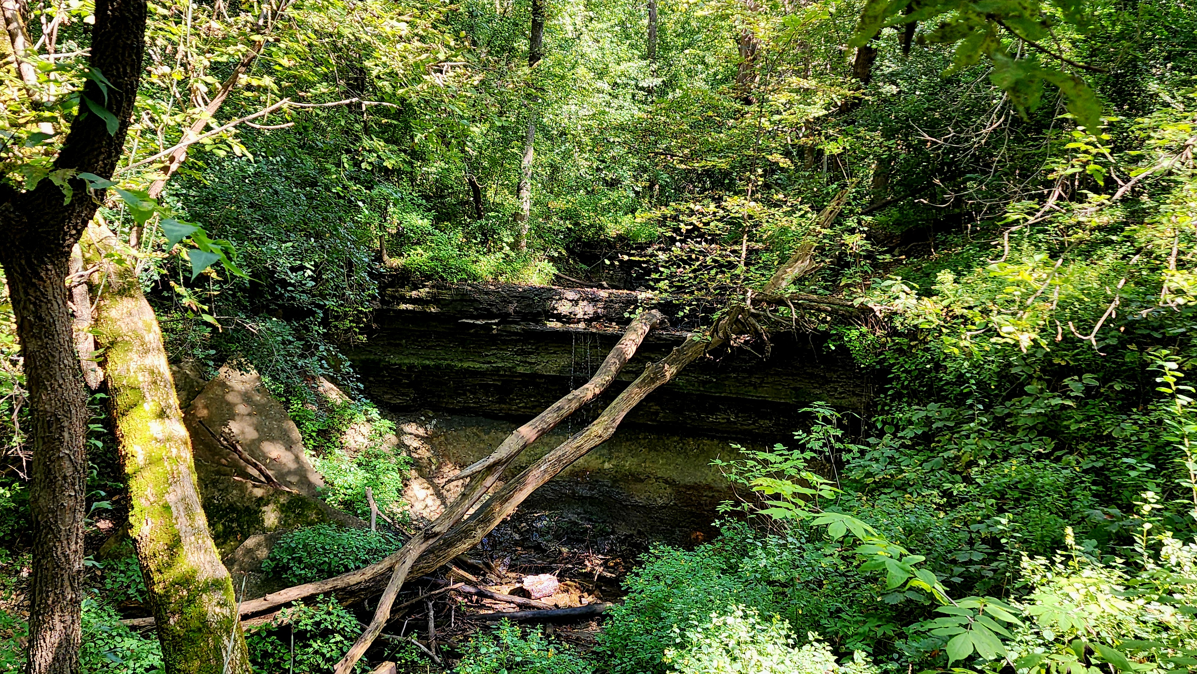
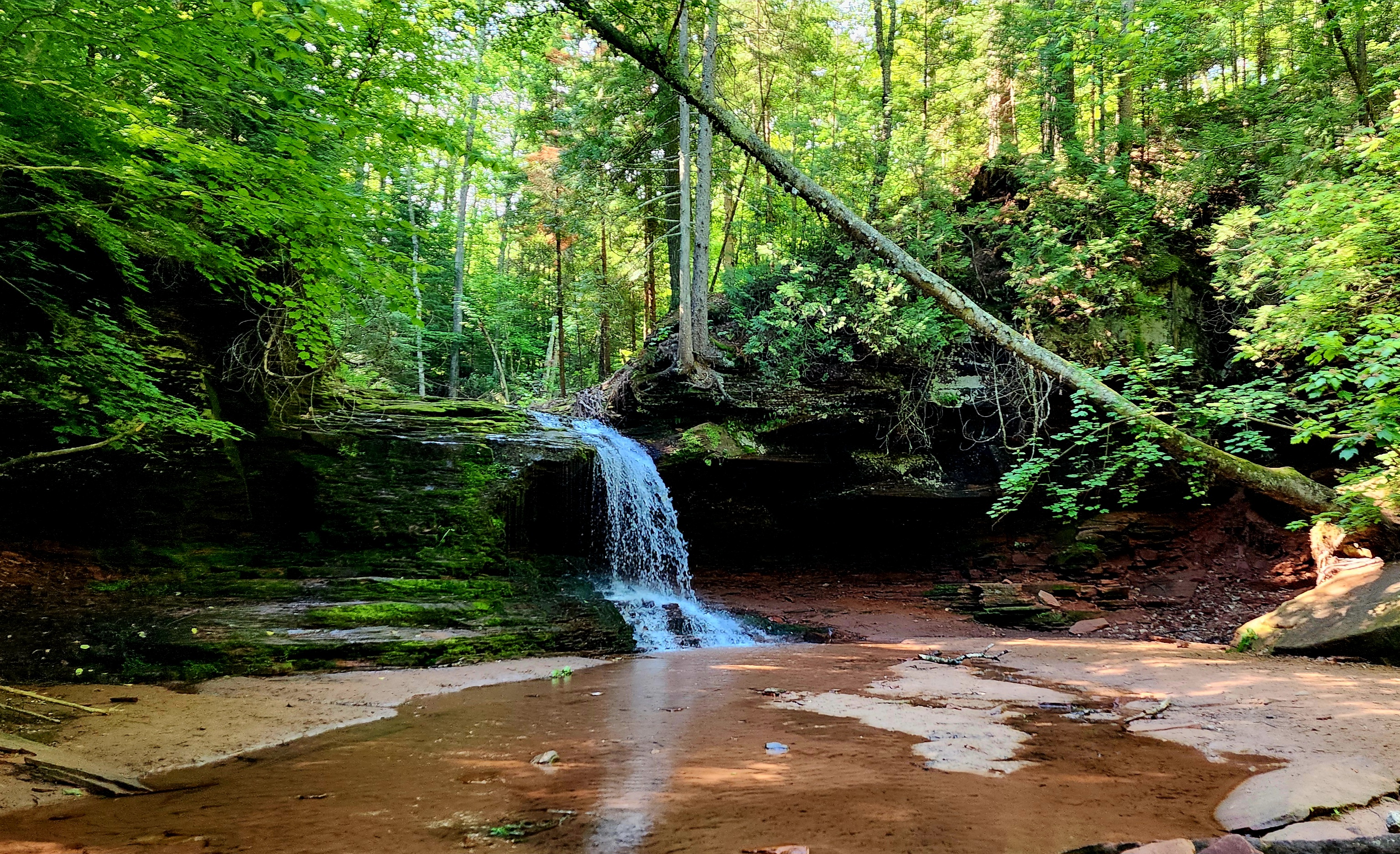
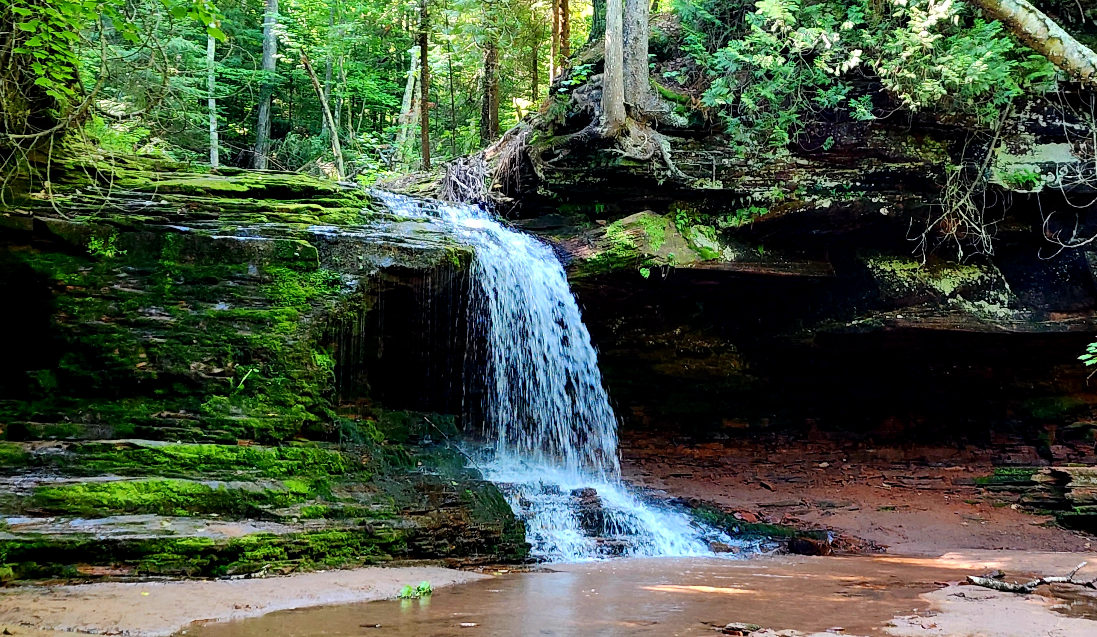
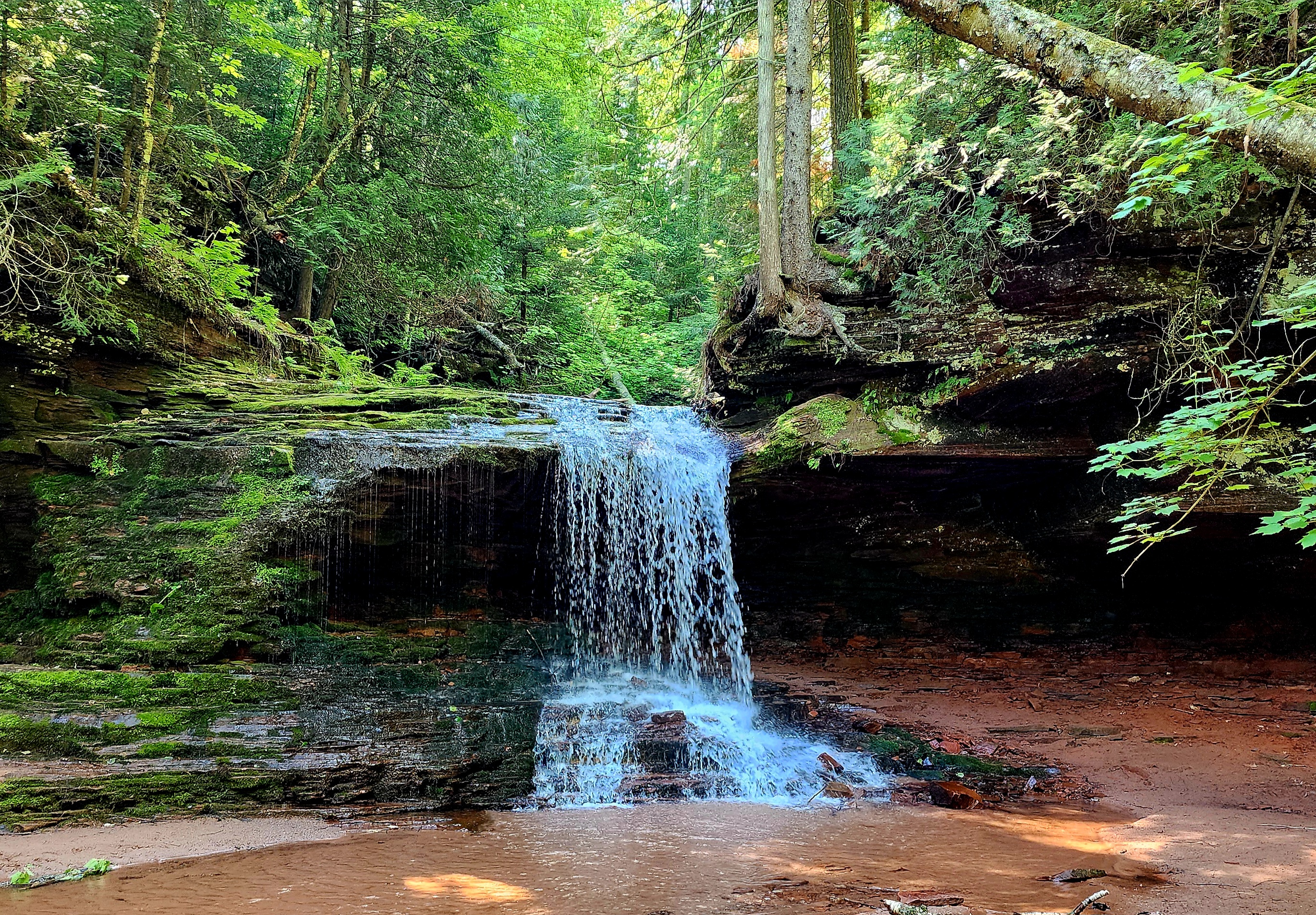
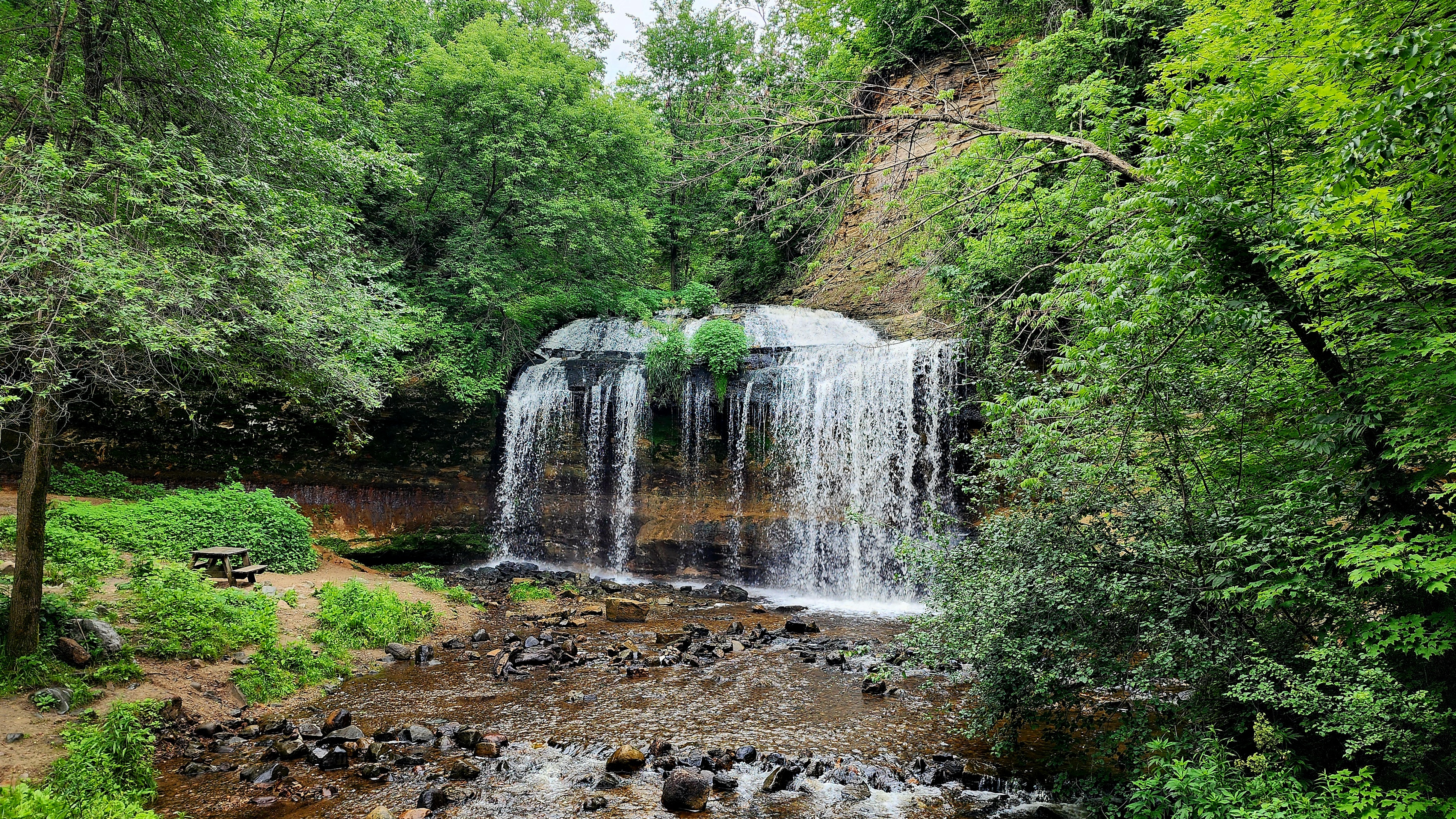
We stopped at the waterfall. You may have to squint to see it.
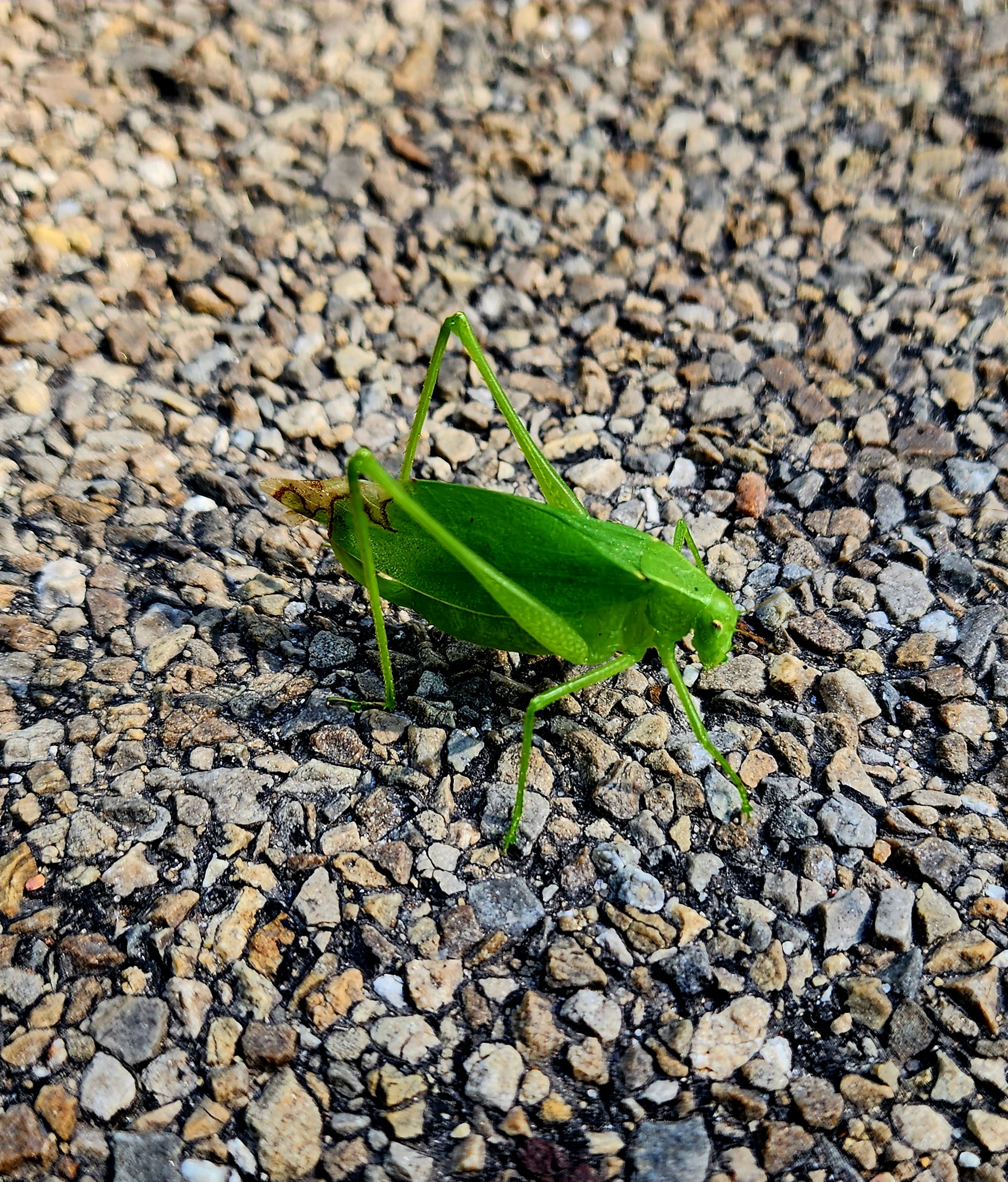
We followed along the main road back to the nature center. We helped a grasshopper, a turtle and a fuzzy caterpillar cross the road.
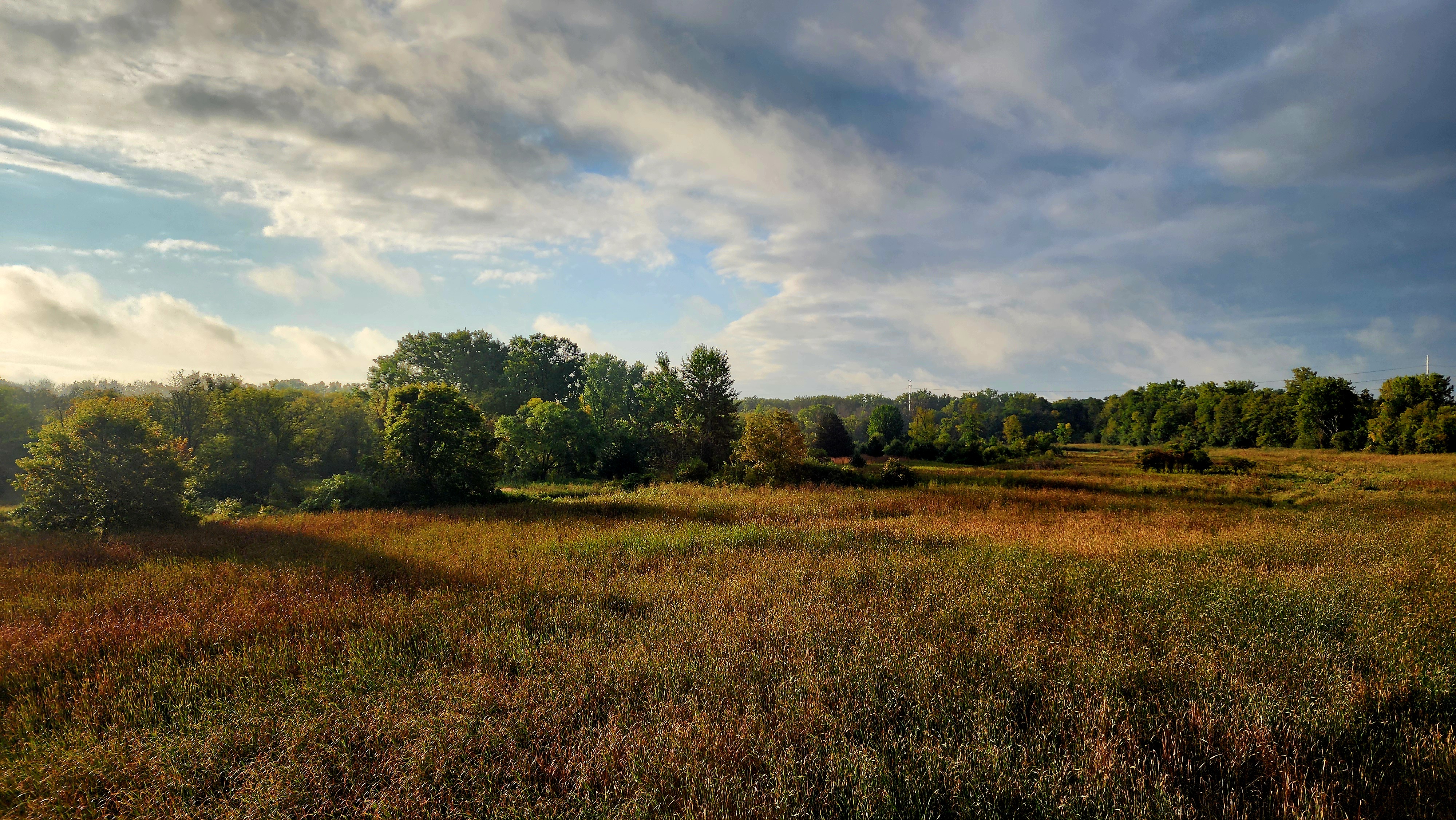
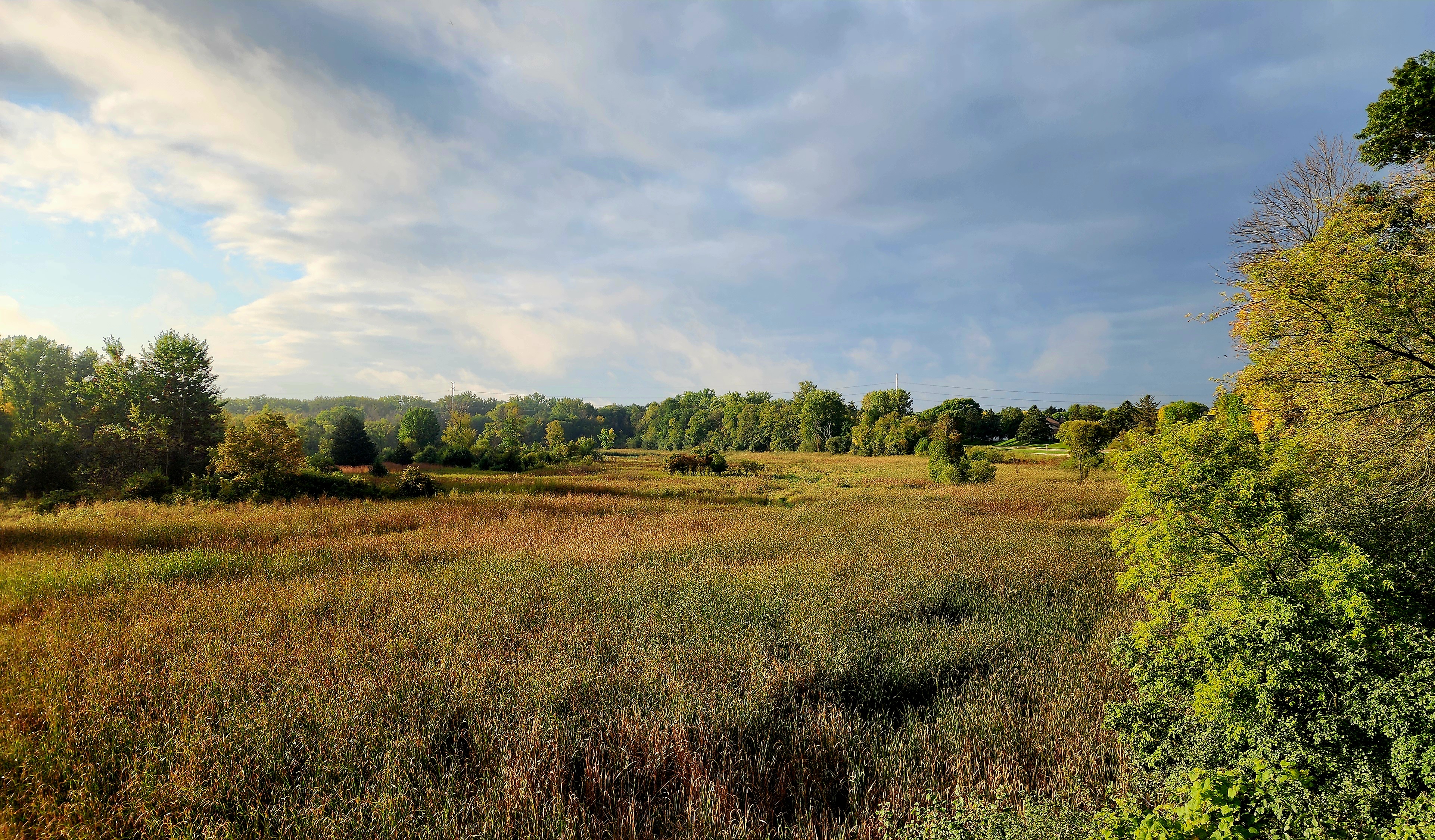
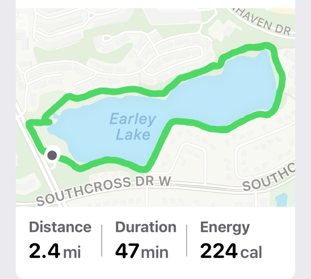
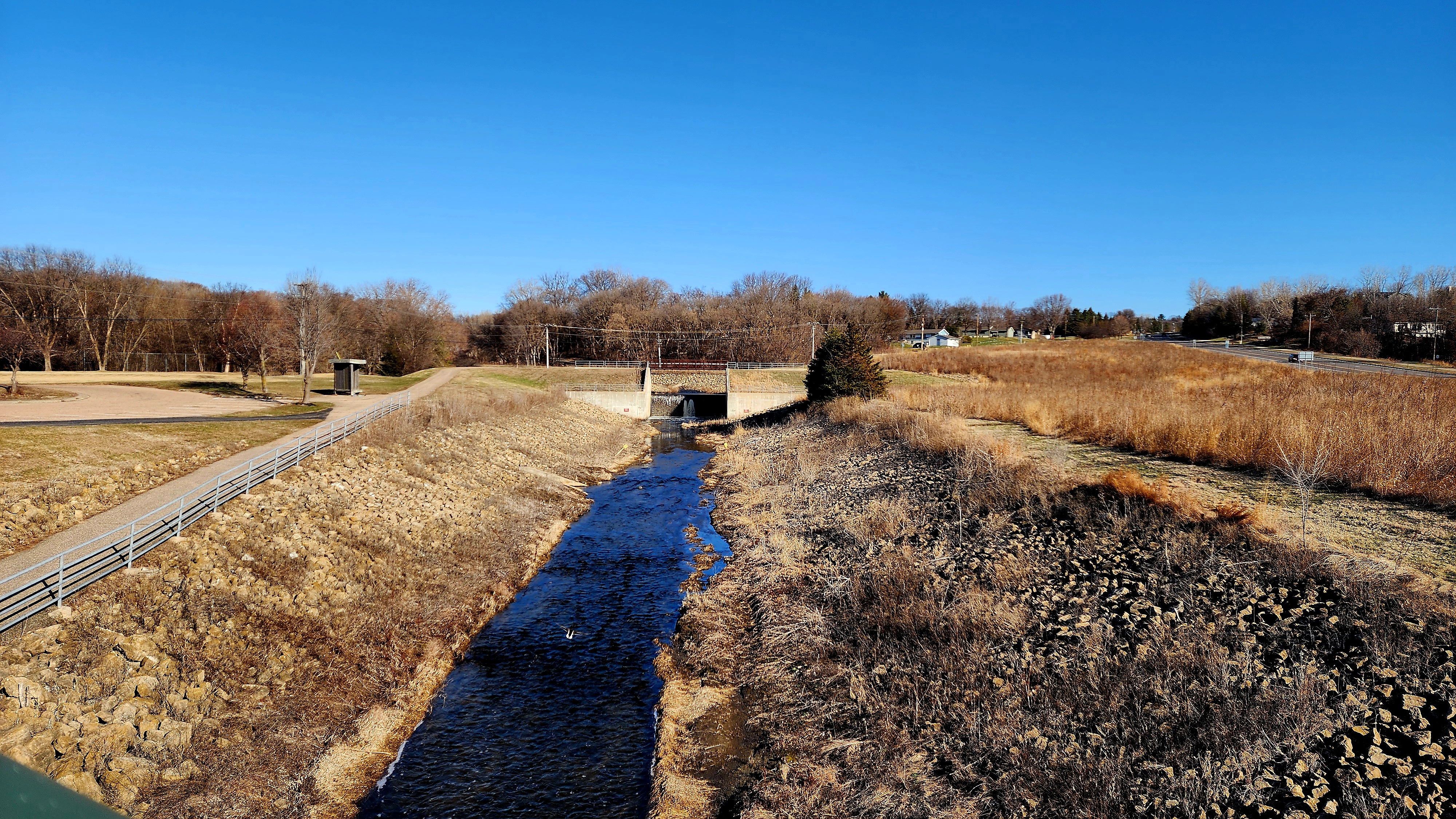
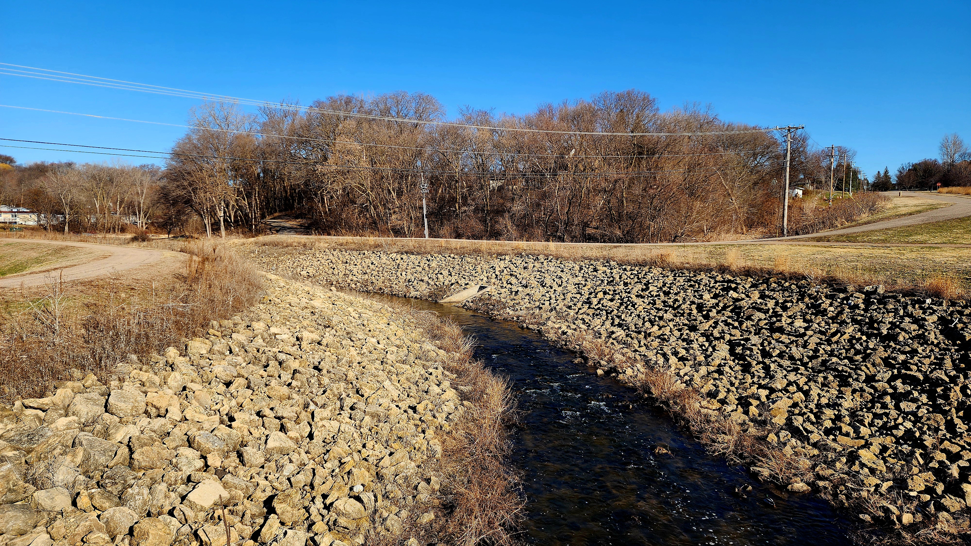
Today’s hiking adventure was at Day Park and Earley Lake Trail.
Minnesota had a storm come through last night. We opted for a closer and shorter hike today in case the rain continued into the morning. Thankfully, the rain held off for us.
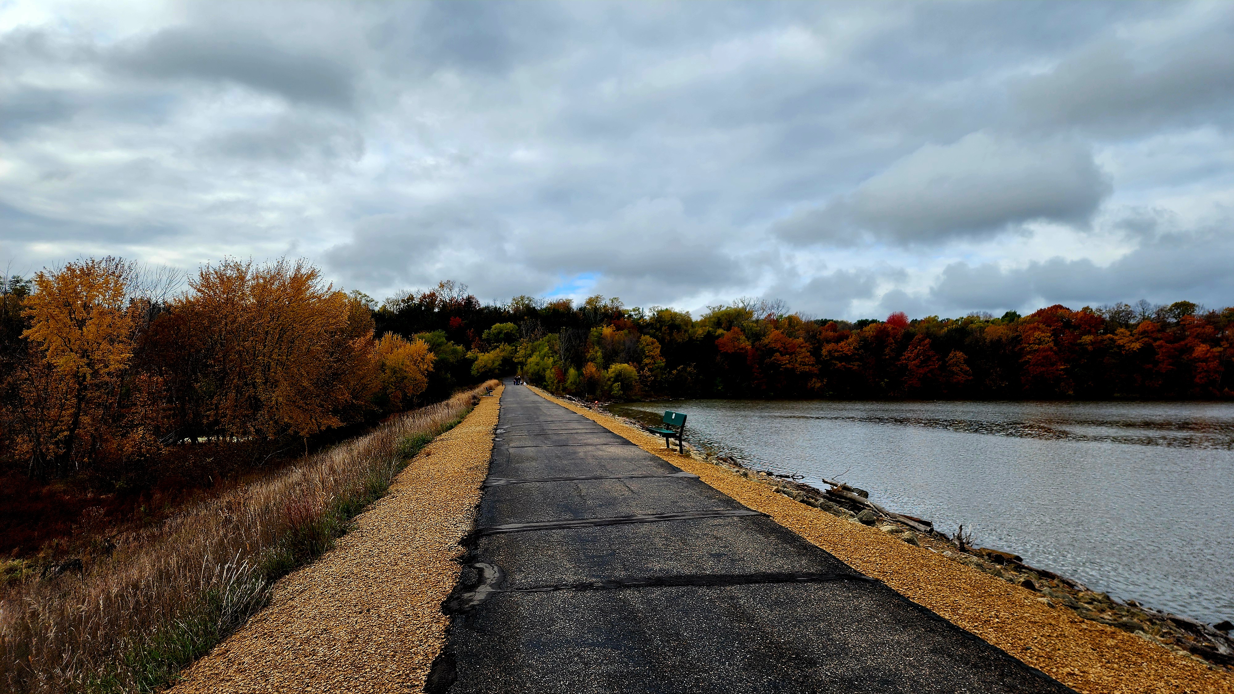
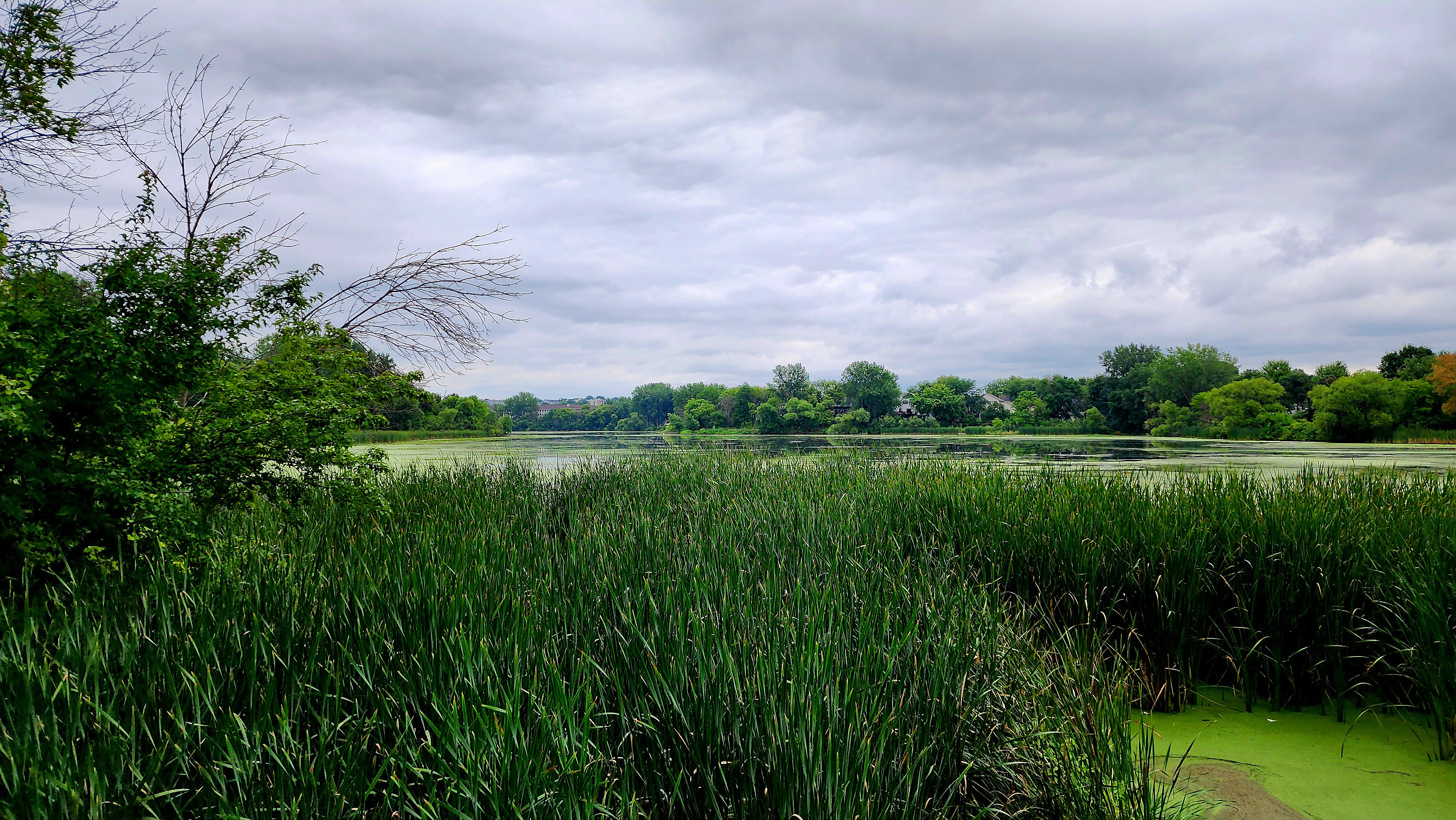
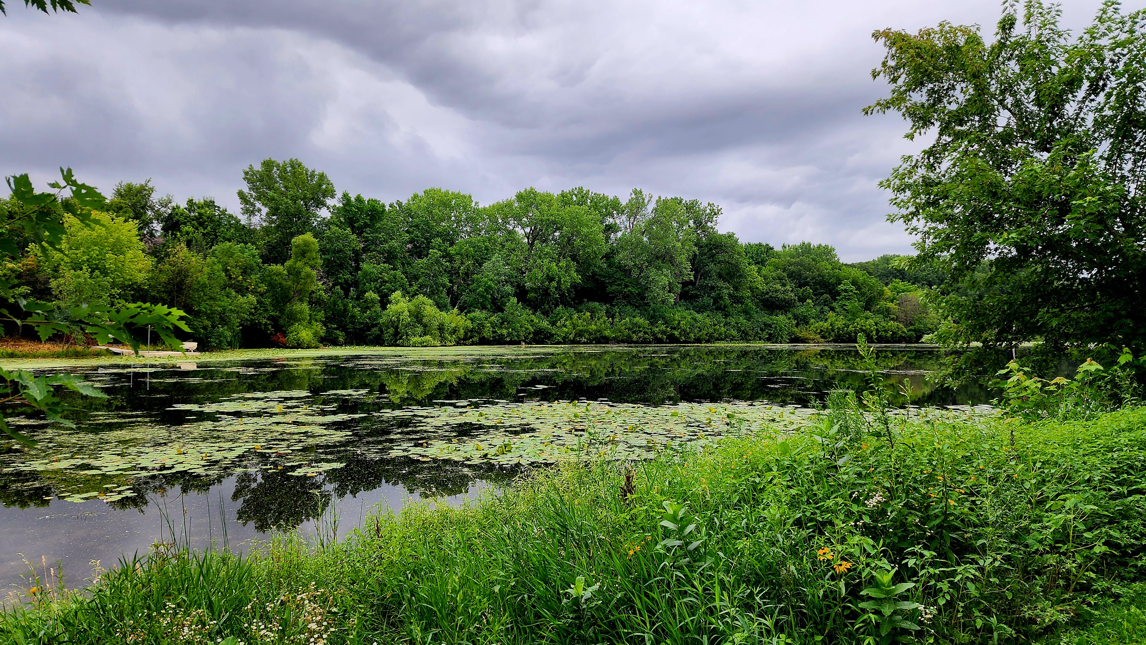
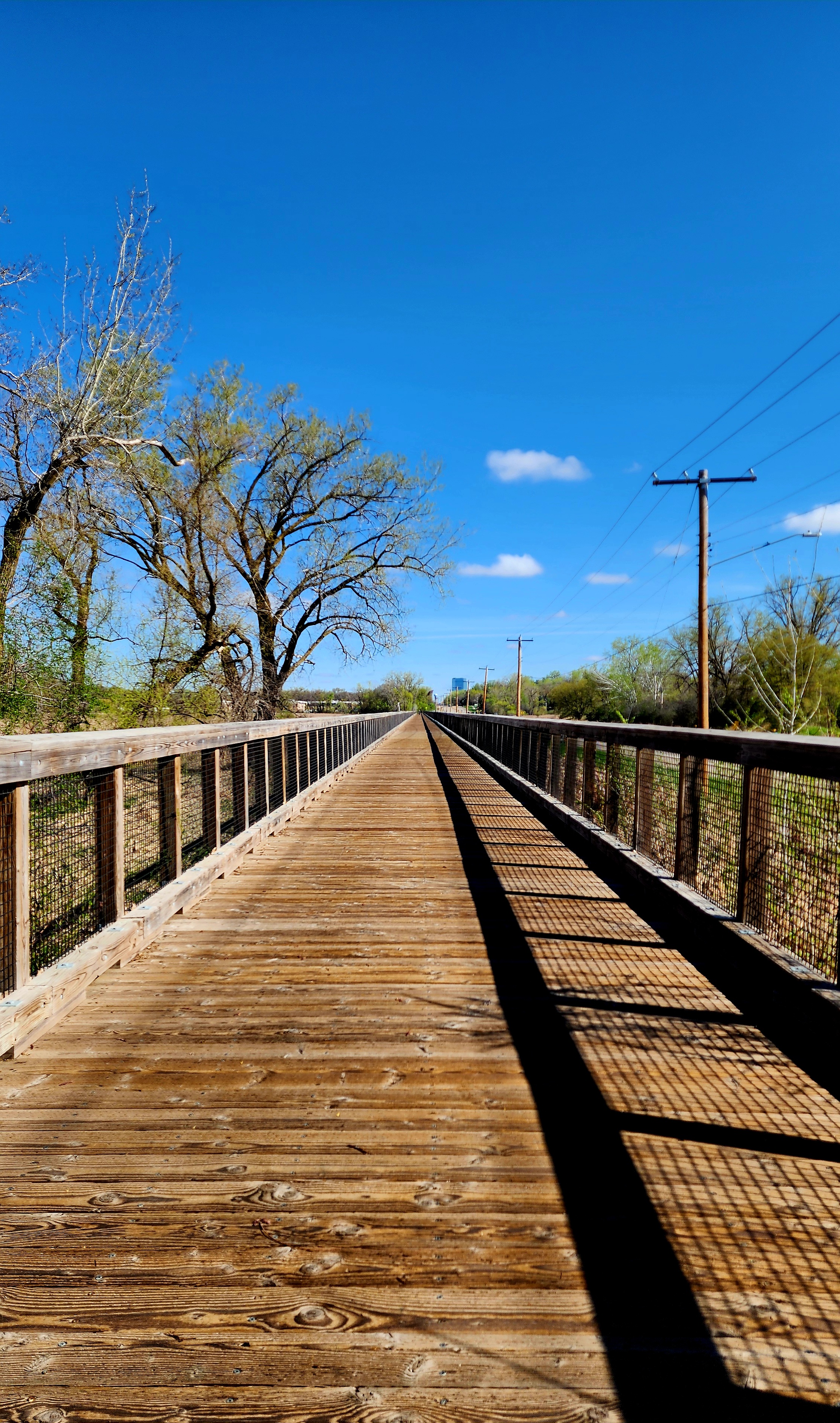
The wide paved trail looped around Earley Lake.
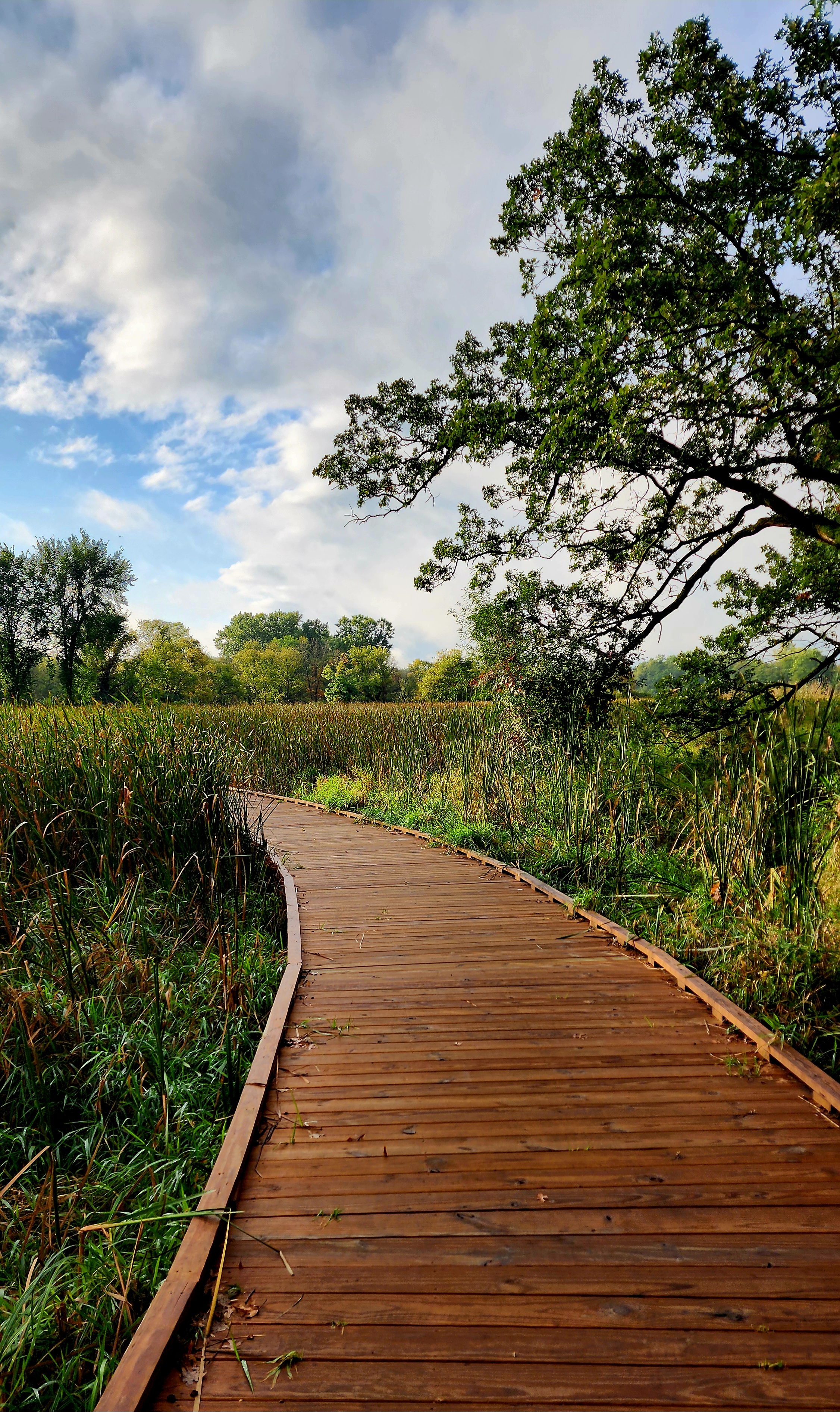
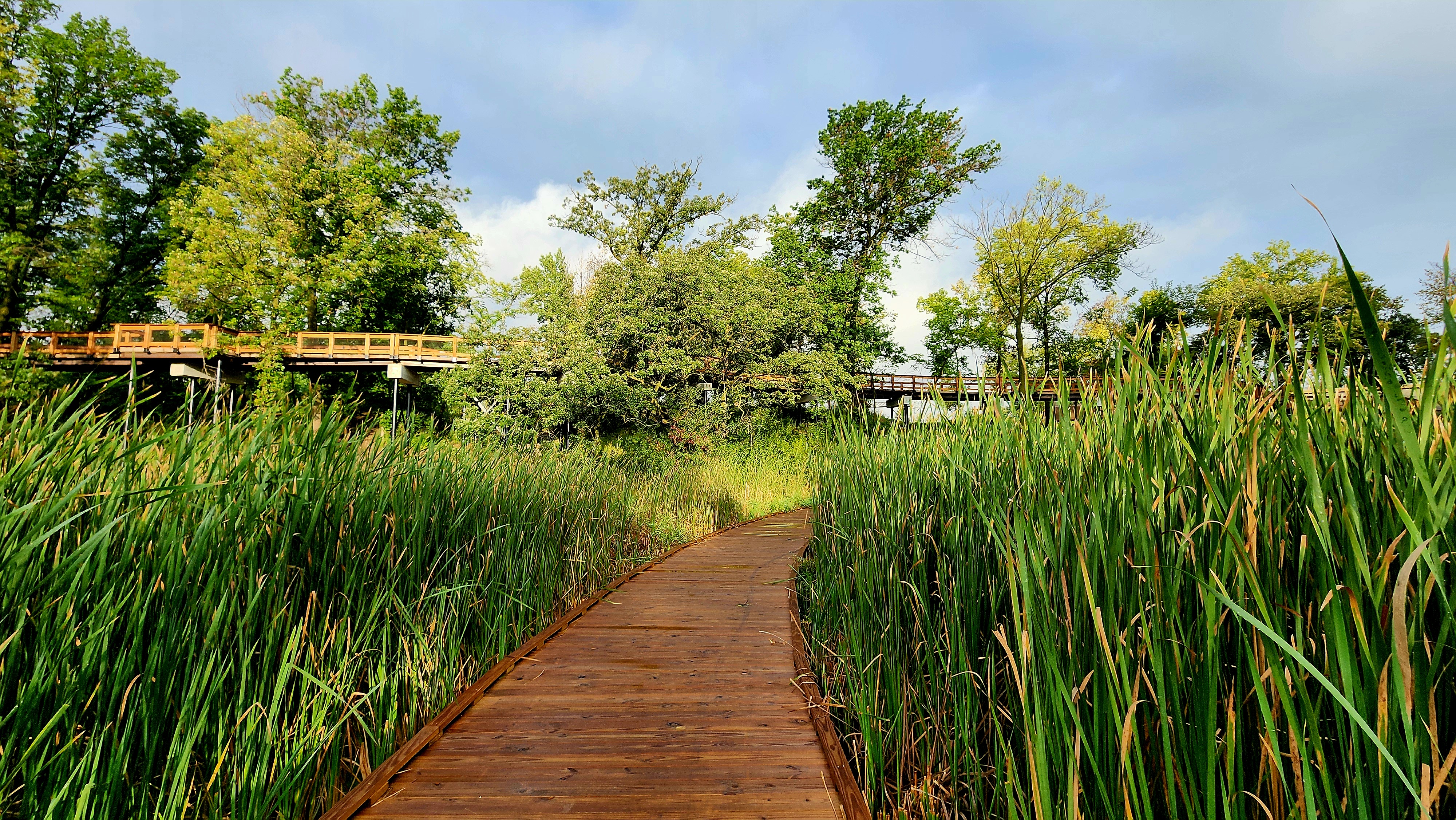
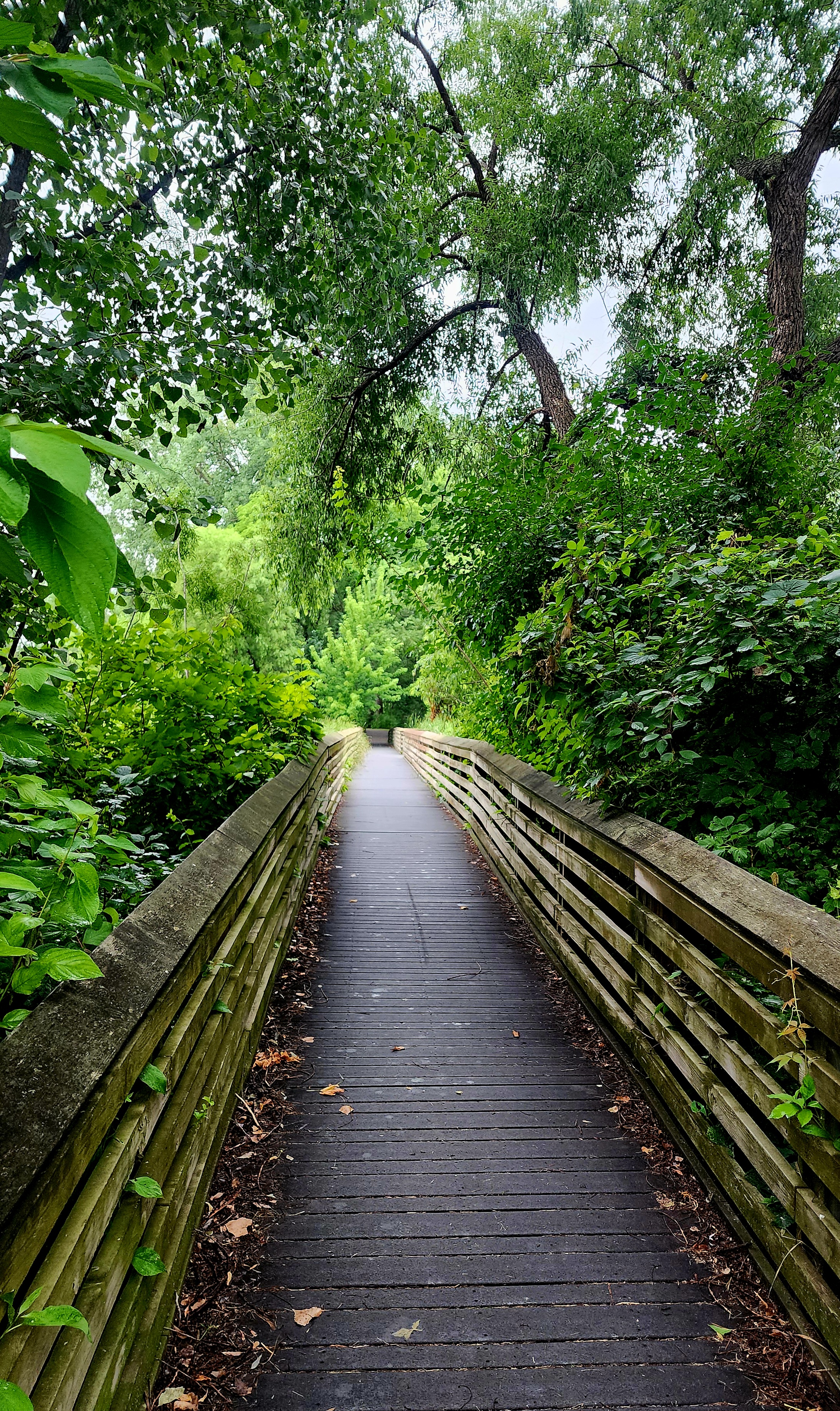
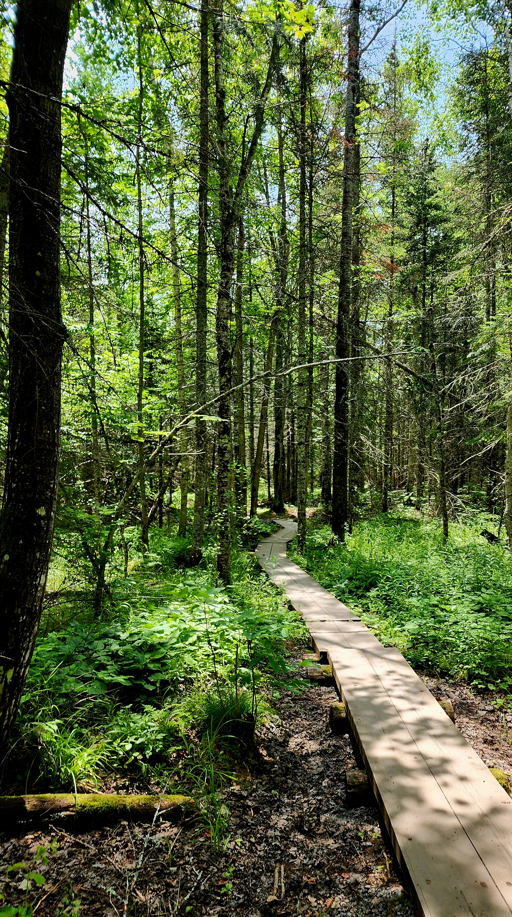
A nice boardwalk crossed over the marsh.
We finished the loop and decided to hike it again.
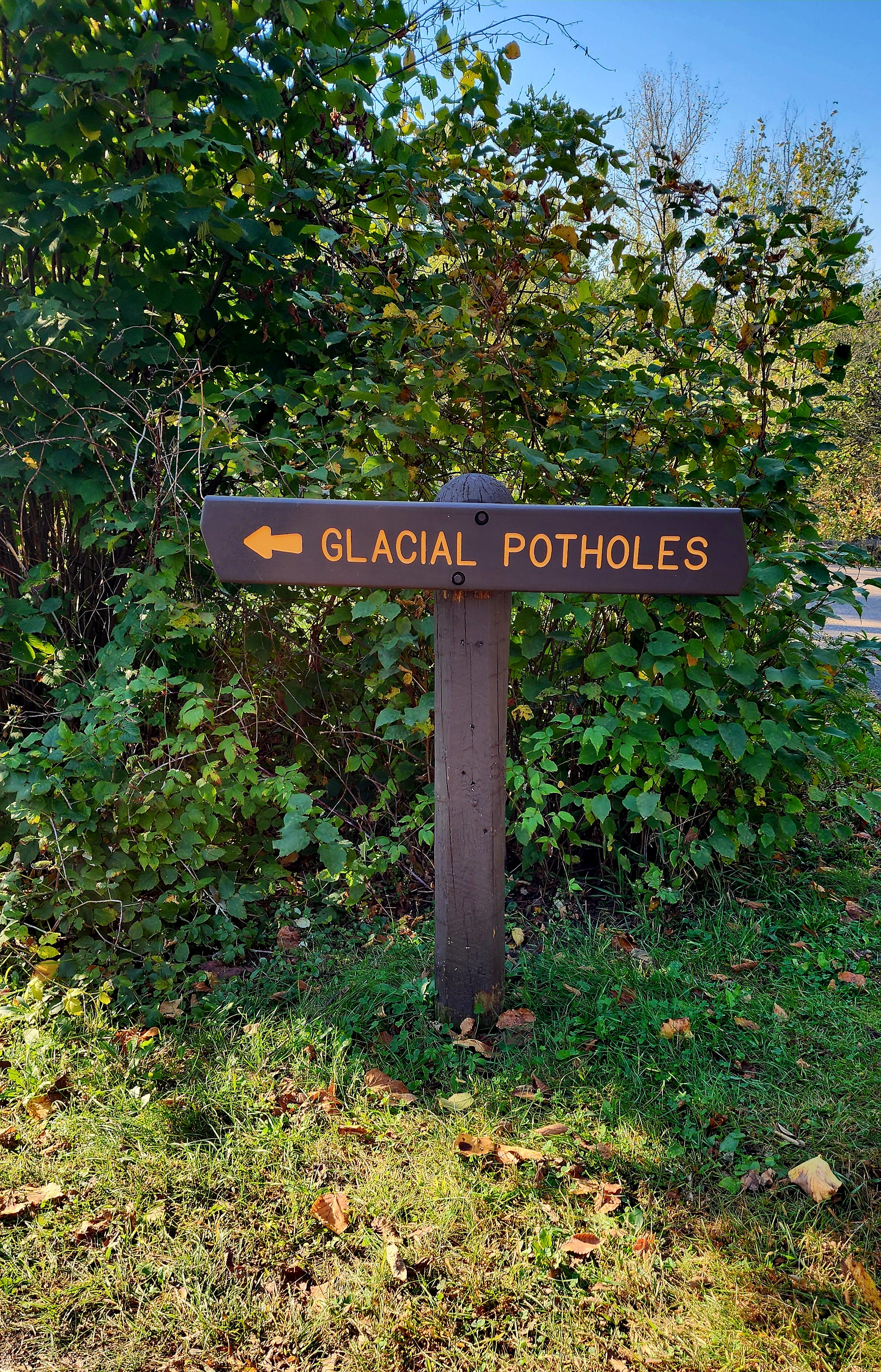
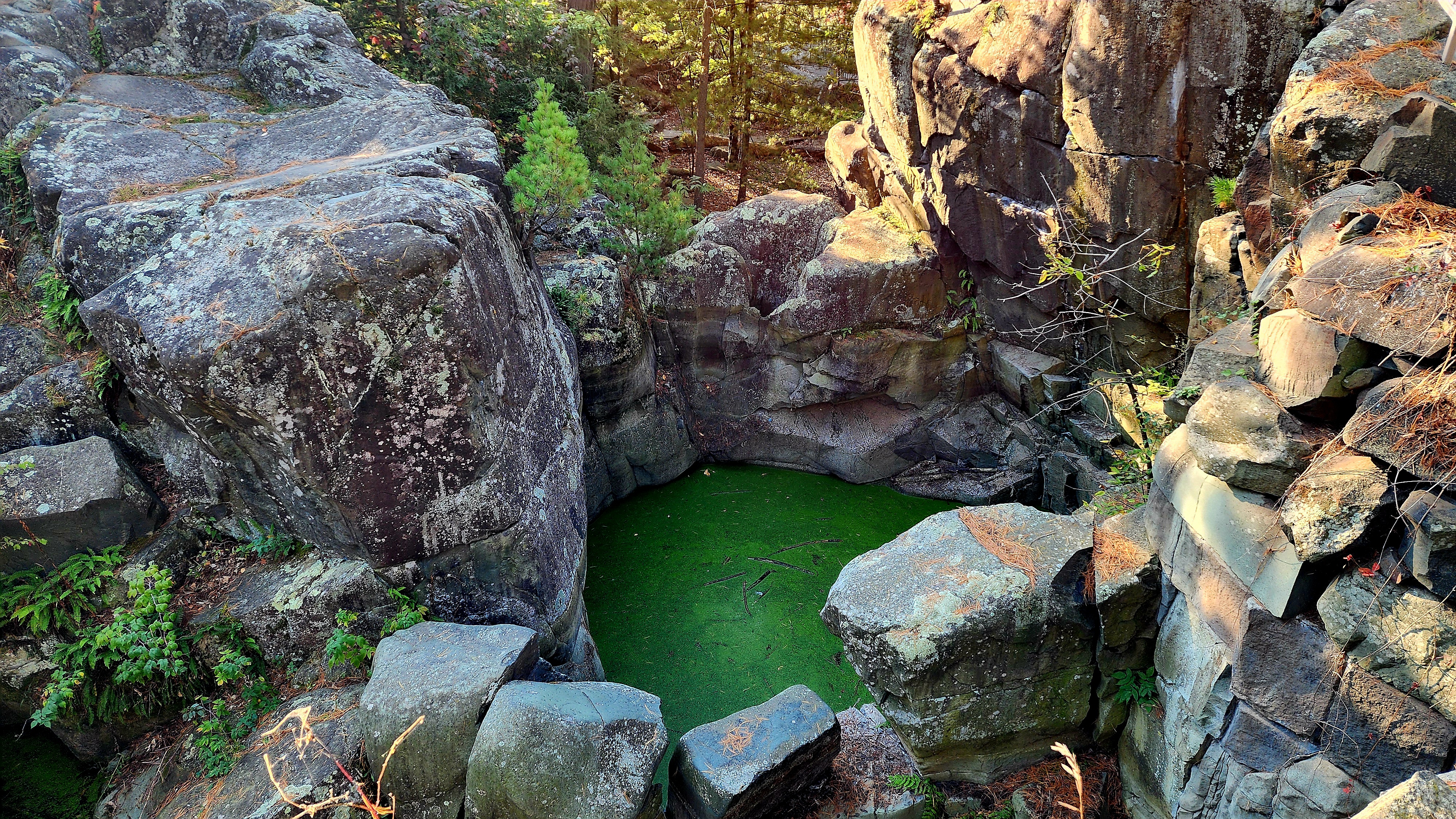
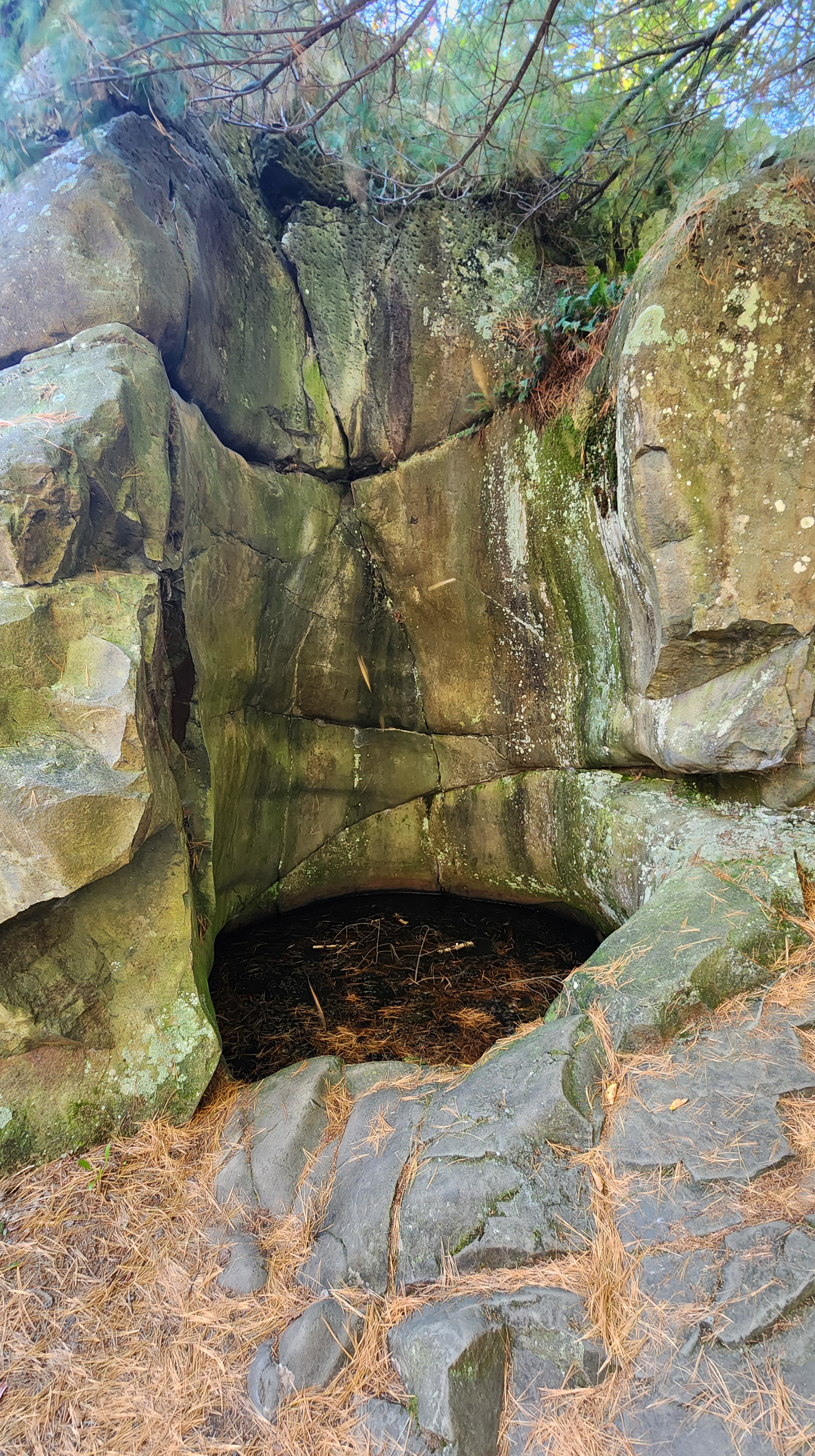
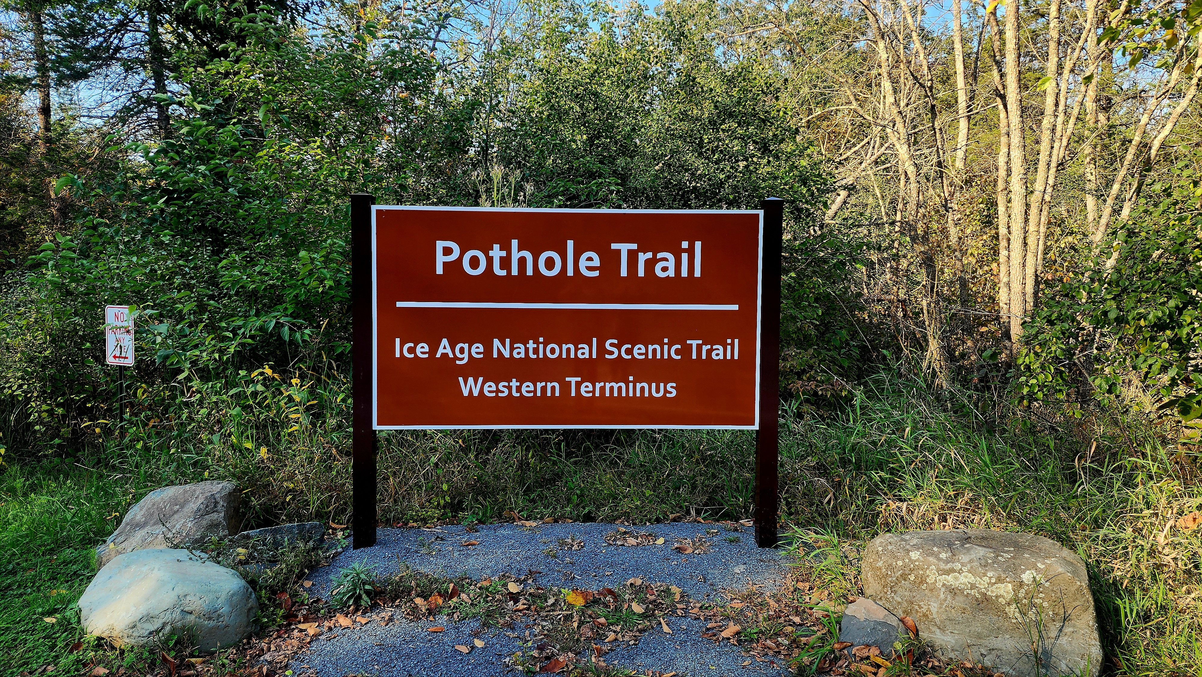
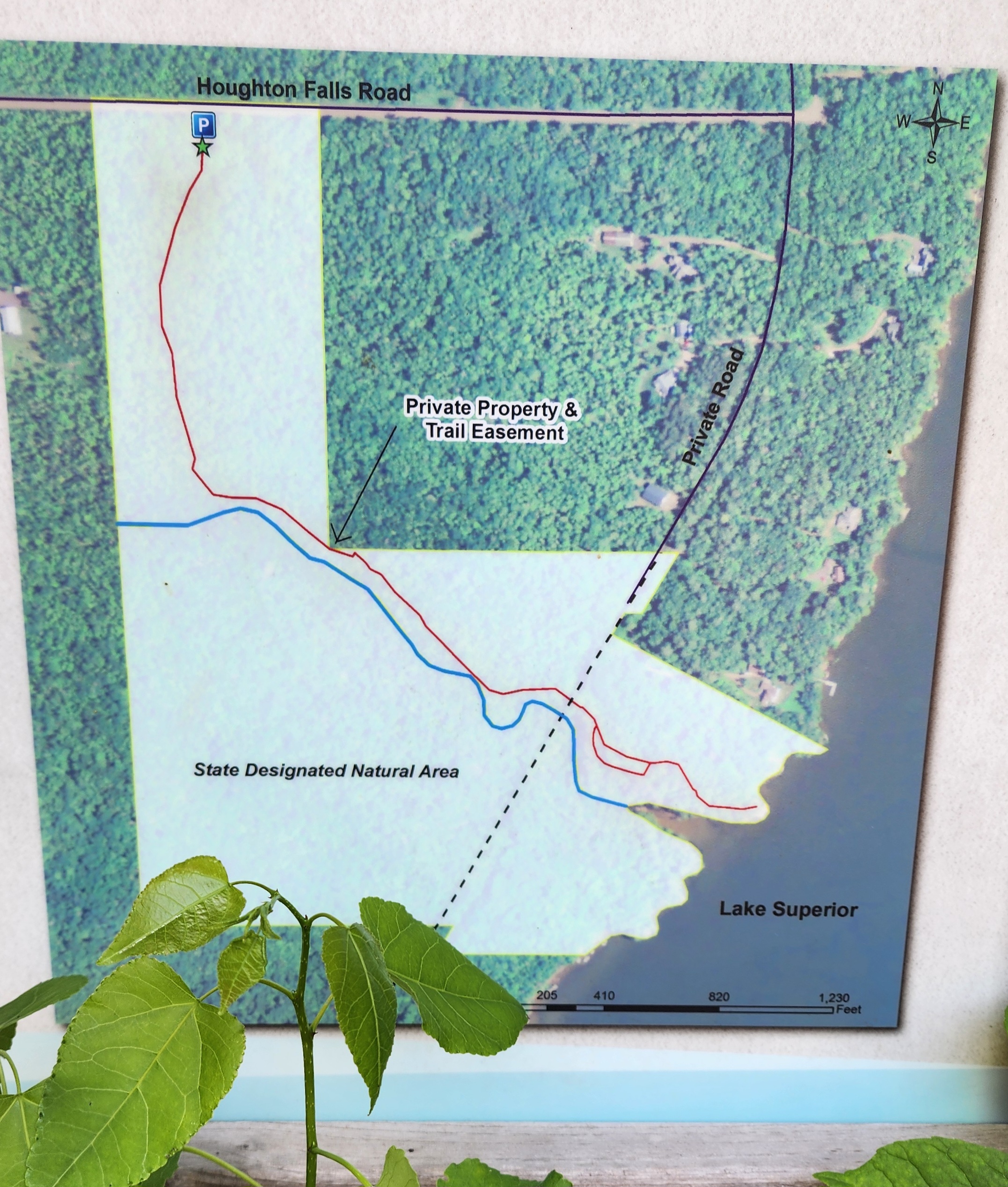
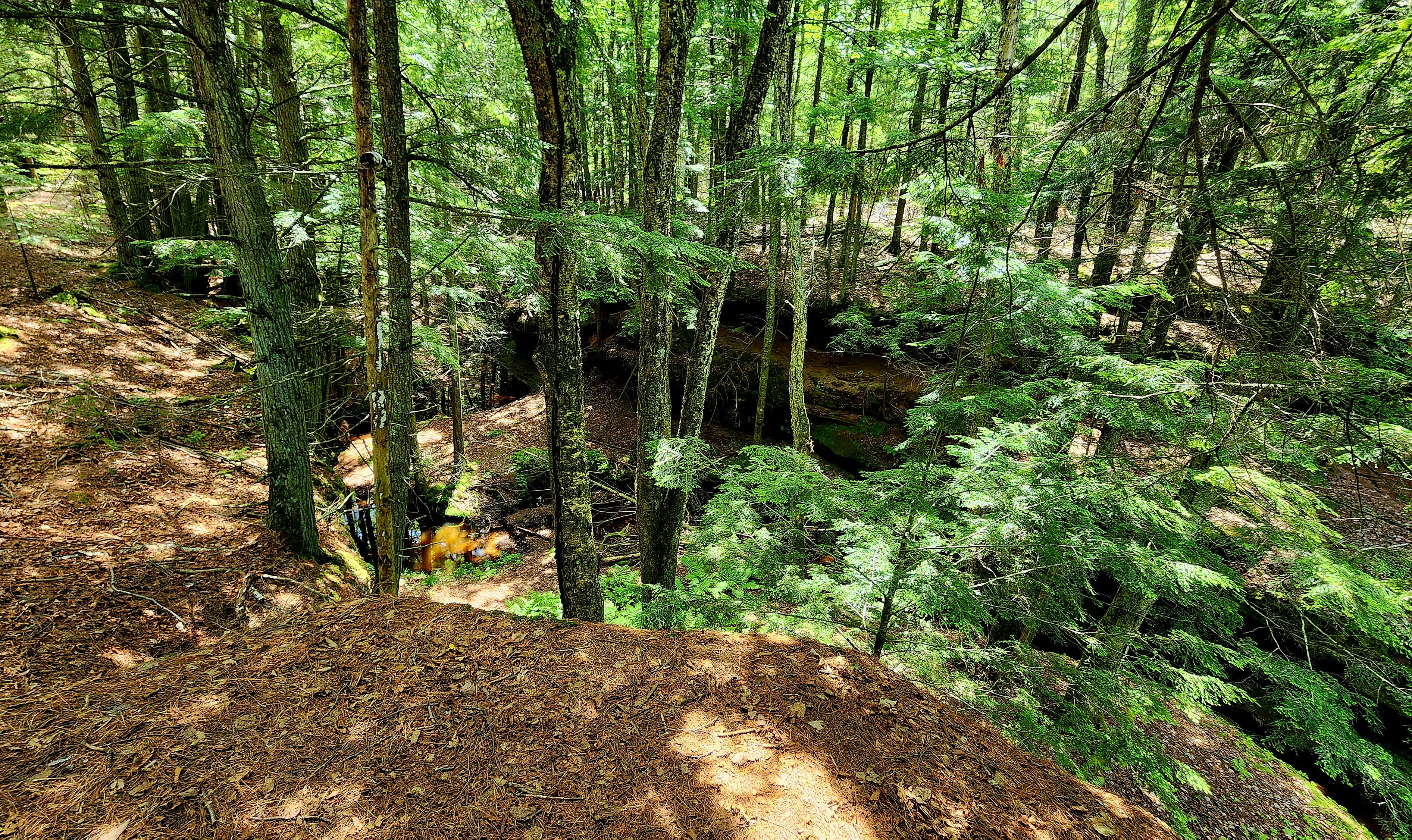
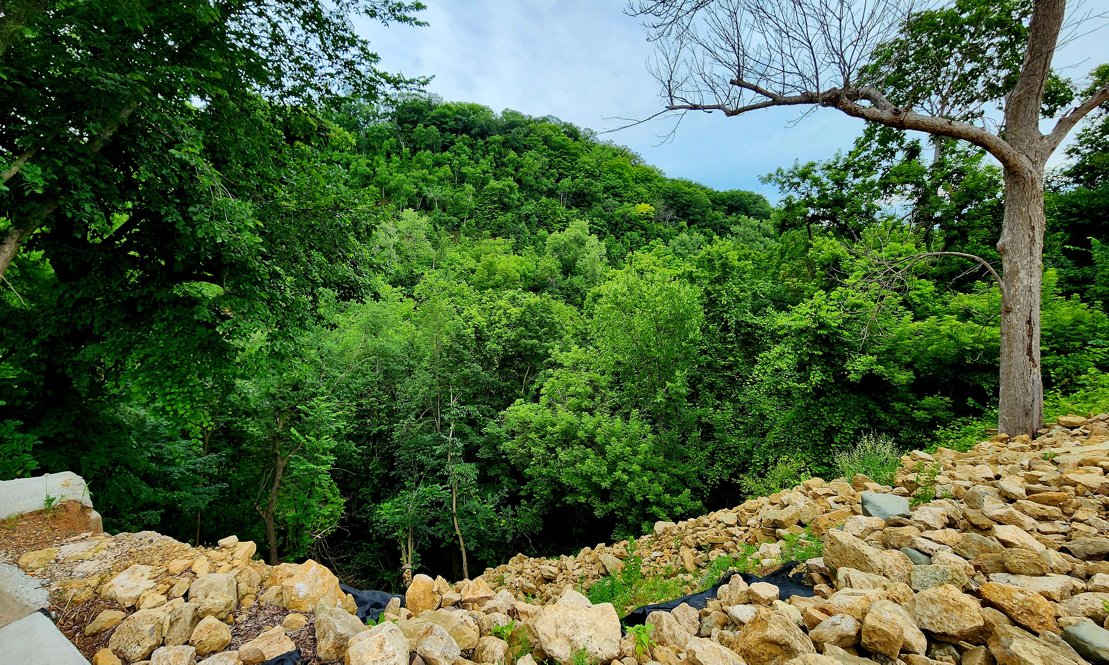
Now I’m not real sure where Houghton Falls is actually located. We tried asking several other hikers and they seemed just as confused. After some internet searching, I think the falls are supposed to be here. One thing for sure was that the falls were all dried up!
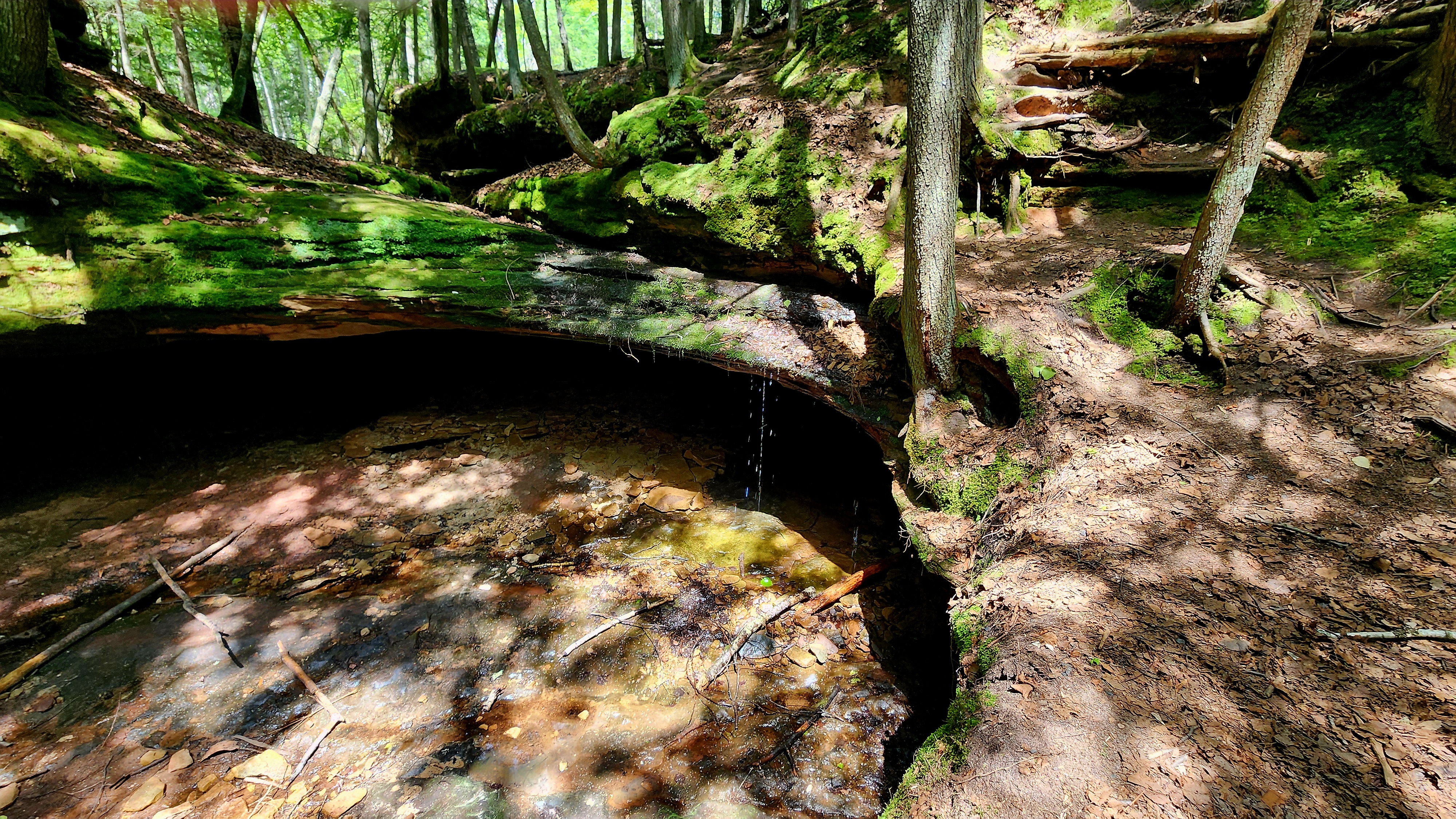
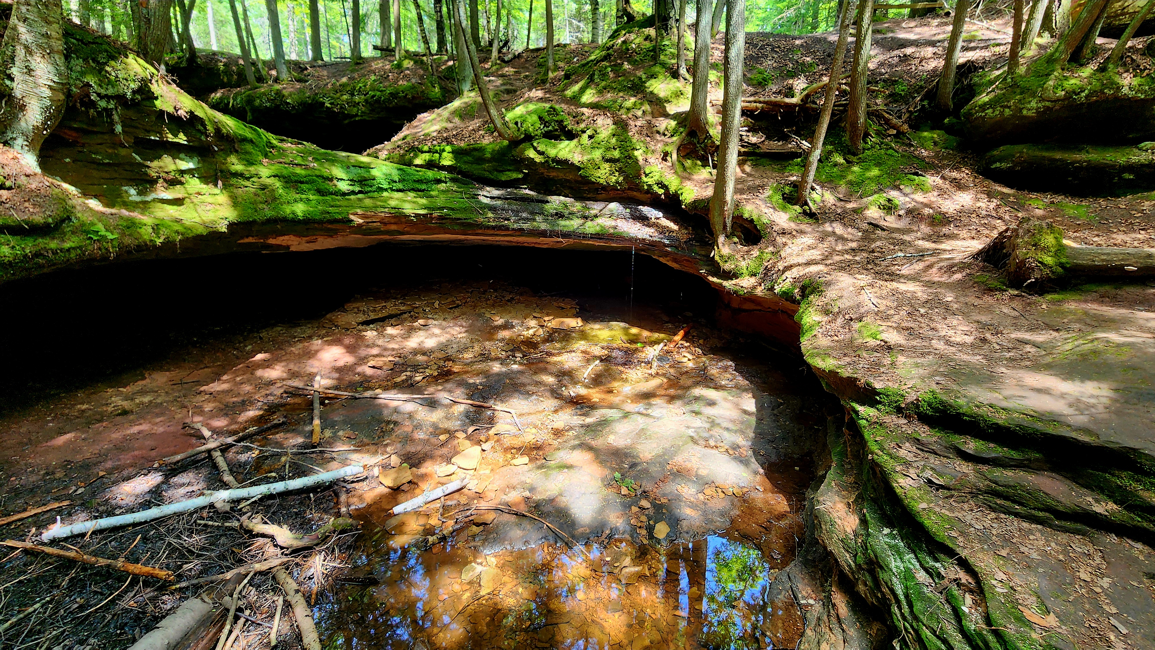
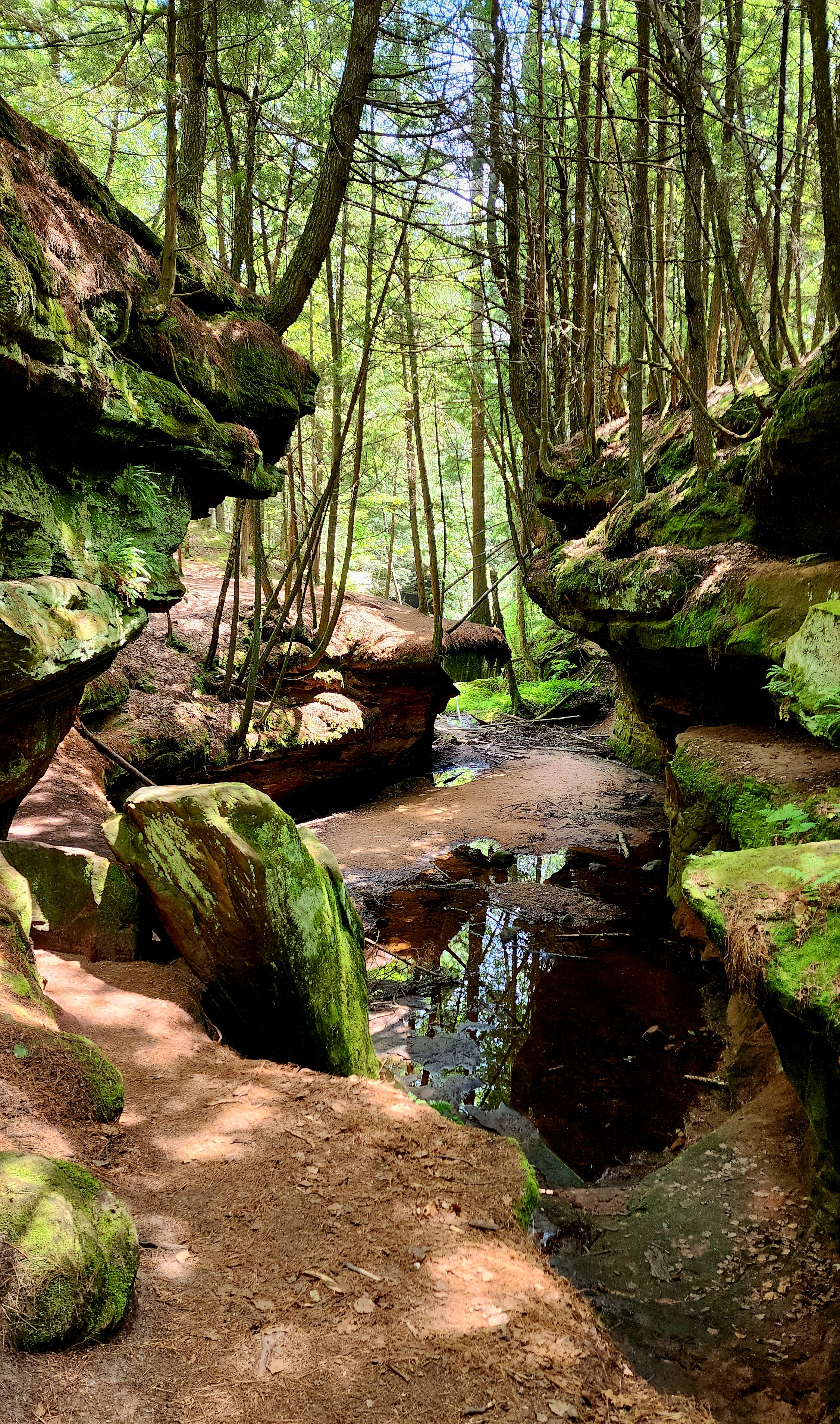
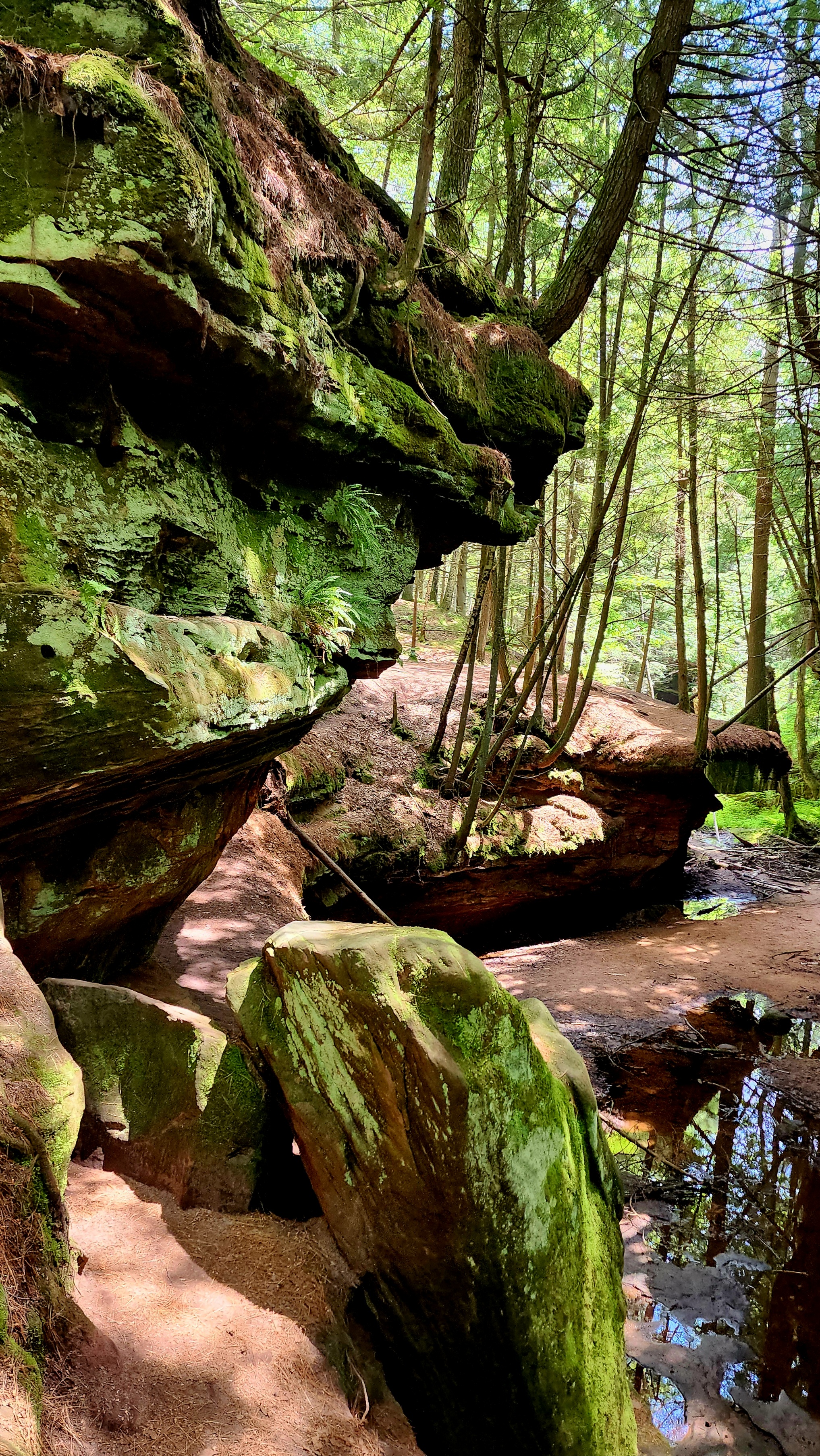
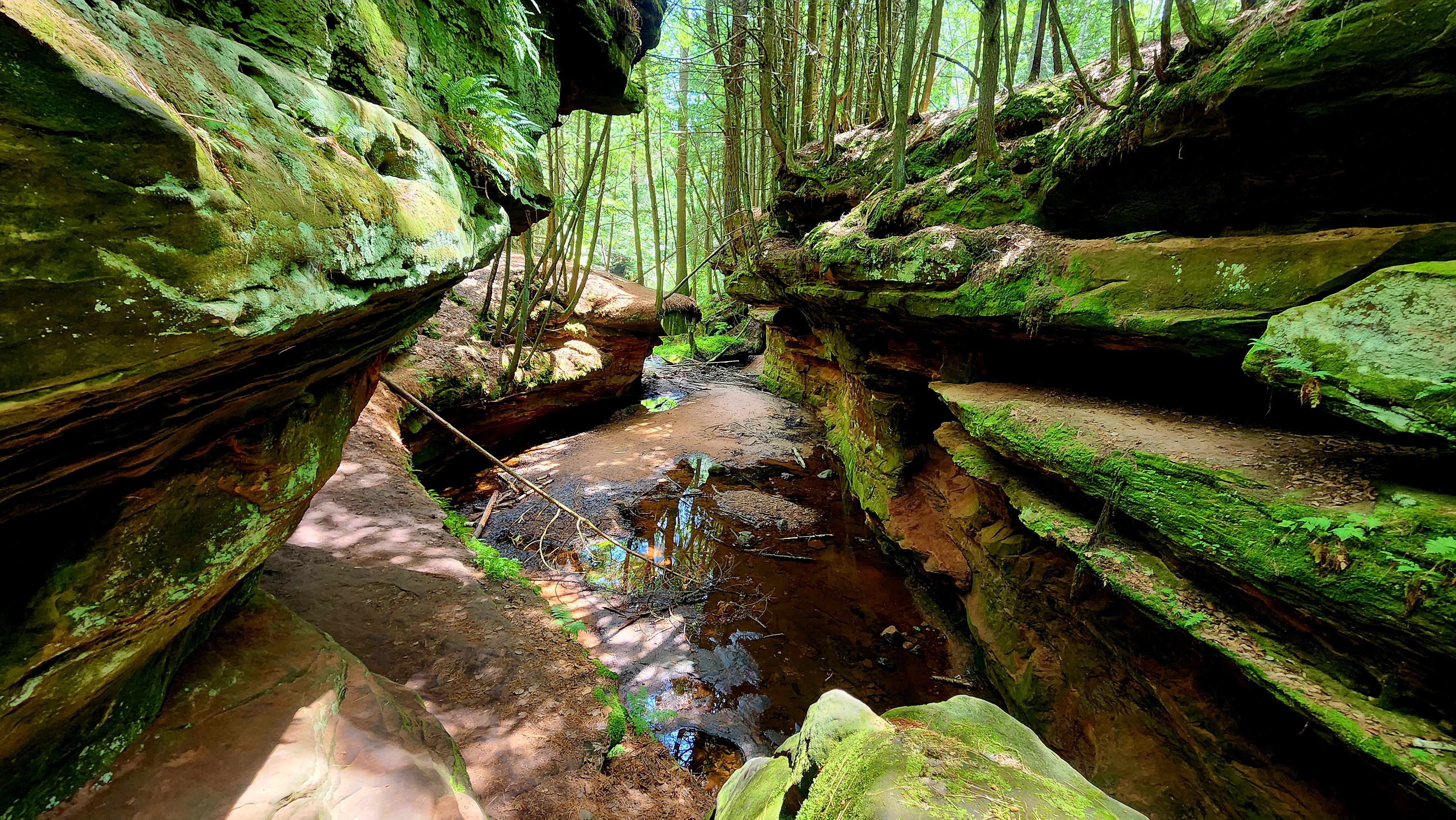
The gorge was beautiful! Photos cannot capture the depth, dampness, or dazzling colors of the moss clinging to the rocks.
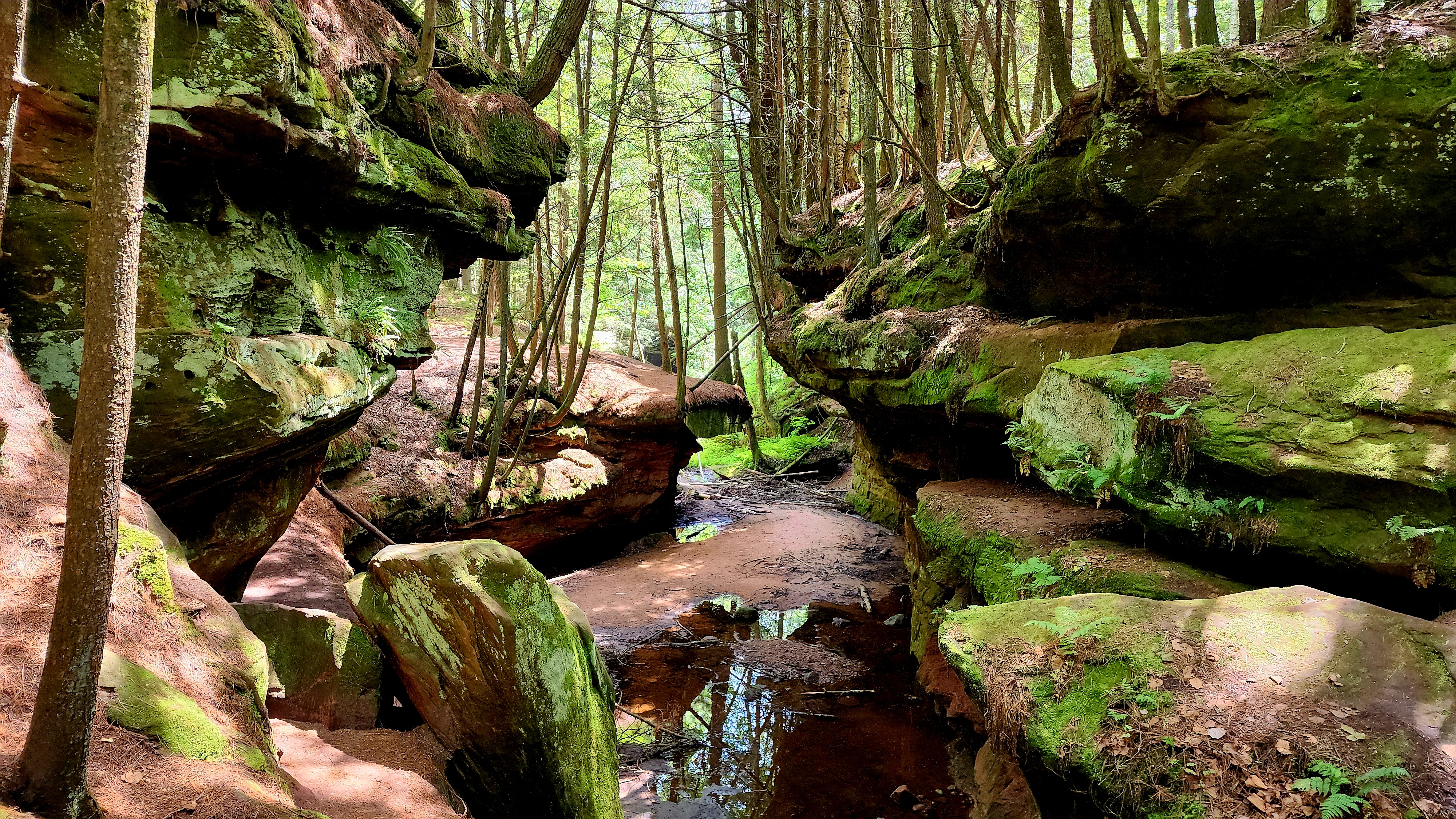
Echo Dells
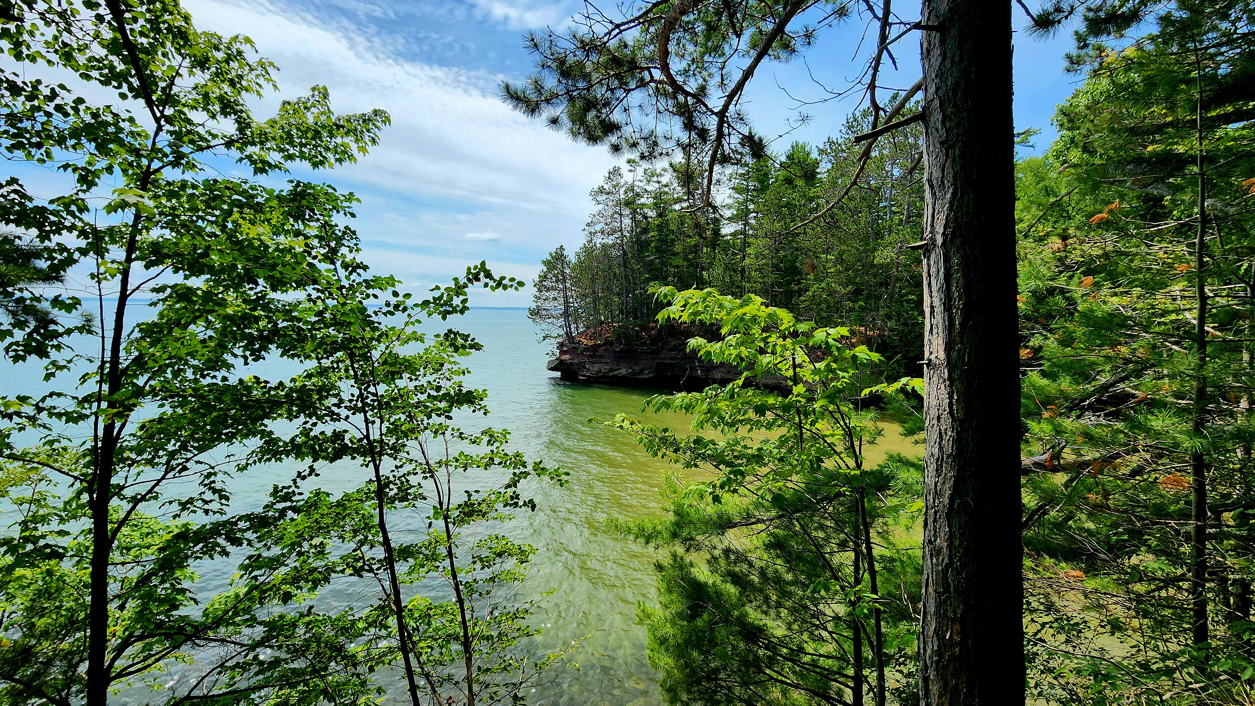
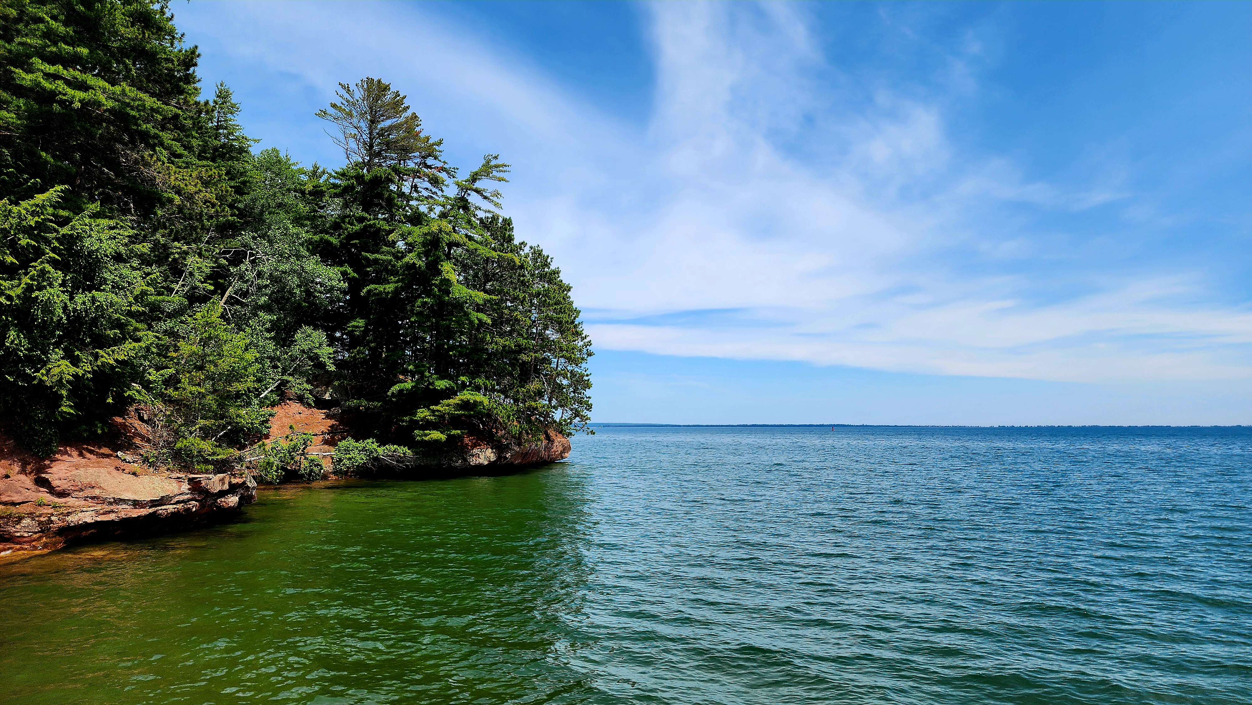
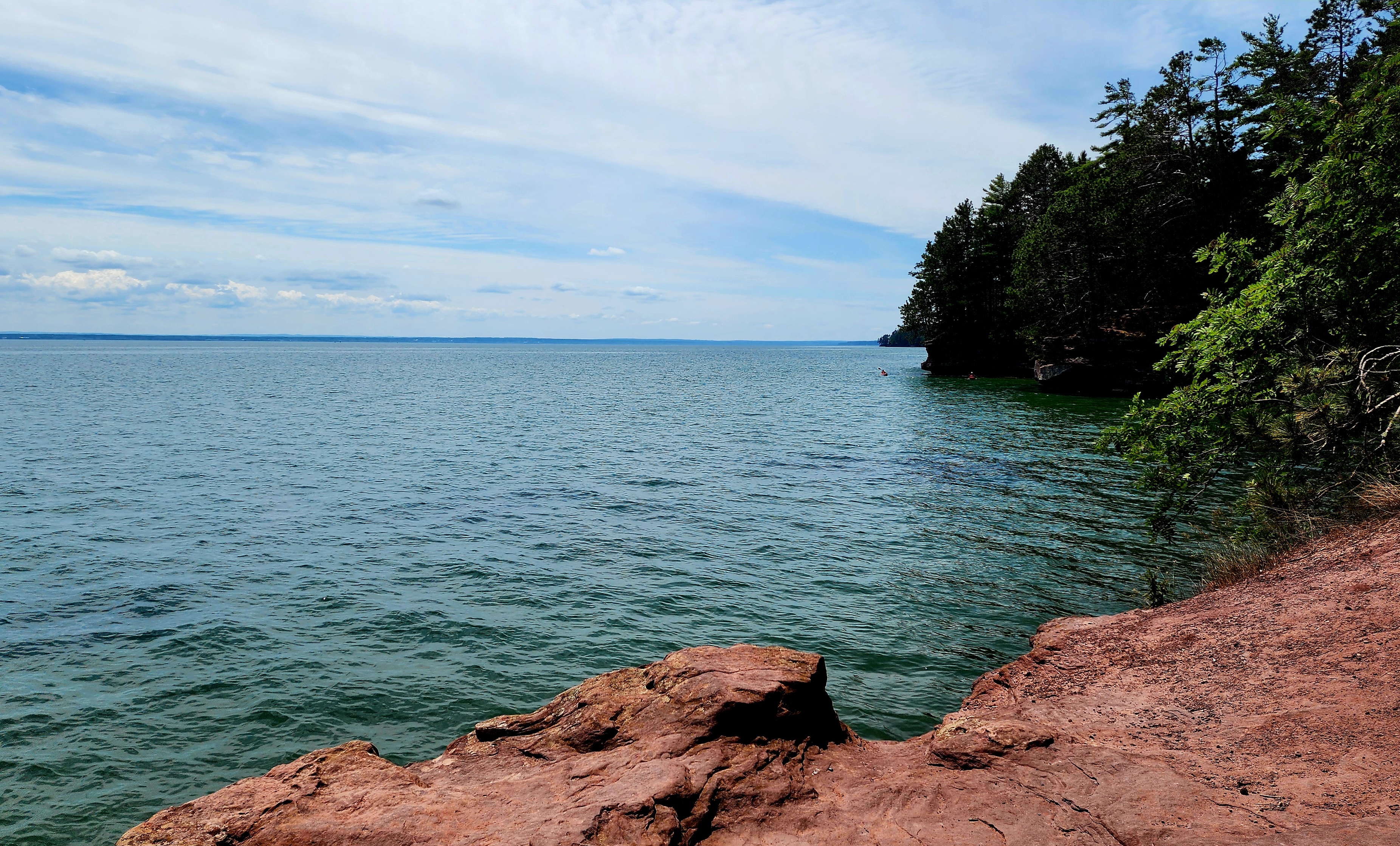
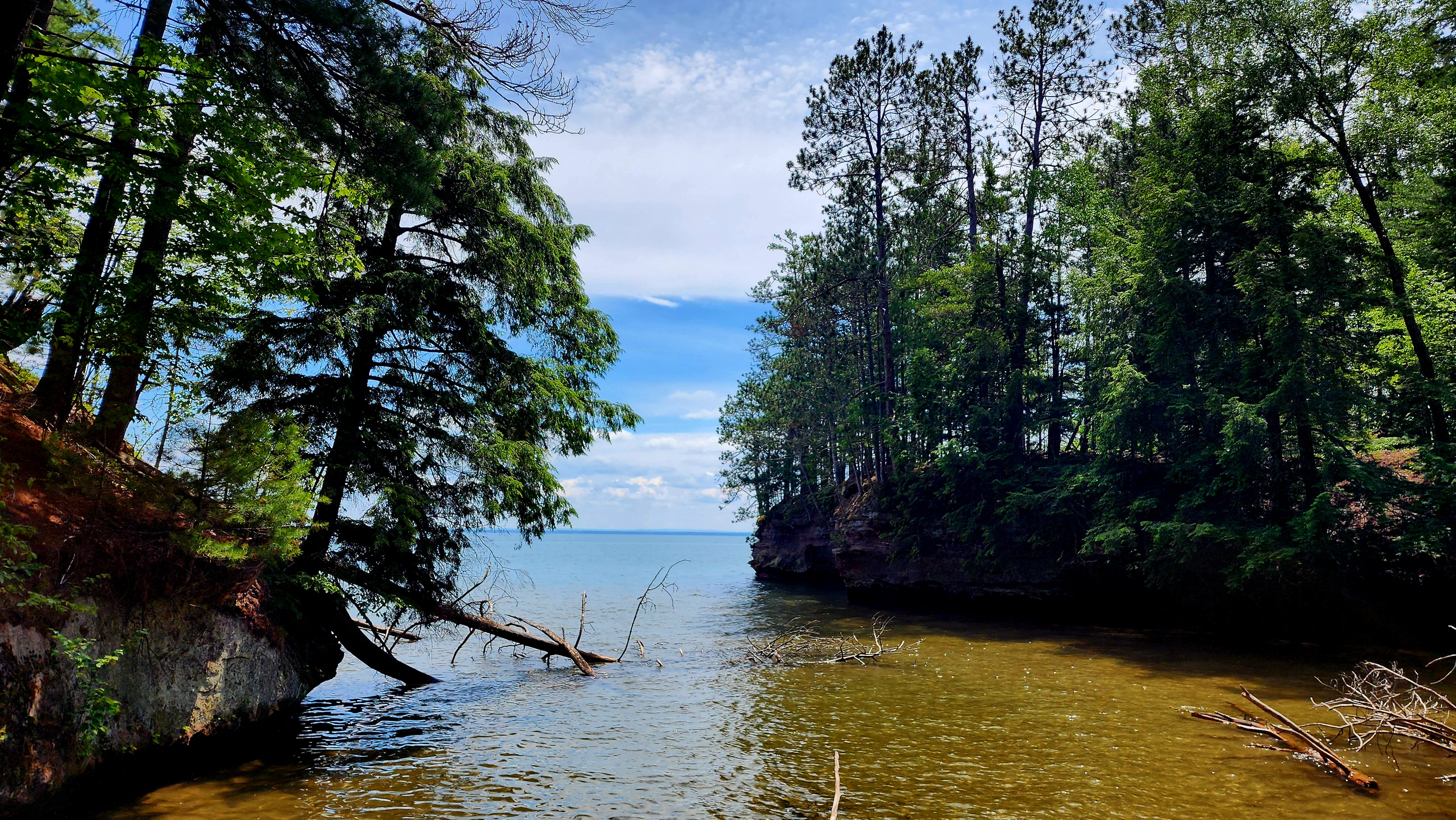
We made it to Lake Superior and looped back to our starting point.
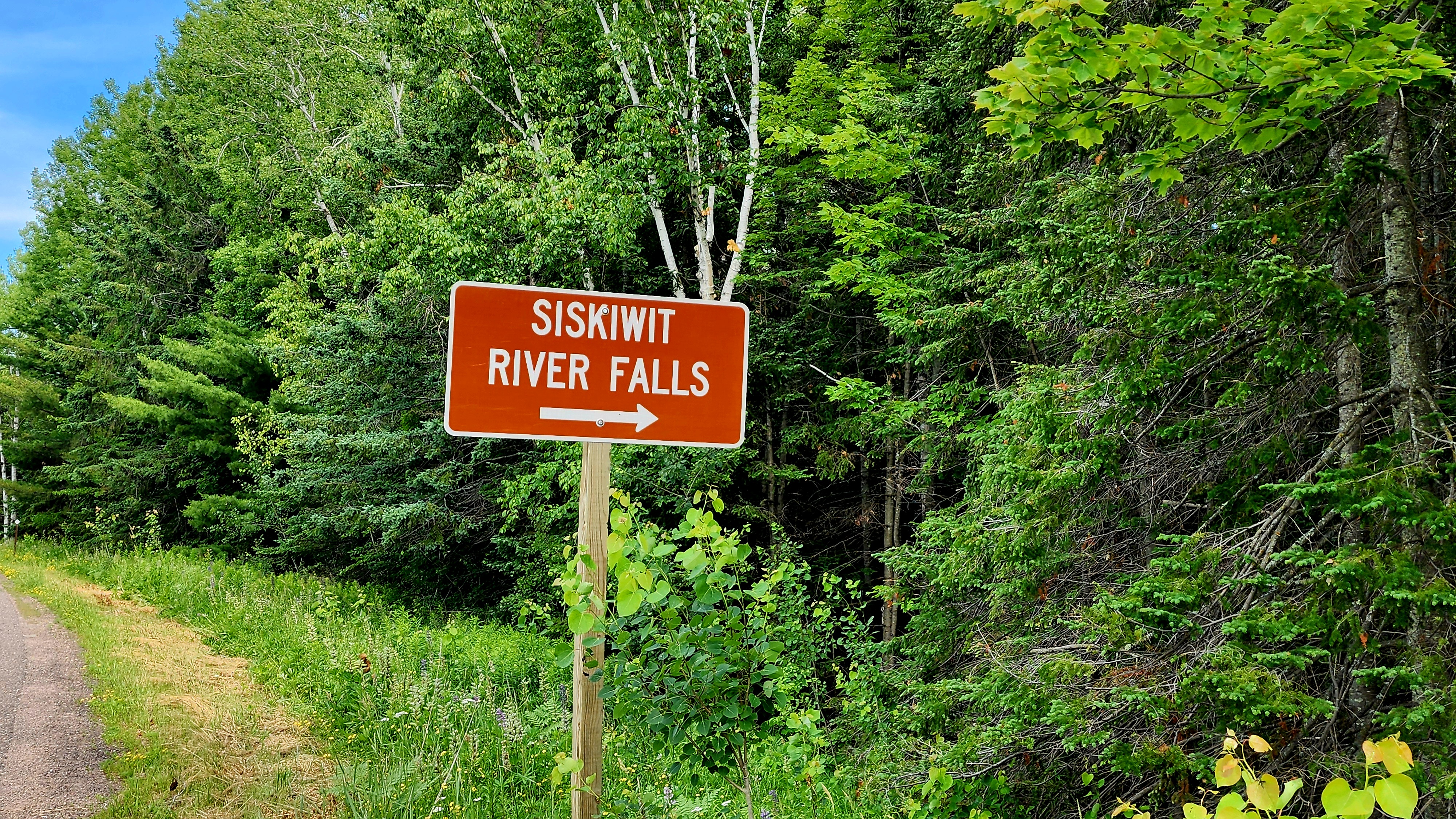
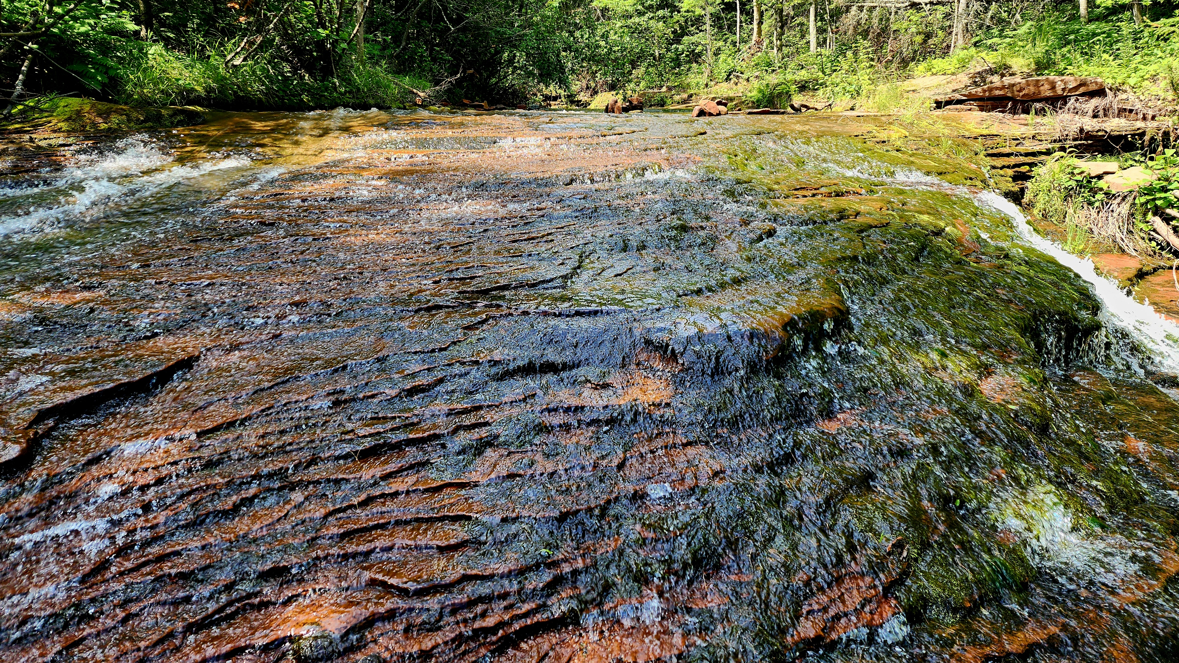
Fate brought us to this place. A small brown sign stating “Siskiwit River Falls” is all it took to detour us from the highway. As we were getting our hiking gear on, my cousin asked the family that had parked next to us what the hike was like. They told us to kick off our hiking boots, grab our flip-flops and hike in the river. Say less…
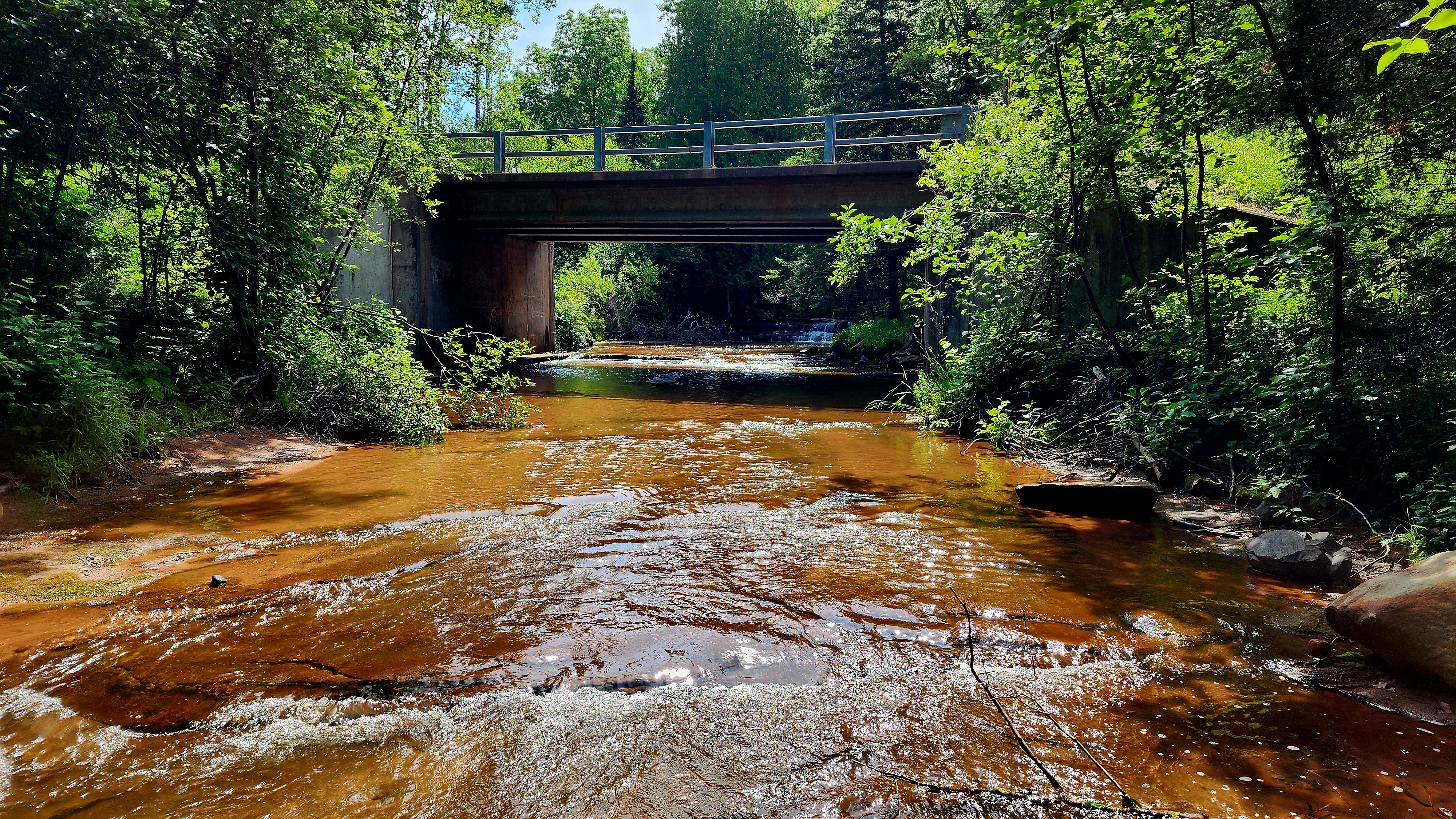
We hiked a very short trail in our flip-flops towards the river. As soon as we reached the river, we flipped our flip-flops off and hiked the river. The water was soooo cold at first, but it felt so good!
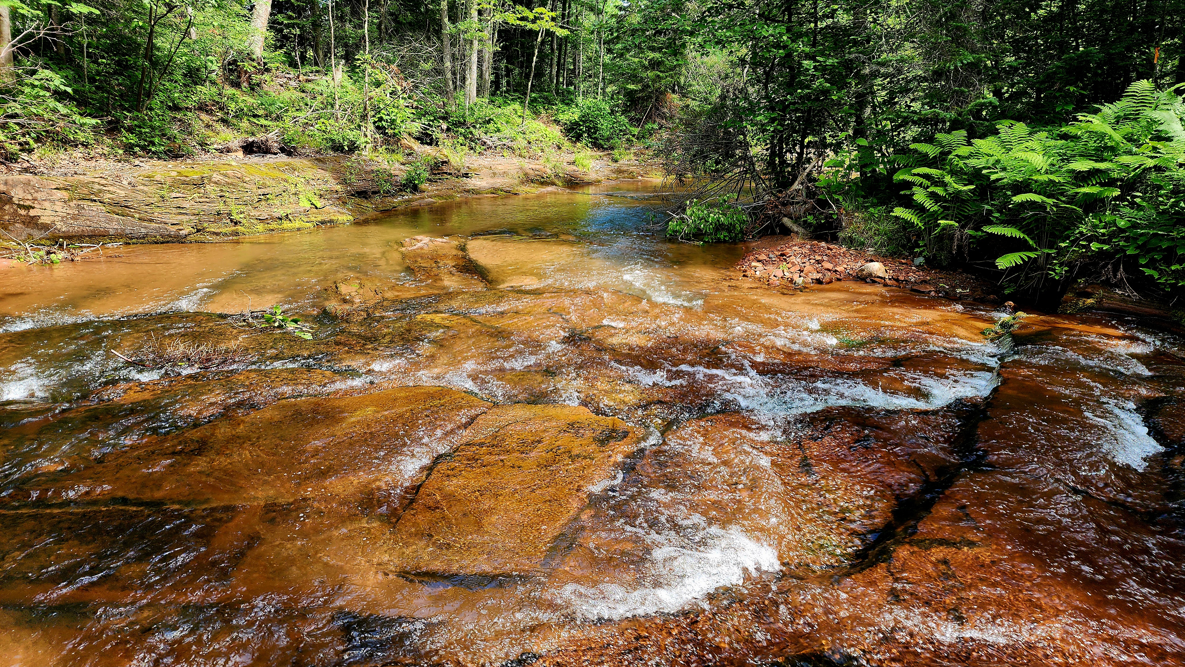
We hiked up two of the falls…
…and down two of the falls.
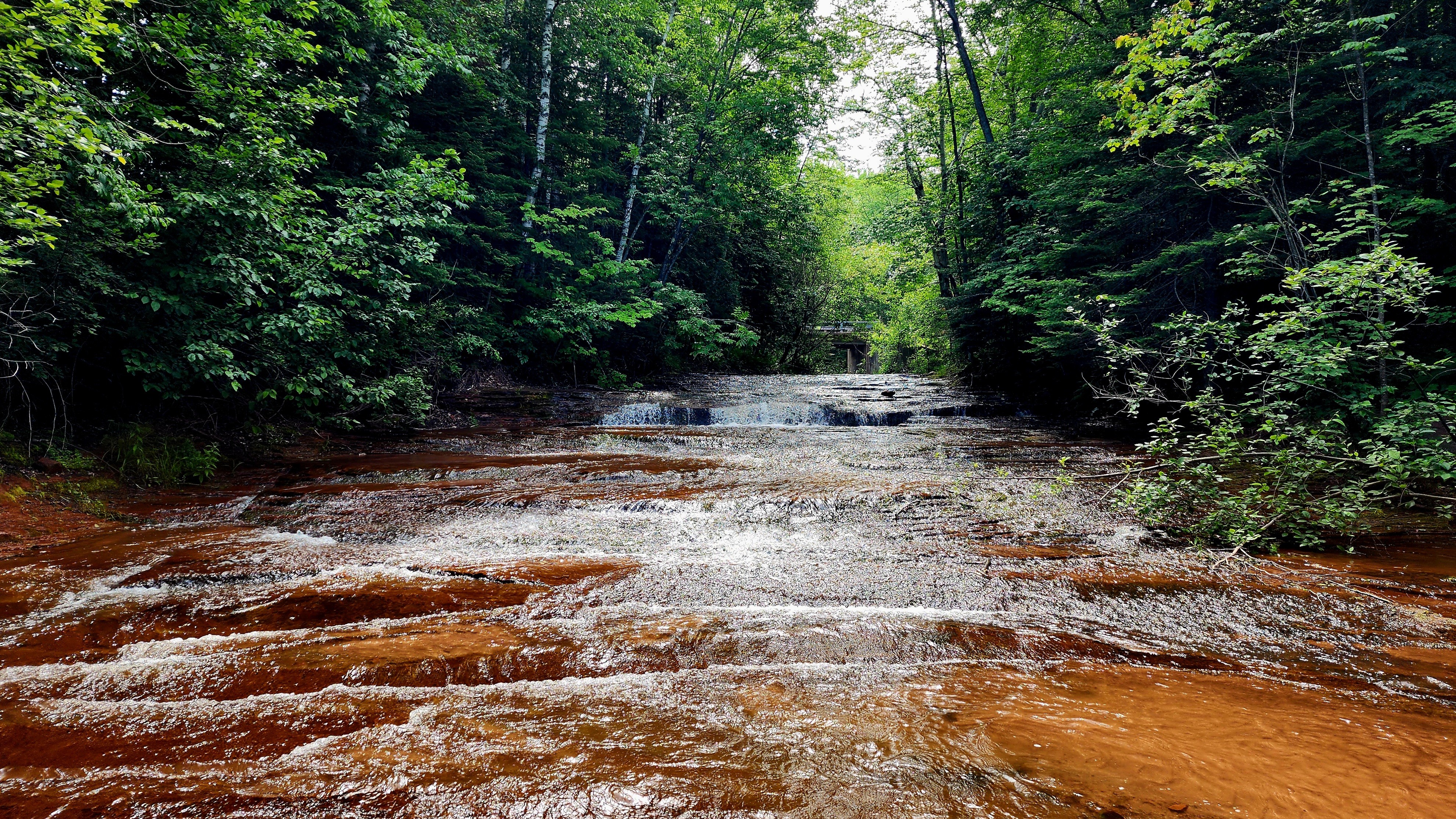
I felt like a little kid again playing in the water.
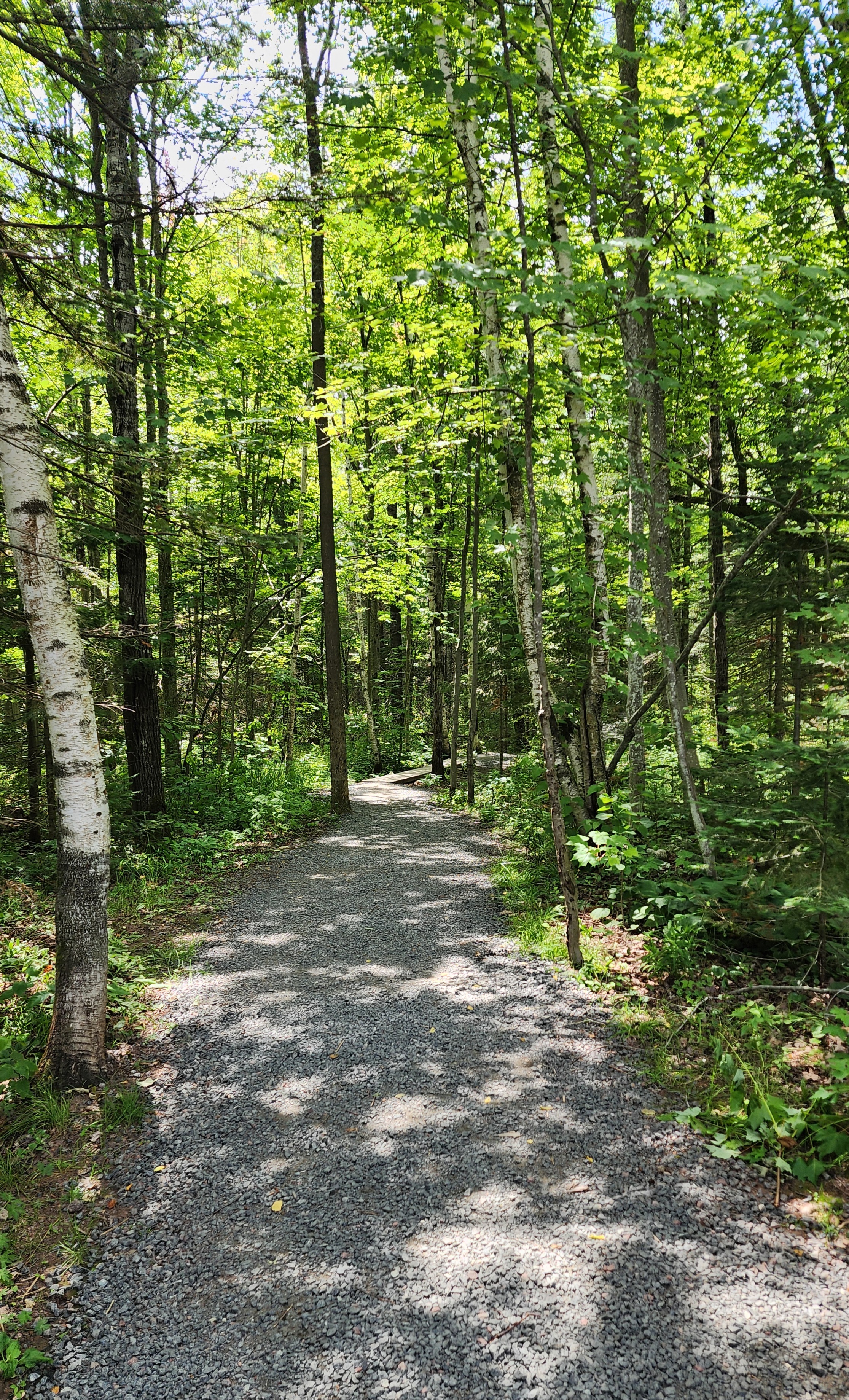
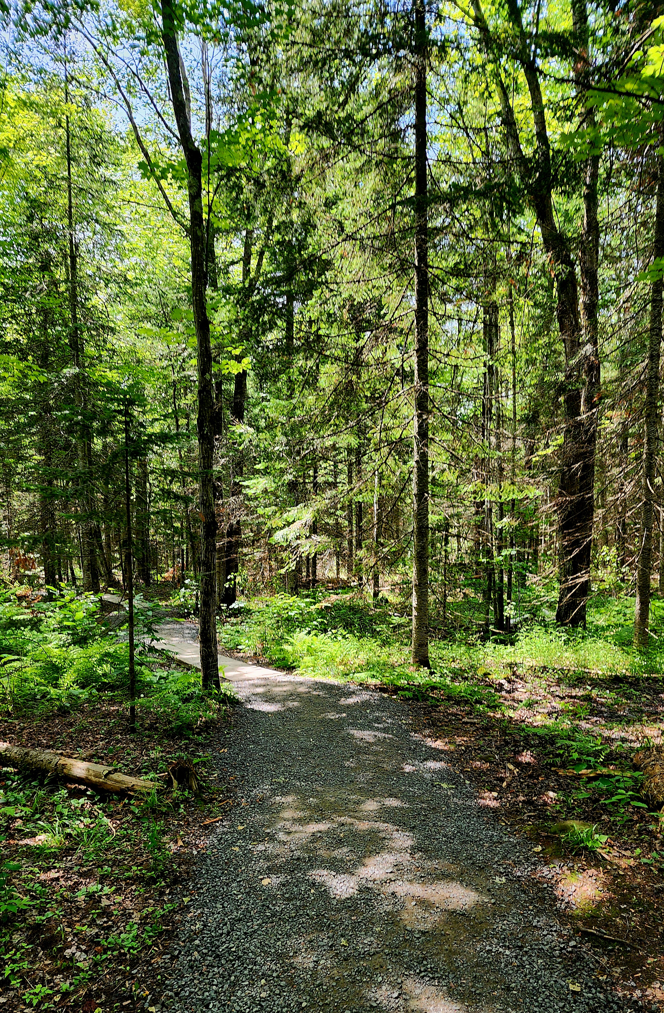
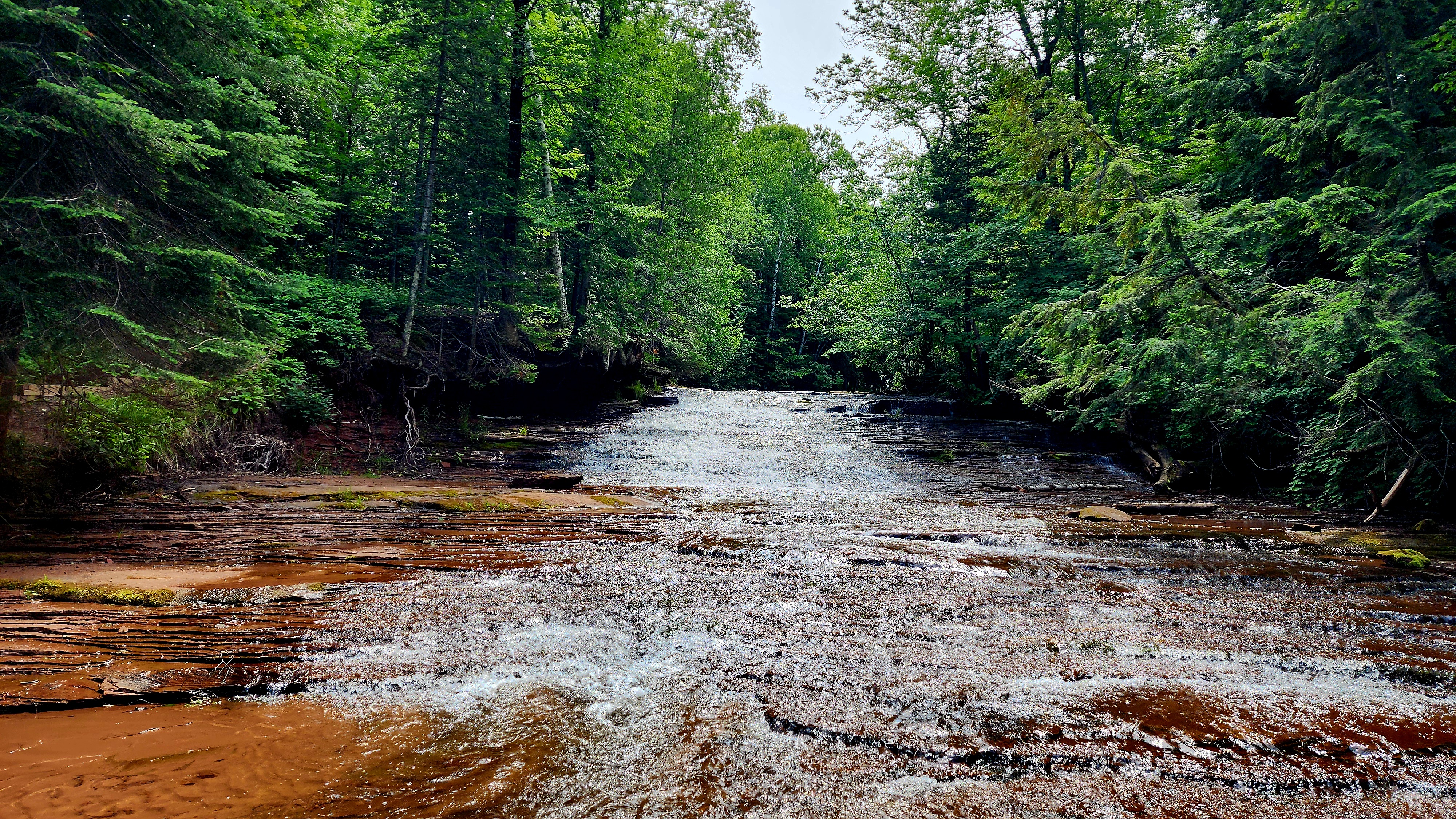
It was a beautiful morning for a hike through the woods. The sun was shining, and the birds were singing.
Bayfield County Parks has done a wonderful job preserving the soil surrounding the trail.
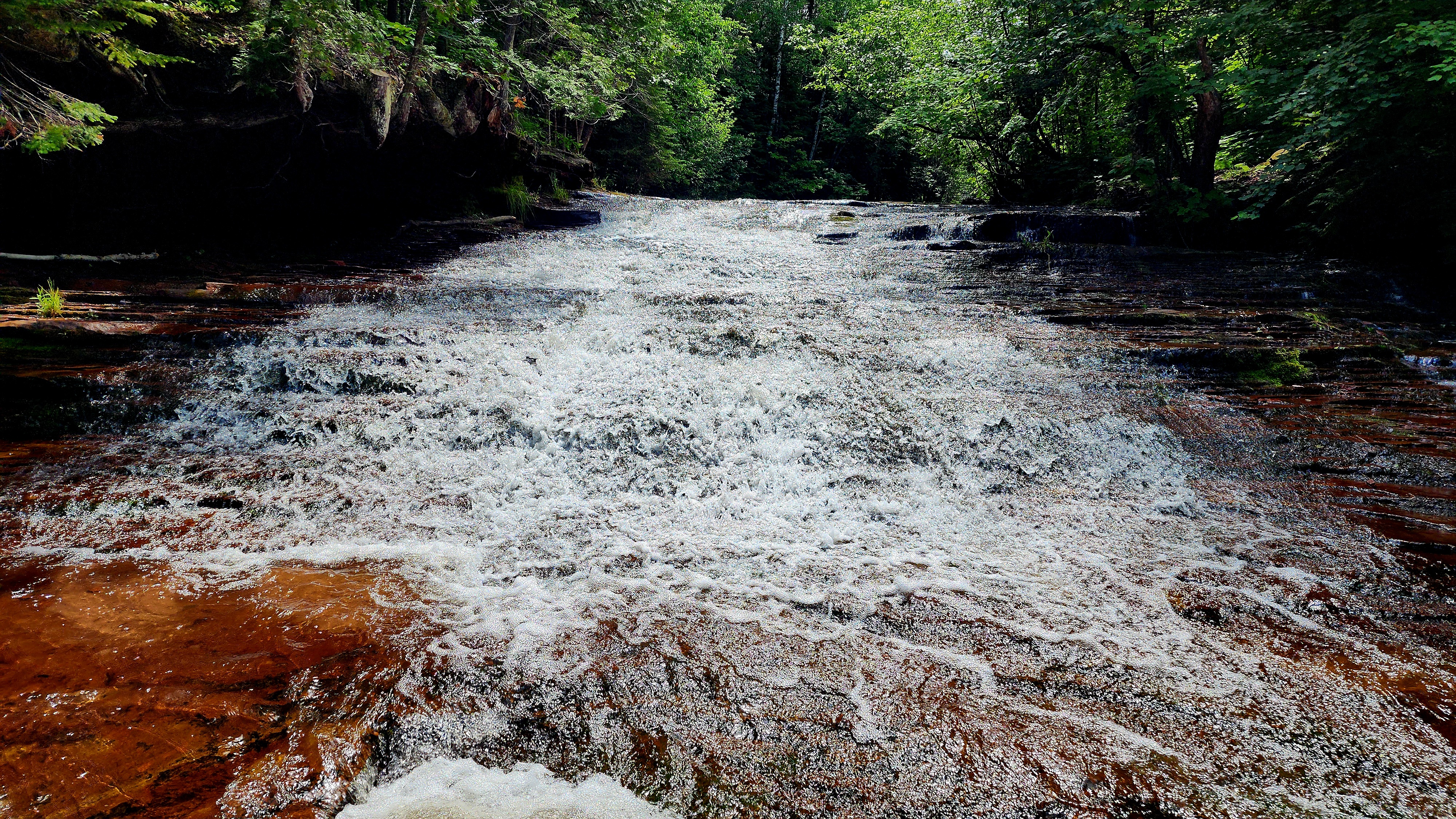
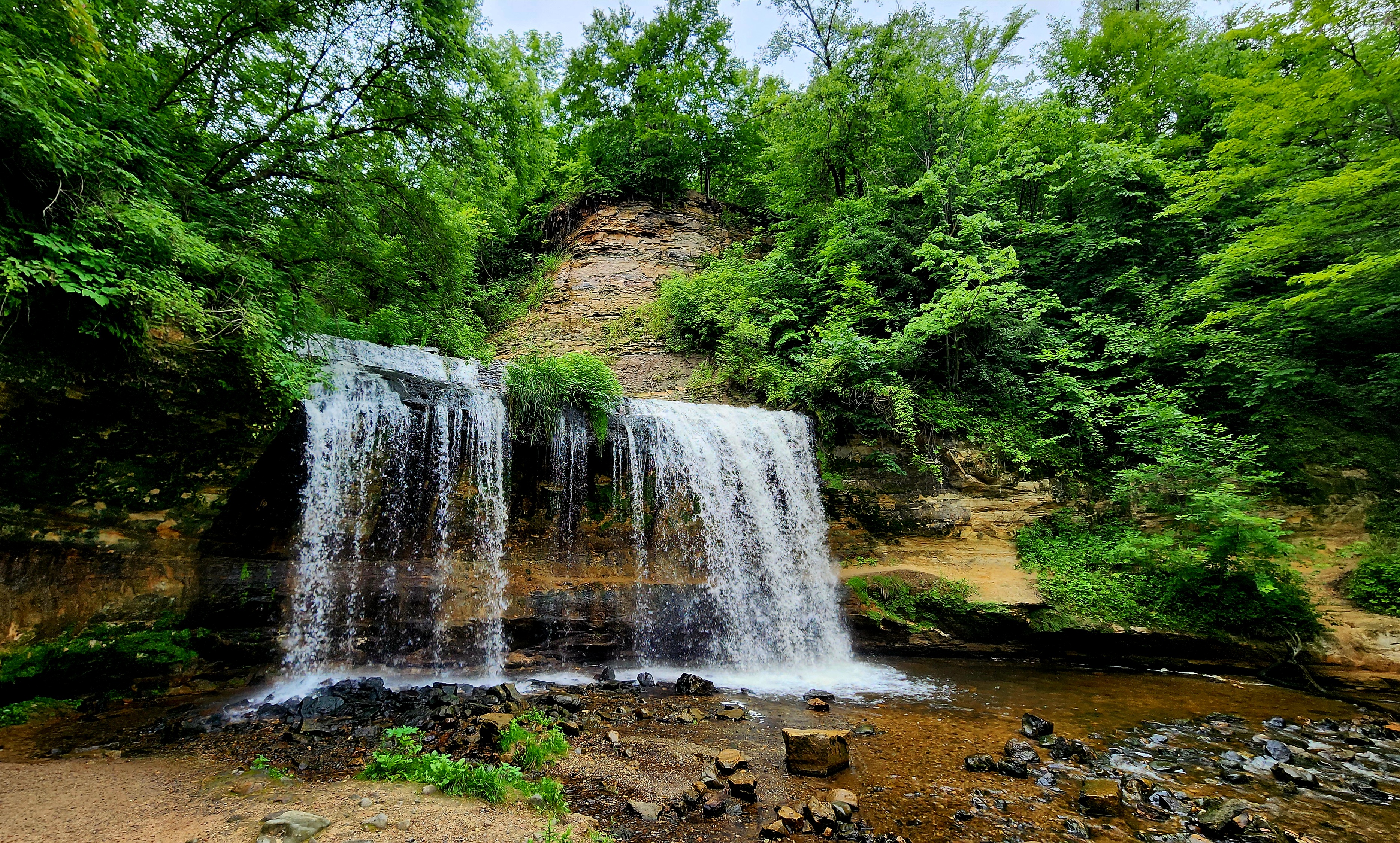
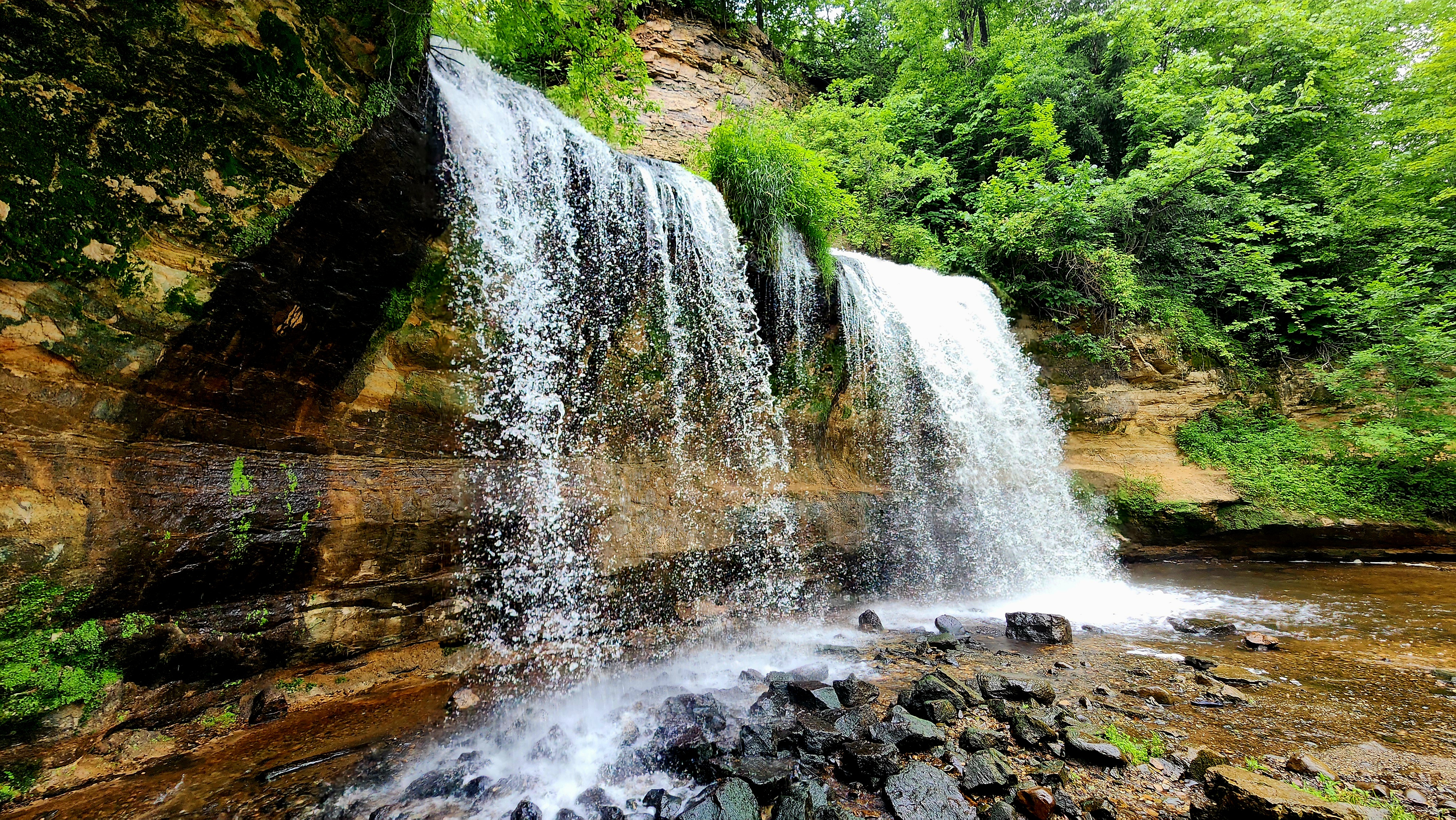
We had the falls all to ourselves. It felt like a magical fairytale. *Cue enchanting fairy music now.
Nothing beats jumping rocks down the waterway. We made our way down the creek until there were no more rocks to jump. We looped back towards the falls.
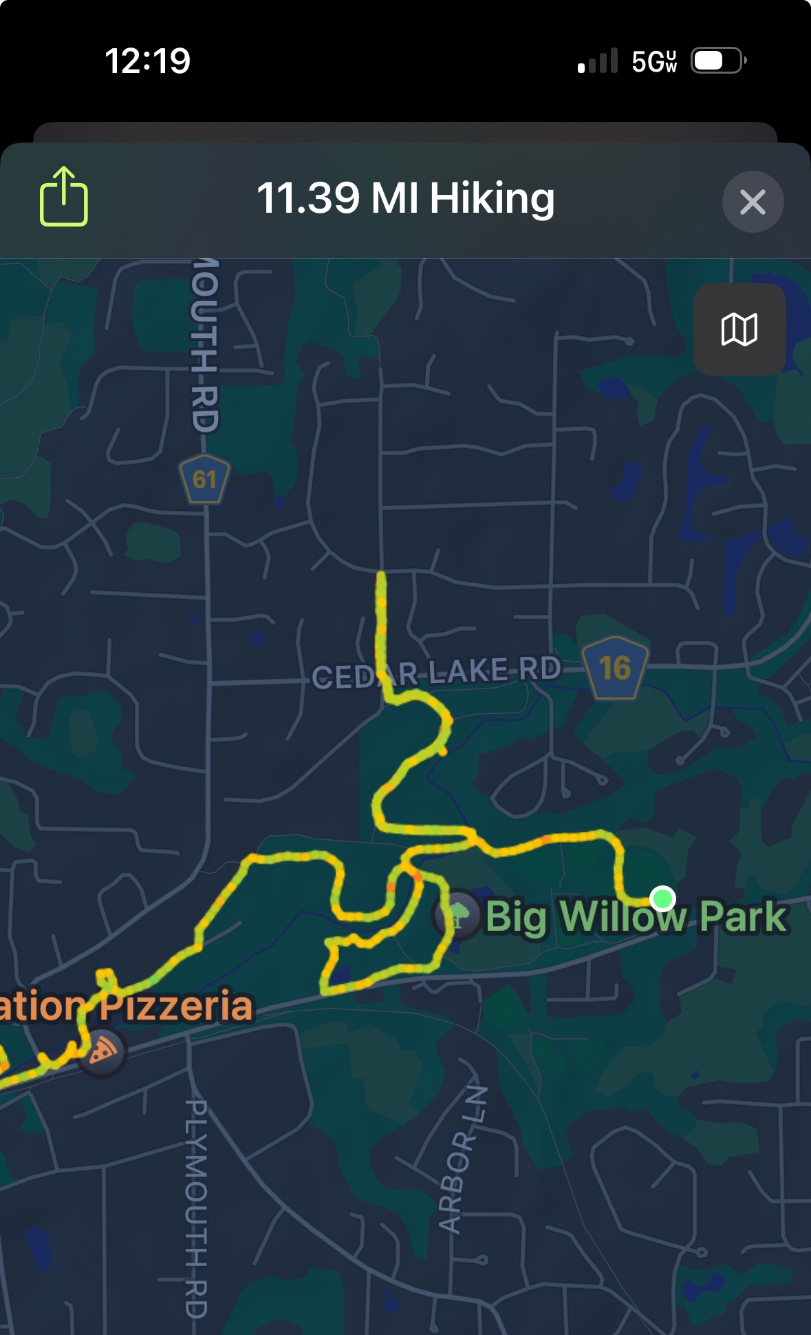
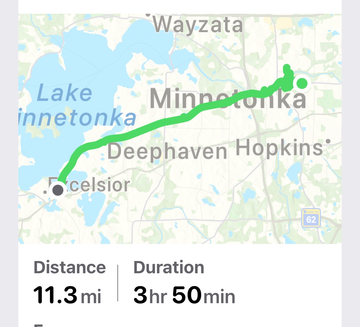
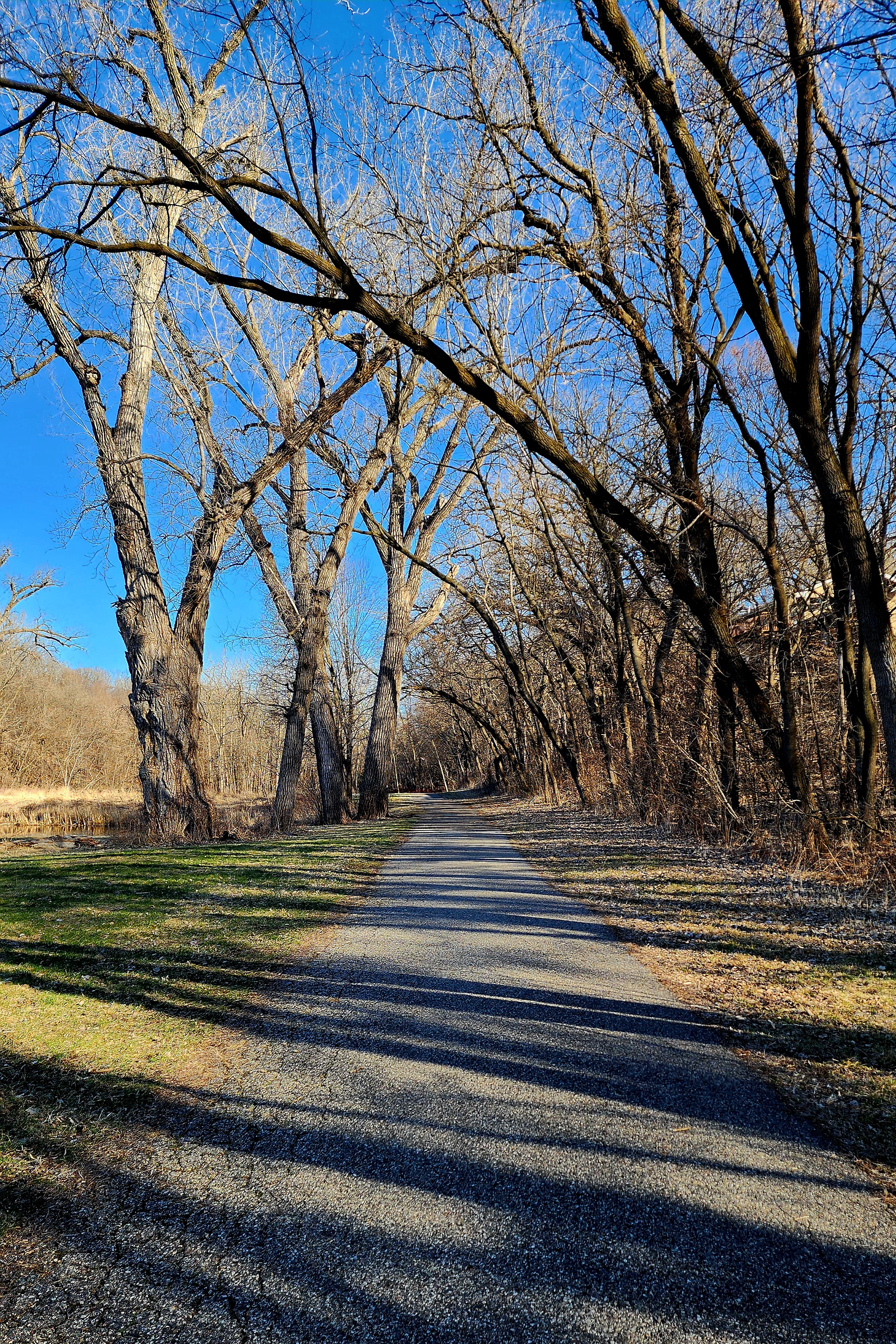
Today’s hiking adventure began at Big Willow Park. We previously hiked this park during the winter of 2024.
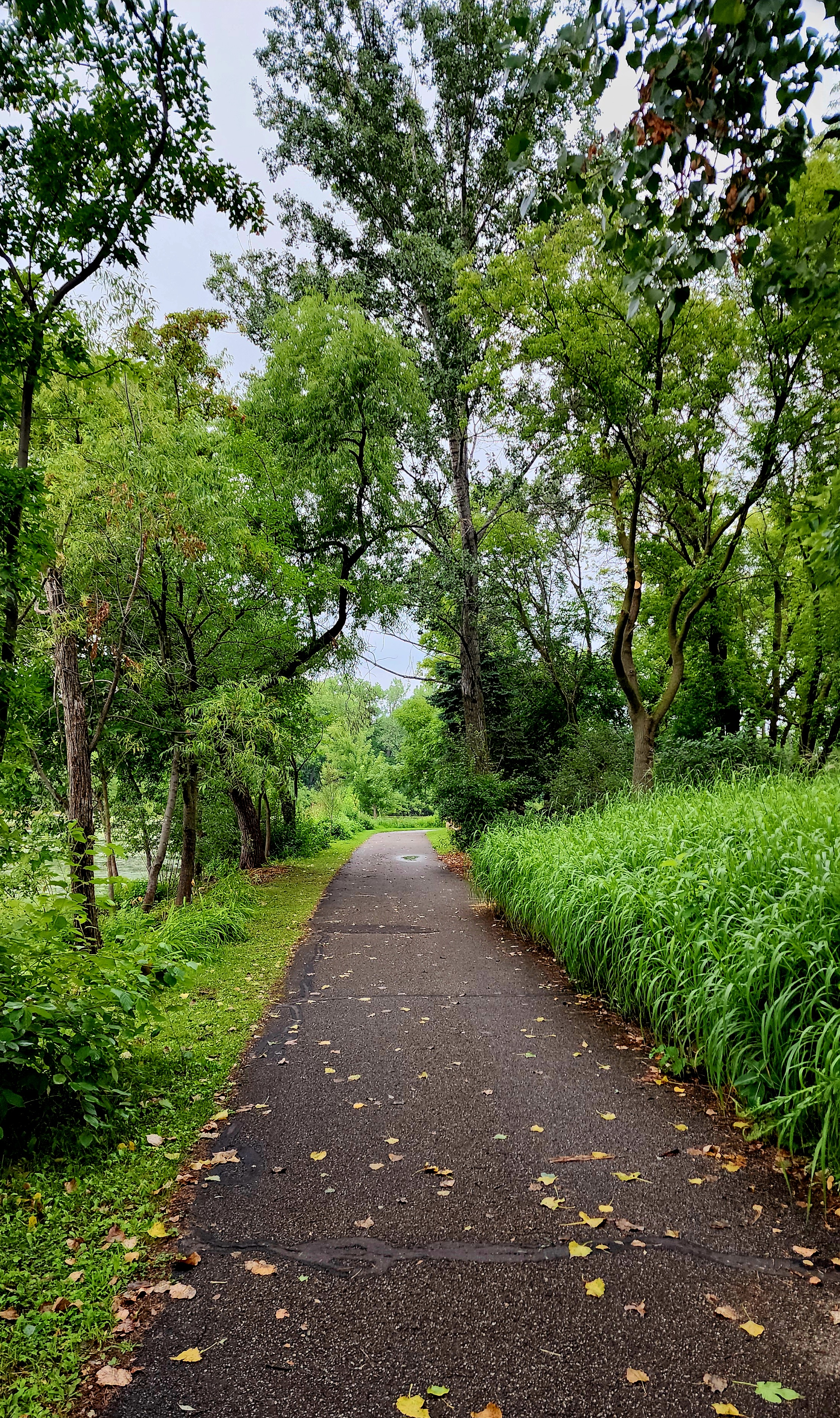
We hiked past the athletic complexes towards Minnehaha Creek.
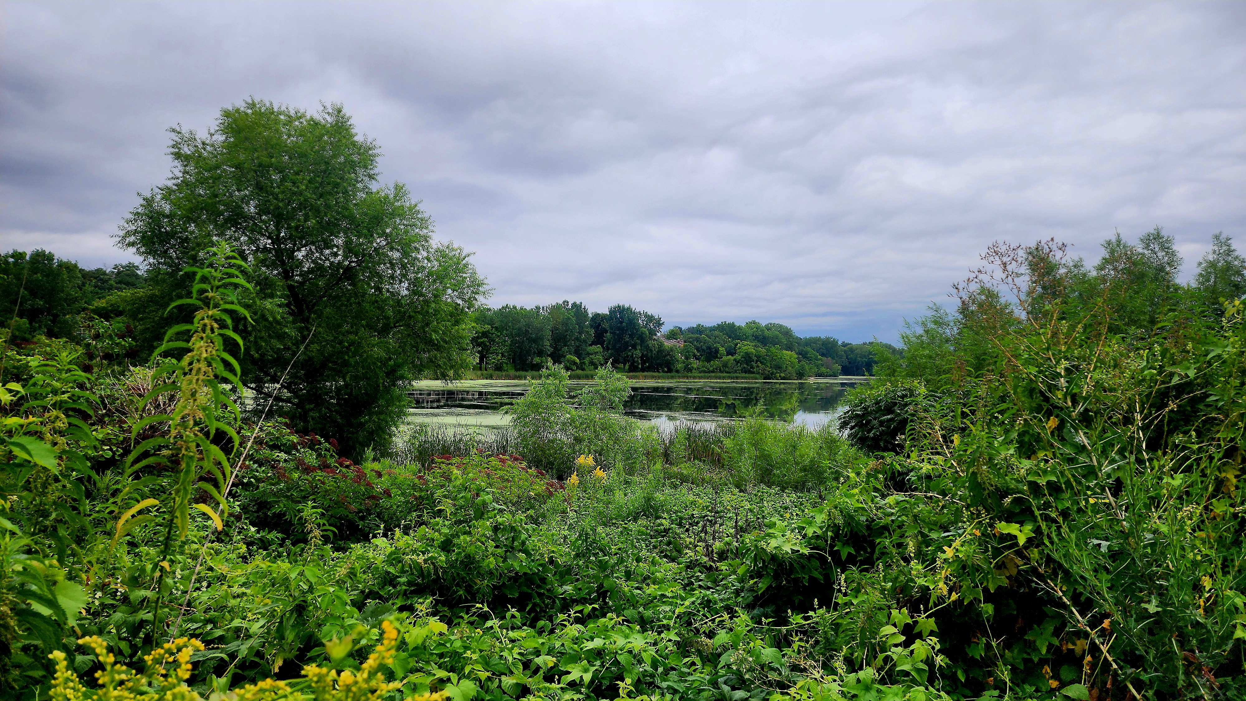
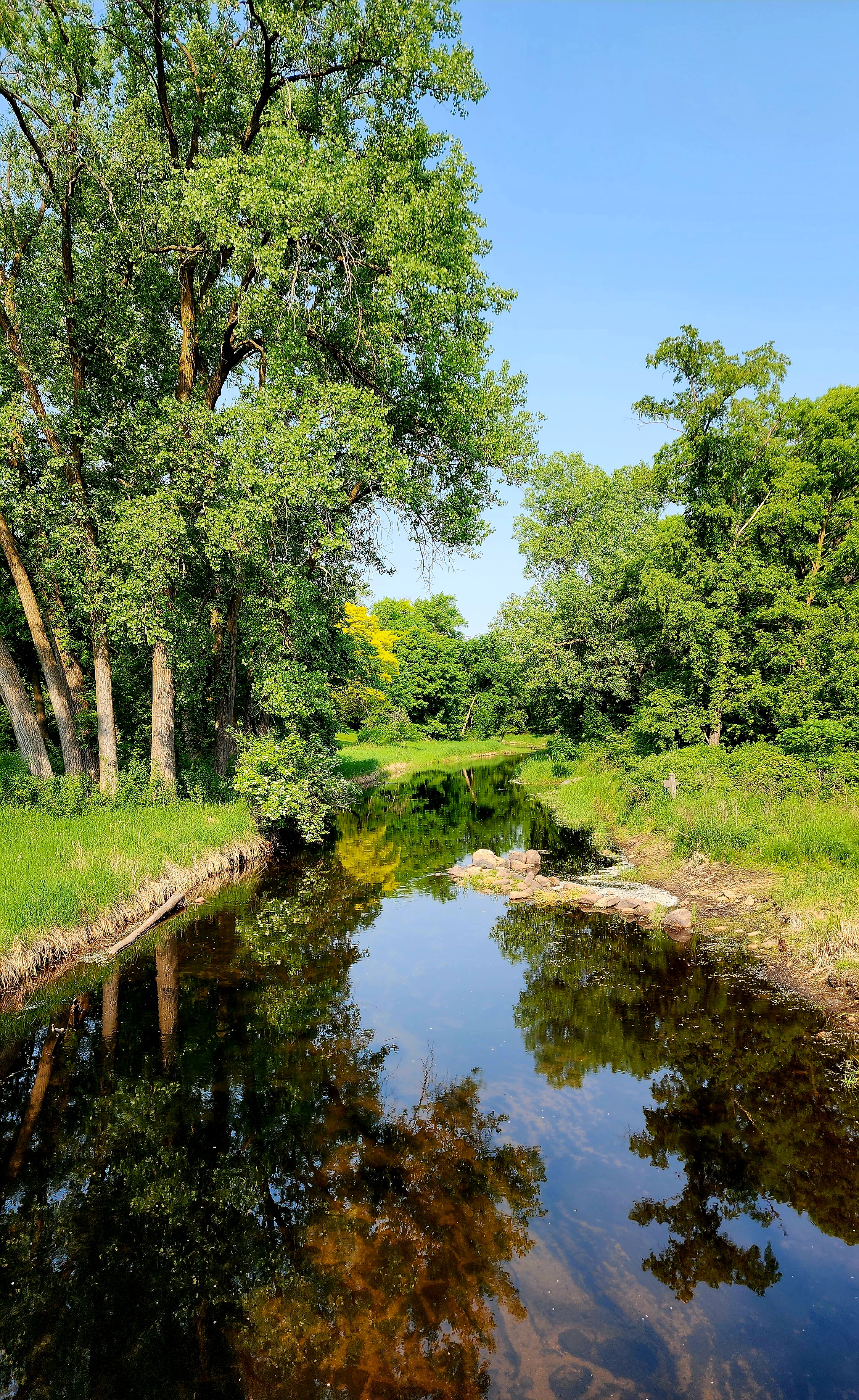
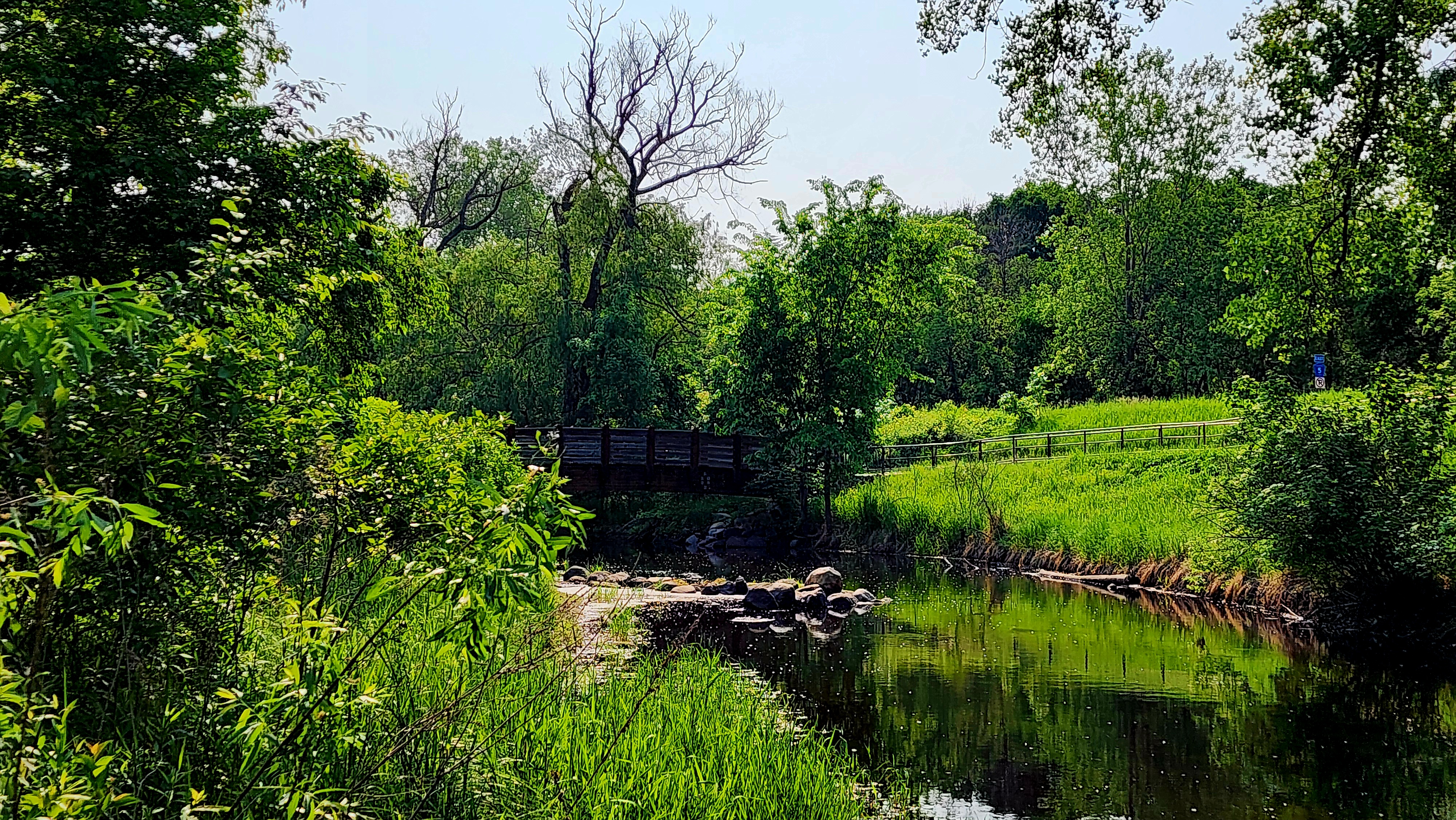
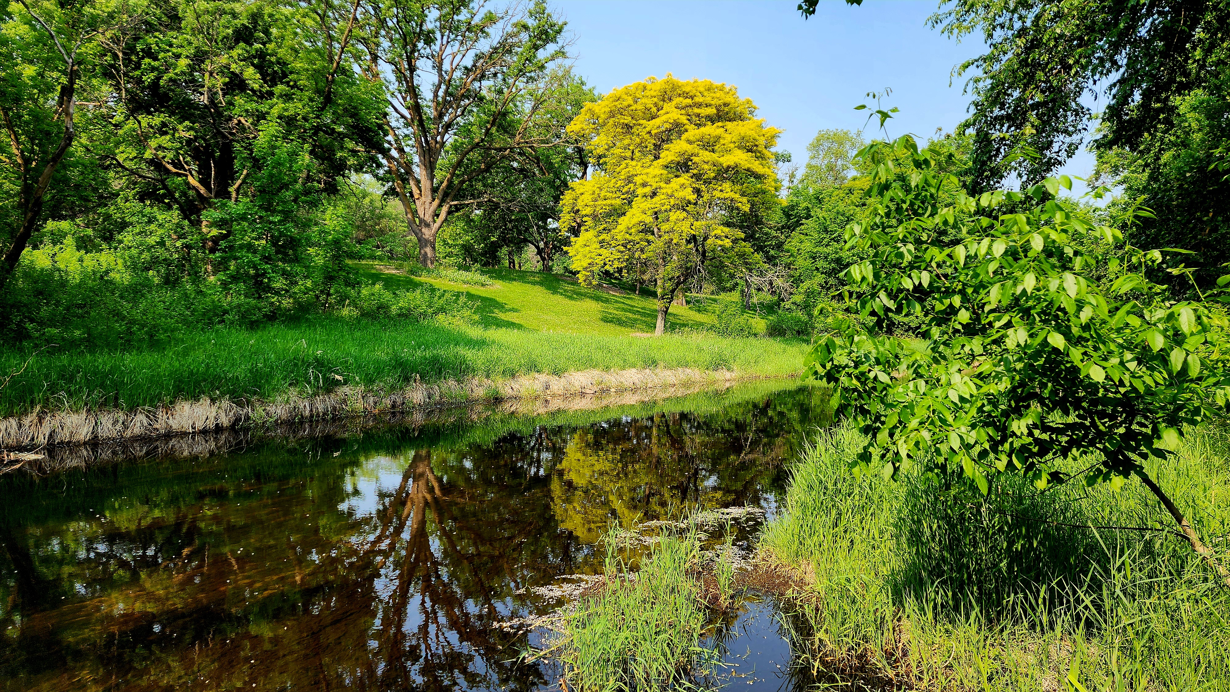
The trail winds around the creek offering a beautiful and ever changing landscape.
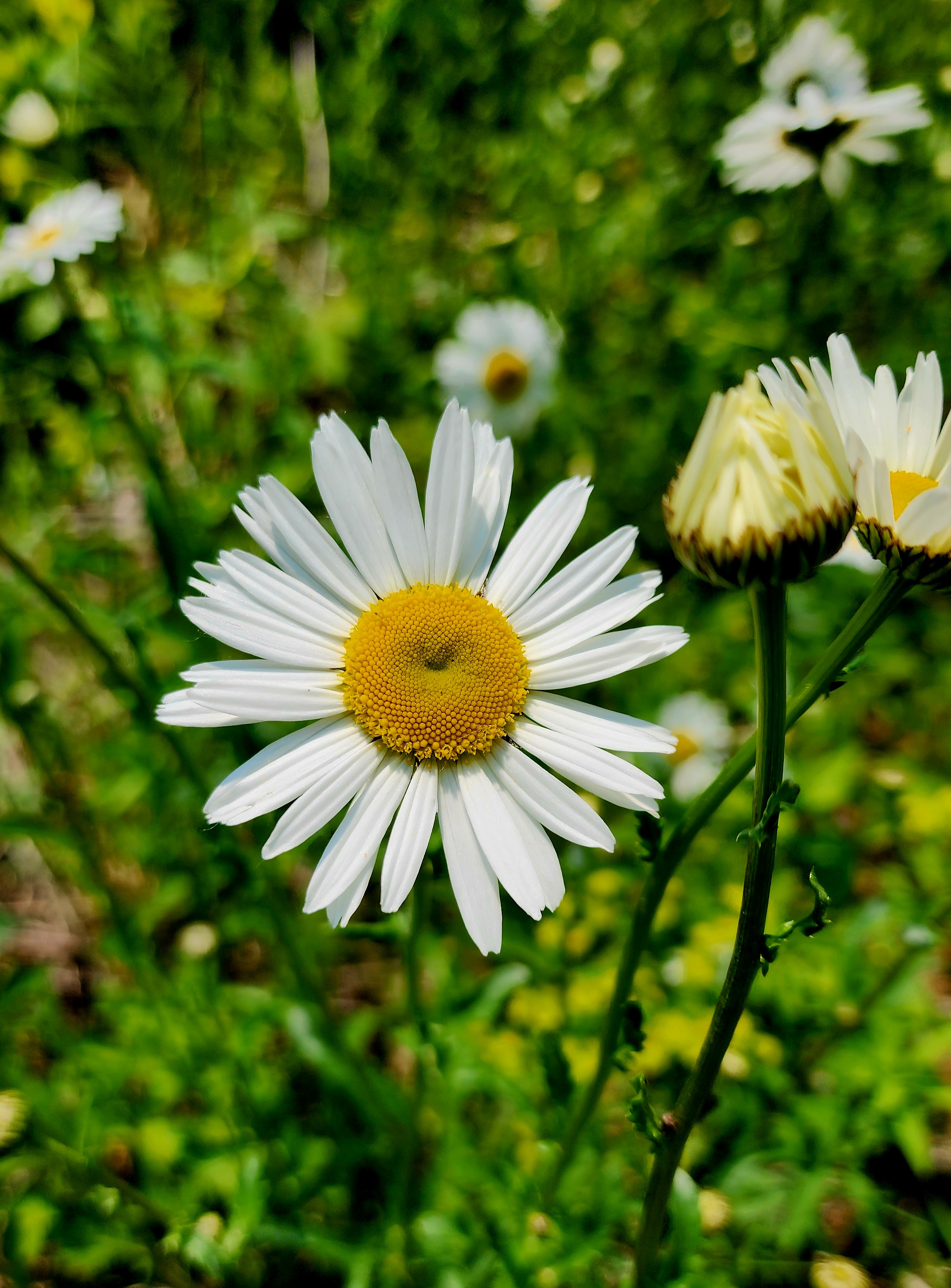
The wildflowers are always a colorful find along the trail.
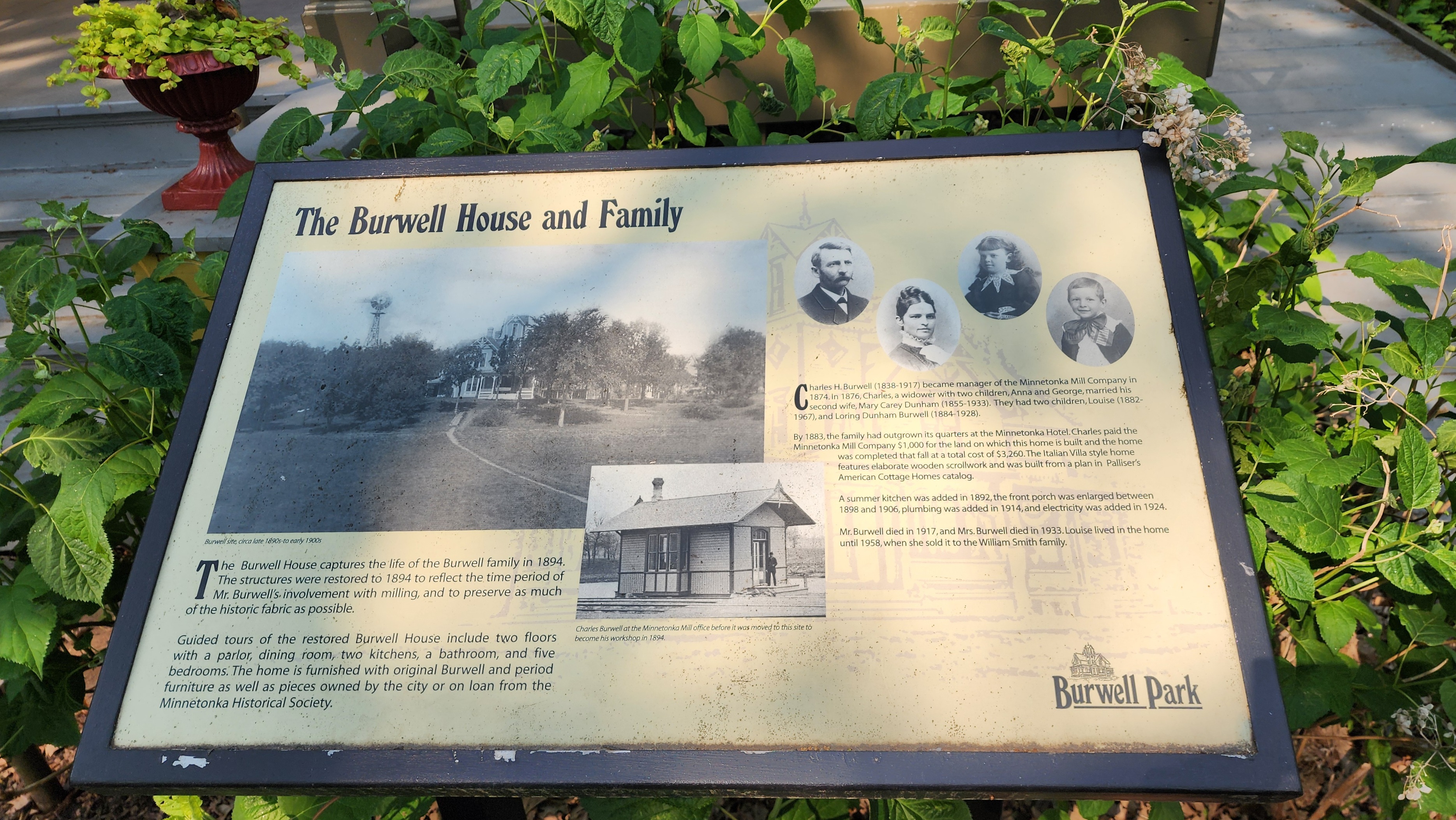
We left Big Willow Park and hiked down Minnetonka Blvd towards the Lake Minnetonka Regional Trail alongside the Minnehaha Creek. We passed by the Charles H. Burwell House and decided to hike around the gorgeous property.
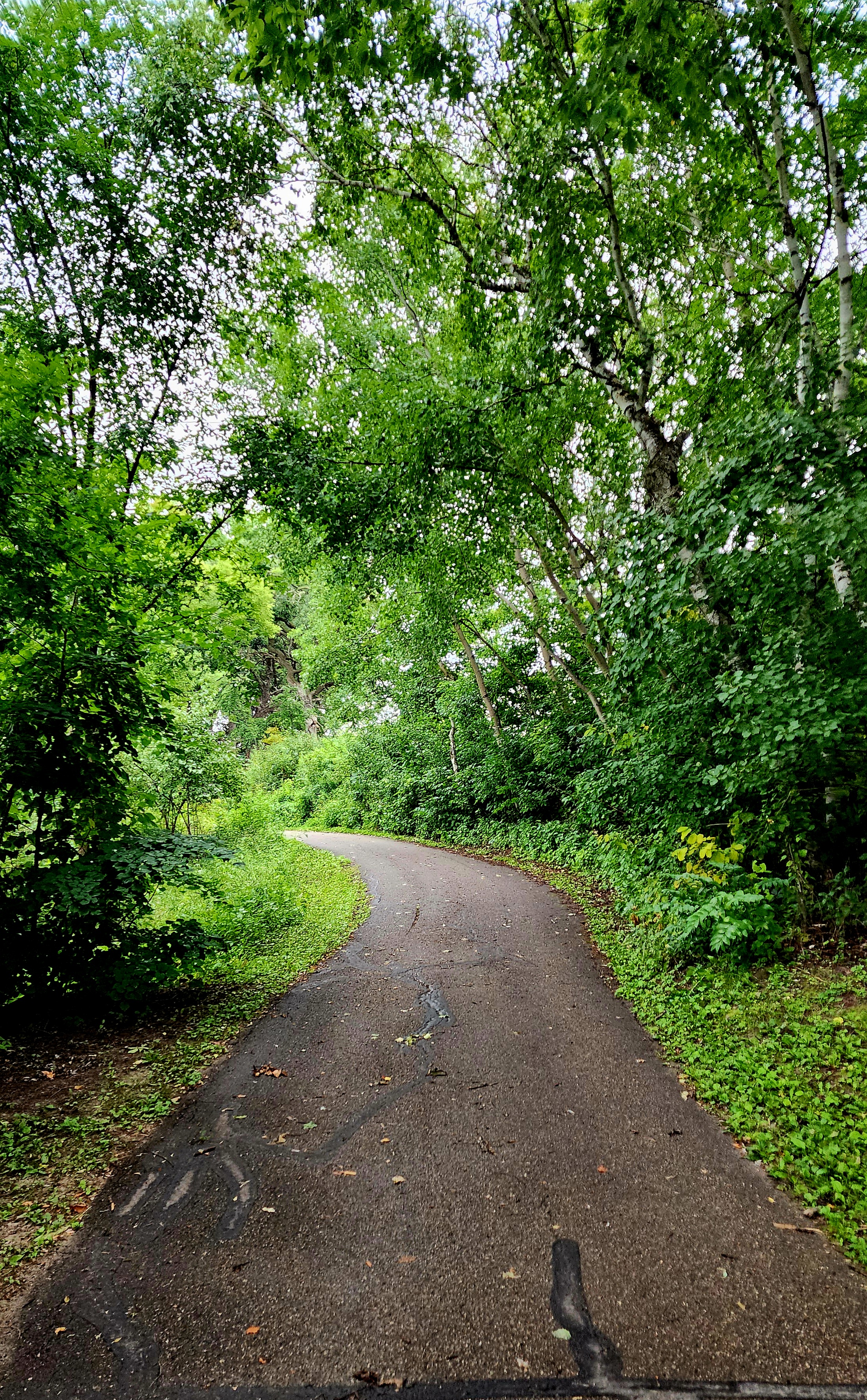
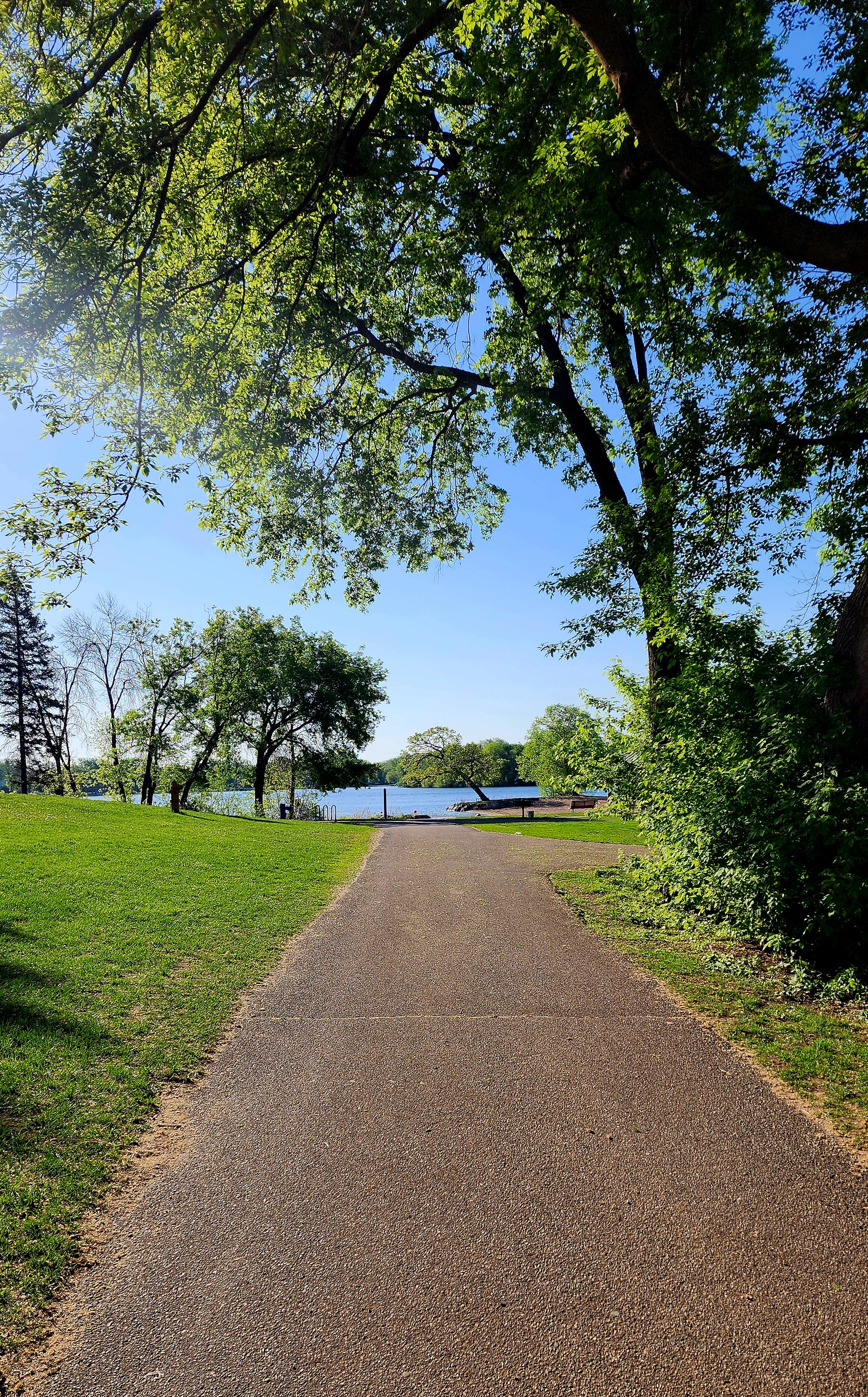
The Lake Minnetonka Regional Trail was busy with runners, hikers, and bikers. It was an amazing day to be outside.
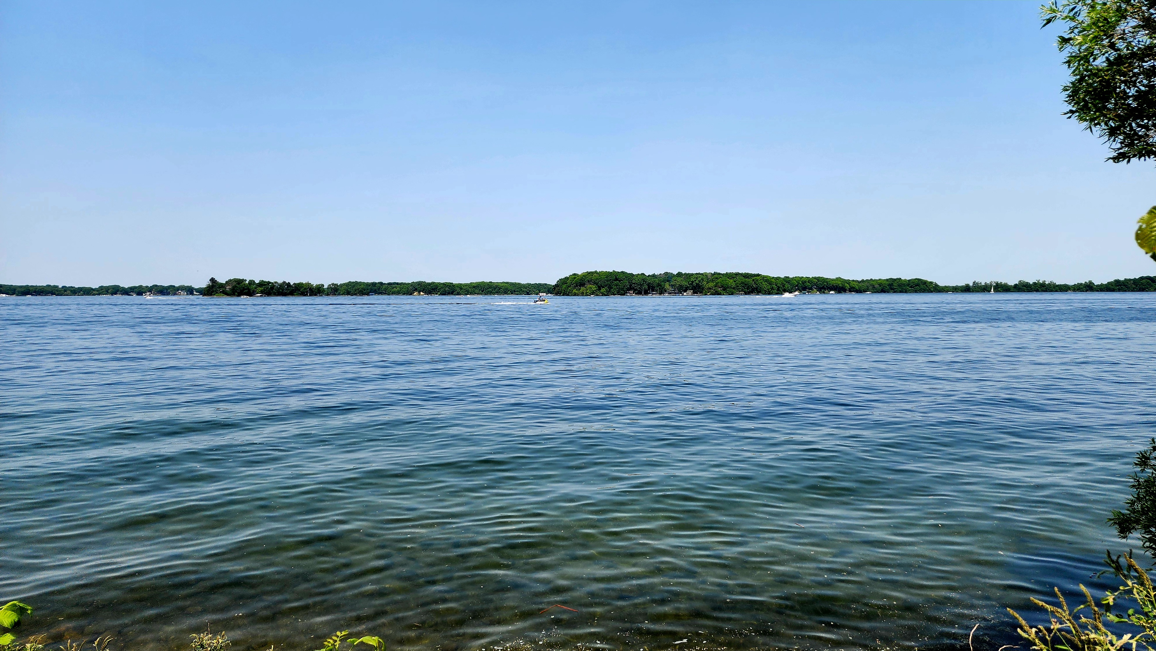
We followed along the trail through the city of Deephaven making our way to the city of Excelsior. Our goal was to make it to Lake Minnetonka. And that, we did!
Our hike ended at Maynard’s Restaurant on Lake Minnetonka.
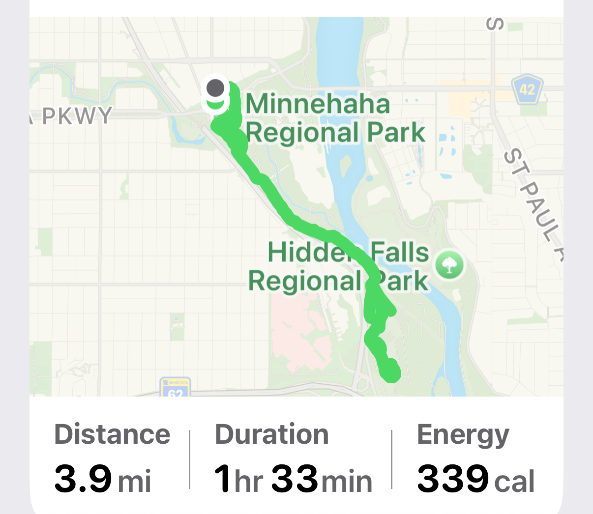
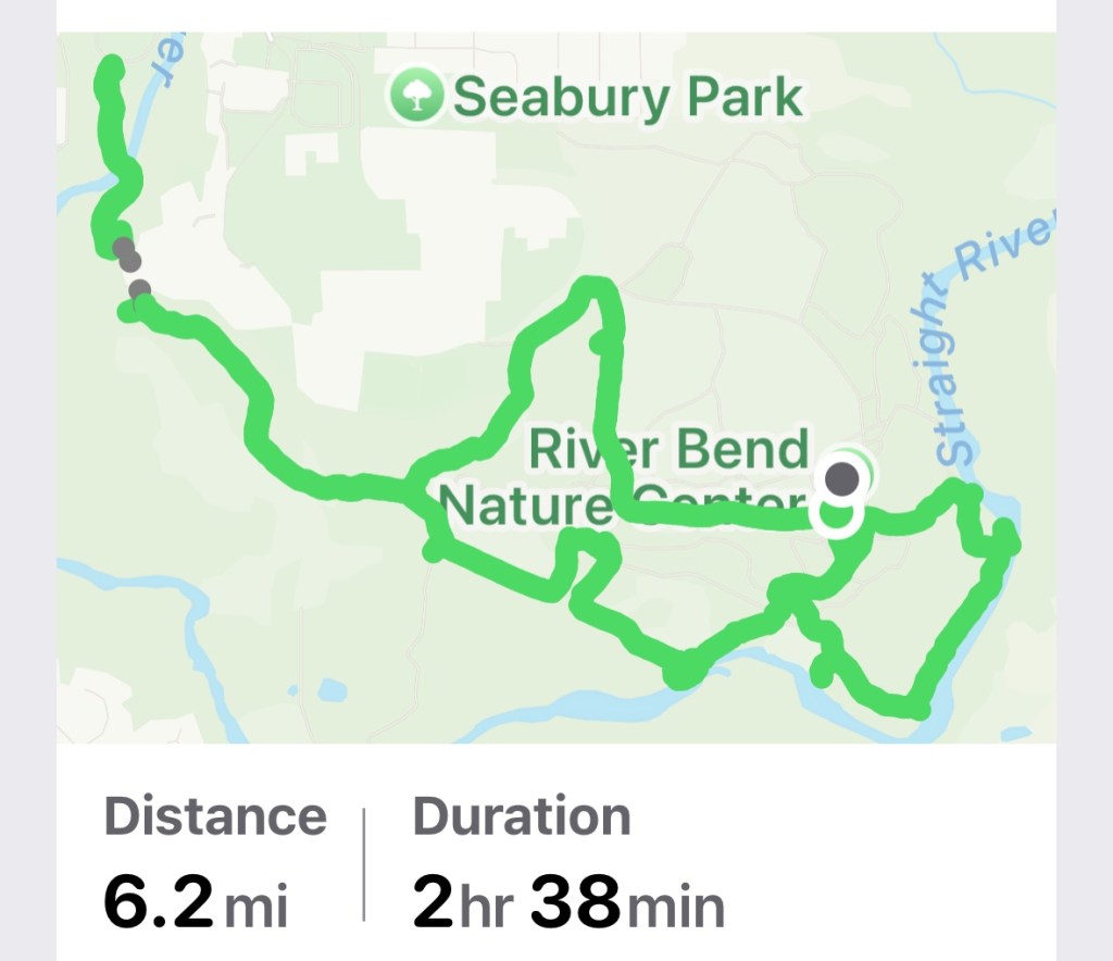
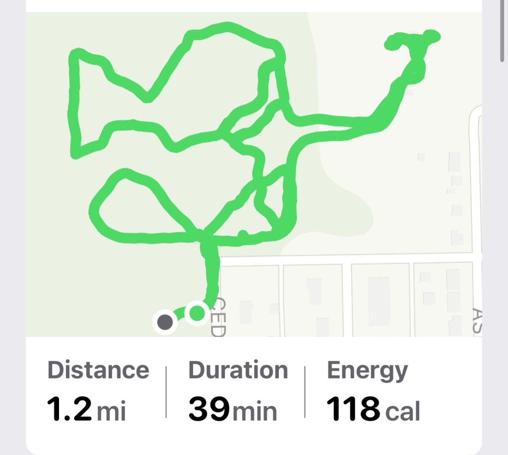
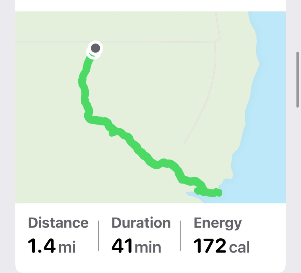
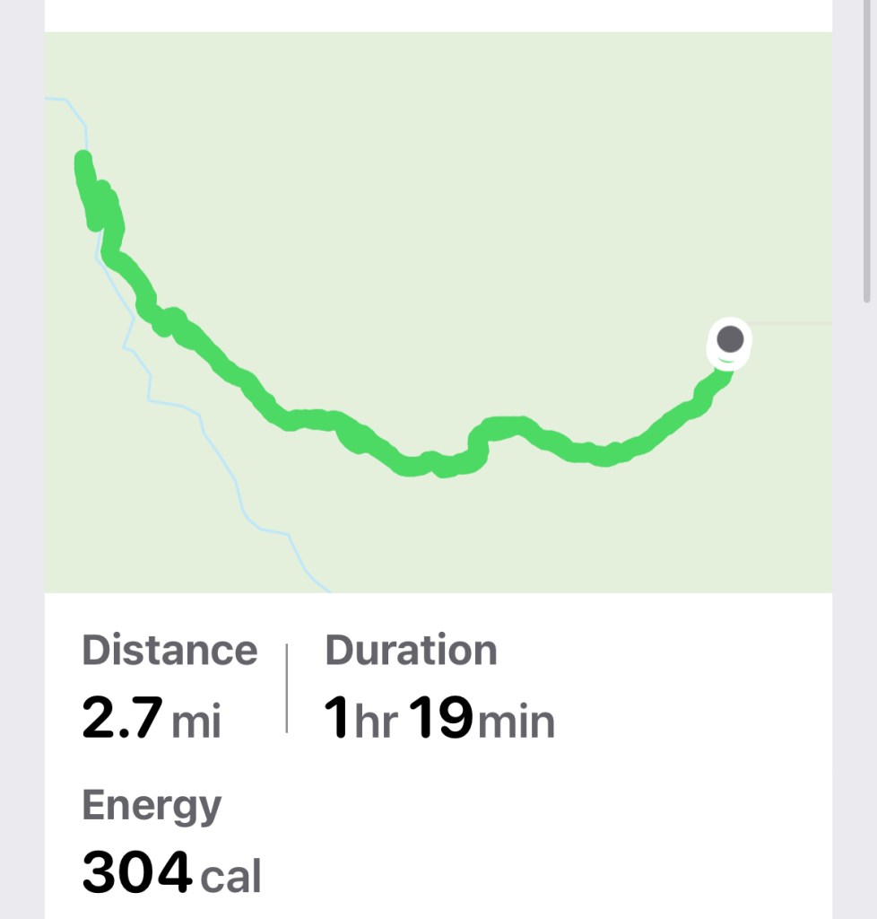
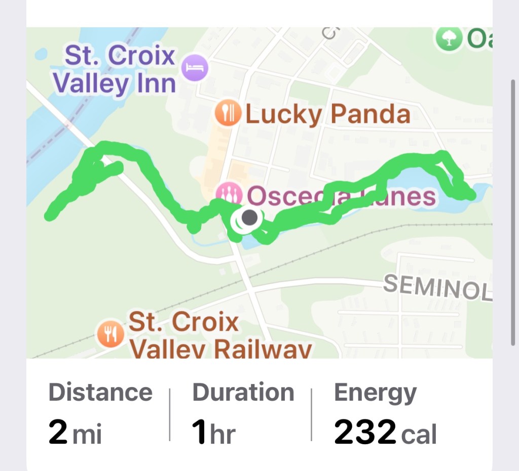
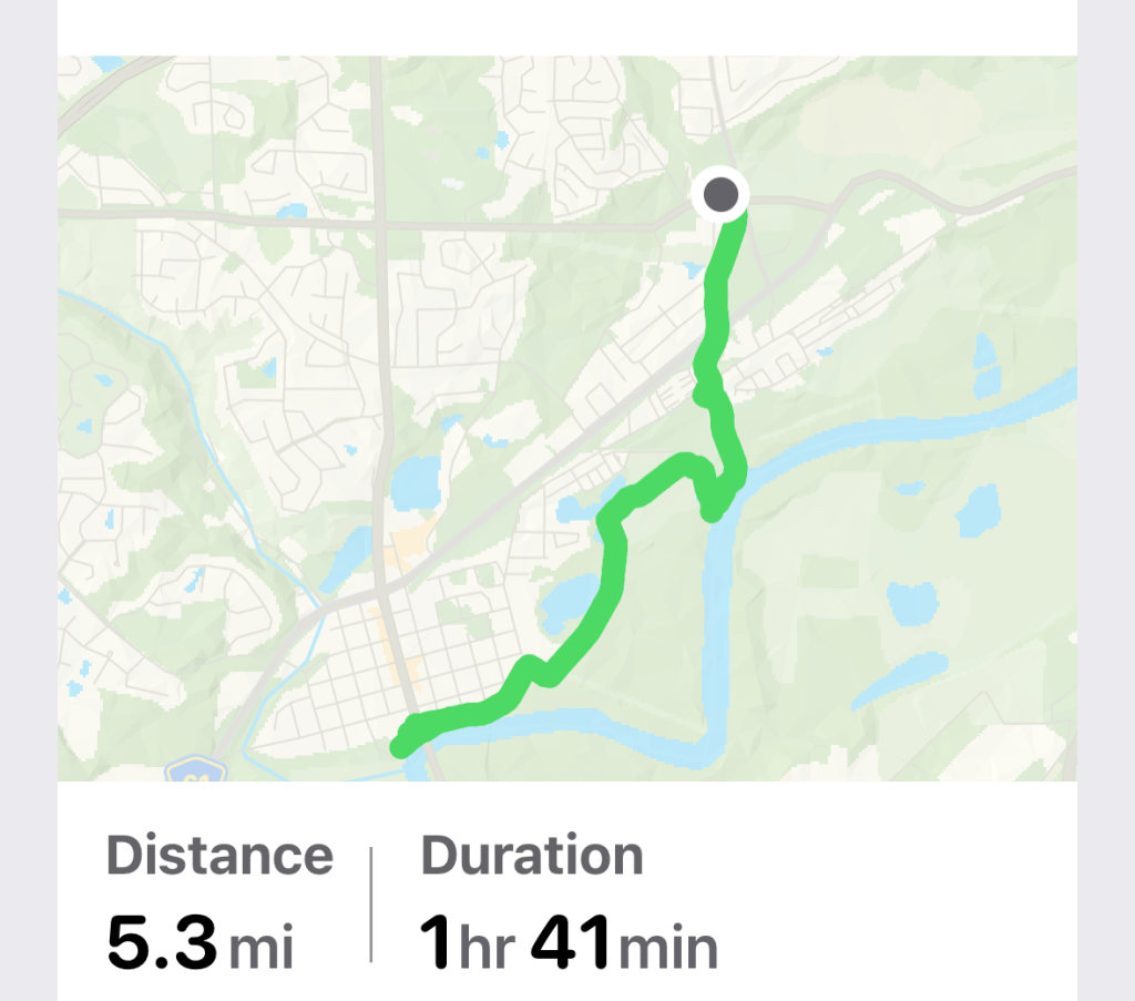
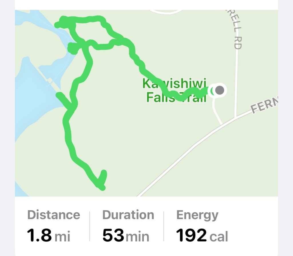
Today’s hiking adventure was 11.3 miles.
The first map is of our hike at Big Willow Park and the second map is of our total hike.
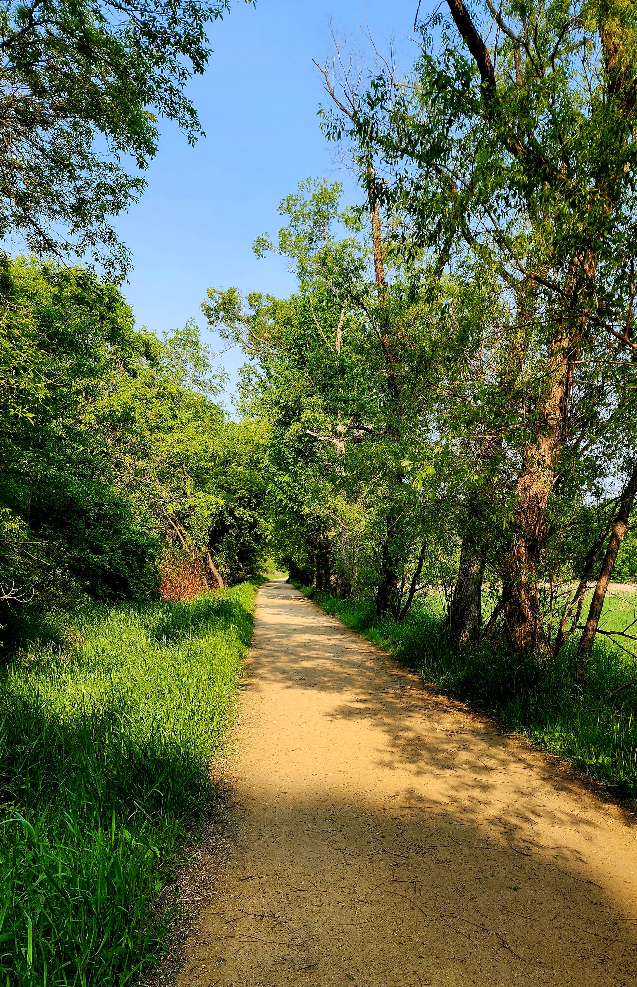
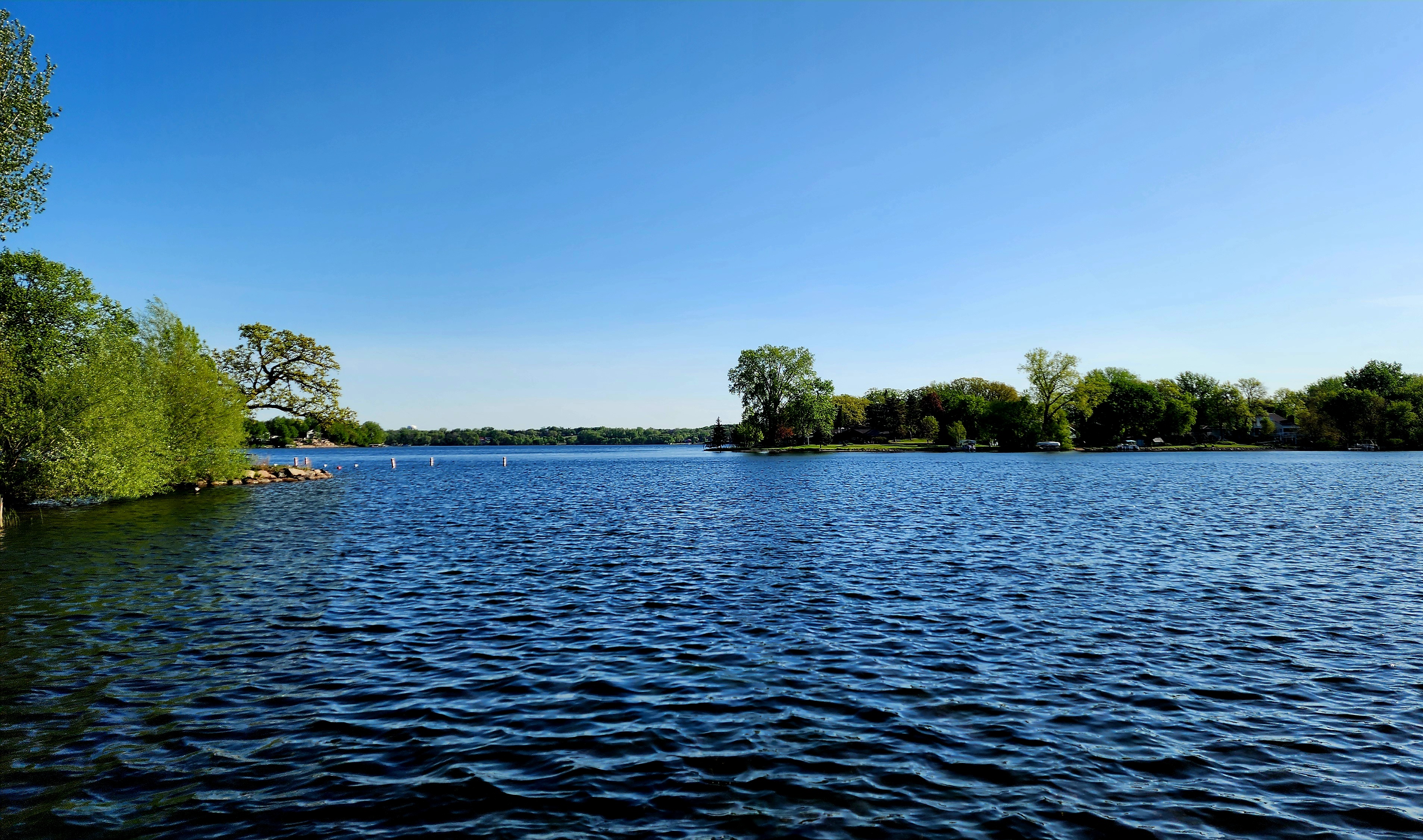
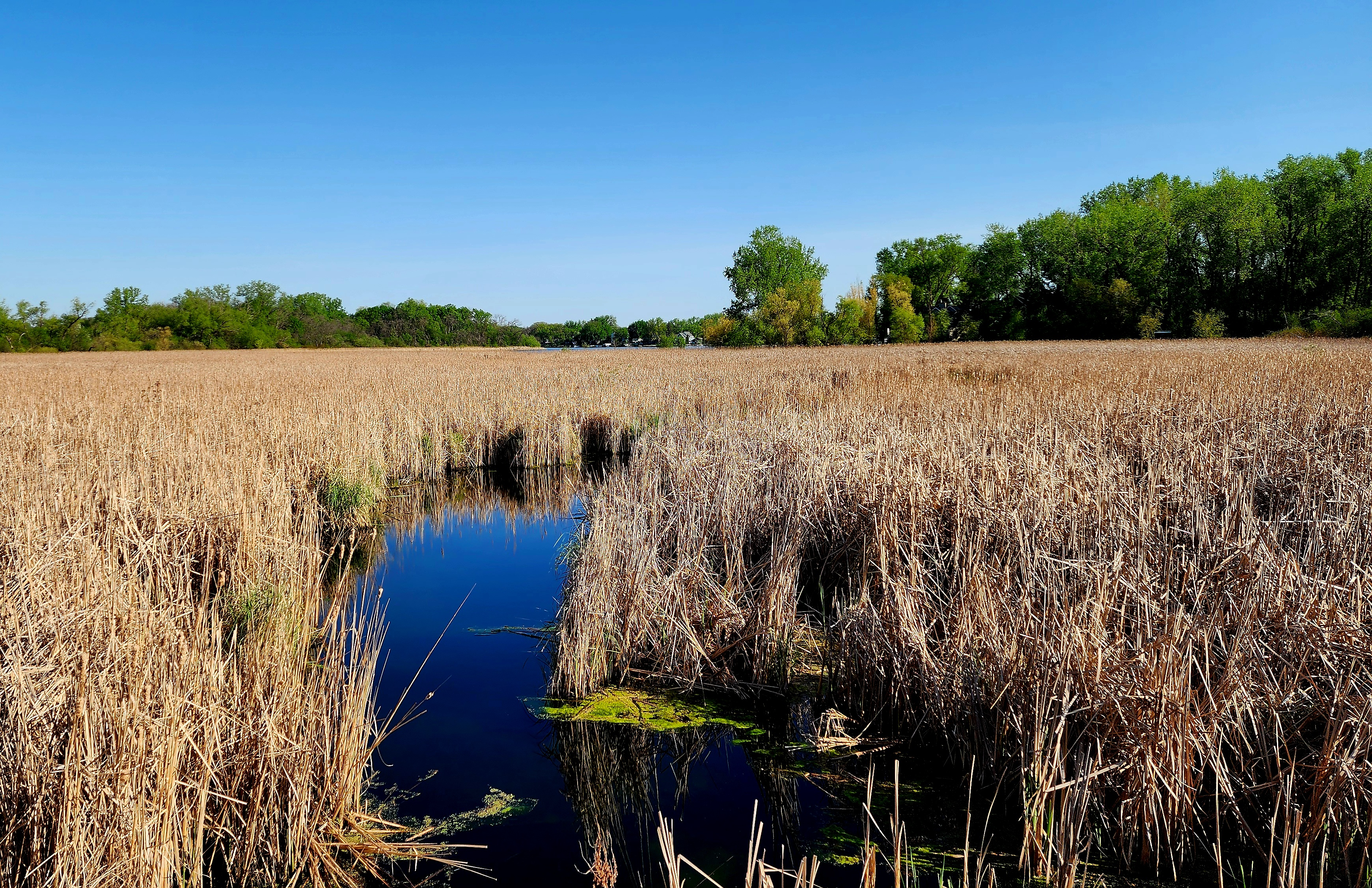
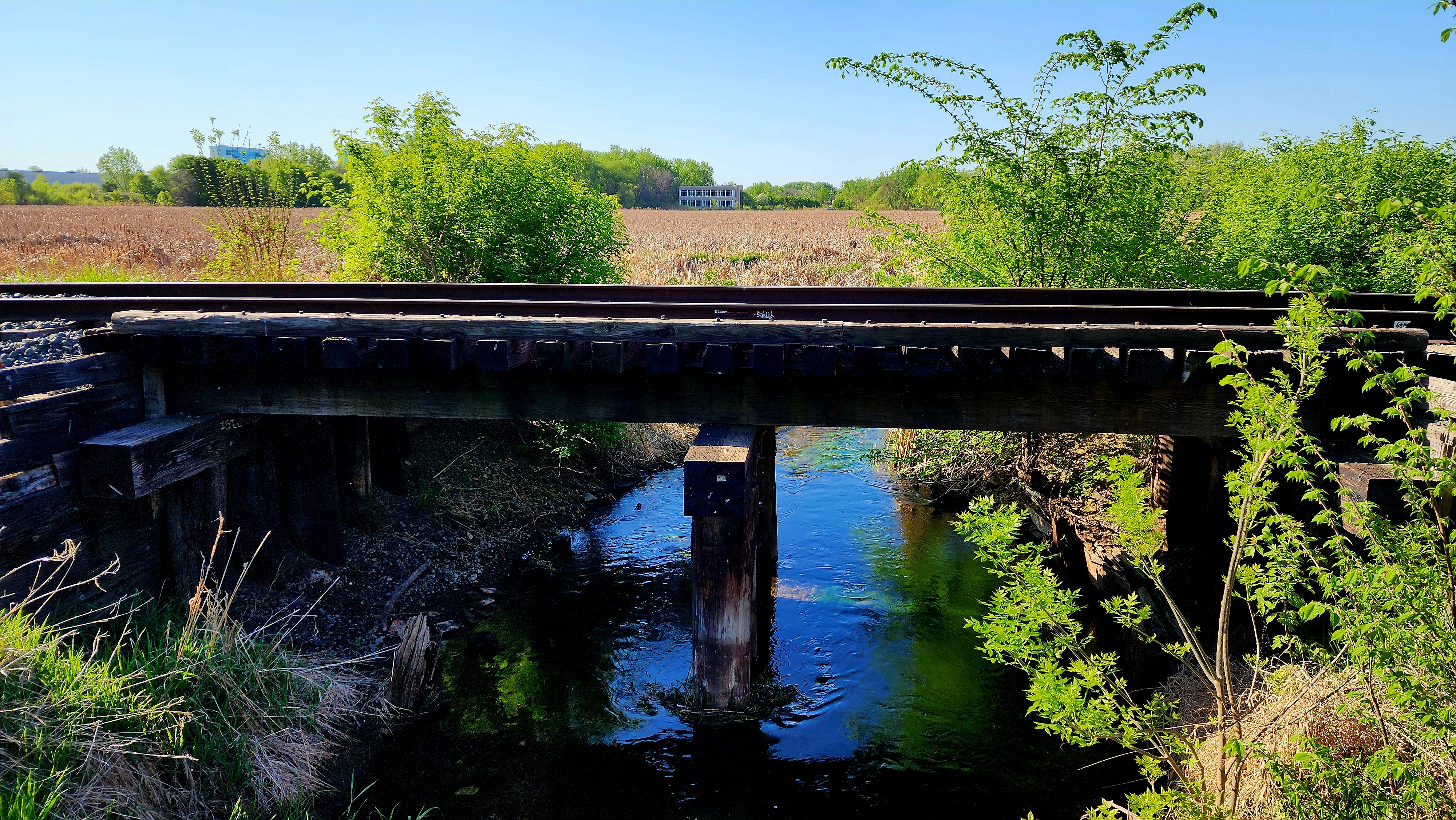
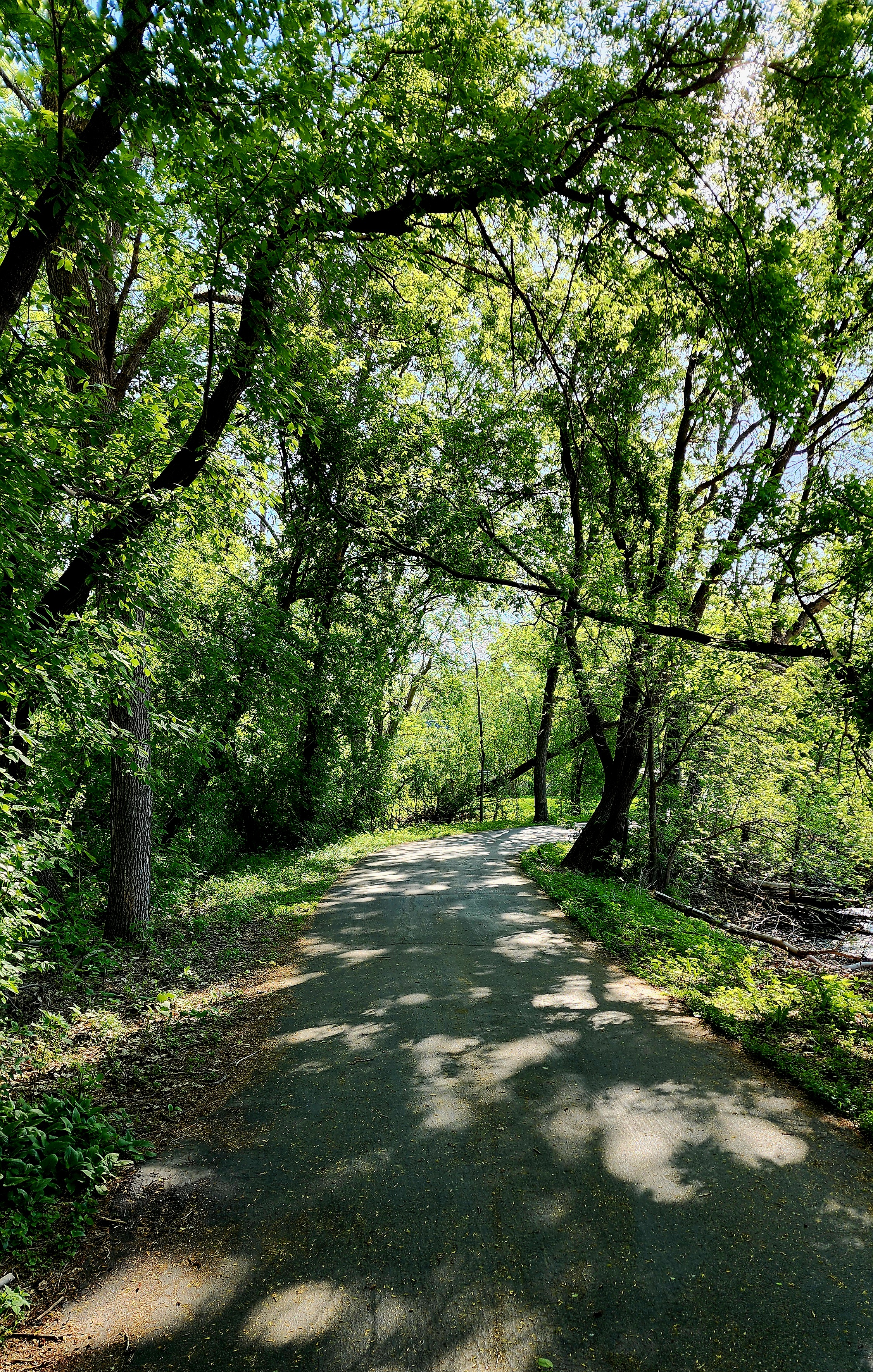
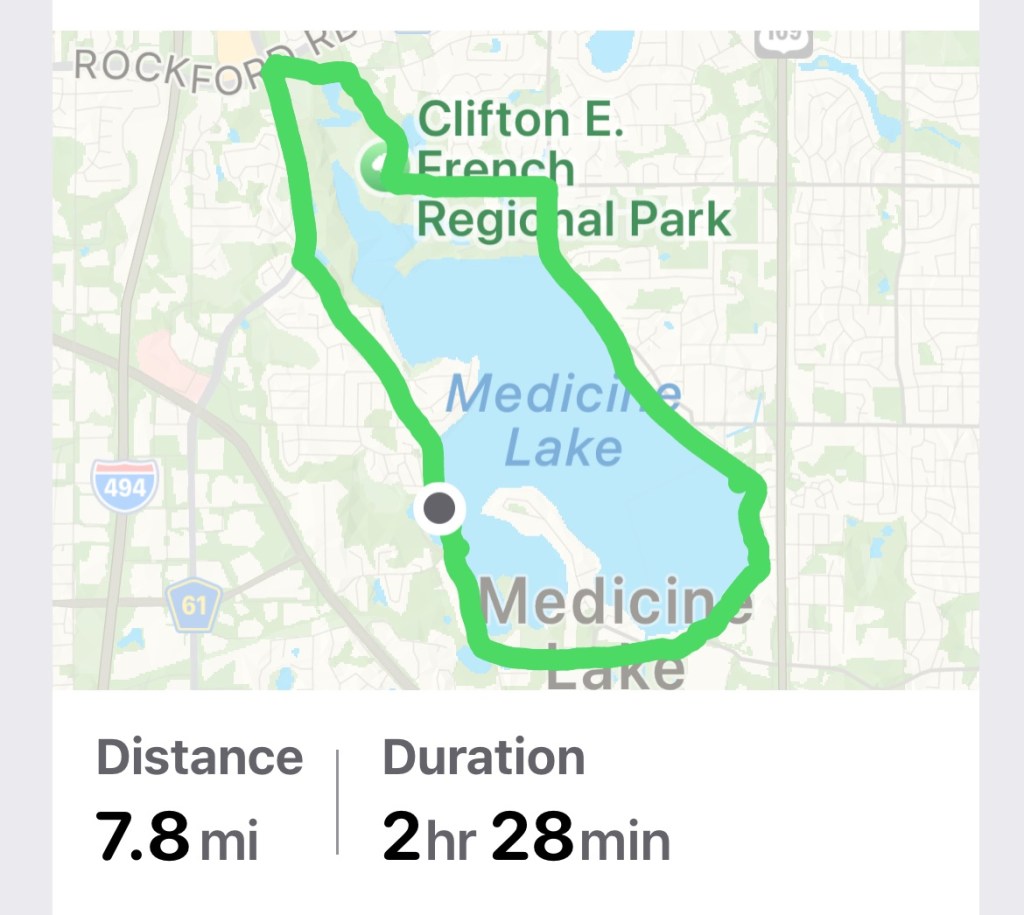
Today’s hiking adventure began at West Medicine Lake Park.
As we made our way towards the beach, there was a lion’s head water fountain. Of course, we had to stop and take photos of the lion eating our heads.
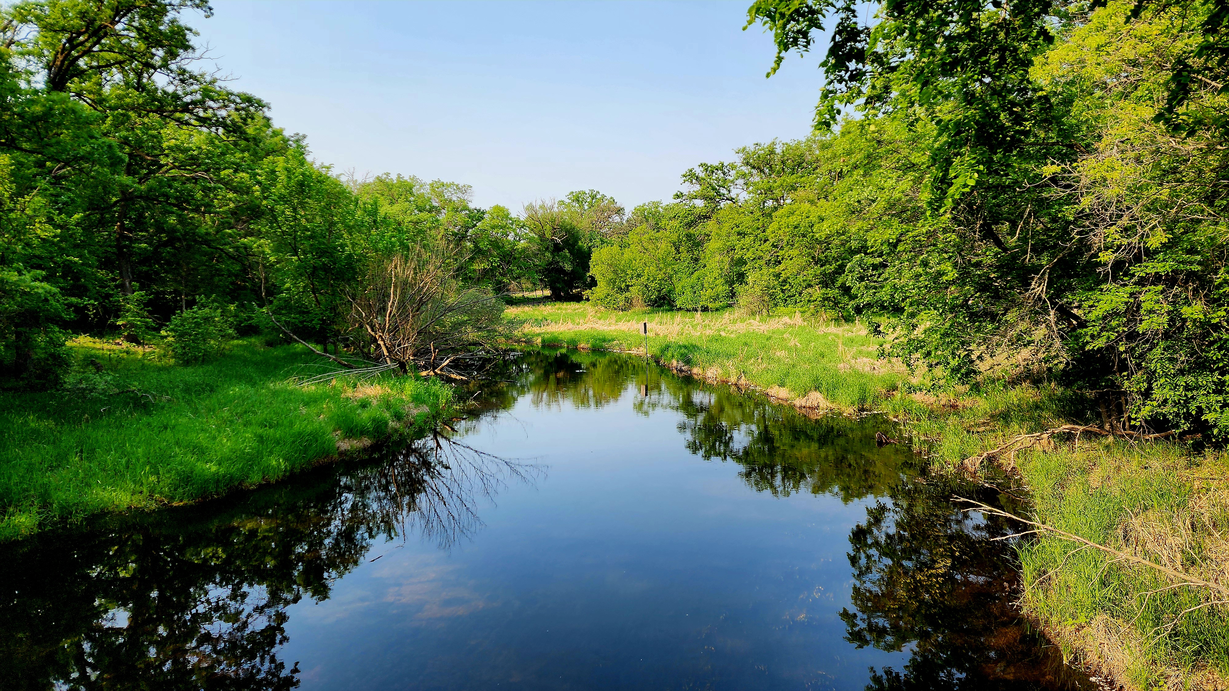
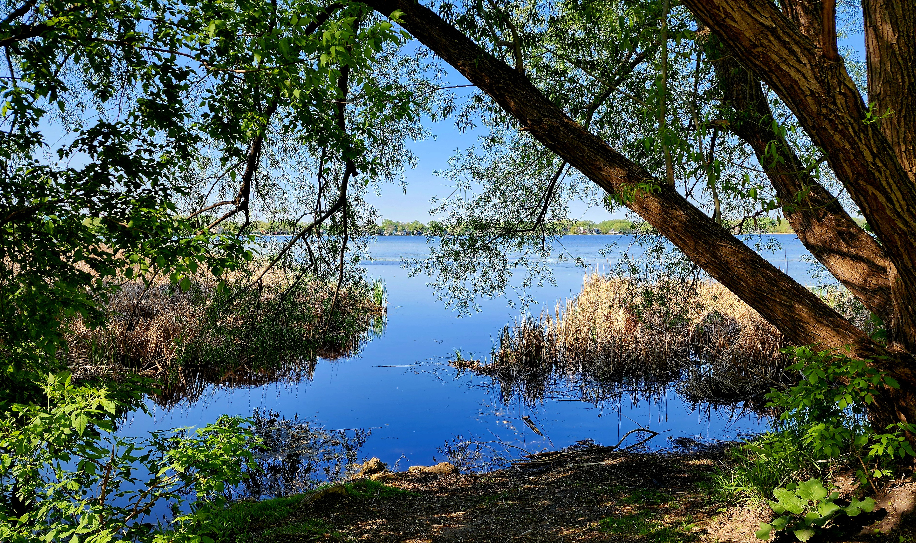
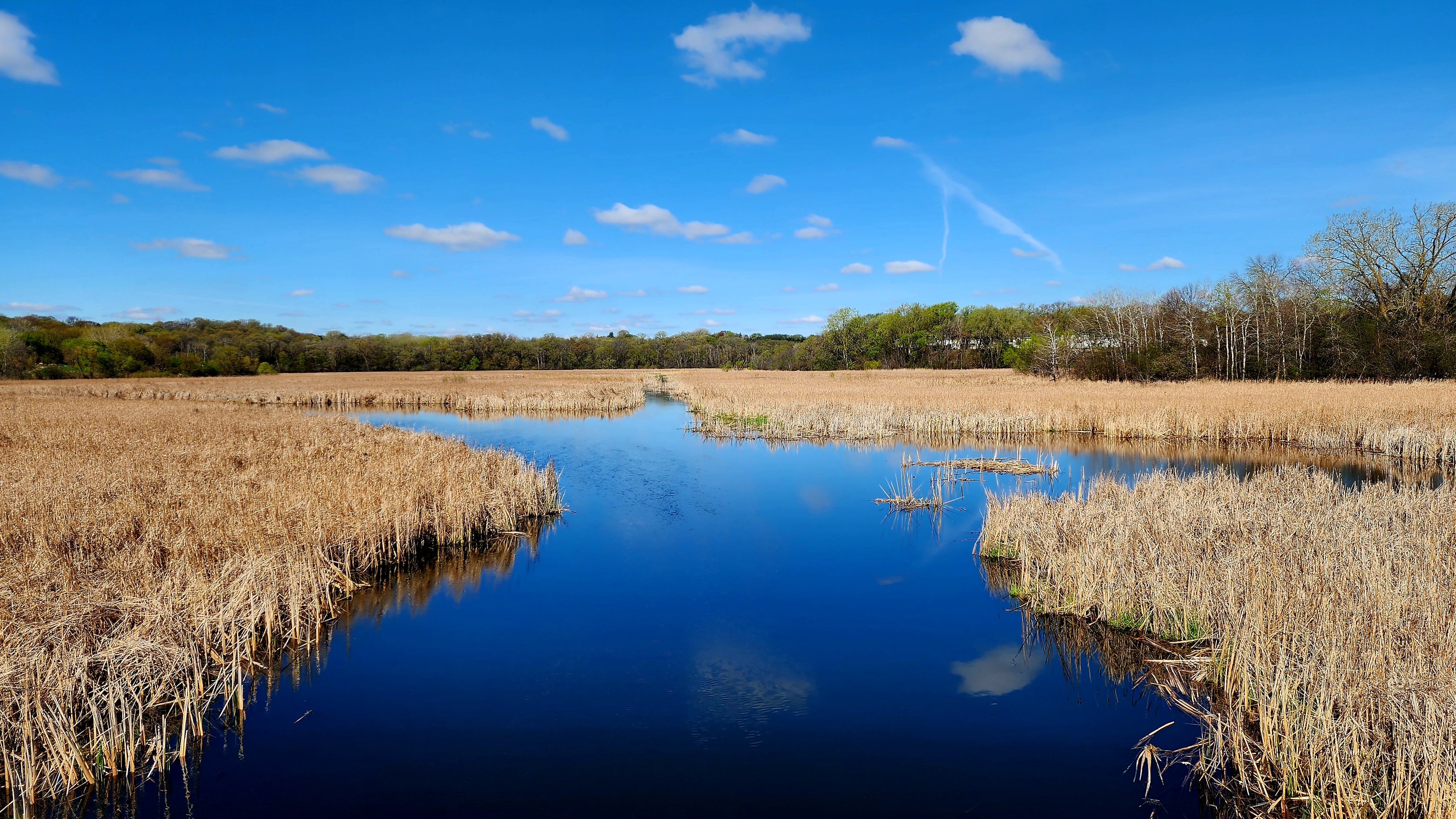
Medicine Lake
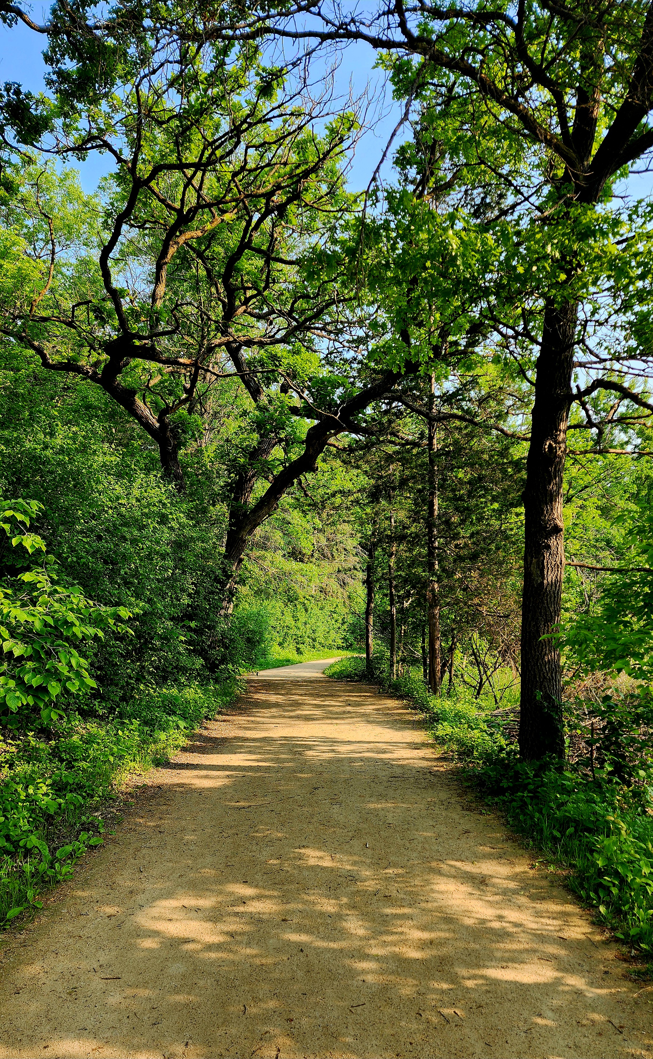
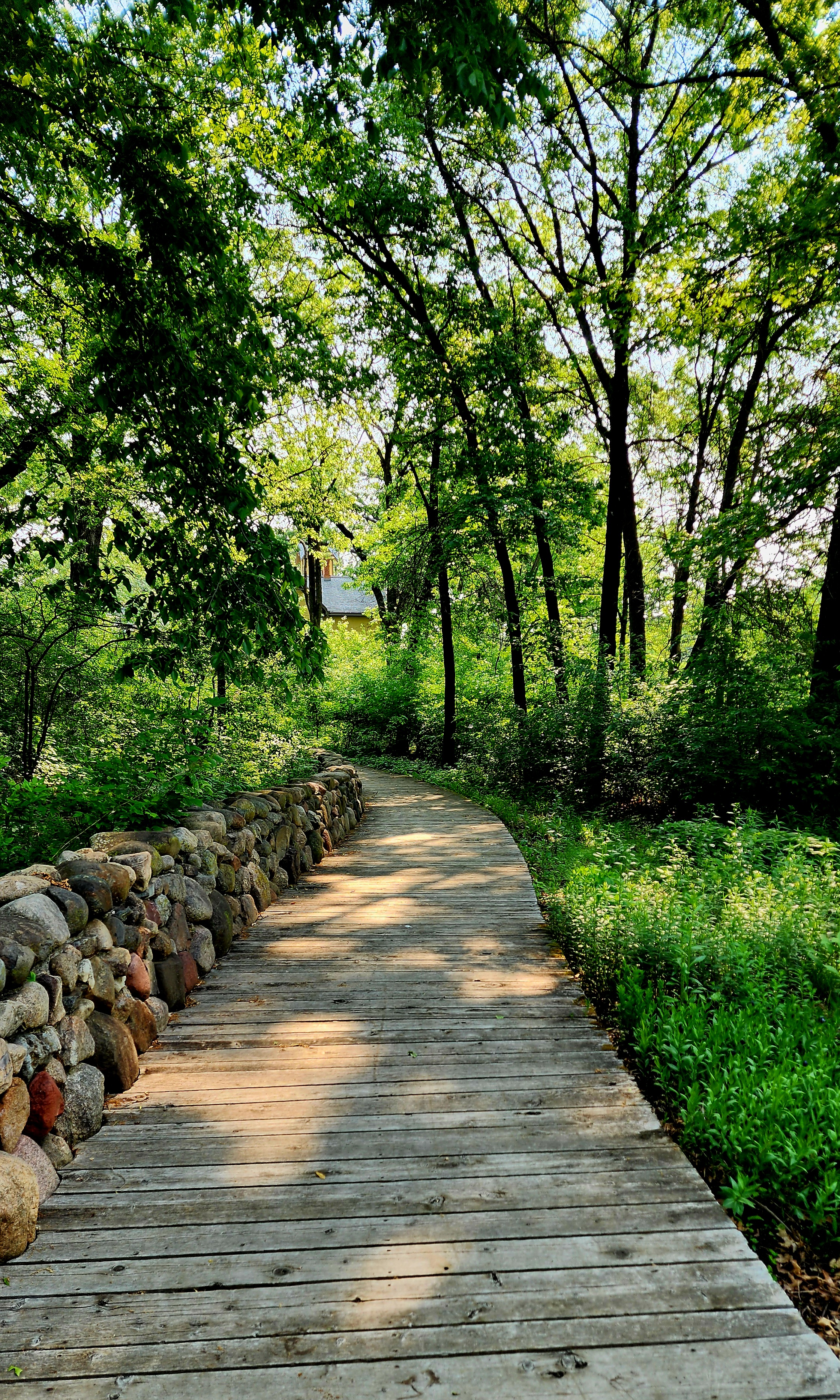
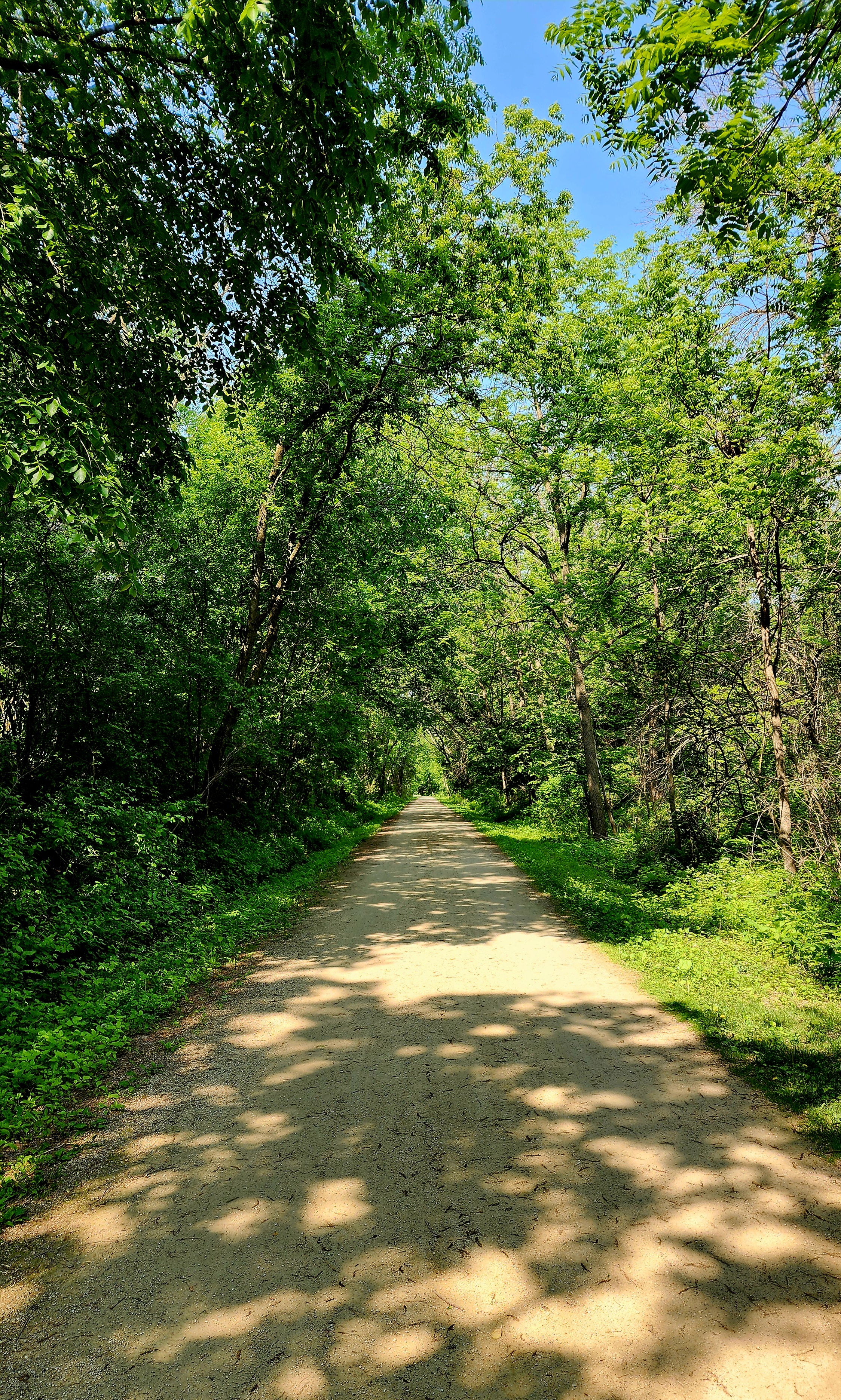
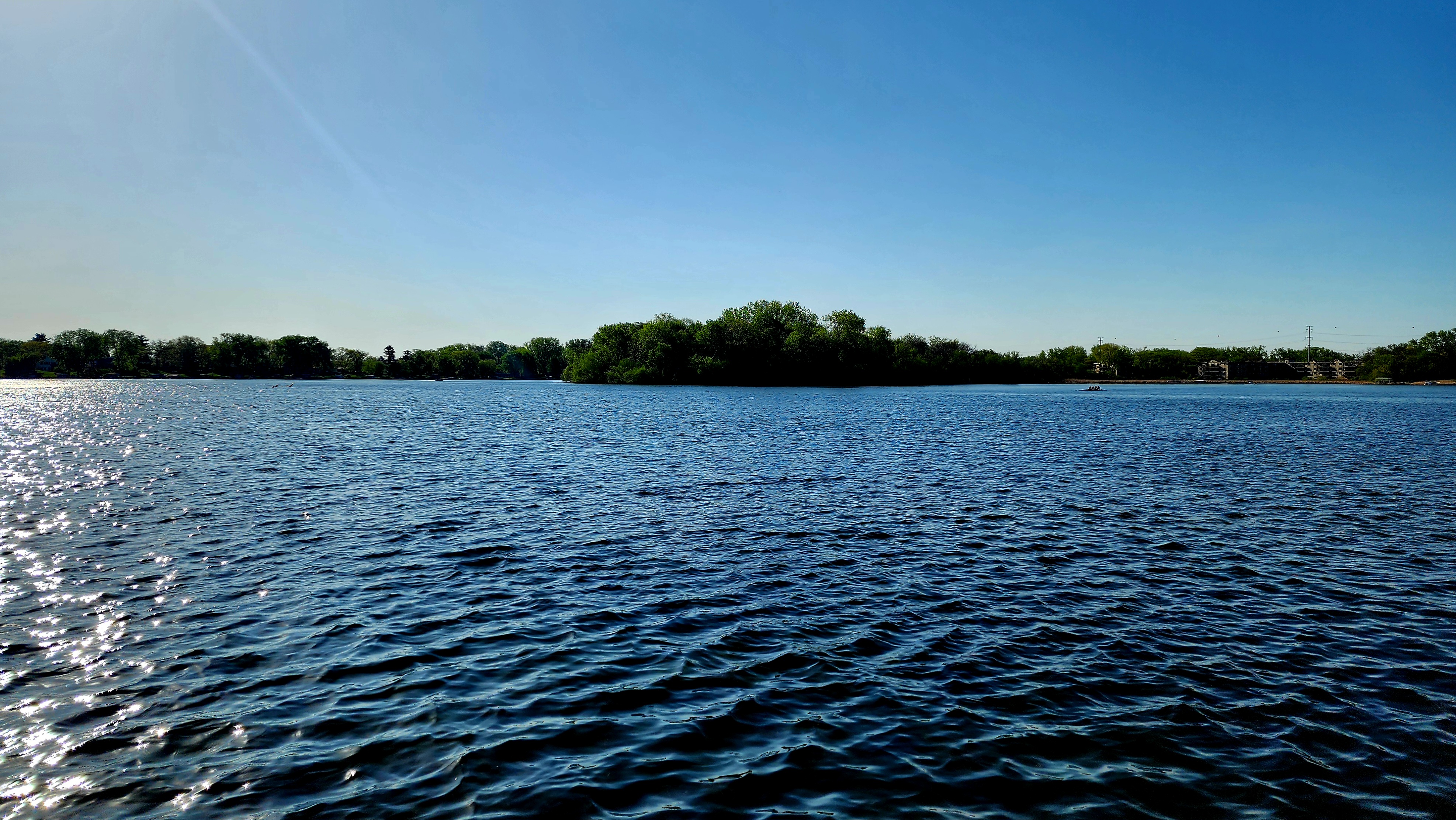
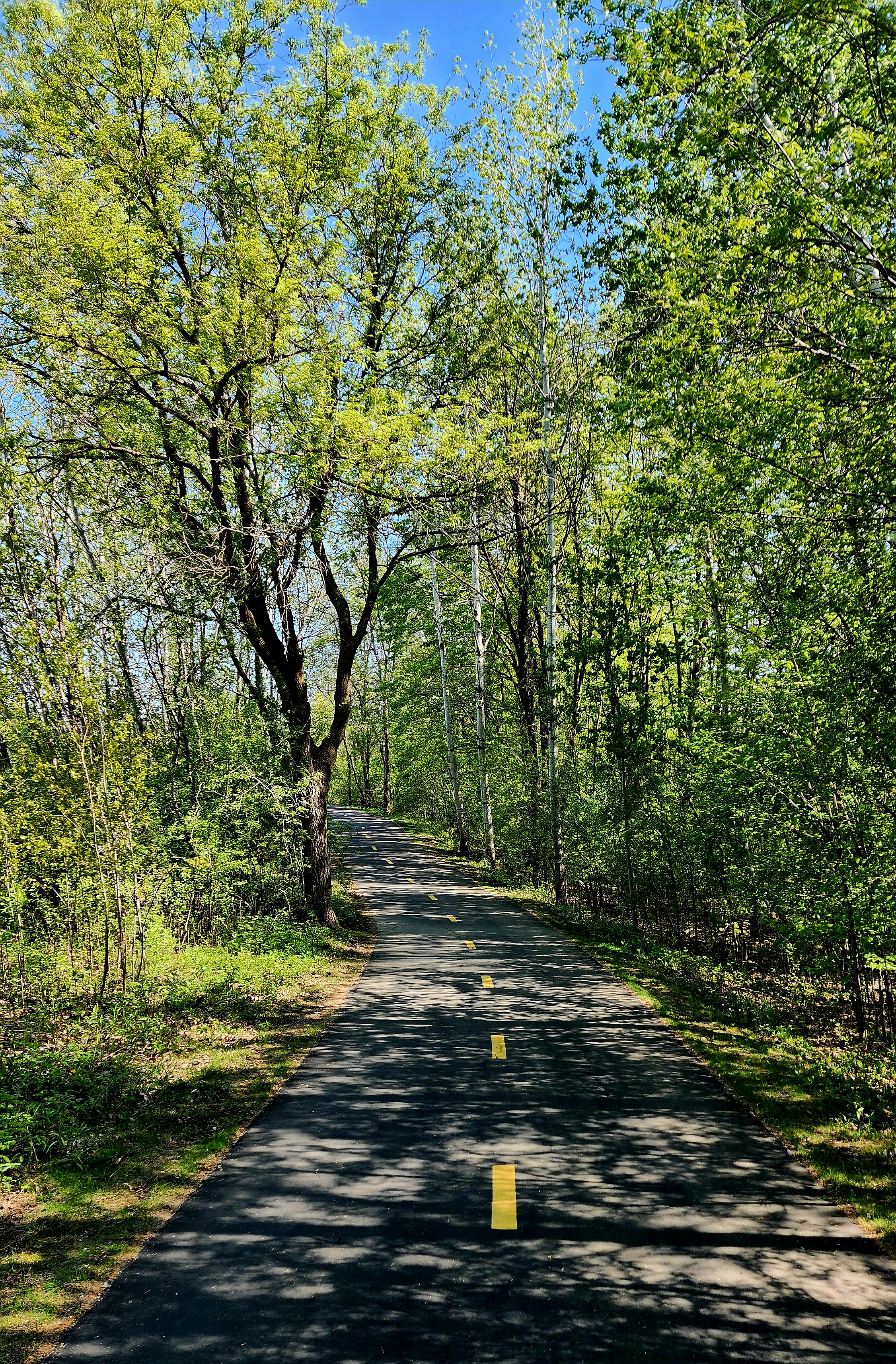
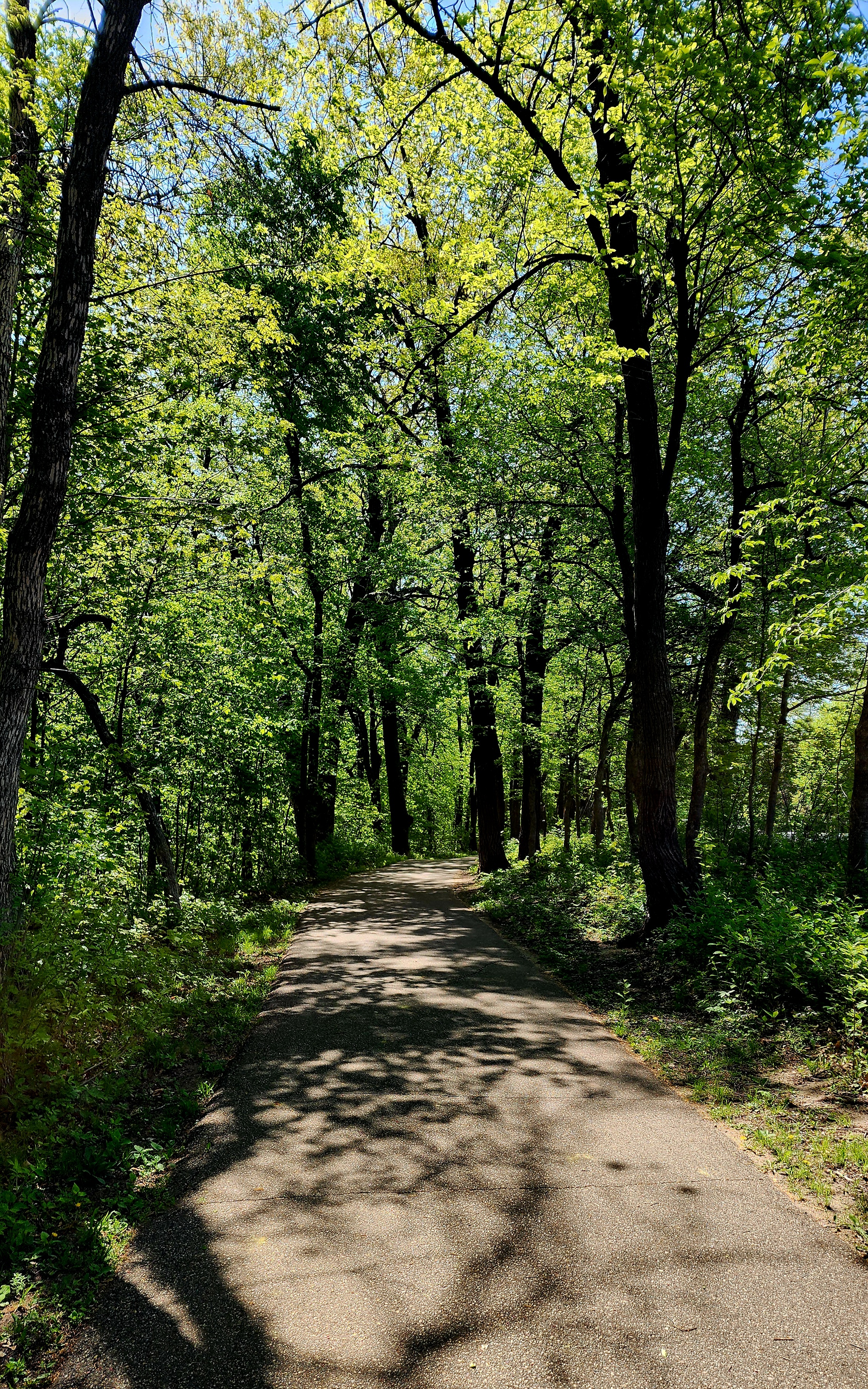
The trail name changed several times depending where we were. We hiked part of the Medicine Lake Regional Trail, Luce Line Regional Trail and French Regional Park Loop. I highly recommend this trail especially in the spring.
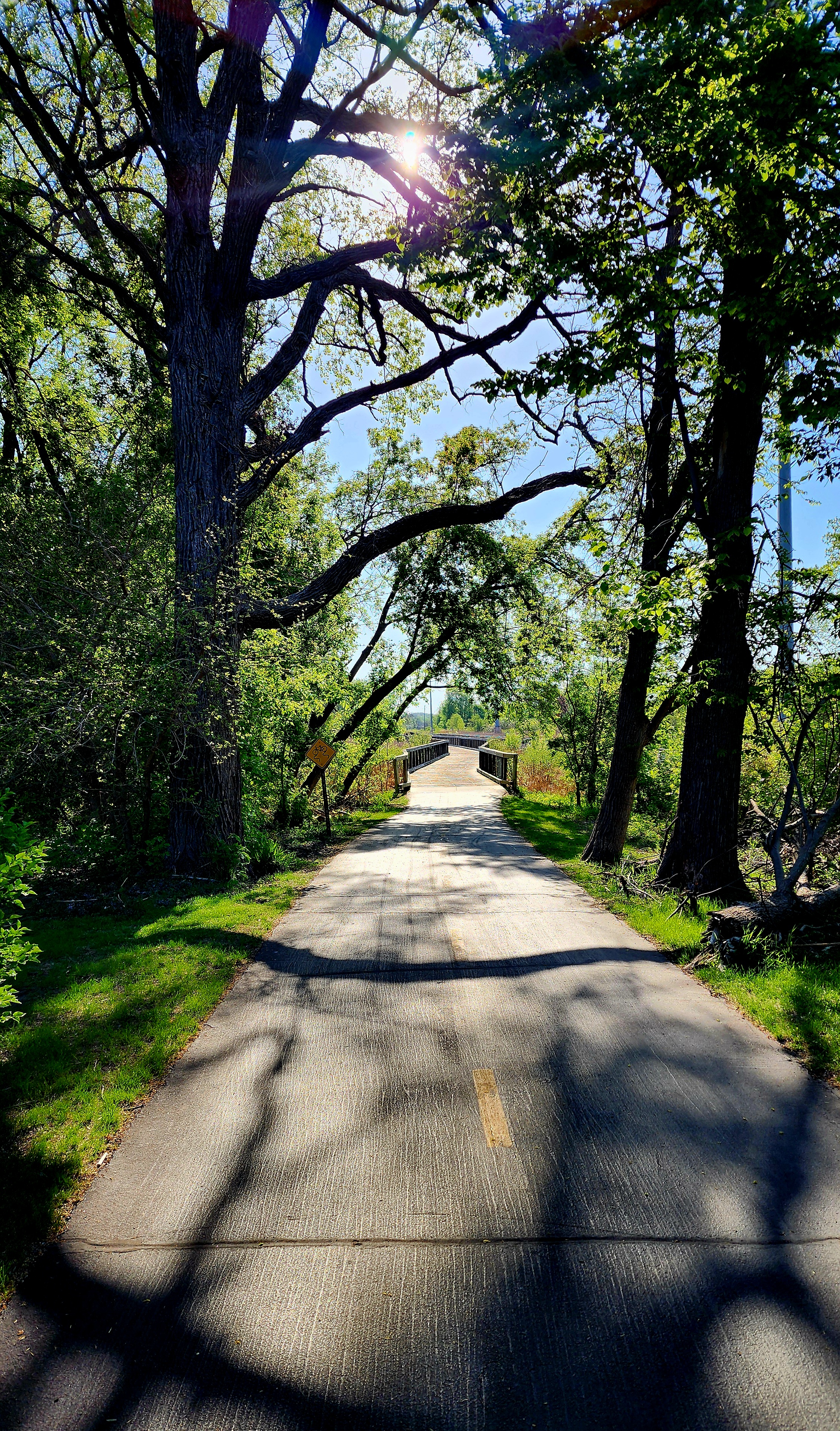
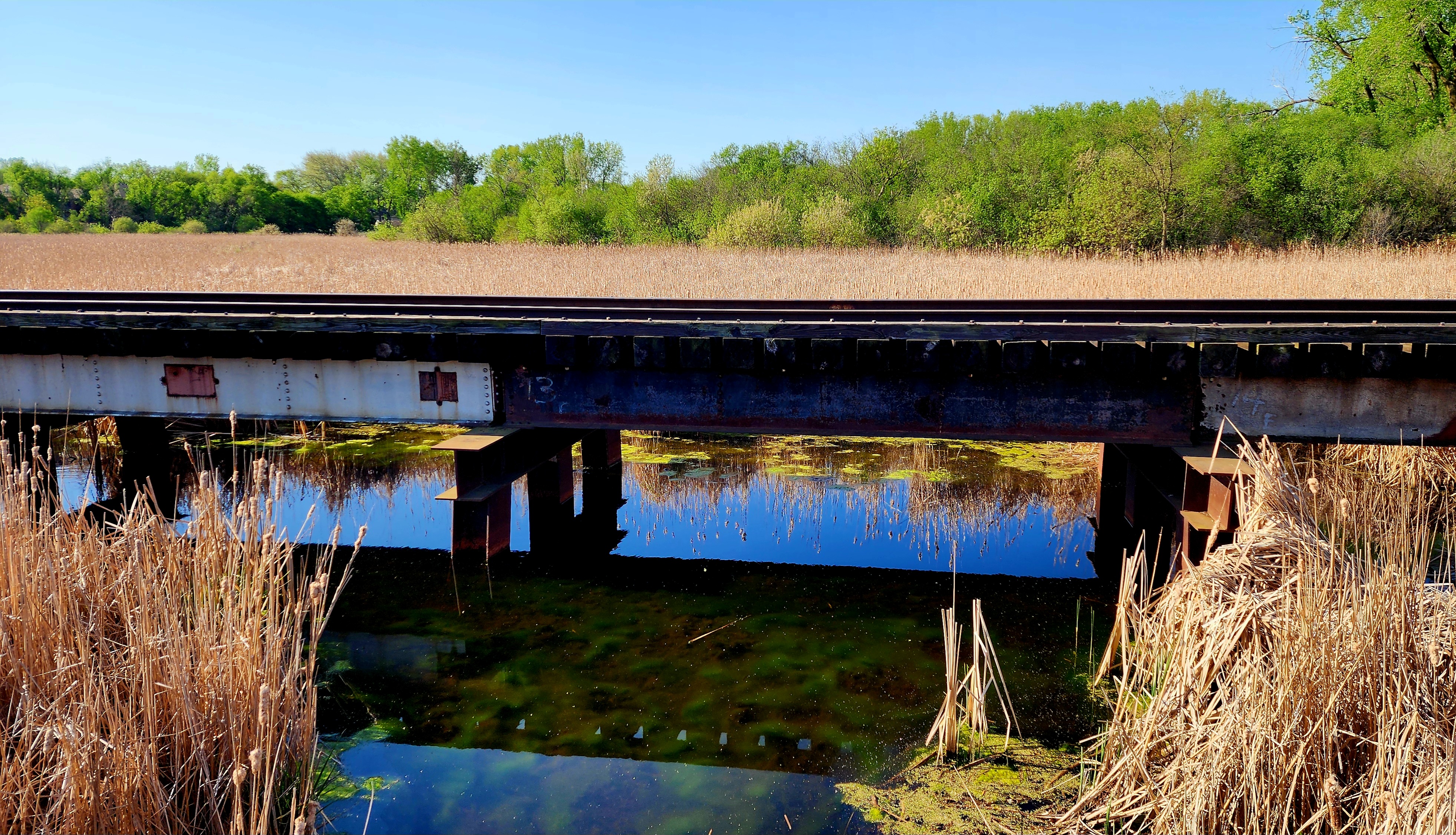
The boardwalk ran parallel to train tracks. It would have been cool to see a train going by.
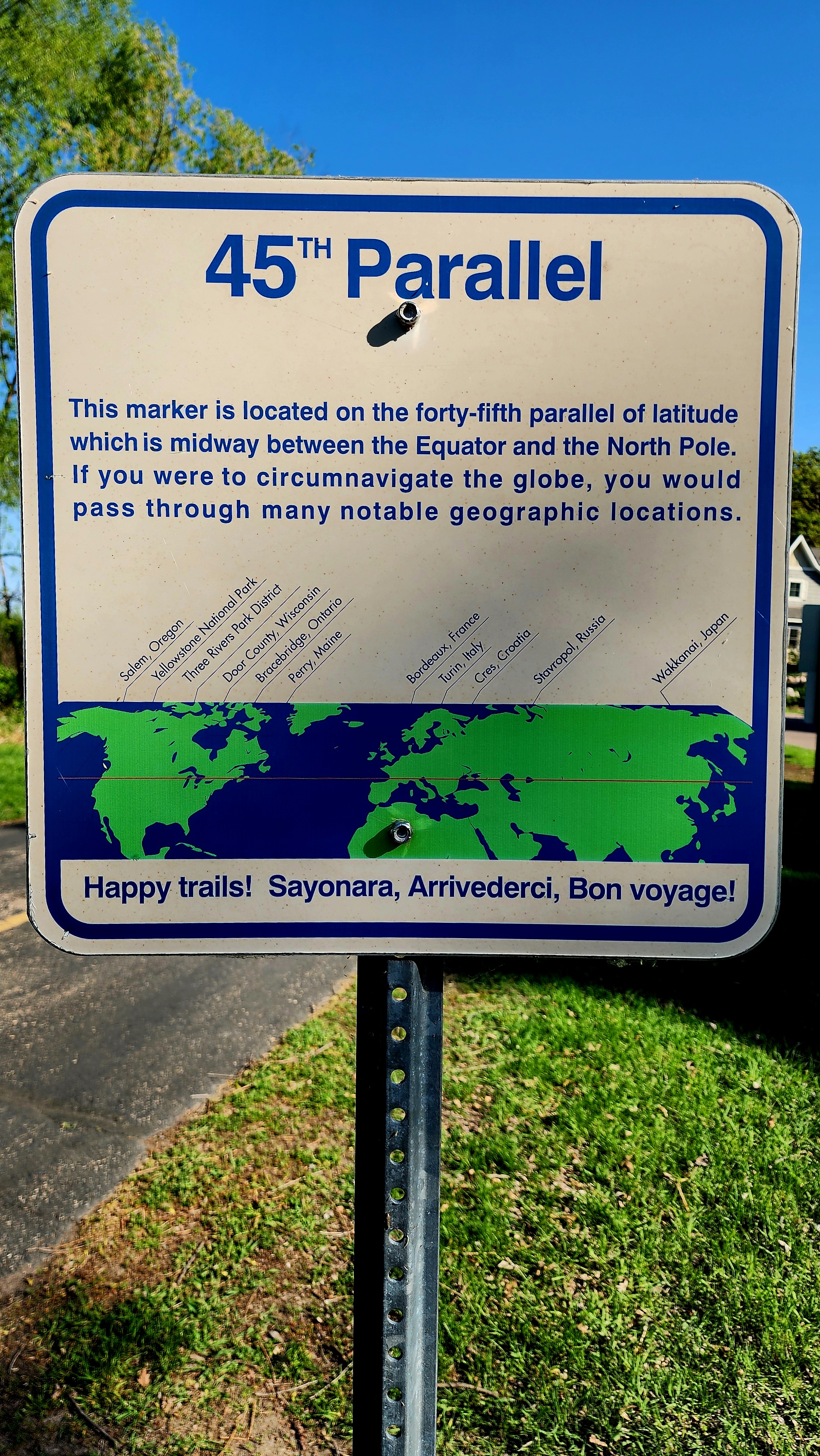
We found a marker for the 45th Parallel.
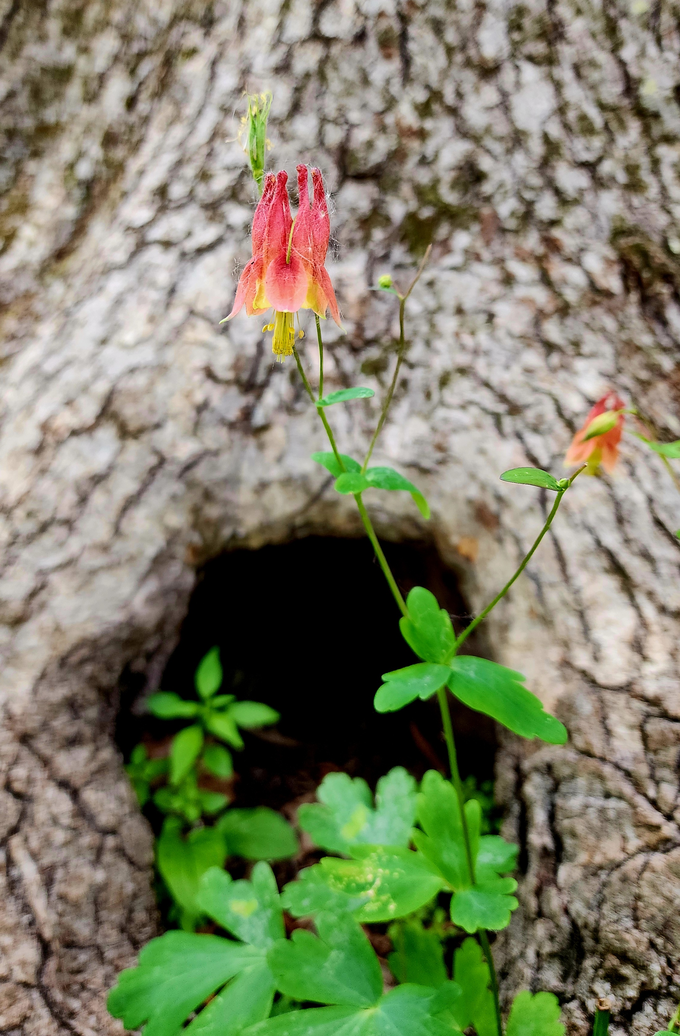
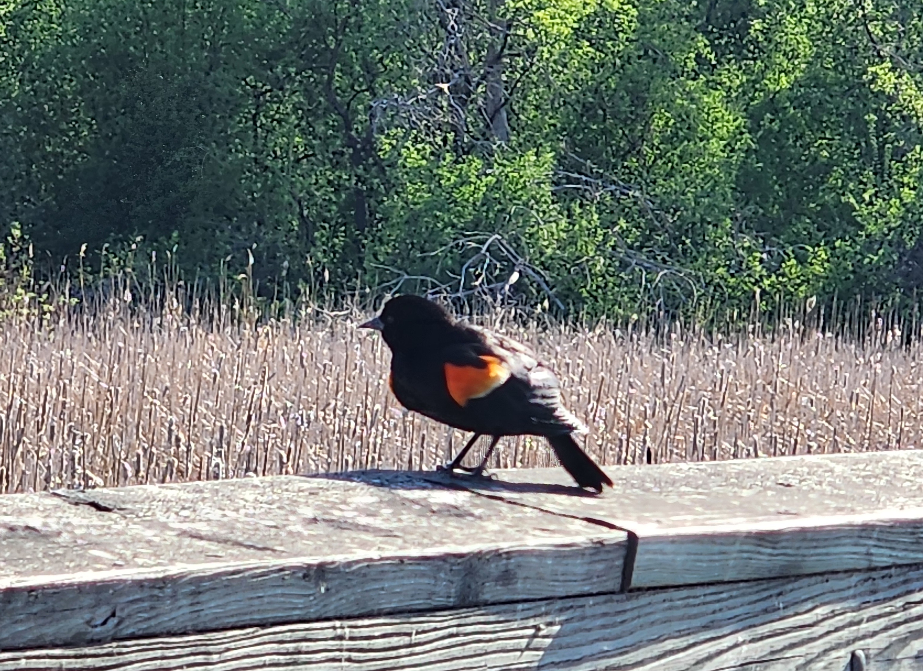
Our hike not only had a wonderful soundtrack thanks to the birds; we also experienced the wonderful smells of spring.
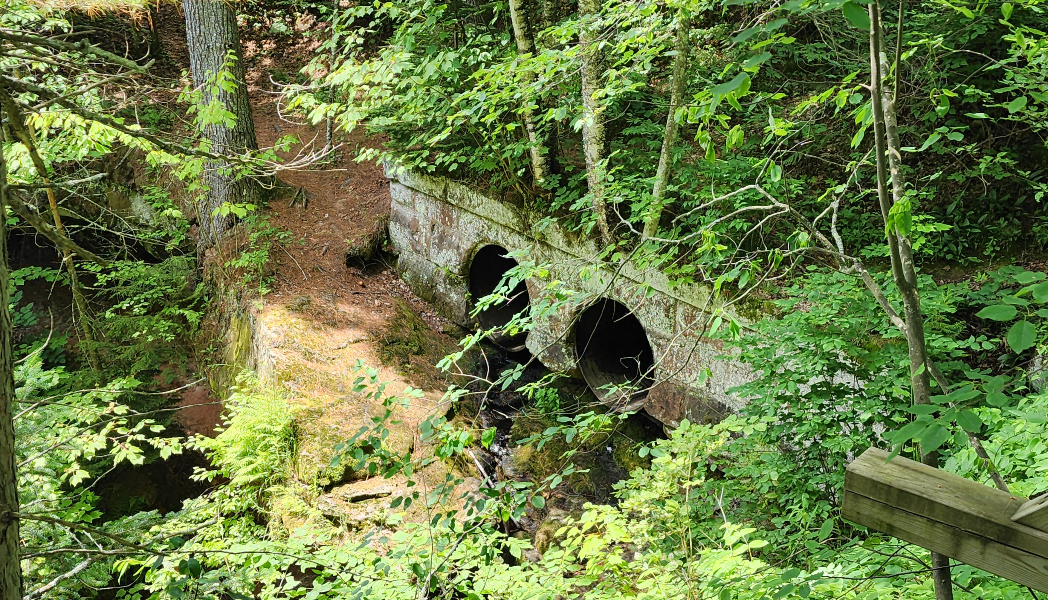
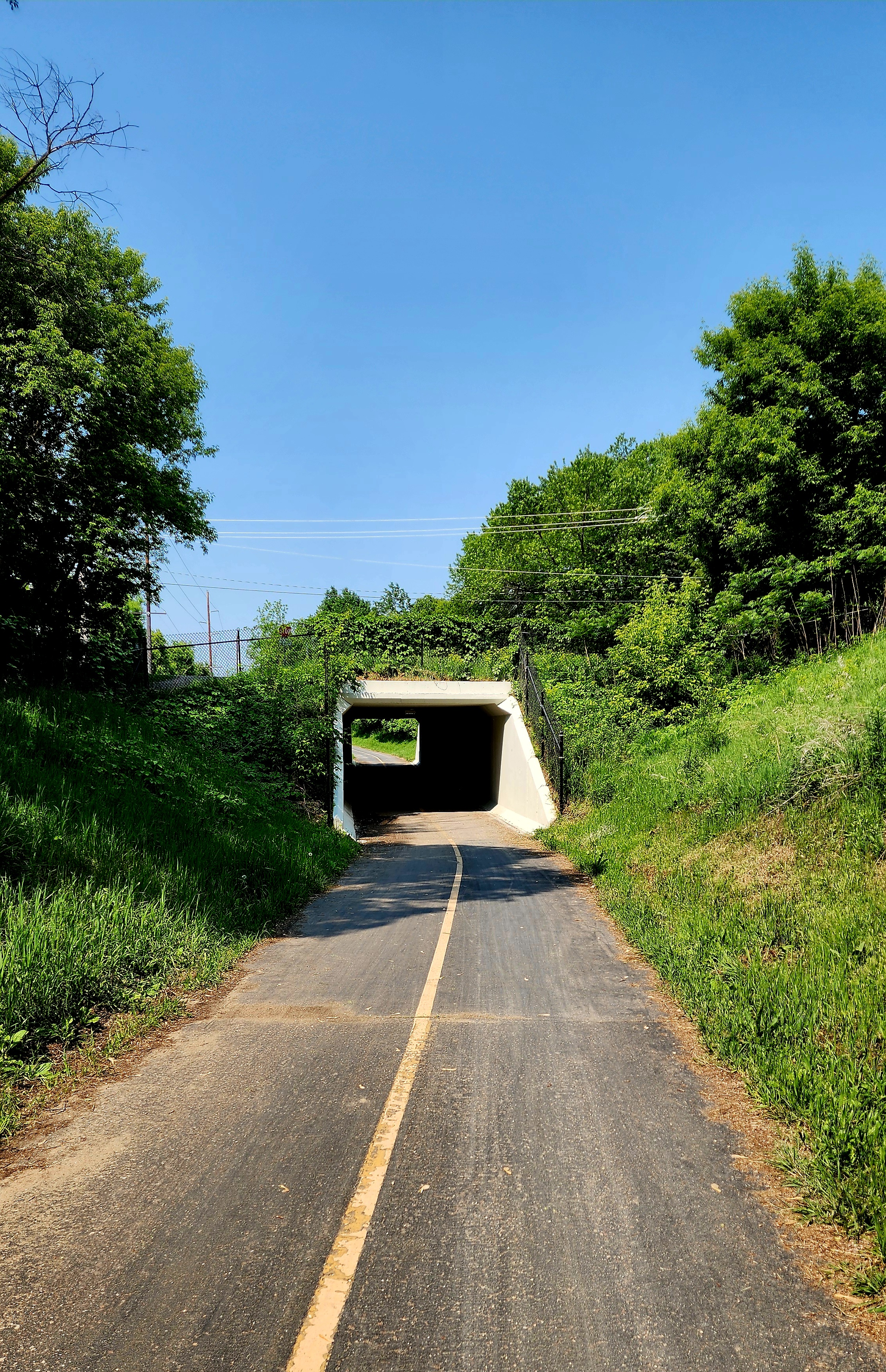
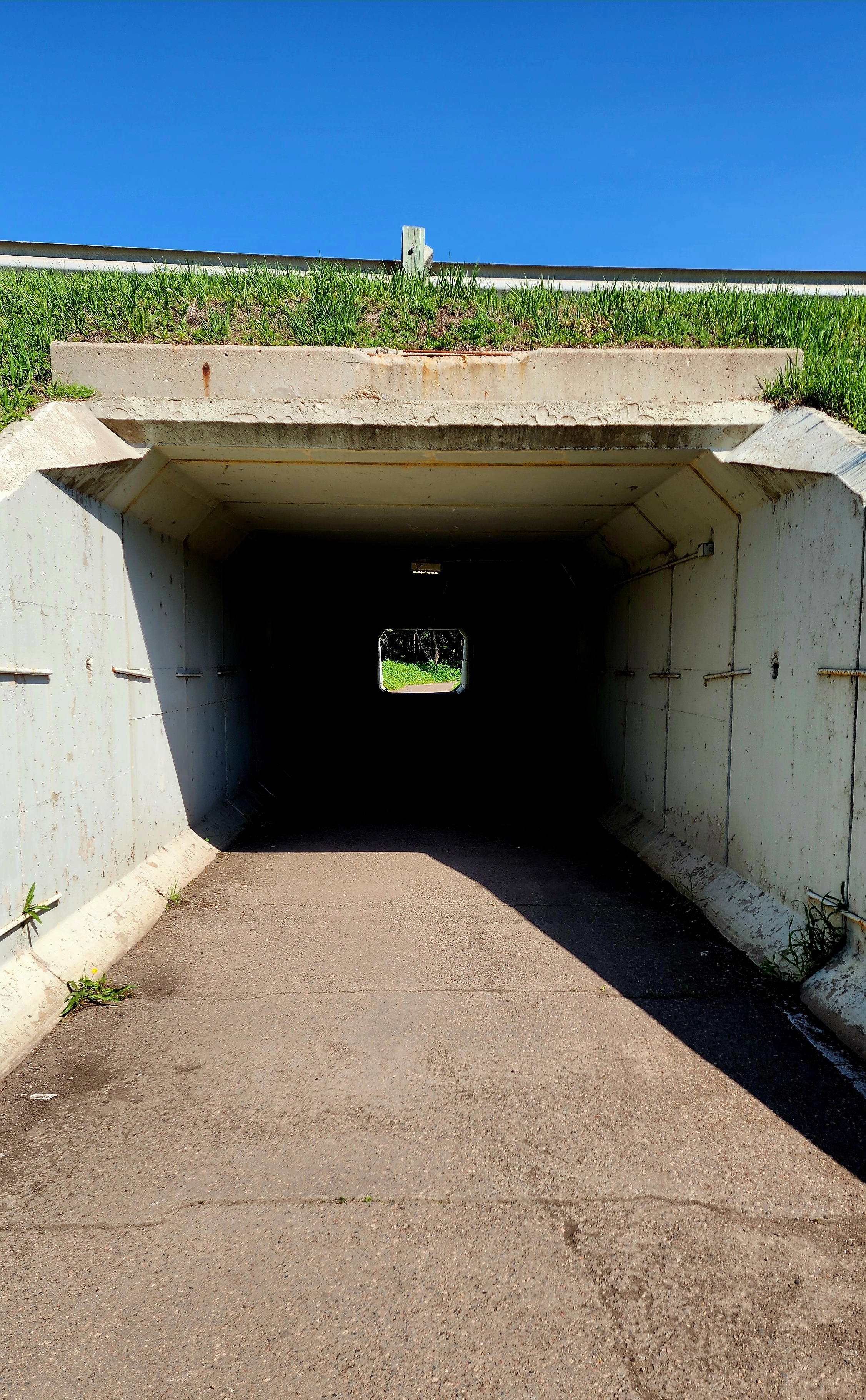
We made a tiny detour only to hike through the side by side tunnels.
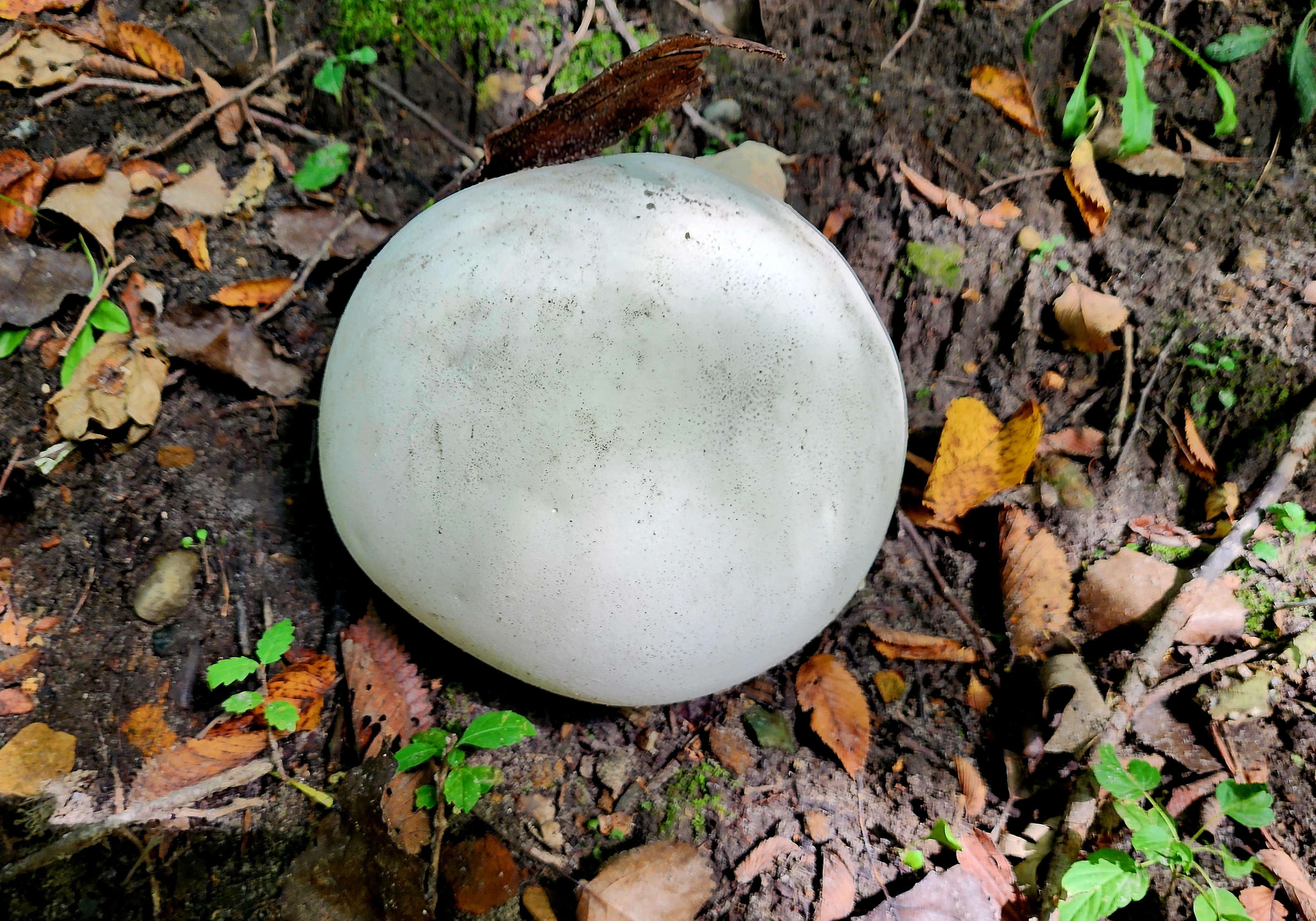
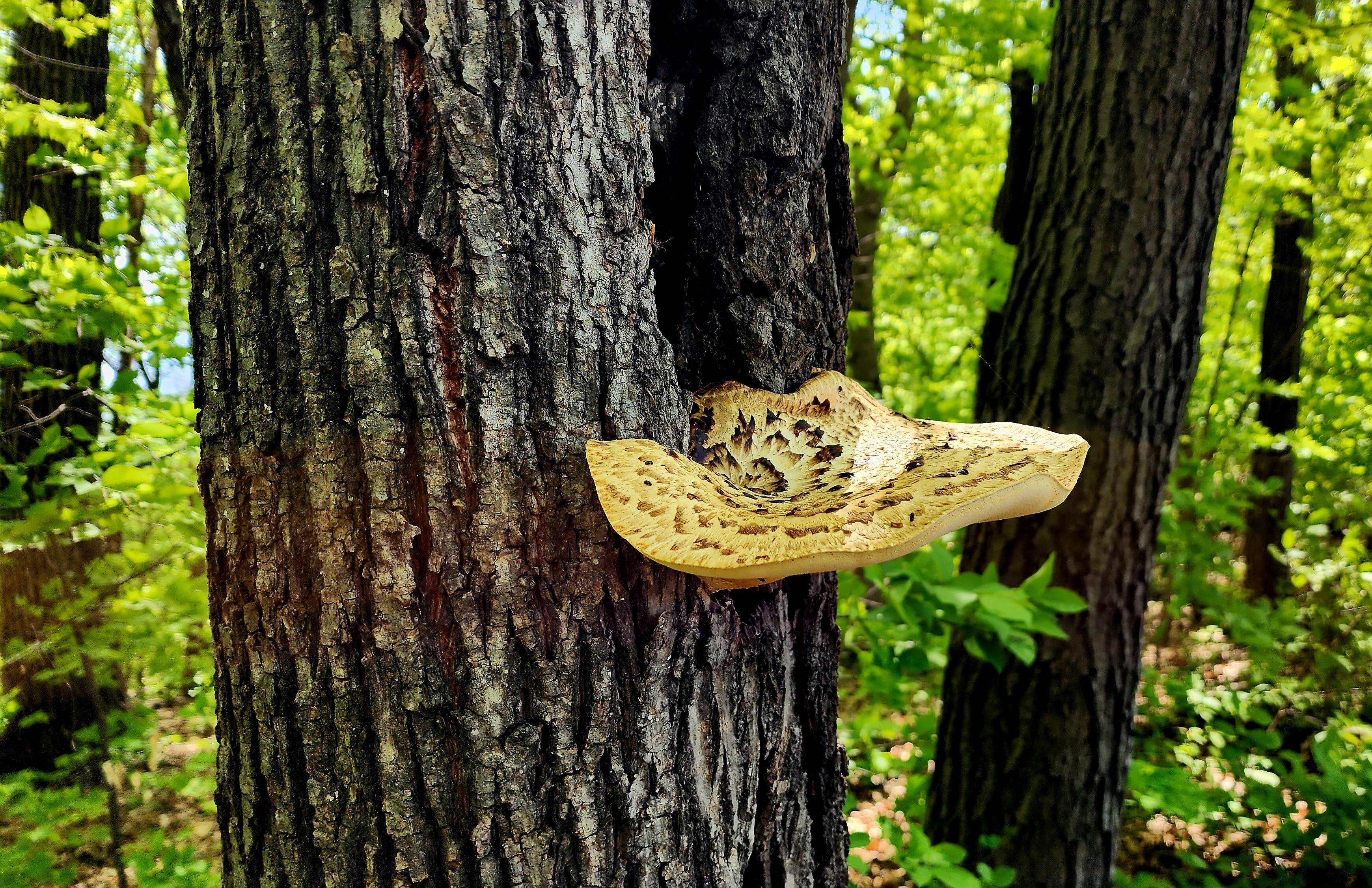
This giant mushroom (Dryad’s Saddle) looked like a water dish for the birds.
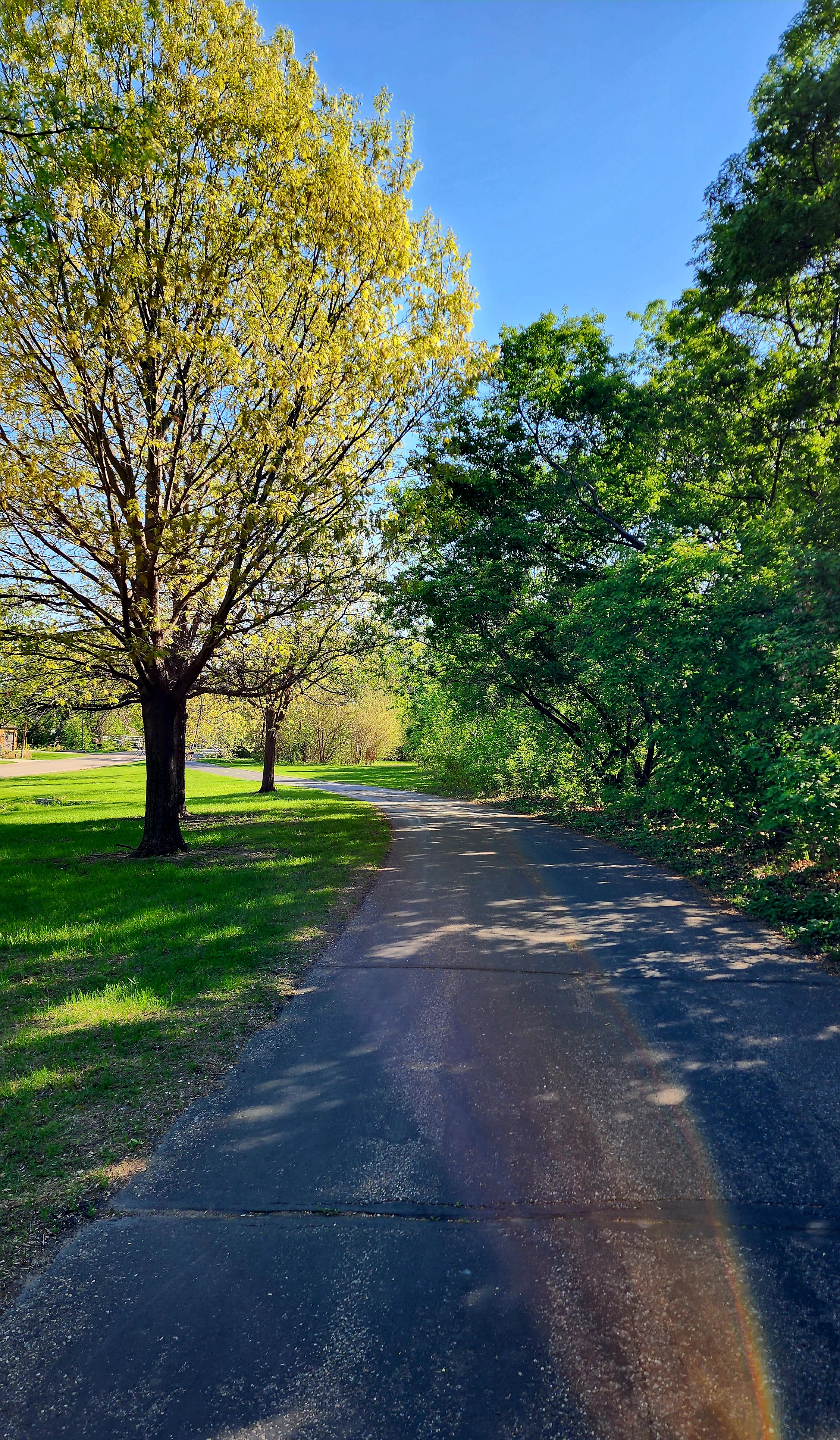
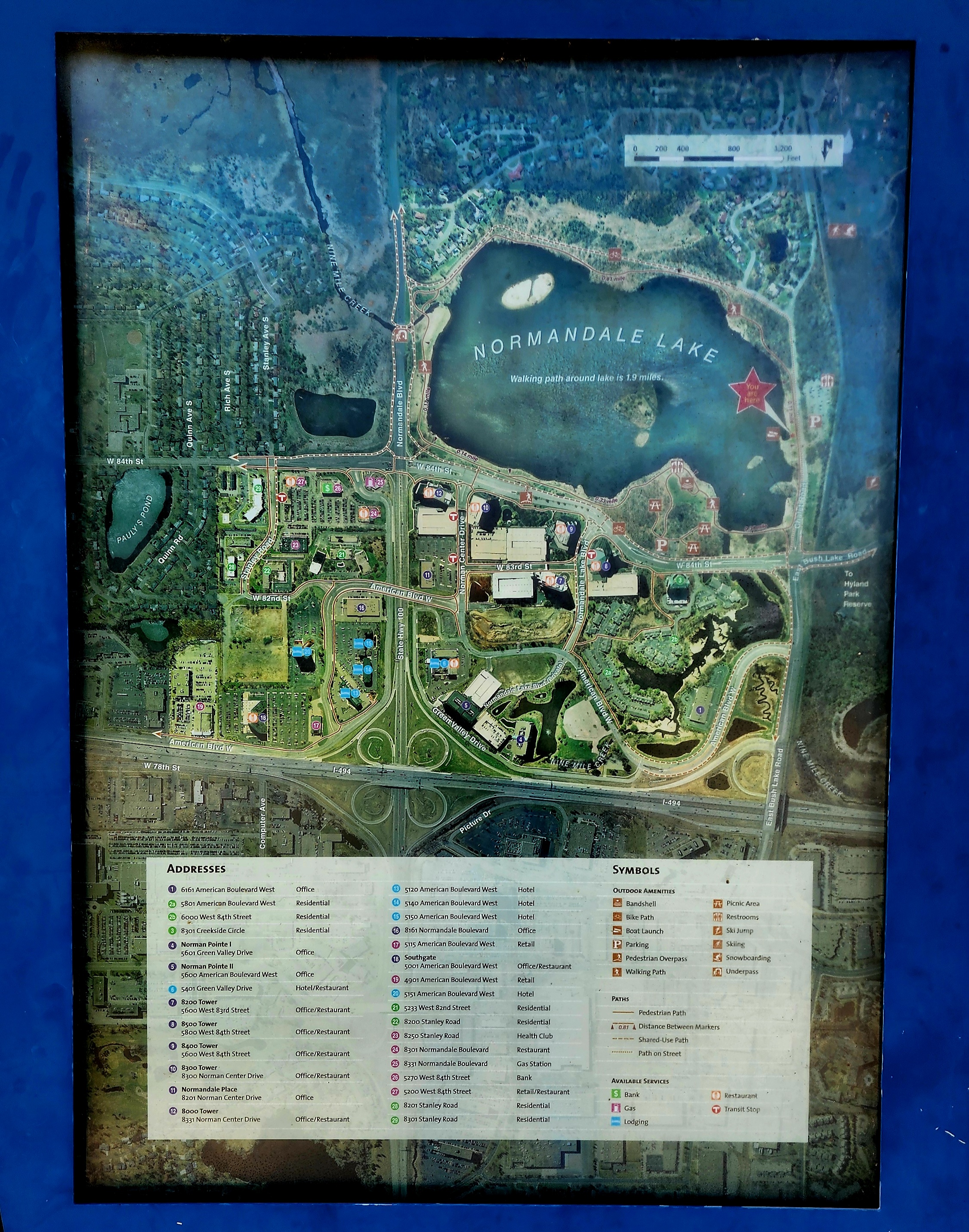
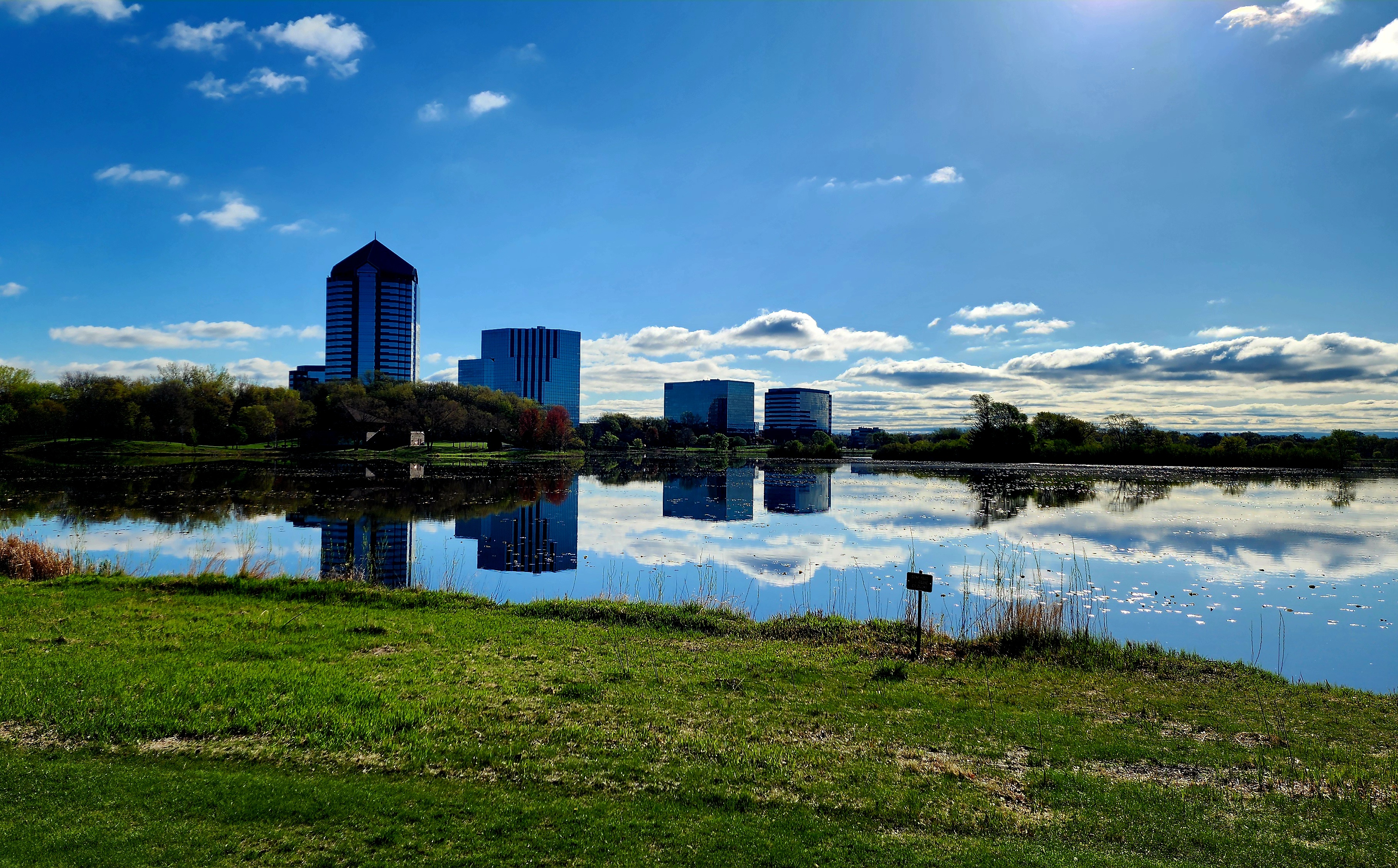
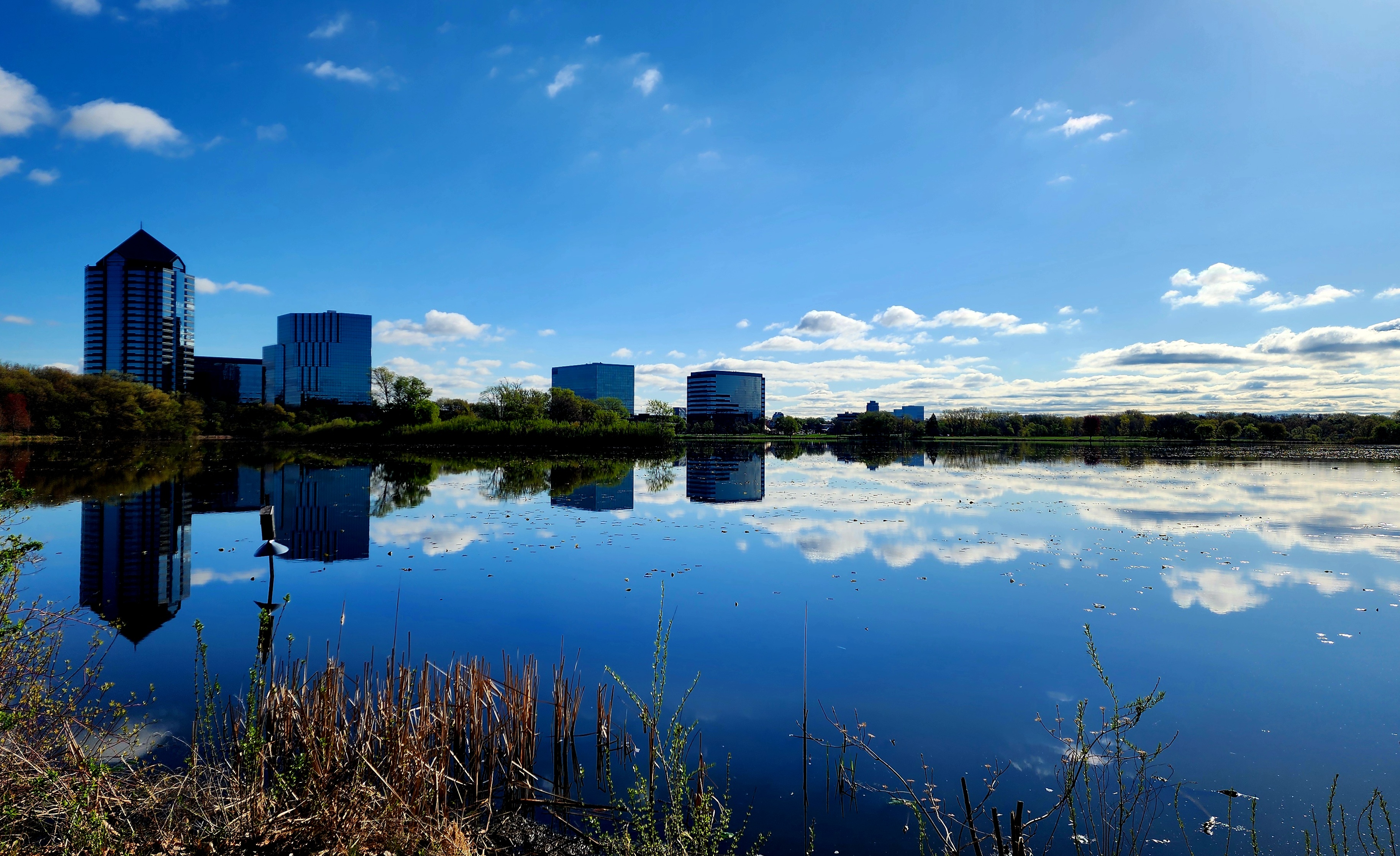
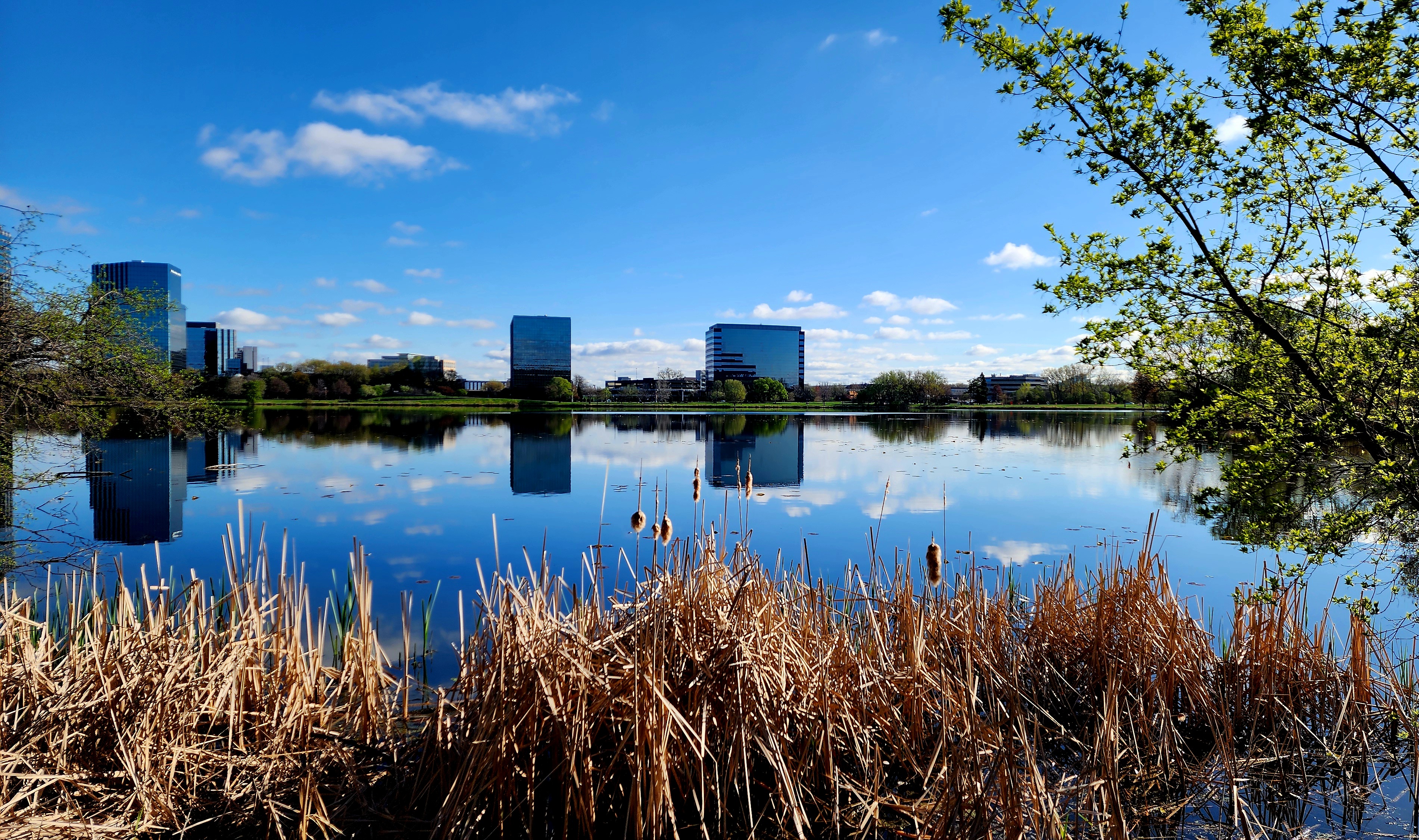
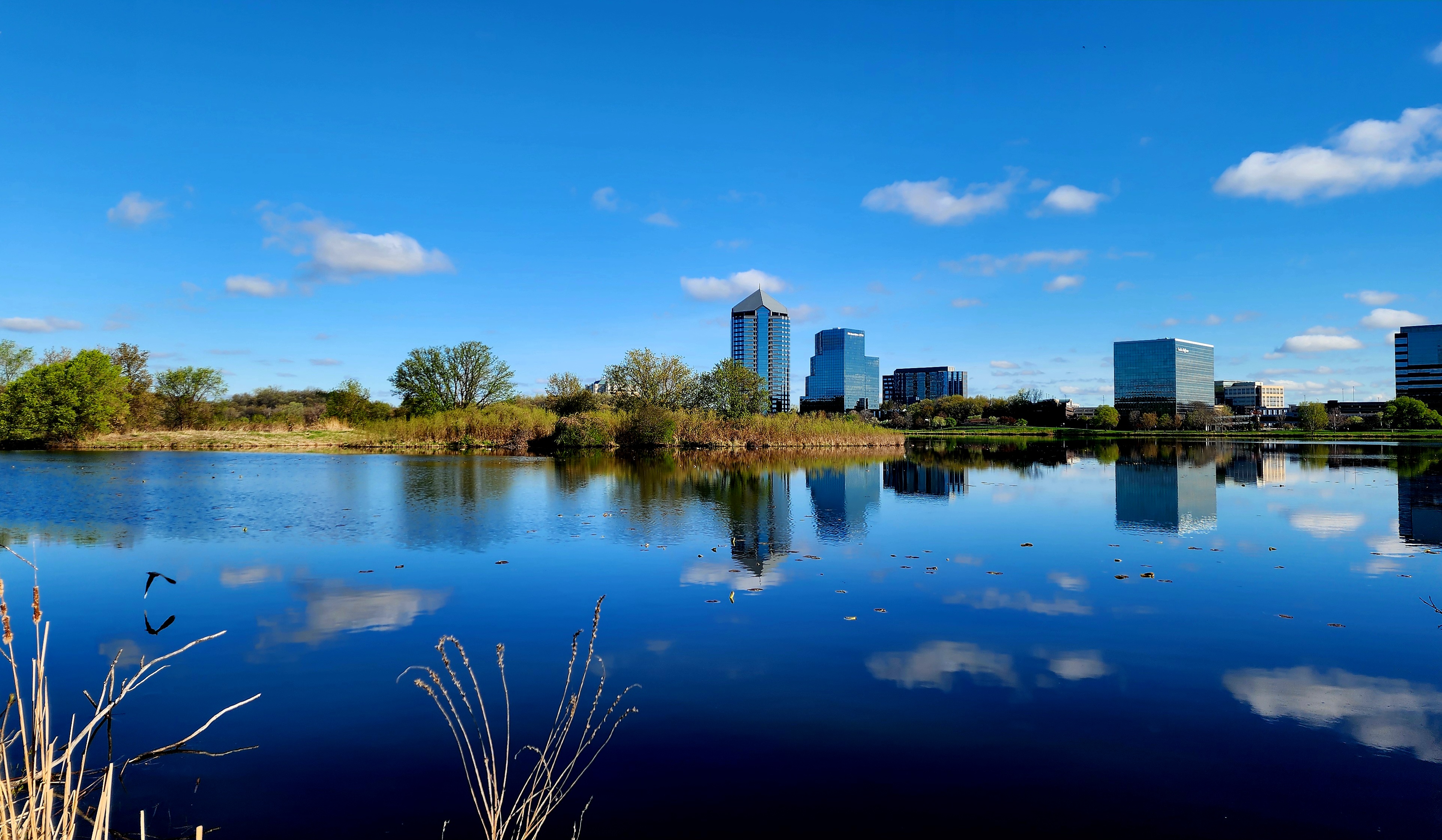
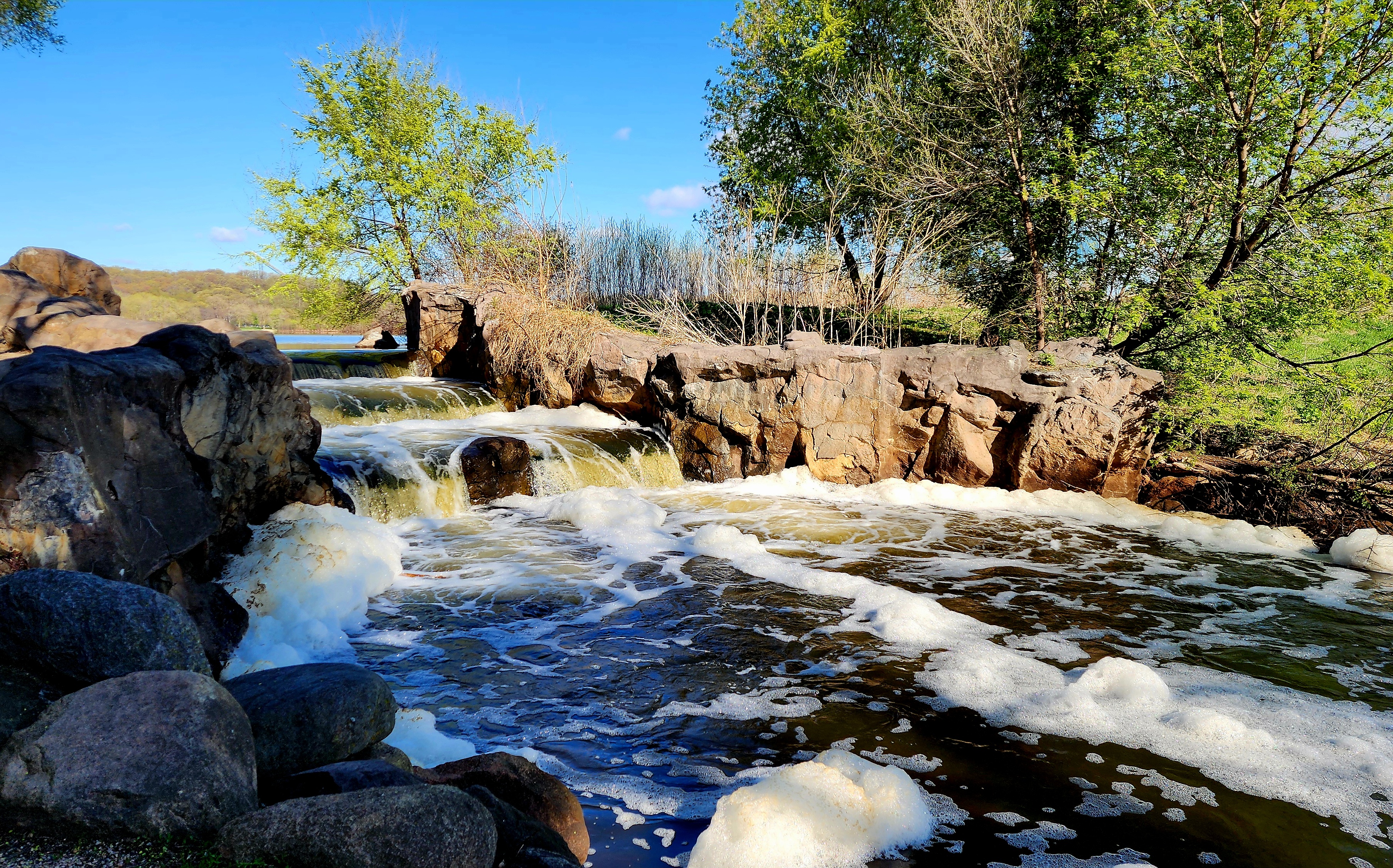
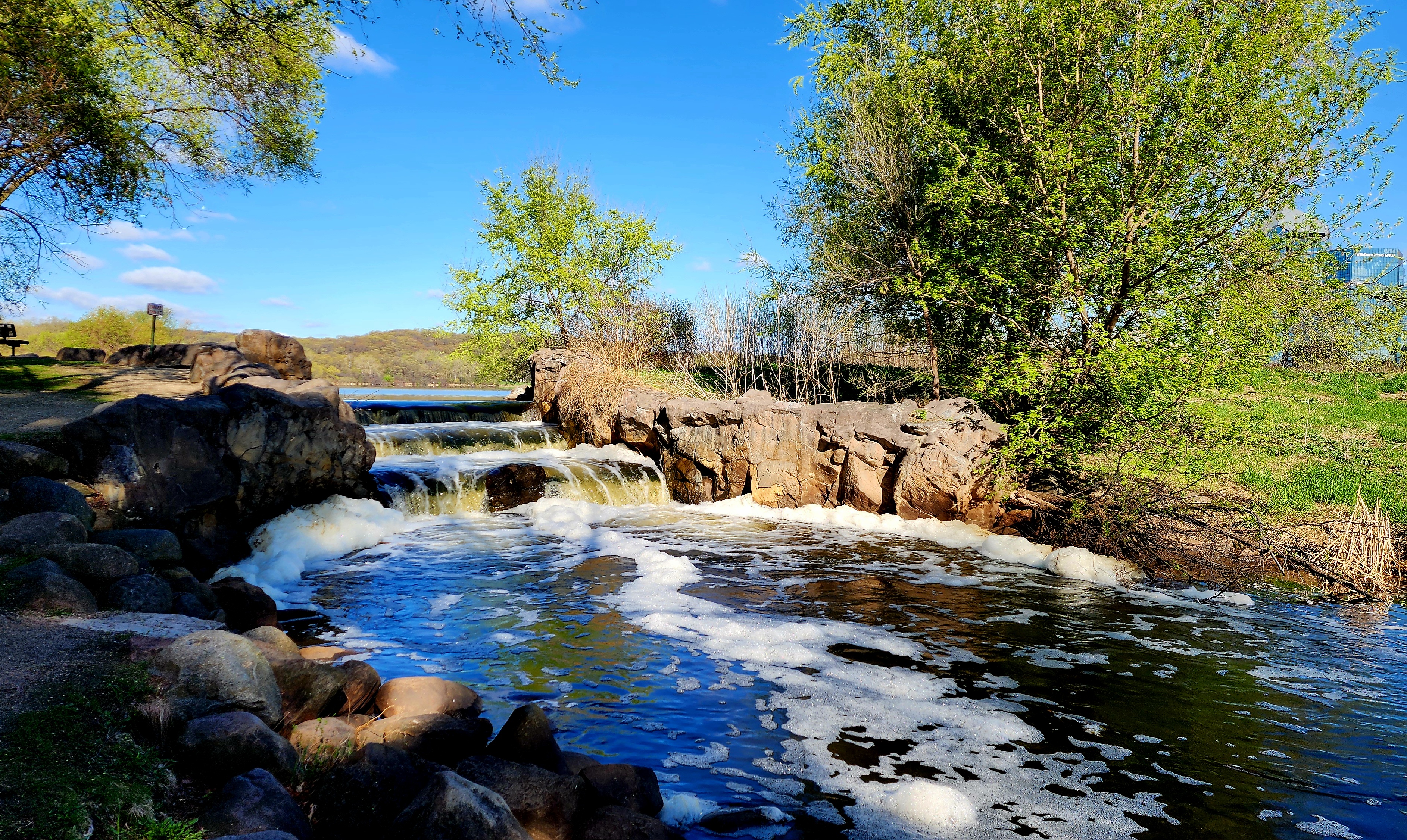
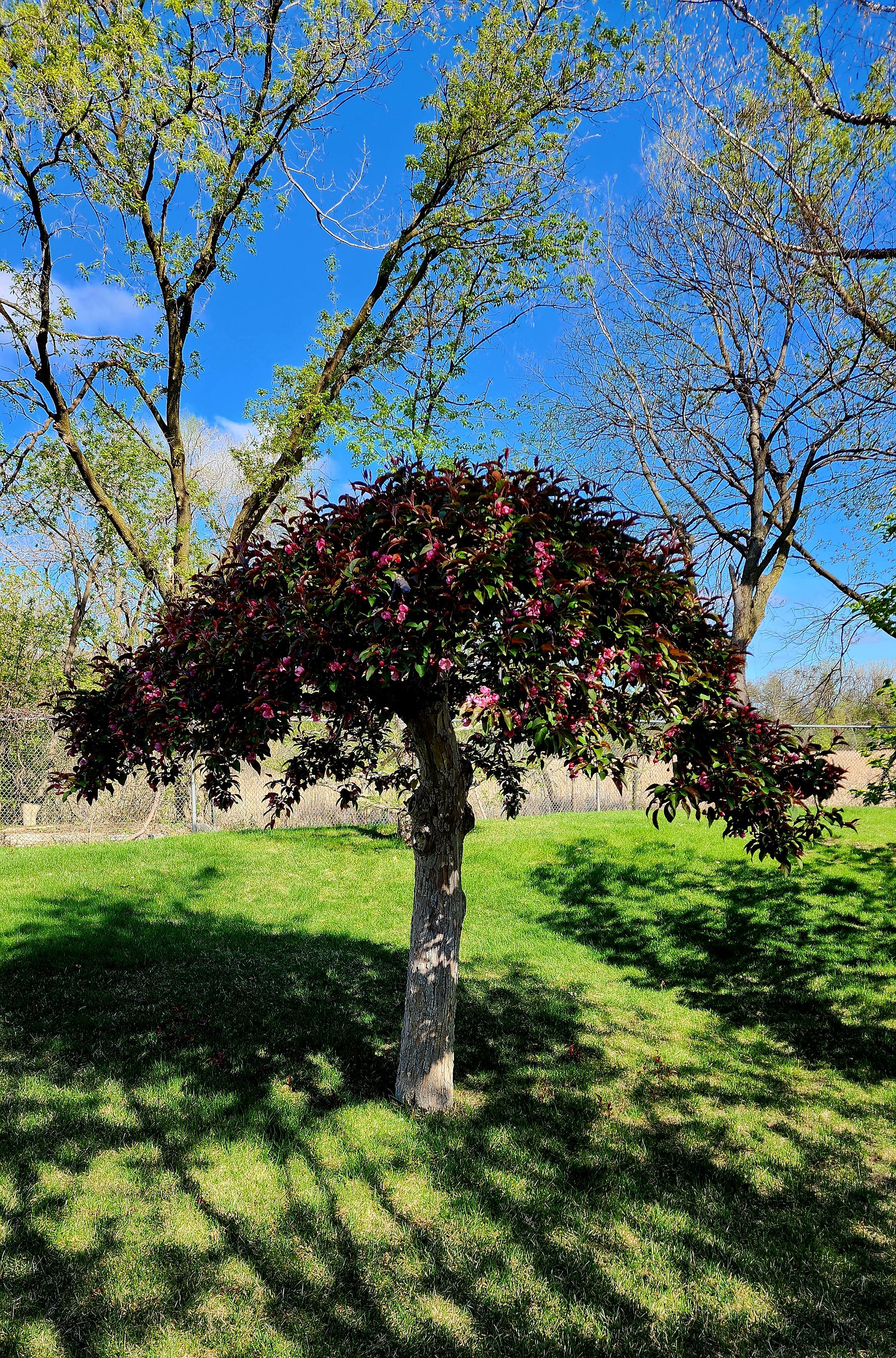
Today’s hiking adventure began at Normandale Lake Park.
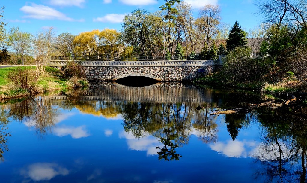
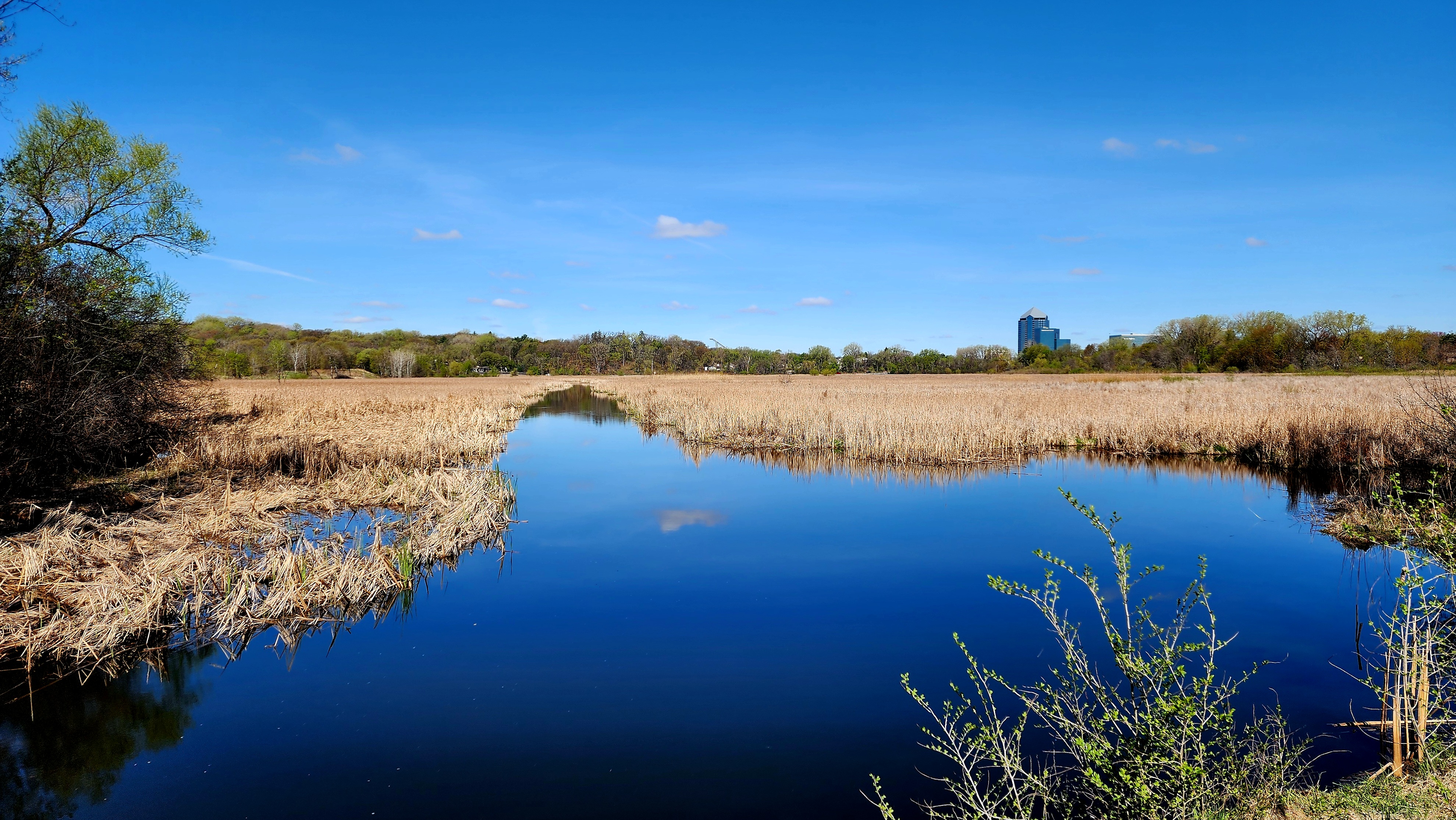
We had a beautiful morning to hike. The sun was shining brightly and the birds were singing loudly. Normandale Lake mirrors the sky perfectly. I love seeing the clouds in the water.
The wide paved trail was full of people out enjoying the day. We saw bikers, hikers, and even rollerbladers.
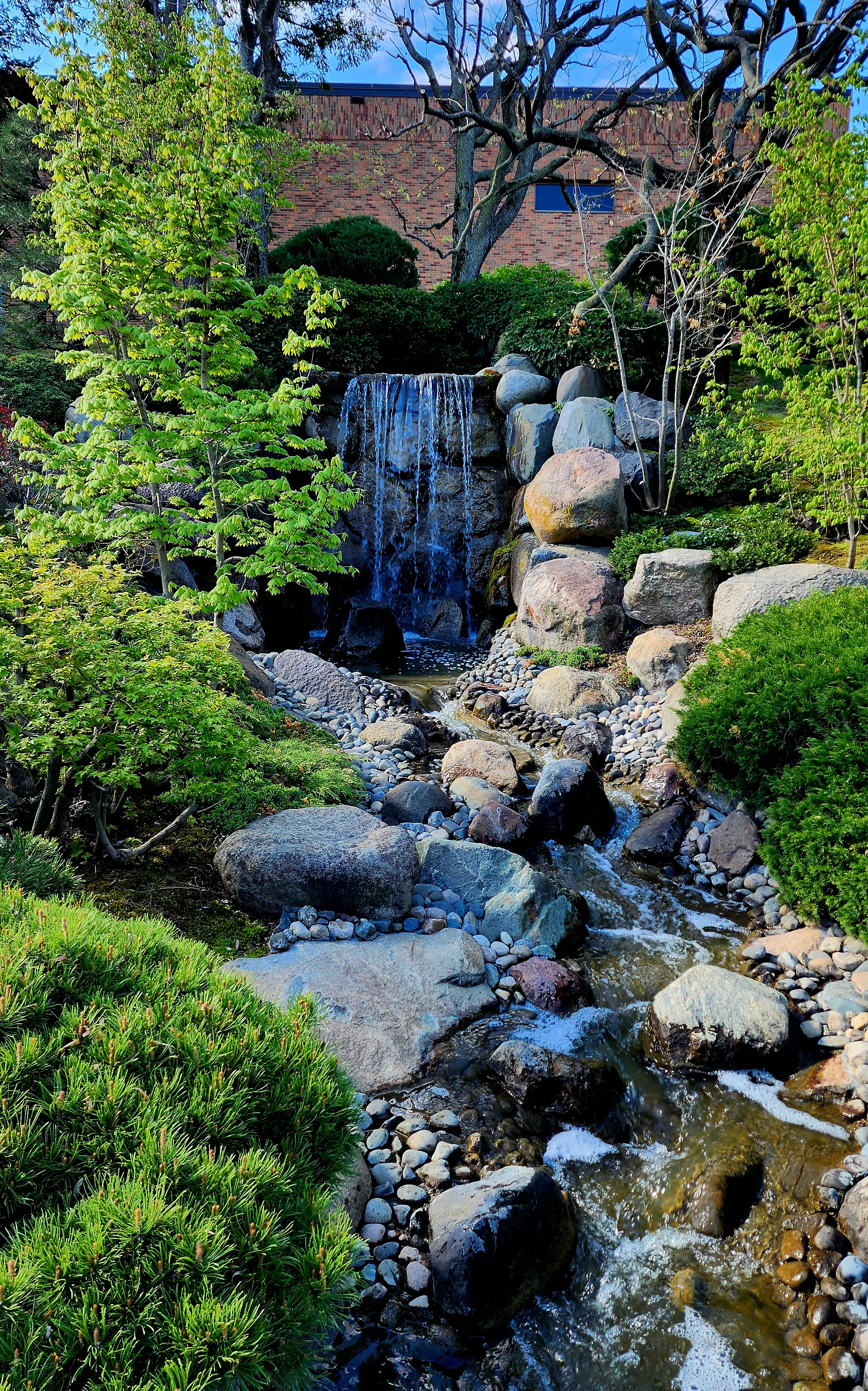
On the east side of the lake there is a beautiful cascading waterfall.
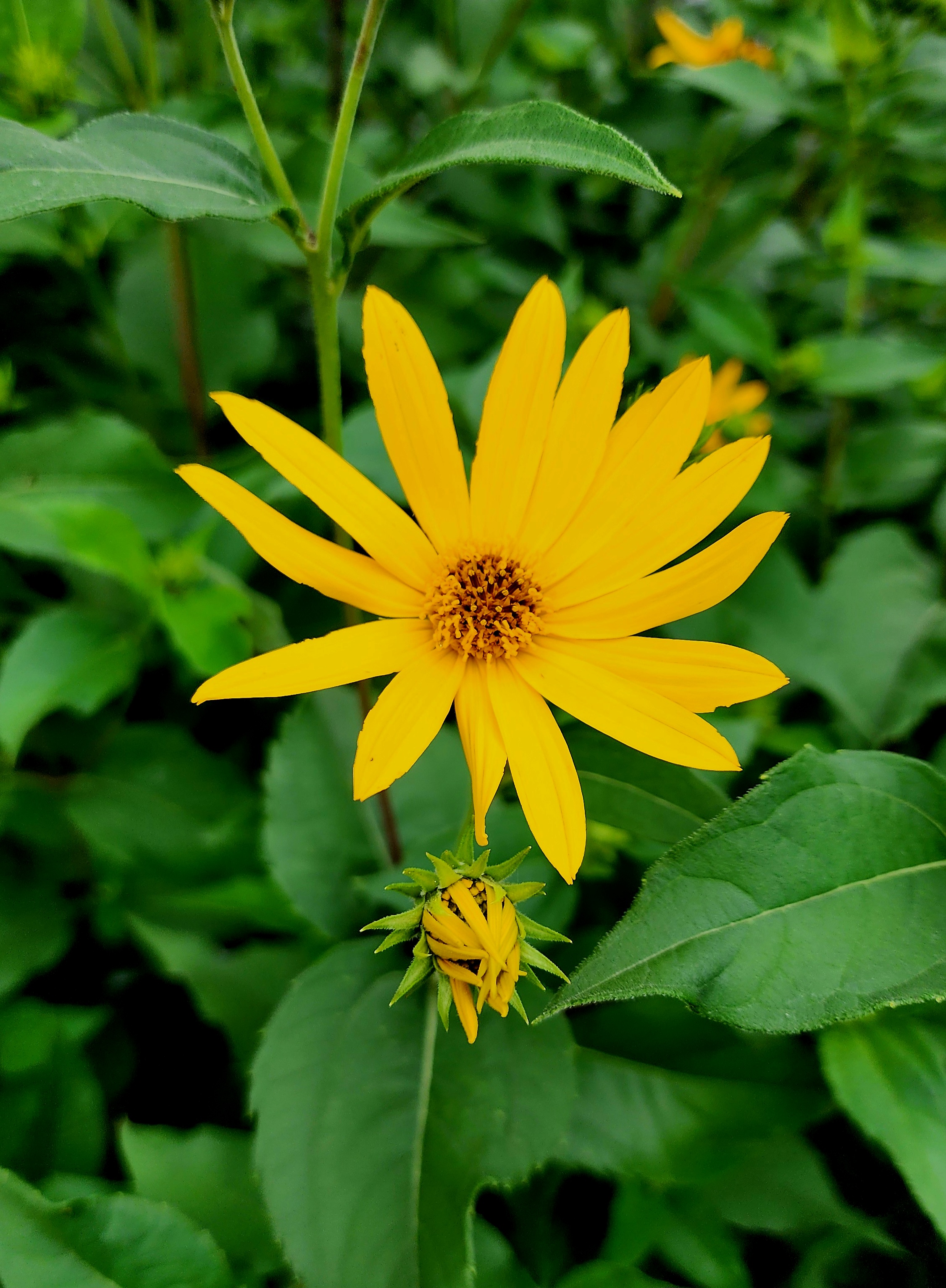
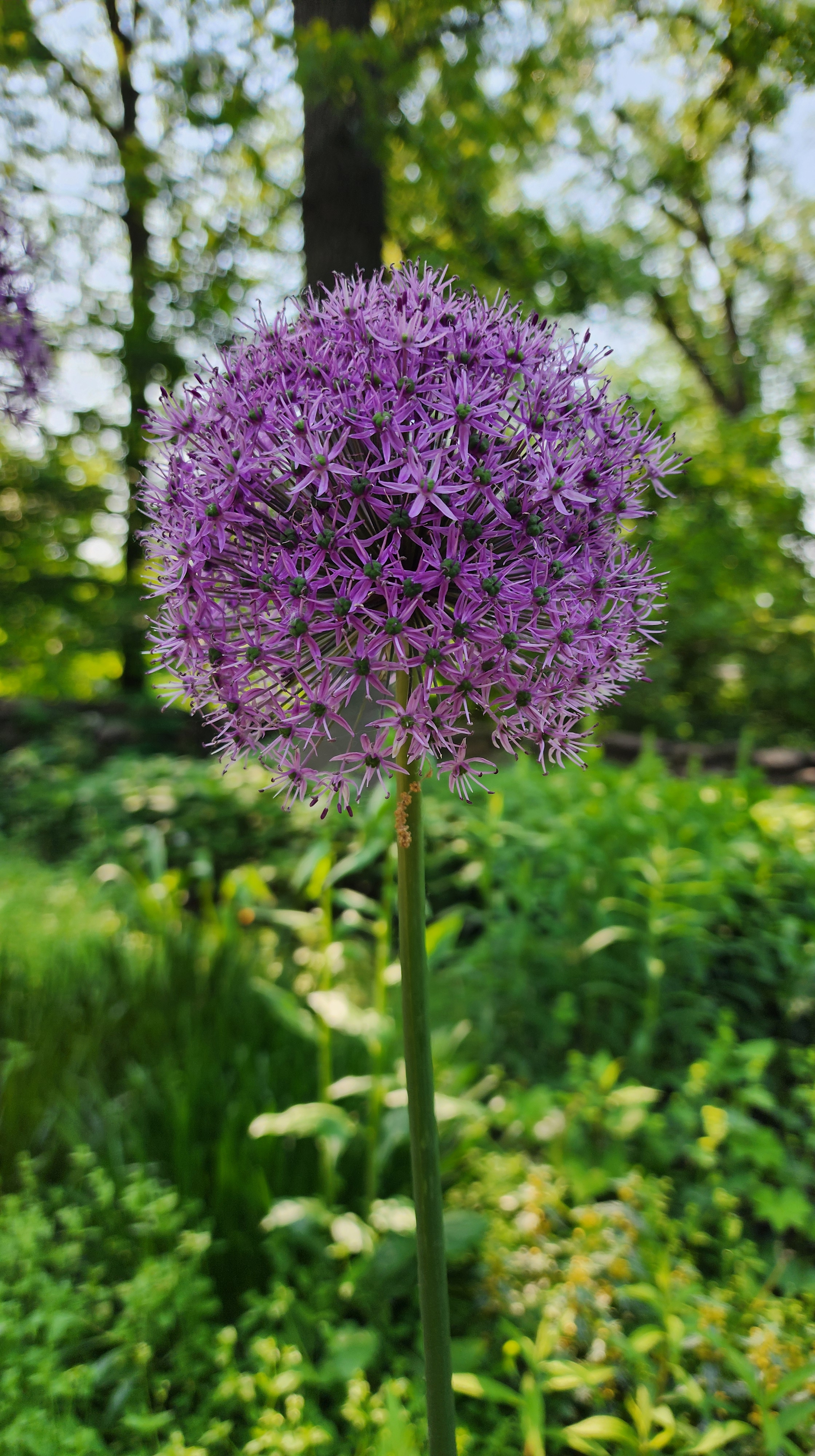
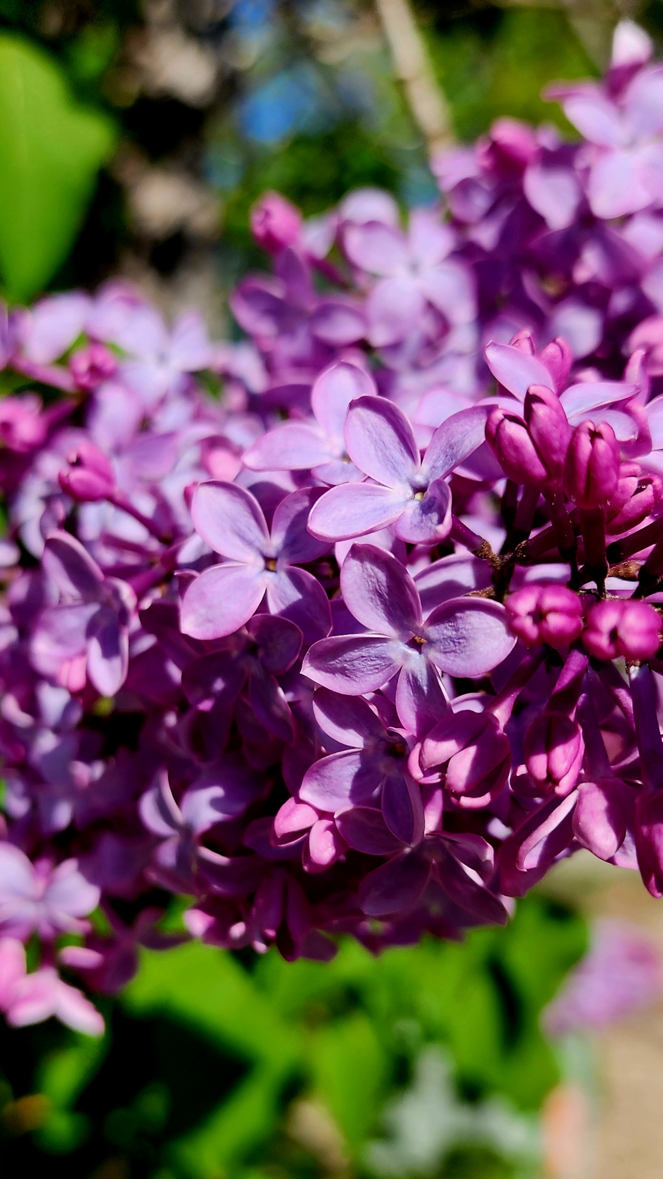
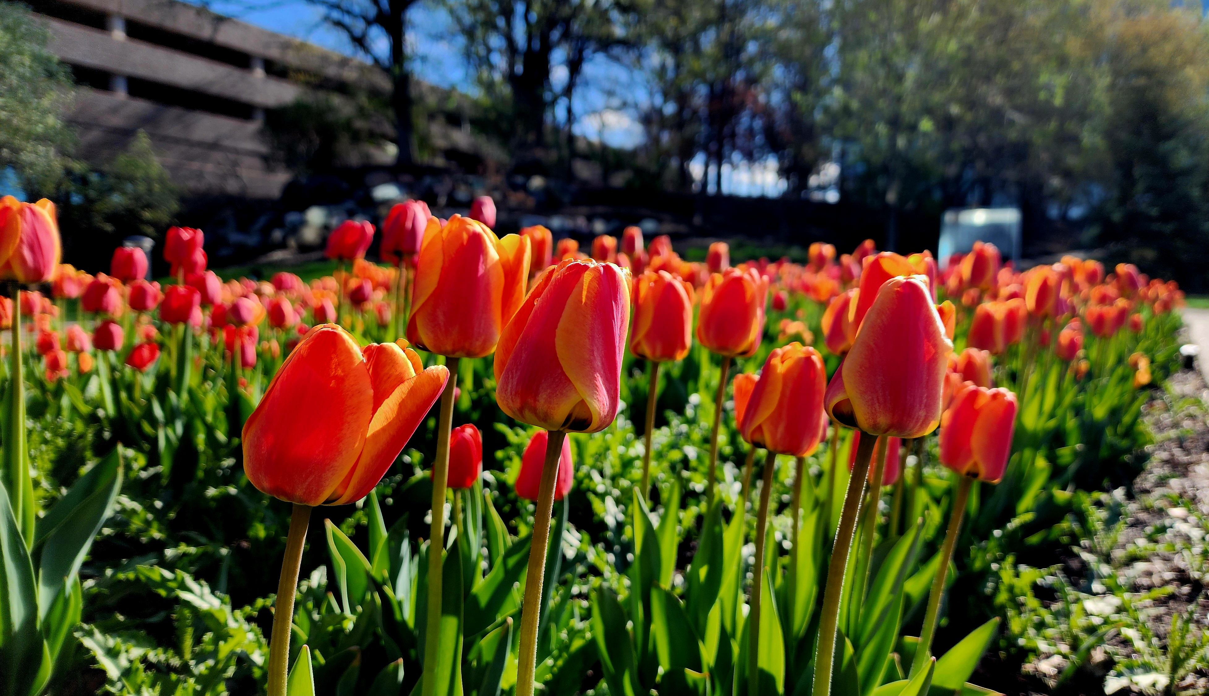
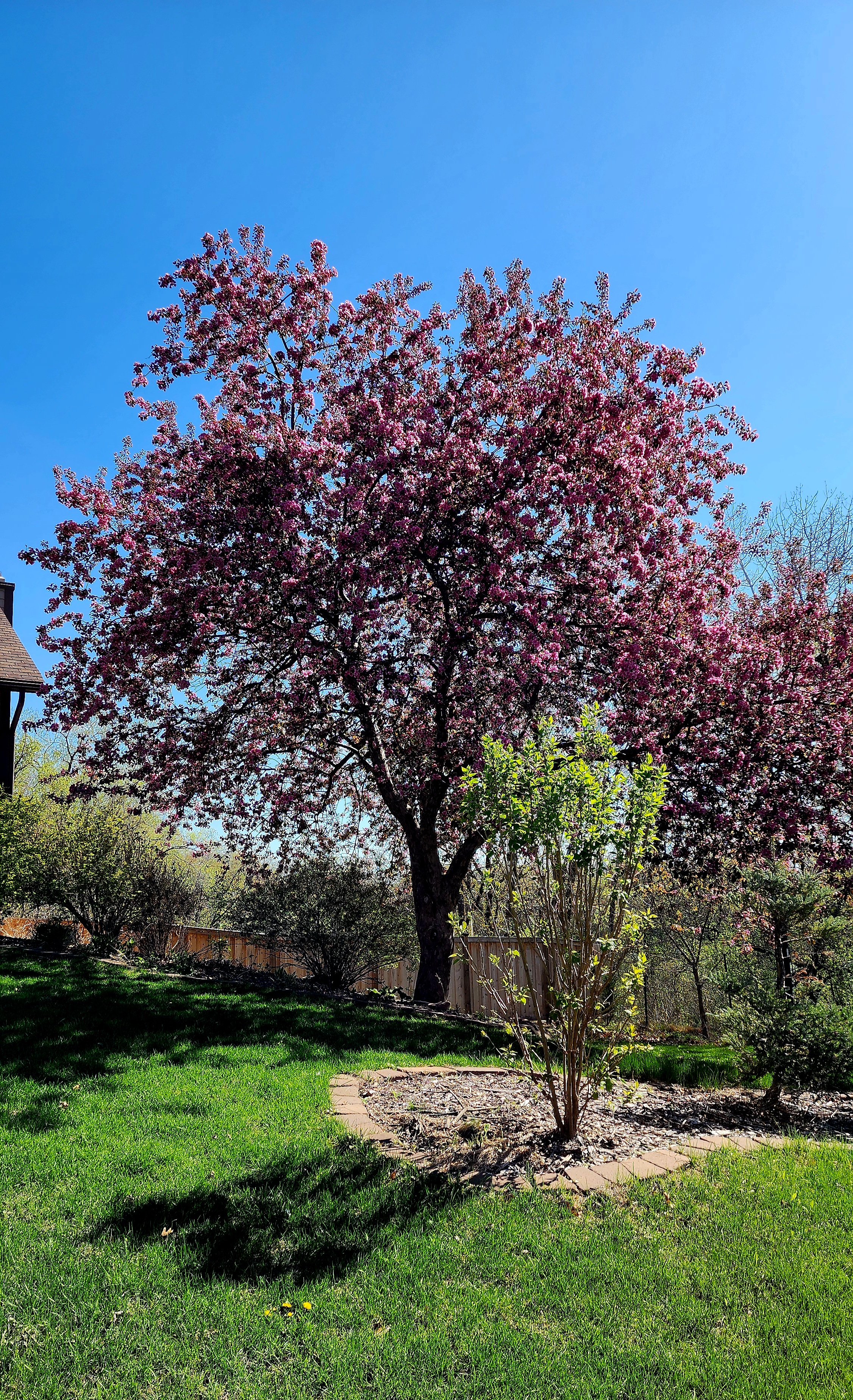
The tulips are stunning!
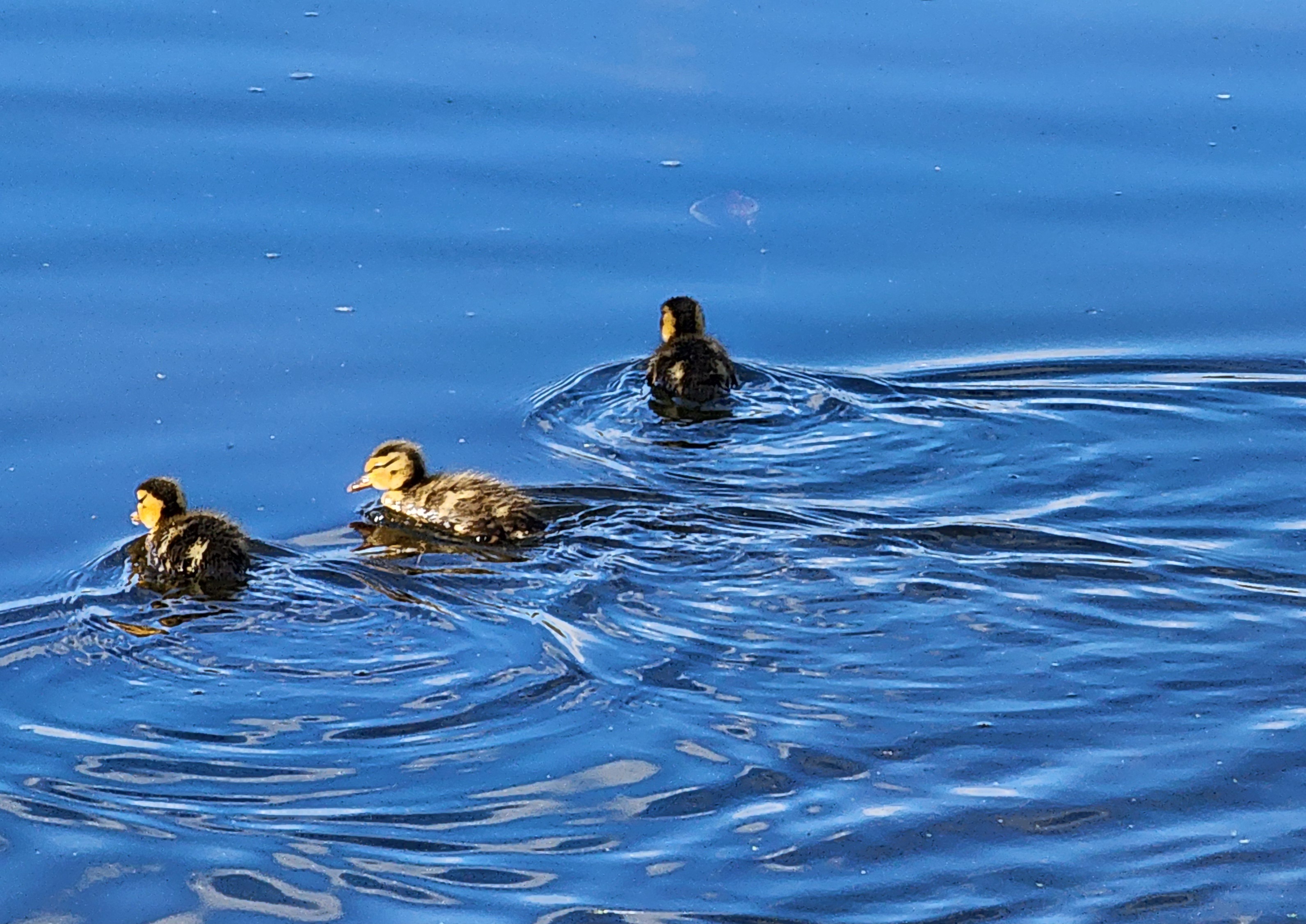
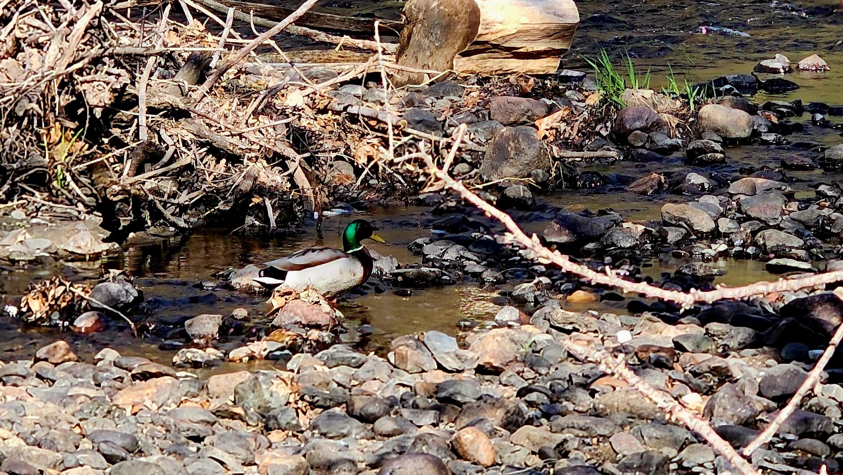
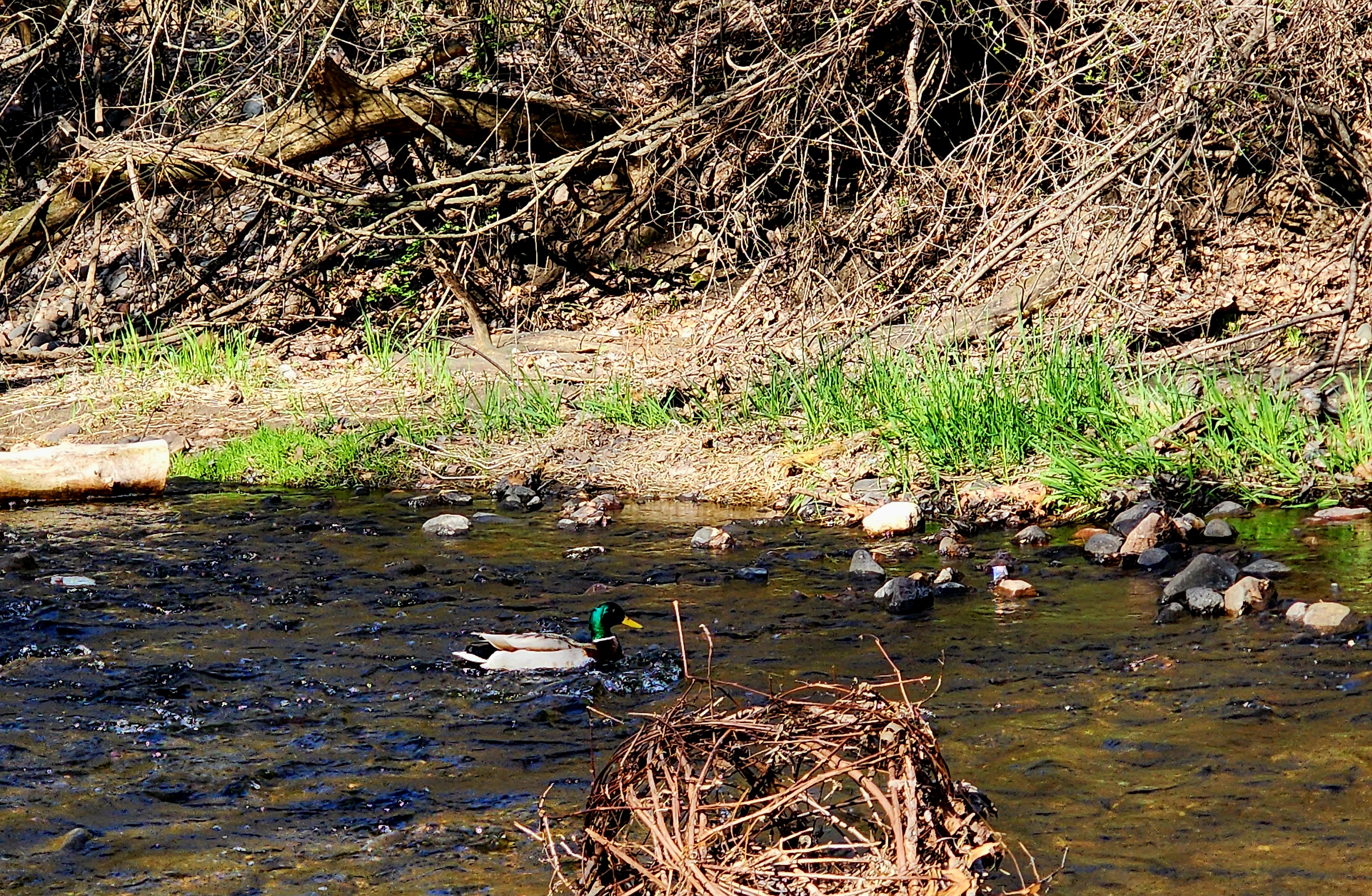
We found baby ducks. Of course, they swam away as soon as I got near them.
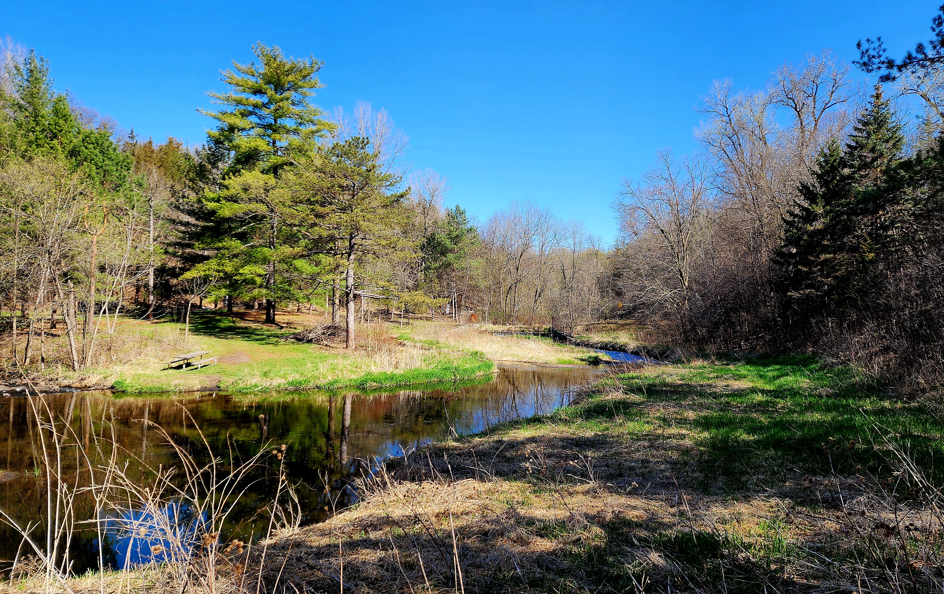
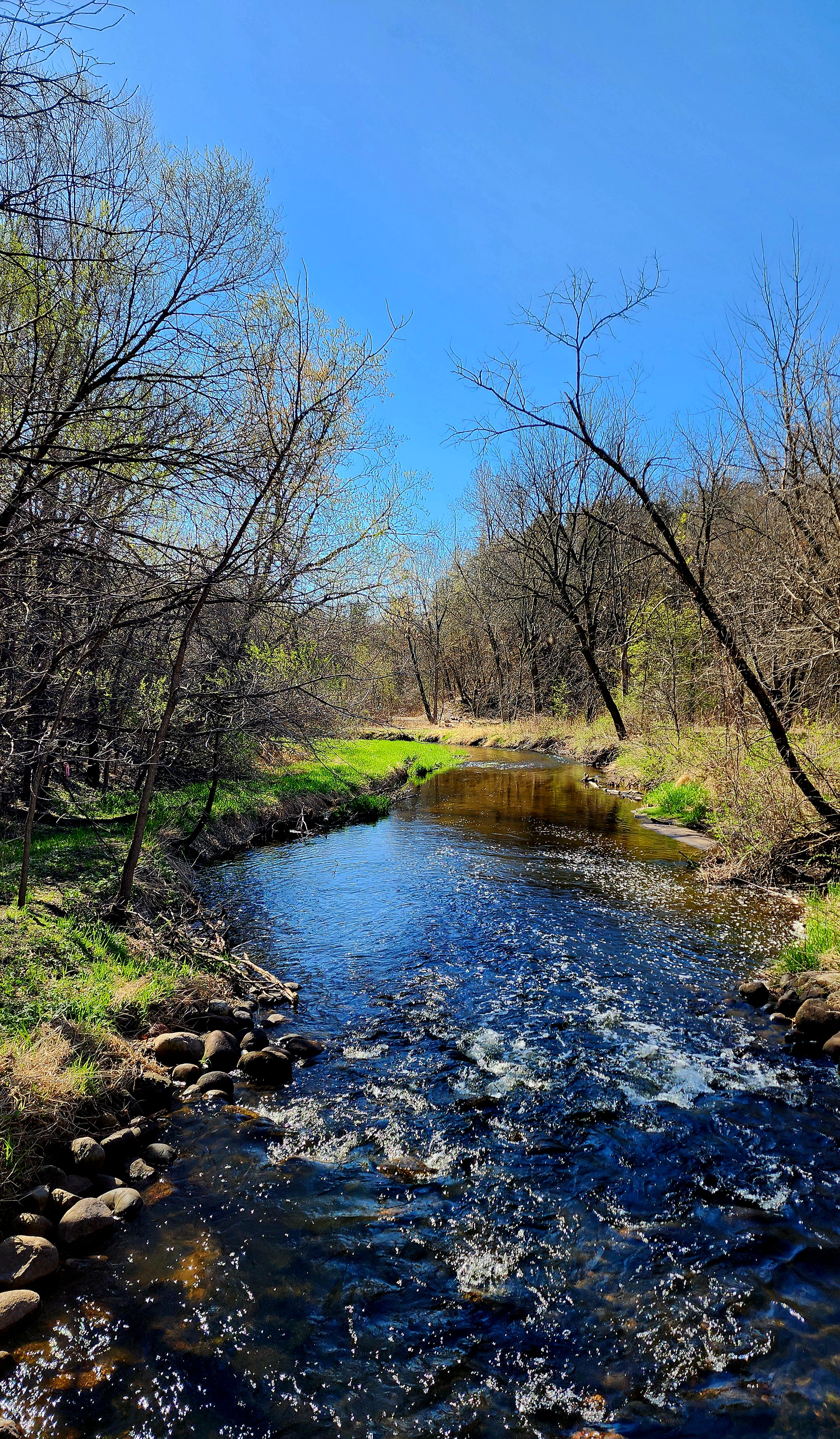
Nine Mile Creek flows into Normandale Lake.
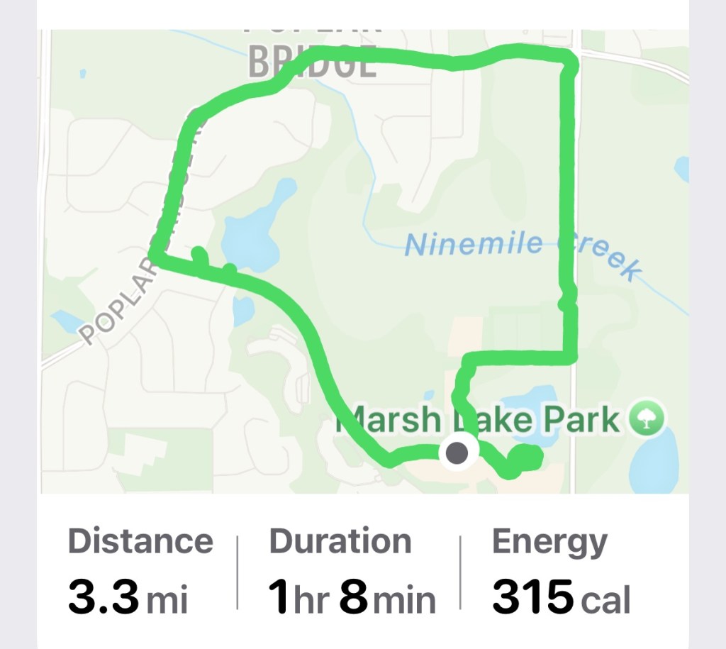
Once back at our starting point, we decided to take a drive to Normandale College. Our hike around Normandale Lake was 2 miles.
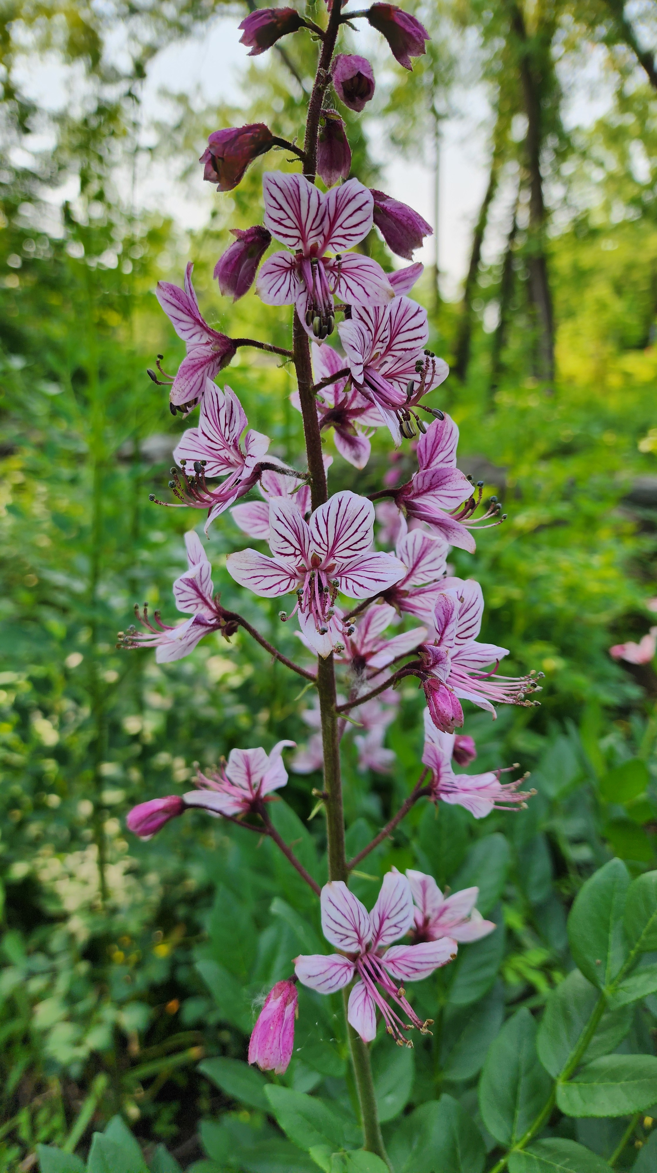
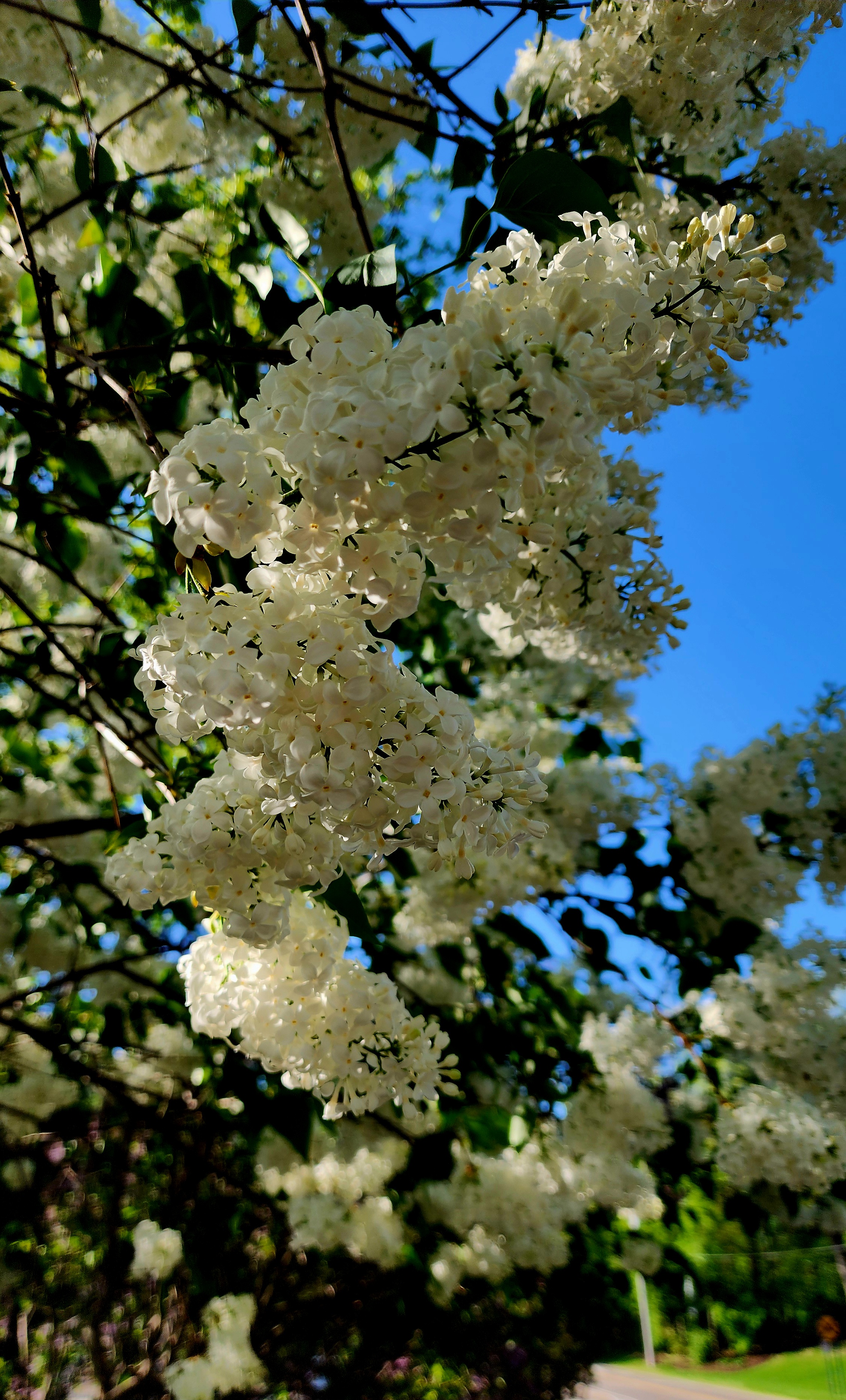
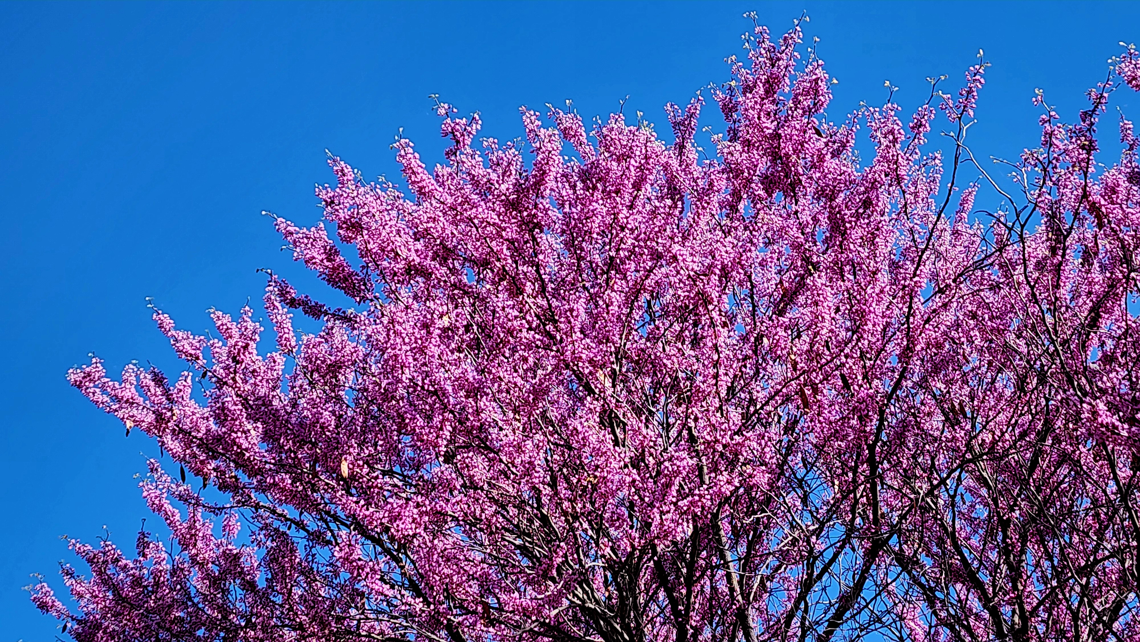
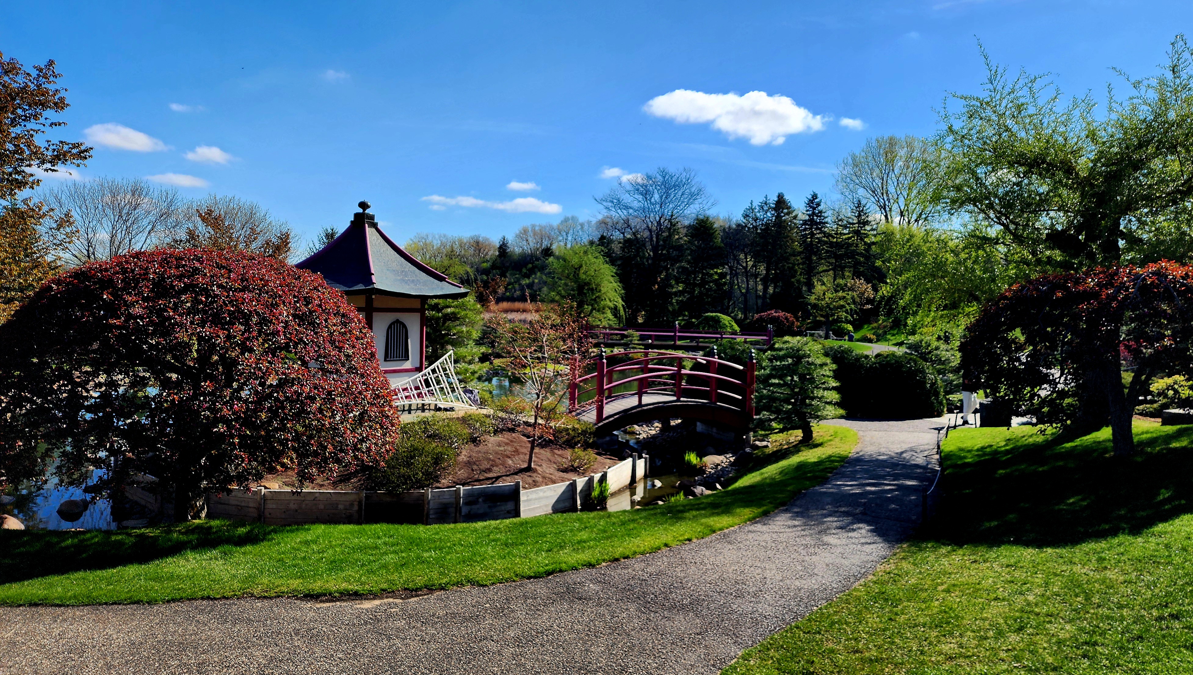
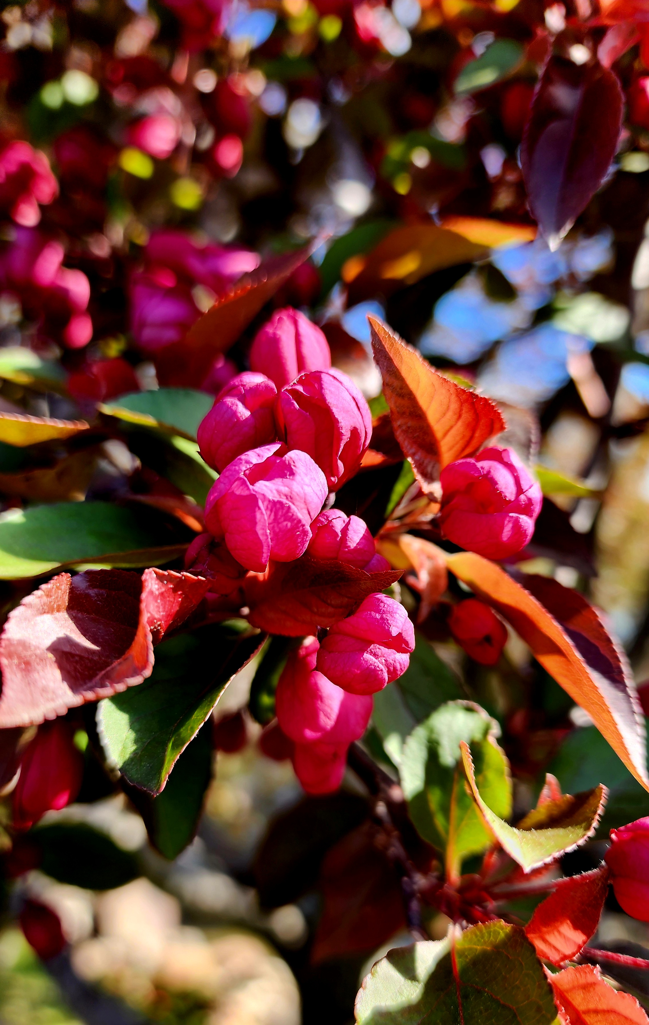
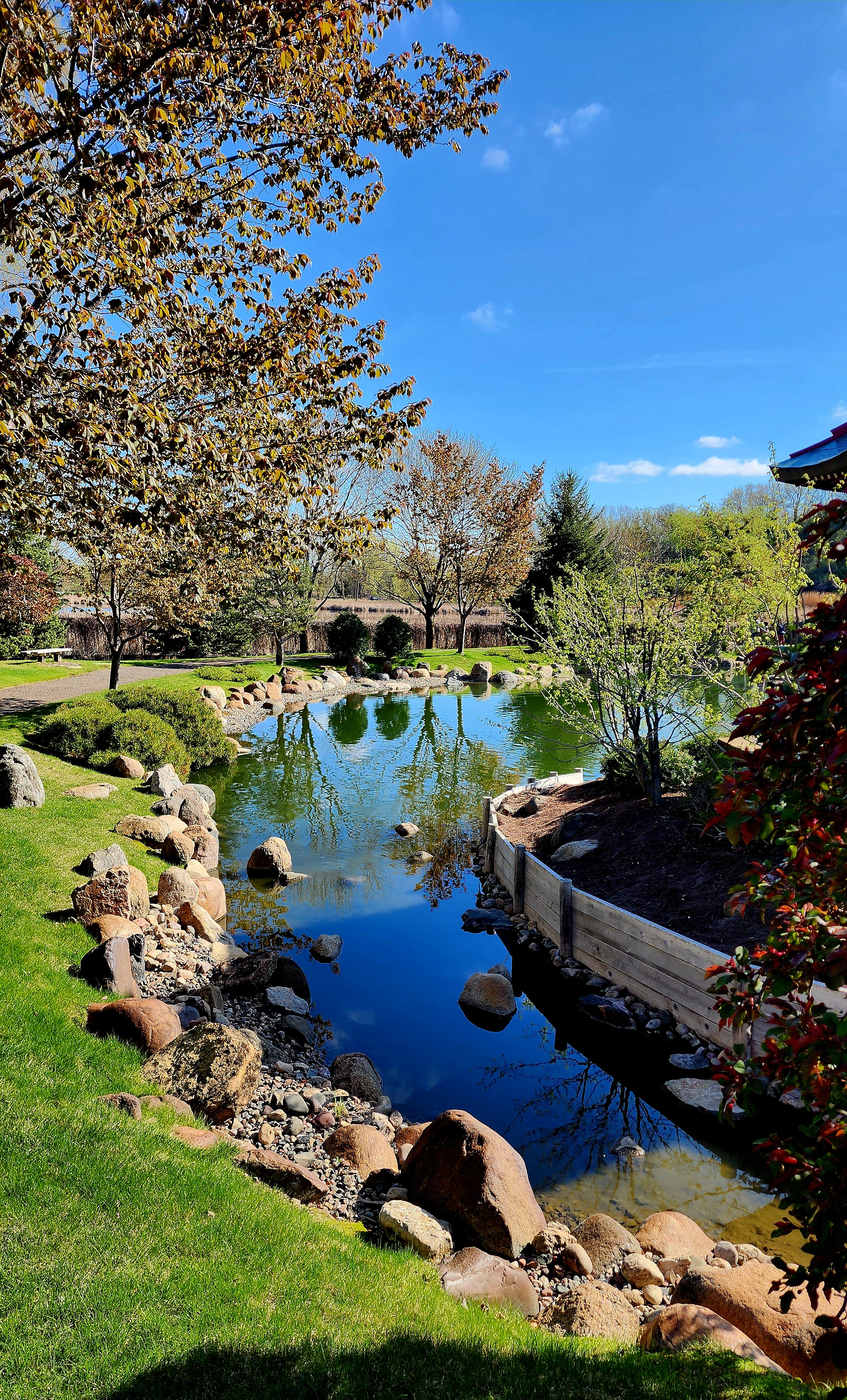
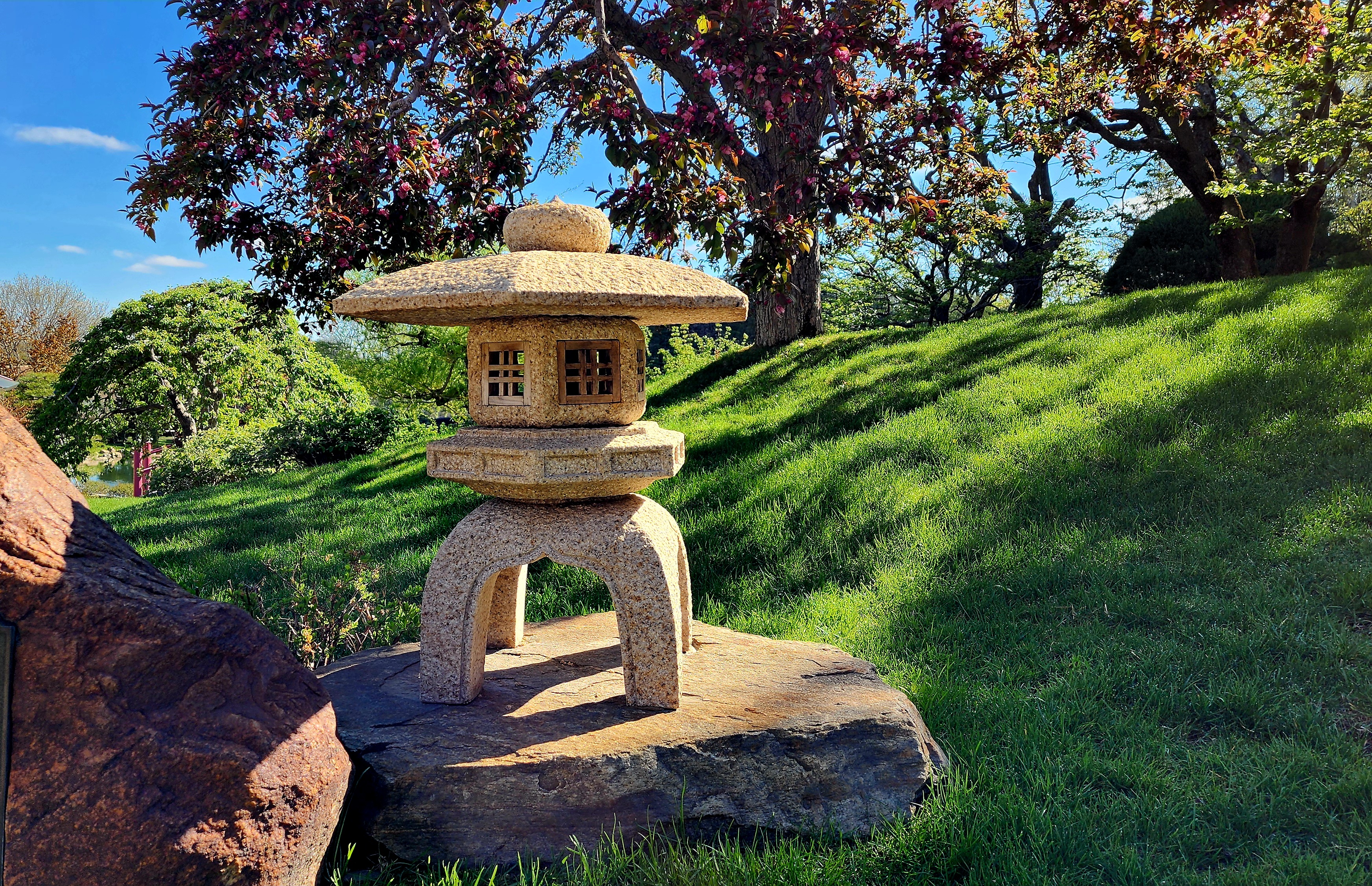
Normandale College has a beautiful Japanese Garden. The cherry blossoms are just beginning to pop.
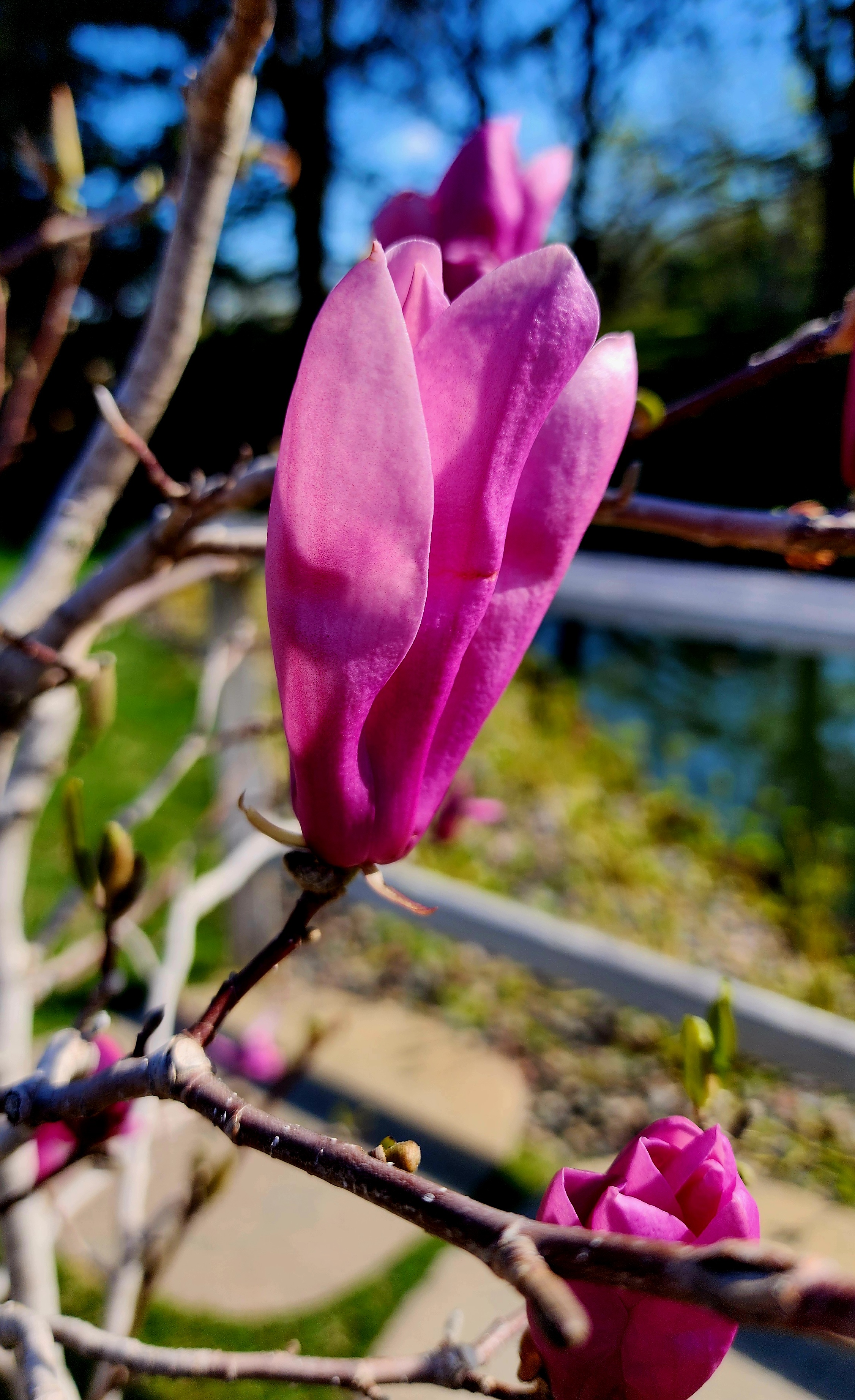
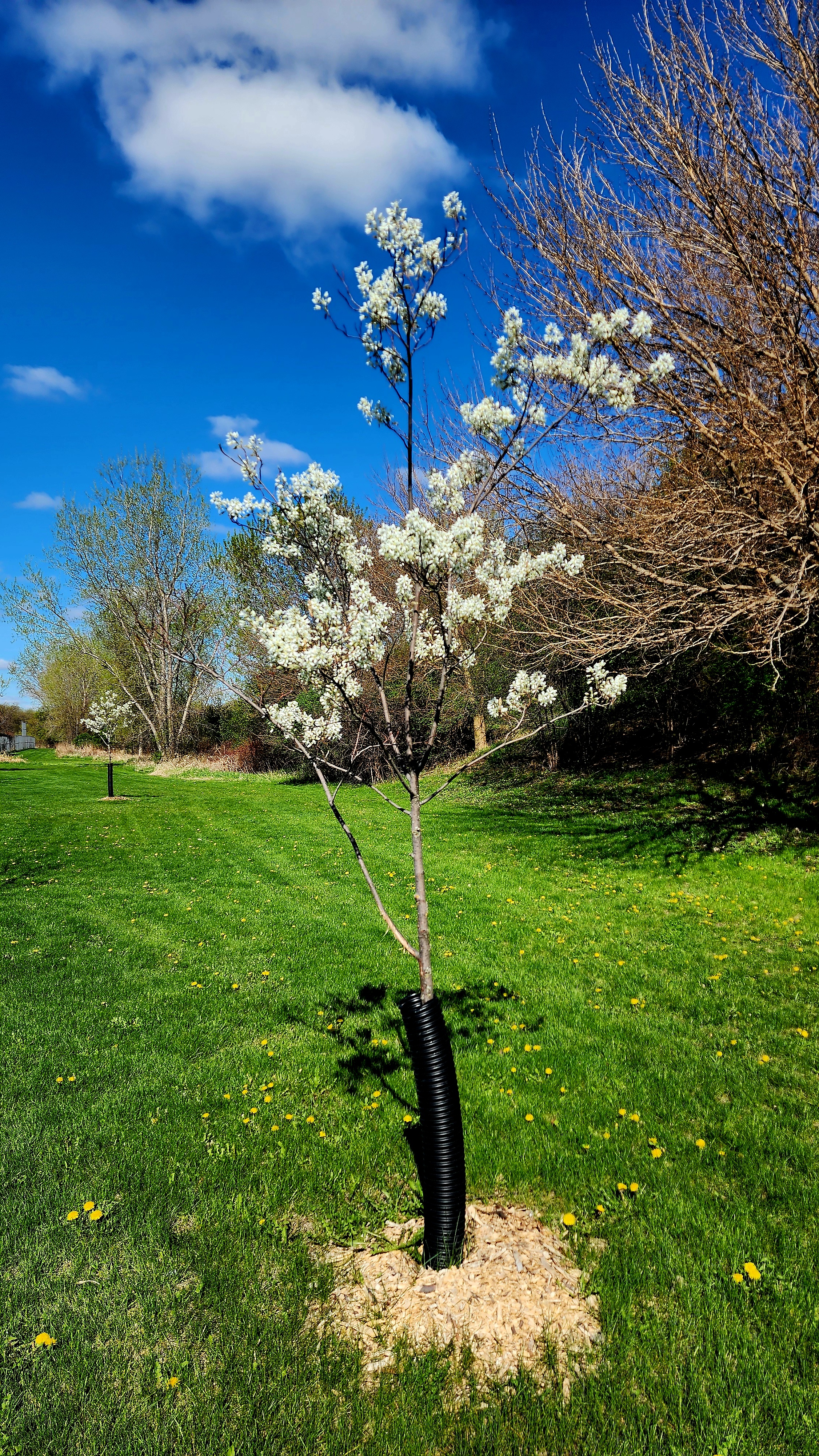
The magnolia’s are beginning to blossom too.
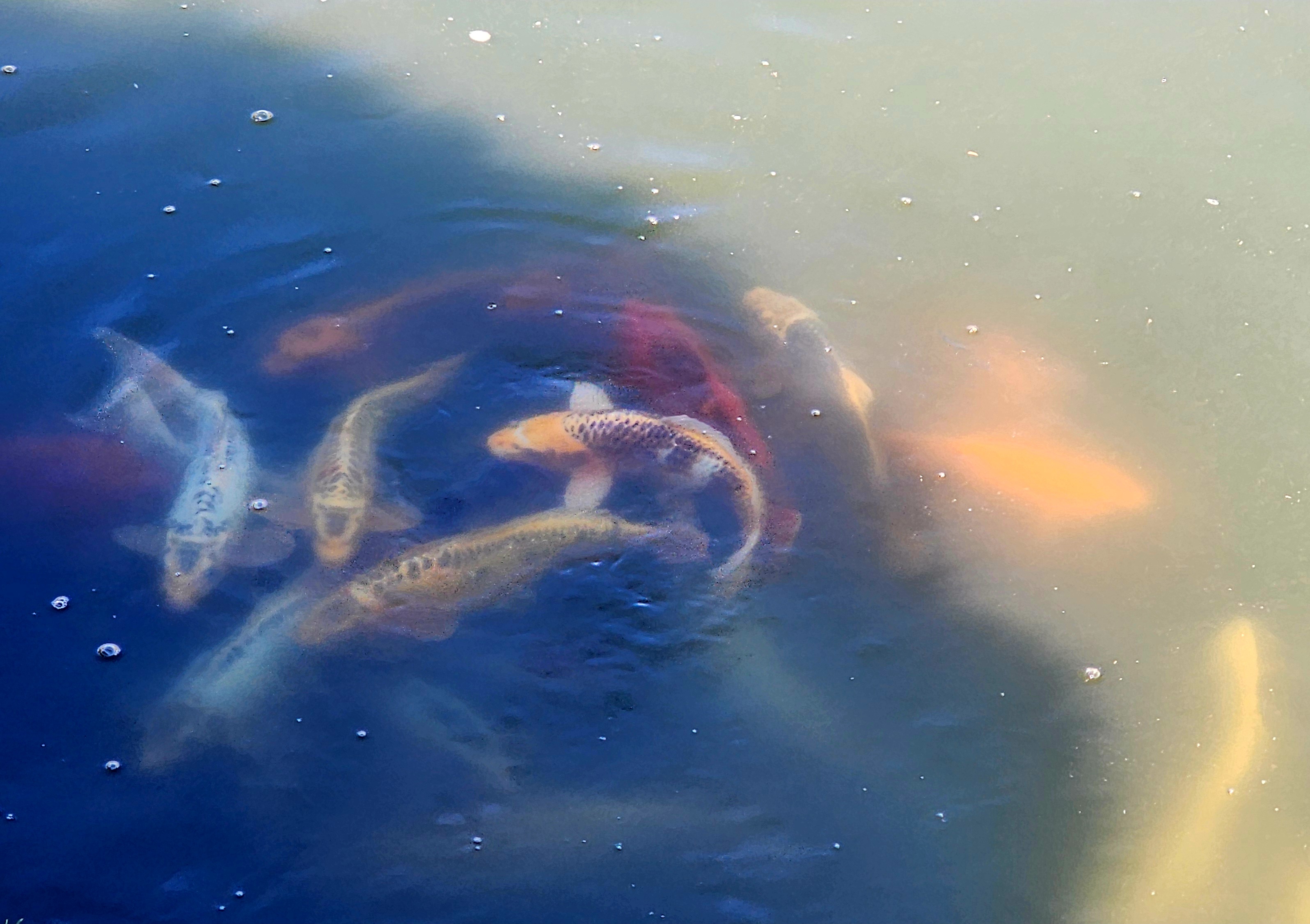
The pond was full of hungry Koi Fish.
With the weather being so amazing, we just had to continue our adventure around the surrounding neighborhood.
Our hiking adventure around the college and neighborhood was 3.3 miles.
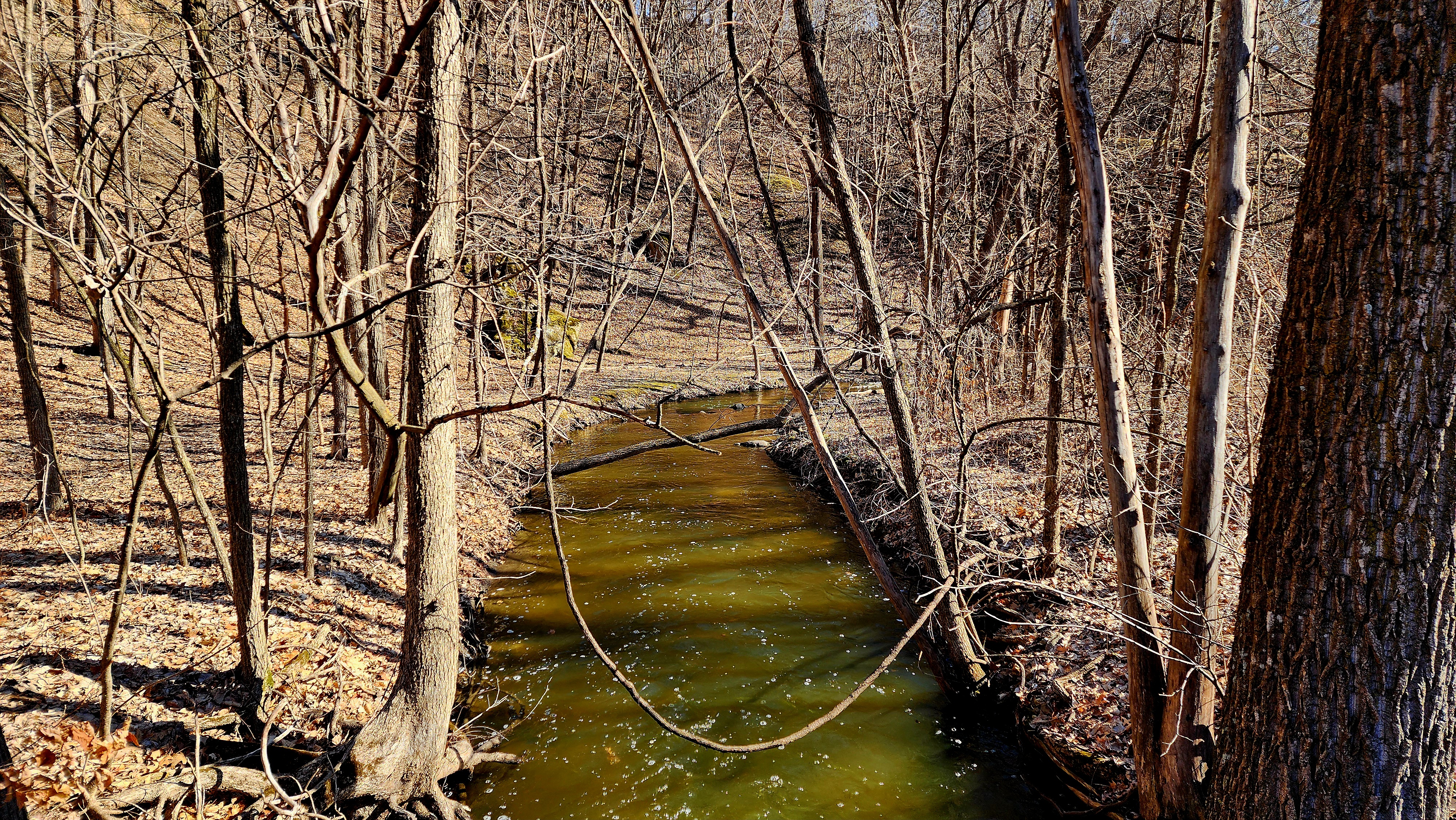
Today’s hiking adventure began at East Creek Falls.
Two weeks ago we hiked past East Creek Falls when we hiked the Minnesota River Bluffs Regional Trail. Today we decided to hike the opposite direction along East Creek.
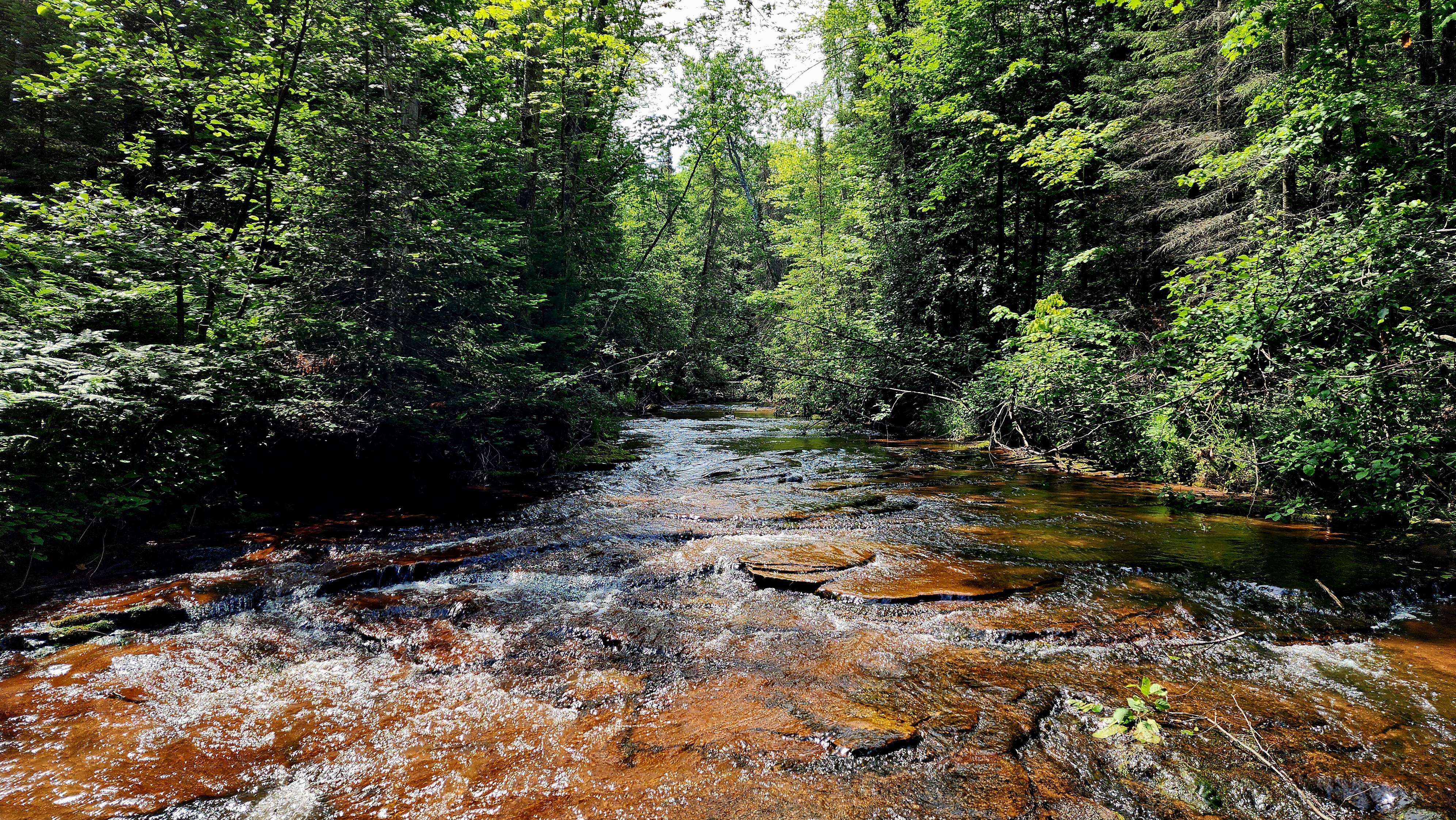
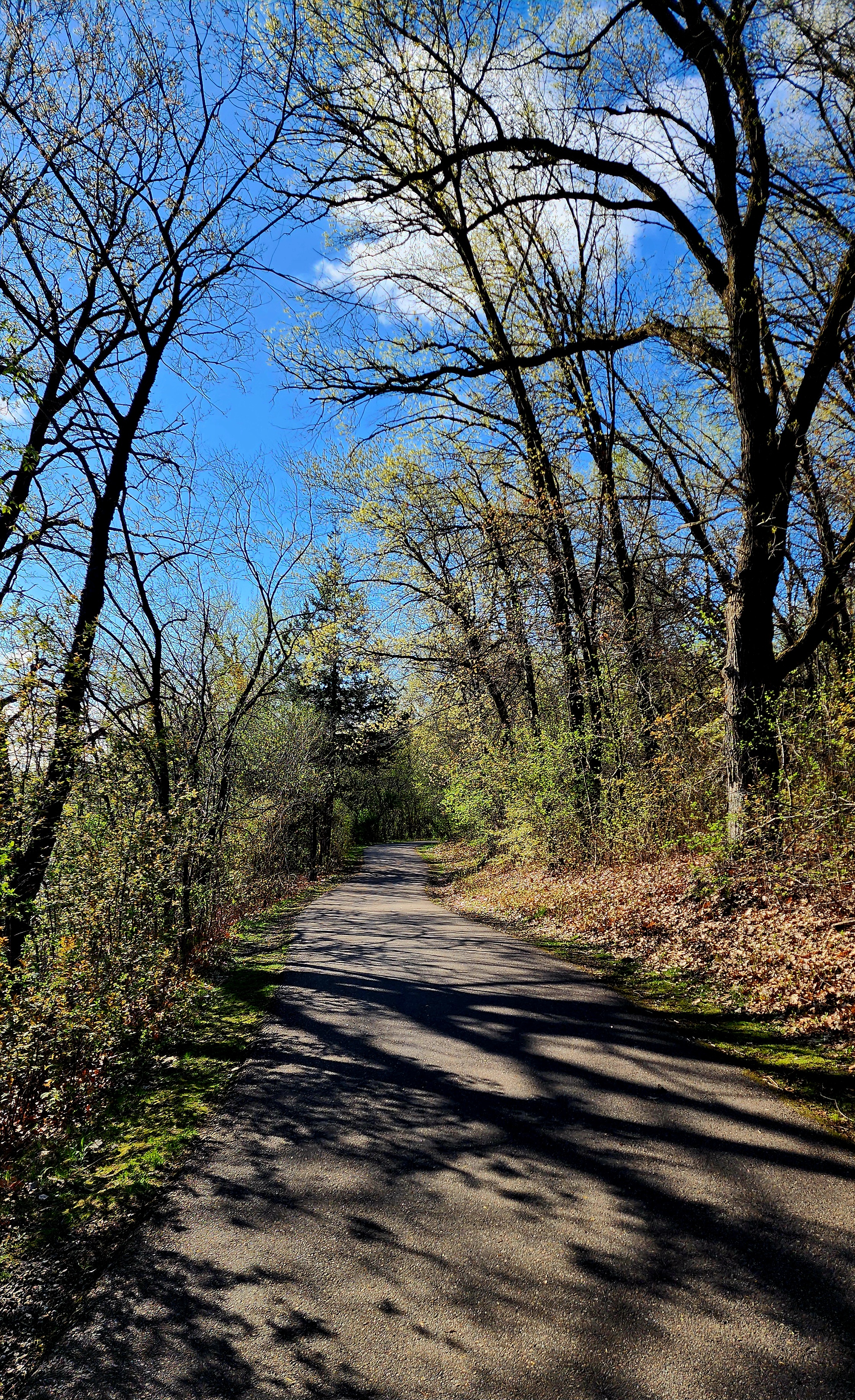
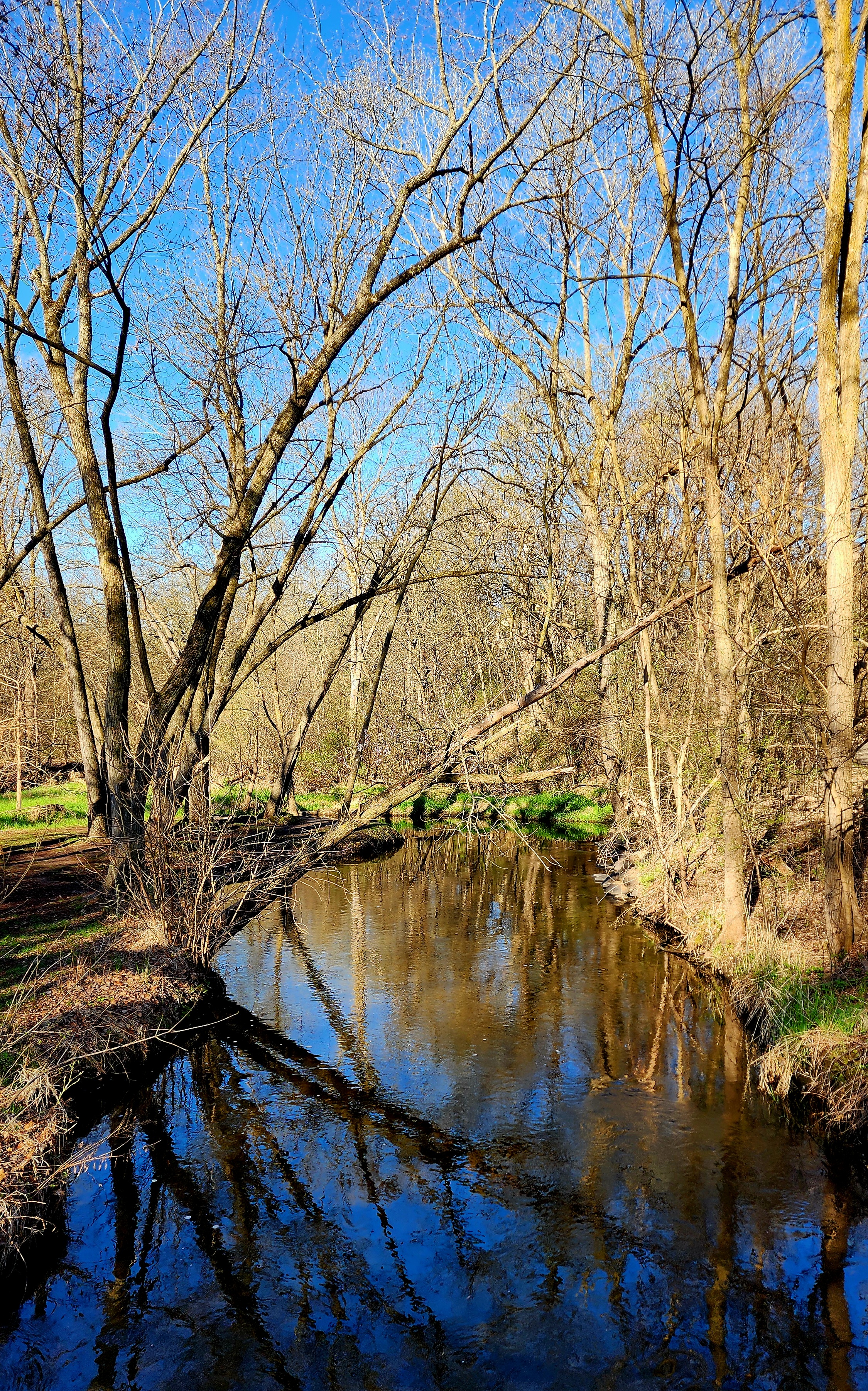
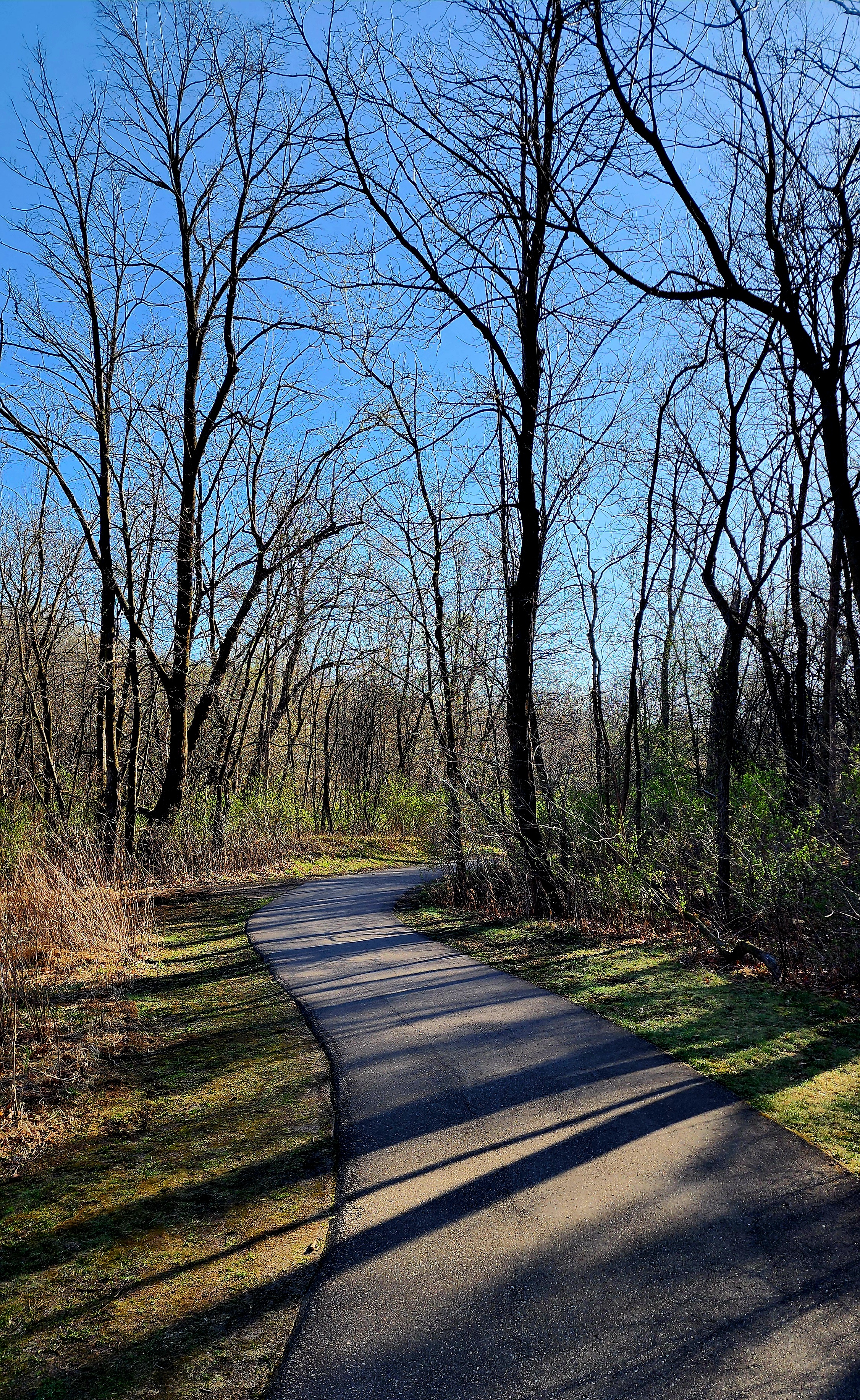
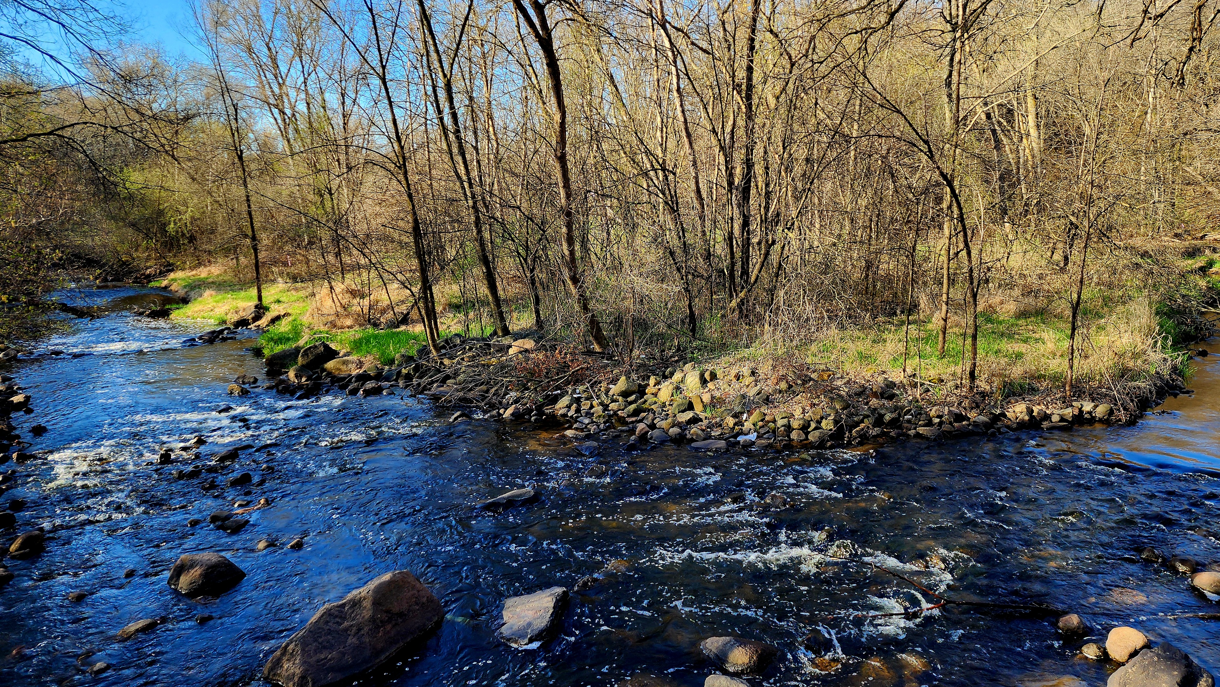
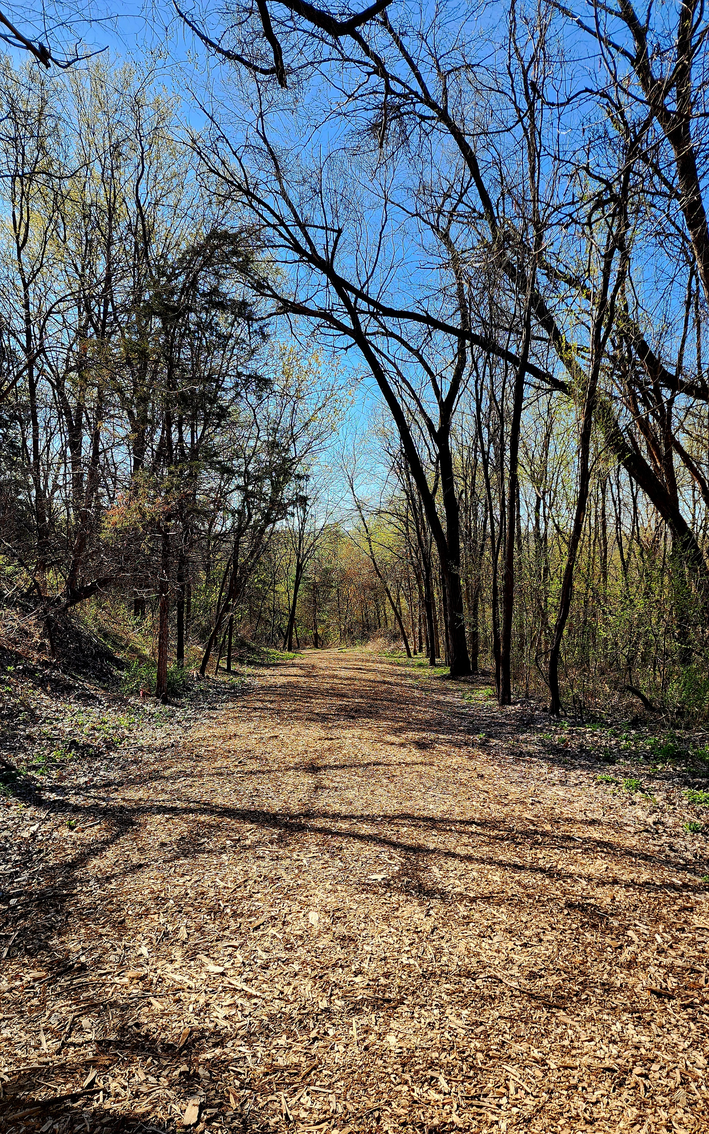
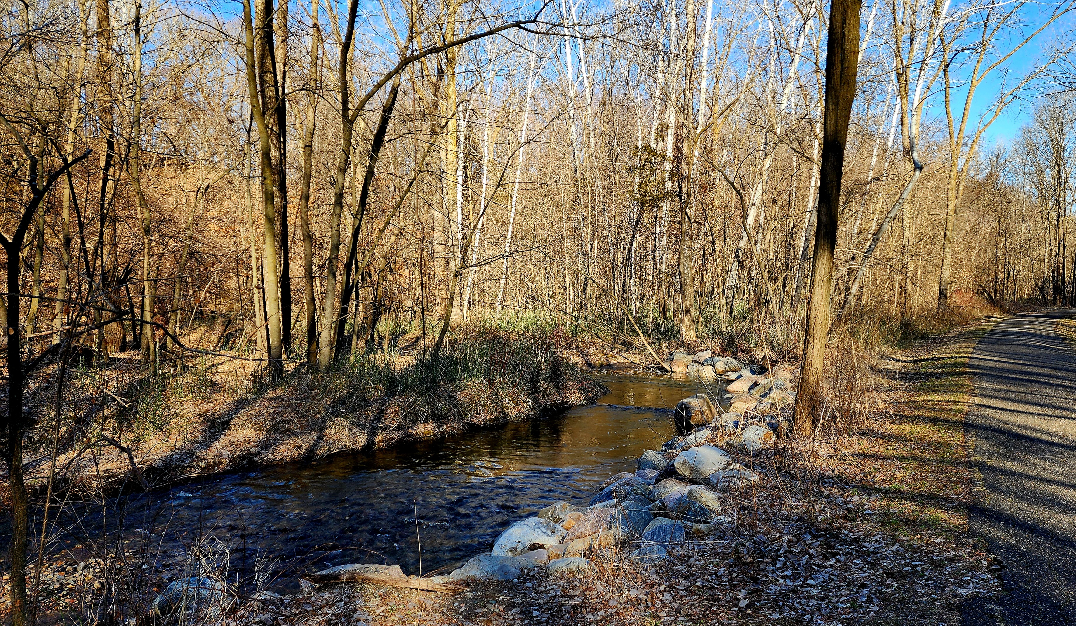
The paved trail followed alongside East Creek.
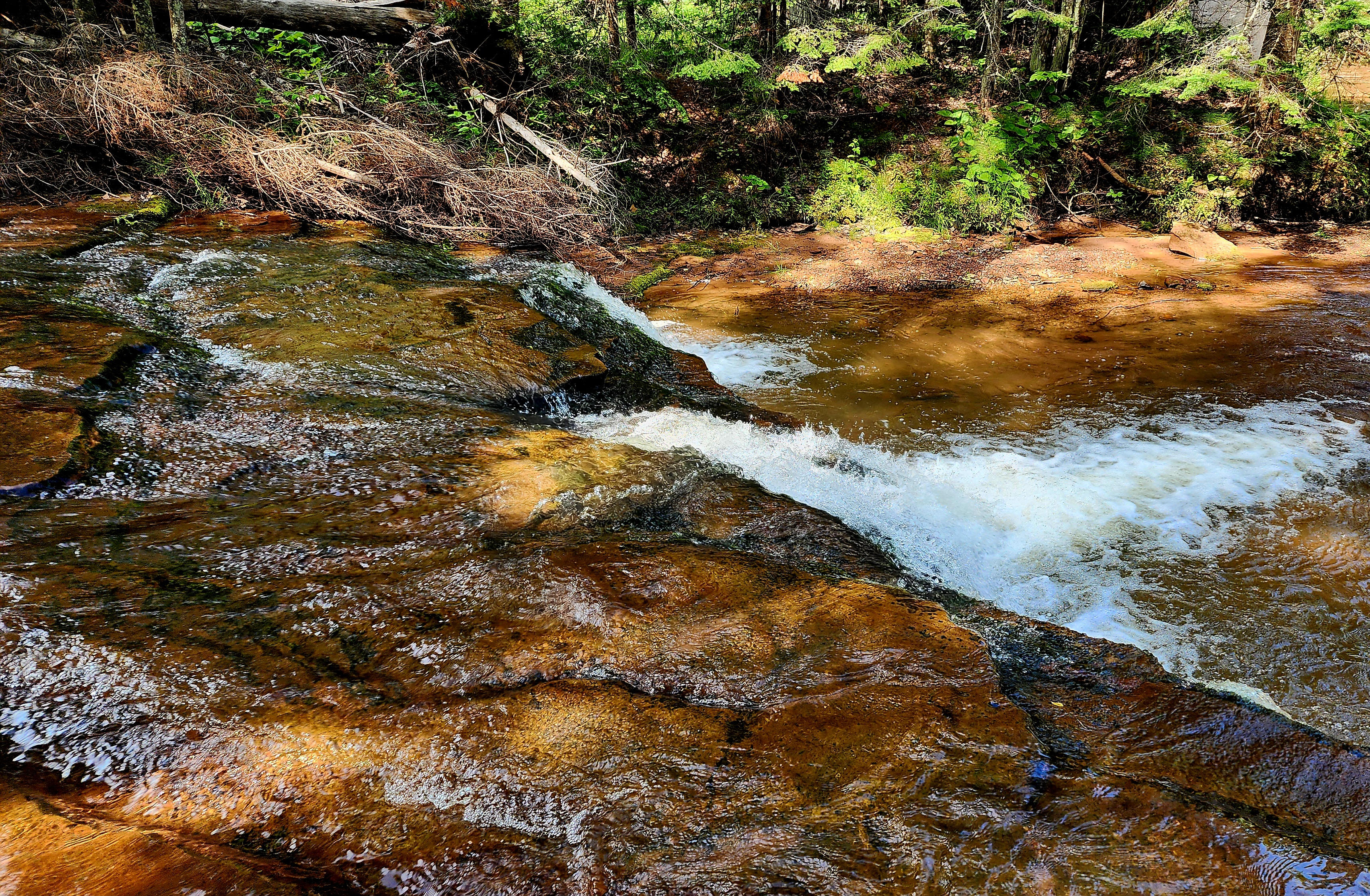
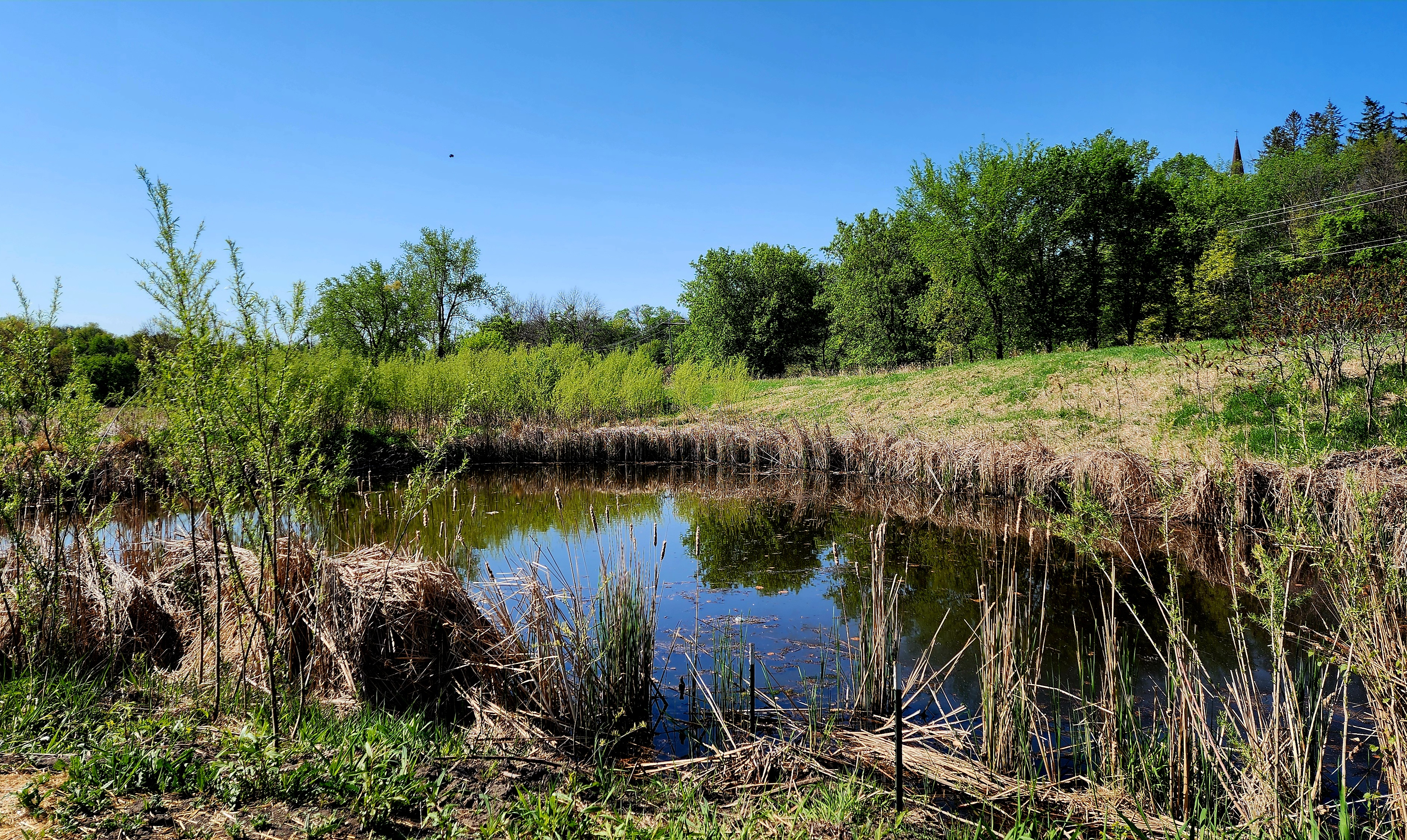
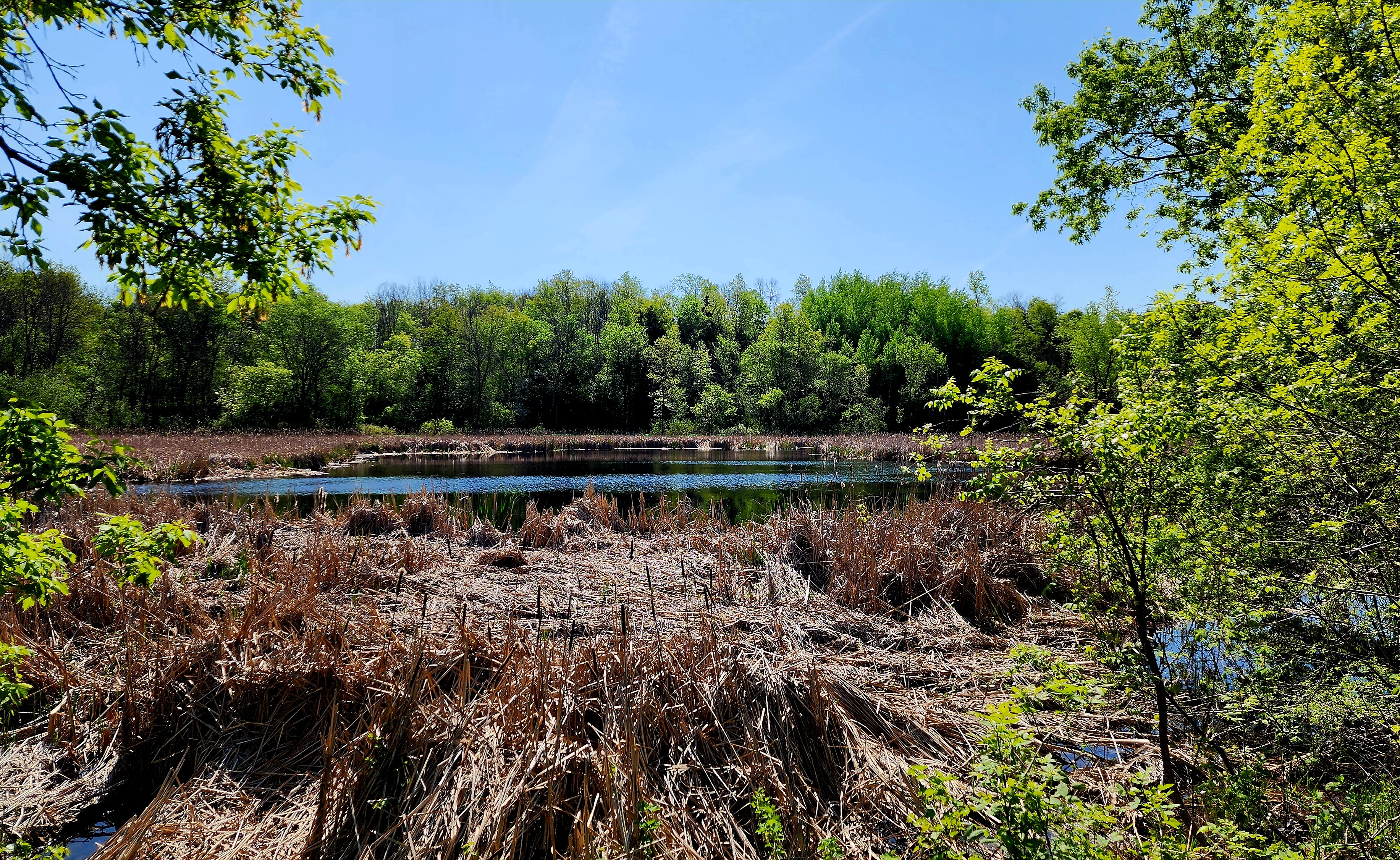
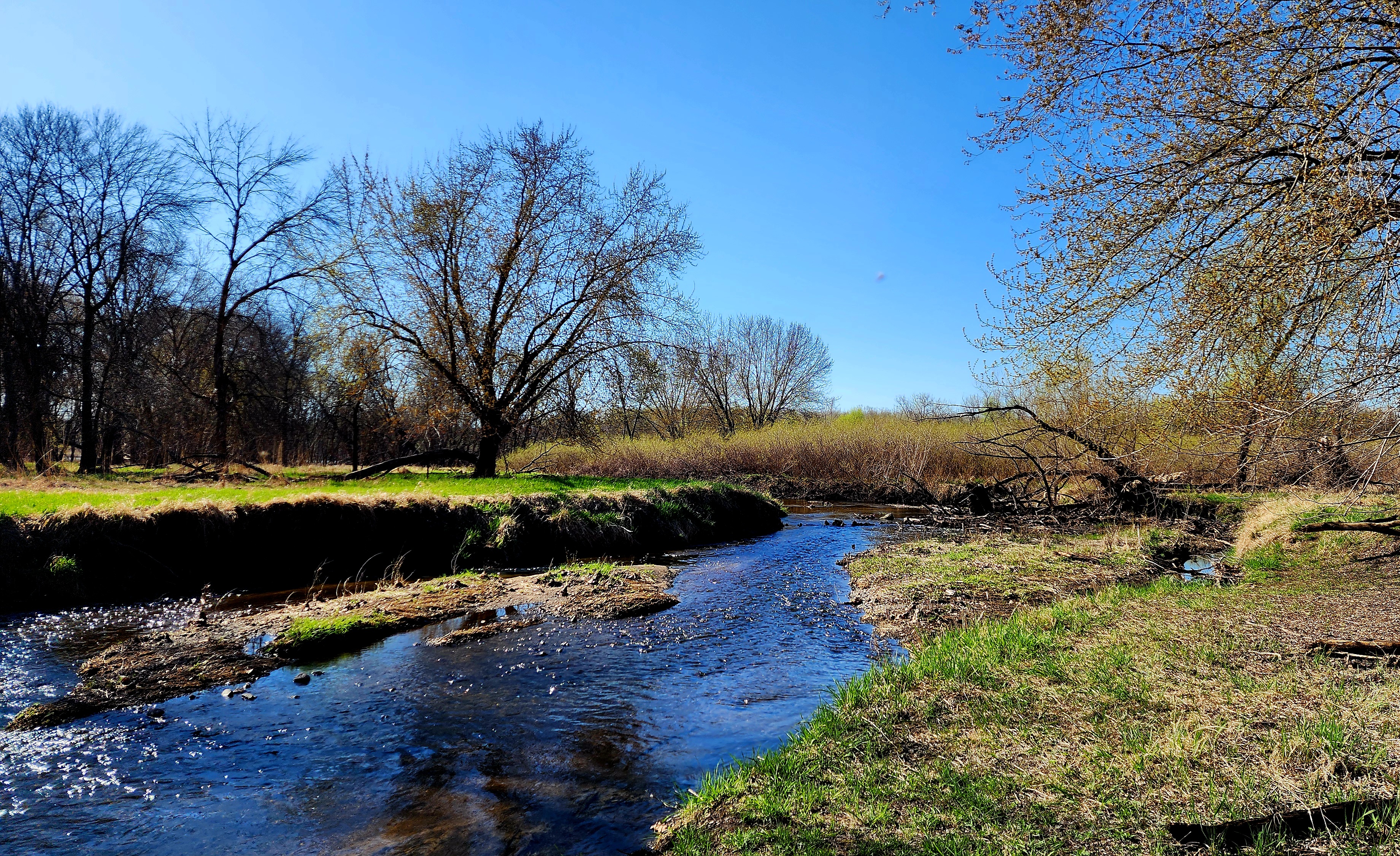
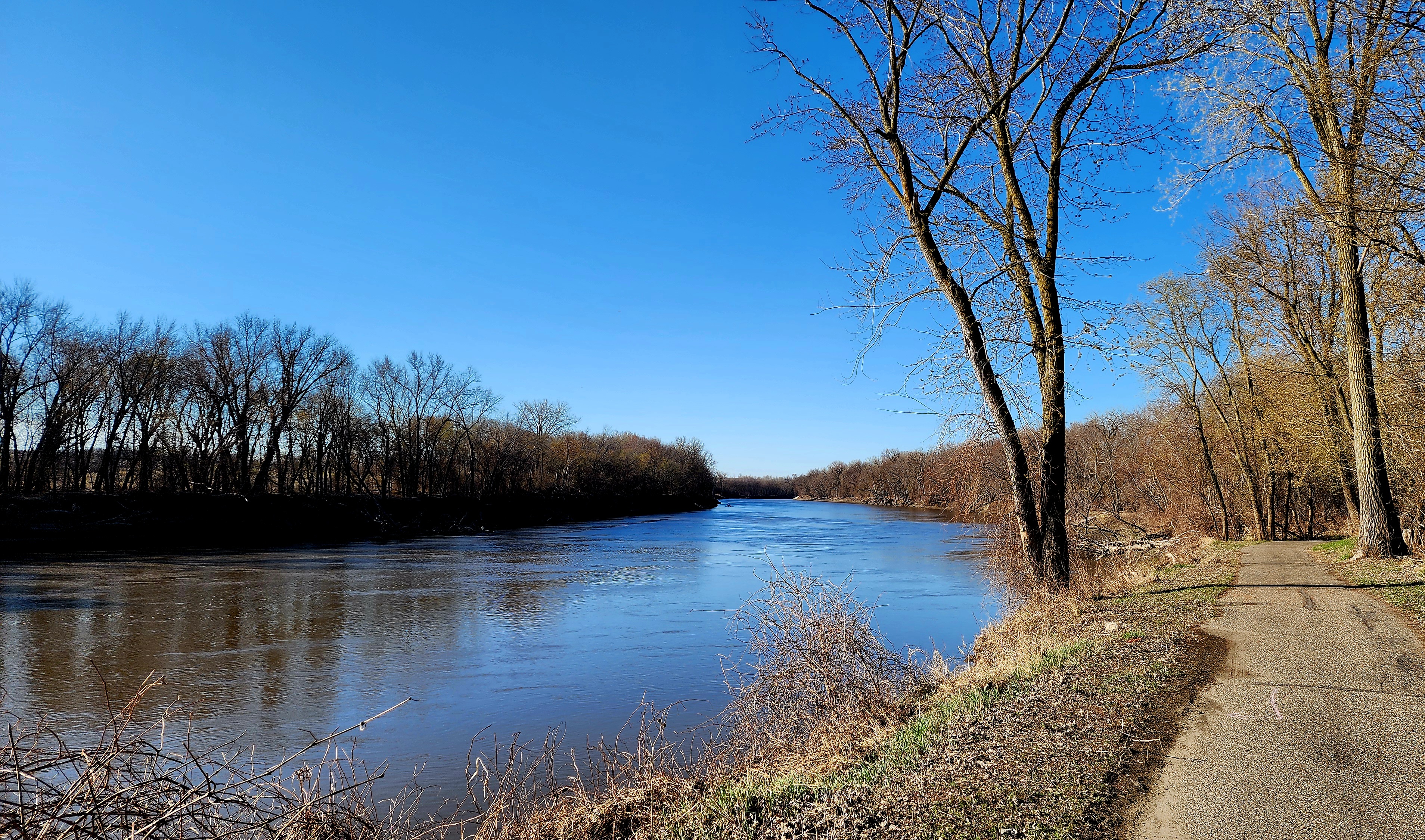
East Creek flows into the Minnesota River.
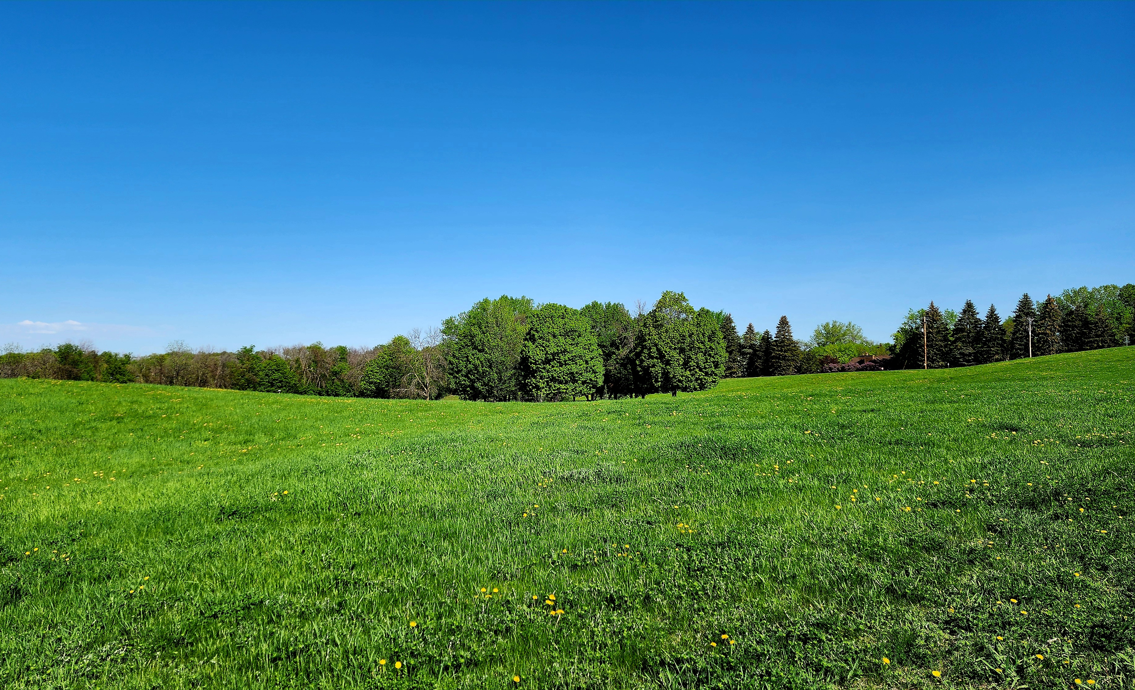
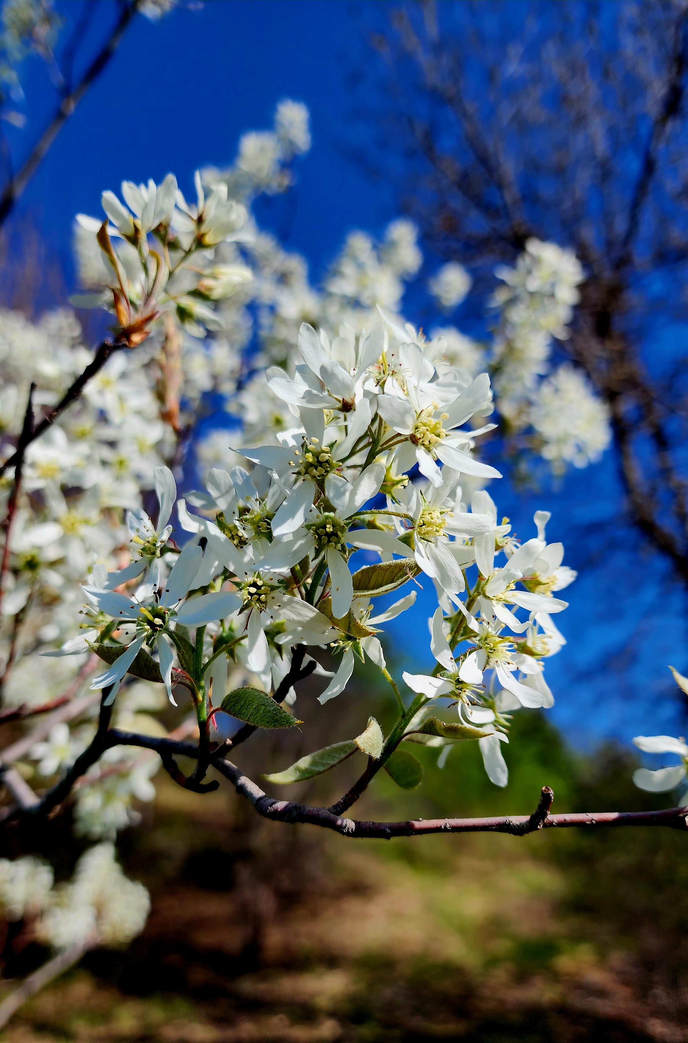
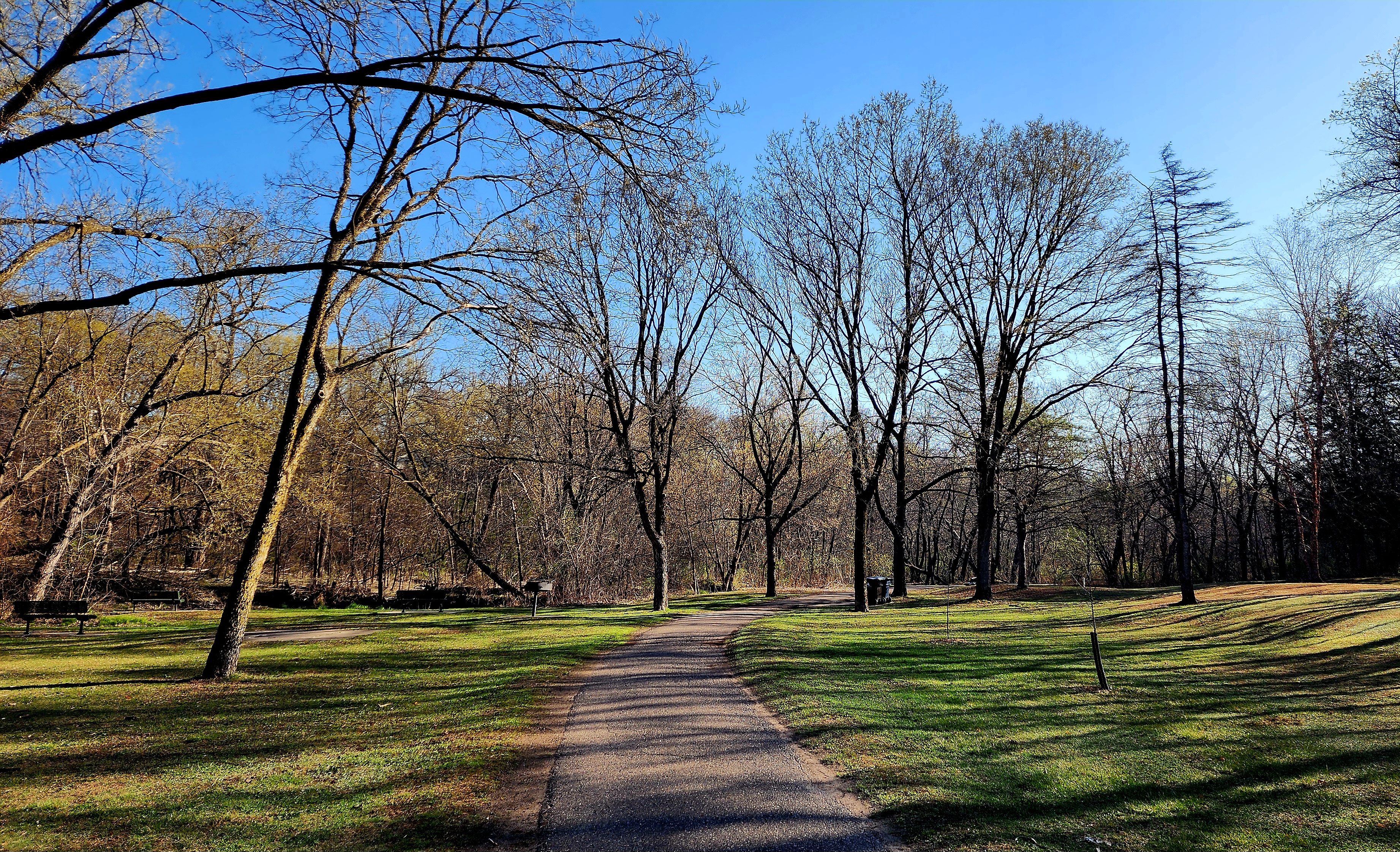
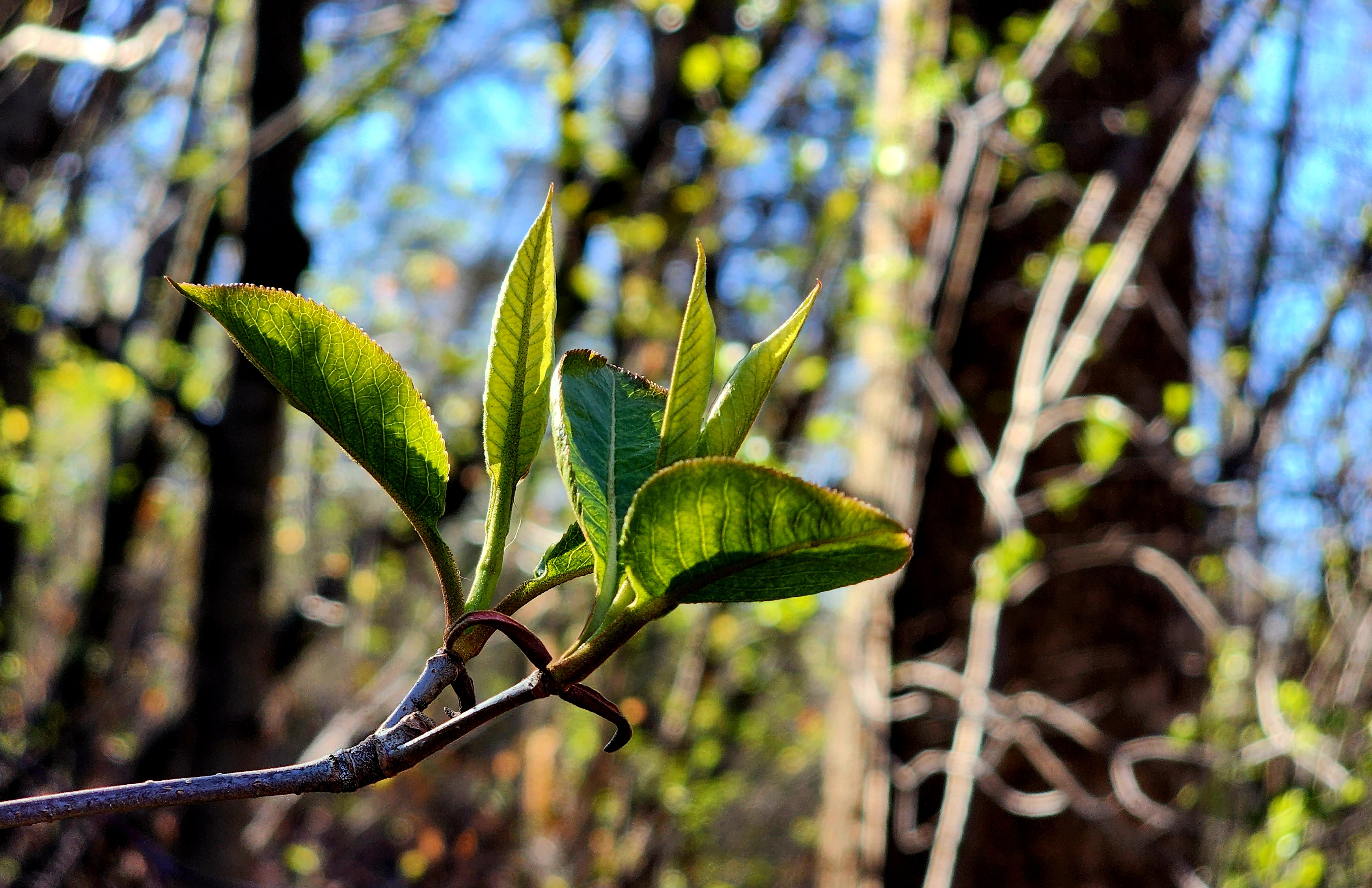
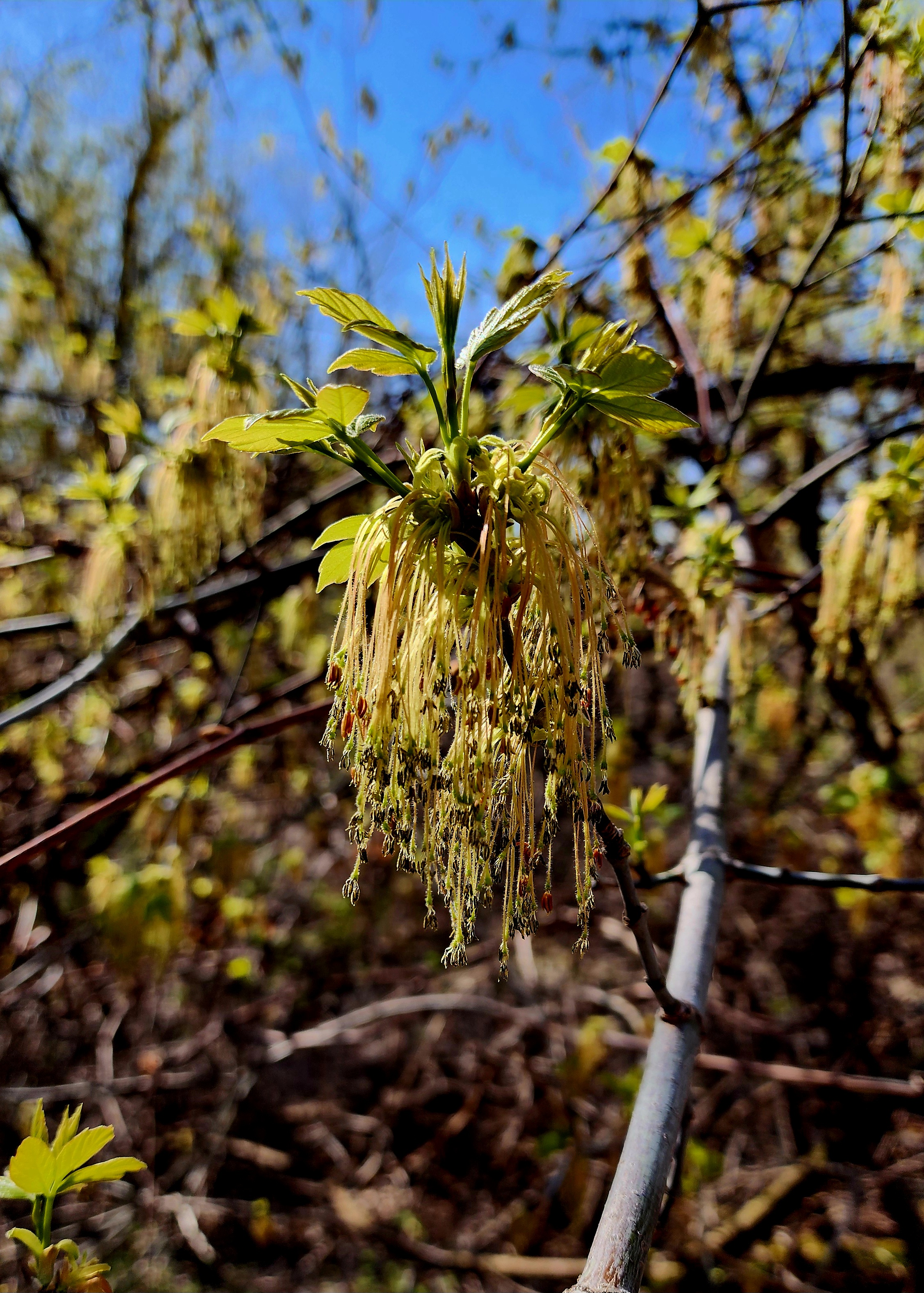
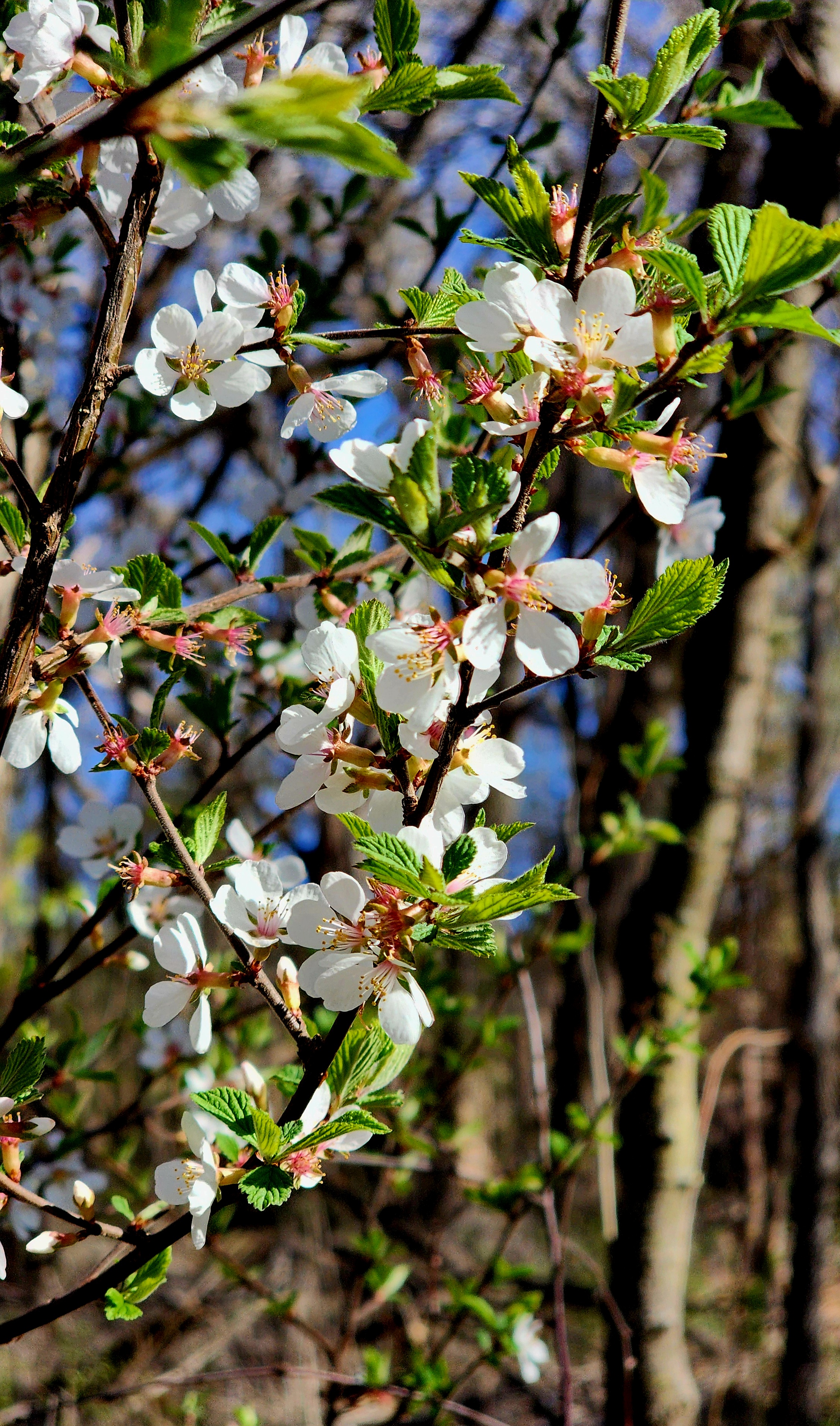
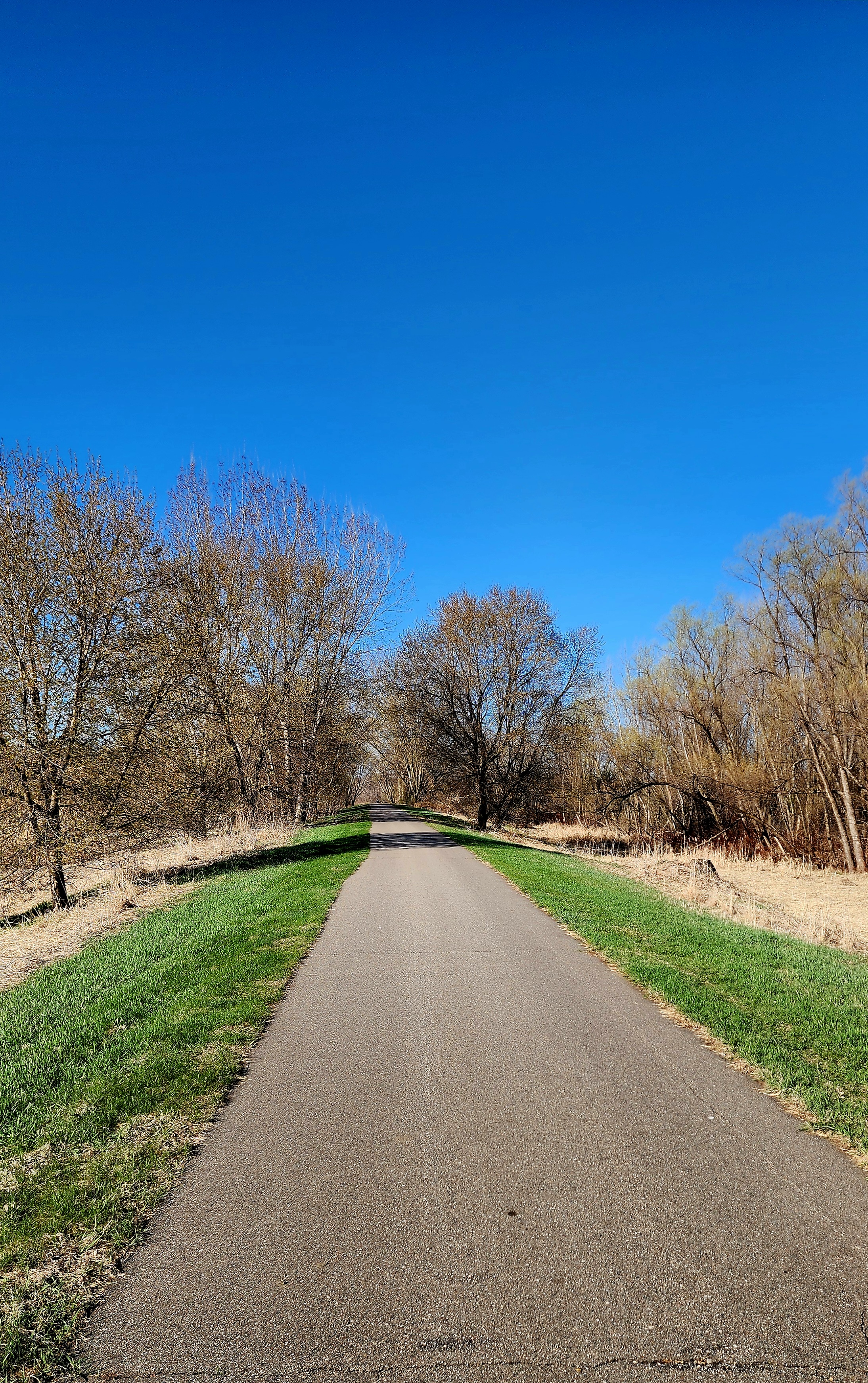
Spring has officially arrived in Minnesota! The leaves are beginning to grow on the trees, and even the grass is getting greener.
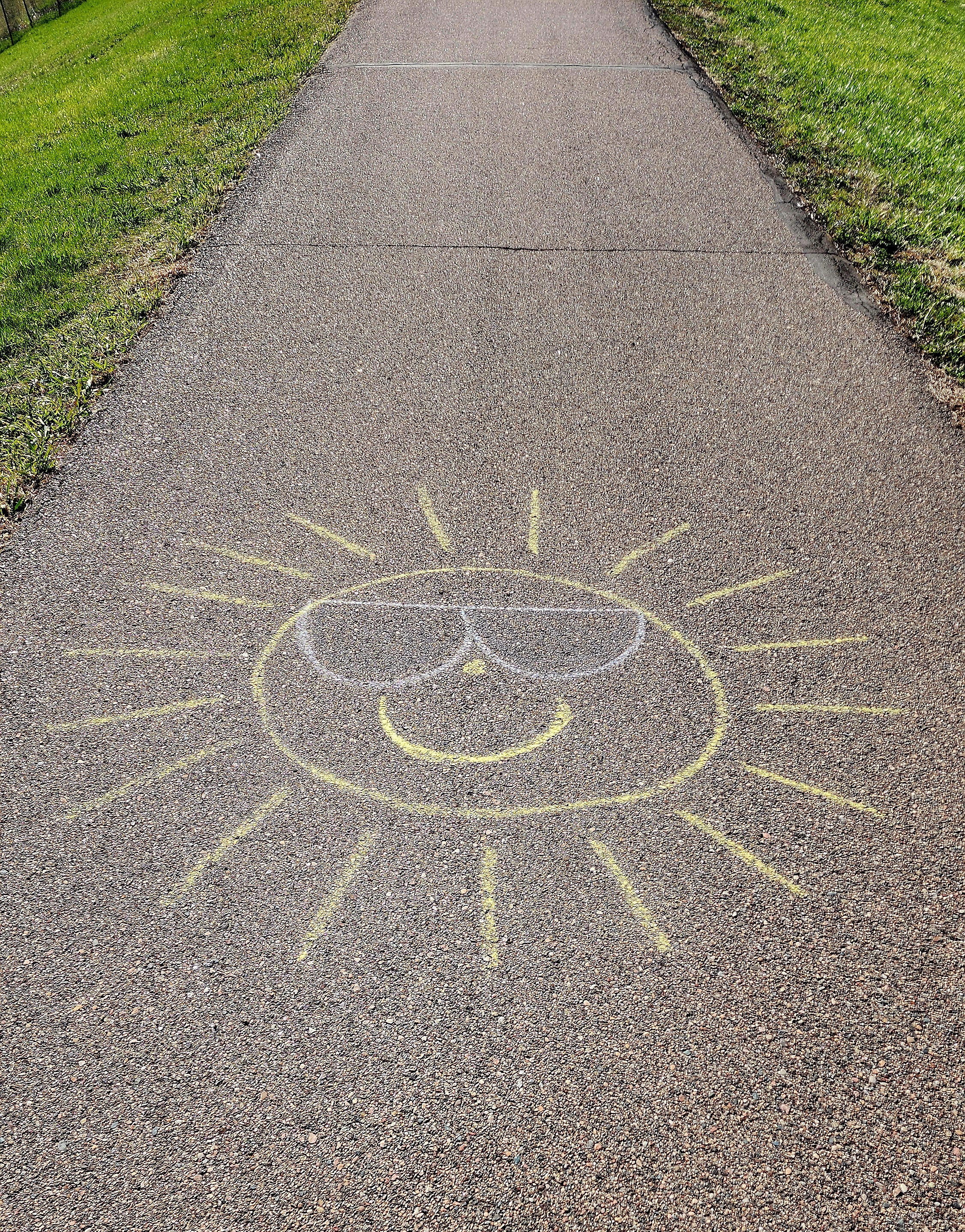
Fun sidewalk art!
We made our way towards Downtown Chaska.
We decided to turn around and begin our hike back to our starting point.
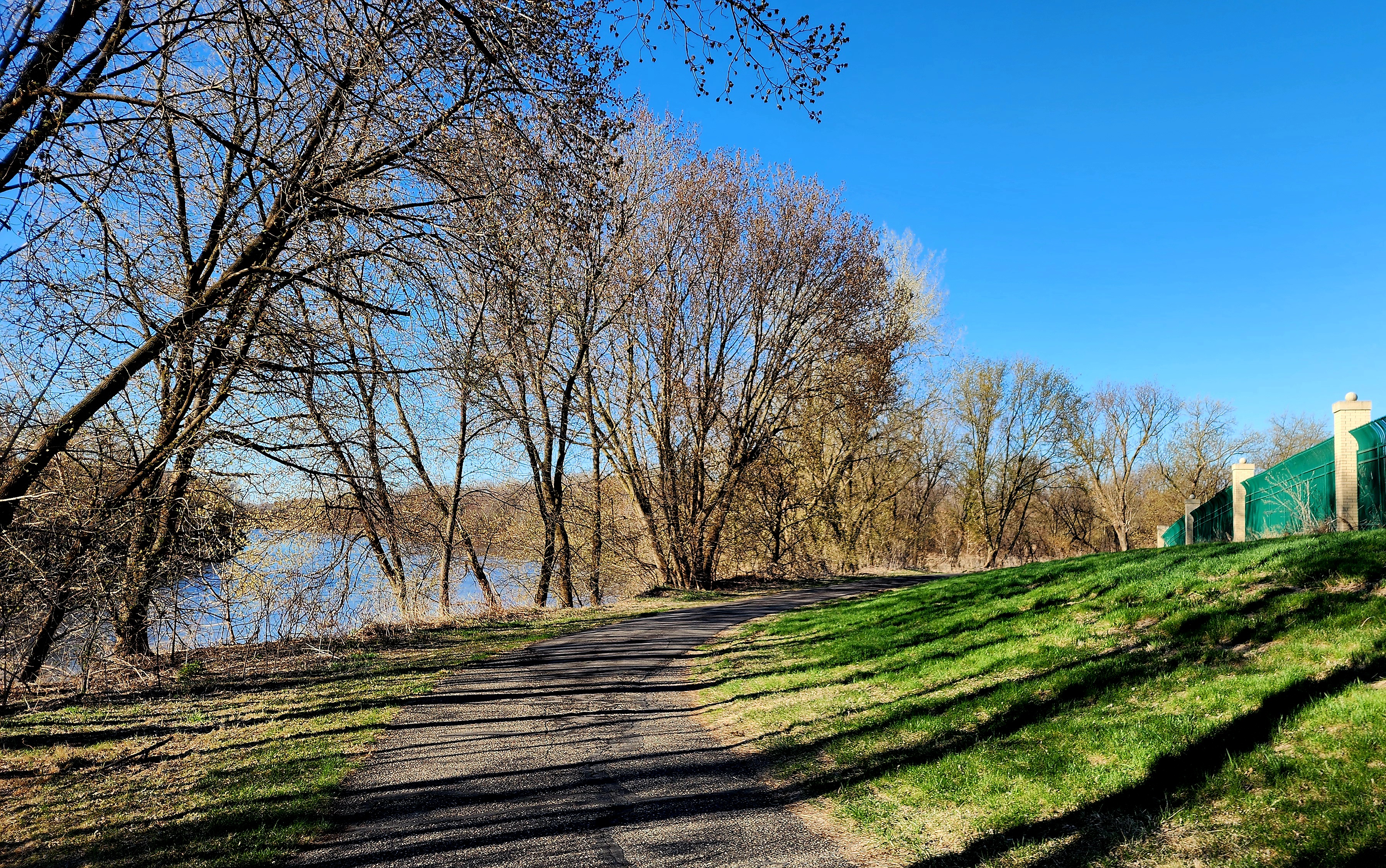
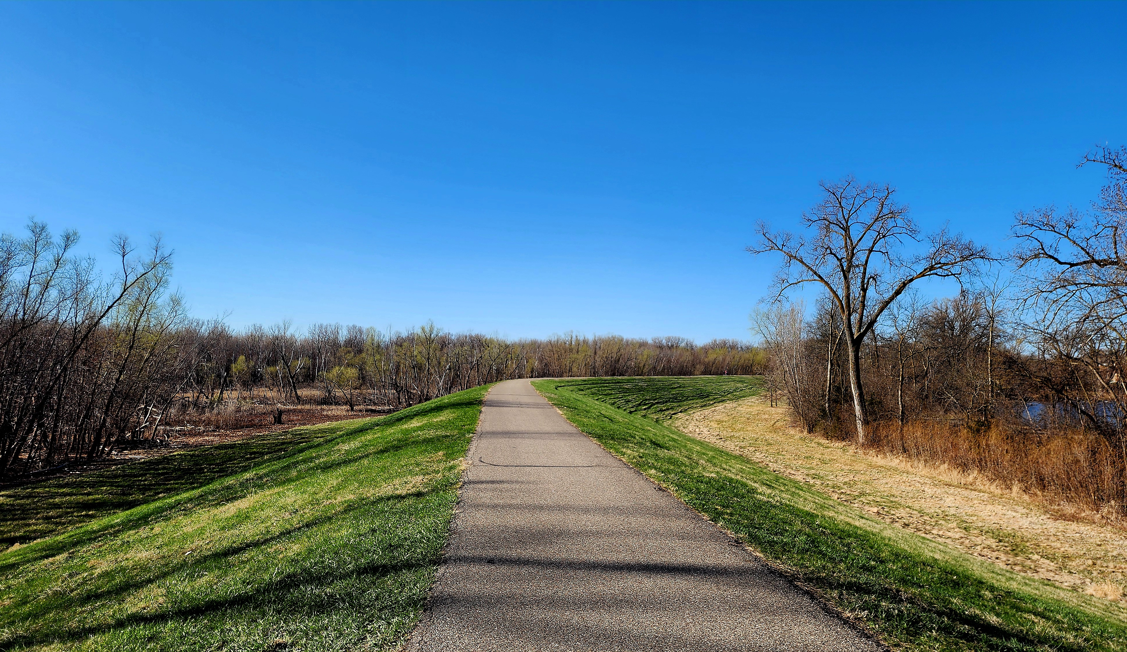
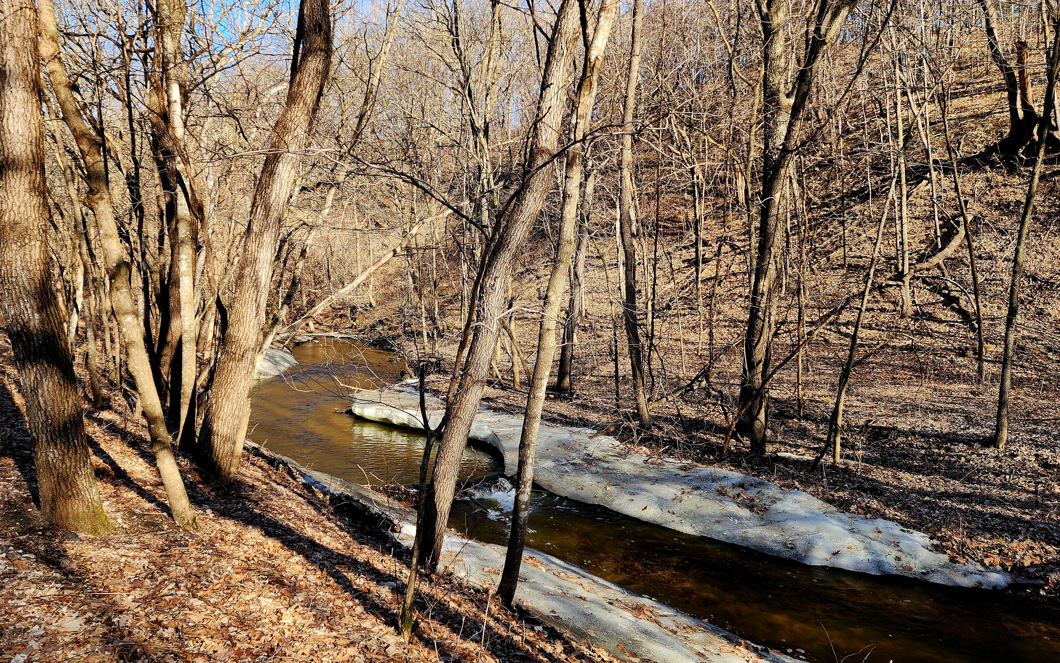
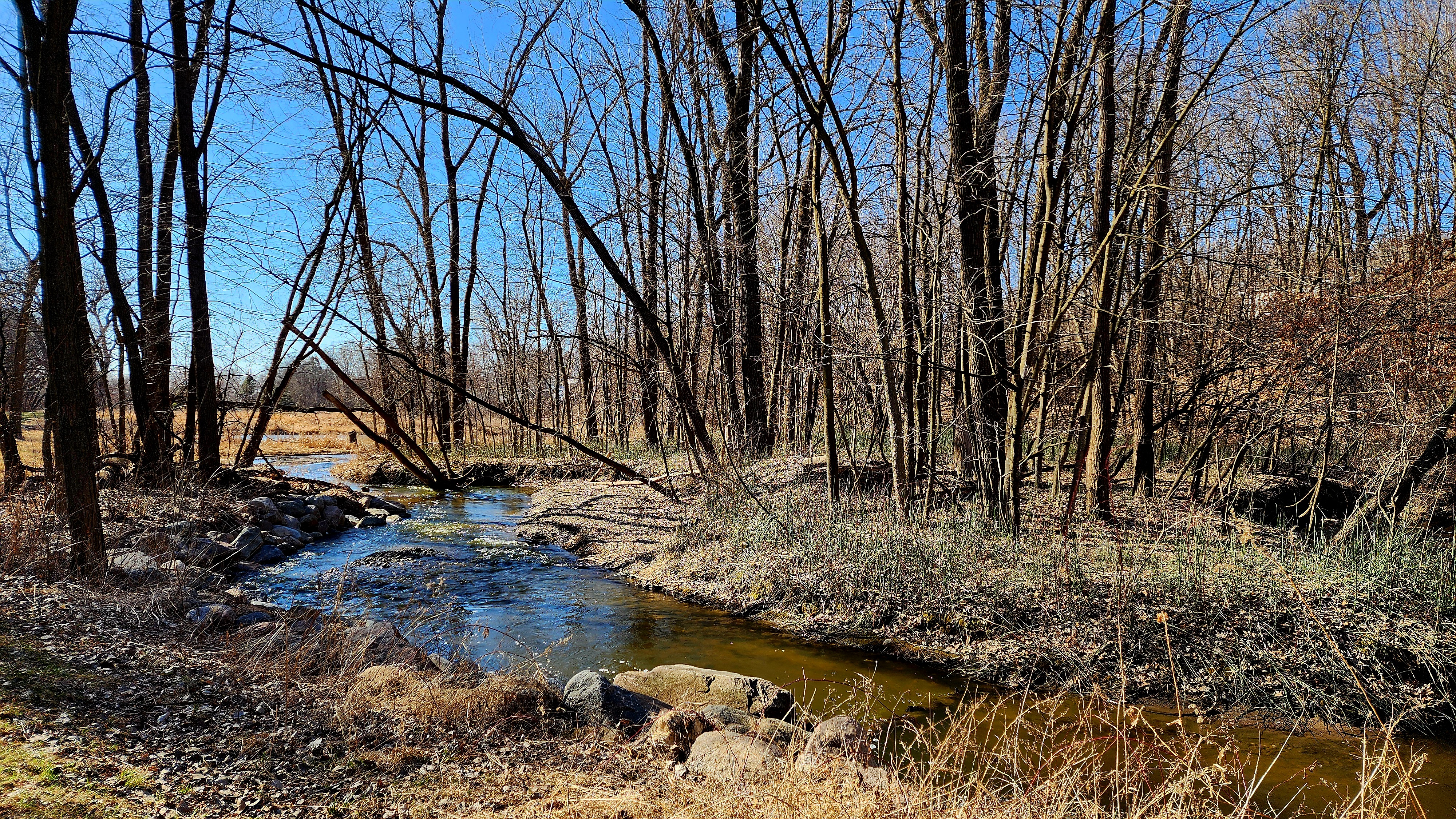
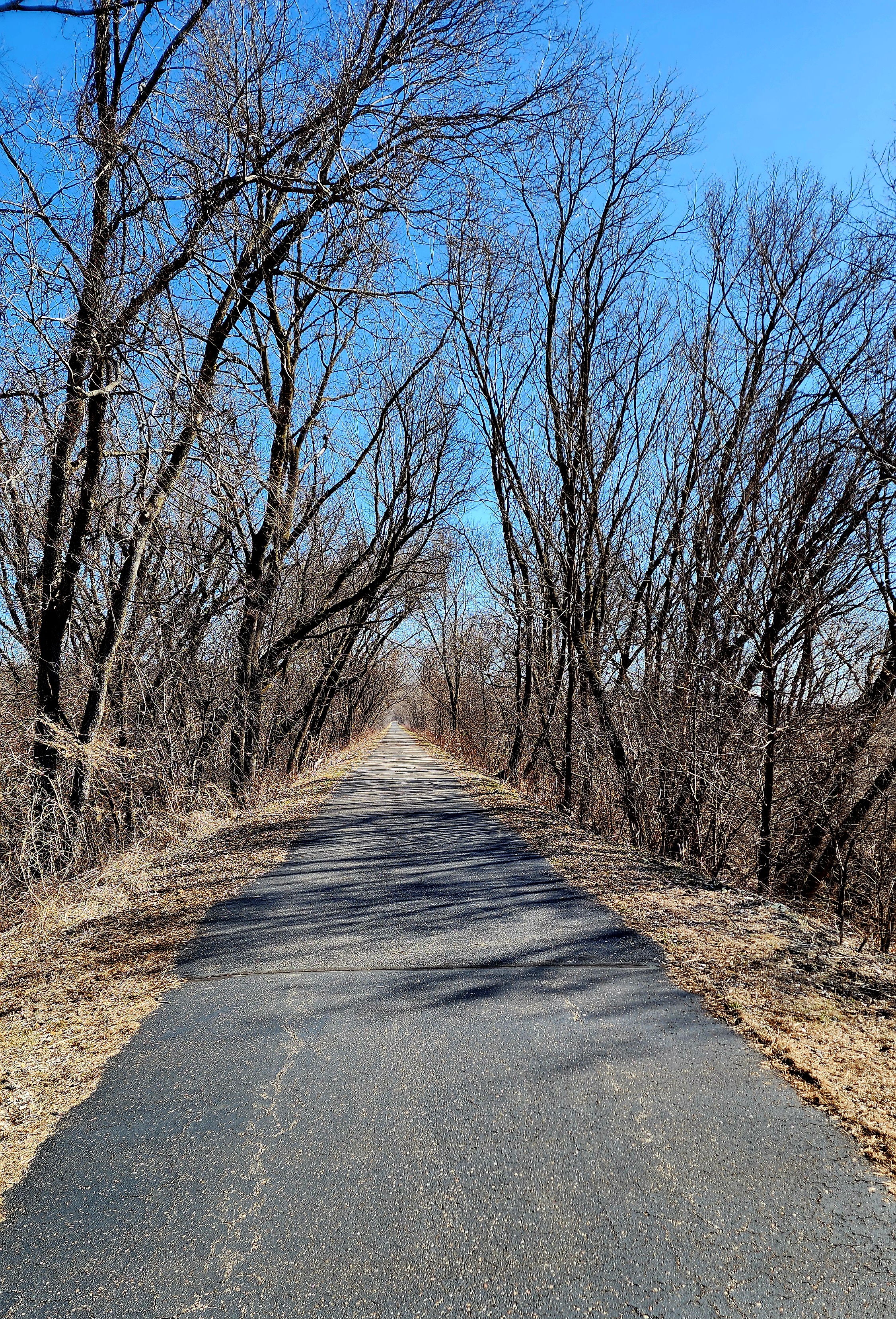
Today’s hiking adventure was along the Minnesota River Bluffs Regional Trail.
We previously hiked this trailin September of 2023. Today, we decided to hike the other direction to see what secrets it held.
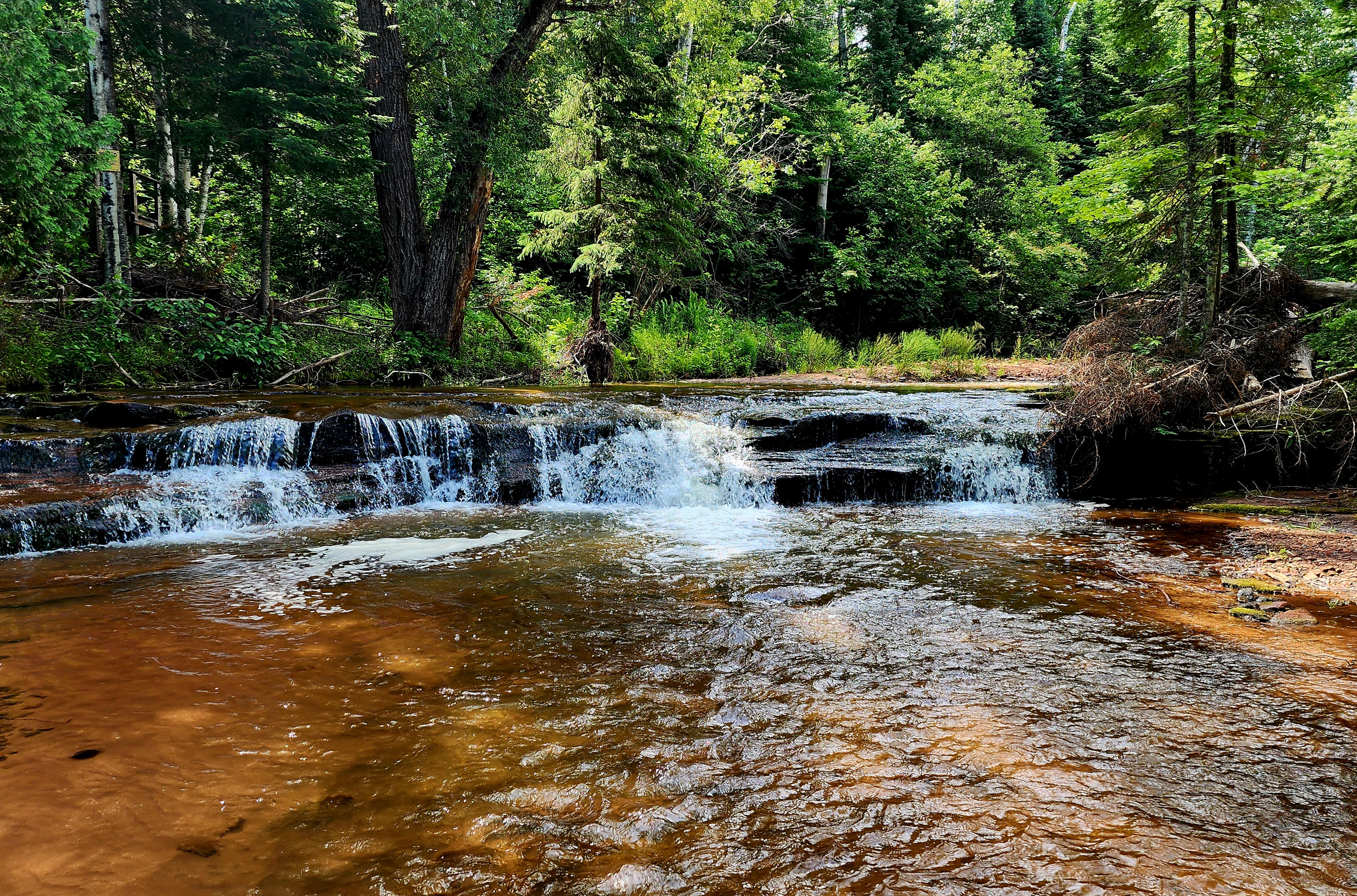
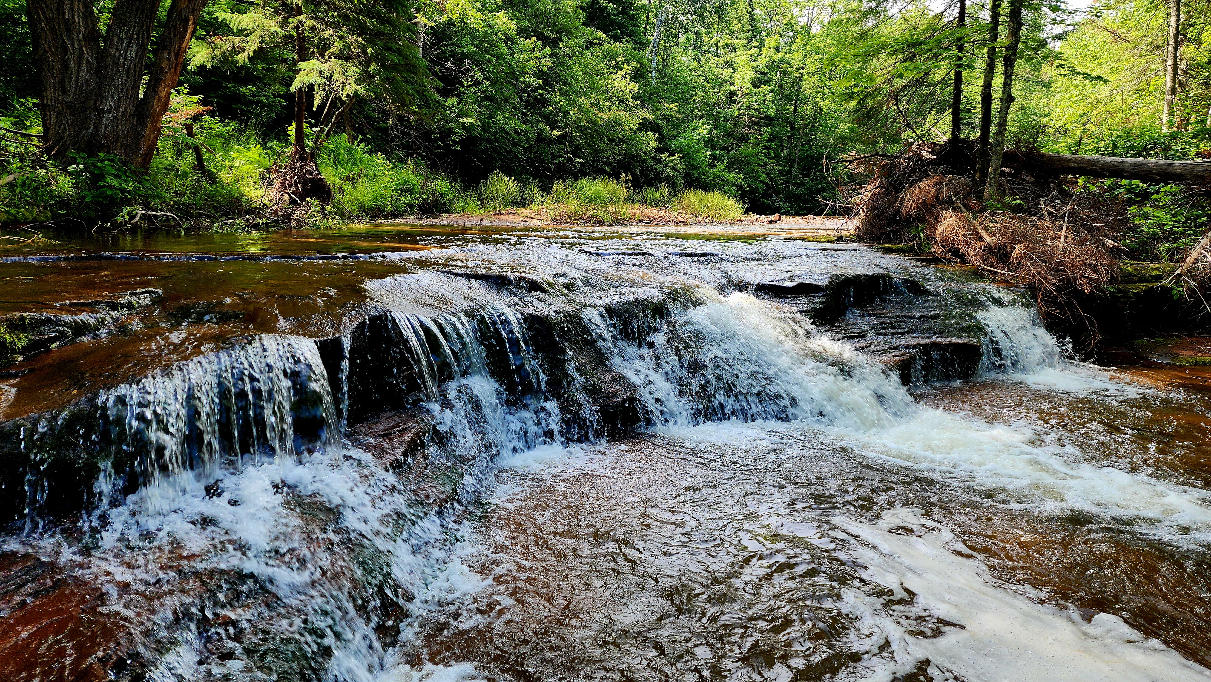
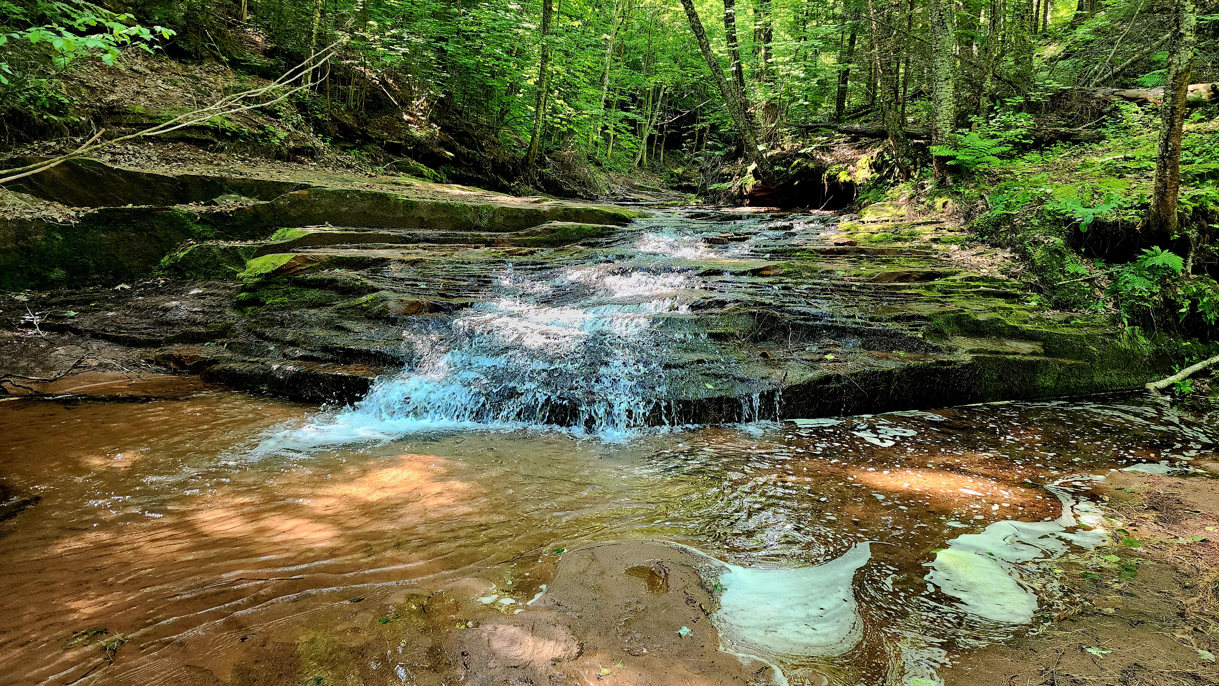
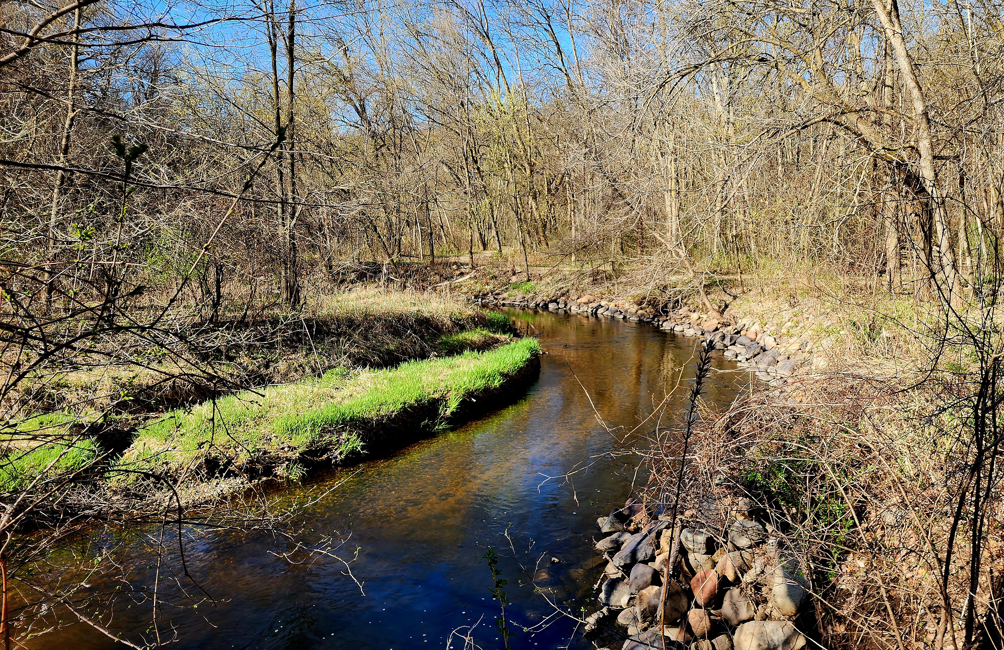
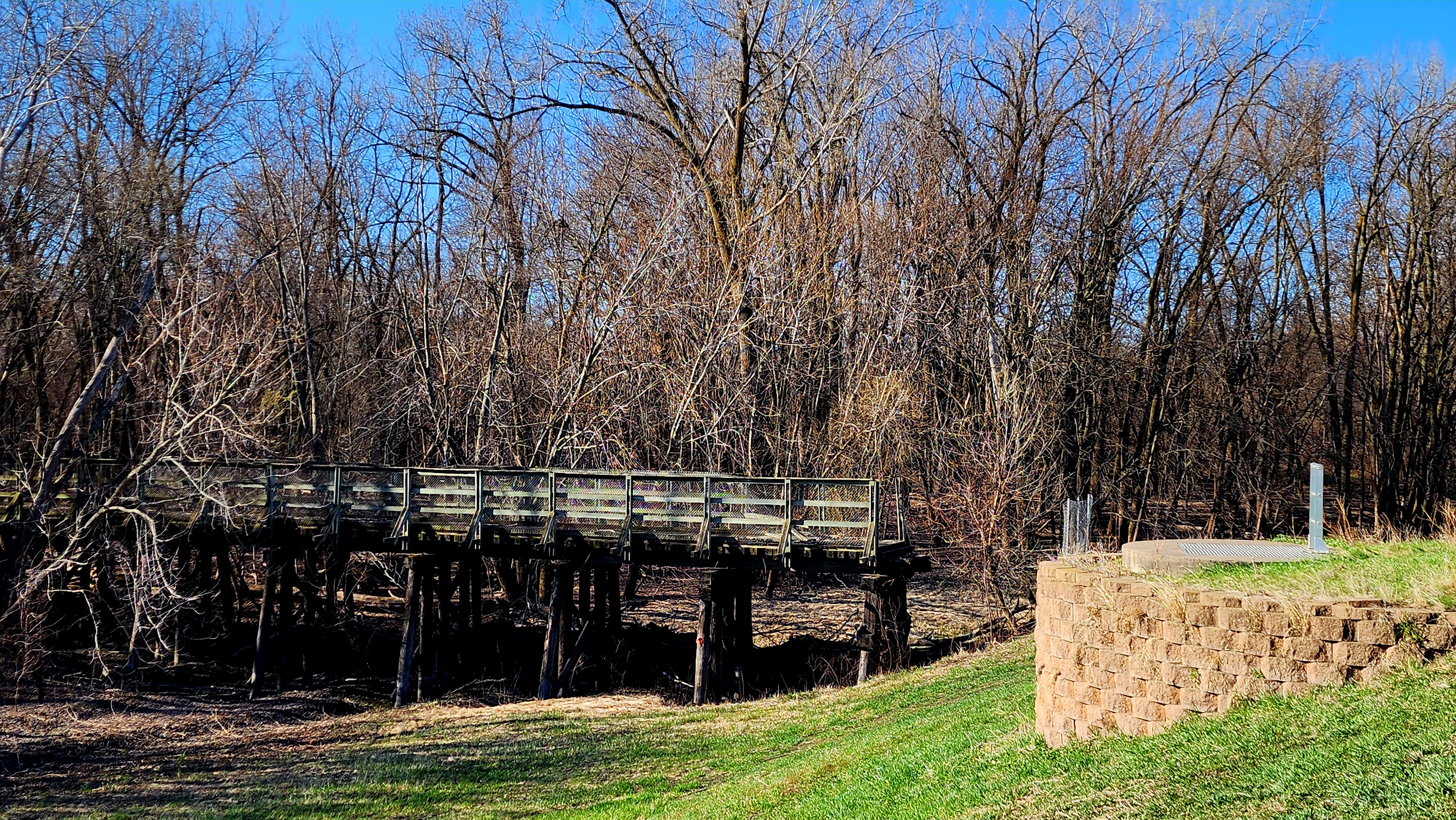
East Creek Falls
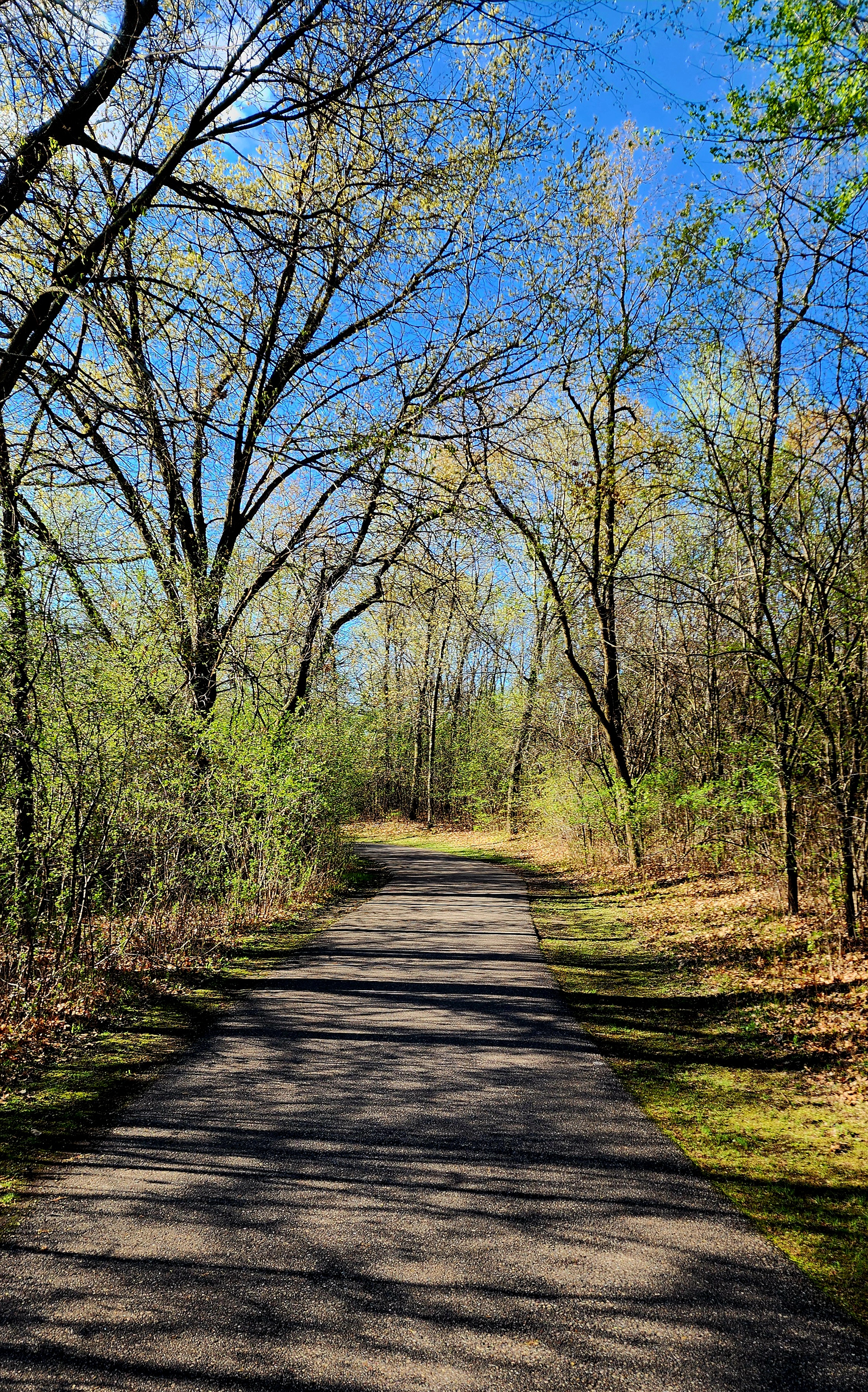
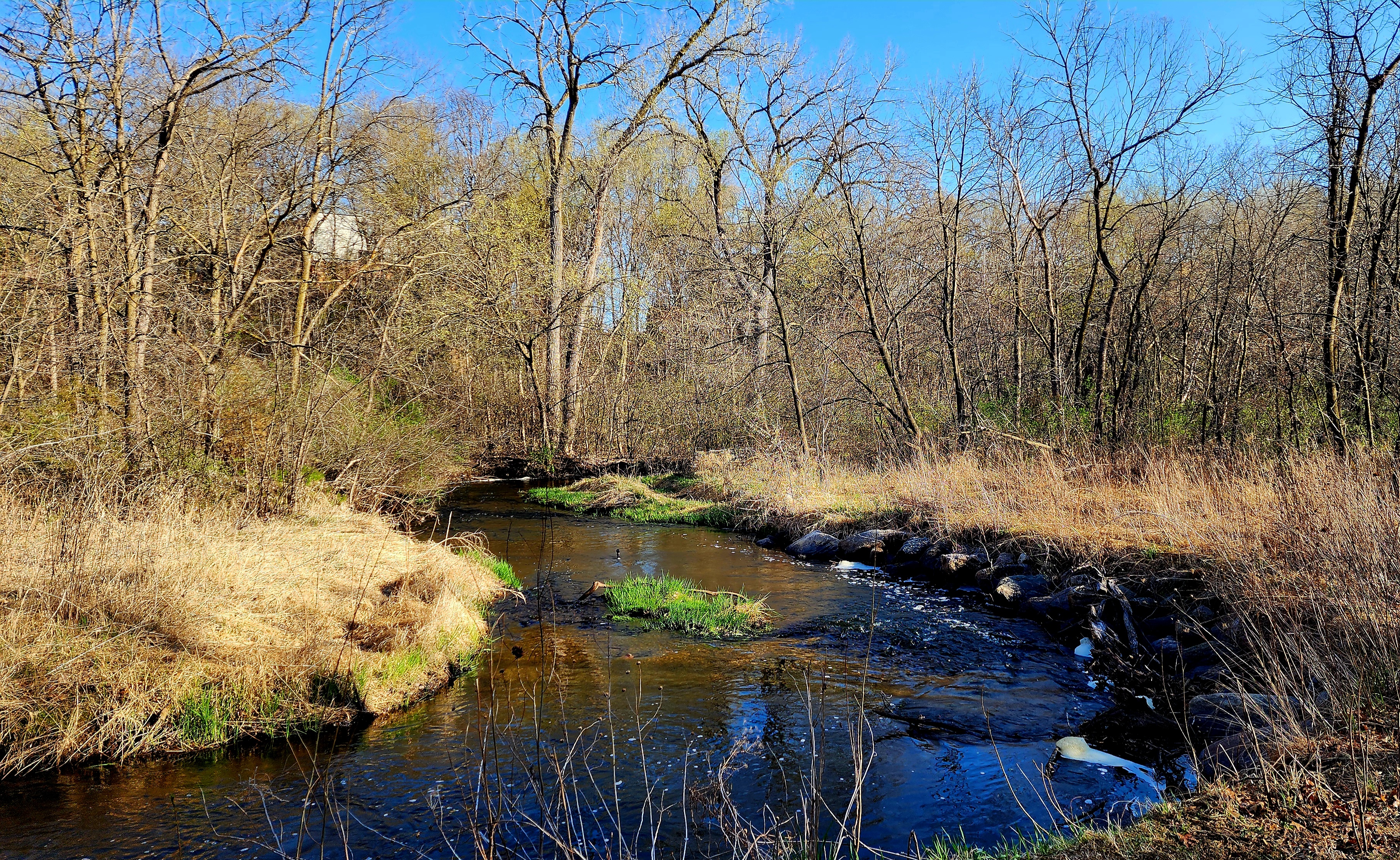
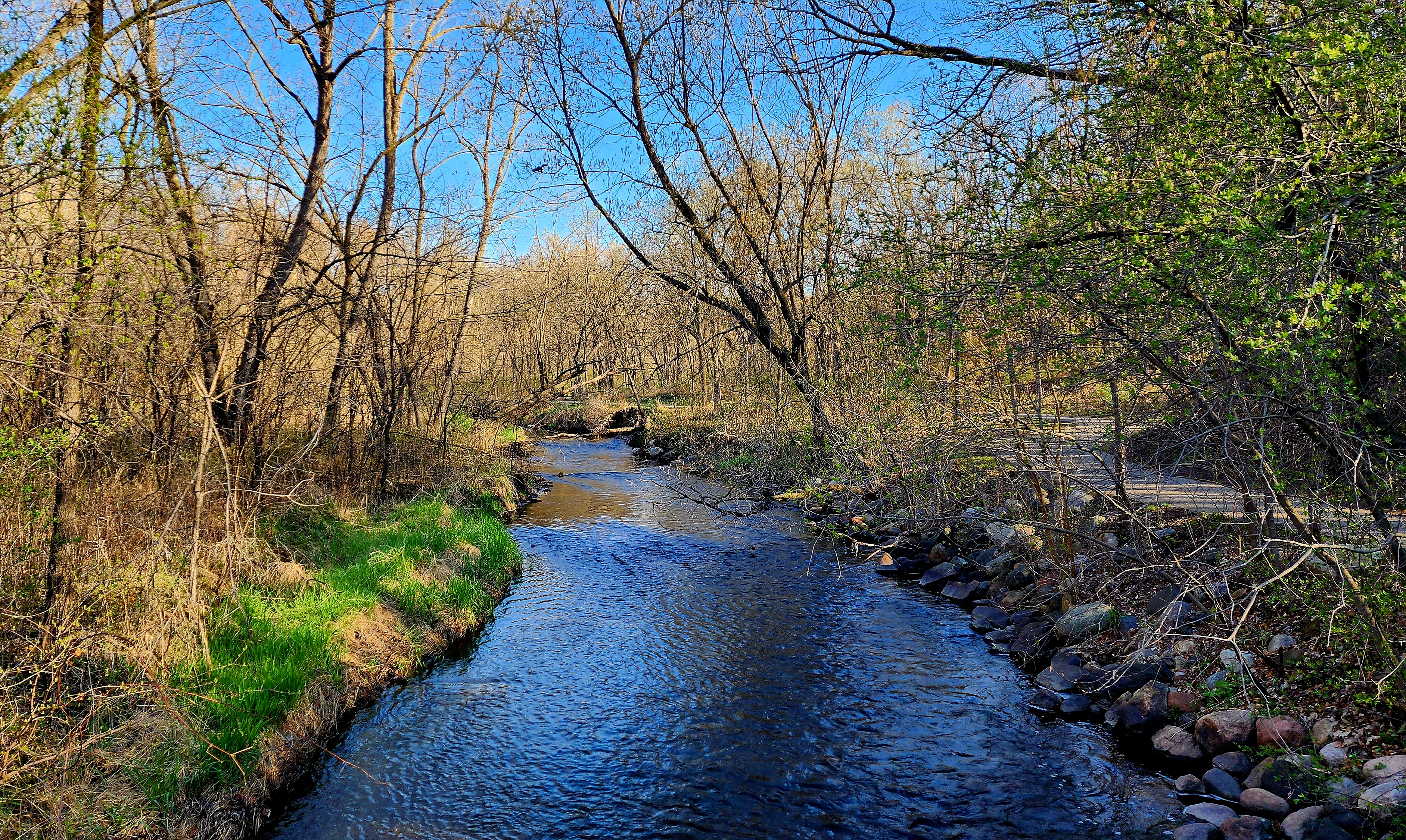
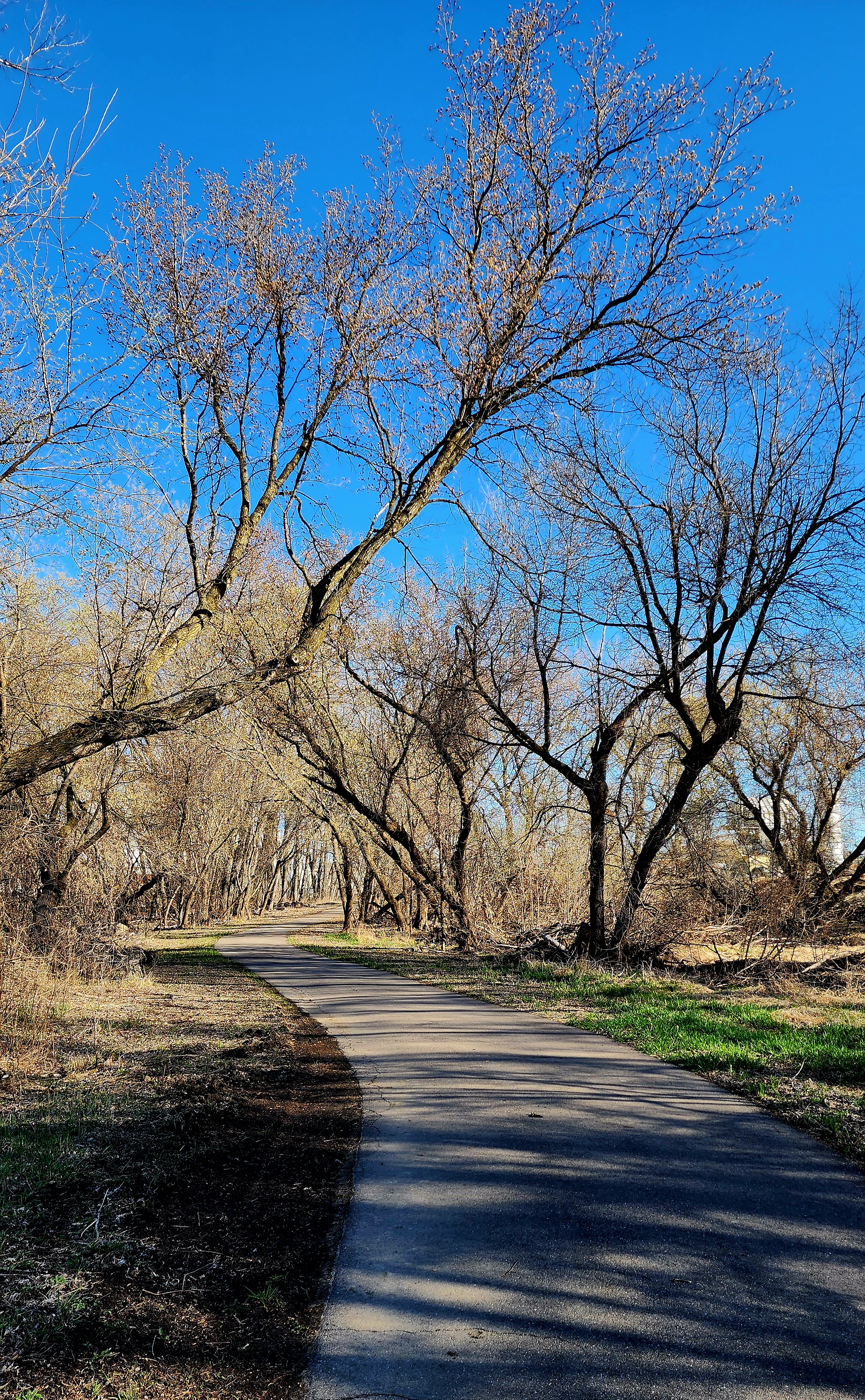
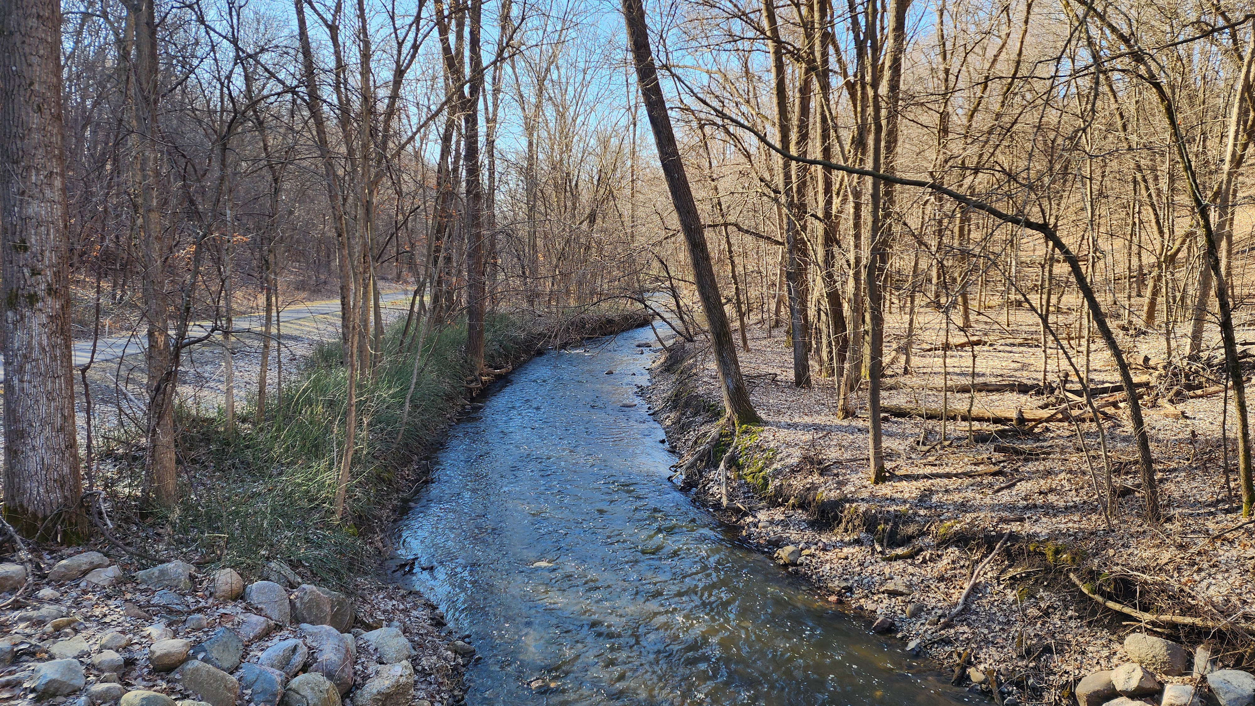
We followed the trail alongside East Creek.
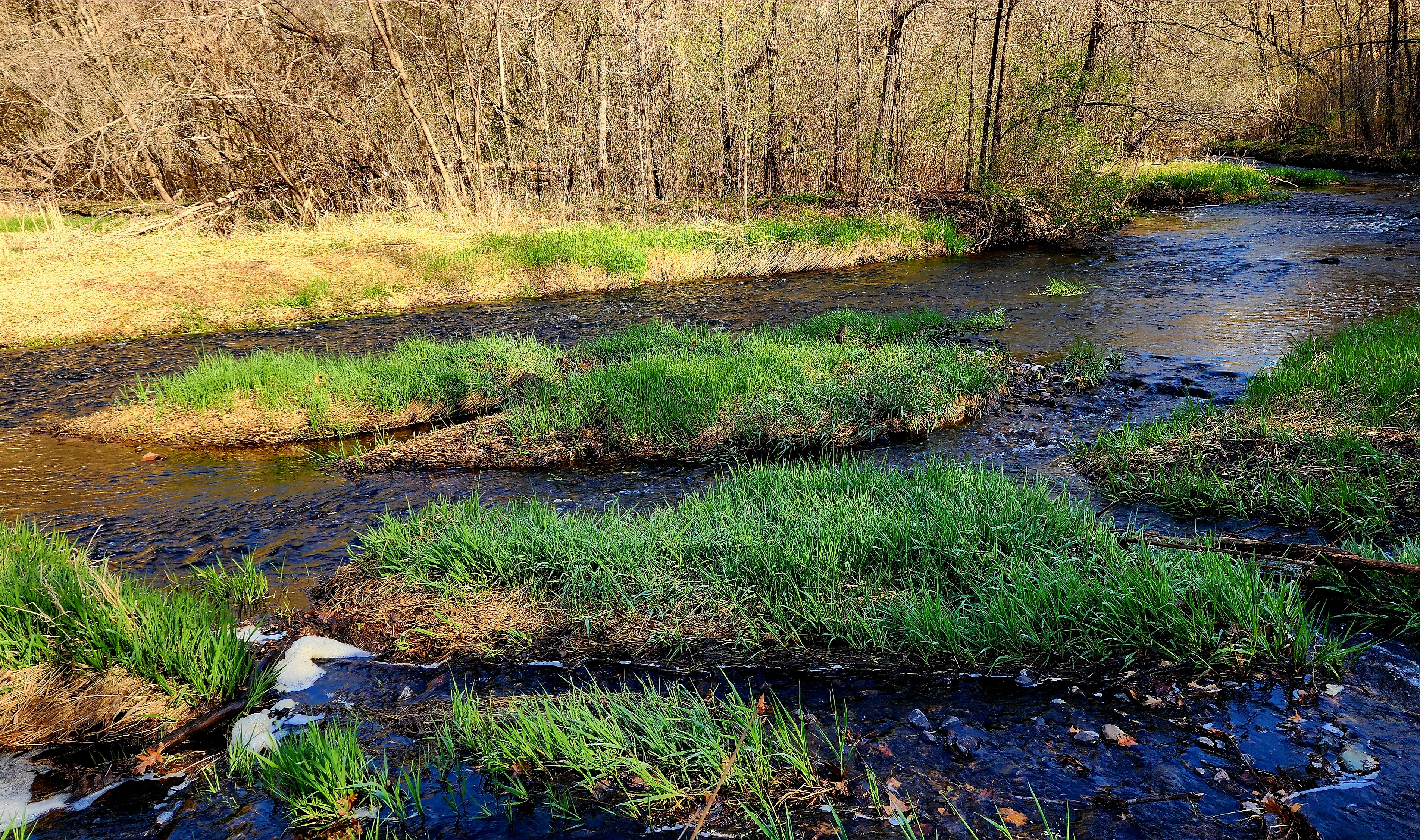
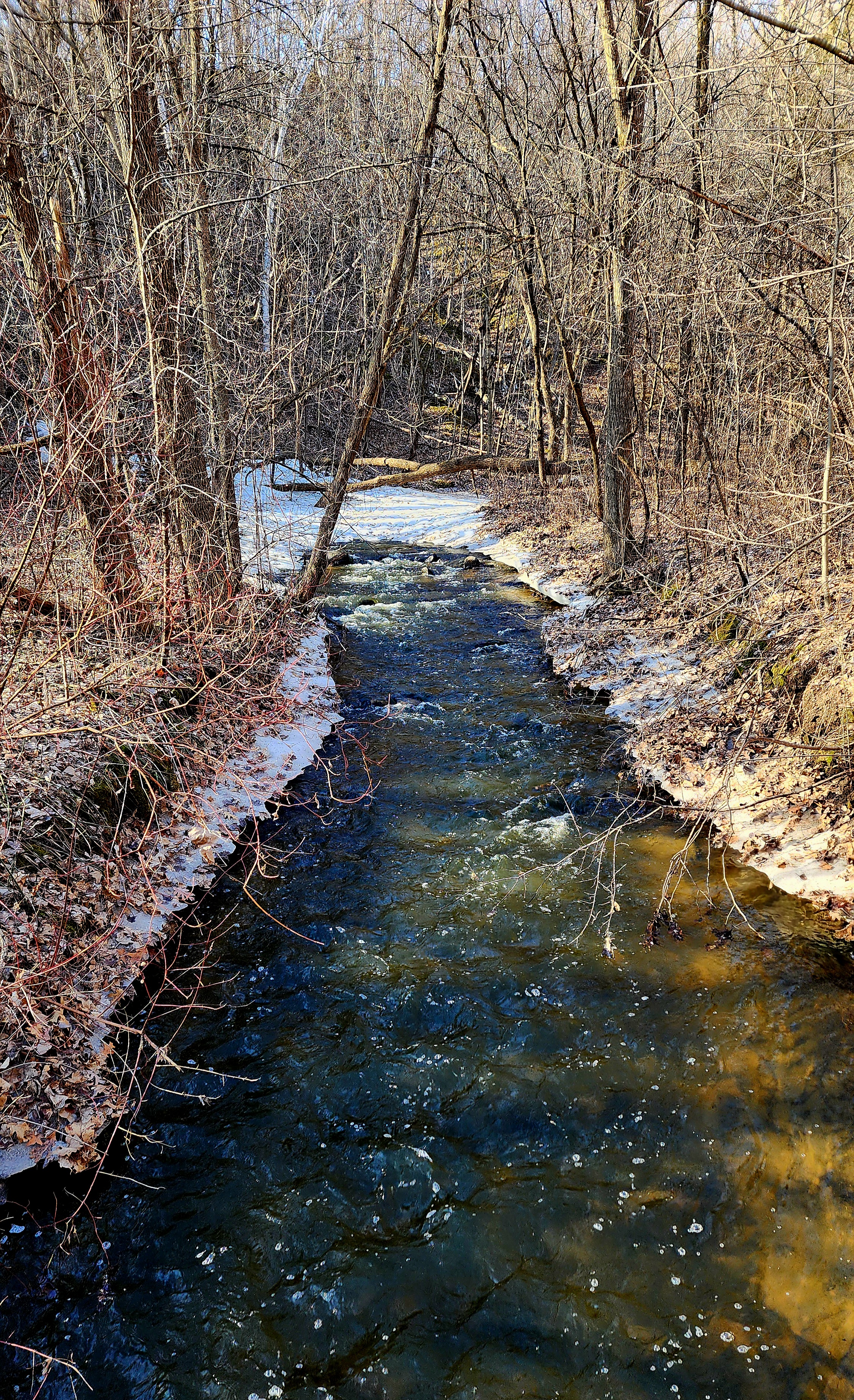
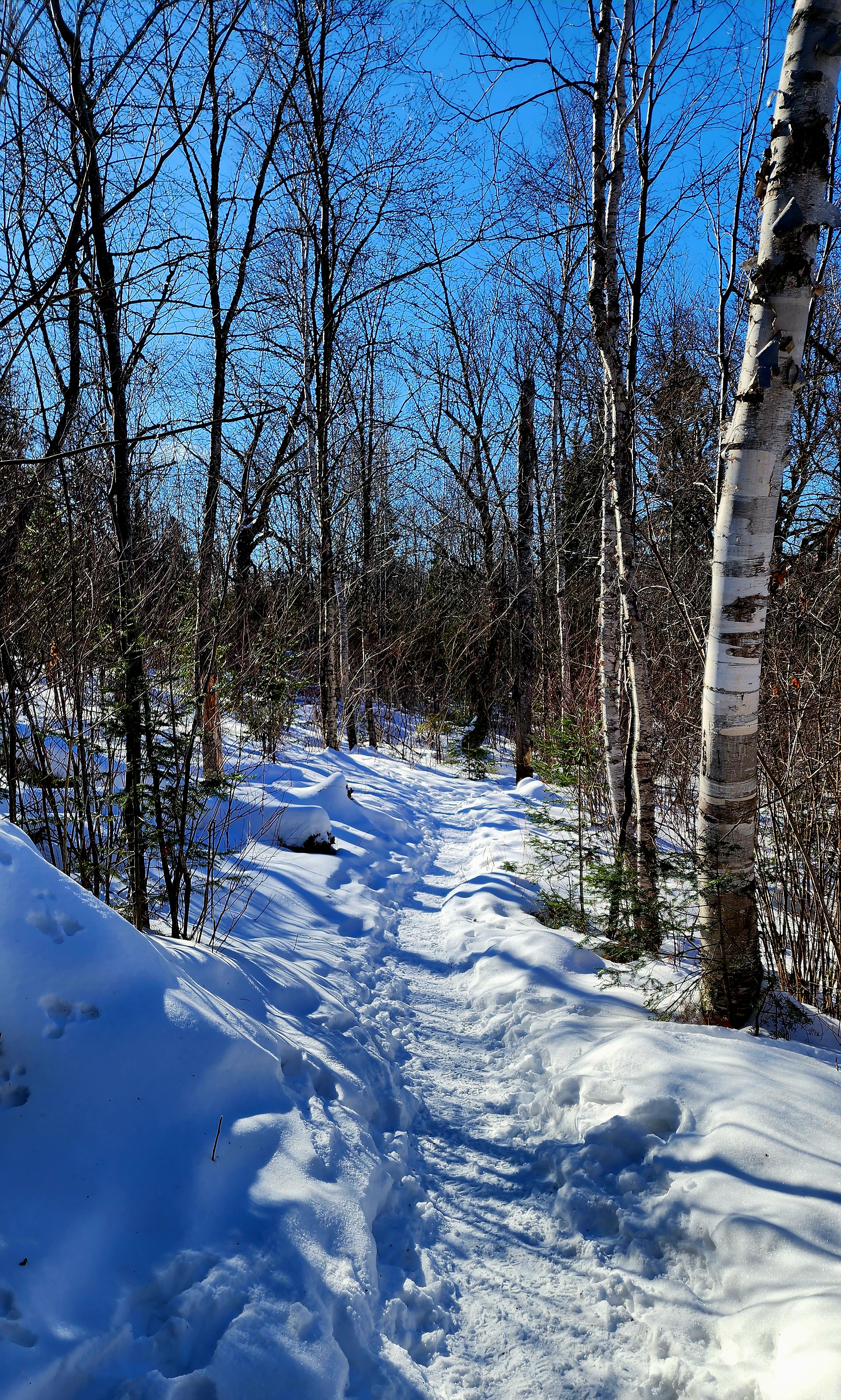
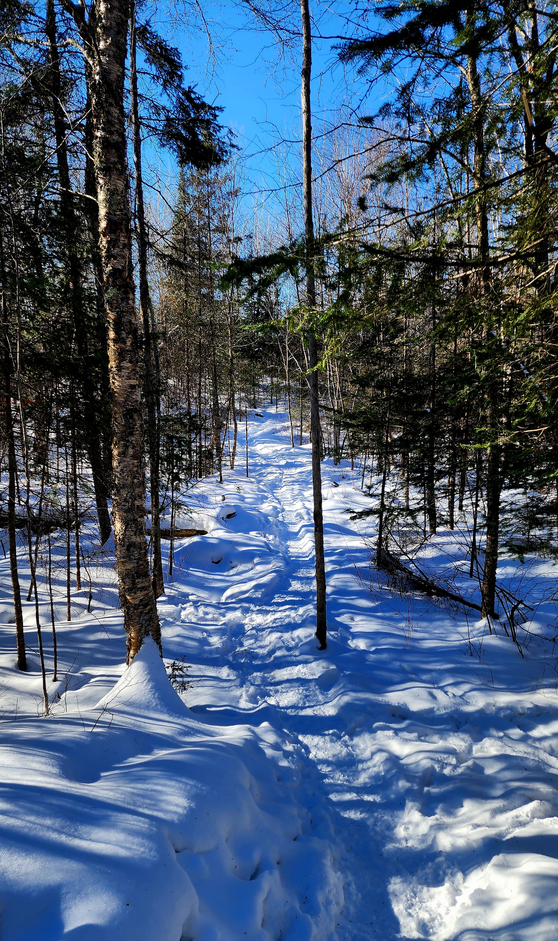
A little bit of snow and ice were still holding on.
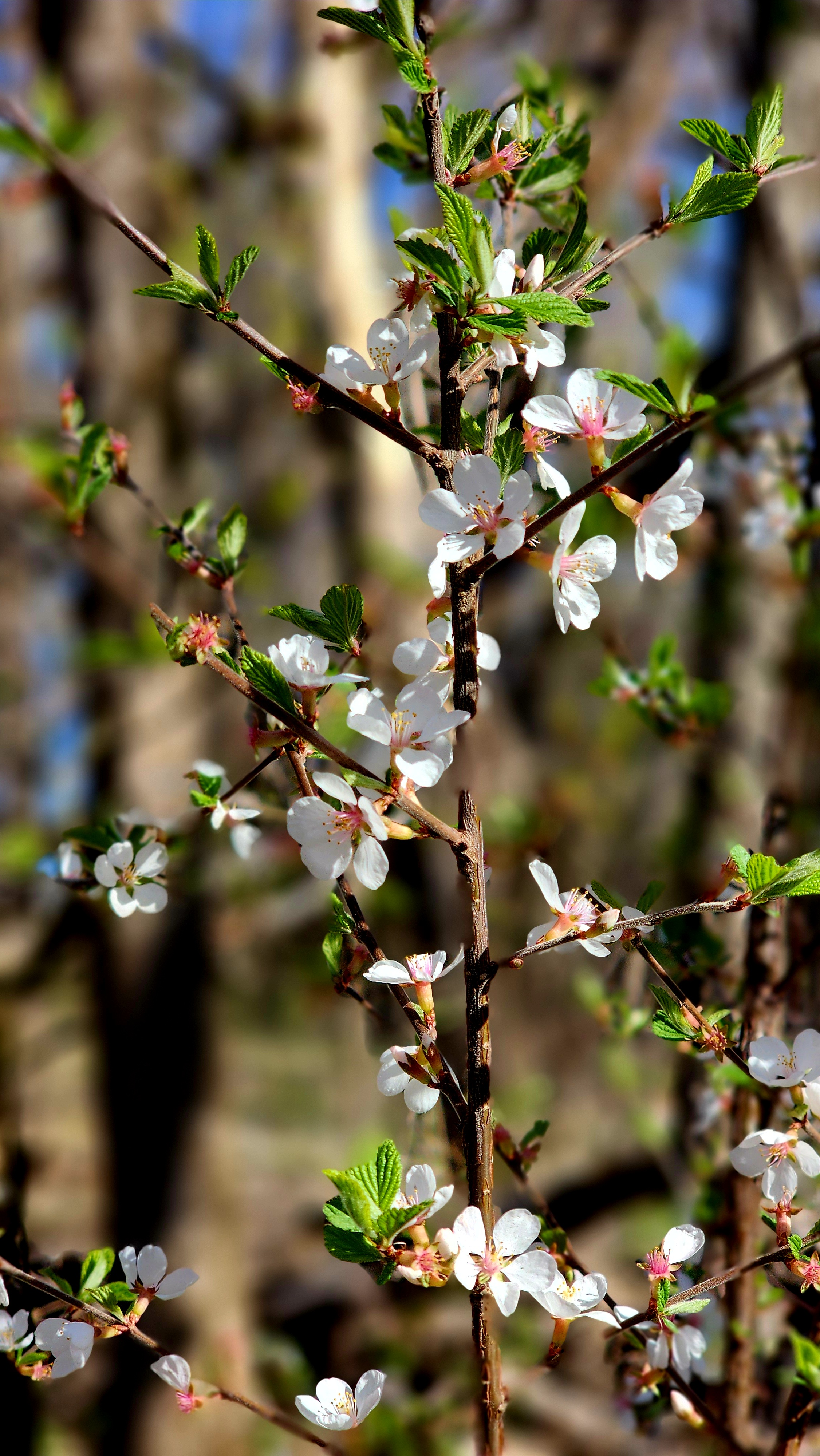
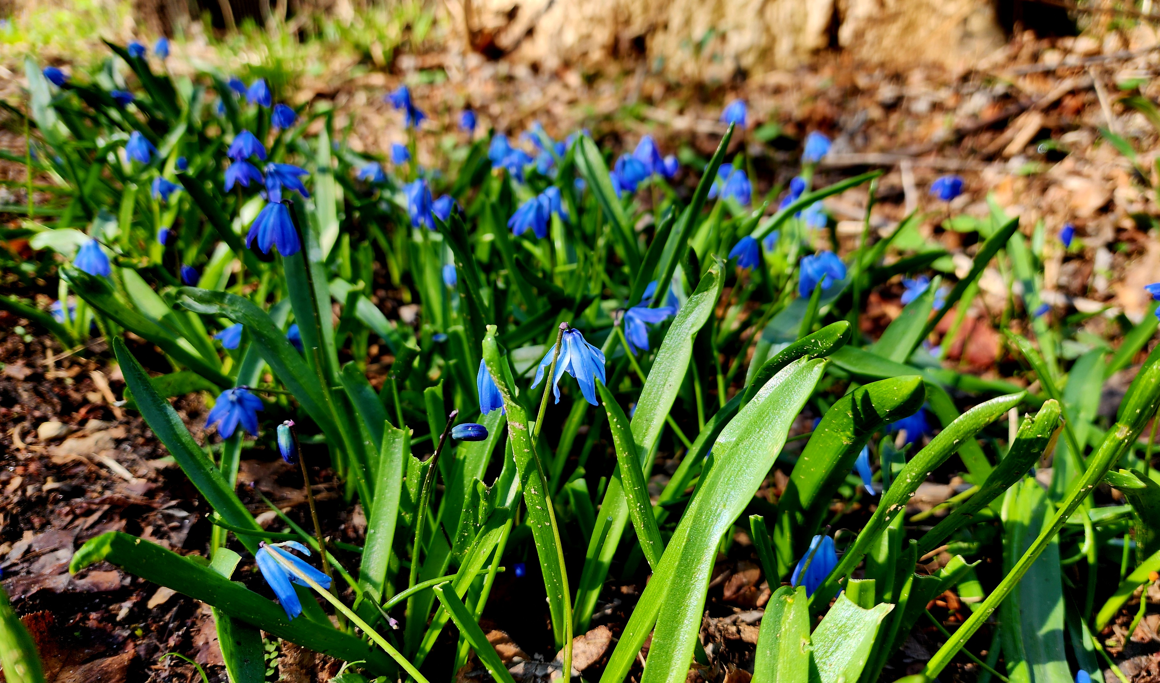
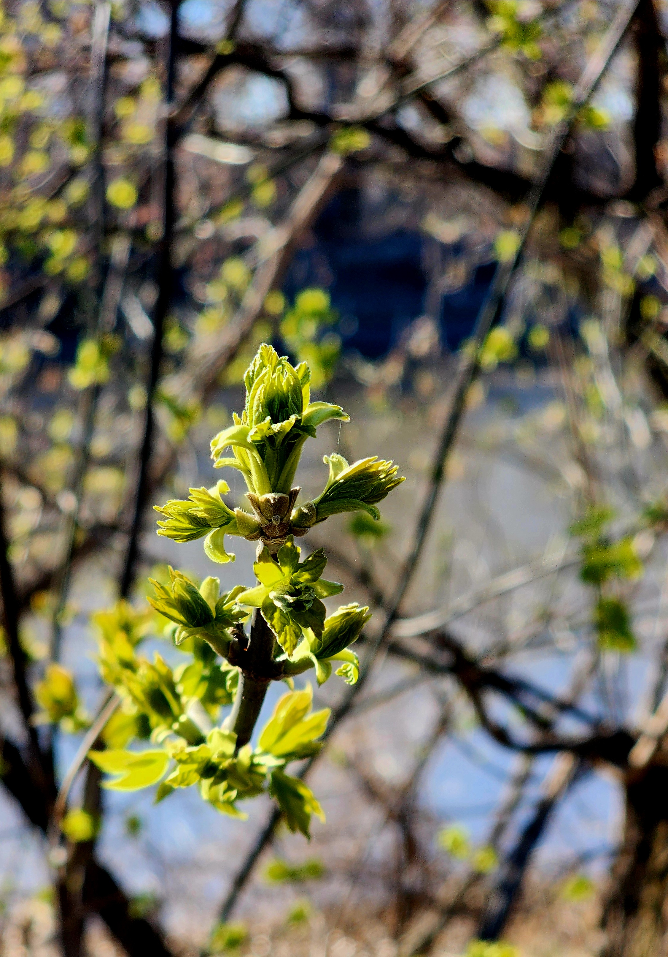
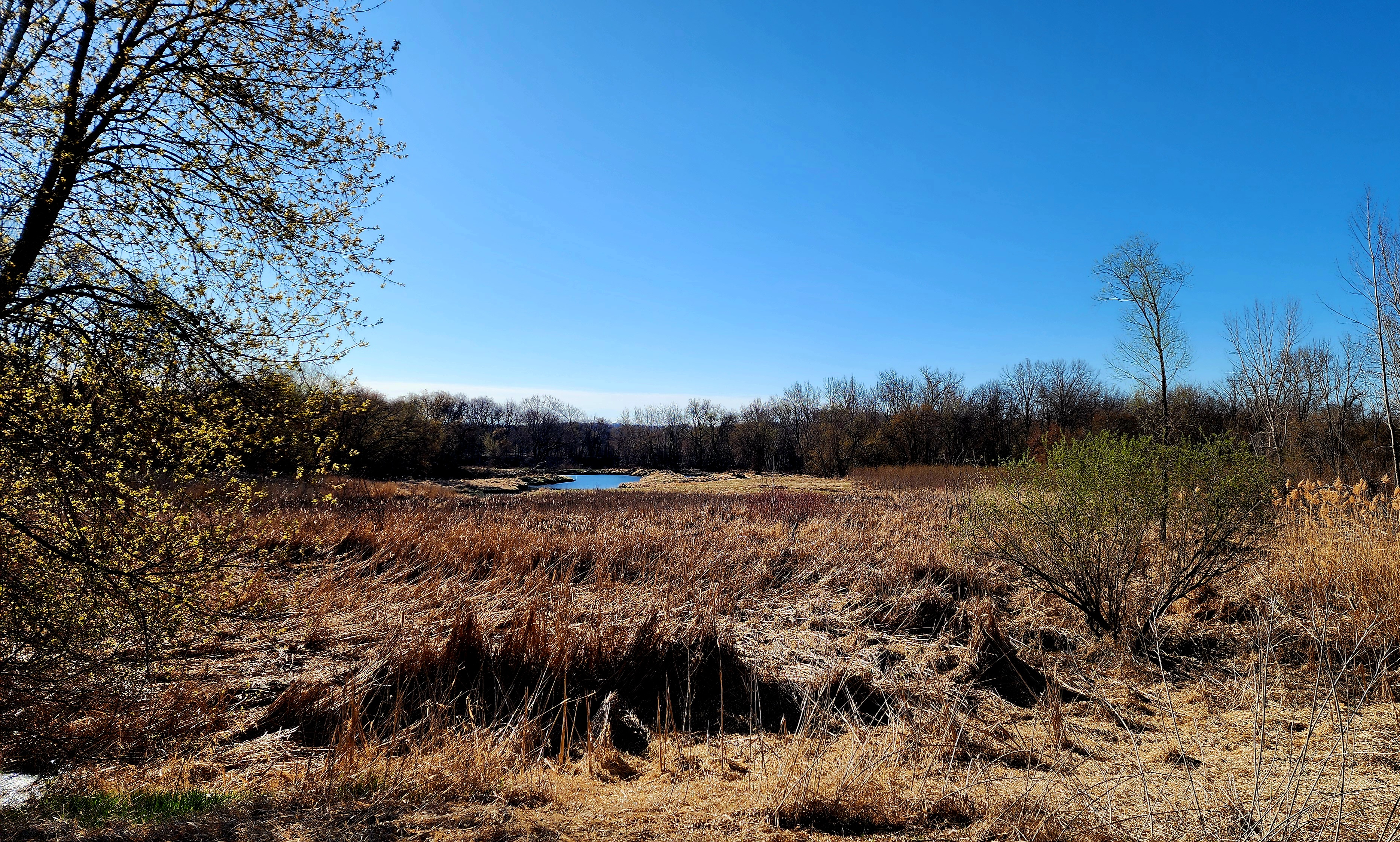
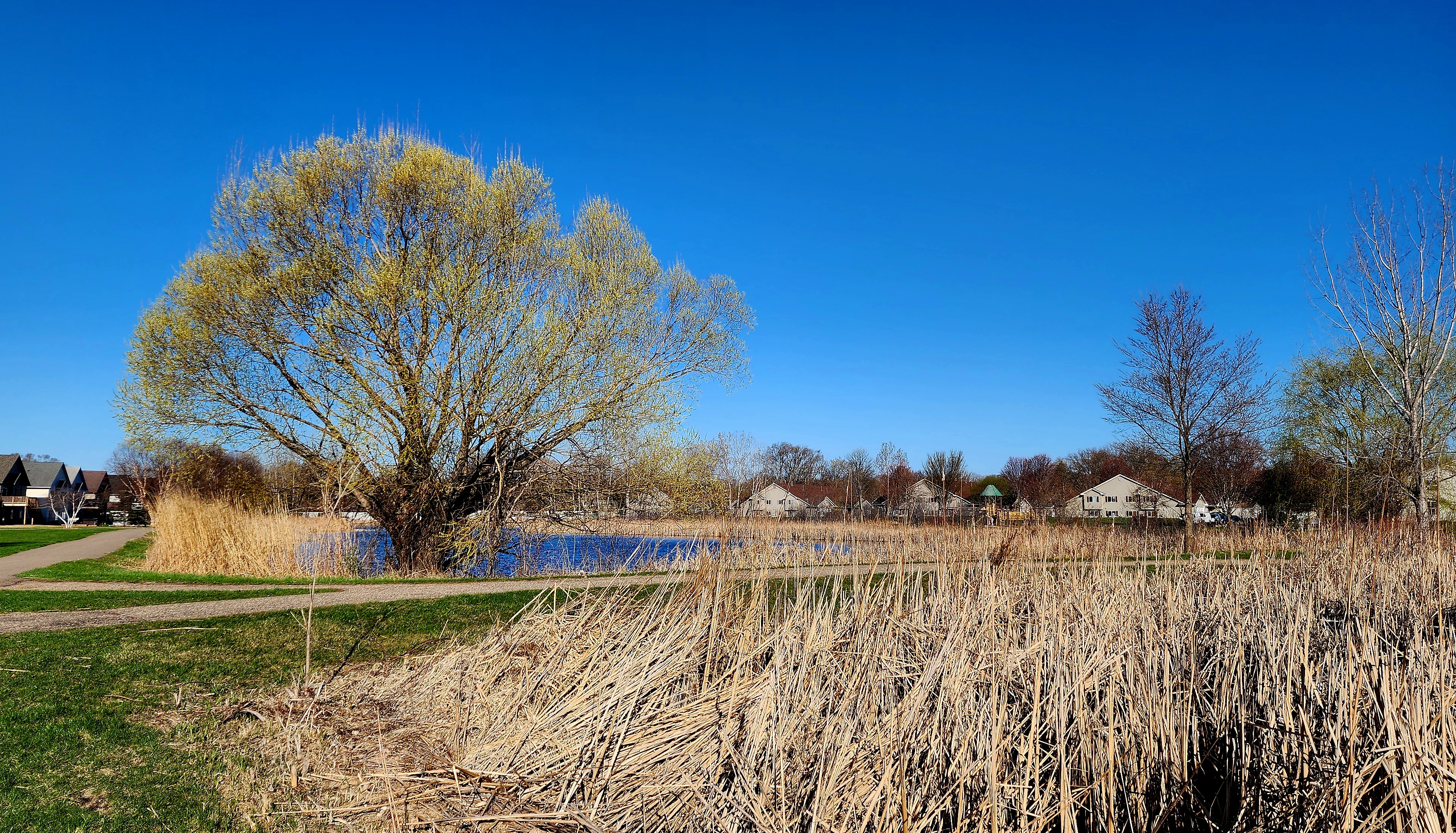
Spring is trying to make an appearance.
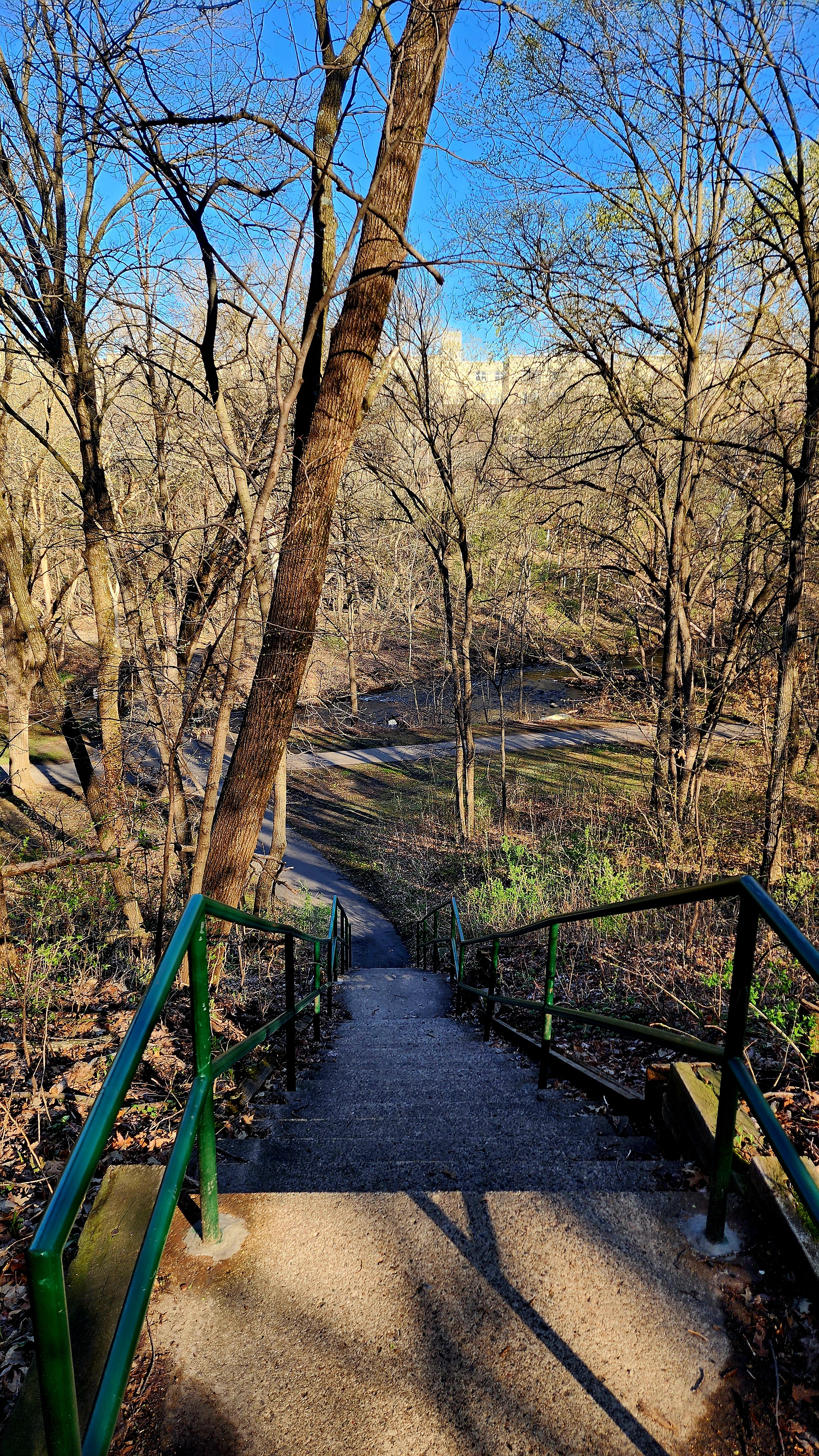
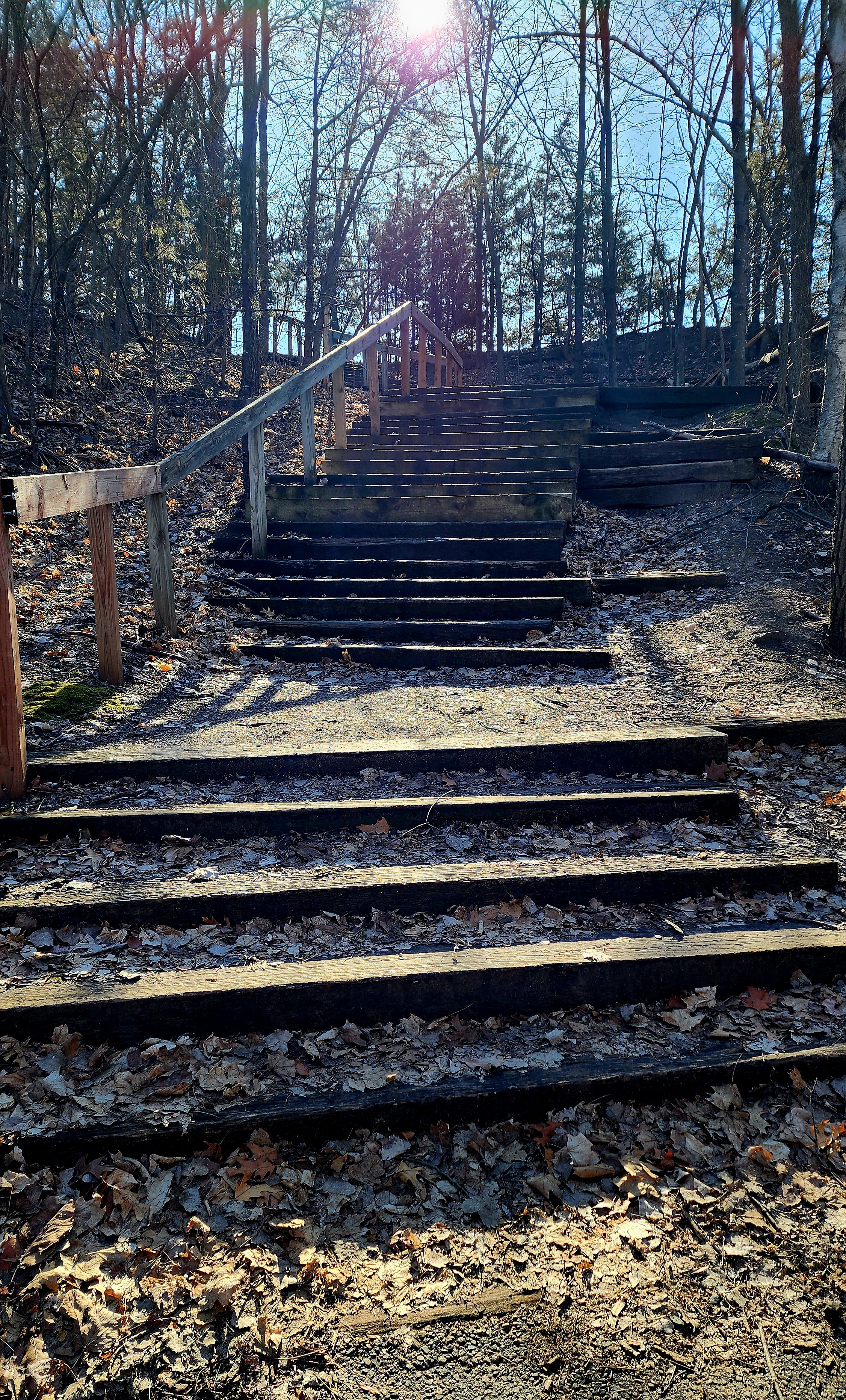
We found a set of stairs. Of course, we had to see what’s at the top.
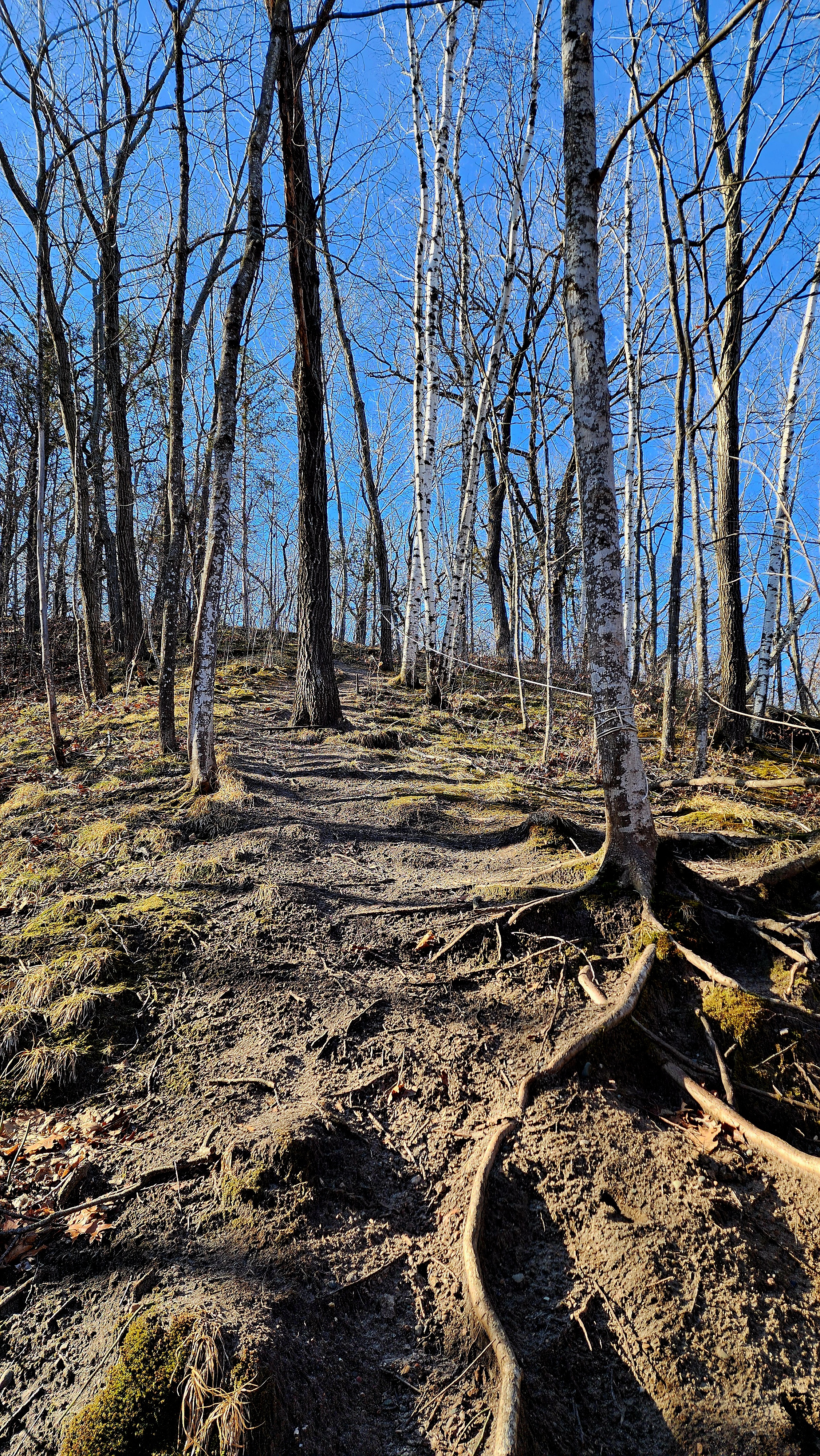
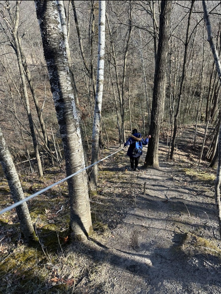
Ok, it was a bit underwhelming at the top. However, it did allow us to hike some unpaved trails that led us to my favorite part of the hike.
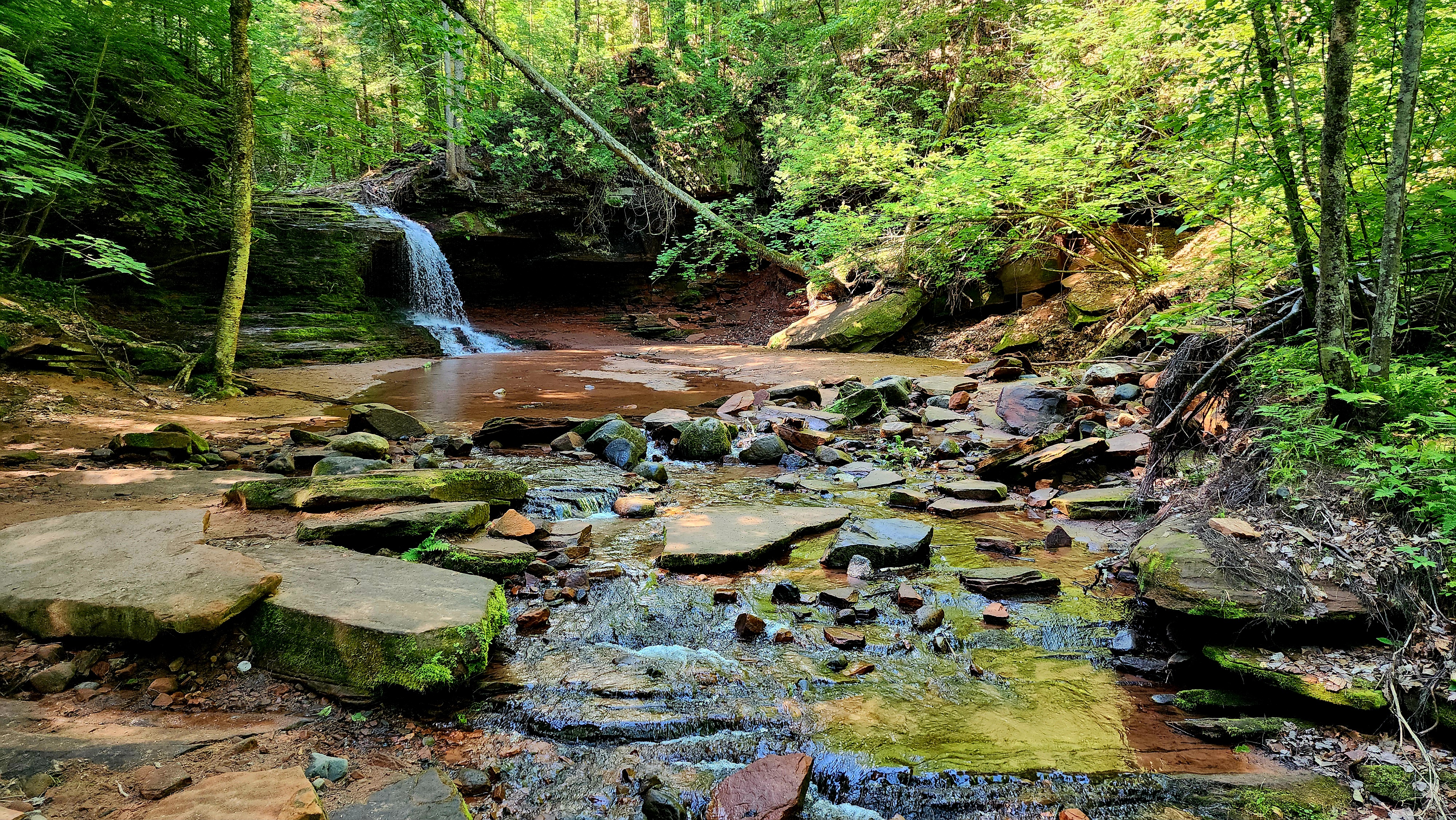
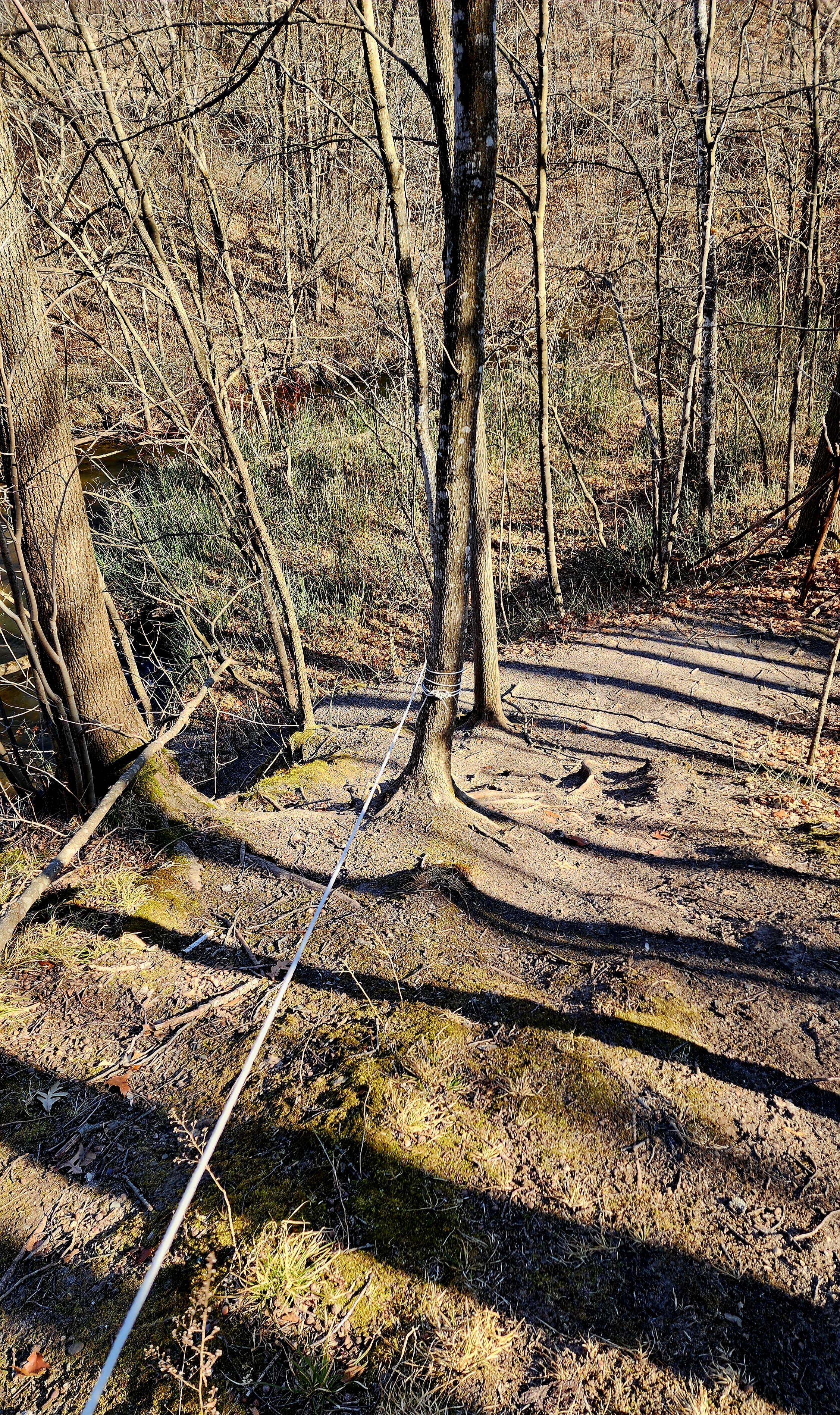
The trail led us to a steep hill that we needed to get to the bottom of. There was a white rope halfway down the hill to grab onto if needed. Well, it was definitely needed! This was my favorite find of our adventure.
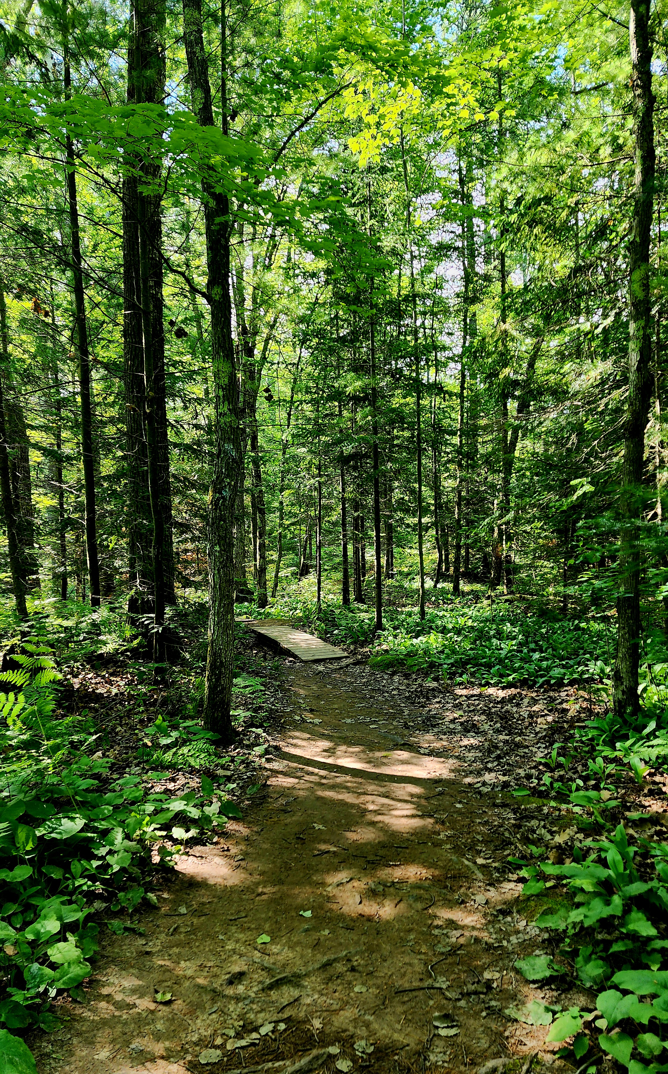
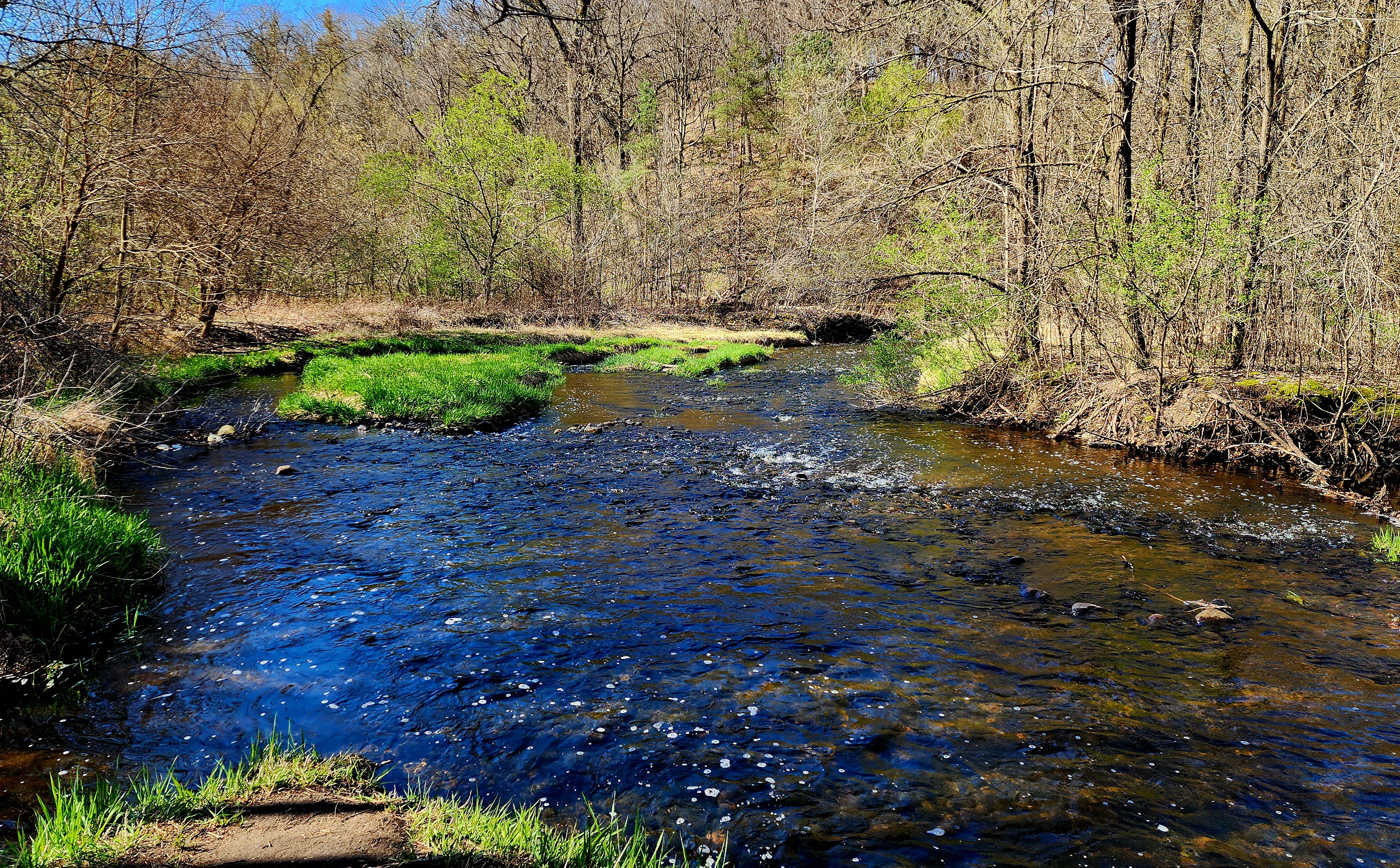
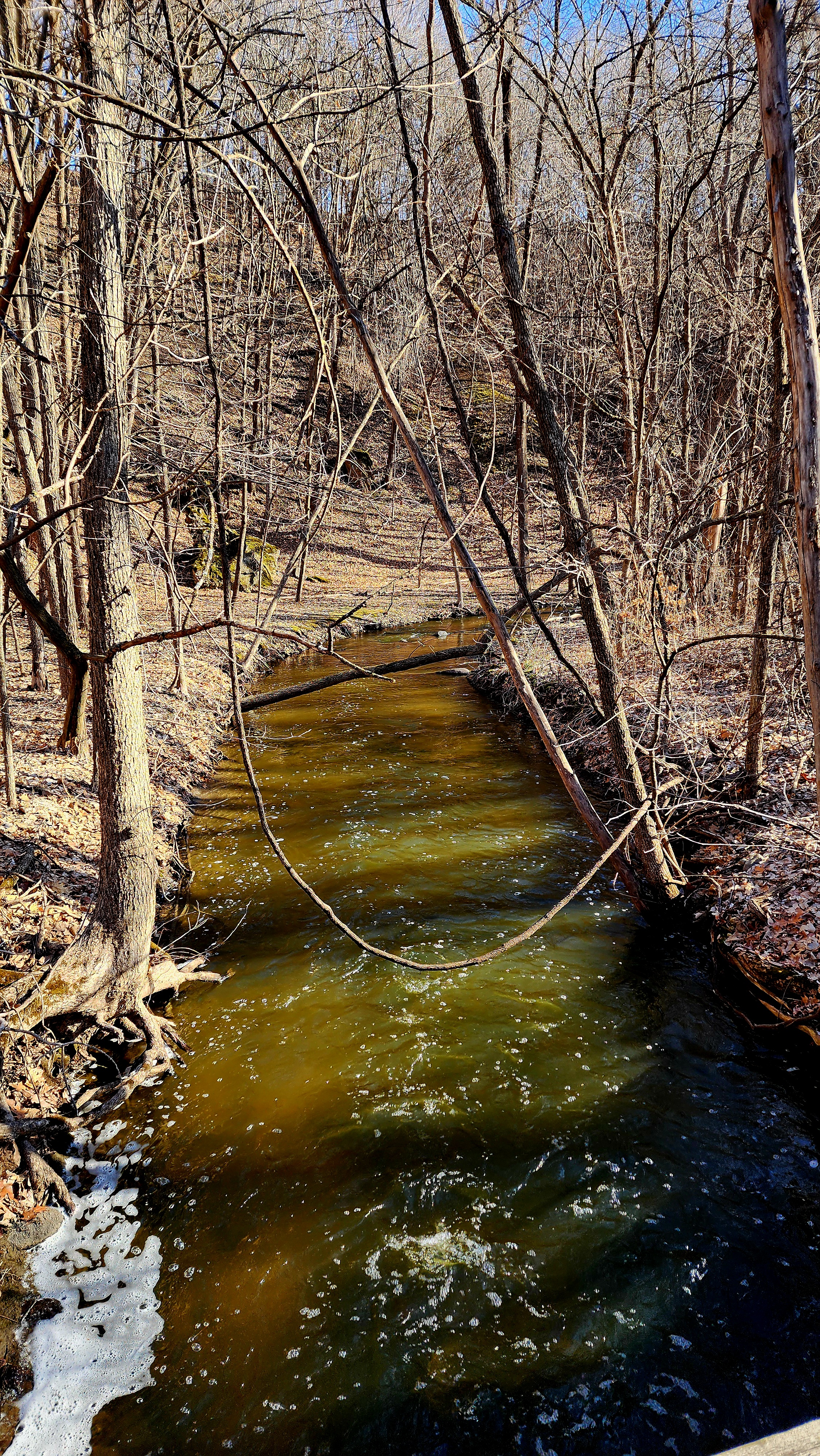
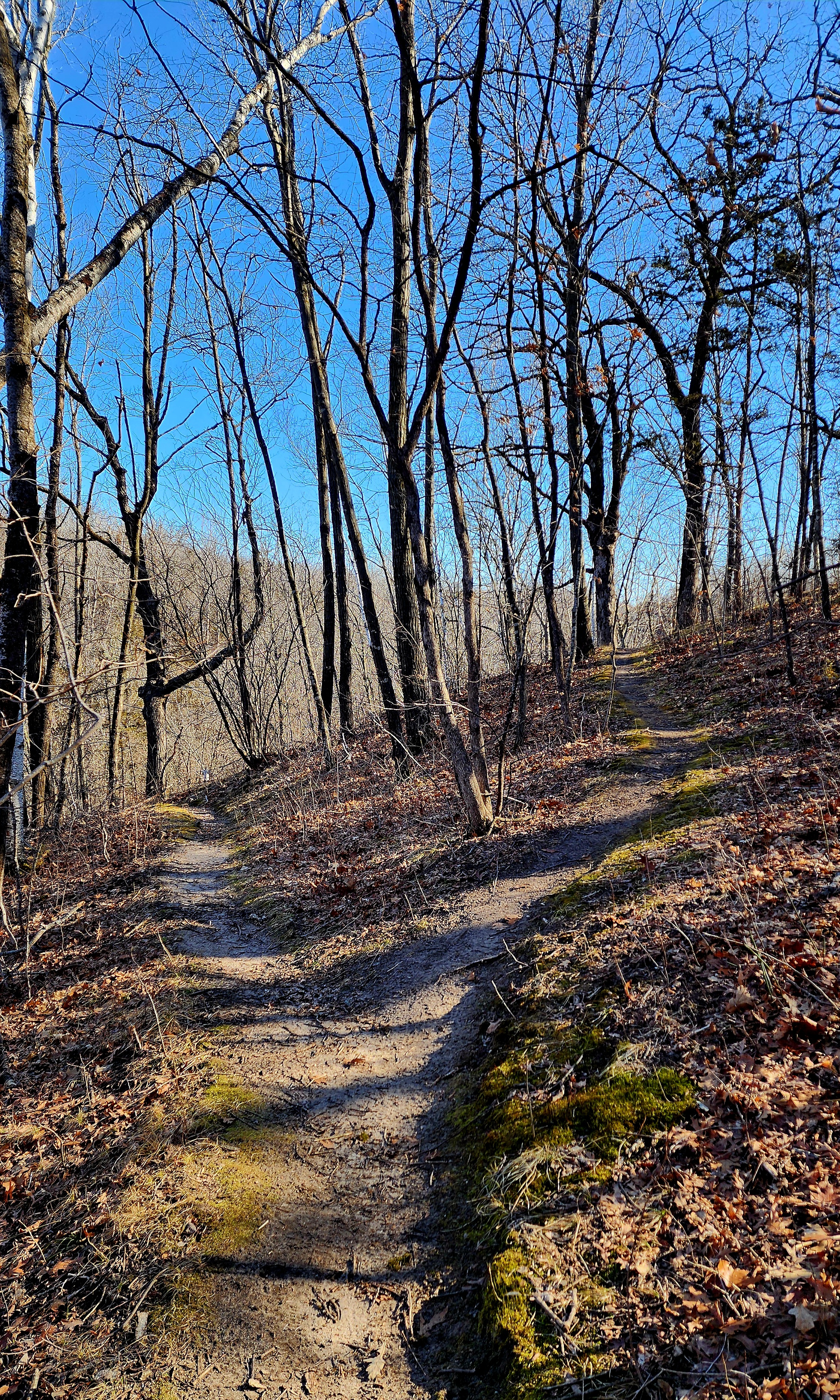
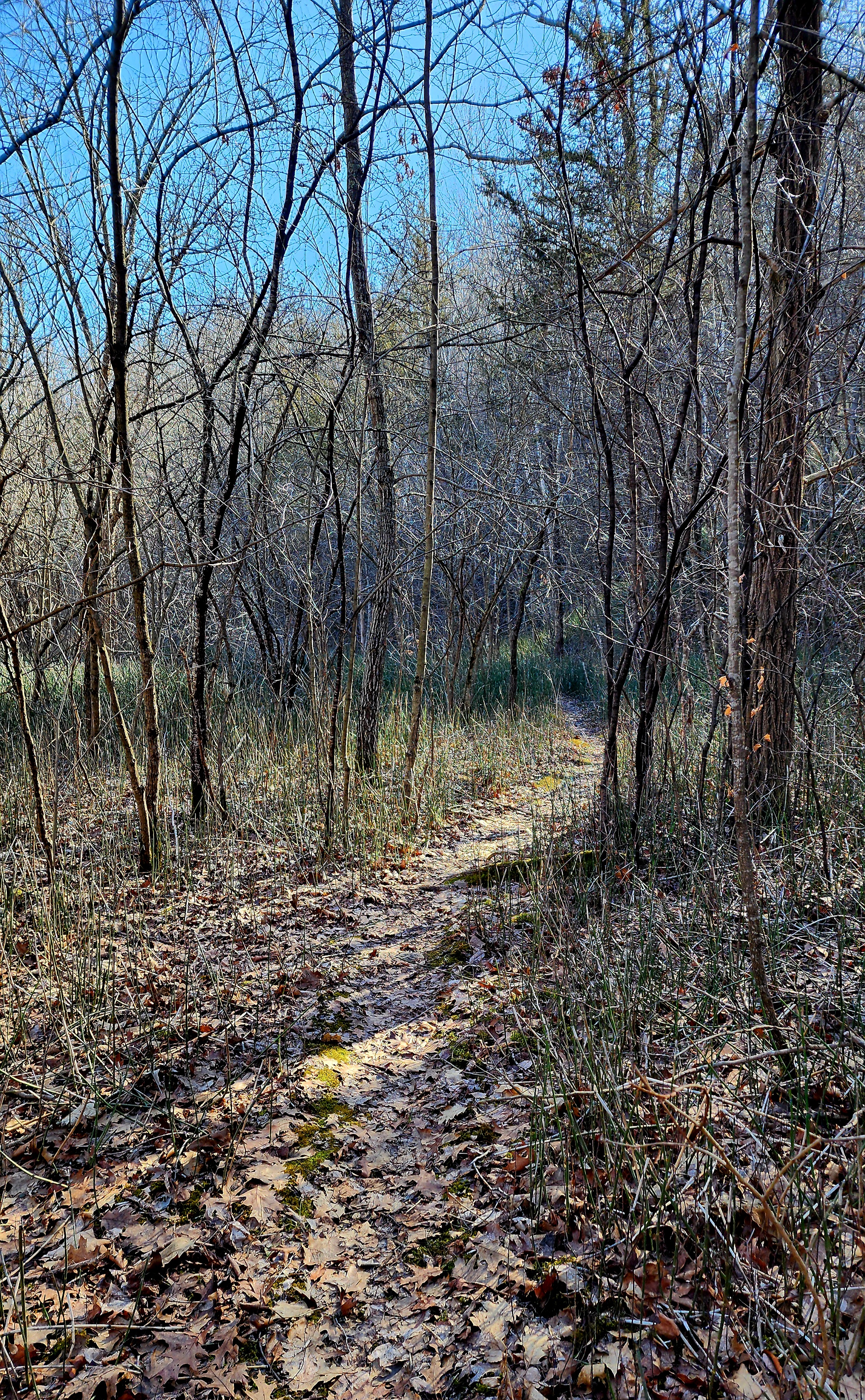
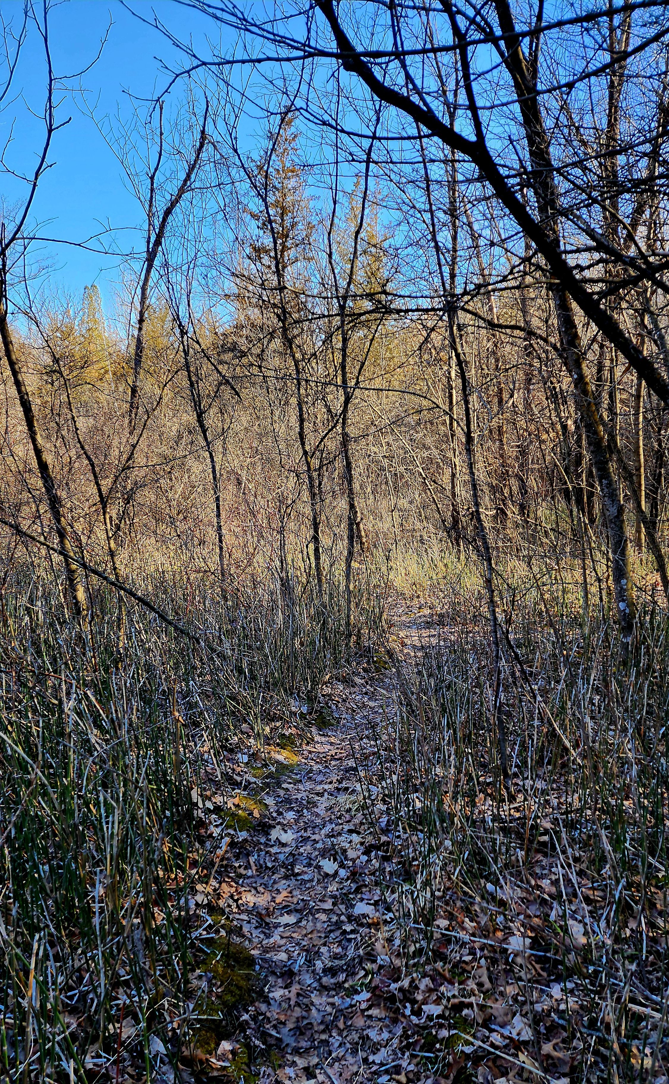
We stayed on the unpaved trail until crossing over the creek.
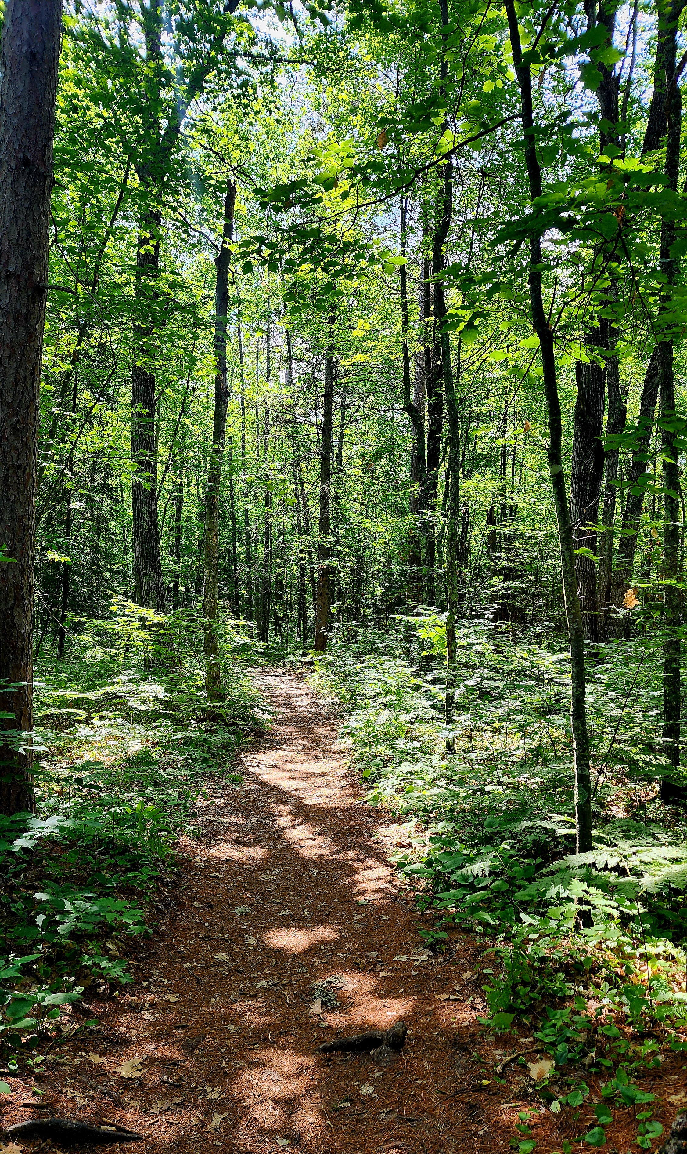
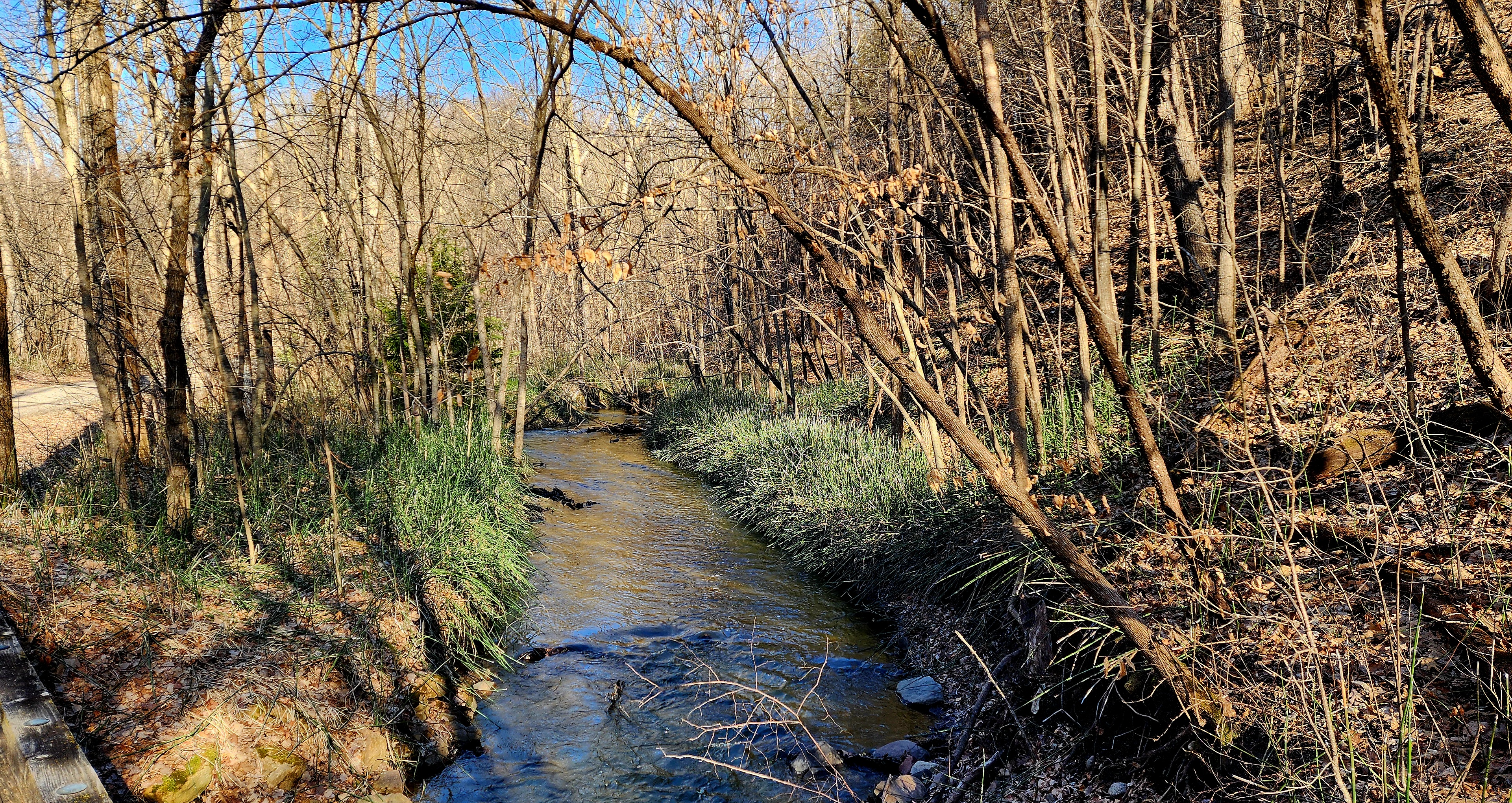
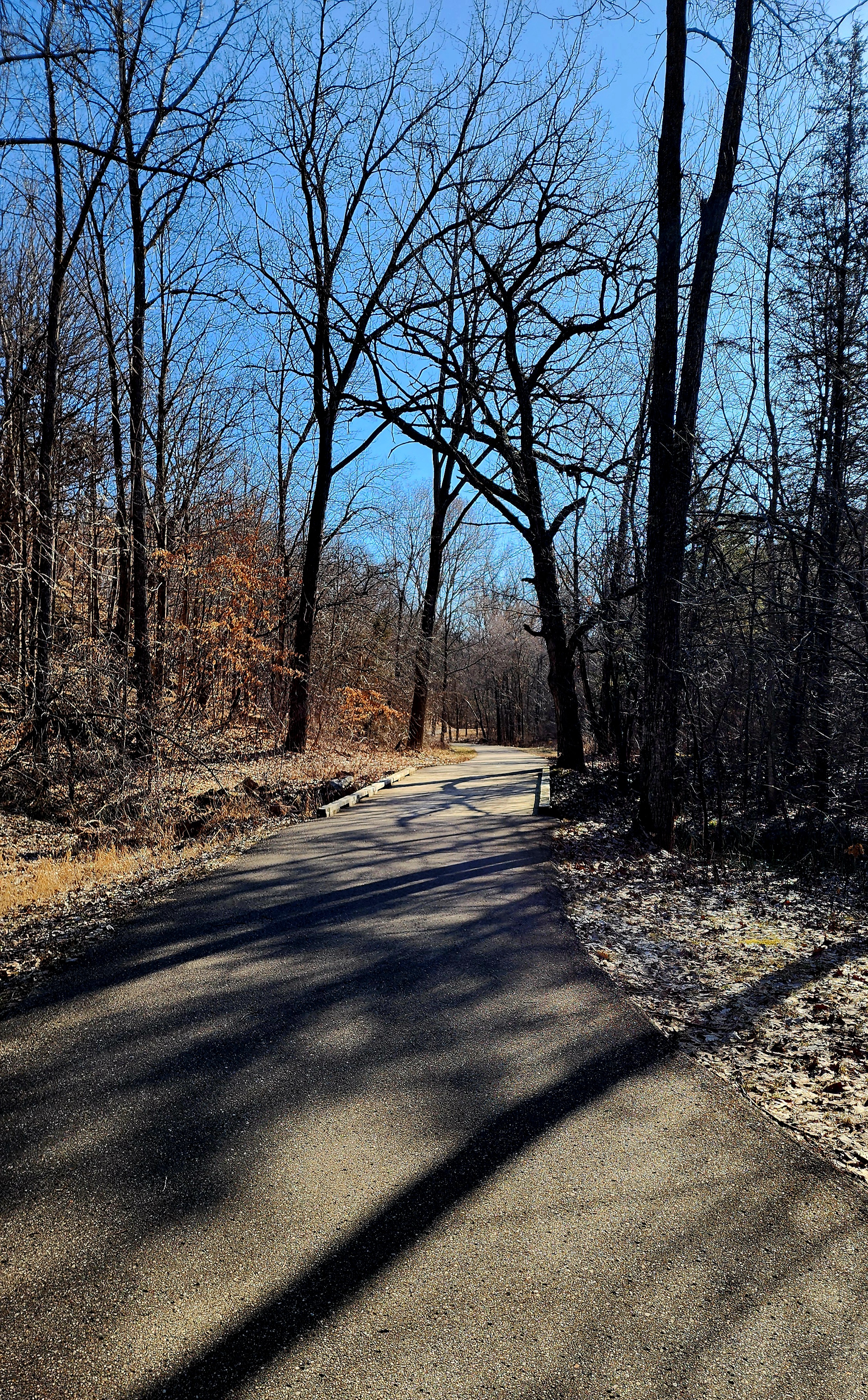
We followed the paved trail back to our starting point.
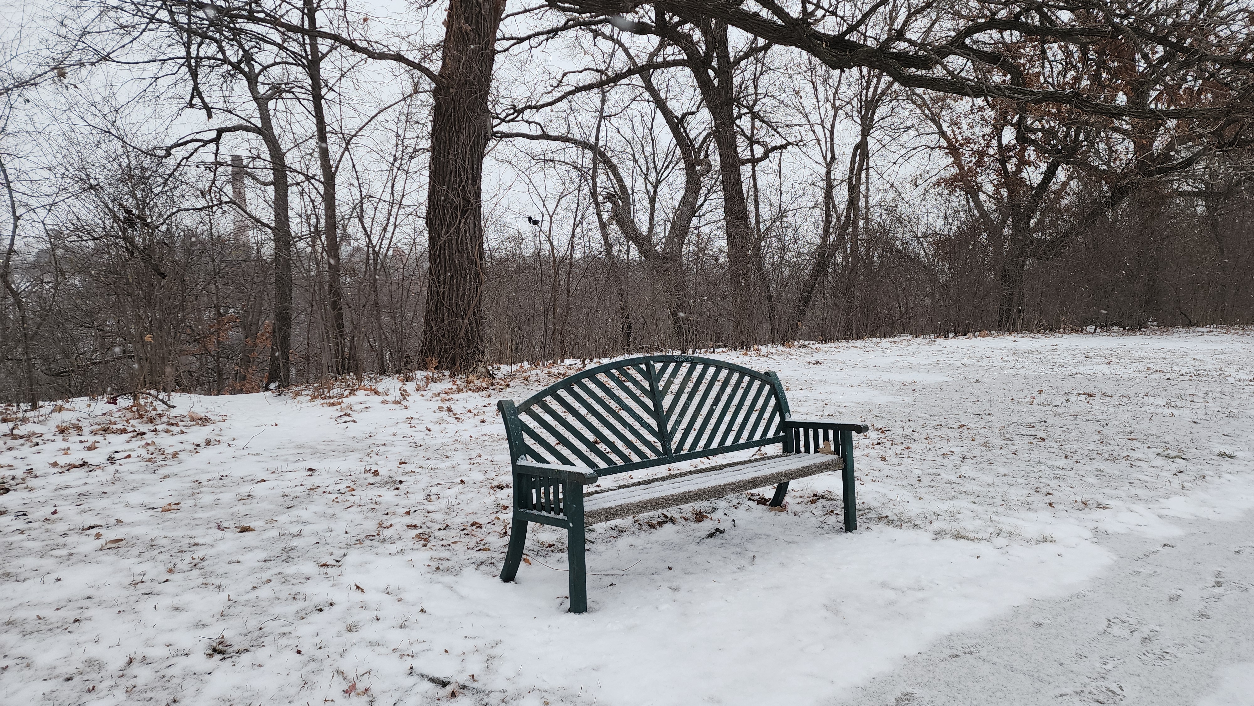
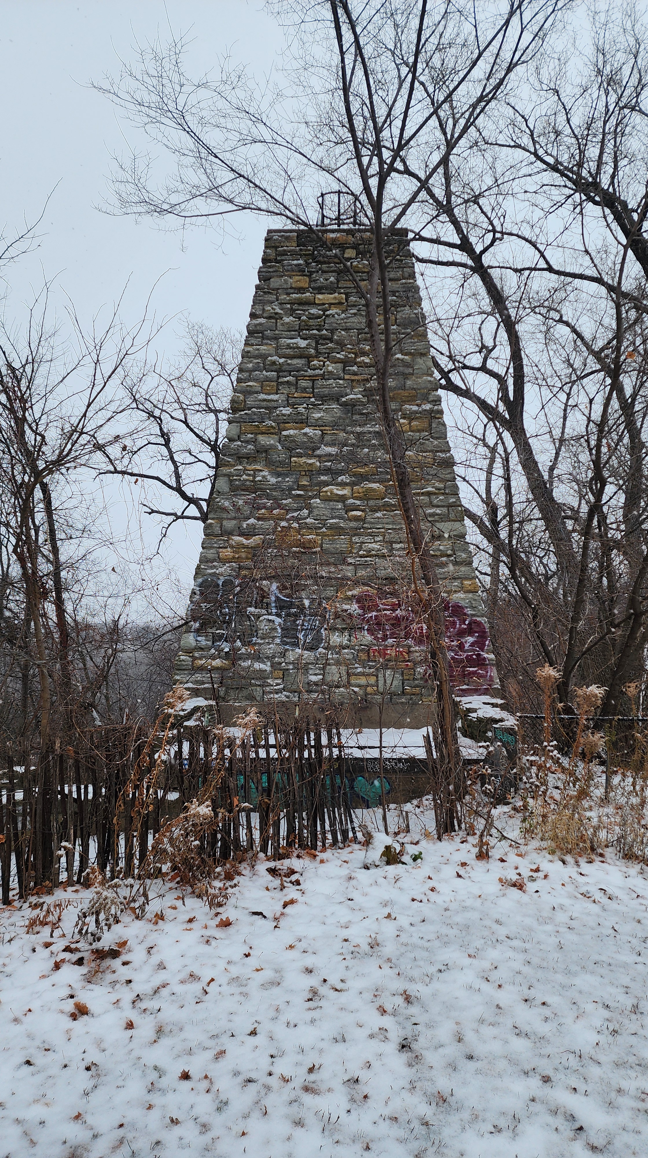
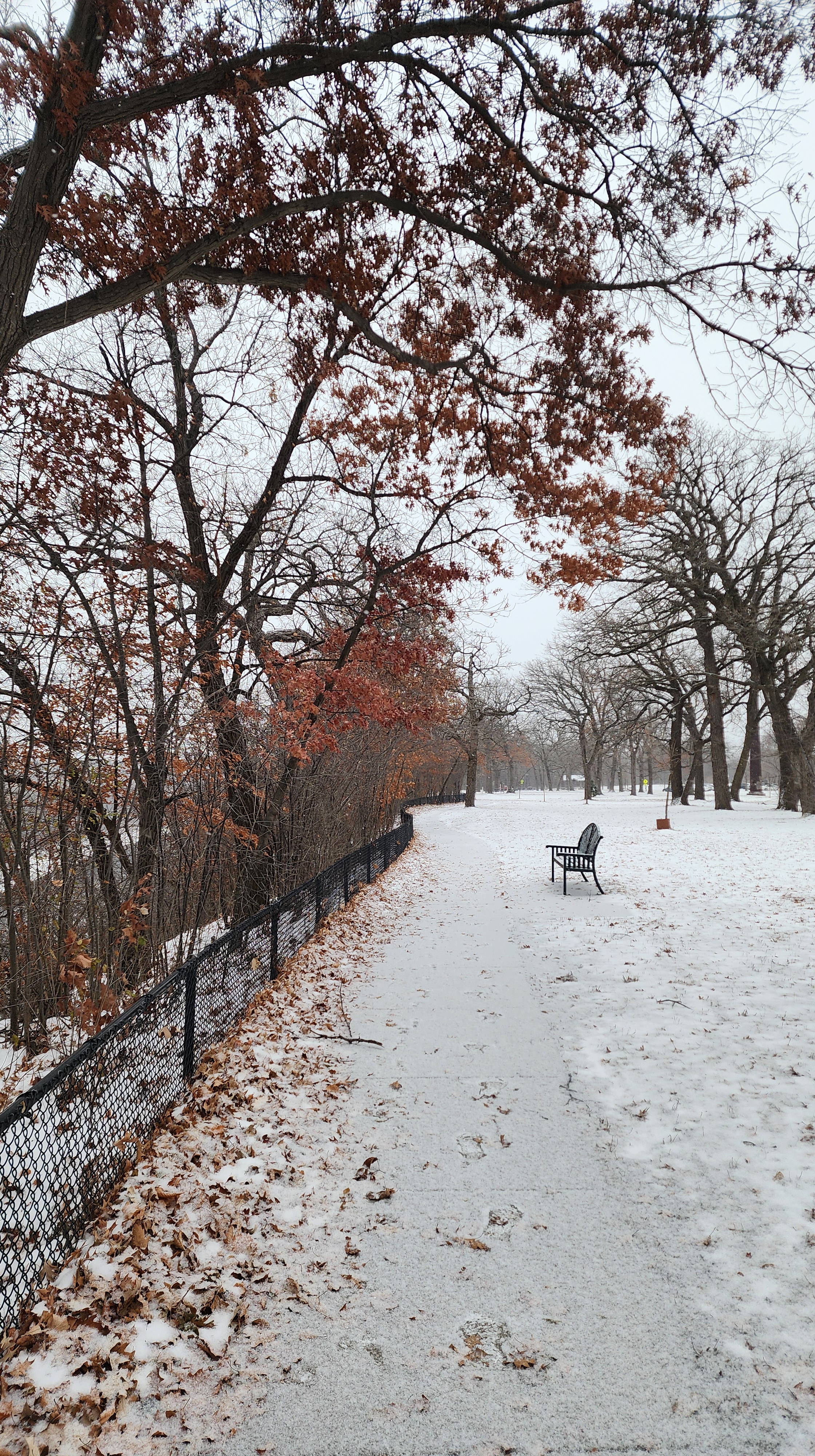
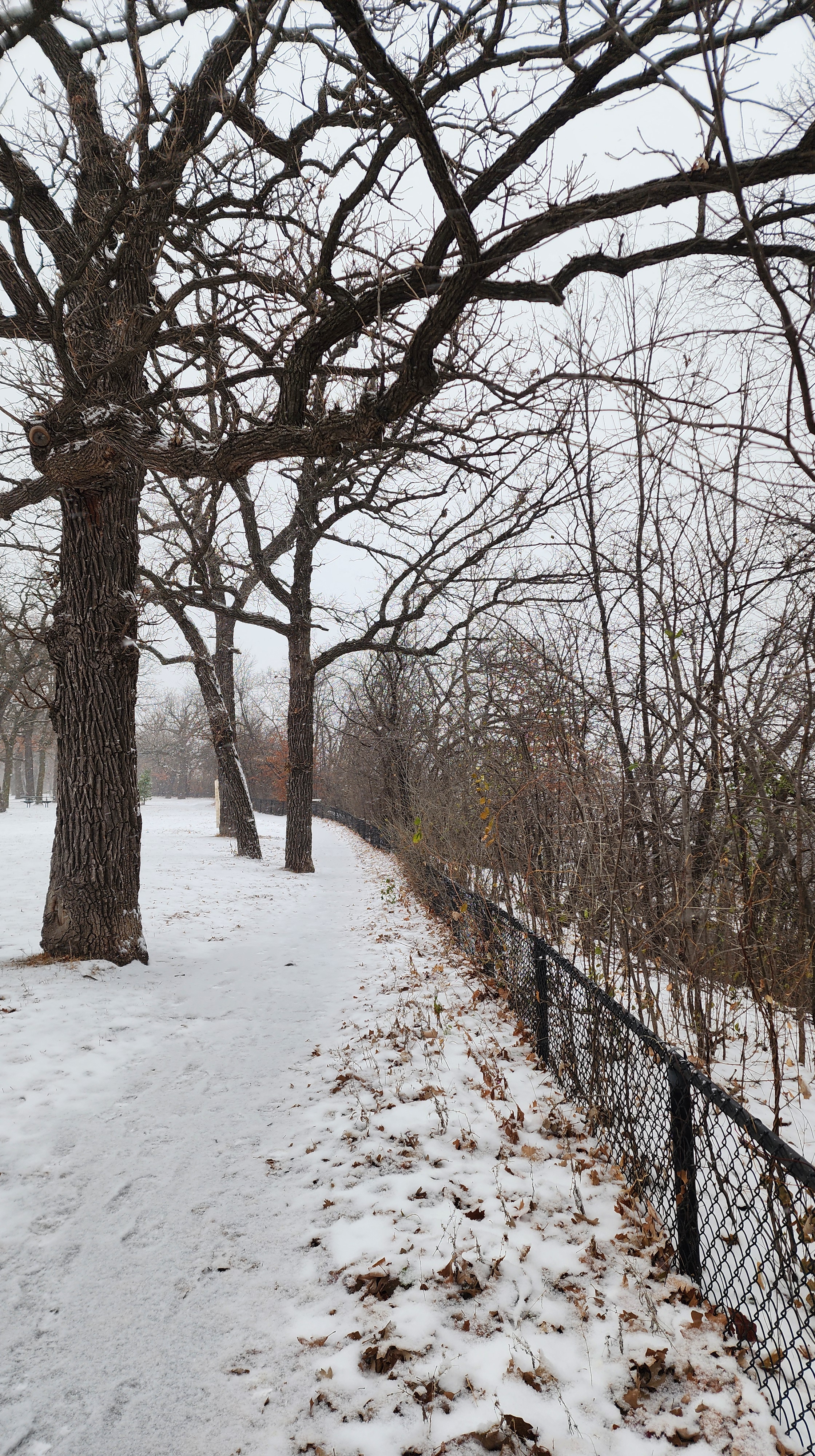
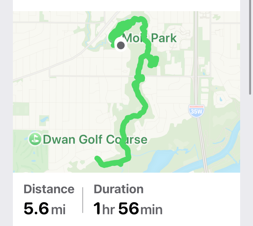
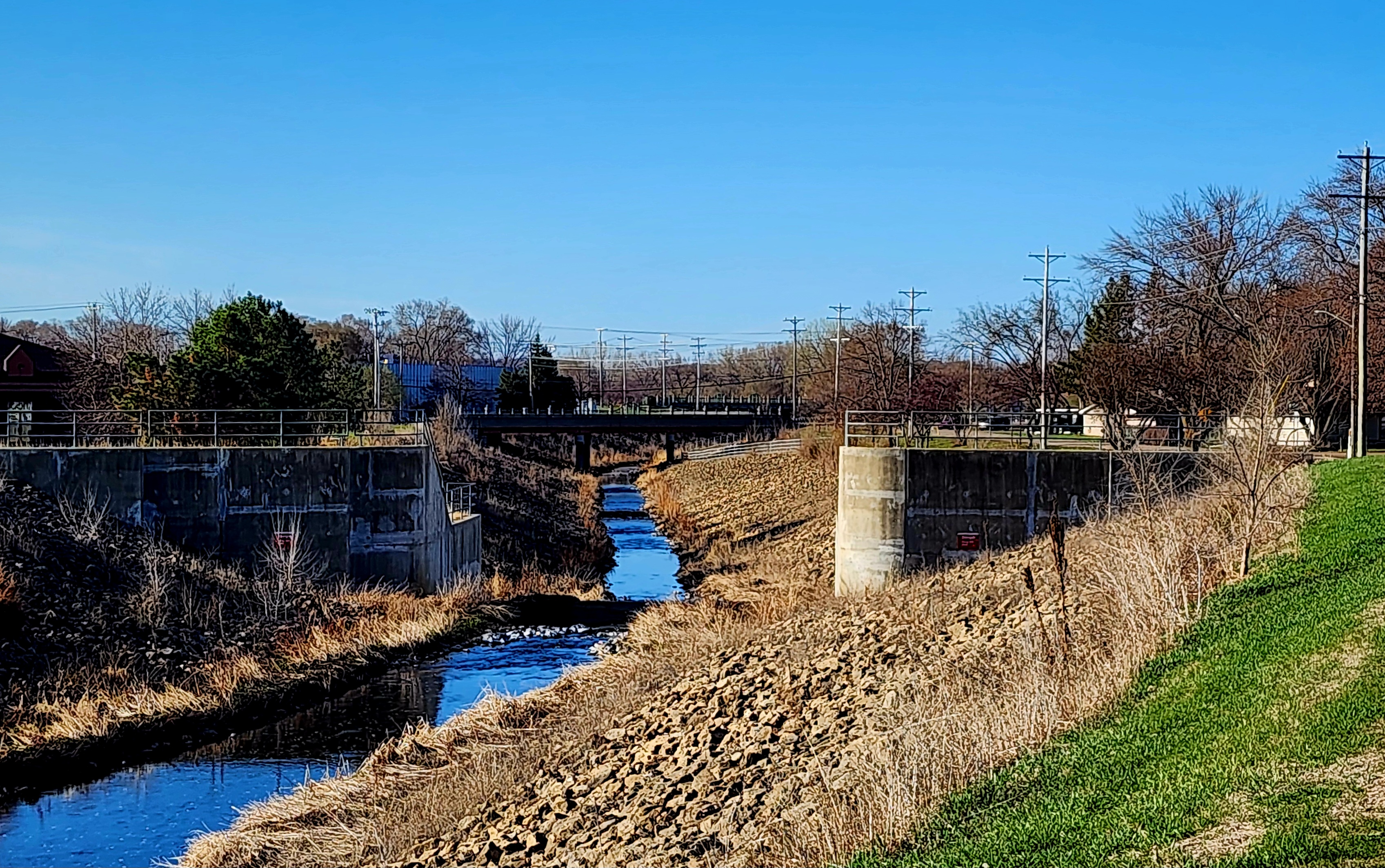
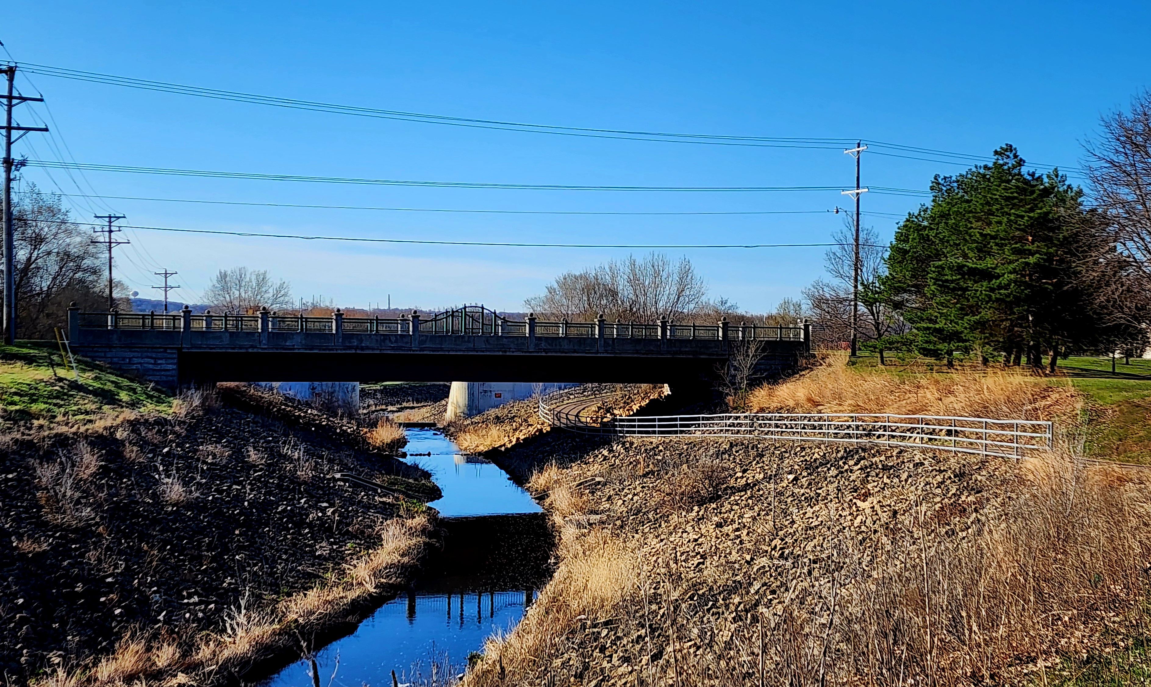
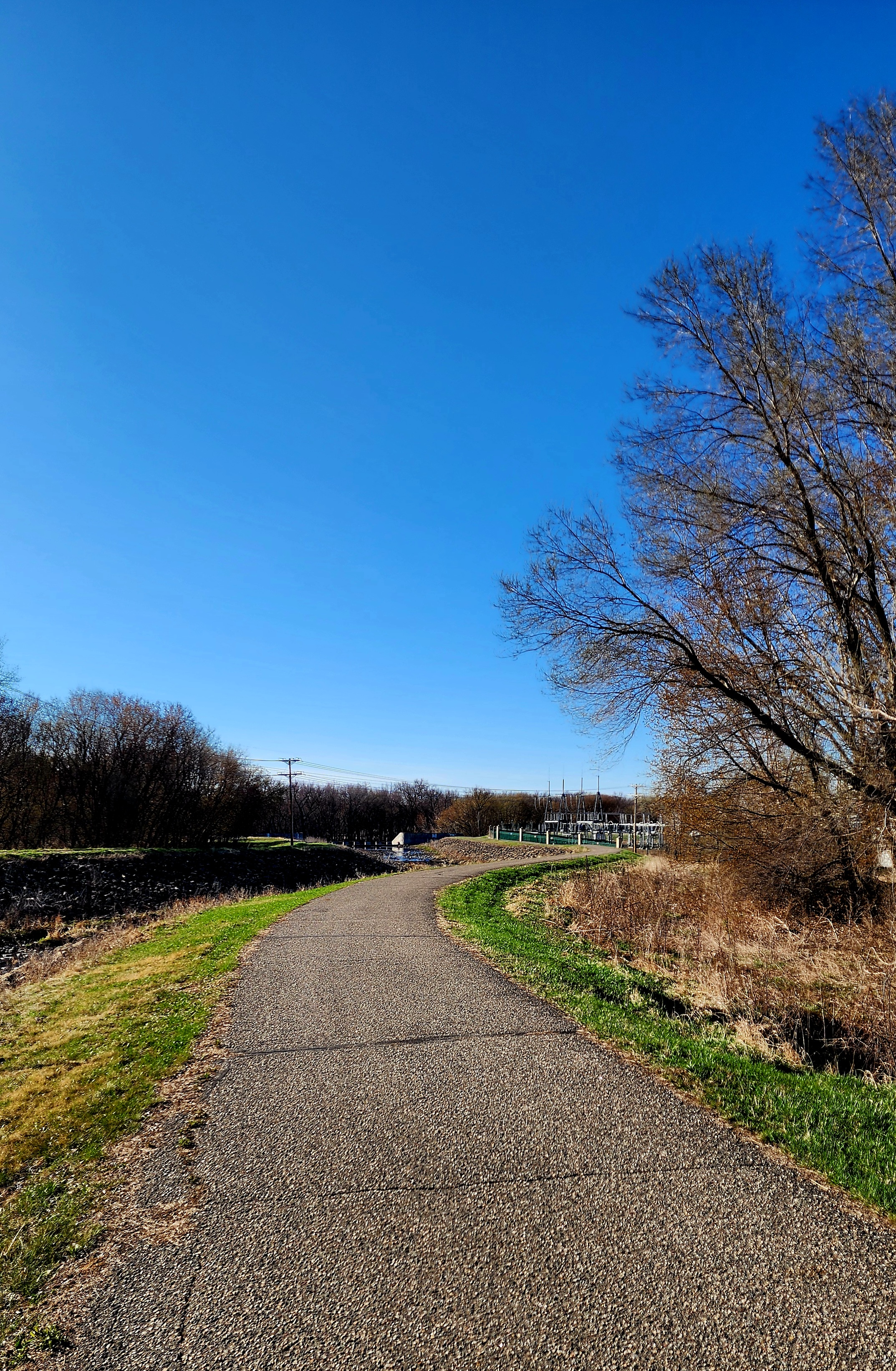
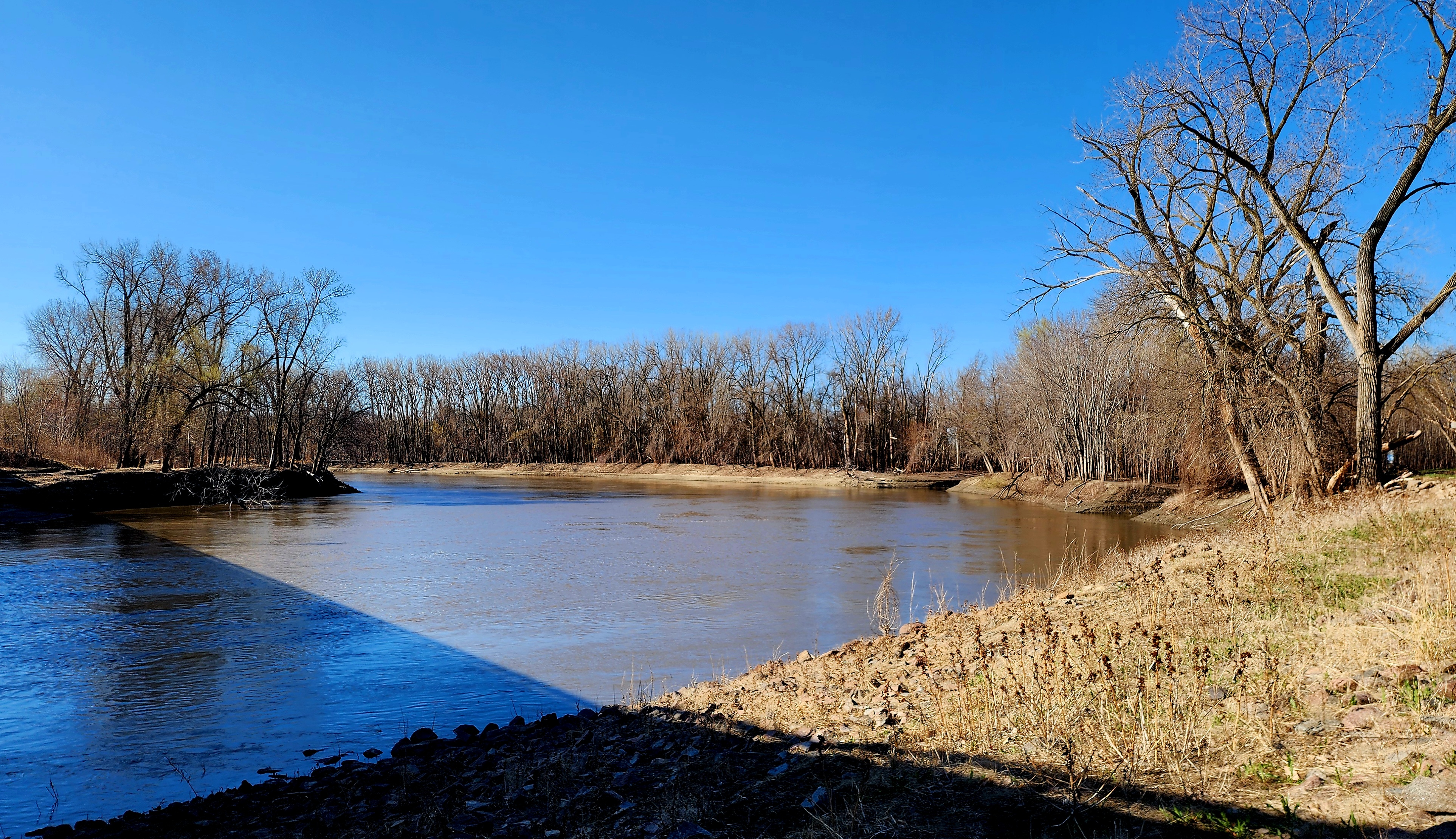
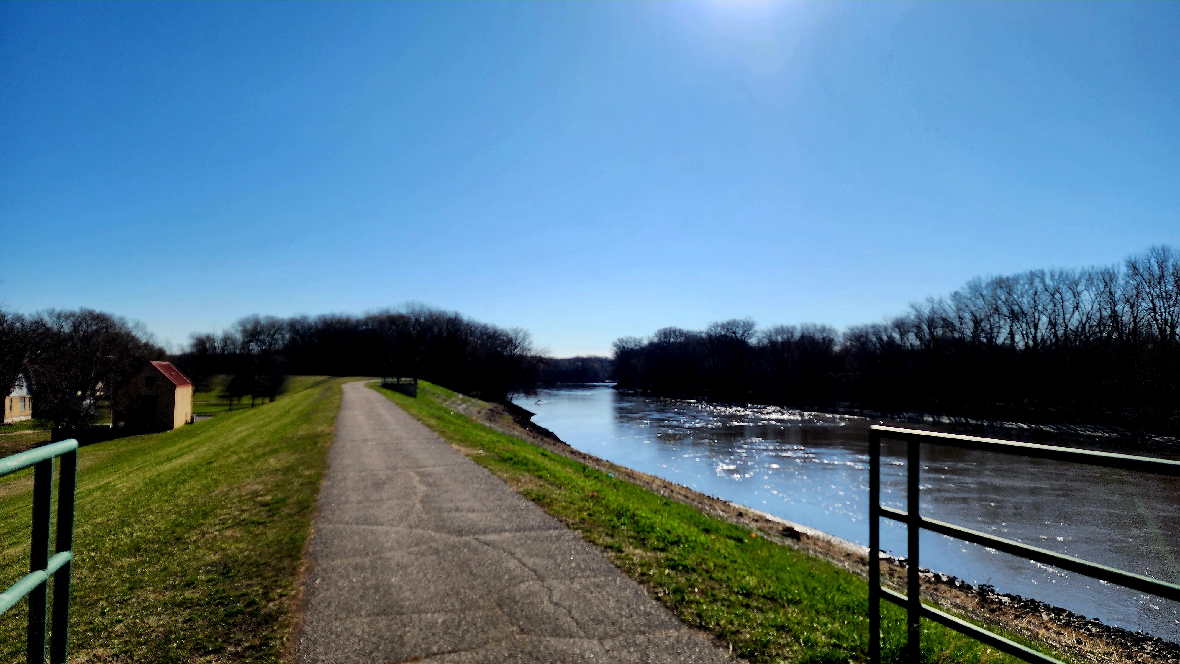
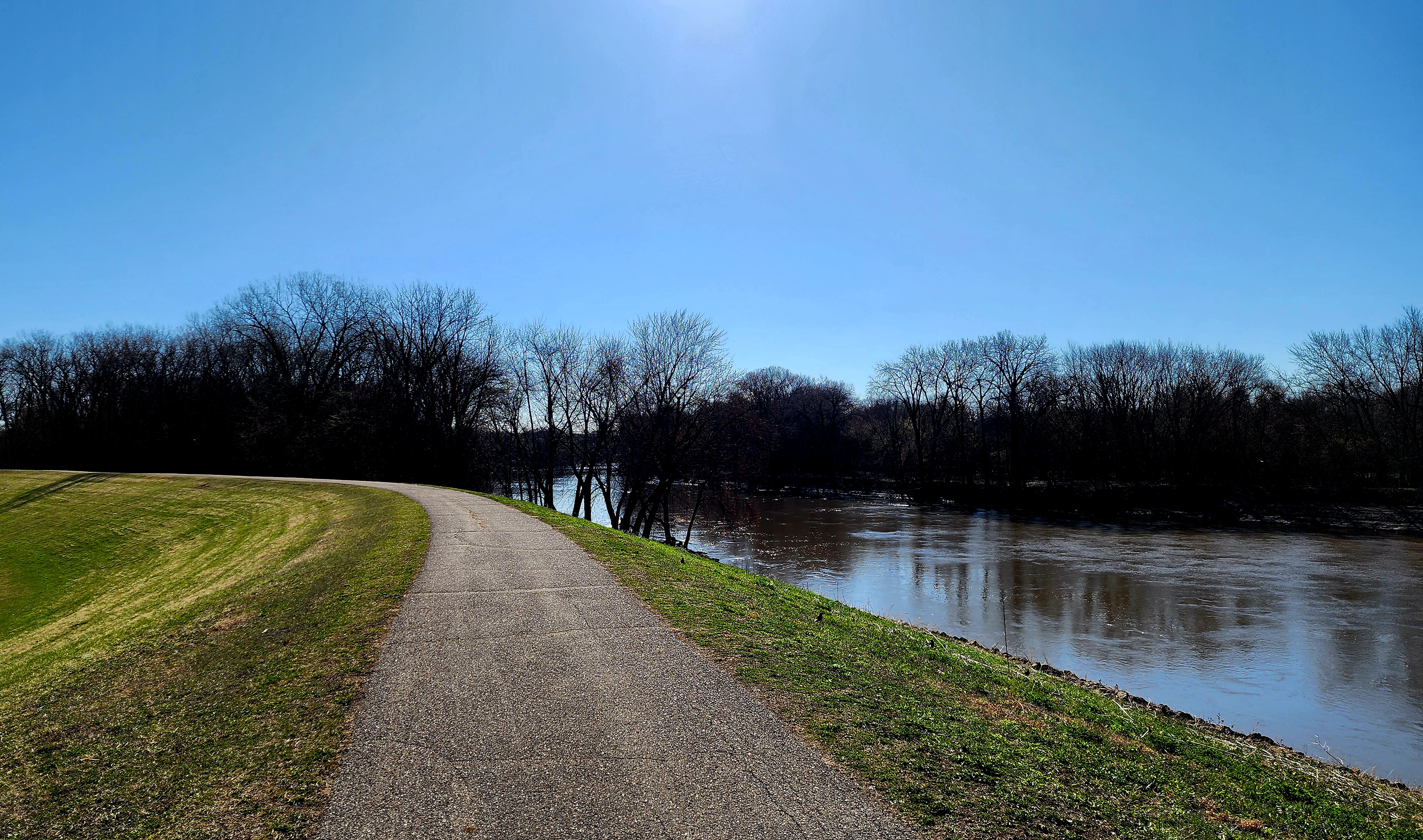
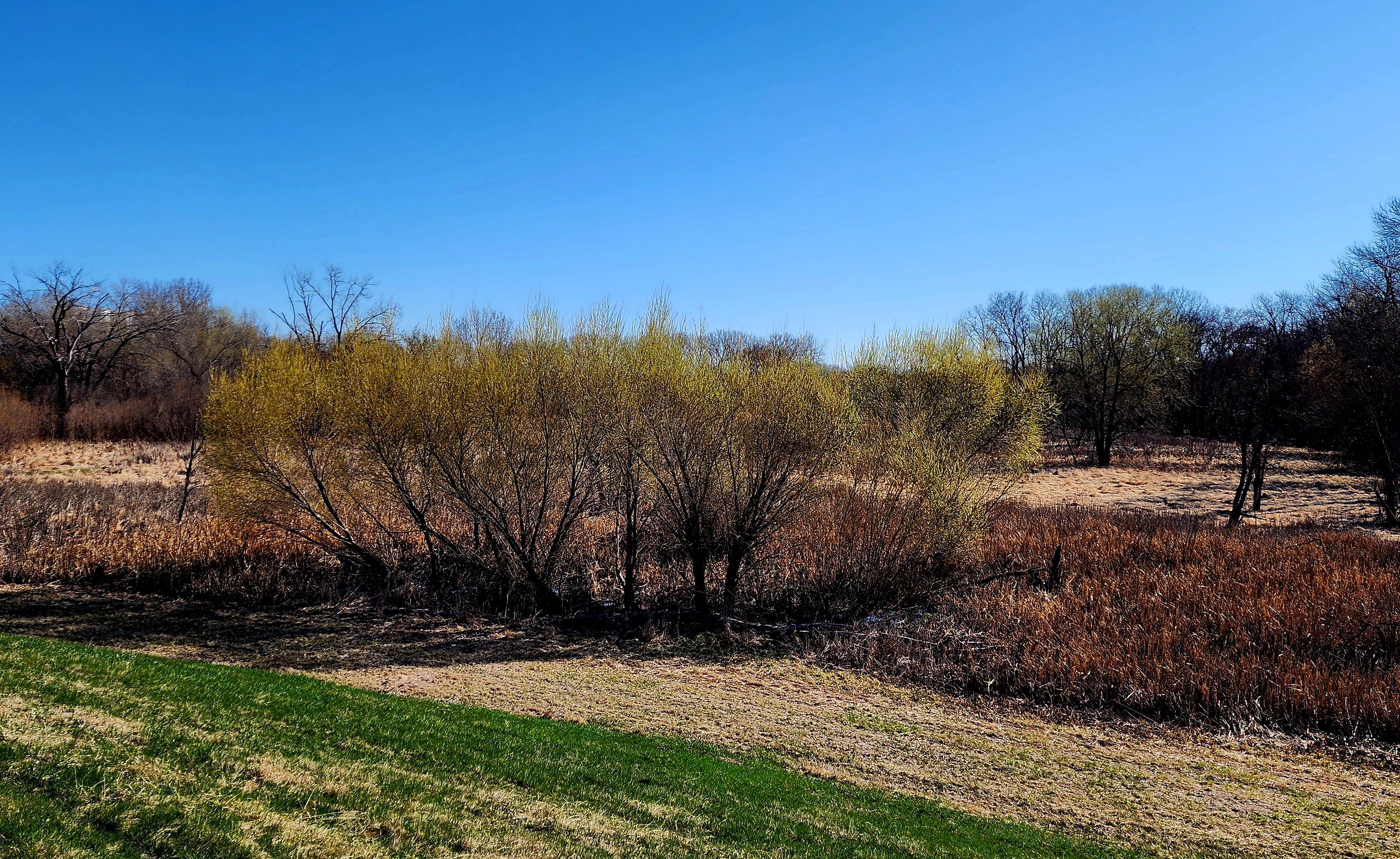
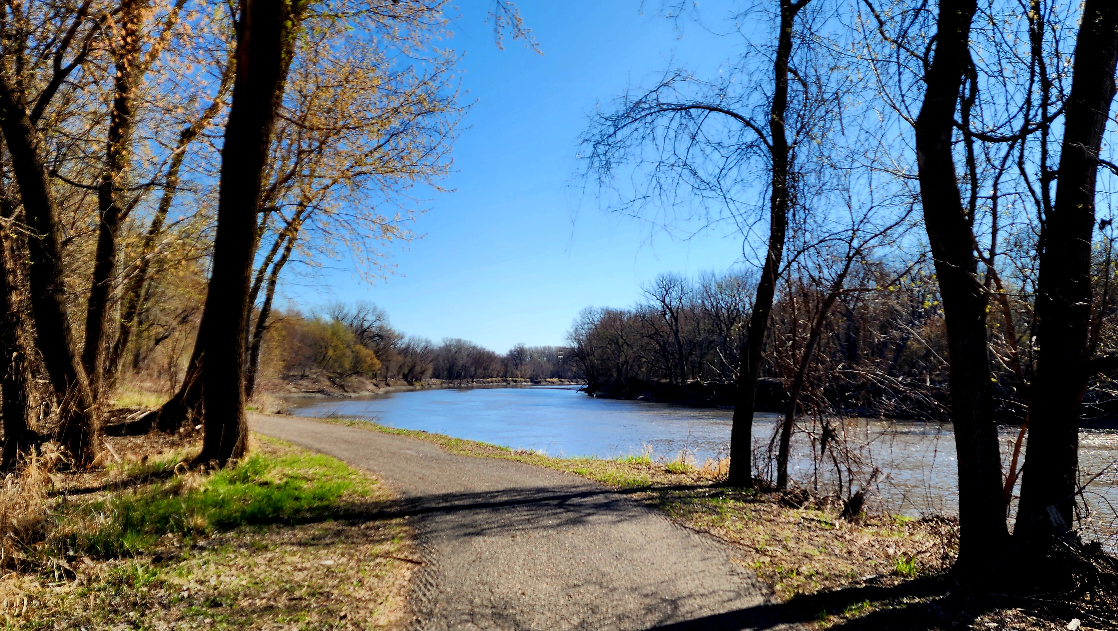
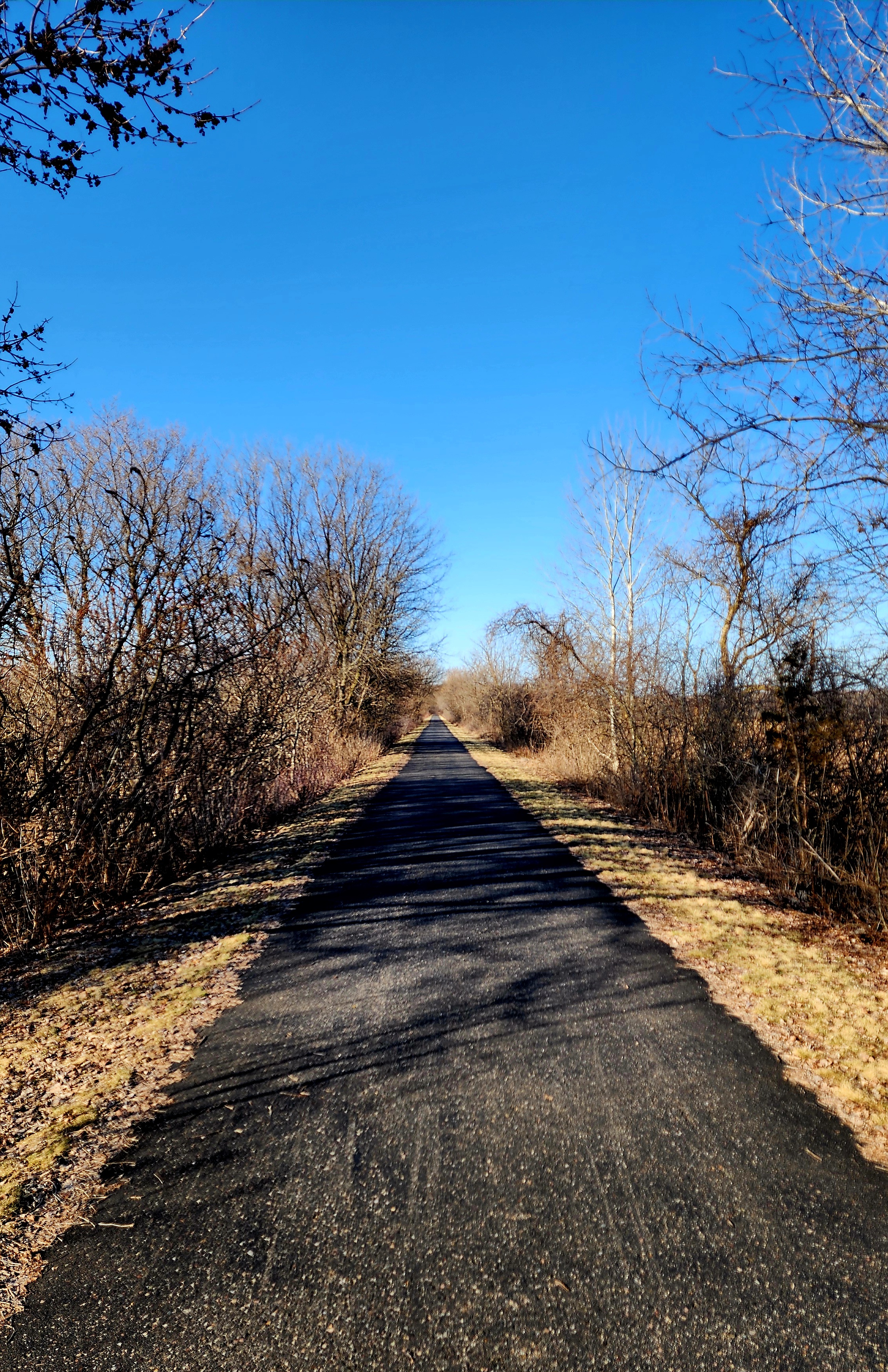
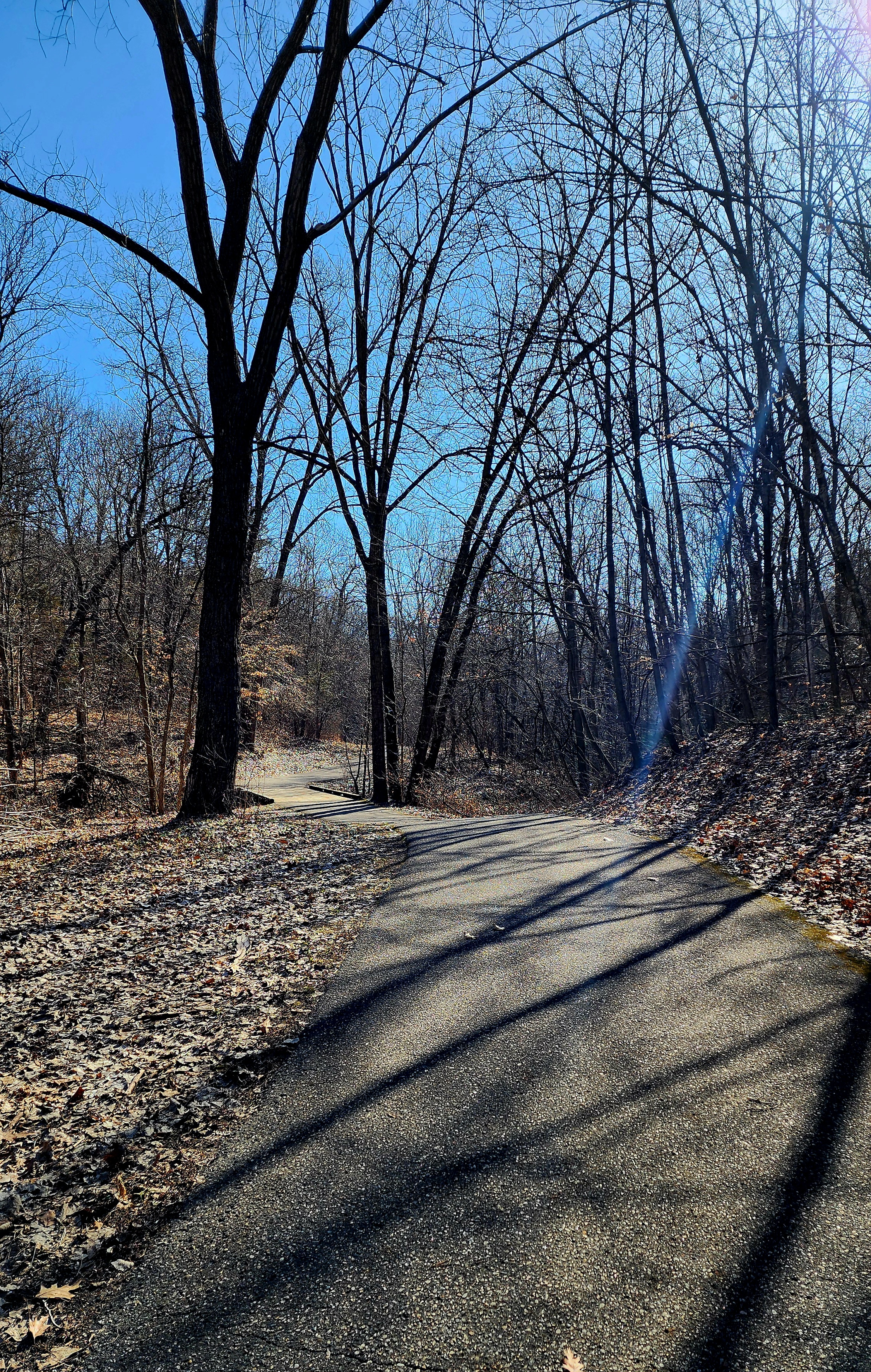
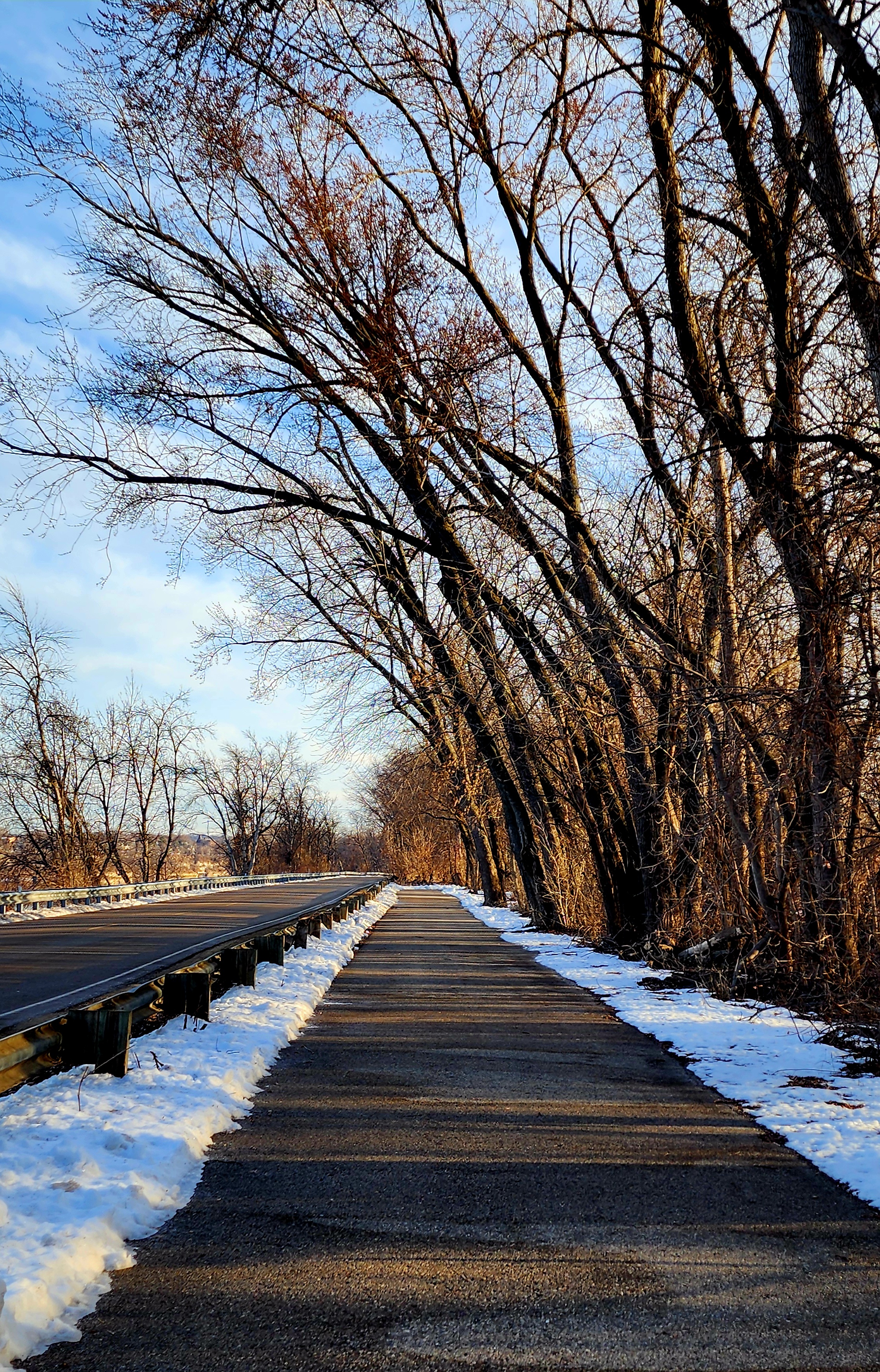
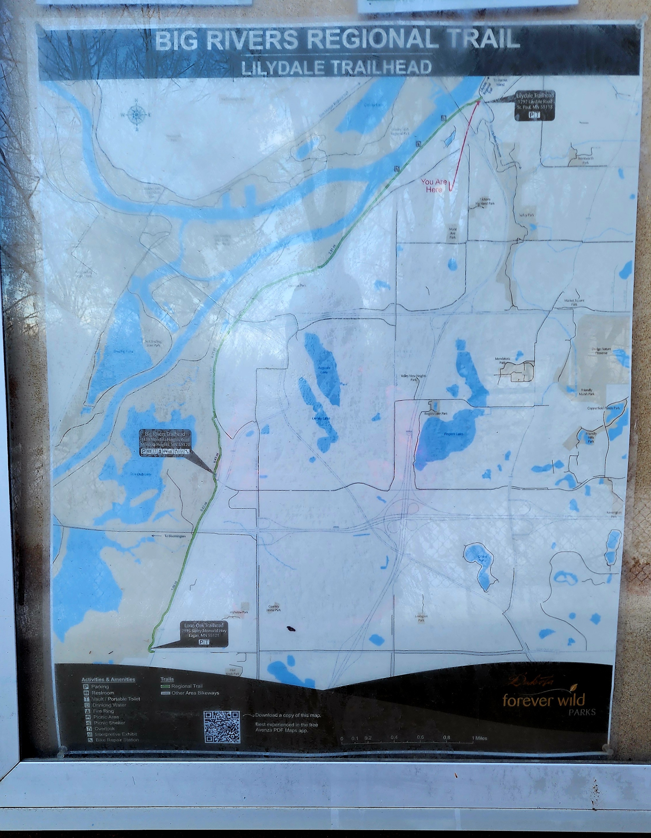
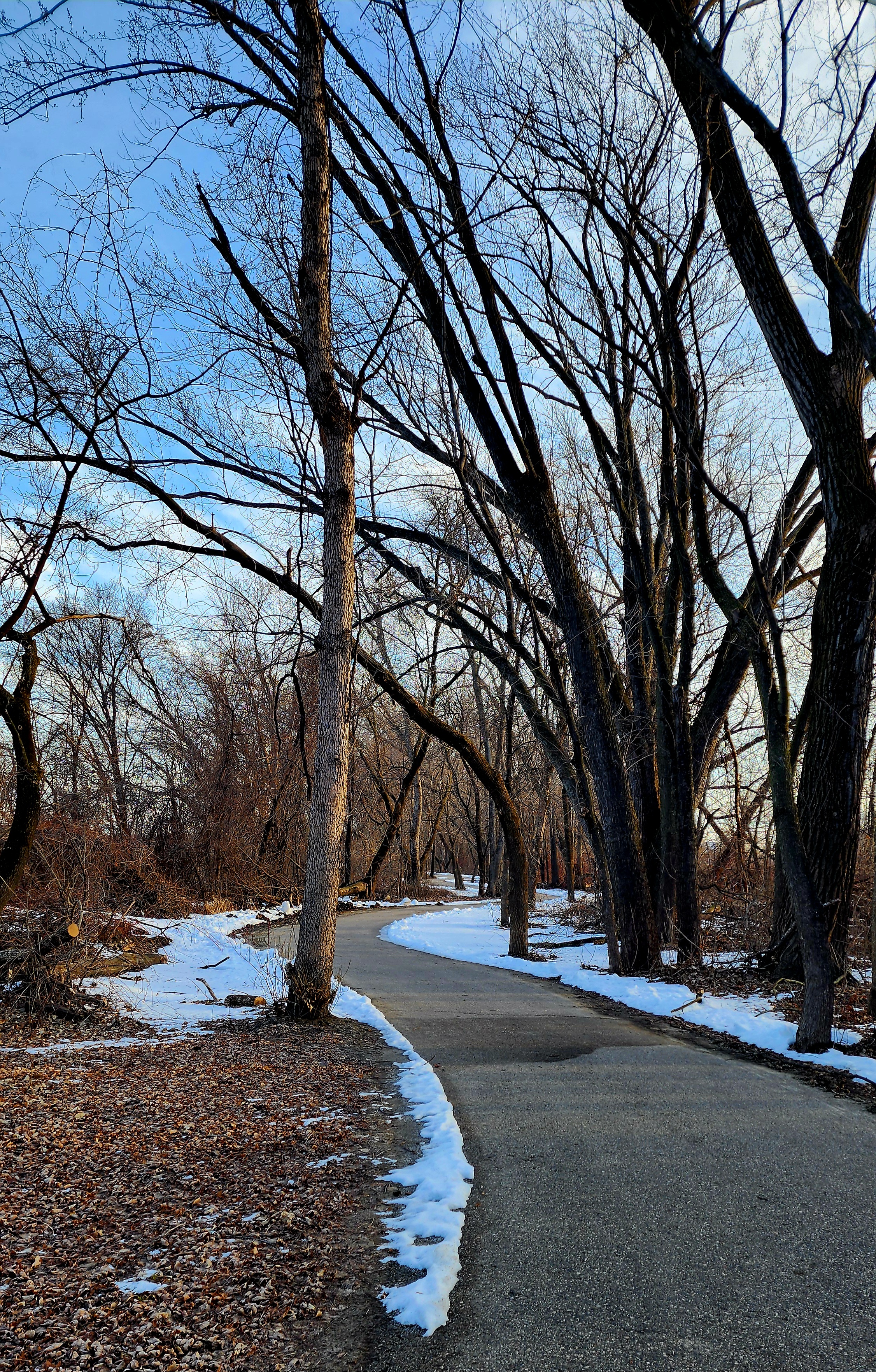
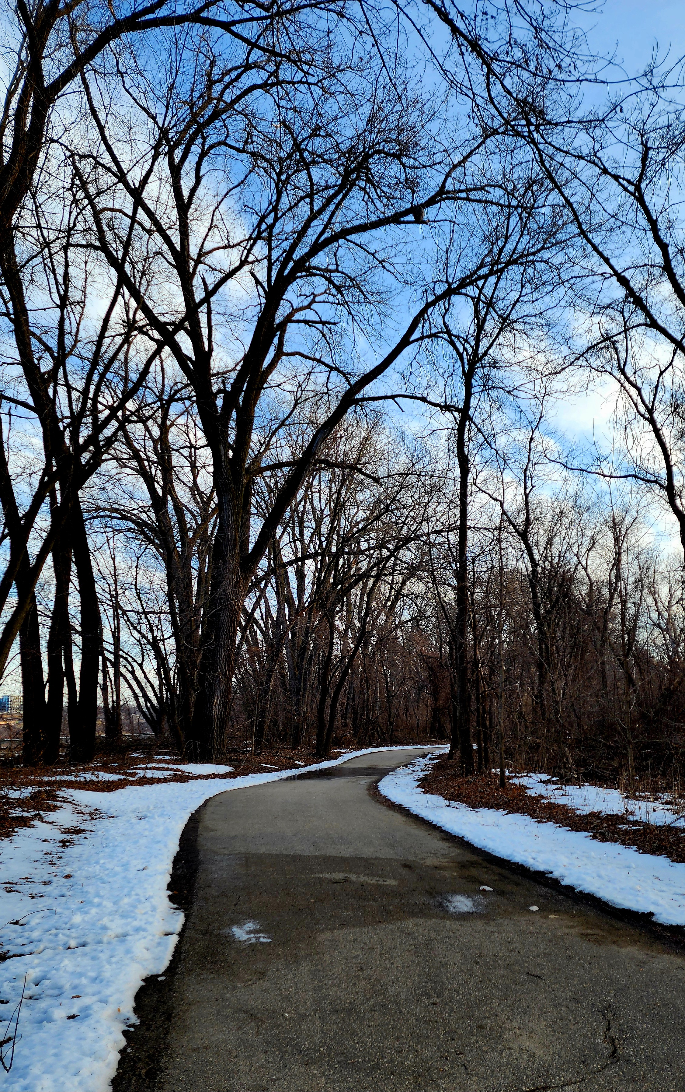
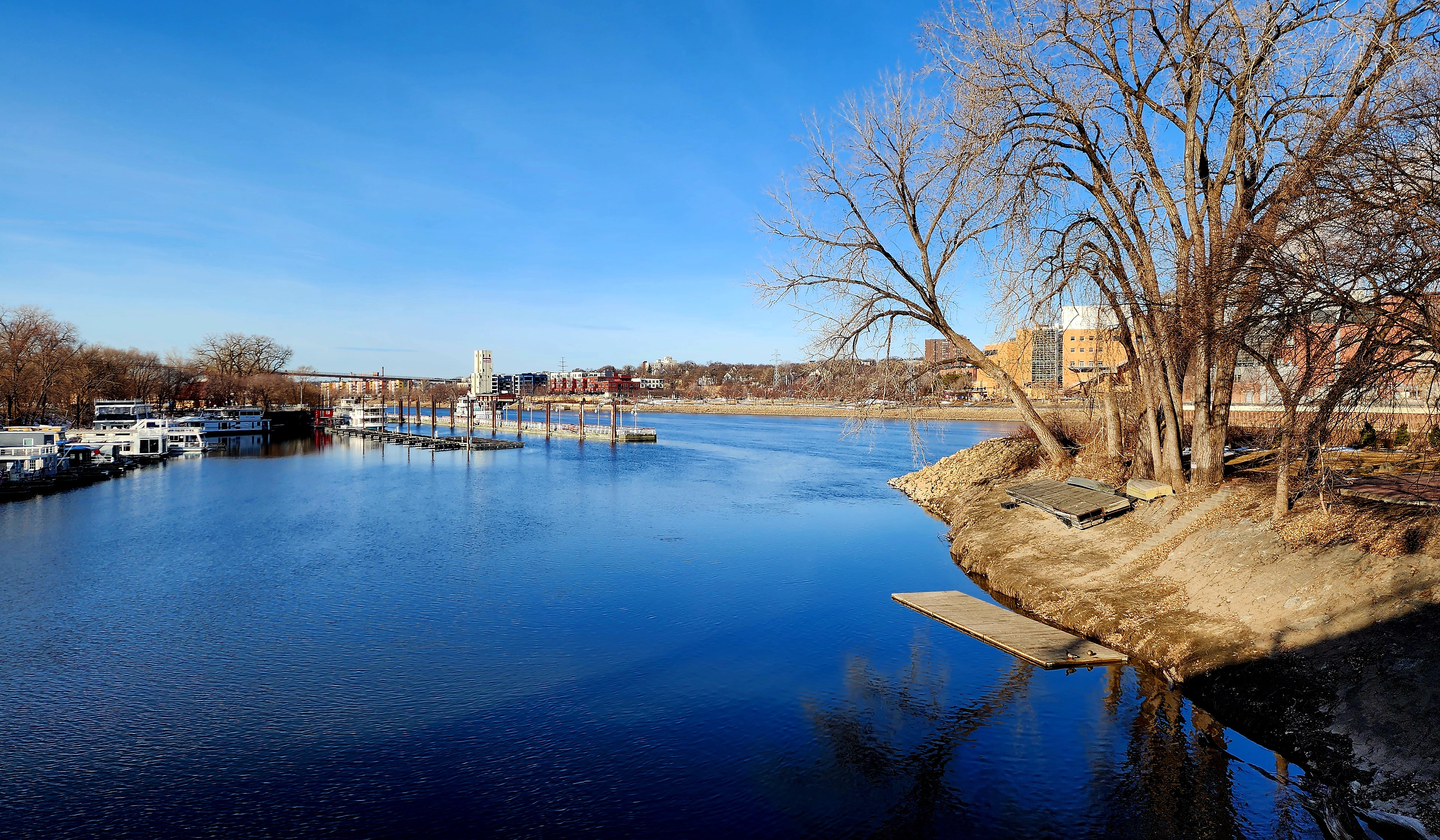
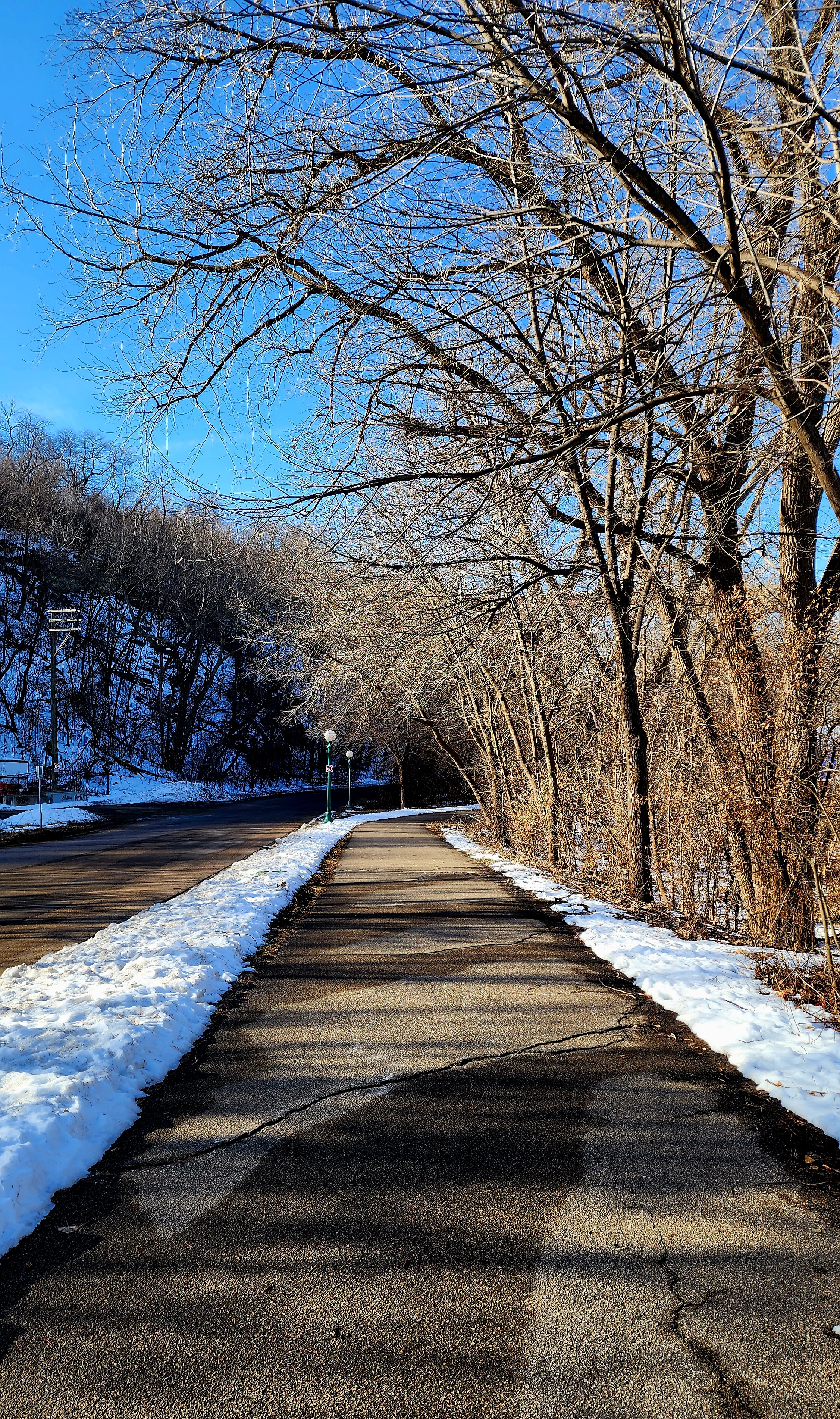
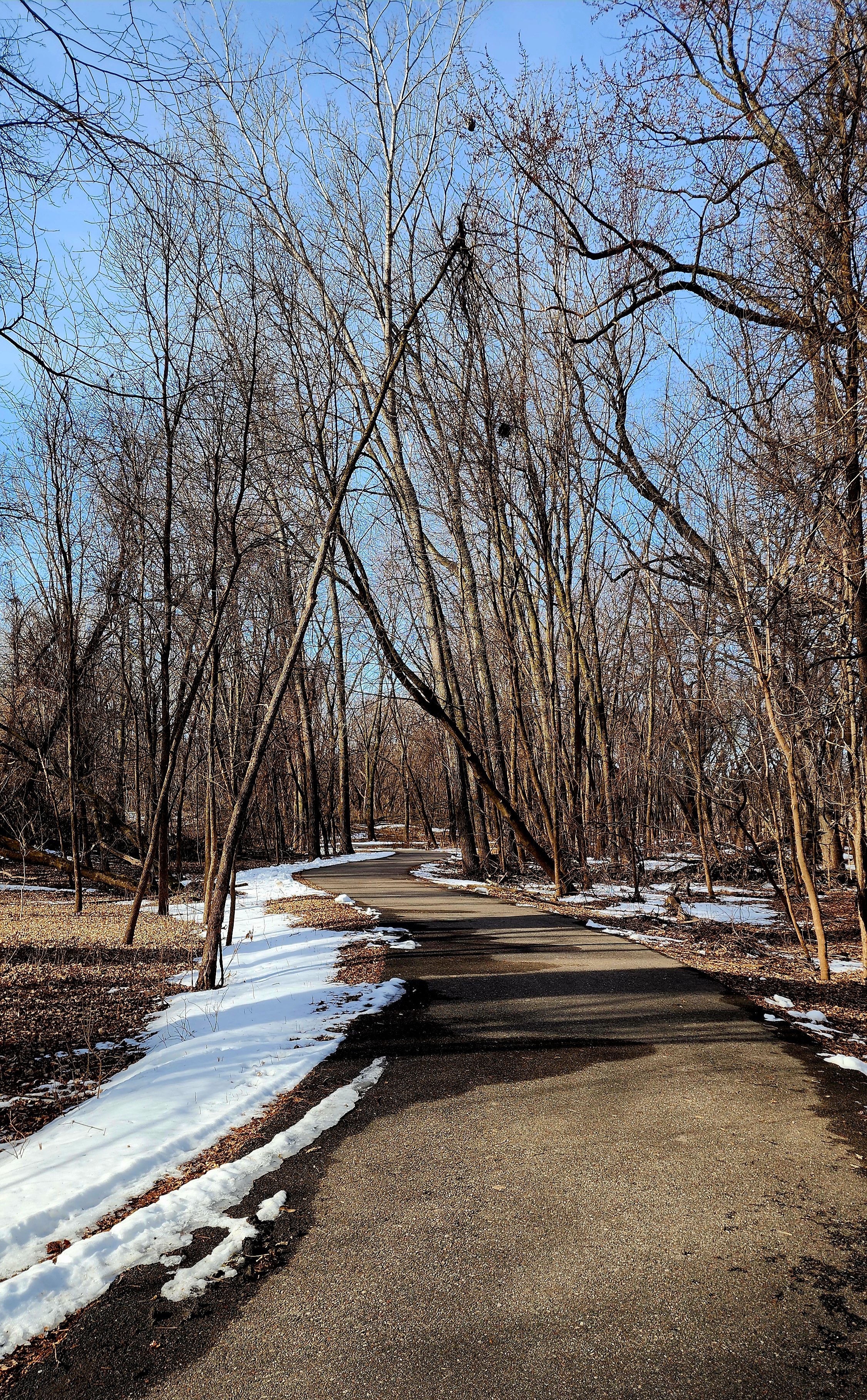
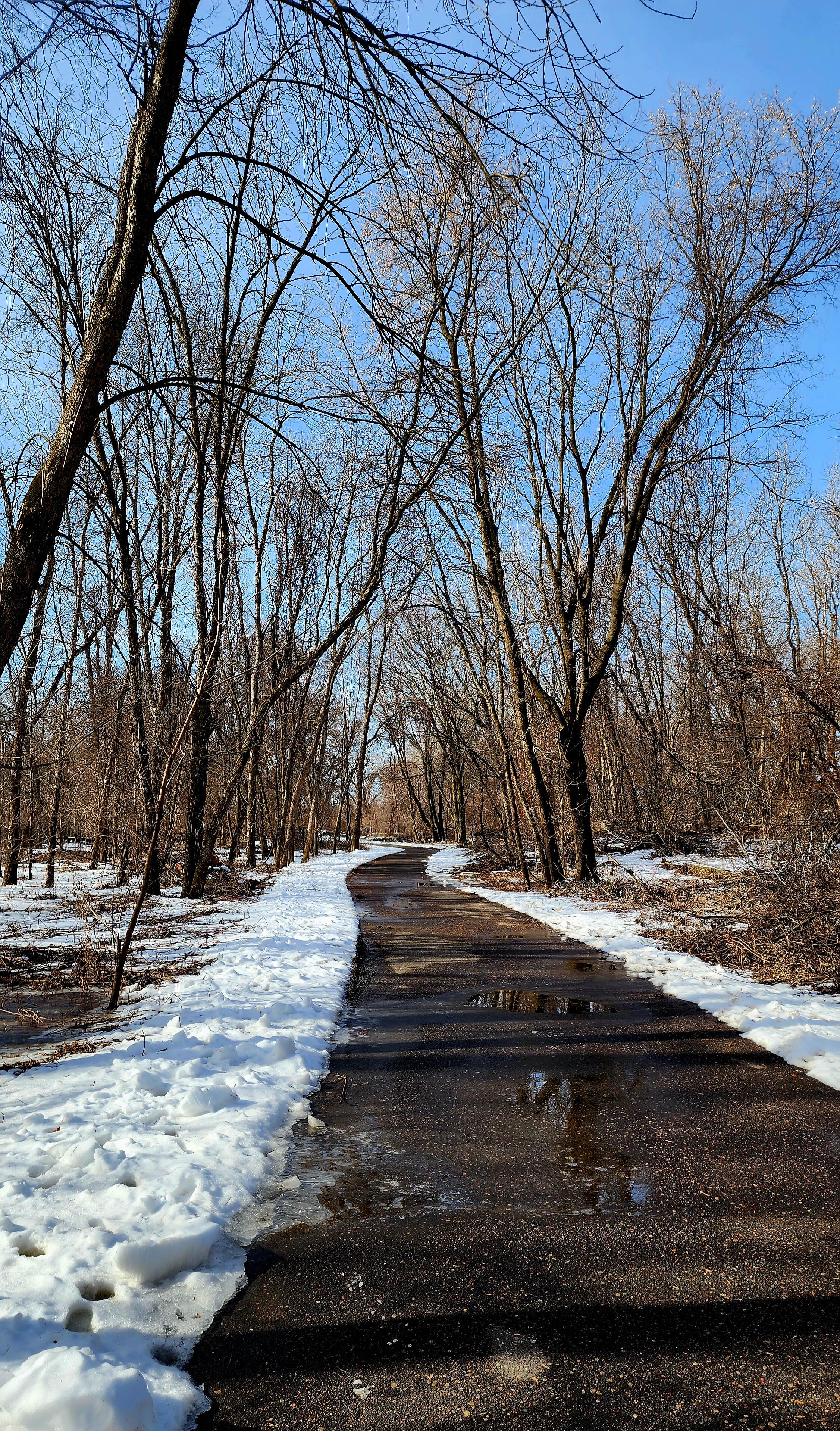
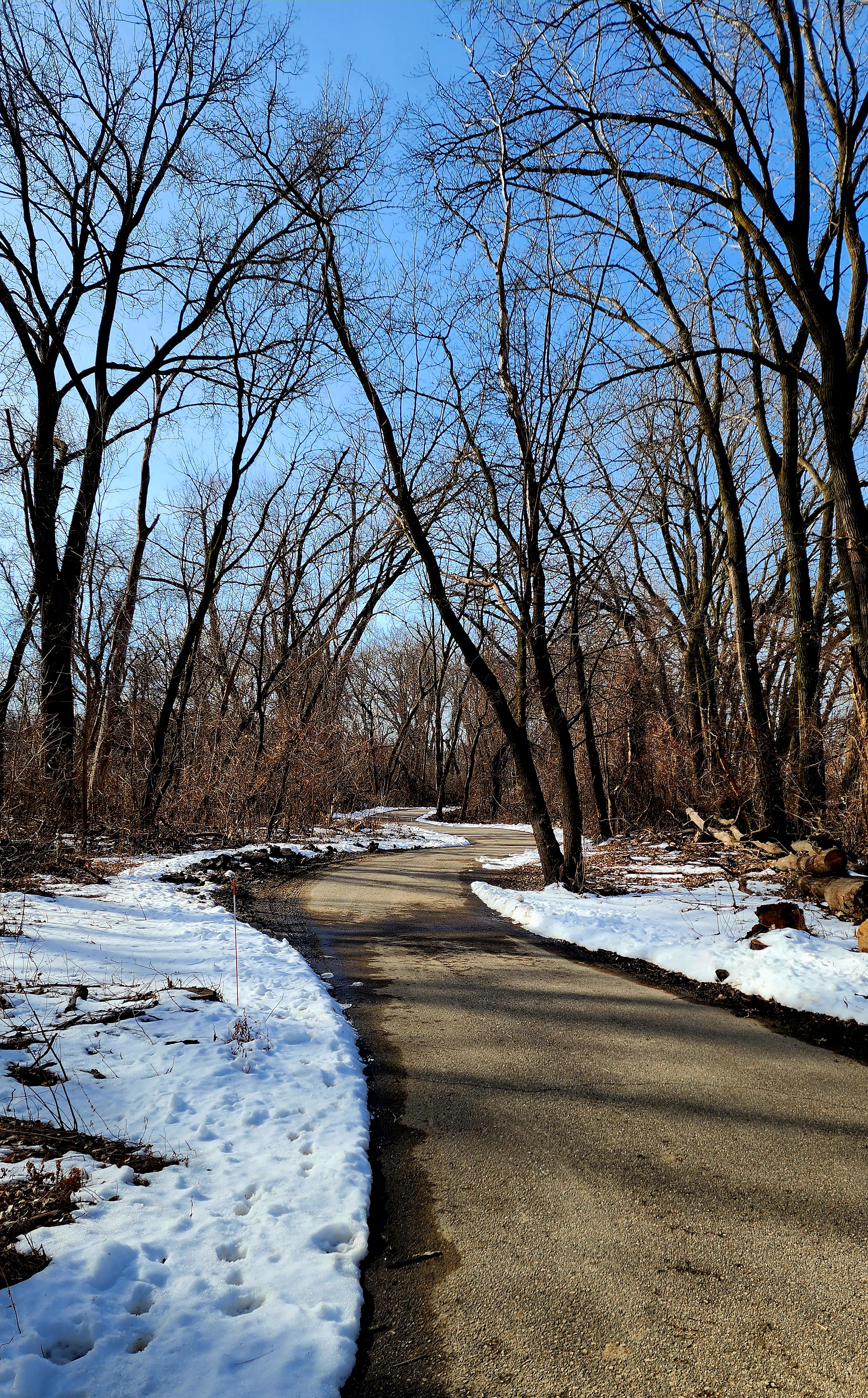
Today’s hiking adventure was at Lilydale Regional Park.
Minnesota was hit with lots of snow this past week. Thankfully, we have had some warmer temperatures so most of the snow has melted. With that said, we wanted to hike a paved trail. Lilydale trail was perfect!
Pickerel Lake had several geese enjoying the rising sun.
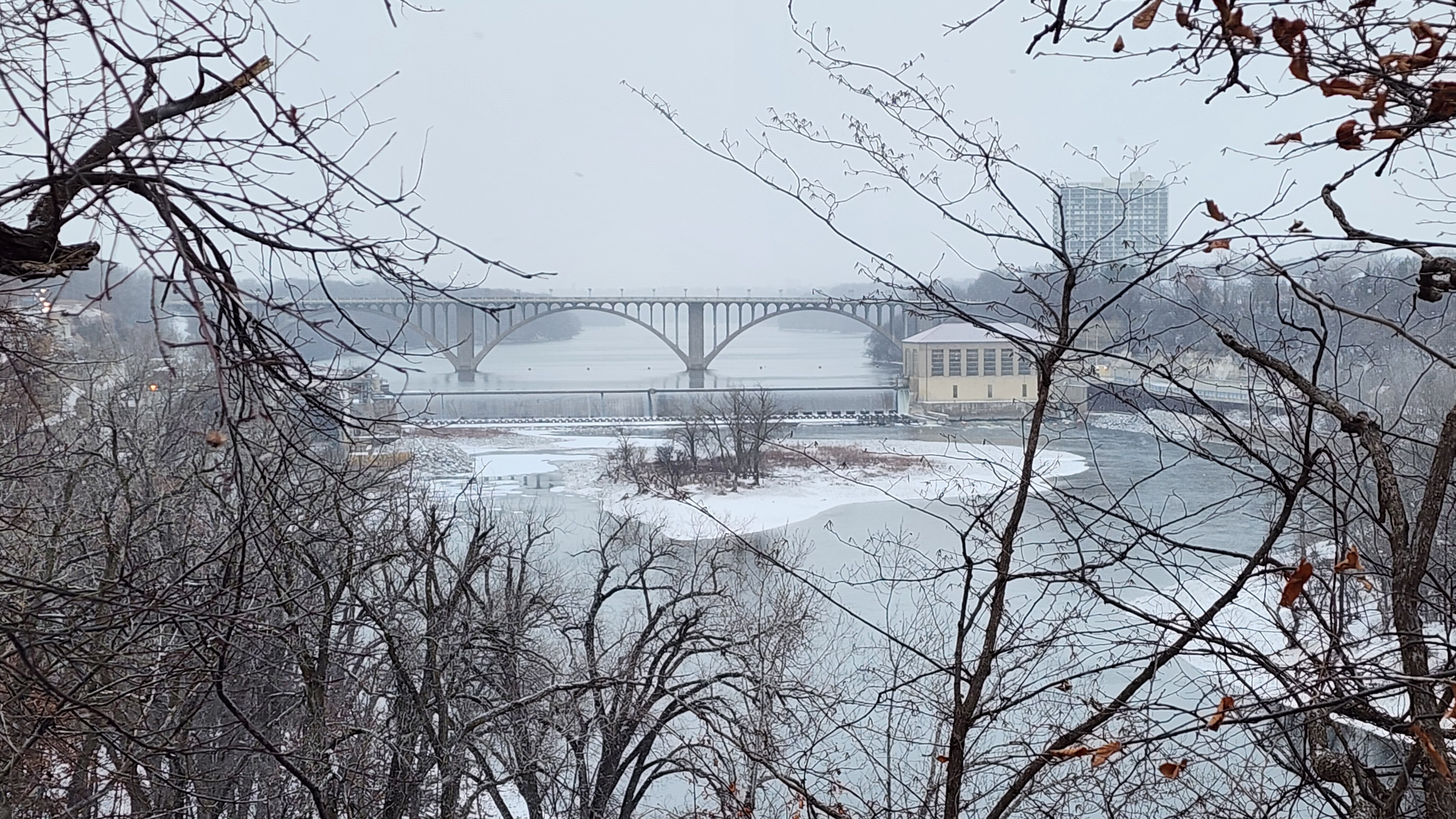
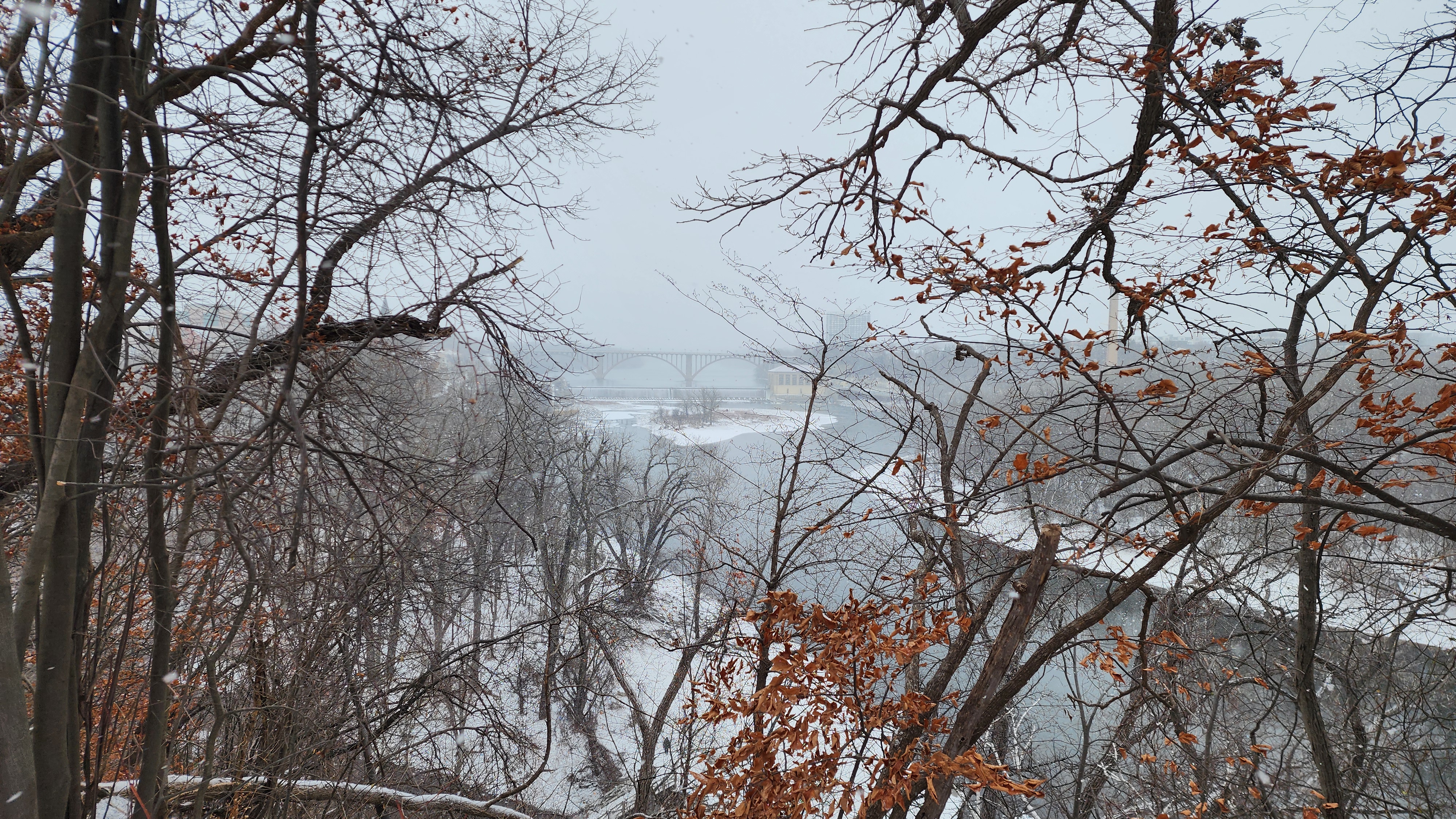
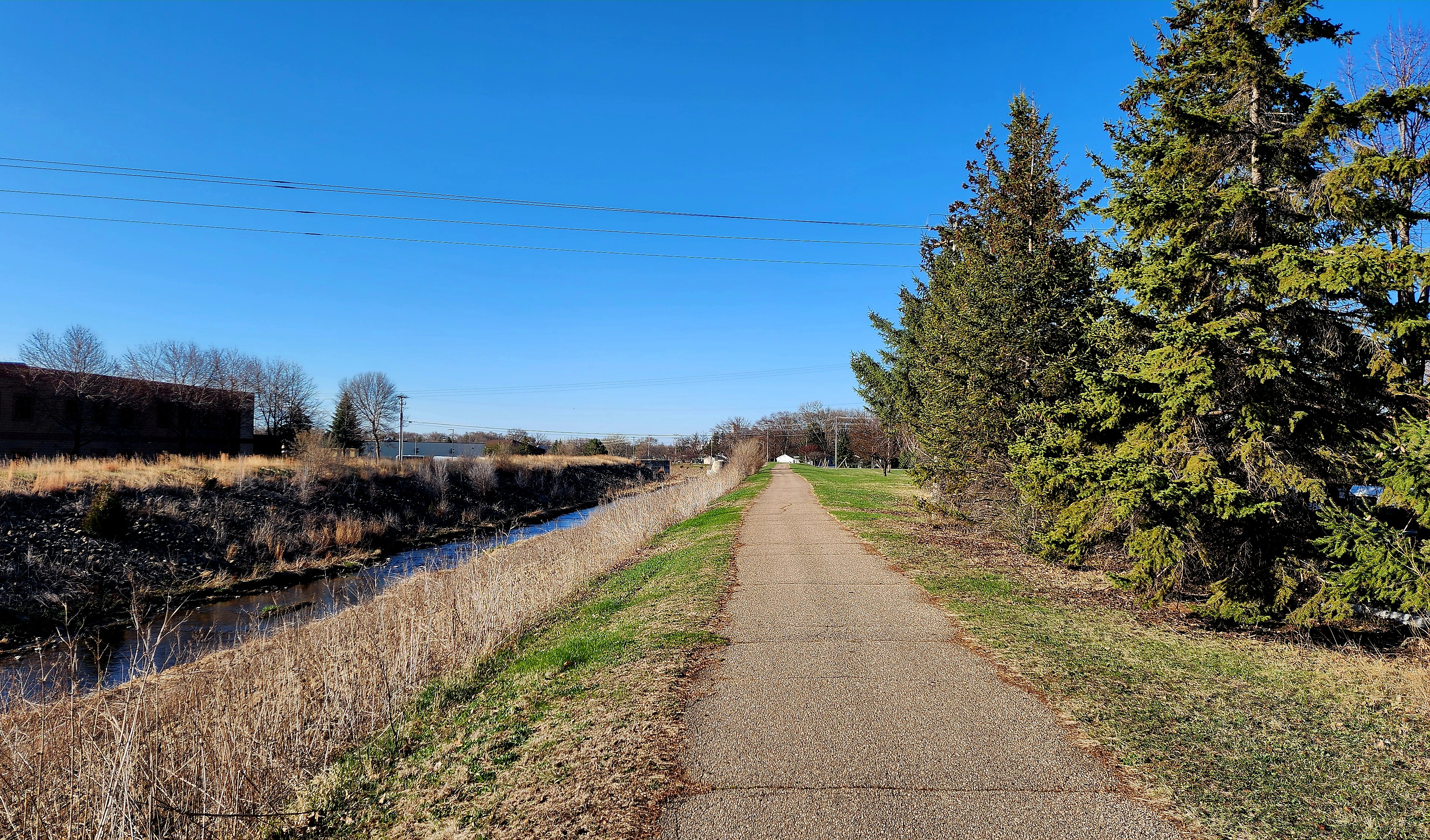
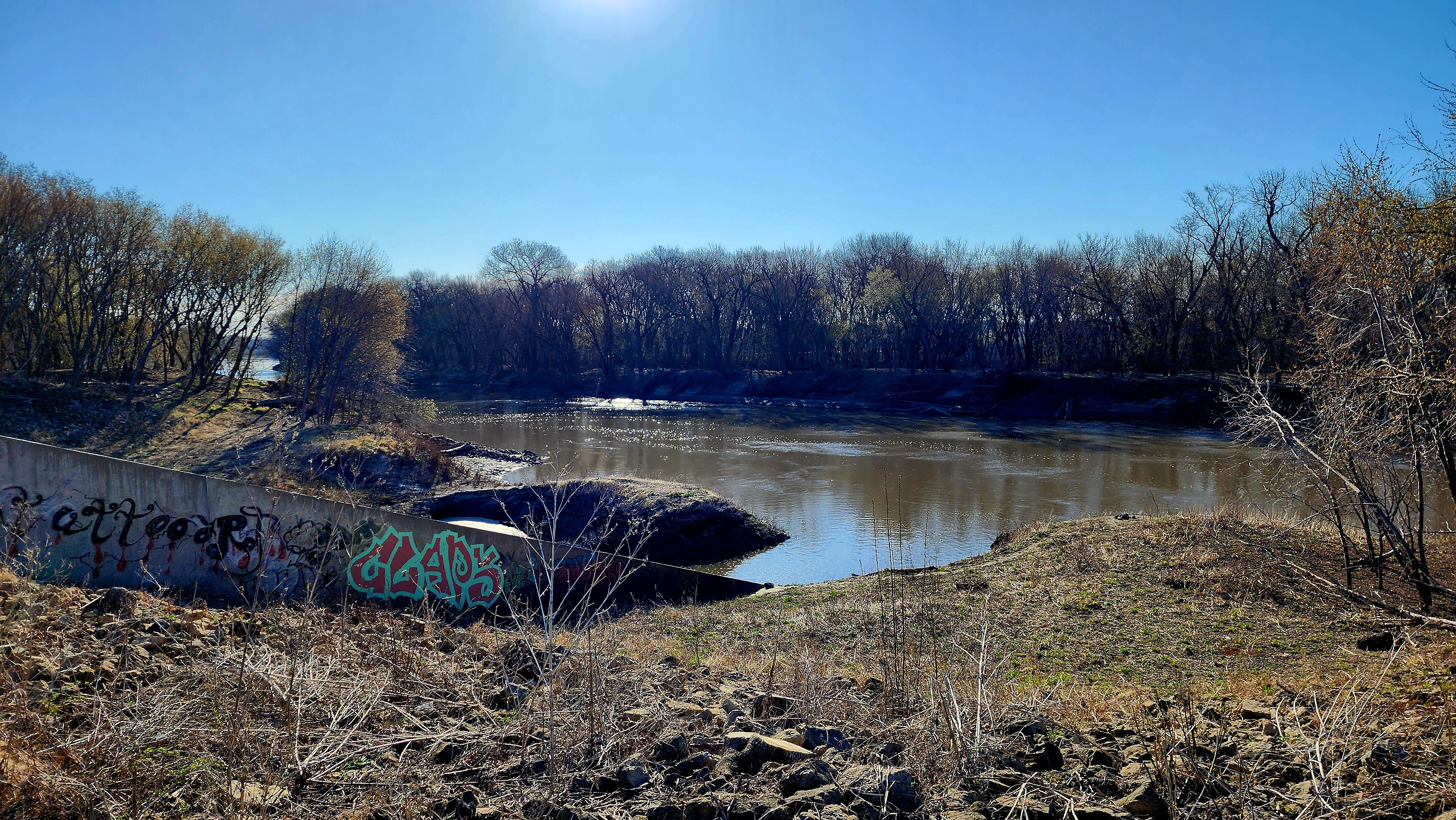
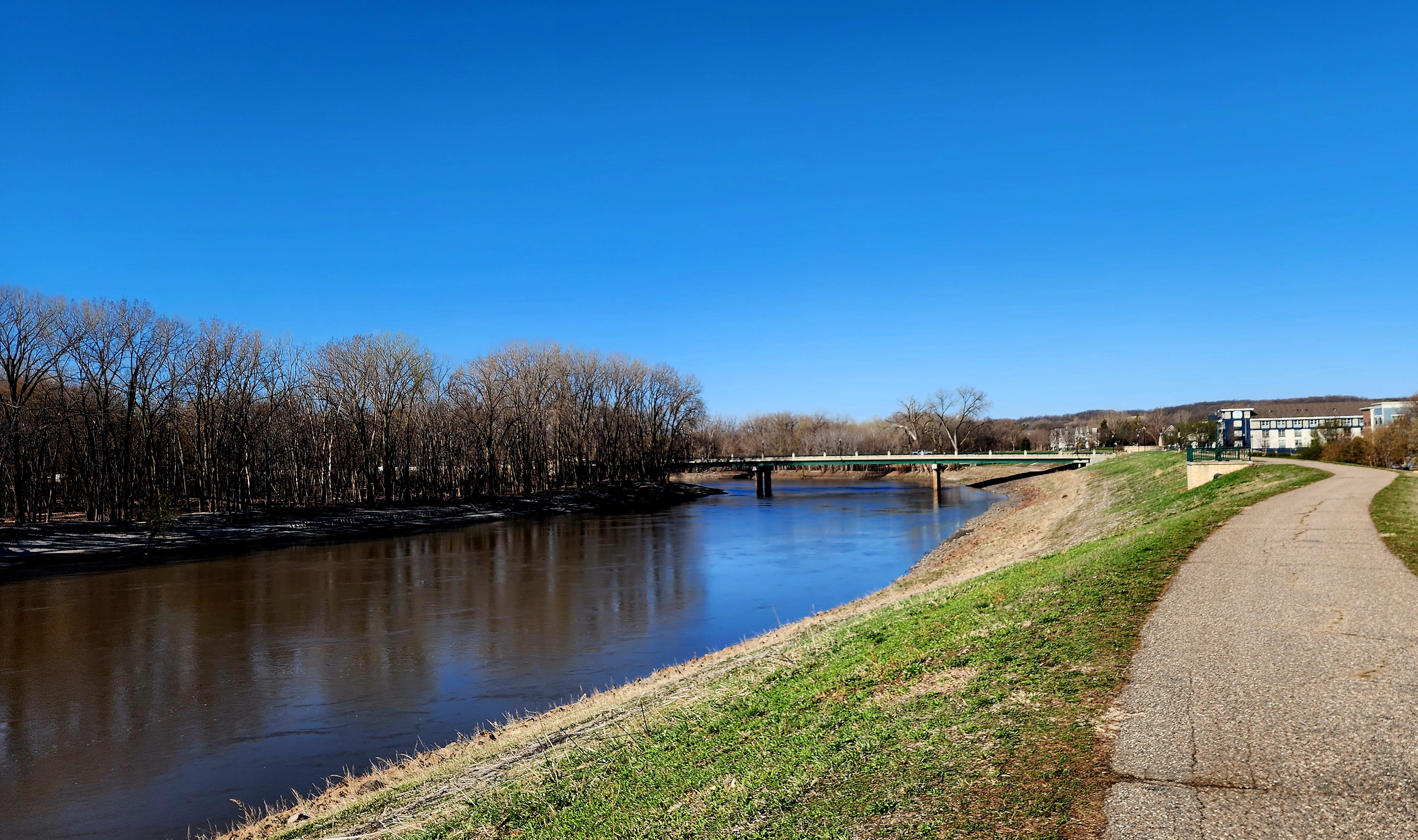
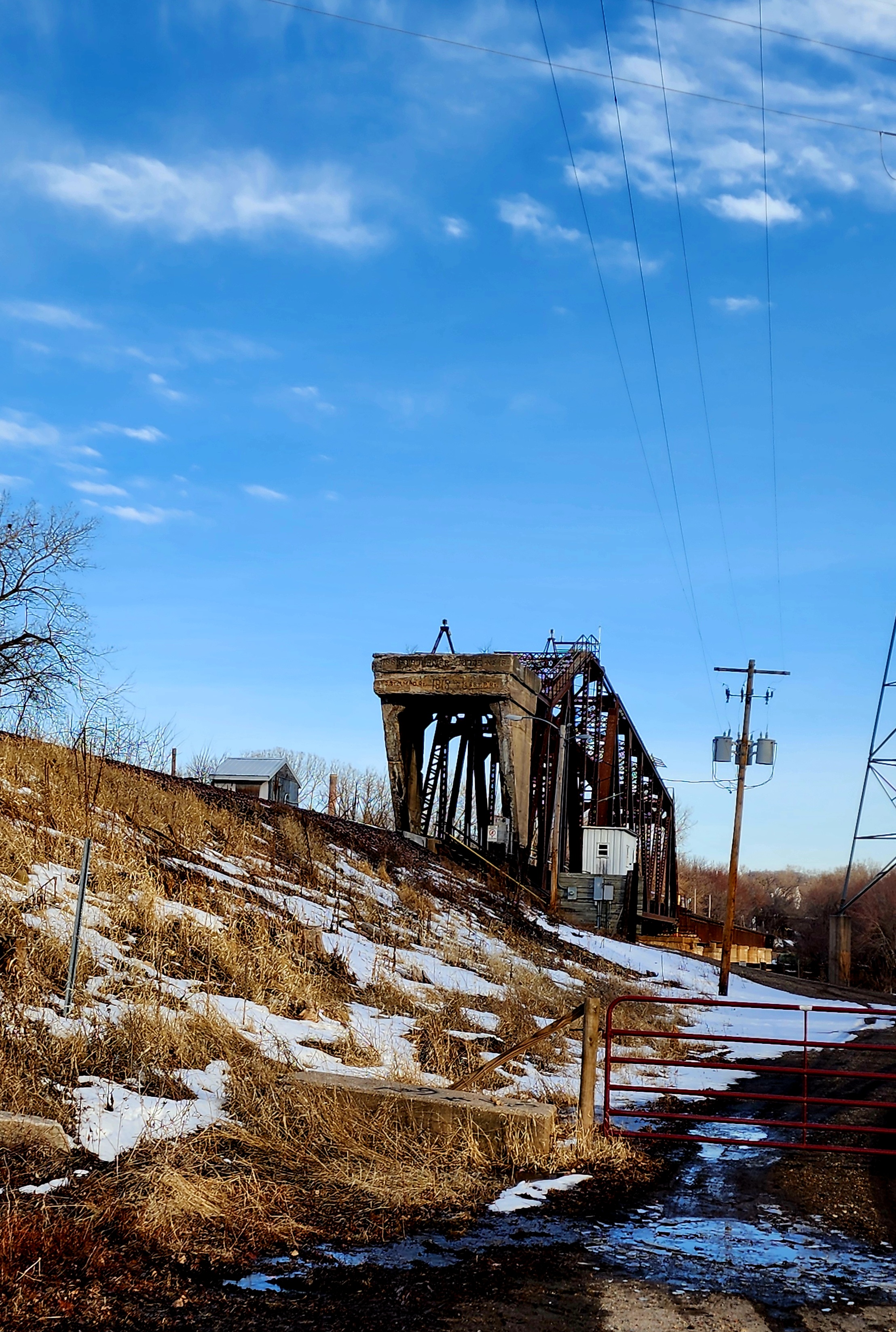
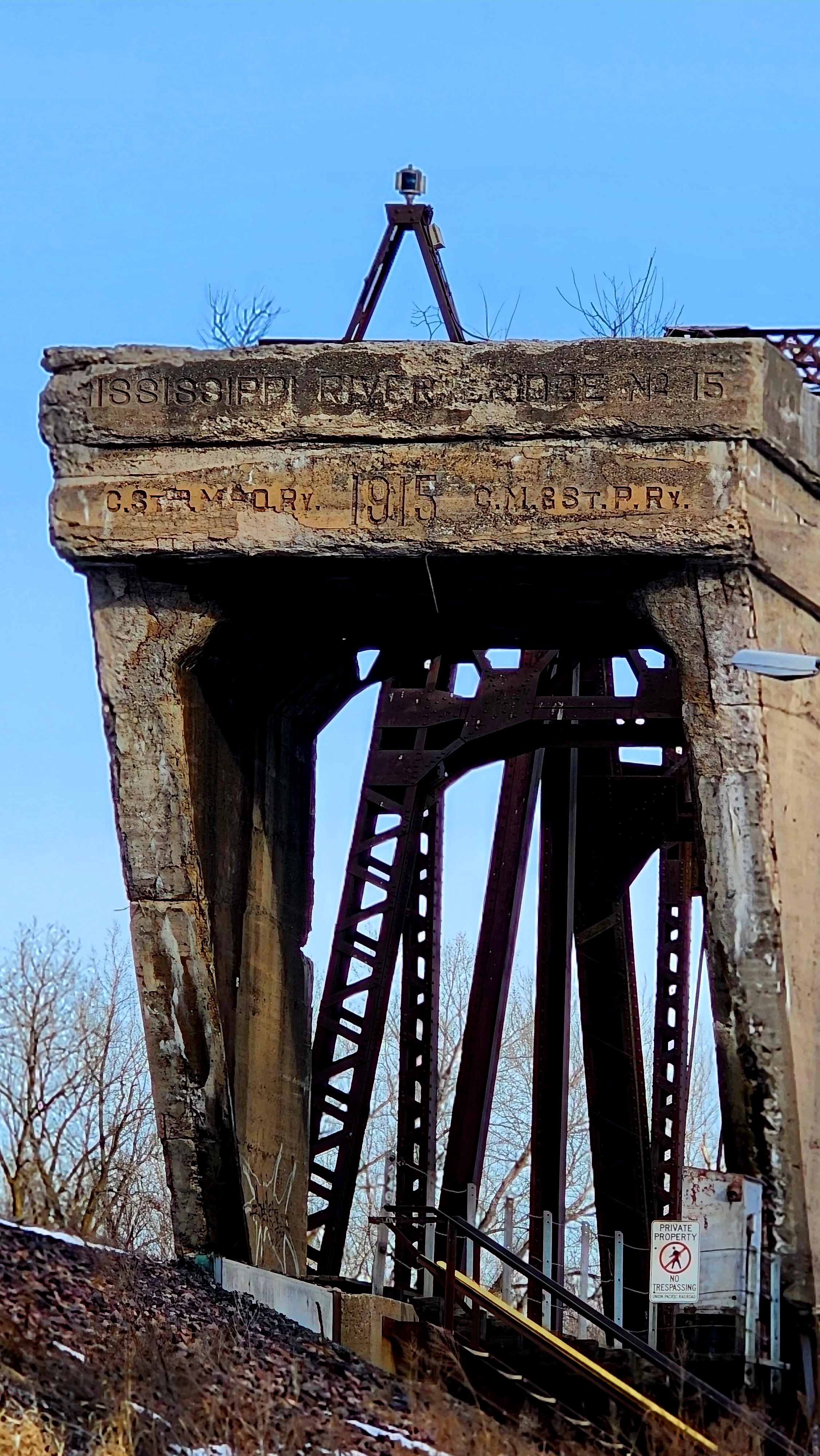
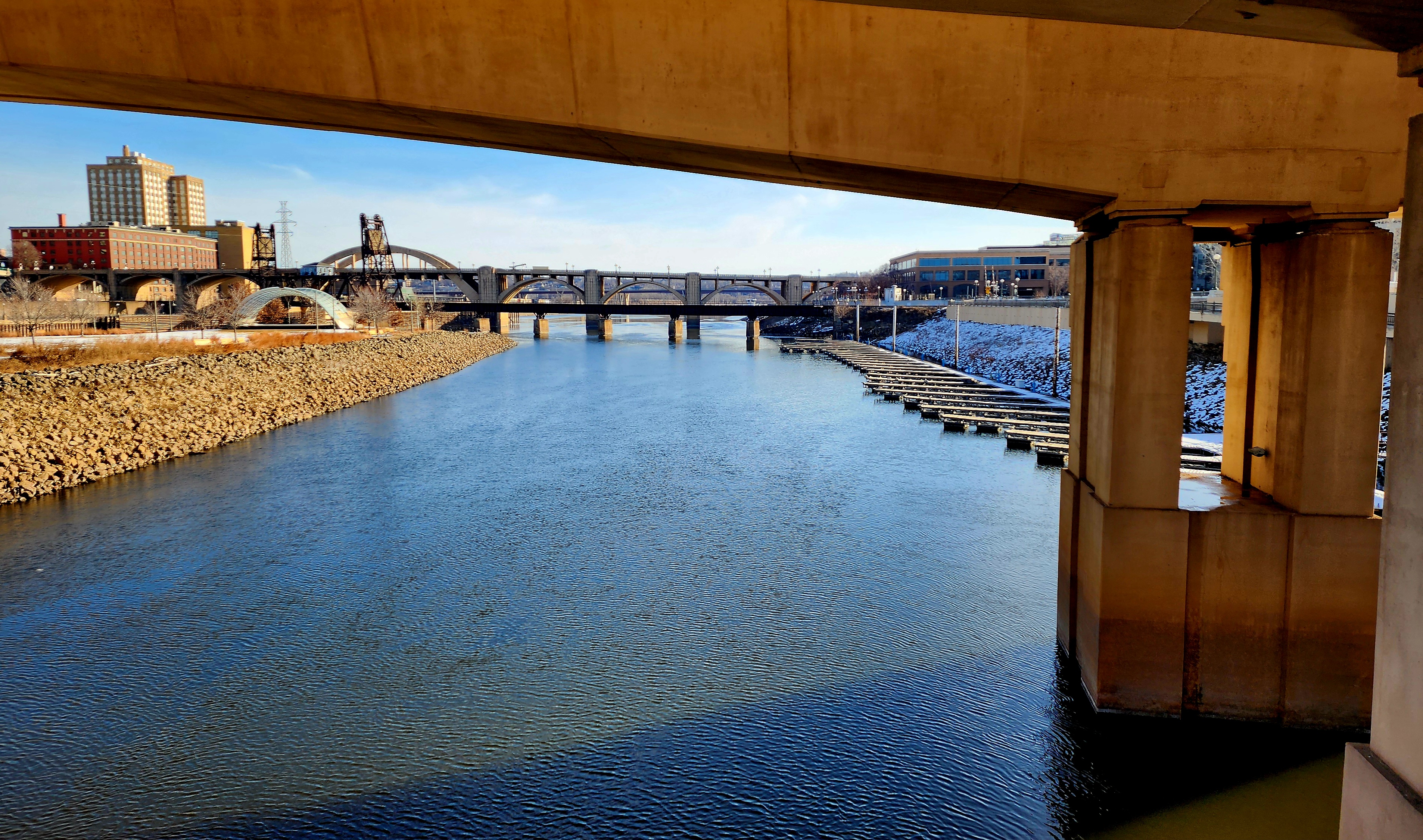
Old and new train tracks could be seen alongside the Mississippi River.
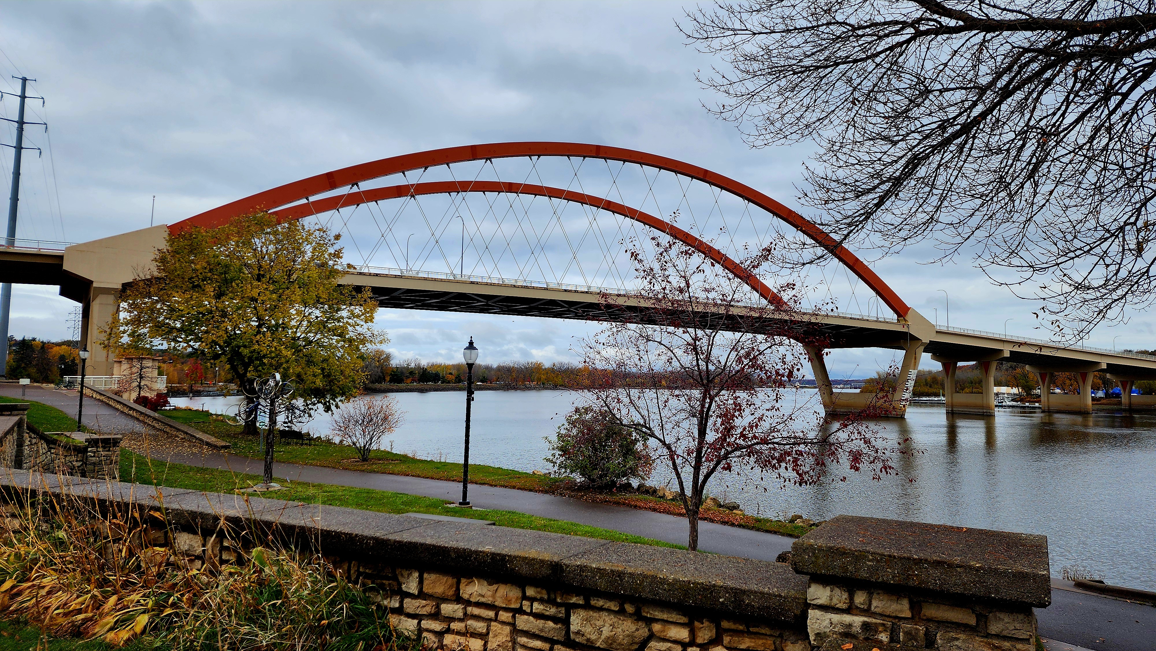
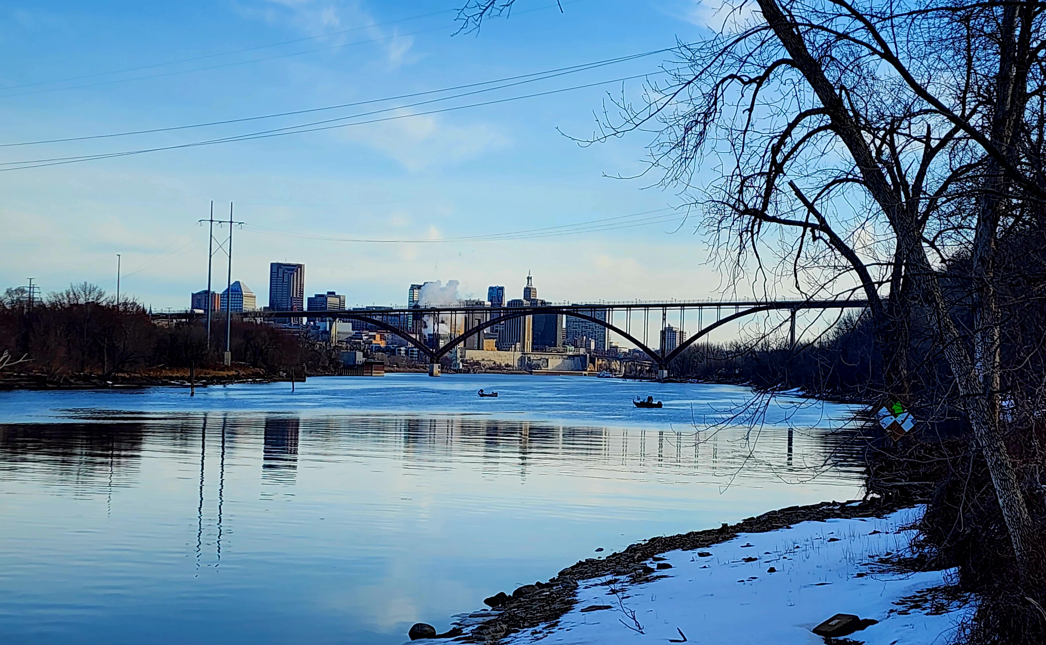
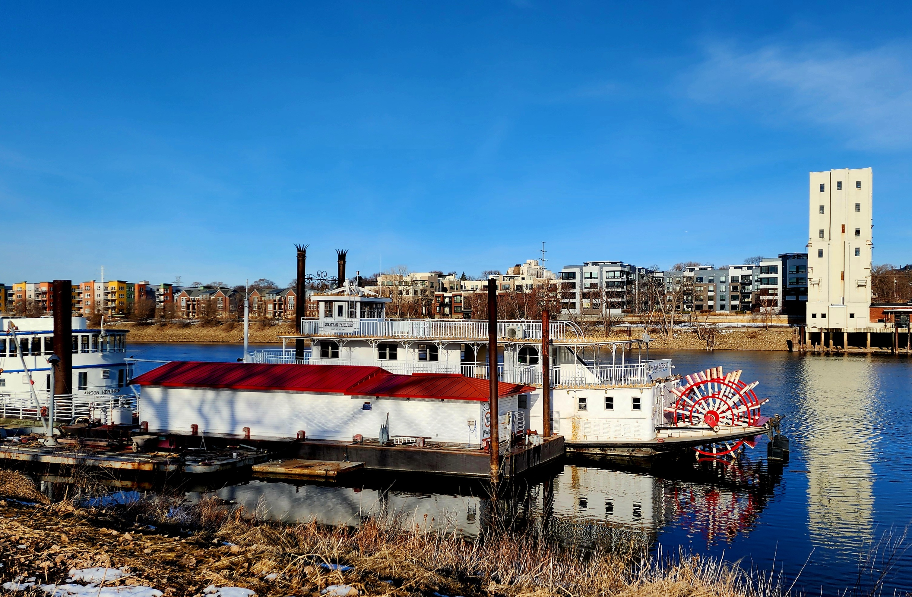
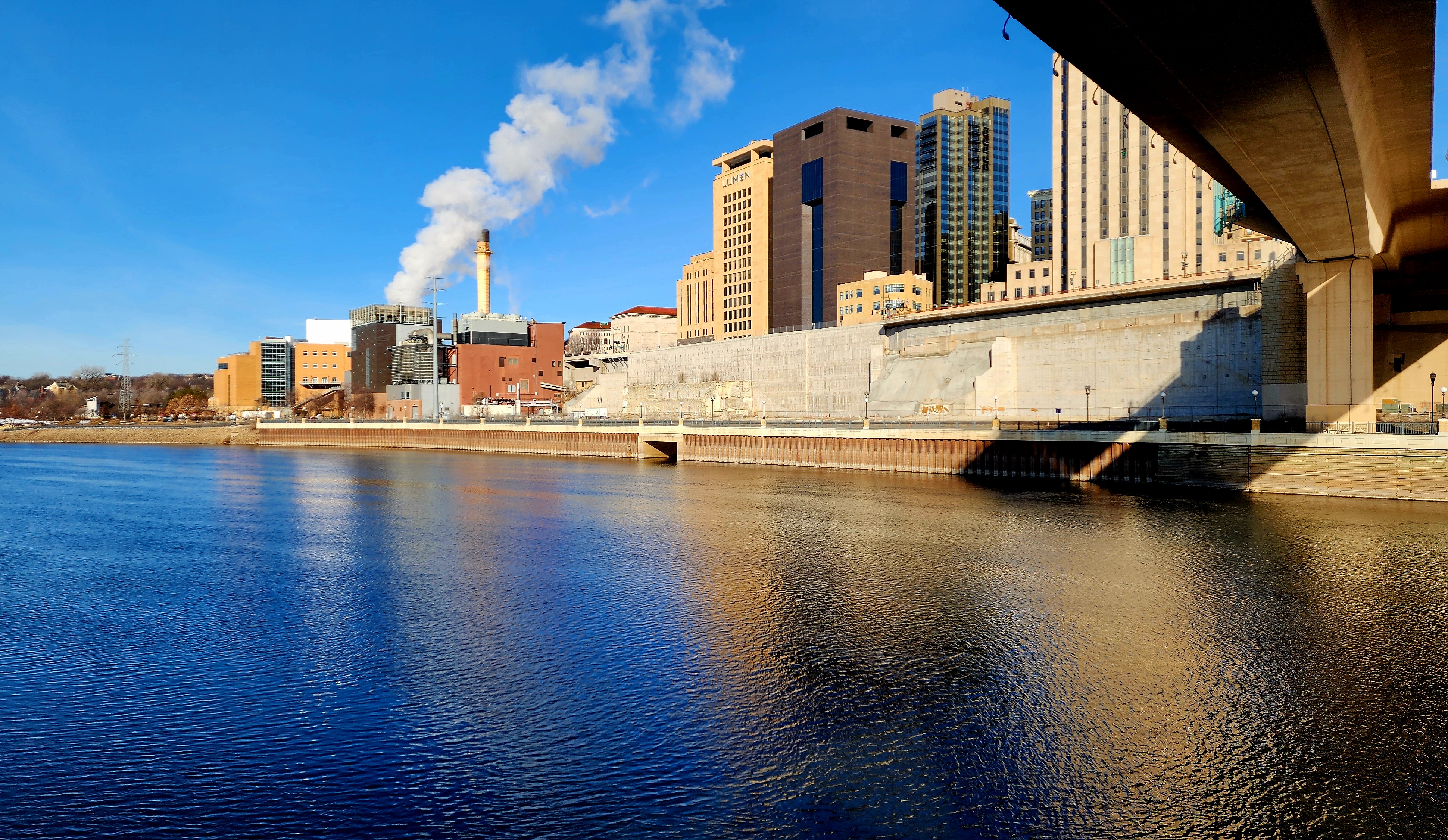
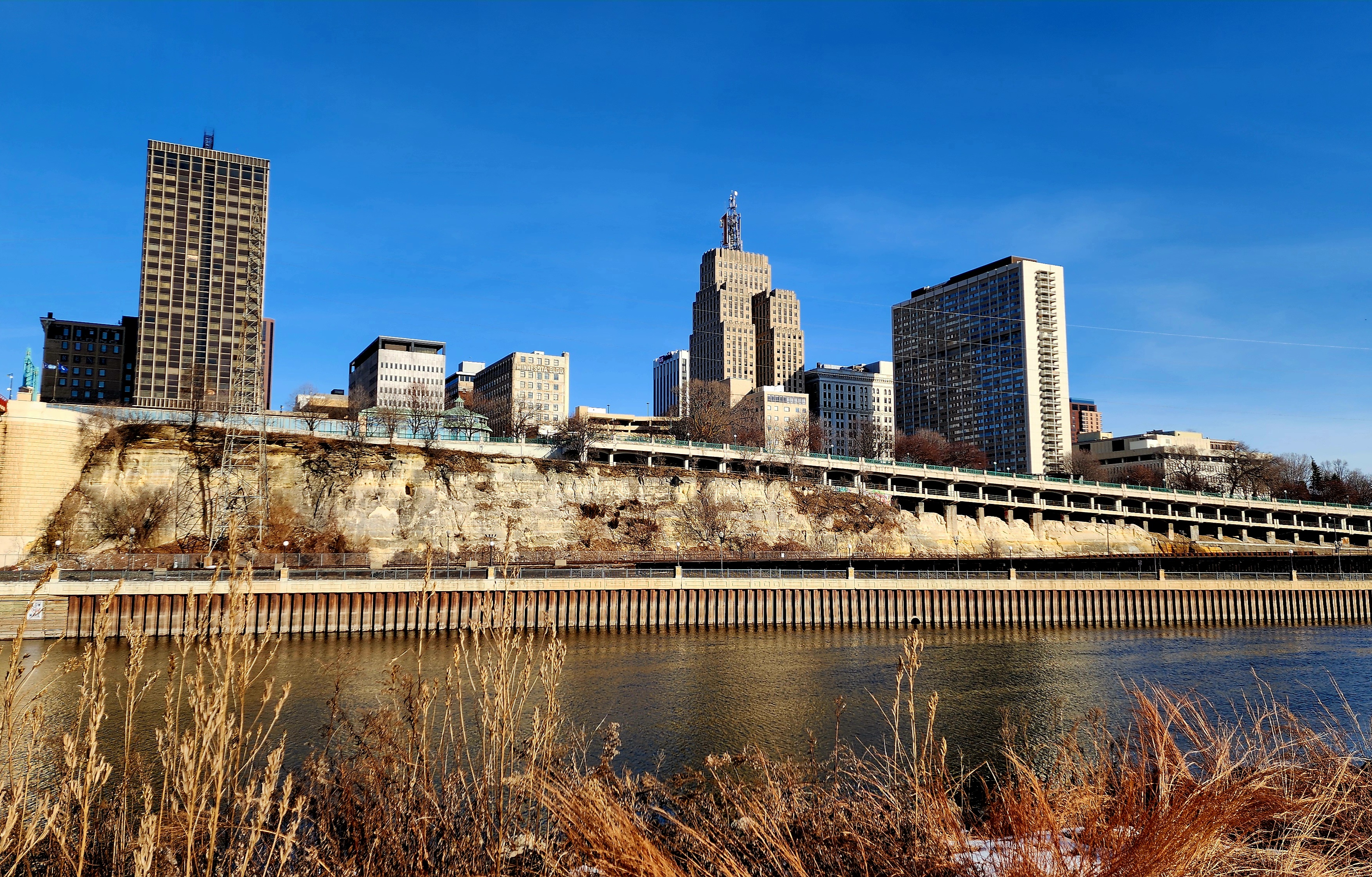
Mississippi River and Downtown St. Paul in the near distance.
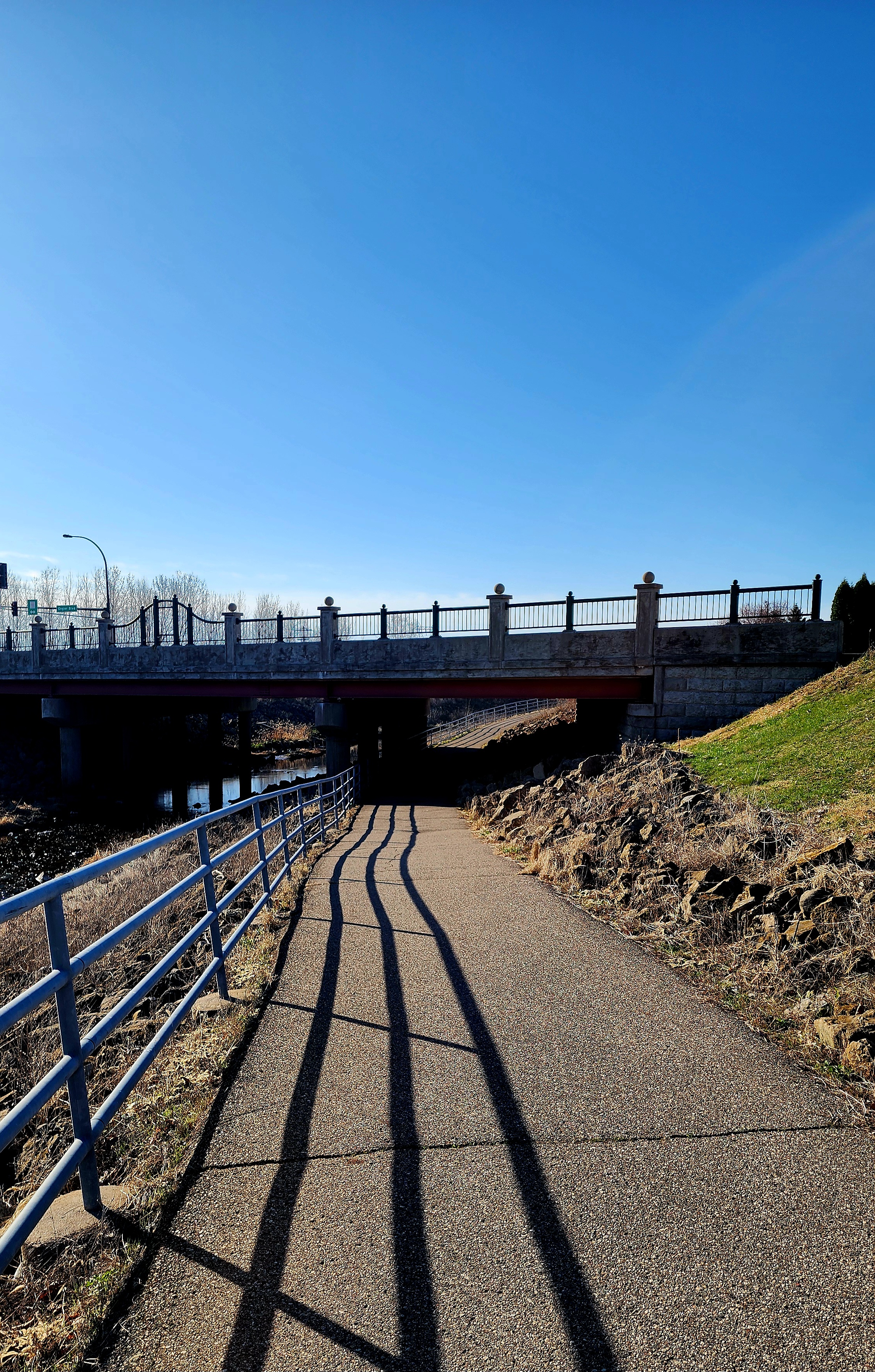
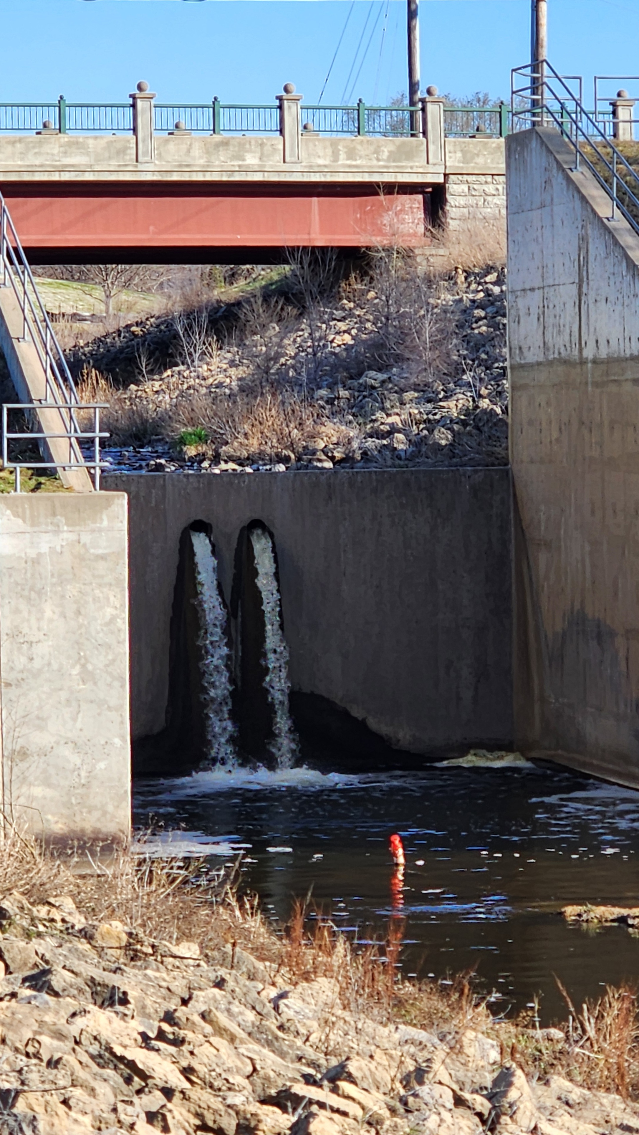
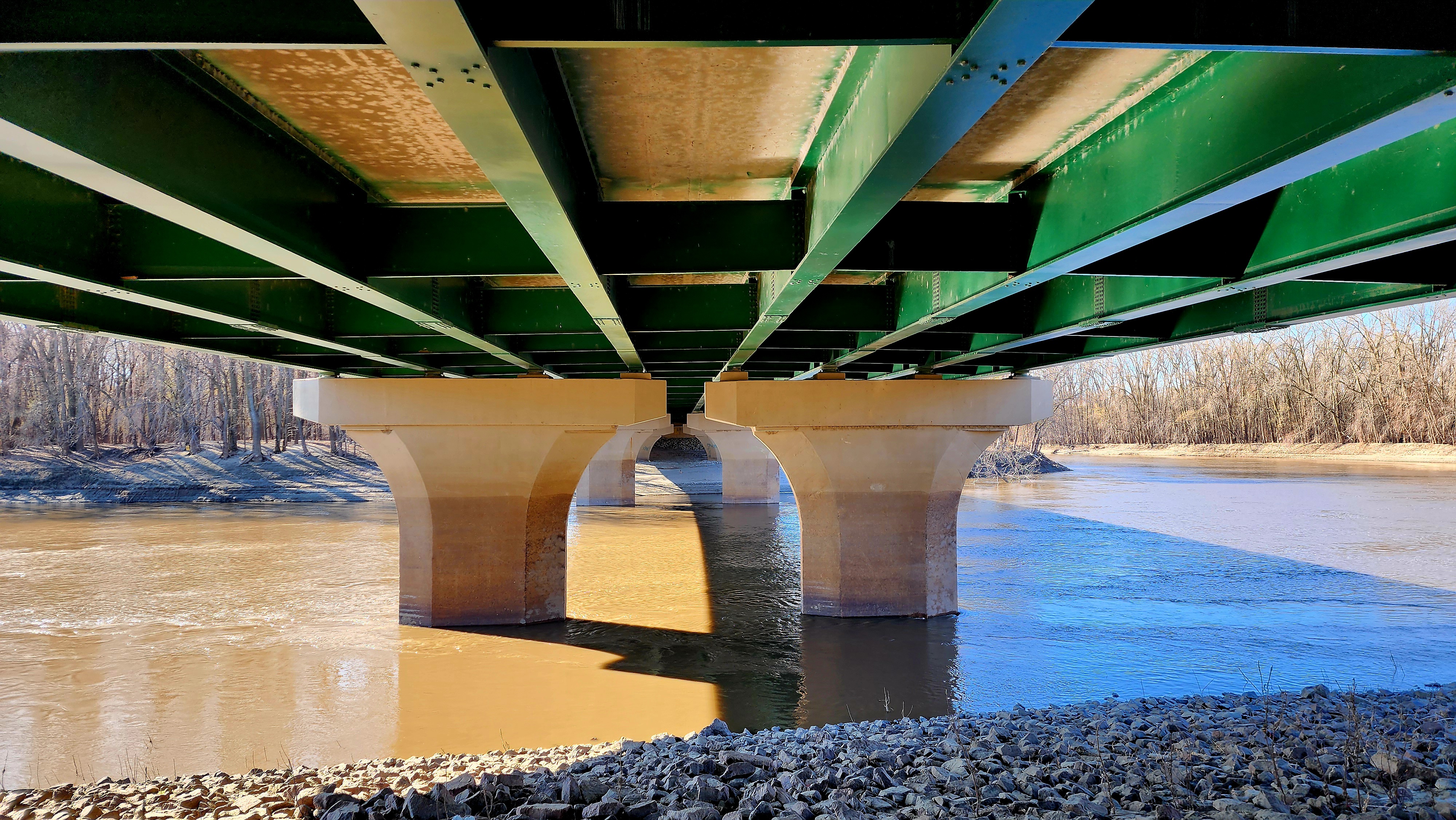
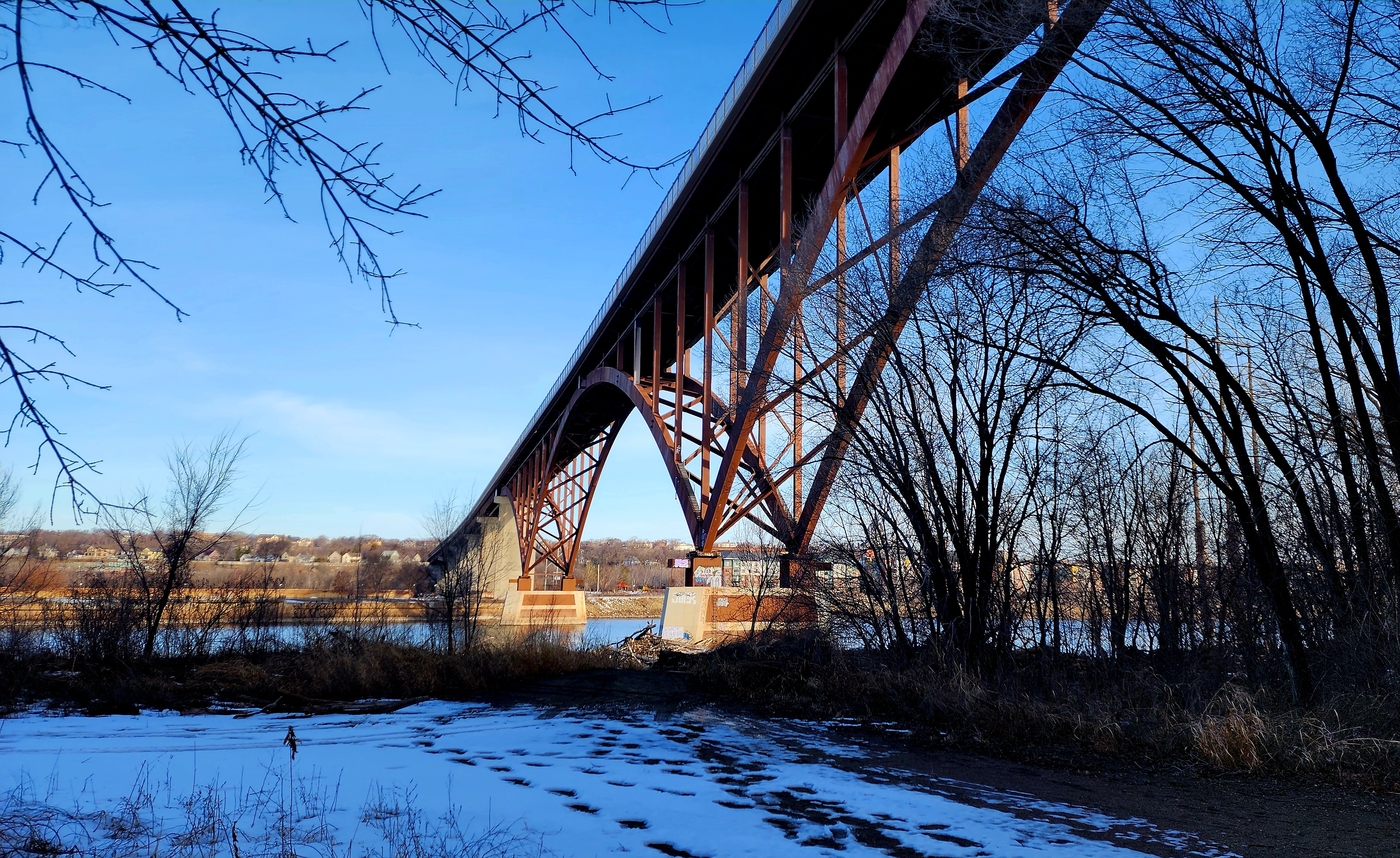
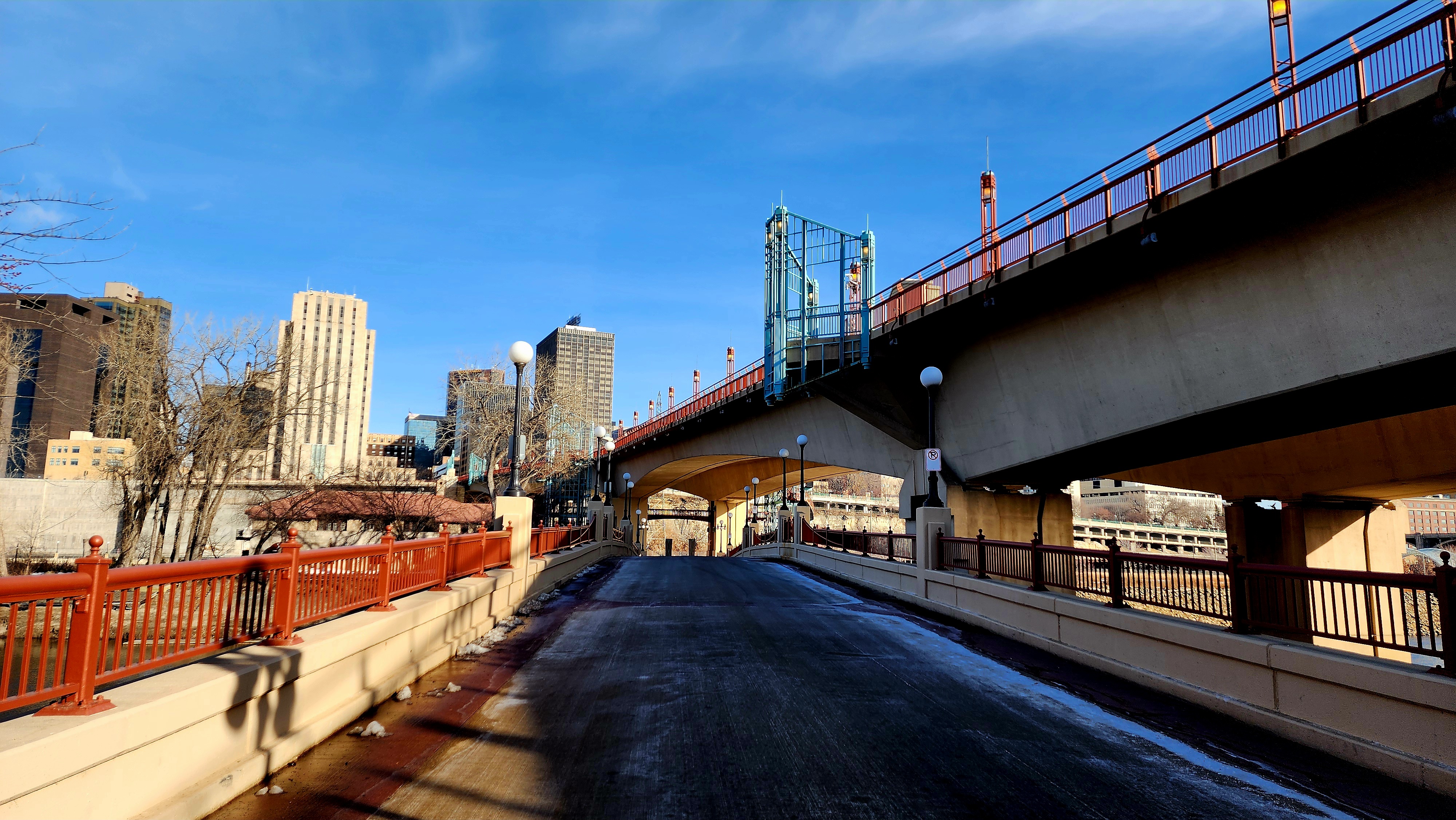
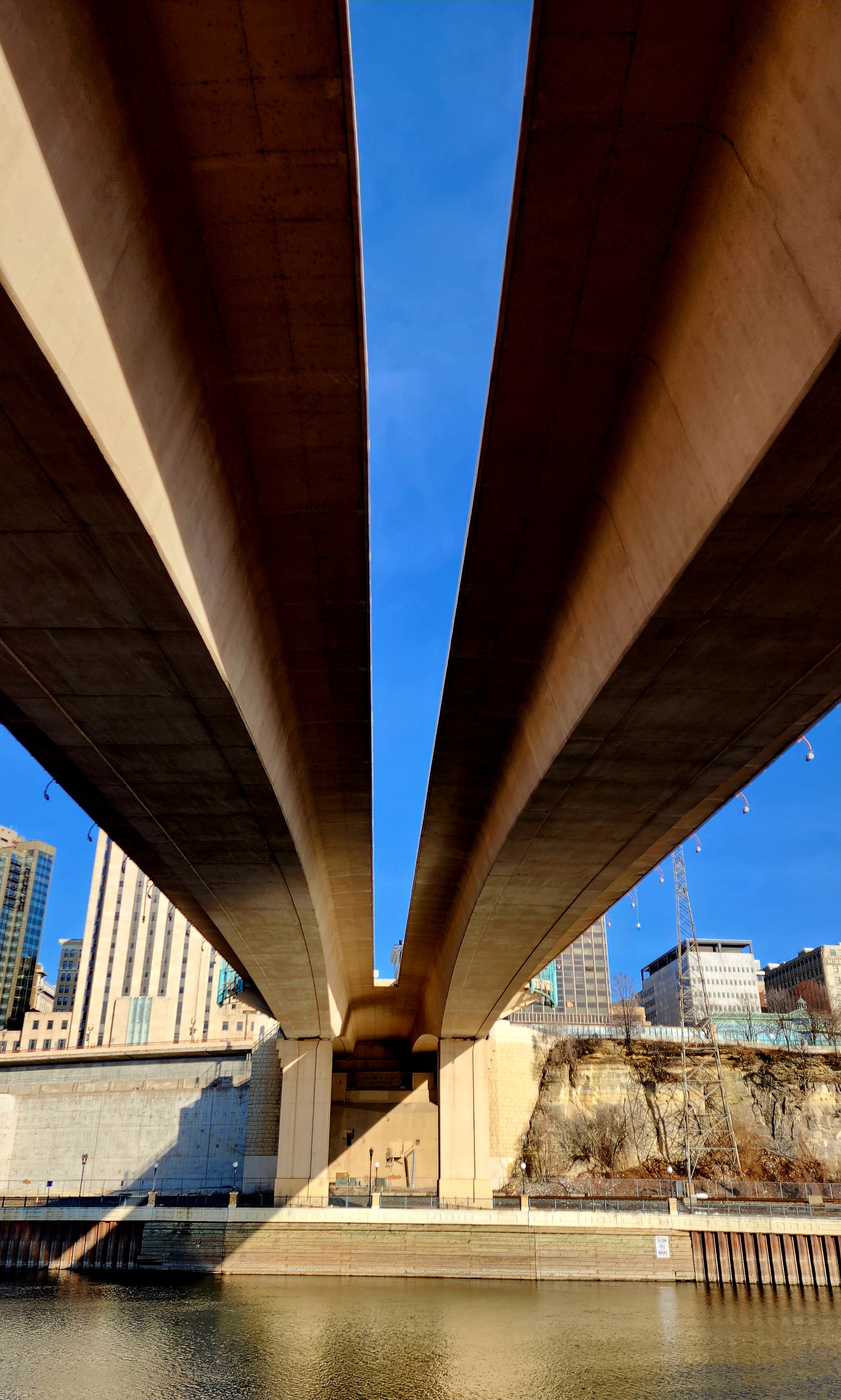
Hiking under the High Bridge/Smith Ave.
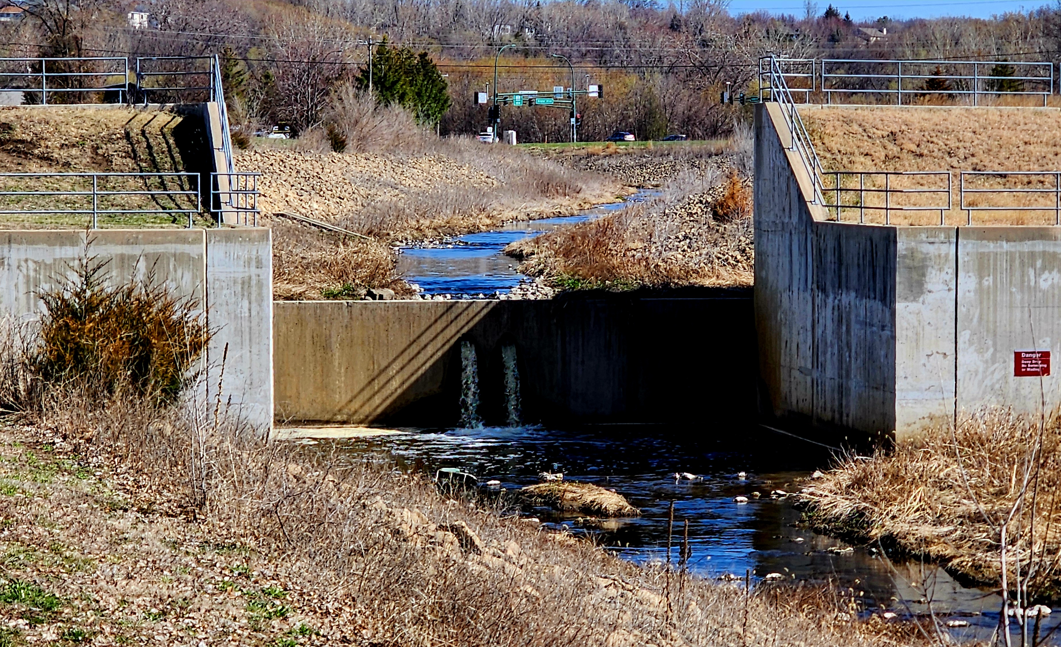
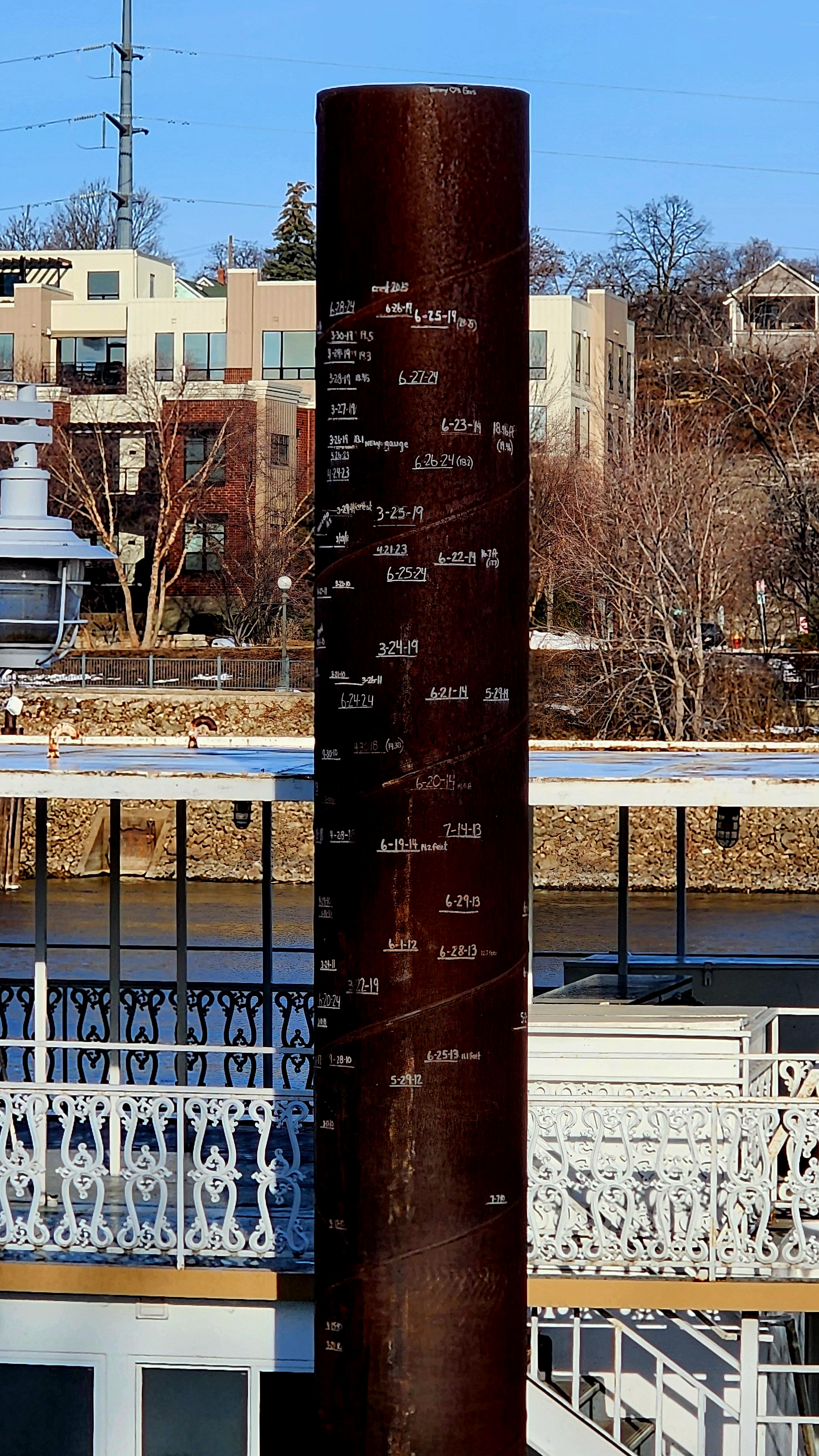
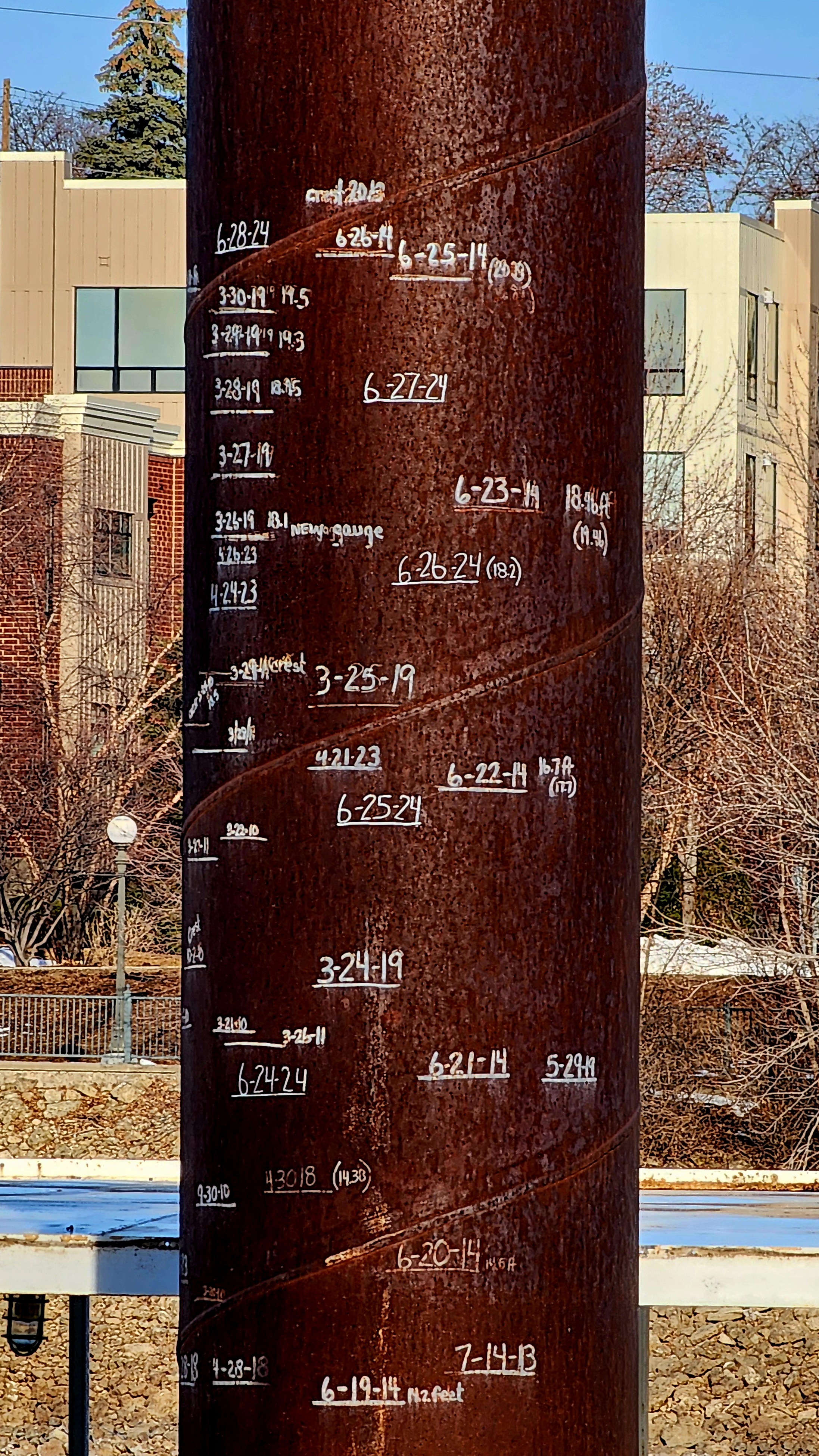
One of the poles on the dock had writing on it. I zoomed in to see if I could read what was written on it. It has water levels going back to 2013.
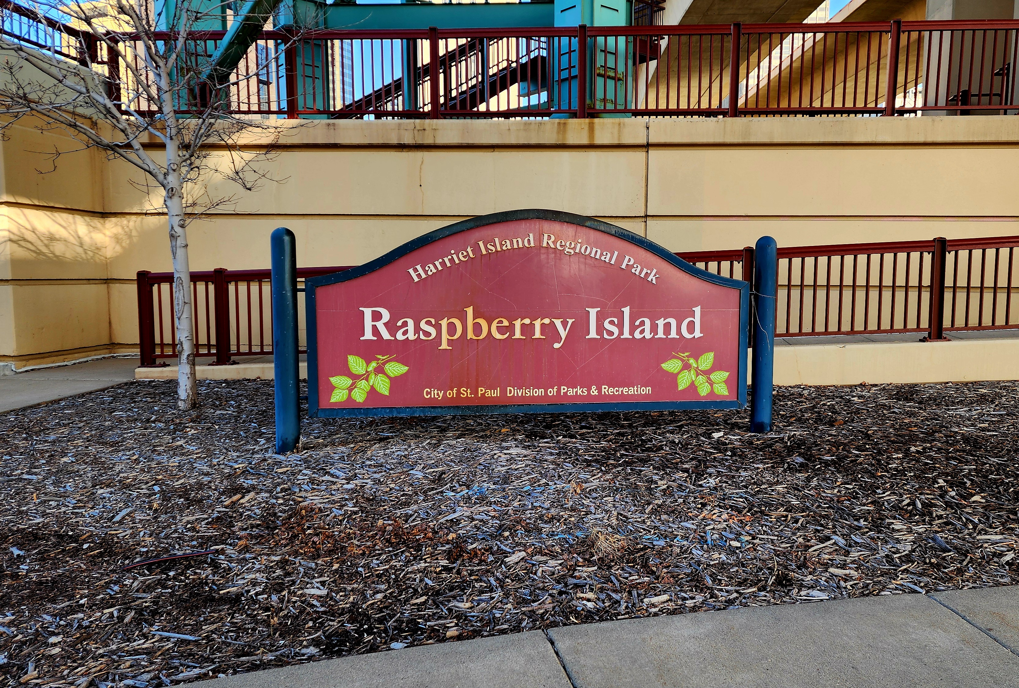
We hiked through Harriet Island Regional Park towards Raspberry Island.